We didn’t have any hikes planned for awhile after our visit to Tamanawas Falls due to Heather having a half-marathon to run on April 10th. Her half-marathon wound up being an opportunity for a pair of short hikes on race weekend though.
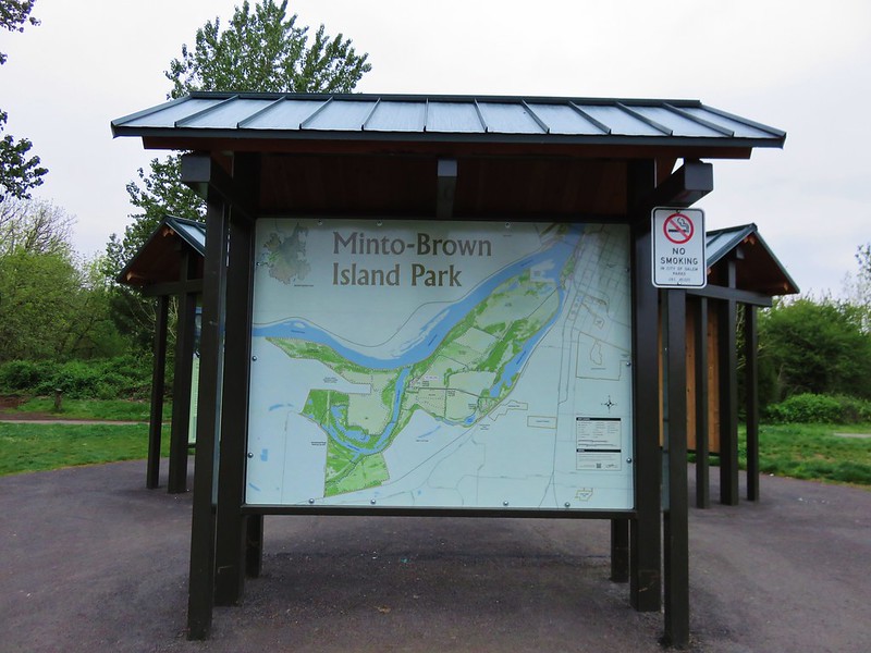
On the day before the race we made the short trip to Salem’s Minto-Brown Island Park for a short walk to help make sure Heather stayed loose. We’ve spent quite a bit of time in the park, sometimes walking and other times passing through on runs. This was the first time I’d brought the camera along to get some photos though.
The area used to be islands in the Willamette River but flooding changed the course of the river so that the former islands are connected to the rest of Salem. At more than 1200 acres, the park contains 19 miles of trails, a playground, a 30 acre off-leash dog area, and fishing opportunities.
The paths are a mix of paved and soft surface trails making the park a popular place to run, walk, or bike. High water does close some of the trails at times but there is almost always a few that remain passable. Later this year a footbridge connecting this park to Salem’s Riverfront Park will make it possible to visit both of these parks as well as Wallace Marine Park without setting foot on a road.
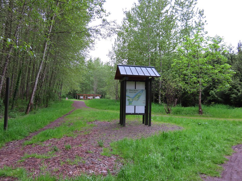
We parked at the Shelter Parking Lot at the end of Minto Island Road SW and set off toward the shelter following signs for the Blue Heron Loop. The park has plenty of signboard maps as well as trail pointers throughout.
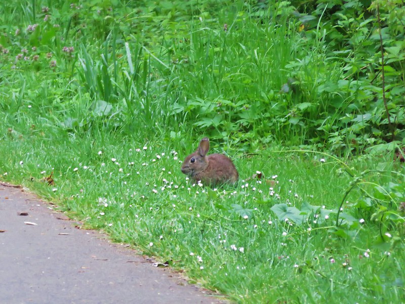
Rabbits are plentiful and often spotted in the strips of grass along the paths.
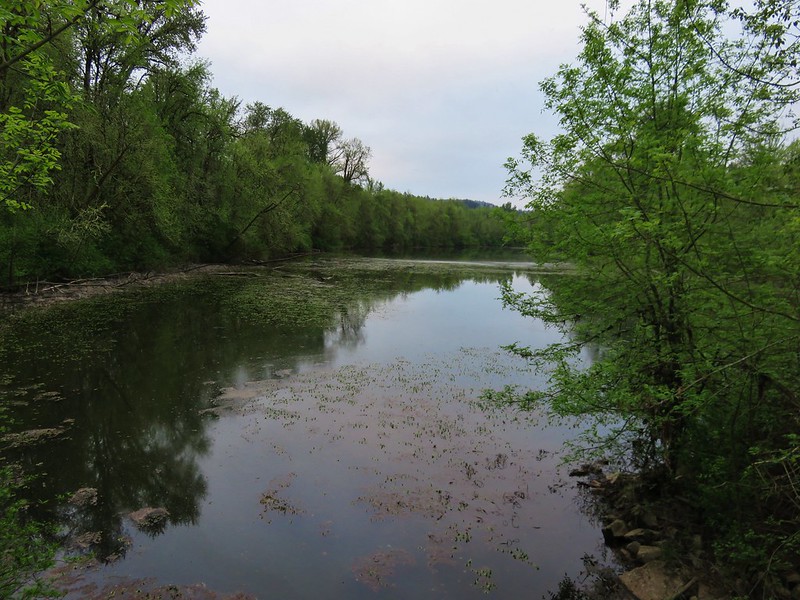
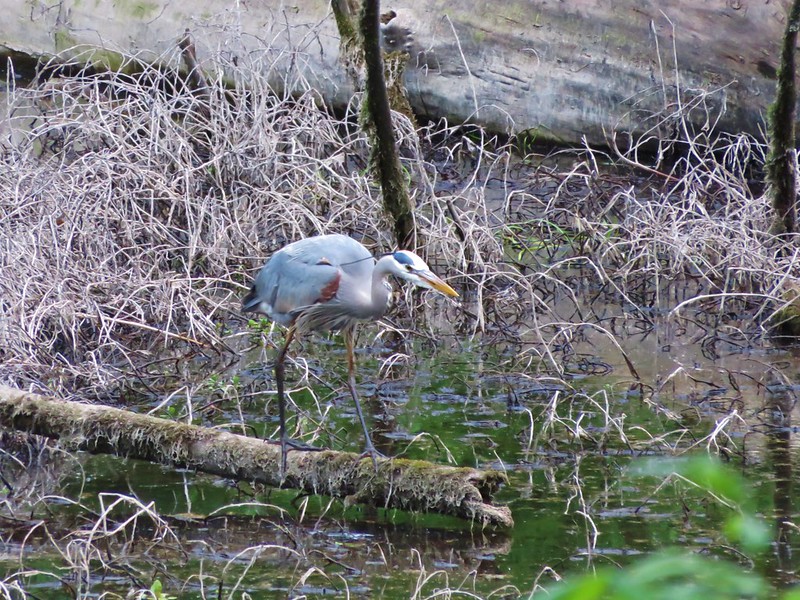
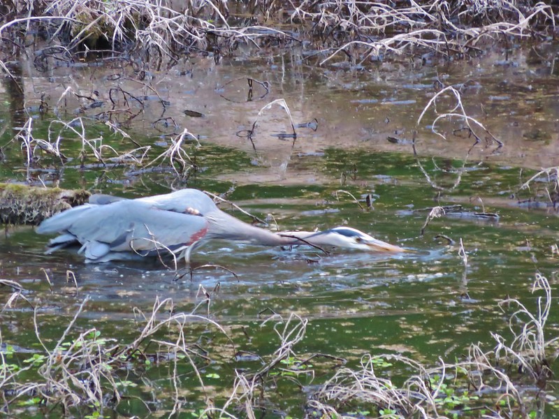
The Blue Heron Loop leads across a footbridge between a pair of sloughs where we spotted a Great Blue Heron searching for snacks.
Shortly after crossing the bridge a sign for the Blue Heron Loop led us off the paved path and onto one of the parks soft surface trails.

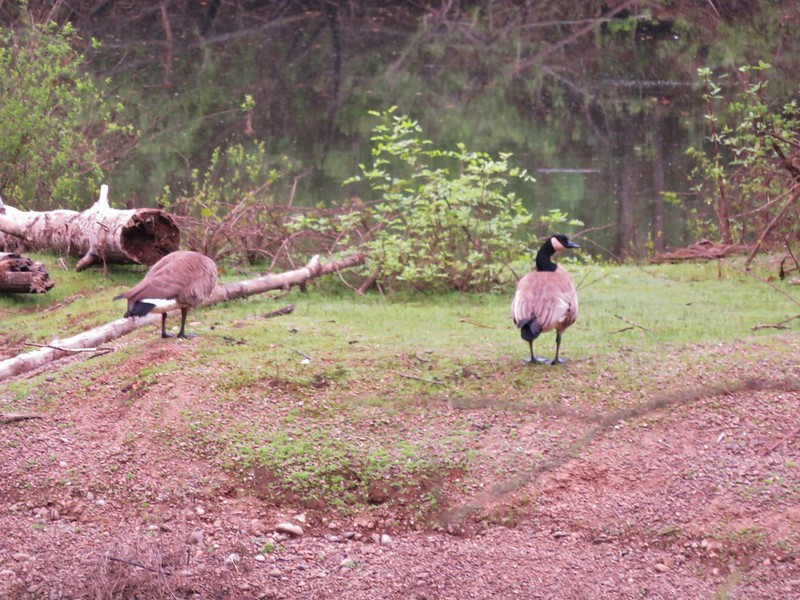
This portion of trail passed another slough on the right where we spotted Canadian Geese, a pair of wood ducks (not pictured due to fast swimming), and an Osprey sitting in its nest.

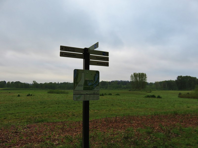
We left the wooded path and came to a trail sign at a junction near one of the many fields in the park.
We left the Blue Heron Loop here and headed for the Brown Island Landfill (the park has a little of everything it would seem). We skirted around it to pick up the Turtle Loop running along the north side of the landfill.
There are several connector trails running between the Turtle Loop trails making several different distances possible. We took one of these through the field to rejoin the Turtle Loop along the Willamette River. Here we found some recent beaver work.

We followed the Turtle Loop back along the river to the shelter parking lot and our car. Even though the park is in Salem its size and the variety of trails makes it a nice spot to “get away” and you are almost certain to see some wildlife along the way.
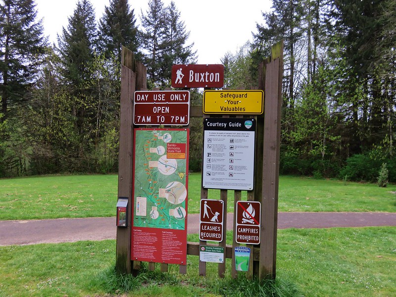
On race day we headed to the Banks Middle School in Banks, OR where Heather’s race would finish and she would catch a bus up to the starting line at L.L. Stub Stewart State Park. The race would follow the Banks-Vernonia State Trail which is a converted rail bed, Oregon’s first rail-to-trail. Heather hopped on a bus at 7am and I had a couple of hours to kill before the race would start at 9am. So I took the opportunity to hike a section of the trail. I had decided to be at the Buxton Trailhead, one of several possible traileheads to access the trail, which was near the 6 mile mark of the half-marathon.
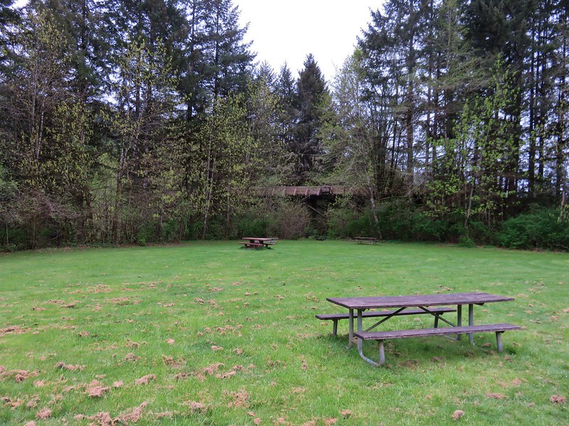
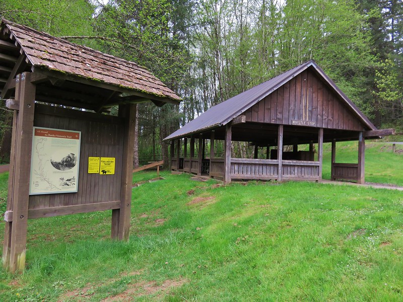
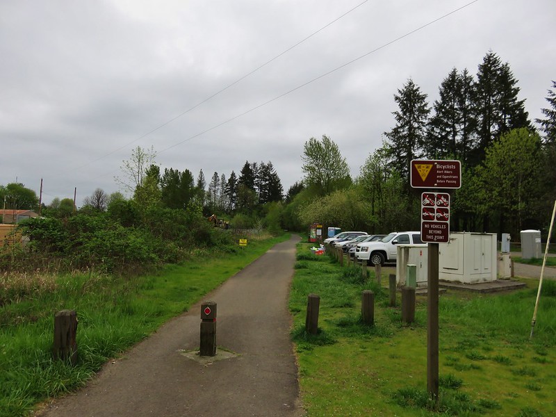
The trailhead had a large parking area with picnic tables, and a shelter.
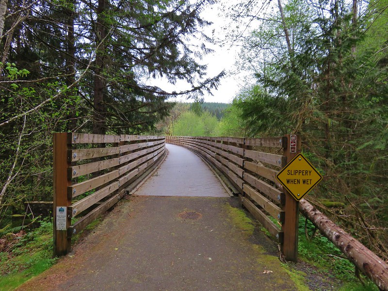
I had calculated that Heather would be passing by that spot a little before 10am so I had about 2 1/2 hours available to hike. I took a path to the left of the parking lot down to a creek crossing below the Buxton Trestle.


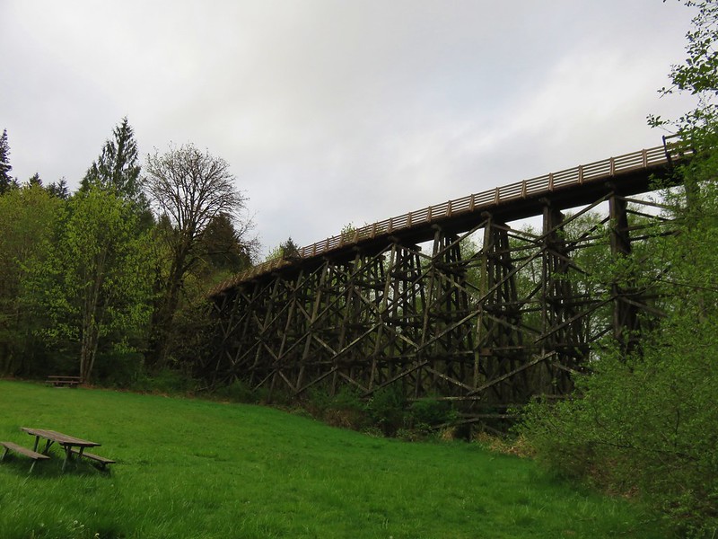
The path then led uphill joining the Banks-Vernonia State Trail just beyond the trestle.

My plan was to head east toward the Banks end of the trail for an hour and then head back to the trestle to wait for Heather, but before I headed down the trail I wandered out onto the trestle.
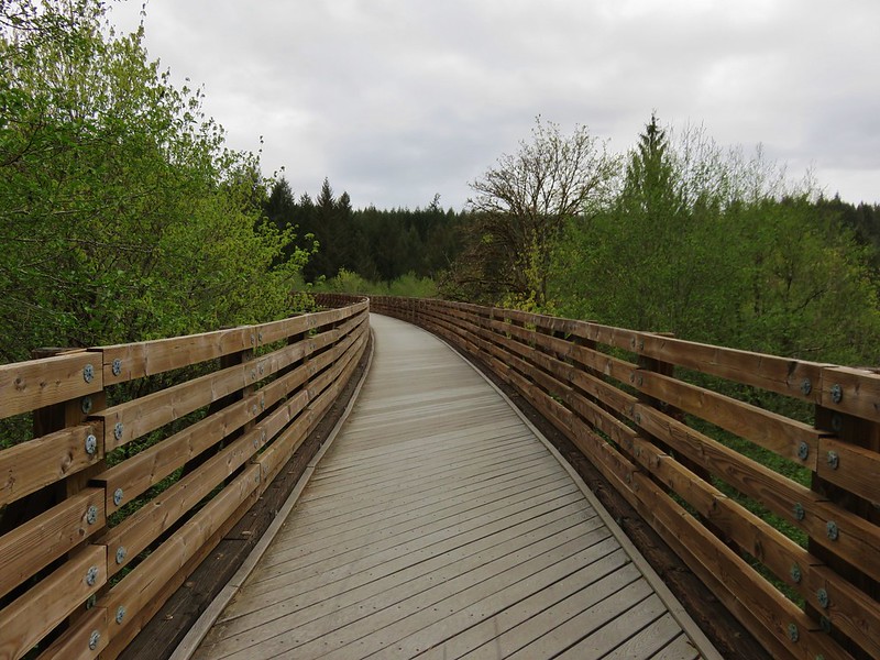
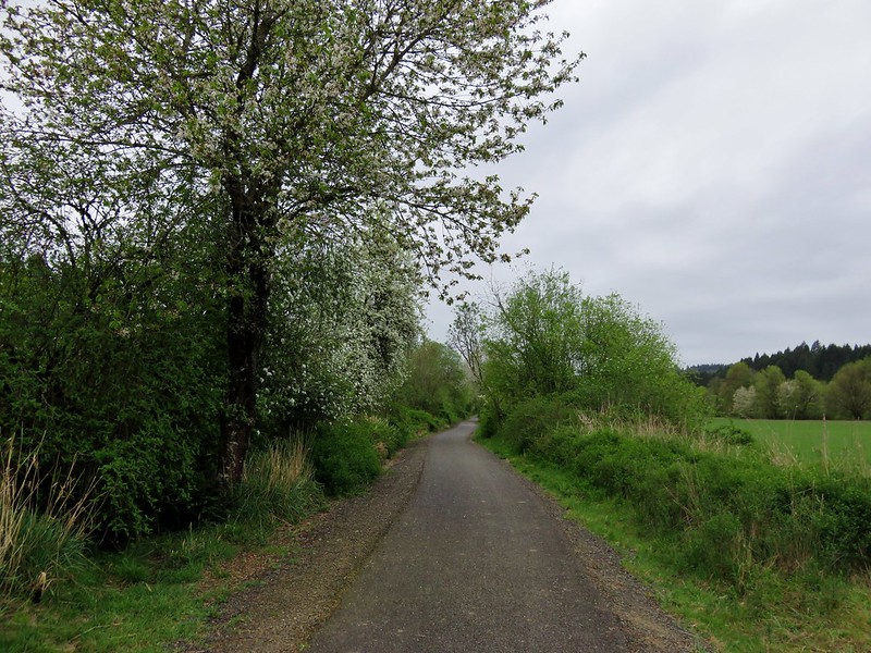
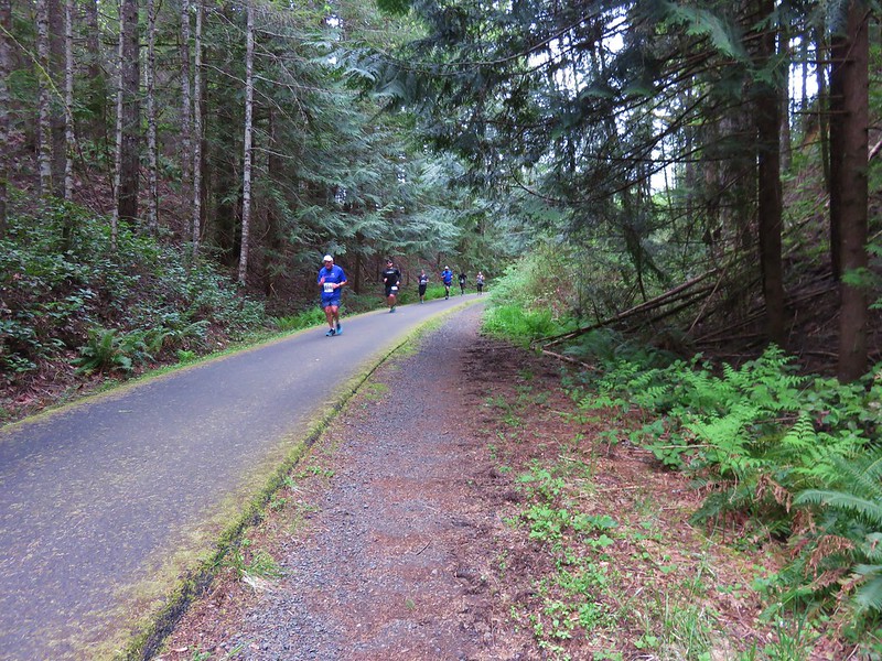
The entire 21 miles of the trail are paved which makes it popular with bicyclists, runners, walkers, and it also sees some equestrian traffic. It was still pretty early though so for the first 45 minutes I saw more wildlife than people.

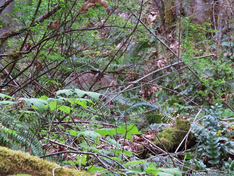
The highlight happened as I passed a draw to my left and noticed something moving up the hillside through the brush. It was a decent size but it had its head down making it hard to tell what I was seeing. When it finally raised its head I could see it was a coyote. It blended really well with the brush and wouldn’t stop moving making it extremely difficult to get a decent picture. I finally made a little noise to get its attention hoping it would pause long enough for a photo, but it was quicker than I was and darted off as soon as we made eye contact.
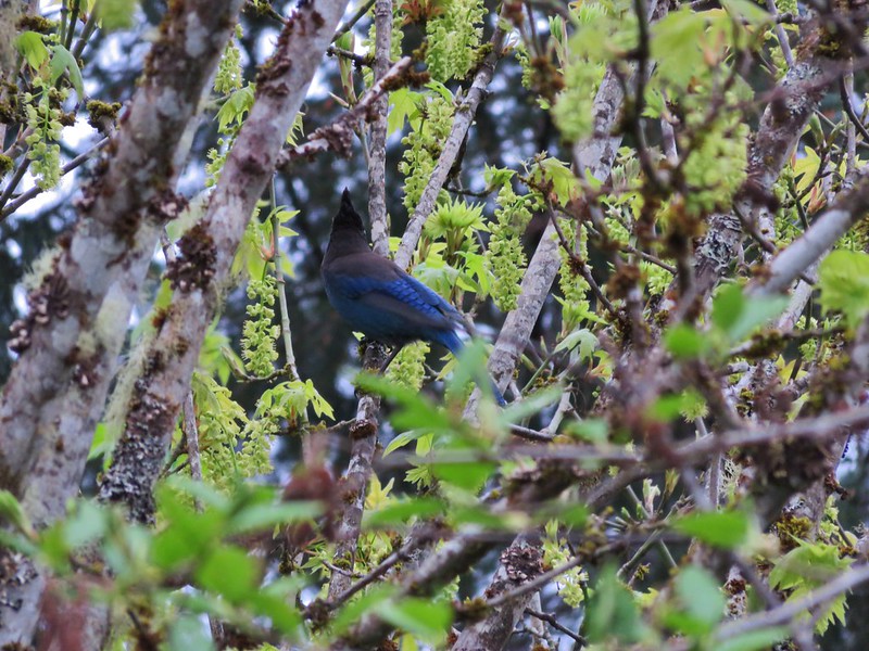
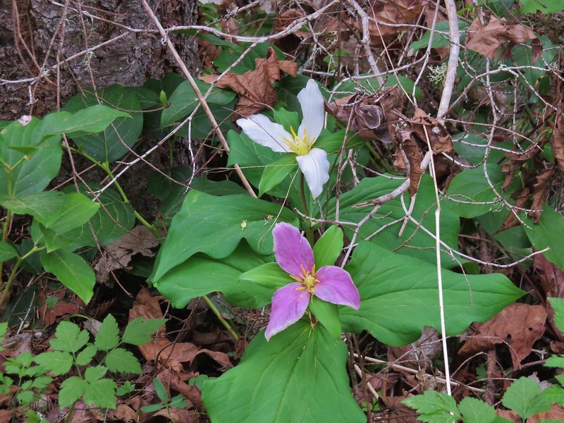
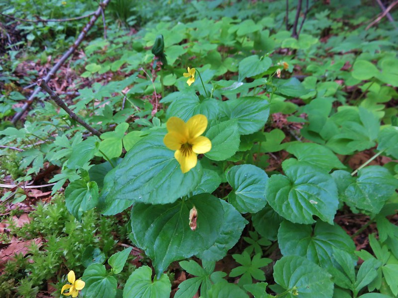
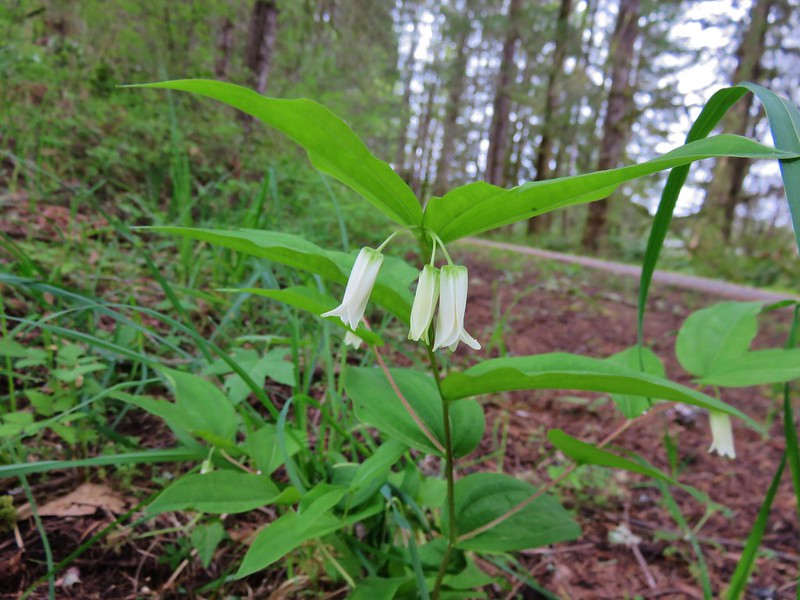
In addition to the wildlife there were plenty of Spring wildflowers along the trail. The forested hillside was dotted with trillium, bleeding heart, pioneer violets, and a few fairy bells.

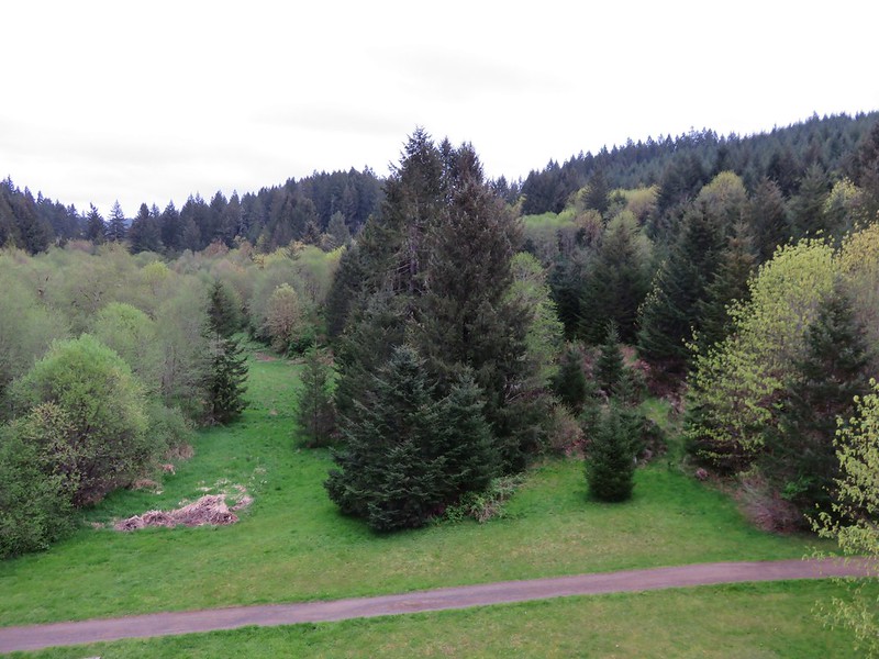
From the trestle the trail had gradually descended to a gravel road crossing where it left the trees and leveled out as it began to pass between pastures.
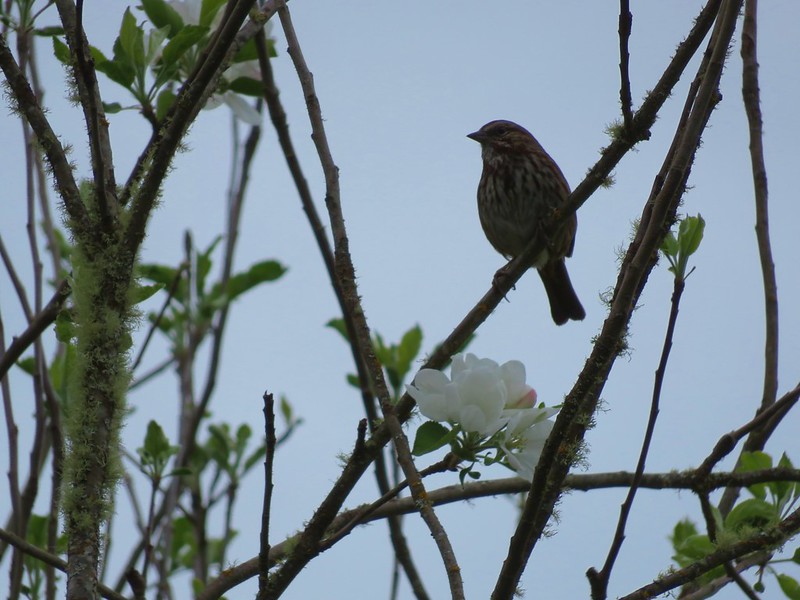
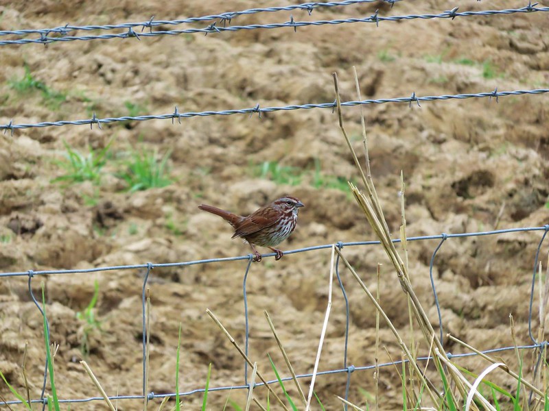
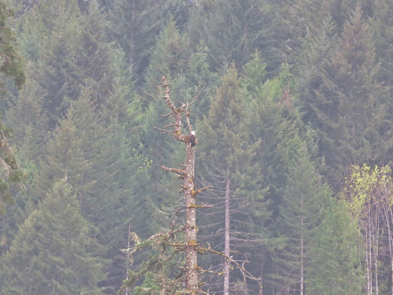
Birds were abundant, mostly sparrows, swallows, and robins but across one of the fields I spotted a bald eagle flying between trees.
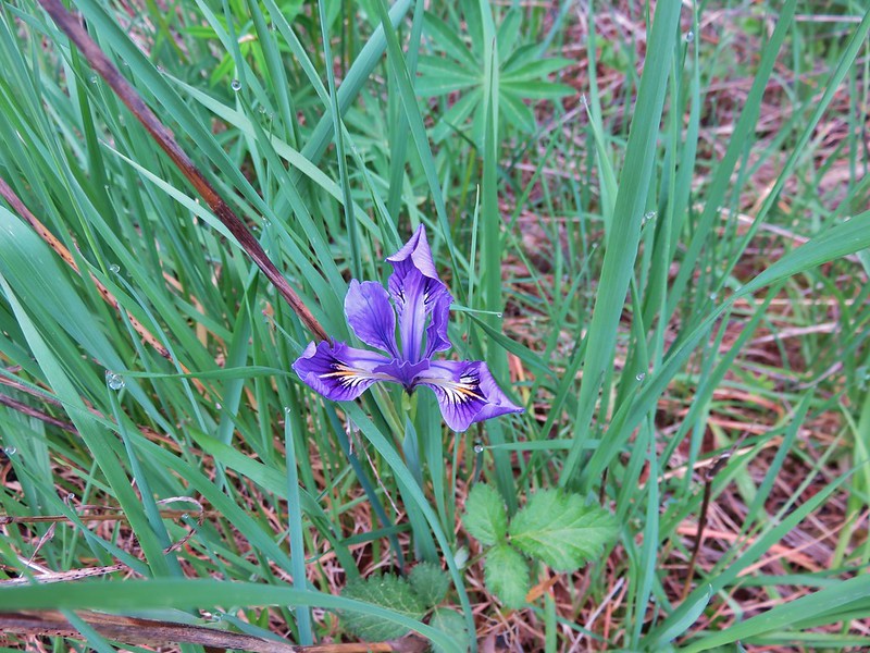
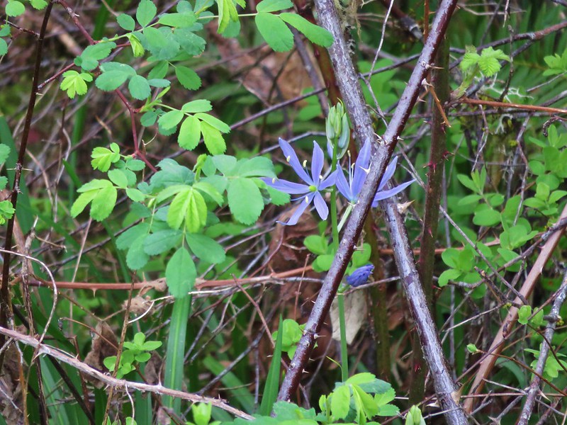
I also spotted a single tough leafed iris and a couple of camas blossoms.
By 8:30am the trail had become quite a bit busier, especially as I neared the Manning Trailhead which I reached just as it was time to turn around and head back.
I had just crossed the Buxton Trestle when the first runners passed by on their way to Banks. These were the sub 6 minute milers so I figured I had about 15 to 20 minutes before Heather would be passing by. I grabbed a snack and waited along the trail for her to pass by which she did right on schedule.
After cheering her on I hopped back in the car and headed for the finish line to meet her. Her goal for this racing season was to break 2hrs in a half-marathon which she managed to do finishing in 1:52:42. With the race completed and her goal accomplished our attention now turns to our hiking season which will last for the next 6+ months. Happy Trails!
Flickr: Minto-Brown- https://www.flickr.com/photos/9319235@N02/sets/72157666808908512
Banks-Vernonia – https://www.flickr.com/photos/9319235@N02/albums/72157666857451492

2 replies on “Minto-Brown Island Park and the Banks-Vernonia State Trail”
[…] between the Buxton Trestle and Manning Trailhead in April 2016 while Heather ran a half-marathon (post). We had used the marathon as our “hike” to check off hike #23 in Sullivan’s […]
[…] Banks-Vernonia Railroad – Hiked – 4/10/2016 & 1/16/2021 (Also ran as a marathon in […]