We took advantage of a favorable weather forecast and ended our “hiking season” with a pair of hikes south of Mt. Hood in two separate wilderness areas. Our first hike was in the Lower White River Wilderness.
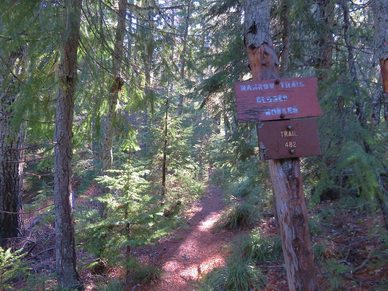
Designated a wilderness area in 2009, the 4 square mile Lower White River Wilderness has no official trails. The narrow wilderness SE of Mt. Hood covers a portion of the White River and it’s canyon on either side from Keeps Mill Forest Camp for approximately 7.5 miles. A use trail from the forest camp follows the river a short distance and this was our planned route into the wilderness.

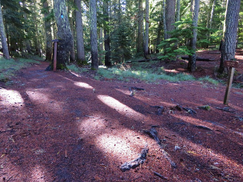
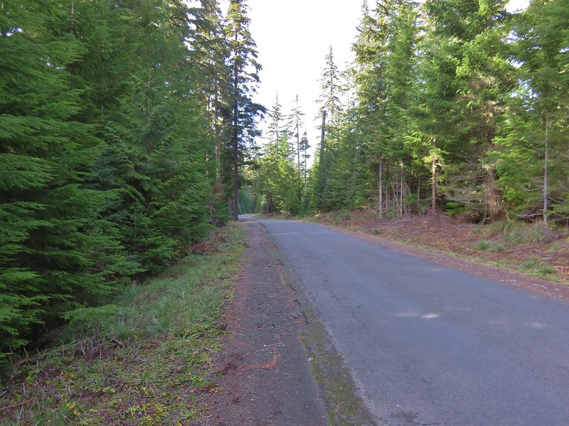
Keeps Mill Forest Camp is located at the end of Road 2120 which is accessed from Highway 216. The narrow dirt road is poorly maintained along the final mile and a half making it suitable only for high clearance vehicles. Instead of driving all the way down to the camp we parked at a pullout near the Camas Trail which crosses Road 2120 on it’s way from Camas Prairie to Keeps Mill Forest Camp.
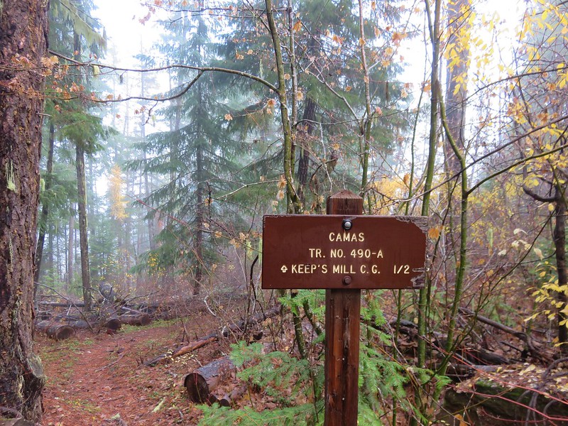
We followed the Camas Trail down to the campground. It was still pretty dark and also fairly foggy when we arrived back on Road 2120 near the entrance of Keeps Mill Forest Camp.

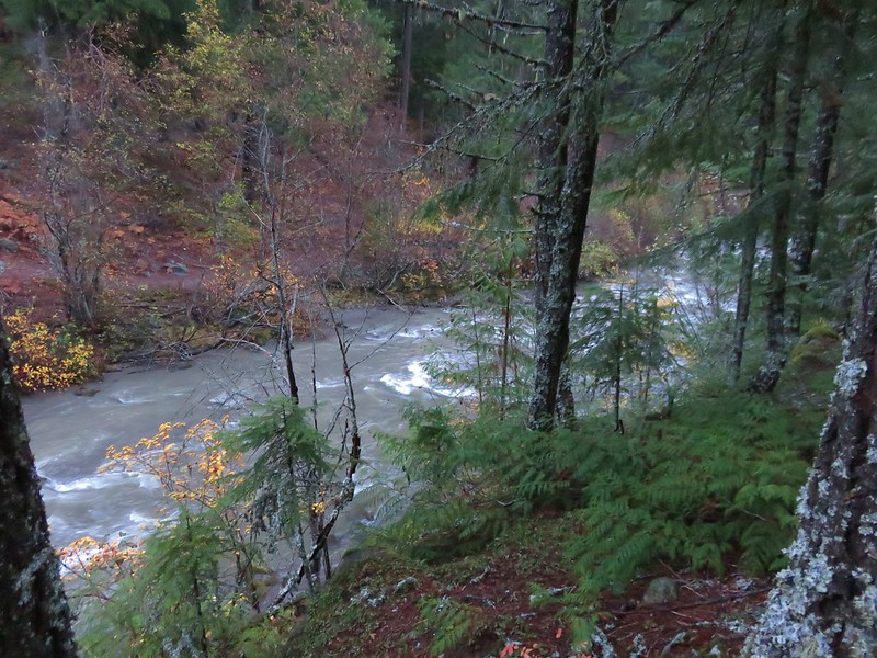
The campground is located near the confluence of Clear Creek and the White River.
Clear Creek

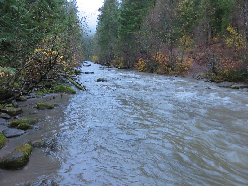
White River
We found the use trail along the river and followed it for about half a mile where it appeared to become fairly brushy.
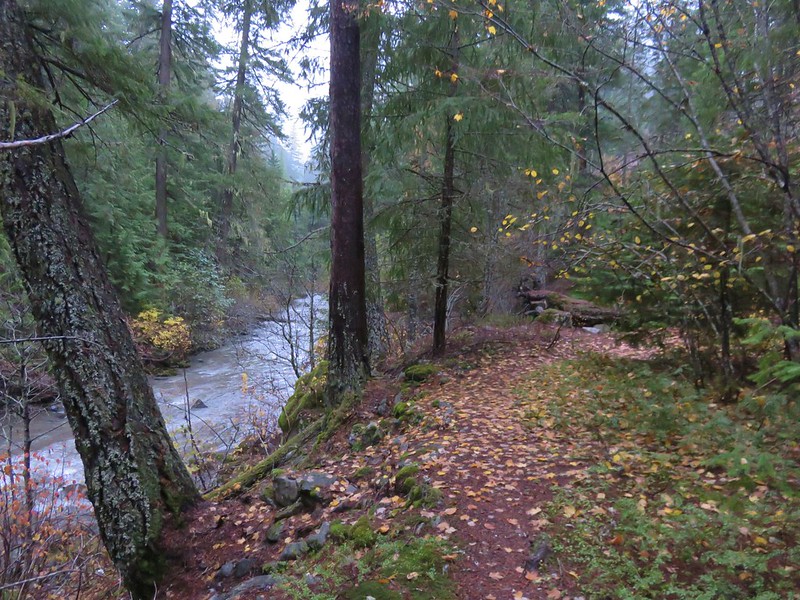
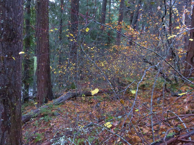
The trail had been traveling between the river and a talus slope where the remains of an old flume could be seen amid the rocks.
We turned around here having accomplished our goal of hiking into the wilderness and seeing some of the flume remains and headed back to the campground and up the Camas Trail.


When we got back to where we’d parked Heather spotted a doe that quickly fled into the forest. The hike had been just under 2 miles with approximately 250′ of elevation gain climbing up the Camas Trail.
We hopped back into the car and headed toward Mt. Hood turning off Highway 26 at the Frog Lake Sno-Park for our next hike.

Our planned hike here was a loop visiting Palmateer Point, the Twin Lakes, Frog Lake Butte, and Frog Lake. We began by heading north from the large parking lot on a short connector trail that brought us to the Pacific Crest Trail.
We turned right on the PCT at a sign for Barlow Pass.

After 1.4 miles we arrived a trail junction with the Twin Lakes Trail.

Turning right on the Twin Lakes Trail would have led past Lower then Upper Twin Lake before returning to the PCT 1.4 miles to the north after traveling a total of 3.1 miles. We had a longer loop planned so we stuck to the PCT and entered the Mt. Hood Wilderness.

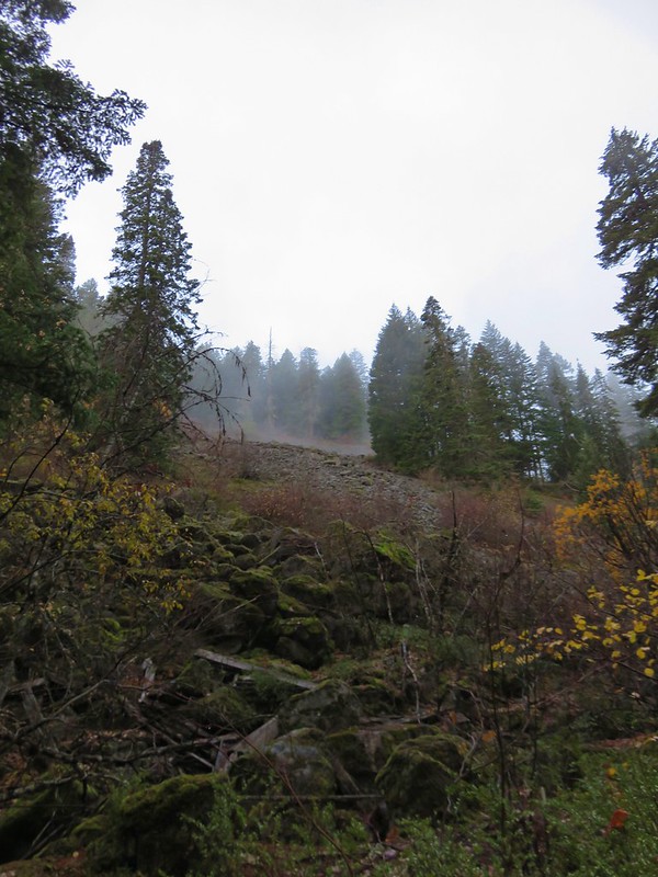
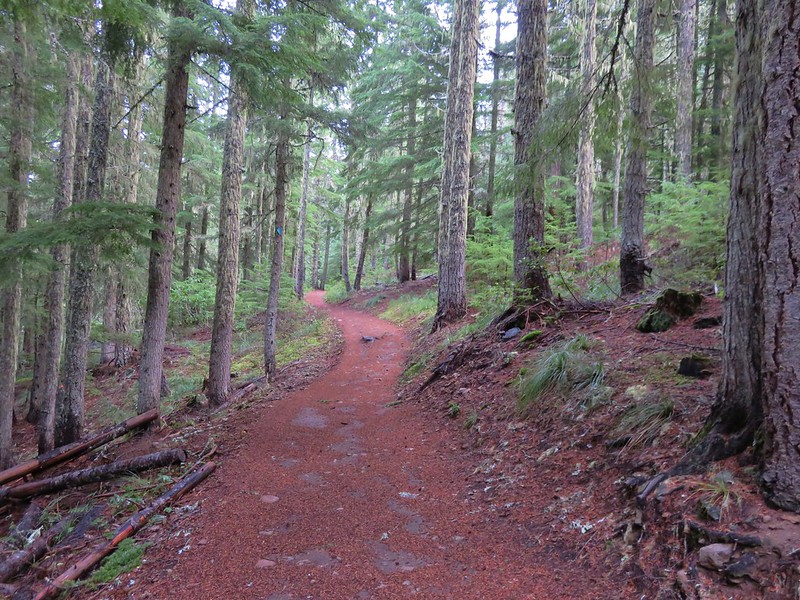
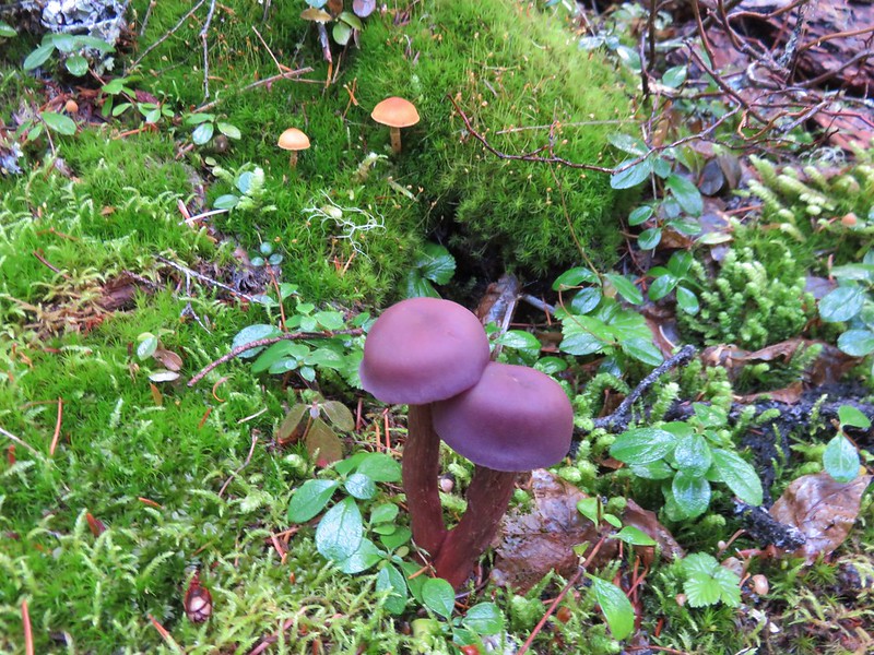
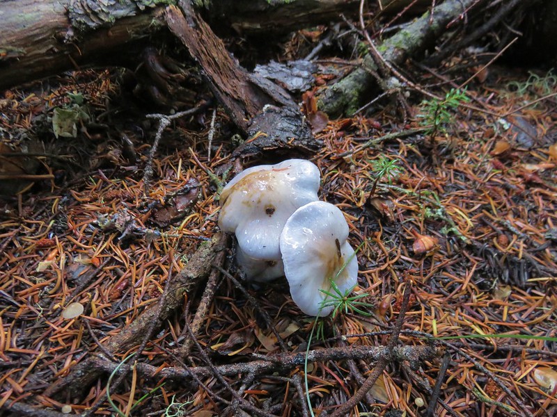
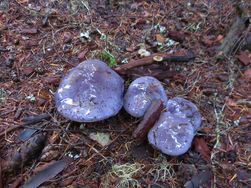
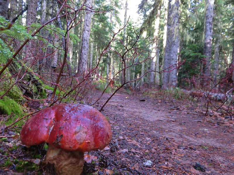
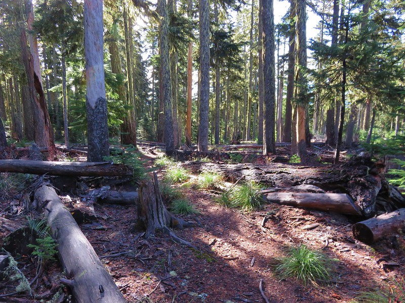
There were no views along this section of the PCT but it was a pleasant forest walk and we kept busy spotting all the different mushrooms along the trail.


We passed the other end of the Twin Lakes Trail sticking to the PCT for another 3/4 miles to the Palmateer Trail.
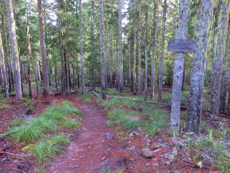

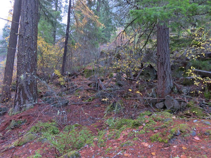
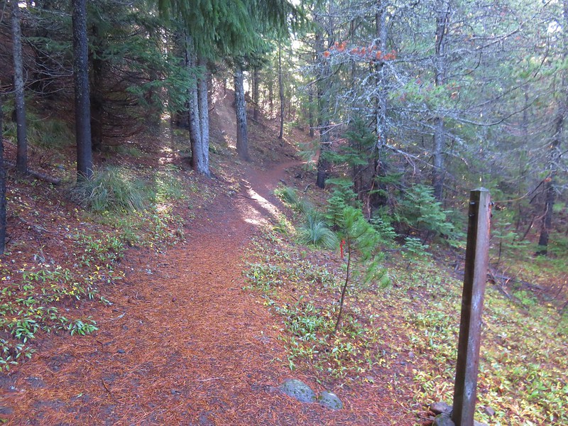
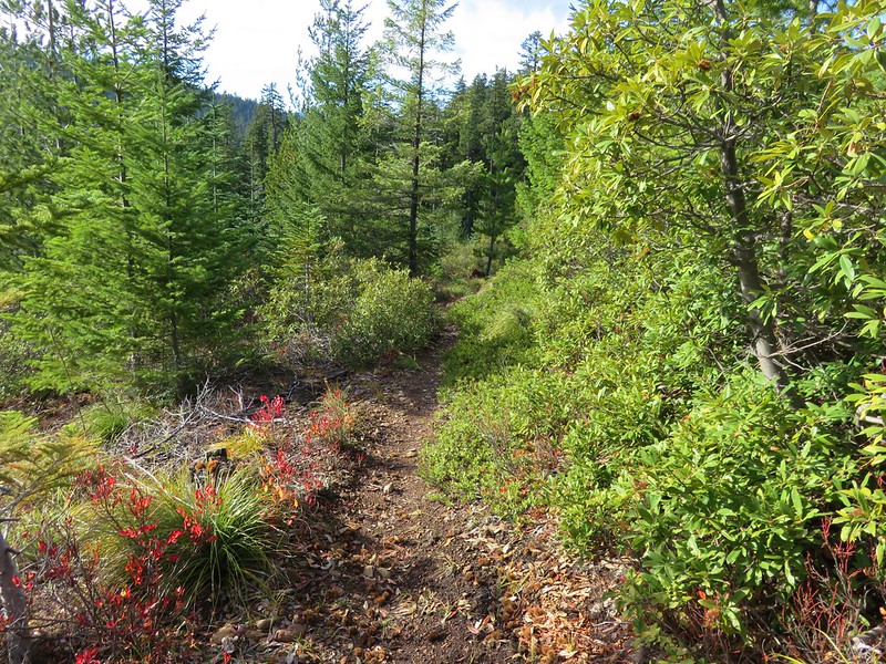
We turned onto the Palmateer Trail and followed it for nearly a mile passing a junction with the Devil’s Half Acre Trail along the way.


We forked left at a post after .9 miles.
This .3 mile spur trail led up to Palmateer Point.
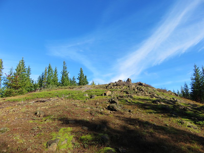
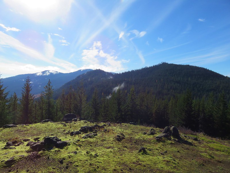
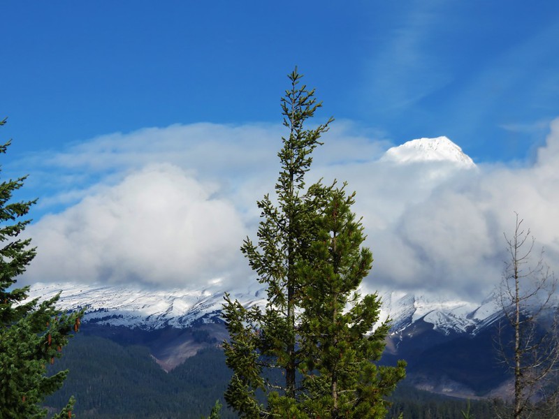
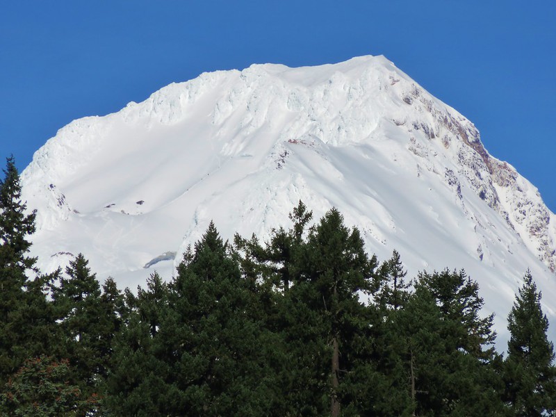
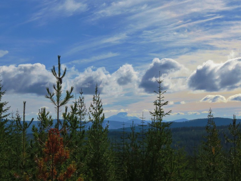
We were hoping for a close up view of Mt. Hood but found that a jumble of clouds were preventing that.
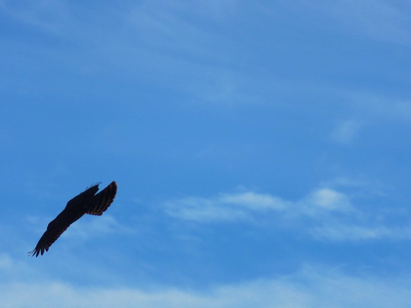
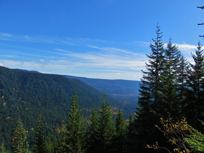
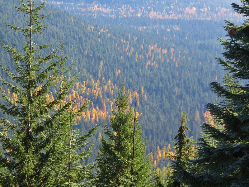
We took a break on the point watching a pair of hawks soaring nearby and admiring the golden larches in the valley below.

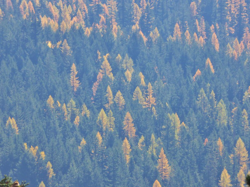
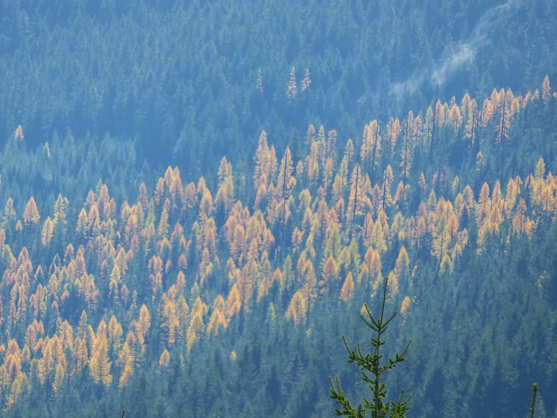
This was our first good look at the larches, the only deciduous conifers, sporting their fall colors.
After getting a brief glimpse of Mt. Hood’s summit we headed back down to continue our loop.
We passed in and out of small patches of fog for the next .6 miles to a junction with a .2 mile tie-trail that would have led to the Twin Lakes Trail.


This was the route equestrians would need to take, but we stuck to the Palmateer Trail heading for another viewpoint.
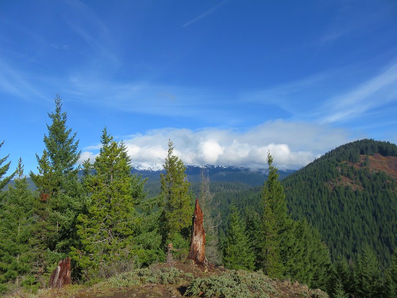
Mt. Hood was still mostly hidden when we arrived at the small rocky viewpoint so it was once again the larches that were the highlight.
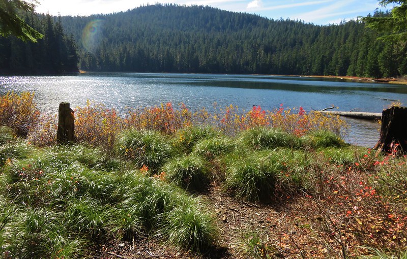
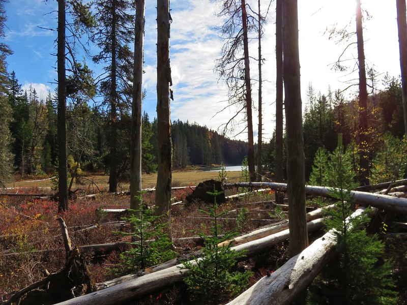
We followed the Palmateer Trail to it’s end at the Twin Lakes Trail along Upper Twin Lake.

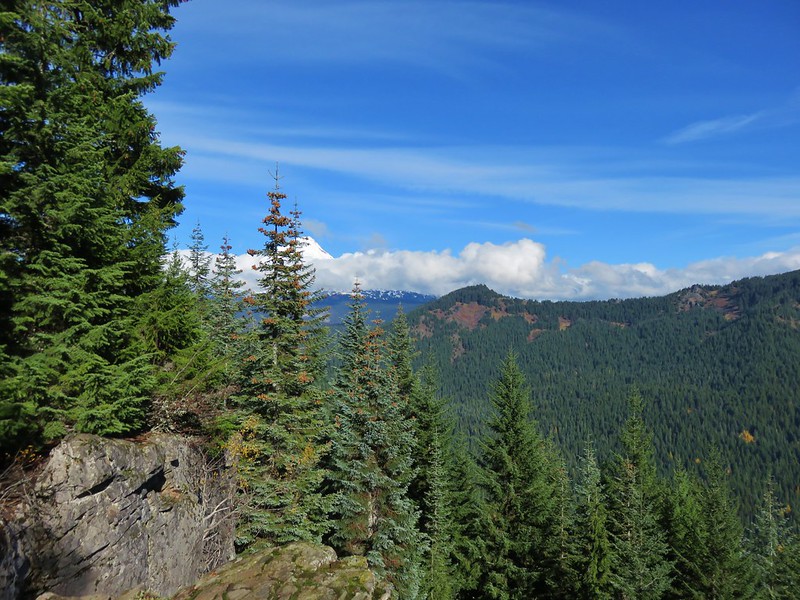
Mt. Hood was starting to reveal more of itself as the day went on.

We followed trails counter-clockwise around the lake getting an even better view of the mountain’s snowy summit from the lake’s southern end.

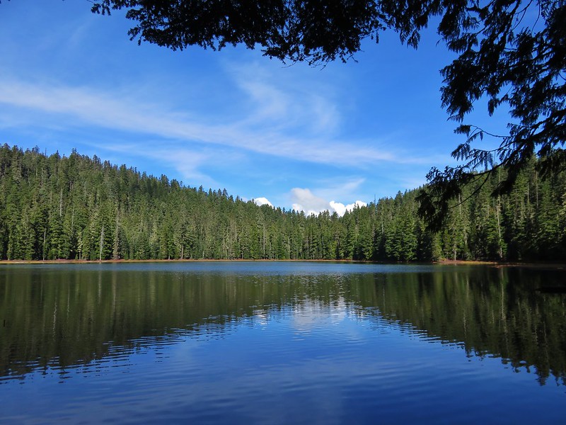
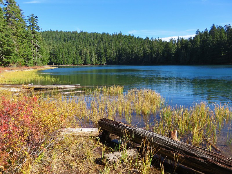
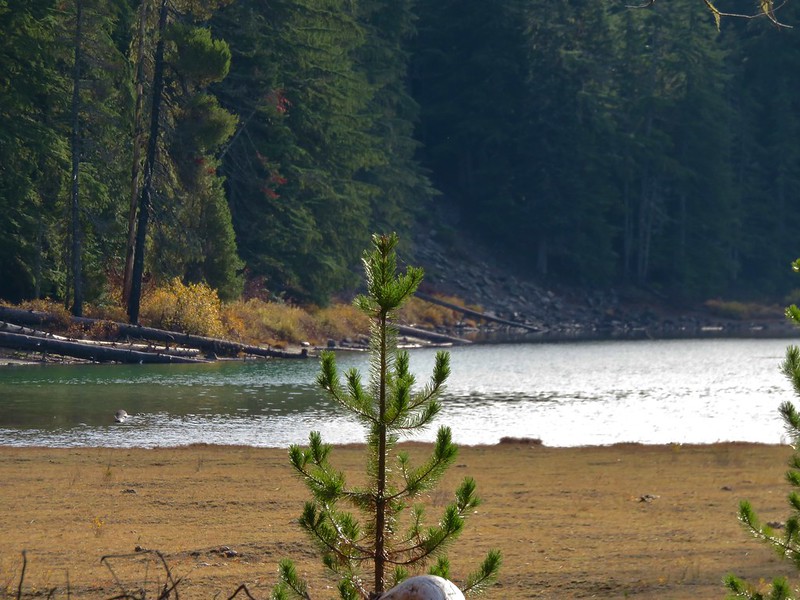
When we arrived back at the Twin Lakes Trail we headed south down to Lower Twin Lake which was .7 miles away.
The lower lake is just off the Twin Lakes Trail and is accessed from the direction we were coming from by the Frog Lake Butte Trail.

Again we did a counter-clockwise loop around the lake.
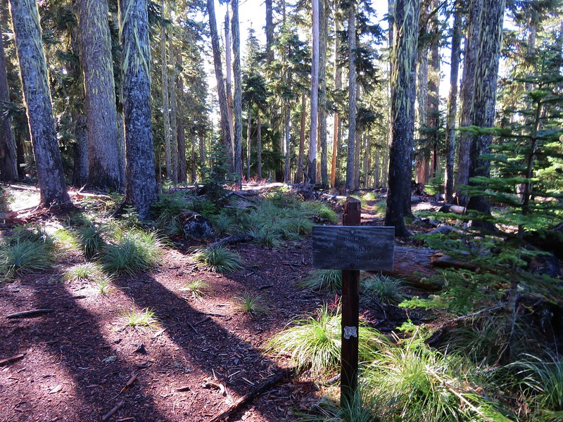
The quickest way back to the sno-park would have been to return to the Twin Lakes Trail and follow it back to the Pacific Crest Trail for a 9.1 mile loop (not counting the loops around the lakes). By being willing to do an extra 4 miles though we could visit one more viewpoint and another lake by taking the Frog Lake Butte Trail.

This trail led 1.3 miles to a junction on a saddle with the Frog Lake Trail.
At the junction we turned uphill toward Frog Lake Butte climbing steeply for .7 miles to the summit.
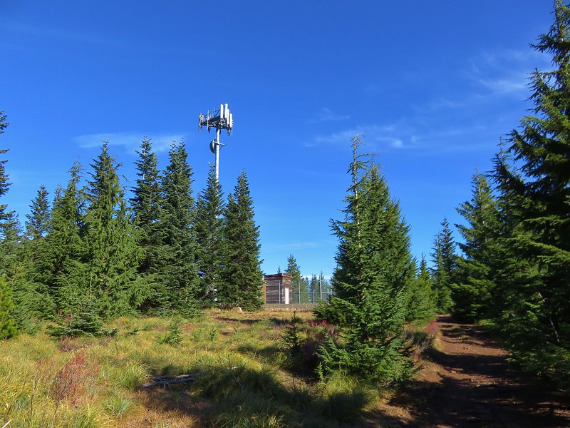
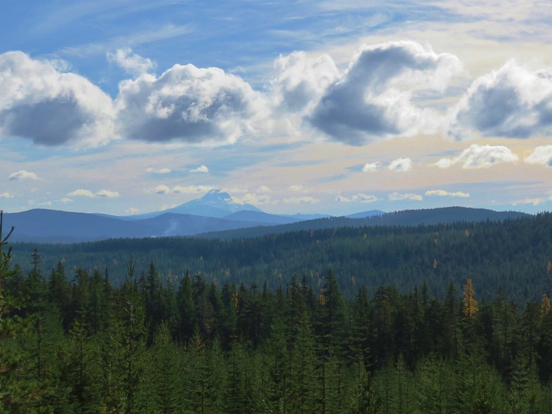
The final portion of the trail followed Frog Lake Butte Road past a communications tower to a viewpoint where Mt. Hood was now mostly visible.

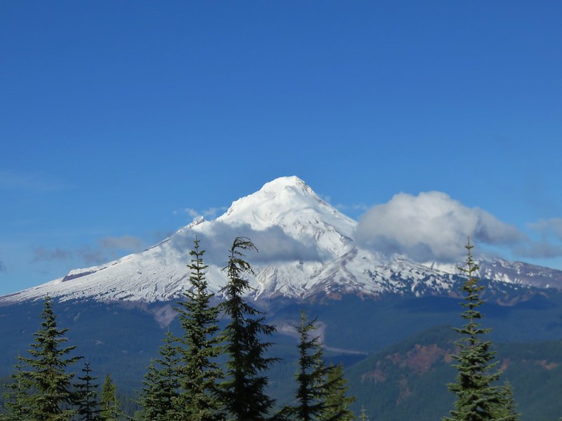
We stayed at the viewpoint for awhile watching as the clouds slowly passed by.

When we were satisfied that we’d gotten about as good a view as we were going to get we headed back down to the Frog Lake Trail and continued downhill on it.
This trail crossed Frog Lake Butte Road before entering what appeared to be an old clear cut where we had a nice view of Mt. Jefferson to the south.
After 1.3 miles we arrived at the Frog Lake Campground where we detoured briefly to get a look at Frog Lake.
A .7 mile walk along Frog Lake Butte Road brought us back to the sno-park and our waiting car.
The loop came to 14.1 miles which was nicely broken up into shorter sections by the various sights and trail junctions. It was a very enjoyable hike on a great weather day and a perfect end to our 2016 hiking season. We’ll try and get out on a trail at least once a month until next year’s season starts. For now – Happy Trails!
Flickr: https://www.flickr.com/photos/9319235@N02/albums/72157672250482753

6 replies on “Lower White River Wilderness and Twin Lakes Loop”
We have 3 Oregon Wilderness Areas left to visit and Lower White River is one of them. We plan to try visiting it in mid-November if the weather holds. So thanks for this useful information!
[…] So, rather than escalating our drive into the adventure/rescue category, we parked (as have others) where Forest Road (FR) 2120 crosses the Camas Trail (USFS […]
[…] They were the Oregon Badlands, Kalmiopsis, Menagerie, Eagle Cap, Mountain Lakes, Sky Lakes, and Lower White River Wildernesses in Oregon and the Marble Mountain Wilderness in California. In addition to the new […]
[…] Lower White River – 2016 […]
[…] PCT was on our right heading south toward Twin Lakes (post) while the Barlow Wagon Road lay straight […]
[…] #78 Twin Lakes – Hiked 10/29/2016 […]