We are going to take a break from our Throwback Thursday posts now that we are hiking regularly again. Have no fear though Throwback Thursday hikes will return in the Fall.
The day after our visit to the Clarno area we headed to Crooked River Ranch and the BLM managed Otter Bench Trail System.

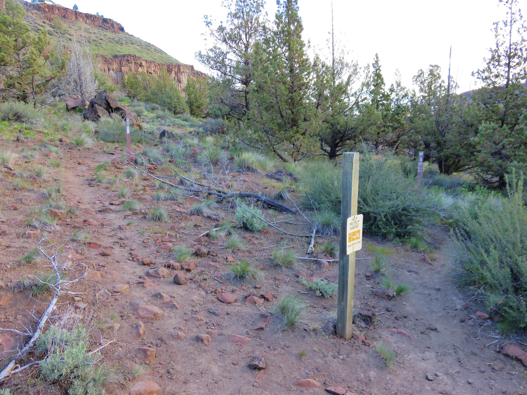
Three trails begin at the trailhead at the end of Horny Hollow Dr. The .9 mile Lone Pine Trail, the 1.5 mile Horny Hollow Trail, and the 1.7 mile Otter Bench Trail.
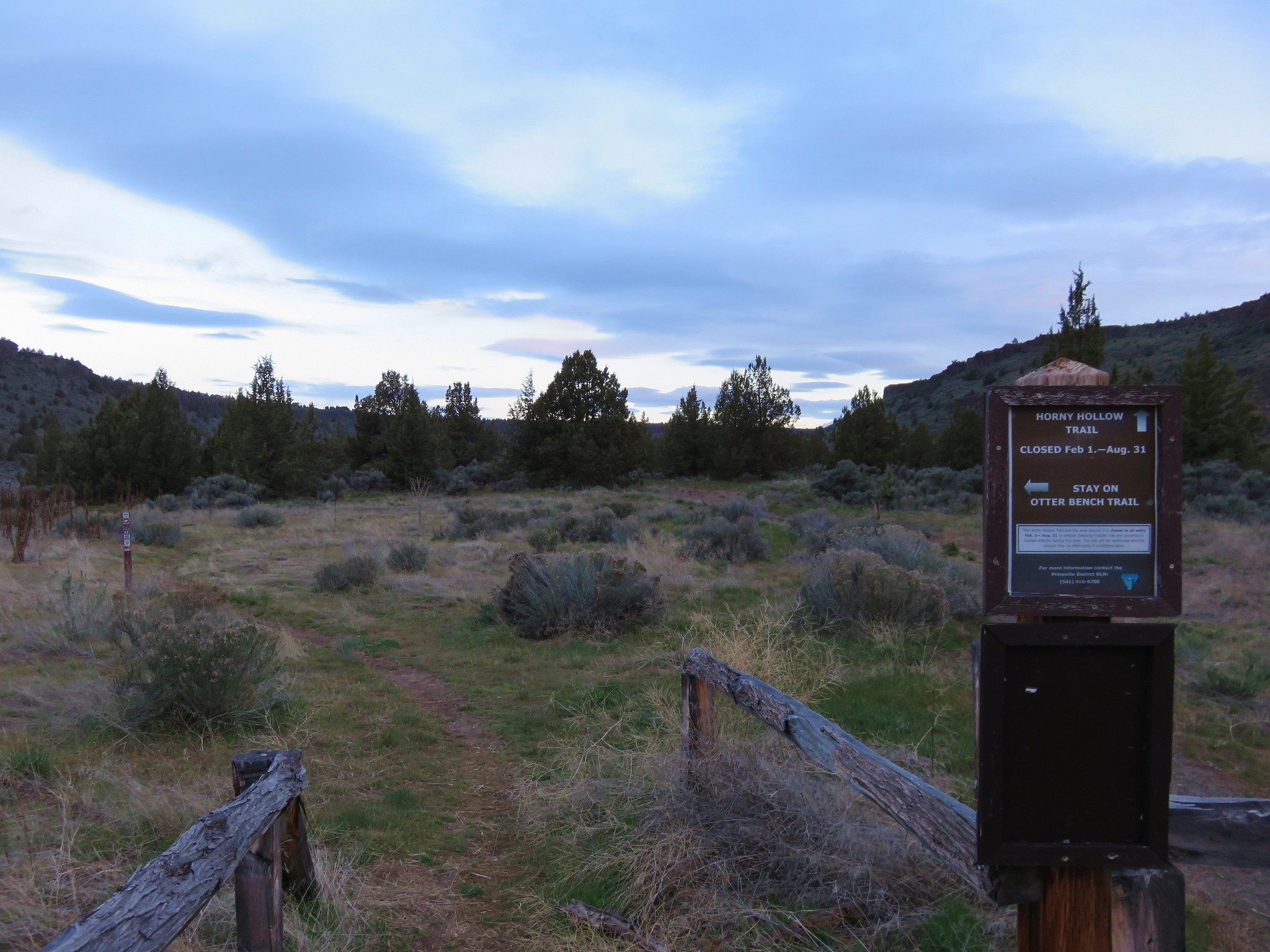
The Otter Bench and Horny Hollow Trail form a loop but from February 1 – August 31 the Horny Hollow Trail is closed. The Lone Pine Trail heads in the opposite direction eventually dropping down to the river. Our plan was to take the Otter Bench Trail a junction at it’s end where we would take the short Pink Trail down to the river then the Opal Loop Trail further out along the bench.
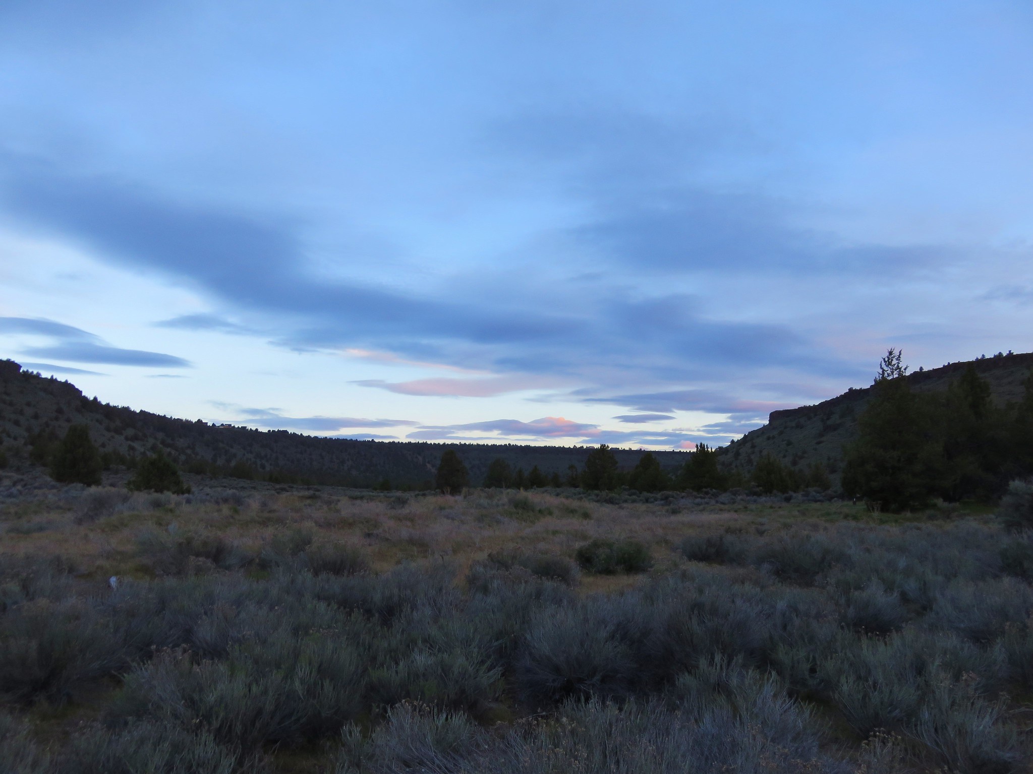
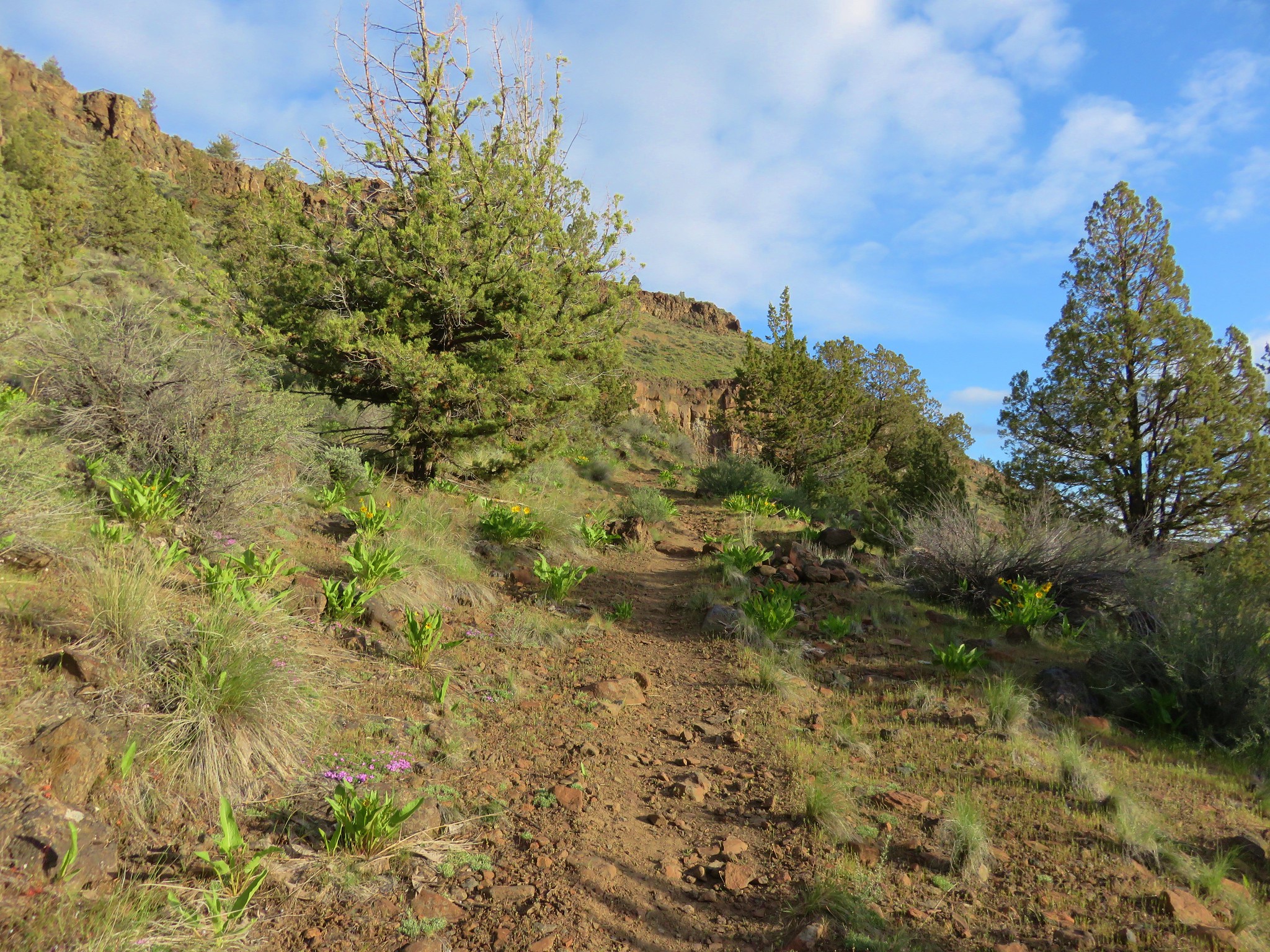
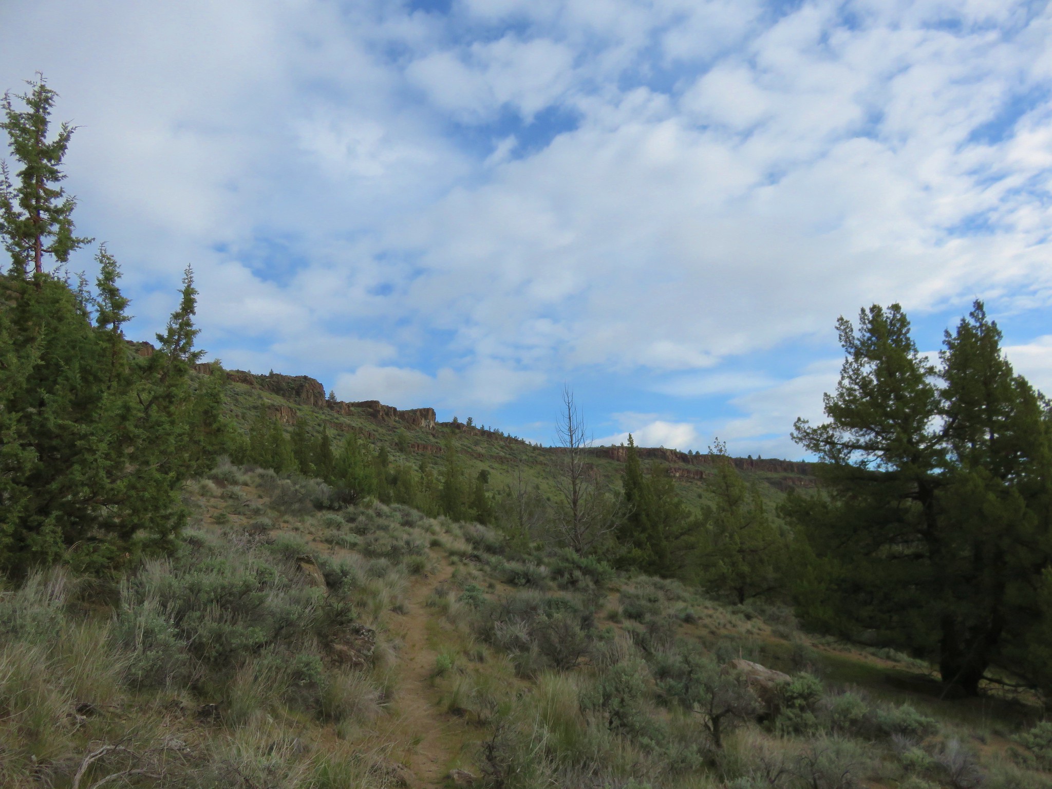
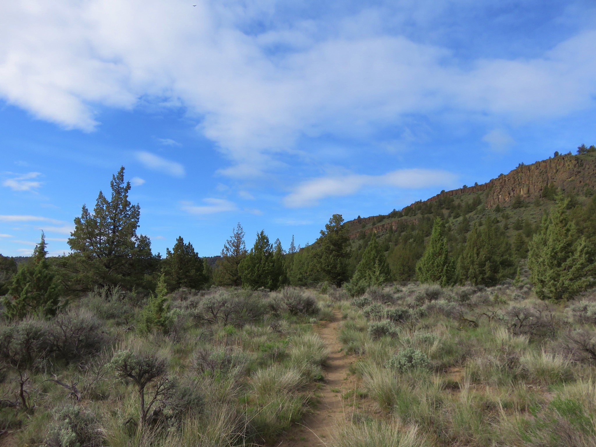
As we set off through the sagebrush and junipers the sun was rising over the rim of the gorge.

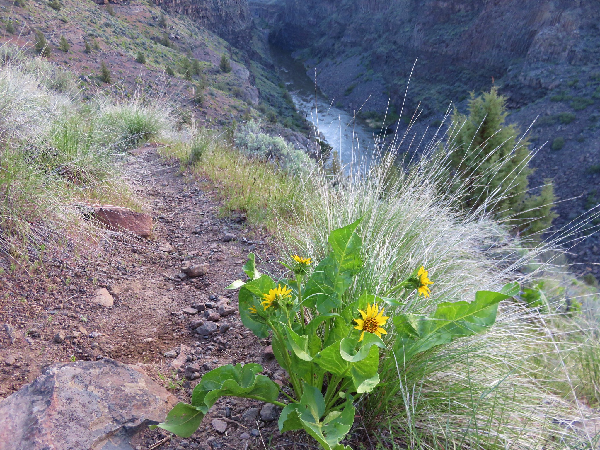
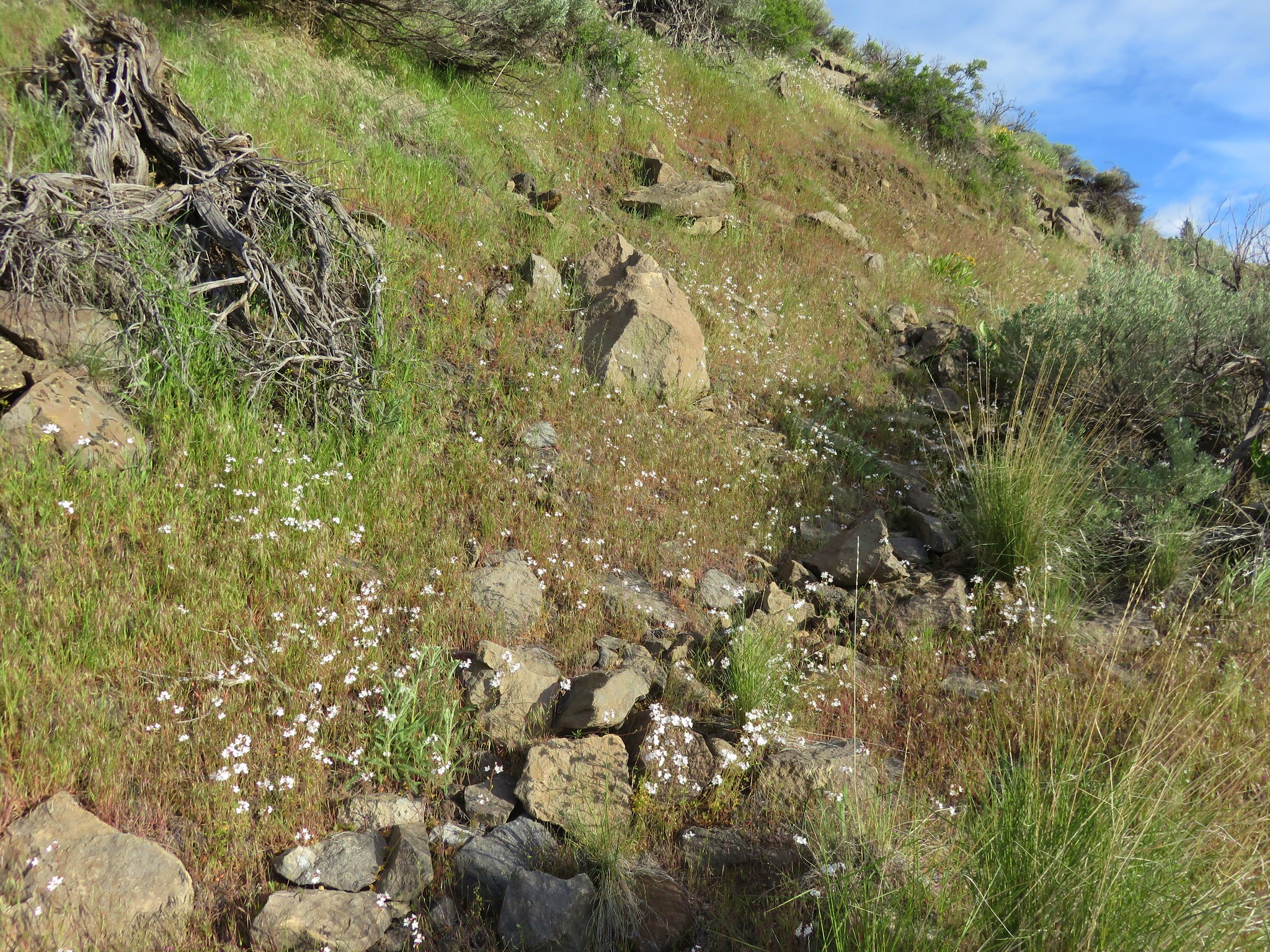
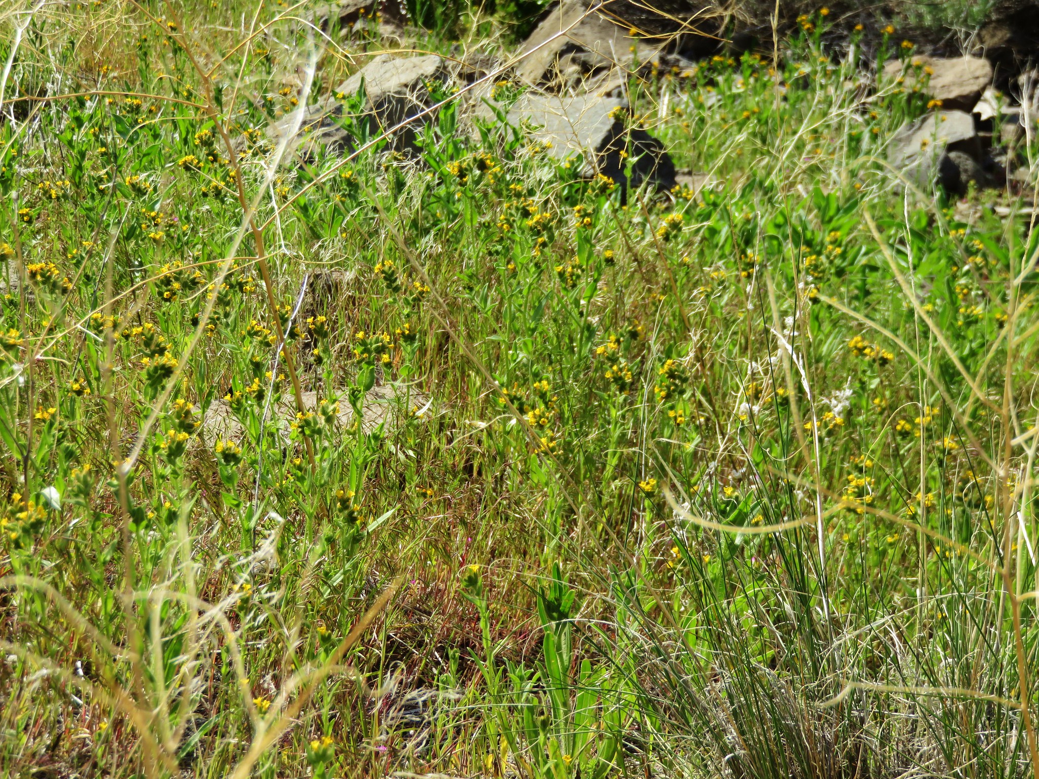
There weren’t many flowers along the first portion of the trail, but as we continued on more and more flowers started popping up amid the sagebrush.
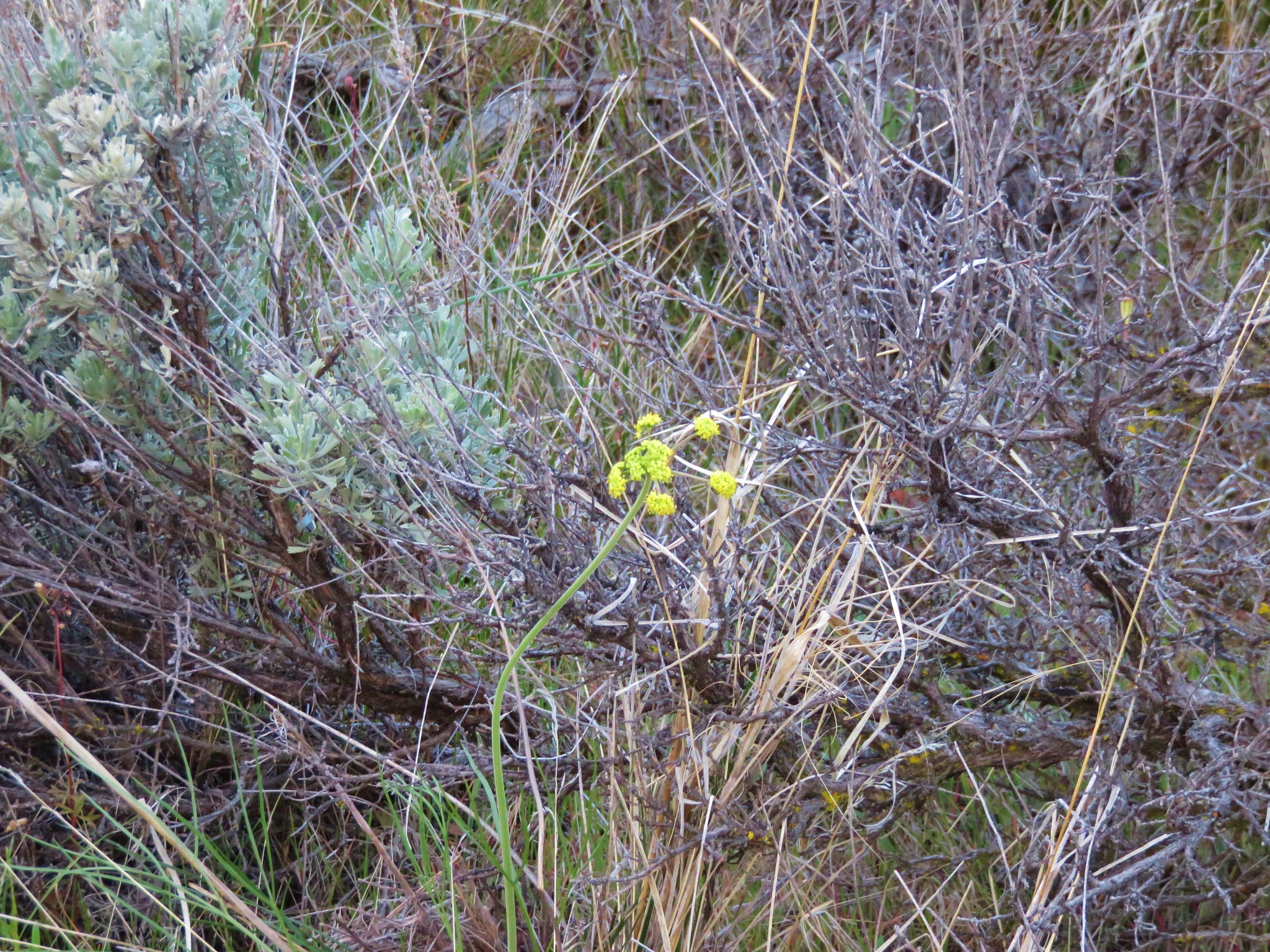 Biscuitroot
 Larkspur
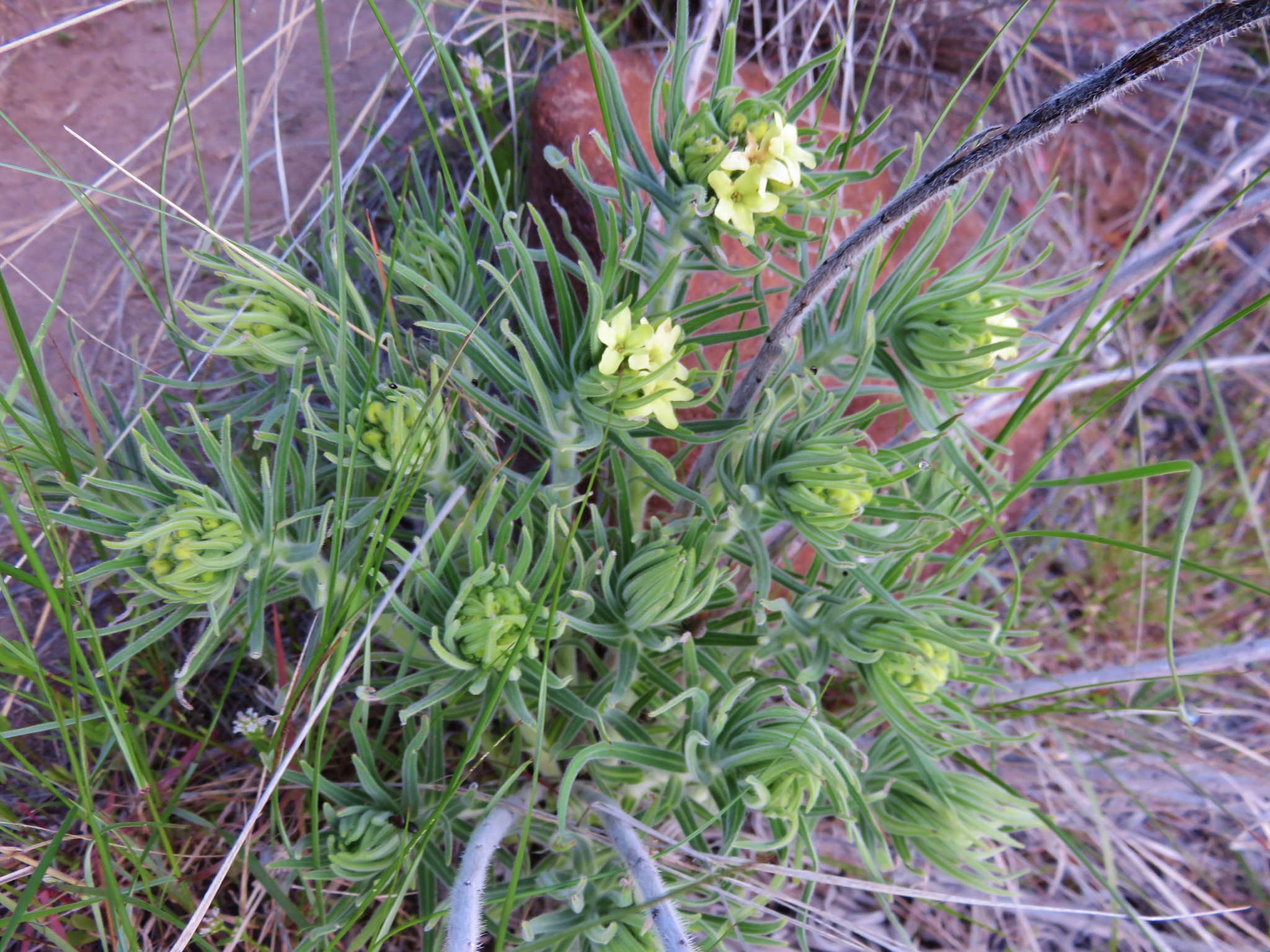 Western stoneseed
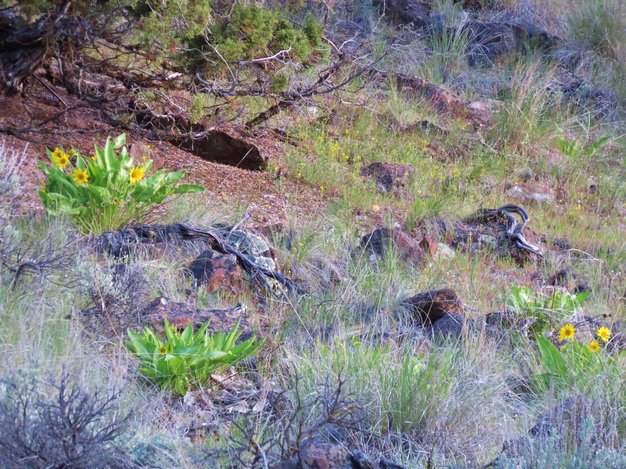 Balsamroot
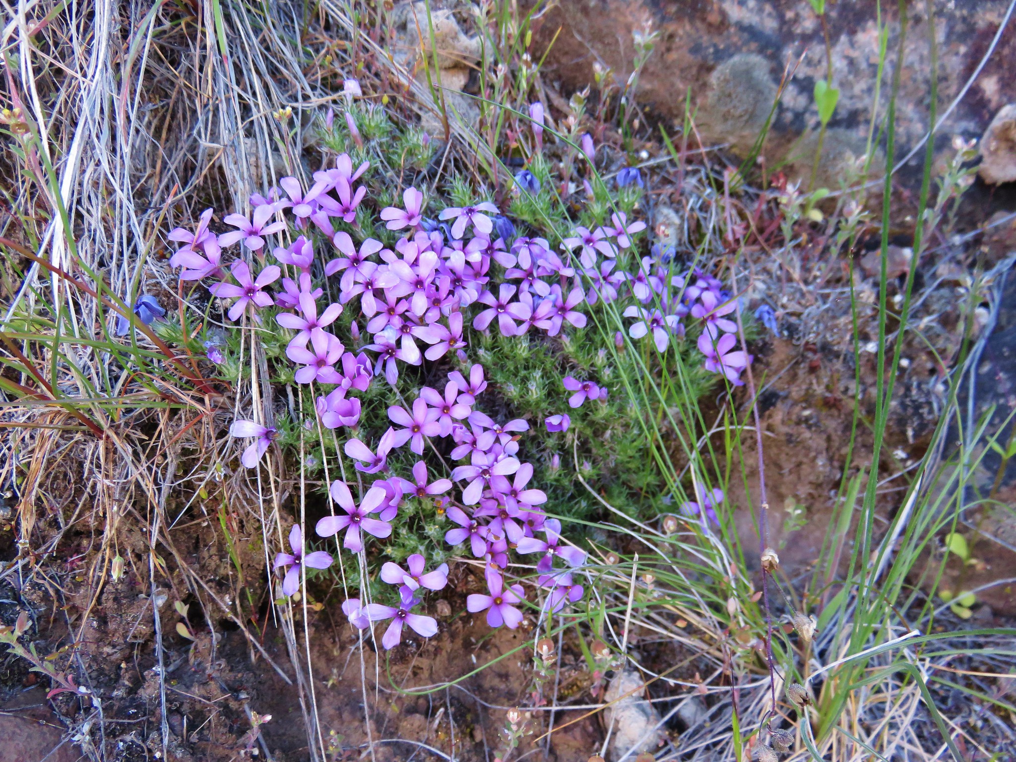 Phlox
Phlox
At the end of the Otter Bench Trail we came to the 4 way intersection with the Horny Hollow, Pink, and Opal Loop Trails.
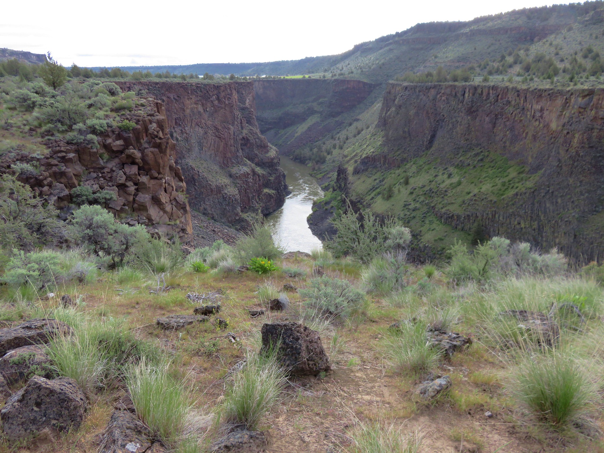
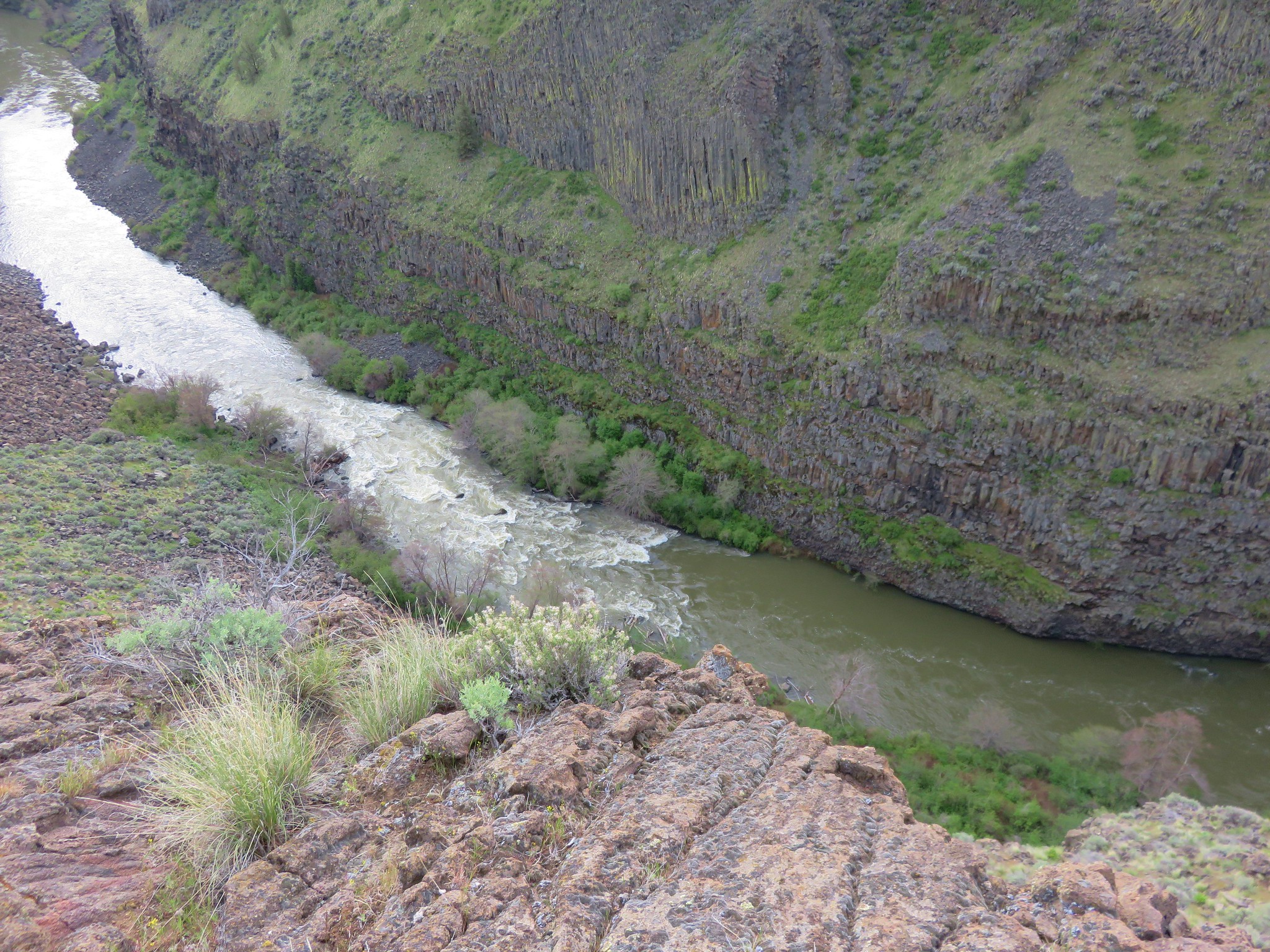
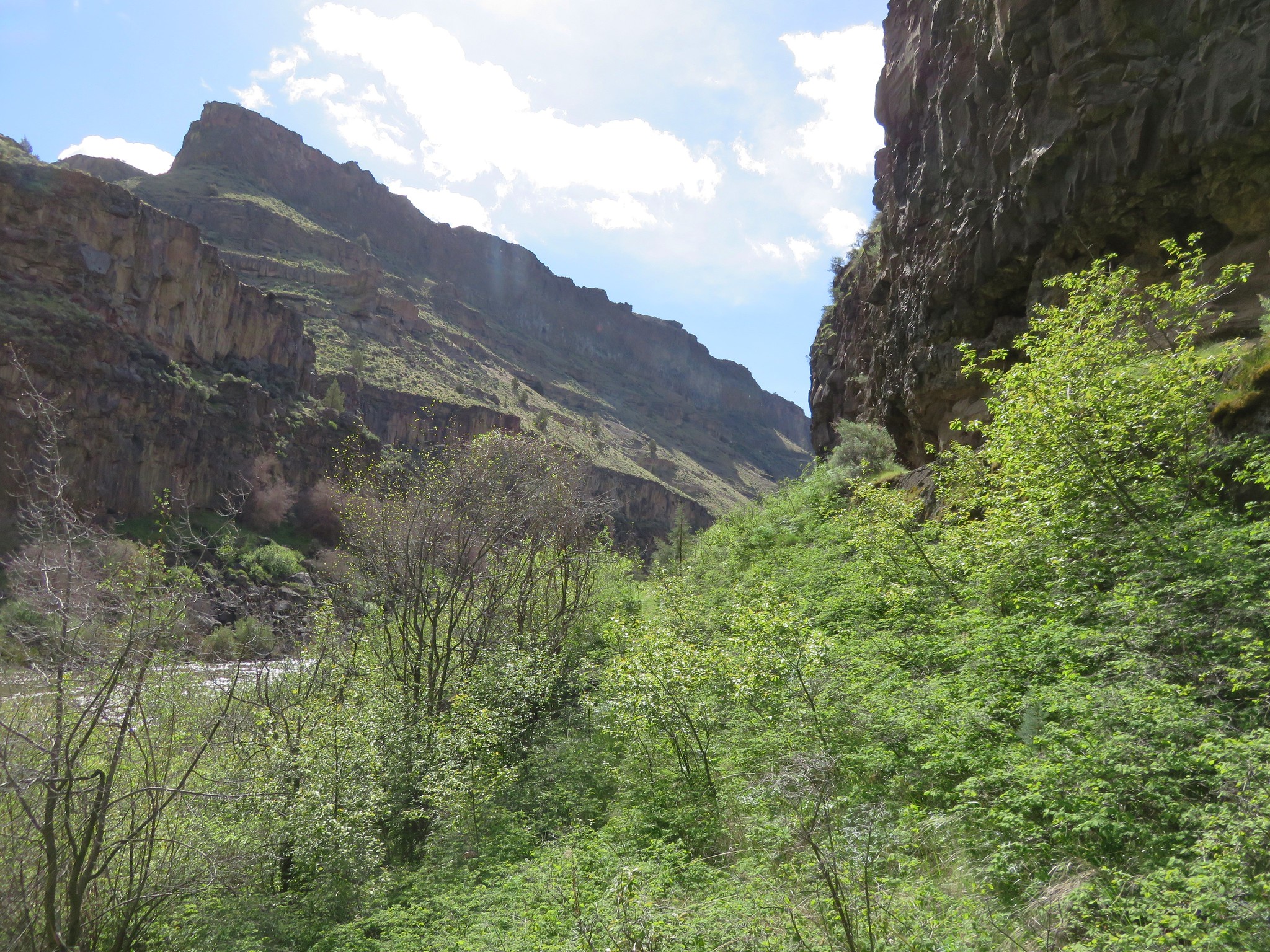
We turned onto the Pink Trail which offered dramatic views on its way down into the Crooked River Gorge.

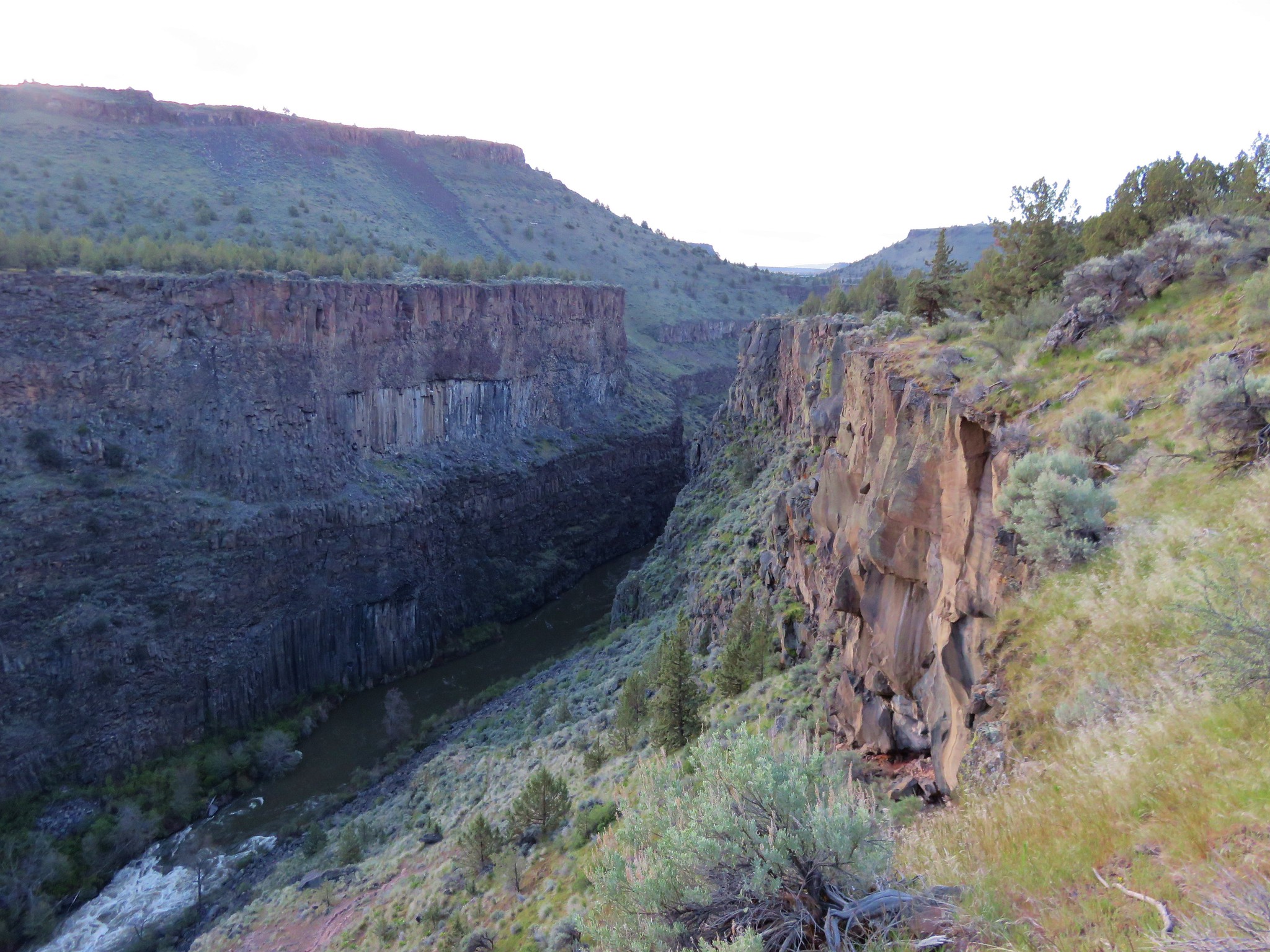

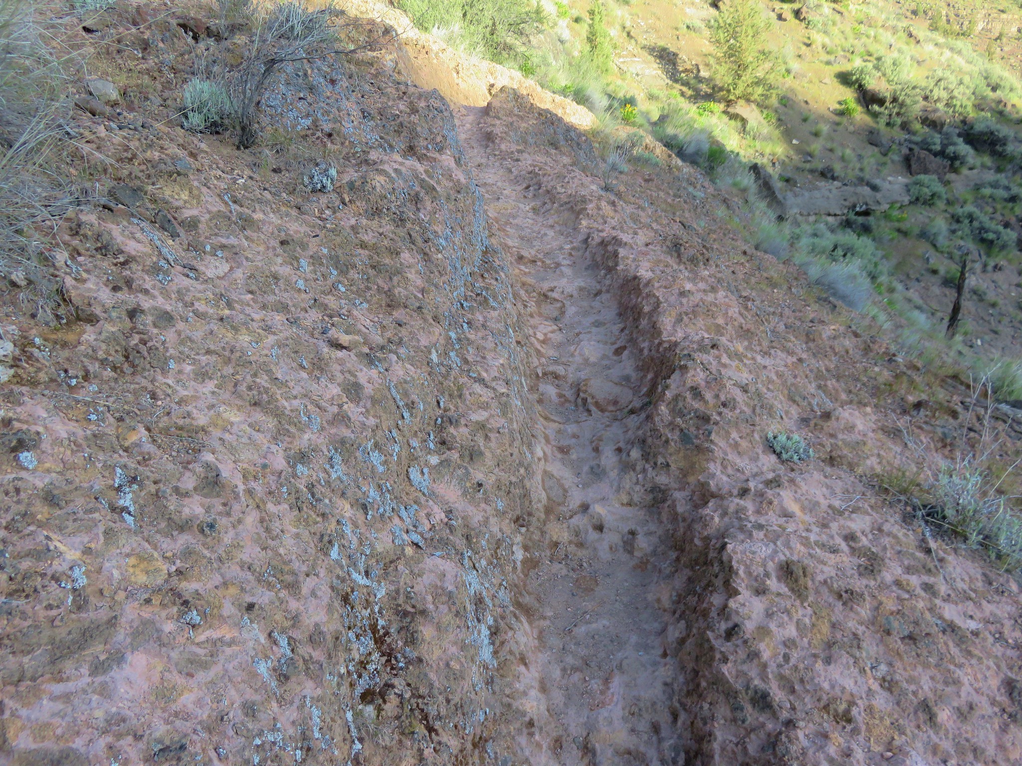
A short section of trail passed through some pinkish rock, possibly the inspiration for the trails name.
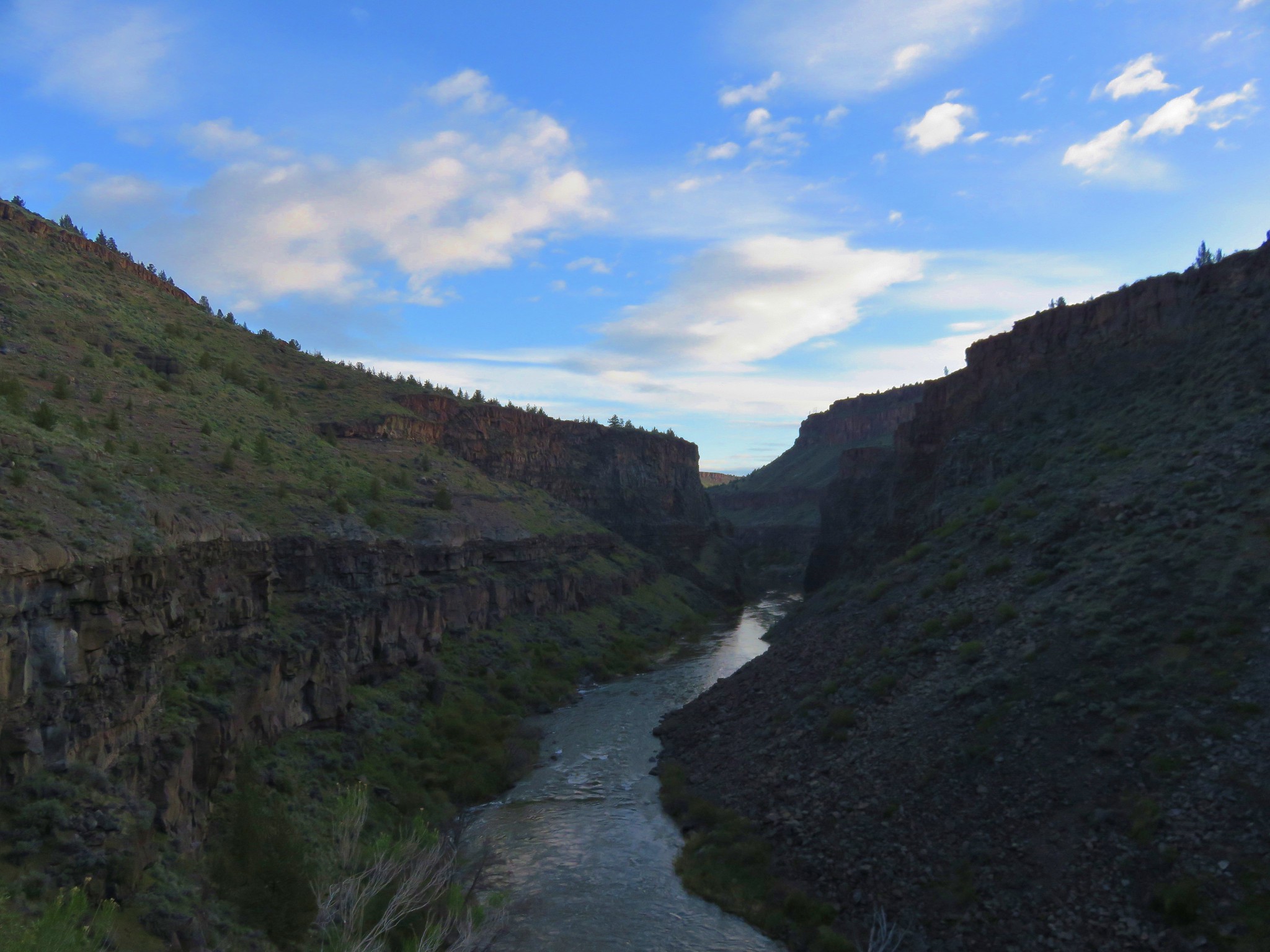
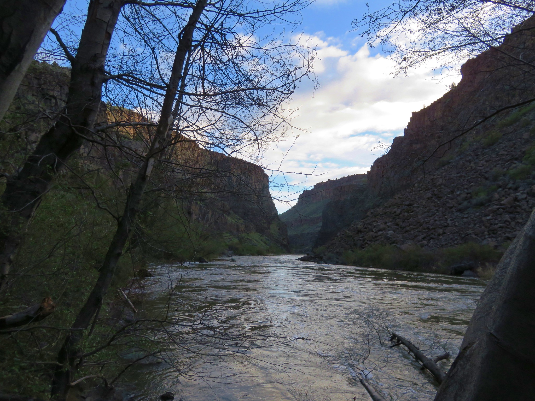
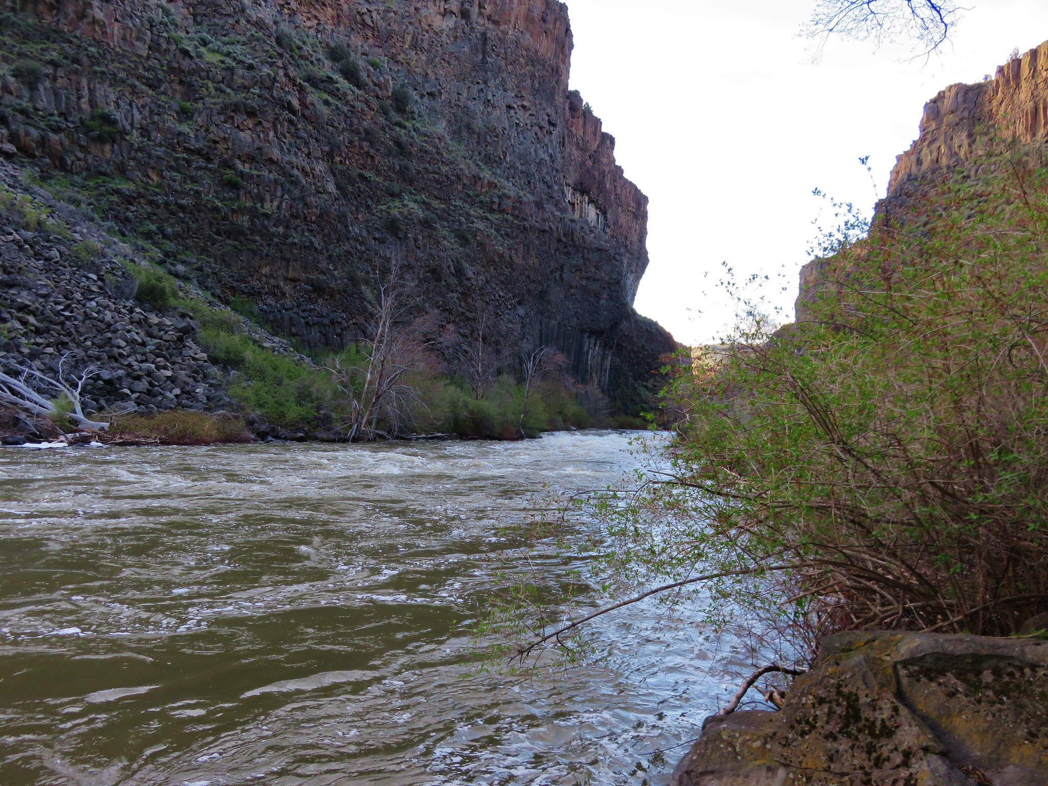
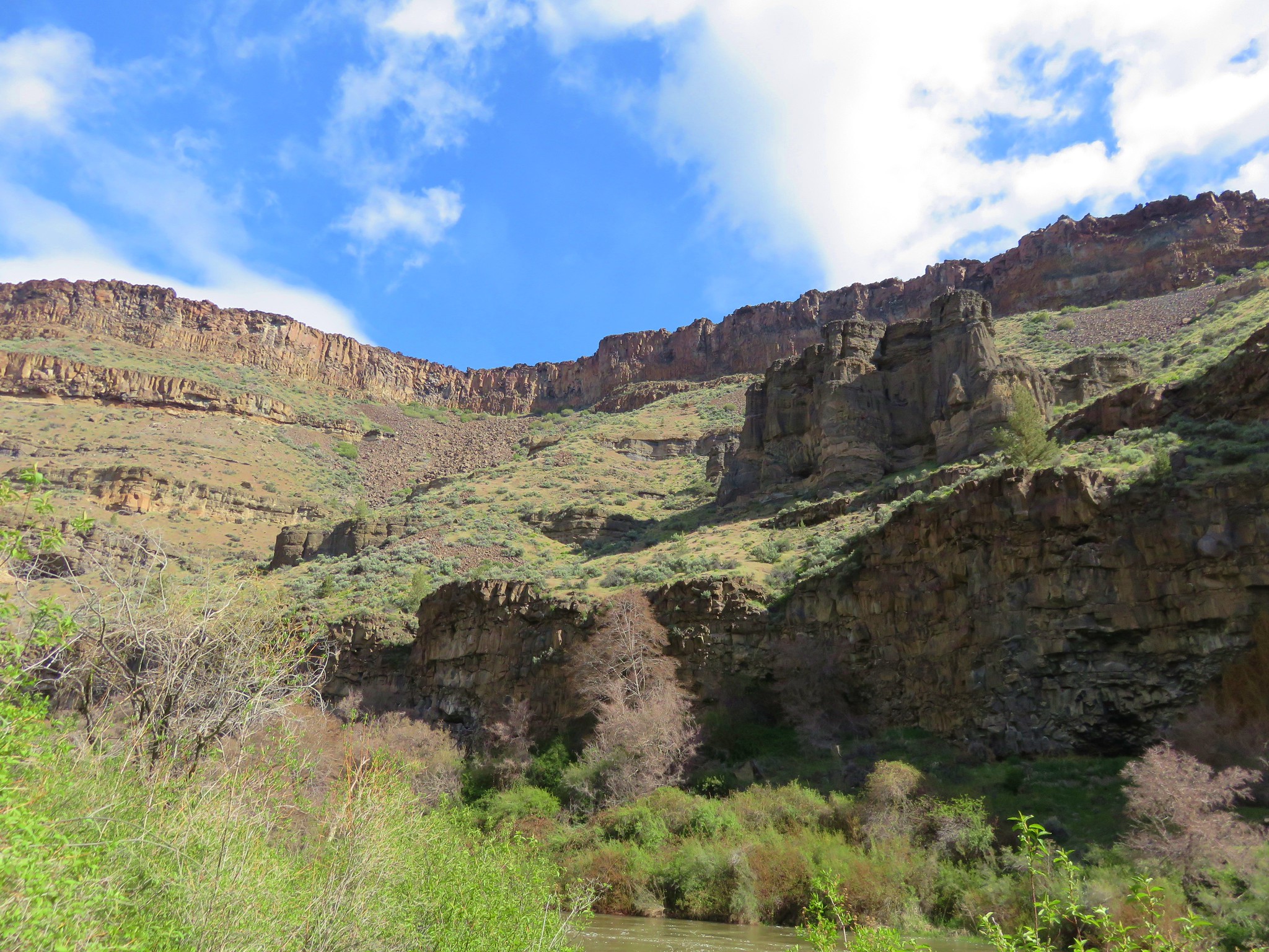
The trail ended on the bank of the Crooked River which was swollen with spring runoff.
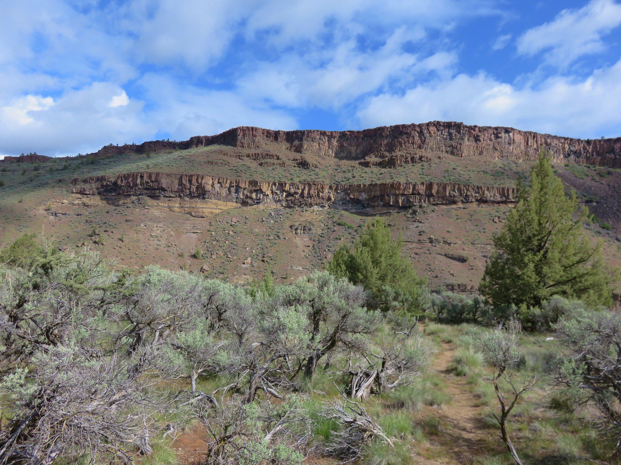
We climbed back up to the junction and turned right onto the Opal Loop Trail. For the first .5 mile this trail passed through a narrow section of the bench before arriving at the start of the trails namesake loop.
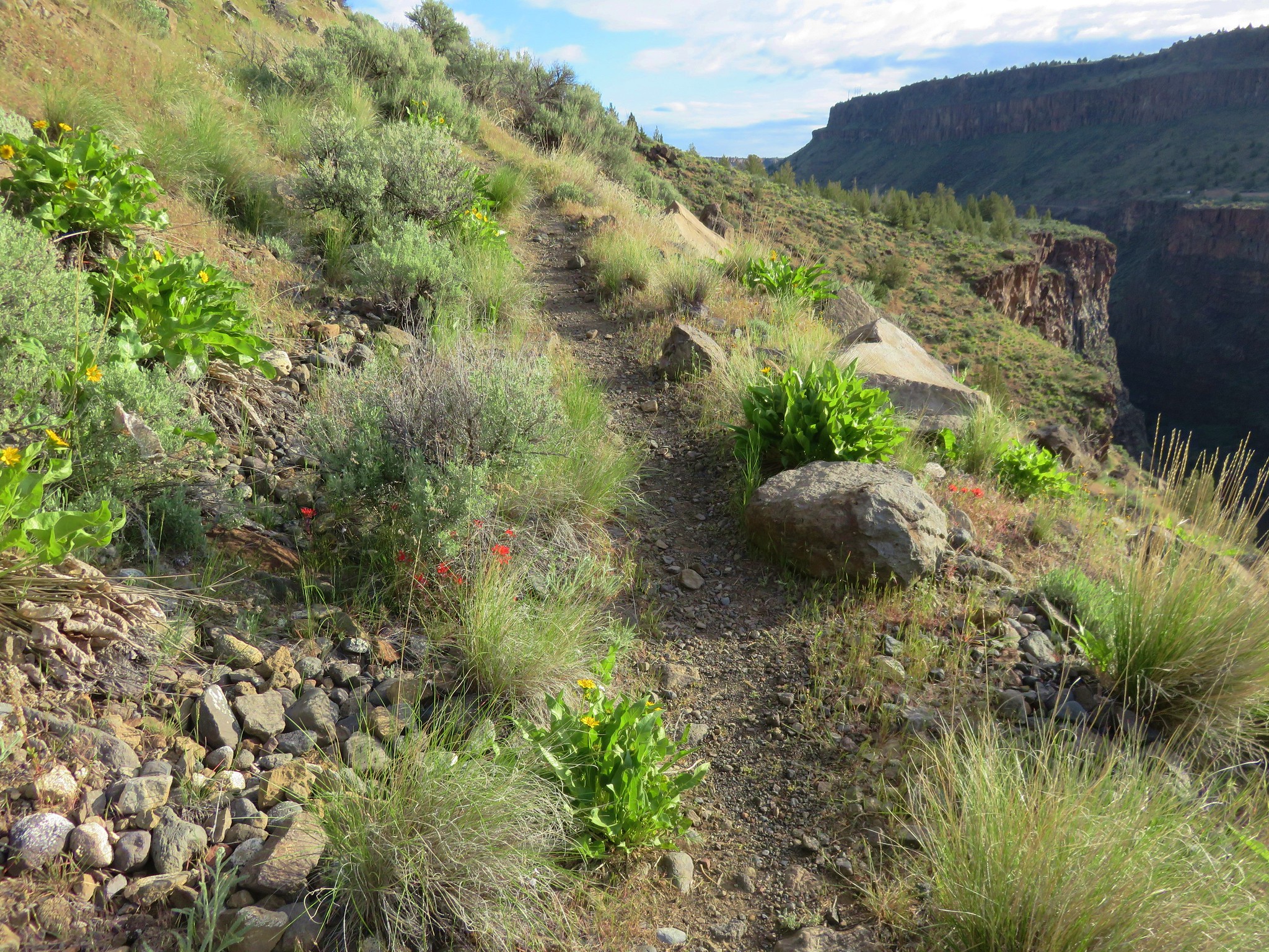
Wildflowers were plentiful below the columnar basalt cliffs along the trail.

Prairie stars
Fiddleneck
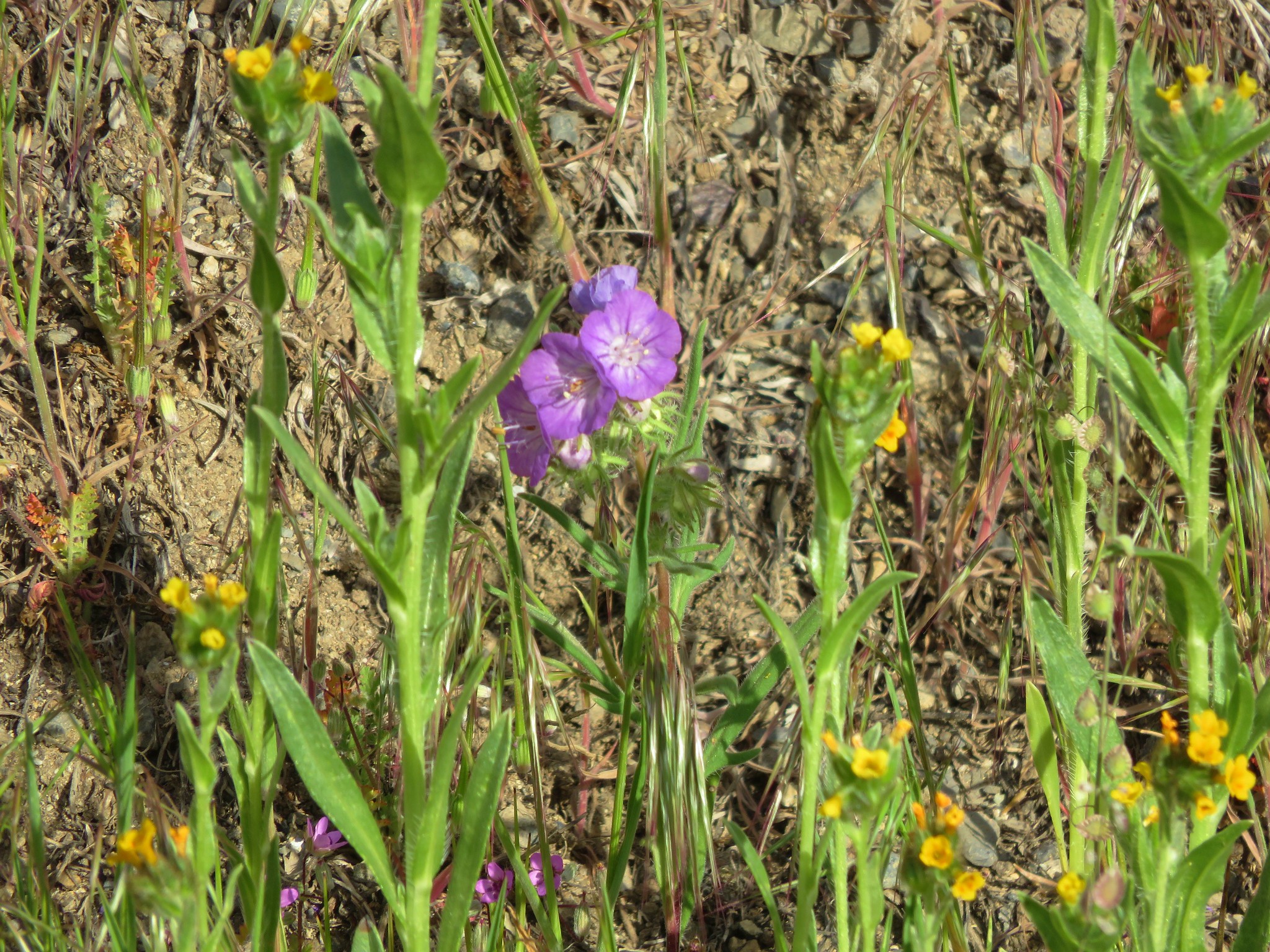
Threadleaf phacelia
The bench had widened again where the Opal Loop began.
We went counter-clockwise arriving at a viewpoint above the gorge at the far end of the loop.
Beyond the viewpoint the trail veered away from the river for the remainder of the loop.
We headed back to the Otter Bench Trail and followed it back to the trailhead. We were planning on meeting our son and my parents at Bogeys Burgers in Redmond for lunch a little after 11am but it was only 9:50 as we arrived back at the car. Realizing we were a good hour early we decided to check out the Lone Pine Trail.
We set off on a use path heading directly for the gorge from the parking area intending to pick up the Lone Pine Trail when we intersected it.
We misjudged the distance though and passed over the actual trail without noticing it. The path we were on was very clear though and it brought us to a rim above the river. Not realizing we had already passed the Lone Pine Trail we were still looking for it when we noticed a path to our left heading down toward the river. We headed down this path thinking it might be the trail. It was pretty steep as it headed down toward a rock pillar.
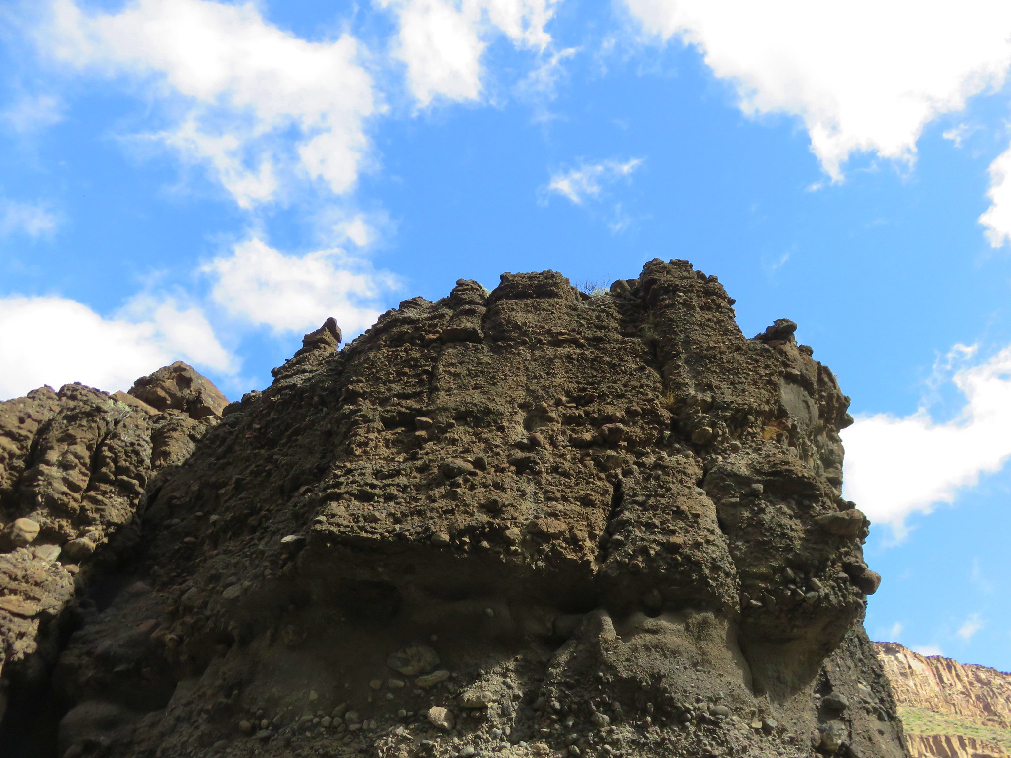
The path continued to the left of the rock pillar. Here there were steps in the rocks and old wooden stairs. This made us think that we might be on the right trail after all.

On the far side of the river were some caves and cool rock formations.
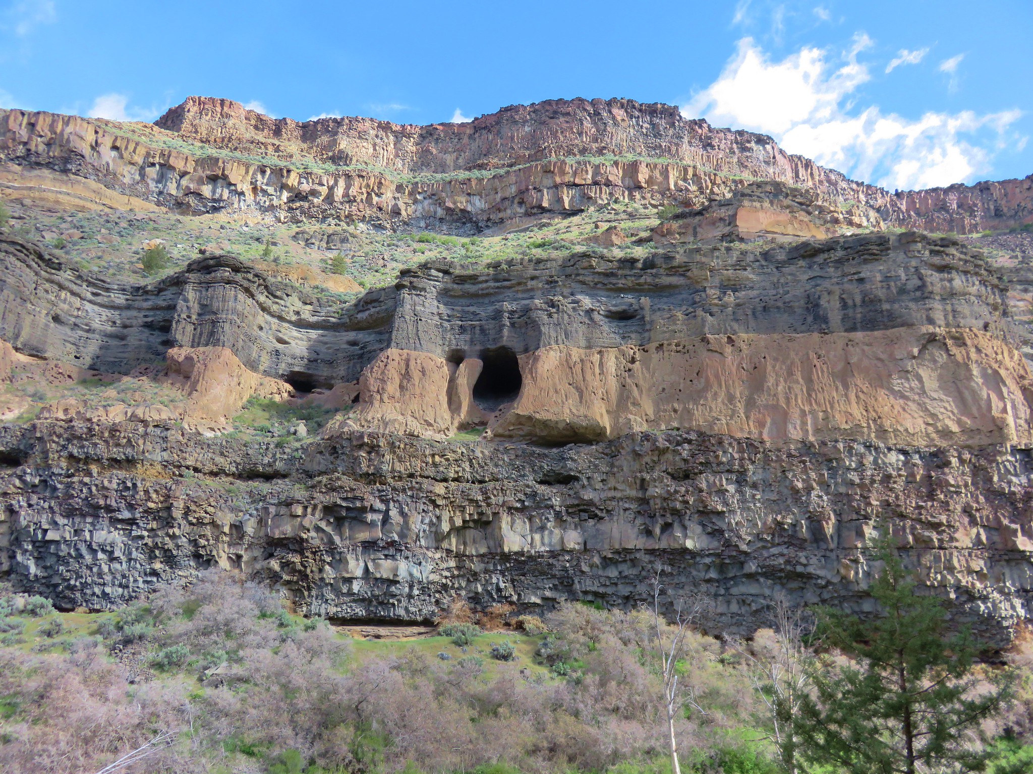
Near the river the trail became faint. A barely visible path to the right led through the grass between the river and canyon wall.
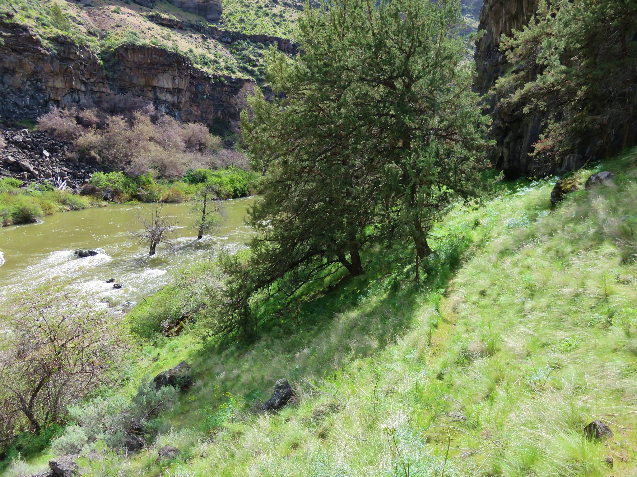
The trail eventually ran out in thick brush.
We hadn’t seen any pine trees and were now back to thinking this wasn’t the Lone Pine Trail after all. It had taken us almost 30 minutes to get to the thicket though so we had killed enough time and headed back the way we’d come. This time as we followed the same use path back to the parking lot we spotted the Lone Pine Trail. We figured that just left us an excuse to come back again someday, for now it was time for some food. Happy Trails!
Flickr: Otter Bench

4 replies on “Otter Bench Trail System”
I love high desert canyons. They are among my favorite landscapes. I hope you guys make it over to Hells Canyon and the Wenaha at some point!
We currently have them planned for 2019. We still have so many different areas we haven’t made it to yet.
I can’t wait to see your pictures from those hikes. If you guys do end up coming down this way this summer, let me know before you do. I can give you a few secret pointers not in Sullivan’s book that will significantly enhance some of the hikes (which are pretty awesome already).
That’s still the plan as long as snow situation isn’t an issue for any of the planned hikes. Looking at the south warner wilderness for next year.