We continued our year of shuffling hikes on our latest mini-vacation. The string of wildfires starting in Northern California in the Klamath Mountains and continuing along the Cascade Range north to the Canadian Border had us looking for a last minute location for 4 days of hiking. We turned to the coast hoping to escape any possibly smokey conditions and wound up deciding on checking out the northern most part of the Oregon Coast as well as our first foray along the Washington Coast line.
We booked a room in Gearhart, OR and I began putting an itinerary together. We are still plodding along in our attempt to hike all of the featured hikes in Sullivan’s 100 Hikes guidebooks and there were several in the area we’d yet to tackle. I managed to fit eight of his featured hikes into the four days and even threw in an additional stop at Fort Columbia on our third day.
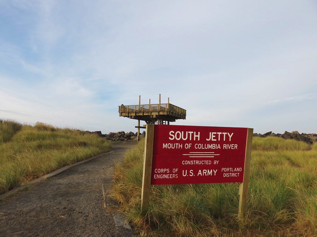
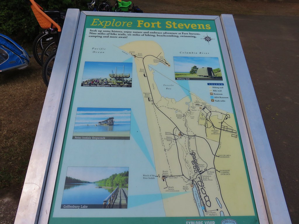
We set our sights on three of the hikes for our first day starting with a relatively short loop around Clatsop Spit. The spit is located inside Fort Stevens State Park at the mouth of the Columbia River and is the northern terminus for the Oregon Coast Trail.
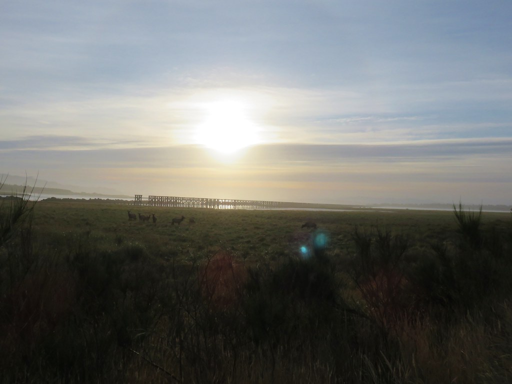
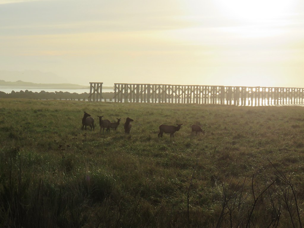
As we were driving to the spit along Jetty Road we spotted some elk and had to stop for a couple of photos.

Once we had parked at the large parking area at the spit we checked out the view from the South Jetty observation platform.
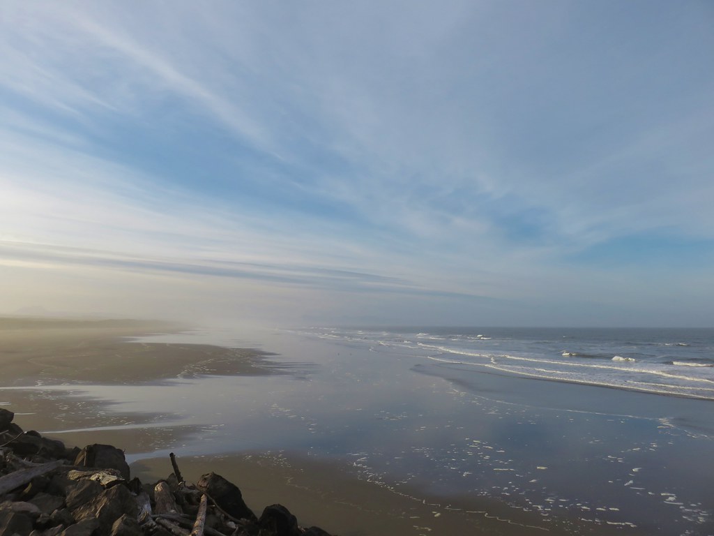
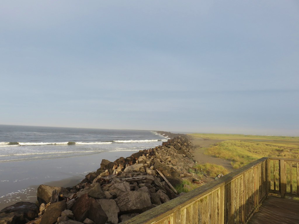
We then headed west beside the jetty toward the Pacific.
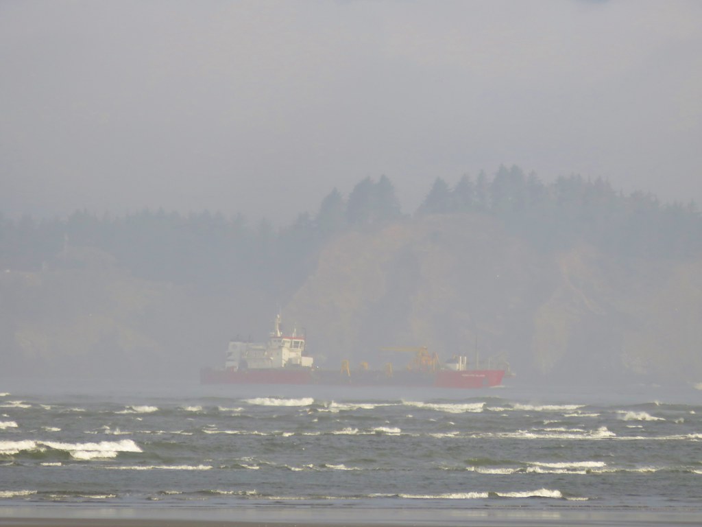
We then turned north along the beach heading towards the Columbia River where we could see plenty of traffic on the water.
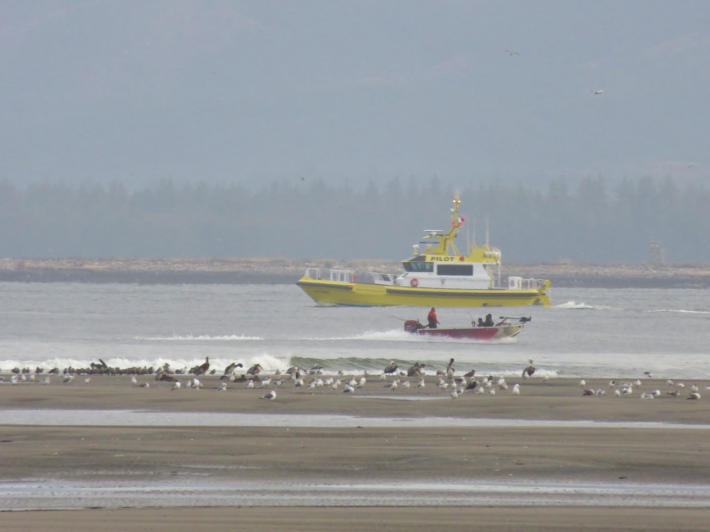
We turned inland at the river we had a view of the distant Megler Bridge.
We passed a host of people fishing along the shore but didn’t see anyone having any luck.
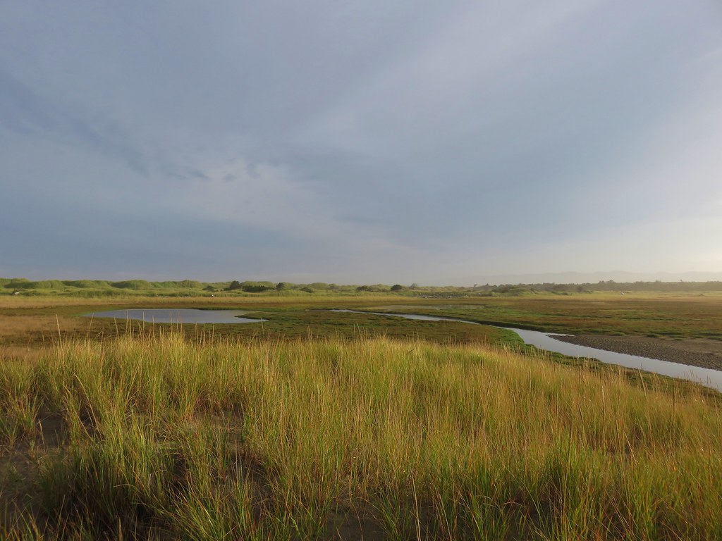
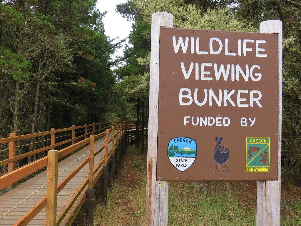
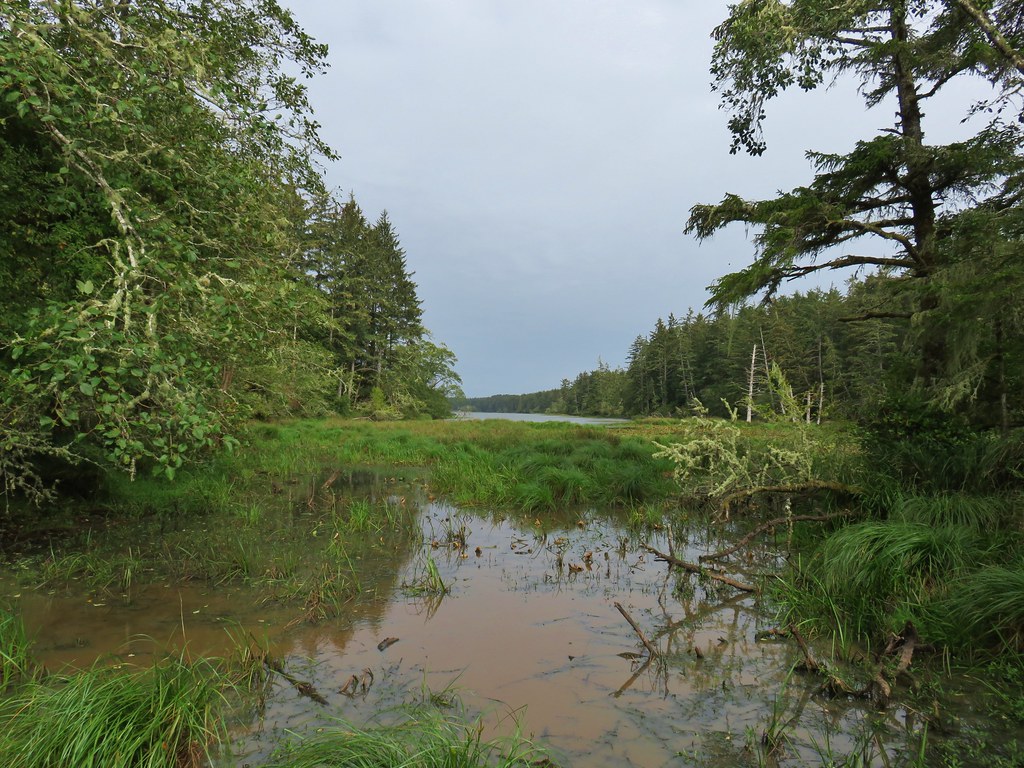
We looped around a peninsula near Jetty Lagoon and located the wildlife viewing bunker near the park’s Parking Lot D.
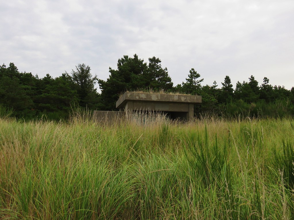
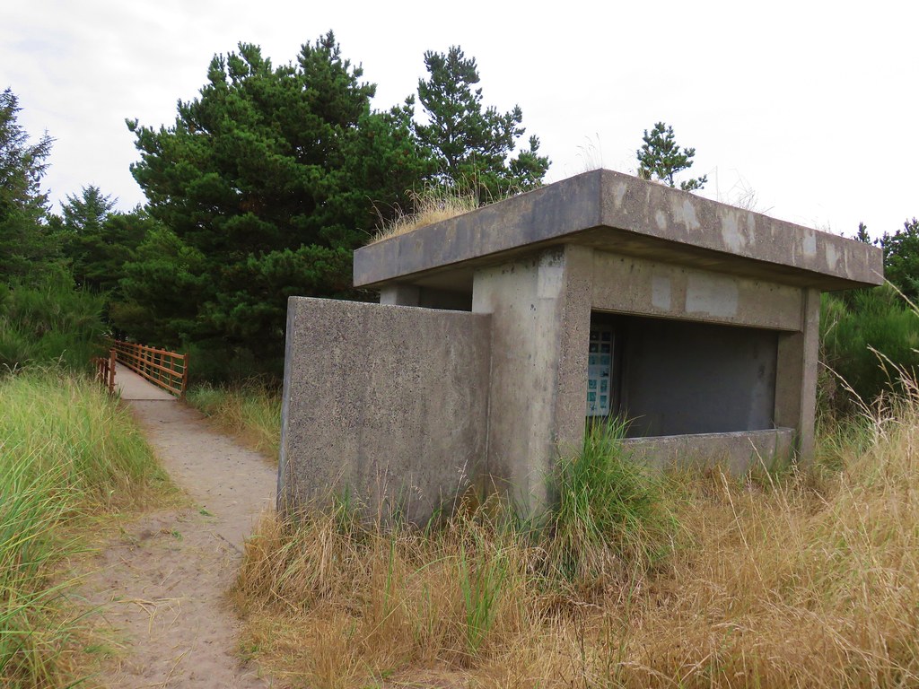
 view from the bunker.
We crossed a footbridge to the parking lot and then had a 1.1 mile road walk back to the spit parking lot.
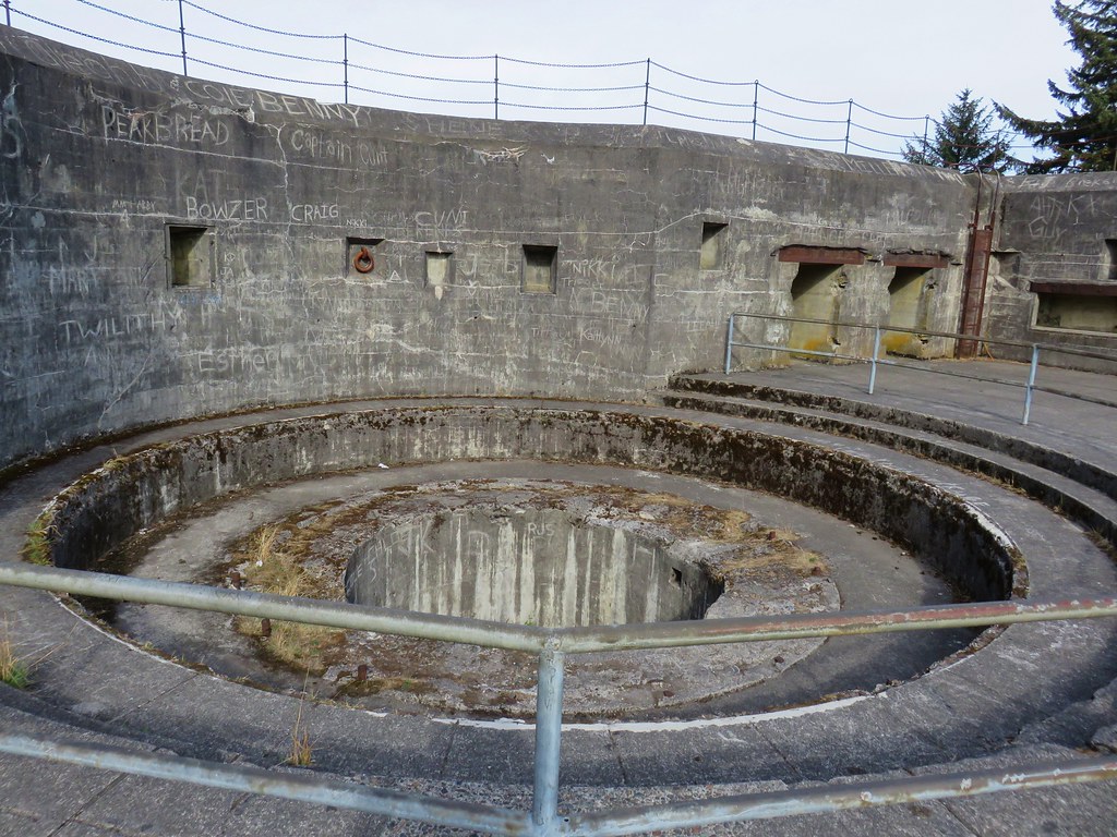
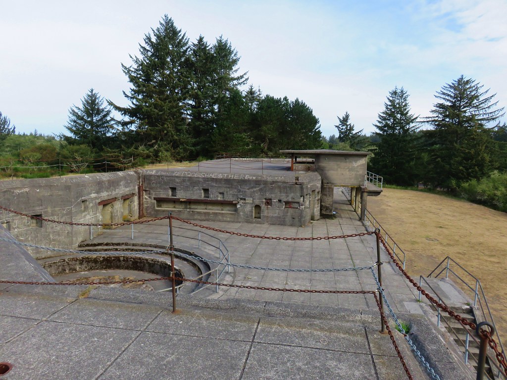
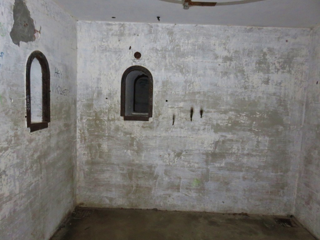
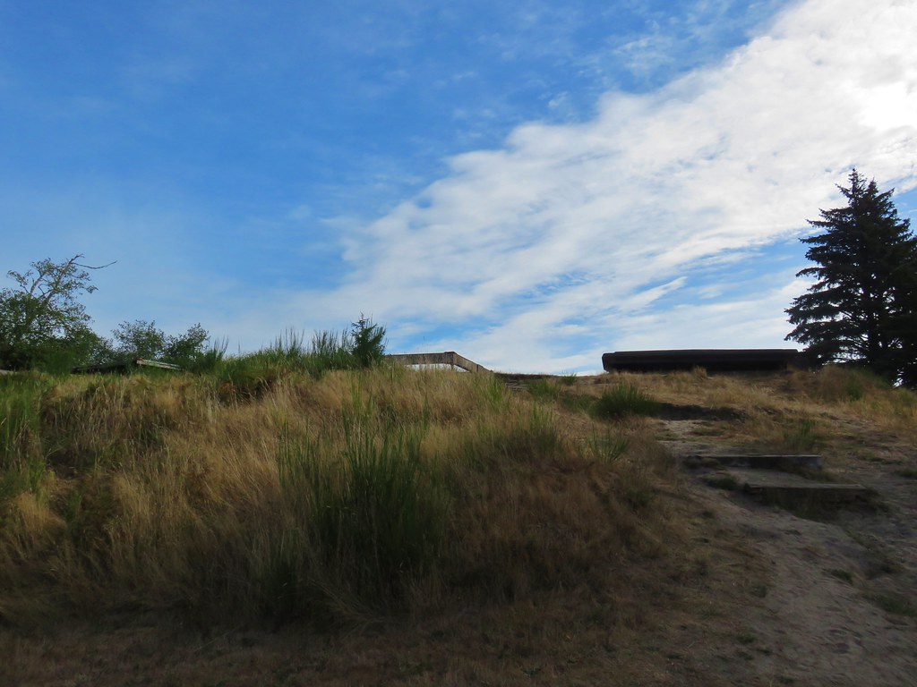
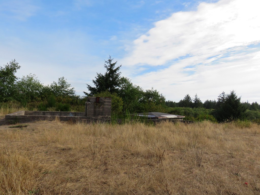
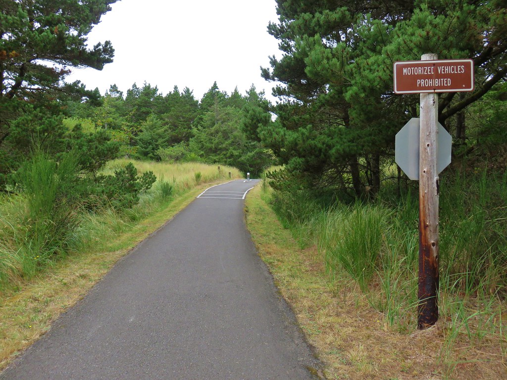
We drove back along Jetty Road and parked in a signed lot for Battery Russell.
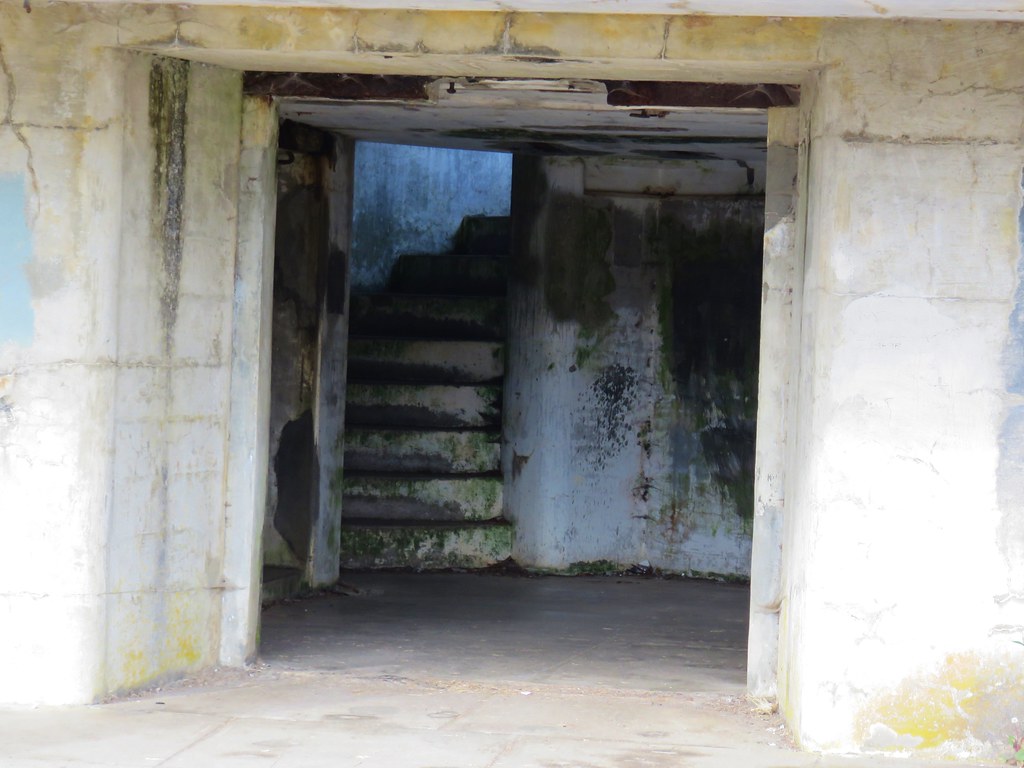
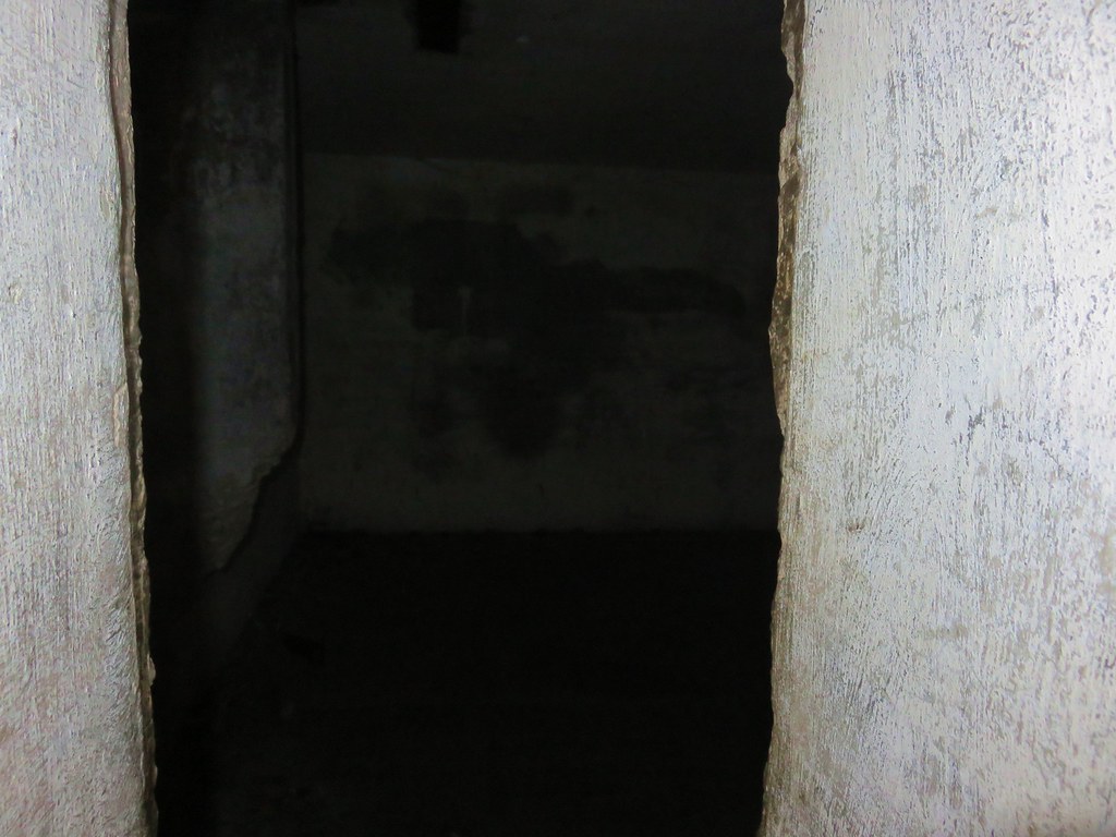
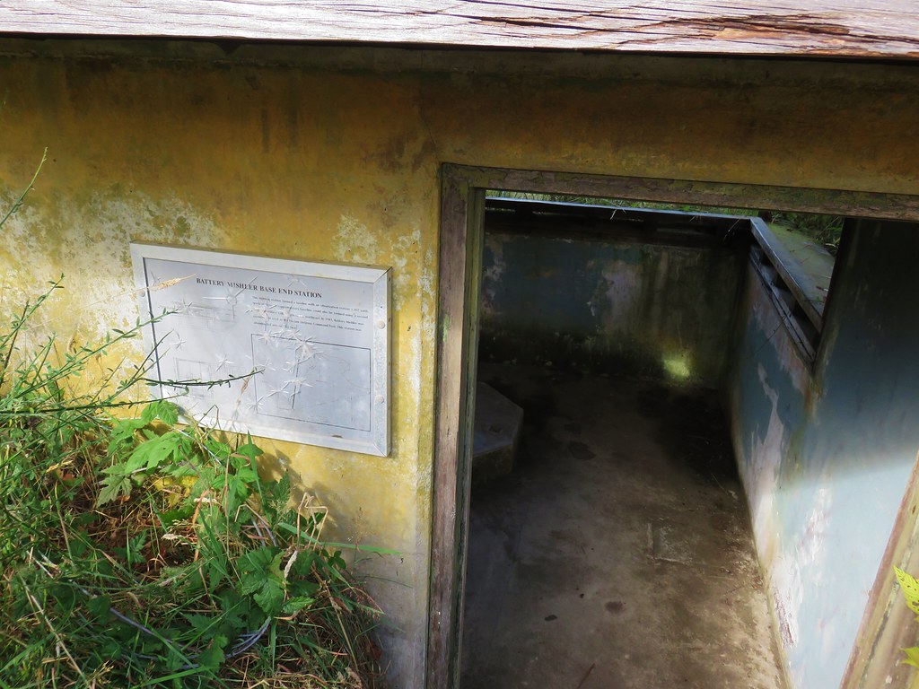
We took a set of stairs up to the concrete bunker.
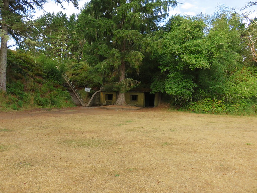
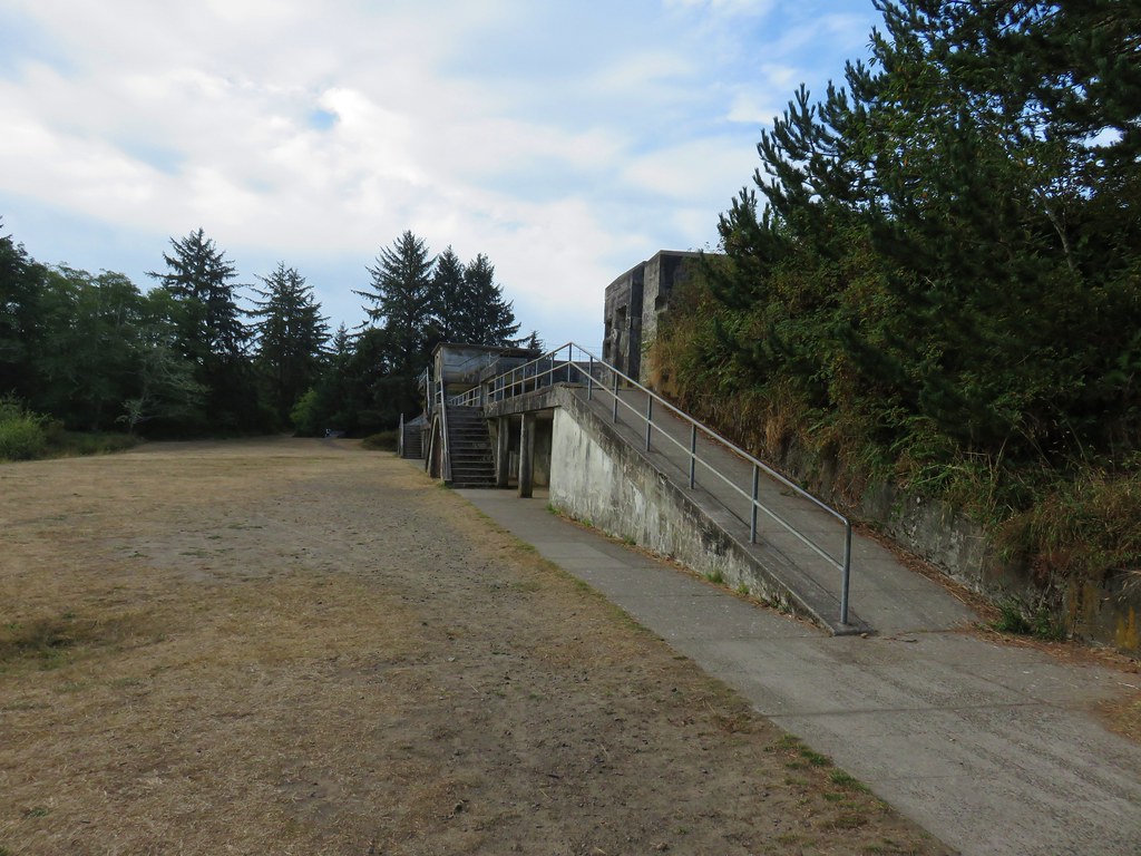
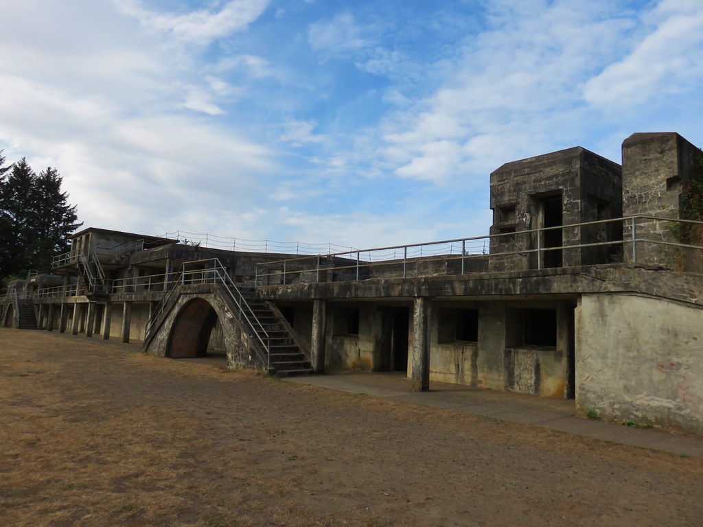
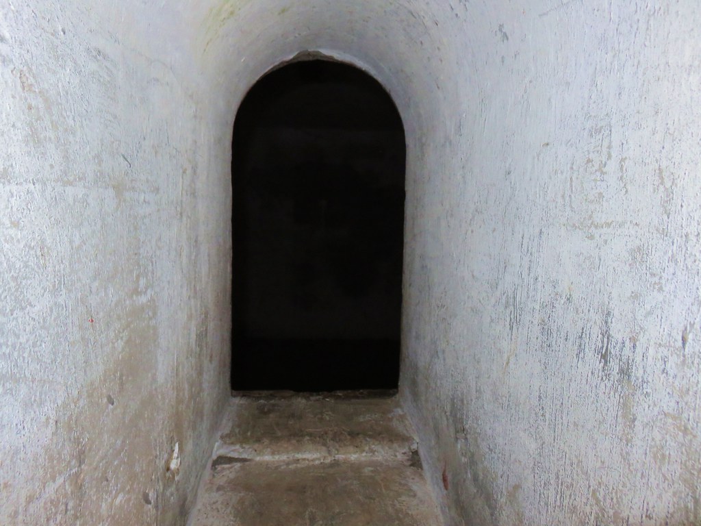
For forty years (1904-44) the battery guarded the Columbia River from enemy attacks. We spent quite a while exploring the old bunker. The history made it neat but too many video games and horror movies kept us imagining what might be hiding in the dark corners of the rooms.
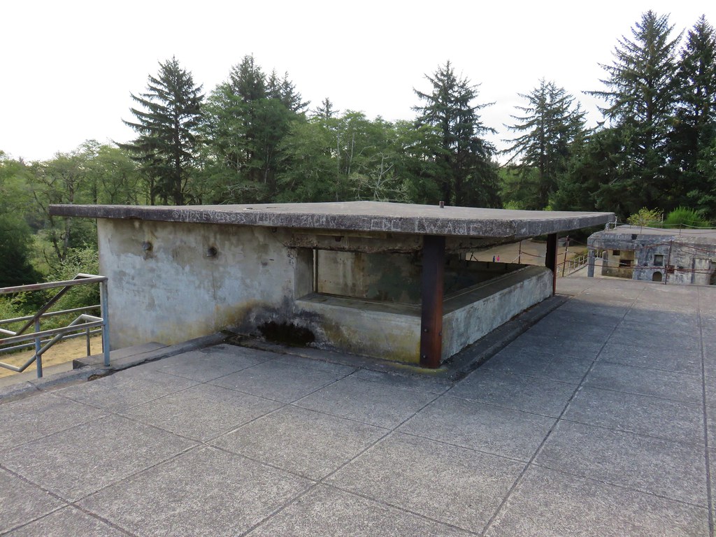
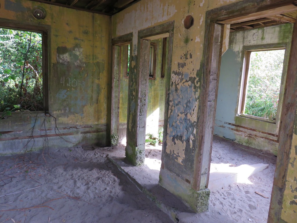
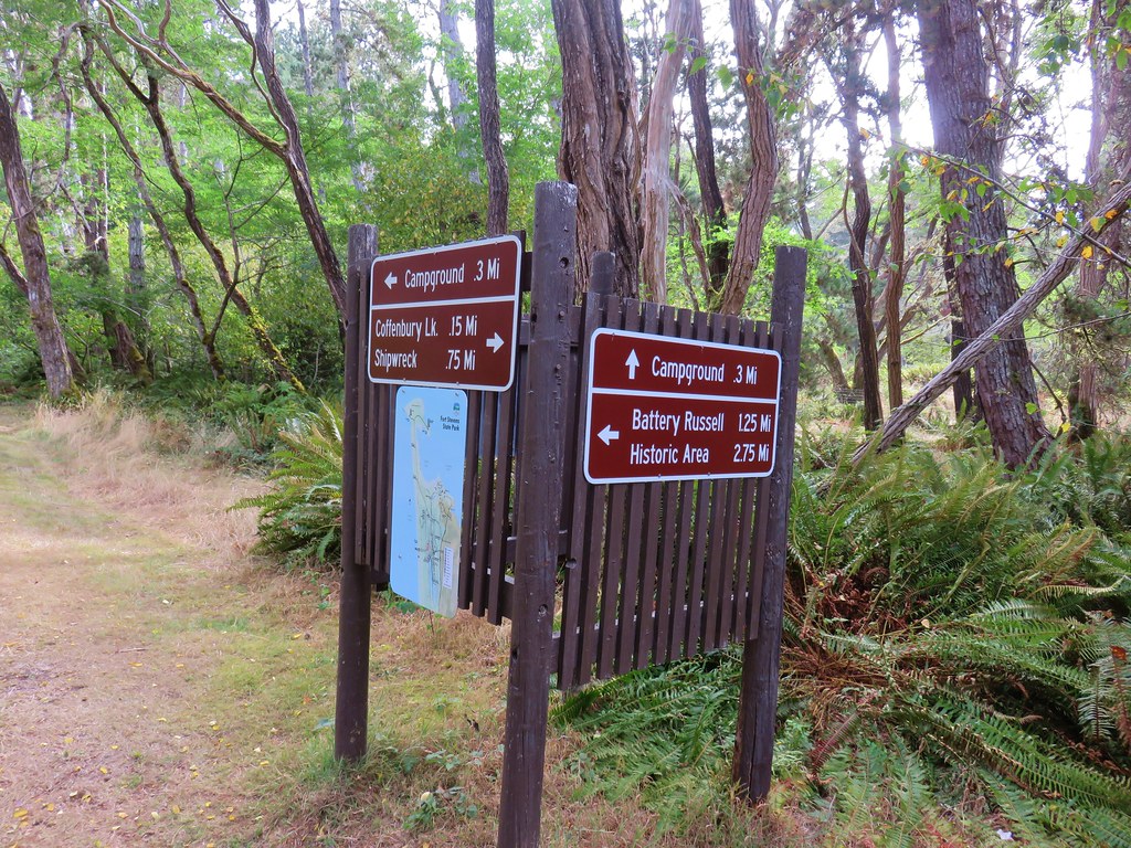
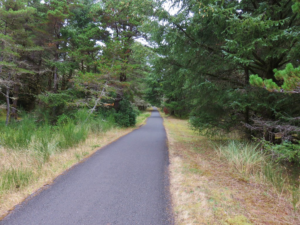
We followed a path at the far end of the bunker toward Coffenbury Lake.
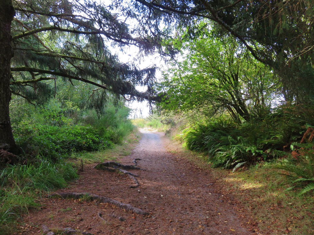
The path passed another set of old buildings.
We continued on this path a total of 1.25 miles to a signed junction where we followed a pointer to the lake.
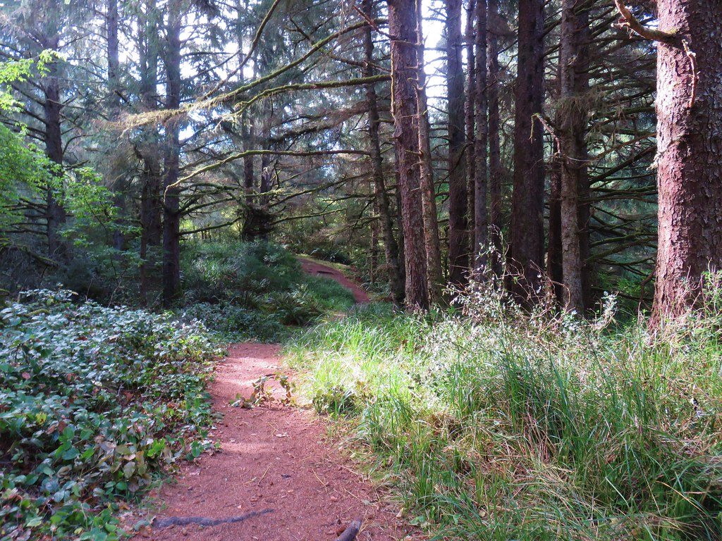
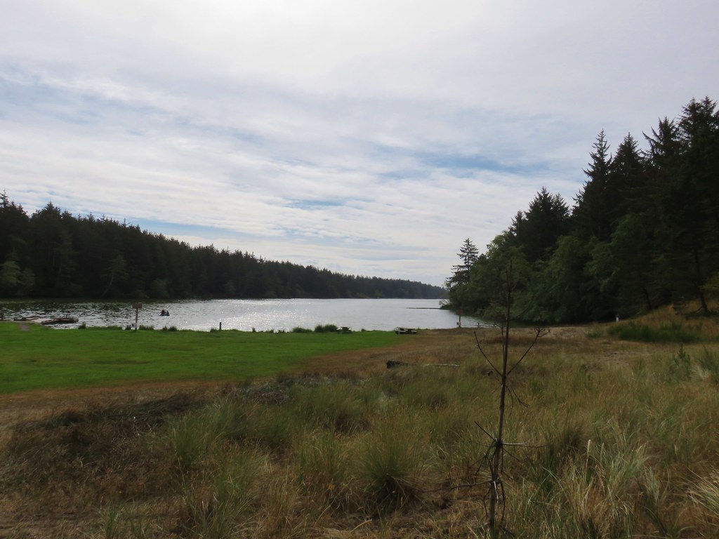
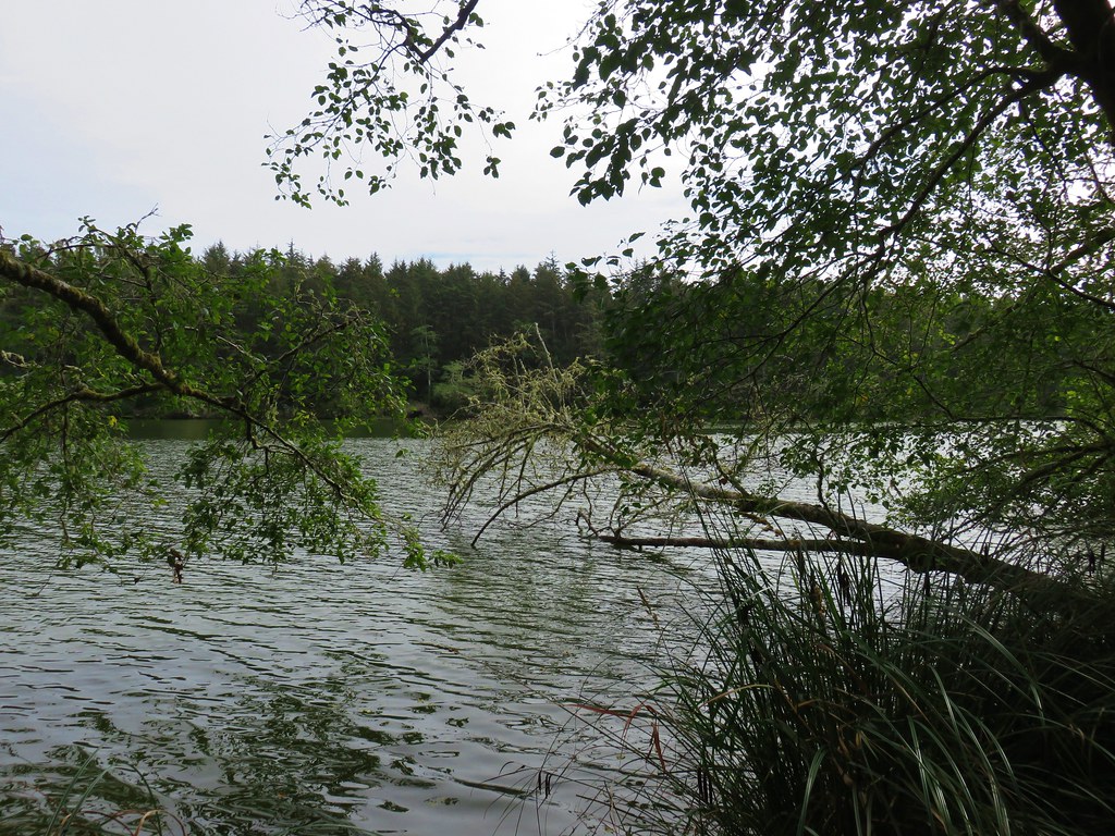
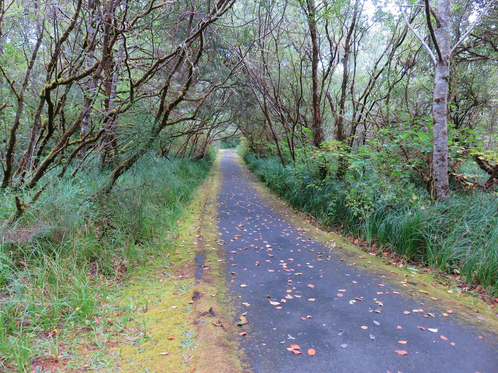
We headed around the lake counter-clockwise on a nice trail.
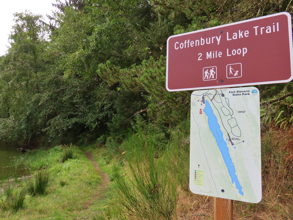


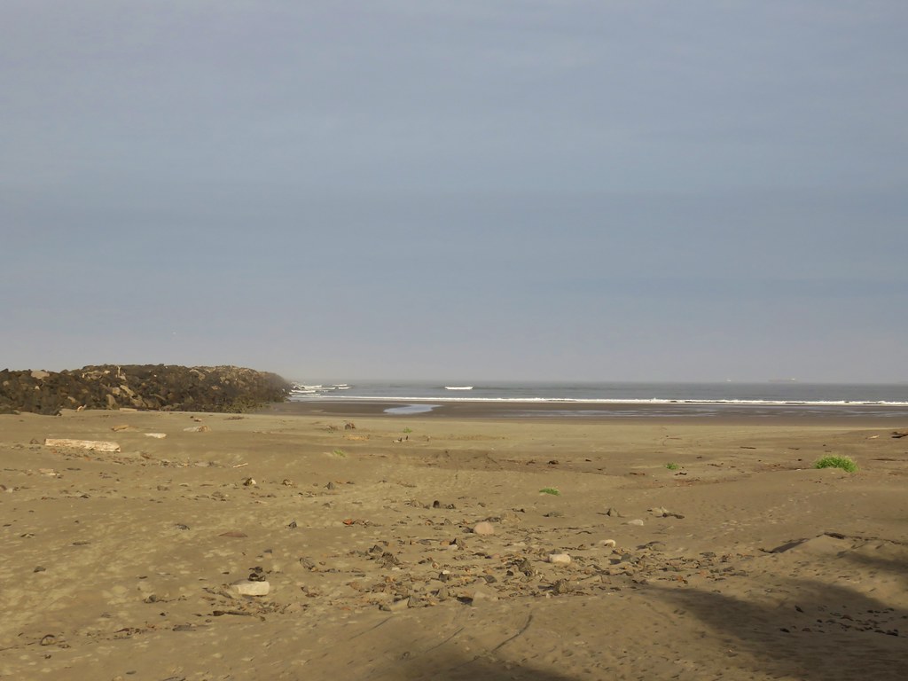
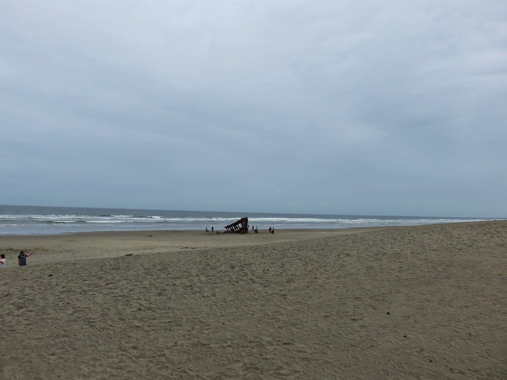
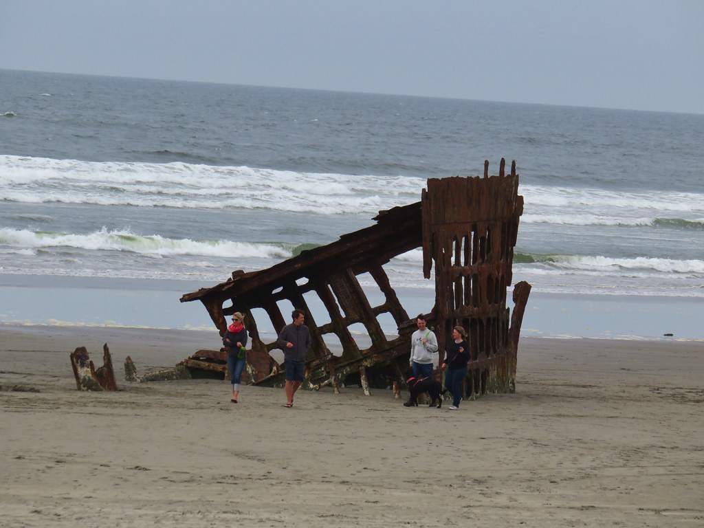
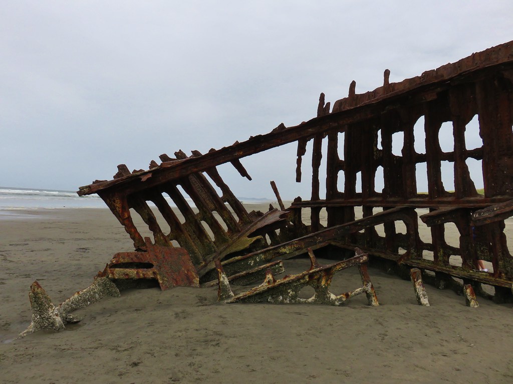
After completing the 2 mile loop around the lake we followed “Shipwreck” pointers for 3/4 of a mile to the beach and the remains of the Peter Iredale which ran aground in 1906.

We backtracked from the beach a short distance and turned left on a paved path at a pointer for Battery Russell (among other possible destinations).
We followed this path for a little over half a mile before turning right at another pointer for Battery Russell.
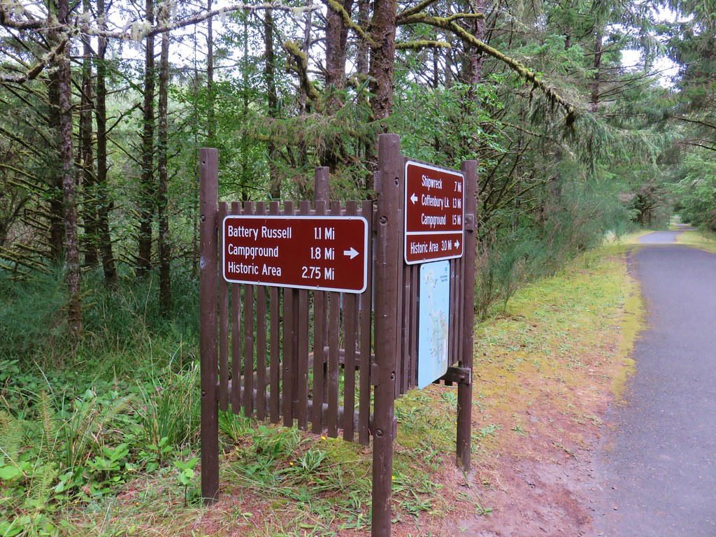
We followed this 1.1 mile paved path back to the parking lot.
The total distance of the Clatsop Spit hike had been 5 miles and this hike came in just under 7.5 miles. Twelve and a half miles is pretty good for a day, but due to our typical early start we were done with these two hikes before 1pm. Our check-in time wasn’t until four so we still had a few hours to kill.
We had been prepared for that and headed north from Fort Stevens to Astoria where we parked at the Columbia River Maritime Museum
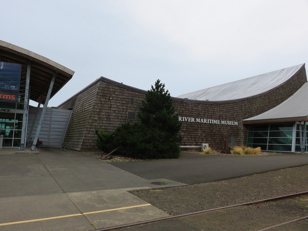
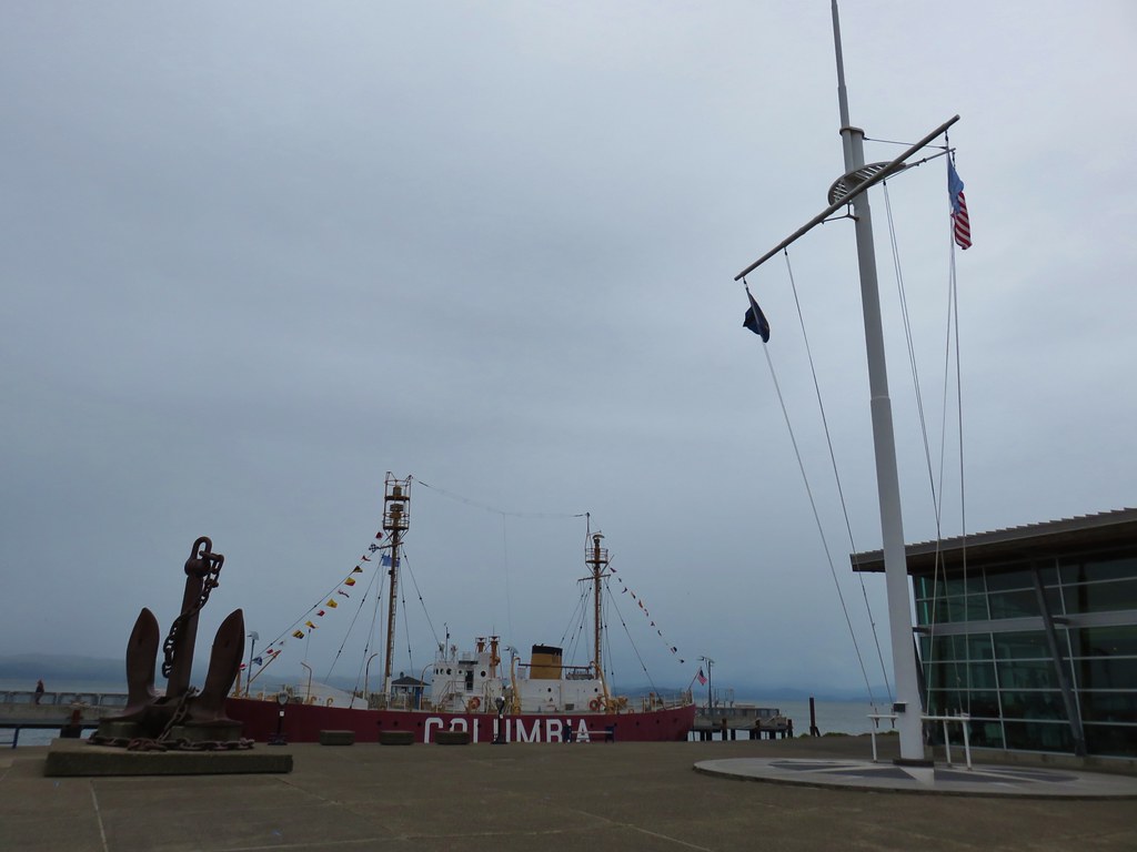
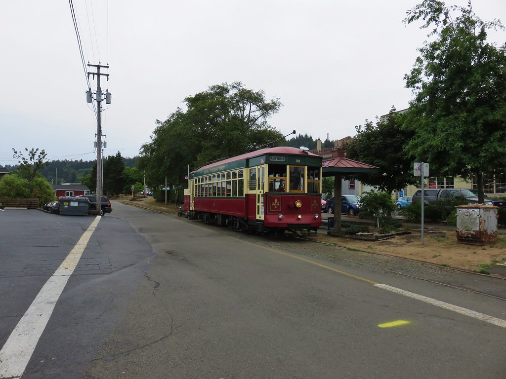
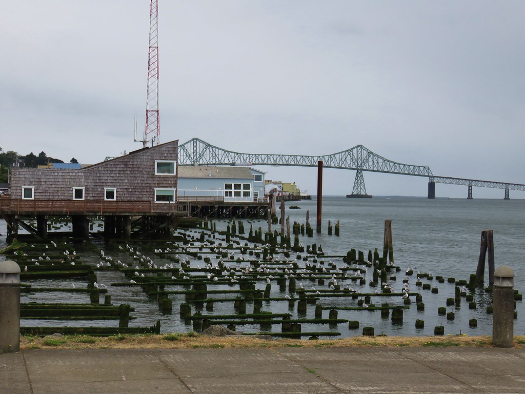
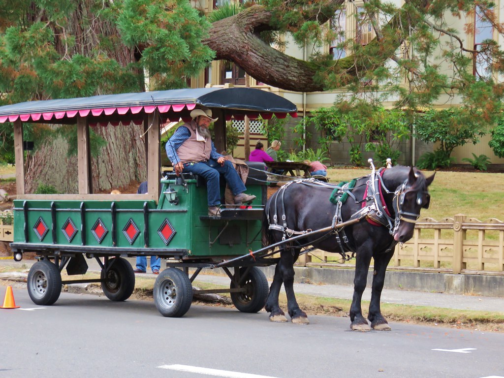
From the museum parking lot we headed west following the Riverfront Trolley line.
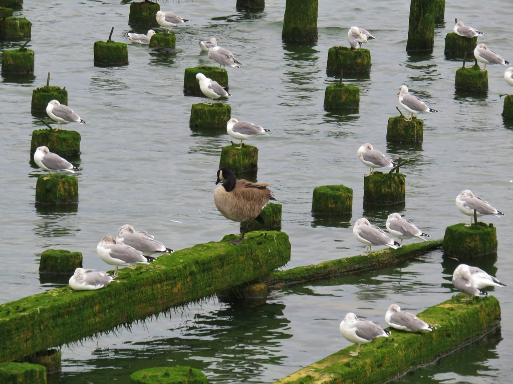
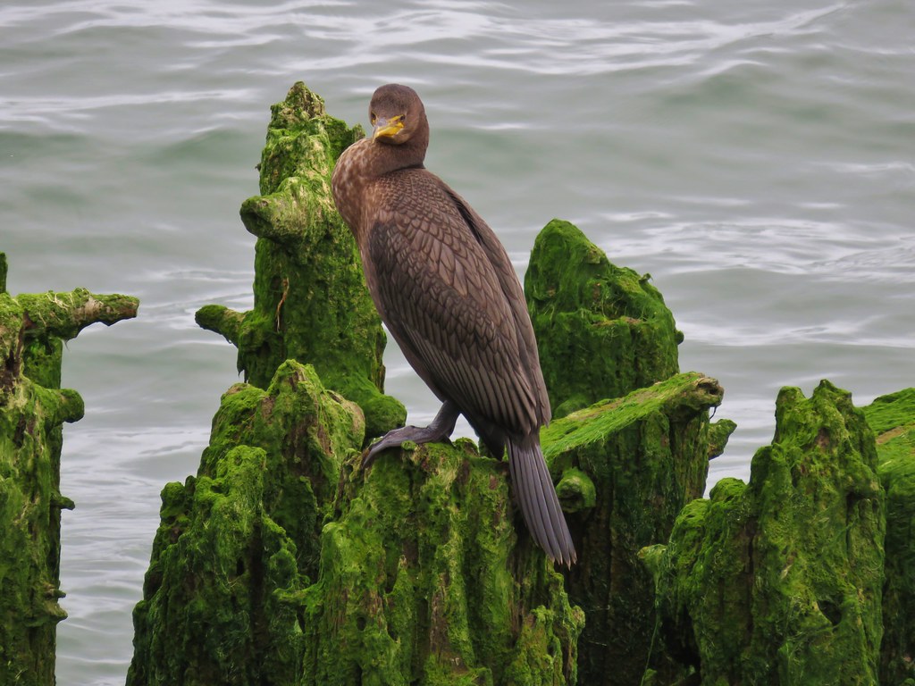
Seabirds lined the waterfront and we also heard some sea lions but never saw any.
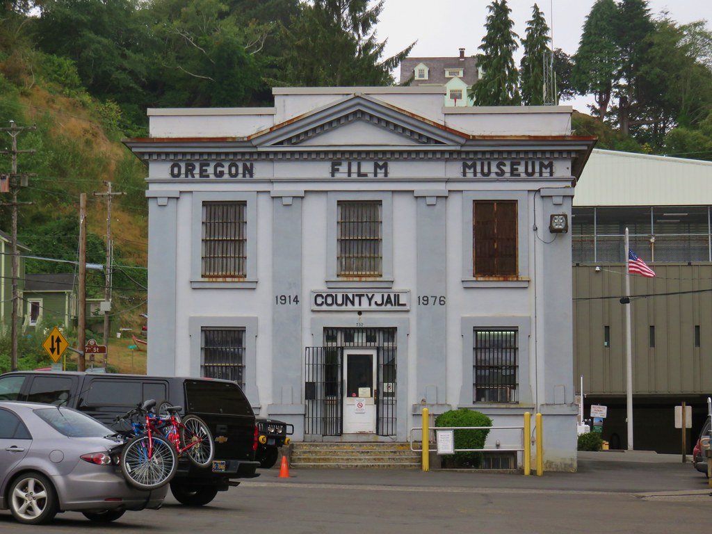
We more or less stuck to Sullivan’s described route (Hike #4 in the 4th edition of “100 Hikes/Travel Guide Oregon Coast & Coast Range) following the the trolley line to 6th St. then turning inland for three blocks before taking a left on Commercial St. After a block on Commercial St. we turned right on 7th for two blocks passing the Oregon Film Museum and the Flavel House.
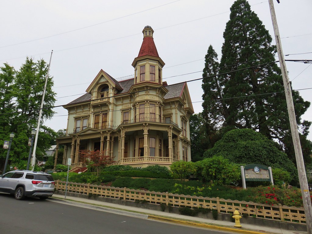
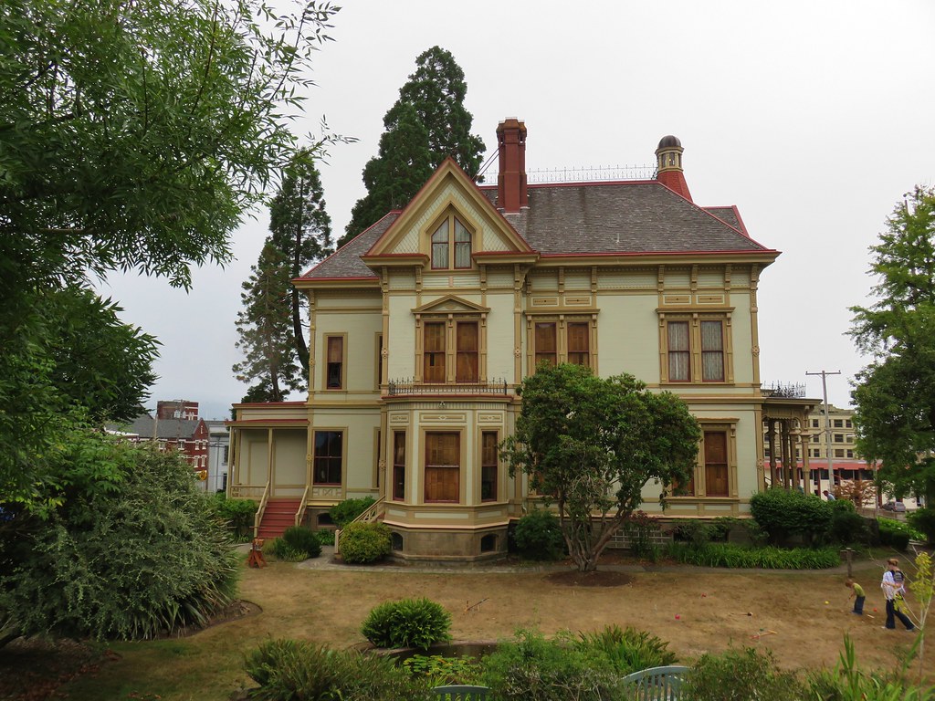
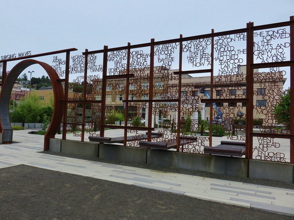
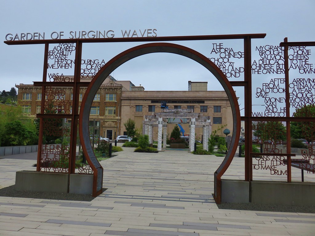
We walked around the Flavel House and headed downhill on 8th St. turning right when we arrived back at Commercial St. We turned right several blocks later on 12th Street and right again a block later on Duane St. passing a Chinese Garden.
We continued zig-zagging through town passing numerous historic homes, churches, and other buildings. One home that stood out was an old run down home that had the quintessential haunted house look.

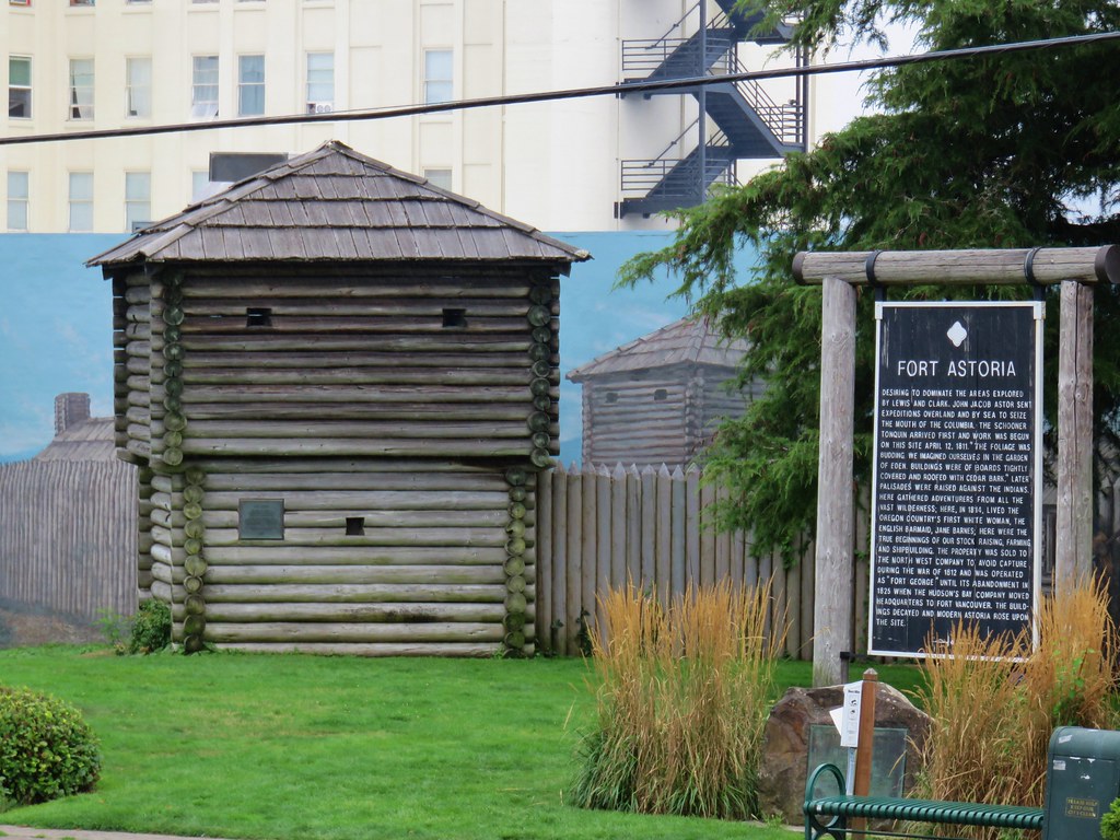
We also passed Fort Astoria on the corner of 15th and Exchange.
By the time we were done we wandered around town for a total of 3 miles.

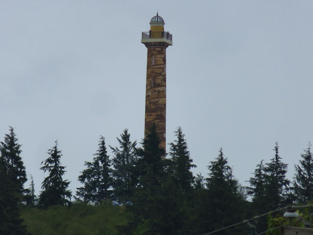
One of the landmarks not on the route was the Astoria Column. It was visible from the waterfront rising above the city. It was one of the times the 30x zoom on the camera came in handy.
We still arrived a little early at our hotel but luckily our room was ready. We had a nice view south to Tillamook Head.

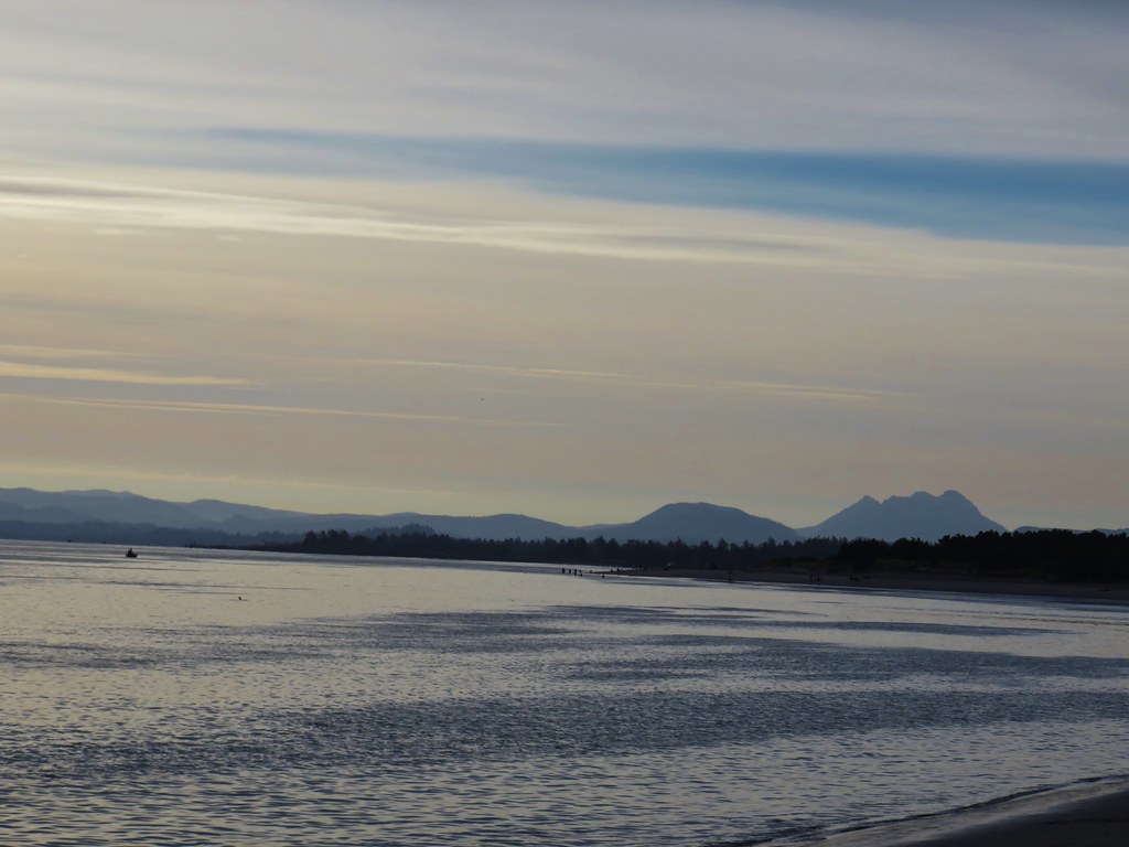
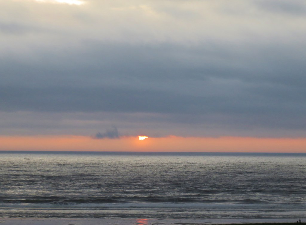
It had actually rained lightly on us in Astoria which was a wonderful change of pace. The sun went down behind the clouds that evening ending the first day of what was shaping up to be an interesting vacation.
Happy Trails!
Flickr: Astoria & Fort Stevens

3 replies on “Astoria and Fort Stevens State Park”
[…] #6 Clatsop Spit – Hiked 9/9/2017 […]
[…] before. In September 2017 we visited Battery Russell, Coffenbury Lake, and a shipwreck at the park (post). Again today we were going in the opposite direction, this time north to visit the park’s […]
[…] Detouring to these two stops would add about an hour to our drive by taking us through Astoria, OR (post) versus more time on Interstate […]