A trip to Portland to celebrate my Grandmother’s 93rd birthday provided us an opportunity to do some hiking in the morning before the festivities began. In the previous couple of years we had taken a hike in the Columbia River Gorge before seeing Grandma for her birthday but the Eagle Creek Fire had changed those plans this year so we turned to a couple of Portland area parks instead.
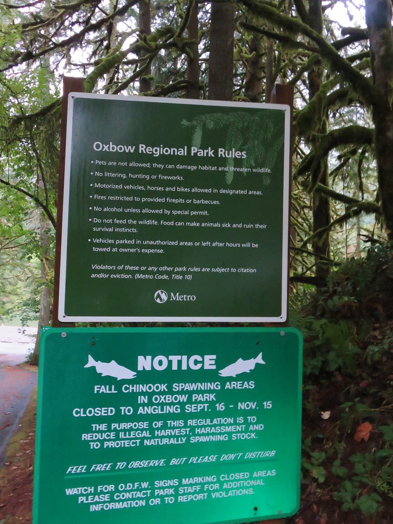
We started our morning at Oxbow Region Park. We paid the $5/car day use fee and drove through the park to the boat launch near the campground.
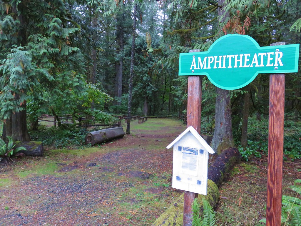
After a quick trip down to look at the Sandy River we headed east on a trail marked by a hiker symbol and a sign for the amphitheater.
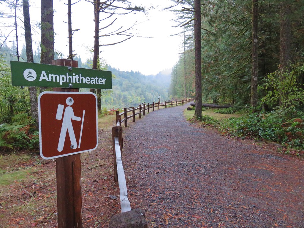
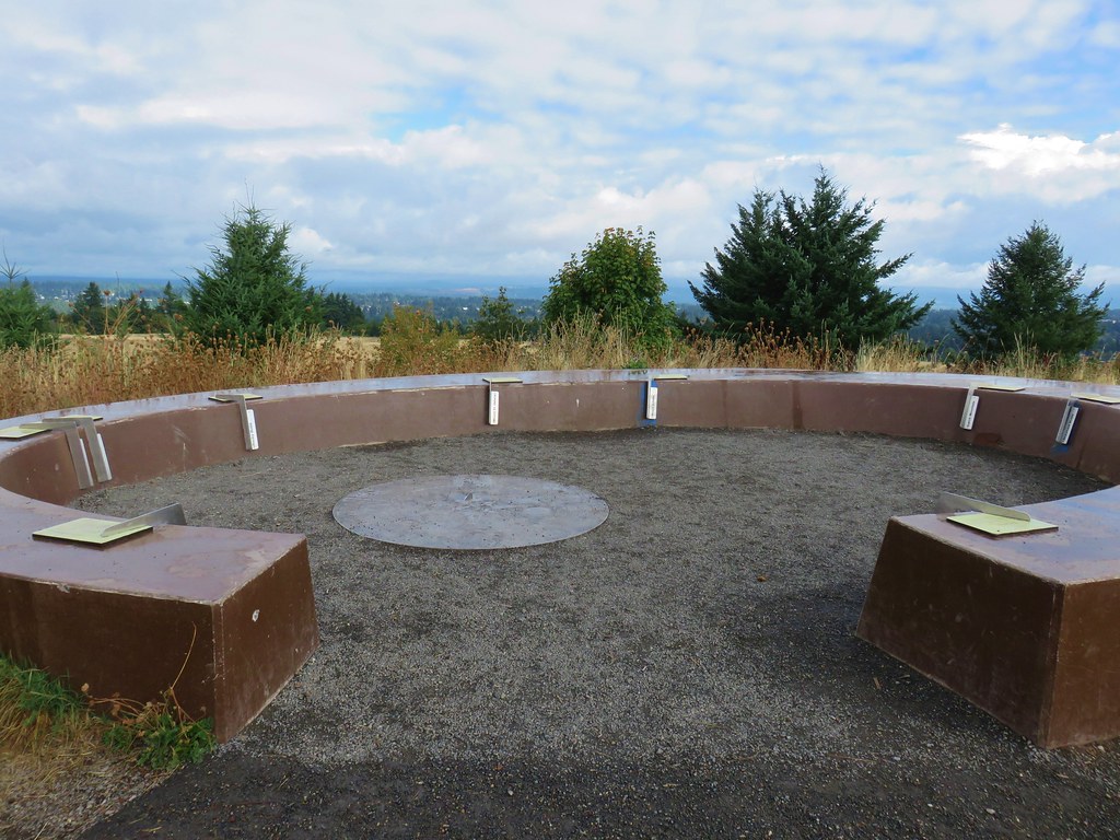
We soon passed the amphitheater on our right.
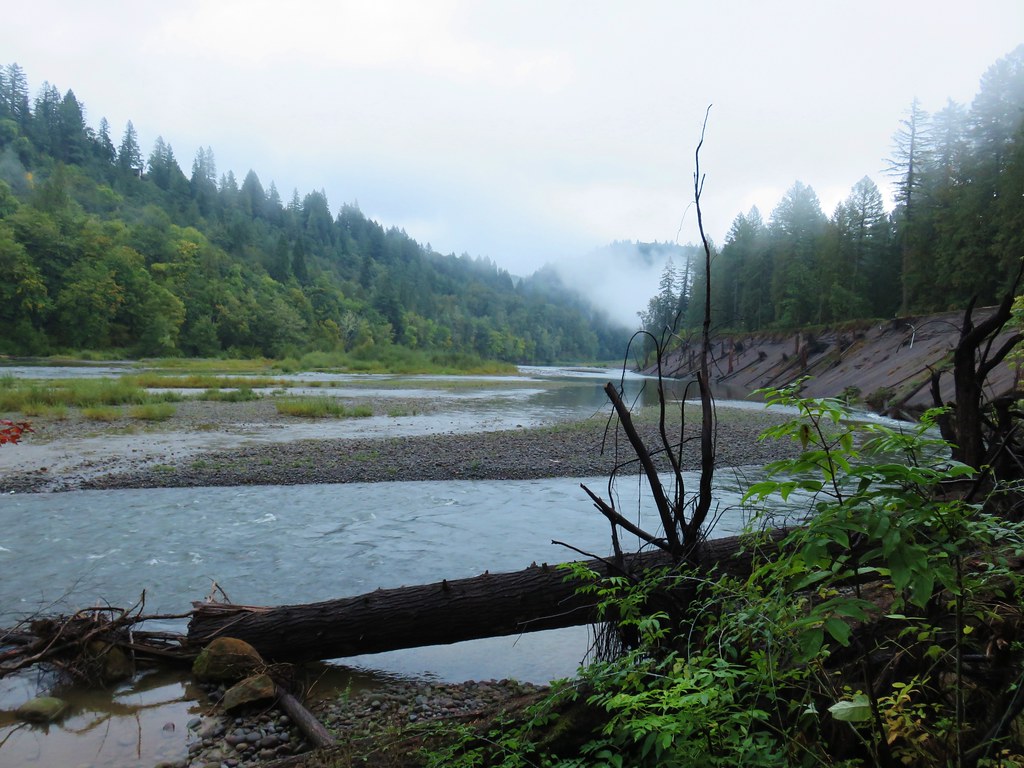
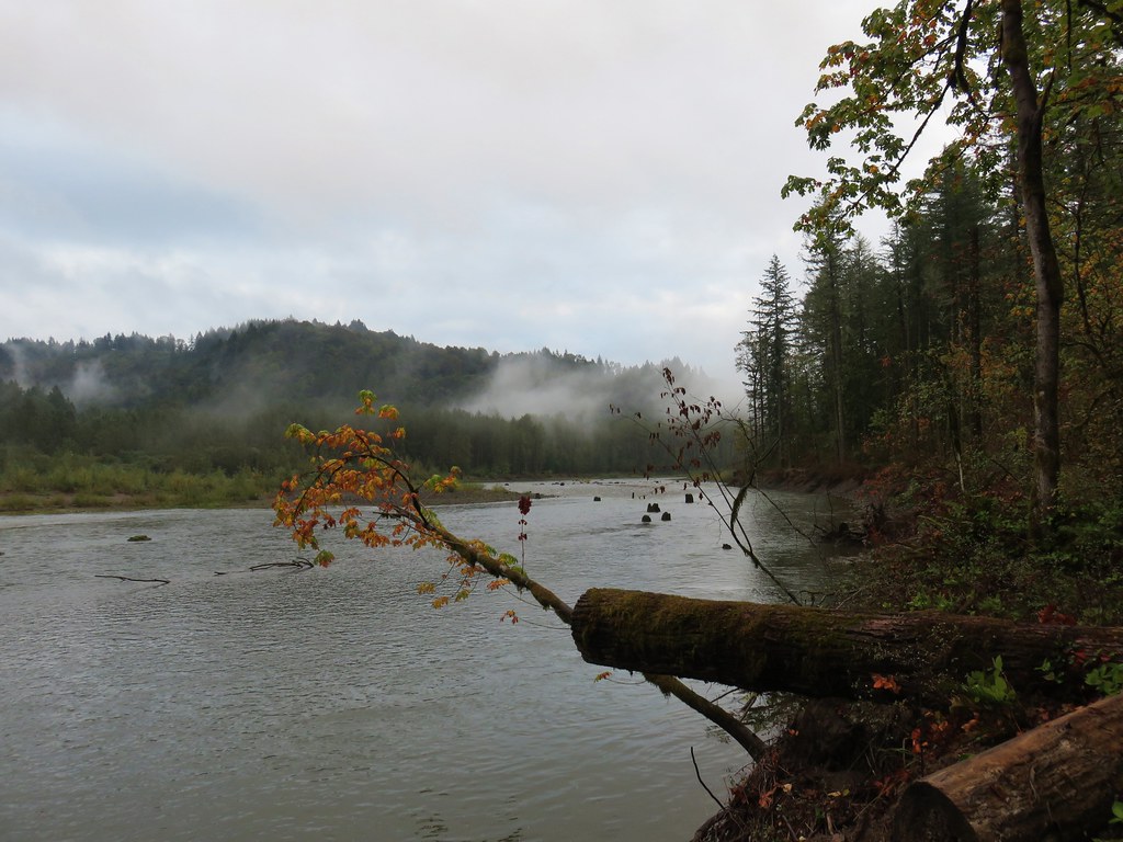
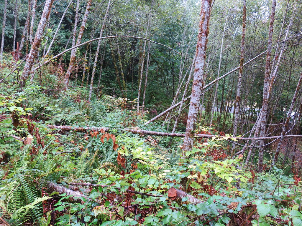
On the left the banks of the Sandy River showed much erosion where an ancient forest is being exposed years after being buried by volcanic eruptions from Mt. Hood.


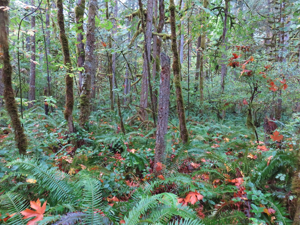
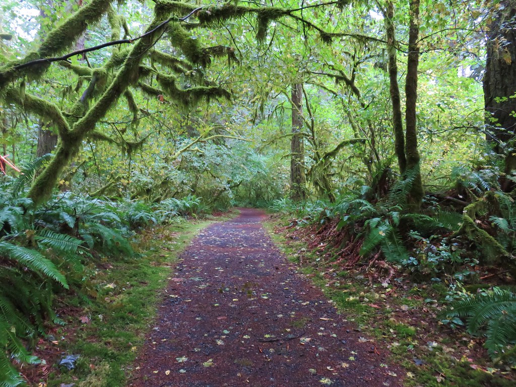
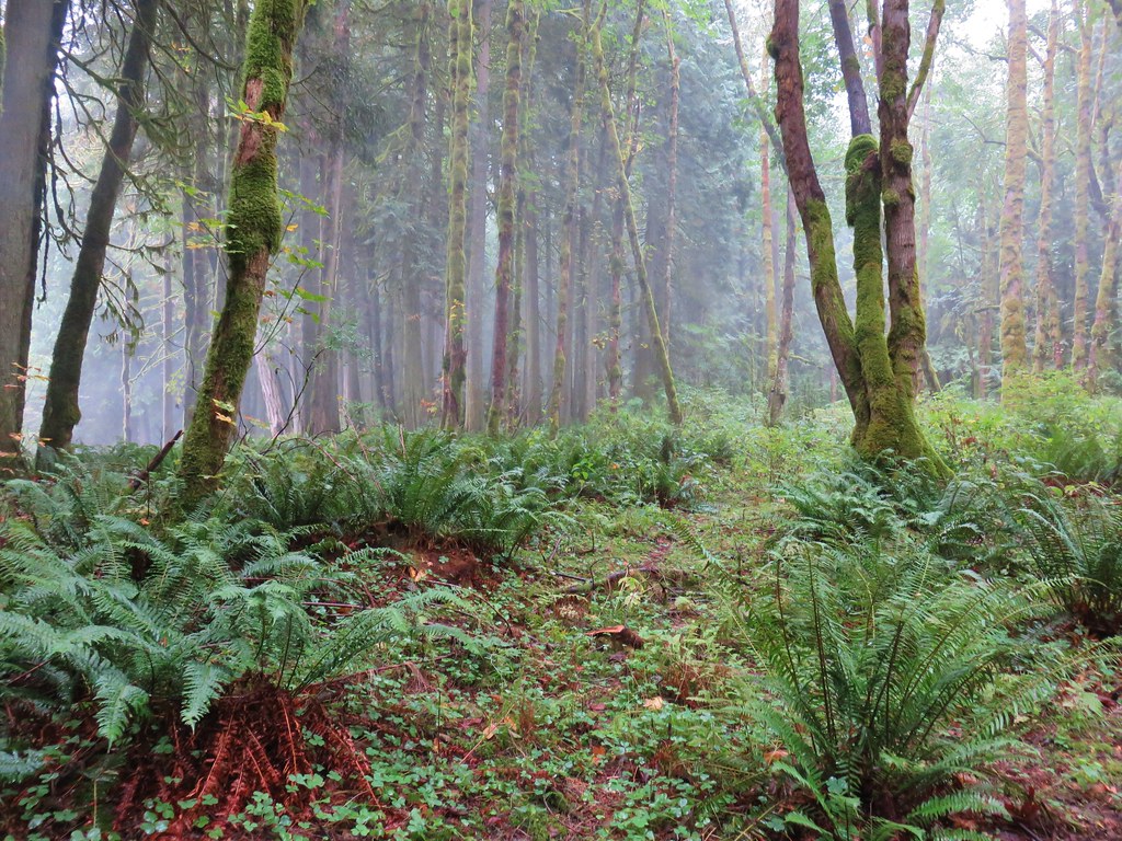
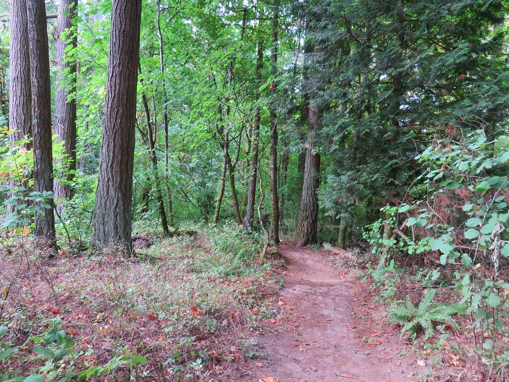
We were on Trail M which passed by the campground before dropping down into a green forest.
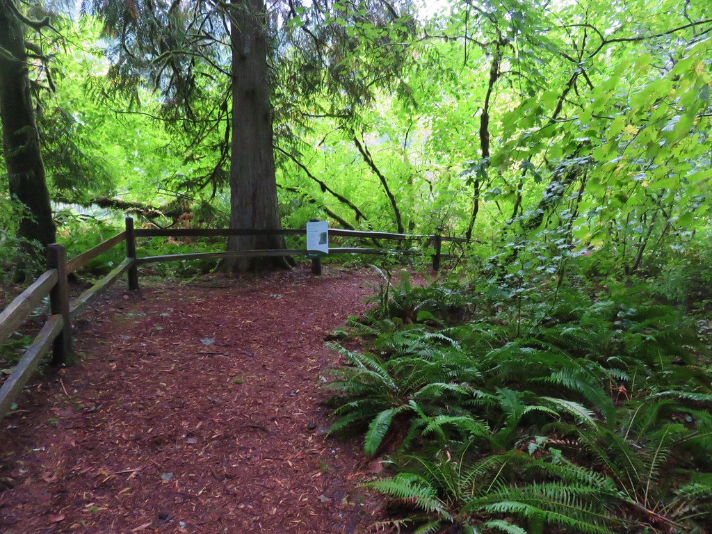

The trail was near the river offering occasional views.
We had planned on sticking to Trail M which followed the river around past Buck Bend but encountered a closed trail sign along the way.
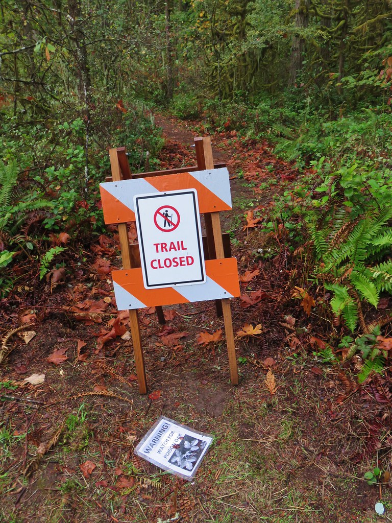
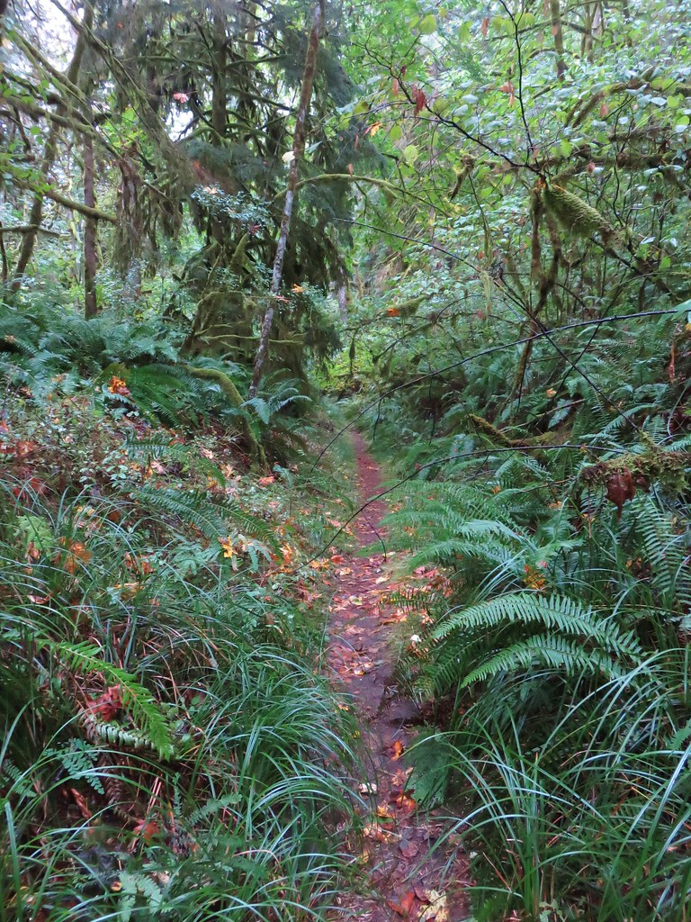
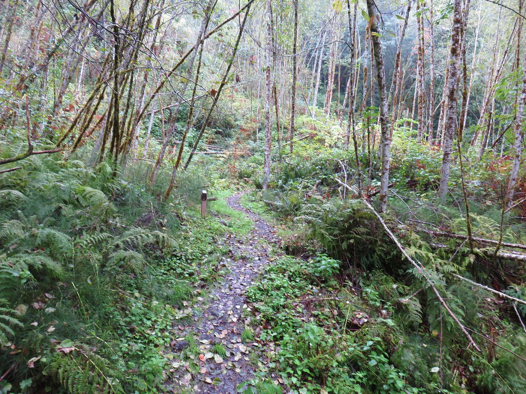
There was a trail leading to the right at the closure so we turned onto that trail instead. A lack of signage and the presence of more trails than what the map in our guidebook showed caused a bit of confusion for the next little while. It didn’t help that none of the trails in the park were showing on the GPS so we decided to wing it and just work our way in the general directions that our book showed.
After about .4 miles of making our way to the south and west we arrived at what is labeled on the park map as Group Camping area 2.
From the camping area we turned right (south) and began following the river again. We were looking for a trail (I believe it would have been Trail N) on our right that would lead us back toward the center of the park on a bit of a loop. We passed an unmarked trail to the right at a small section of wooden fence but it seemed too close to the camp so we continued on a bit further. We hadn’t gone much further when we began to second guess ourselves and turned back around. When we got back to the little fence we decided we were so close to the camping area we should explore in the other direction for just a bit.
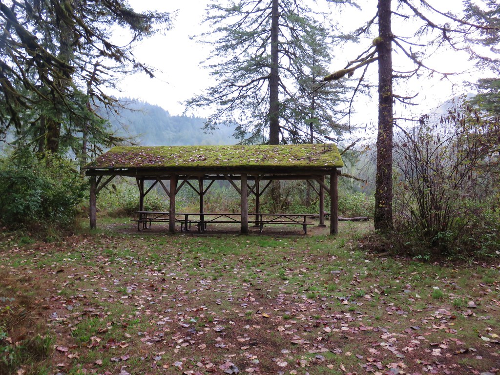
We passed the covered picnic area and headed north along the river past a new looking bench.

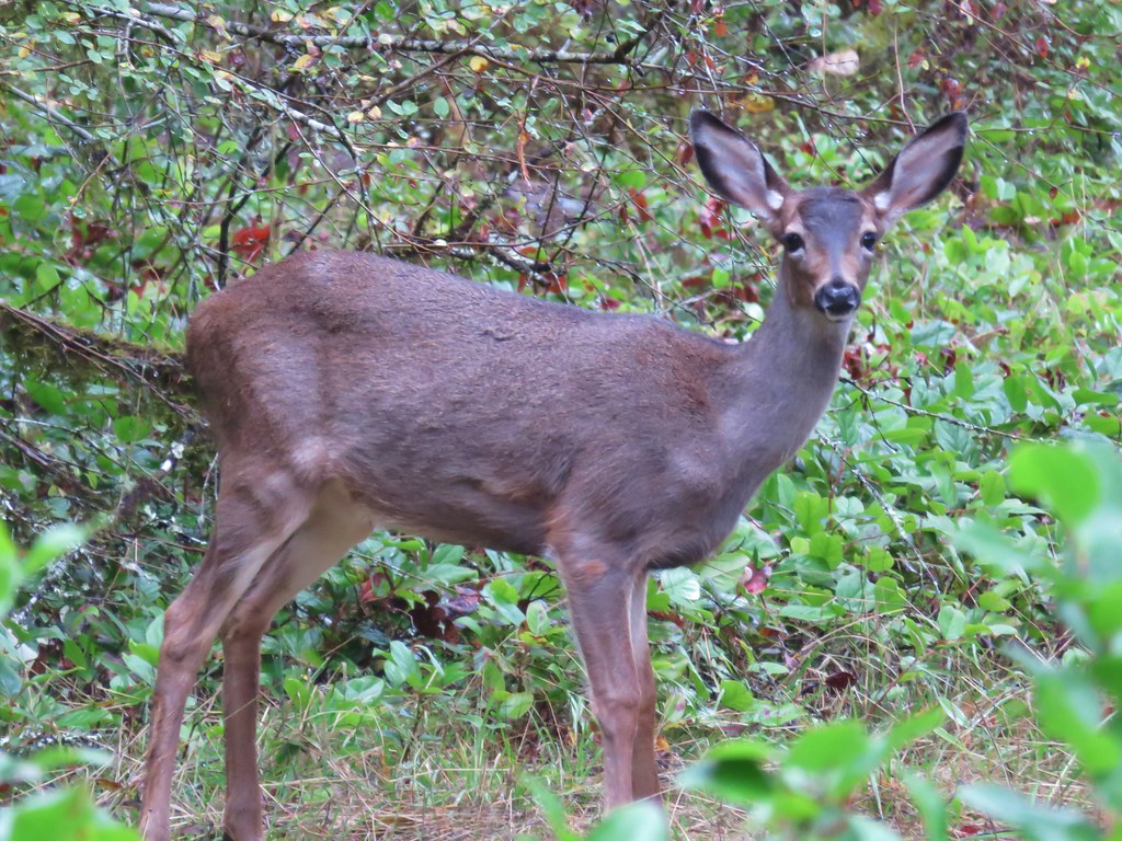
Not too much further we spotted the back of the closed trail sign and realized we had inadvertently wound up on that trail after all. We turned around again and headed back past the camp and turned right at the fence. This path angled back past the camping area but was clearly not Trail N which we had not gone far enough to reach. It turned out okay though as we spotted a couple of deer along this trail near the camping area.

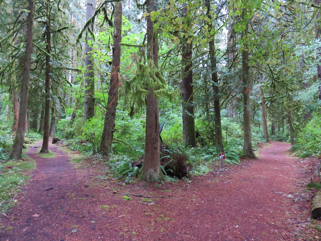
We continued to follow paths in the general direction shown in our guidebook (NW) and were passing along a hillside when Trail N joined from the left. This was when we knew for sure that turning at the small fence had not been the trail we had been looking for. We were now on a wide path which soon split.
We initially went right but that trail quickly arrived at the parks campground so we turned around and took the left fork. In a little under three quarters of a mile we came to an old roadbed (Trail G) at a gate post. The road was coming downhill from Alder Ridge and is the route taken by equestrians that start at the Homan Road Equestrian Trailhead. We had actually planned on starting there to avoid the $5 fee but there were “No Parking” signs all around the actual trailhead and we weren’t sure at the time about parking further away along Homan Road. It turns out that would have been okay but without knowing for sure we played it safe.
We turned up the old roadbed heading for Trail H which completes a 1.6 mile loop around Elk Meadow on Alder Ridge.


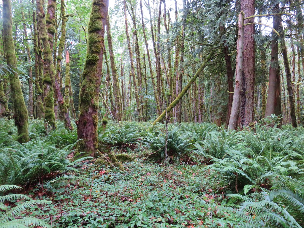
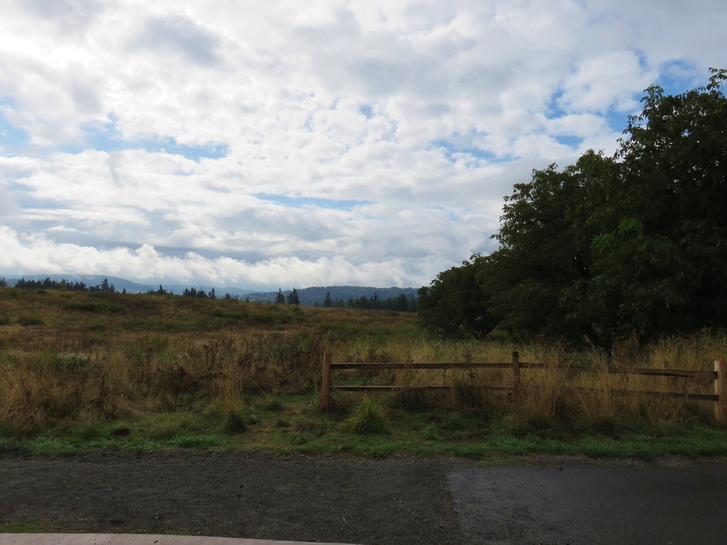
The loop was pleasant but low clouds ended any chance of views from the ridge.

After completing the loop we took Trail G, the old roadbed, back downhill to the junction by the gate post and turned left sticking to the old road bed until we reached a junction with the narrow Trail F forking slightly uphill to the left.
We hadn’t been on Trail F for long when we spotted a doe and fawn in the trees below.

We followed Trail F until we reached Trail D where we turned right.

This path crossed the park entrance road and brought us to Trail C along the Sandy River where we turned right back toward the boat ramp.
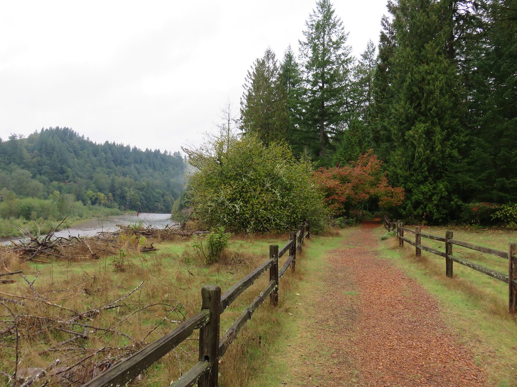
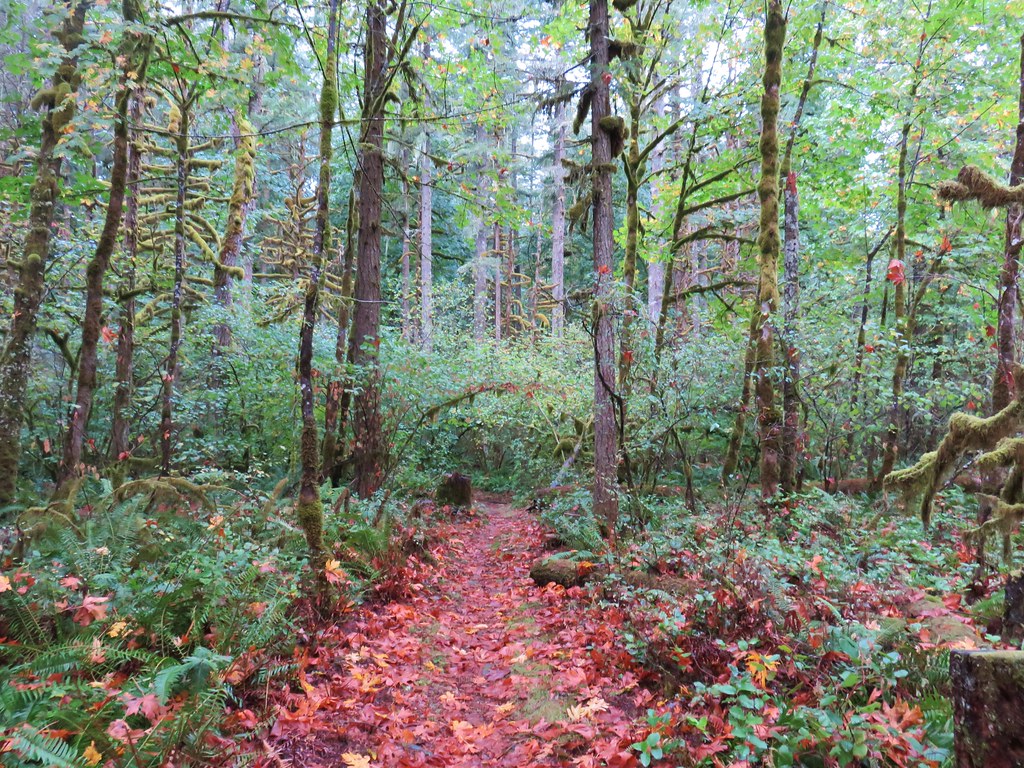
We followed this path back to our car completing a 6.3 mile hike that consisted of a lot of backtracking. It was a fun hike though as we spotted 5 deer in the lush green forests of the park.

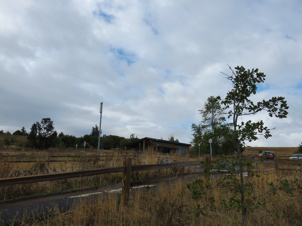
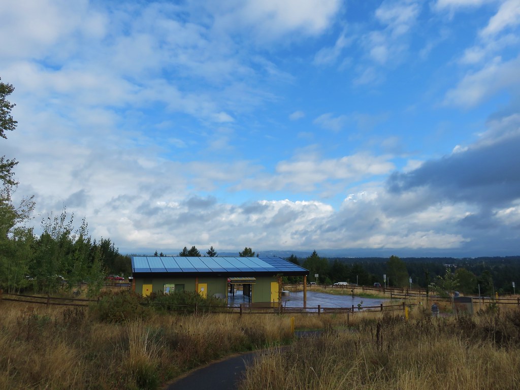
We weren’t due at my Grandma’s house until 1pm and it was not quite 10am when we finished this first hike so we had plenty of time to check out another nearby park. Our second stop was at Portland’s Powell Butte Nature Park. We used google to drive to Powell Butte from Oxbow Park which took a little less than half an hour. We parked in a large parking area near the Visitors Center.

We set off at a signboard with a trail map just beyond the Visitors Center.
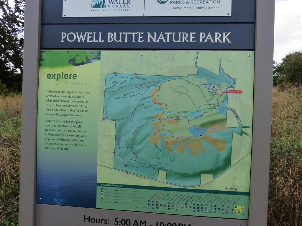
The map was a welcome sight after the issues we’d had in Oxbow Park. Heather took a photo which was really helpful considering some of the trails had been renamed and new trails added since our guidebook had been printed.
We followed the paved Mountain View Trail uphill away from the center.
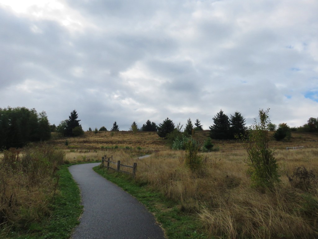
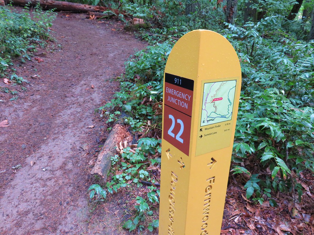
We followed this path for .44 miles to a three-way junction where we stayed left following a pointer for .1 miles to a Mountain Finder.
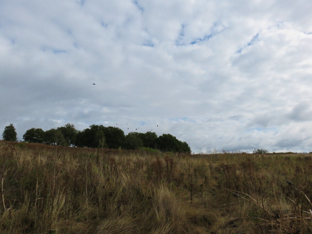
It was too cloudy to see most of the peaks identified by the finder but the brief descriptions of each were interesting none the less. After checking out the finder we continued on what was now the Summit Lane Trail. We stayed right at junctions on this trail for just under three quarters of a mile as it looped around open grasslands and a small group of trees left over from an old orchard where a murder of crows had gathered.

At a four way junction we turned left onto the Douglas Fir Trail which left the grassland and entered a forest.
After .6 miles we stayed right at a junction with the Fernwood Trail.
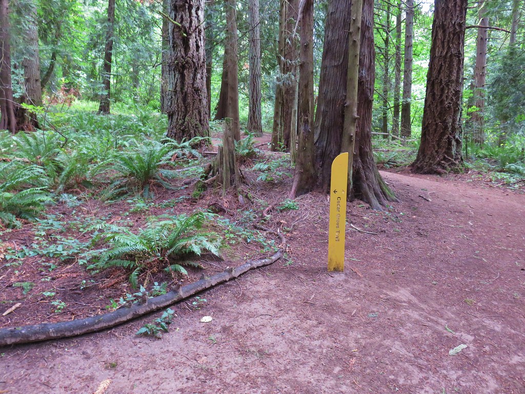
In less than a tenth of a mile from that junction the Douglas Fir Trail ended at the Cedar Grove Trail.
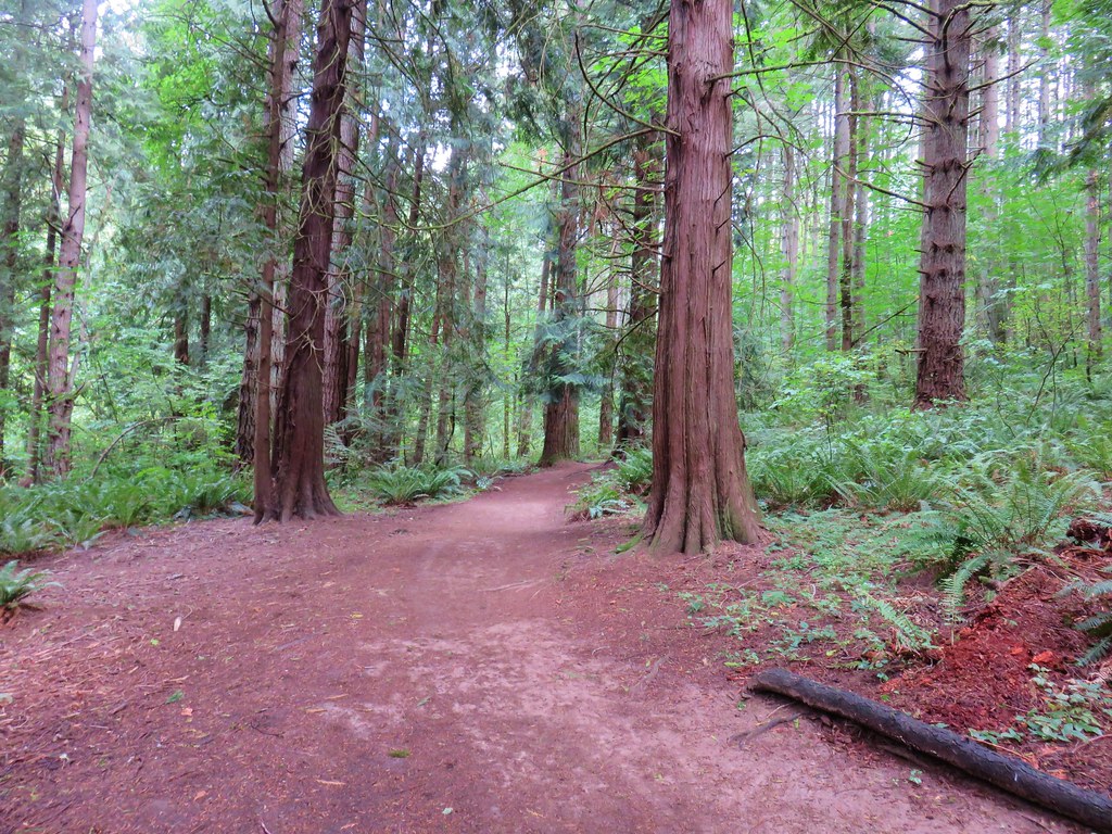
We climbed uphill on the Cedar Grove Trail for .4 miles where we then stayed right on the Elderberry Trail. This trail ended after just over a quarter mile at the wide gravel Meadowland Lane. We turned right on this path for a quarter mile which brought us back to the four way junction where we had taken the Douglas Fir Trail earlier.

Here we turned left back onto Summit Lane for less than a tenth of a mile to the Mountain View Trail which we followed back down to the Visitors Center for a 4 mile hike. We’ll have to go back sometime earlier in the year when more of the areas flowers are blooming and on a less cloudy day to see the mountains but even without those attractions this was a really enjoyable hike.
We arrived at Grandma’s right on time and had a good time celebrating her birthday with cake and ice cream before heading back home. Happy Trails!

One reply on “Oxbow Regional Park and Powell Butte Nature Park”
[…] #10 Oxbow Park – Hiked 10/1/2017 […]