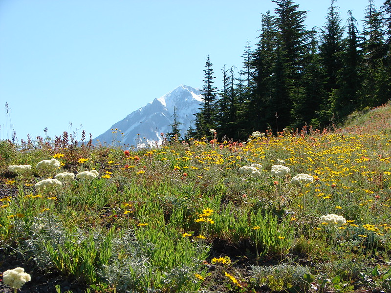
Following a really nice January, February didn’t provide us many opportunities for hiking in decent weather. So far the weather in March has been quite a bit better and we took advantage of it to visit three different parks managed by Clackamas County.
This outing was inspired by our failed visit to Eagle Fern Park on our last day out hiking (post). They fee kiosk was out of order that day and we weren’t carrying enough cash ($8) to pay for the required day-use permit, so we skipped the hike here and continued on to our second destination – Milo McIver State Park. We made sure to restock our emergency cash supply and moved the visit to Eagle Fern Park to our March hikes.
Because the hike Eagle Fern Park is under 4-miles we wanted to add another destination (or two) to increase our time on trail for the day. To make it a theme day we chose two additional Clackamas County parks with short trail systems, Barlow Wayside and Metzler County Park, as stops.
We decided to start with the park furthest from Salem and work our way back home which meant starting at Barlow Wayside Park located 11-miles east of Sandy, OR. We arrived at the trailhead to discover it is now a fee park. With it being a “limited-use” park the day-use fee is $4.00 here but the only option to pay is by phone which requires downloading an app and setting up an account prior to paying.
 The small blue sign on the left provides the pay by phone information. This was one of two such signs in the parking area.
Fortunately we had enough cell service to download the app and pay the fee (the fine for not obtaining a permit is currently $80.00). After doing that we headed for the informational signboard to begin our hike. It was a chilly start to the morning with the temperature a crisp 34 degrees Fahrenheit

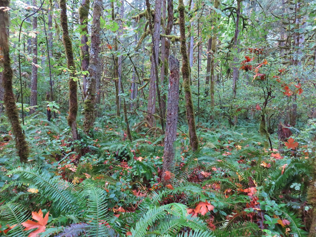
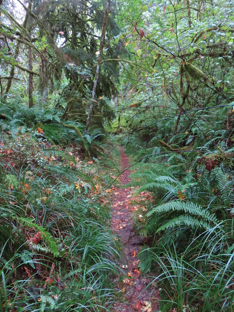
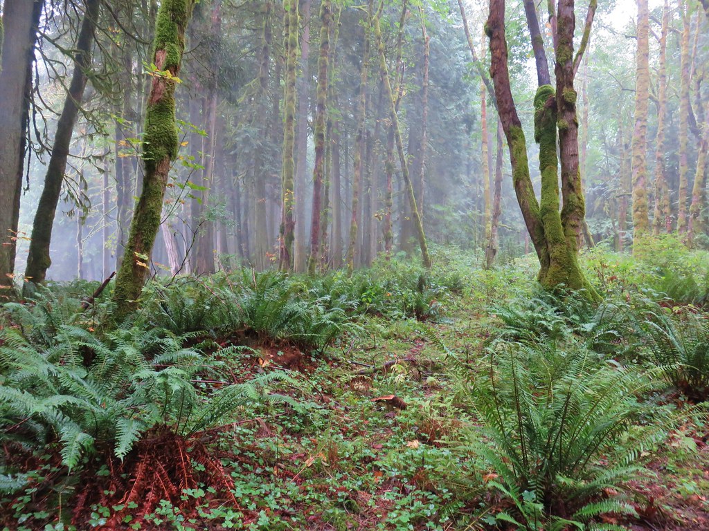
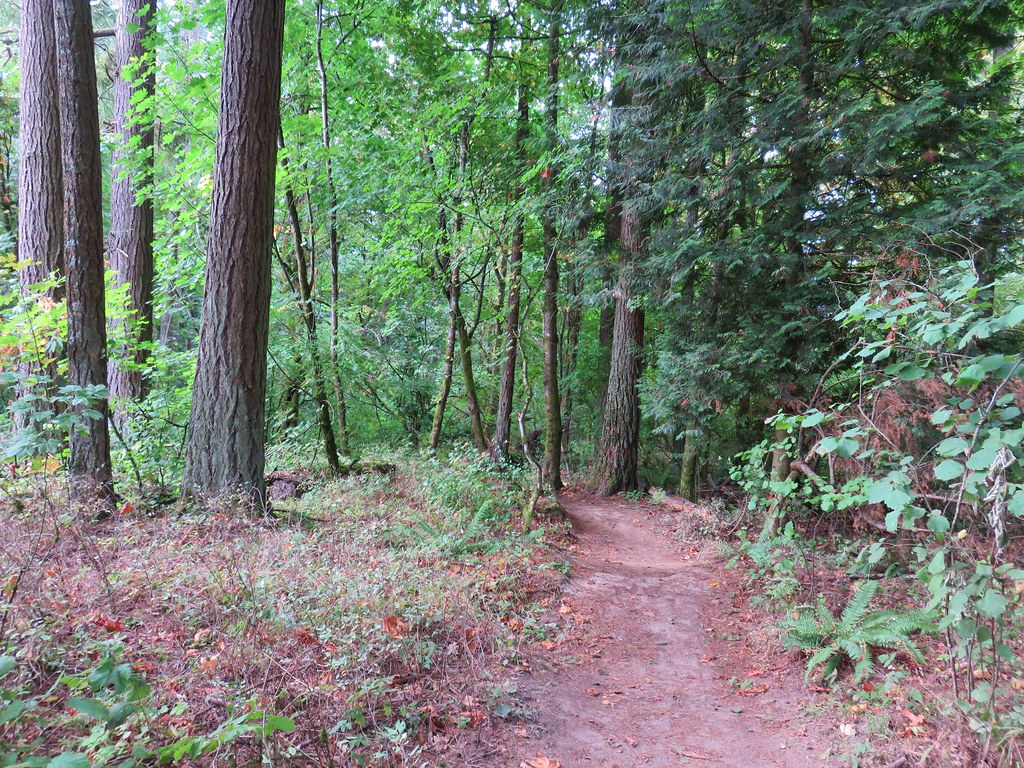
We began with a short out-and-back on the Little Joe Tie Trail which connects to the Sandy Ridge Trail System which offers 17-miles of mountain bike trails. This level trail paralleled Little Joe Creek and entered BLM managed land before arriving at a signed junction.

 Little Joe Creek
 The pointer to the right was for the Sandy and Salmon Rivers (.25 miles) while continuing another .18 miles would bring us to the Sandy Ridge Trail System.
The junction seemed like a good turnaround point and we headed back to the information kiosk where I ran to the car to grab an extra Buff for Heather before following pointers for the parks three loop trails.

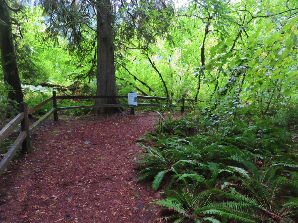
We turned left onto the Little Joe Loop which just 600′ long but it does lead past a platform above Little Joe Creek.


At the end of the Little Joe Loop we turned left following a pointer for the self-guided nature tour.

Brochures were available here and online. Unfortunately, we are at that age where without reading glasses the brochures were of no use to us.
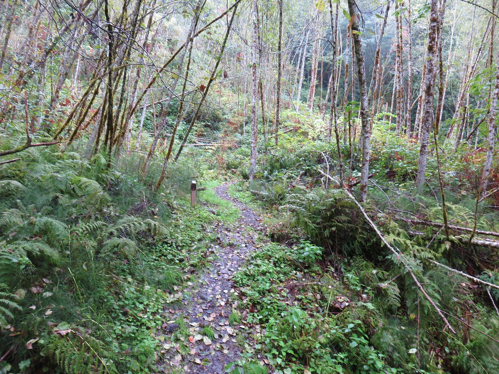
We crossed the creek on a footbridge then ignored a signed “Primitive Trail” on the right to reach the start of the Falls Loop Trail.


The Primitive Trail.
 Start of the Falls Looop.
We turned right on the Falls Loop and climbed up a ridge to a switchback. We ignored another Primitive Trail sign on the right and followed the switchback to the left.

 Primitive Trail number 2 with the Falls Loop continuing to the left.
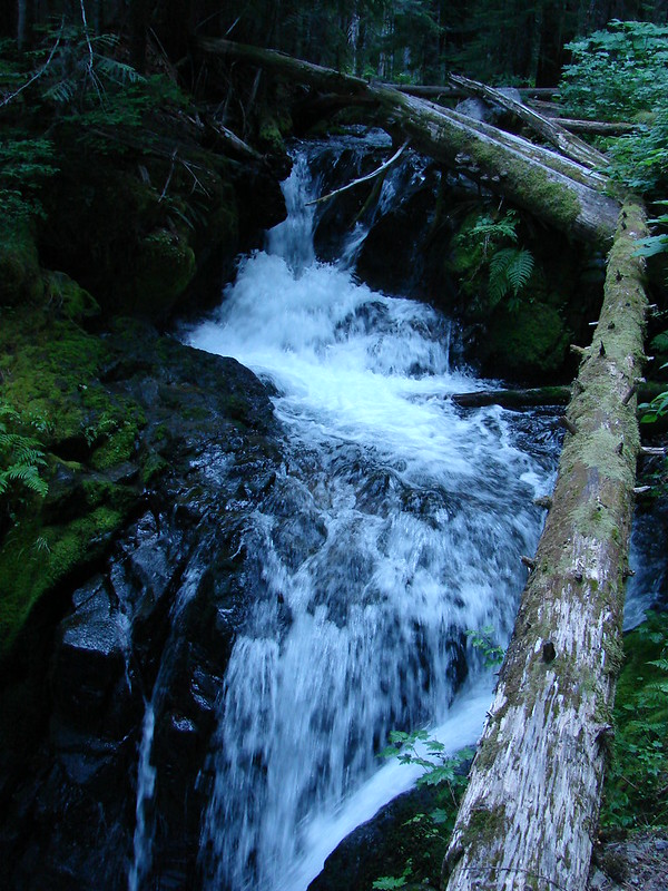
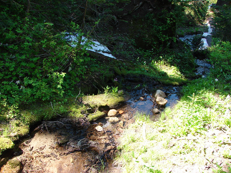
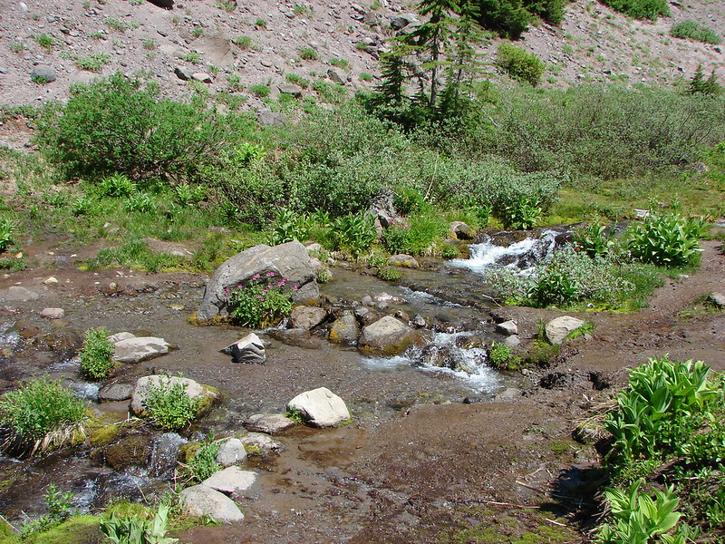
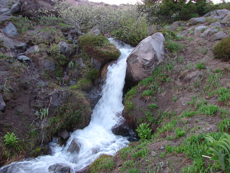
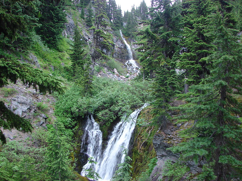
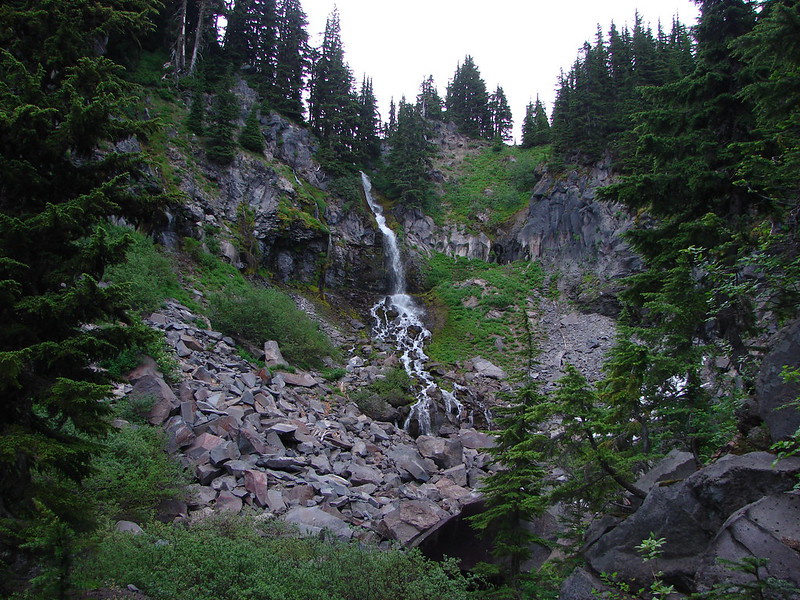
The trail had now leveled out and passed through a nice forest before making a short descent to an unnamed creek crossing above a small “falls”.


 This was a nice little cascade this time of year. Later in the Summer the flow reportedly drops down to a trickle.
Shortly after crossing the unnamed creek we arrived at a junction with the Northern Loop Trail where we turned right.
 The self-guided nature tour follows the Northern Loop Trail here as well.
The Northern Loop climbed gradually toward a set of power lines where it turned and began looping back toward the Falls Loop.
 Passing stop #6 on the self-guided tour (Forested Headwaters).

The powerline corridor below Sandy Ridge.
 One of the creeks flowing from the forested headwaters.

Trees are truly amazing.

Back on the Falls Loop.
We turned right on the Falls Loop and followed it as it crossed several streams and eventually dropped down to the base of a larger cascade.


We completed the Northern Loop and then returned to the trailhead where we detoured across East Barlow Trail Road following a pointer for the Sandy River.

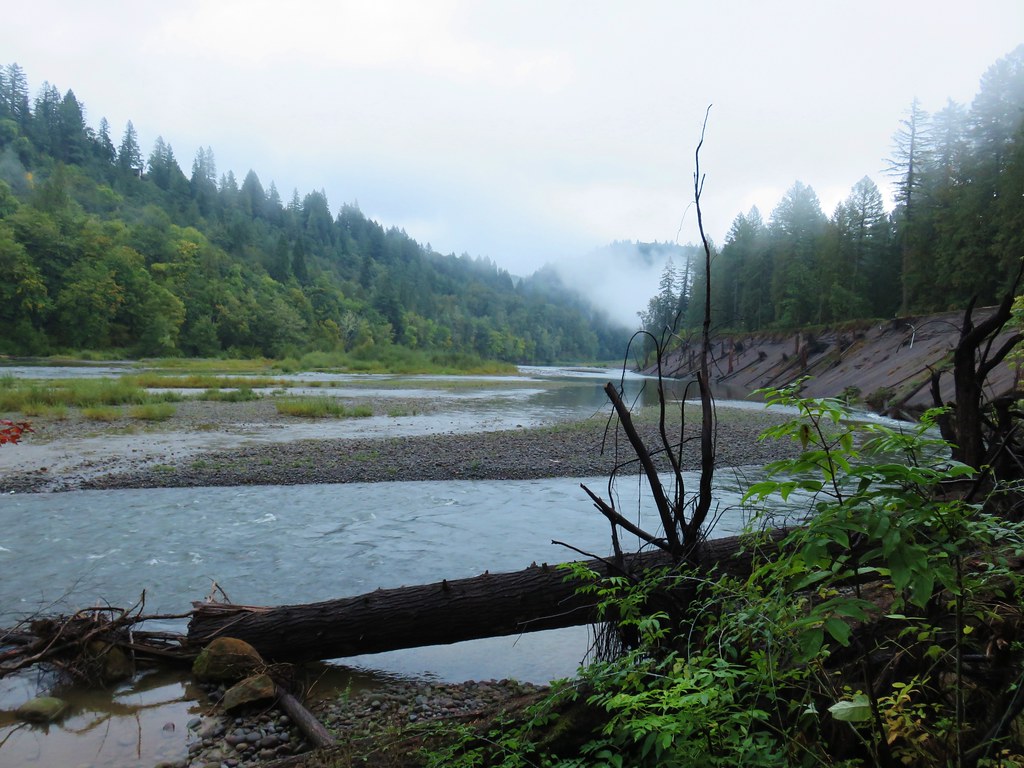
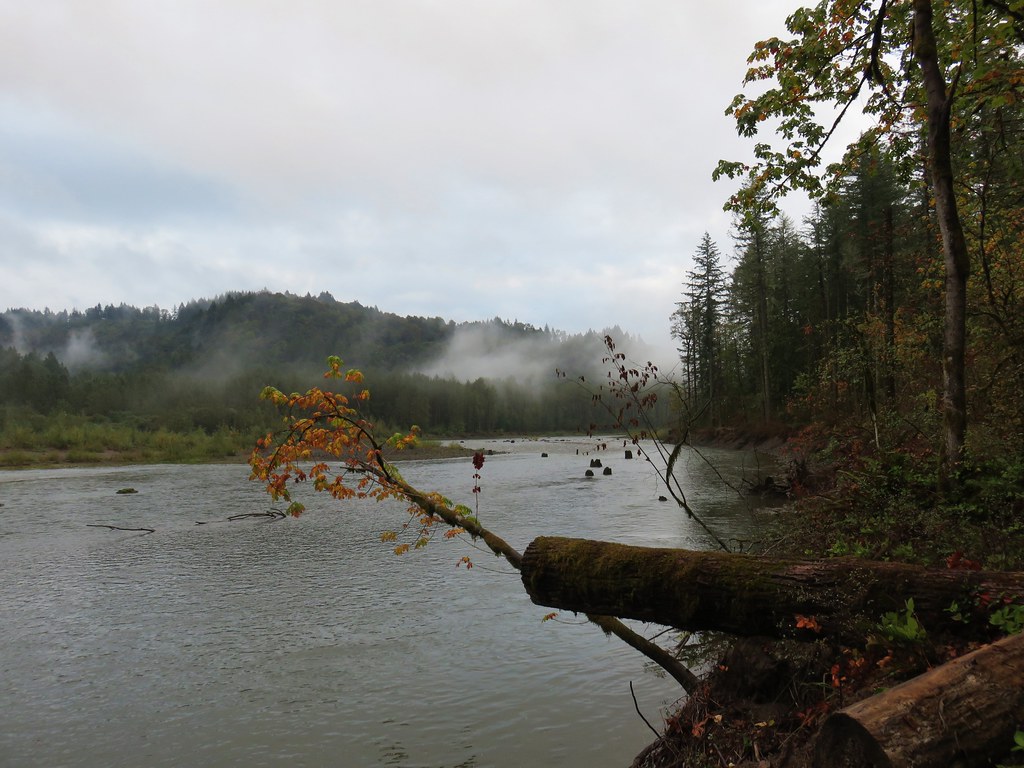
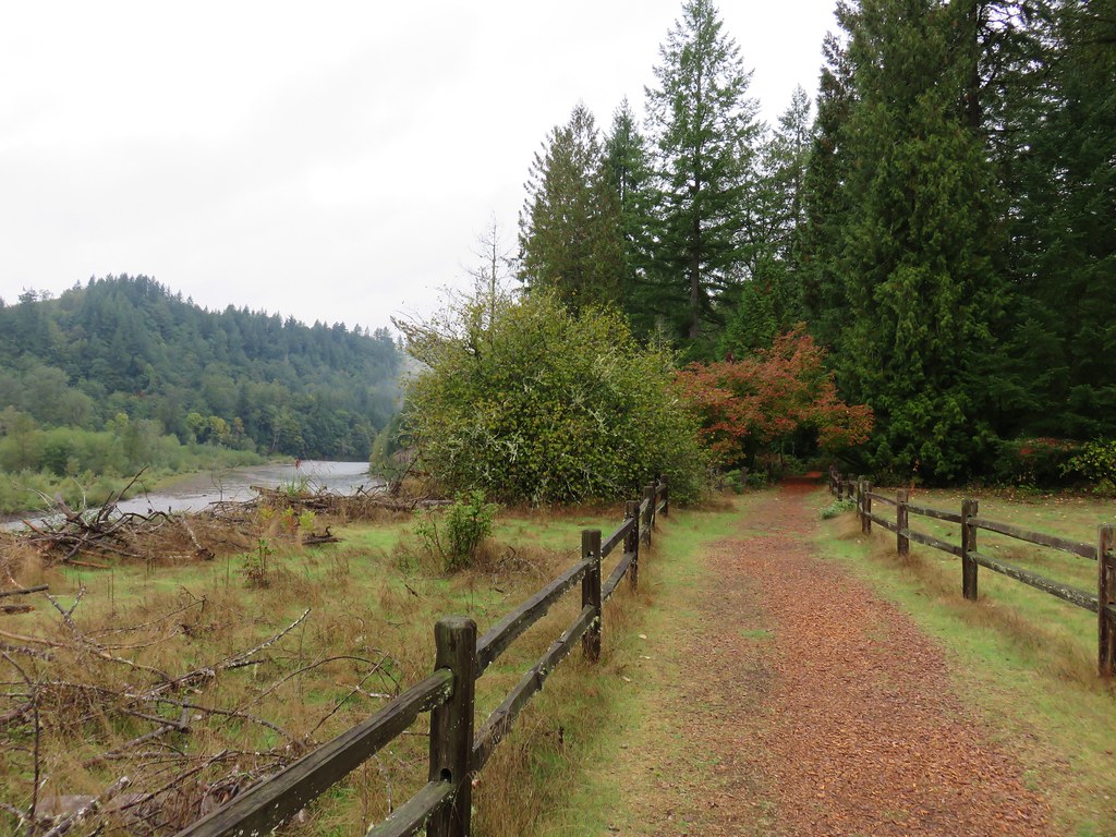
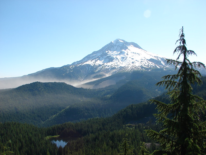
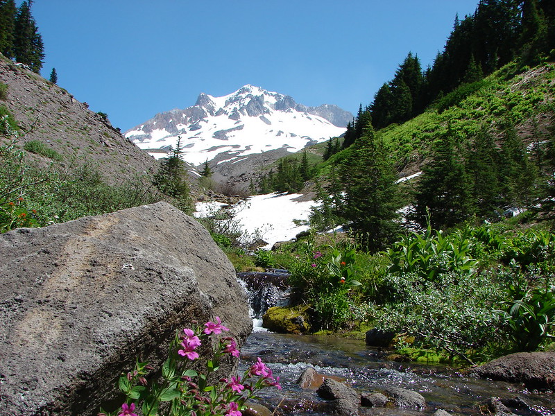
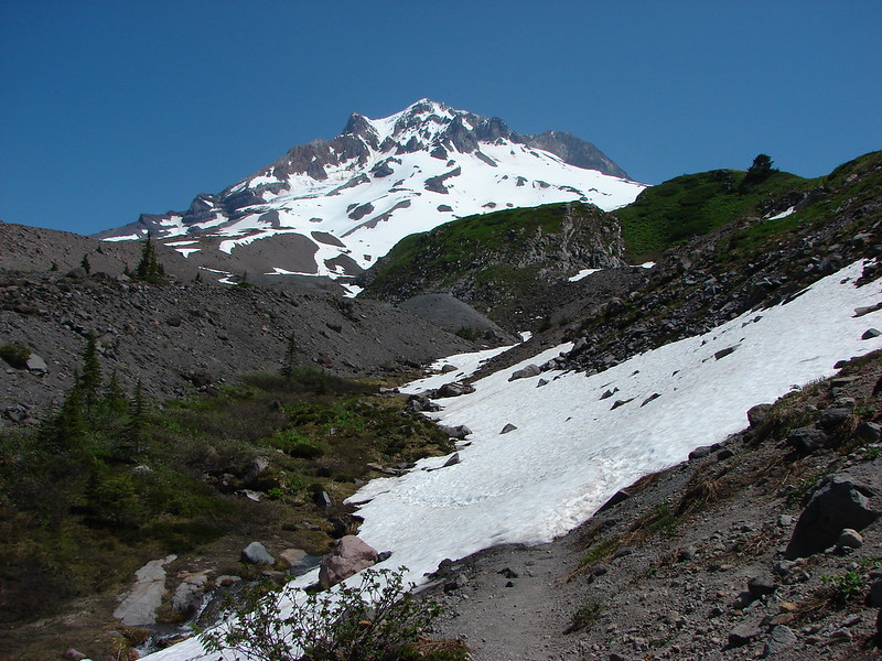
It was a just over a tenth of a mile to the river where we took a moment to watch the water rushing past on its way from Mt. Hood to the Columbia River and eventually the Pacific Ocean before returning to our car.


Our GPS recorded our hike here as 2.7-miles with a little under 200′ of elevation gain.

From Barlow Wayside we headed back toward Sandy on Highway 26 turning off at Firwood to make our way to the trailhead at Eagle Fern Park.
After paying the $8 day-use fee at the functioning kiosk we prepared to set off on our planned hike here. Similar to Barlow Wayside there are several loop options at this park and we were hoping to check out the bulk of them. We began by crossing Eagle Creek on a suspension bridge.


 There are a few Eagle Creeks in Oregon, this is the Eagle Creek that originates in the Salmon-Huckleberry Wilderness (post).
At a junction on the far side of the bridge we turned right on Loop C which is another interpretive trail.


At a junction we stayed right to begin Loop A.
 Trail Keepers of Oregon restoration work sign. TKO does a lot of great work and with the current administration’s hostility toward public land groups such as theirs are needed more than ever.
Loop A made a good climb before leveling out a bit along the hillside above Eagle Creek.

<
We ignored this connector trail on the left (Spur B on the park map) and continued along the hillside.
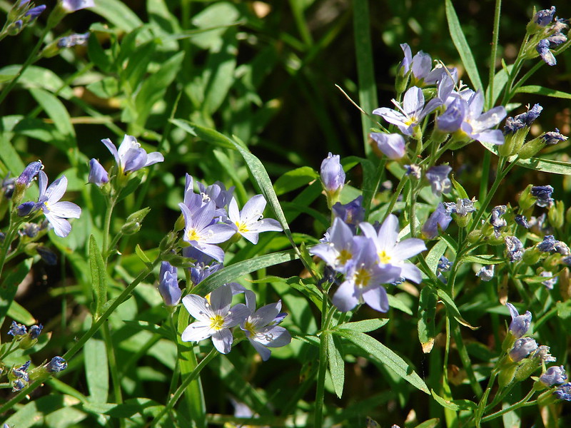
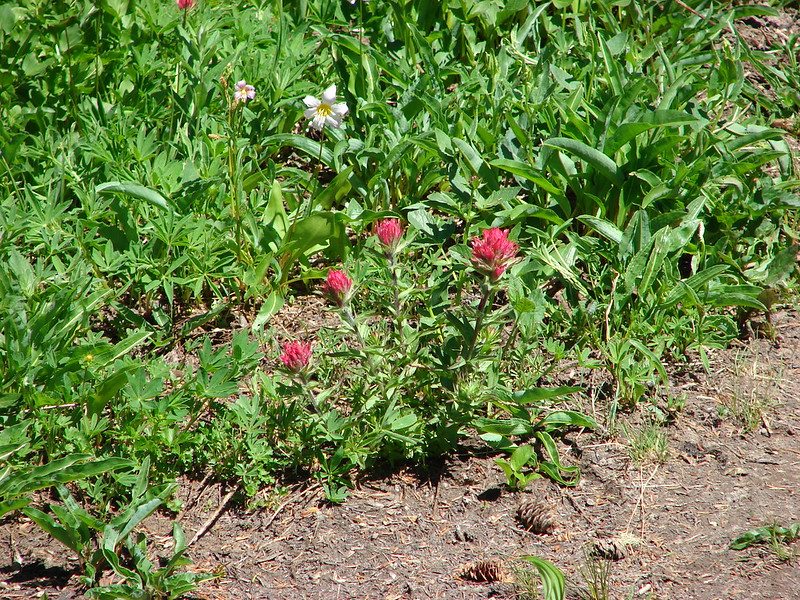
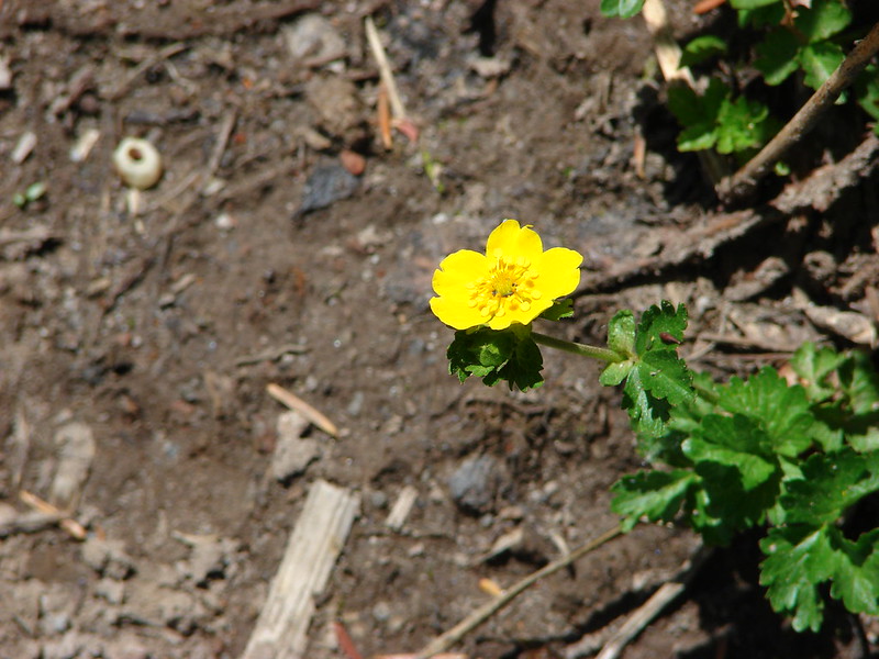
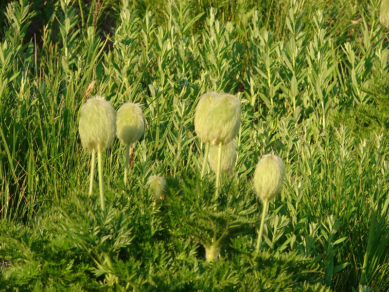
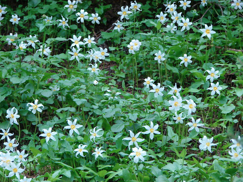
 Snow queen

 One of several switchbacks.
 Rough-skinned newt and snow queen.
 Closer look at the newt.
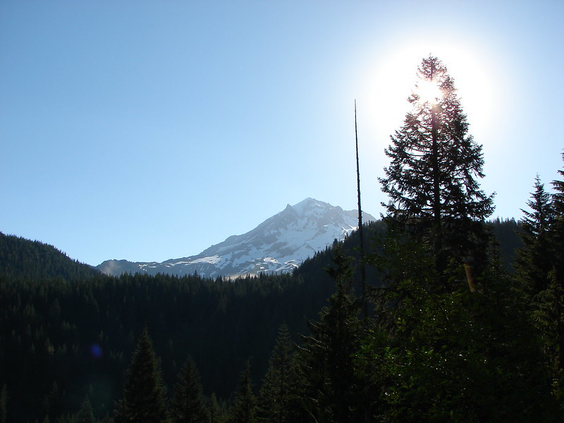
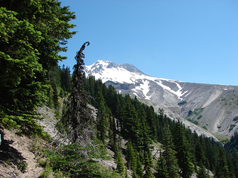
 Blue sky
 Traversing the hillside.
 The trail below as we neared a switchback to begin descending.


Rock overhang along the trail.
 Viewpoint near the end of the loop.
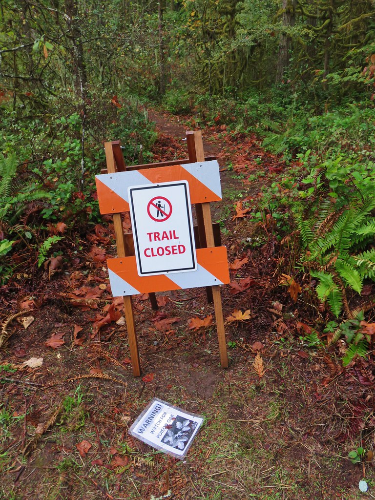
After returning to the trailhead we headed off in search of Loop D which begins off of Kitzmiller Road. This meant a short road walk from the trailhead to Kitzmiller Road where we turned right for 0.2-miles where there is a small parking area on left (west) side of the road. The trail was reportedly on the opposite side of the road and had at one time been signed. That sign was gone but a cyclist who had stopped at the pullout was aware of the trail and helped point us in the right direction. He was a little bewildered about us wanting to hike this trail, having tried to follow it himself some years back. At that time he said it climbed out a little way above the main park area and just petered out. The official park map showed a loop, Loop D, here and the Oregonhikers Field Guide described an additional lollipop loop off of Loop D. After confirming that this was indeed the trail we were looking for he wished us good luck and we set off on the unmarked path.
 The start of Loop D from Kitzmiller Road.
The trail quickly split and we went right.
 The remains of former signs can be seen at the split ahead.
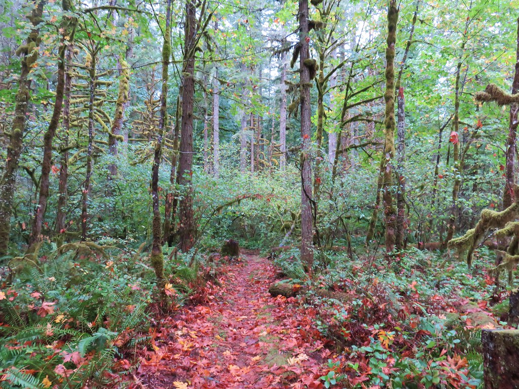
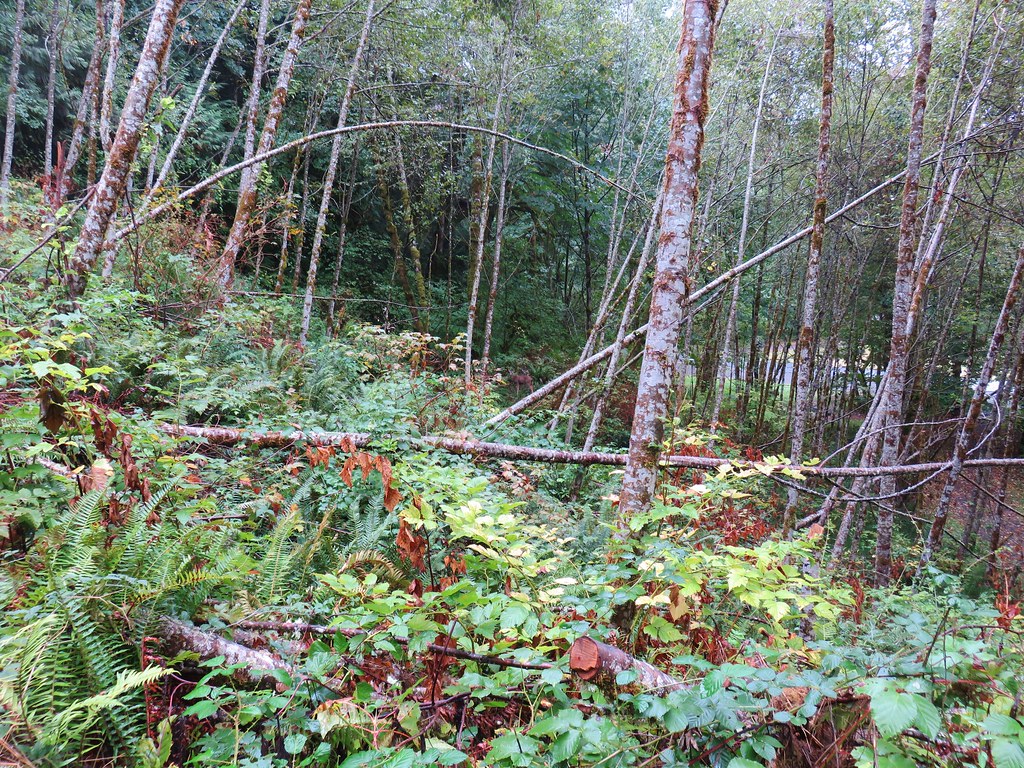
This trail obviously doesn’t see much use but was in decent shape with one large tree requiring a duck under and another smaller tree down across a switchback that meant we had to climb over it twice.

 The trail made a steady climb to the junction with the supposed Lollipop Loop.
 The lower portion of the tree across the switchback.
There was no sign at the start of the Lollipop Loop but the tread at the split was obvious.
 Left is the continuation of Loop D. We stayed right to attempt the Lollipop Loop.
The Oregonhikers Field Guide described the lollipop as a rougher trail and that was accurate. It was still easy enough to follow. After about a quarter of a mile we found ourselves dropping to a footbridge over a small stream.
 There were some cut trees along the trail mixed with more recent blowdown but nothing was particularly difficult to navigate.
 Wren
Wren
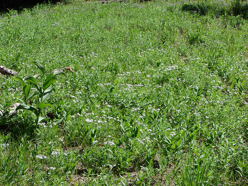
 There was a lot of snow queen.
 The footbridge with a large tree across it.
There was a large tree down across the near side of the footbridge. The bridge appeared to have held up well with just one visibly broken plank. Heather decided she’d seen enough though so she stopped here and we agreed to meet back a what we thought might be the other end of the loop that we’d passed near the top of the hill. I continued on and quickly found myself navigating multiple downed trees and other obstacles.
 Look back along the bridge.
 The older blowdown had all be cut.
I finally lost the trail in a muddy bog not far from Eagle Fern Road. At some point the loop should have turned uphill to the left and after a series of switchbacks returned me to the trail not far from the footbridge. I had seen no sign of any trail to the left between the bridge and where I turned around.
 I made it through this muddy mess but couldn’t find any sign of tread on the opposite side.
I back tracked to the bridge looking for any sign of the loop. I still didn’t see any tread, flagging or cut logs that would have indicated the presence of a trail. I recrossed the bridge and rejoined Heather and then we returned to Loop D. We turned right onto Loop D and followed it back down to Kitzmiller Road.

We detoured across Kitzmiller Road to the pullout and followed a short path down to the bank of East Eagle Creek.


My hike here came in at 3.9-miles with a little under 400′ of elevation gain.

After visiting East Eagle Creek, we returned to our car and made our way to the trailhead at Metzler County Park.

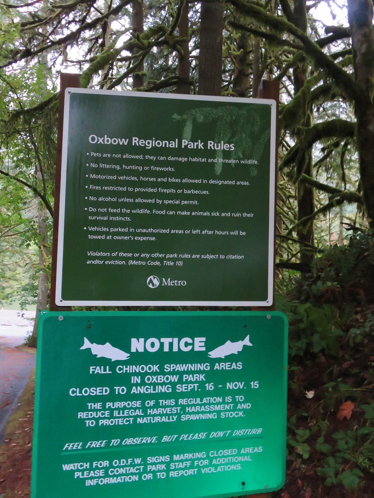
This was by far the busiest park and another requiring the $8 day-use permit (annual permits are also available). I was unsure if the day-use permit we purchased at Eagle Fern Park could also be used here or if a separate permit was required. (The Clackamas County website was no help and they were closed Friday so I couldn’t ask ahead of time.) There was one sign that I took as indicating the day-use permit was good for that day at any of the fee parks, so we did not purchase a third permit.

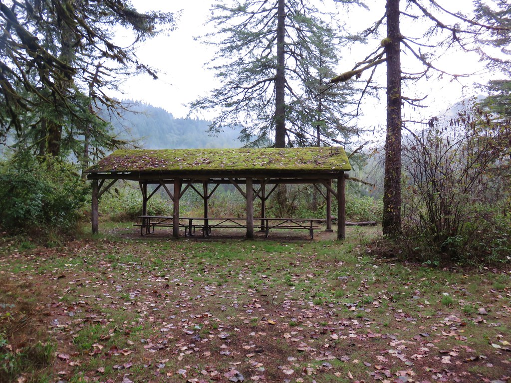
From the parking area we walked down the paved entrance road toward Clear Creek. At a memorial stone for Alice Metzler we followed a “Swimming Hole” sign passed a picnic shelter to a suspension bridge.


Clear Creek
On the far side of the bridge we stayed left at a junction and followed Swagger Creek gradually uphill.


 Swagger Creek
The trail soon veered away from the creek and descended through a mixed forest to an unsigned junction where we stayed and eventually arrived at a second unsigned junction.

 Song sparrow (according to Merlin)


 The second unsigned junction.
The section junction was part of the Northern Loop where we once again stayed left traversing the hillside above Clear Creek before arriving at a clear cut at the park boundary.

The trail descended beside the clear cut then turned back along Clear Creek to complete the loop.

We turned left and hiked back to the first junction where we again stayed left and returned to the suspension bridge to complete another loop.

 Swagger Creek (right) joining Clear Creek at the suspension bridge.
We recrossed Clear Creek and hiked back to the entrance road where we turned left. We followed the road into and through the closed campground to its end and the start of the Nature Trail.

 The Nature Trail wasn’t signed other than some “No Motor Vehicles” signs.
This interpretive trail follows an old roadbed behind the campground and through part of the disc golf course to the baseball field where it abruptly ends.

One of the numbered interpretive markers (brochures available on the park website).
 The old roadbed.
At the baseball field we had a choice to turn right or stay left, either way we had to pass through more of the disc golf course. There were disc golfers coming up from the right so we stayed left and hiked around the field to the park entrance road and then followed it back to our car. This wound up being our shortest hike of the day at 2.6-miles and less than 350′ of elevation gain, but we missed a small section of the Nature Trail that veered off from the far side of the suspension bridge. That section of the trail follows a pointer for the “Swimming Hole” and thinking it was just a spur to a swimming hole we’d skipped it when we first crossed the bridge.

All together the three stops provided a little over 9-miles of hiking with approximately 875′ of elevation gain.
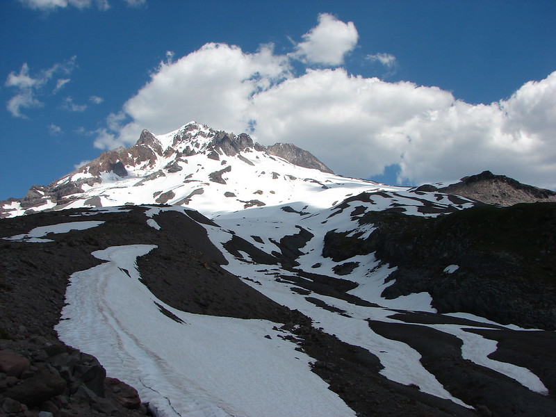
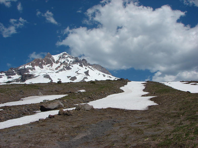
 Relative locations of the three stops plus Milo McIver from our previous outing.
These would be good hikes with kids given each park has interpretive trails and loop options of varying lengths. They also make for a nice destination for a quick stop, although the day-use fee might give non annual fee permit holders pause. Each park is nevertheless worth visiting at least once. Happy Trails!
Flickr: Clackamas County Parks


 The barricade ahead.
 The trail before the barricade.
 This trail had seen maintenance at some point.
 Trail sign along the road.


 Toward the end of the trail, we began to pass a series of volcanic rock formations.


 The western fin.
 Use trail along the western fin.
 View up Castle Canyon.
 Rock pillar across Castle Canyon.
 Devil’s Peak (
 Looking down from the end of the rock fin.
 Just after taking this picture on my way back I received my first sting.
 I actually followed a use trail several yards above the end of the trail just to make sure I wasn’t being followed.
 The trail on the other fin.
 The Castle Canyon Trail below the rock fin.
 <
< One of two red-breasted sapsuckers on the tree.
 The Castle Canyon Trail was approximately 0.2-miles East of the barricade that we’d seen from the use trail we turned up.
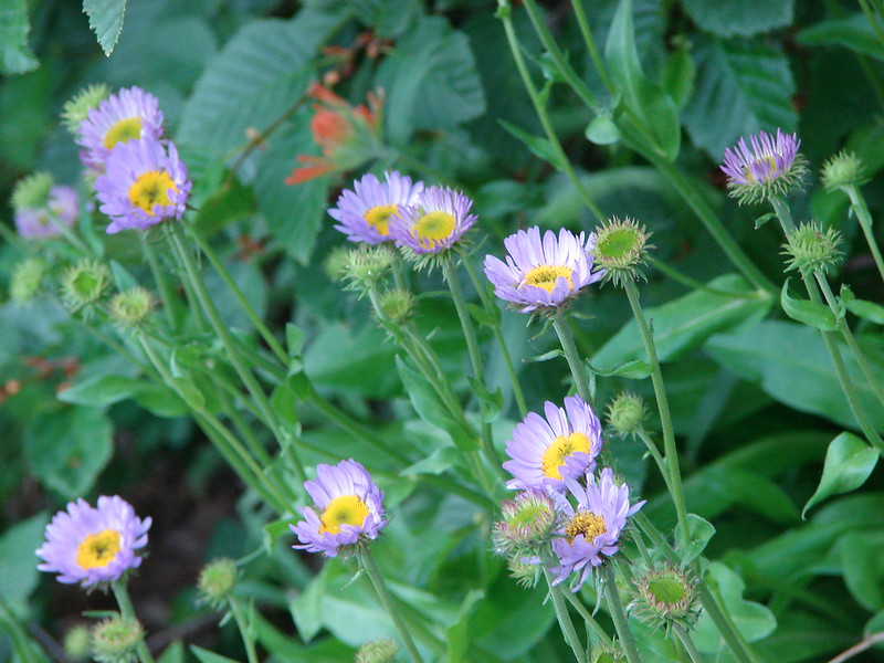
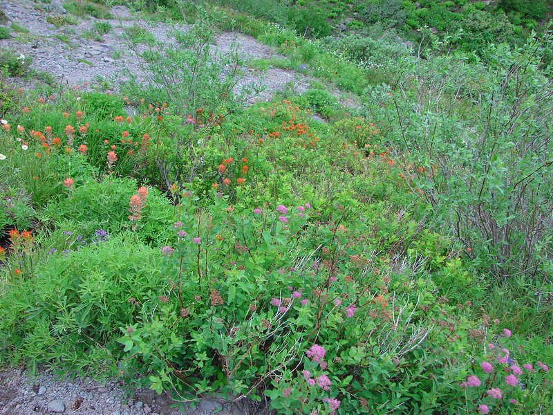
 We liked the colors of this plant carpeting the ground along the road.
 Back at the West Zigzag Trailhead.
 The upper junction with the loop trail was just 0.2-miles from the trailhead.
 We stuck to the Sandy River Trail on the way down.
 The Sandy River Midway Trail on the left was about 0.4 of a mile from the upper junction making a shorter loop (or figure 8) possible.
 The lower junction with the Jim Slagle Trail was 0.6-miles from the upper junction.
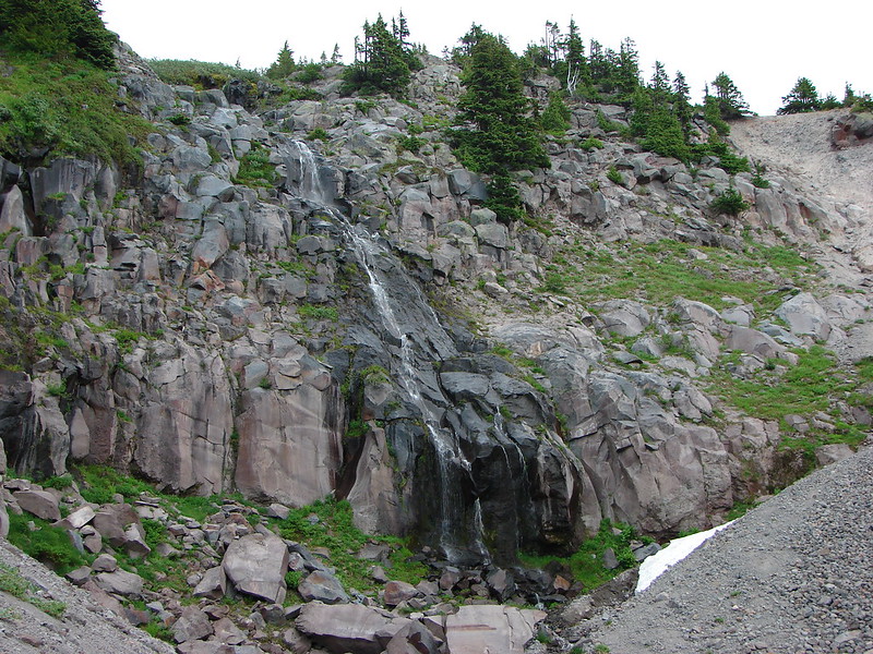
 The river is behind the trees at the top while the Sandy River Trail is clearly visible below.