A brief streak of 80+ degree temperatures arrived for the final weekend of April, and we celebrated with a pair of short hikes in Oregon City. We had our sights on two small parks managed by Metro, a regional council covering Clackamas, Multnomah, and Washington counties which includes two dozen cities. The largest of which is Portland.
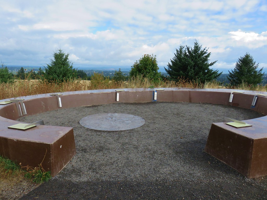
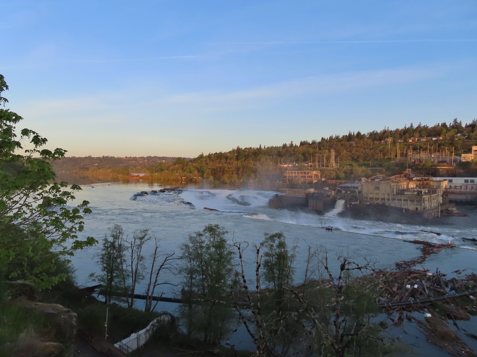
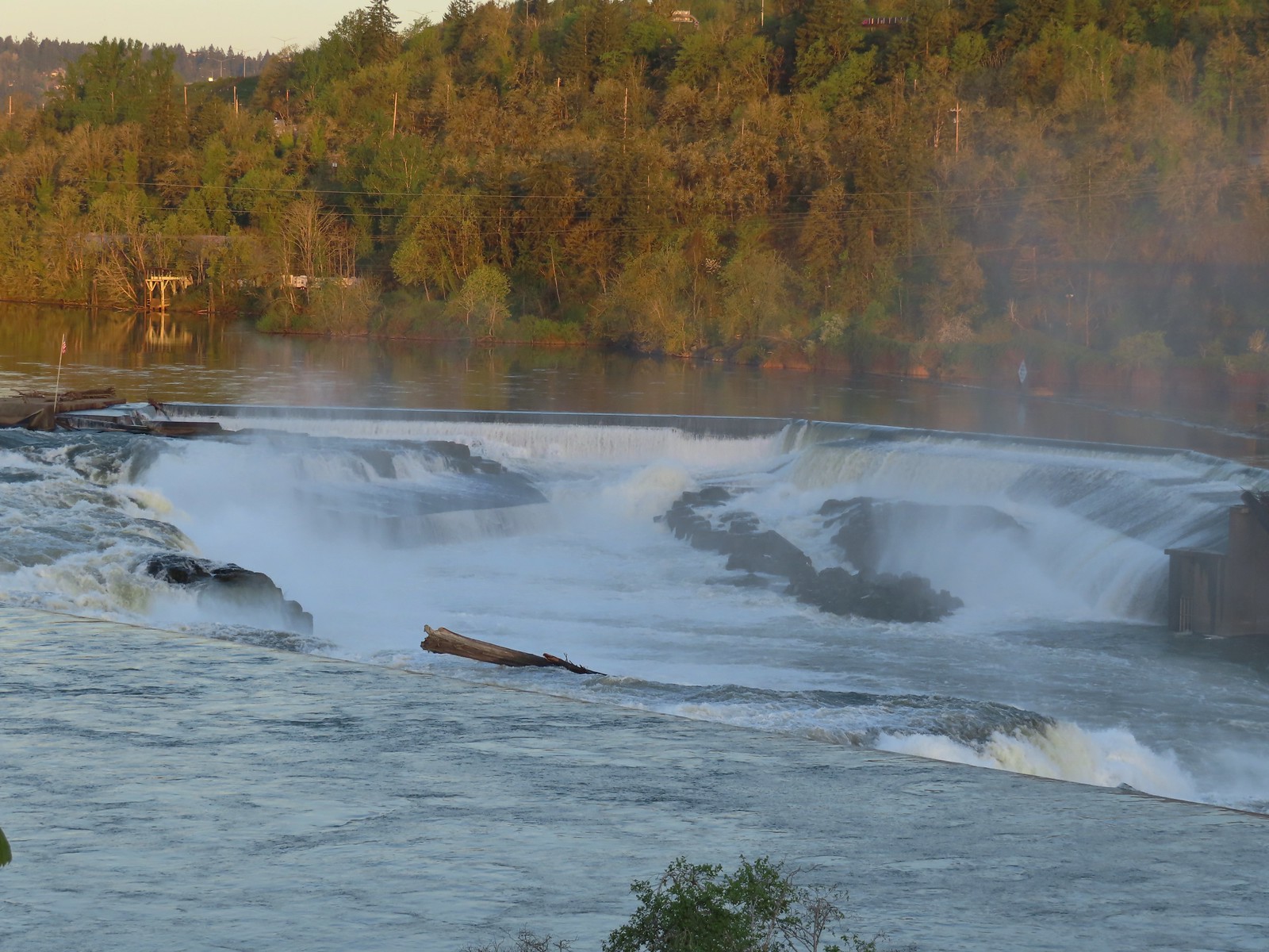
Our first stop of the day wasn’t at either of the parks though, it was at the Willamette Falls Scenic Viewpoint along McLoughlin Boulevard. The viewpoint was on our way to Canemah Bluff and neither of us had ever actually seen this waterfall in person.


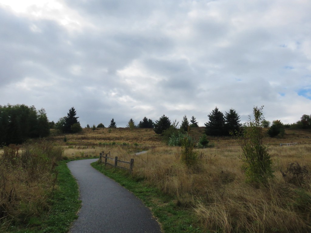
After reading up on some Oregon history we drove on to Canemah Children’s Park which doubles as the trailhead.

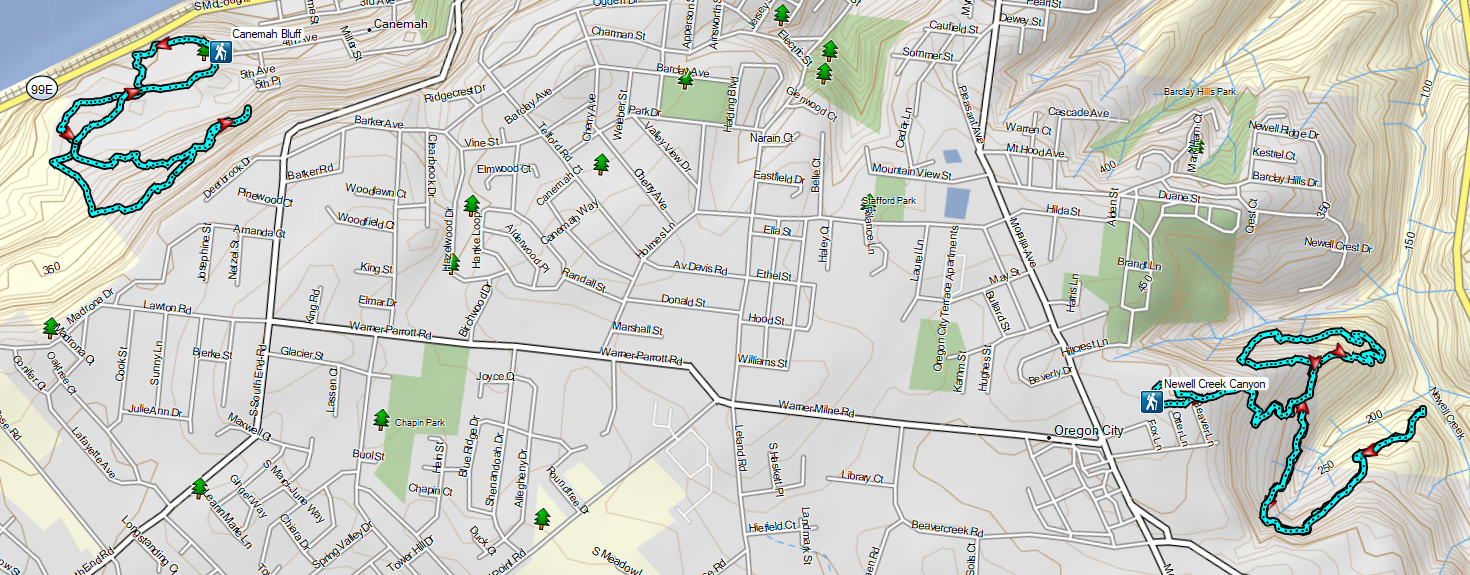
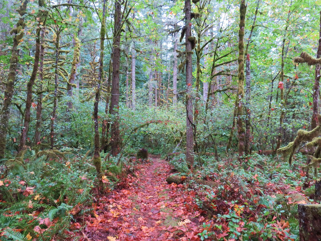
We reviewed the map and decided on the following route: From the children’s park we would take the Camas Springs Trail to Cemetery Road and turn right to the Spur Trail. We’d then take the Spur Trail to the Licorice Fern Trail and then turn right on the Old Slide Trail. The Old Slide Trail would bring us back to the Licorice Fern Trail which we would follow to the park boundary before turning around and hiking back to Cemetery Road via the Licorice Fern Trail. Then turning right on the road, we would follow it to the Frog Pond trail where a left would bring us back to the Childrens Park. This whole route was just barely over 2 miles with a little under 190′ of elevation gain.
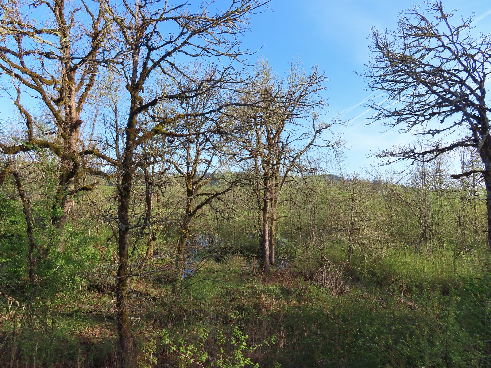
The delayed Spring was showing here as the wildflower show was just getting underway.
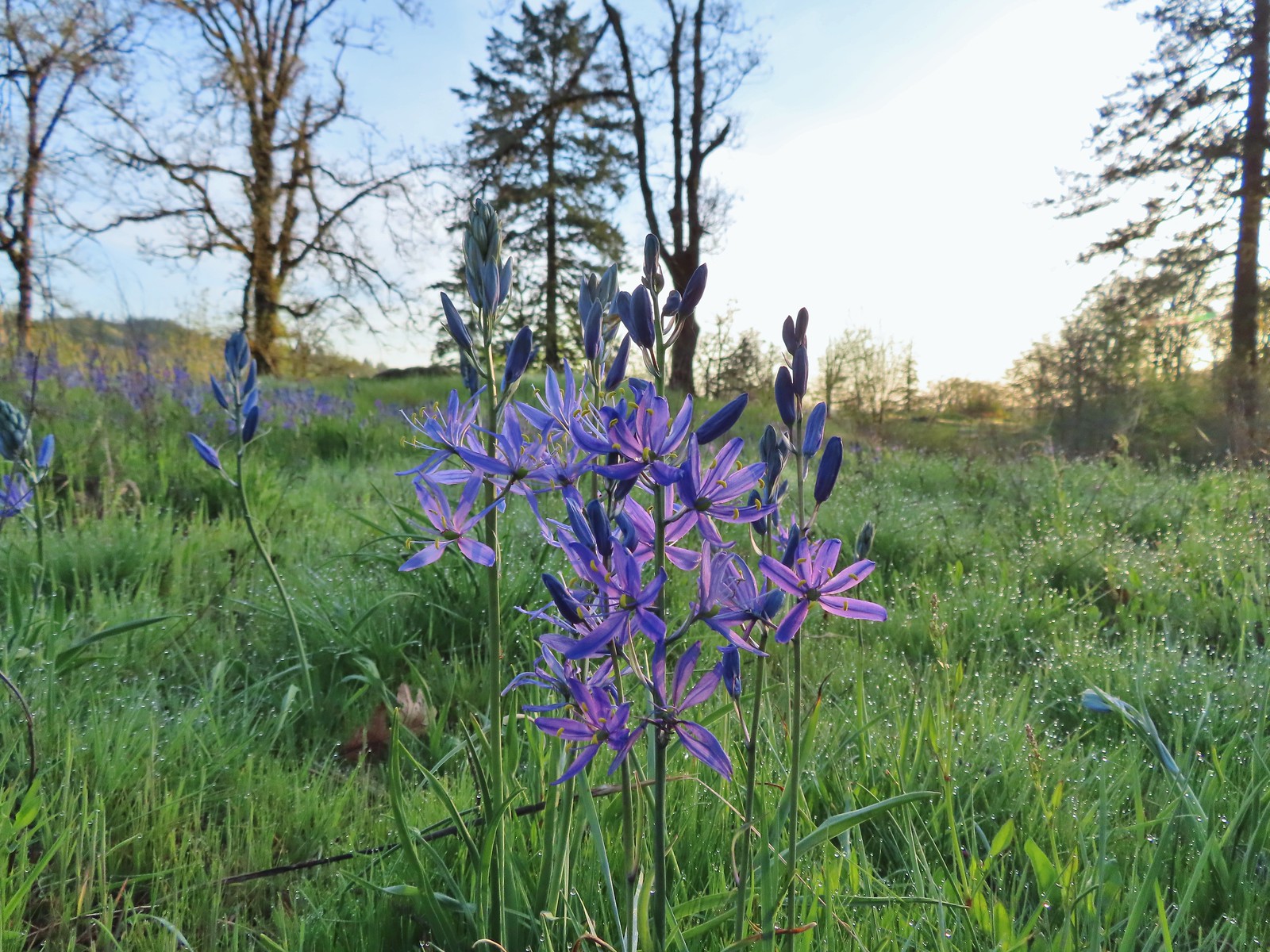
 Most of the camas was still working on blooming but a few were open.

 Buttercups
 Dark eyed junco
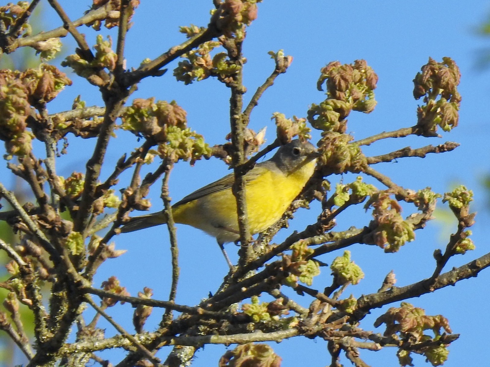
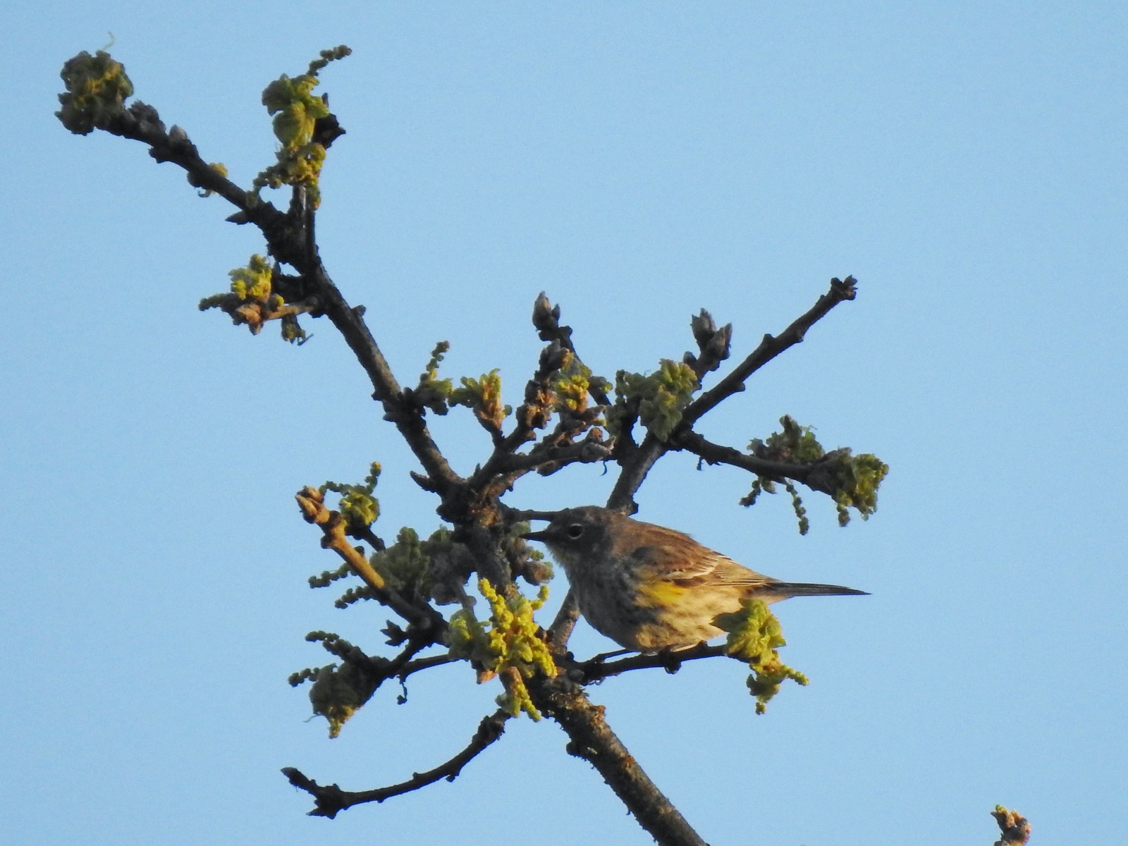 Possibly a female yellow-rumped warbler.

 Plectritis
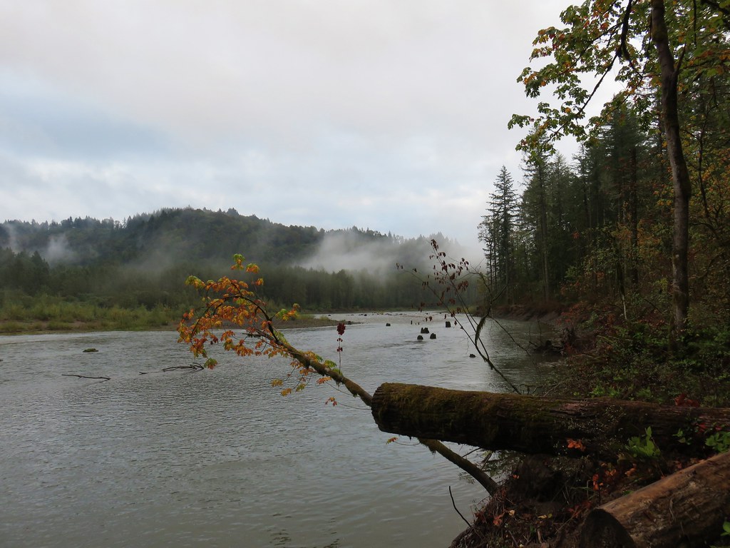
 Willamette River
 Robin
Robin
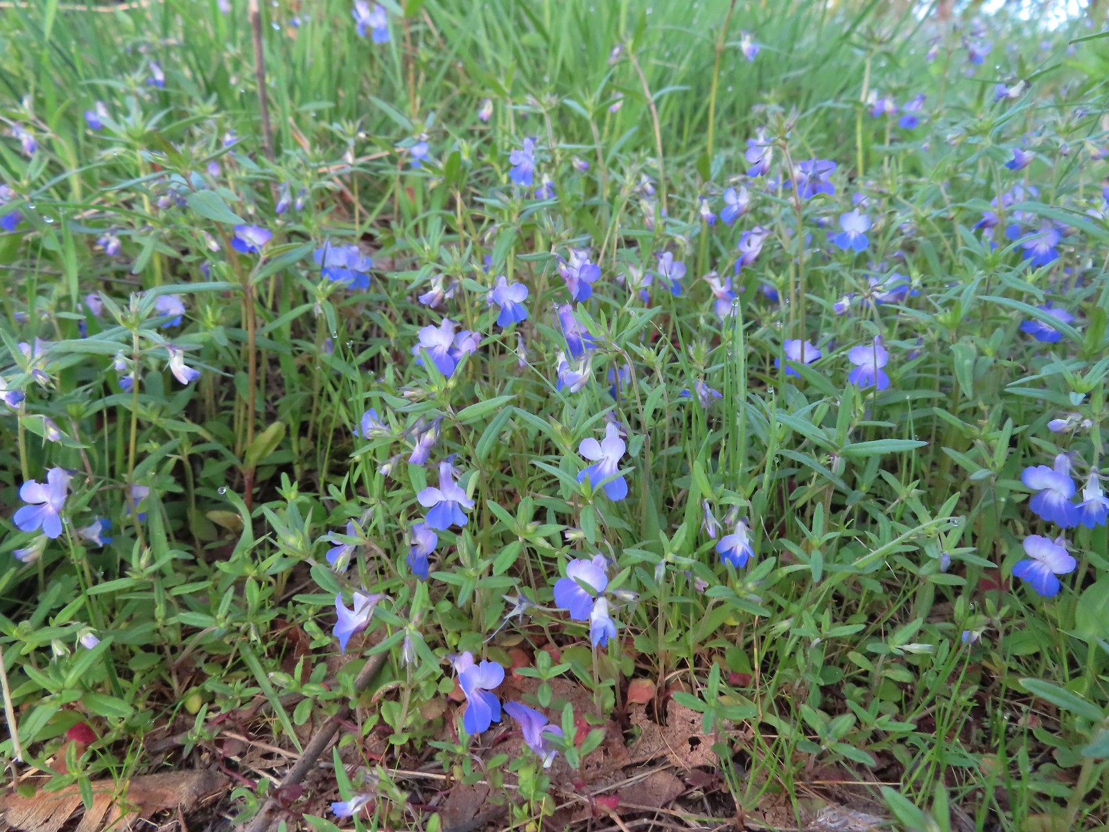 Giant blue-eyed Mary
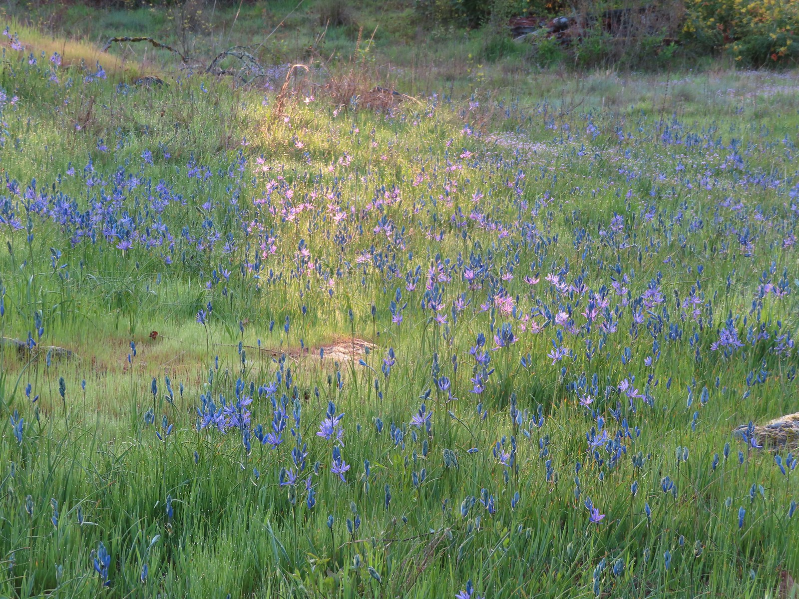 Camas catching a little sunlight.
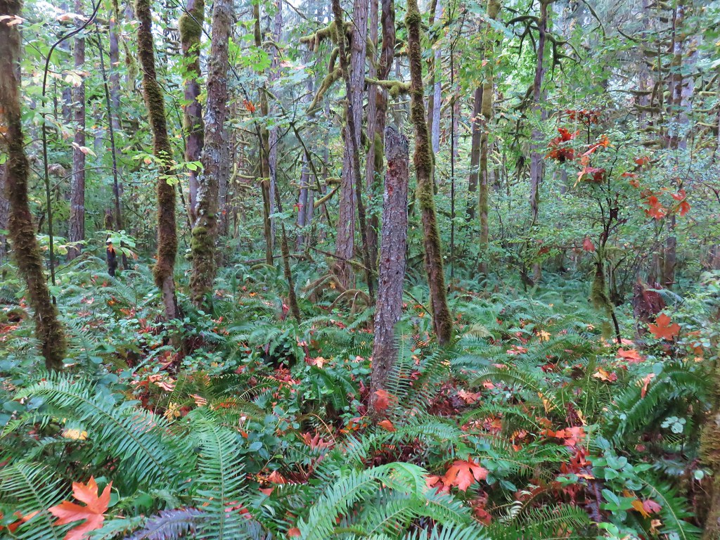
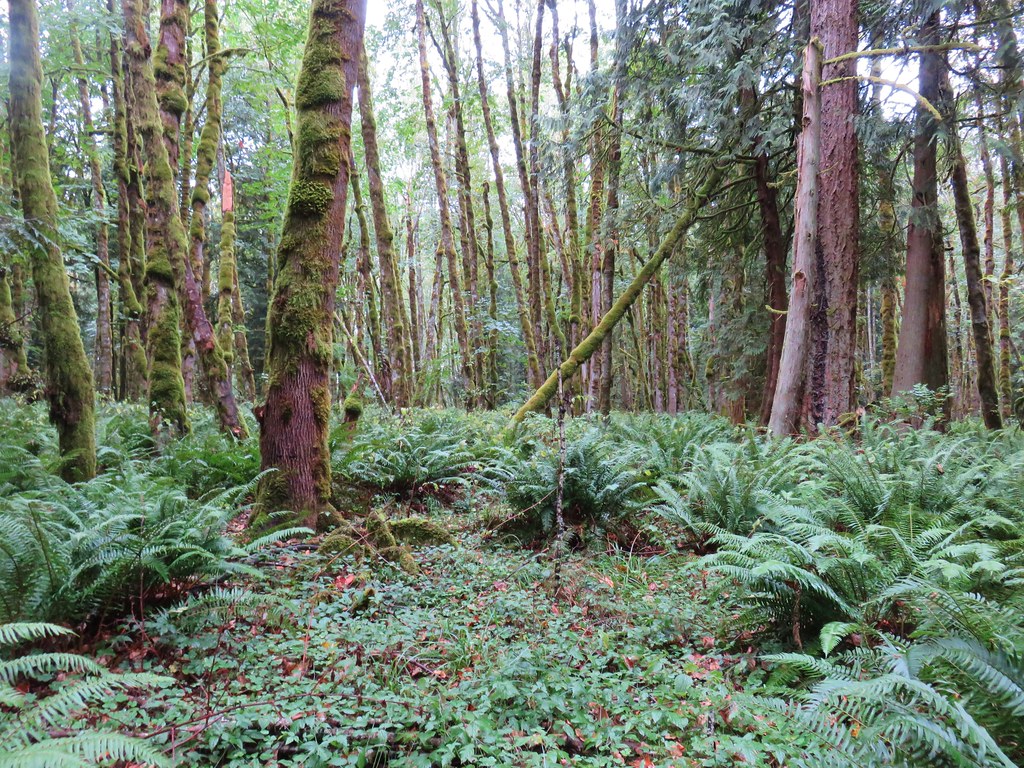
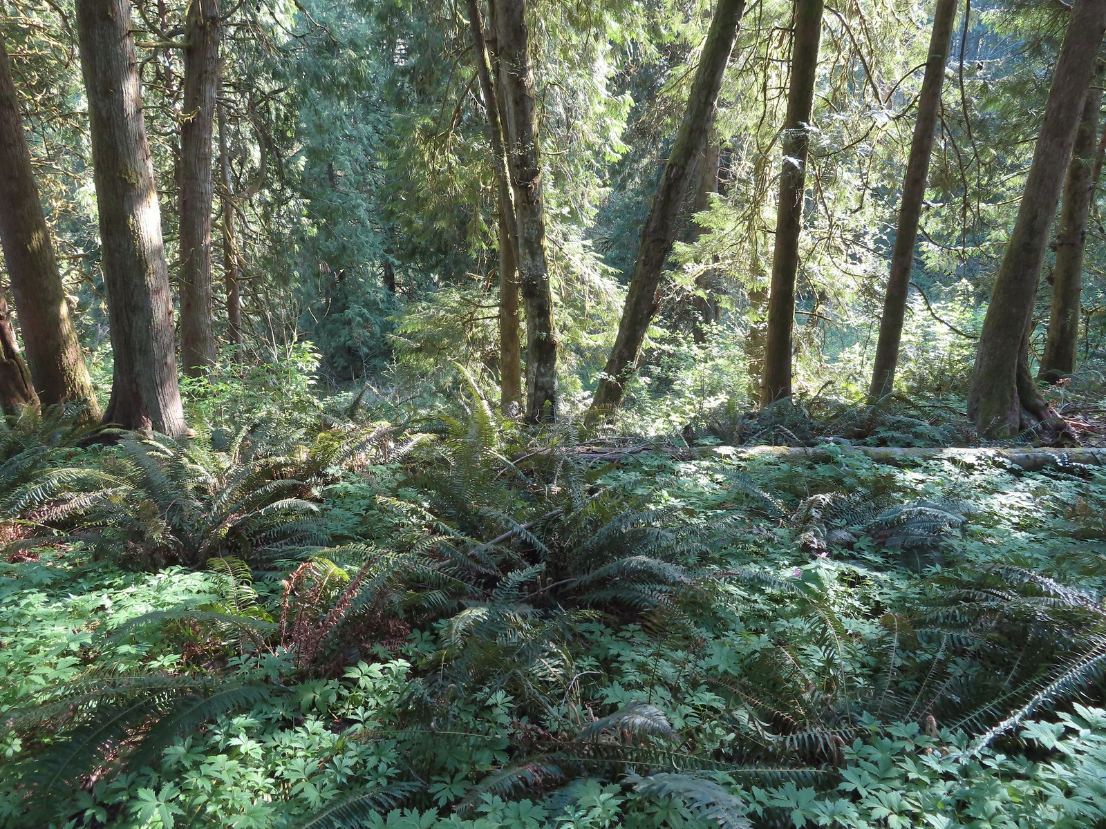
This first part of the hike reminded us very much of another nearby hike we’d taken at Camassia Natural Area (post) which is located on the opposite side of the Willamette from Canemah Bluff.
The Camas Springs Trail eventually entered the trees before arriving at the Cemetery Road.

 Red flowering currant

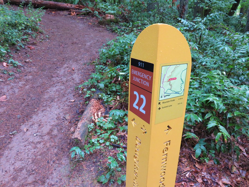
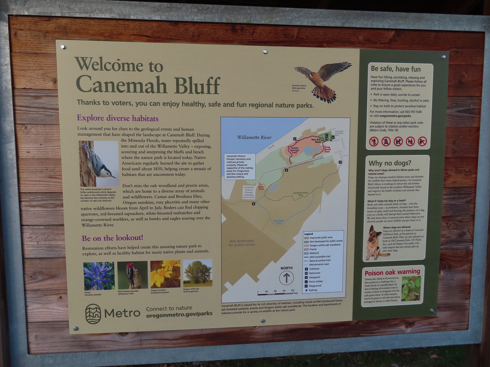
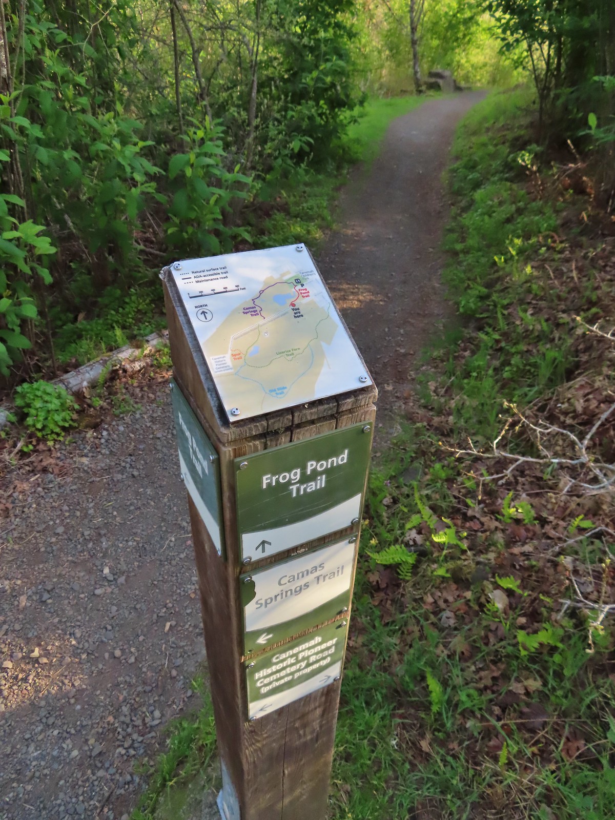
 Metro’s signage has been top notch in the parks we’ve visited so far.
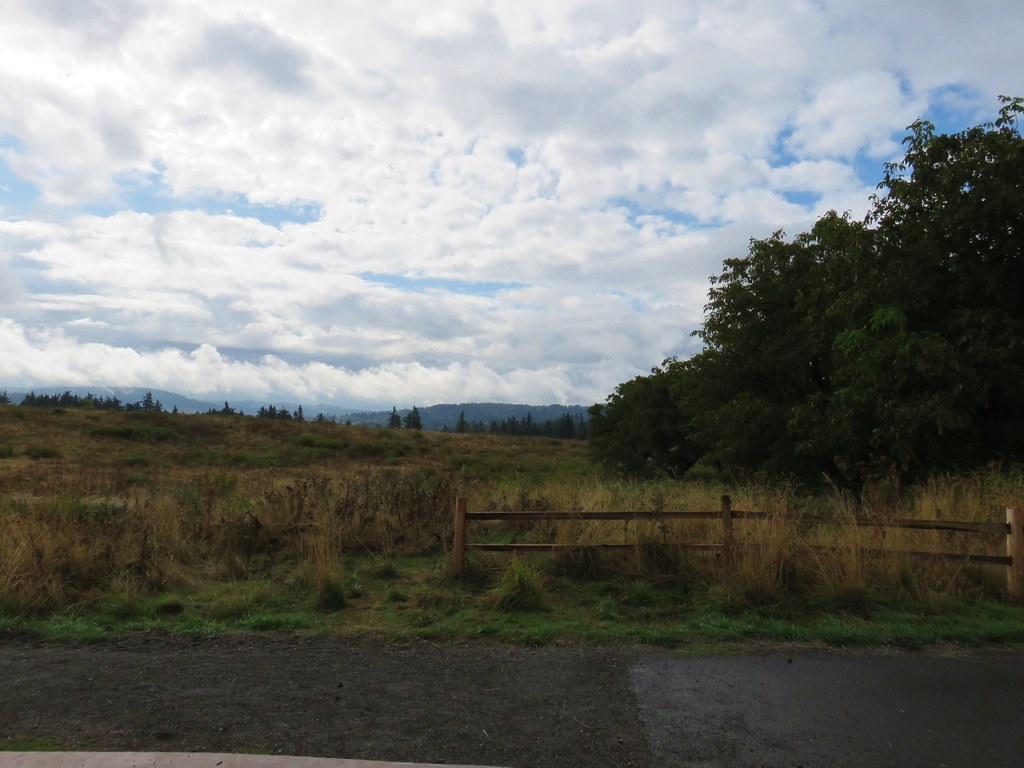
We followed the Cemetery Road to its end at the privately owned Canemah Pioneer Cemetery where we turned onto the Spur Trail.
 Hooker’s fairy bells
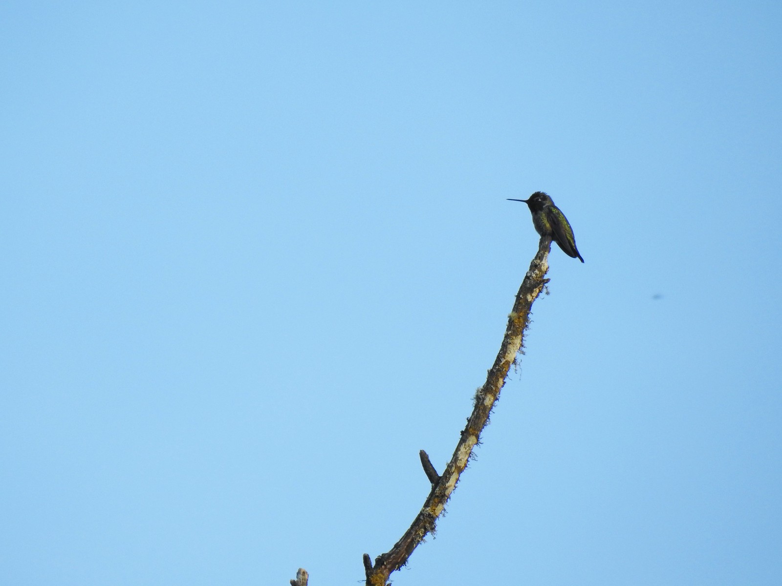 Hummingbird

 Fawn lilies
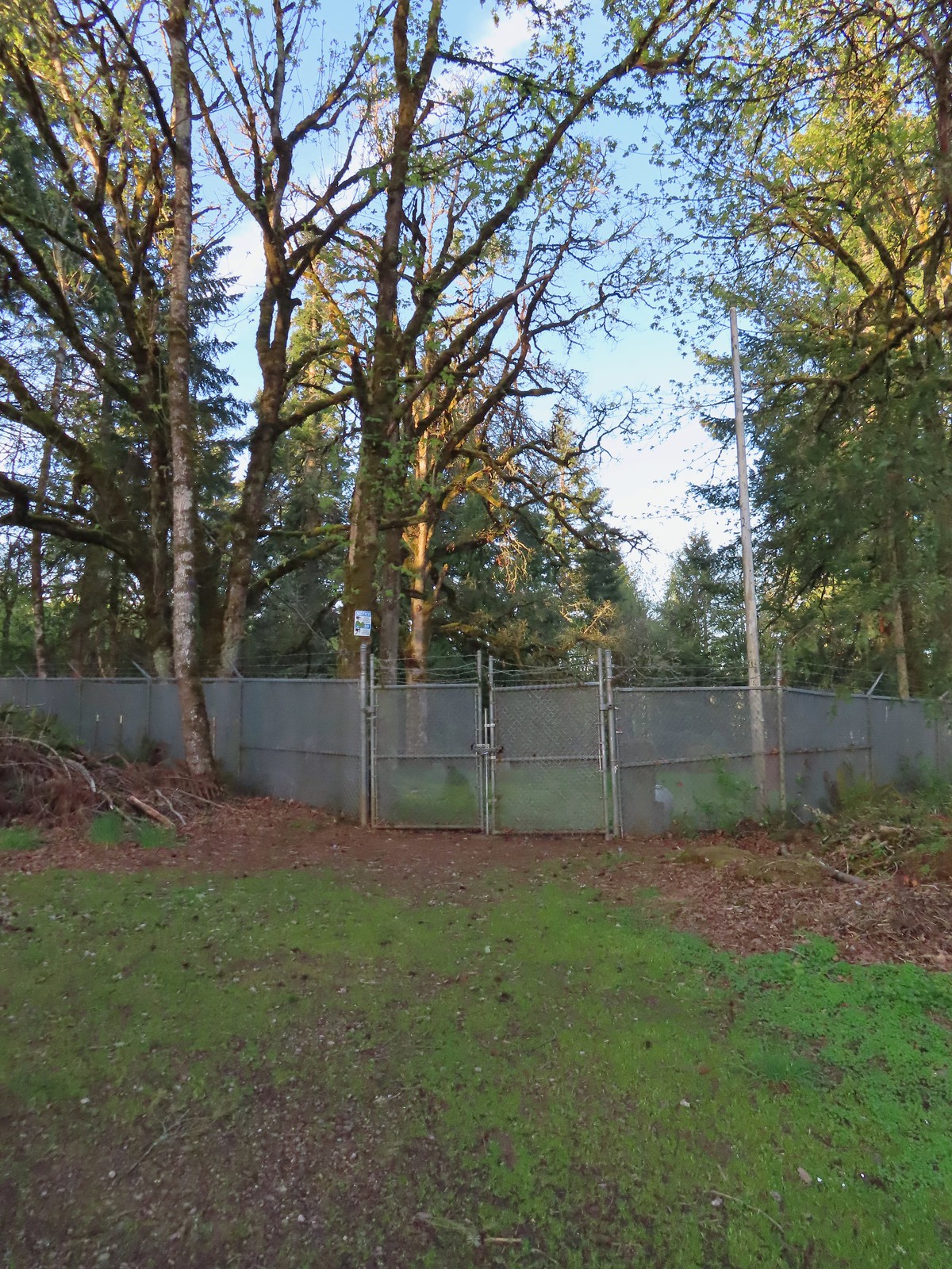 The cemetery behind the fence.
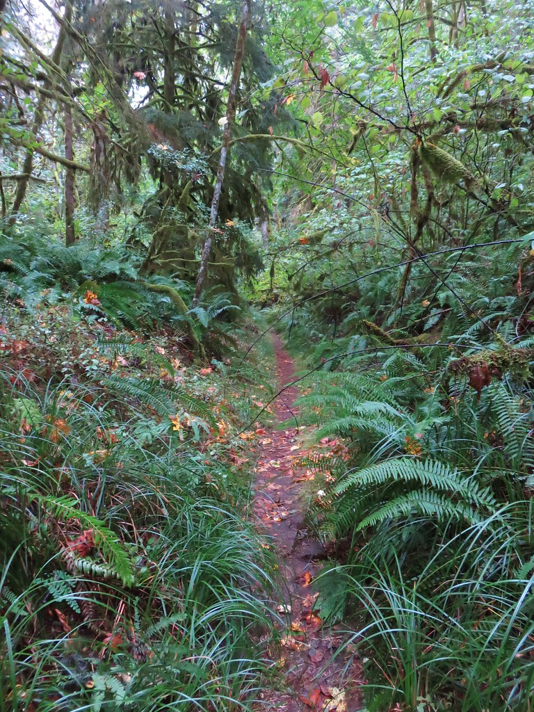
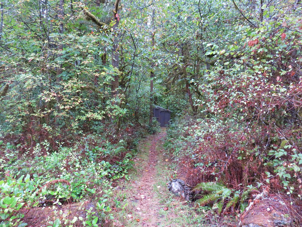
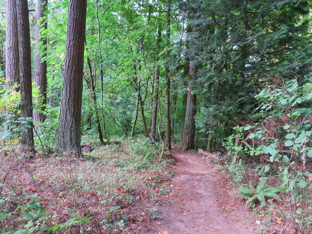
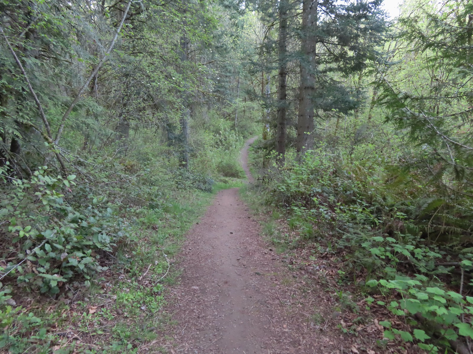
 The Spur Trail.
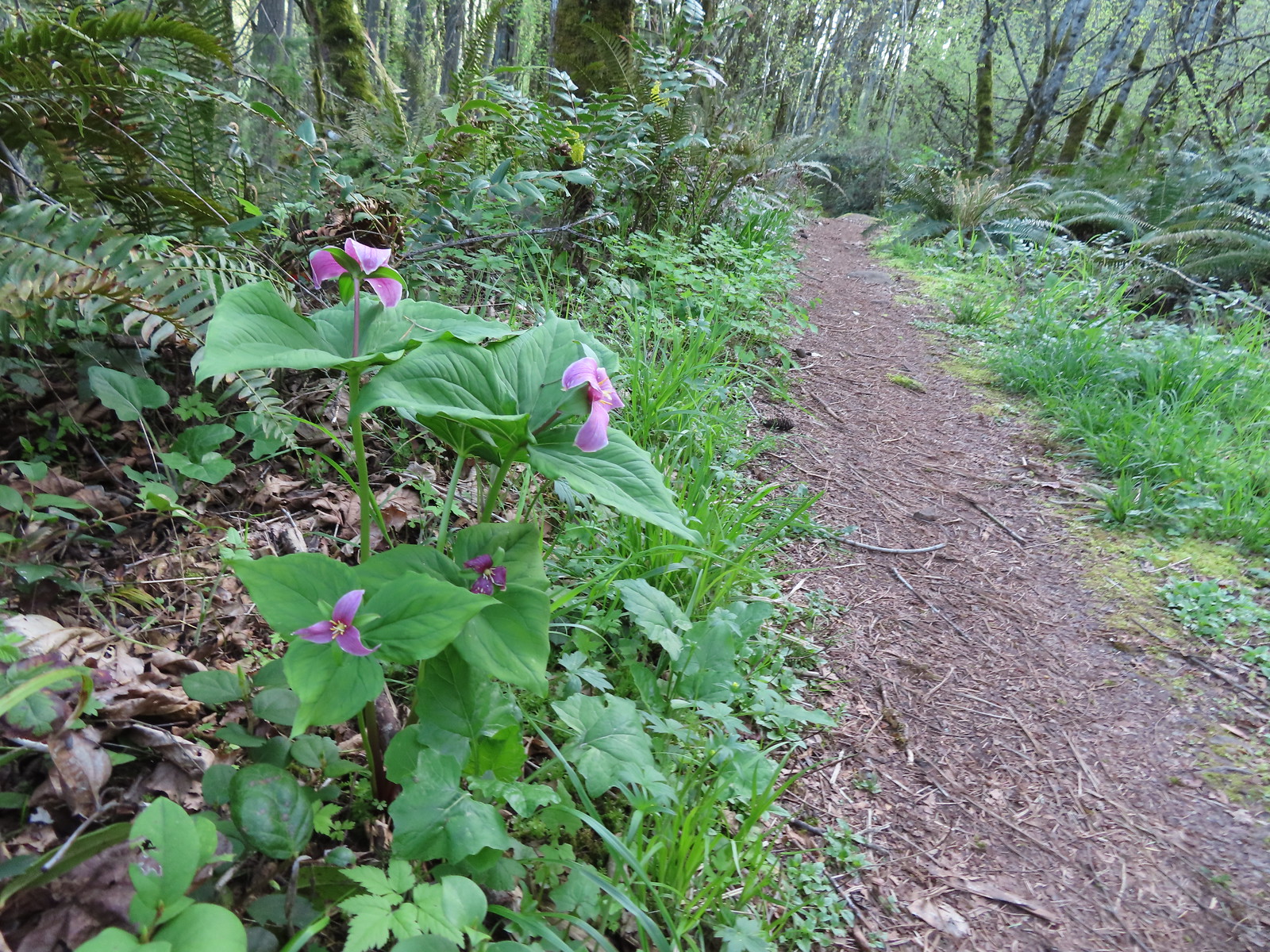
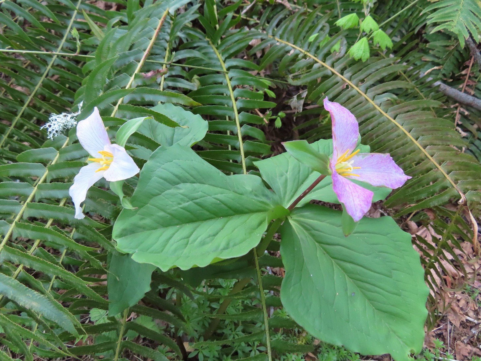
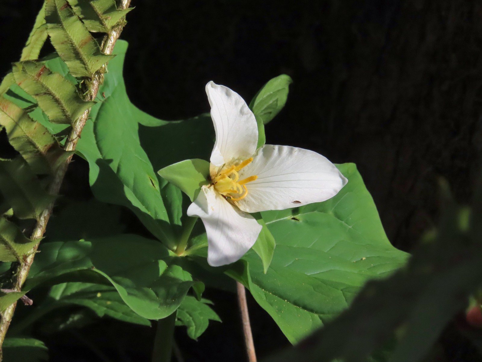
It was a trillium show along the Spur Trail.


At the junction with the Licorice Fern Trail we spotted a couple of largeleaf sandworts in bloom.

After just 100′ on the Licorice Fern Trail we turned onto the Old Slide Trail which climbed 150′ along a hillside before descending to rejoin the Licorice Fern Trail which we followed to the park boundary near a neighborhod.

 The boundary marker. The trail continues a short distance to 5th Place.
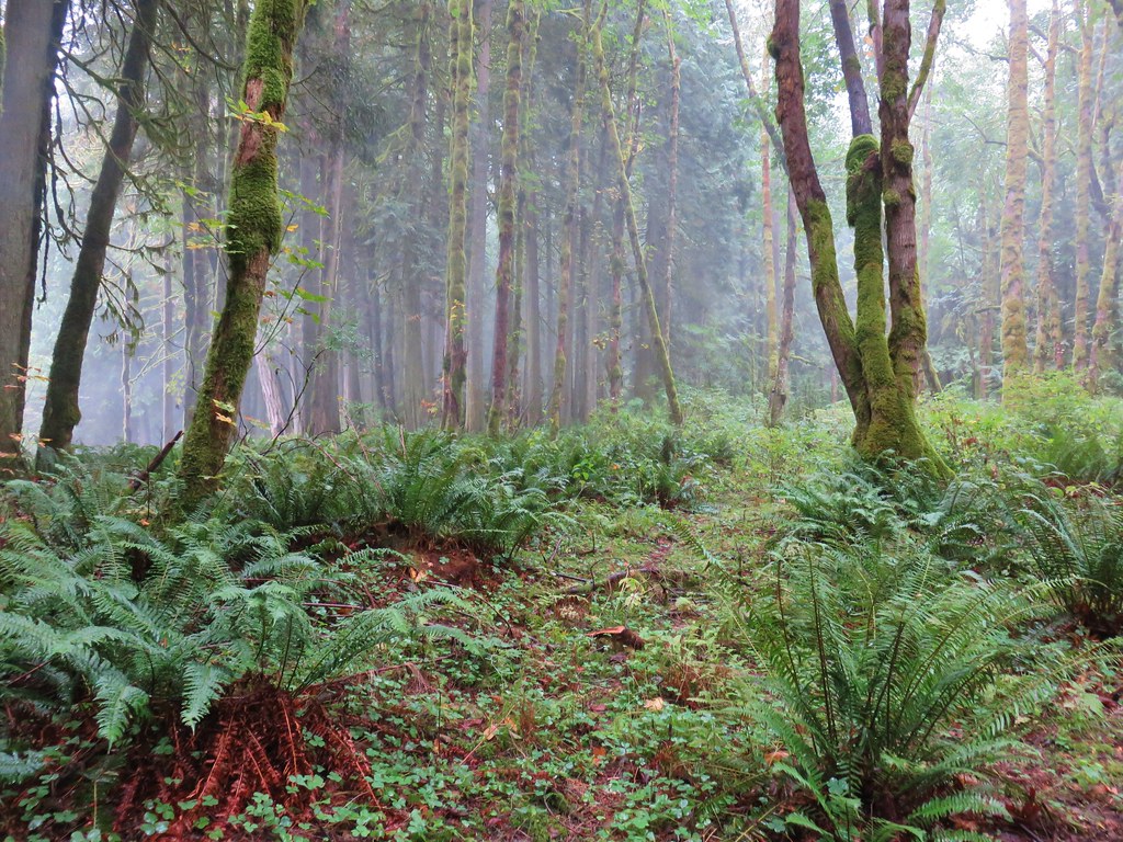
We dropped a bit and now had to regain that elevation as we headed back along the Licorice Fern Trail.


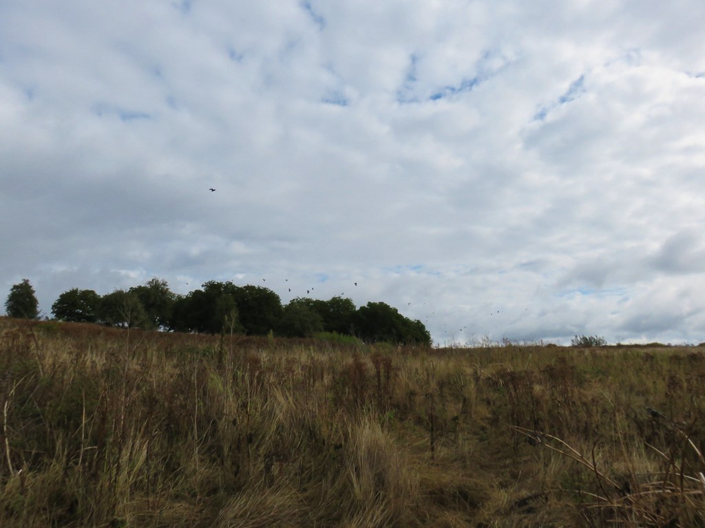
We spotted a few more flowers at varying stages of blooming as we made our way back to Cemetery Road.
 Youth-on-age
 Salmonberry
 Violets
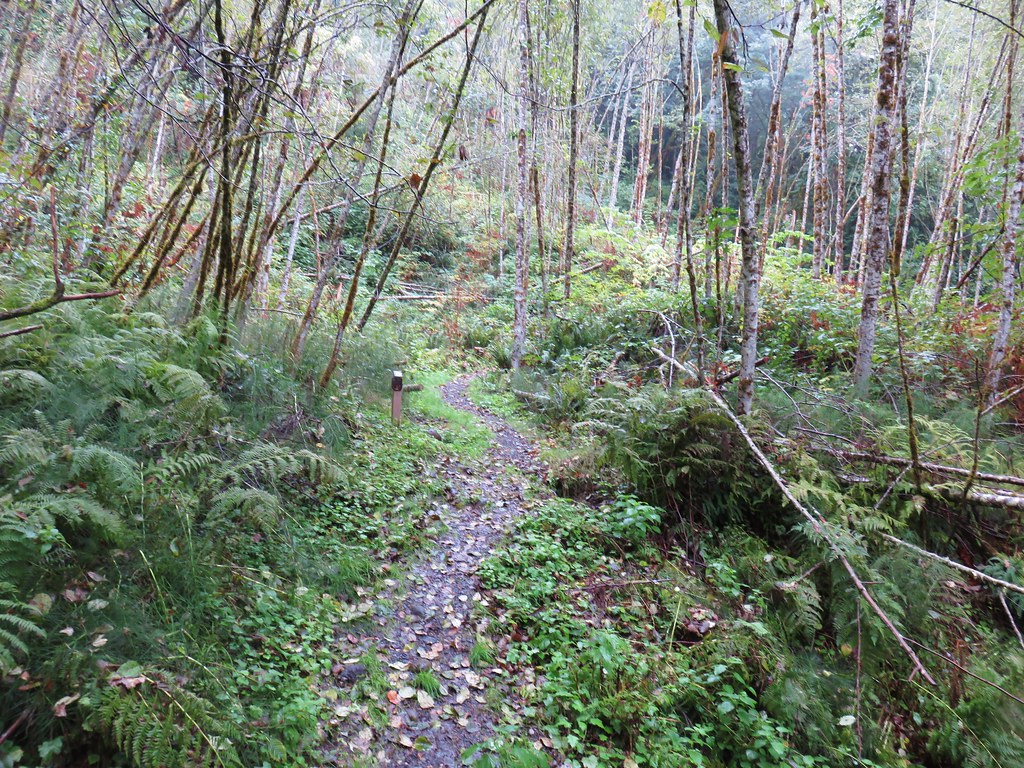
 Back on the road.
We turned onto the Frog Pond Trail which was only about 100 yards long. The trees around the pond were full of little birds that we watched flit about for quite a while before continuing to our car.
 The frog pond.
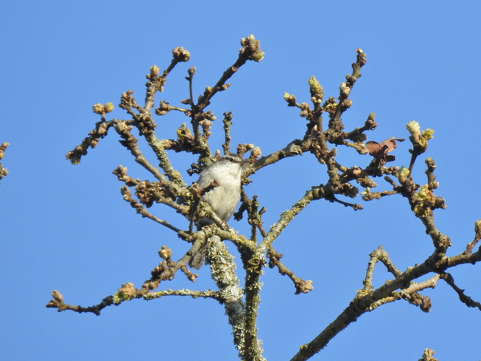 Bewick’s wren
 Nashville warbler?
 House finches
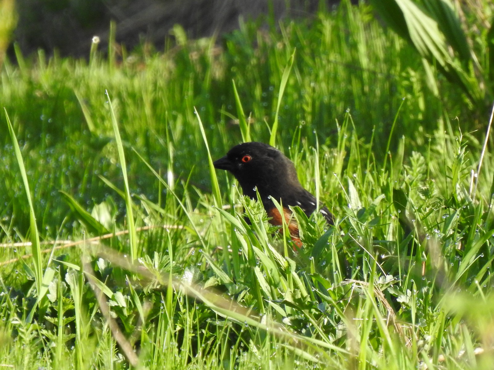 Spotted towhee
 Bleeding heart near the pond.
 Arriving back at the trailhead.
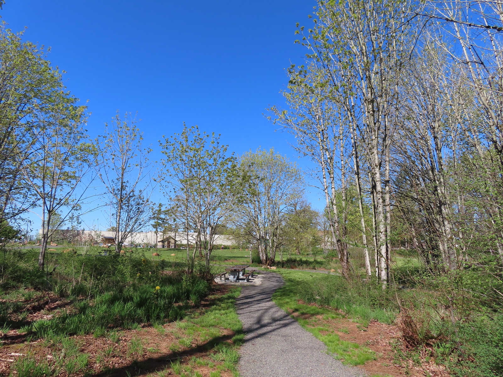
From Canemah Bluff it was only a 2.6-mile drive to Newell Creek Canyon Nature Park. The park opened in December 2021, so it is a relatively new addition to the parks Metro manages. There were just a couple of other cars in the good-sized parking area when we arrived just after 8am.
 View from the trailhead.
 Trailhead signboard.
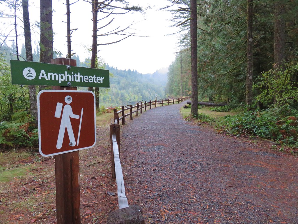
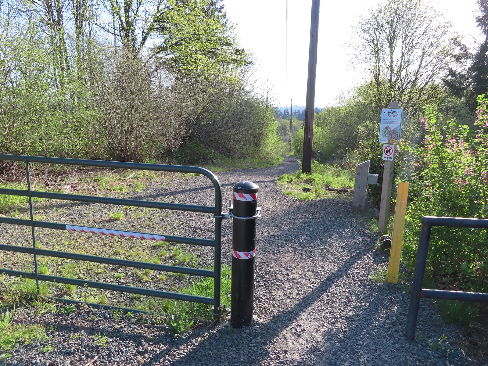
There are three types of trails at Newell Creek Canyon: Shared use (bicycle & hiker), hiker only, and bicycle only. Our plan here was to start with the shared use trails and finish with the hiker only Canyon Spring Loop. This way we would finish the shared use trails nice and early in hopes of avoid too much traffic. We made our way around the outside of the grassy picnic area to the start of the trails at a gate.
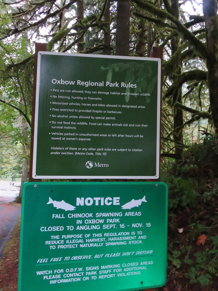
 Please note that pets are not allowed at most Metro parks.
 Don’t forget to brush off your shoes when brushes are available.
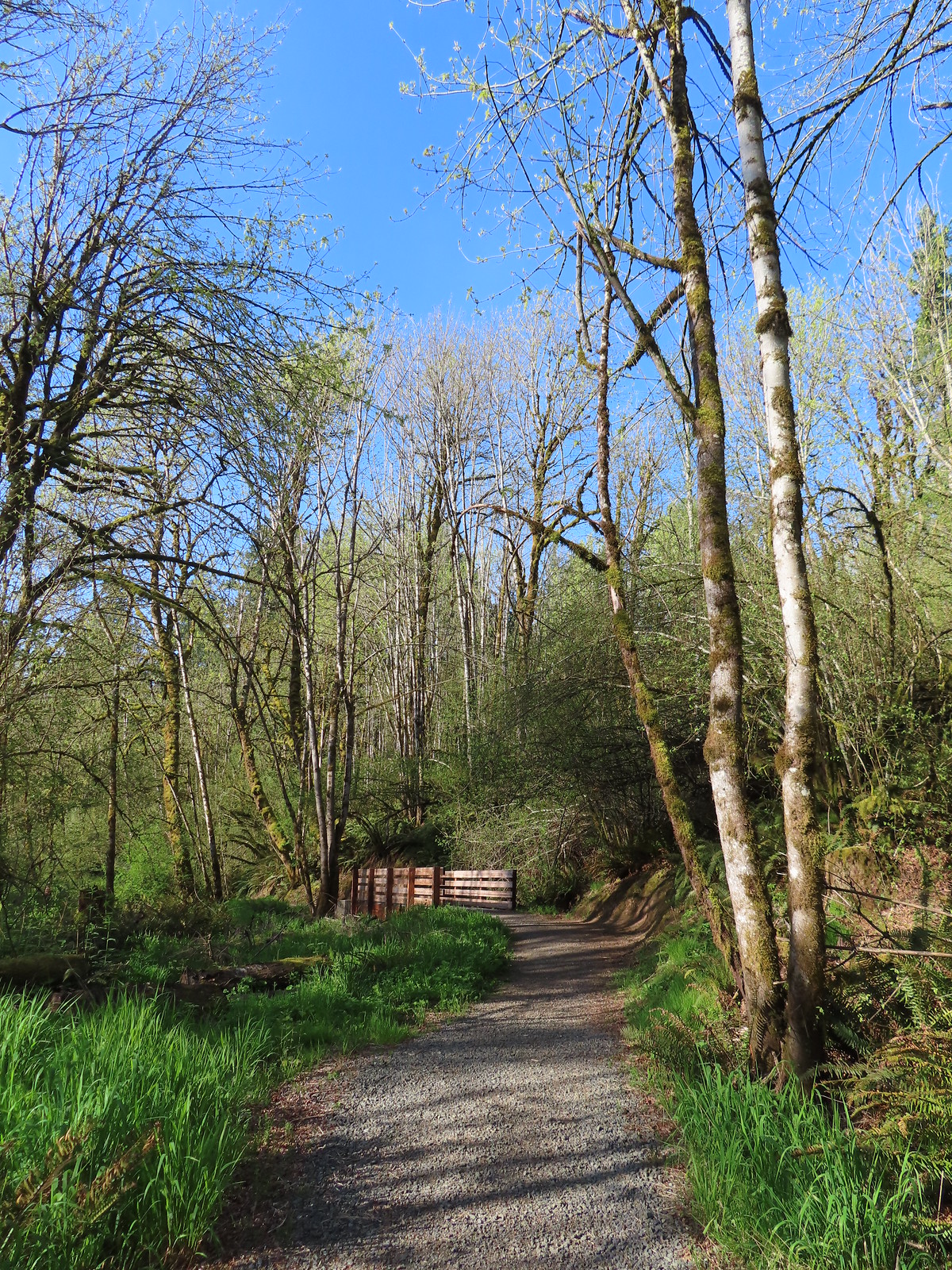
With the word canyon in the name, it’s not surprising that the Tumble Falls Trail begins by descending into Newell Creek Canyon.
We passed the biker only Shady Lane Trail on our right and further along a second biker only connector to the Shady Lane Trail.
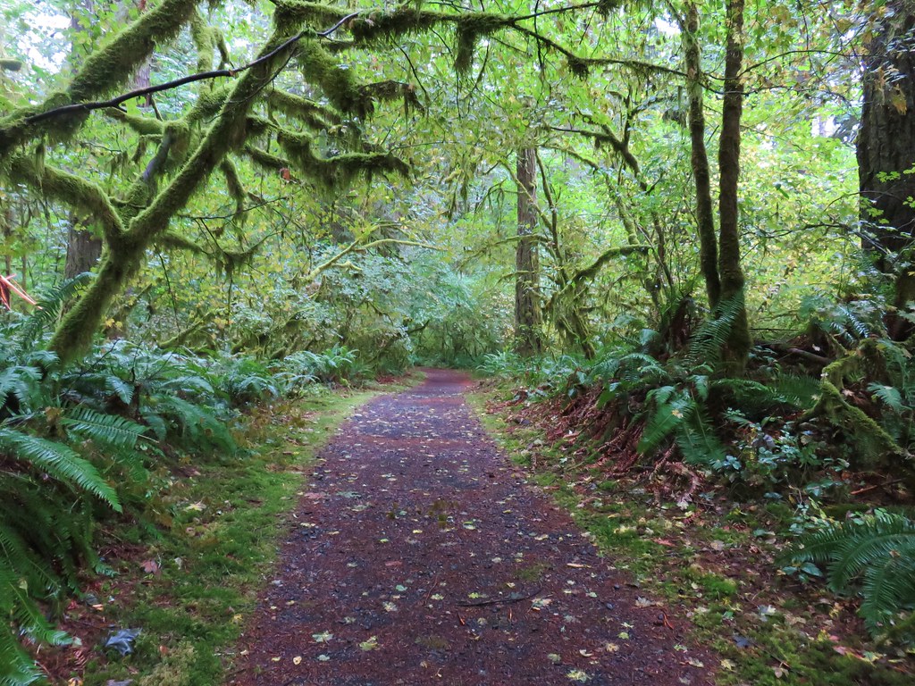
 The Shady Lane Trail.
 Oregon grape, red flowering currant and Indian plum
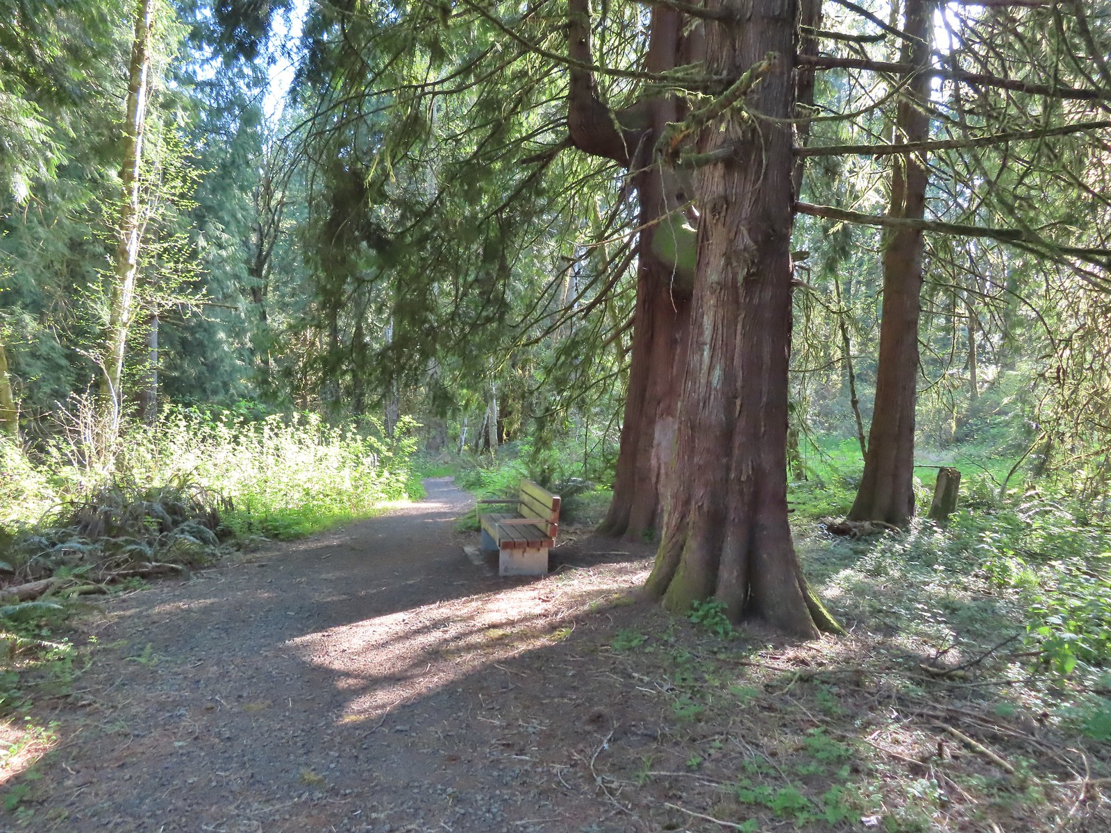
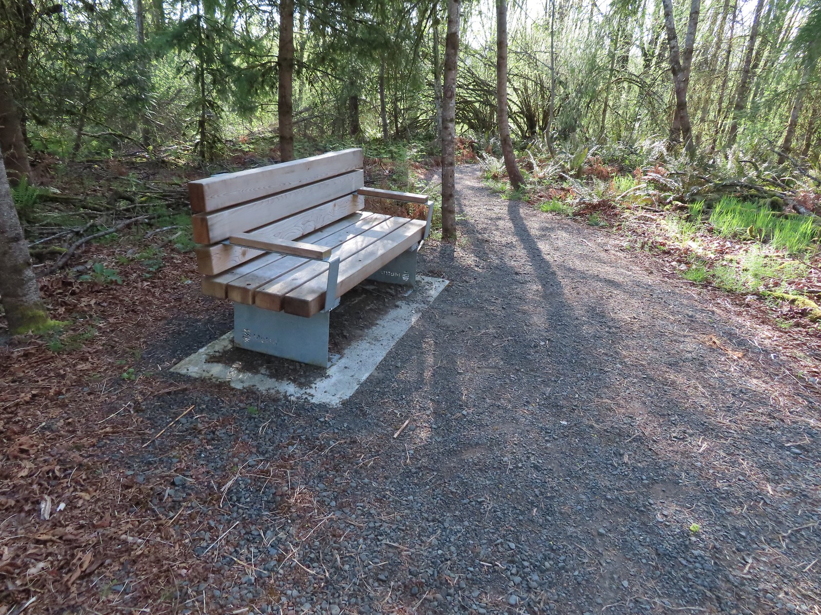 One of several benches located throughout the park.
 The connector trail.
 Candy flower
 Trillium with a tiny insect.
 Carpet of green.
 A rare bluebird day for us this year.
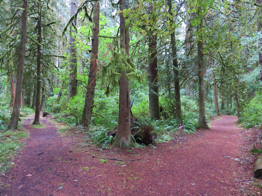
Near the 0.4-mile mark we passed the Canyon Springs Loop which forked off to the left.

We continued on the Tumble Falls Trail which was now somewhat level.
 Salmonberry blossoms
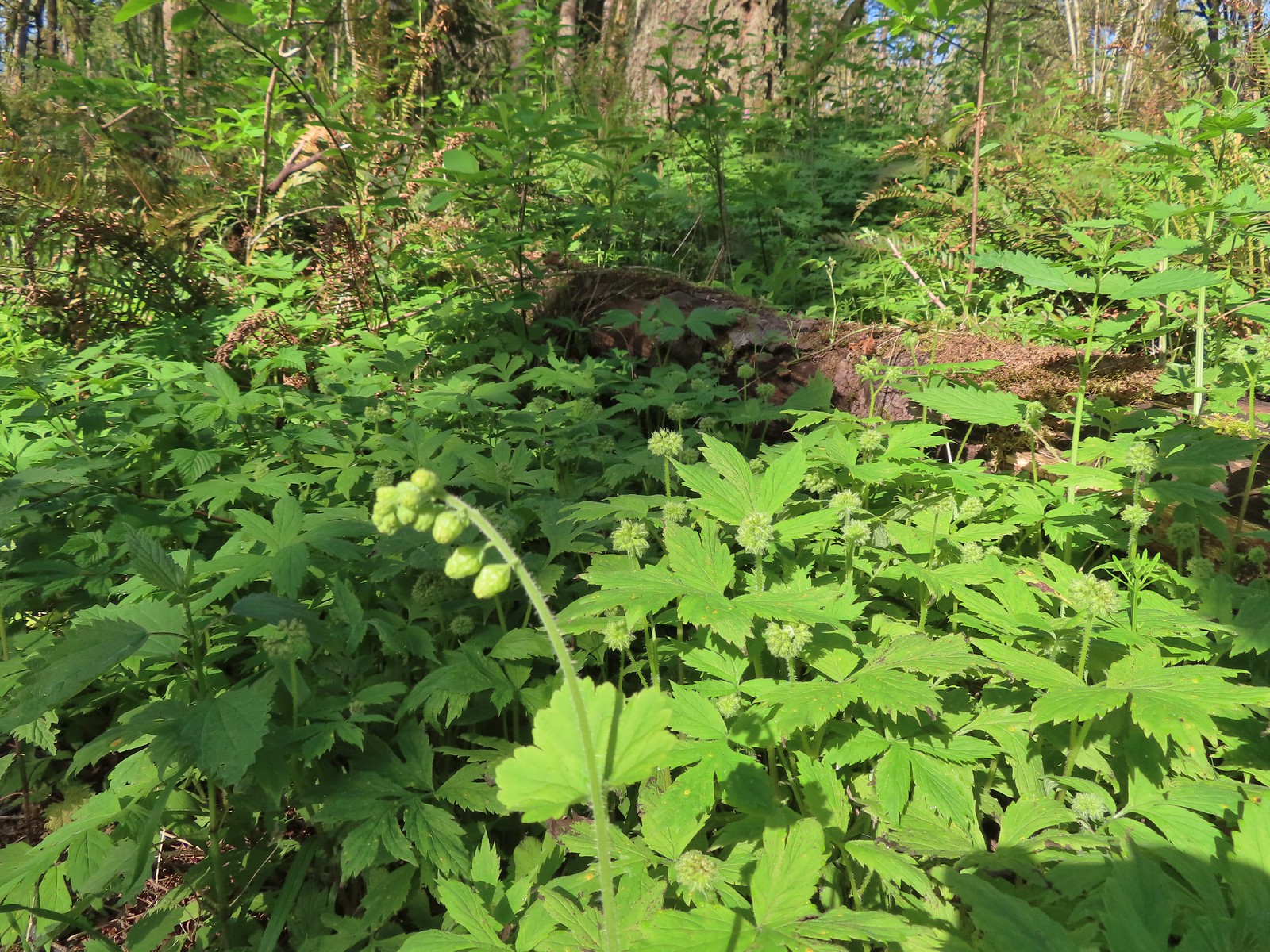 Fringecup and pacific waterleaf that had yet to start blooming.
The Shady Lane Trail joined from the right just before reaching the Tumble Falls Bridge.

 The Tumble Falls Bridge.
 Tumble Falls
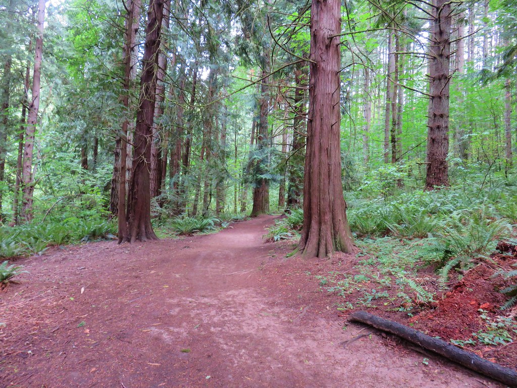
On the far side of the bridge the trail became the shared use Cedar Grove Trail from which the biker only Red Soil Roller Trail quickly split off.

 The Red Soil Roller Trail to the right.
We followed the aptly named Cedar Grove Trail downhill to its end at a bench overlooking Newell Creek Canyon. While we couldn’t see the creek itself the sound of flowing water let us know that it was down there.
 A small pond along the trail.
 Song sparrow
 Western red cedars
 Nearing the end of the trail.
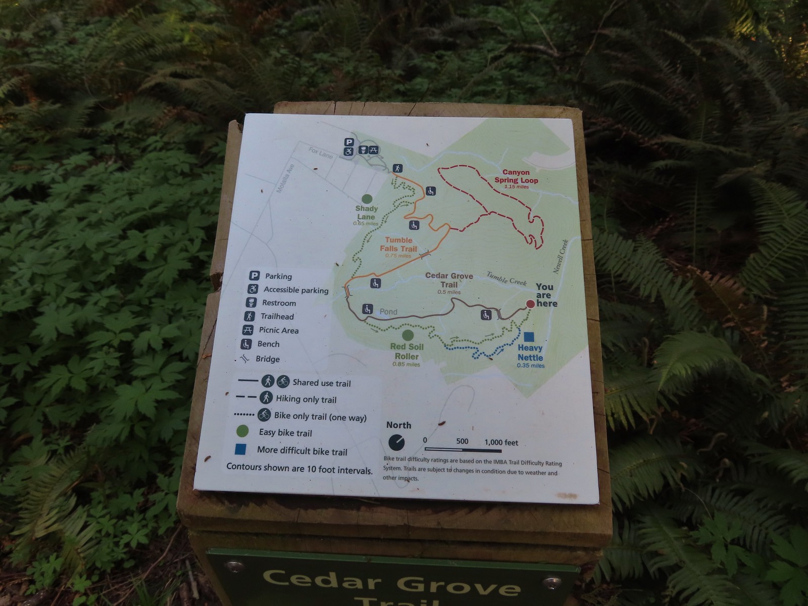 Map at the end of the Cedar Grove Trail.
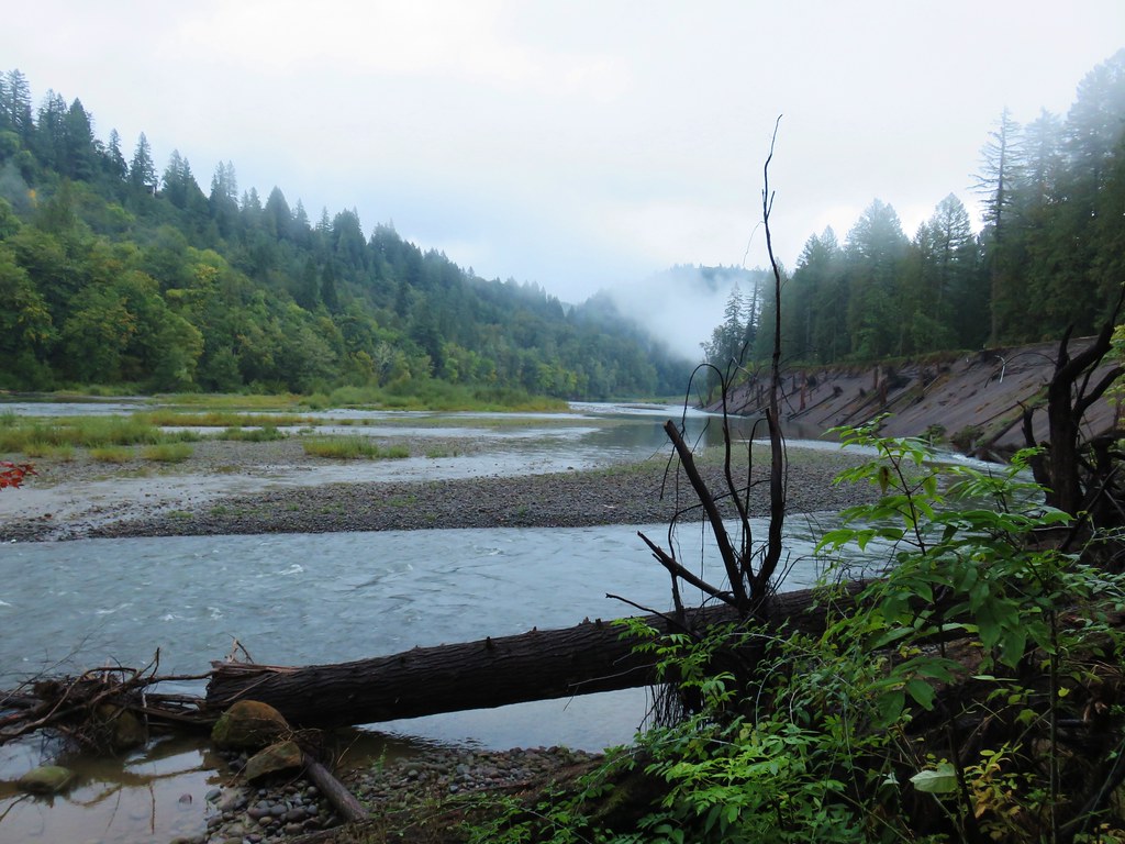
 Newell Creek is down there somewhere.
We headed back the way we’d come. It was warming up nicely and we spotted our first butterflies of the year as we climbed back toward Tumble Falls.

 Male margined white?
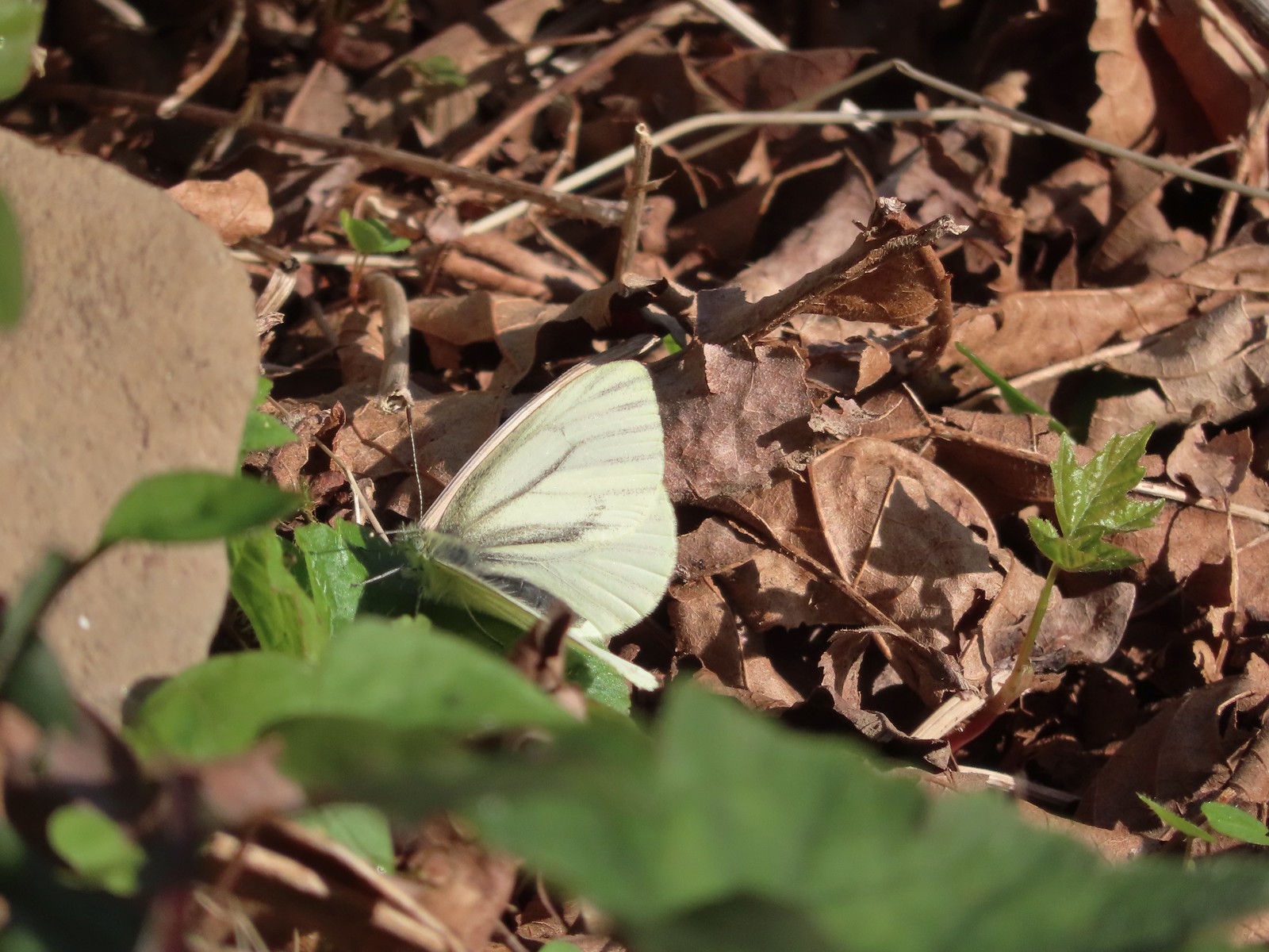 Female margined white?
When we reached the Canyon Spring Loop we turned onto it and followed it for 500′ to a junction on the ridge where the actual loop began. We chose to go right and followed the ridge east.
 Slender toothwort
 The Canyon Spring Trail below in the trees.
The trail lost approximately 100′ before completing a 180 degree turn and leveling out as we headed back West.
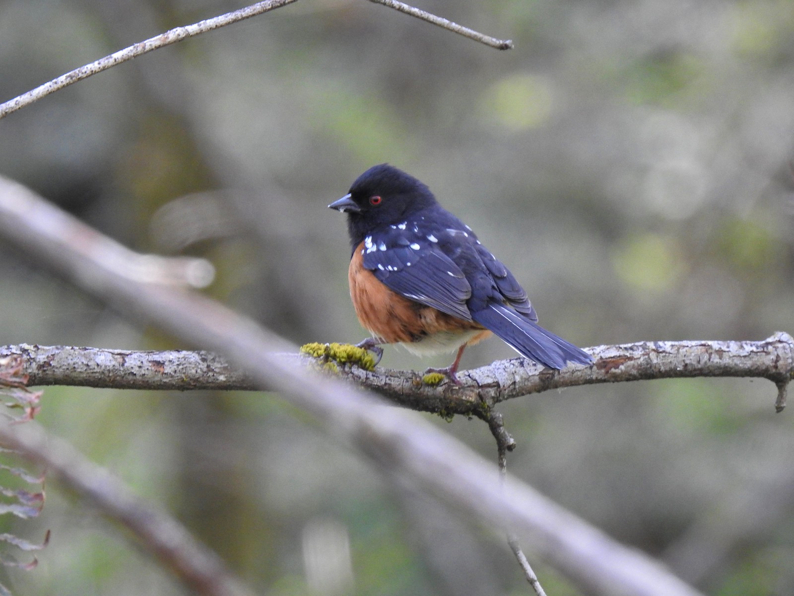 Spotted towhee
 Chipmunk
 Heading back beneath the ridge.
Shortly after starting back beneath the ridge, and not long after the subject of owls had come up, we spotted a great horned owl sitting in the undergrowth just off the trail near a tree.
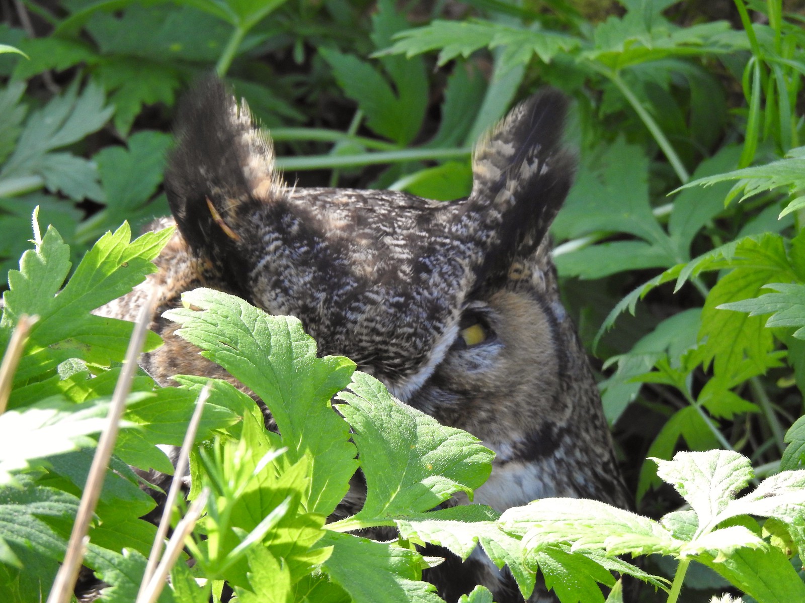
We stopped a ways back to see if it would fly off but aside from some slight head movement and slight eye opening it didn’t move. We made note of where it was and slowly passed giving it as much space as possible. Our plan was to report it when we got back to the car in case it was injured or sick. We finished up the loop and had started up the Tumble Falls Trail when we passed two Metro parks staff. We let them know about the owl, showed them a photo, and pointed out on the map where we’d seen it and they were going to check on it and report it to the appropriate entity if necessary. We hope the owl turned out to be okay. As much fun as it is to see the wild animals it is sad when we come across an injured one.

 Trillium and mushrooms
 Squirrel
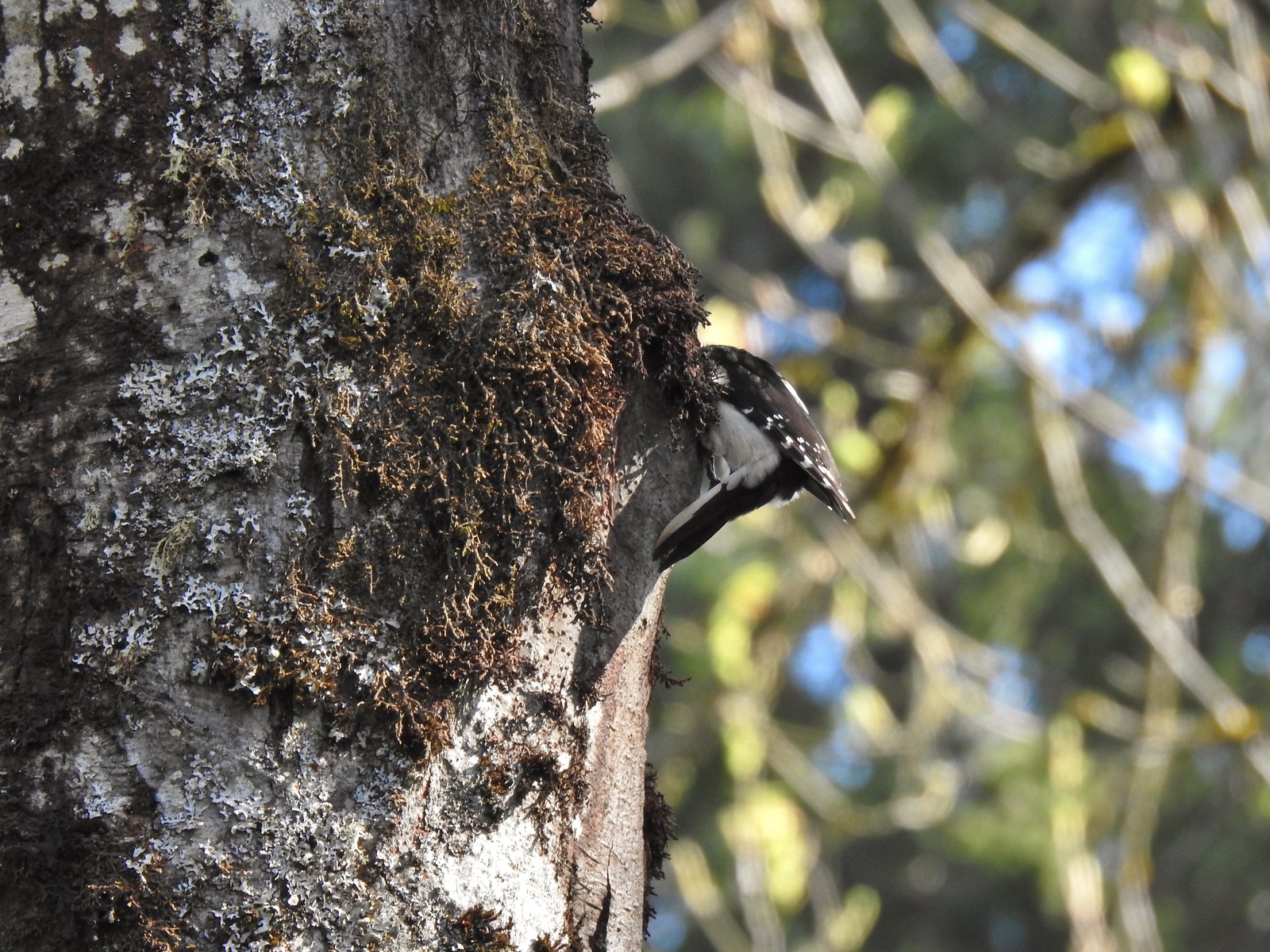 Woodpecker
 Stellar’s jay
 Back at the Tumble Falls Trail.
We felt better knowing that we’d let someone know about the owl and made our way back to the picnic area which we passed through to return to the car.
Our hike here came in at just under 3.5 miles with 570′ of elevation gain giving us approximately 5.5 miles and 760′ of elevation gain on the day. Both parks were nice and really well maintained, kudos again to Metro for the job they do with the public spaces. One thing that became clear as the morning heated up was that we are not at all prepared for warm weather hiking. It’s been so cool (cold) and overcast for so long our bodies aren’t ready for temps in the 70 or 80s. Hopefully there is still time for a reasonable transition to the heat of Summer but that window grows shorter every day and more cool, wet weather appears to be on the way for the coming week. Happy Trails!