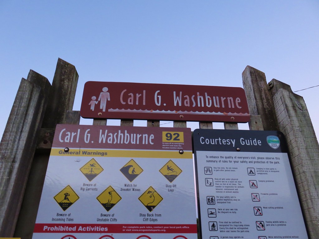
For our final outing of 2017 we returned to the Oregon Coast for three short hikes between Newport and Florence. We began our day by driving Highway 101 35 miles south of Newport (14 miles north of Florence) to the Carl G. Washburne Memorial State Park Day Use parking lot.
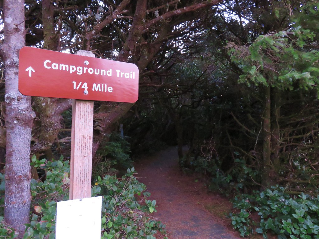
Our plan was to hike to the Heceta Head Lighthouse State Scenic Viewpoint and then return on a different route. In order to complete the loop portion of the hike we needed to cross Highway 101 twice. We decided to get the crossing done as soon as possible thinking that traffic would be less problematic earlier in the day. From the parking area we took a paved path east following a pointer for the Campground Trail.
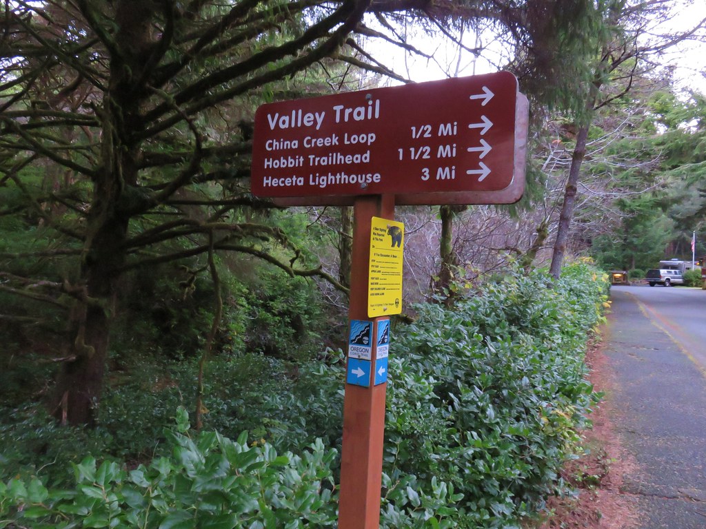
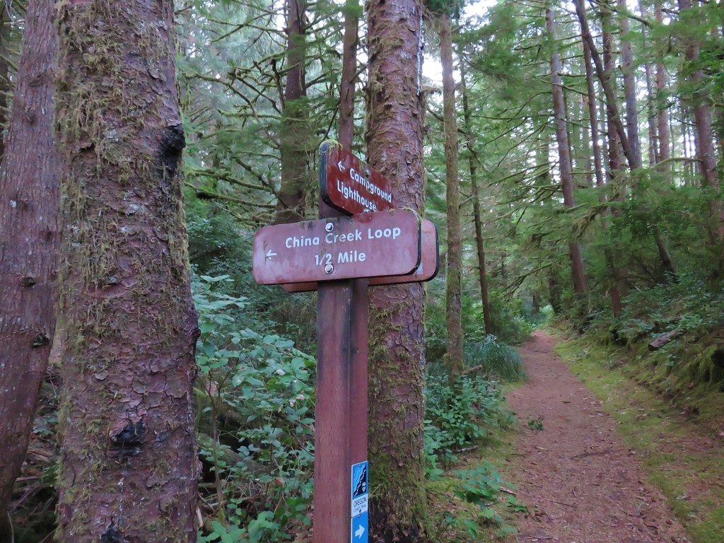
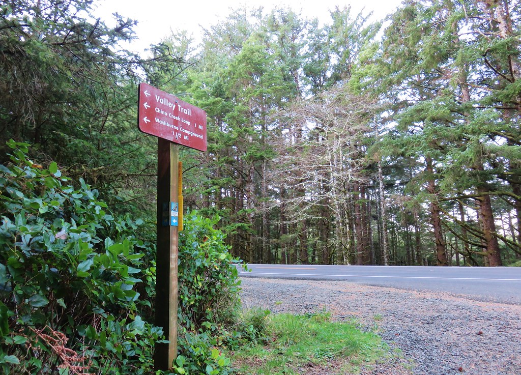
After a tenth of a mile we crossed the empty highway and continued on the campground entrance road for just over an additional tenth of a mile where we turned right at a signpost onto the Valley Trail.
We followed this trail for three tenths of mile to a junction in a meadow with the China Creek Loop Trail.
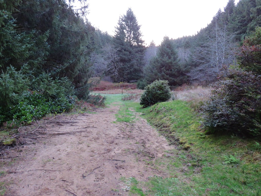
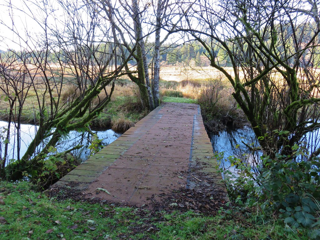
The loop added a little distance to the hike but not enough to keep us from turning left and crossing China Creek on a footbridge.

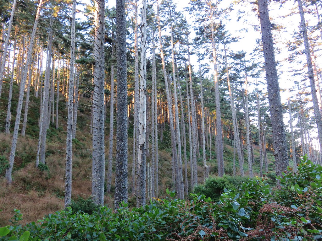
The China Creek Loop passed through a green coastal forest crossing China Creek again after .3 miles.
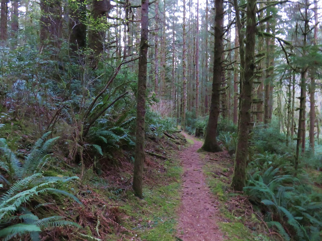
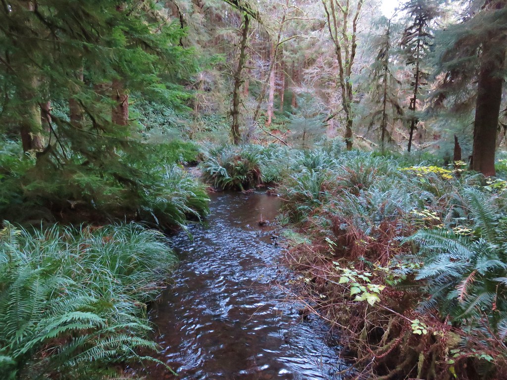
A half mile from the second crossing we found ourselves back at the Valley Trail where we turned left toward the lighthouse.
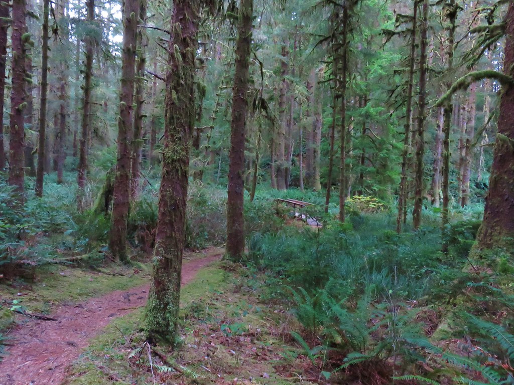
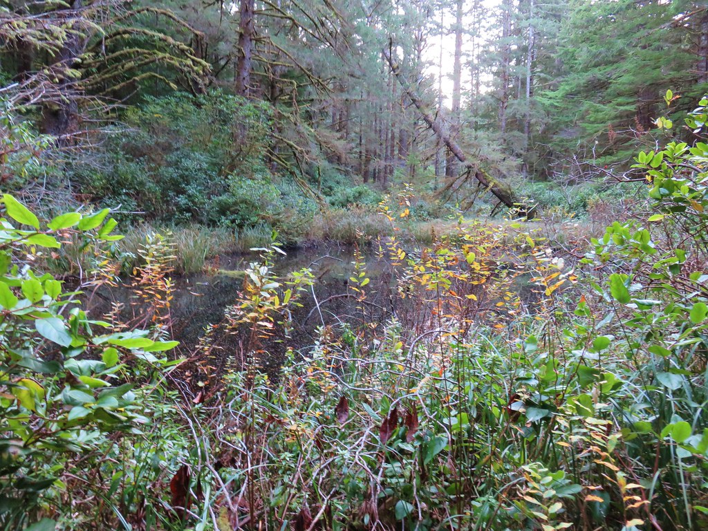
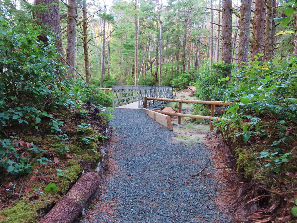
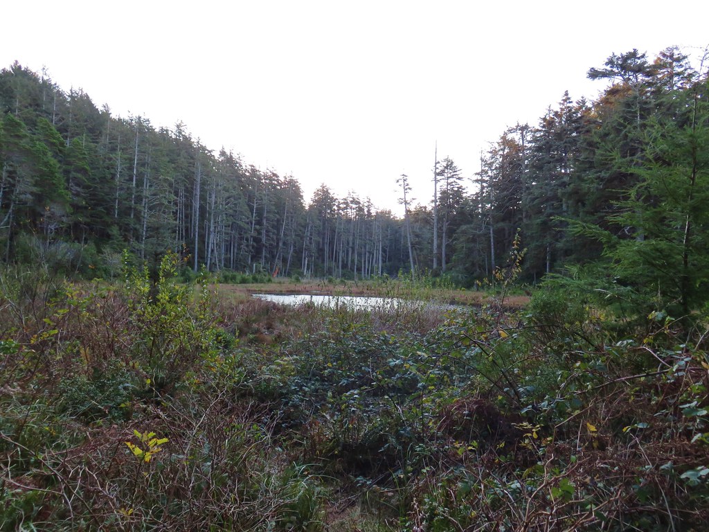
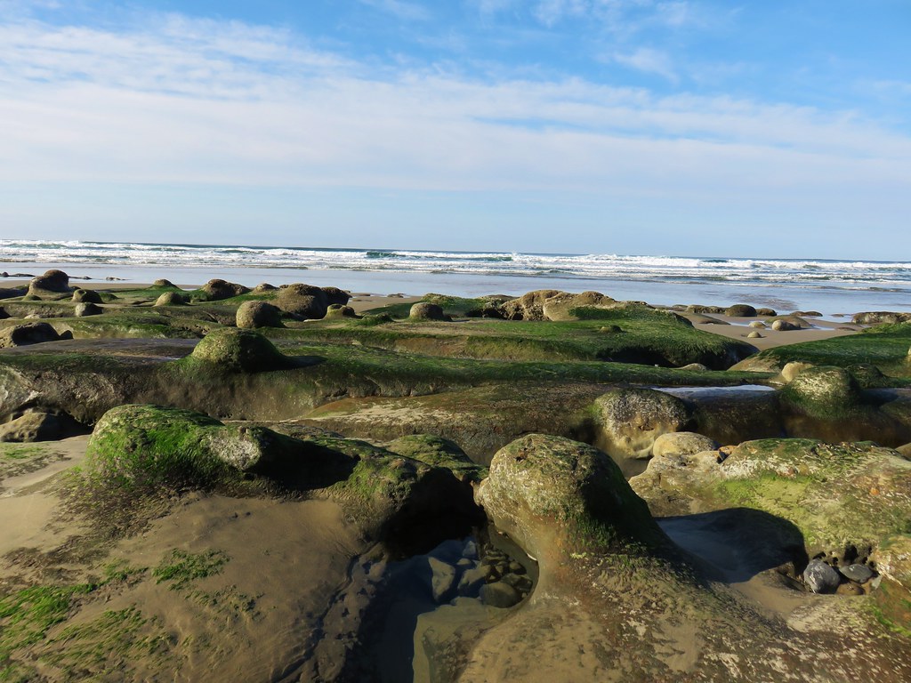
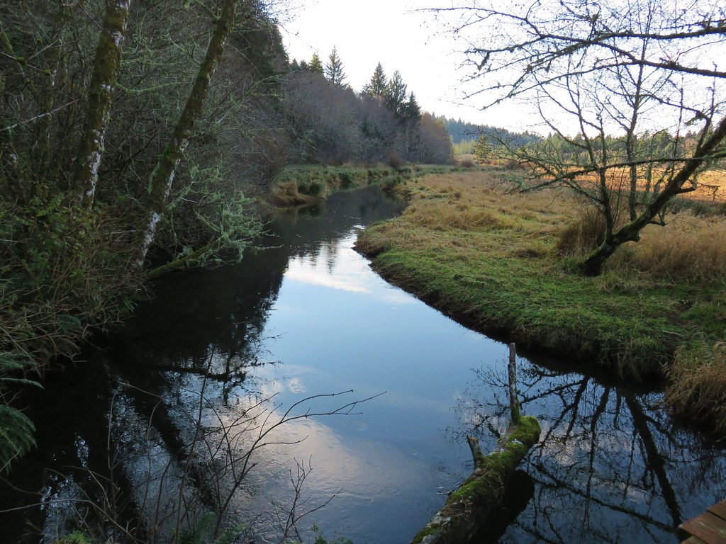
Over the next mile the trail passed two small ponds, crossed Blowout Creek on what appeared to be a recently installed footbridge, and skirted a beaver lake.
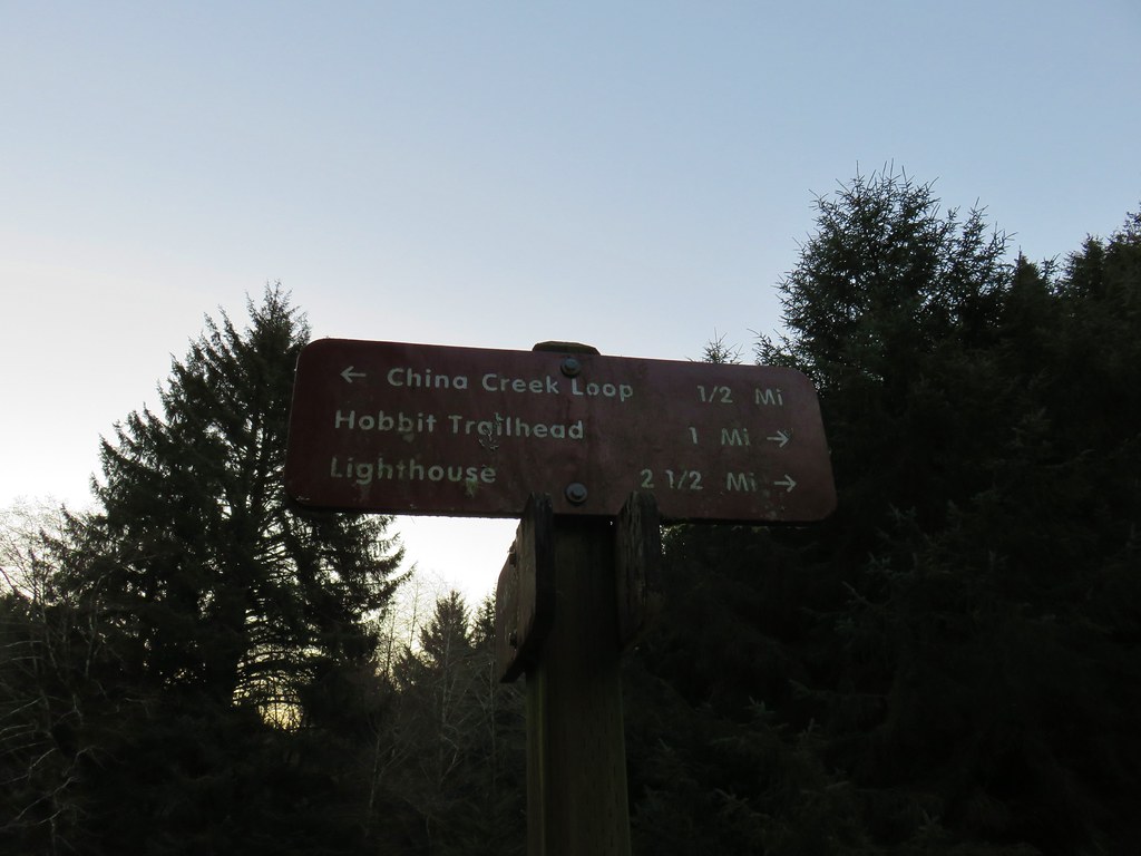
We were now at the second crossing of Highway 101 at the Hobbit Trailhead, another possible starting point.
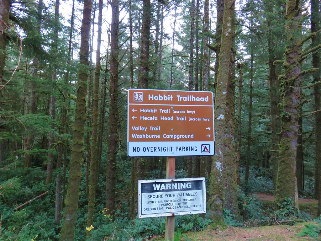
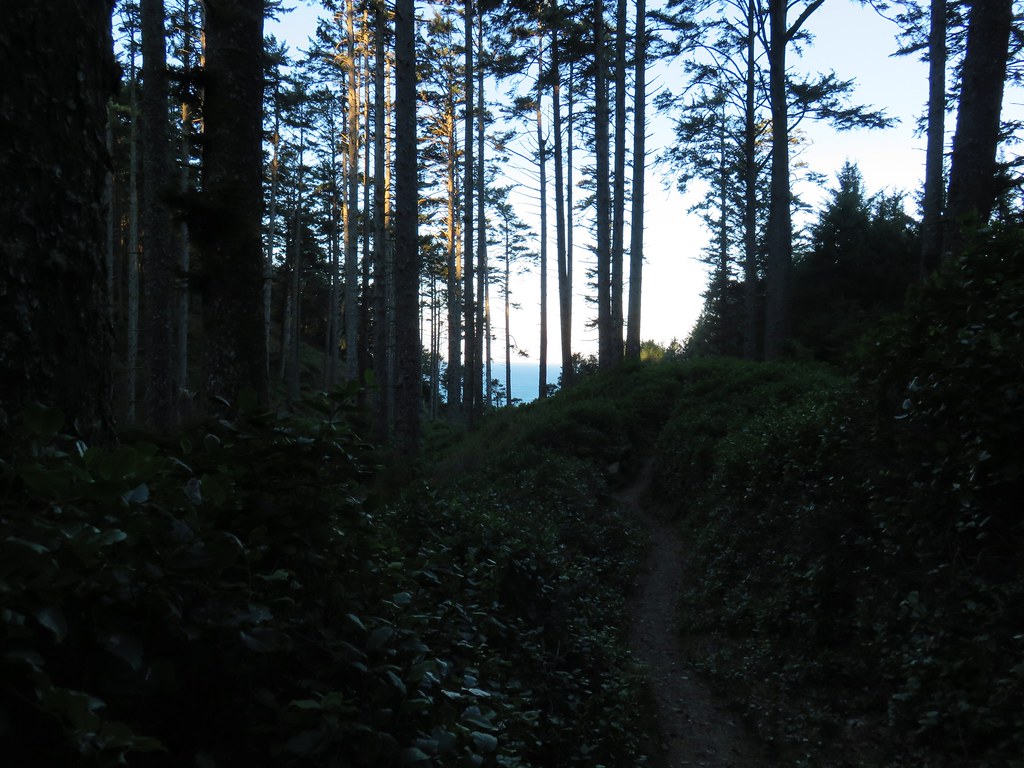
On the other side of the highway the trail split, right was our return route via Hobbit Beach but first we turned left to visit the lighthouse. We were now following the route of the Oregon Coast Trail.
At first the trail remained near the highway but soon veered away toward the ocean as it began to climb up Heceta Head.
The trail climbed gradually and offered a few views north to Cape Perpetua.
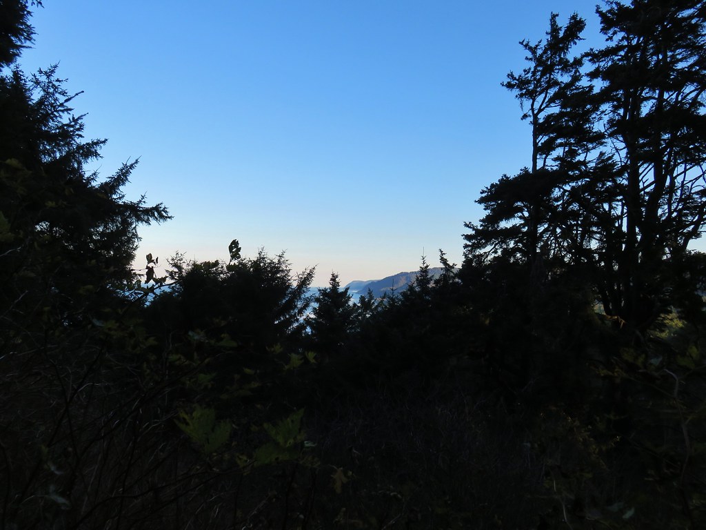
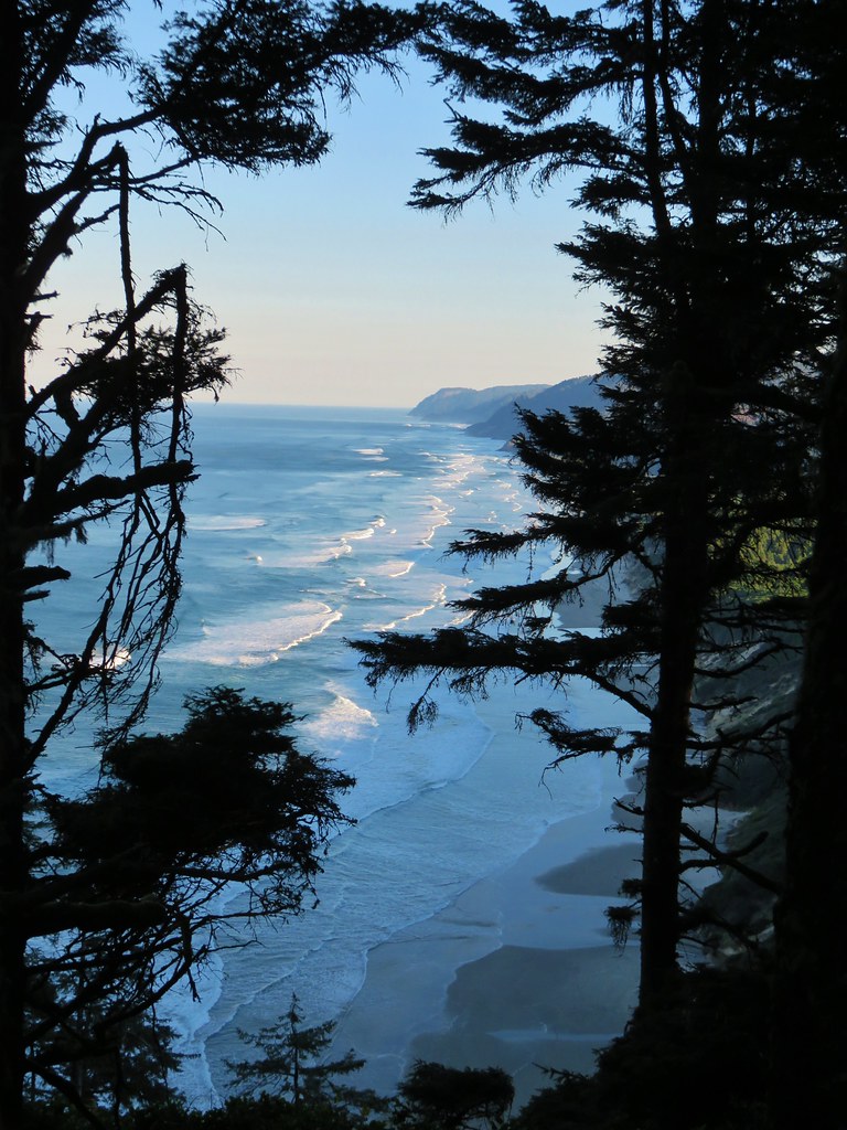
After reaching a saddle on the head, the trail descended to the south in a series of switchbacks before following a ridge and finally arriving above the lighthouse at the Heceta Head Lighthouse State Scenic Viewpoint.
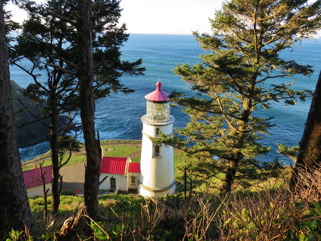
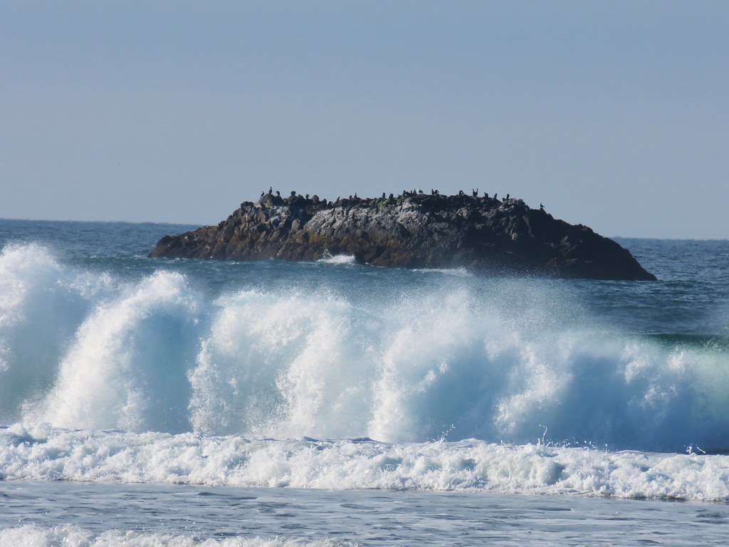
Seal Lion Point jutted out to the south where the occasional bark of a sea lion drifted our way.

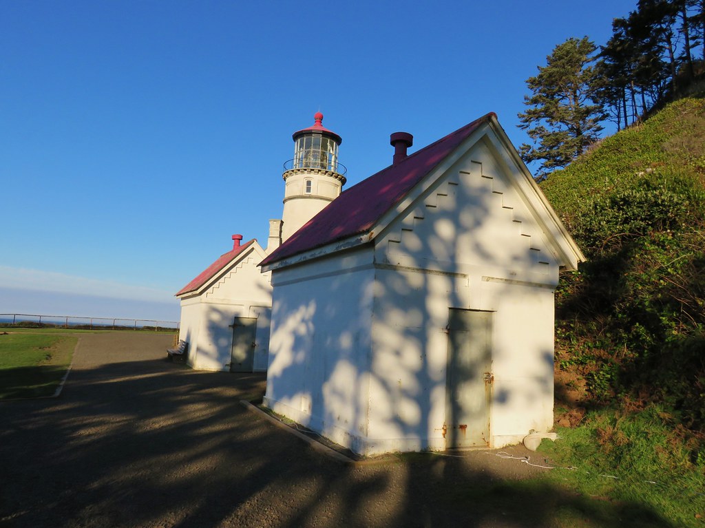
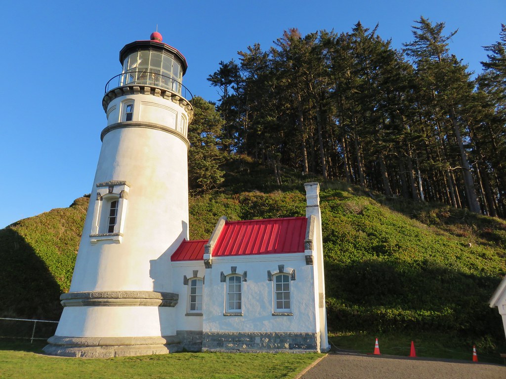
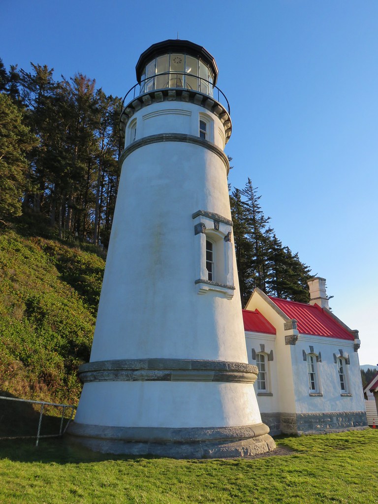
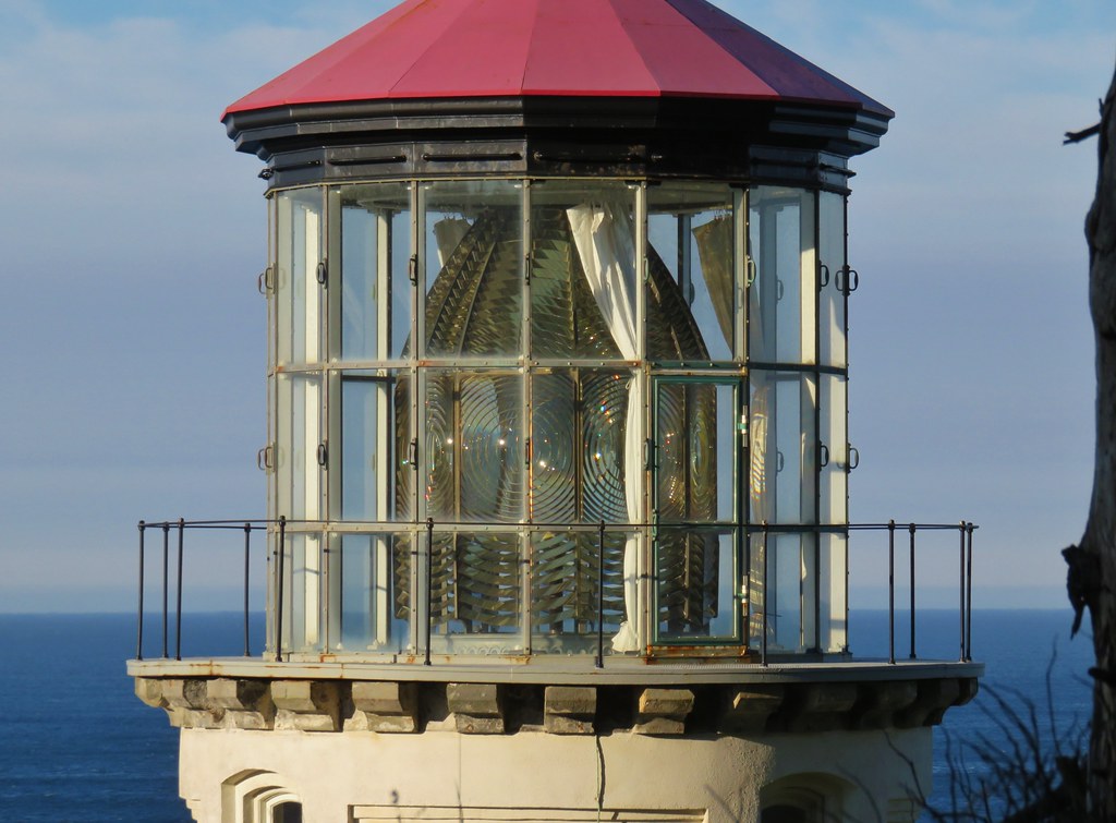
We made our way down to the lighthouse to get a closer look.
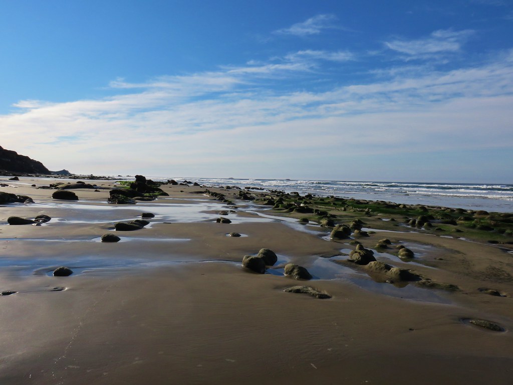
After a short break we returned the way we’d come to the fork and turned toward Hobbit Beach. We arrived at the beach in a little under half a mile.

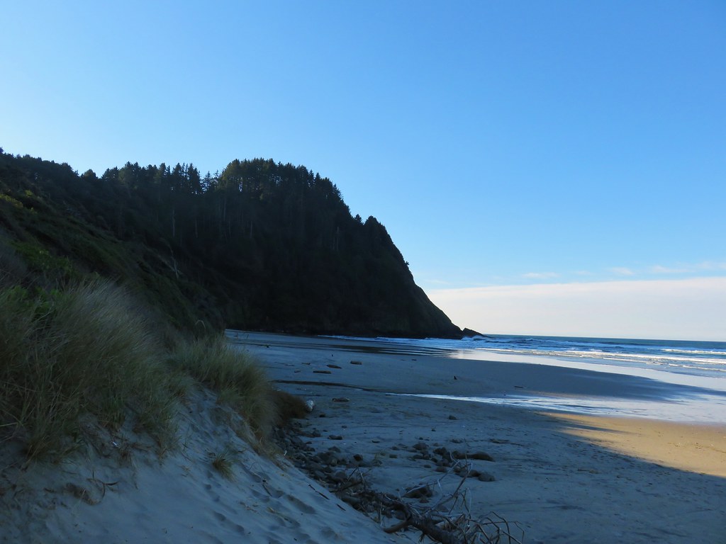
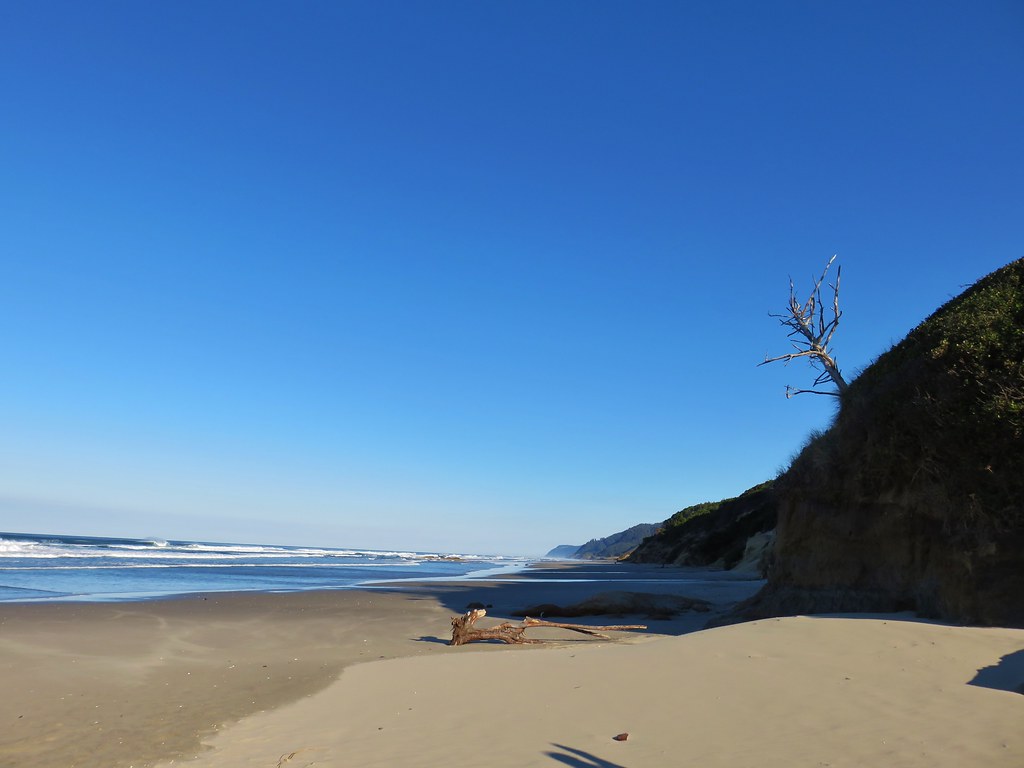
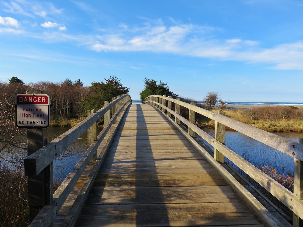
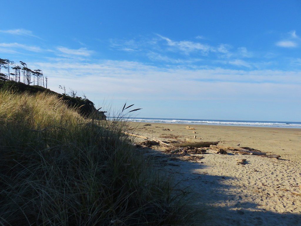
A quiet 1.2 mile walk along the beach (and across Blowout Creek) brought us back to our car at the day use area.
From there we drove north on Highway 101 for 28 miles to Ona Beach State Park, one of two units of Brian Booth State Park.
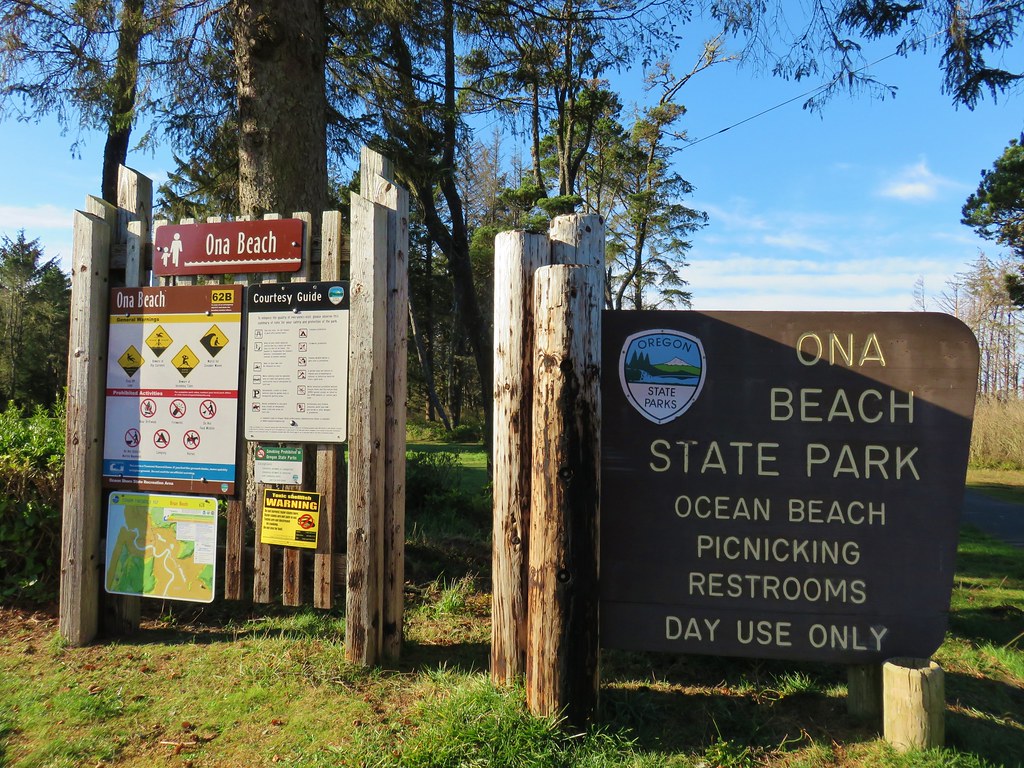
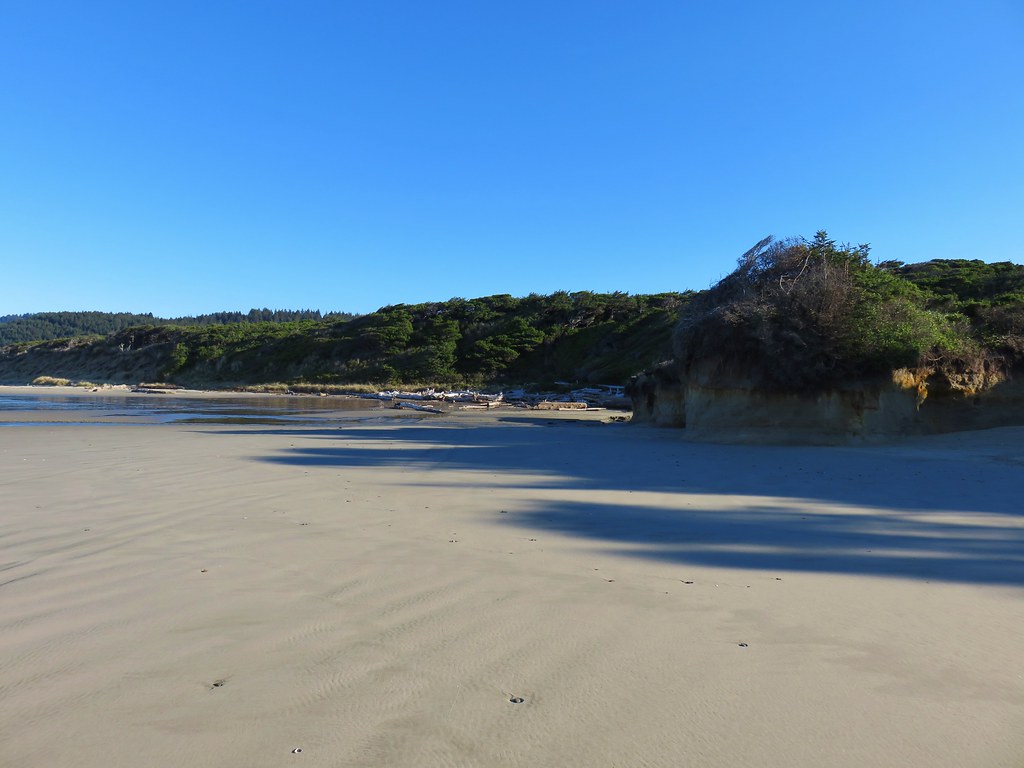
For this hike we planned on hiking along Ona Beach to Seal Rock and back. We passed through a large picnic area avoiding some flooded trails and arriving at a footbridge over Beaver Creek.
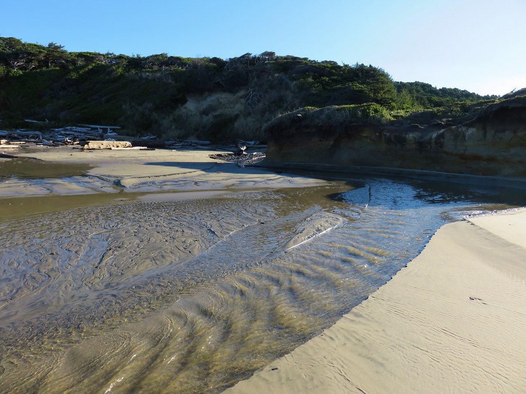
After crossing the creek we turned south along Ona Beach.
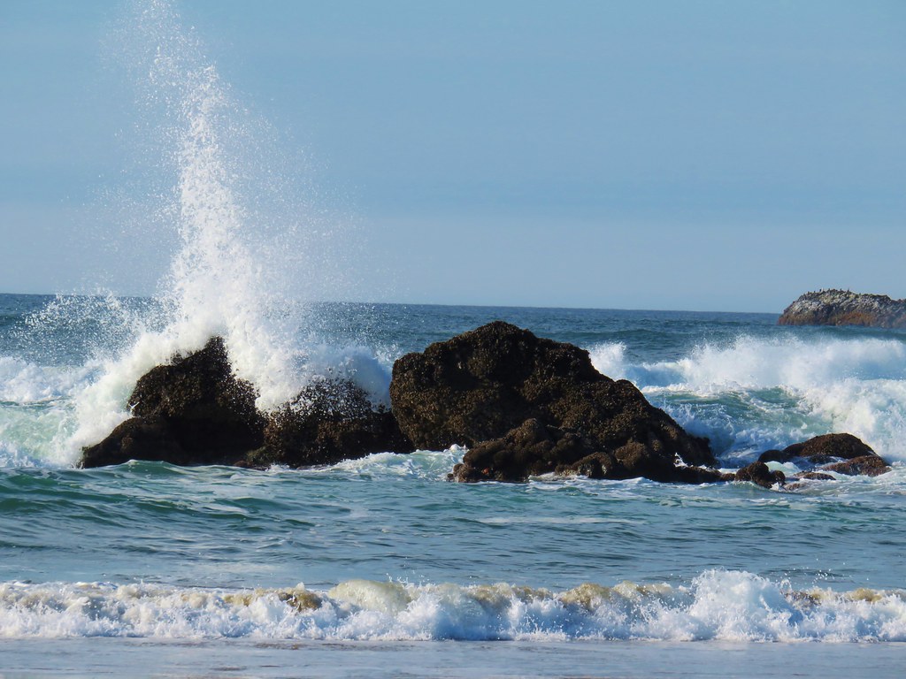
Portions of the beach can be impassible at high tide but we had arrived an hour and a half below low tide. Exposed rocks made the first stretch of beach very interesting.
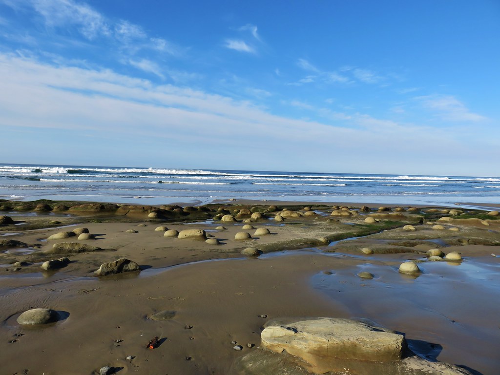
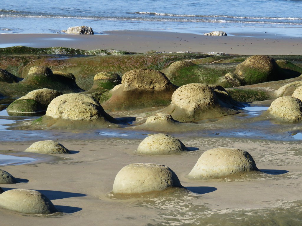
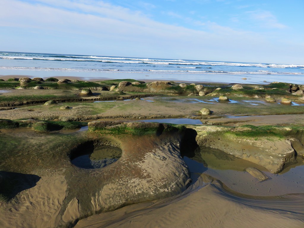
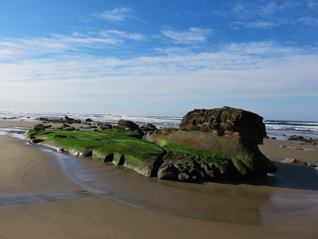
The rock along the beach eventually petered out but a number of ocean rocks just offshore held our interest.

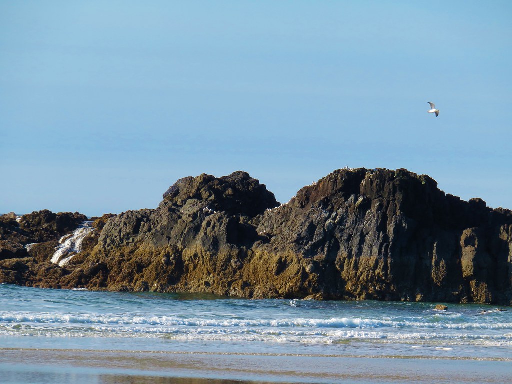
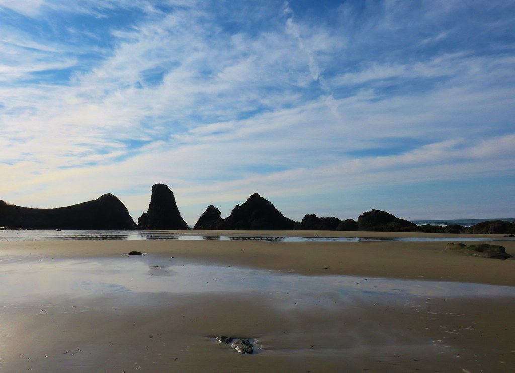
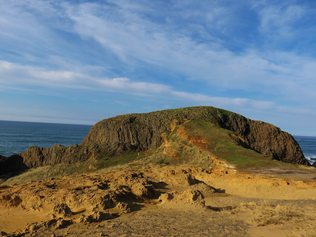
Further to the south lay the Seal Rock Recreation Site.
Approximately 1.75 miles from the footbridge we turned inland along a small creek on an unmarked but obvious trail. We followed this path up to Highway 101 where a short road walk brought us to the entrance of the park.

We followed a paved path out to a viewpoint where much of the area was roped off for erosion control.


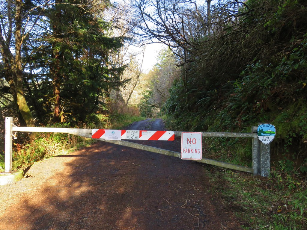
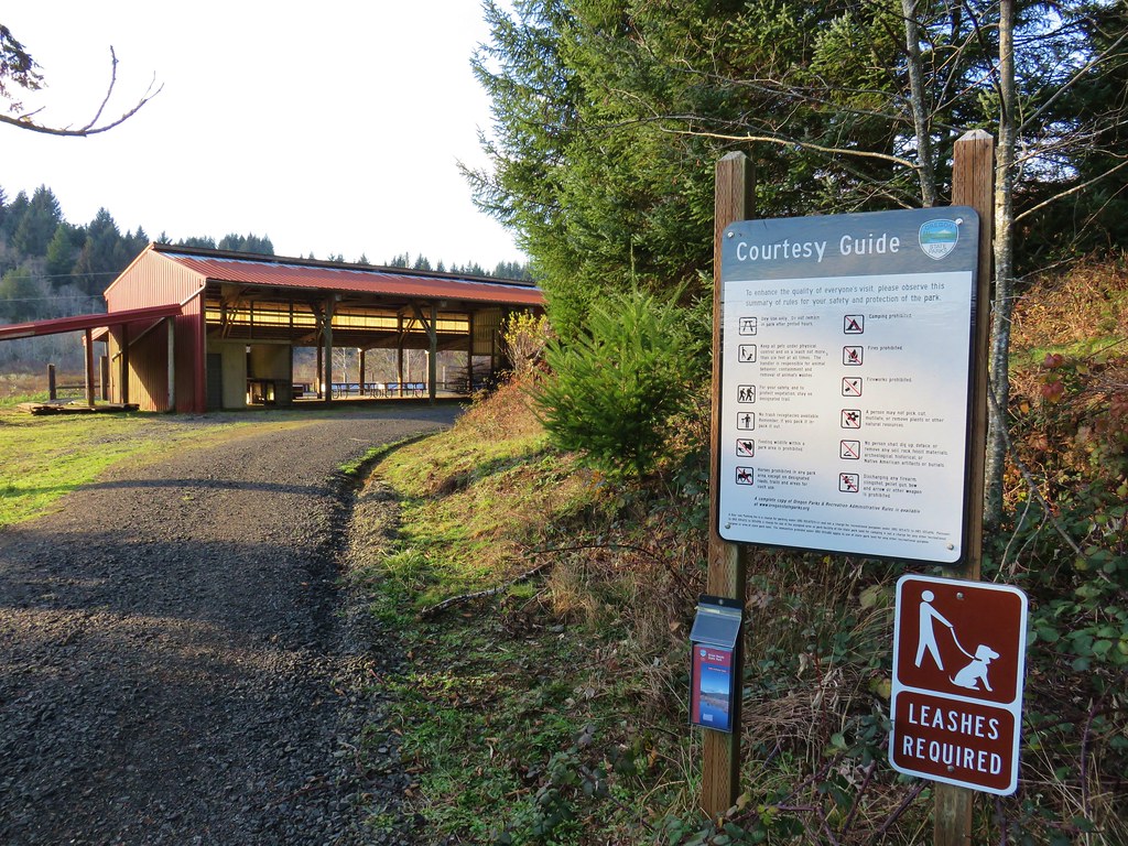
After admiring the views we returned the way we’d come and headed for our final stop at the Beaver Creek Natural Area, the second unit of Brian Booth State Park. To reach the winter trailhead for the Beaver Creek Loop from Ona Beach State Park we crossed Highway 101 onto N. Beaver Creek Road. After a mile we turned right onto S. Beaver Creek Road for another 1.1 miles and parked on the shoulder across from a gate.
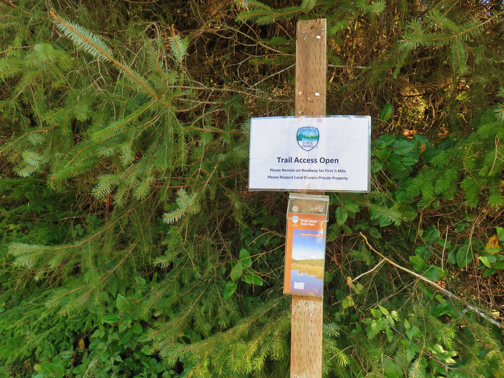
We picked up a trail map and set off on the gated service road.
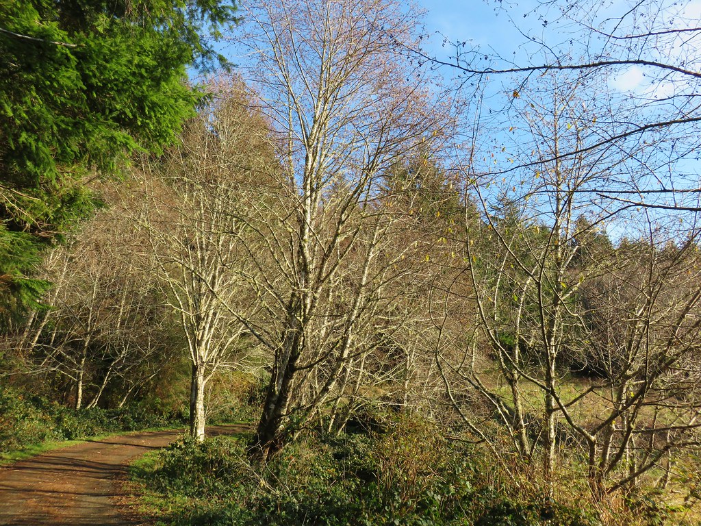
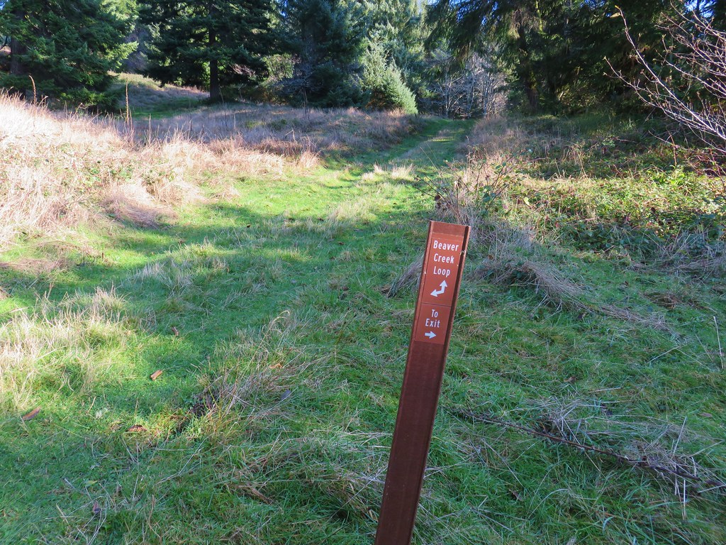
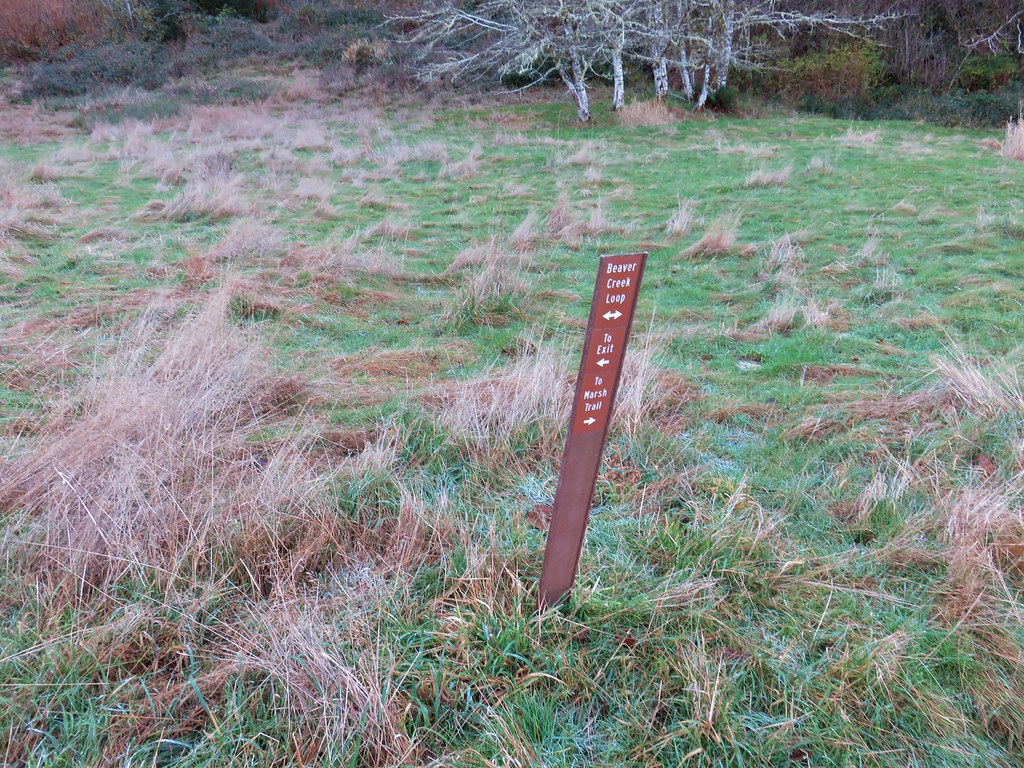
After .4 miles we turned uphill on a mowed path following posts for the Beaver Creek Loop.

Being the coast we’d seen a few flowers still blooming despite it being mid-December and even eaten a few huckleberries along the China Creek Loop earlier in the day. Here we found a few blackberry? blossoms.

After climbing for .3 miles we arrived at a saddle where we could have turned right on the Elk Meadow Trail for a half mile loop.
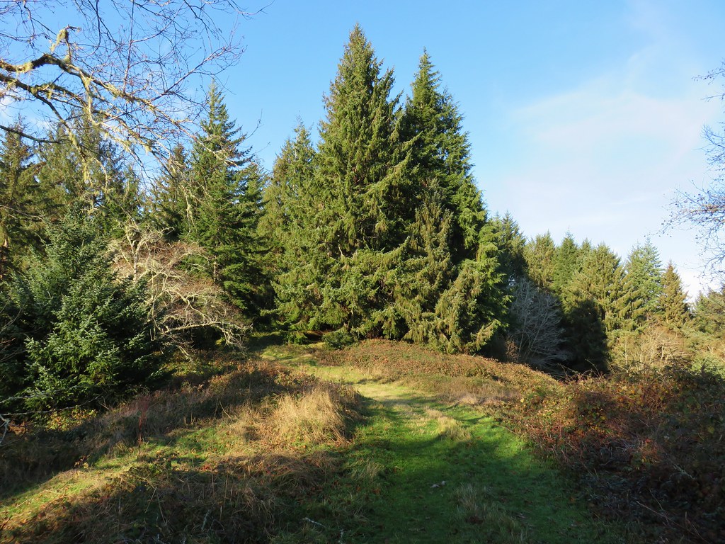
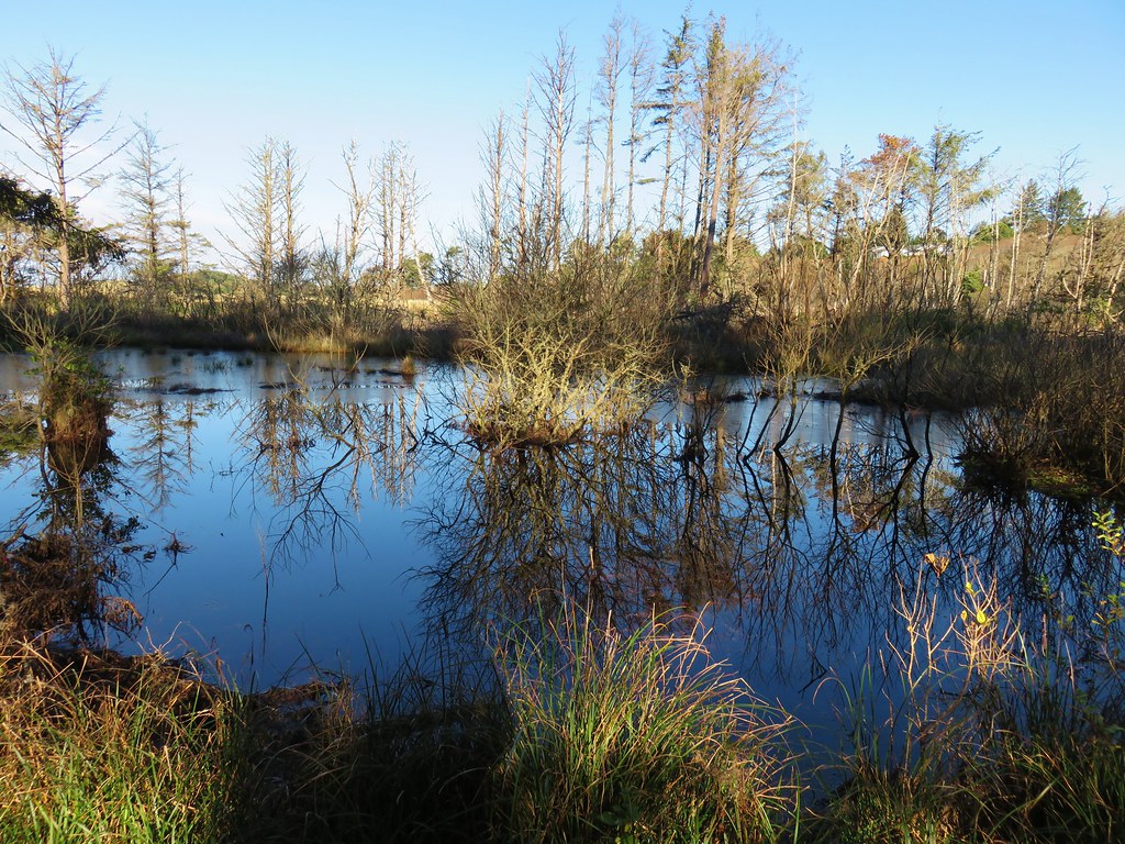
We already had enough mileage planned for the day so we saved that for another time and continued on the Beaver Creek Loop. After passing another trail to Snaggy Point we began to descend toward the marshes surrounding Beaver Creek.
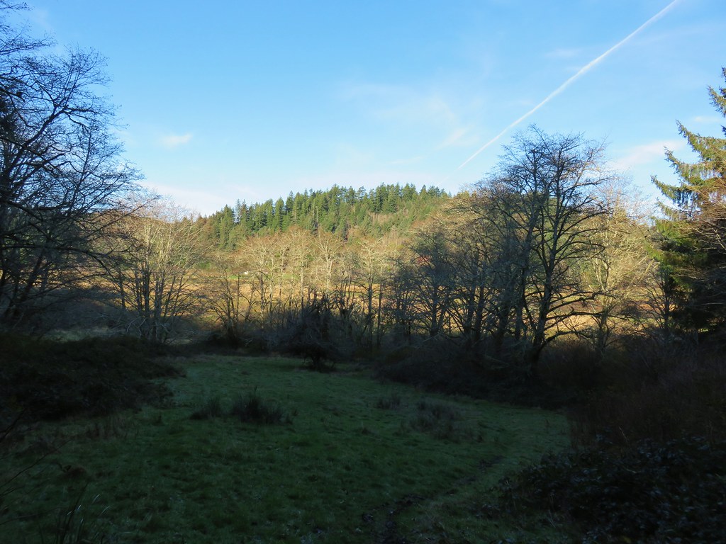
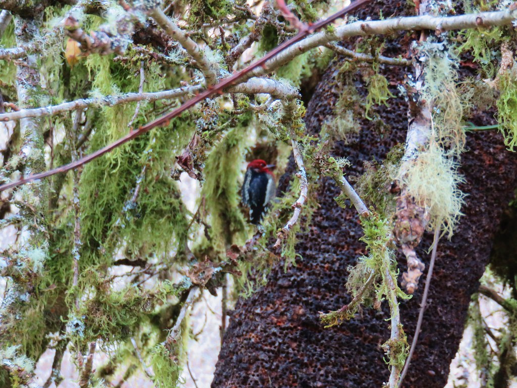
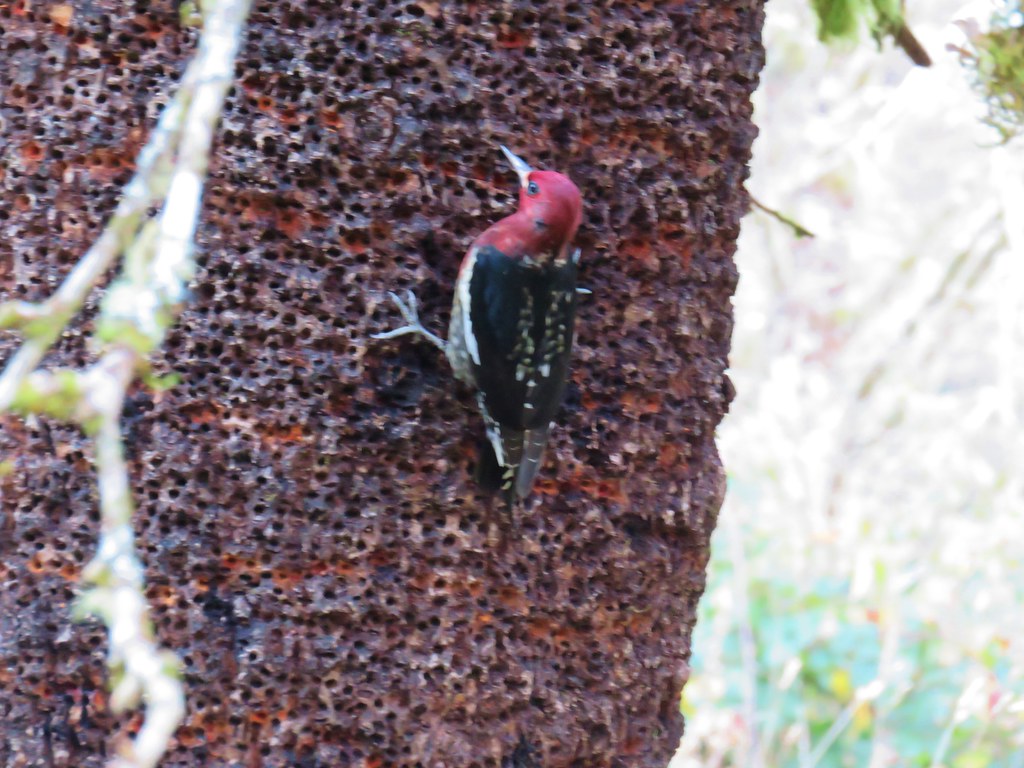
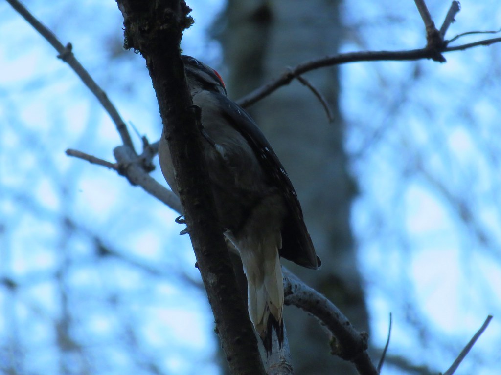
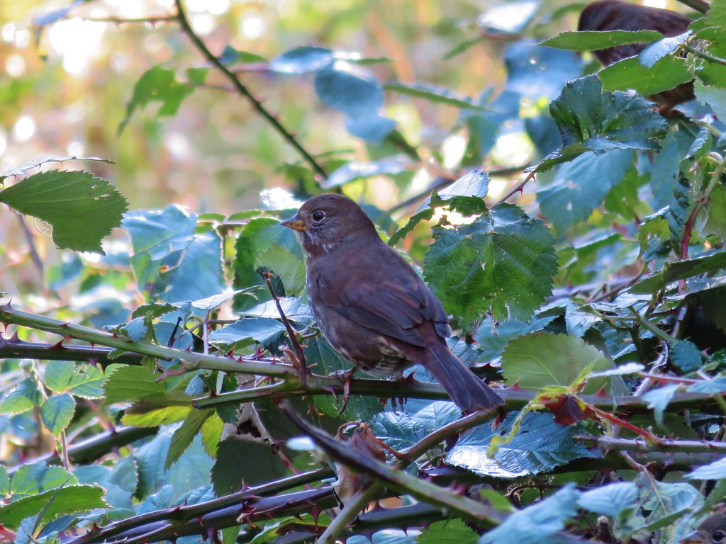
We stopped to watch a couple of woodpeckers circle a tree. They didn’t seem too bothered by us but they wouldn’t hold still long enough for a decent photo.
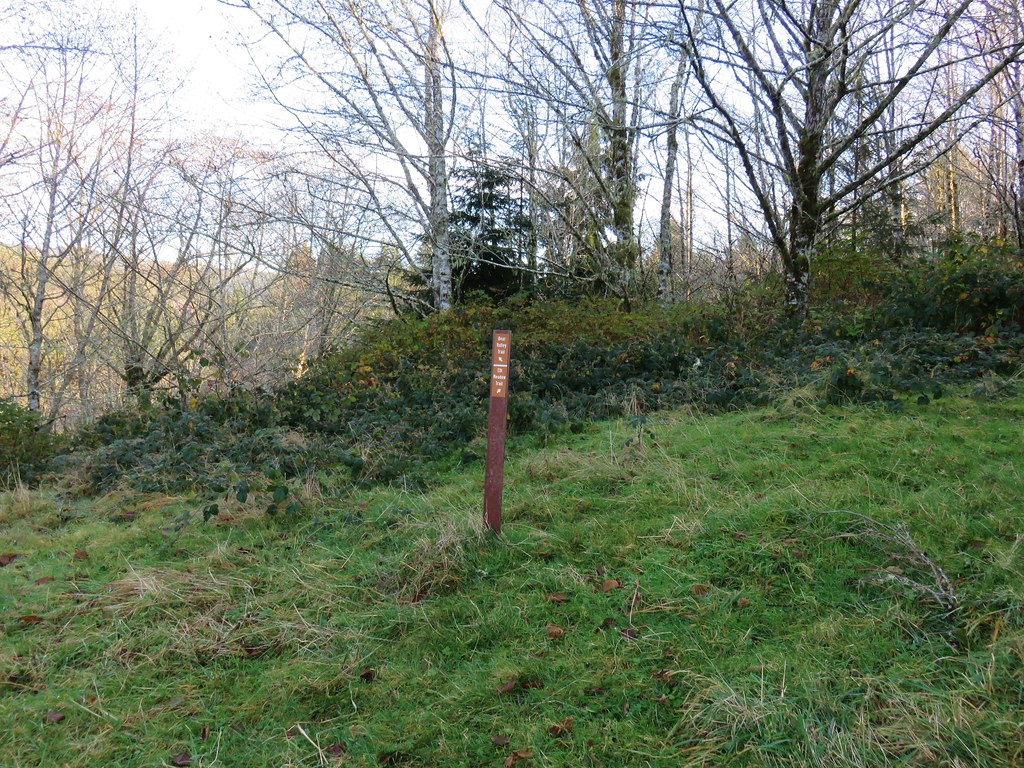
We briefly followed a pointer for the Marsh Trail which brought us to a footbridge over Beaver Creek. For about two months during Summer the marsh is apparently dry enough to cross without too much trouble.
We heard some ducks and startled a great blue heron (a couple of times) as we continued along the loop. We also spotted a hawk, more woodpeckers, and some small birds before arriving at a pole barn at the end of the service road we’d started on that seemed to be undergoing some construction.
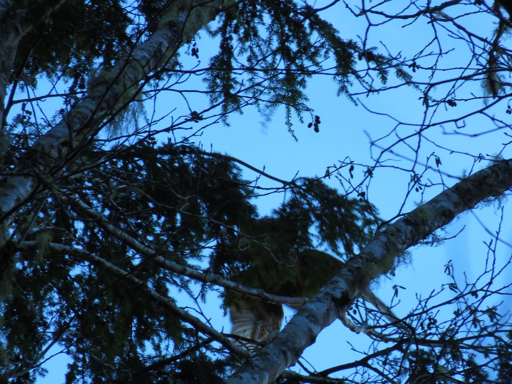 Hawk flying off
From the barn it was only .2 miles back to the start of the loop. The hike here came in at an even three miles. Ona Beach to Seal Rock had been 4.6 miles round trip and our hike to Heceta Head was 6.6 miles giving us a total of 14.2 miles for the day. Each of the hikes would be worthy destinations on their own and there were several more trails to explore in the Beaver Creek Natural Area making a return visit tempting someday.
With our 2017 hikes completed it’s time to get to work on 2018. Happy Trails!

3 replies on “Heceta Head and Brain Booth State Park”
[…] #41 Ona Beach and Seal Rock – Hiked 12/11/2017 […]
[…] a 60-mile route connecting the city of Corvallis, OR to the Oregon Coast at Ona Beach State Park (post). Much of the trail is on roads which may be abandoned or gated and others open to vehicle traffic. […]
[…] headed north first in the direction of Seal Rock (post). We turned back after 0.4-miles at a creek on Holly Beach. The wet sand and debris from the high […]