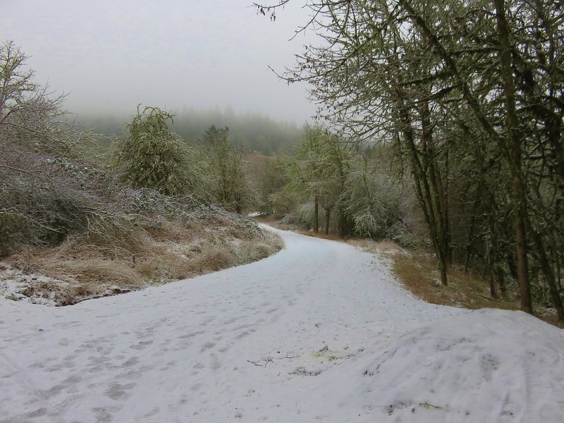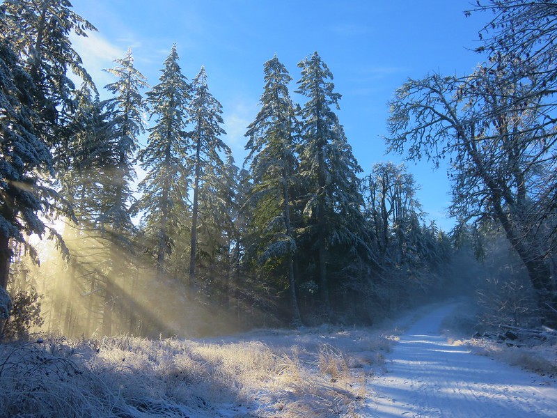
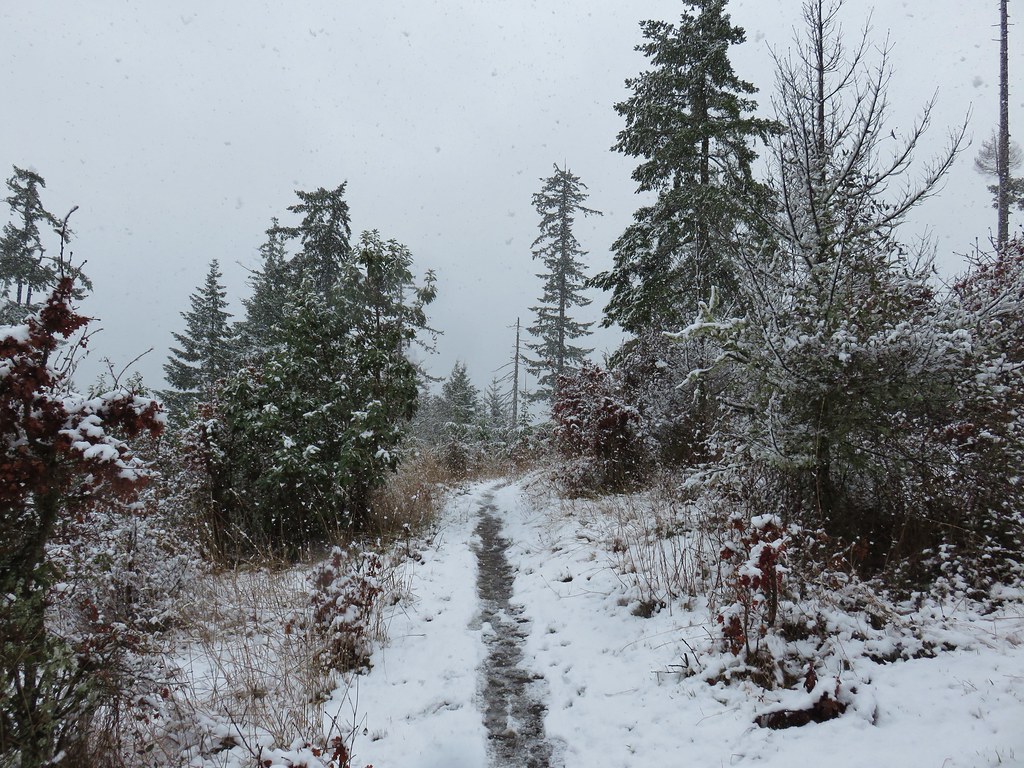
Following our hikes at Coffin & Bachelor Mountain we both wound up sick with a nasty head cold. Heather’s lasted almost two weeks and was almost feeling back to normal on the Sunday of Juneteenth weekend. I was fortunate to not get hit as severely and was starting to feel quite a bit better on Juneteenth. After resting for one more day I had planned to head to Mary’s Peak on Saturday the 20th however my left hip had other ideas. When I woke up it was hurting pretty bad so instead of hiking in the morning before heading to my cousin’s daughter’s graduation party, I spent the morning trying to loosen things up. By the time we left the party that afternoon it was back to feeling normal, so I decided to give it another try Sunday morning. Things were still okay in the morning, so the hike was on.
Heather decided that she wasn’t quite feeling well enough for a strenuous hike so headed out solo to the East Ridge Trail on Mary’s Peak starting from the Connor’s Camp Trailhead.

I had left my route open not knowing how my hip, or any of the other back and lower body issues I’ve been in physical therapy for, would react to hiking. My plan was to take the East Ridge Trail up to the Summit Loop Trail to visit the summit of the highest peak in the Coast Range. My route back was open with a couple of possible loop combinations or simply heading straight back down the East Ridge Trail.

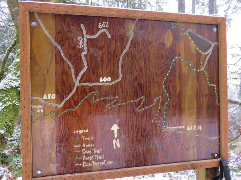
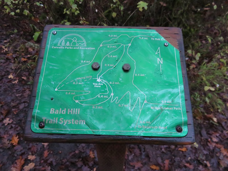
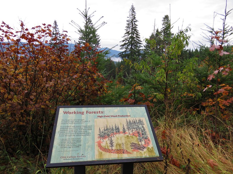
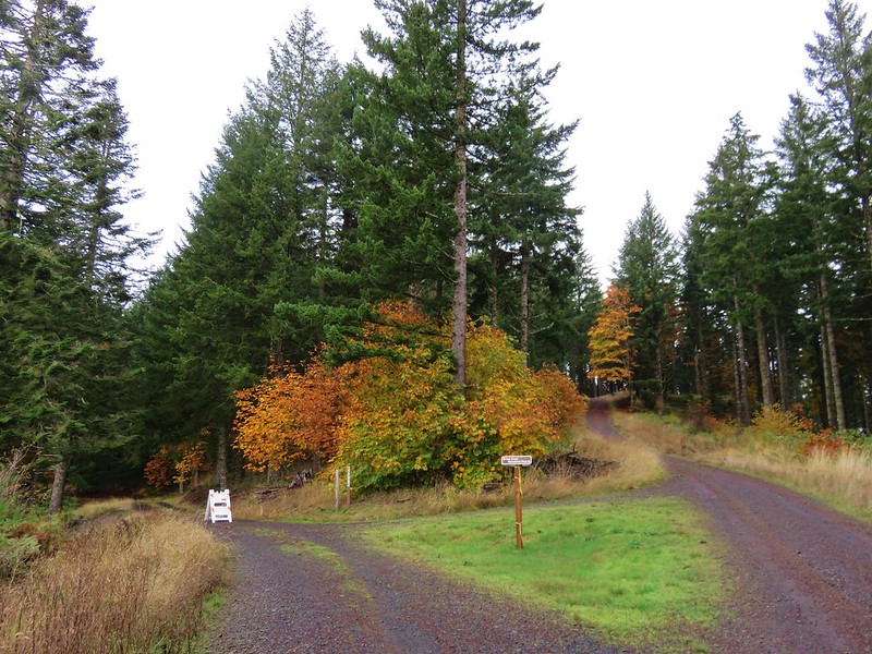
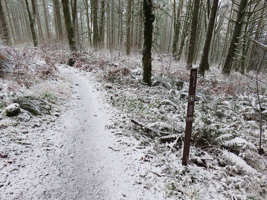
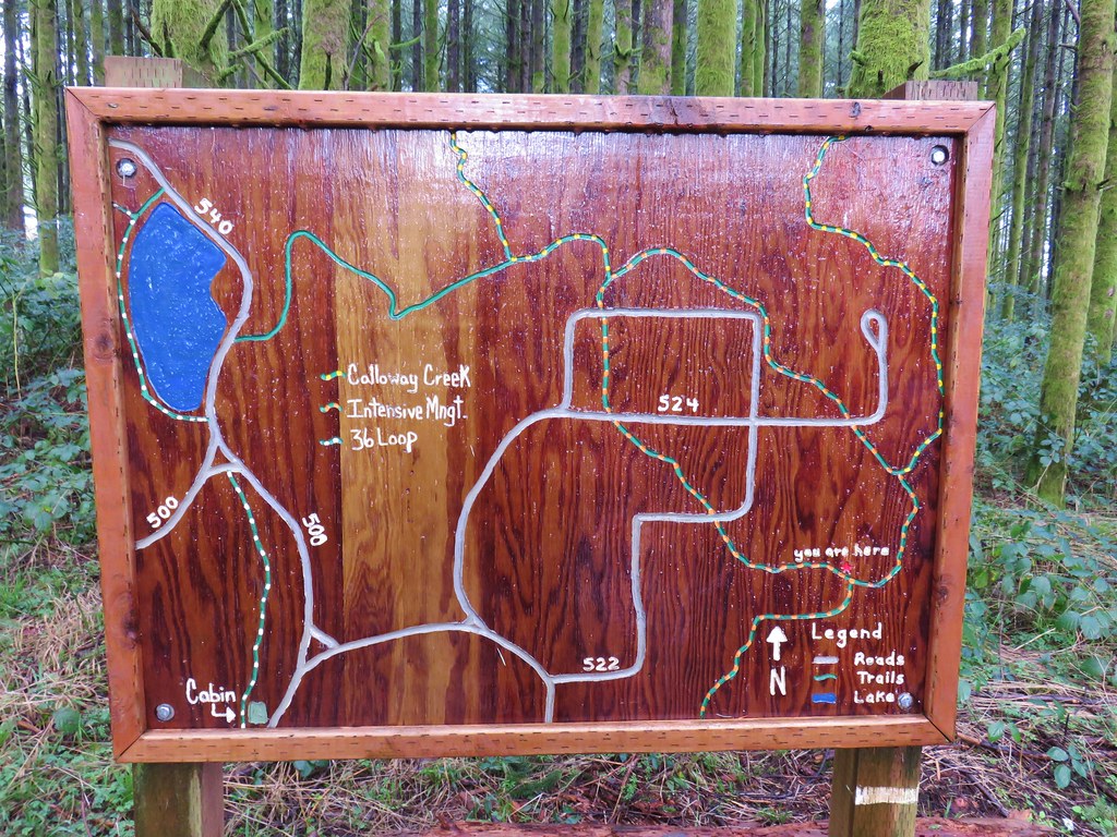
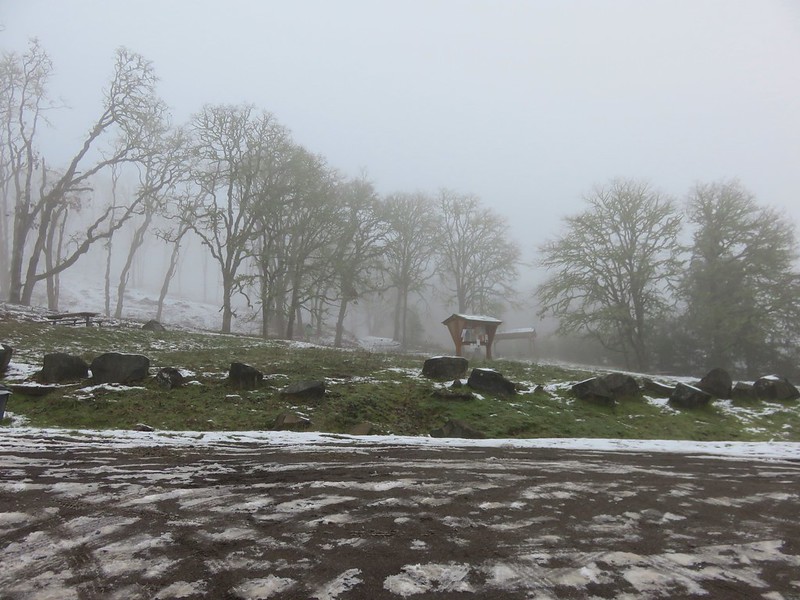
Faded trail maps at the information board at Connor’s Camp.
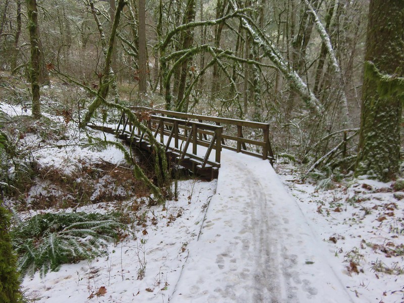
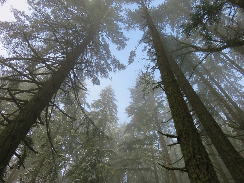
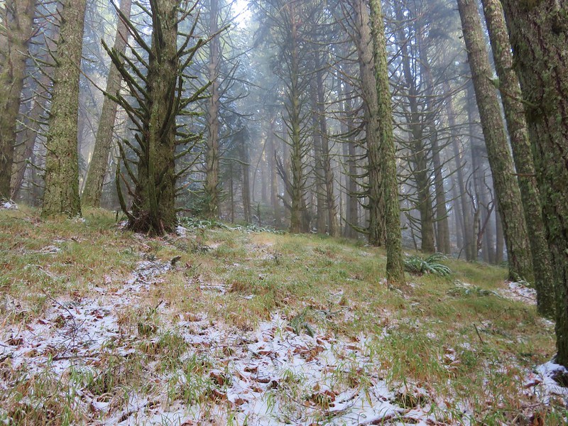
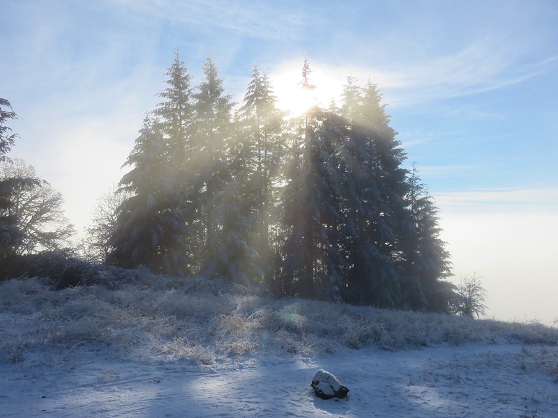
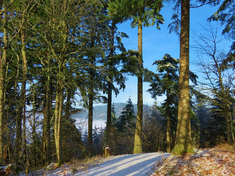
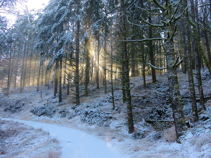
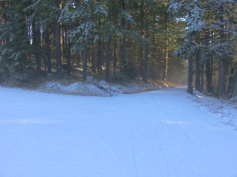
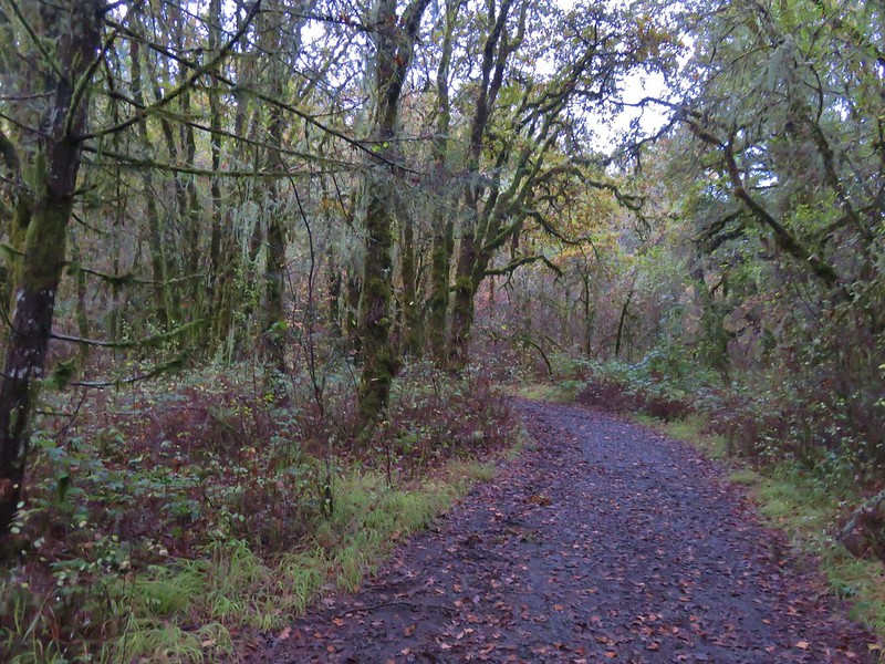
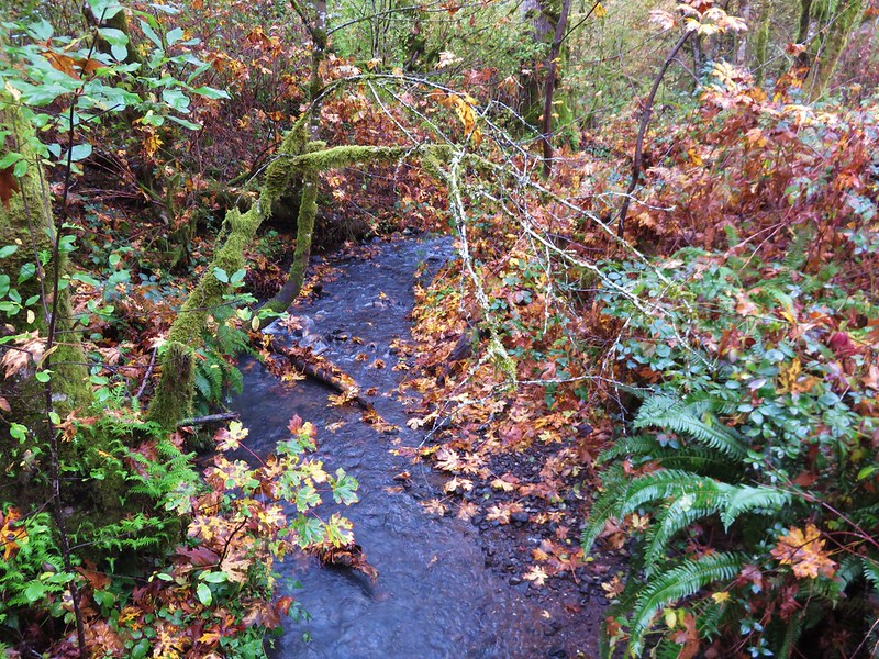
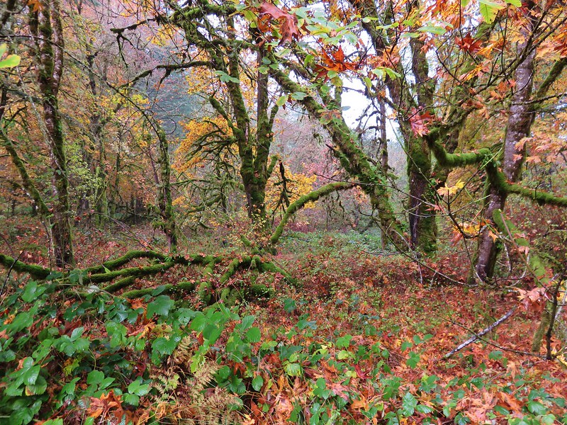
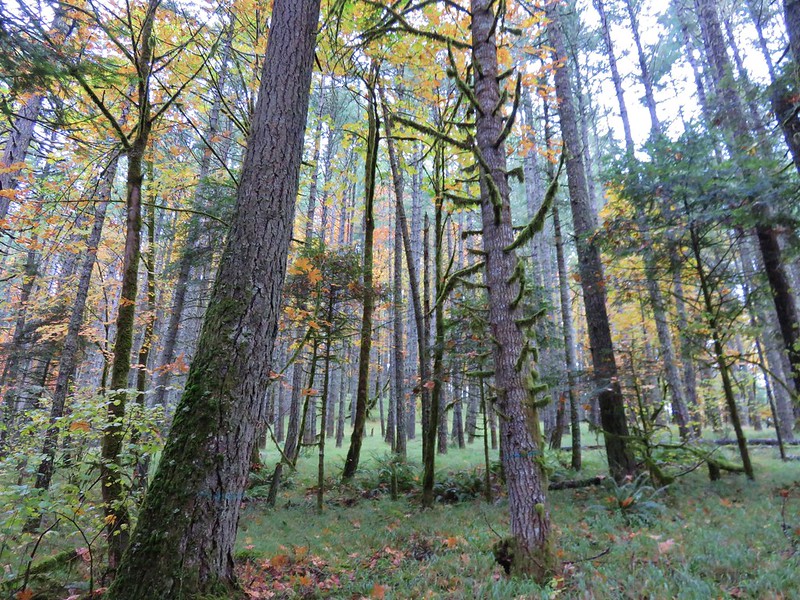
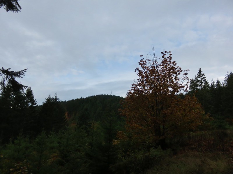
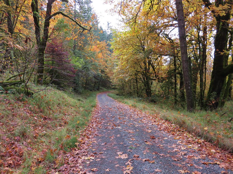
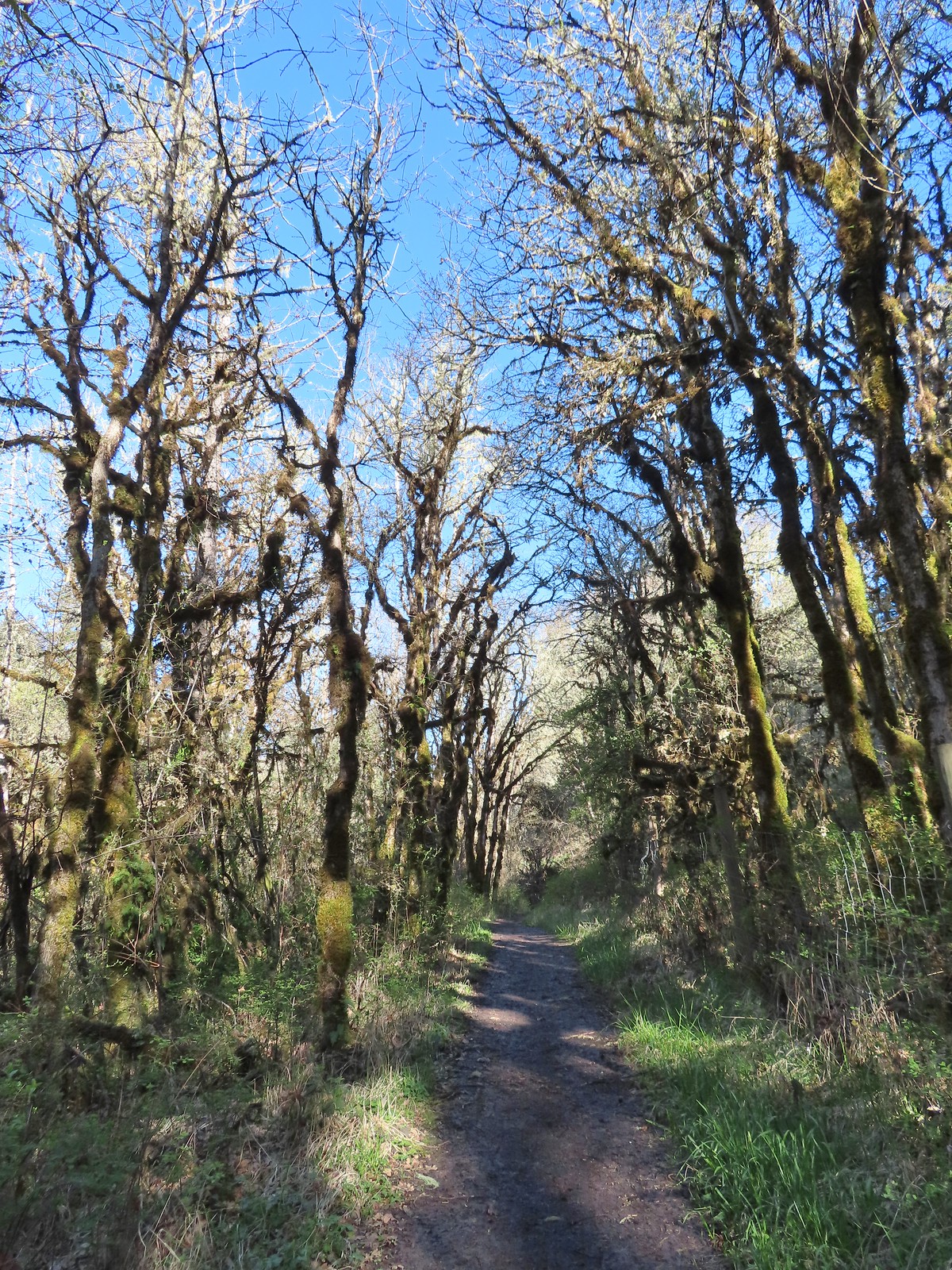
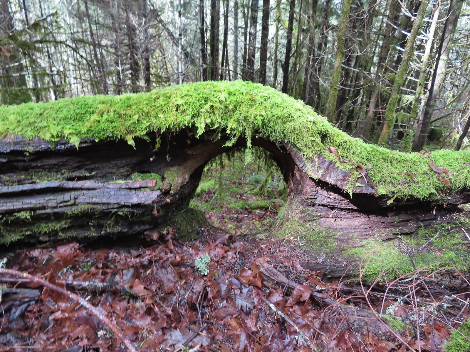
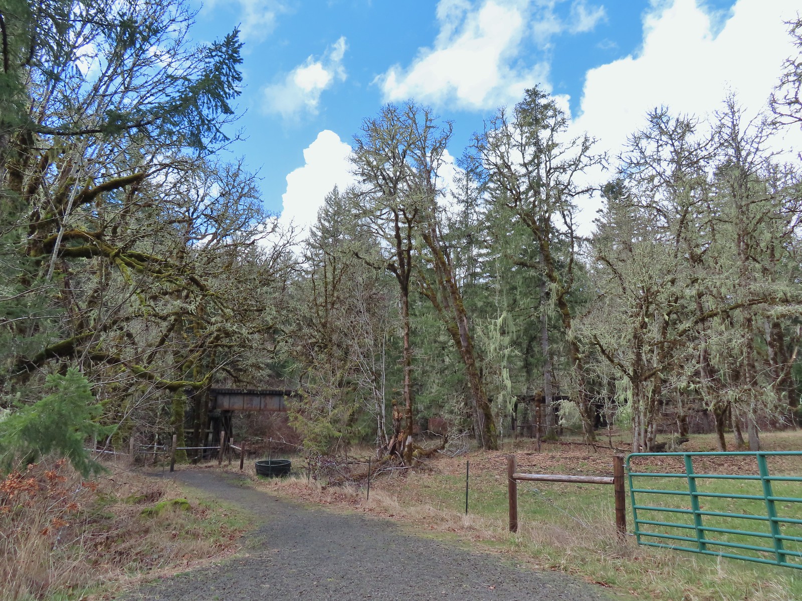
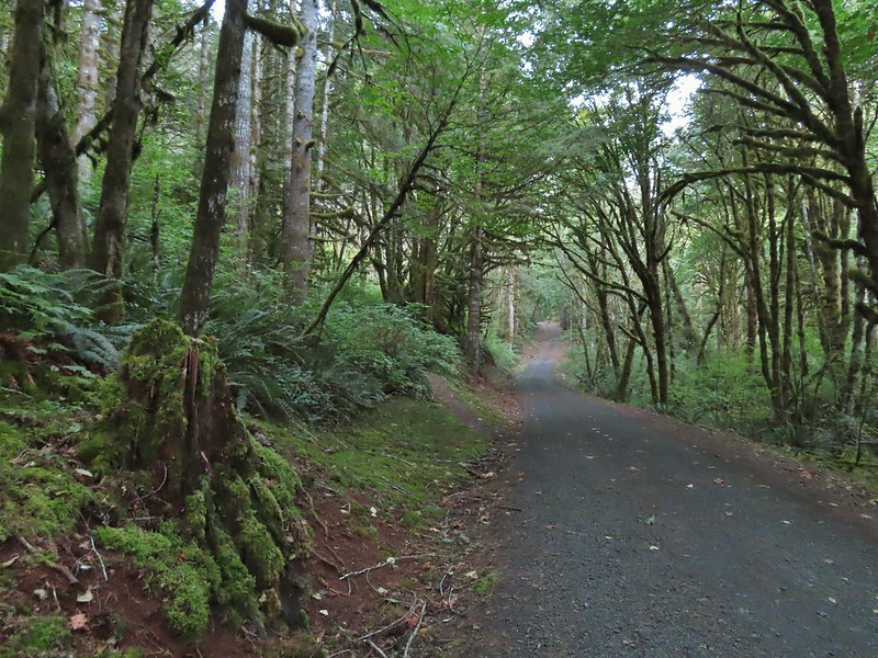
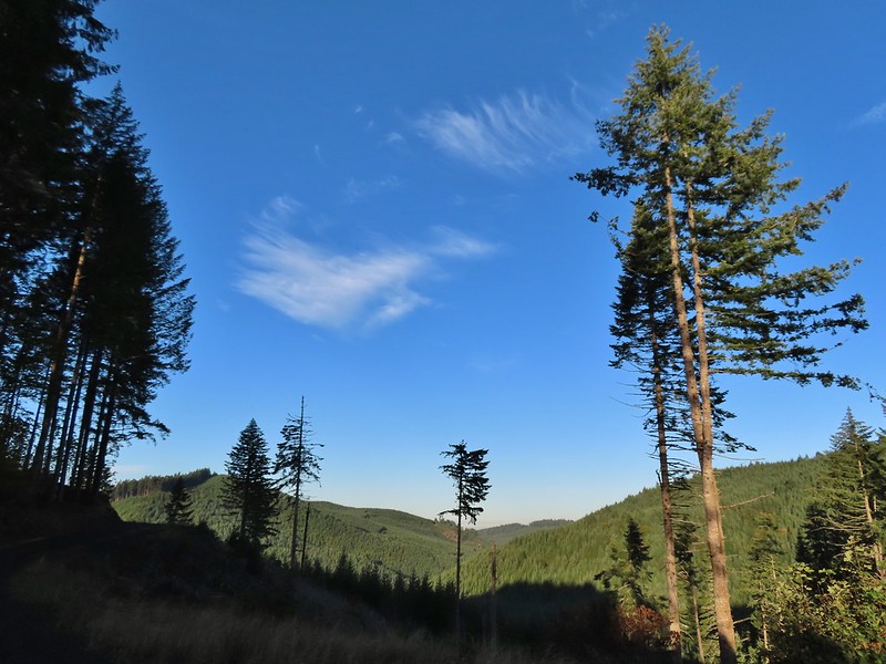
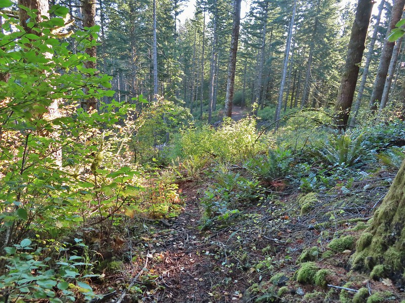
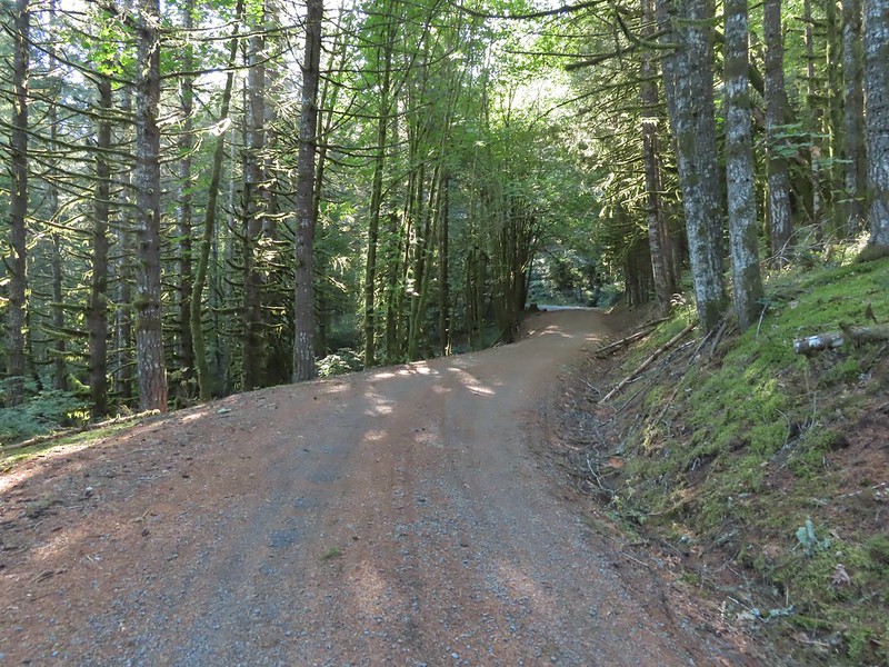
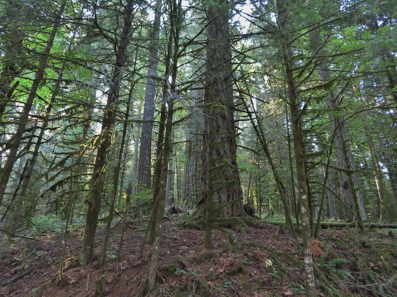
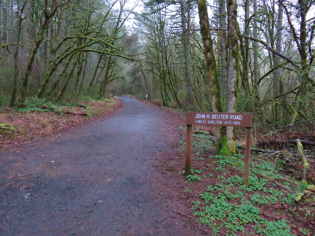
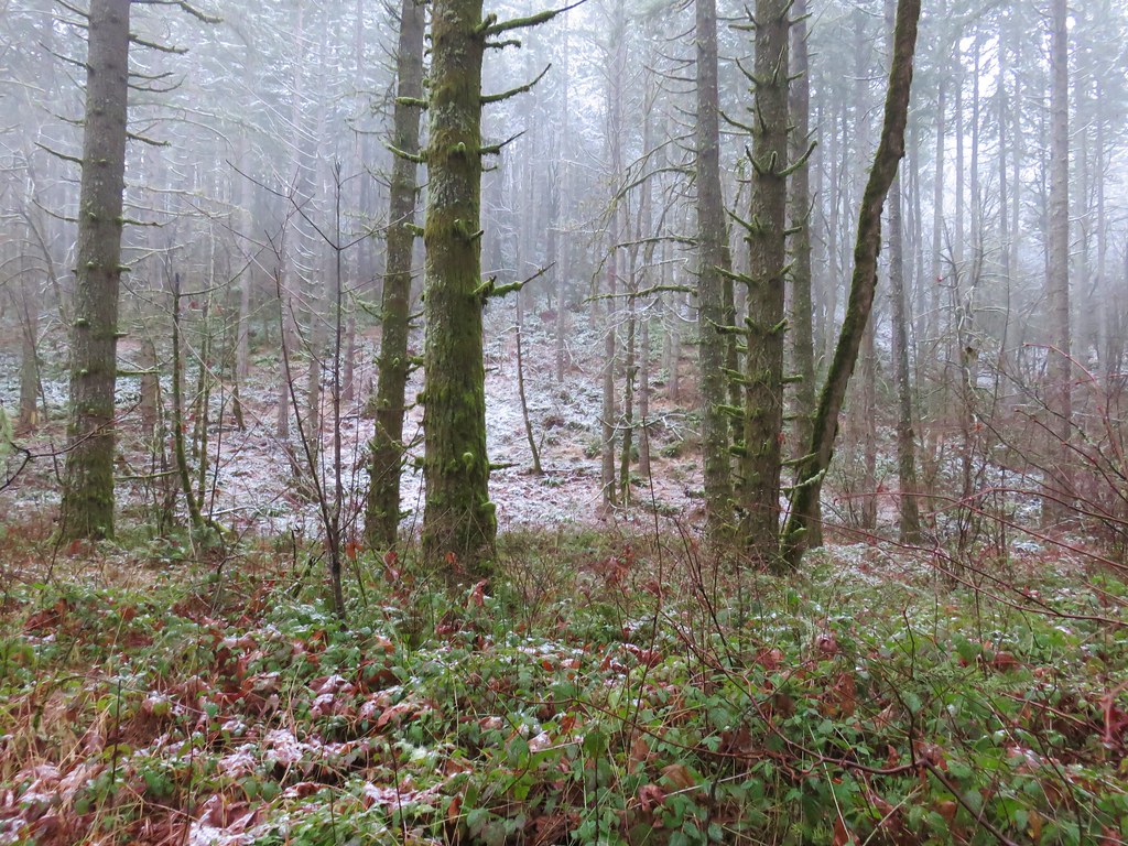
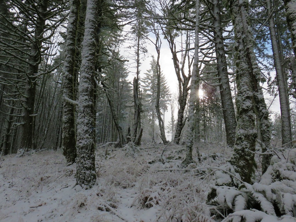
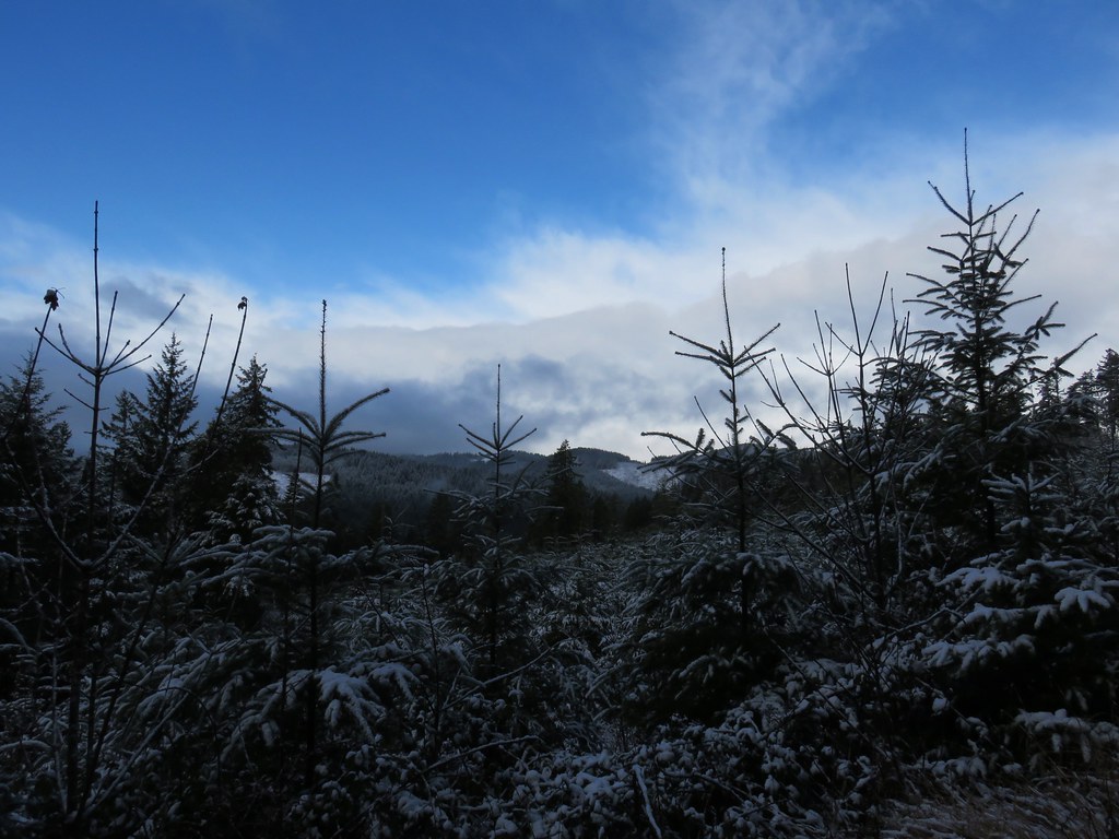
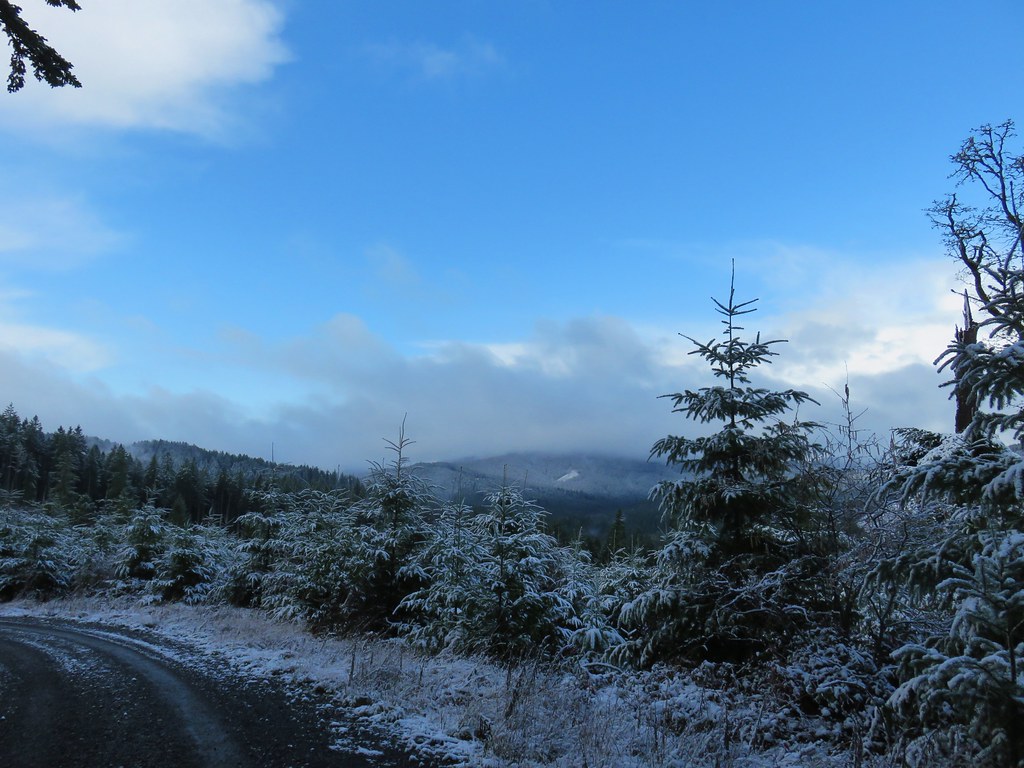
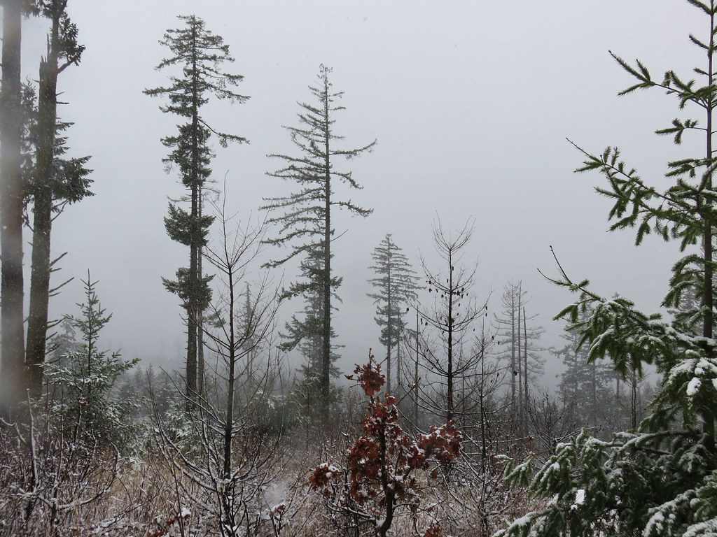
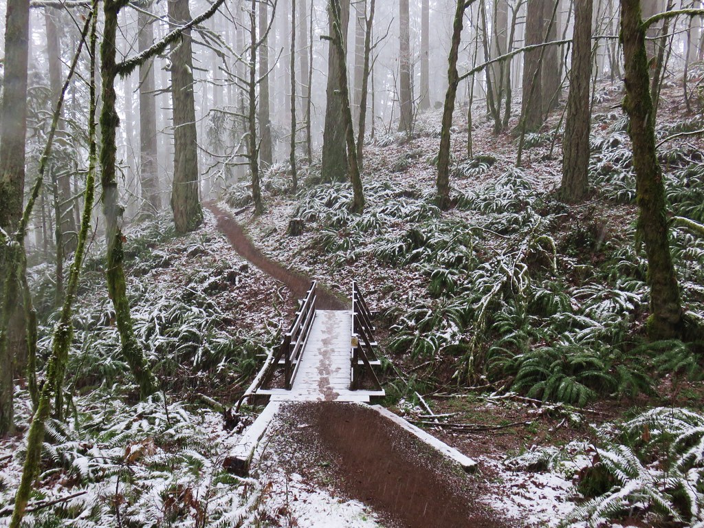
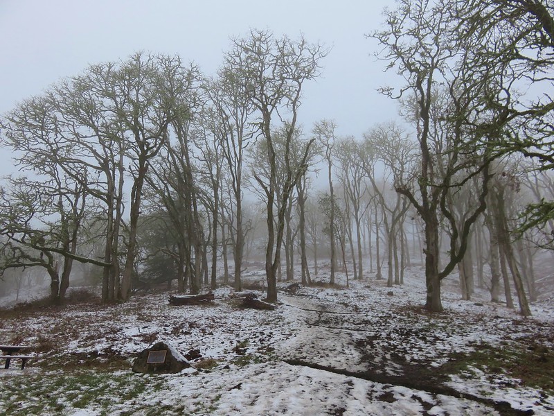
I hadn’t started from this trailhead since 2014 (post) but the forest was as pretty as I had remembered.


Columbine and iris

Rattan’s beardtongue (Penstemon rattanii)


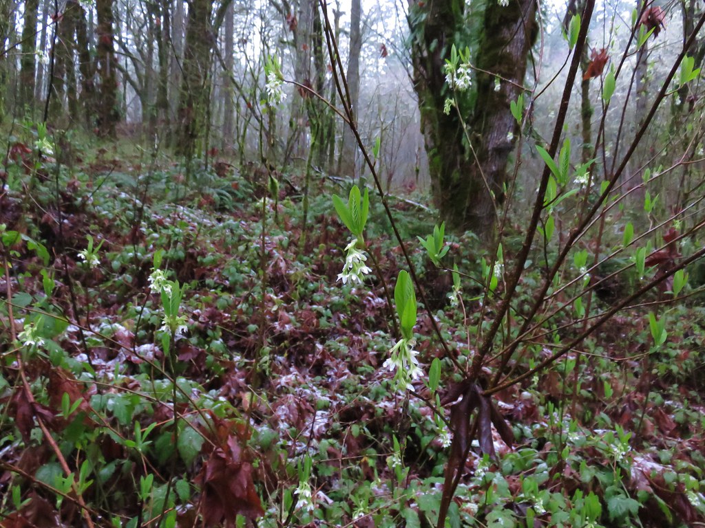
Pink pyrola


Little prince’s pine
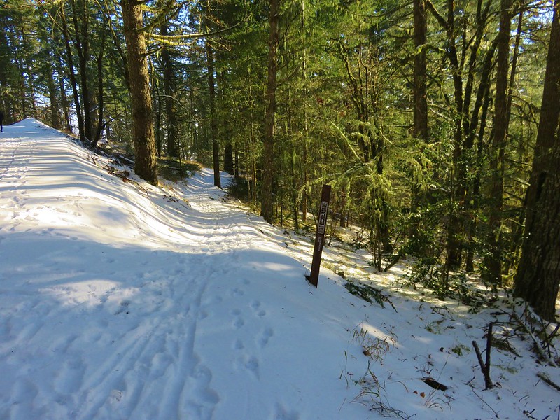
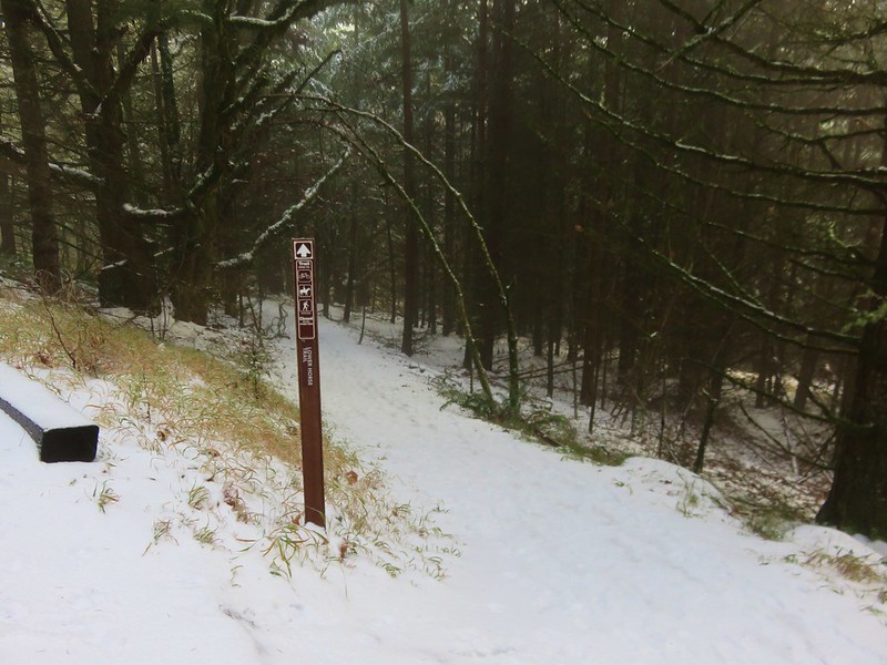
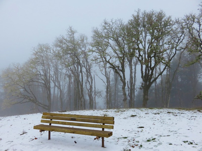
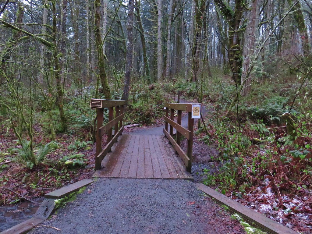
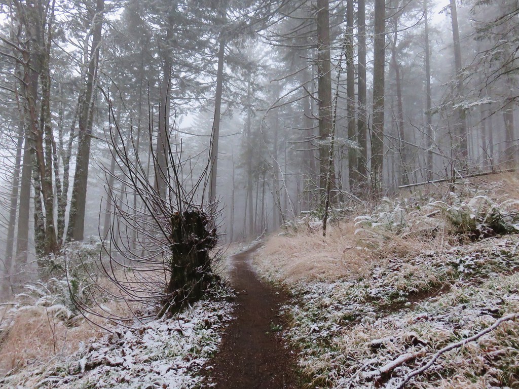
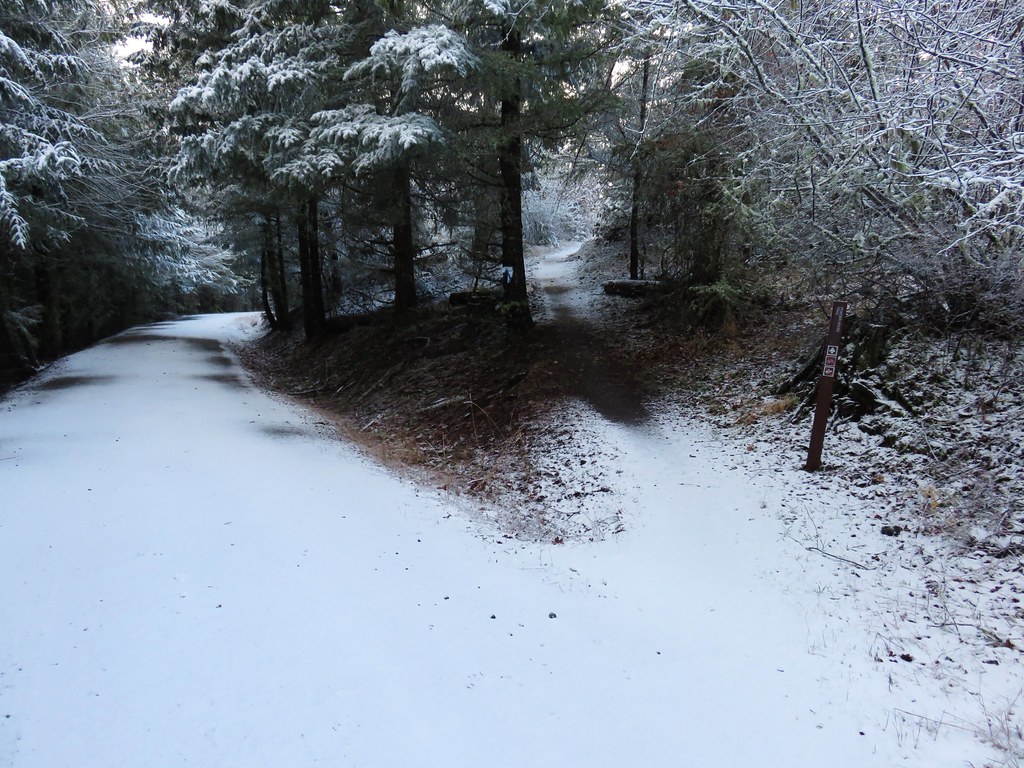
Just over a mile from the trailhead, near a bench, the trail arrives at a junction with the Tie Trail.

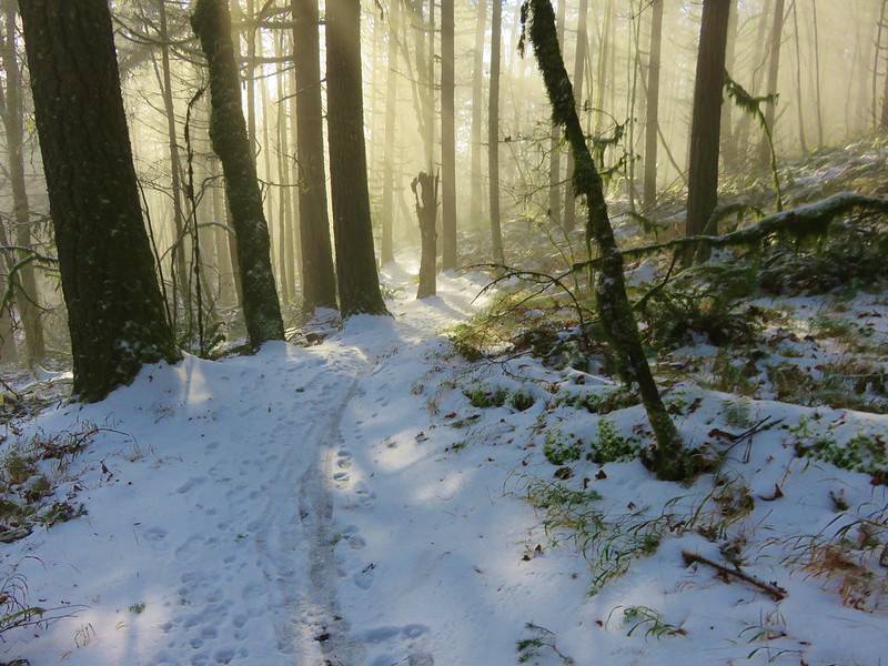
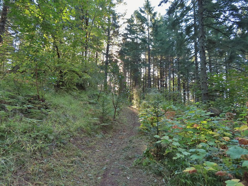
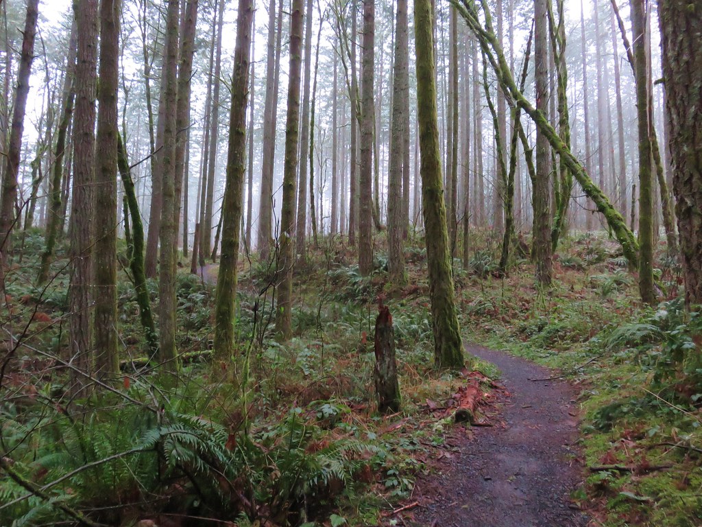
At the junction the East Ridge Trail made a switchback and began a fairly steep 1.2-mile climb to the Summit Loop Trail.

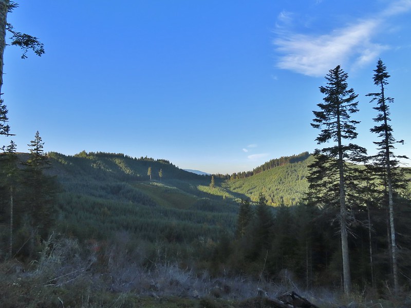
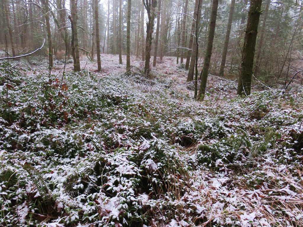
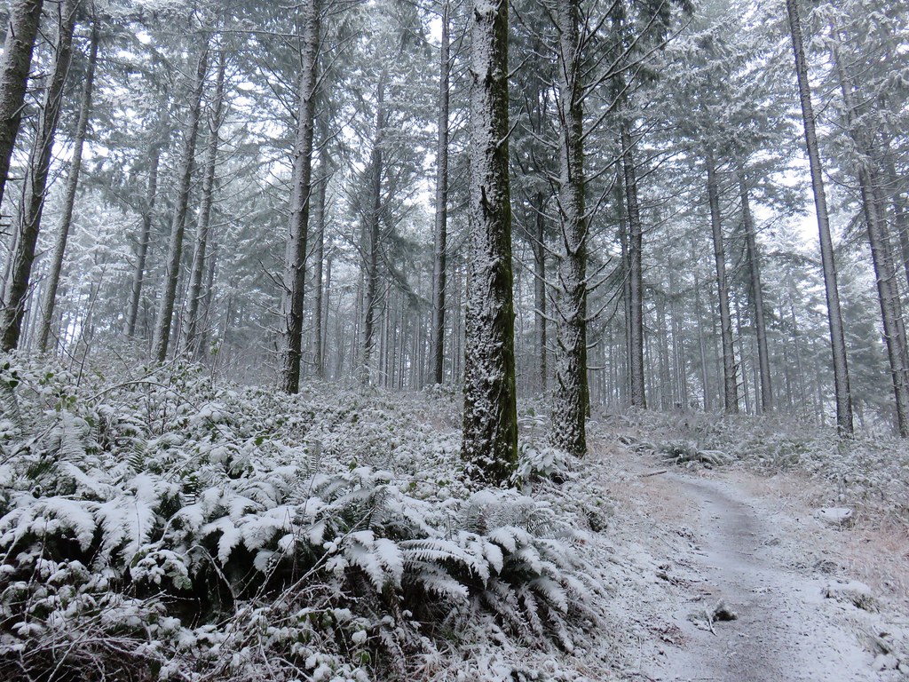
The number of wildflowers that I was seeing in the forest increased as I climbed.

Vanilla leaf

Fringecup

Anemones

Small-flowered alumroot

Lupine

Chickweed

Inside-out flower


Arrowleaf groundsel starting to bloom with thimbleberry and columbine blossoms lining the trail.

Monkeyflower


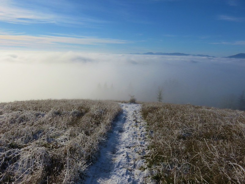
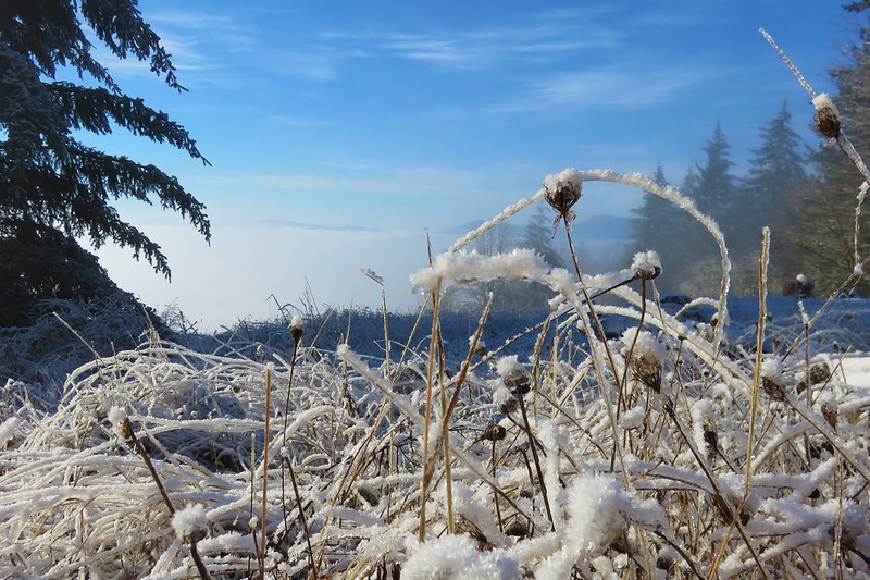
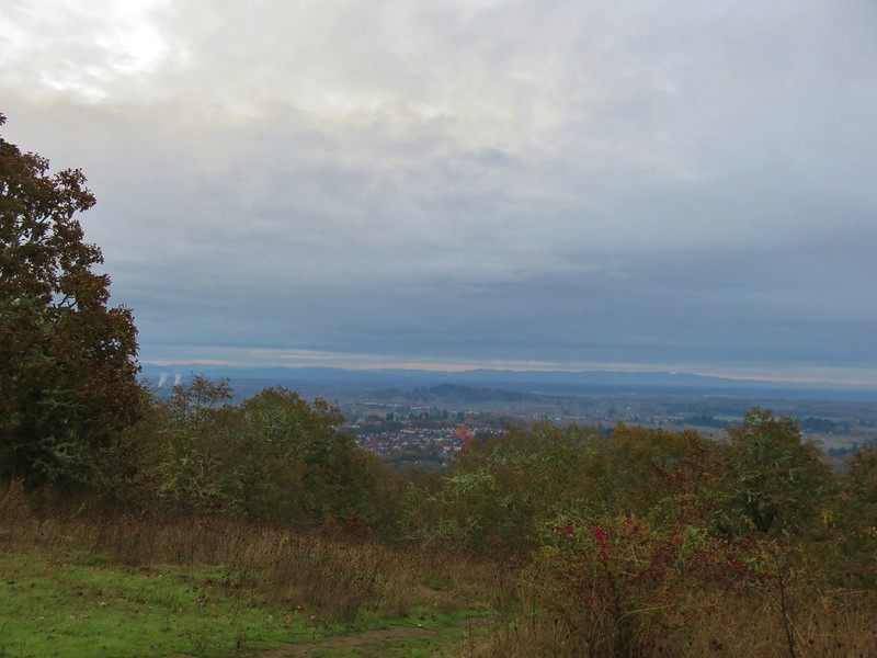
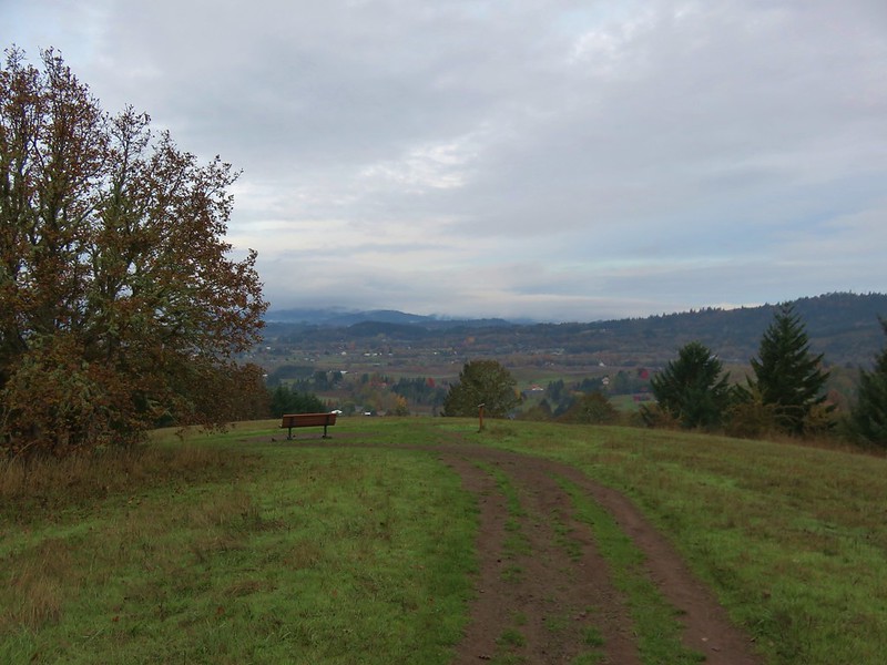
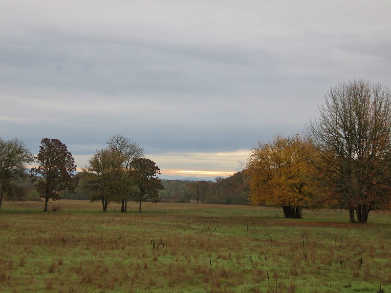
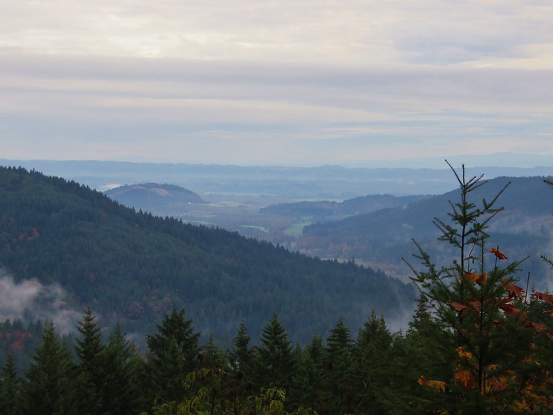
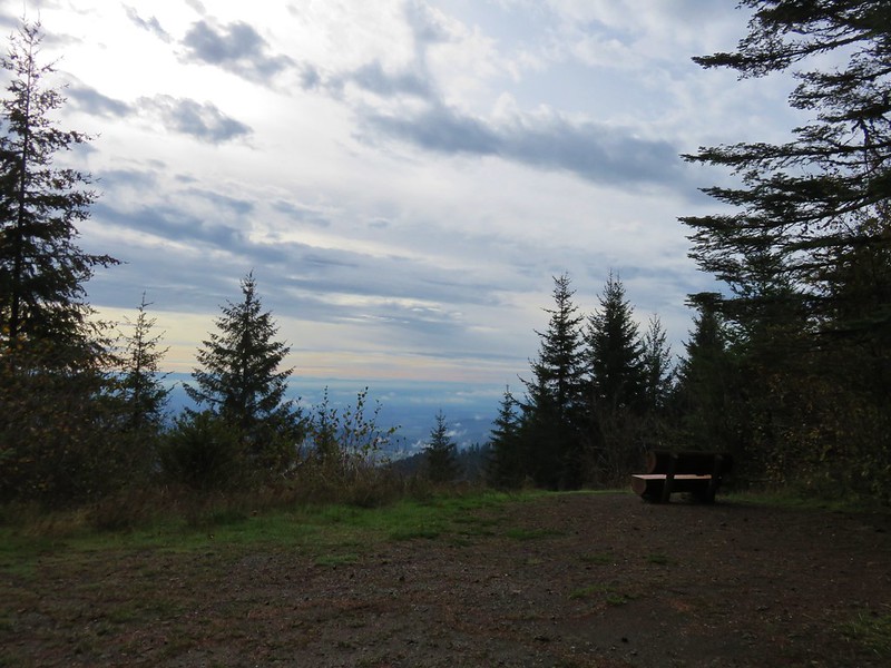
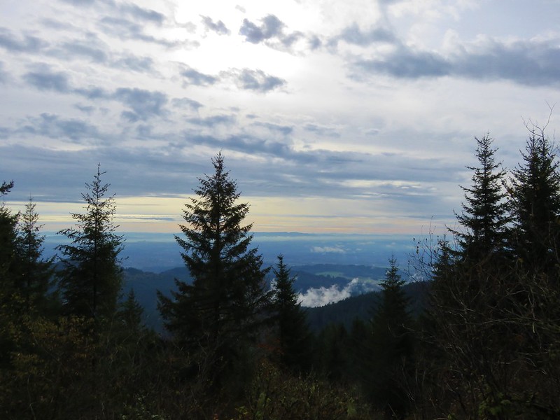
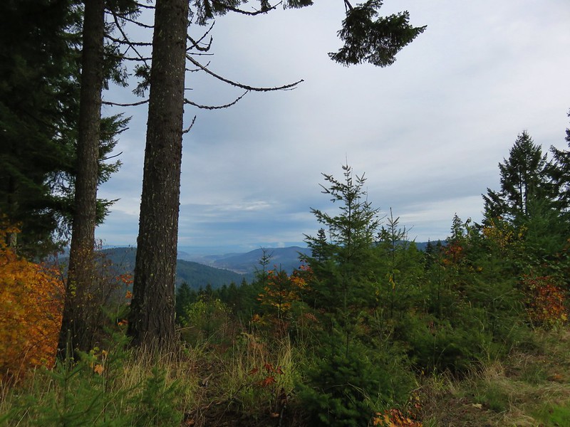
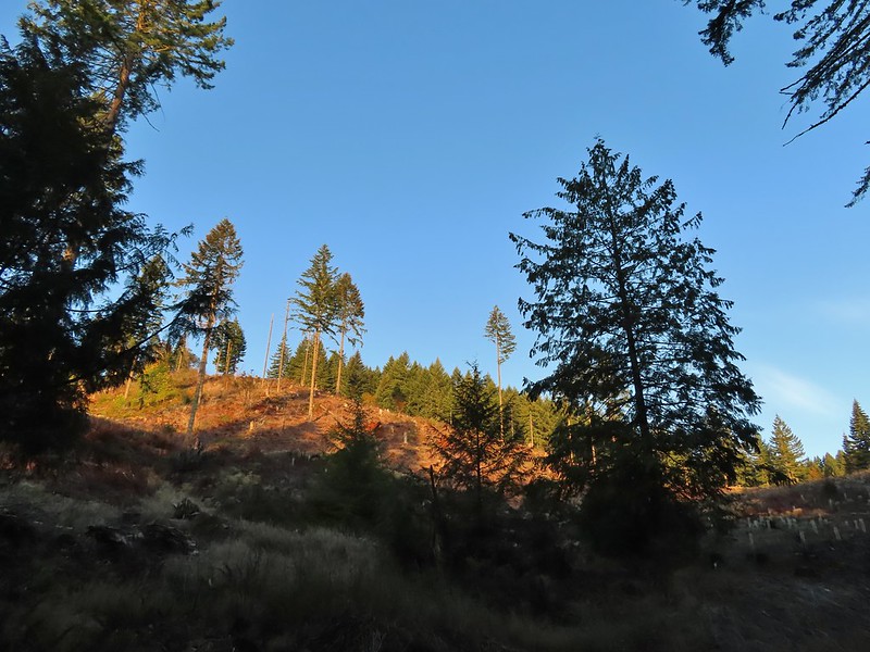
A layer of clouds was covering the valley below.

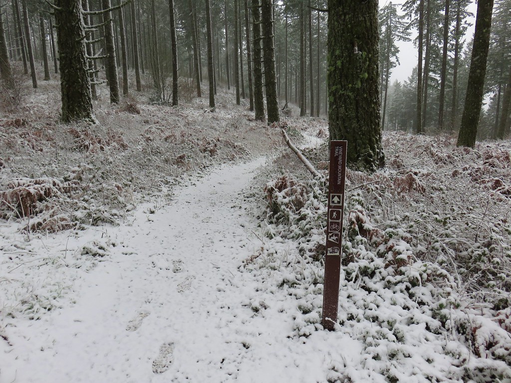
Trail sign at the junction with the Summit Loop Trail.
In another tenth of a mile I came to a new unsigned junction. A steep trail switchbacked up to the right that hadn’t been there on our previous visits. This is a 2025 reroute created by the Trailkeepers of Oregon (TKO) to move a portion of the trail out of sensitive habitat.

This is a photo from later in the morning as I came down to the junction on the new section.
I opted to stay left on the more gradual portion of the loop and soon left the trees.

Queen’s cup

Chipmunk

The trail climbed through the meadow to Mary’s Peak Road.

Penstemon along the trail.

The summit of Mary’s Peak ahead.

Mary’s Peak Road

Beargrass
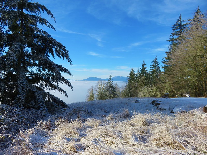
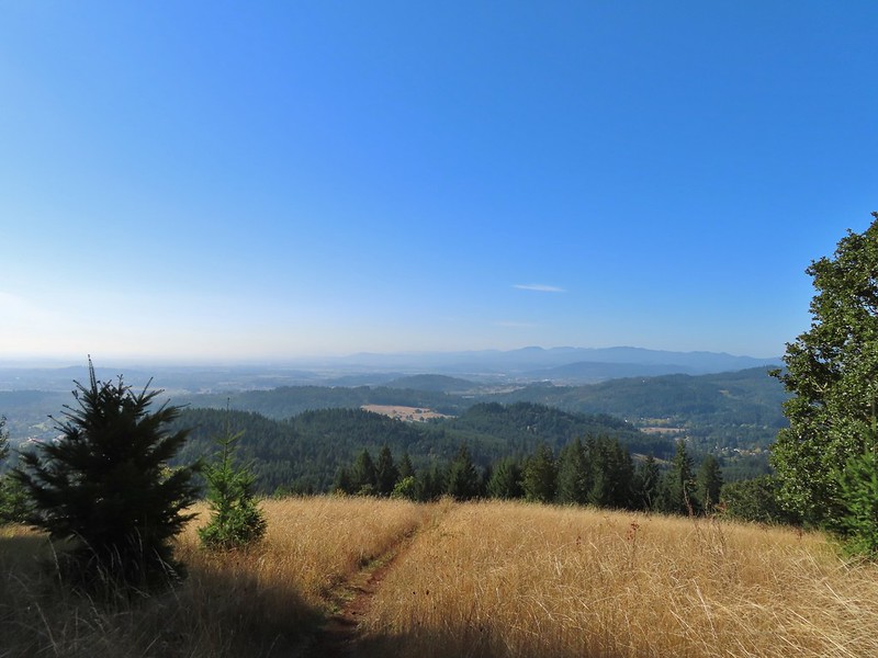
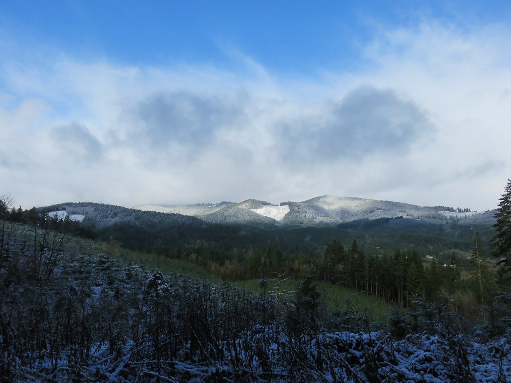
I turned left onto the road and followed it up and around to the summit in 0.4-miles. While the flowers were past peak there were still a few left and for the first time, I could see the Cascade Mountains. On previous visits clouds had always been in the way.


Paintbrush

One of two grouse that were on the road.

Penstemon and chickweed

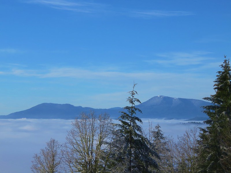
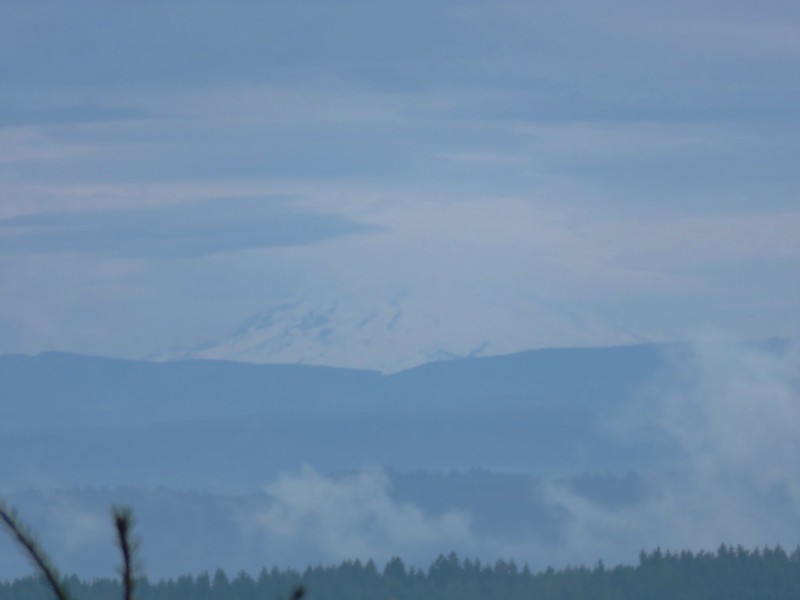
Mt. Jefferson to the left of the dead tree and the Three Sisters to the right.

The Three Sisters

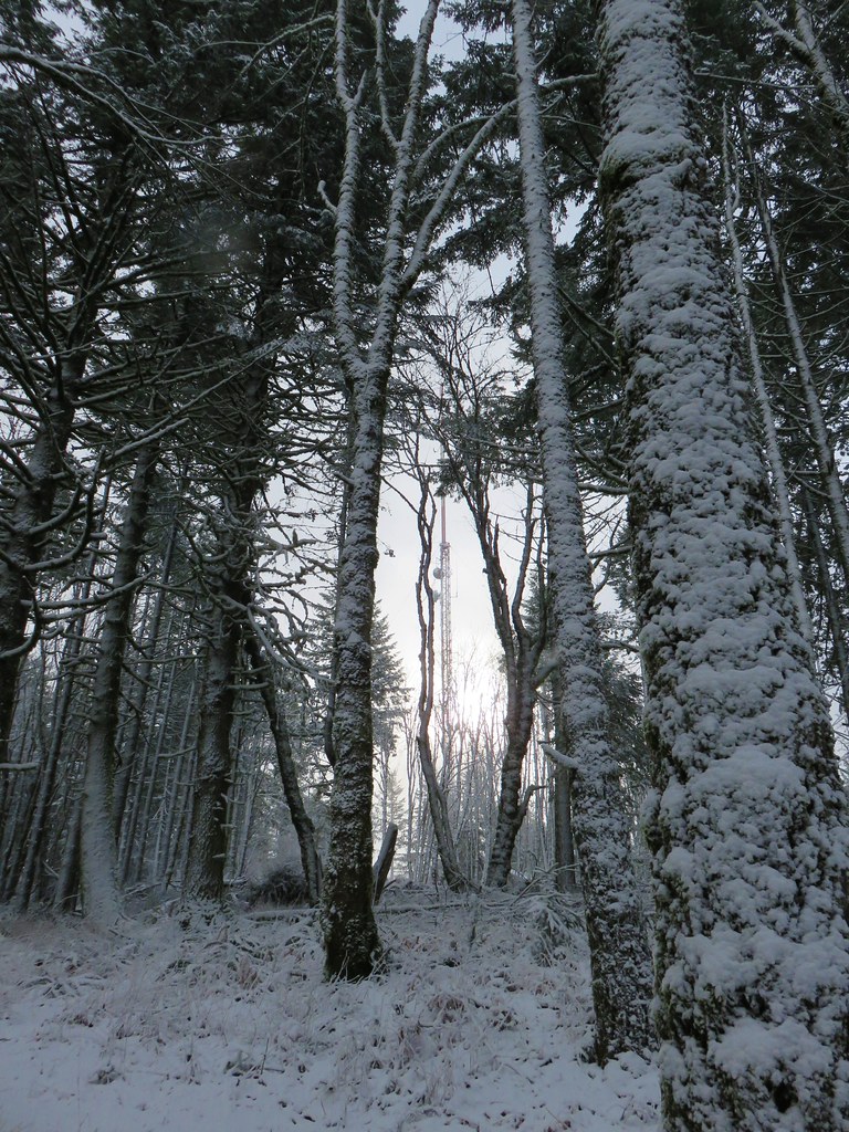
Towers on the summit.

Oregon sunshine and bluehead gilia

Paintbrush, Oregon sunshine and bluehead gilia

Catchfly

Cascade desert parsley

Wallflower

Blue head gilia

Olympic onions

The Mary’s Peak West Ridge

The last of the larkspur.

What was left of the phlox.

At the summit.
I took a short break at the summit to take in the views and then took a clear trail downhill to the NE.

Mt. Hood in the distance to the NE.

Tiger lily

Looking back up at the summit.
The trail veered to the NW toward the west ridge of Mary’s Peak before turning east and leaving the meadows.


Shortly after entering the forest I forked left at junction on the Meadows Edge Trail (trail 1325). While on the summit I had decided to do this 1.6-mile loop before heading back.

The Summit Loop Trail I’d come down to the left and the Meadows Edge Trail to the right.
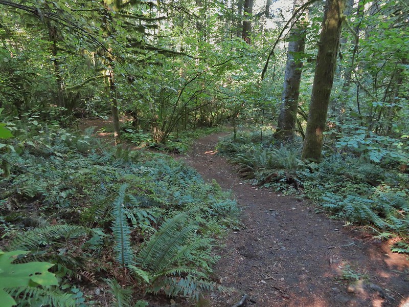
Fifty yards later I stayed left again to hike the loop clockwise. The loop stays primarily in the forest with a couple of forays along the edge of meadows. The forest along this trail might be my favorite in the area.

Map at the start of the loop.

Queen’s cup


The summit towers from the loop.


Moth

Bleeding heart


Footbridge over Parker Creek.

Avens, foam flower, and youth-on-age.

Columbine

Junction with a spur to Mary’s Peak Campground.

An almost ripe salmonberry.


False starry solomon’s seal and a violet.


Beargrass

Nearing the end of the loop.
After completing the loop I turned left and headed back to the Summit Loop then completed that loop.

Mary’s Peak Road on the other side of the trees.
I hiked a short distance down Mary’s Peak Road to check out the beargrass display then walked back and turned uphill (left) on a clear trail that headed NE.


Looking back down at Mary’s Peak Road.
This is the section of the Summit Loop that was realigned by TKO in 2025. The trail leads to some barriers at the top of the hill where the reroute begins.


Butterfly

Mt. Hood in the distance above the clouds.

The Three Sisters

The old alignment went directly over the hill and down to the day use parking area.

The new alignment.
The new section of trail entered the forest on the NE side of the hill and steeply descended via switchback to the junction at the start/end of the Summit Loop (pictured above).

Looking down the switchbacks.
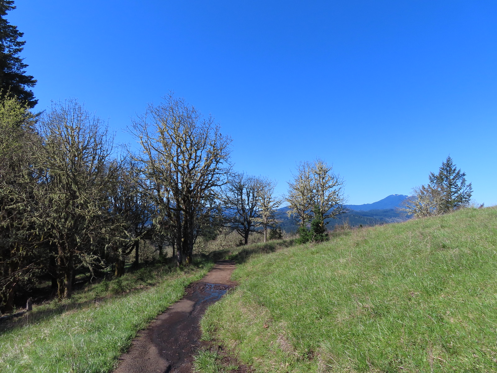
I turned left and hiked downhill to the next junction where I decided to take the longer route back to the trailhead by taking the North Ridge Trail to the Tie Trail and follow that back to the East Ridge Trail.

I headed left here.
This trail led up to the day use area.


California figwort

The day use area.

White crowned sparrow

Looking back toward the summit.
The North Ridge Trail began at the far end of the parking area.

I followed this trail downhill for three quarters of a mile to the junction with the Tie Trail.

Daisies along the trail near the day use area.


Star flowers


Bench at the junction.
I turned right onto the Tie Trail and followed it 1.2 fairly level miles to the East Ridge Trail.


Stripped coralroot

Pacific coralroot


Monkeyflower

Twinflower

Honeysuckle
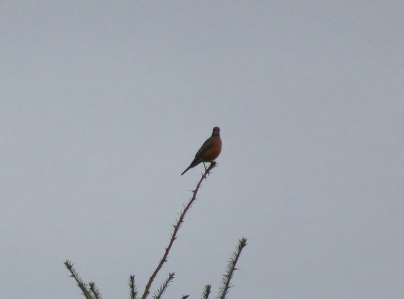
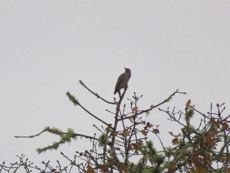
I was delayed while I battled my nemesis, the varied thrush, in an attempt to get a picture.

The Tie Trail was in good shape, just a bit overgrown near the junction with the East Ridge Trail.

After completing the Tie Trail I followed the East Ridge Trail back downhill to the trailhead.


Thimbleberry and vetch

The trailhead through the trees.
Today’s route came in at 8.6-miles with approximately 1750′ of elevation gain.

This was the longest hike I’d done since my leg/back issues began in February, and it was the best I’d felt after a hike since then as well. I’m still having some issues, but this was encouraging. Happy Trails!
Flickr: Mary’s Peak


 The landfill to the left.
 One of two pointers to keep hikers on track.
 Sign at the viewpoint.
 The remains of a bench at the viewpoint.
 Buttercups and iris
 The sign announces the “Summit 604′”, but the actual summit is further along the ridge on private property meaning the trail ends here.
 A mariposa lily surrounded by poison oak.
 The busy parking area.
 My route and the Coffin Butte Trail.
 Wandering on trails to the NE of the parking lot.
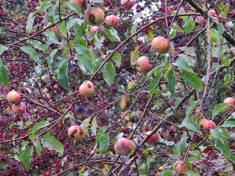
 Apple blossoms?
 Concrete structure left over from Camp Adair.
 Turkey vultures
 Turkey vulture
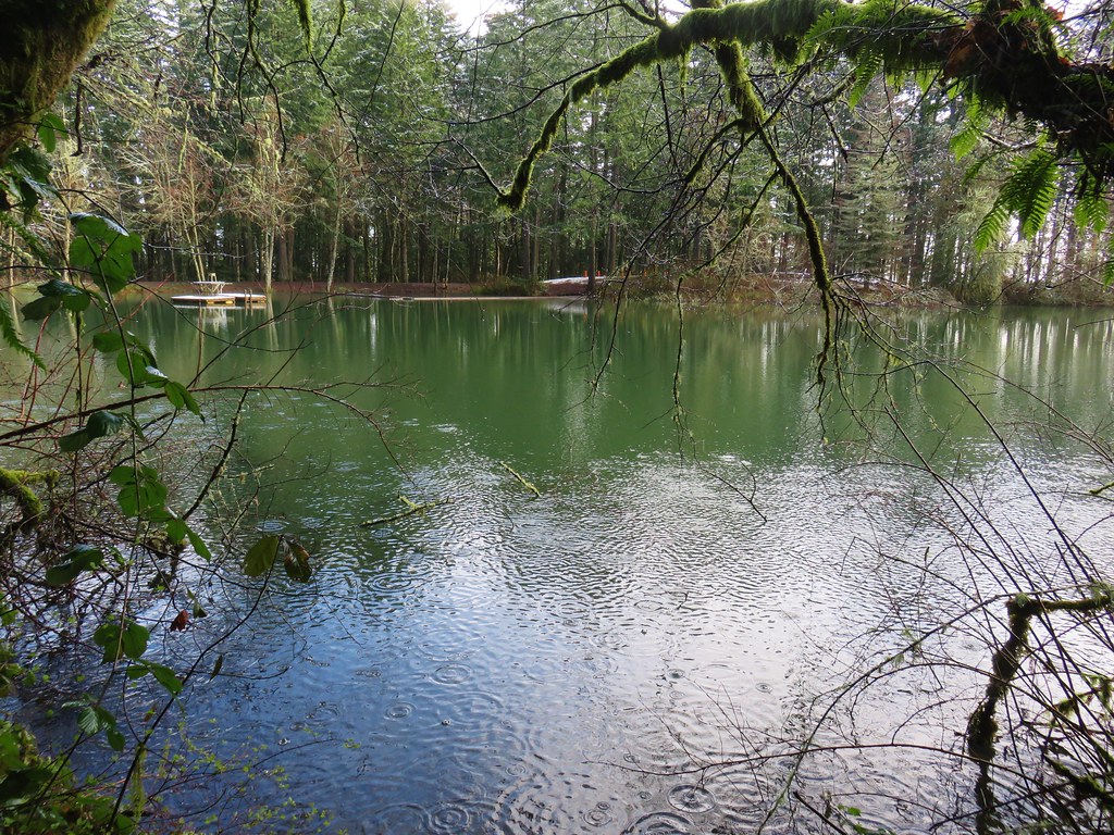
 Heading for the pond.
 There were all kinds of birds singing in the trees but nary a feather to be seen.
 Iris
Iris I believe this walkway is new since or previous visit.
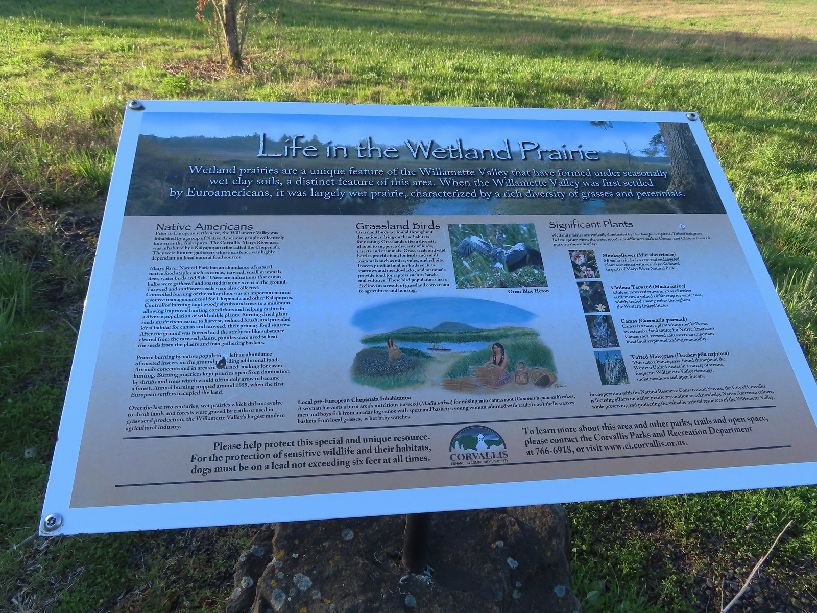
 There were quite a few folks fishing around the pond, and one great blue heron.

 Wetlands across the trail from the pond.
 Buffleheads
 Pied billed grebe
 Camas
Camas Hooded merganser drake
 Mallards
 Killdeer and hooded mergansers
 Sandpiper
 Heading west through the wildlife area.
 Hummingbird
 Family of geese
 Robin
Robin Black capped chickadee
 Northern flicker
 Wetlands
 Blackbird
 Groundsquirrel
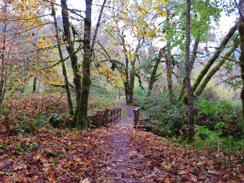
 A footbridge along the paved path crosses Frazier Creek.
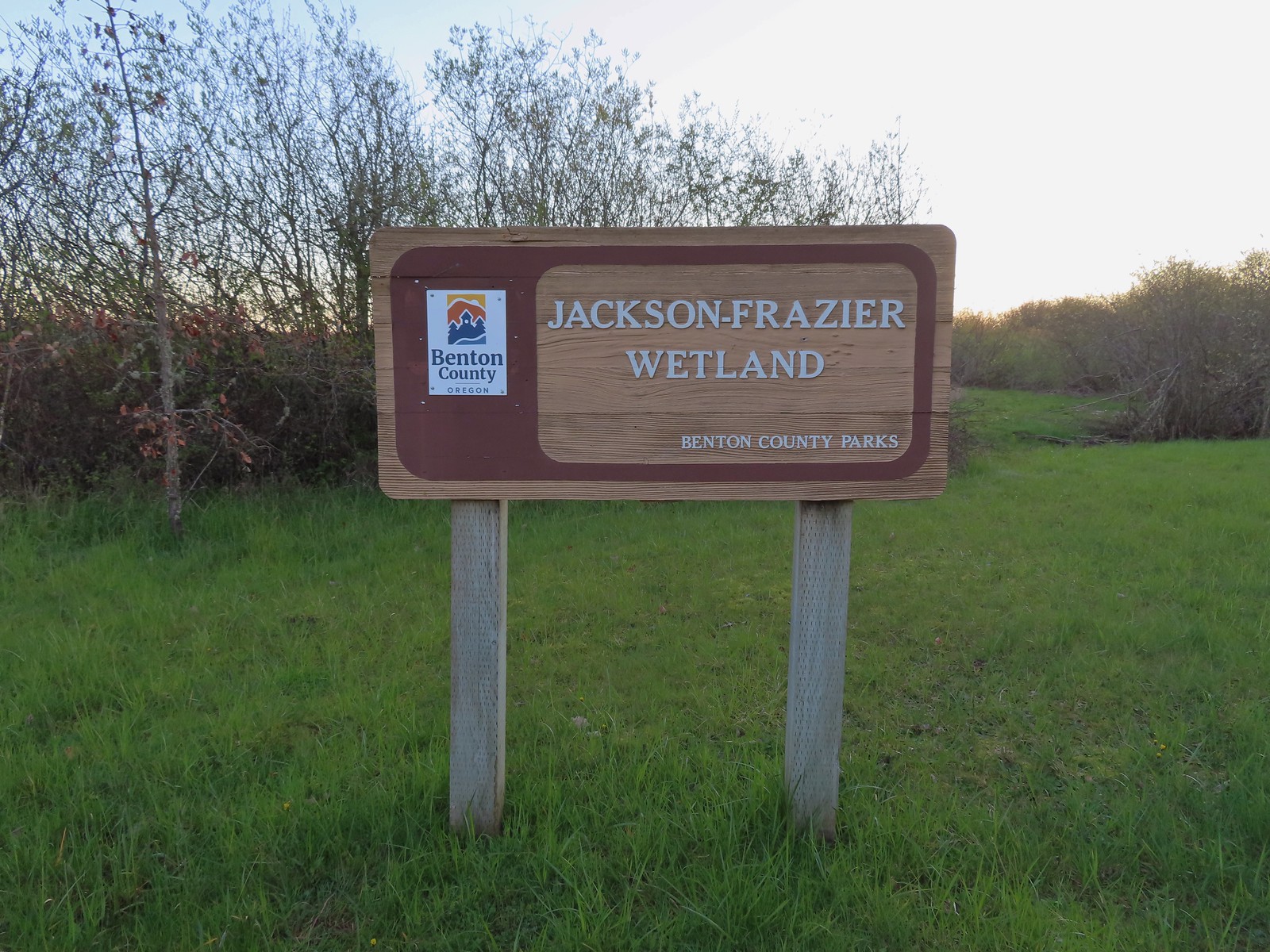
 Kiosk at the start of the Bob Frenkel Boardwalk.
 The start of the loop. We went counterclockwise.
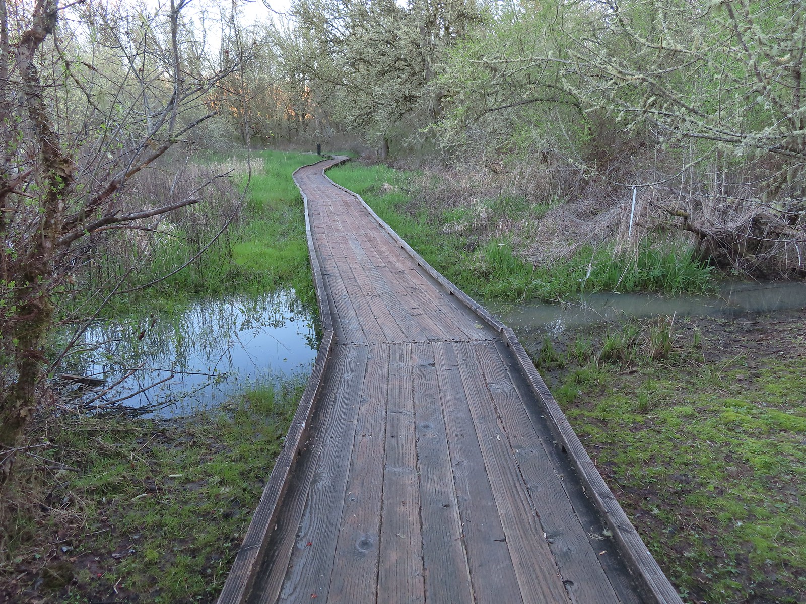
 Northern flicker
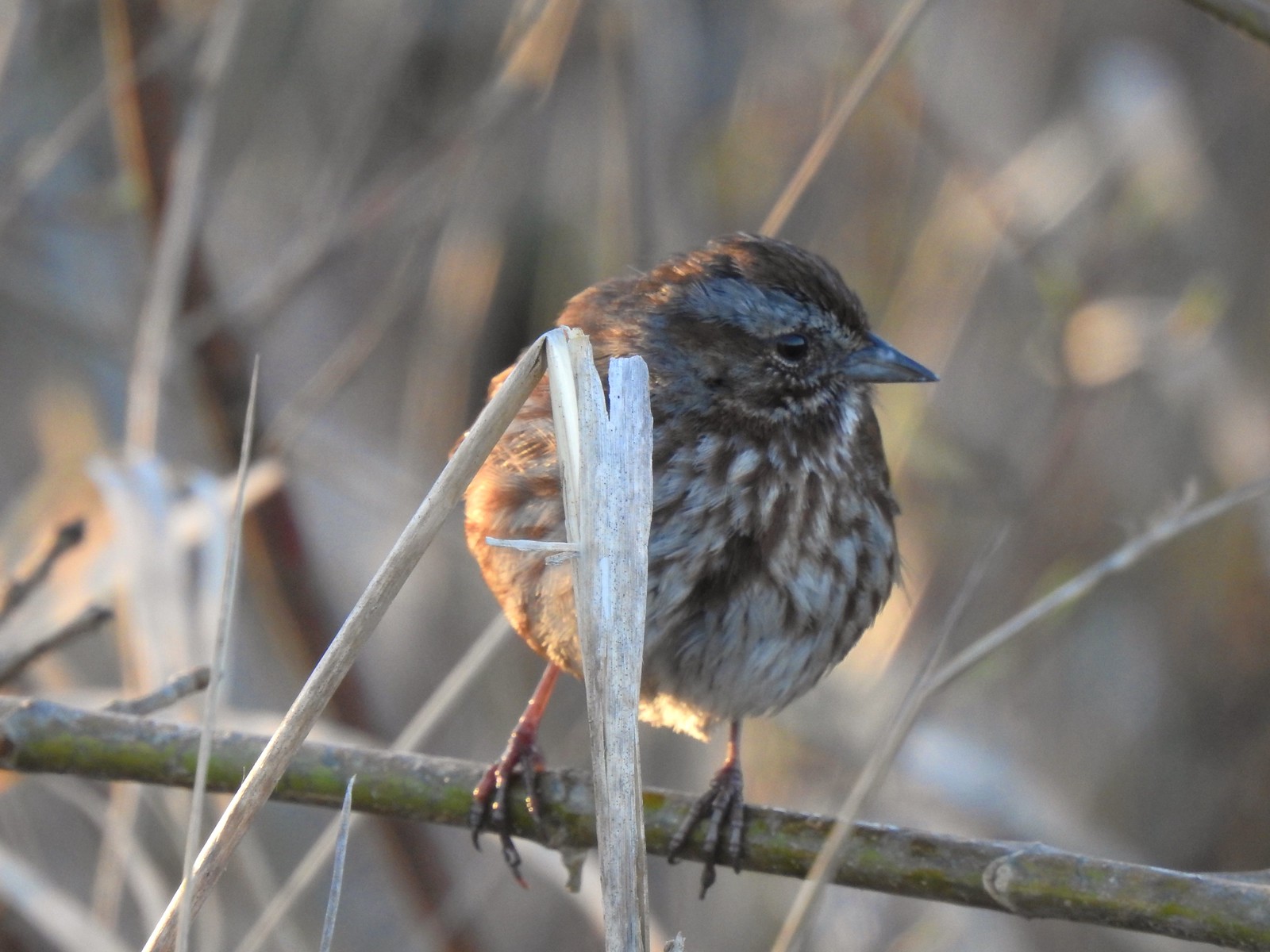
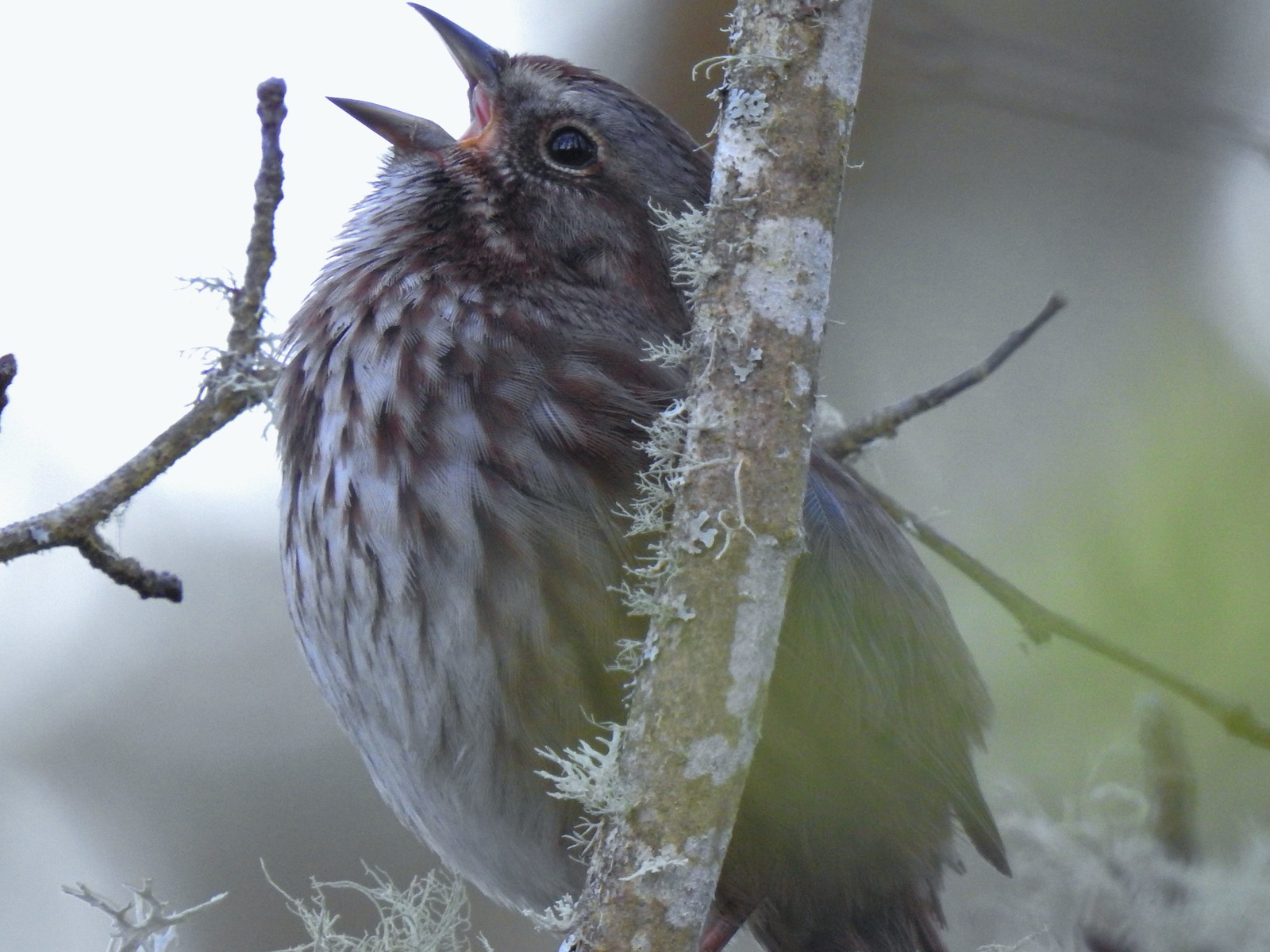 We listened to this sparrow sing for a bit. It was putting on quite the performance.
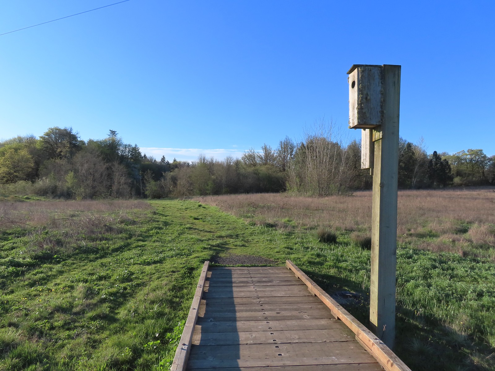
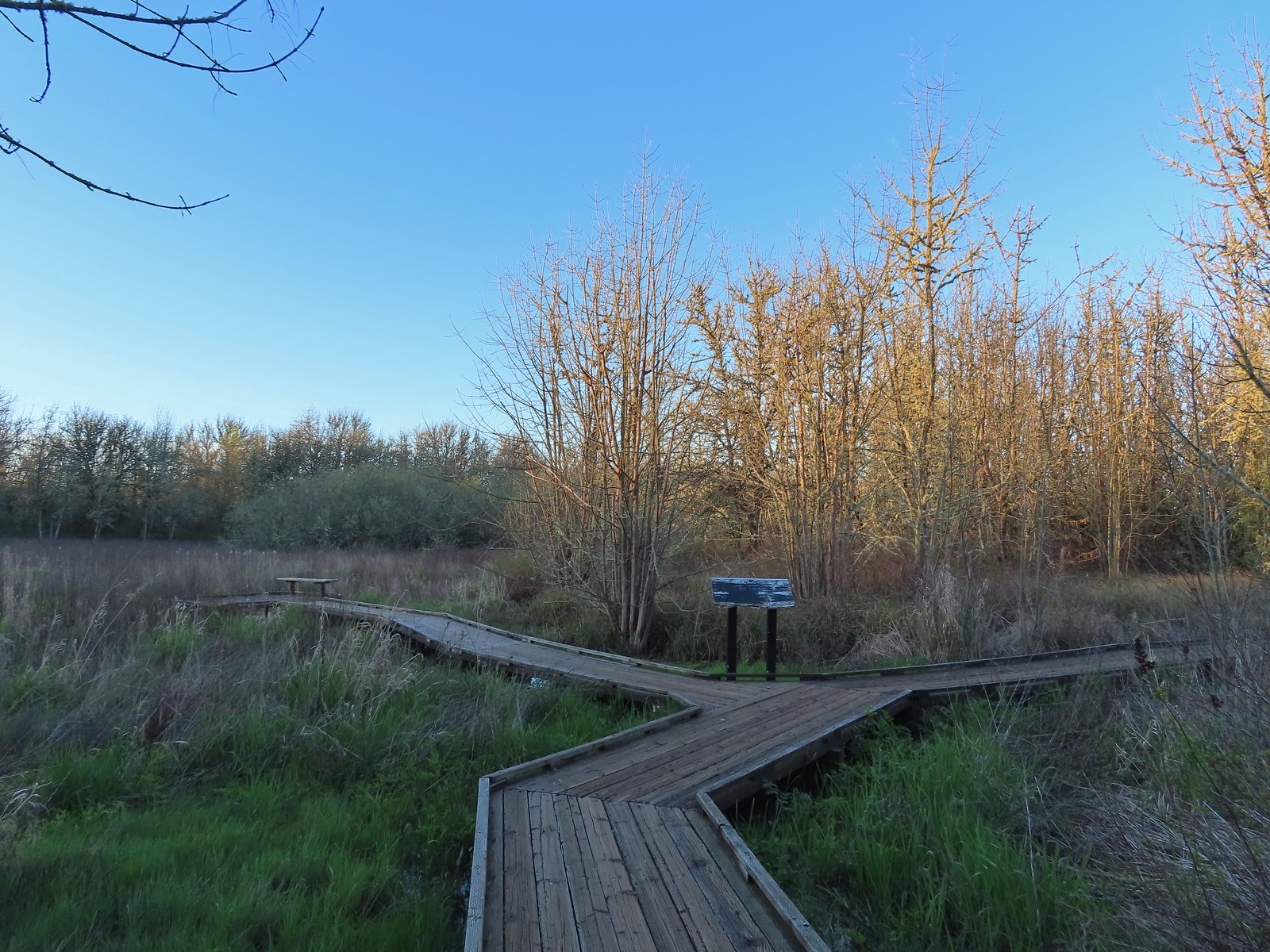 One of a couple viewing platforms off the main boardwalk.
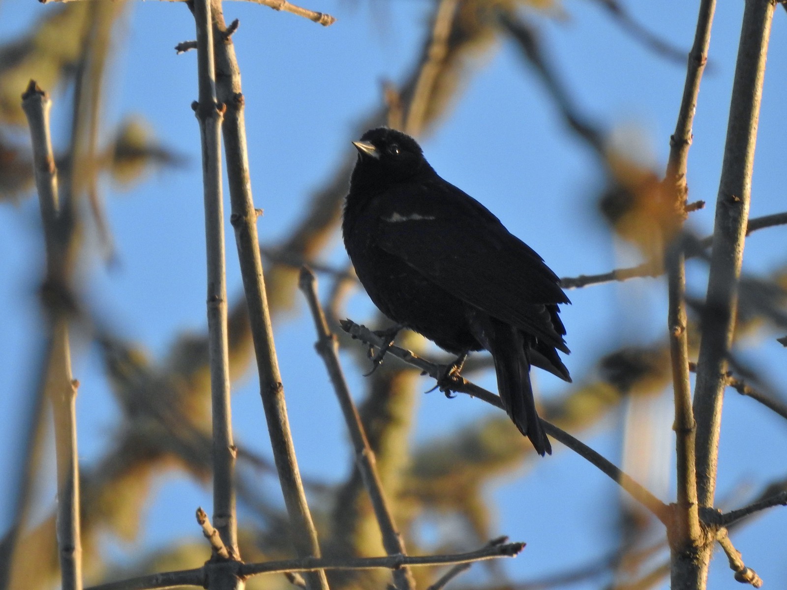 Blackbird
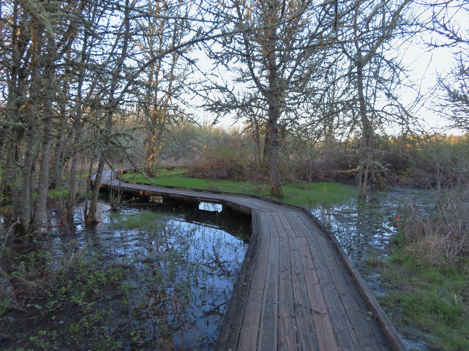
 Robin in the morning sunlight.
 Sparrow
 Hummingbird
 Easter rabbit?
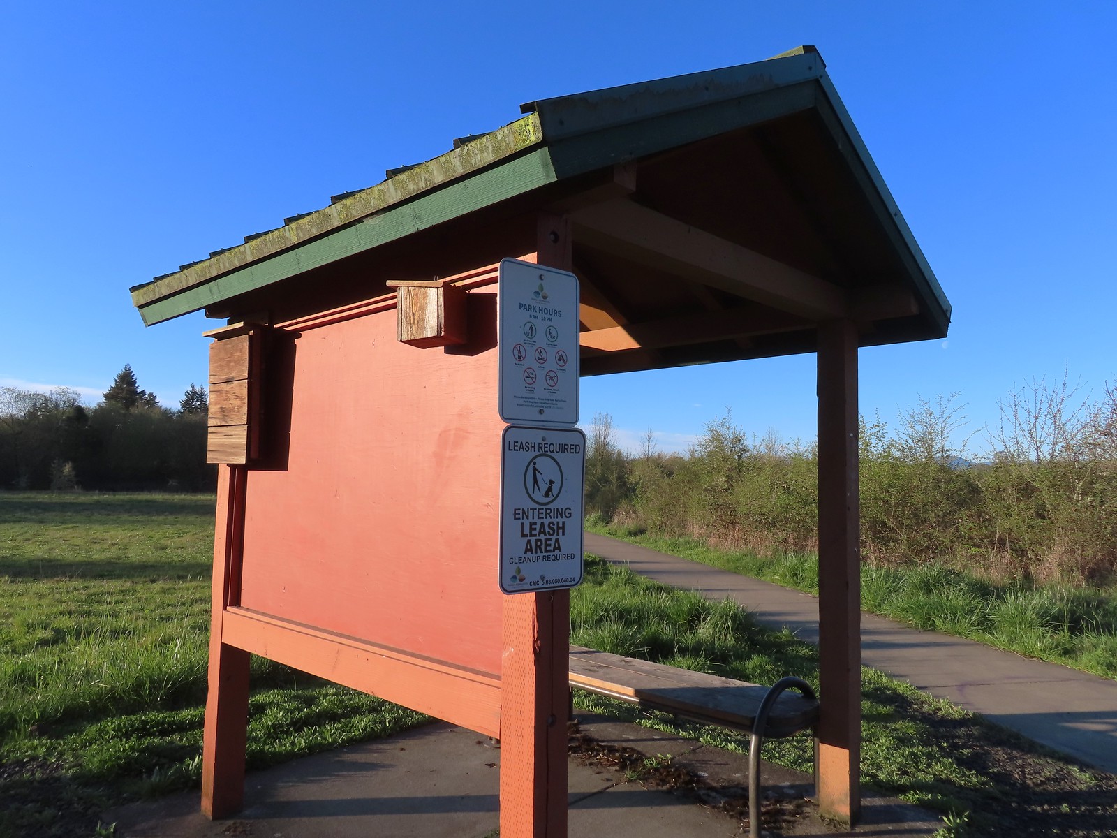 Kiosk at the trailhead.
 Interpretive sign along the path.
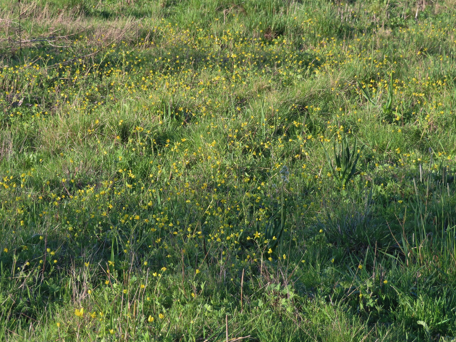 Buttercups and a bog saxifrage
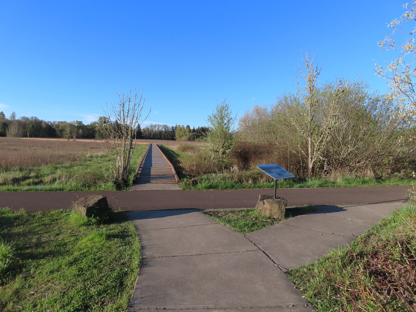 The start of the boardwalk.
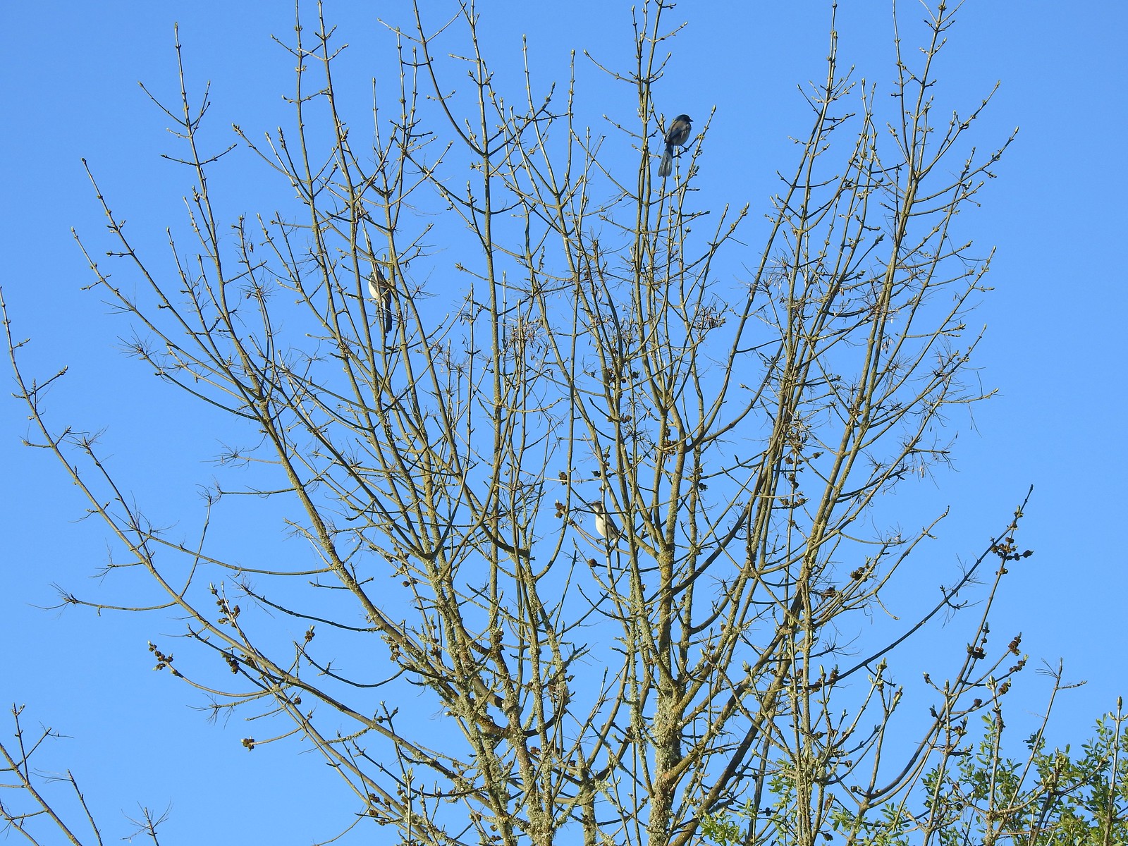 Three California scrub-jays
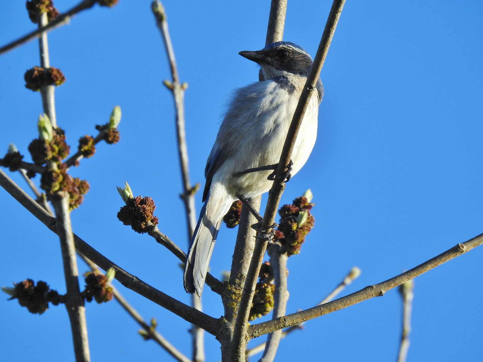 One of the scrub-jays up close.
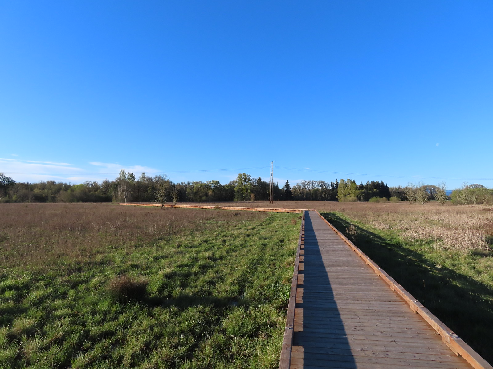
 We walked a short distance from the end of the boardwalk to visit Mary’s River.
 Swollen Mary’s River. It did appear that it might be possible to make this a loop in the dry season by following a grassy track, but it was too wet and muddy to even attempt that today.
 Mary’s Peak (
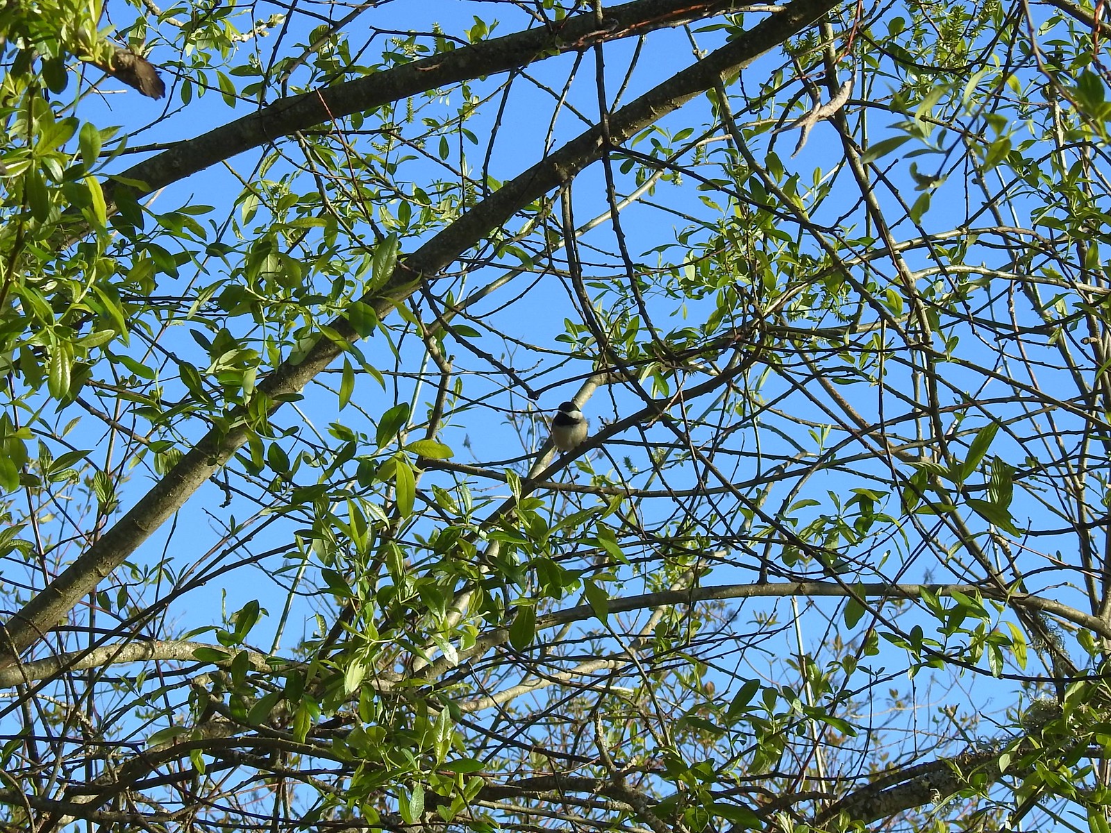 Black-capped chickadee
 Anna’s hummingbird
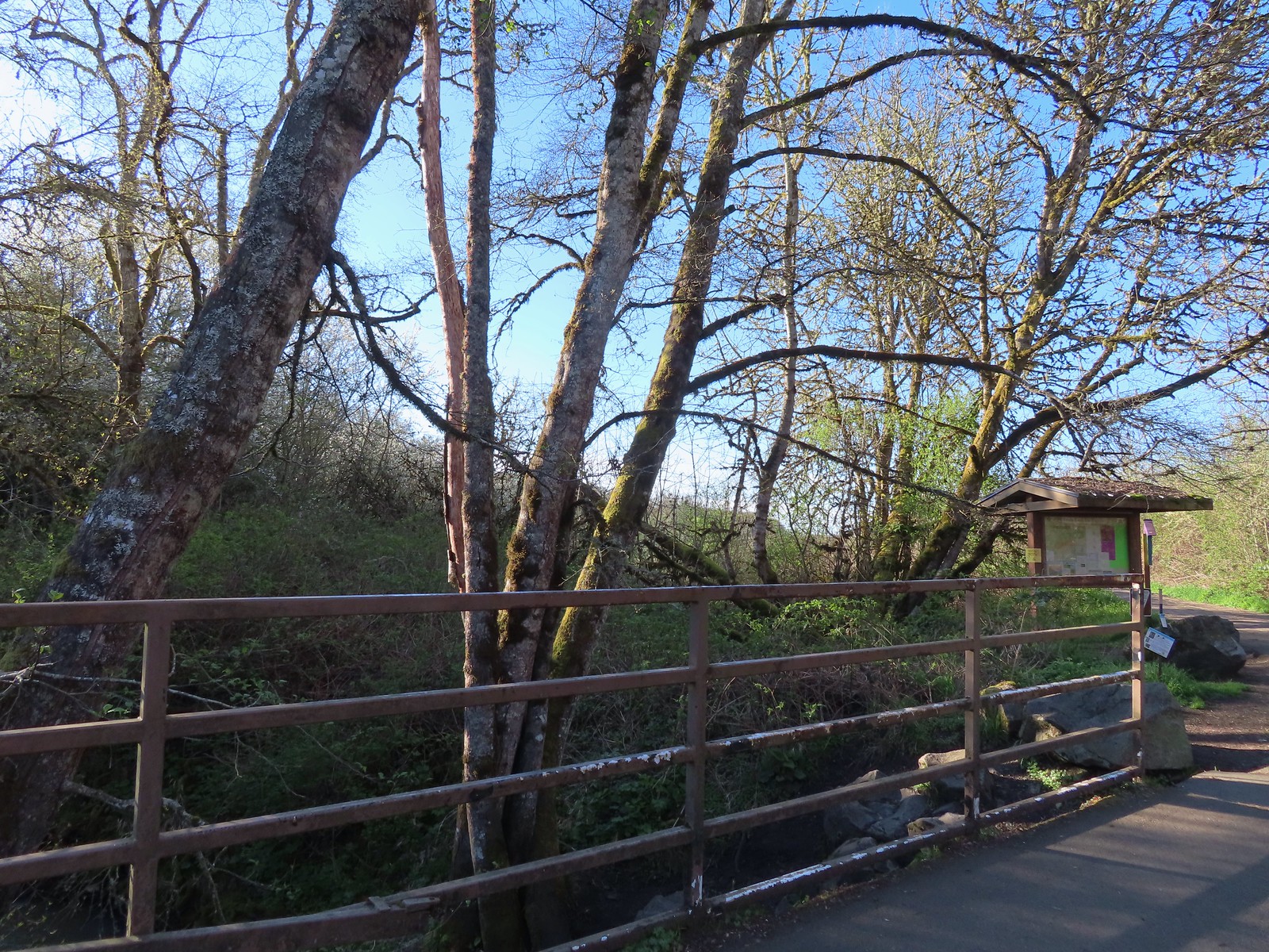 Kiosk just on the other side of Oak Creek from the trailhead parking lot.
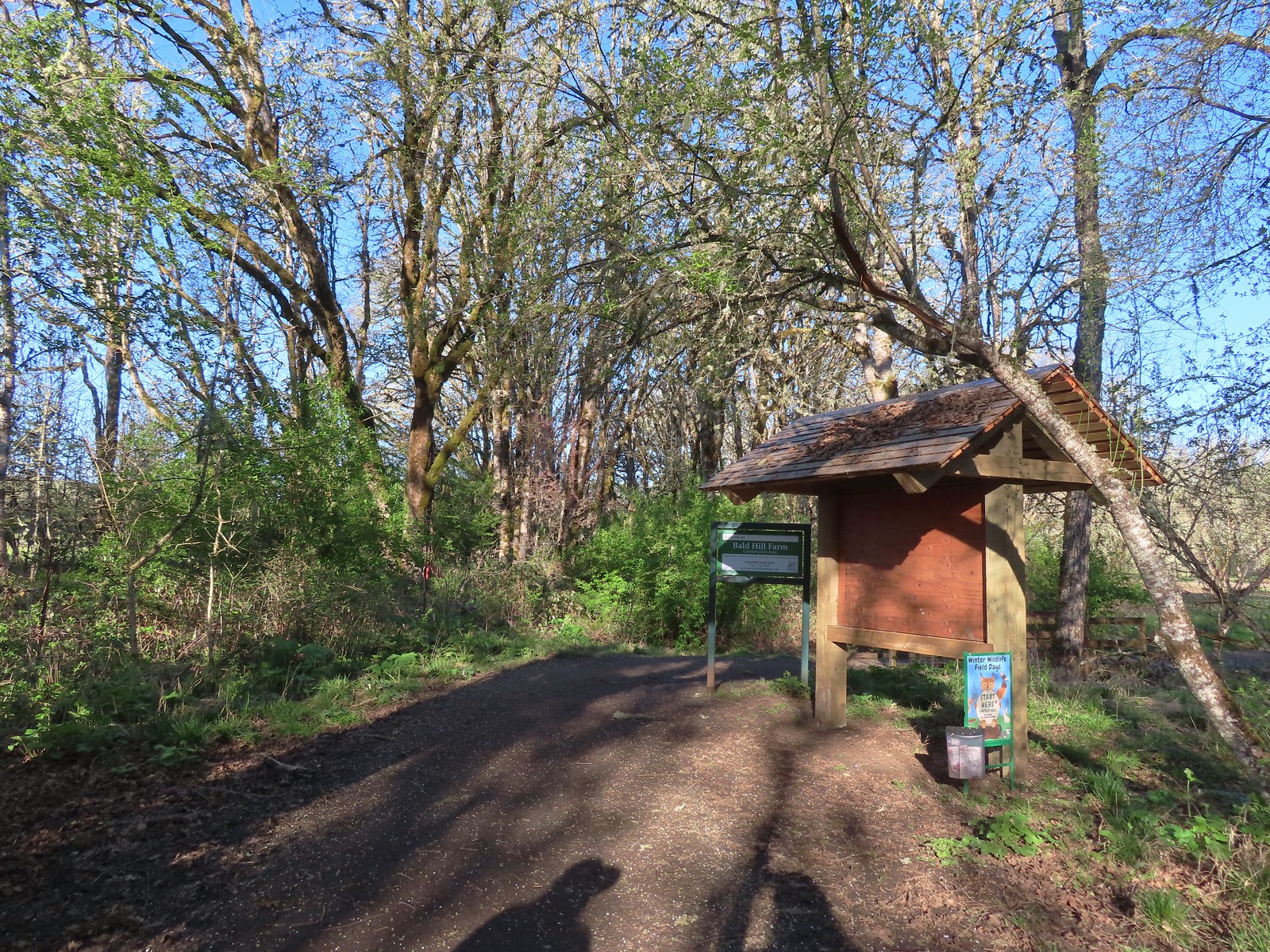
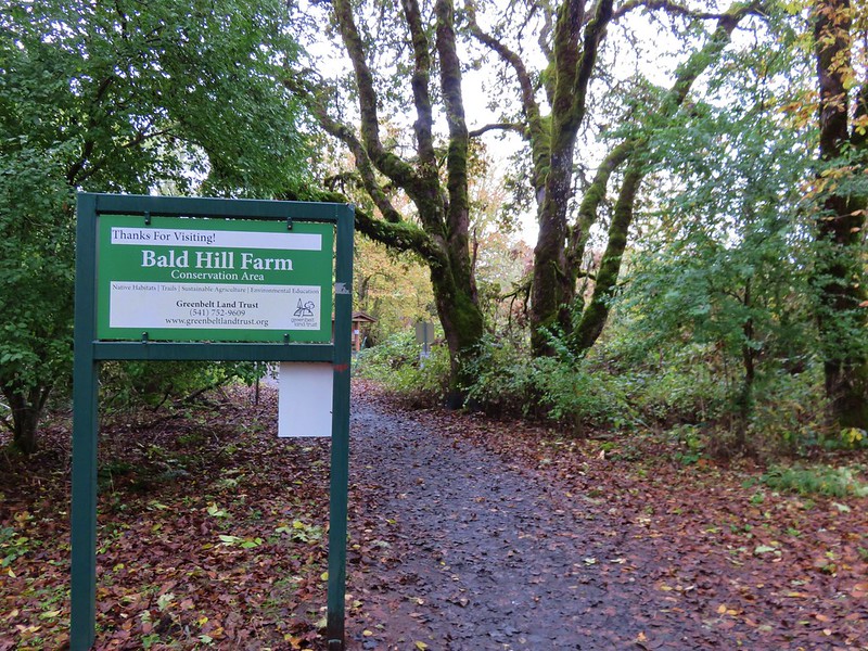
 Bald Hill from the trail.
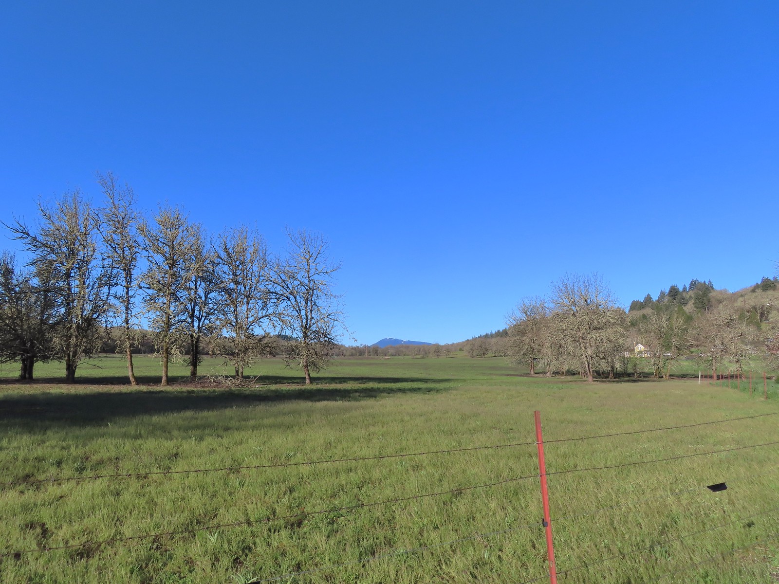 Mary’s Peak
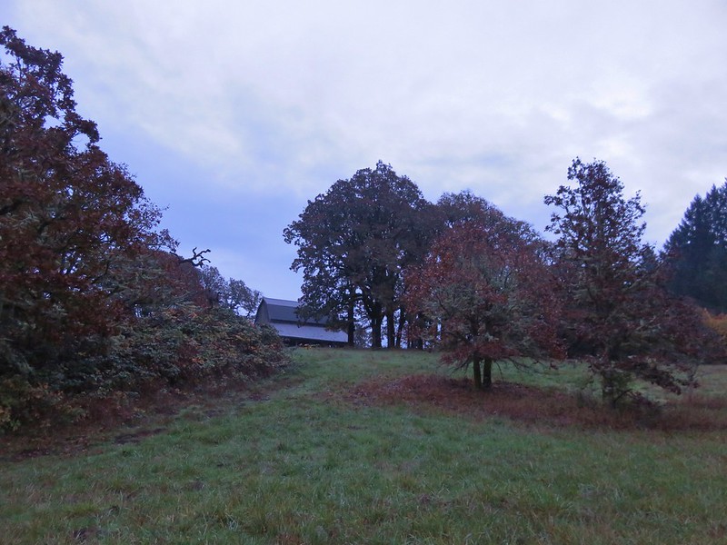
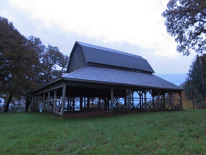
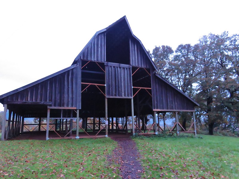
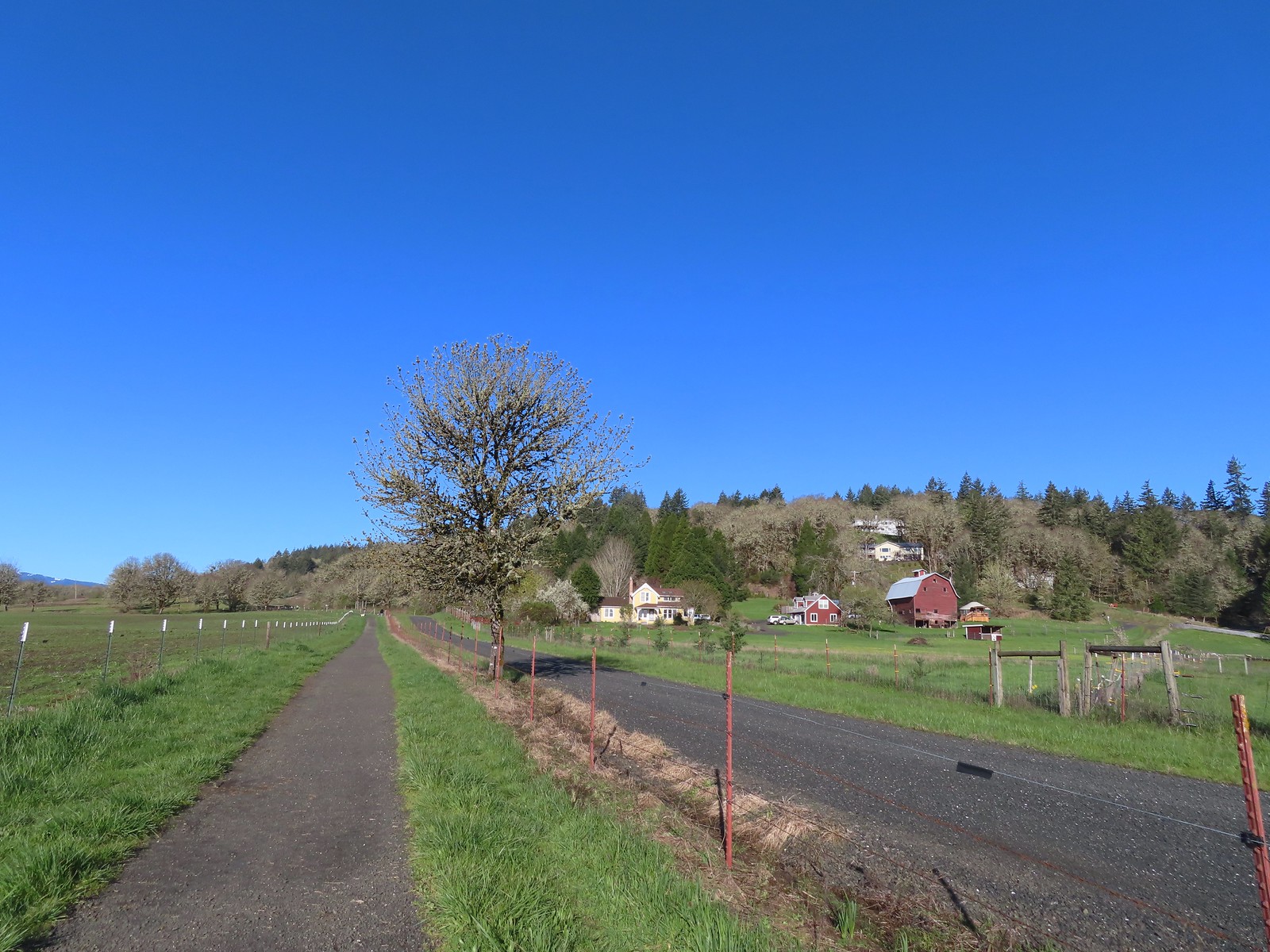 The barn across the gravel road.
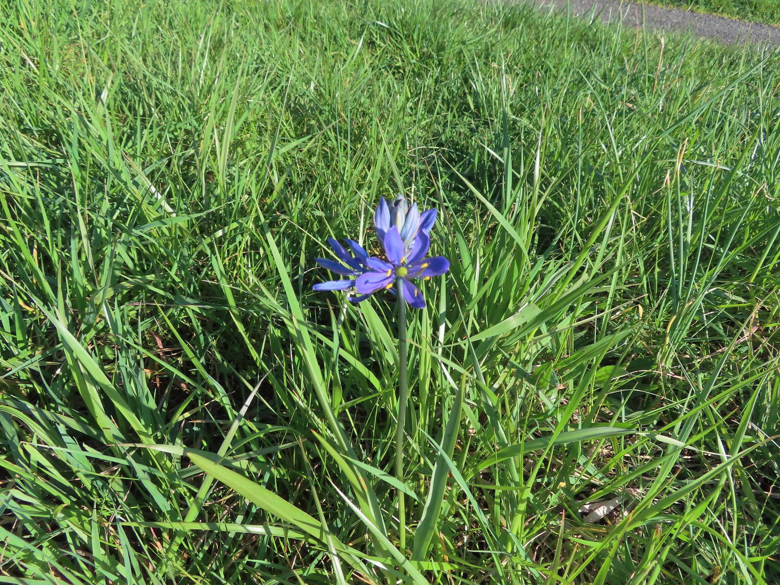 Our fist camas sighting of the year. The only one in bloom that we’d see all day.
 We’d turned left here on our 2016 Bald Hill hike.
 Crossing the farmhouse road to join the gravel road.
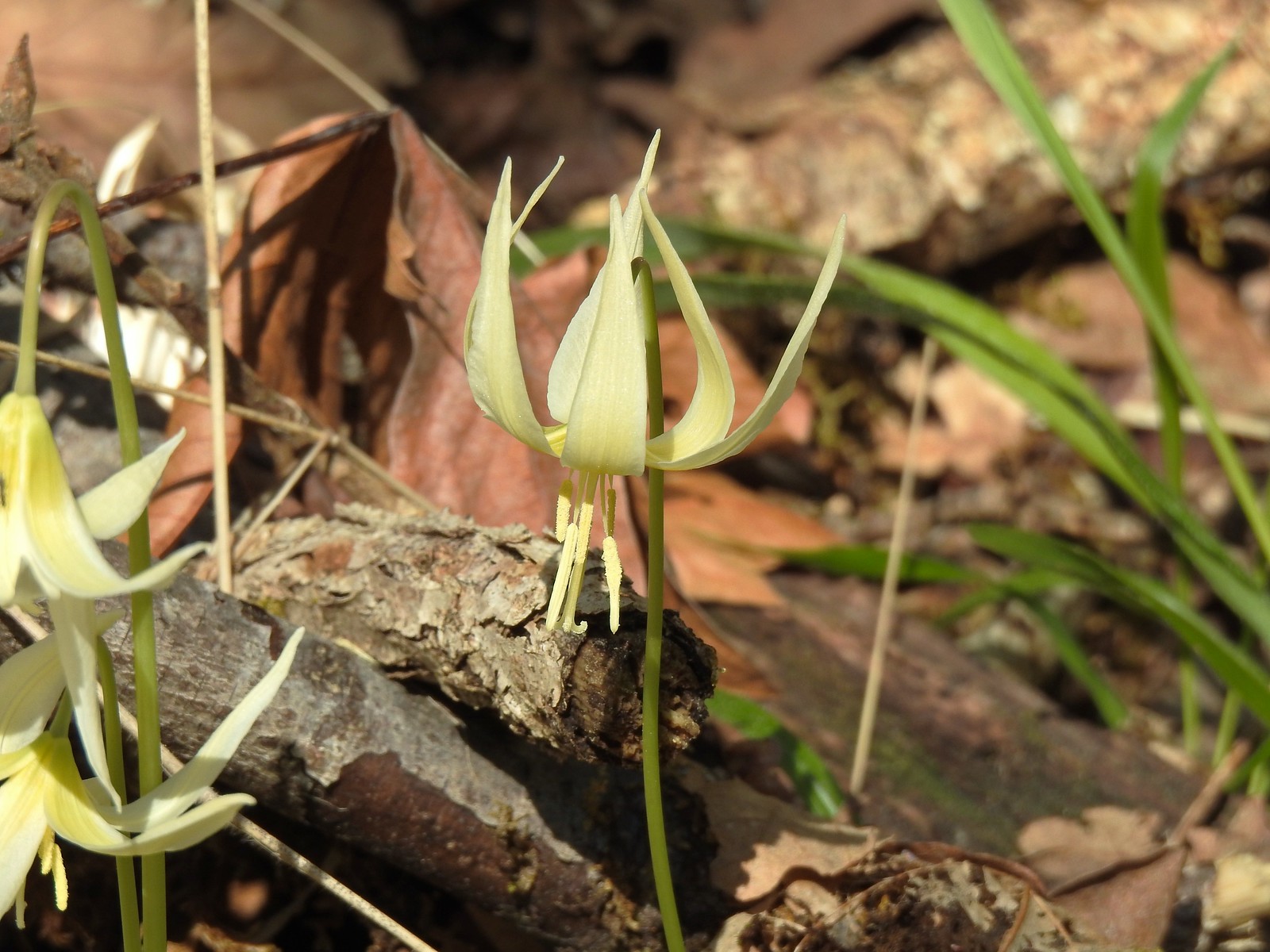
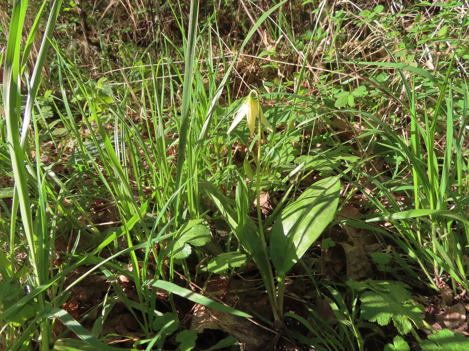 The first of many fawn lilies we’d see.
 Giant white wakerobin
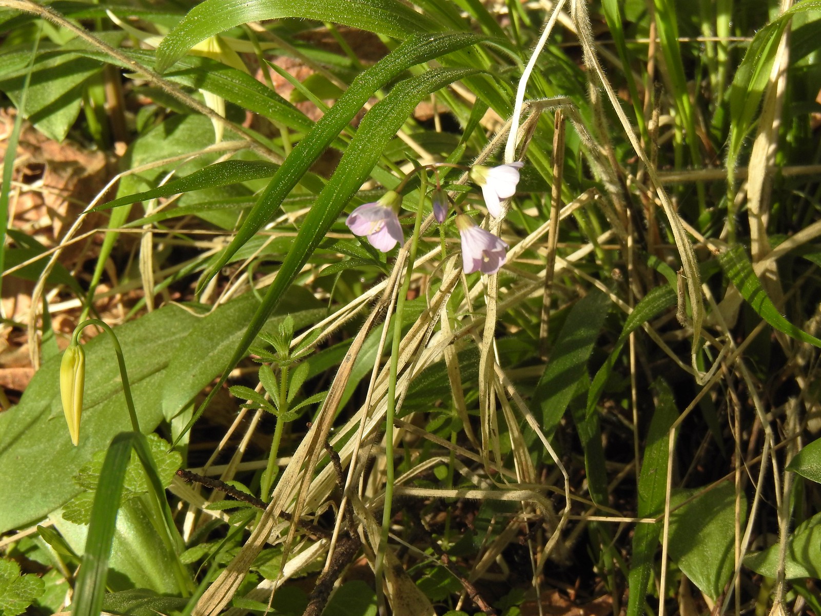 Toothwort
 More fawn lilies
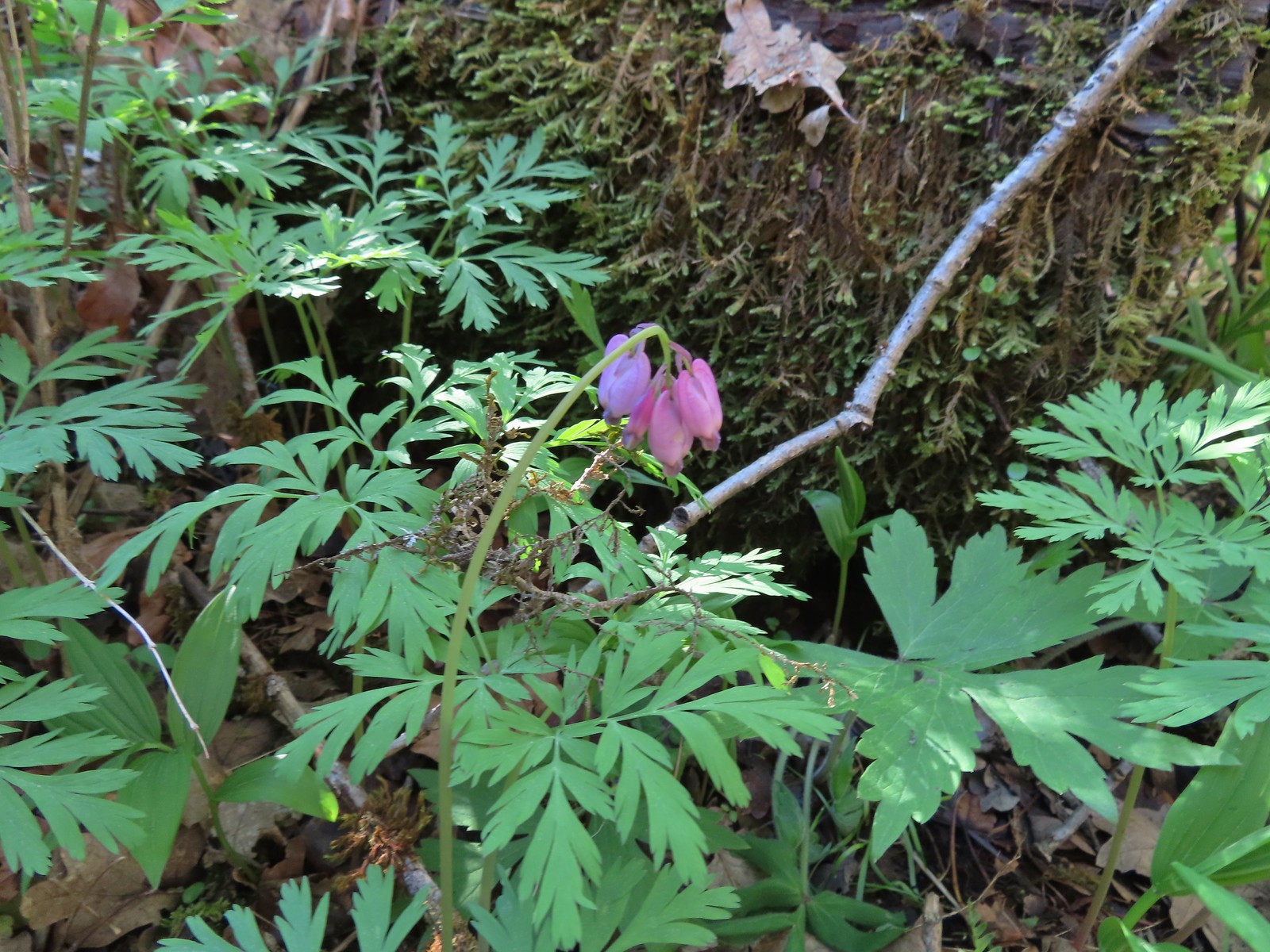 Bleeding heart
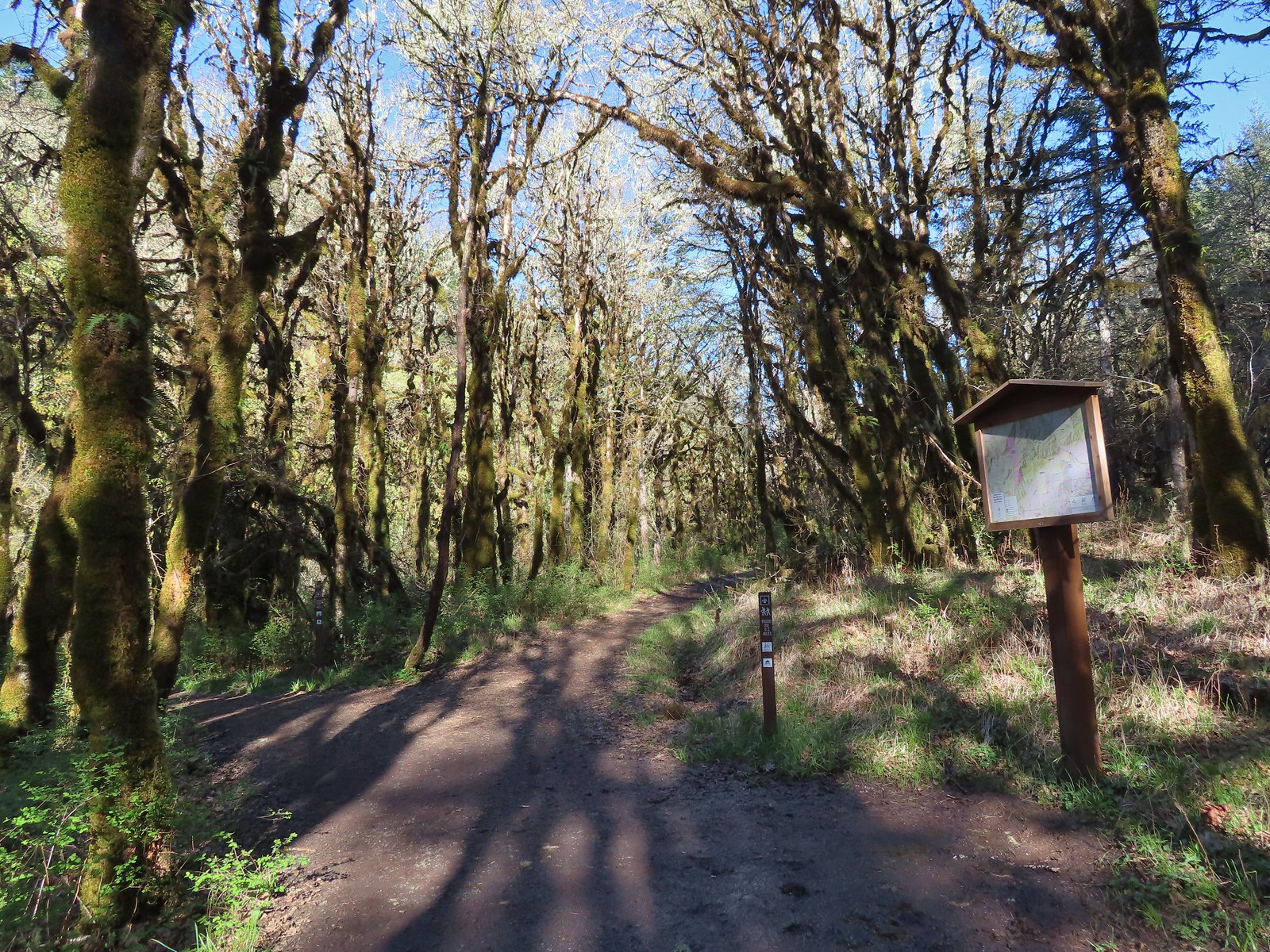
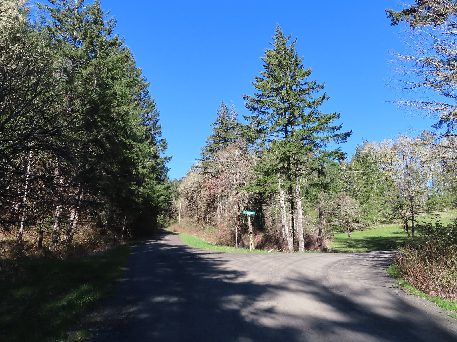
 Trail pointer at Wynoochee Drive.
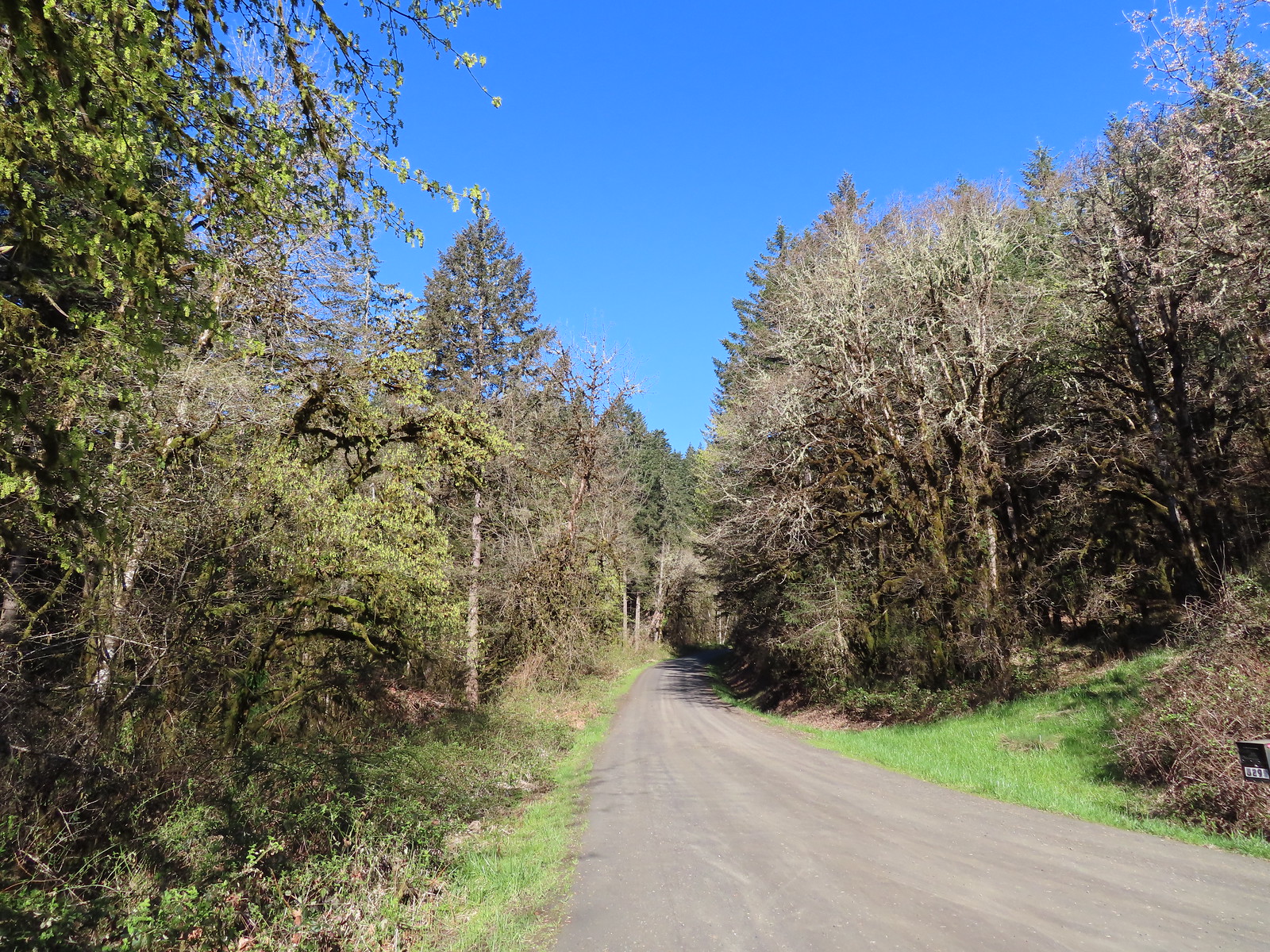
 I count six in this photo.

 While most of the jays wouldn’t sit still in the open long enough for a decent photo this one at least cooperated.
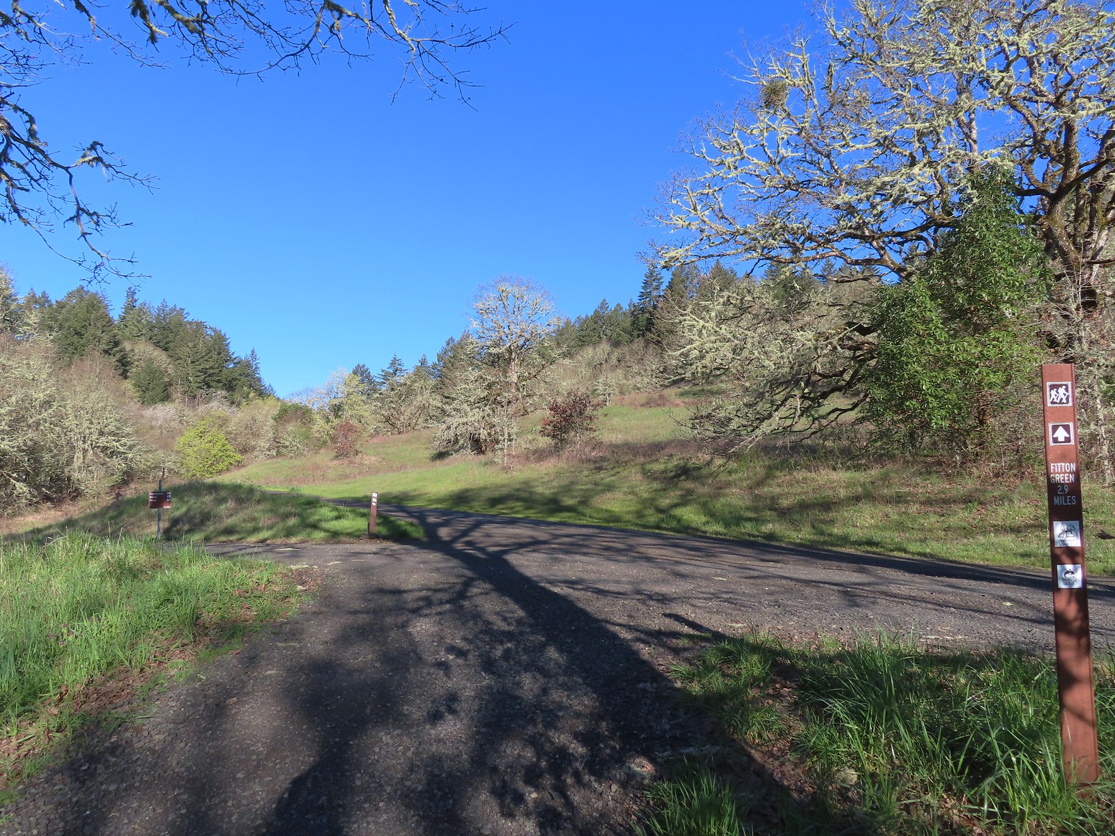
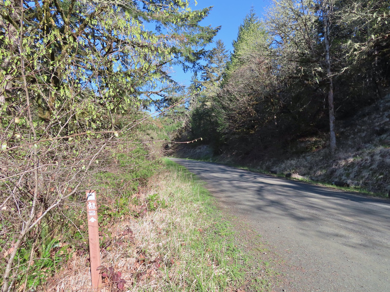
 Sign for the Fitton Green Natural Area at the intersection with Panorama Drive.
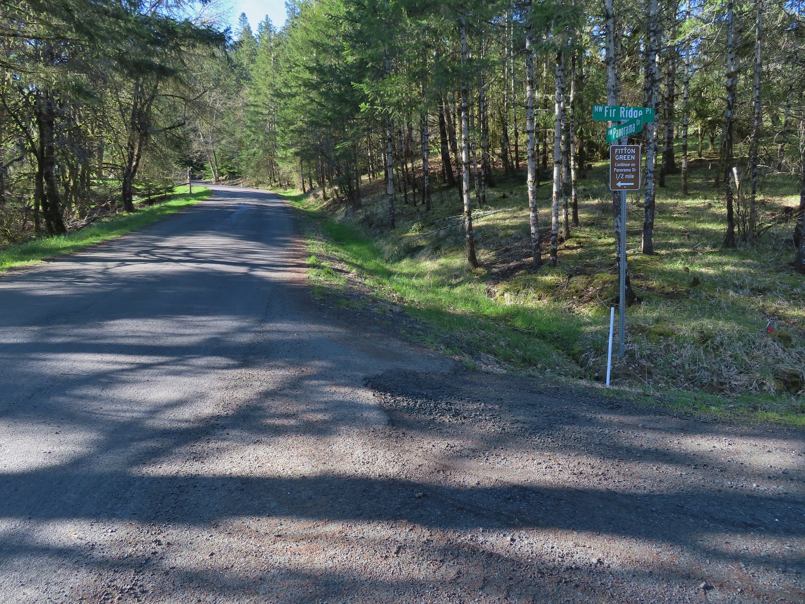
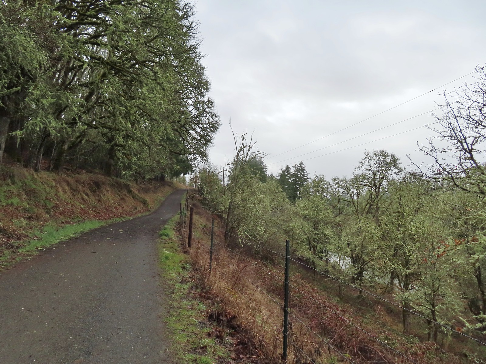
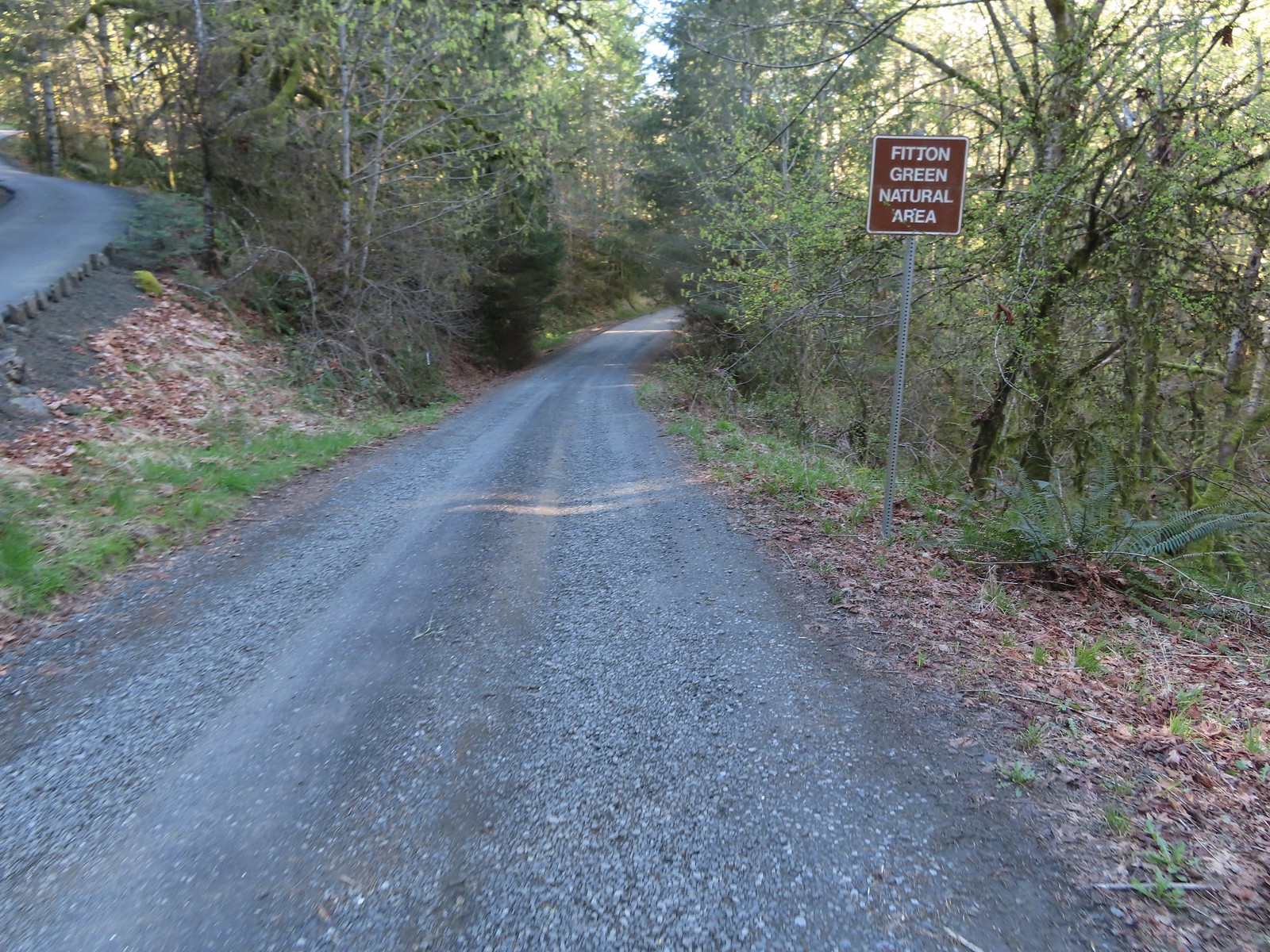 The road turned to gravel shortly before arriving at the trailhead.
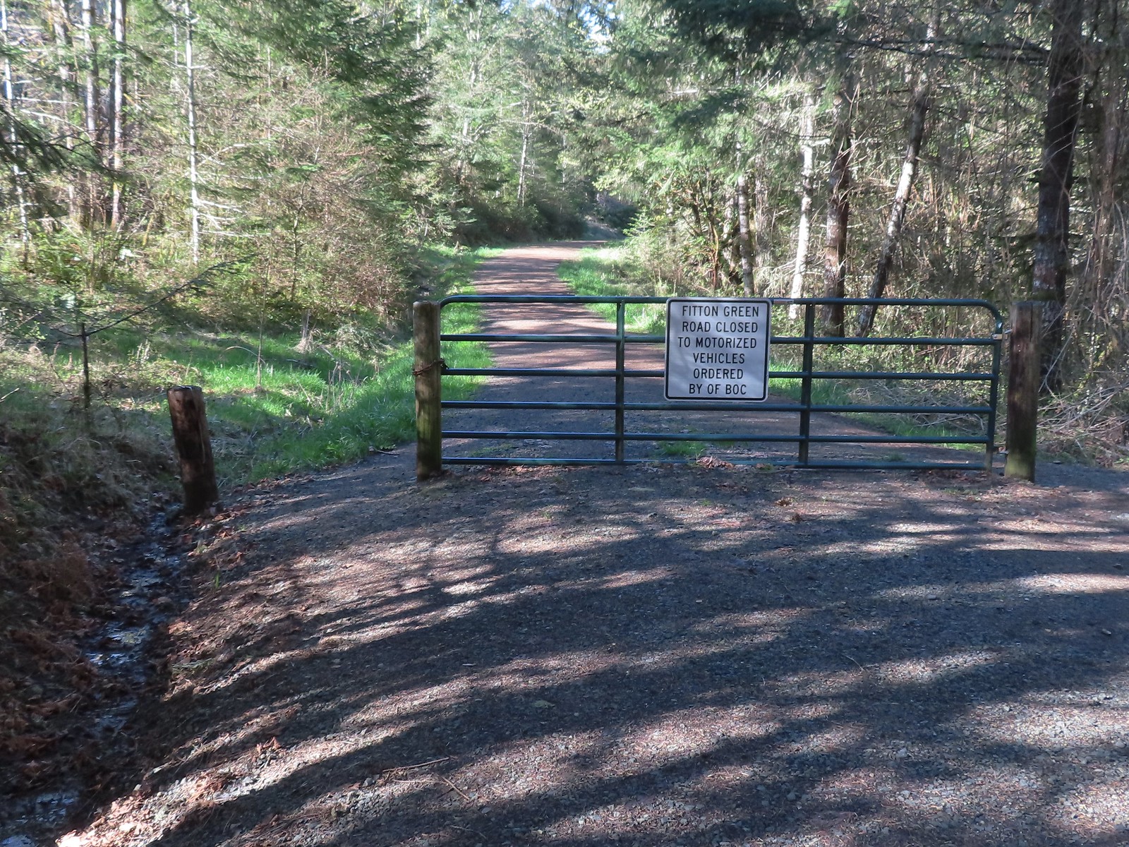 Gate at the trailhead.
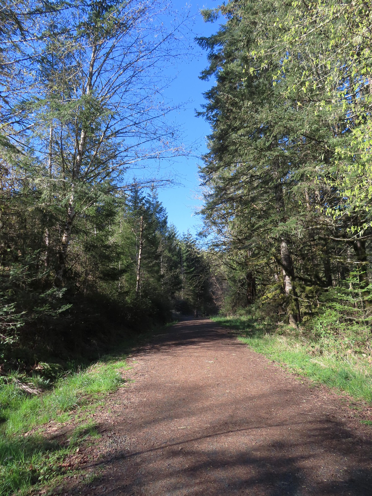
 Mary’s Peak still sporting a decent amount of snow.
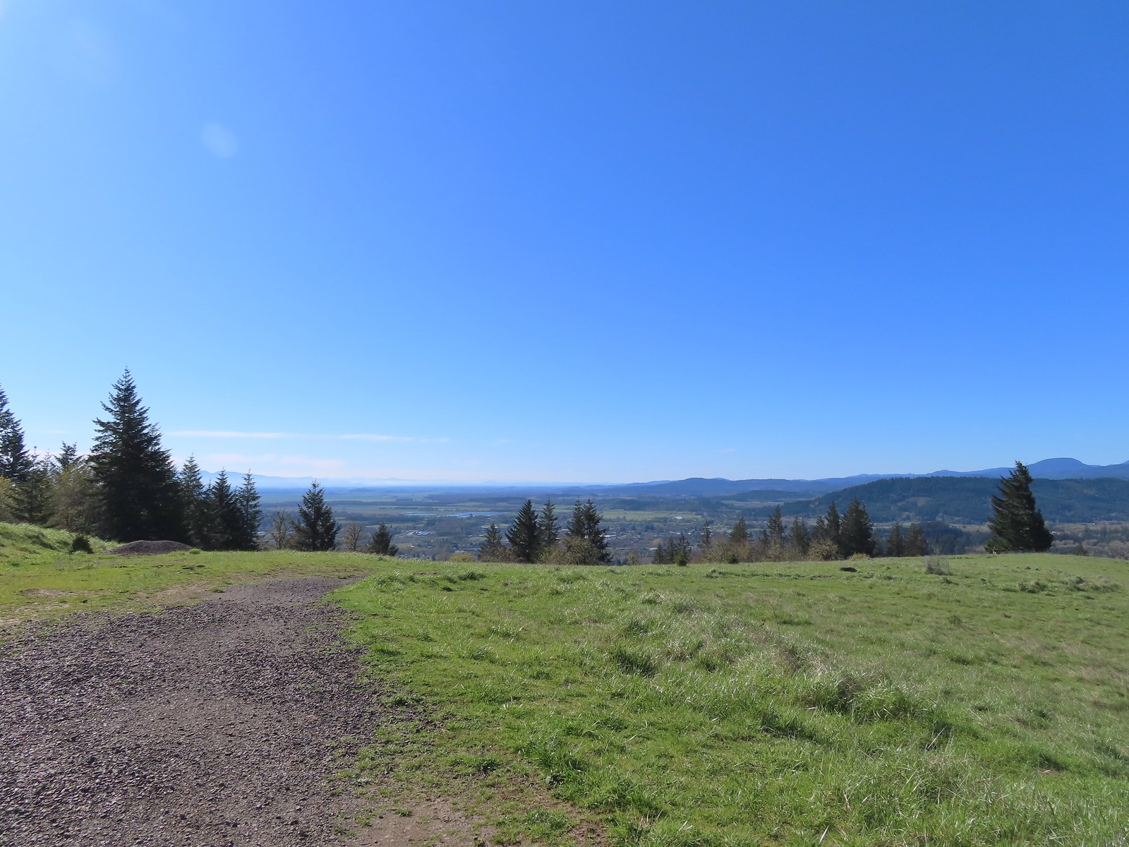 Looking SE towards Corvallis
 Looking West towards the Coast Range.
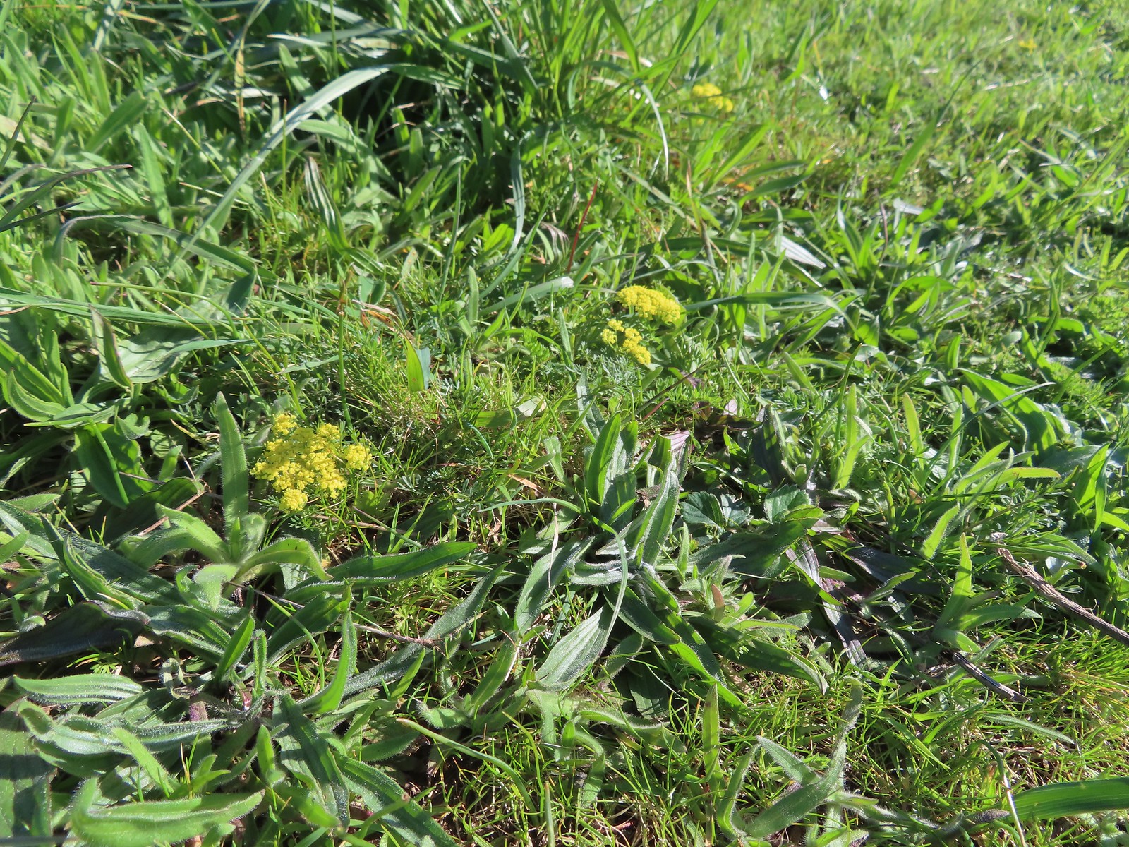 Common lomatium
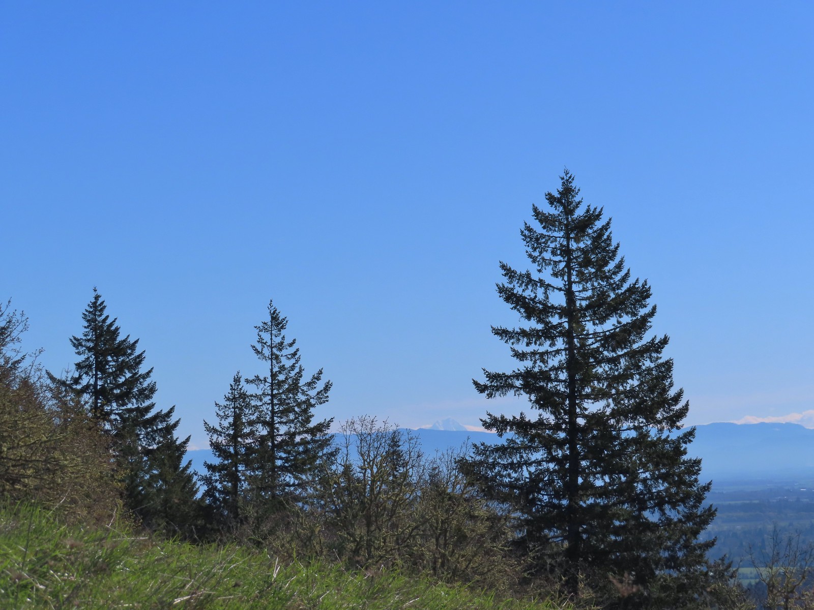
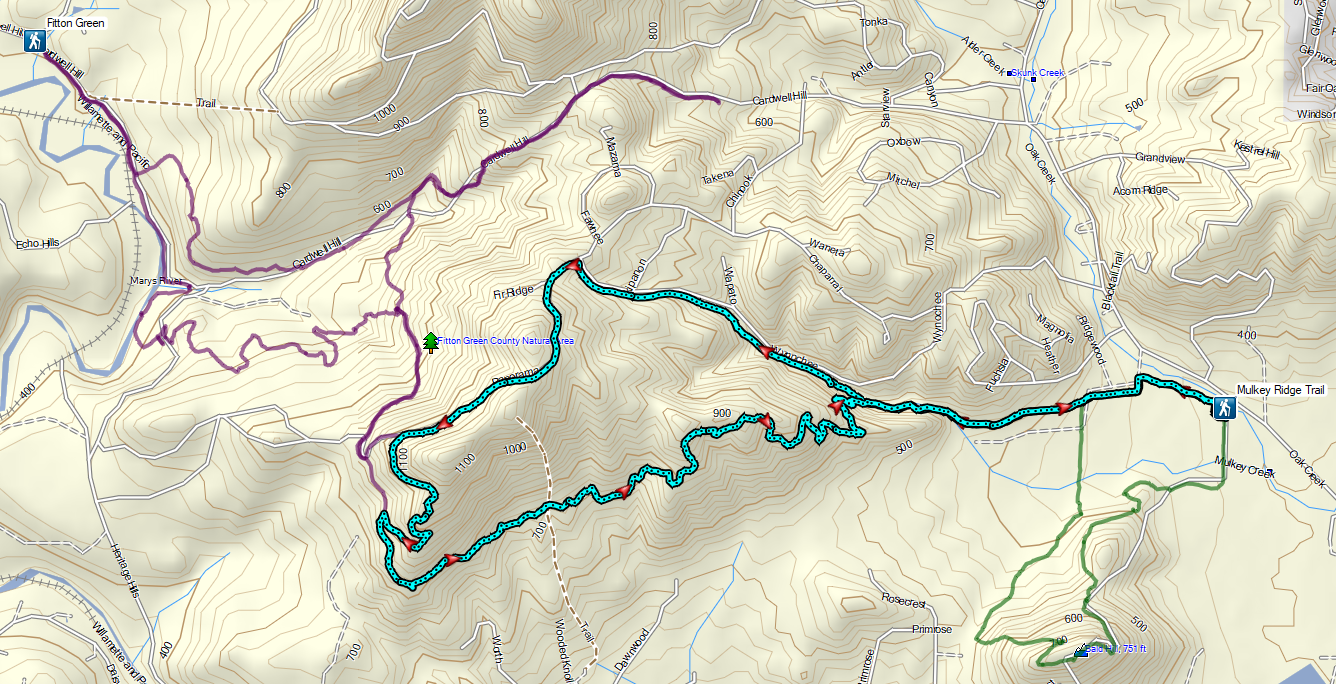
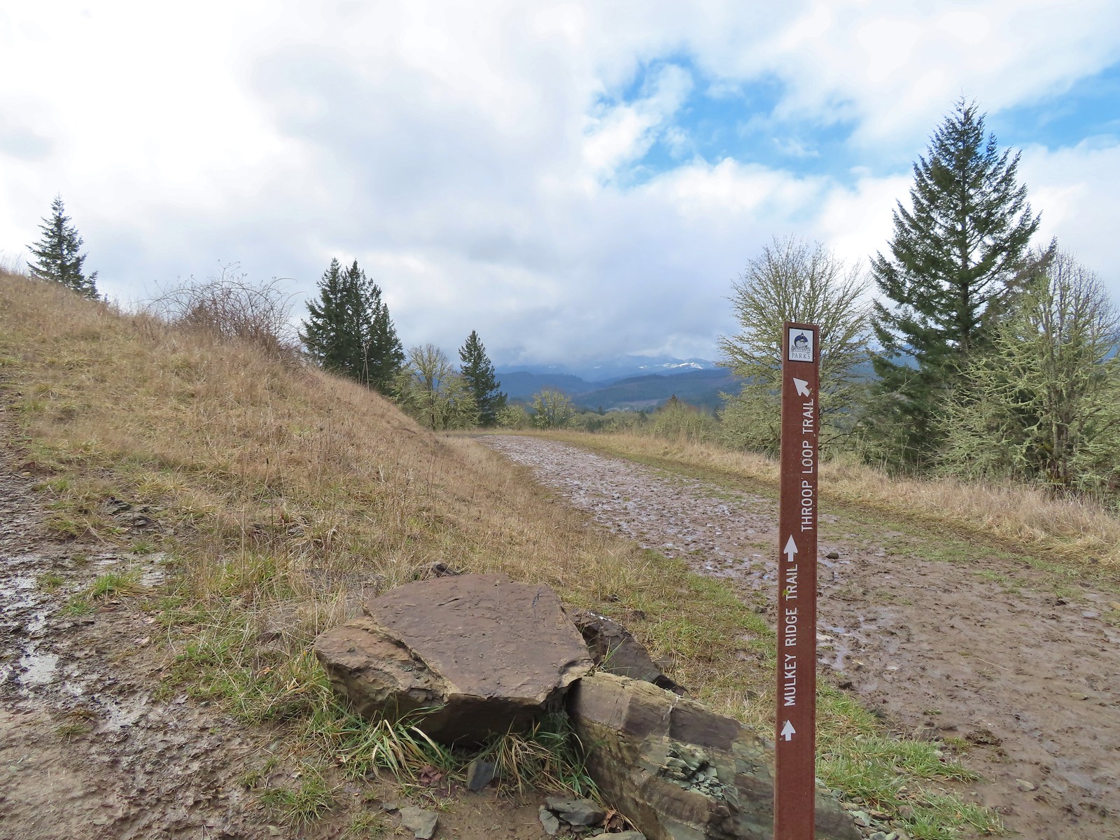
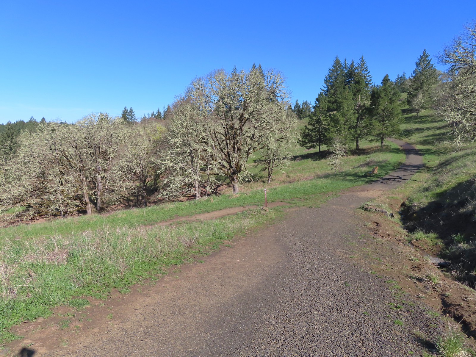 The Mulkey Ridge Trail below to the left arriving at the Allen Throop Loop.
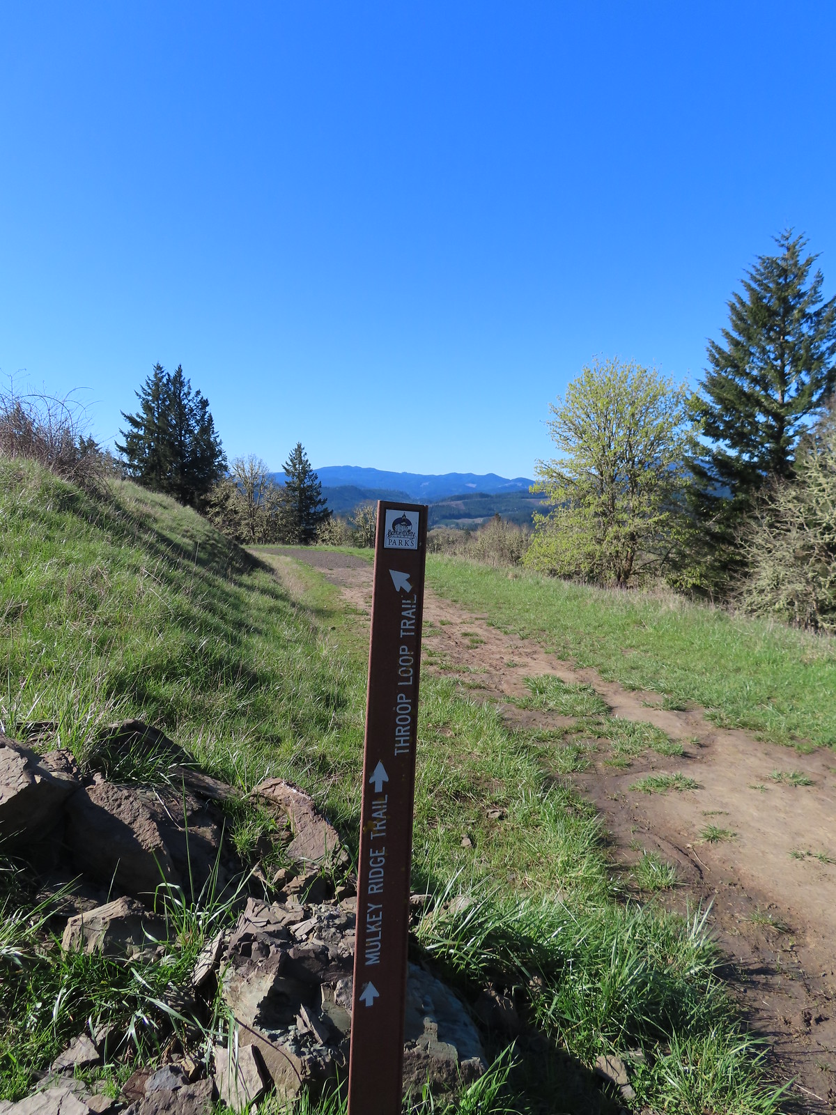
 Strawberry
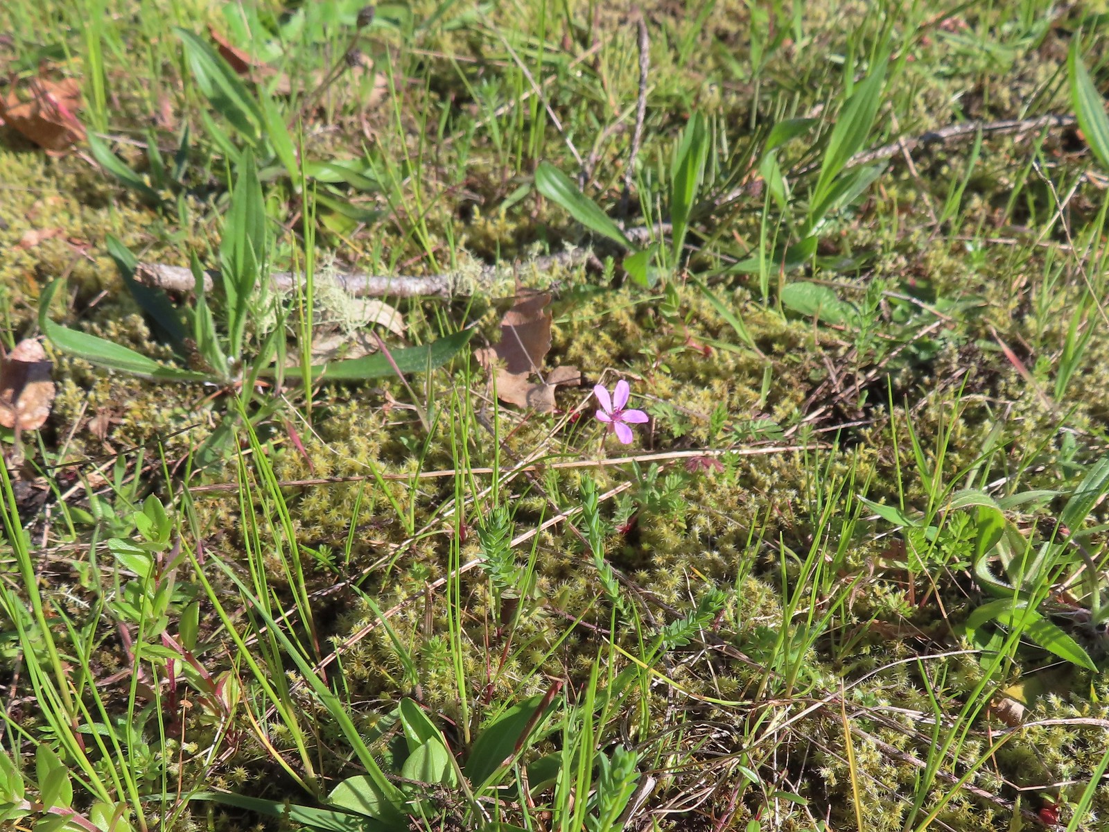 Redstem storksbill
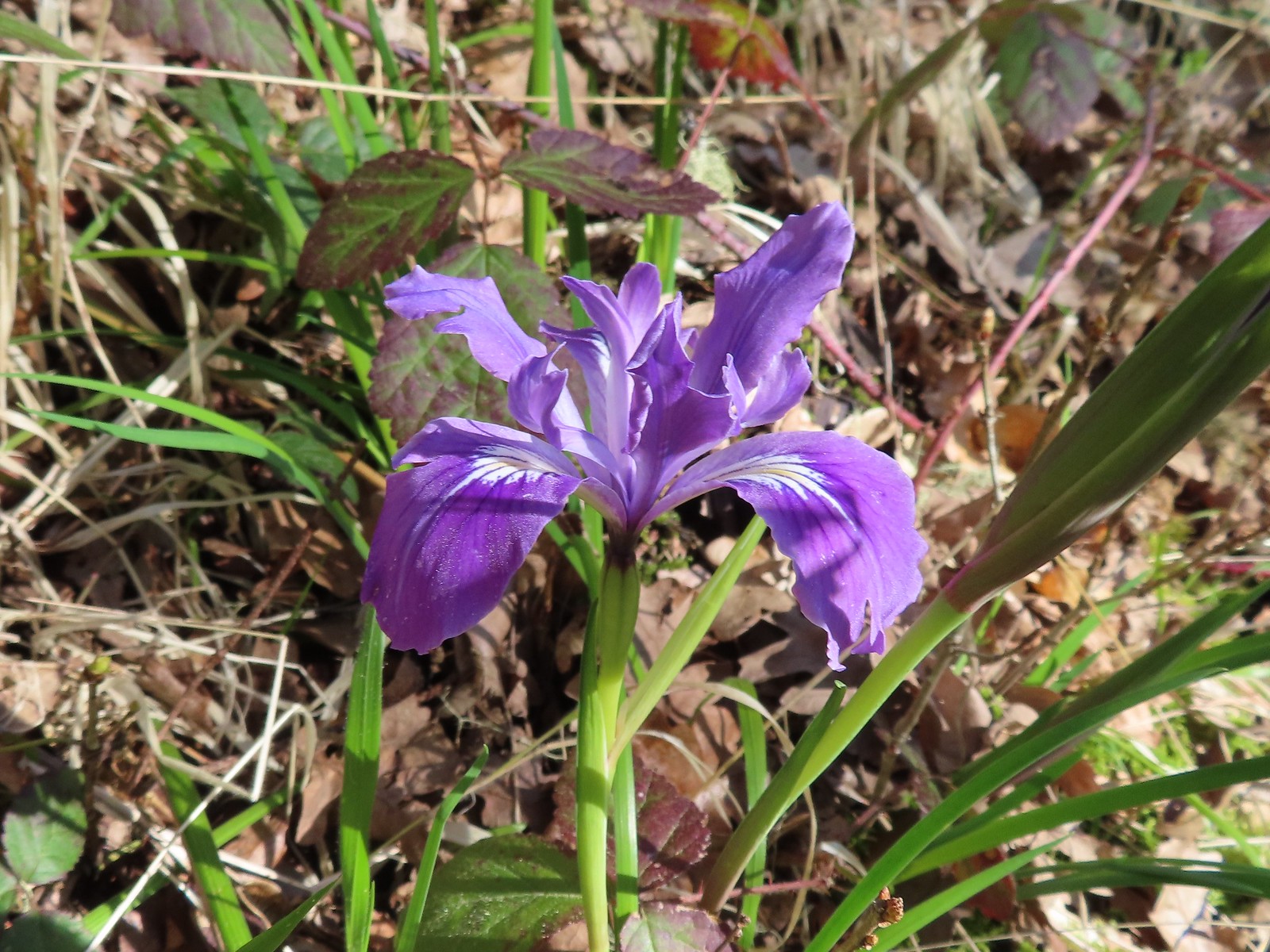 Wild iris
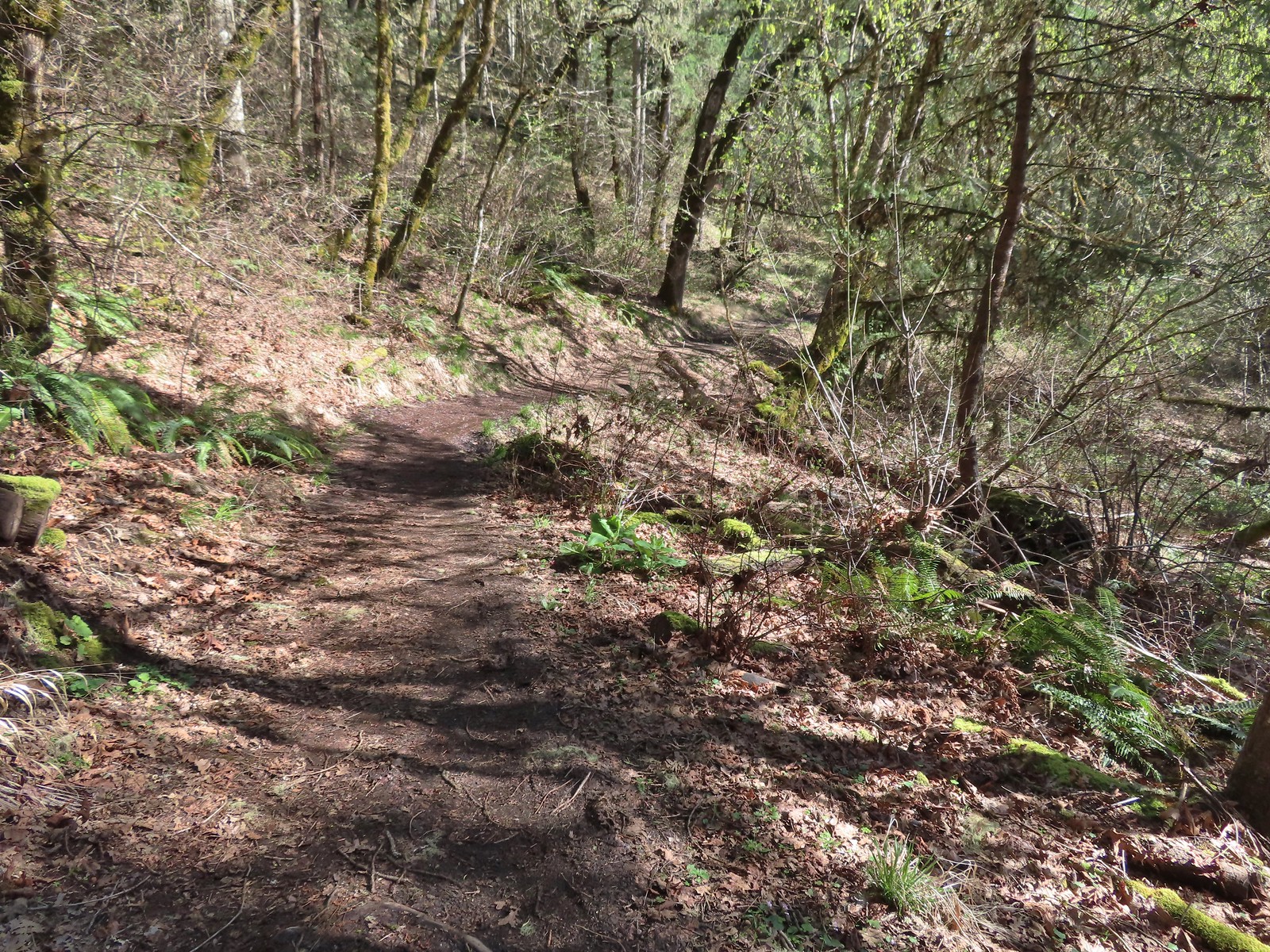
 More fawn lilies
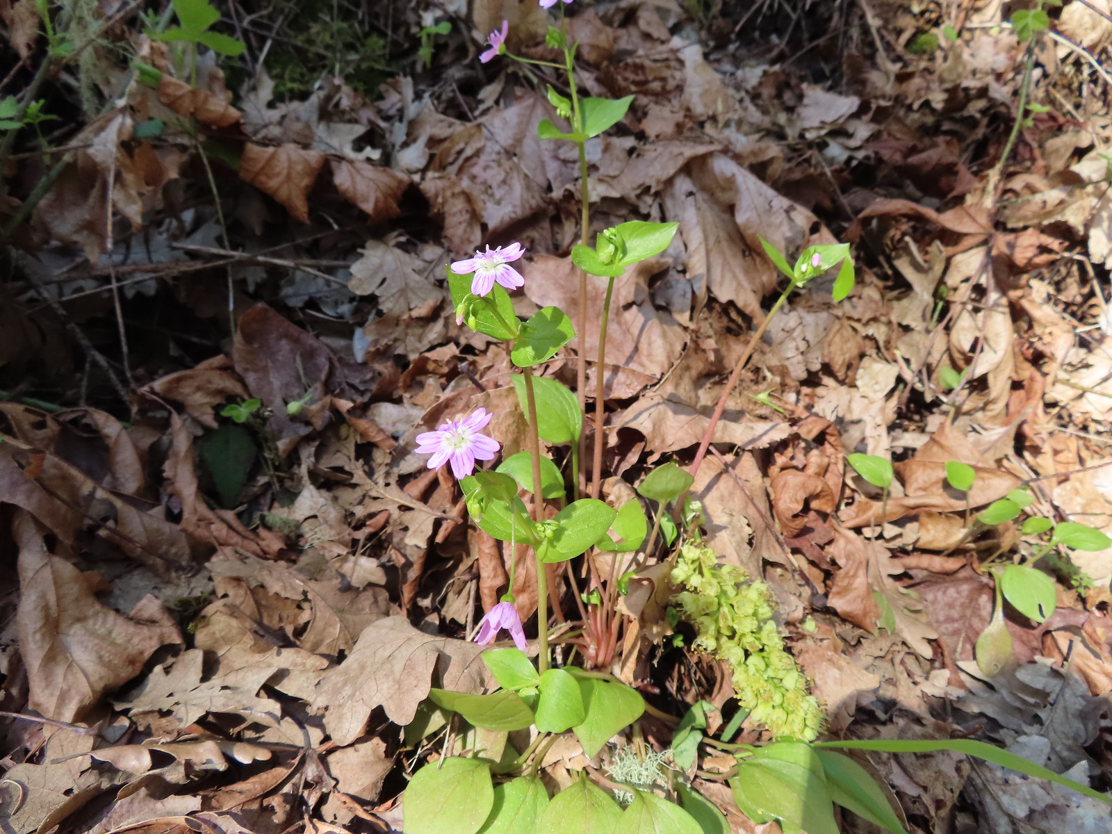 Candy flower
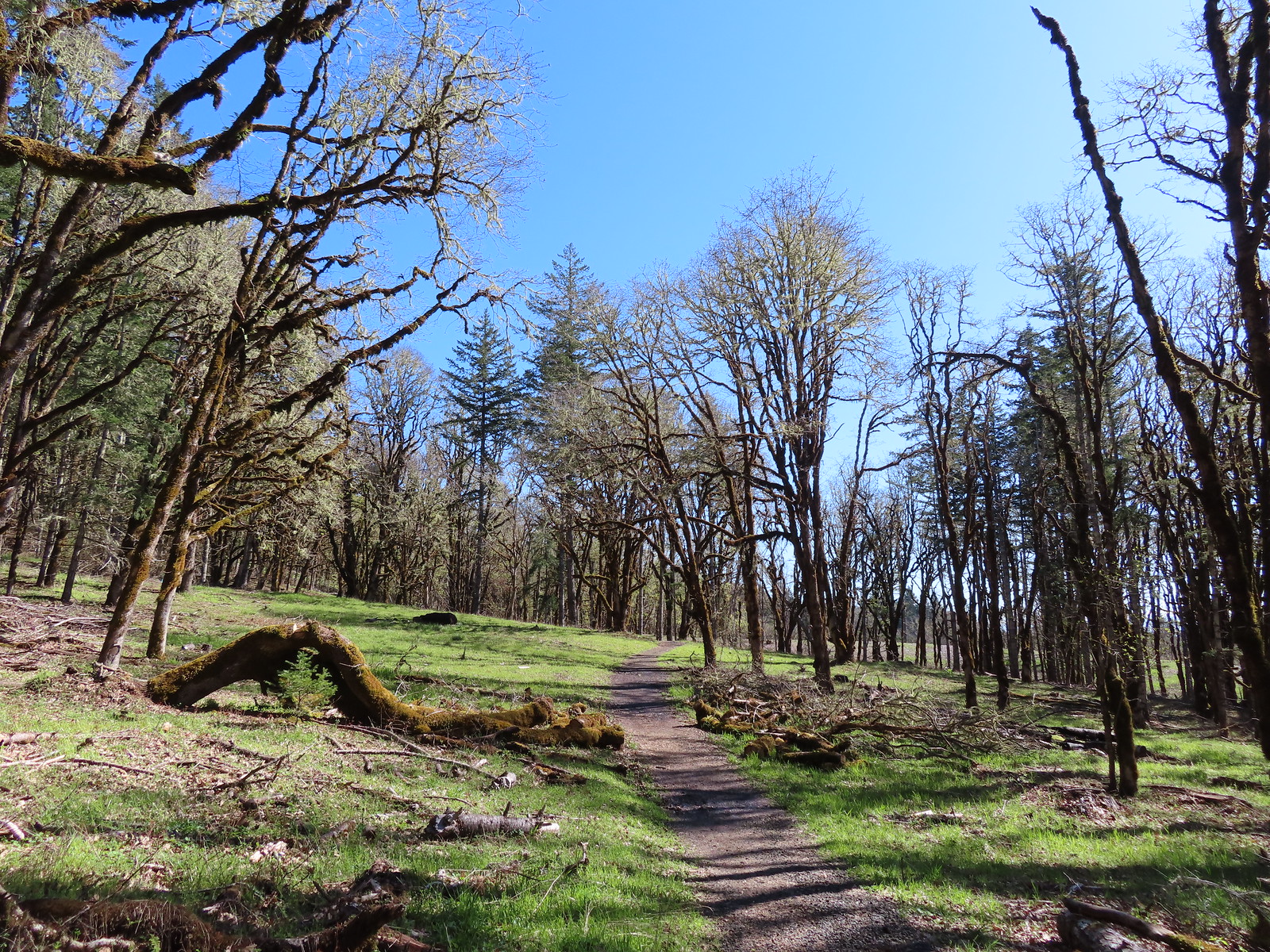
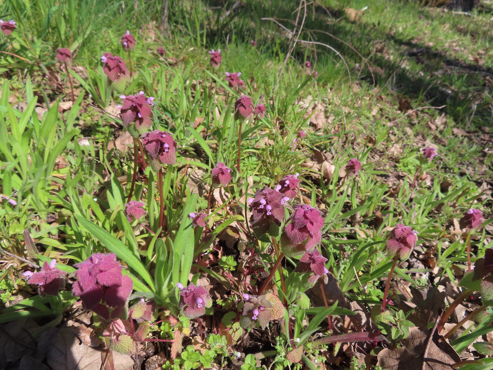 Purple deadnettle
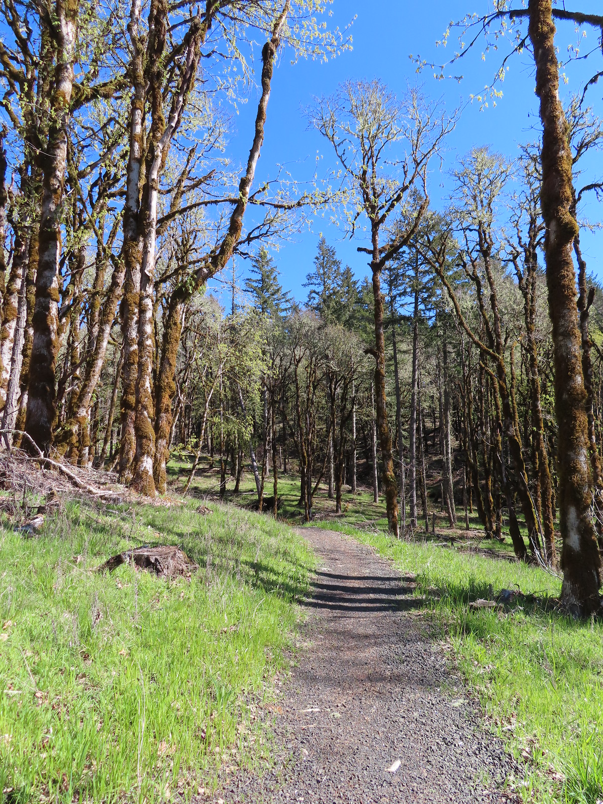
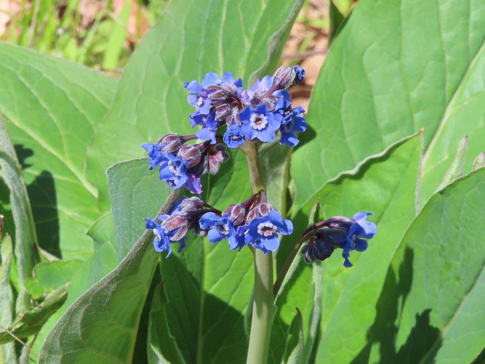 Pacific hound’s tongue
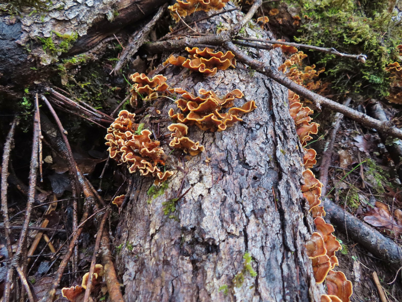
 Colorful turkey tails
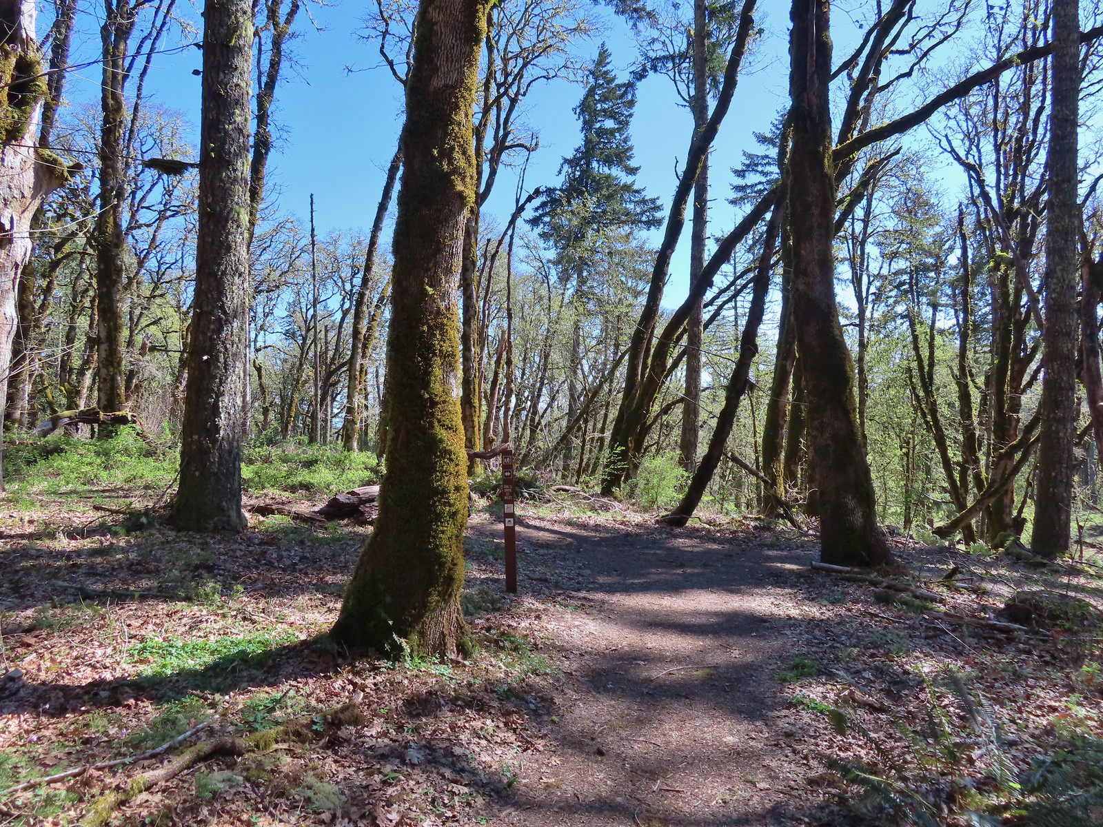 The trail splits briefly along a ridge marking what used to be the end of trail from the Oak Creek Trailhead.
 Dark-eyed junco
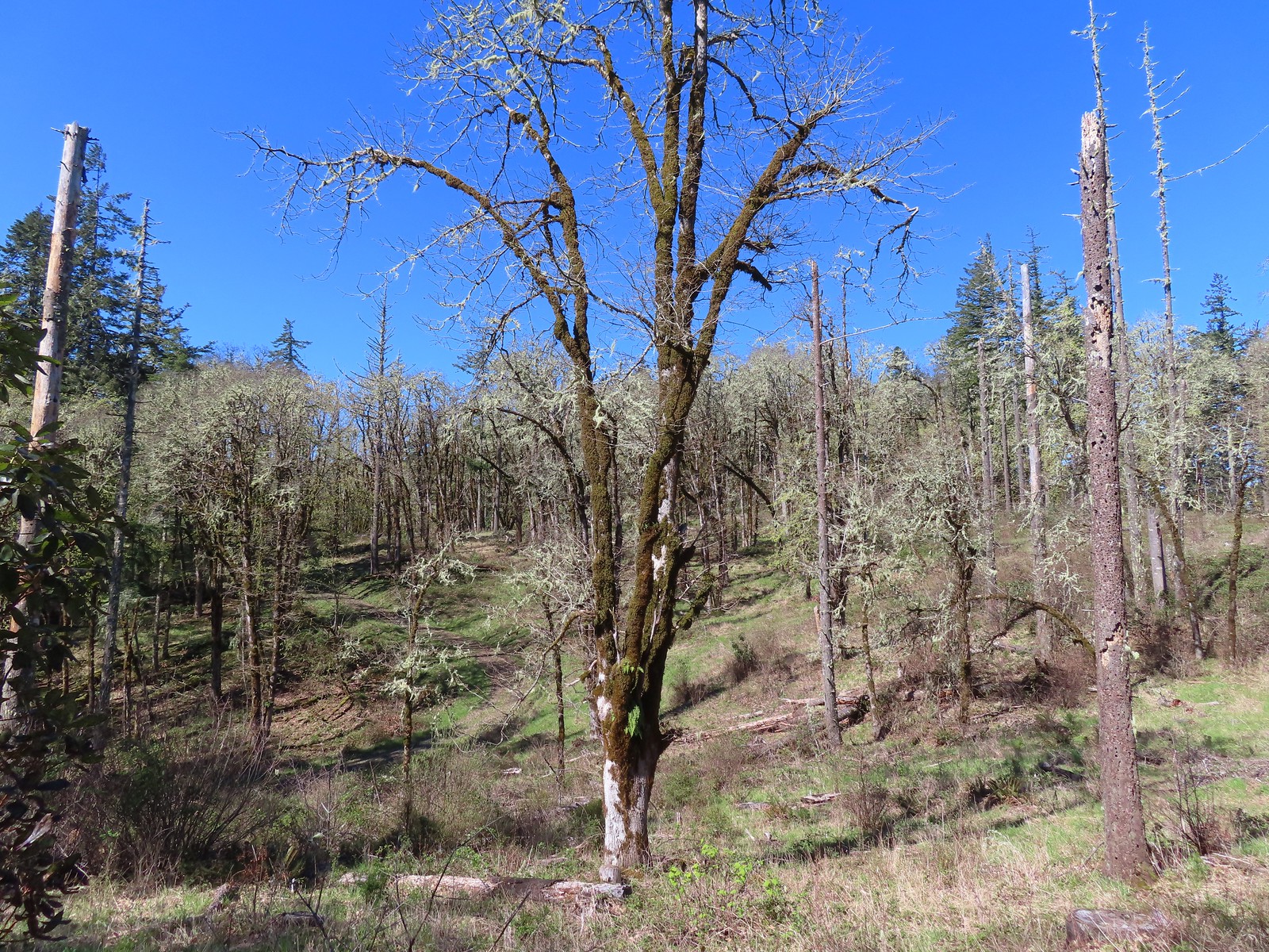 There were a pair of acorn woodpeckers in this area that we stopped to watch.
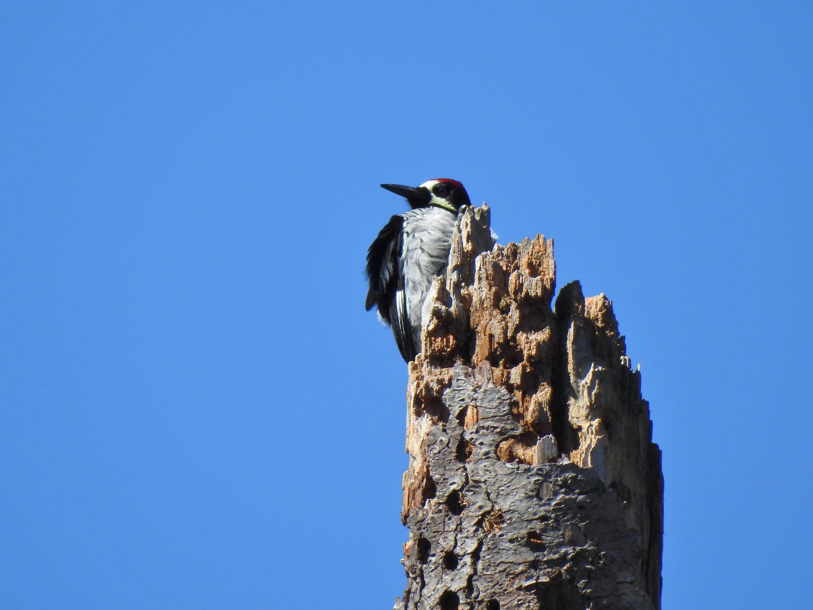 This tree was full of holes that the woodpeckers use to store their acorns in.
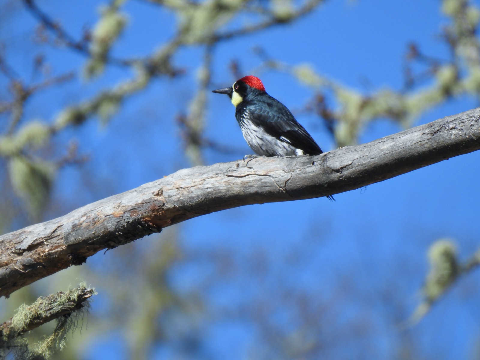
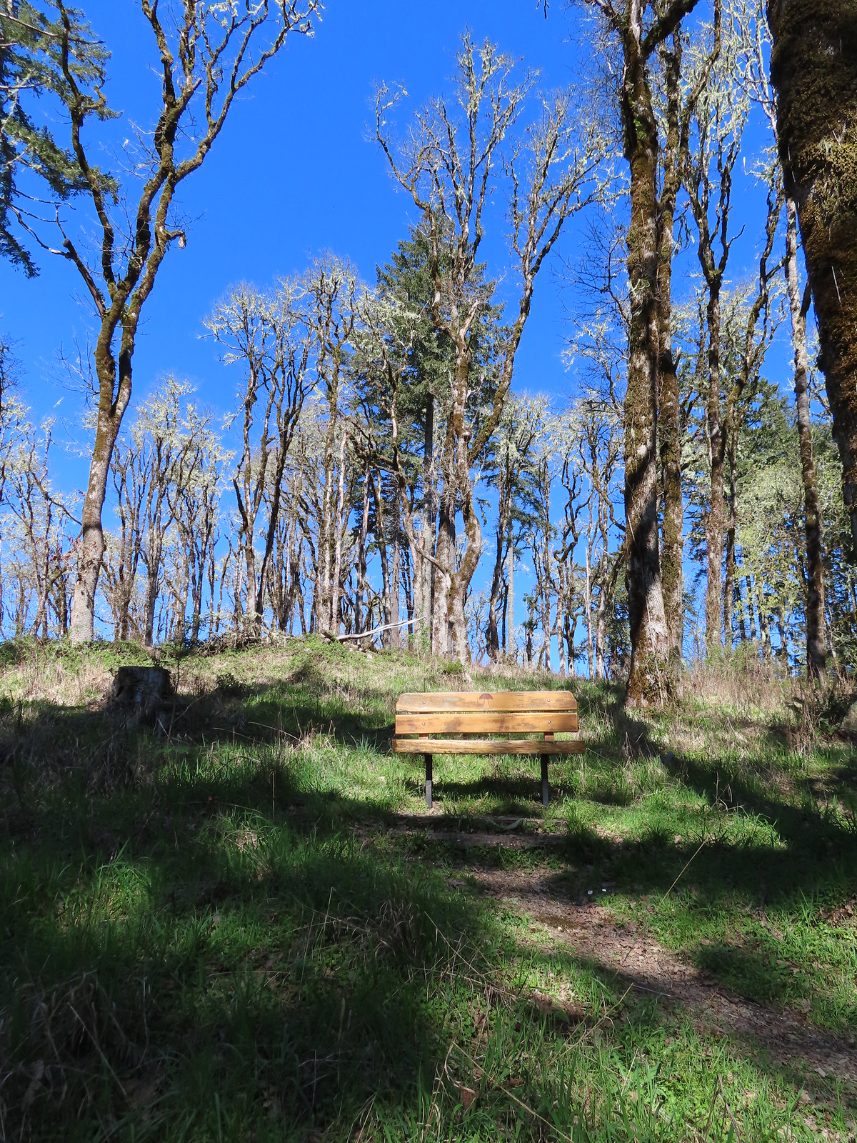 One of several benches along the trail.
 Oregon grape
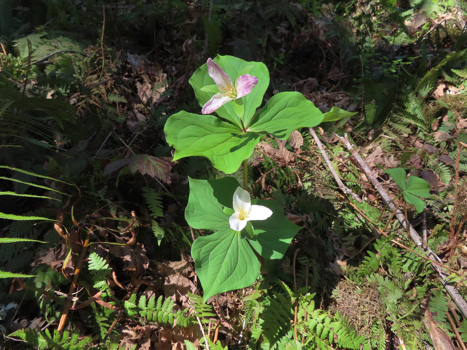 Trillium
 The Mulkey Ridge Trail descending to Mulkey Creek. (Note the footbridge in the lower right-hand corner.)
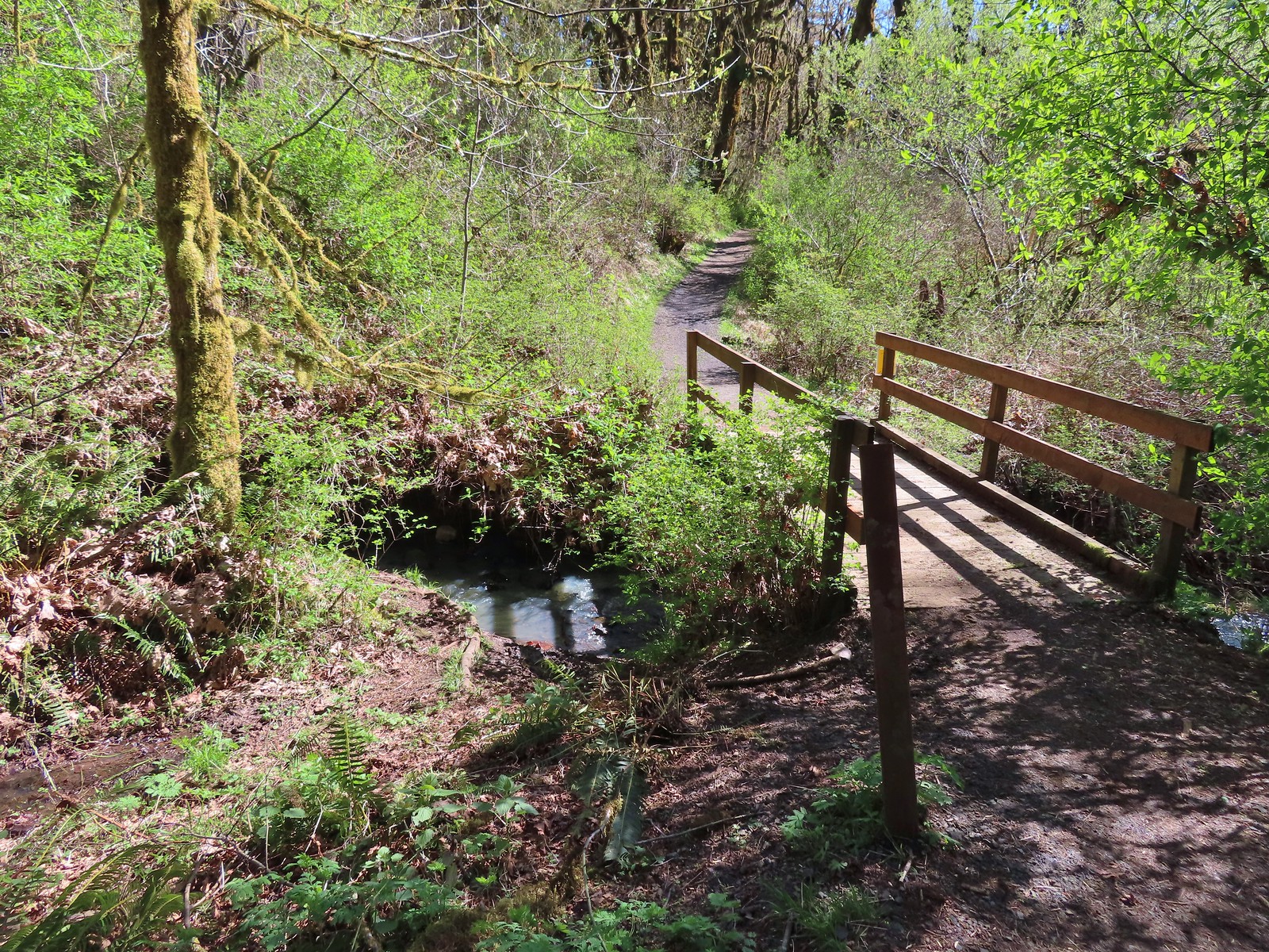 Footbridge over Mulkey Creek.
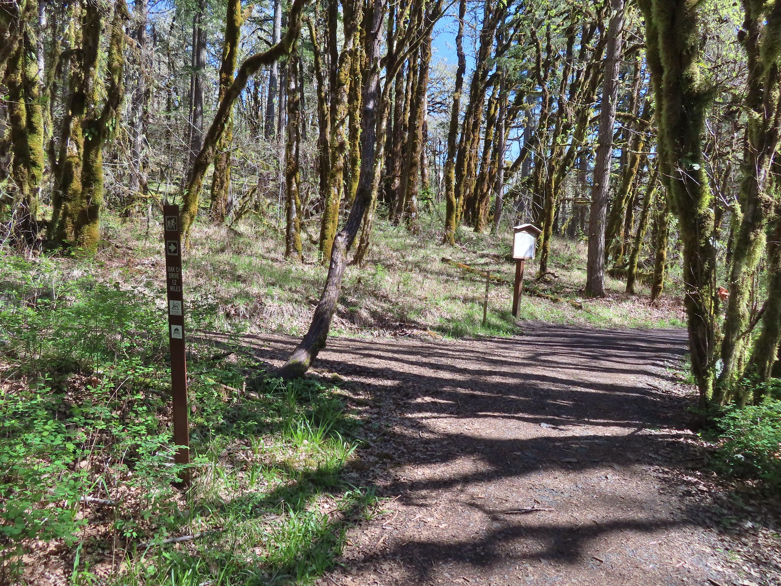
 Toothwort
 Western buttercups along the trail on our way back.


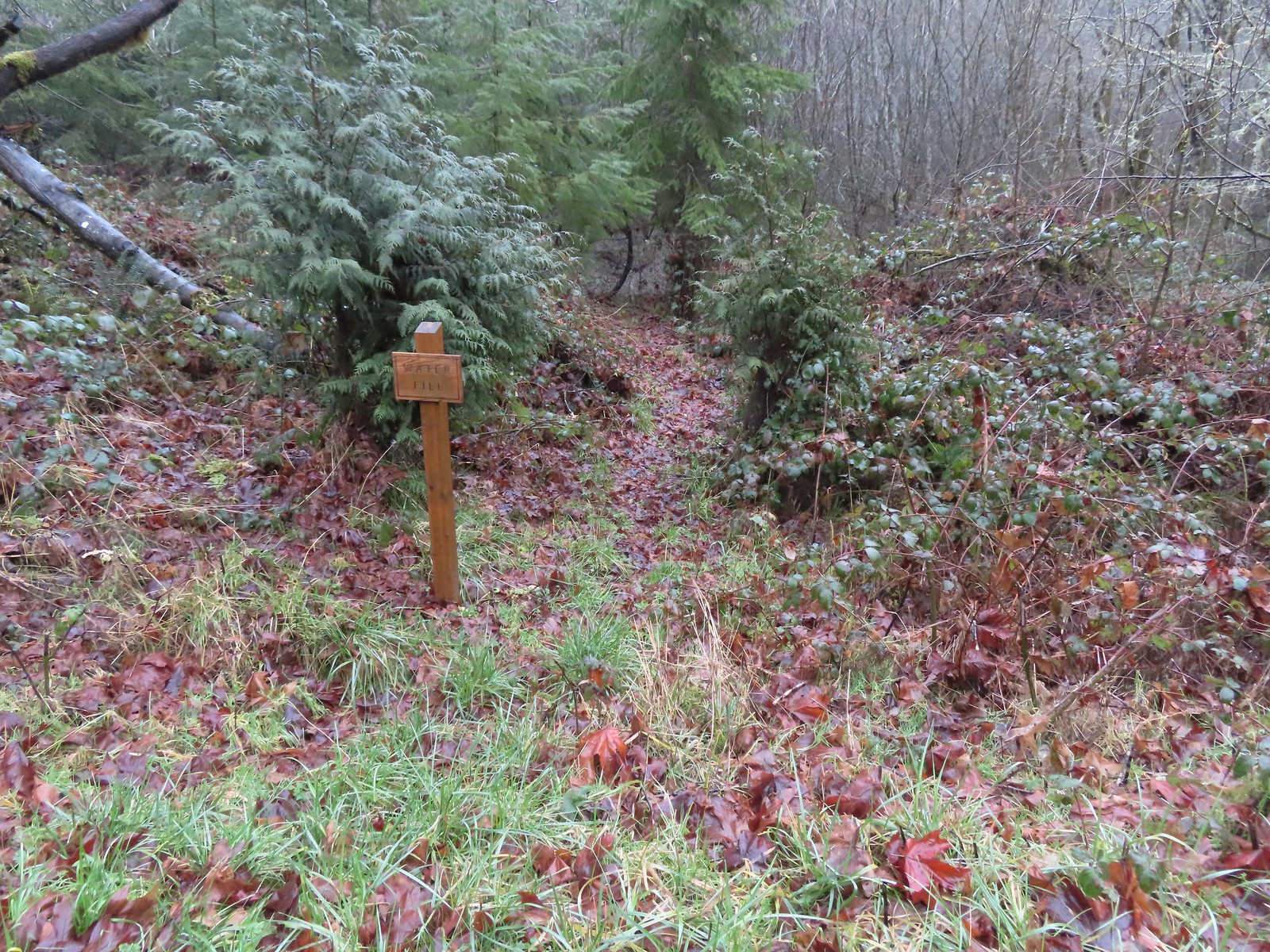 Just before the bridge over Shot Pouch Creek is a spur trail for water which is reportedly scarce along the entire 60-mile route.
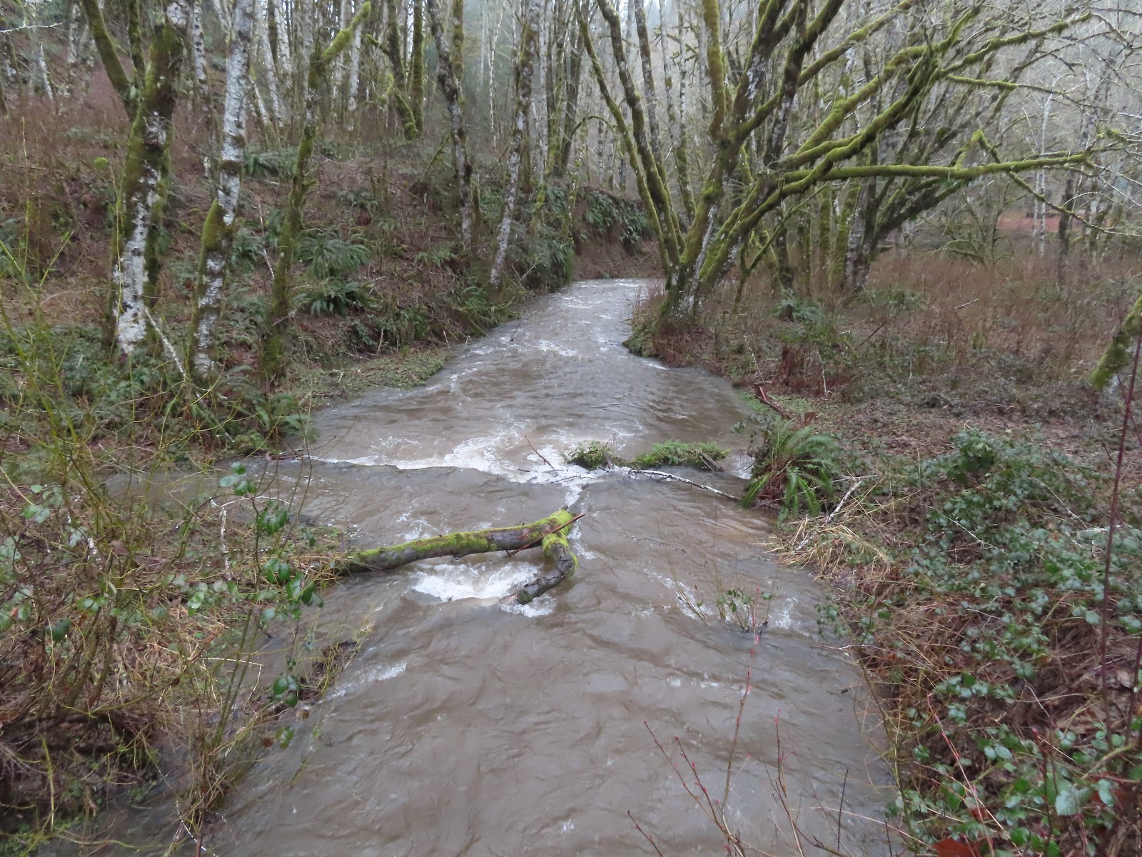 A swollen Shot Pouch Creek.
 Following the trail/road up to the 4-way.
 This was one of a handful of similar structures in the area. So far we haven’t found any information on their history.
 Nearing “The 4-way”. Just ahead is where the Subaru bottomed out slightly.
 The 4-way
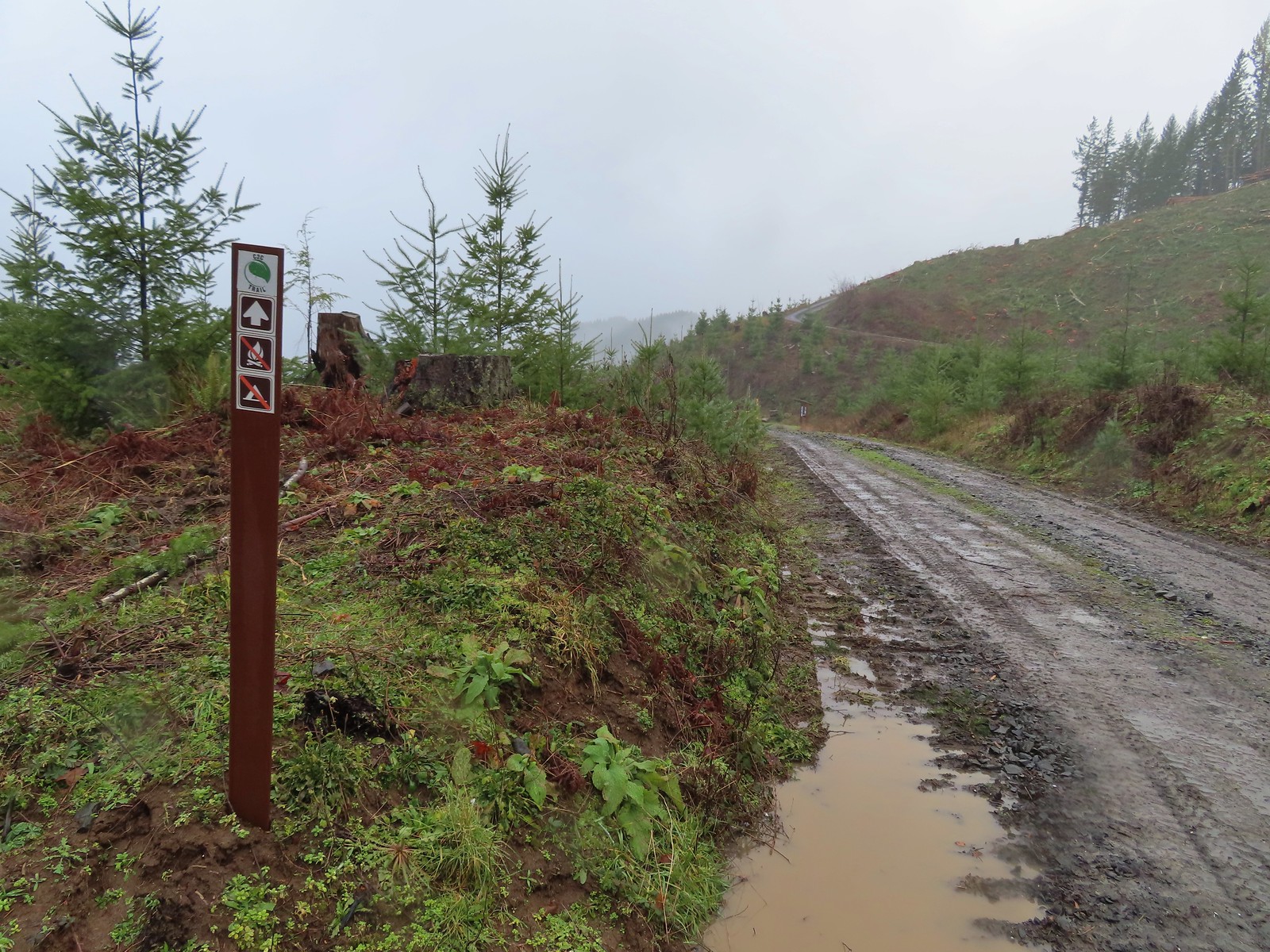 Trail marker with the kiosk and part of the gate in the distance.
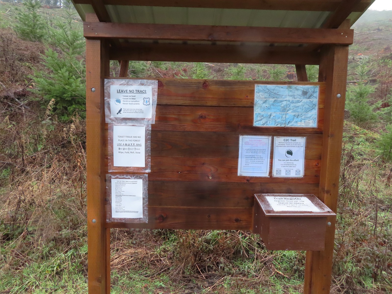
 Cloudy and wet morning as expected.
 The rocks on the first stretch were not a pleasant surface to walk on but it wasn’t too long before we left the rocks behind.
 Small cascade along a side creek.
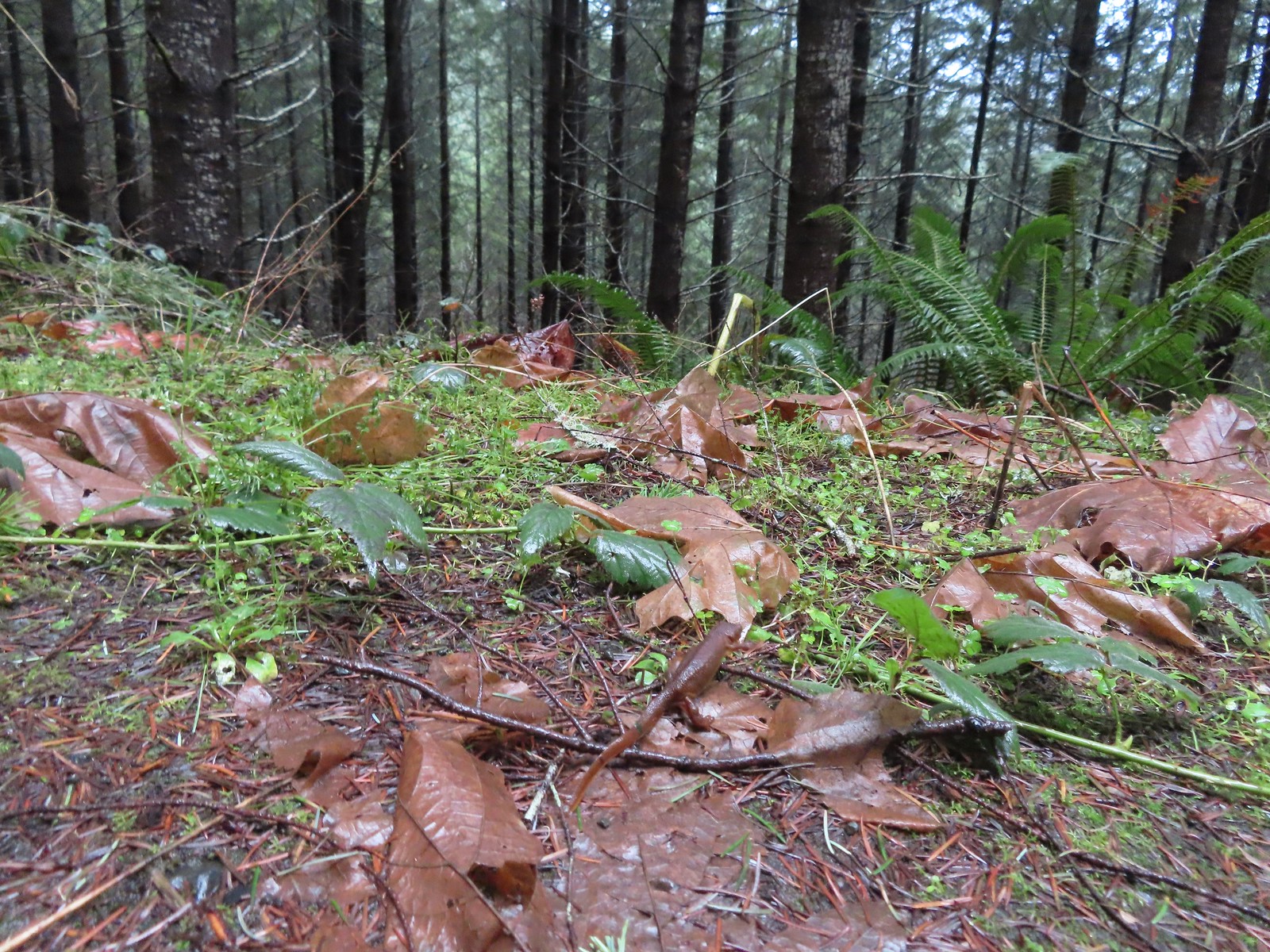 The first of the newts we spotted. They blend well with the leaves so we tried to really keep our eyes open to avoid accidently stepping on any. Over the course of the hike we saw several dozen and who knows how many we didn’t see.
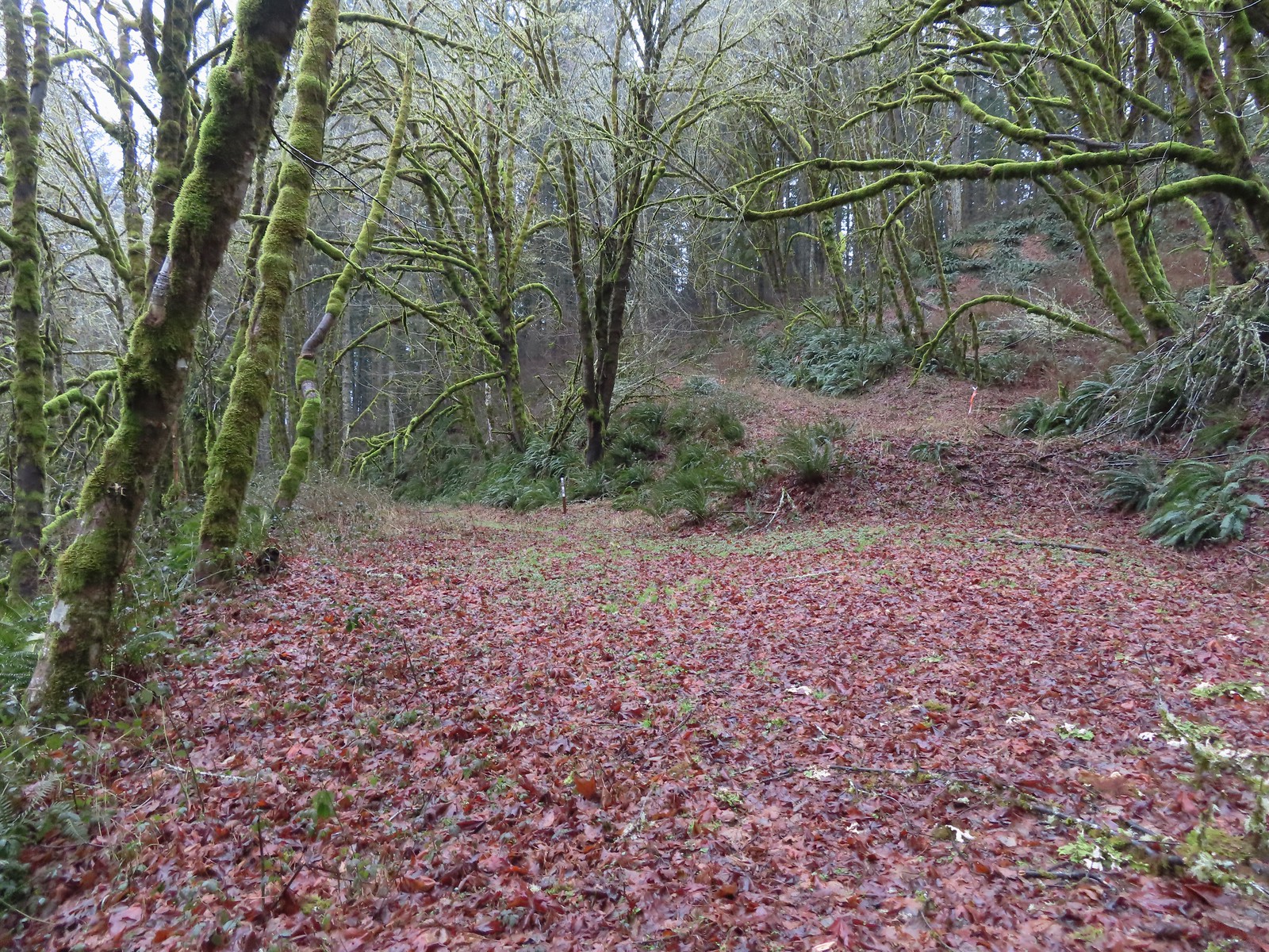 C2C Trail marker along the left-hand (downhill) fork.
 This was the only significant blowdown we encountered on the hike and the tree here was a fairly easy duck under.
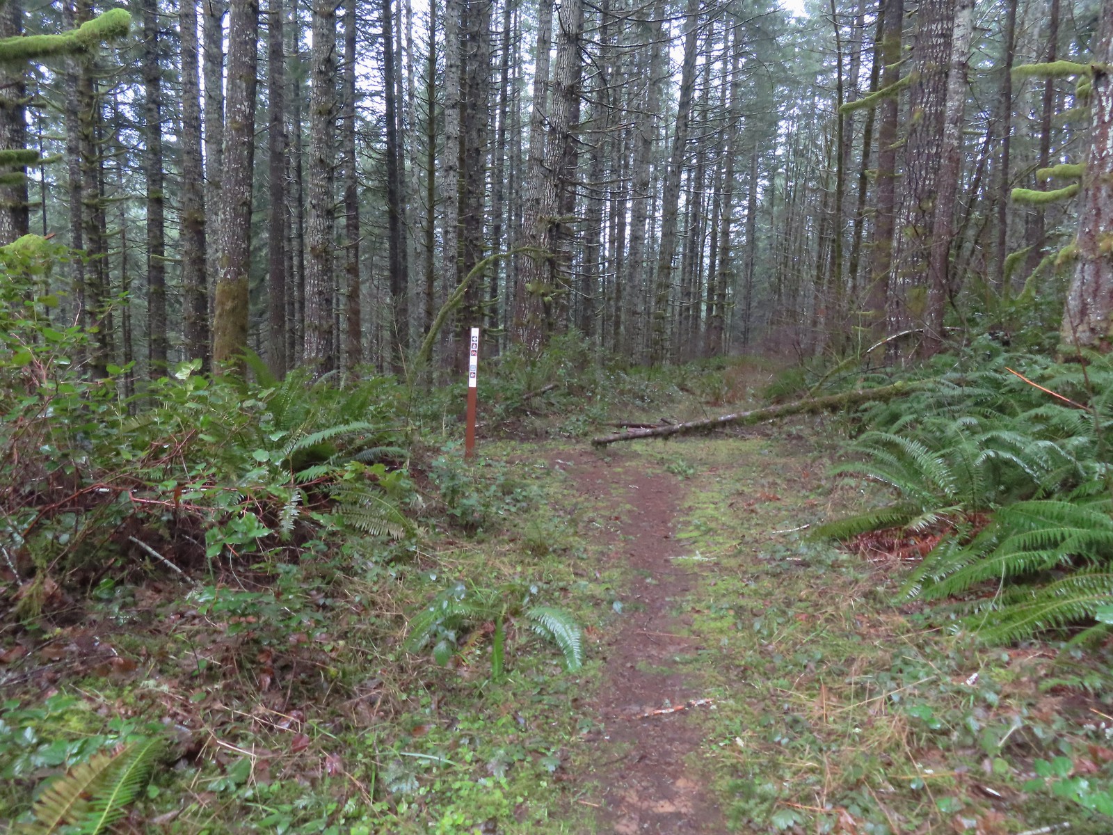 The Sugar Bowl Creek Trail segment leaving the old road. This was the only portion that was true singletrack along the Sugar Bowl segment. Here the trail passes through a portion of the Siuslaw National Forest.
 The Sugar Bowl Creek Trail switchbacked downhill to the East before turning back to the SW in the Sugar Bowl.
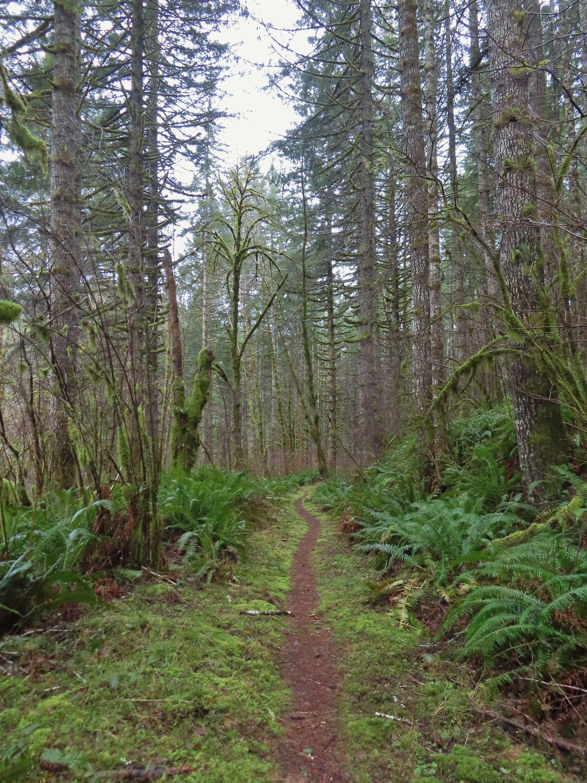 The trail eventually rejoined the old roadbed.
 Actual blue sky.
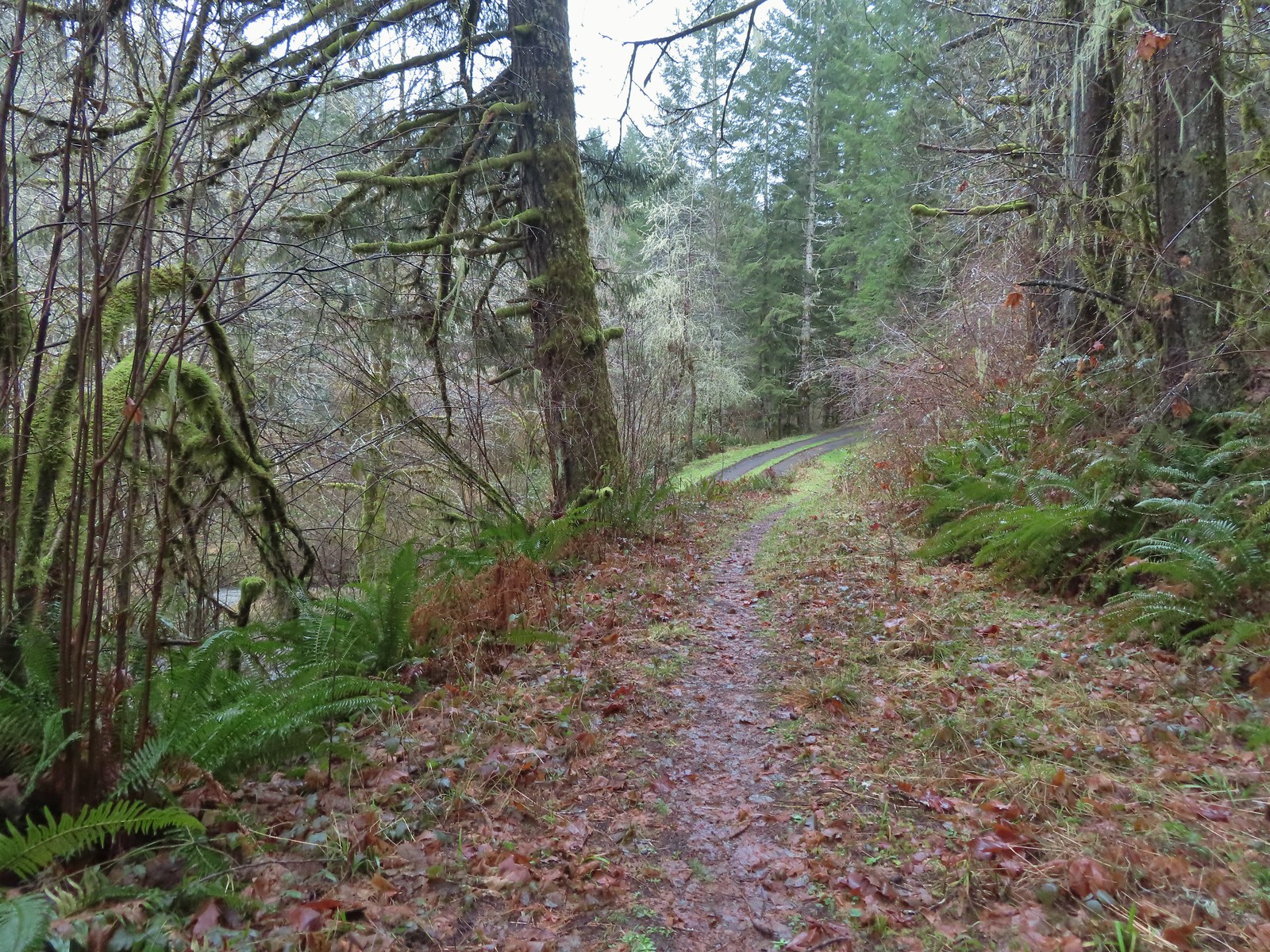 Arriving at Mary’s Peak Road.
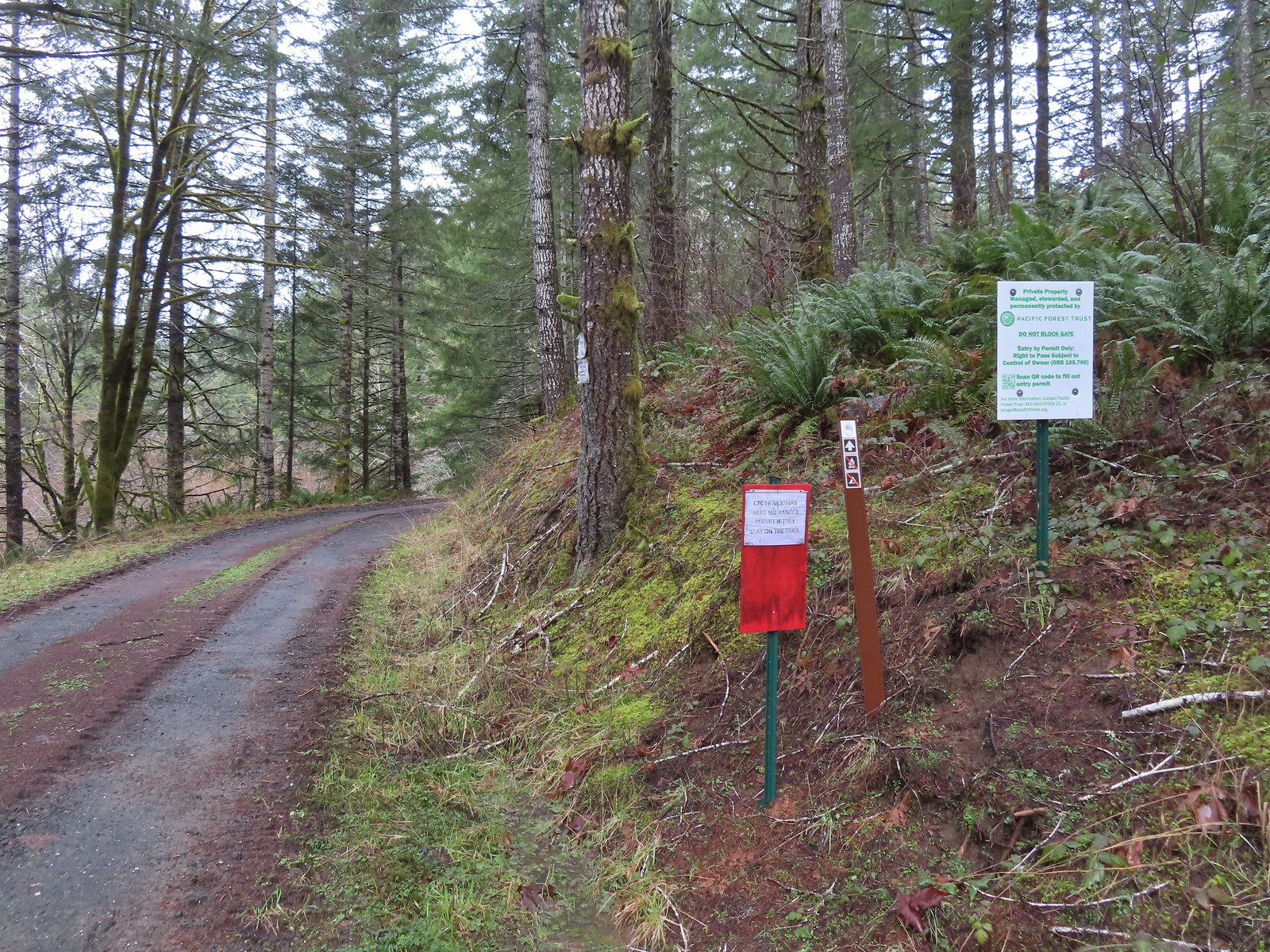 Signage along Mary’s Peak Road for the C2C.
 This particular newt was not about to move out of Heather’s way.
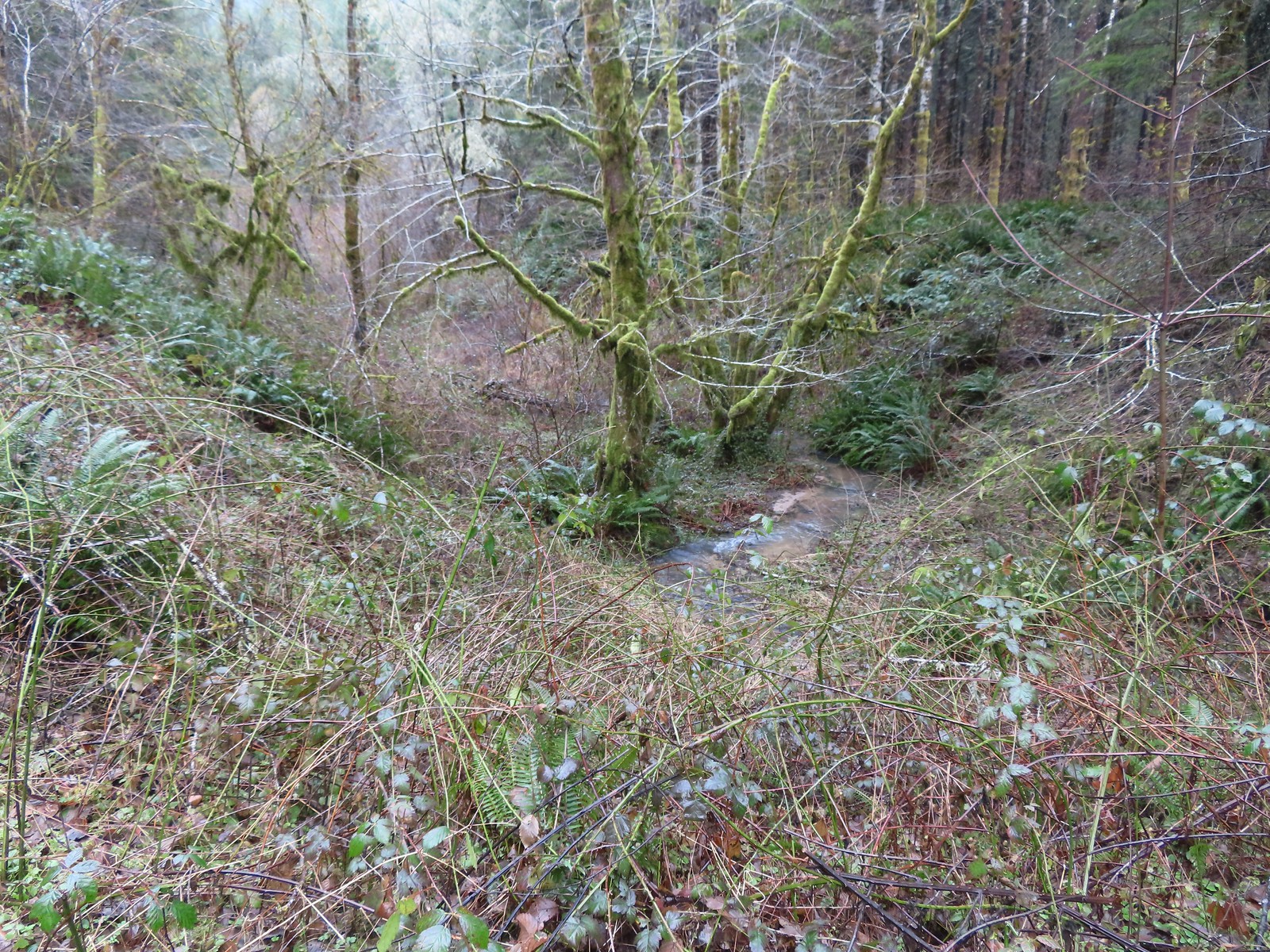 A side creek flowing toward Sugar Bowl Creek.
 Sugar Bowl Creek was never visible from the C2C but it was out there somewhere.
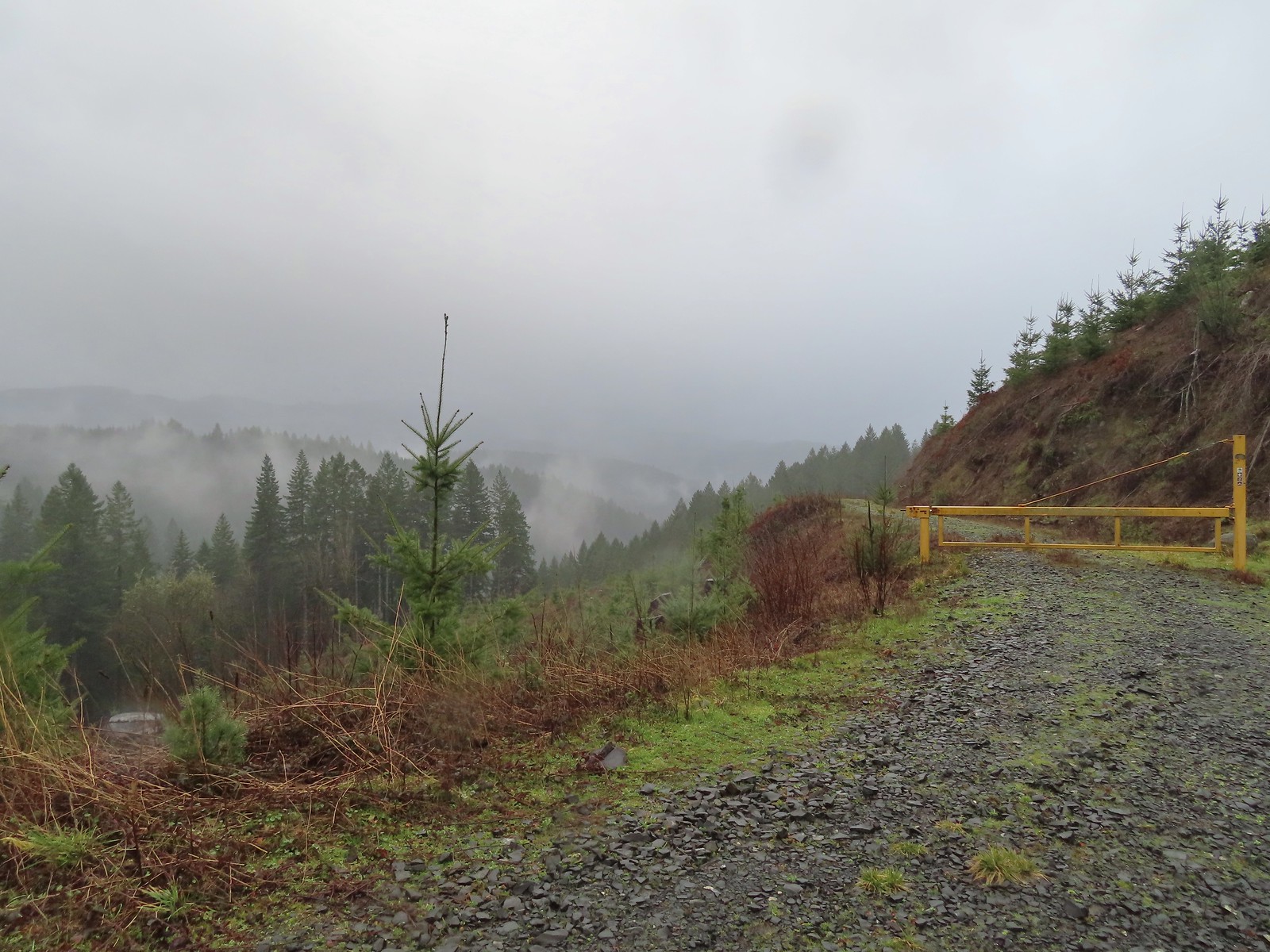
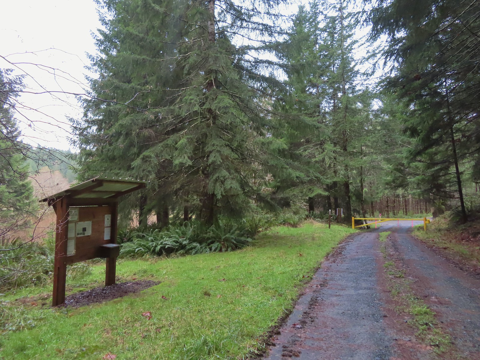 The Harlan Road Gate and kiosk.
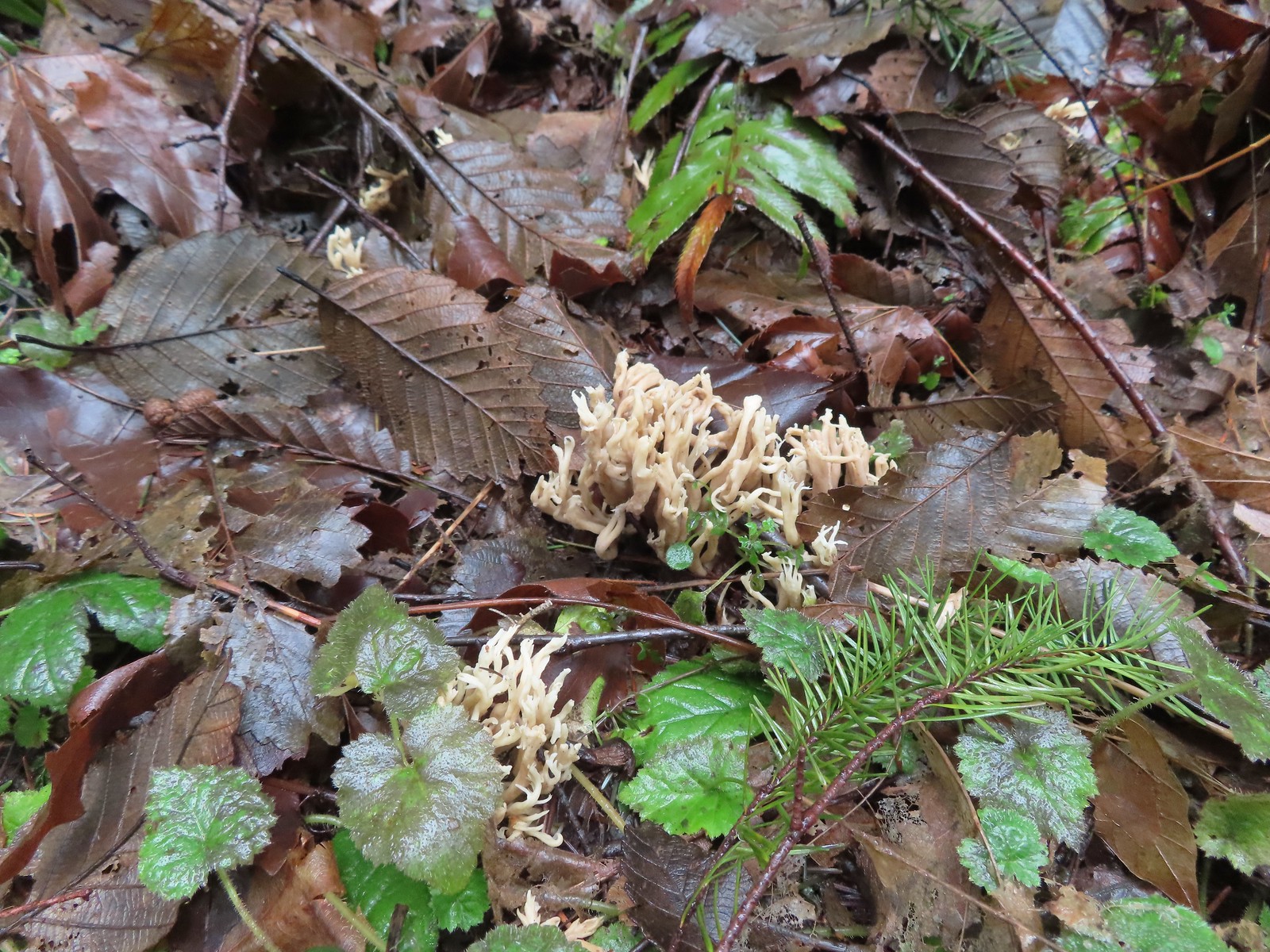 Coral fungus
 Unnamed creek
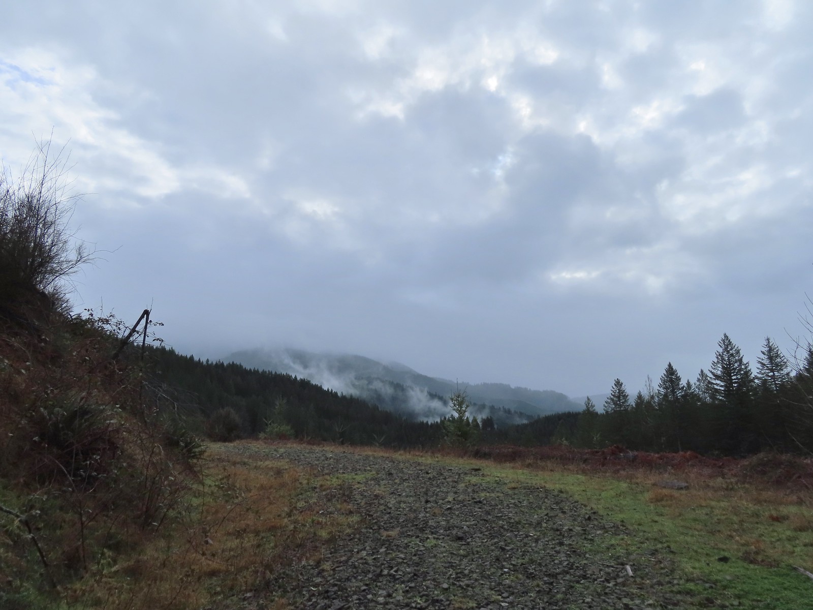 Back on the rocky roadbed below the 4-way.
 Back at the gate and kiosk.
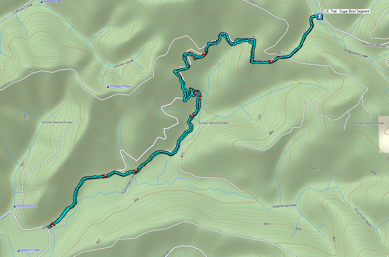


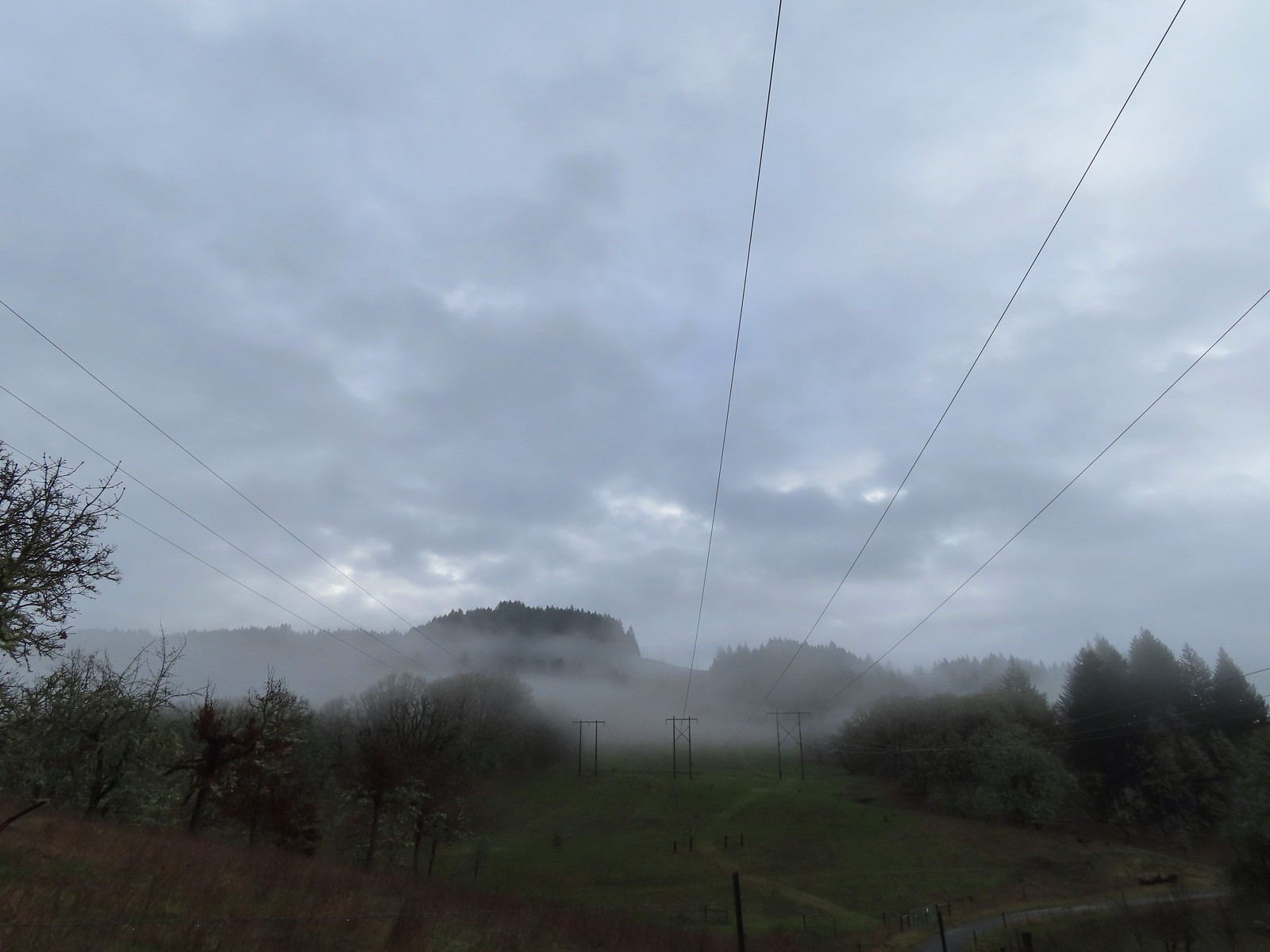 The forecast was for patchy morning fog with a chance of light showers between Noon and 3pm and partly sunny skies. They got the patchy morning fog part right.
 The first of three abandoned cars we’d pass on the day. This one was in a field on a hillside before entering the Crestmont Land Trust.
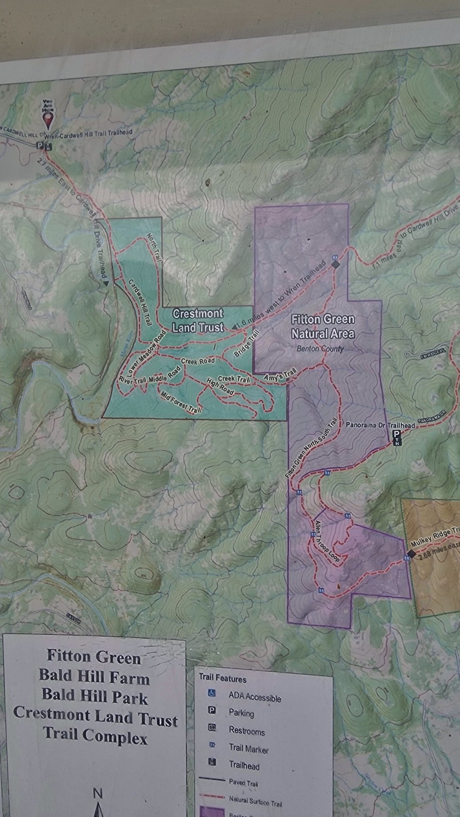
 Interpretive signs greeted us as we entered the Crestmont Land Trust.
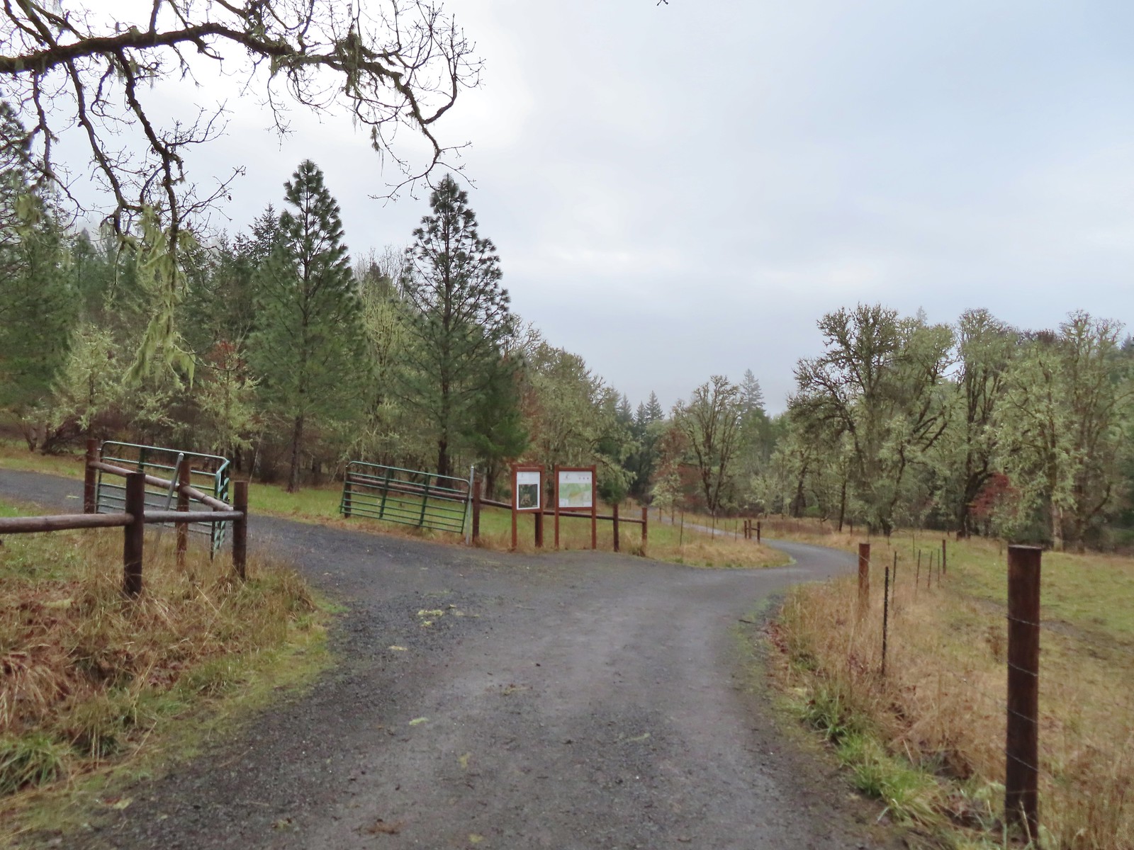
 The gazebo housed a small table with benches. A particularly nice touch was the lack of back on the bench that wasn’t facing the view which allows you to sit facing the view.
 The view from the gazebo.
 Not sure what the most recent gathering was but there was an interesting variety of items around the table.
 Another bench along the trail.
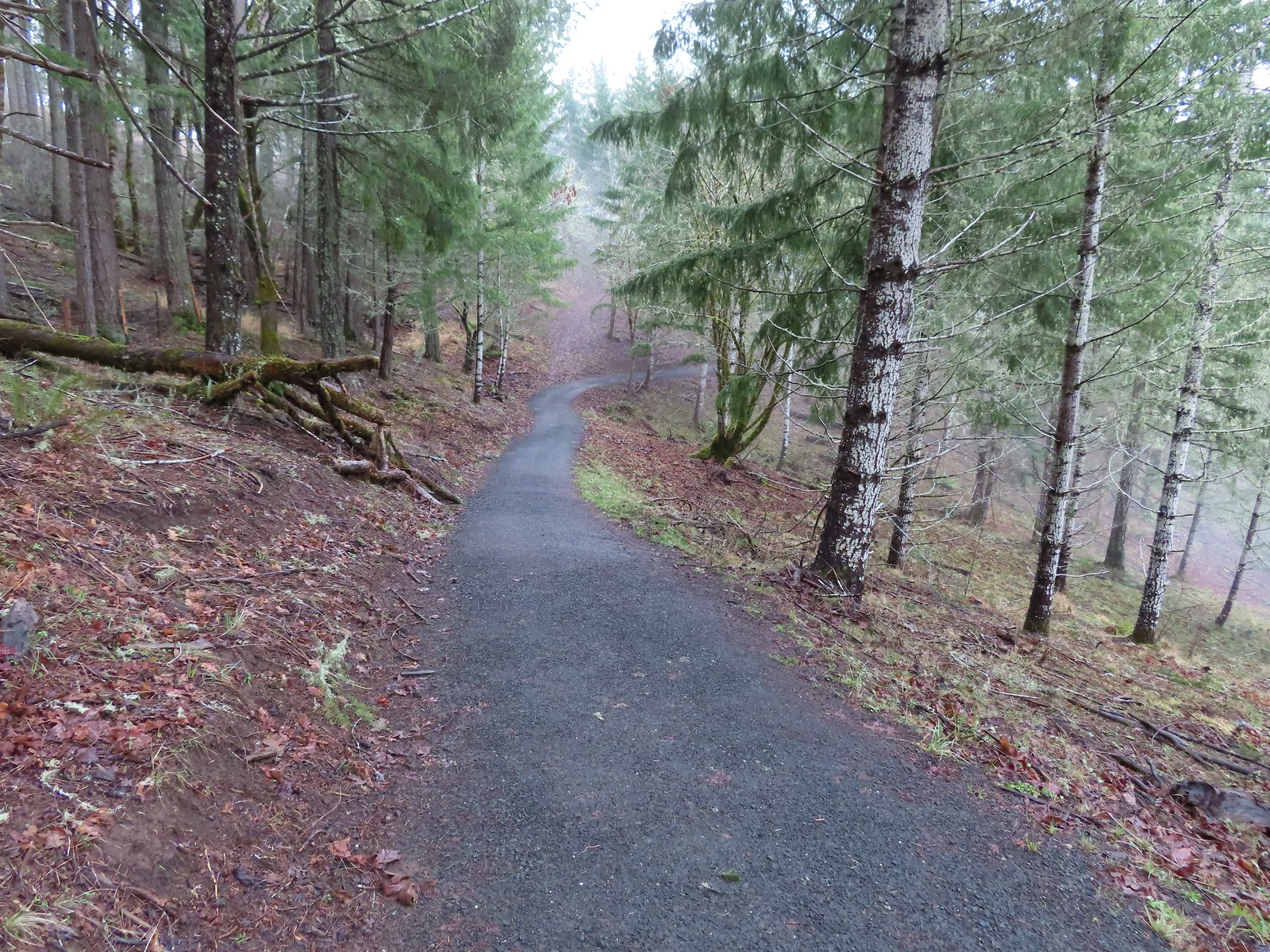
 Turkey tails
 The Cardwell Hill Trail in the valley below the North Trail.
 Dropping down to the Cardwell Hill Trail.
 The first spur didn’t have any signage
 The second spur had a marker naming it the Fitton Green North-South Trail.
 Trail marker

 Dimple Hill in the McDonald Forest (
 The other two abandoned cars, these were outside of the natural area.
 Arriving at the east trailhead.
 One of the more impressive trees along this section of the Cardwell Hill Trail
 The Fitton Green North-South Trail.
 Watch your step.
 Amy’s Trail
 The clouds were beginning to break up as we climbed up this trail.
 The western end of the Throop Loop.
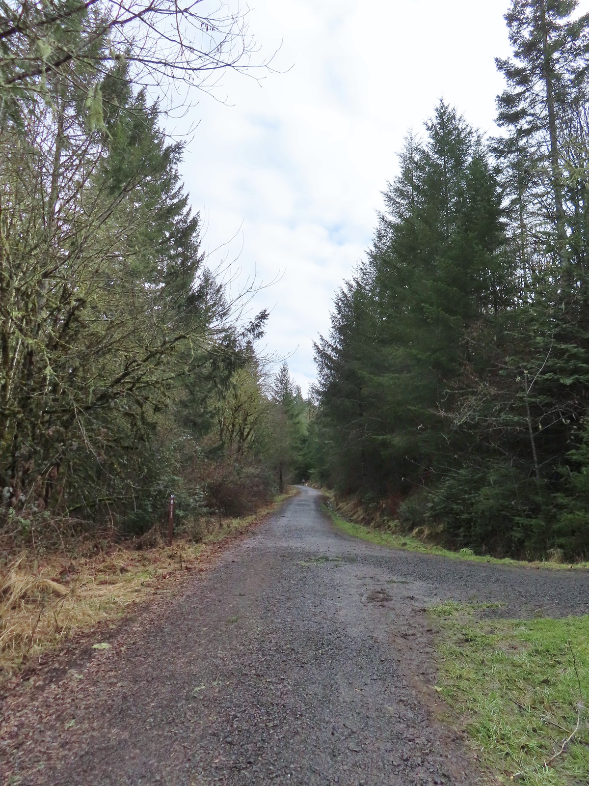 The eastern end of the Allen Throop Loop. Continuing on the Fitton Green North-South Trail would have brought us to the
  There seems to have been a spelling error (Alan vs Allen) on the trail marker.
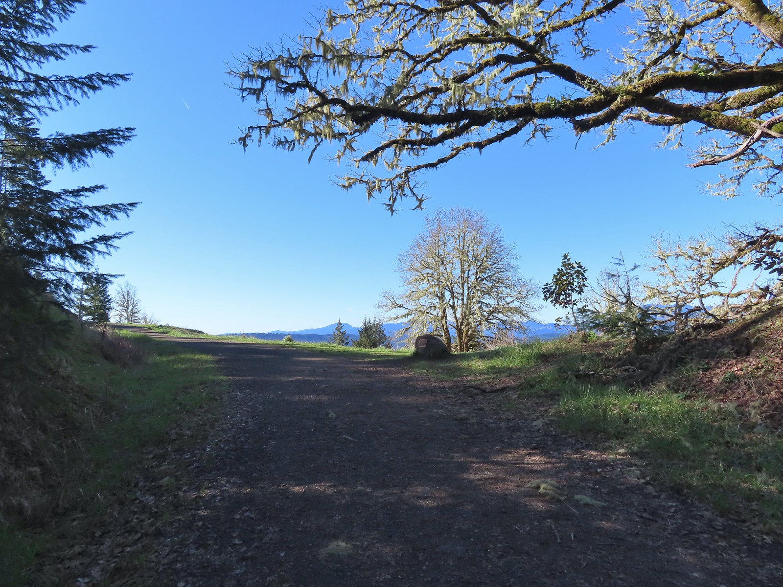
 Plaque at a viewpoint along the Allen Throop Loop. Note that it is Allen not Alan on the plaque.
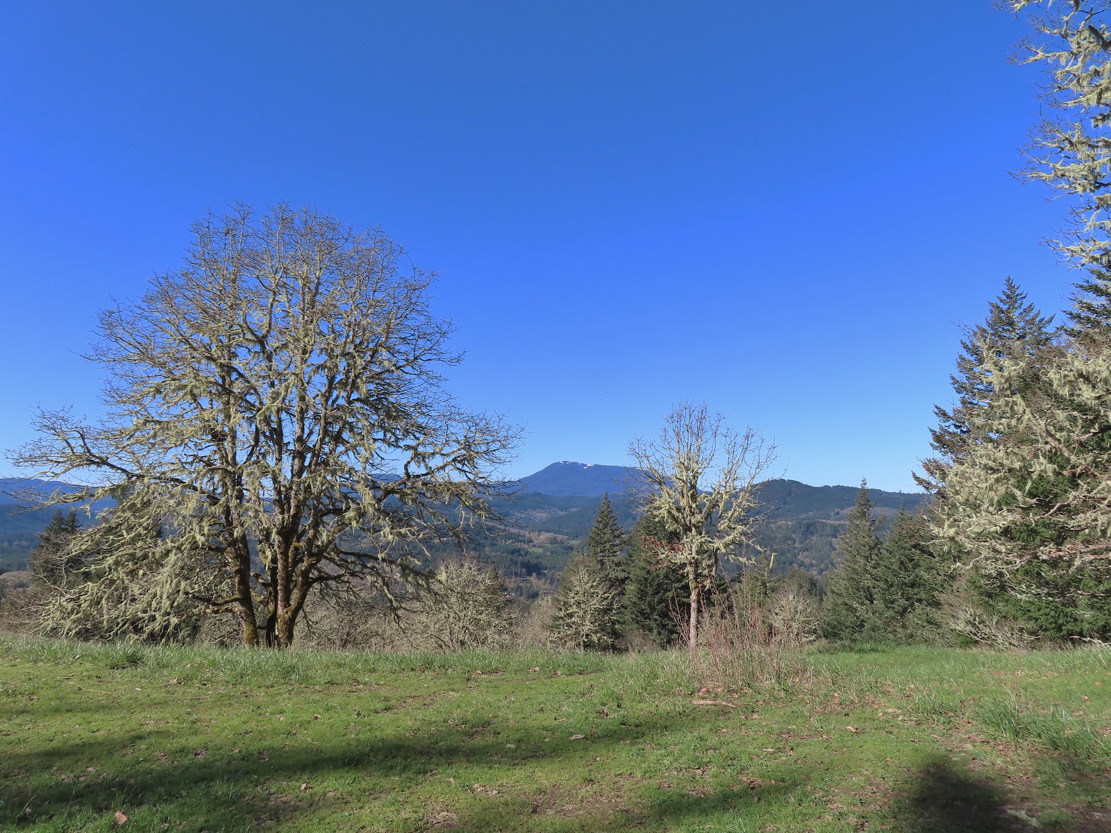
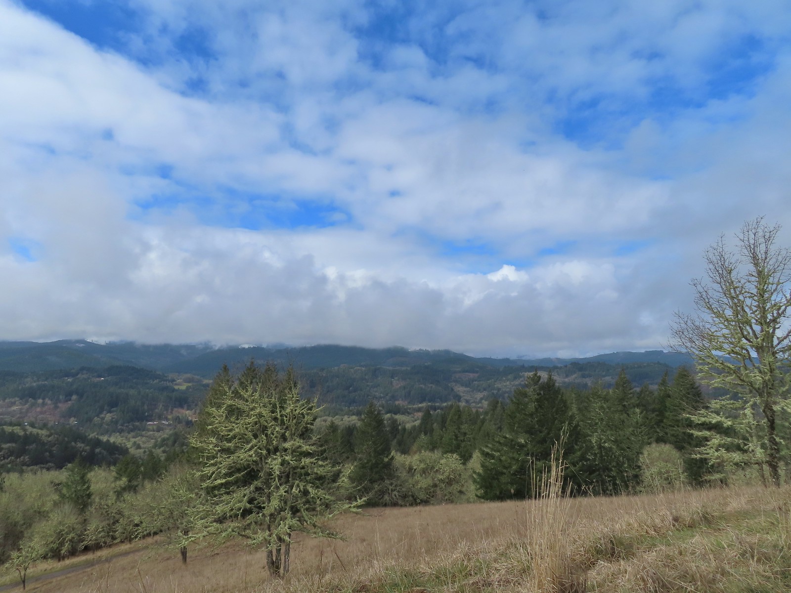 Despite the clouds breaking up we didn’t have a view of Marys Peak, the highest peak in the Oregon Coast Range (
 The trail overlooks the cities of Corvallis (to the left/east) and Philomath (straight/south).
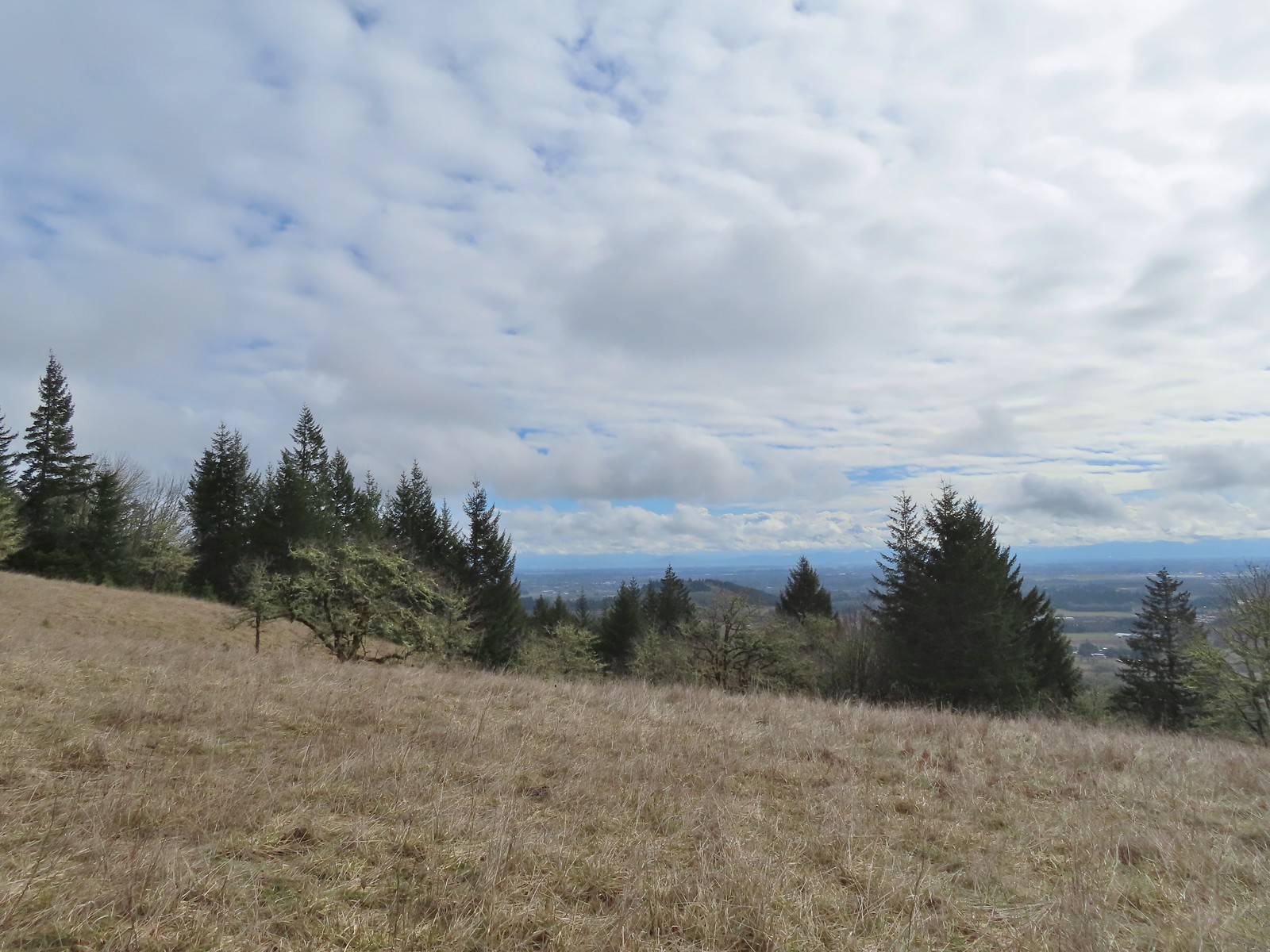 Bald Hill with Corvallis beyond from the Throop Loop.
 East toward the Coast Range.
 This is the trail that connects Bald Hill with Fitton Green.
 The junction from the Throop Loop Trail.
 Map at the start of Amy’s Trail.
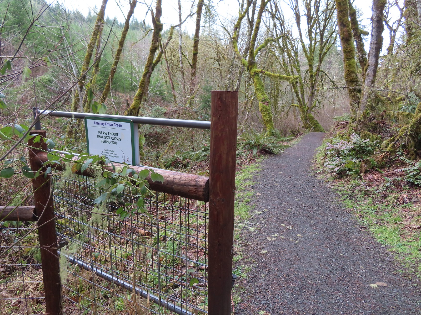 Gate at the Fitton Green-Crestmont Land Trust border.
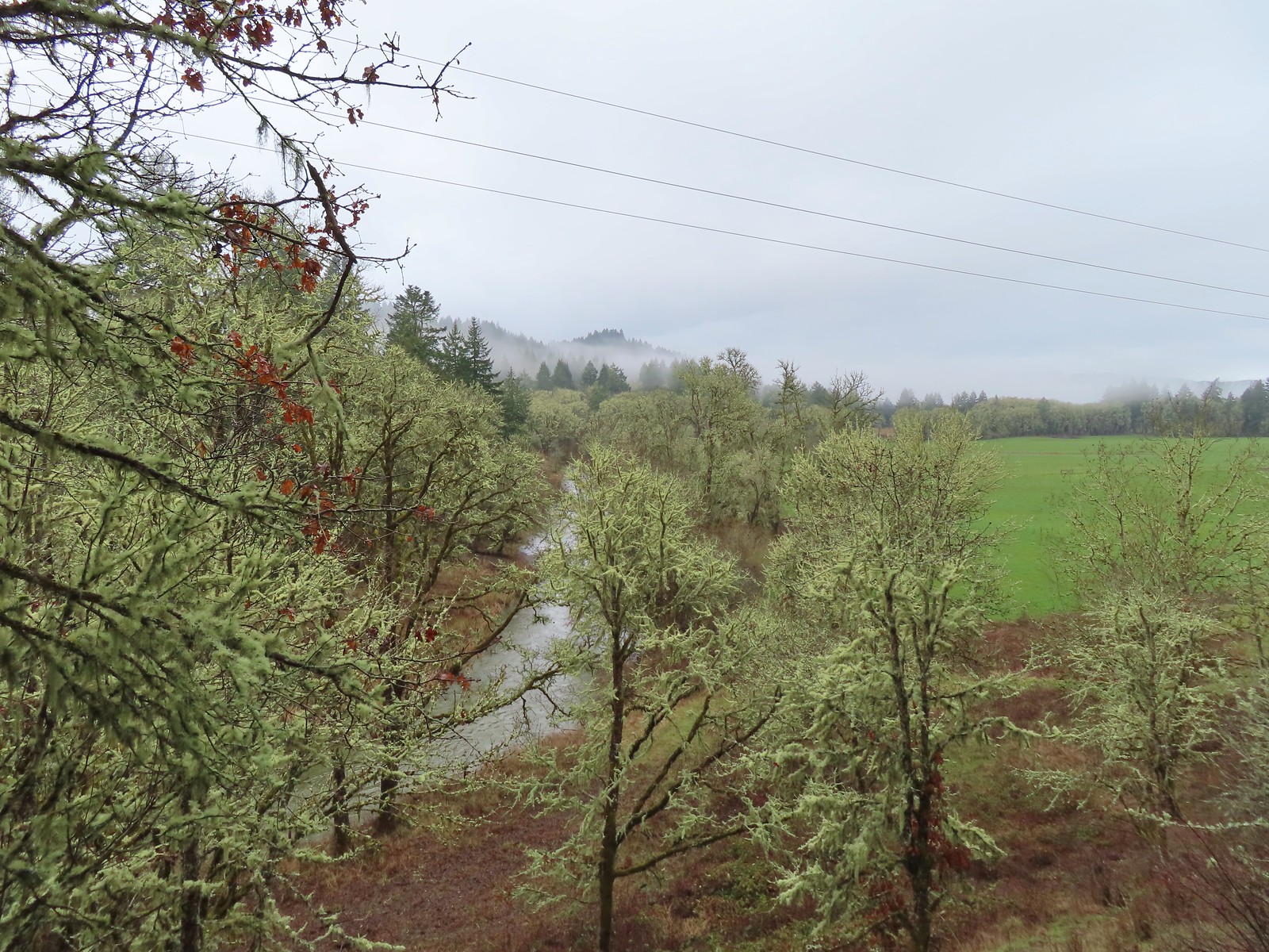
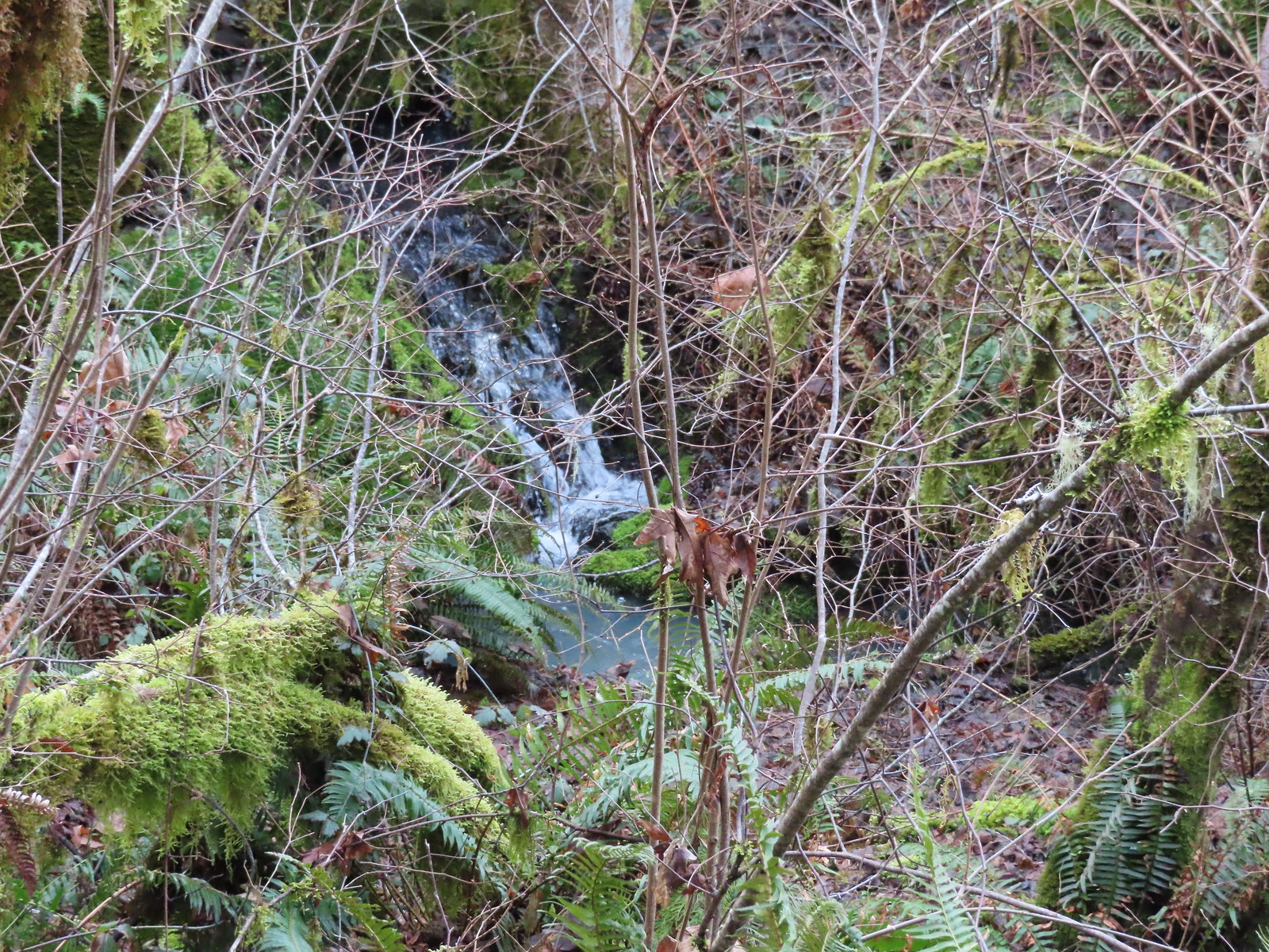 Creek along Amy’s Trail. With all the wet weather there was a fair amount of water in all the streams/creeks in the area.
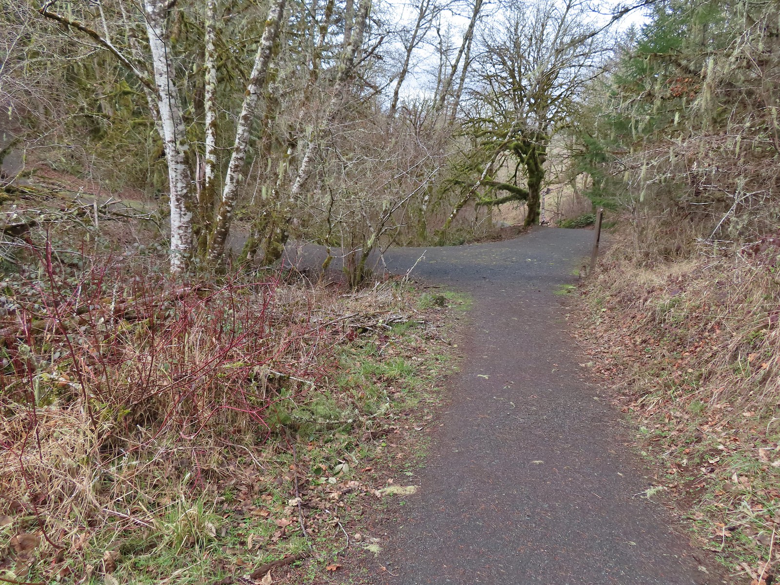

 On the hillside above the picnic table is the Creek Trail.
 Switchbacks along the Upper Forest Trail.
 Arriving at High Road.
 The Mid Forest Trail is hidden behind the tree on the left. To the right is the Creek Trail while High Road continues straight ahead.
 Lots of green moss along this trail.
 A little snow on the ridge in the distance.
 Rabbit that Heather spotted.
 The junction was at the far end of this open space.
 This was by far the most confusing junction we’d encountered all day. It was one of only a couple that was unsigned and none of the maps that we’d seen or had brought with us showed the road continuing to the left. Since we’d planned on staying left at all junctions except for at High Road we initially turned left here thinking it was the River Trail, but it just didn’t feel right so we turned to the Garmin which did show the road continuation. It didn’t look anything like the River Trail route so we promptly turned around and returned to the 4-way junction and took a left downhill through the meadow.
 Lower Meadow
 Gate along the River Trail just before Marys River.
 Marys River
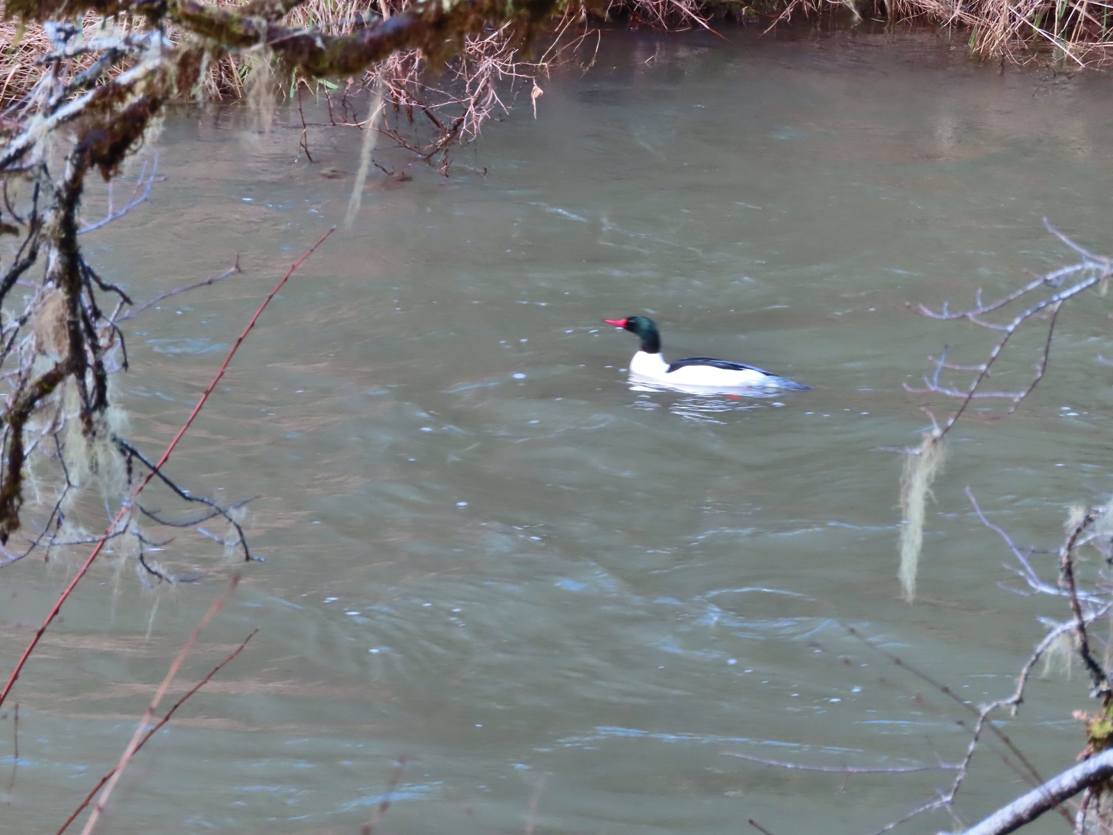 Male common merganser floating Marys River. I only had a brief second to try and get a picture as he floated by thus the poor focus.
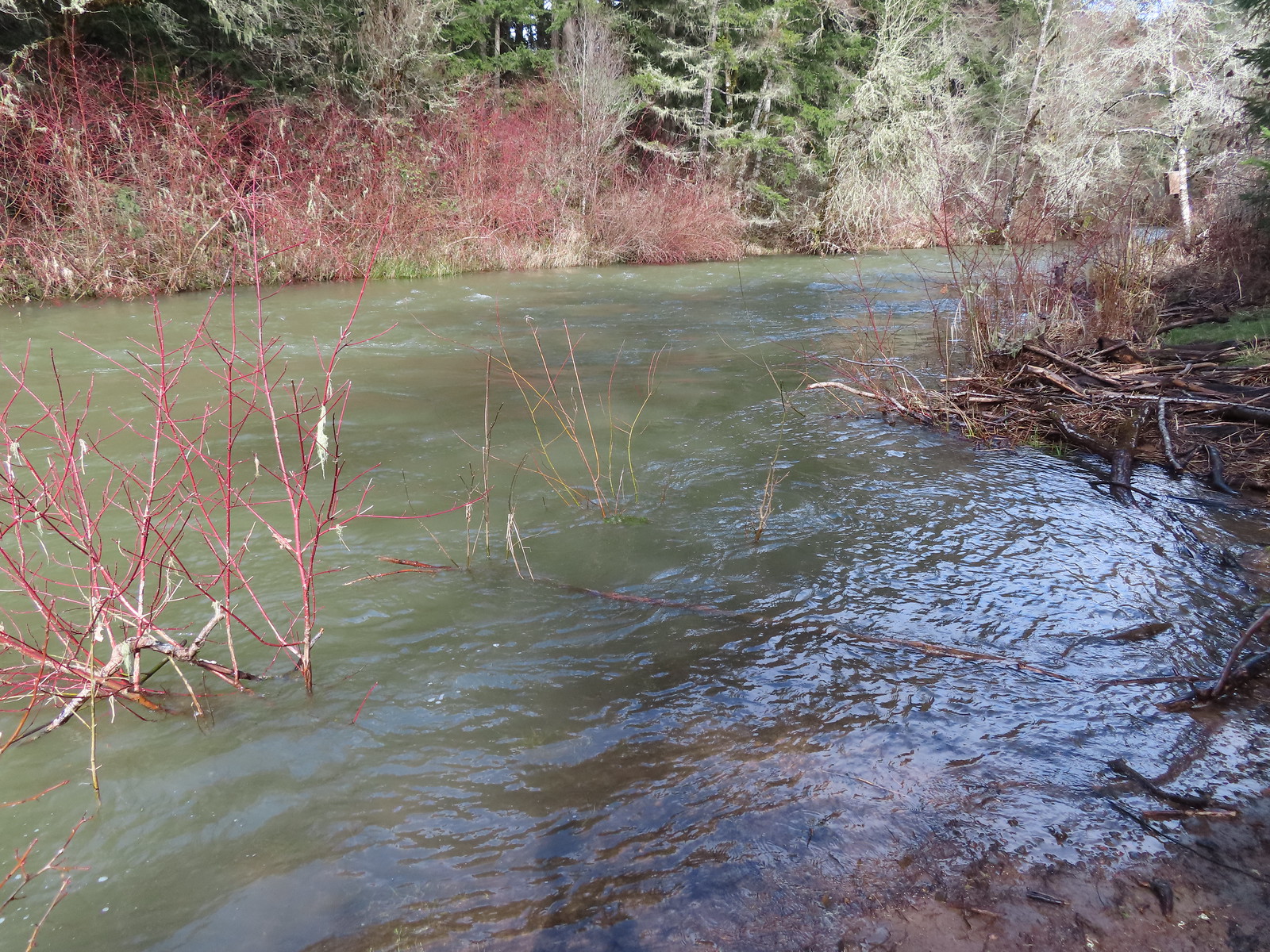 A short spur trail led down to the river bank.


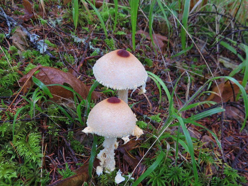
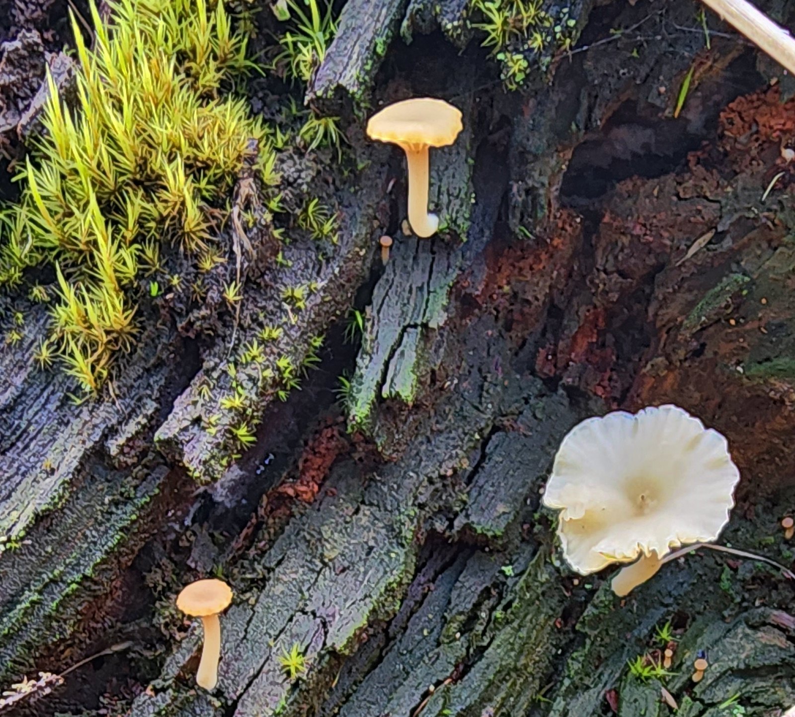 Not flowers but mushrooms are always fun to spot.
 Lower Meadow Road crossing the creek and ending at the Cardwell Hill Trail.
 The short Trestle Extension led to a view of a railroad trestle over Marys River.
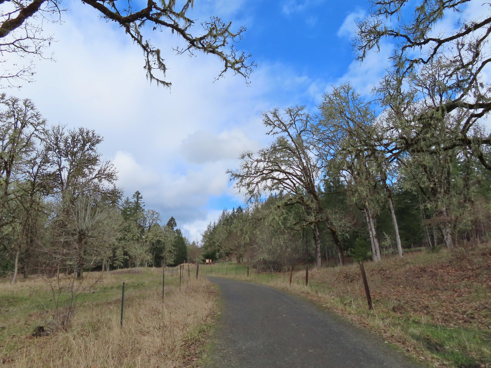 The signboards at the North Trail junction from the Cardwell Hill Trail.
 Robin near the North Trail junction.
 No more fog.


 Sulphur Springs
 Soap Creek near Sulphur Springs.
 Sulphur Springs Road from the pullout.
 Sulphur Springs Road Trailhead.

 We stayed right at this junction with Road 761.
 The Rocky Road Trail.
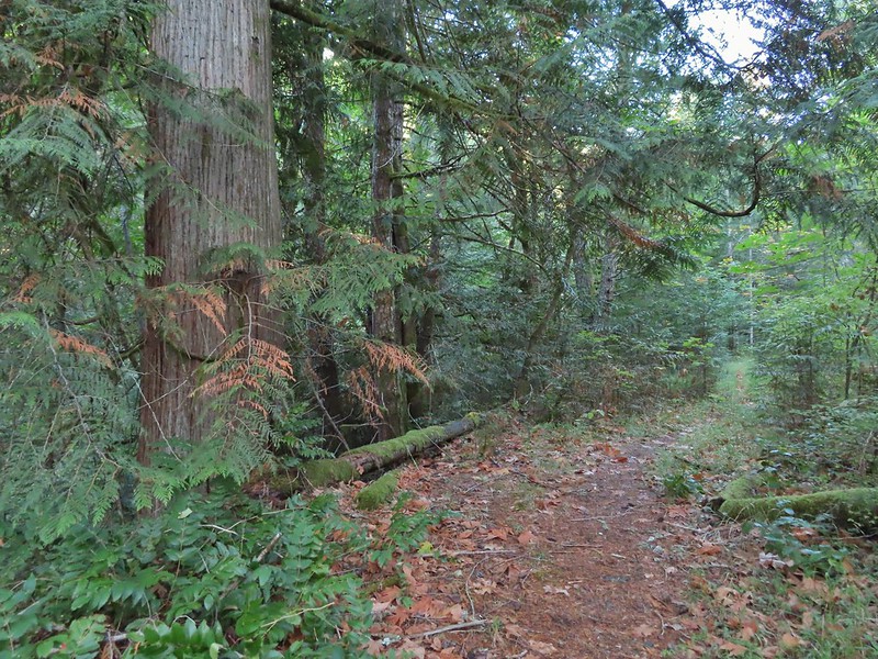 A good sized cedar along the trail.
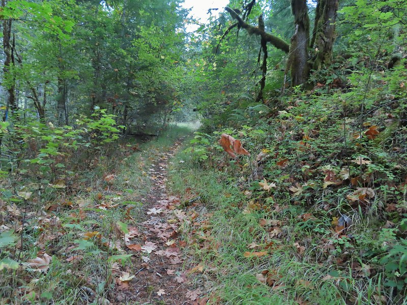
 Road 760 ahead.
 Interesting patchwork of trees. We would have liked to have been able to see when each section had been harvested and replanted.
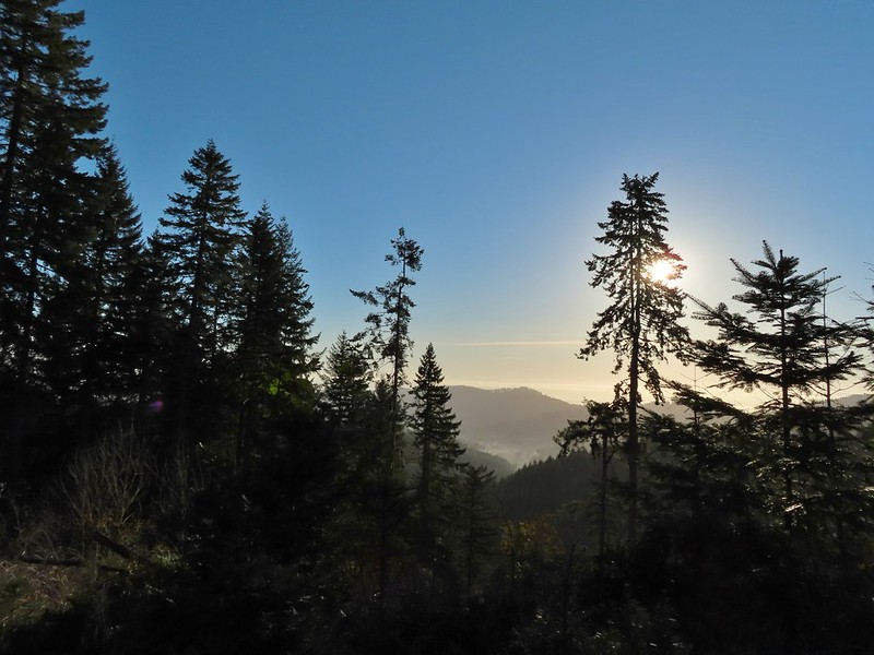 We couldn’t see much to the east due to the Sun’s position.
 Mary’s Peak (
 Road 7040 on the left.
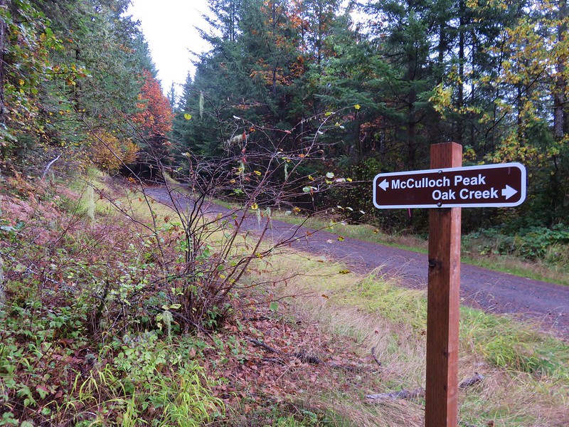
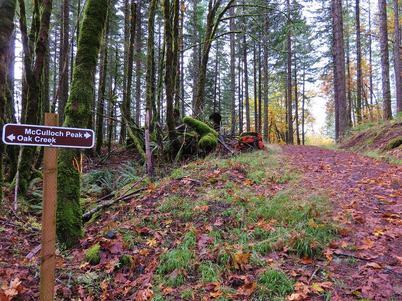
 Pointer for McCulloch Peak at the junction. We had come up from Road 700 on the right.
 The rest of the 4-way junction. After visiting the peak we would head downhill following the pointer for Oak Creek.
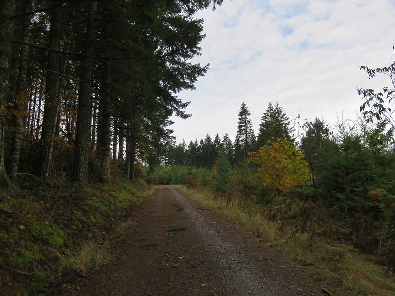
 Trail to the spur road.

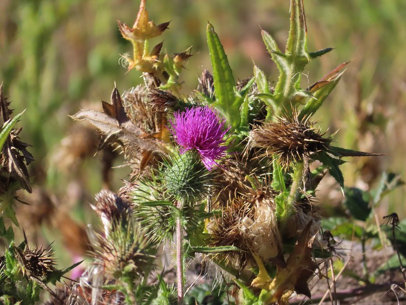
 Fading pearly everlasting.
 We stayed left here which was the shorter route.
 Madrone
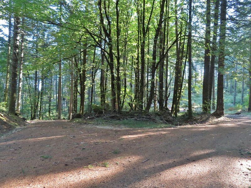 Tree island at the junction with Road 680.
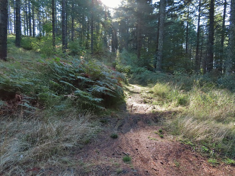


 Nearing the trail junction.
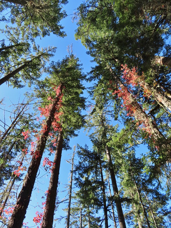 Poison oak climbing trees.
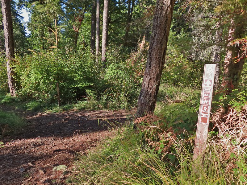 Signs for the Uproute and Extendo Trails.
 Road 680
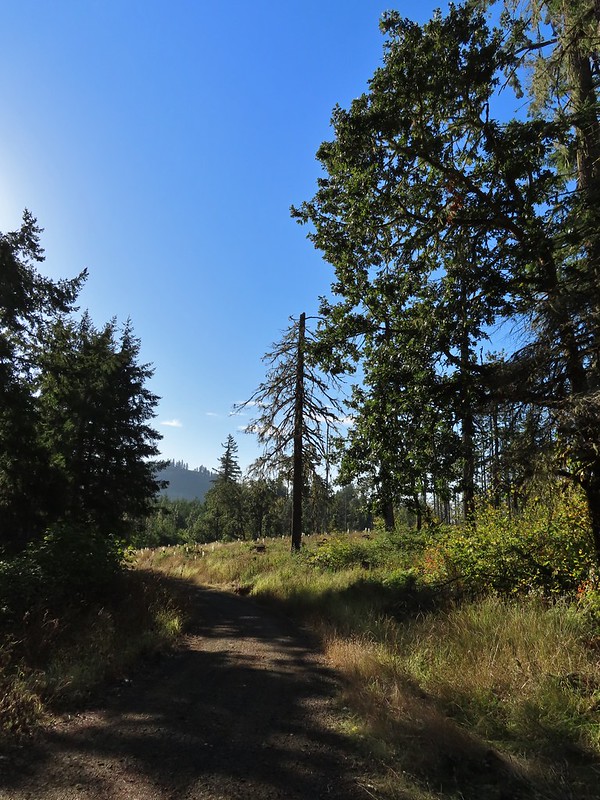


 A few larger trees in the forest.
 A sea of green grass.
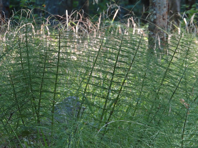 Horsetails
 The 4-way junction.


 Summit of Dimple Hill.
 Mary’s Peak
 Approaching the junction on Road 650.
 Junco
Junco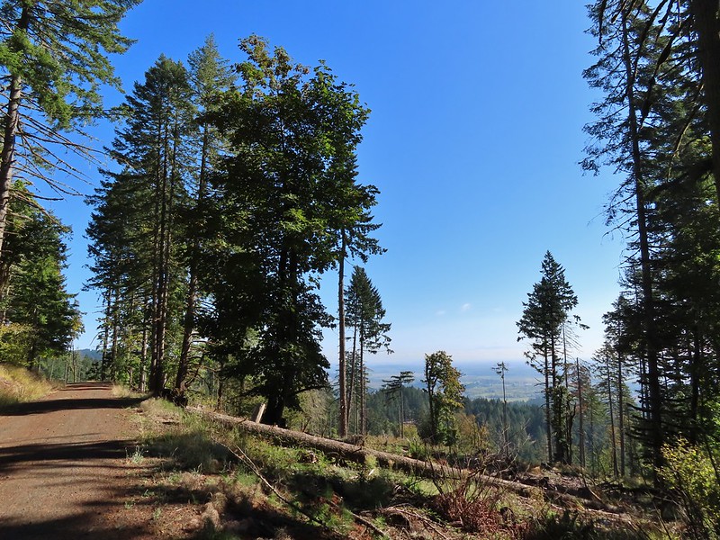
 Mt. Hood
 Mt. Jefferson
 The Three Sisters


 The High Horse Trail and another trail heading uphill at the 4-way junction.
 What we assume is the Bombs Away Trail on the left and the High Horse Trail on the right at the 4-way junction.
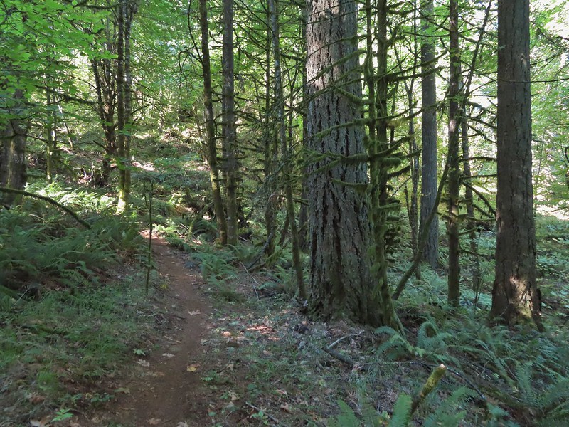

 Left or right? More often than not both ended up in the same spot.
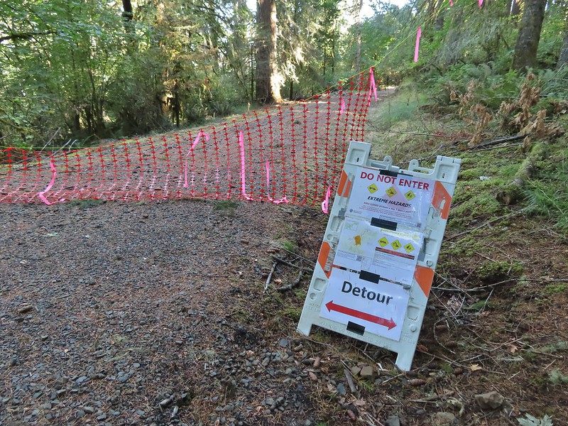 Road 640
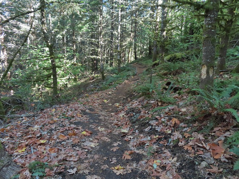


 Junction with the Alpha Trail.


 Looking back at the Alpha Trail from Road 810.

 Road 800 below Road 810.
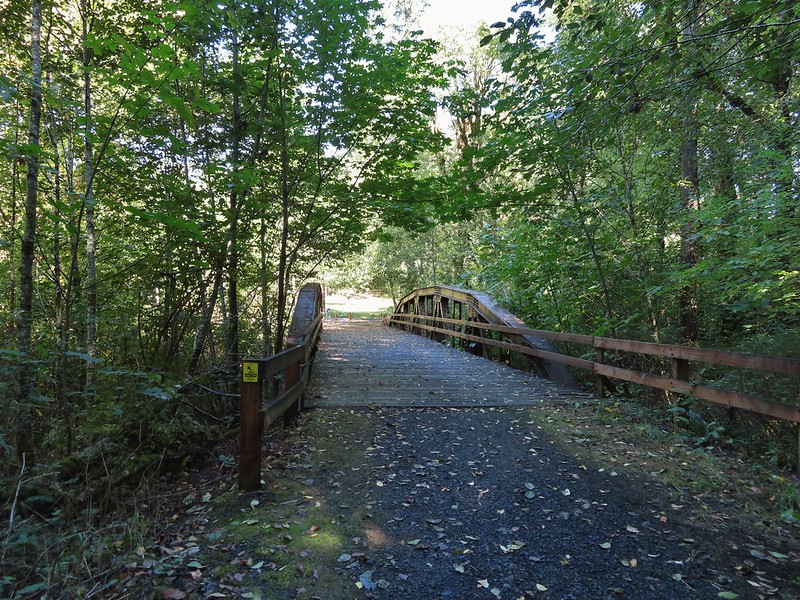
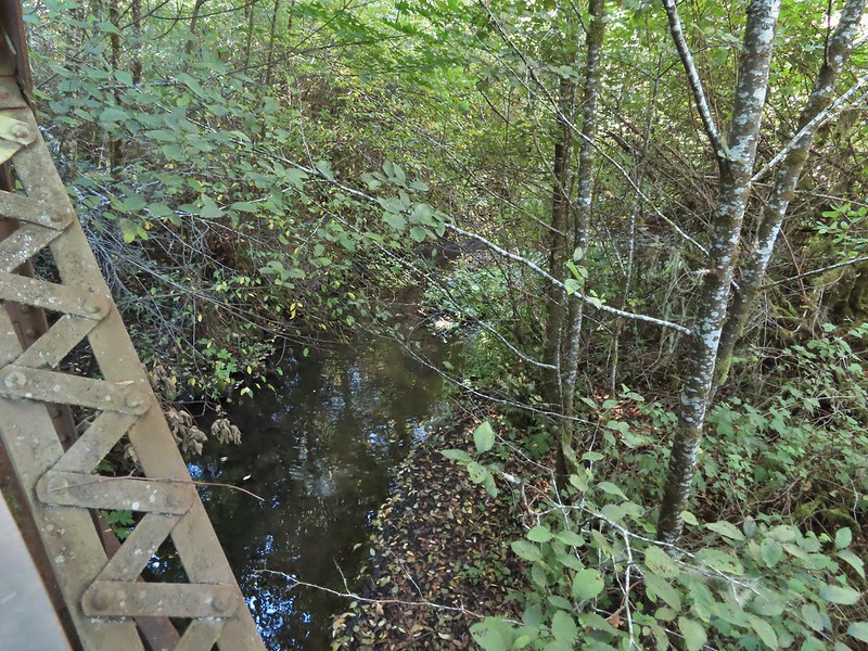
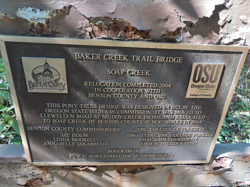
 Baker Creek Trail ahead on the right.
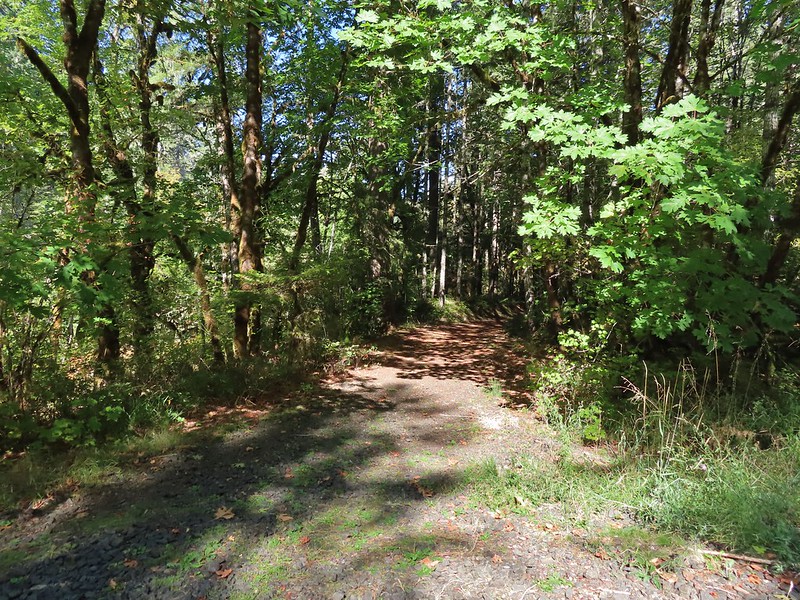


 <
<