The rain showers that had begun the previous afternoon continued into the morning as we prepared for our last day in the Elkhorns. Fortunately they were infrequent and only one quick shower provided any significant amount of precipitation.

By the time that shower rolled through we had pretty much packed everything up and had it all under the cover of trees. After eating breakfast we started up the Dutch Flat Trail to Dutch Flat Saddle. The presence of the clouds passing overhead gave things a different look that morning and had pushed some of the smoke out.
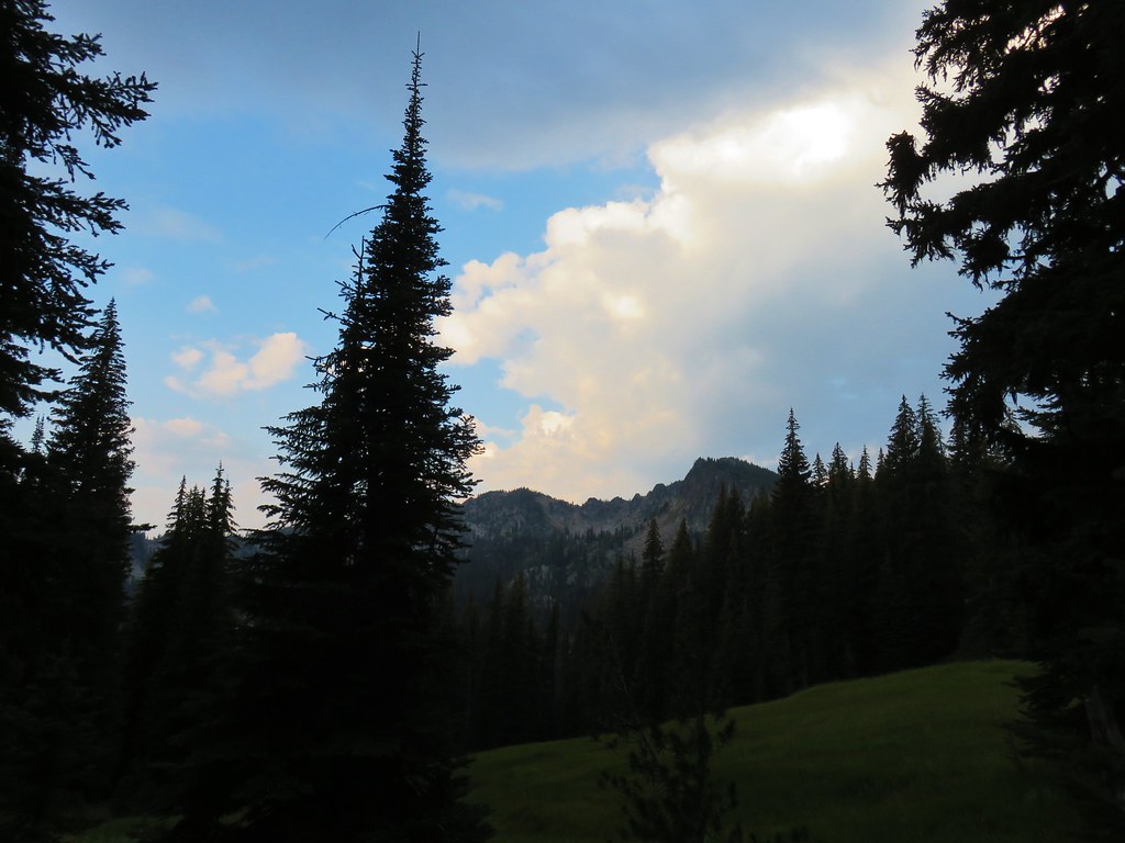
The showers had been coming from the west so we were pleasantly surprised by the amount of blue sky we found in that direction.
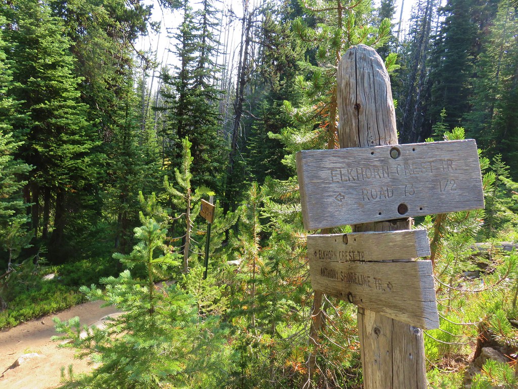
Instead of turning right at the saddle and following the Elkhorn Crest Trail back to the trailhead we went straight over the ridge onto the Crawfish Basin Trail.
This was a longer route back, just over 6 miles vs. 3.25 miles, but it would allow us to visit the Hoffer Lakes as well as Anthony and Lilypad Lake and only repeat a half mile of trail from our first day.
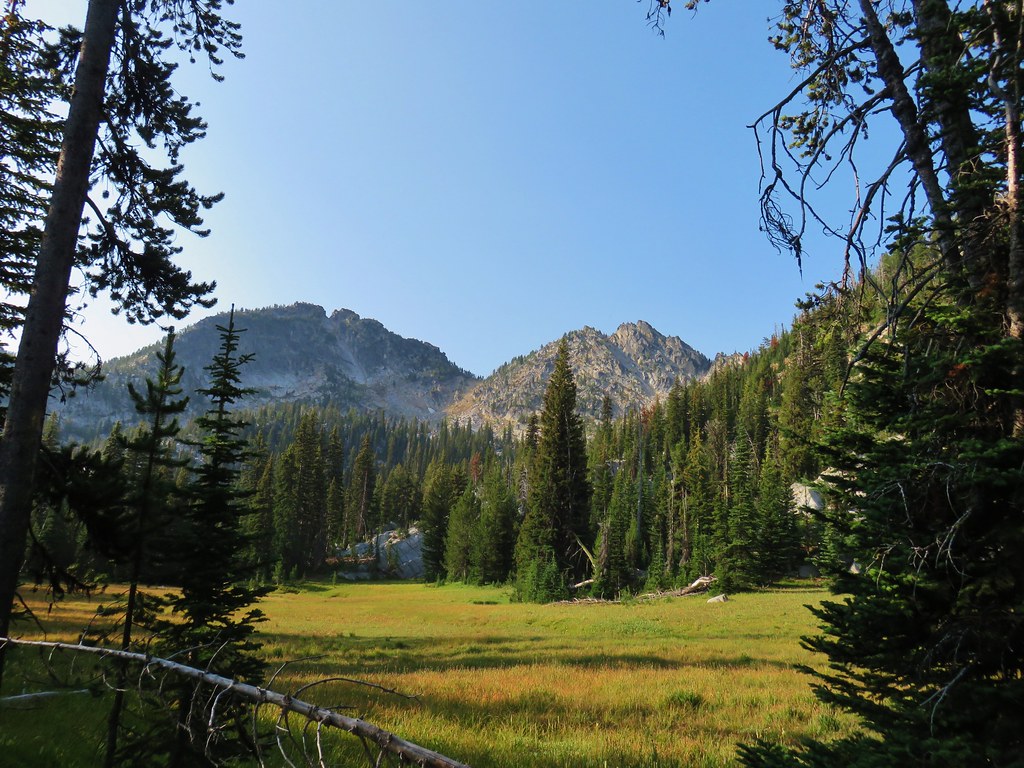
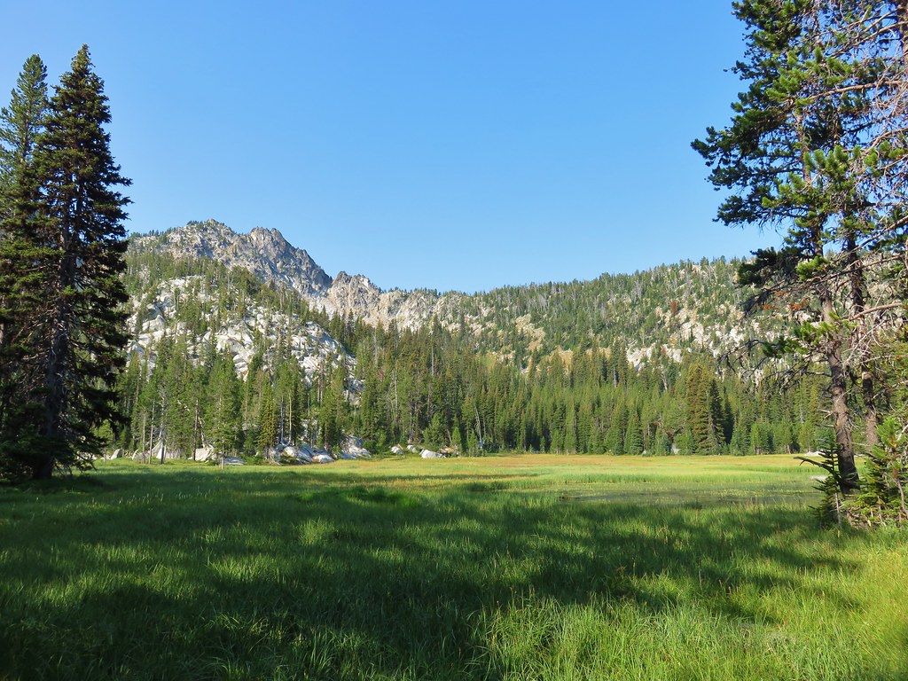
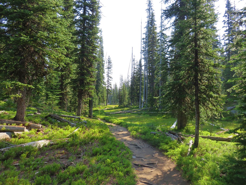
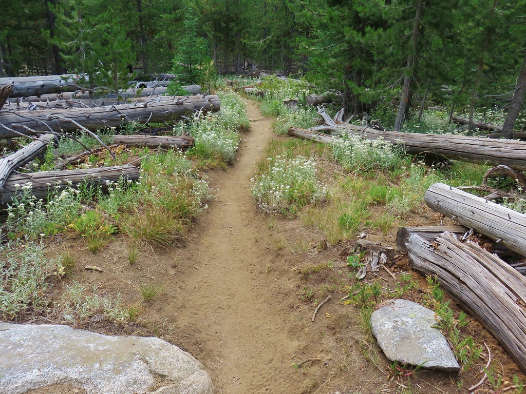
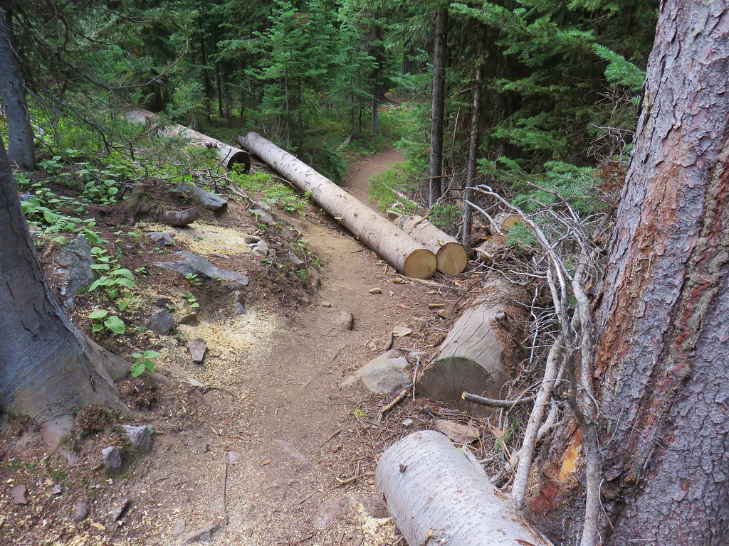
After a series of switchbacks down the Crawfish Basin Trail leveled off along the hillside above Crawfish Meadow.
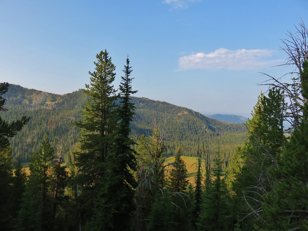
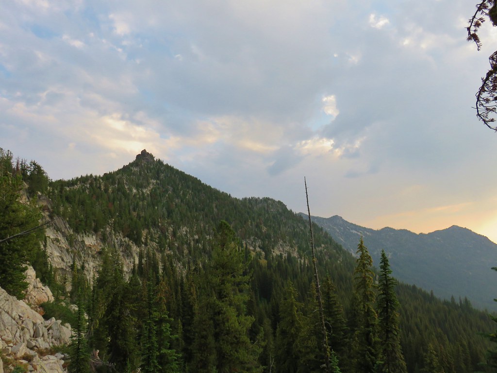
It also passed below the rocky spires of Angell Peak, Lees Peak, and The Lakes Lookout.
 Lees Peak
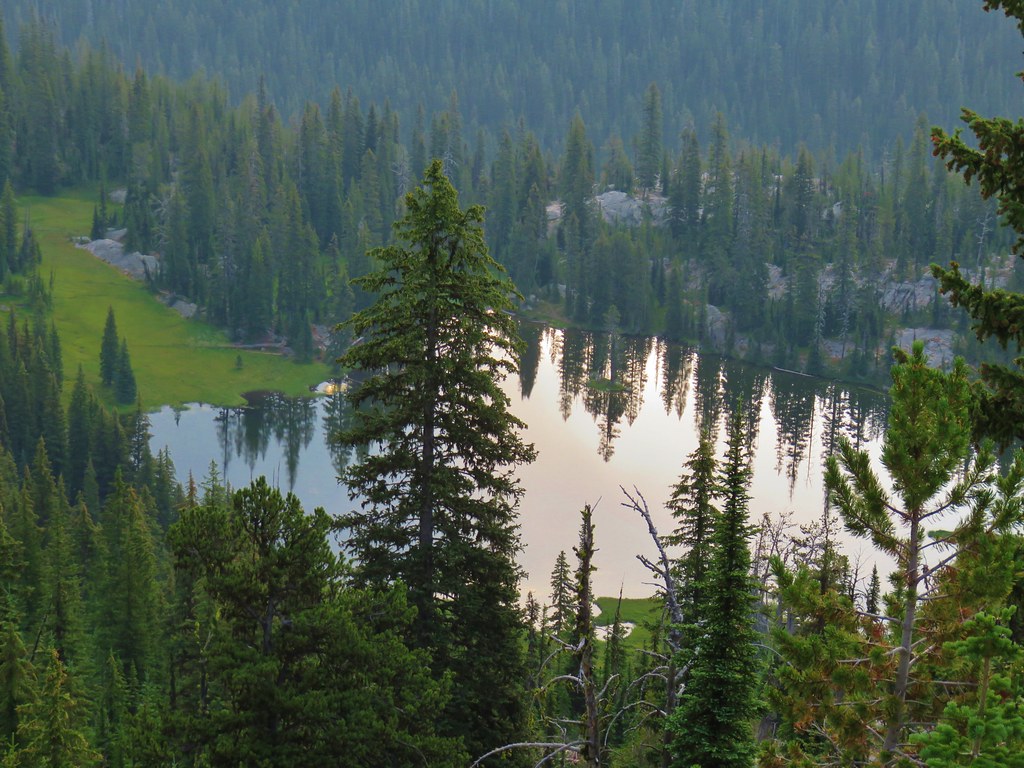
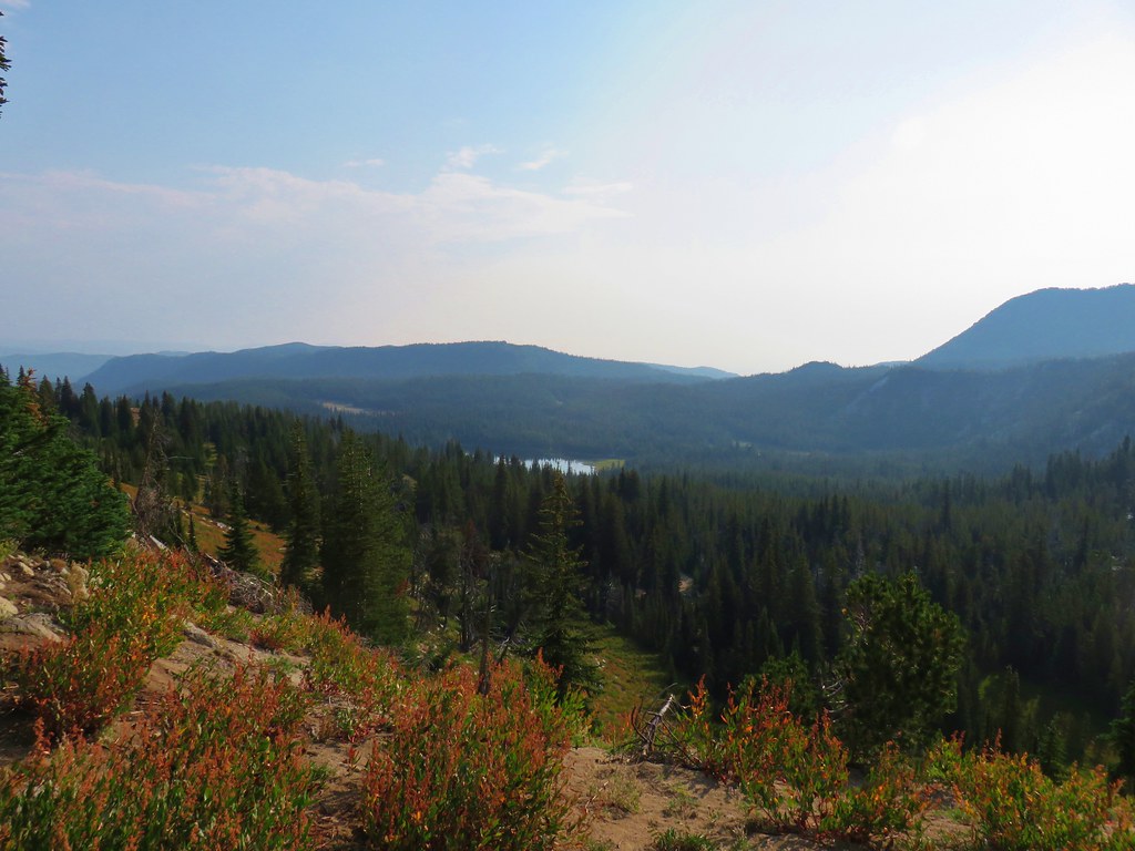
As we made our way around the hillside Crawfish Lake came into view down in Crawfish Basin.
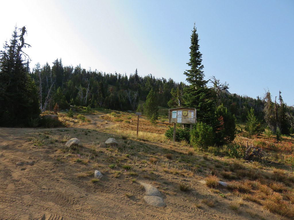
The lake is one of the featured hikes in William L. Sullivan’s “100 Hikes/Travel Guide Easter Oregon” guidebook which put it on our list of to do hikes if we are ever going to finish all of his featured hikes. There are no trails between the lake and the Crawfish Basin Trail so we were planning on stopping at the Crawfish Lake Trail later in the day on our way from the Elkhorn Crest Trailhead to Sumpter. For now we continued along the Crawfish Basin Trail which wrapped around The Lakes Lookout before joining an old road bed after two and a half miles.
Just prior to joining the road we startled a group of elk in the trees below the trail. They were never in view long enough for a picture but we were excited to add them to the deer and mountain goats we’d already seen during the trip.
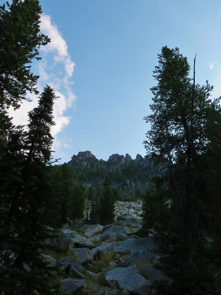
A tenth of a mile along the old roadbed we came to a fork where a trail to the right led up nearly 800′ to The Lakes Observation Point.
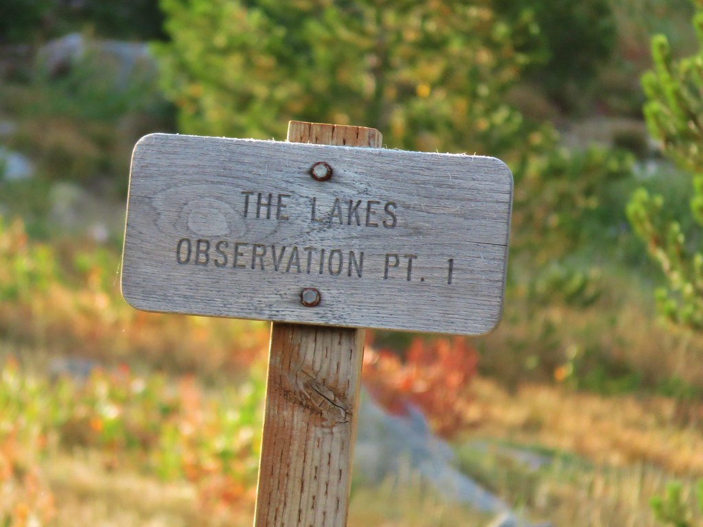
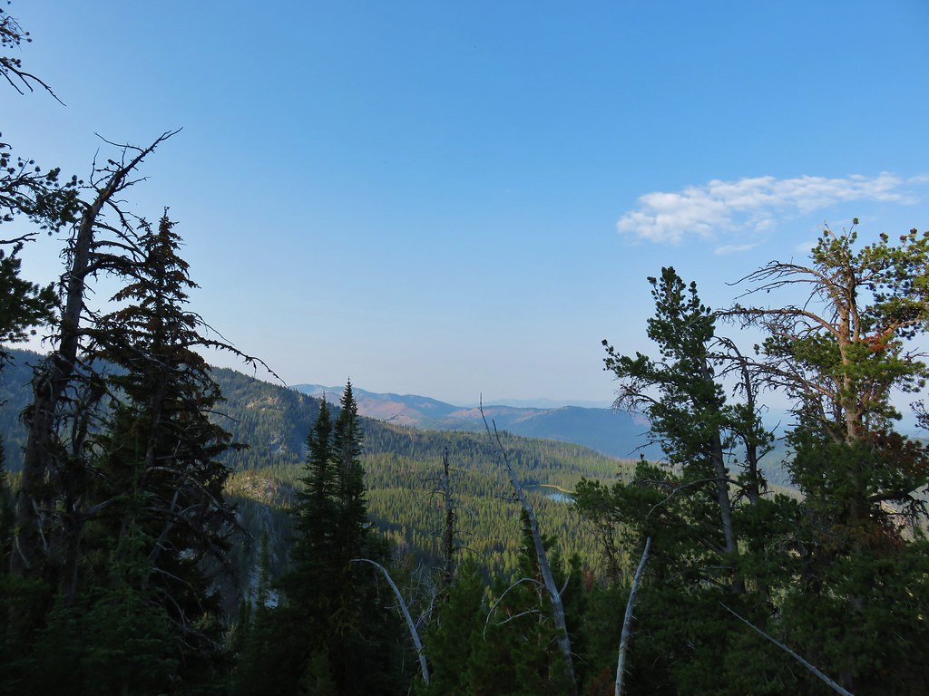
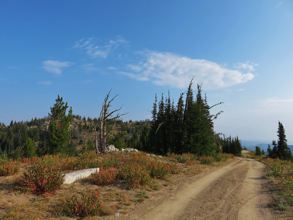
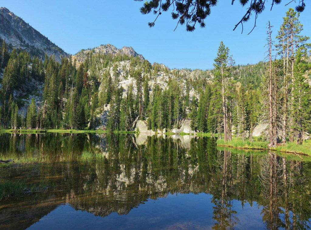
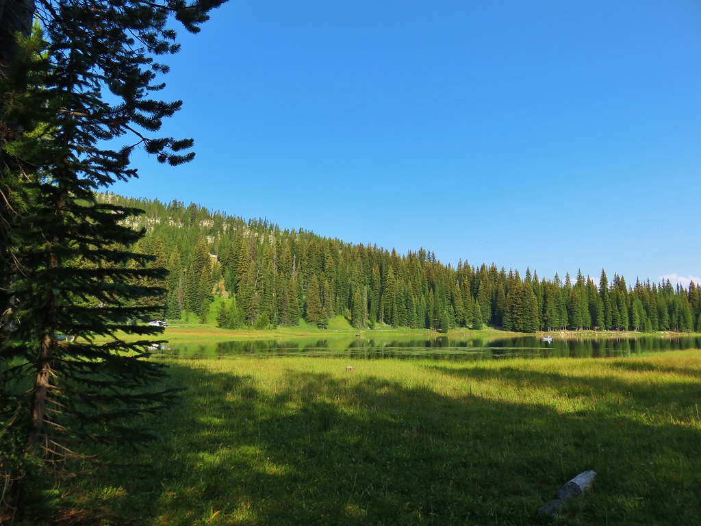
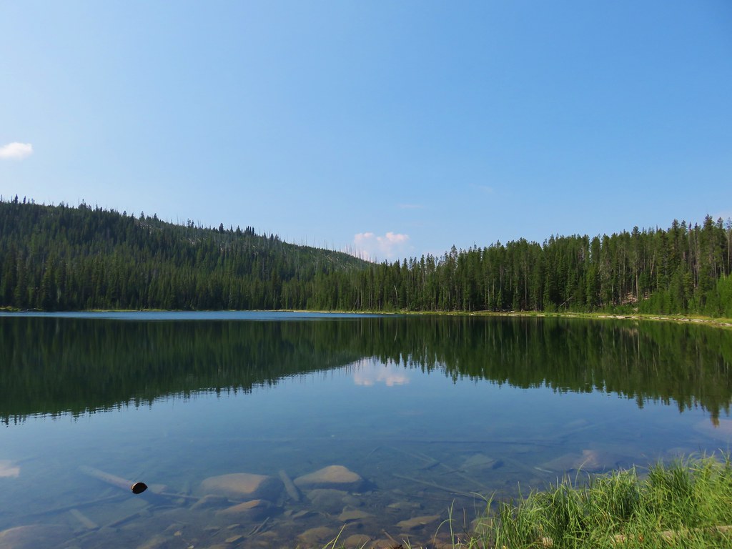
Rock Creek Butte had been enough climbing for us on this trip so we ignored the side trail and continued on the roadbed toward the Anthony Lakes Ski Area passing views of Anthony Lake along the way.
 Anthony Lake
 Ski lift on the hillside ahead.
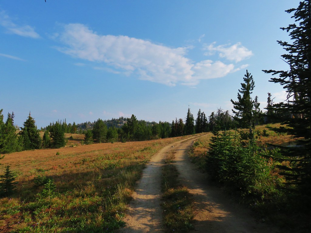
Near the ski area we turned downhill on a steep double track instead of continuing around a much longer hairpin curve in the road.

We then turned right on the road which seemed to see plenty of use.
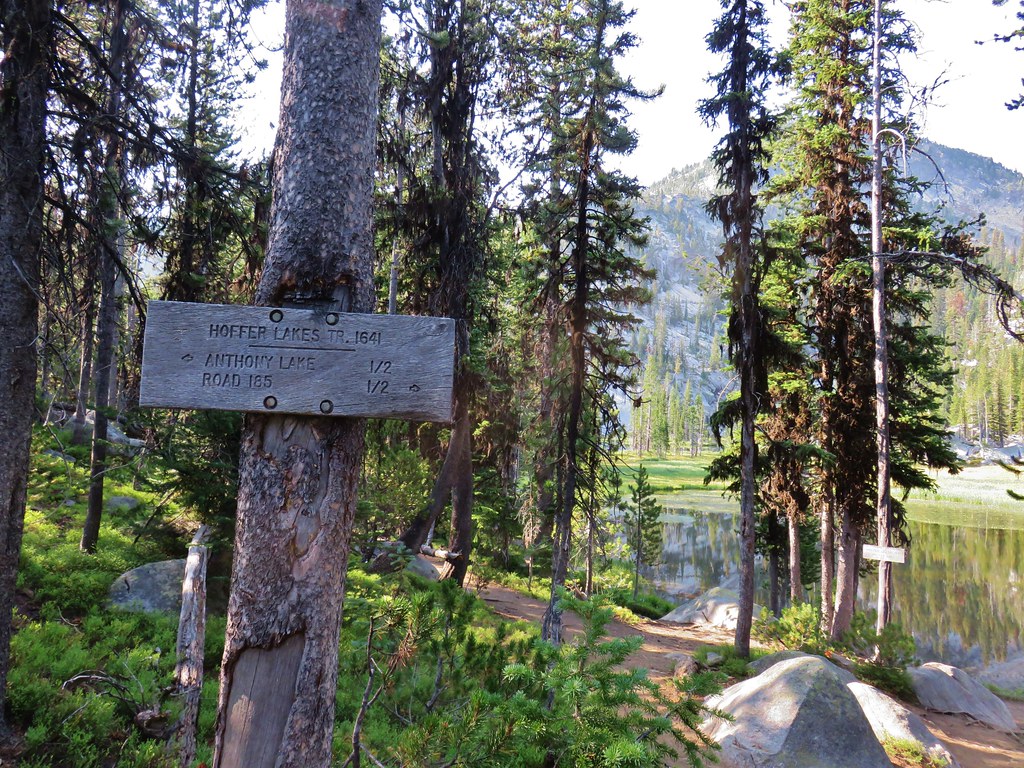
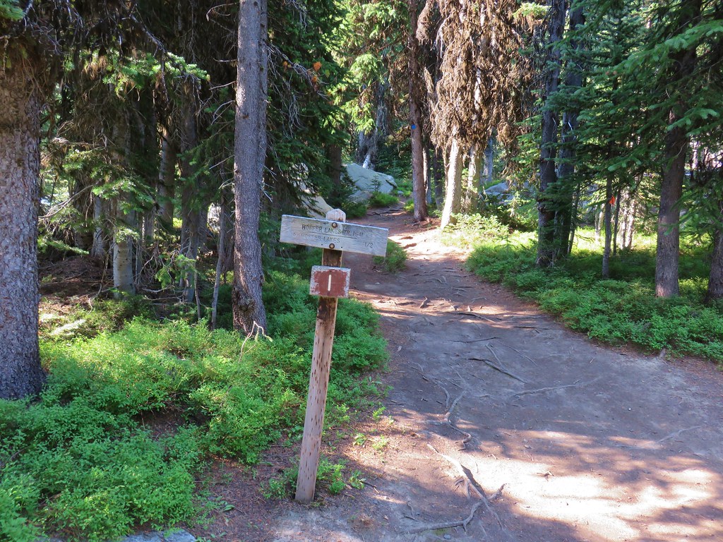
In a quarter mile we came to the start of the Hoffer Lakes Trail on the right.
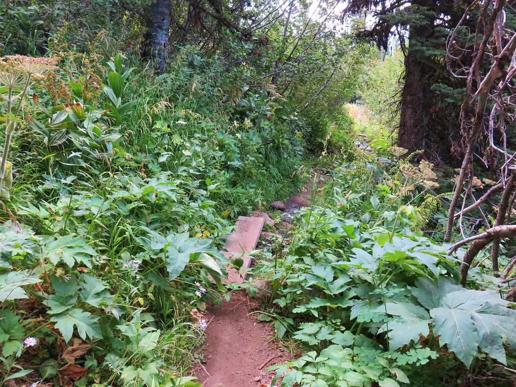
We followed this trail for half a mile through meadows to the first Hoffer Lake.
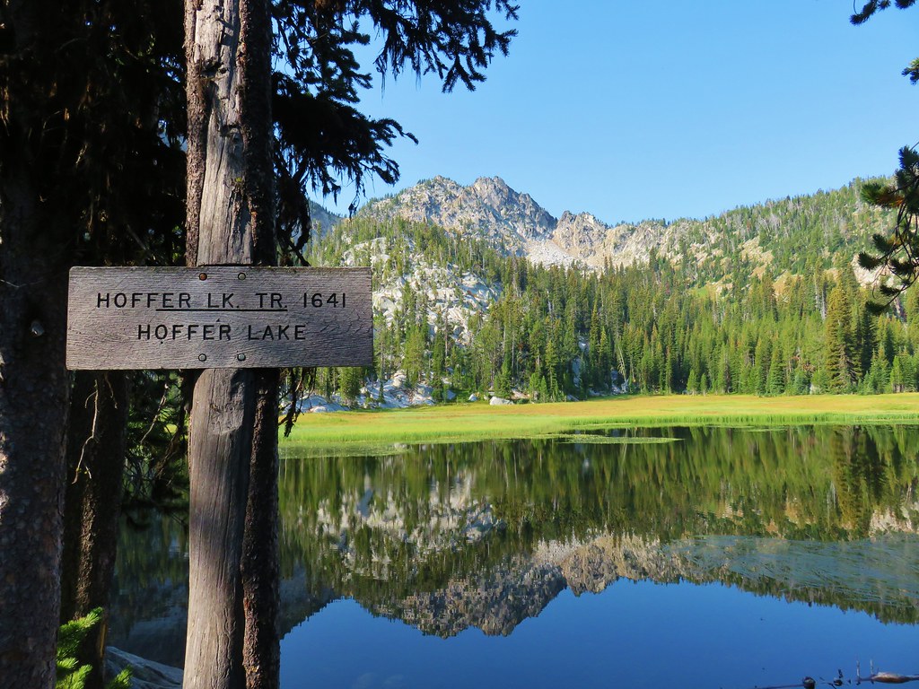
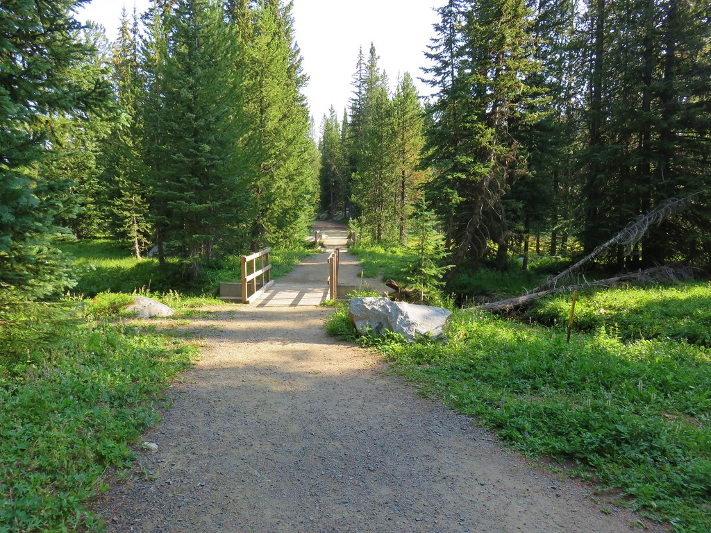
Following the path around the first lake to SE led us across a series of footbridges to the second Hoffer Lake.
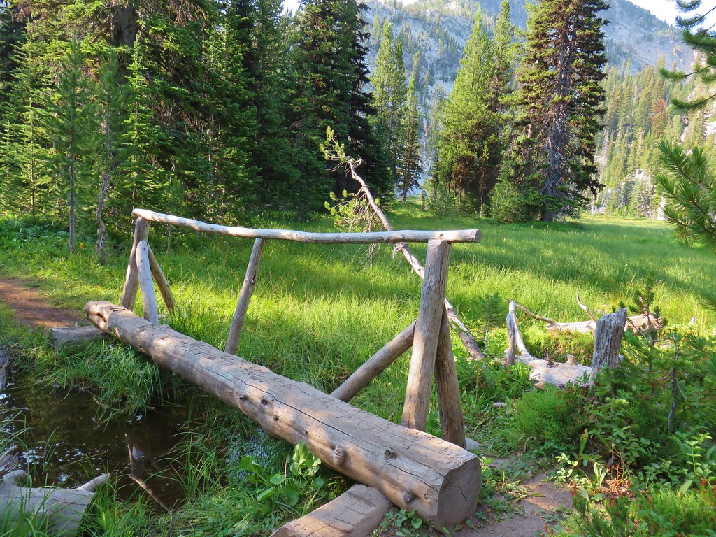
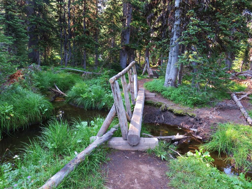
Only a narrow strip of meadow separates the lakes.
After visiting the second lake we returned to the Hoffer Lakes Trail and followed pointers for Anthony Lake.
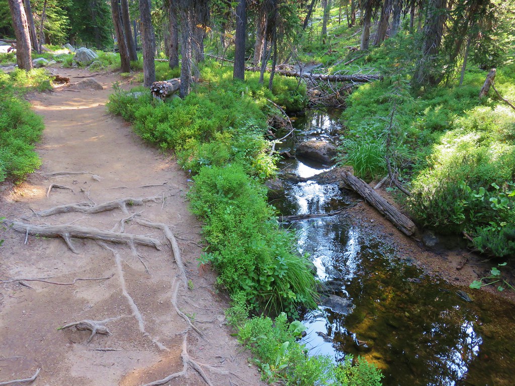
This section of the trail was wide and full of roots. It was also surprisingly steep in places as it followed Parker Creek downhill.
After half a mile the Hoffer Lake Trail ended at another old road bed near walk-in camp sites.
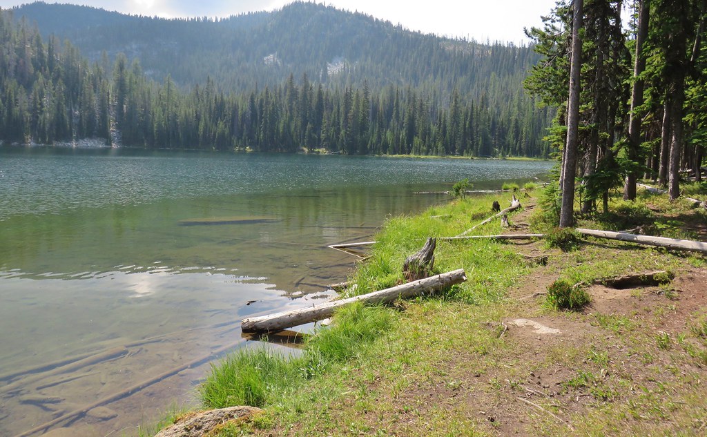
We followed a path straight ahead for about 50 yards to get a look at Anthony Lake.

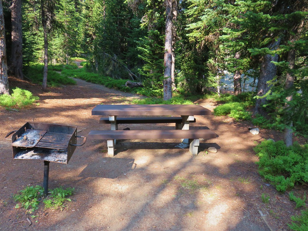
After making use of one of the picnic tables we followed the roadbed to the right around the lake for .3 miles to a boat ramp where the view across Anthony Lake included Gunsight Mountain.
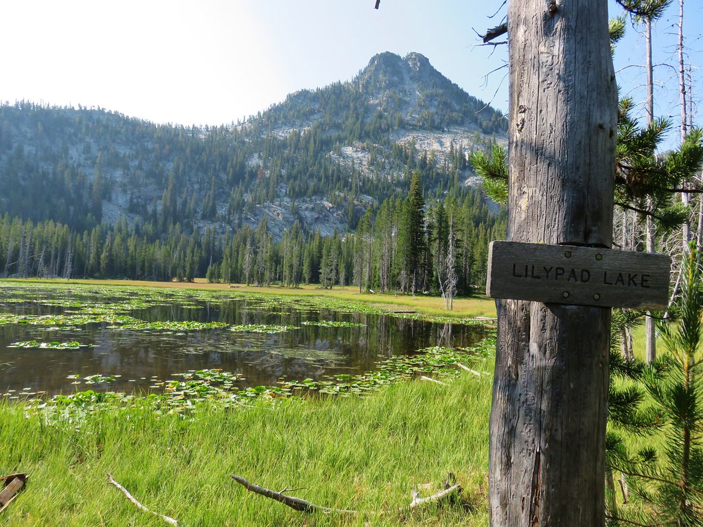
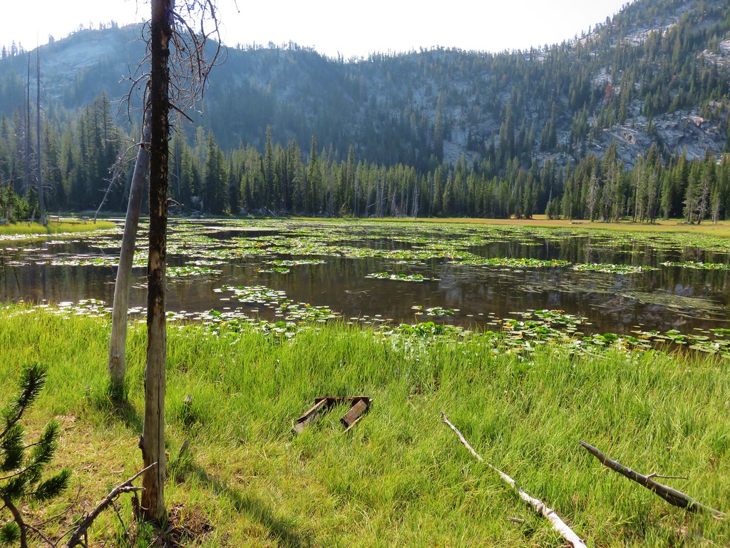
At the boat ramp we turned right onto the Black Lake Trail.
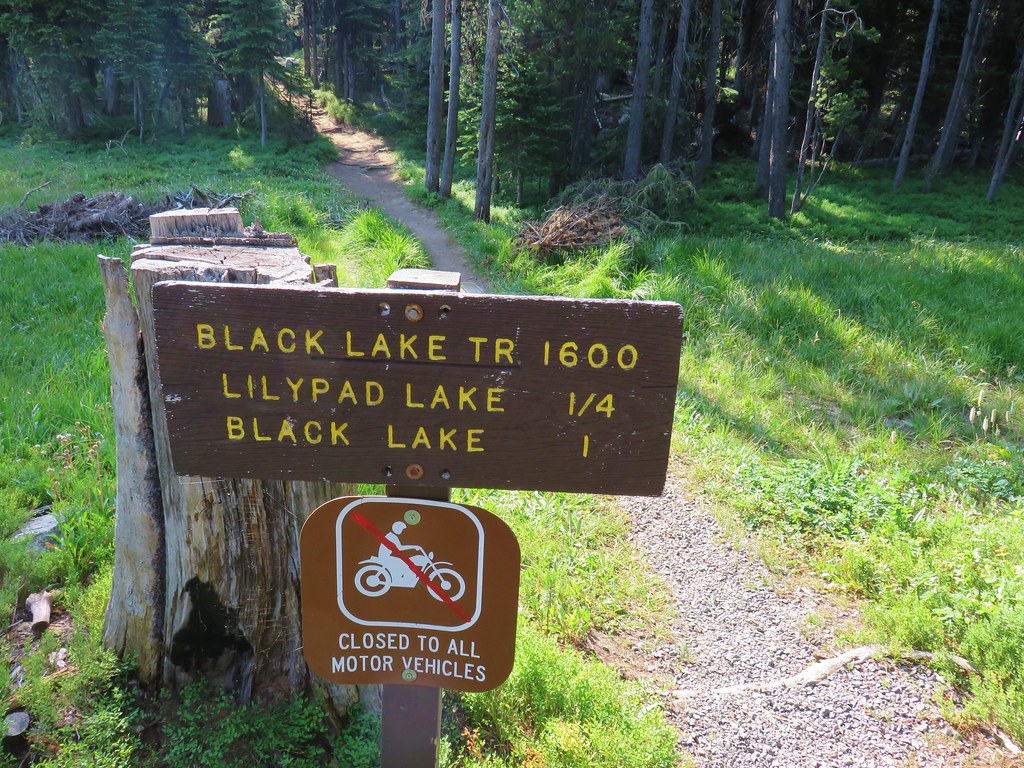
Just 500 feet along this trail was the aptly named Lilypad Lake.
The trail made a short climb beyond Lilypad Lake before dropping us back onto the Elkhorn Crest Trail a half mile from both the boat ramp at Anthony Lake and the Elkhorn Crest Trailhead where our car awaited us.
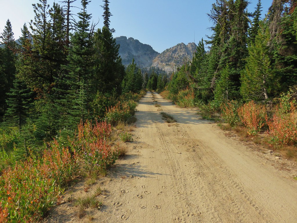
Although we weren’t done with our hiking for the day we were glad to be done with our full backpacks. We took our day packs out and prepared them for the Crawfish Lake Trail then drove 4.5 miles west of the Anthony Lakes Ski Area to the Upper Crawfish Lake Trailhead just off of Forest Road 73.
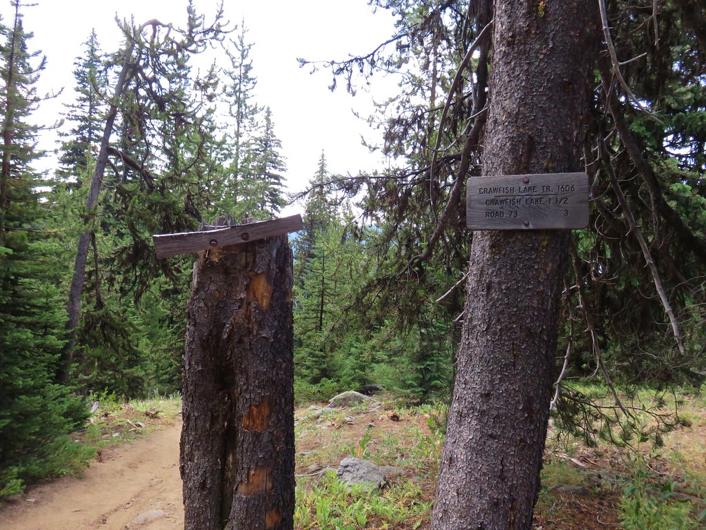
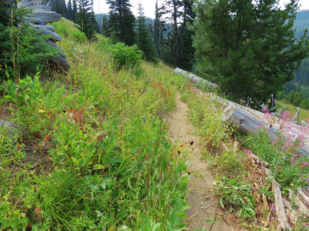
The Crawfish Lake Trail began by diving steeply downhill to a creek crossing.

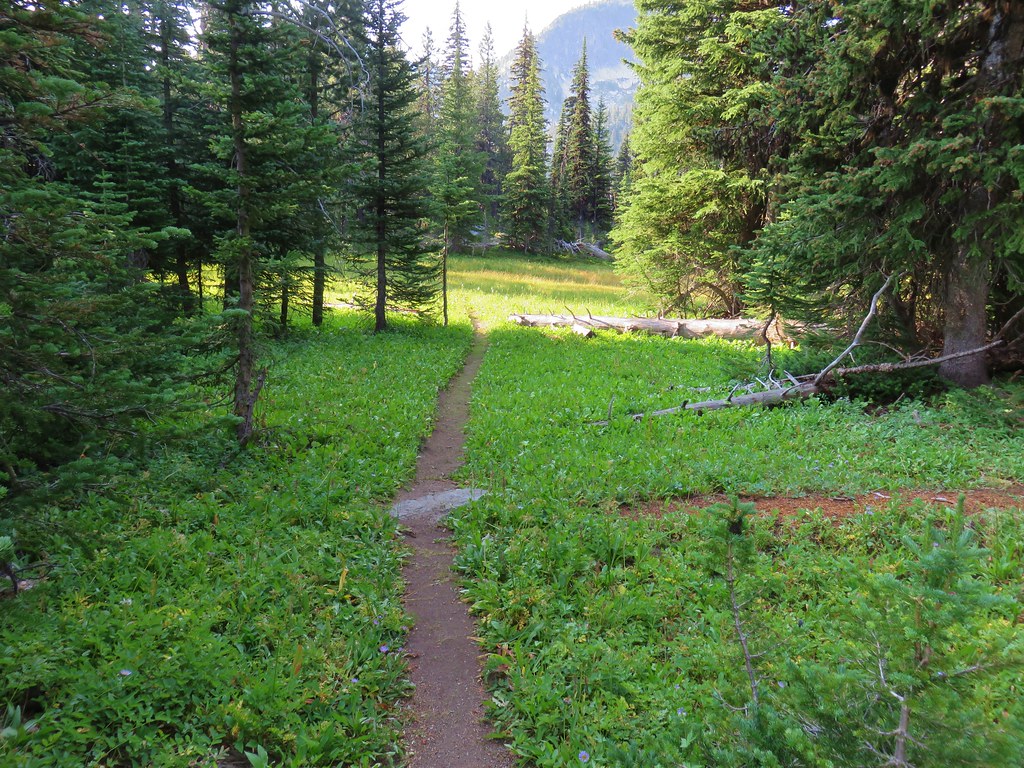
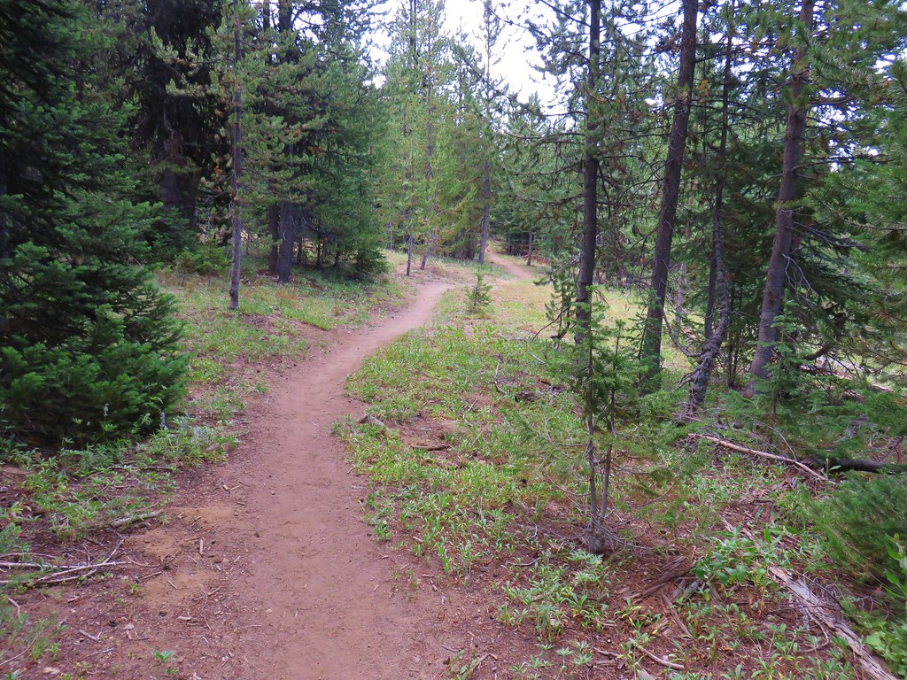
It then leveled out a bit and descended much more gradually past a variety of scenery.
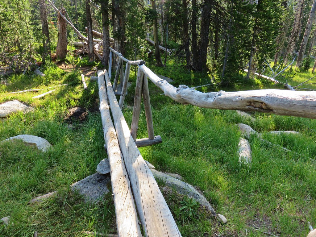
There were signs of recent trail maintenance along the way, some more successful than others.
 Trail maintenance fail.
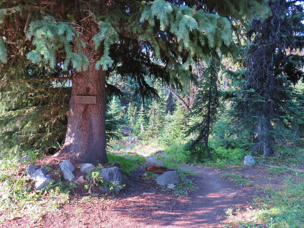
Shortly before arriving at Crawfish Lake the trail entered the North Fork John Day Wilderness.

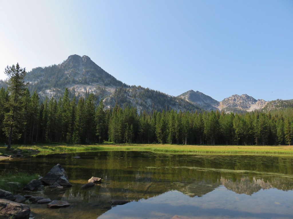
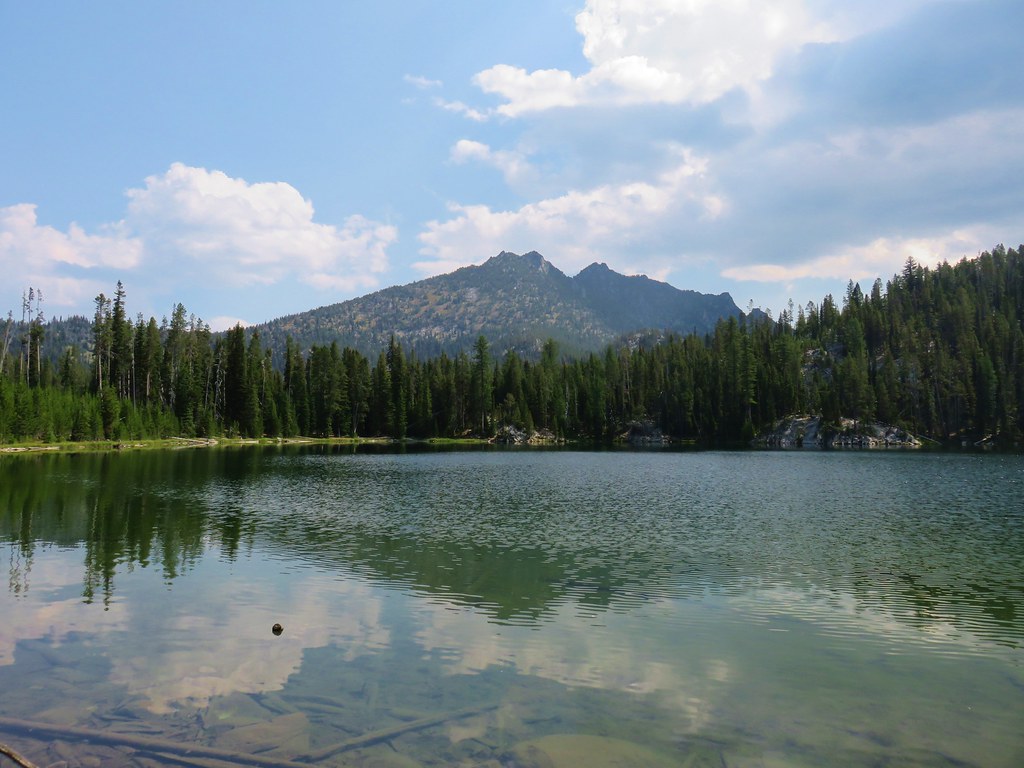
Just 1.4 miles from the trailhead we arrived at the lake.
We walked along the NW shore for .3 miles to a campsite with a view across the lake to The Lakes Lookout.
We took a break at the campsite, which was also the location of the continuation of the trail as it left the lake and headed downhill 1.3 miles to the Crawfish Creek Trailhead.
After a brief rest we returned the way we’d come and headed into Sumpter along Forest Road 73. It wasn’t noon yet but the sky was starting to fill up with some ominous looking clouds.
We were planning on staying in Sumpter for two nights. We had unfinished business from our previous visit in September 2017 when snow kept us from hiking up to the lookout atop Mt. Ireland (post). After checking into the Sumpter Stockade we walked through town to the Golden Nugget Cafe.
On the way back to our room we heard the first of the thunder. A quick check of the weather forecast showed that the area was under a red flag warning for thunderstorms through much of Friday with the chance of them occurring into Friday night. Since the top of a mountain is one of the last places you want to be during a thunder storm we decided to scrap our planned hike up Mt. Ireland and return home a day early.
In the end it was probably for the best as we were both dealing with some foot issues after having hiked for six straight days and over 76 miles. Heather was also anxious to meet her new nephew so Mt. Ireland would have to wait for another trip. Happy Trails!

4 replies on “Elkhorn Crest Trail Day 5 & Crawfish Lake”
Great trip! Love the goat shots! This one has been on our to do list for a long, long time. We really, really need to make an effort to get at it next year.
[…] conjunction with a backpacking trip in the Elkhorns in 2018. A lightning storm canceled that plan (post) and so now it has been add as stop on the way to Hells Canyon in […]
[…] us to change that plan (post). We tried again on the way home from backpacking the Elkhorn Crest (post) but a round of severe thunderstorms stymied that […]
[…] #39 Crawfish Lake – Hiked 8/16/2018 […]