Sunday of Columbus Day Weekend was the only day of the four where the forecast in the Cascade Mountains looked promising so on that morning we headed west from Klamath Falls on Highway 140 to visit a pair of lakes near Mt. McLoughlin.
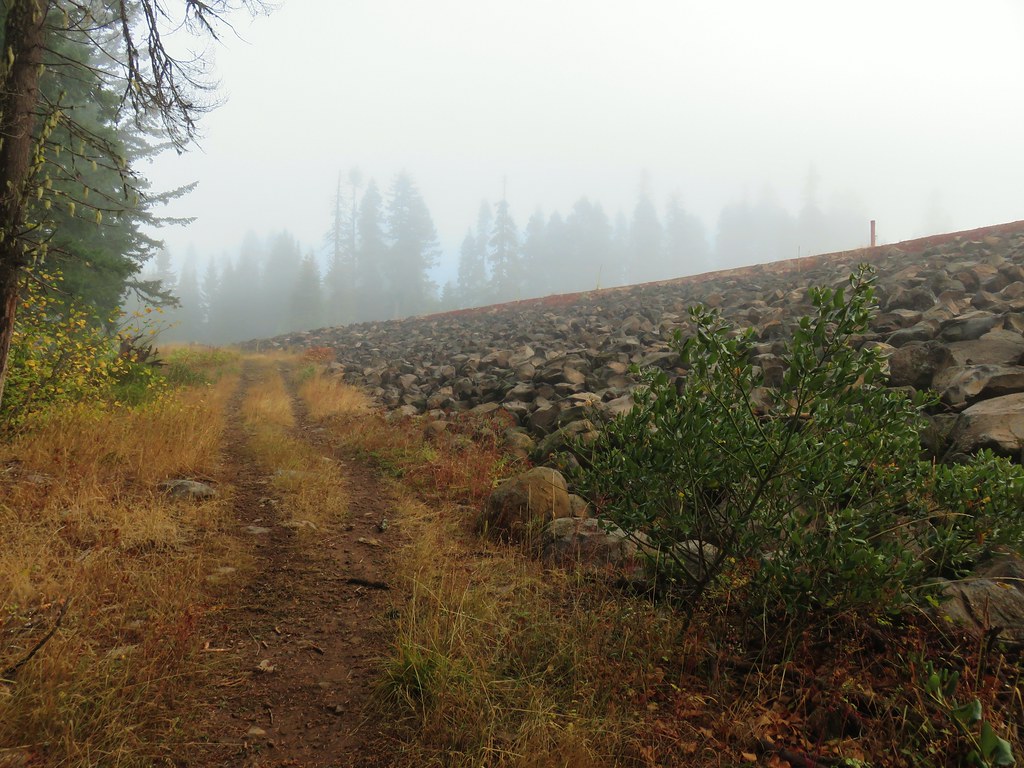
The skies over Klamtah were pretty much clear as was the case for most of the drive, but as we crossed over the Cascade Crest we found ourselves in a fog bank. We turned off the highway at sign for the North Fork Campground between mileposts 28 and 29. We parked at a small trailhead parking area a half mile down this road on the left.
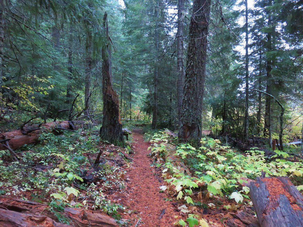
It was a chilly morning in the fog as we set off on the Fish Lake Trail, but it wasn’t raining.

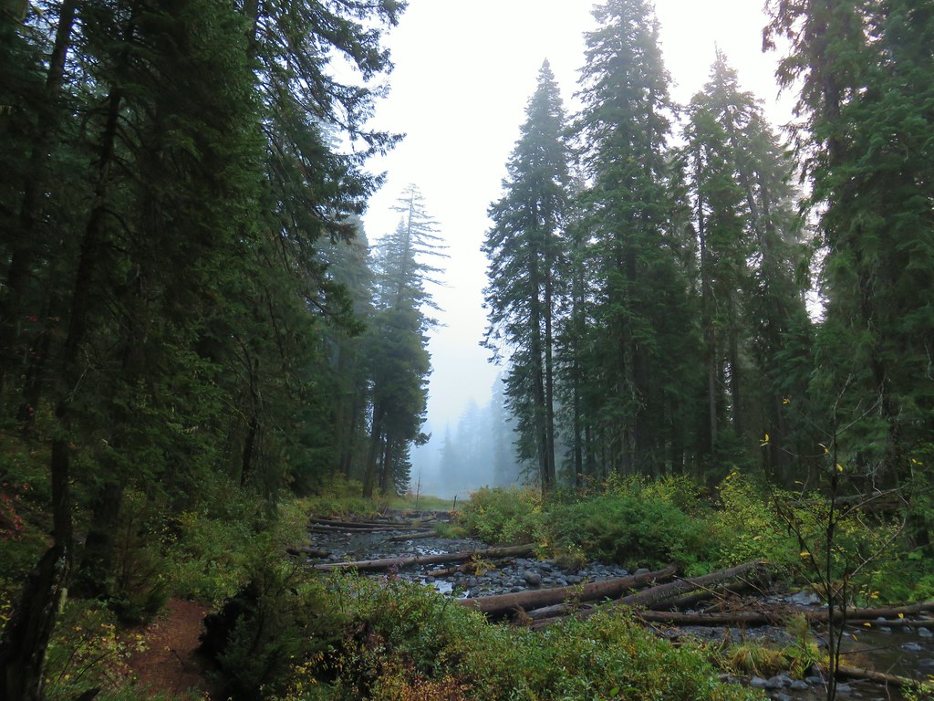
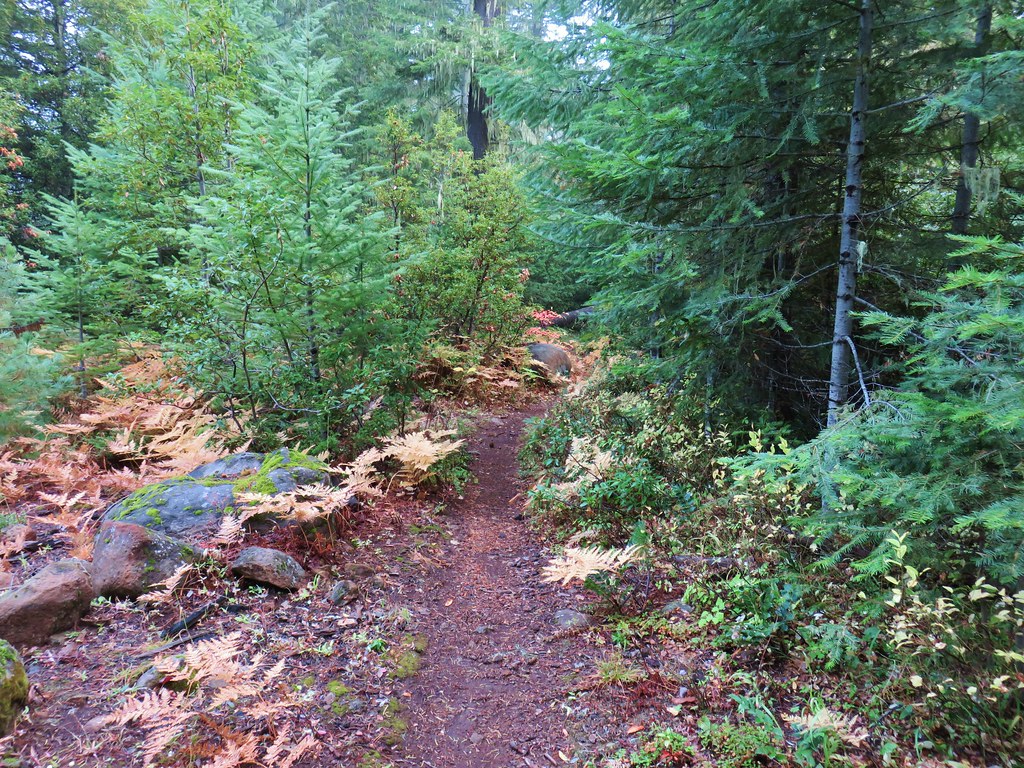
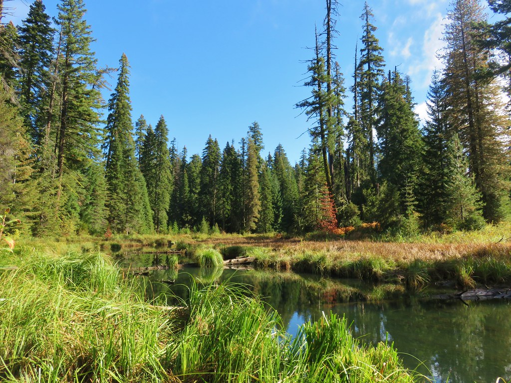
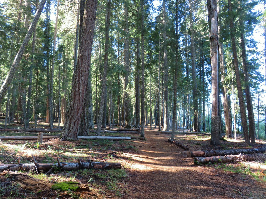
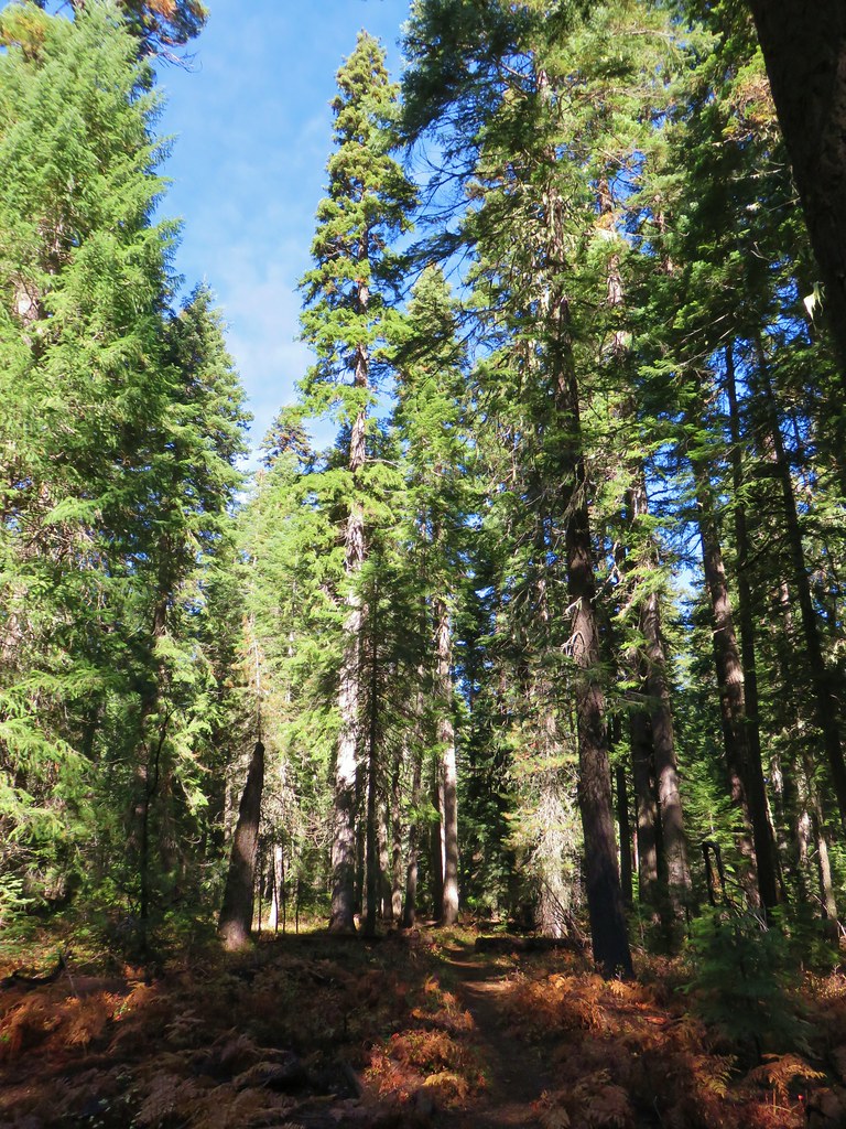
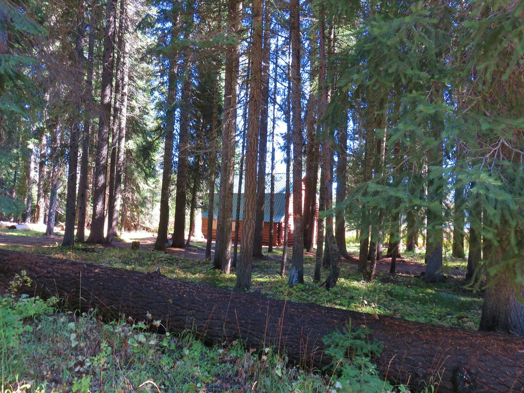
The trail began by passing through a nice fir forest with occasional views of North Fork Little Butte Creek.


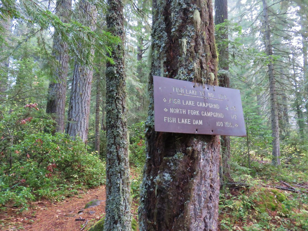
After .6 miles we came to a signed spur trail which we followed 100 yards to the Fish Lake Dam.
For the better part of the next mile the Fish Lake Trail veered away from the water as it curved around some private summer homes.

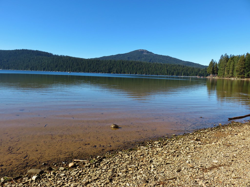
When the trail did make it to the lake there wasn’t much to see due to the fog.
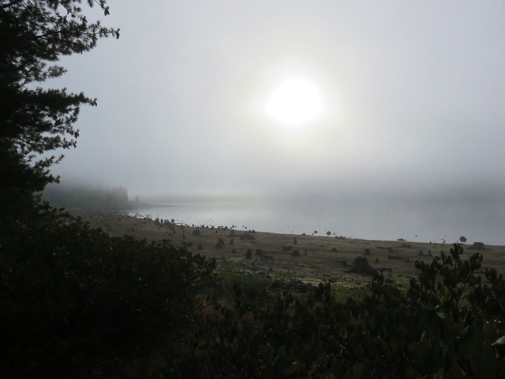
The trail stuck closer to the lake shore for the next .8 miles before arriving at Doe Point and the Doe Point Campground. As we made our way around Doe Point the fog began to lift revealing some of the blue sky we had seen on our morning drive.

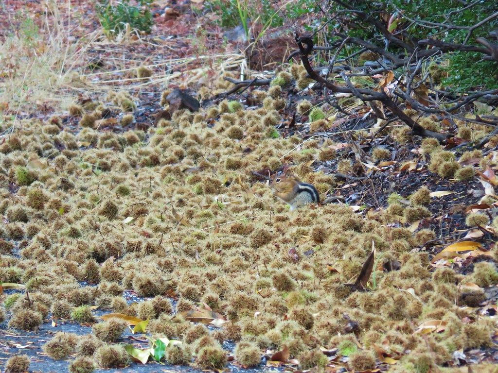
A quarter mile after rounding Doe Point we arrived at the Fish Lake Campground and boat ramp where a variety of woodland animals were busy harvesting chinkapin.
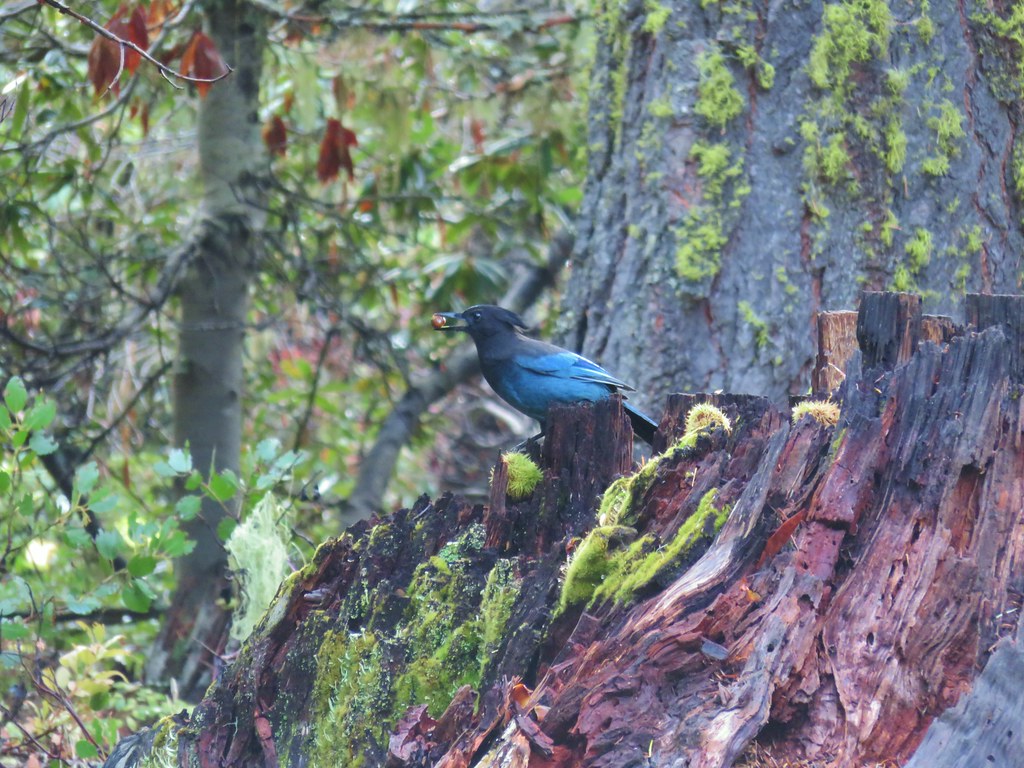 Stellar’s jay
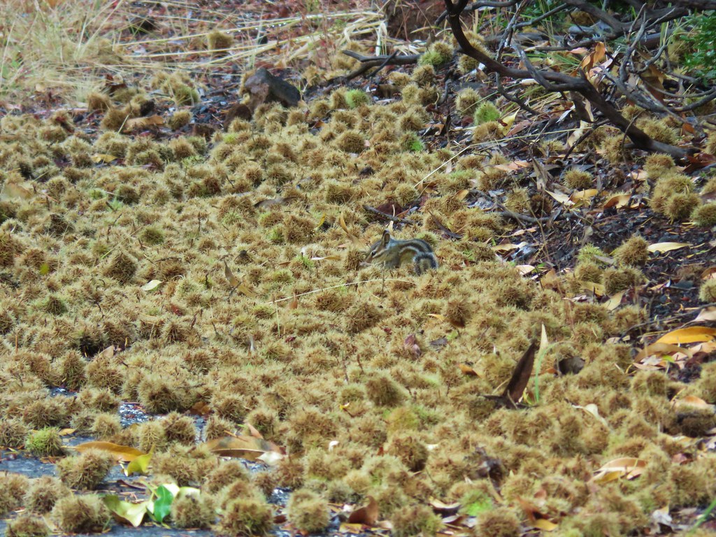 Chipmunk
 Golden-mantled ground squirrel
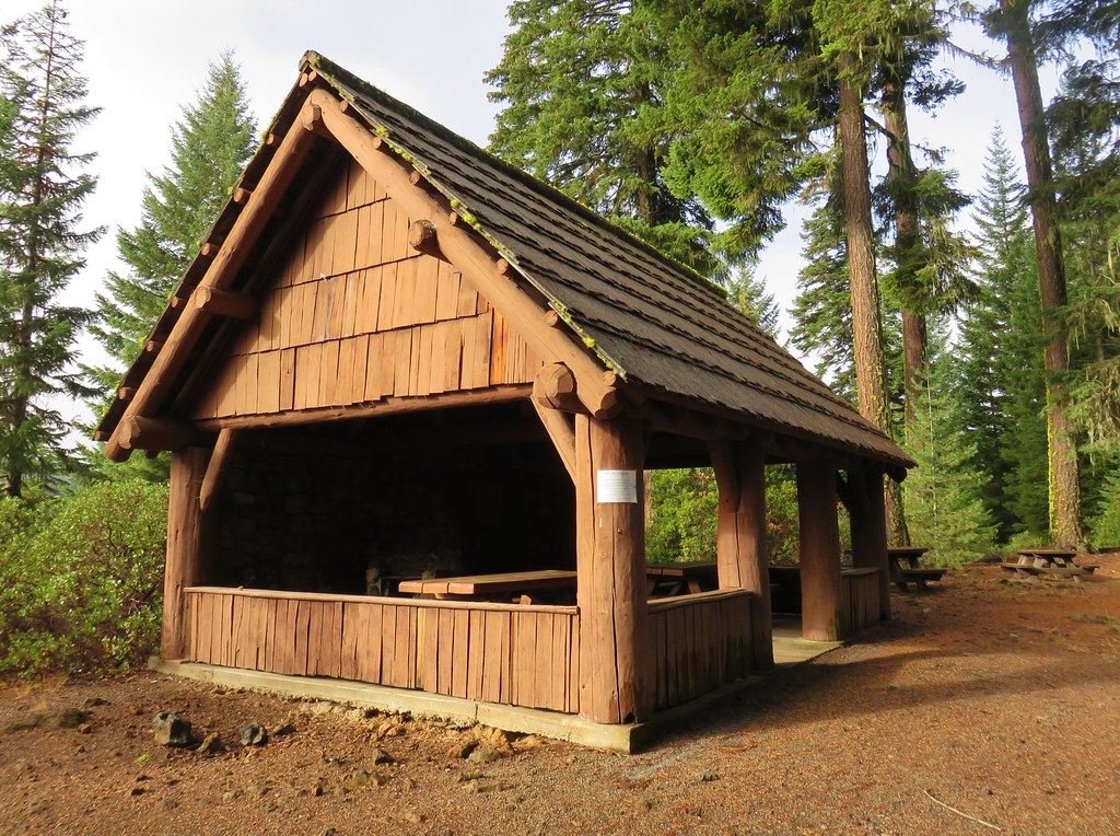
Our guidebook suggested turning around at the Fish Lake Resort, but we wound up losing the trail near the picnic shelter and decided not to try and walk through the campground to find the continuation of the trail and turned around.
It was a different hike on the way back as the fog had entirely lifted from the lake and was breaking up overhead.
By the time we were hiking back along the creek the sky was a beautiful blue.
Typically having a hike only clear up near the end is a bit of a bummer, but we had another hike to go and with the clear skies we knew we should have a good view of Mt. McLoughlin from Lake of the Woods.
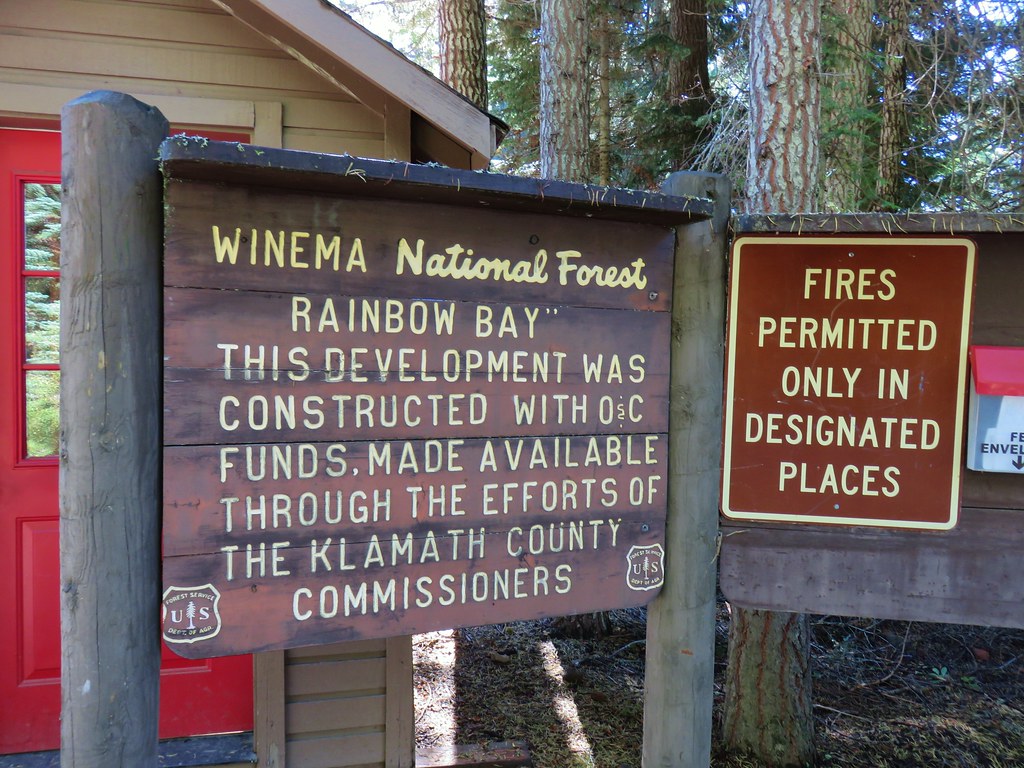
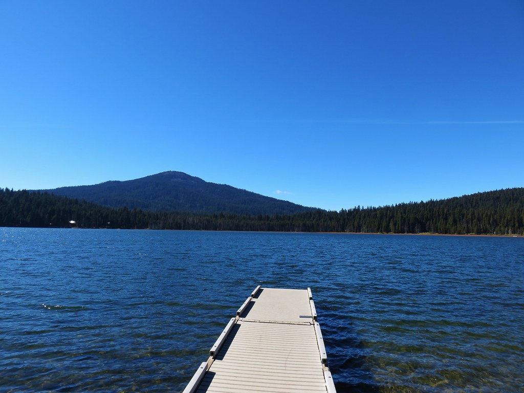
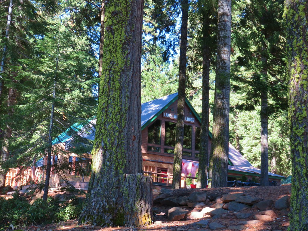
From the Fish Lake Trailhead we drove back east on Highway 140 to a sign for Fish Lake. We turned right at the sign and followed this road for a mile and a half to the Dead Indian Memorial Highway where we turned right again. The suggested starting point for this hike in our guidebook was at the Sunset Campground which was a mile down this highway. When we arrived at the entrance road we found it was gated so we turned around and wound up parking at the Rainbow Bay Picnic Area near the Lake of the Woods Resort after obtaining a $6 parking pass.
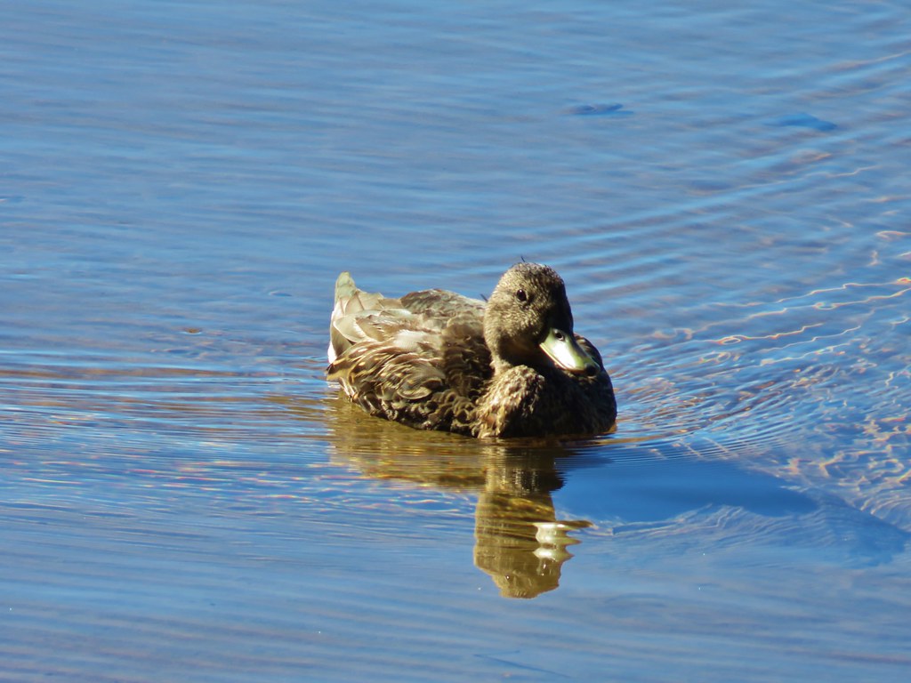
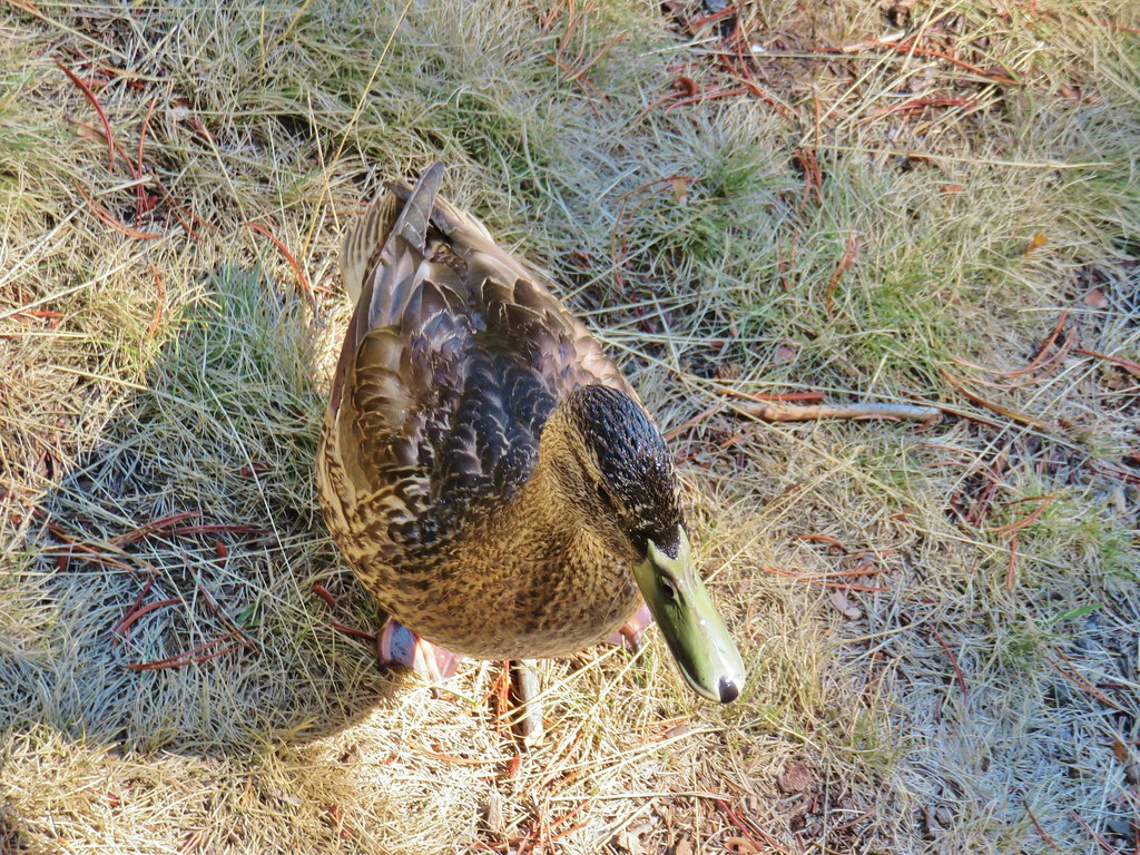
From the parking lot we headed SE along the lake shore around Rainbow Bay where some ducks were enjoying the wonderful weather.


The first mountain to come into view was Brown Mountain across the lake.
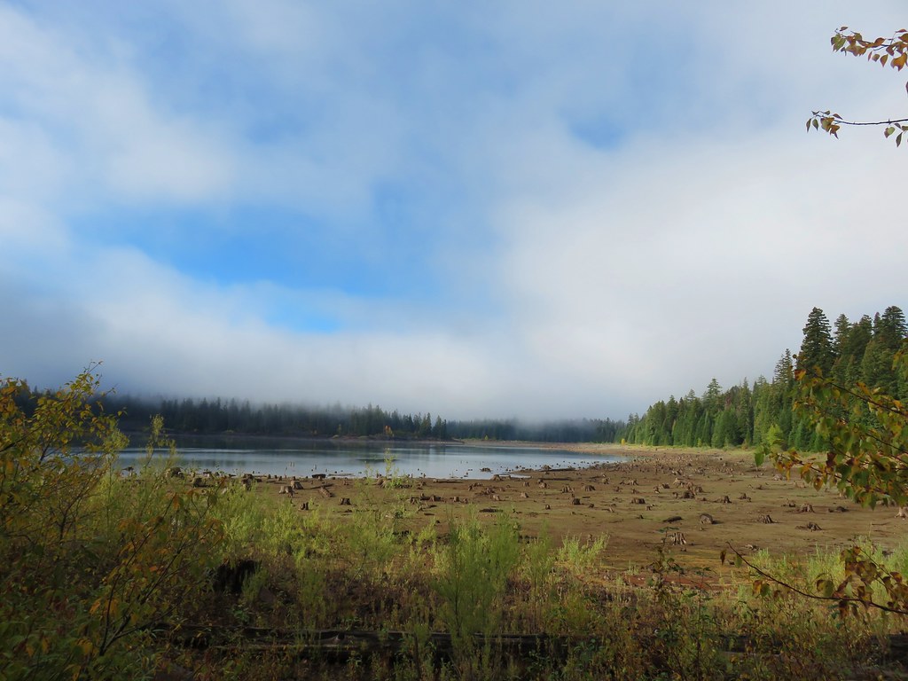
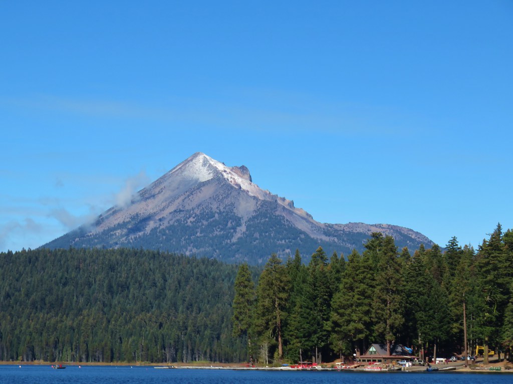
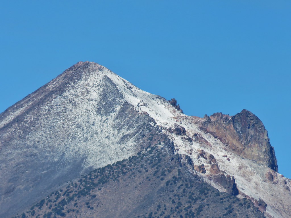
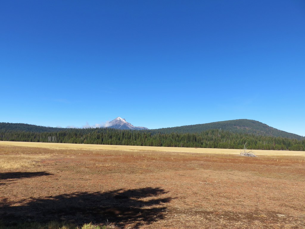
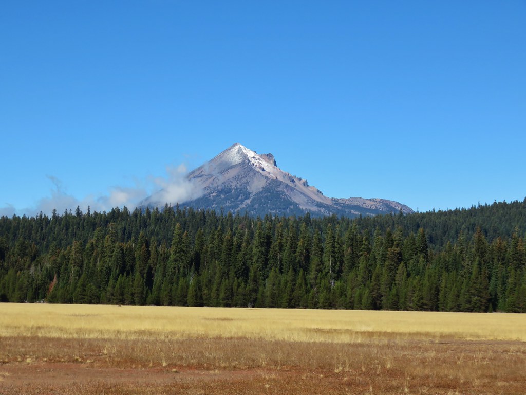
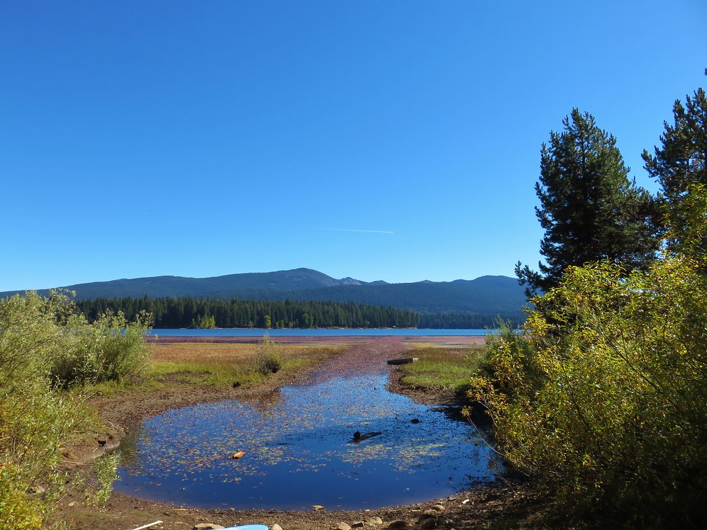
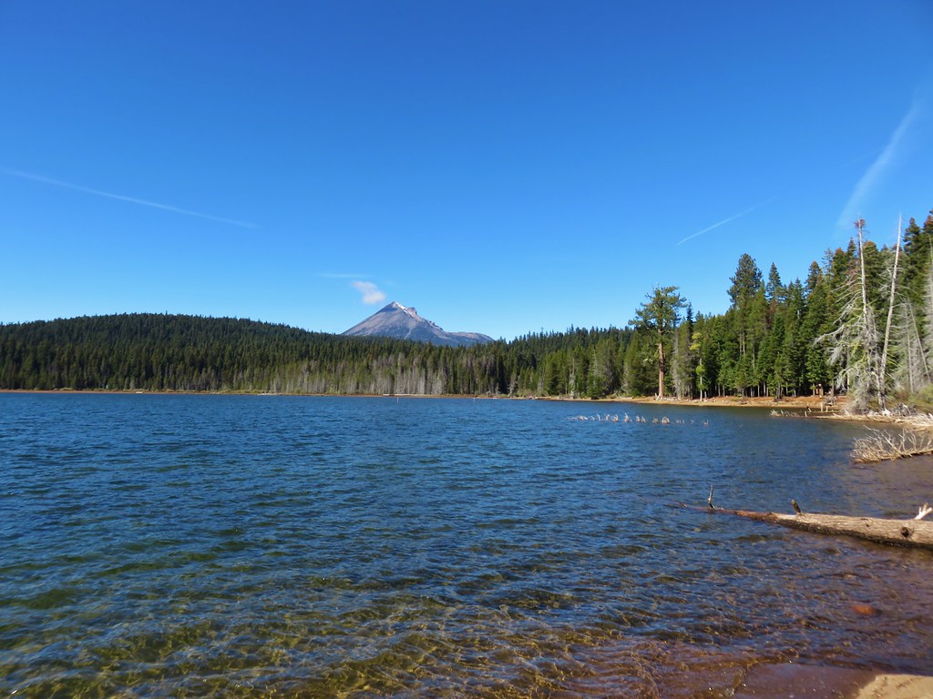
Shortly after rounding the bay we arrived at the Sunset Campground where we did indeed have a nice view of Mt. McLoughlin. The mountain was sporting a dusting of new snow at its summit.
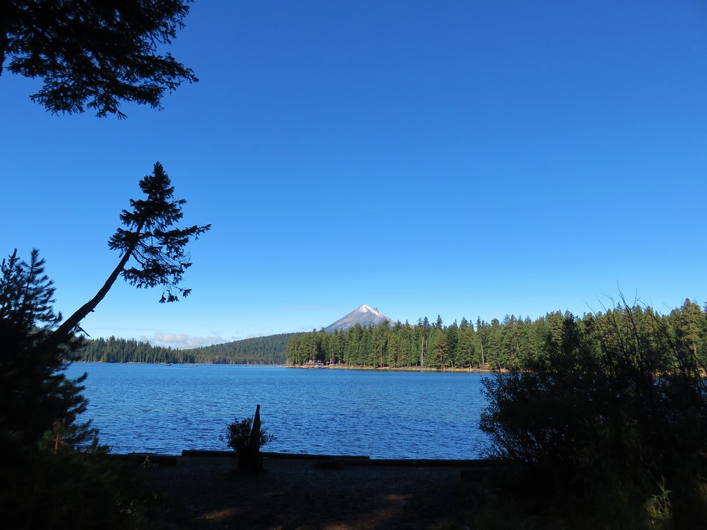
We could picture the route up to the summit that we’d taken a couple of years before (post).
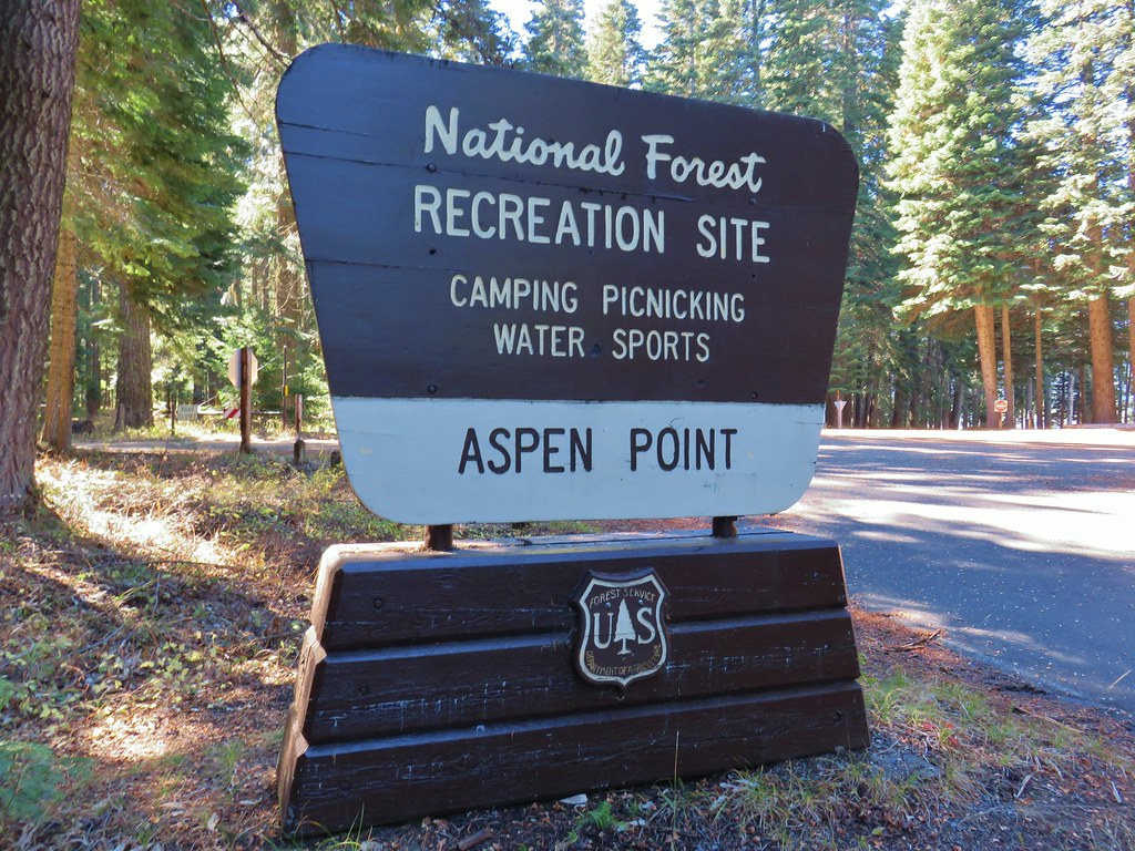
Satisfied with our view we turned around and headed back toward the Rainbow Bay parking area. We weren’t done hiking though and we veered behind the parking lot on the Sunset Trail toward the Aspen Point Campground.
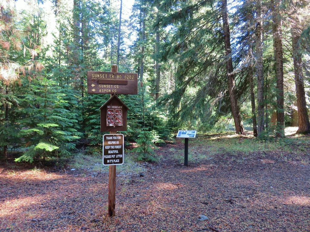
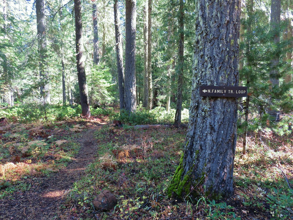
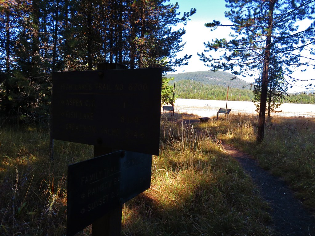
At a three way junction we turned right onto the Family Trail Loop.
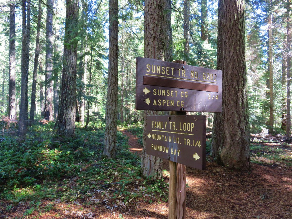
The Family Trail Loop crossed the paved road we’d been on earlier after a tenth of a mile.
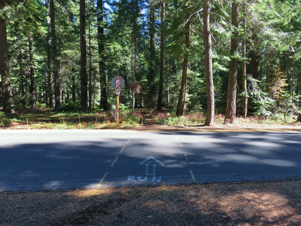
Just after crossing the road the Mountain Lakes Trail split off to the right while we stayed left.
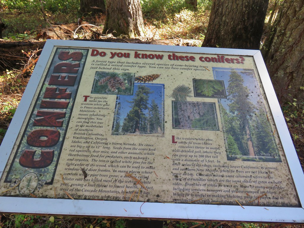
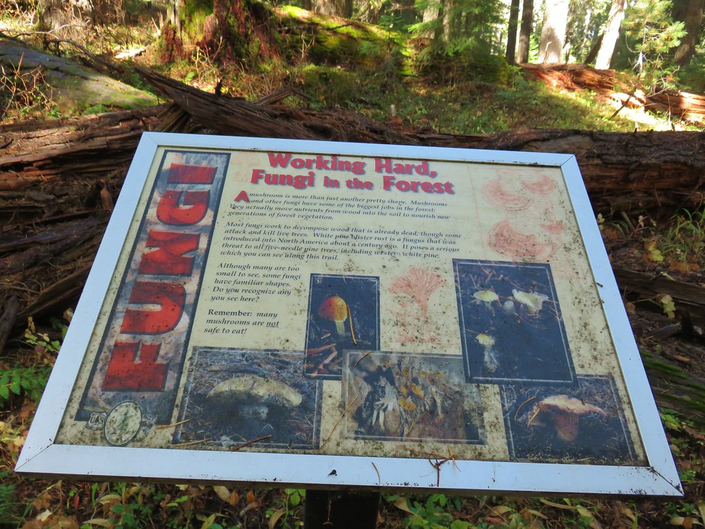
Several interpretive signs were set up along this trail.
<

We stayed left ignoring a tie trail that would have looped us back to the Mountian Lakes Trail junction and arrived at the Great Meadow .6 miles from the road crossing.
At a junction with the High Lakes Trail at the Great Meadow we turned left skirting the meadow in the forest for .7 miles to another road crossing across from the Aspen Point Campground.
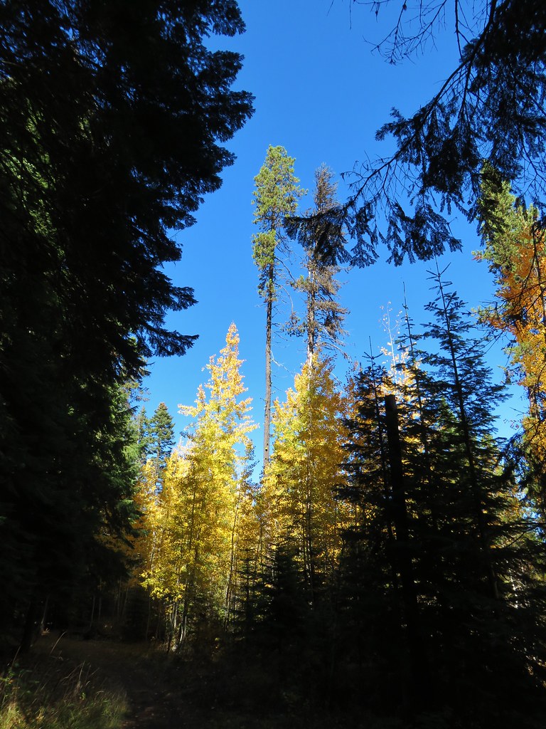
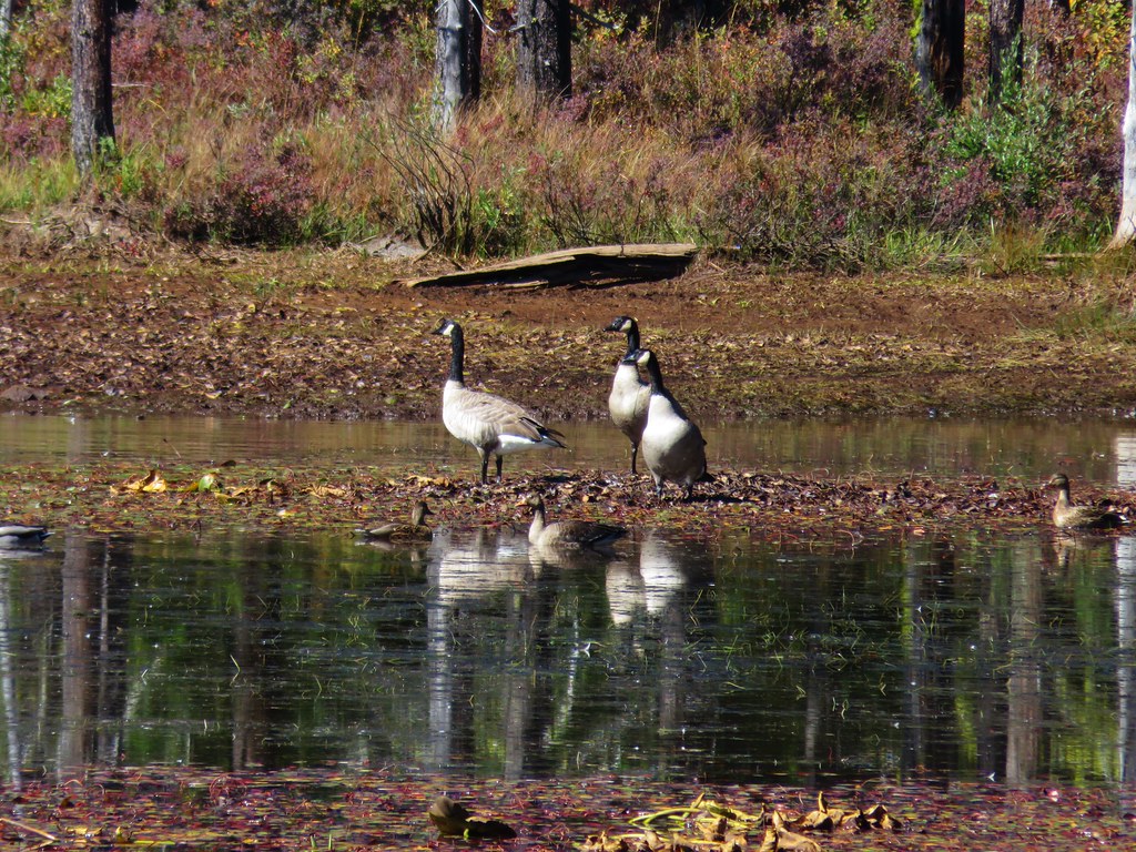
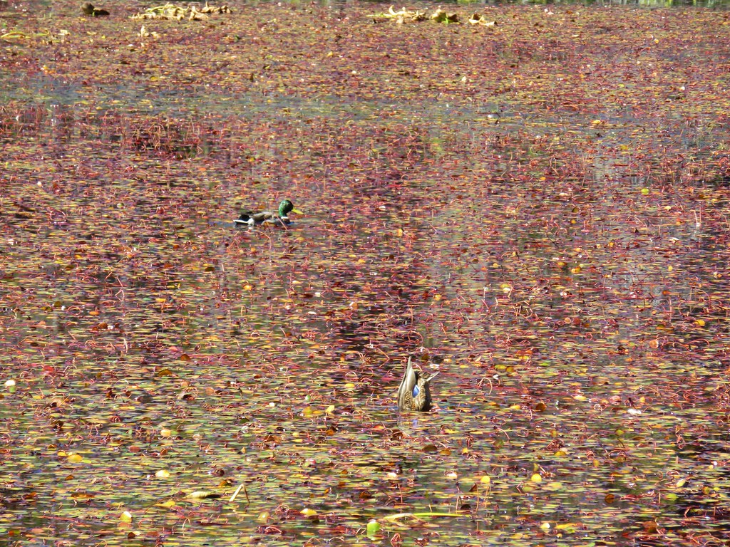
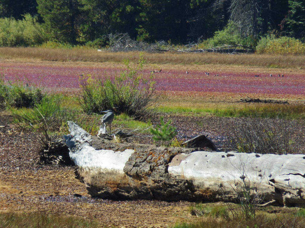
At a junction on the other side of the road we went right keeping on the High Lakes Trail which led around Lake of the Woods to the NW. This section of trail passed some golden aspen trees and a leaf covered slough where ducks, geese, and a heron were spending their Sunday.

We followed this trail past an old Forest Service complex and planned on turning around at the guidebooks suggested location, a small canoe launch.
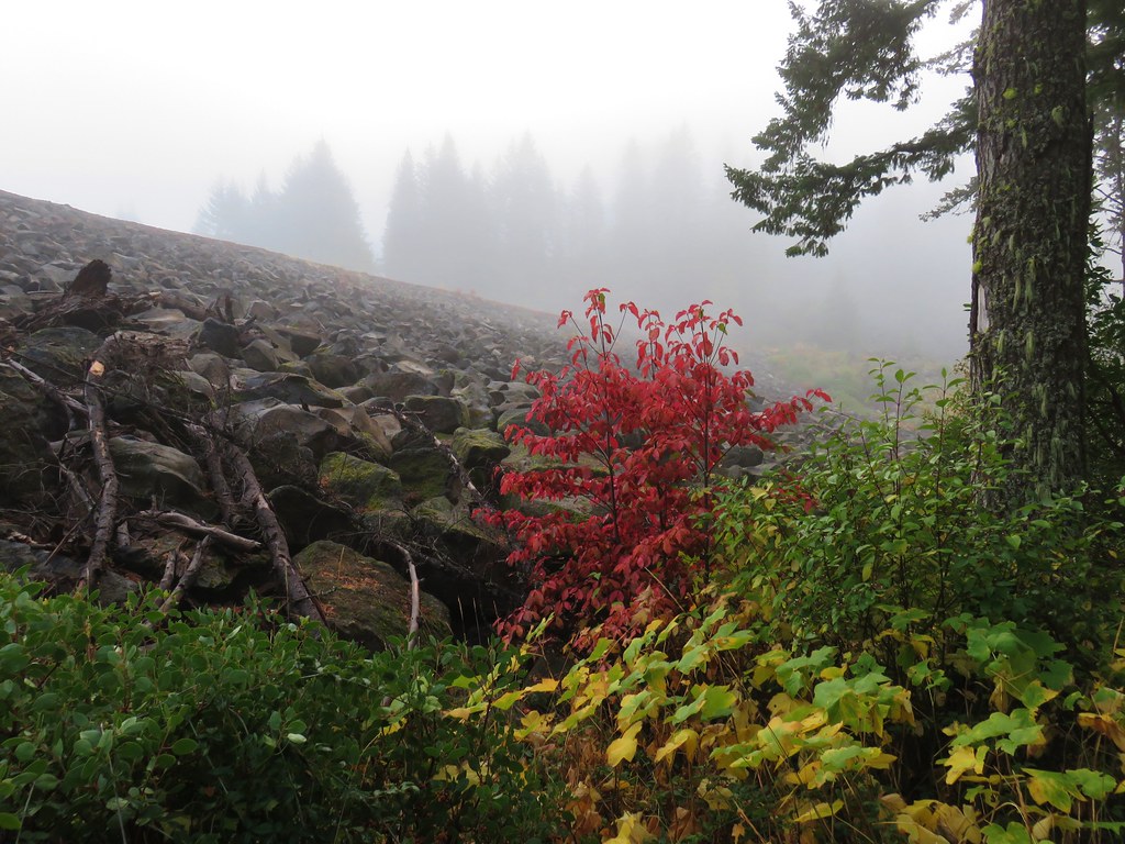
The canoe launch wasn’t much, but there was a nice view of some of the peaks in the Mountain Lakes Wilderness (post) across the water.
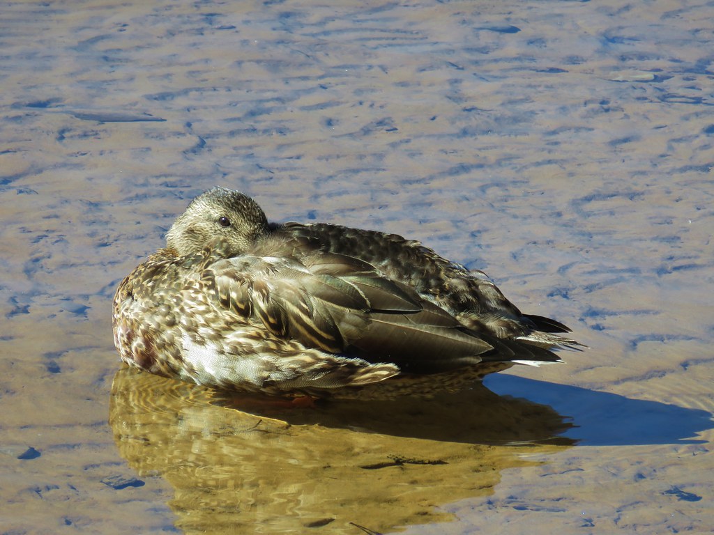
A solitary duck was swimming around in the launch and it apparently expected us to have some food because she came right up to us.
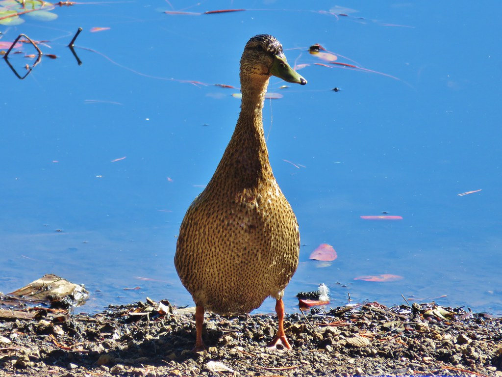
We did our best to explain that we don’t feed the wild animals and she waddled back to the water. At that point Heather asked about something on a plank in the water that I had originally thought was another duck but then decided it was just a rock set on the wood. She had taken it for something inanimate as well but then thought she saw it move. Upon closer inspection we discovered that it was a muskrat (initially we thought nutria but it was cuter than that invasive species).

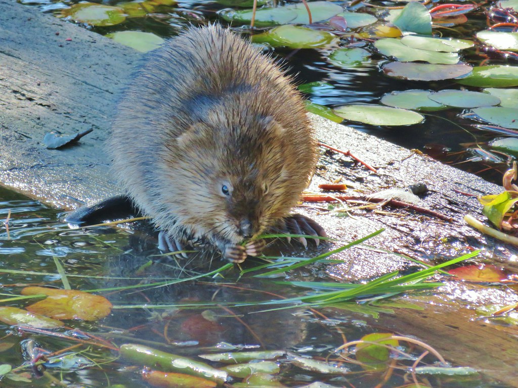
It wasn’t particularly concerned by us but eventually it disappeared into the water. Then a dragon fly showed up and hovered over the water just below me.

After our unique little interaction with nature it was time to start back. We returned to the Aspen Point Campground and followed paths near the lake shore back to the Lake of The Woods Resort.


Our hike here was 6.3 miles long while the hike at Fish Lake had been 7 miles giving us a nice 13.3 mile day. After the cold, foggy start the day had turned out beautiful. We would be heading home the next morning (with a stop along the way of course) and this was a perfect way to end our time in the Klamath Falls area. Happy Trails!
Flickr: Fish Lake and Lake of the Woods

One reply on “Fish Lake and Lake of the Woods”
[…] Cold Springs-Hiked 9/24/2022 #44 Sky Lakes via Nannie Creek-Hiked 9/24/2022 #45 Fish Lake-Hiked 10/7/2018 #46 Brown Mountain Lava Flow-Hiked 8/28/2016 #47 Lake of the Woods-Hiked […]