On Columbus Day morning we left Klamath Falls and headed home to Salem. We were planning on hiking on the way home, but we weren’t sure what hike we would be doing. If the weather was decent we were hoping to hike up The Twins near Waldo Lake and if it wasn’t we’d try the Salmon Creek Trail to Salmon Creek Falls near Oakridge.
It was dark at 5am as we headed north on Highway 97 but the stars where visible in the sky above. The stars were still out as we turned onto Highway 58 and began to head NW toward the Cascade Crest. The possibility of The Twins was still on the table, but by the time we had reached Crescent Junction the stars had been replaced by rain clouds. Salmon Creek Falls it was.
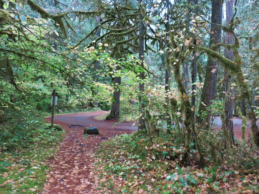
Just prior to reaching Oakridge we turned right onto Fish Hatchery Road and drove it’s length to Forest Road 24 where we turned right for .8 miles to the Flat Creek Road. Here we turned right and parked in a large gravel parking lot next to a small gazebo.
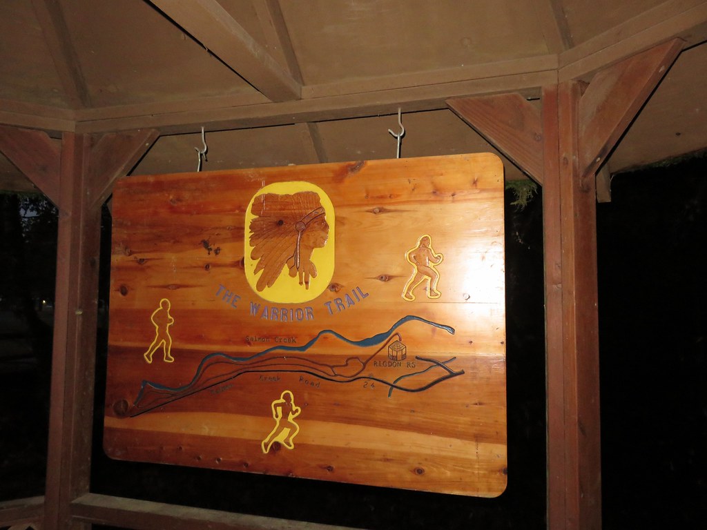
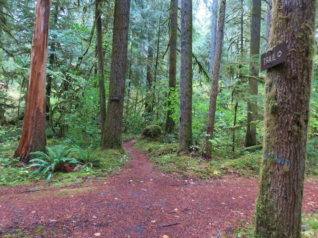
The Salmon Creek Trail began a short distance down the road from the gazebo.

After just a tenth of a mile we came to an unsigned junction where we turned left.
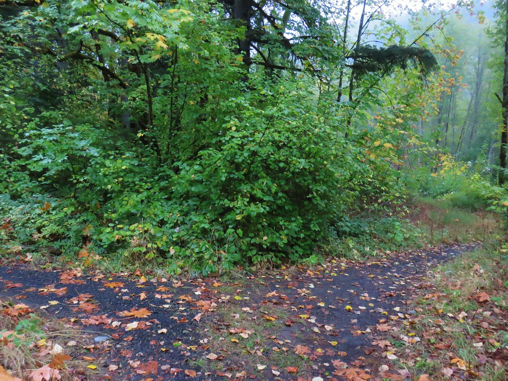
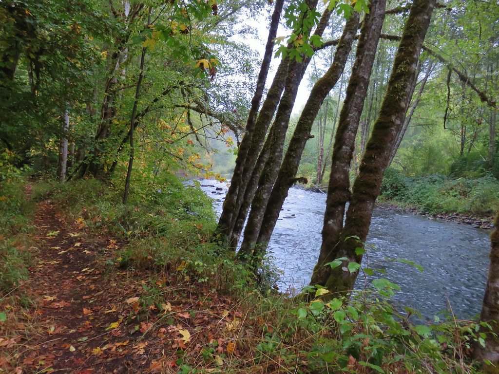
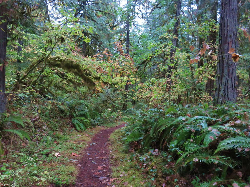
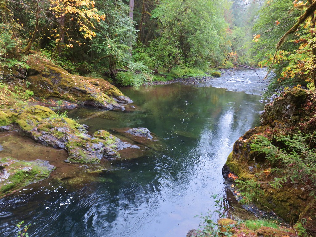
A steady light rain was falling from the low clouds overhead as we followed this trail east past the Flat Creek Work Center and along Salmon Creek.
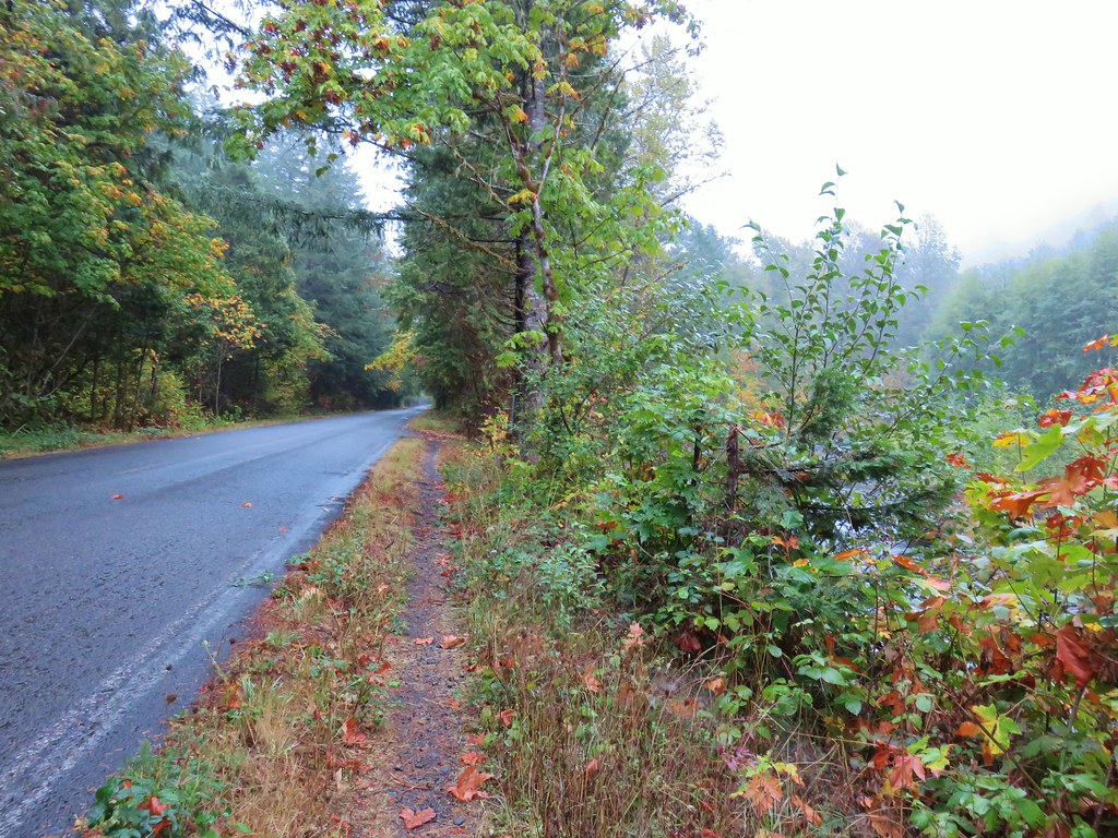
It was an interesting trail in that it split in several areas only to rejoin a short distance later. A sort of pick your own adventure trail if you will. It also spent some time along the shoulder of FR 24 in areas where Salmon Creek had eroded the bank substantially.
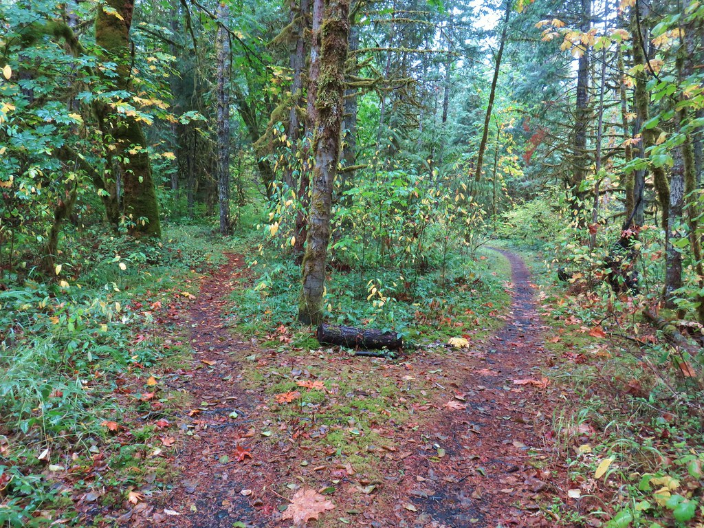
At other times the trail followed roadbeds.

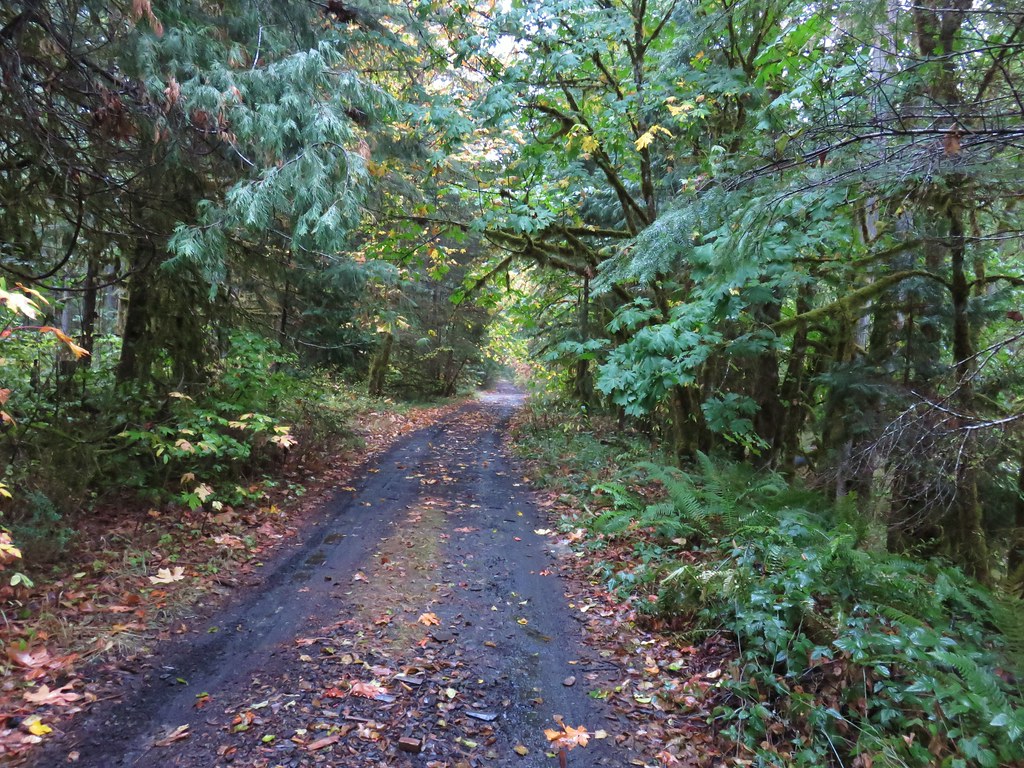
This led to a little confusion about the correct route, but it really didn’t matter as long as we kept heading east because the creek and FR 24 acted as rails on either side.
After a little over two and a half miles we arrived at a wide junction.
A right turn here brought us to the site of a washed out bridge that used to connect to another trail on the south side of Salmon Creek.
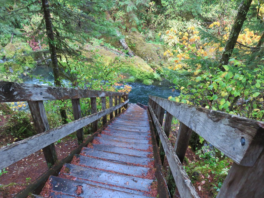
Just under a mile beyond the washed out bridge we arrived at the Salmon Creek Campground.
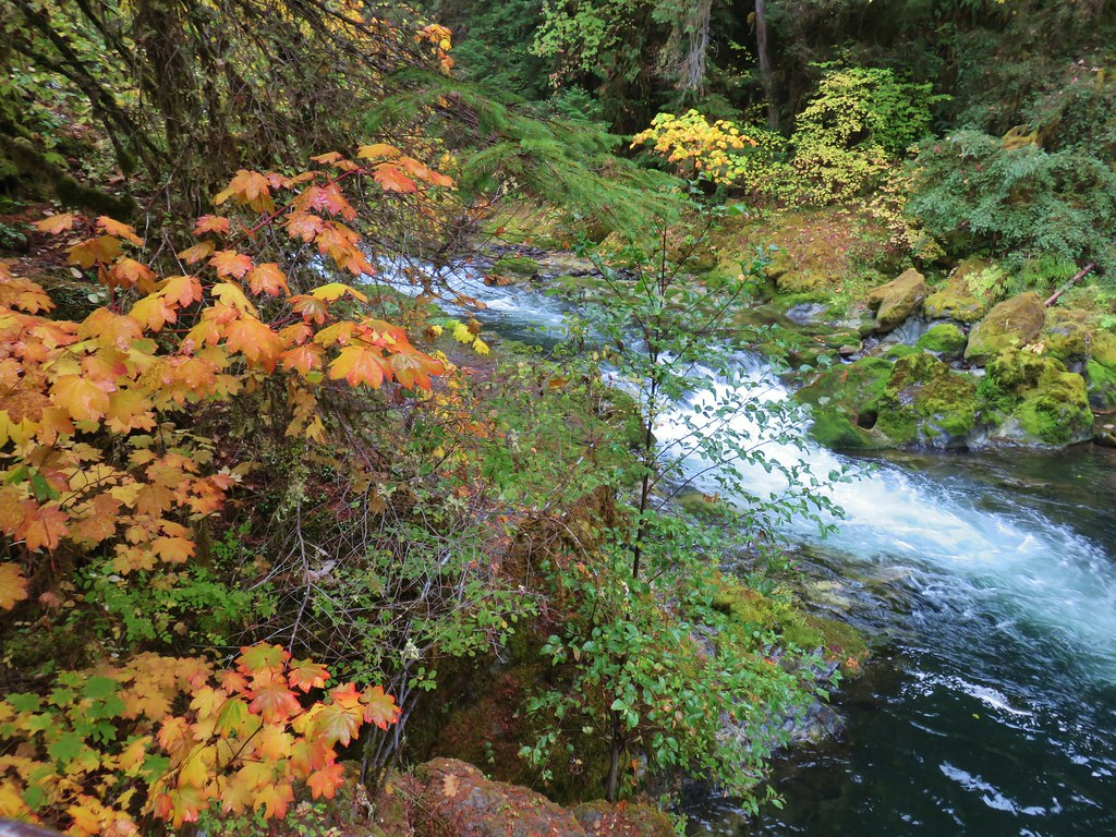
We headed through an empty camp site and followed a path down to the creek and 10′ Salmon Creek Falls.

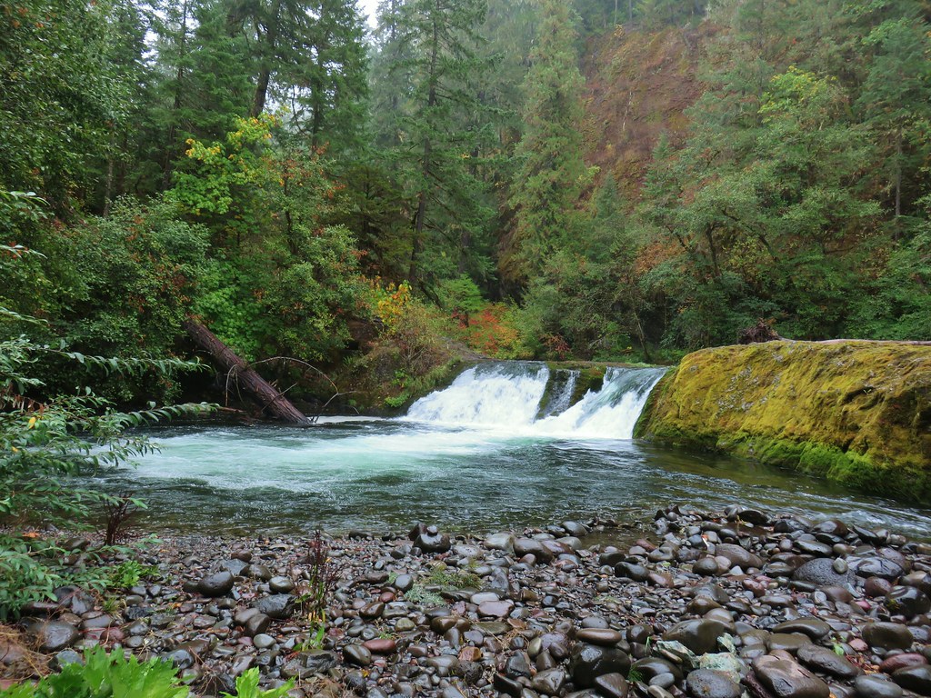

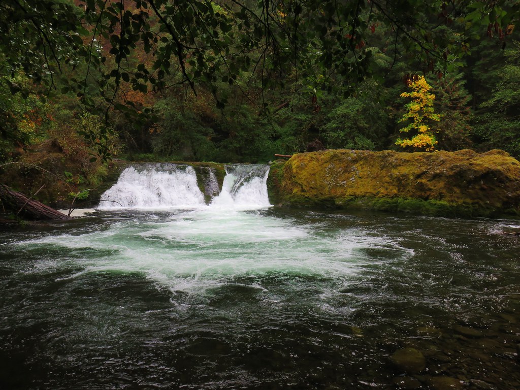
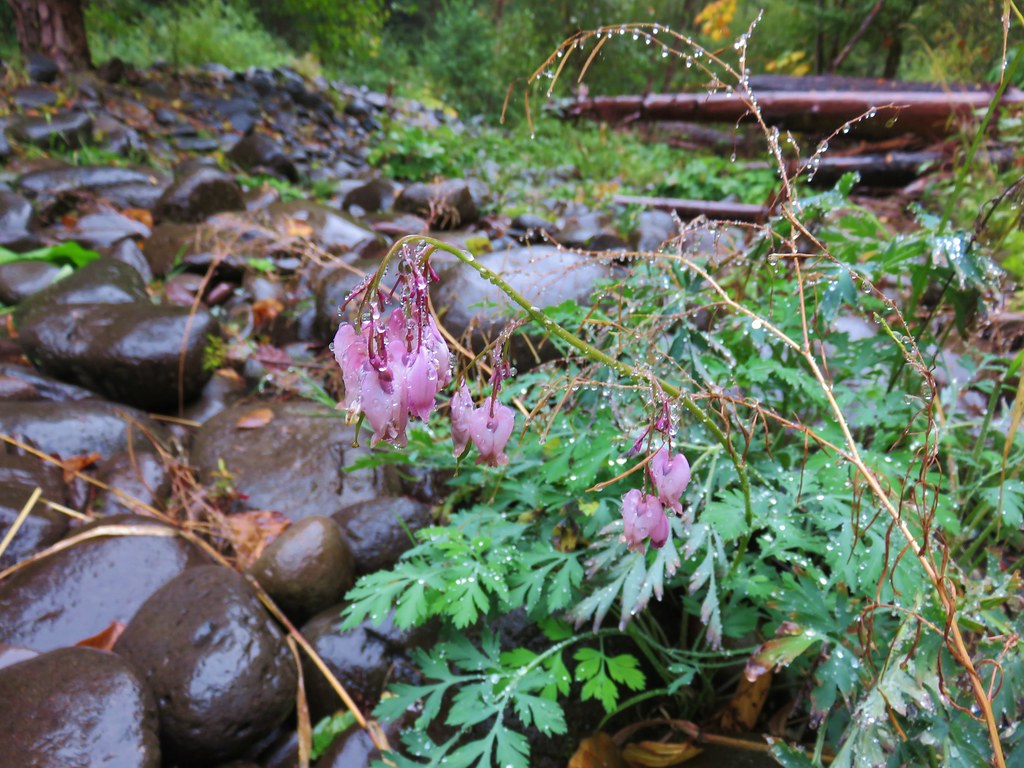
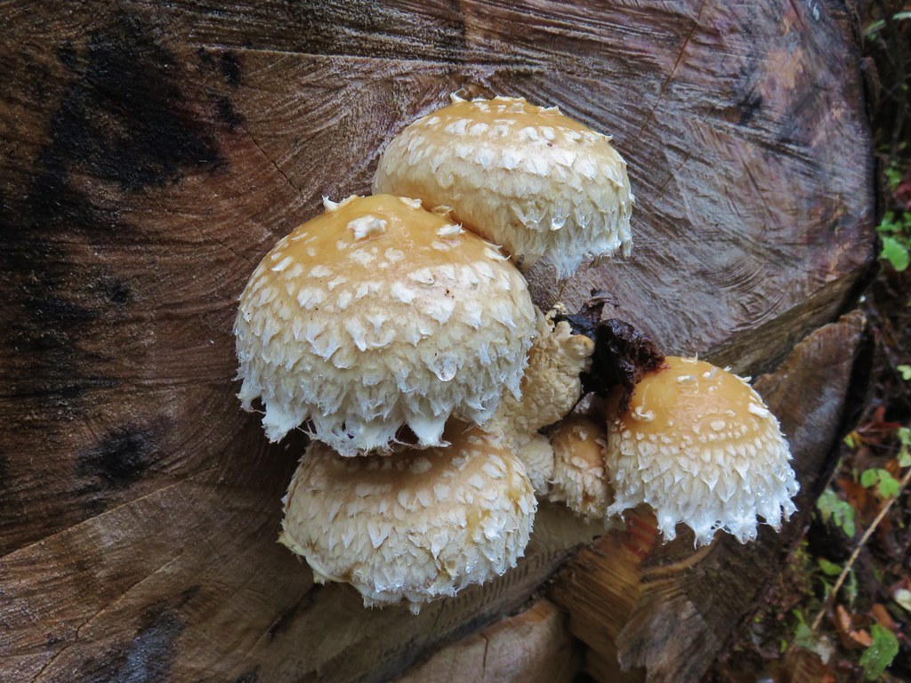
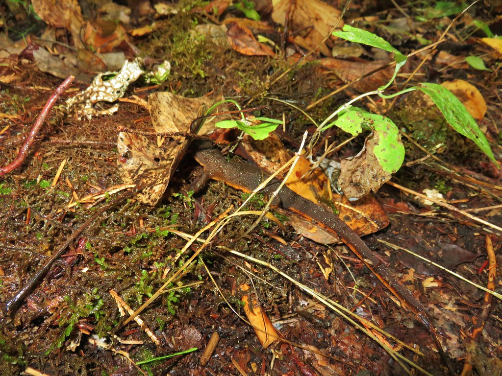
It was a good day to visit the falls, the autumn colors were nice and there were no crowds around. After spending some time by the water we headed back keeping our eyes open for the small things that are easy to miss in the forest.

It was a fairly easy 7.8 mile round trip hike and even though it rained almost the entire time we didn’t feel soaked. It was about as nice a hike as one could hope for on that kind of day. Happy Trails!
Flickr: Salmon Creek Falls
