After dealing with snow the day before at Freezeout Saddle (post) we called an audible and decided not to try hiking at Hat Point. That trailhead is a little higher in elevation along Hells Canyon than we had been during the Freezeout Saddle Hike. We turned instead to the Wenaha River Trail starting from Troy, OR. This trail provided us with the opportunity to make our first visit into the Wenaha-Tucannon Wilderness. We planned on visiting this wilderness later on this year but knowing our plans are always subject to change we jumped on the chance for a warmer, drier hike that visited another of Oregon’s wilderness areas.
The drive to Troy from Wallowa Lake was an eventful one. The wildlife was out in force. We kept our eyes on the numerous deer that we spotted along Highway 3 between Enterprise and the turnoff to Flora. At one point several elk ran across the highway ahead of us from one field to another. There were two deer in the second field that upon seeing the elk running away from the road toward them decided they should run too, only they ran toward the road (and us). The lead deer realized its mistake and turned around chasing after the elk leaving the second deer looking confused before also turning around. A short while later we were slowed by a turkey in the road. Its escape plan appeared to be to try and outrun our car. If you’ve seen a turkey try and sprint its a pretty funny sight. Eventually it remembered its wings and flew to the side of the road.
Thirty five miles from Enterprise we turned left at a sign for Flora, a ghost town that peaked in the early 1900’s. Beyond Flora the road was paved for the first 4 miles but then turned to mostly dirt with some gravel. For about 7 miles this road wound steeply down to the Grande Ronde River and Troy. Numerous hairpin turns with steep dropoffs made for a bit of a tense drive down but we arrived at the Troy Trailhead in one piece.

Not only were we at a much lower elevation (under 2000′) but the forecast was for just a 30% chance of showers on this day so we were optimistic that we’d have a little better weather experience. The sky seemed to back that up as we looked back over Troy and the Grande Ronde River.

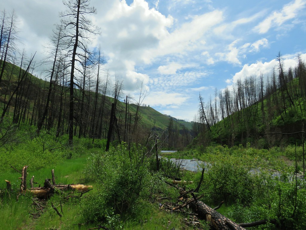
This lower portion of the 31.3 mile long Wenaha River Trail passes through the 2015 Grizzly Fire scar.

Some of the trees survived the fire.

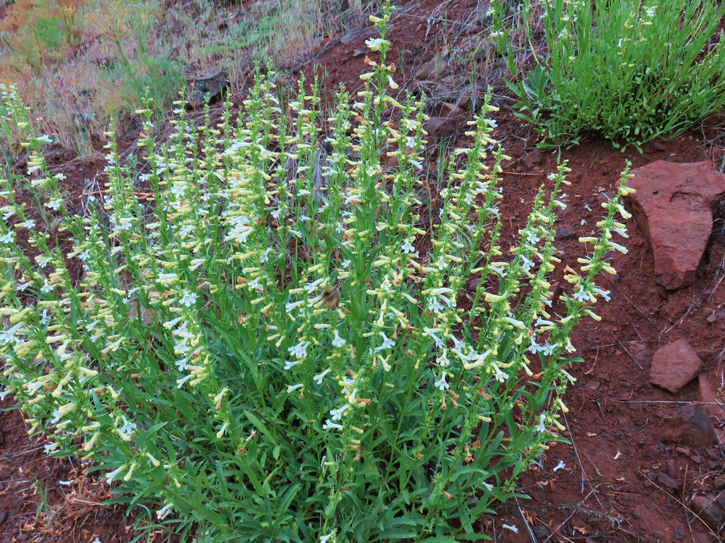
We had seen a trip report from the end of April over on Oregonhikers.org which indicated that the trail was in pretty good shape, but might be a bit brushy in spots. The author had also spotted big horn sheep during the hike so we were going to be keeping on the lookout for those.
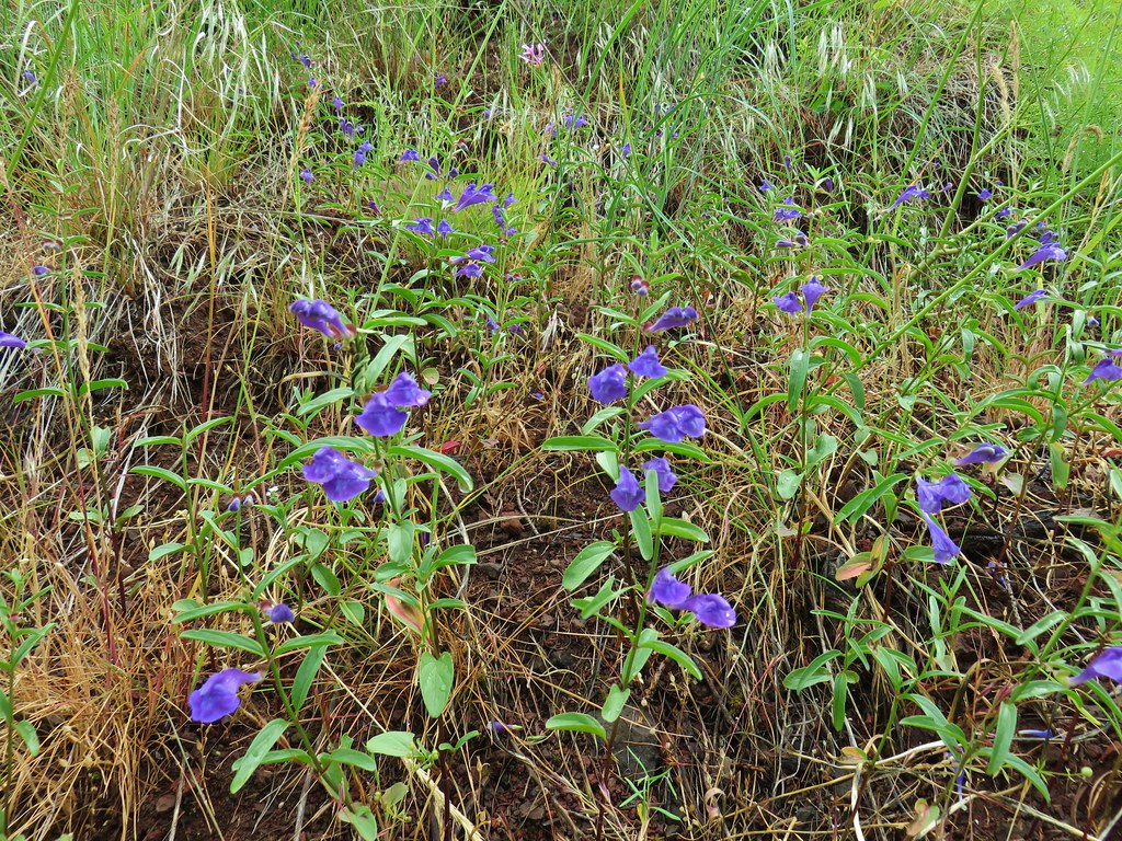
In April it looked like there had been a nice display of balsamroot along the trail but most of that was now done but we were pleased to still find some flowers in bloom.
 Vetch
Vetch
 Spreading dogbane
 Wild rose with a beetle
 Yarrow
 Houndstongue
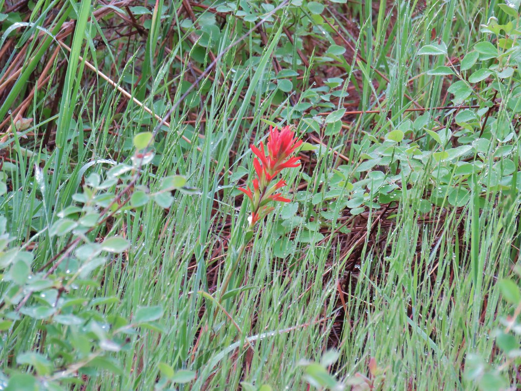 Paintbrush
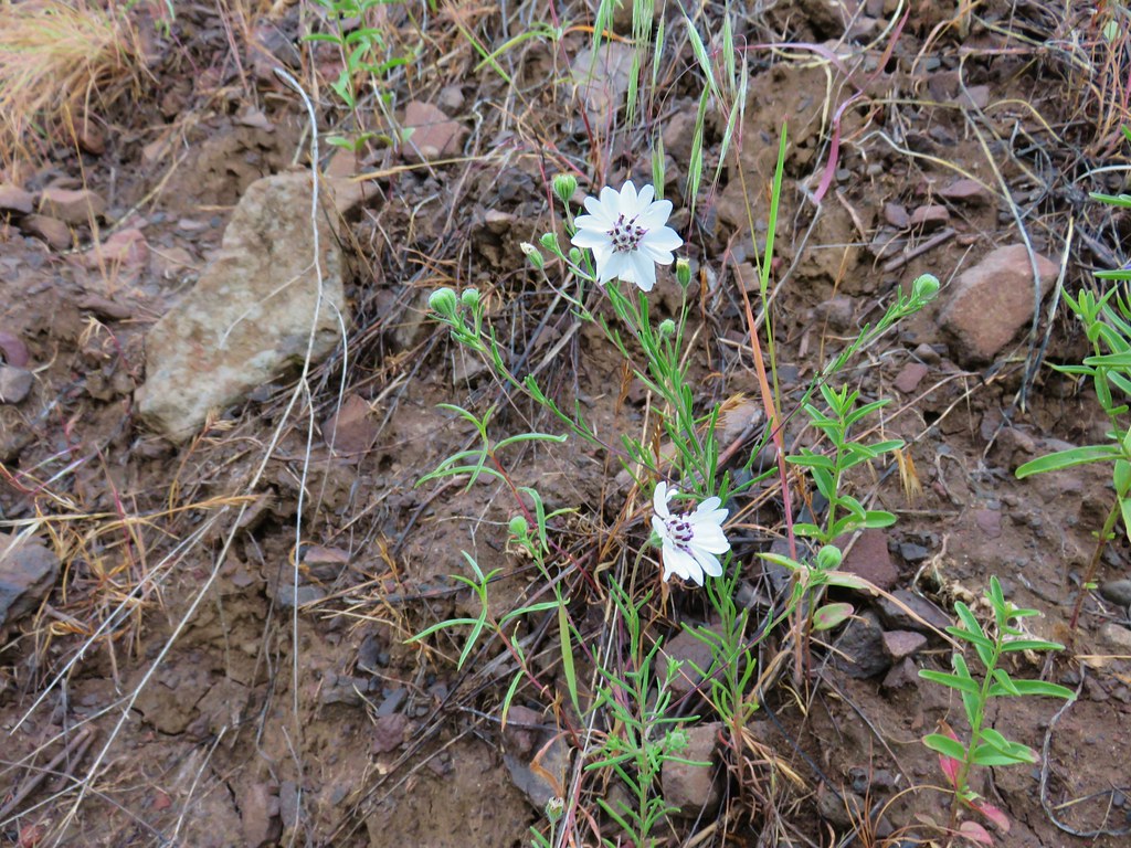
 Catchfly
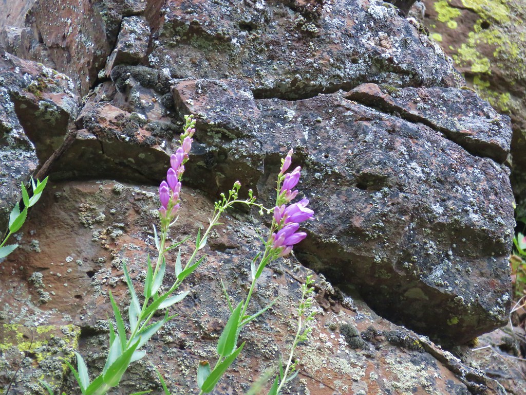
 sticky purple geranium
The trail itself began above the Wenaha River but soon dropped down to river level passing through a flat. This pattern would repeat itself over the course of the hike. The sections along the flats ranged from open grass to overgrown brush. We appeared to be the first to be going through the brush since the leaves were heavy with water which quickly soaked the lower halves of our bodies.


As we made our way along the trail we discovered additional flower types.
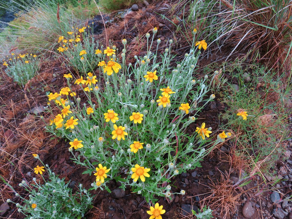 Oregon sunshine
 Monkey flower
 Watercress?
 Fiddleneck
 Rough eyelashweed
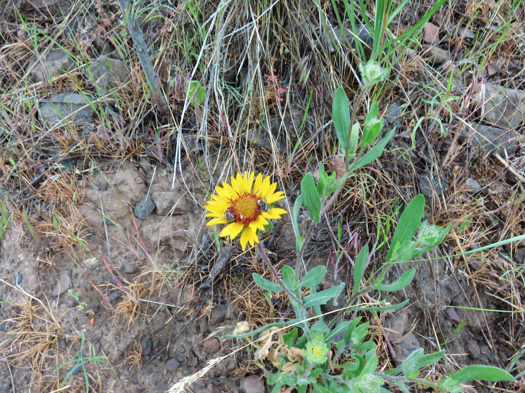 Blanket flower with two sleeping bees
After a mile we arrived at a gate which we at first mistook for the boundary with the Umatilla National Forest.

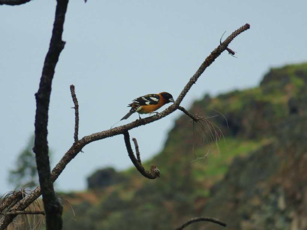
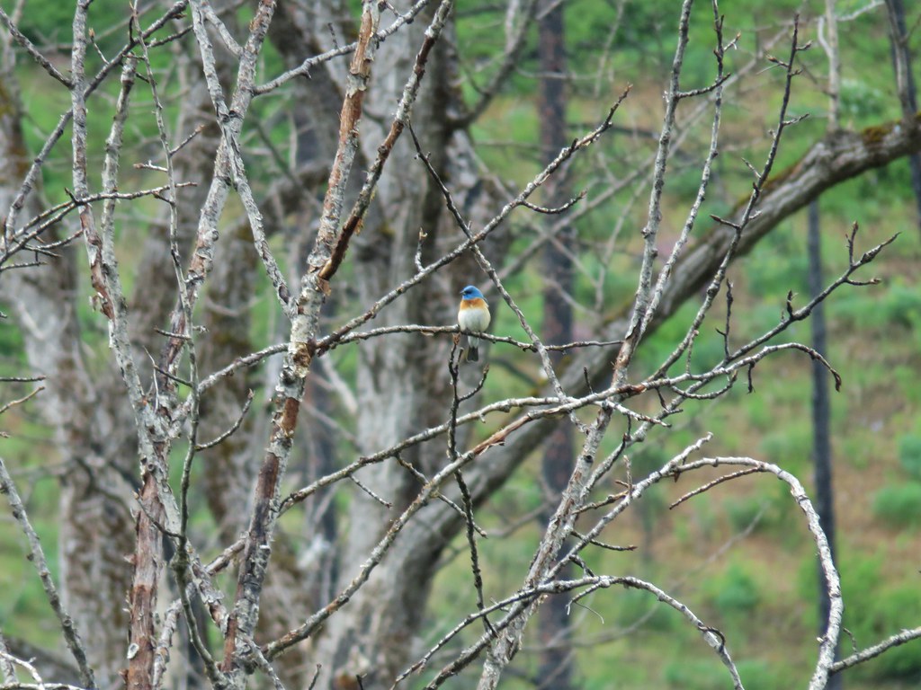
While we were on the lookout for big horn sheep it was colorful birds that we kept seeing (and hearing).
 Yellow breasted chat
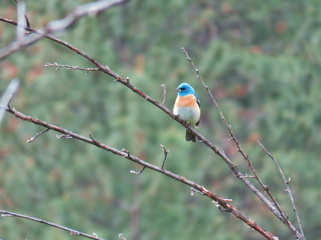 Lazuli bunting
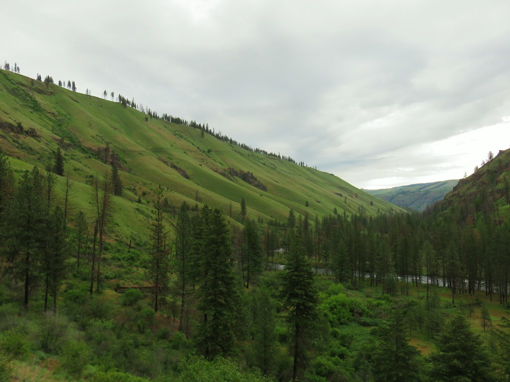
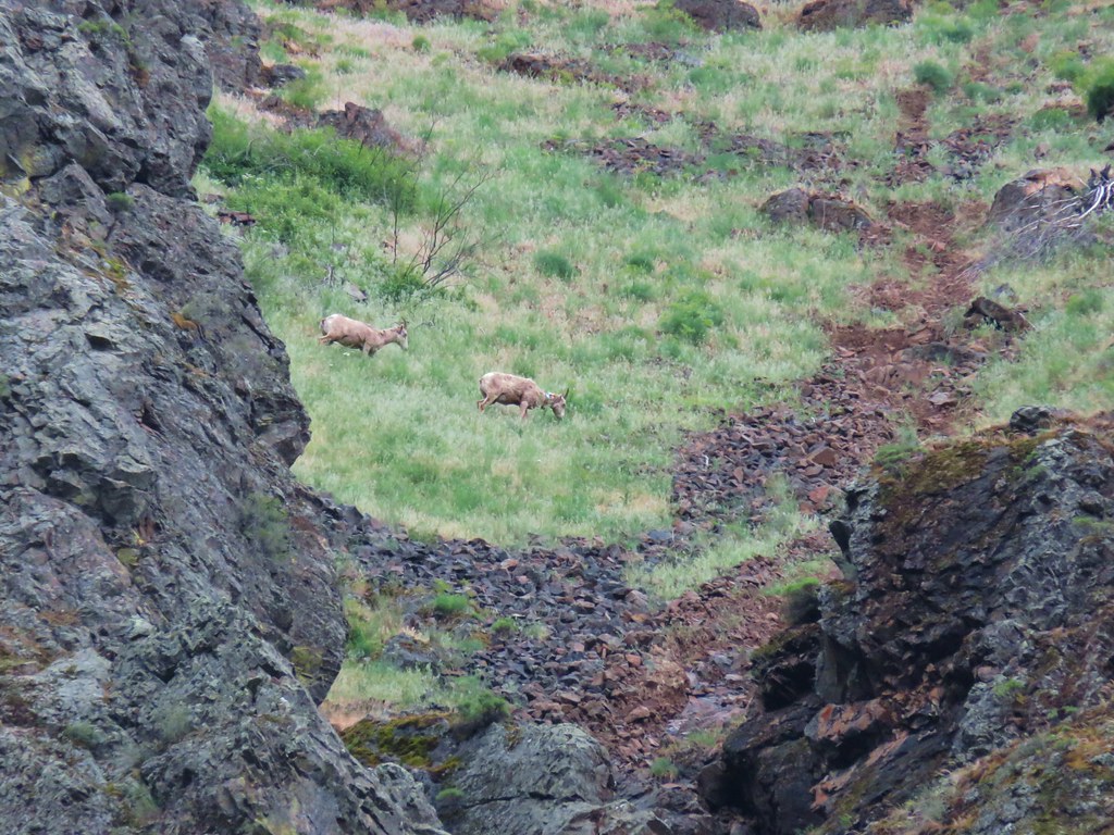
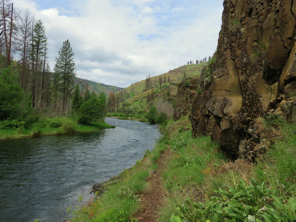
The contrast in the hillsides on the opposite sides of the river was interesting. The north side consisted of smooth rounded terrain while the south side was much more rugged.

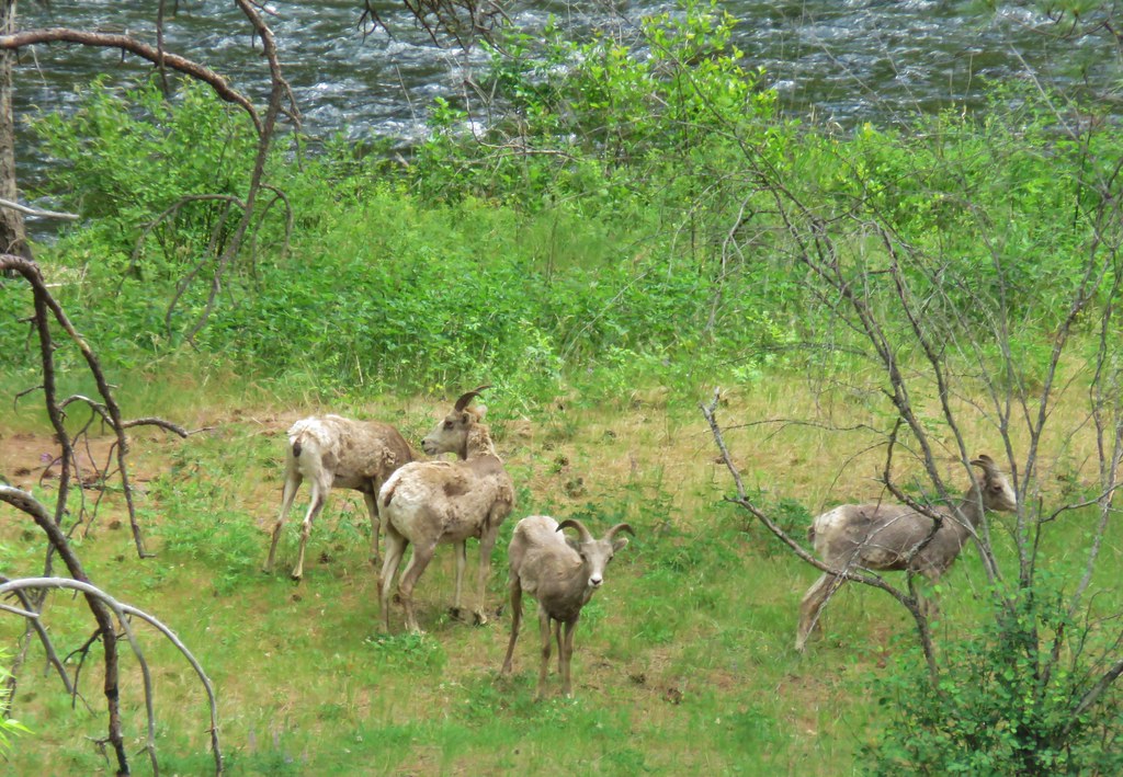
While we were admiring the ruggedness of the opposite hillside we spotted some promising brown dots (they are in the picture above). With a little help from the zoom on the camera and our monocular we were able to confirm they were some of the big horn sheep we’d been looking for.


Just a bit further down the trail we spotted another group. These were engaged in some rowdy play around a burnt ponderosa trunk.


We watched them for quite a while before continuing on. The north side of the river became a bit more rugged and the rockier terrain provided more diverse flowers.

 Penstemon
 Clarkia
 Phlox
Phlox
 More spreading dogbane
 Buckwheat
 Scabland penstemon
 Cinquefoil?
While the trail was up on the hillside we had nice views of the Wenaha below.

A little over two and a half miles in we passed a second fence which was the actual forest boundary.

Just beyond the boundary was a viewpoint across from Dry Gulch.

From the viewpoint the trail made a couple switchbacks down to another brushy flat.

Although it wasn’t thick there was a few pockets of poison ivy along the trail so we kept a watchful eye when the vegetation was close to the trail. It was along these flat sections where we spotted most of the birds.
 Woodpecker with a snack.
 Northern flicker
 Black headed grosebeak
We also spotted a few big horn sheep on our side of the river.
After climbing up a bit again we found a nice combination of false sunflower and balsamroot blooming along a ridge end along with a few other flowers.
 Blue dicks with a beetle
 Lupine
 Salsify
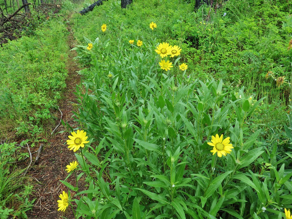 False sunflowers
 Balsamroot
 Clarkia with beetles
 View from the ridge end.
We repeated the dip and climb a couple more times before arriving at a neat rock overhang a bit before the 6 mile mark (at least according to our GPS). Along the way spotted more birds, a deer, and what appeared to be a rattlesnake that had met its demise along the trail.

 Another bunting
 Wallflower
 Another chat


 Geranium

Beyond the overhang we could see Crooked Creek Canyon ahead to the right where it joined the Wenaha to the left.

From the overhang it was a little over a mile to Crooked Creek. The stretch began with another nice selection of flowers.
 Skullcap
 Stream globemallow
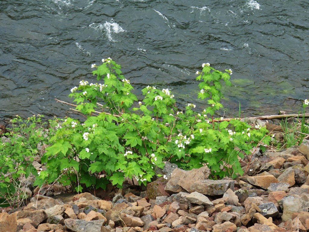 Thimbleberry
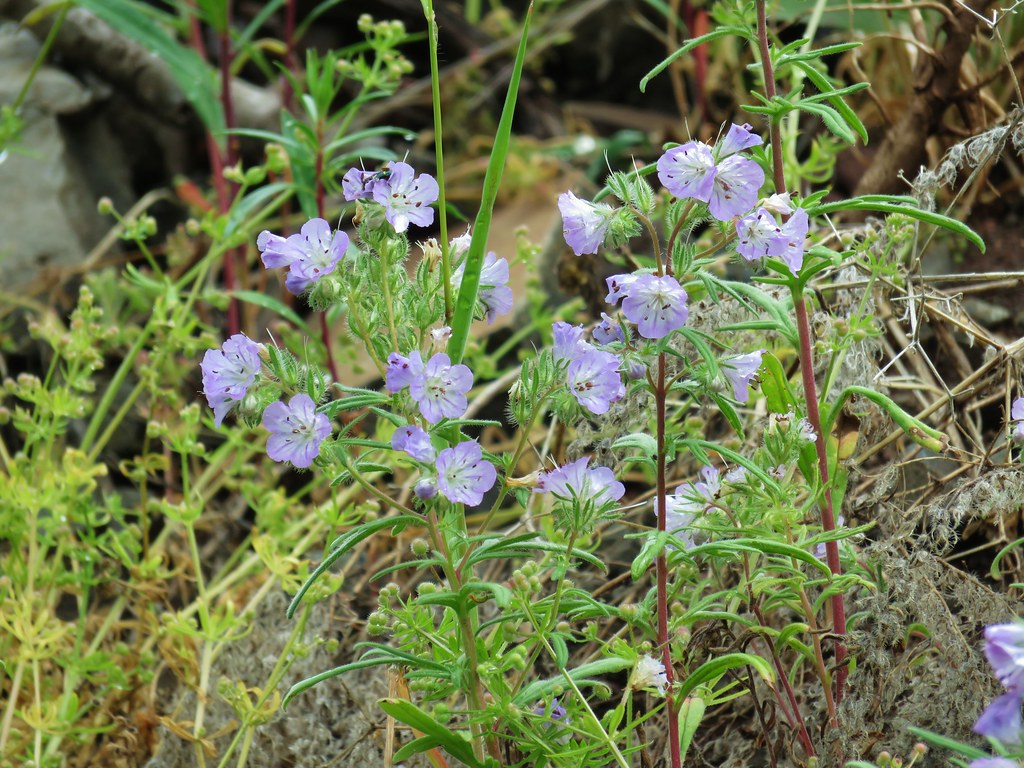 Threadleaf phacelia
The the wildlife kicked back in and not in the most welcome way for Heather. I had stopped to try and get a picture of a garter snake that had just moved off the trail.

I heard Heather say snake a couple of time and I was thinking “Yeah I know I’m trying to get a picture of it” only she was talking about a second garter snake that was slithering into the grass on the other side of the trail. Then she notice the third one coiled a couple of inches from her left foot. She is not a huge fan of snakes but has gotten quite a bit more comfortable around them, but three in one spot was getting close to too much. The third snake slithered away when I approached and we continued on.
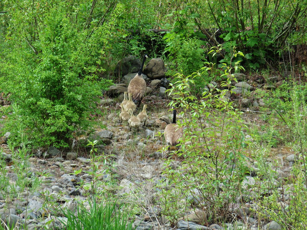
More welcome wildlife came in the form of a family of geese, a pair of Lewis’s woodpeckers, and butterflies.


At the 6.3 mile mark we passed a rock cairn with a “6” on top. We weren’t sure but thought that it might have been marking the boundary of the Wenaha-Tucannon Wilderness.

Whether or not that was the official boundary somewhere near the cairn we did enter the wilderness crossing one more off of our list to visit.
 Officially inside the wilderness
We followed the trail to the site of the former footbridge over Crooked Creek which was lost in the Grizzly Fire.

We spent some time pondering what the crossing would be like for backpackers wanting to continue on the Wenaha Trail. The water level looked like fording would be possible but we couldn’t see how one would get up to the trail on the far side. The best we could figure is that you would need to ford closer to the mouth of Crooked Creek and not at the old bridge site but we didn’t investigate further.
We turned around and headed back the way we’d come. The day was warming up nicely as blue sky began to emerge overhead. We ran into several groups of backpackers heading in and they all asked about Crooked Creek. We told them that we thought fording would be possible but they’d need to find a spot to get back up to the trail. One of them mentioned what we had suspected, that there was a way up a little further downstream.
 Blue sky

On the way back we kept our eyes open for anything we might have missed the first time by.
 Wren
Wren
 Spider and blue dicks
 Old man’s whiskers
 Wild onion


Near the spot where we had seen the first group of big horn sheep across the river Heather spotted a small group on our side along the river bank.

By the time we made it back to the trailhead the sky was mostly blue and temperatures were in the upper 70’s. It was a far cry from the snow shower the day before.

 The bees woke up at some point.
For some reason I had started craving pizza near the end of our hike so when we got cell signal I did a quick search of restaurants in Joseph and decided a calzone from Embers Brewhouse which really hit the spot and provided breakfast for the next day as well. Happy Trails!
Flickr: Lower Wenaha River

4 replies on “Lower Wenaha River”
What a great hike!
[…] Hermiston (post), OR and hiked in the Hells Canyon (post) and Wenaha-Tucannon Wilderness areas (post). MCormack Slough in the Umatilla Wildlife […]
[…] on the Wenaha River Trail. We had hiked on this trail in 2019 but from the other end near Troy, OR (post). The trail is just under 31.5 miles long but for this hike we planned on following the trail […]
[…] #45 Wenaha River – Hiked 5/25/2019 […]