**Note the 2020 Beachie Creek Fire burned a portion of this hike.**
Having done quite a bit of driving over our Memorial Day Weekend trip to NE Oregon we stuck close to Salem for our next hike. The hike up to the summit of Sardine Mountain from Matt Reeder’s “101 Hikes in the Majestic Mt. Jefferson Region“. Reeder recommends the hike in Winter when you can snowshoe the route, but as we have yet to get into snowshoeing (we’ve talked about it) an early June visit seemed appropriate. Located toward the western edge of the Old Cascades Sardine Mountain has an elevation of 4948′. This combination allows it to melt out sooner than some of the other peaks in the Old Cascades.
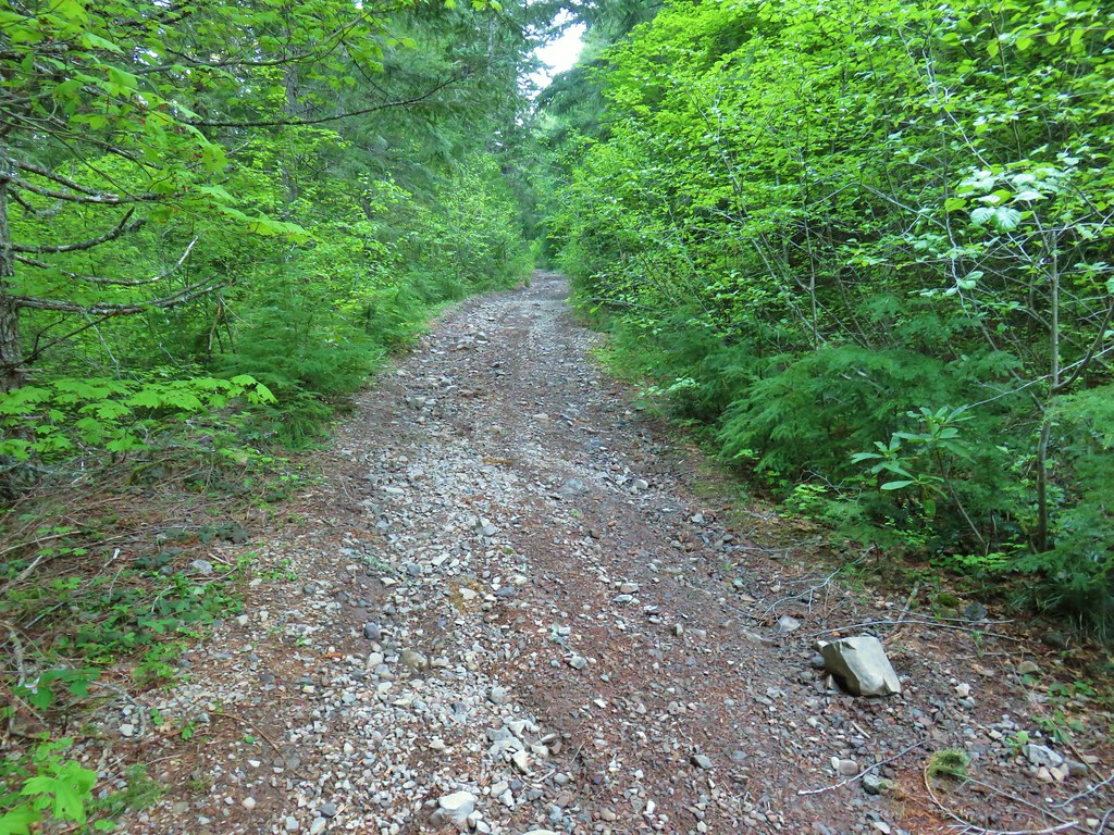
The peak is named after nearby Sardine Creek which purportedly gained that name when Thomas Henness found a sardine can in the creek in 1867. There are no official trails to the mountain but there is a scramble trail from Knutson Saddle which can be reached via Forest Road 2223 or by the route we took following Sardine Road (which becomes a 4wd track) up from Highway 22. Sardine Road is an unsigned gravel road located .4 miles east of Big Cliff Dam (2.3 miles west of Detroit Dam). In his description Reeder had parked just beyond a bridge over Sardine Creek just .2 miles up this road which is where we had planned to park but a van was already occupying it so we proceeded up the road another 150 yards to the next pullout.
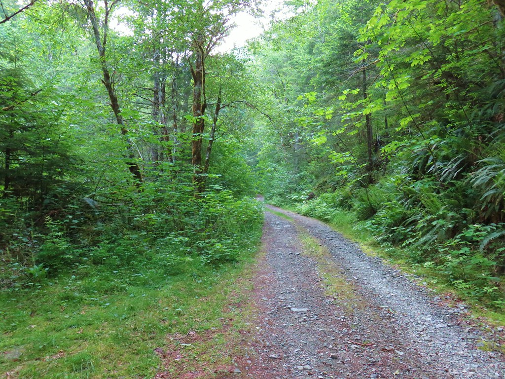
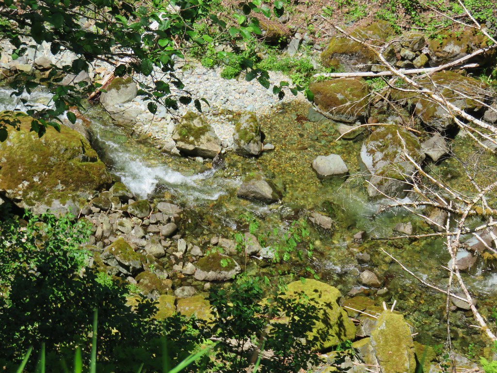
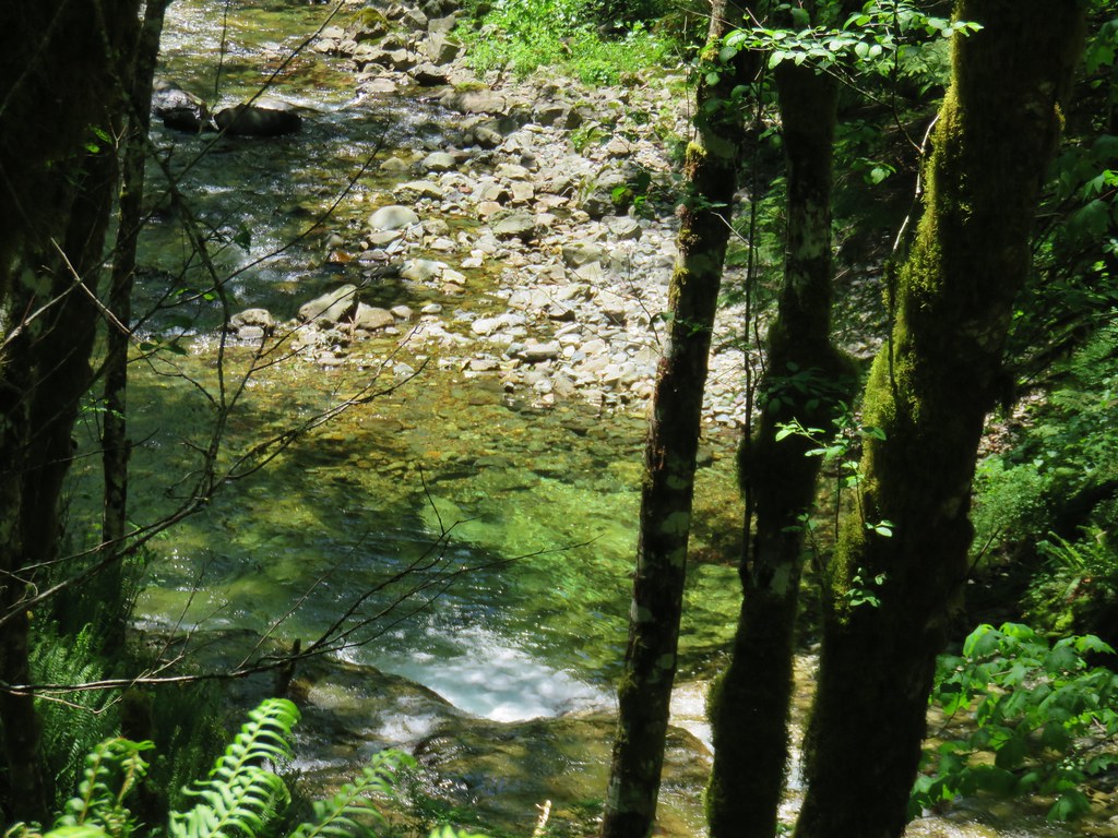
There had been a “road closed ahead” sign just after we had turned onto the road and Matt had mentioned that high clearance vehicles could make it as far as 3-4 miles up the road and other cars probably shouldn’t go further than a mile up. In addition to avoiding the bumpy drive the first mile of the road follows close to Sardine Creek so by parking sooner we were able to get some good looks at the creek.
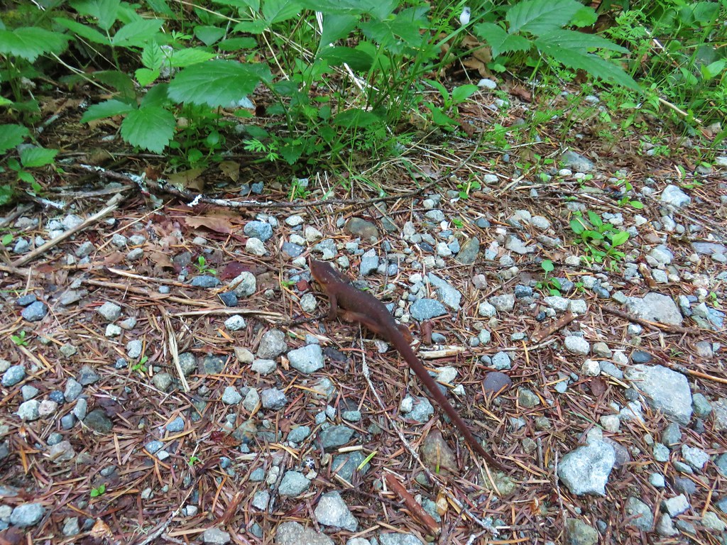
There were a lot of rough skinned newts out on the road which made us wonder how many have been on roads we’ve been driving on. 😦

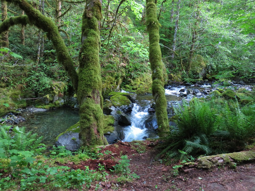
A half mile from where we parked we passed an scenic unnamed side creek.

Despite being a road walk there was a lot to see between the creek, flowers, and the forest.
 Paintbrush above Sardine Creek
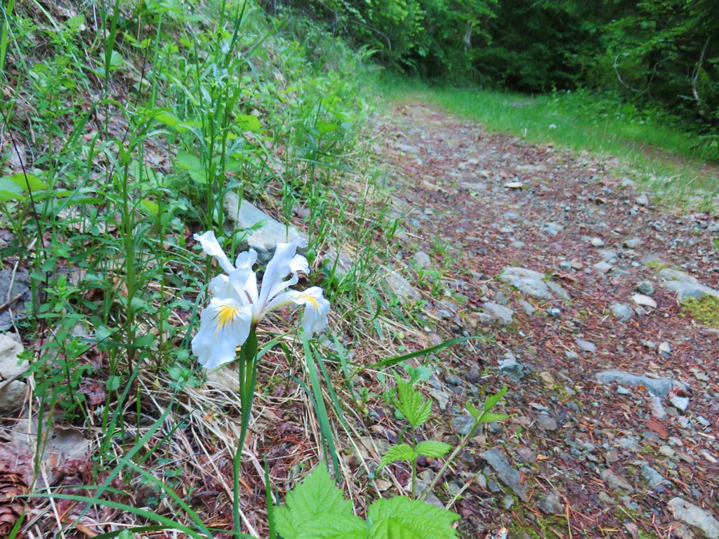
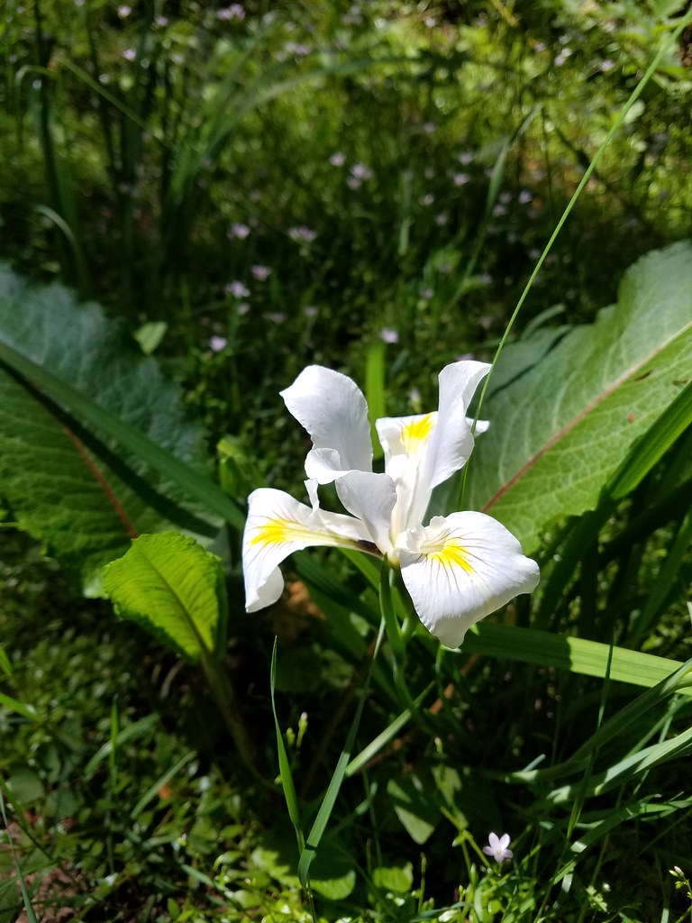
 Iris
Iris
 Rhododendron
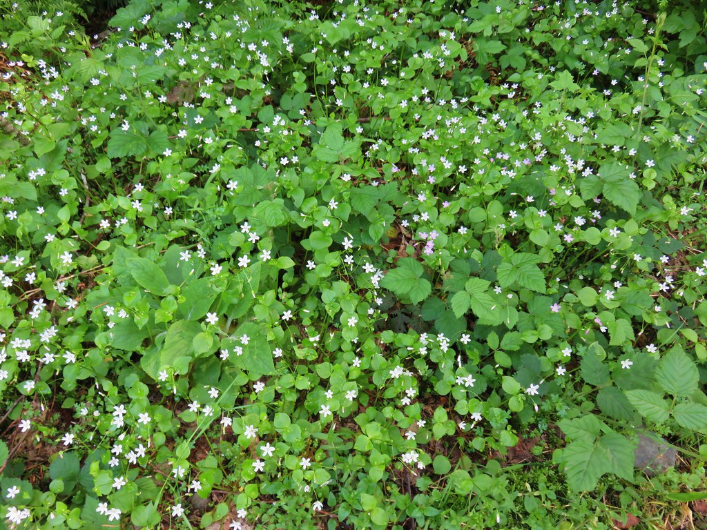
 Candy flower

Approximately a mile and a half from where we had started the road veered away from Sardine Creek at a sharp switchback. In another quarter mile we arrived at a fork.

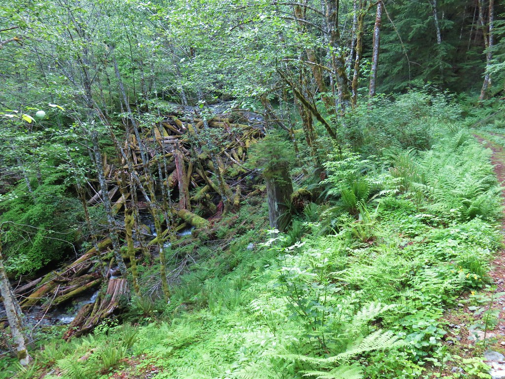
The right hand fork was the continuation of the route up to Knutson Saddle and Sardine Mountain but we detoured left on Reeder’s recommendation to visit a huge logjam. We followed this road for four tenths of a mile to one of Sardine Creeks forks where there was indeed an impressive logjam.
On the way to the logjam we came across a tennis ball and a slug and wondered if this was the worlds slowest game of fetch.
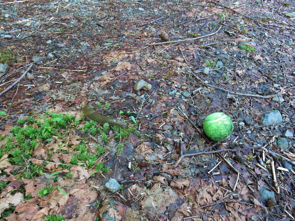
Also there were more newts.

There were even more logs jammed upstream on the creek.

We returned to the fork and continued climbing up toward the saddle. We still had about 2000′ to gain just to reach the saddle. We tried to keep our minds off the climb by focusing on the sights along the way. There was one quarter mile section (1.4 miles from the fork) where the road lost 200′ of elevation before steeply climbing again.
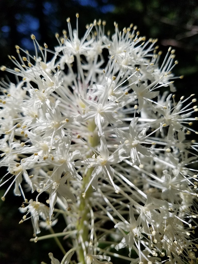
 Beargrass
 Iris
Iris
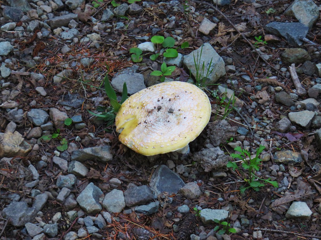 Mushroom in the middle of the road
 Valerian
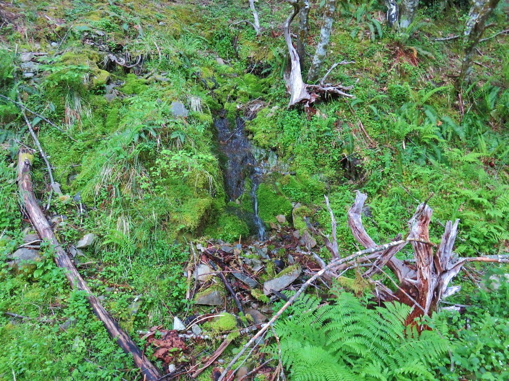 A hillside spring
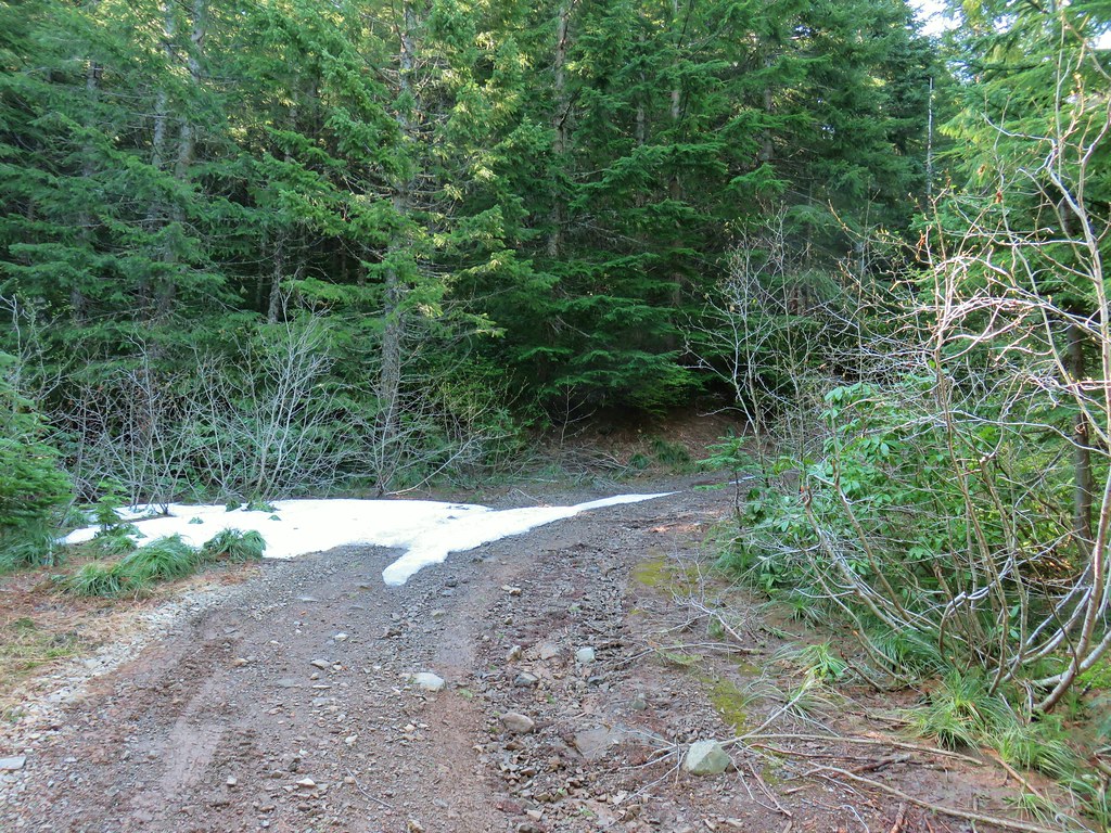
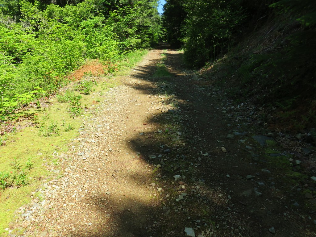
The road deteriorated as we climbed although there were some noticeable tire tracks and there had been some recent clearing of brush.

Shortly after passing the 4000′ elevation we passed a lingering patch of snow (with tire tracks).
A total of 5.5 miles from where we’d parked (6.3 if you add in the side trip to the logjam) we arrived at Knutson Saddle where the trilliums where still white. We took a seat near some snow and rested.


Before continuing up I walked NE along the level Forest Service road 100 yards to a view of Dome Rock and Mt. Jefferson. Unfortunately it was a very hazy morning so the mountain was blending with the haze.


After our rest we located the use trail heading uphill where the 4wd track arrived at Knutson Saddle.

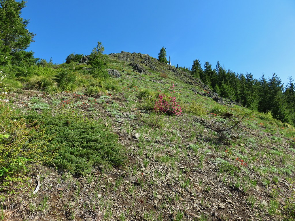
After a brief stint in some trees we emerged in a meadow of huckleberry bushes and beargrass.

At times the route was overgrown or became faint but pink flagging helped mark the way.

The bushes gave way to an open rocky hillside where yellow wallfowers and red paintbrush colored the slopes.


 Red flowering currant
It was a fairly steep but non-technical class 2 scramble.

The combination of the haze and time (the Sun we still to the east of us) really impacted what would have been spectacular views.

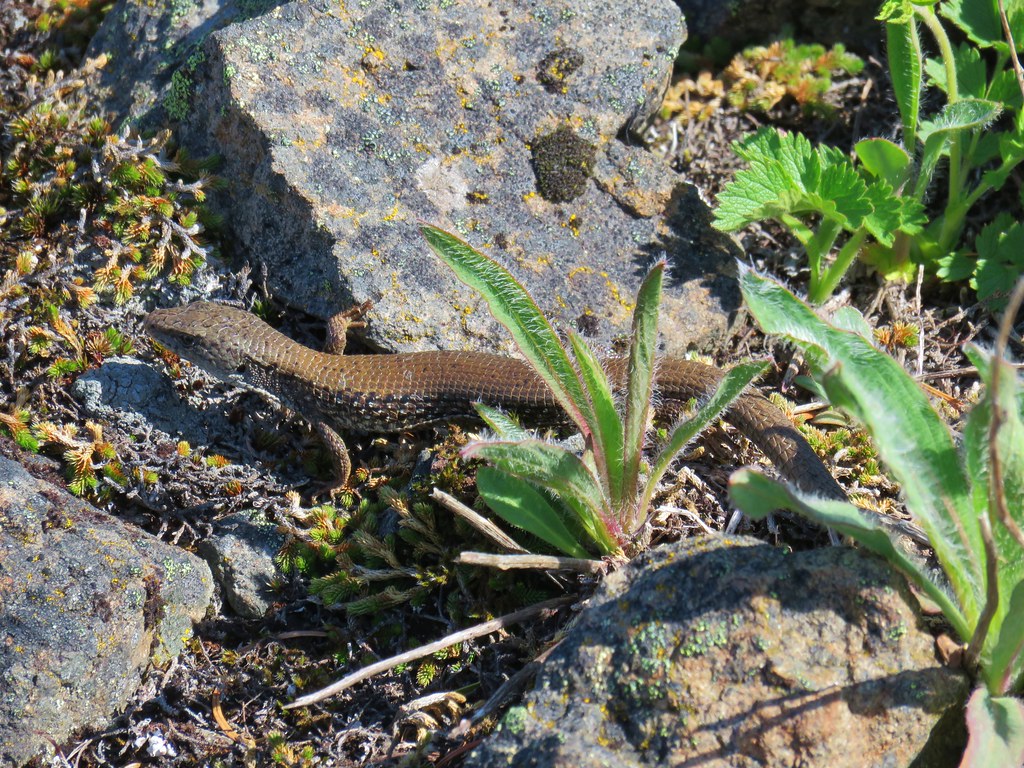
Along the way up we spotted a northern alligator lizard.

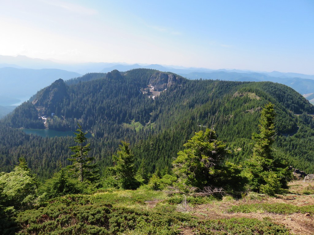
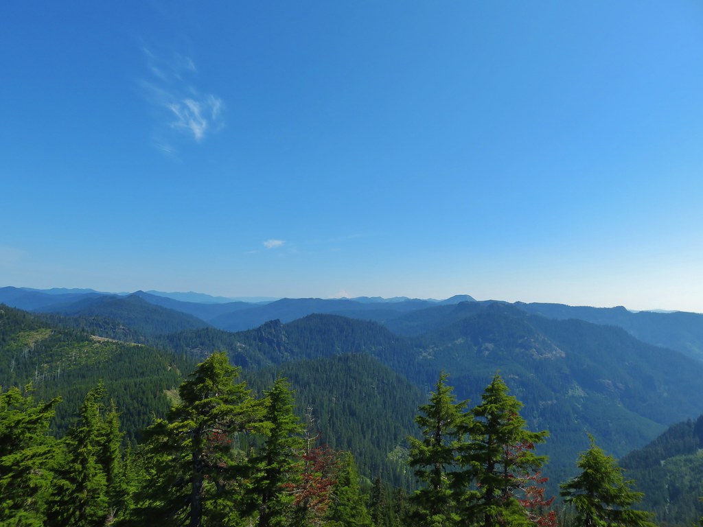
We reached the summit of Sardine Mountain where a long ridge extended north toward Rocky Top.

The view west was marred by clearcuts.

To the NE Mt. Hood stood out with Mt. Adams being barely visible through the haze.
 Mt. Hood with North Dicky Peak in front.
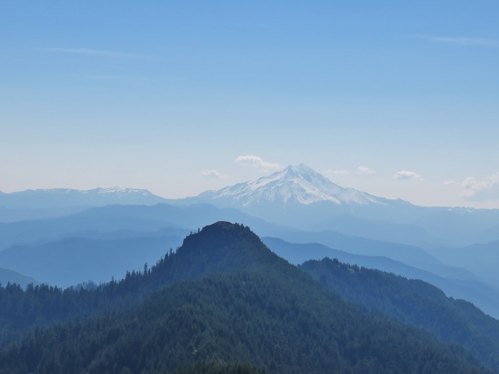
Mt. Jefferson rose to the east behind Dome Rock (post).

Beyond Tumble Lake to the SE was Three Fingered Jack behind Coffin Mountain (post), Mt. Washington, and the barely visible Three Sisters.

 Three Fingered Jack
 Mt. Washington and the Three Sisters
 Tumble Lake
After another nice rest we started back down stopping to get pictures of some of the flowers we hadn’t noticed on the way up.

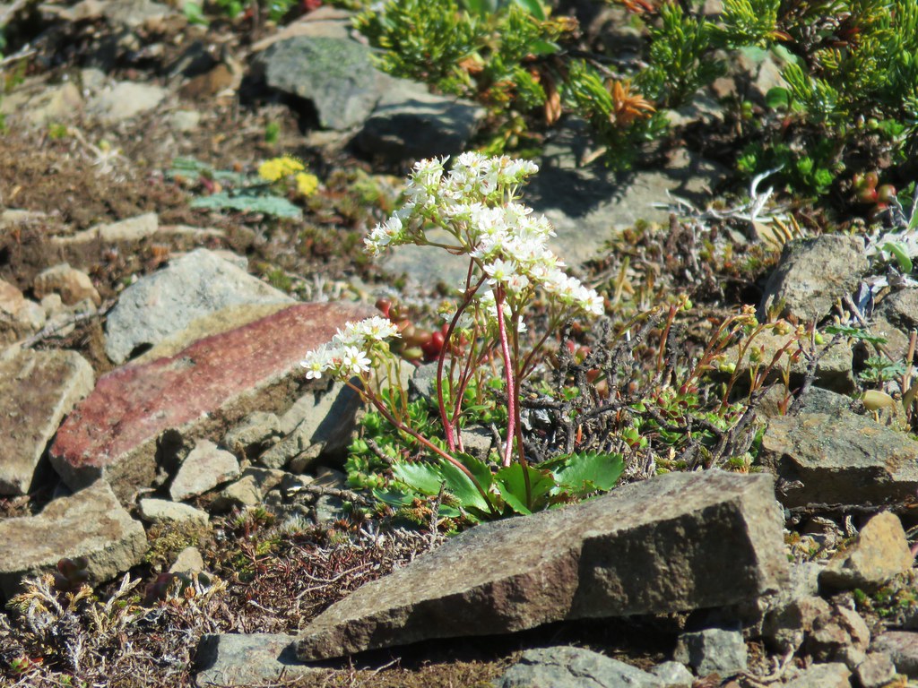 A saxifrage
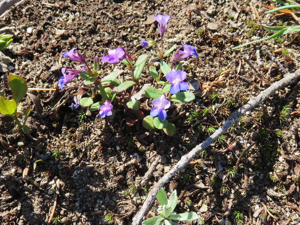 Blue-eyed mary
 Cats ears
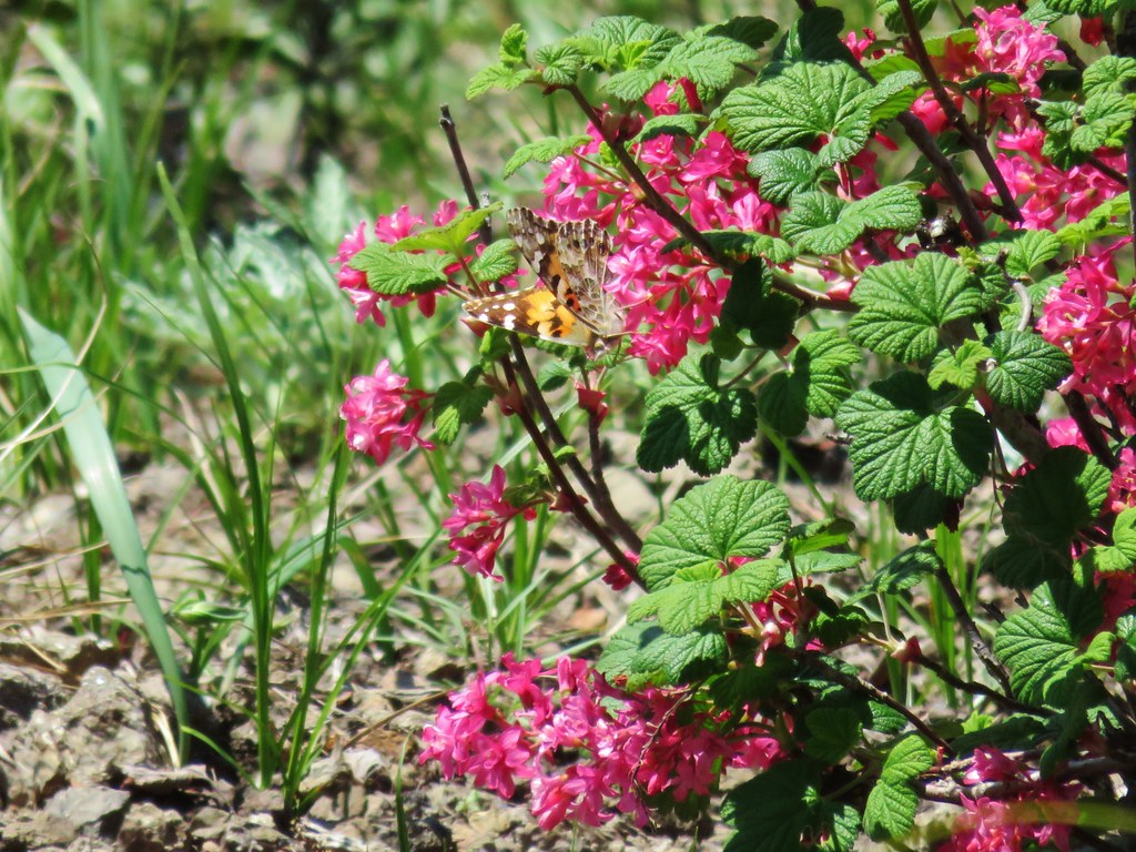 Butterfly on red flowering currant
After picking our way down the exposed slope we made our way back to Knutson Saddle and headed back downhill on the 4wd road. We didn’t see anymore newts along the road on our descent but we did see a few other critters.
 Rabbit
 Snake
Snake

 Another northern alligator lizard

 These two long legged spiders got into a brawl when they met crossing the road.
With the Sun now overhead the candy flower had opened up and many of the other flowers were showing up better so we stopped to get some pictures of them as well.
 Candy flower
 Iris
Iris
 Beargrass
 Cinquefoil and candy flower
 Fringecup
 Monkeyflower
 Thimbleberry
 Stonecrop
 Youth-on-age with an interesting insect
The sunlight also helped bring out the colors of Sardine Creek.


Aside from the unfortunately hazy conditions the only real drawback to the hike was that we each managed to pick up a couple of ticks, likely taking pictures of the flowers and creek at the end of the day where the grass was tall along the road. A good reminder to always check thoroughly, best a couple of times as even though we did a check and knocked three off us at the car one managed to make it all the way home with Heather where a second check found it before it had started to dig in.
We did not see another person the whole day although we did hear a car drive past Knutson Saddle as we approached it. There was plenty of evidence that people do spend time along the road though based on the used shotgun shells, pieces of clay targets, and trash filled fire pits at several of the pullouts. 😦
From where we parked, with the logjam side trip, our GPS recorded a 12.8 mile hike which was a bit shorter than we’d expected based on Reeder’s book where he put it at 14.4 miles without the side trip. The stat that did agree was the 4600′ cumulative elevation gain making this a pretty good early season training hike for climbers. Happy Trails!
Flickr: Sardine Mountain

3 replies on “Sardine Mountain”
Great report. Sardine Creek is an intense little creek with lots of good stuff on it. That logjam is pretty crazy. A little ways up that creek is a nice waterfall.
[…] road from the trail. The taller, rounded, peak in the center is Sardine Mountain (post). Sardine Mountain Road has yet to reopen after the 2020 […]
[…] The high peak at the center (behind the lone snag) is Rocky Top (post) and high peak near the right side is Sardine Mountain (post). […]