Our most recent hike brought us to the BLM managed Wildwood Recreation Site. We were going to be taking the Boulder Ridge Trail from the site to a viewpoint along Huckleberry Mountain in the Salmon-Huckleberry Wilderness. The view had escaped us during a 2015 hike the same viewpoint using the Bonanza Trail (post). Cloudy conditions that day had been our downfall so we were a little apprehensive when we saw the forecast calling for a slight chance of showers in the morning but then it called for the skies becoming mostly sunny.
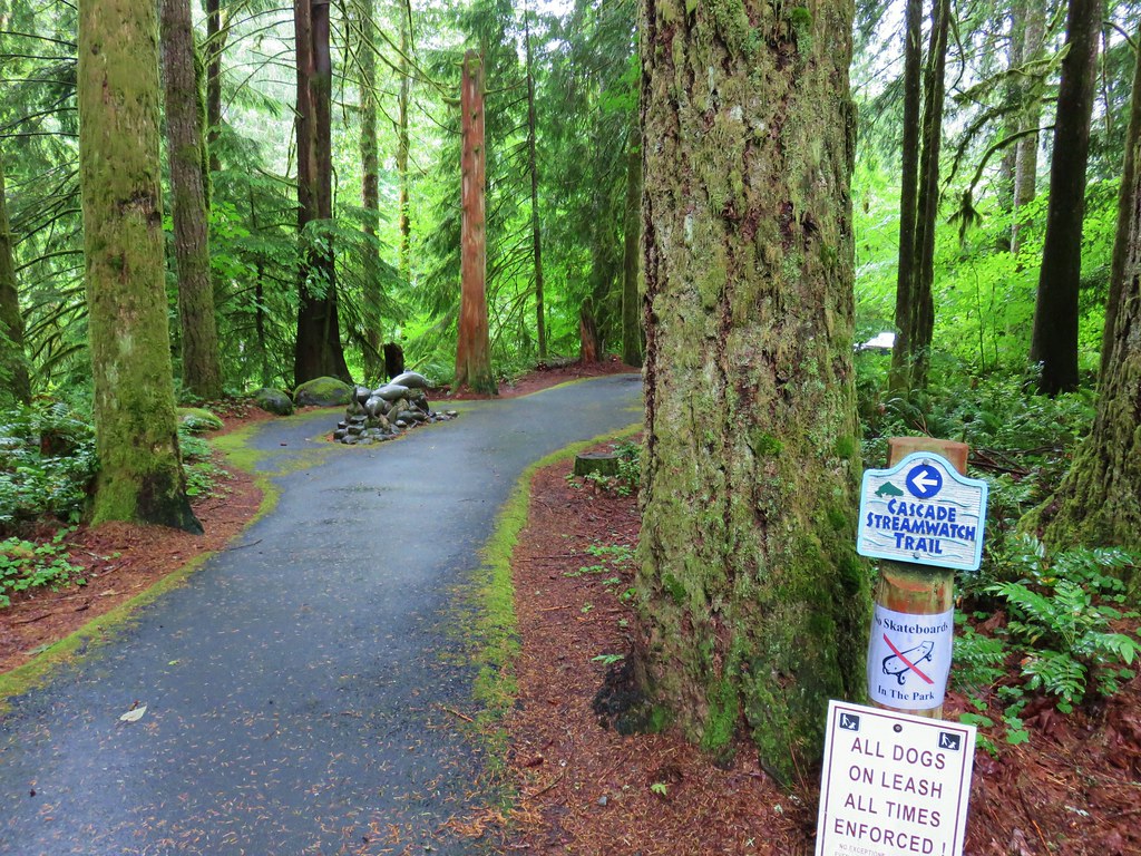
With the Wildwood Recreation Site not opening until 8am (the road is gated) it meant we would be getting a little later start than we normally would which would hopefully give the clouds more time to burn off. After paying the $5 day use fee we parked at the trailhead parking area which acts as the trailhead for the Boulder Ridge Trail as well as for two short interpretive trails – The Cascade Streamwatch and the Wetlands. We decided to do both of these before heading up the Boulder Ridge Trail to give the weather even more time to clear up.

We began with the paved Cascade Streamwatch Trail.
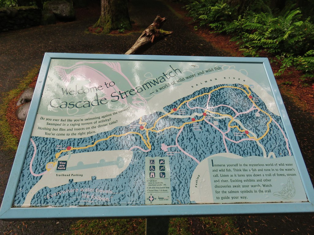
The trail led down through the forest to the bank of the Salmon River with several interpretive signs along the way.

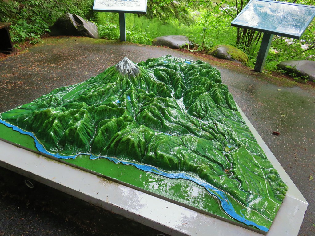
Of particular interest was a 3D model of the Salmon River drainage including Mt. Hood. It mapped out the southern and western flowing creeks and rivers drain into the Sandy River and eventually the Columbia.
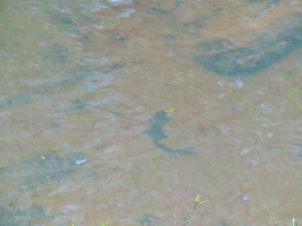
Further along the loop is an underwater viewing area. There were only a few small fish visible on this day but we imagined that at times it would be quite a sight.

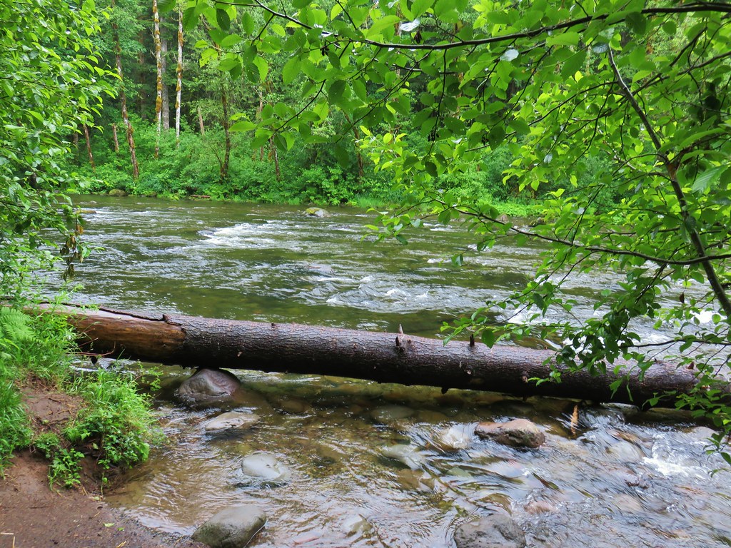
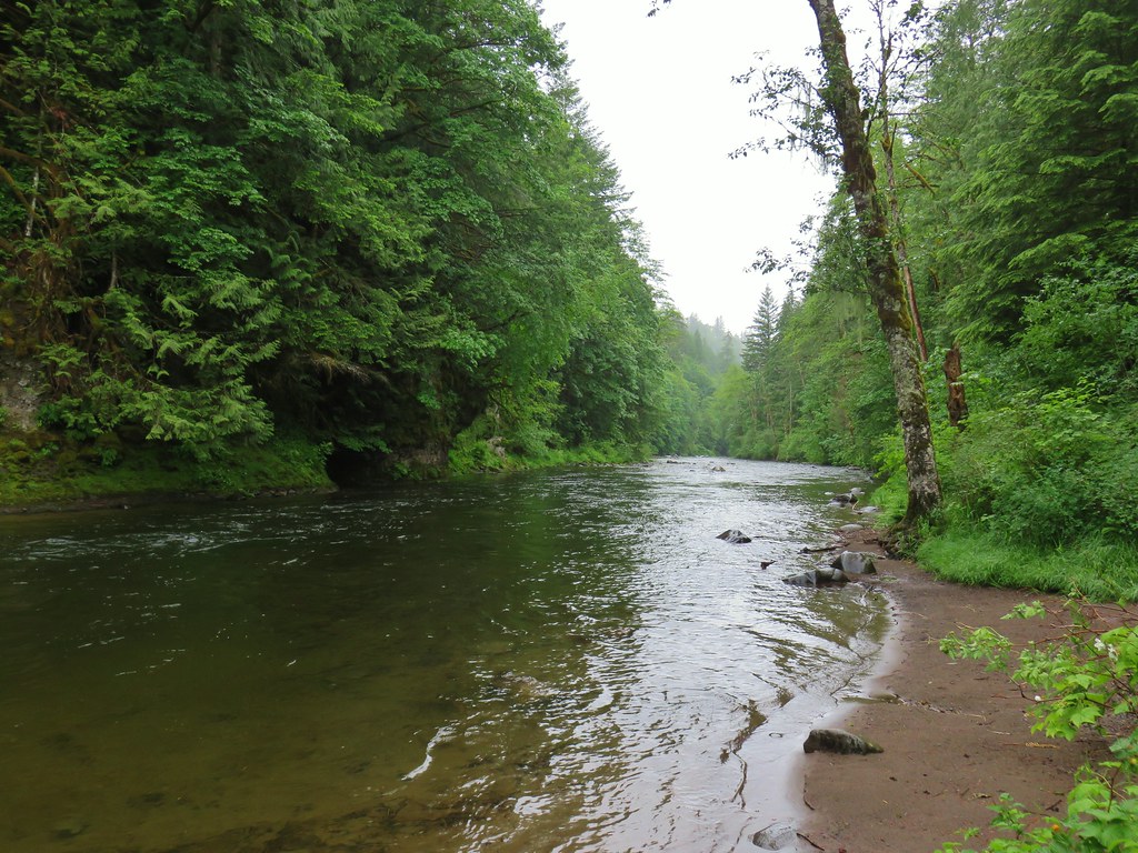
We continued on the loop which passed a sandy beach near a deep hole in the Salmon River where at times spawning steelhead trout and chinook salmon can be seen.

After completing this short (under a mile) informative loop we returned to the trailhead parking and walked over to a signboard for the Boulder Ridge Trail.

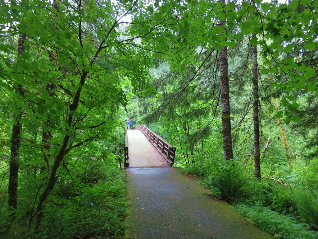
A paved path here lead to a bridge spanning the Salmon River and the start of the Wetlands Boardwalk.

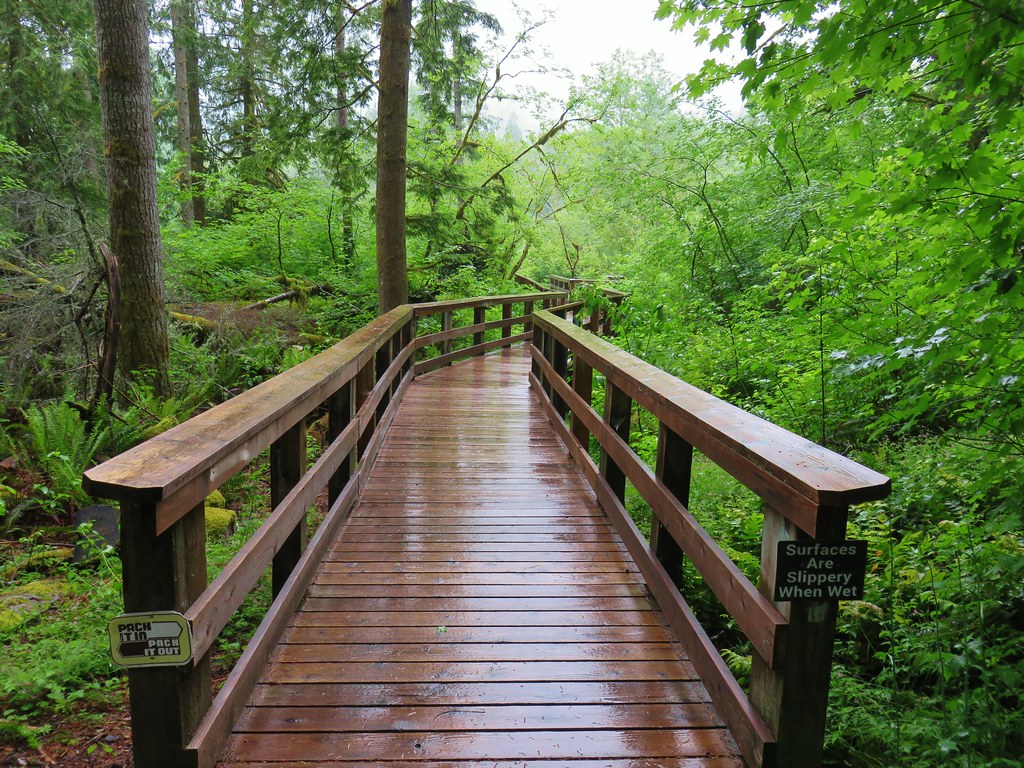
We took each of the side trails along the boardwalk starting with the detour to Cattail Marsh.

The next side trip was to see the results of beaver dams and how they help create the wetlands. We didn’t see any beavers (yet again) but there were some newts swimming in the waters.
Next up was a “Ghost Forest” caused by rising waters caused by the beavers work.

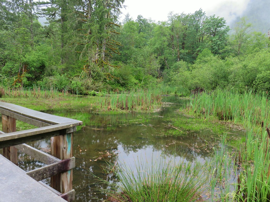
The boardwalk then passed a large amount of skunk cabbage before reaching a final detour to a view of the transition from a wetland to a stream.


The boardwalk ended at a junction where a left turn led to the Boulder Ridge Trail while a right turn would complete a short loop back to the parking area (also under a mile total).
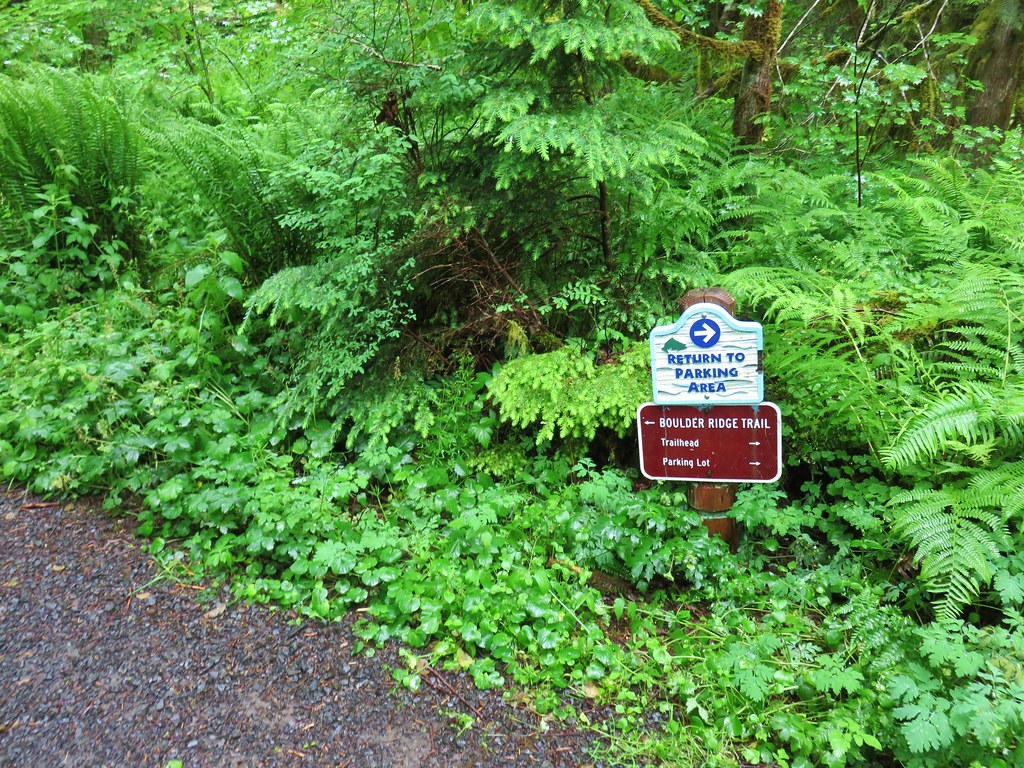
Left we went passing a sign for the Boulder Ridge Trail and signing in at a signboard.

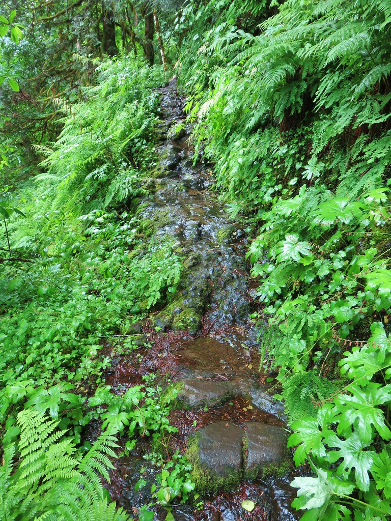
The trail wasted little time in launching uphill needing to gain 3100′ to reach the top of Huckleberry Mountain. Not only did it head uphill immediately but it crossed a rocky area that had been exposed by a series of seeps. It looked narrow and possibly slick.
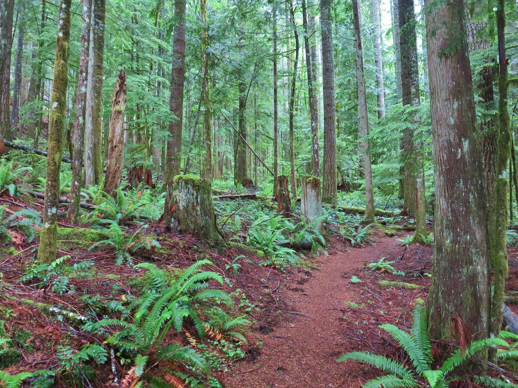
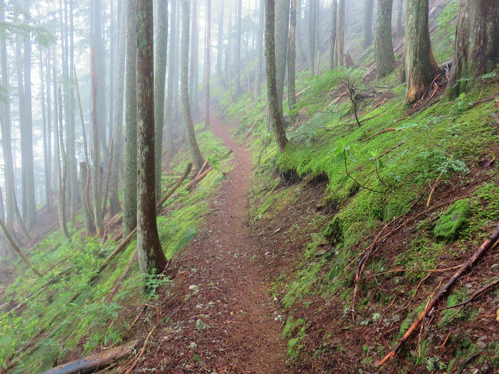
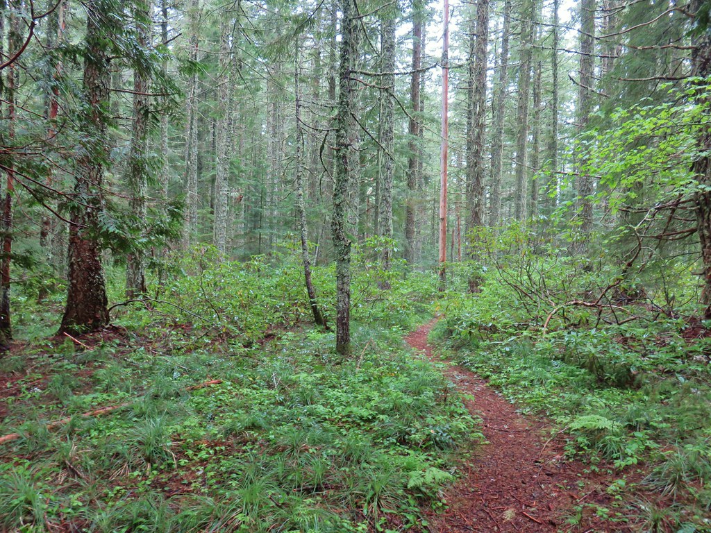
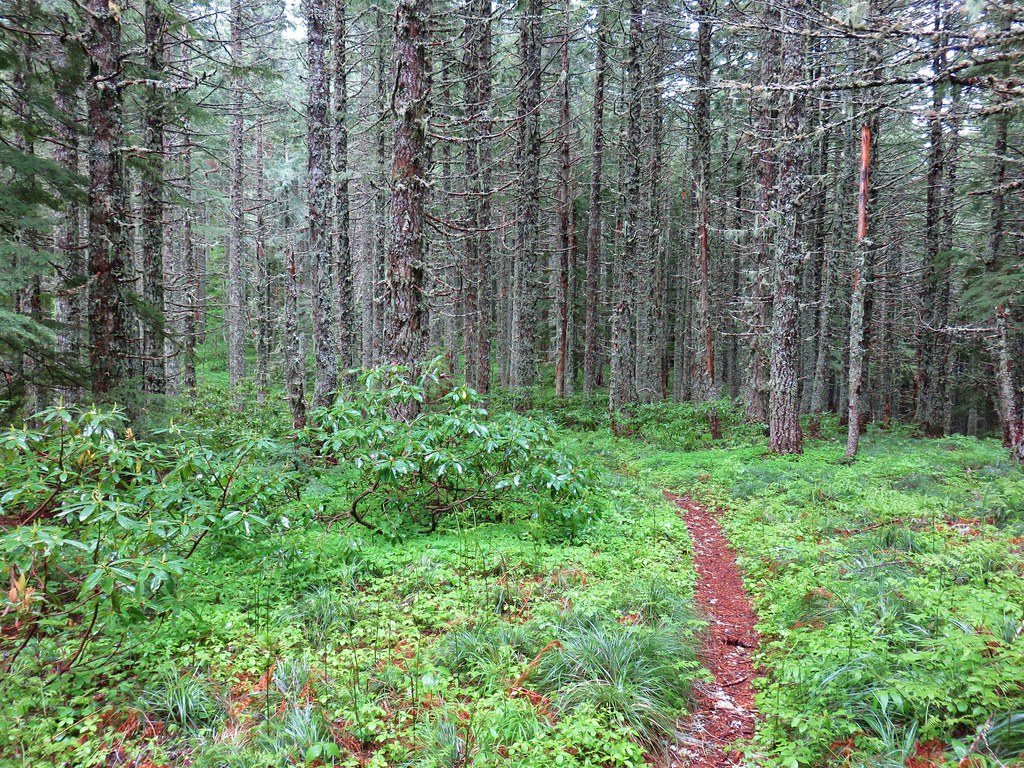
The trail climbed steeply gaining 1400′ in then next two and a quarter miles where a rocky viewpoint looked into clouds instead of Mt. Hood. Just a bit before reaching the viewpoint we had entered the Salmon-Huckleberry Wilderness. One thing that has never disappointed us about the Salmon-Huckleberry Wilderness and surrounding area is the beauty of the forest. The clouds might have been blocking our views of Mt. Hood but the fog added a nice element to the forest.

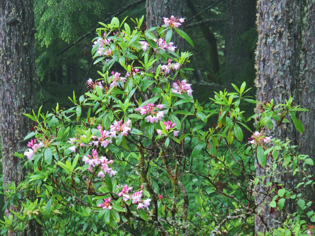 Rhododendron
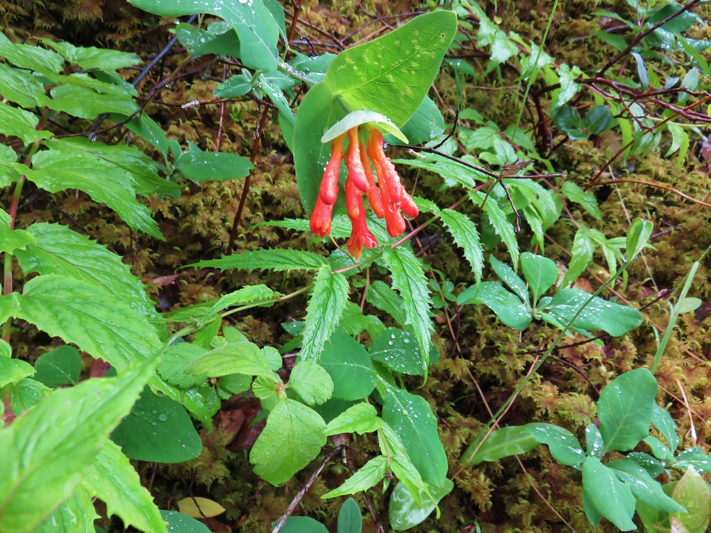 Honeysuckle
 Beargrass and rhododendron along the trail.
 Coralroot and sourgrass
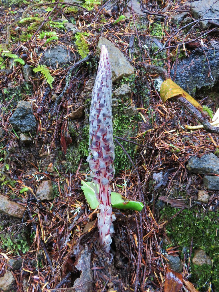 Candy stick

 Damp iris


We passed by the viewpoint hoping that maybe there would be a view by the time we were headed back down. The trail continued to climb gaining another 800′ over the next mile and a quarter where another rock viewpoint looked east.
 Green lichen

 A few trees peaking through the clouds along McIntyre Ridge (post)
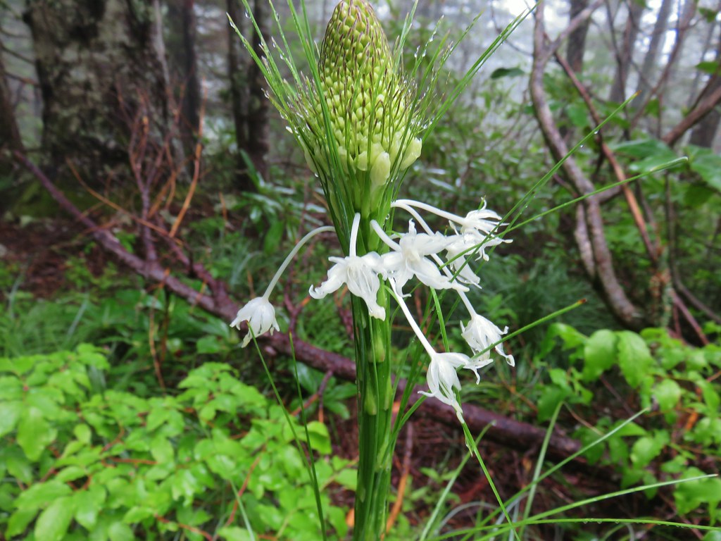
With no view to speak of we turned our attention to the flowers in the area.
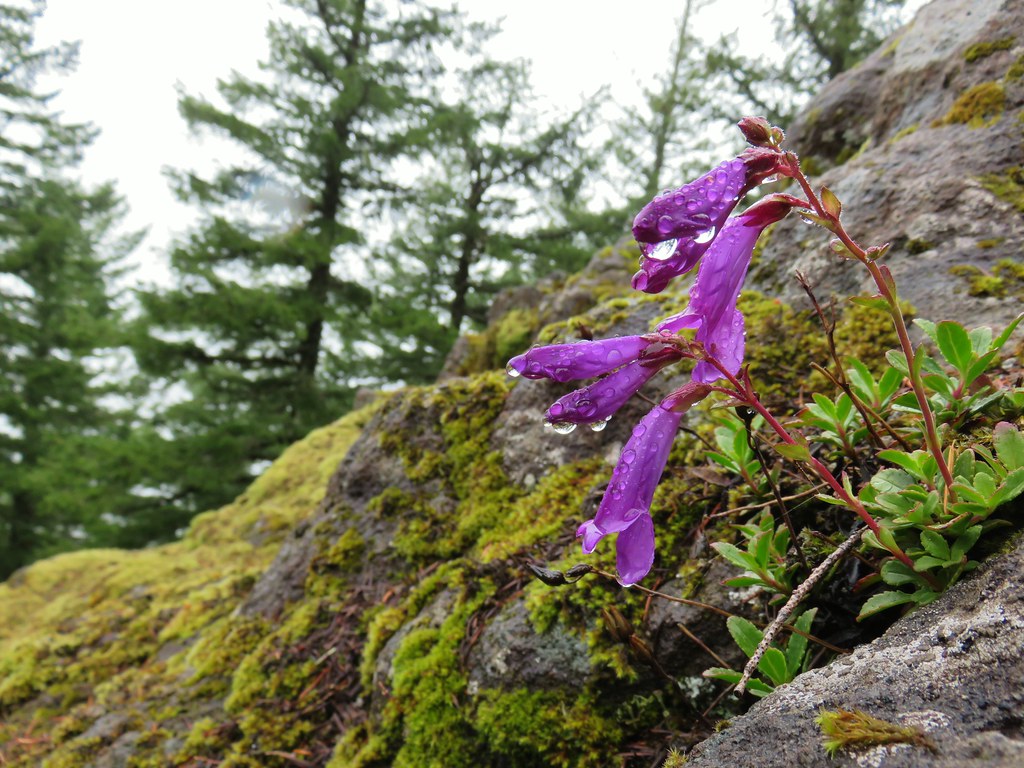 Penstemon
 Paintbrush
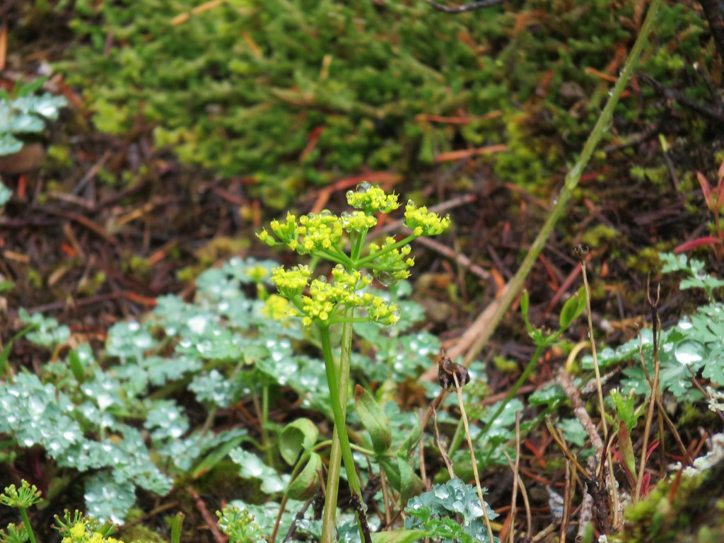 Biscuitroot
 Beargrass
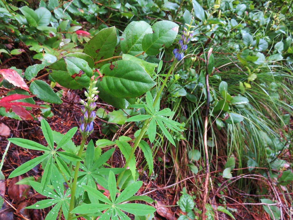 Lupine
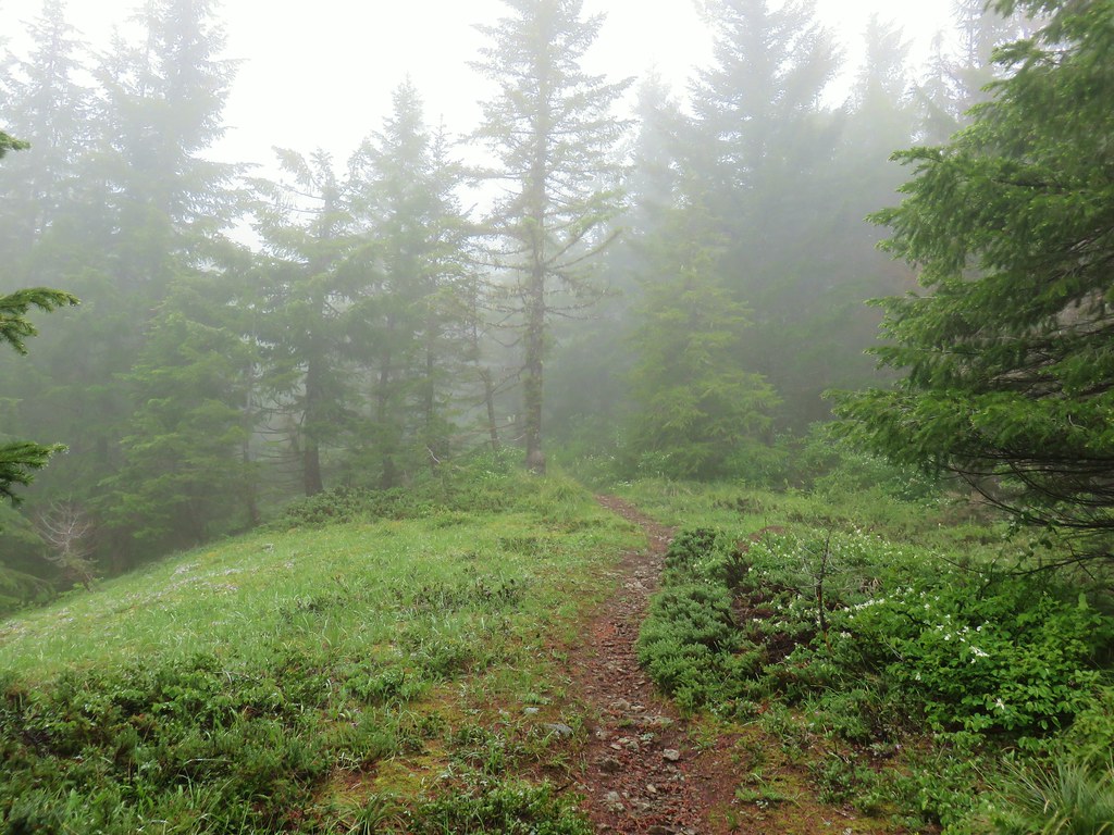
For the next half mile the trail climbed more gradually spending some time on the ridge top amid a carpet of green before dropping off and arriving at a small seasonal stream where some Scouler’s corydalis was blooming.


Another half mile of climbing brought us to the end of the Boulder Ridge Trail at a signed junction with the Plaza Trail.

The only choice to continue here was to turn right onto the Plaza Trail as there is no longer any discernible continuation of it to the left of the junction.
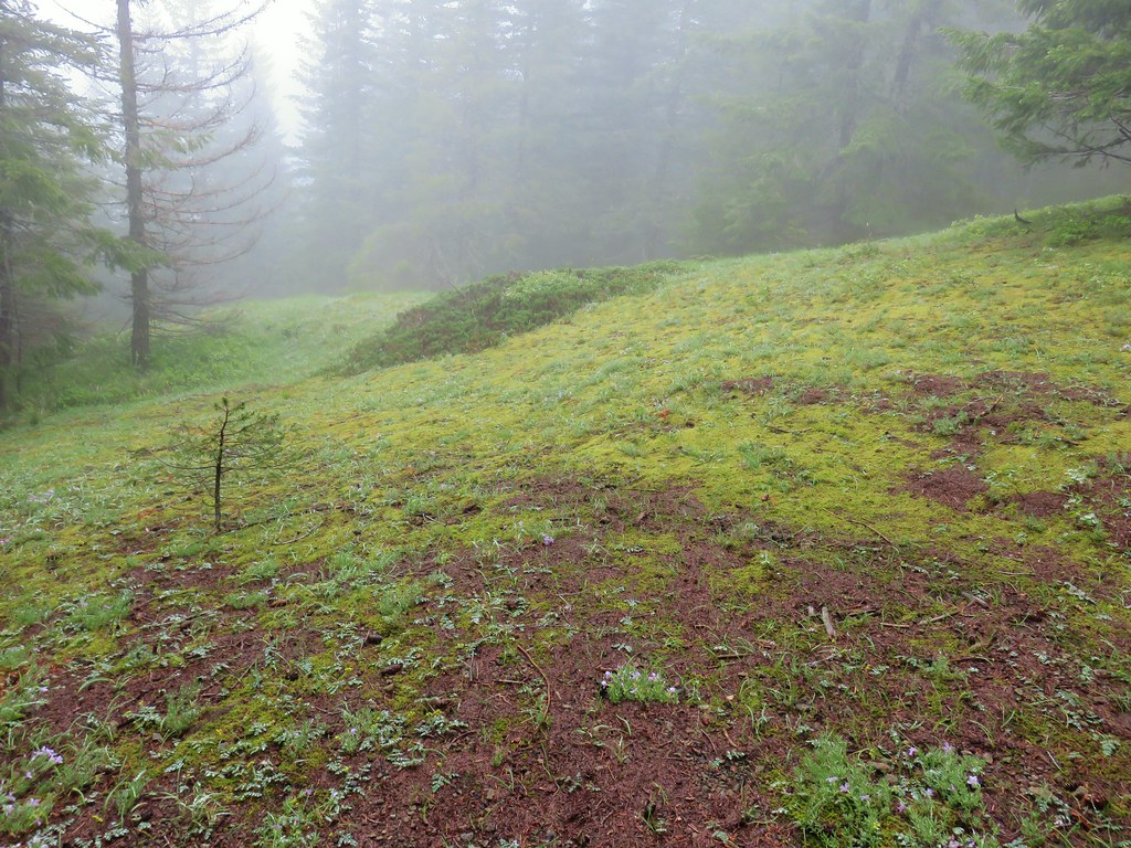
It was almost 11:45 now and we had been hoping that the skies would be starting to clear but looking up revealed no sign of it happening anytime soon. We still had approximately a mile and a half to our goal though so we sallied forth. After a brief respite from climbing the trail headed uphill into more fog.

As the trail passed the 4000′ elevation it passed through a small grassy meadow where a few phlox were blooming.

As the trail gained the final 280′ of elevation there were more open areas where indian plum was blooming while the beargrass was just starting.

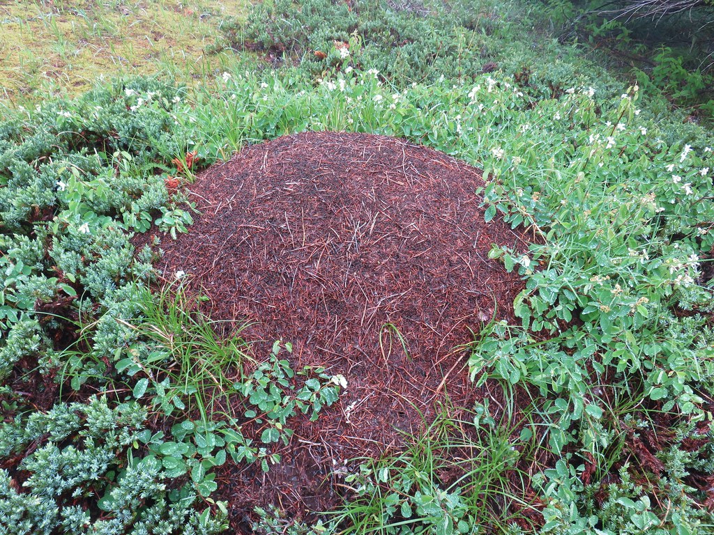
We passed by a large ant pile.

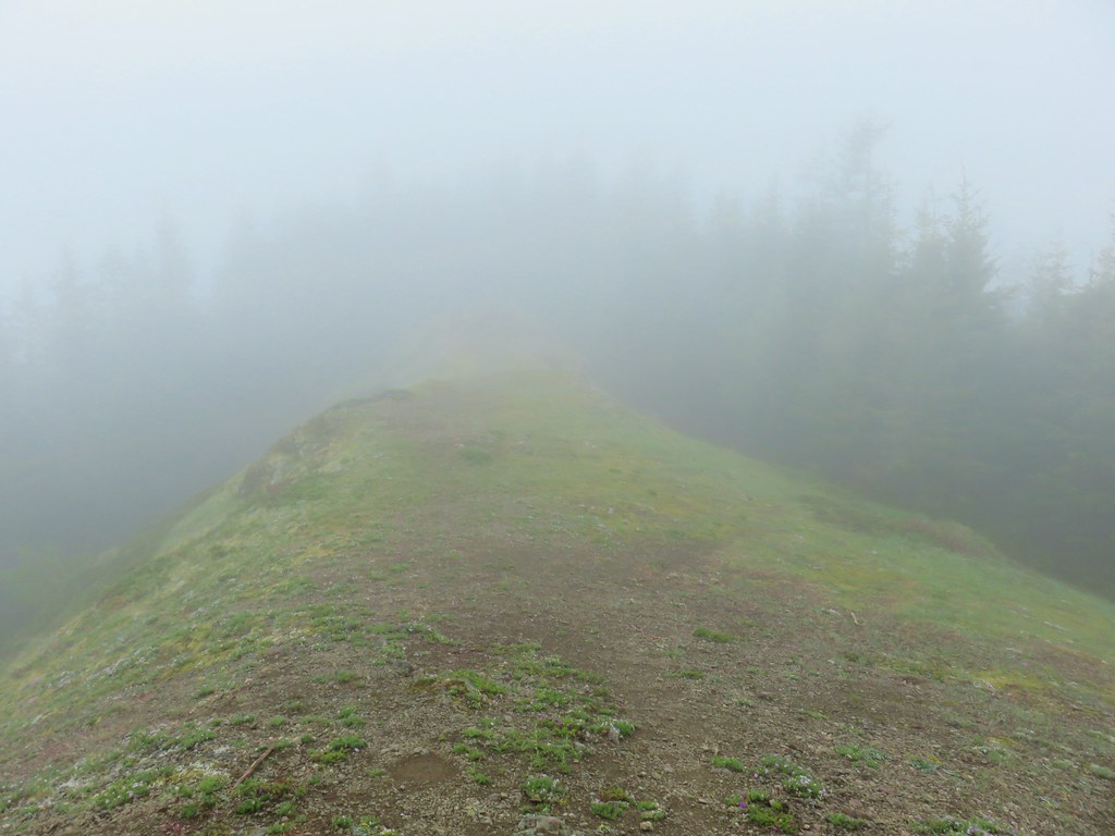
When we reached the viewpoint the clouds had not only not lifted but they were actually worse than they had been in 2015.
 2019
2019
 2015
2015
Slightly disappointed we made our way to a rock outcrop and again looked to the nearby flowers instead of Mt. Hood.
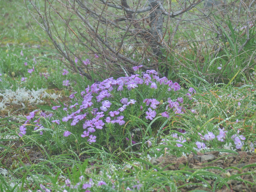 Phlox
Phlox
 Paintbrush
 Penstemon
 Avalanch lily
 Wild onion
We stayed for a bit looking for any hint of the clouds breaking but they sky remained a canvas of white so we started back down shortly before 1pm. The view had changed quite a bit at the eastern facing viewpoint when we arrived 45 minutes later. It was still overcast but the clouds had lifted noticeably.

By the time we reached the lower viewpoint that we had not stopped at earlier there was a significant amount of blue sky overhead.

The only problem was a mass of clouds directly over (or in front of) Mt. Hood.

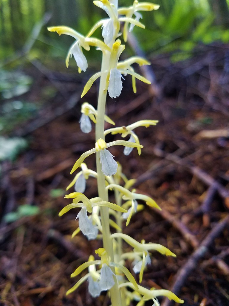
You win some you lose some. We made our way back down to the Salmon River stopping to admire some yellow coral root along the way.


Despite missing out on the view again the 12.9 mile hike was a good one albeit challenging with over 3000′ of elevation gain. The interpretive trails were a lot of fun and the Mt. Hood National Forest in the Salmon-Huckleberry Wilderness was as scenic as ever. Happy Trails!
Flickr: Boulder Ridge

4 replies on “Boulder Ridge Trail and Wildwood Recreaction Area”
[…] striking out on a view of Mt. Hood during our previous hike on the Boulder Ridge Trail (post) we planned on trying again during our next outing by visiting Lost Lake. The hikes around Lost […]
[…] for viewpoints. In fact there was only one hike, our second to the summit of Huckleberry Mountain (post) where we felt skunked on views. That hike began in the Wildwood Recreation area and the […]
[…] Wildwood Area – Hiked 5/24/2015 & 6/8/2019 Bonanza […]
[…] The furtherst hump in the center is Huckleberry Mountain (post). […]