A YouTube video posted last year by Hike Oregon brought our attention to a section of the Alpine Trail near Oakridge, OR. She described an out-and-back hike along this popular mountain bike trail over Sourgrass Mountain to visit the Elk Camp Shelter.
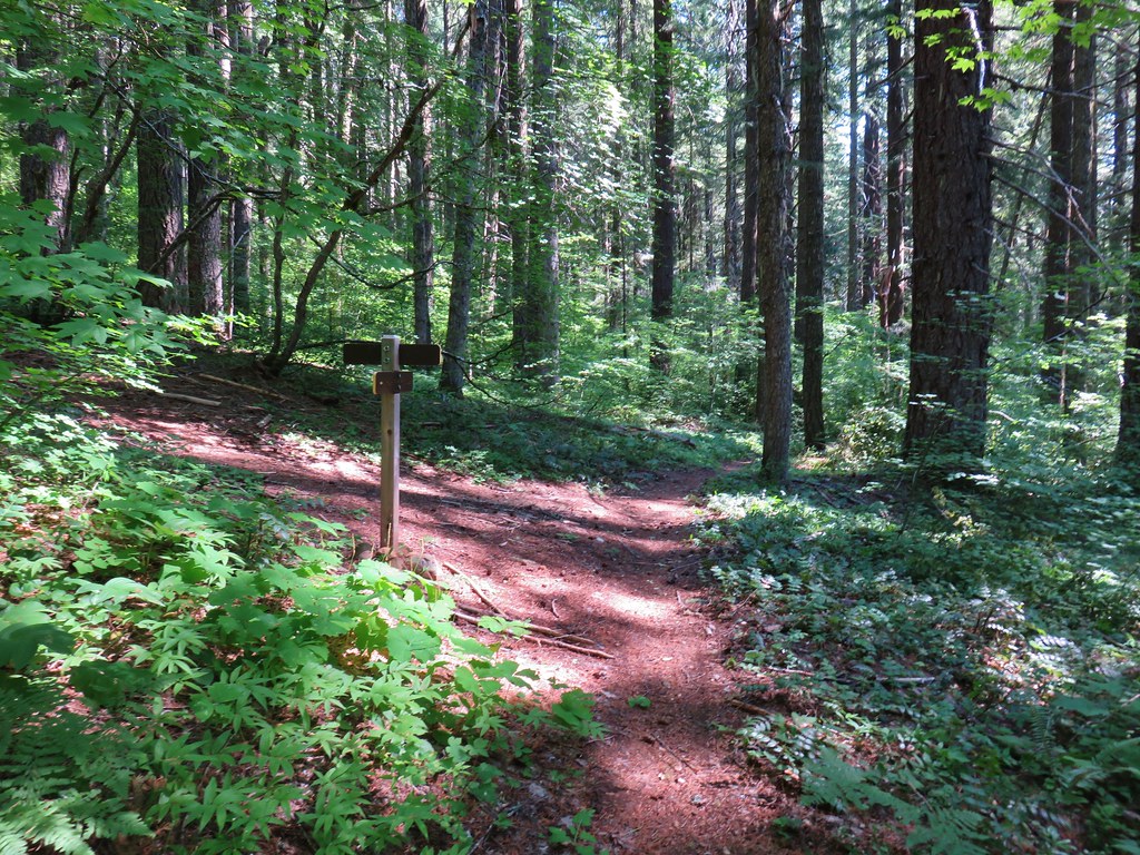
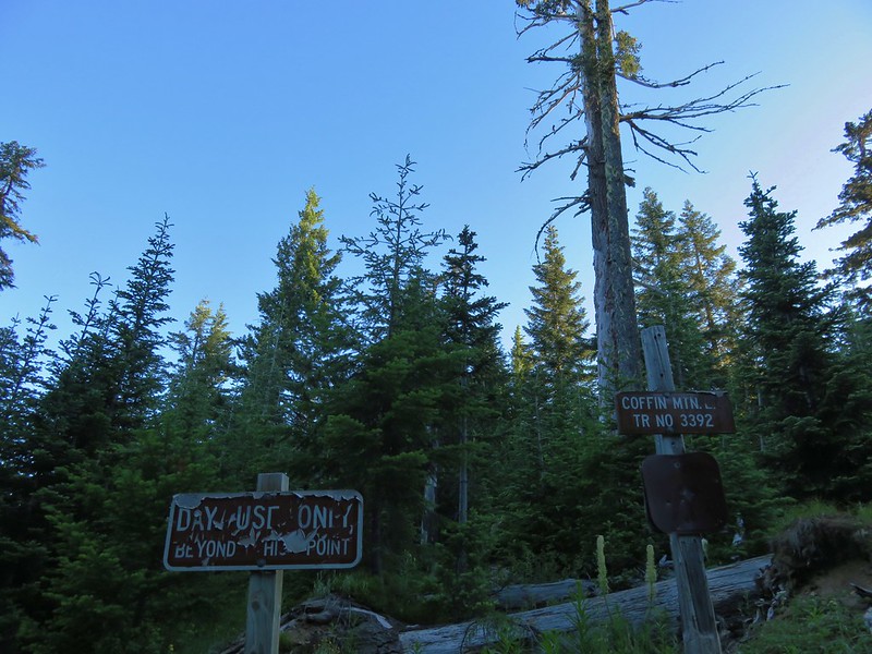
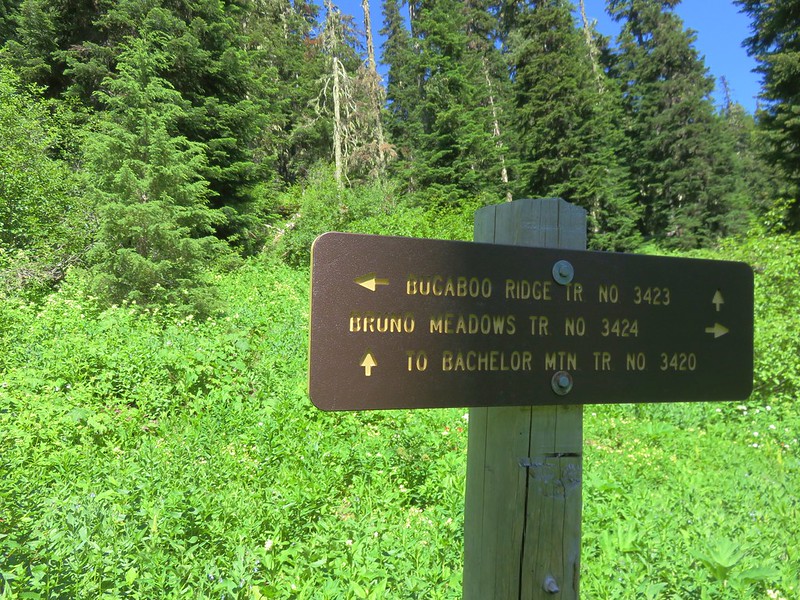
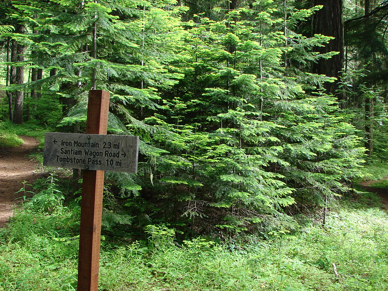
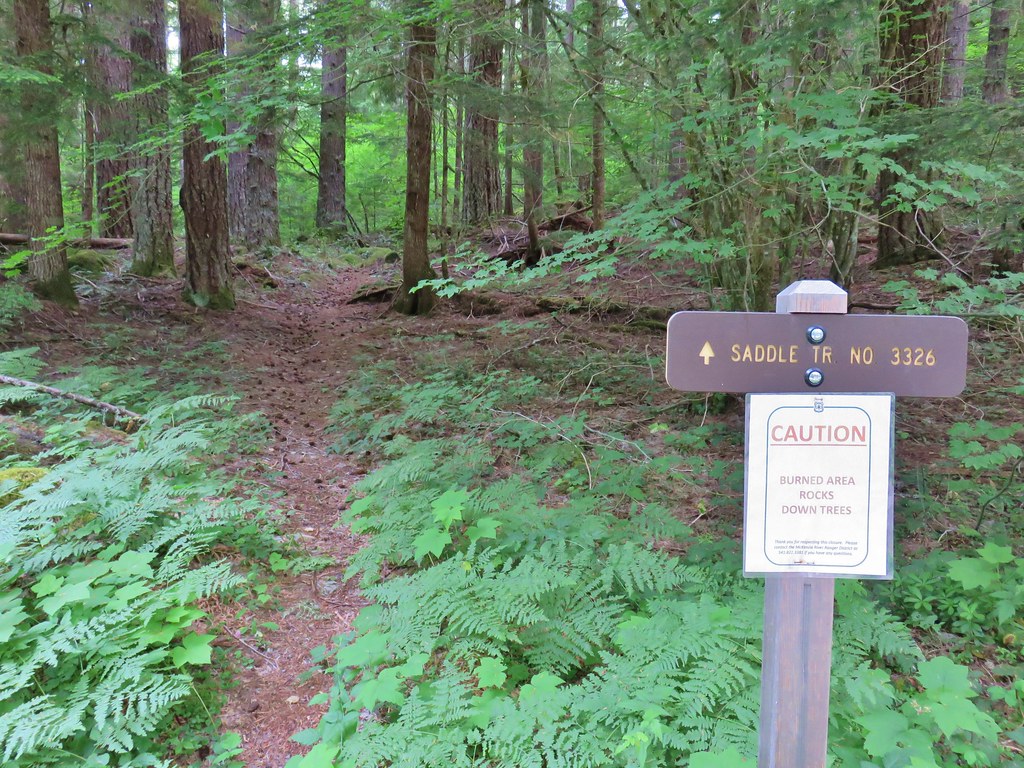
The Alpine Trail extends a total of 15.3-miles between Westfir, OR to Forest Road 1912 with a number of potential starting points. We hiked a different section of this trail in 2014 as part of our Tire Mountain hike (post). For this hike we parked at the junction of FR 1912 and FR 661 where the Alpine Trail crossed FR 1912.


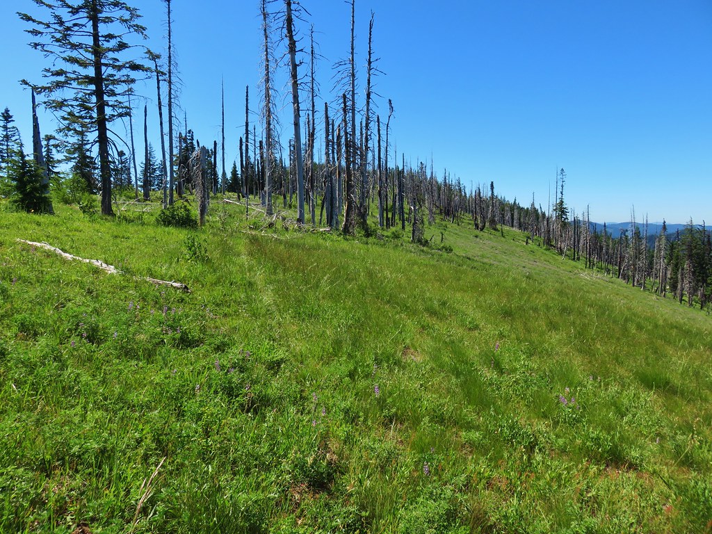
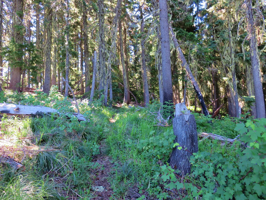
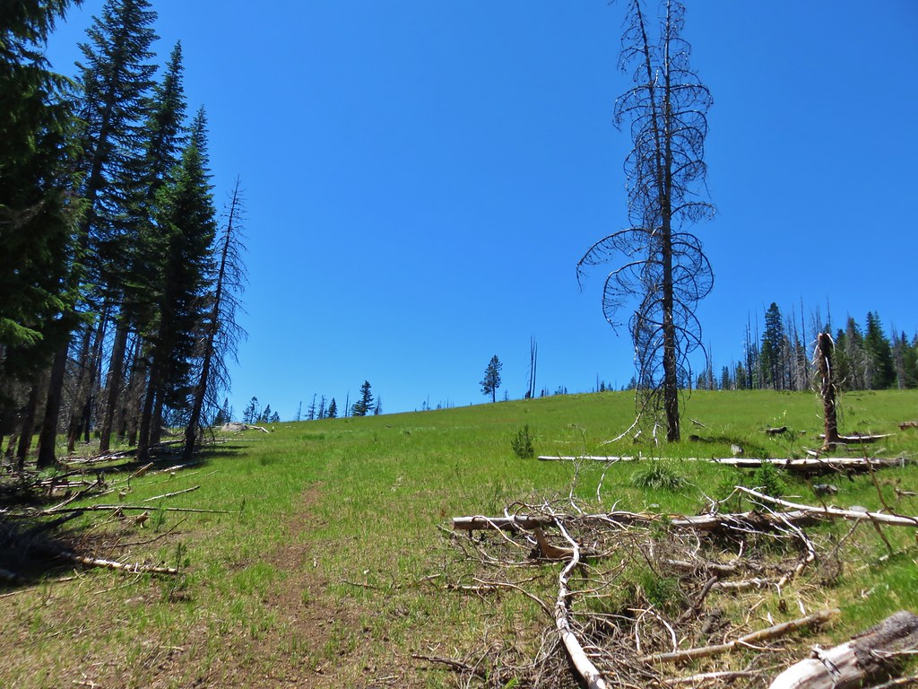
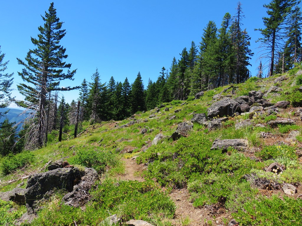
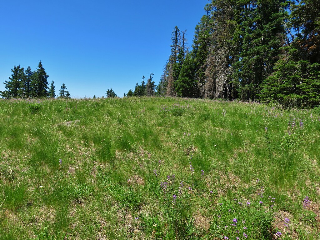
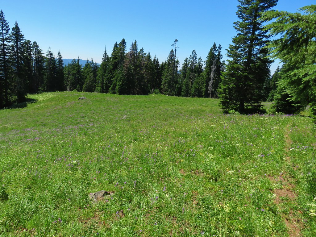
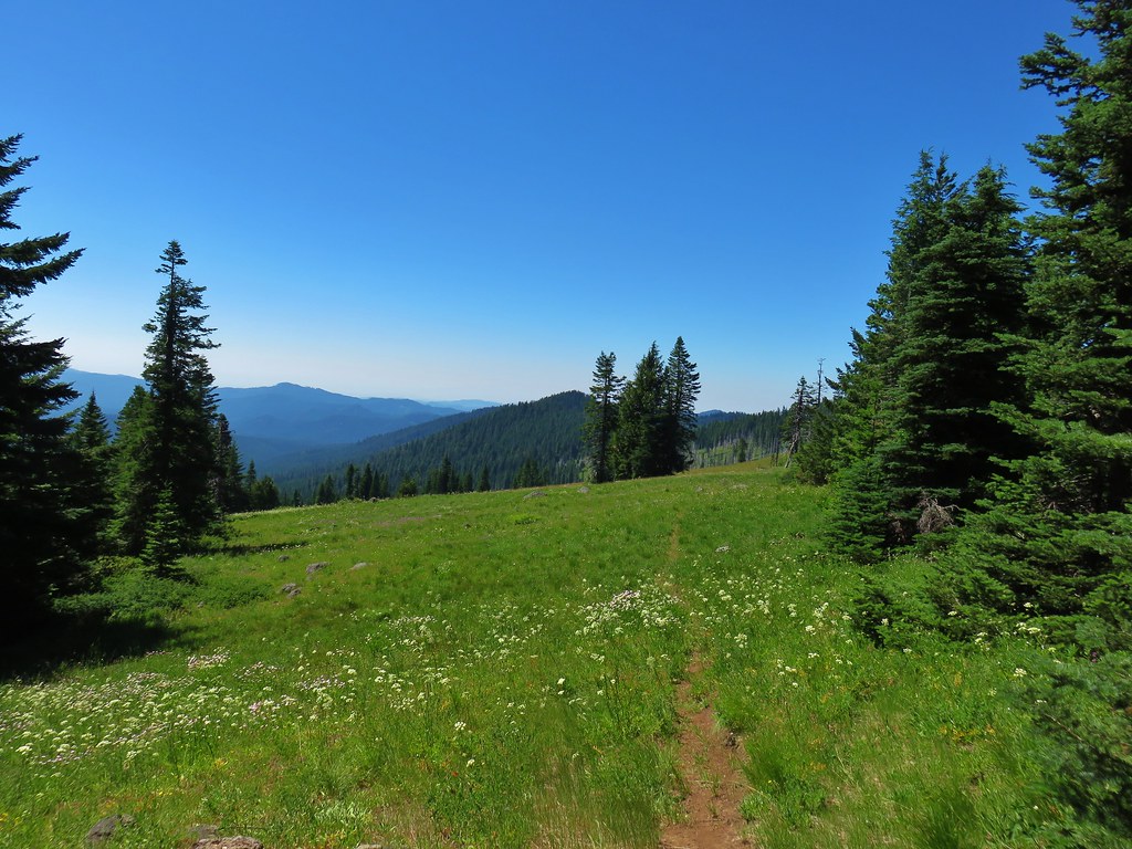
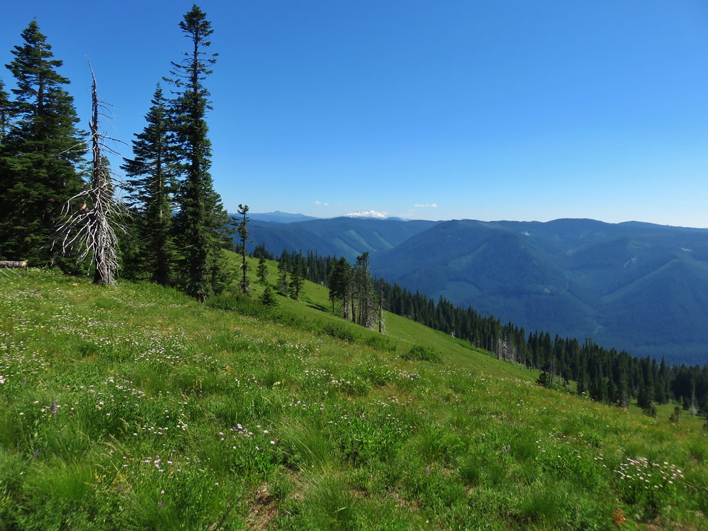
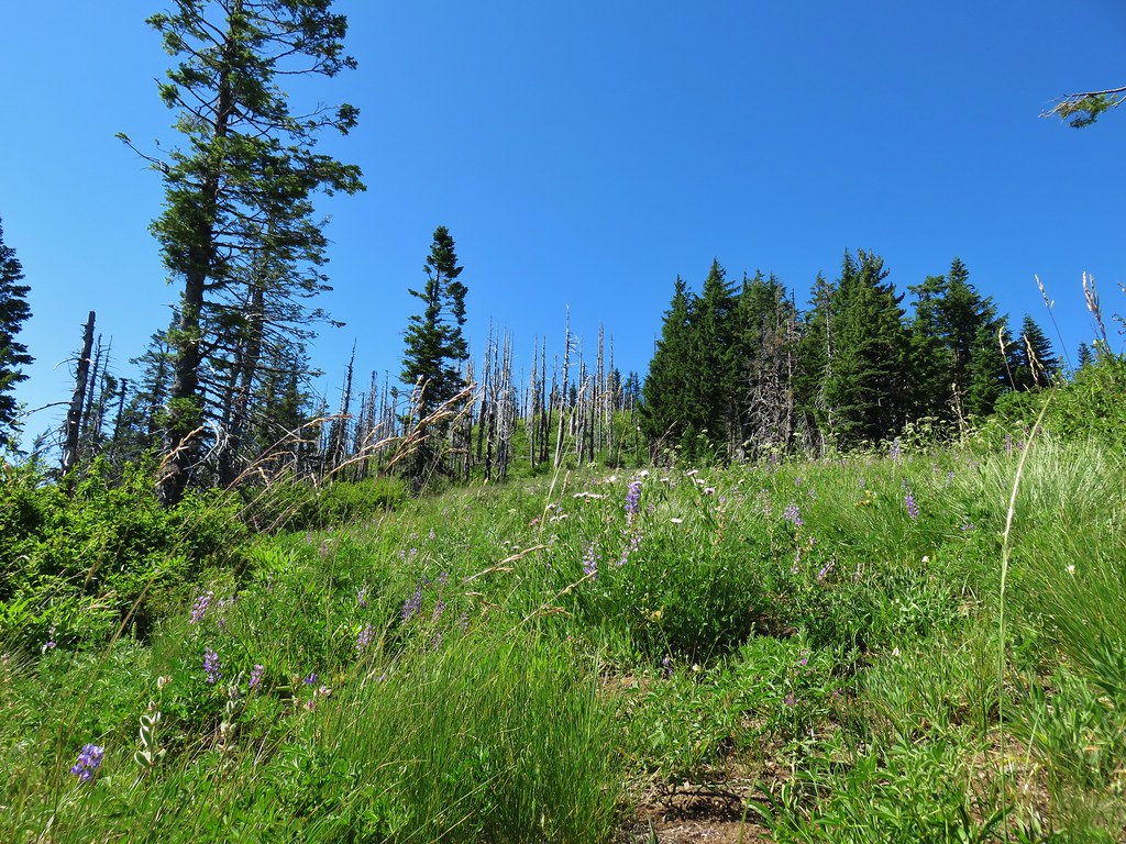
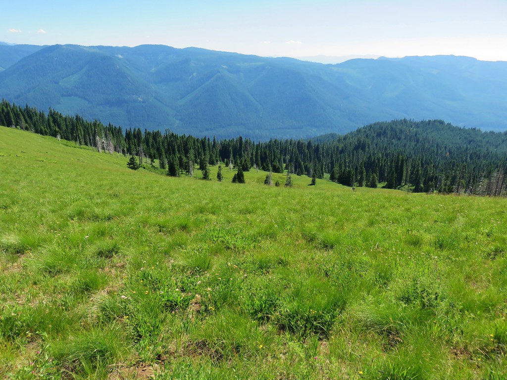
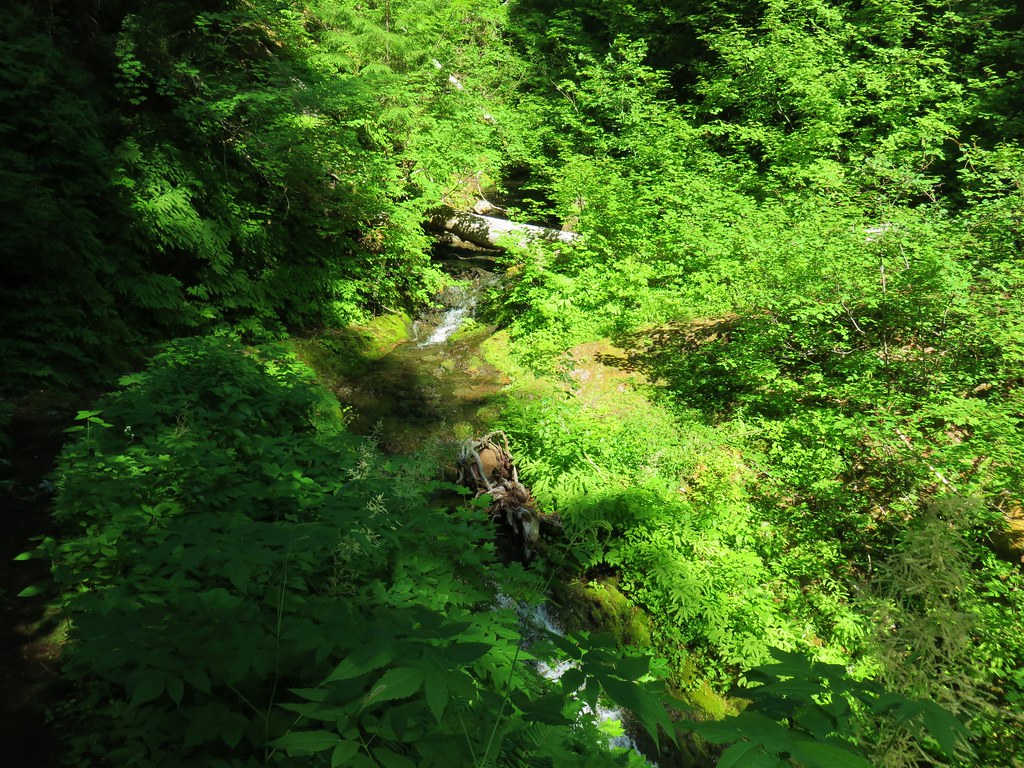
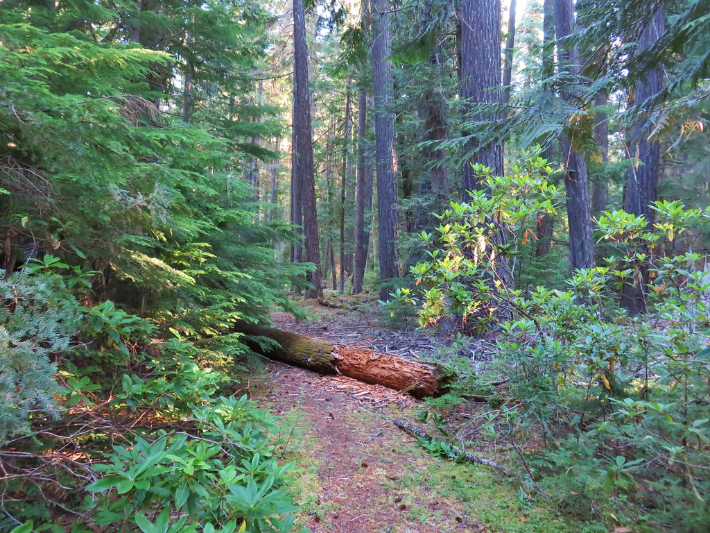
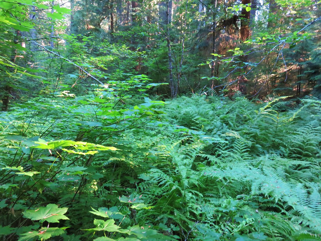
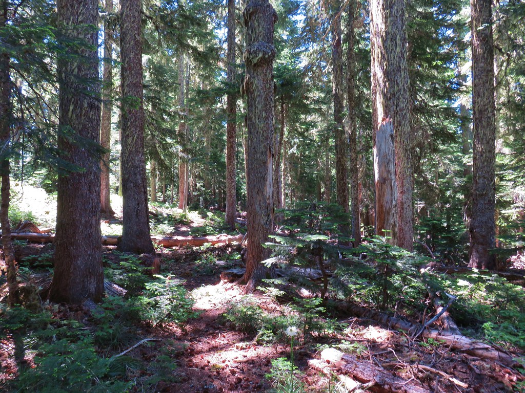
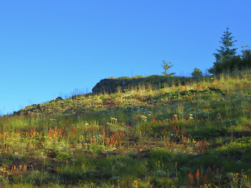
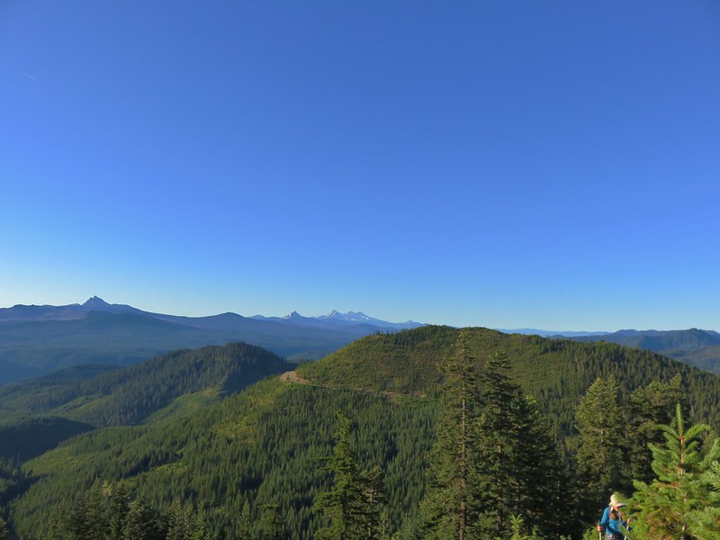
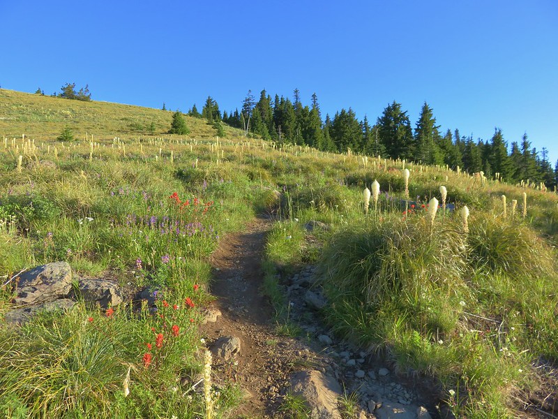
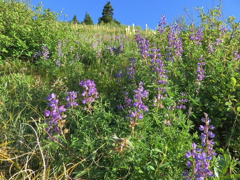
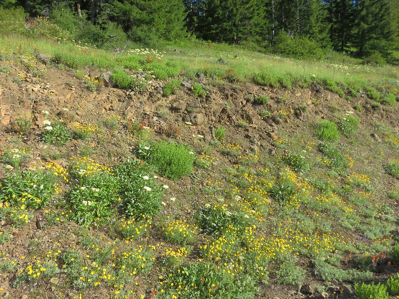
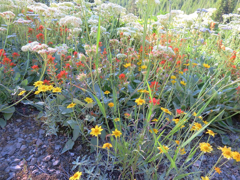
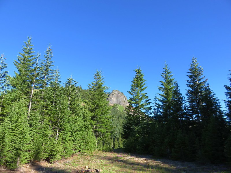
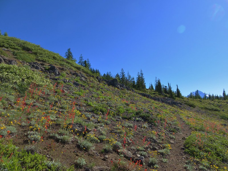
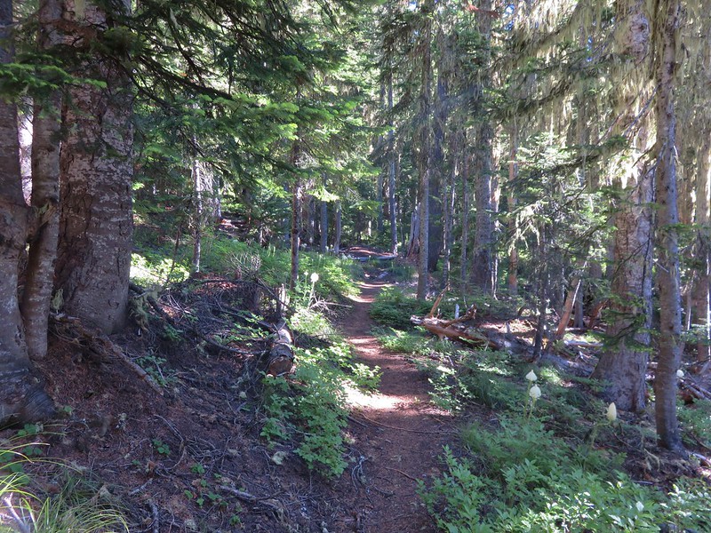
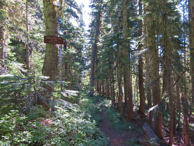
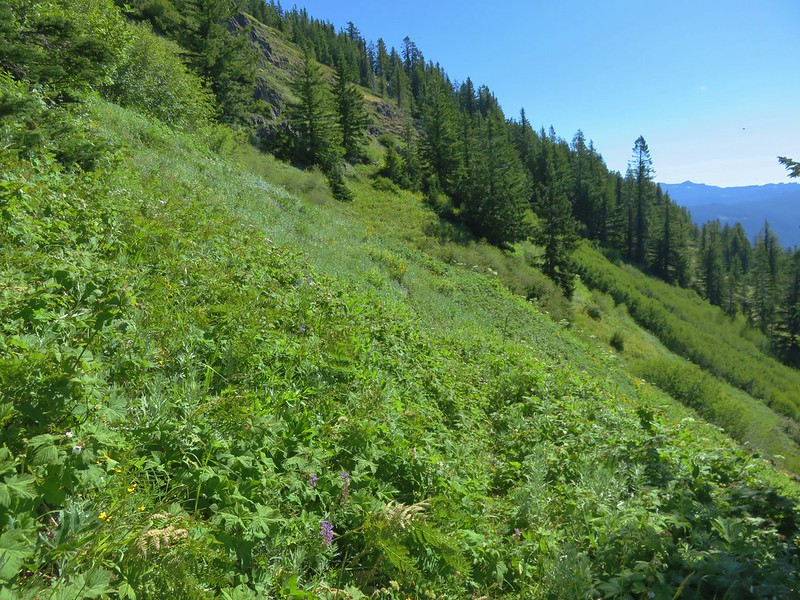
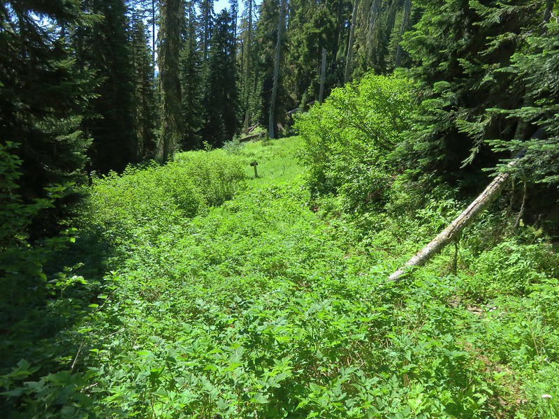
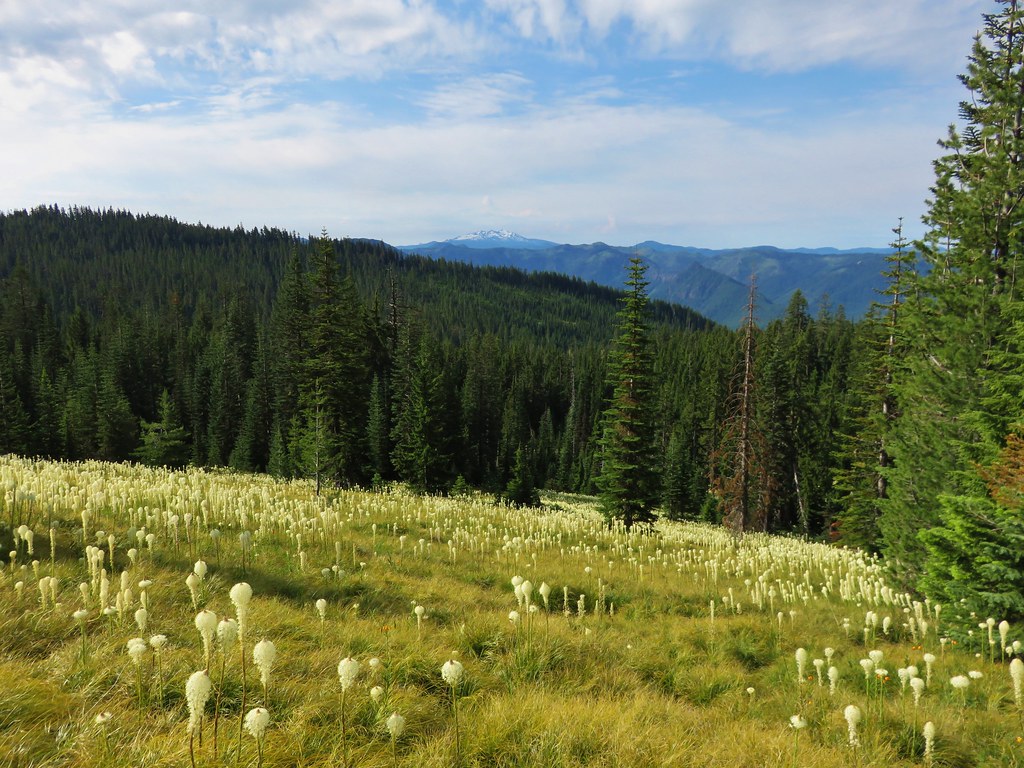
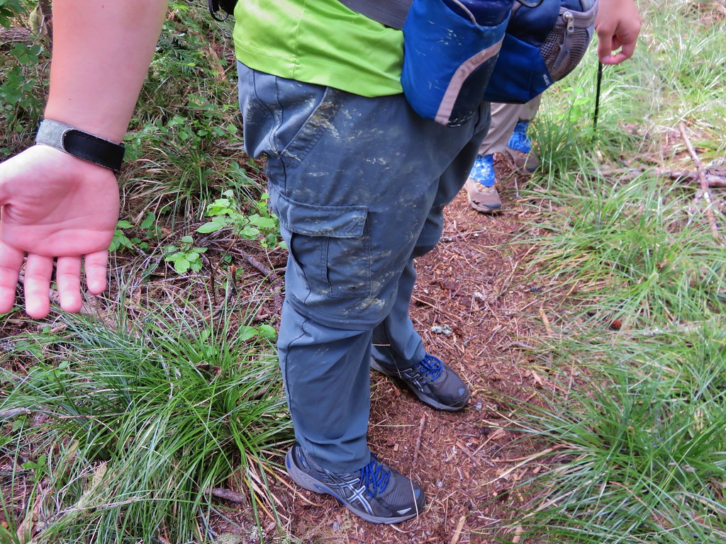
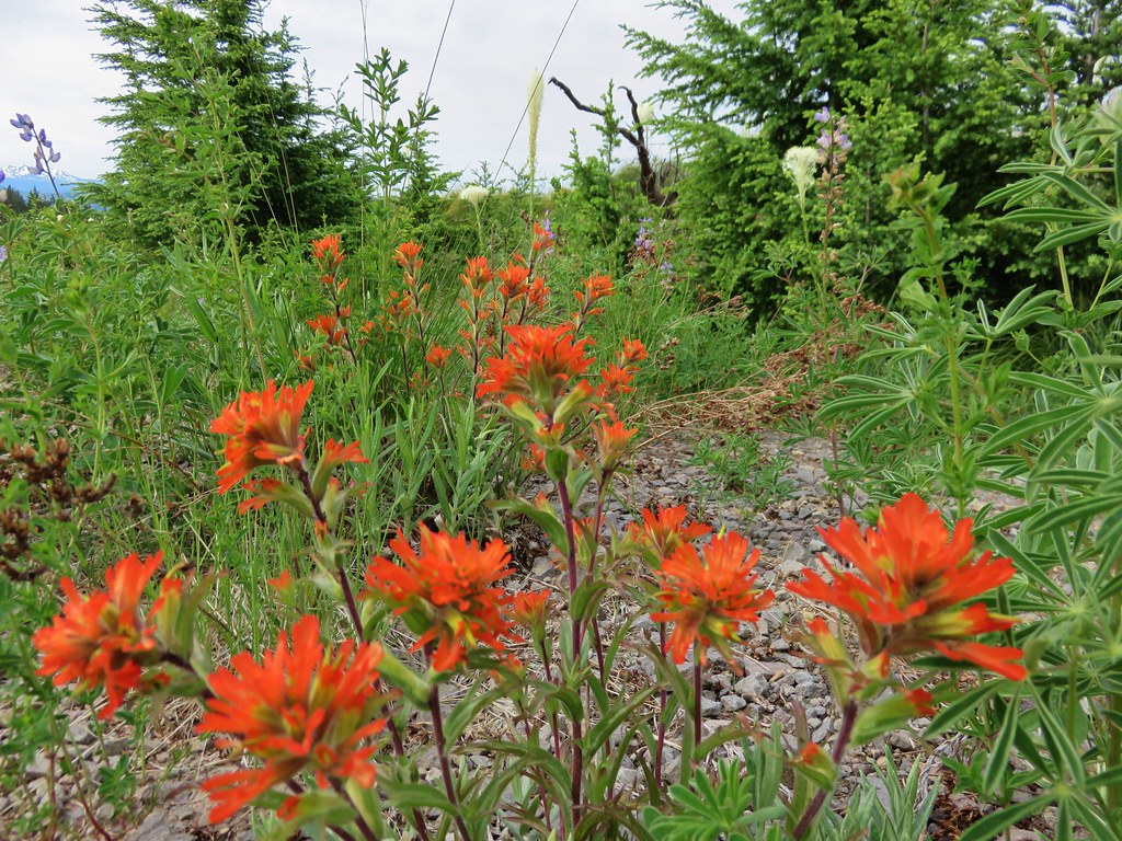
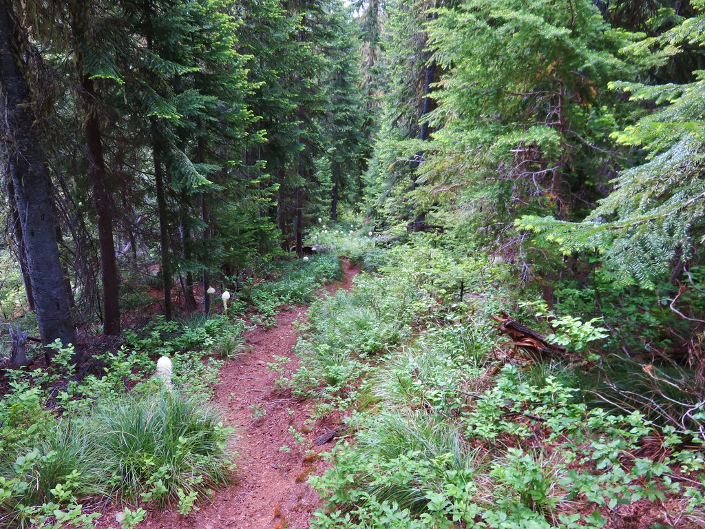
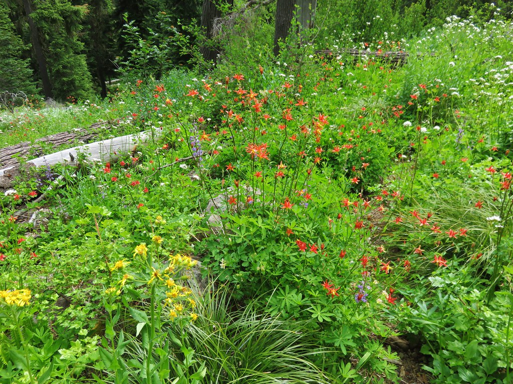
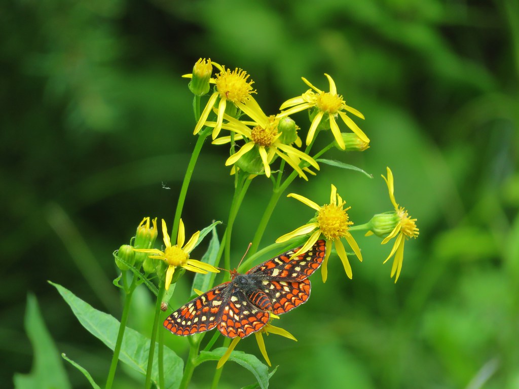
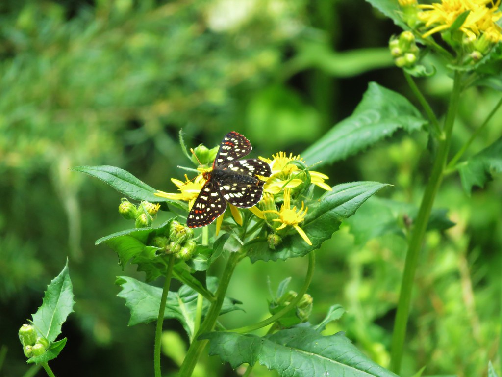
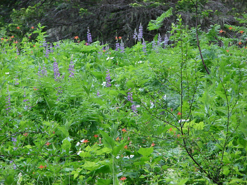
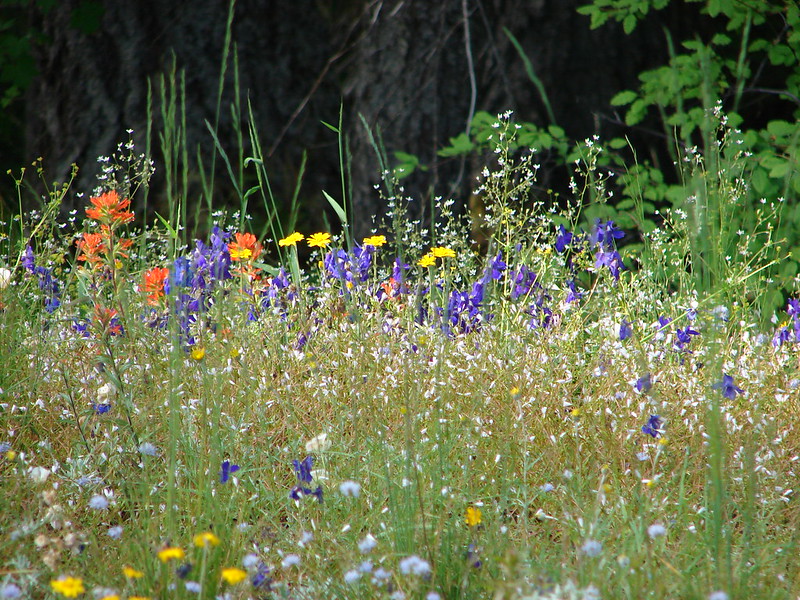
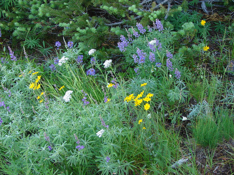
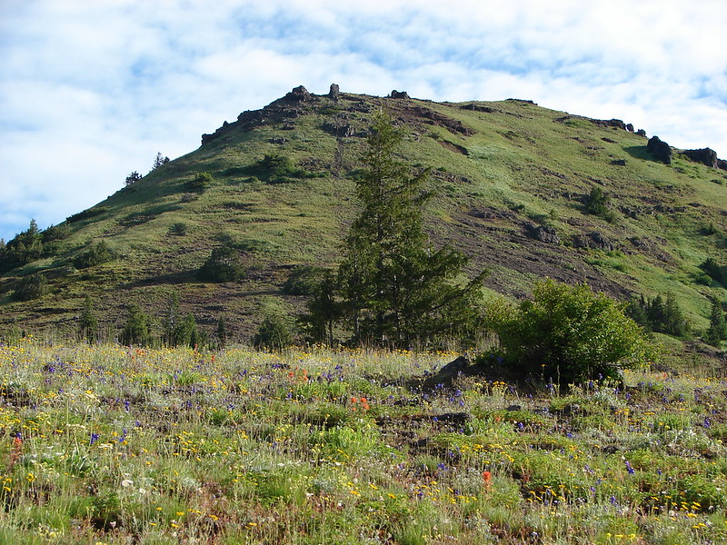
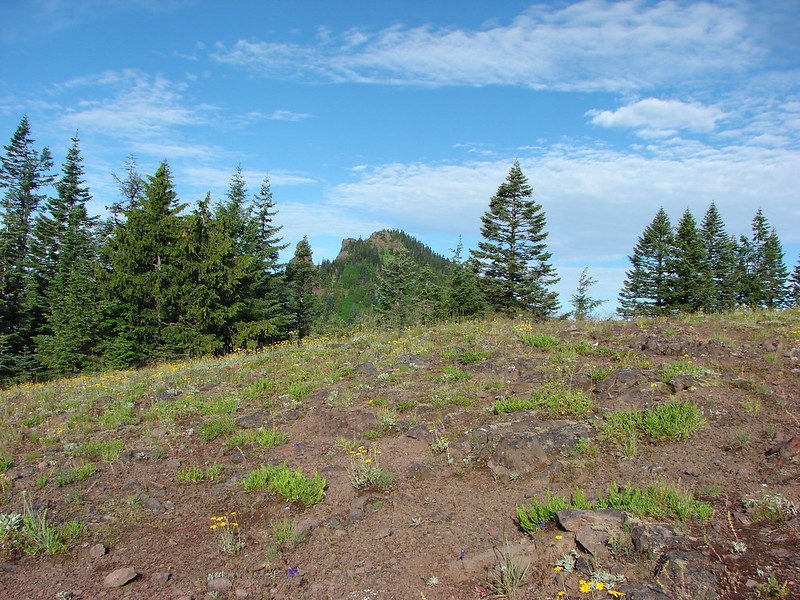
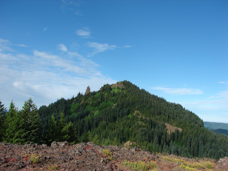
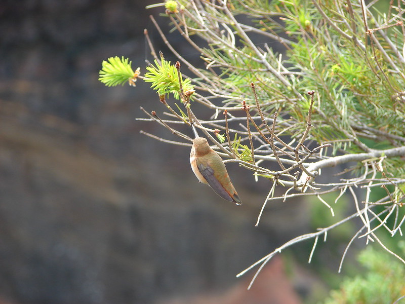
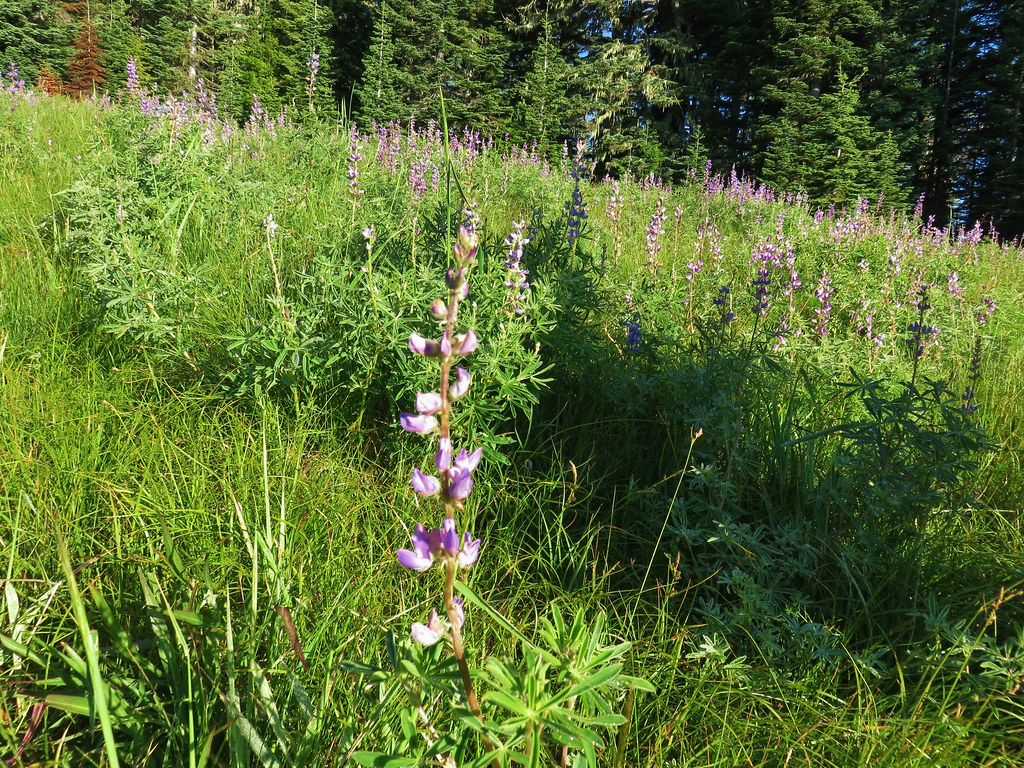
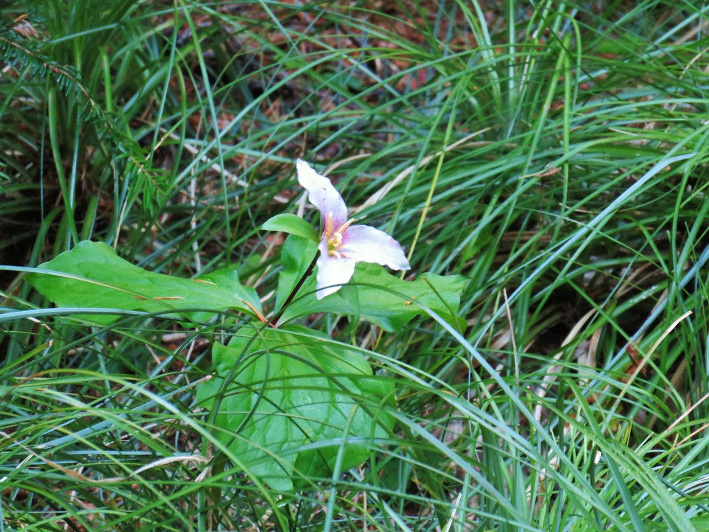
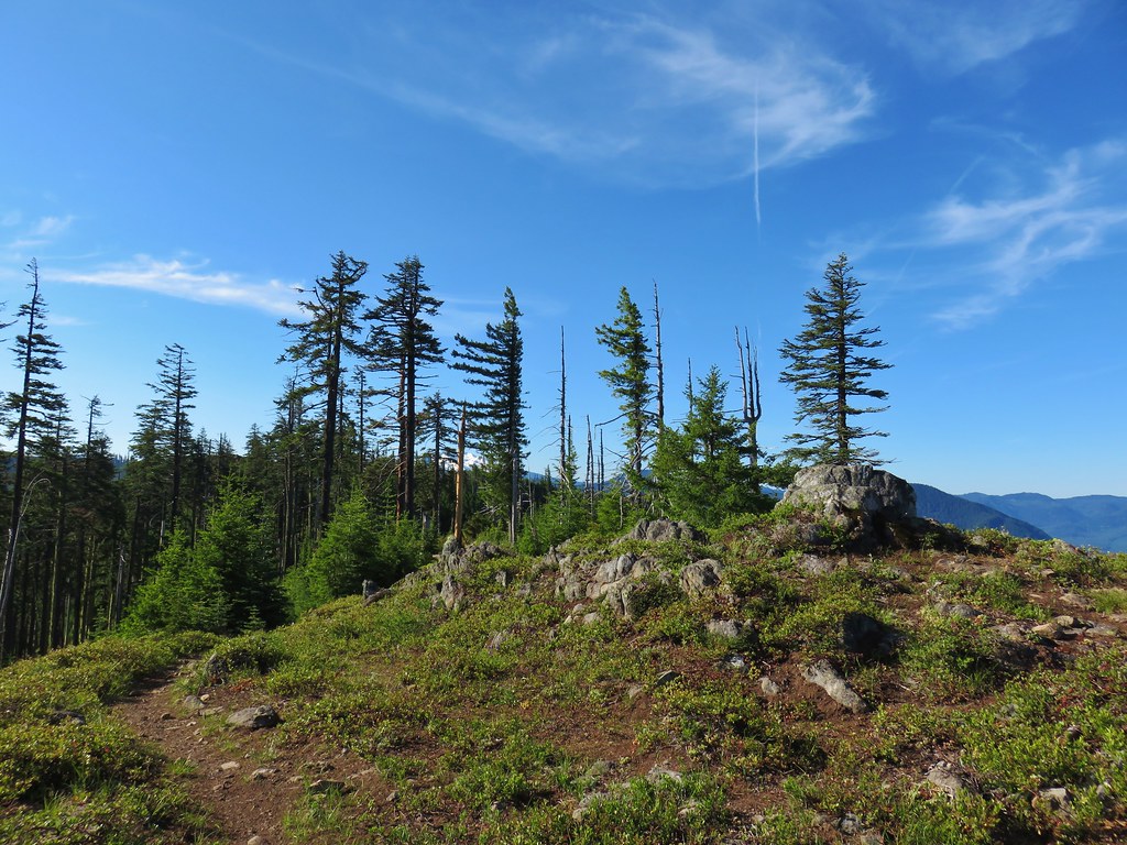
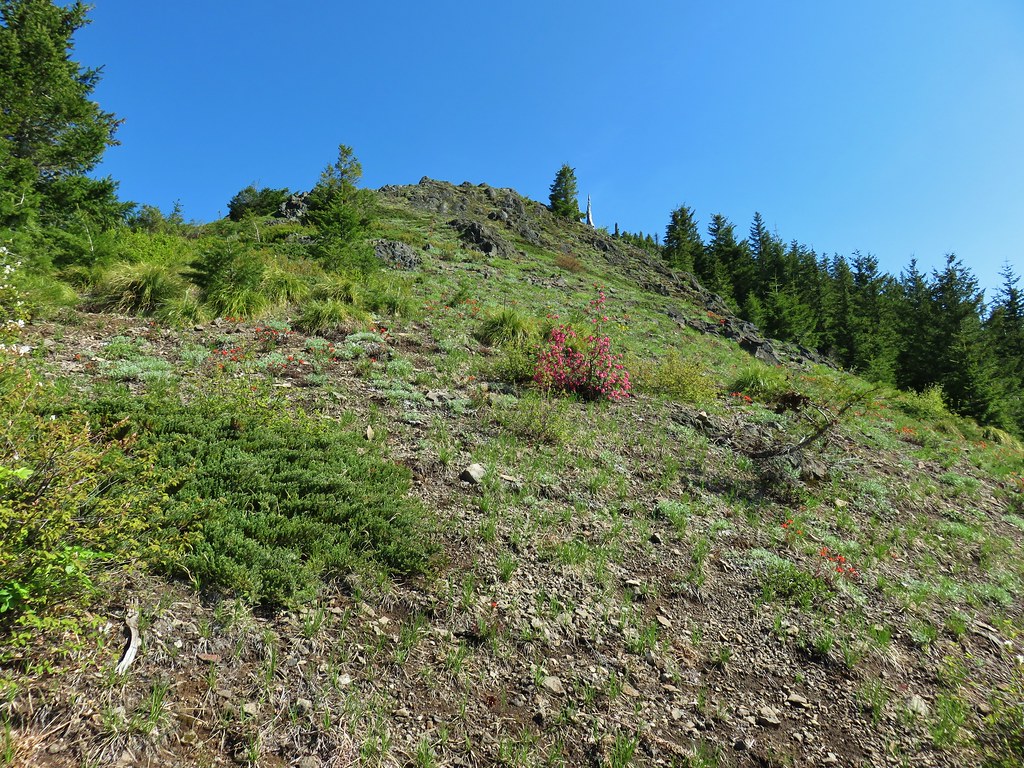
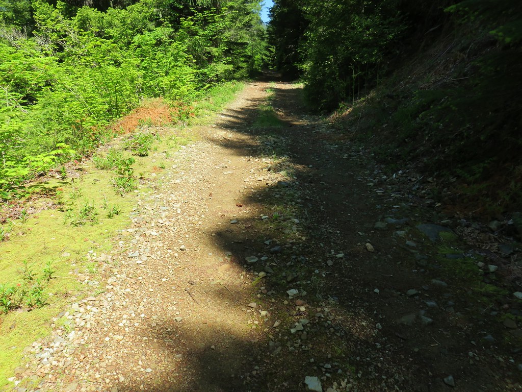
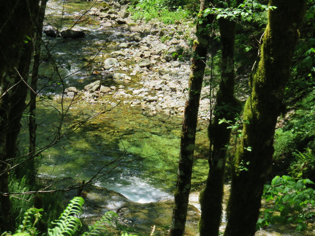
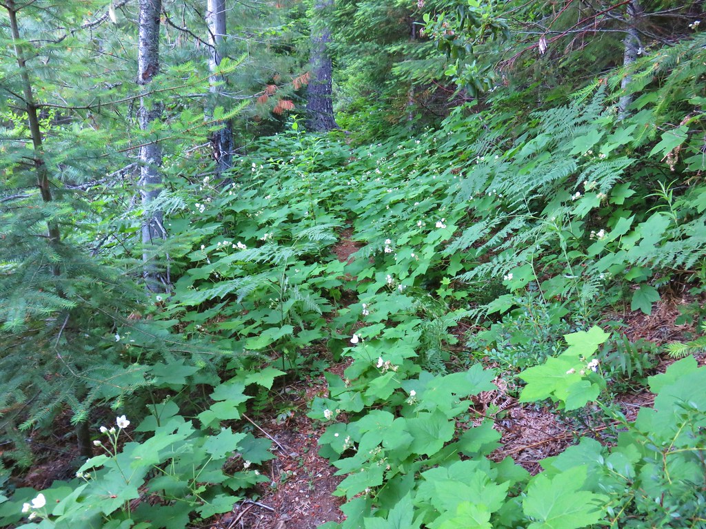
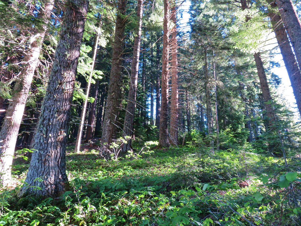
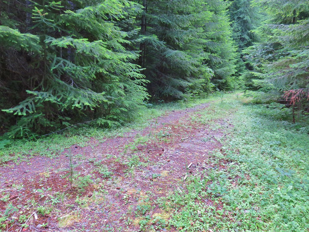
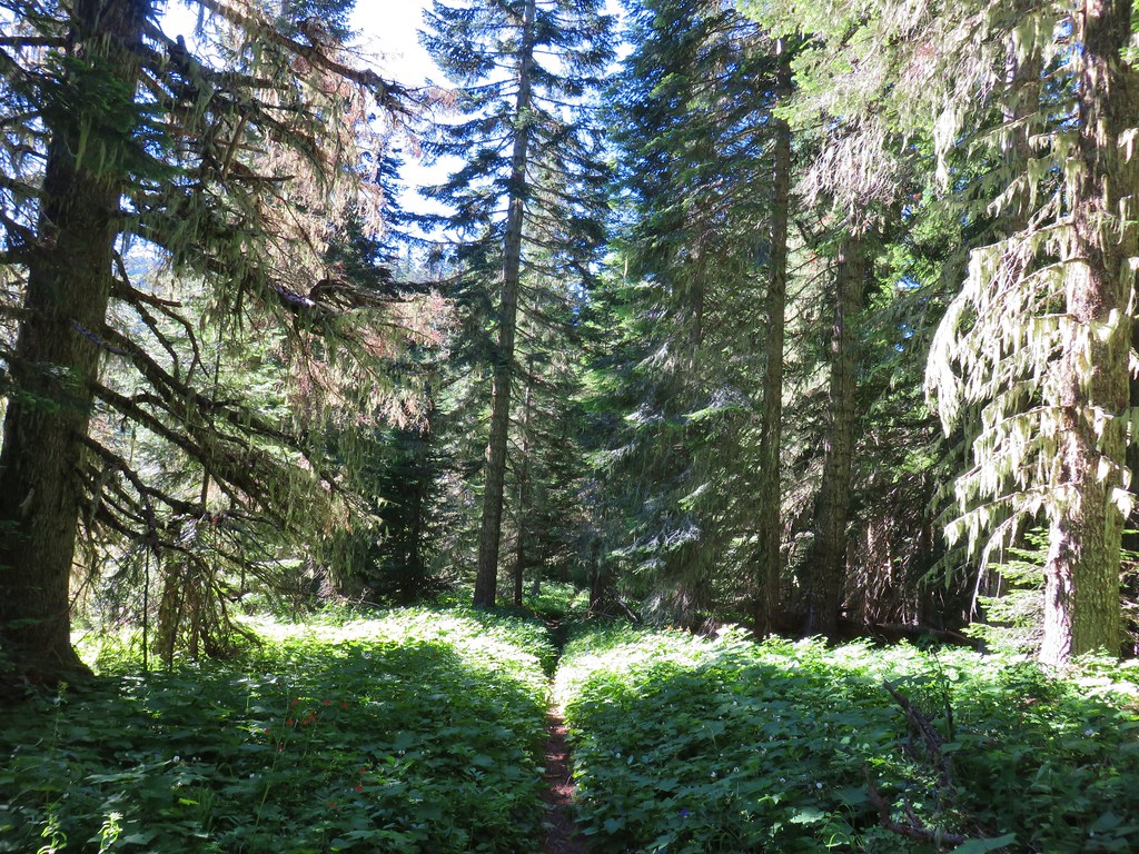
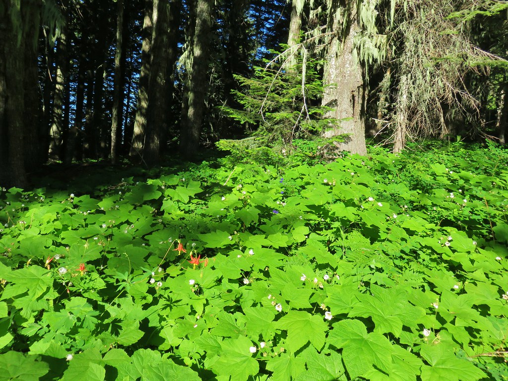
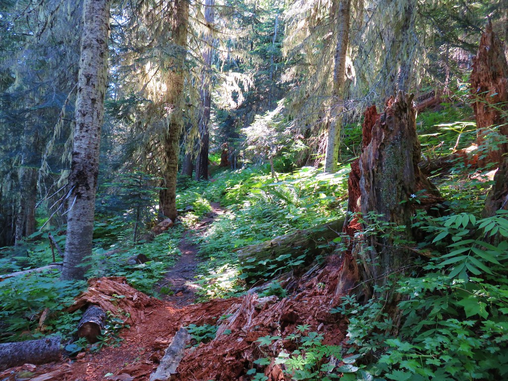
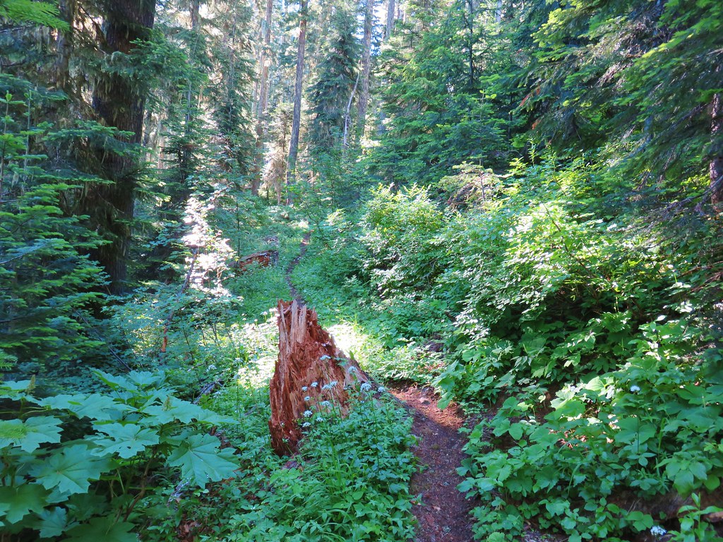
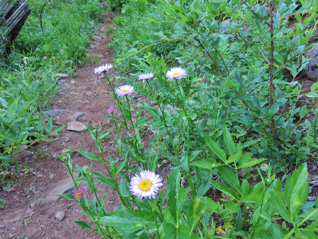
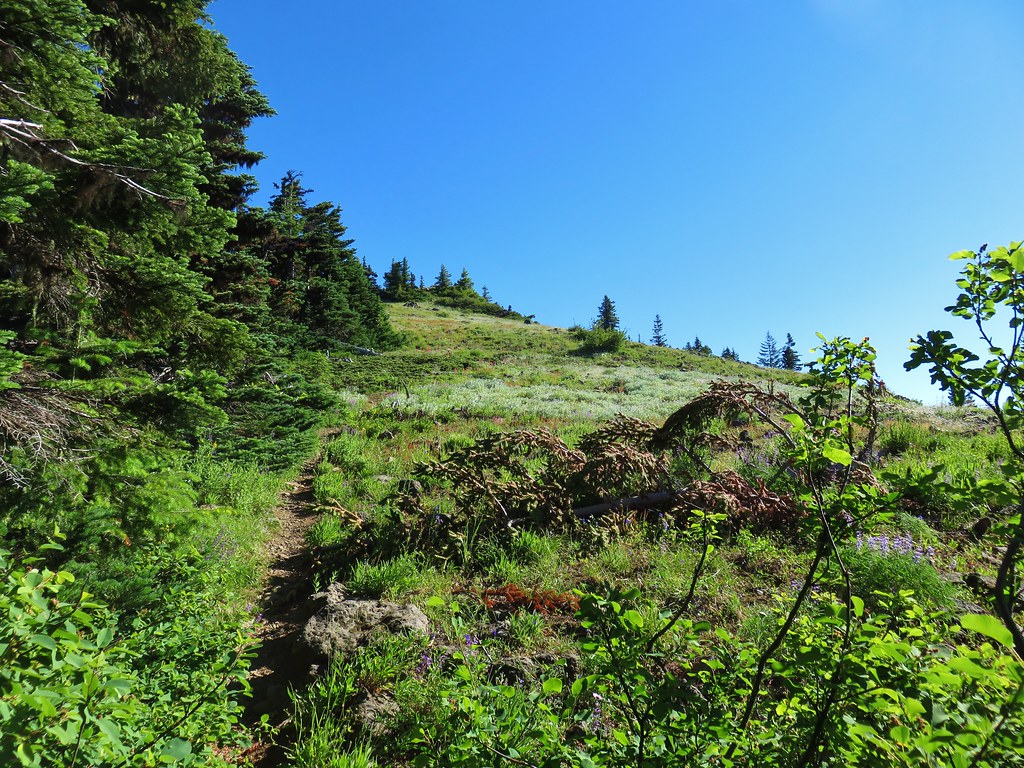
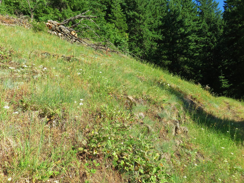
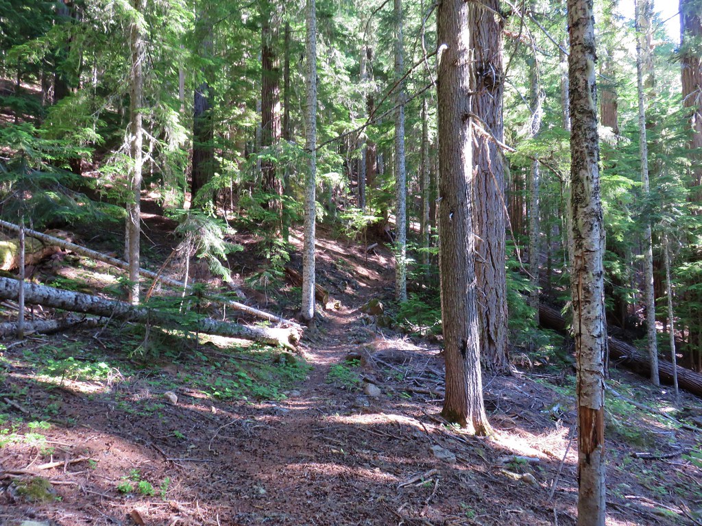
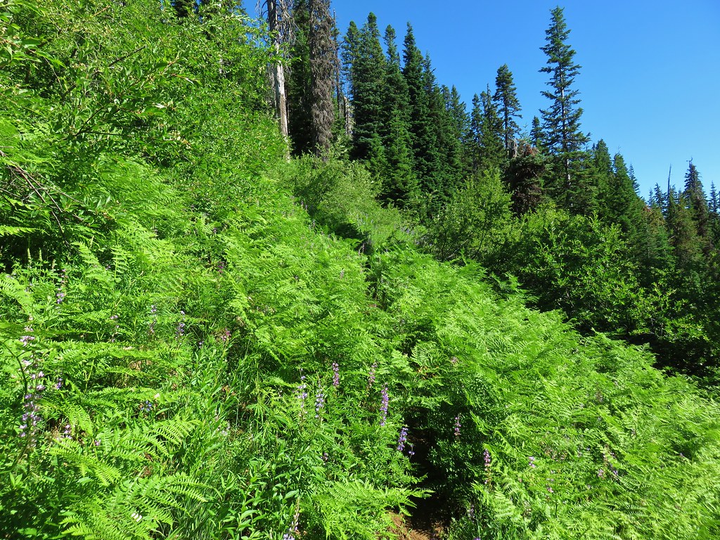
We headed north on the Alpine Trail which climbed for almost 2 miles to a large meadow on Sourgrass Mountain. The climb was fairly gradual using switchbacks on the steeper parts of the ridge. Mountain bikers ride the trail south to Westfir so we were on the lookout for bikes coming downhill but we had started early enough in the morning to not run into any. (It was a different story on the way down.) The forest along the trail was very nice and there was a nice variety of wildflowers in bloom.


Little prince’s pine

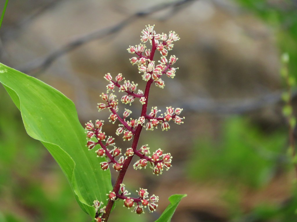
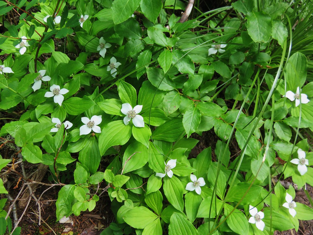
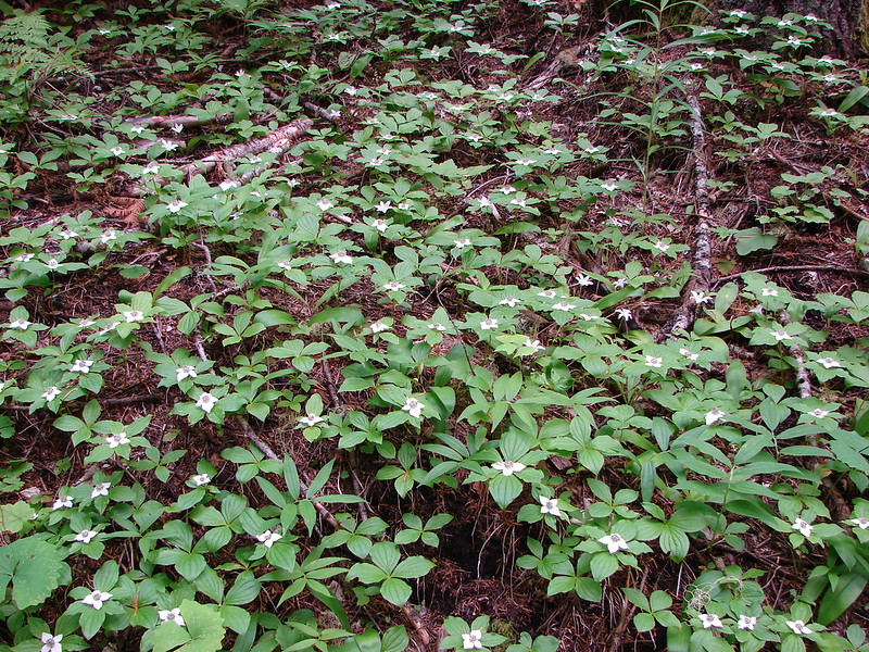
Bunchberry

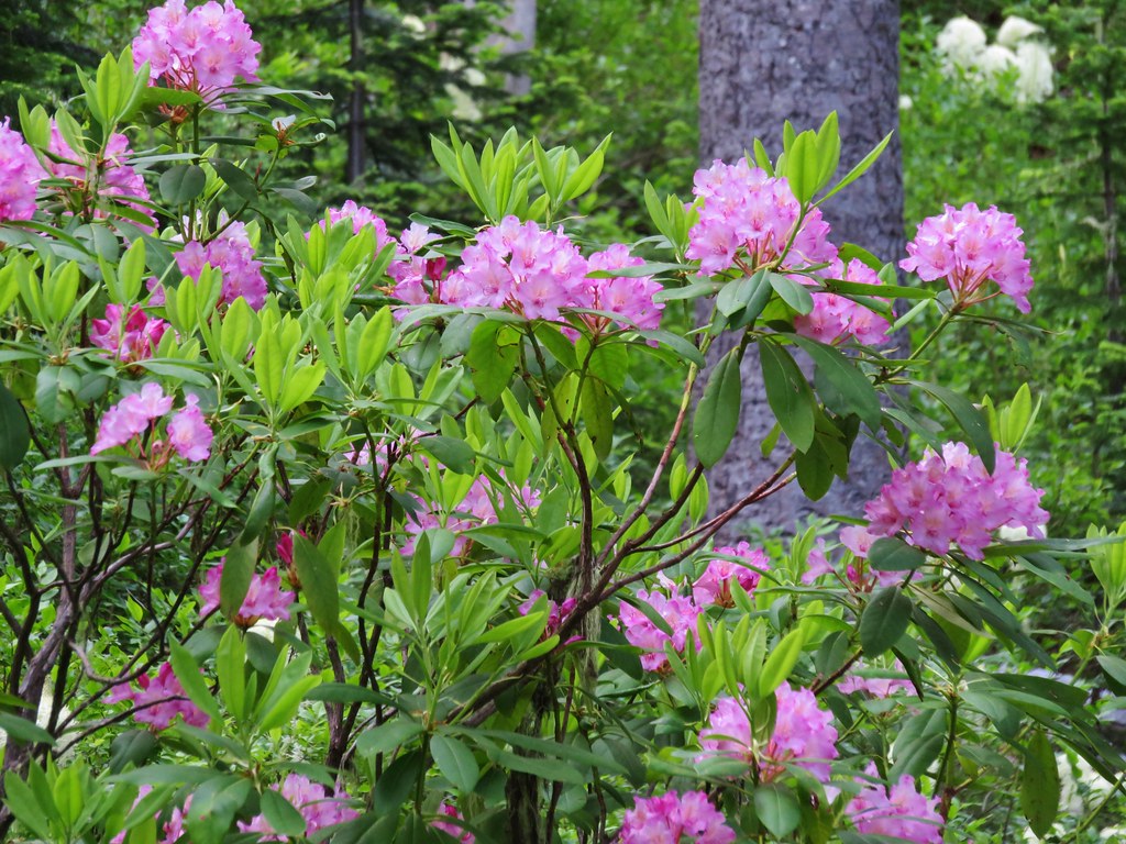
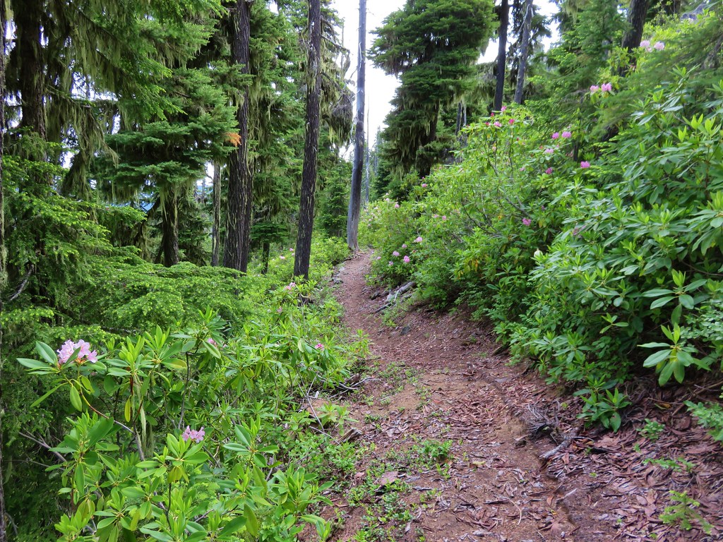
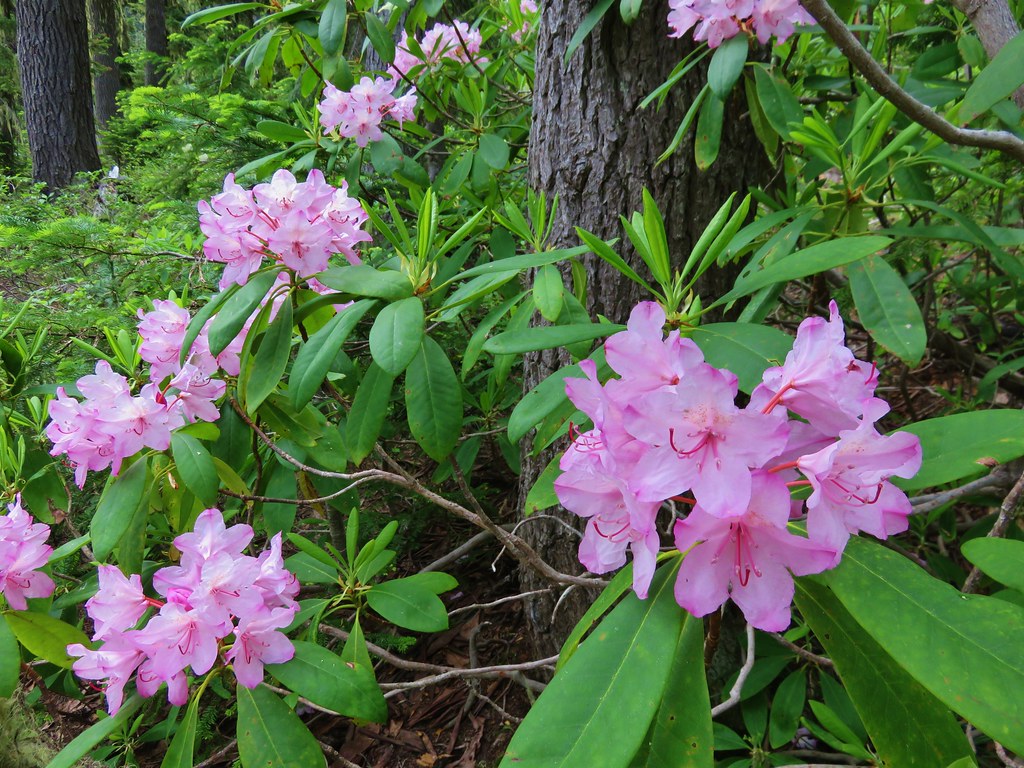
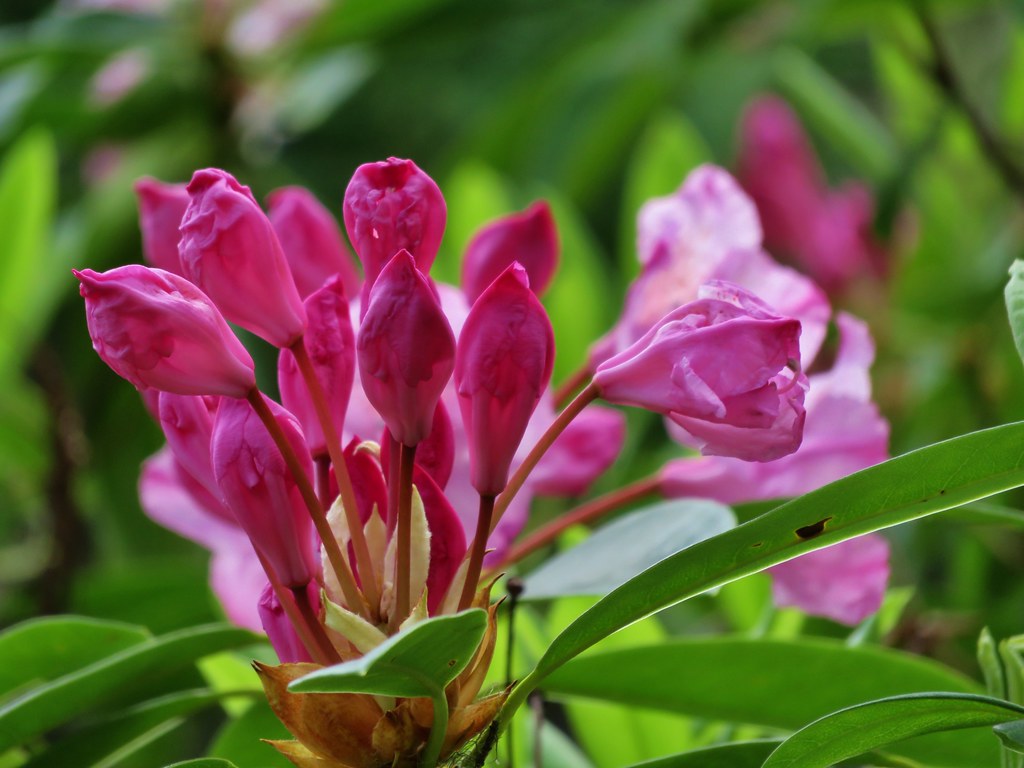
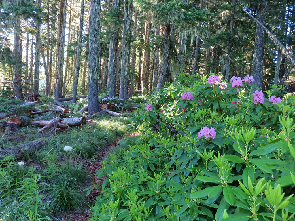
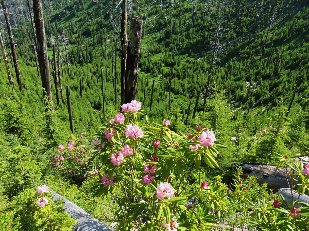
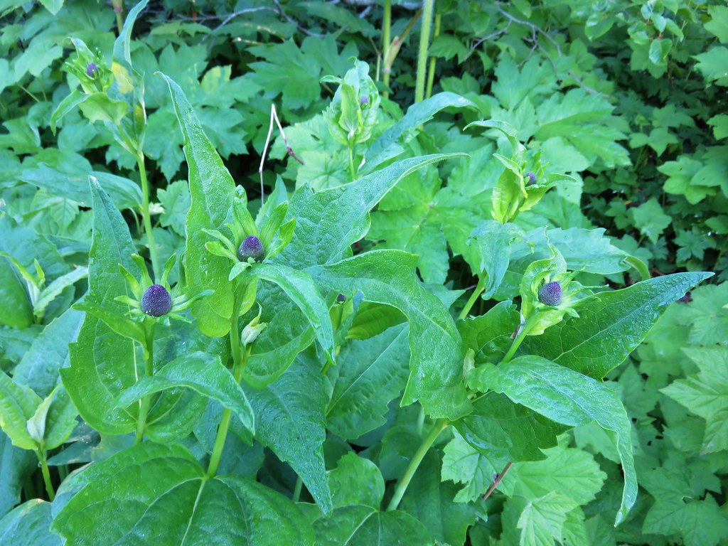
Rhododendron

Wild ginger

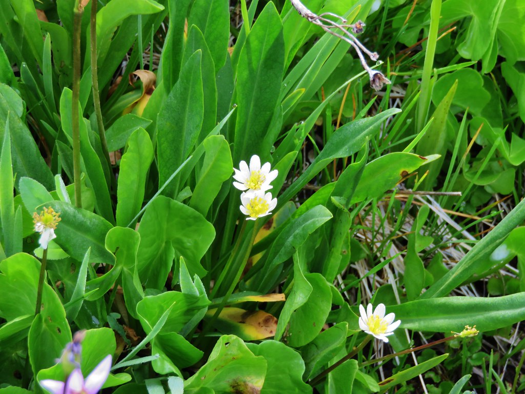
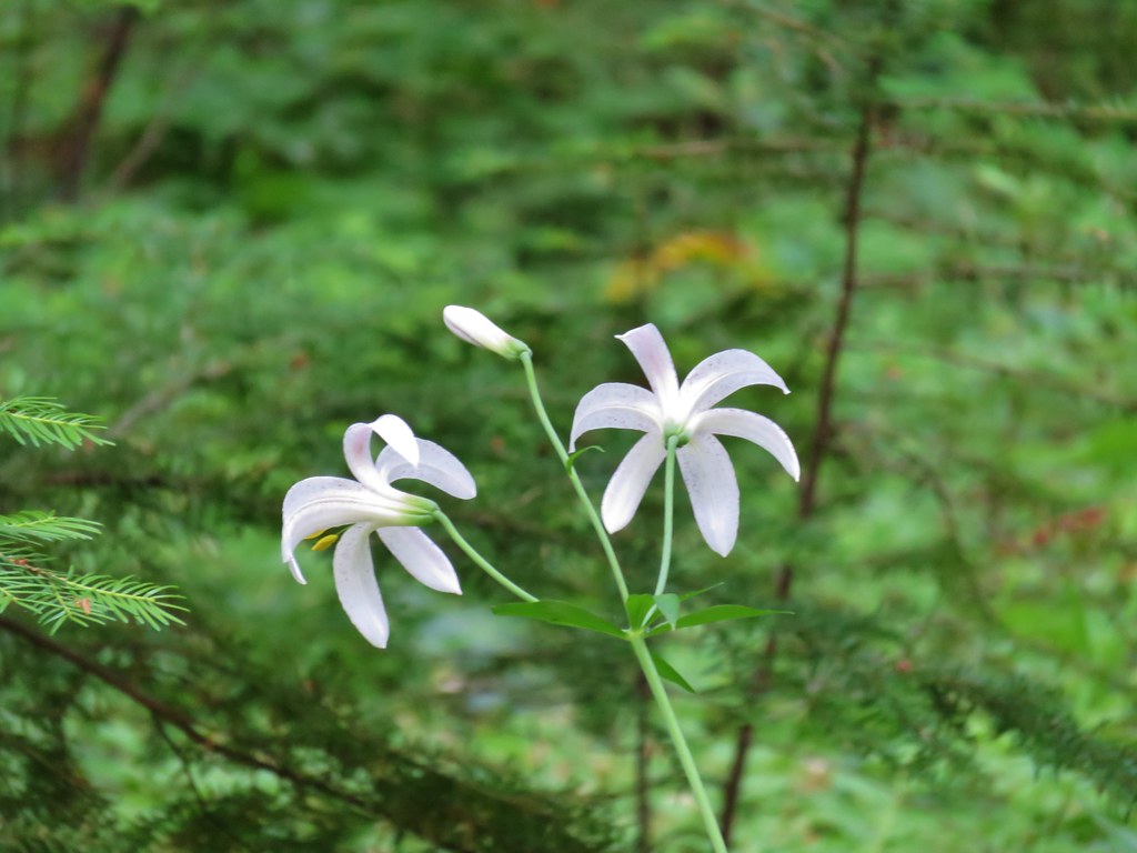
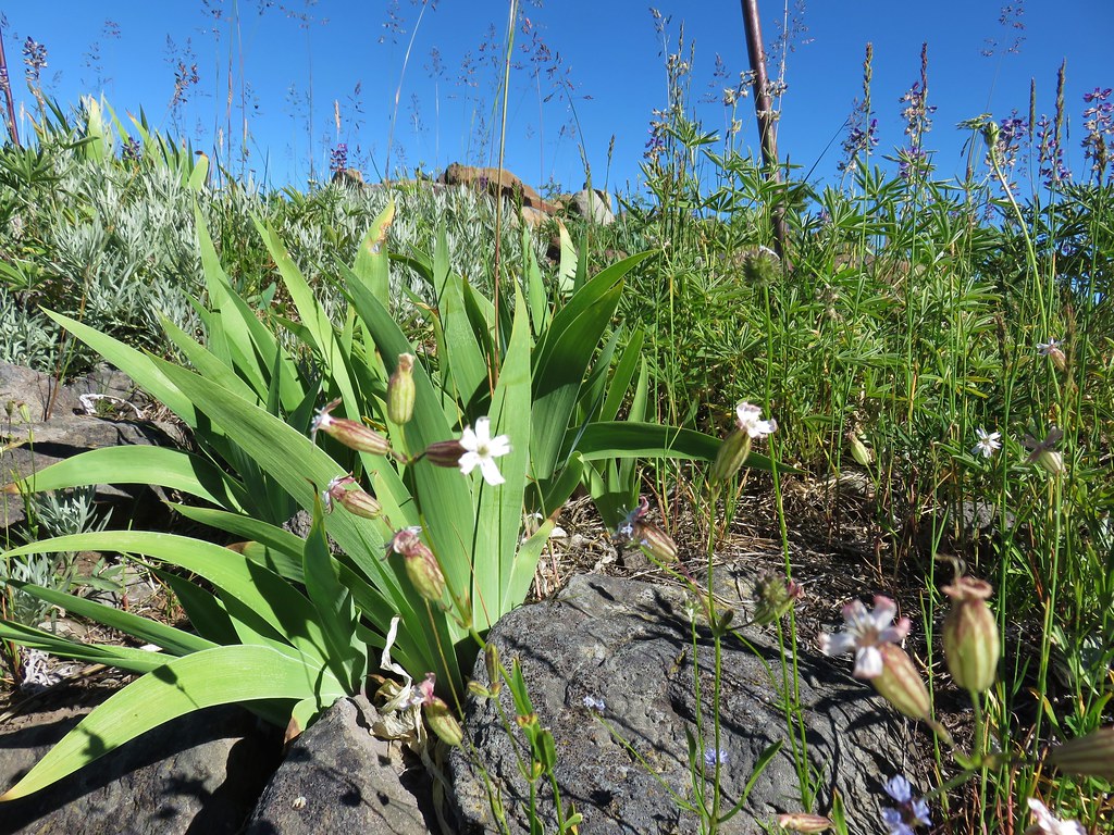
Queen’s cup

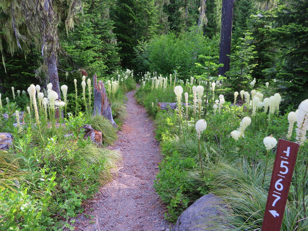
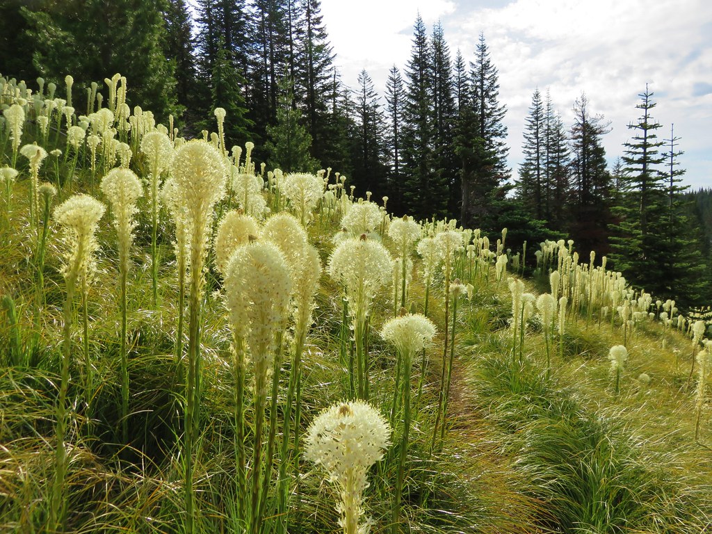
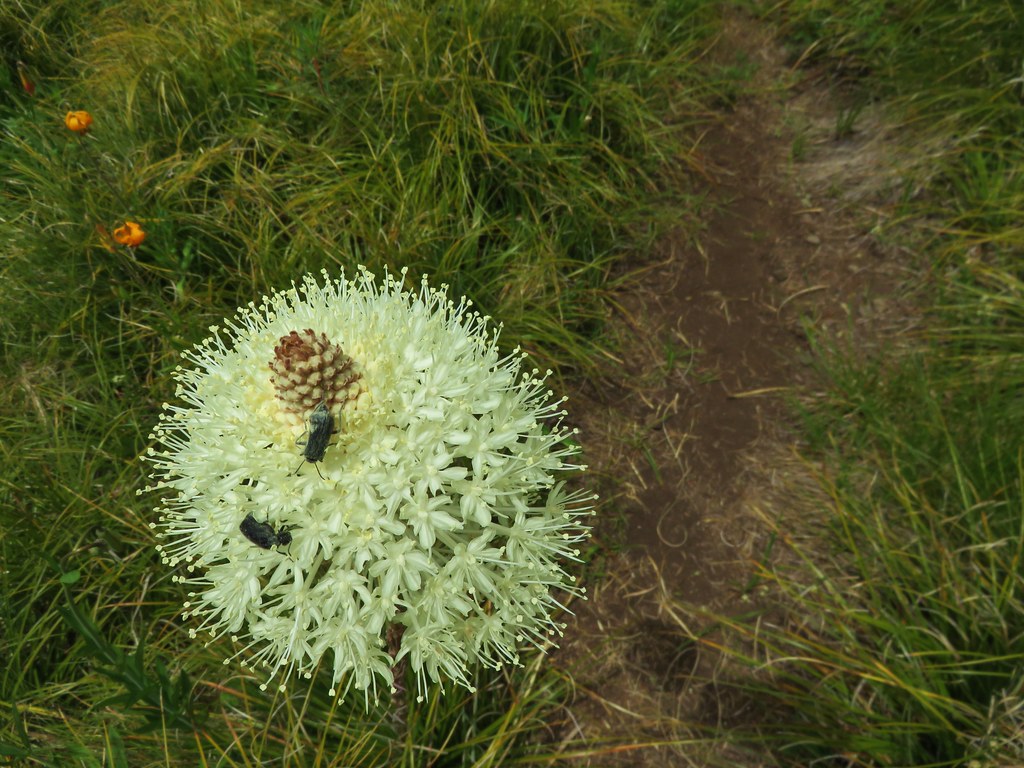
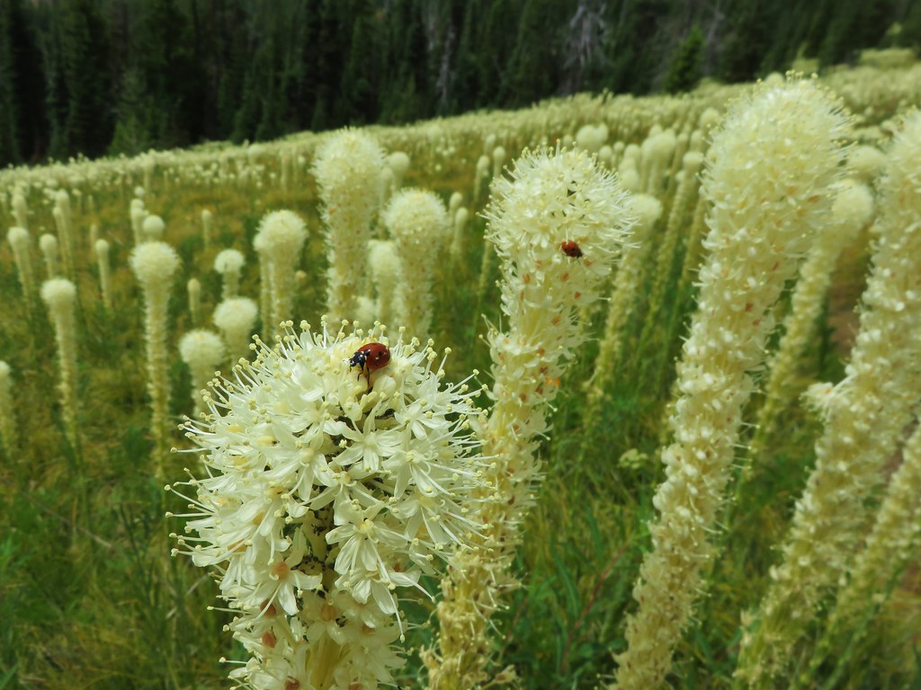
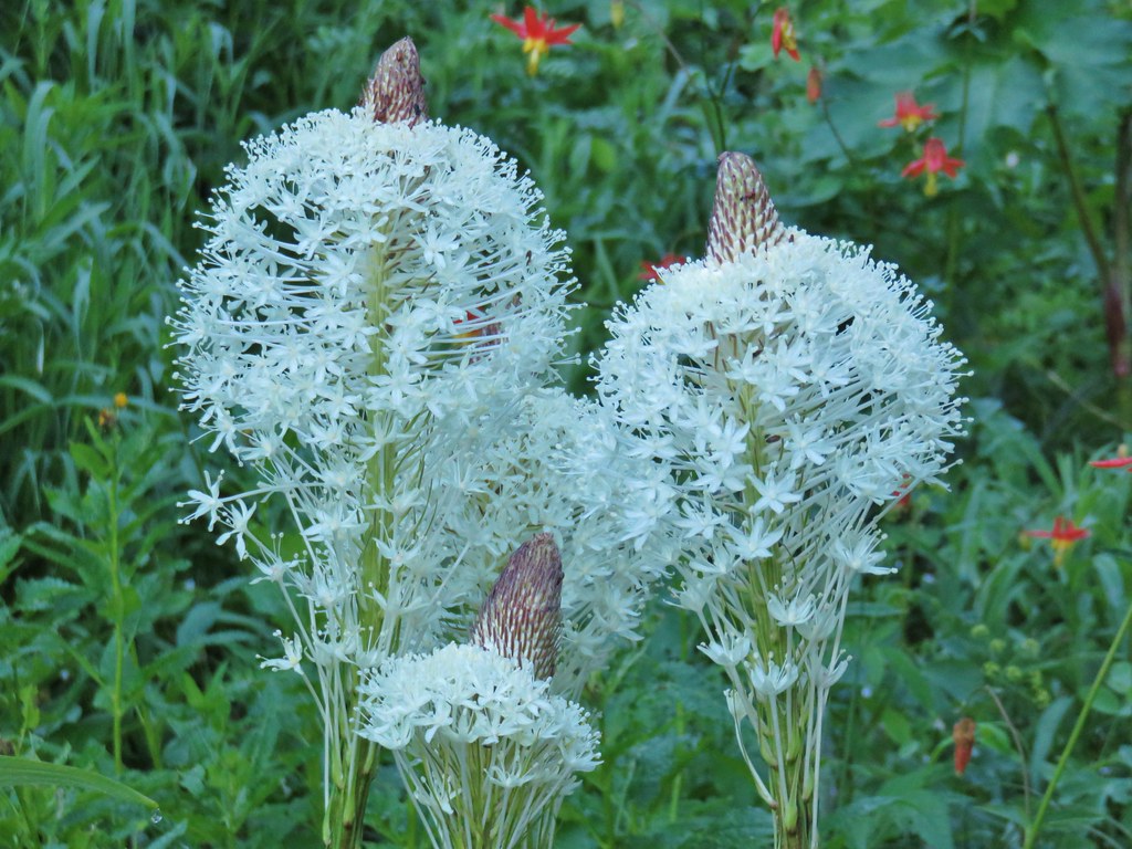
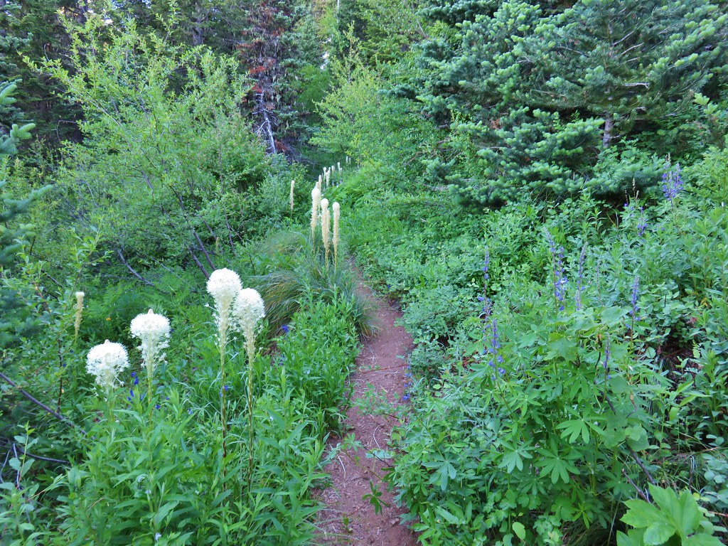
Beargrass


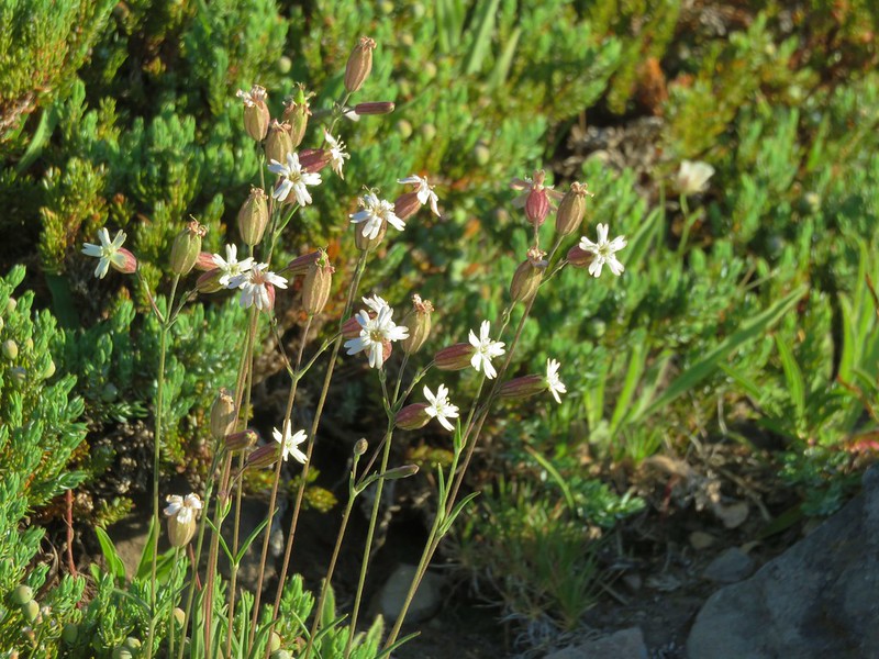
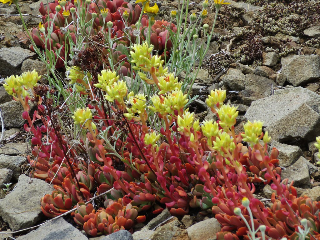
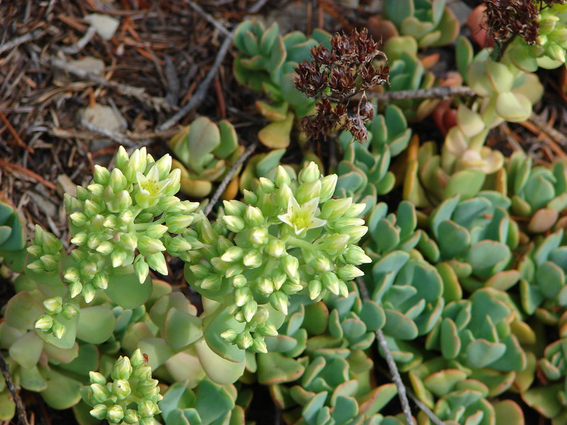
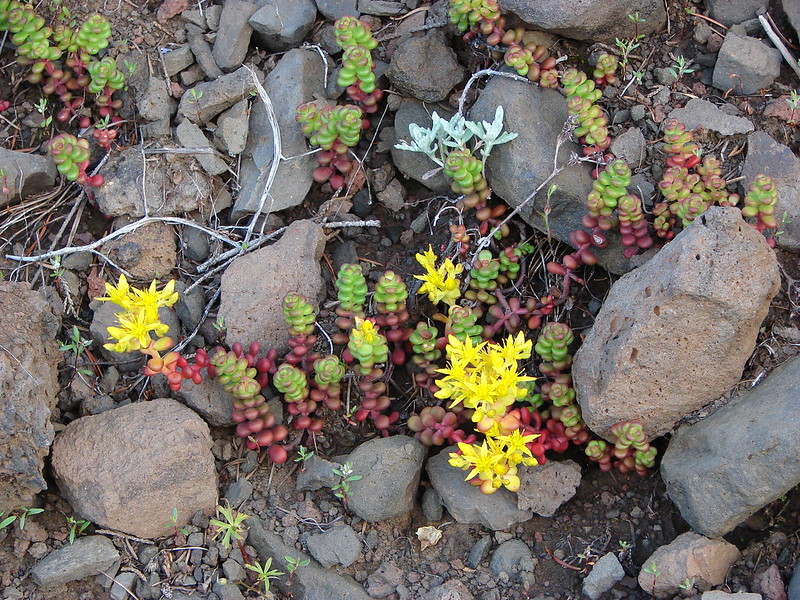
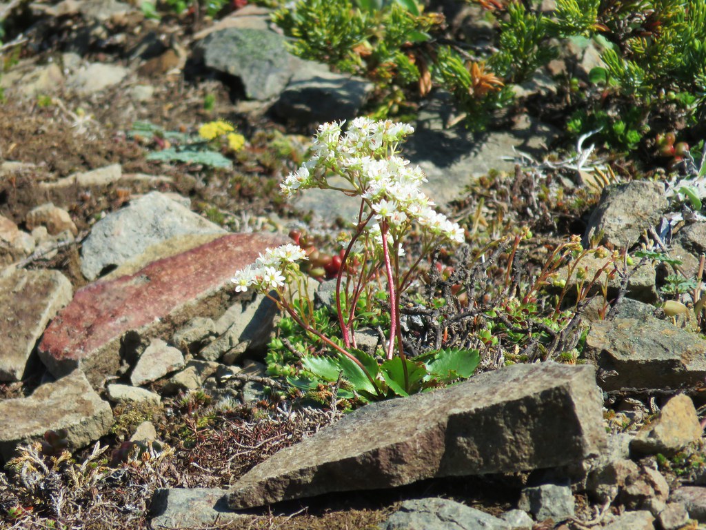
Stonecrop

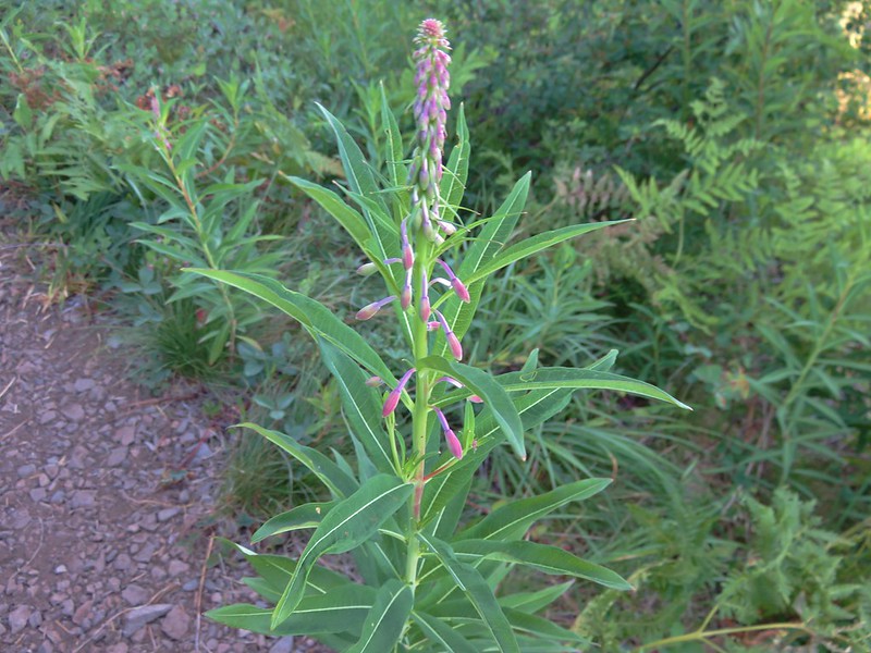
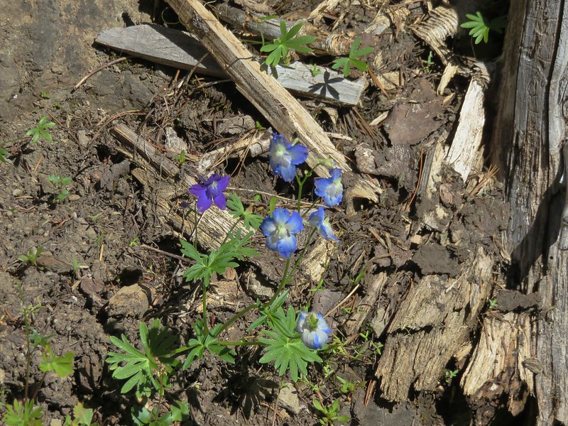
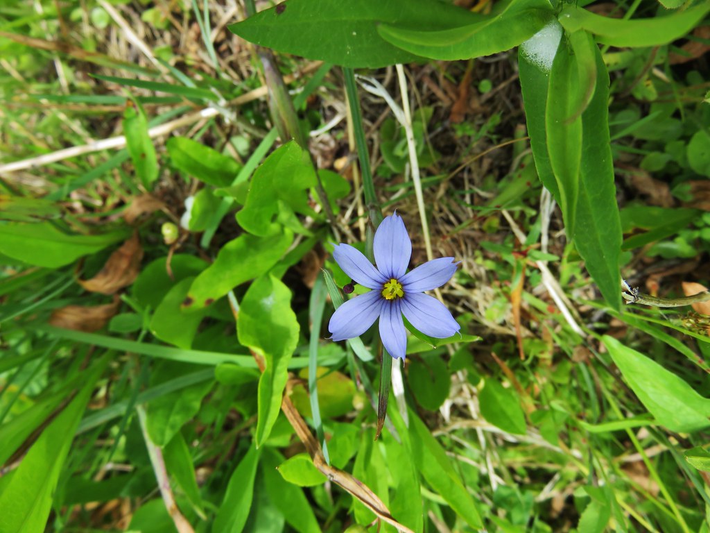
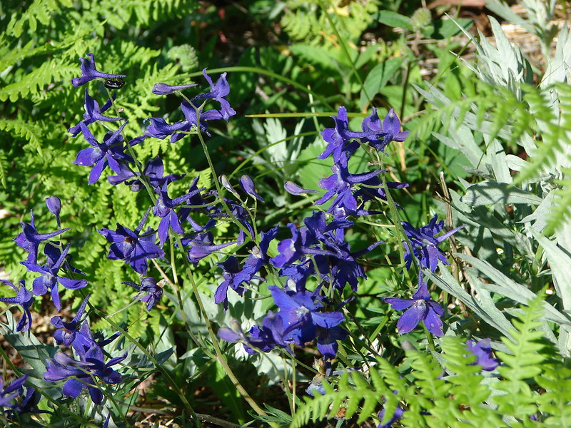
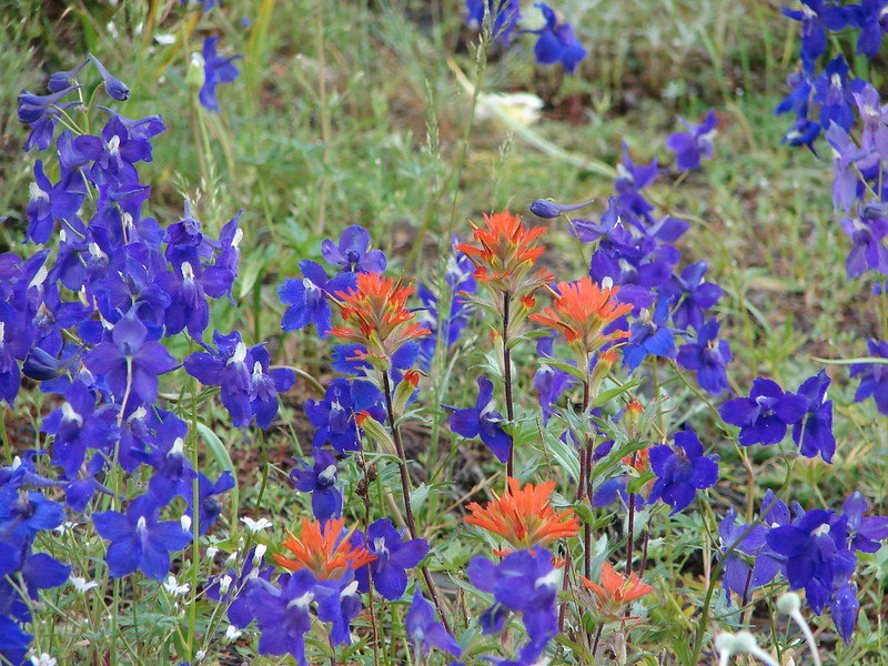
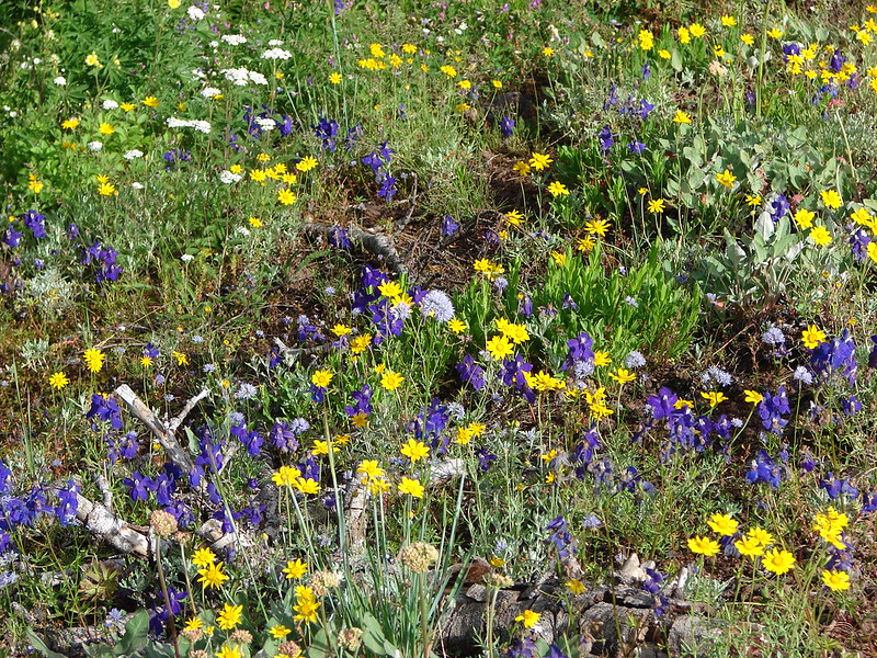
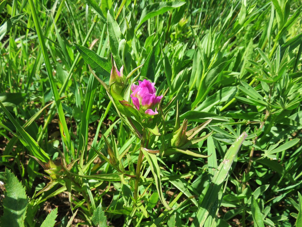
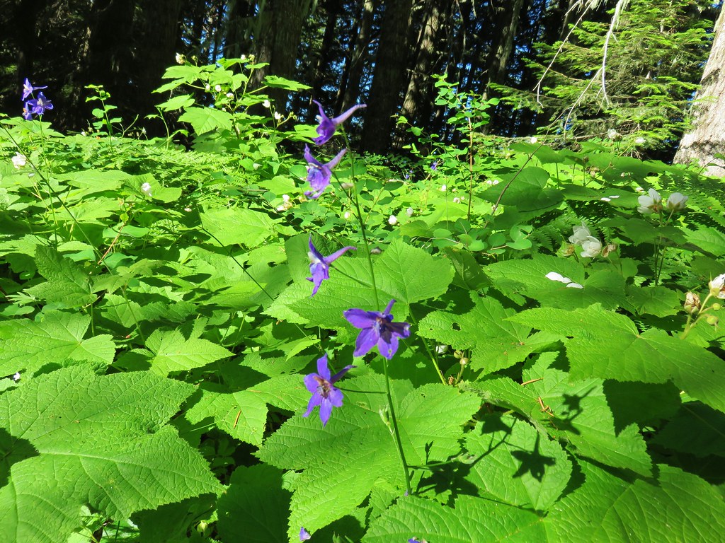
Larkspur

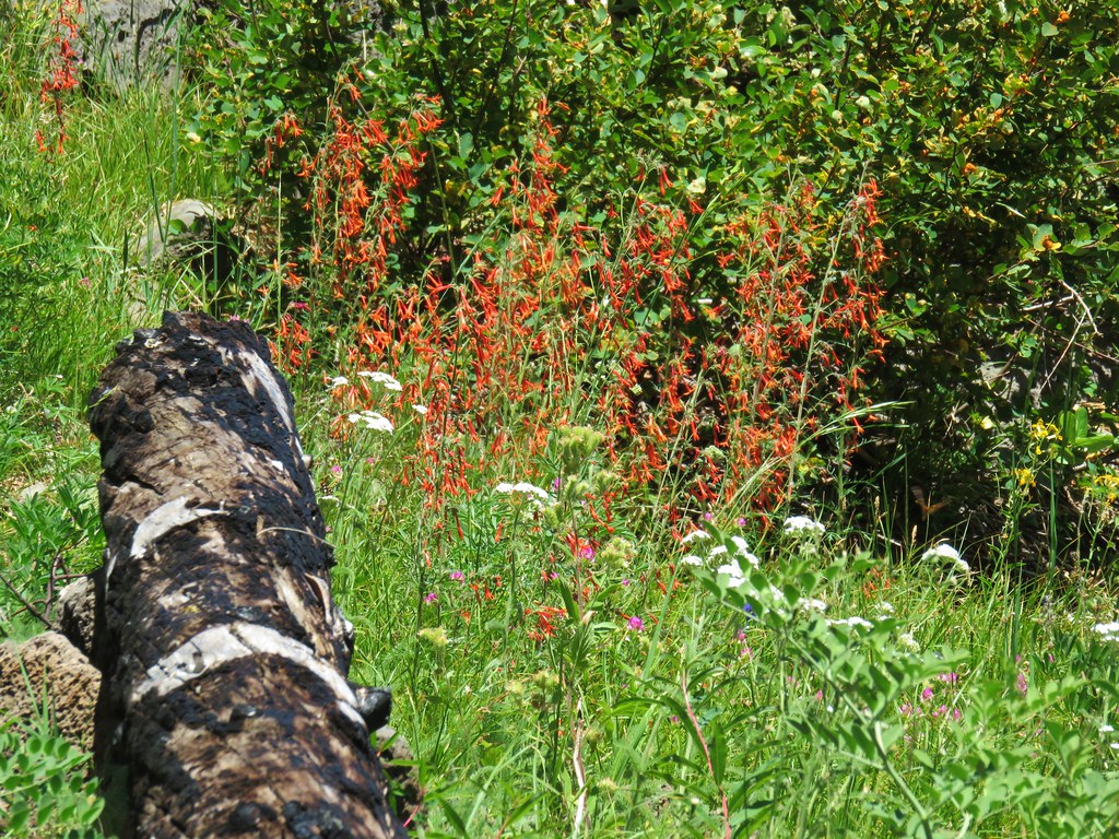
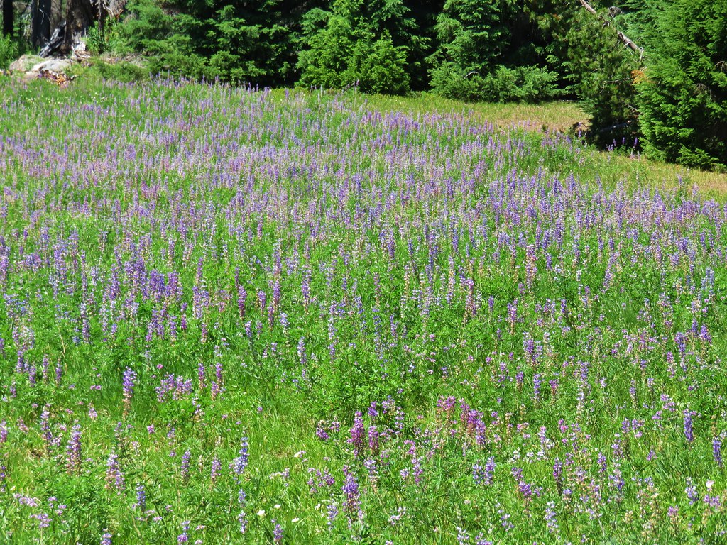
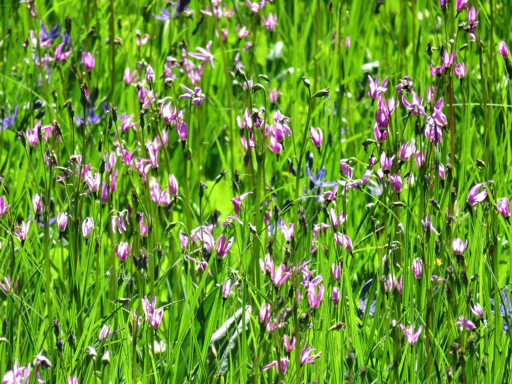
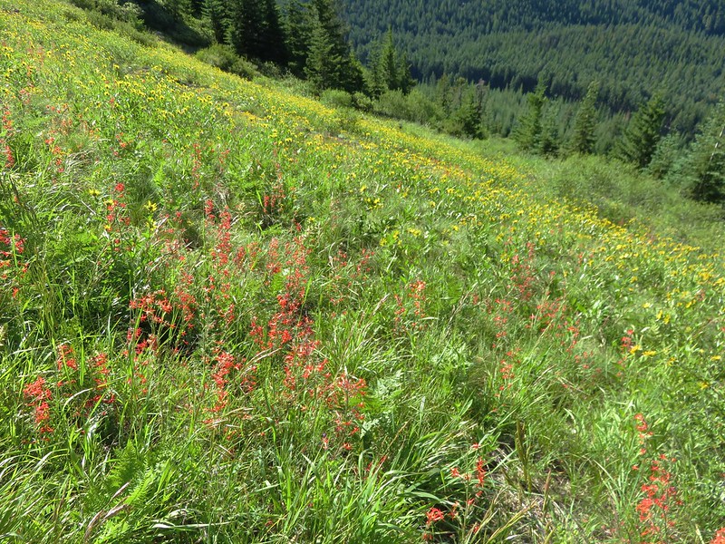
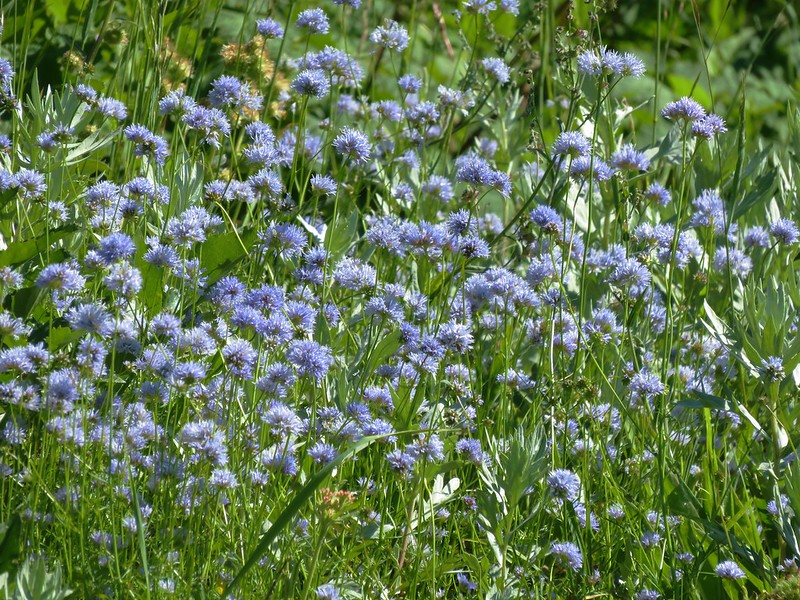
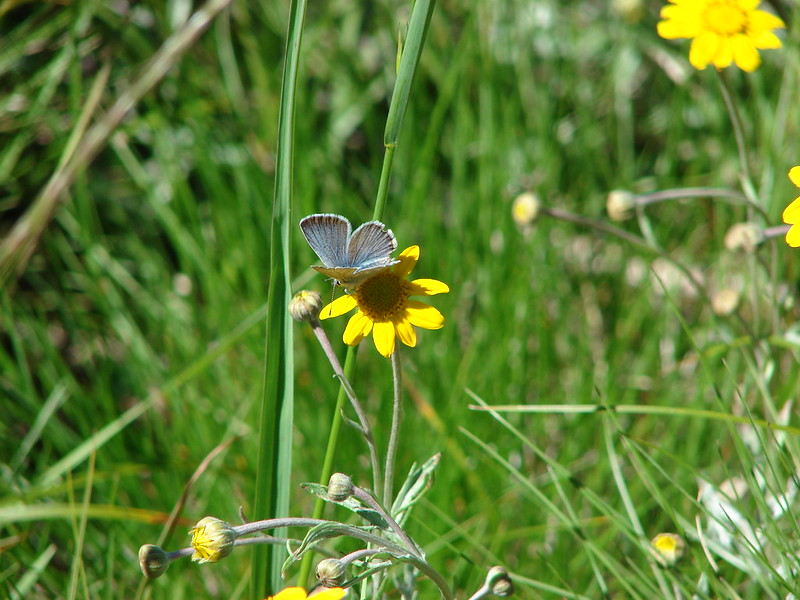
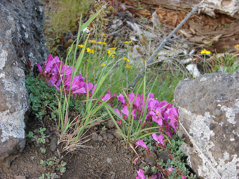
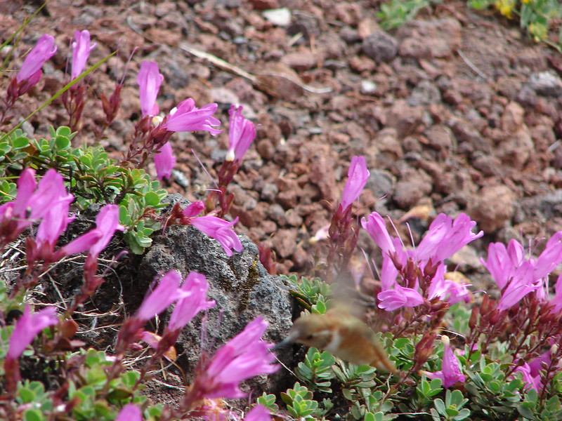
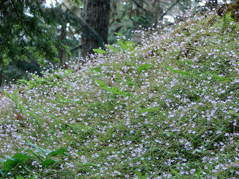
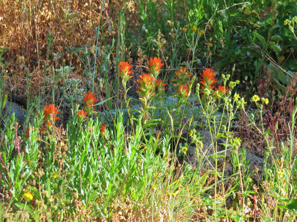
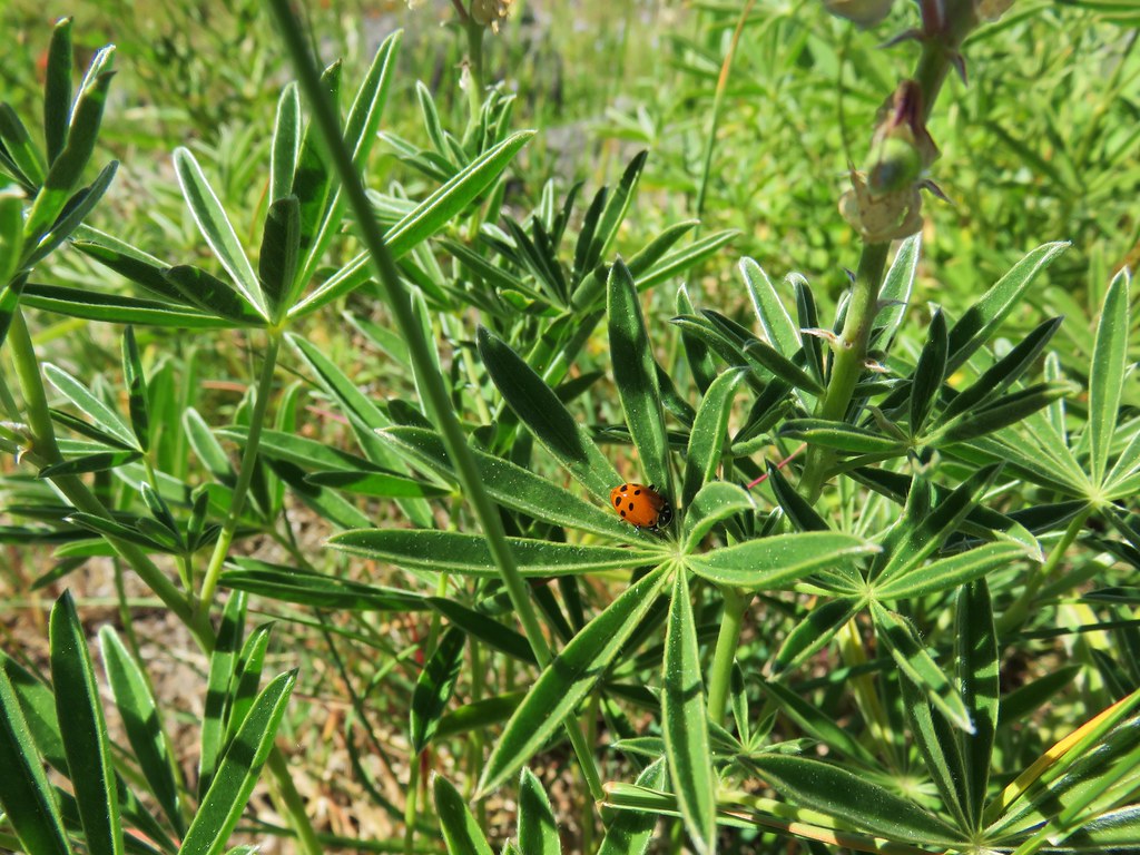
There was a large patch of blue head gilia on this rock above the trail.


Vetch

Honeysuckle


Anemone

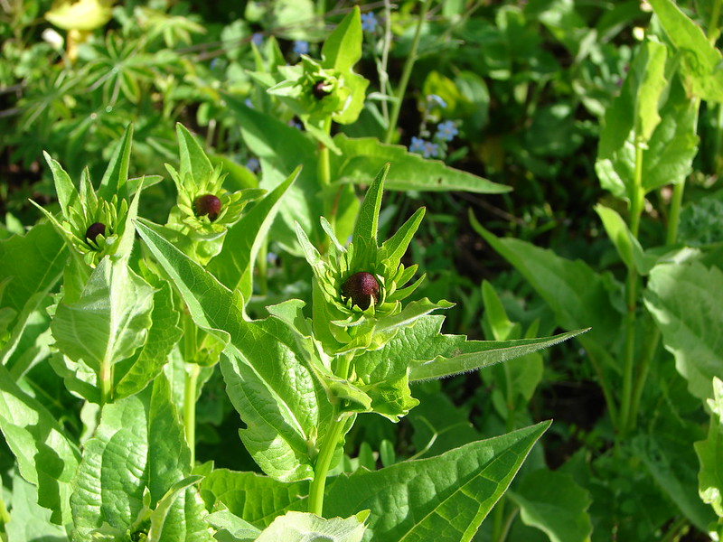
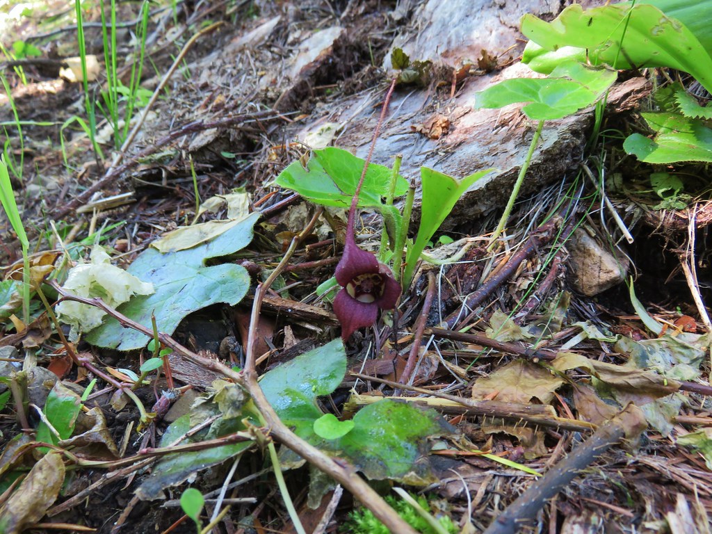
Pacific coralroot


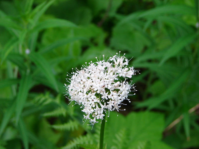
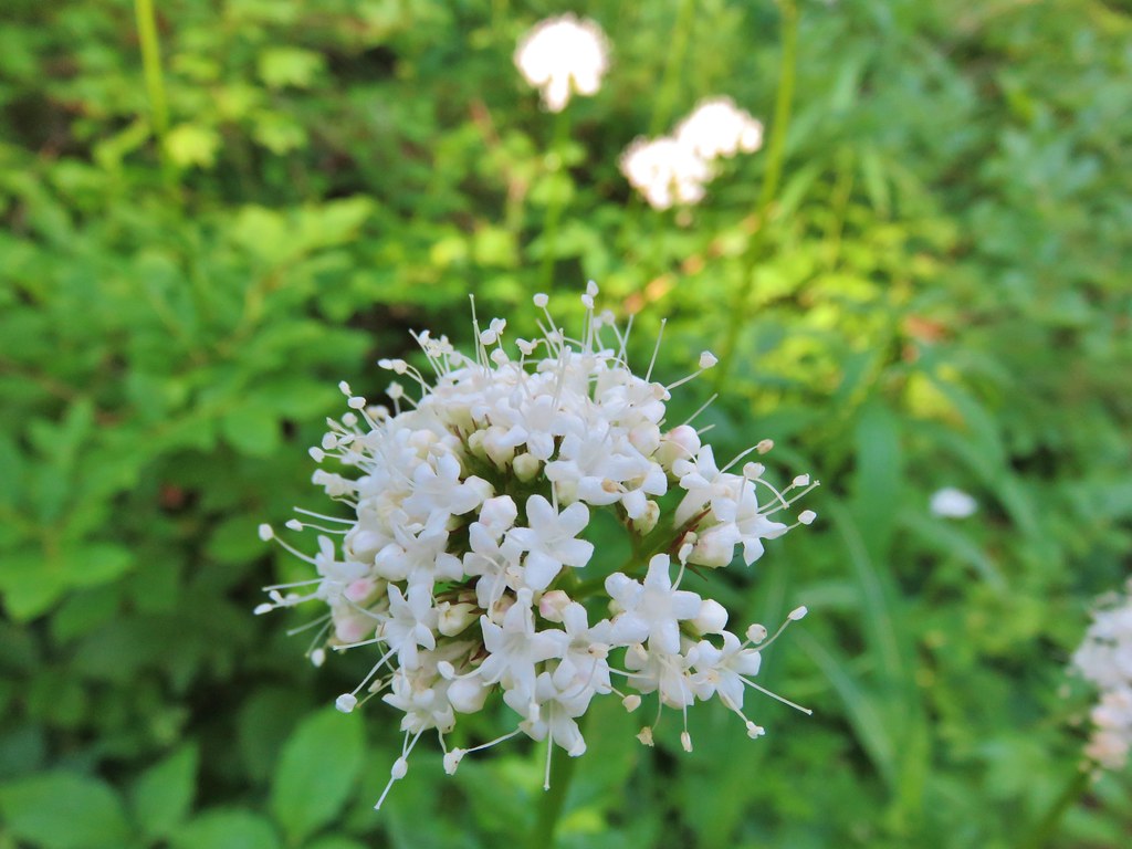
Valerian

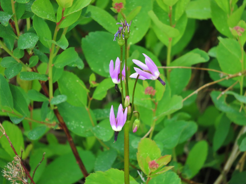
Starflower

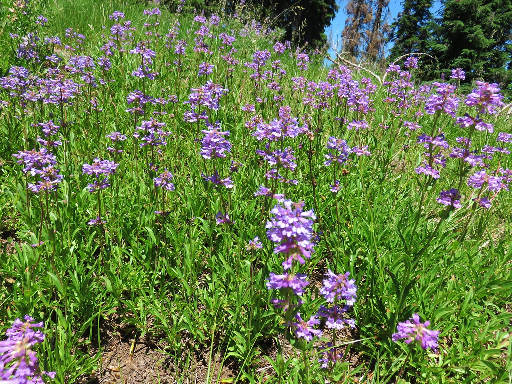
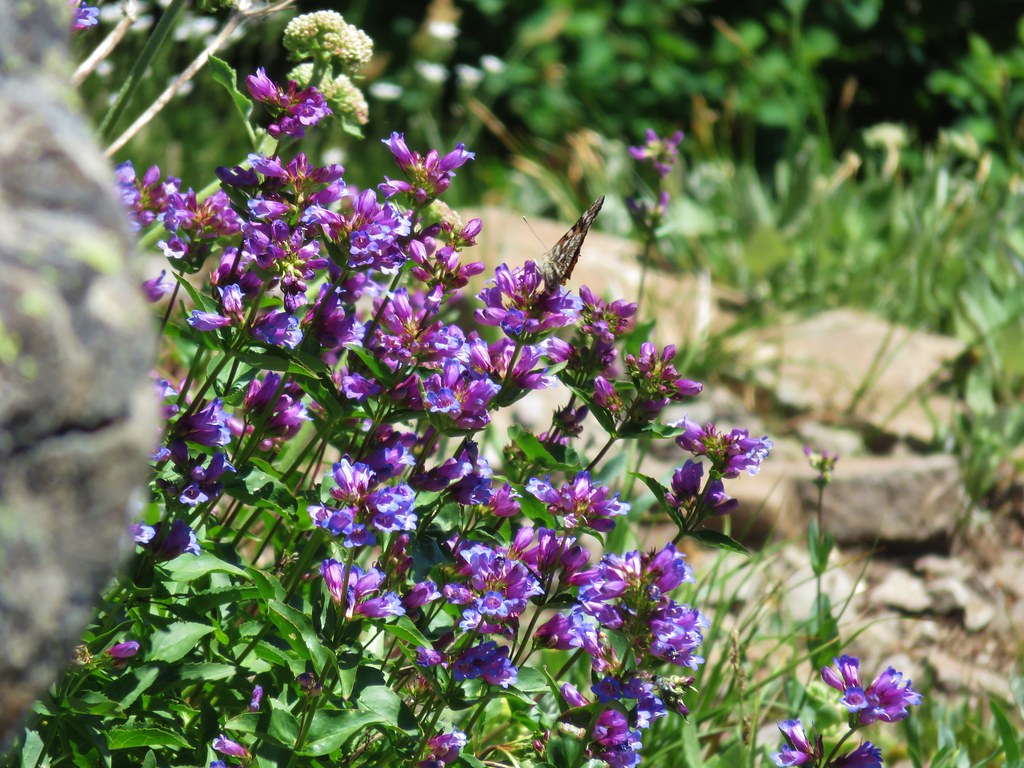
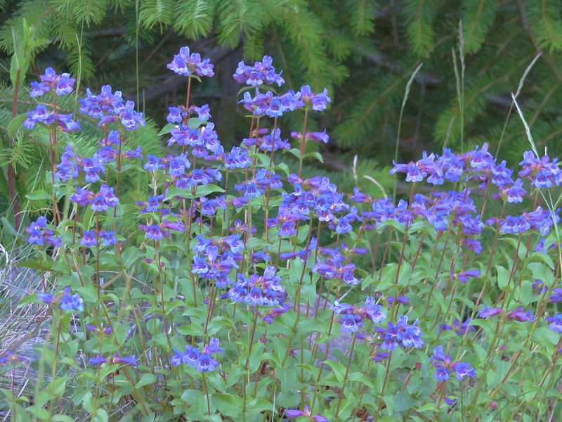
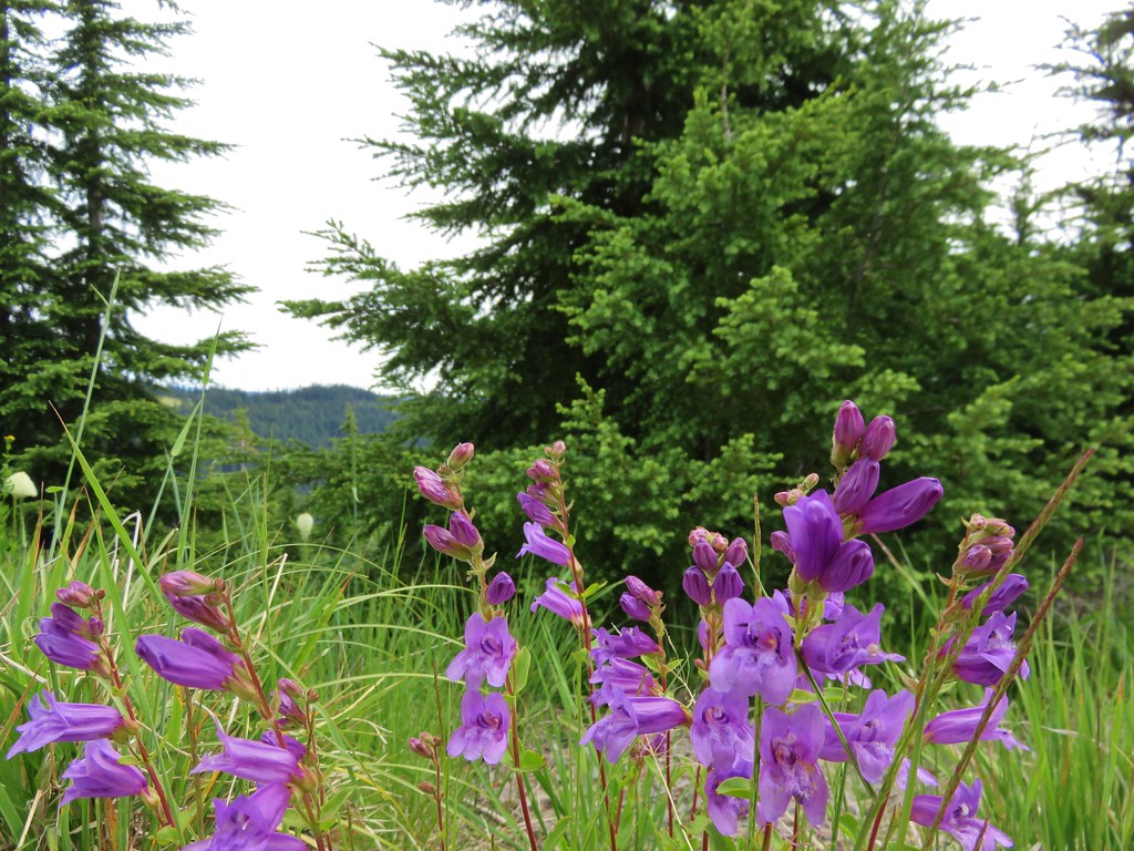
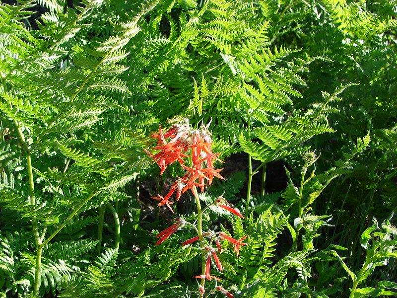
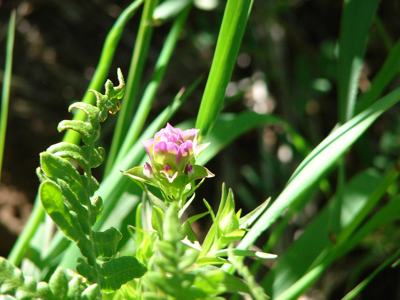
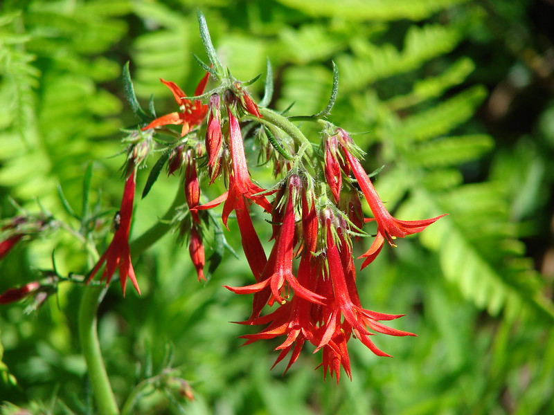
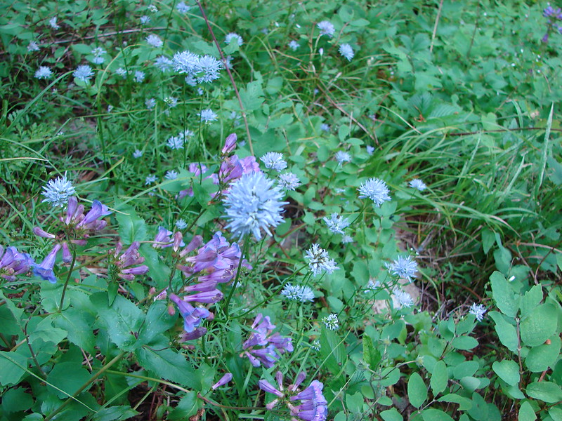
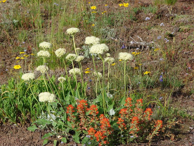
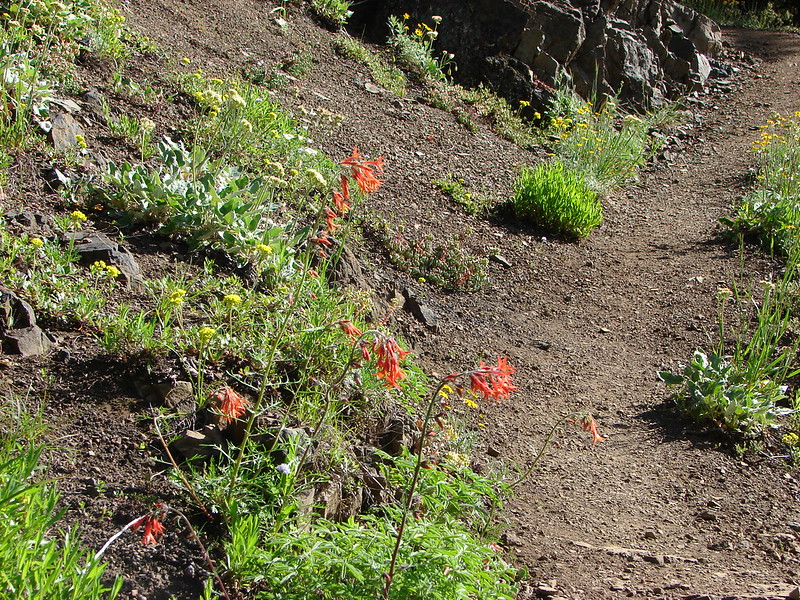
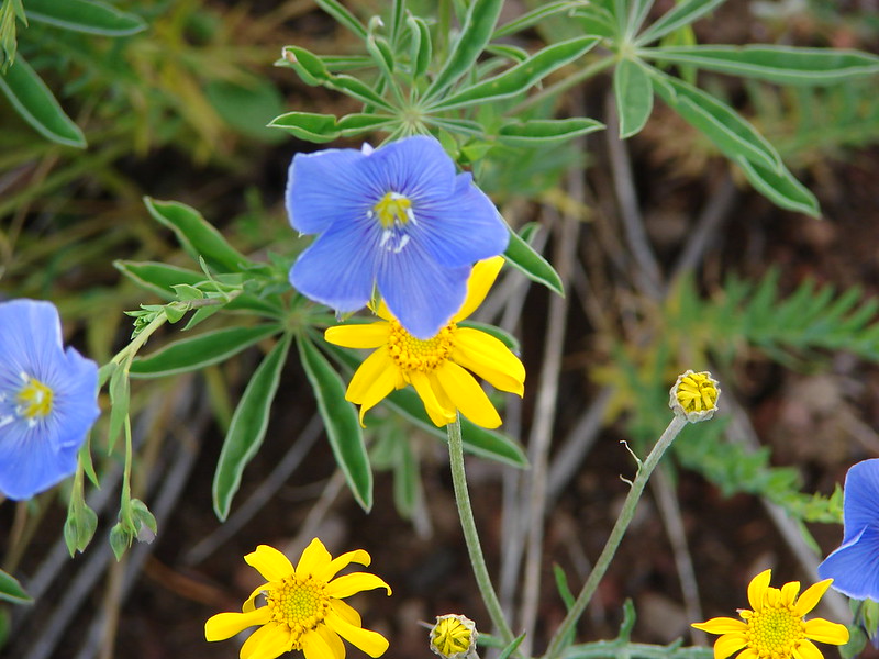
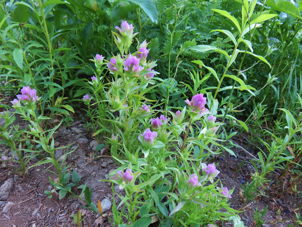
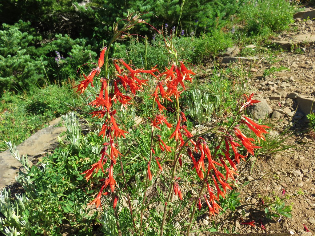
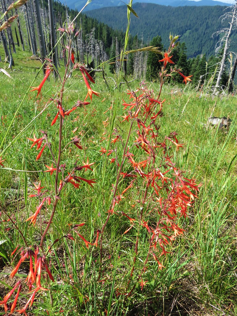
Penstemon

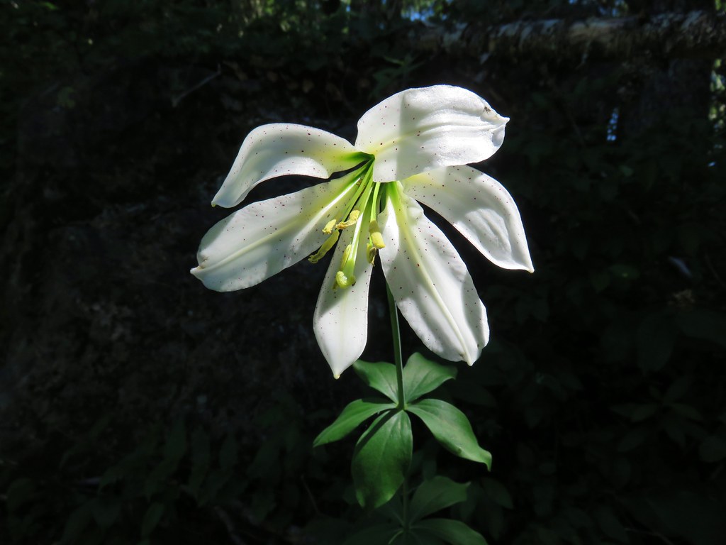
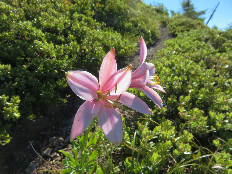
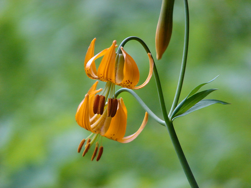
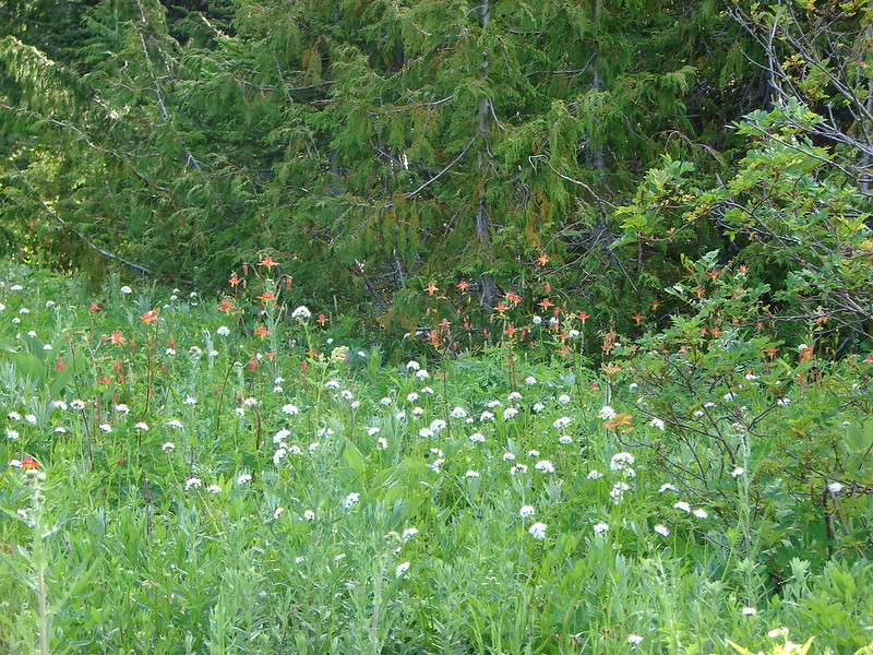
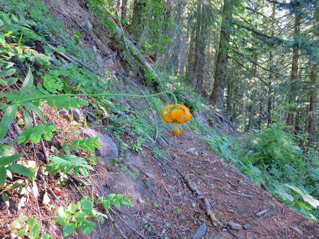
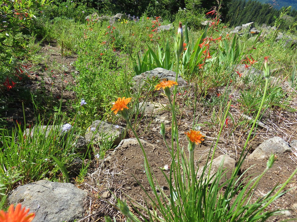
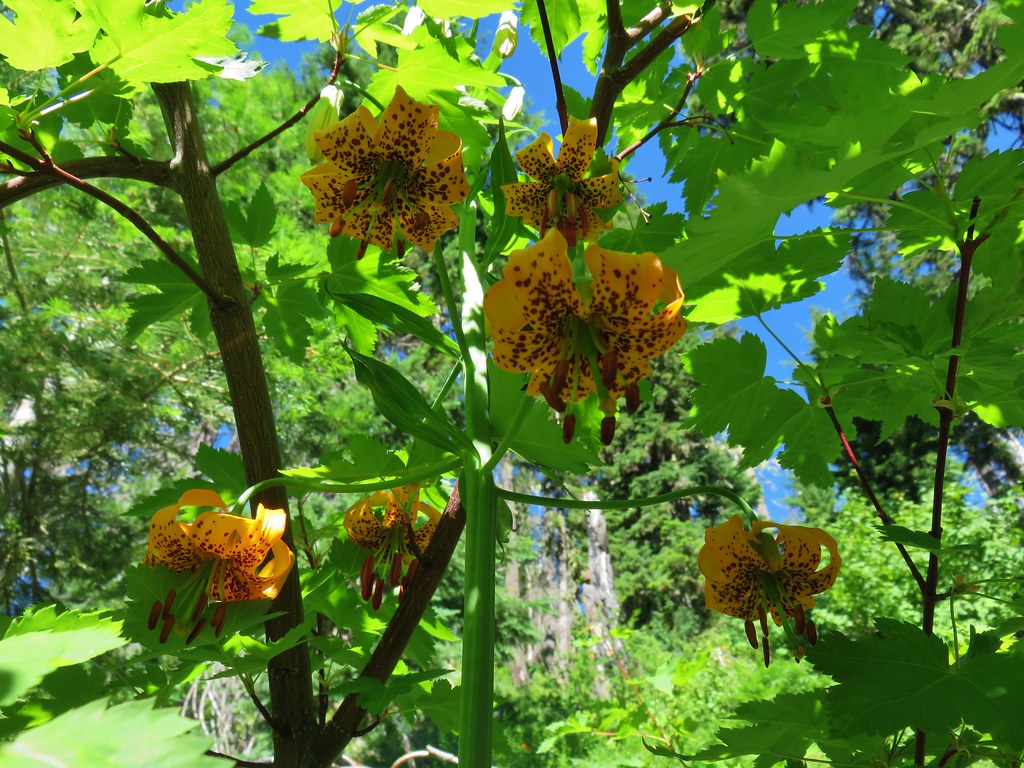
Tiger lilies

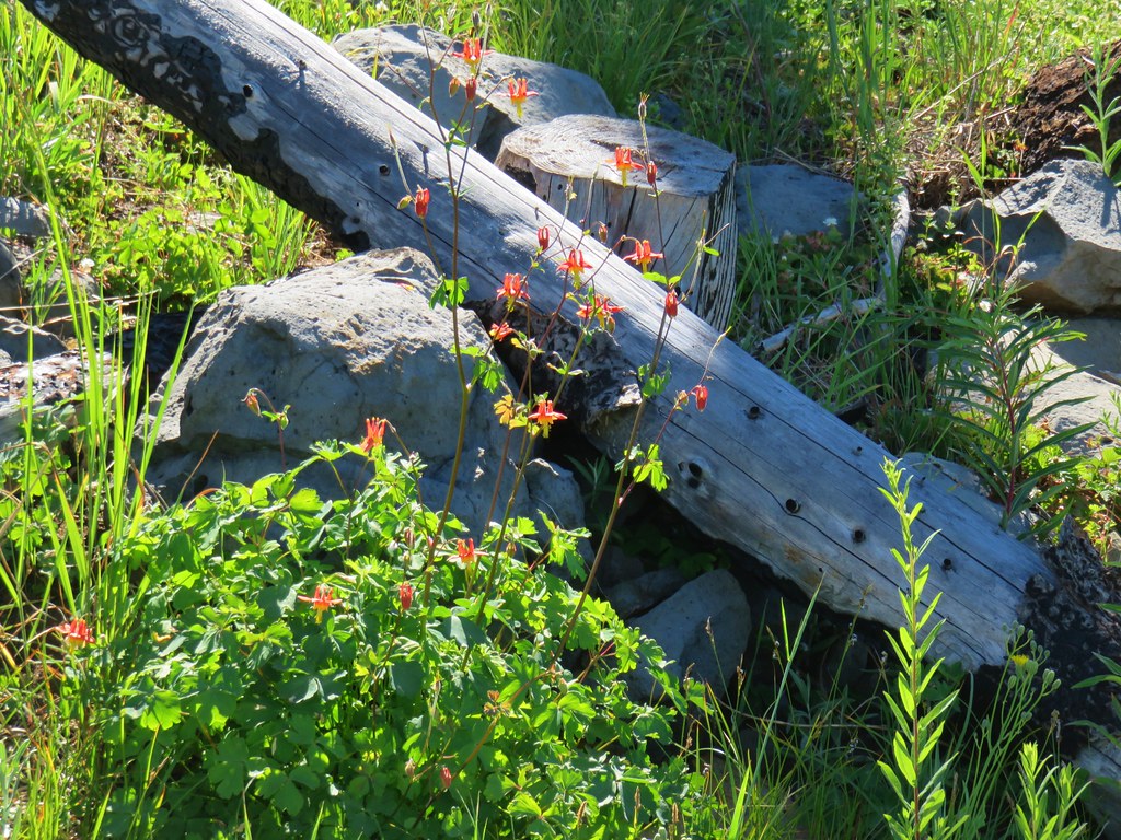
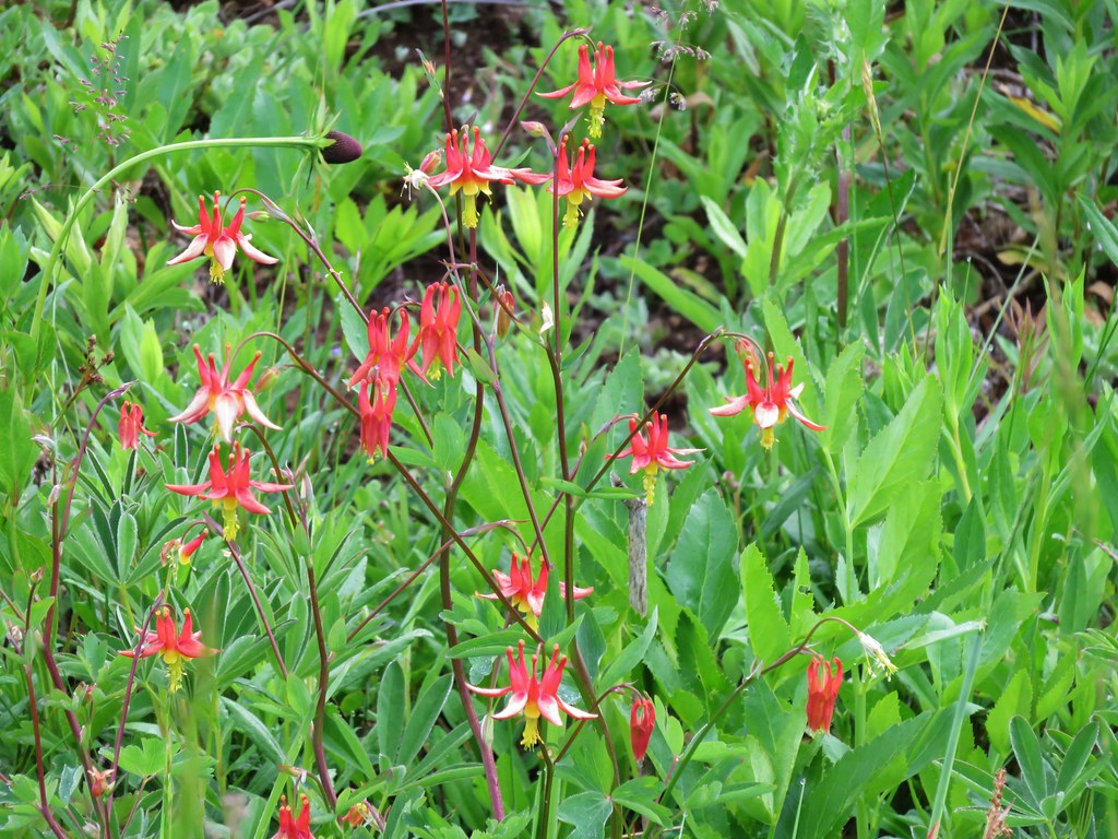
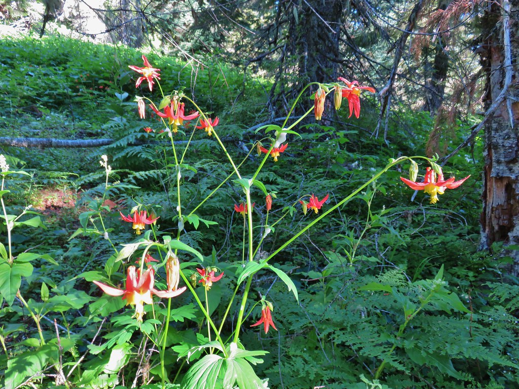
Columbine

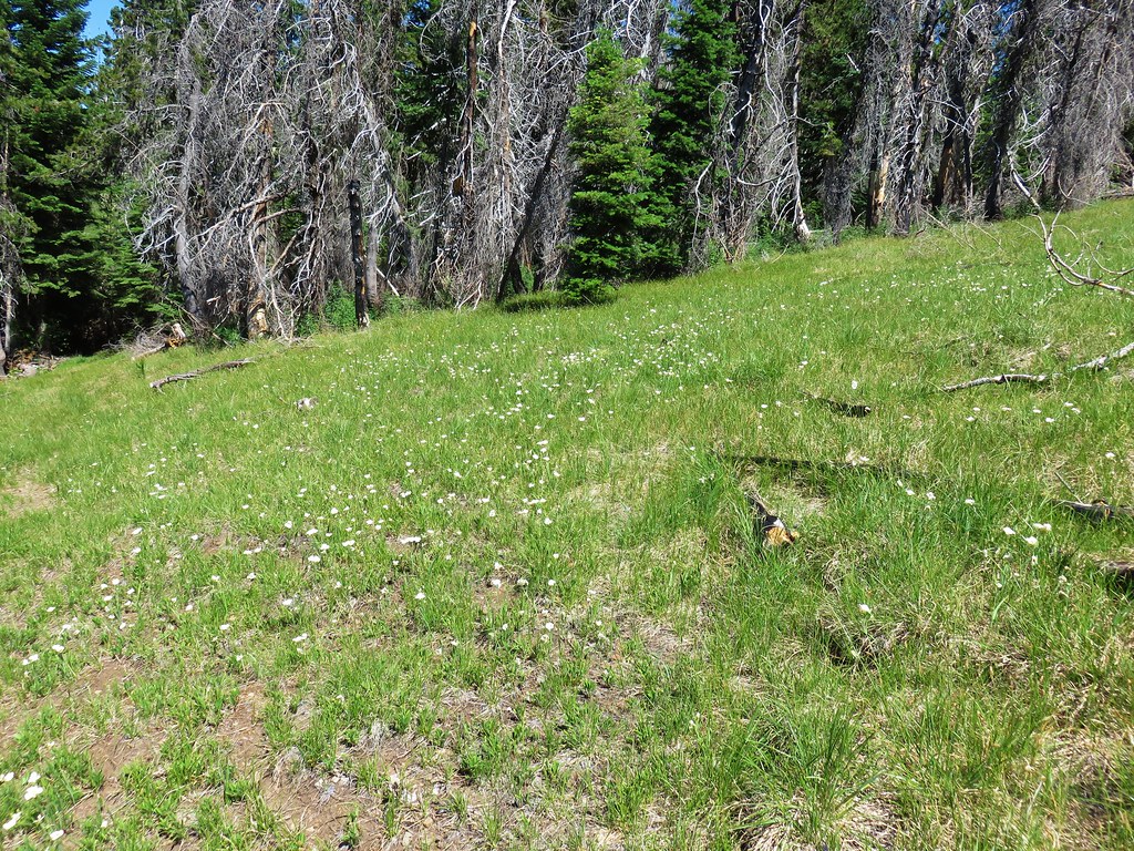
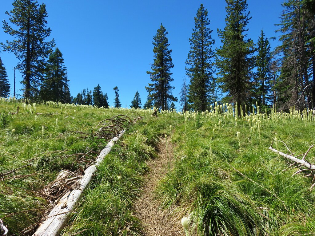
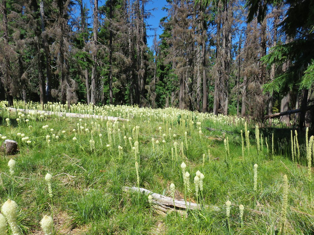
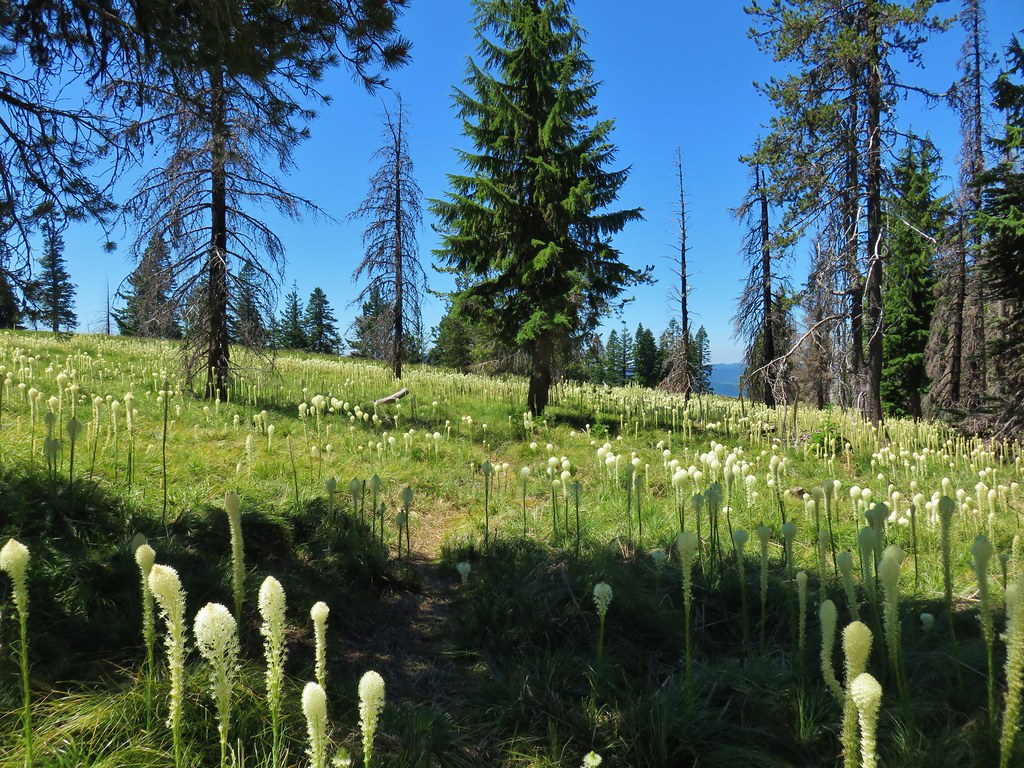
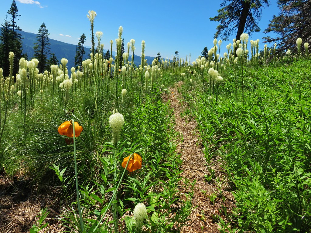
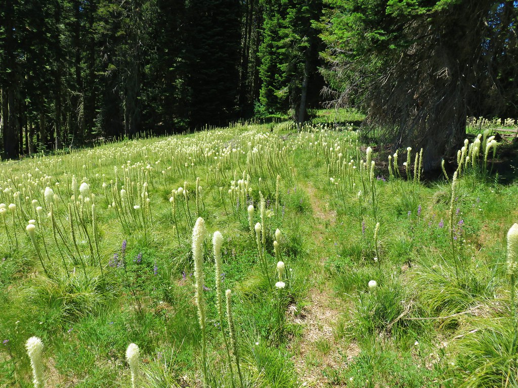
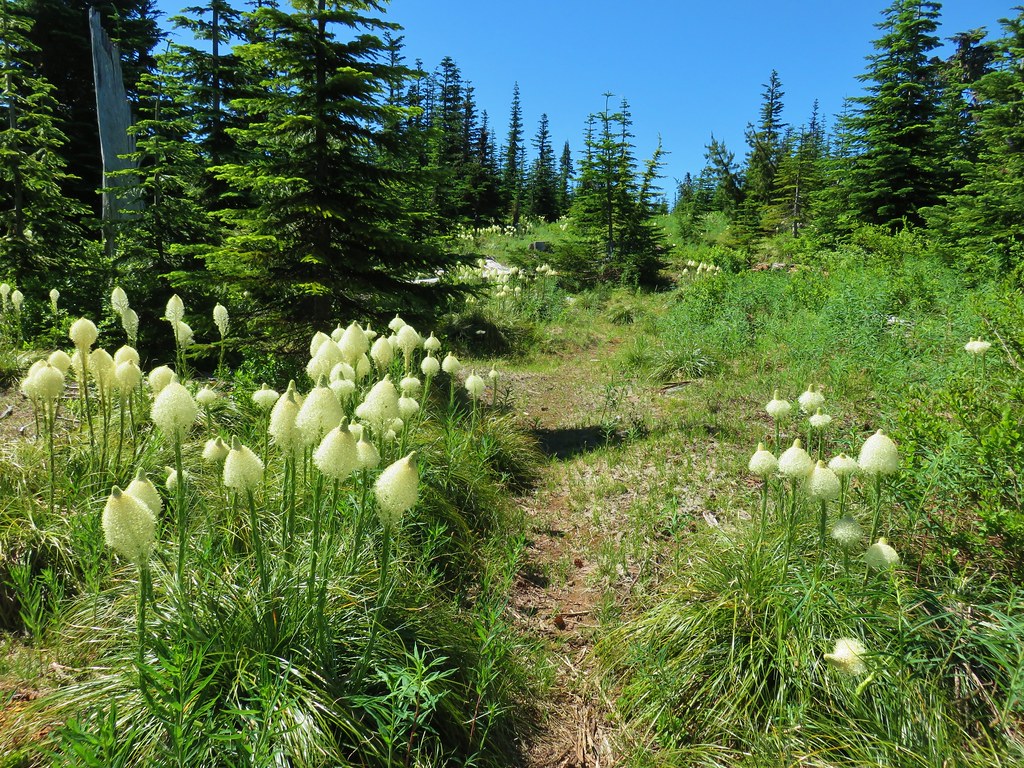
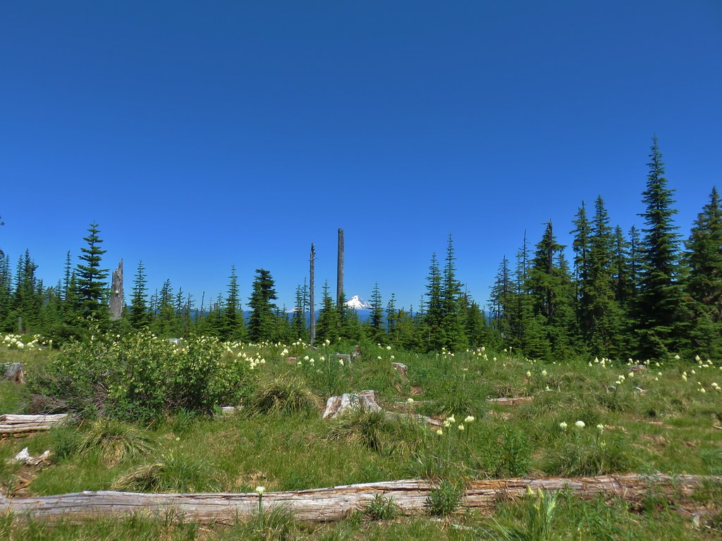
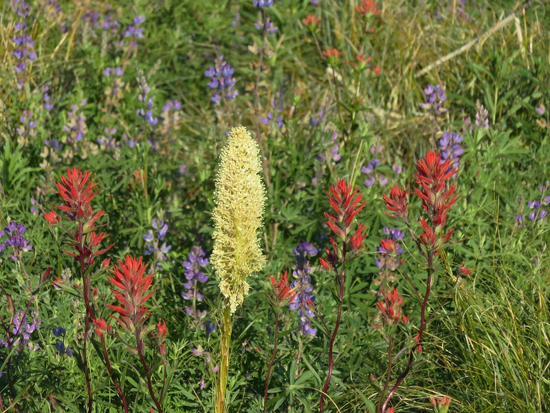
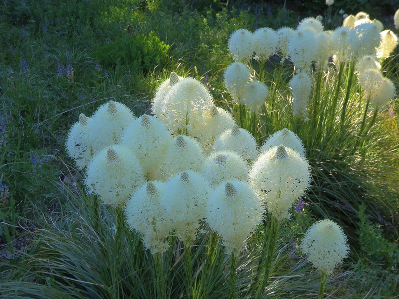
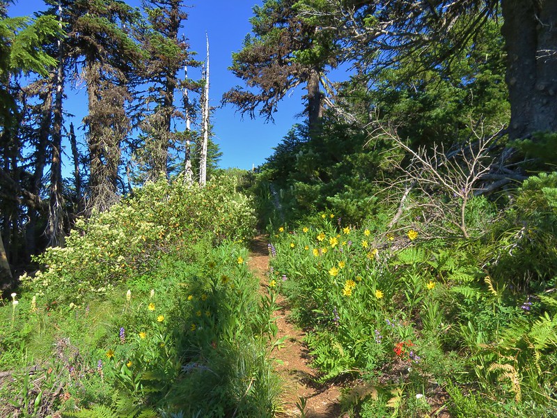
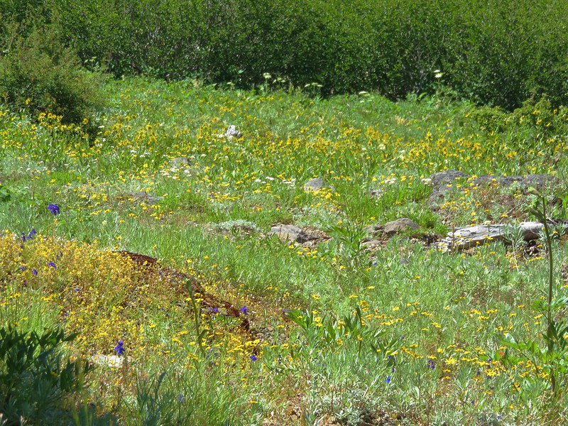
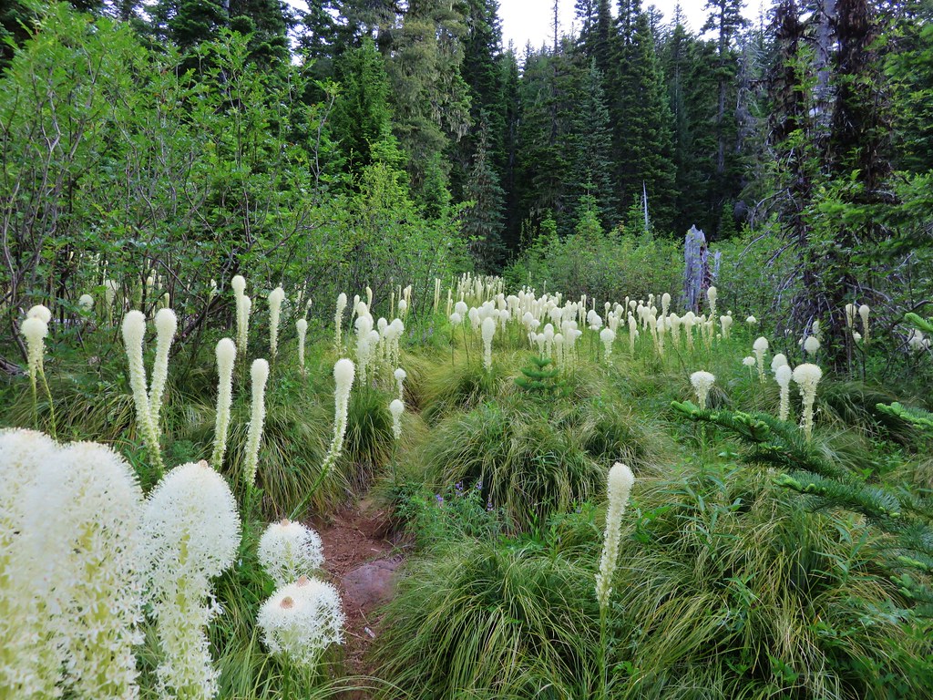
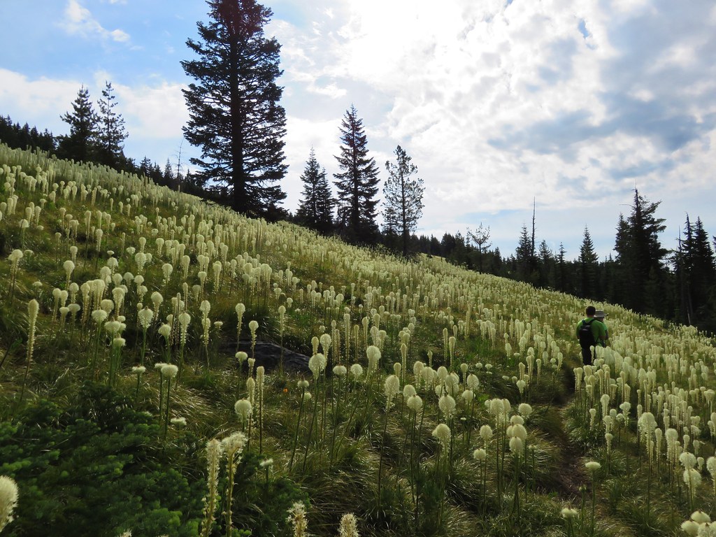
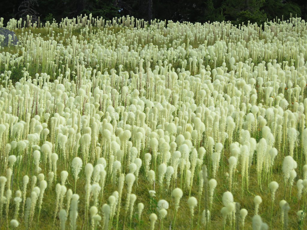
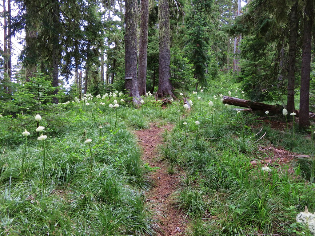
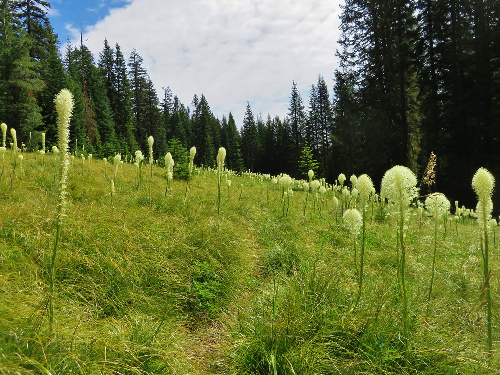
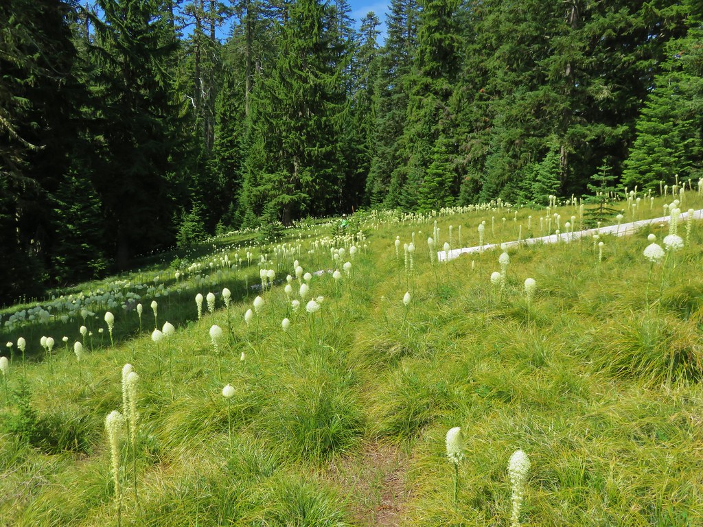
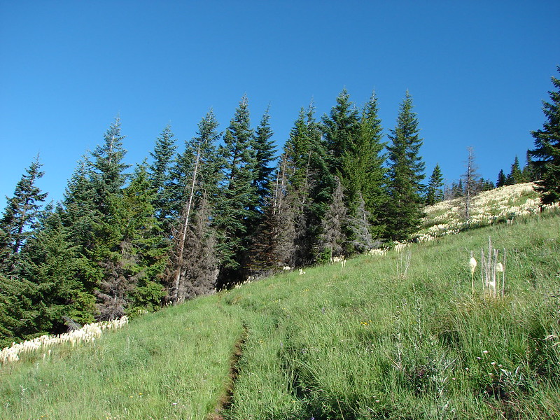
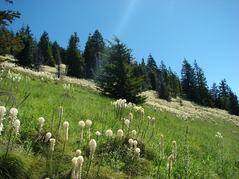
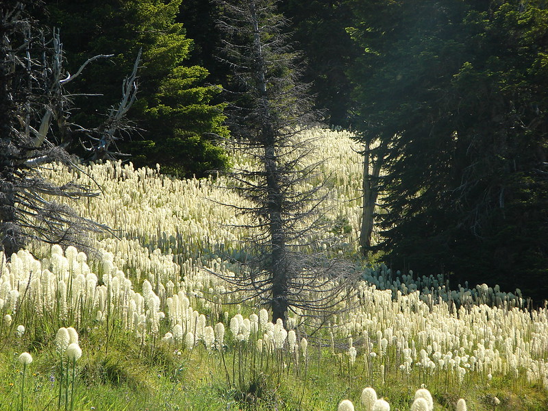
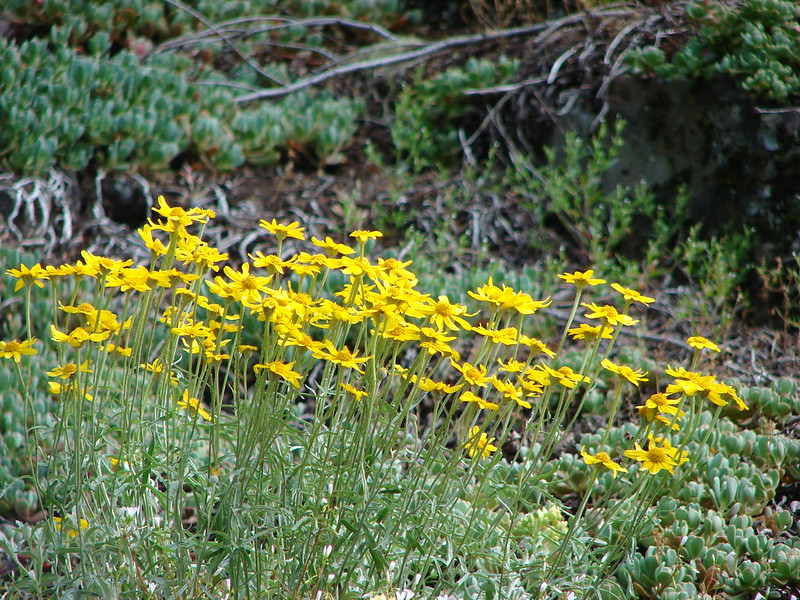
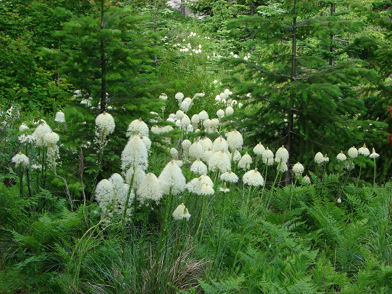
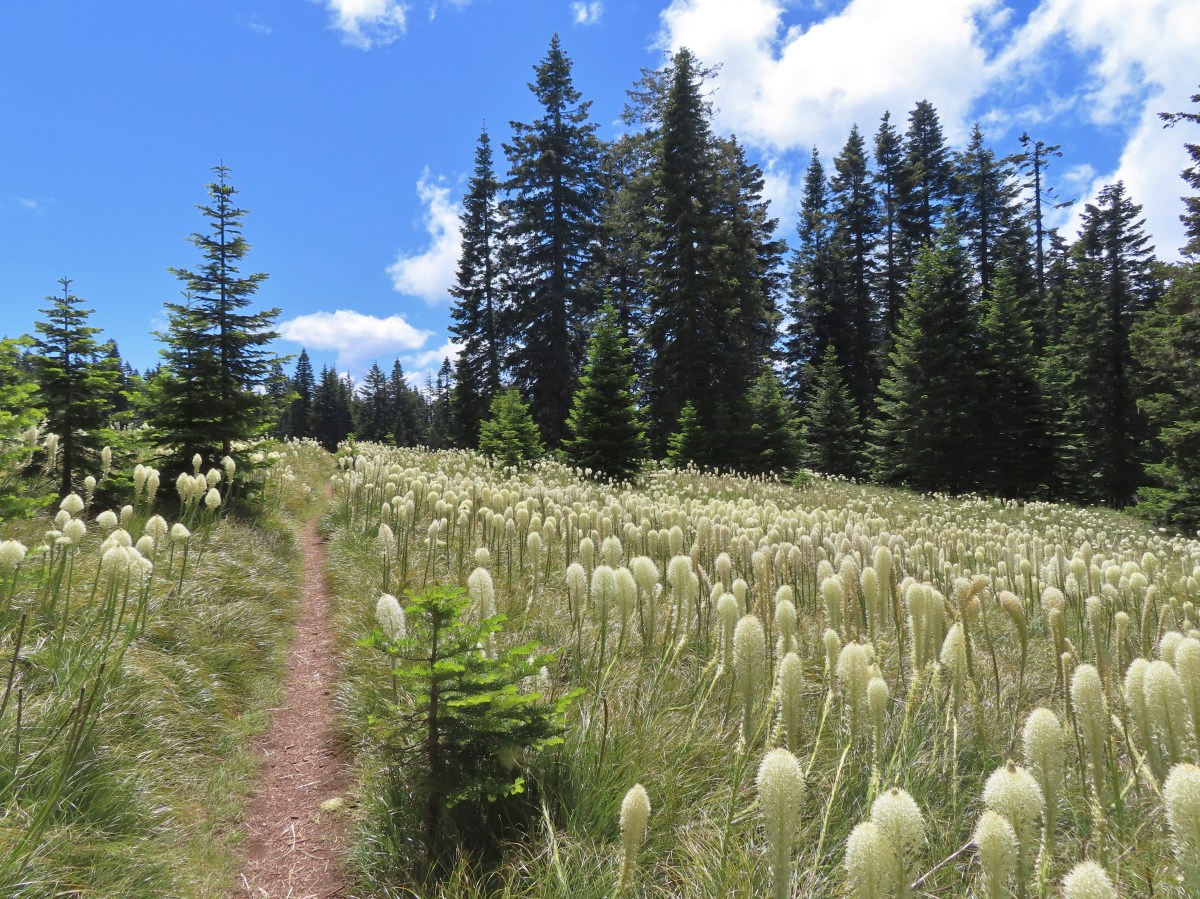
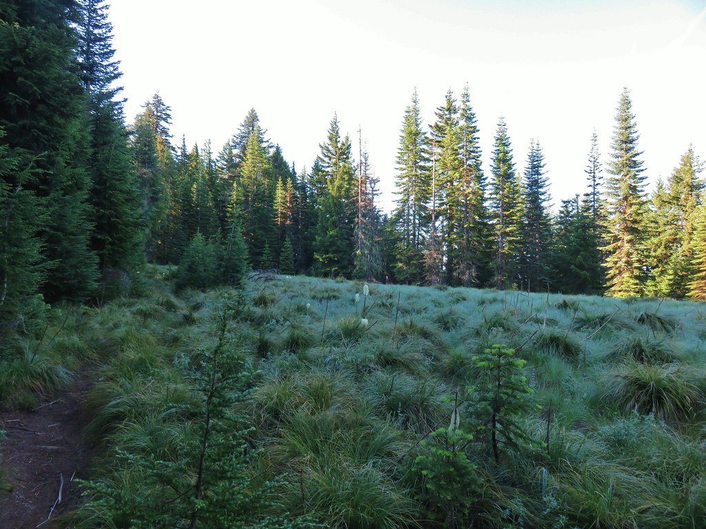
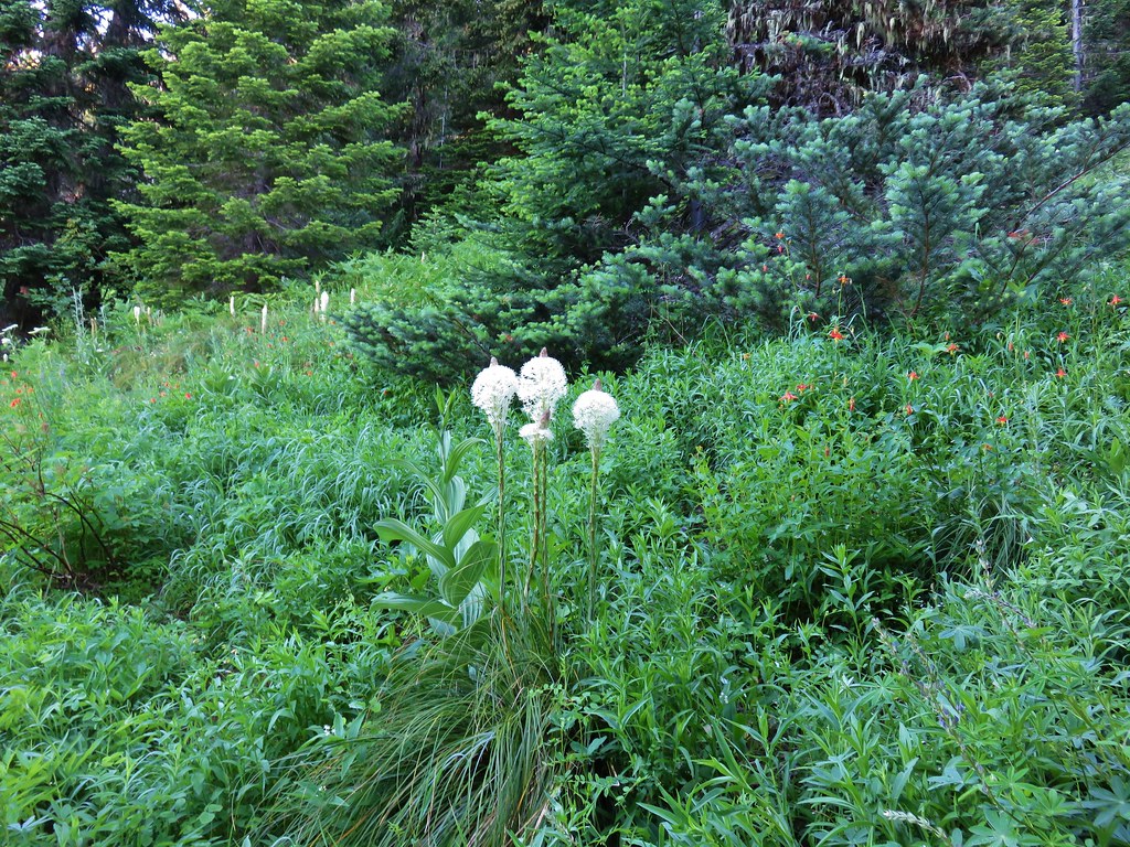
As we neared the meadow on Sourgrass Mountain we began to see an increasing amount of blooming beargrass.

A member of the lily family, beargrass only blooms when conditions are right, so their bloom cycle is a bit unpredictable. Due to the unpredictability it is always exciting when a visit aligns with a bloom cycle.


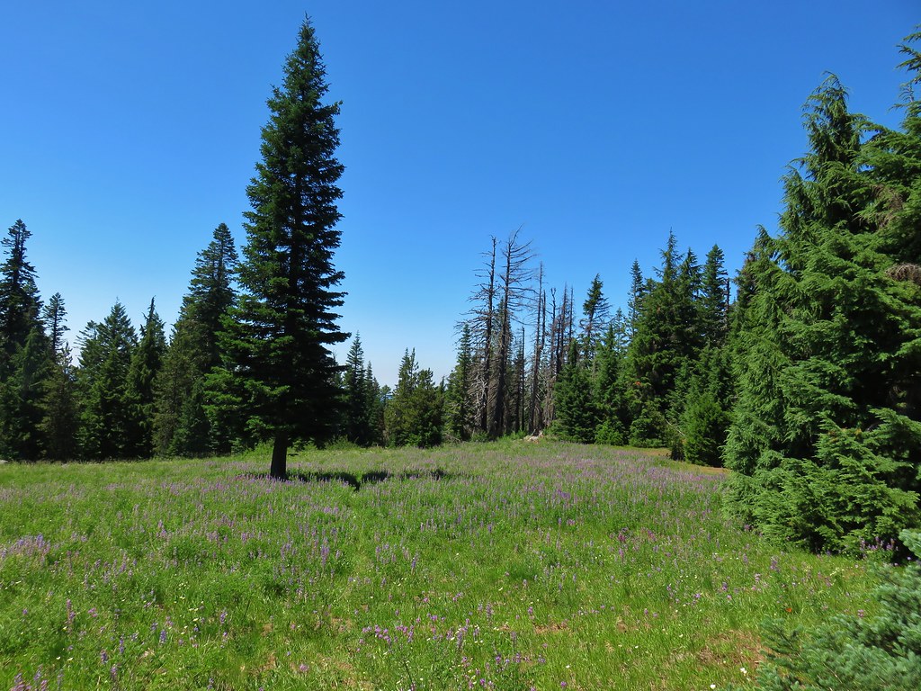
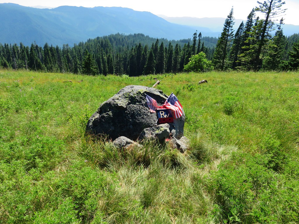
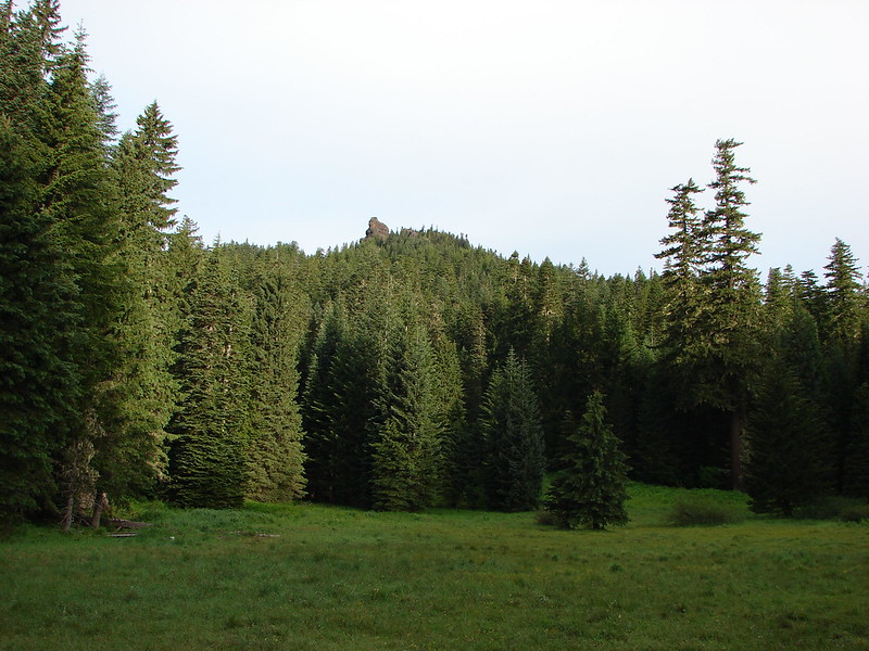
At the far end of the meadow we passed a newish looking bench.

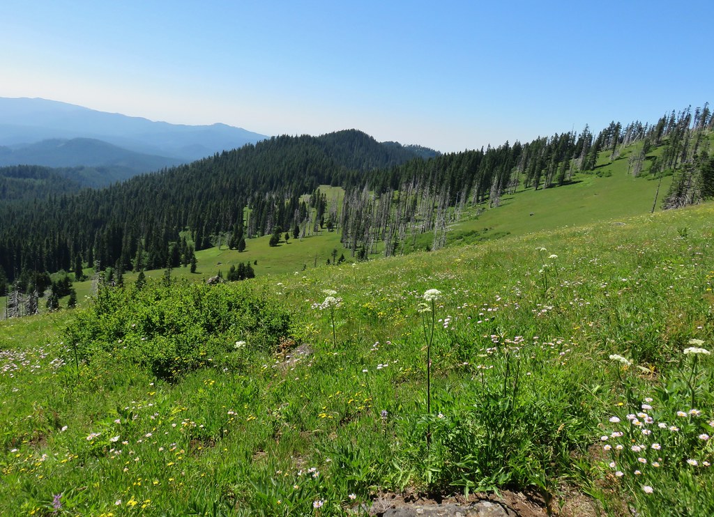
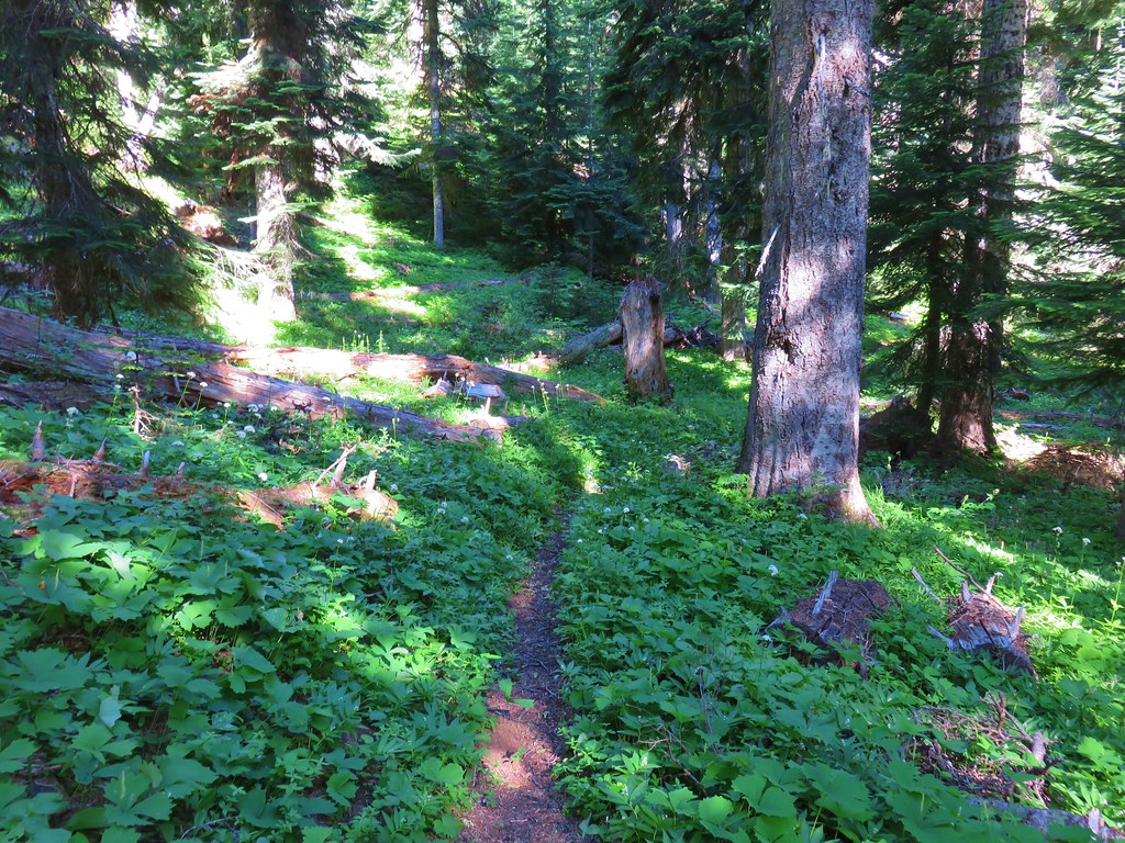
Beyond the bench the trail descended along the north ridge of Sourgrass Mountain then followed a wide ridge with some small ups and downs on its way to Elk Camp Shelter.

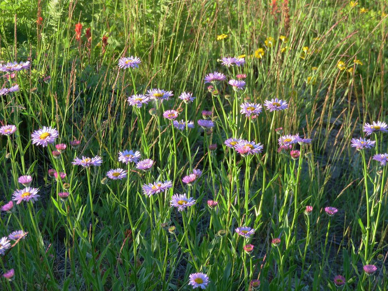
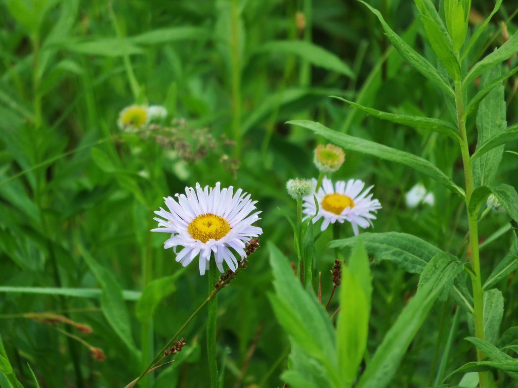
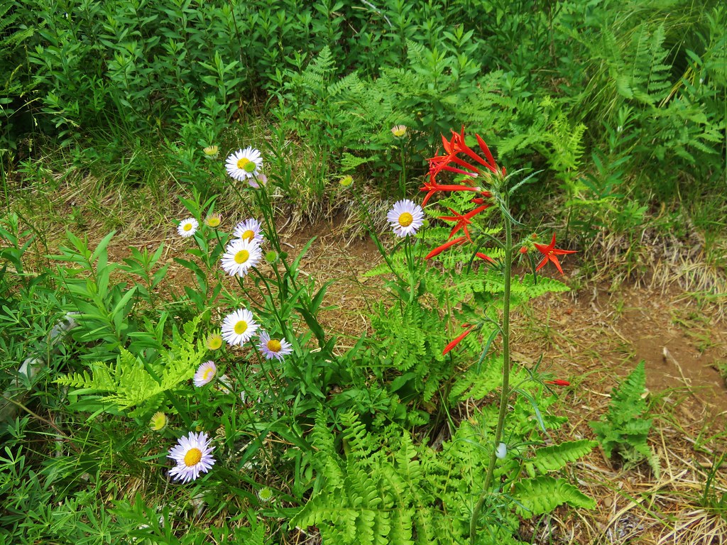
Sub-alpine fleabane

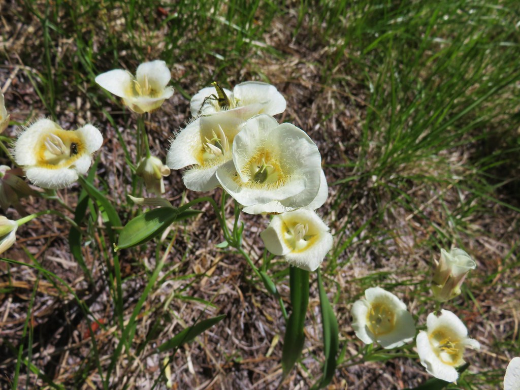
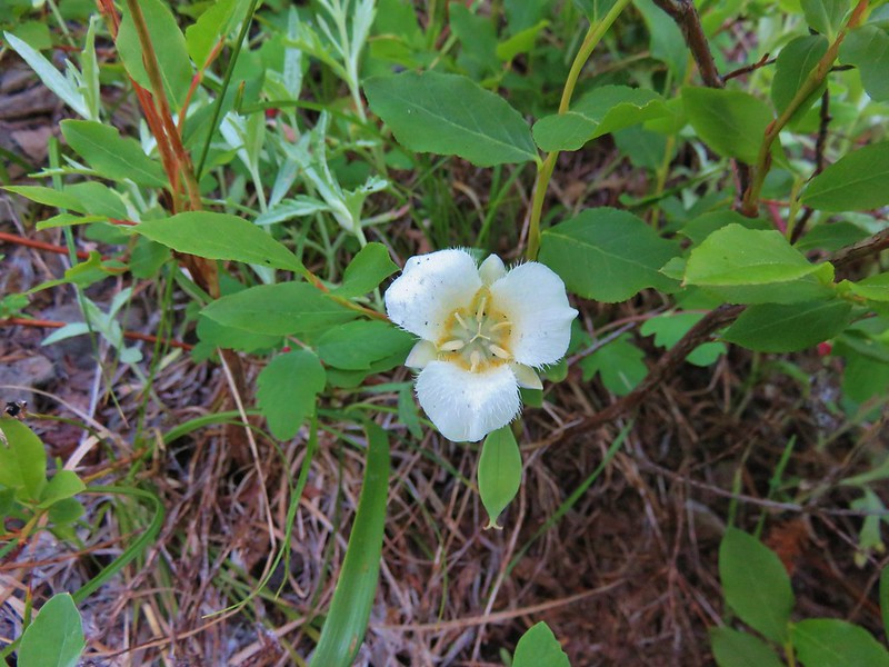
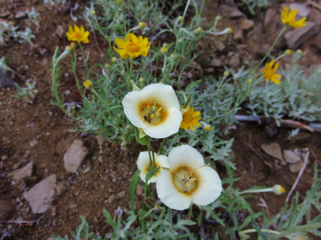
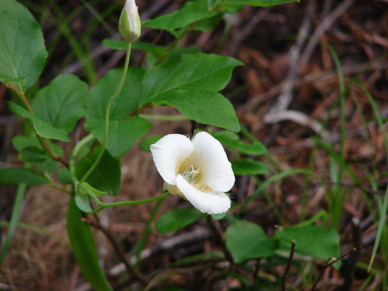
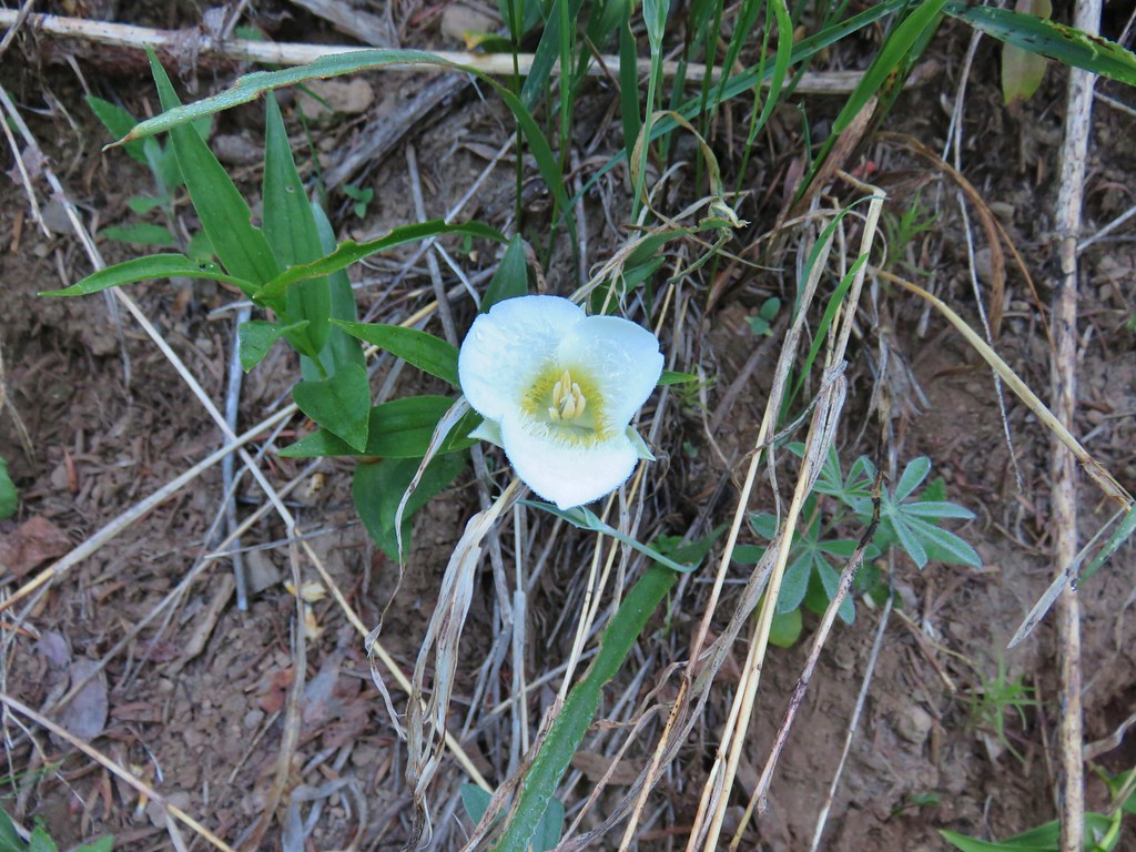
Sub-alpine mariposa lily

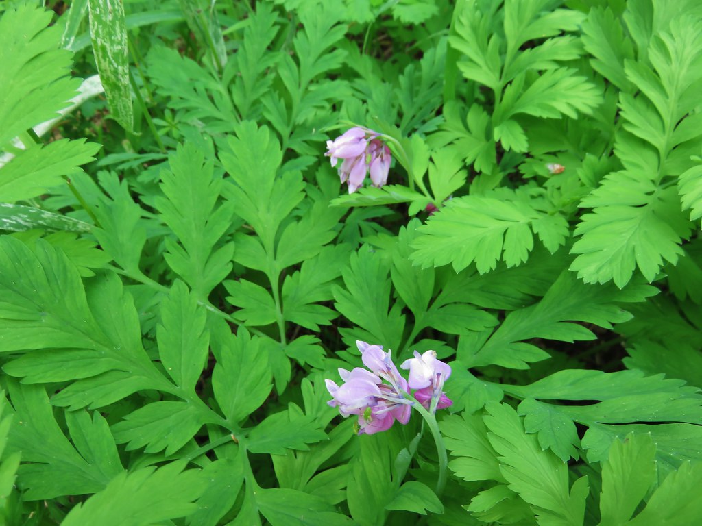
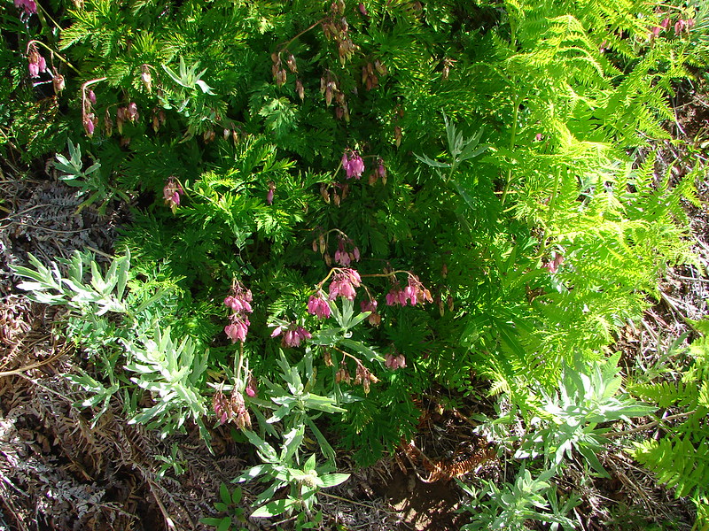
Bleeding heart


That might be rainiera behind the beargrass.

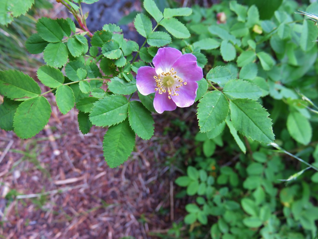
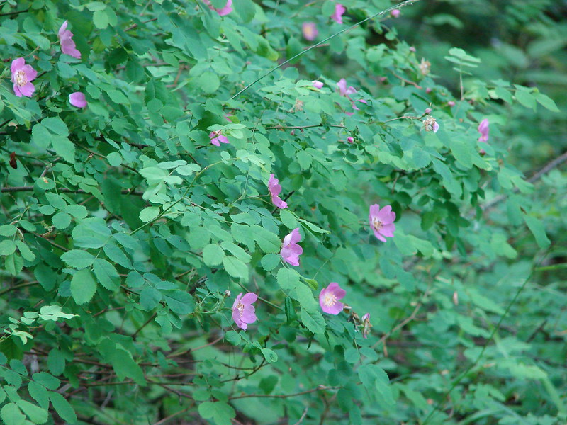
Roses

Valerian along the trail.

Anemone, bunchberry, and foam flower


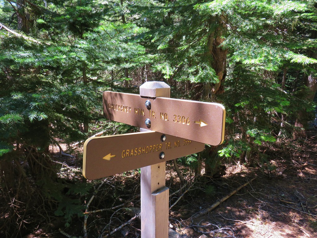
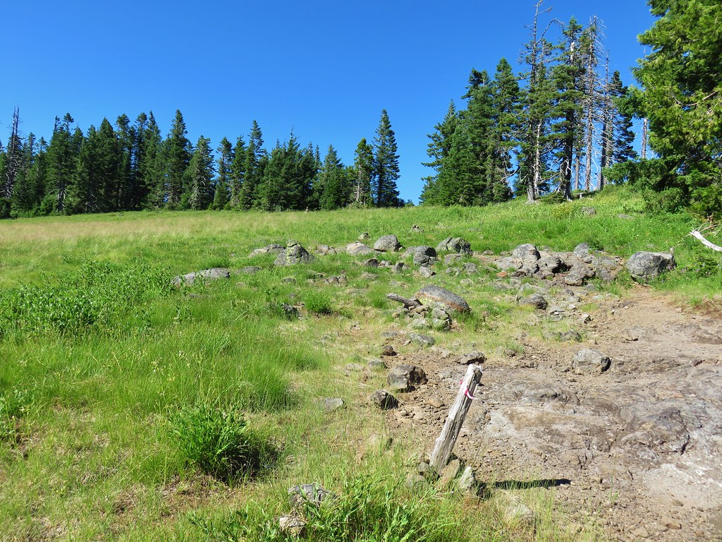
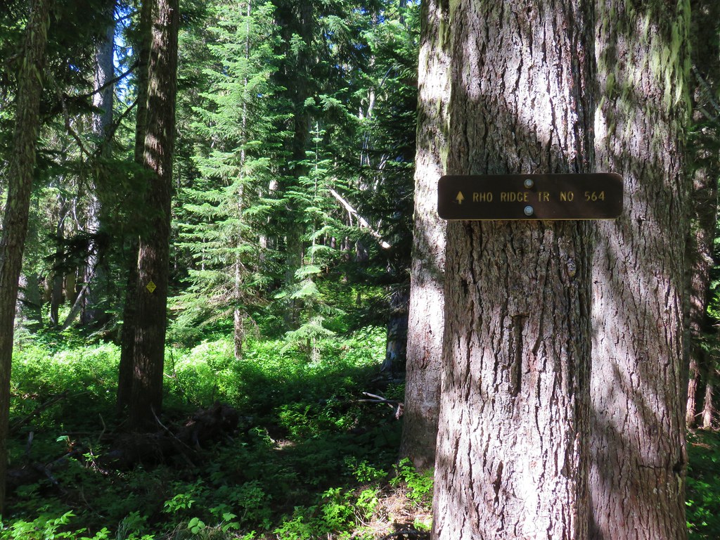
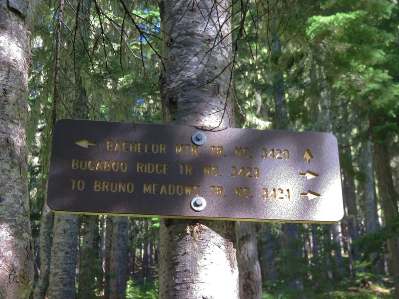
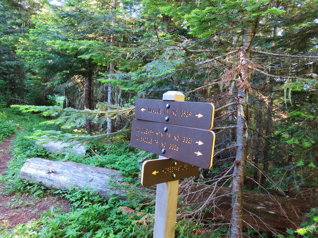
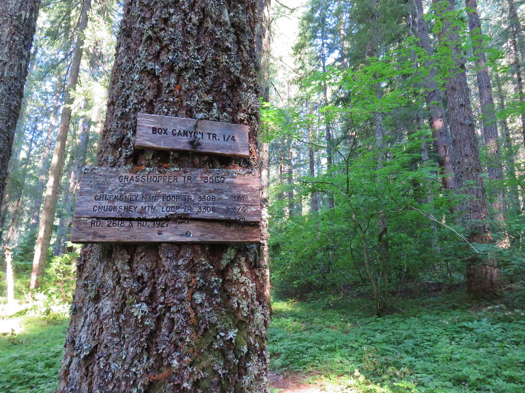
At 2.8-miles from the trailhead we passed a junction with Kate’s Cut In where it appears that most mountain bikers begin their rides.
We could hear a large group of bikers on FR 1912 below getting ready for their rides as we continued straight on the Alpine Trail.


Spotted coralroot

Northwestern twayblade and foam flower


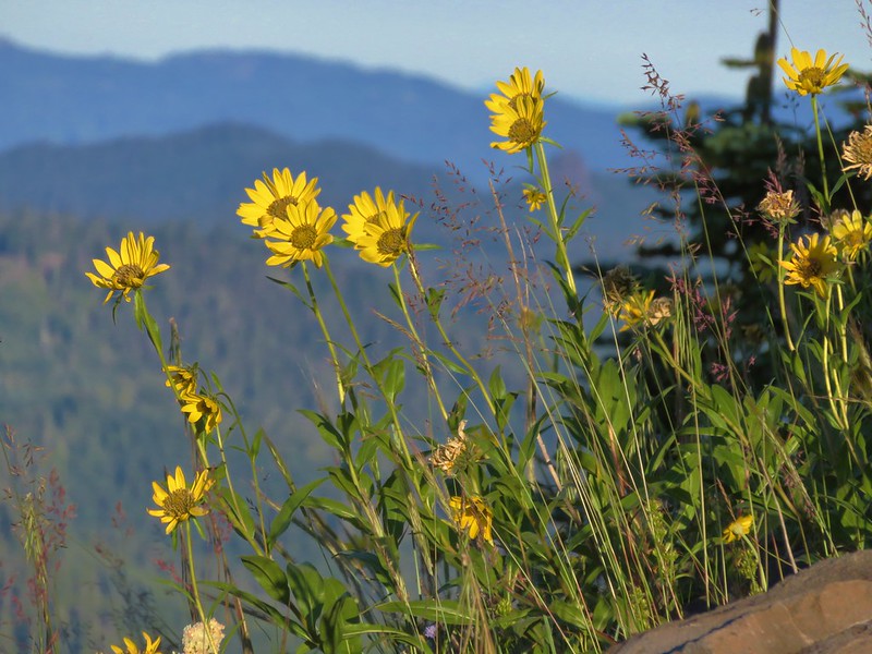
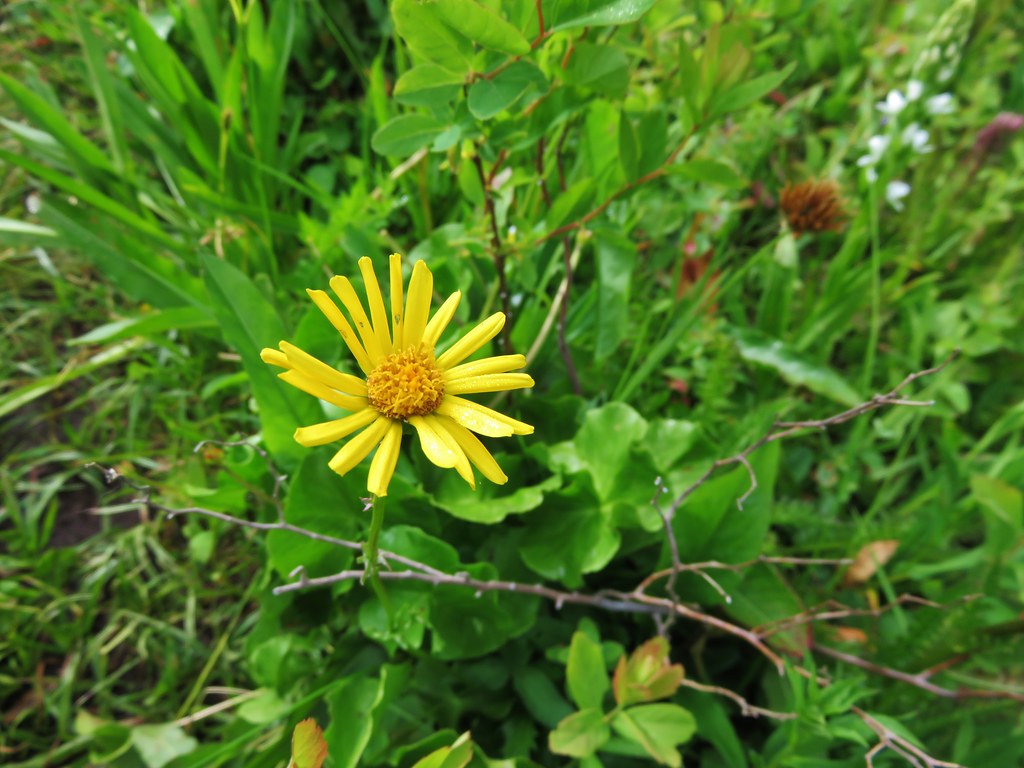
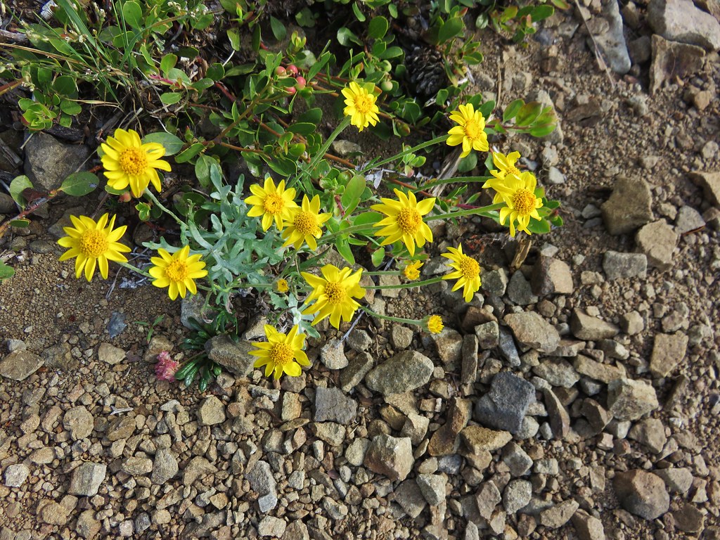
 Arnica
A little over 4-miles from our trailhead we came to a 4-way junction at FR 142 which is the location of Alpine Trailhead 4.

We turned right at the 4-way junction following arrows on the road to the continuation of the trail.

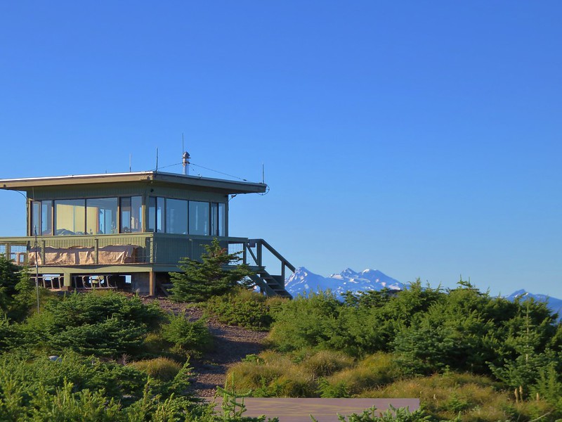
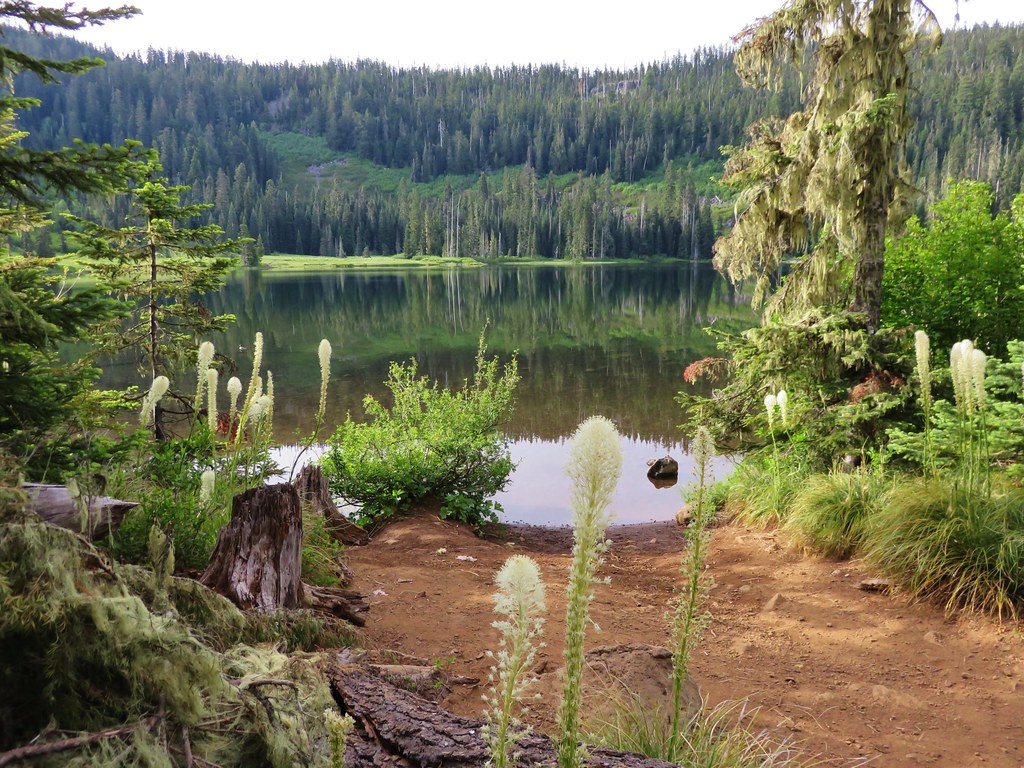
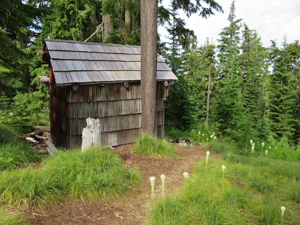
Approximately a half mile from the 4-way junction we arrived at the Elk Camp Shelter.


Violets

Rhododendron and beargrass

Arnica


A short spur trail from FR 142 came in from the left shortly before arriving at the shelter.

Meadow just before the shelter.

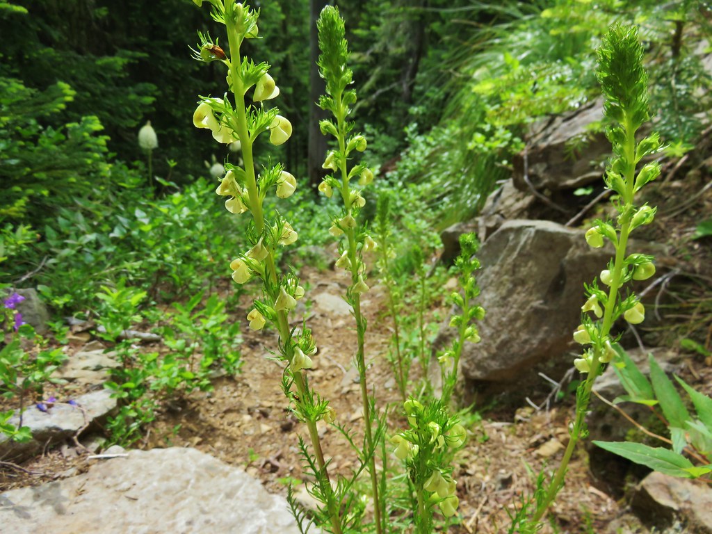
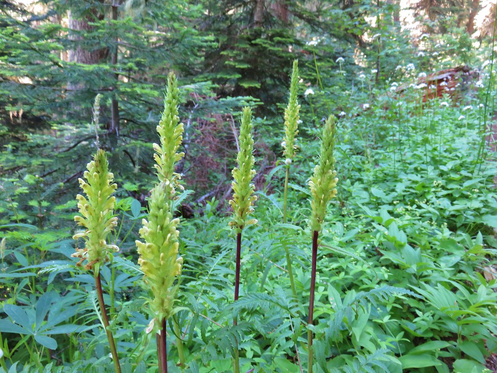
There was a decent amount of coiled lousewort but it was all past its bloom.

First view of the shelter behind the trees.


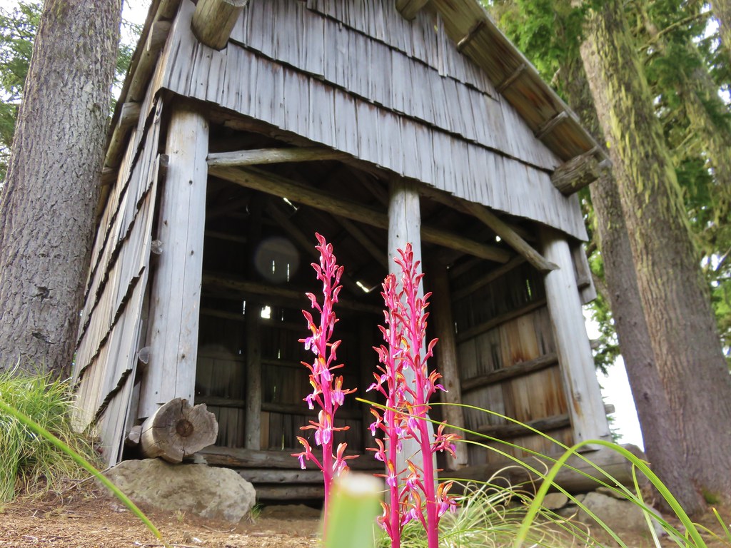
Looking up from the shelter.

Information about the shelter on the table inside.
Hike Oregon’s entry for the hike has you turn around at the shelter making this a moderate 9-mile, 1623′ elevation gain out-and-back. The trail actually continues another nearly 2-miles to the Alpine Trailhead 5.
Looking at Google Earth it appeared that the trail passed through two more small meadows between the shelter and a road crossing approximately 0.75-miles from the shelter. It also appeared that there was minimal elevation loss along that section of the trail, so we had decided to make the road crossing our turn around point. After spending a little time at the shelter we’d attracted enough mosquitos to prompt us to move on.


Small-flowered solomonseal

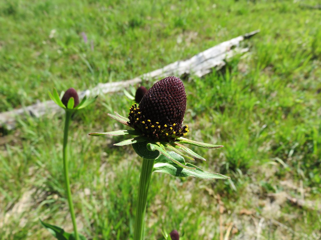
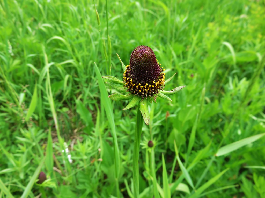
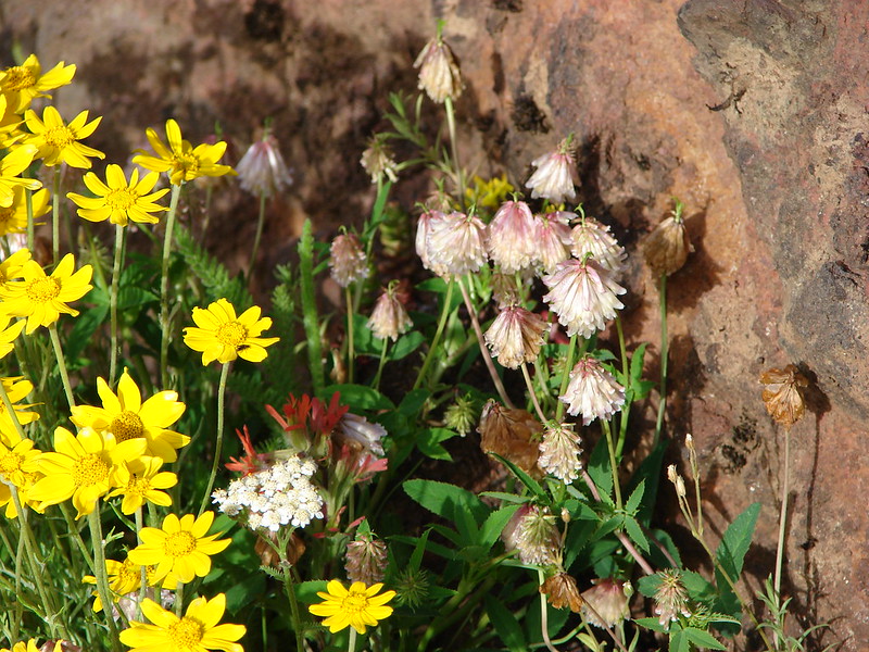
Coneflower

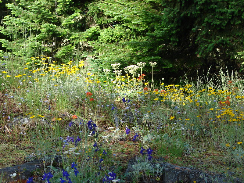
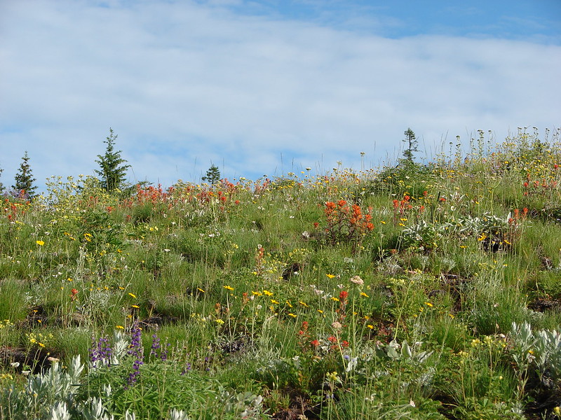
The first meadow.

Coneflower, valerian, and columbine.

Inside-out-flower

Ragwort

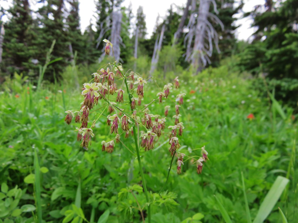
Western meadow-rue

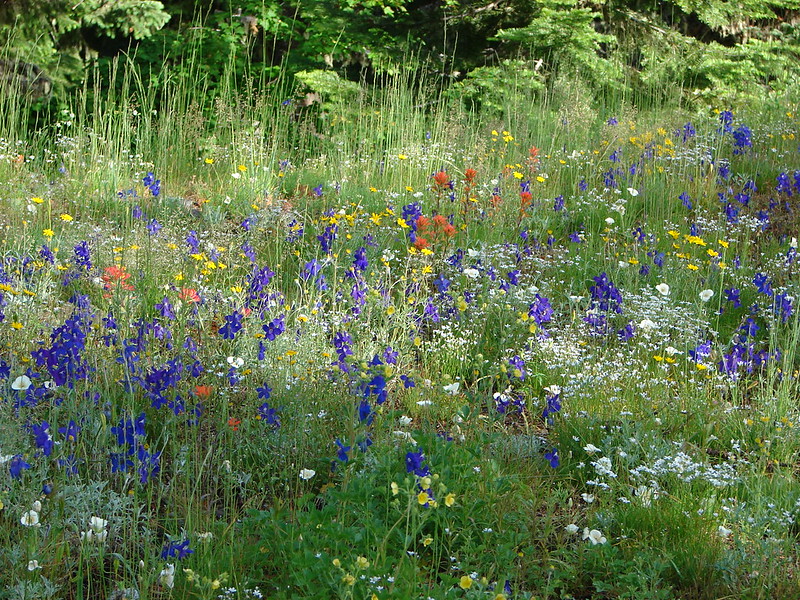
This meadow was very damp making the trail slick with mud.

Meadow fritillary

Self-heal

The second meadow.
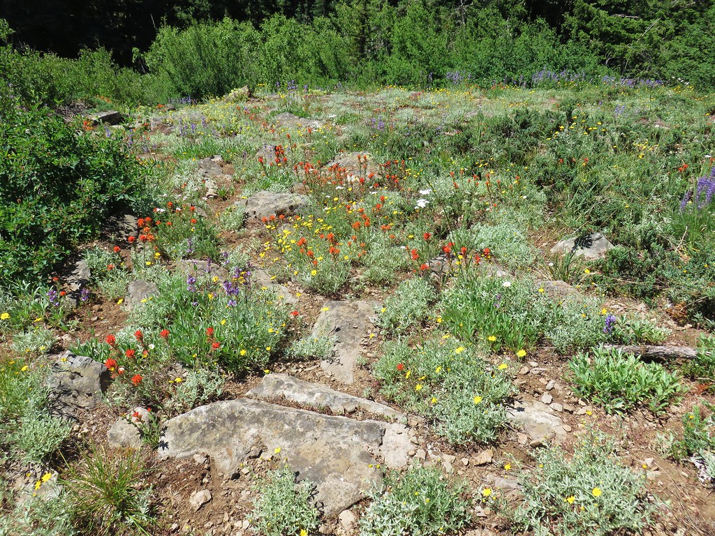
 Spirea, tiger lilies, columbine, valerian, and cinquefoil.

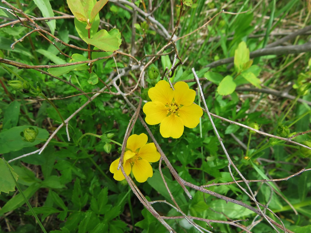
Sticky cinquefoil

Columbine

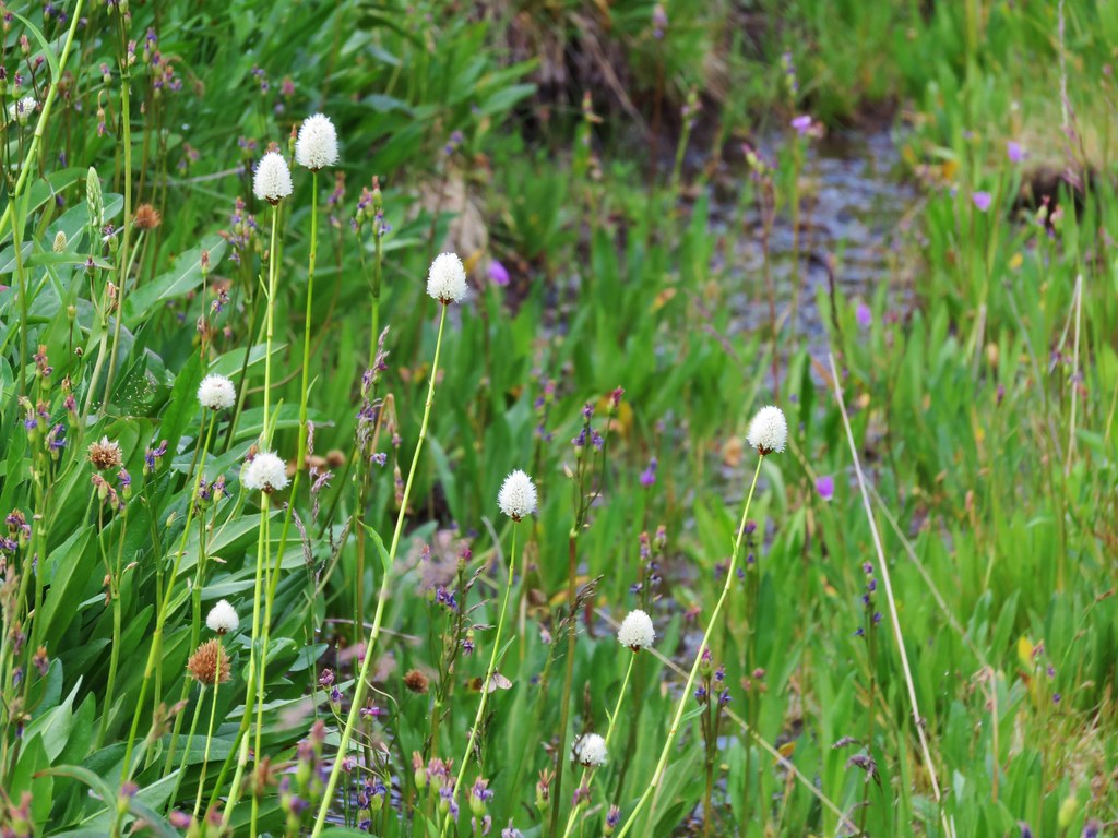
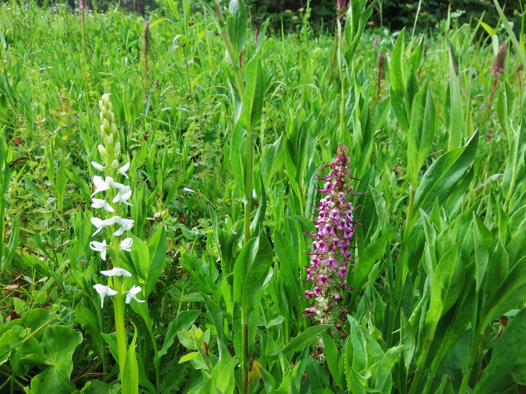
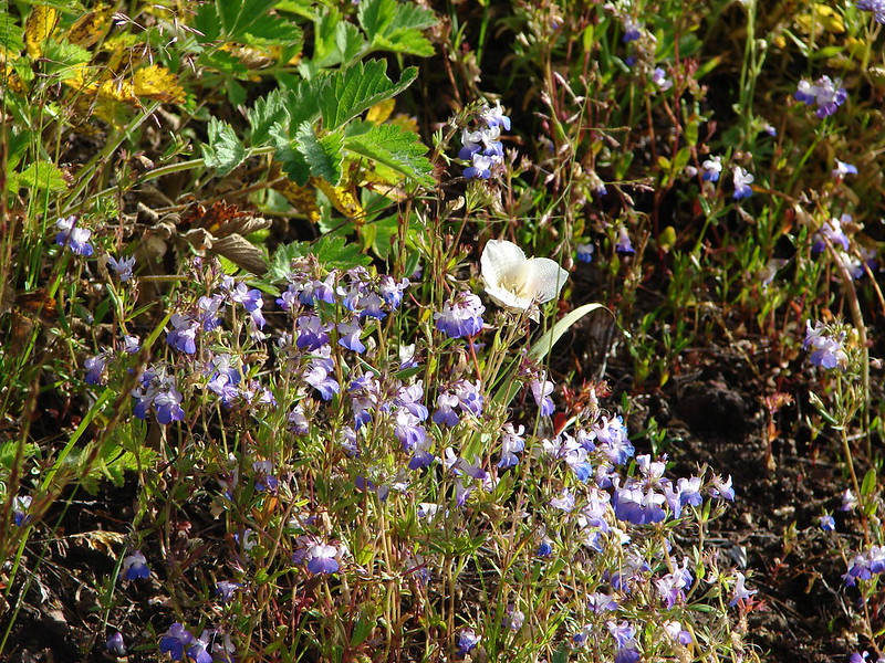
Bog orchids

White bog orchids

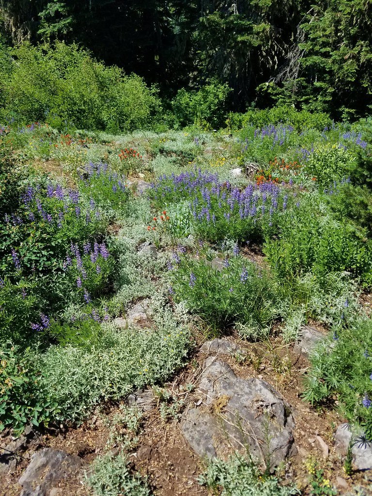
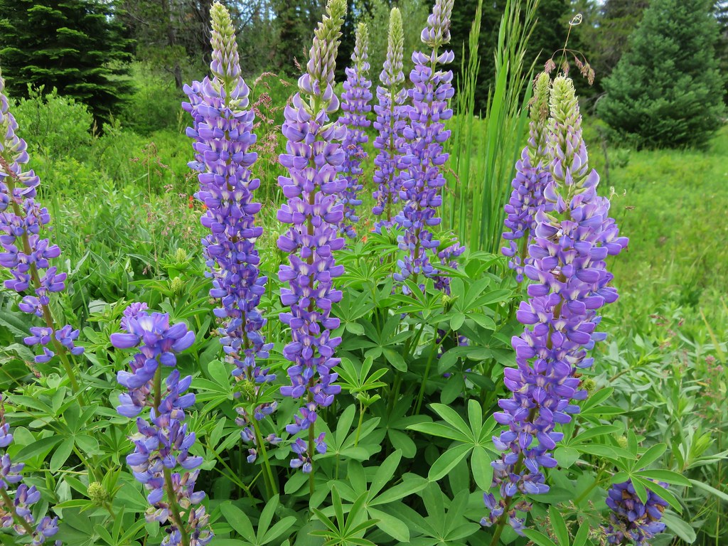
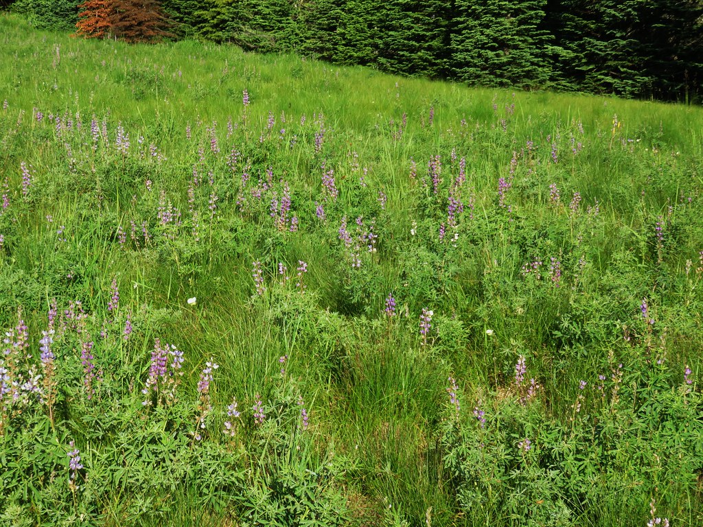
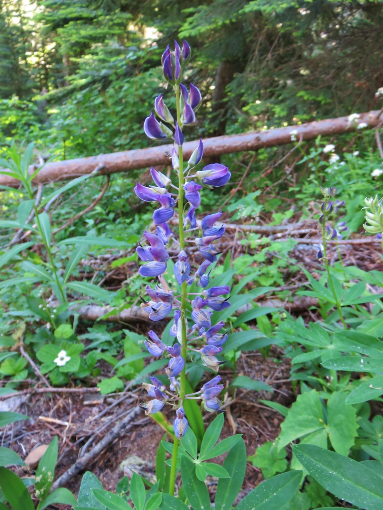
Lupine

The forest road where we turned around.
We took a break on some stumps along the road where mosquitos were not an issue and then headed back the way we’d come. We kept our eyes open for flowers we’d missed on our first pass and for mountain bikers making sure to step aside when we heard/spotted them coming.

Gold threads

Rhododendron blossoms

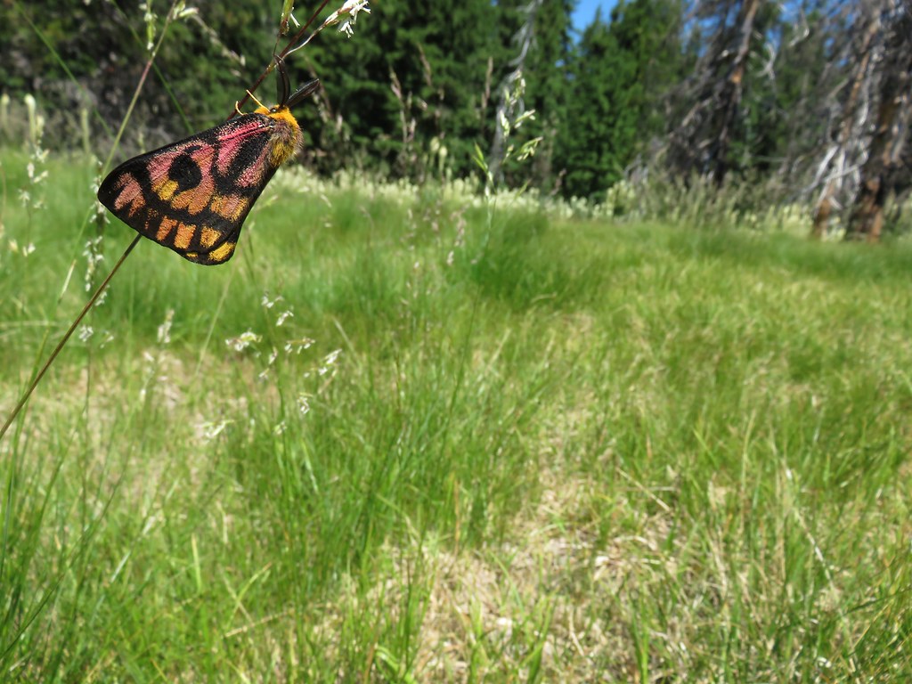
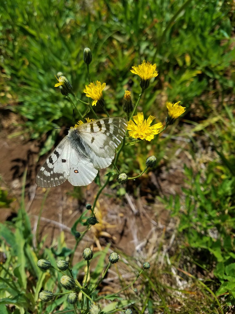
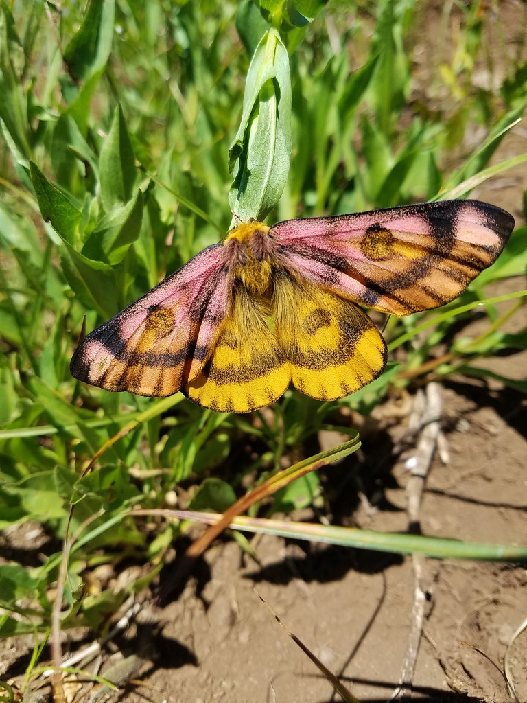
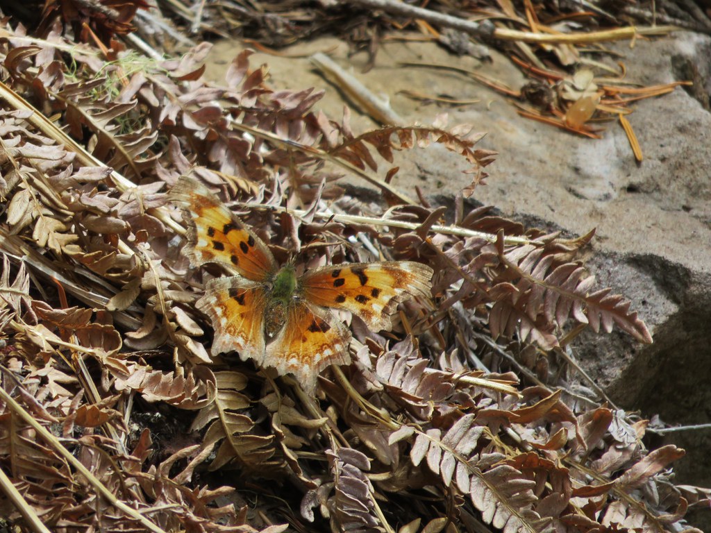
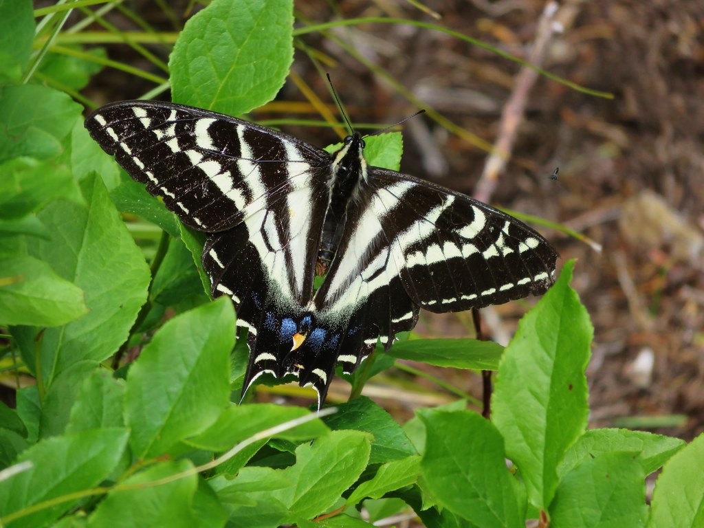
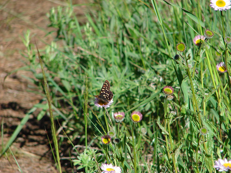
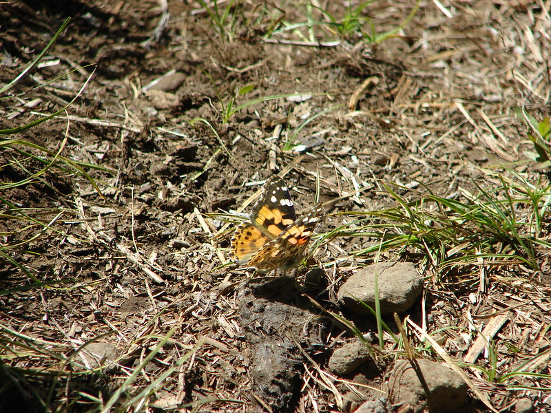
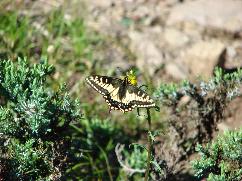
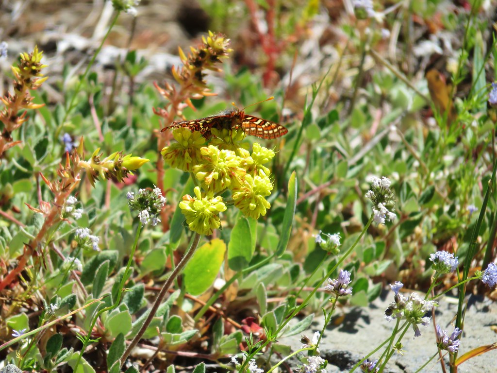
Clodius Parnassian

Fairy lanters

Baneberry


Arnica
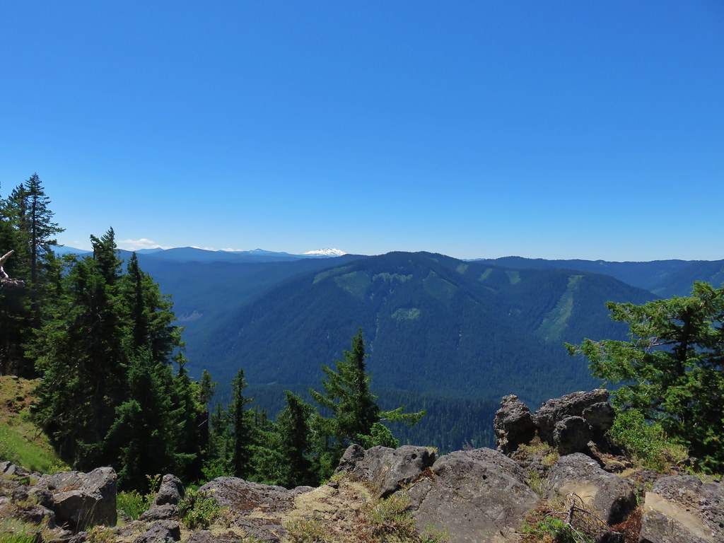
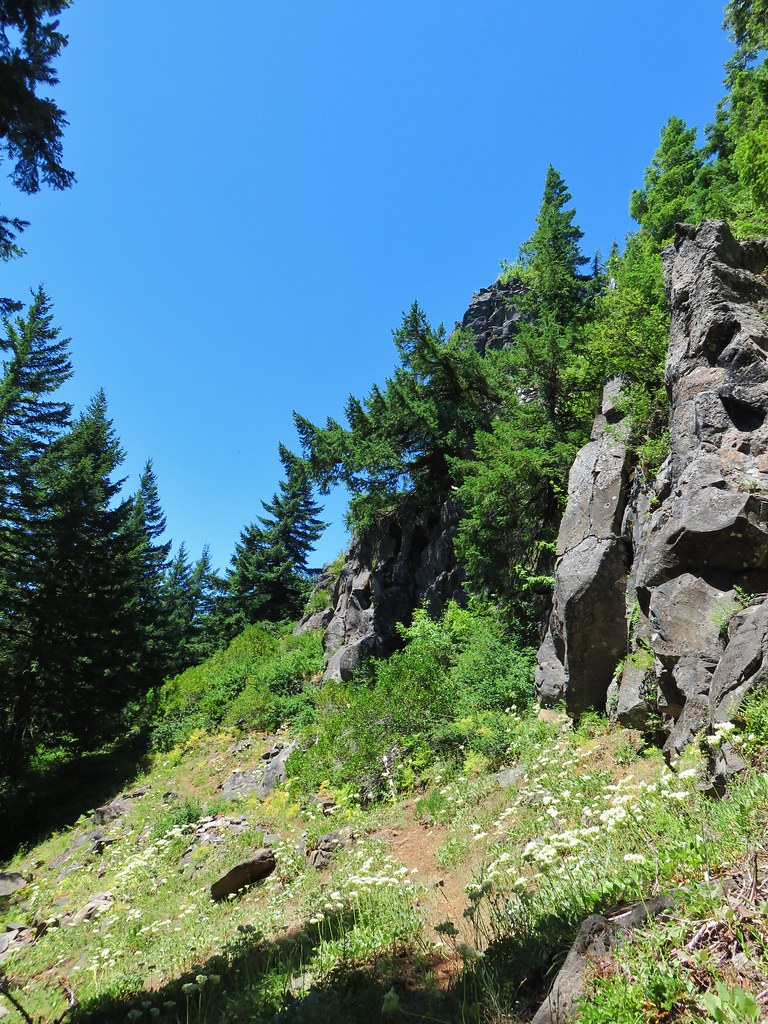
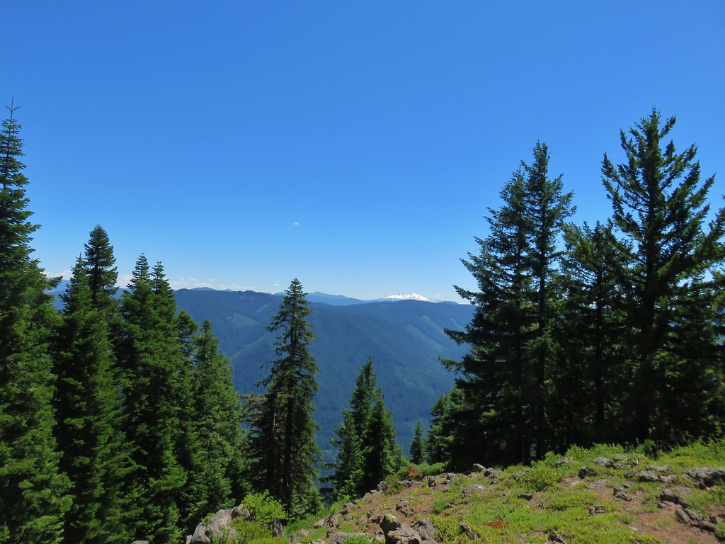
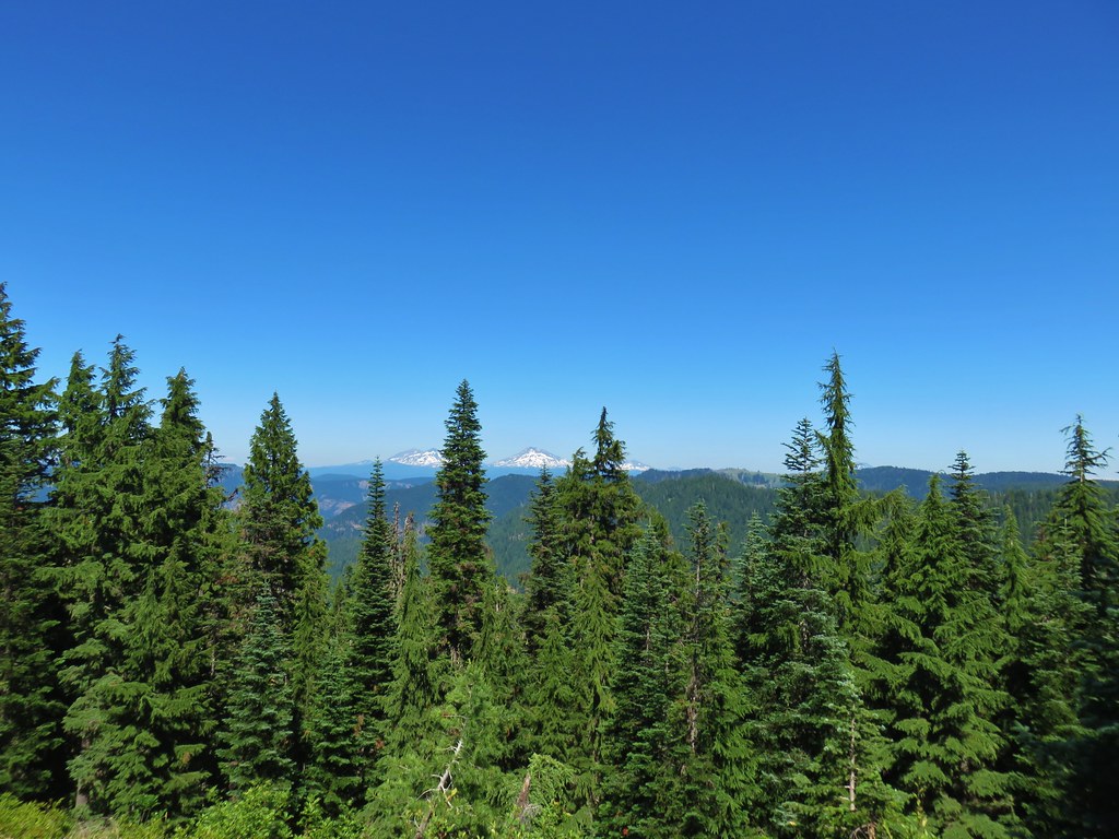
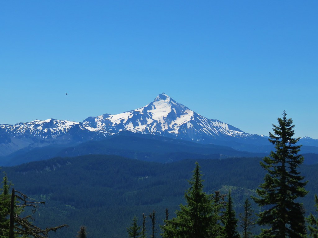
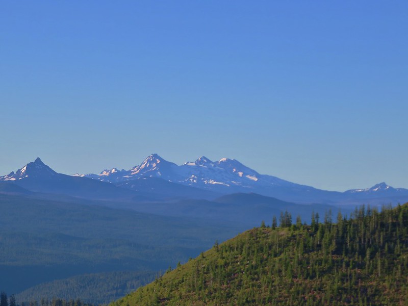
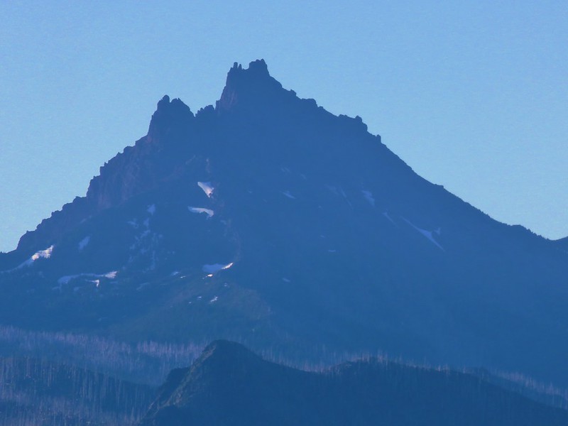
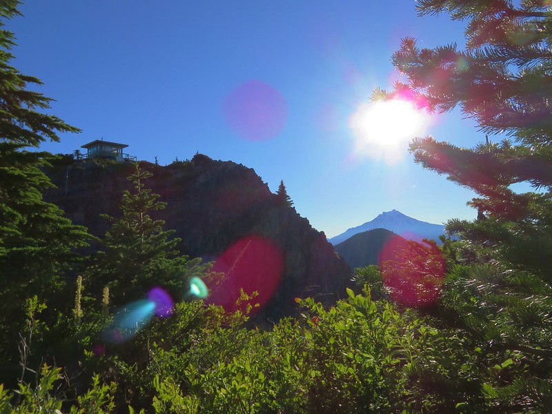
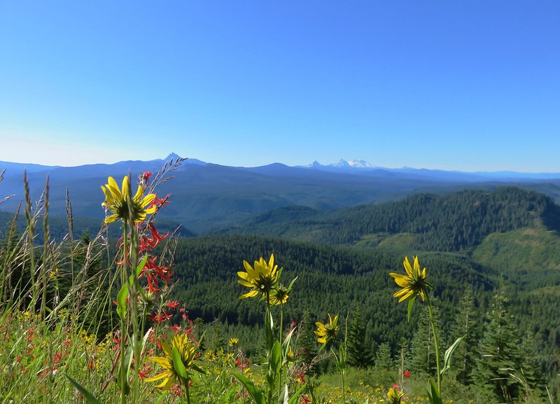
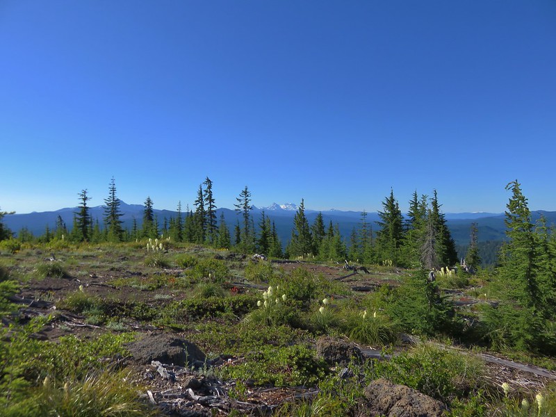
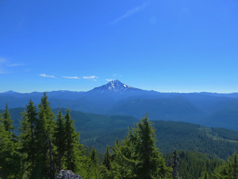
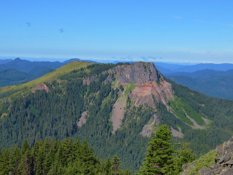
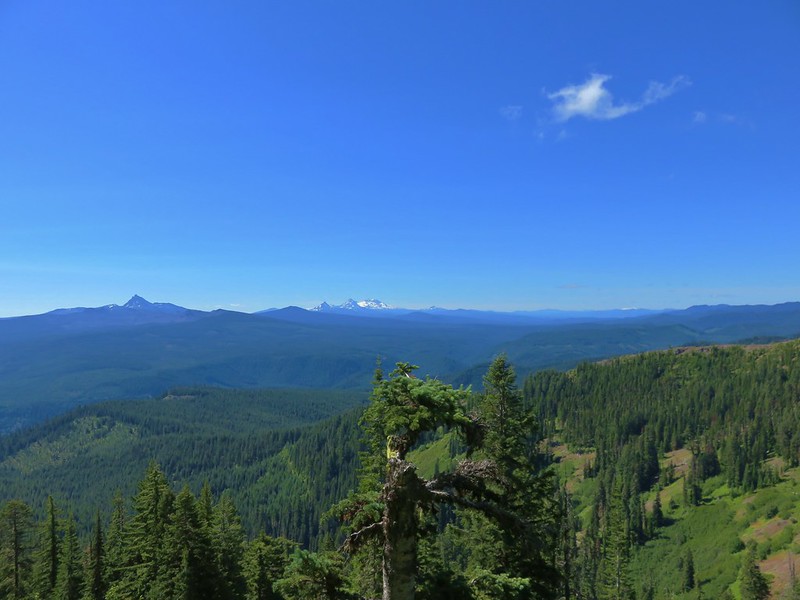
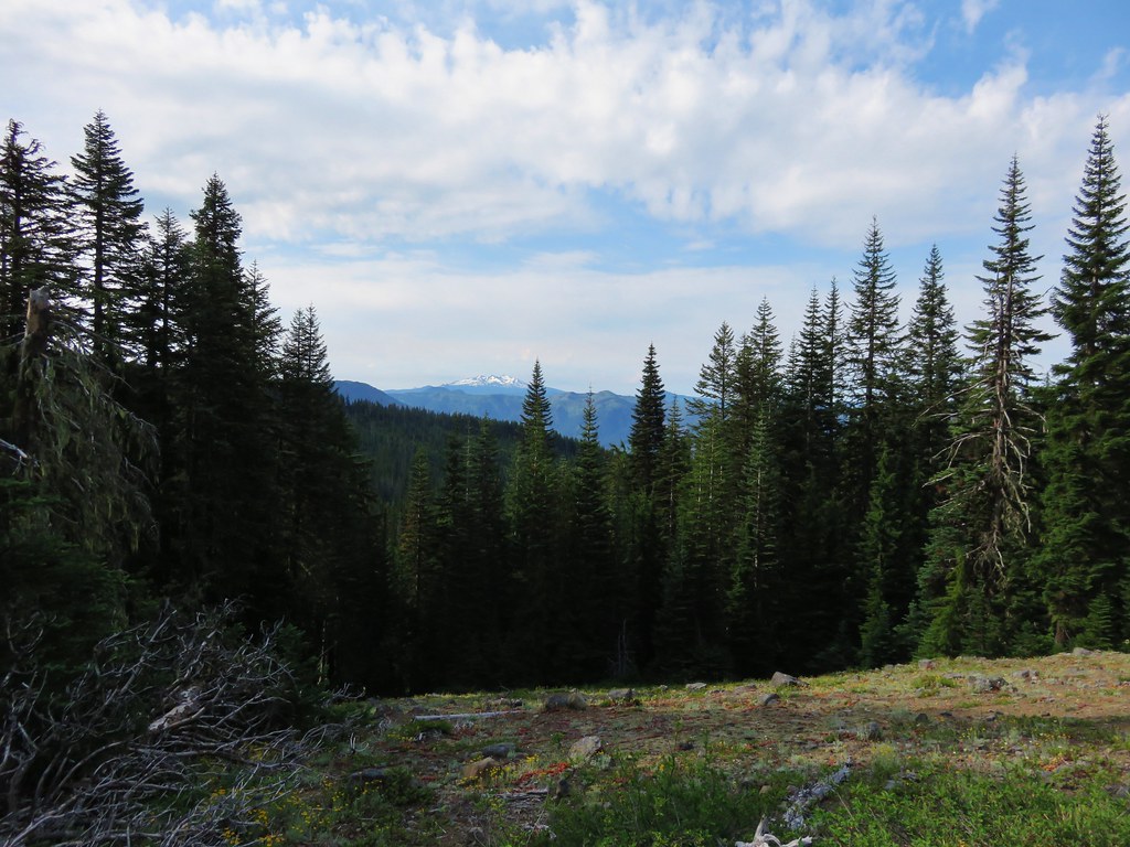
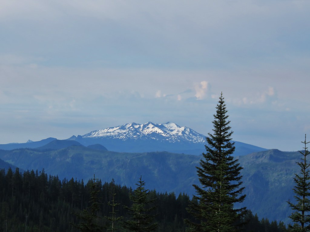
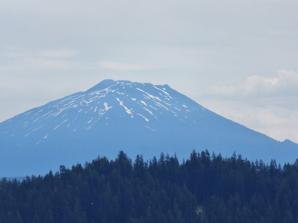
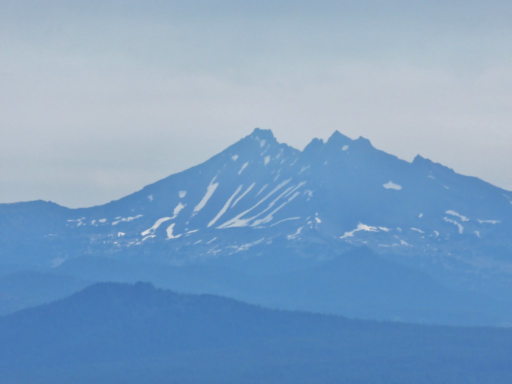
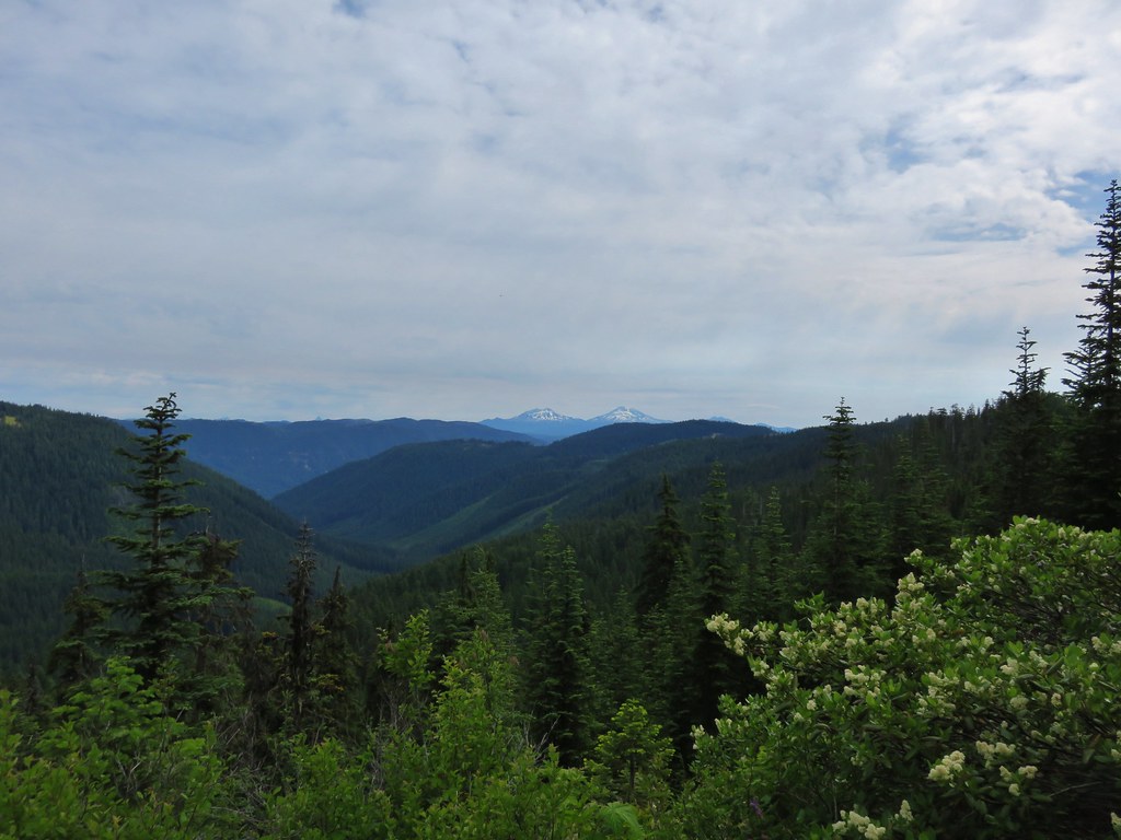
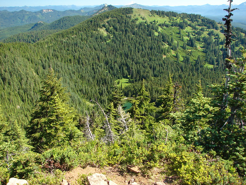
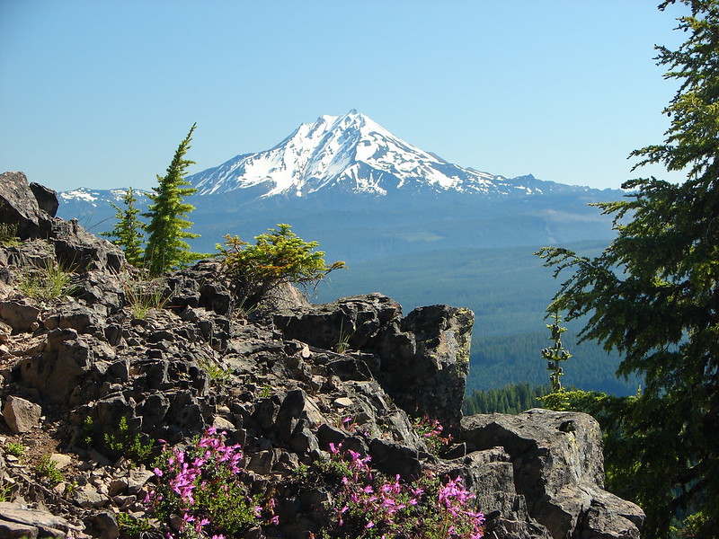
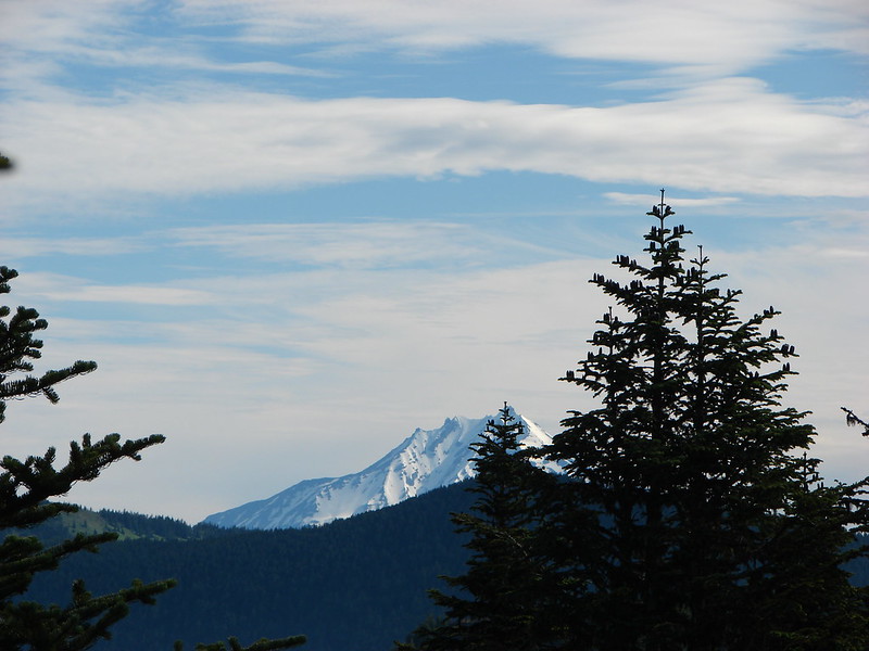
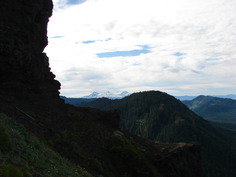
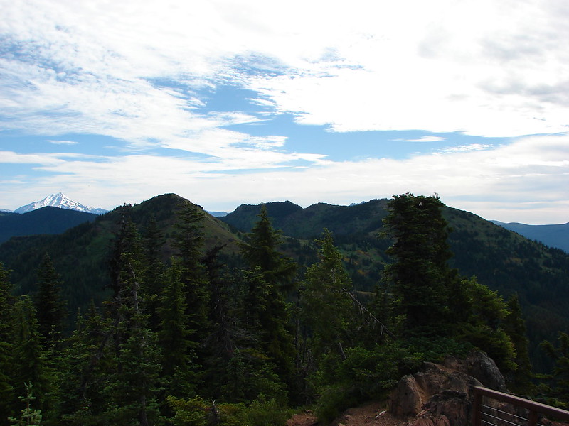
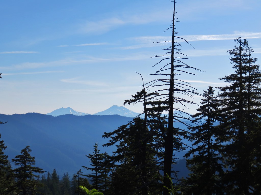
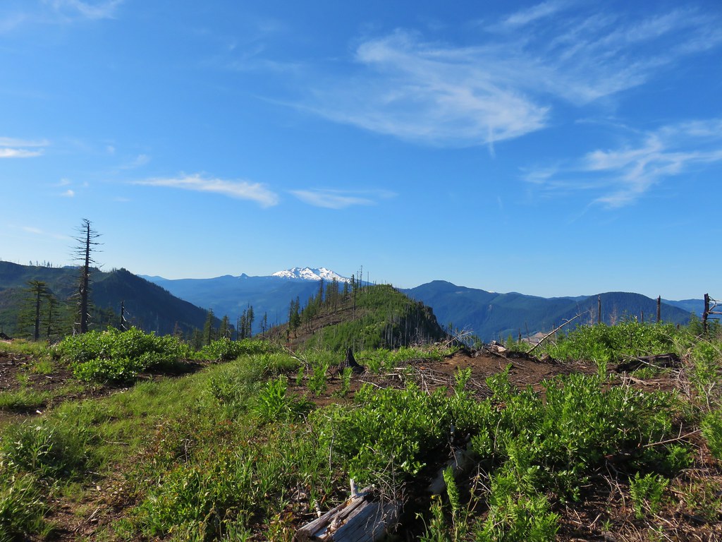
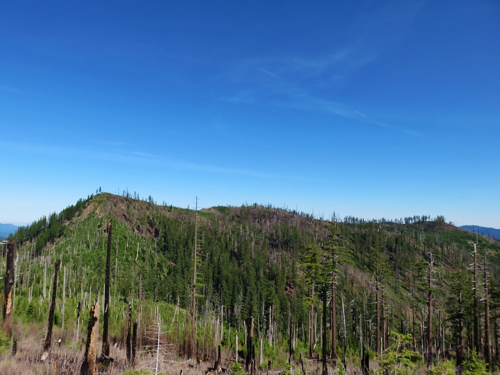
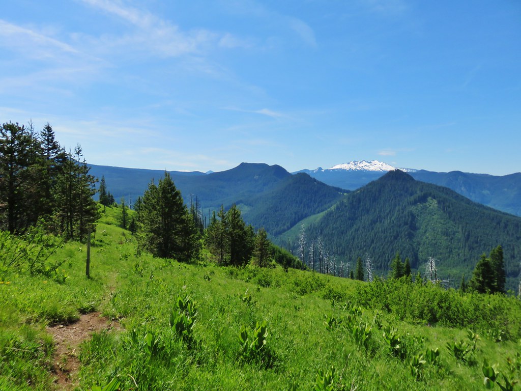
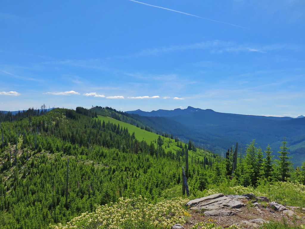
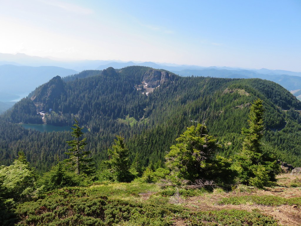
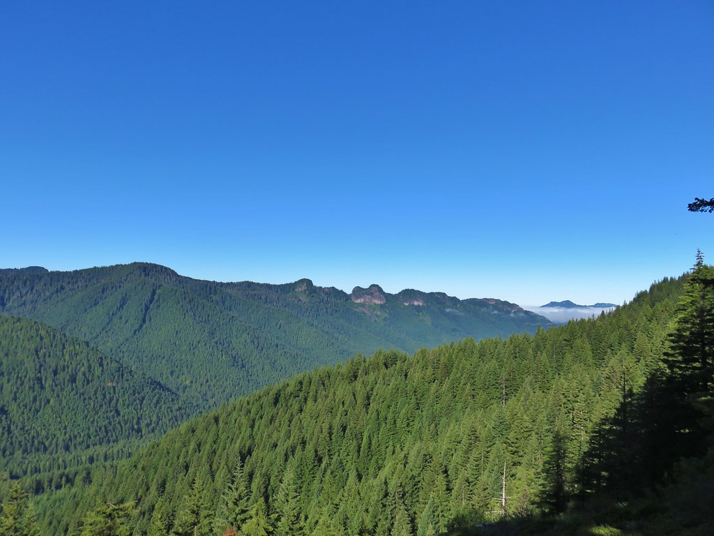
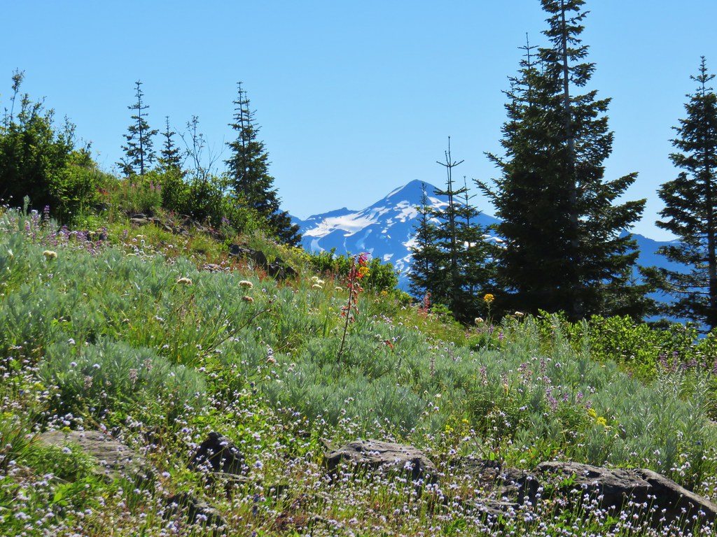
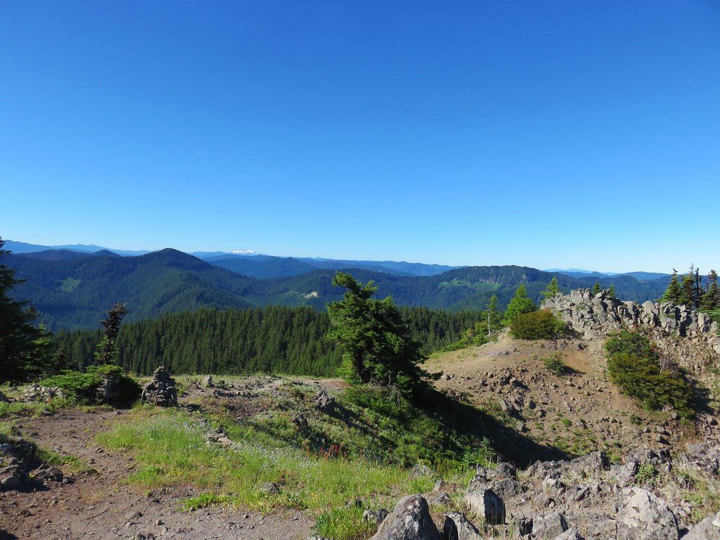
There weren’t any unobstructed views at any point along this trail. We could occasionally see snow covered Cascade peaks through the trees, but the only peak we were able to identify was The Twins (post) near the junction with Kate’s Cut In.

The Twins are in the center with Waldo Mountain (post) closer and to the left.

One sided wintergreen.

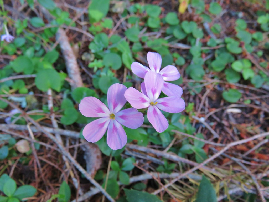
Candy flower

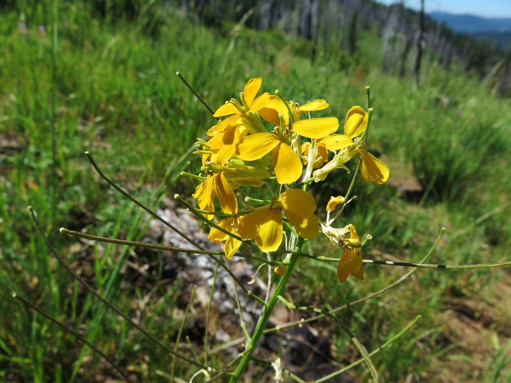
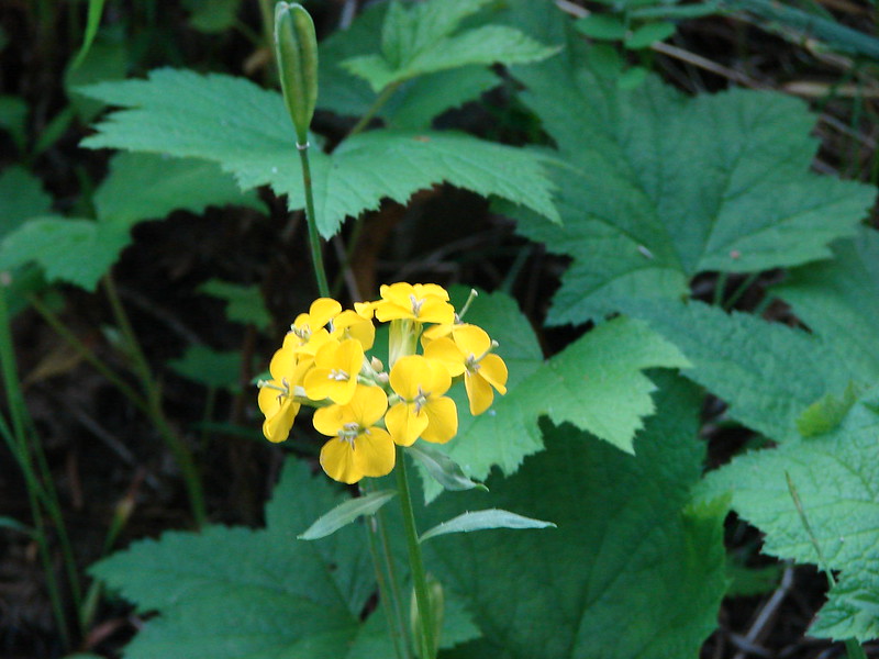
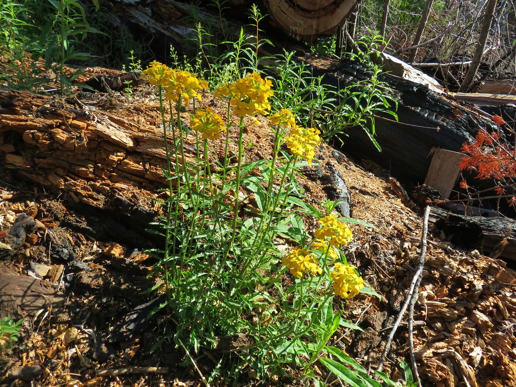
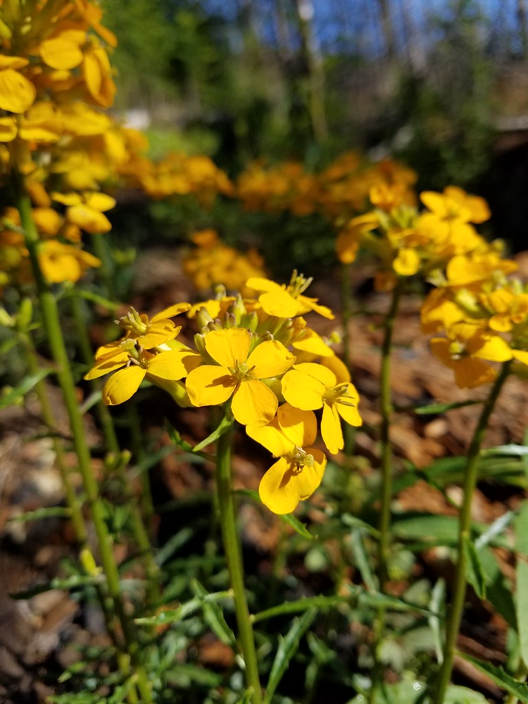
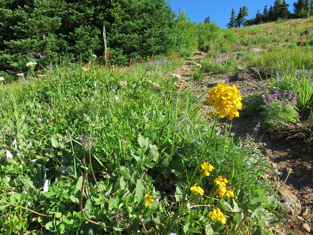
Wallflower

Nearing the bench at the edge of the meadow on Sourgrass Mountain.
We took a break on the bench and were joined by a pair of mountain bikers who were making the ride from Kate’s Cut In to Westfir. The first gentleman explained that some cyclists head north on the trail from Kate’s Cut In and ride (mostly) downhill to the Alpine Trailhead 5 then loop back to Kate’s Cut In along FR 1912 before heading south to Westfir. That loop is known as the “Chrome Toilet” (no explanation given), but he had never ridden that loop. We had passed one group heading down the Alpine Trail as we were heading back by the shelter.
The cyclists continued on, and we followed shortly after. It was just after Noon and as we made our way through the meadow the first of several groups rode past us. They were all very polite about sharing the trail with hikers and we did our part by stepping off the trail as quickly as possible whenever we spotted them coming. This meant a lot of looking back over our shoulders and led to us hiking a little faster than we normally would have otherwise.


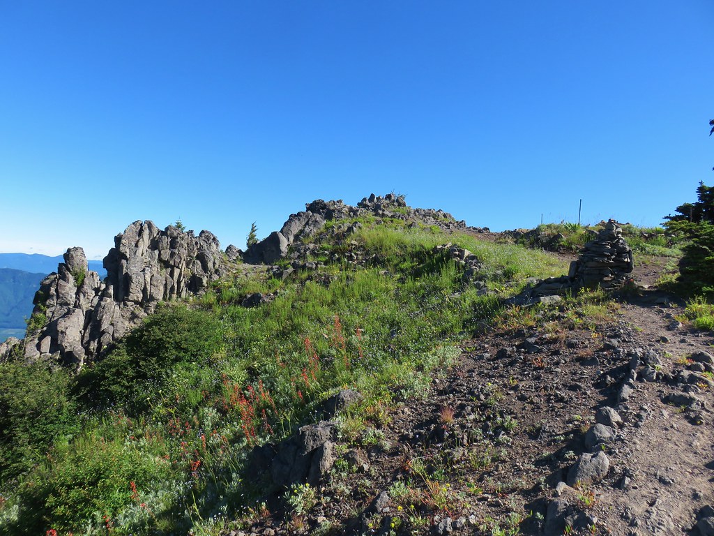
Looking up at the highpoint of Sourgrass Mountain.


Larkspur

Royal Jacob’s ladder


The trail dropping down to FR 1912 where we’d parked.
Our version of this hike clocked in at just over 10.5 miles with roughly 1700′ of cumulative elevation gain.

This was a really enjoyable hike made better by the beargrass bloom. Even if the beargrass had not been blooming this year there were enough other flowers to make it a good wildflower hike, and the forest along the trail was lovely. We could see why it is such a popular biking trail which is the only real drawback as a hike. Weekday mornings would probably be a good time to limit the number of bikers to watch for. If you do visit just stay aware and share the trail appropriately. Happy Trails!
Flickr: Sourgrass Mountain


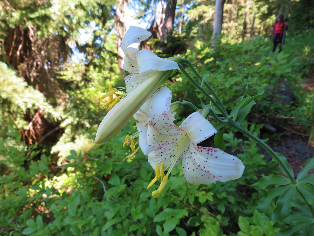
 The only tiger lily that seemed to be open yet.
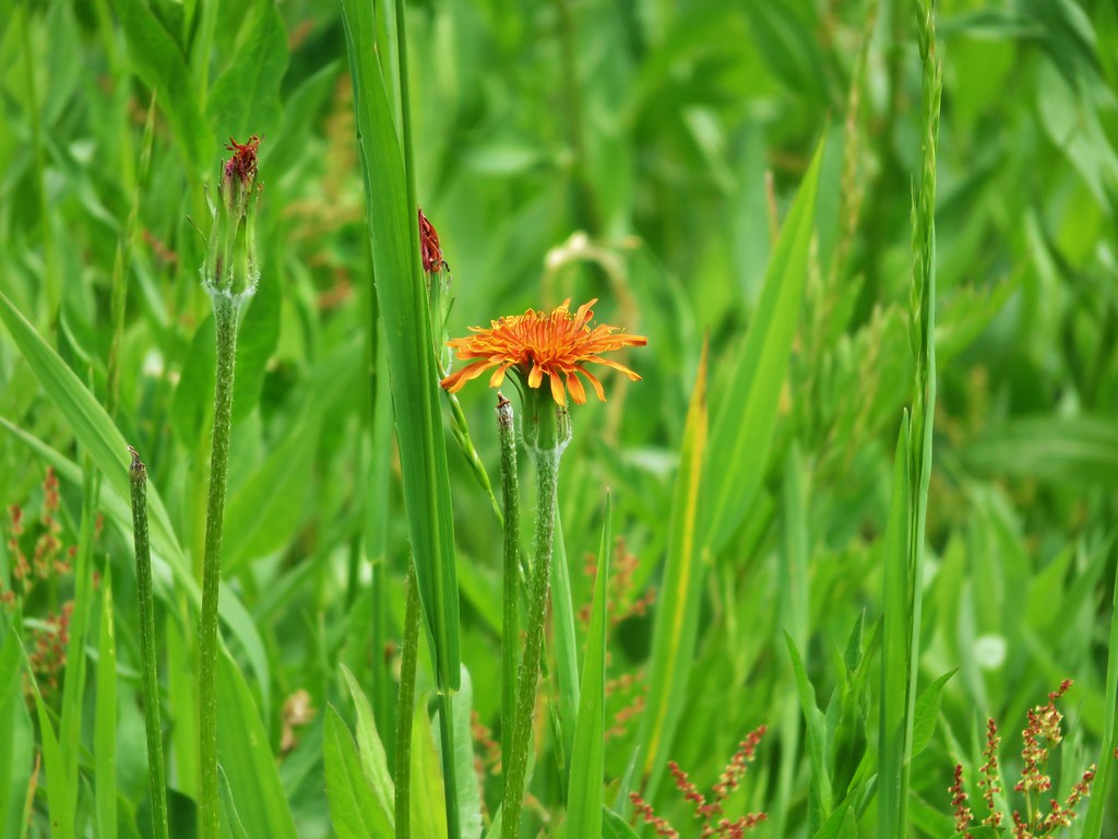
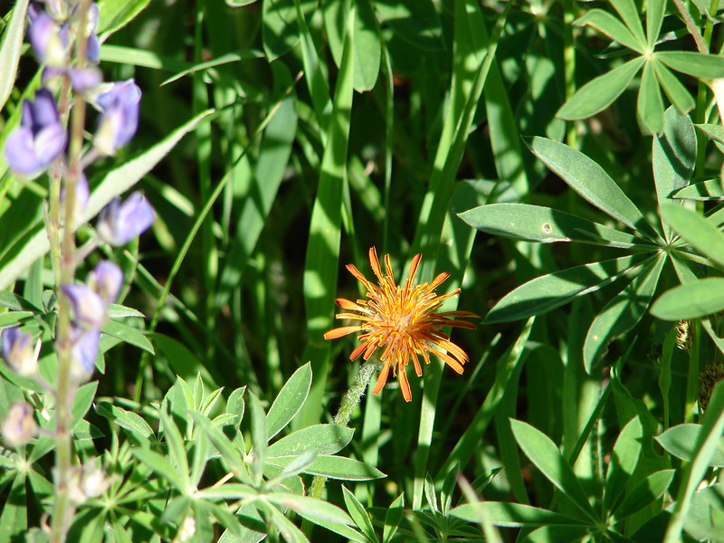
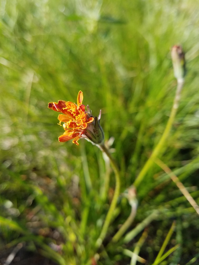 orange agoseris beginning to open.
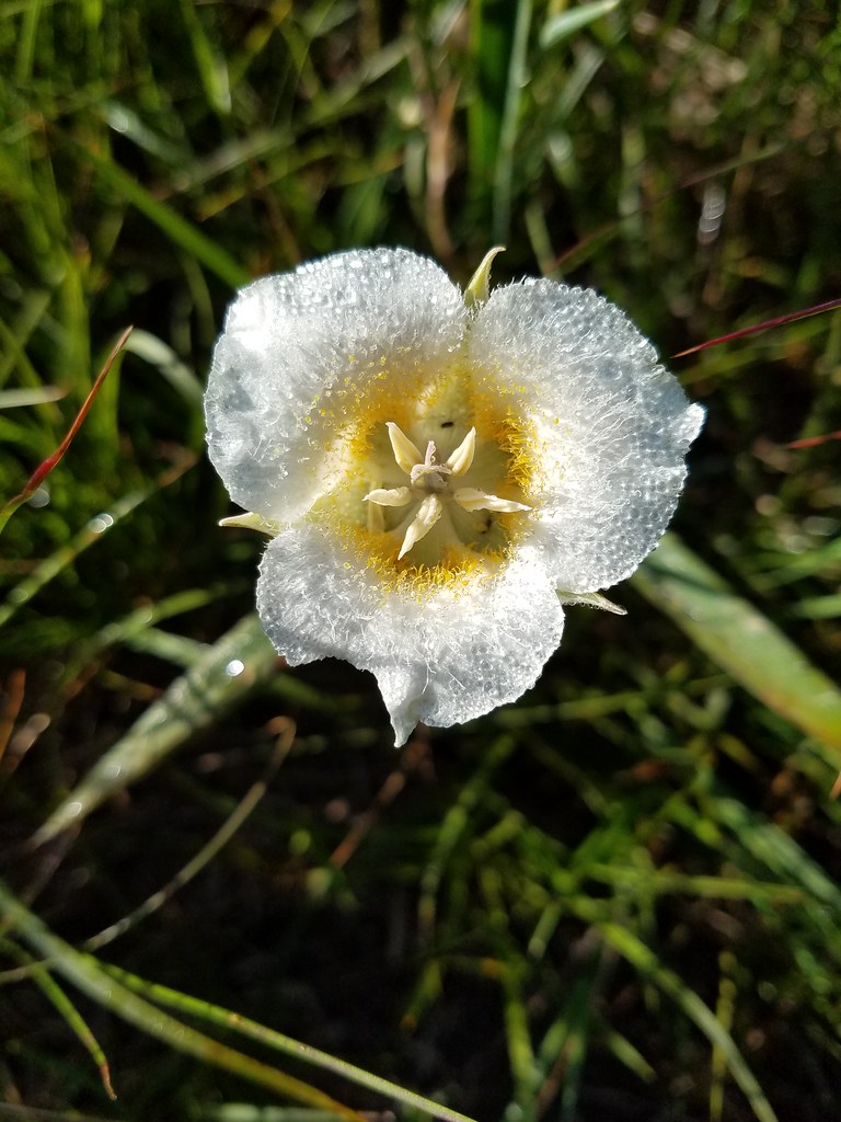 Cat’s ear lily
 Pussytoes
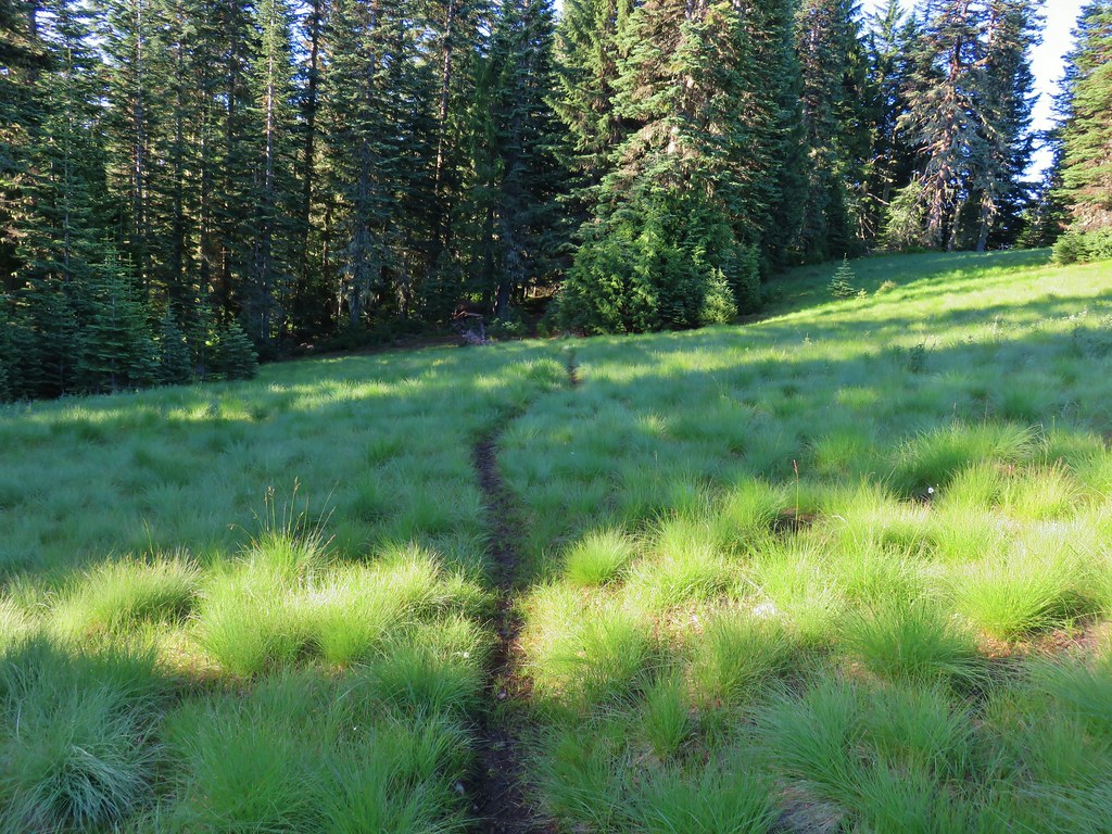


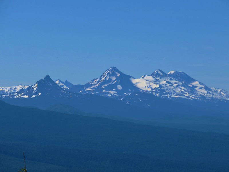
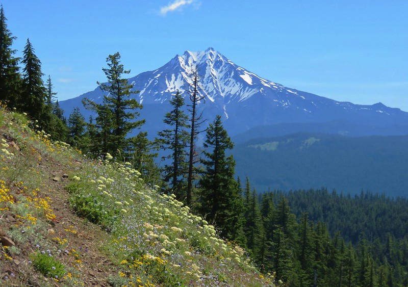
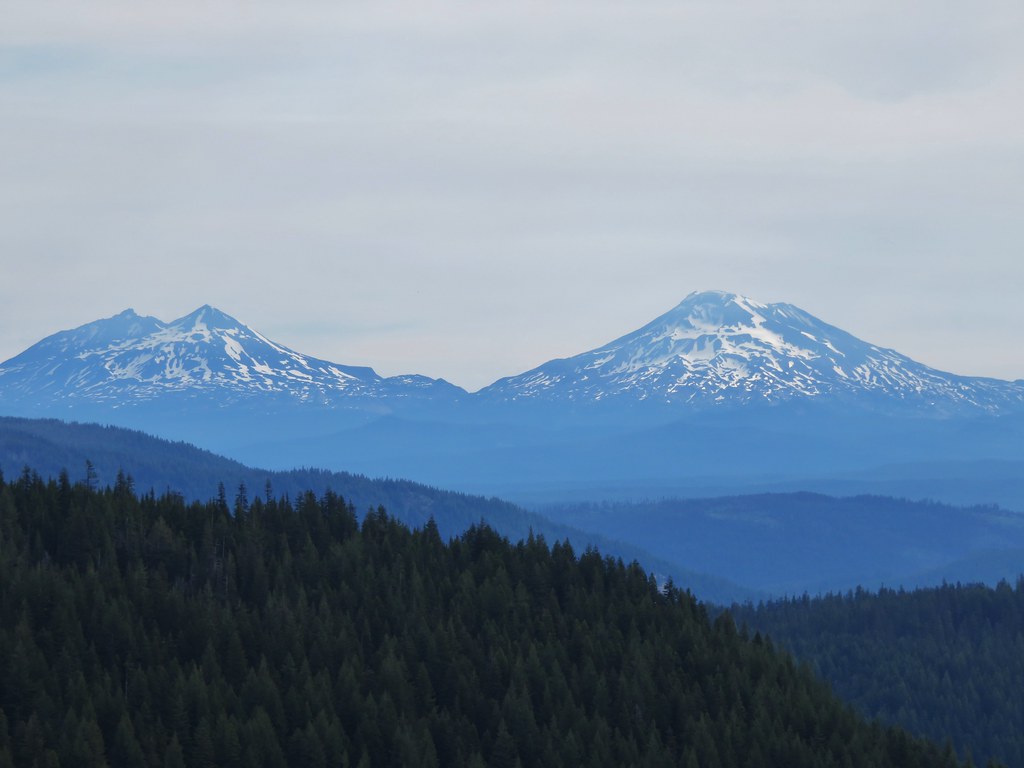
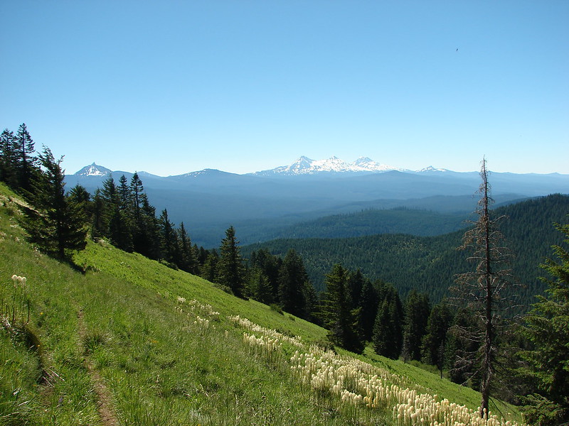
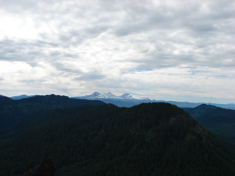
 The Three Sisters and Broken Top
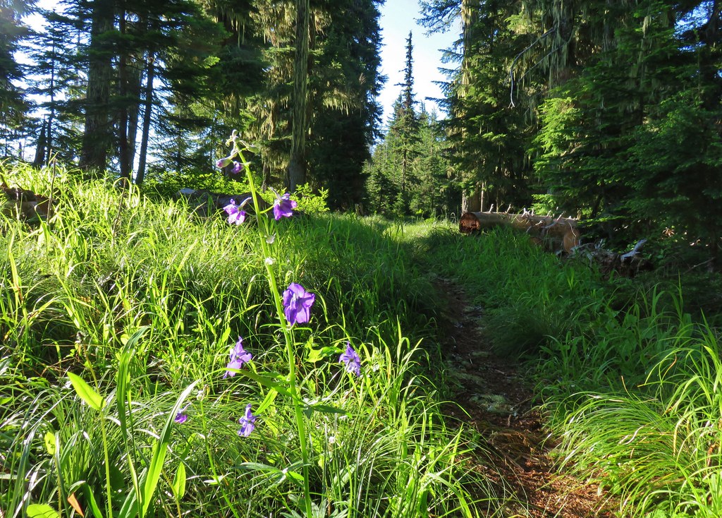 Larkspur along the trail.
 Bunchberry
 Anemone
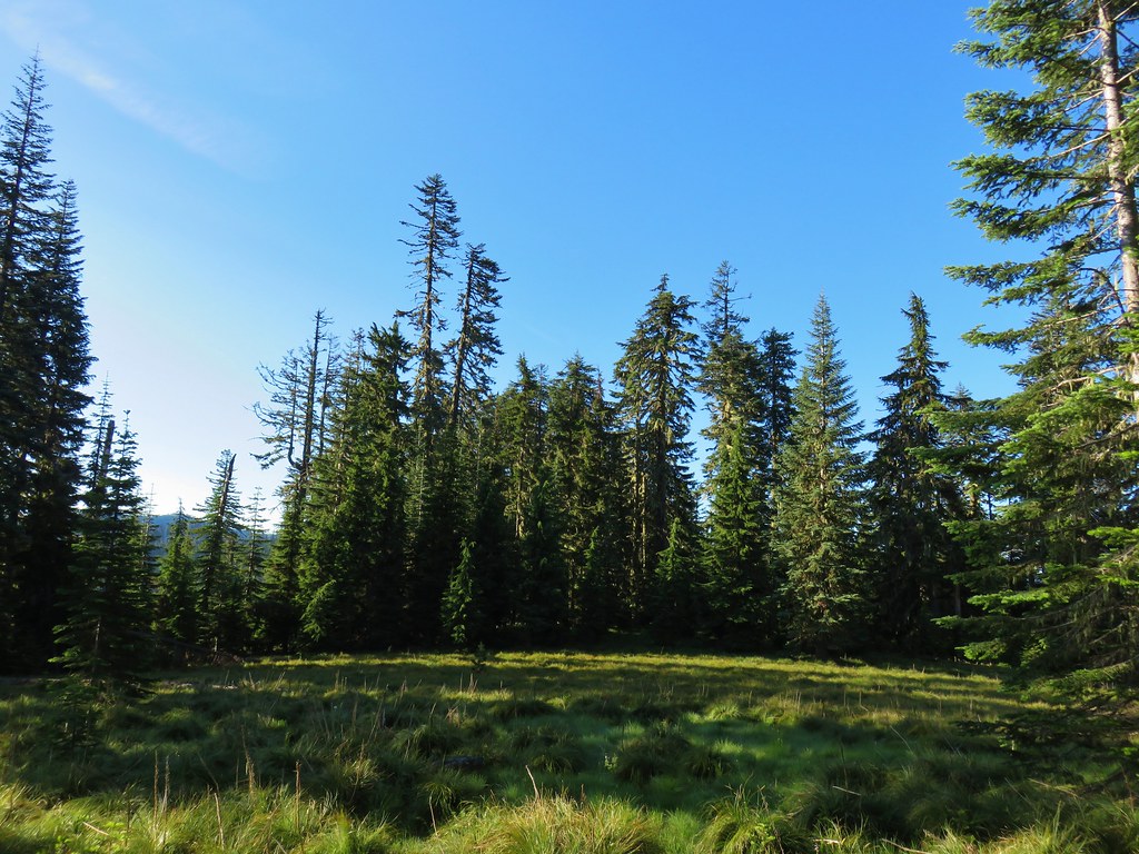 Another meadow
 The Three Sisters and Broken Top
 Queen’s cup
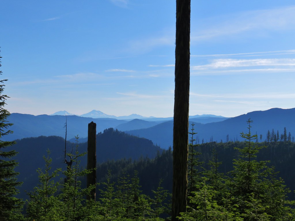 The Three Sisters, Broken Top, and a bit of Mt. Bachelor
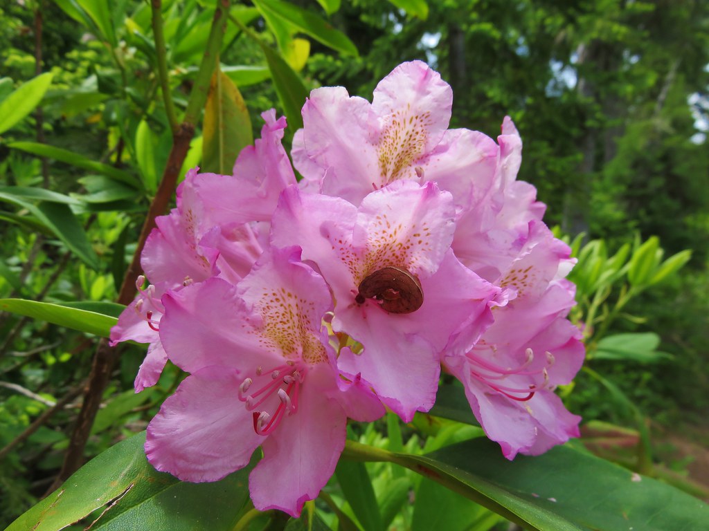
 Rhododendron
 Another meadow full of not-in-bloom beargrass.
 View from the SW facing hillside.
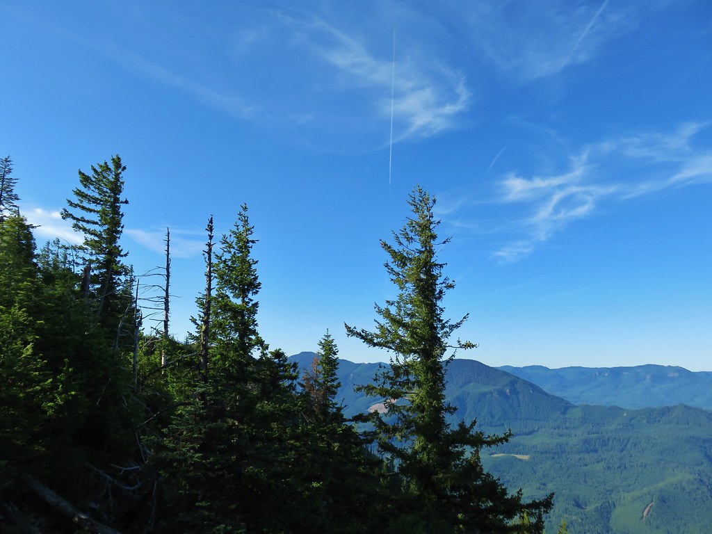 Looking SE

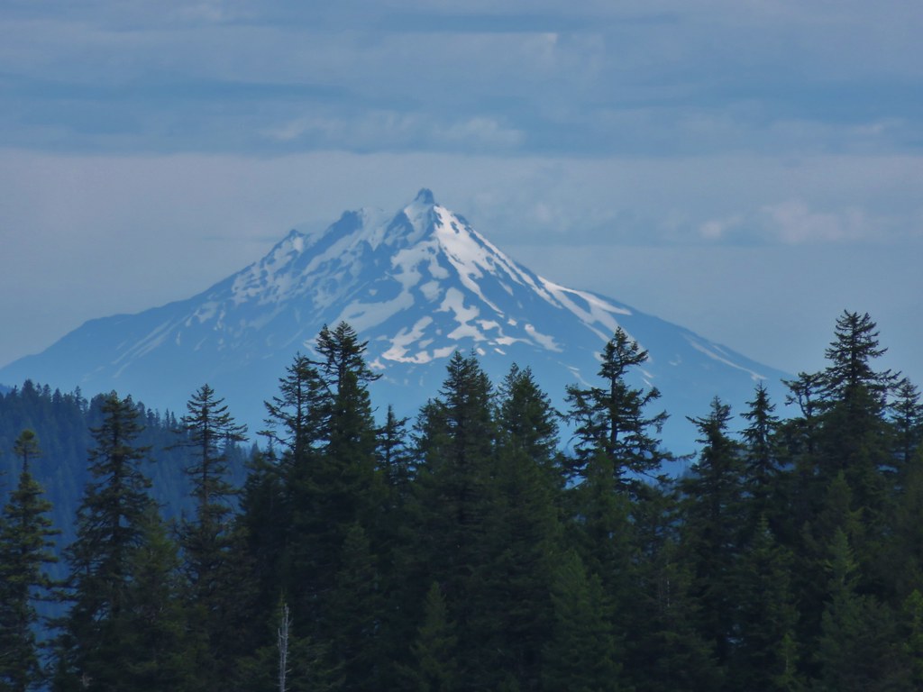
 Diamond Peak through the trees.
 Valerian in the saddle.


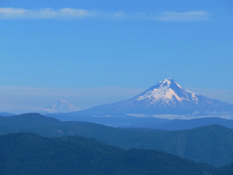
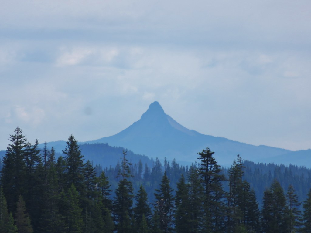
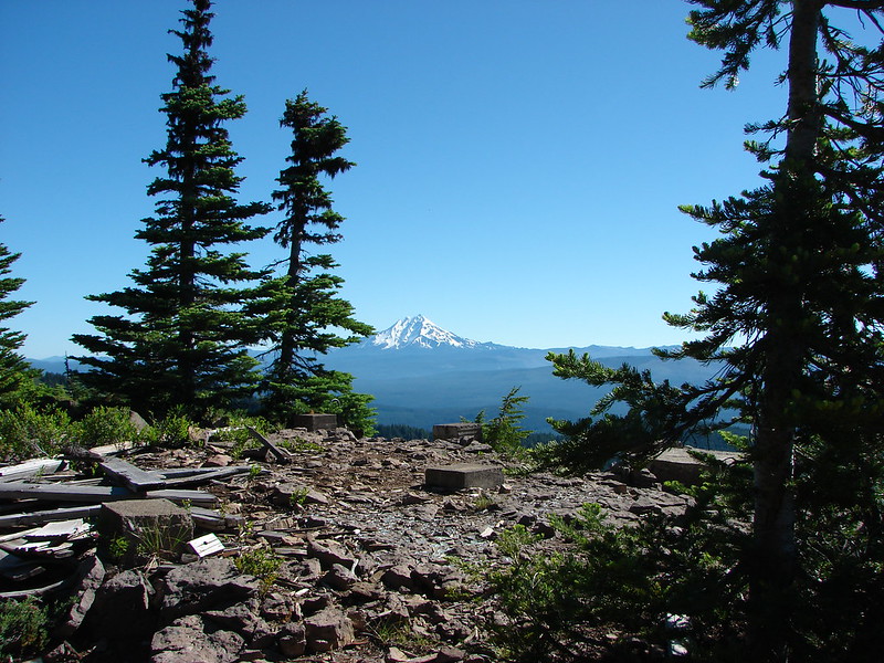
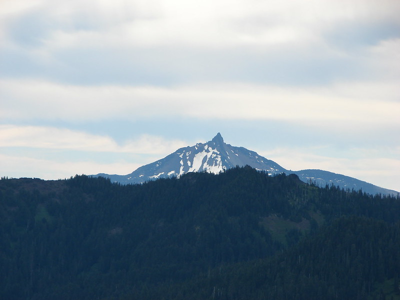
 Mt. Yoran, Diamond Peak, and Mt. Bailey
 Mt. Yoran and Diamond Peak
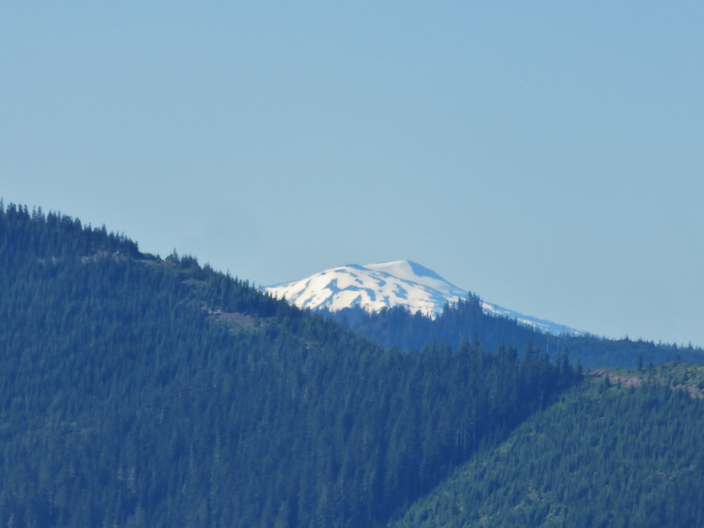 Mt. Bailey
 View to the NE (from the afternoon on the way back)
 The Husband, Three Sisters, Broken Top, and Ball Butte(from the afternoon on the way back)
 Mt. Jefferson and the tips of Three Fingered Jack and Mt. Washington


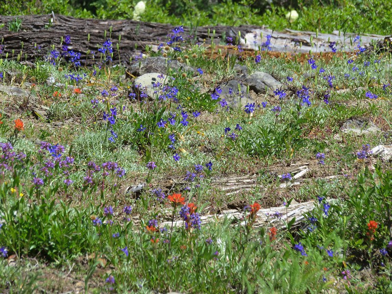
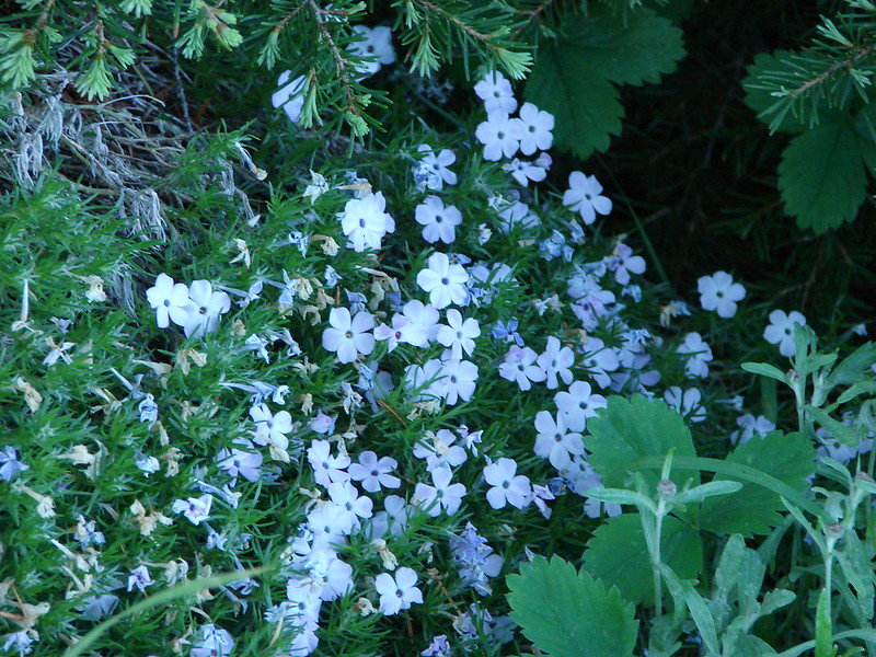
 Giant blue-eyed Mary
 Giant blue-eyed Mary
 Giant blue-eyed Mary and blue-head gilia
 Cat’s ear lily and blue-head gilia
 Coneflower
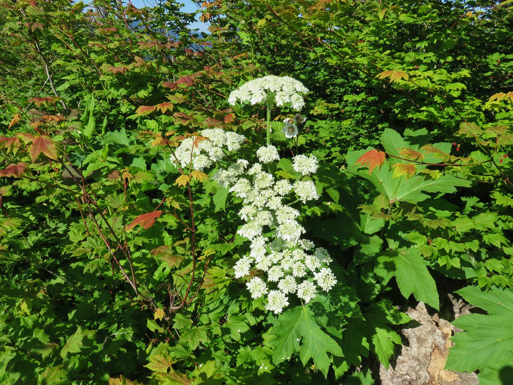 Cow parsnip
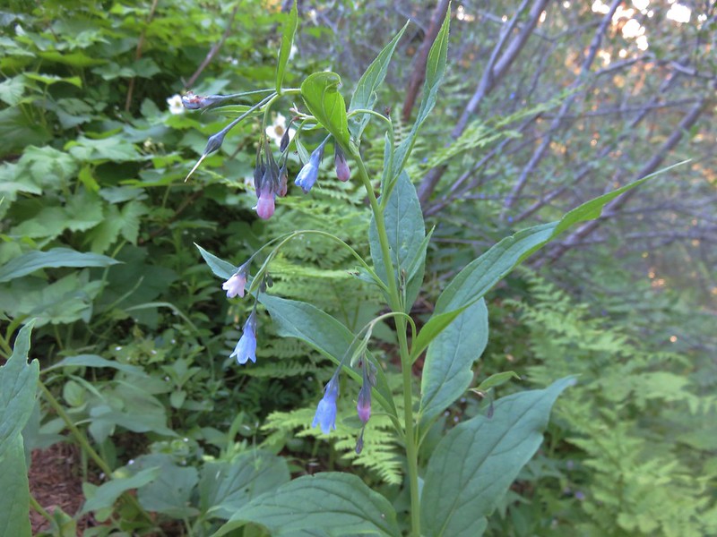
 Tall mountain bluebell
 More of the blue flowers
 Larkspur
 Jacob’s ladder
 An aster or fleabane
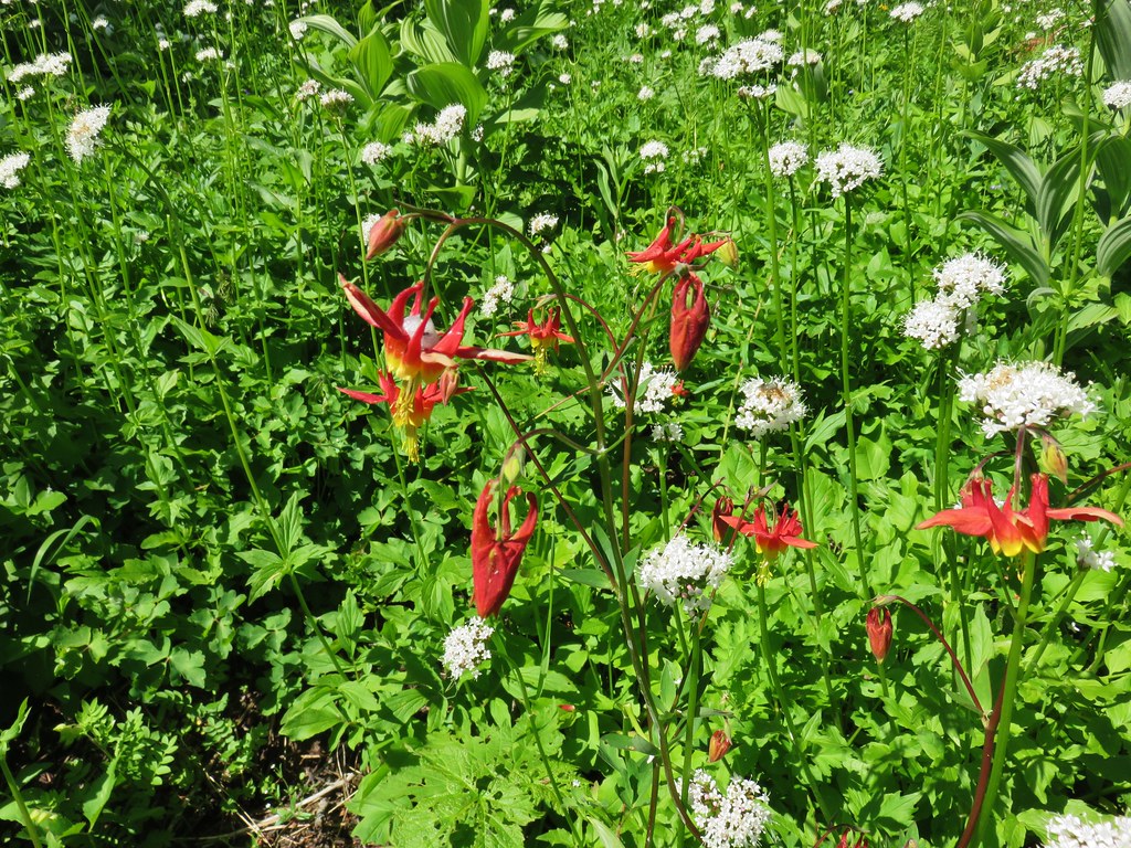 Columbine and valerian
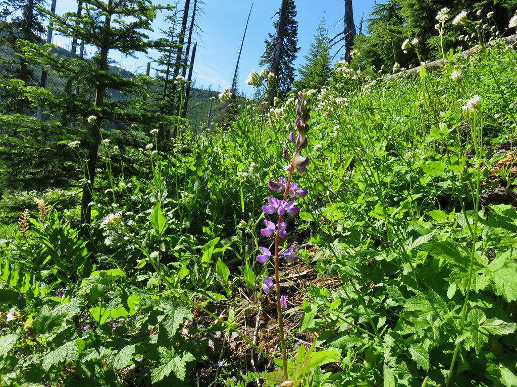 Lupine
 Not sure what type of flower this one is.
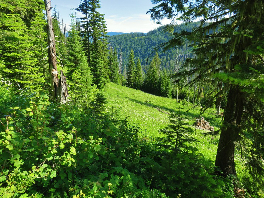 Valerian filled meadow below the trail.
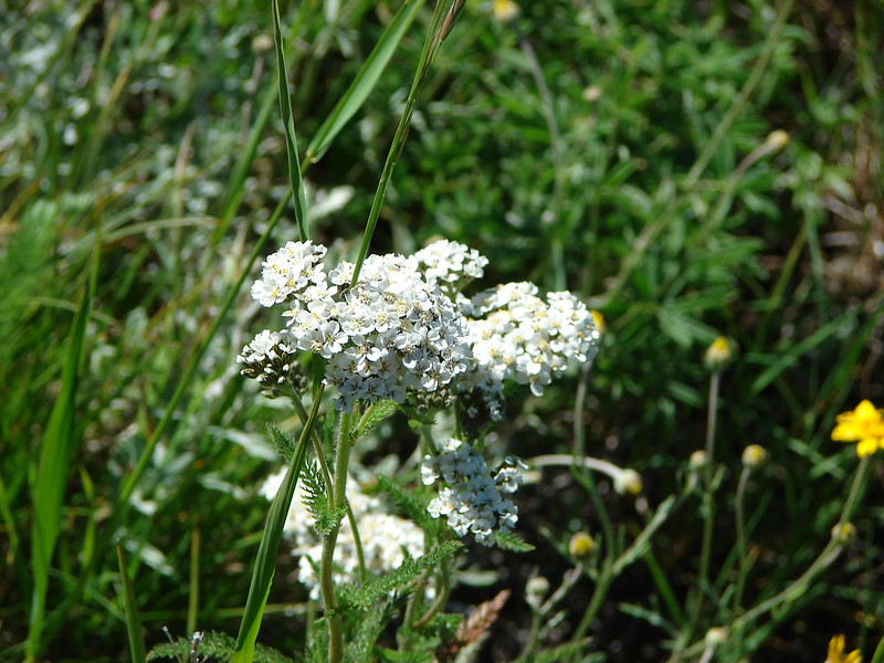
 White yarrow, giant blue-eyed Mary, and tall mountain bluebells
 Looking back at our route so far.
 The trail coming around Kelsey Creek is visible on the hillside behind us.

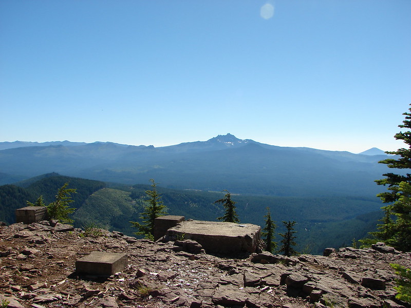
 Fuji Mountain (left), flat topped Mt. David Douglass, Mt. Yoran (shorter thumb to the left of Diamond Peak), and Diamond Peak.
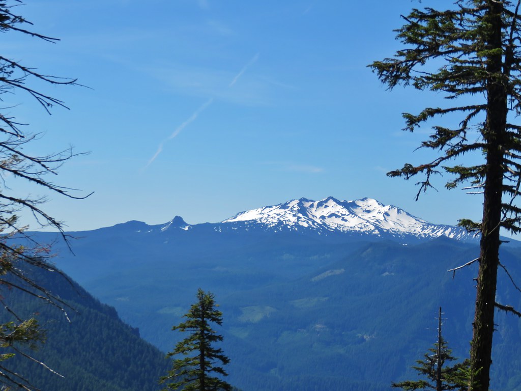 Mt. Yoran and Diamond Peak
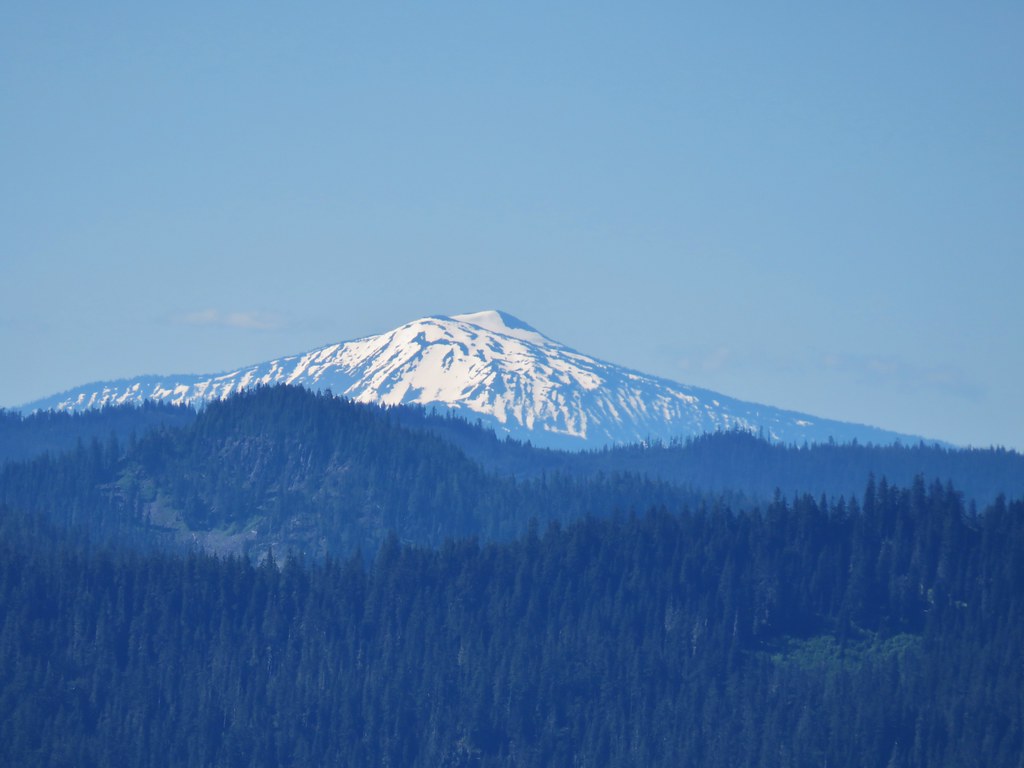 Mt. Bailey

 A few orange agoseris were scattered about.
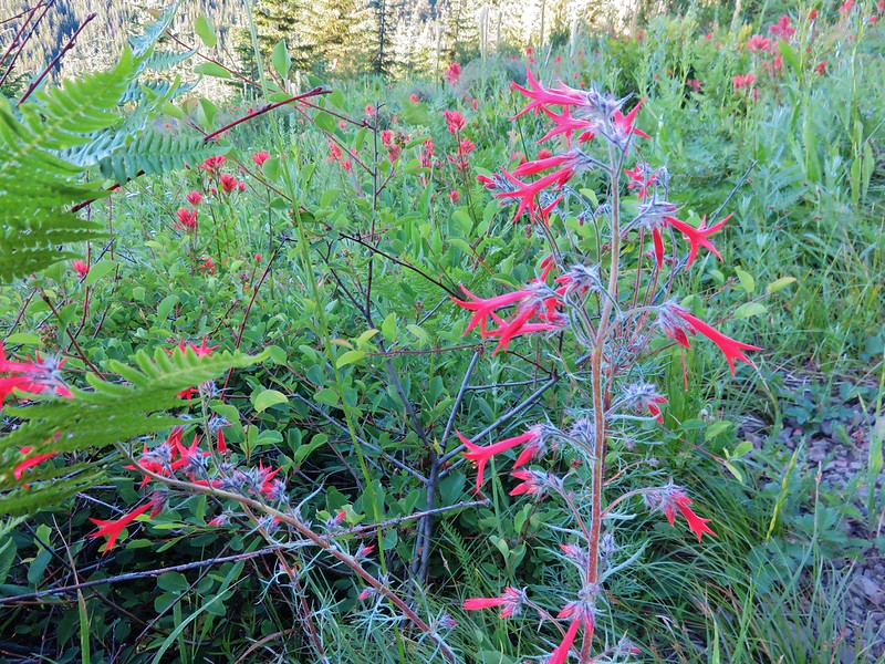
 Scarlet gilia
 More scarlet gilia
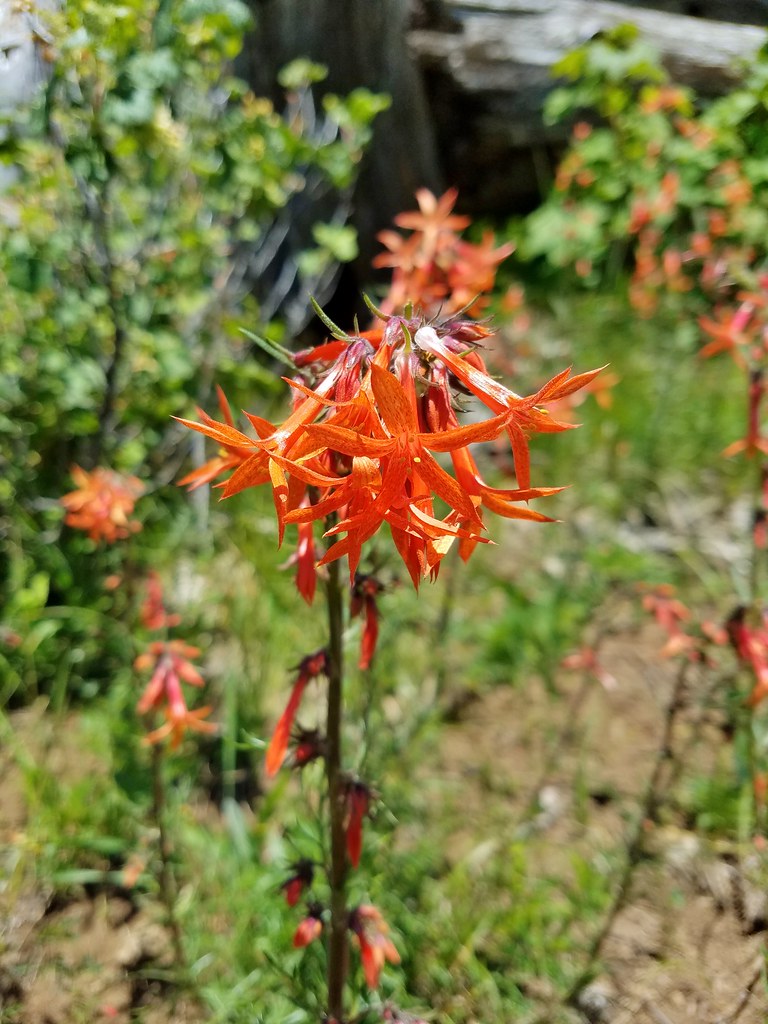 Skyrocket
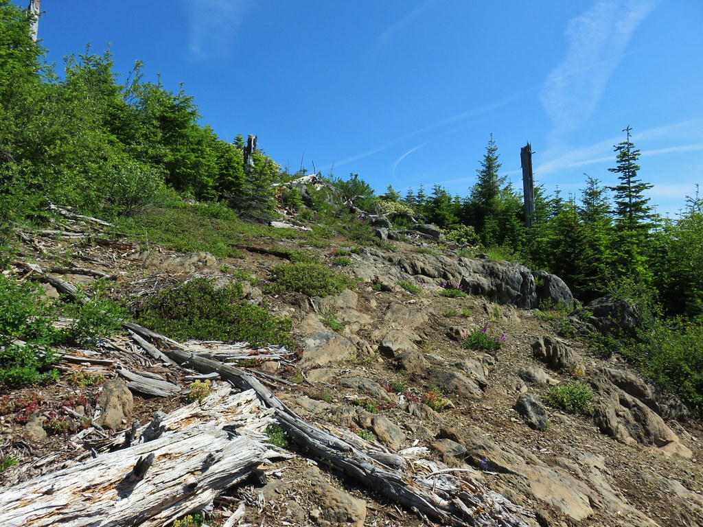

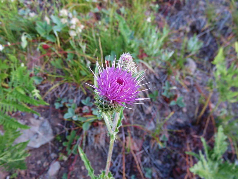
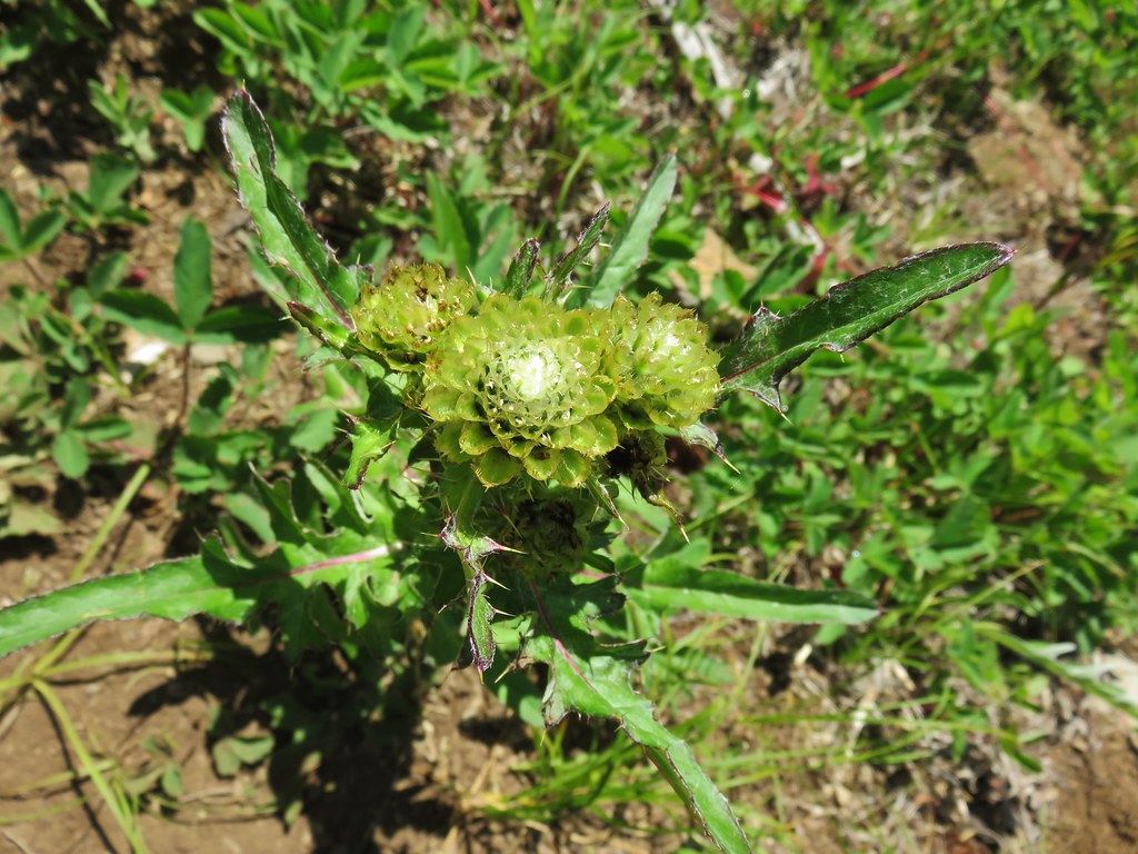 A thistle that was getting ready to bloom.
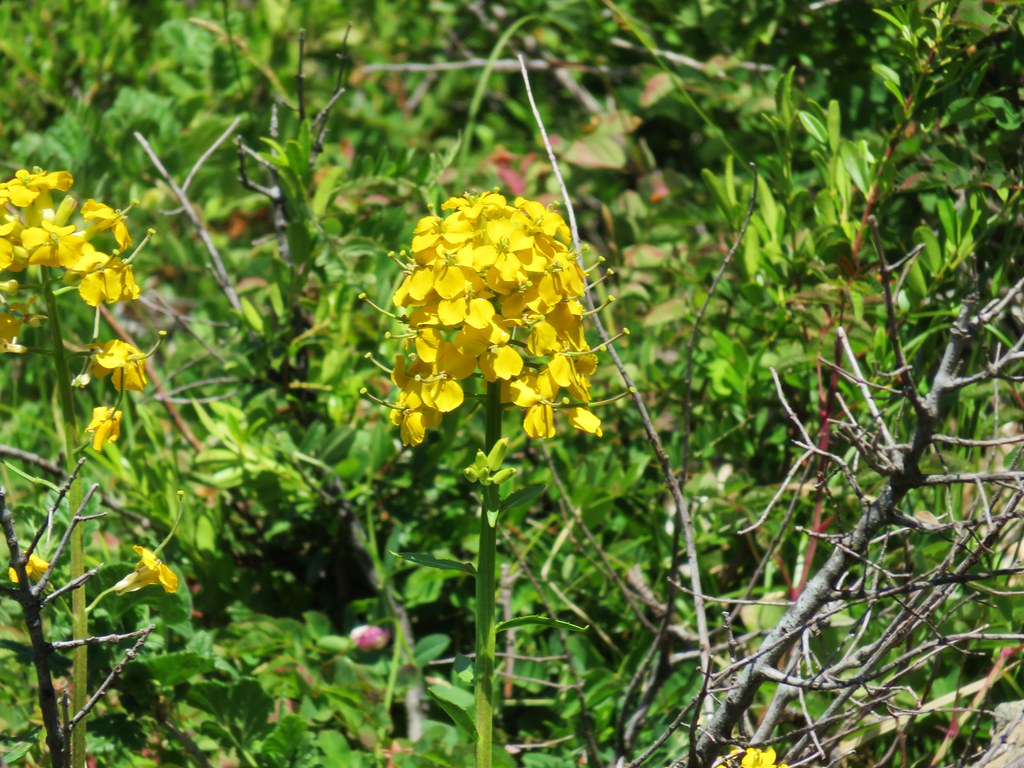 Wallflower


 Owl’s head clover
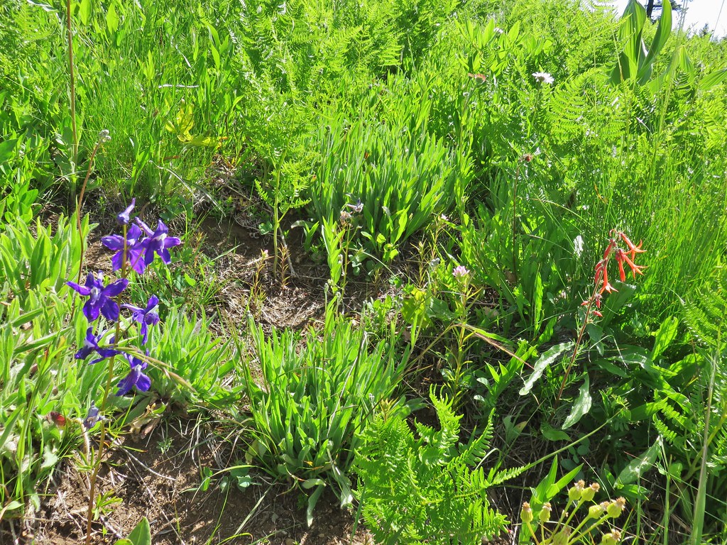 Larkspur, an owl’s head clover, and scarlet gilia
 Aster or fleabane and an orange agoseris
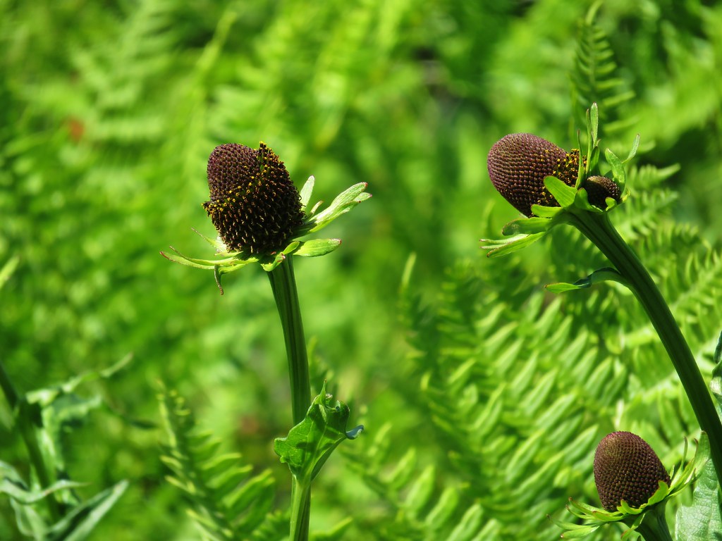 Coneflower
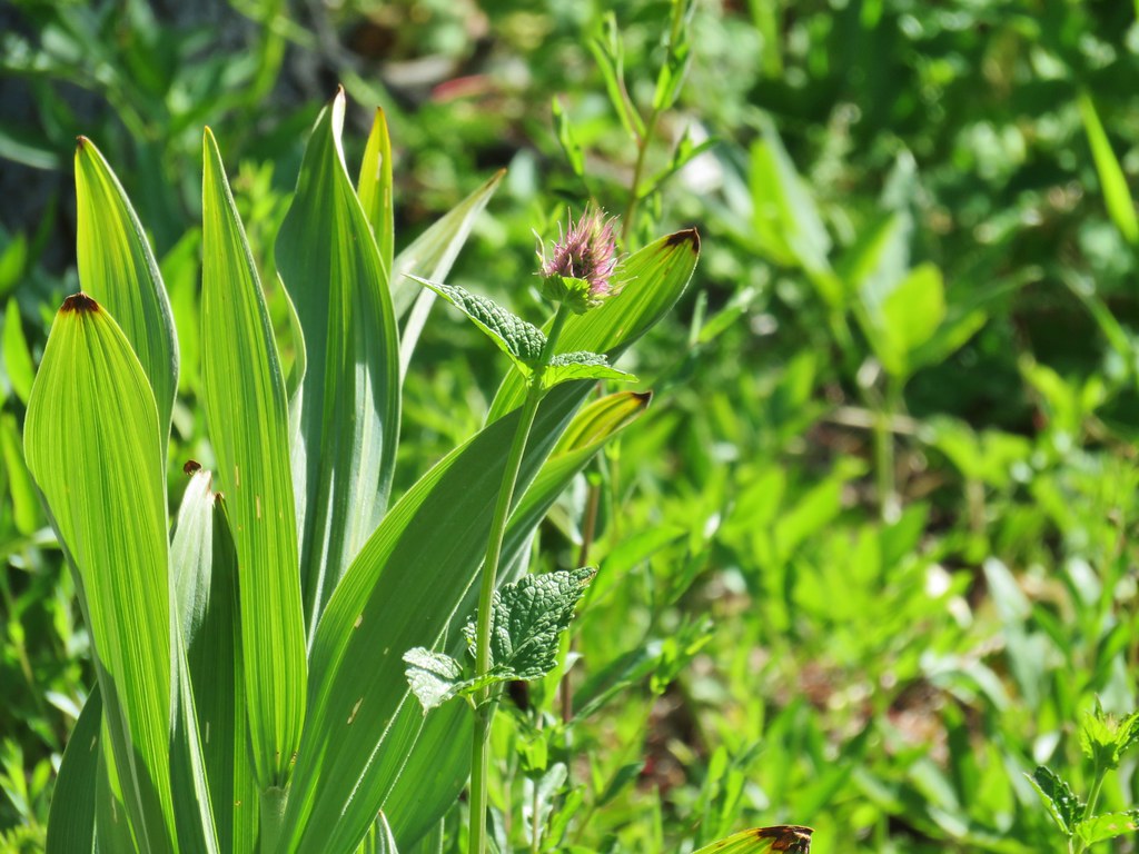 Hyssop
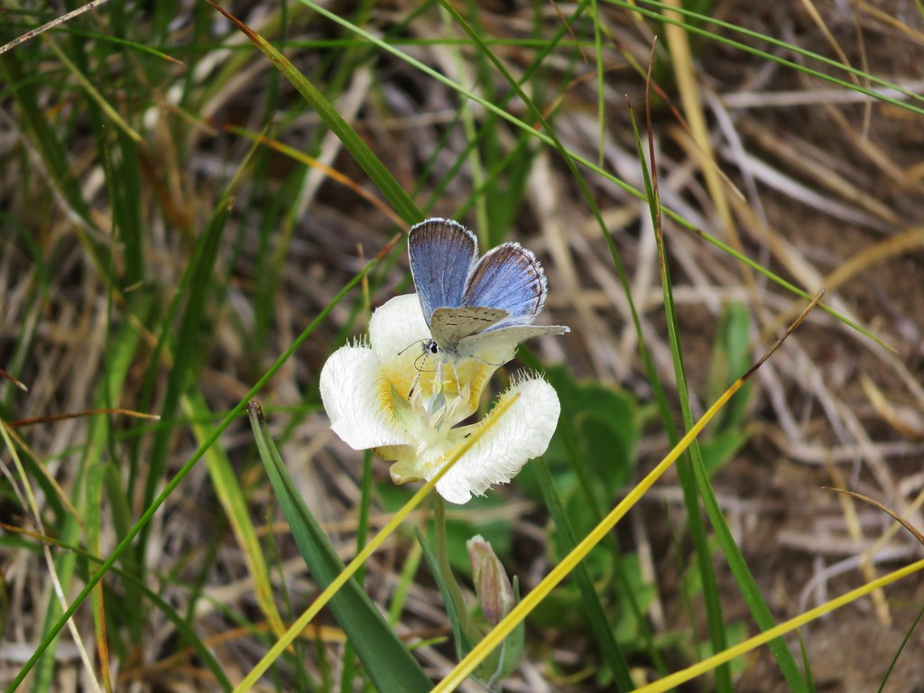
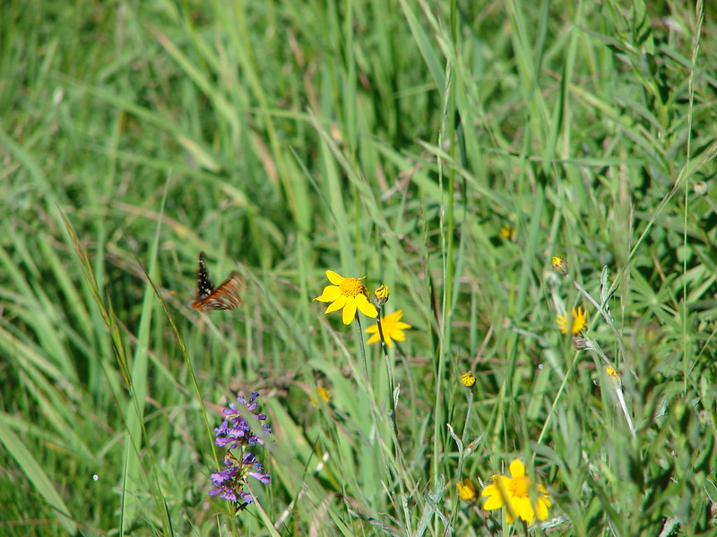
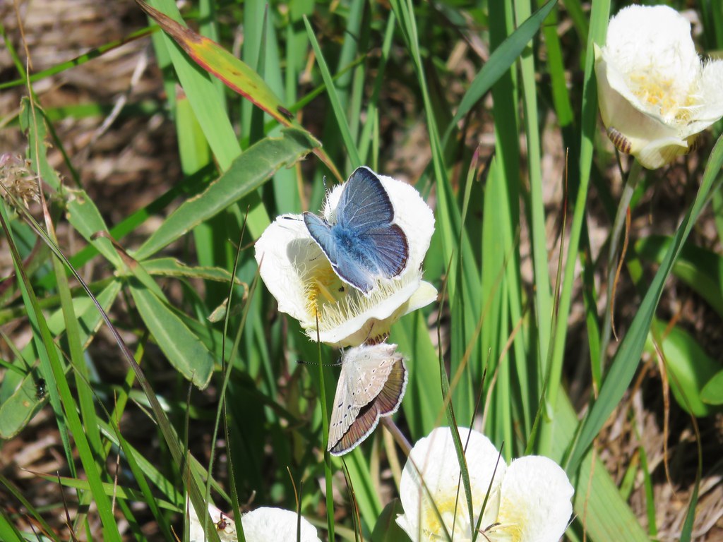 Butterflies on a cat’s ear lily

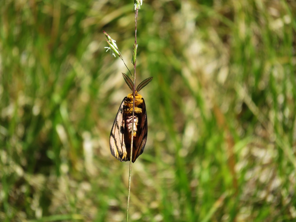
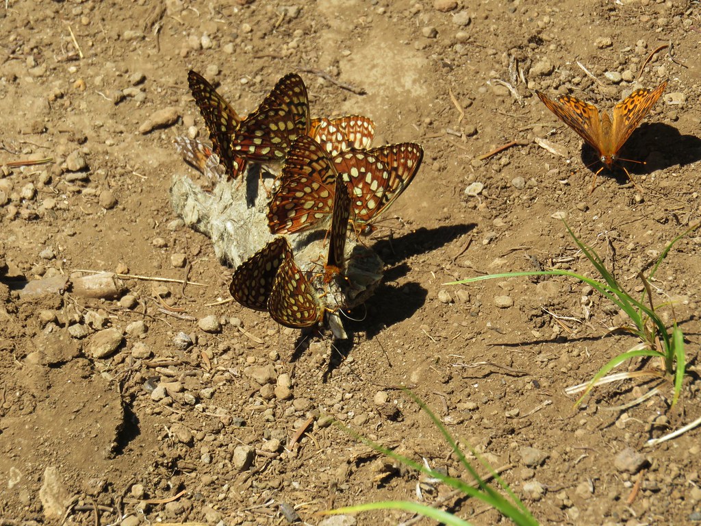
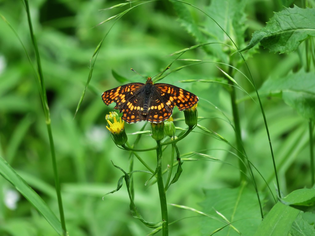
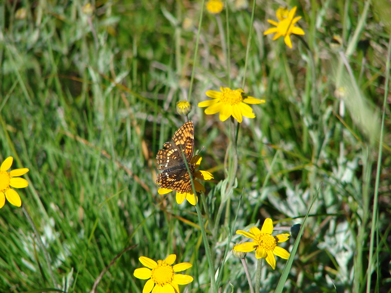
 Wait that’s not a butterfly.
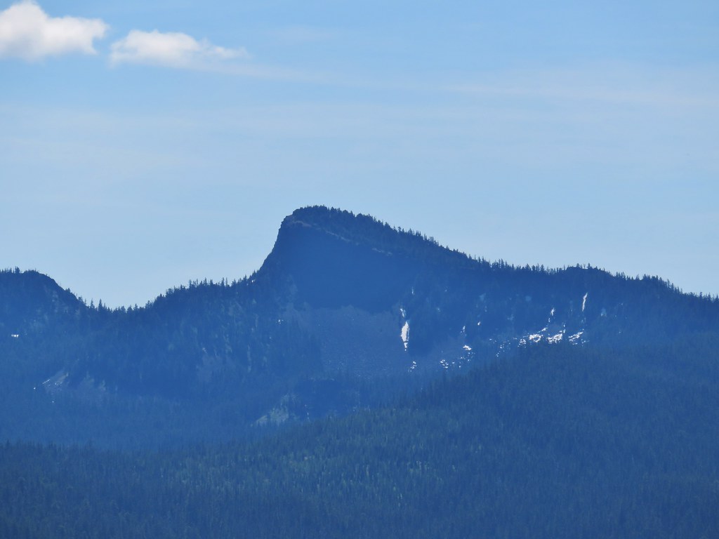 Fuji Mountain
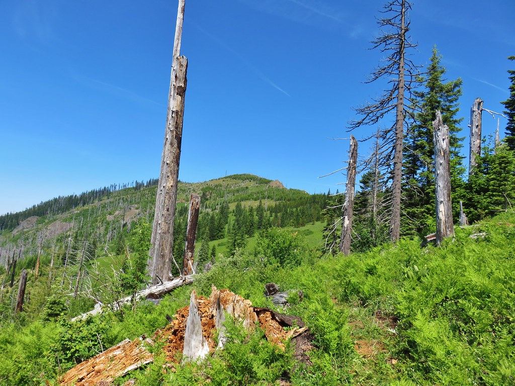
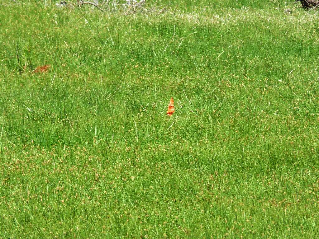
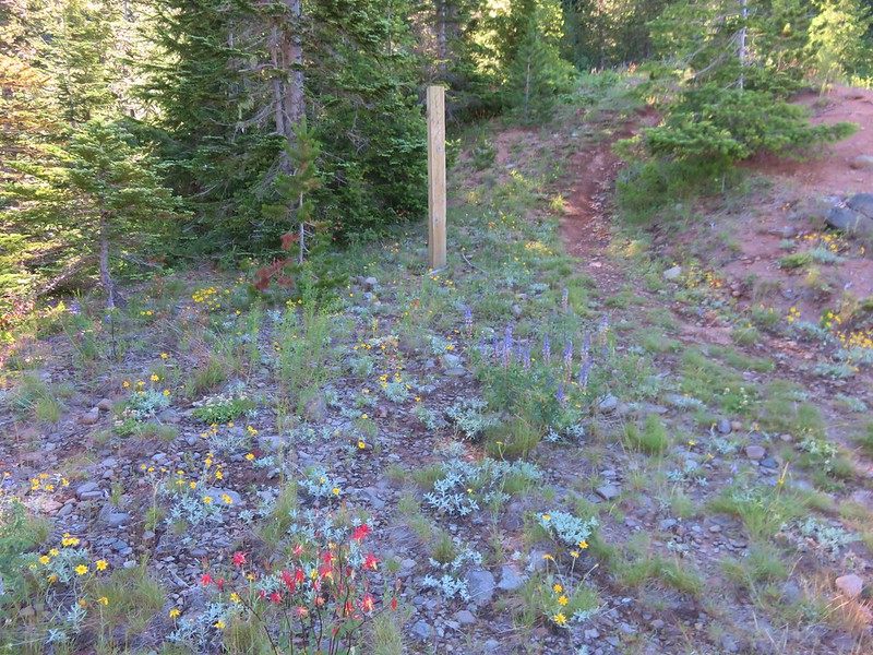
 The post, with an orange top, is up and to the right in front of a tree.
 Heather at the rock outcrop.
 Big Bunchgrass Meadow and Fuji Mountain
 Diamond Peak
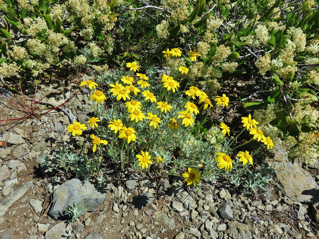

 Crab spider (probably waiting for that Washington lily to open)
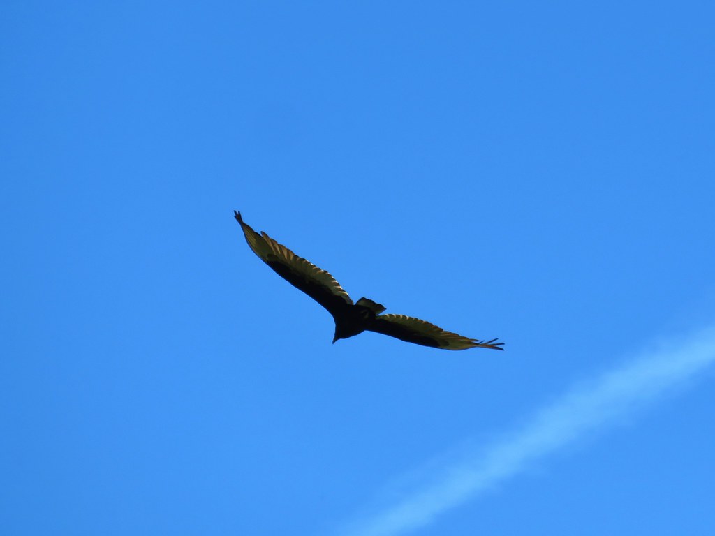 Turkey vulture
 Back in the valerian meadows
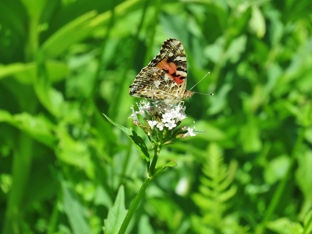


 Not sure what this is going to be either.
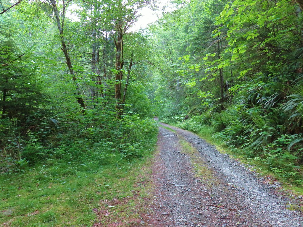


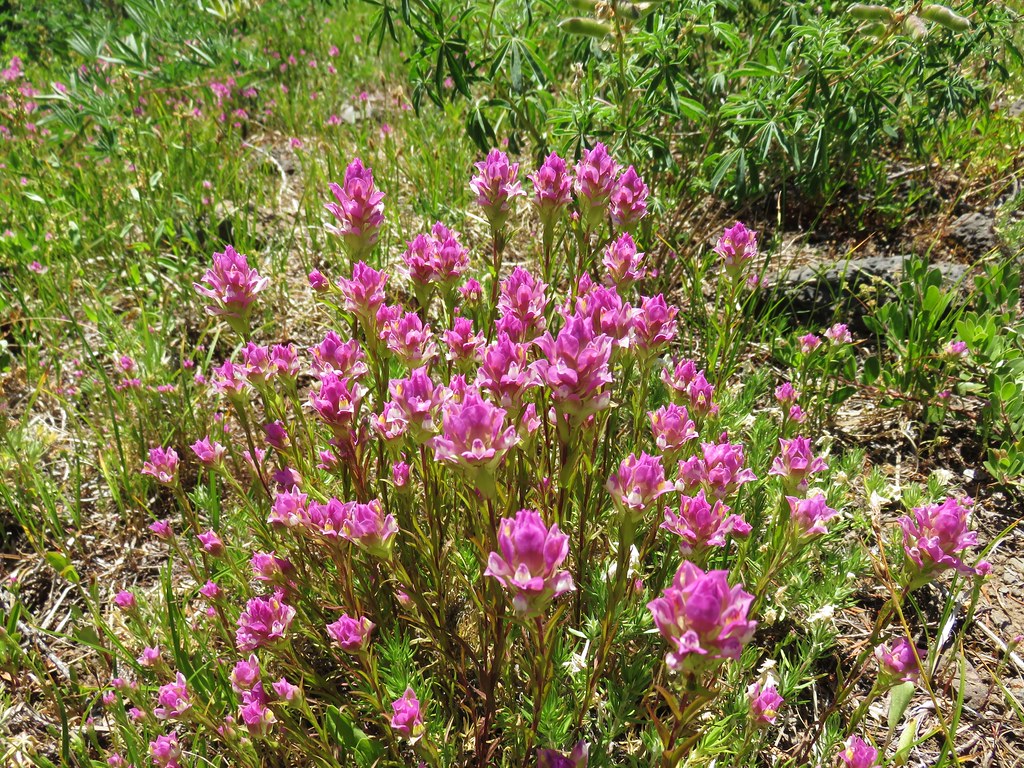
 Paintbrush above Sardine Creek
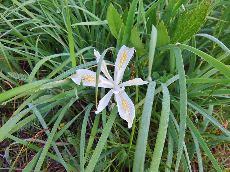
 Iris
Iris Rhododendron
 Candy flower


 Beargrass
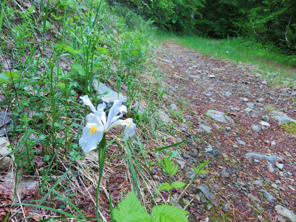 Iris
Iris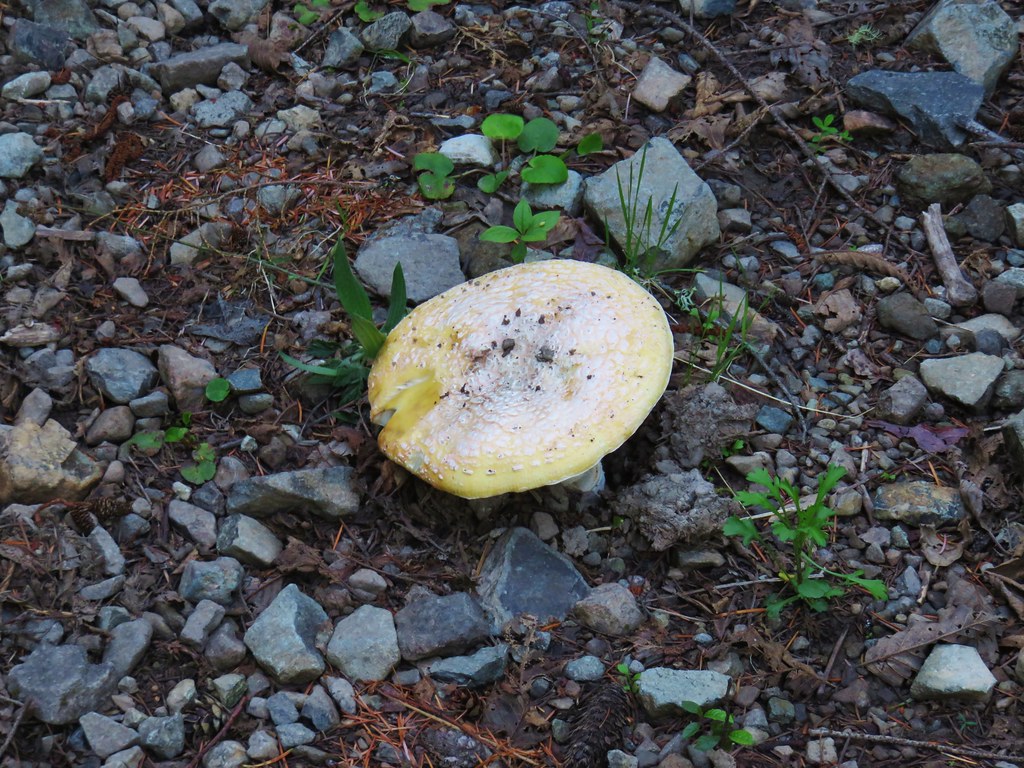 Mushroom in the middle of the road
 Valerian
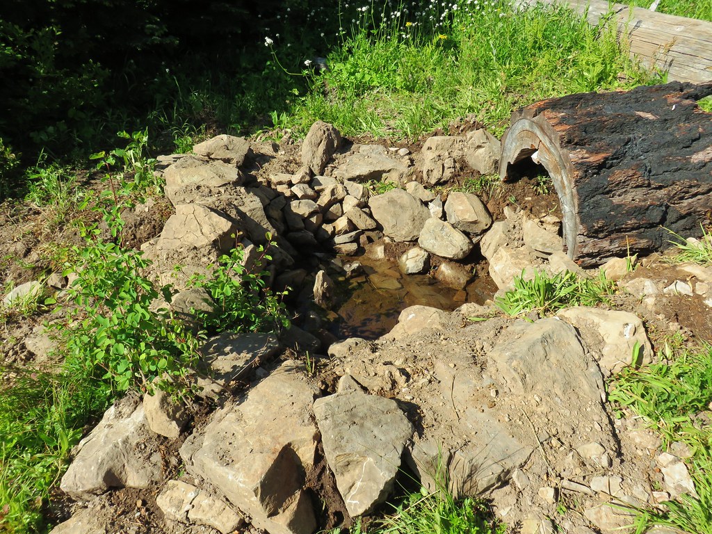
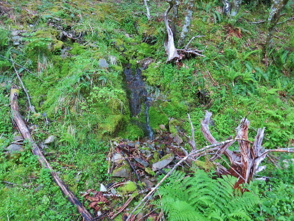 A hillside spring
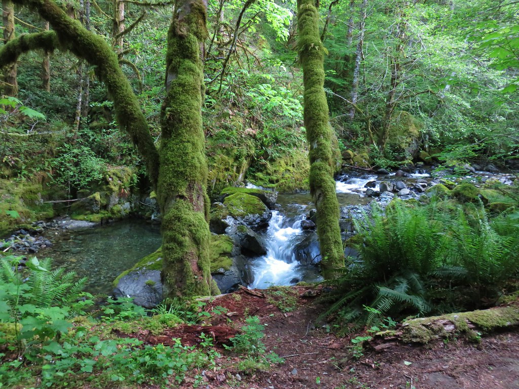


 Red flowering currant


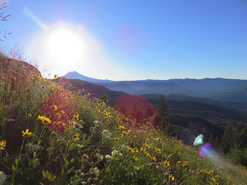
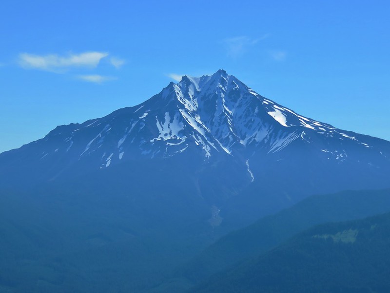
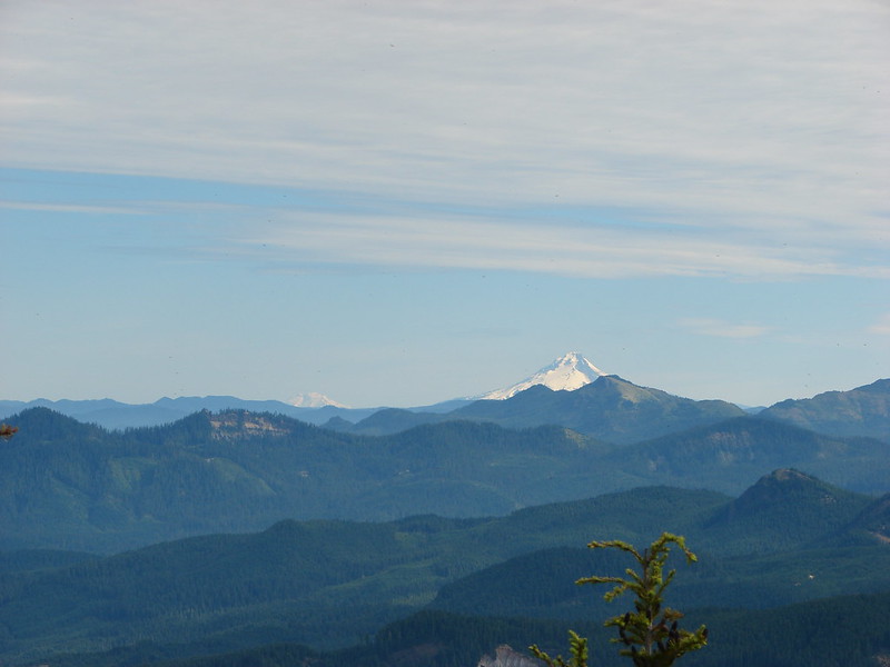
 Mt. Hood with North Dicky Peak in front.
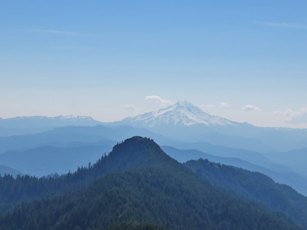


 Three Fingered Jack
 Mt. Washington and the Three Sisters
 Tumble Lake
 A saxifrage
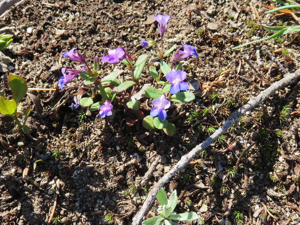 Blue-eyed mary
 Cats ears
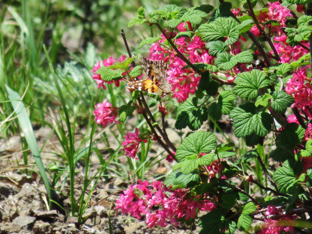 Butterfly on red flowering currant
 Rabbit
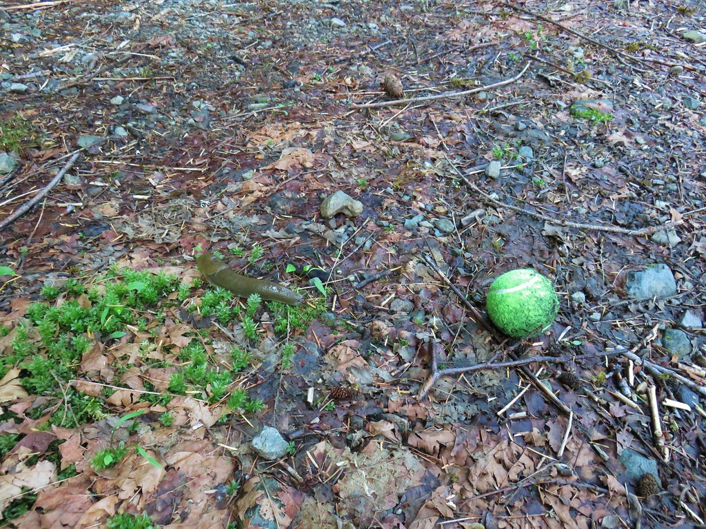
 Snake
Snake
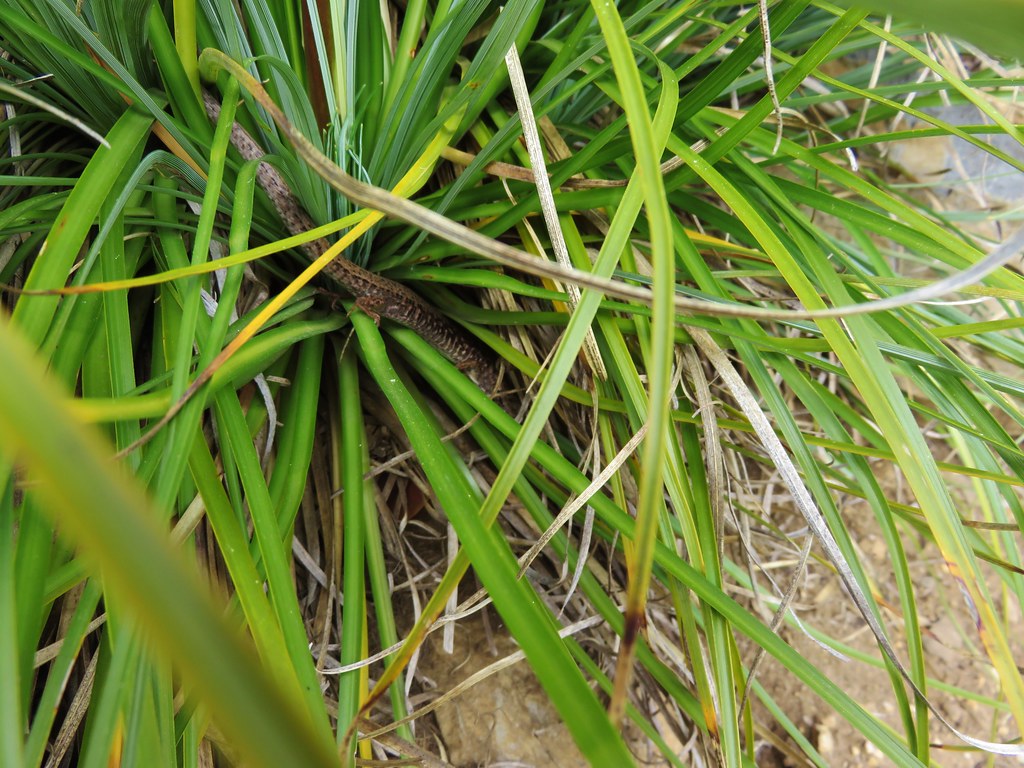
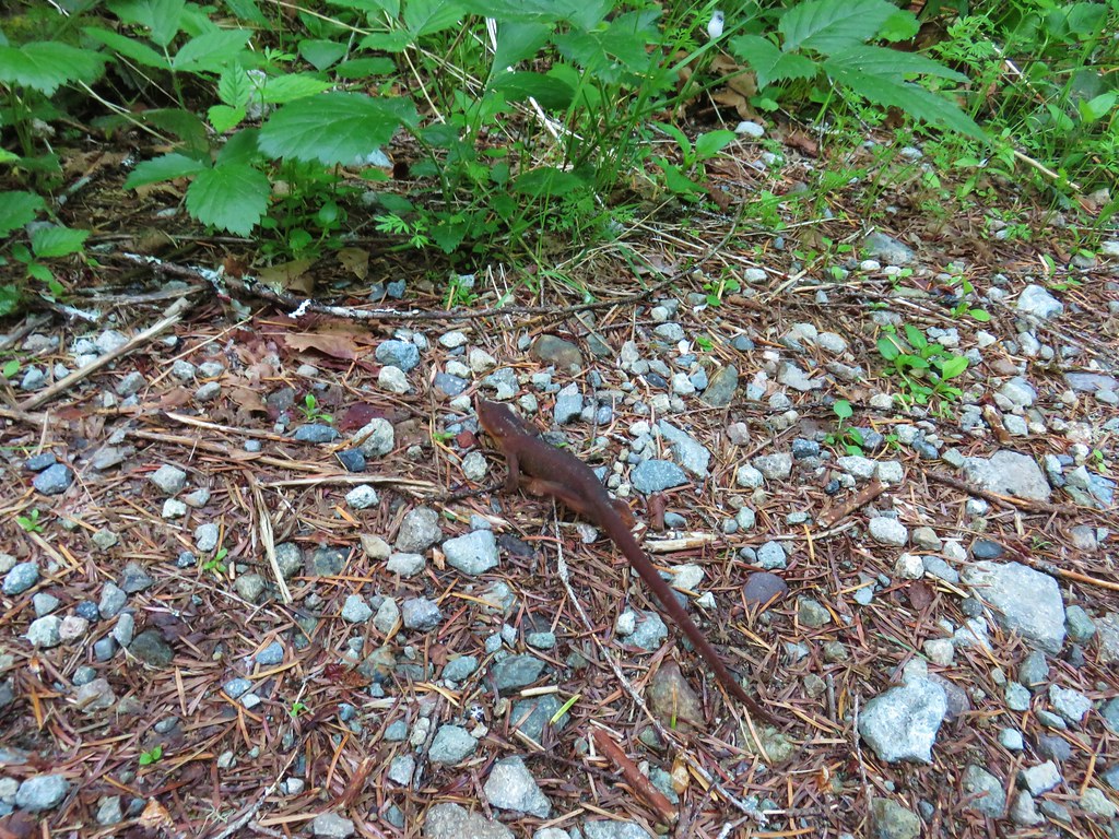
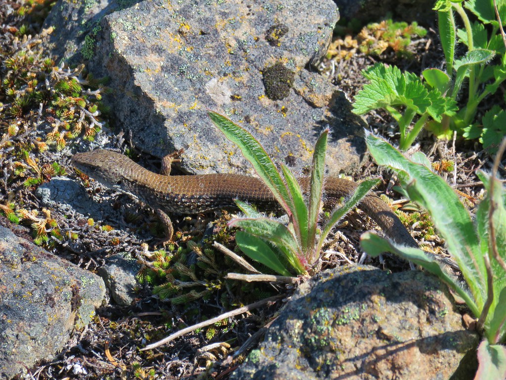
 Another northern alligator lizard
 These two long legged spiders got into a brawl when they met crossing the road.
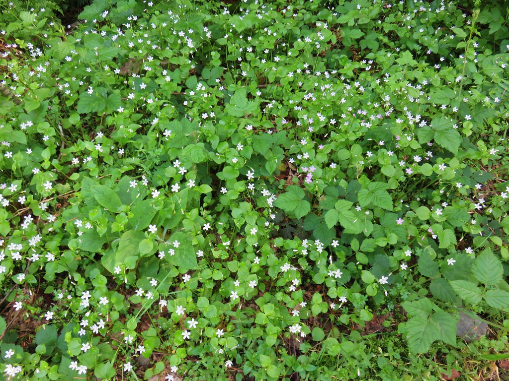
 Candy flower
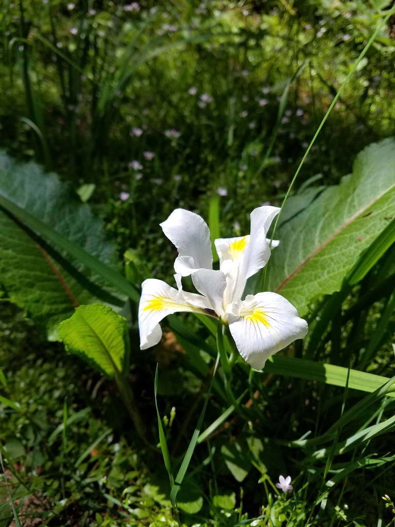 Iris
Iris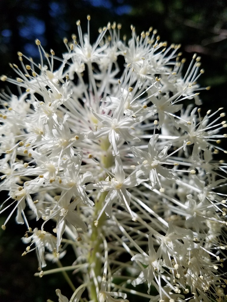 Beargrass
 Fringecup
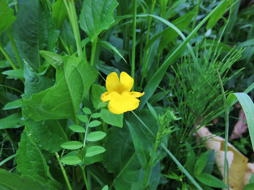
 Monkeyflower
 Thimbleberry
 Stonecrop
 Youth-on-age with an interesting insect
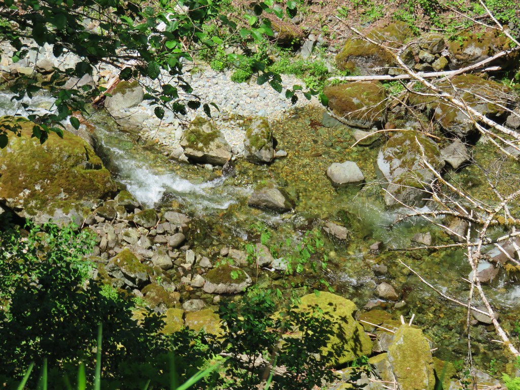


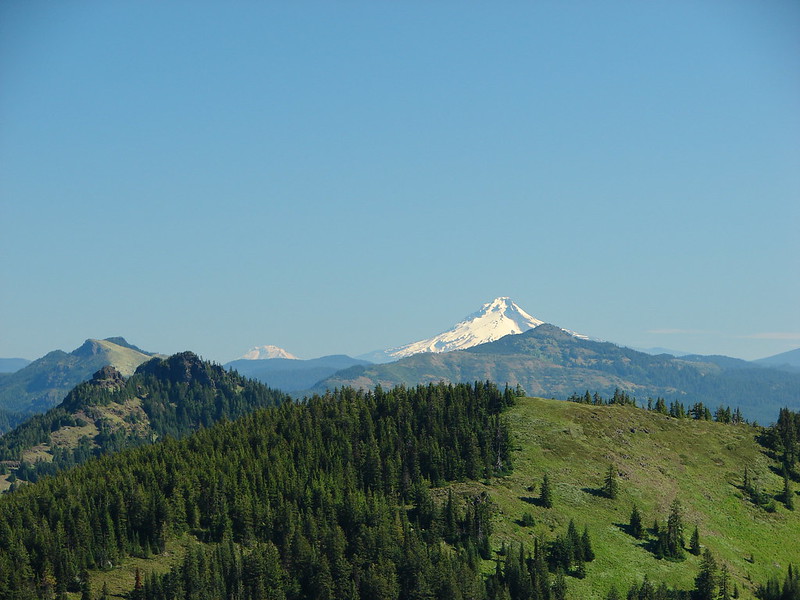
 Middle Sister
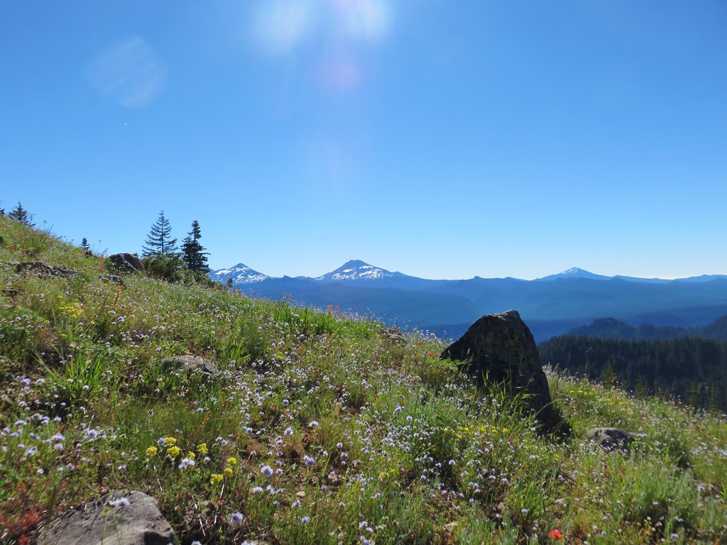 Three Sisters and Mt. Bachelor
 Diamond Peak
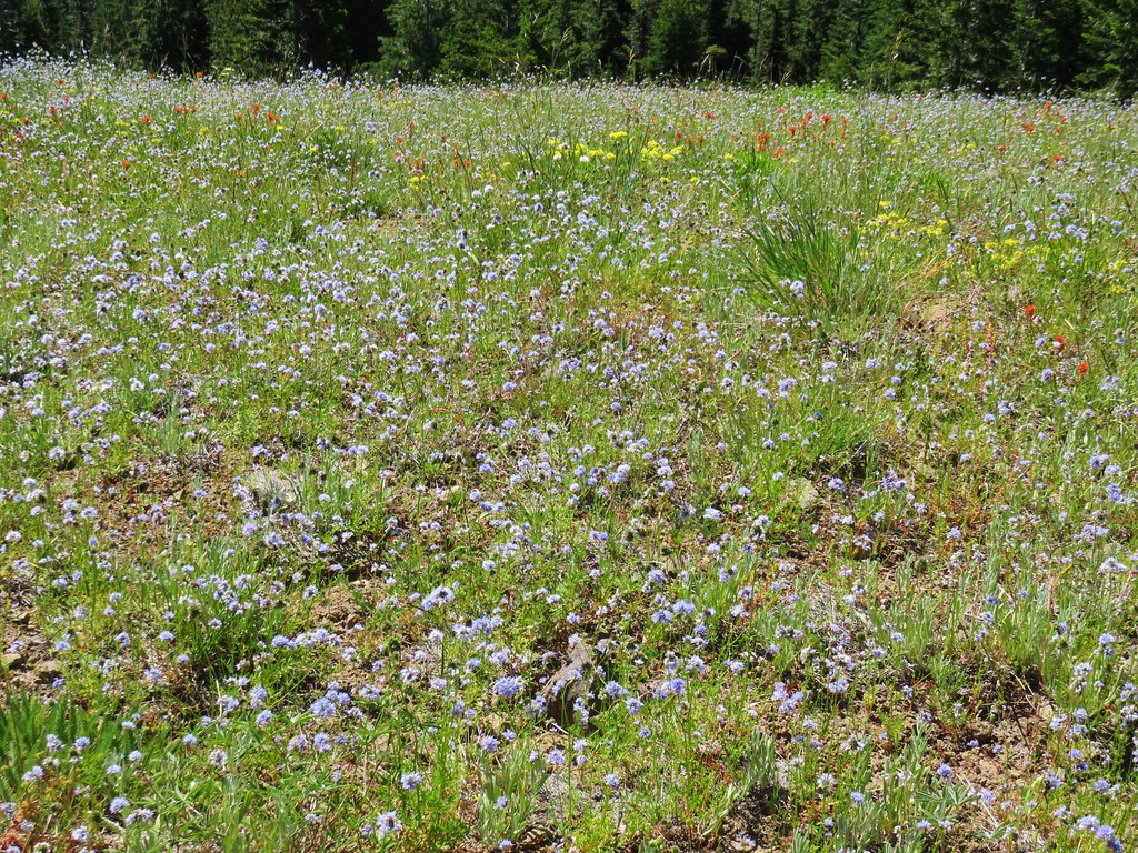
 Mt. Hood, Mt. Jefferson, Three Fingered Jack, and Mt. Washington.
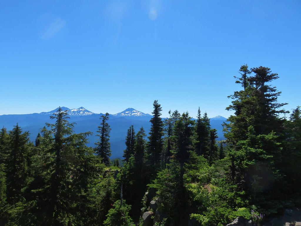
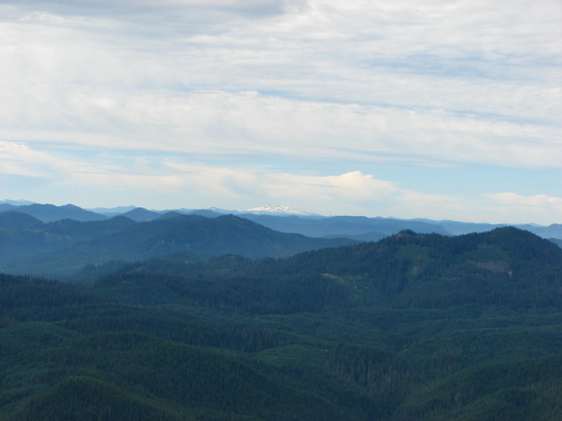
 Diamond Peak(Mt. Thielsen is out there too)
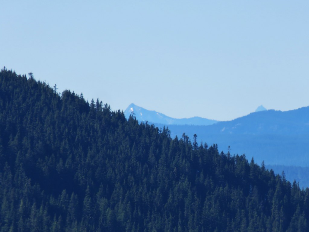 Cowhorn Mountain on the left and the tip of Mt. Thielsen to the right.
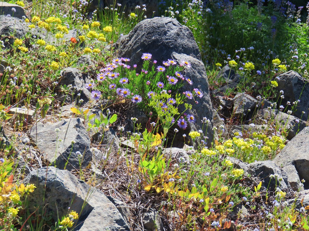


 Mt. Jefferson & Three Fingered Jack
 The Three Sisters, Broken Top, and Mt. Bachelor
 Diamond Peak