Our vacation week had a theme going, multiple stop days, and we continued that on Friday with a three stop day to check off another of Sullivan’s featured hikes – Echo Basin. Actually the hike was no longer one of Sullivan’s 100 featured hikes in the most recent edition of his Central Oregon Cascades guidebook, but it was a featured hike in the 4th edition which is the one that we are using in our attempt to hike all of his featured hikes (post).
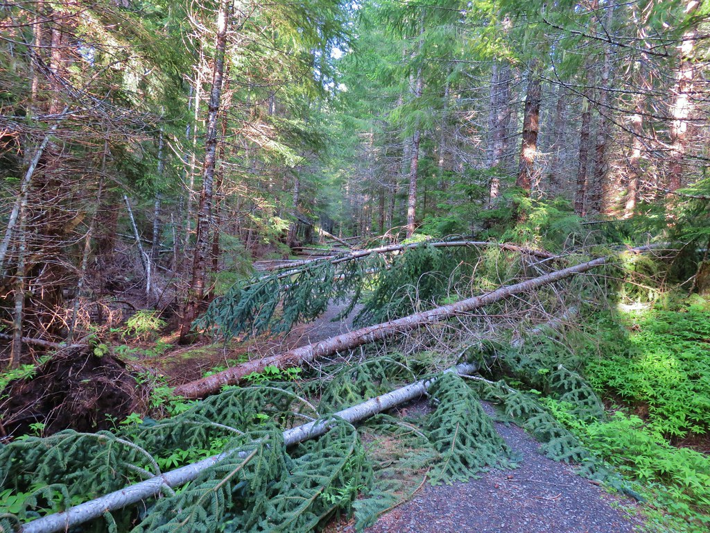
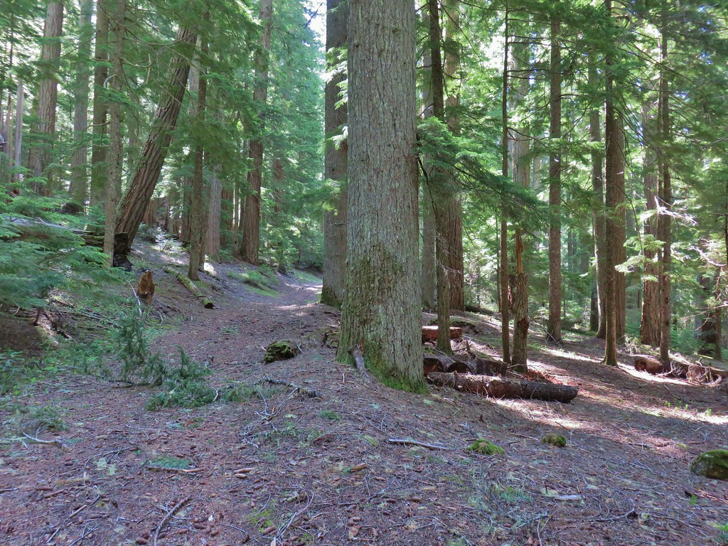
We began our day by stopping at the Hackleman Old Growth Grove Trail for a short 1 mile loop. The convenient trailhead is right off of Highway 20 near milepost 67. There is also a loop option that is marked as wheelchair friendly although on our visit there were a number of downed trees that said otherwise.


The wide trail led into the forest and quickly split.
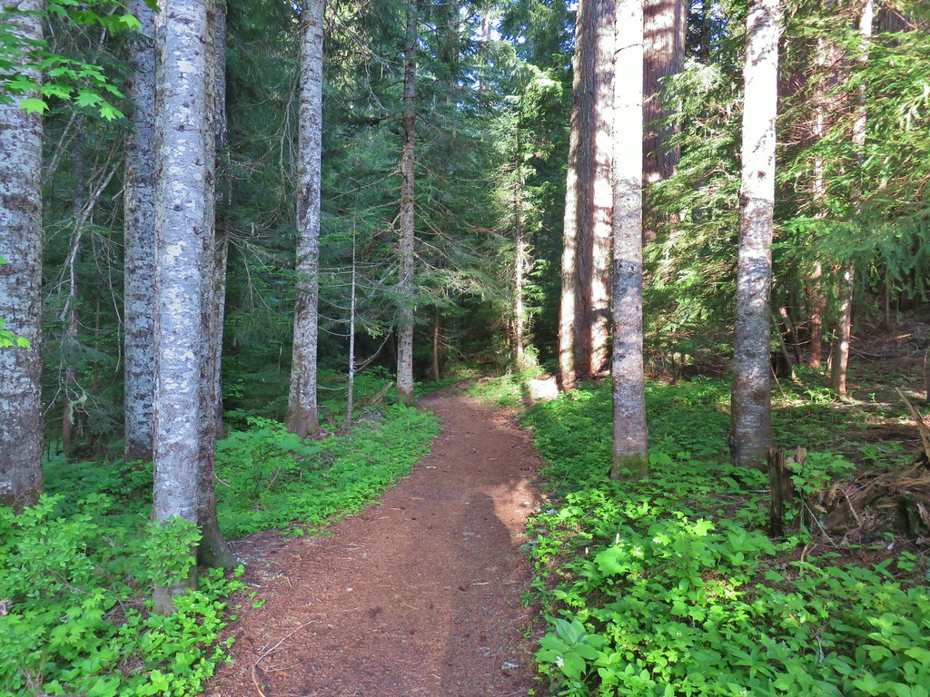

We stayed right here and soon encountered our first downed trees.
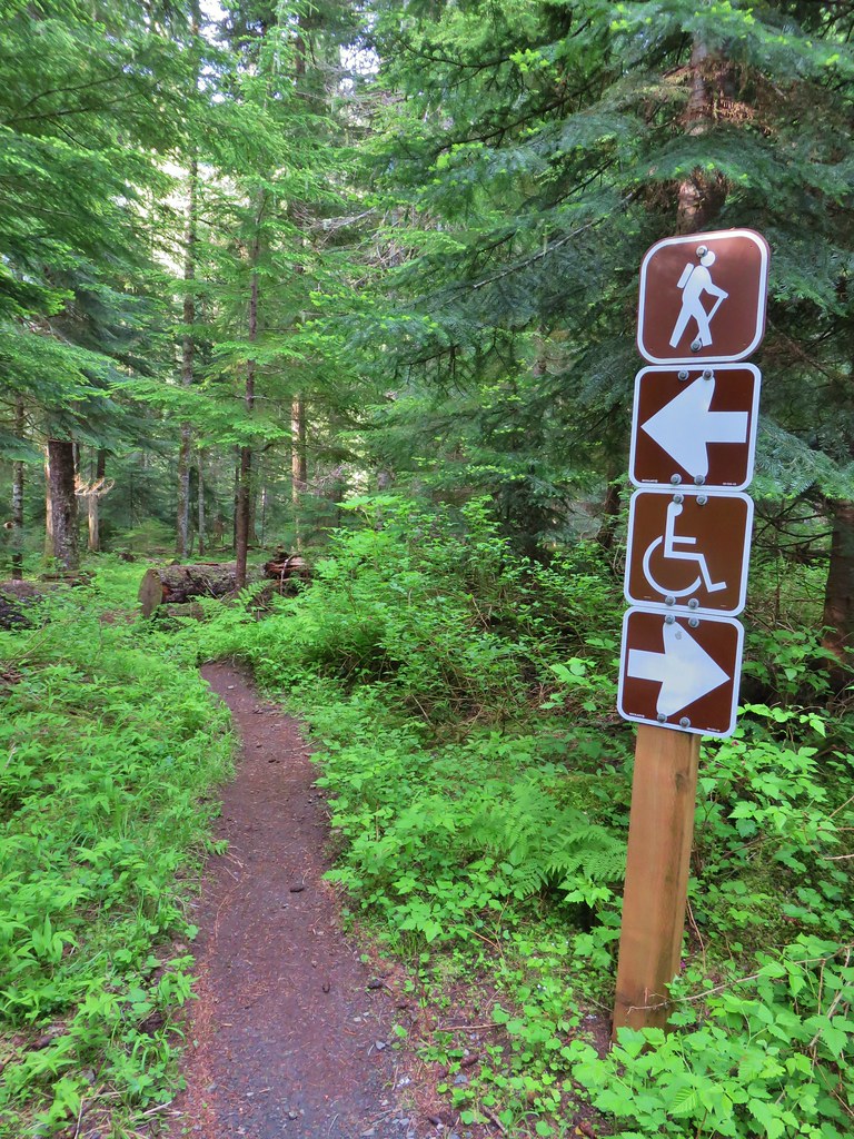
The trail descended a bit toward Hackleman Creek to a junction where two trails joined from the left. The first was the wheelchair accessible continuation and the second was not.
 The wheelchair friendly path.
 The hiker path.
It was at this point that we realized that we probably shouldn’t have stayed right at the first junction. As we turned onto the hiker path we began seeing numbered posts for an interpretive trail. (There were no brochures or anything to tell us what the numbers represented.)
 The hiker trail.
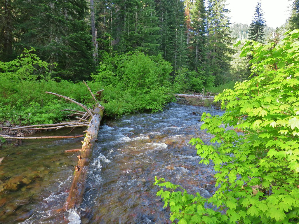
A short side path took us to the bank of Hackleman Creek.
 Western meadowrue
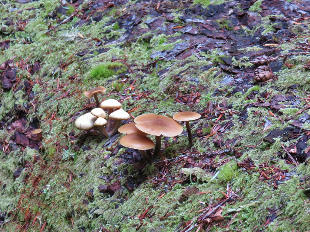 Mushrooms on a log.
We met back up with the middle trail at another signpost and could see more numbered posts down that trail which reinforced the idea that we should have taken the middle trail and returned on the hiker trail (based on the numbers of the posts we passed).
In any event it was a nice little hike and a good leg stretcher/warm up for our next stop at Echo Basin.
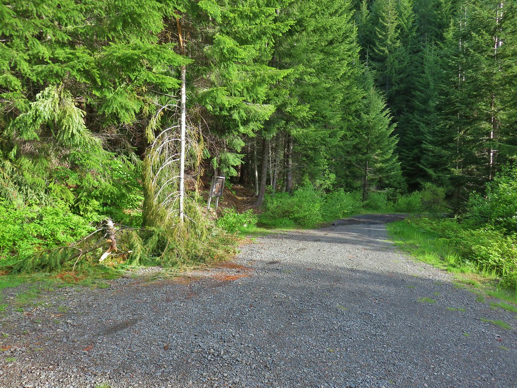
The Echo Basin Trailhead was 2 miles up Forest Road 055 which was just .3 miles east of the Hackleman Grove Trailhead. There was a fairly deep channel in the road a tenth of a mile or so from the actual trailhead that could prove difficult for lower clearance vehicles (we saw one car parked at a pullout just before it on our drive out).
 Echo Basin Trail at FR 055.
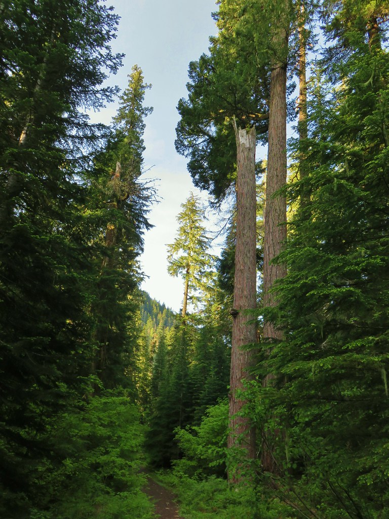
This hike is a lollipop climbing an old logging road for a half mile then starting the loop at the .7 mile mark at a foot bridge over Echo Creek.
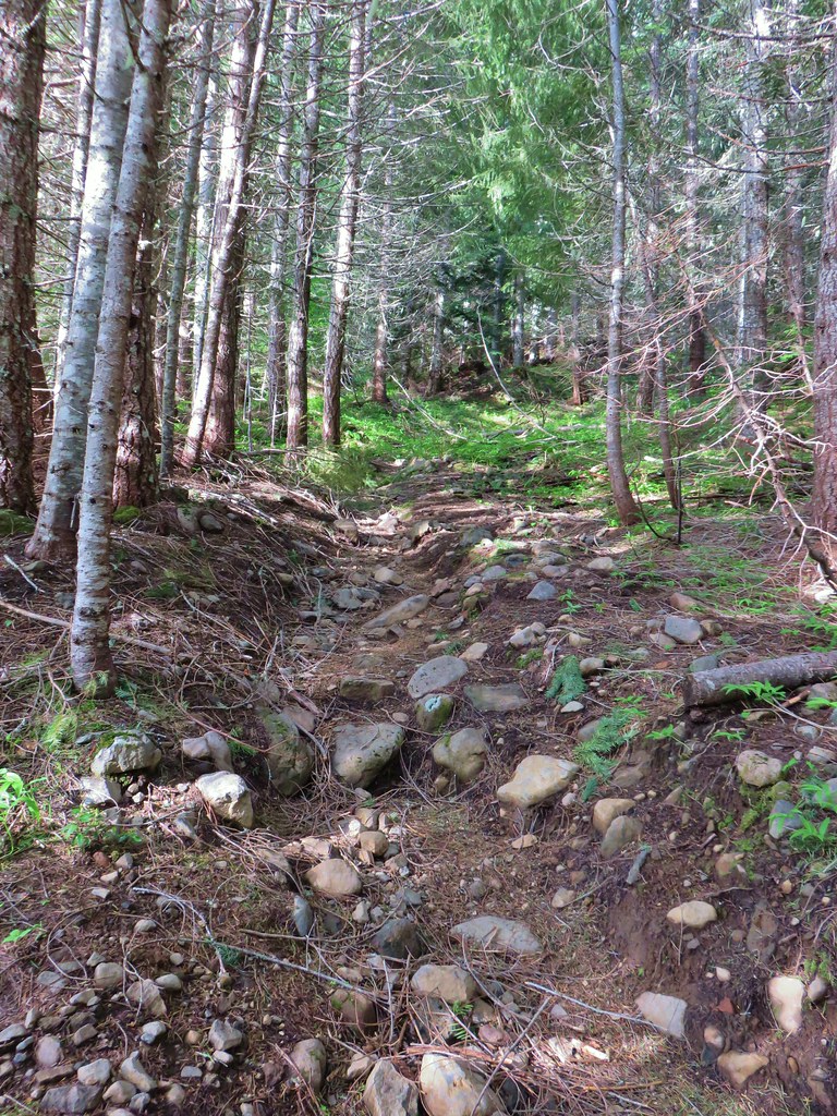 Rocky start to the trail.
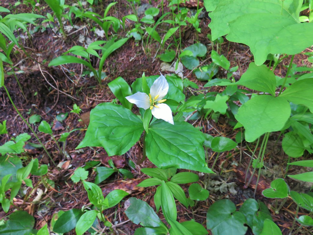 Trillium
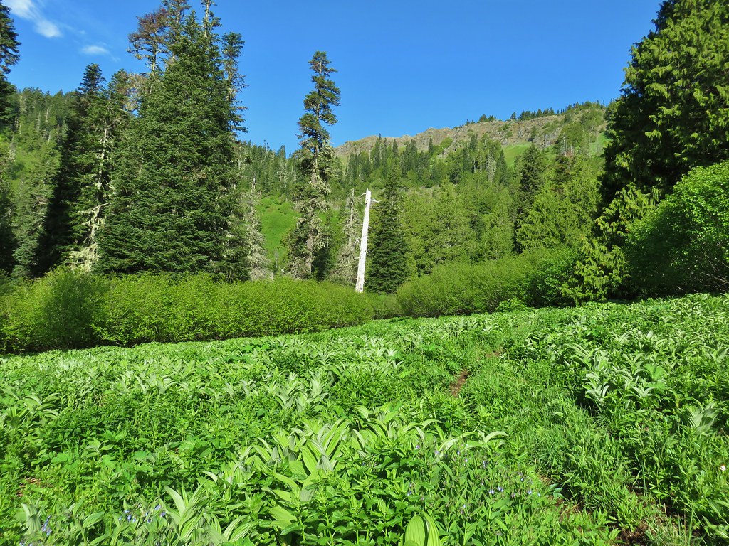
Just before the start of the loop we arrived at a green meadow that wasn’t very far along with most of the plants still early in their growth cycle.

We worried that we had come too early for the wildflowers higher in the basin.
 More trillium along the meadow.
 Swallowtail on salmonberry blossoms.
 Start of the loop.
We crossed the creek and spotted a rabbit hiding in the brush.

The trail climbed and entered the start of the meadow that fills Echo Basin.
 Orange tip butterfly
We were starting to see a few more flowers as we began to get into the meadow.
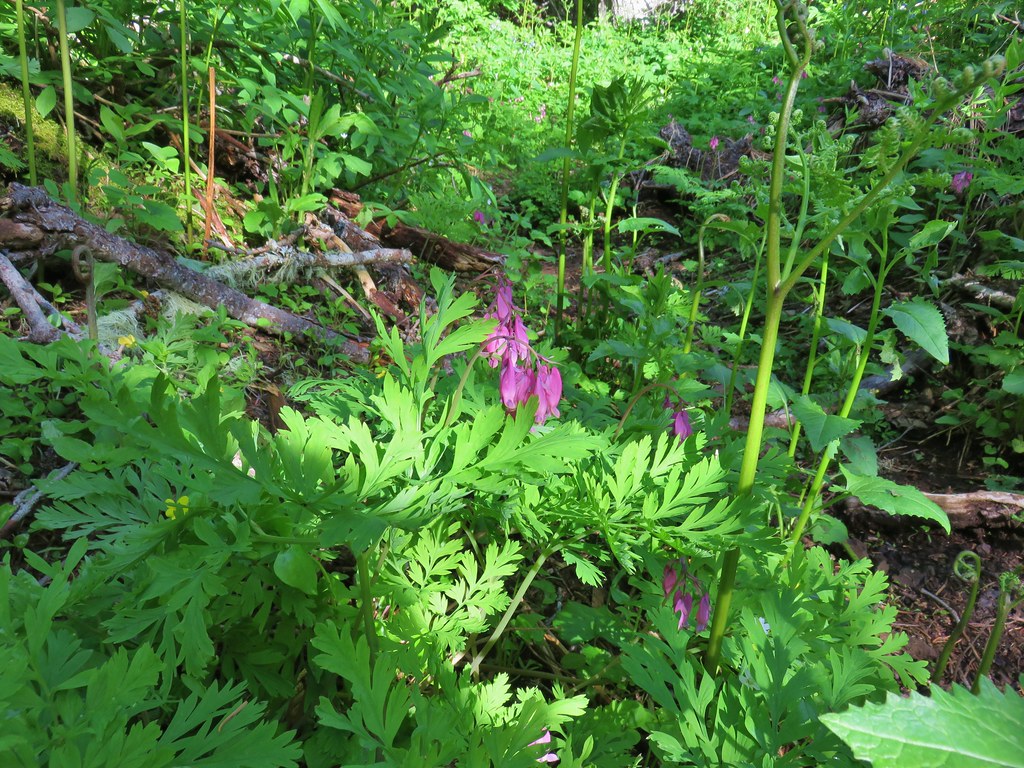 Bleeding heart
 Violets
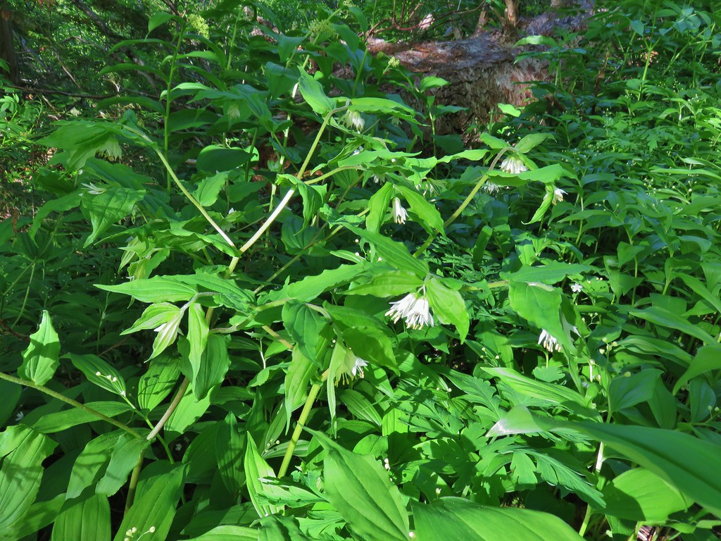 Fairybells
 Royal Jacob’s ladder

 Western meadowrue
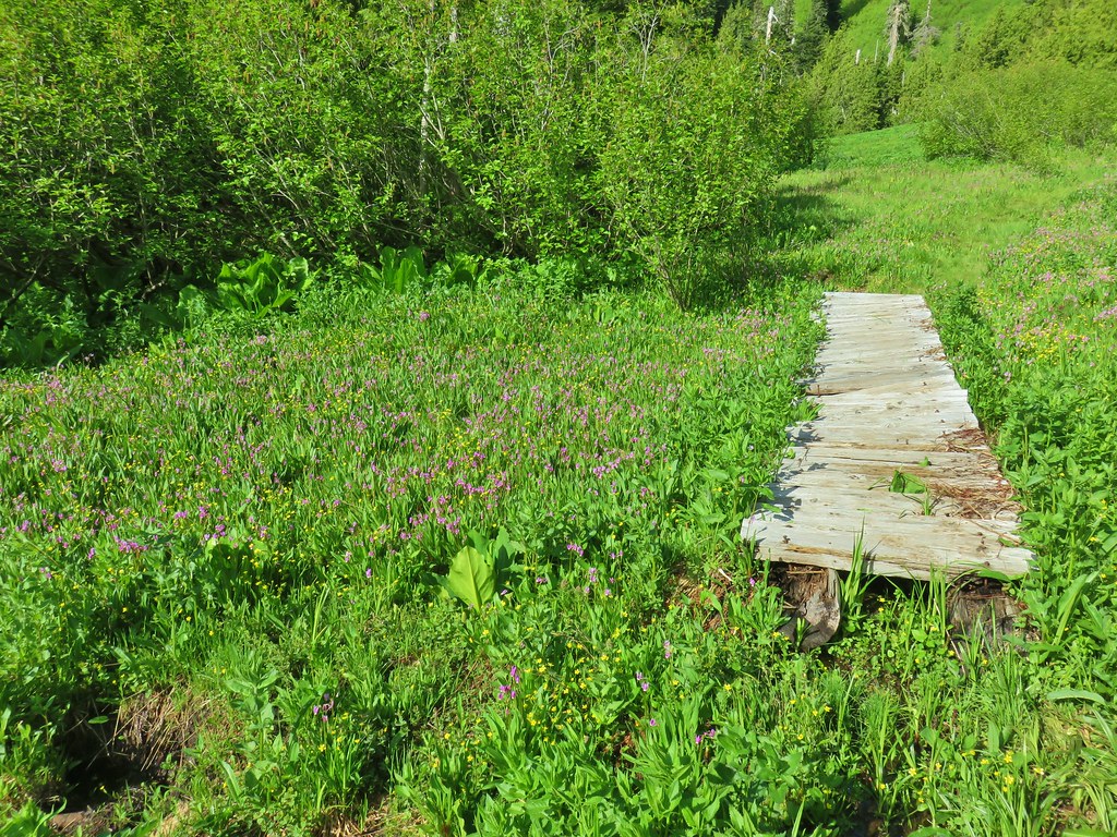
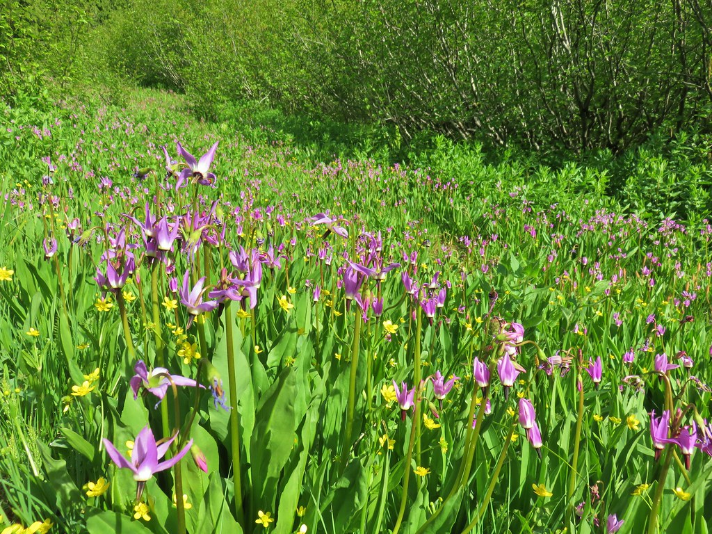
The further into the meadow that we got the wetter the ground became. Near the first of a series of short boardwalks there was a great display of shooting stars and buttercups.

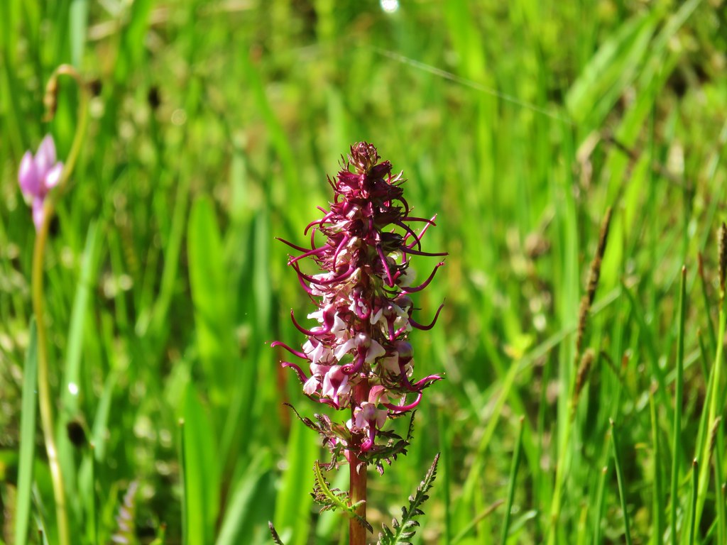
There were also a number of elephants head beginning to bloom.

The boardwalks helped a bit but in between the gaps the ground was muddy and wet. A perfect mixture for frogs.

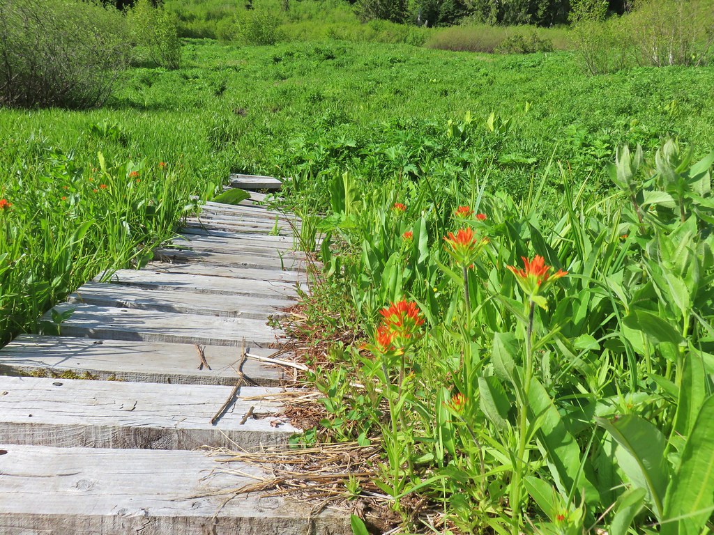 Paintbrush
 Frog
Frog
 Looking back at the route through the meadow.
We left the meadow and dropped down to the footbridge to complete the loop then returned to the car. We passed a few hikers on their way up to the basin and these would be the only people we would encounter all day.
From the Echo Basin Trailhead we returned to Highway 20 and continued east 2.2 miles to Hackleman Creek Road (FR 2672) on the right for our third stop of the day along the Old Santiam Wagon Road. The wagon road crosses FR 2672 about a hundred feet from the highway and there is an unmarked trailhead down a short dirt road on the left.
 The trailhead off of FR 2672.
There was an amazing patch of coral root at the trailhead.

We walked past a green gate and found a post indicating that this was the Old Santiam Wagon Road.

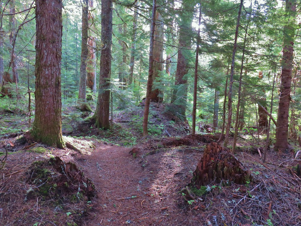
This was a deviation for Sullivan’s hike description as he would have you start at the Fish Lake Day Use Area but the entrance to the day use area remains gated due to COVID-19. From this trailhead we could follow the wagon road 2.2 miles to the Pioneer Grave and Fish Lake. There wasn’t a lot to see along the way, a few scattered flowers was about it. The road was in fairly good shape with a few downed trees near the beginning but as we got closer to Fish Lake it was obvious that there had been some clearing done.
 Iris
Iris
 Beargrass
 Santiam Wagon Road
 Bunchberry
 Musk monkeyflower
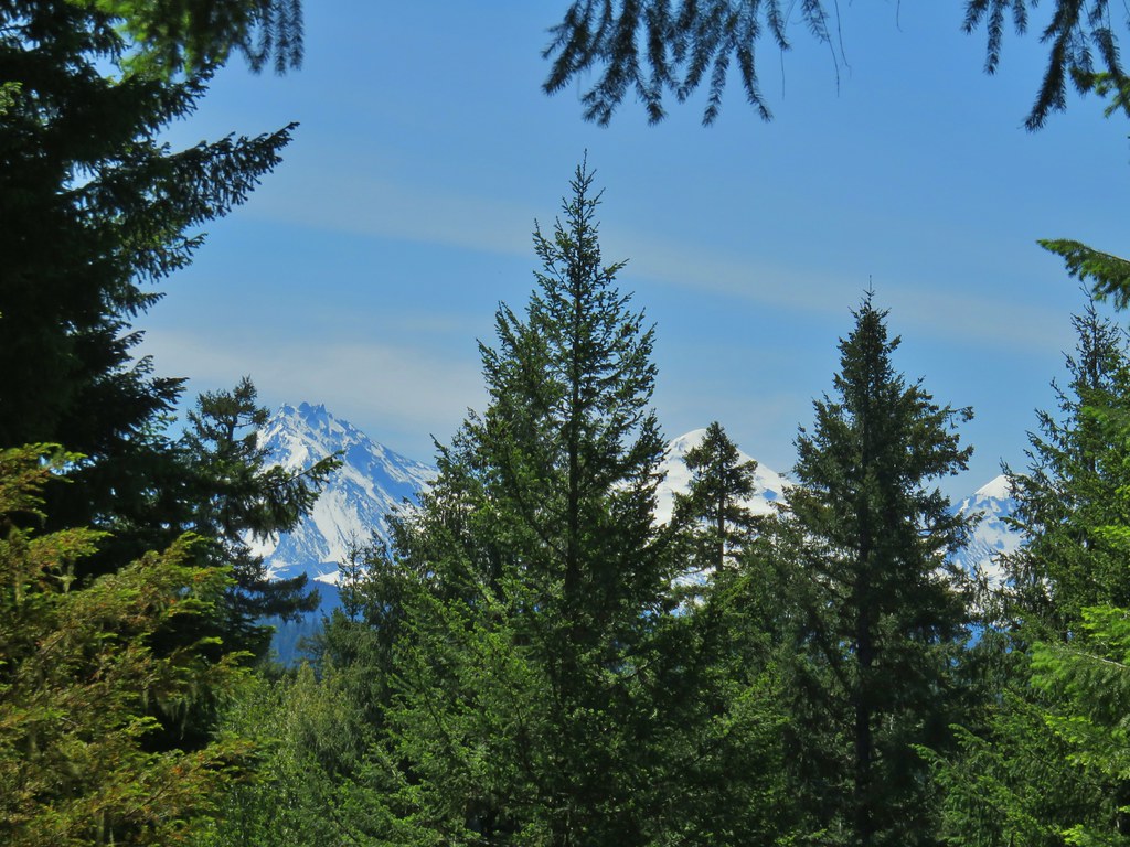
We stopped at the grave site where there is a semi-obstructed view of the Three Sisters.
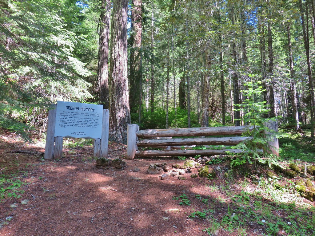

Just beyond the grave site is the Fish Lake Remount Station which served as the headquarters of the Santiam National Forest in the 1910’s. Two cabins are available for reservations in Winter. We were not entirely sure of the status of the area as I mentioned before the Forest Service website mentioned that the Day Use are gate was still closed, but the Day Use Area was .4 miles from the grave site and there were no signs indicating that the remount station was off-limits. We followed the wagon road through the station but avoided using or touching any facilities.
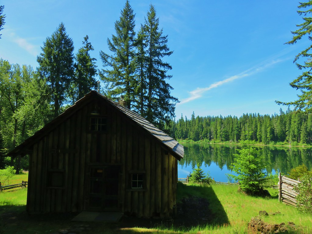 Hall House
 Commissary Cabin
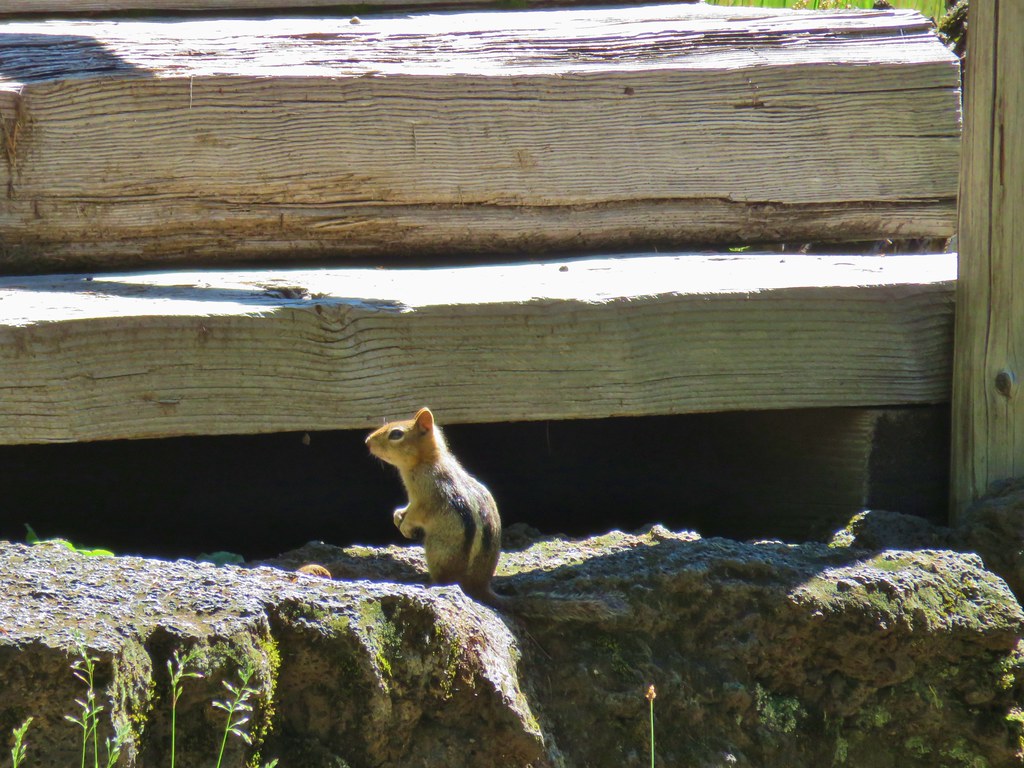 Commissary Cabin innkeeper?
 More from the remount station
Fish Lake dries up annually leaving a meadow but there was a good amount of water present and we spotted a couple of kayaks or paddle boards across the water.
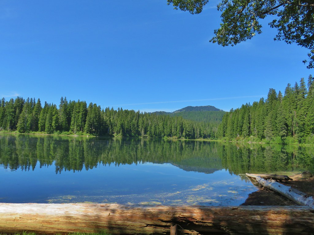 Browder Ridge (post) looming above Fish Lake.
 Interpretive signs for the remount station.
An old lava field sits between the station and the day use area which we walked through until we could see the day use area (where there was at least one car and no gate, curious.


We returned the way we’d come for a 5.2 mile out-and-back giving us a grand total of 8.6 miles for the day (1.1 at Hackleman Grove and 2.1 at Echo Basin). Despite the hikes being very close to one another they each had a different feel making for a fun and interesting day. Happy Trails!

4 replies on “Hackleman Grove, Echo Basin and Fish Lake – 6/19/2020”
[…] – Echo Basin and Fish Lake 6/19/2020 Boardwalk in Echo […]
[…] Echo Mountain and North Peak […]
[…] previously hiked sections at House Rock (post), Tombstone Pass (post), Fish Lake (post), Sand Mountain (post), and Whychus Canyon Preserve (post). For our previous hike to Sand Mountain […]
[…] snowmelt fills Fish Lake (post) but the porous lava beneath the lake drains it by […]