**Note the 2020 Green Ridge Fire burned a portion of this hike.**
After three nice days the weather turned on us again and what had been a pleasant forecast for Saturday turned to rain everywhere I looked on the west side of the Cascades so we swapped a planned hike in Washington’s Trapper Creek Wilderness for a trip over Santiam Pass to Green Ridge where there was just the slightest chance of showers.
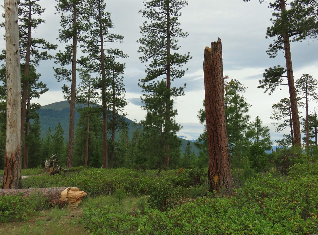
The Green Ridge escarpment sits at the eastern edge of the High Cascades graben along the Green Ridge Fault. With the ridge being the transition zone between the High Cascades and the High Desert the area is an interesting mix of trees and vegetation. The trail is popular with equestrians and mountain bikers as it connects with various longer loop options.
To reach the trailhead that we began at we drove Highway 20 to FR 11 also known as Green Ridge Road (2 miles east of Black Butte Ranch or 5.8 miles west of Sisters). We turned north onto FR 11 at a pointer for Indian Ford Campground and followed this paved road for 4.3 miles to an unmarked junction with FR 1120 at a curve. We turned left on the red cinder FR 1120 for 0.9 of washboard road to the trailhead on the left.


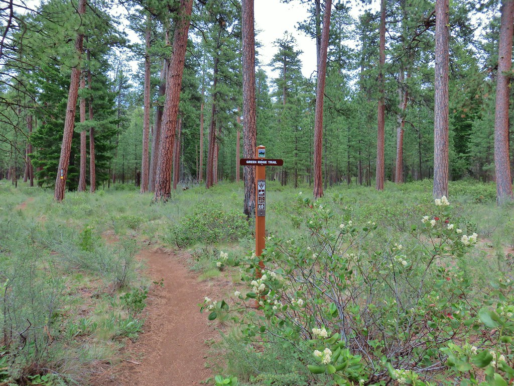
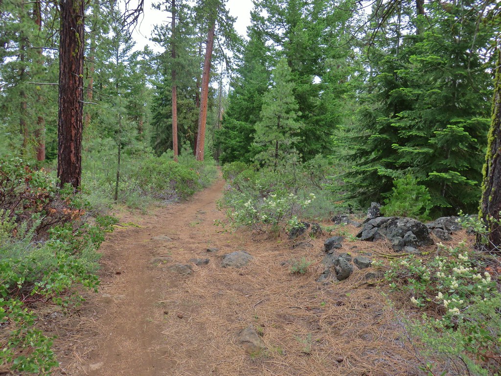
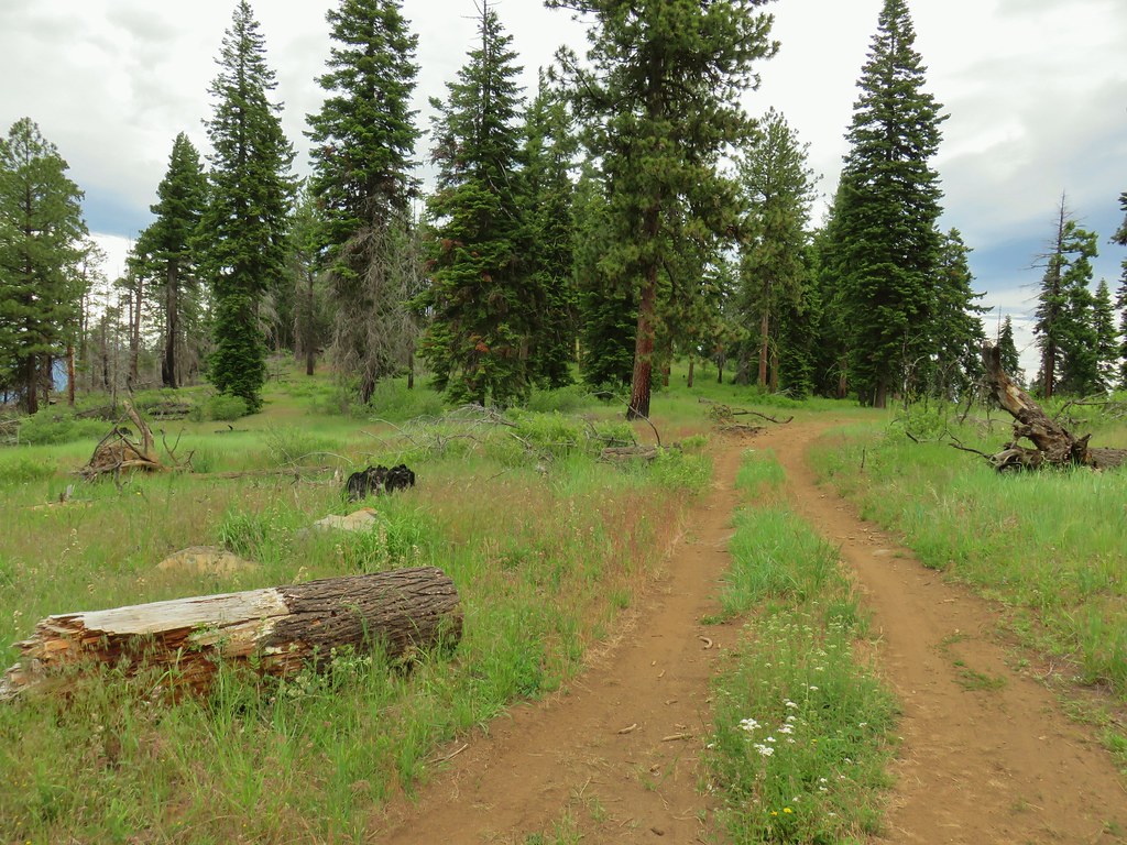
The Green Ridge Trail began on the far side of FR 1120 at a sign.
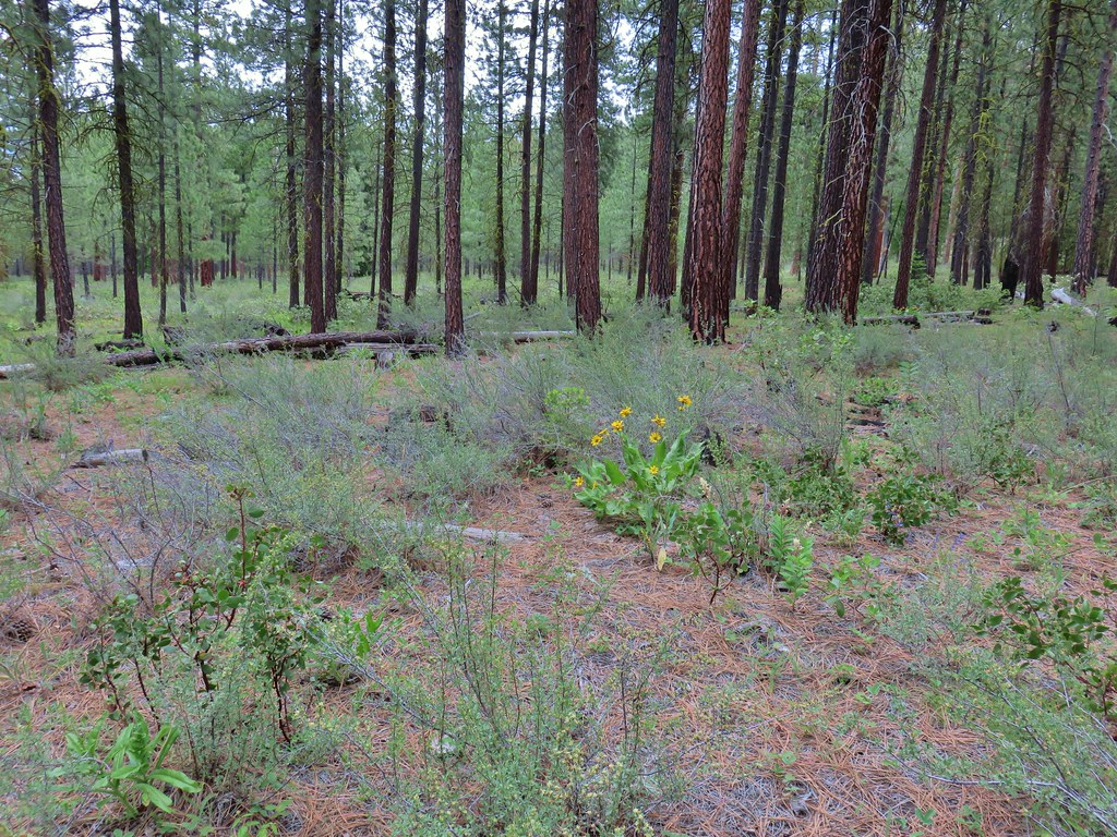
The trail passed through a forest of mostly ponderosa pine and a few scattered flowers.
 Paintbrush
 Balsamroot
 A phacelia, Oregon sunshine, and a little pink diamond clarkia.
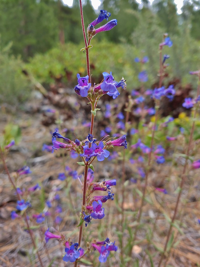 A penstemon
 Washington lily
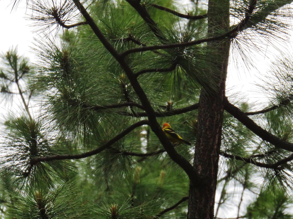 I couldn’t get a good shot of this western tanager but he was really colorful.
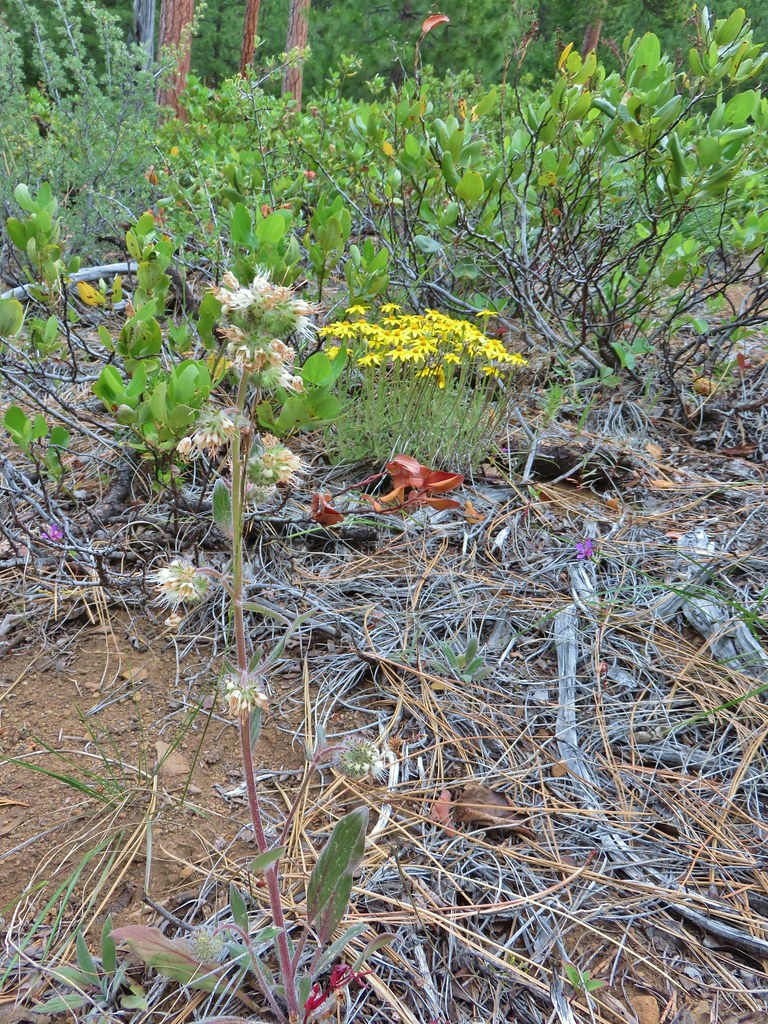
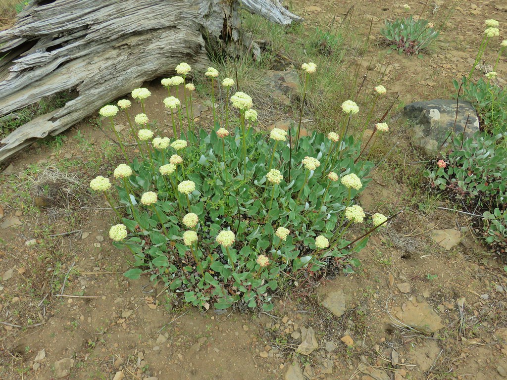
 Buckwheat
 Bird with breakfast
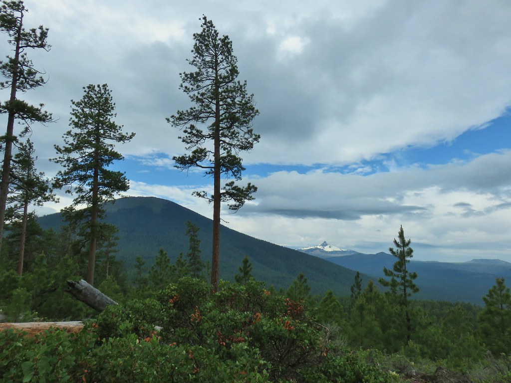
The trail soon began climbing gradually up the ridge via a long switchback. As we climbed we began to get views of the nearby Cascade peaks.
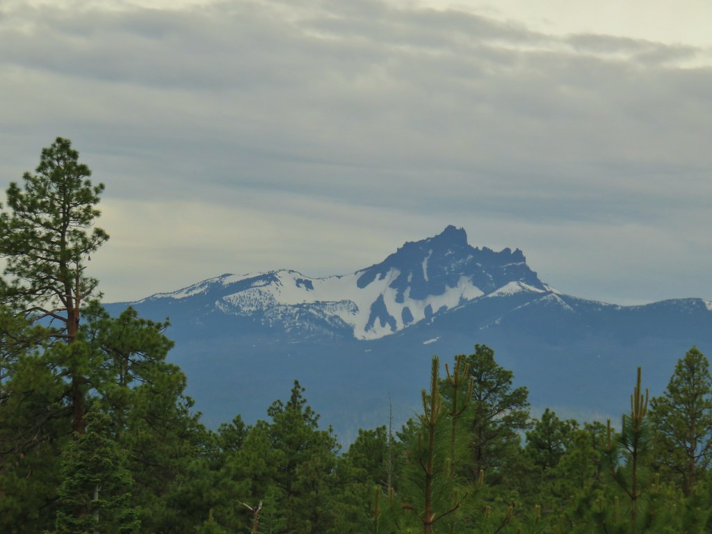
 Three Fingered Jack
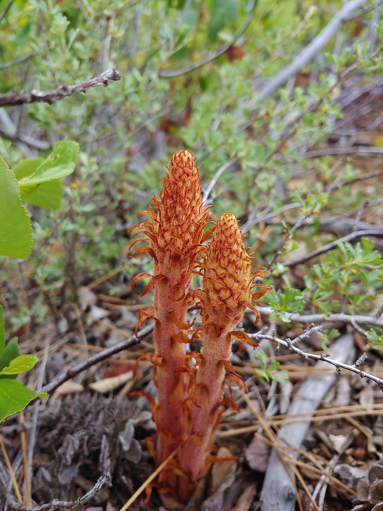 Pinedrops
We also began to notice 3-inch long Pandora moth larva crawling across the trail.
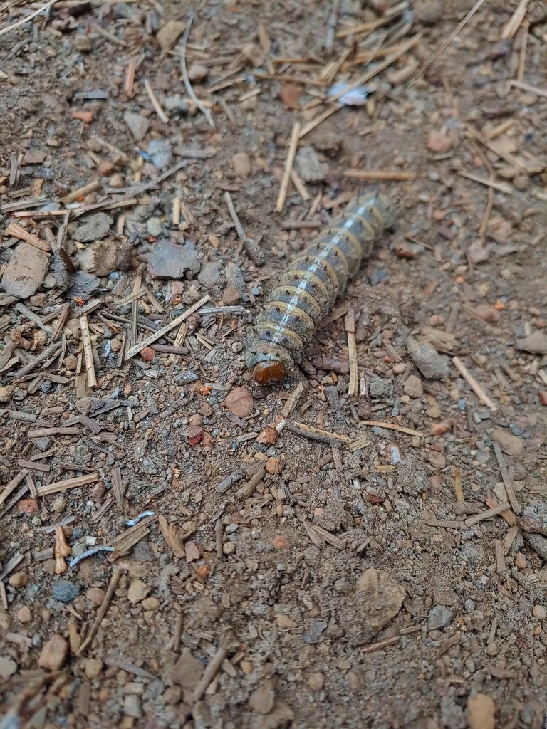
The larva spent spring feeding on ponderosa pines and are now burrowing into the ground where they will transform into pupae. They will then emerge next summer as adult moths. Based on studies of ponderosa pine tree rings up to 22 Pandora moth outbreaks have occurred in the last 600 years. When I was at Redmond High School in the late 80s/early 90s one of the outbreaks occurred and the number of the large moths was amazing.
Many of the larva we saw would not be making it to adulthood as they seemed to be of particular interest to the resident ants of the area.
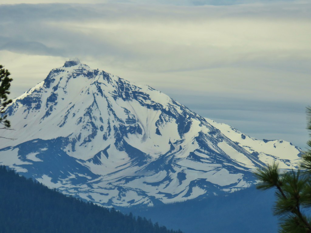
Three Fingered Jack was clear of clouds but the same couldn’t be said for Mt. Washington when it came into view over the shoulder of Black Butte (post).

While it was still climbing the trail began to level out as it followed the ridge south.


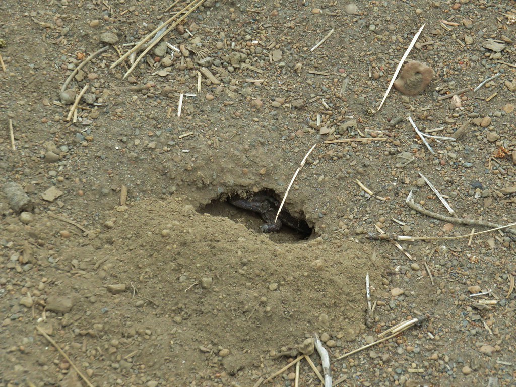
As I was watching the drama at my fleet playing out between the larva and the ants I spotted something in a hole in the middle of the trail.
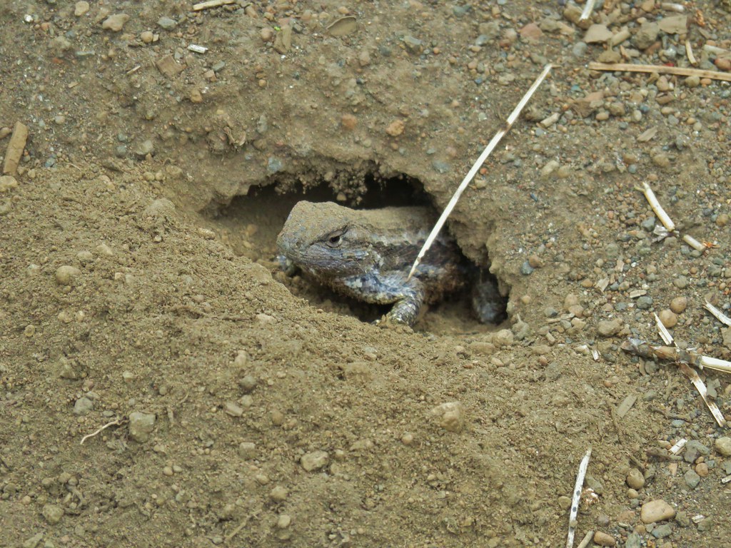
We shared a moment then the lizard scurried off into the sagebrush and we continued on. Mt. Jefferson soon joined the view and it too was relatively free of clouds for the time being.


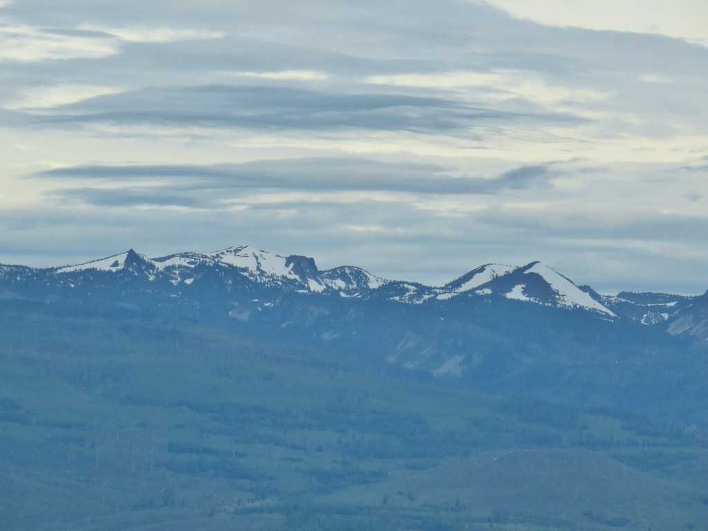
We spotted another familiar prominent feature along the Cascade crest as well.
 South Cinder Peak (post)
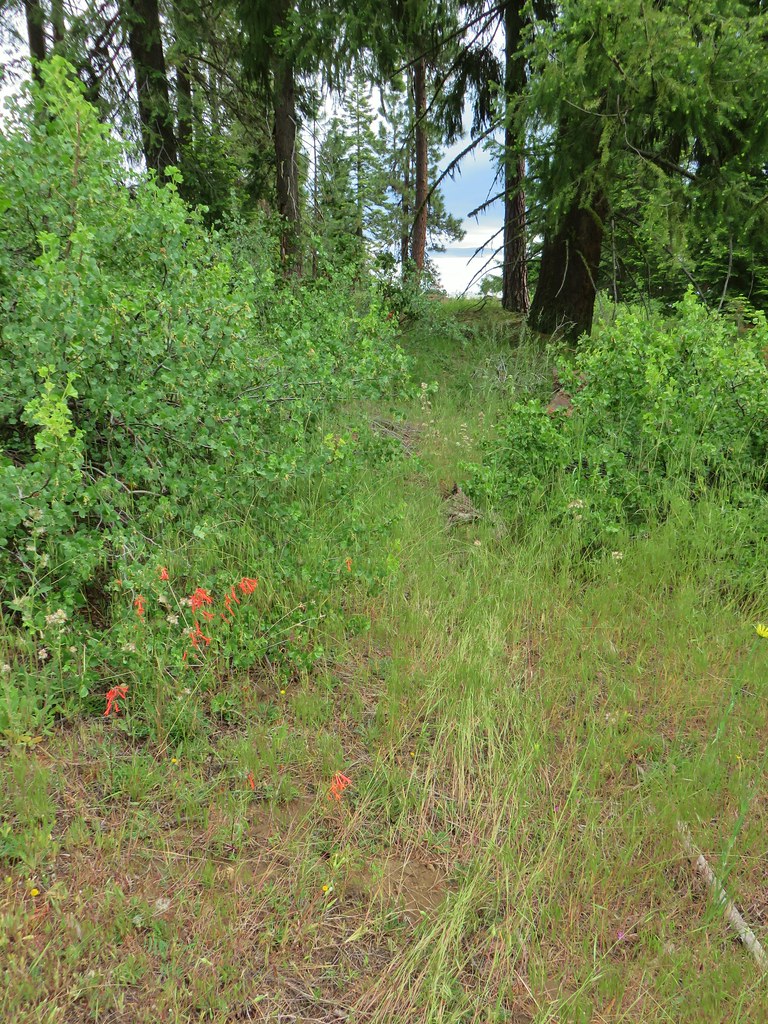
As we continued along the ridge the forest transitioned from the ponderosa pines to higher elevation furs and pines.
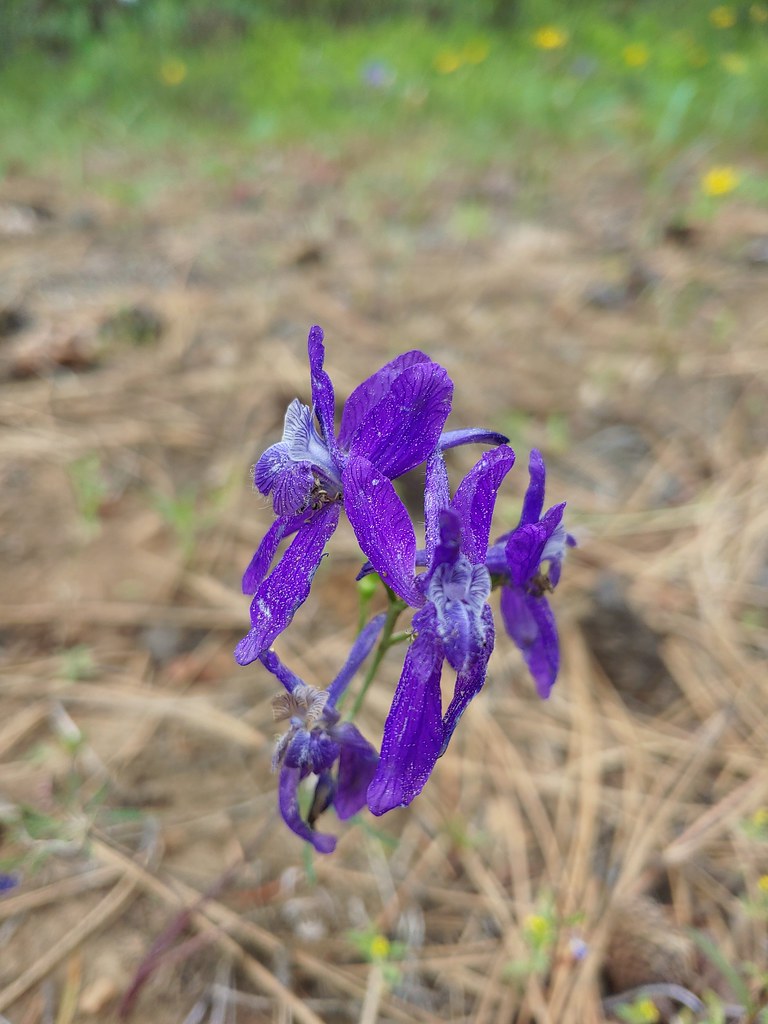
The flowers transitioned too and we were soon seeing a lot of purple larkspur red scarlet gilia, and white California stickseed as well as a few other flowers.


 Lupine
 Columbine
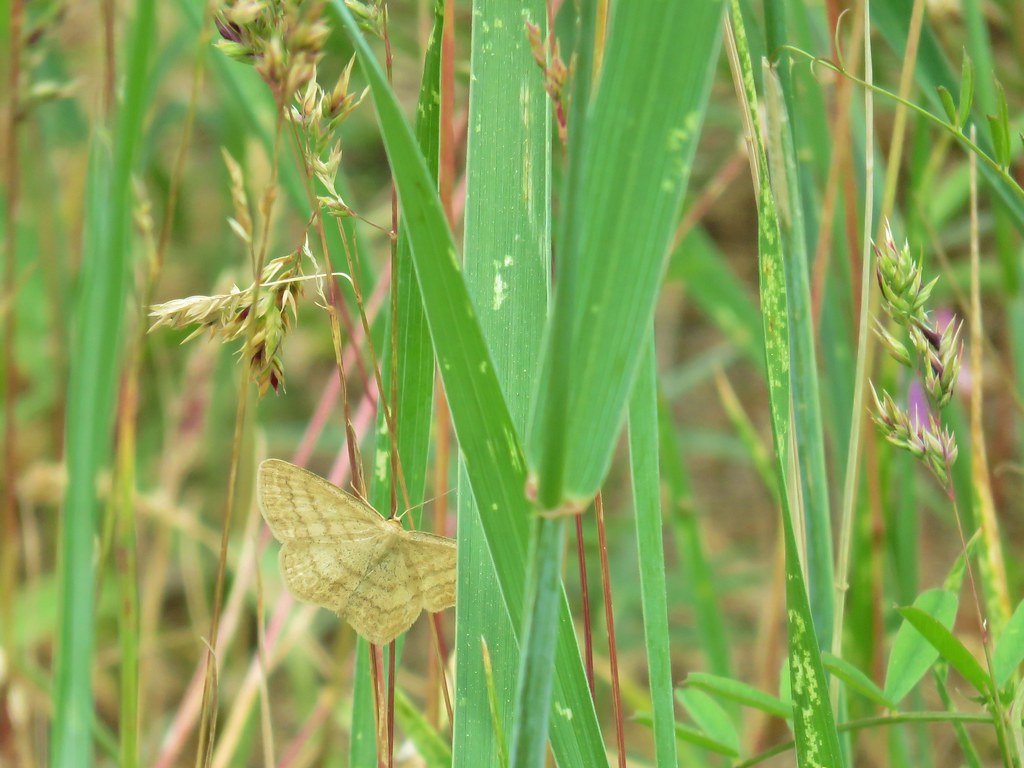 A moth but not a Pandora moth. 🙂
 Sticky cinquefoil
 Salsify
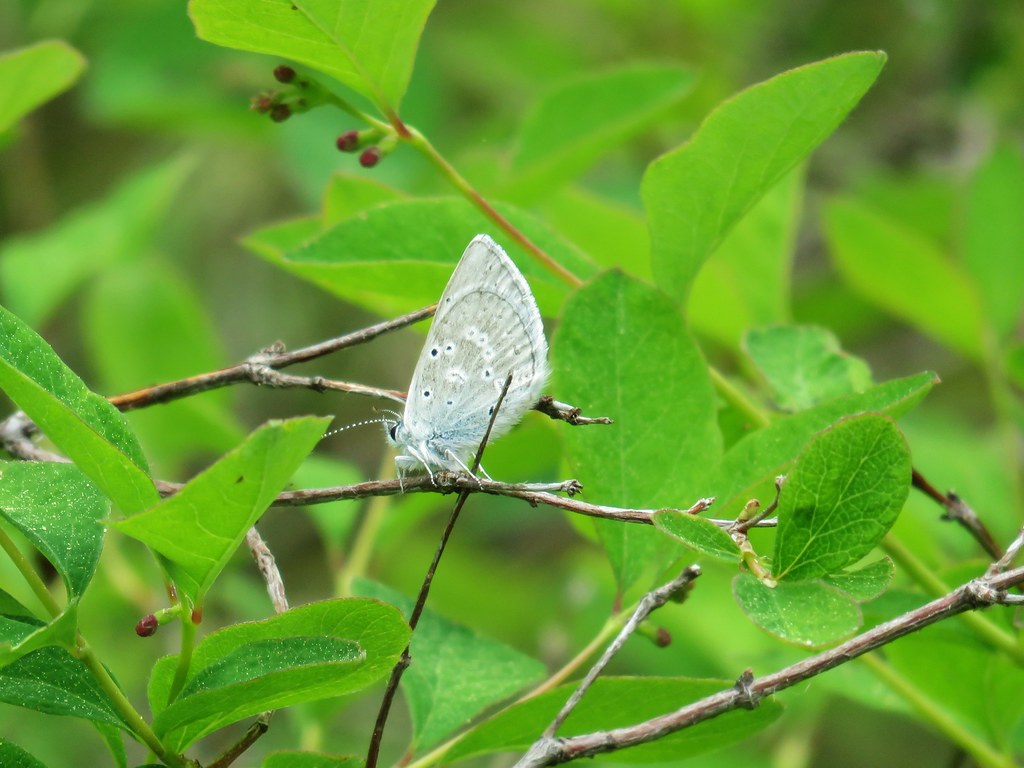
 Tortoiseshell butterfly
Around the 5.25 mile mark we came to a bend in an old roadbed that the trail had been following since the 4 mile mark. Past the bend the road headed downhill a bit to dip around a knoll and continue on another 4.3 miles to the Green Ridge Lookout.
This knoll was our goal for the day. We were using Matt Reeder’s “101 Hikes in the Majestic Mount Jefferson Region” guidebook and he described a faint trail leading up past a campsite to a viewpoint. We couldn’t identify the faint trail so we simply set off cross-country up the knoll. We did pass a fire pit which we assumed was the campsite and then noticed what might have been a faint trail.
Just .2 miles from the trail/roadbed we arrived at the rocky viewpoint where we found a lot of penstemon.
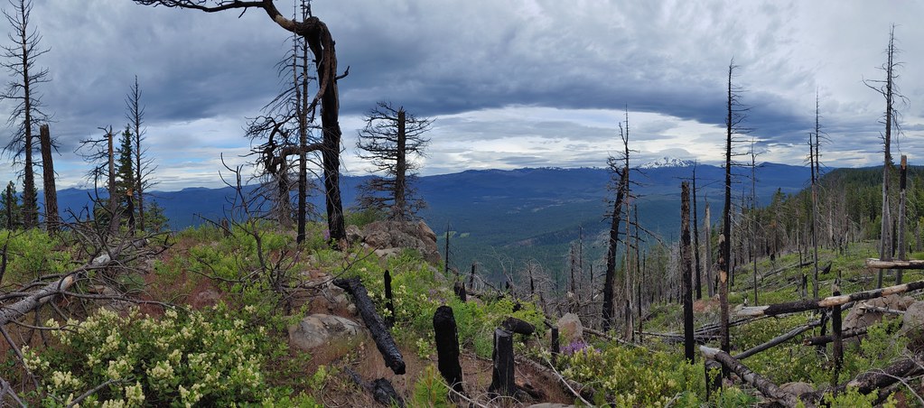

There was also a view of several mountains from the North Sister north to Mt. Hood.
 Black Butte and the North Sister
 North Sister
 Three Fingered Jack
 North Cinder Peak and Forked Butte (post)
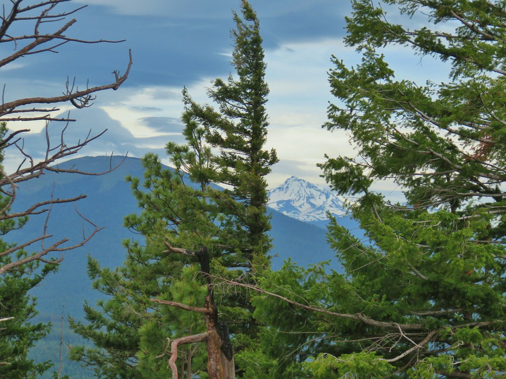
 Mt. Jefferson
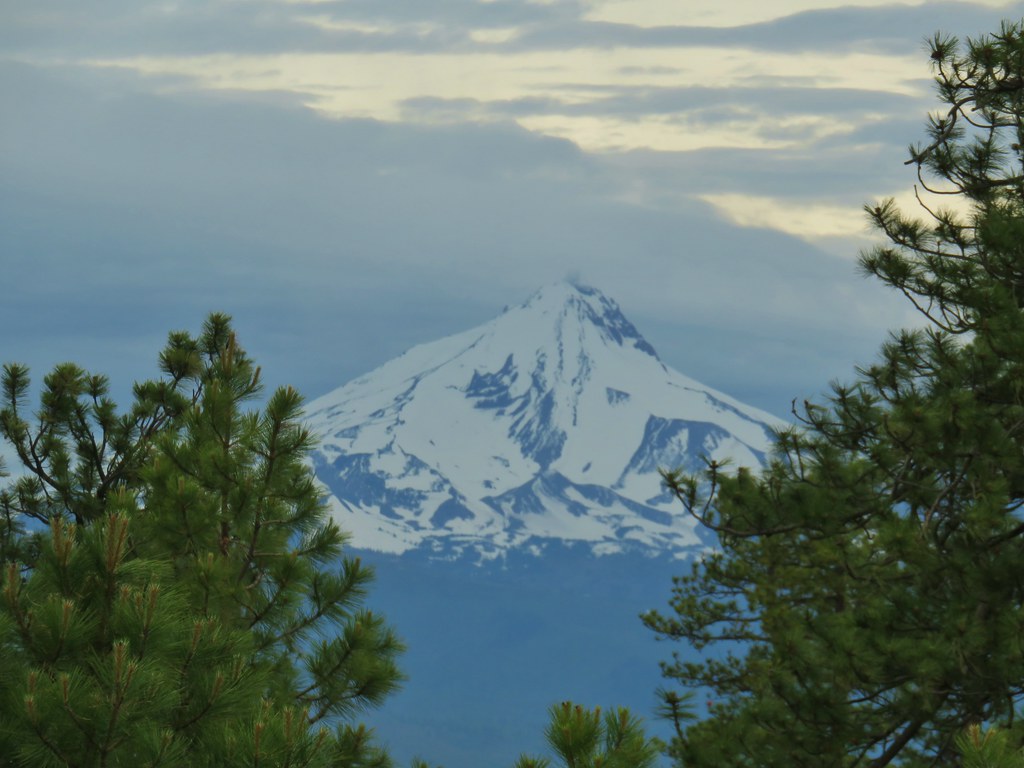
 Mt. Hood
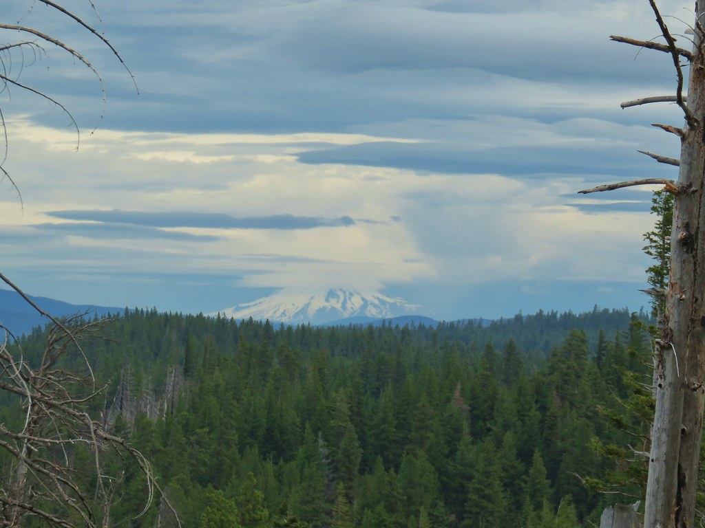
We could also make out just the slightest bit of the Metolius River (post) below the ridge.

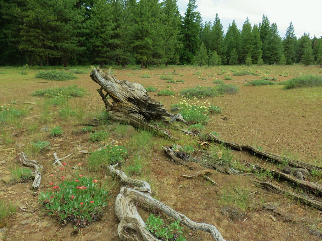
After a nice break we headed back along the ridge. We took one side trip on the way back down just over 2.25 miles from the knoll to check out what looked to be quite a bit of balsamroot to the east of the trail. It turned out to be a wide open area that had a high desert feel in the center with lots of buckwheat while balsamroot surrounded it near the tree line.

 Buckwheat in the center.

 Balsamroot near the trees.


After the brief side trip we continued down the trail which was now quite a bit busier with several mountain bikers and a couple of hikers making their way up the trail. Going in this direction there were times where we were looking straight at Black Butte and in so doing we noticed that Broken Top was visible over the left shoulder of the butte.


 Tam McArthur Rim (post) and Broken Top
There was a moment when a bit of blue sky opened above the cascades giving us a good look at Mt. Washington and Three Fingered Jack.
 A sliver of blue sky over Black Butte and Mt. Washington.
 Mt. Washington
 Three Fingered Jack with some blue sky.
The blue sky quickly disappeared and it sprinkled ever so briefly before we arrived back at the trailhead. Our hike came in at 11.2 miles with approximately 1200′ of elevation gain which was spread out fairly well along the trail so that it never felt very steep at all. Given all the rain forecast for the west side of the cascades we felt fortunate to have gotten the mountain views we did. The best part of the hike for us though was the different vegetation and scenery along the ridge. The mix of high cascades and high desert made it a truly interesting place. Happy Trails!
Flickr: Green Ridge

7 replies on “Green Ridge – 6/20/2020”
Thank you for sharing all of the pictures, looks like a great place to visit!
Great post! I love this area, haven’t been there in a while.
[…] Pandora moth caterpillar at Green Ridge (post) […]
[…] Ridge (post) in the distance with a little smoke rising from the Metolious Basin where the Forest Service had […]
[…] through but the views were great. Three Fingered Jack and Mt. Jefferson to the left. Green Ridge (post) across the center, and Cache Mountain & Black Butte to the […]
[…] that hike. For this trip we would be heading further North and then East as we rounded Green Ridge (post) at the Horn of the […]
[…] McArthur Rim (post), Broken Top with Green Ridge (post) and Black Butte (post) in front, and parts of the Three […]