I suffered a setback in my rehab coming out of Memorial Day Weekend. My back stiffened up going into the week and by late Thursday night I could barely turn my head to the left. Sleeping was also difficult and I was relegated to back only due to the amount of discomfort laying on my sides was causing. By Friday night I had pretty much given up on thoughts of hiking during the weekend and was instead looking forward to my next PT appointment Monday afternoon. Heather went on a solo hike Saturday to Ramona Falls while I stayed home and rotated between an ice pack and heating pad on my back. Since she isn’t writing up her solo outings here is a link to our 2013 visit to the falls (post). By Saturday night I was feeling quite a bit better, still stiff and limited to back sleeping, but improved enough to be considering an outing to see the wildflowers in Cone Peak Meadows the next day. I woke up the next morning, did my PT stretching and felt good enough to give it a go. I did a lot of praying on the drive to the trailhead that God would grant me the wisdom to know if this was a bad idea and not to overdo anything.
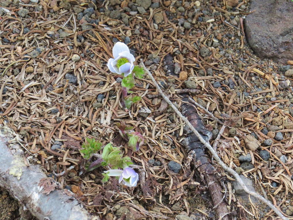
I had been wanting to get back to Cone Peak Meadows in late Spring to look for a particular wildflower, Longhorn steer’s-head (Dicentra uniflora). It is at the top of my most wanted list of wildflowers within day hiking range. I wasn’t sure about timing though given that blooms are early this year due to the lack of snow this past Winter. I had seen reports from other years of these flowers blooming during the first couple of weeks of June. Our two previous visits had been on July 25th & July 4th (post) which was much too late. I spent some time online familiarizing myself with the size and look of the flowers so that I would know what I was looking for. Spoiler alert I did not spot any. It may have been too late this year or I might have simply failed to notice any of the penny sized blooms. Regardless it was an excellent hike which I will finally get to.
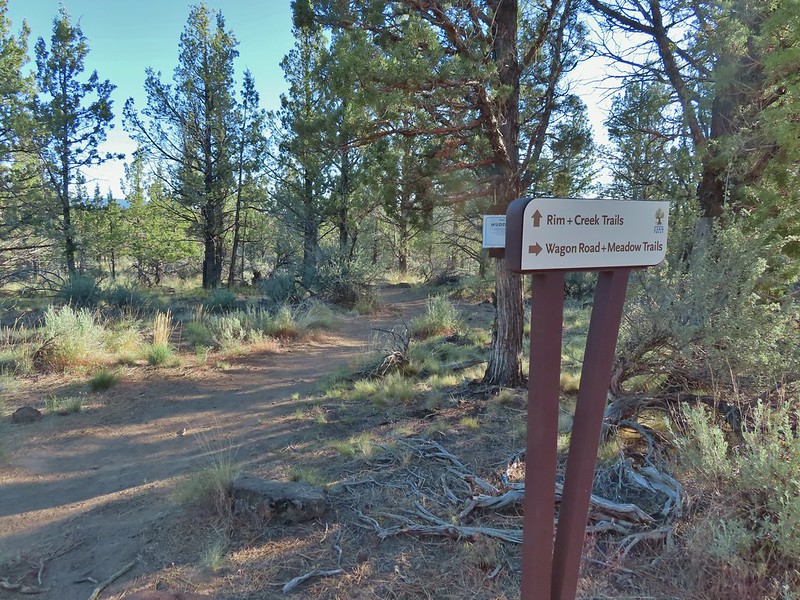
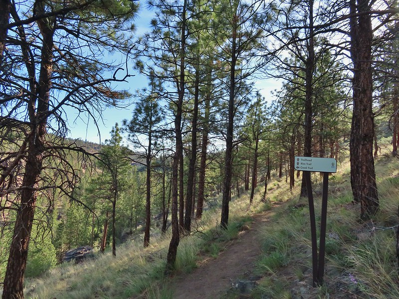
I began at the Tombstone Pass Trailhead shortly after 5:30am and set off on the loop counterclockwise.

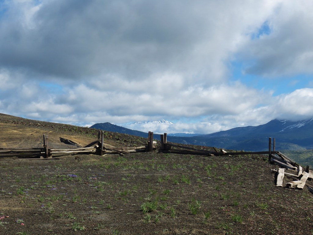
The trailhead just off Highway 20 at Tombstone Pass.

The start/end of the loop on the left and right of FR 60.
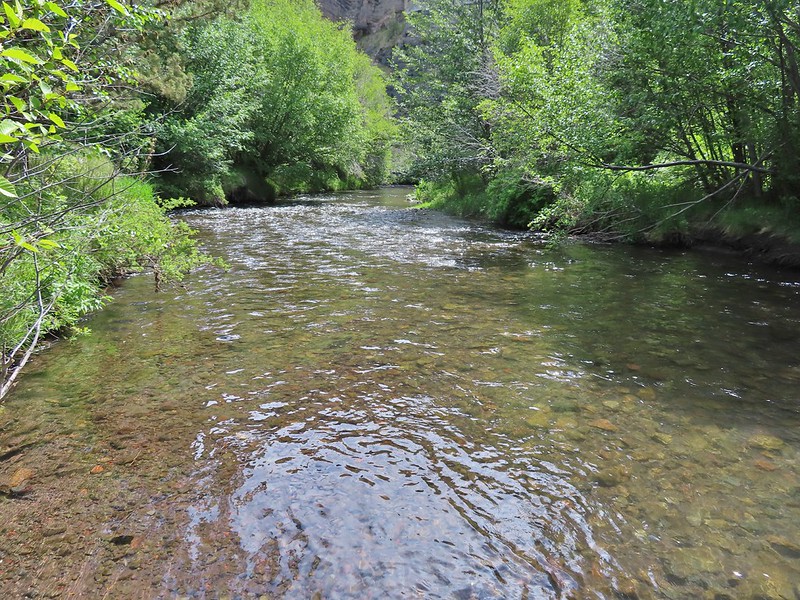
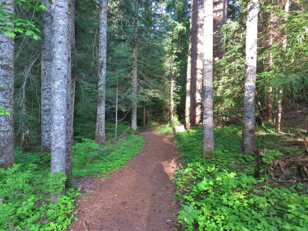
I turned left onto the loop and descended through the forest to Tombstone Prairie.


Valerian along the trail.

Bunchberry and starry false solomon’s-seal

Salmonberry
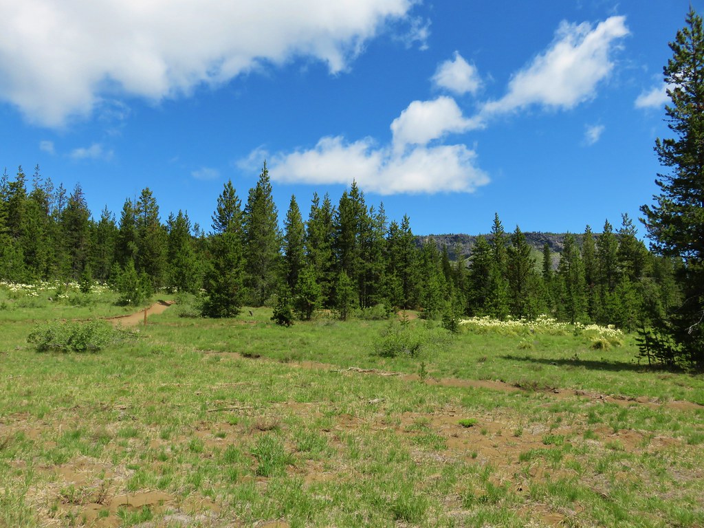
The Tombstone Prairie Nature Trail is an optional short loop that can be done around the prairie. I opted to skip the loop this time.


Tombstone Prairie

The other end of the Tombstone Nature Trail.
I forked left at this junction, crossed a branch of Hackleman Creek then climbed to Highway 20.


The Cone Peak Trail picks up across the highway to the west near some road signs.


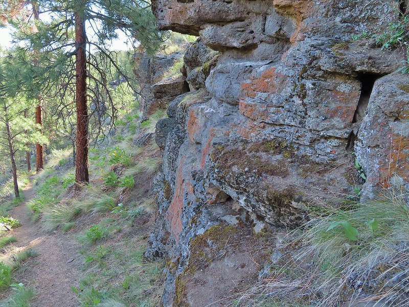
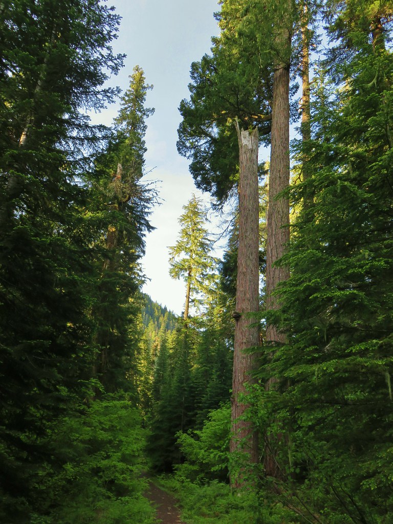
The Cone Peak Trail climbs gradually through the forest before coming to increasingly large openings.

Trillium, fairy bells, Solomon’s seal, and starry false Solomon’s seal.

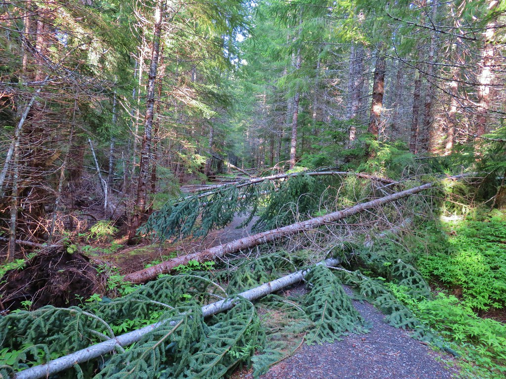
There were a few trees that needed to be stepped over.

Valerian starting to bloom in a meadow.


Vanilla leaf

This was the only beargrass bloom I spotted on the hike.

Northwestern twayblade


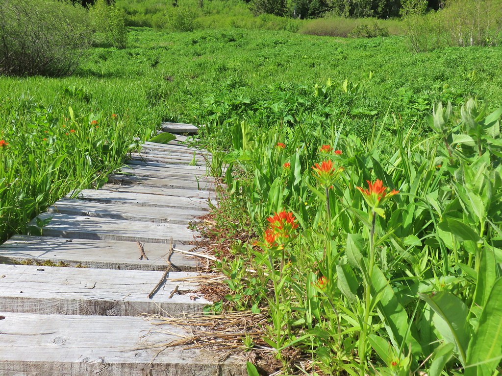
Larkspur was the most prevalent of the flowers that were currently blooming.

Sub-alpine mariposa lily

Larkspur and maiden blue-eyed Mary

Larkspur and paintbrush


Solomon’s seal

Another patch of larkspur.

Larkspur and monkey flower

Strawberry patch

Ball-head waterleaf


Baneberry


Phlox and maiden blue-eyed Mary

Biscuitroot and phlox


Olympic onion

Sandwort

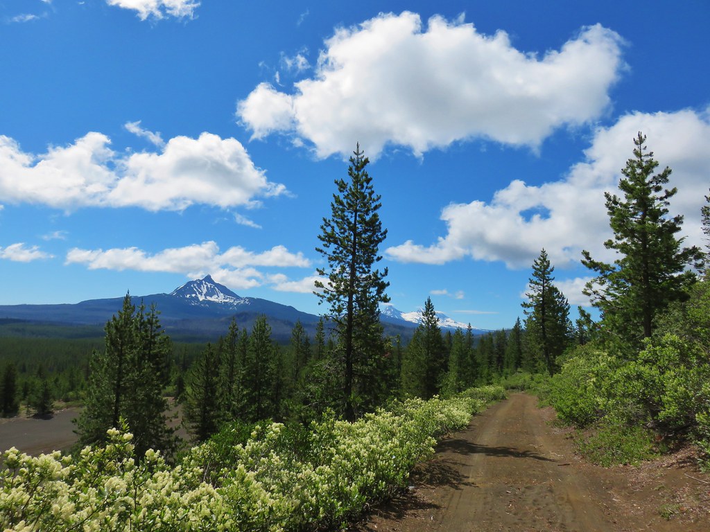
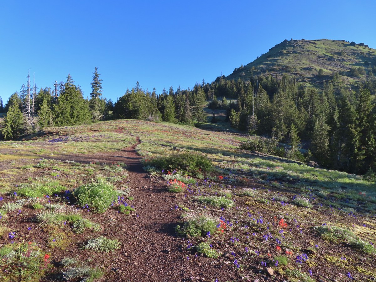
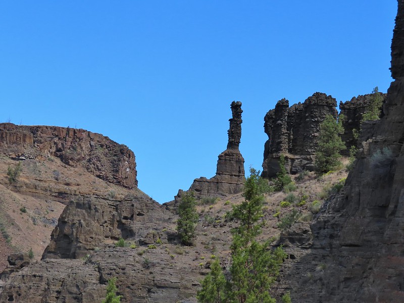
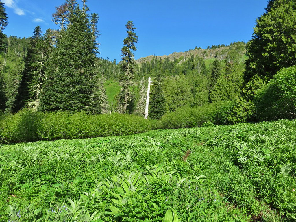
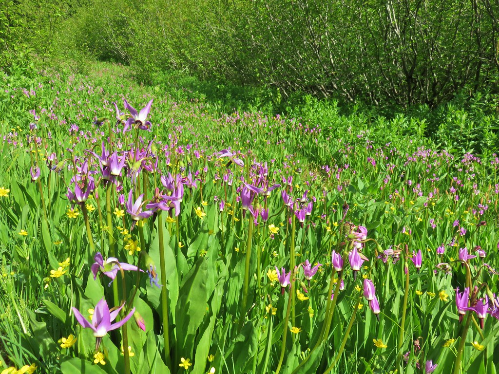
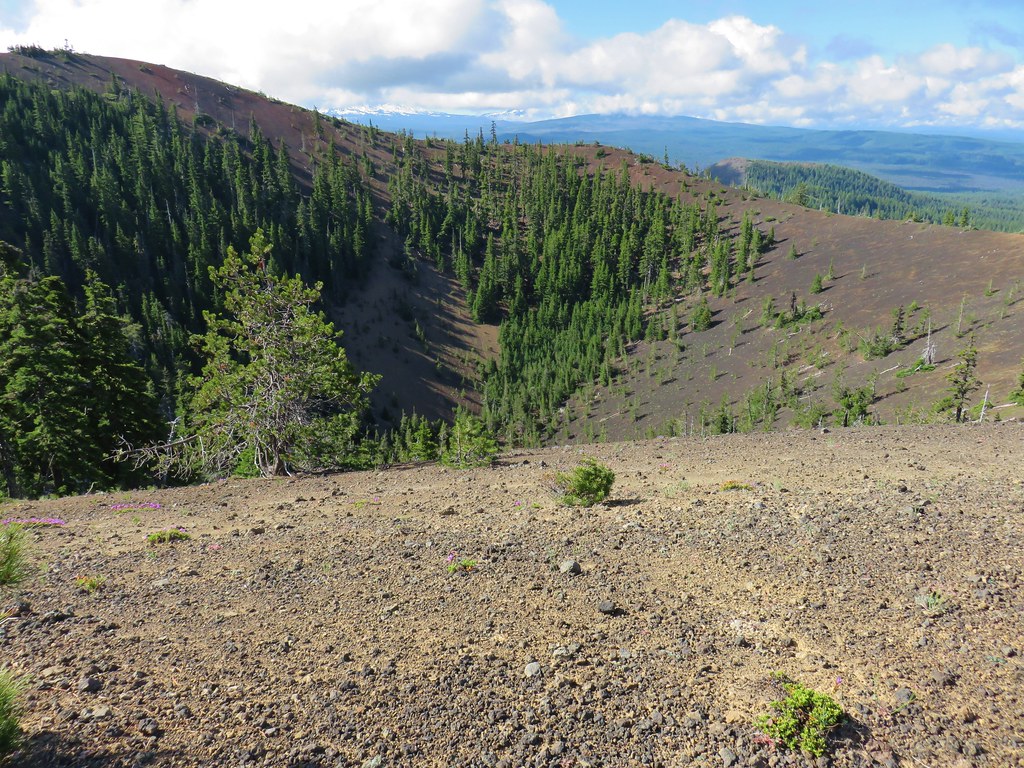
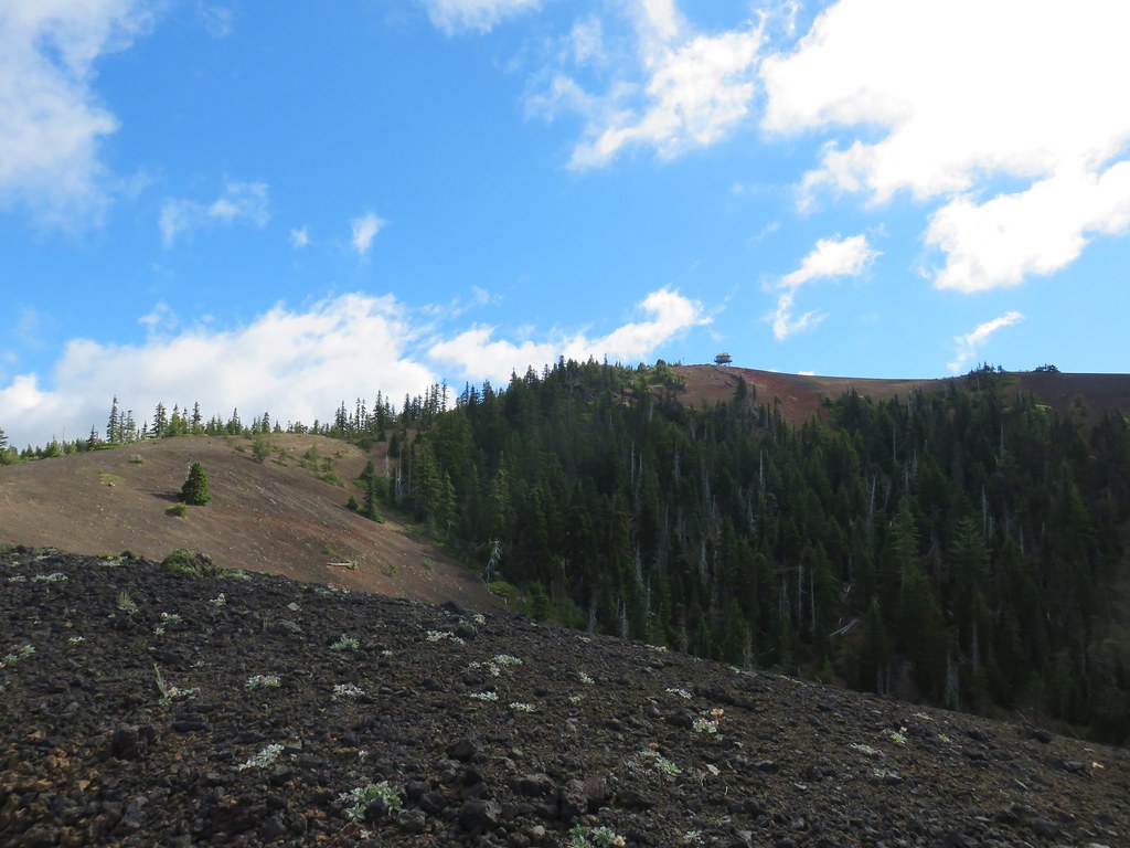
Cone Peak as the trail enters Cone Peak Meadows.

Buckwheat

Death camas


Littleflower penstemon

Paintbrush, larkspur and sandwort?

Iron Mountain


Oregon sunshine


Smallflower woodland star

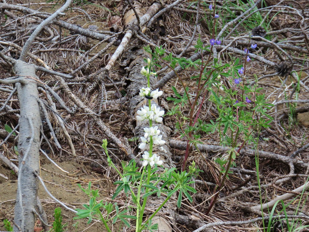
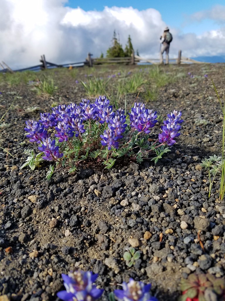
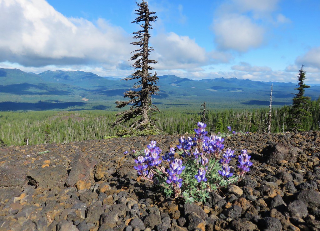
The lupine was just getting started.

Heading toward Iron Mountain.

Another buckwheat

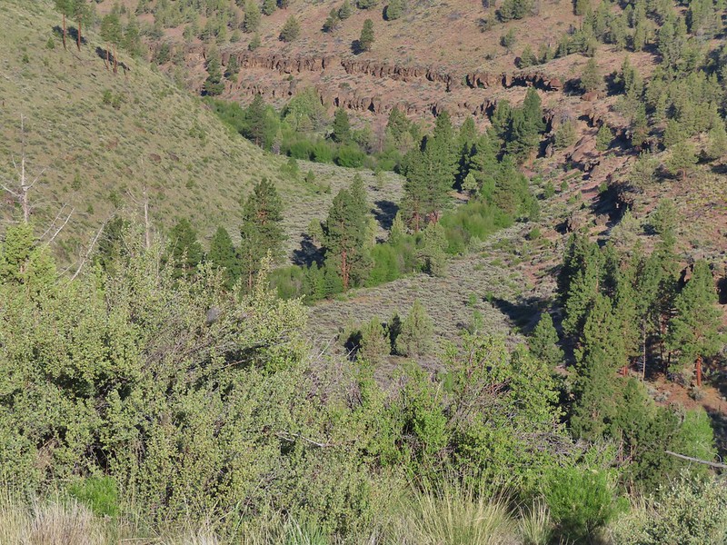
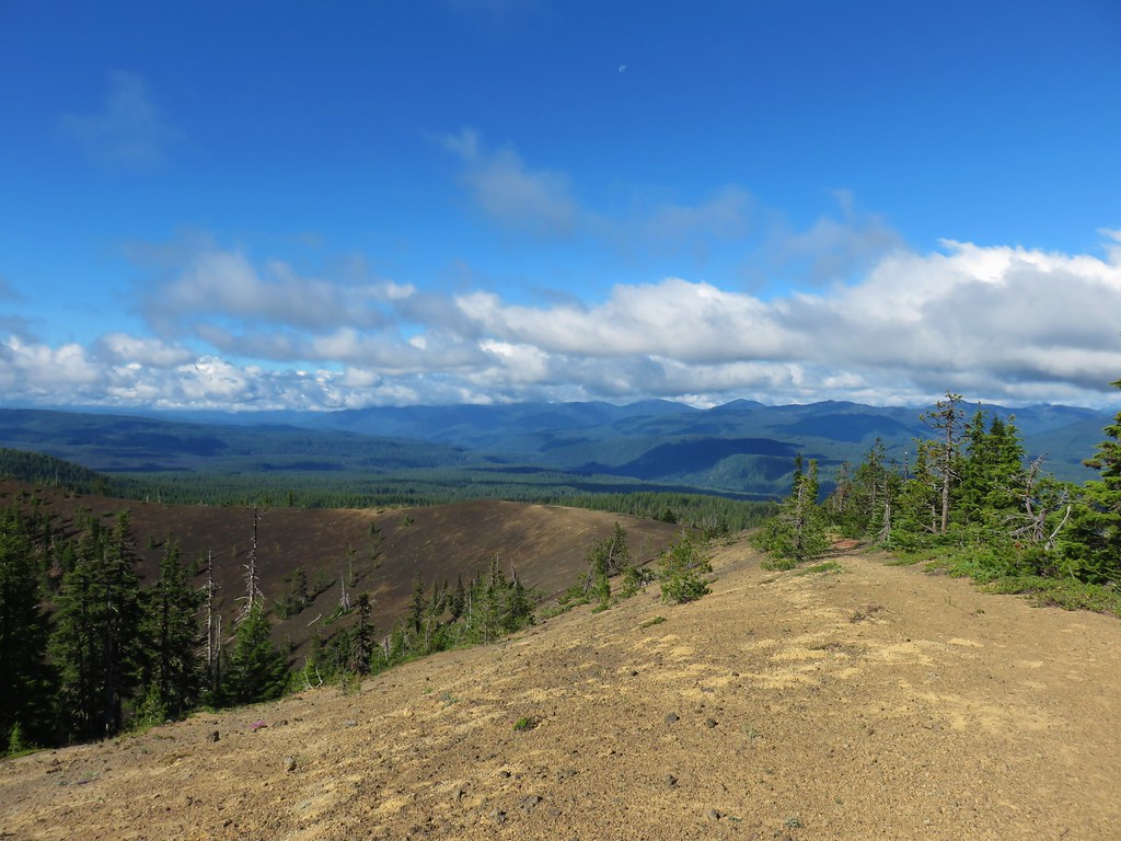
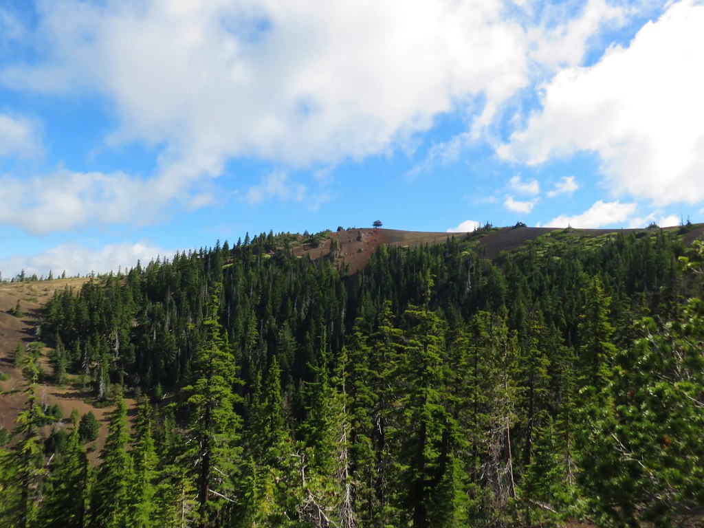
The trail left Cone Peak Meadows and descended slightly as it passed through the forest on the way to Iron Mountain.


Columbine


Jessica’s stickseed

Bleeding heart

Bluebells

Arrowleaf groundsel

Scarlet gilia

Sticky cinquefoil and bastard toadflax?

Not sure what this tiny flower is.

Wormleaf stonecrop

Silverleaf phacelia

Wallflower

Another one that I’m not sure of.
The trail eventually began climbing to a saddle between Cone Peak and Iron Mountain.


Violets

Vetch

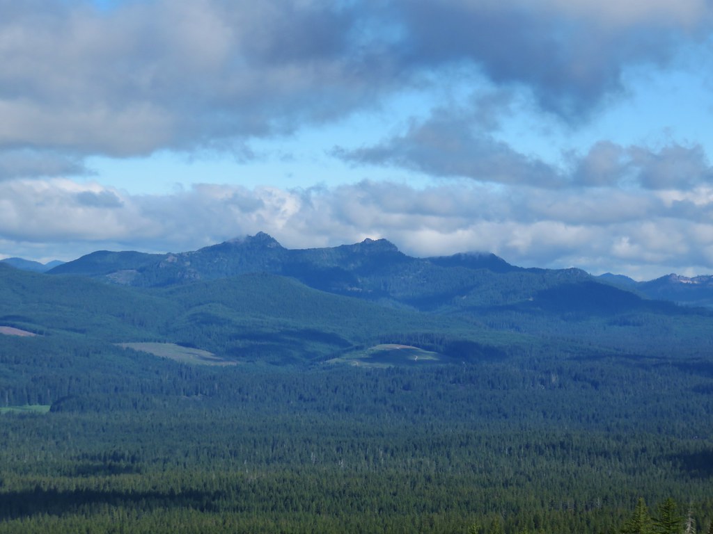
The Three Pyramids (post) to the right and the flat top of Coffin Mountain (post) straight ahead.

Mt. Hood behind Coffin Mountain.
After the saddle viewpoint the trail begins to traverse along the flank of Iron Mountain where it comes to a junction with the Iron Mountain Tail.


Arnica

This was the worst of the blowdown.

Fairy bells and trillium

Flax


Yarrow and larkspur

The Iron Mountain Trail forking off to the left.
I hadn’t originally planned on taking the side trip up Iron Mountain as it adds a little over a mile and a half, and 600′ of elevation gain to the hike. From the junction I only had another 1.5-miles to get back to the Tombstone Pass Trailhead, and I was feeling really good. I been continuing to pray that I would know my limitations and was at peace with the decision to try the climb. I turned up the trail behind a couple of other hikers and climbed through the frosty meadows to the former lookout site atop the mountain.


Frosty paintbrush


Larkspur

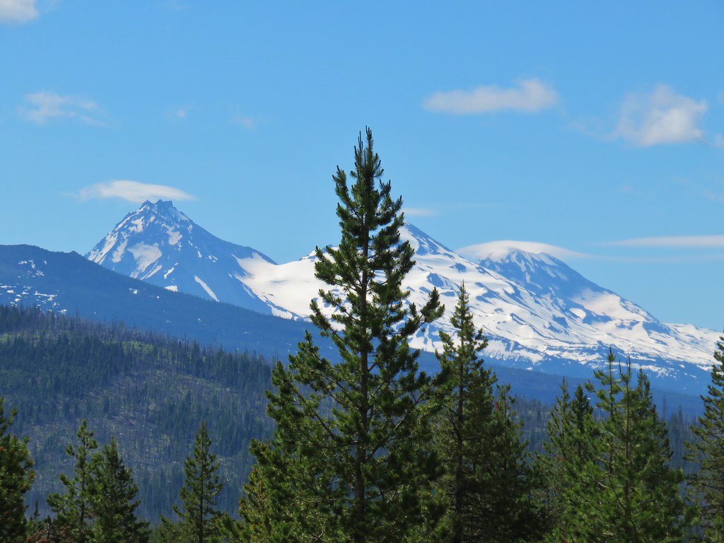
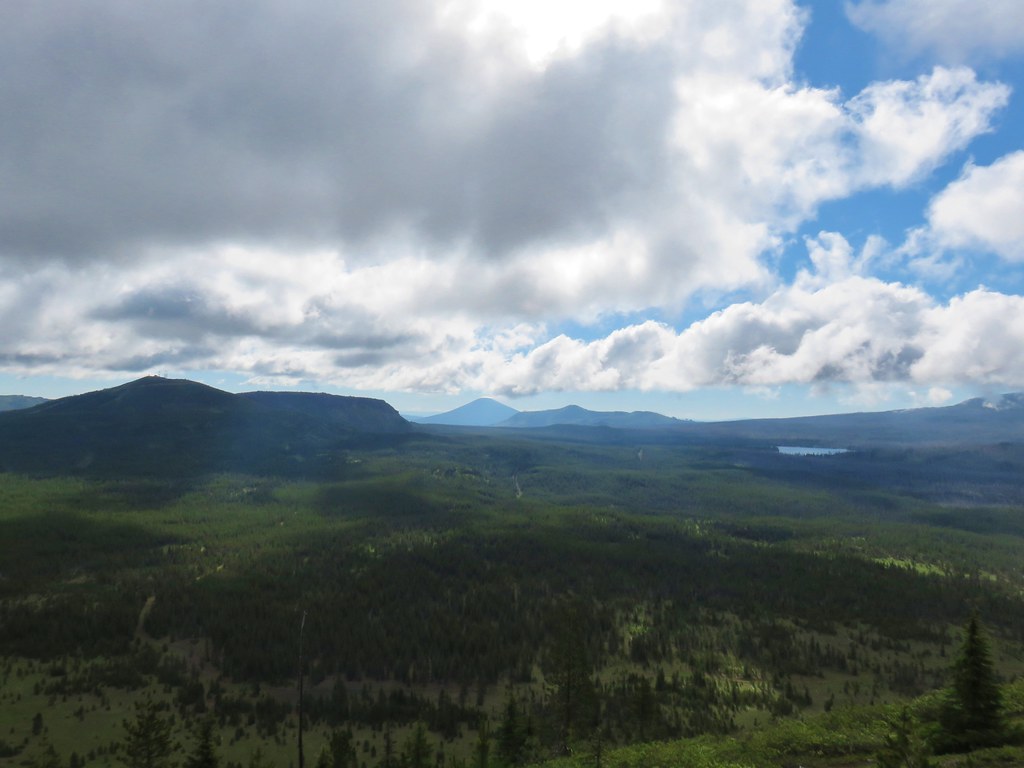
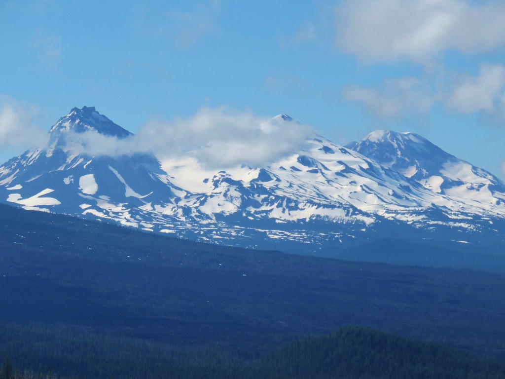
The Three Sisters from the Iron Mountain Trail.

The Three Sisters

Diamond Peak (post)

Lupine

Chickweed

Saxifrage

The final climb to the top.

Viewing platform

Mountain locator

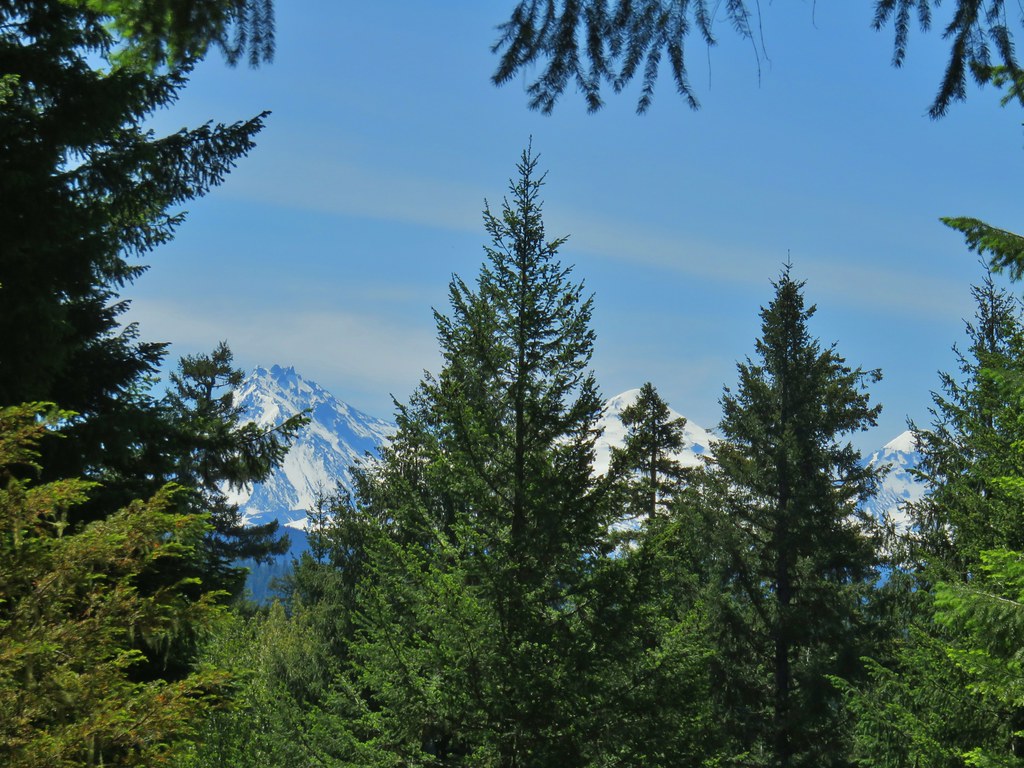
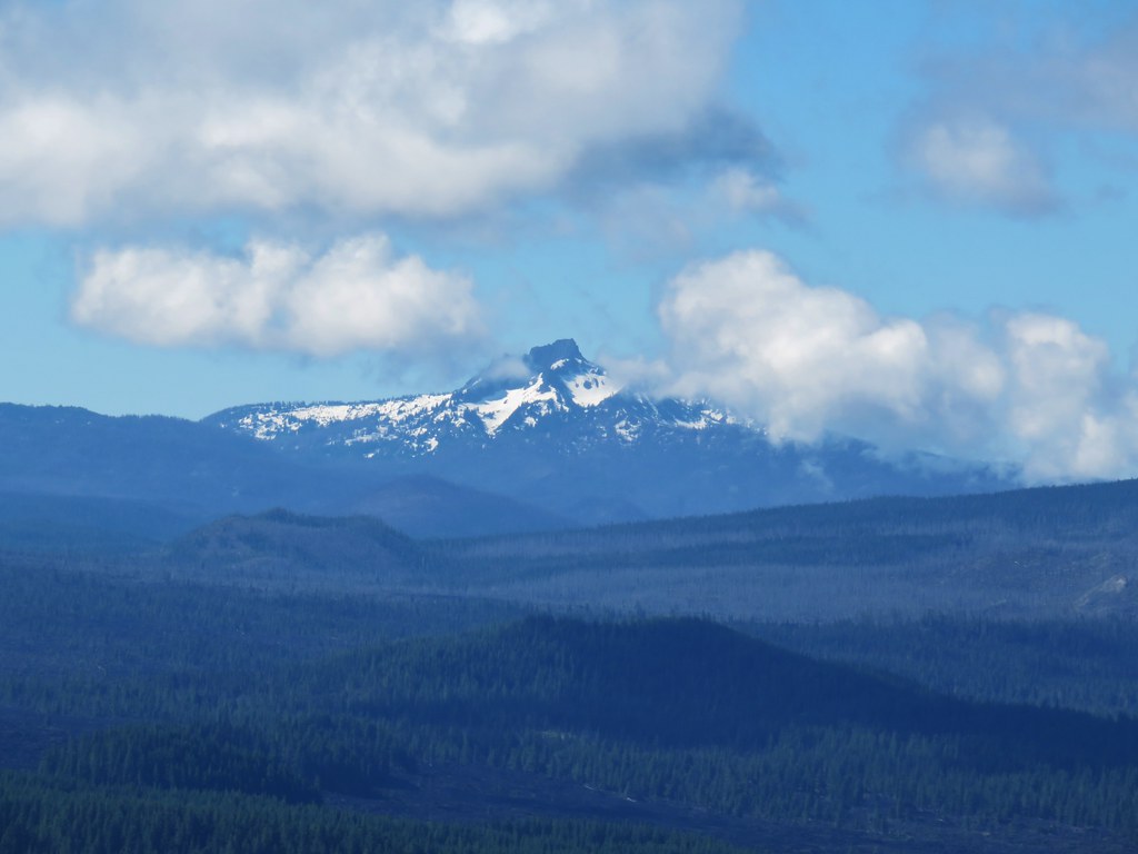
The view to the north includes Mt. Hood and Mt. Jefferson.

Mt. Hood behind Coffin Mountain.

Mt. Jefferson

Mt. Washington

The Three Sisters and Diamond Peak to the SE.
I’d passed the three hikers ahead of me and had the platform to myself long enough to send a video to family and take a snack break on the platforms bench. Shortly after the next hiker arrived I headed down to give her a few moments alone at the summit.
While climbing up always feels like it requires effort it is descending that is harder on the body. I was reminded of this on my way down the trail when my right Gluteus Medius announced its presence. It wasn’t much more than a slight burn letting me know it was having to do some extra work on the way down. I kept a slower pace and took several breaks one the way back to the junction where I then continued my loop.


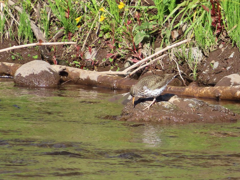
Rock wren

Cliff beardtongue. One of the brightest wildflowers we see.

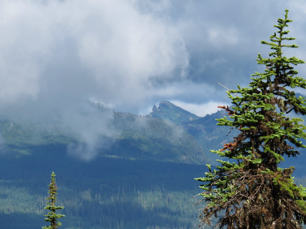
The view on the way down.

The trail junction ahead.
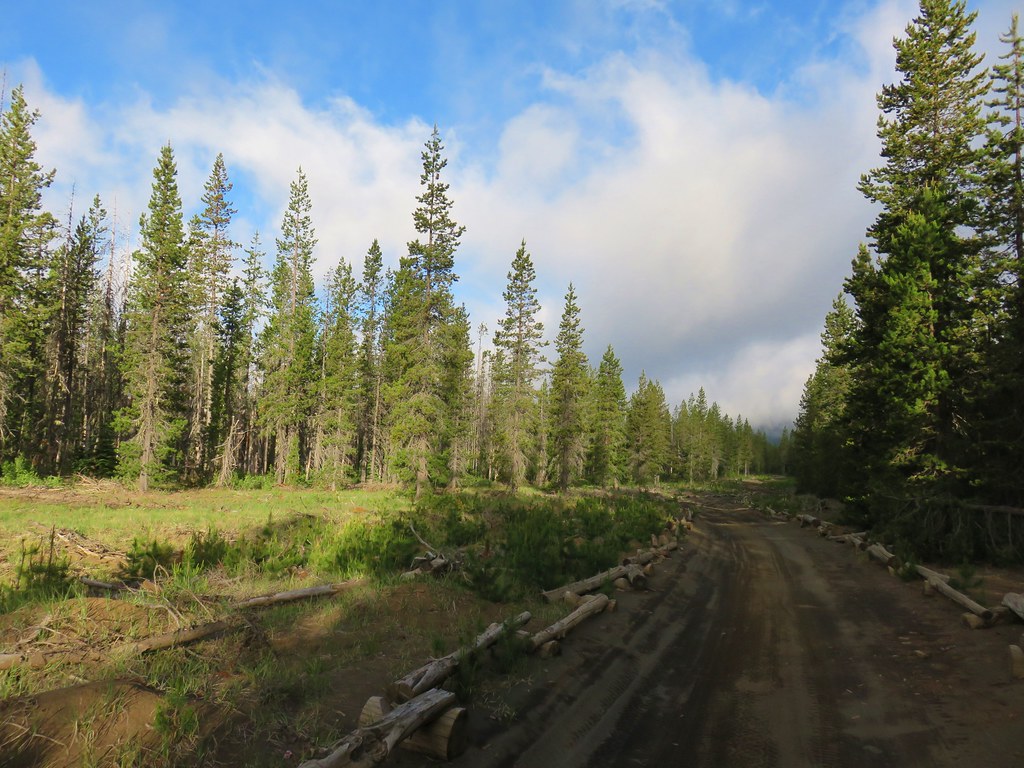
The final 1.5-miles back to the Tombstone Pass Trailhead was mostly a gradual descent.

I stayed left at this junction with the connector trail to the Iron Mountain Civil Road Trailhead.


Alpine knotweed


The trail recrossing Highway 20.


Spotted coralroot
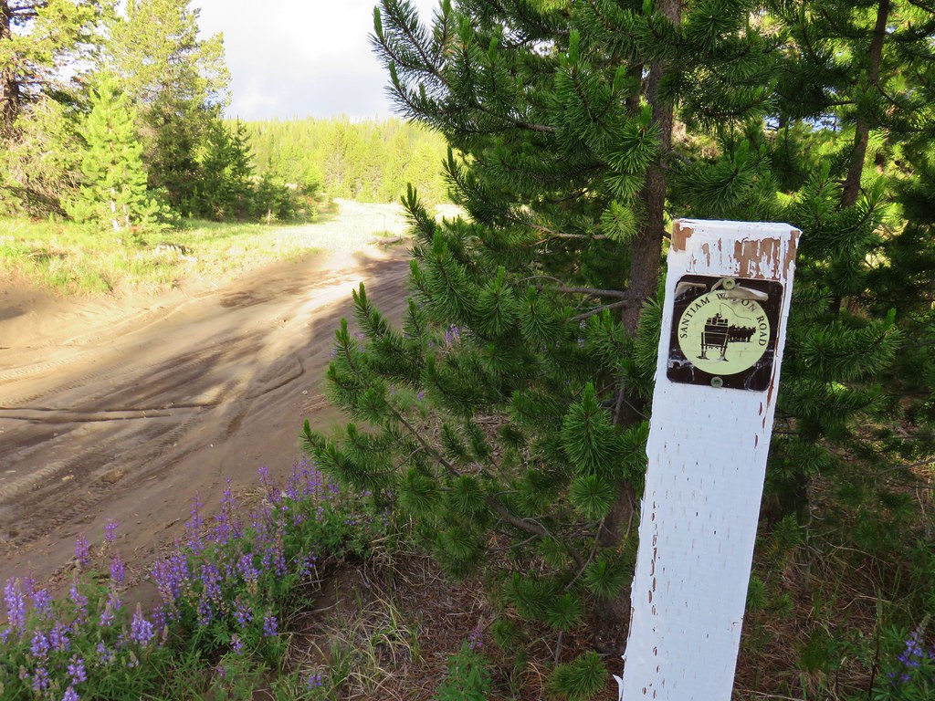
At a junction, I turned left on the Santiam Wagon Road Trail.


Wild ginger


The Tombstone Pass Trailhead below.

Back on FR 60.
Today’s hike tallied 7.2-miles with 1740′ of elevation gain.

This is a great hike for both flowers and views. We’ll be heading back, possibly next year, to try once again to spot a Longhorn steer’s-head (Dicentra uniflora).
From a purely hiking standpoint I felt better during this hike than I had on a hike since February. My middle back however was still tight and giving me problems at night. Since then, I’ve had another PT visit, a doctor’s appointment, and x-rays (no results yet). Hopefully it is just tight muscles but if not, we’re working on getting to the bottom of it. Happy Trails!
Flickr: Cone Peak Meadows


 Prince’s pine
 Candystick
 Twinflower
 Big uprooted tree.
 A carpet of vanilla leaf leaves.
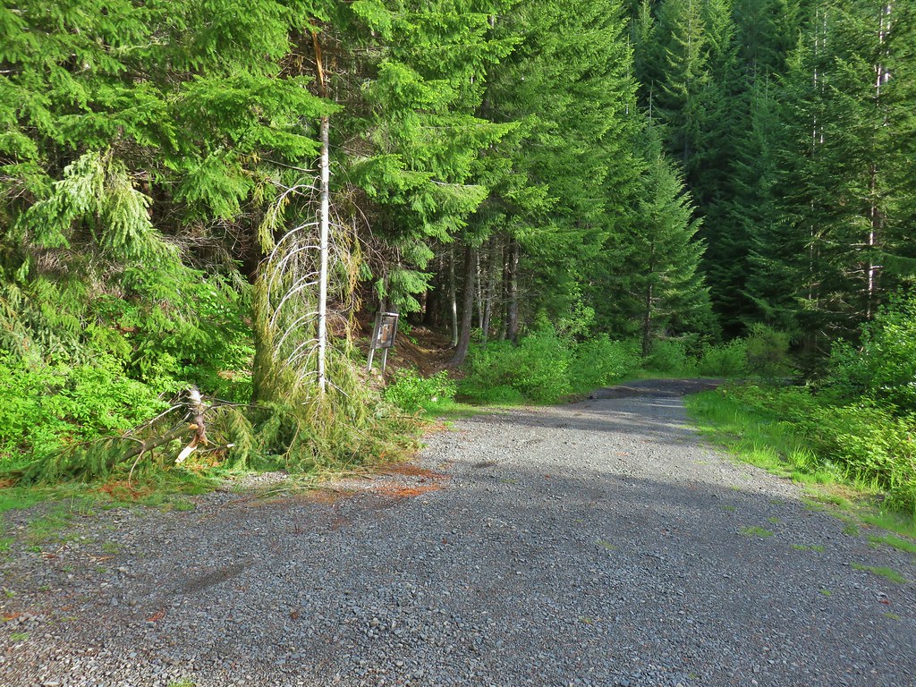
 FR 2676
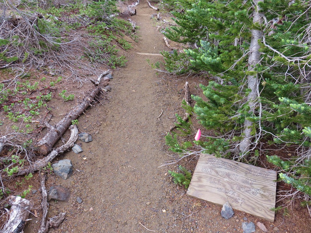
 Despite the “Closed to all Motor Vehicles” sign it was obvious, and unfortunately not surprising, that some people feel they have a right to ignore anything they disagree with.
 More candysticks
 The few sections that weren’t sandy consisted of lava rock.
 Dwarf lupine
 Pussy paws
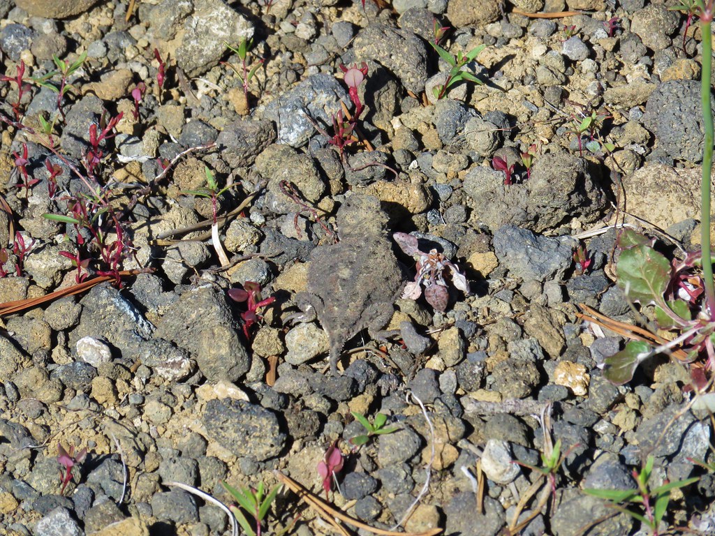
 Pygmy short-horned lizard next to a deer print.
 Sand Mountain on the right.
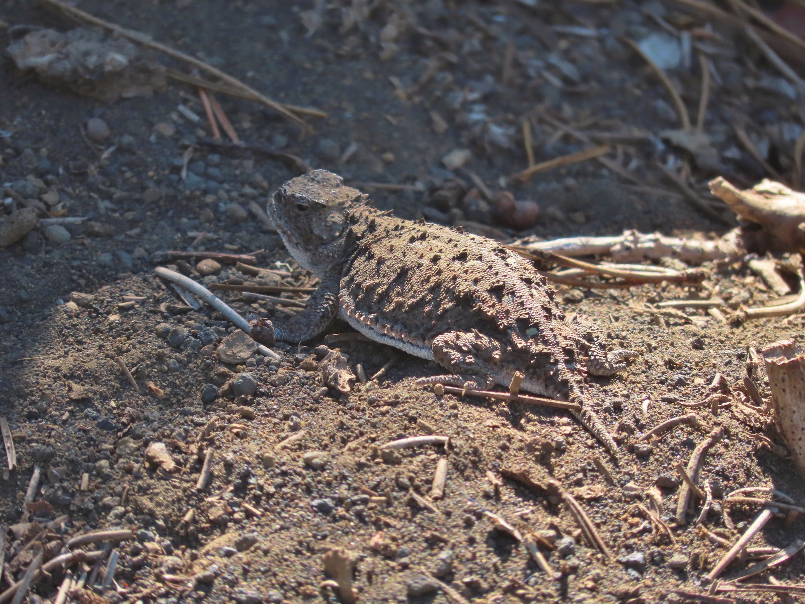 Another pygmy short-horned lizard
 Snowbrush lining the road with the northern end of Sand Mountain ahead.
 Butterflies, including this hoary comma, and other pollinators love the snowbrush.
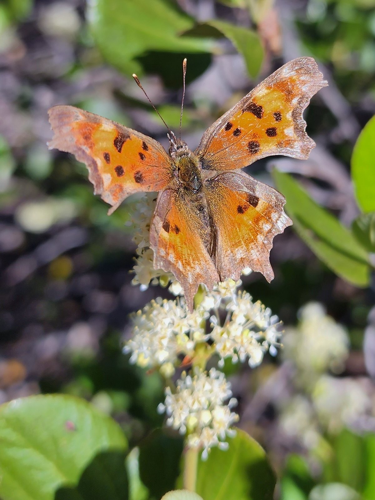 Hoary comma

 Penstemon
 The Moon over Sand Mountain.
 Mt. Washington
 Sign and gate at the road to Sand Mountain.
 Buckwheat
 More snowbrush
 California tortoiseshell
 The Sand Mountain Lookout from below.
 Mt. Jefferson and Three Fingered Jack
 Mt. Washington and the Three Sister
 Western swallowtail
 The Three Pyramids(
 Echo Mountain & North Peak to the left and Crescent Mountain(
 Browder Ridge (
 Lorquin’s admiral

 Mt. Washington (
 Maxwell Butte (
 Just a bit of snow left on the North facing slope.
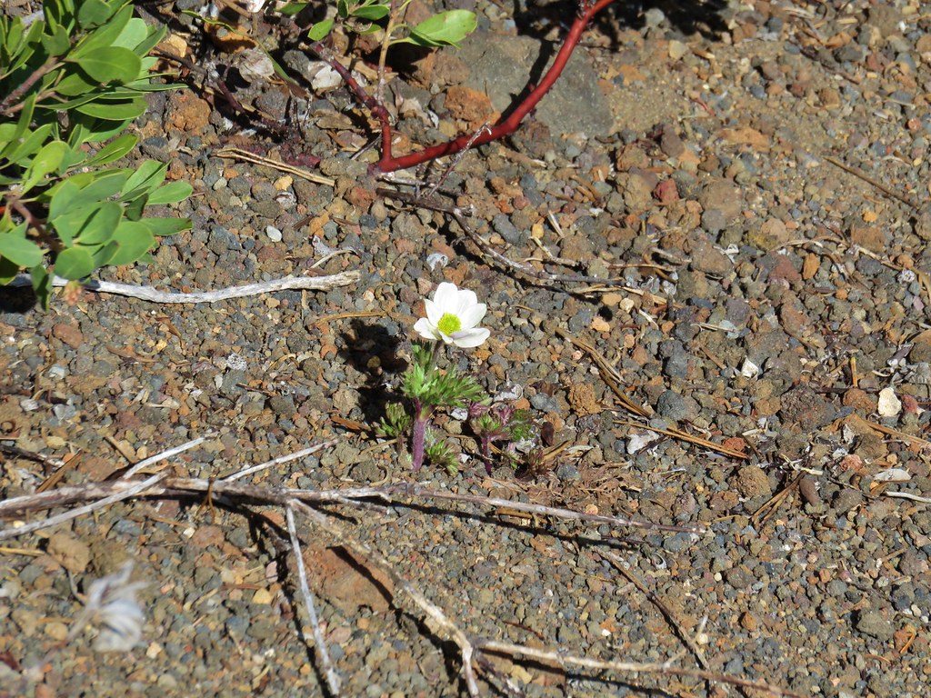
 Western pasque flower
 It’s very faint but the top of Mt. Hood was visible over the lower left shoulder of Maxwell butte.
 Penstemon
 Belknap Crater, the Three Sisters, The Husband, Scott Mountain (
 Zoom of Diamond Peak. The round looking hump in front is Fuji Moutain (
 Hoodoo and Hayrick Buttes, Black Butte (
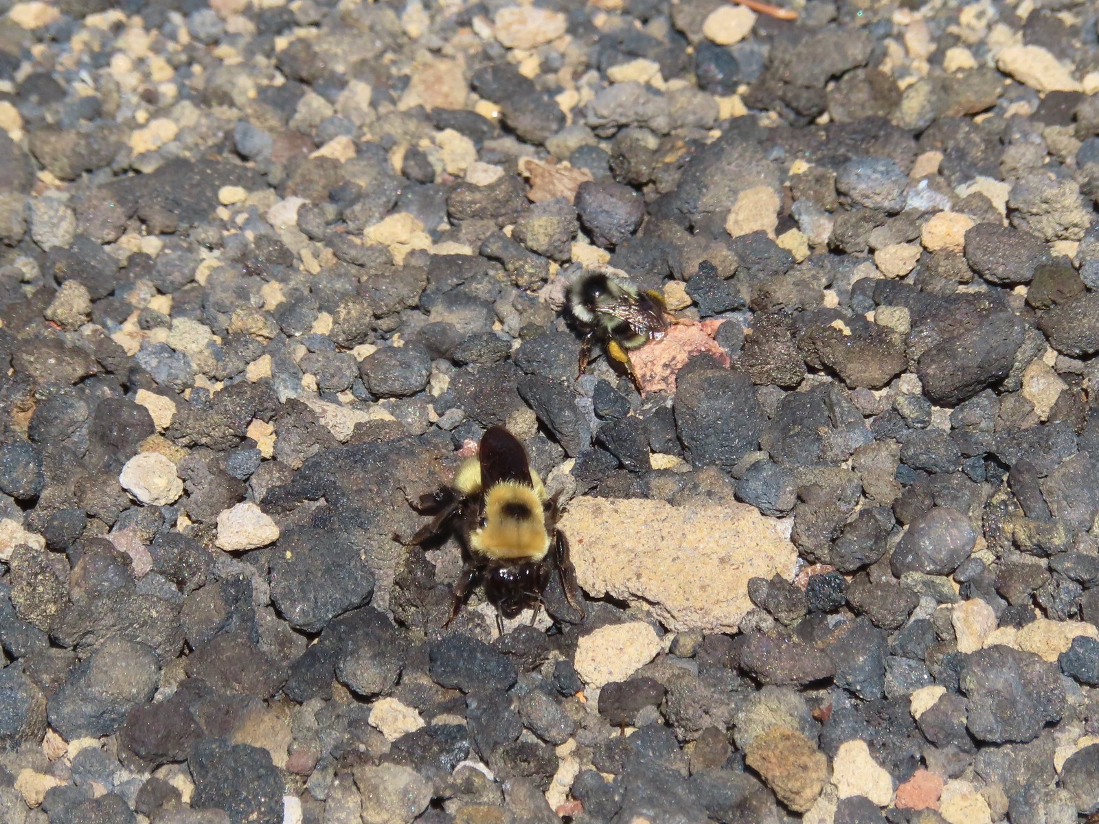 There were quite a few bumblebees at the summit interested in the rocks in this area.
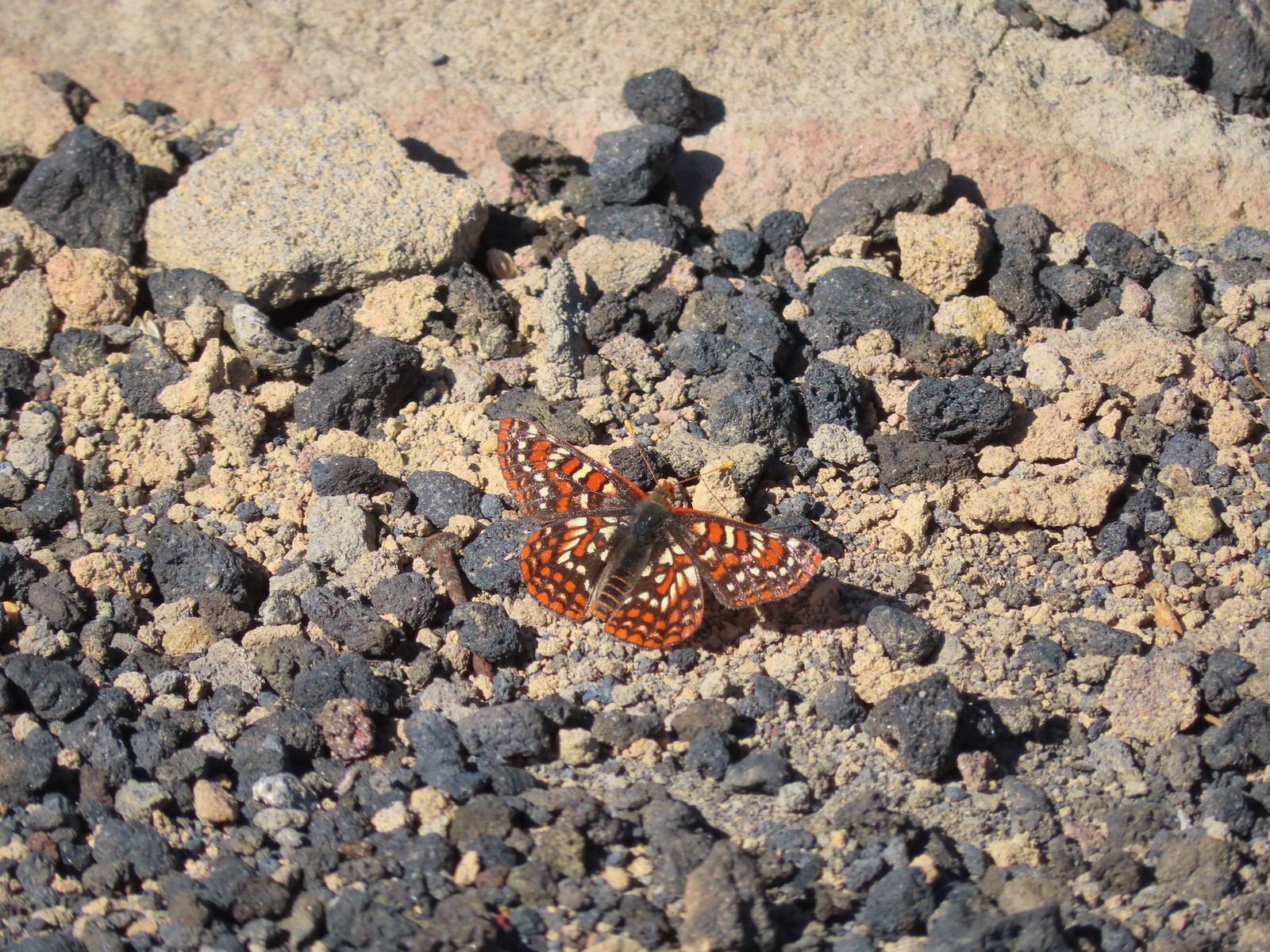 This Edith’s checkerspot joined the bees for a moment.
 Viewpoint below the lookout.
 The lookout from the viewpoint.
 Not sure if this is an aster or a fleabane.
 The trail getting ready to drop down to a saddle. The peaks from right to left are: Browder Ridge, Twin Buttes, Latiwi Mountain, Wildcat Moutain, Tidbits Mountain (
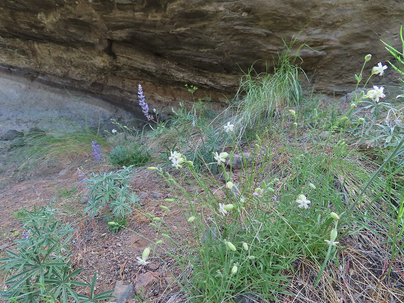
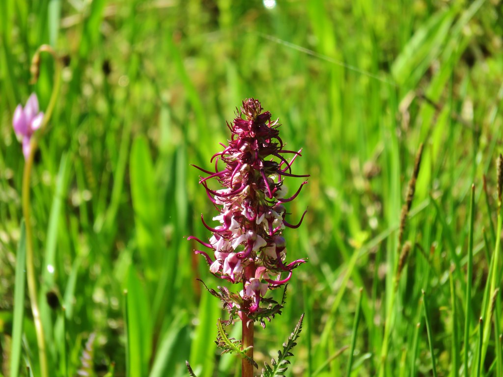
 We were a little surprised to find these broomrape hiding in this silverleaf phacelia.
 Drummond’s anemone
 Look into the crater.
 A couple of penstemon blossoms with the Three Sisters in the background.
 The colors around the crater add to the scenery.
 Pyrola of some sort.
 Starting the steep climb back toward the lookout.
 View from the roadbed. We opted to do as the lookout staffer suggested and follow the road back down toward the parking area instead of back up to the lookout.
 There was one good sized snow drift left encroaching on the road.
 This little cloud wasn’t much of a threat.
 If anything the views had improved now that Sun was more directly overhead.
 A checkerspot
 A hairstreak
 Three Fingered Jack and Hoodoo Butte
 Three Fingered Jack. Note the climbers trail on the slope to the right.
 Ash in the basin below Sand Mountain.
 Pussy paws
 Female western tanager
 Moth
Moth Snake in the trail.
 The snake retreated to a nearby log when we approached.
 Back in the forest.
 This moth blended with the nearby fungus.
 Kiosk and bench at the trailhead.
 Tent caterpillars (and the red gate)
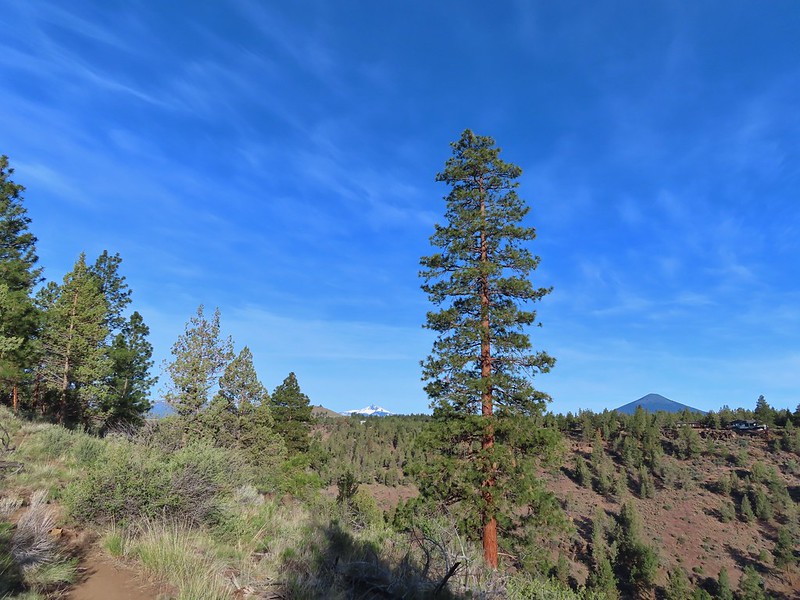 Mt. Washington and Black Butte (
 Broken Top, The Three Sisters, Black Crater (
 Whychus Creek was hidden by trees for the most part.
 Balsamroot
 Lupine
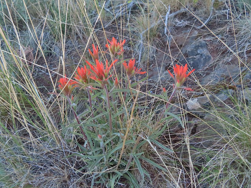 Paintbrush
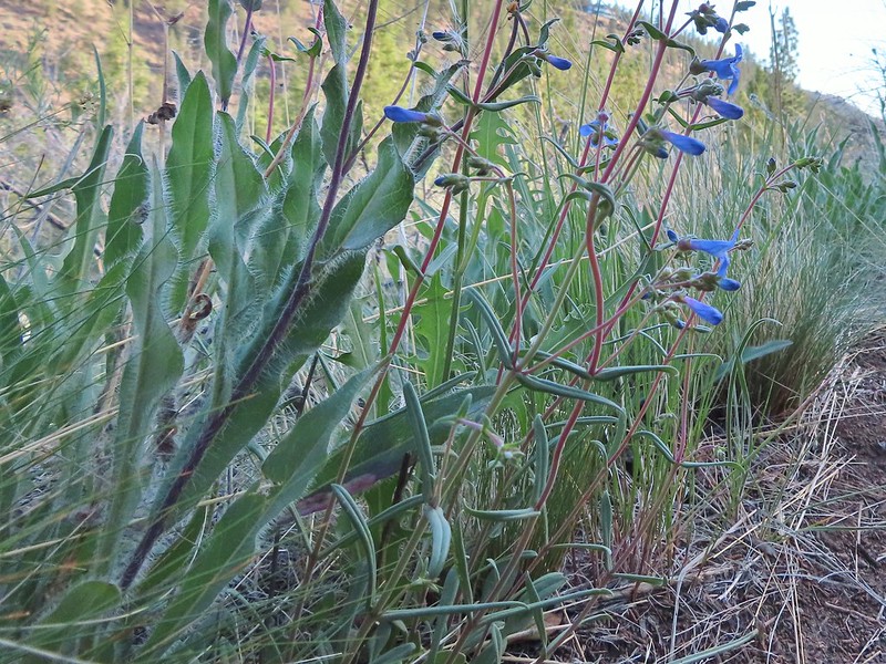 A Penstemon
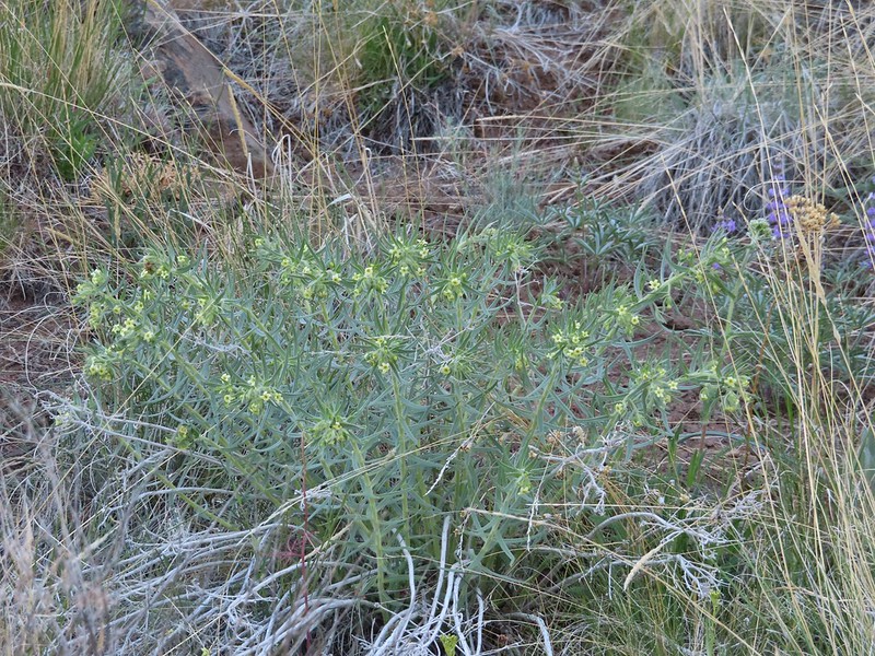 Western stoneseed
 Sedum leibergii -Leiberg’s Stonecrop
 Spreading stickseed
 Western wallflower
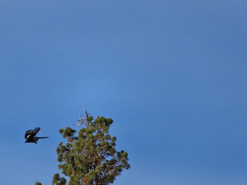 Magpie playing hard to get.
 Spotted towhee
 Black-headed grossbeak
 Ochre ringlet
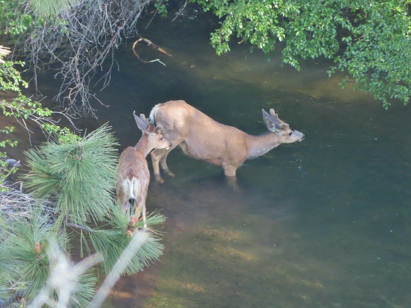 Pair of bucks in Whychus Creek
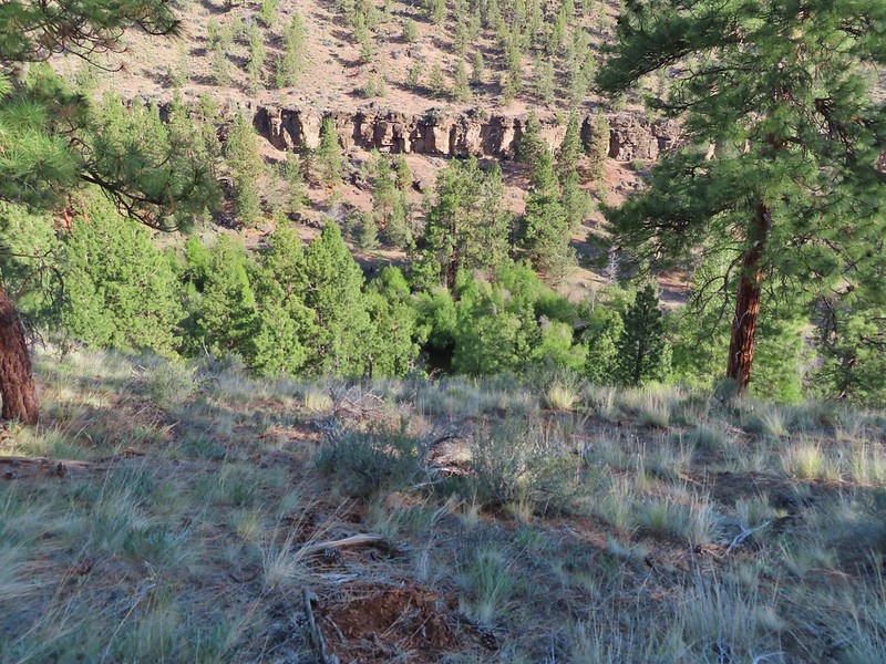


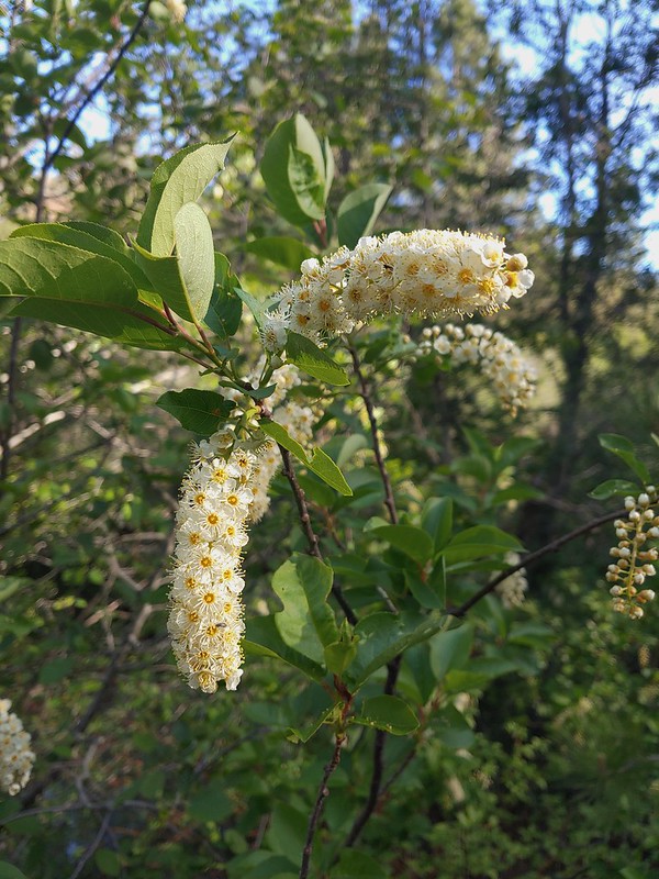 Chokecherry
 Star-flower false solomonseal
 Trail junction at the 0.8 mile mark.
 Spider on a wallflower.
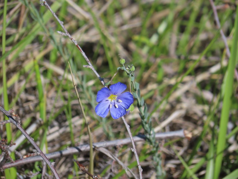 Lewis flax
 Heuchera cylindrica -roundleaf allumroot

 Oregon sunshine
 Buckwheat and penstemon
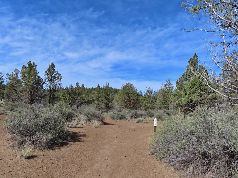 Sign post for the viewpoint.
 Heading for the rock outcrop/viewpoint.
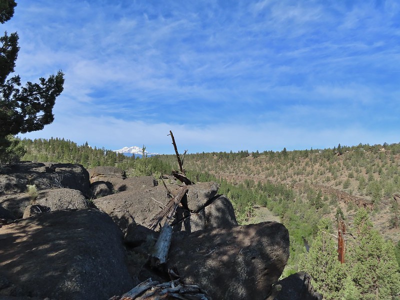 Middle and North Sister with Whychus Creek below.
 A monkeyflower
 Sand lilies
 Trail sign in the distance for spur trail to the Santiam Wagon Road.
 Death camas
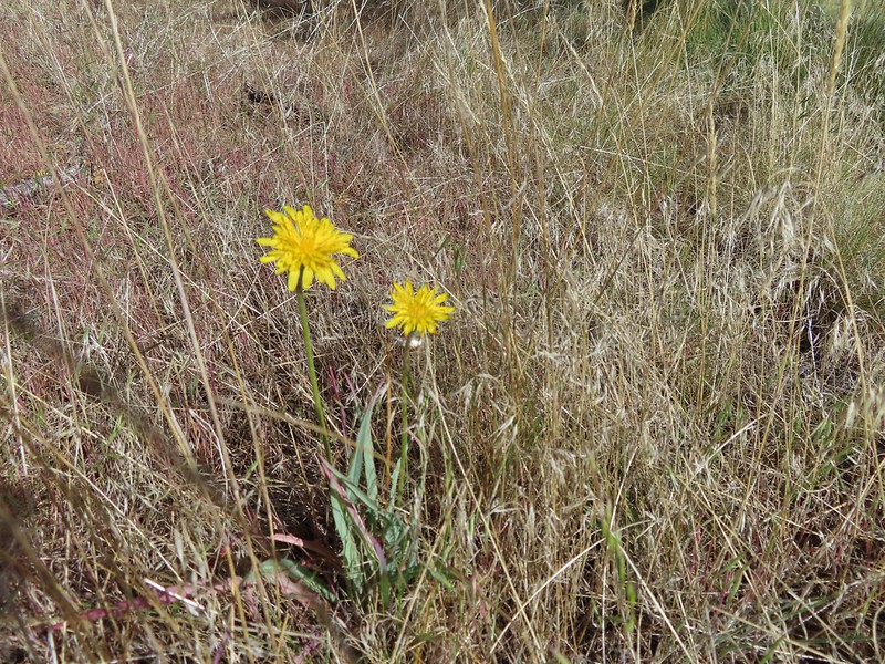 Sagebrush false dandelions
 Pinion jay
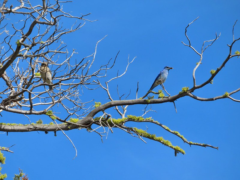 Mountain bluebird pair
 Mourning dove
 unidentified little songbird.
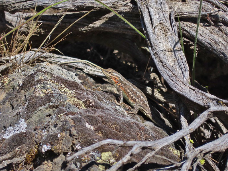
 Lizard
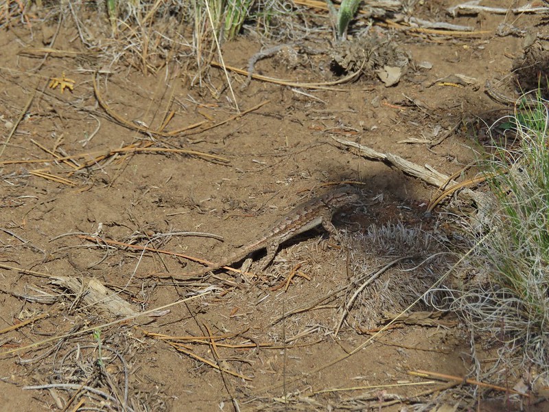 Second type of lizard
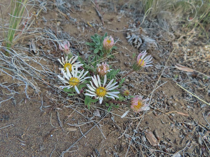 Showy townsendia

 Looking back up the dirt access road to the North Sister, Mt. Washington and Black Butte
 The trailhead signboard.
 Buckwheat
 Rough eyelashweed
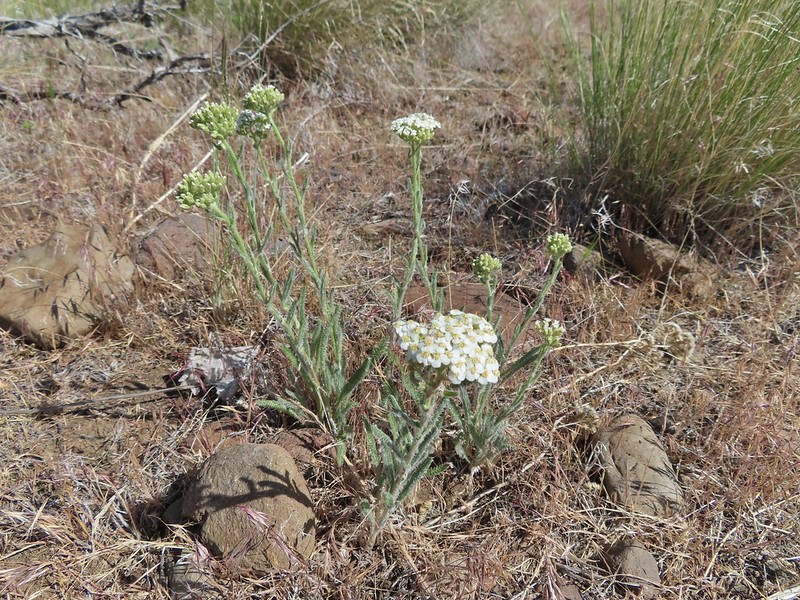 Yarrow
 Fiddleneck
 Largeflower hawksbeard
 Purple cushion fleabane
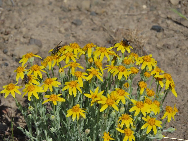 Oregon sunshine
 Blue mountain prairie clover
 Lewis flax
 Lupine
 Bearded hawksbeard
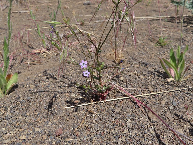 Haven’t id this one yet.
 The Three Sisters, Belknap Crater and Mt. Washington with some dancing clouds.
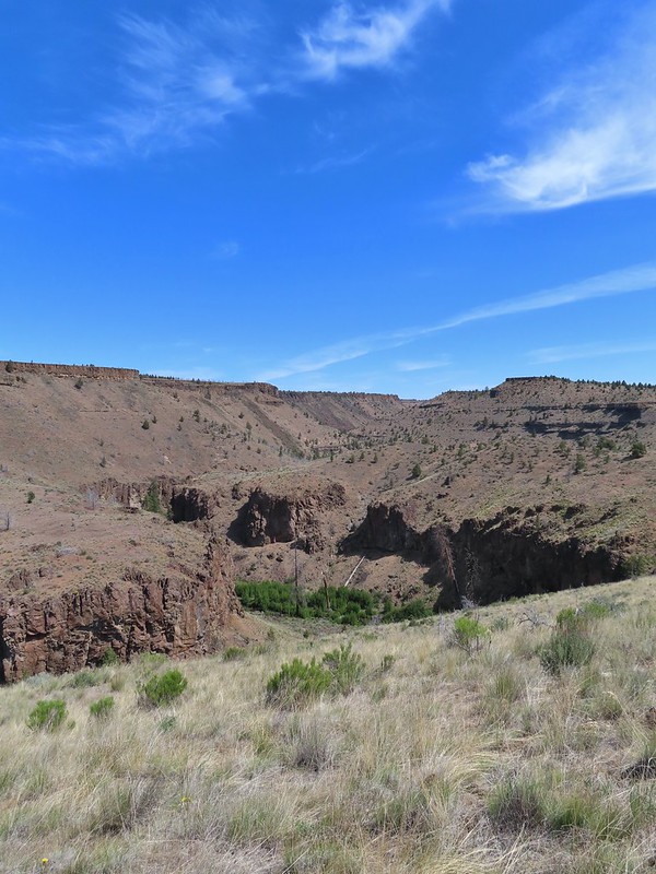 Whychus Creek Canyon
 Love the different rock formations in the canyon.
 Catchfly
 Balsamroot
 Paintbrush
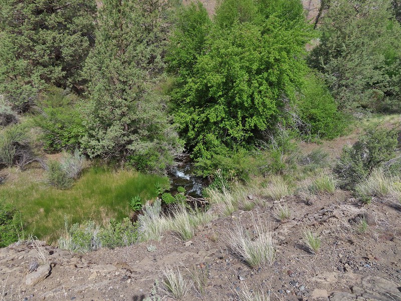 Pretty sure this side creek was dry on our previous visit.
 Whychus Creek at the ford.
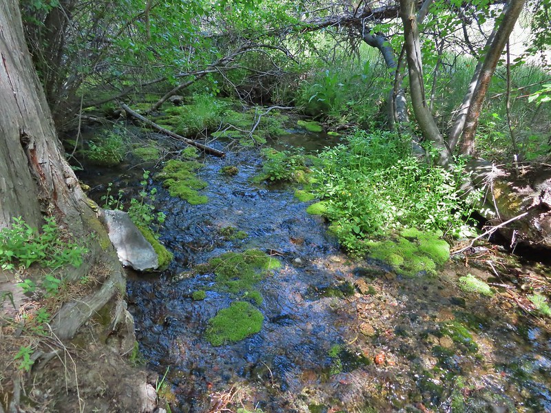 Alder Springs
 Columbine
 A clarkia, possibly Lassen
 Threadleaf phacelia
 Unknown

 Creek dogwood and a beetle covered in pollen
 Grand Colloma
 Deadly nightshade
 Rose with crab spider
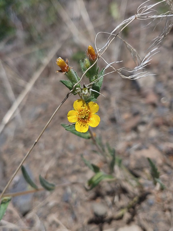


 Dragon fly
 Confluence of the Deschutes (left) and Whychus Creek (right).
 Bald eagle

 Cedar hairstreak
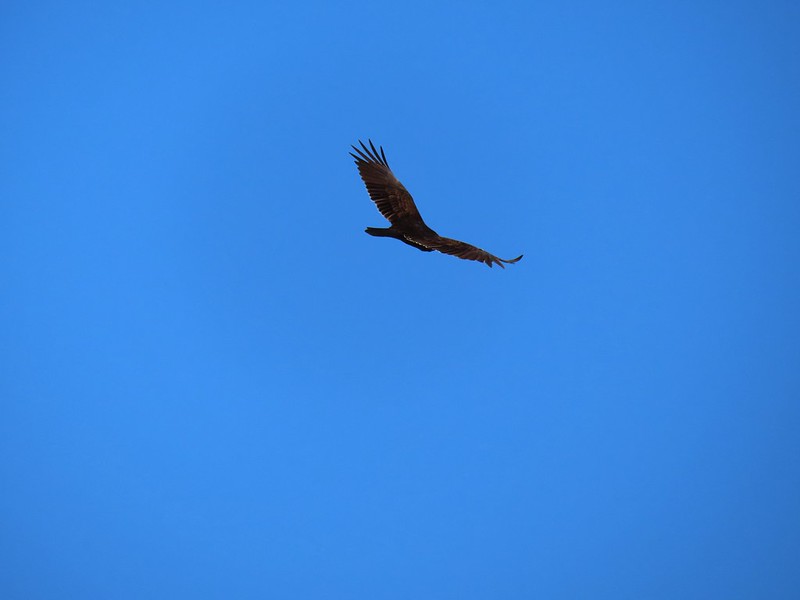 Turkey vulture
 Mountain chickadee
 Trailhead on McGrath Road.
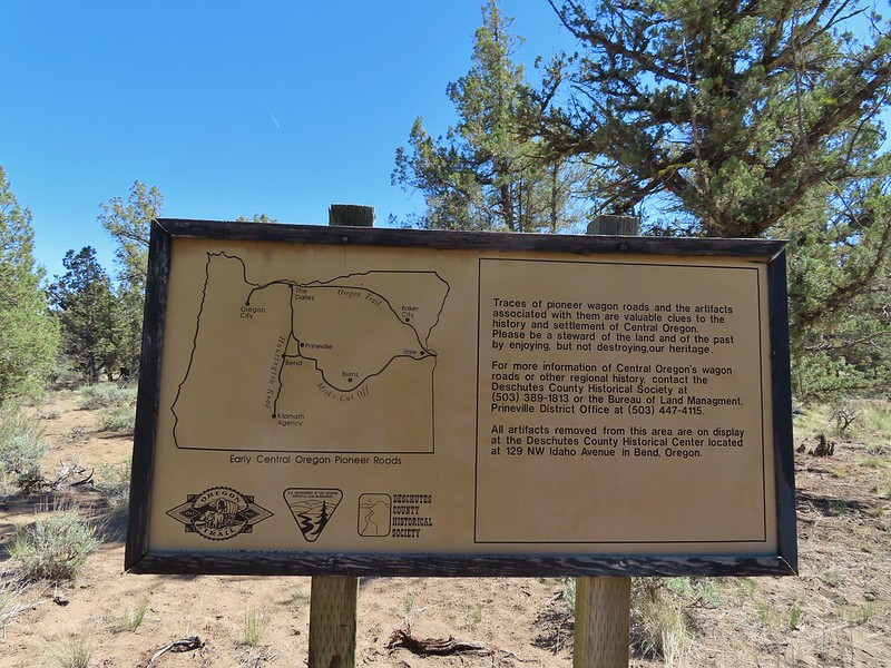
 A 300+ year old juniper named an Oregon Heritage Tree
 Sagebrush, juniper and lava – my childhood 🙂
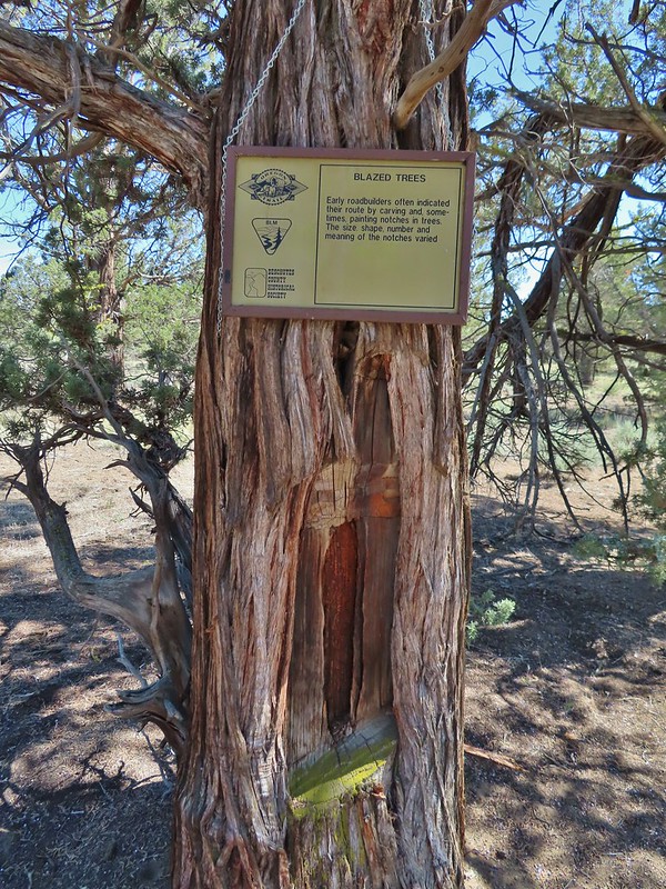 Tree blaze
 Buckwheat
 Ruts along the wagon road.
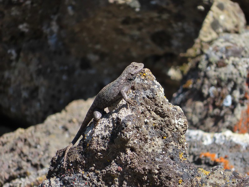
 Skipper on Showy townsendia.
 Post marking the relic fence line and turnaround point.
 An old fence post and barbed wire.
 Junipers are some interesting trees, they come in all shapes and sizes.


 The wheelchair friendly path.
 The hiker path.
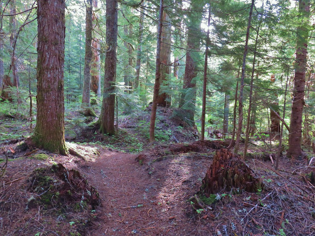 The hiker trail.
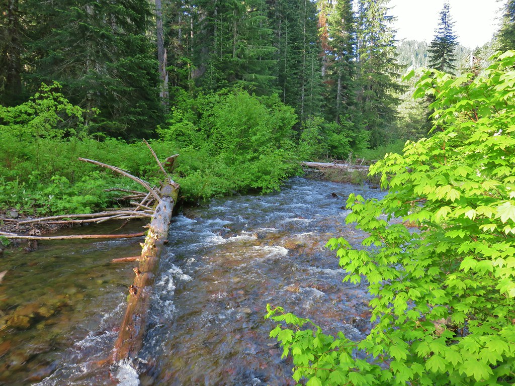
 Western meadowrue
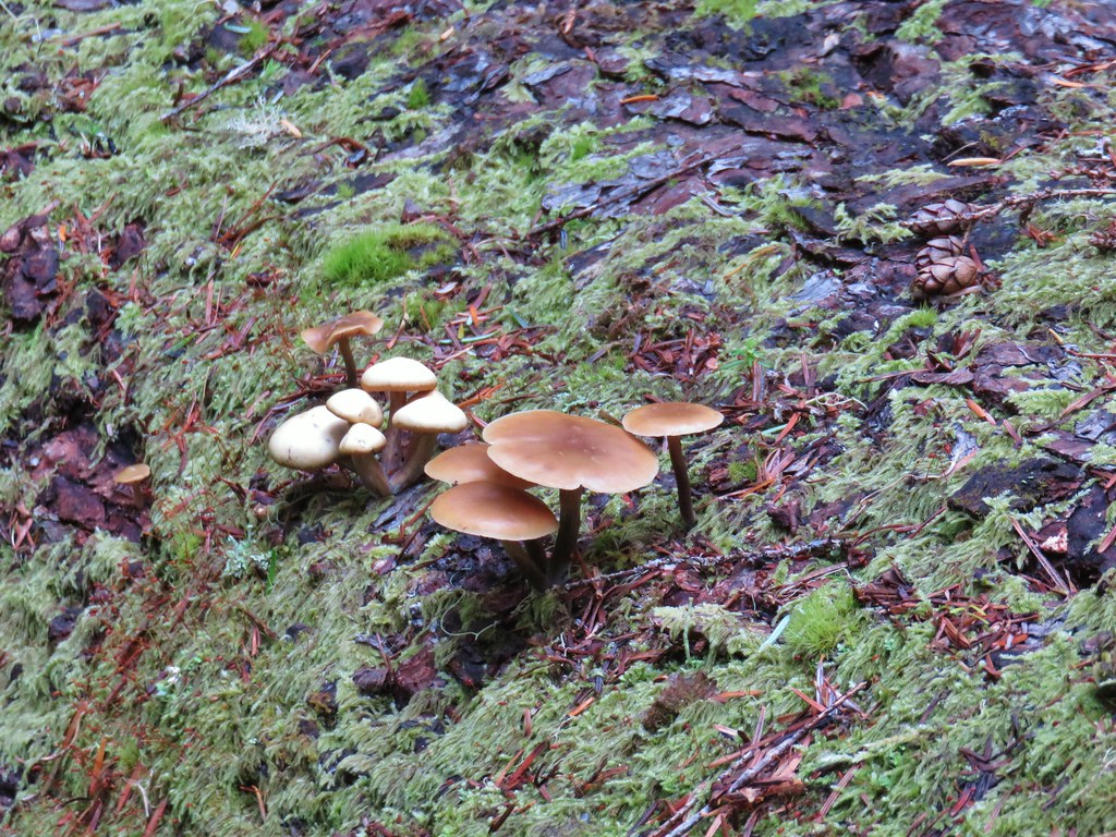 Mushrooms on a log.
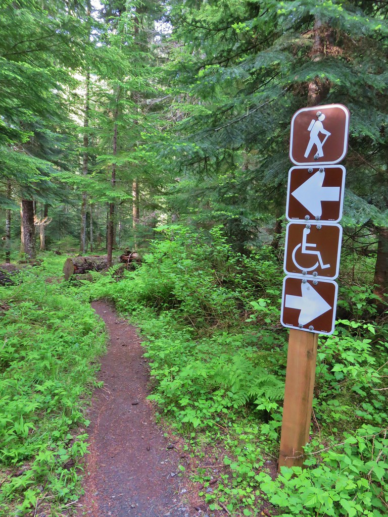
 Echo Basin Trail at FR 055.
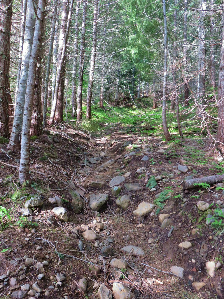 Rocky start to the trail.
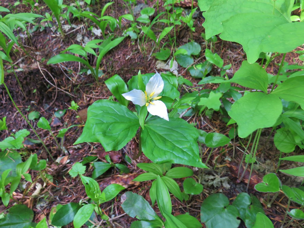 Trillium
 More trillium along the meadow.
 Swallowtail on salmonberry blossoms.
 Start of the loop.
 Orange tip butterfly
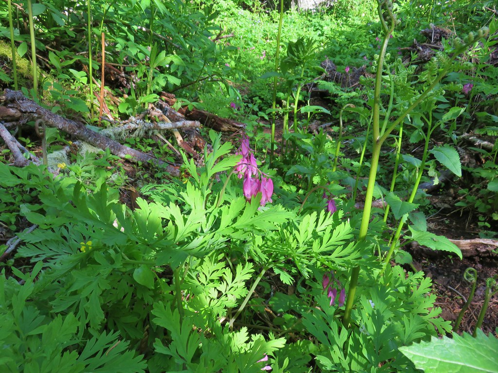 Bleeding heart
 Violets
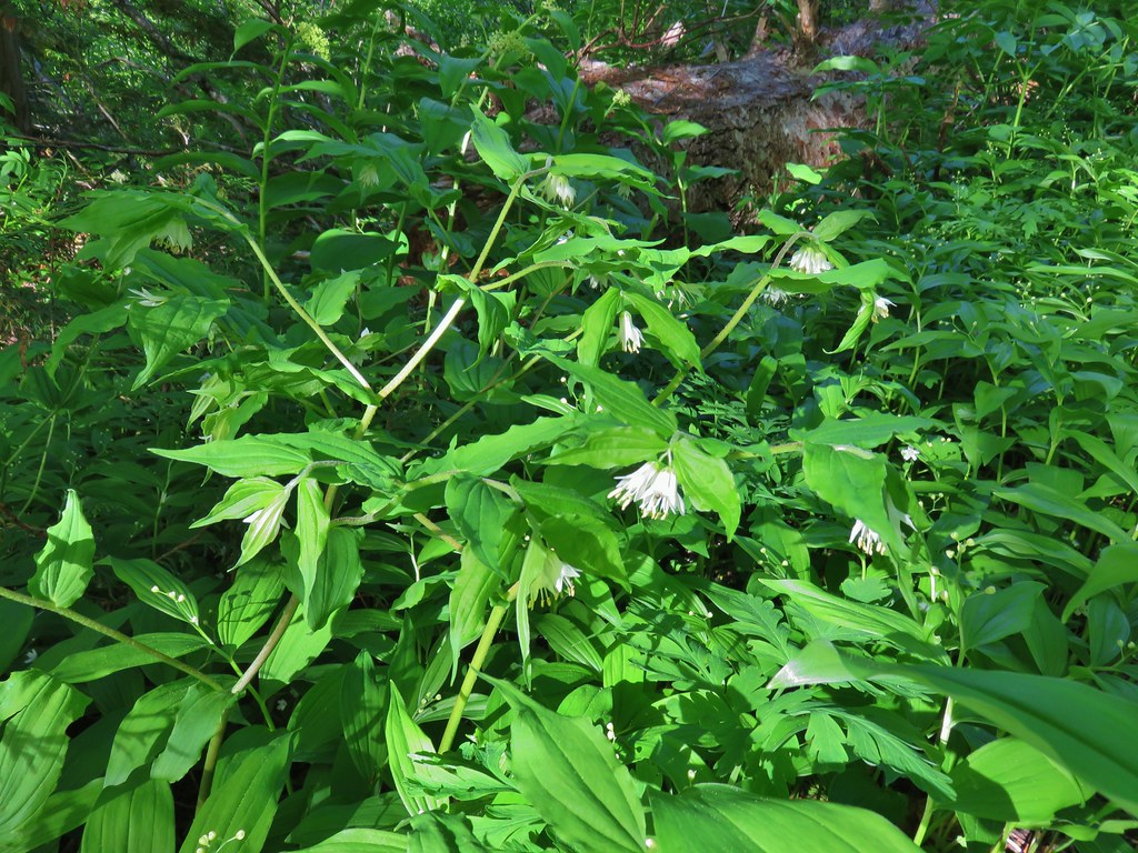 Fairybells
 Royal Jacob’s ladder
 Western meadowrue
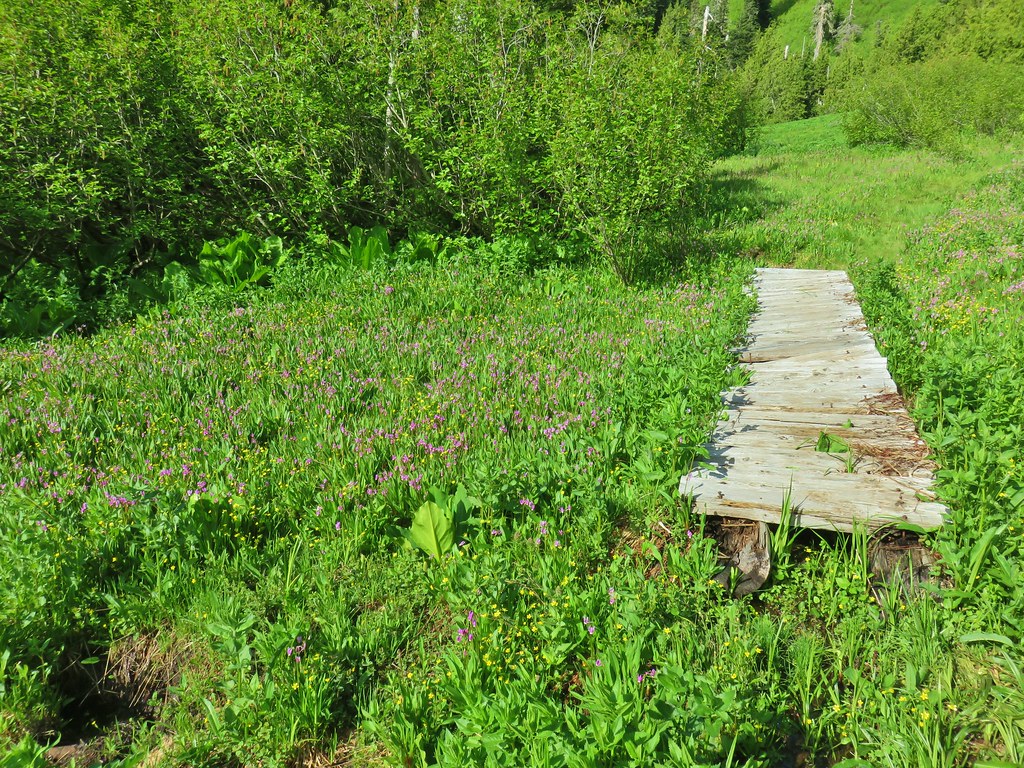


 Paintbrush
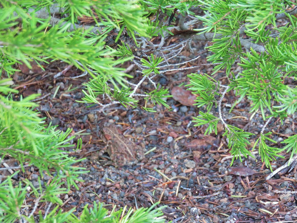
 Frog
Frog Looking back at the route through the meadow.
 The trailhead off of FR 2672.

 Iris
Iris Beargrass
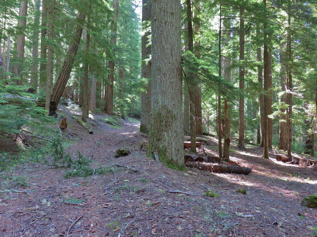 Santiam Wagon Road
 Bunchberry
 Musk monkeyflower

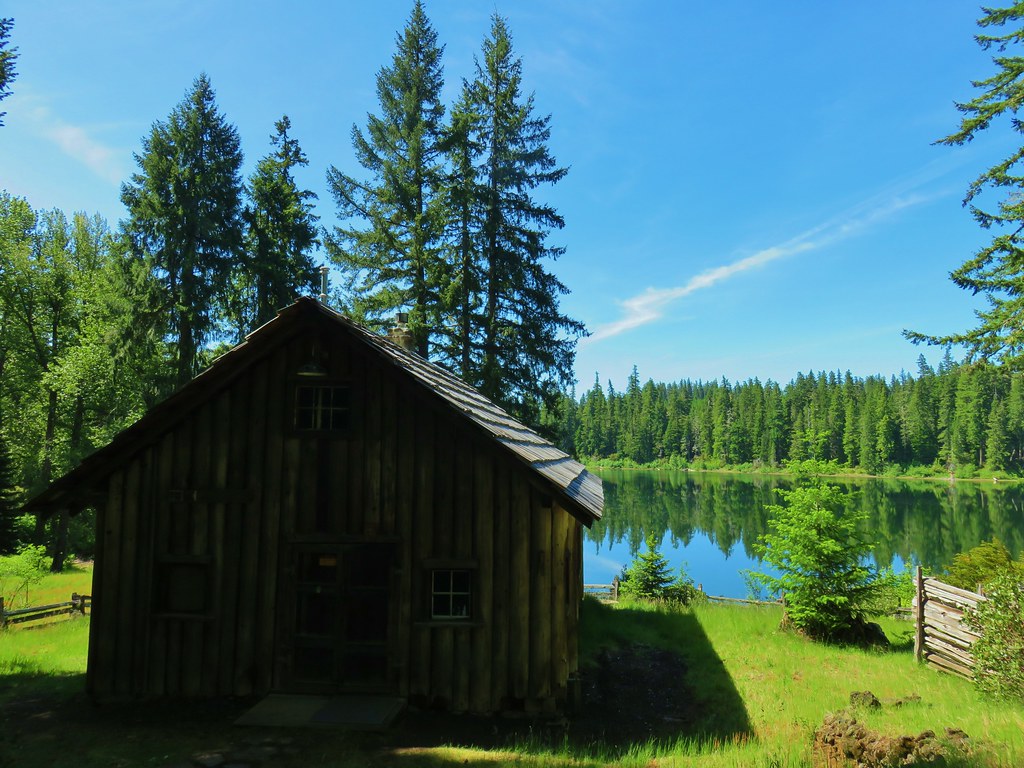 Hall House
 Commissary Cabin
 Commissary Cabin innkeeper?
 More from the remount station
 Browder Ridge (
 Interpretive signs for the remount station.


 Lupine
 Beargrass plumes amid the trees
 Pussypaws


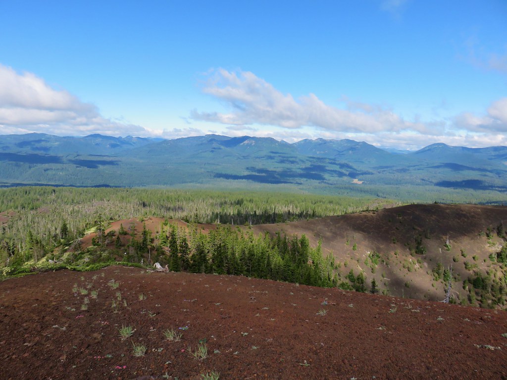
 Iron Mountain


 From left to right – Hoodoo, flat topped Hayrick Butte, and Black Butte (behind Cache Mountain).


 Dwarf lupine at the viewpoint.
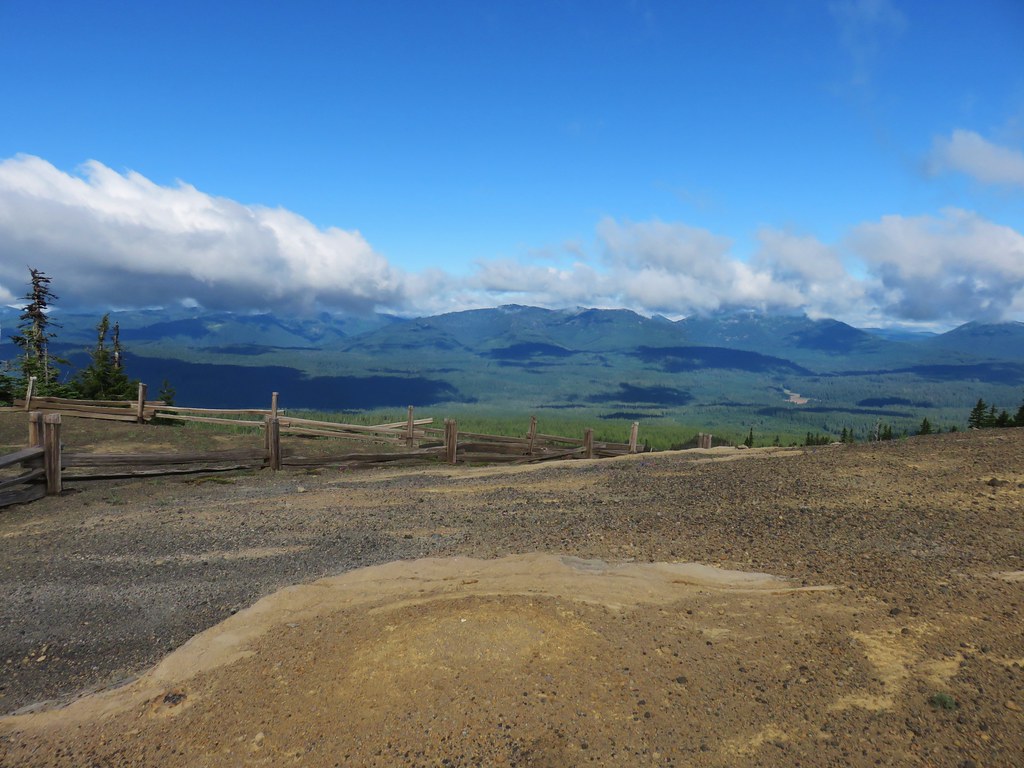

 Starting the loop from the viewpoint.
 Penstemon and snowbrush


 The Three Pyramids with Scar Mountain (
 Crescent Mountain (
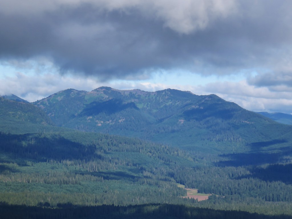


 Mt. Washington joining the show.
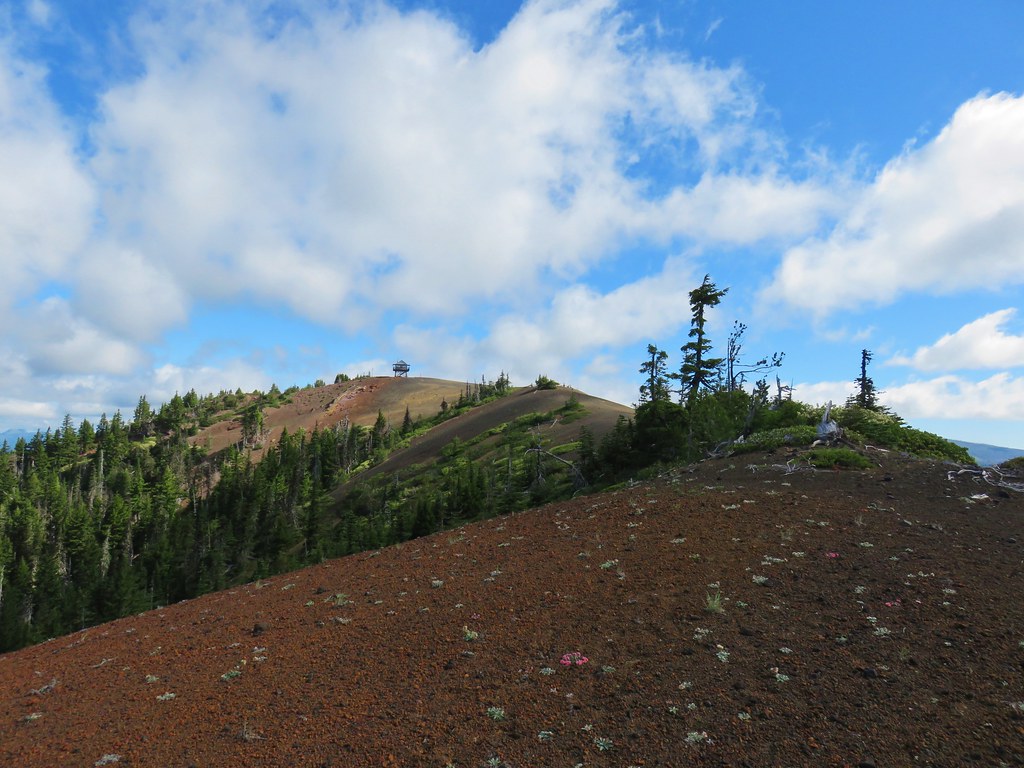


 Can you see Heather’s hat?
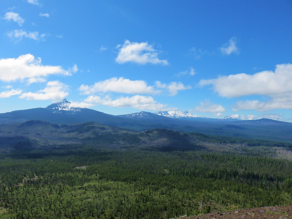
 The Husband
 Mt. Washington
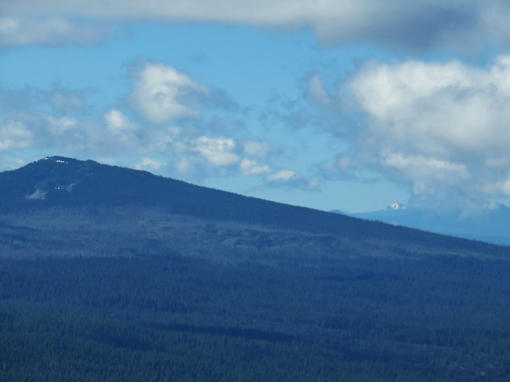


 Maxwell Butte (
 Looking toward Mt. Jefferson and Three Fingered Jack at a quarter to ten.
 Looking toward Mt. Jefferson and Three Fingered Jack at a quarter after ten.
 Looking toward Mt. Jefferson and Three Fingered Jack at a 10:23am.