With our recent backpacking trip around Diamond Peak (post) leaving us with just one more featured hike yet to do from William L. Sullivan’s “100 Hikes/Travel Guide Central Oregon Cascades” (4th edition) the only logical thing to do the following weekend was that last remaining hike. That hike was to the Erma Bell Lakes and as luck would have it late August was a pretty good time to visit, the berries were ripening and the mosquitoes weren’t too much of a nuisance. With a drive time of almost three hours the loop around the 8.5-9 mile loop around the lakes wouldn’t take long enough for us not to break our self imposed rule of the driving time being longer than our time spent hiking so we added a second stop to the day at the Shale Ridge Trail.
We started the morning by driving to the Skookum Creek Campground where the Erma Bell Trail begins.

The trail crosses Skookum Creek on a footbridge.


Soon after crossing the creek the trail enters the Three Sisters Wilderness.

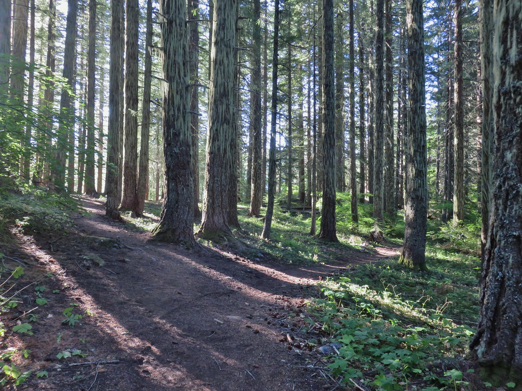
The trail traverses a forested hillside where we found a few ripe thimbleberries to snack on.

A little over half a mile from the trailhead the Irish Mountain Trail splits off to the left toward Otter Lake allowing for a loop past that and several other lakes.
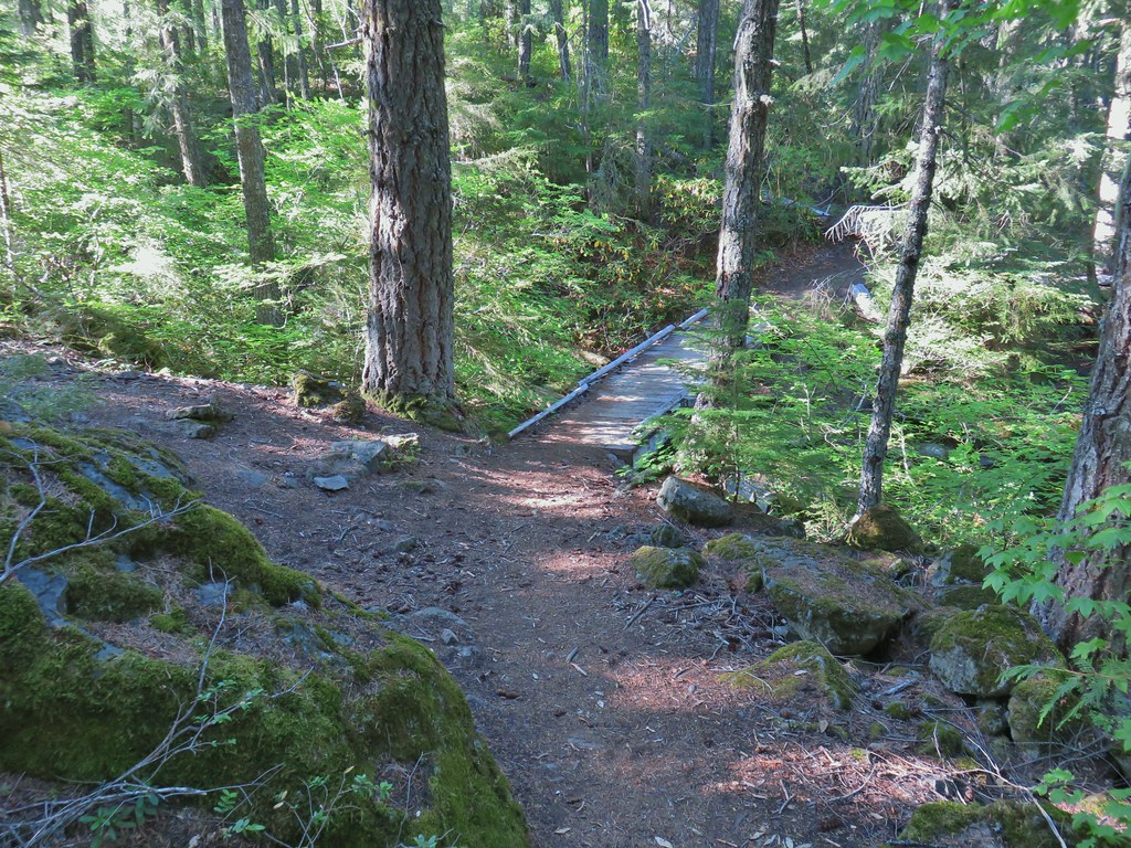
We stayed right choosing to follow Sullivan’s suggestion to complete the loop counter-clockwise. The trail continued along the forested hillside for another mile before crossing a small stream on a bridge near Lower Erma Bell Lake.

Just beyond the bridge we took a short spur trail to the left to visit the lake.
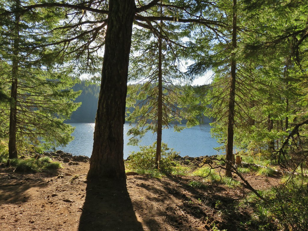

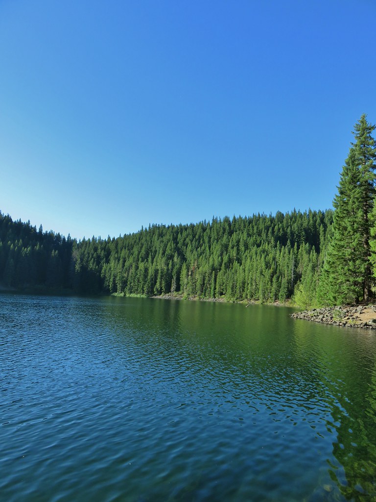
The lake was a pretty blue color and quite deep.

Despite the beauty of the lake our attention had been diverted by the familiar “meep” of pikas, our favorite trail critters. We quickly spotted one of the little fur balls collecting greens along the rocky lake shore.

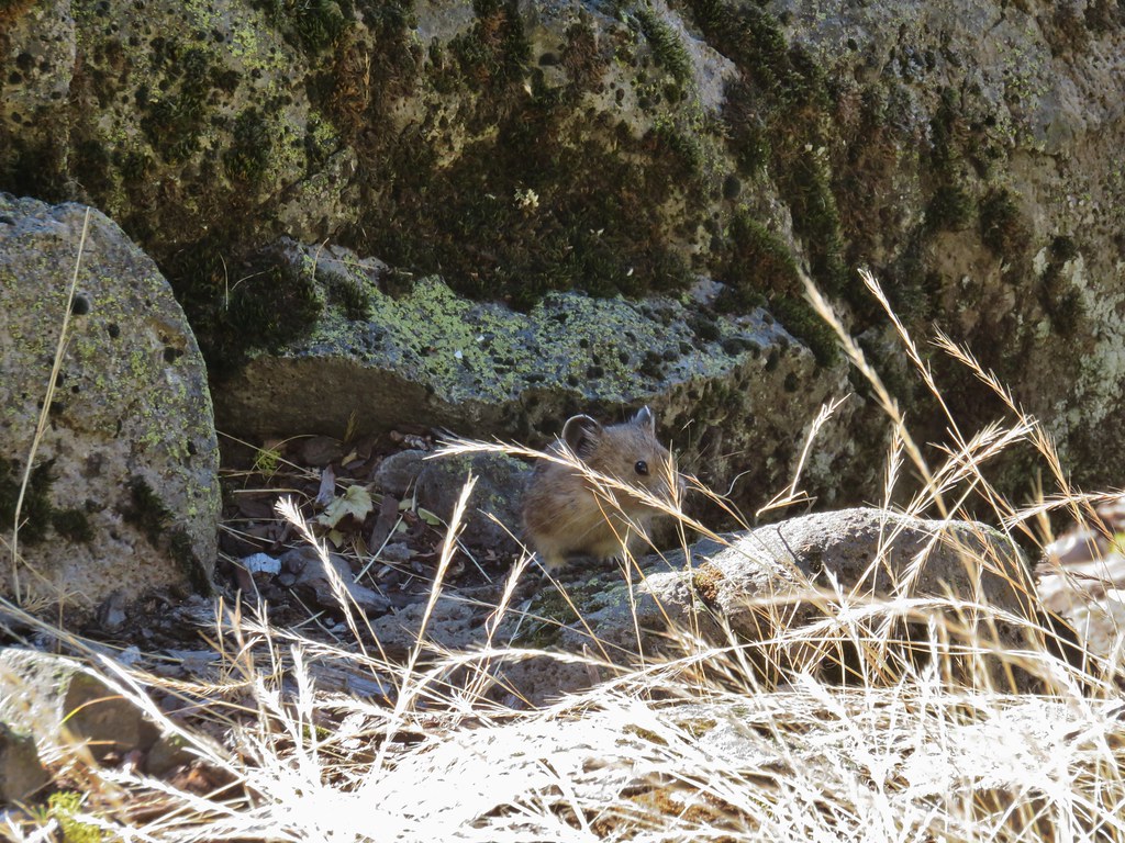


We watched the pika go back and forth with its greens several times before resuming our hike. We continued on the trail around the lake taking another detour after crossing the lake’s main outlet creek to check out a small cascade.
Beyond the outlet the trail began a .4 mile climb up toward the Middle Erma Bell Lake.
 Lower Erma Bell Lake from the climb.
A short but steep trail to the left just before the high point of the trail led to a viewpoint of a waterfall between the lower and middle lakes.
 Above the falls.
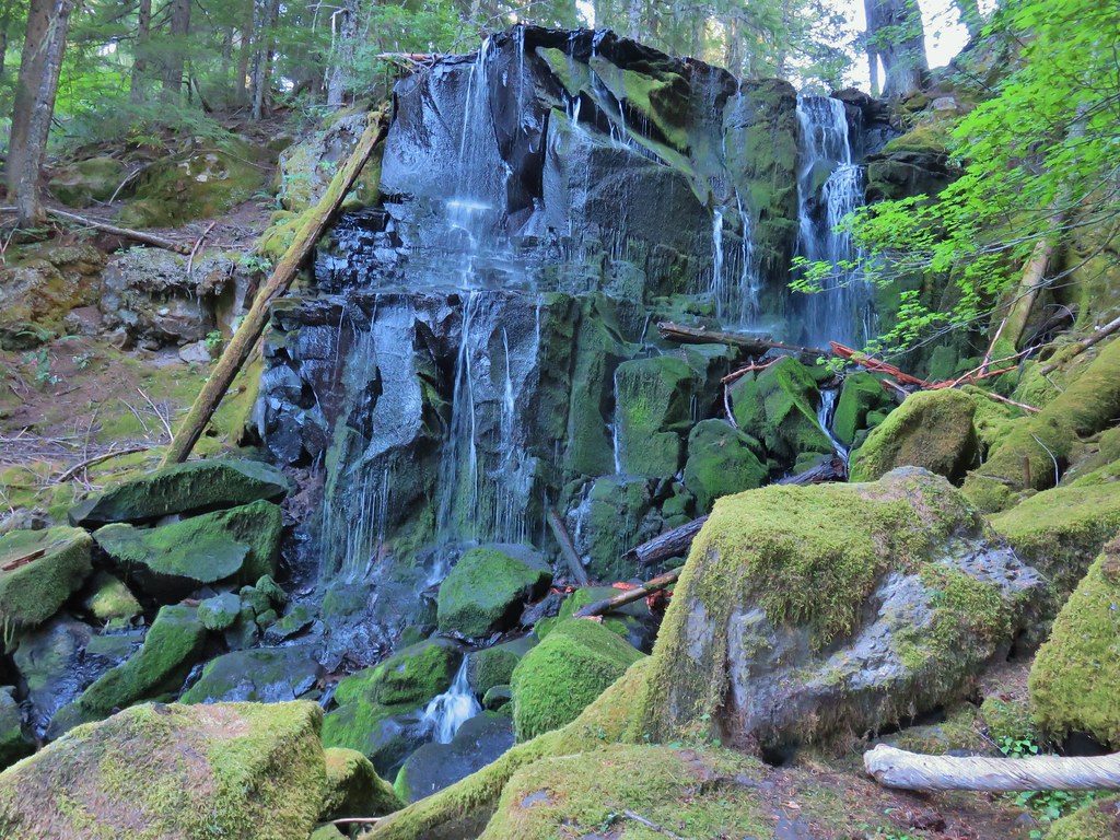
After checking out the waterfall we continued up to Middle Erma Bell Lake.

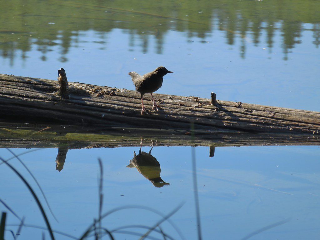 Ouzel
Ouzel
 Ducks
Ducks
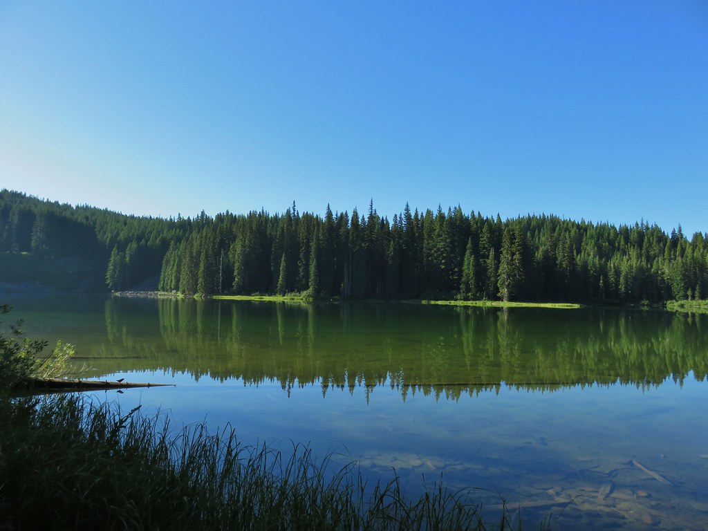
We continued beyond Middle Erma Bell Lake passing a small pond on the right before arriving at Upper Erma Bell Lake .7 miles from the waterfall, also on the right.
 Pond along the trail.
 Spur trail on the right to Upper Erma Bell Lakes.
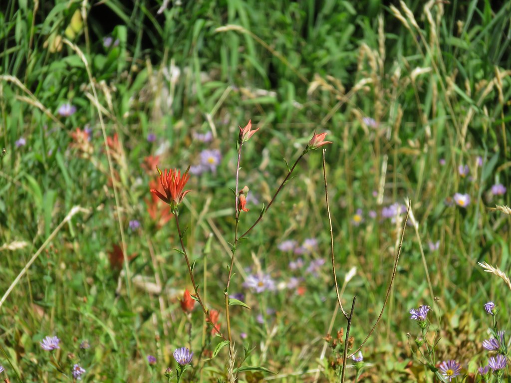
 Paintbrush and aster along the lake shore.
 Upper Erma Bell Lake
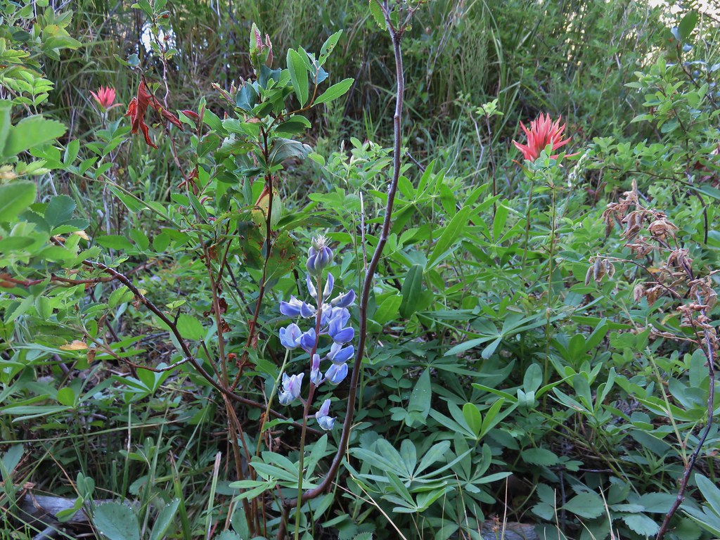 Lupine and paintrbush
In addition to a few flowers there were lots of ripe berries near the lake which we sampled before continuing. The trail climbed gradually for half a mile to a junction with the Judy Lake Trail which passes Mud and Edna Lakes (but no Judy Lake) before ending at the Taylor Burn Guard Station.
 Judy Lake Trail on the right.
We stayed left passing above Mud Lake which was barely visible through the trees below.

Just under a mile from the Judy Lake Trail junction we arrived at another junction, this time with the Williams Lake Trail.
 Williams Lake Trail joining from the right.
Again we stayed left continuing for another .4 miles to Williams Lake. Before reaching the lake we encountered a grouse that was less than pleased with our presence.
 Grouse giving us the what for from a tree.

 Williams Lake
 Dry creek bed near Williams Lake.
The trail began to descend beyond Williams Lake passing through some damper meadows where berries were plentiful and some flowers remained (and so did some mosquitoes).


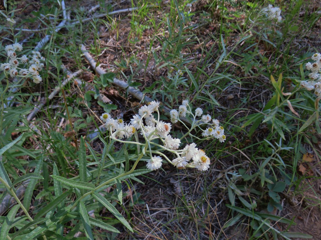 Pearly everlasting
 Fleabane
 Prince’s pine
 Mushroom
 Aster
Aster

 Coneflower

 Paintbrush

 Paintbrush
A little over two and a quarter miles beyond Williams Lake we arrived at a junction with the Irish Mountain Trail which headed uphill to the right.
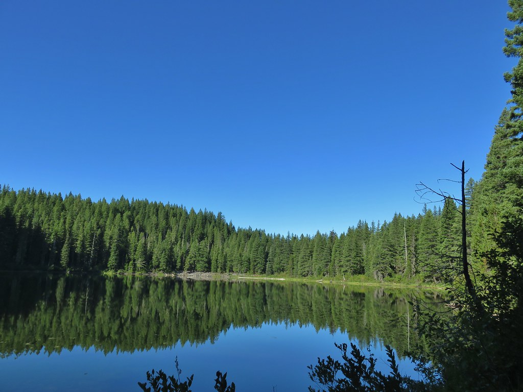
A short distance from the junction we came to Otter Lake.

 Curious dragonfly
The trail descended for another half mile to the Erma Bell Lakes Trail completing the loop.
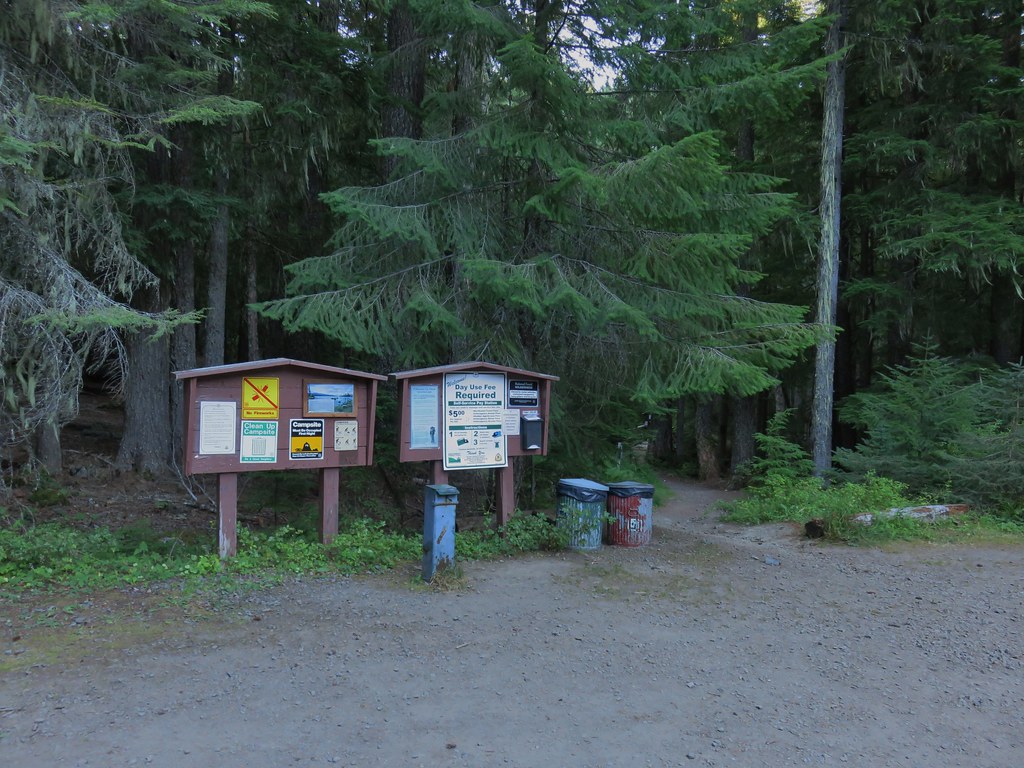
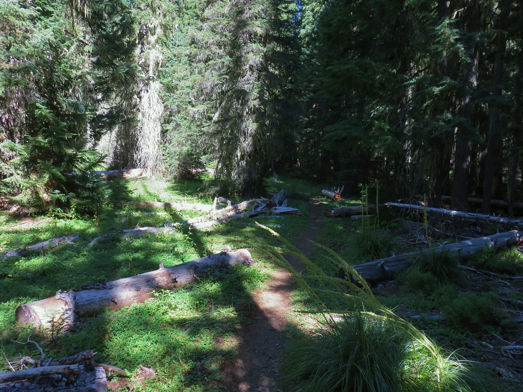
We turned right and returned the .6 miles to the now busy trailhead. Sullivan lists the hike at 8.4 miles but we both came up with a little over 9 miles, most likely due to the various side trips tp the waterfalls and along the lake shores. We left the trailhead and headed back toward Oakridge on Forest Road 19 stopping at the Shale Ridge Trailhead on the left (south) near milepost 30.
This trailhead serves as the start of the Shale Ridge Trail and the upper terminus of the North Fork Trail (segment 5). We had spent time on the North Fork Trail earlier in the year hiking segment 1 out of Westfir and another short section to Buffalo Rock in May (post).
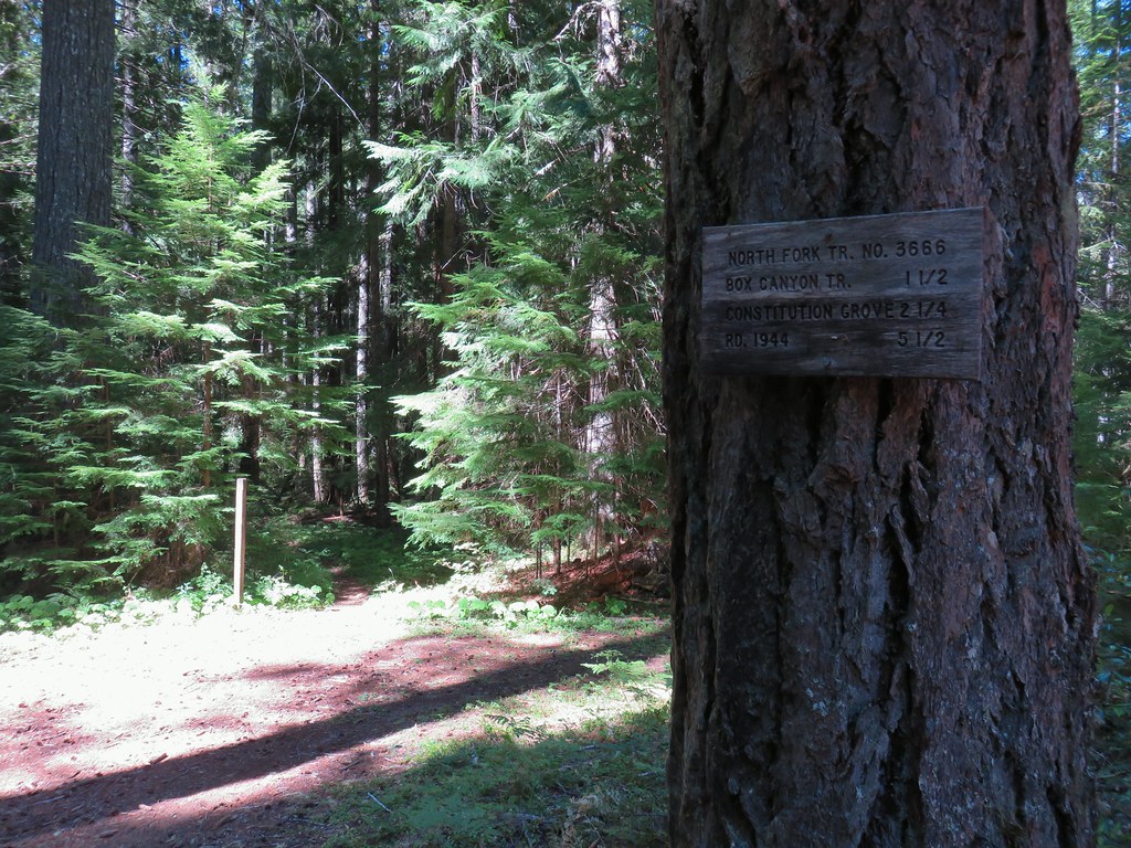
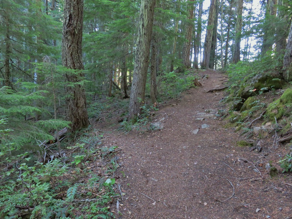
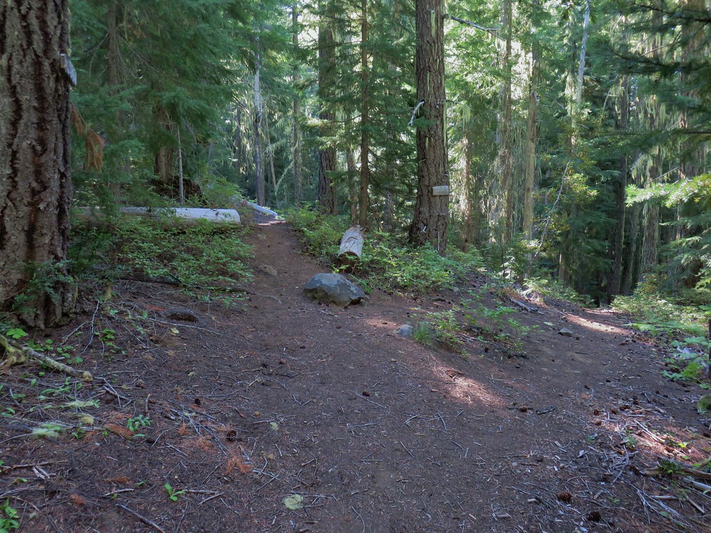
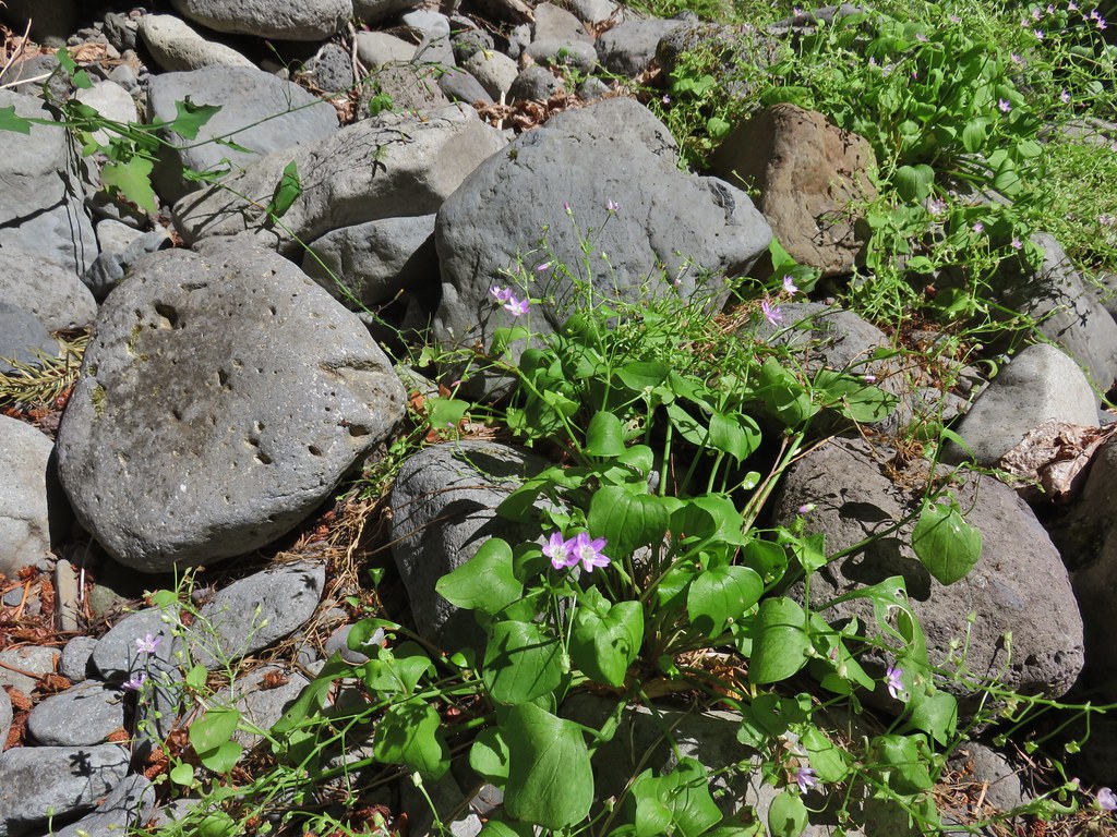
We weren’t here for that trail today and instead headed south on the Shale Ridge Trail, which according to a note written on the signboard had been partially logged out in June.

<img src="https://live.staticflickr.com/65535/50286349281_6b323abbee_b.jpg" width="768" height="1024" alt="IMG_5304">

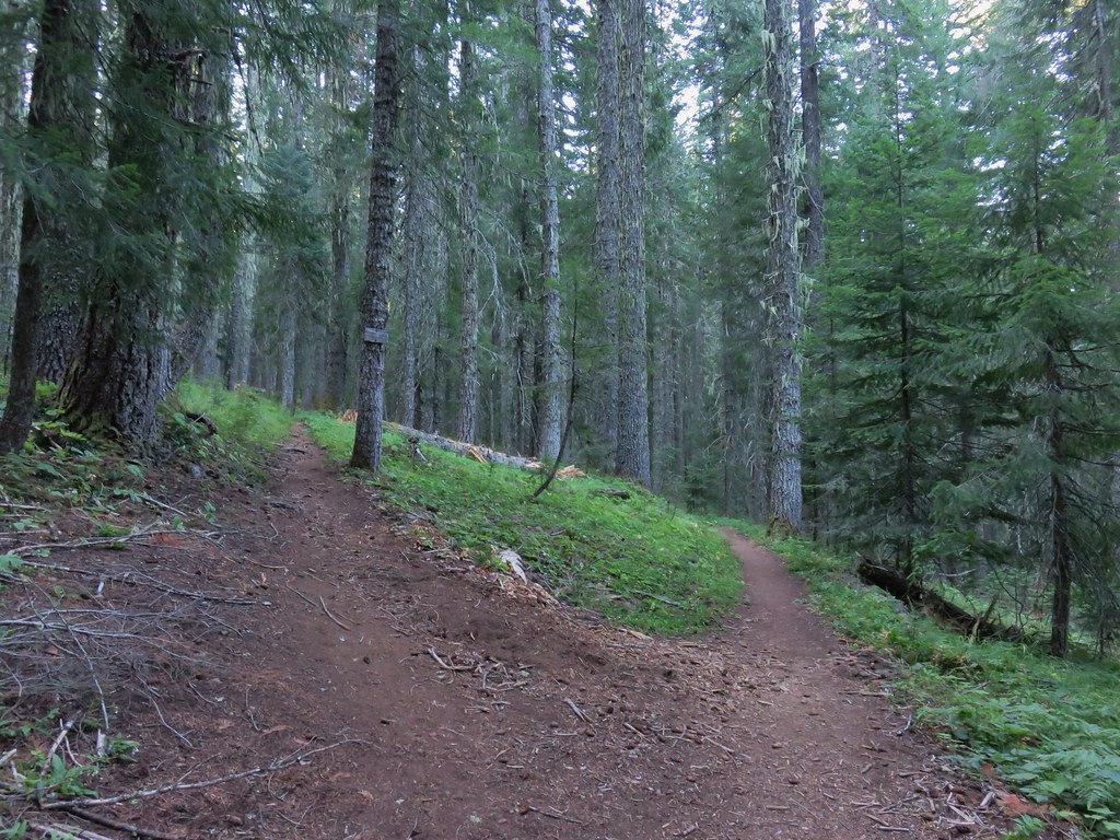
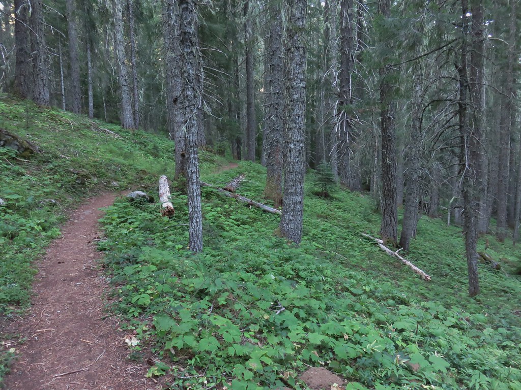
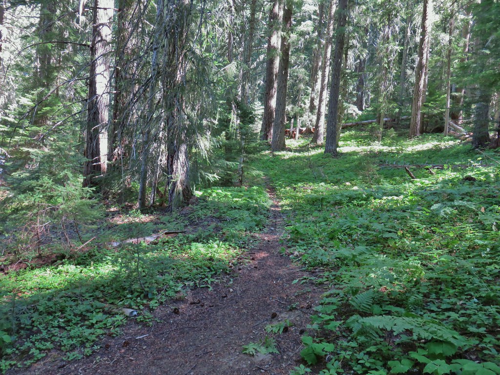
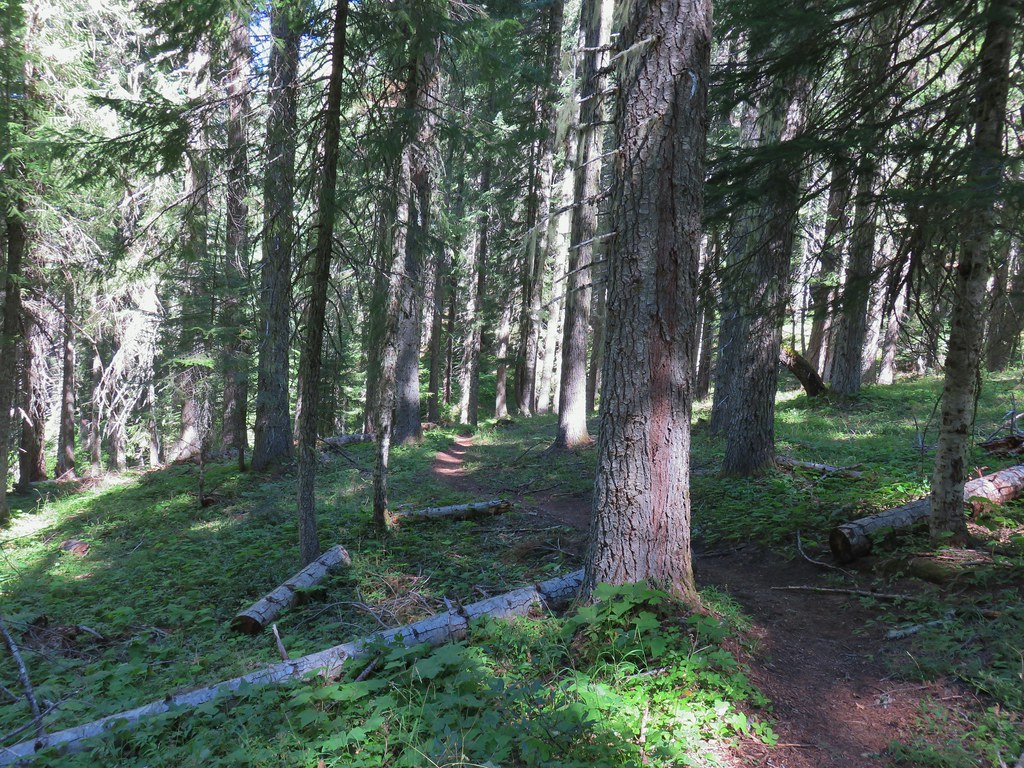
The trail quickly entered the Waldo Lake Wilderness.

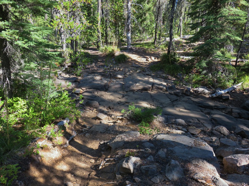
We followed the trail through old growth forest. The North Fork Middle Fork Willamette River could be heard at time off to our right but not seen.

 Ghost Pipe aka Indian Pipe
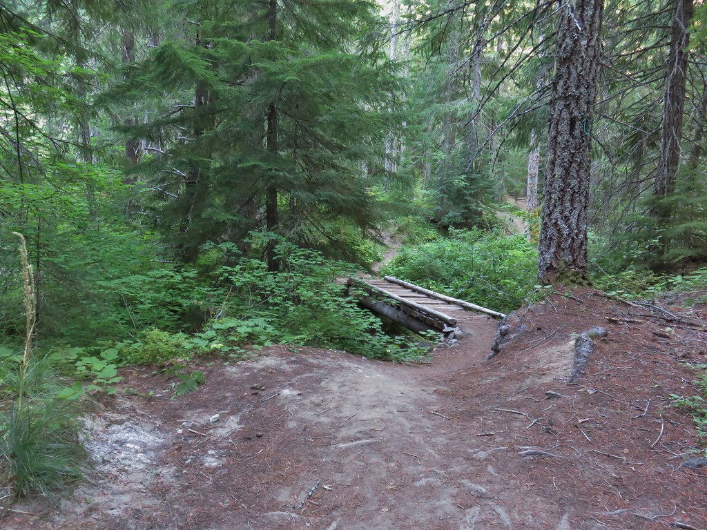
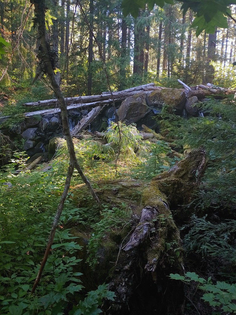
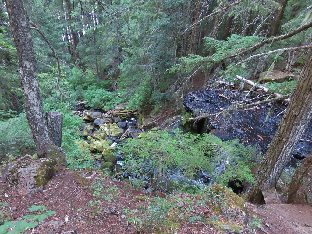
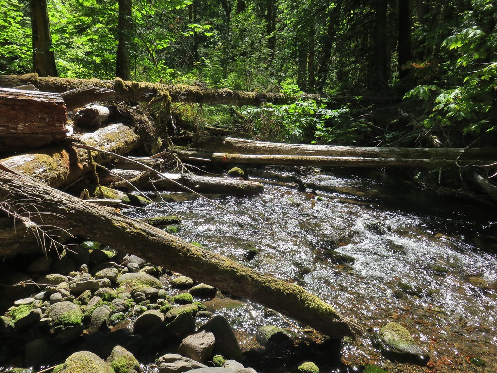
We were below the ridge that we had been on during the Erma Bell Lakes hike and at the 1.8 mile mark we came to Skookum Creek which was flowing through multiple channels through the forest. This area was the highlight of the hike along the Shale Ridge Trail.


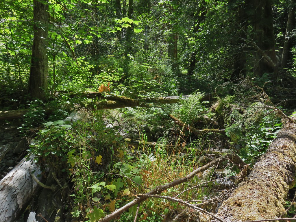
We continued beyond Skookum Creek just over a mile to the North Fork Middle Fork River at Cedar Bog. This was as far as we had planned on going and as far as the trail had been cleared to. In theory the trail continues up to the Blair Lake Trail (post) on the far side of the river but the condition beyond Cedar Bog is mostly likely very rough.
 Arriving at Cedar Bog.
 One of a couple dry channels.
 North Fork Middle Fork
 Flagging on a downed tree marking the continuation of the Shale Ridge Trail.
 North Fork Middle Fork at Cedar Bog
 Orange flagging on the far side of the river.
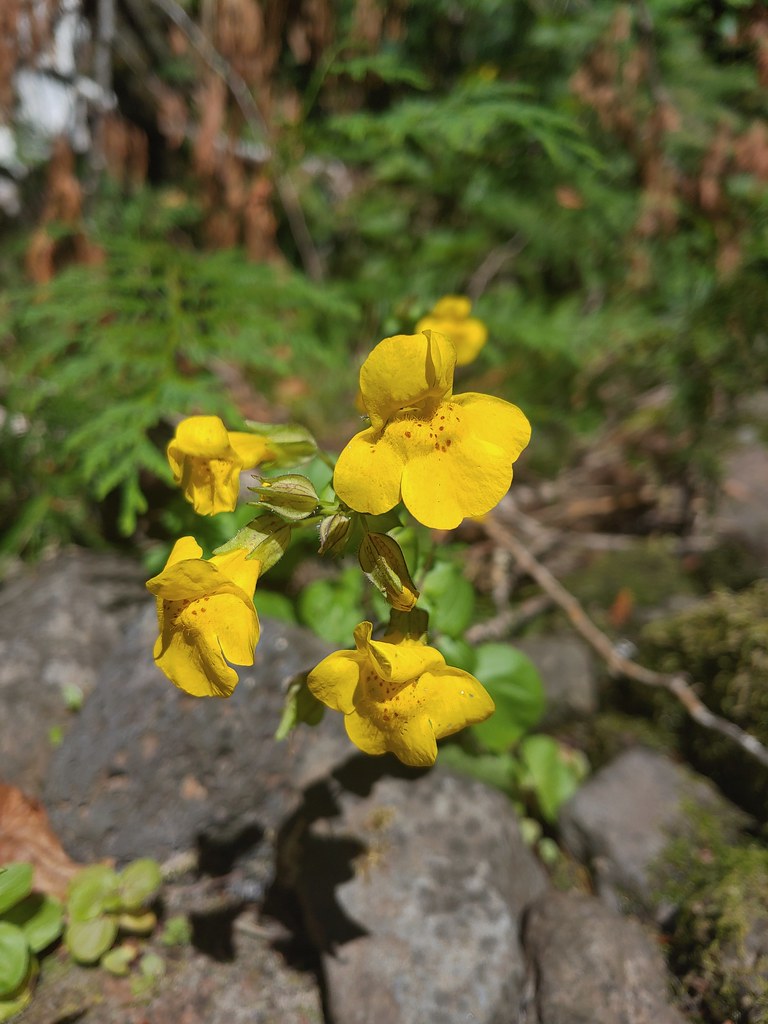 Monkeyflower at Cedar Bog
 Candy flower
We turned back here and returned to our car completing a 5.8 mile out and back. While this hike was short on views there were some impressively large trees along the way and it was fairly level with only a 400′ cumulative elevation gain. The two hikes combined for nearly 15 miles of hiking which ensured that our hiking time was indeed longer than our driving time. More importantly we’d seen some nice lakes, all of which had their own distinct differences and had been gotten to watch a pika doing its thing. On top of it all we could finally say that we had done at least part of all 100 featured hikes in one of Sullivan’s guidebooks. Happy Trails!

5 replies on “Erma Bell Lakes and the Shale Ridge Trail – 08/29/2020”
Nice trip. Nice pics (as usual). Made me want to jump into those lakes. Maybe I will. There’s still some summer left.
Wow! Congrats on finishing all 100! Thanks for this invaluable resource – we reference your blog for nearly all of our backpacking trips in the region.
[…] finished all 100 featured hikes (post) in William L. Sullivan’s “100 Hikes/Travel Guide Central Oregon Cascades” (4th […]
[…] series. In 2020 we managed to complete the first of the books when we visited the Erma Bells Lakes (post) at the end of August. Ironically COVID-19, which caused so many issues for everyone this past […]
[…] became bittersweet just 10 days after finishing the final featured hike at Erma Bell Lakes (post) when a freak windstorm caused the Lionshead and Beachie fires to explode burning a number of the […]