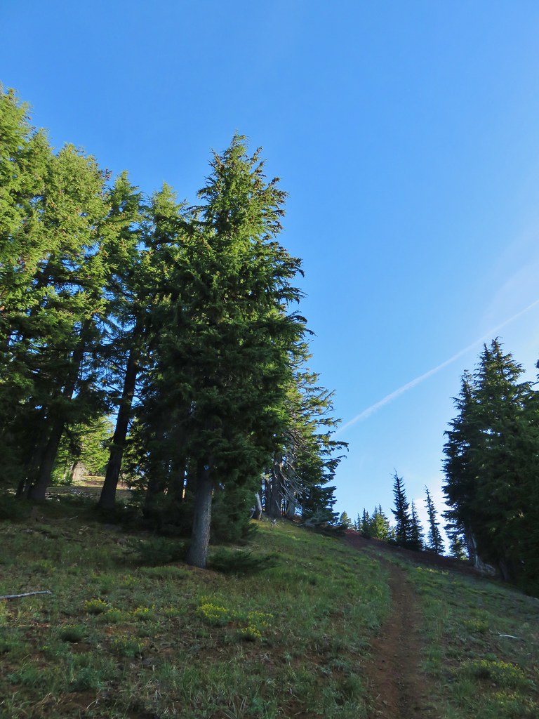
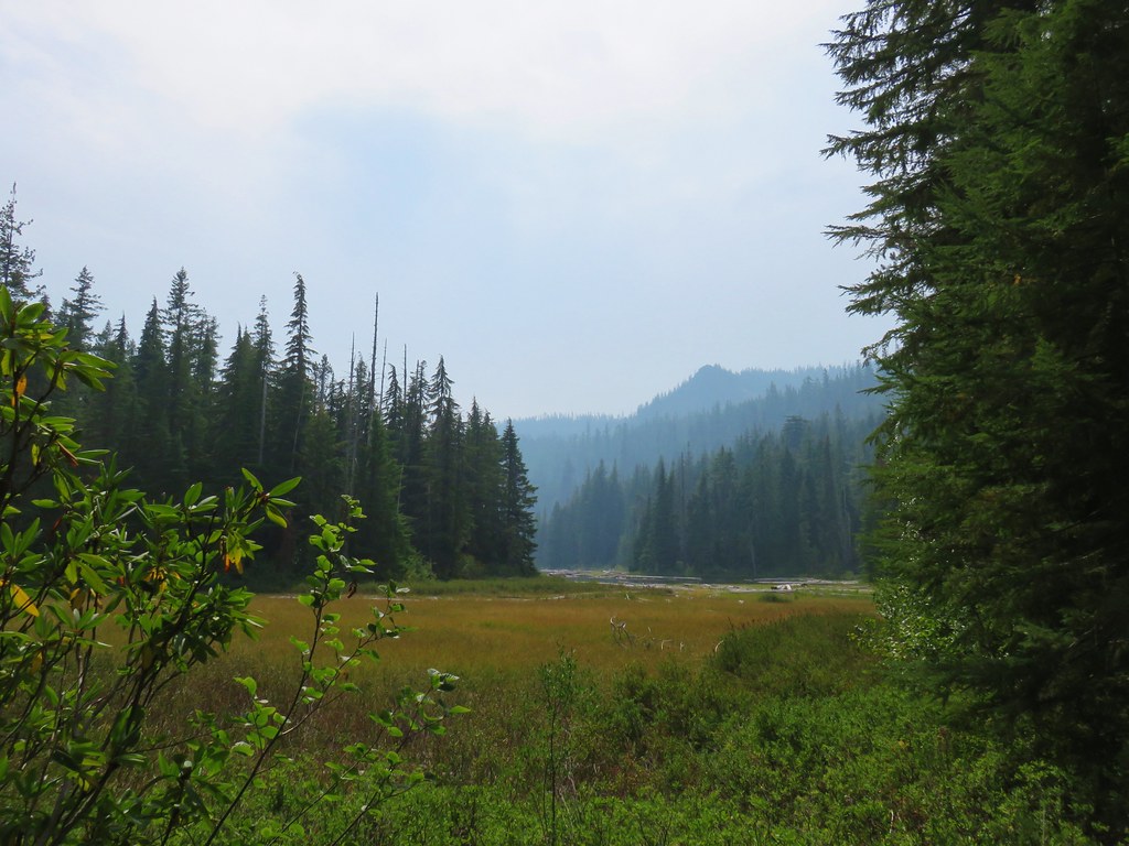
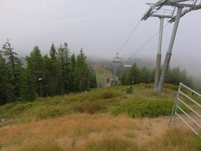
Another warm, sunny forecast coincided with our hiking schedule leaving multiple destinations possible. (My original schedule for the year has been largely replaced by groups of ideas depending on the weather or fire situation.) After considering several different hikes we decided to try out a loop around Charlton and Lily Lakes in the Willamette and Deschutes National Forests.
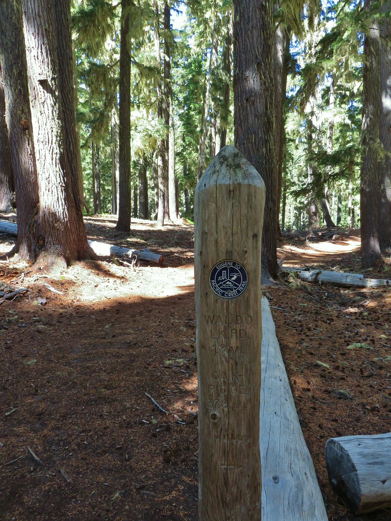
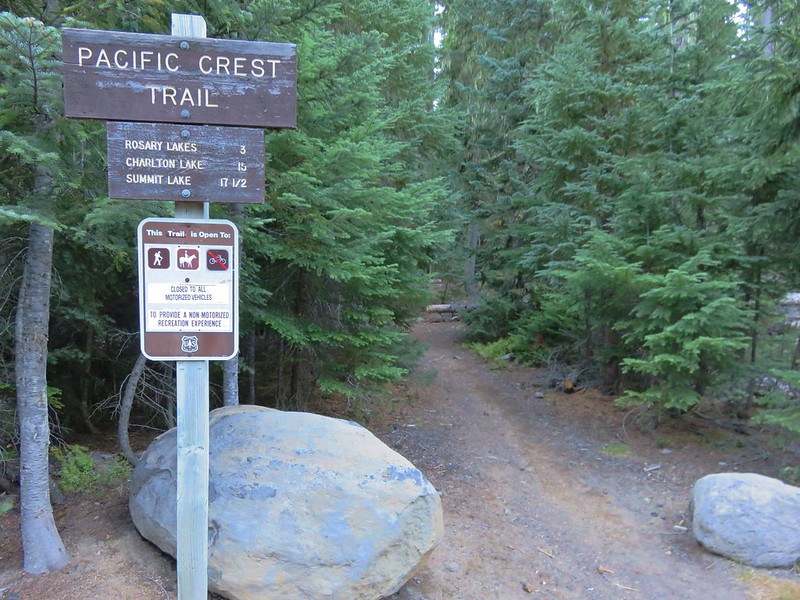
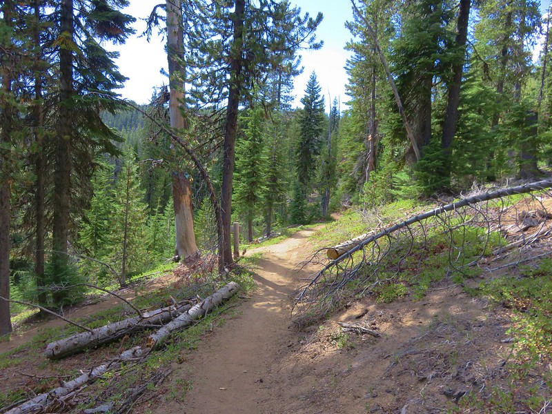
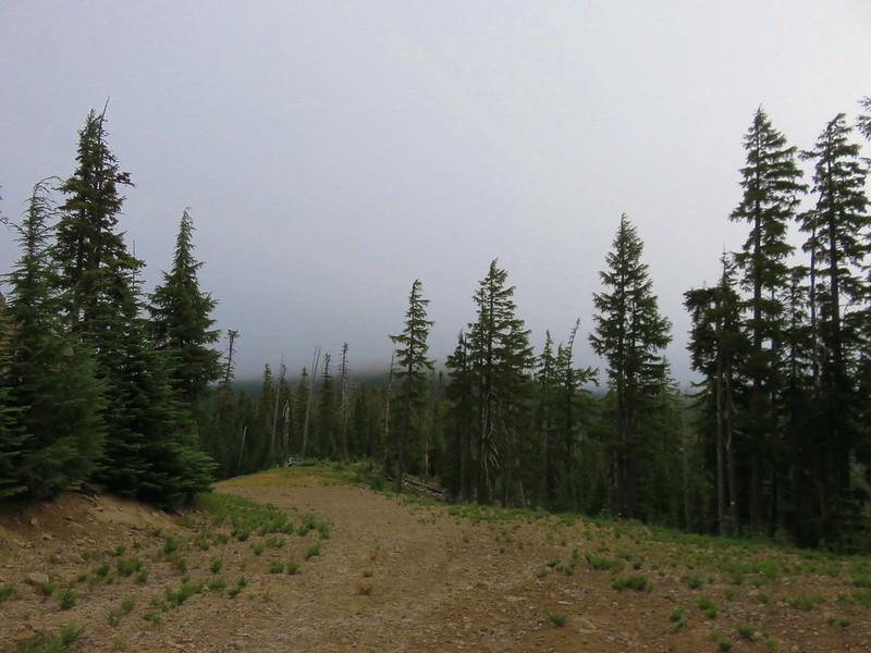
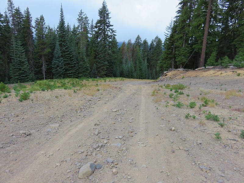
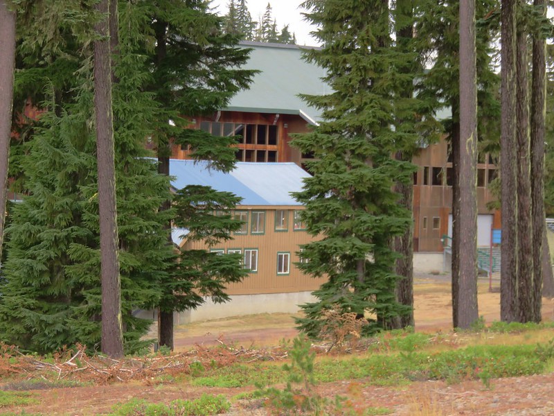
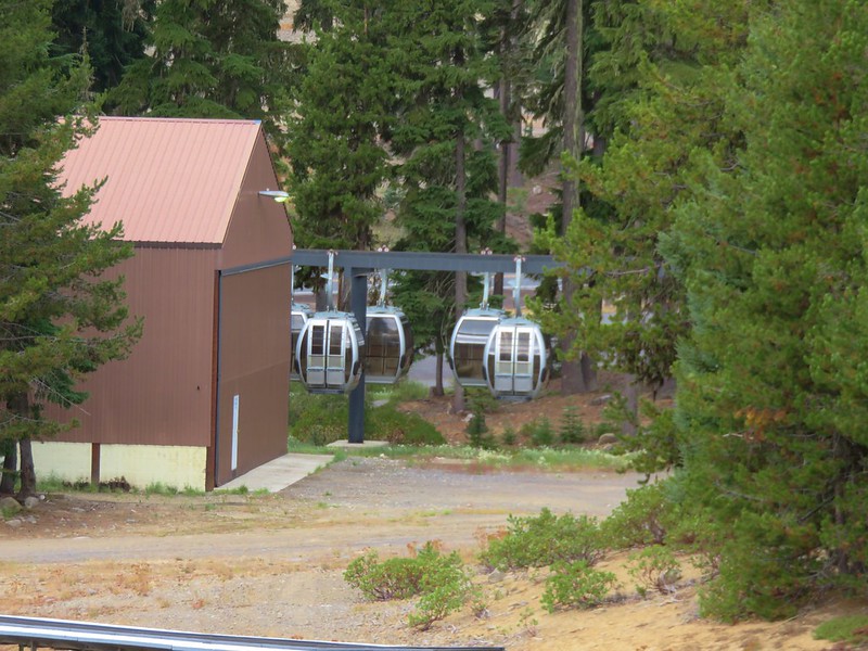
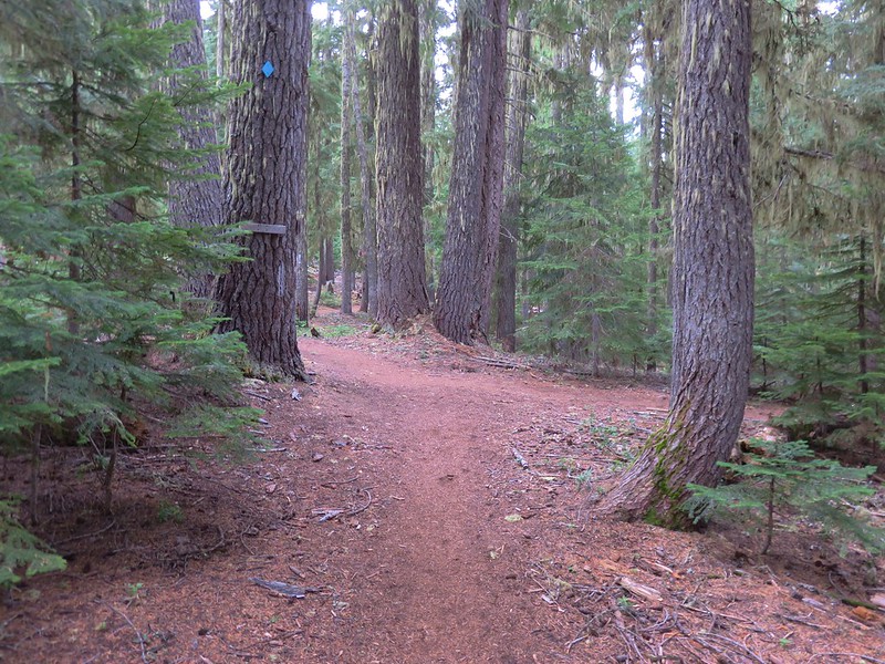
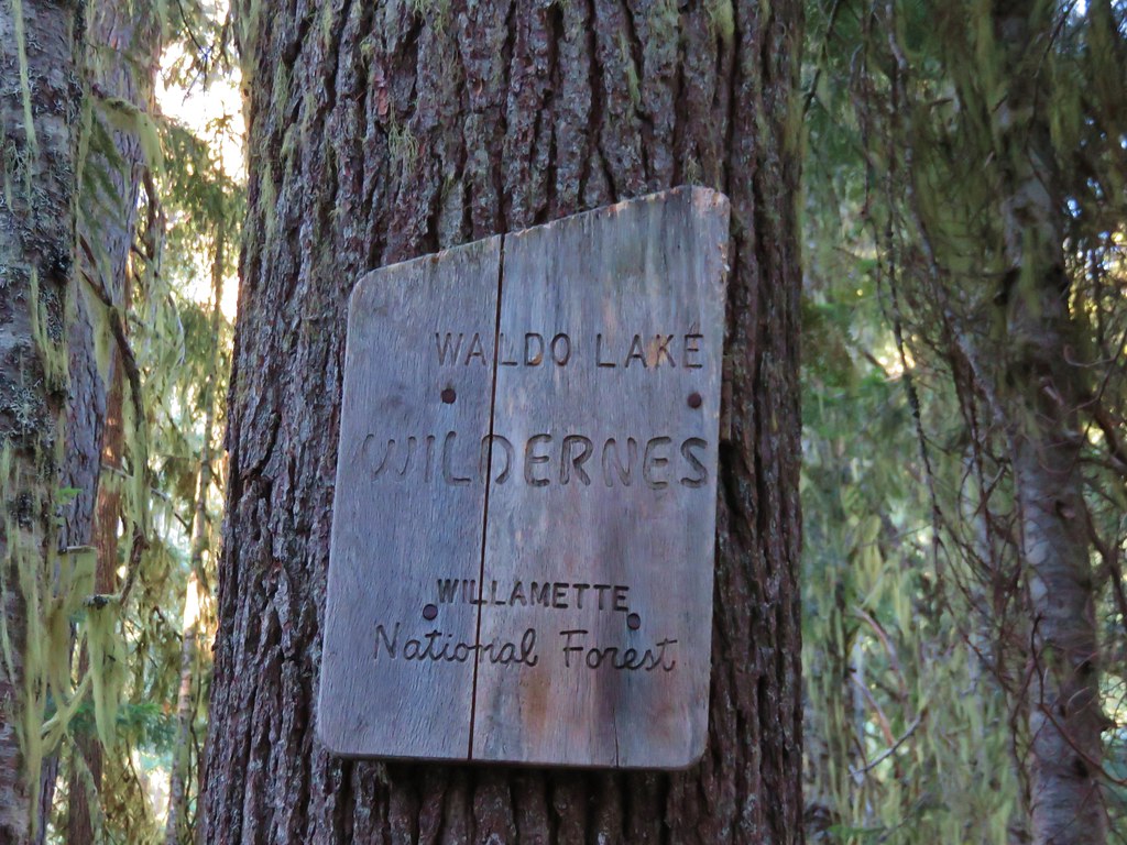
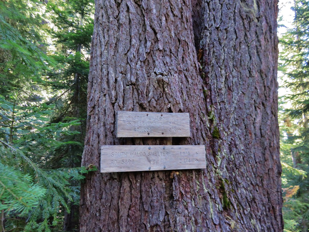
We parked at what Google labels as the Pct Trailhead located a quarter mile up Forest Road 4290 off Forest Road 5897 aka Waldo Lake Road.

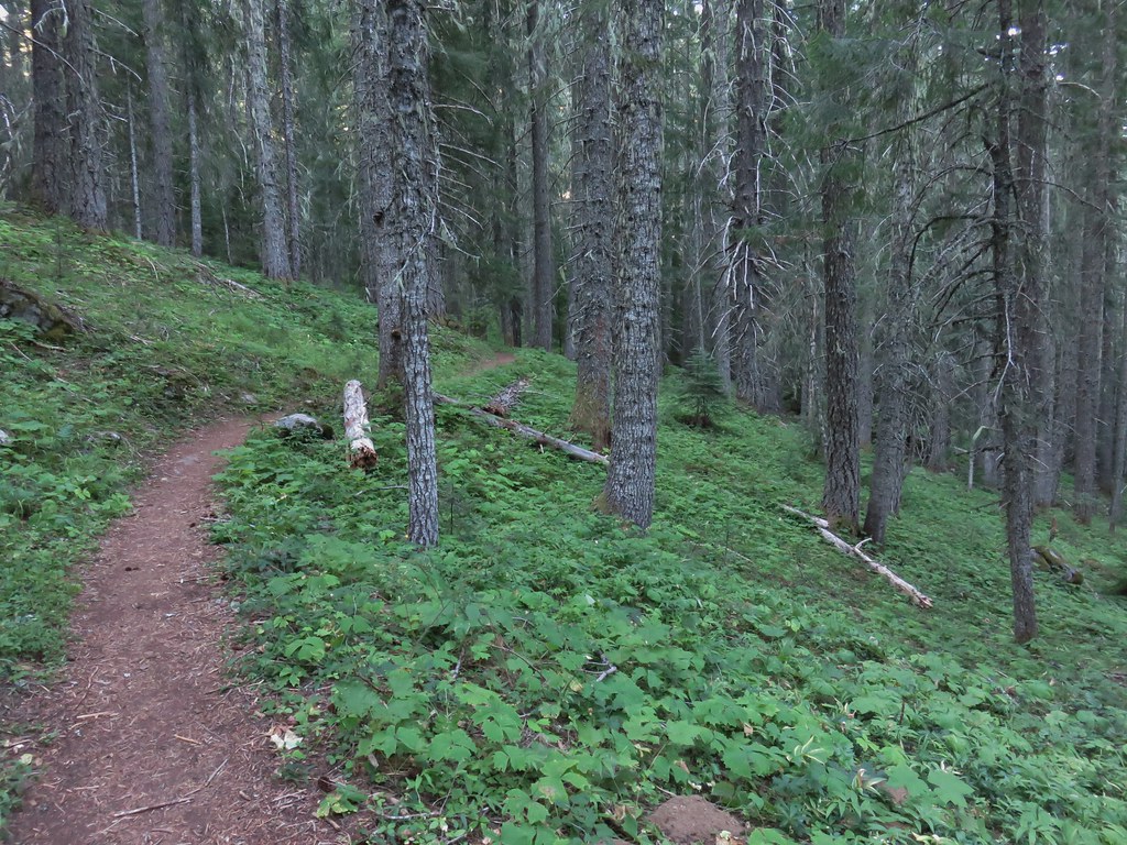
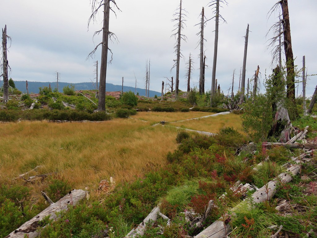
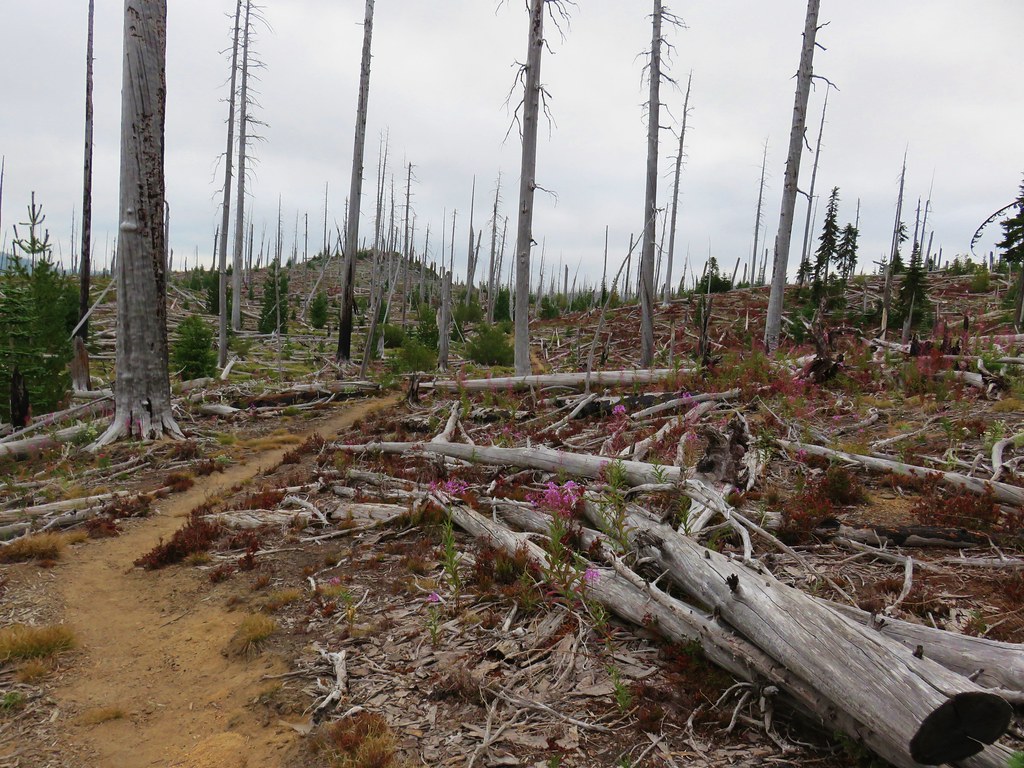
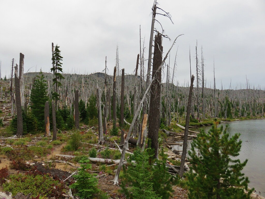
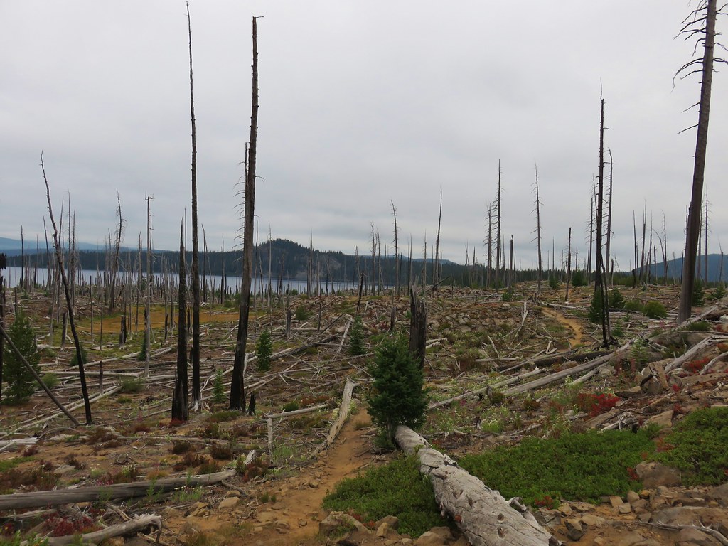
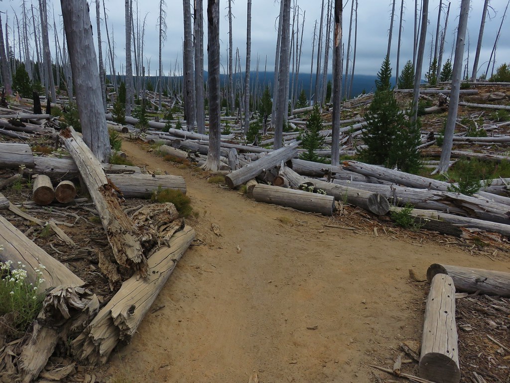
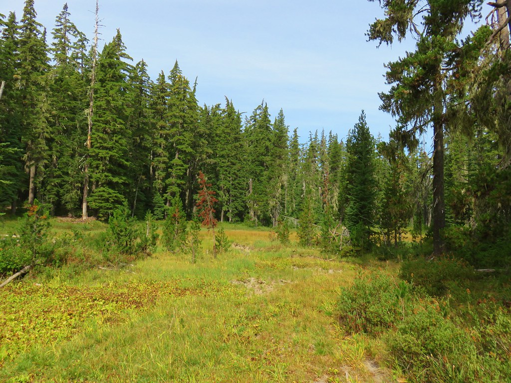
The first part of the loop we were planning passes through the 2022 Cedar Creek Fire scar. One of the trails, the Lily Lake Trail, was severely impacted by both that fire and the 1996 Charlton Fire and no longer shows up on the Forest Service website or updated maps such as CalTopo. Our paper, GPS, and the PCTA online map National Forest System Trails layer all showed the trail alignment, so we hoped that we would be able to use our navigational skills on that section.
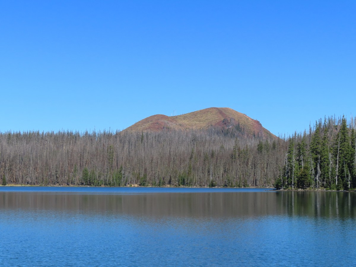
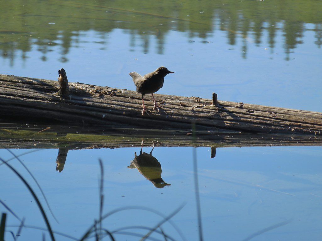
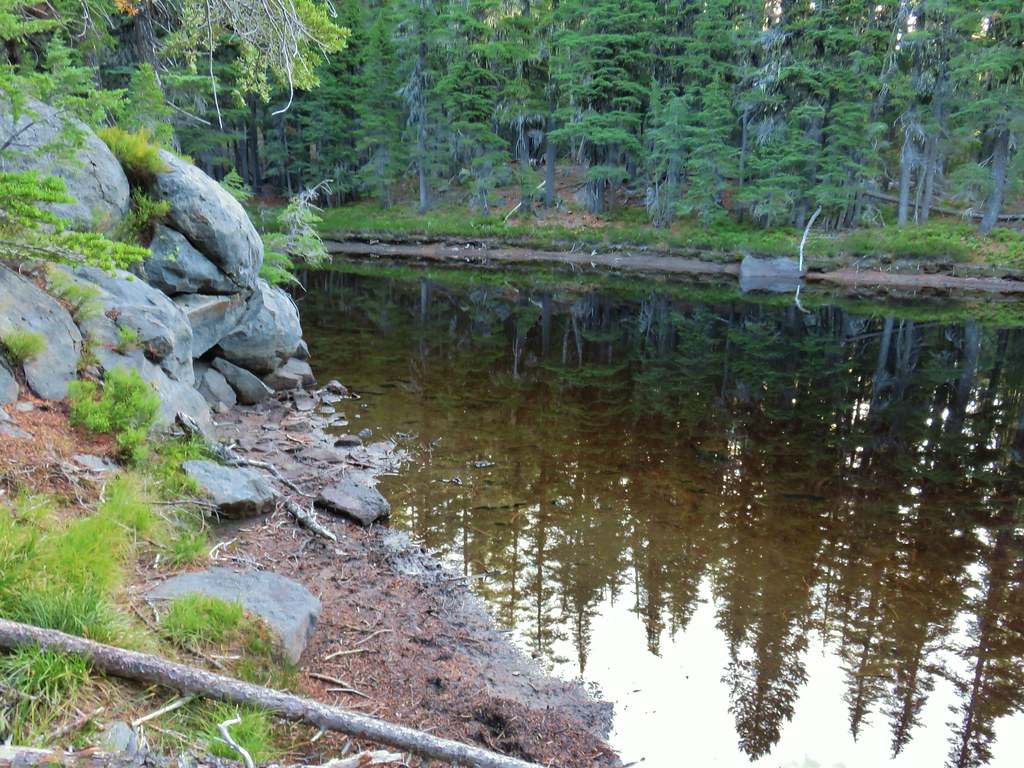
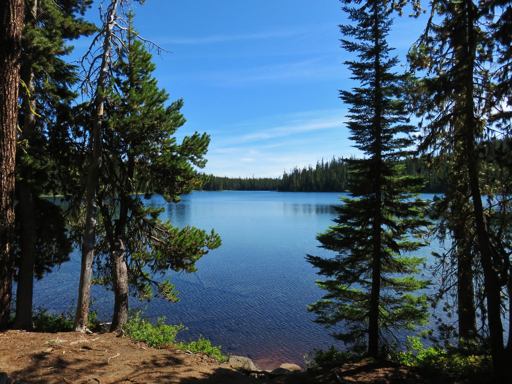
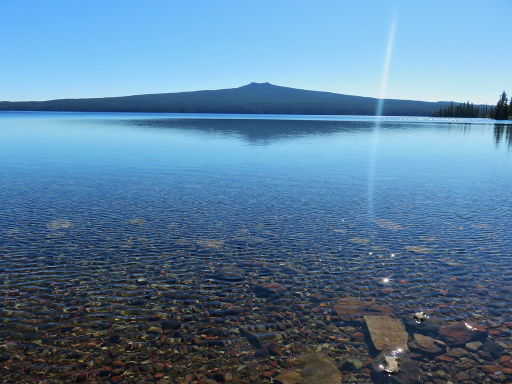
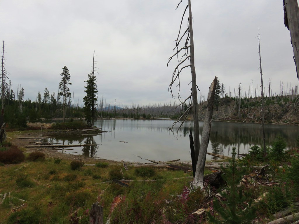
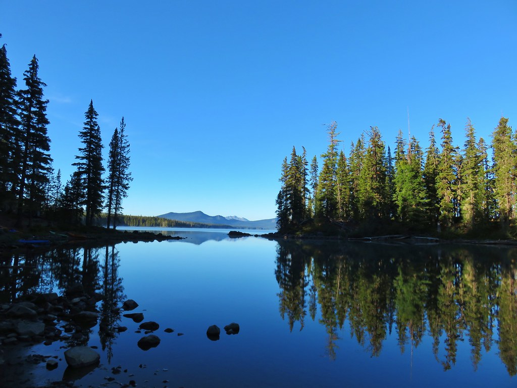
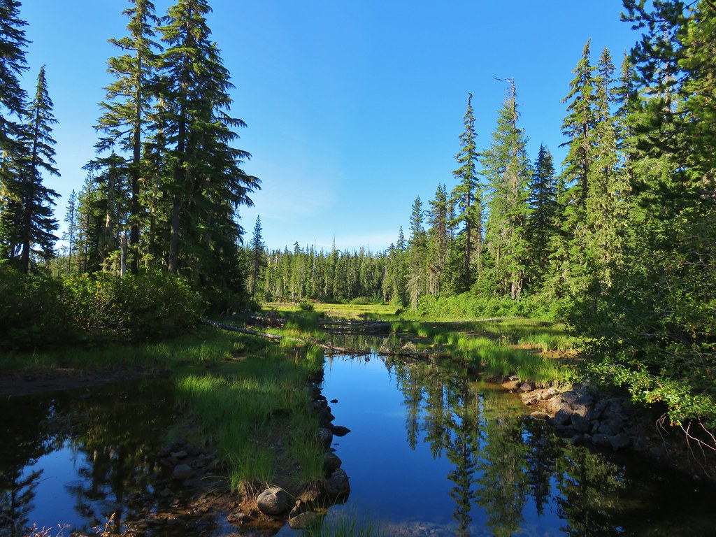
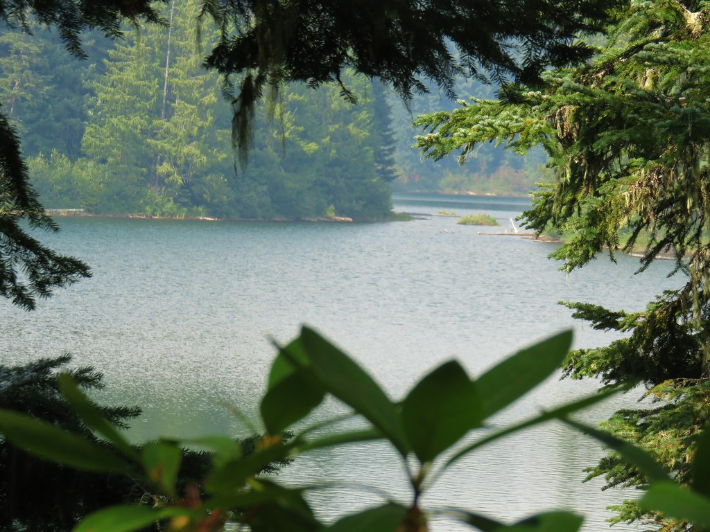
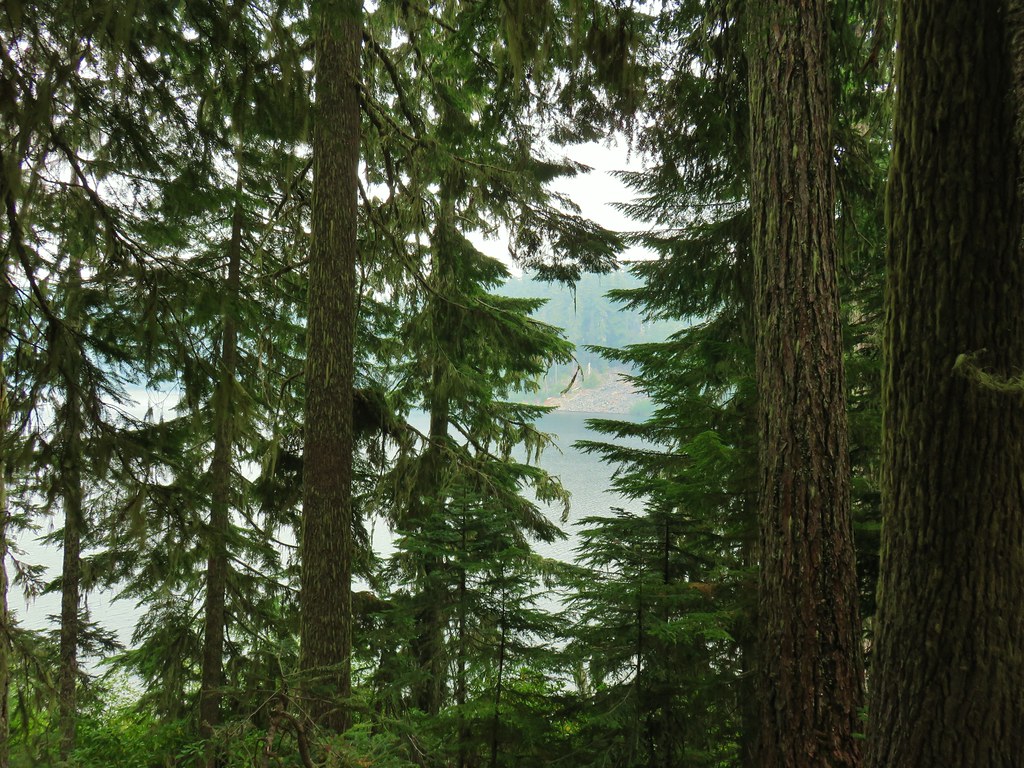
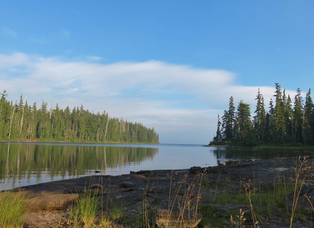
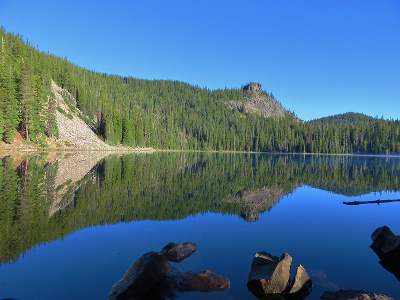
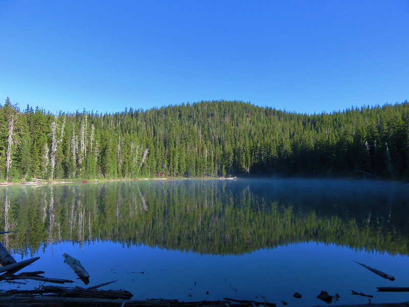
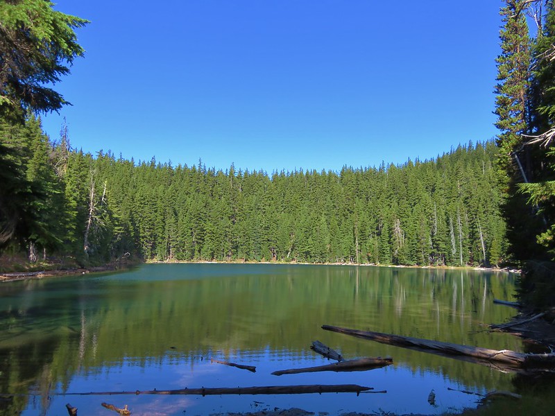
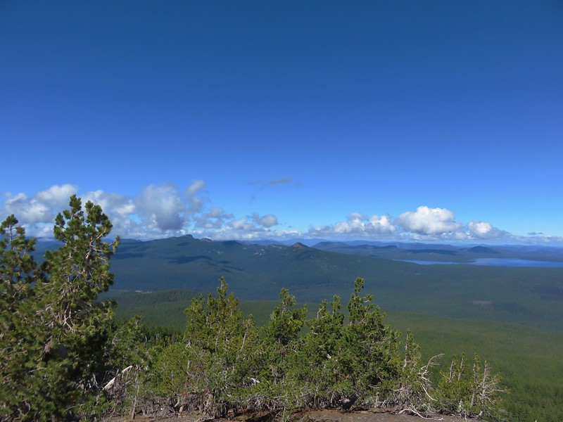
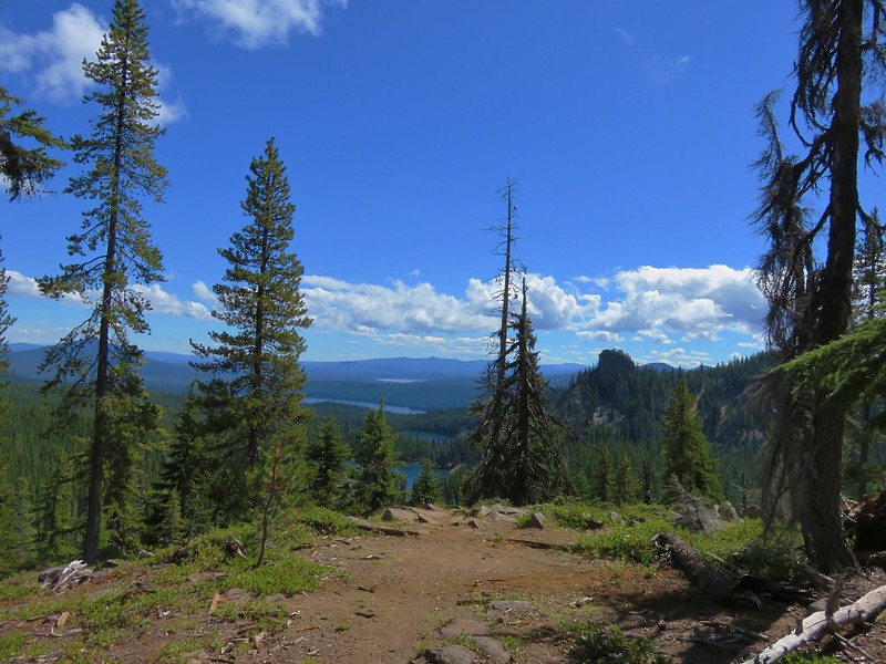
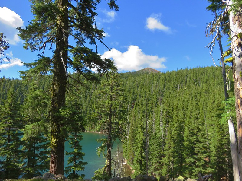
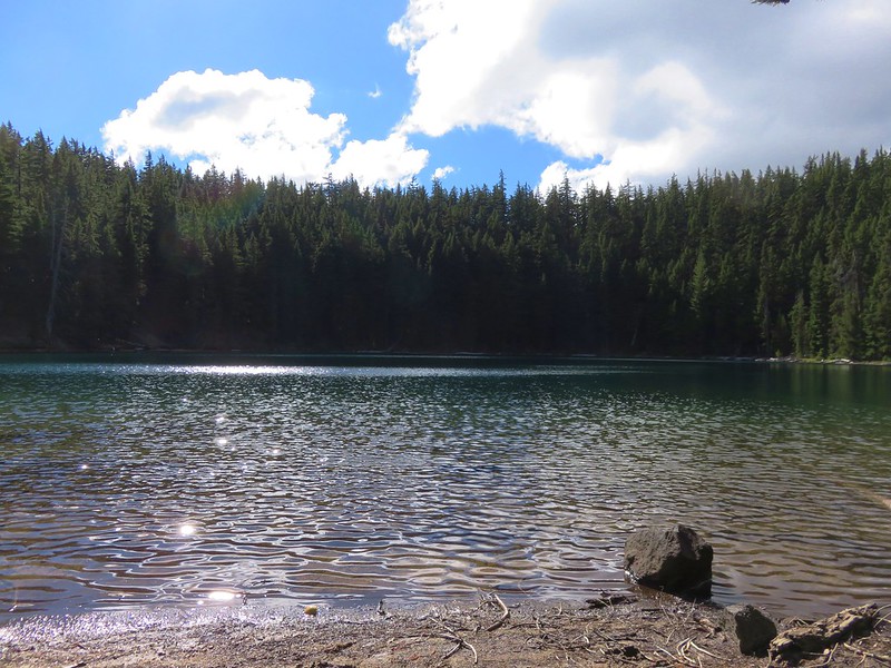
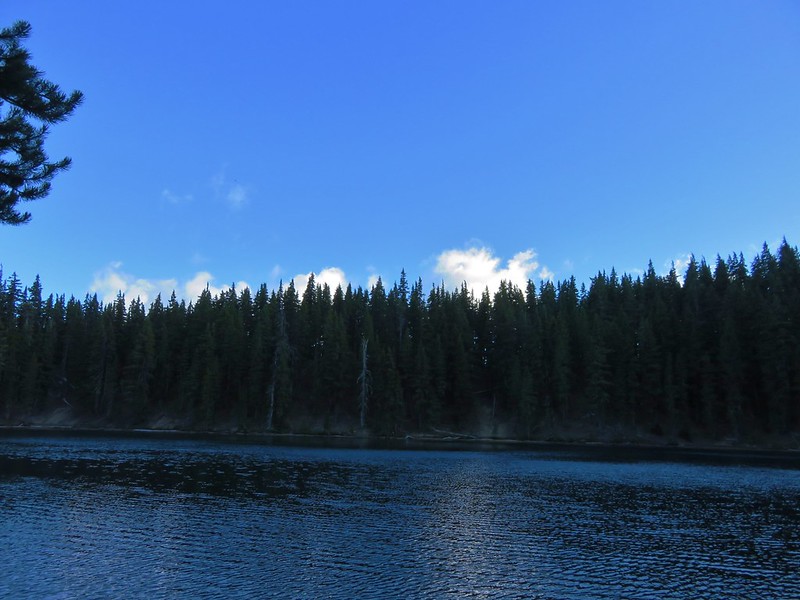
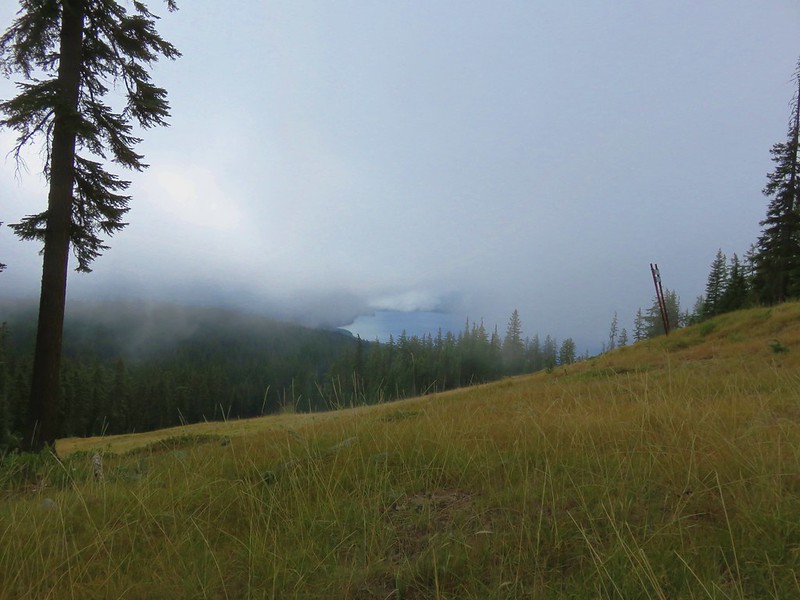
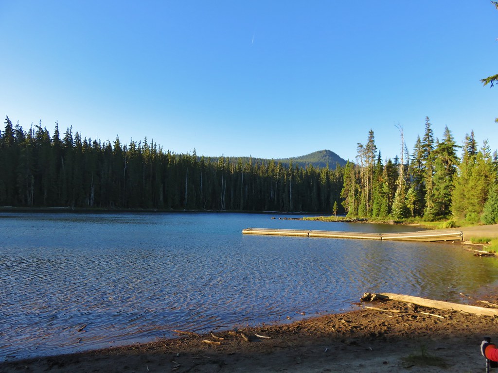
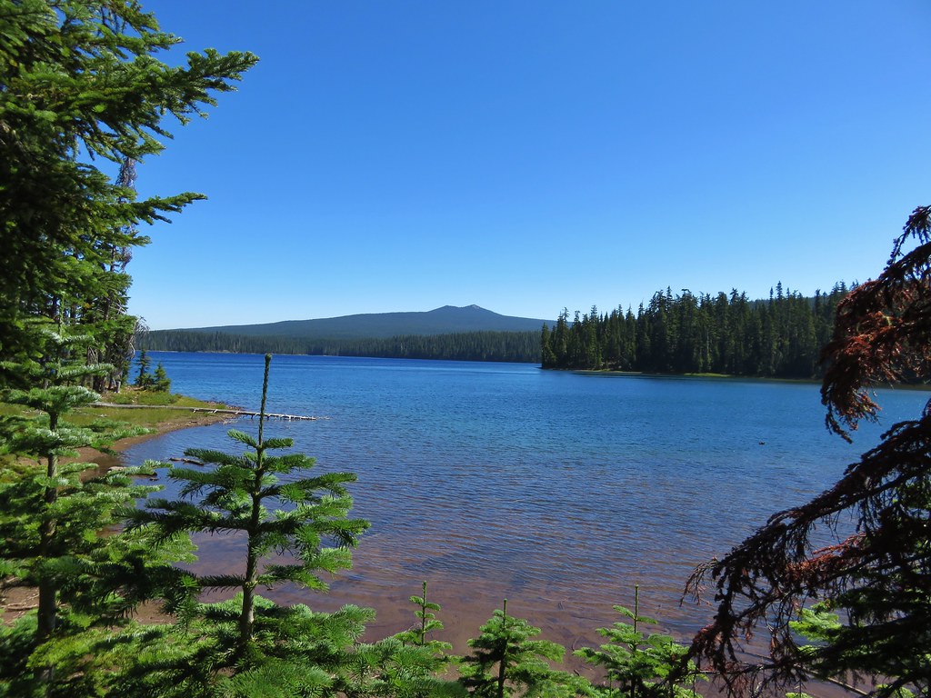
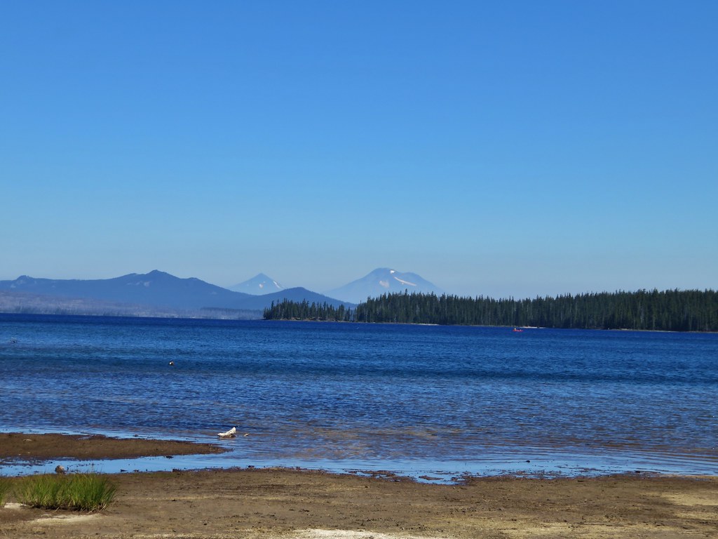
Before starting the loop we headed down to Charlton Lake for a first look.

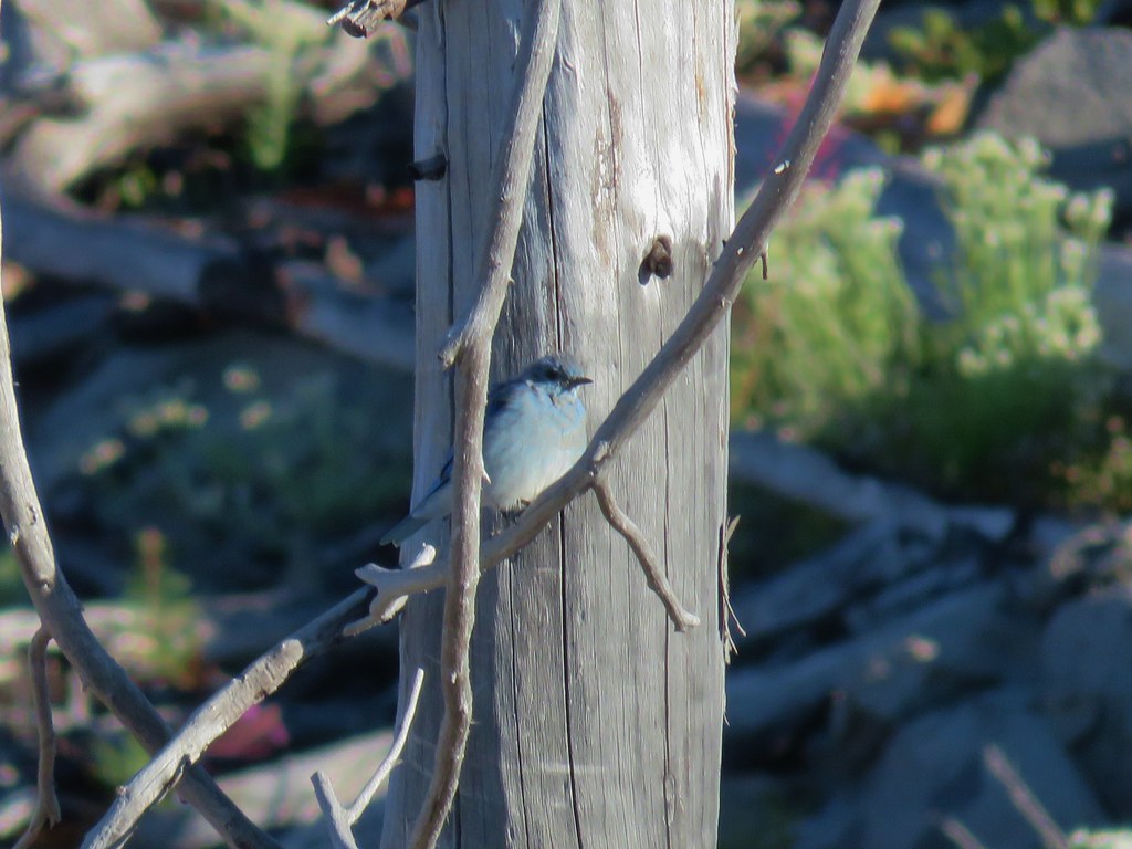
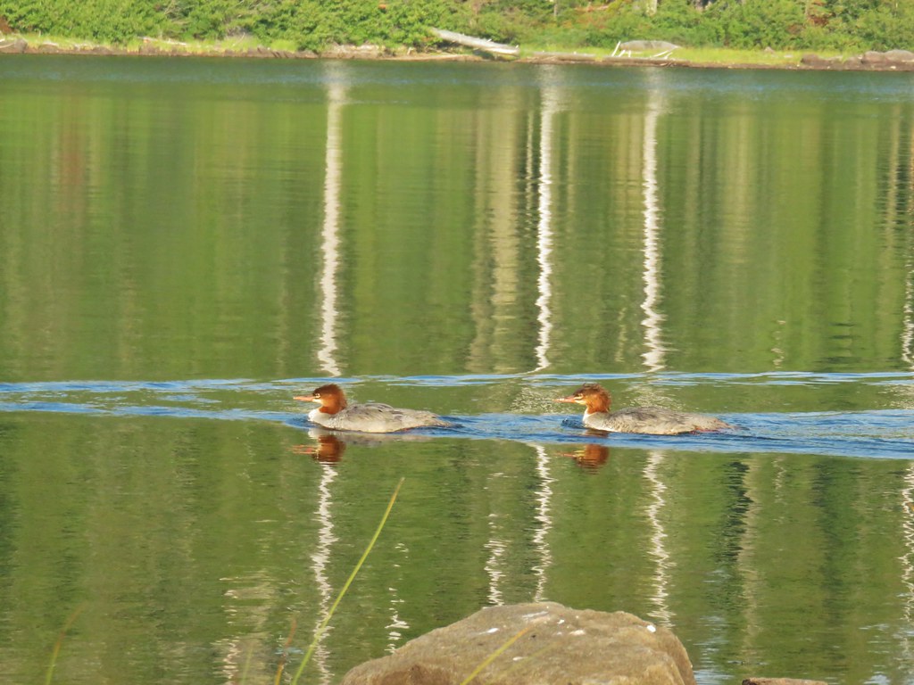
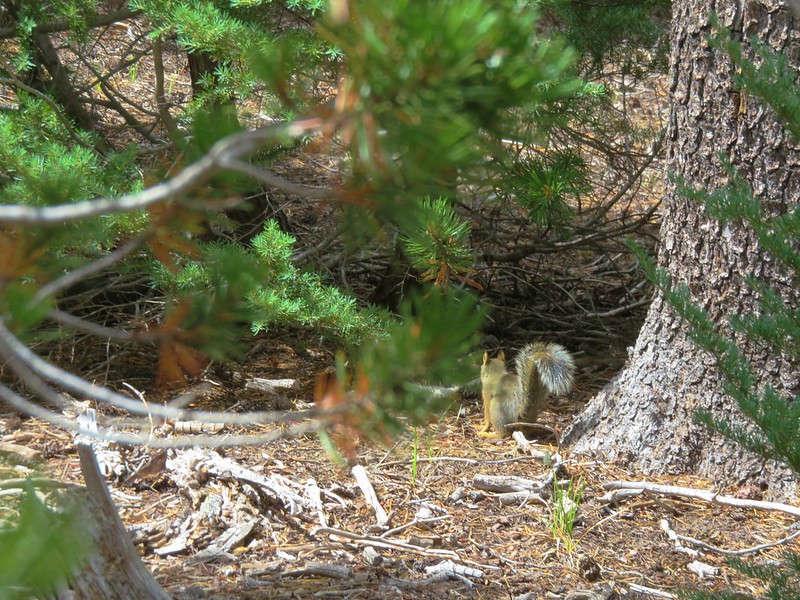
Canada jay

The trail to Charlton Lake from the trailhead crosses the Pacific Crest Trail (PCT) after just 250′ then continues to the lake for a total of just a tenth of a mile.

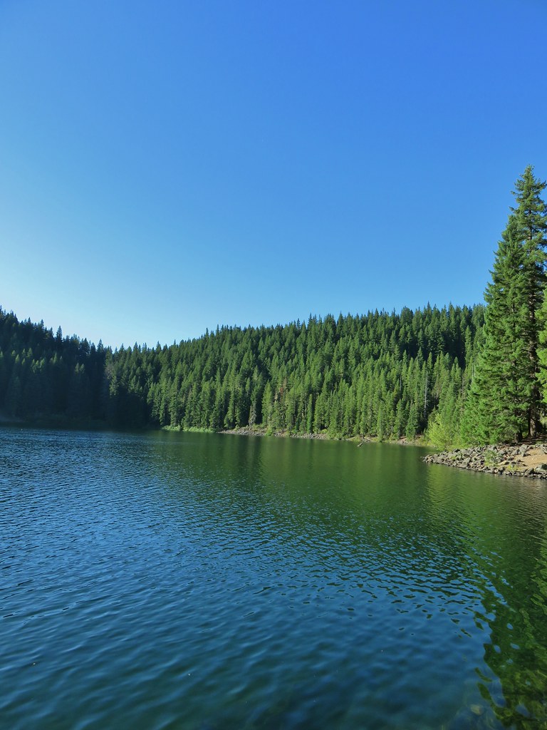
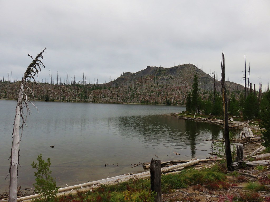
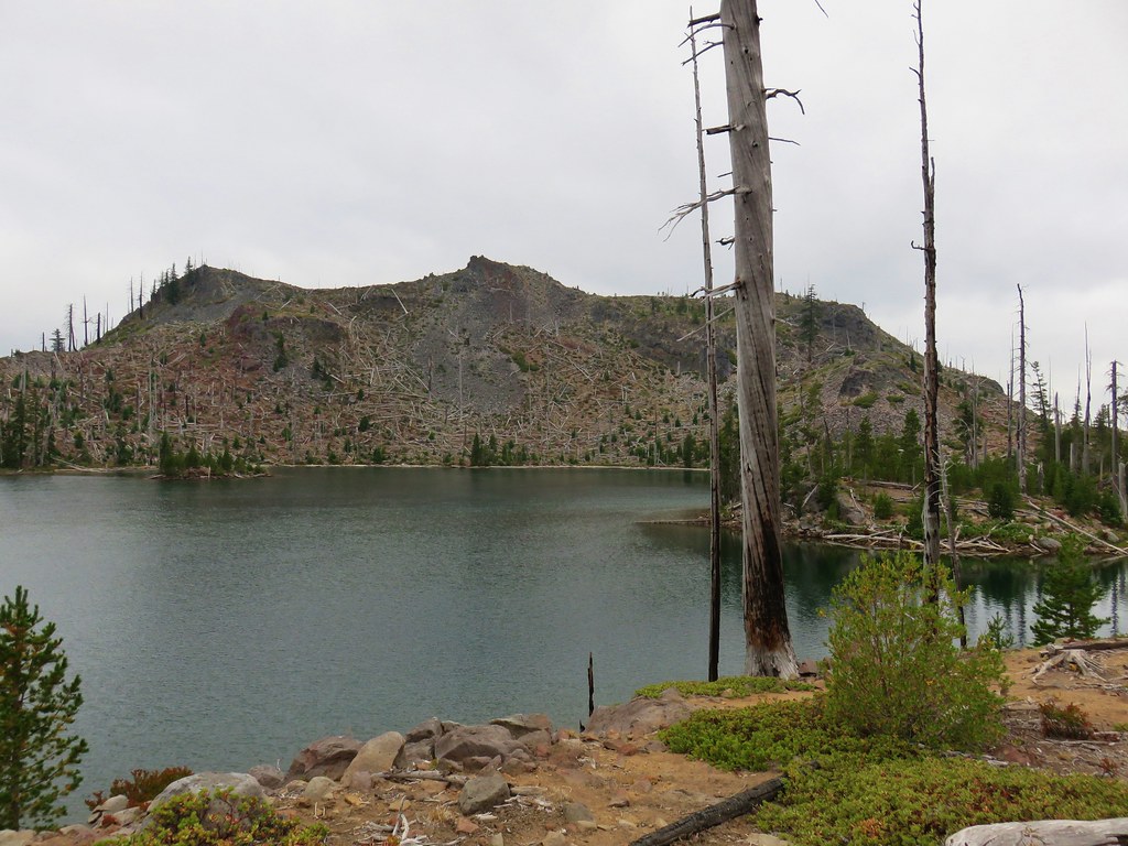
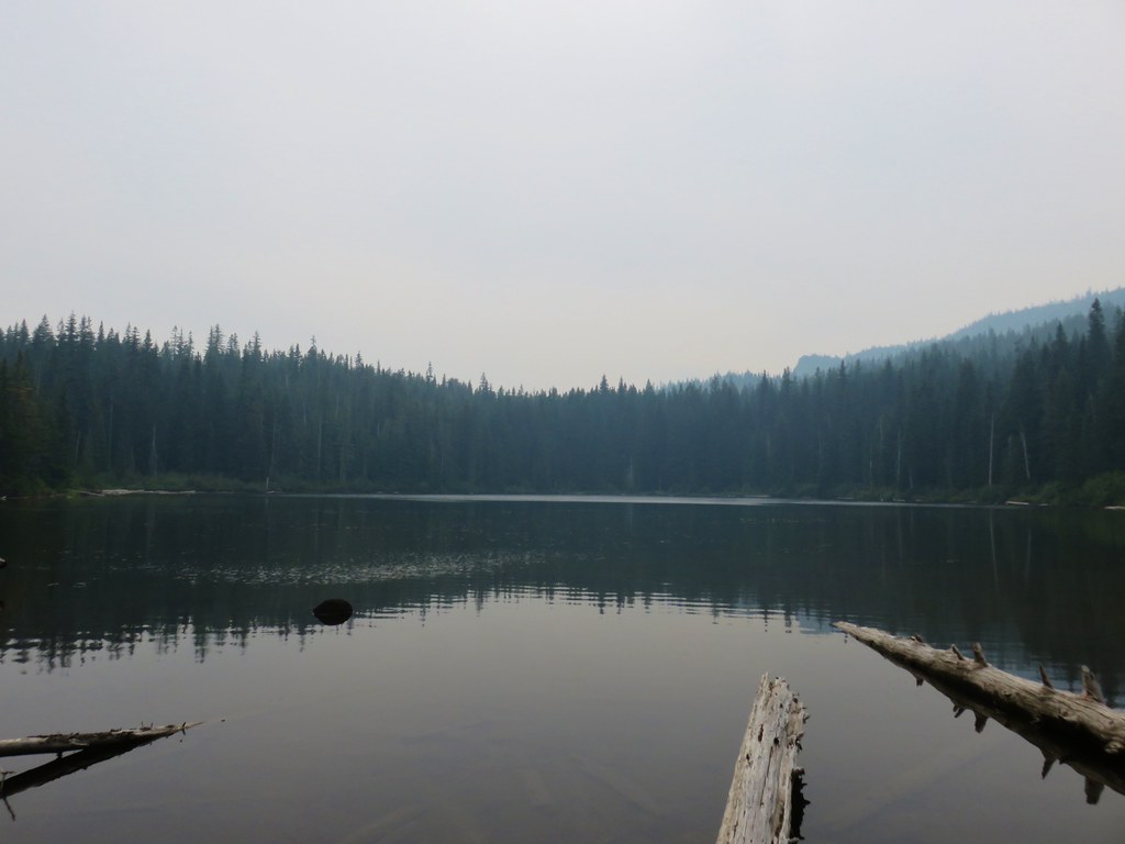
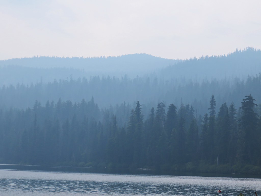
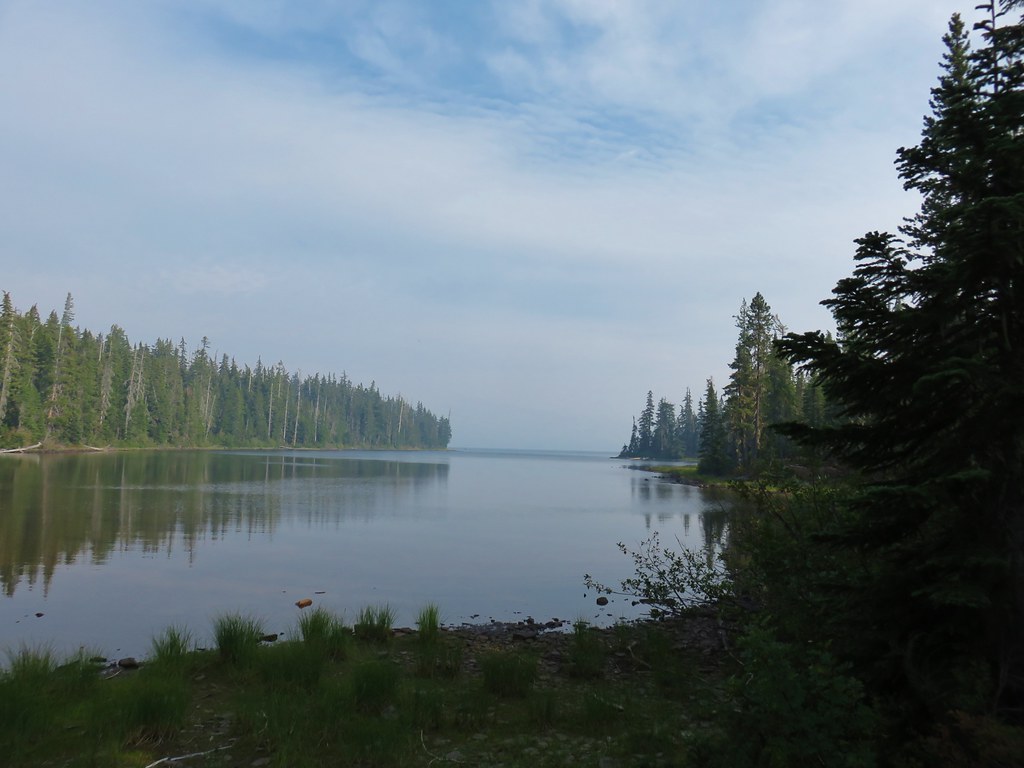
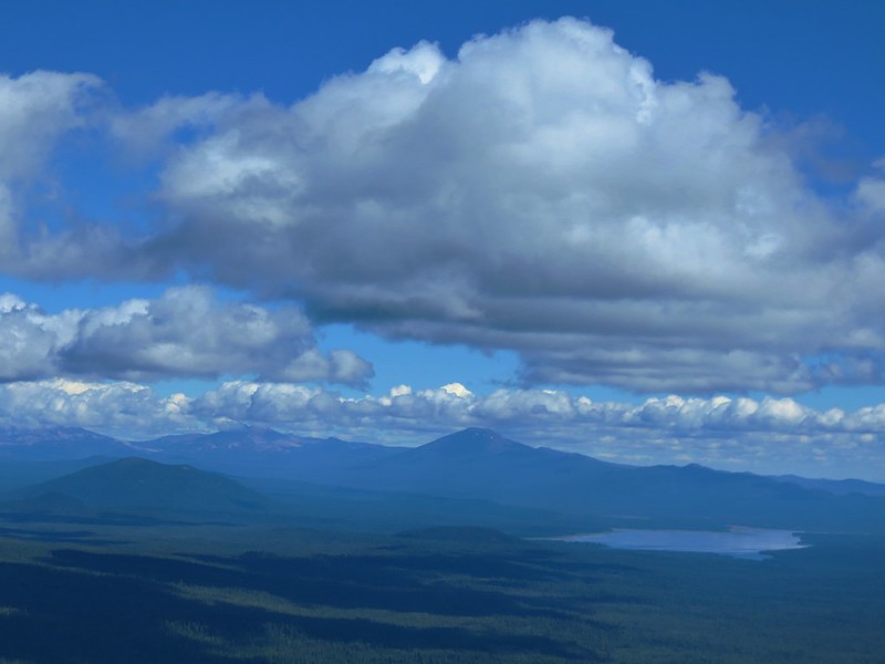
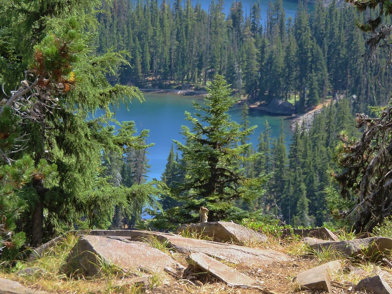
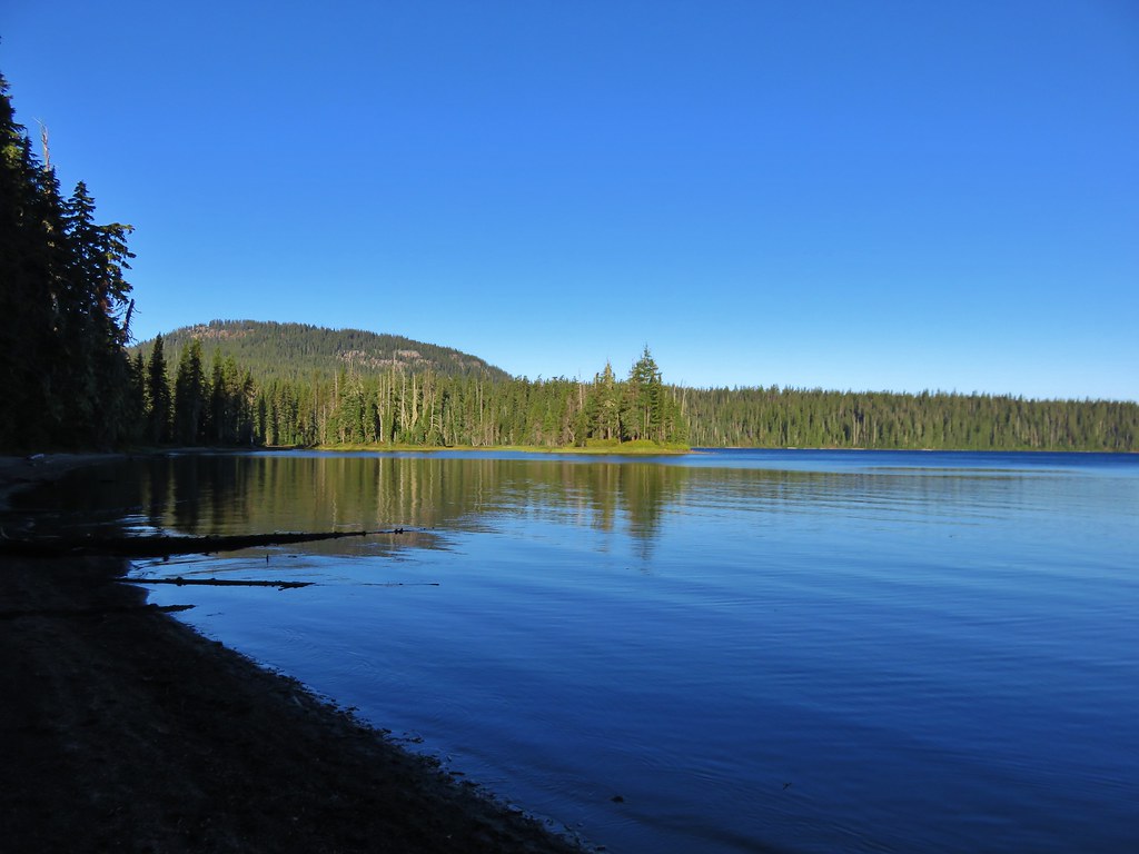
Charlton Lake

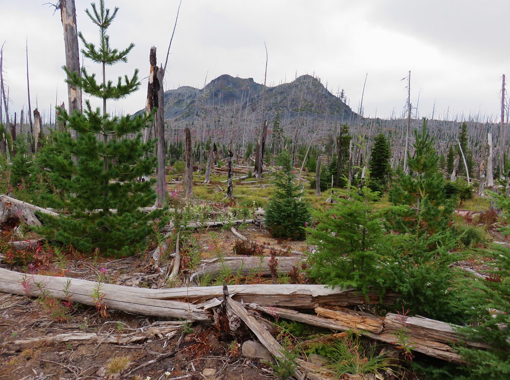
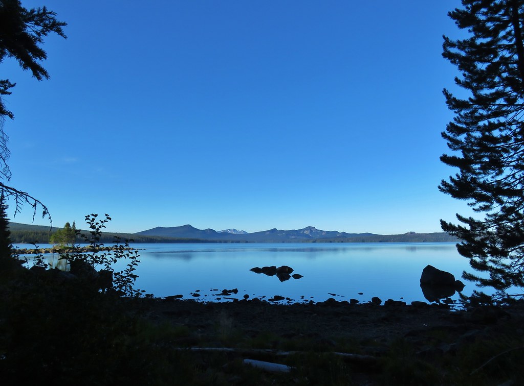
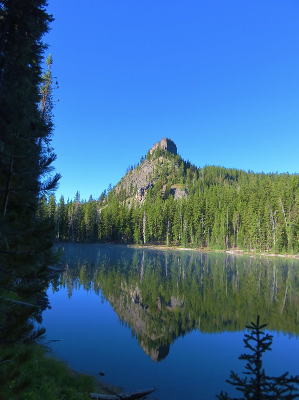
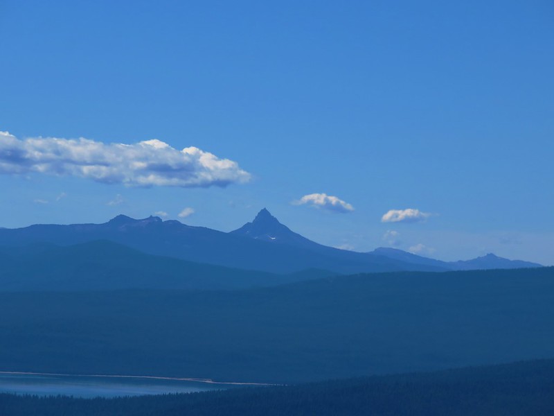
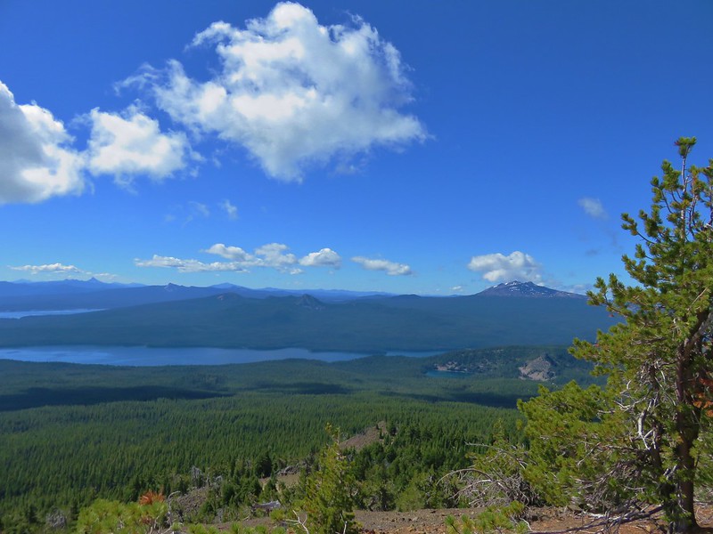
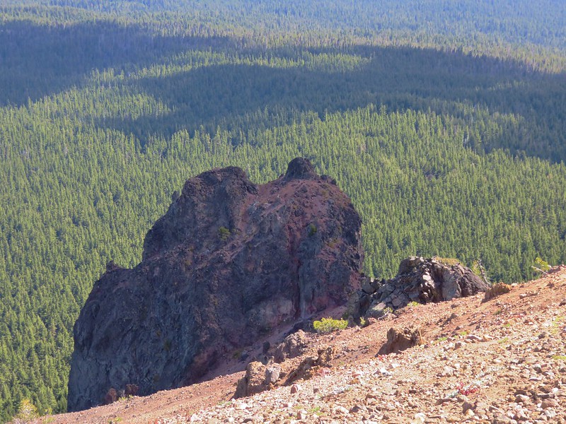
Geradine Butte to the left and The Twins (post) to the right.
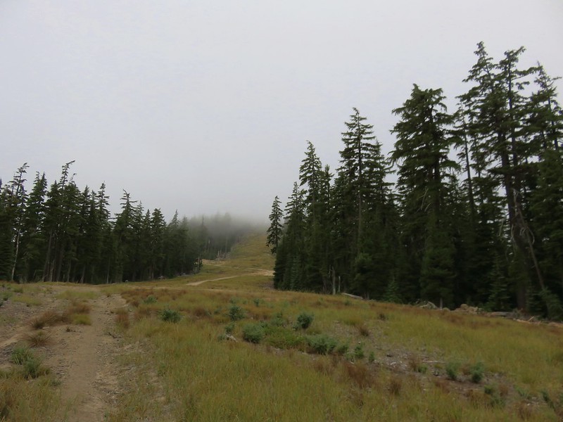
After visiting the lake we hiked back to the PCT and turned right (north) heading toward the Lily Lake Trail junction.


Fireweed
After 0.4-miles on the PCT the trail crossed FR 4290.


We took it as a good sign that the Lily Lake Trail was listed on the sign at least.
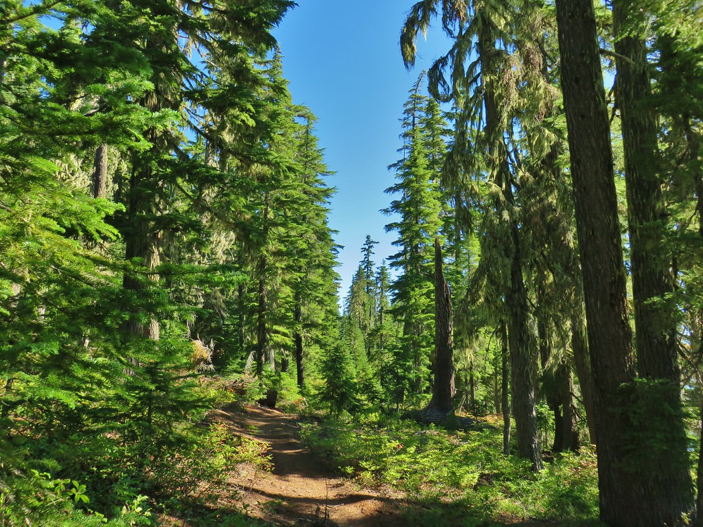
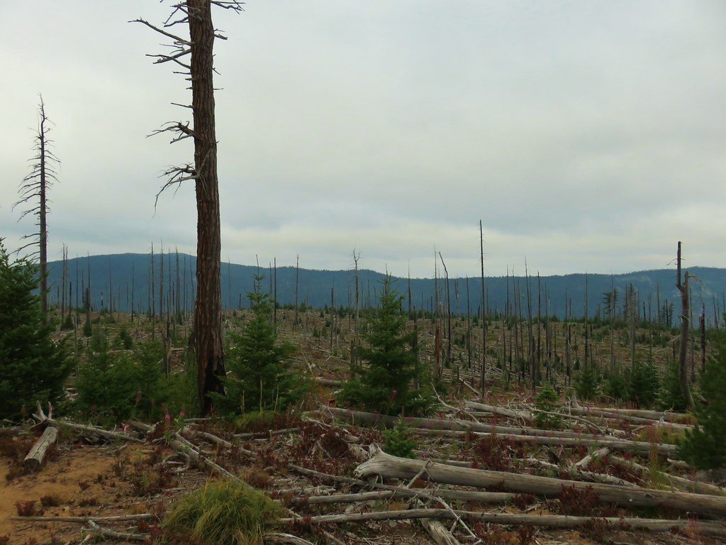
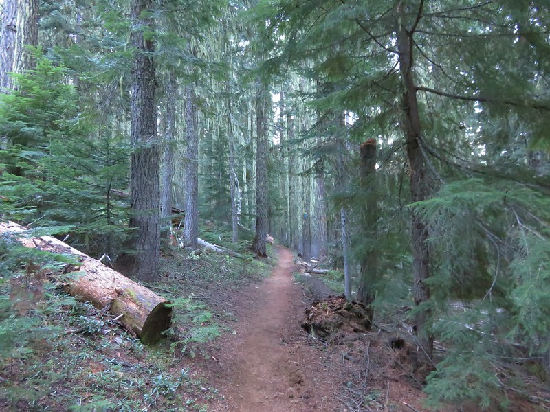
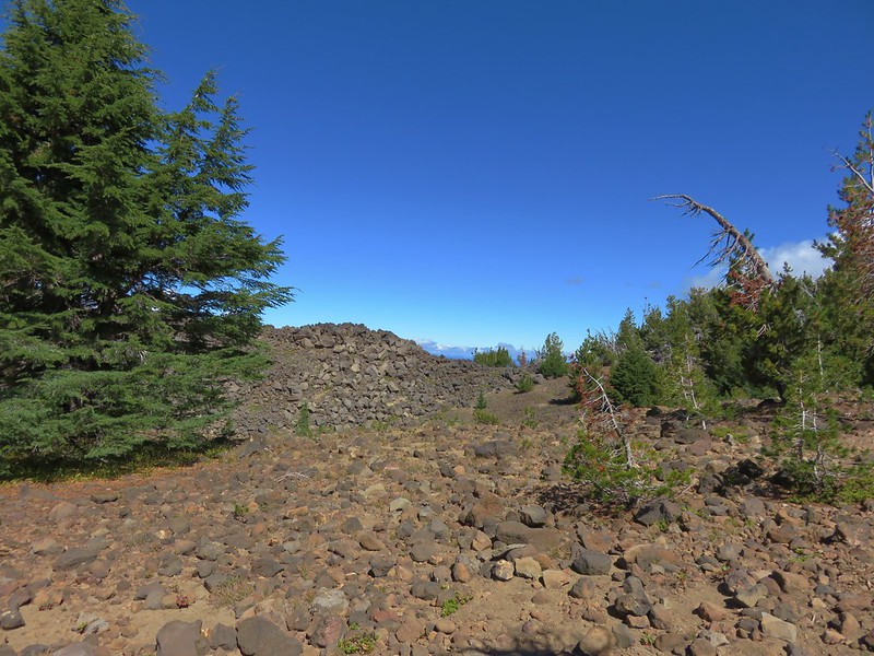
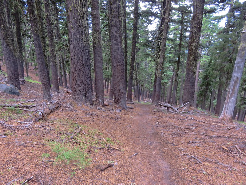
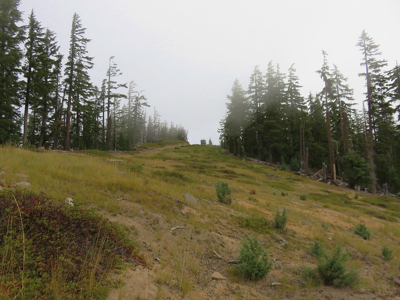
The PCT headed toward Charlton Butte which it would pass to the west. The Cedar Creek fire had burned over this entire section although a few trees were spared here and there.


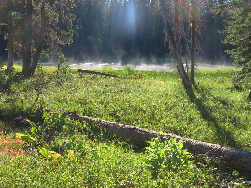
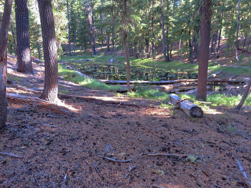
Pond along the PCT.

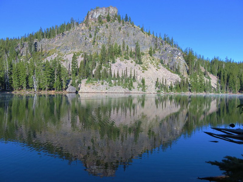
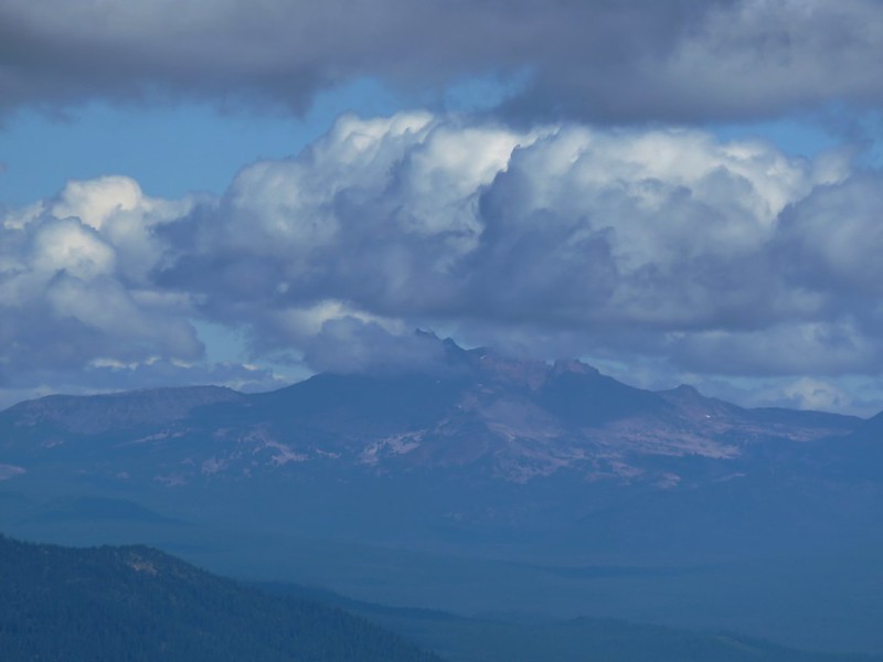
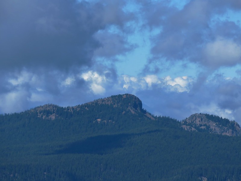
Charlton Butte

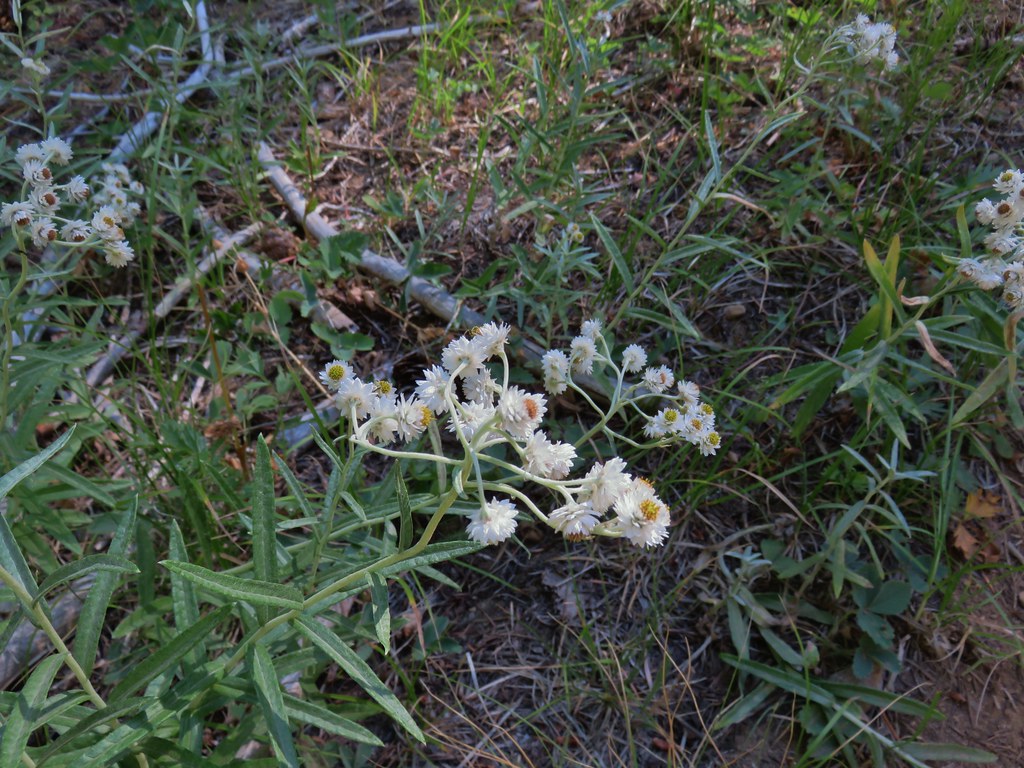
Pearly everlasting

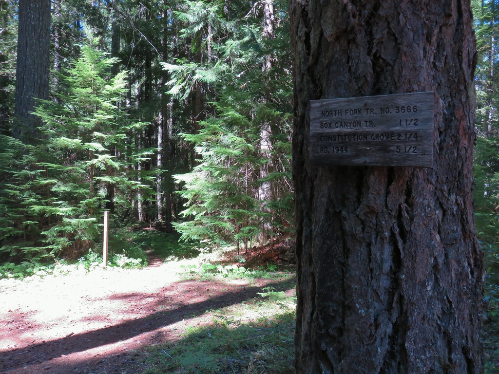
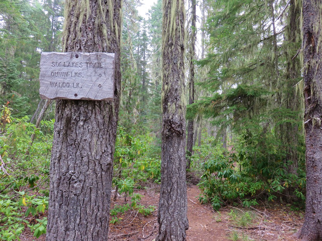
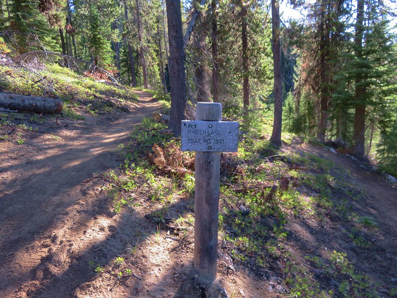
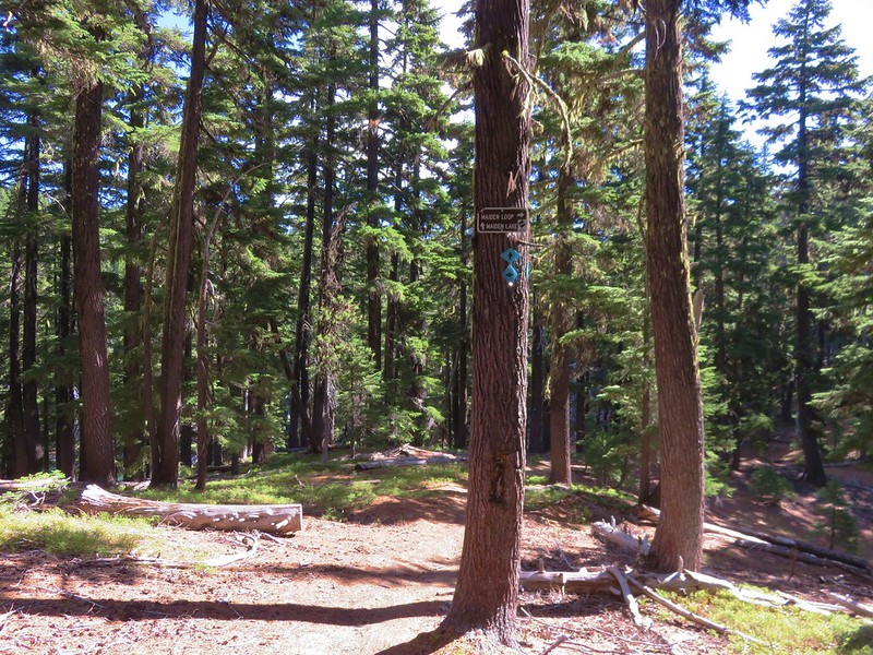
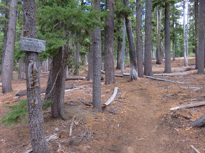
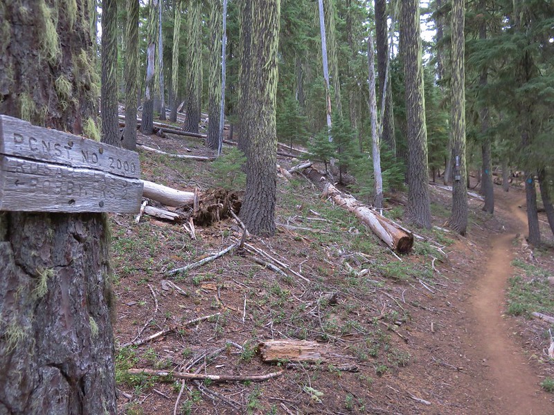
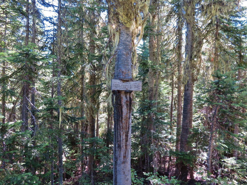
Trail signs at the Lily Lake Trail junction. From FR 4290 the sign said it was 1.5-miles, the GPS put it at 1.4.

It appeared this sign was set up after the 2022 fire so we took the inclusion of the Lily Lake Trail as another good sign.
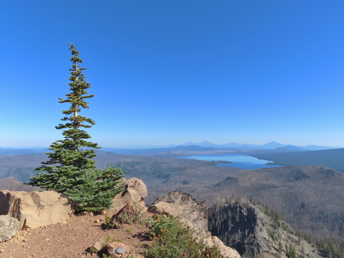
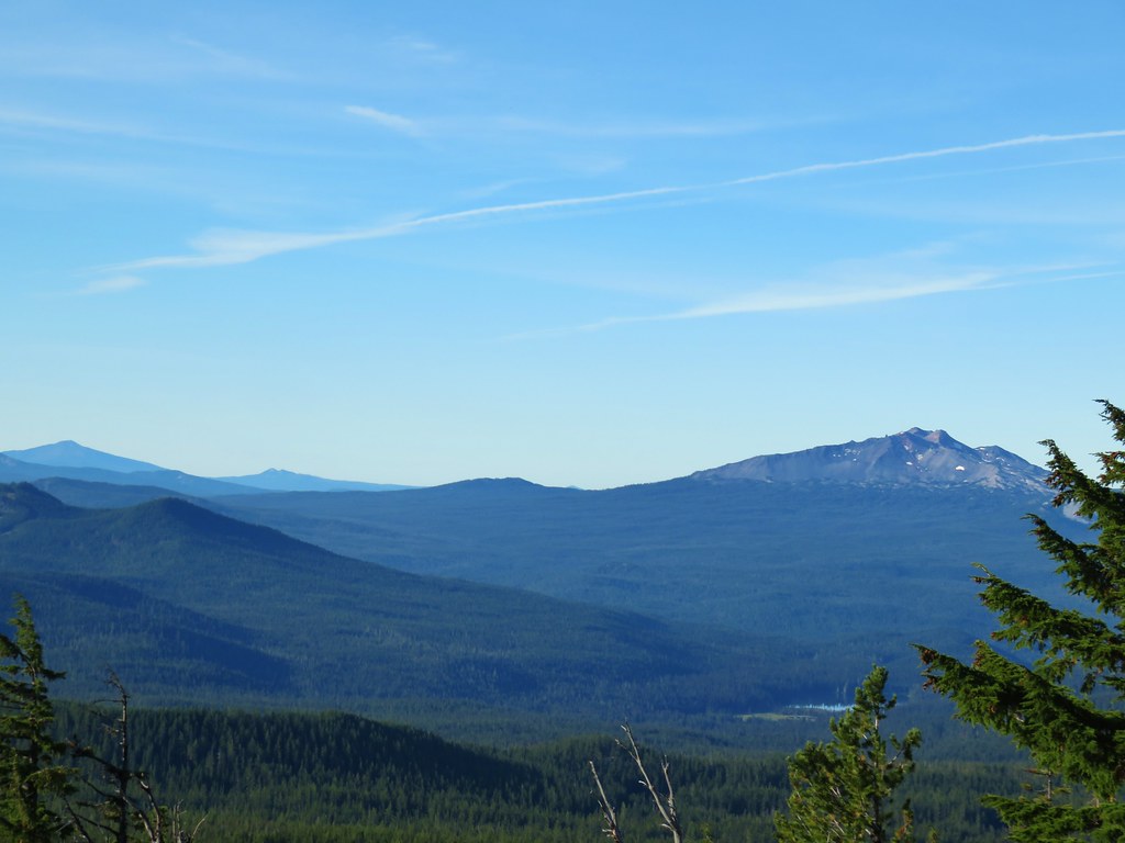
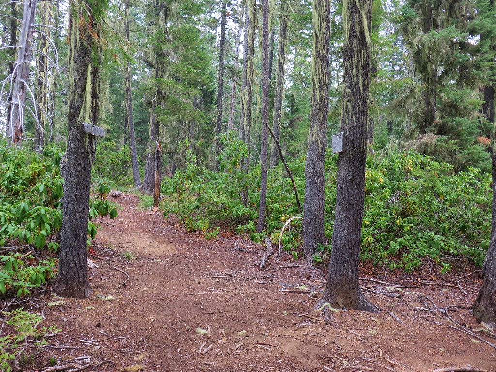
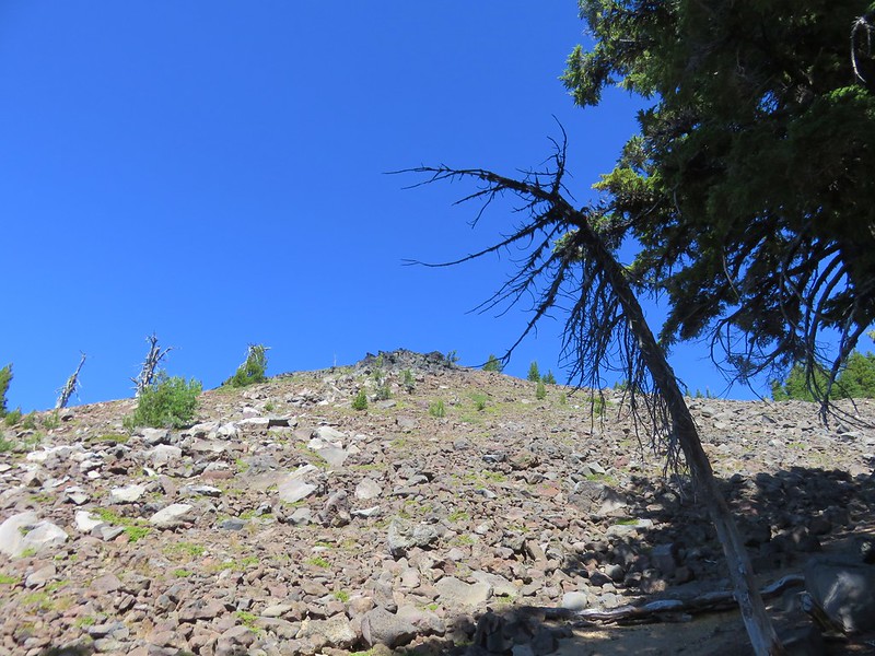
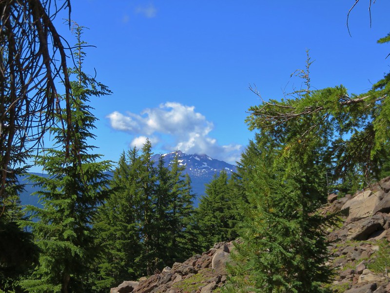
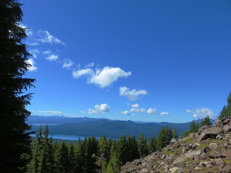
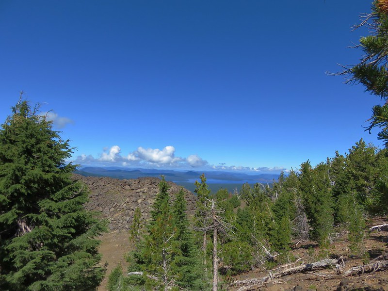
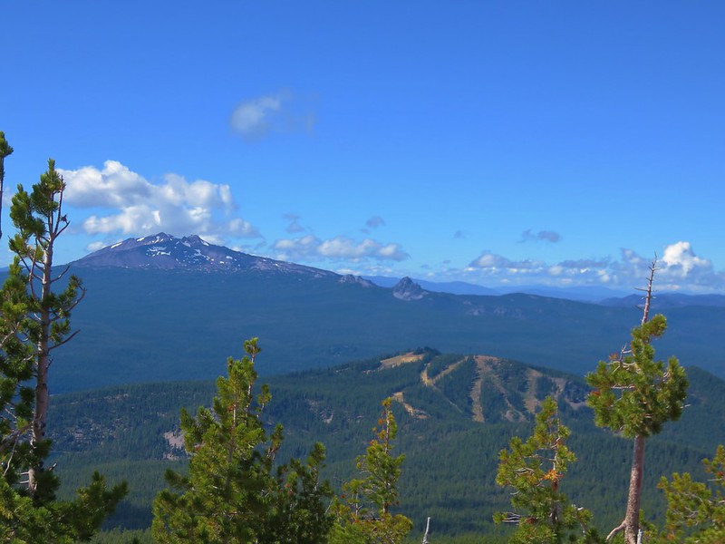
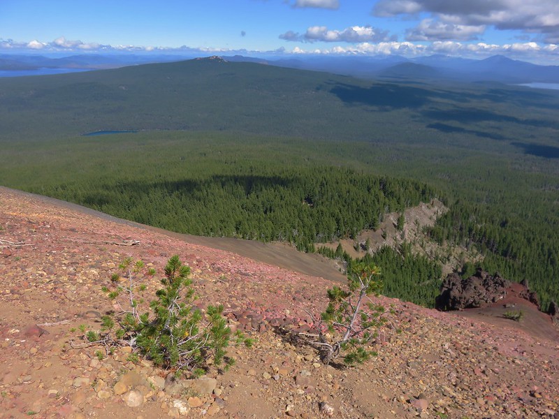
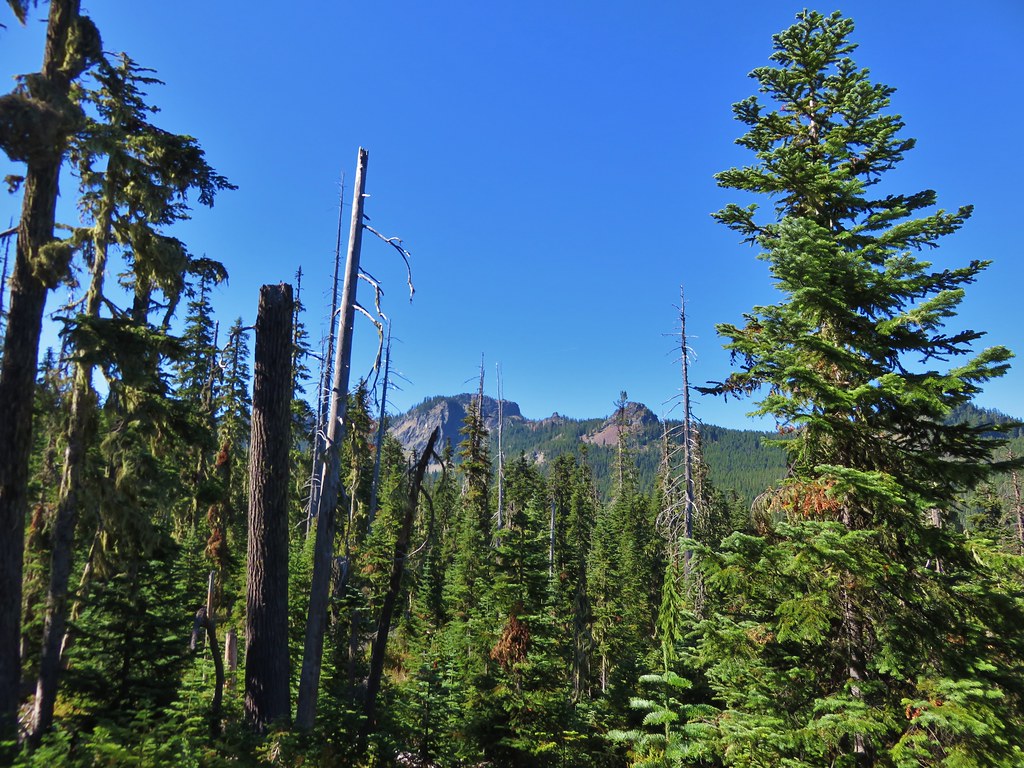
We turned right onto the faint but discernable Lily Lake Trail and followed it up a small rise along the base of Charlton Butte gaining a view north of several Cascade Volcanos.


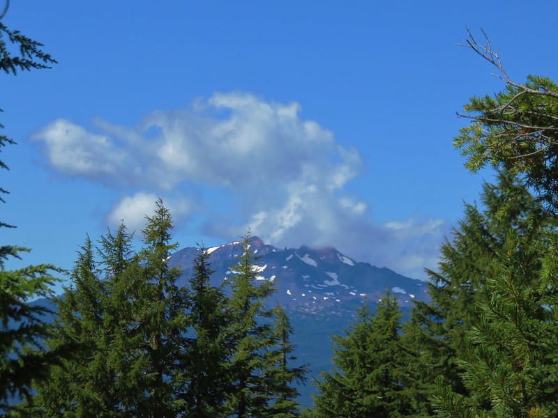
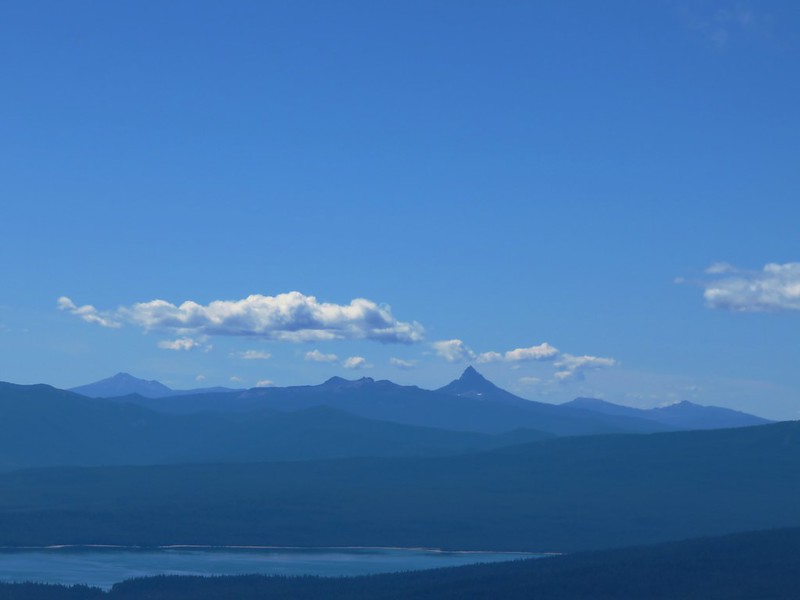
Irish Mountain is the forested peak to the left with Mt. Jefferson, Mt. Washington, The Husband, the Three Sisters, Broken Top, Mt. Bachelor and finally Cultus Mountain.

Zoomed in you can see Three Fingered Jack in front of Mt. Jefferson. Little Roundtop Mountain is the peak between Mt. Jefferson and Mt. Washington.

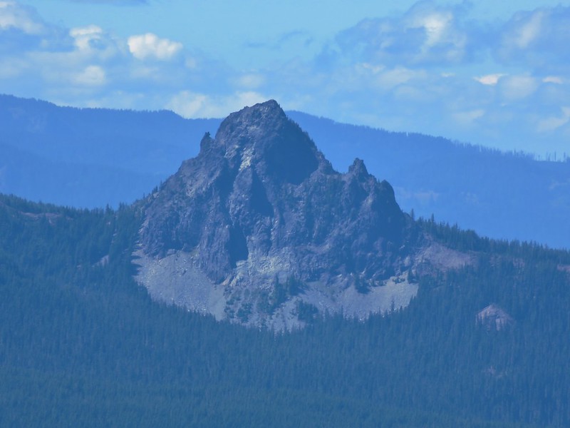
The Three Sisters

Broken Top and Ball Butte

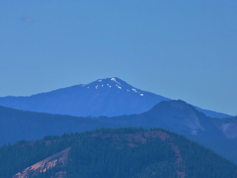
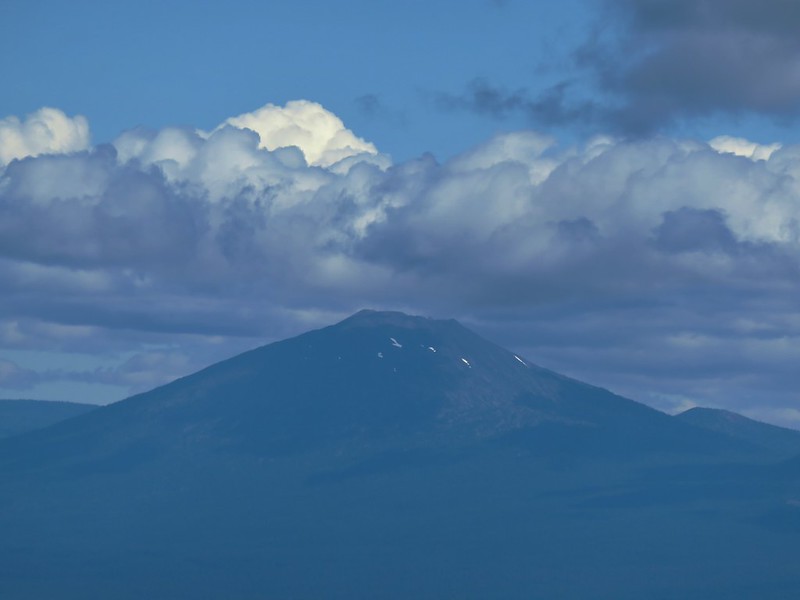
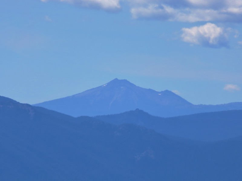
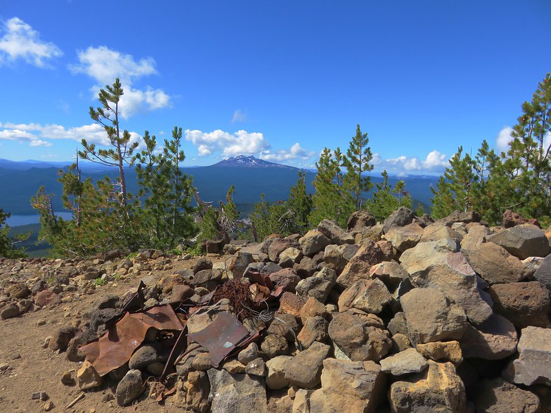
Mt. Bachelor (post) and Kwolh Butte

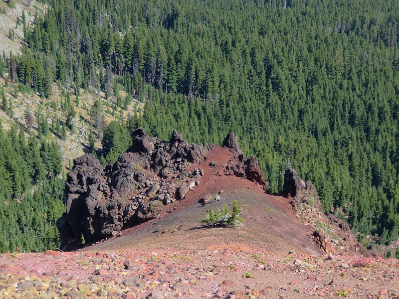
The flank of Charlton Butte.
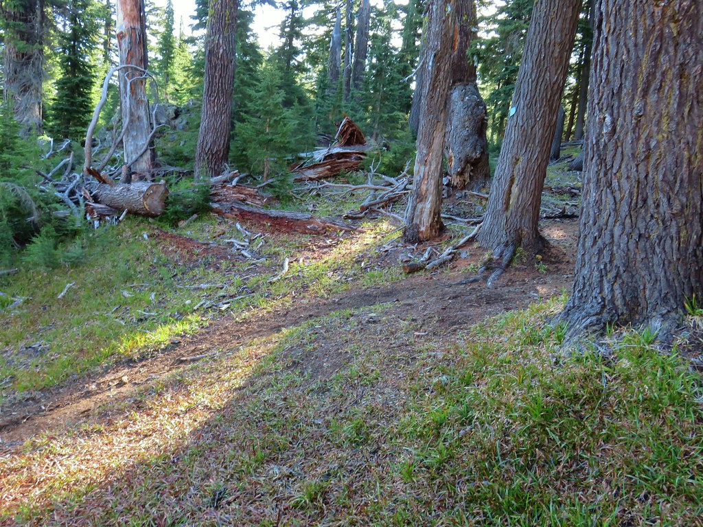
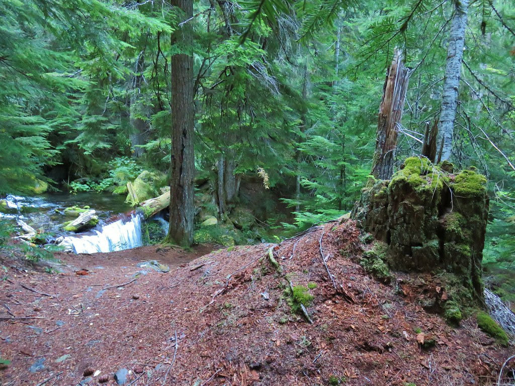
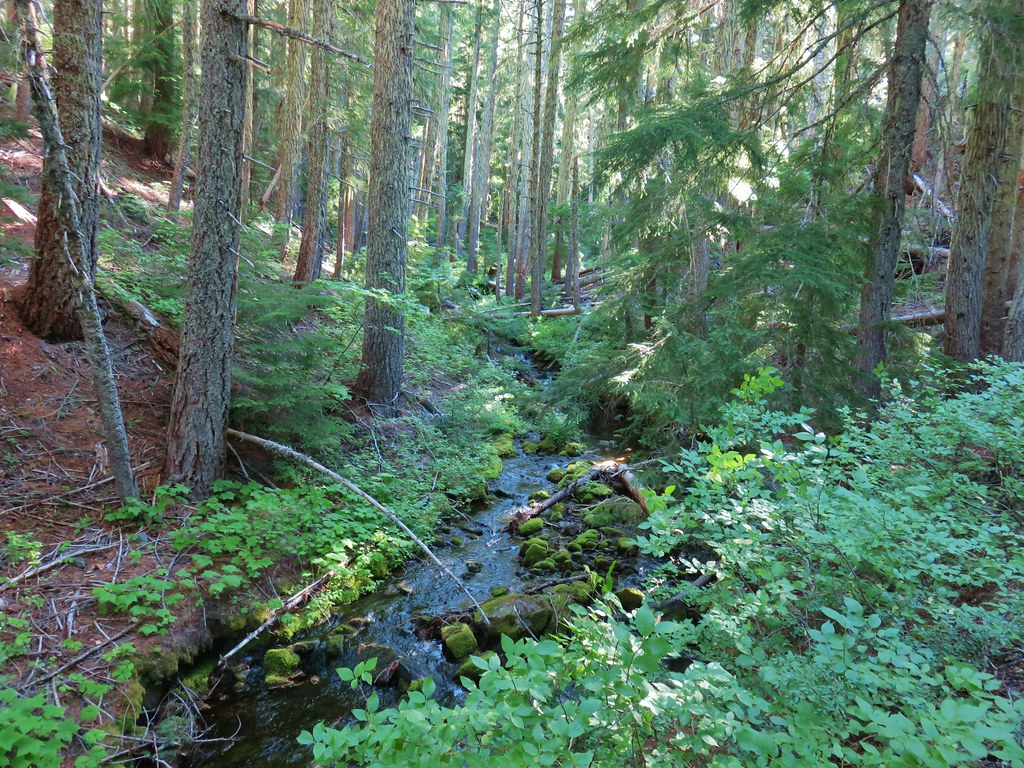
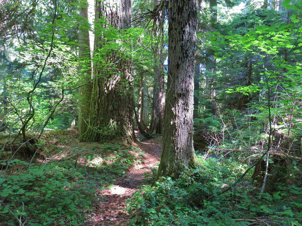
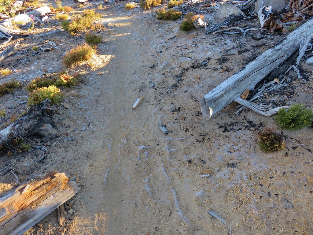
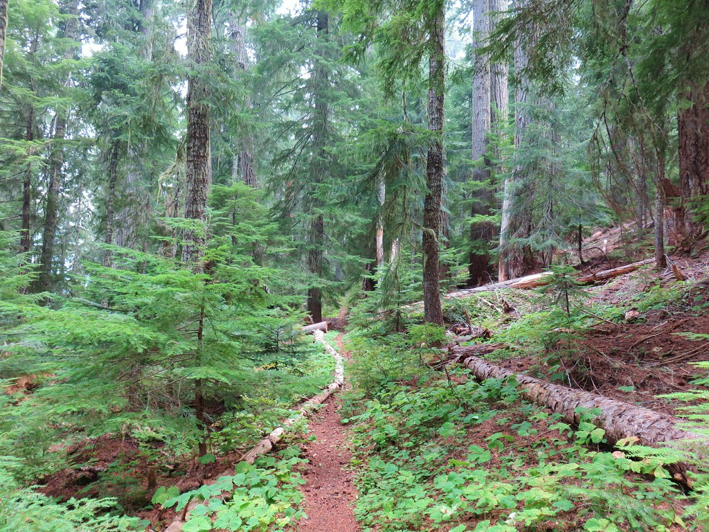
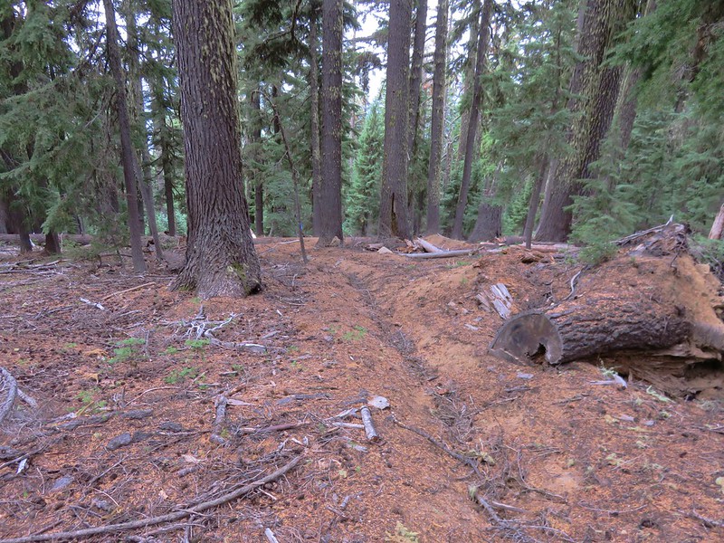
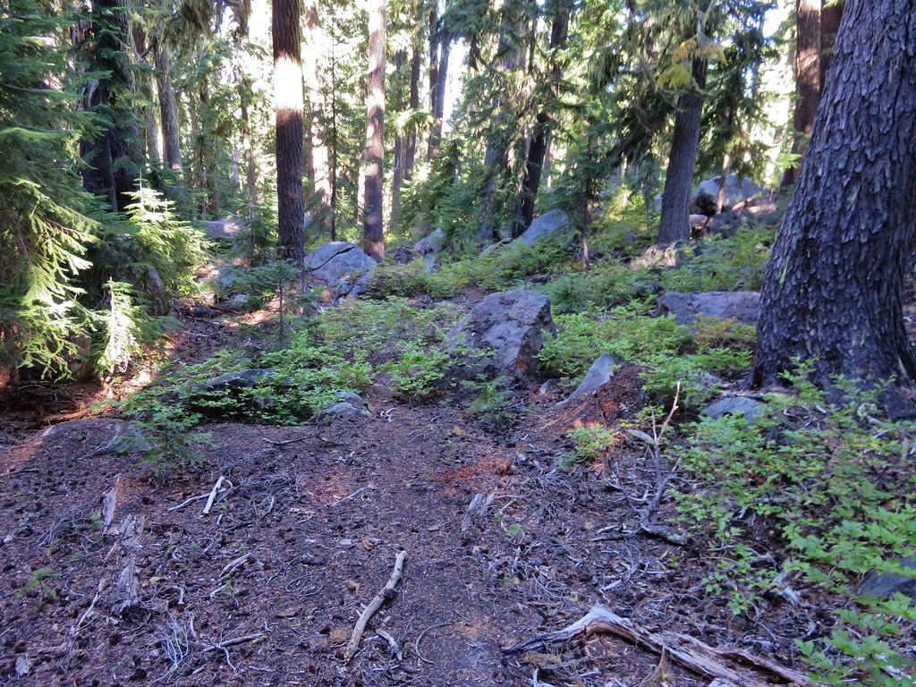
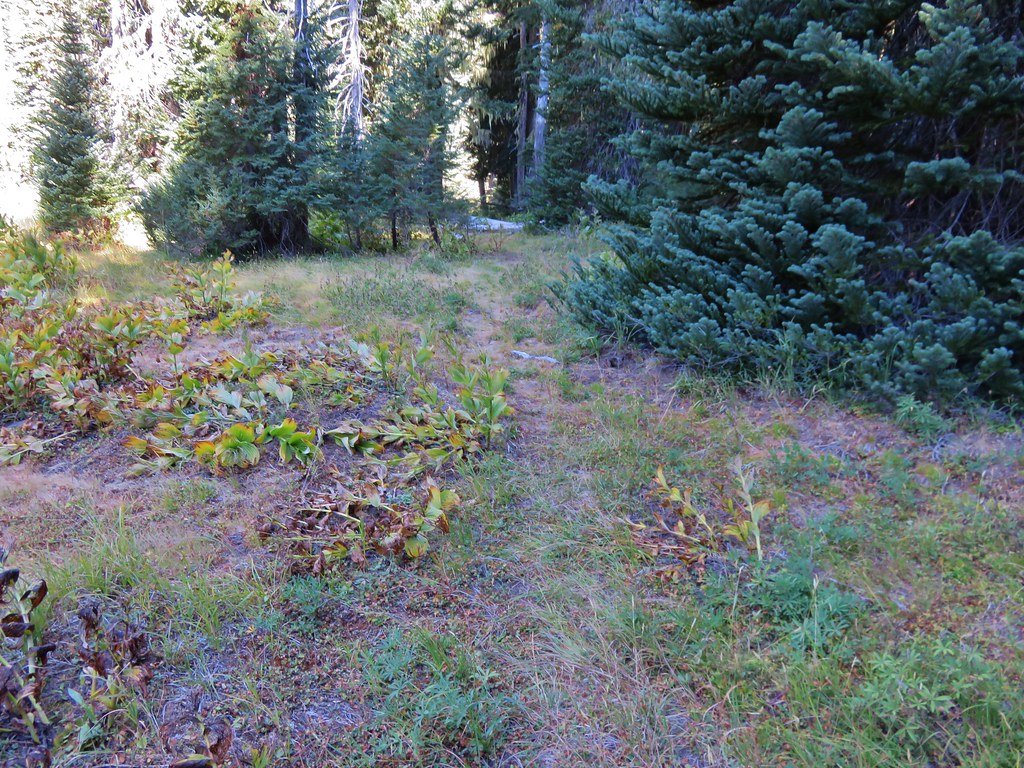
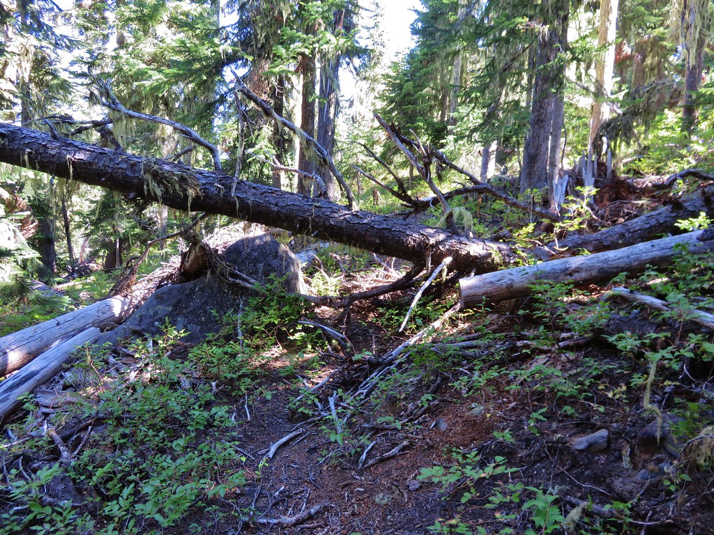
The maps that contained the Lily Lake Trail showed it dropping into the basin below then swinging to the NE before arriving at Lily Lake. We quickly lost the tread at the lip of the basin and wound up using our GPS units to stick as close to the trail shown on those as we could.

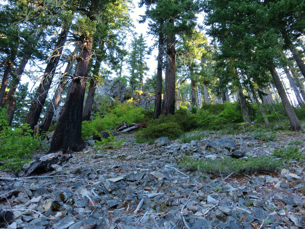
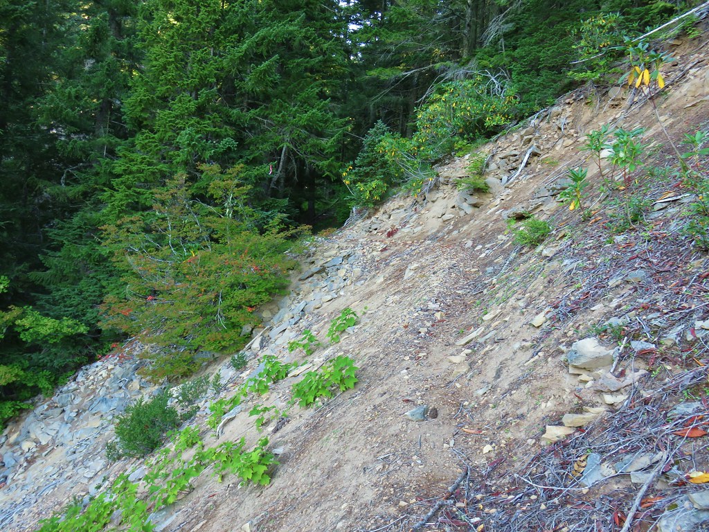
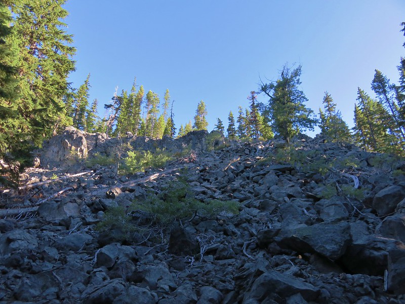
We found no sign of the trail at all going down the burned hillside. The footing was pretty good, but we had to be careful of holes or areas where the ground was not stable.
As we got closer to the basin the severity of the burn was less which meant more obstacles to navigate.

We continued to use the GPS units as guides and eventually found what appeared to be the former trail tread.

What is left of the Lily Lake Trail coming through the basin.

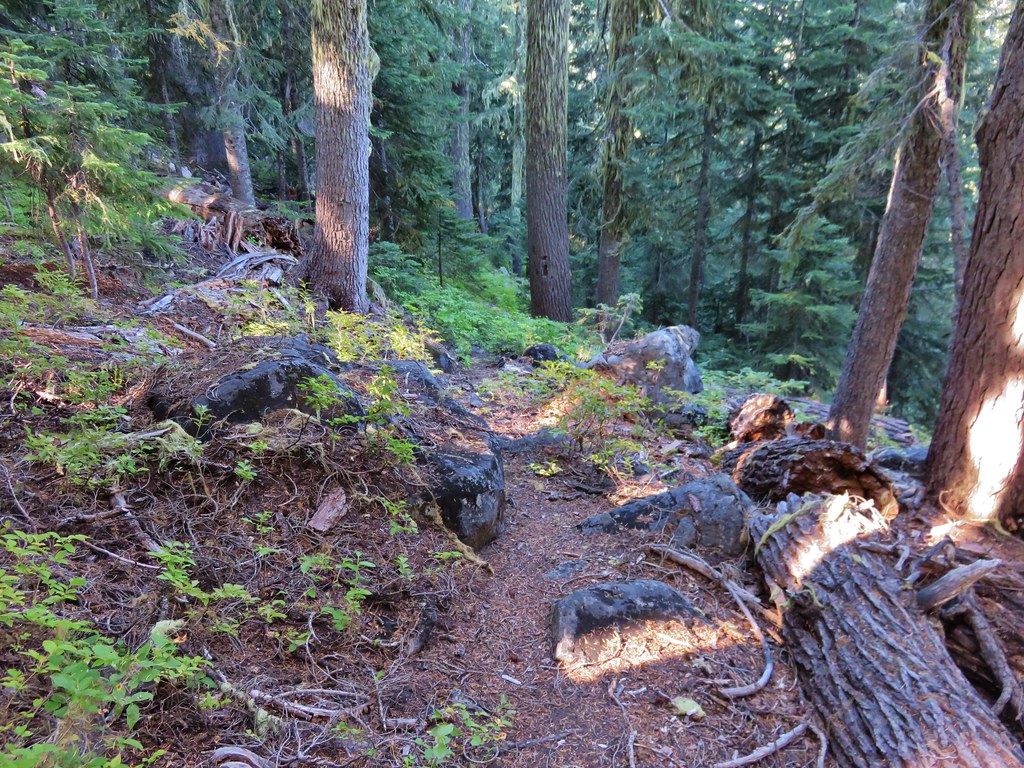
The Lily Lake Trail heading toward the lake.

Charlton Butte from the trail.

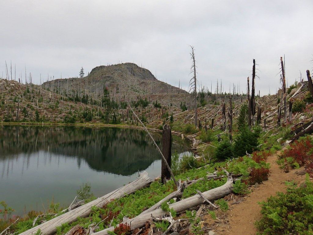
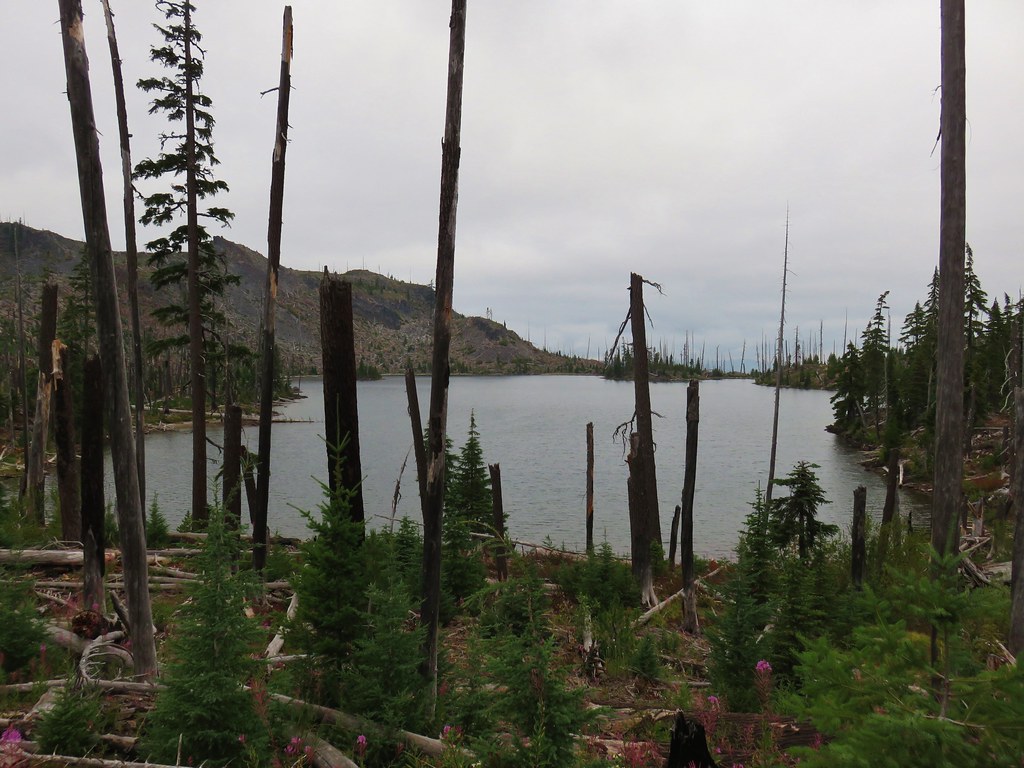
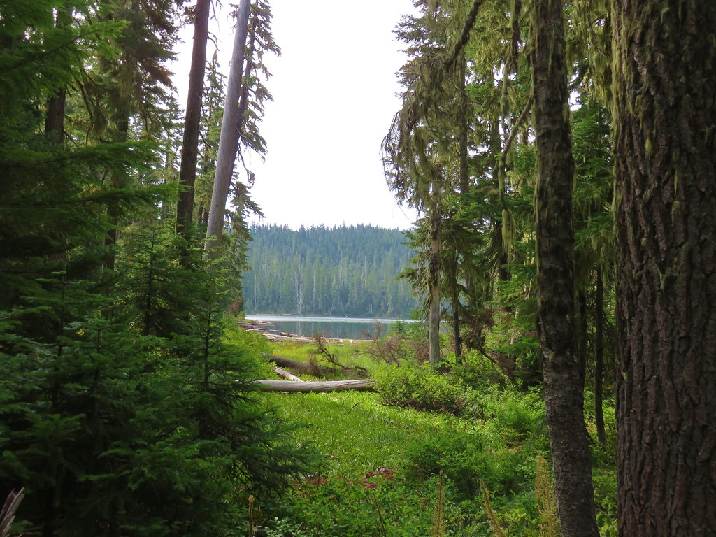
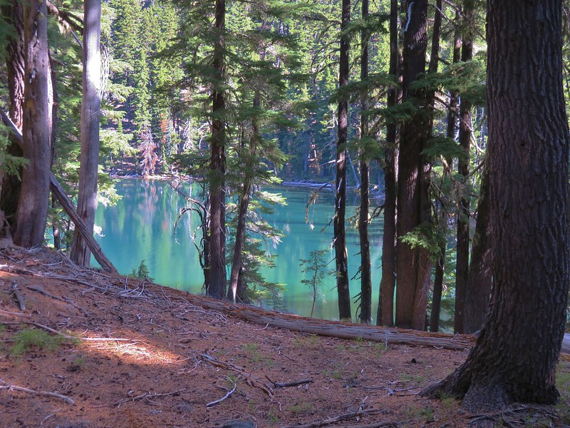
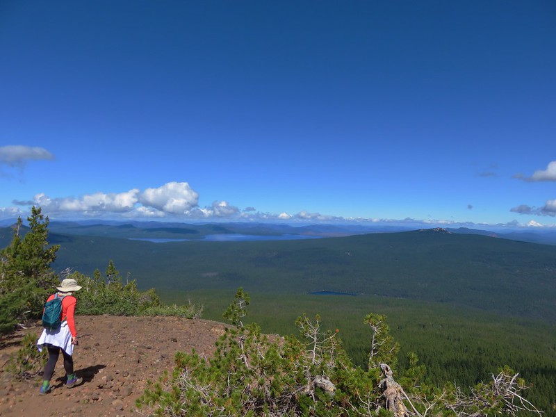
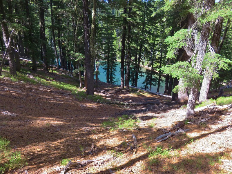
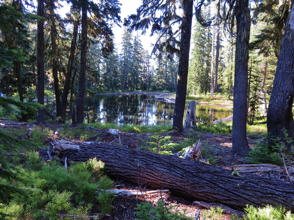
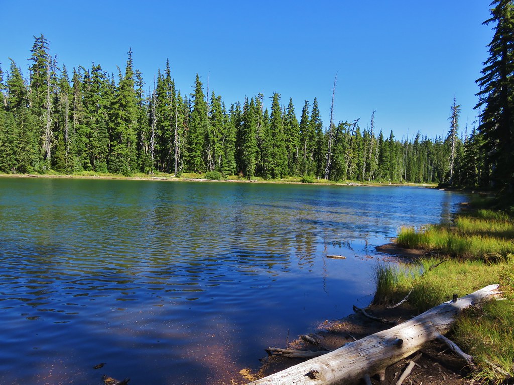
Arriving at Lily Lake just under a mile from the junction with the PCT.
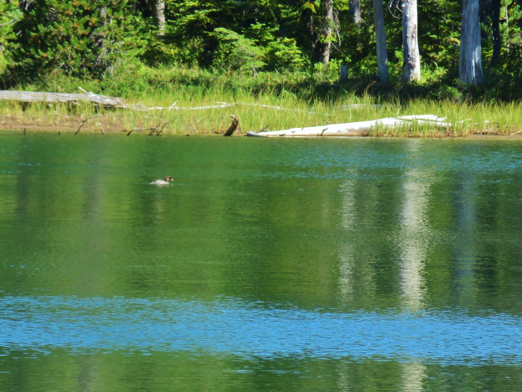
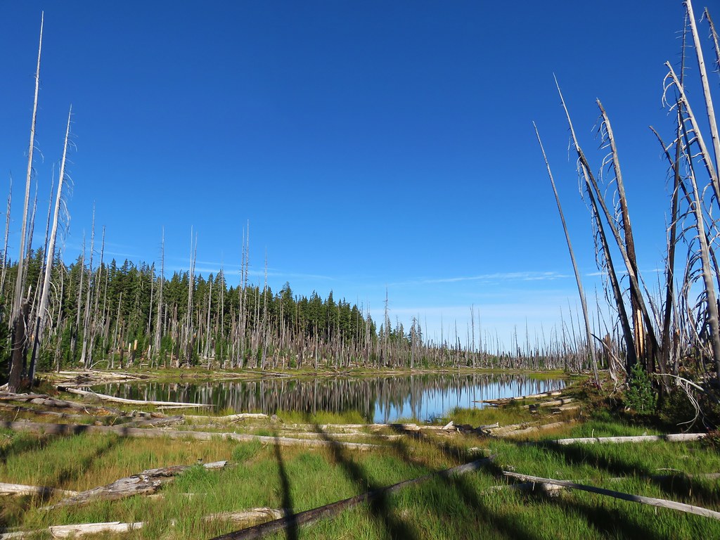
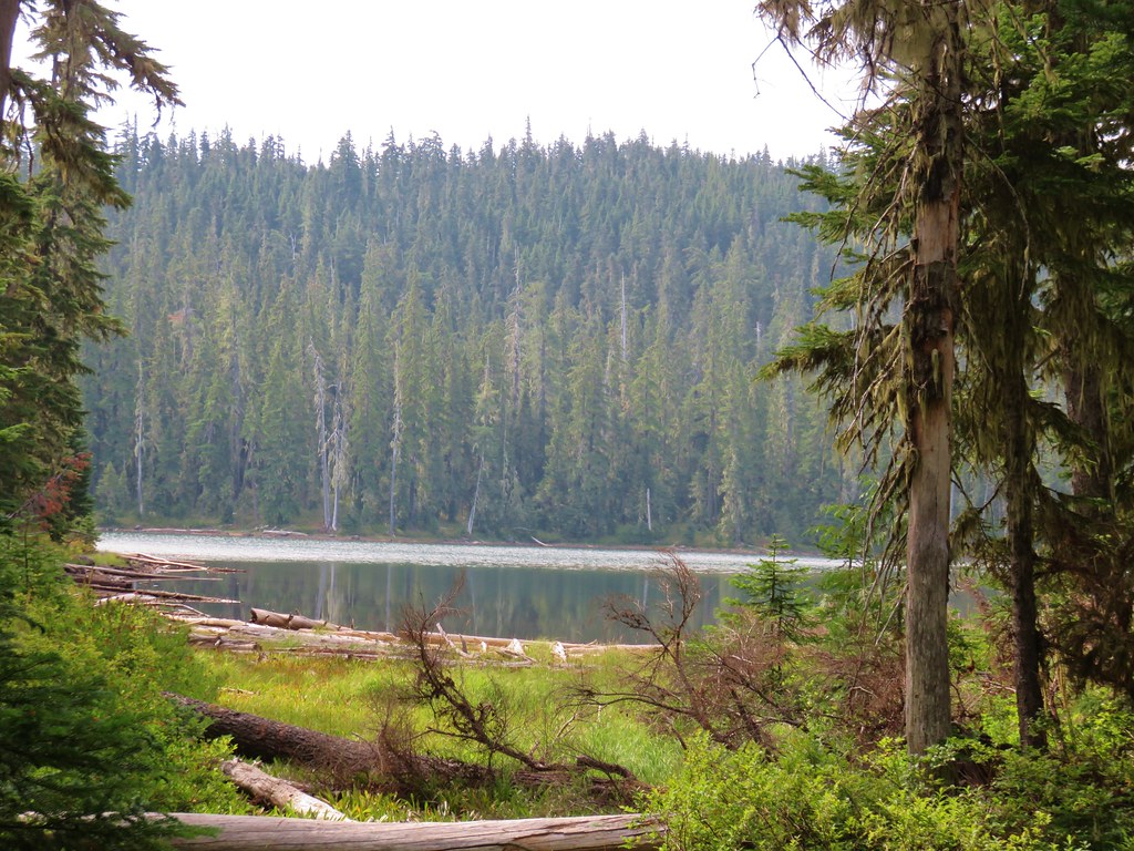
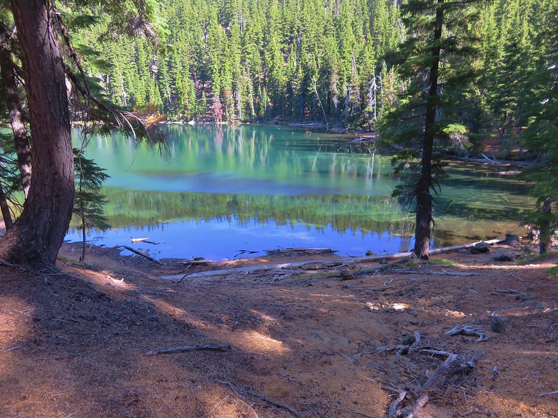
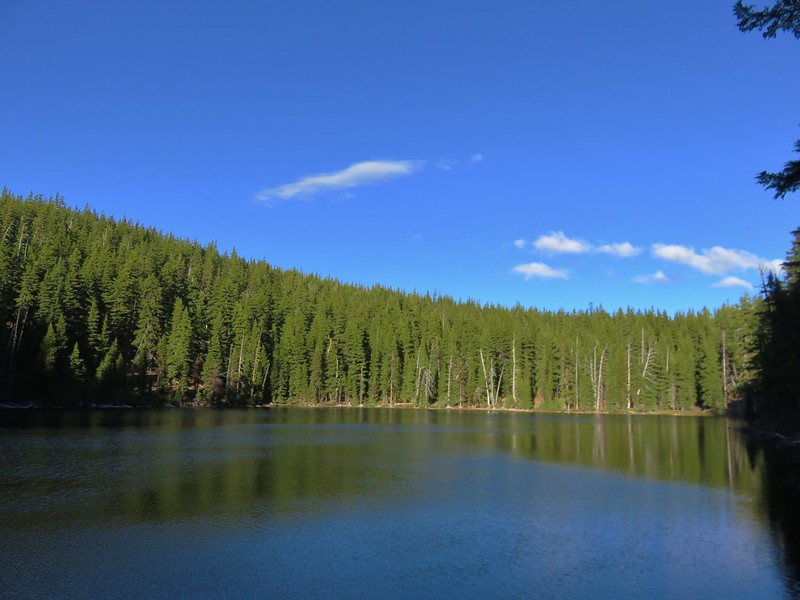
Unlike Charlton Lake where much of the forest around that lake had survived the Cedar Creek Fire, all of the forest surrounding Lily Lake was burned.


The good news was that the trail tread was much more obvious as it passed along the southern end of the lake for a quarter mile.


Mt. Bachelor and Cultus Mountain from the SE end of Lily Lake.

At the end of the lake the trail veered uphill to the SE climbing below a rock outcrop where we were sure there should be a pika or two.


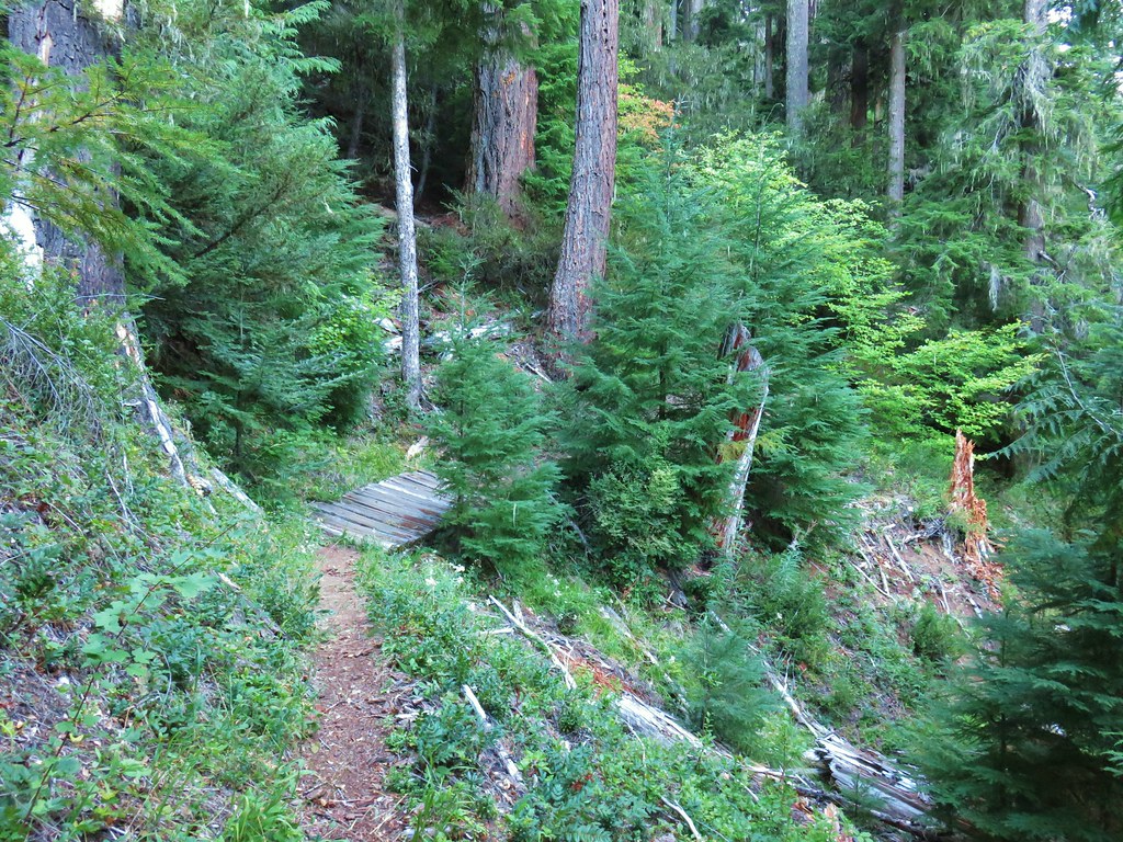
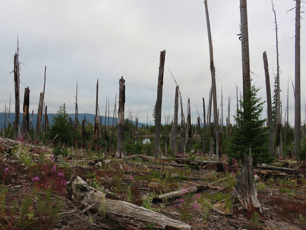
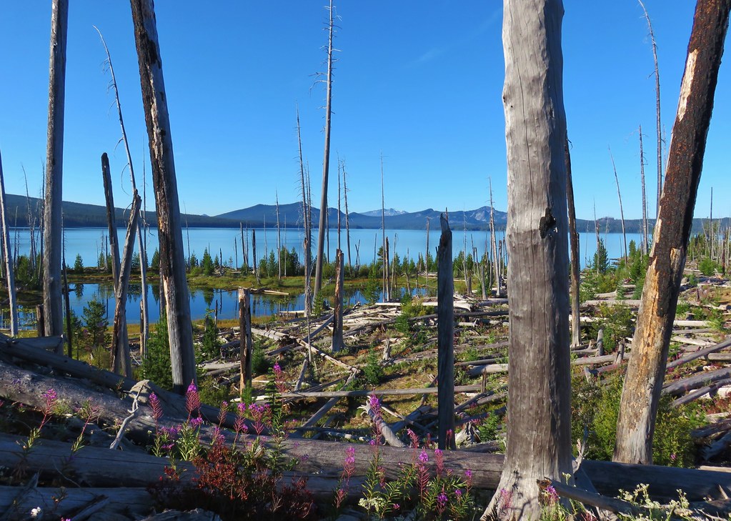
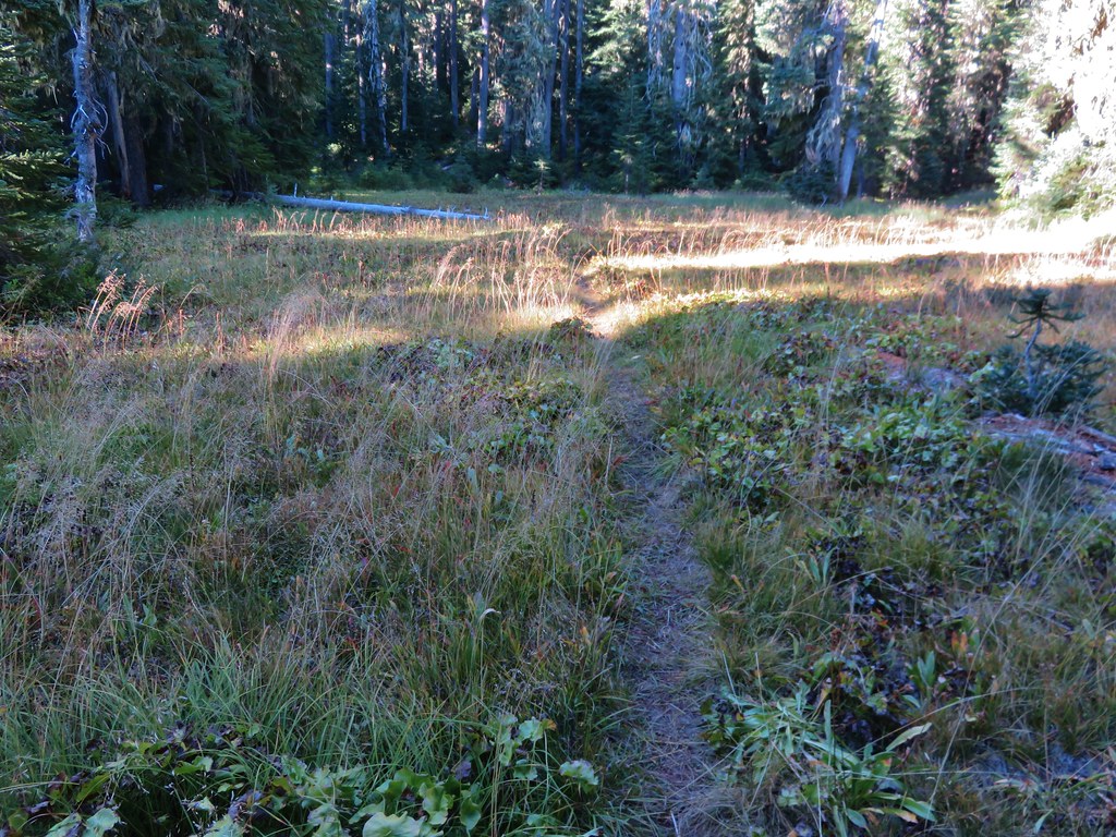
For the next 0.6-miles the trail made a gentle descent through burned forest.

There was some flagging along this stretch of the trail, note the small blue flag ahead along the ground.

The flagging petered out shortly before we arrived at the Charlton Trail Junction.


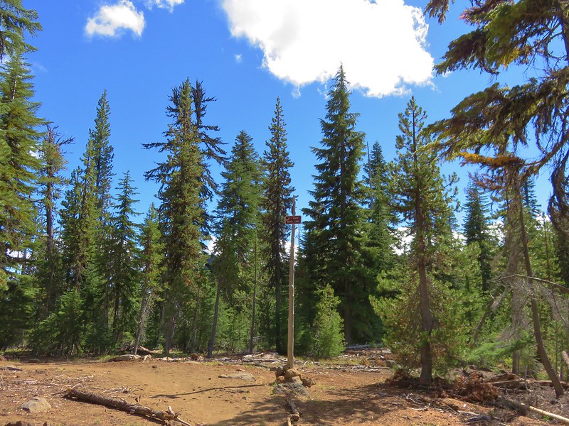
Arriving at the Charlton Trail Junction.

The trail signs at the junction.
It was at this junction where things got “interesting”. Our GPS map, paper map, and the PCTA Map all showed the Lily Lake Trail arriving at a “4-way” junction.

All three maps showed this trail alignment.
Two things should have caused us to stop and do a little more analysis before continuing on. First there were only three obvious trails at the junction and second this junction was before the meadow shown on the map not near its far end. Instead of immediately picking up on those two discrepancies we took the lefthand fork which did not have a pointer on the trail signs. It was the straighter of the two choices and based on the “4-way” junction shown on the maps we wanted to go straight as the righthand fork would take us on a more direct 2.1-mile route back to Charlton Lake.

The righthand fork

The lefthand fork headed toward the meadow initially which made more sense based on the maps we were using at this point.
After just over 200′ on the lefthand fork we realized something was amiss as we were clearly veering N when we expected to be continuing SE. At that point the fact that it had been a three and not four-way junction suddenly seemed relevant. We returned to the junction and consulted the GPS and PCTA maps and came to our second incorrect conclusion. We assumed that the trail shown on the maps continuing straight through the junction had been lost/abandoned due to the fire and decided to bushwack along the right (south) side of the meadow while trying to stick to the track shown on the GPS as we had done descending to the Lily Lake basin.


The edge of the meadow was very wet, so we had to bow out to stay on dry ground.


Charlton Butte

According to the GPS we crossed over the old trail alignment several times, but we didn’t see anything that looked like tread
We didn’t even see anything when we passed over the spot where the GPS thought the “4-way” junction was supposed to have been. As far as cross-country hiking goes it wasn’t hard, but it was still more work than simply hiking on trail. After three quarters of a mile of bushwacking I was working us back uphill to our right to where the GPS showed the tread and lo and behold there was clear tread.

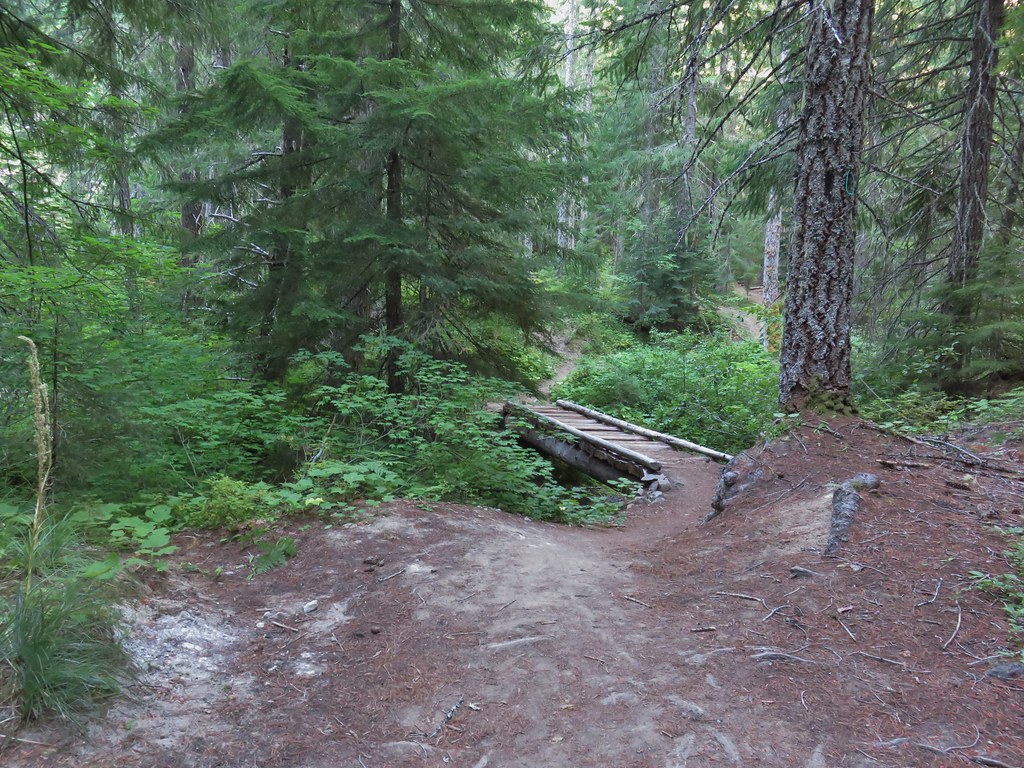
The Clover Meadow Trail passing through a cut log.

Back on trail!
Had I pulled up the CalTopo map back at the junction things would have made a lot more sense. (It also would have helped if I had realized that the trail we wanted was the Clover Meadow Trail.)

Our wrong turn and cross-country track as shown on the GPS unit.

Our track overlaid onto the CalTopo map. I hadn’t been referring to this map because the Lily Lake Trail wasn’t shown on it, but if we had looked at it at the three-way junction we would most likely have realized that we needed to go right a short distance to a fork and then go left.
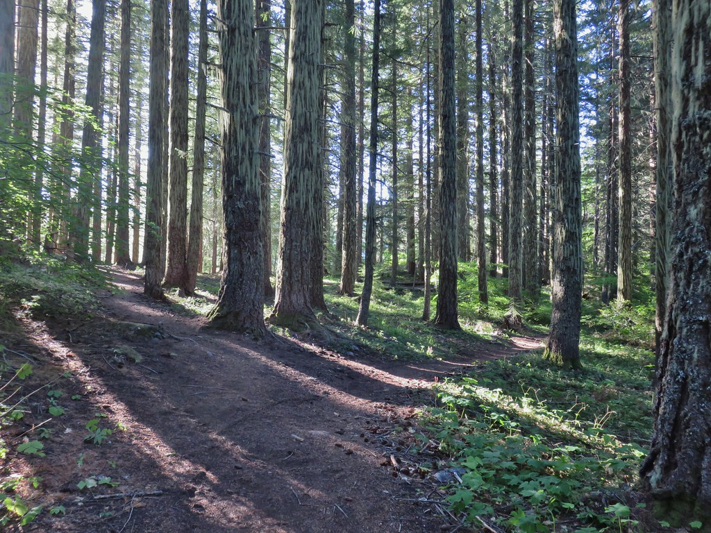
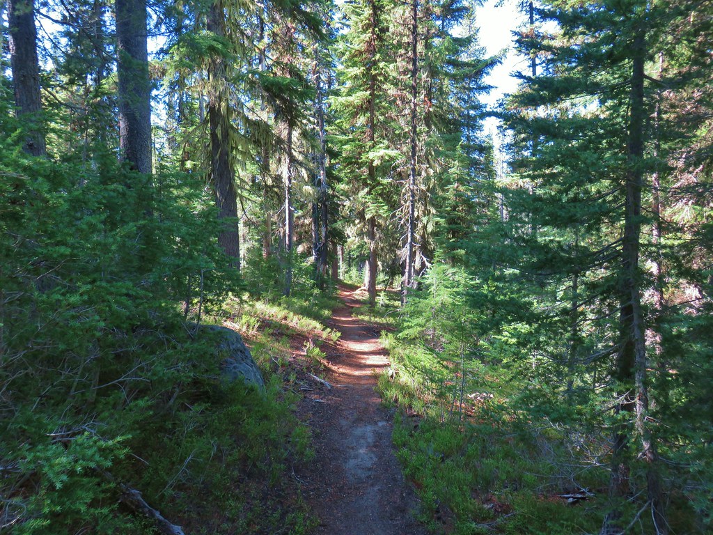
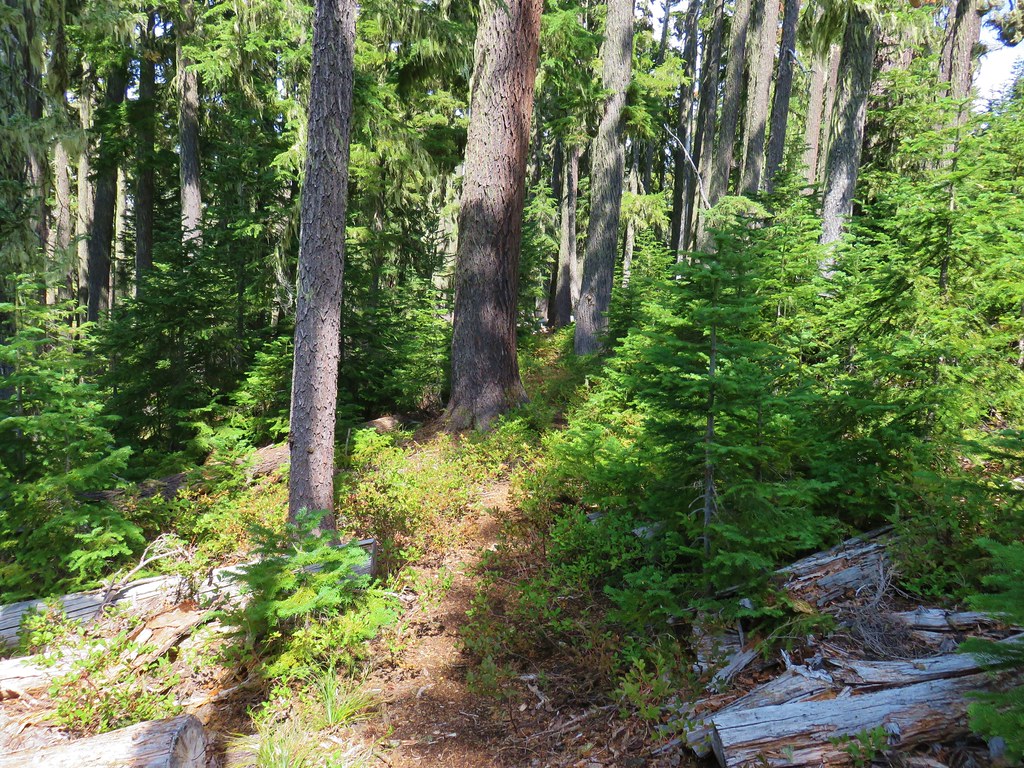
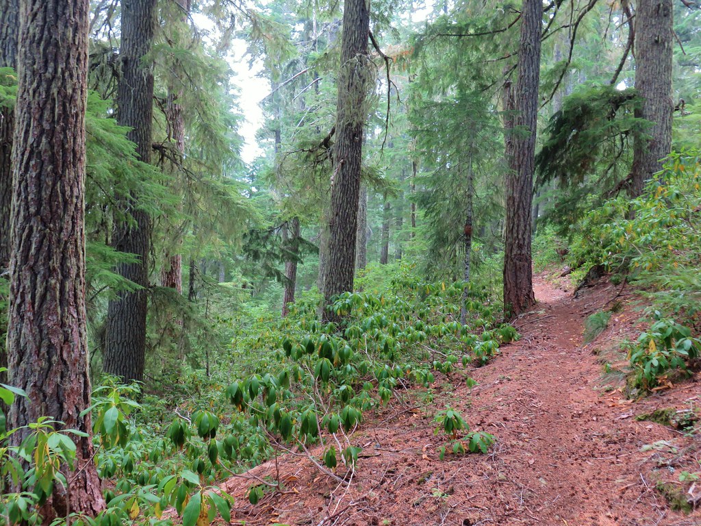
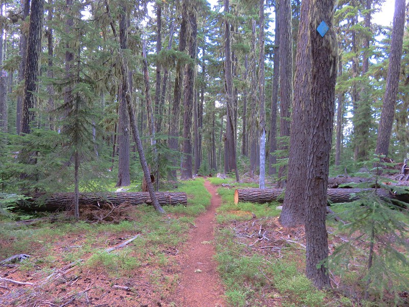
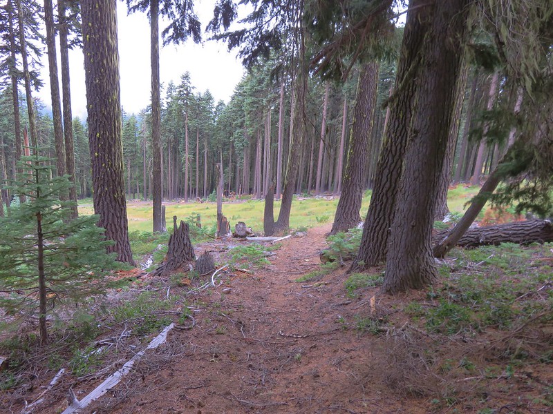
It was a lot easier going now that we were on actual trail. This trail was in good shape and clearly used by mountain bikers. We followed the trail for another 1.8 gentle downhill miles to another three-way junction.

The Twins from the trail.

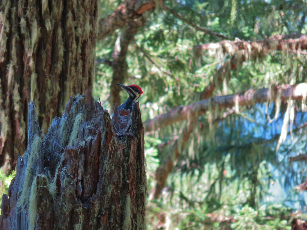
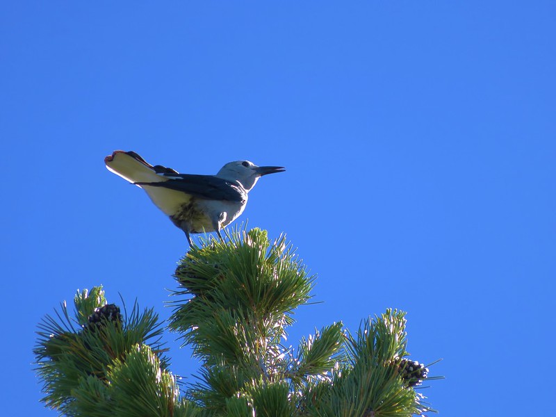
Woodpecker


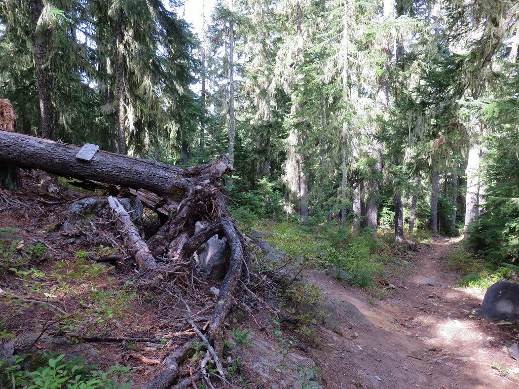
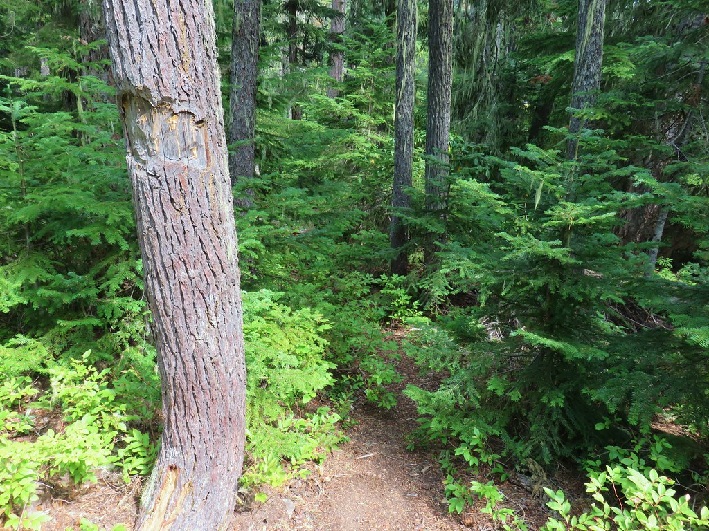
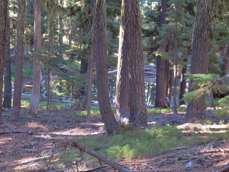
The trail eventually left the fire scar for good.

Our dislike of mylar balloons grows every time we pack one out of the forest/wilderness. I spotted that unmistakable shiny material and had to detour over to pick it up.

As we continued east the forest changed to lodgepole pine.

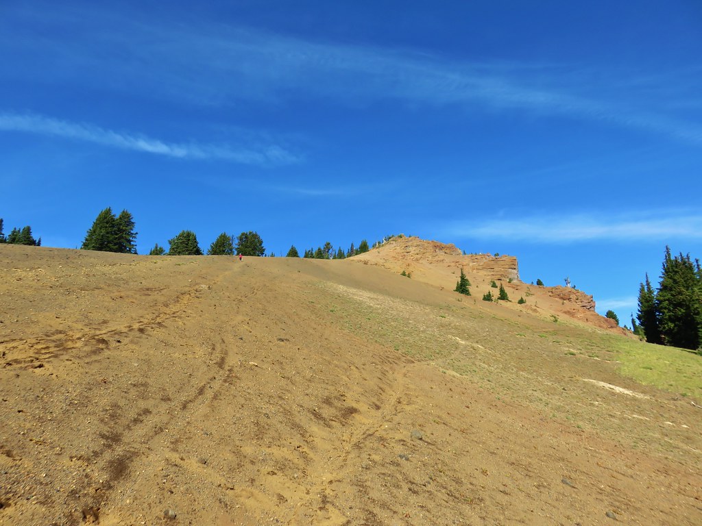
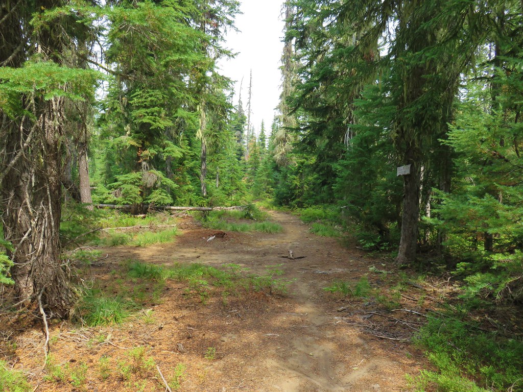
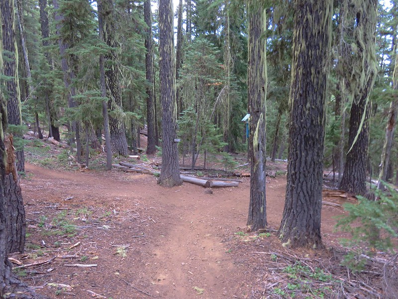
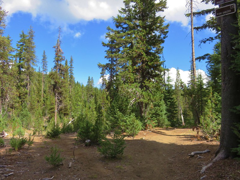
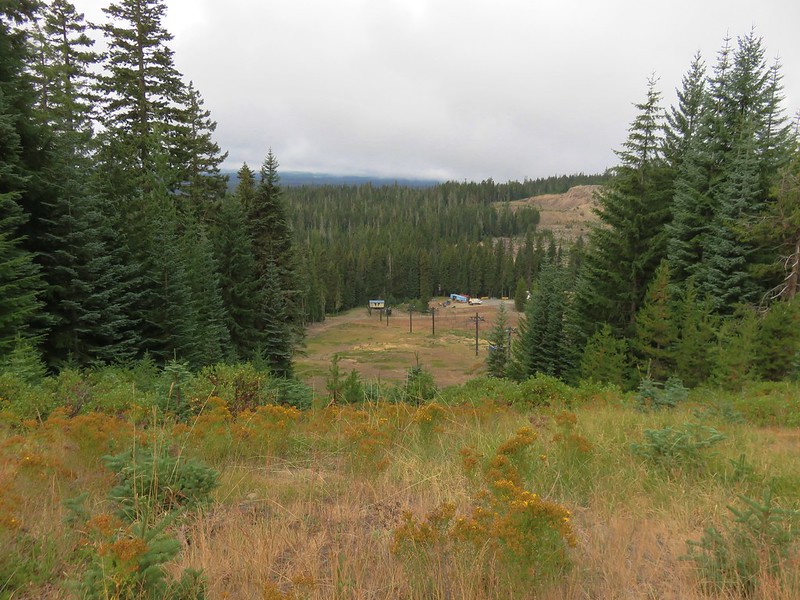
The three-way junction ahead near Clover Meadow.
Aside from a Clover Meadow sign the only other signs at the junction were yield signs for users.

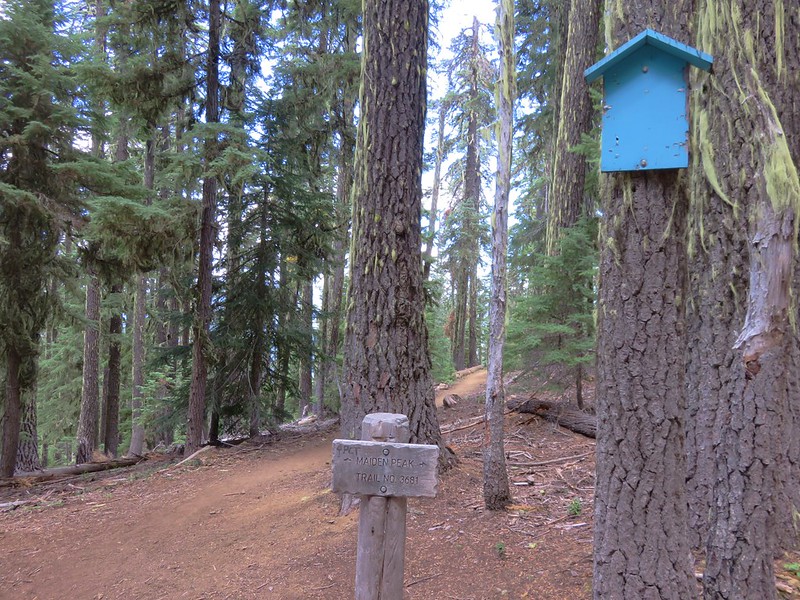
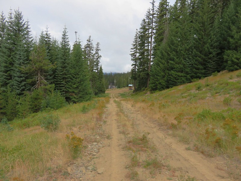
We were at the Metolius-Windigo Trail. This multi-use trail is over 100-miles long. The actual distance varies depending on which website you visit, some say it begins at the Head of the Metolius River (post) and ends at Windigo Pass (post), while others show it starting at the Bear Valley Trailhead NE of Three Fingered Jack. Regardless of the actual distance we were only concerned with the 3.5-mile stretch SSW from this junction. We turned right, and in three quarters of a mile recrossed FR 4290.


Charlton Butte

After crossing the road the trail began climbing at times as it needed to gain over 500′ of elevation before reaching the junction with the Charlton Trail.


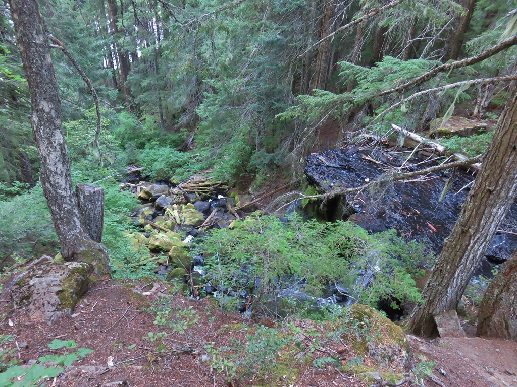
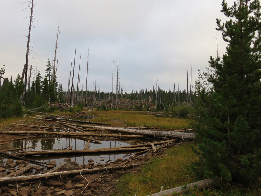
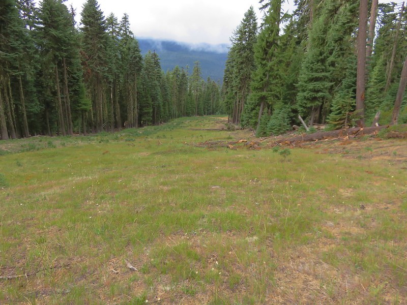
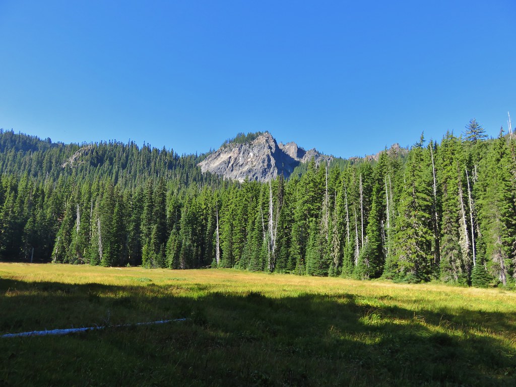
Round Meadow


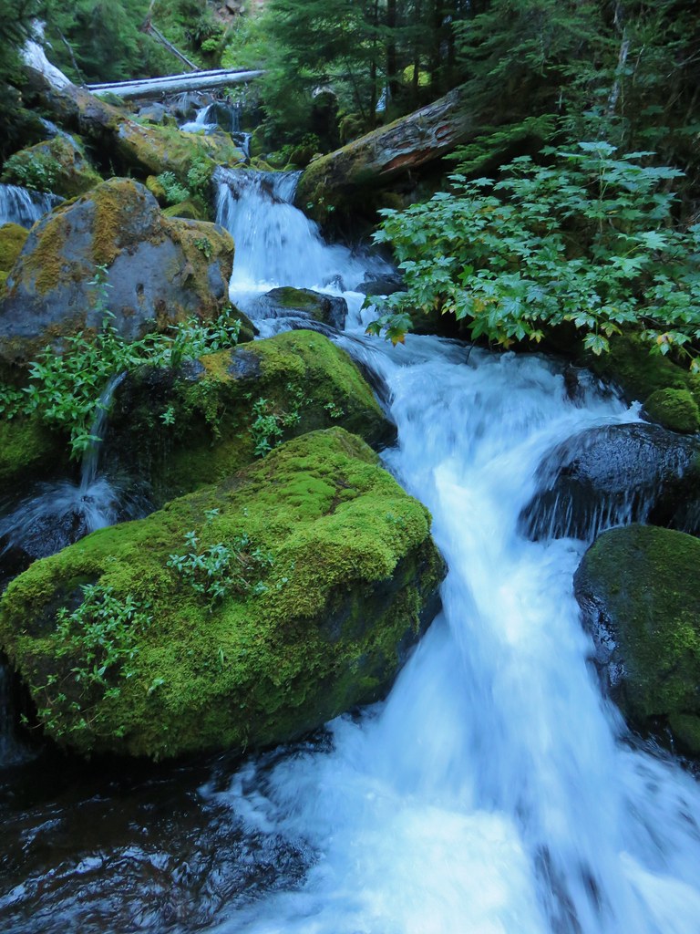
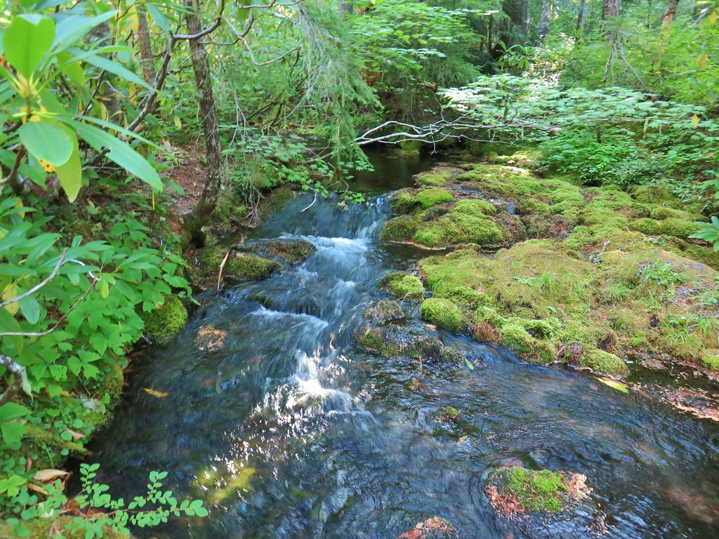
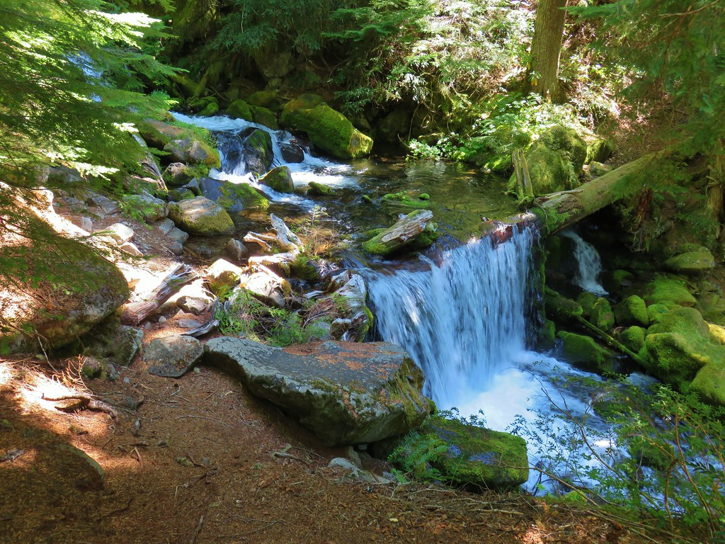
Stream flowing into Round Meadow.


The junction with the Charlton Trail.
Heather and I split up at this junction. I stayed on the Metolius-Windigo Trail for another 0.4-miles then took another 0.4-mile trail to Found Lake below Geradine Butte while Heather forked right onto the Charlton Trail and headed for the lake where she planned on taking a relaxing break while she waited for me.

Continuing on the Metolius-Windigo Trail.

Sign for the Found Lake Trail splitting off to the right.

The Twins from a meadow along the Found Lake Trail.

Geradine Butte from the meadow.

Geradine Butte

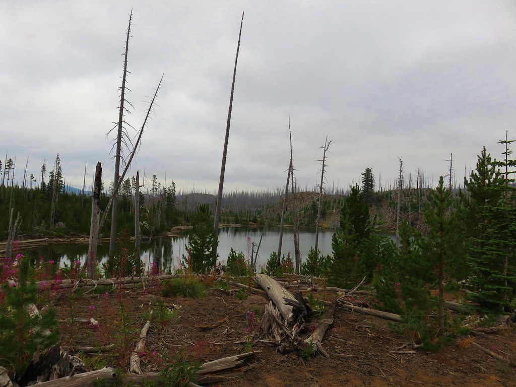
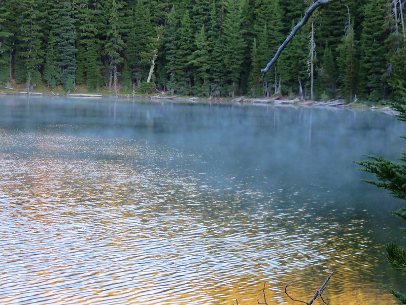
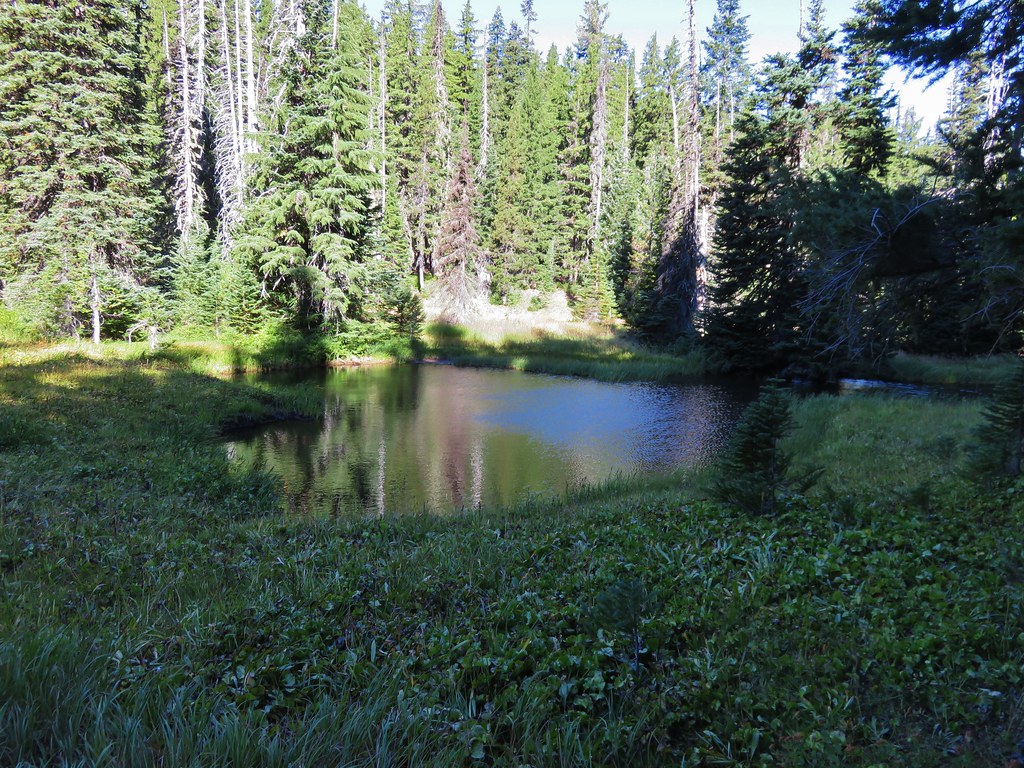
Found Lake

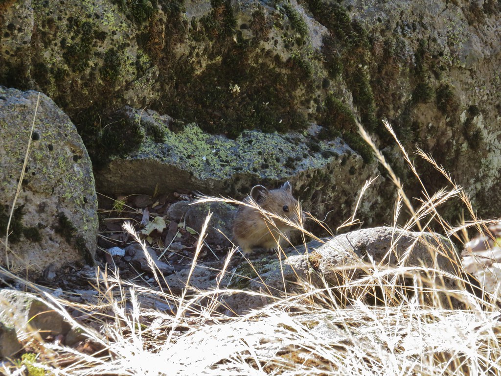
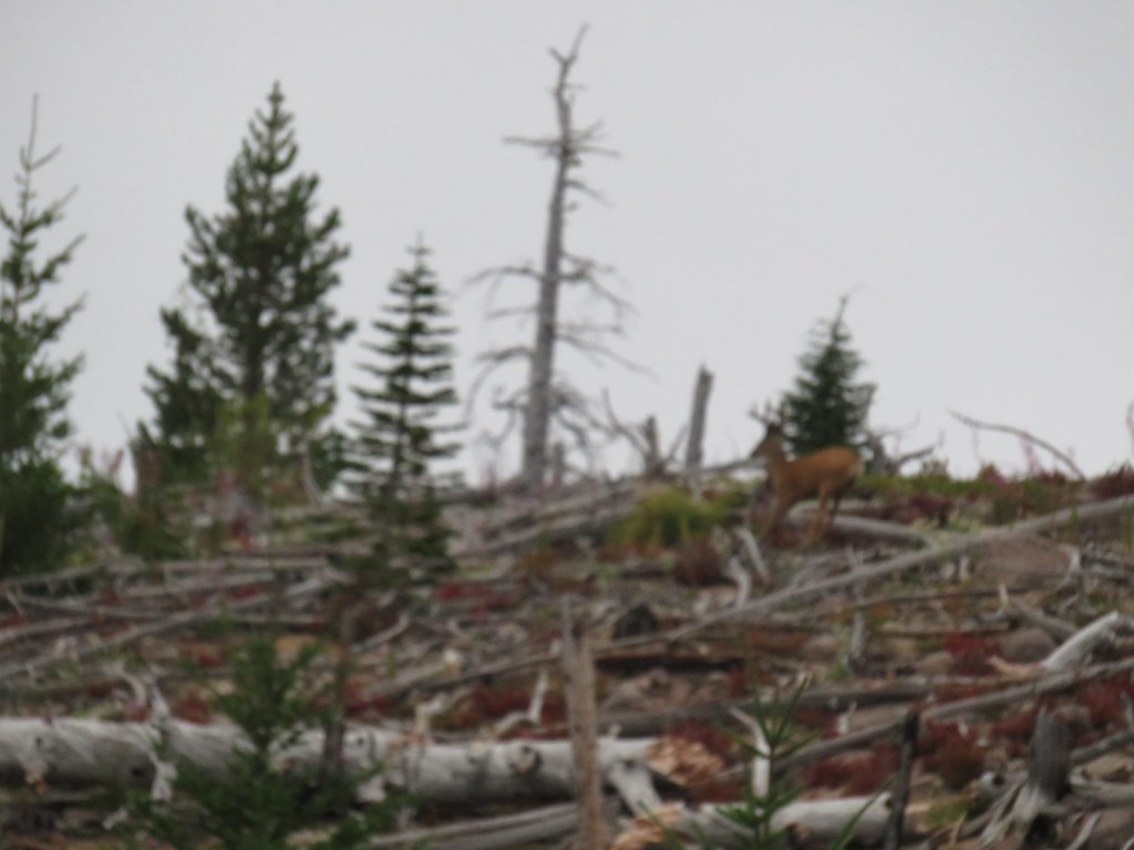
My second chance of the day to spot a pika was on the rocky hillside along Found Lake. Alas, I wasn’t lucky enough to spot one here either, but I did hear one.

After tagging the lake and unsuccessfully searching for pikas I headed back to the Charlton Lake Trail looking forward to what I was sure would be some downhill. The answer to whether this 1.9-mile stretch of the Charlton Trail was up or down is “yes”. There were several steep climbs broken up by some downhills and flat sections before steeply descending to the lake.


A flat stretch.

Going down

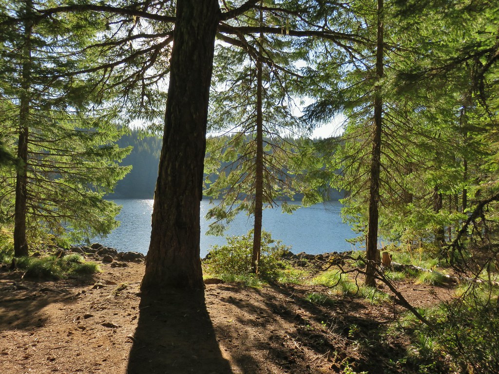
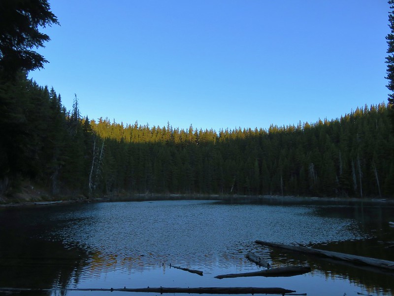
Charlton Lake through the trees.
At the lakeshore I headed left (clockwise) around the lake on the Charlton Trail. There were plenty of good views along the way.


Charlton Butte

Geradine Butte

Geradine Butte and The Twins.

California tortoiseshells doing what butterflies do.
Heather was in her camp chair reading a book when I met back up with her. After a quick break we hiked the final tenth of a mile back to the car so we could change our shoes and get cold drinks out of our cooler. With the detour to Found Lake my hike came in at 13.7-miles with roughly 1500′ of elevation gain.

Had we not gone down to the lake first and gone the wrong way at the confusing junction the loop sans Found Lake would have been a little under 12-miles with around 1400′ of elevation gain. This was a fun loop with nice lakes, a few good views, and some short challenging sections. Of course we’d made it harder on ourselves by needlessly bushwacking when we could have been on the Clover Meadow Trail. Due to the lack of trail between the PCT and Lily Lake you do really need map and navigational skills if you’re going to try it. Happy Trail!
Flickr: Charlton and Lily Lakes


 Mount David Douglas


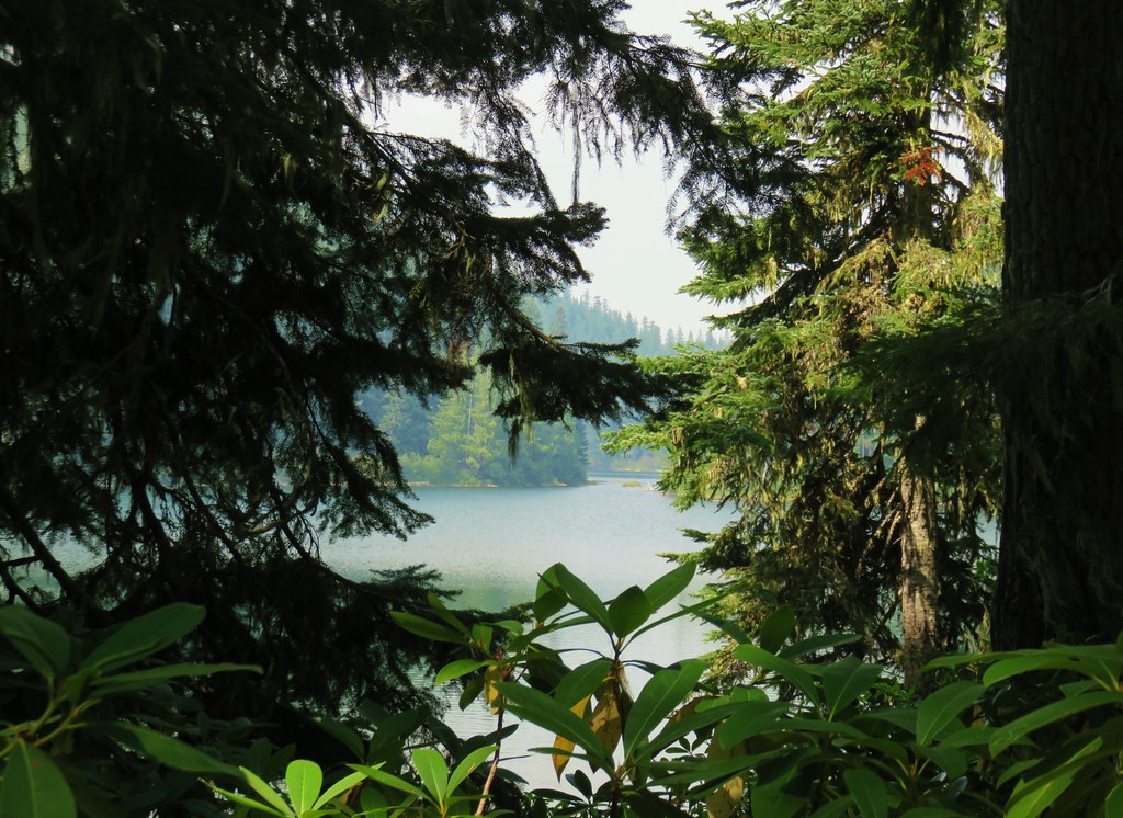
 Lower Erma Bell Lake from the climb.
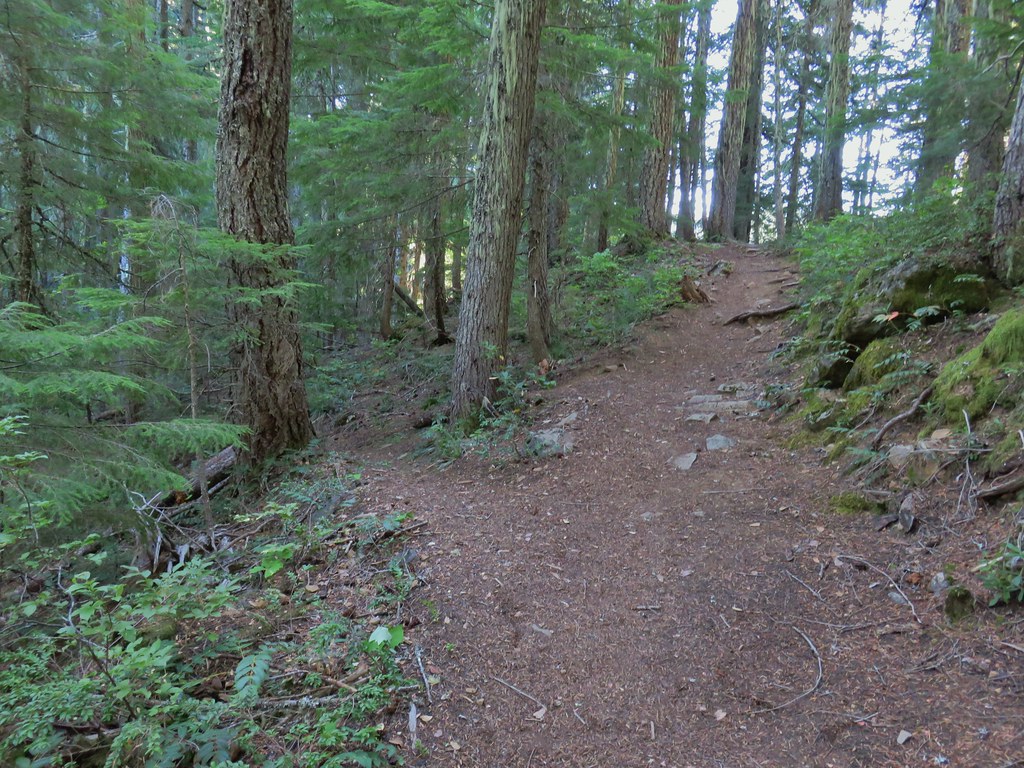
 Above the falls.
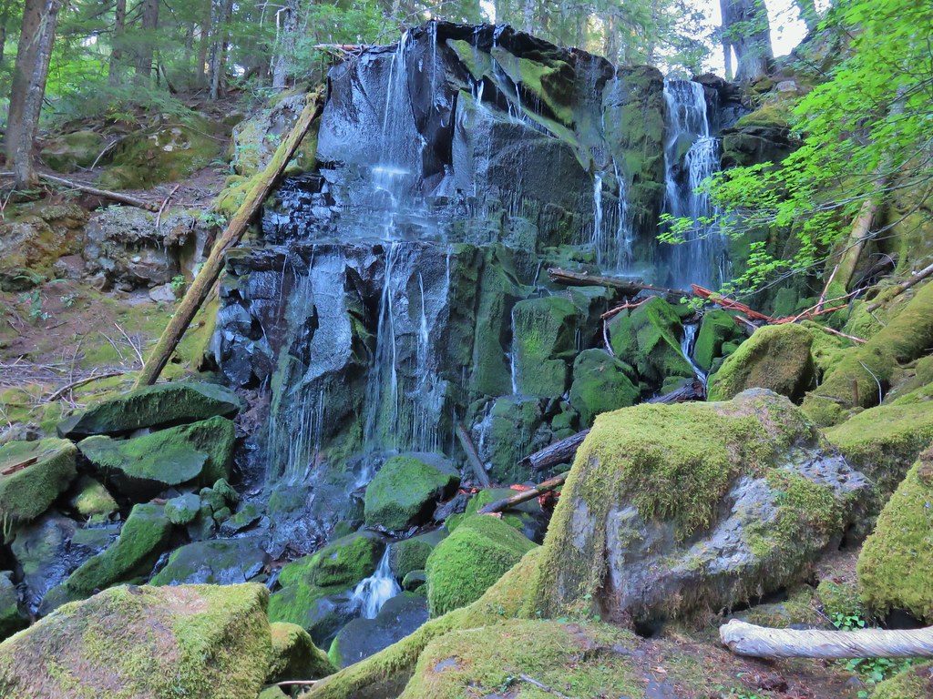

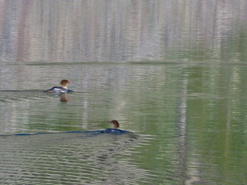
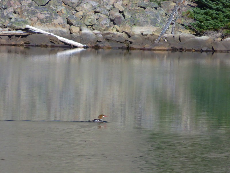
 Ouzel
Ouzel Ducks
Ducks Pond along the trail.
 Spur trail on the right to Upper Erma Bell Lakes.
 Paintbrush and aster along the lake shore.
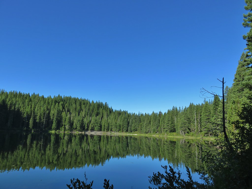 Upper Erma Bell Lake
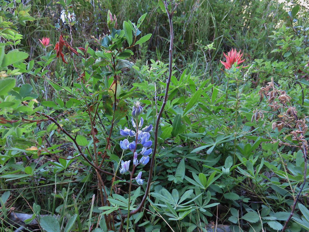 Lupine and paintrbush
 Judy Lake Trail on the right.
 Williams Lake Trail joining from the right.
 Grouse giving us the what for from a tree.
 Williams Lake
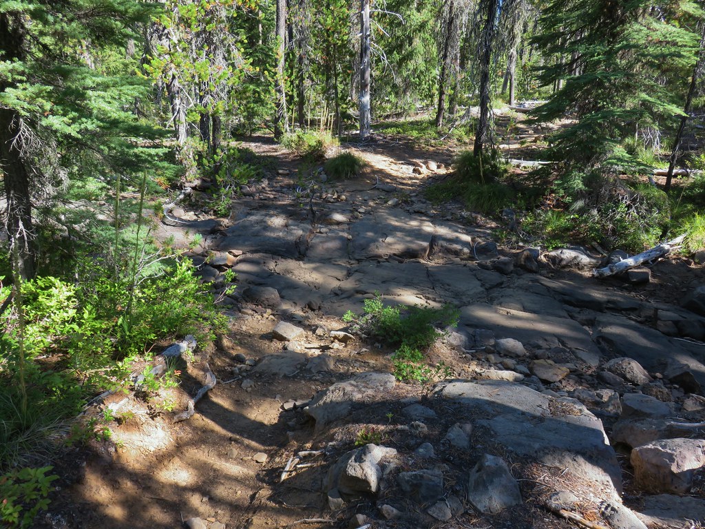 Dry creek bed near Williams Lake.

 Pearly everlasting
 Fleabane
 Prince’s pine
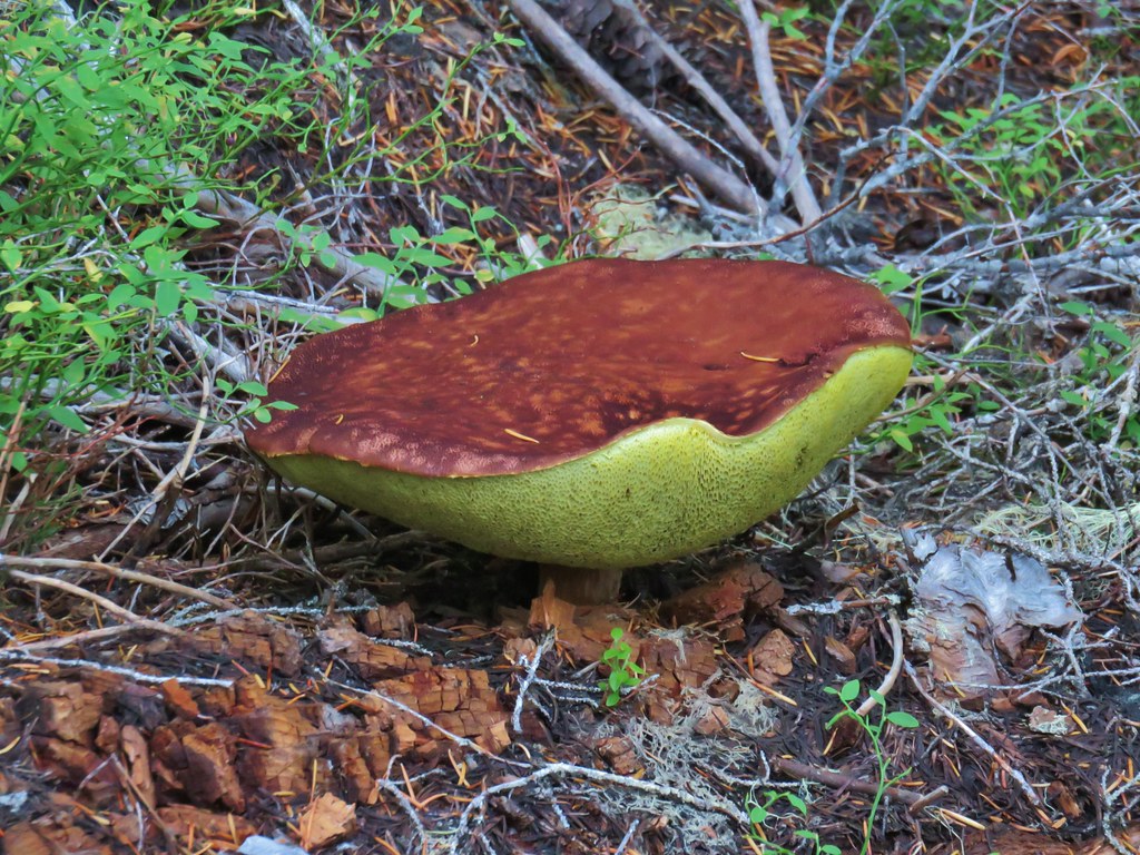
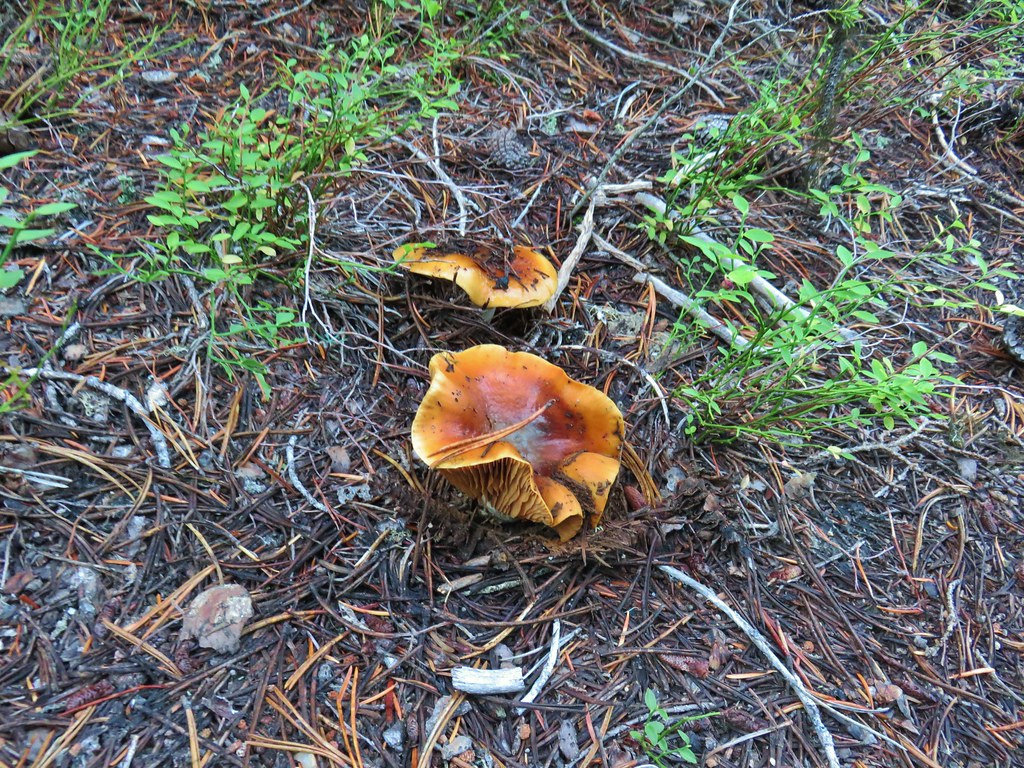
 Mushroom
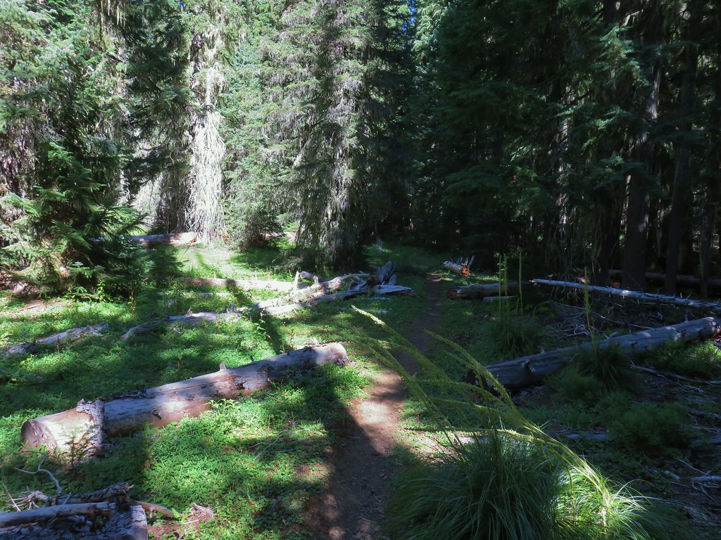
 Aster
Aster
 Coneflower
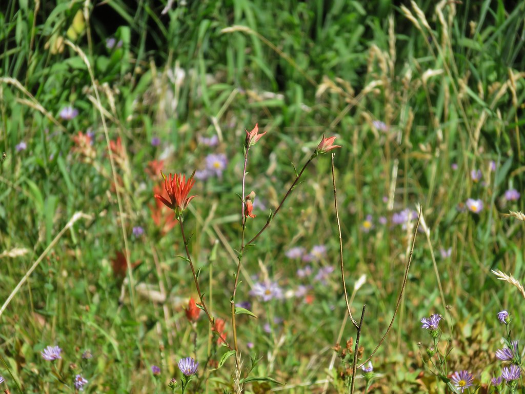 Paintbrush
 Paintbrush
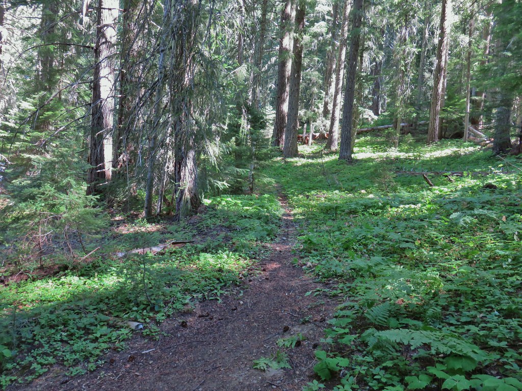

 Curious dragonfly
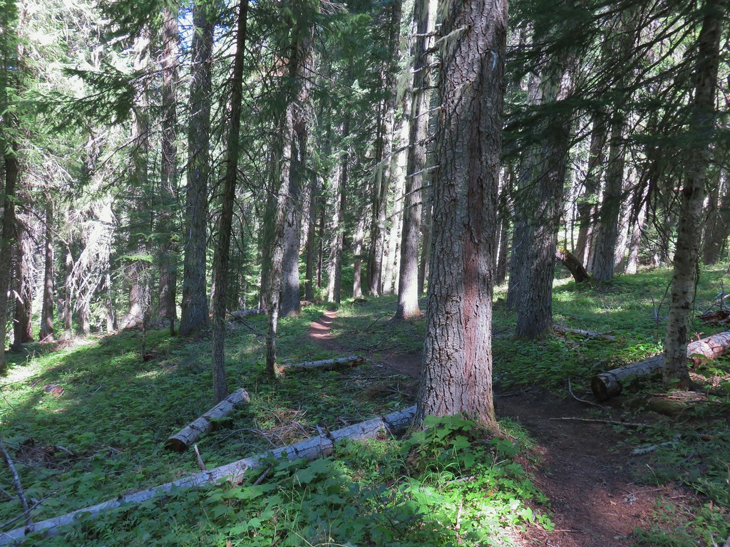


 Ghost Pipe aka Indian Pipe


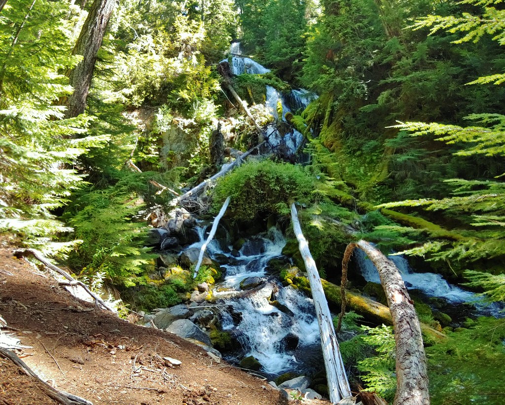
 Arriving at Cedar Bog.
 One of a couple dry channels.
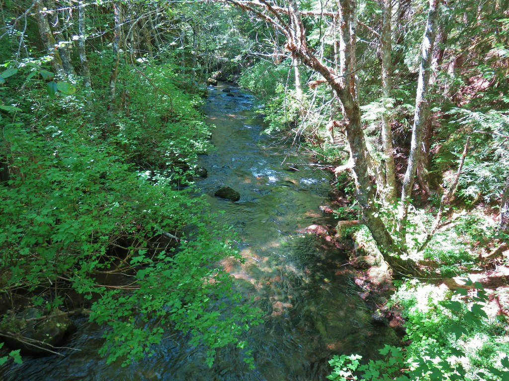
 North Fork Middle Fork
 Flagging on a downed tree marking the continuation of the Shale Ridge Trail.
 North Fork Middle Fork at Cedar Bog
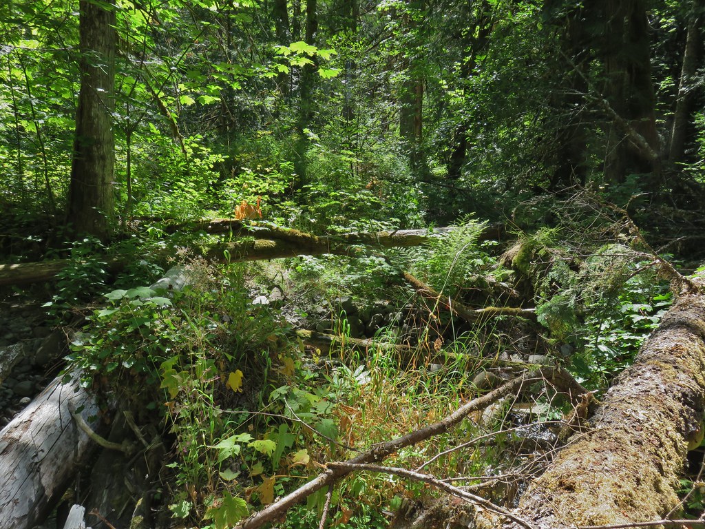 Orange flagging on the far side of the river.
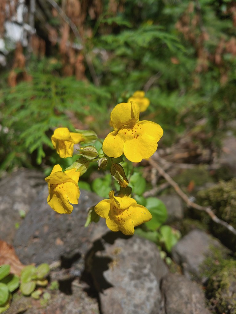 Monkeyflower at Cedar Bog
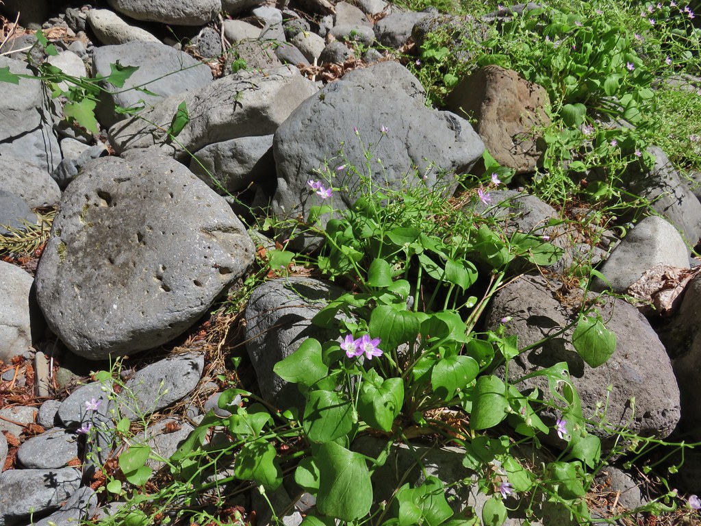 Candy flower


 PCT junction.
 More cool mushrooms.
 First pond
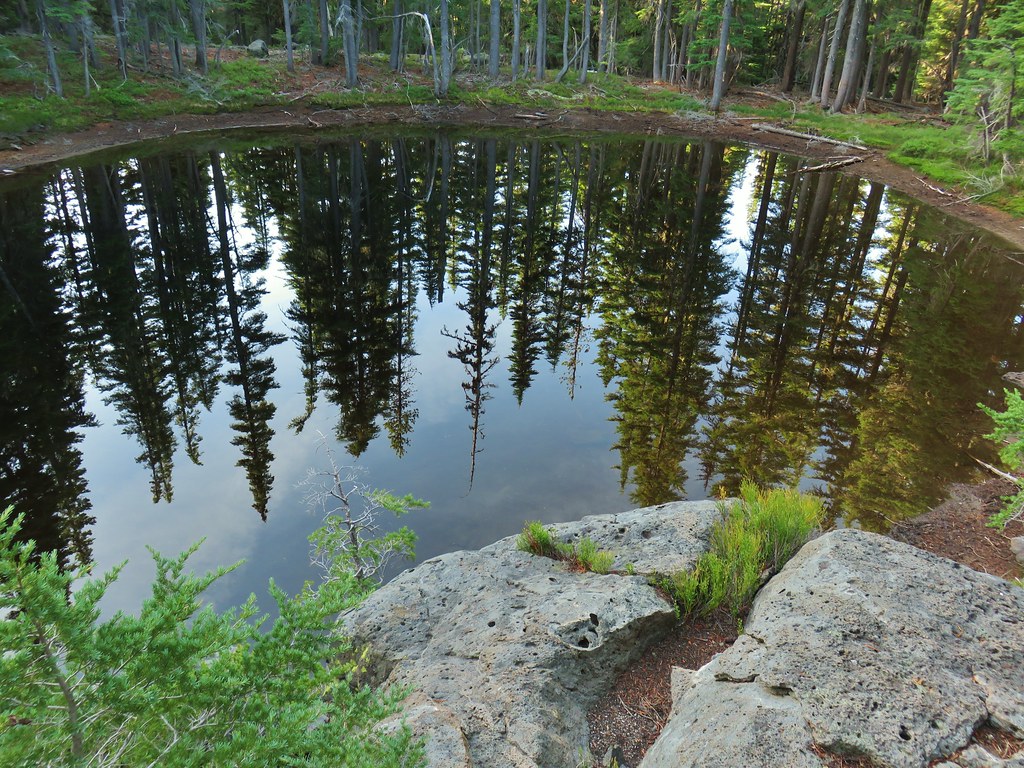 Looking down on the first pond.
 Liked the pattern on this shroom.
 A smaller pond.

 Found a few blooming bleeding heart.


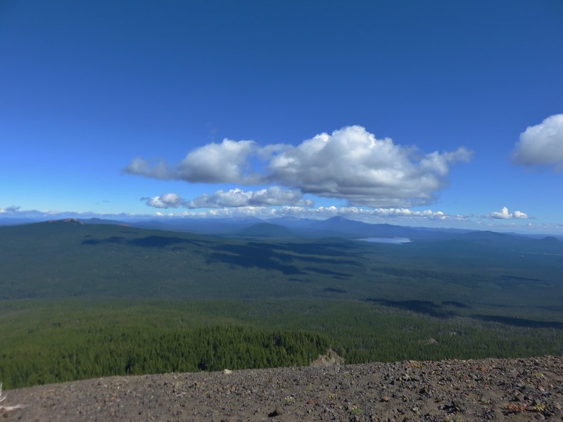
 Diamond Peak on the right and Mt. Bailey (
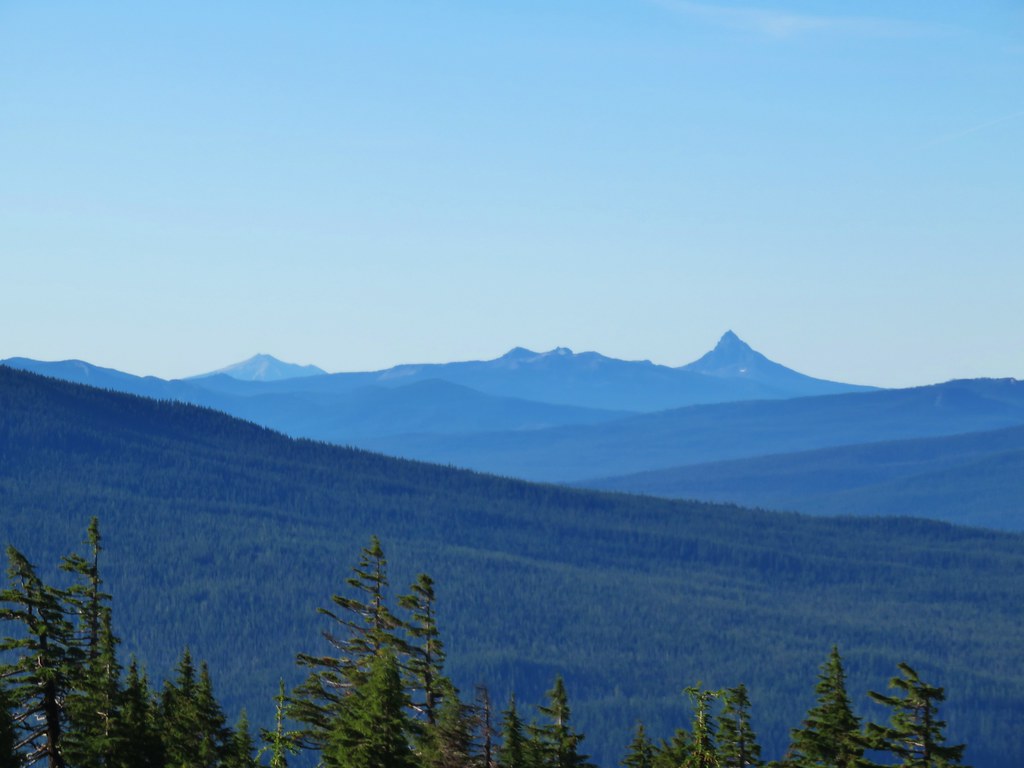 Mt. Scott (
 Maiden Peak (
 Close up of Diamond Peak
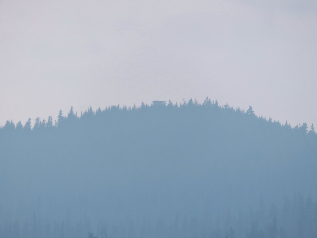
 Waldo Mountain Lookout (
 Rigdon Butte (
 Mt. Jefferson (with Three Fingered Jack in front), Mt. Washington, and The Husband
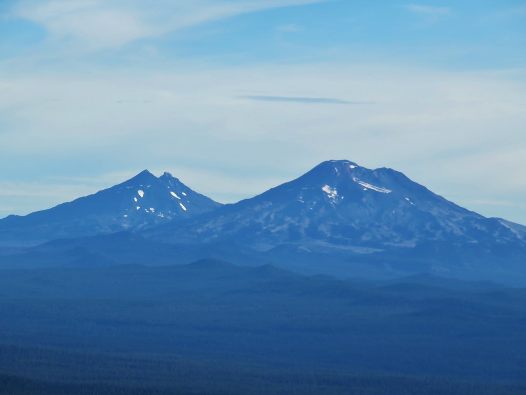 The Three Sisters
 Broken Top
 Mt. Bachelor


 The marmot on a rock ledge with Crane Prairie Reservoir in the background.


 That’s Bobby Lake below Maiden Peak.
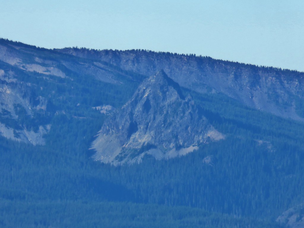 Mt. Yoran near Diamond Peak
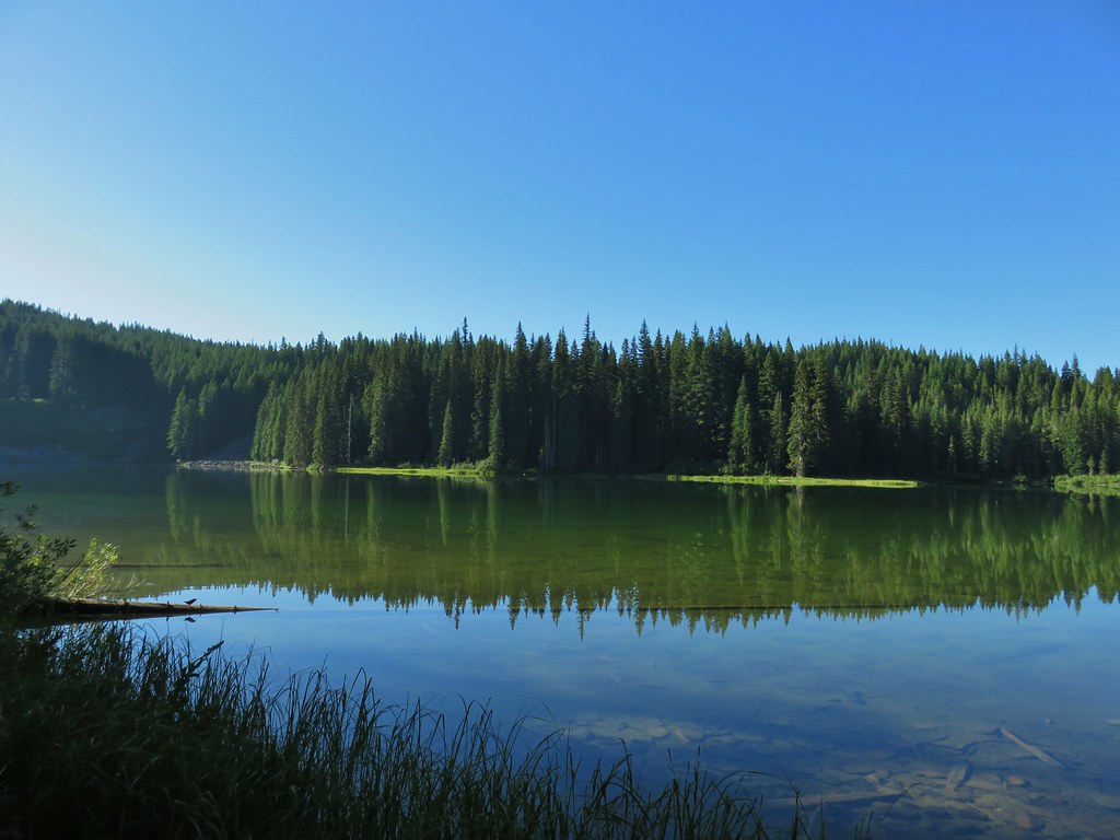
 Gold Lake
 Fuji Mountain (
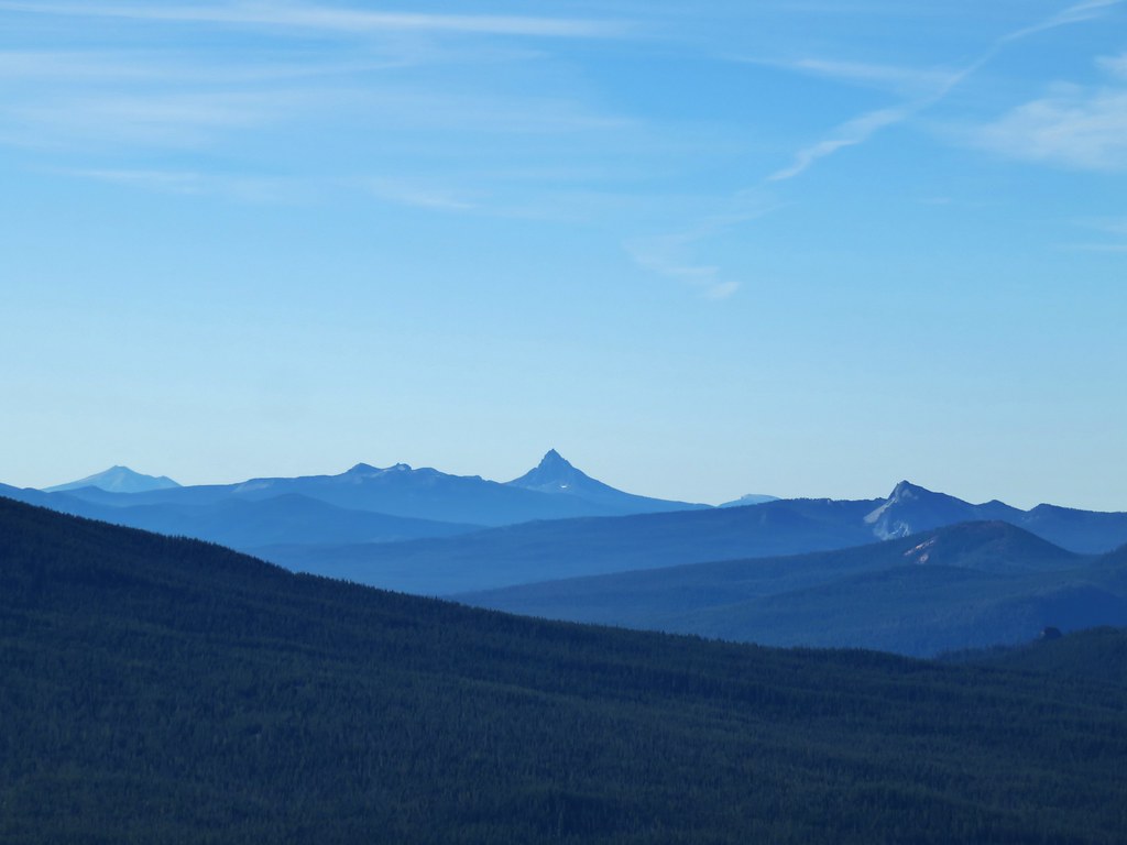 The closest rocky peak to the right of the photo is Cowhorn Mountain (
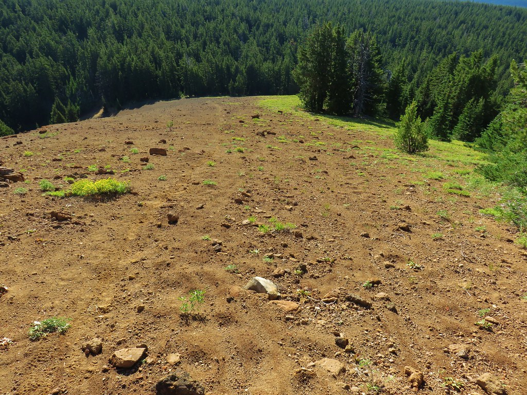


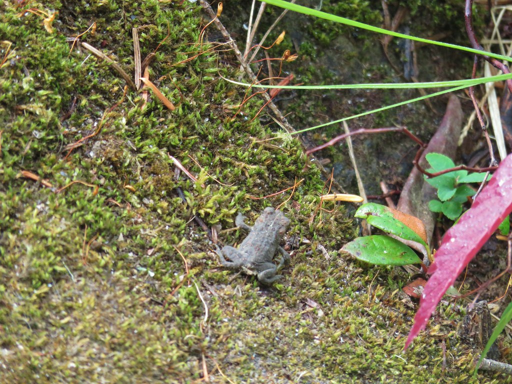
 Tiny PCT frog.
 One of the unnamed lakes.
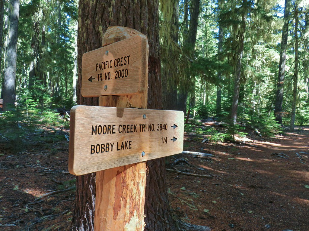 Trail sign at the 4-way junction.
 Maiden Peak above the lake.
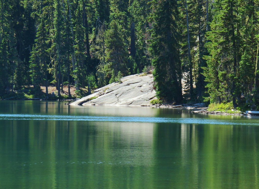

 The Twins
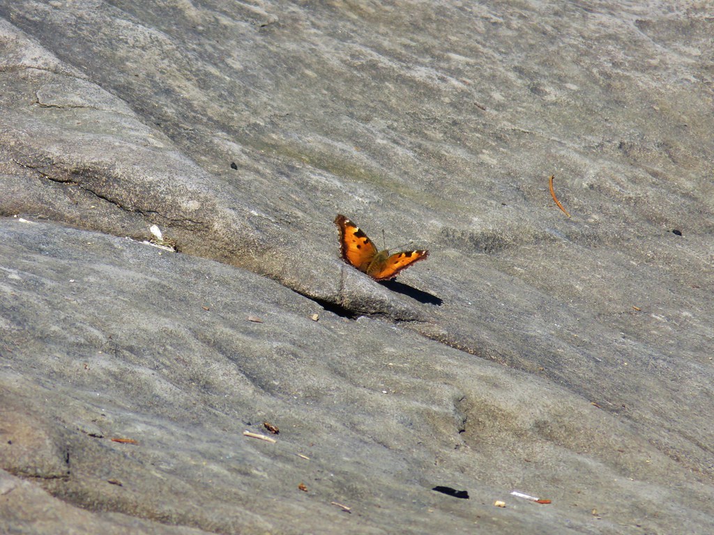 One of several butterflies.


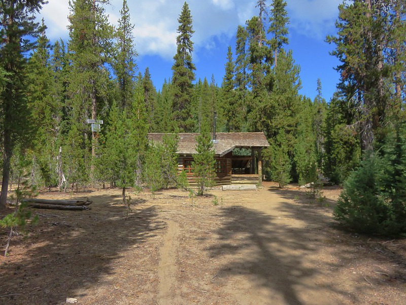
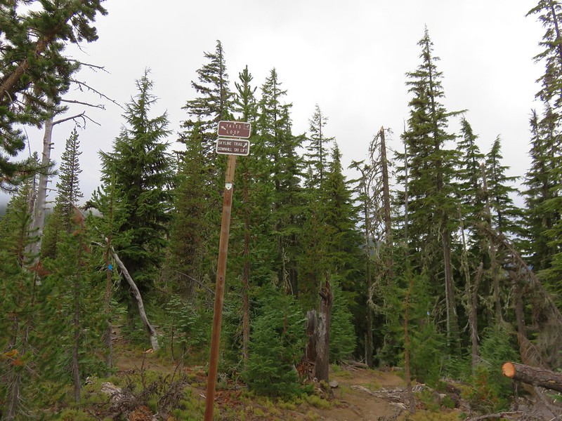
 Nordic trail sign high on the tree.


 Looking back at the stream.
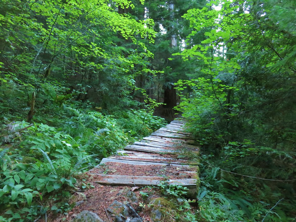
 Not many flowers left but this one reminded us of fireworks.
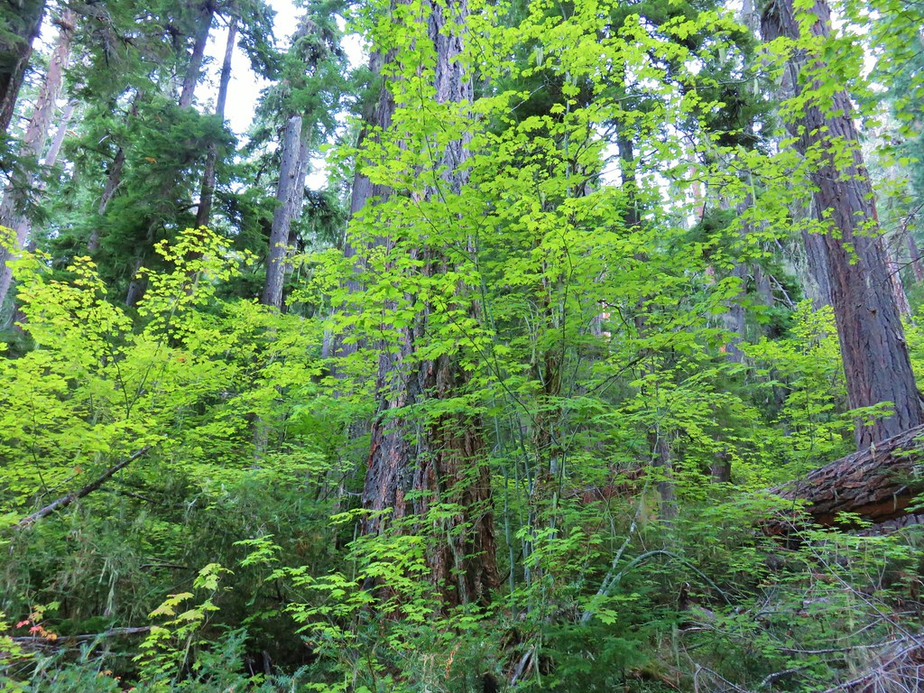
 Nettie Creek at the switchback.


 SW view
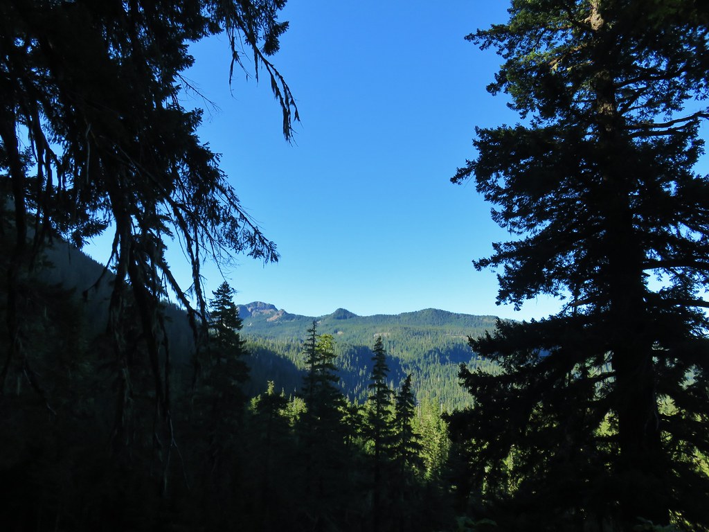 Looking south
 Fuji Mountain
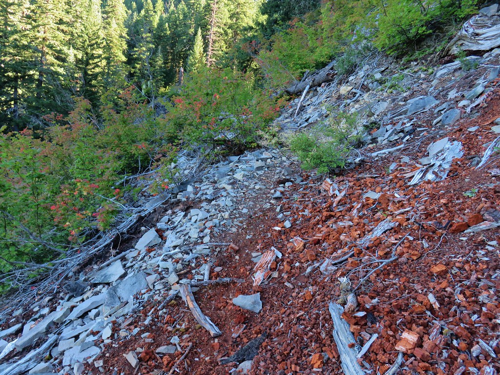
 Klovdahl Creek
 Grouse on the Black Creek Trail.
 Huckleberry bushes along the trail.
 Heading down to the Waldo Lake Trail (Jim Weaver Trail)

 First lake on the left.
 Second lake on the left.
 A third lake on the left that was set back in the trees.
 First lake on the right.
 Ducks at the lake on the right.
 Dry pond on the right.
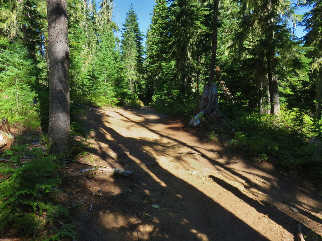 Wide trail junction.
 Dry creek bed along the way.
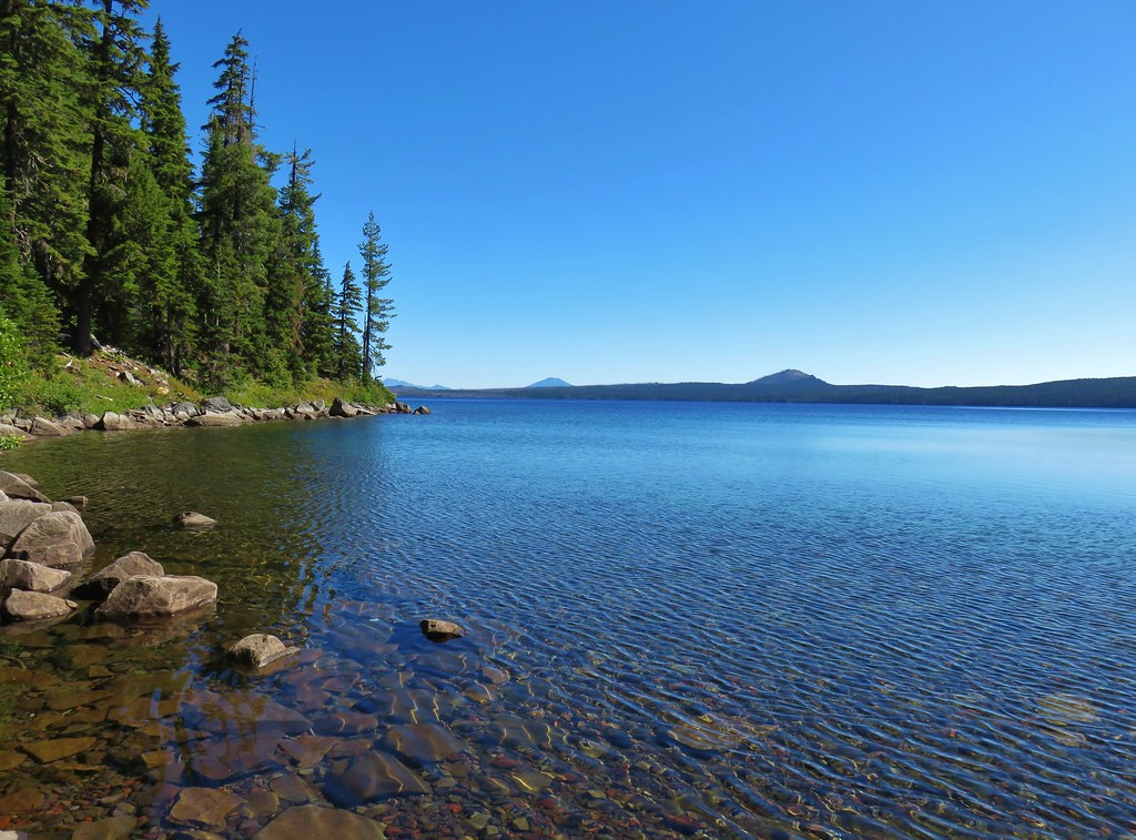


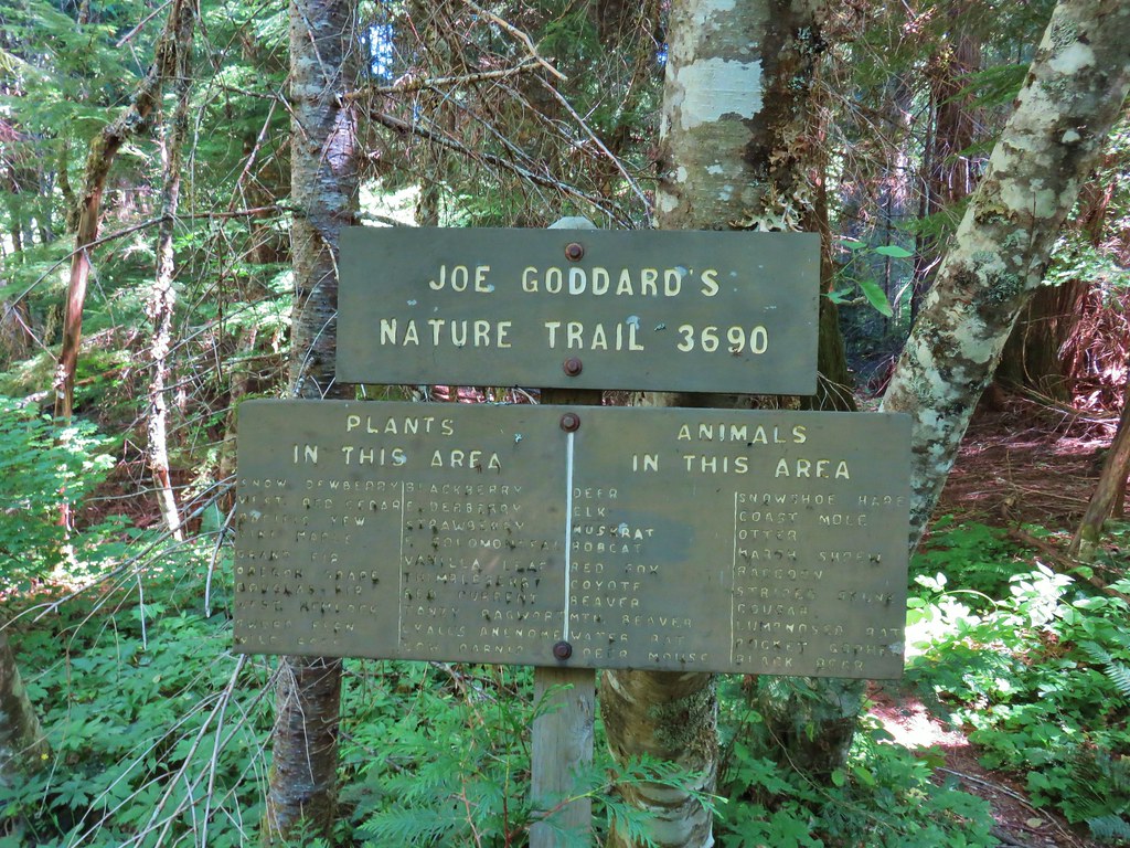
 Unsigned start of the nature trail.
 Black Creek
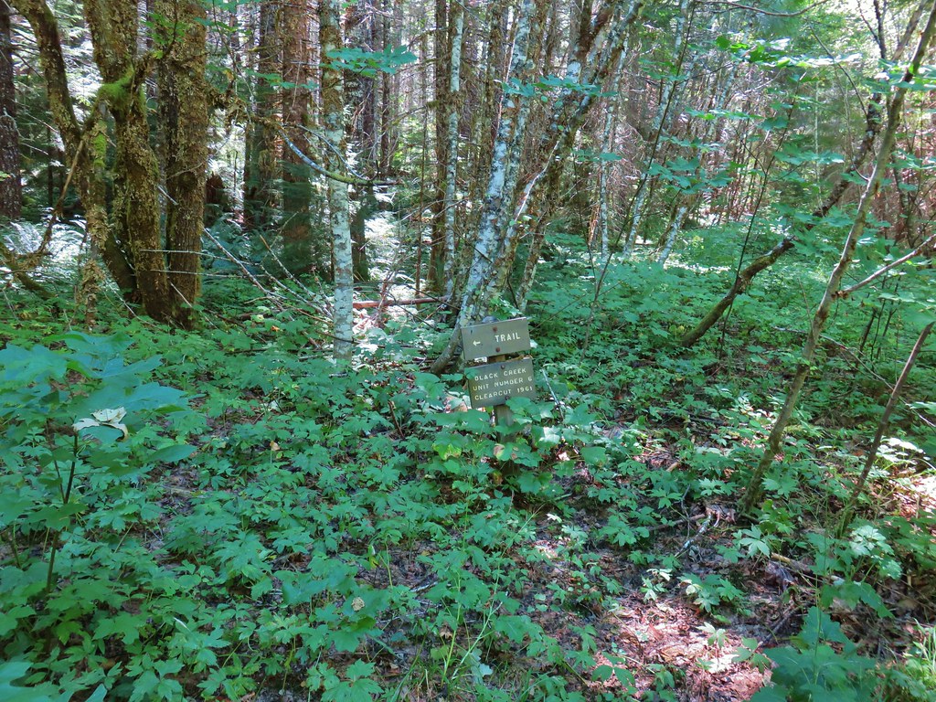


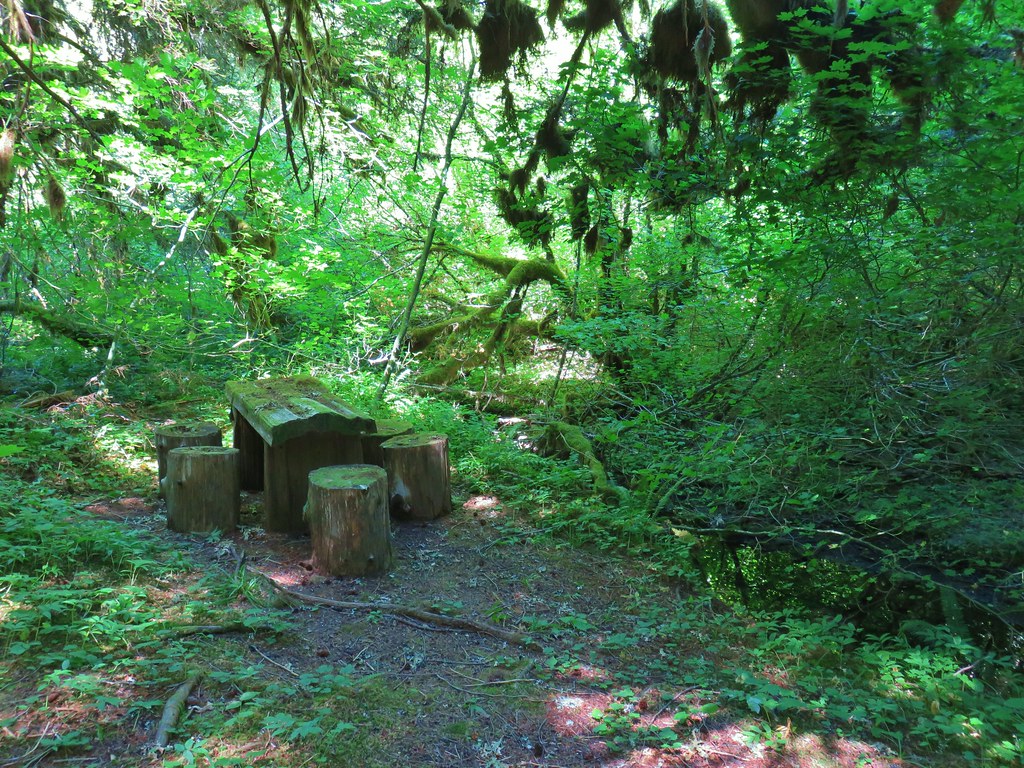


 Another picnic table.
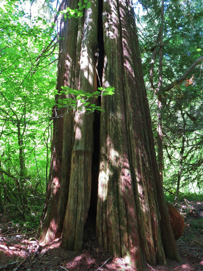
 Another big Doug fir.
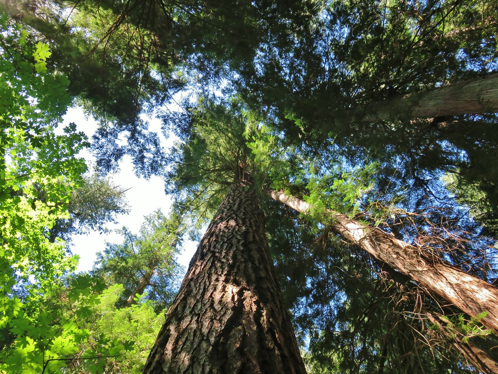

 5am clouds over Waldo Lake
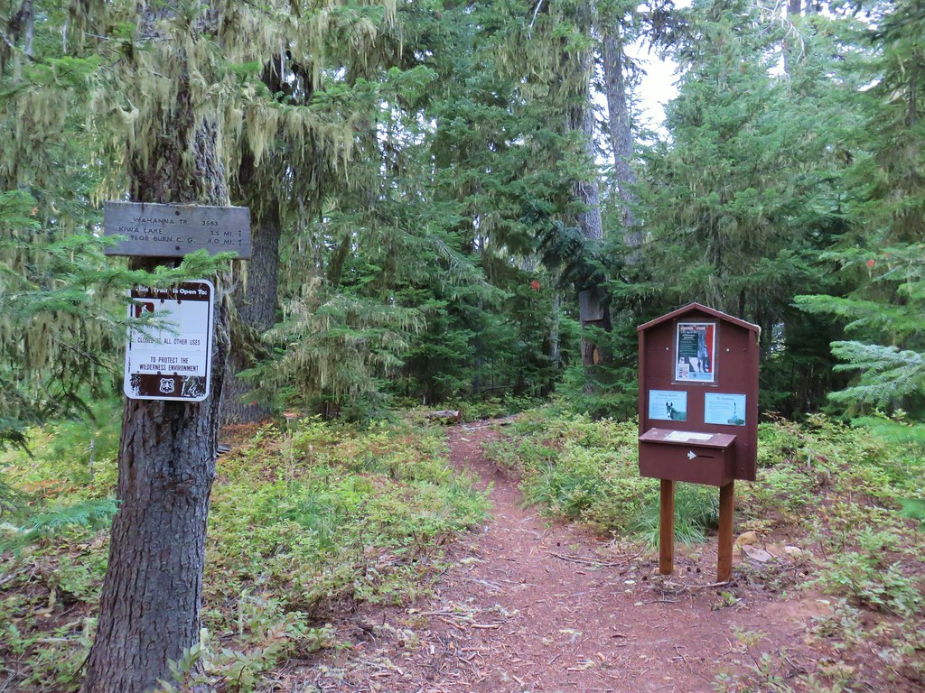


 First left fork
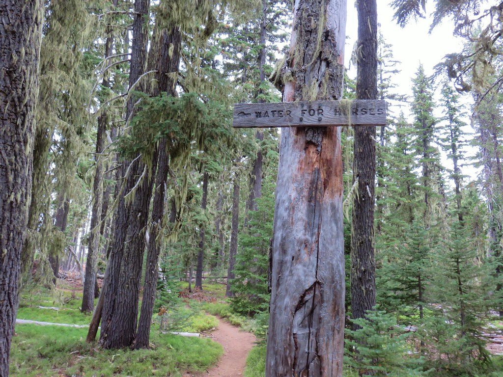 Second fork left at a “water for horses” sign
 Third left fork at a junction with the Shoreline Trail
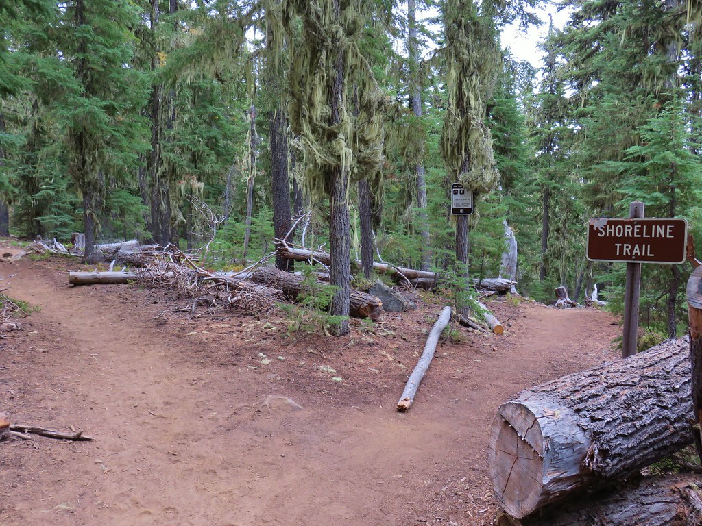 Fourth left fork at another junction with the Shoreline Trail
 Fifth left fork which should have been a right.
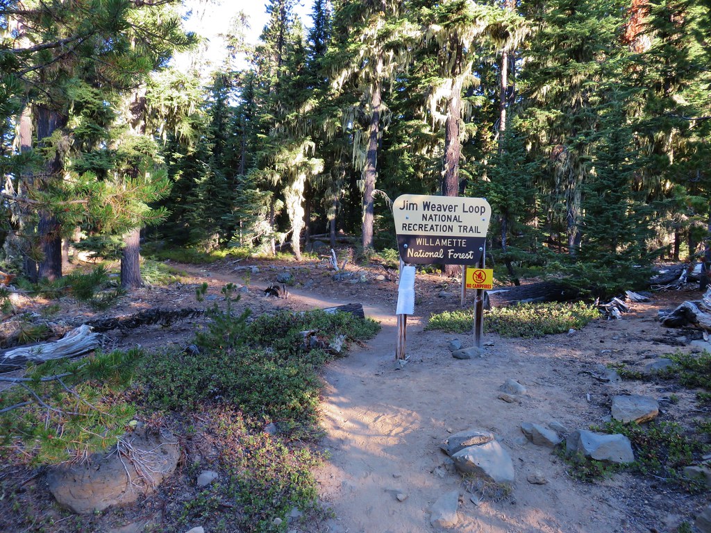


 Diamond Peak to the left and Fuji Mountain directly behind the island
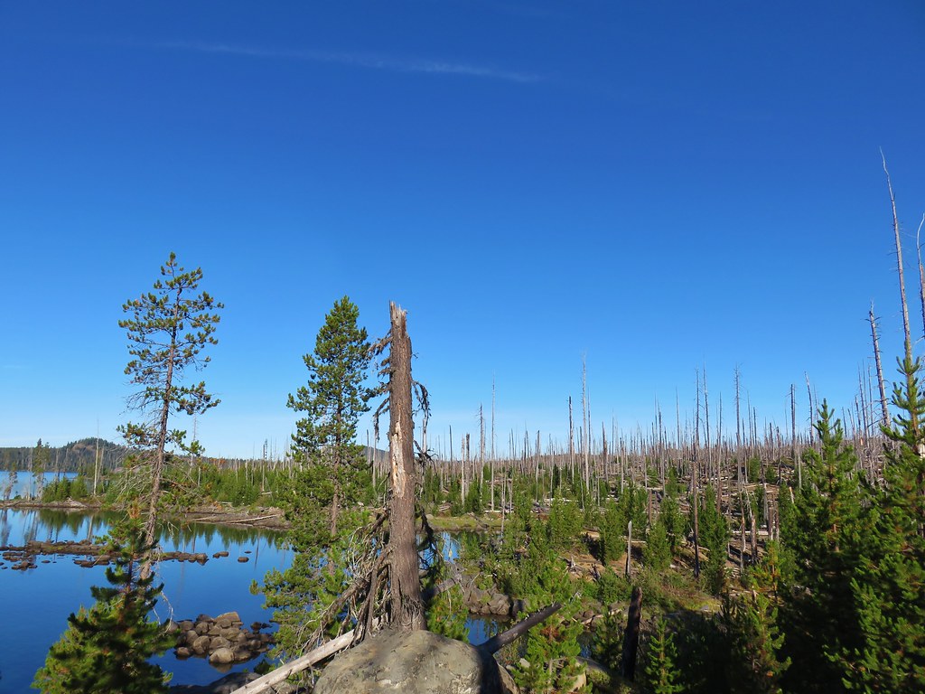

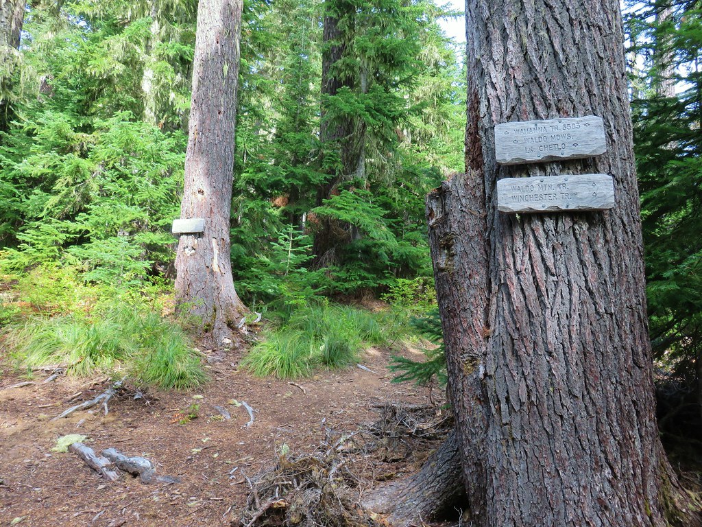
 Wahanna Trail
 Dam Camp is to the left in the trees and rhododendron


 South Sister
 The Three Sisters
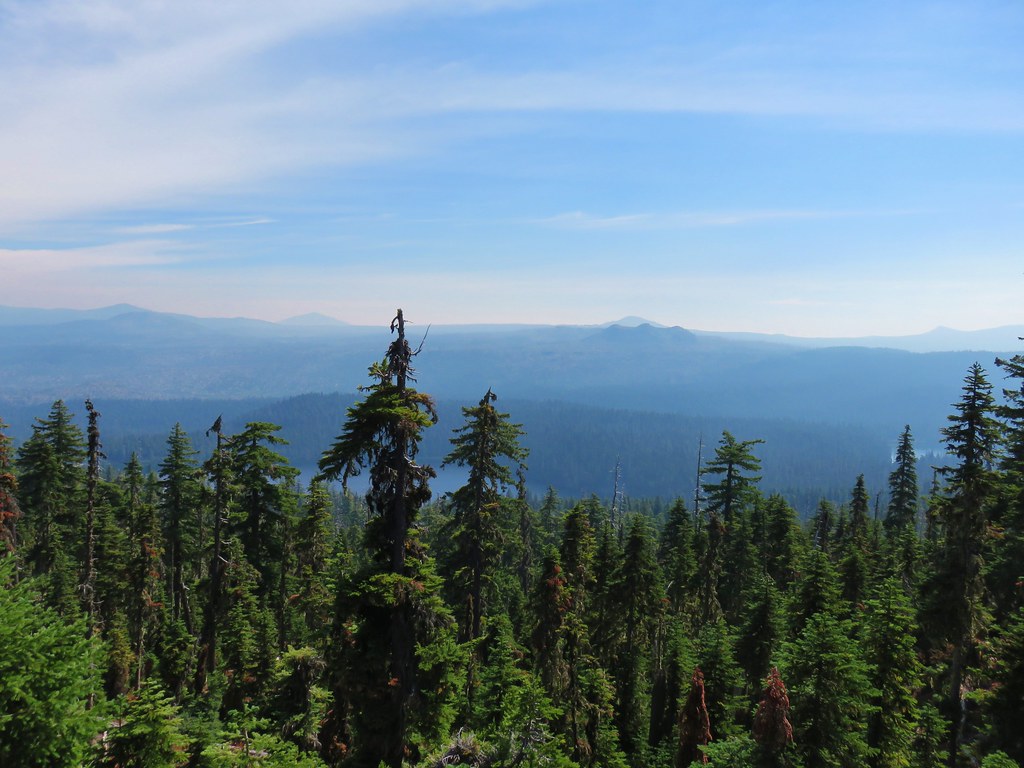 Rigdon Butte beyond the Eddeeleo Lakes from the Winchester Ridge Trail
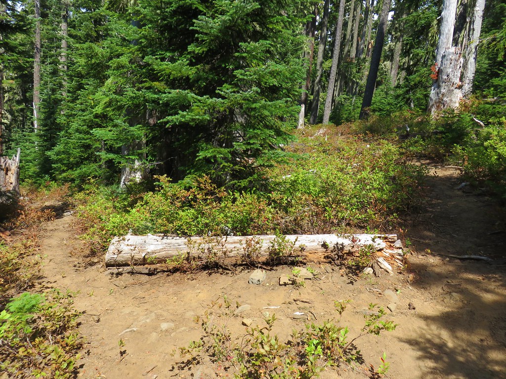


