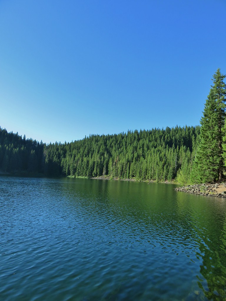
Following a great visit to Jefferson Park on Monday (post) I continued my solo vacation by revisiting a hike that we refer to as “The hike that shall not be named.” On October 14th, 2012, we (including our Son) had set off from the Obsidian Trail for what I thought was going to be 15-mile loop with epic views. A combination of me misunderstanding the route described in the guidebook and cloudy conditions it wound up being a largely viewless 18.6-mile trudge (post). Heather and I revisited a portion of that hike by visiting Four-in-One Cone in 2019 (post), but we had not been back to the Obsidian Trail.
I had my Central Cascades Wilderness Permit for the Obsidian Trailhead and set off ridiculously early (3am) to make the 2:30 hour drive.

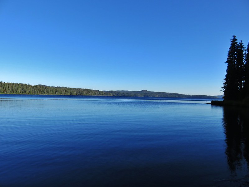
The trailhead at 5:30am.

In addition to the Central Cascades Wilderness Permit a NW Forest Pass is required to park at the trailhead.
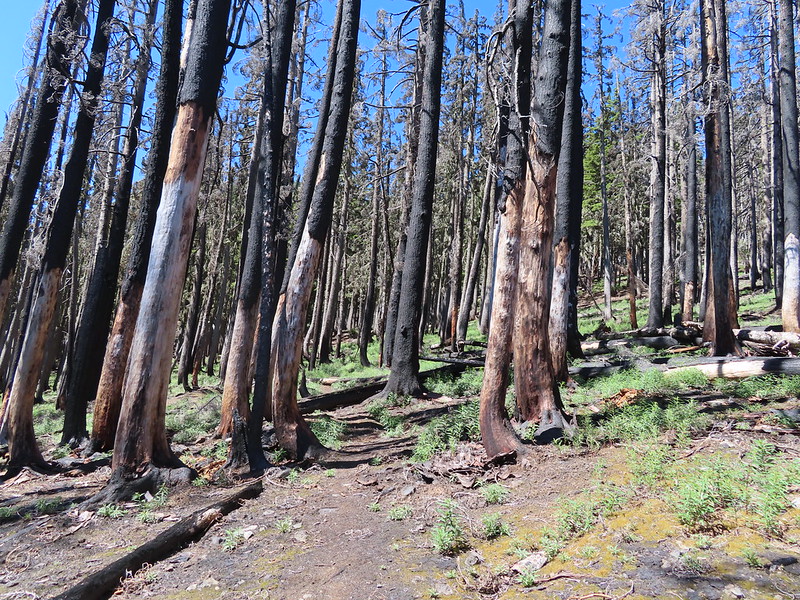
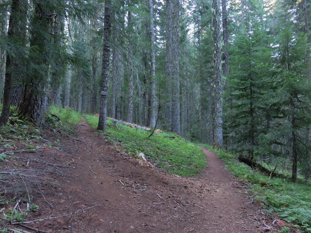
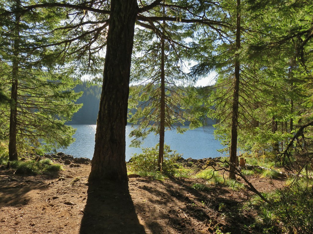
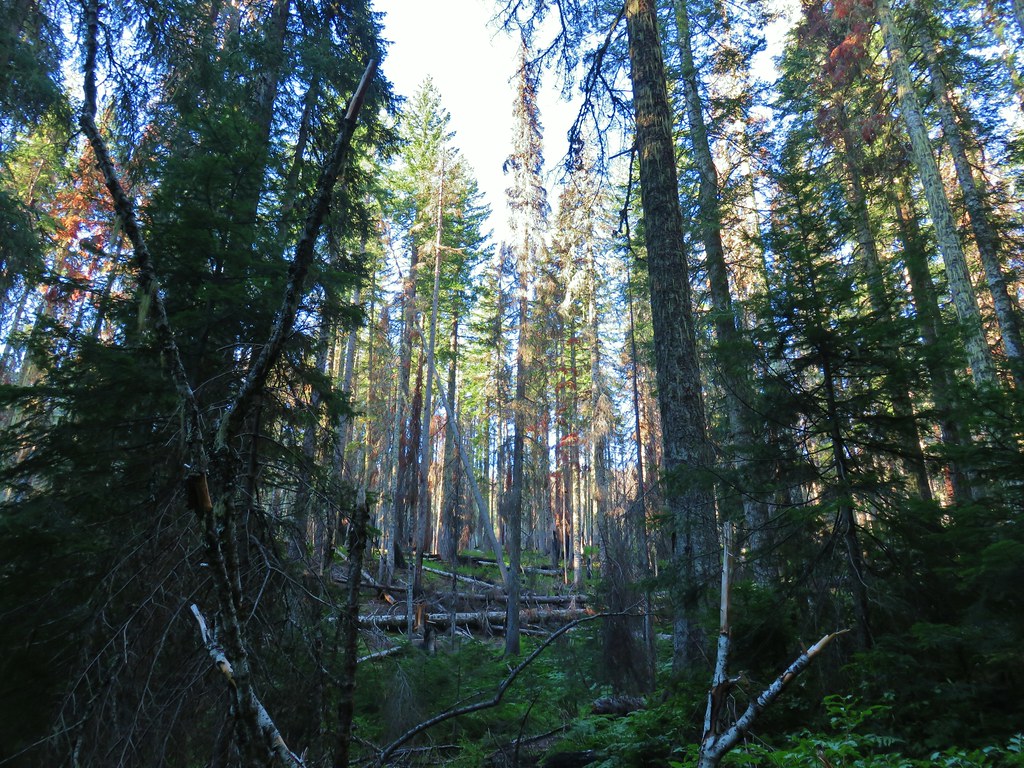
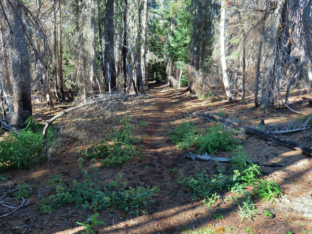
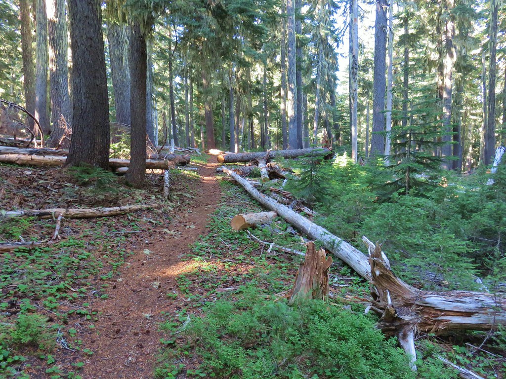
I set off on the trail which began in the trees before briefly passing through the 2017 Separation Fire scar.

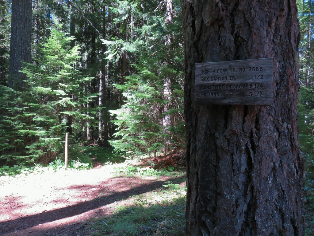
A connector trail joins from the left shortly after leaving the hiker trailhead. This trail connects to the equestrian trailhead, and it theoretically connects to the Scott Trail. We had used this connecter for the hike that shall not be named, and I was planning on using it again today but more on that later.

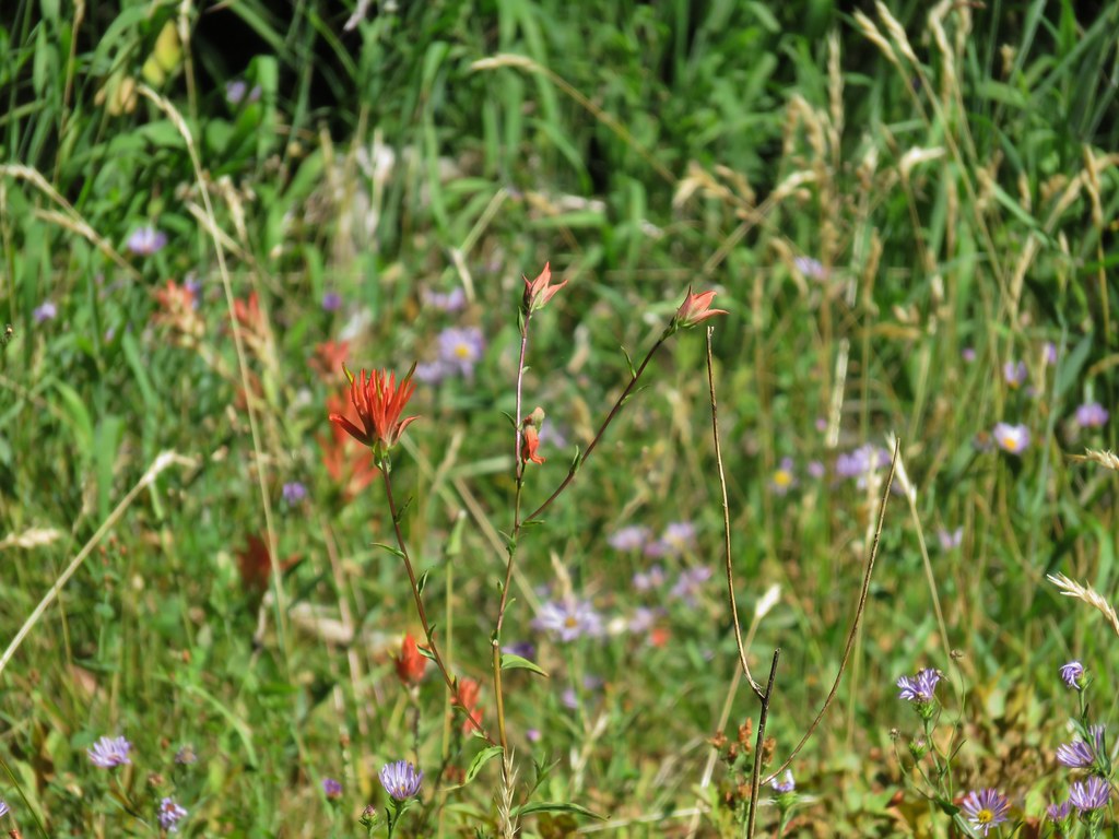
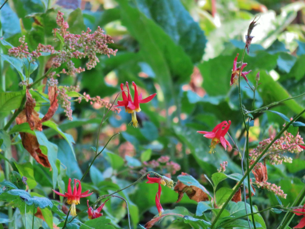
Most of the beargrass was past but there were a few still in bloom.

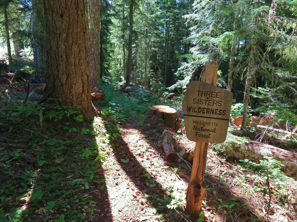
Entering the Three Sisters Wilderness.

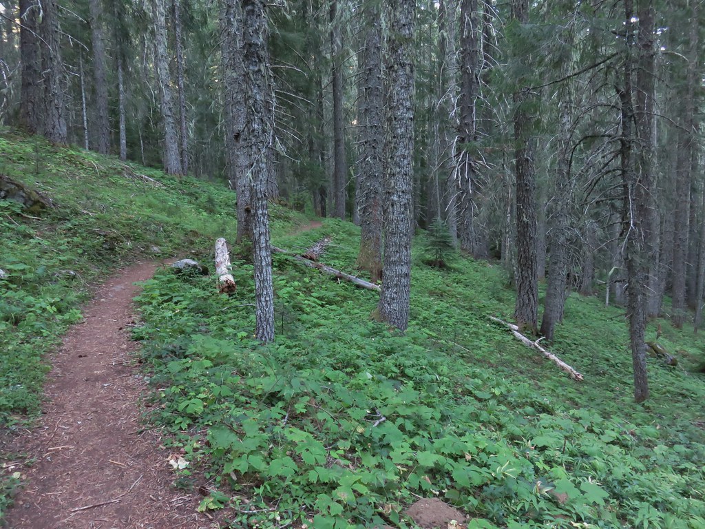
The initial section of the trail climbs gradually.

Entering the fire scar.

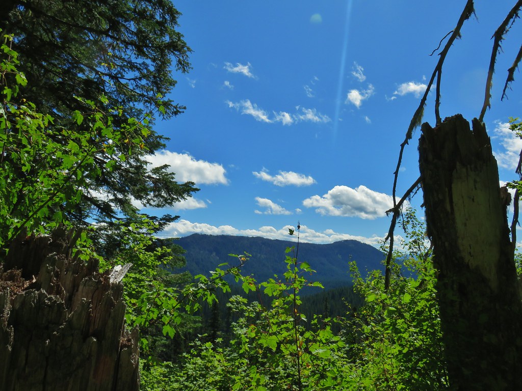
Sims Butte

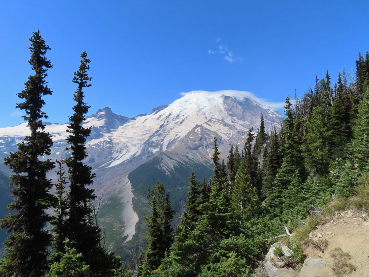
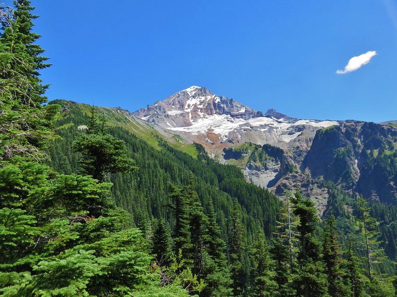
The Middle Sister on the left and South Sister (post) to the right.

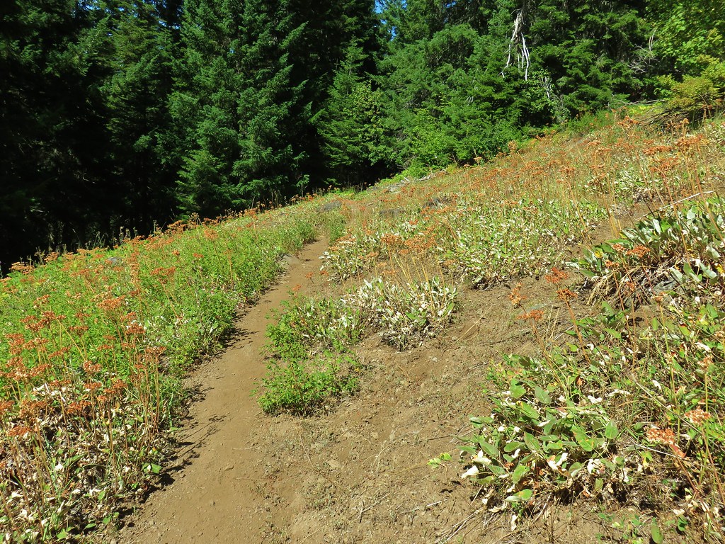
There had been some recent trail work done on the Obsidian Trail.

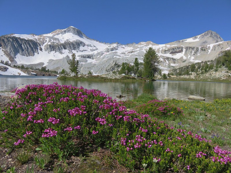
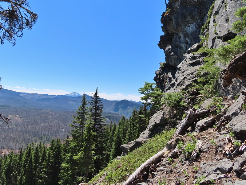
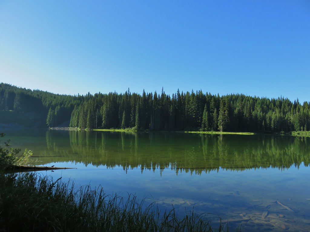
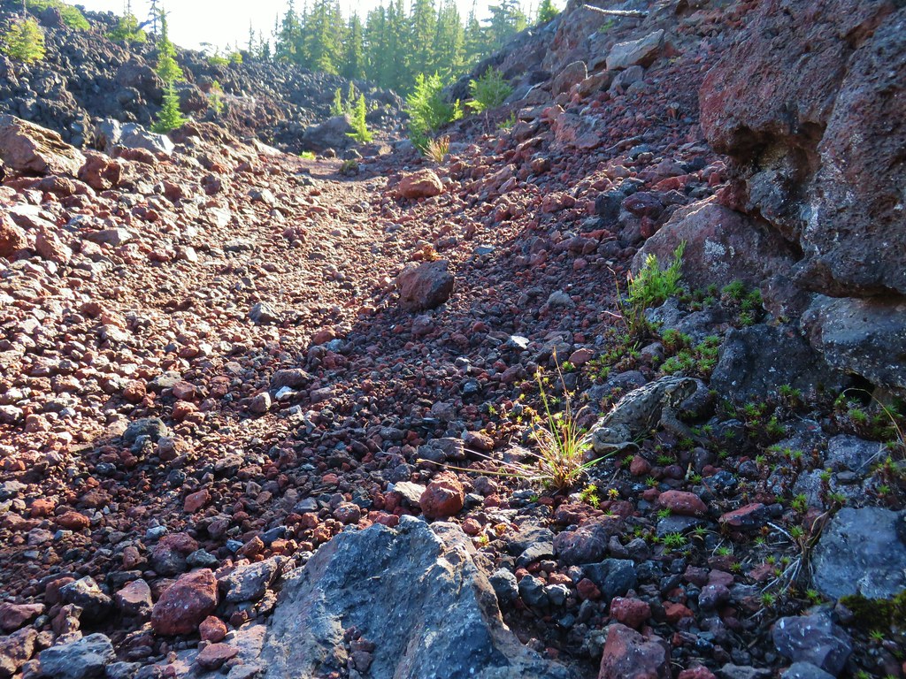
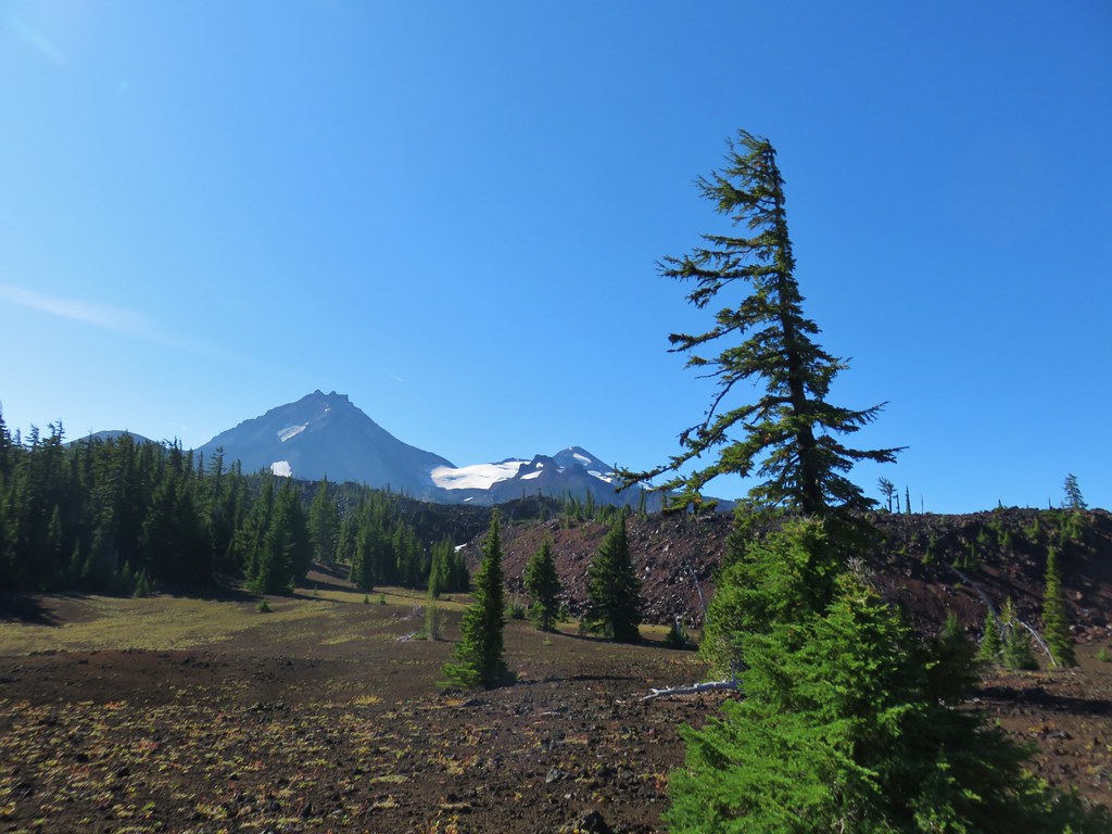
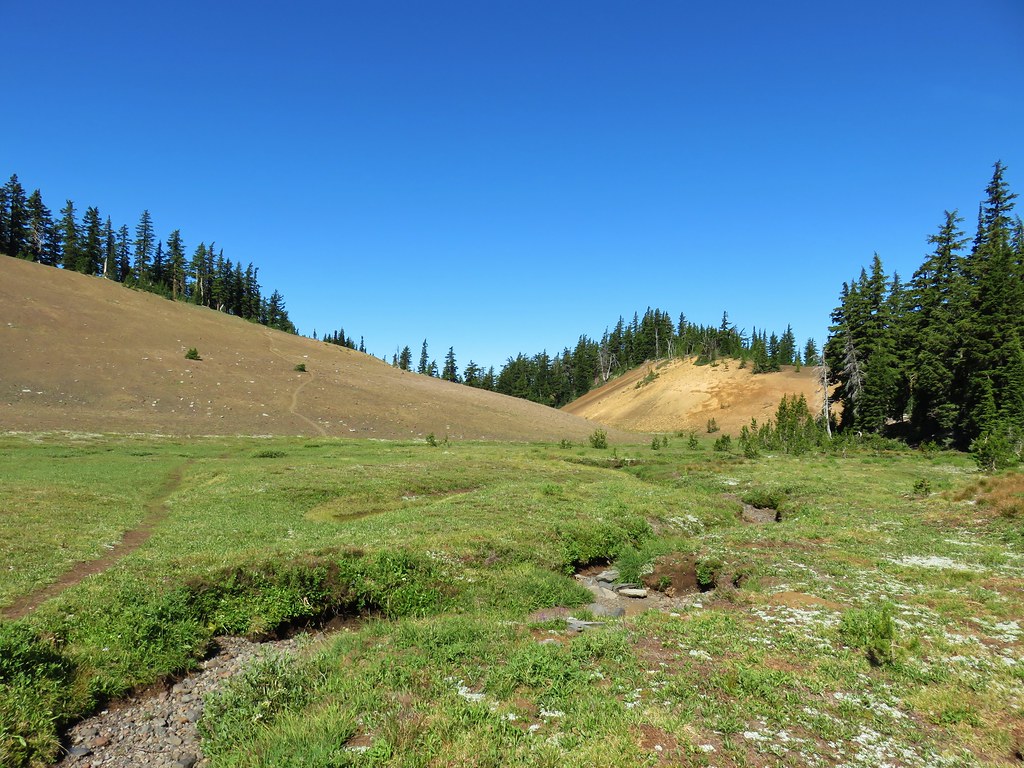
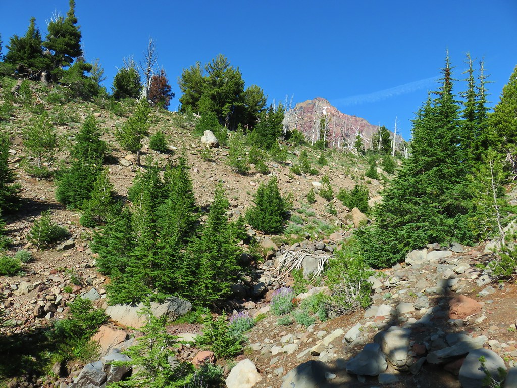
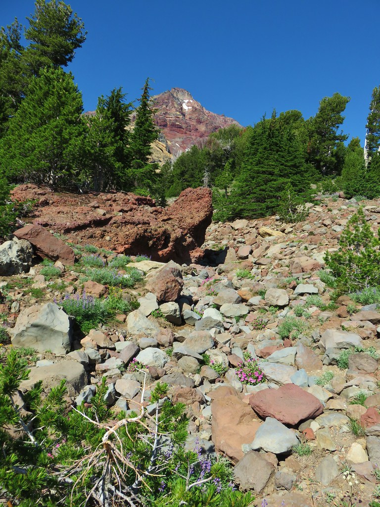
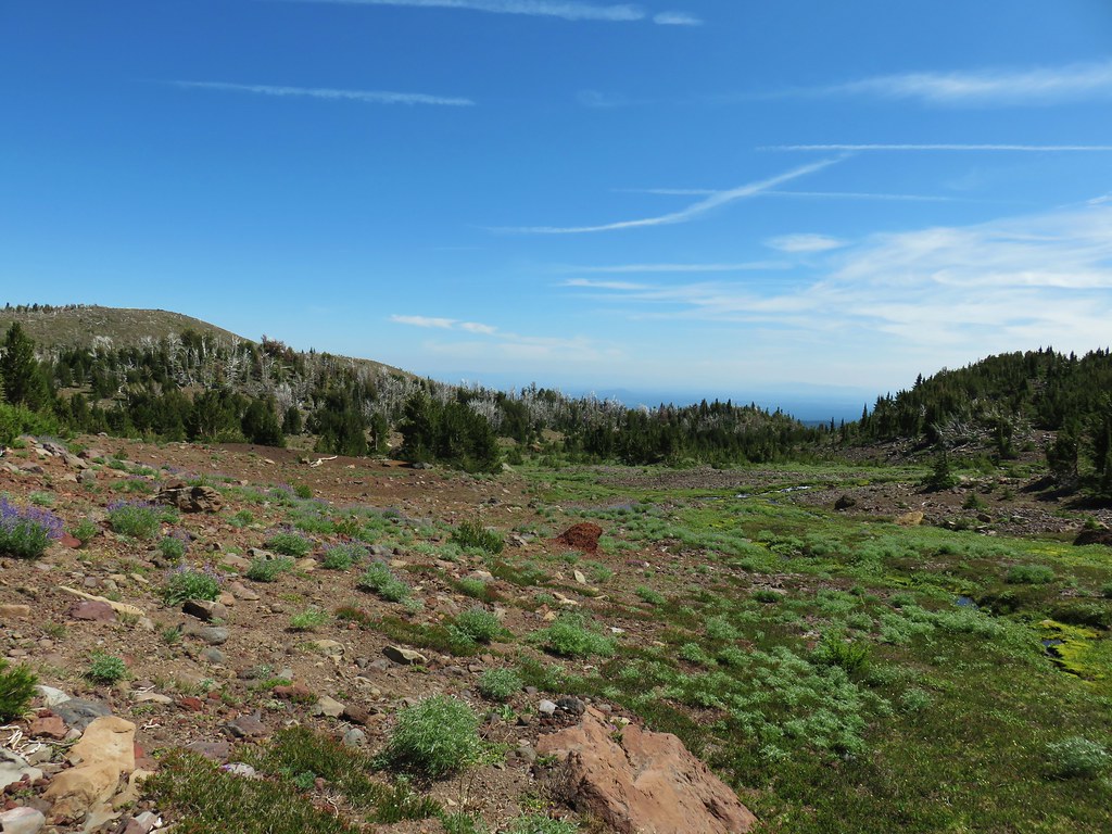
Just under 3.5-miles from the trailhead I arrived at a lava flow which the Obsidian Trail climbs over providing the loop’s first set of great views.


Partridgefoot

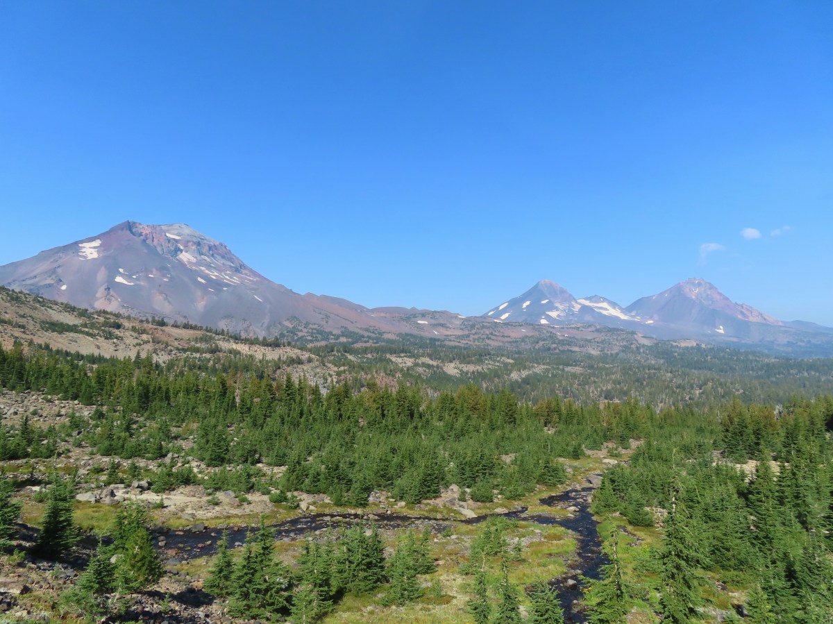
North and Middle Sister

Scott Mountain (post) on the left.

Belknap Crater (post), Mt. Washington, and Mt. Jefferson

Belknap Crater, Mt. Washington, Mt. Jefferson, and Little Belknap Crater

Buckwheat

North and Middle Sister as the trail began to descend to the White Branch.

White Branch crossing. I was able to rock hop and keep my feet dry.
On the far side of the White Branch is a junction with the Glacier Way Trail.

Lupine and a patch of snow on the far side of the White Branch.

Both of the trails lead to the Pacific Crest Trail 1.4-miles apart The Glacier Way meets the PCT near Sunshine, a large meadow, in 0.7-miles and the Obsidian Trail meets the PCT near Obsidian Falls in 1.7-miles. This allows for a nearly 12-mile lollipop loop. It is also where the hike that shall not be named went awry. Sullivan described a 15-mile loop using the PCT and Scott Trails, but I failed to pick up on needing to use the Glacier Way Trail in order to keep the milage to fifteen. Just as we’d done in 2012, I stuck to the Obsidian Trail only this time I knew what I was signing up for. The only thing I wasn’t sure of was how much snow might still be lingering in the area. I was carrying micro spikes and prepared to either turn back or bail on the Glacier Way Trail if need be.
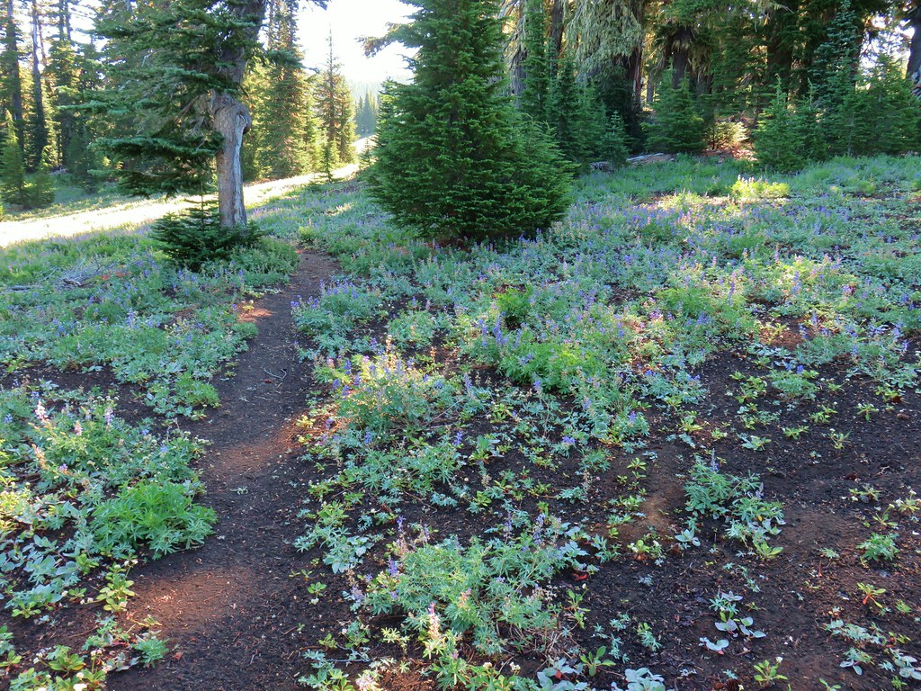
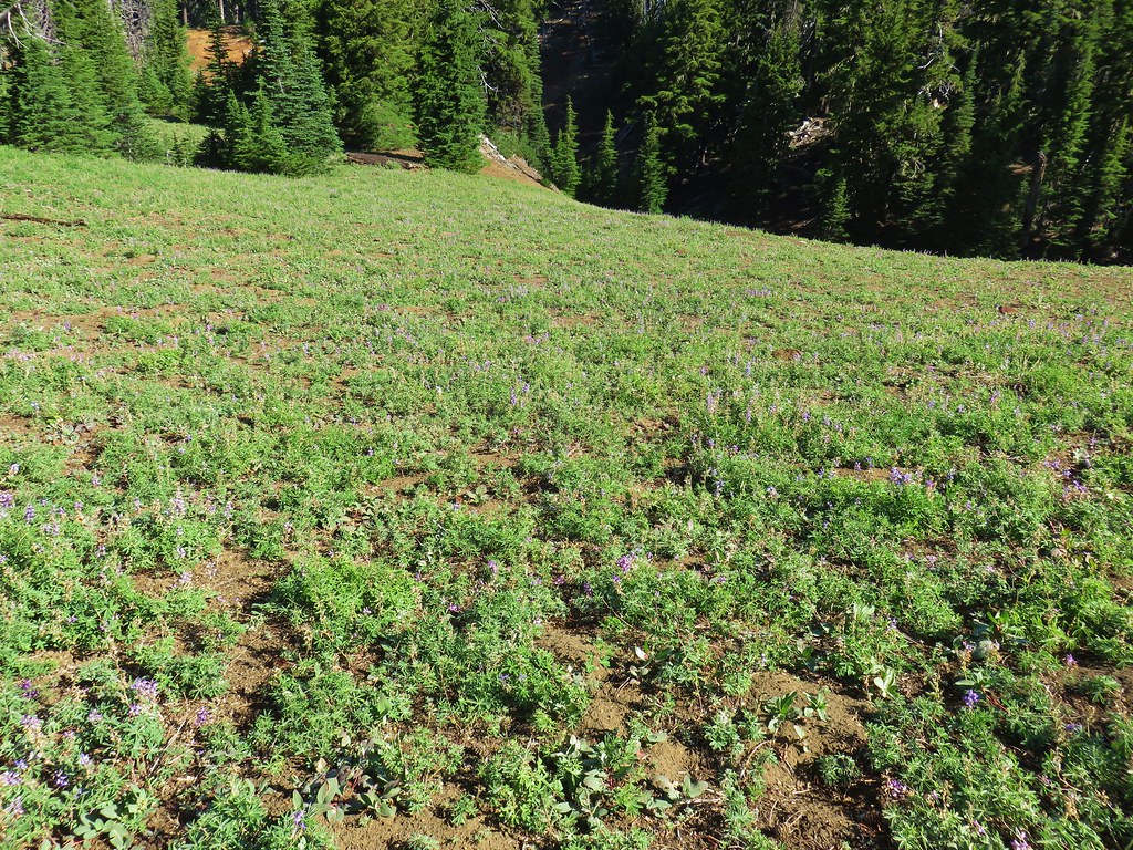
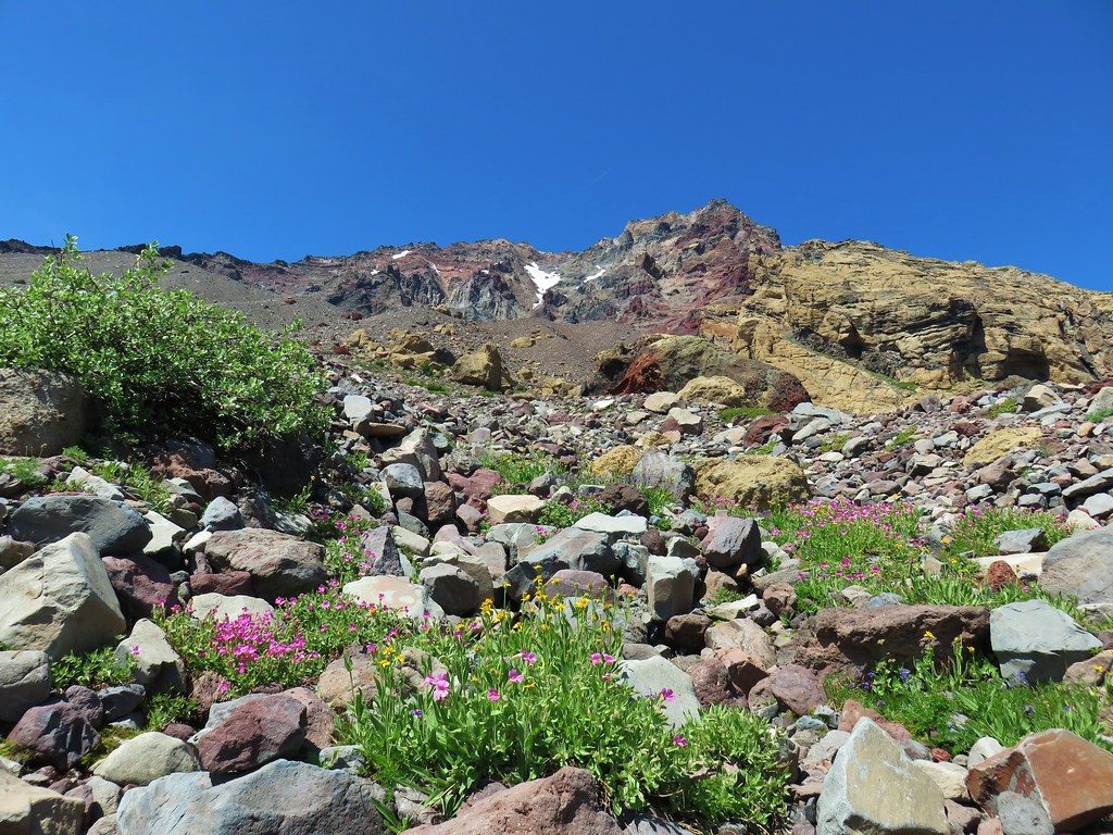
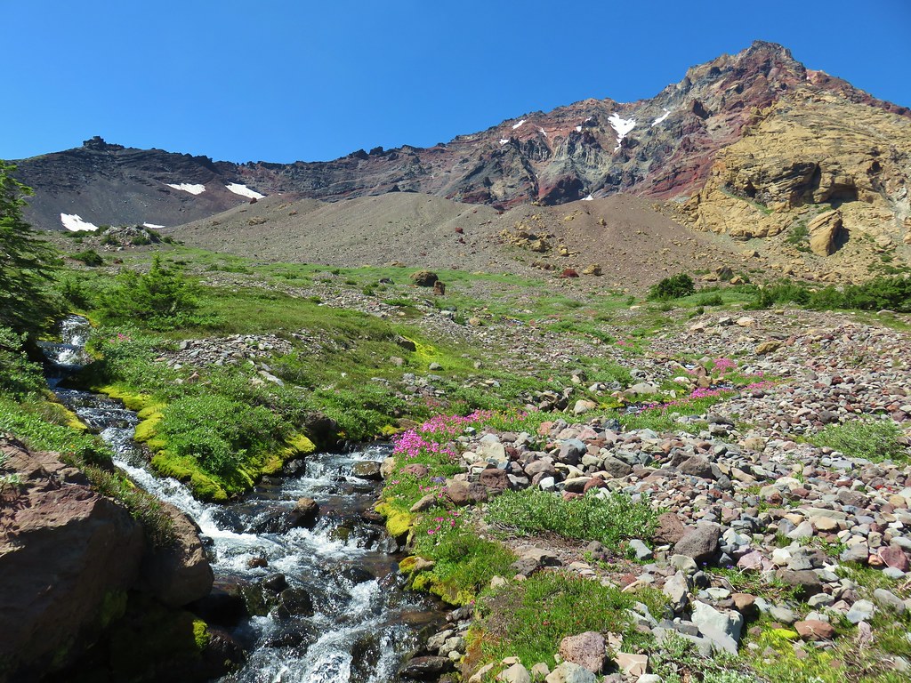
Beyond the junction the Obsidian Trail climbed more steeply before reaching a series of meadows along the South Fork White Branch.

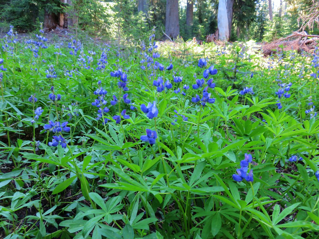
There was a lot of lupine in bloom along the trail.

There were quite a few patches of snow starting at 5800′ but most were easy to cross without needing the spikes.

More trail work.

I did put the spikes on to cross this patch since it was on a fairly steep hillside.


When the trail leveled out near the meadows start looking for obsidian in and along the trail.

Middle Sister from one of the meadows.

The same meadow in 2012.


Alpine false dandelion

Sub-alpine mariposa lily

Alpine wild buckwheat

Cobwebby paintbrush

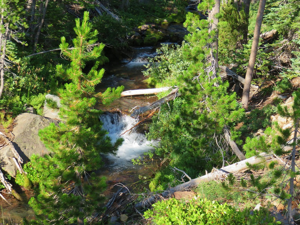
South Fork White Branch

More patchy snow.

Second crossing of the South Fork White Branch in the meadows.

Western pasque flowers going to seed.

Western pasque flower still in bloom.

Heading back to the trees near Obsidian Creek.
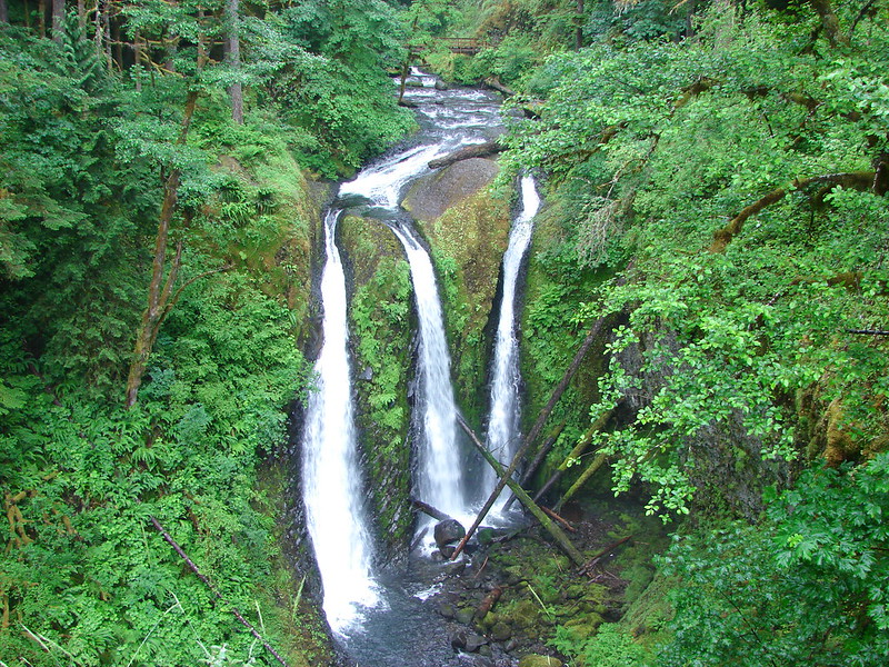
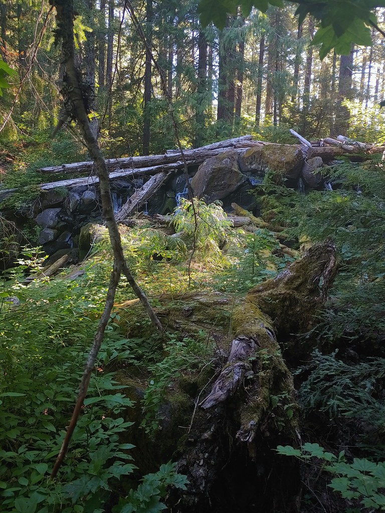
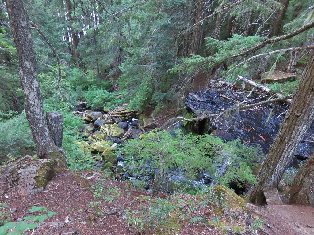
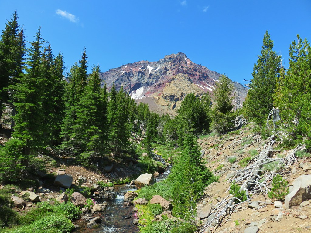
The trail descended to a crossing of Obsidian Creek below Obsidian Falls then climbed to a junction with the Pacific Crest Trail.


Obsidian Creek

The top of The Husband sticking up above the trees.

Jacob’s ladder

Junction with the PCT.
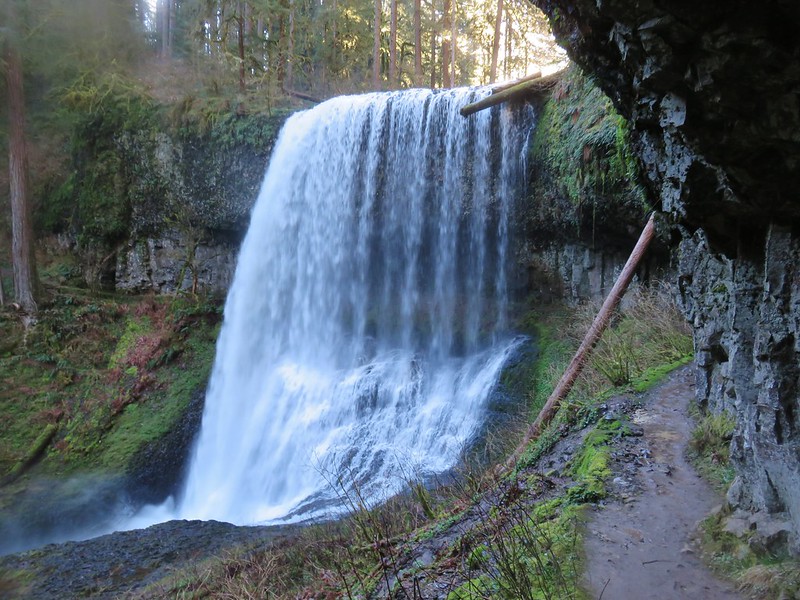
I turned left onto the PCT which switchbacked up above Obsidian Falls. I made the short detour down to the viewpoint below the waterfall.


Spur to the base of the falls on the left.

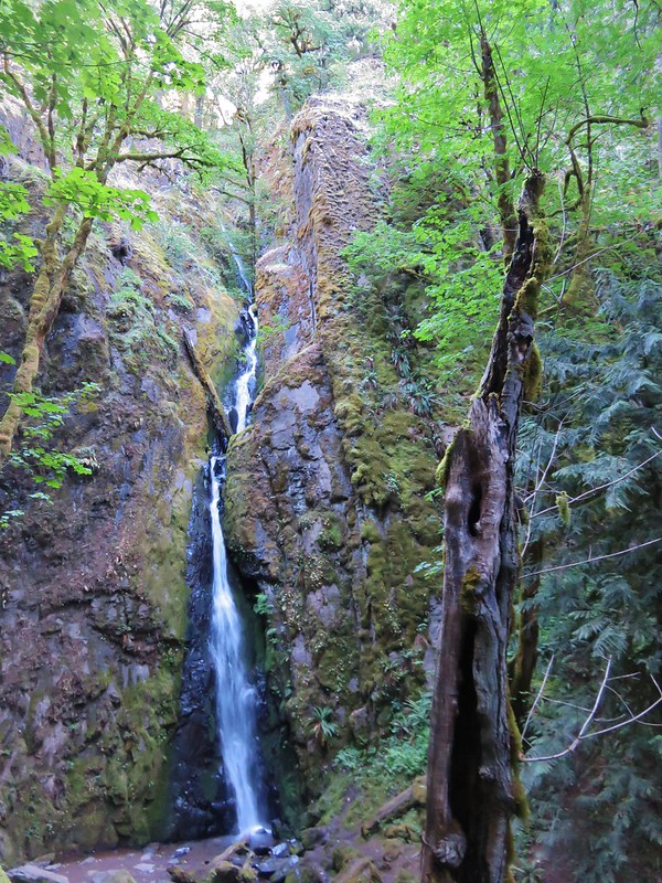
Obsidian Falls

Obsidian Falls from the PCT.
Above the waterfall the PCT levels out on a wide plateau with a view of the Middle Sister.


Looking back down Obsidian Creek.

The headwaters of Obsidian Creek.

Spring feeding the creek.
There were two large snowfields still covering the PCT along this section but given the terrain was flat and there were well established footprints they were fairly easy to cross.

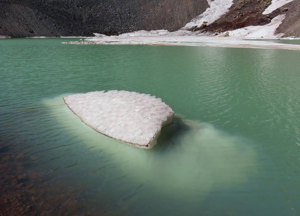
The first snowfield passed one of several ponds on the plateau, this one being frozen.

Frozen Pond.

The same pond in October 2012.

The second snowfield crossing.

Roughly the same spot in 2012, note the small pond ahead.

The small pond today.

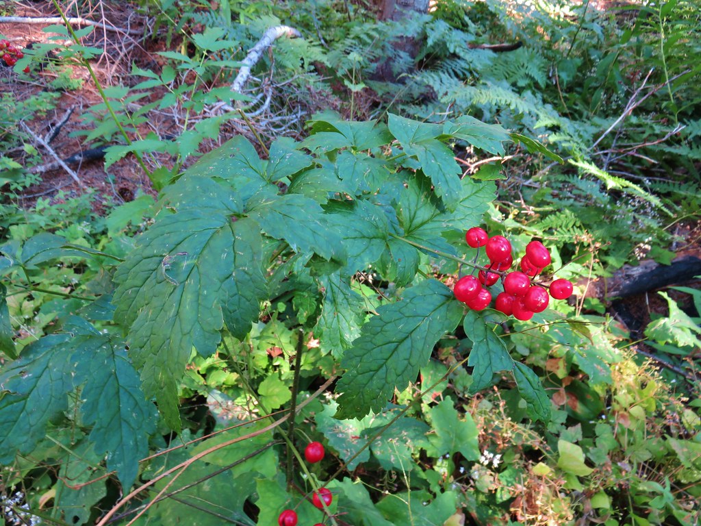
Obsidian

Little Brother ahead.

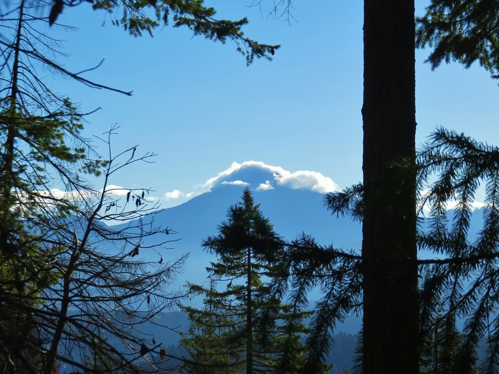
North Sister
At the northern end of the plateau the trail begins a descent into Sunshine, a large meadow along Glacier Creek.

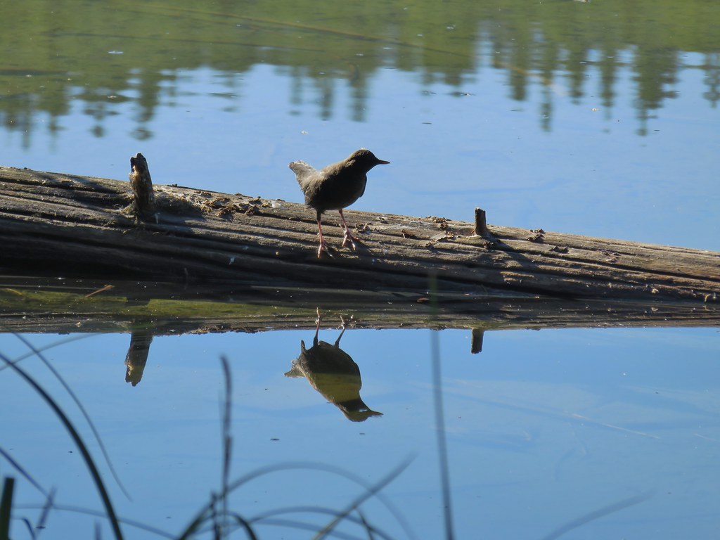
User trail leading down to Glacier Creek. I did see one person down at the creek gathering water.

View from the junction with the user trail. If you look closely, you can see the person who was getting water near the trail crossing of the creek below.
There were more patches of snow to navigate as I made my way down to Sunshine on the PCT but nothing had been too bad, so I decided not to bail when I passed the Glacier Way Trail junction and continued down to Glacier Creek.


Belknap Crater and Mt. Washington were once again visible.

I ended up going around this one.

Sign at the junction.

A closed user trail that has been replaced by the one up above.

The PCT crossing Glacier Creek.

Paintbrush
Beyond Glacier Creek the Pacific Crest Trail did some ups and downs before arriving at Sawyer Bar, a crossing of the White Branch at a lava flow.


Leaving the Obsidian area.

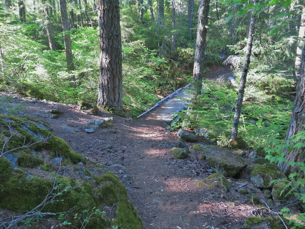
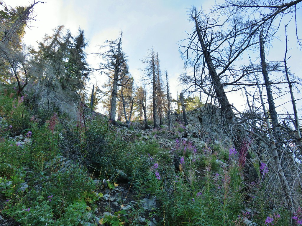
I’d also left the maintained trail area. This was probably the worst obstacle of the day but there were a number of downed trees along this section of the PCT and later on the Scott Trail.

Lots of lupine again.

The PCT made a hard right turn to the east at the lava flow.


Belknap Crater, Mt. Washington, Three Fingered Jack and Mt. Jefferson
It had been a little hazy to the north all morning, and I had started getting a faint whiff of smoke every once in a while, after crossing Glacier Creek. Looking at the sky as I neared Sawyer Bar it was obvious that smoke from the Cram Fire over 60 miles away just NE of Madras was being blown into the area by the NE winds.

North Sister and Little Brother

Dropping down to Sawyer Bar. There was still a snowfield over the White Branch.
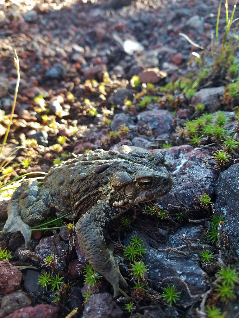
My arrival at Sawyer Bar was loudly announced by a resident yellow-bellied marmot.

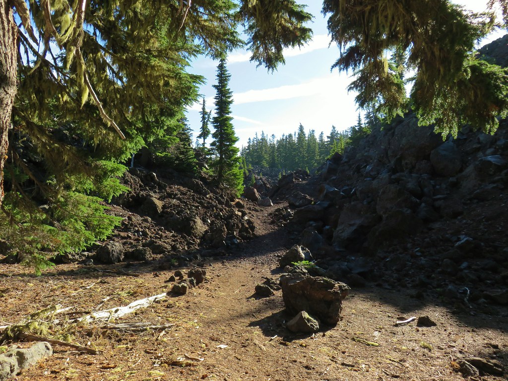
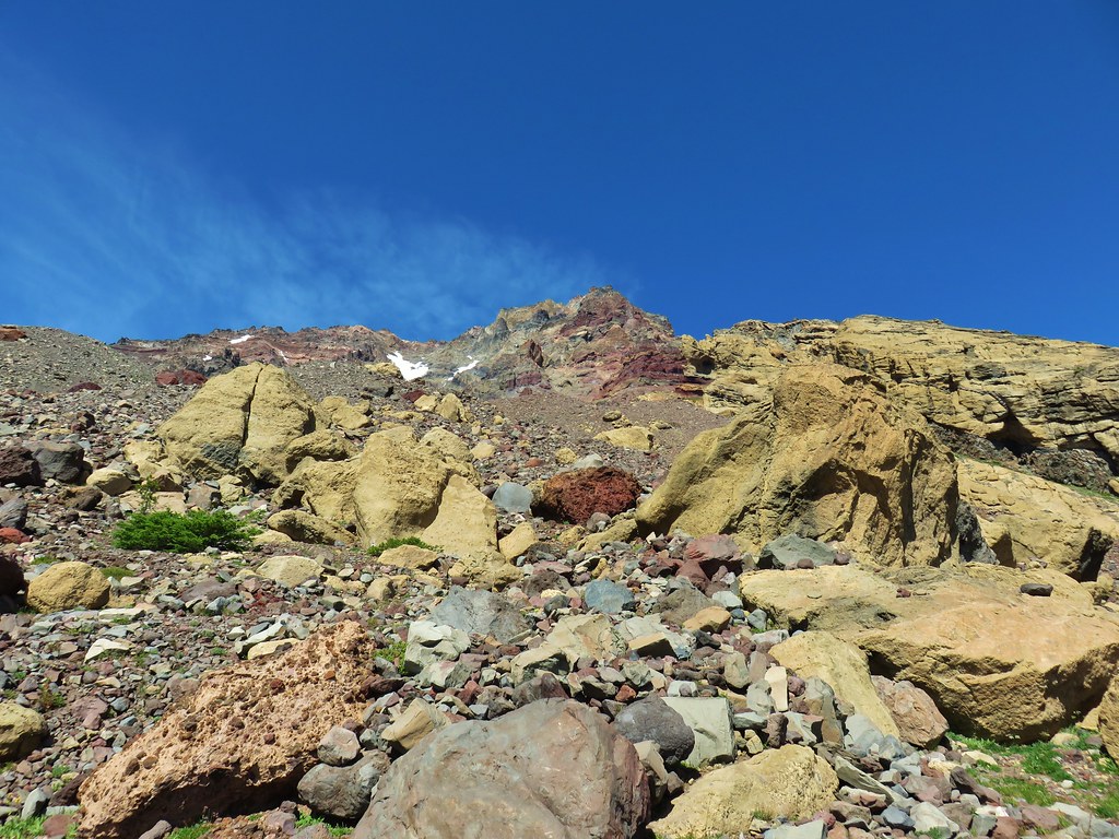
After a brief stint in some sparse trees the trail entered the lava flow and headed for a narrow chute where it switched back relentlessly in the loose volcanic rock.


Collier Cone poking up ahead.

Paintbrush

Heading into the chute with the Sun above.

Penstemon

Sorrel

Looking back down from near the top.

Goldenrod
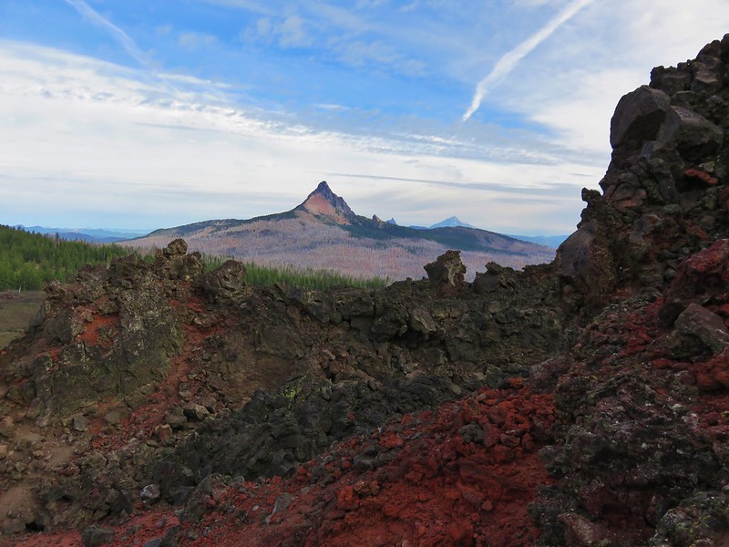
I wasn’t sure if I was going to be able to climb up onto the rim of Collier Cone as we had in 2012 due to the presence of snow, but after reaching the top of the chute and seeing the use trail into the cone I could tell that it would be possible.

The high point of Collier Cone from the PCT.

Catchfly

North and Middle Sister from inside the cone. I was following use trails toward the low point along the rim to save myself some effort.

Looking back at the smoke from the Cram Fire flowing through Santiam Pass.

The opposite side of the cone.

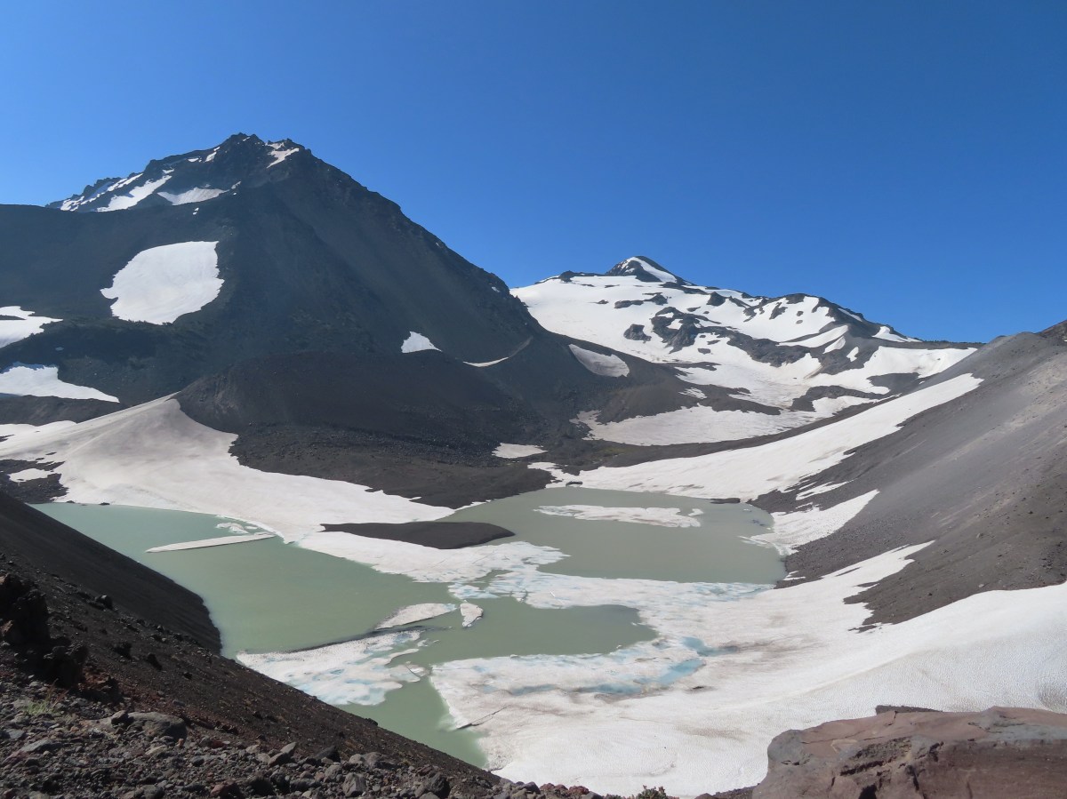
North and Middle Sister from the rim. The glacial lake at the bottom is from melting snow and the shrinking Collier Glacier.

Middle Sister and Little Brother

The view was a little different in 2012.
The wind was whipping pretty strongly but I took advantage of a couple of large cinder rocks to take a seat, have some food, and change my socks before continuing.


Silvery raillardella

Dwarf alpinegold

Heading down to the PCT.

On last look back from the PCT.
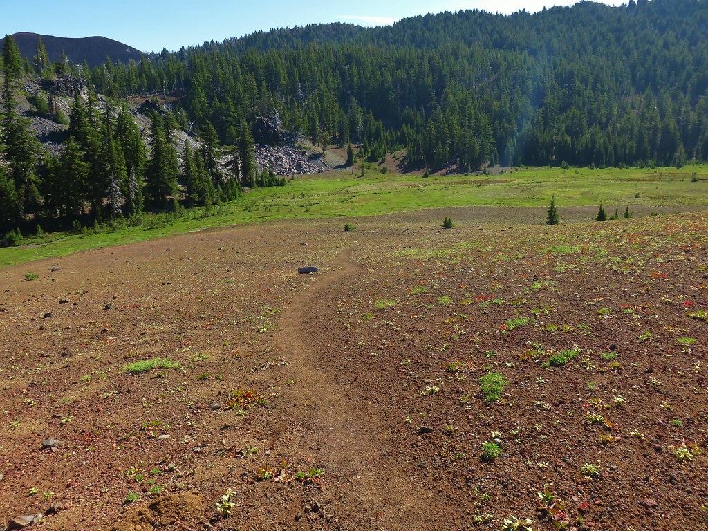
I continued north on the PCT rounding Collier Cone’s ridge and then descending for almost a mile and a half to Scott Meadow.


I passed a hiker and her dog just before rounding the ridge here, the first I’d seen other than the person getting water from Glacier Creek.
After rounding the ridge I spotted the sketchiest snowfield of the entire hike, but having just seen the hiker and dog coming from that direction helped boost my confidence.

I put my micro spikes on for the second time today and carefully made my way across the soft melting snowfield. That was the last time the spikes felt necessary, but not the end of the snow patches.

Collier Cone, North Sister and Little Brother from the far side of another snow patch.

There was evidence of some glissading down this patch to the PCT below. I was able to avoid most of the snow by looping around it.

I just had to cross this short section in order to loop around the rest.

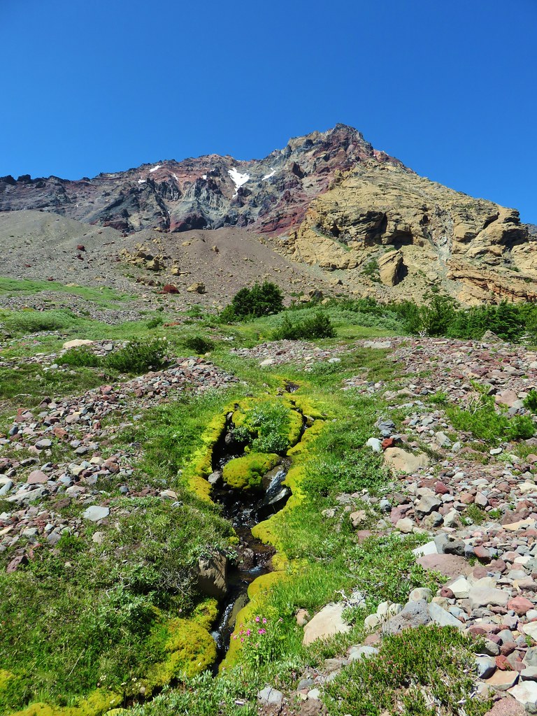
The creek along the trail here is not named on maps and is shown as seasonal.

The final snow patch along the PCT before Scott Meadow.

Almost to the meadow.
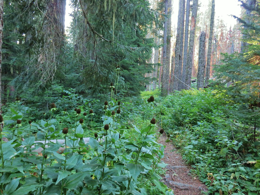
This would mark my fourth visit to this meadow. The first was of course in October 2012 and the third was in August 2019 on our Four-in-One Cone hike. In between those two hikes was a July 29th visit during our Matthieu Lakes hike (post). The 2013 hike had been the only one where there were any flowers to speak of blooming in the meadow. At that time it was primarily lupine with some scattered paintbrush, and a host of mosquitos. I had been expecting mosquitos all day, but whether it was timing, the breeze, or the DEET I had applied before setting off there had been almost no sign of them all morning and it was the same at the meadow.

I’m not sure my timing could have been much better for the flowers this year. It took me a bit to cover the 0.2-miles between the start of the meadow and the Scott Trail junction.


Paintbrush and cinquefoil

Western pasque flowers

Alpine speedwell

Lupine


Alpine false dandelions, speedwell, cinquefoil and possibly some pussytoes.

California tortoiseshell

Bog laurel
The meadow through the years.

October 14,2012

July 29, 2013

August 14, 2019

Today

The junction with the Scott Trail.
I turned left onto the Scott Trail and followed it up an open hillside.


Yapoah Crater to the left.
After making the climb the trail gradually descended to a cinder field near Four-in-One Cone.


Pussy paws

Four-in-One Cone
A user trail leads up the cone and despite the lack of views we had made the 0.4-mile detour along the top. That detour had been the last straw for our son who didn’t realize that it wasn’t part of the loop needed to get back to the car. When he got to the top and found out it was just an out-and-back side trail he was not at all happy with me. I didn’t make the side trip this time given the increasing smoke on the horizon and the fact that Heather and I had gotten to enjoy the view in 2019.

Looking back at the side trail after passing it.

The view from the trail below Four-in-One Cone isn’t too bad.
Beyond Four-in-One Cone the Scott Trail briefly continues through the cinder field before skirting the tree line next to a lava flow.


North Sister and an increasingly hazy sky.
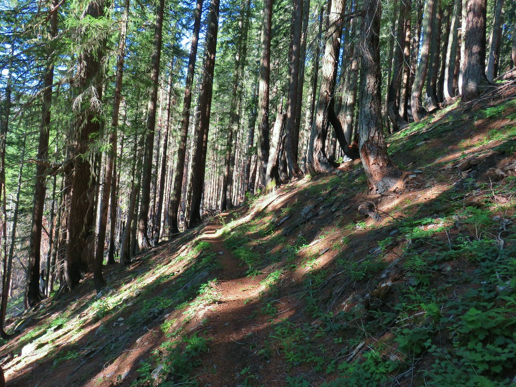
The Scott Trail eventually crosses over the lava flow then enters the forest as it descends toward the McKenzie Highway.


Sign reminding visitors there are no campfires allowed above 5700′.

There were more snow patches in the forest but nothing much on the trail itself. A bigger issue was the amount of blowdown along the trail; however, I did pass a trail crew working their way up the trail.

Fritillary on valerian

Queen’s cup

Lousewort

Rosy spirea

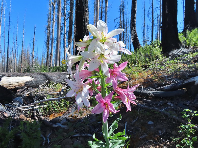
Fading Washington lilies.

Strawberry blossoms

Larkspur
I had been watching for the connector trail and keeping my eye on the GPS, but somehow I completely missed it. I did pass a decommissioned trail with a closed for rehabilitation sign. In 2012 there had been a sign at the junction but by 2019 the sign was missing but the trail was obvious.

The connector trail on the right coming from the opposite direction that I was headed.
The Forest Service page for the Obsidian Trailhead still lists the Obsidian Tie Trail and as providing access to the Scott Trail which leads me to believe I just didn’t notice it, but it’s also possible that it has been decommissioned and the trail that I had passed after just setting off is now just a connector to the Obsidian Equestrian Trailhead.
Missing the connector wasn’t the end of the world as the Scott Trail crosses the McKenzie Highway a little over a quarter mile from the tie trail (or former tie trail).

It was when I reached this meadow that I knew I’d missed the turn.

Looking across the meadow.

Shooting stars

The highway from the wilderness sign.
I popped out onto the highway and turned left for a 0.6-mile road walk to the Obsidian Trailhead.


Historical marker for the 1862 Scott Road.

It was another third of a mile to my car along the gravel road to the trailhead.
I saved myself a little over a mile by not retracing our side trip across Four-in-One Cone, but missing the connector trail added almost a third of a mile so instead of an 18.6-mile loop like 2012 my GPS came in at 17.8-miles. Skipping Four-in-One-Cone also shaved off a little over 100′ of elevation gain leaving today just under 3400′ of cumulative gain.

Not sure why the Garmin map shows the PCT going along the rim of Collier Cone. It looks as though there is a use trail around the rim, but it certainly is not the PCT.
This was an excellent hike with spectacular views and some nice wildflowers. I was pushing the timing as far as snow goes, but this year has been warm and dry enough that it was passable (with micro spikes) this early. The lack of mosquitos was a huge blessing.
The only bummer was the arrival of the smoke from what has become a very serious fire. As of my writing this on July 16, 2025, the fire is over 64,000 acres with zero containment. Many people have had to evacuate, and many others are on standby to do so. Our prayers go out to them and to the responders doing everything they can to get the blaze under control.
Flickr: Obsidian Loop


 This photo is from CA but it actually shows the namesake Red Buttes


 Closest thing to a “wilderness sign” we saw for this one.


 One of two phantom orchids we saw along the trail.
 Newish looking wilderness sign.
 Maples overhanging the trail.
 Madrone trunks
 It’s a pretty narrow scramble so probably not for kids or those uncomfortable with heights.
 A lone madrone at the end of the fin.
 Looking toward the falls. (The North Sister is back there too but not visible due to the lighting.)
 Rainbow Falls on Rainbow Creek
 The best I could do with the lighting.
 Looking up Separation Creek.
 Looking back up along the rocks.

 Pink pyrola
 Crossing of Gold Creek which was nearly dry but it hosted a fair number of mosquitos.
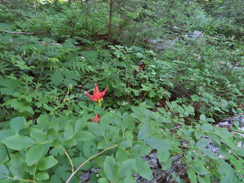 Columbine, bunchberry, and wild roses.
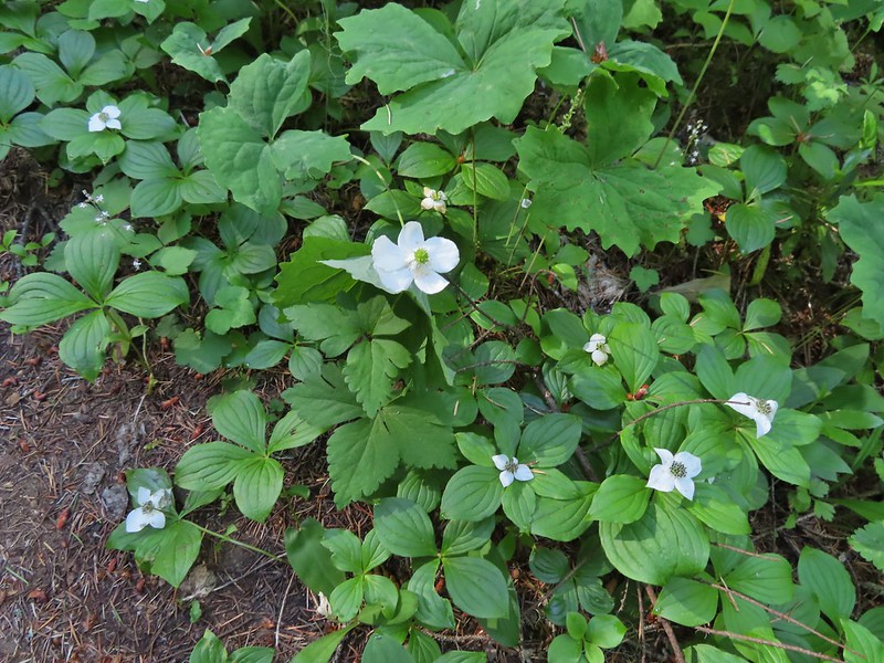 An anemone with some bunchberries
 Entering the Three Sisters Wilderness
 Queen’s cup
 Beargrass
 Candy sticks
 Rhododendron
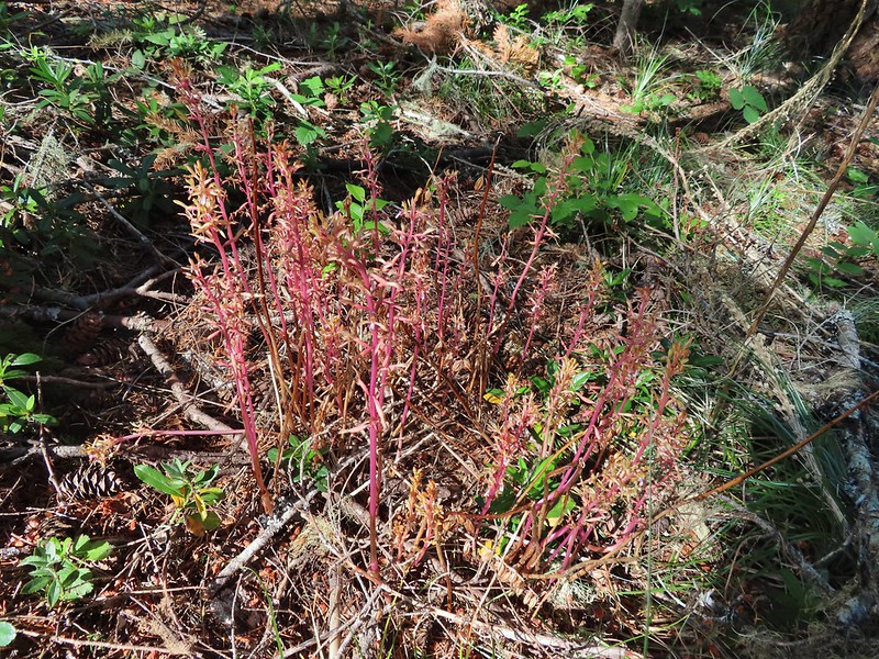 Pacific coralroot
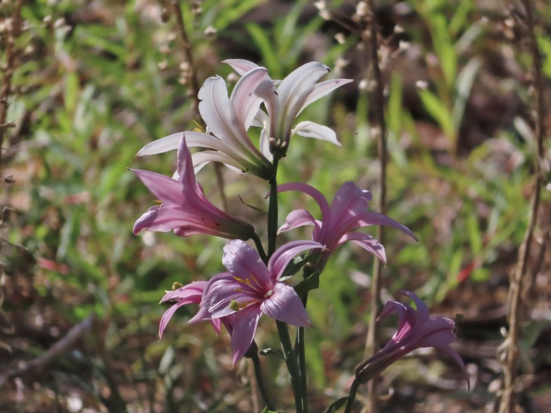 Washington lily
 Lupine
 Squirrel
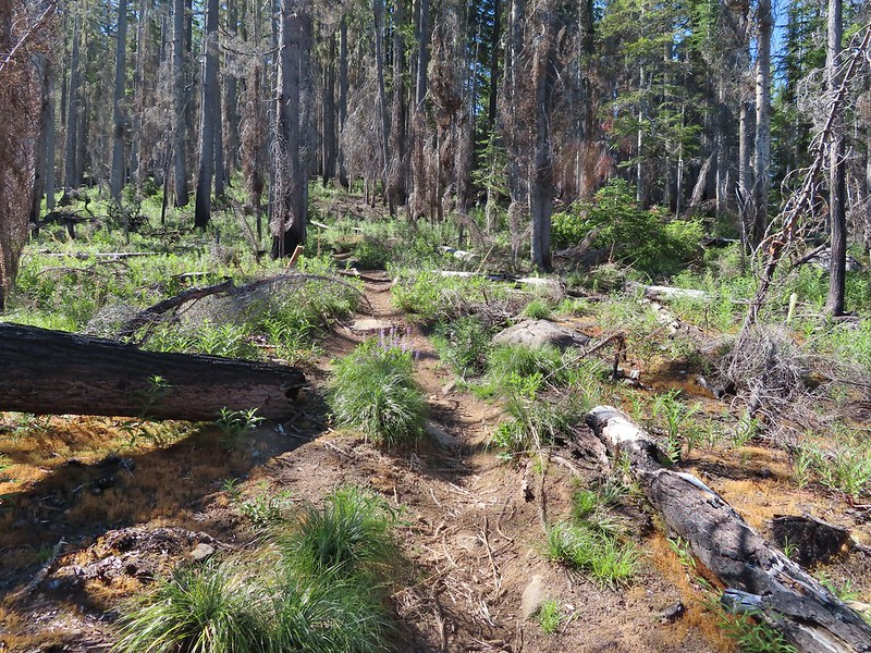
 Tiger lily
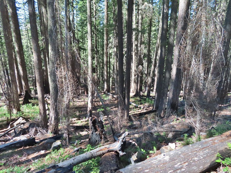
 Twinflower
 Leaving the green trees behind.
 Washington lilies
 They smell as good as they look too!
 This one was a monster.
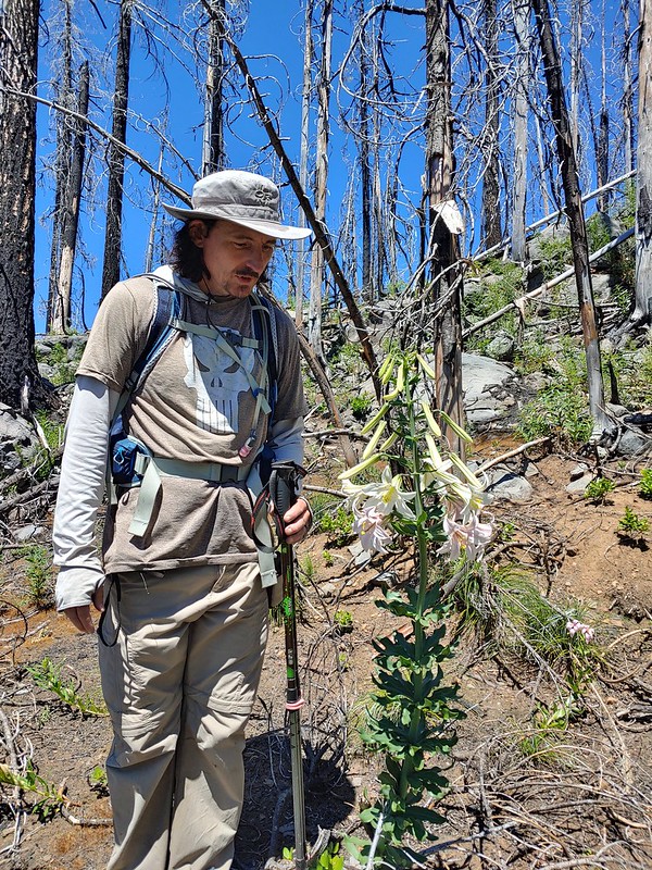 Chest high
 Crab spider on the lower left petal.
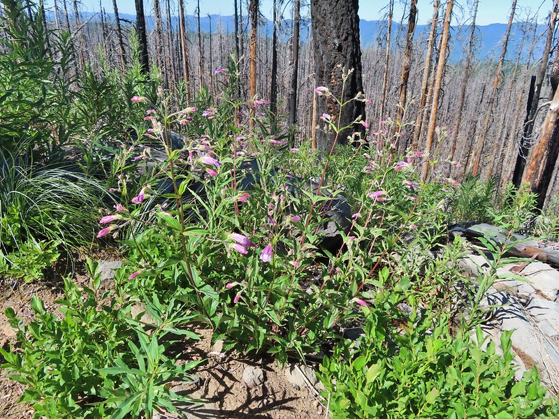 Penstemon
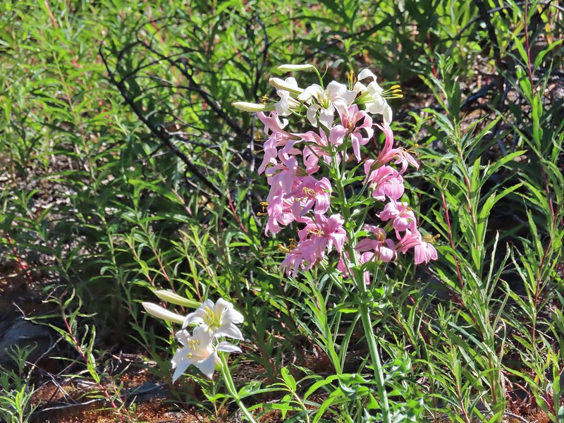 Earlier in the week I had been reading that the blossoms turn pink after being pollinated.
 Clodius parnassian
 Pretty moth
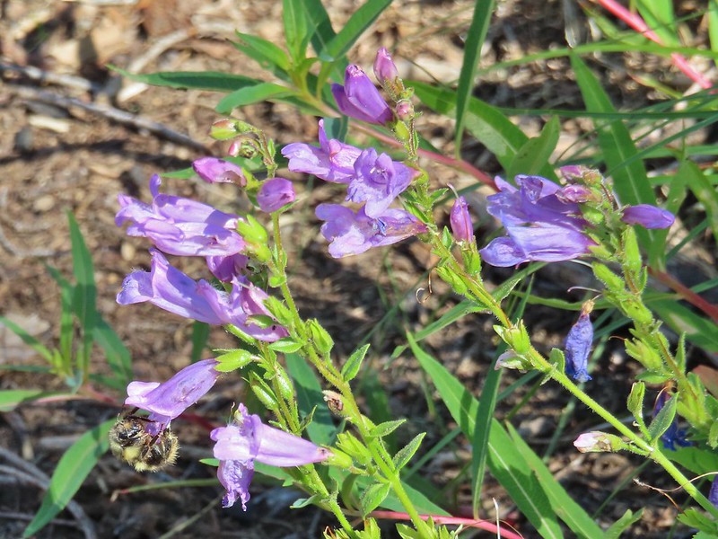 Penstemon
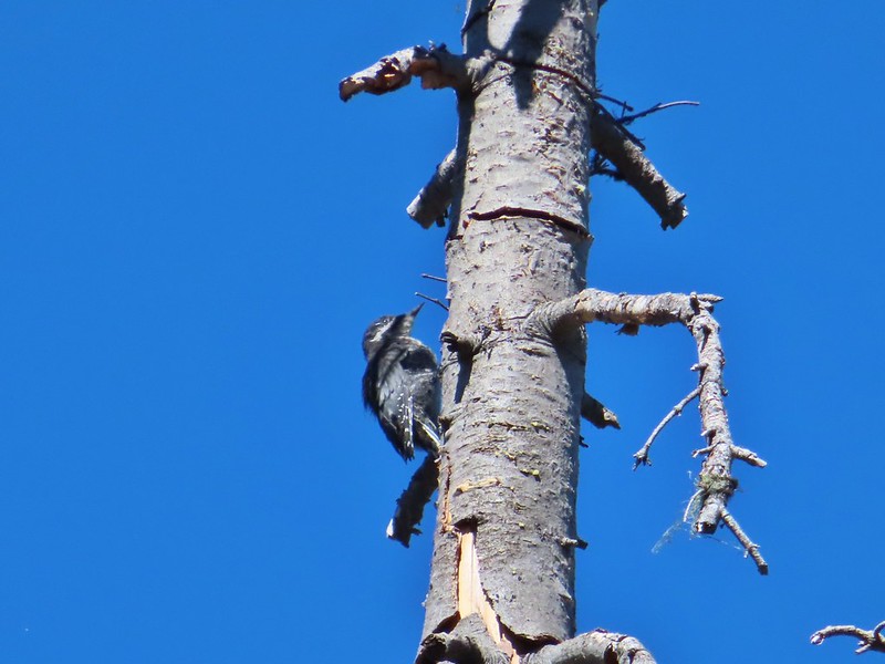 Woodpecker
 Pond along the trail.
 Water lilies
 Looking toward Proxy Point
 The Husband, South Sister, and the shoulder of Substitute Point.
 Frog along the trail.
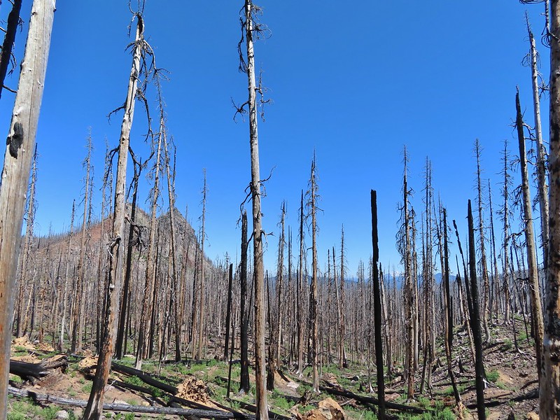 Proxy Point, Scott Mountain (
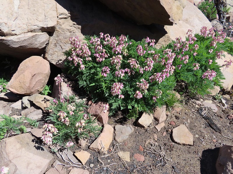 Bleeding heart
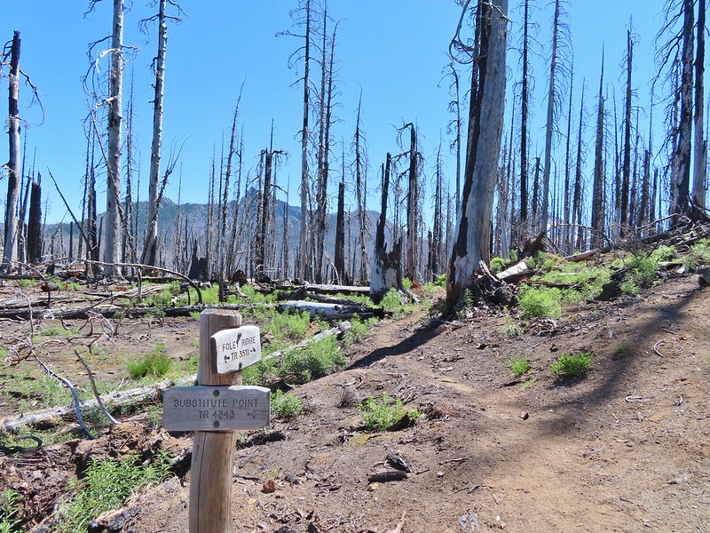 The Husband from the junction.
 This was sort of a mean trick, the trail entered these green trees then almost immediately switched back into the burn.
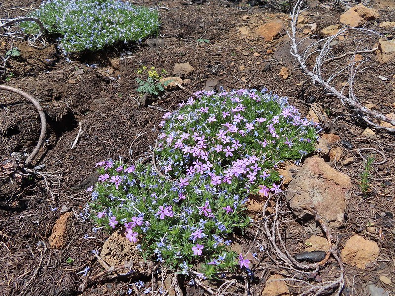 Phlox
Phlox
 Mt. Bachelor from the trail.
 Proxy Point
 Some unburned forest and a view of Diamond Peak.
 Diamond Peak (
 The Little Brother and North & Middle Sister behind The Husband with South Sister to the right.
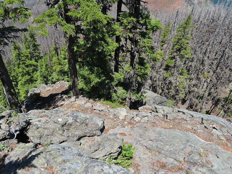 The trail leading up.
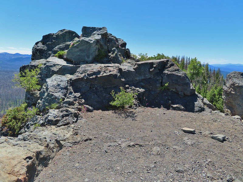 The summit of Substitute Point
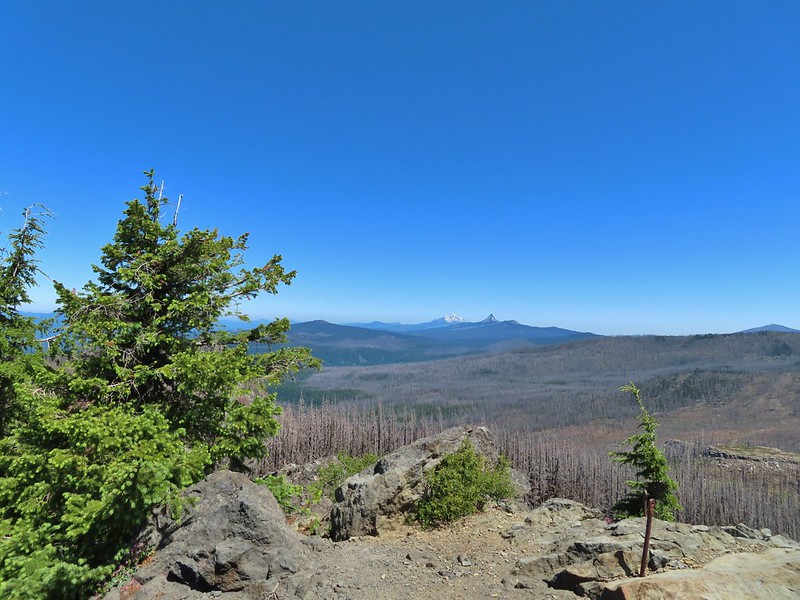 Scott Mountain, Three Fingered Jack, Mt. Jefferson, Mt. Washington, and Belknap Crater (
 Proxy Point and Scott Mountain.
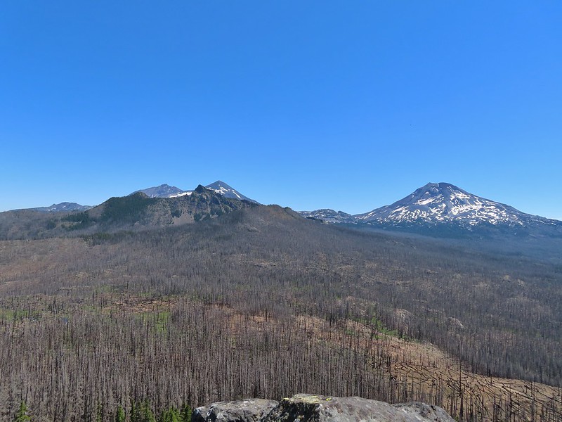 The Three Sisters, Little Brother and The Husband
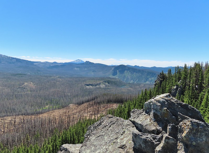 Mt. Bachelor, The Wife, and Sphinx Butte.
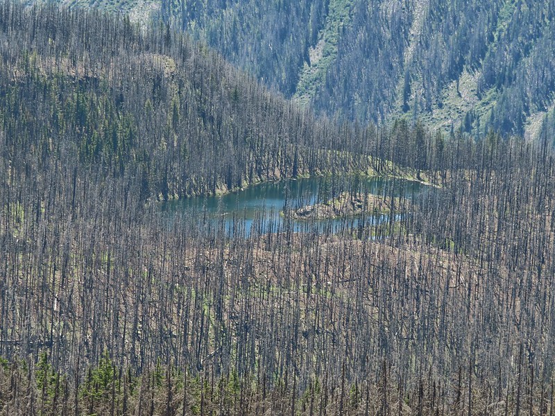 Kidney Lake
 Mt. Bachelor and The Wife
 North and Middle Sister behind The Husband
 Three Fingered Jack, Mt. Jefferson and Mt. Washington
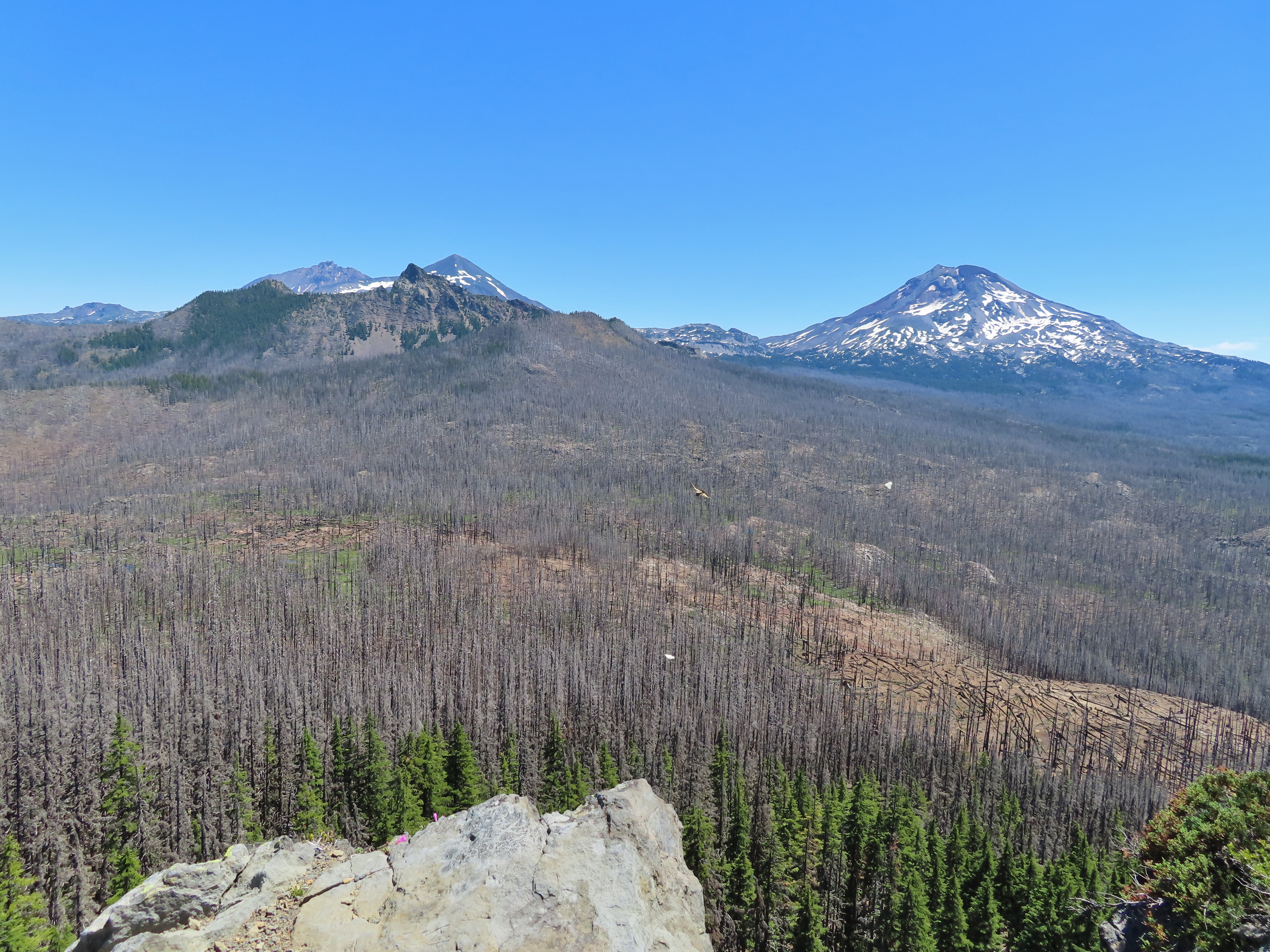 A swallowtail and two whites (maybe clodius parnassians) in flight.
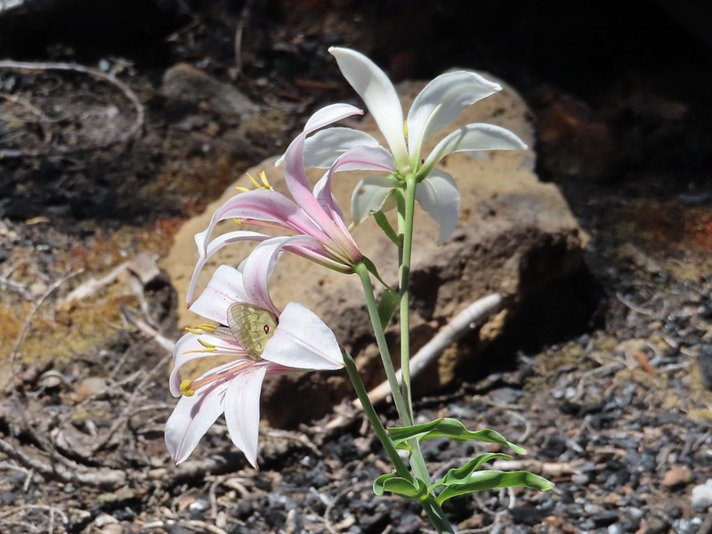 Clodius parnassian in a blossom.
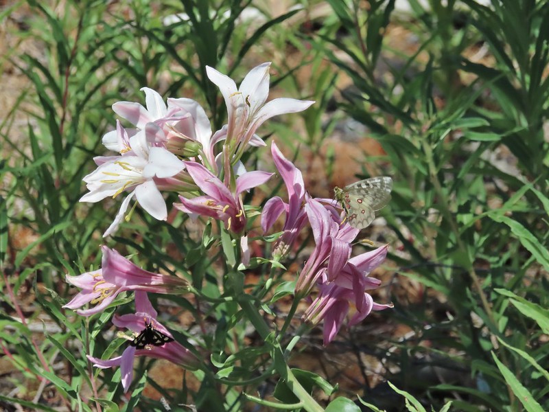 Moth and a parnassian.
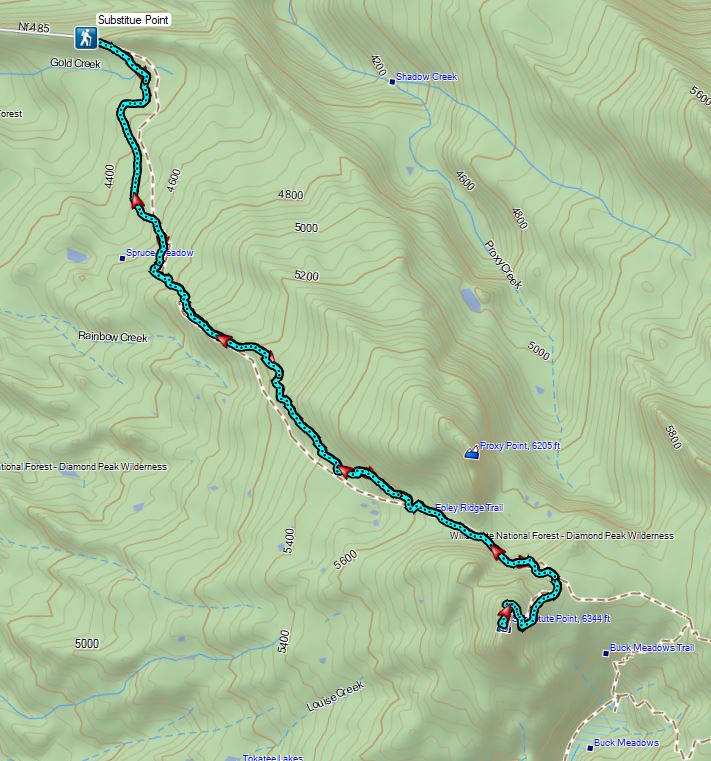


 Middle North Falls
 Shellburg Falls
 Jawbone Flats
 Tumble Lake from Dome Rock
 Mt. Jefferson from Battle Ax
 View from Stahlman Point
 Meadow below the Three Pyramids
 Beargrass on Crescent Mountain
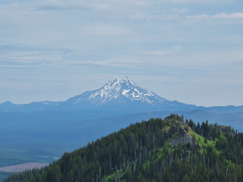 Mt. Jefferson from Browder Ridge
 Boardwalk in Echo Basin
 Iron Mountain from the trail.
 Soda Creek Falls
 Majestic Falls
 Roaring Creek
 Three Fingered Jack from Marion Lake
 Mowich Lake and Duffy Butte from Red Butte
 Wizard Falls
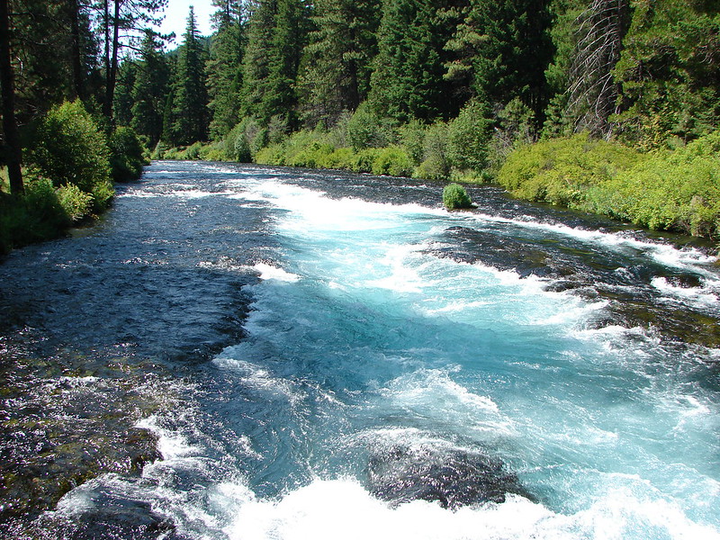
 Deschutes River

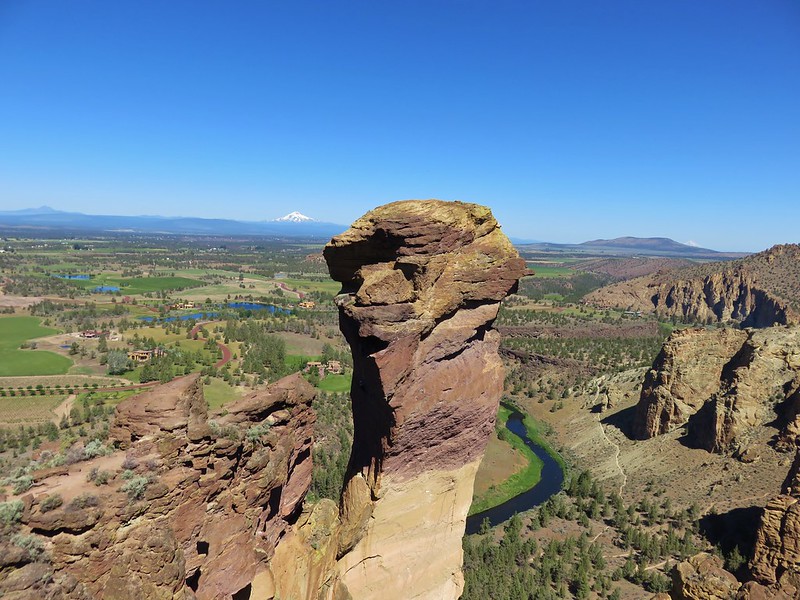 Monkey Face
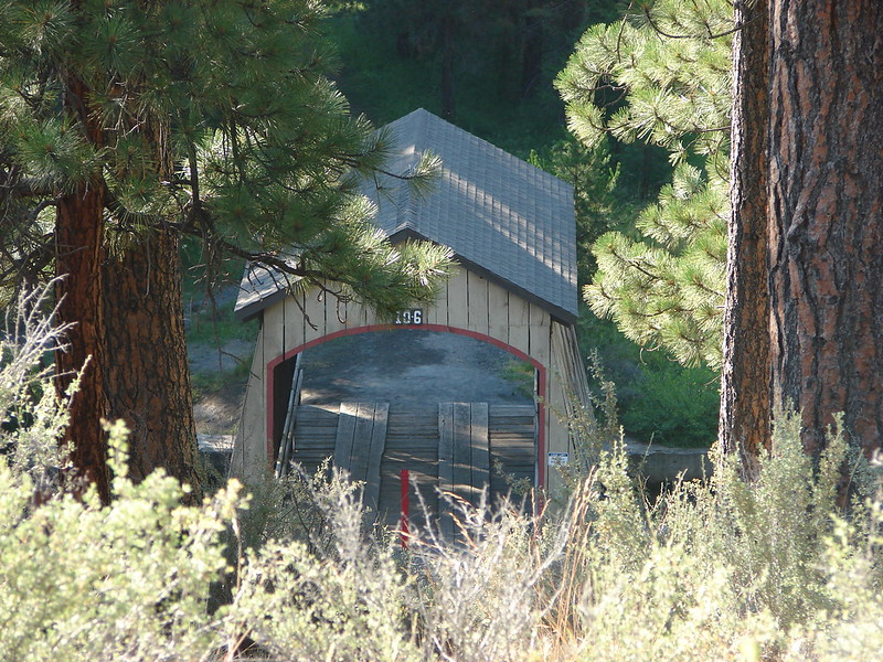 Hixson Crossing Covered Bridge
 Benham Falls
 Deschutes River
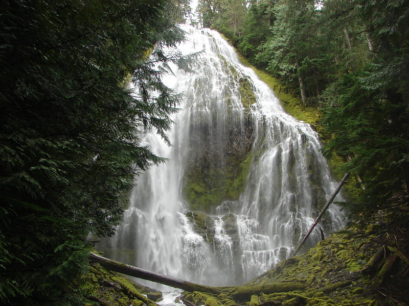 Proxy Falls
 Obsidian Falls
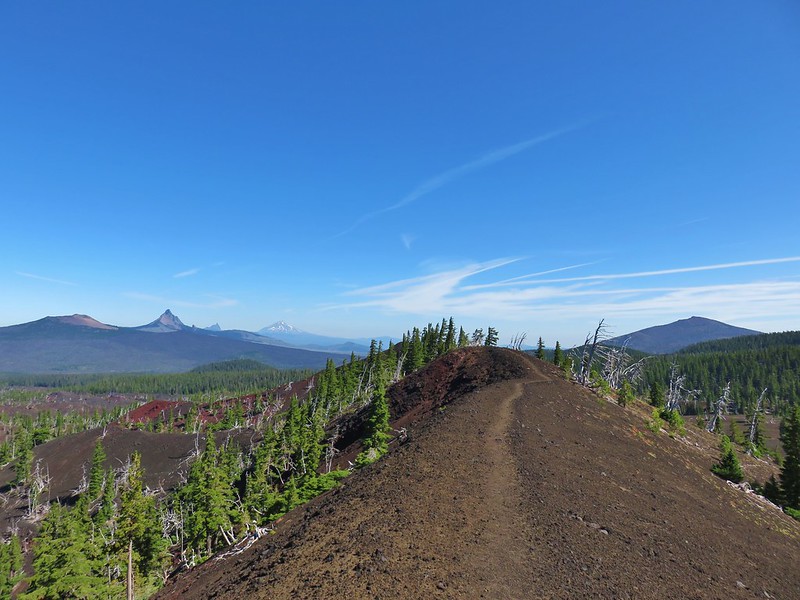 View from Four-in-One-Cone
 Mt. Washington, Three Fingered Jack, and Mt. Jefferson from Little Belknap Crater
 North Sister from South Matthieu Lake
 Former lookout site on Black Crater.
 South Sister from Camp Lake
 Broken Top and Broken Hand from Tam McArthur Ridge
 Trees near the summit of Tumalo Mountain.
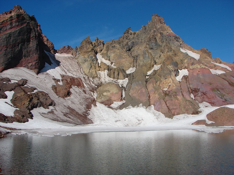 Broken Top from No Name Lake
 South Sister from Sparks Lake
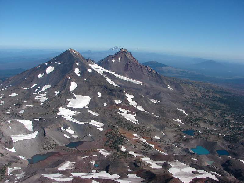 Looking north from the South Sister.
 South Sister from Sisters Mirror Lake
 Horse Lake
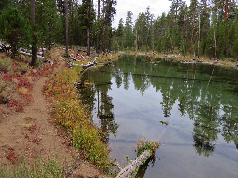
 Doris Lake
 Sahalie Falls
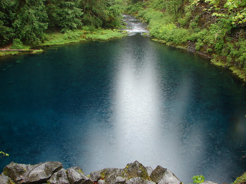
 Separation Lake
 South Sister and Mt. Bachelor form Horsepasture Mountain.
 View from Lowder Mountain.
 View from Tidbits Mountain.
 Monkeyflower and plectritis on Castle Rock.
 Middle Erma Bell Lake
 Fog over Eugene.
 Summit marker on Mt. Pisgah.
 Sawtooth Trail
 Lone Wolf Meadow
 Wildflowers along the Tire Mt. Trail.
 Buffalo Rock from the North Fork Willamette River
 Beargrass meadow along the Blair Lake Trail.
 Indigo Springs (These springs have not burned.)
 Moon Falls
 Upper Trestle Creek Falls
 Lower Eddeeleo Lake
 View from the Waldo Mountain Lookout.


 Pulpit Rock from Middle Rosary Lake
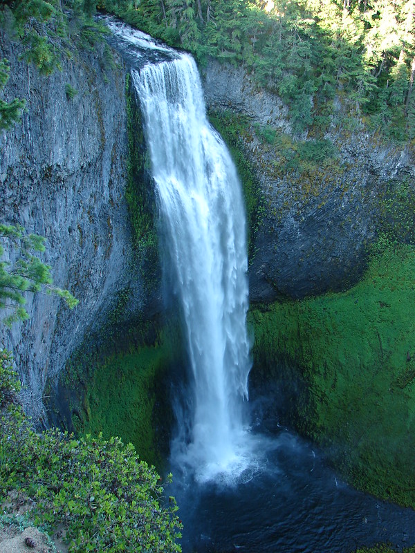
 Yoran Lake
 Diamond Peak from Diamond View Lake
 Huckleberry Bushes along Saddle Lake.
 Notch Lake
 Diamond Peak from Corrigan Lake
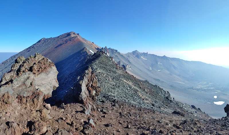 Diamond Peak
 Sawtooth Mountain from Timpanogas Lake


 Lower Erma Bell Lake from the climb.
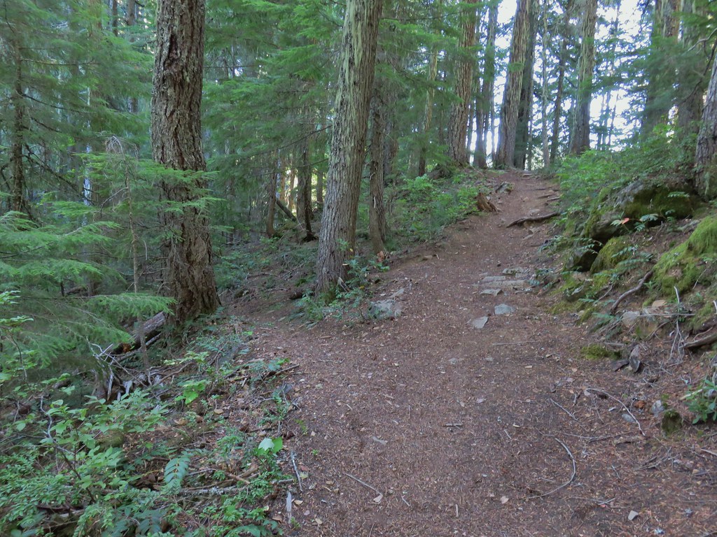
 Above the falls.
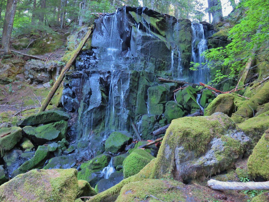

 Ouzel
Ouzel Ducks
Ducks Pond along the trail.
 Spur trail on the right to Upper Erma Bell Lakes.
 Paintbrush and aster along the lake shore.
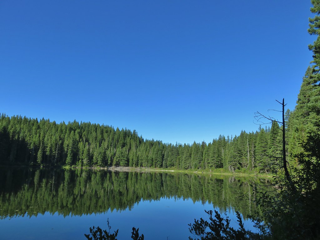 Upper Erma Bell Lake
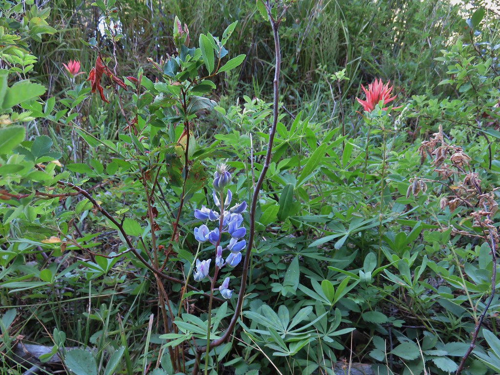 Lupine and paintrbush
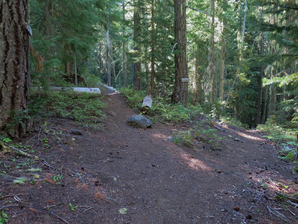 Judy Lake Trail on the right.
 Williams Lake Trail joining from the right.
 Grouse giving us the what for from a tree.
 Williams Lake
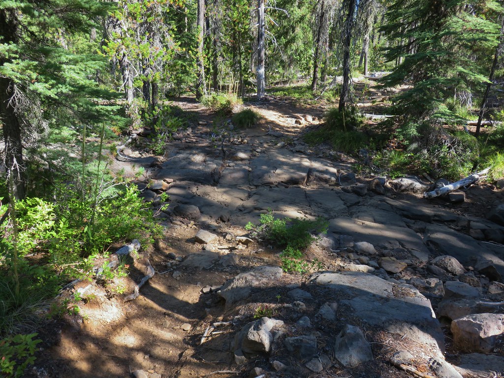 Dry creek bed near Williams Lake.

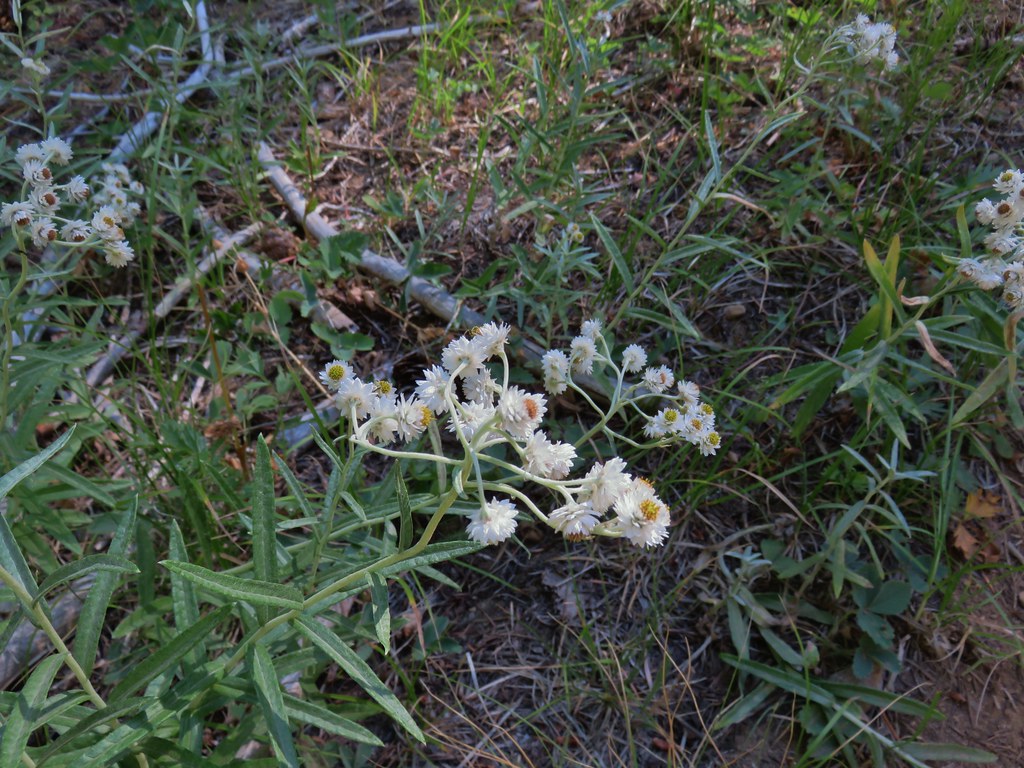 Pearly everlasting
 Fleabane
 Prince’s pine
 Mushroom
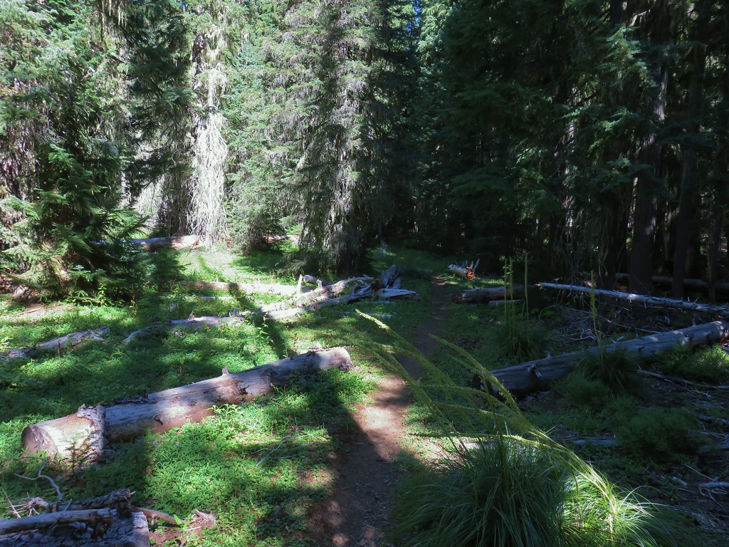
 Aster
Aster
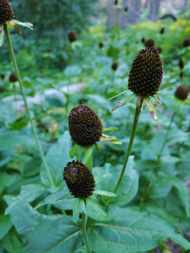
 Coneflower
 Paintbrush
 Paintbrush
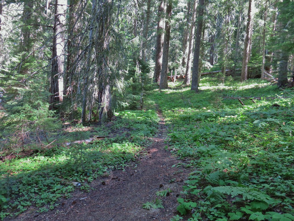

 Curious dragonfly
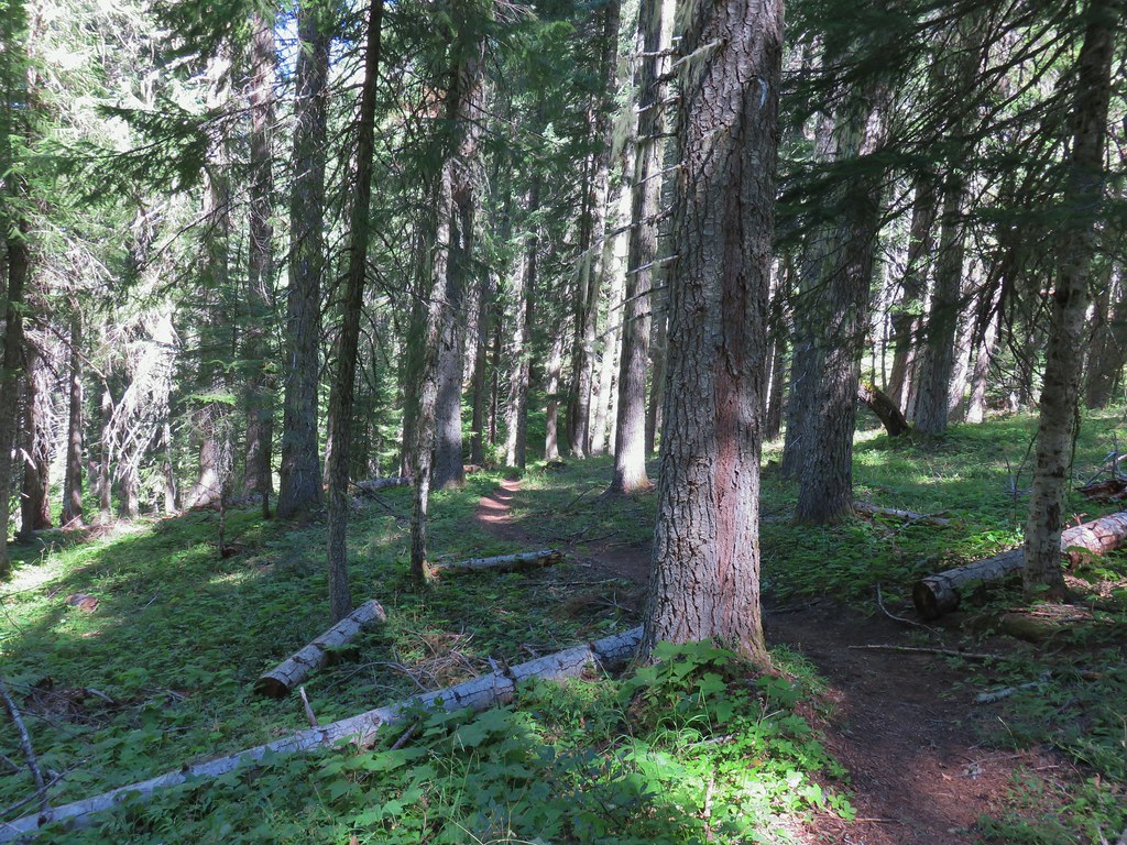


 Ghost Pipe aka Indian Pipe


 Arriving at Cedar Bog.
 One of a couple dry channels.
 North Fork Middle Fork
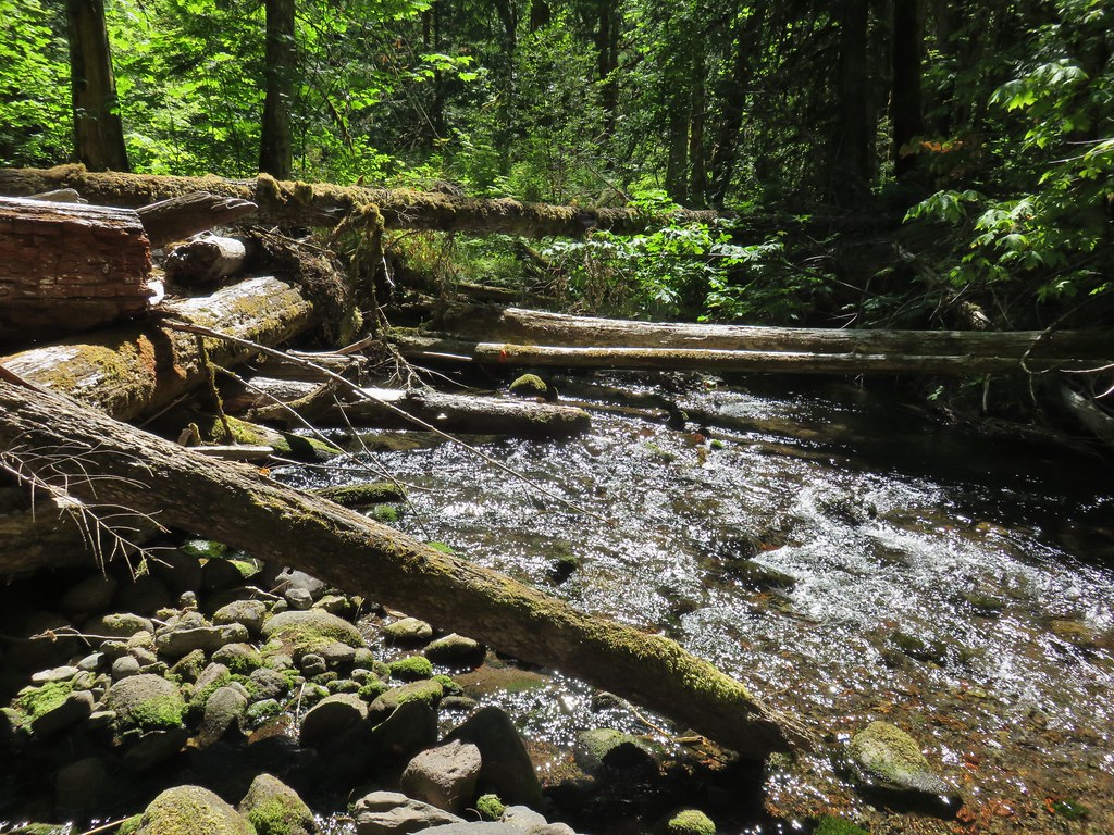 Flagging on a downed tree marking the continuation of the Shale Ridge Trail.
 North Fork Middle Fork at Cedar Bog
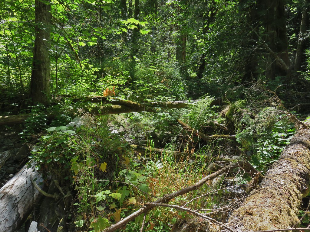 Orange flagging on the far side of the river.
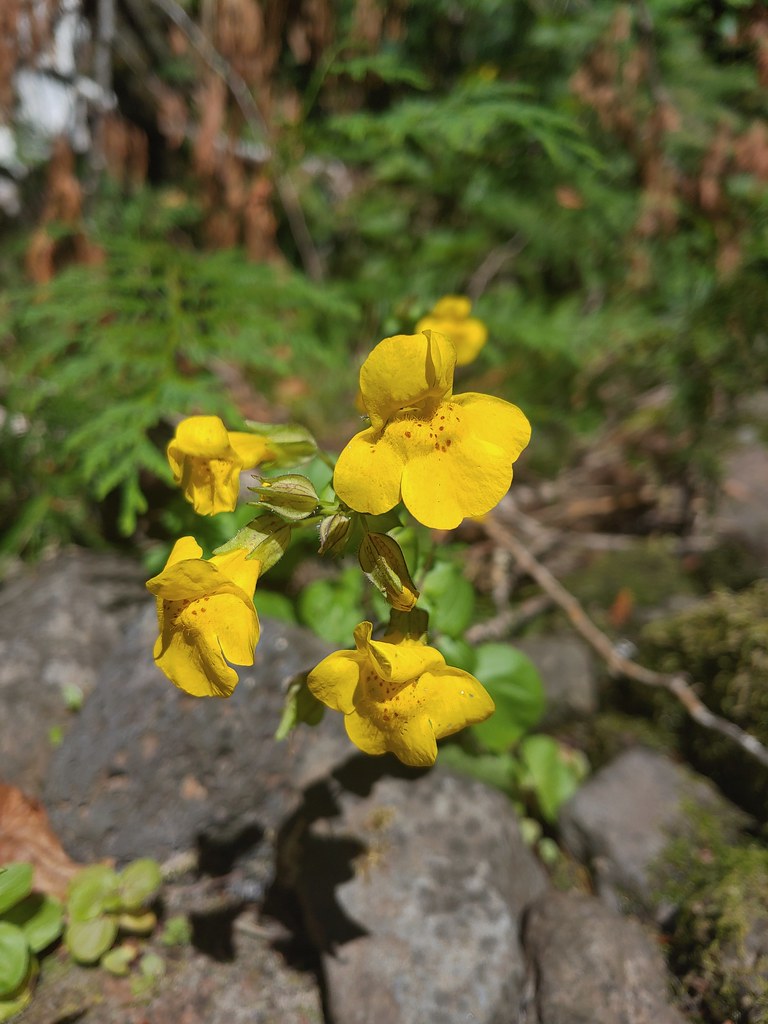 Monkeyflower at Cedar Bog
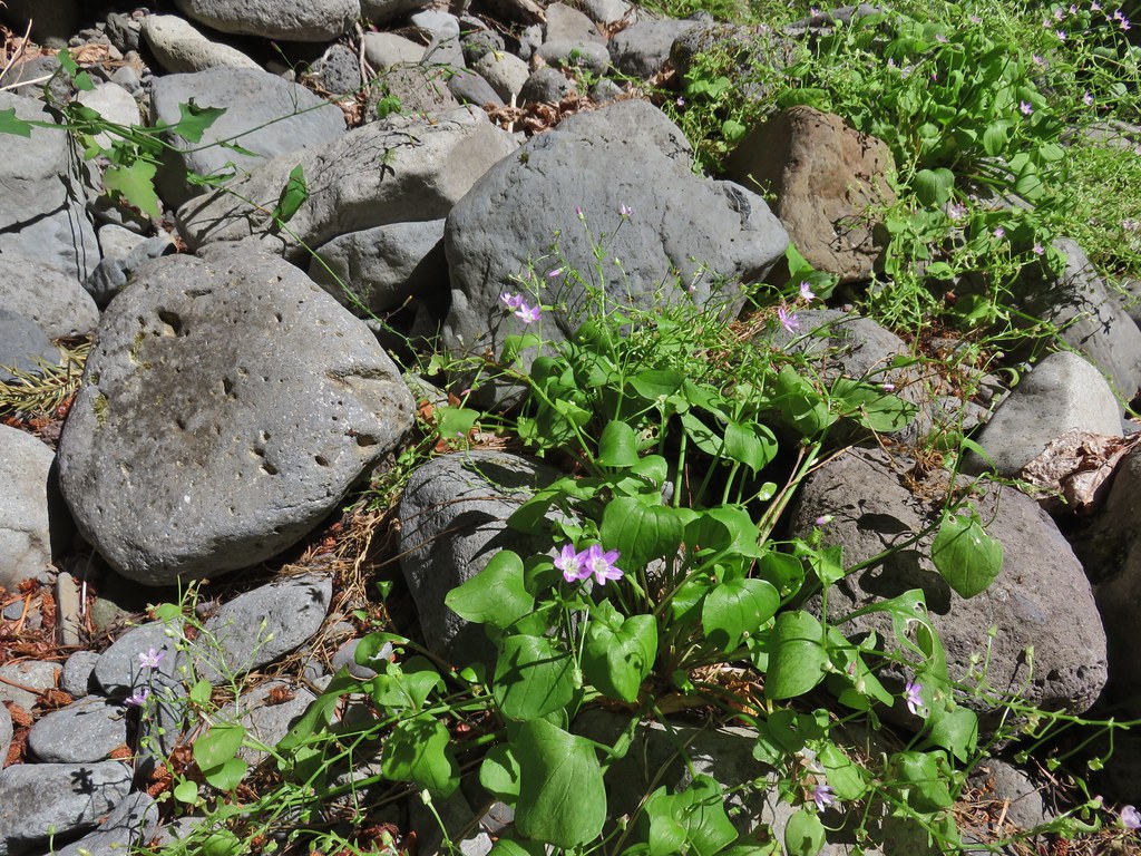 Candy flower


 Cone flower
 Cross country to Wolverine Lake.


 Baneberry
 Monkshood
 South Sister
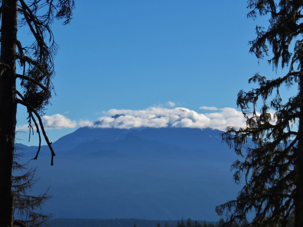 Middle and North Sister
 Mt. Washington
 Mt. Jefferson and Three Fingered Jack


 Aster and pearly everlasting
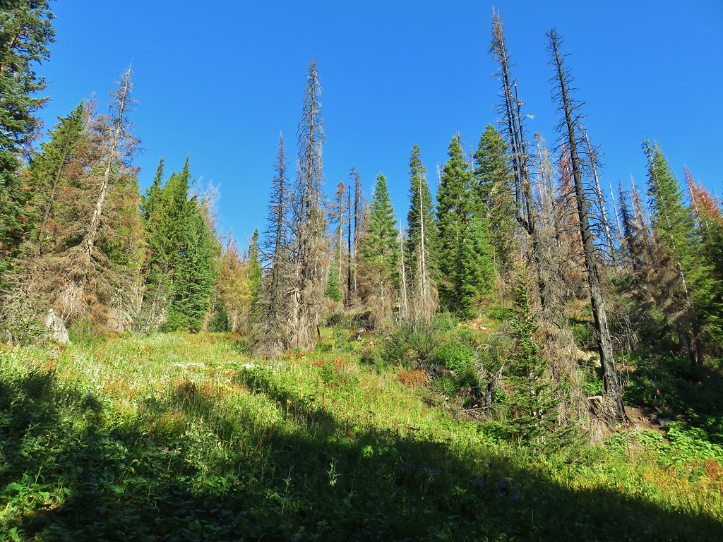
 Columbine


 Parts of the Cascades from Mt. Jefferson to the NE to Mt. Bachelor to the SE.
 Mt. Jefferson was still tangled up in the clouds.
 Just a peak at Mt. Washington (which was more than we could see of Three Fingered Jack)
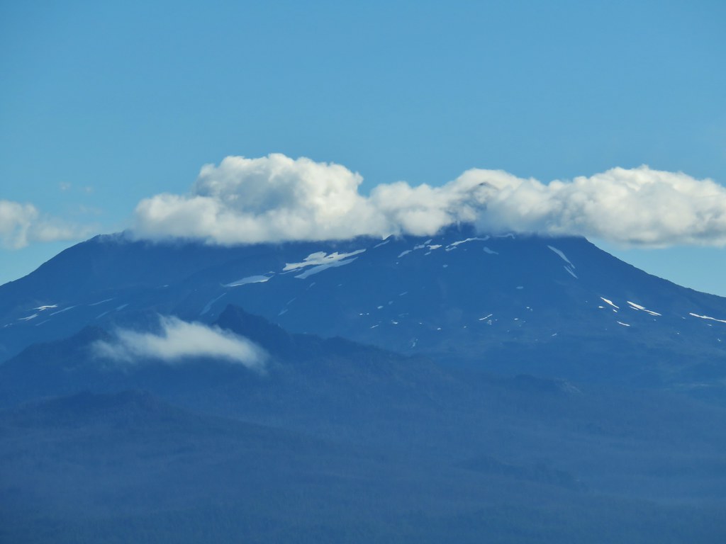 Middle and North Sister behind The Husband
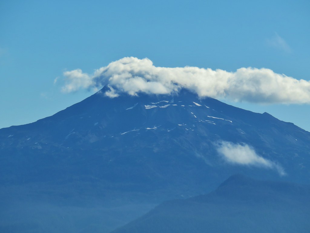 South Sister
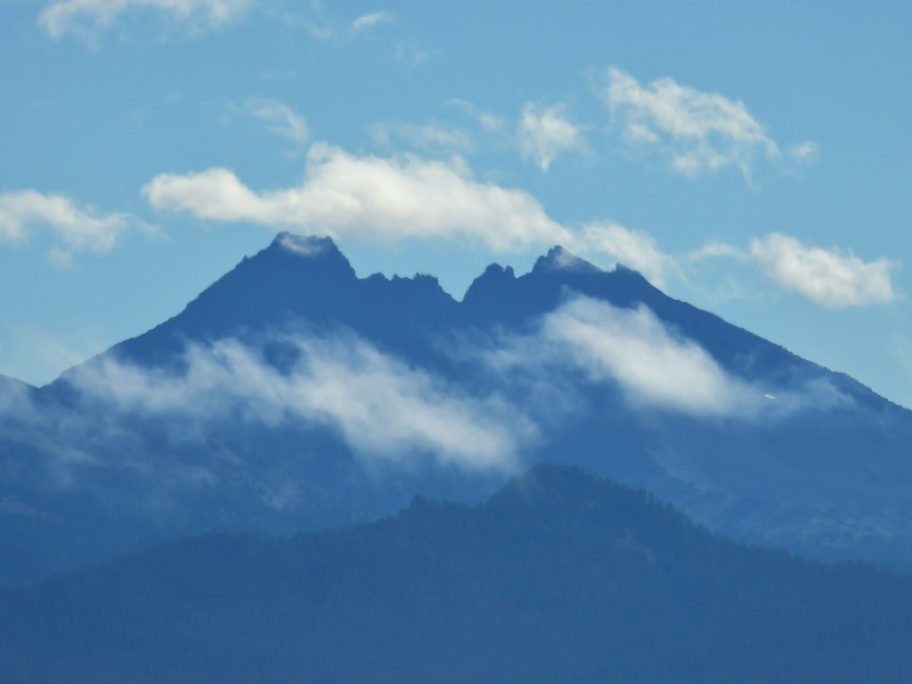 Broken Top
 Cowhorn Mountain and Mt. Thielsen
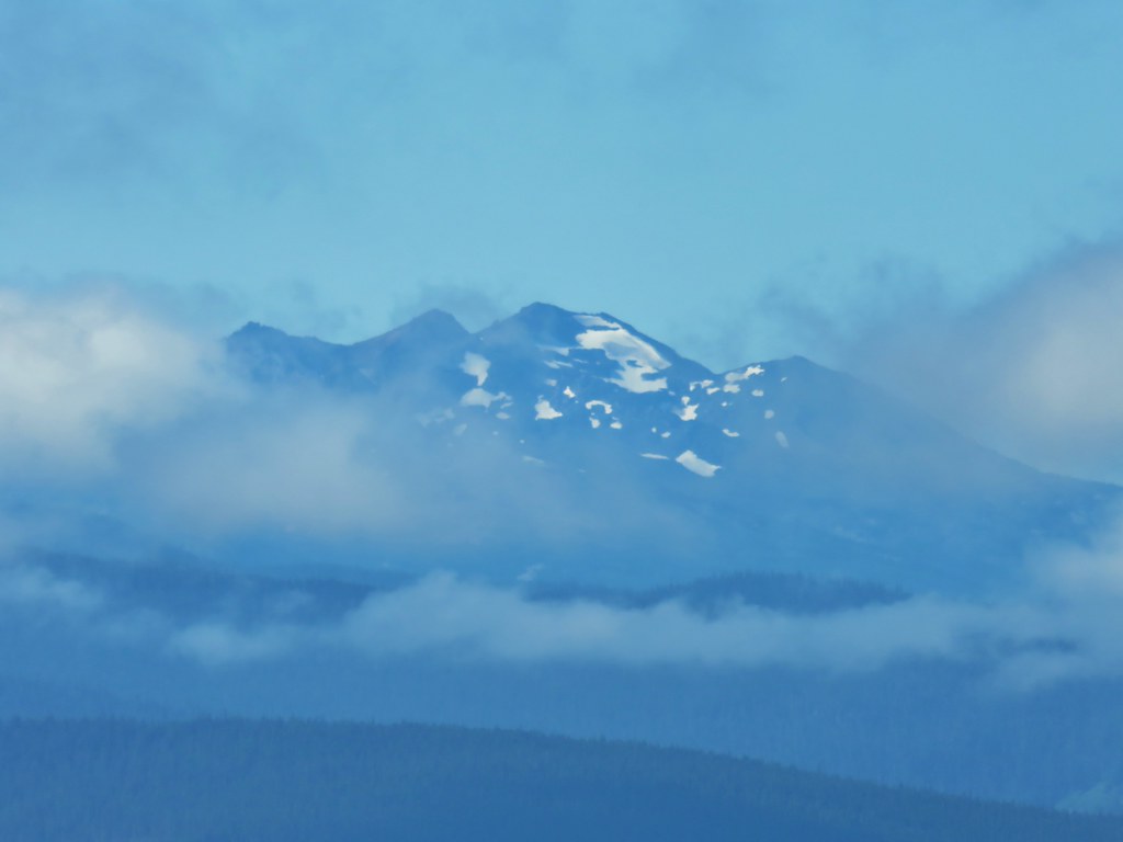 Diamond Peak
 Lowder Mountain to the left of the tree in the foreground.
 Lowder Mountain
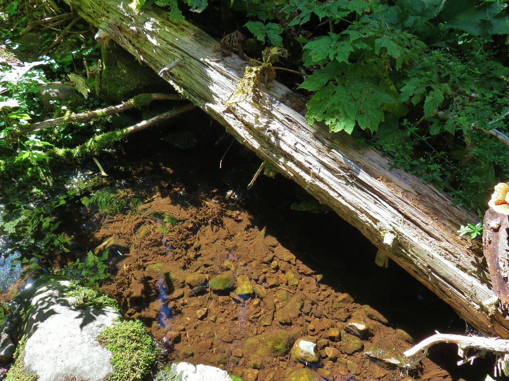


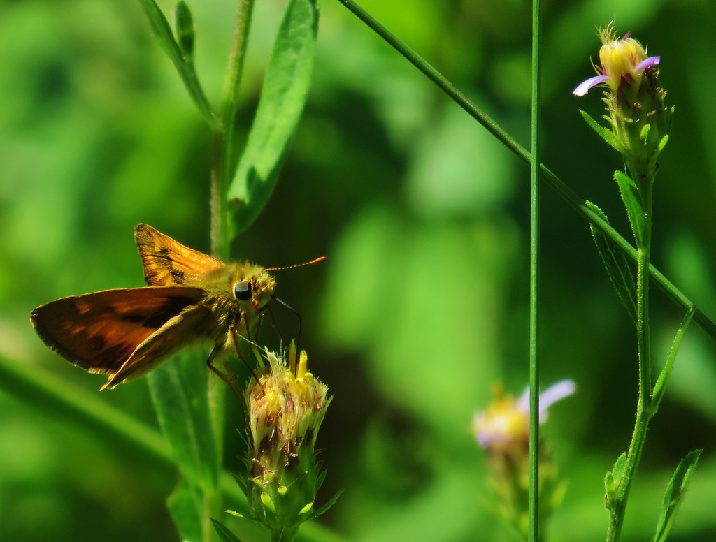 Skipper
 This reminded us of a torture device.
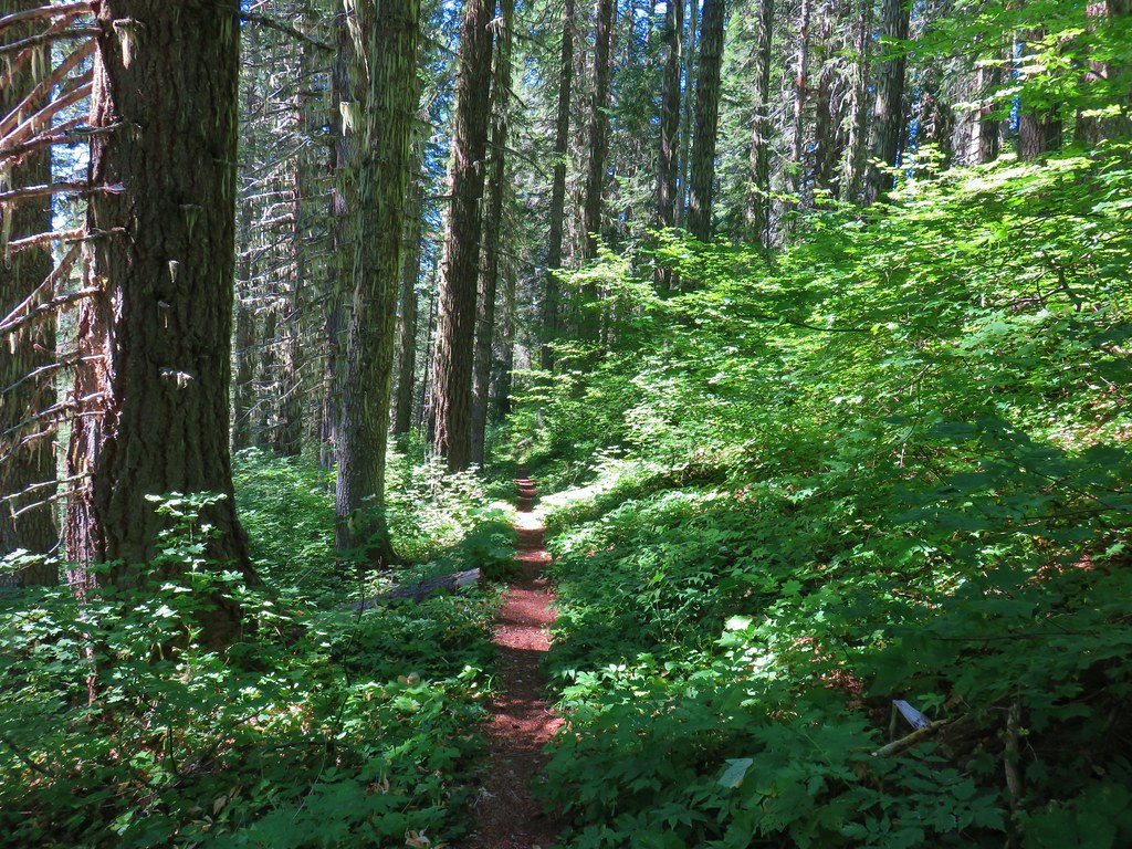

 This meadow had a lot of buckwheat.
 Olallie Mountain again.
 The lookout tower on Olallie Mountain
 Diamond Peak had shed its cloud cover momentarily.
 Diamond Peak
 Pollinators got to pollinate.


 The trail heading up through some thimbleberry.
 Butterfly
 Another skipper
 This guy was the size of my pinky.
 A few scarlet gilia still in bloom.
 Pearly everlasting at the edge of the large meadow.


 Karl & Ruth Lakes
 Mt. Jefferson and Three Fingered Jack with Horsepasture Mountain (
 Mt. Washington
 North and Middle Sister
 South Sister and Broken Top

 Mt. Bachelor
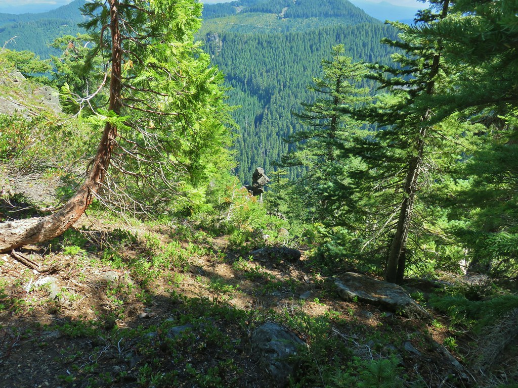

 Butterfly with a small crab spider on the next flower head to the right.


 Pinesap
 A very blurry deer spotted through the trees.


 North Sister
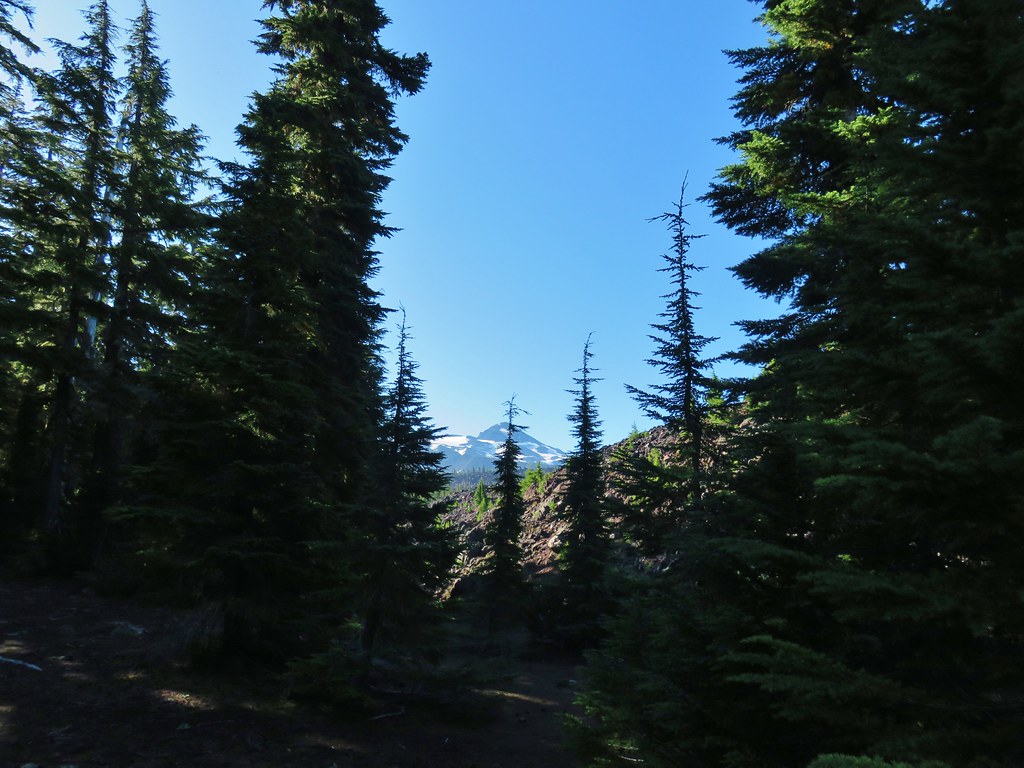 Middle Sister
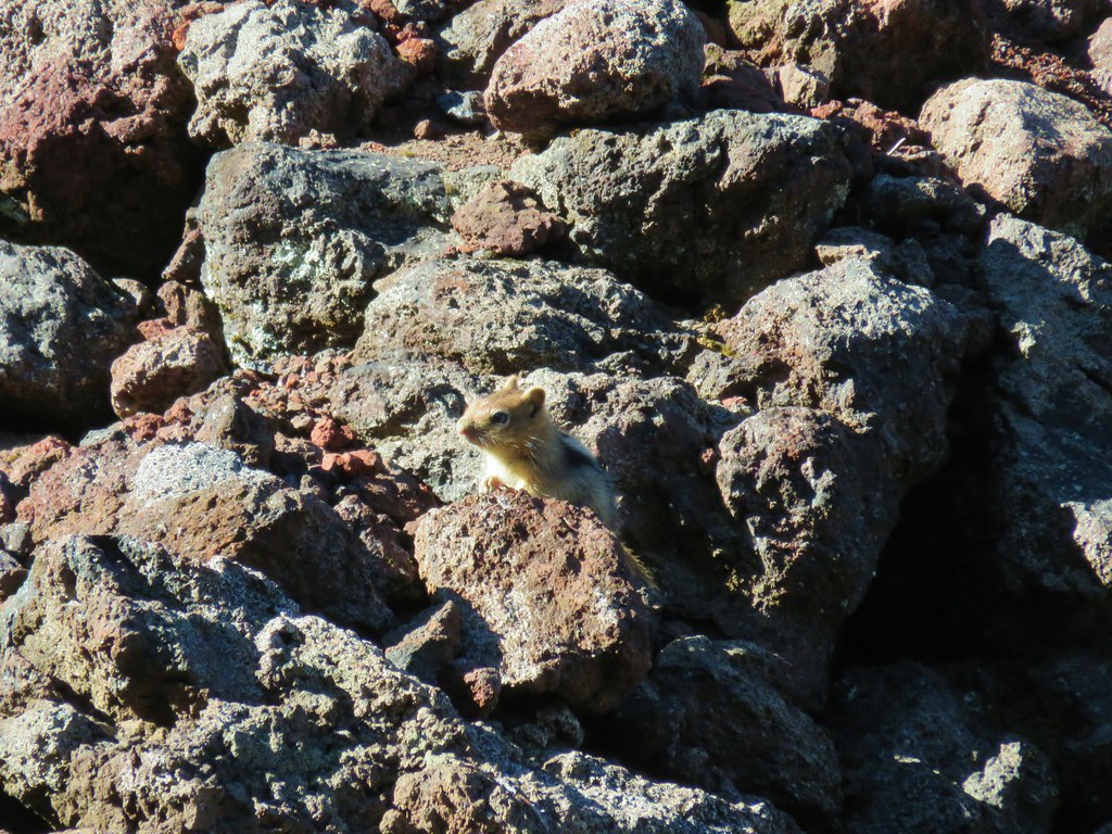 More spies watching us.
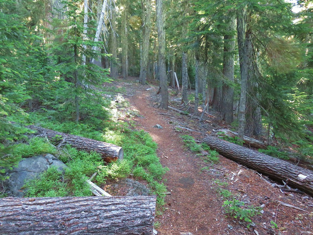


 North and Middle Sister behind the Little Brother.
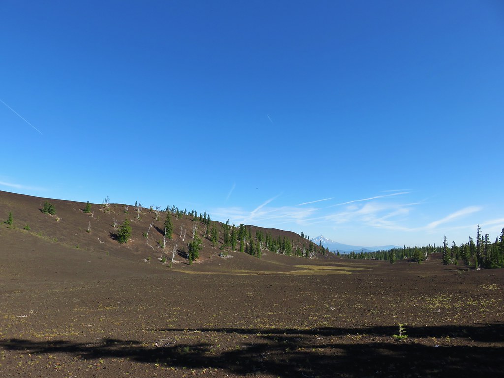 Mt. Jefferson beyond Four-In-One Cone
 Mt. Hood over the right shoulder of Mt. Jefferson.
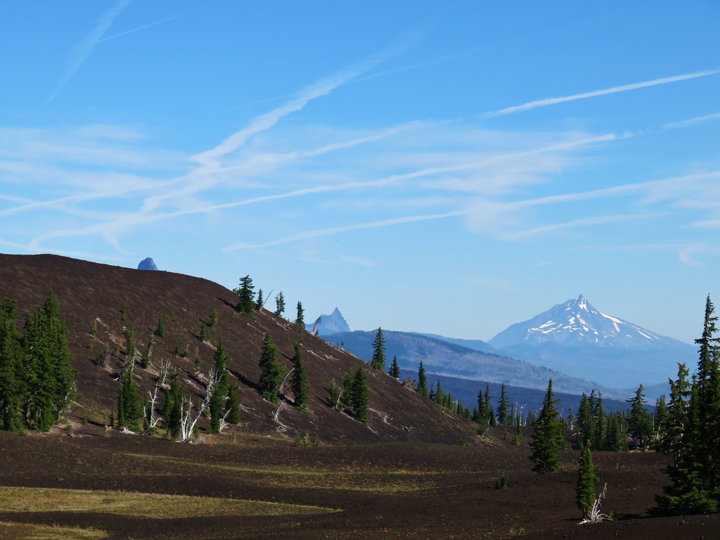 Mt. Washington’s spire behind the cone with Three Fingered Jack and Mt. Jefferson.

 Scott Meadow


 North Sister, Middle Sisters behind Little Brother and The Husband.
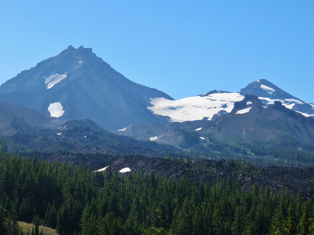 North Sister with Collier Cone in front and South Sister behind Little Brother.
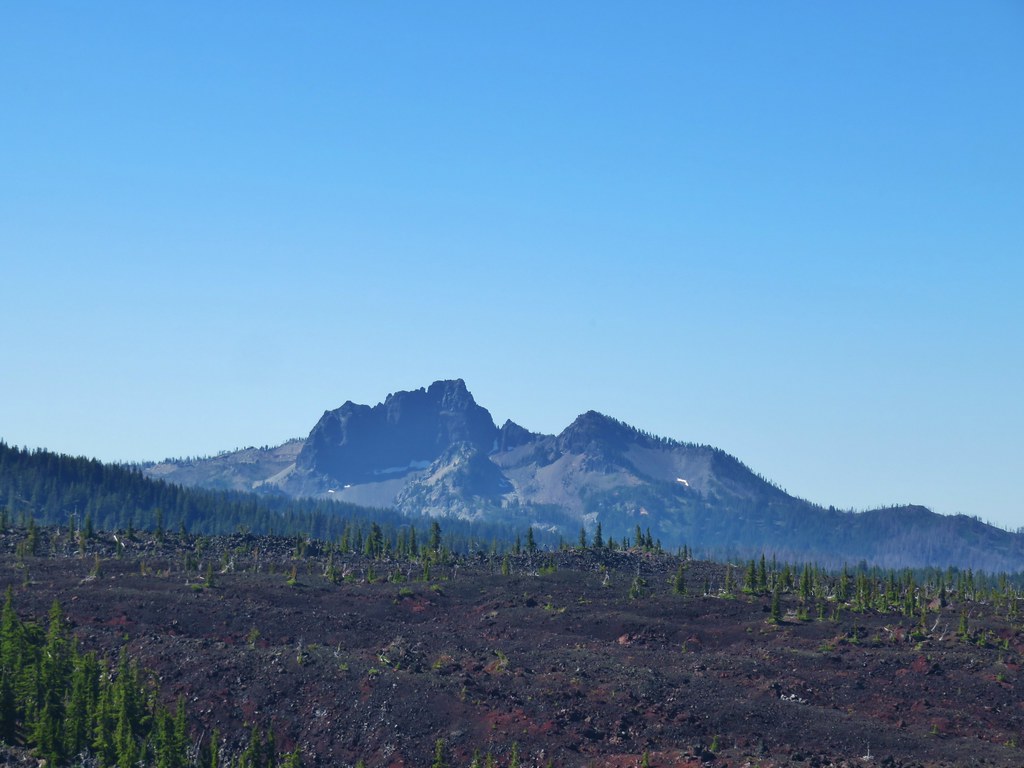 The Husband
 Scott Mountain (
 One of the craters.
 Mt. Washington, Three Fingered Jack, Mt. Jefferson, Mt. Hood, and Black Crater (
 Looking back south.
 Belknap Crater (
 Mt. Washington beyond Little Belknap Crater with Three Fingered Jack behind.
 Mt. Jefferson and Mt. Hood
 Middle and North Sister
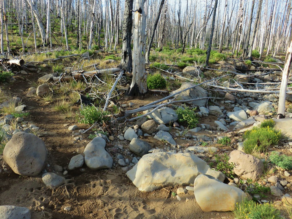 Dry bed of Pole Creek.
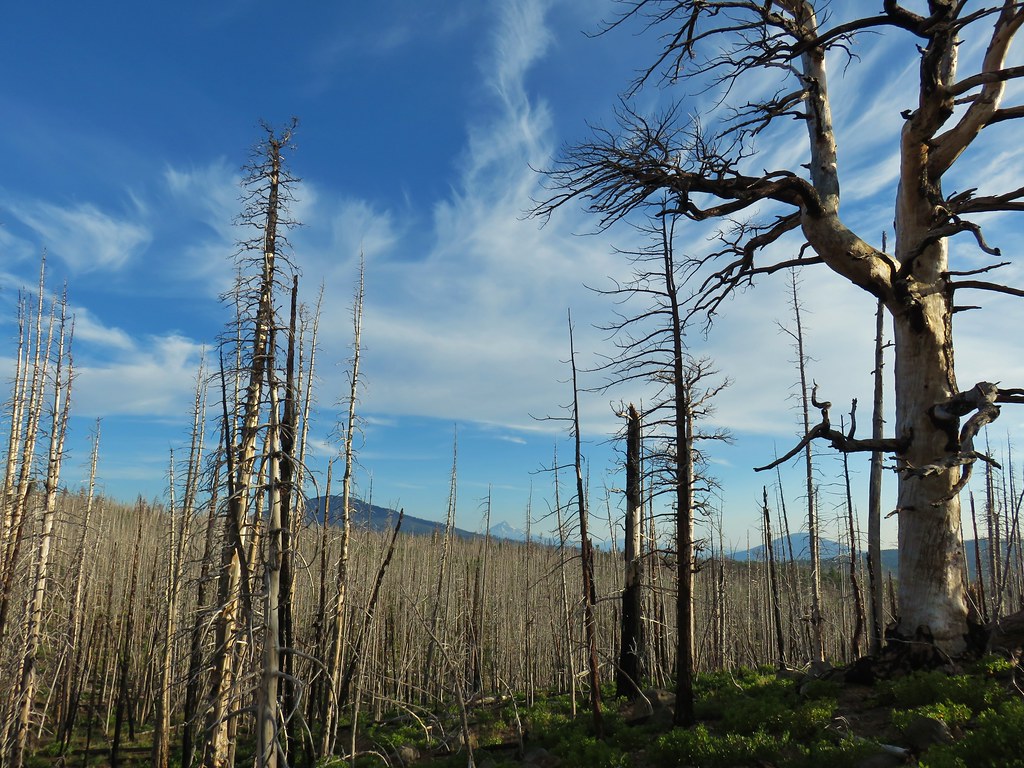 Black Crater, Mt. Jefferson, and Black Butte to the north.
 Entering the Three Sisters Wilderness.
 A few survivors amid the snags.
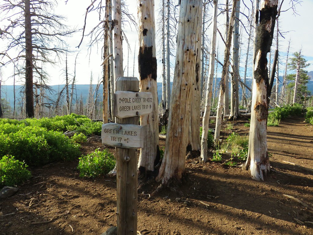 Green Lakes Trail junction.
 Broken Top and the South Sister
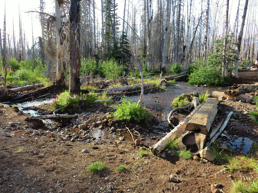
 Monkeyflower along Soap Creek
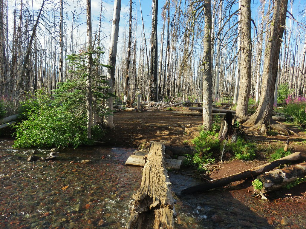
 Soap Creek
 View of the North Sister that would not have been there pre-fire.
 Soap Creek and the Middle and North Sister
 Monkshood
 Might be a trail in there, might not.
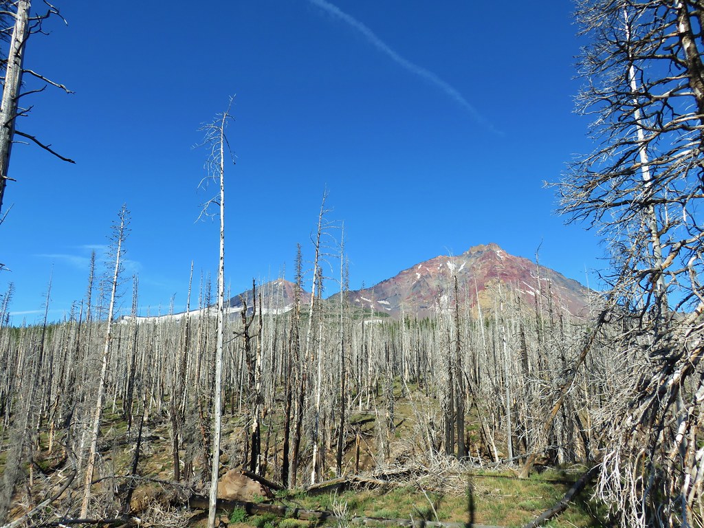 Decent look at the yellow bulge on North Sister.
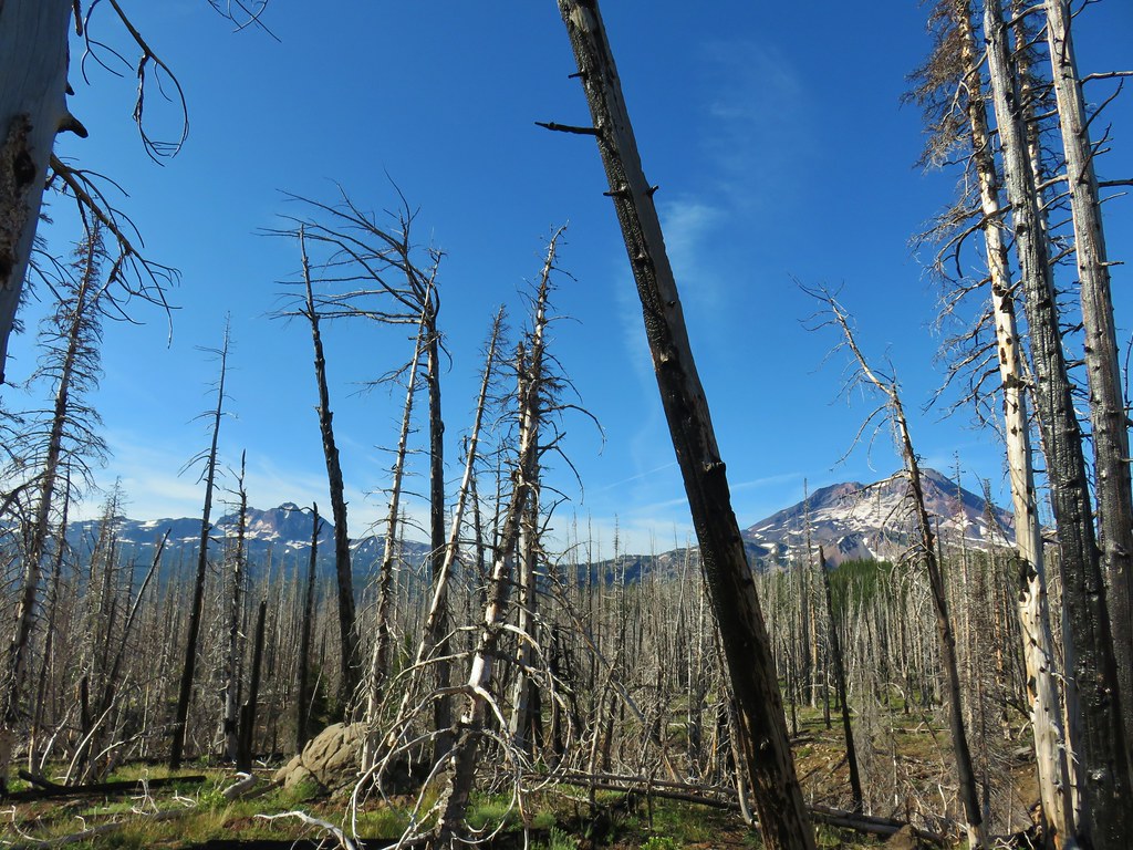 Broken Top and South Sister
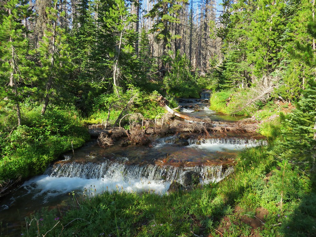 Soap Creek
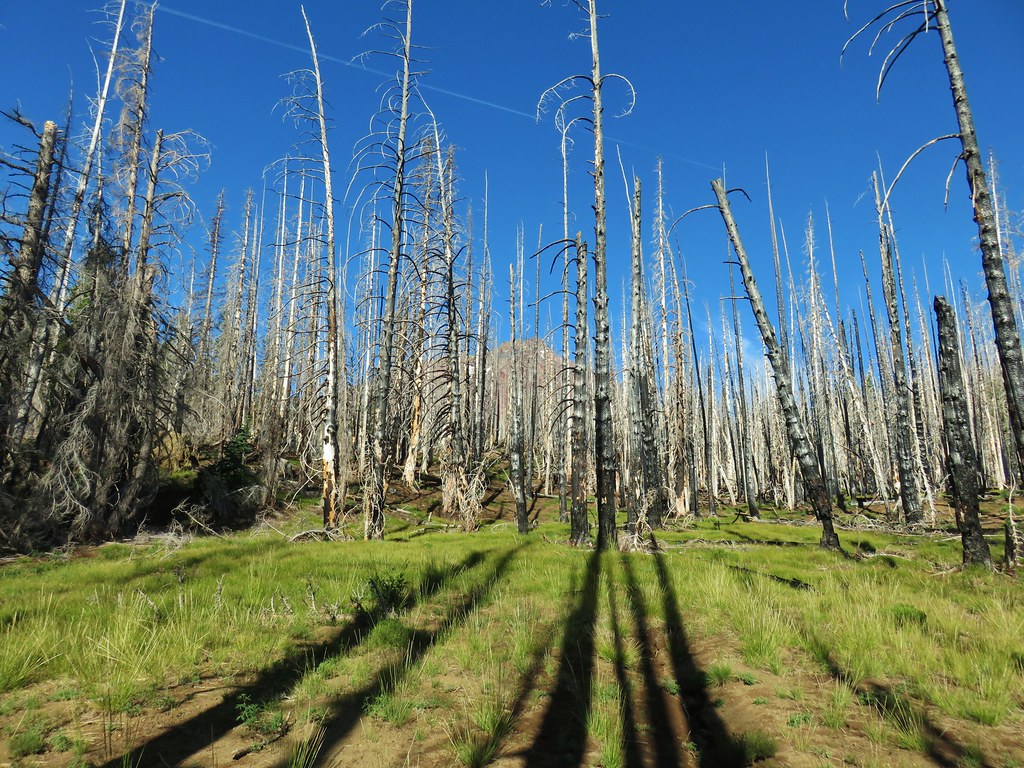 Meadow where there was no discernible trail apparent.
 Typical cross country obstacles.
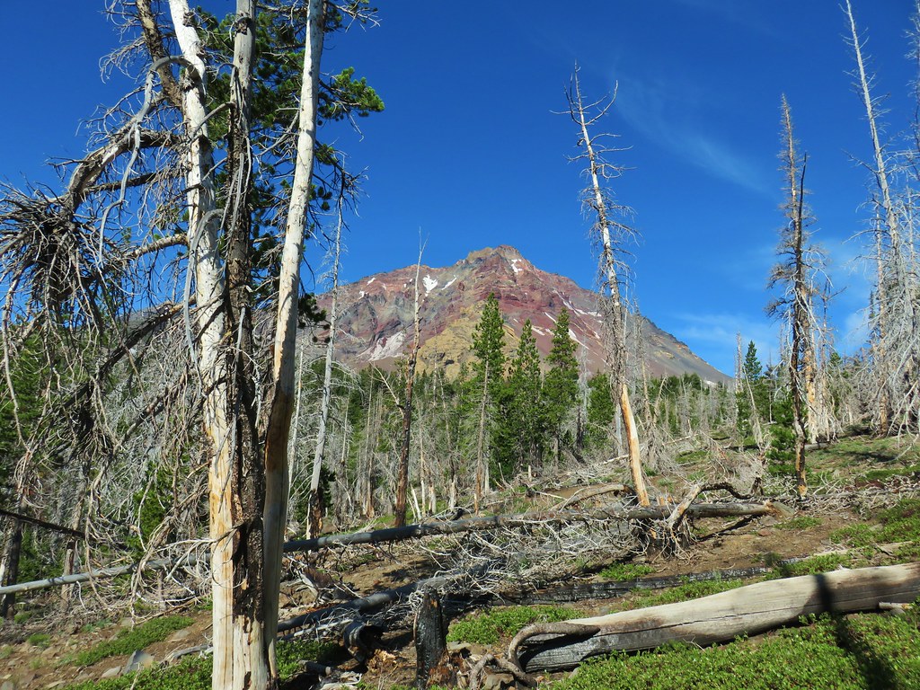
 Dry creekbed.
 Elephants head
 The moraine to the left of the bulge.
 A clump of Monkeyflower
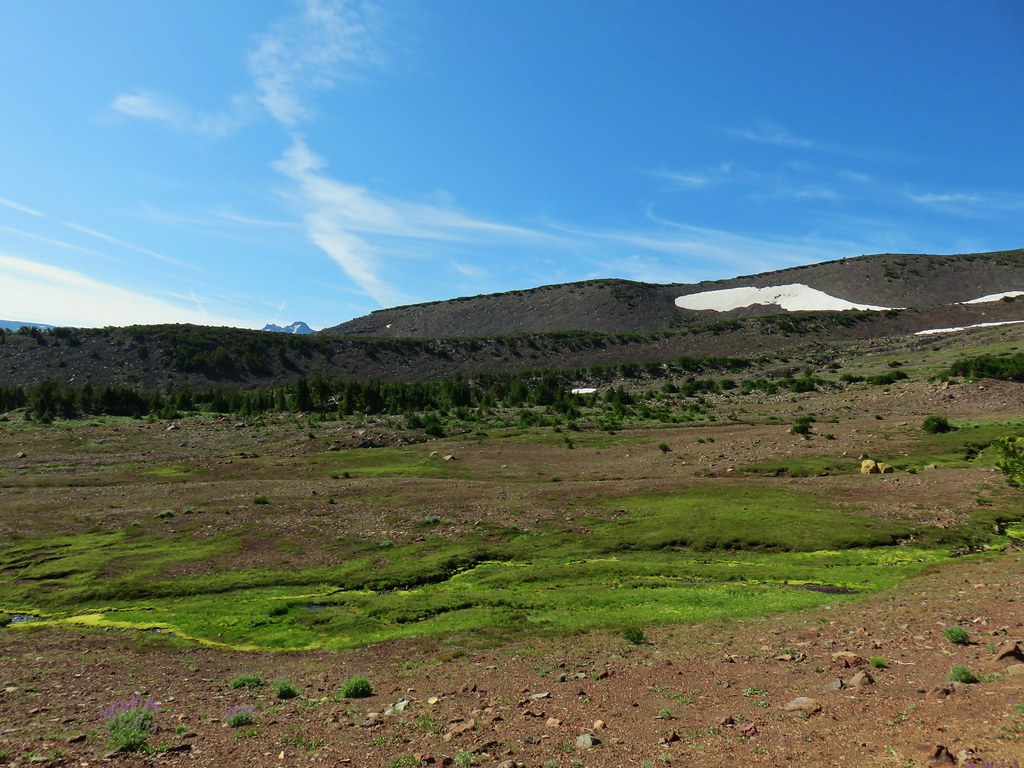

 Penstemon
 Our shady spot.
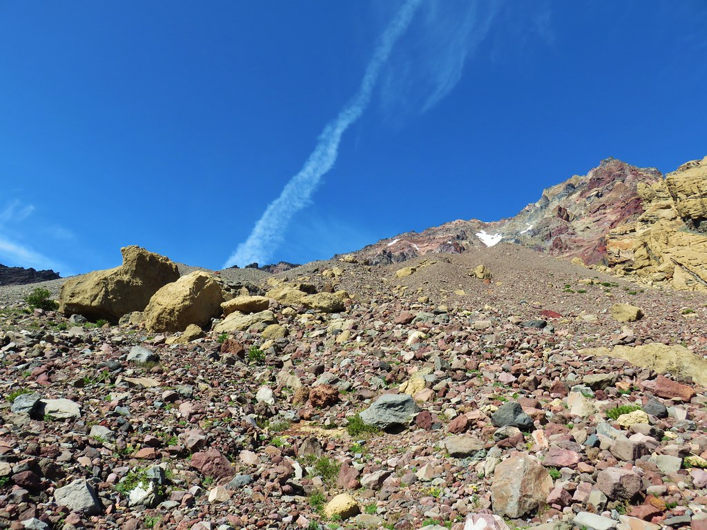
 Paintbrush growing on the moraine.
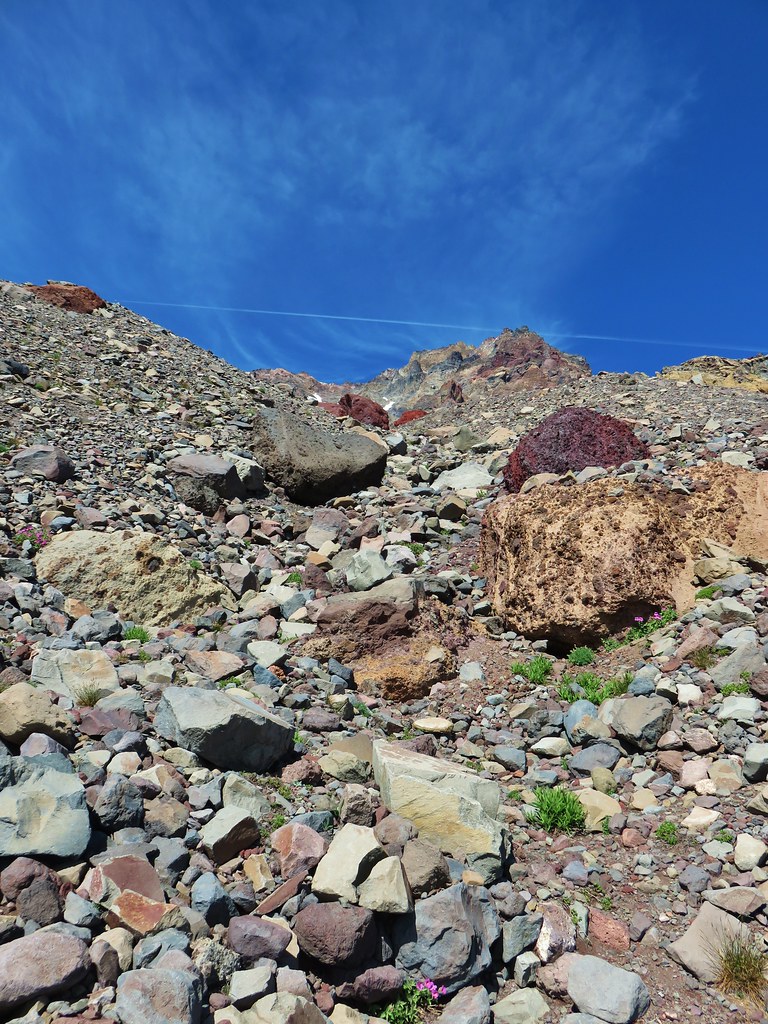
 More flowers amid the rocks.


 The yellow bulge, Mt. Hood, Black Crater and Black Butte to the north.
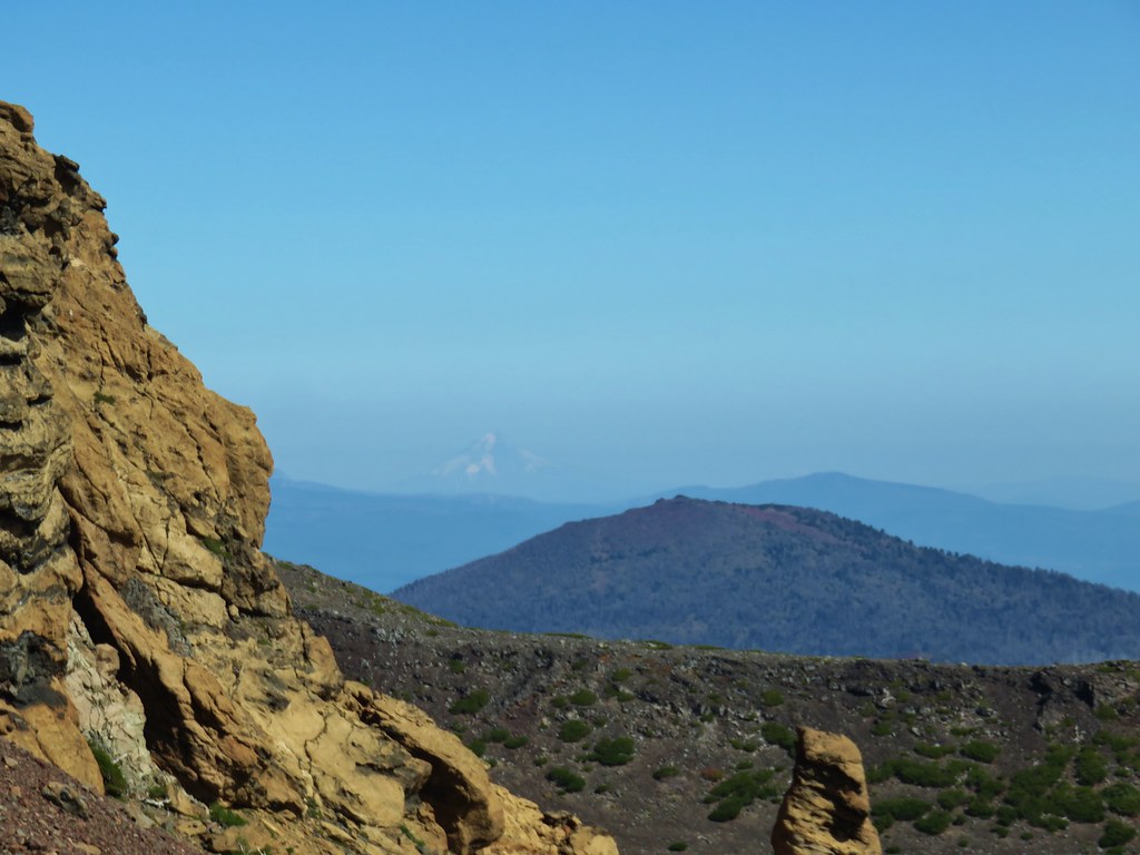 Mt. Hood
 Broken Top to the north.
 The rim above Thayer Lake.
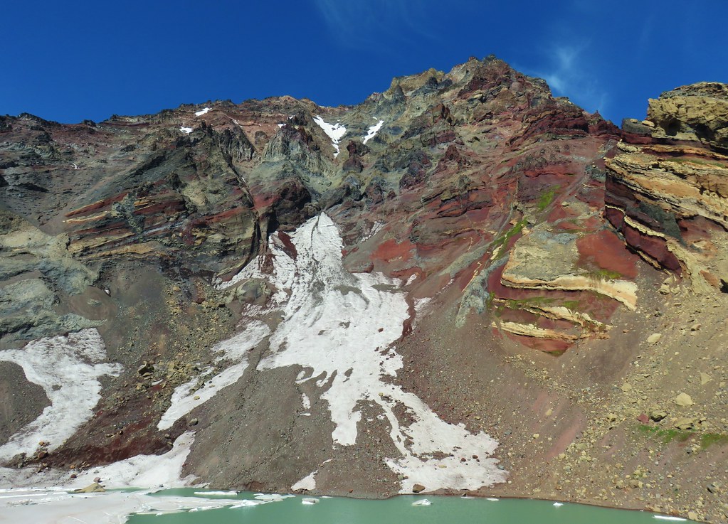 North Sister and the Thayer Glacier
 Heather near some large boulders in the lake.
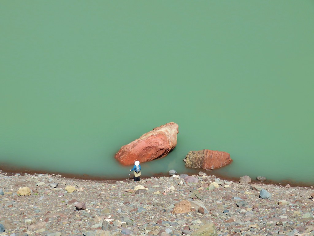


 Starting to get too narrow and the topographic map showed it getting more so further downstream.
 Climbing out of the gully.
 Broken Top and South Sister from the ridge.
