
Several years back we set several hiking goals, one of which being to hike in all of Oregon’s federally designated wilderness areas. At that time there were 47 such areas in the State with two of those being off-limits to visitors (Three Arch Rocks & Oregon Islands are also National Wildlife Refuges that provide nesting habitat for sea birds as well as serving as pupping sites for marine mammals. To prevent disturbances public entry to any of the rocks/islands is prohibited and waters within 500 feet of the refuge are closed to all watercraft from May 1 through September 15.) In 2019 Congress added the Devils Staircase Wilderness to the list giving us a total of 46 designated wilderness areas to visit in order to complete this goal. Staring in 2019 we began posting annual updates on our progress (2020 & 2021) and we are excited to report that, unless any new wilderness areas are established in the future, this will be our last update. We managed to make it to the final four wilderness areas on our list, the North Fork Umatilla, Devils Staircase, Black Canyon, and Monument Rock, in 2021. We have to give credit to Bruce (Van Marmot) over at Boots on the Trail for not only getting to all 46 first but also providing inspiration and a lot of helpful information.
A little over 2.5 million acres are designated as wilderness throughout the State and range in size from 15 acres (Three Arch Rocks) to 355,548 acres (Eagle Cap). Oregon shares a wilderness with three of its bordering states. The Wenaha-Tuccanon is shared with Washington, Hells Canyon with Idaho, and Red Buttes with California. The areas are managed by three different federal agencies. The U.S. Fish and Wildlife Service (FWS) manages the Oregon Islands and Three Arch Rocks areas while the Bureau of Land Management (BLM) manages nine and the Forest Service manages forty-one. If you do the math those numbers add up to fifty-two. The reason for that is four of the areas, the Devils Staircase, Lower White River, Hells Canyon, and Wild Rogue are managed jointly by the Forest Service and BLM. Seven of the areas have no official trails, the two off-limit areas, and the Devils Staircase, Rock Creek, Lower White River, Bridge Creek, and Spring Basin wildernesses. Although irregularly shaped (except for the exactly 6 square mile Mountain Lakes Wilderness) the majority of the areas are a single unit. In addition to the Oregon Islands and Three Arch Rocks the Mount Hood (4), Mark O. Hatfield (2), Badger Creek (2),Salmon-Huckleberry (3), Clackamas (5), Soda Mountain (2), North Fork John Day (4), and Steens Mountain (2) consist of multiple separate areas.
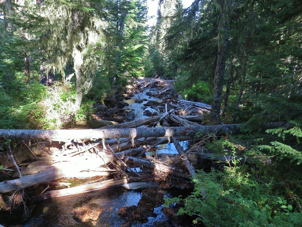
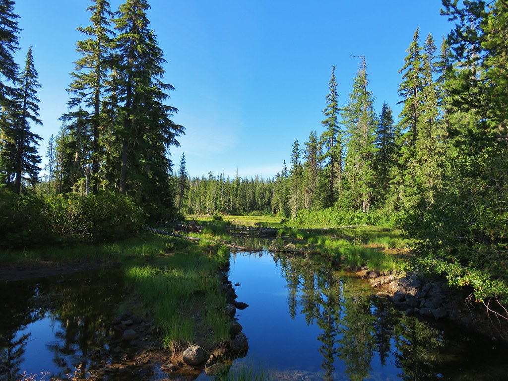
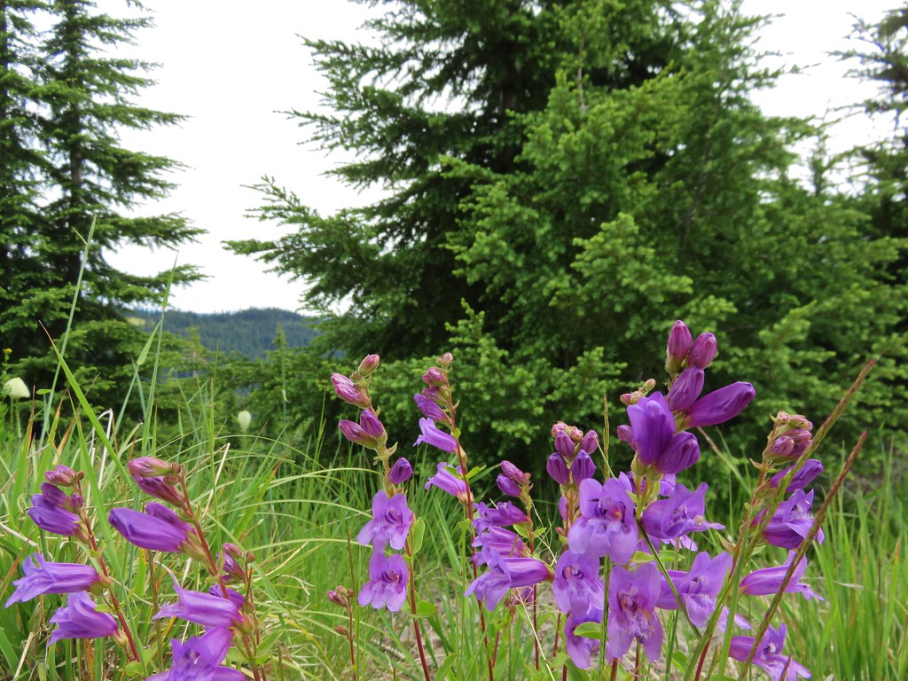
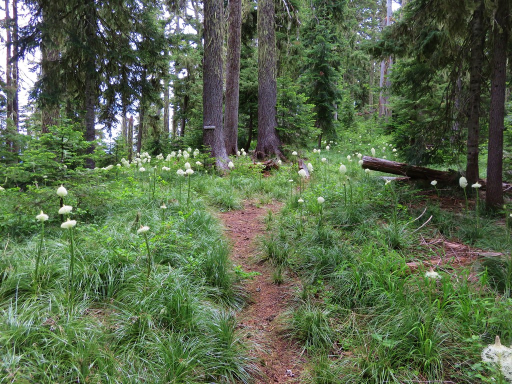
We visited our first Oregon Wilderness in 2009 when we visited Henline Falls in the Opal Creek Wilderness. Since then we have spent parts of 215 days in these special places. For sixteen of the areas it was only a single day while we’ve spent part of 30 days in the Three Sisters Wilderness. Below are some of our best memories from each of the wilderness areas. We hope you enjoy them as much as we enjoyed visiting them.
Badger Creek: 28,915 acres Days Spent in Wilderness-6


Black Canyon: 13.088 acres Days Spent in Wilderness-1


Boulder Creek: 19,911 acres Days Spent in Wilderness-1


Bridge Creek: 5,337 acres Days Spent in Wilderness-1


Bull of the Woods: 36,869 acres Days Spent in Wilderness-6


Clackamas: 9.465 acres Days Spent in Wilderness-2


Copper-Salmon: 13,724 acres Days Spent in Wilderness-1


Cummins Creek: 9,026 acres Days Spent in Wilderness-1


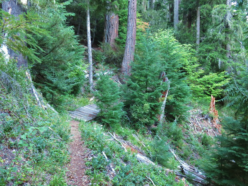
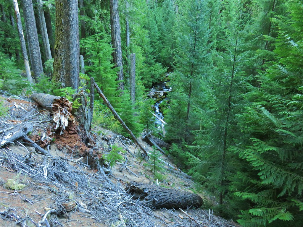
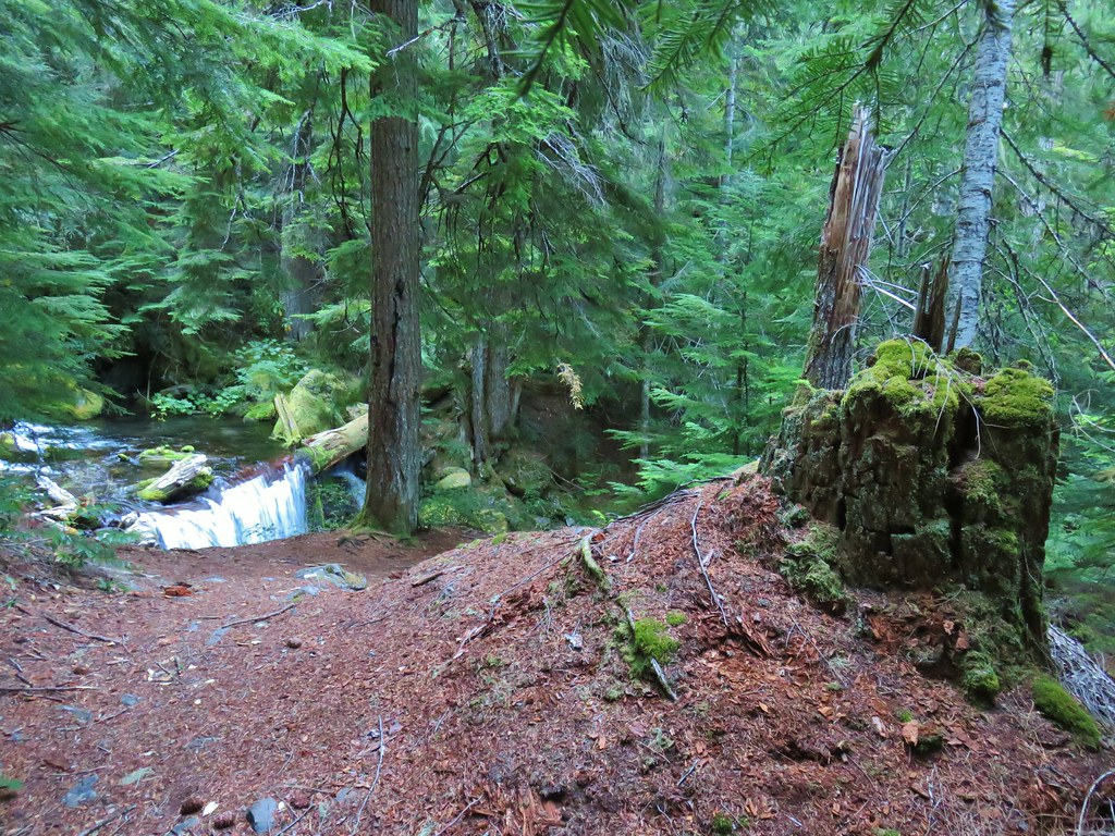
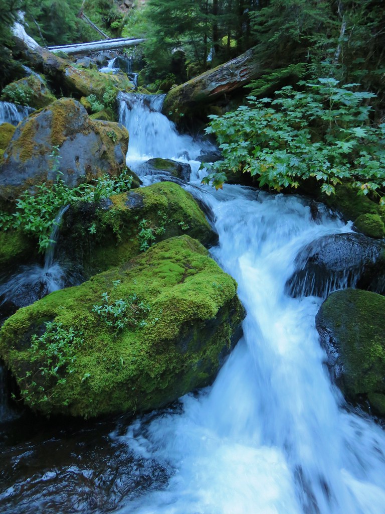
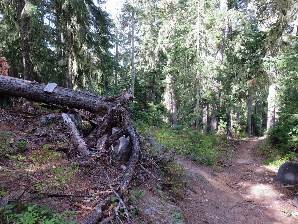
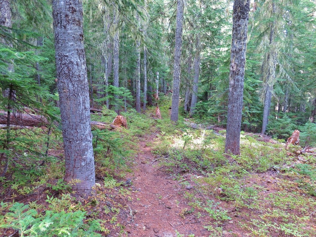
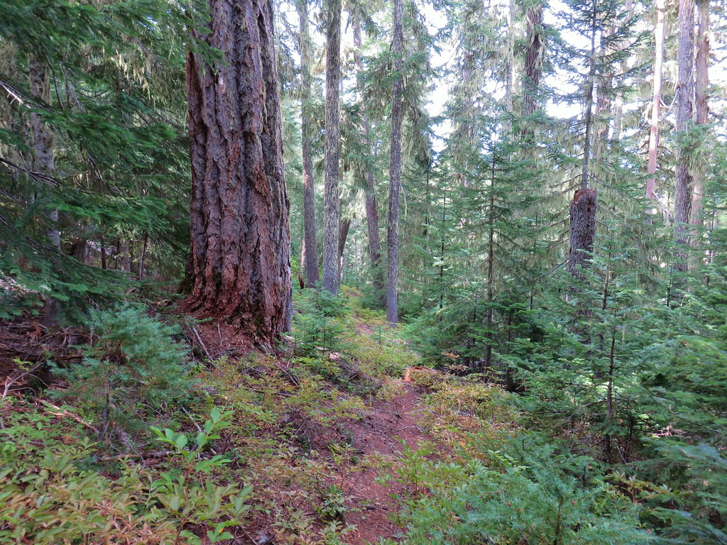
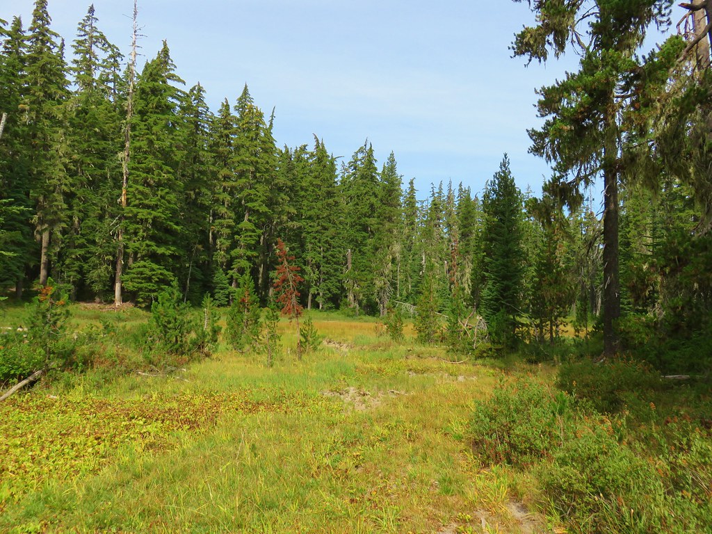
Devils Staircase: 30,787 acres Days Spent in Wilderness-1


Diamond Peak: 52,477 acres Days Spent in Wilderness-7


Drift Creek: 5,792 acres Days Spent in Wilderness-2


Eagle Cap: 355,548 acres Days Spent in Wilderness-5


Gearhart Mountain: 22,587 acres Days Spent in Wilderness-1


Grassy Knob: 17,176 acres Days Spent in Wilderness-1


Hells Canyon: 131,337 acres in OR (217,613 in ID) Days Spent in Wilderness-1


Kalmiopsis: 179,550 acres Days Spent in Wilderness-1


Lower White River: 2,871 acres Days Spent in Wilderness-1


Mark O. Hatfield: 65,420 acres Days Spent in Wilderness-12


Menagerie: 4,952 acres Days Spent in Wilderness-2


Middle Santiam: 8,845 acres Days Spent in Wilderness-2


Mill Creek: 17,173 acres Days Spent in Wilderness-1


Monument Rock: 20,210 acres Days Spent in Wilderness-1


Mountain Lakes: 23,036 acres Days Spent in Wilderness-2


Mount Hood: 64,742 acres Days Spent in Wilderness-22


Mount Jefferson: 108,909 acres Days Spent in Wilderness-27


Mount Thielsen: 55,151 acres Days Spent in Wilderness-5


Mount Washington: 54,410 acres Days Spent in Wilderness-7


North Fork John Day: 120,694 acres Days Spent in Wilderness-8


North Fork Umatilla: 20,225 acres Days Spent in Wilderness-3


Opal Creek: 20,774 acres Days Spent in Wilderness-6


Oregon Badlands: 28,182 acres Days Spent in Wilderness-2


Oregon Islands: 925 acres Days Spent in Wilderness-0


Red Buttes: 3,777 acres in OR (20,133 in CA) Days Spent in Wilderness-2 in OR, (4 in CA)


 This photo is from CA but it actually shows the namesake Red Buttes
Roaring River: 36,548 acres Days Spent in Wilderness-1


Rock Creek: 7,273 acres Days Spent in Wilderness-1
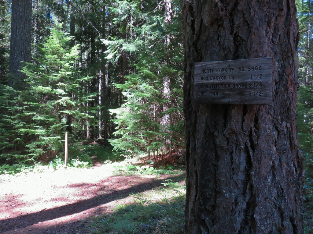
 Closest thing to a “wilderness sign” we saw for this one.


Rogue-Umpqua: 35,749 acres Days Spent in Wilderness-6


Salmon-Huckleberry: 62,061 acres Days Spent in Wilderness-11


Sky Lakes: 113,687 acres Days Spent in Wilderness-3


Soda Mountain: 24,707 acres Days Spent in Wilderness-2


Spring Basin: 6,404 acres Days Spent in Wilderness-1


Steens Mountain: 170,202 acres Days Spent in Wilderness-5


Strawberry Mountain: 69,350 acres Days Spent in Wilderness-5


Table Rock: 5,784 acres Days Spent in Wilderness-3


Three Arch Rocks: 15 acres Days Spent in Wilderness-0

Three Sisters: 283,619 acres Days Spent in Wilderness-30


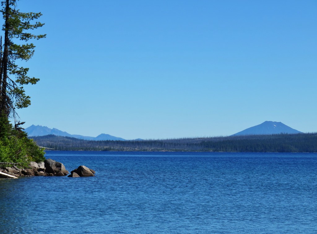
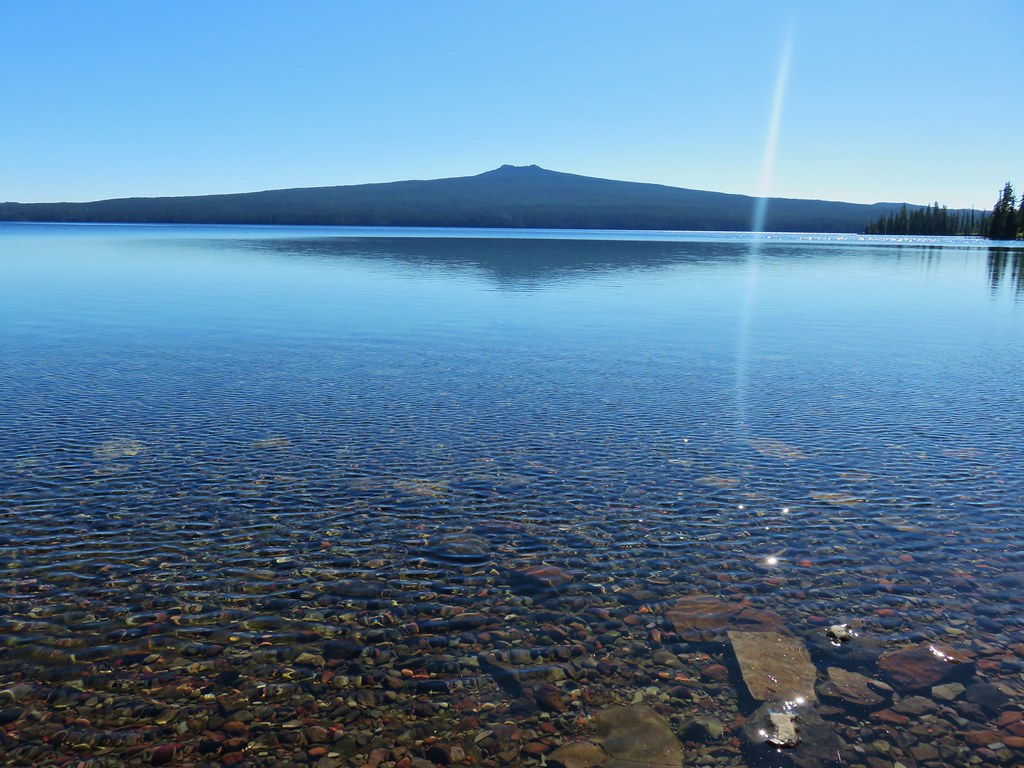
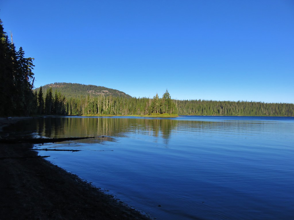
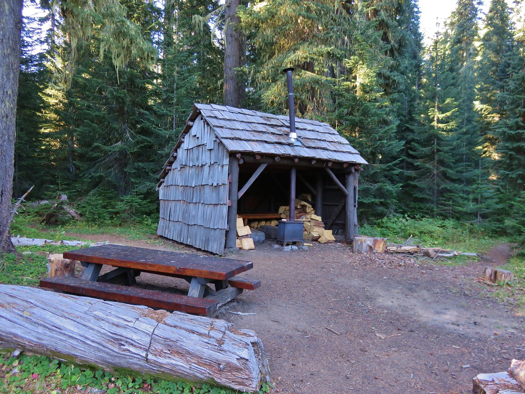
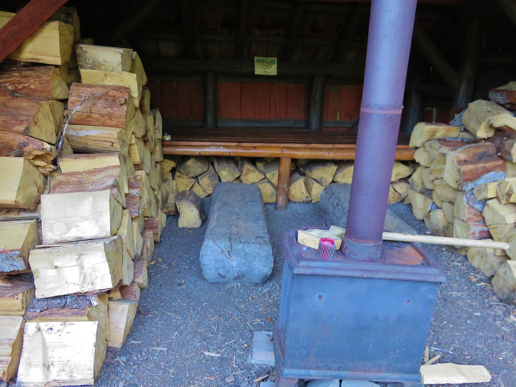
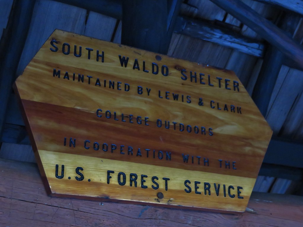
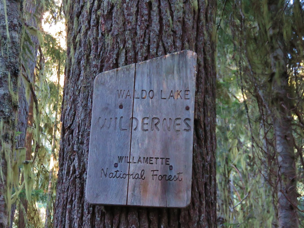
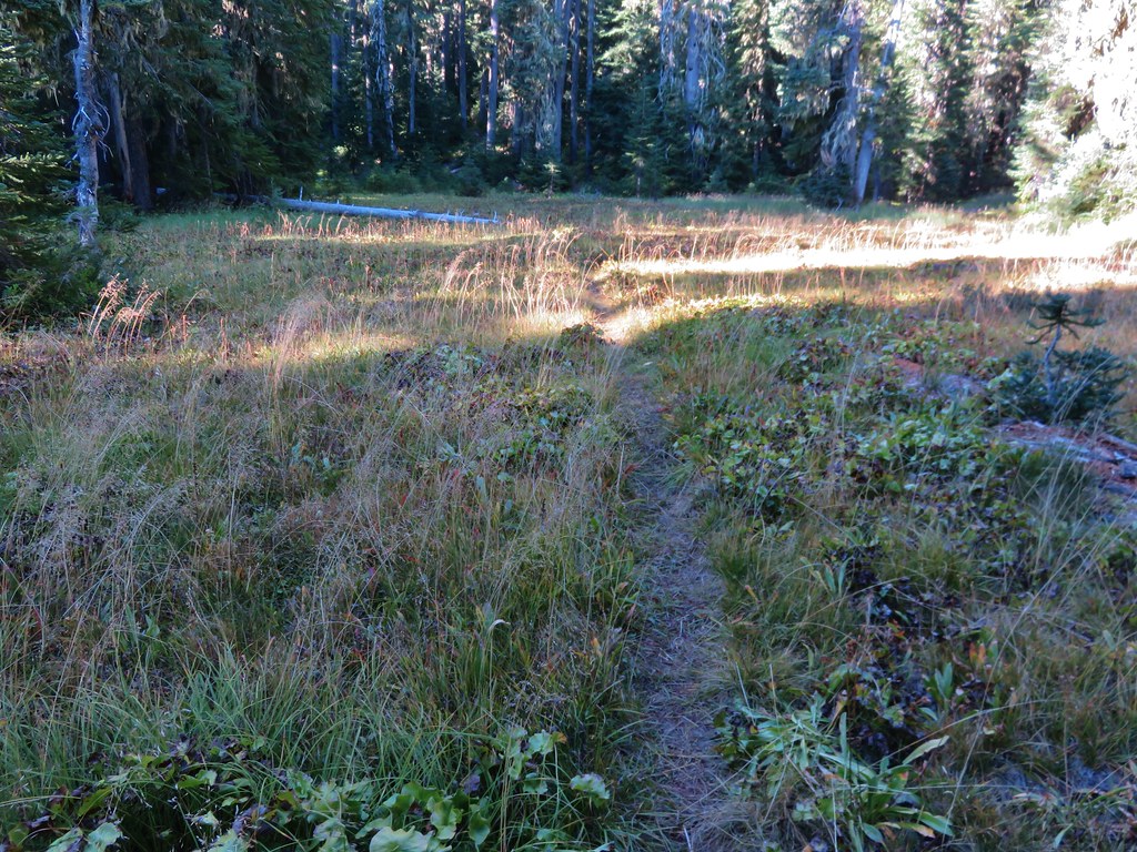
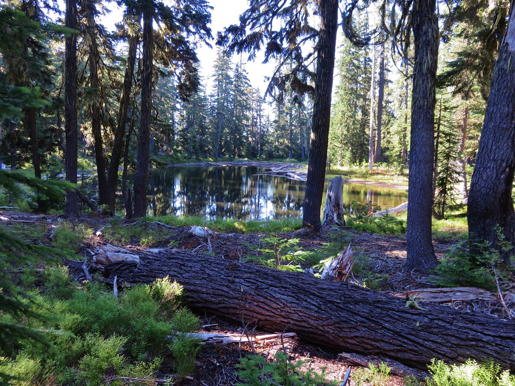
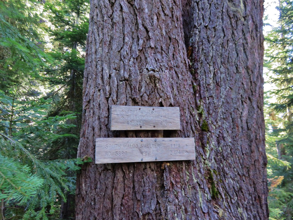
Waldo Lake: 36,868 acres Days Spent in Wilderness-6


Wenaha-Tuccanon: 65,266 acres in OR (176,737 in WA) Days Spent in Wilderness-2


Wild Rogue: 35,221 acres Days Spent in Wilderness-2


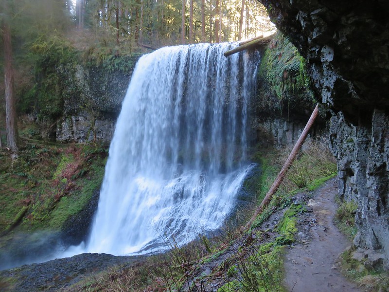 Middle North Falls
 Shellburg Falls
 Jawbone Flats
 Tumble Lake from Dome Rock
 Mt. Jefferson from Battle Ax
 View from Stahlman Point
 Meadow below the Three Pyramids
 Beargrass on Crescent Mountain
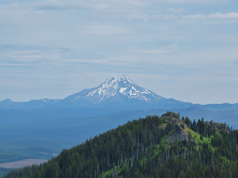 Mt. Jefferson from Browder Ridge
 Boardwalk in Echo Basin
 Iron Mountain from the trail.
 Soda Creek Falls
 Majestic Falls
 Roaring Creek
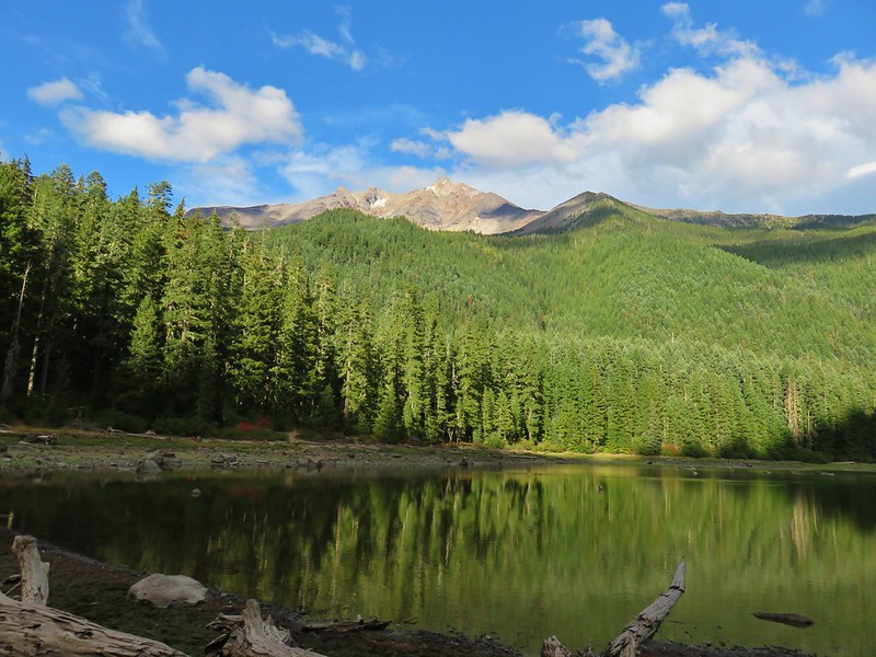
 Three Fingered Jack from Marion Lake
 Mowich Lake and Duffy Butte from Red Butte
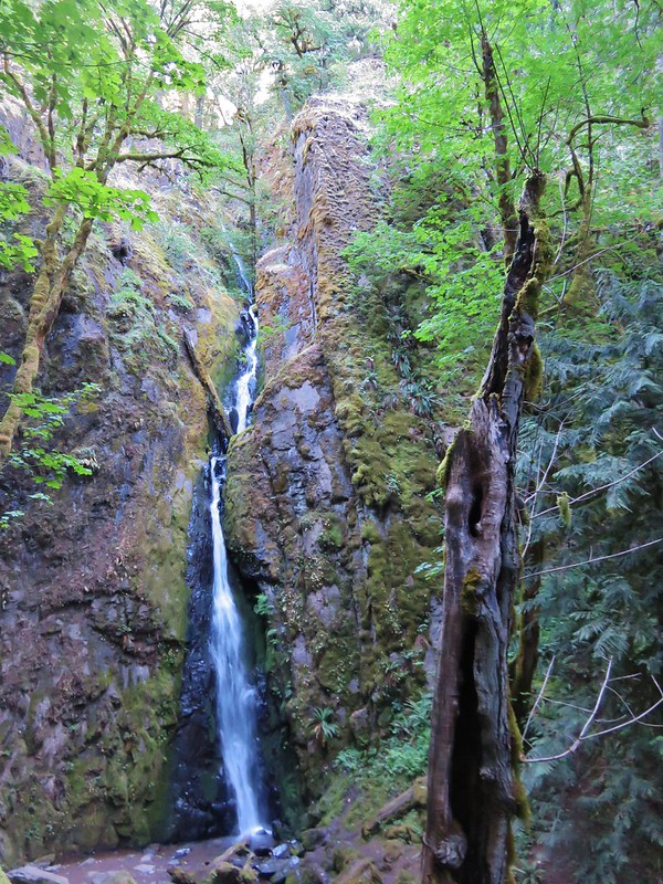
 Wizard Falls
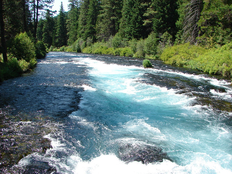
 Deschutes River

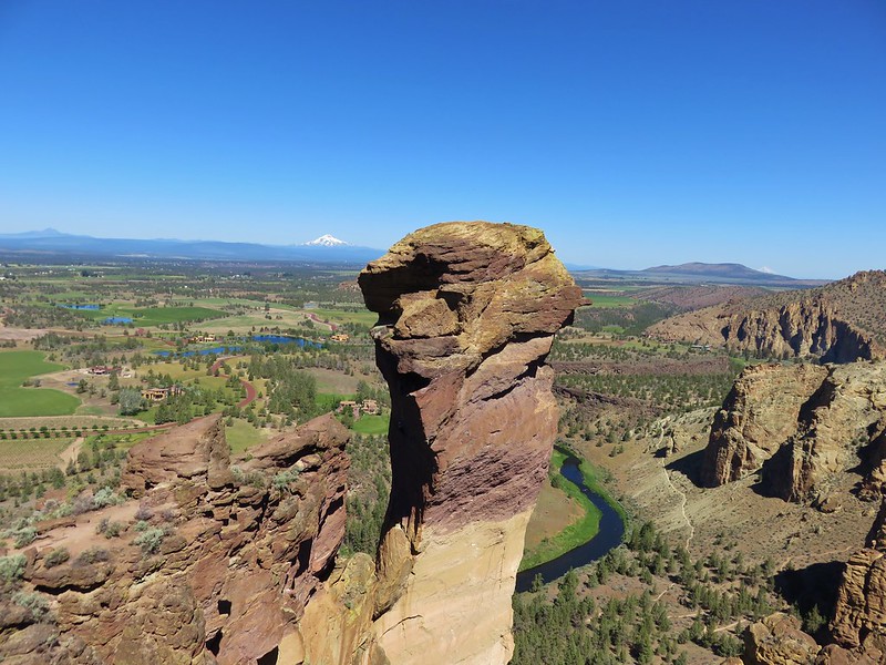 Monkey Face
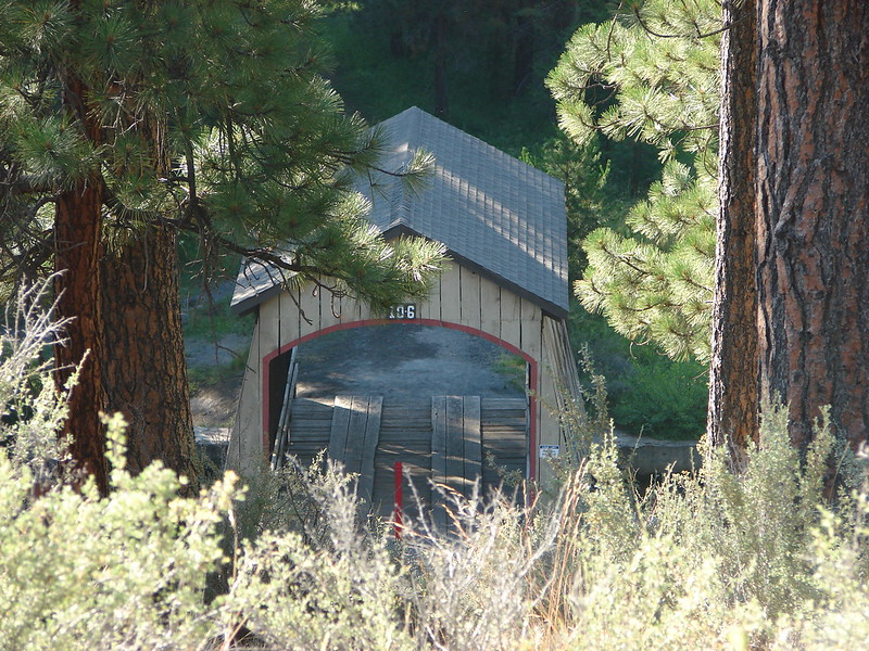 Hixson Crossing Covered Bridge
 Benham Falls
 Deschutes River
 Proxy Falls
 Obsidian Falls
 View from Four-in-One-Cone
 Mt. Washington, Three Fingered Jack, and Mt. Jefferson from Little Belknap Crater
 North Sister from South Matthieu Lake
 Former lookout site on Black Crater.
 South Sister from Camp Lake
 Broken Top and Broken Hand from Tam McArthur Ridge
 Trees near the summit of Tumalo Mountain.
 Broken Top from No Name Lake
 South Sister from Sparks Lake
 Looking north from the South Sister.
 South Sister from Sisters Mirror Lake
 Horse Lake
 Doris Lake
 Sahalie Falls
 Separation Lake
 South Sister and Mt. Bachelor form Horsepasture Mountain.
 View from Lowder Mountain.
 View from Tidbits Mountain.
 Monkeyflower and plectritis on Castle Rock.
 Middle Erma Bell Lake
 Fog over Eugene.
 Summit marker on Mt. Pisgah.
 Sawtooth Trail
 Lone Wolf Meadow
 Wildflowers along the Tire Mt. Trail.
 Buffalo Rock from the North Fork Willamette River
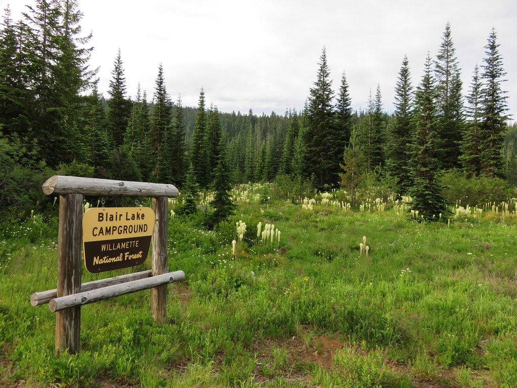
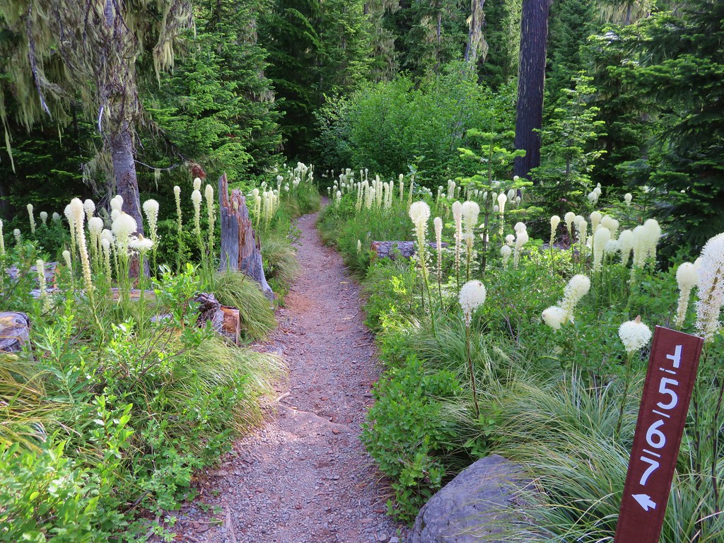
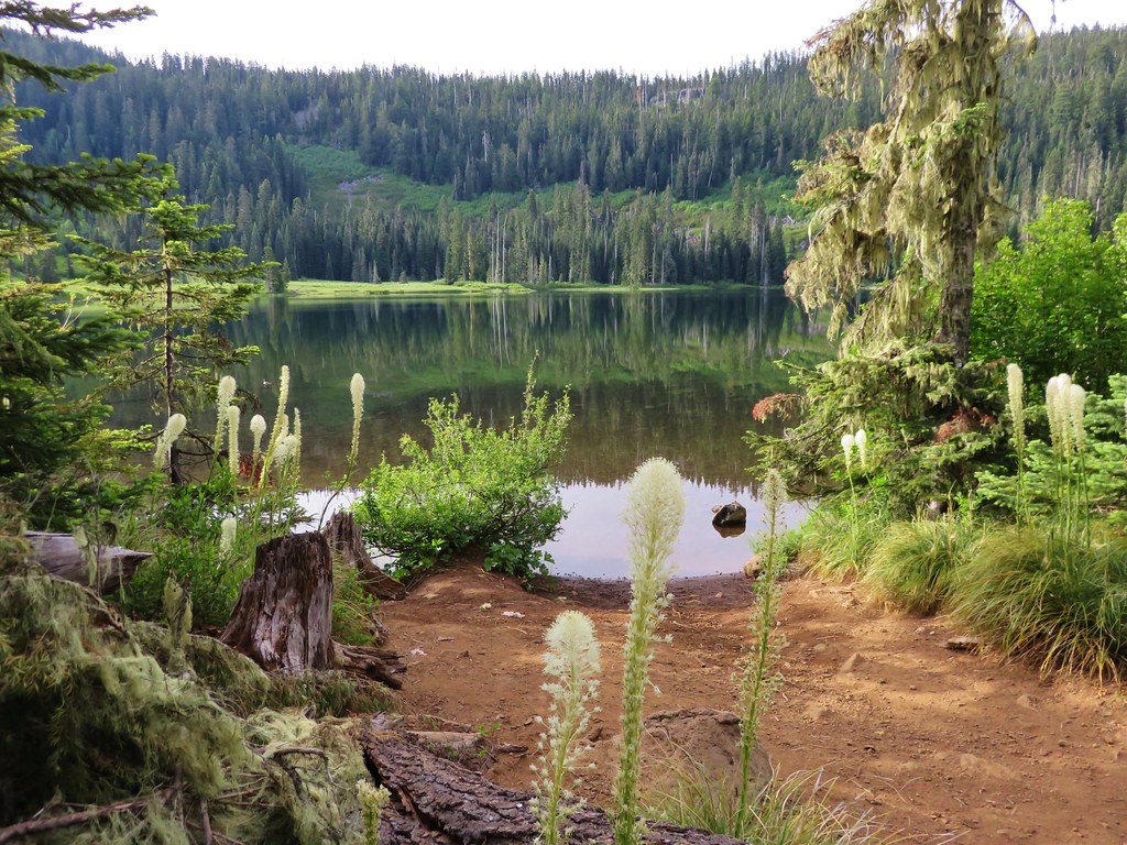
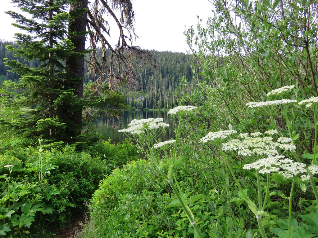
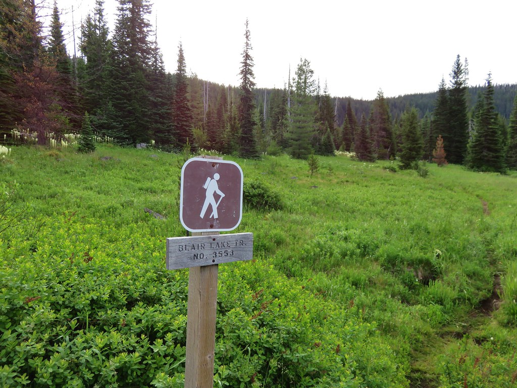
 Beargrass meadow along the Blair Lake Trail.
 Indigo Springs (These springs have not burned.)
 Moon Falls
 Upper Trestle Creek Falls
 Lower Eddeeleo Lake
 View from the Waldo Mountain Lookout.


 Pulpit Rock from Middle Rosary Lake
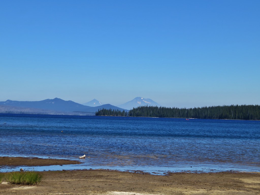
 Yoran Lake
 Diamond Peak from Diamond View Lake
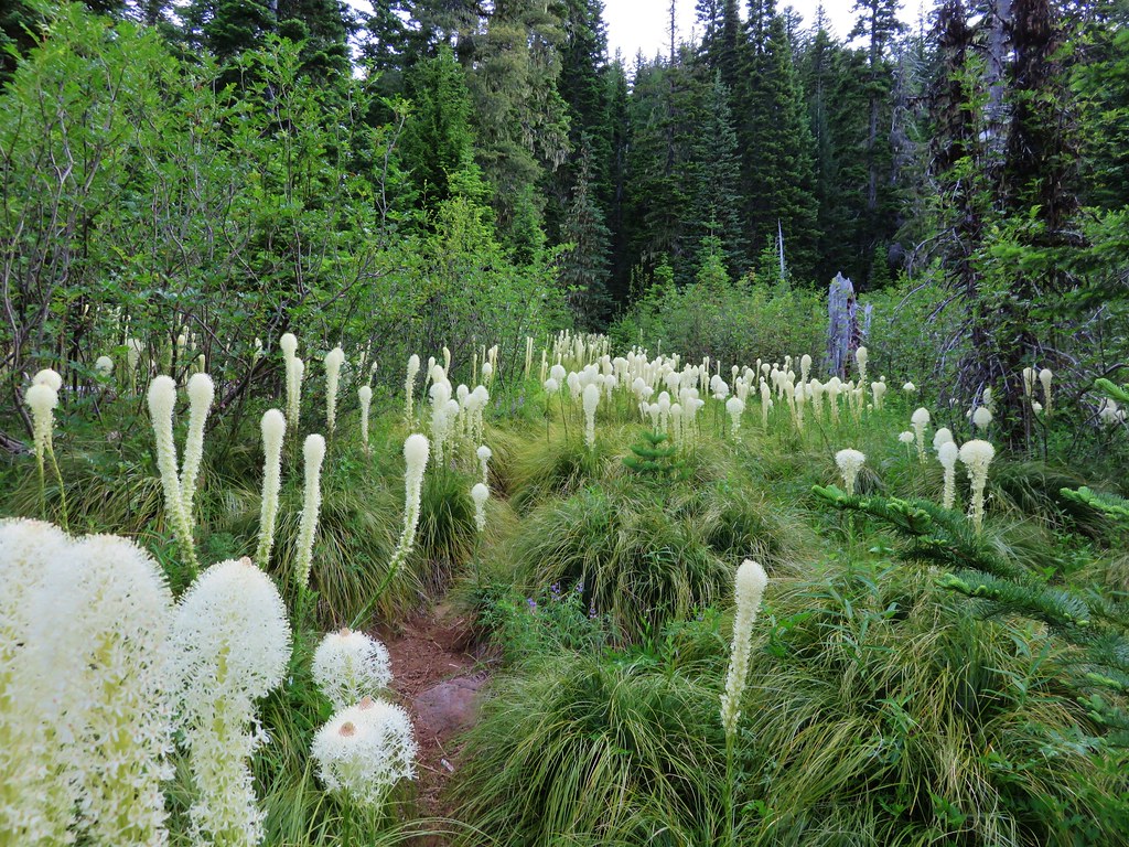
 Huckleberry Bushes along Saddle Lake.
 Notch Lake
 Diamond Peak from Corrigan Lake
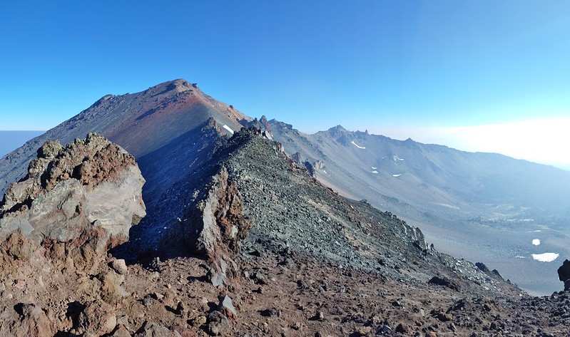 Diamond Peak
 Sawtooth Mountain from Timpanogas Lake


 Lower Erma Bell Lake from the climb.
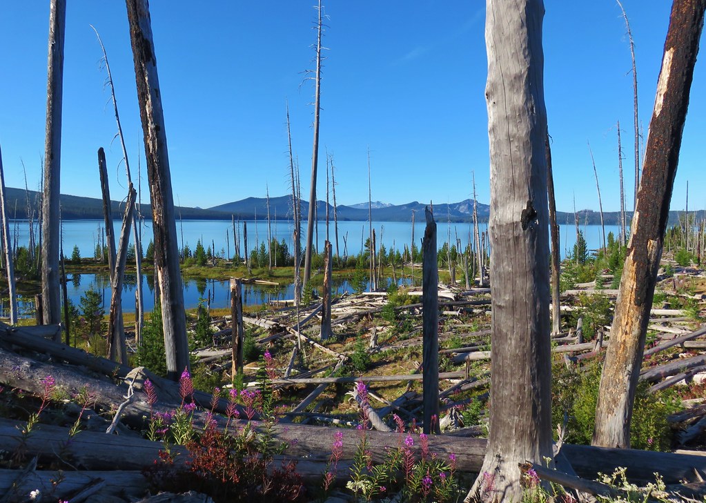
 Above the falls.

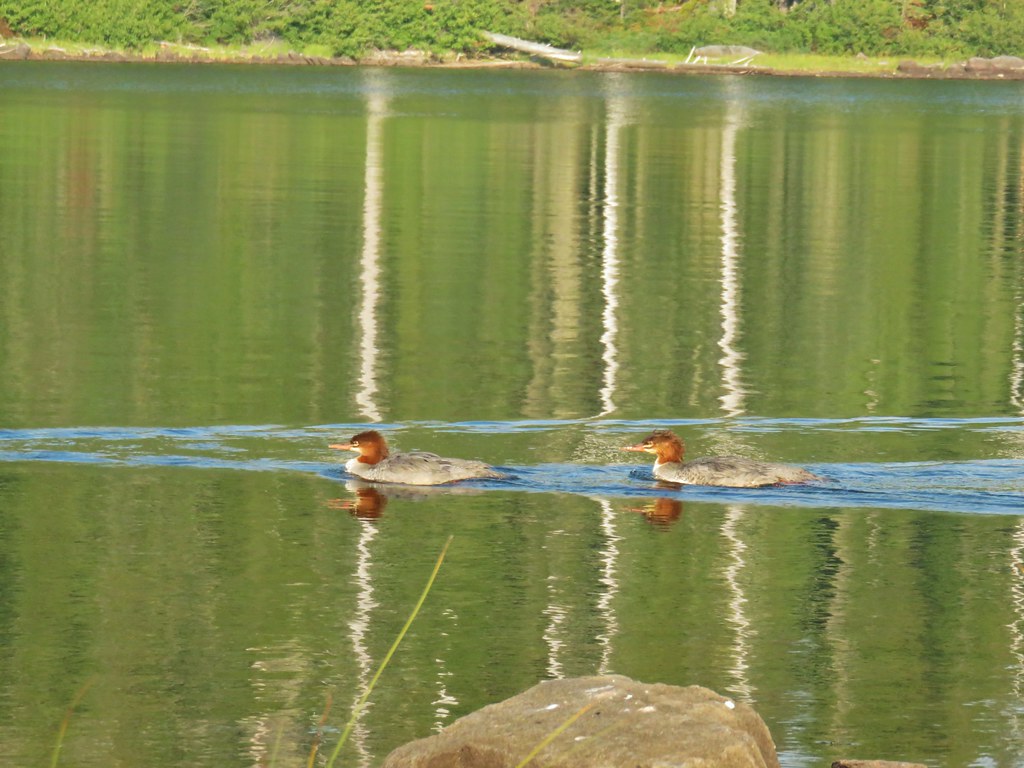
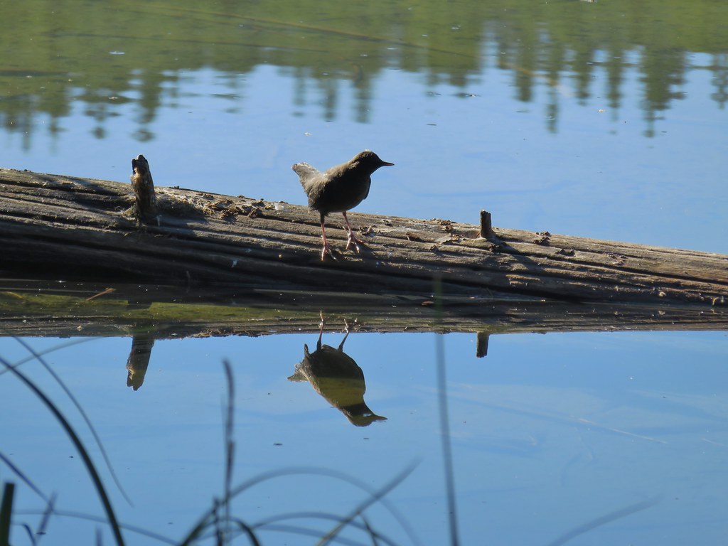 Ouzel
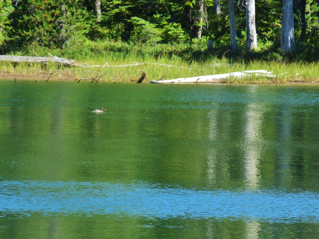
Ouzel Ducks
Ducks Pond along the trail.
 Spur trail on the right to Upper Erma Bell Lakes.
 Paintbrush and aster along the lake shore.
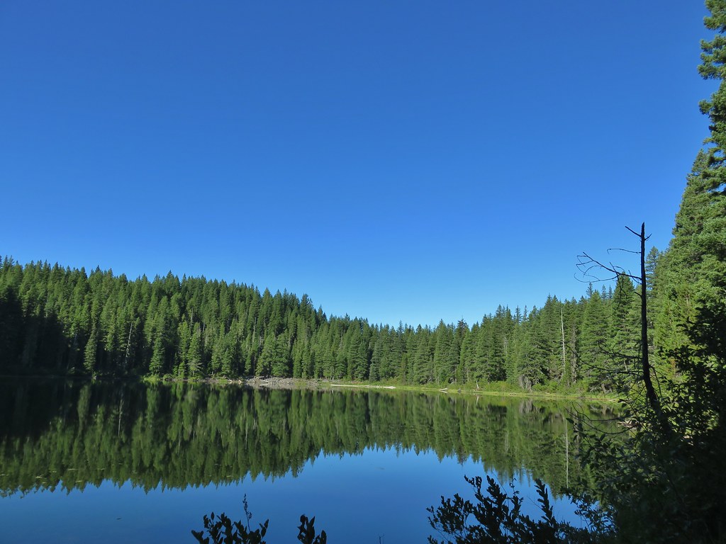 Upper Erma Bell Lake
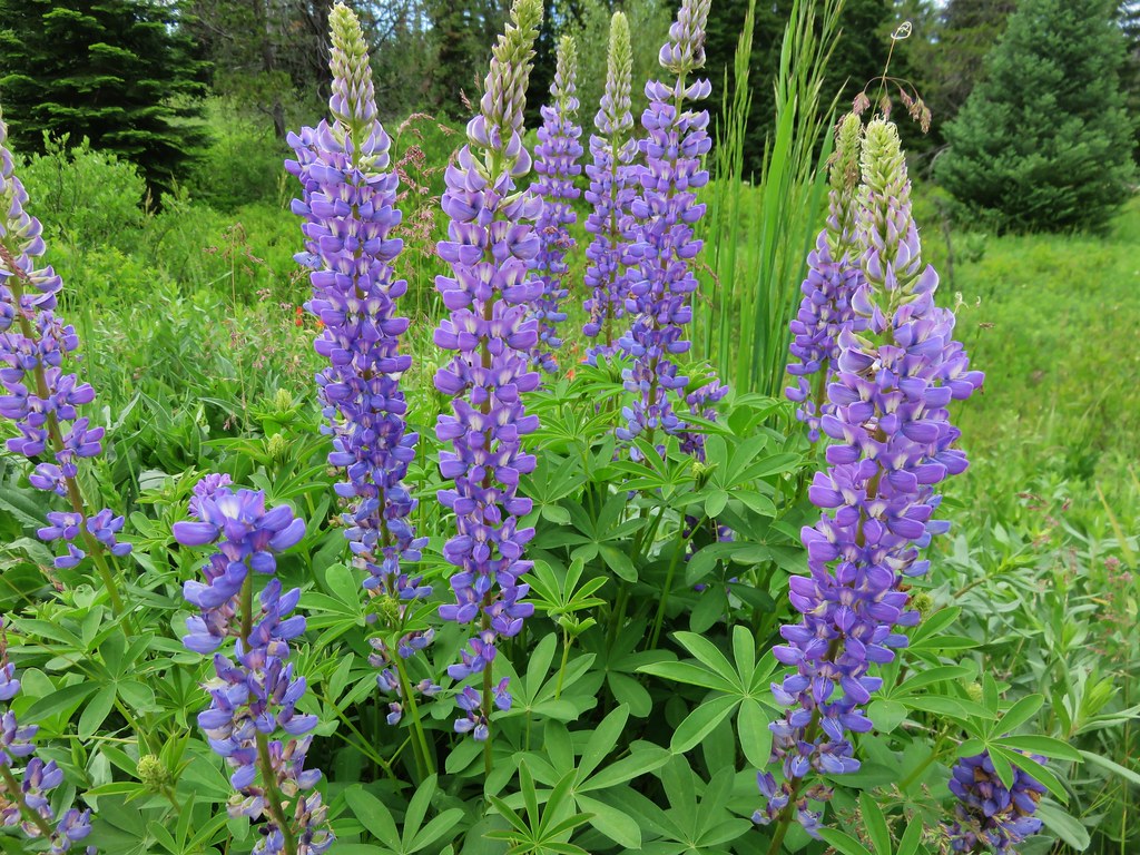
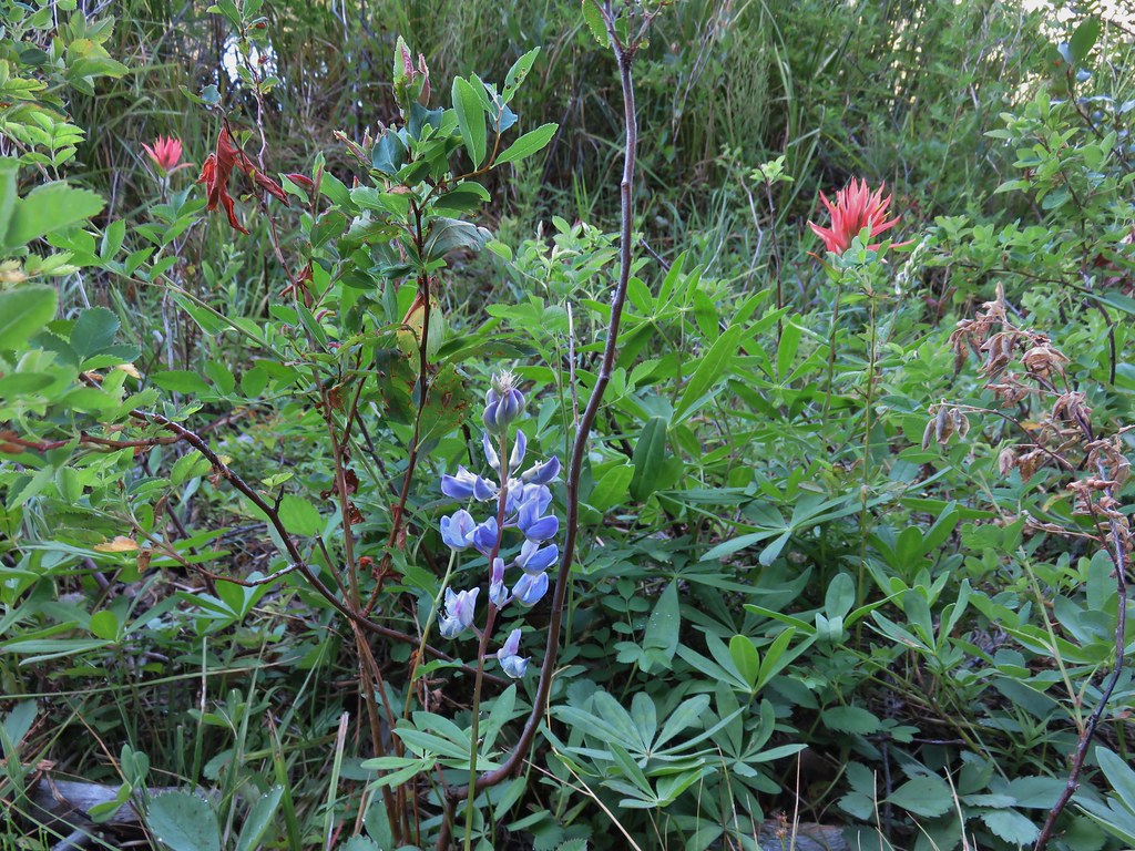 Lupine and paintrbush
 Judy Lake Trail on the right.
 Williams Lake Trail joining from the right.
 Grouse giving us the what for from a tree.
 Williams Lake
 Dry creek bed near Williams Lake.

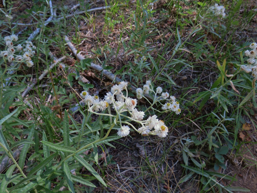 Pearly everlasting
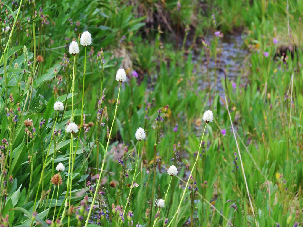
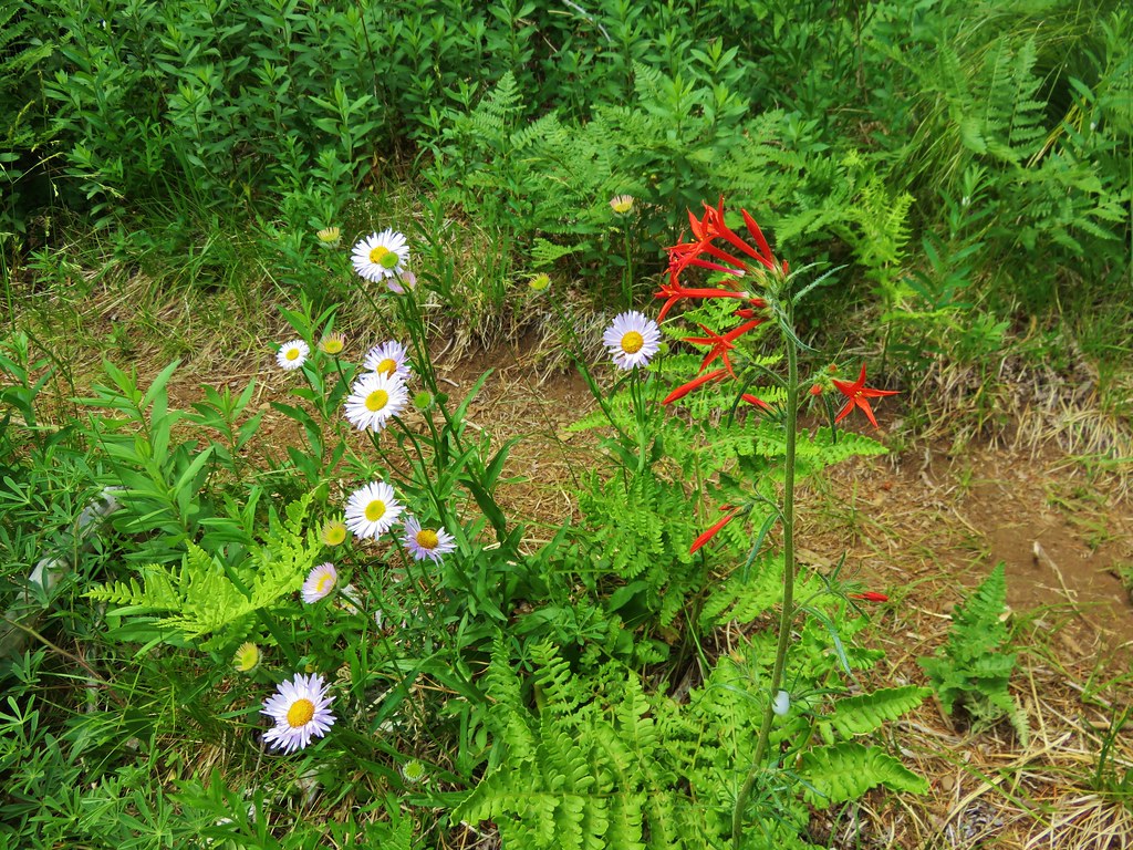
 Fleabane
 Prince’s pine
 Mushroom
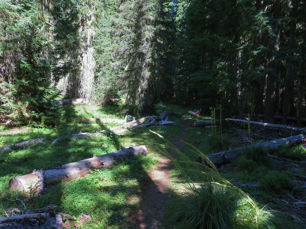
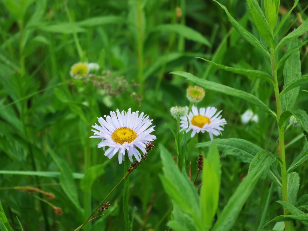
 Aster
Aster
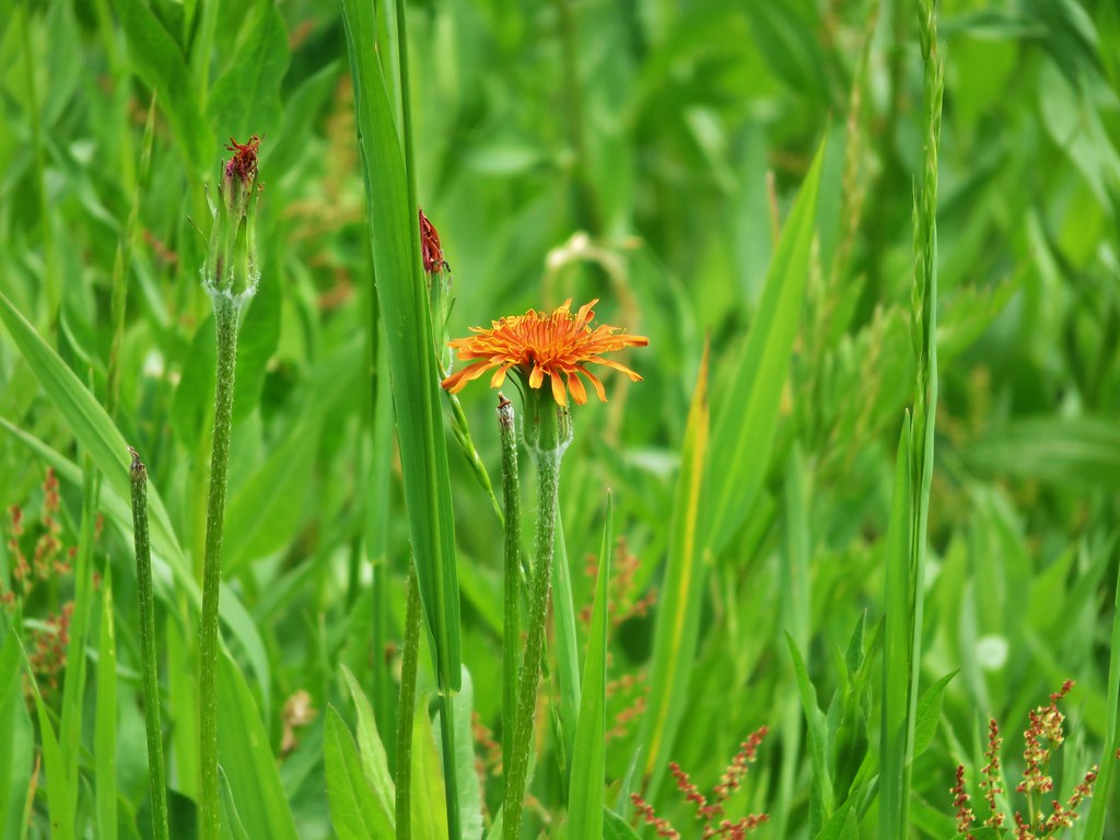
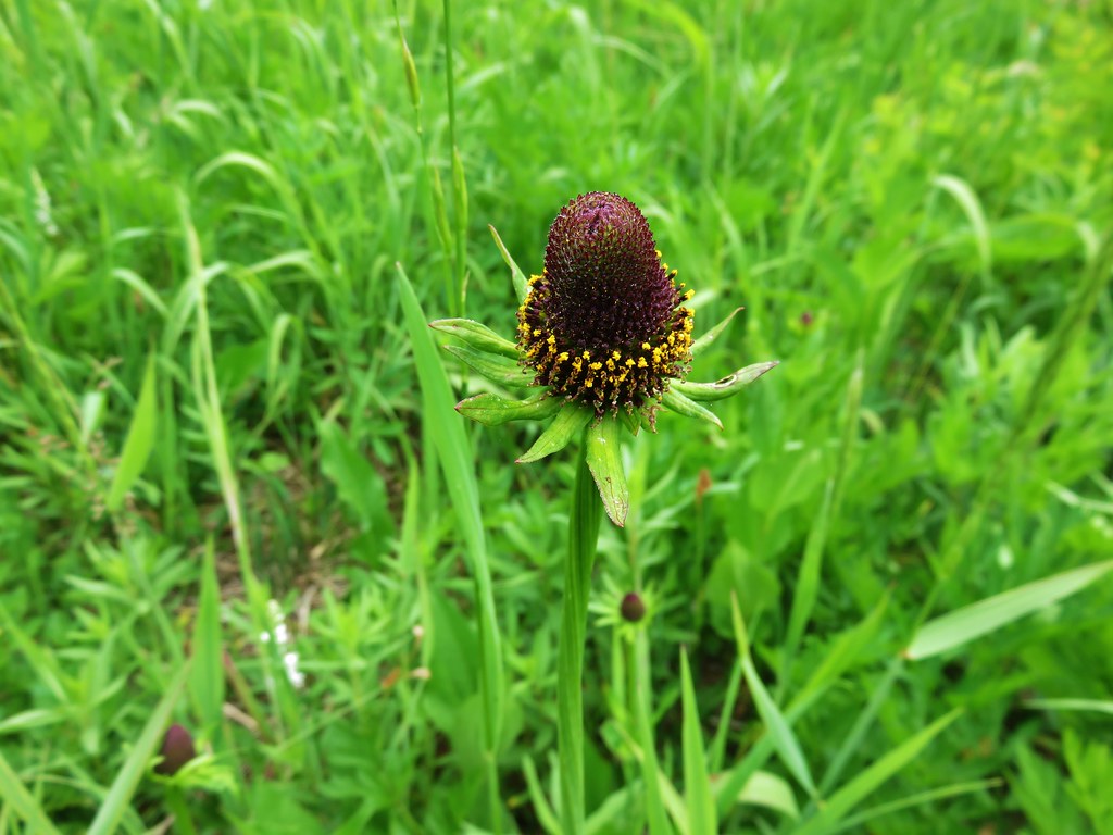
 Coneflower
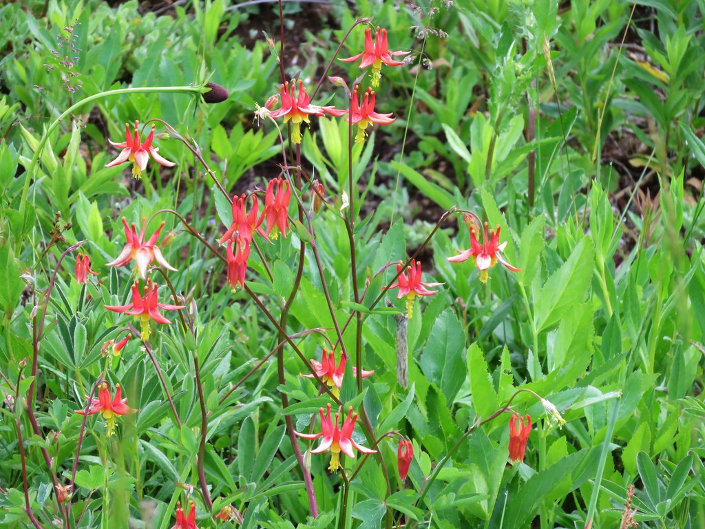
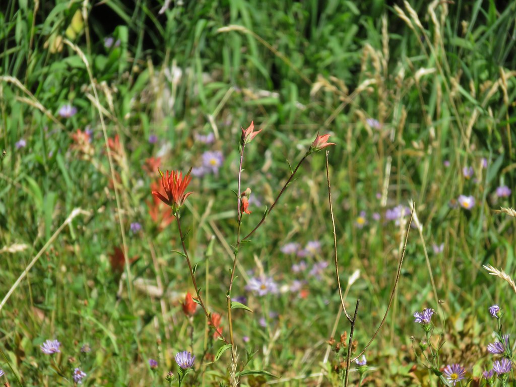 Paintbrush
 Paintbrush
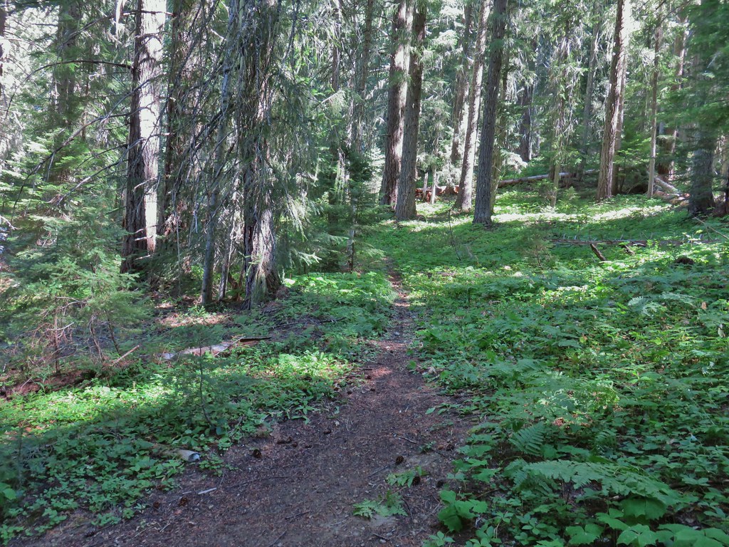

 Curious dragonfly
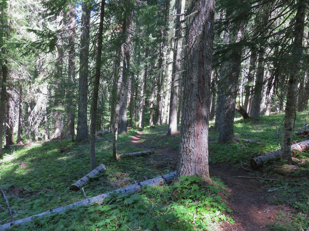


 Ghost Pipe aka Indian Pipe


 Arriving at Cedar Bog.
 One of a couple dry channels.
 North Fork Middle Fork
 Flagging on a downed tree marking the continuation of the Shale Ridge Trail.
 North Fork Middle Fork at Cedar Bog
 Orange flagging on the far side of the river.
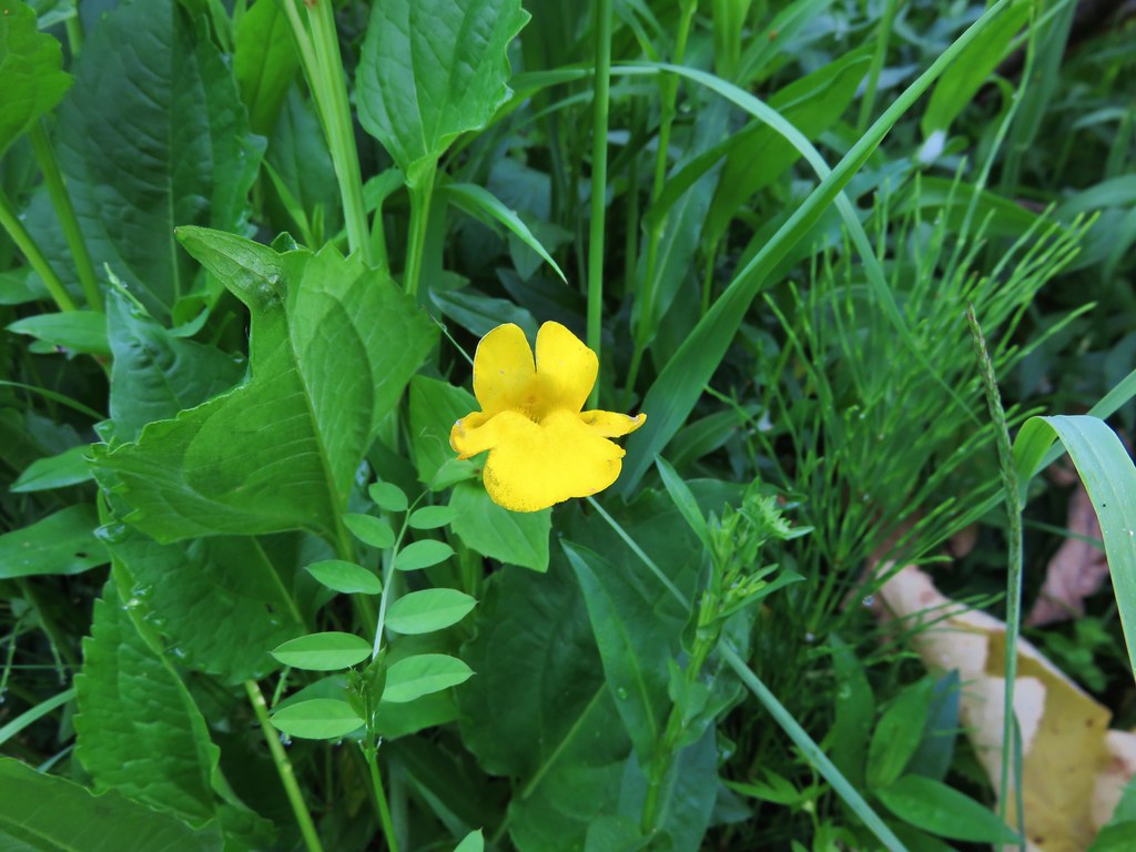
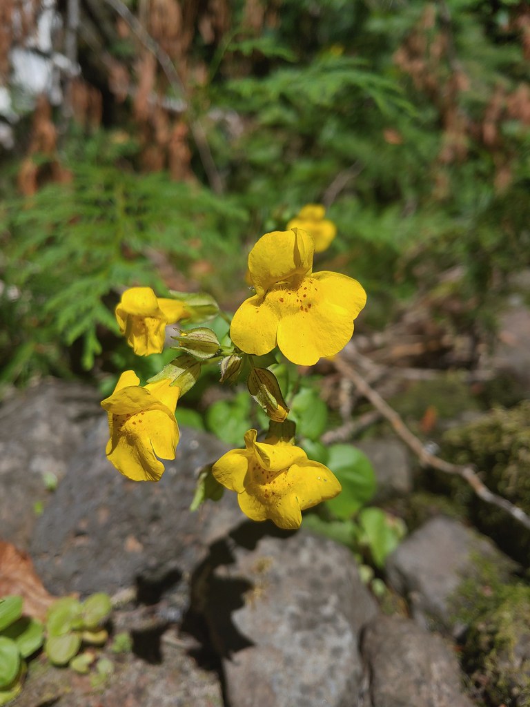 Monkeyflower at Cedar Bog
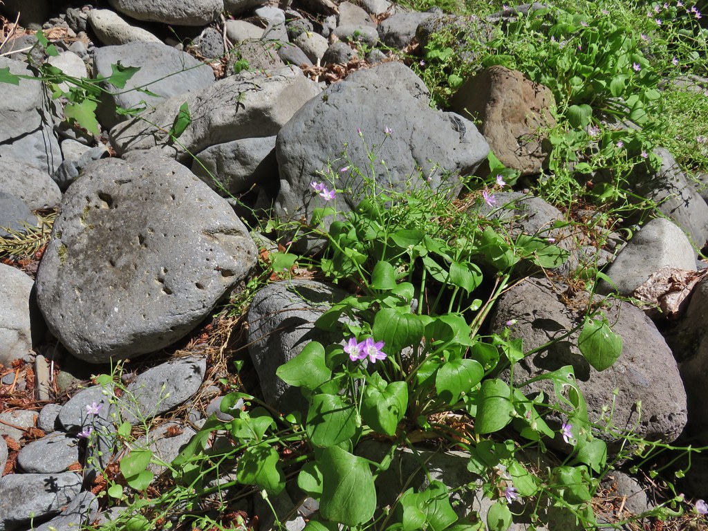 Candy flower


 Looking back at the stream.
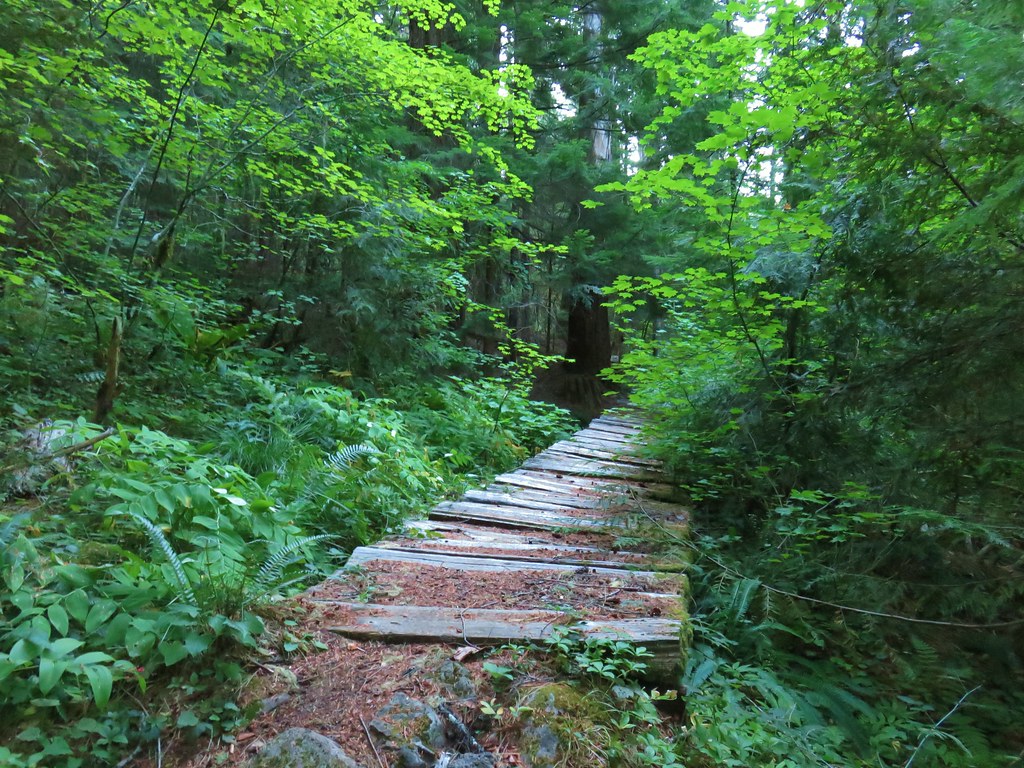
 Not many flowers left but this one reminded us of fireworks.
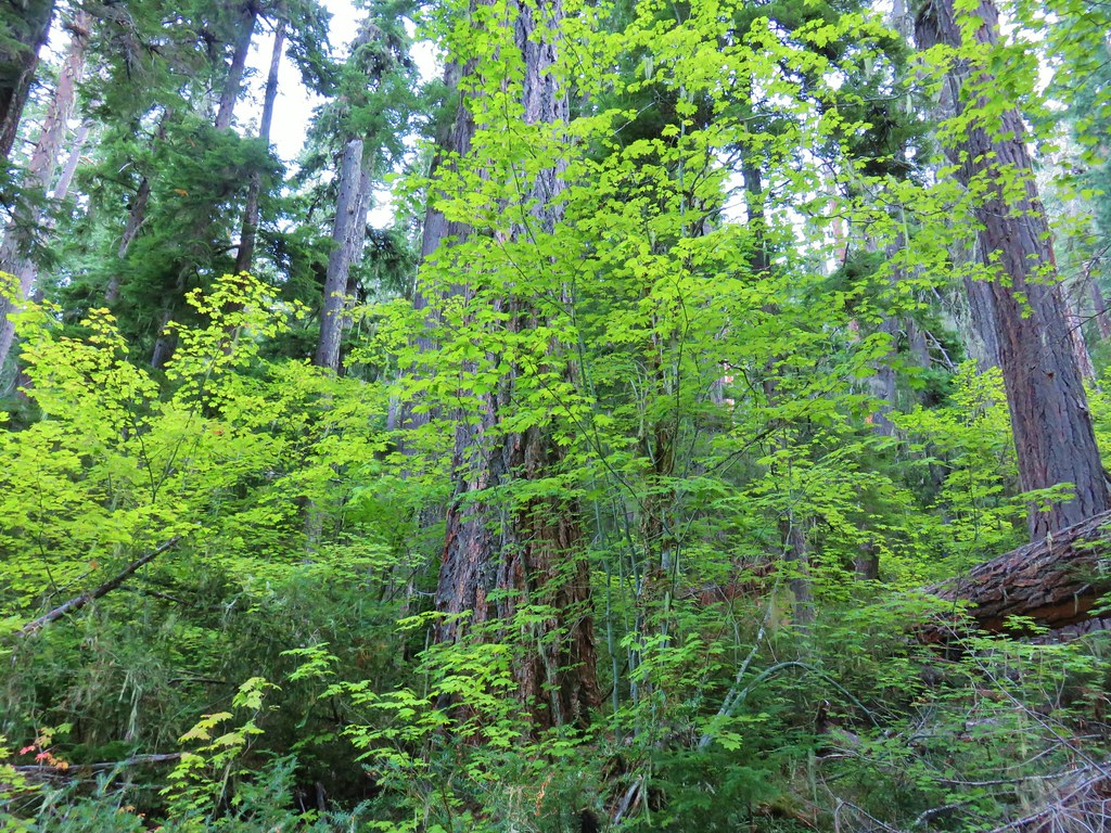
 Nettie Creek at the switchback.


 SW view
 Looking south
 Fuji Mountain
 Klovdahl Creek
 Grouse on the Black Creek Trail.
 Huckleberry bushes along the trail.
 Heading down to the Waldo Lake Trail (Jim Weaver Trail)

 First lake on the left.
 Second lake on the left.
 A third lake on the left that was set back in the trees.
 First lake on the right.
 Ducks at the lake on the right.
 Dry pond on the right.
 Wide trail junction.
 Dry creek bed along the way.
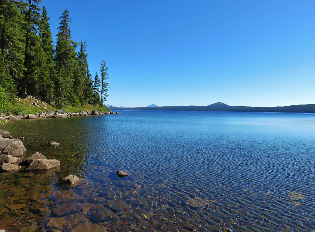


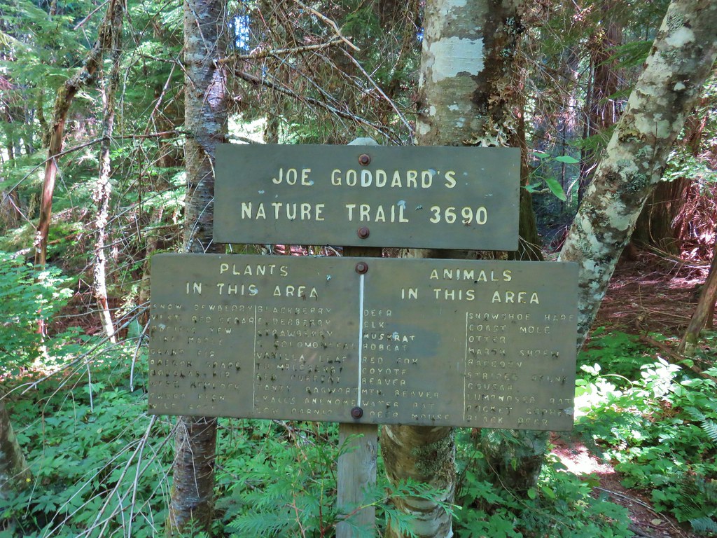
 Unsigned start of the nature trail.
 Black Creek
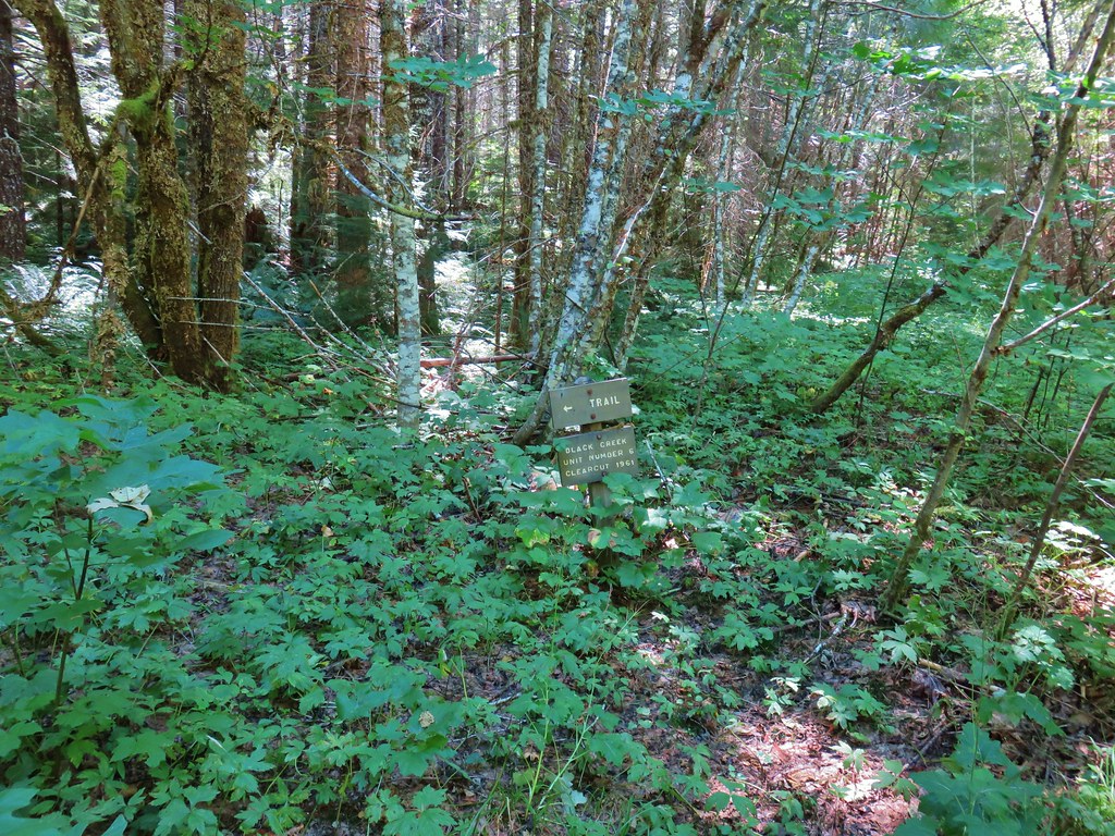


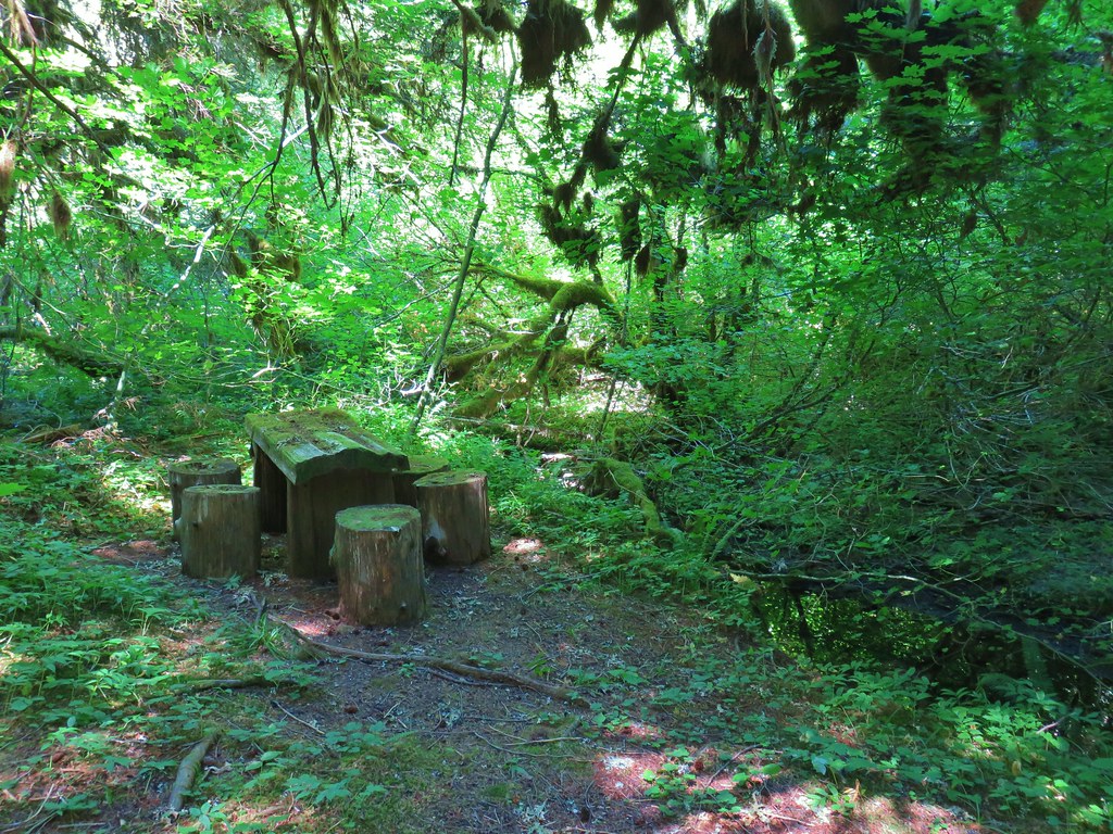


 Another picnic table.
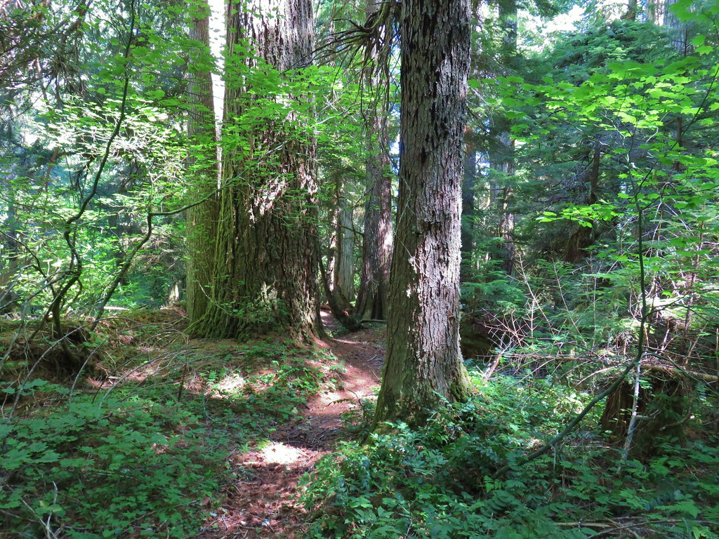
 Another big Doug fir.

 Battle Ax Creek – 2014
 Mt. Jefferson from Russell Lake – 2016
 Drift Creek – 2010
 Mt. Washington from the Pacific Crest Trail – 2015
 The Three Sisters – 2014
 Three Arch Rocks from Cape Meares – 2018
 Triple Falls – 2012
 Mt. Hood – 2015
 Bandon Islands – 2018
 Twin Pillars – 2011
 Howlock Mountain and Mt. Thielsen – 2014
 Table Rock – 2015
 Frustration Falls – 2018
 Trapper Creek – 2014
 View from Fuji Mountain – 2013
 Serene Lake – 2013
 Badger Creek Wilderness – 2014
 Donaca Lake – 2014
 Emerald Pool – 2018
 View from Boccard Point – 2015
 Red Buttes – 2015
 Oregon Badlands Wilderness – 2016
 Vulcan Lake – 2016
 Rooster Rock – 2016
 Glacier Lake – 2016
 View from Aspen Butte – 2016
 Mt. McLoughlin from Freye Lake – 2016
 White River – 2016
 Rock Creek – 2017
 Hedgehog Cactus – 2017
 Bridge Creek Wilderness – 2017
 Hanging Rock – 2017
 View from Grassy Knob – 2017
 Big Bottom – 2017
 Baldy Lake – 2017
 Cummins Ridge Trail – 2017
 Hummingbird Meadows – 2018
 View along the Pine Creek Trail – 2018
 Slide Lake – 2018
 Barklow Mountain Trail – 2018
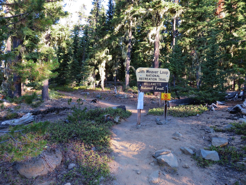
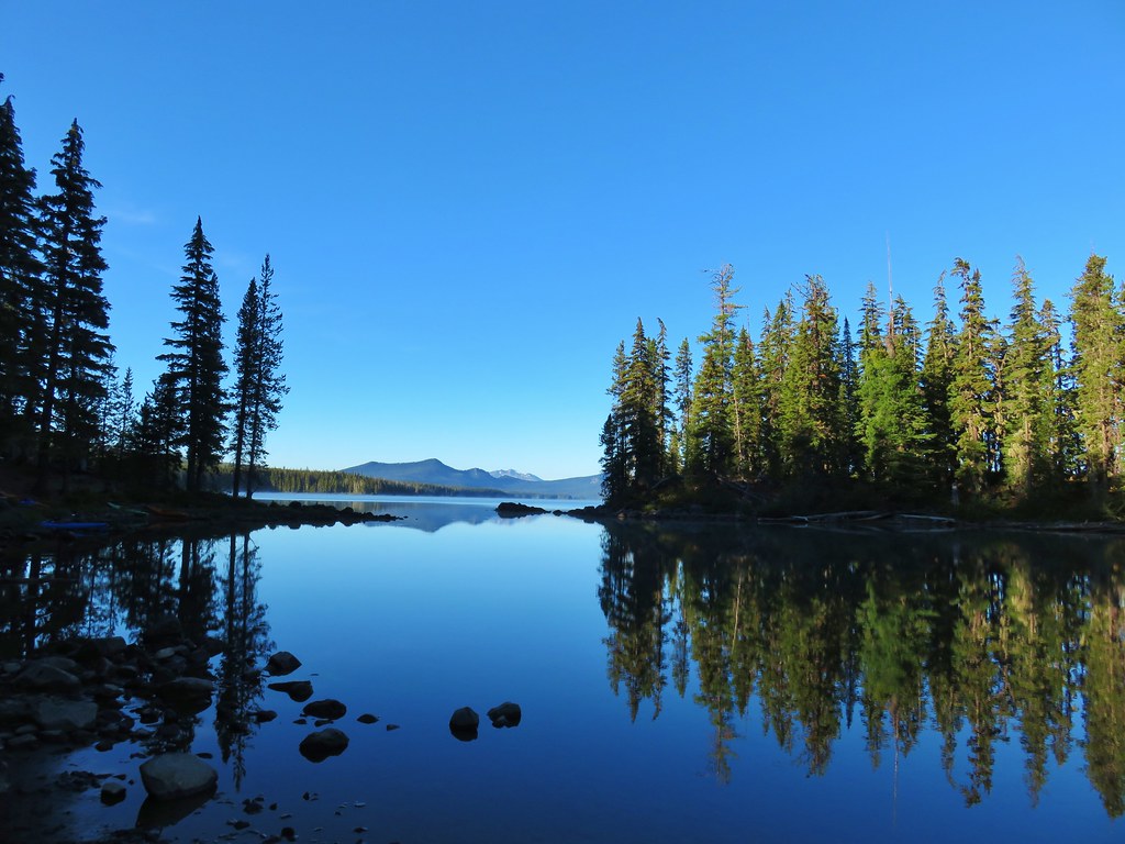


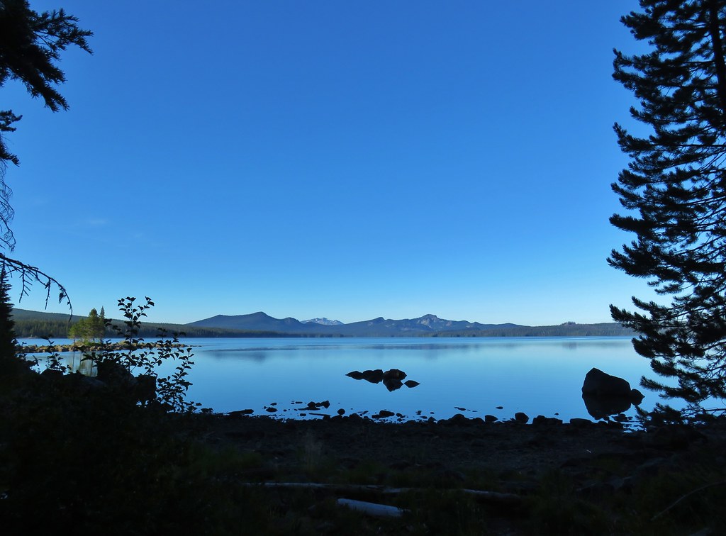
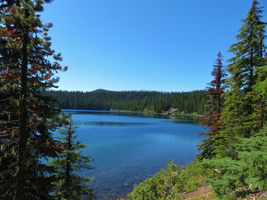
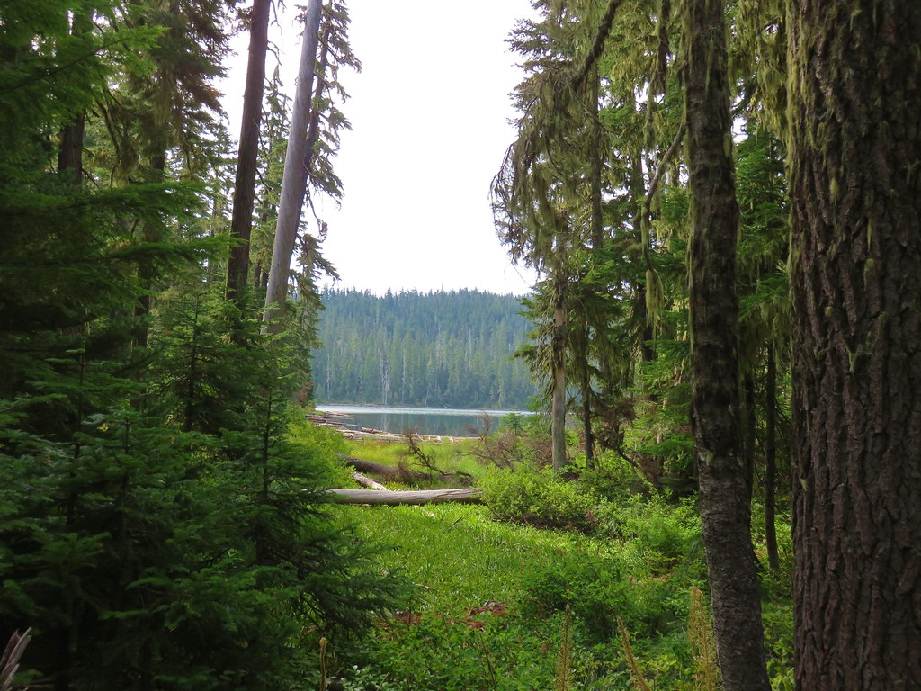
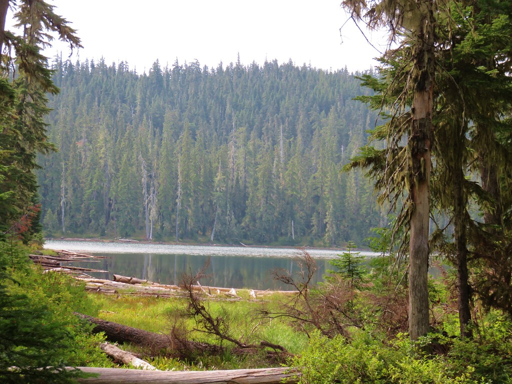
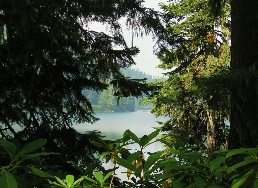
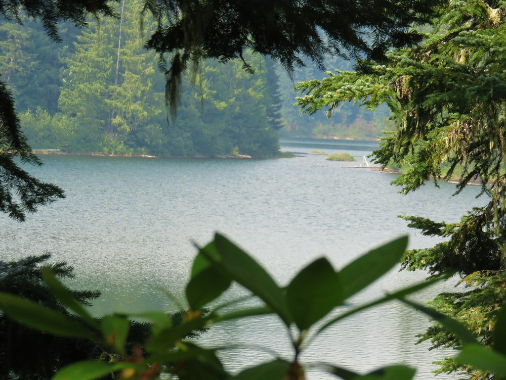
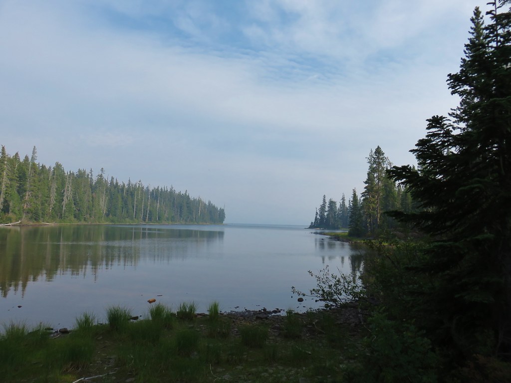
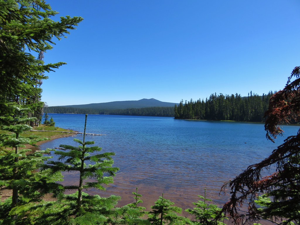
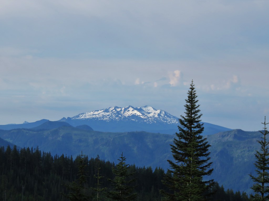
 Diamond Peak to the left and Fuji Mountain directly behind the island
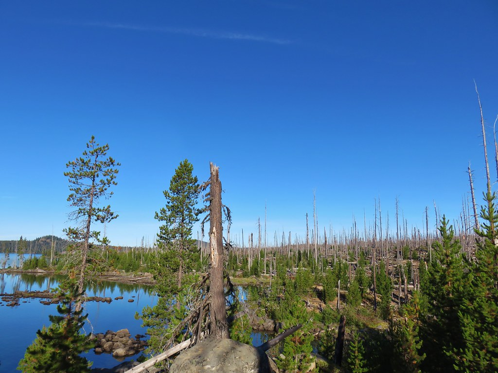

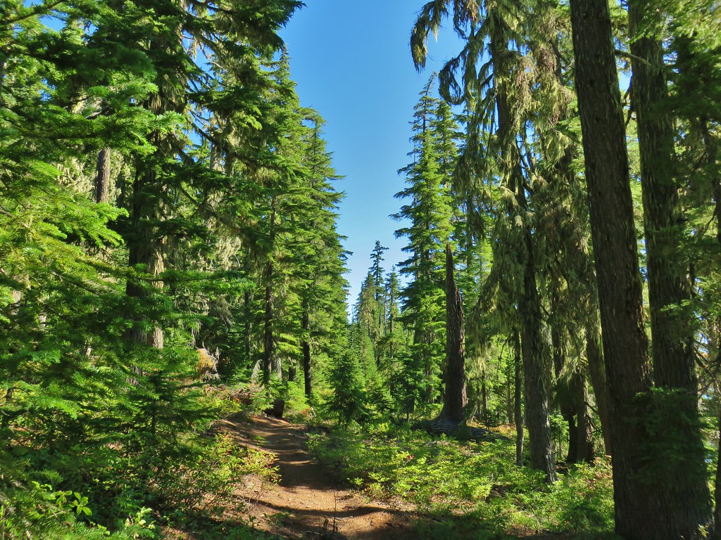
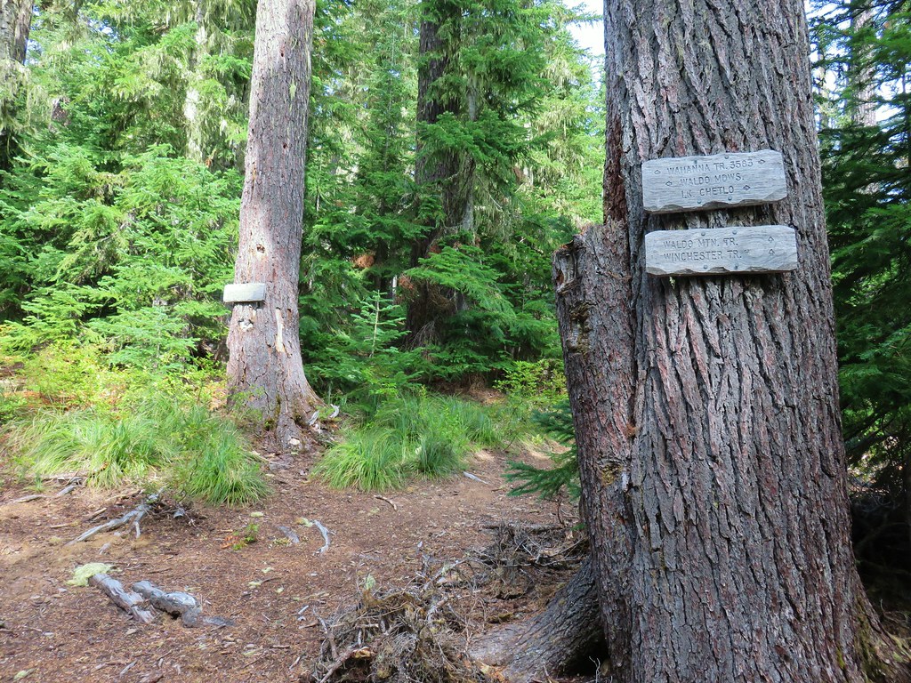
 Wahanna Trail
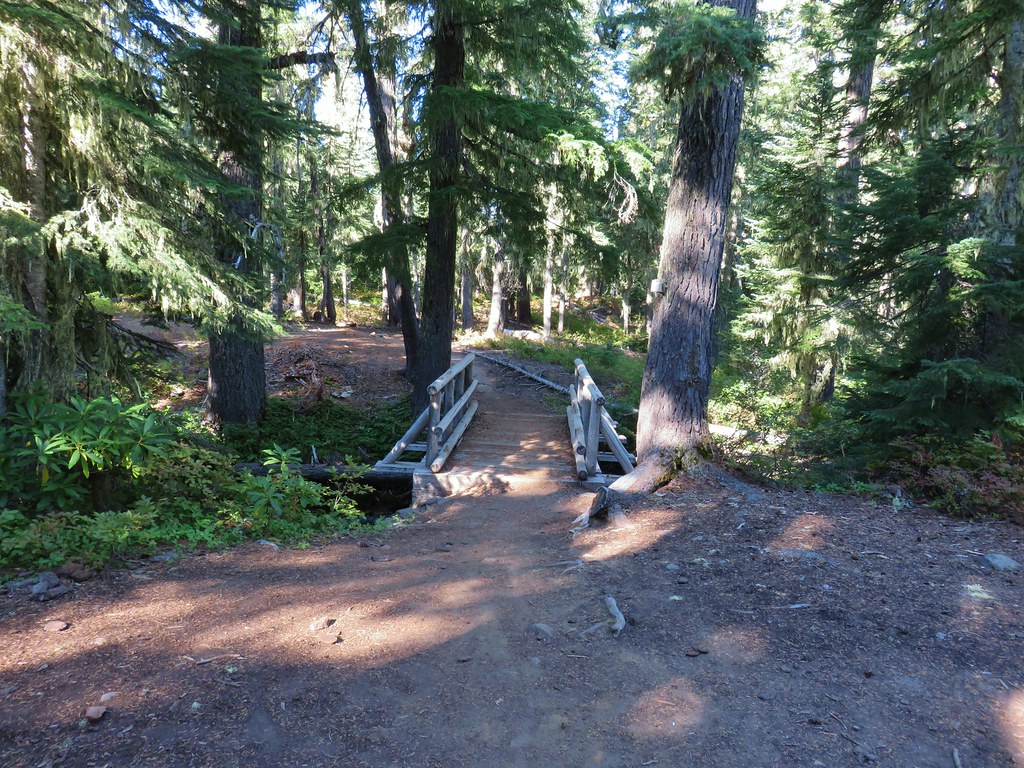
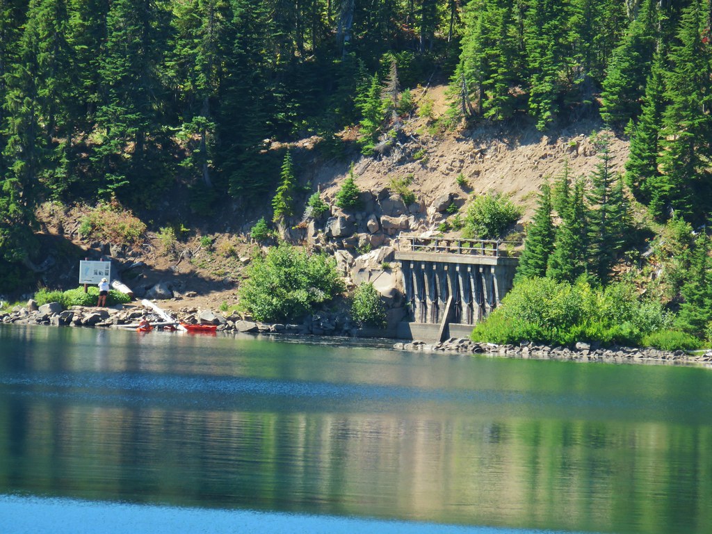
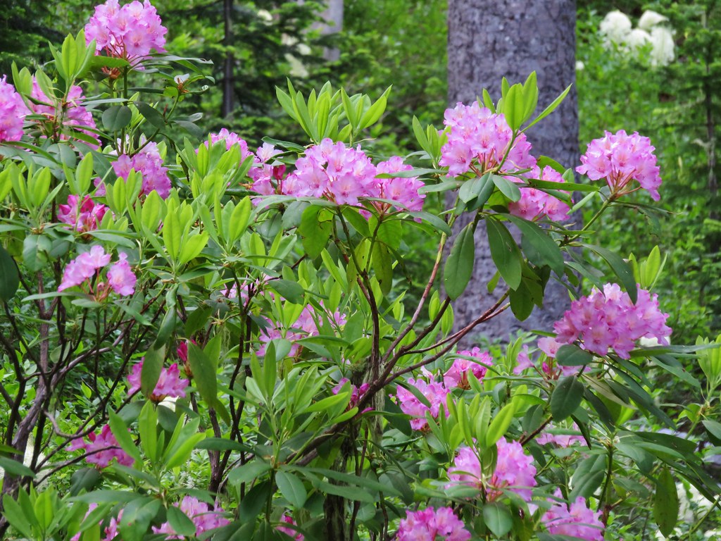
 Dam Camp is to the left in the trees and rhododendron


 South Sister
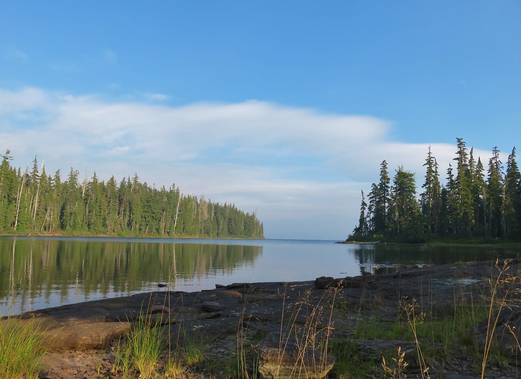
 The Three Sisters
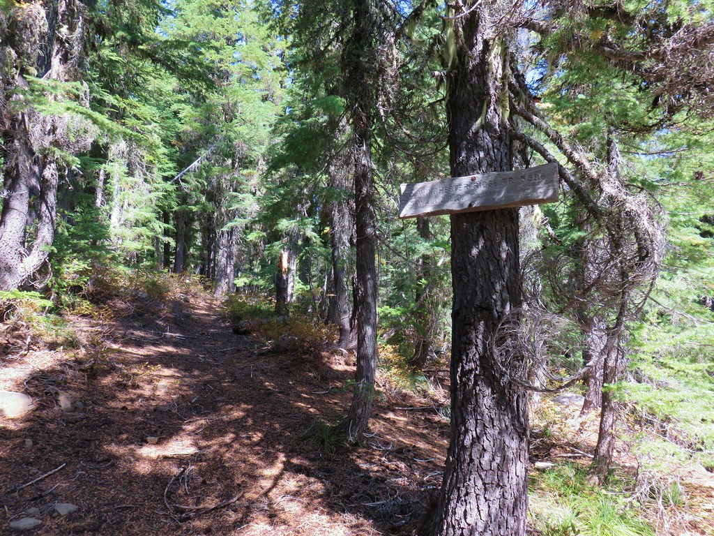
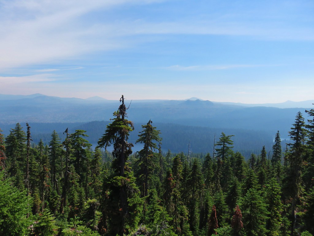 Rigdon Butte beyond the Eddeeleo Lakes from the Winchester Ridge Trail
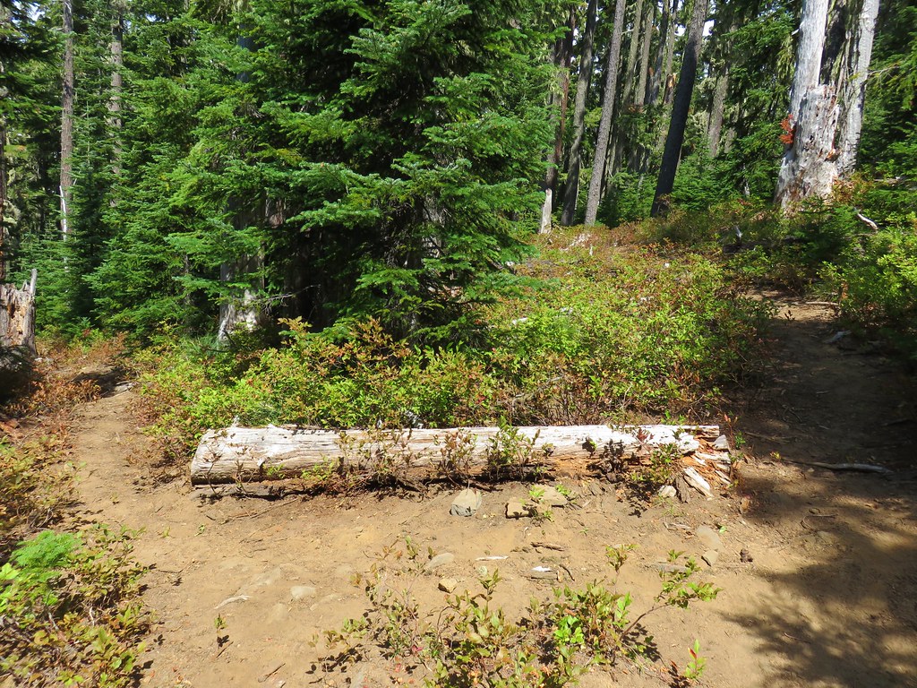


