We ended our 2020 hiking year by hiking a section of the Oregon Coast Trail from Yachats to Waldport (and back). Our final outing of the year also marked the 500th day with a hike since an ill prepared jaunt at Silver Falls State Park in 2006 gave us the hiking bug (post). I was extra excited for this outing having just received a replacement for our camera and looking forward to trying it out.
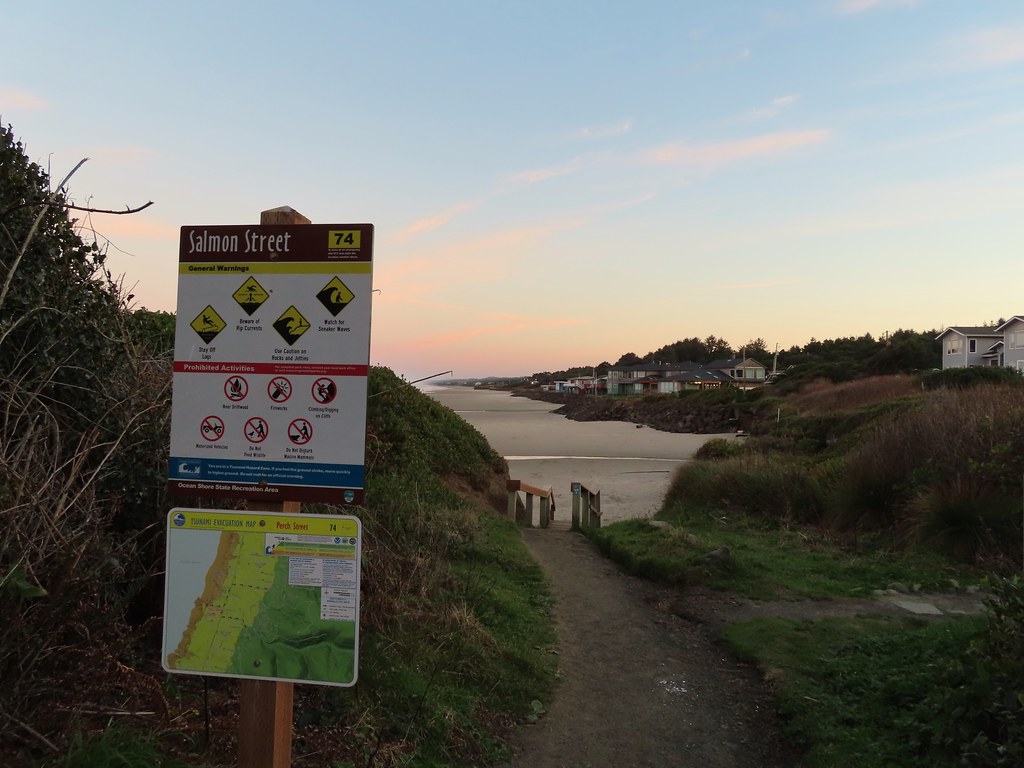
We started our hike at Smelt Sands State Recreation Site where the 804 Trail doubles as the Oregon Coast Trail route.


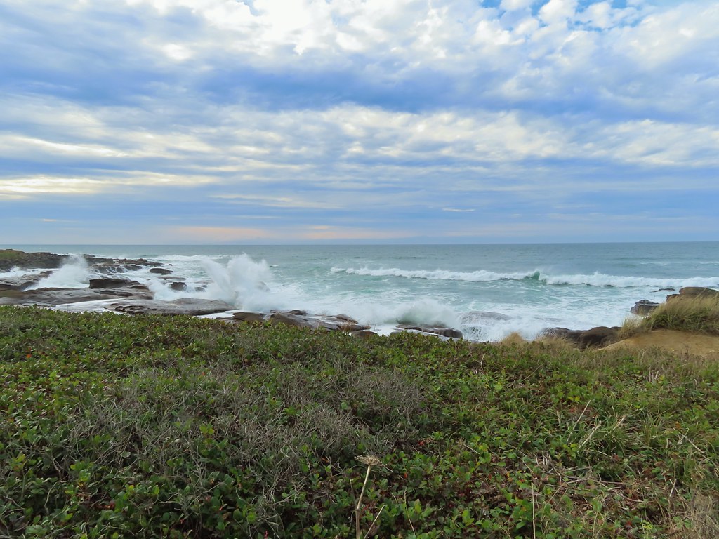
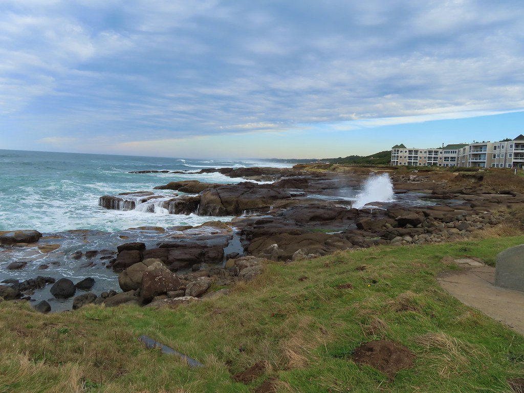
We headed north on the trail which passed between the rocky shore of the Pacific Ocean and several hotels.

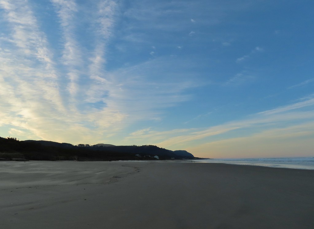
 Looking back south as the sunrise paints the clouds.
 A house on the cliffs.
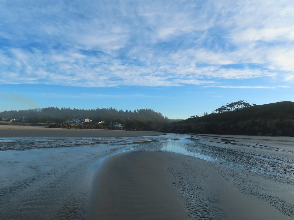
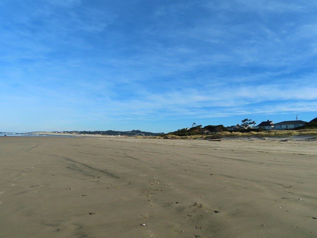
After three quarters of a mile, and crossing the private driveway of the house pictured above, the trail descends to a 6.3 mile stretch of beach between Yachats and the mouth of the Alsea River at Waldport.
It was a beautiful morning, chilly but not too cold. A slight chance of rain was in the forecast after 10am but that bank of clouds looked far off on the horizon as we struck off on the sand.

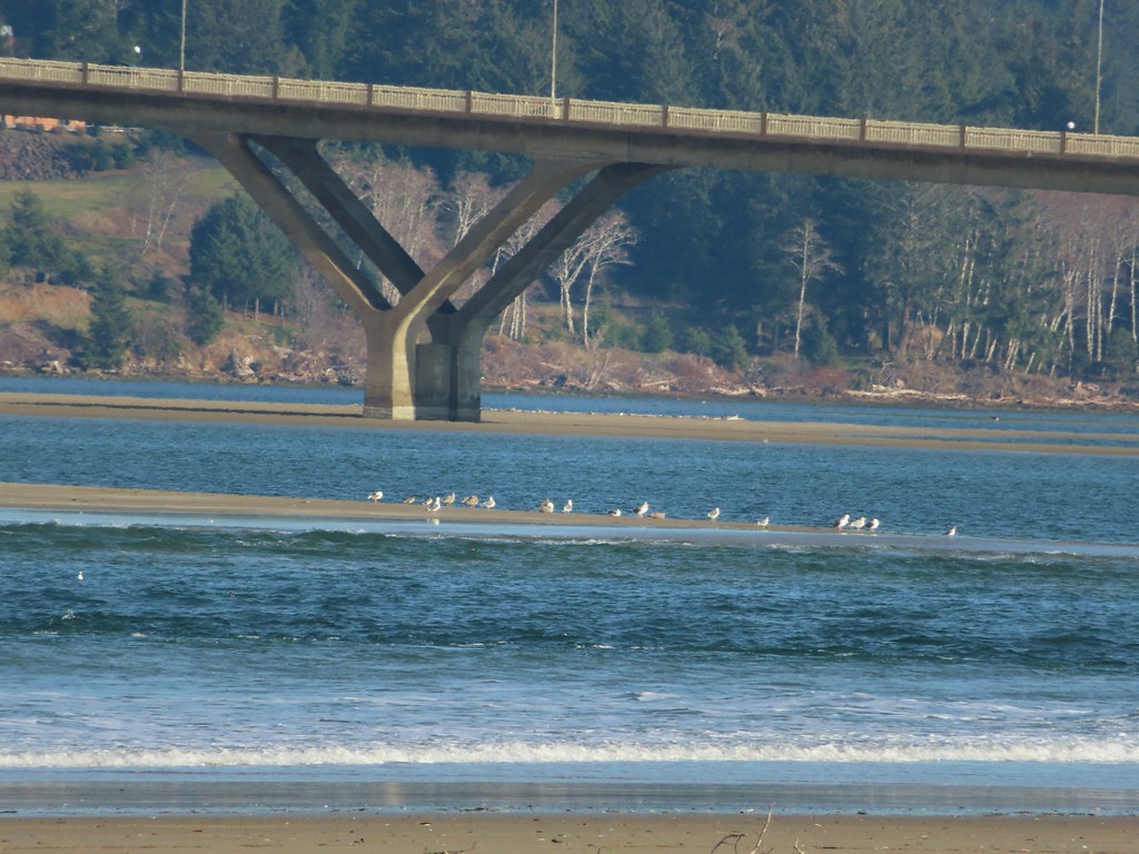
 Seagulls outnumbered people in the early part of the day.
We arrived at Starr Creek shortly after descending to the beach.

One of the trickiest parts of beach hiking can be trying to judge the depth of the various creek crossings using satellite maps. This section of beach contained several named creeks so we had come prepared for barefoot fording if necessary. Starr Creek was narrow enough though that we were able to hop across with the assistance of our hiking poles.
Continuing north we passed some banded cliffs where the ocean had created a small arch.

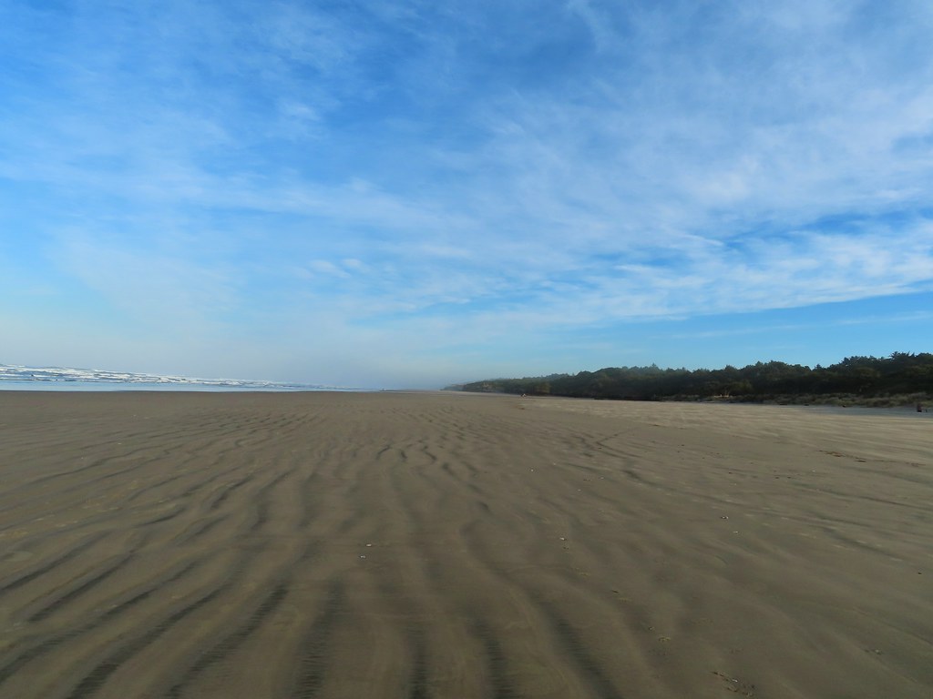
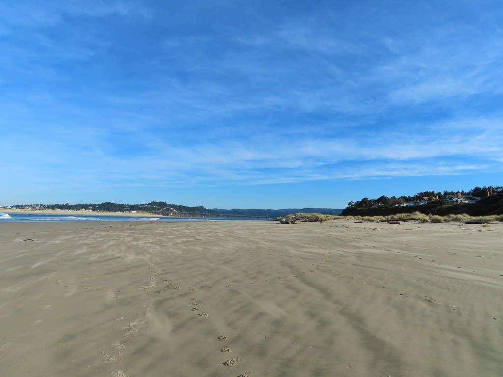
Beyond these cliffs the beach widened and we strolled along the hard packed sand looking for wildlife (both alive and not so much).


 Vinge Creek, about a mile down the beach, was crossable on small rocks.
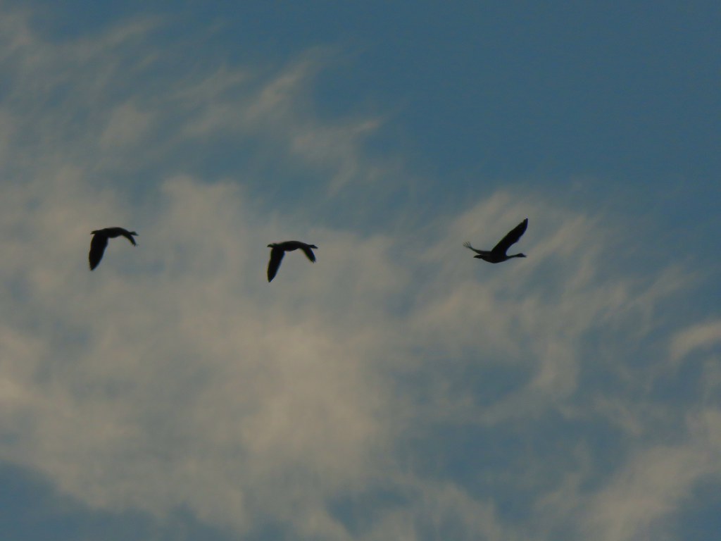 Geese flying overhead, we couldn’t make out what kind.
 At first we thought there were two weather vanes on the houses, a whale on the right and a heron on the left.
 It turned out to be a real great blue heron (but the whale was a vane).
 Looking south toward Cape Perpetua (post)
 View north.
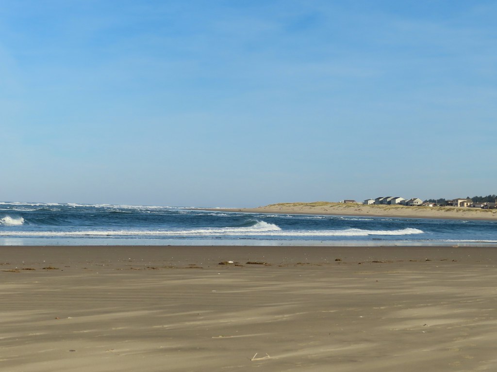
 Sunlight on the wave tops.
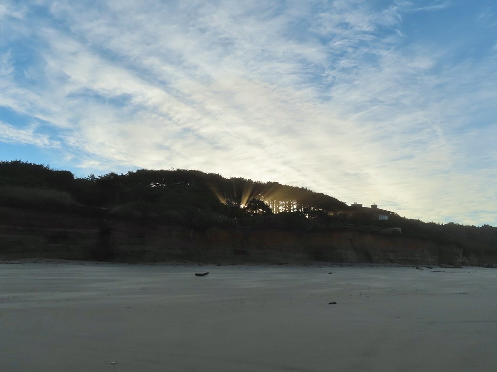 Sunlight bursting through the trees.

At Reynolds Creek (approximately 3 miles down the beach) we finally had to remove our shoes and socks for an ankle deep ford.
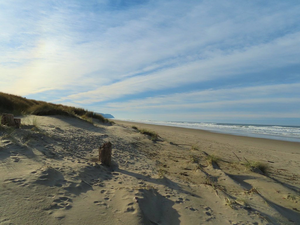
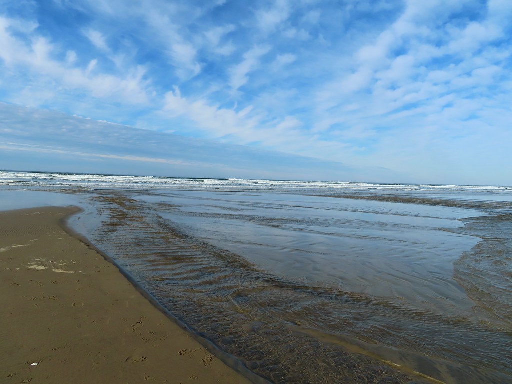
 Wavy sand.
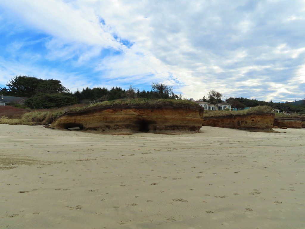
One of the most interesting sights came about 4.75 miles up the beach when we passed the “Big Stump“. The remains of an ancient redwood. The origins of the tree are unknown, it may have been part of an ancient redwood forest that was once present here or a transplant brought by the Pacific.


A mile beyond Big Stump brought us to a short section of grassy dunes at Governor Patterson Memorial State Recreation Site.
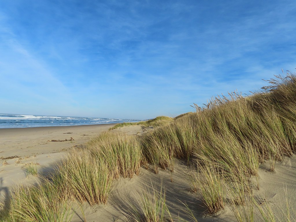
 Cape Perpetua from the dunes.
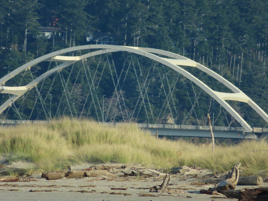
Not far beyond Governor Patterson we spotted the Alsea Bay Bridge spanning the Alsea River.
 Testing the 40 zoom feature on the Canon SX740HS.
We made our way to a driftwood log near the mouth of the Alsea and took a seat.
 Heading for the log.
 View from the log.
 More testing of the zoom function. Seagulls on the near sandbar and seals on the one on the other side of the bridge.
It was a little after 10:15am when we started back. The bank of clouds offshore came creeping in as we made our way back to Yachats but rain never materialized. We spent much of our return trip watching seals and a few birds bob along in the surf. We also decided not to worry about letting our shoes get wet so we just went straight through the creeks on the way back and may have let the ocean get us once or twice too for good measure.
 Looking at the dark cloud bank over the Pacific.
 Seal
Seal
 A little more cloud cover to the south over Cape Perpetua.
 Seagull shaking it off.
 More cloud action.
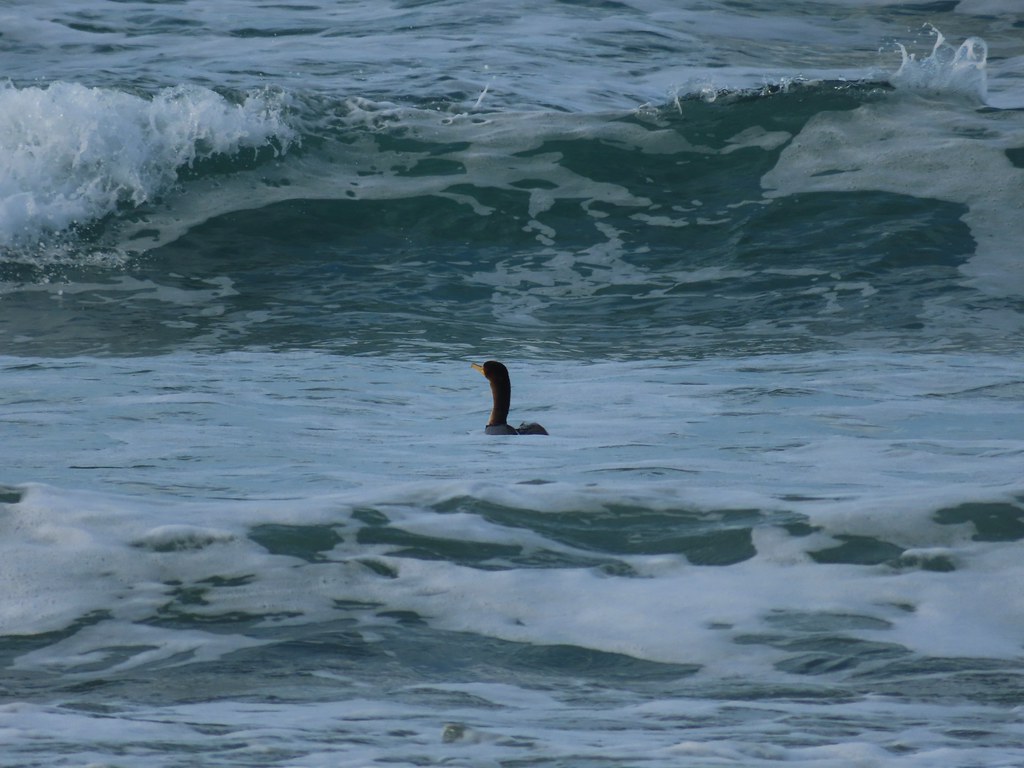 Cormorant
 Reynolds Creek after fording.
 Finally starting to feel like it could start raining soon.
 The advancing line of clouds.
 Another look at the arch.
 A kingfisher near the stairs up from the beach.
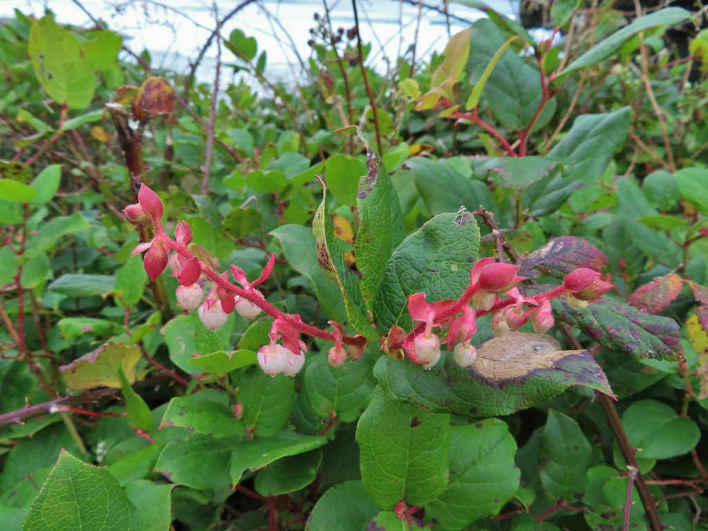 December blossoms on salal along the 804 Trail.
The tide was further in as we passed the rocky shoreline on the 804 Trail creating some dramatic wave crashes.


If not for our bladders we could have sat on one of the many benches along the 804 and watched the waves crashing into the rocks for hours but the restrooms at Smelt Sands beckoned. The weather had held up nicely and the hike was an entertaining one with just enough wildlife and sights not to be a tedious beach walk. It also helped that the sand was packed well and we never felt like we were having to work hard walking over it. Happy Trails!
Flickr: Yachats

7 replies on “Yachats – 12/05/2020”
Thanks for the coastal photos, brings back fond memories …maybe we will consider doing a longer hike like you just did.
You are great at getting great photos of elusive wildlife! Loved the kingfisher! Maybe for your 2021 hiking season you could let yourselves go just a little wild and not start hiking until after the sun comes up? 😉
Lol that’s a real problem from October to May. I try and time it right but somehow we seem to arriver sooner than Google thinks we will (I say it’s the lack of traffic, Heather might disagree). 😄
Nice trip. Per the previous comment, I’d think you don’t really need an alpine start for a beach hike. I’ve enjoyed your adventures and looking forward to next season’s trips.
[…] also hit a couple of milestones this year, our last hike at Yachats (post) was our 500th day of hiking and we reached our long term goal of hiking all 100 featured hikes in […]
[…] #50 Yachats – Hiked 12/5/2020 […]
[…] used this trailhead in 2020 for a hike on the 804 Trail. We set off on the 804 Trail again this time but after two tenths of a mile we turned right off the […]