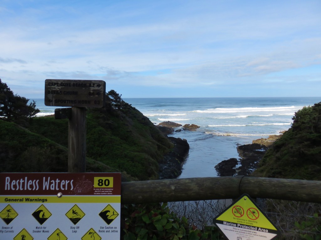
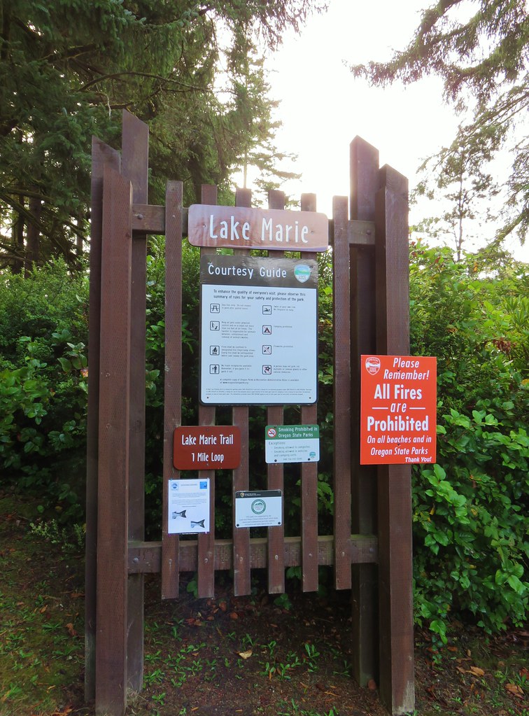
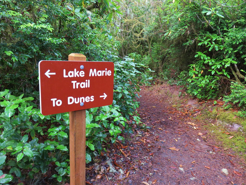
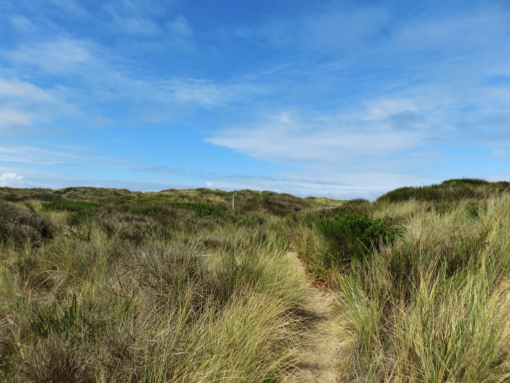
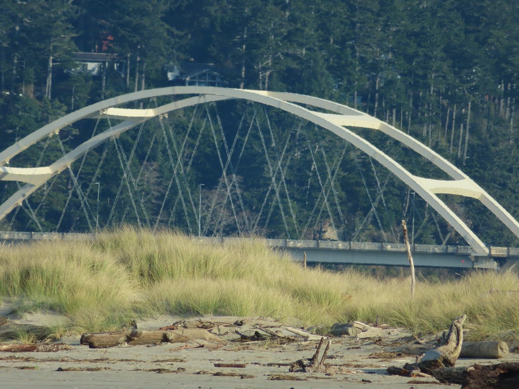
We were hoping for some nicer weather on the Saturday before the dreaded “Spring forward” which always seems to be the harder of the two time changes to adjust to. In addition to adjusting to the struggle, adjusting to the change springing forward also meant losing an hour of light in the morning when we like to do our hiking. We got our nice weather so we headed out to Lincoln City to explore some of the nearby trails and cross off another of Sullivan’s featured hikes at Roads End Beach. The hike at Roads End (#35 in the 3rd edition “100 Hikes/Travel Guide Oregon Coast & Coast Range) was one nine remaining featured hikes in his third edition which we reverted back to this year due to not knowing when (if) the final featured hike in his 4th edition, the Salmonberry Railroad, will reopen to hikers (post).
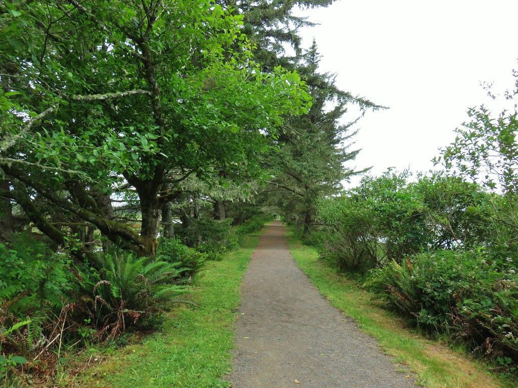
The Roads End hike is a roughly 2.8 mile out and back along Roads End Beach at the north end of Lincoln City which gave us an opportunity to add some mileage to our day and check out two other nearby destinations. The first of which was a quick stop at the Siletz Bay National Wildlife Refuge just south of Lincoln City. With the time change not yet happening we were able to arrive early and start hiking by 6:30am and more importantly drive through Lincoln City without any traffic to speak of.

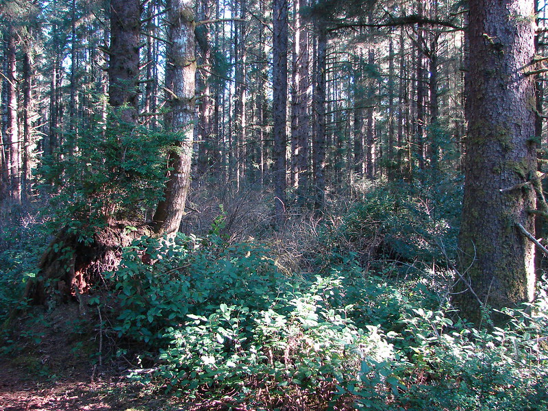
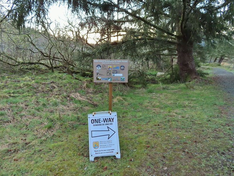
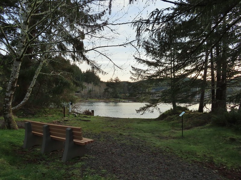
The refuge offers a single trail, a short lollipop loop (just under a mile) around Alder Island. Canoeing and kayaking is a popular activity here. It was in the mid 30’s as we set off from the small parking area so there were no human paddlers out yet but the frosty temperature didn’t dissuade others.
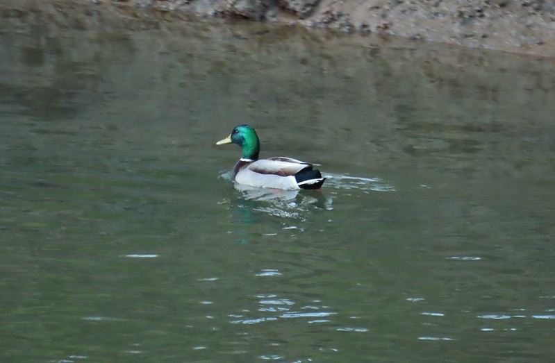
 Mallard pair
 Canada geese
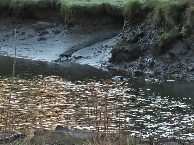
 Goose and a mallard in the channels.
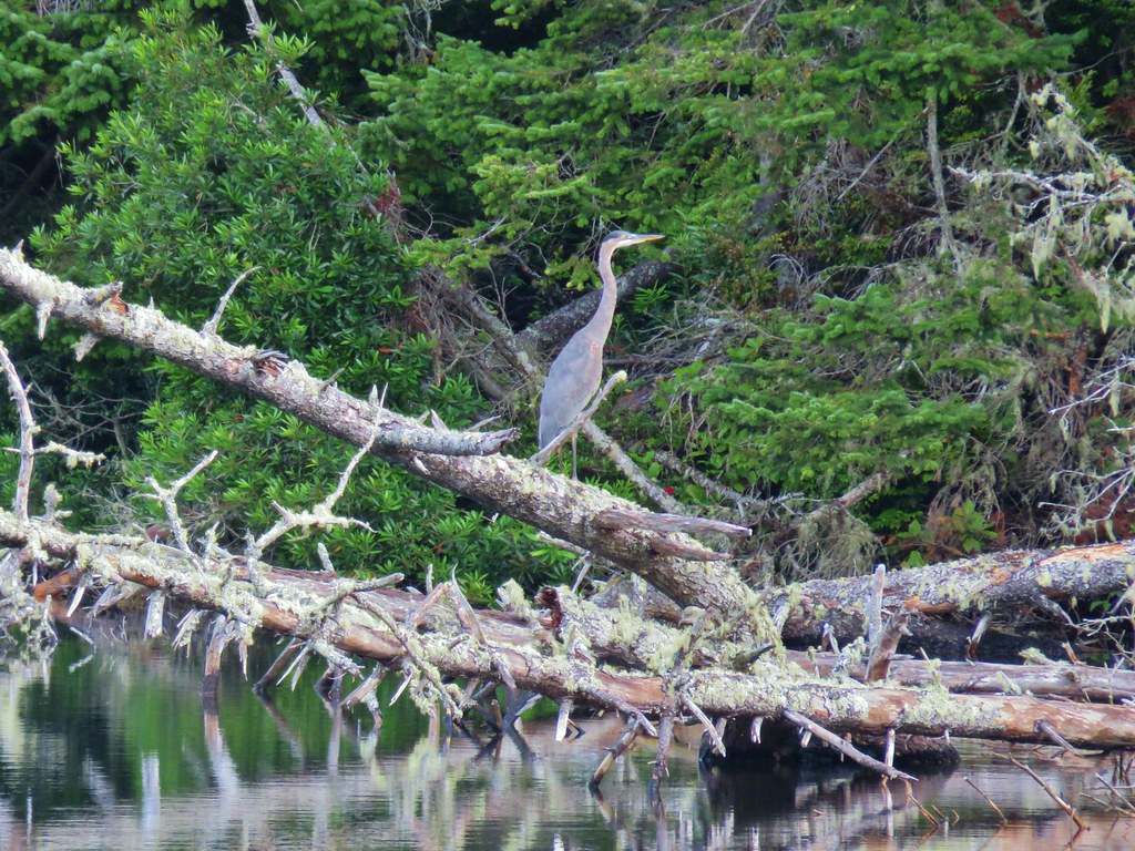
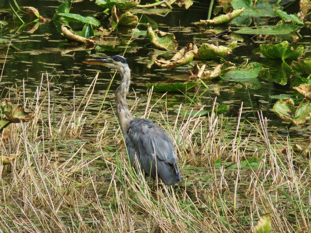
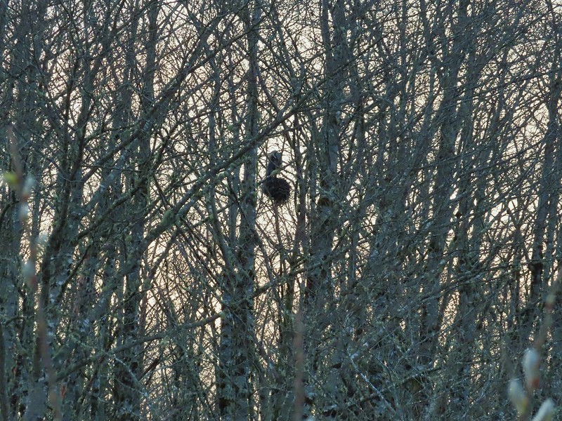
While the Sun wasn’t quite above the Coast Range great blue herons were already busy working on building a nest in some trees across a channel.


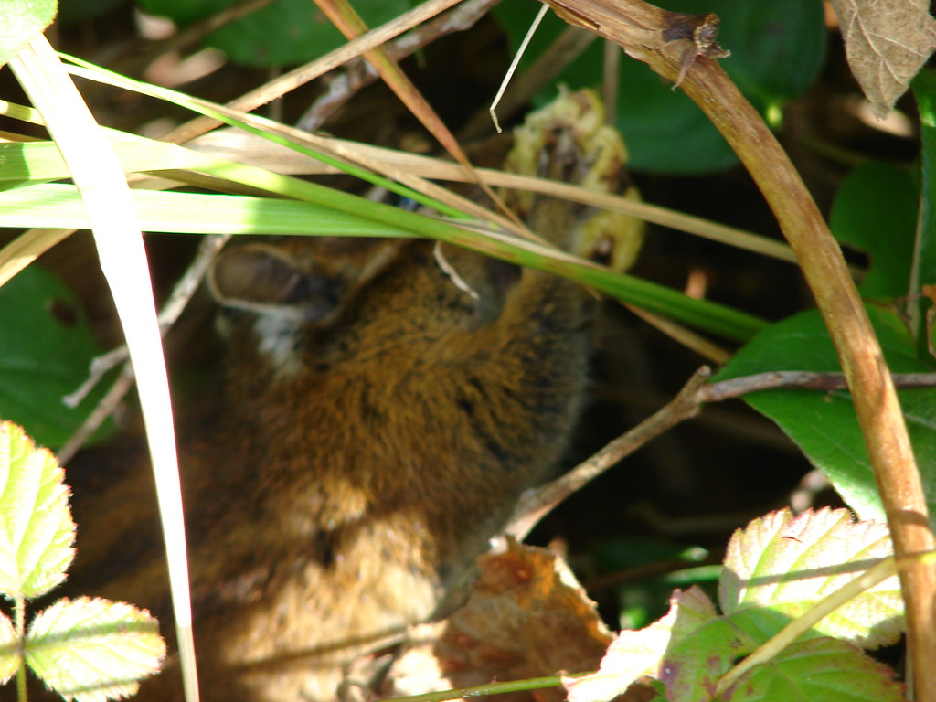
It wasn’t just the bigger birds that were busy. A ruby-crowned kinglet was busy in the brush.

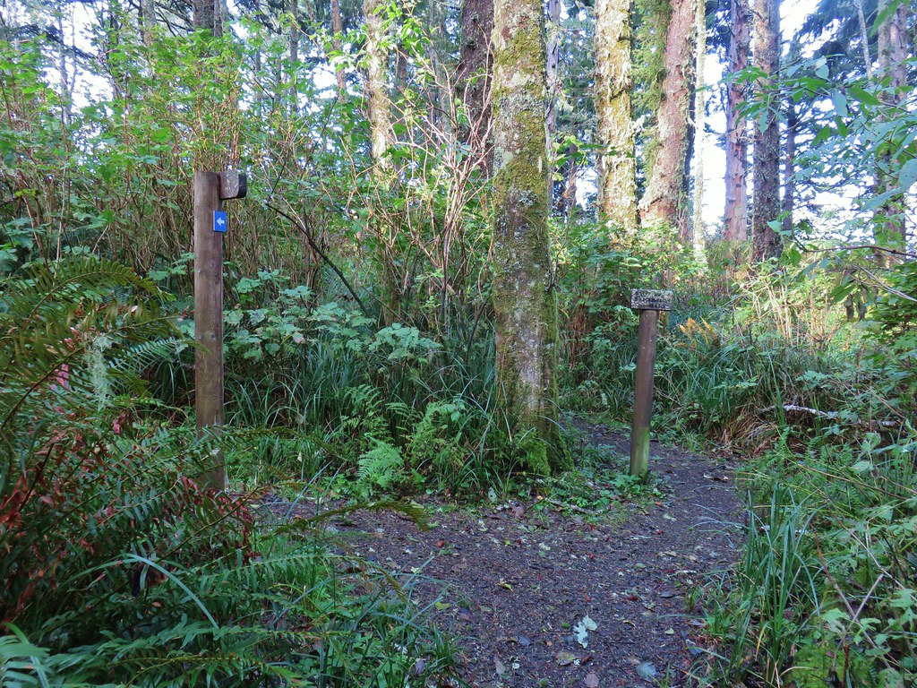
Approximately .2 miles north of the parking area we made a hard right turn crossing over some water to Alder Island and the start of the short loop.
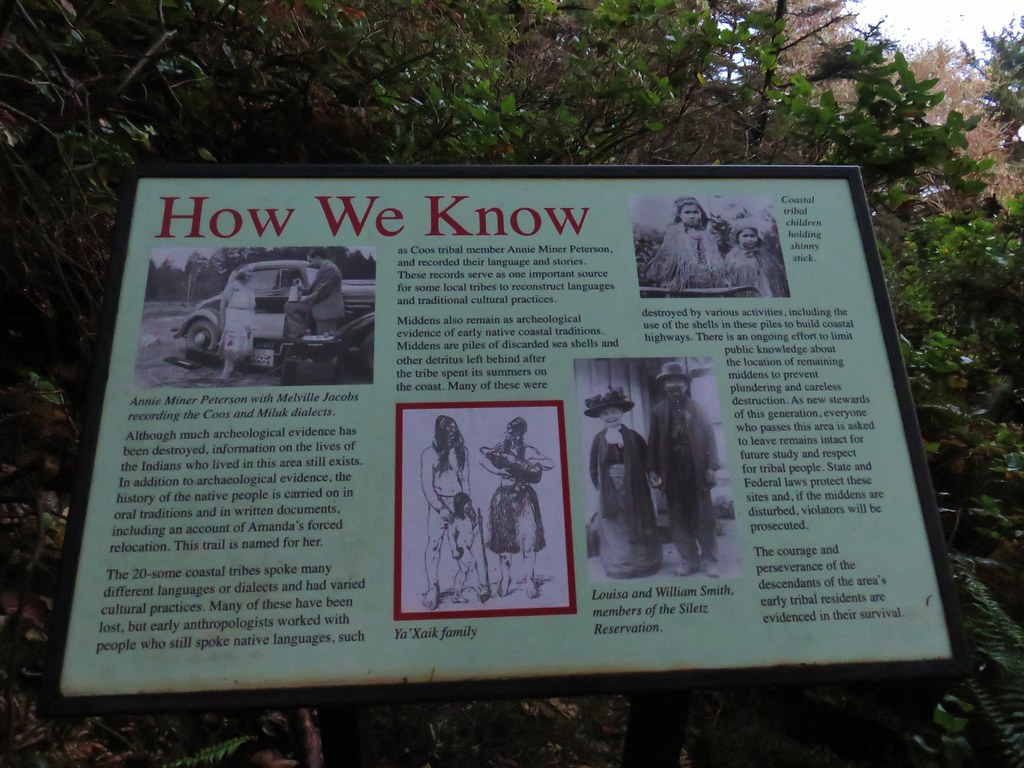
 Several interpretive signs were placed along the loop.
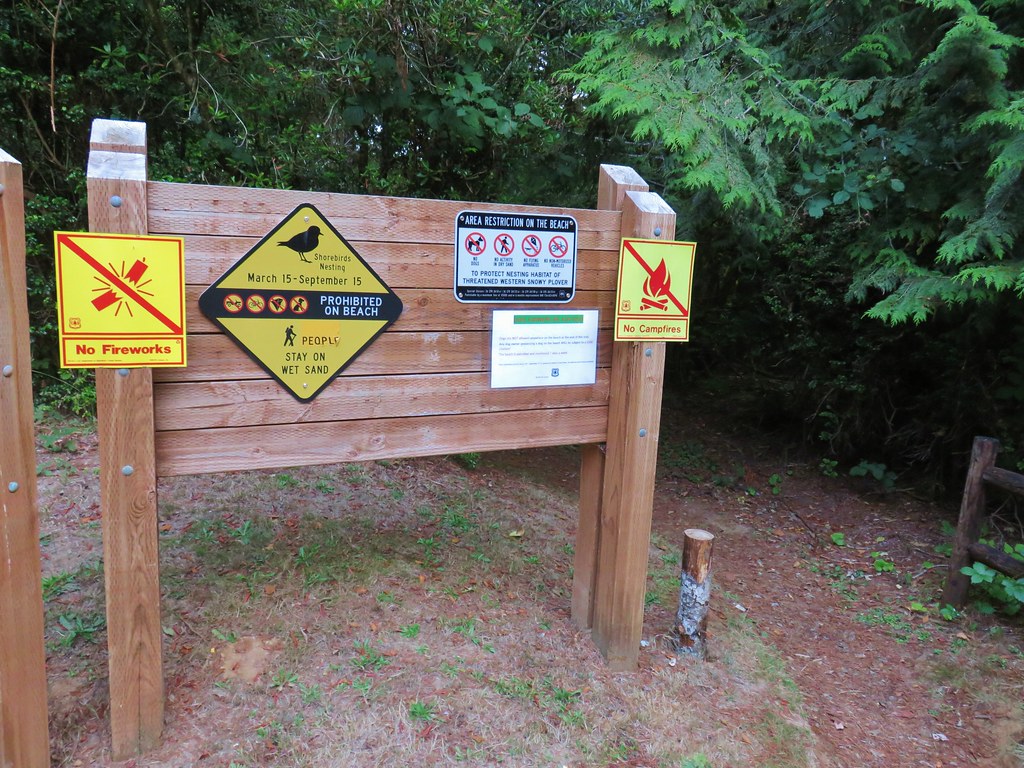
 A reminder that COVID-19 is still an issue.
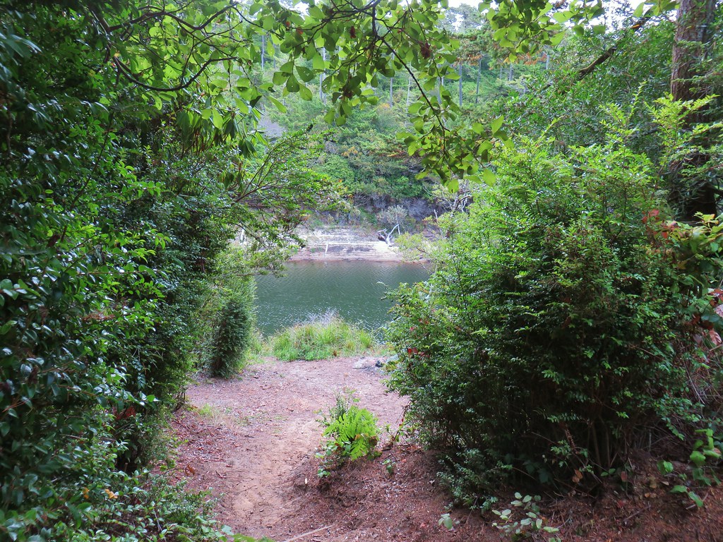
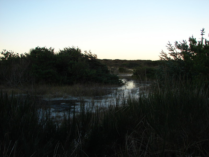
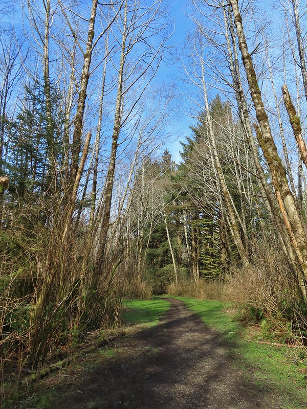
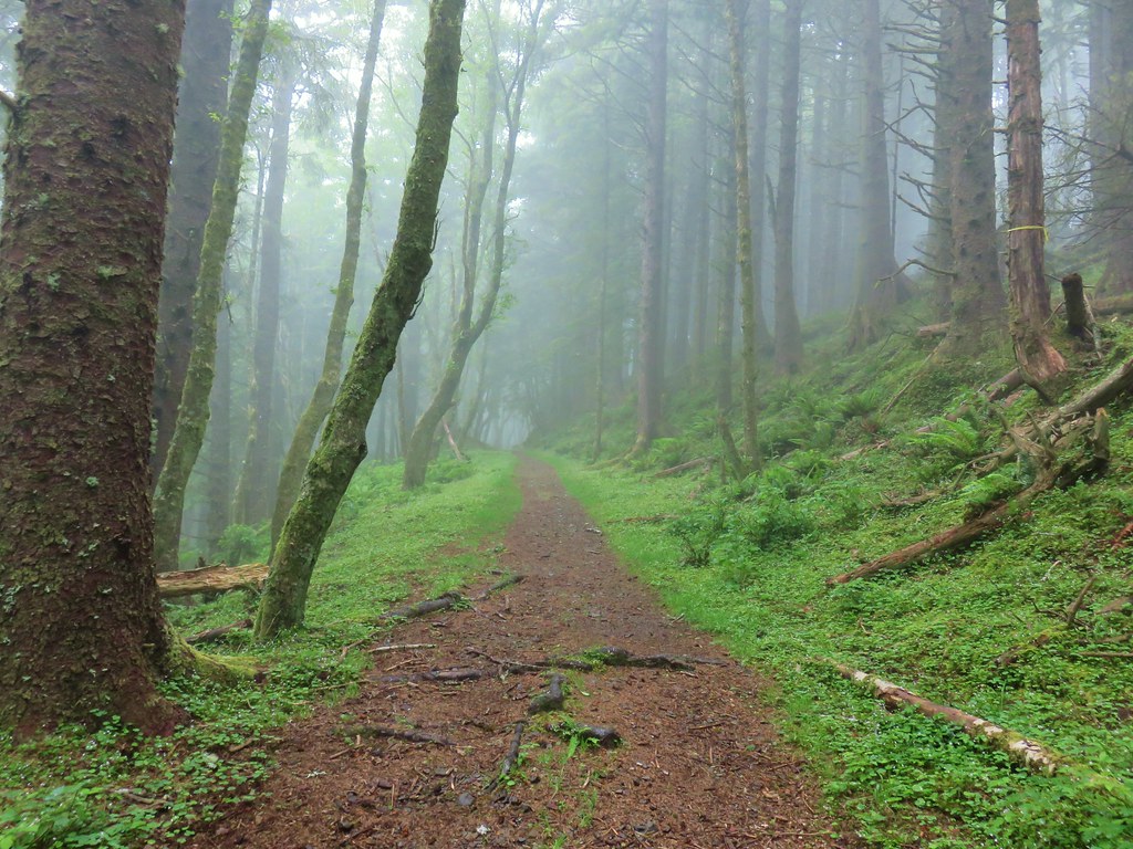
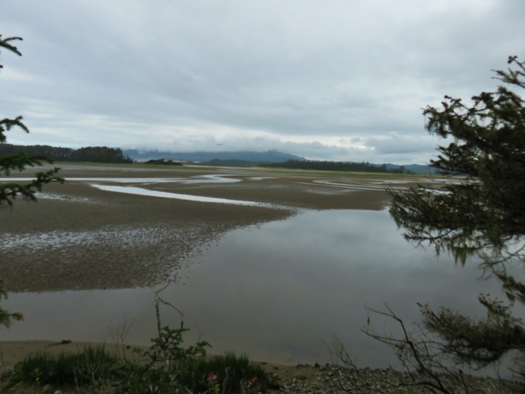
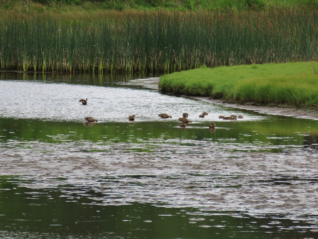
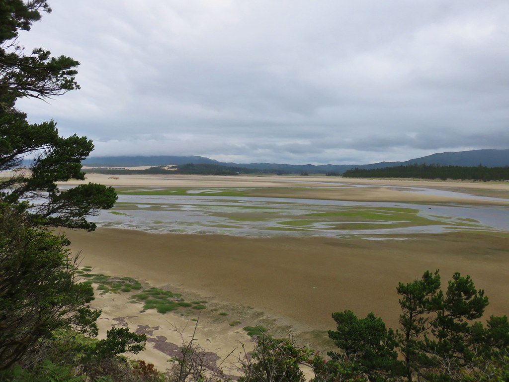
The trail passed through stands of alder as it followed a small branch of the Siletz River for .3 miles before reaching a bench facing the main branch of the river. There were a number of ducks a geese in the channel but the highlight came when Heather spotted something heading down to the water on the far side ahead of us. It was a river otter! This had been one of, if not the, most wanted animal sightings on our list of critters we’d yet to see while hiking (or driving to a hike). Unfortunately the otter was too quick and far enough away in the low morning light to get more than a blurry photo of it swimming across the channel.
 The larger muddy area along the bank ahead on the right is where Heather spotted the otter.
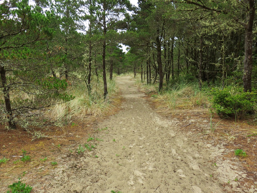
 Alder lined trail.
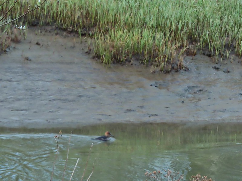 Blurry photo of a non-breeding male hooded merganser.
 The blurry river otter.
 Another mallard
 Canada geese
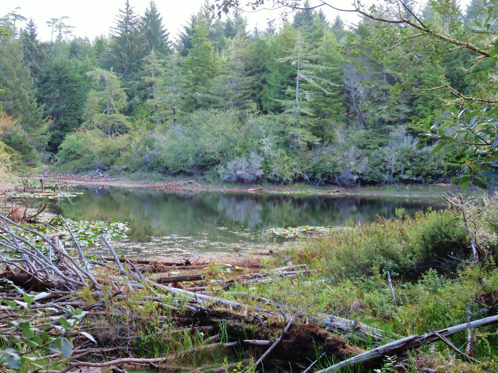
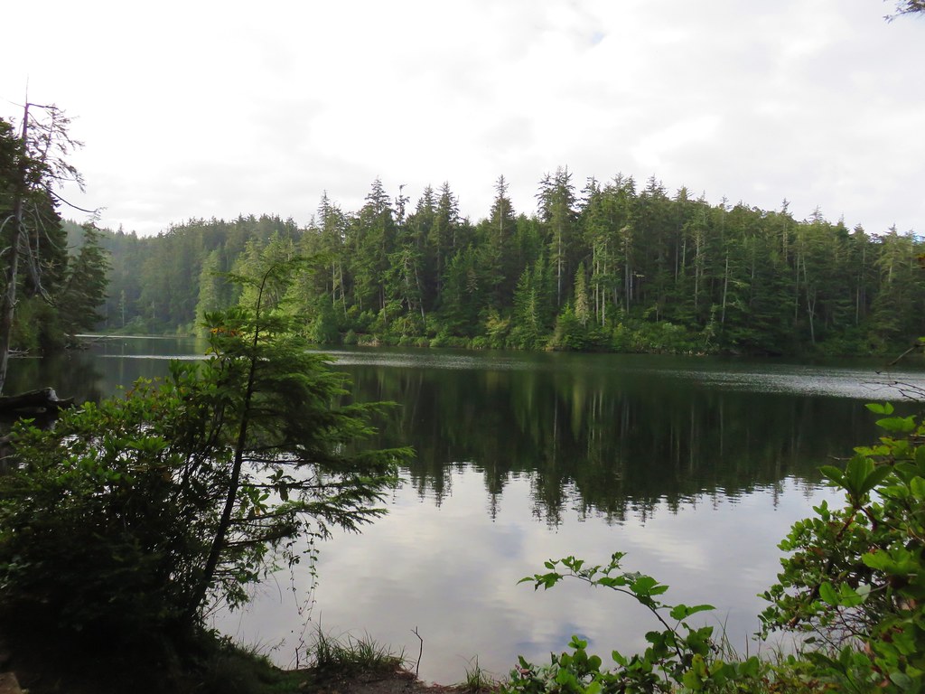
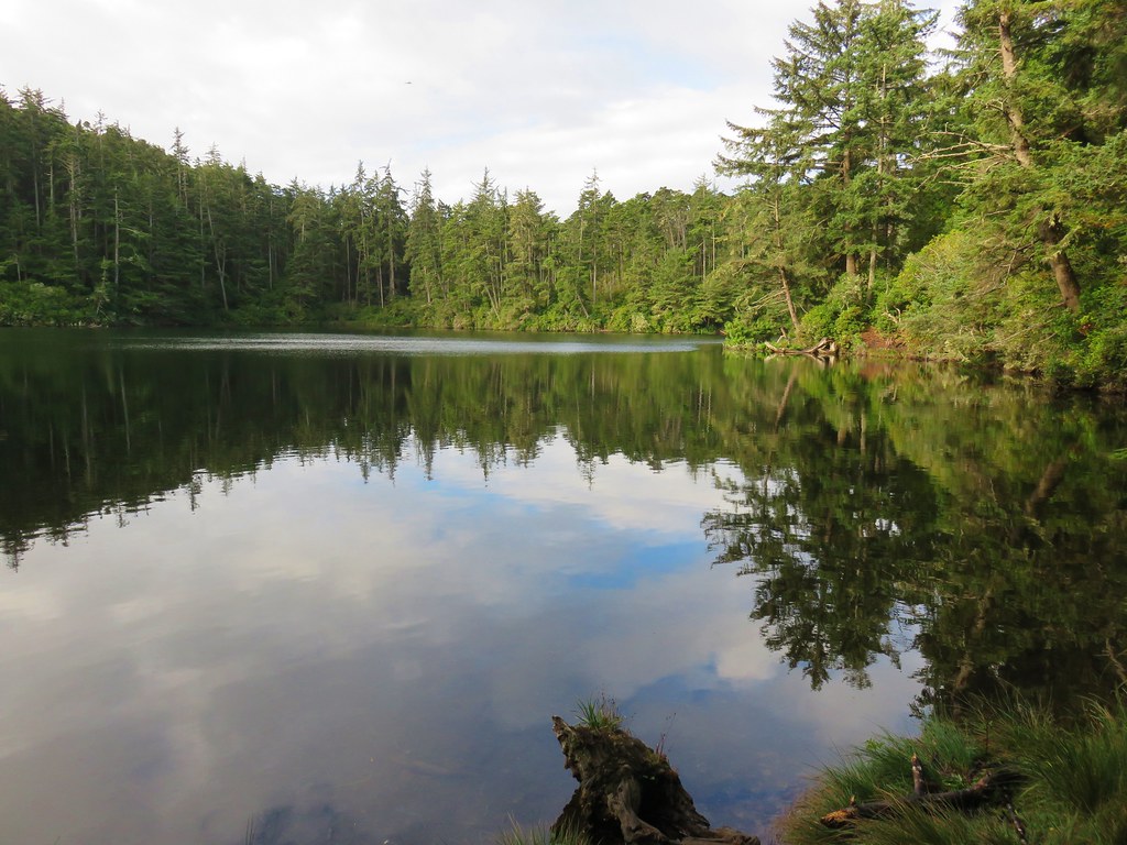
 Siletz River
The bench might have been a nice place to sit for awhile had it been a little warmer but we needed to keep moving so we continued on the loop which led us back along the main river channel,
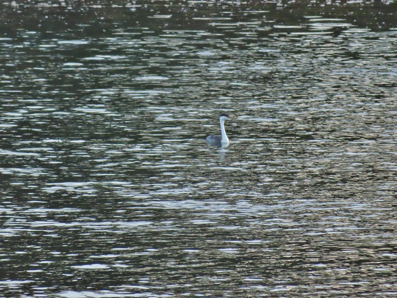 Western grebe
 Goose and a bufflehead (the duck not the post)
 Bufflehead

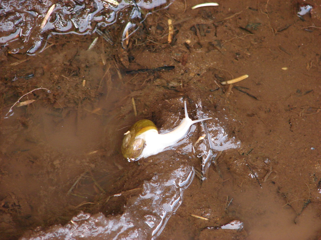
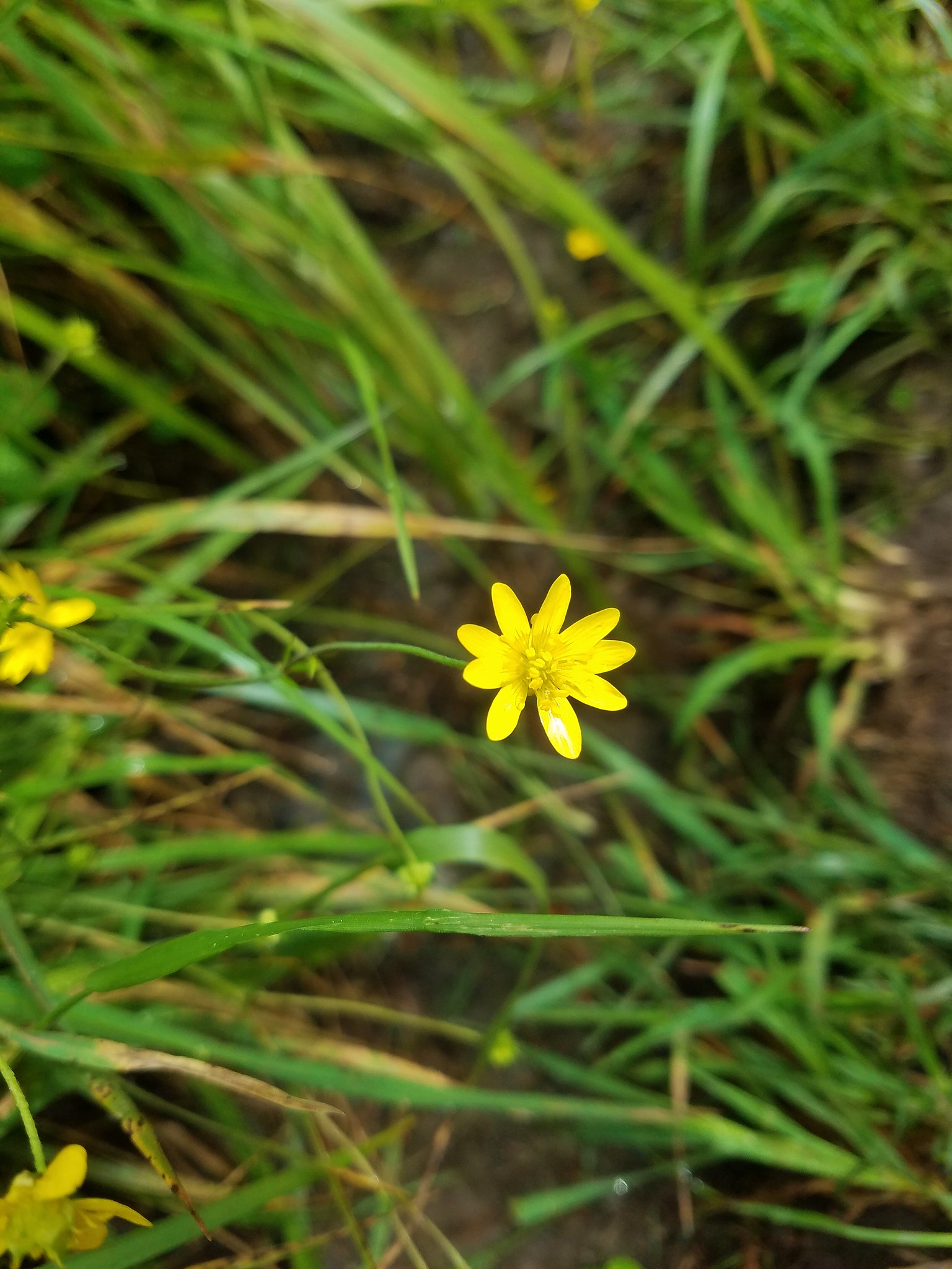
 Spring is coming!
We completed the loop and headed back to the car just as the Sun was cresting the foothills.

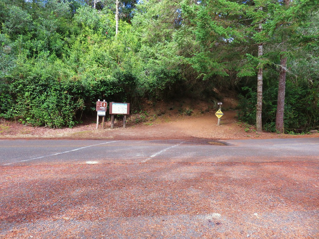
We then drove back through Lincoln City (still with very little traffic) and made our way to the parking lot at the Roads End Recreation Site.
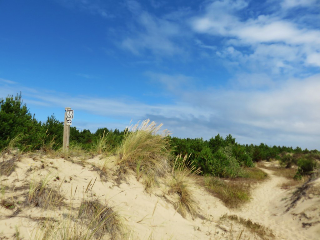
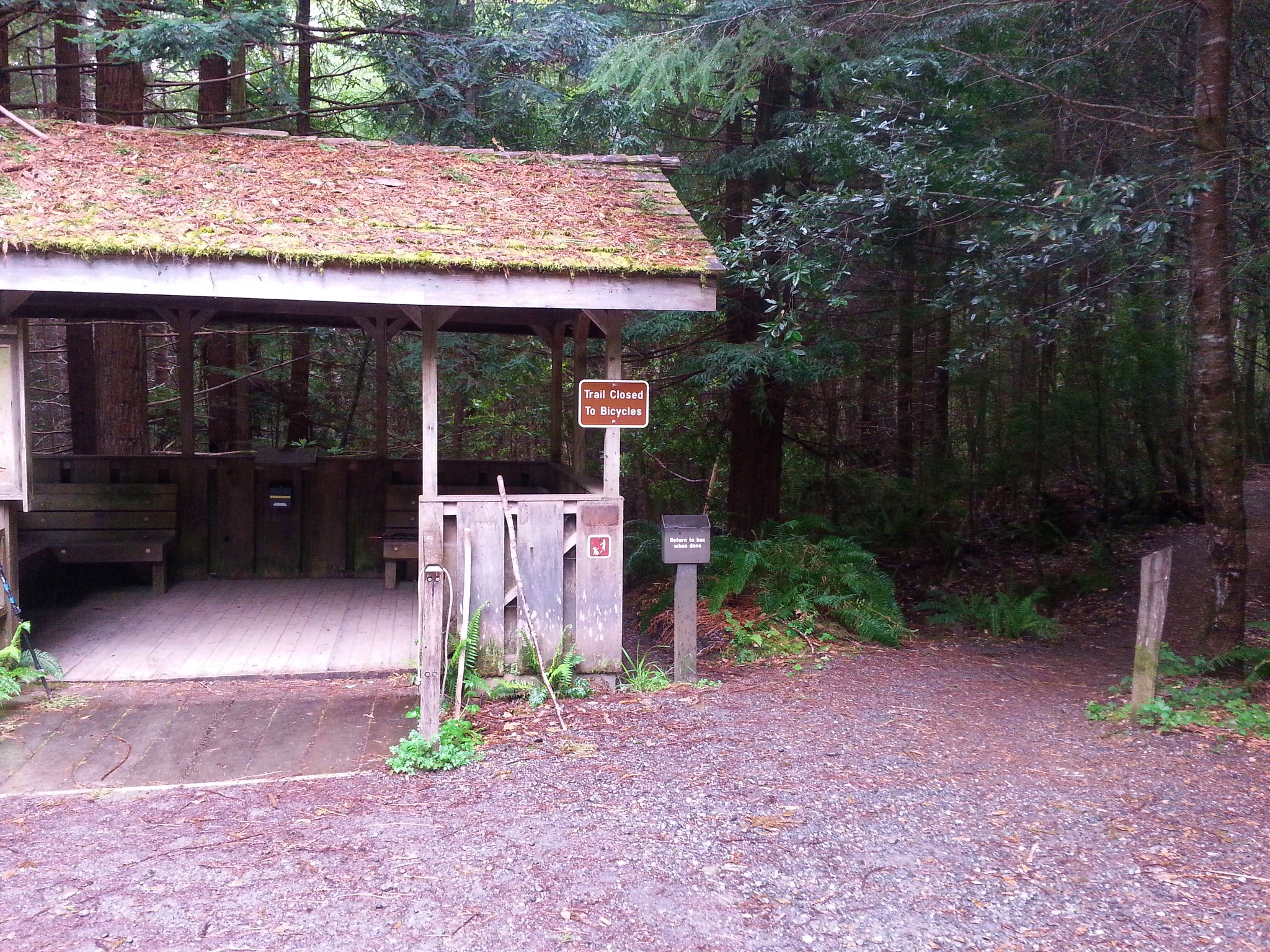
 Sentry at the Roads End entrance.
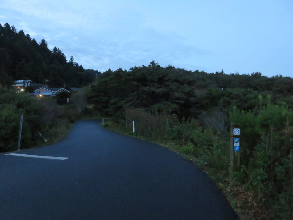
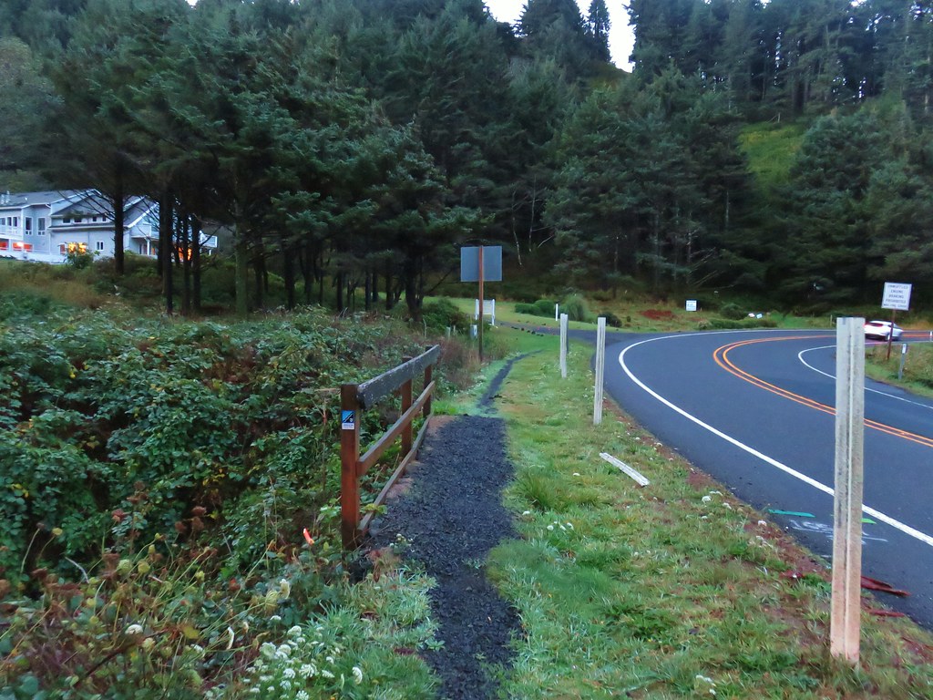
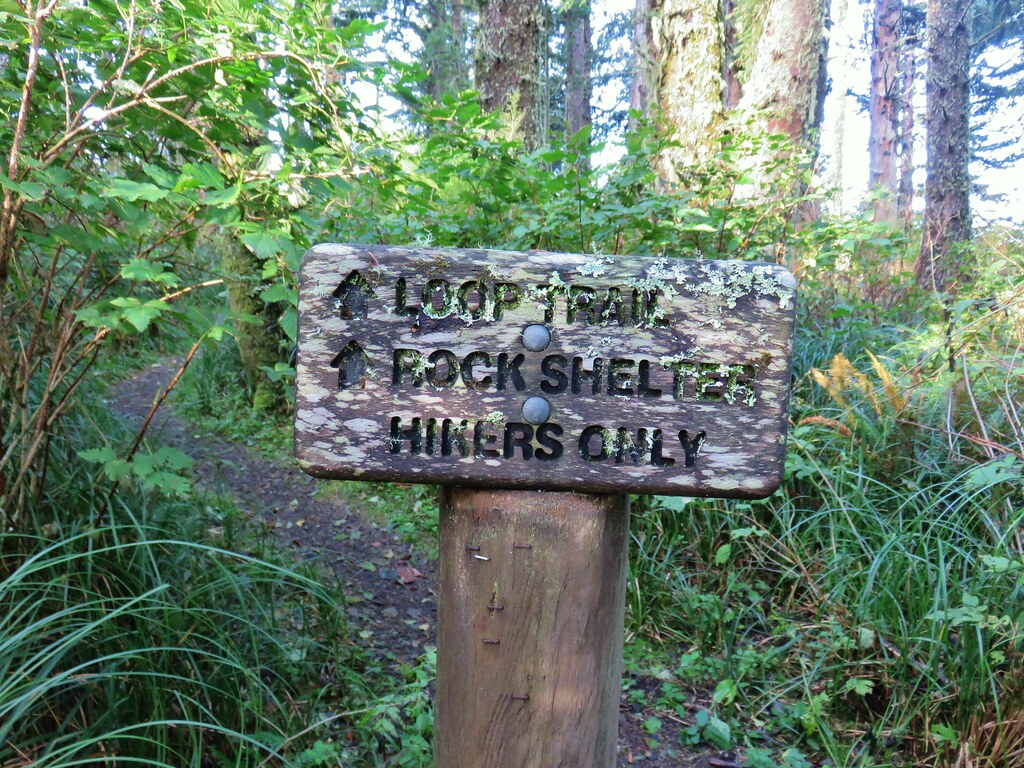
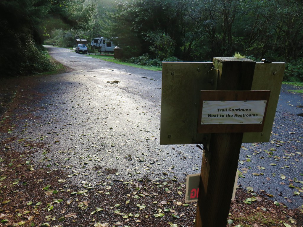
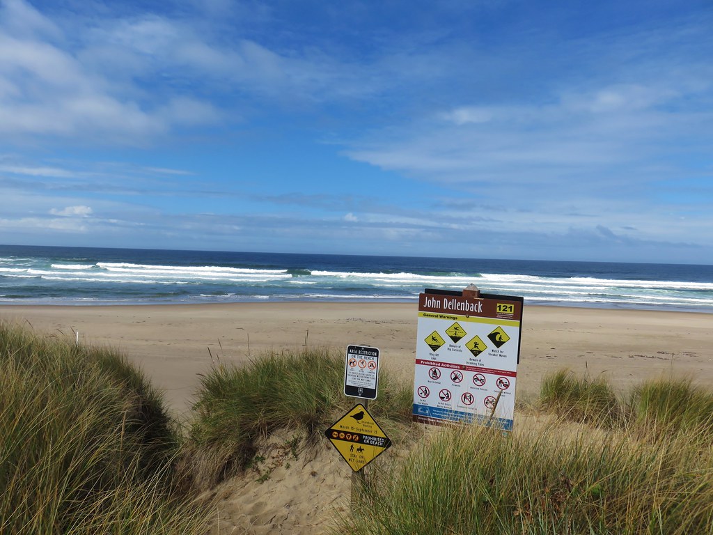
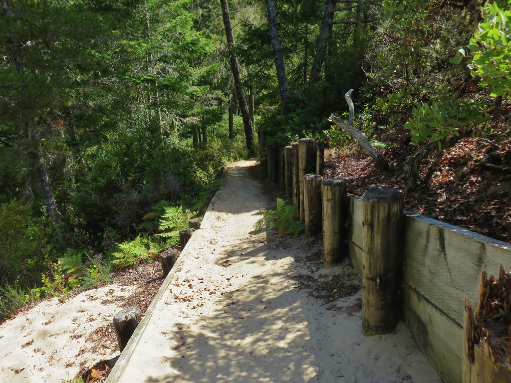
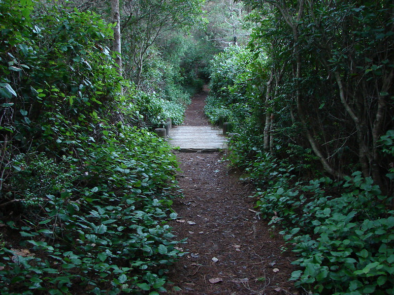
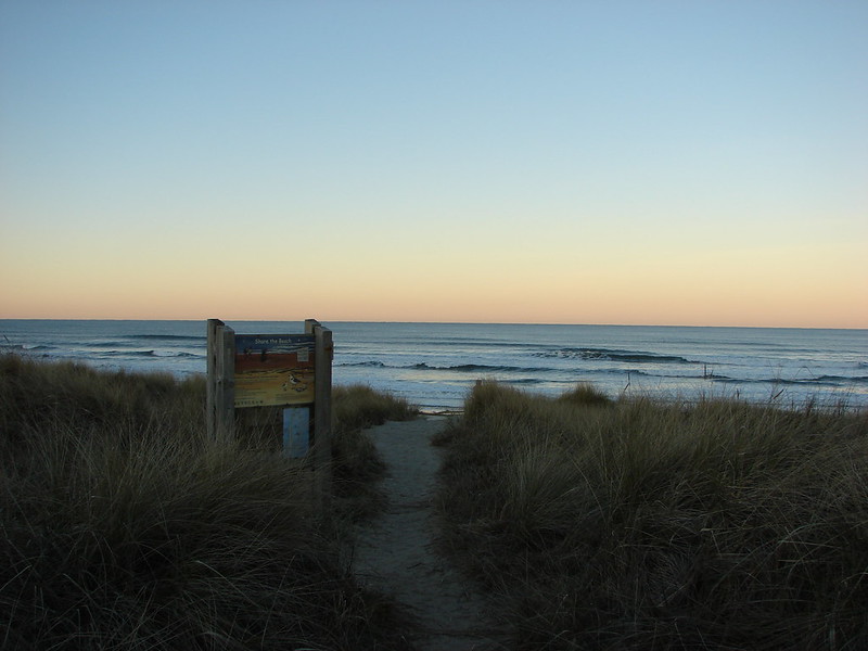
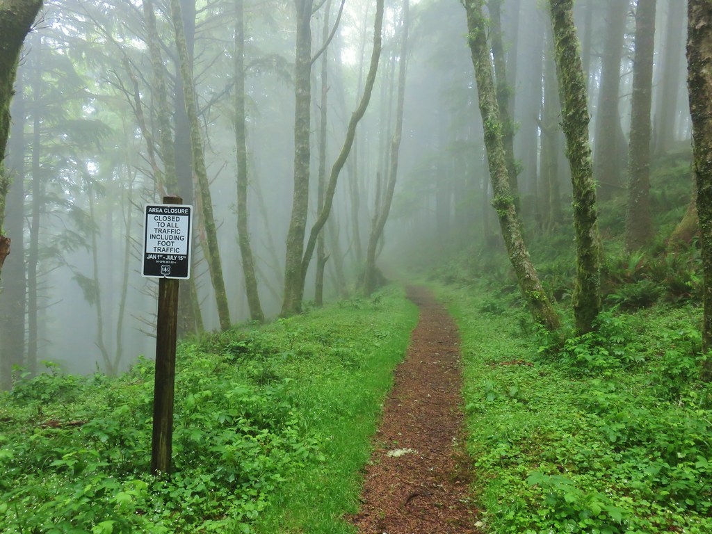
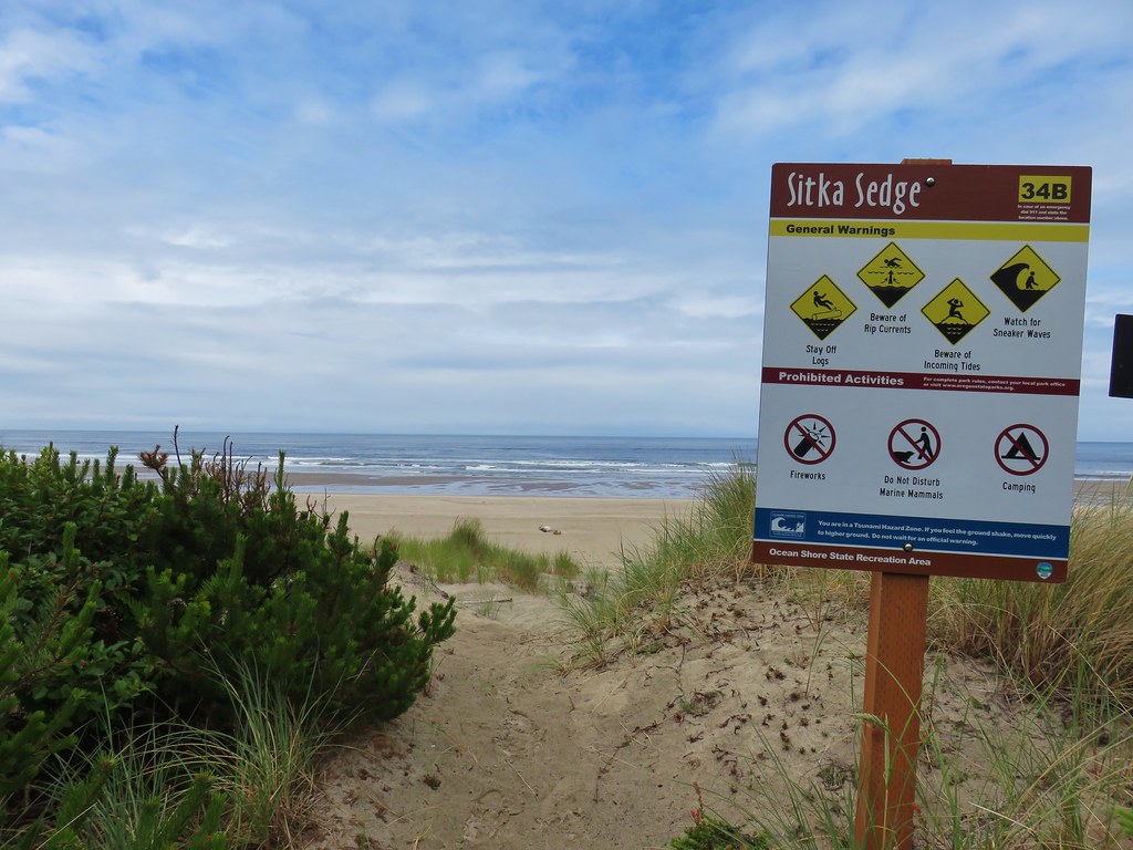
We weren’t quite ready to head out along the beach though. Before doing the featured hike we planned on visiting the increasingly popular God’s Thumb. We were hoping that 7:30am was still early enough to avoid the crowds that were sure to show up later in the day. While there are two closer trailheads (The Villages and the Sal La Sea Trailhead), parking at Roads End meant having access to bathrooms and not having to move the car again.

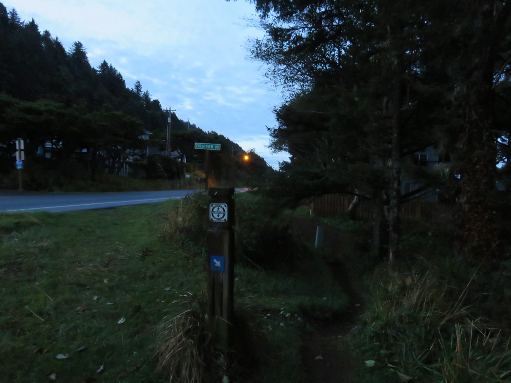
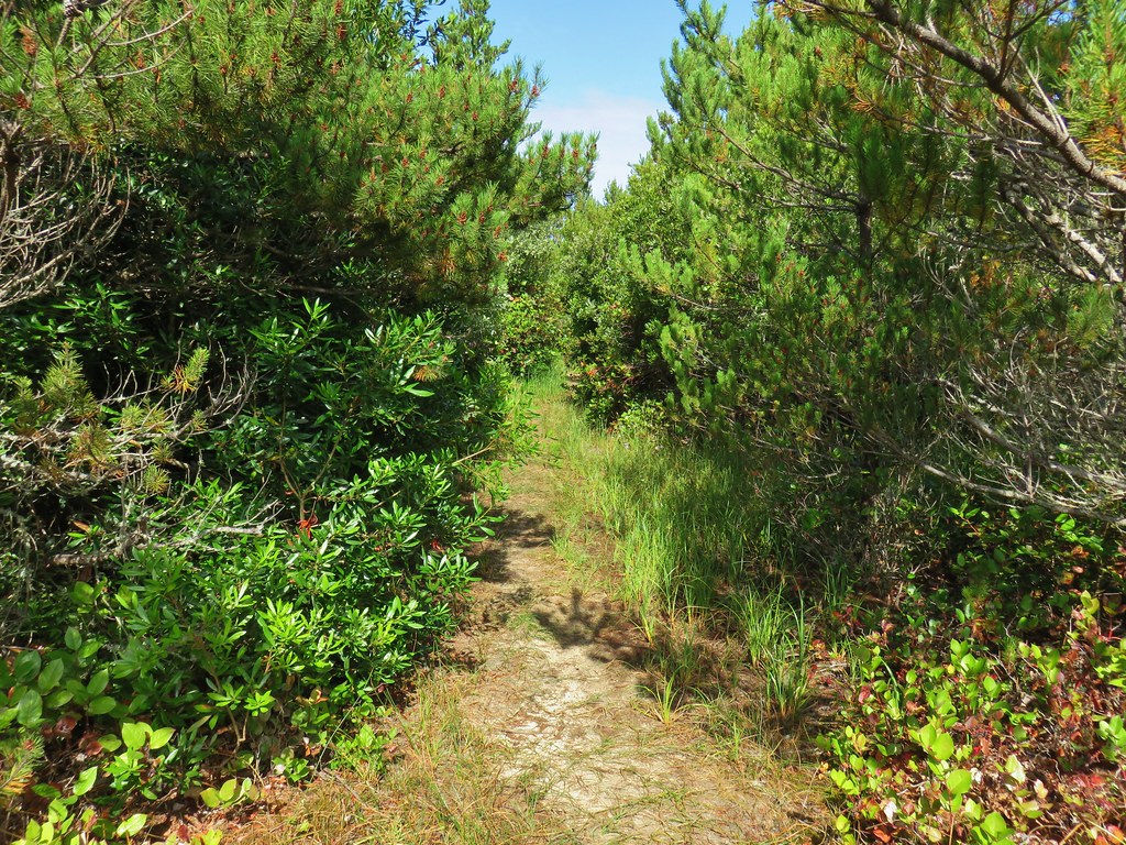
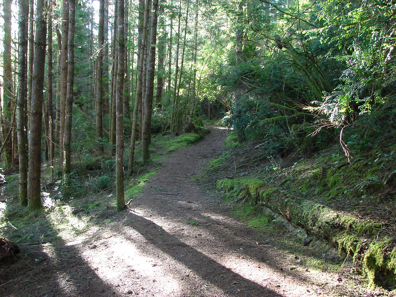
We followed the Oregon Hikers Field Guide directions (see link for God’s Thumb above) to make our way up through the neighborhood between Roads End and the Sal La Sea Trailhead.
There weren’t any people but the neighborhood was fairly active.
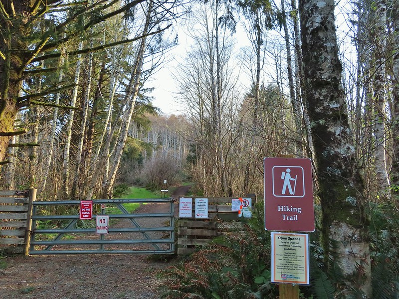
We passed a single car parked at the trailhead as we continued on by a gate across an old roadbed.
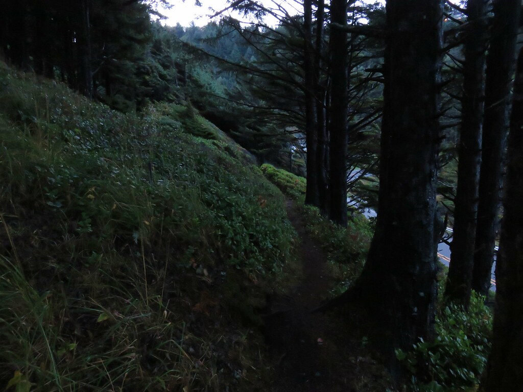
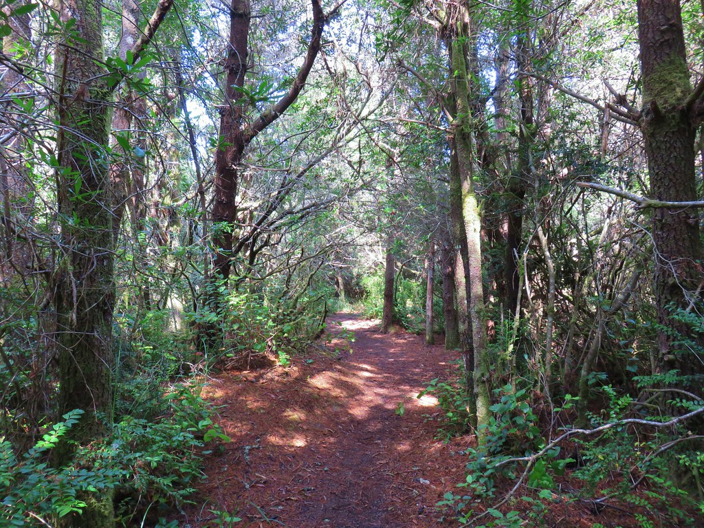
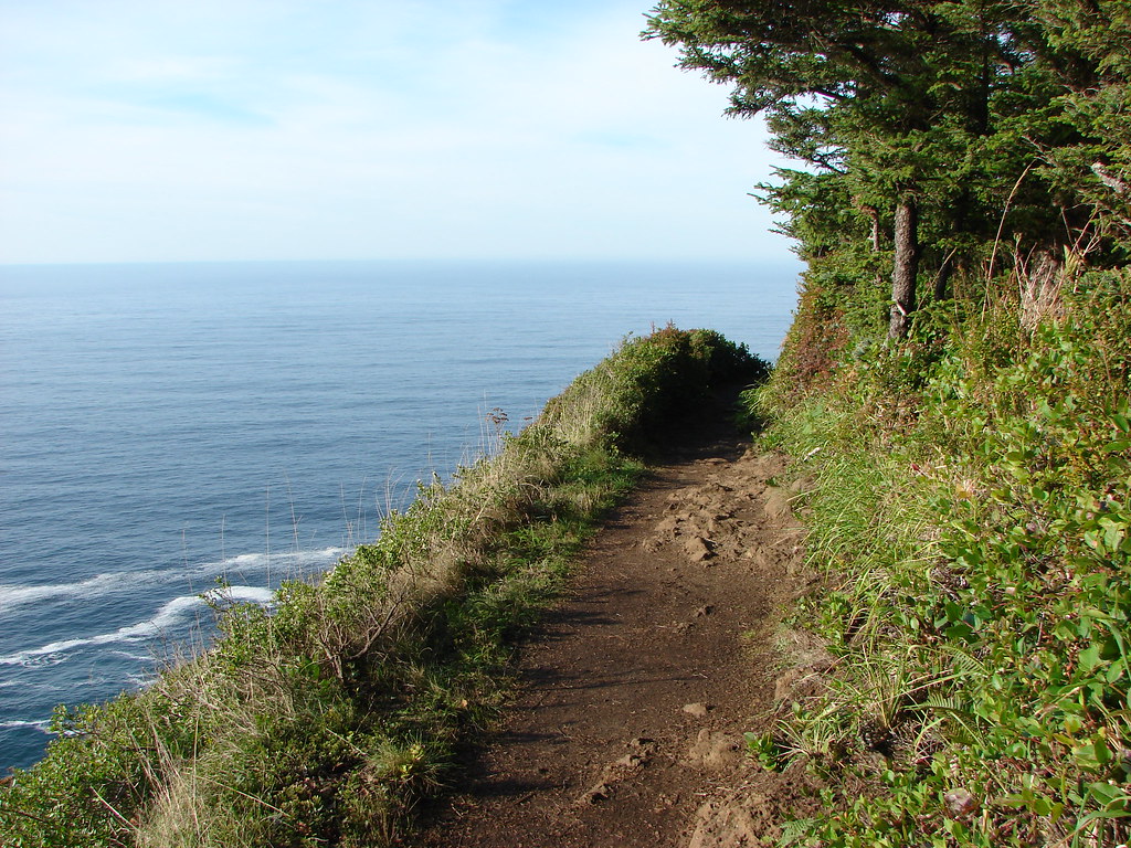
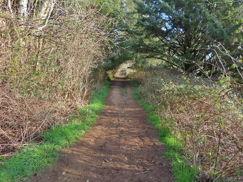
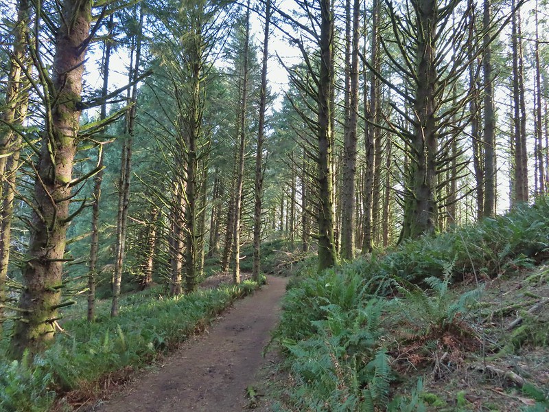
We had walked up some steep hills through the neighborhood and that theme continued on the old road bed for .4 miles before leveling out at a ridge top junction.
 It’s hard to tell just how much uphill this is. Fortunately it wasn’t very muddy.
 A little easier to see the uphill here, this was near the top.
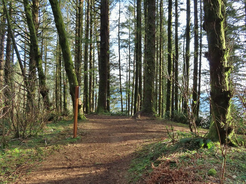
 The junction.
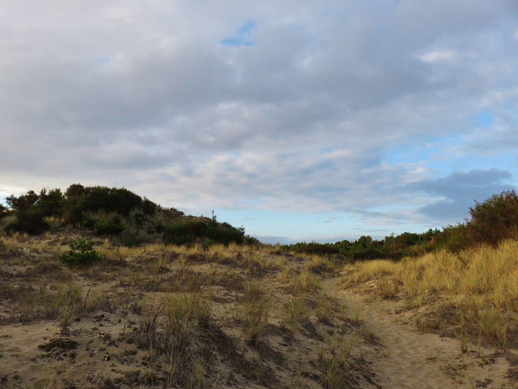
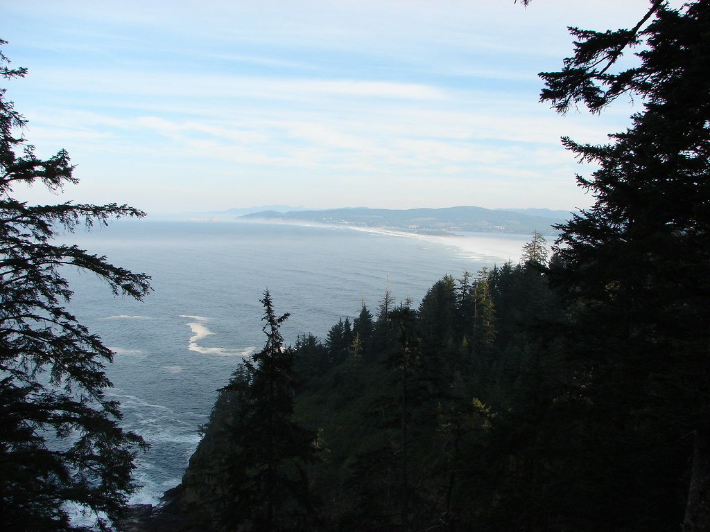
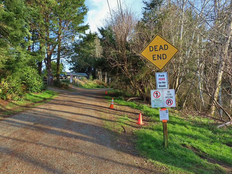
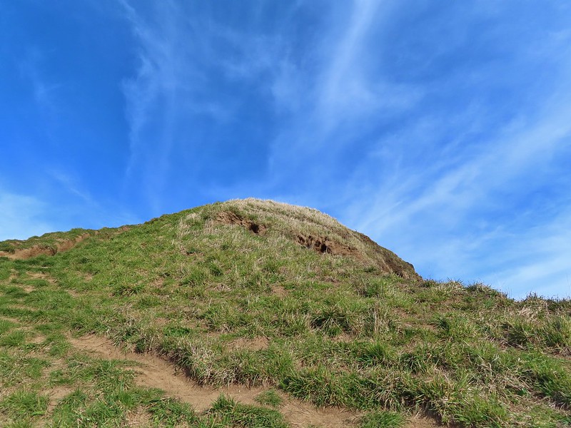
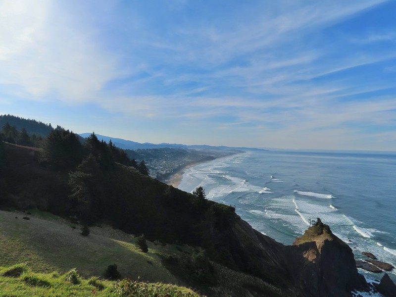
We turned left at the junction following the ridge out to The Knoll, an open space overlooking Lincoln City to the south.


 The Roads End parking area is the open green space in the center along the ocean.
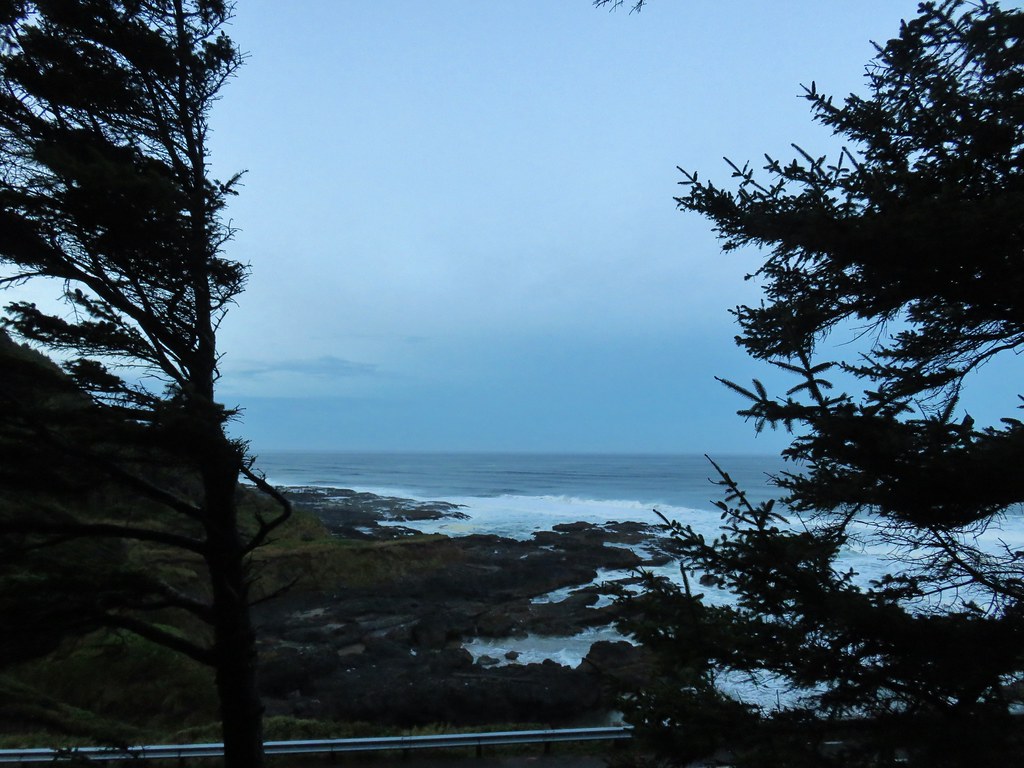
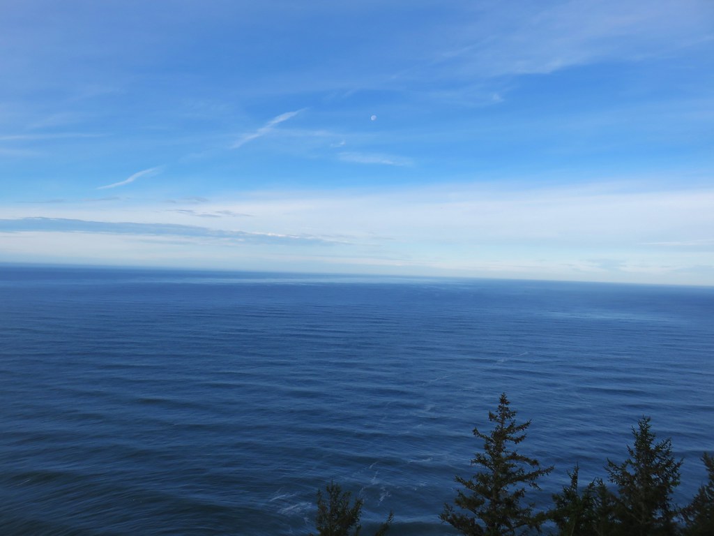
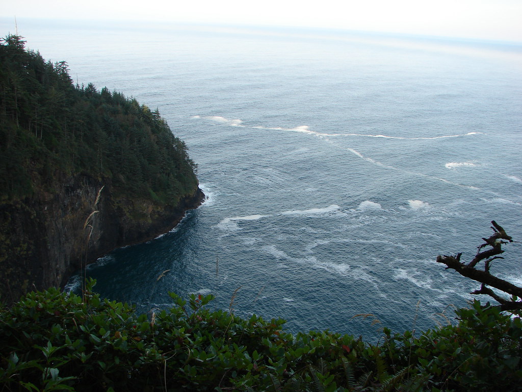
 The Pacific Ocean.
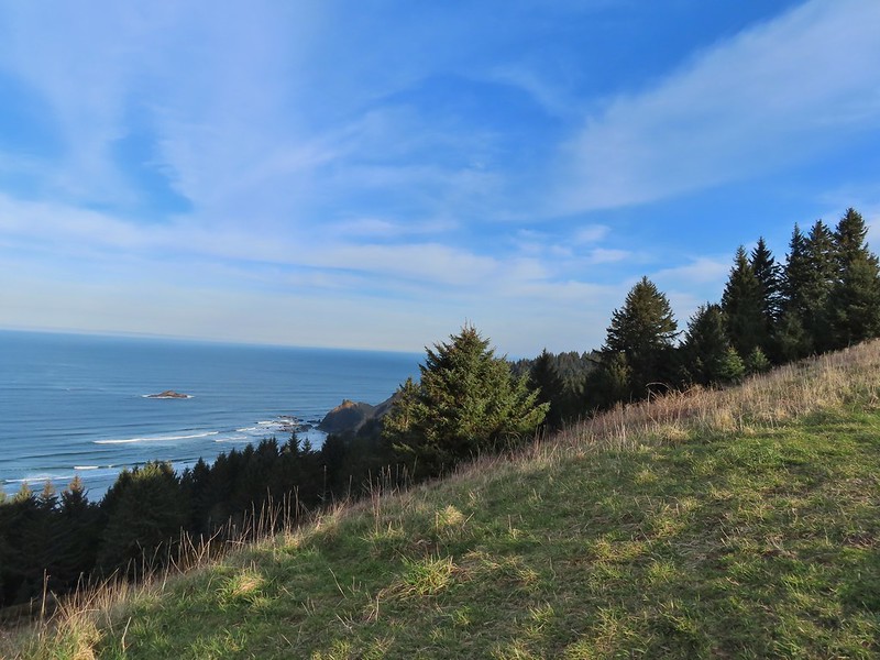 Roads End Point jutting out to the north.
 The Knoll
We returned to the junction and continued straight following the ridge north.

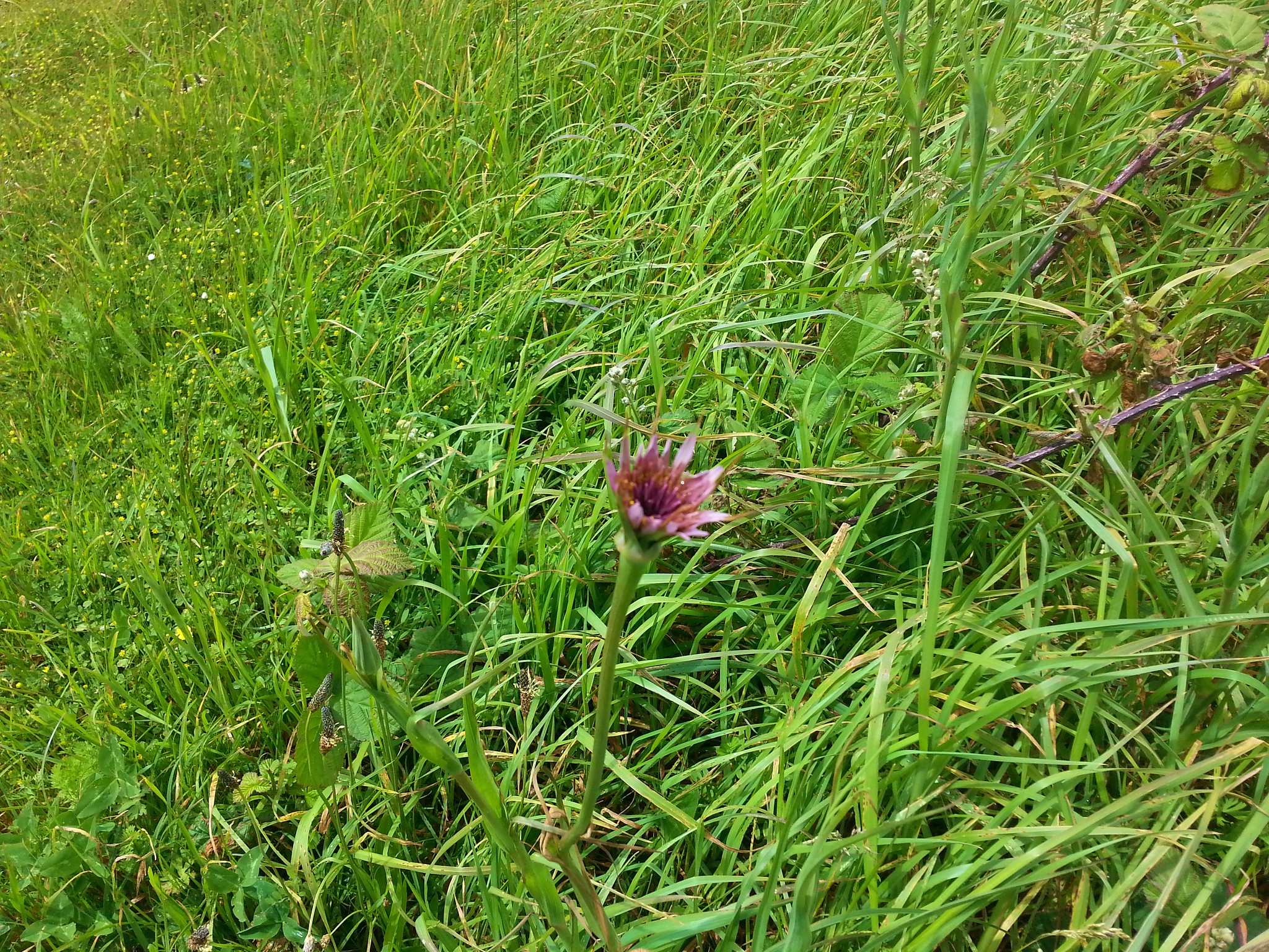
 Snow queen
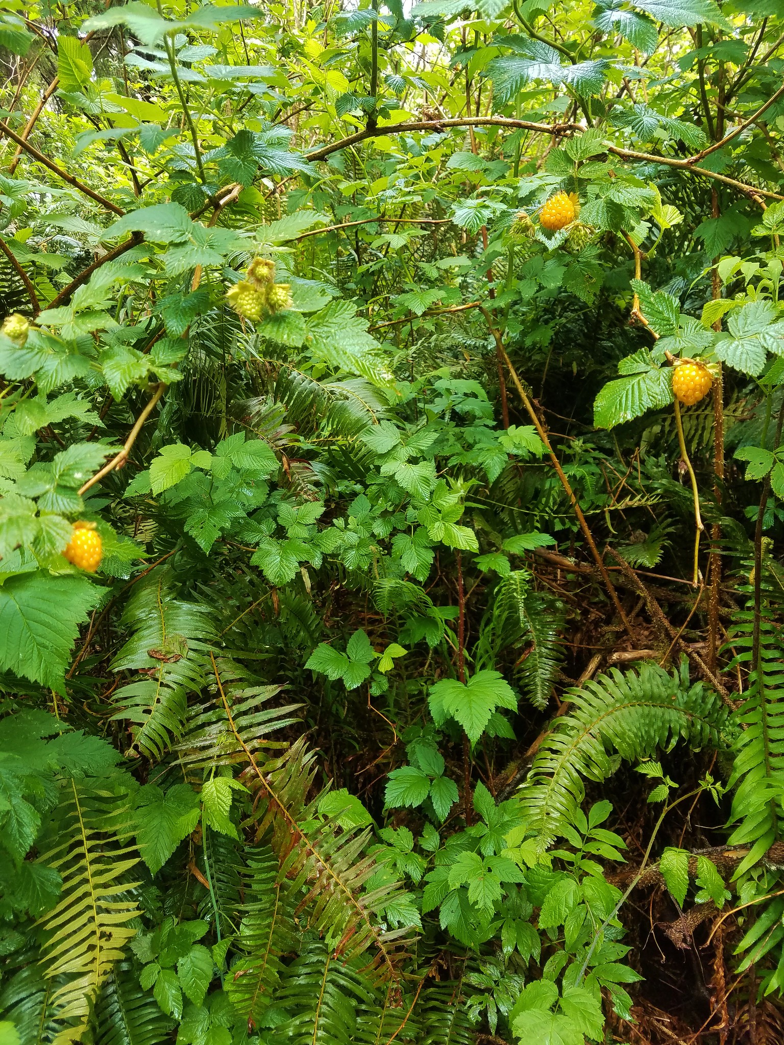
 More signs of Spring, salmonberry blossom and buds.
 Sitka spruce and ferns along the ridge.
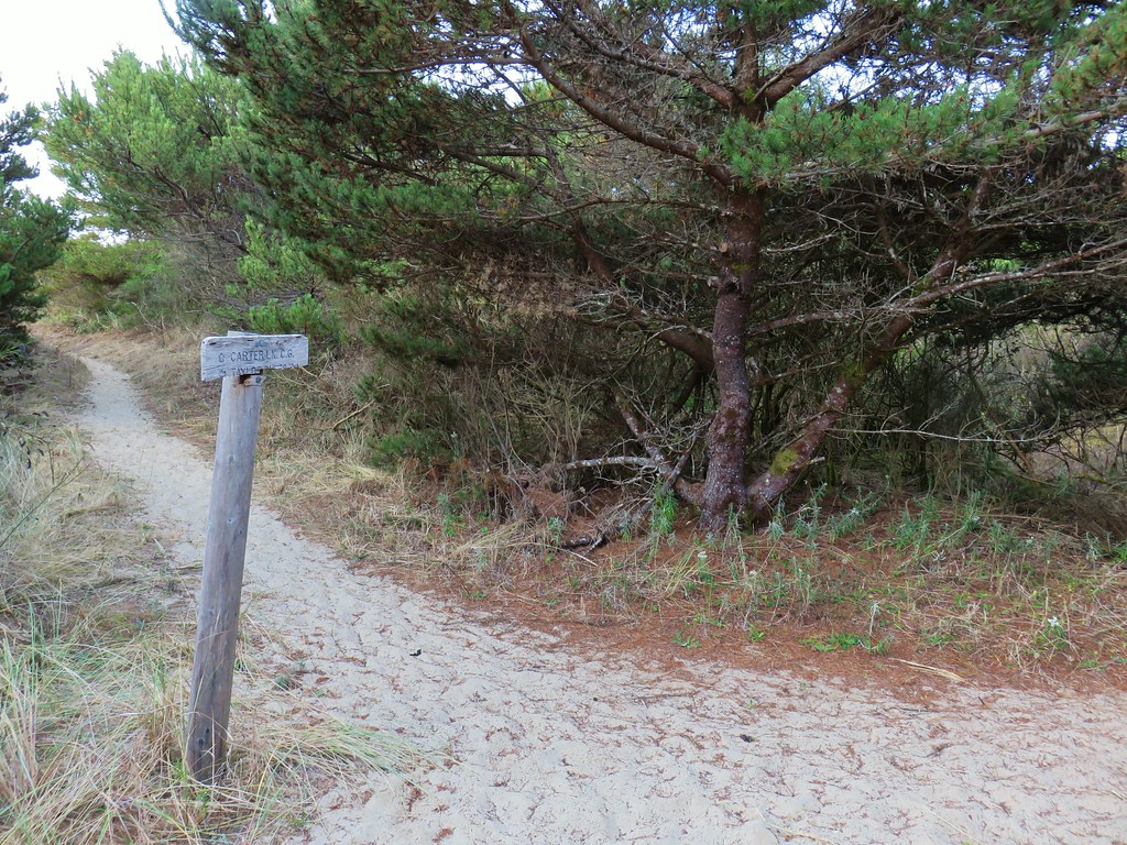
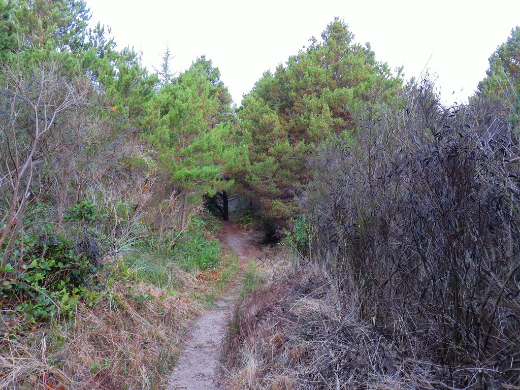
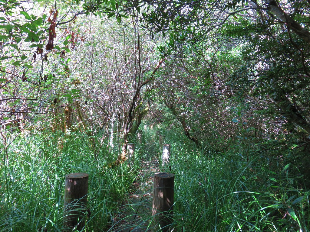
At the far end of the ridge (after approx 1/3 of a mile) we came to another junction with a trail coming up from the trailhead at The Villages.
Here we turned left and began a short descent that looked to be in some doubt due to several large downed trees.
 The downed trees ahead in the distance.
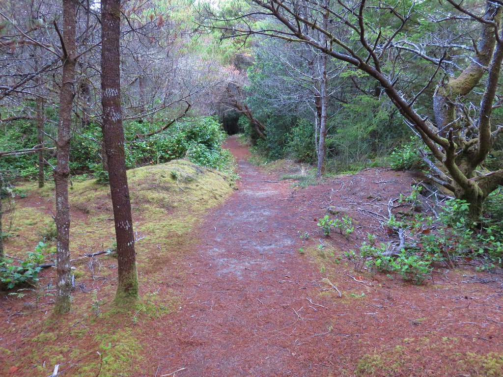
As it turned out there was just one tree to duck under while the rest looked to have been recently taken care of.
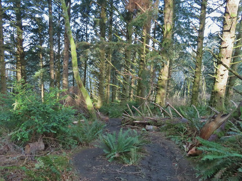 The last of the tree fall.
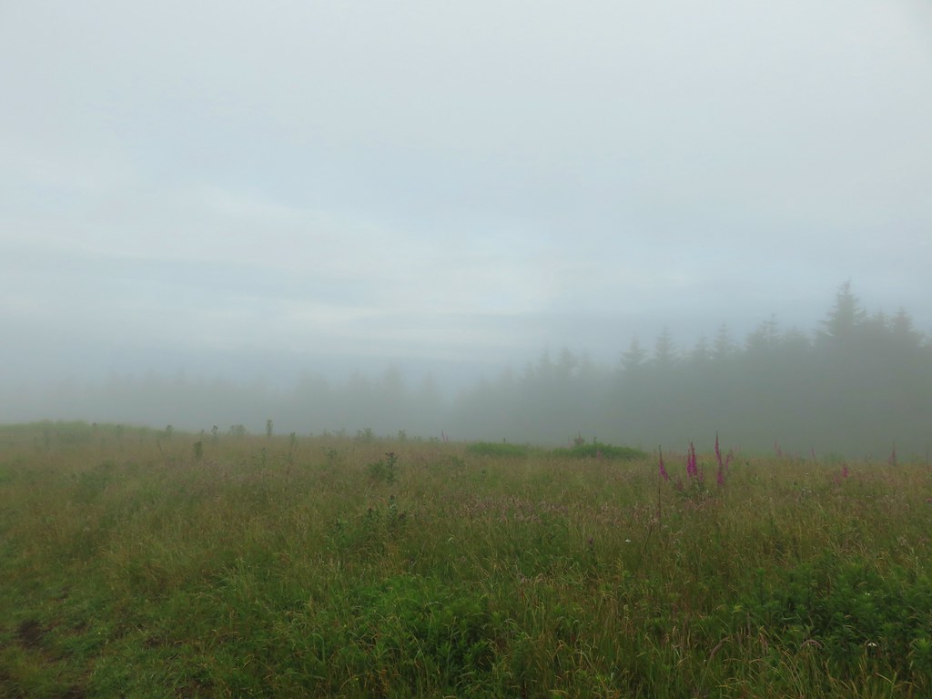
The trail then dipped into an open meadow before rising again on the far side.
 Mud had begun to be a bit of an annoyance at this point.

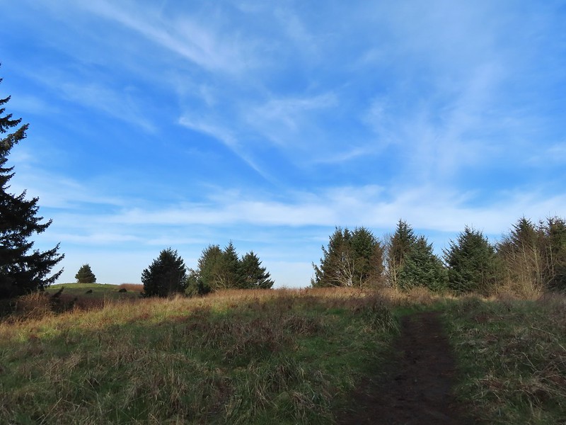
After reaching the top of the hill the trail briefly continued north before turning left in a grassy meadow.

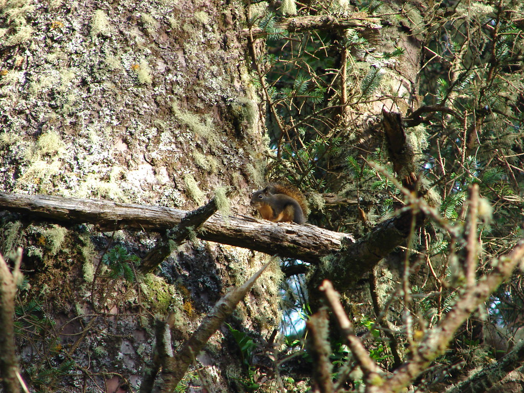
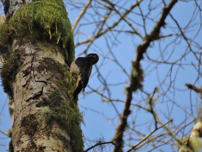 Busy woodpecker
 The trail getting nearing the turn left.
 Lone tree in the meadow.
 Lone robin in the lone tree.
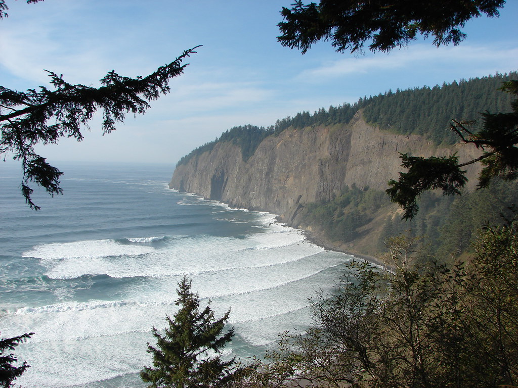
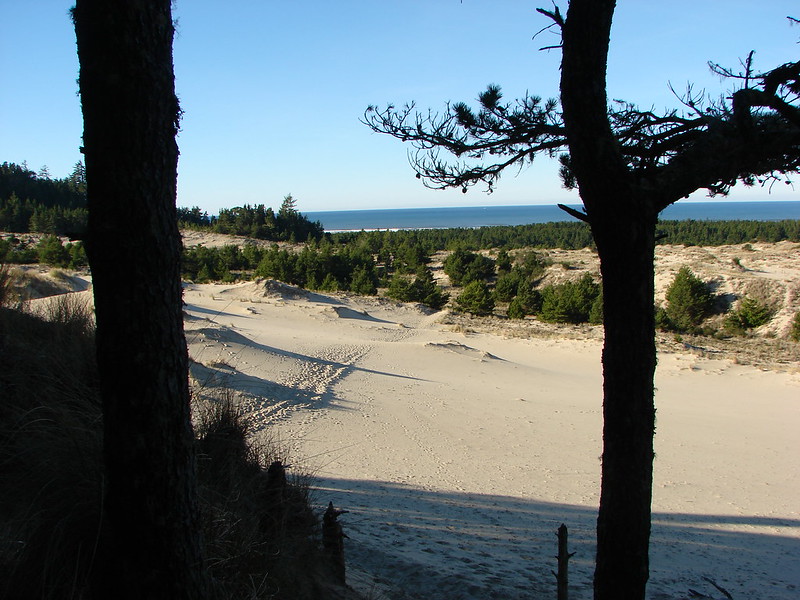
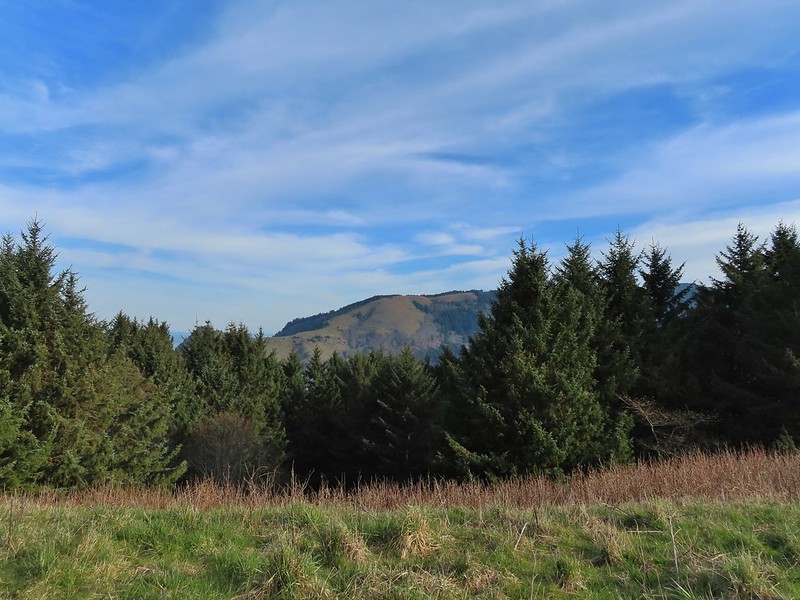
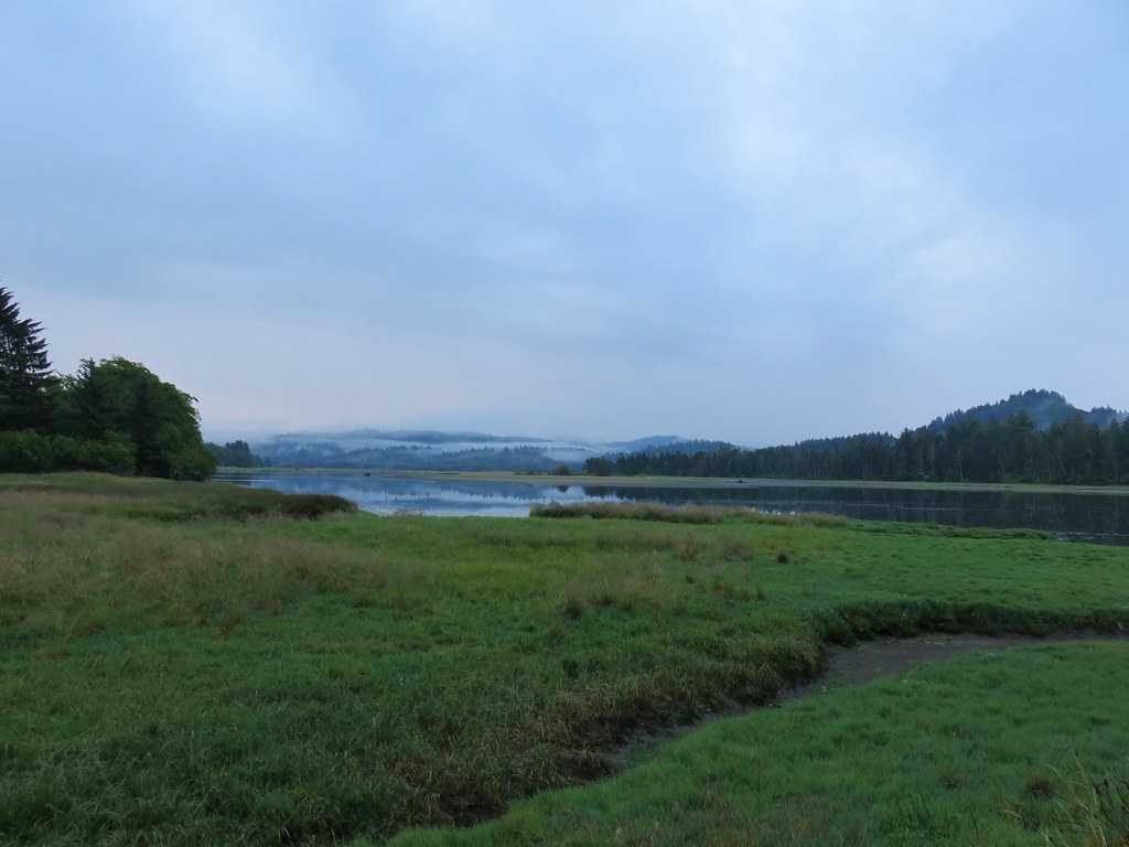
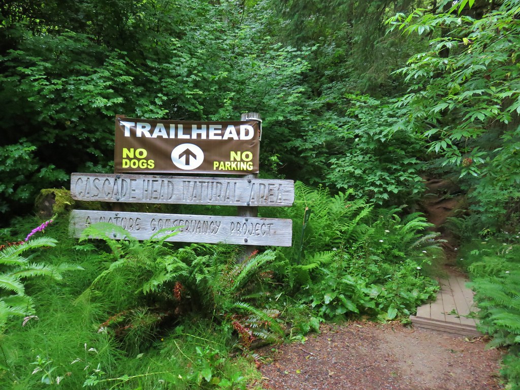
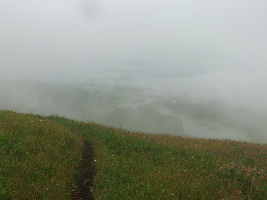
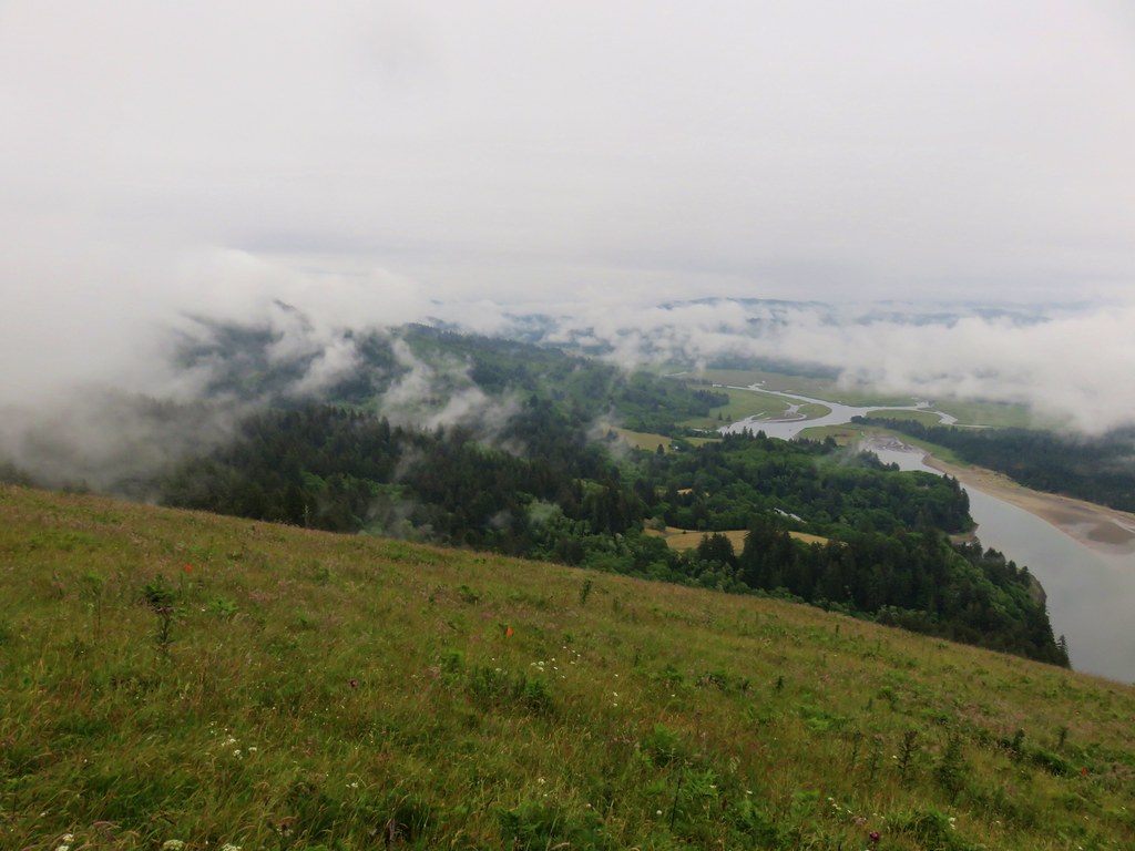
From the meadow there was a view of Cascade Head (post) to the north and to God’s Thumb jutting out into the Pacific to the west.


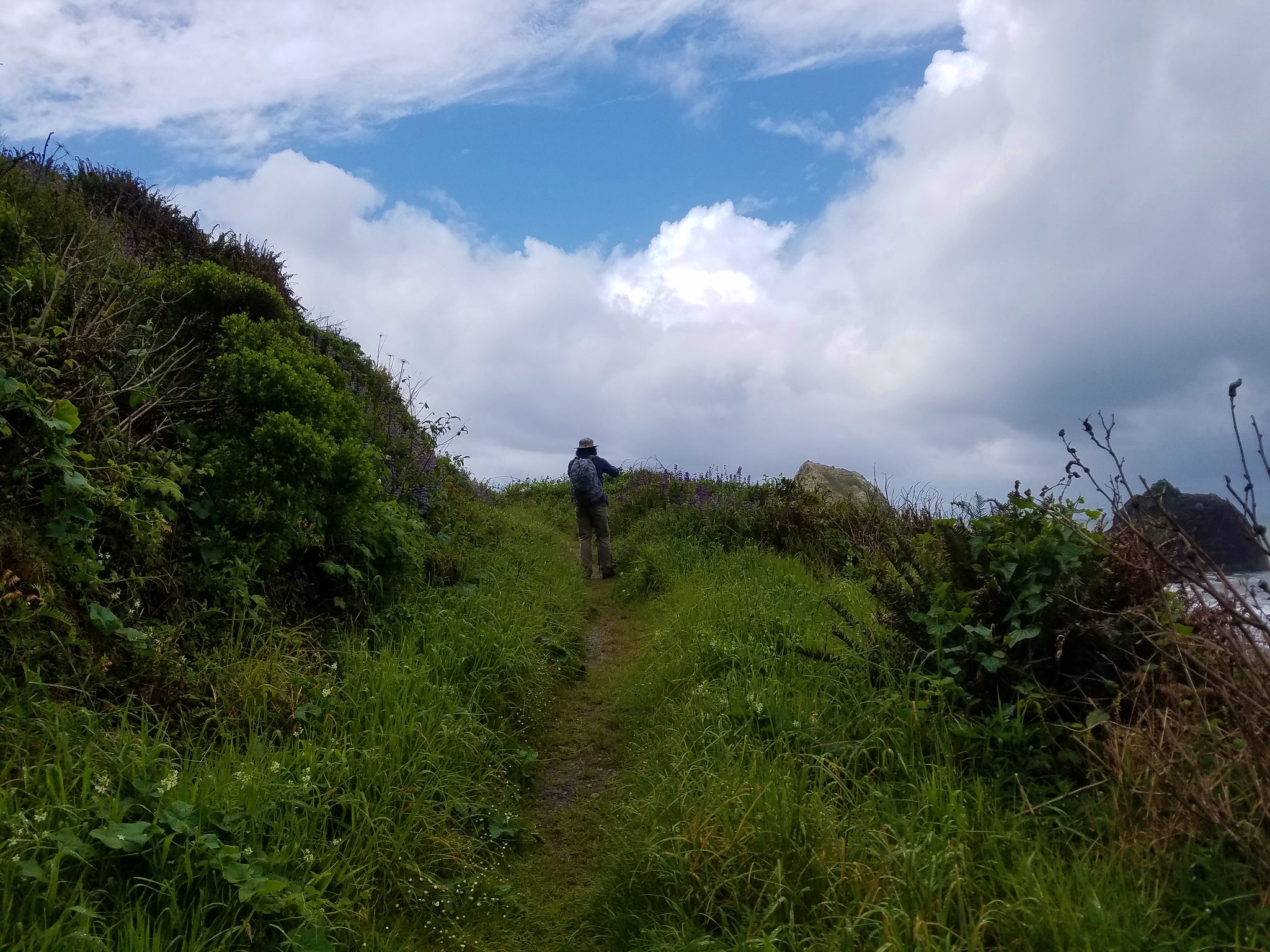
The trail to God’s Thumb crosses a narrow saddle before climbing steeply to the top of the thumb. We were thankful that it hadn’t rained for a few days which eliminated any issues that mud might have made with footing. We were also pleased that we didn’t see any other hikers in the area that we might have to pass on the way there.
 Heather crossing the saddle (left of the big bush)
 Cascade Head from the saddle.
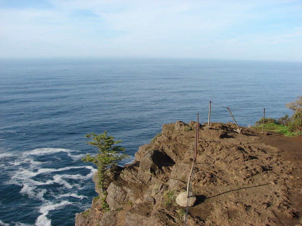
 Final pitch up to the top.
The view of Cascade Head was great from the thumb and we were able to enjoy it by ourselves.
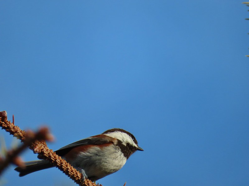
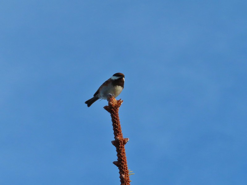 Not quite to ourselves, we shared the space briefly with some chestnut backed chickadees.
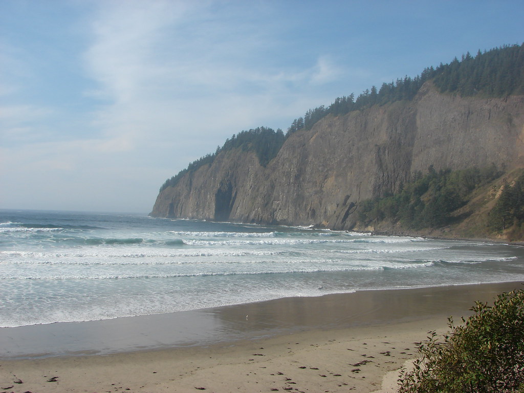
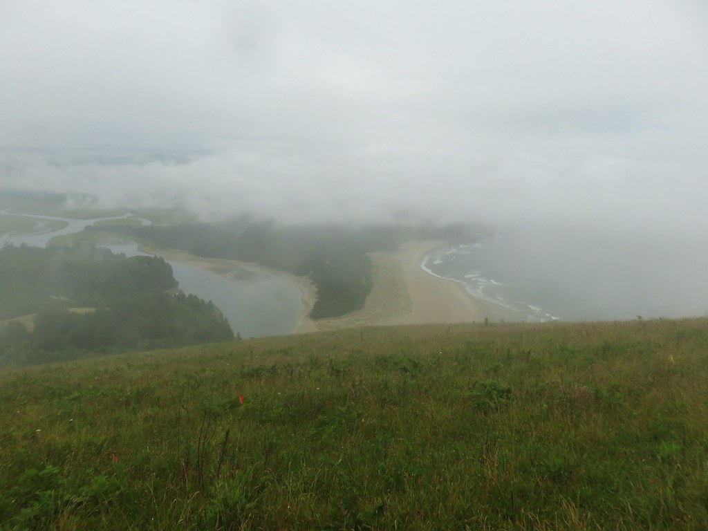
 Cascade Head and the mouth of the Salmon River.
 Roads End Point and Lincoln City
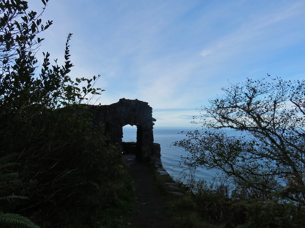
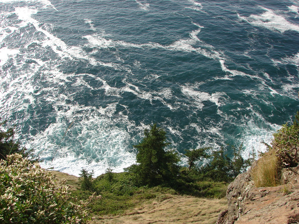
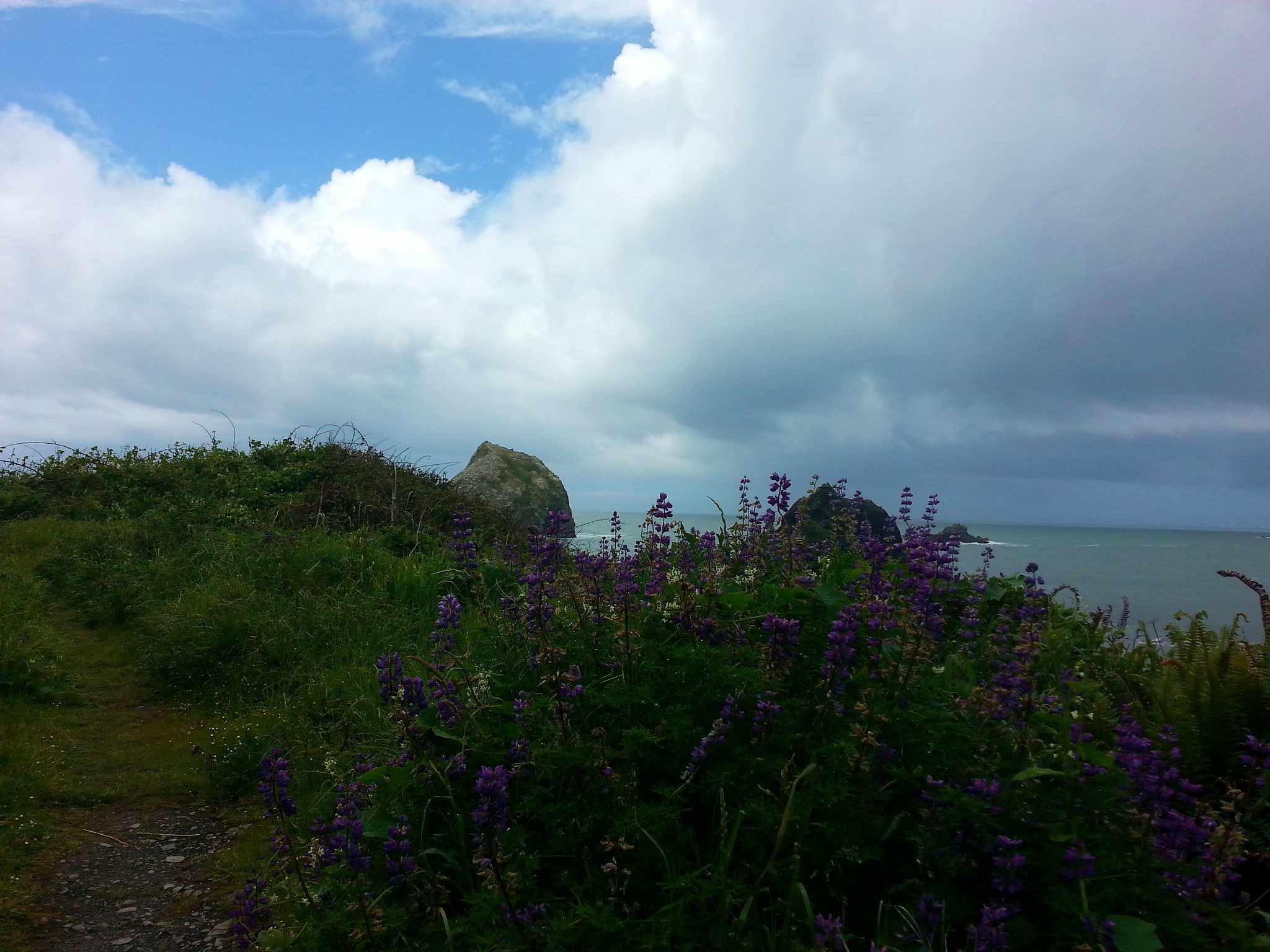
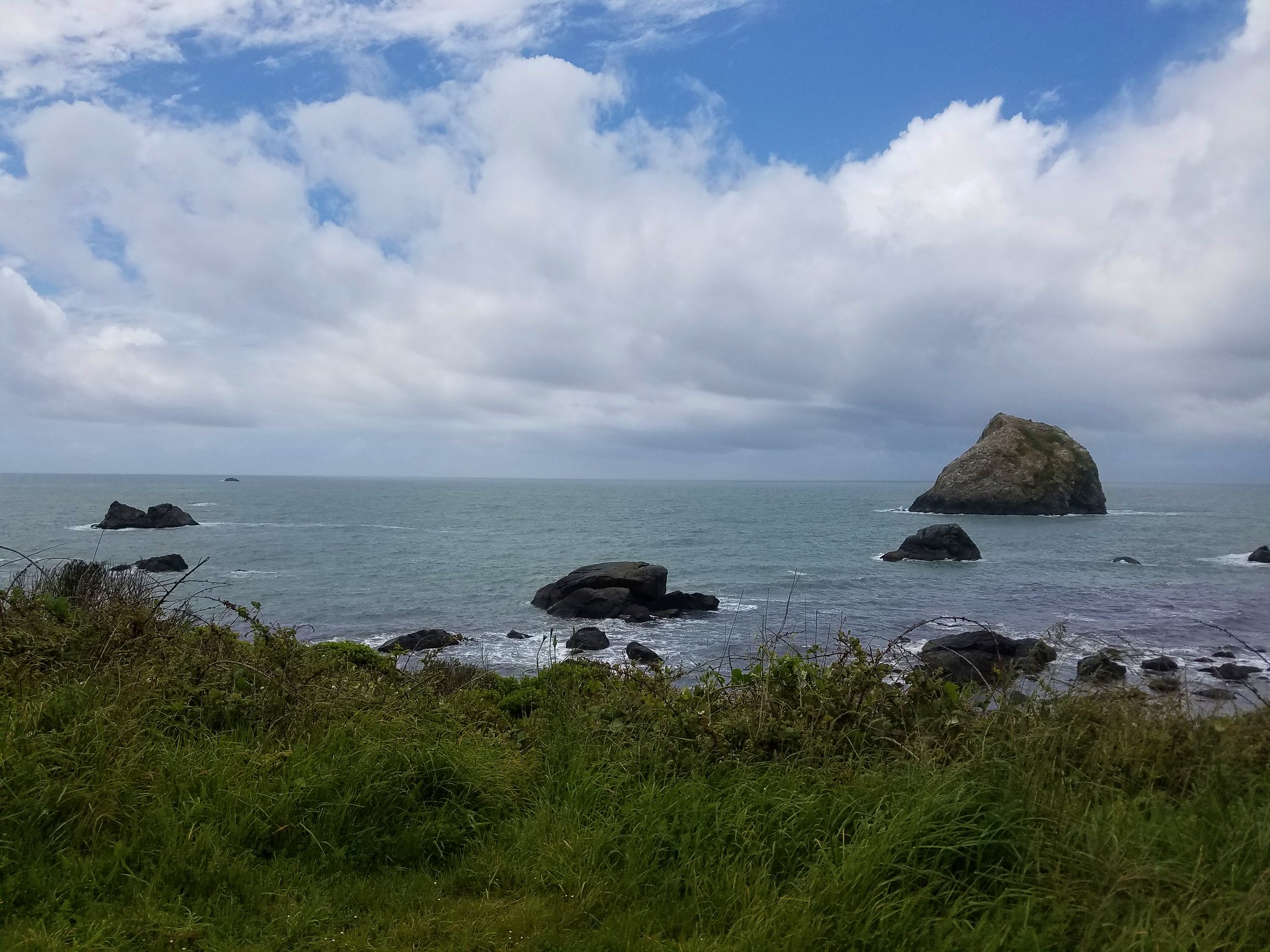
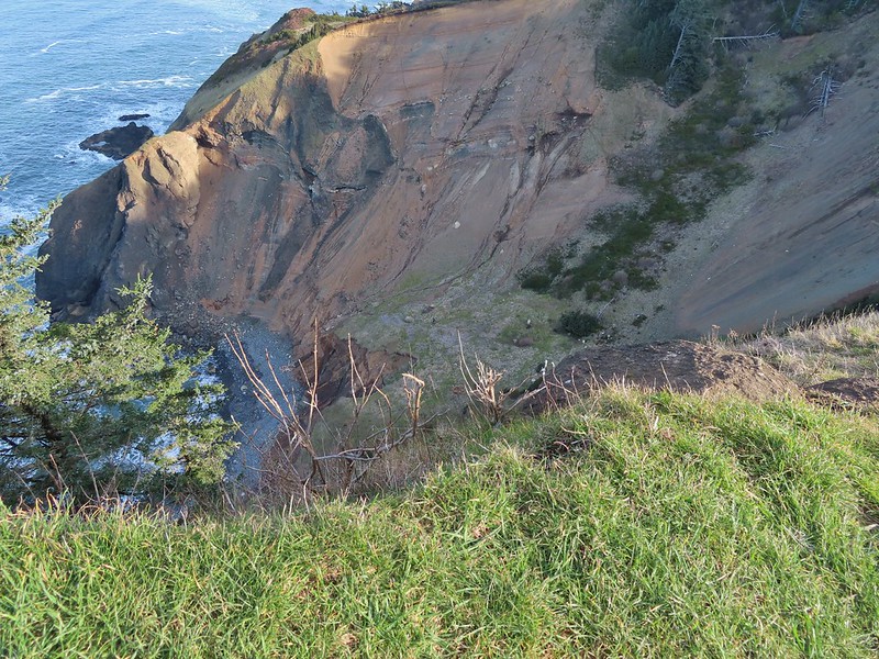
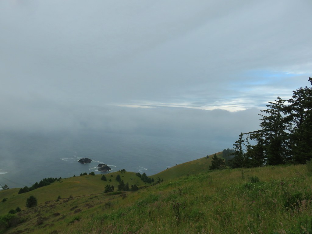
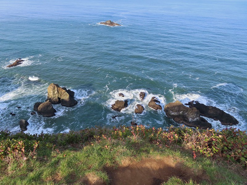 Rocks below God’s Thumb
We did actually see another hiker but he wasn’t coming down the trail to God’s Thumb, he was heading down to the ocean in the cove north of us.
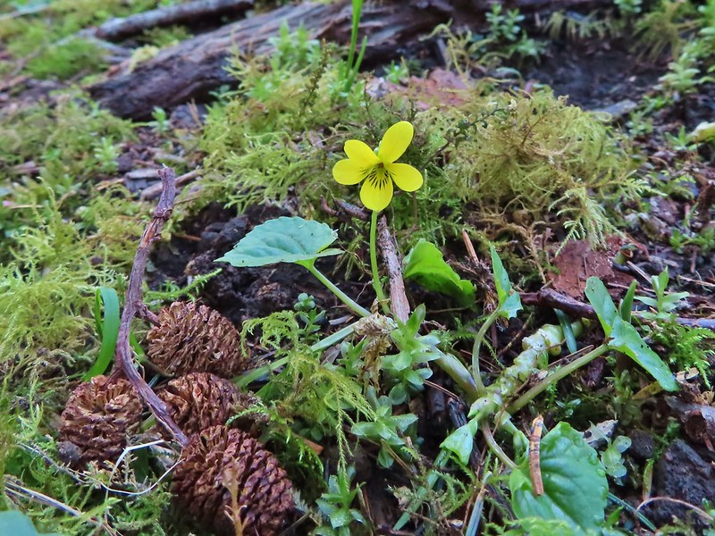
After enjoying the view for a bit we headed back. We finally passed some other hikers just as we started down into the valley before climbing back up to the junction at the ridge end. It was beginning to be a fairly steady stream of hikers as we reached the junction where we forked left to make a loop out of the middle of the hike. The old road bed on this side of the ridge was much muddier than what we’d come up, but we also spotted quite a few yellow violets and a single toothwort along this route.
 A reasonable representation of the wet/muddy conditions on this part of the hike.
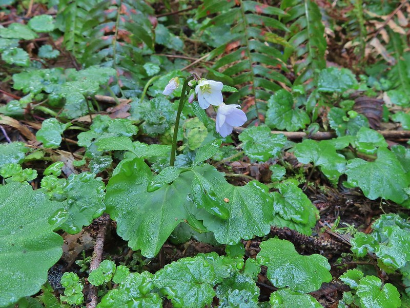 Toothwort
A mile and a half from the junction we arrived at the very crowded trailhead at The Villages. Here we turned left on a little path which quickly joined another old roadbed.

Less than a half mile later we were passing another gate along Sal La Sea Drive.
 The gate and Sal La Sea Drive in the distance.
 It’s not a hike at the coast without some skunk cabbage.
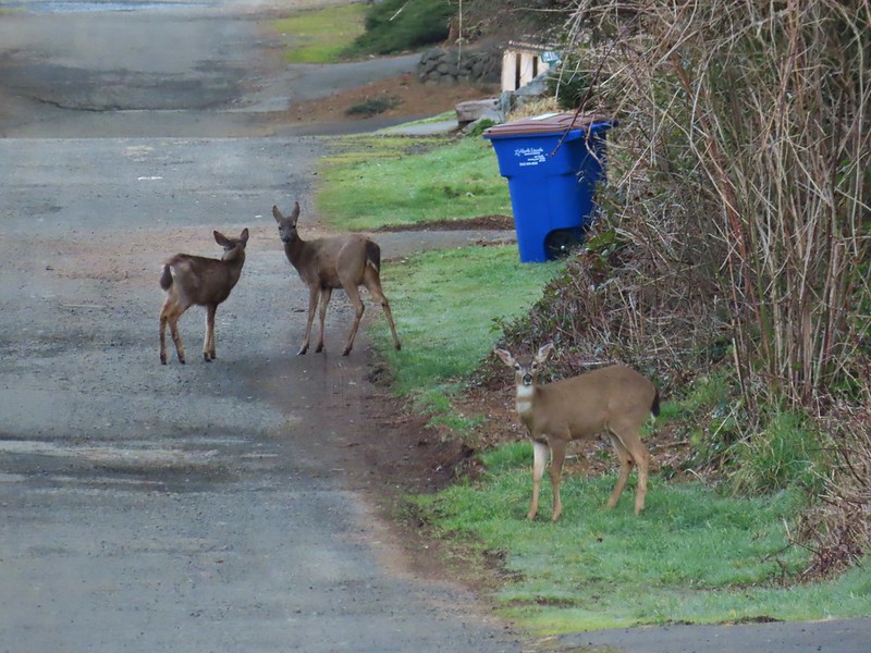
At Sal La Sea Drive I suggested turning left as it looked like the road would take us back downhill almost directly to the Roads End Recreation Site but Heather wasn’t sold on that. (She was sure there was a hidden uphill that would be worse than what we were facing to get back to the Sal La Sea Trailhead.) Never one to pass up a climb we turned right and headed up Sal La Sea Drive. It was a little over 3/4 of a mile back to that trailhead (where there were now 9 cars) and somewhere in there Heather realized she had chosen poorly. We then retraced our path from earlier back down to Roads End. Along the way we saw over a half dozen more deer among the houses which we found humorous, in the woods we saw no deer and a bunch of people and in the neighborhood we saw no people and a bunch of deer.

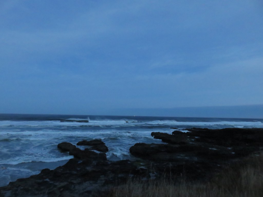
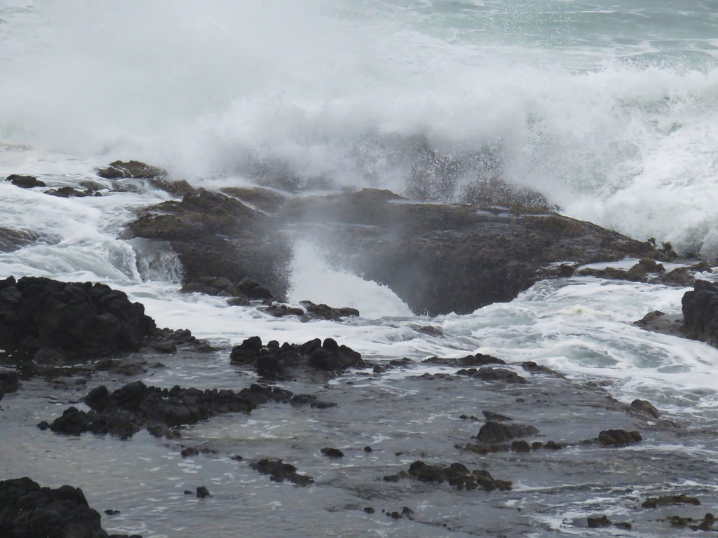
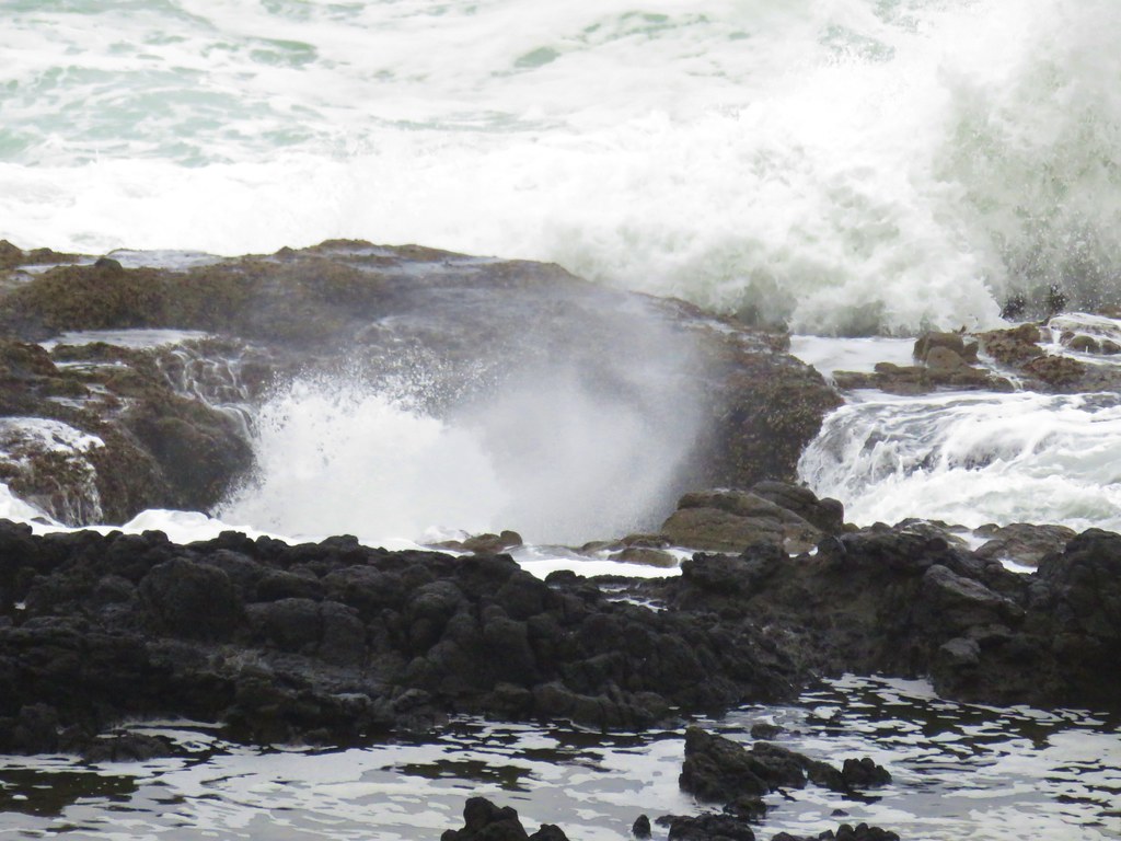
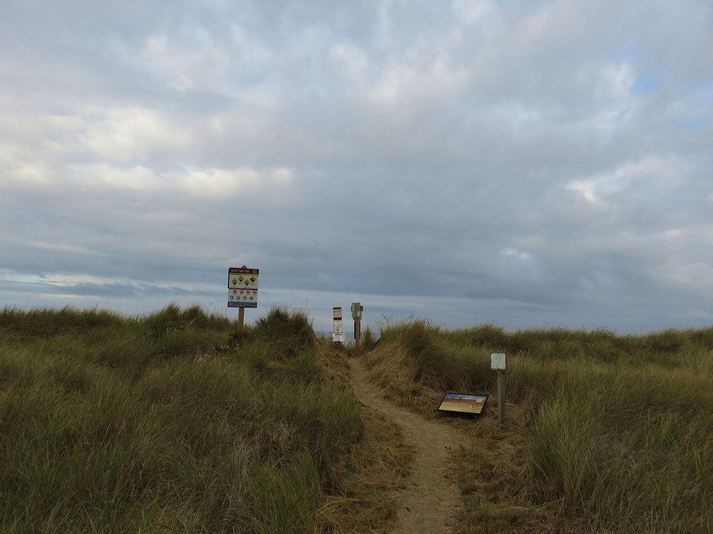
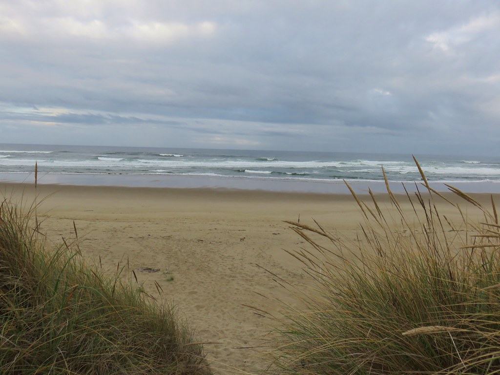
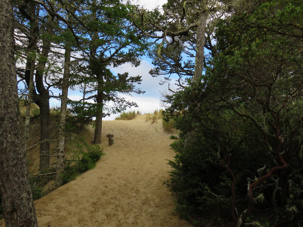
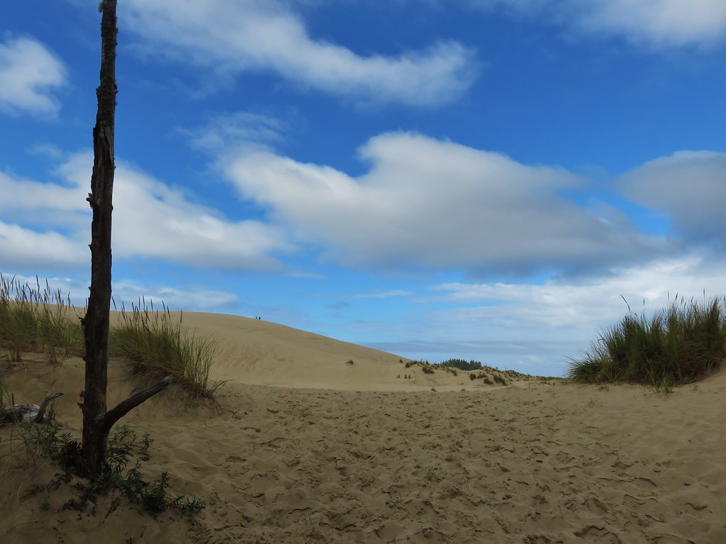
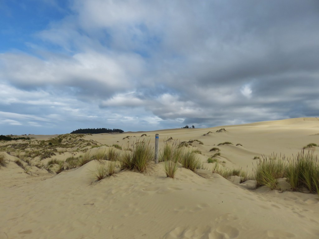
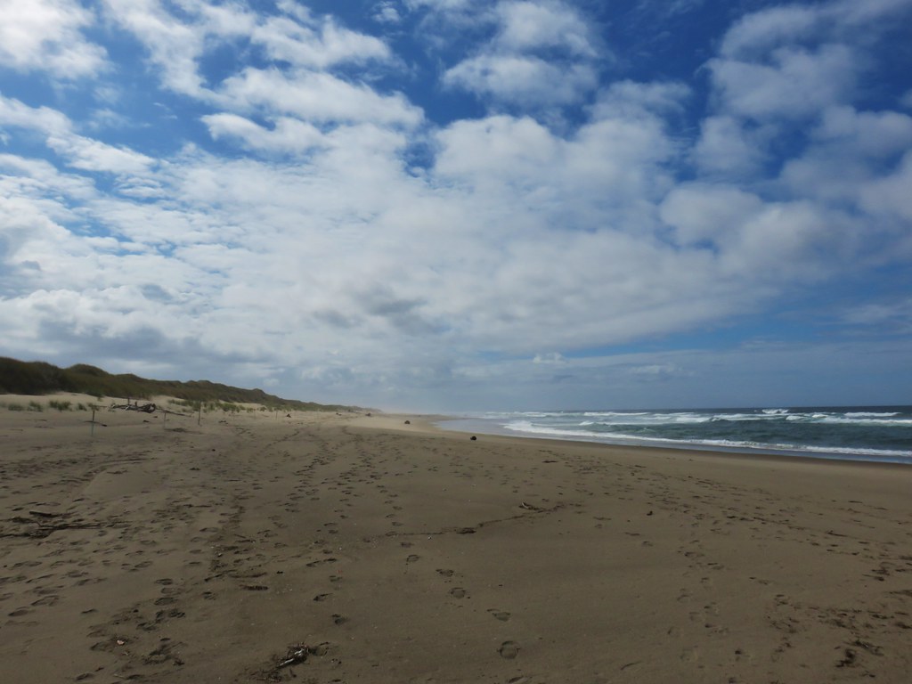
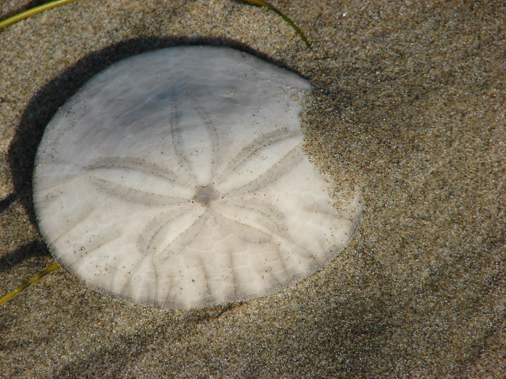
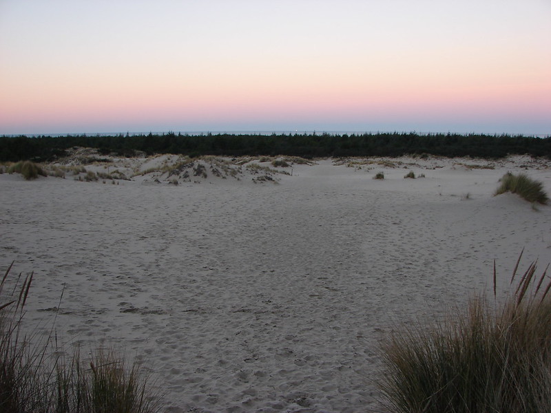
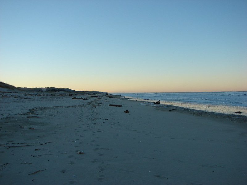
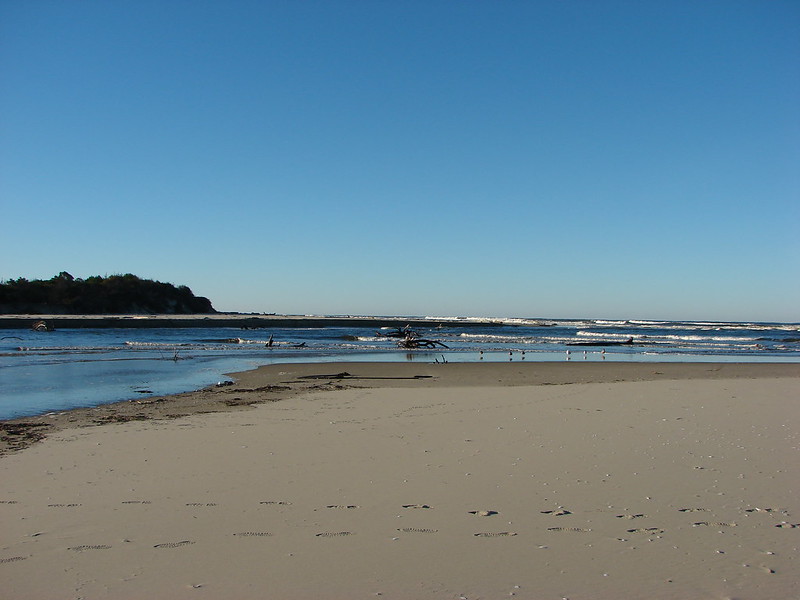
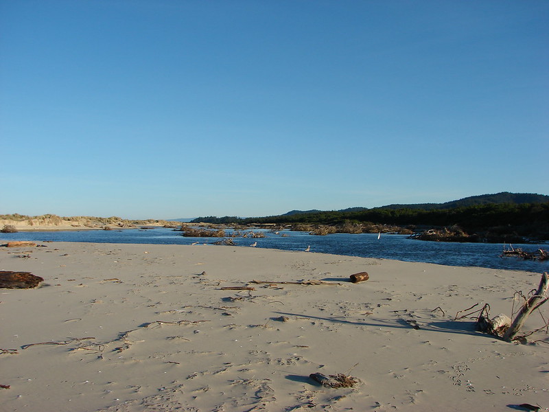
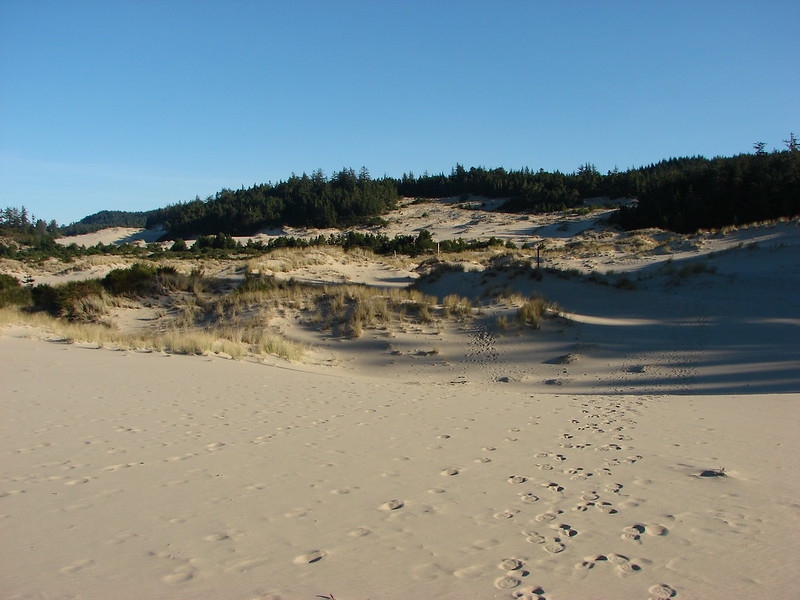
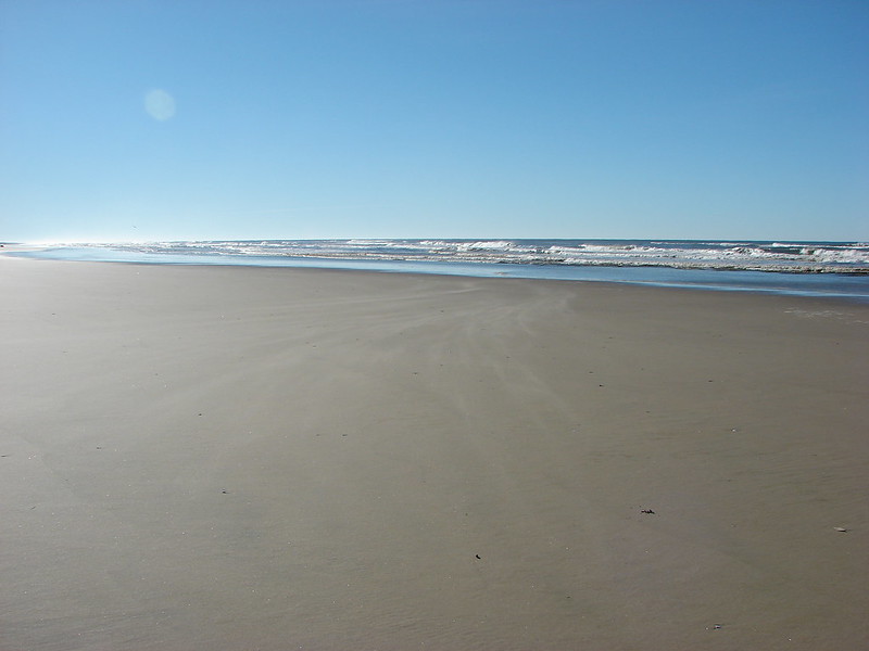
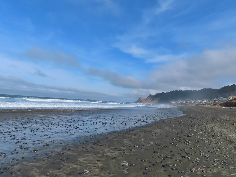
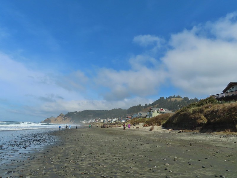
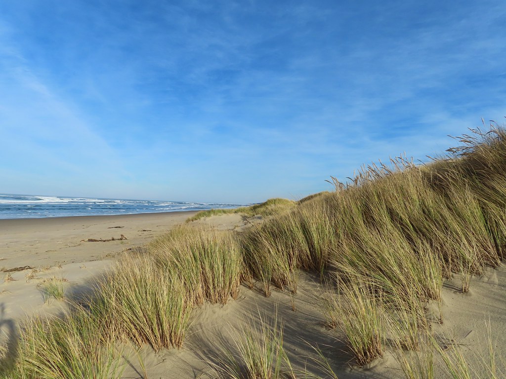
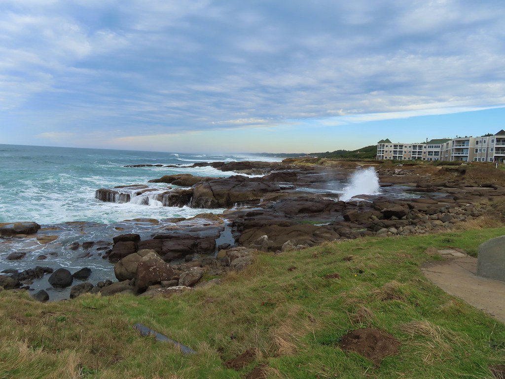
While our plan to avoid people had worked well at Alder Island and for our visits to The Knoll and God’s Thumb there was no chance for privacy along the beach at Roads End. While it was busy it was a nice walk along the beach for almost a mile and a half to Roads End Point where continuing is only possible during low tides.

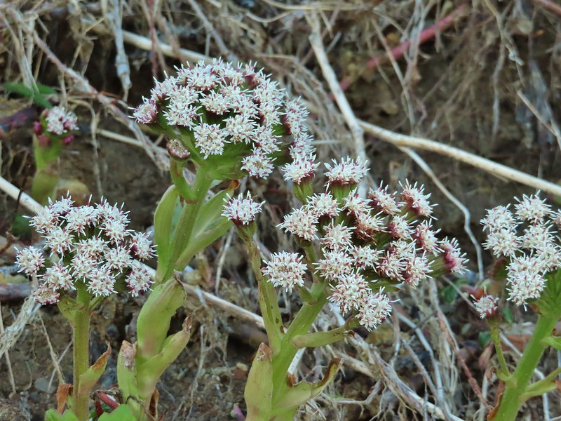 Coltsfoot

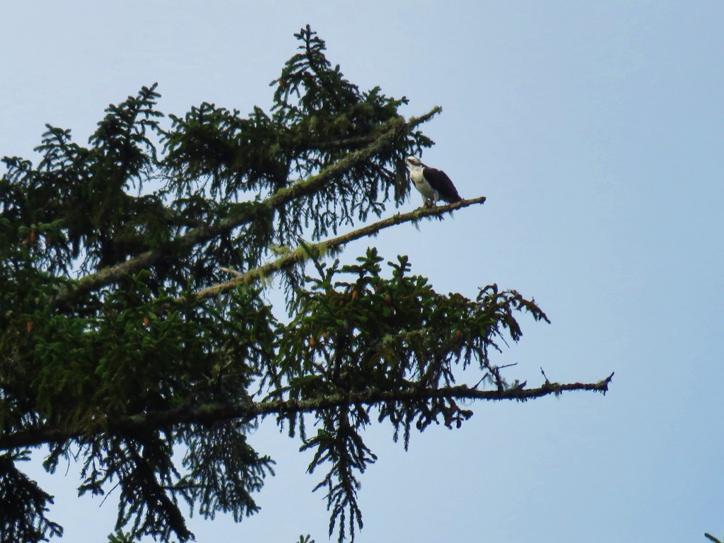
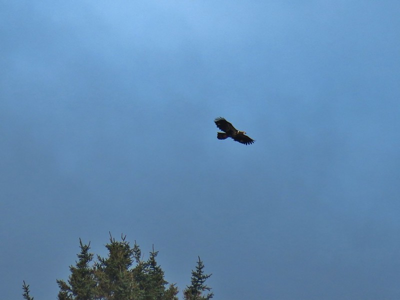
 An immature bald eagle flew overhead at one point.
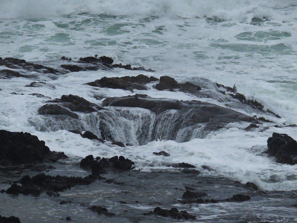
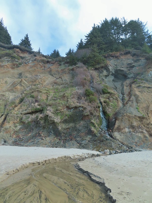 Little waterfall along the beach.
 Roads End Point
 Not going around that today.
We headed back saying one last goodbye to God’s Thumb and The Knoll before driving back home to Salem.
 God’s Thumb on the right.
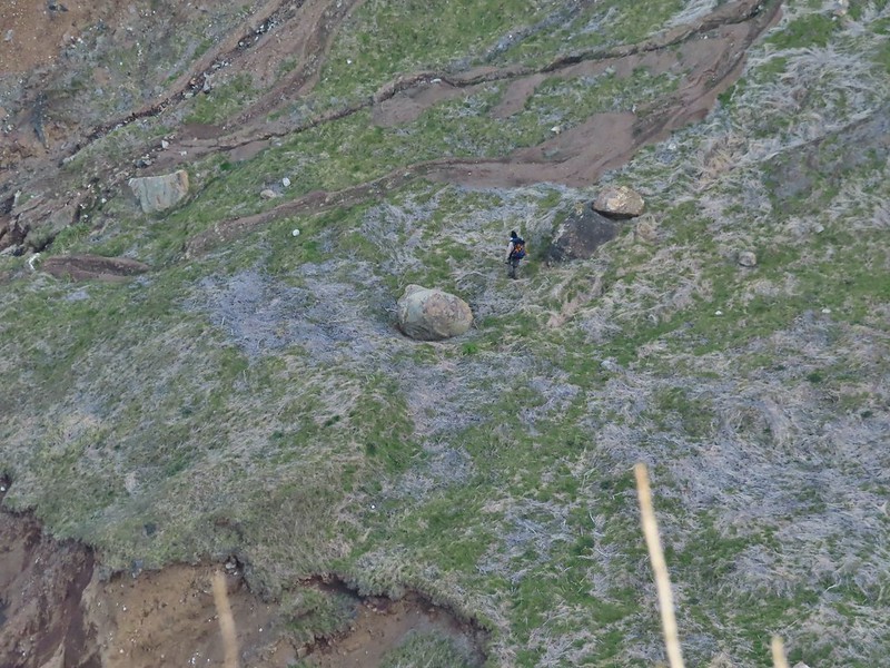
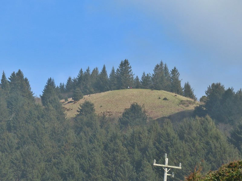 Hikers on The Knoll
Our mileage for the day was right around ten with a mile coming at Alder Island, two and three quarters at Roads End and the remaining six and a quarter being The Knoll and God’s Thumb. There was 1420′ of elevation gain all of which was during the portion from Roads End to God’s Thumb and back. While we’ve had good weather for all three of our hikes thus far in 2021 this hike was the first to truly feel like Winter is coming to an end. Happy Trails!


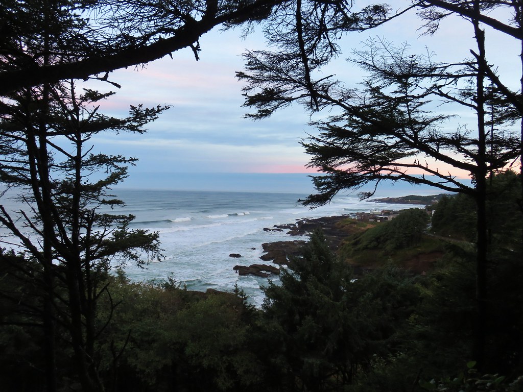
 Looking back south as the sunrise paints the clouds.
 A house on the cliffs.
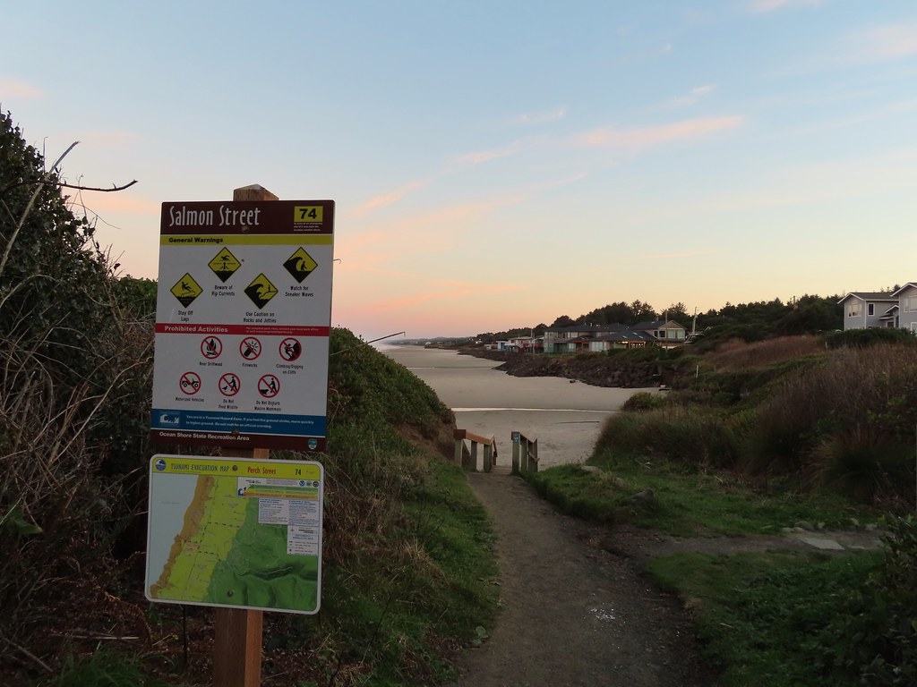

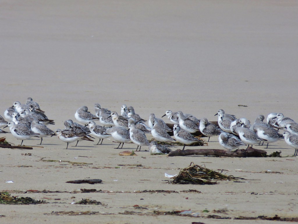
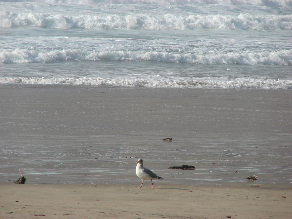
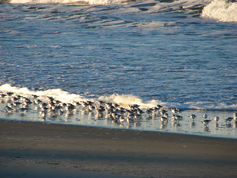
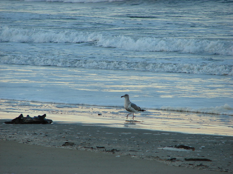
 Seagulls outnumbered people in the early part of the day.


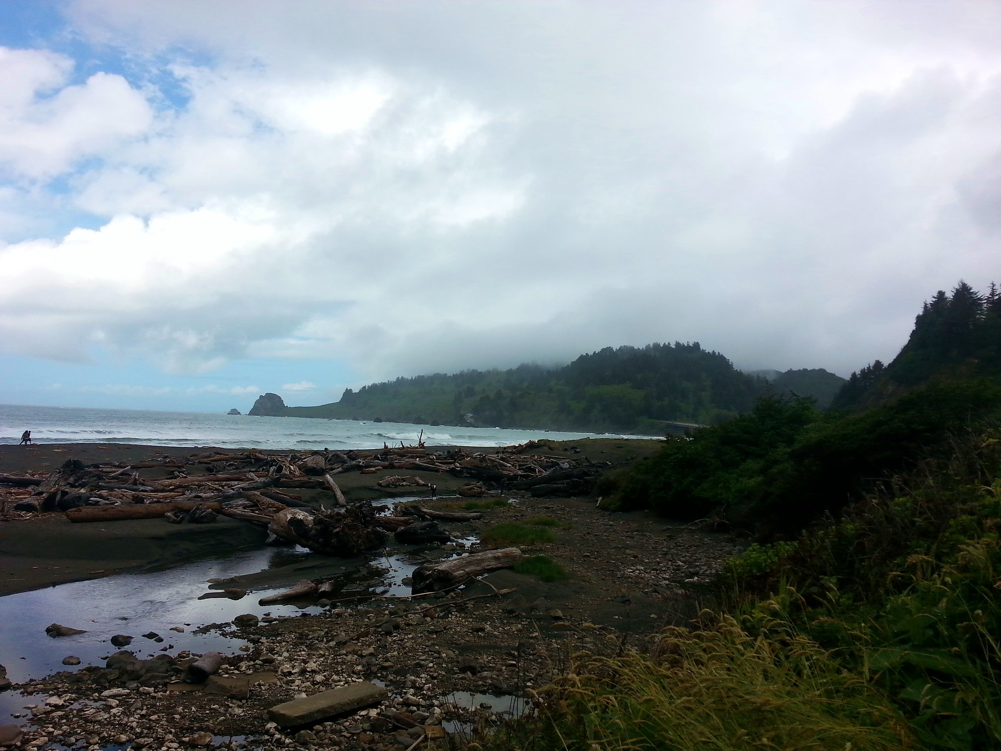
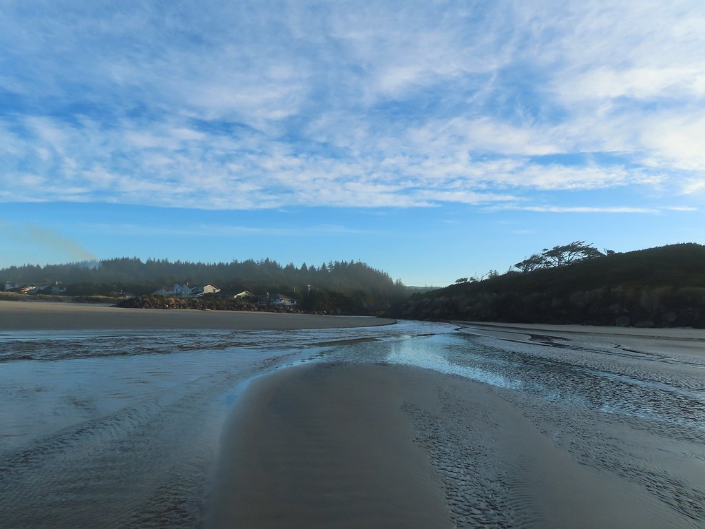
 Vinge Creek, about a mile down the beach, was crossable on small rocks.
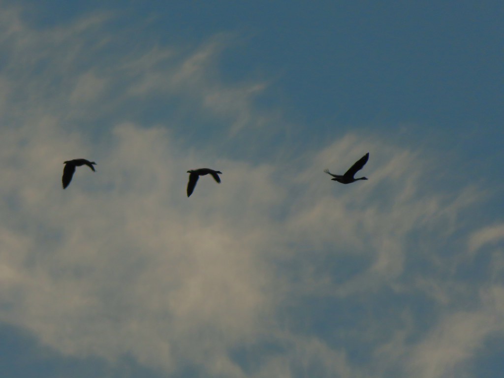 Geese flying overhead, we couldn’t make out what kind.
 At first we thought there were two weather vanes on the houses, a whale on the right and a heron on the left.
 It turned out to be a real great blue heron (but the whale was a vane).
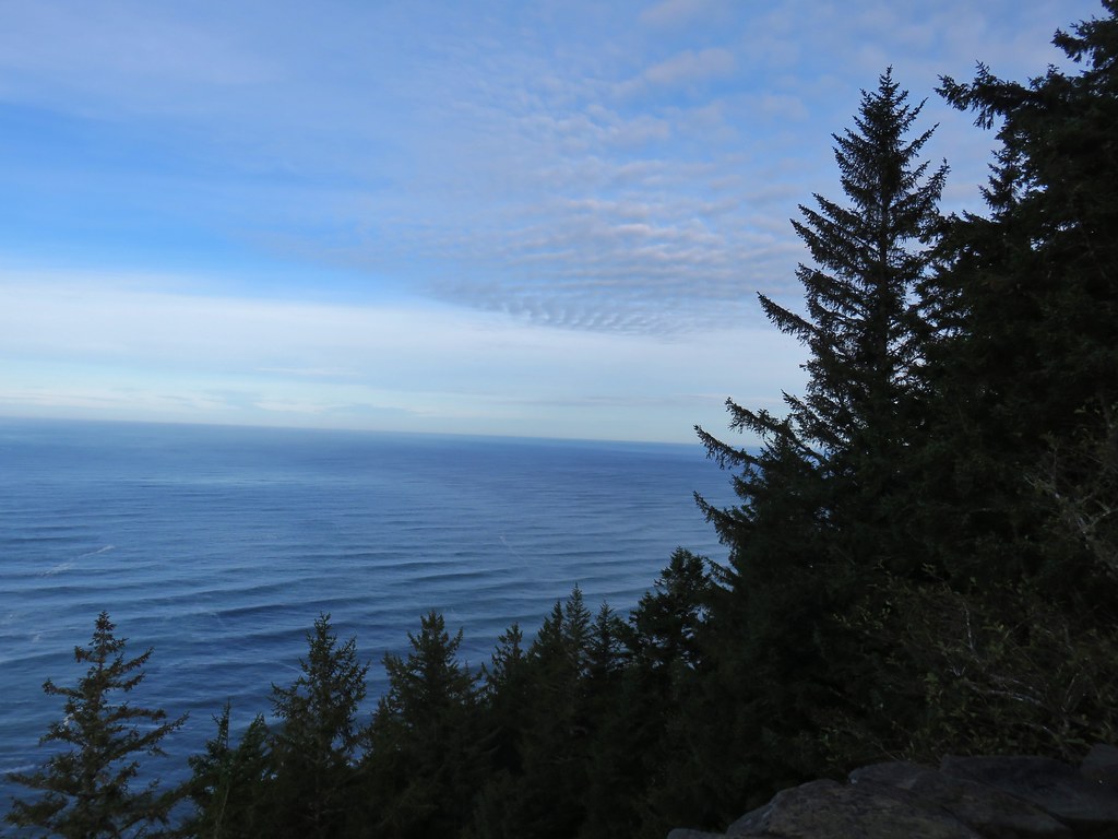
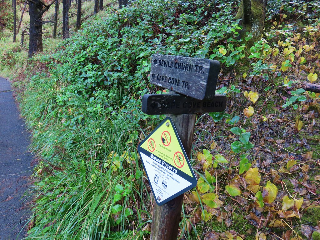
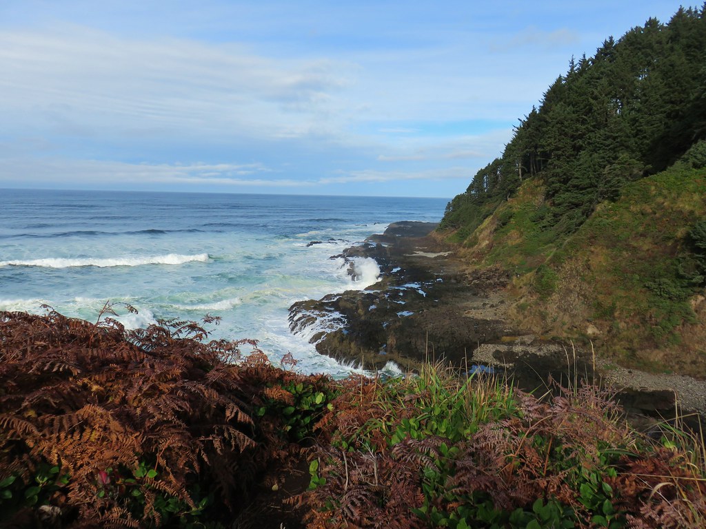
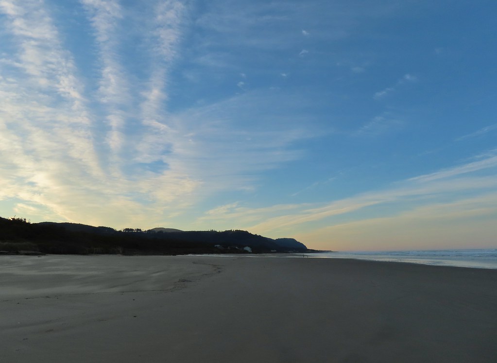 Looking south toward Cape Perpetua (
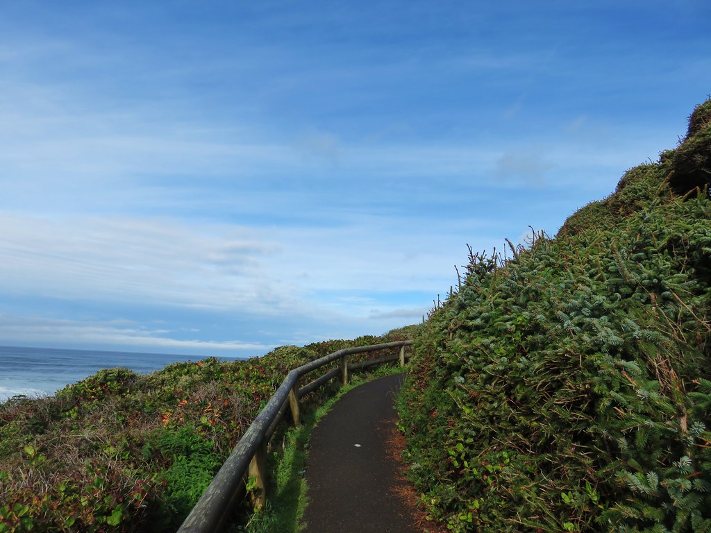
 View north.
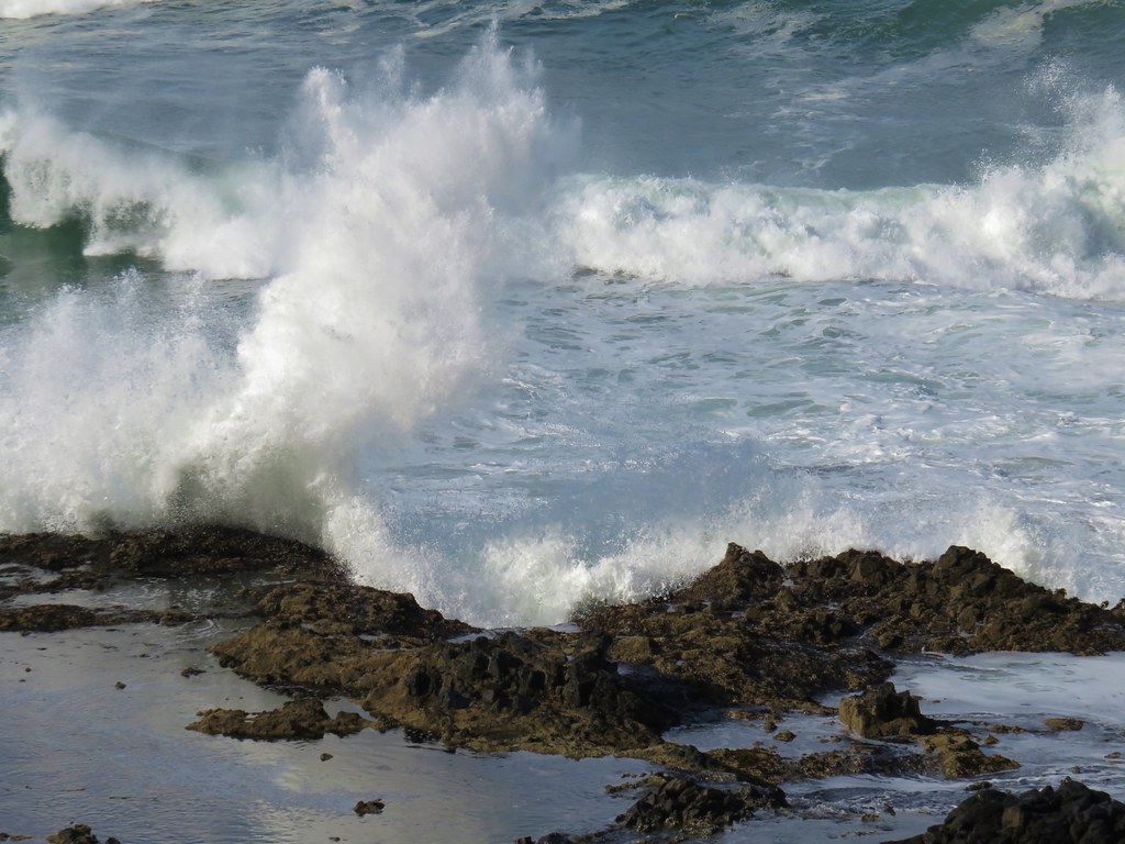
 Sunlight on the wave tops.
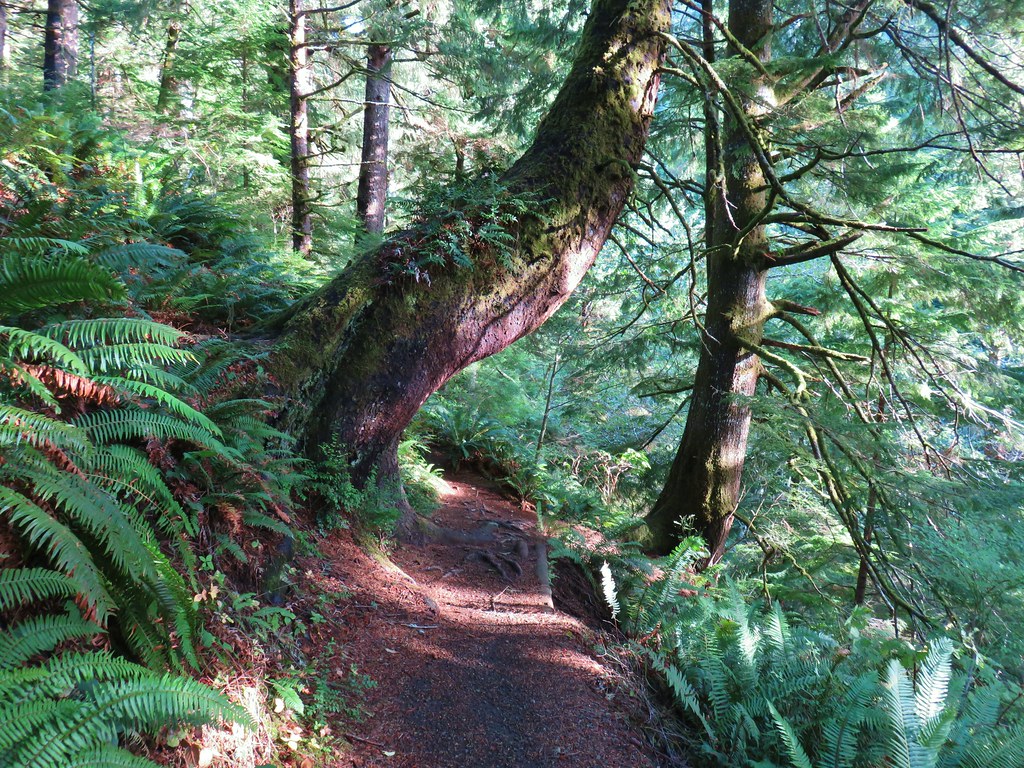
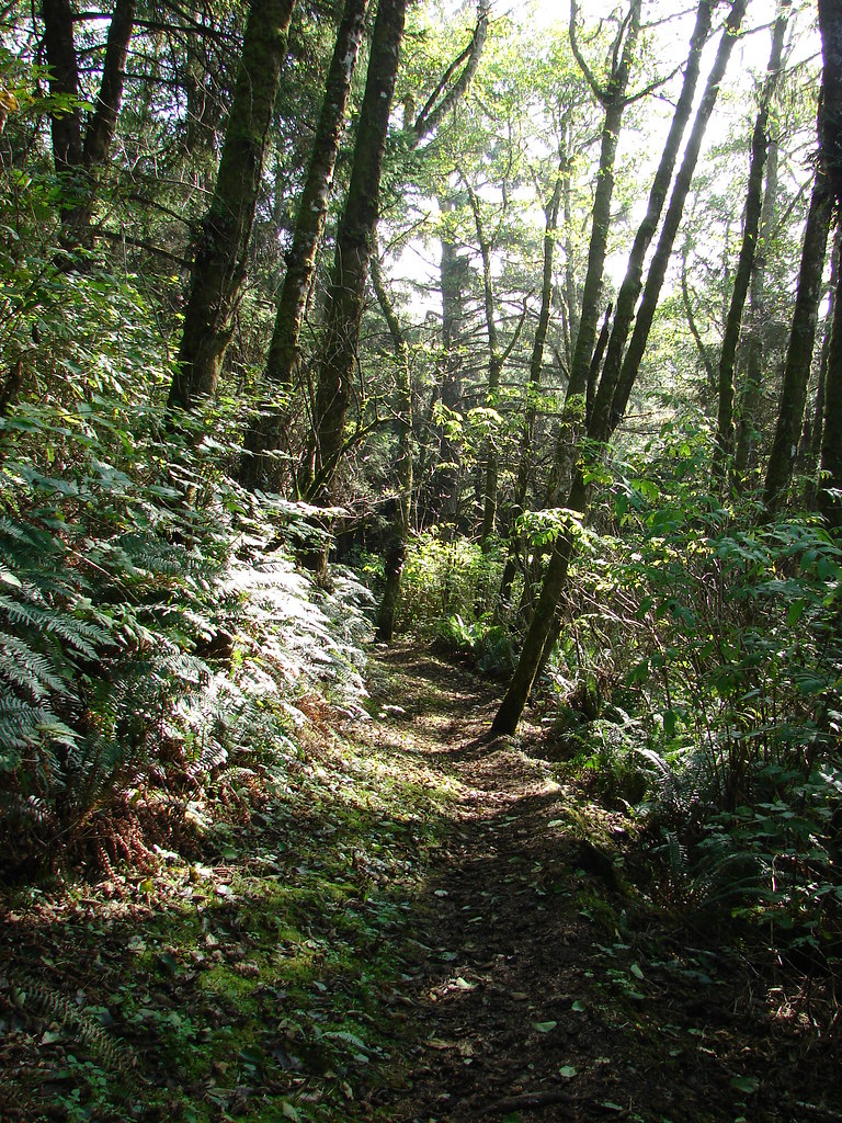
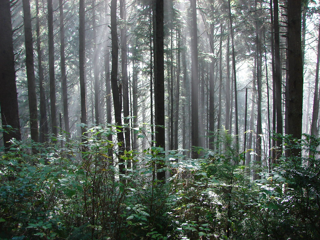
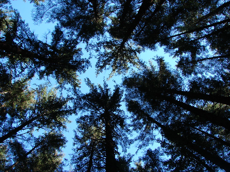
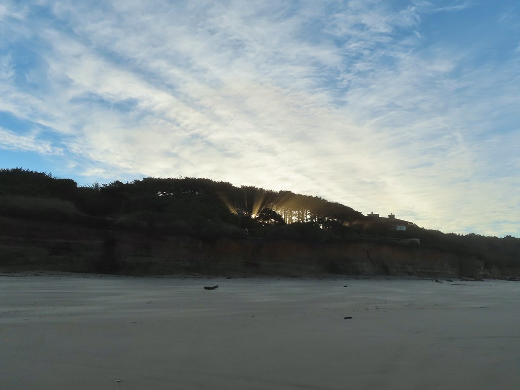 Sunlight bursting through the trees.
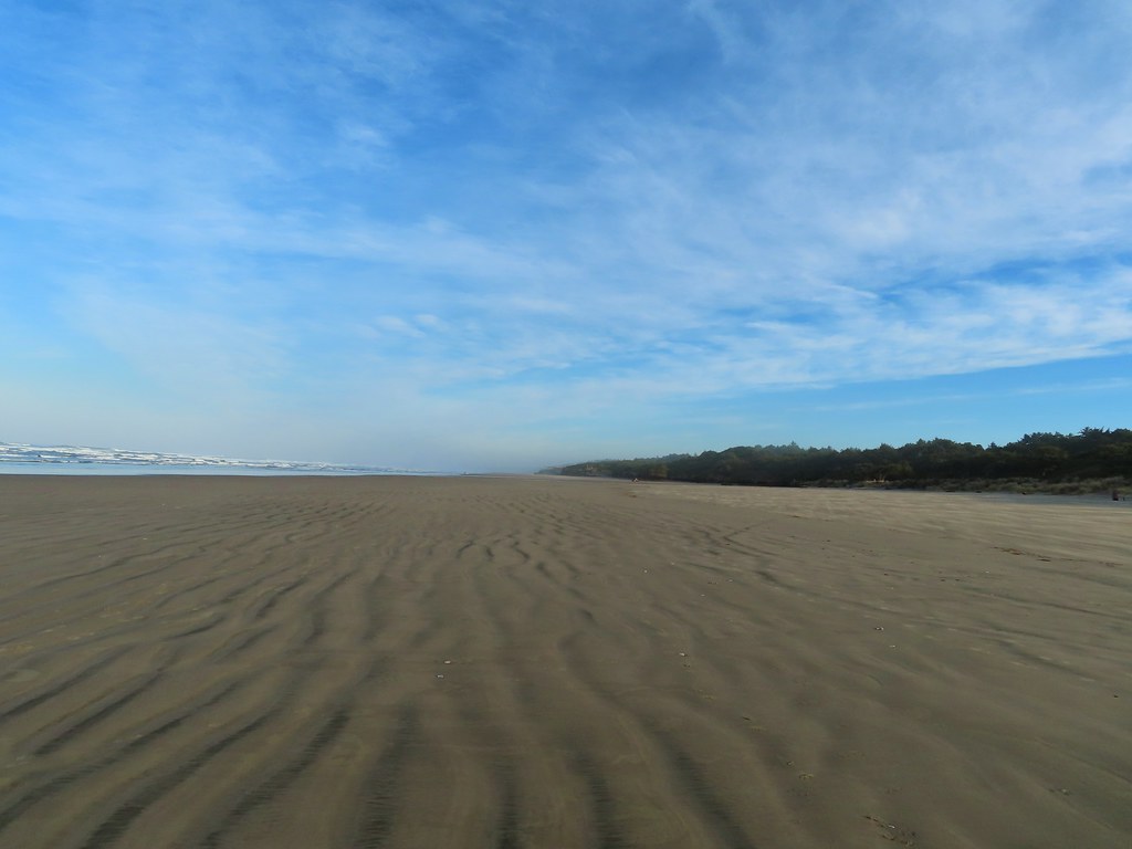 Wavy sand.

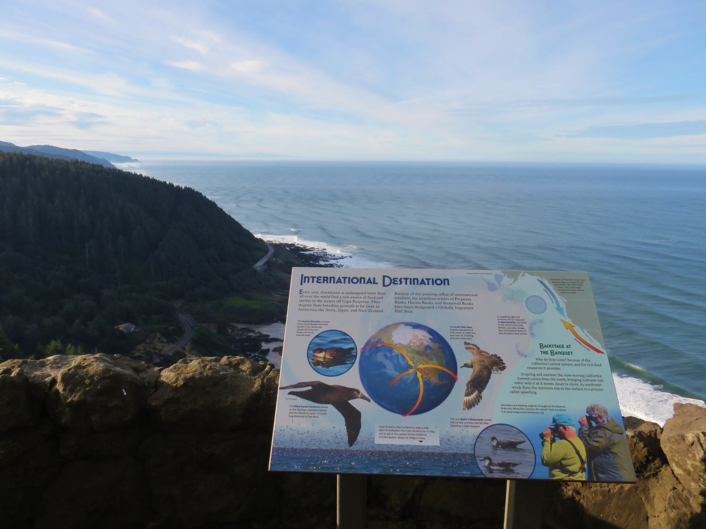
 Cape Perpetua from the dunes.
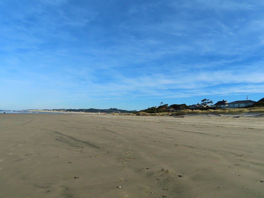
 Testing the 40 zoom feature on the Canon SX740HS.
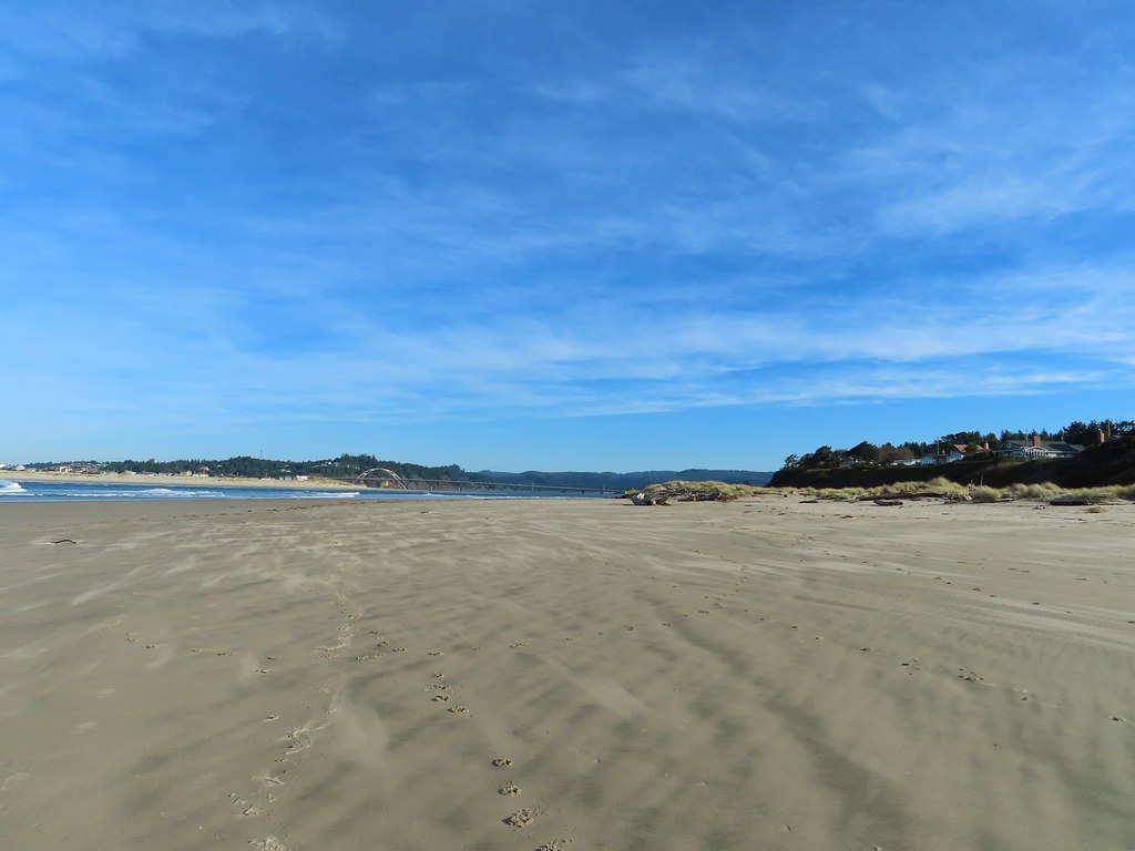 Heading for the log.
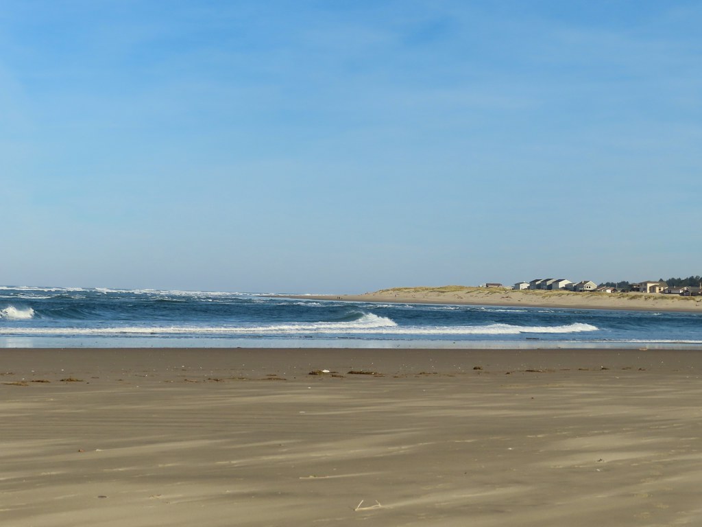
 View from the log.
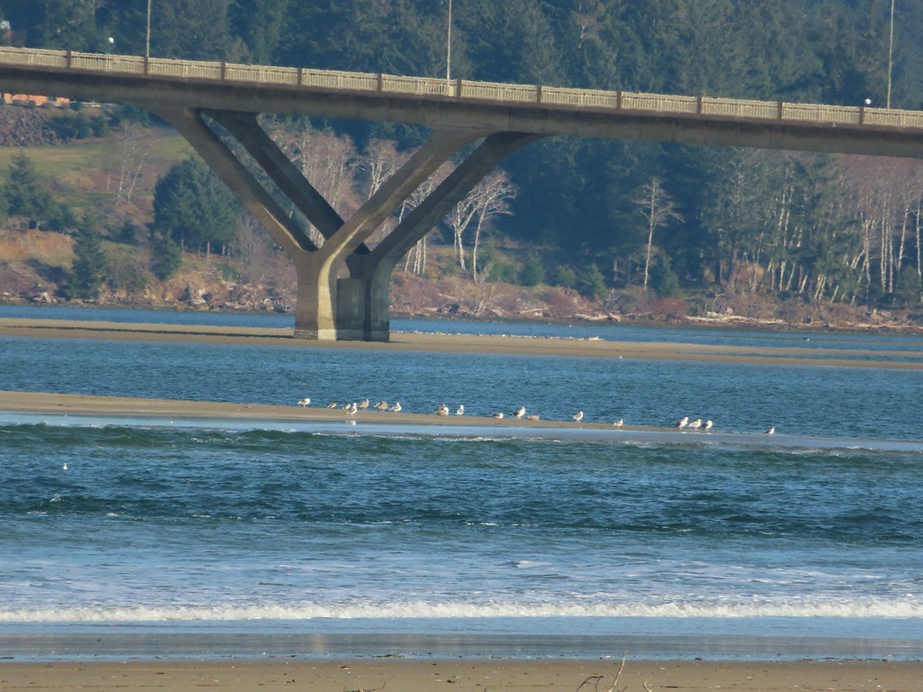 More testing of the zoom function. Seagulls on the near sandbar and seals on the one on the other side of the bridge.
 Looking at the dark cloud bank over the Pacific.
 Seal
Seal A little more cloud cover to the south over Cape Perpetua.
 More cloud action.
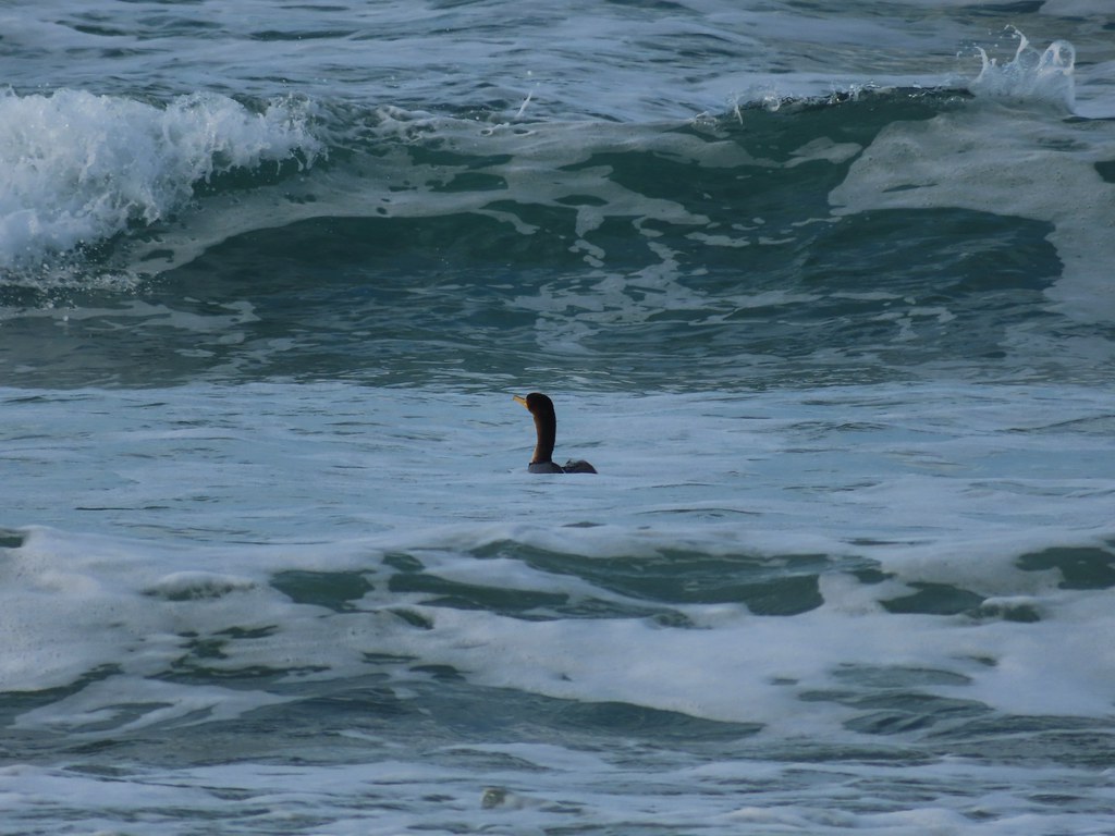 Cormorant
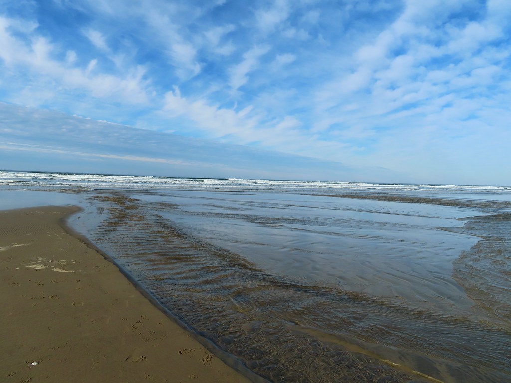 Reynolds Creek after fording.
 Finally starting to feel like it could start raining soon.
 The advancing line of clouds.
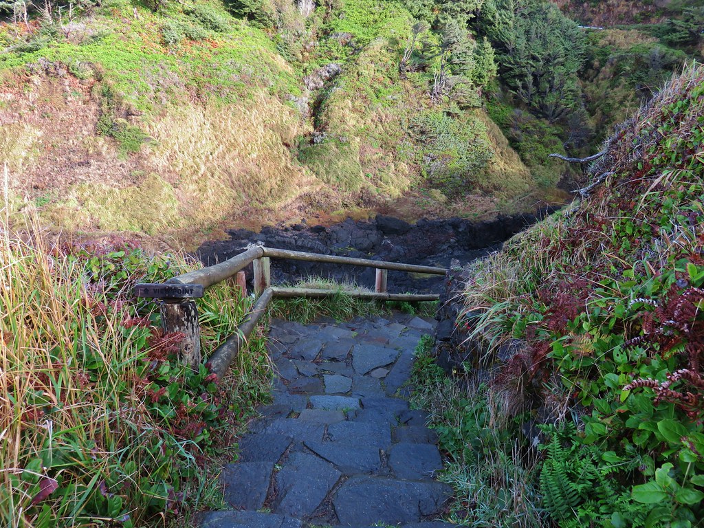
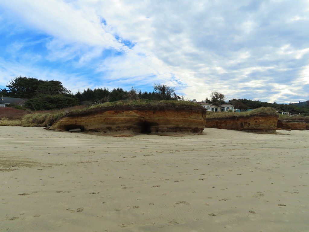 Another look at the arch.
 A kingfisher near the stairs up from the beach.
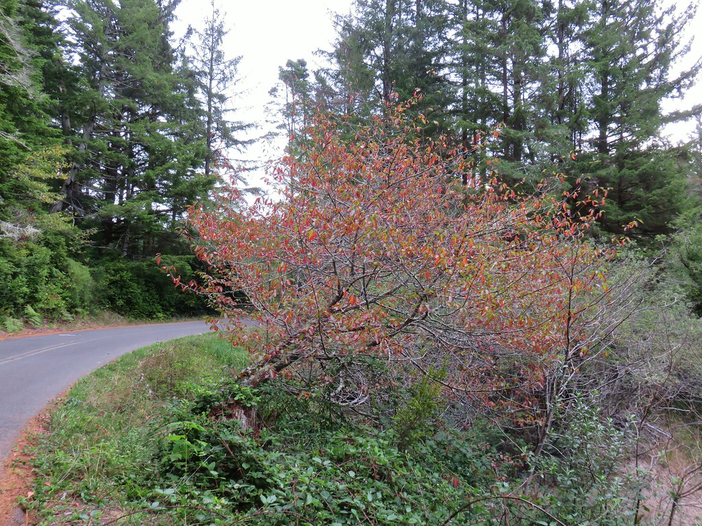
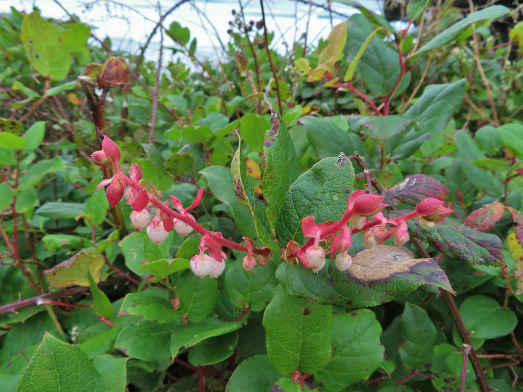 December blossoms on salal along the 804 Trail.
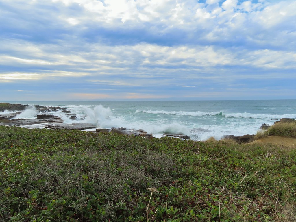


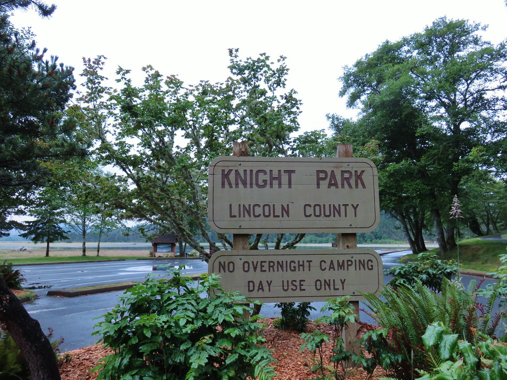
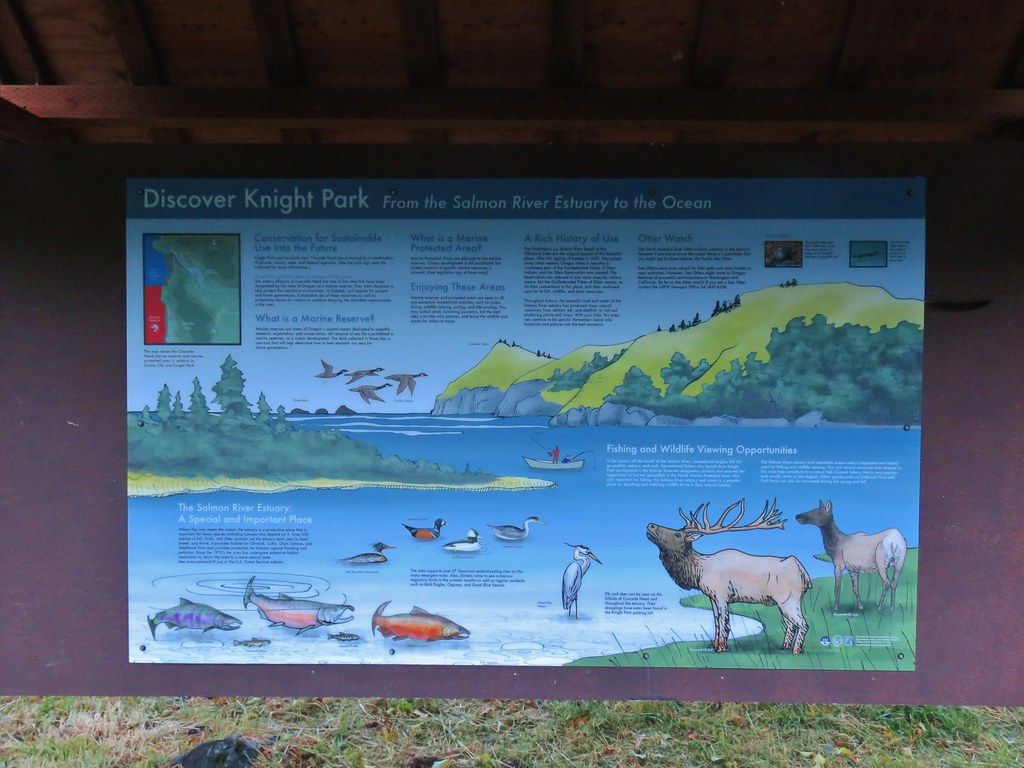
 Salmon River at Knight County Park


 One of the bridges.
 Overgrown stream
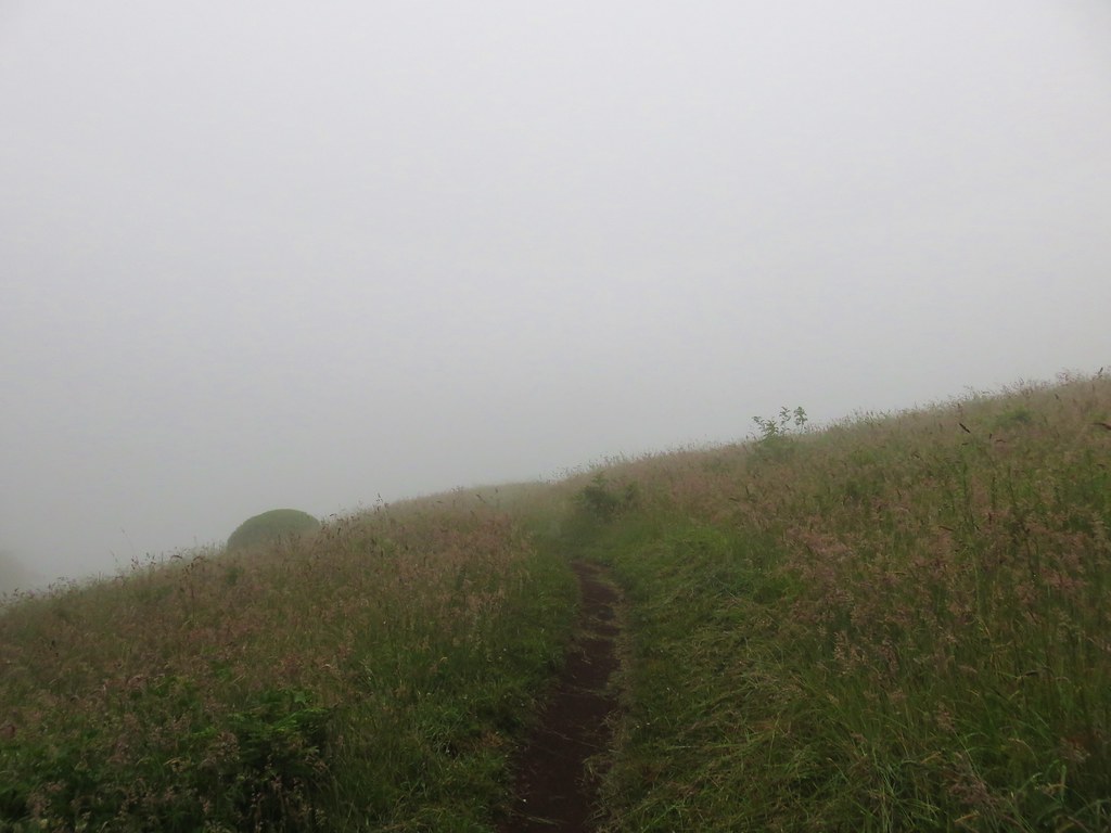
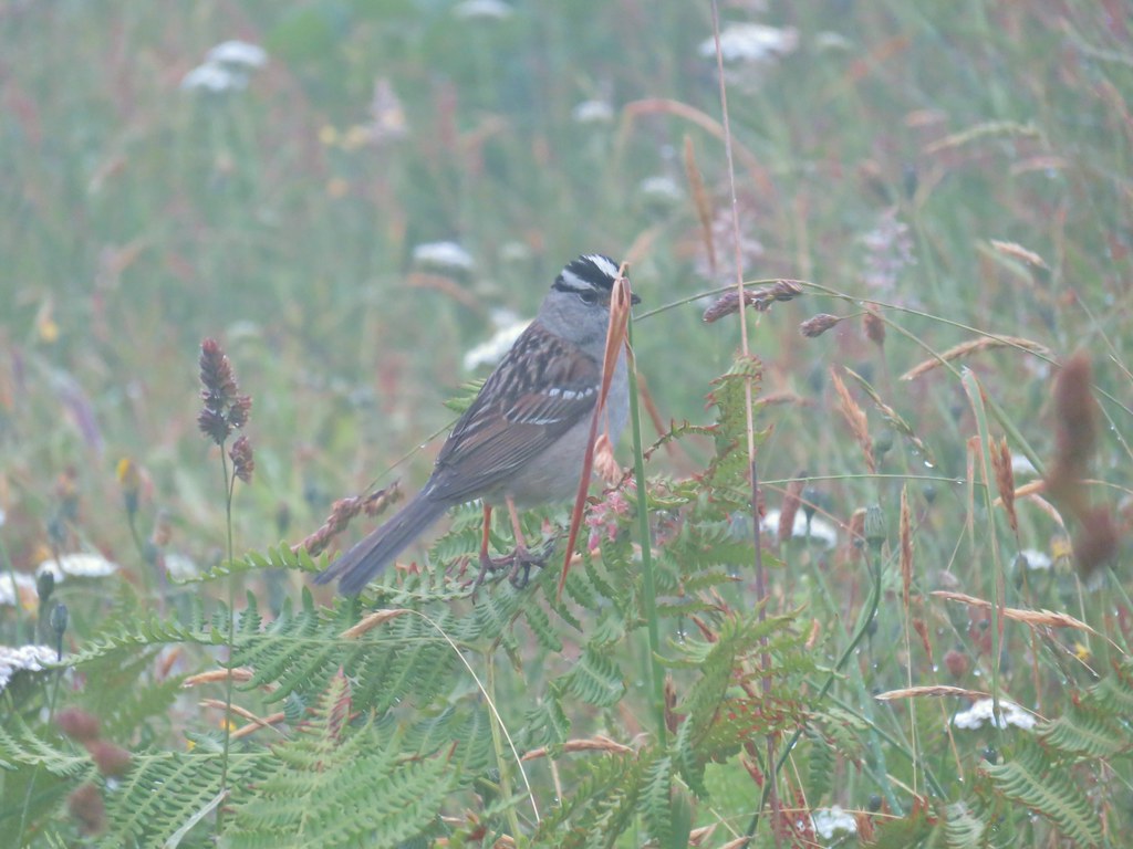 White crowned sparrow
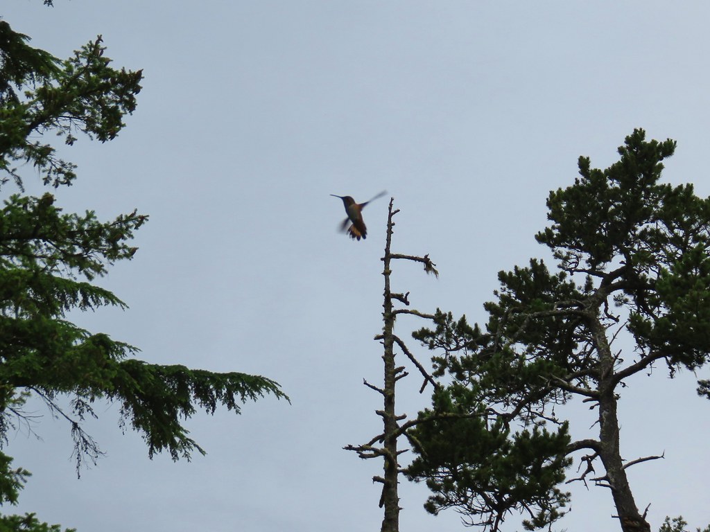
 One of three hummingbirds
 Another white crowned sparrow
 Checkerbloom
 Monkeyflower
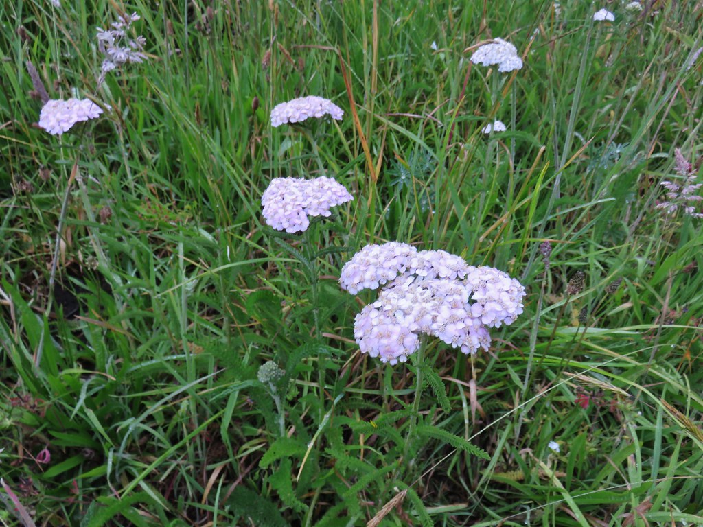 Yarrow
 Field chickweed
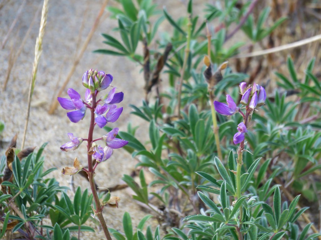
 Lupine
 Foxglove with a spider web
 Clovers
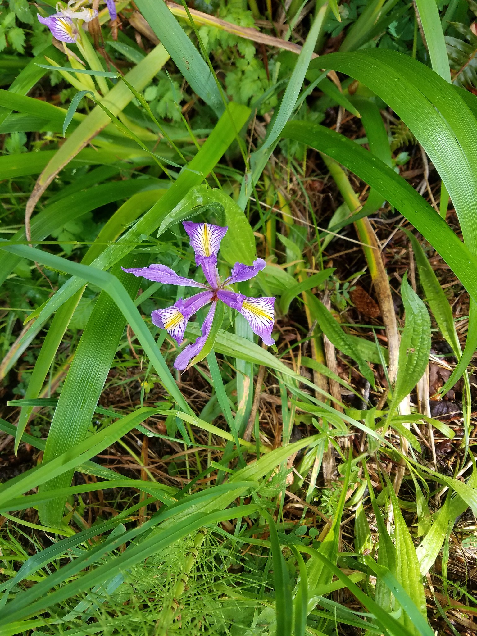
 Iris
Iris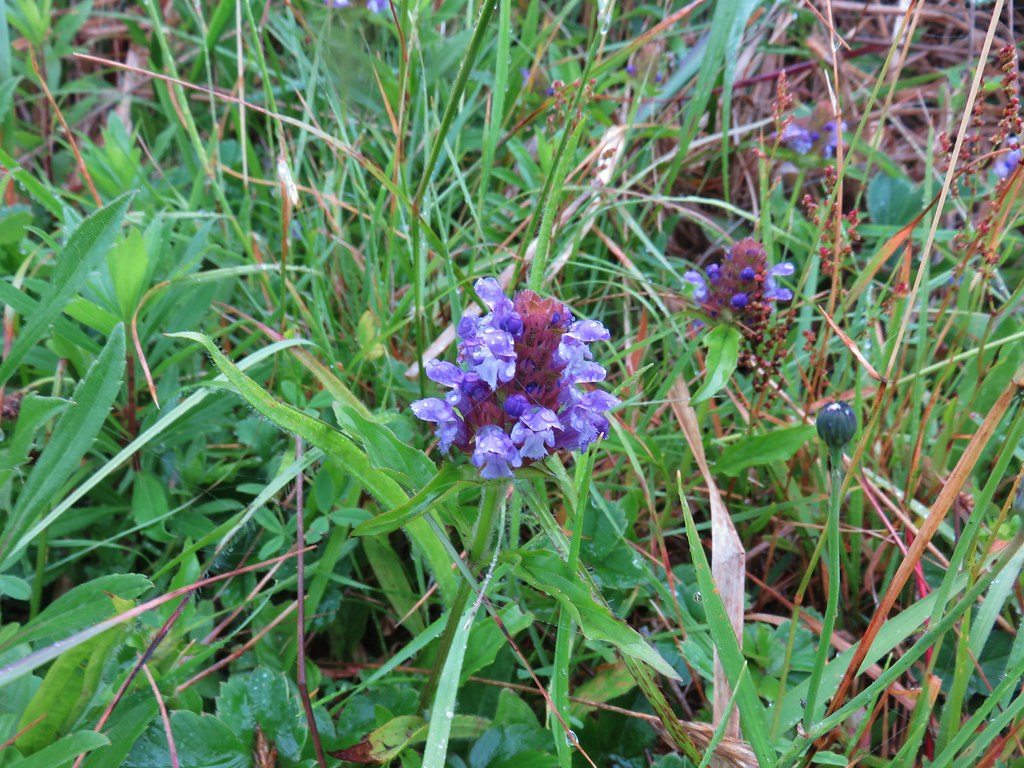 Self-heal
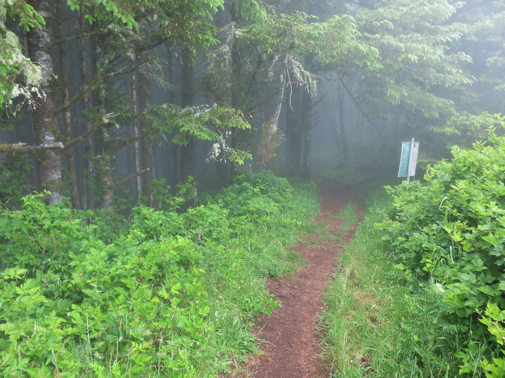
 Look for the head to the right of the tall foxglove stalk.


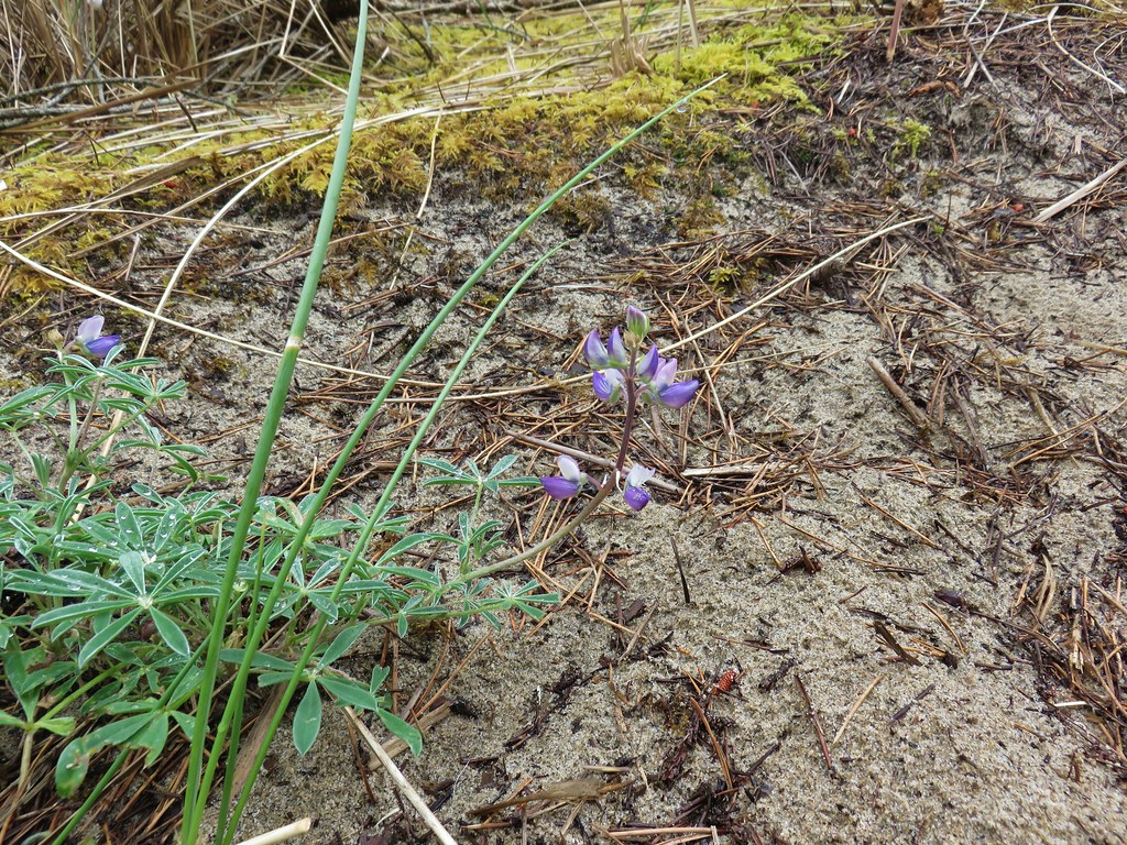 Lupine
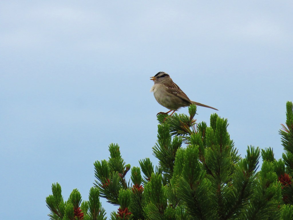 White crowned sparrow
 Cape Lookout (
 Beach morning glory
 Groundcone
 Tiger lily


 Obstacle hanging over the trail.