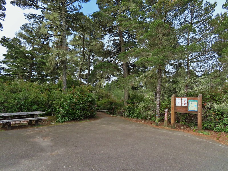
Our first big trip of the year was an extended weekend visit to the southern Oregon coast area to finish the remaining featured hikes from Sullivan’s “100 Hikes Oregon Coast & Coast Range” (3rd ed.) as well as a couple from his additional hikes section. For the first day of the trip we had set an ambitious goal of stopping at five different trailheads on the way to our motel in Gold Beach and after checking in continuing almost to the California border for a sixth hike on the Oregon Redwoods Trail. We got our typical early start driving from Salem to Eugene to take Highway 126 toward the coast and our first stop at the Mapleton Hill Pioneer Trailhead .

The short loop (0.6 miles) on the Pioneer Trail here follows portions of the historic North Fork Trail and Mapleton Hill Road which were early routes connecting Florence and Eugene.

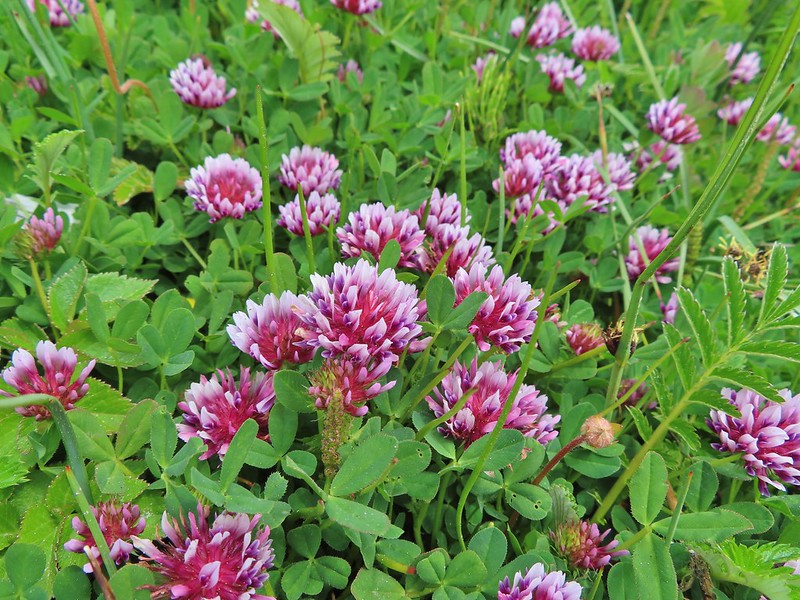
The trail was in good shape and there were a some wildflowers in bloom to go along with the numerous interpretive signs along the loop.

 Thimbleberry
 Salmonberry
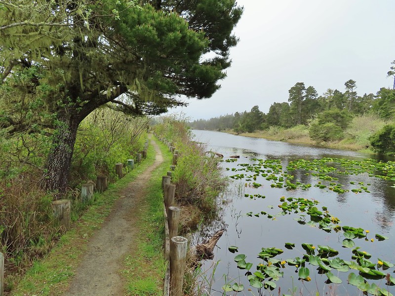
 McLeod Creek
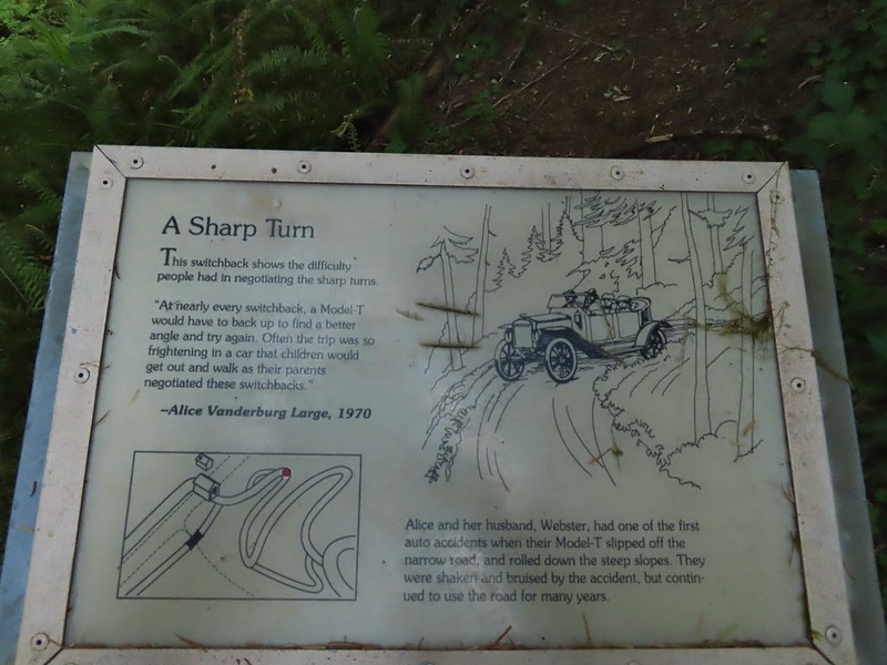
 One of the sharp turns.
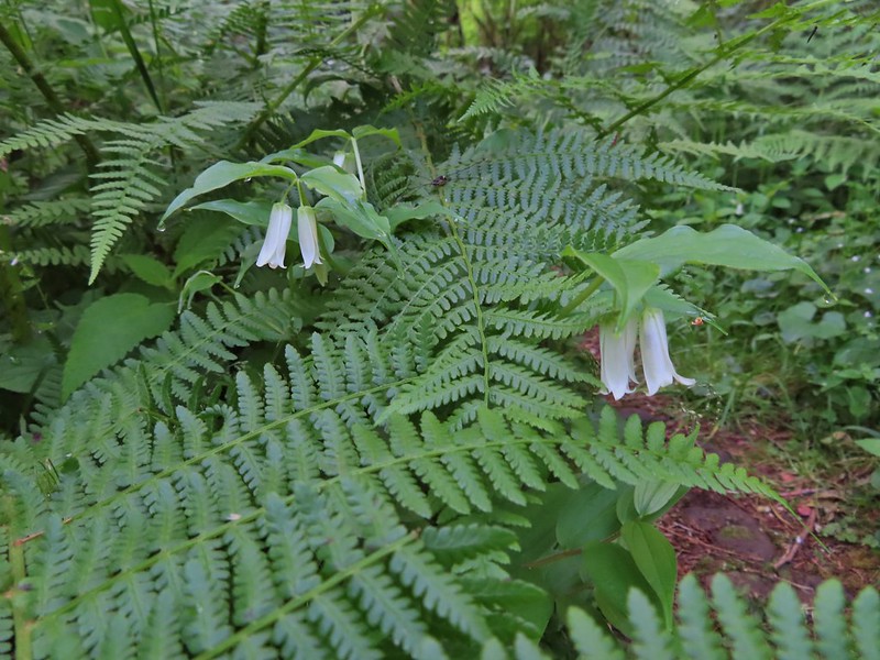 Fairy bells
 Columbine
 Bleeding heart
 Monkeyflower
 Sourgrass
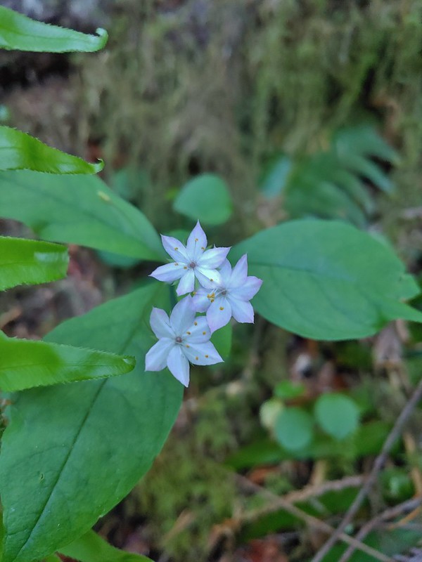 Star flower
 Trillium

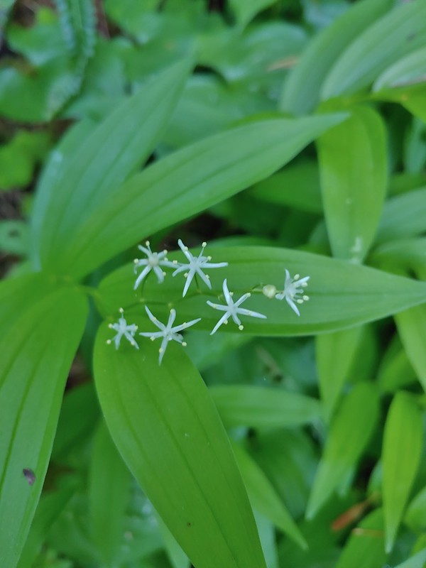 Star flower solomonseal
 Twisted stalk
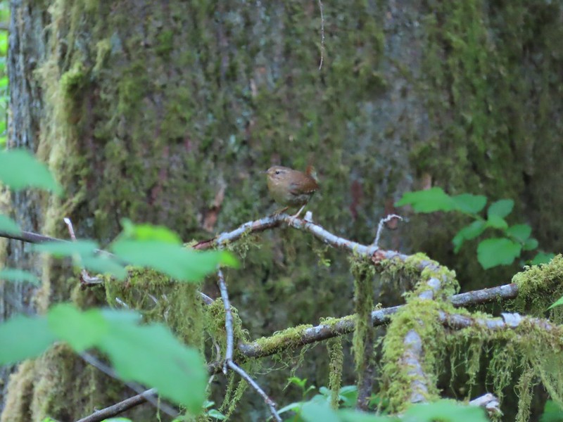 Wren – We heard lots of birds but didn’t see many of them.


 Waterleaf
After completing the loop we drove west from the trailhead on Road 5070/North Fork Siuslaw Road to Road 5084 which we followed 5 miles to the Pawn Trailhead.

This was another short loop hike (0.8 miles) which combined with the Pioneer Trail make up featured hike #57 in the 3rd edition (they were moved to the additional hikes section in the 4th edition). This trail suffered some storm damage over the Winter and as of our hike had only been 80% cleared. It is also an interpretive trail but instead of signs there are markers which correspond to information on a brochure that can be downloaded from the Forest Service here. The name “Pawn” was derived from the last names of four families that settled in the area in the early 1900’s – the Pooles, Akerleys, Worthingtons, and Nolans.

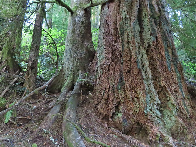
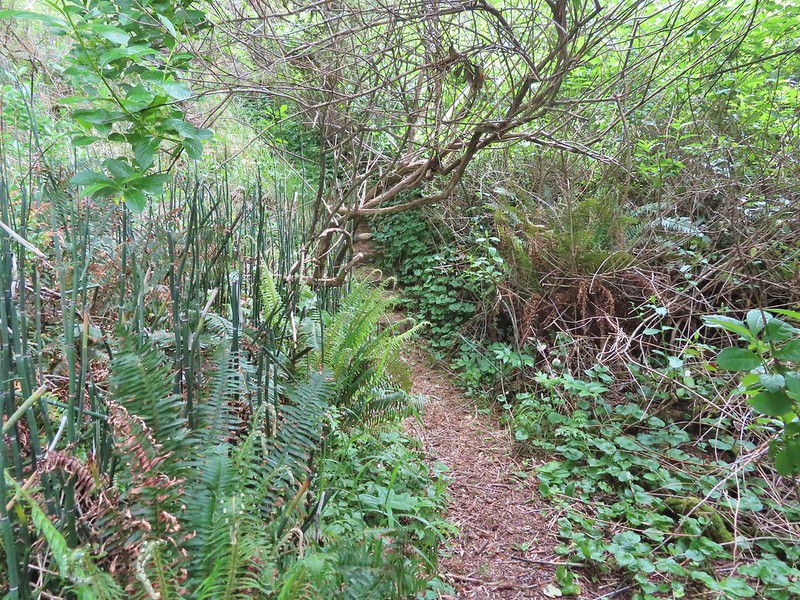
While this trail was relatively close to the Pioneer Trail the presence of the old growth trees gave the hike a different feel.
 Marker for a fire scarred Douglas fir. According to the brochure the last major fire in the area was in the 1860s.


The storm damage proved to be a bit tricky but it appeared the Forest Service had started a reroute of the trail which we were able to follow.

 We had to climb over this big tree.
We lost the reroute after climbing over the big trunk and had to bushwack our way through some debris before climbing up on a second downed trunk and walking along it to the resumption of the trail. At one point Heather bumped a limb and pine needles exploded over her head like confetti giving us both a good laugh.


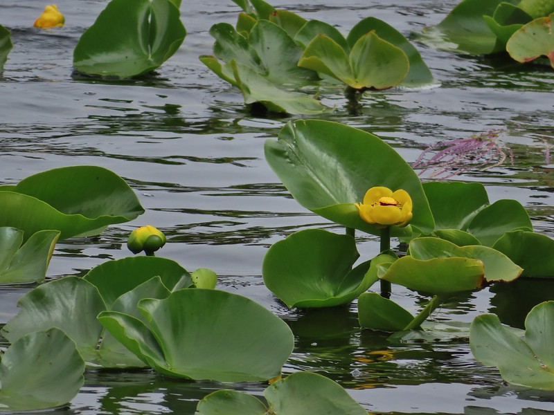
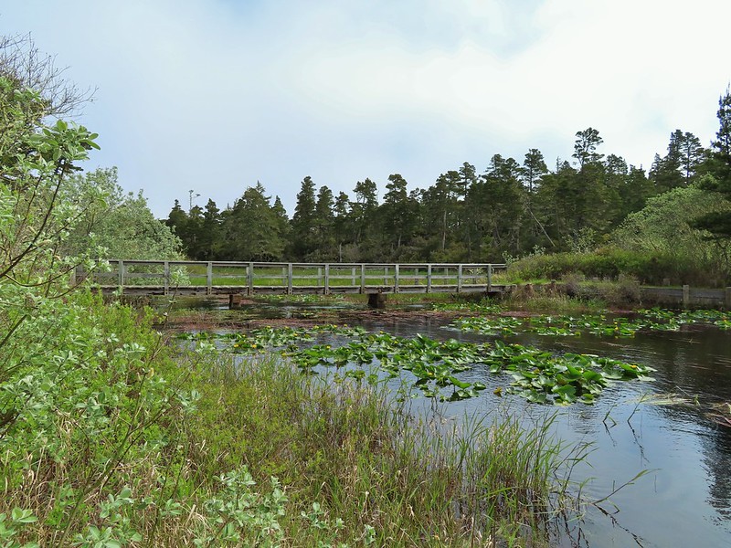
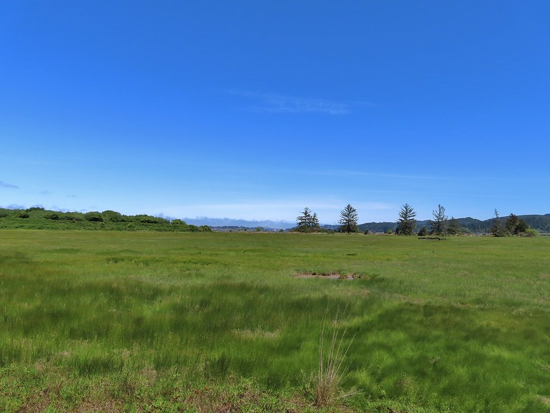
The loop ended shortly beyond the damage and we were soon back at the trailhead. From there we drove west on North Fork Siuslaw Road into Florence. From Florence we took Highway 101 south toward Coos Bay. We turned off a little north of North Bend at a sign for Horsefall Dune and Beach. Our next stop was yet another short loop trail, this time at Bluebill Lake. We parked at the Bluebill Trailhead and set off on the wide trail.

We went clockwise around the loop. The water level of the lake varies throughout the year but there was a good amount of water now but no flooding which can be an issue in late Winter/early Spring.
 Looking at the bridge at the north end of the lake.
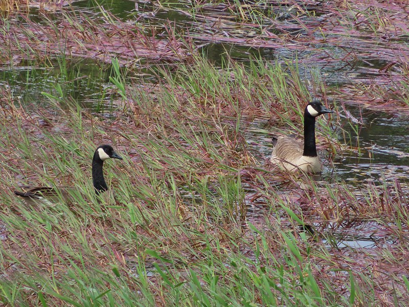 Canada geese
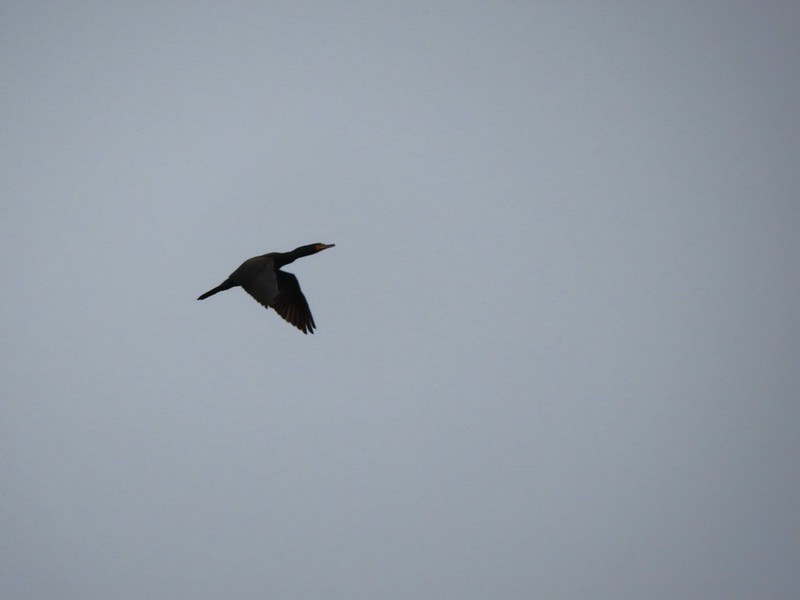
 Cormorants flying above the lake.
 Cormorant

 Ring necked ducks
 Rhododendron
 Boardwalk at the south end of the lake.

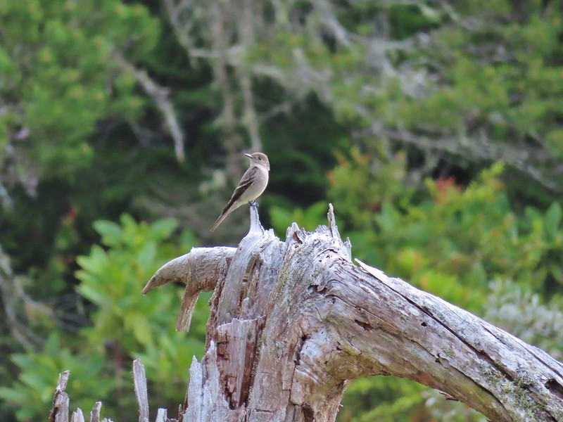
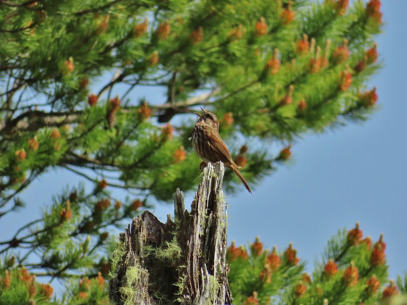 Sparrow
 Coming up on the bridge at the north end.
 Yellow rumped warbler
 Finch
Finch
After completing the 1.5 mile hike here we returned to Highway 101 and continued south into Coos Bay where we detoured to our fourth stop of the day at Millicoma Marsh. This was an interesting trailhead given that it was right next to a middle school track and field.
 The trail on the far side of the track.

We followed the posted directions and kept to the outside of the grass as we walked around the track to the trail.

 One of three panels on a signboard at the start of the trails.

<img src="https://live.staticflickr.com/65535/51186413813_b626e92da2_c.jpg" width="800" height="600" alt="IMG_4030">Woodpecker
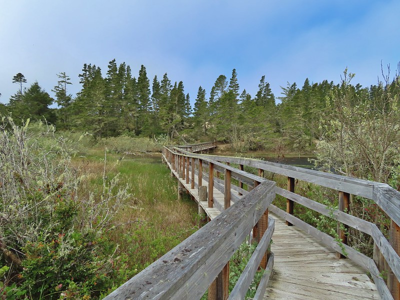
Two tenths of a mile from the signboard the grassy track came to a junction. The loop continued to the left but a quarter mile spur trail to the right led to an observation bench. We hiked out to the end of the spur trail before continuing on the loop.
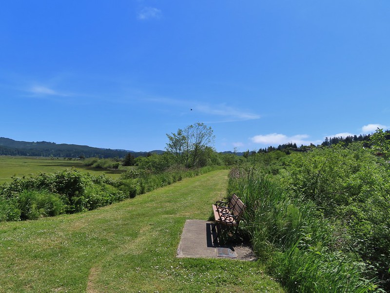 This bench is at the junction.
 Sparrow near the junction.
 Heading to the observation structure.
 Looking toward Coos Bay along the Coos River.
 McCullough Memorial Bridge spanning Coos Bay.
 Wetlands from the end of the spur.
We returned to the loop and continued counterclockwise around. There wasn’t much wildlife activity which was probably a matter of timing as it looked like an area where we might see quite a bit. In any case the hike was pleasant with nice scenery.
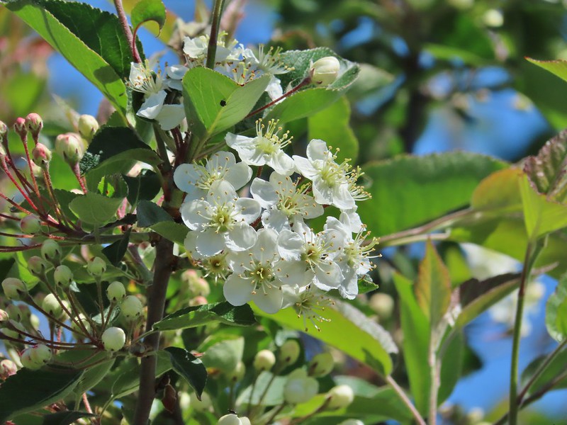 Bitter cherry
 Crow
Crow
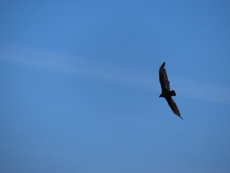 Turkey vulture

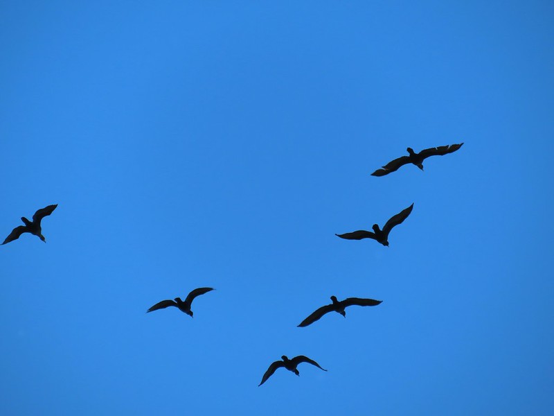 Cormorants overhead
 Canada goose with goslings
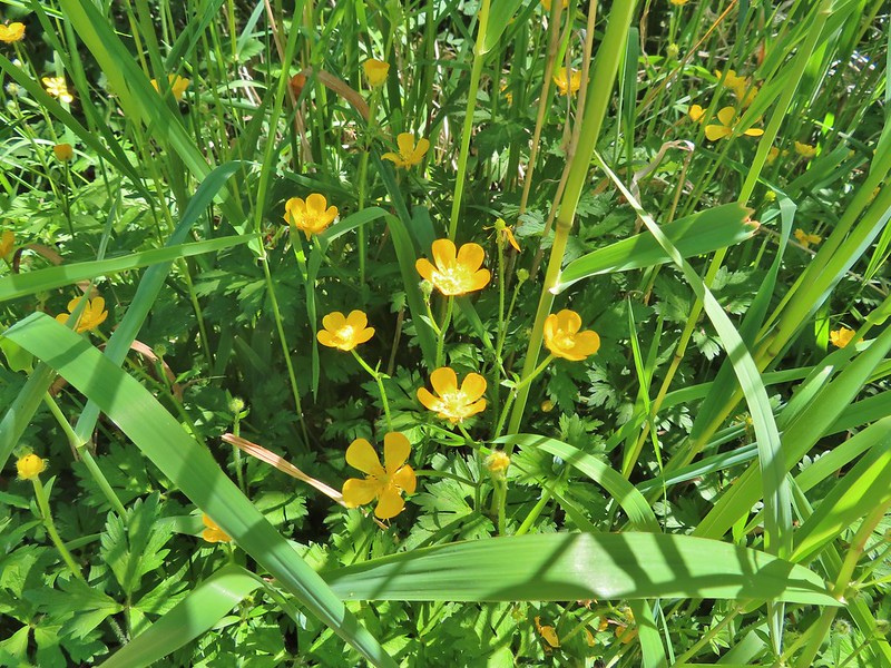 Buttercups
 Pale flax
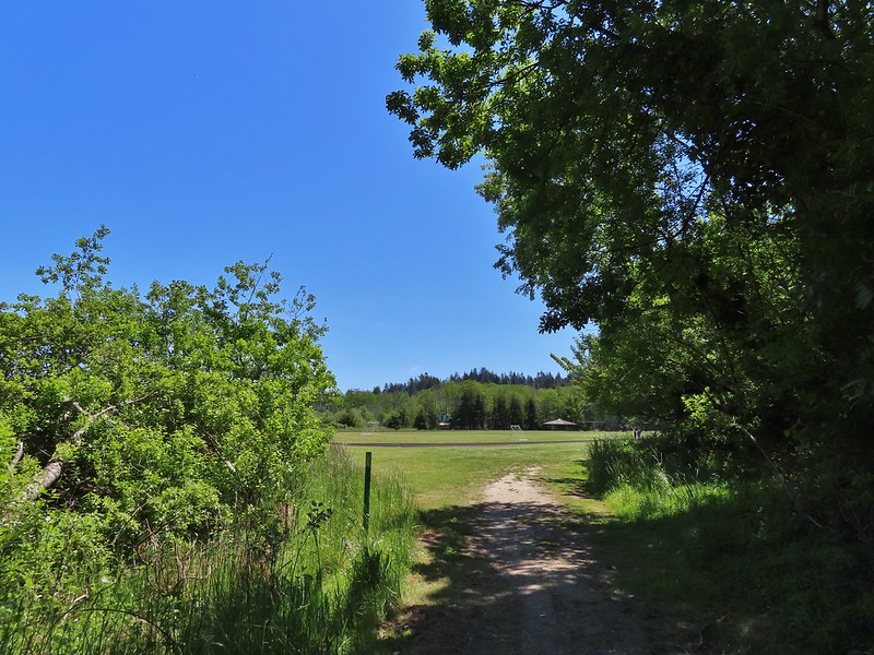 Arriving back at the field.
Up to this point we had only passed one other hiker all day (at Bluebill Lake) but this area was popular and we ran into over a half dozen other users on this 1.8 mile jaunt.
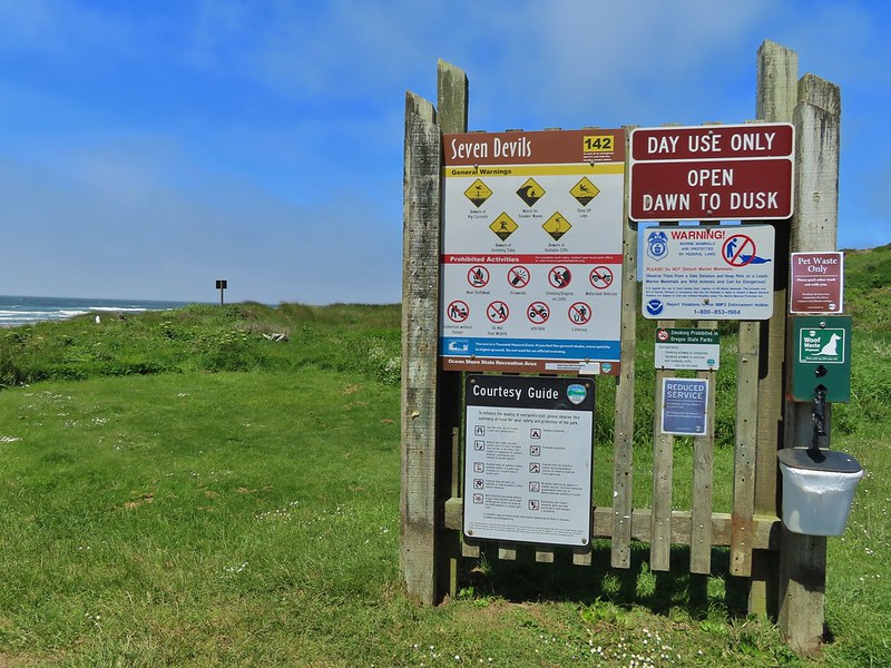
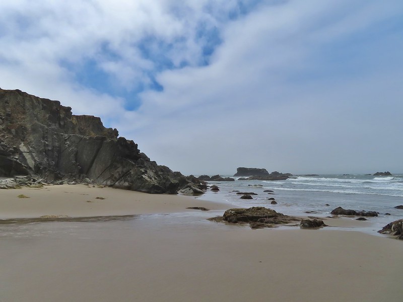
From Coos Bay we continued south on Hwy 101 for 14.6 miles before turning right onto West Beaver Hill Road at a sign for the Seven Devils Wayside, our next stop. We parked in the large lot where only one other vehicle sat and promptly headed down to the beach.
 Ground squirrel enjoying the view.
 Twomile Creek
Our plan here was to hike south along the beach at least as far as Fivemile Point to complete another of Sullivan’s featured hikes. We hopped across the creek using rocks and logs and set off on what is considered possibly the windiest beach along the Oregon coast (it was windy).
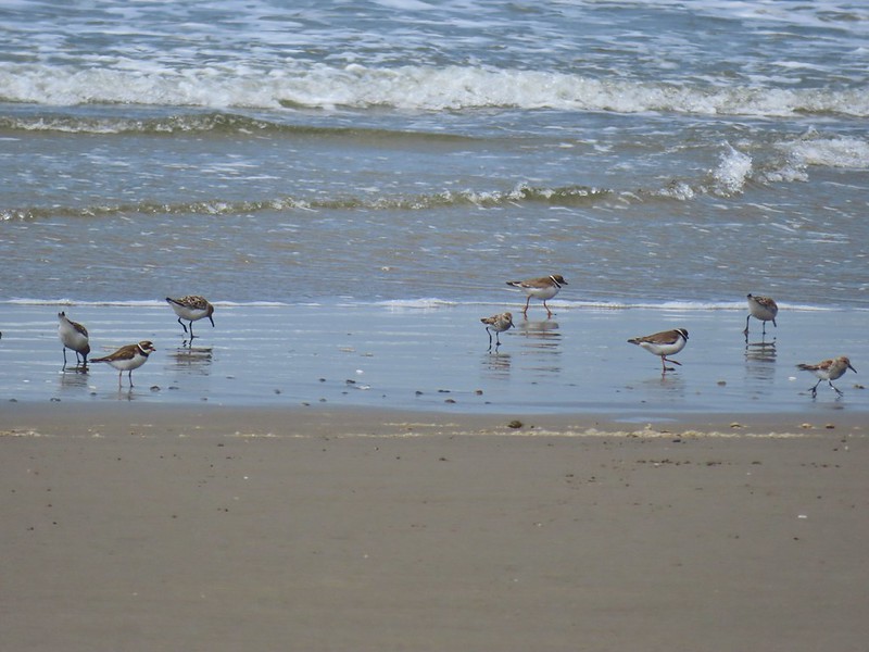
 Shore bird in the creek.

The occupant of the other vehicle had headed north so we had this stretch of beach to ourselves, and a few feathered friends.


The hillside was covered with yellow gorse, an invasive but colorful shrub.
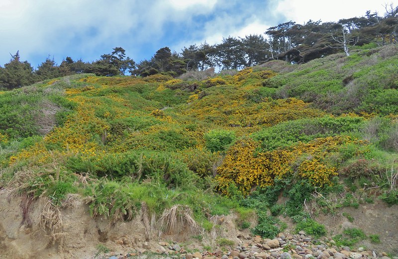
The gorse wasn’t the only yellow flowers present though.
 Brass buttons (another non-native)
We were looking for a side trail up to a viewpoint bench that Sullivan showed as .7 miles from the trailhead just beyond a brown outcrop.
The brown outcrop a little way ahead with Fivemile Point further on.
We couldn’t pick out any trail just several stream beds and seeps so we kept going coming next to a rock spire a short distance from Fivemile Point.


We passed the spire and continued to Fivemile Point where the ocean was coming up to the rocks effectively creating our turn around point.
 Whiskey Run Beach lay on the other side of the rocks with another parking area 0.8 further south.
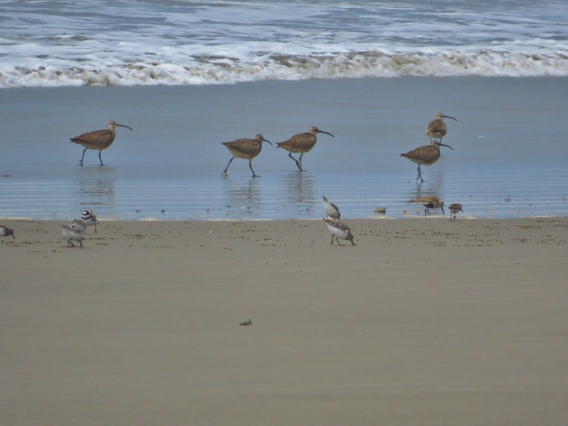
 A cormorant off Fivemile Point
We turned back and headed north past the spire.

We were now walking into the stiff wind but from this direction Heather was able to spot some stairs in the vegetation marking the side trail to the bench.

We followed a good trail .2 miles to said bench.


 View from the bench.
After a short break at the viewpoint we descended to the beach and returned to our car.

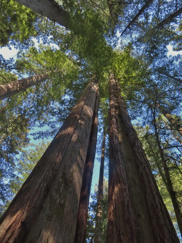
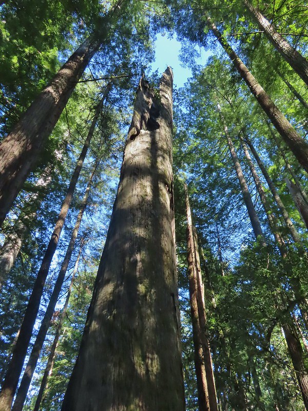
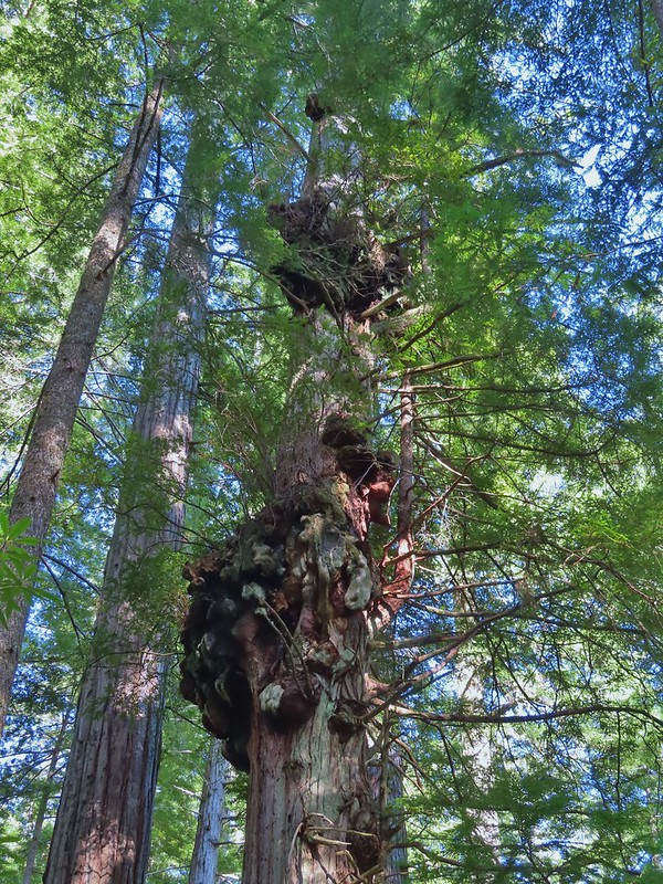
We returned to Highway 101 and drove south into Gold Beach where we checked into our motel and dropped our stuff off before hitting the road again. Our final stop of the day had us driving south of Brookings to the Oregon Redwoods Trailhead.

A 1.2 mile barrier free lollipop loop trail starts at the trailhead.


We were once again the only people on this trail which was especially nice given the setting amid the giant trees. Although the trees here aren’t as big as those found in California we were once again awestruck by them. We stayed right where the barrier free loop started which brought us to a hollowed out trunk with room for several people.


 Coming up on the hollow trunk straight ahead.


Approximately a half mile into the loop portion of the trail the Oregon Redwoods Trail split off allowing for a longer (2.5 miles total) hike.


We set off on the Pioneer Trail at 7:19am and stepped off the Oregon Redwood Trail at 5:51pm. We logged 9.8 miles of hiking but nearly 147 miles (as the crow flies) separated the Oregon Redwoods Trailhead from the Pawn Trailhead (and another 70 miles home) making for a long but great day. We had gotten to see a great variety of scenery all in one day. To top it off we could now check three more featured hikes off our yet-to-do list. The only thing that could have made the day better would have been an actual knob on the cold water handle in the motel shower. Happy Trails!
Flickr: Southern Oregon Coast

4 replies on “Trail Hopping Down the Southern Oregon Coast – 05/13/2021”
[…] the southern Oregon coast was very different than our six stop drive that started our long weekend (post). We had only one stop planned at Golden and Silver Falls State Natural Area. Only 24 miles from […]
[…] Point while our southern most hike was on the Oregon Redwoods Trail near the California border (post). […]
[…] Pawn and Pioneer Trails – Hiked 5/13/2021 Pioneer Hill […]
[…] to the falls and called it a day. Our seven stops was a new personal record (previously six on a trip down the Oregon Coast). With most of the hikes being rather short our mileage for the day was just […]