A dry forecast on my birthday provided a great excuse to head out on our November hike. We had an unusually loose plan for this outing which consisted of a stop at the Clay Creek Trail followed by a visit to the Fern Ridge Wildlife Area with a third possible stop at Meadowlark Prairie. While the 2 mile hike on the Clay Creek Trail was covered in Sullivan’s “100 Hikes/Travel Guide Oregon Coast & Coast Range” we had very little information on the Fern Ridge Wildlife Area. There was enough information available on line to know that it was open to hiking but it was unclear just how long of a hike was possible which is why we were keeping the option of Meadowlark Prairie on the table. The mostly paved 14 mile long Fern Ridge Path passes along Meadowlark Prairie on its way into Eugene, OR which would have provided some extra hiking time if we’d felt that we needed it.
We started our morning by driving to the BLM managed Clay Creek Recreation Site. The hike here is one of two hike Sullivan lists under his Siuslaw Ridge Trails entry (featured hike #65, 4th edition). We had done the other hike at nearby Whittaker Creek in 2016 (post) and while we considered that earlier hike enough to check off the featured hike from our list completed this second short hike would complete it. We parked at a small pullout on the south side of the Siuslaw River.
 The trailhead sign for the Clay Creek Trail is ahead on the opposite side of the road.
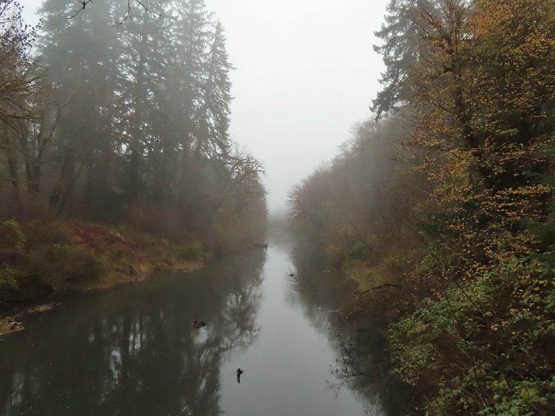
It was a foggy morning, much like it had been on our earlier visit to the Wittaker Creek Recreation Area.
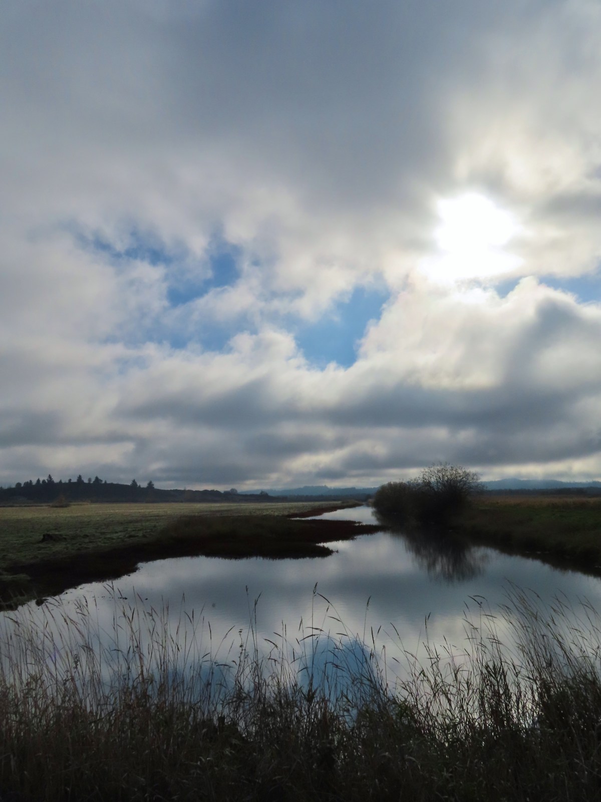
 Siuslaw River
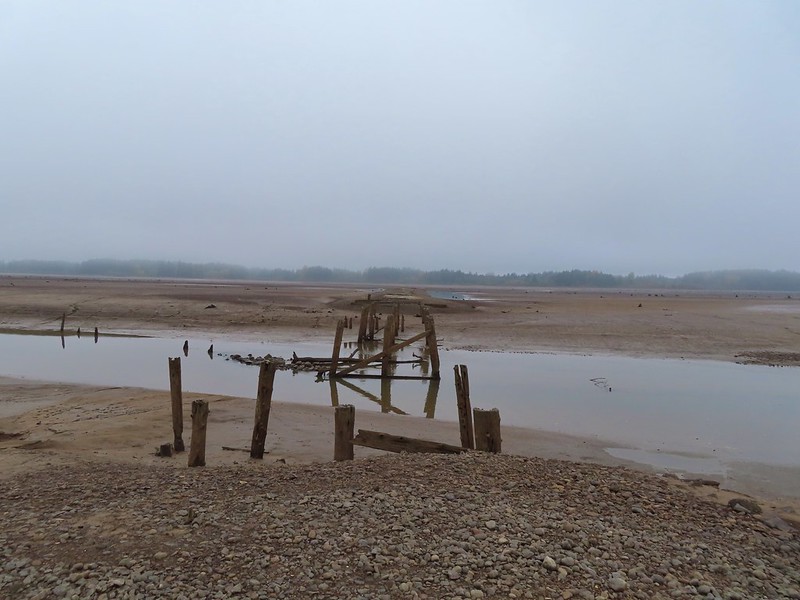
 Clay Creek on the left emptying into the Siuslaw.
A short use trail led down to Clay Creek and a small gravel bench.
 Stairs at the Clay Creek Recreation Area across the river.
After checking out the creek we walked the short distance up the road to the start of the trail. Sullivan described the hike as a 2 mile out and back but the map on the sign at the trailhead showed a lollipop loop. (Sullivan does mention the loop in his “Trail Updates” on oregonhiking.com.)

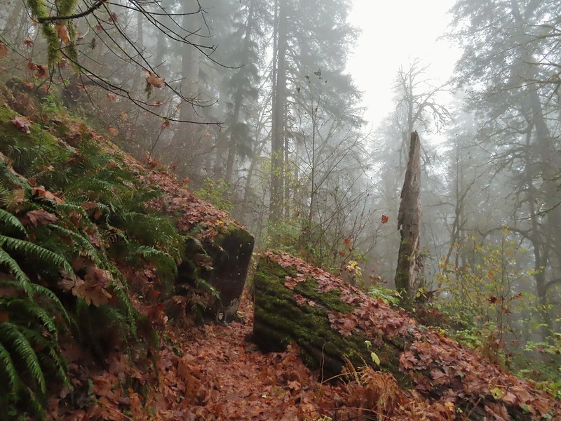
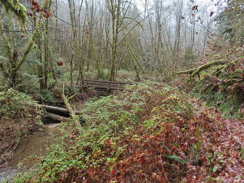
The existence of the loop at the top was a pleasant surprise. We crossed Clay Creek on a footbridge and began the 600′ climb to the ridge top.

 The Clay Creek Trail climbing above Clay Creek.

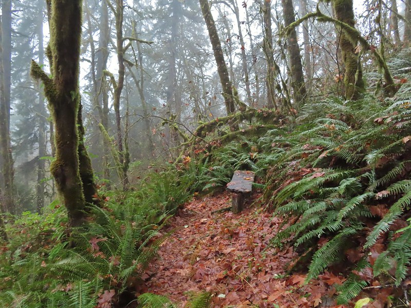
We passed a bench at the second swtichback and continued climbing to a junction 0.6 miles from the parking area.
 It’s hard to tell size here but the diameter of this tree was well over 5′.
 The junction for the loop.
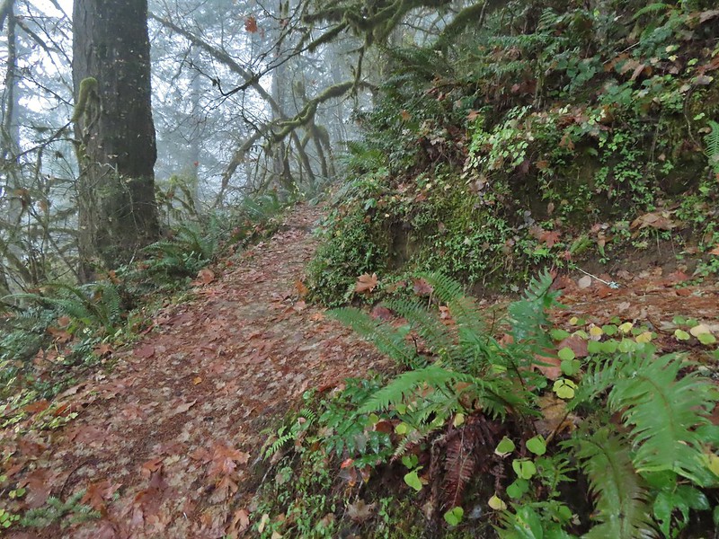
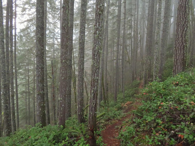
We turned right and continued to climb through the fog to the ridge top where the trail turned left.
 One of several reroutes we encountered.
 On the ridge top.
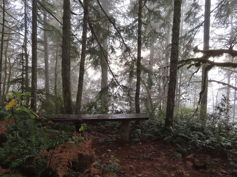
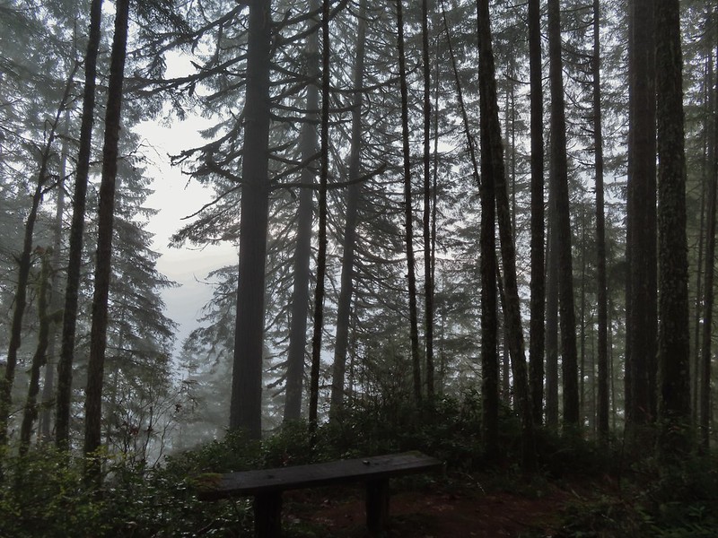
The trail passed several madrone trees before arriving at a bench at the high point of the ridge.
 Madrone trunk and bark, always fascinating.
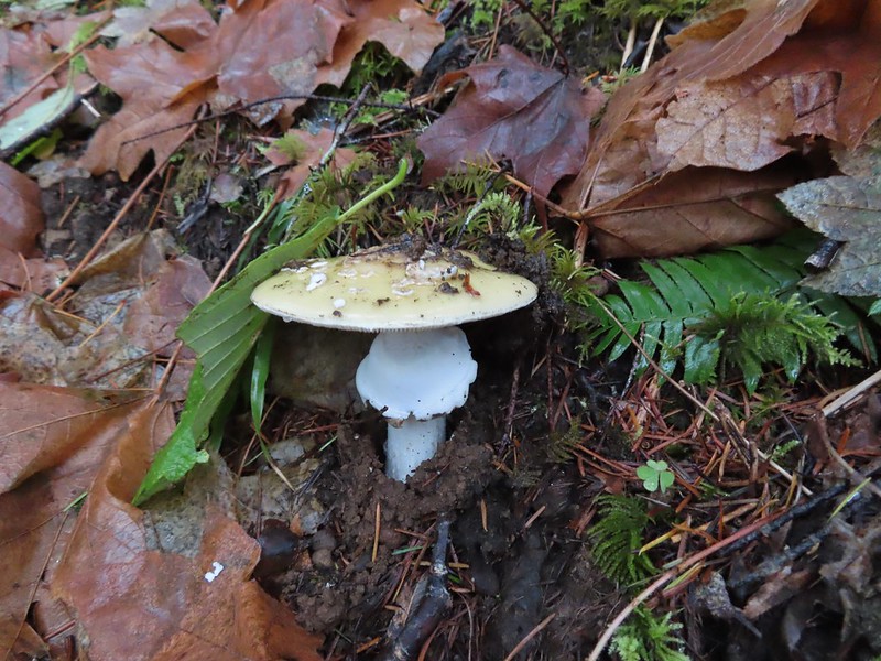
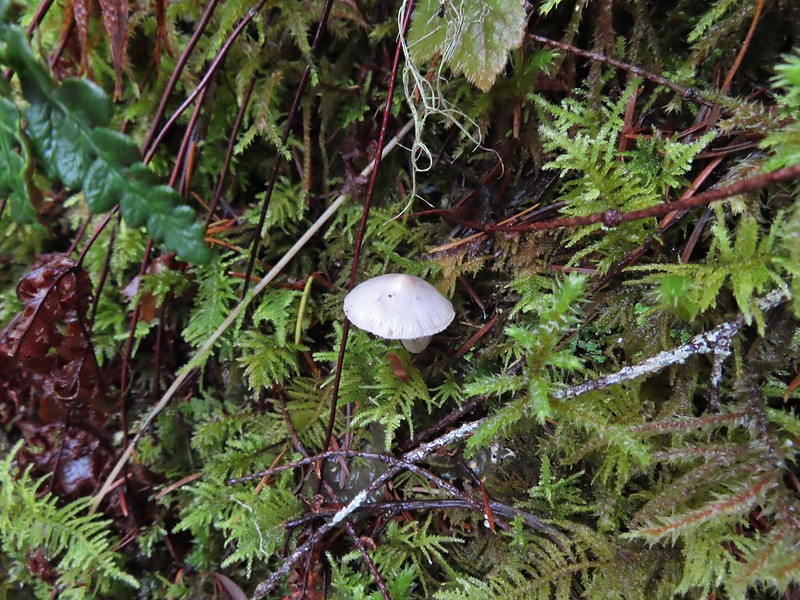
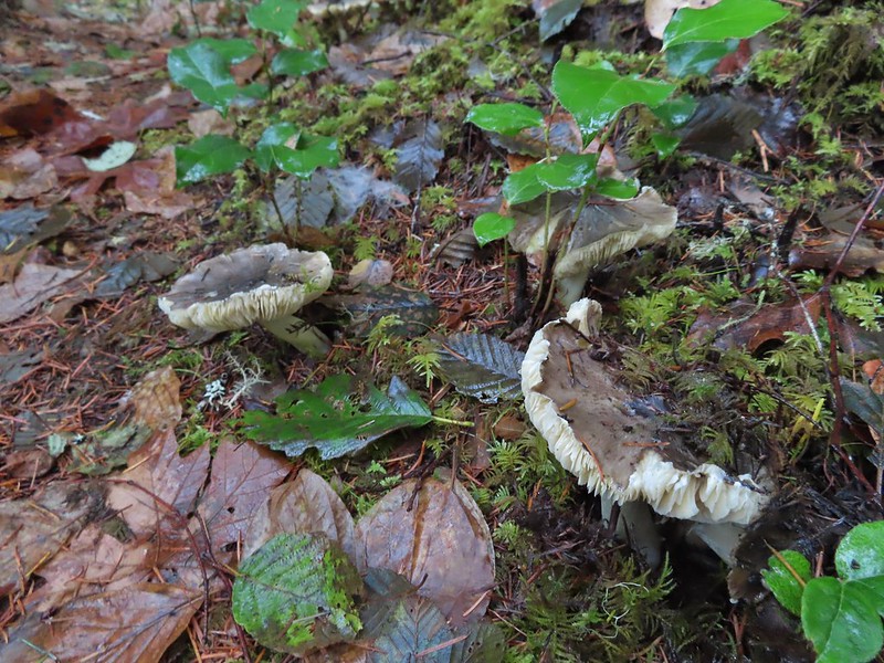 Lots of mushrooms pushing up through the forest floor.
 Good sized trees near the high point.
 No idea what you might see on a clear day.
The trail then began to descend to another bench at a switchback where the map indicated there was a view.


 The viewpoint.
The trail continued switchbacking downhill while it wound back to the junction.
Just before reaching the junction I nearly went head over heals trying to avoid stepping on a rough skinned newt that I spotted at the last minute.

After having a one sided conversation with said newt we continued downhill to the car.
 Nearing the footbridge.
 The fog had lifted off the river at least.
While Sullivan indicates in his update that the loop makes this a 3.6 mile hike others still list it as 2 miles and both Heather and my GPS units logged 2 miles for the hike. Despite the fog not allowing for any view it was a pleasant little hike. Sullivan does also mention that the BLM is considering a $5 parking fee for the area in the future so be sure to check the BLM site before heading out.
We spent just over an hour on the Clay Creek Trail after driving over 2 hours to get there so a second stop was a must in order to not break our rule against spending more time driving than hiking. That’s where the Fern Ridge Wildlife Area came in. Located just west of Eugene the area consists of a dozen units broken up around Fern Ridge Reservoir. We had driven by the reservoir numerous times on the way to hike in the Coast Range and around Florence and seen signs for the wildlife area which had piqued at least my curiosity. After some online research it appeared that parking at the end of Royal Avenue between the Royal Amazon and Fisher Butte units was our best bet. The ODFW website mentions possible seasonal closures but finding detailed information on them wasn’t easy. I was eventually able to determine that these two units were open to the public from 10/16 thru 1/30 from until 2pm each day (presumably starting at sunrise). Even with the earlier hike we had arrived before 9:30am so we had plenty of time to explore. There is a $10 daily fee to park in the lots which is typical for ODFW wildlife areas (although it appeared most people simply parked along the shoulder of Royal Ave to avoid the fee).

 Note that Royal Ave and the trail to the viewing platform are open year around with the other restrictions listed below.
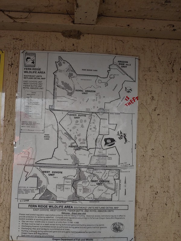 We took a picture of this map to assist us with our route.
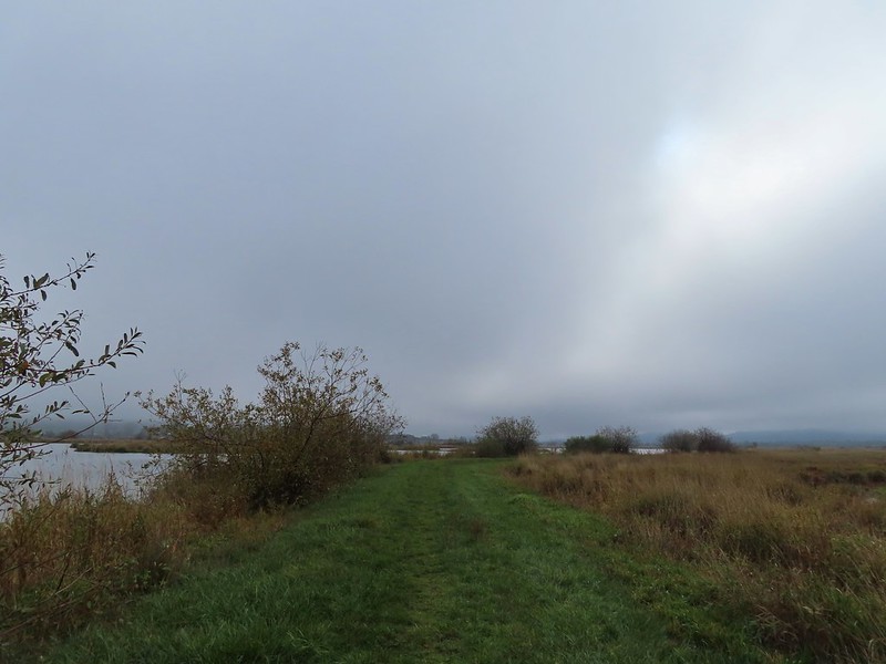
From the signboard we continued on the gated extension of Royal Avenue. It was a lot foggier than we had expected so the visibility wasn’t good and it was in the mid 30’s so it was chilly too.

We passed a grassy path leading to the viewing platform at the 0.4 mile mark.

We opted to pass on the platform for now hoping that visibility would improve as the morning wore on and we could stop by on our way back. We continued on the old road bed watching for birds and any other animals that might be about.
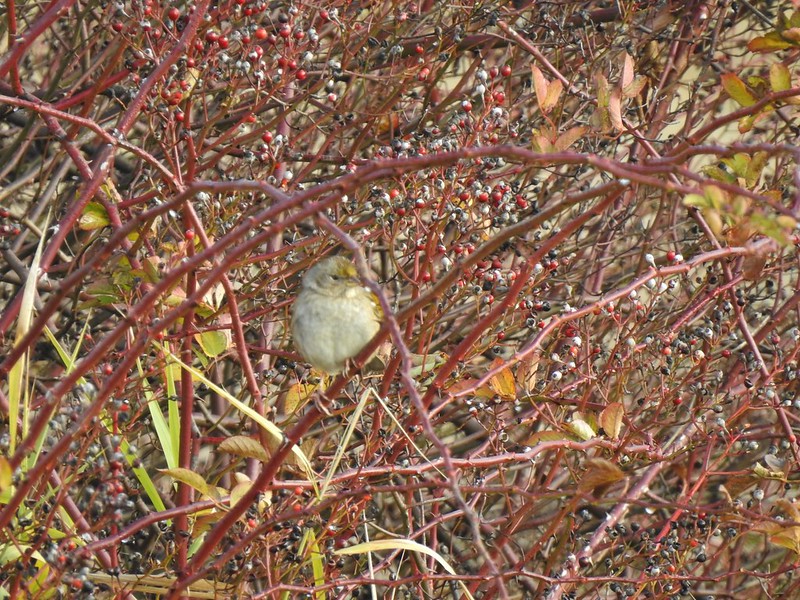
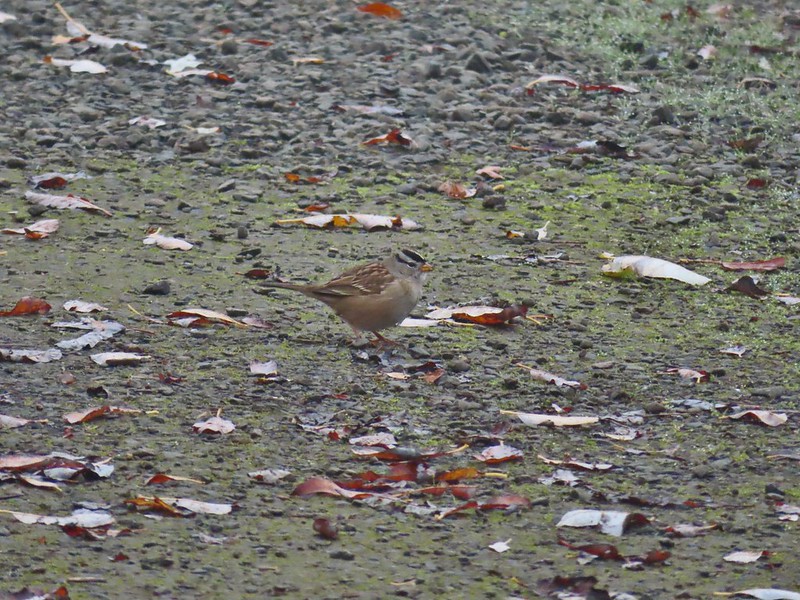 White crowned sparrow
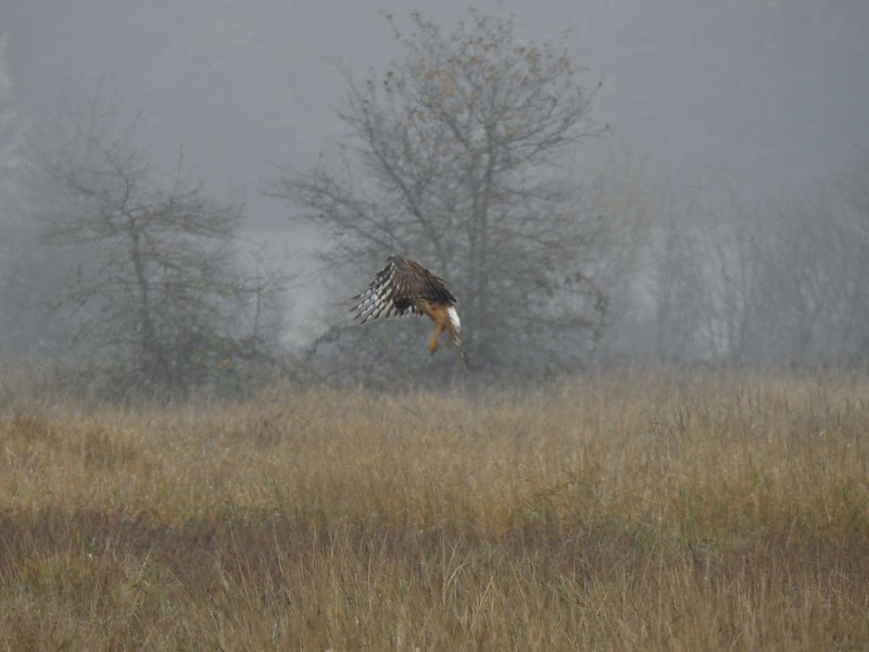
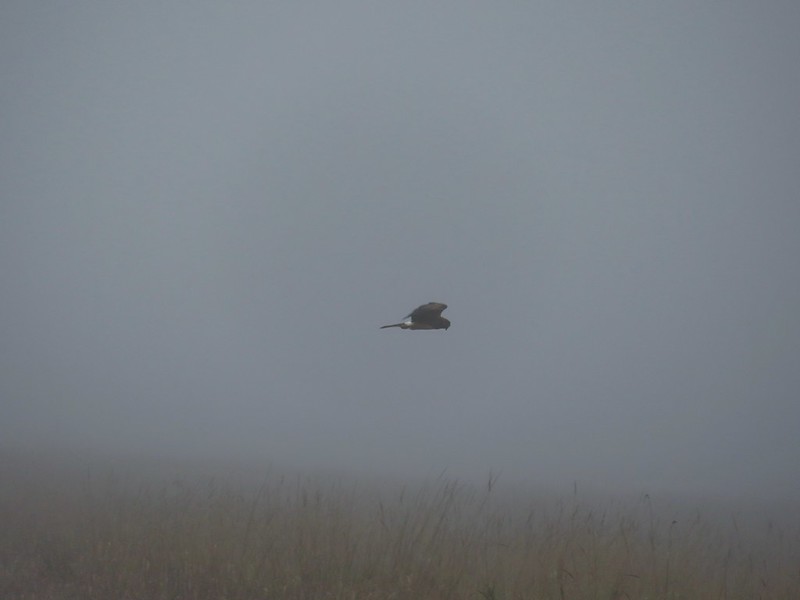 Northern harrier on the hunt.

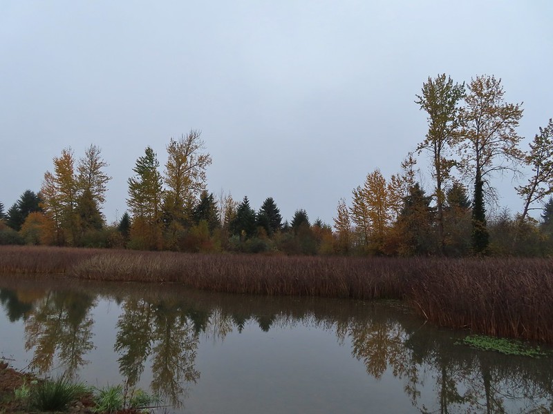
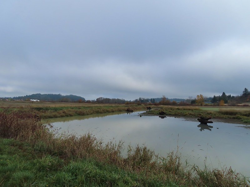
 Wetlands in the Royal Amazon unit.
As we neared sub-impoundment one a large bird flew up from the reeds. It was our first encounter with an American bittern which was on my bucket list of animals we’d yet to see.
 The bittern taking off.
 Not the greatest photo but enough to identify it.
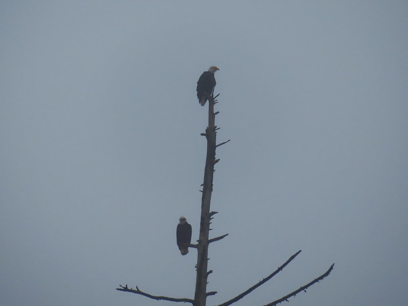
We turned right on a levy/old roadbed on the other side of the sub-impoundment and followed it for 0.7 miles to Gibson Island. The highlight of this stretch was a pair of bald eagles hanging out in a snag.

 A hawk on a stump.
 American coots
 Gibson Island (with the eagles in the snag to the far left)


A short trail at the end of the levy led onto the island before petering out.


We turned around and headed back to Royal Avenue where we turned right and continued west just to see how far we could go.
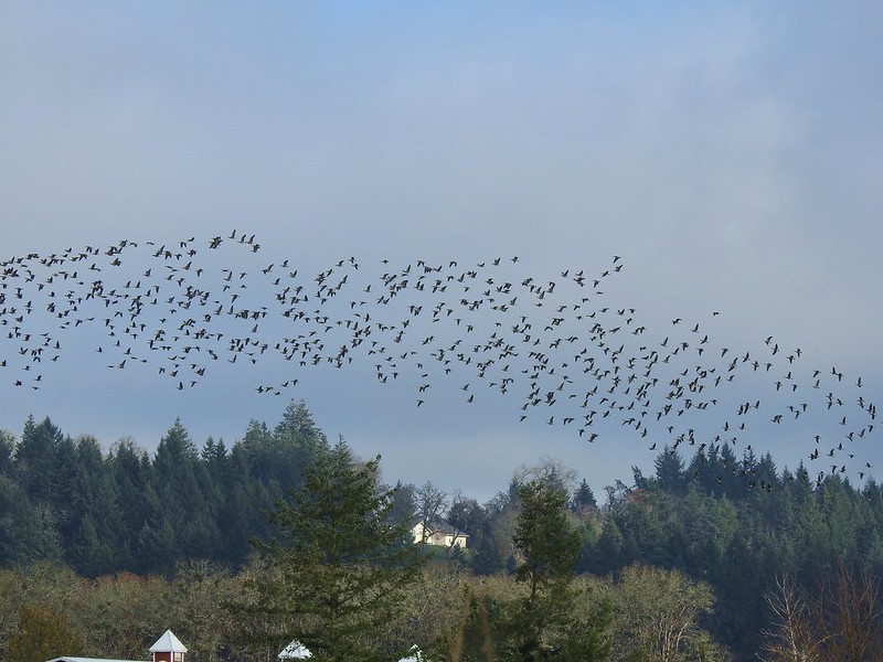
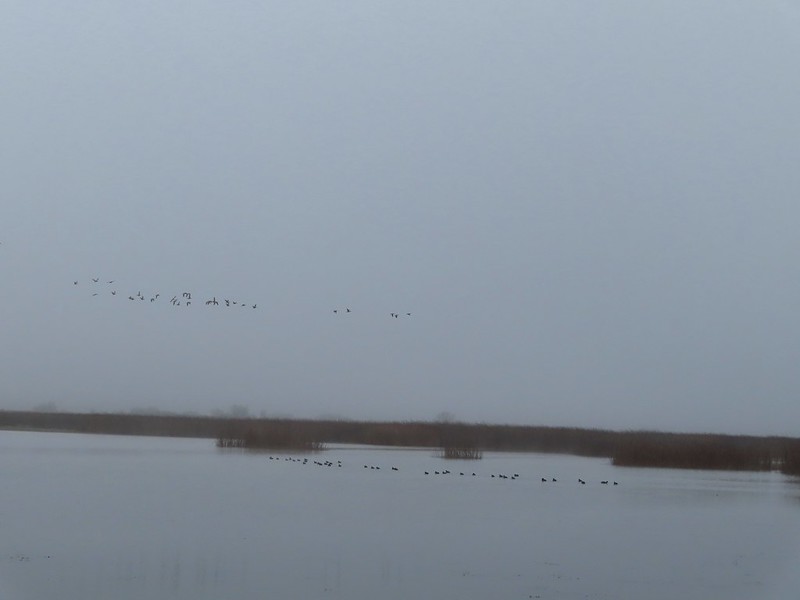 A flock of geese above the coots.

 There were a number of these small birds pecking around in the mud which, with some help from Molly in the comments, are American pipits.
 Continuing west.
 We used the stones to the right to cross the water here.
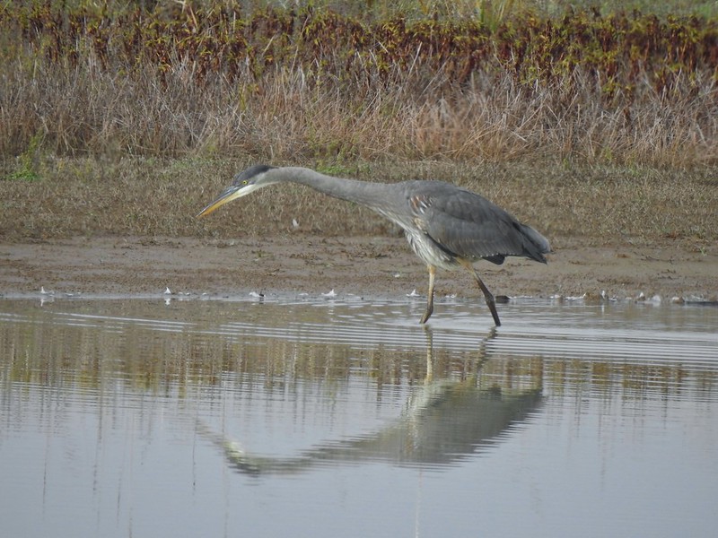
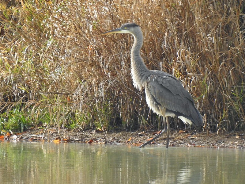
 Great blue heron (with Highway 126 in the background).
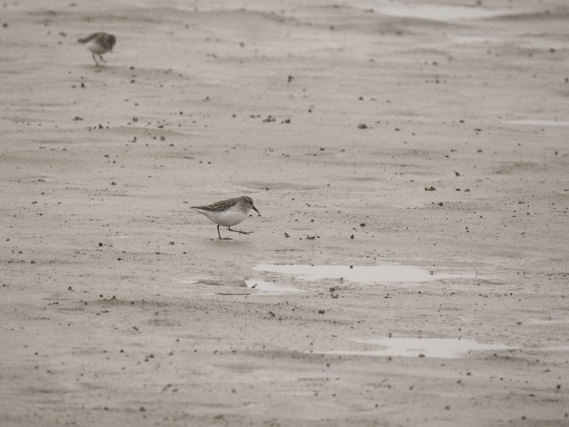
 Sandpiper in the roadway.
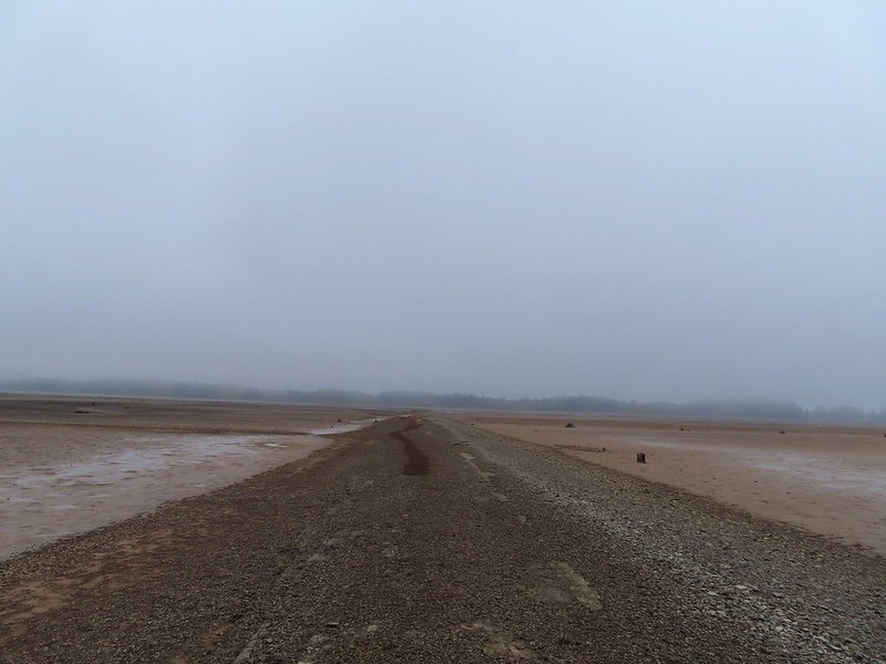
 End of the line.
We imagined that much of this stretch would be under water by late Winter/early Spring but we had managed to make make it 1.7 miles from the trailhead before being turned back. We headed back past sub-impound one to the grassy path near the viewing platform where we left the road bed.


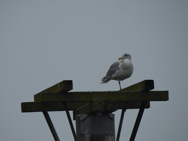 Seagull
 Perhaps the same northern harrier.
 The harrier taking a break.
 The path to the platform.

 Dunlins (thanks again to Molly)
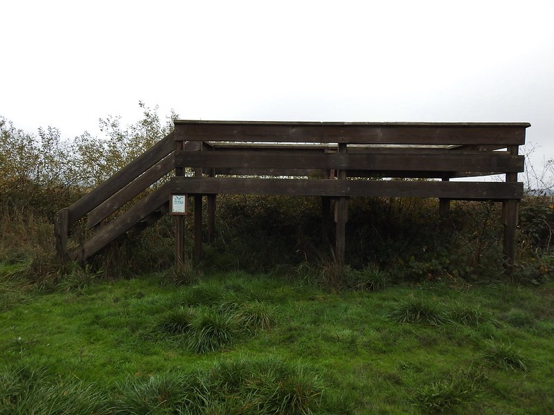 The platform.
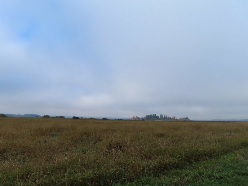
From the platform dikes led west and south. Since we had just come from the west we decided to go south along a body of water in Field 5.
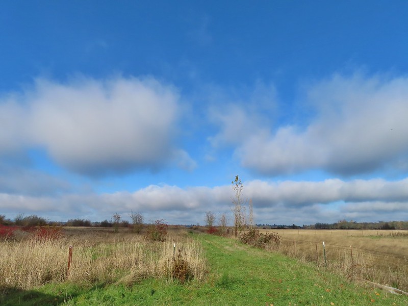
 The first signs that the fog/clouds might be breaking up.
 Looking back at a little blue sky and a visible Gibson Island
We watched a group of shore birds as the alternate between foraging in the mud and performing areal acrobatics.


A little over three quarters of a mile from the viewing platform we arrived at a 4-way junction.

We turned left continuing around Field 5 for a third of a mile before arriving at a “T” junction just beyond a ditch.
 Fisher Butte is the low hill ahead to the right.

According to the map we’d taken a picture of at the trailhead continuing straight at the junction would lead us to the area’s boundary near Fisher Butte while the right hand path led past Field 2 to Field 1 and then to a parking area off Highway 126. We turned left walking between the ditch and Field 3.
 Gibson Island was now lit by direct sunlight.
In another third of a mile we faced another choice. Another dike headed to the right (east) between Field 3 and Field 4.
 The dike running between Fields 3 & 4.
 Looking back over the ditch.
We opted to turn right having misread the map for the first time. For some reason we ignored the difference between the symbols for the dikes and boundary lines (although some online sights showed paths along the boundary lines). At first everything was fine as the dike gave way to a cut mowed track wrapping around Field 4 along the boundary. There was a pond in Field 4 where several species of ducks were gathered as well as a great blue heron and a kingfisher.
 California scrub jay

 Northern shovelers and a bufflehead.
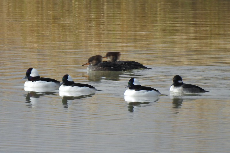 Buffleheads and two hooded merganser females.
 Kingfisher
 American robin
After wrapping around the pond for half a mile the track we were following became increasingly muddy with standing water in areas. We were very close to a gravel road so we hopped onto it for a tenth of a mile where we were able to get back onto a grassy track at a signpost.
 The gravel road and another small portion of the wildlife area on the other side.
 Noisy geese.
 Back on the mowed track.
We went straight here looking for a trail on the right that would leave us back to the parking area. The clouds were really breaking up now and lots of little birds were out enjoying the warmer weather.
 A sparrow
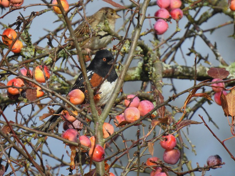 Spotted towhee and friend.
 Finch
Finch
 As of yet unidentified little bird.
We found what we were looking for, at least what we thought we were looking for and turned right on a clear trail that dropped down into a mowed field then mostly disappeared. We skirted along the edge of the field toward the parking area and as we neared the trailhead a clear trail emerged, or more like submerged. We followed the wet trail almost to the signboards near the trailhead where a ditch of standing water stood in our way. Our only choice (aside from backtracking) was to get wet so get wet (or wetter) we did. Luckily our hike was over and we had a change of socks and shoes waiting in the car. We finished hiking just before 1pm and managed to get a full 7 miles in while leaving parts of the area unexplored. It was nice to find another option in the valley that offered a potential destination when getting up into the mountains is possible. While we did hear occasional gun shots from hunters we only saw two duck hunters, but we also saw some families and bird watchers.
 This path headed north from the trailhead, something to explore on our next visit.


It was a good birthday hike and we were done early enough for my parents to treat us to a great birthday dinner at The Manilla Fiesta, a restaurant I’d been dying to try. Happy Trails!

8 replies on “Clay Creek Trail and Fern Ridge Wildlife Area – 11/20/2021”
happy birthday! Enjoy all your wildlife photos!
Thank you!
Happy Birthday! I loved your photos – especially the misty ones. 💞
Nice trip Deryl. I like all the bird photos.
Pipit, sandpiper and dunlins are your shore birds (I think). And maybe a flycatcher (not a sparrow). Nice pictures and descriptions!
Thanks! I would never have gotten the pipit.
[…] Siuslaw Ridge Trails – Hiked 2/20/2016 & 11/20/2021 Old Growth Ridge […]
[…] time in this unit in November 2021 when we started from a different trailhead along Royal Avenue (post). The “trails” here are a series of dikes through the wetlands creating multiple route […]