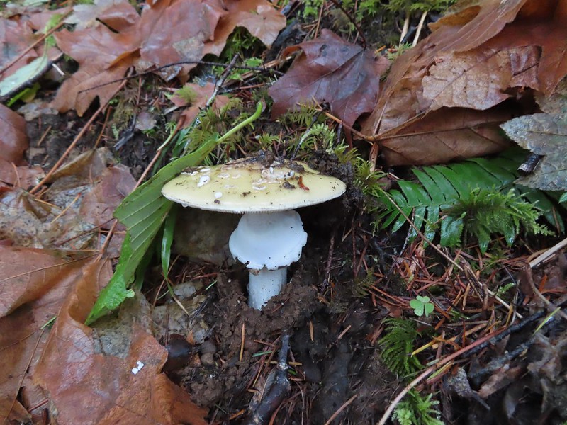
It’s time again for our annual wrap up of the various critters we encountered over the previous year. Several years ago we split our wildlife post into feathered and featherless friends and have continued with that tradition ever since.
While we really enjoy taking pictures as a way to record what we see on our hikes, we are by no means photographers. We use our phones and a point and shoot camera on the auto setting, so the pictures are far from professional, but we hope you enjoy them. We also practice Leave No Trace Principles including Principle 6: Respect Wildlife which means observing from a distance, never feeding, and respecting any area wildlife closures.
With that being said here is a collection of the various species of birds we were able to get pictures of in 2025.

American bitterns – William L. Finley National Wildlife Refuge, 04/30/2025.

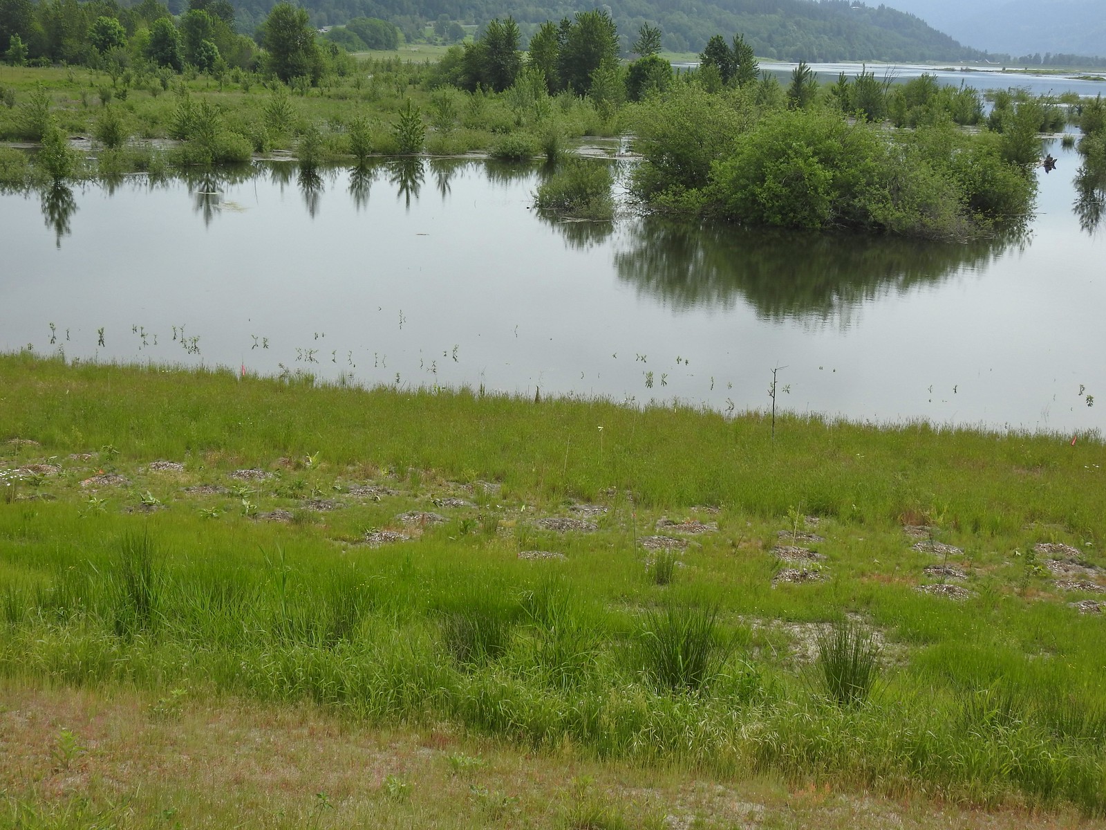
American coot – Ankeny National Wildlife Refuge, 04/28/2025.

American dipper – June Lake, 09/20/2025.

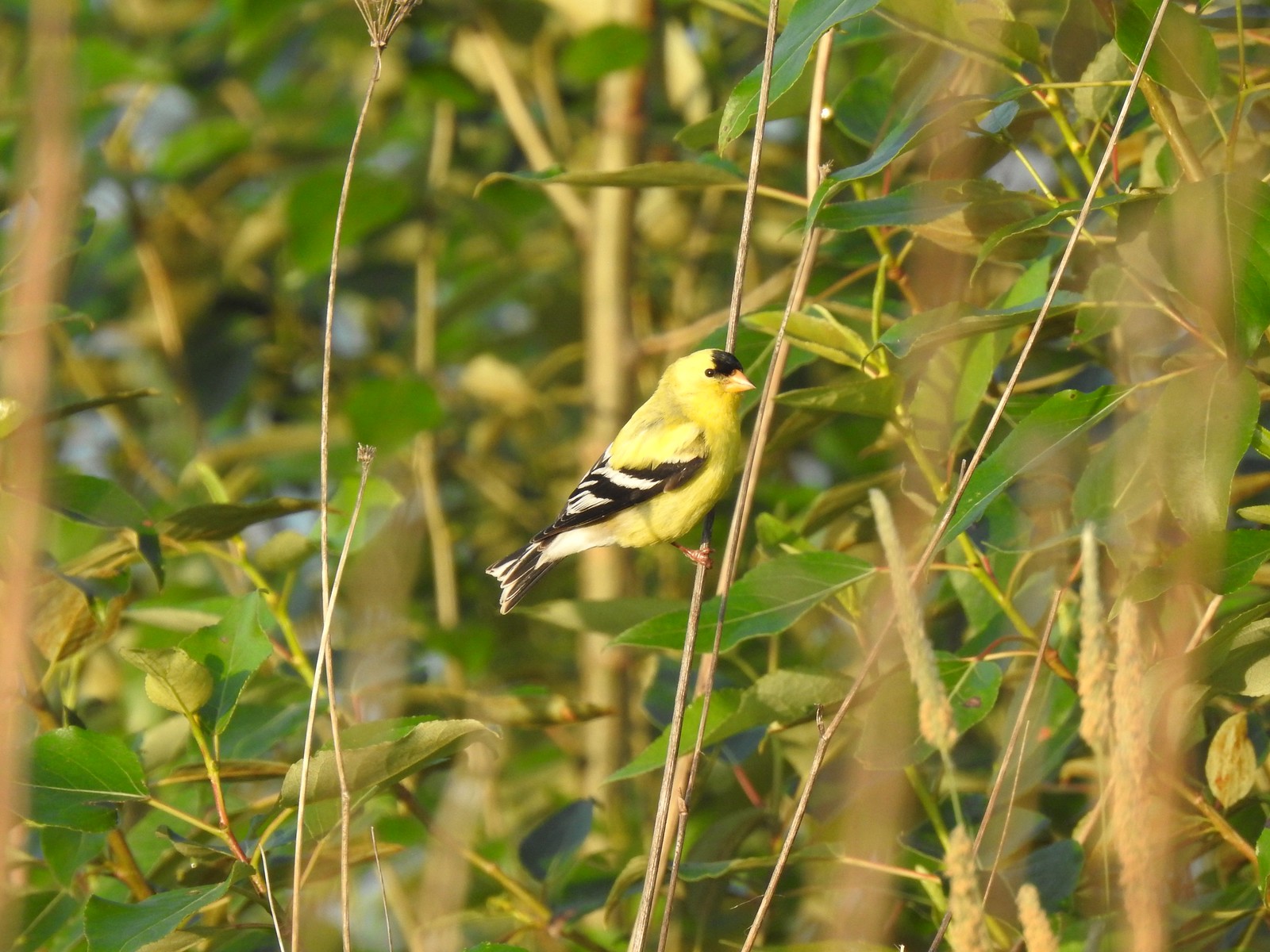
American goldfinch – Fernhill Wetlands, 05/02/2025.

American kestrel – Tualatin River National Wildlife Refuge, 05/01/2025.

American pipit – Mt. Jefferson Wilderness, 09/17/2025.

American wigeons (toward the back) – Ankeny National Wildlife Refuge, 04/28/2025.

Anna’s hummingbird – Fernhill Wetlands, 05/02/2025.

Black-capped chickadee – E.E. Wilson Wildlife Refuge, 04/27/2025.

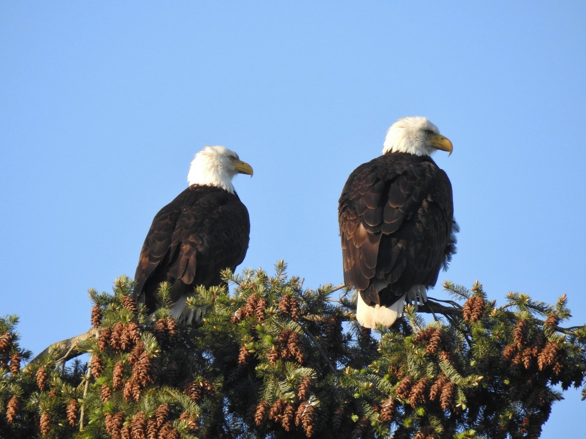
Bald eagle – Ankeny National Wildlife Refuge, 04/28/2025.

Barred owl – Willamette Mission State Park, 09/01/2025.

Barrow’s goldeneye – Elijah Bristow State Park, 04/19/2025.

Black-backed woodpecker – Mt. Jefferson Wilderness, 07/14/2025.

Blue-winged teal – Fern Ridge Wildlife Refuge, 05/03/2025.

Brown pelicans – Manhattan Beach, 10/11/2025.

Bufflehead – Elijah Bristow State Park, 04/19/2025.

Bullock’s oriole – Deschutes River Criterion Tract, 5/25/2025.

California quail – William L. Finley National Wildlife Refuge, 04/30/2025.

California scrub jay – William L. Finley National Wildlife Refuge, 04/30/2025.

Canada jay – Mt. Hood Wilderness, 08/31/2025.

Cedar waxwing – Mt. Rainier National Park, 08/08/2025.

Chestnut-backed chickadee – Mt. Rainier National Park, 08/07/2025.

Chipping sparrow? – Mt. Rainier National Park, 08/04/2025.

Cinnamon teals – William L. Finley National Wildlife Refuge, 04/30/2025.

Clark’s nutcrackers – Mt. Rainier National Park, 08/05/2025.

Cliff swallow – Criterion Tract, 05/25/2025.

Common loon – Crescent Lake, Olympic National Park, 05/13/2025.

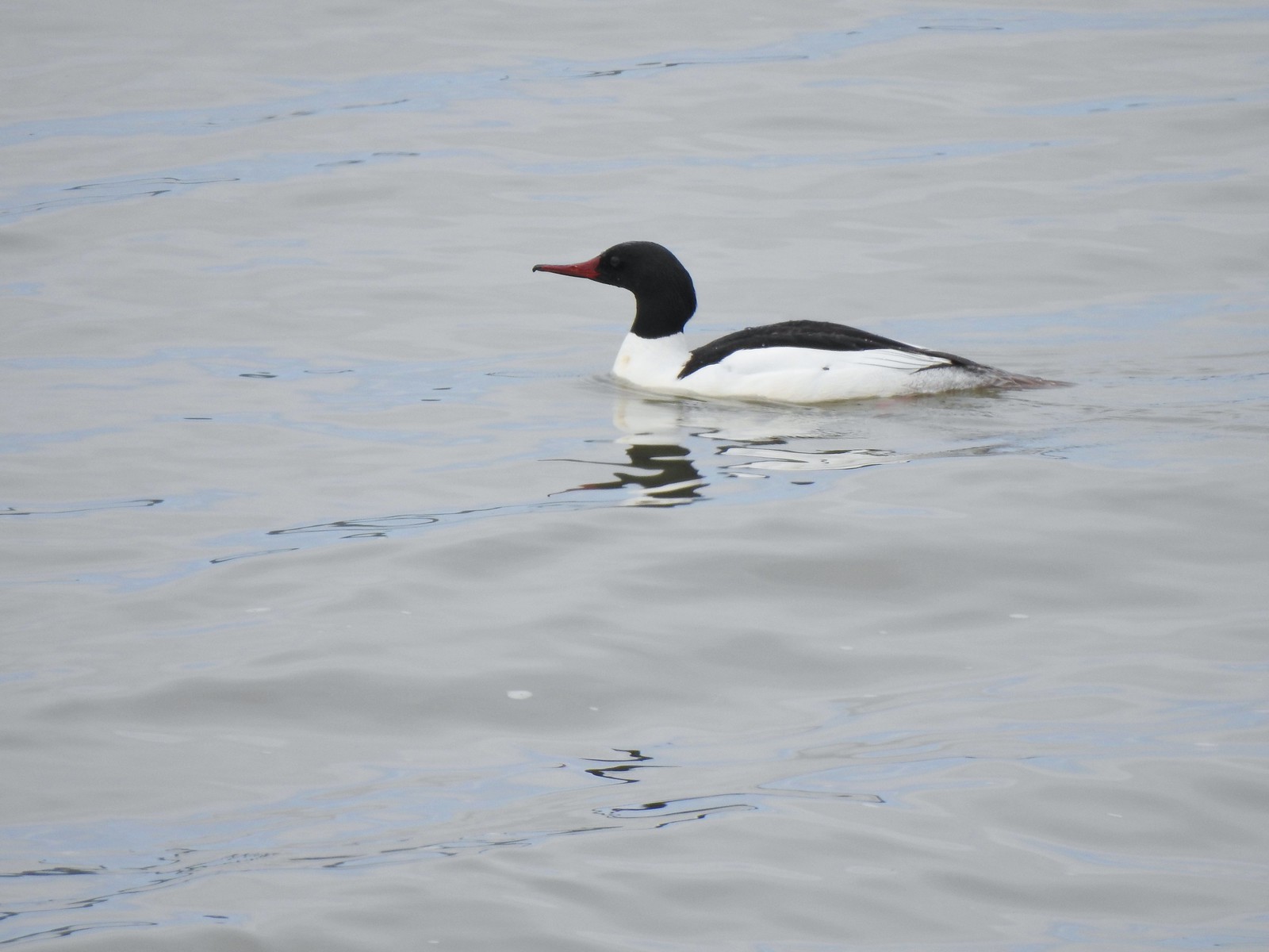
Common mergansers – Milo McIver State Park, 02/22/2025.

Common yellow-throat – Ankeny National Wildlife Refuge, 04/28/2025.

Cormorant – Olympic National Park, 05/14/2025.

Crow – Tualatin River National Wildlife Refuge, 05/01/2025.

Mourning dove – Fanno Creek Trail, 04/26/2025.

Eurasian-collard dove – Wapato Lake National Wildlife Refuge, 05/02/2025.

Prairie flacon? – Mt. Hood Wilderness, 08/31/2025.

Green-winged teals – Ankeny National Wildlife Refuge, 04/28/2025.

House finch – Fanno Creek Trail, 04/26/2025.

House sparrow – Baskett Slough National Wildlife Refuge, 04/29/2025.

Gadwall – Jackson Bottom Wetlands, 05/01/2025.

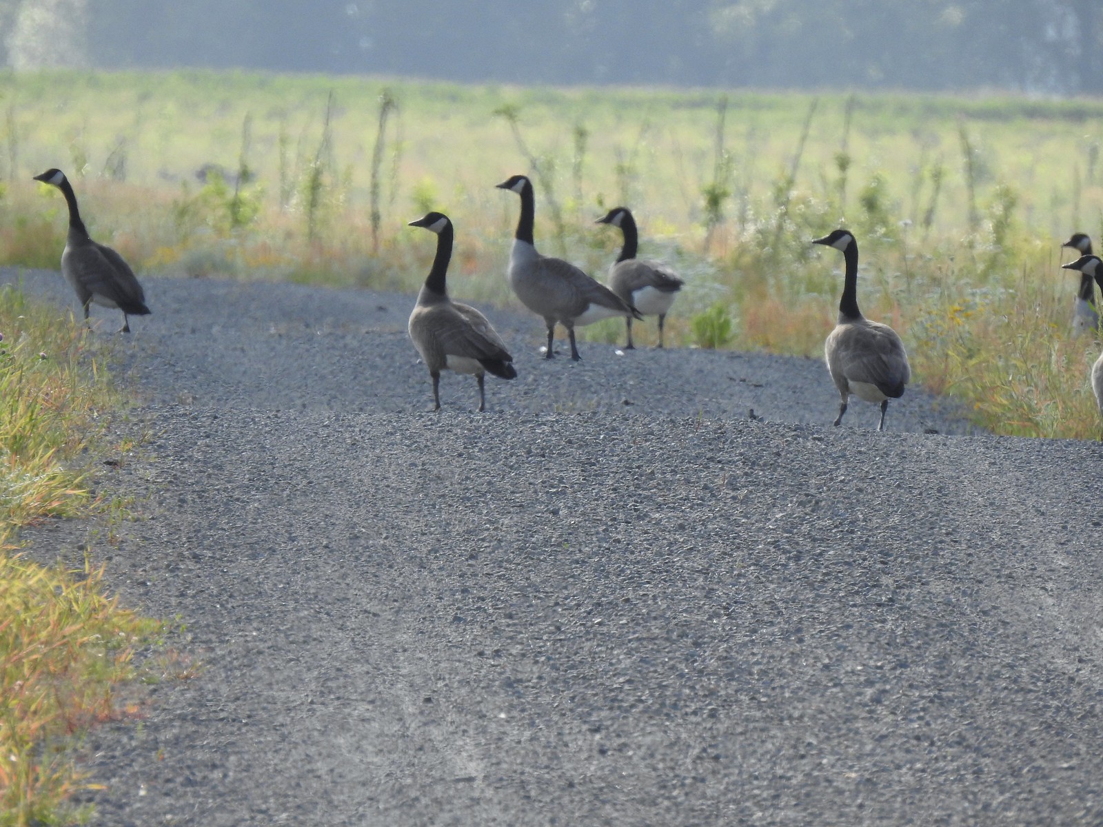
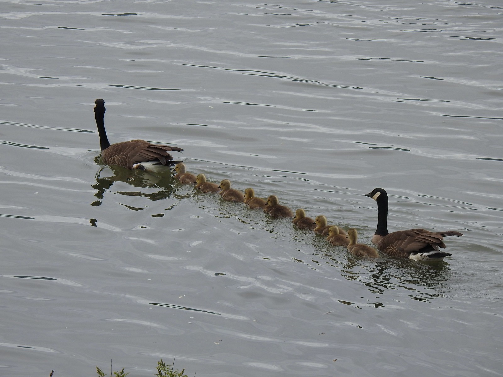
Canada geese – Tualatin River National Wildlife Refuge, 05/01/2025.

Gold-crowned sparrow – Baskett Slough National Wildlife Refuge, 04/29/2025.

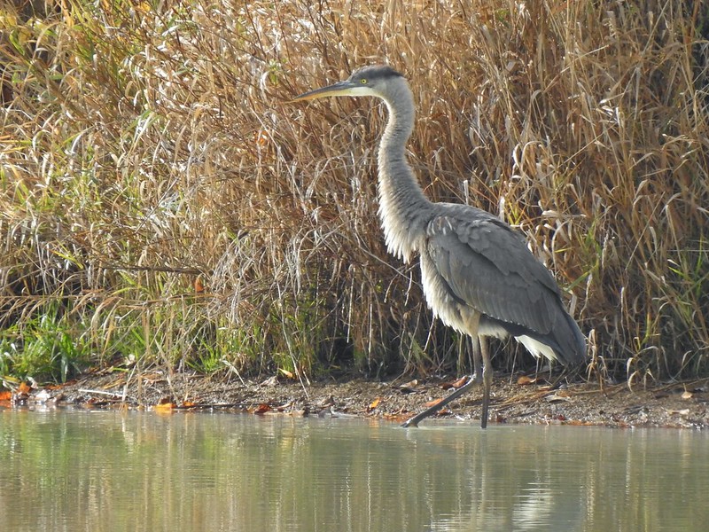
Great blue heron and great egrets – Tualatin River National Wildlife Refuge, 05/01/2025.

Greater white-fronted geese – Fern Ridge Wildlife Refuge, 05/03/2025.

Greater yellowlegs – Ankeny National Wildlife Refuge, 04/28/2025.

Grosbeak? – Rogers Peak, 06/07/2025.

Sooty grouse – William O. Douglas Wilderness, 08/08/2025.

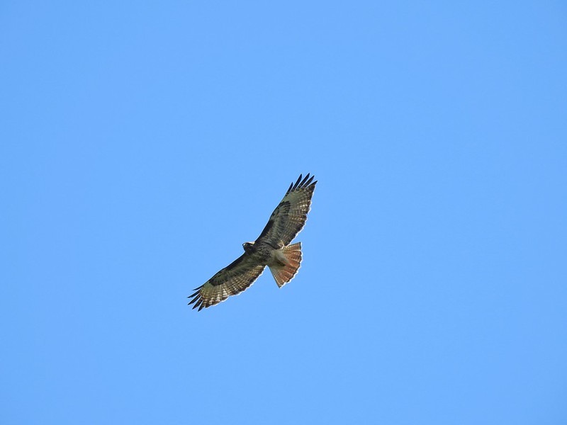
Red-tailed hawk? – Three Sisters Wilderness, 09/13/2025.

Hooded mergansers – Fanno Creek Trail, 04/26/2025.

Rufous hummingbird – Mt. Jefferson Wilderness, 07/17/2025.

Ruffed grouse – Silver Falls State Park, 11/11/2025.

Junco – William O. Douglas Wilderness, 08/08/2025.

Killdeer – Ankeny National Wildlife Refuge, 04/28/2025.

Lark sparrow – Criterion Tract, 05/25/2025.

Lazuli bunting – Mt. Washington Wilderness, 07/19/2025.

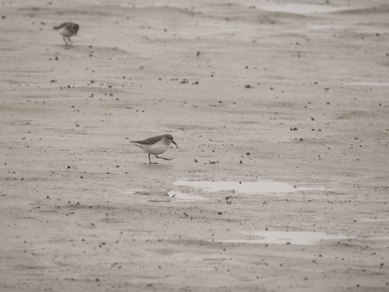
Least sandpiper – Ankeny National Wildlife Refuge, 04/28/2025.

Lesser scaup – Baskett Slough National Wildlife Refuge, 04/29/2025.

Lewis’s woodpecker – Mt. Hood National Forest, 05/24/2025.

Lincoln’s sparrow – Dean Point, 10/11/2025.

Long billed dowitcher – Jackson Bottom Wetlands, 05/01/2025.

Mallard – Jackson Bottom Wetlands, 05/01/2025.

Marsh wren – Ankeny National Wildlife Refuge, 04/28/2025.

Mute swan – Fern Ridge Wildlife Refuge, 05/03/2025.

Northern flicker – E.E. Wilson Wildlife Refuge, 04/27/2025.

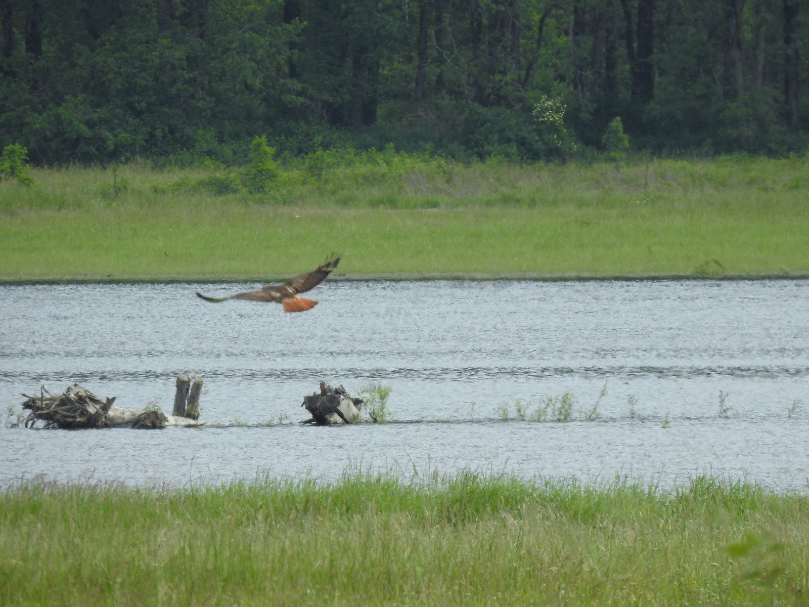
Northern harrier – William L. Finley National Wildlife Refuge, 04/30/2025.

Northern pintail – Baskett Slough National Wildlife Refuge, 04/29/2025.

Northern pygmy owl – McDonald-Dunn Forest, 07/05/2025.

Northern shovelers – Baskett Slough National Wildlife Refuge, 04/29/2025.

Red-breasted nuthatch (juvenile) – Mt. Rainier National Park, 08/04/2025.

Osprey – Wapato Lake National Wildlife Refuge, 05/02/2025.

Oyster catcher – Olympic National Park, 05/14/2025.

Pacific wren – Thurston Hills, 04/19/2025.

Pied billed grebe – E.E. Wilson Wildlife Refuge, 04/27/2025.

Pine siskin – Mt. Rainier National Park, 08/08/2025.

Purple martins – Fernhill Wetlands, 05/02/2025.

Raven – Mt. Rainier National Park, 08/04/2025.

Red-breasted sapsucker – Milo McIver State Park, 02/22/2025.

Red-winged blackbird – Wapato Lake National Wildlife Refuge, 05/02/2025.

Ring-necked ducks – Ankeny National Wildlife Refuge, 04/28/2025.

Robin – Mt. Rainier National Park, 08/08/2025.

Ruddy duck – William L. Finley National Wildlife Refuge, 04/30/2025.

Savanah sparrow – William L. Finley National Wildlife Refuge, 04/30/2025.

Solitary sandpiper – E.E. Wilson Wildlife Refuge, 04/27/2025.

Spotted sandpiper – William O. Douglas Wilderness, 08/08/2025.

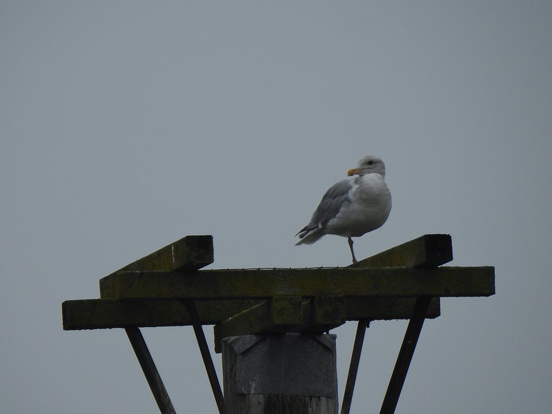
Western gull – Driftwood Beach, 01/11/2025.

Semipalmated plovers – Driftwood Beach, 01/11/2025.

Short billed dowitchers – Ankeny National Wildlife Refuge, 04/28/2025.

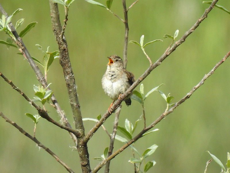
Song sparrow – Metzler County Park, 03/08/2025.

Spotted towhee – Ankeny National Wildlife Refuge, 04/28/2025.

Starling – Champoeg State Heritage Area, 06/19/2025.

Stellar’s jay – Olympic National Park, 05/13/2025.

Violet green swallow (bottom right corner) – Olympic National Park, 05/13/2025.

Tree swallows – Jackson Bottom Wetlands, 05/01/2025.

Townsend’s solitaire – Mt. Hood National Forest, 05/26/2025.

Turkeys – William L. Finley National Wildlife Refuge, 04/30/2025.

Turkey vulture – William L. Finley National Wildlife Refuge, 04/30/2025.

Varied thrush – Mt. Jefferson Wilderness, 10/18/2025.

Western bluebird – Catherine Creek Recreation Area, 03/29/2025.

Western kingbirds – Criterion Tract, 5/25/2025.

Western meadowlark – Criterion Tract, 5/25/2025.

Western tanager – Mt. Hood National Forest, 05/24/2025.

Western wood-pewee – Mt. Hood National Forest, 05/24/2025.

Whimbrel – Olympic National Park, 05/15/2025.

White-crowned sparrow – Olympic National Park, 05/13/2025.

White pelicans – Fern Ridge Wildlife Refuge, 05/03/2025.

Wilson’s warbler – Clatsop State Forest, 05/11/2025.

Wood ducks – William L. Finley National Wildlife Refuge, 04/30/2025.

Hairy woodpecker – Olympic National Park, 05/13/2025.

Downy woodpecker – Ankeny National Wildlife Refuge, 04/28/2025.

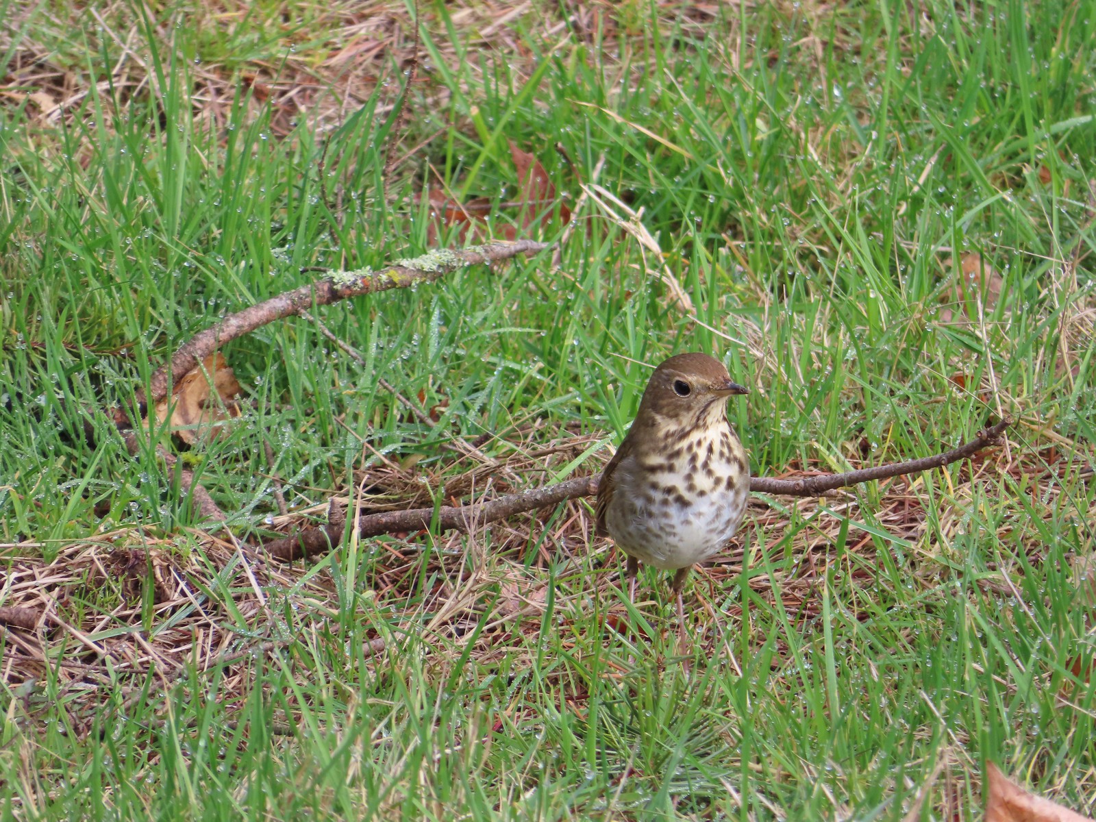
Merlin says Hermit Thrush – Umpqua National Forest, 05/31/2025.

Merlin says Say’s Phoebe – Deschutes River Criterion Tract, 5/25/2025.

Merlin says Purple Finch – Mt. Hood Wilderness, 08/31/2025.

Merlin wouldn’t take a stab at this bird seen on Second Burroughs Mountain in Mt. Rainier National Park, 08/05/2025.
The highlight of the year was the seeing the northern pygmy owl in McDonald-Dunn Forest with its catch which was the first northern pygmy owl that we’d seen. The Say’s phoebe along the Deschutes River was another first (as far as we know), but at the time we weren’t sure what type of bird we were seeing. I believe those are the only two that were new sightings for us.
As always please let us know if we’ve misidentified anything, and happy trails!

 The orange loop is the Mill Hill Loop.
 The orange section on the right is my detour with the solid cyan representing the 2024 route. (Other colored lines are from the other previous visits.)
 Rabbit
 Sunrise view
 Mt. Jefferson
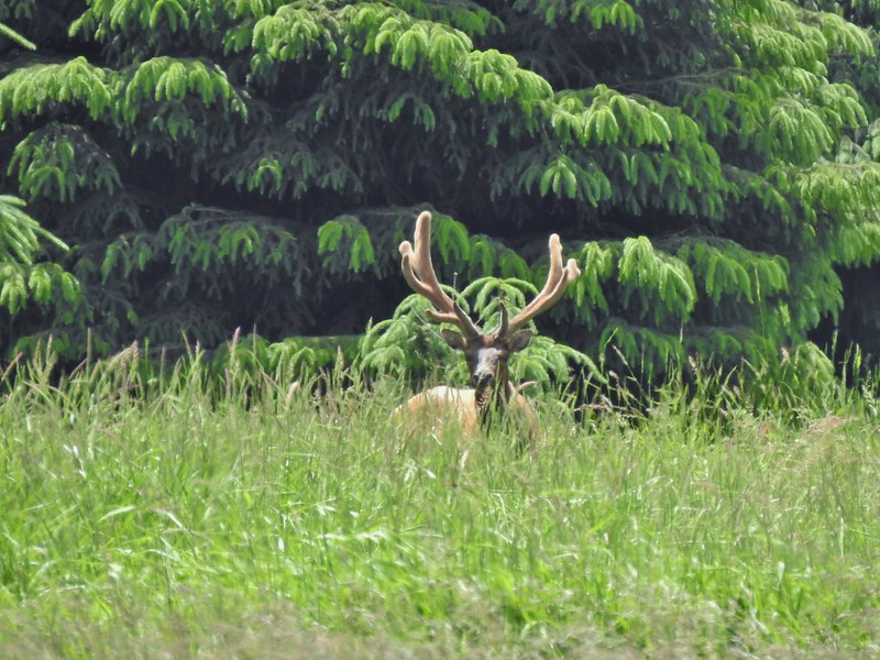
 I hadn’t gotten very far before I spotted a couple of elk ahead.
 Coyote


 I stopped here not wanting to get any closer and waited to see what the elk would do.
 The lead bull here seemed to have a leadership role because once he emerged and headed across the field the herd followed and then circled up.


 On my 2024 hike I had turned left here on the track at the edge of the photo, but with the elk out there I stayed straight(ish) along the tree line. Apparently that is part of the Prairie Extension Trail, but it was a more obvious path and there was an equally obvious path that angled off the extension trail back to the main Prairie Trail.
 It was a wet muddy hike this time of year.
 Camas and buttercups
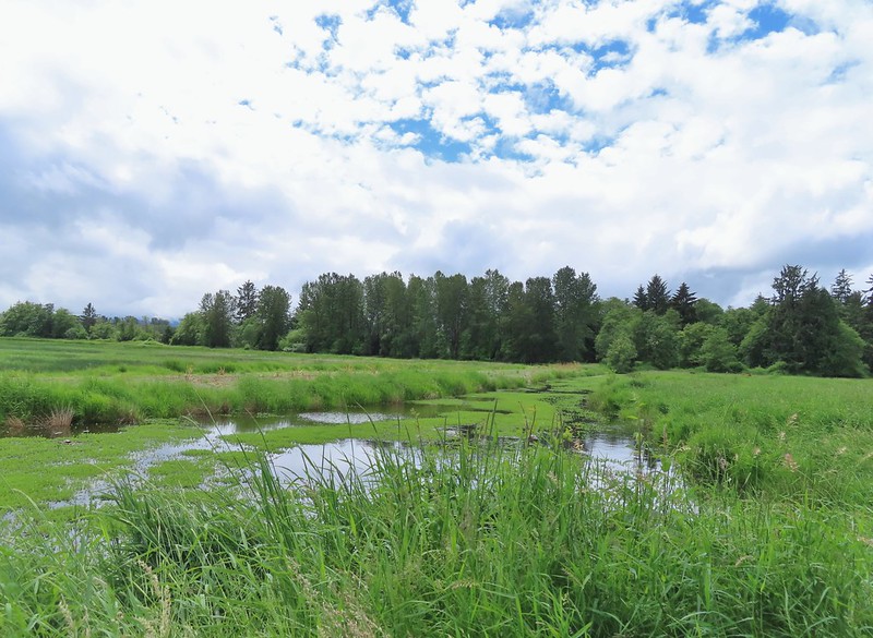
 McFadden Marsh sending up a light fog.
 Wood ducks
 Northern shoveler
 Mallards, a green winged teal, a cinnamon teal, and a wood duck.
 Ruddy duck
 I’m sure it’s a nutria, it’s almost always a nutria.
 Cinnamon teals
 Female wood duck
 Bald eagles on the far side of the marsh.
 Blackbird
 Buffleheads
 Great blue heron
 Green winged teals and American wigeons
 Dove
Dove Marsh wren
 Heron hanging out near the Mcfadden Marsh blind.
 Egrets and ducks
 Egrets
 Robin
Robin

 There were actually two bitterns.
 Their camo is so good.
 American coot
 Swallows
 Pied billed grebe
 Ring-necked duck
 Cinnamon teals
 Manroot and the Cheadle Barn
 California scrub jay
 Bittern flying over the Cheadle Barn Pond with Pigeon Butte in the background.
 Iris and golden paintbrush on the side of Pigeon Butte.
 Golden paintbrush and I guess the beetle counts as wildlife.
 Savanah sparrow near the Finger Ponds.
 Geese in a field near the Finger Ponds.
 Turkey vulture
 Goose and goslings in Cabell Marsh.
 Great blue heron at Cabell Marsh.
 American goldfinch near Cabell Marsh.
 California quail near Cattail Pond.
 Pied billed grebe at Cattail Pond.
 Camas along the Cattail Pond Trail.
 Pacific waterleaf along the Beaver Pond Trail.
 Checker lily along the Beaver Pond Trail.
 Fairy lanterns along the Beaver Pond Trail.
 Giant white wake-robin along the Beaver Pond Trail.
 Bullfrogs and blackbirds were all I saw at the Beaver Pond.
 Turkeys along the Beaver Pond Trail near Park Headquarters.
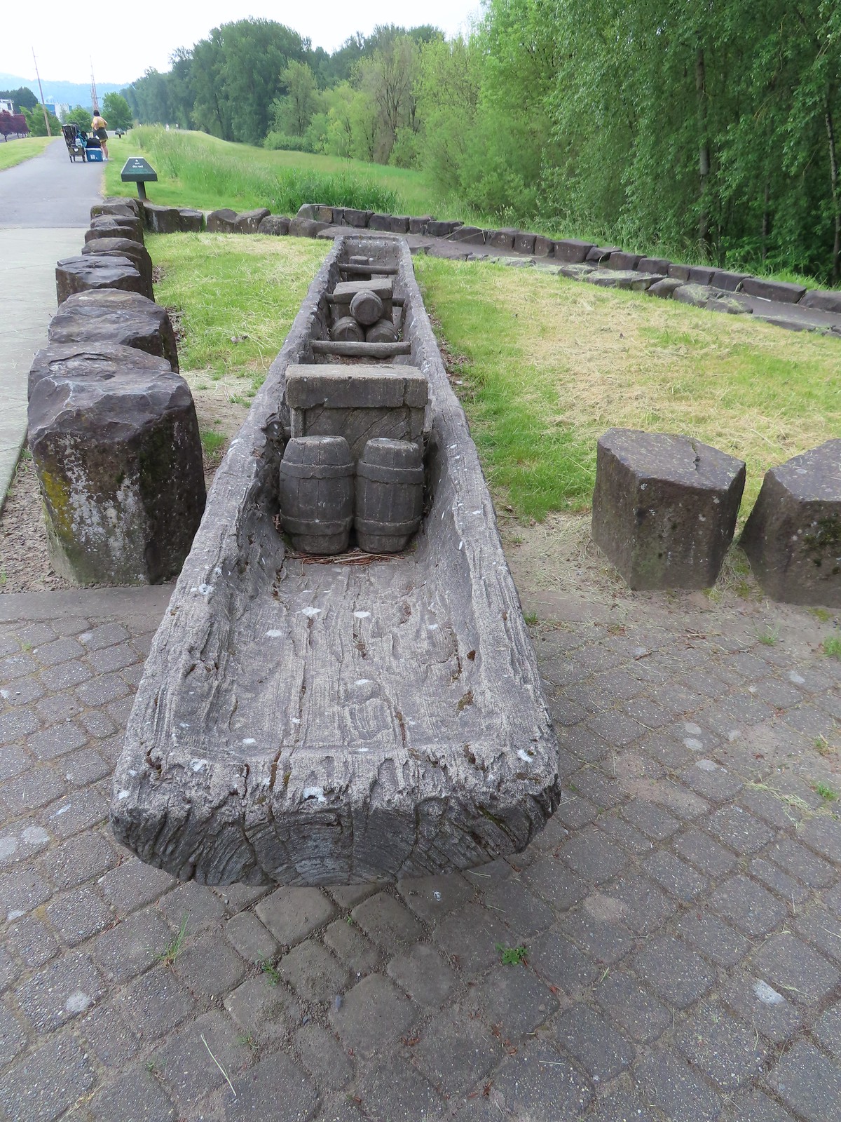
 The start and end of the Mill Hill Loop.
 Yellow violets in the midst of invasive herb robert.
 Bleeding heart
 Gray squirrel
 Star flower
 Spotted coralroot
 I’d once spotted a turtle on this log in a pond below the Mill Hill Loop so I took a picture hoping for another one. Instead I got a bullfrog.
 Mallards in the same pond.
 Solomonseal
 Tolmie’s mariposa lily
 The forest is pretty along the Mill Hill Loop.
 Poet’s shooting star
 Small-flowered woodland-star
 The end and start of the Mill Hill Loop.
 Tough-leaved iris
 There were a bunch of bullfrogs sunning at the little pond along the Woodpecker Loop.
 Lomatium on the Woodpecker Loop.
 Woodpecker Loop Overlook. I took a break on the bench here and changed into dry socks after having a snack.
 This northern harrier was putting on an aerial display while I took my break.
 Wildflowers along Bald Hill.
 Wild rose
 Checkerbloom
 Tough-leaved iris and golden paintbrush
 More turkeys along Finley Refuge Road.

 Cabell Barn across from the entrance road to the Cabell Marsh Trail.
 Honeybee swarm along the road to the Cabell Marsh Trail. It looks a little like a heart.
 This end of Cabell Marsh was practically deserted. My guess was that there was plenty of water right now in less visited areas, so the birds were avoiding this area for now.
 You can almost always count on a coot though.
 Cormorants out on a log in the middle of the marsh.
 Homer Campbell Boardwalk
 Wood ducks. These might have been the first significant wildlife I’d seen from the boardwalk. It’s a really neat trail I just rarely see any wildlife from it (with the exception of the shelter).
 Turkey vulture flying over Turtle Flats.
 Turtles at Turtle Flats!


 You can actually see some of the route I explored on the left side between Parvipes Marsh and the butte and at the bottom of the picture wrapping around the butte.
 Manroot
 Camas
Camas Plectritis
 Checkerbloom
 Tolmie’s mariposa lilies


 Morgan Lake with a bit of Moffitti Marsh to the left.
 Columbine
 Iris
Iris
 Robin
Robin Sparrows
 Gold crowned sparrow
 The grass was low enough that the lake was fairly visible. Later in Spring you’re lucky to see any water from the trail.
 Not a great picture due to the distance and light, but there are a couple of ruddy ducks to the left hanging out with some ring-necked ducks.
 Mallards
 American coot
 Gadwalls
 Buffleheads
 Common yellowthroat
 Looking for a bittern.
 American bittern. I could only see the bittern from a very short section of trail and as soon as I lost a little elevation it disappeared from sight. It never flew off, but I couldn’t see it even knowing where it was.
 Following the trail next to Smithfield Road.
 Lots of red-winged blackbirds near the trailhead.
 Finch
Finch Heading back toward Baskett Butte and Moffitti Marsh.
 Northern flicker
 Moffitti Marsh
 American wigeons
 Female common yellowthroat
 Spotted towhee
 I watched a crow chase off a hawk that had apparently gotten too close.
 The official trail heads up the hill to the left. I veered right just beyond the trail sign pointing toward Moffitti Marsh.
 Lilac
Lilac Parvipes Marsh ahead to the right.
 The tractor turned right and drove over a dike at the end of Parvipes Marsh to a field on the other side.
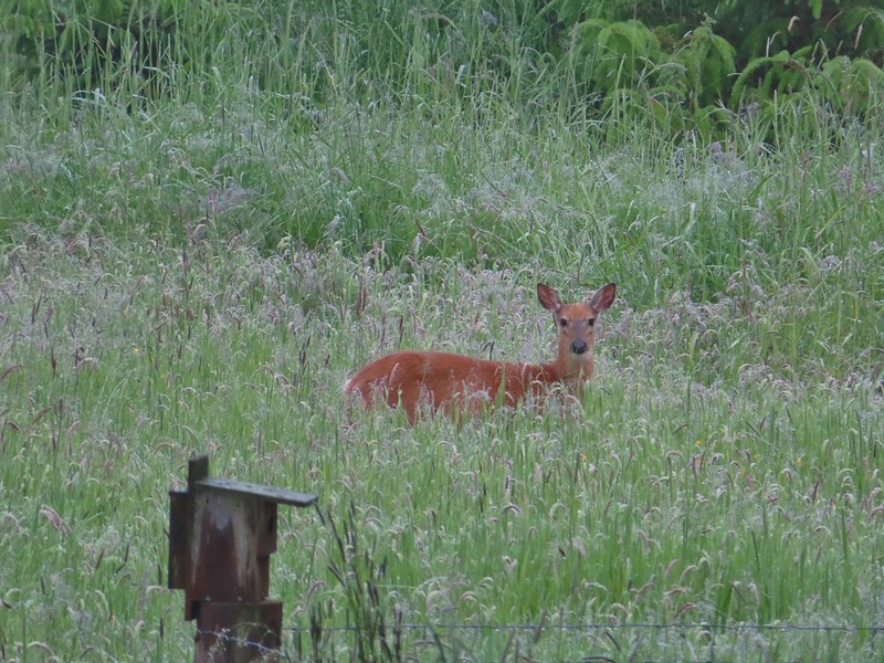
 Deer farther up the hillside.

 This appears to be balsamroot. There were just a couple of patches on the SW side of the butte.
 Cottonwood Pond
 Buttercups and miniature lupine
 Meadow checker-mallow
 Lomatium and plectritis
 South Slough Pond
 I was a bit surprised to find a bench along this route given it isn’t shown as an official trail.
 Grass pea
 More checkerbloom
 Golden paintbrush
 If I hadn’t been looking for the tread I don’t think I would have noticed it.
 Lupine
 Another Tolmie’s mariposa lily
 Western meadowlark
 The overlook ahead.
 The obligatory photo from the overlook.
 Lots of patches of plectritis on the butte.
 Ground squirrel
 Swallow
 Baskett Butte from the Cottonwood Pond parking area.
 Mallards
 Northern pintails
 Northern shovelers
 Lesser scaup. They look a lot like ring-necked ducks only without the ring.
 Ring-necked ducks
 Nap Time.

 The best of the color was while I was still at the trailhead.
 Checkerbloom
 Common madia
 Meadow checker-mallow and vetch
 The platform
 Too late for any color.
 There always seems to a western meadowlark or two on Mt. Baldy.
 Spotted towhee
 I went left to hike the loop clockwise.
 Moffitti Marsh in the distance.
 Geese flying over.
 Snake in the grass.
 Pied-billed grebes
 Common yellowthroats
 Gadwalls
 Moffitti Marsh
 Dove
Dove


 House finch
 Swallow
 Sparrow

 Crow
Crow Goose family
 Common yellow-throat (female)
 Roses
Roses
 Columbine
 White-crowned sparrow
 Ookow
Ookow Tolmie’s mariposa lily
 Waxwing


 Cottonwood Pond is in the lower left corner.
 Hermit thrush – 2/11/23, Council Crest Park, Portland
 Pied billed grebe – 3/19/23, Minto-Brown Island Park, Salem
 Ring-necked duck – 3/25/23, Minto-Brown Island Park, Salem
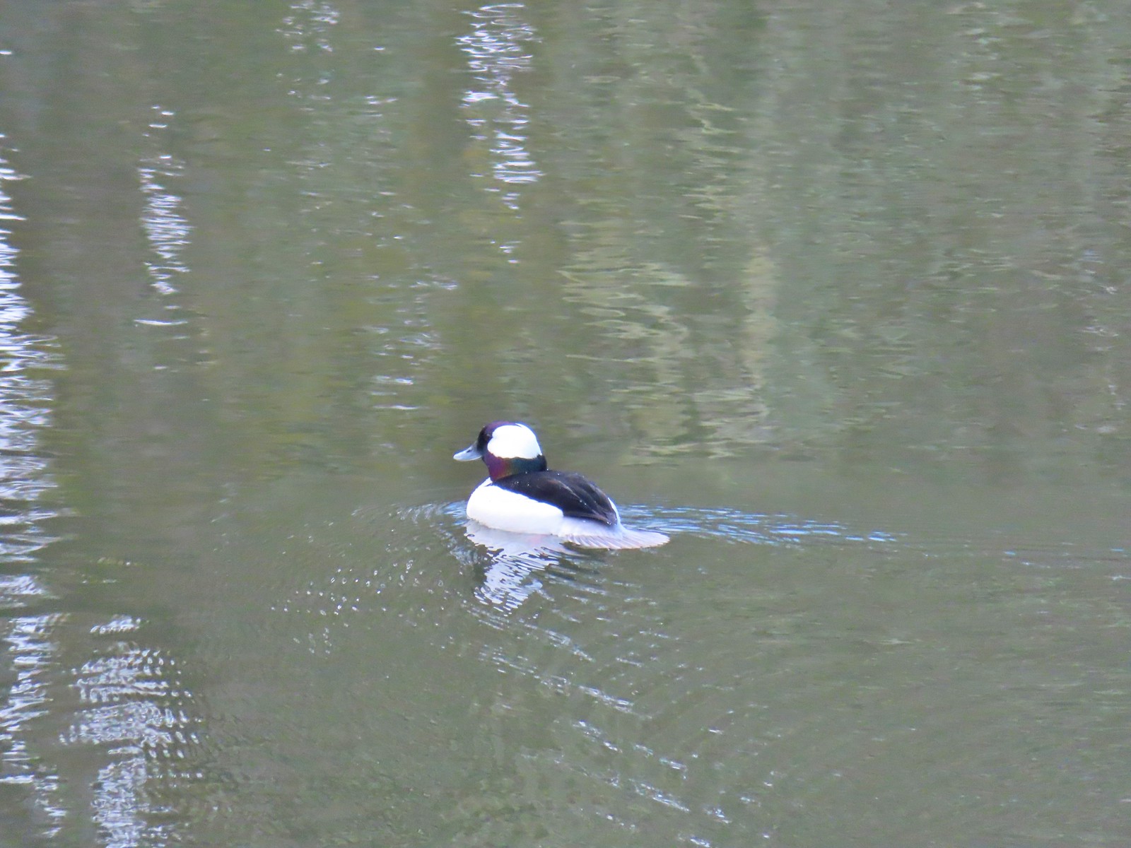 Bufflehead – 3/25/23, Minto-Brown Island Park, Salem
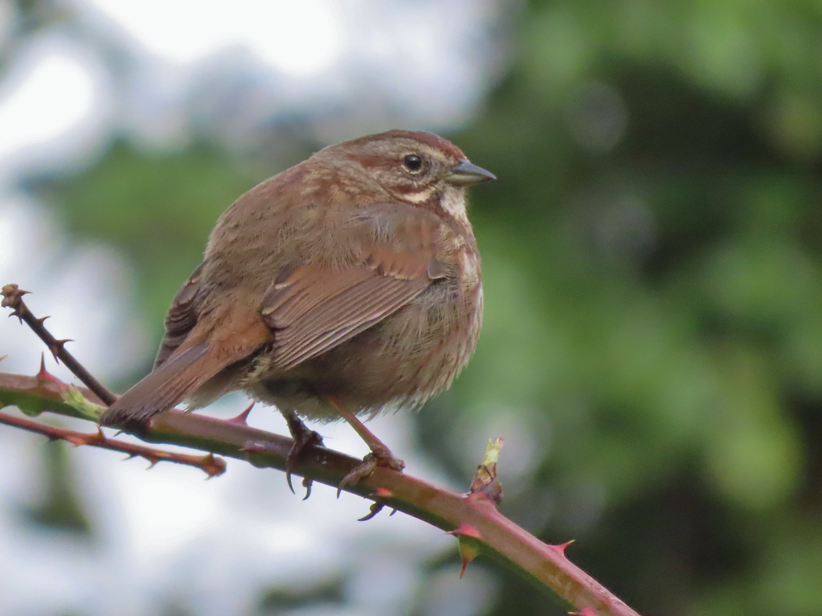 Sparrow – 3/25/23, Minto-Brown Island Park, Salem
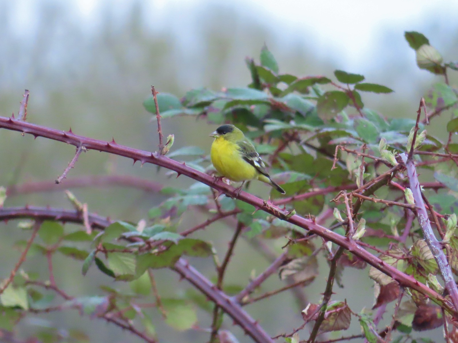 Lesser goldfinch – 4/8/23, Minto-Brown Island Park, Salem
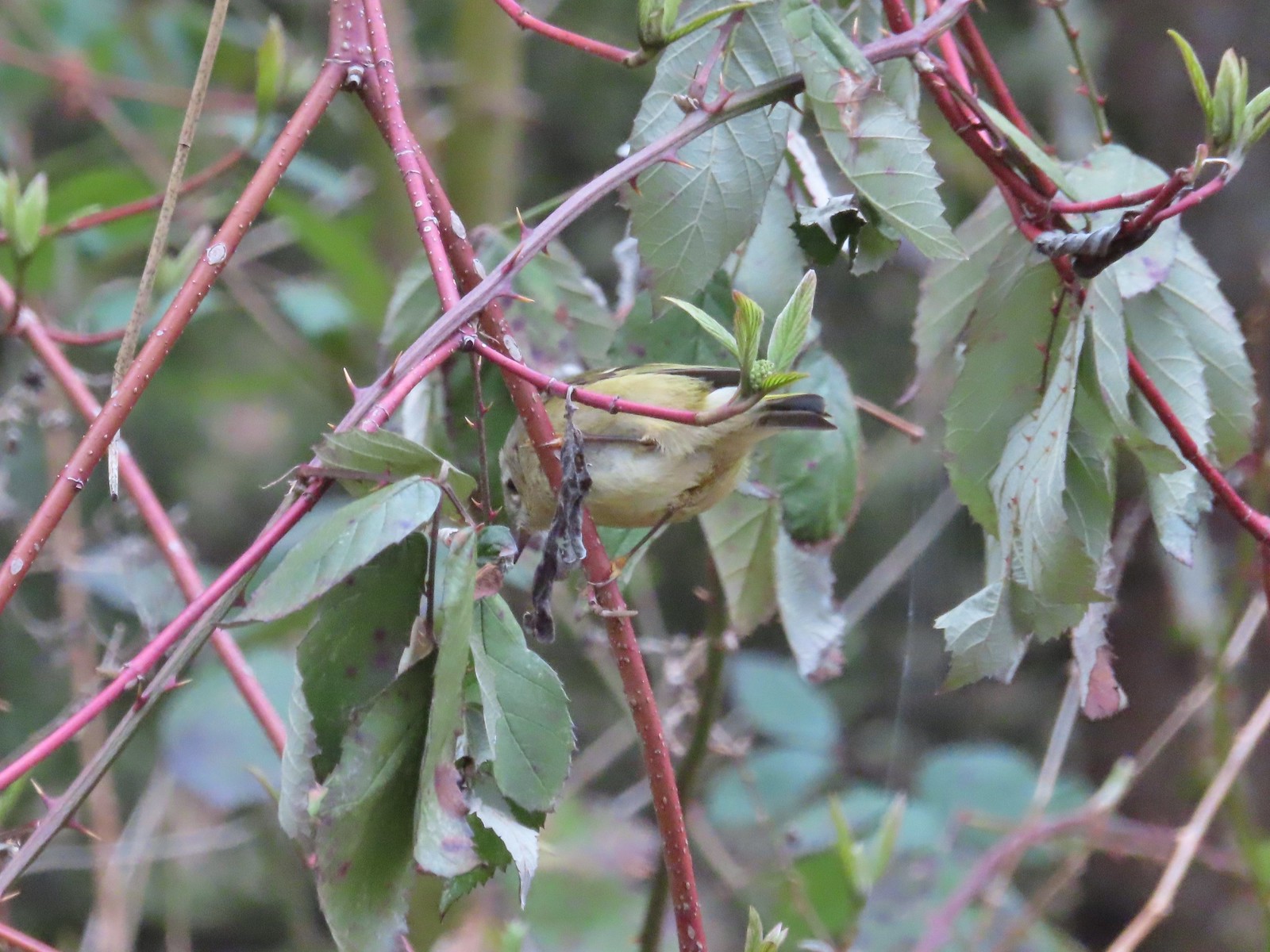 Ruby-crowned kinglet? – 4/8/23, Minto-Brown Island Park, Salem
 Egret – 4/8/23, Minto-Brown Island Park, Salem
 Marsh wren – 4/13/23, Baskett Slough National Wildlife Refuge, Rickreall
 Geese, I believe both cackling and Canada – 4/13/23, Baskett Slough National Wildlife Refuge, Rickreall
 California quail – 4/13/23, Baskett Slough National Wildlife Refuge, Rickreall
 Northern shoveler – 4/13/23, Baskett Slough National Wildlife Refuge, Rickreall
 Western meadowlark (Oregon’s state bird) – 4/13/23, Baskett Slough National Wildlife Refuge, Rickreall
 Red-winged blackbird – 4/13/23, Baskett Slough National Wildlife Refuge, Rickreall
 Ruddy duck – 4/13/23, Baskett Slough National Wildlife Refuge, Rickreall
 Savannah sparrow – 4/13/23, Baskett Slough National Wildlife Refuge, Rickreall
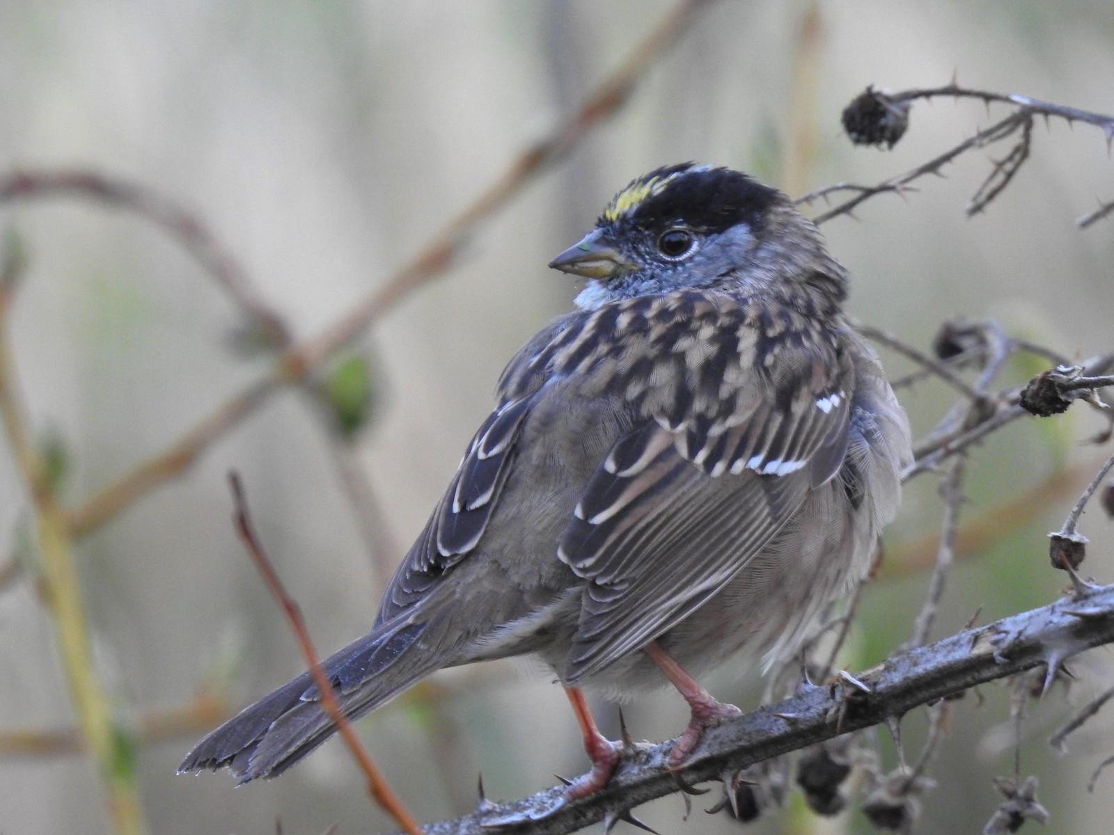 Gold-crowned sparrow – 4/14/23, Minto-Brown Island Park, Salem
 Red-breasted sapsuckers – 4/14/23, Minto-Brown Island Park, Salem
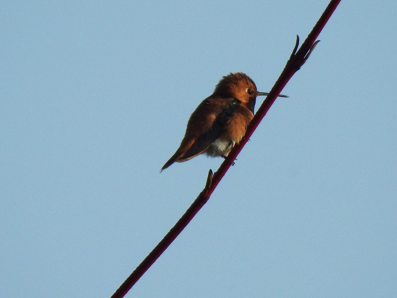 Hummingbird (Rufous?) – 4/14/23, Minto-Brown Island Park, Salem
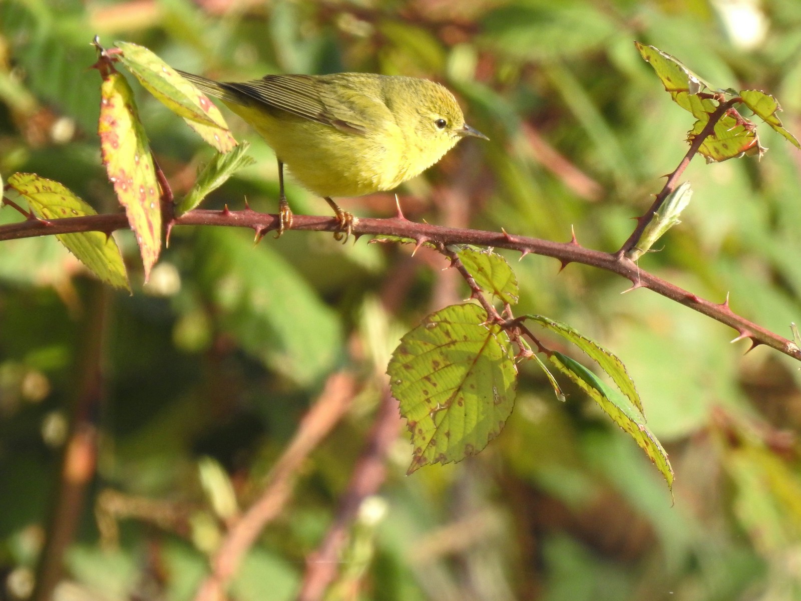 Orange-crowned warbler – 4/14/23, Minto-Brown Island Park, Salem
 Dark-eyed junco – 4/14/23, Minto-Brown Island Park, Salem
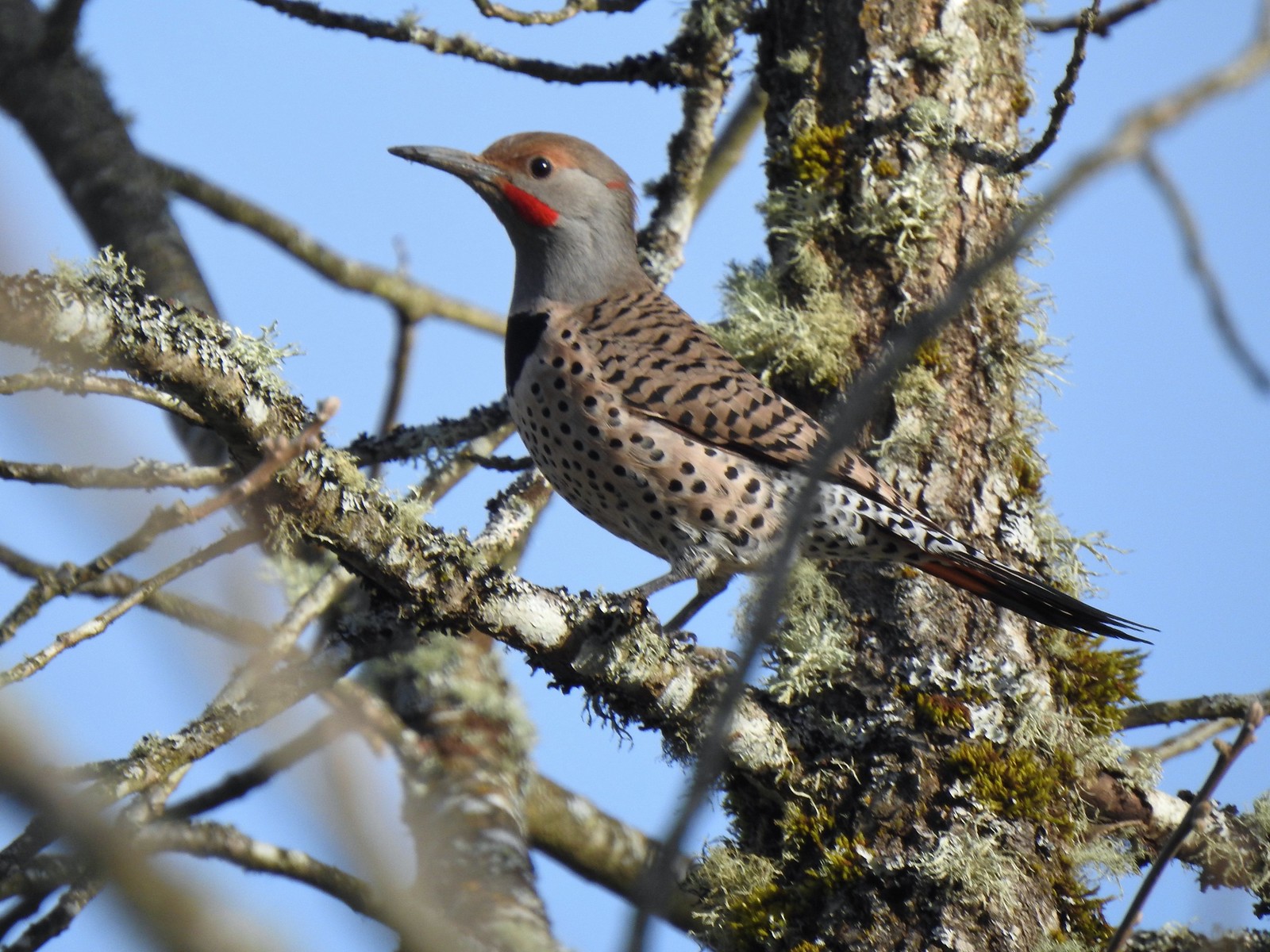 Northern flicker – 4/14/23, Minto-Brown Island Park, Salem
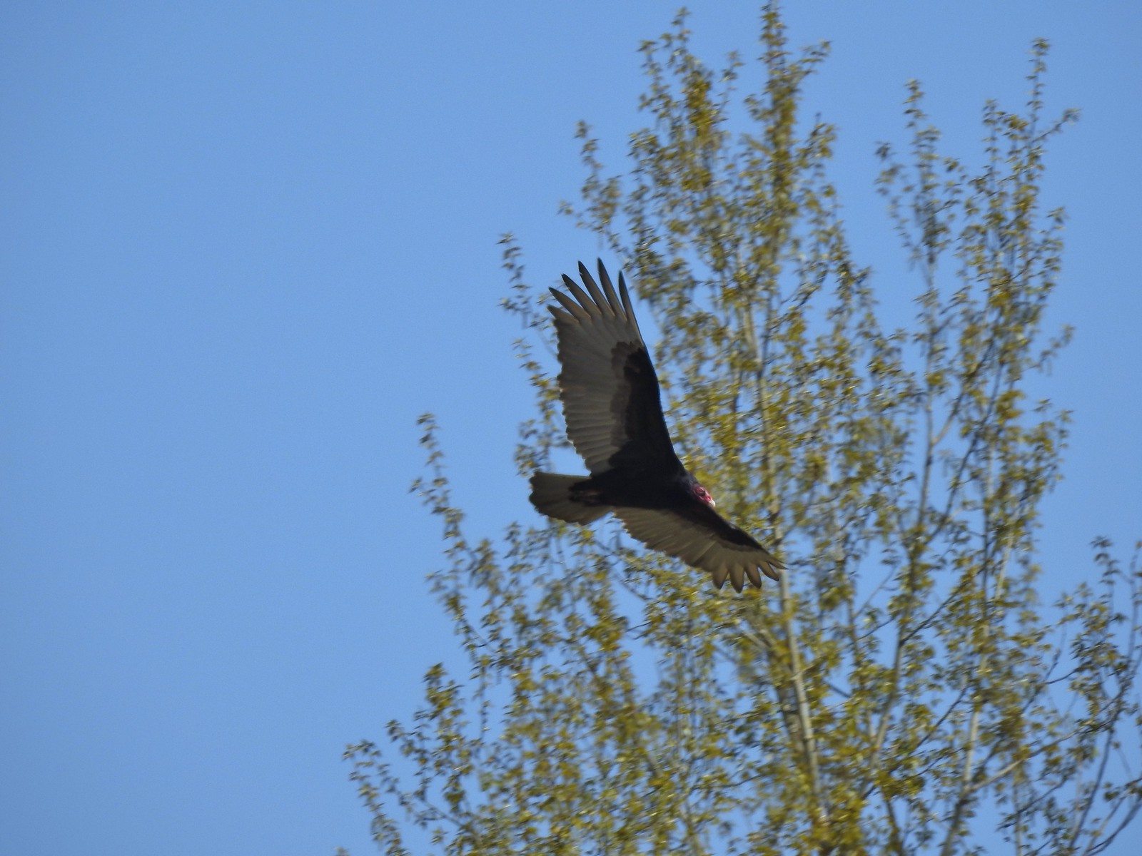 Turkey vulture – 4/14/23, Minto-Brown Island Park, Salem
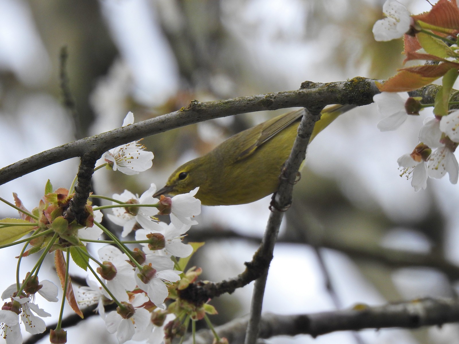 Warbler? – 4/22/23, Dave Clark Riverfront Path, Albany
 Osprey – 4/22/23, Dave Clark Riverfront Path, Albany
 Cormorant – 4/22/23, Dave Clark Riverfront Path, Albany
 Red-winged blackbird (female) – 4/22/23, Talking Water Gardens, Albany
 Green-winged teal – 4/22/23, Talking Water Gardens, Albany
 Yellow-rumped warbler (Audubon’s) – 4/22/23, Talking Water Gardens, Albany
 Black phoebe – 4/22/23, Talking Water Gardens, Albany
 Acorn woodpecker – 4/22/23, Talking Water Gardens, Albany
 Hawk – 4/22/23, Talking Water Gardens, Albany
 Mallards – 4/22/23, Talking Water Gardens, Albany
 Chickadee (chestnut-backed?) – 4/22/23, Talking Water Gardens, Albany
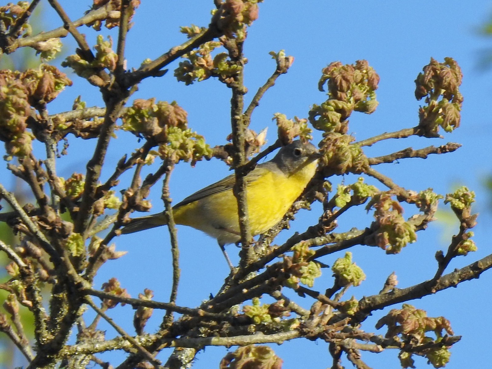 Nashville warbler – 4/29/23, Canemah Bluff Nature Park, Oregon City
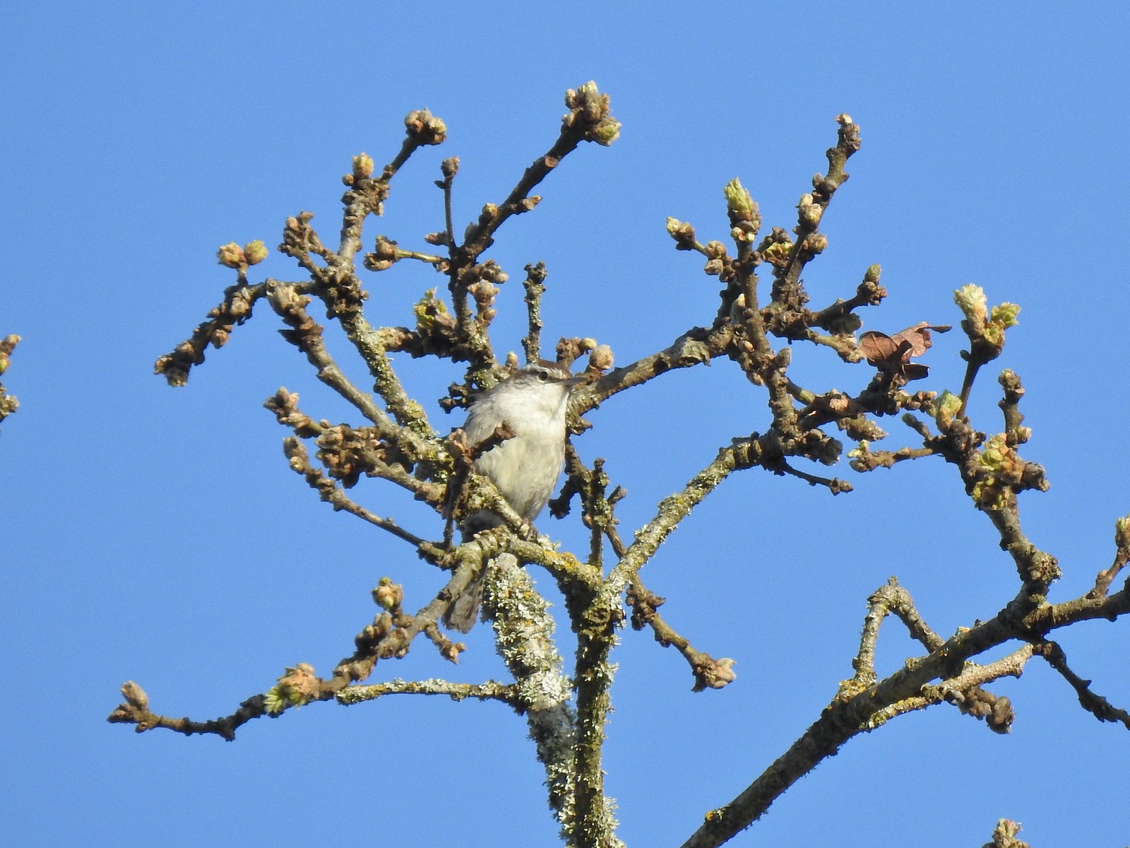 Bewick’s wren – 4/29/23, Canemah Bluff Nature Park, Oregon City
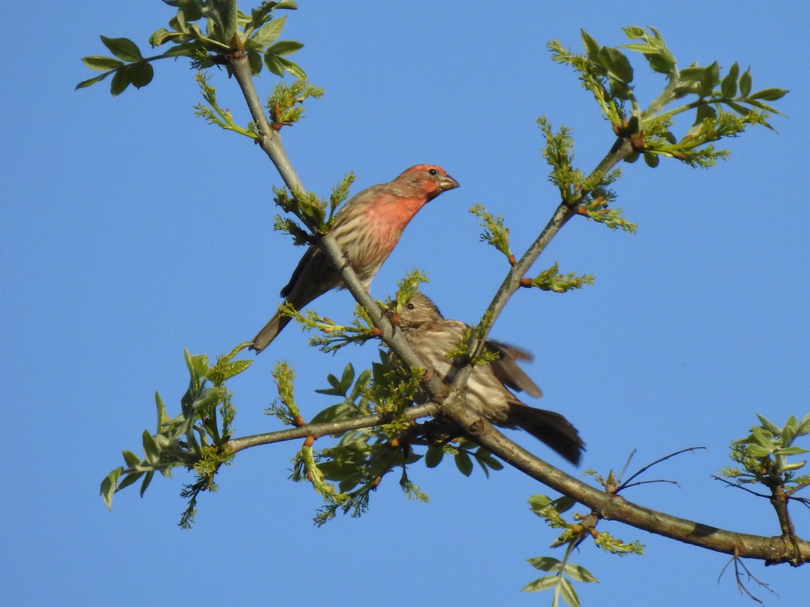 House finches – 4/29/23, Canemah Bluff Nature Park, Oregon City
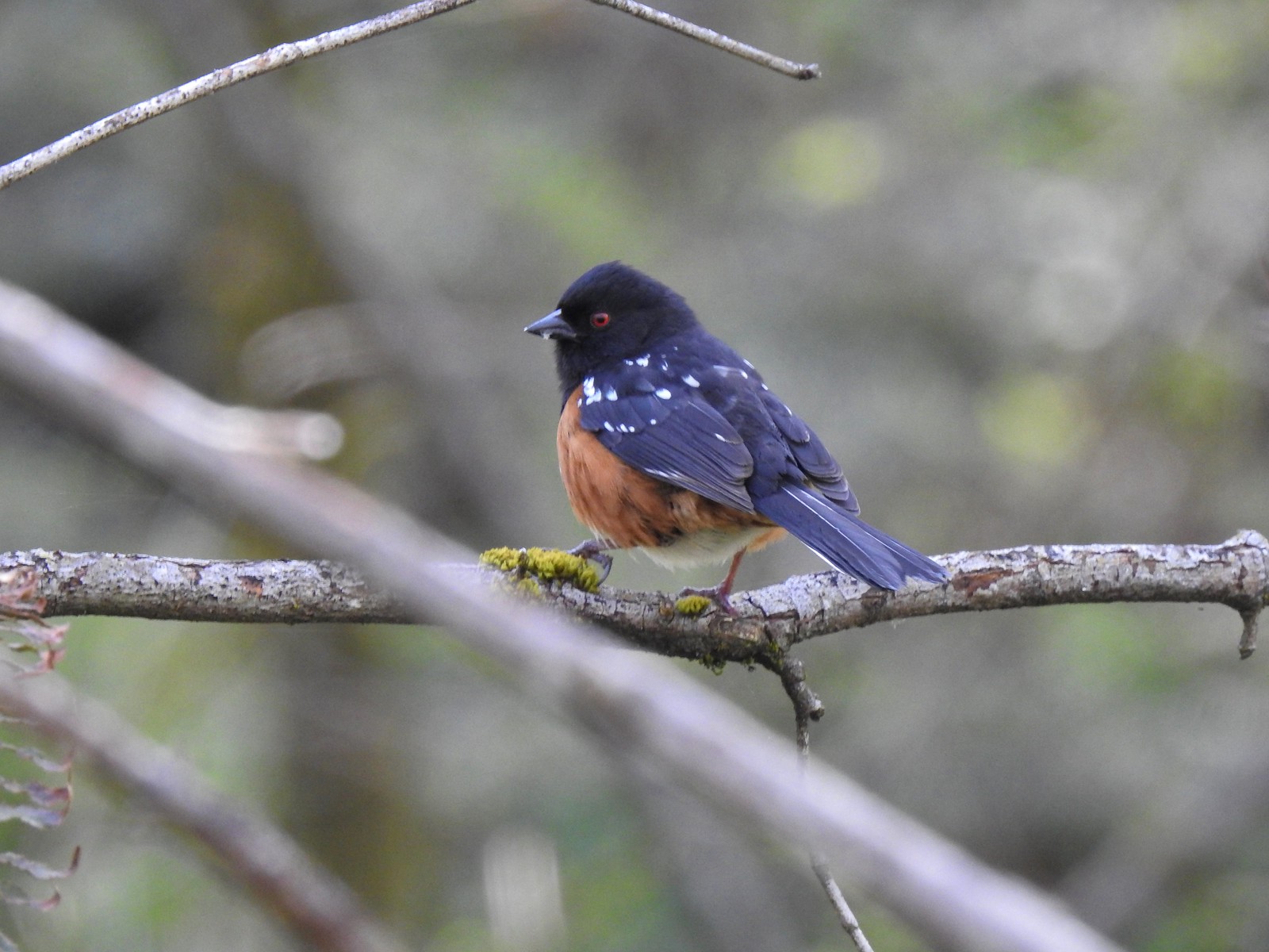 Spotted towhee – 4/29/23 Newell Creek Canyon Nature Park, Oregon City
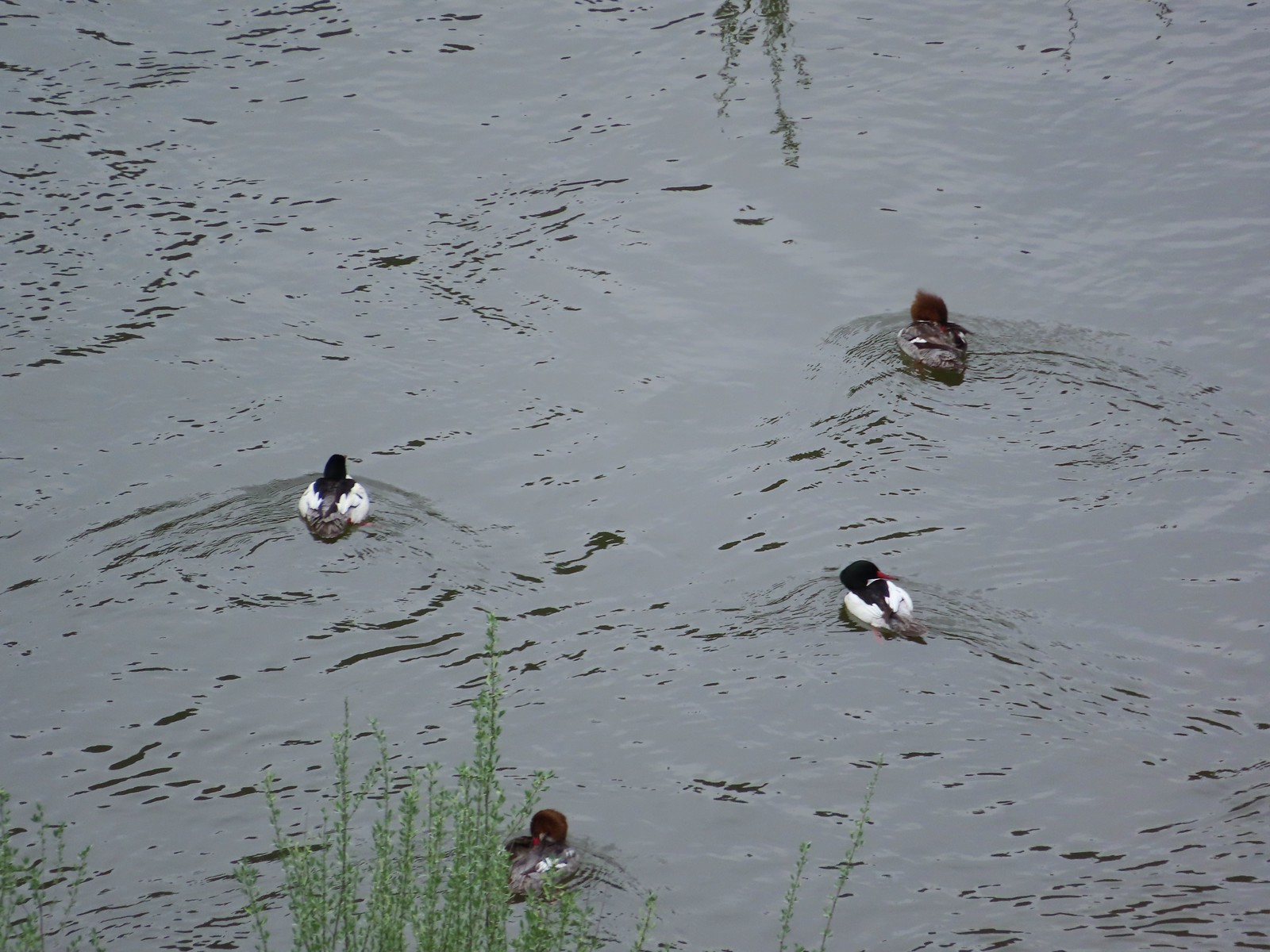 Common mergansers – 5/1/23, Rogue River National Recreation Trail, BLM Medford District
 Bullock’s oriole – 5/1/23, Rogue River National Recreation Trail, BLM Medford District
 American robin – 5/1/23, Rogue River National Recreation Trail, BLM Medford District
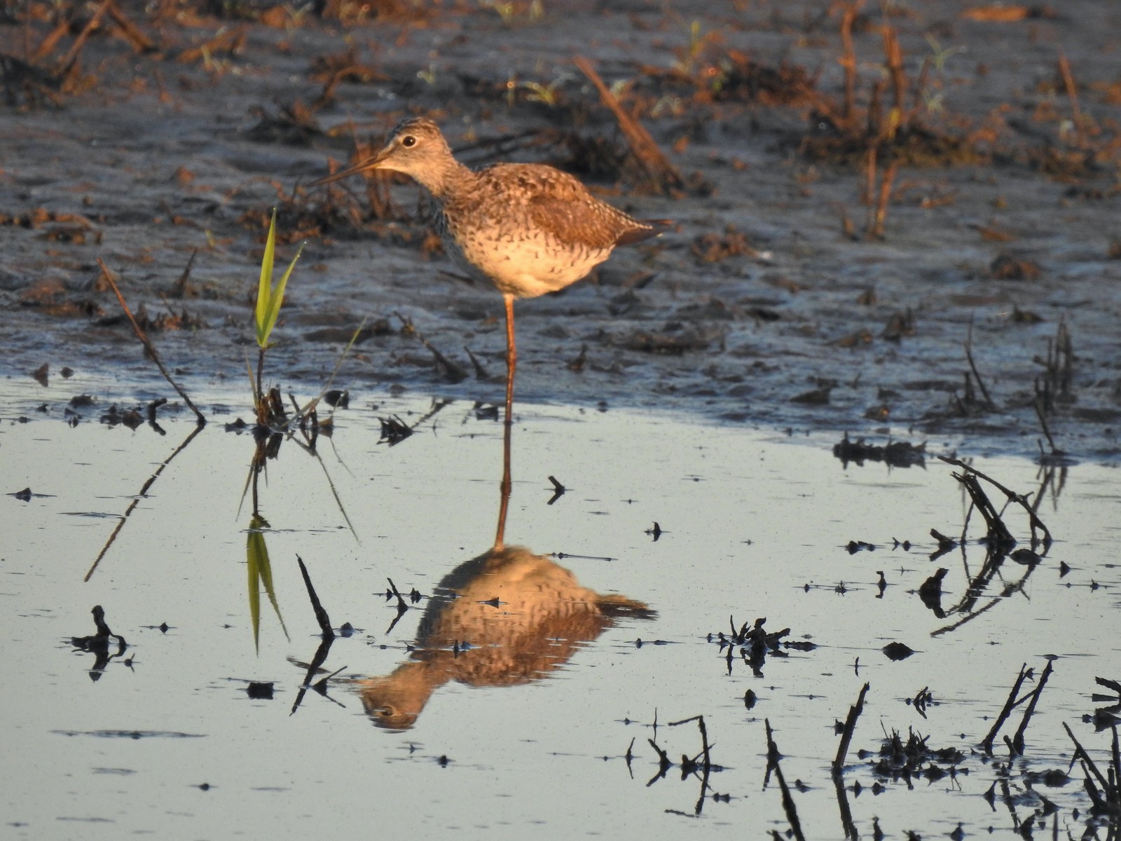 Greater yellowlegs – 5/13/23, Tualatin River National Wildlife Refuge, Sherwood
 Mourning dove – 5/13/23, Tualatin River National Wildlife Refuge, Sherwood
 Gadwall – 5/13/23, Tualatin River National Wildlife Refuge, Sherwood
 Killdeer – 5/13/23, Tualatin River National Wildlife Refuge, Sherwood
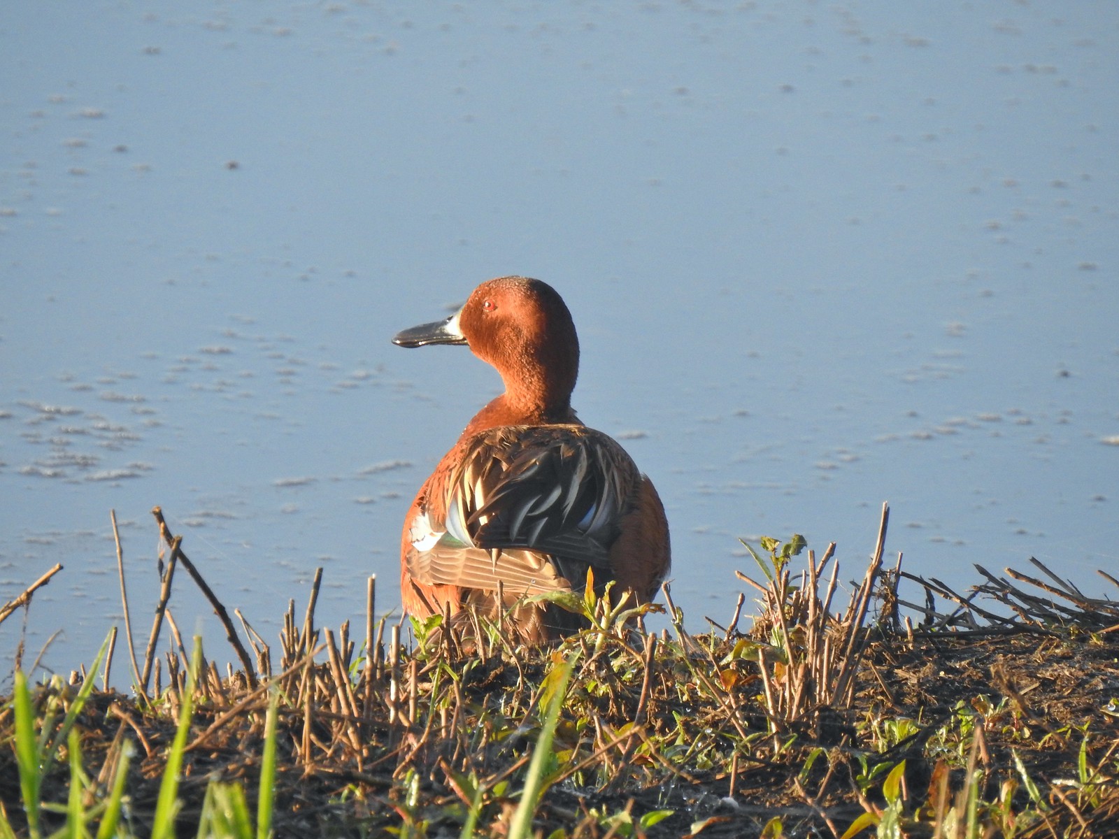 Cinnamon teal – 5/13/23, Tualatin River National Wildlife Refuge, Sherwood
 Anna’s hummingbird – 5/13/23, Tualatin River National Wildlife Refuge, Sherwood
 American kestral – 5/13/23, Graham Oaks Nature Park, Wilsonville
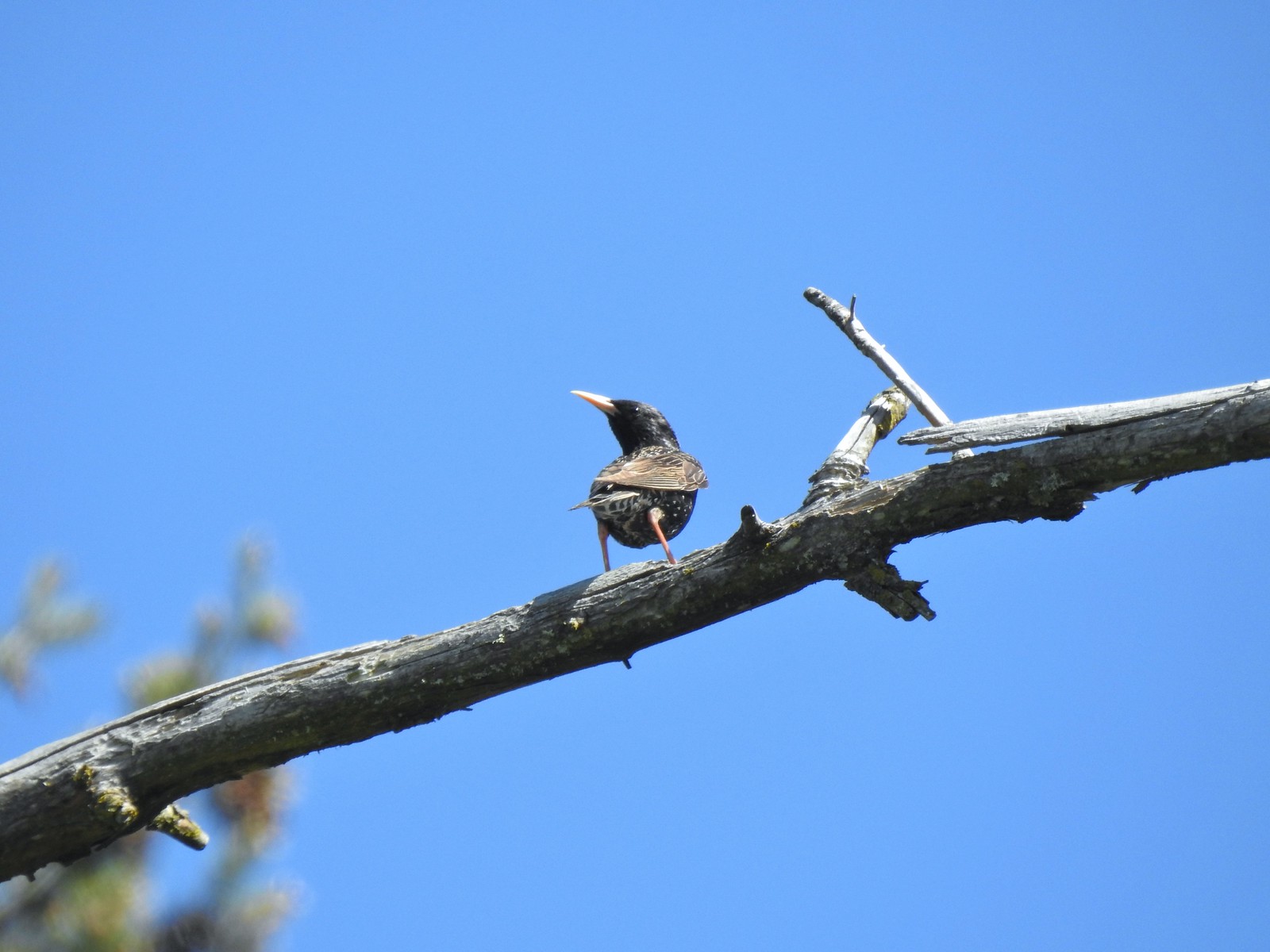 European starling – 5/13/23, Graham Oaks Nature Park, Wilsonville
 Wood duck – 5/23/23, Stigerwald Lake National Wildlife Refuge, Washougal, WA
 Belted kingfisher – 5/23/23, Stigerwald Lake National Wildlife Refuge, Washougal, WA
 American goldfinch – 5/23/23, Stigerwald Lake National Wildlife Refuge, Washougal, WA
 Spotted sandpiper – 5/23/23, Stigerwald Lake National Wildlife Refuge, Washougal, WA
 Purple martin – 5/23/23, Stigerwald Lake National Wildlife Refuge, Washougal, WA
 Common yellowthroat – 5/23/23, Stigerwald Lake National Wildlife Refuge, Washougal, WA
 American bittern – 5/23/23, Stigerwald Lake National Wildlife Refuge, Washougal, WA
 Lark sparrow – 5/28/23, Criterion Tract, BLM Prineville District
 Horned lark – 5/28/23, Criterion Tract, BLM Prineville District
 Mountain bluebird – 5/28/23, Criterion Tract, BLM Prineville District
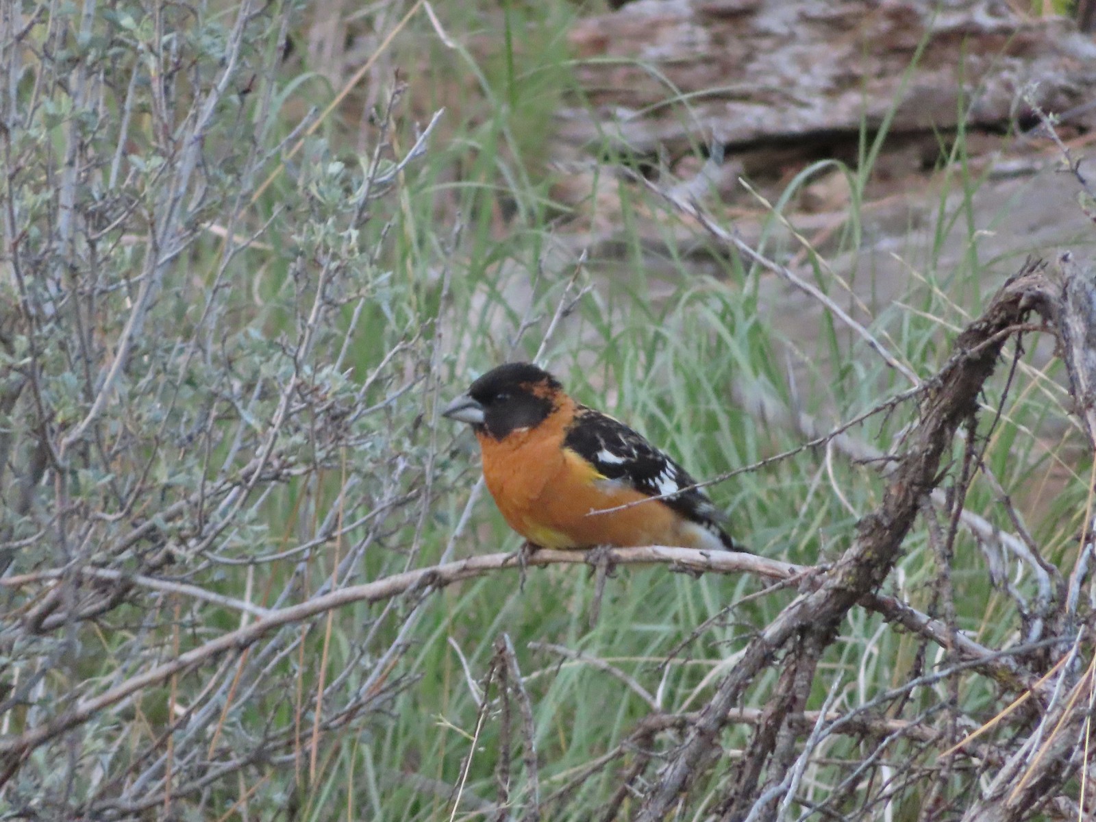 Black-headed grosbeak – 5/29/23, Riley Ranch Preserve, Bend
 Lewis’s woodpecker – 5/29/23, Tumalo State Park, Bend
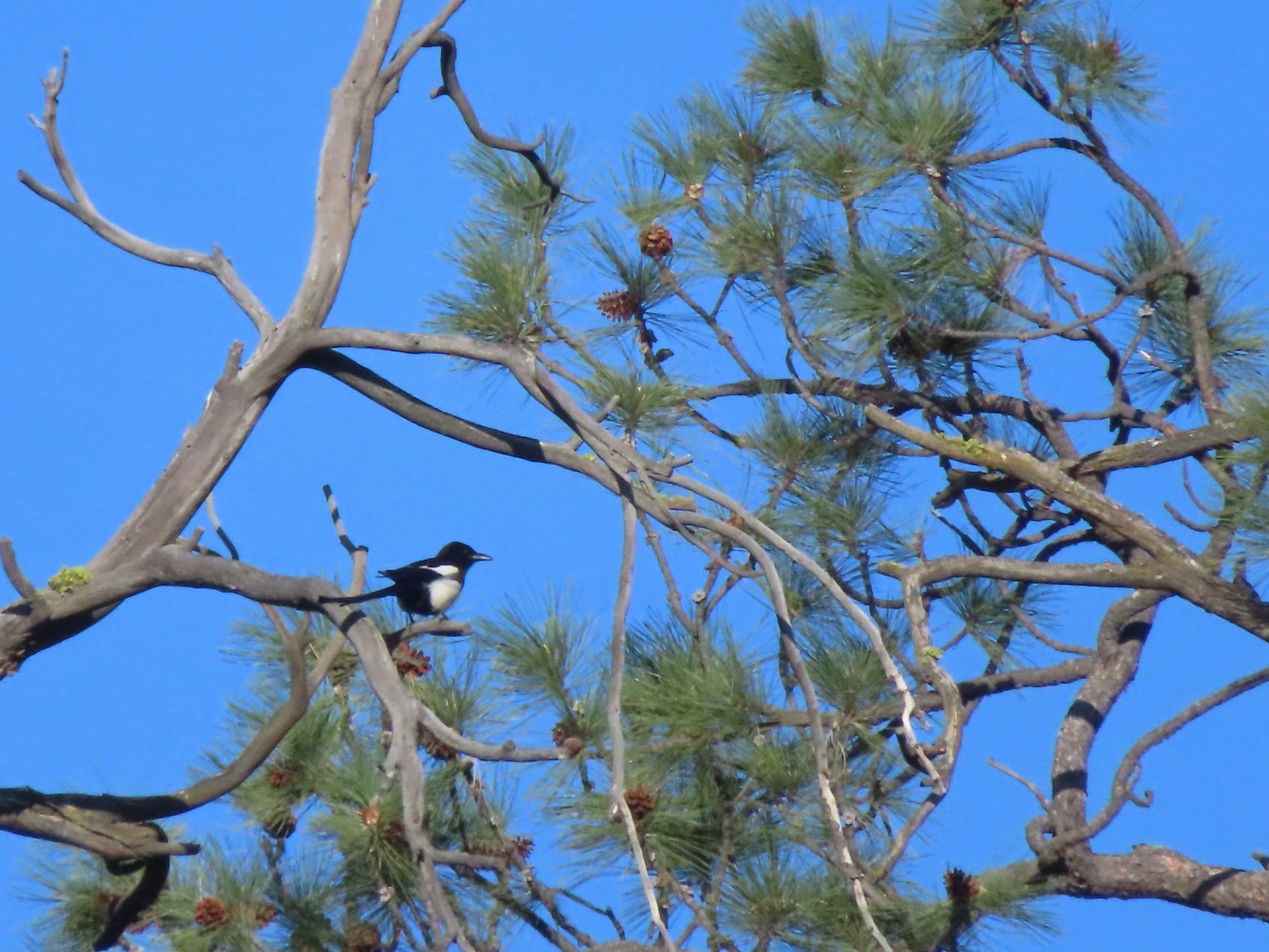 Magpie – 5/29/23, Tumalo State Park, Bend
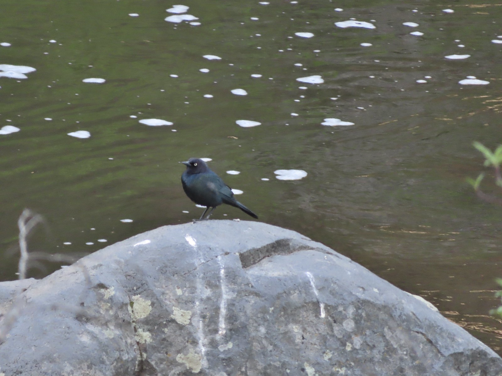 Black-headed cowbird – 5/29/23, Tumalo State Park, Bend
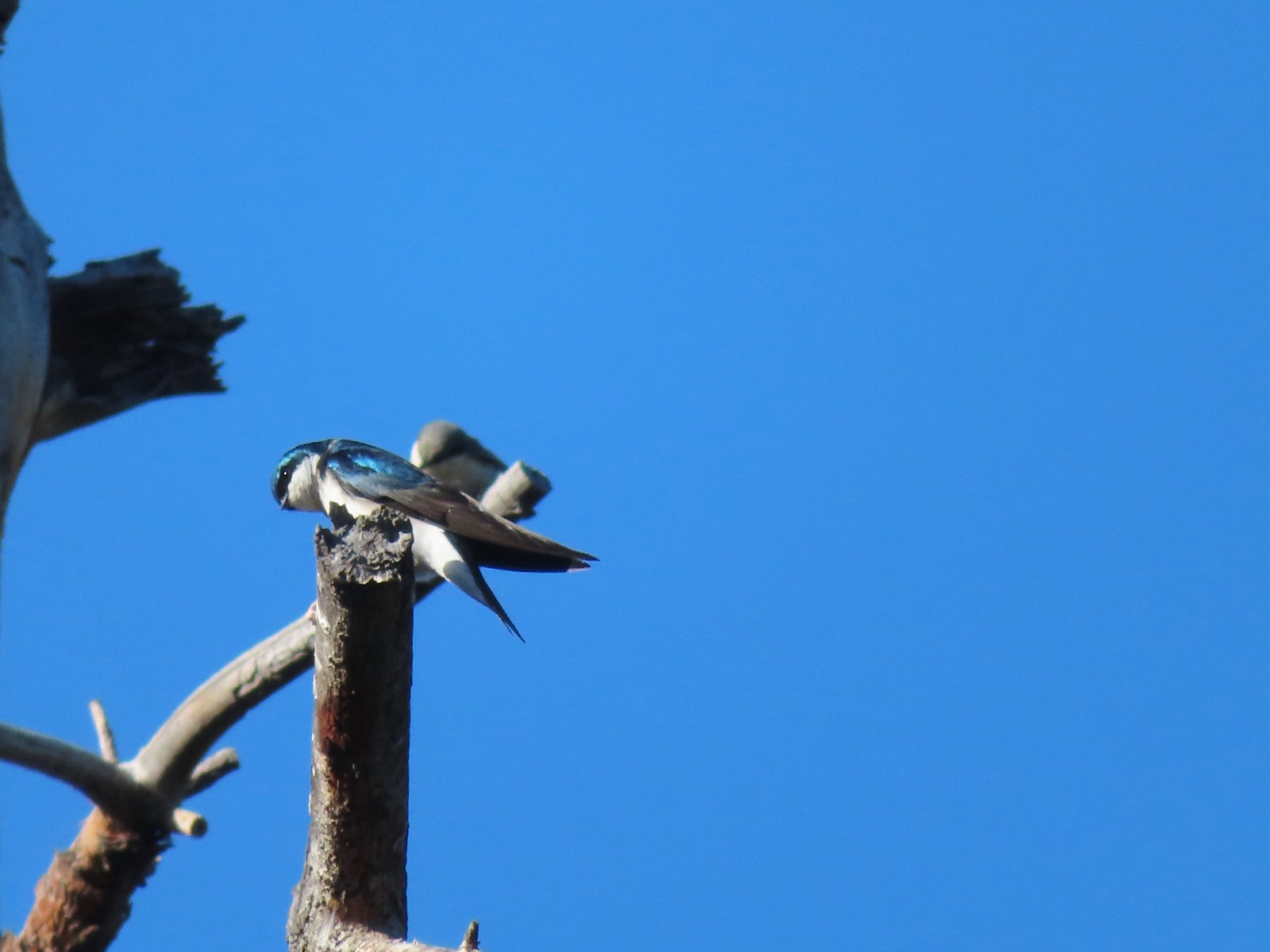 Tree swallow – 5/29/23, Tumalo State Park, Bend
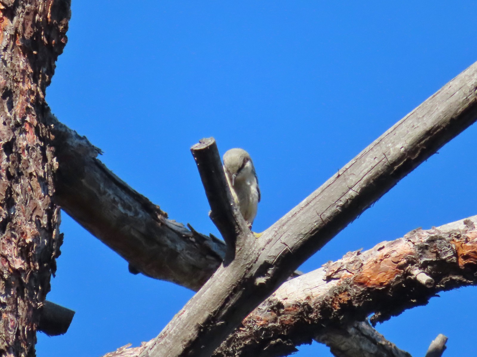 Pygmy nuthatch? – 5/29/23, Tumalo State Park, Bend
 Lazuli bunting – 6/3/23, Conboy Lake National Wildlife Refuge, Trout Lake, WA
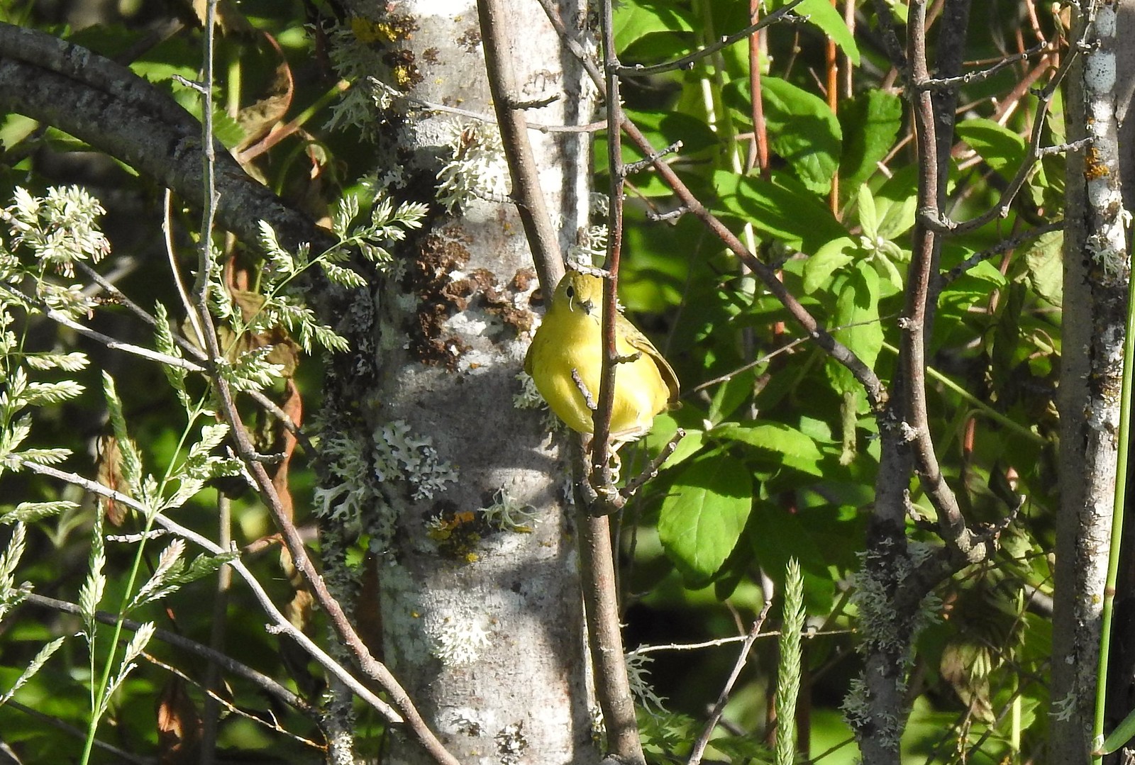 Yellow warbler – 6/3/23, Conboy Lake National Wildlife Refuge, Trout Lake, WA
 Western bluebird – 6/3/23, Conboy Lake National Wildlife Refuge, Trout Lake, WA
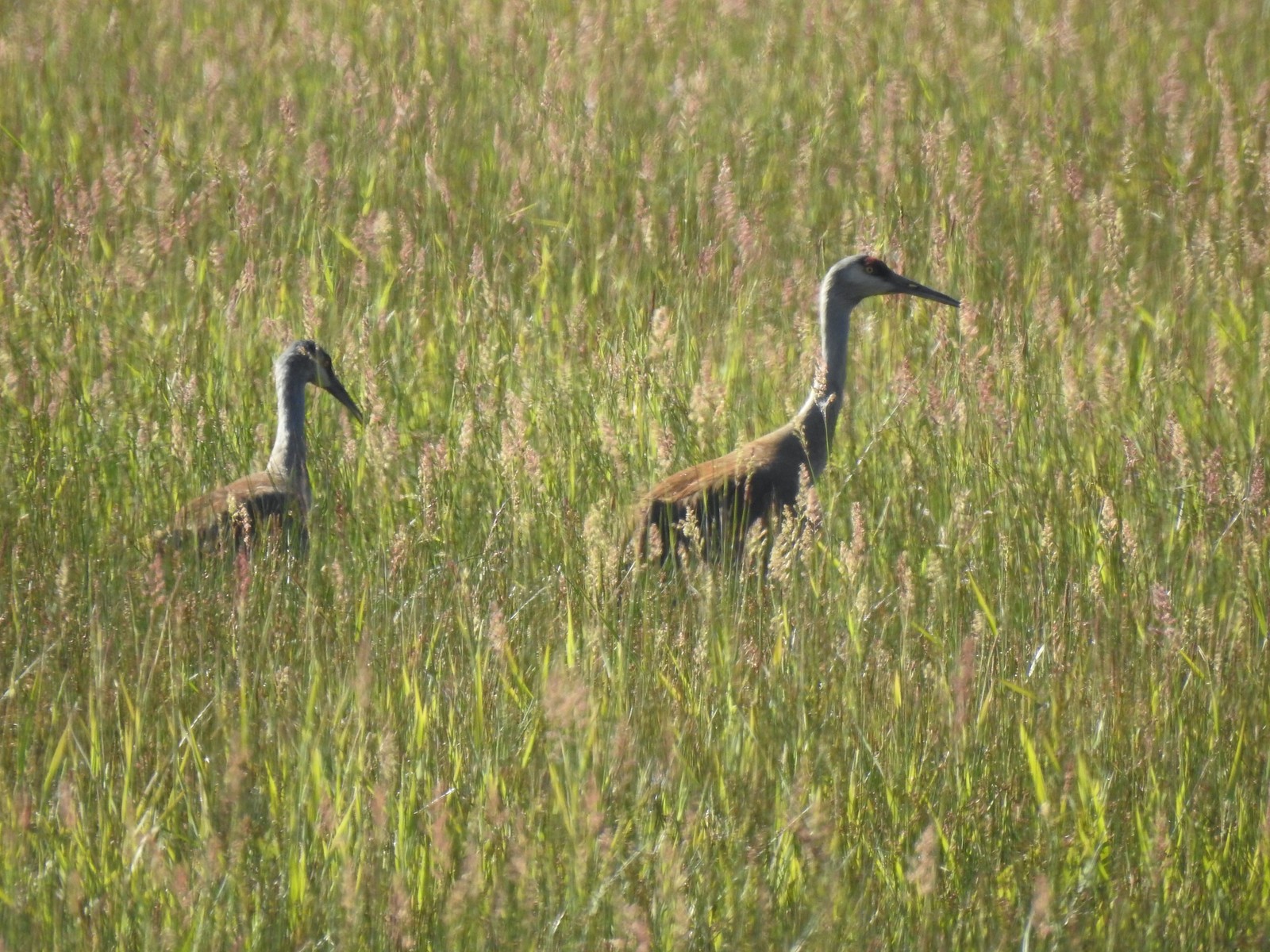 Sandhill cranes – 6/3/23, Conboy Lake National Wildlife Refuge, Trout Lake, WA
 Warbling vireo – 6/3/23, Conboy Lake National Wildlife Refuge, Trout Lake, WA
 Raven – 6/11/23, Lewis & Clark Trail, Hermiston
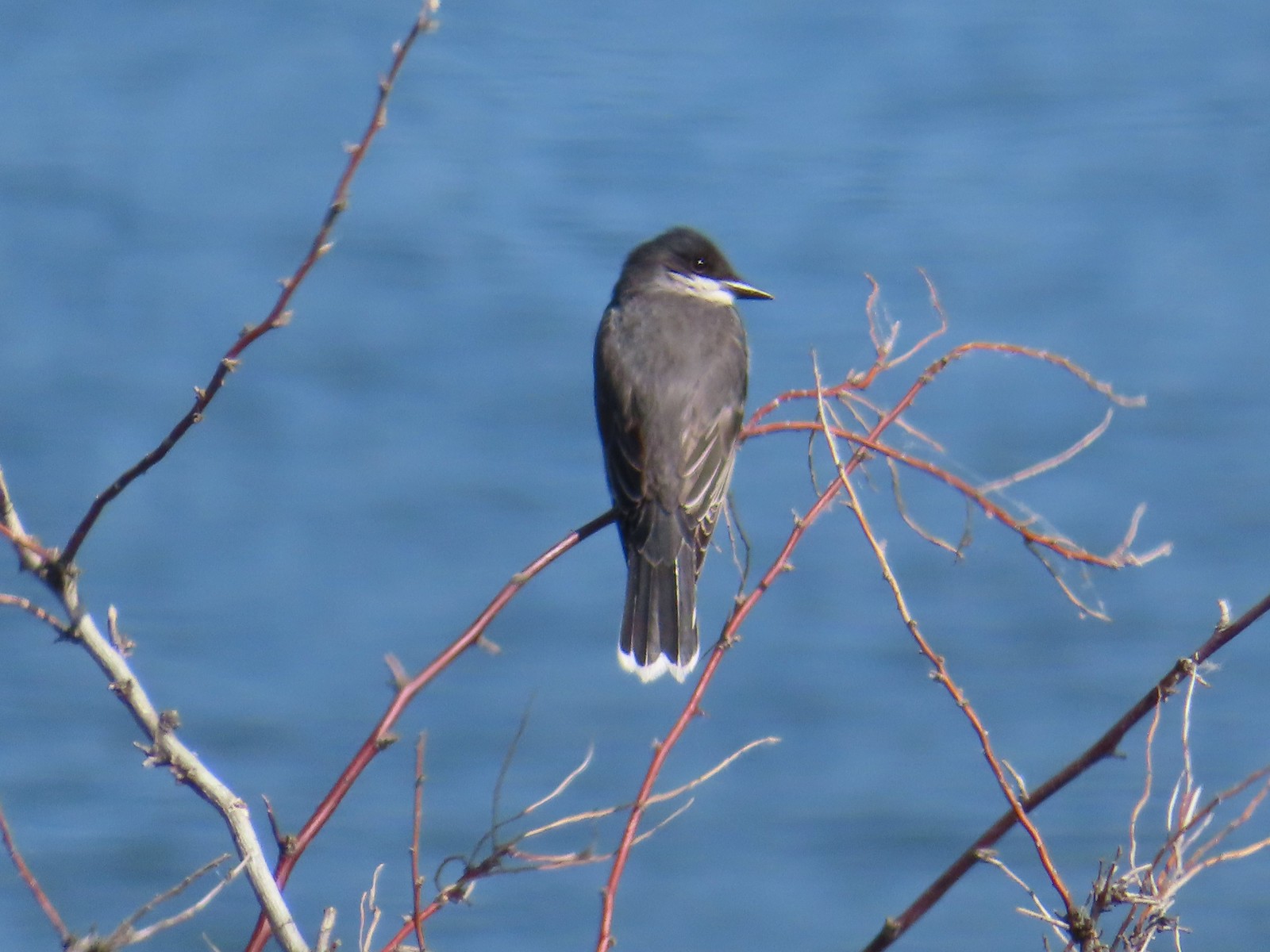 Eastern kingbird – 6/11/23, Lewis & Clark Trail, Hermiston
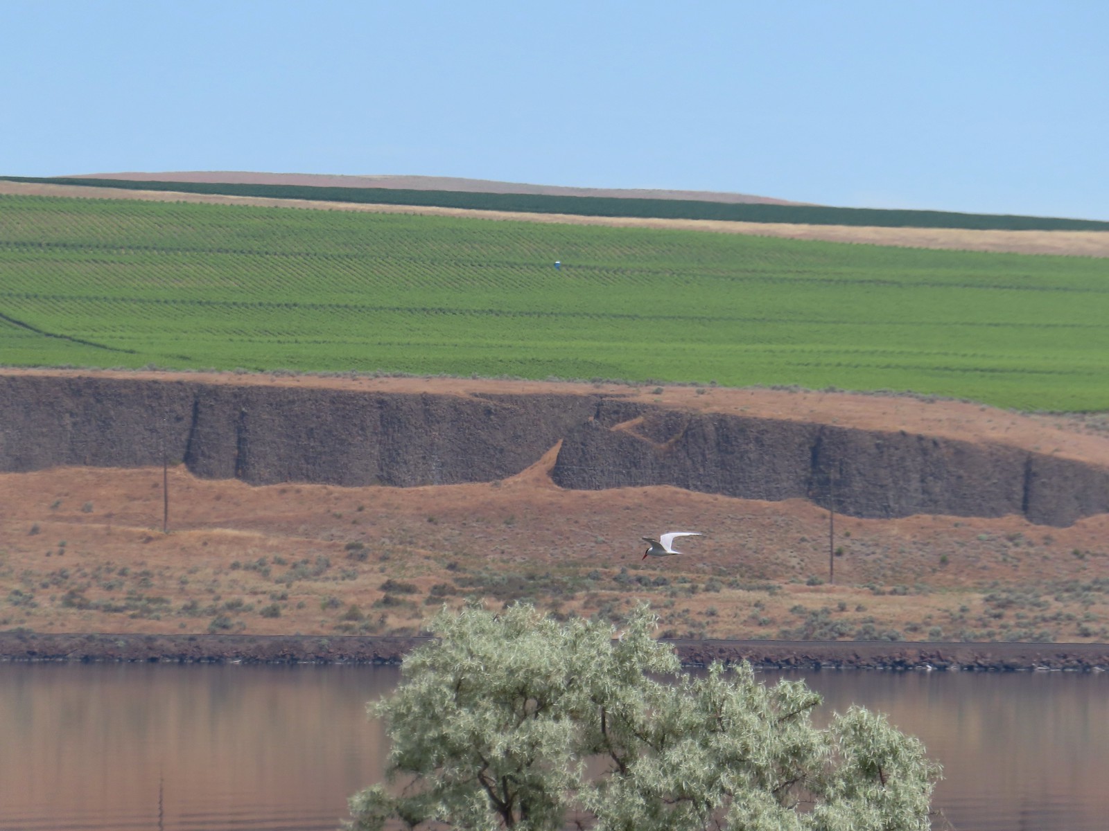 Caspian tern – 6/11/23, Lewis & Clark Trail, Hermiston
 Geese – 6/11/23, Hat Rock State Park, Hermiston
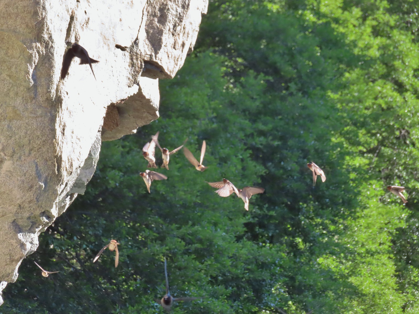 Cliff swallows – 6/14/23, Imnaha Trail, Hells Canyon National Recreation Area
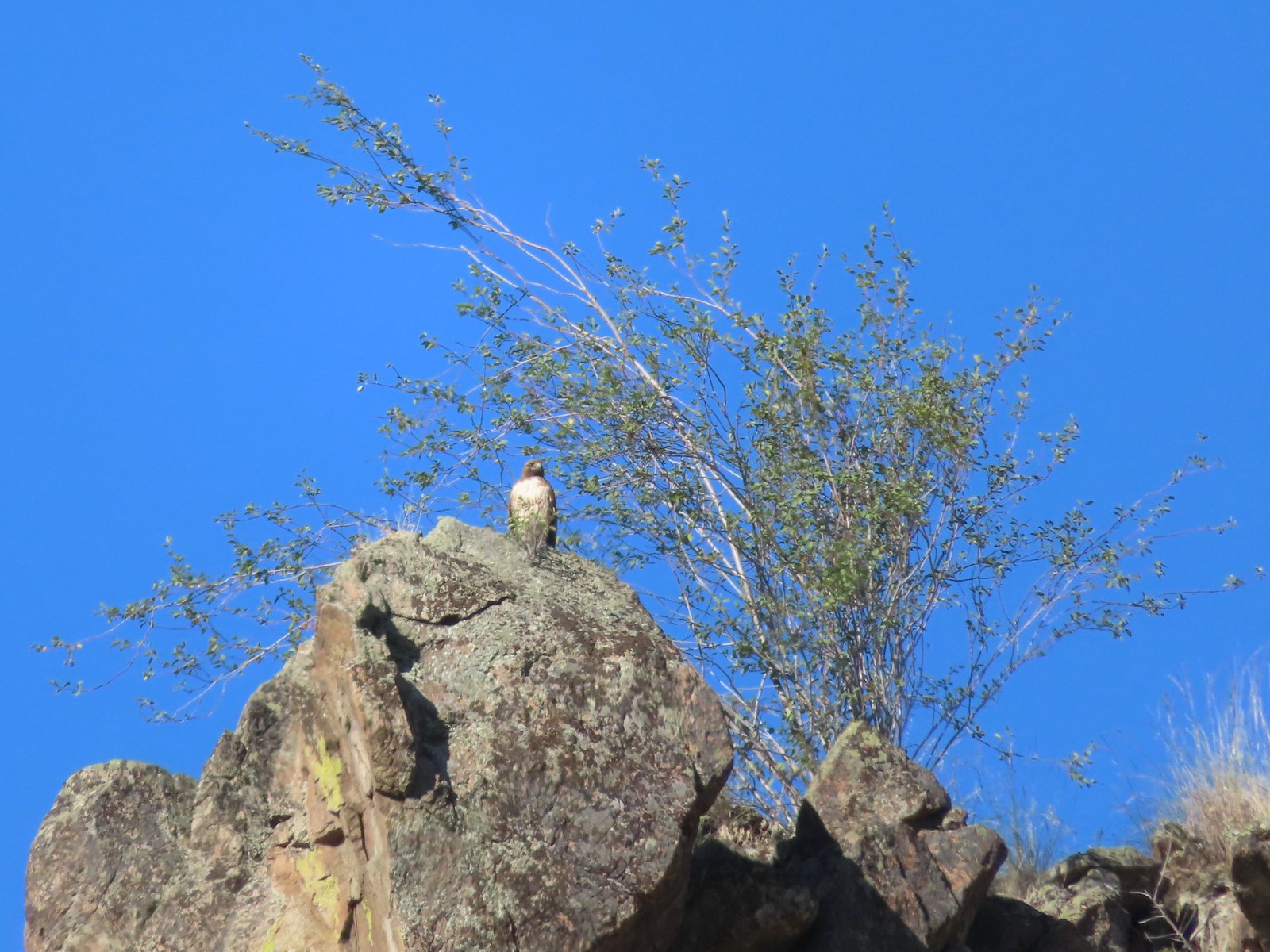 Hawk – 6/14/23, Imnaha Trail, Hells Canyon National Recreation Area
 Common nighthawk – 6/15/23, Hells Canyon National Recreation Area, Wallowa-Whitman National Forest
 Chipping sparrow – 6/15/23, Hells Canyon National Recreation Area, Wallowa-Whitman National Forest
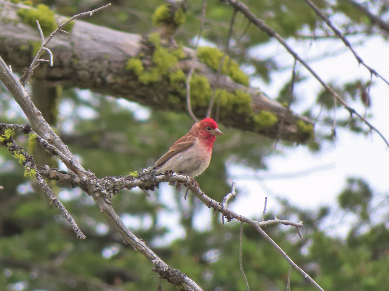 Cassin’s finch – 6/15/23, Hells Canyon National Recreation Area, Wallowa-Whitman National Forest
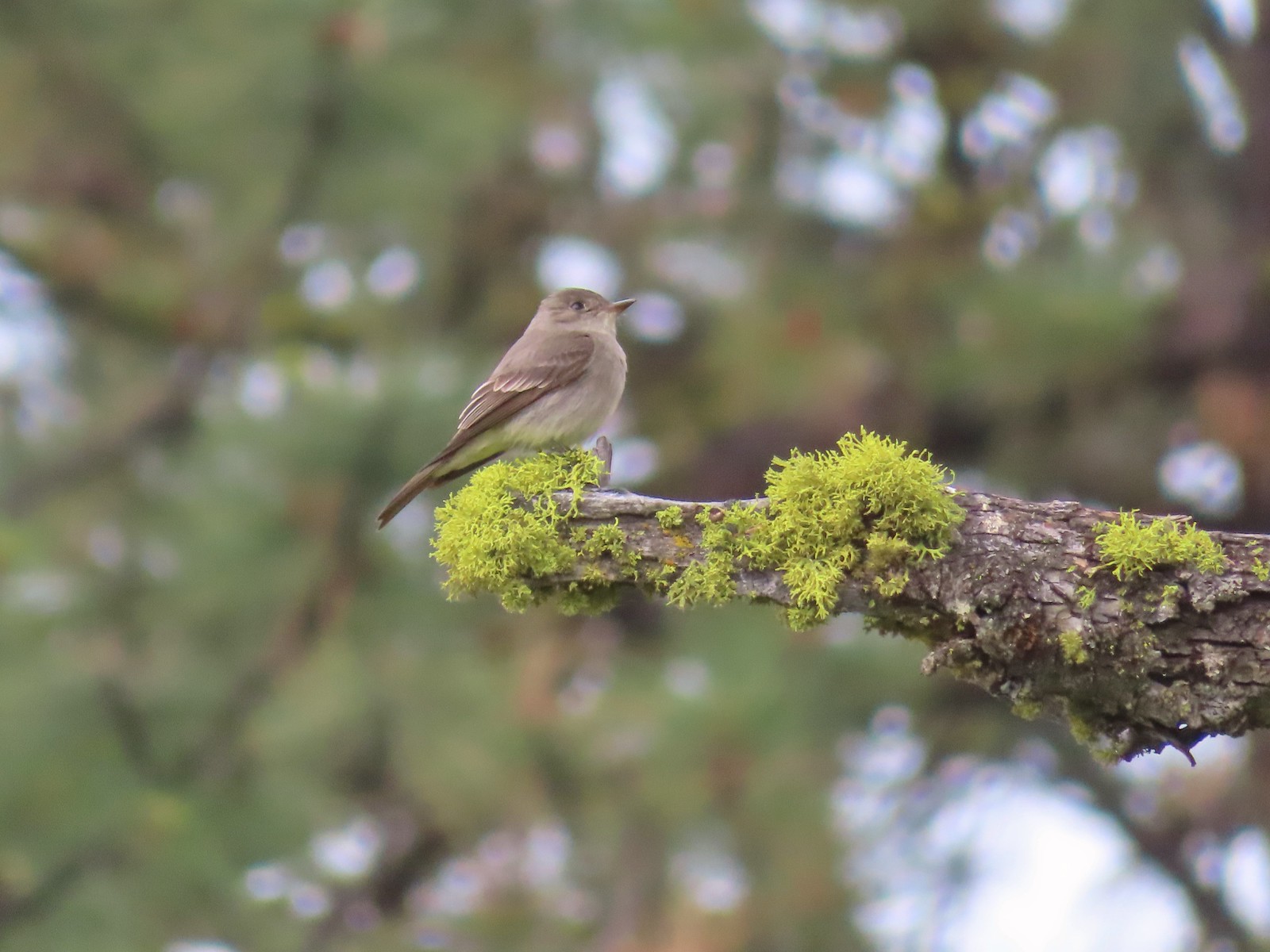 Western wood pee-wee – 6/15/23, Hells Canyon National Recreation Area, Wallowa-Whitman National Forest
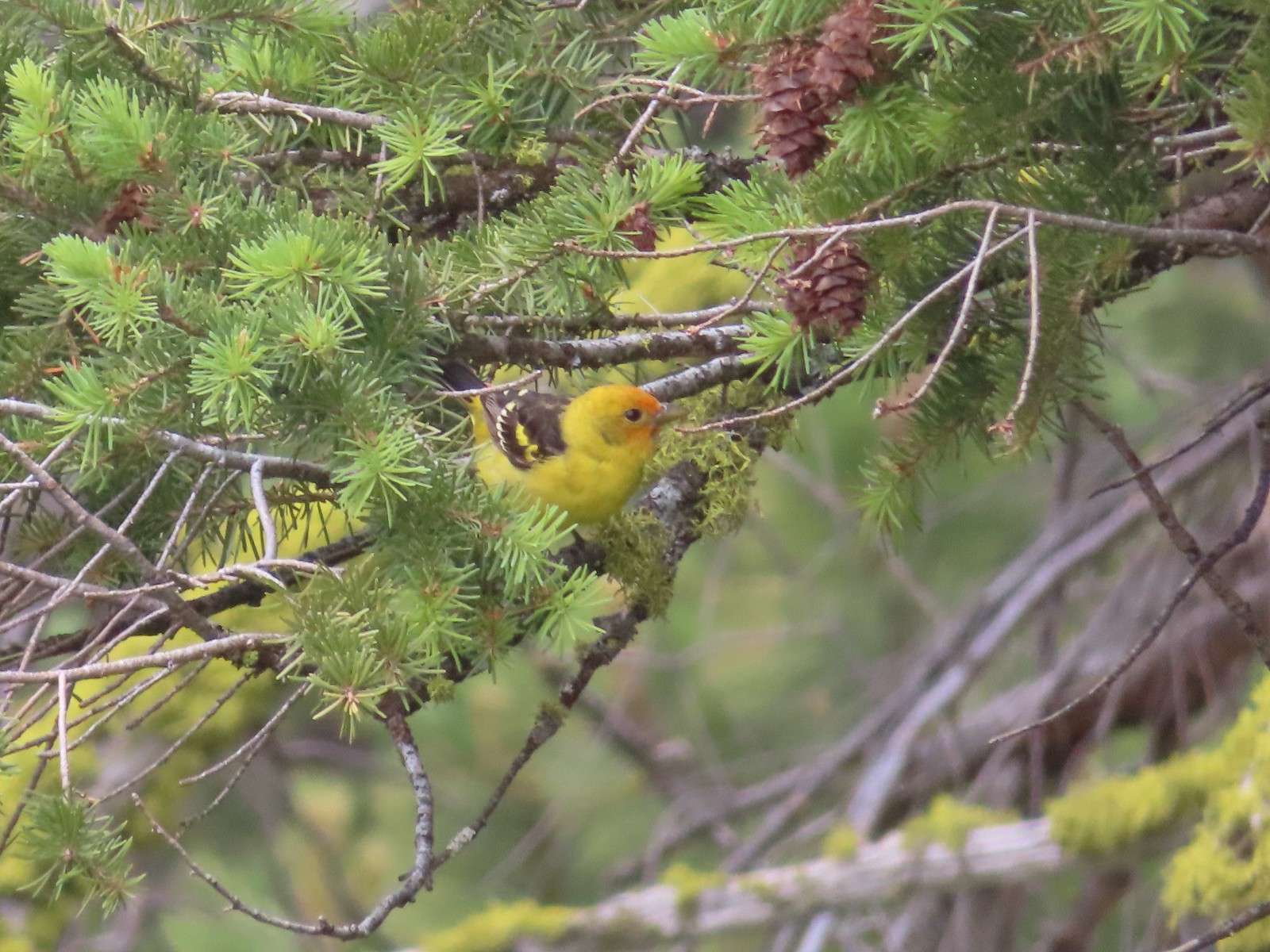 Western tanager – 6/15/23, Hells Canyon National Recreation Area, Wallowa-Whitman National Forest
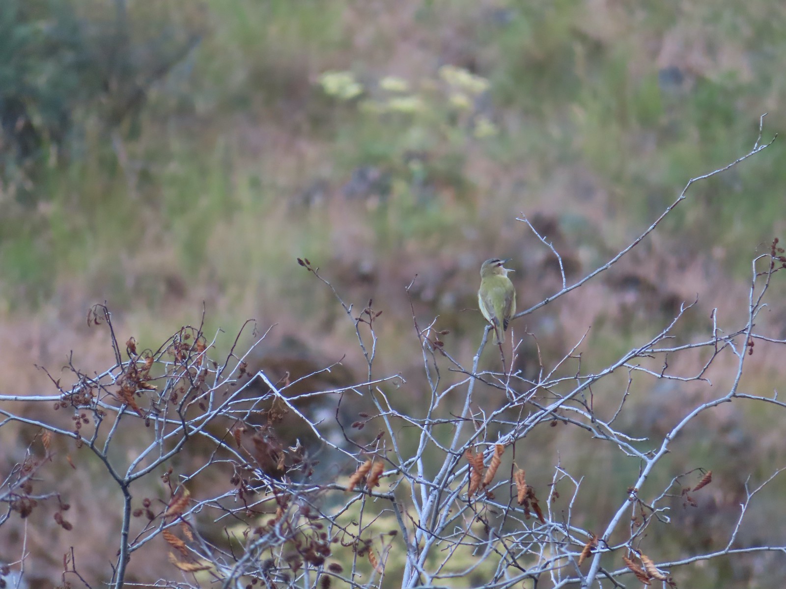 Red-eyed vireo – 6/16/23, Trail 1890, Hells Canyon Wilderness
 Bushtit – 6/24/23, Rogue River National Recreation Trail, Wild Rogue Wilderness
 Macgillivray’s warbler? – 6/25/23, North Umpqua Trail, BLM Roseburg District
 Woodpecker – 6/25/23, North Umpqua Trail, BLM Roseburg District
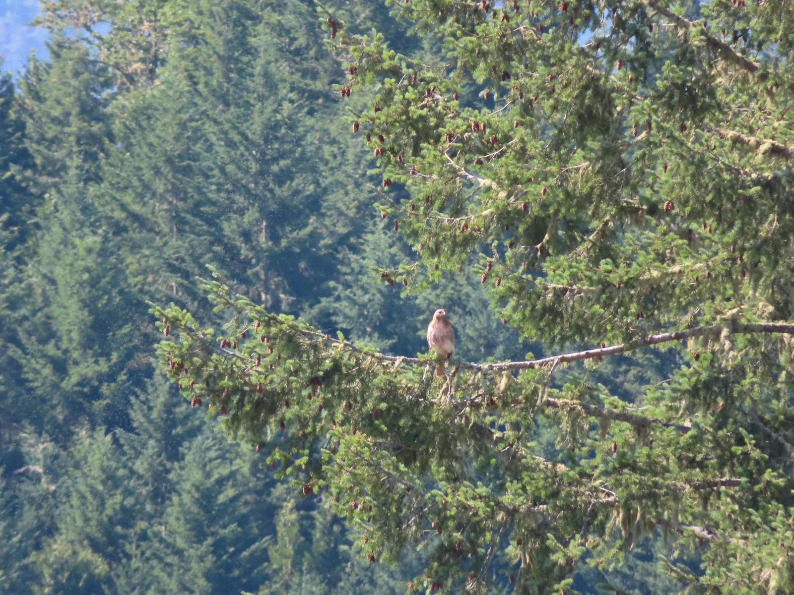 Hawk – 6/25/23, North Bank Habitat, BLM Roseburg District
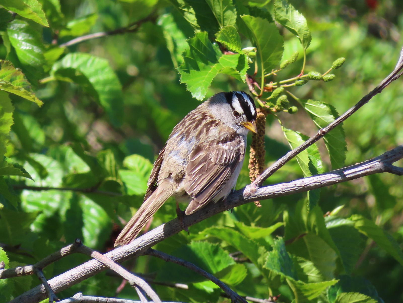 White-crowned sparrow – 7/1/23, Boundary Trail, Mt. St. Helens National Volcanic Monument
 Cedar waxwings – 7/1/23, Boundary Trail, Mt. St. Helens National Volcanic Monument
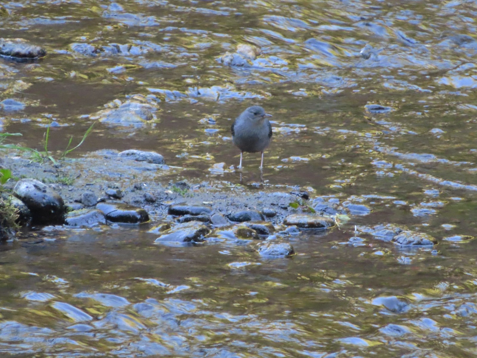 Ouzel – 7/22/23, Metolius River Trail, Deschutes National Forest
 Sooty grouse – 7/22/23, Metolius River Trail, Deschutes National Forest
 Canada jay – 8/5/23, Timberline Trail, Mt. Hood Wilderness
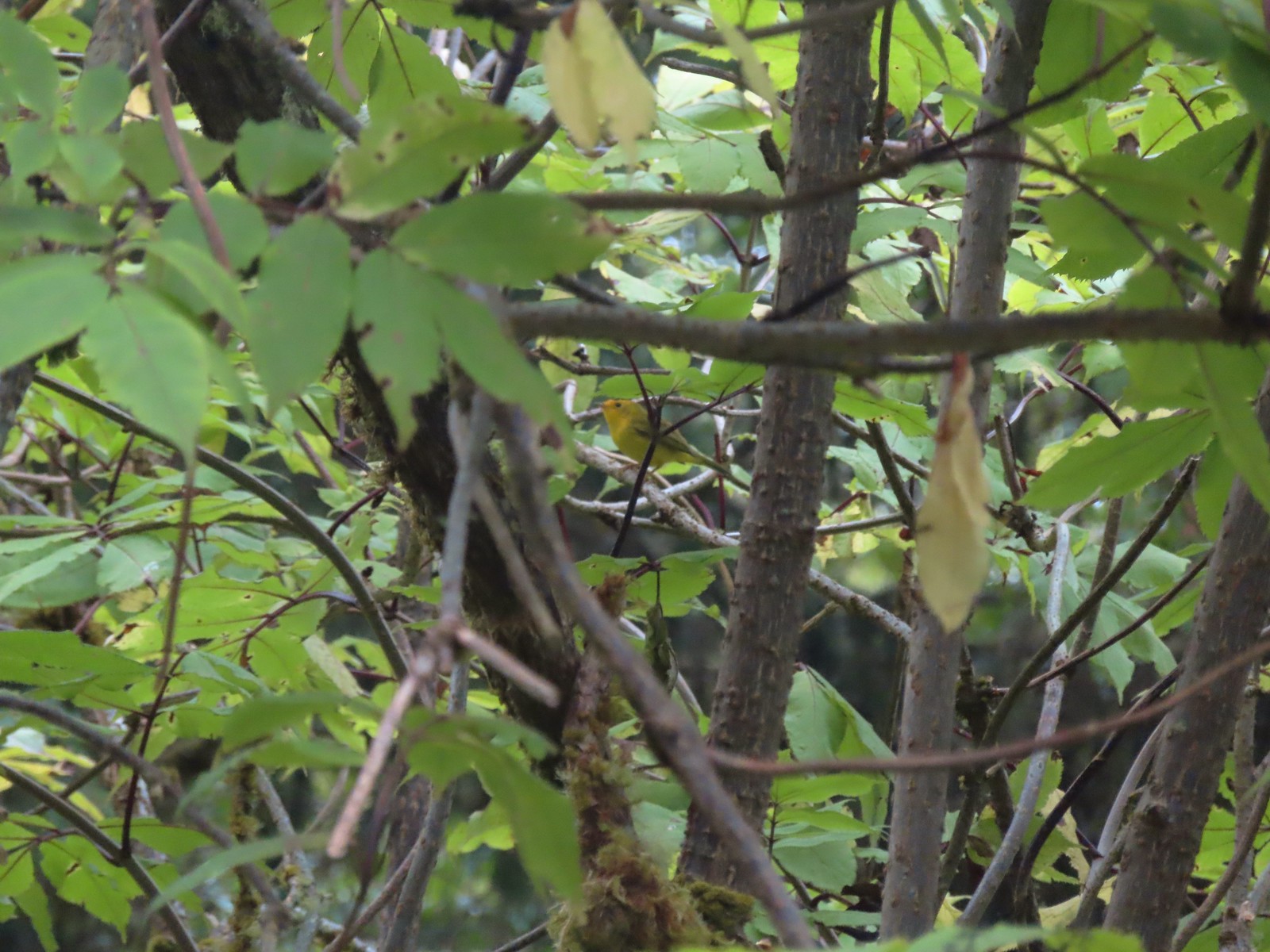 Wilson’s warbler? – 8/29/23, Nestucca Bay National Wildlife Refuge, Cloverdale
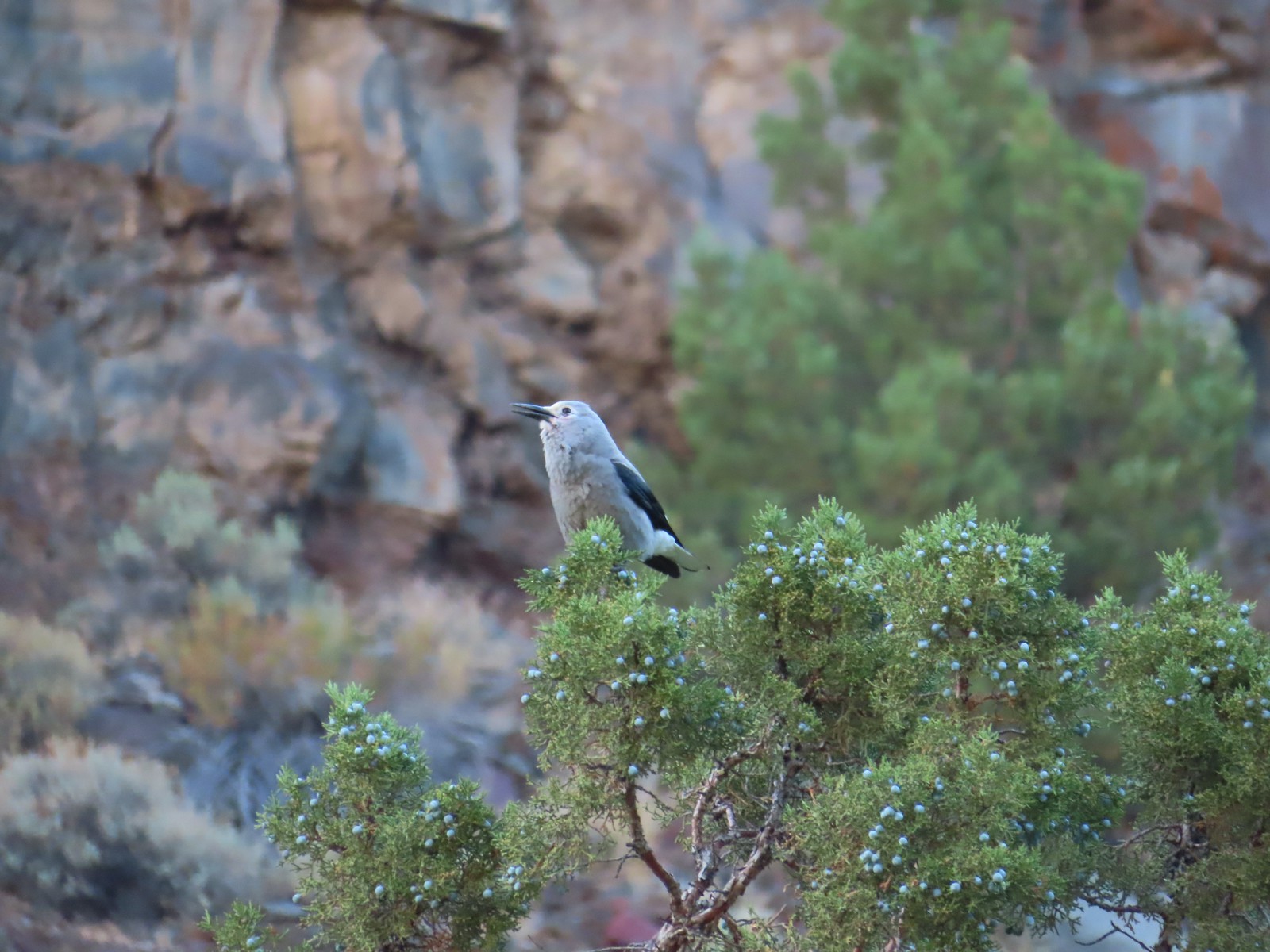 Clark’s nutcrakcer – 9/2/23, Dry River Canyon, BLM Prineville District
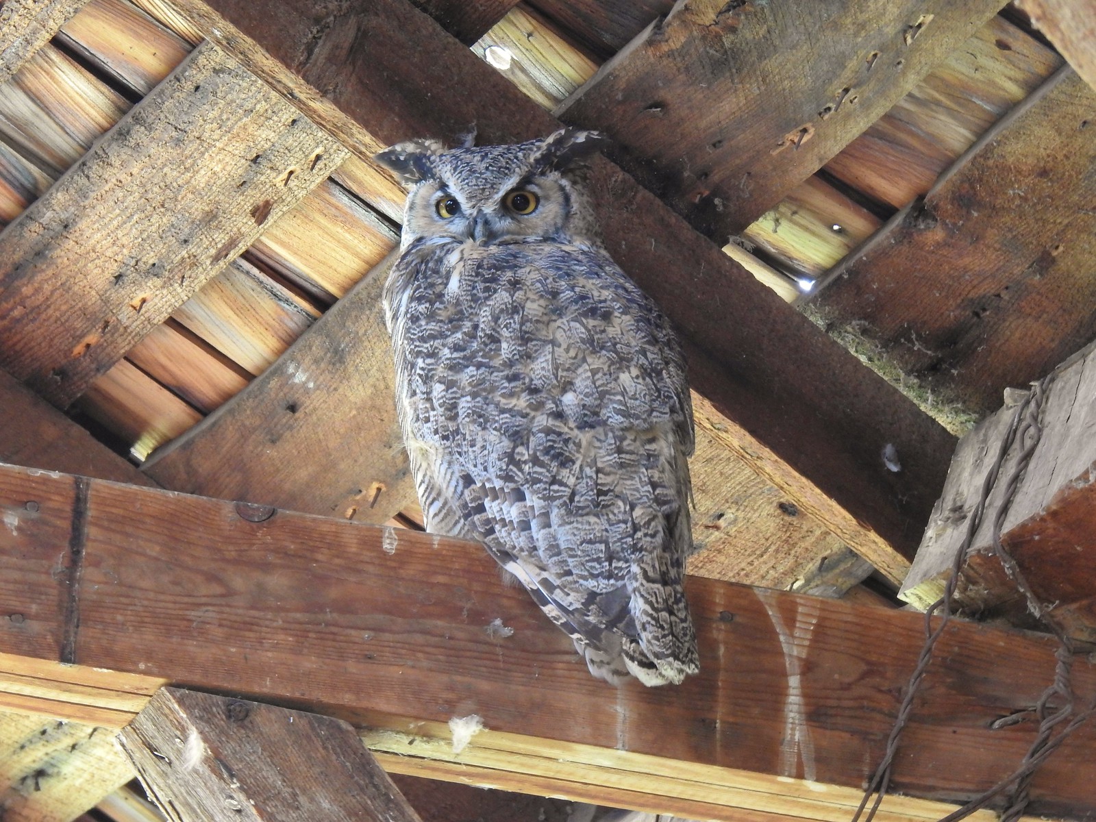 Great horned owl – 9/3/23, P Ranch, Malheur National Wildlife Refuge
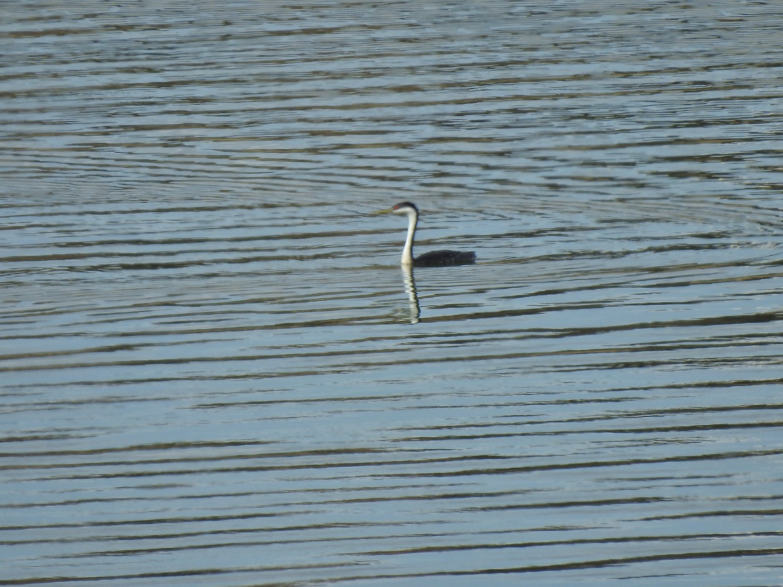 Western grebe – 9/3/23, Krumbo Reservoir, Malheur National Wildlife Refuge
 Unidentified bird – 9/3/23, Krumbo Reservoir, Malheur National Wildlife Refuge
 White-faced ibis – 9/3/23, Cental Patrol Road, Malheur National Wildlife Refuge
 Ring-necked pheasant – 9/3/23, Central Patrol Road, Malheur National Wildlife Refuge
 Townsends solitaire – 9/4/23 Fryrear Canyon, BLM Prineville District
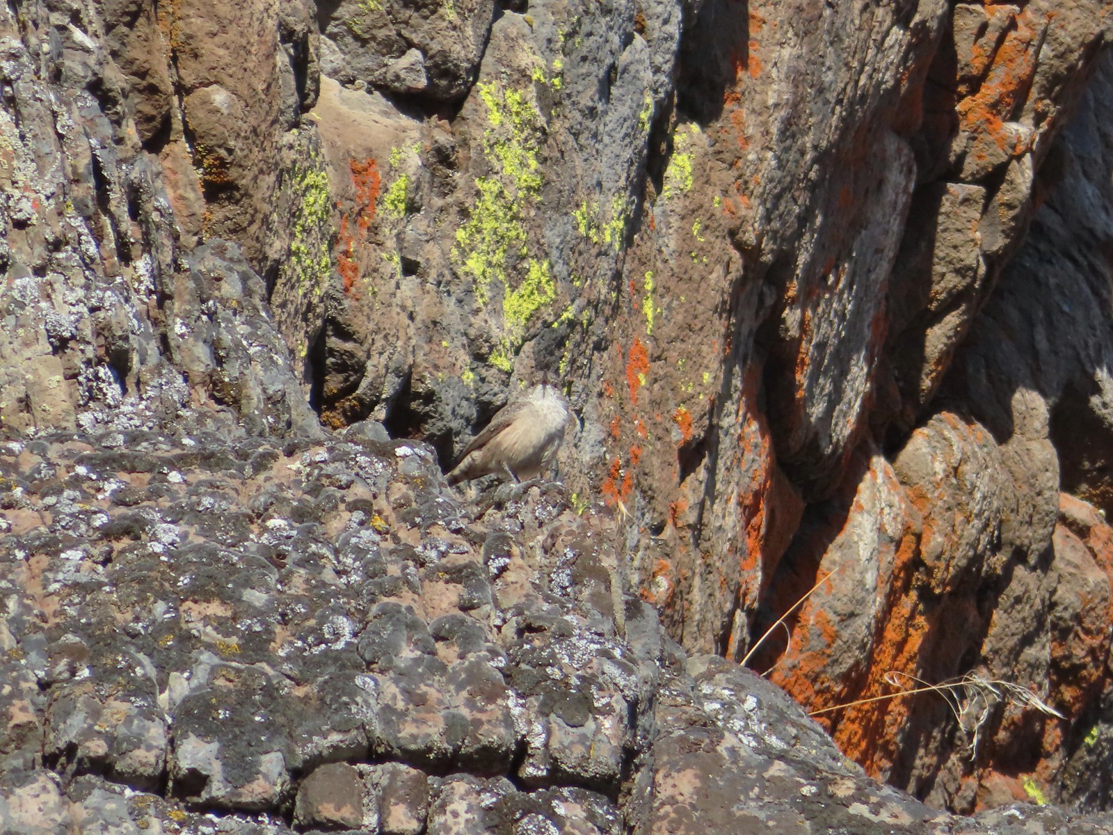 Rock wren? – 9/4/23 Fryrear Canyon, BLM Prineville District
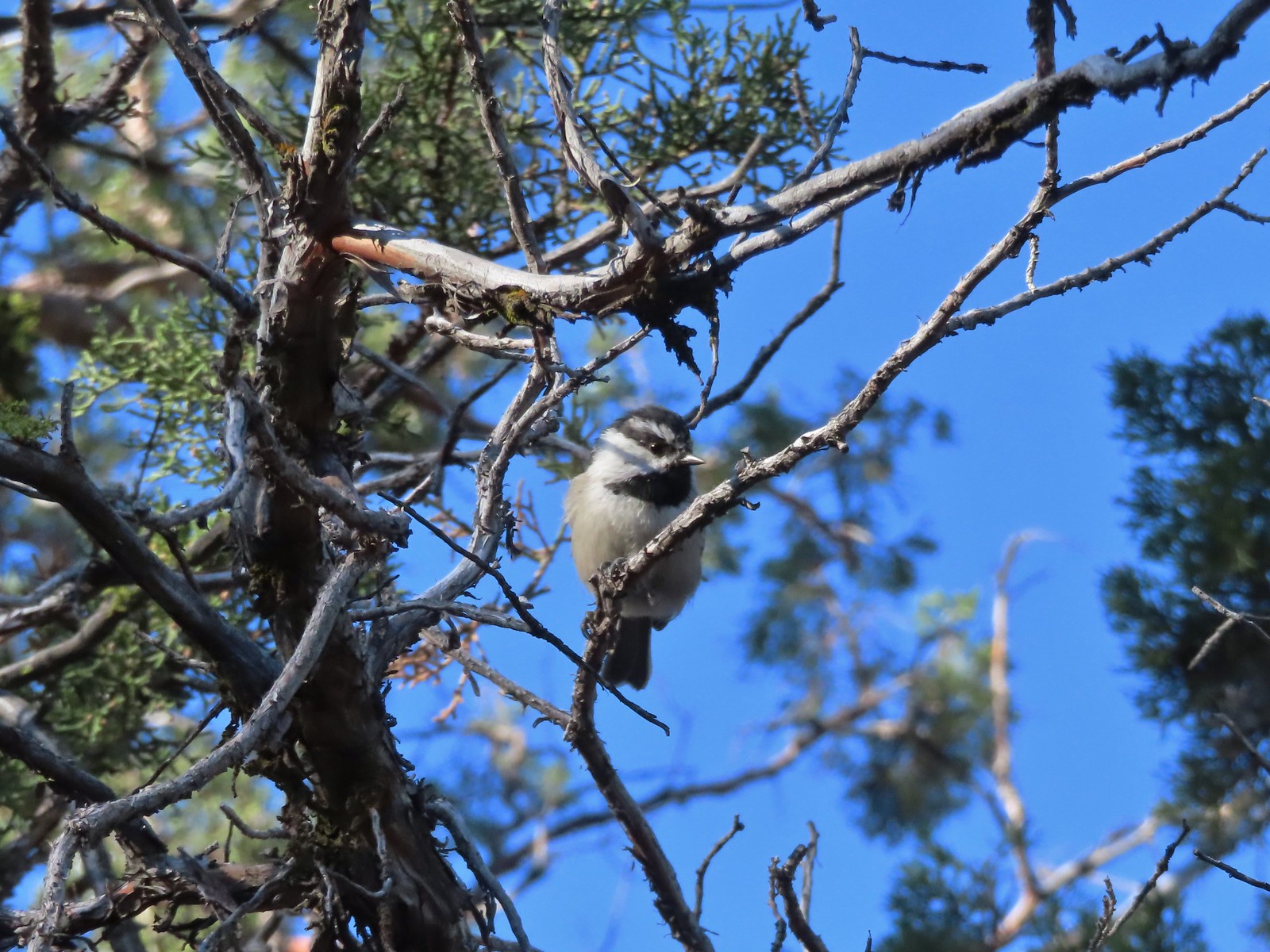 Mountain chickadee – 9/4/23 Fryrear Canyon, BLM Prineville District
 Black-backed woodpecker – 9/9/23, Pacific Crest Trail, Sky Lakes Wilderness
 American pipit – 9/9/23, Devil’s Peak, Sky Lakes Wilderness
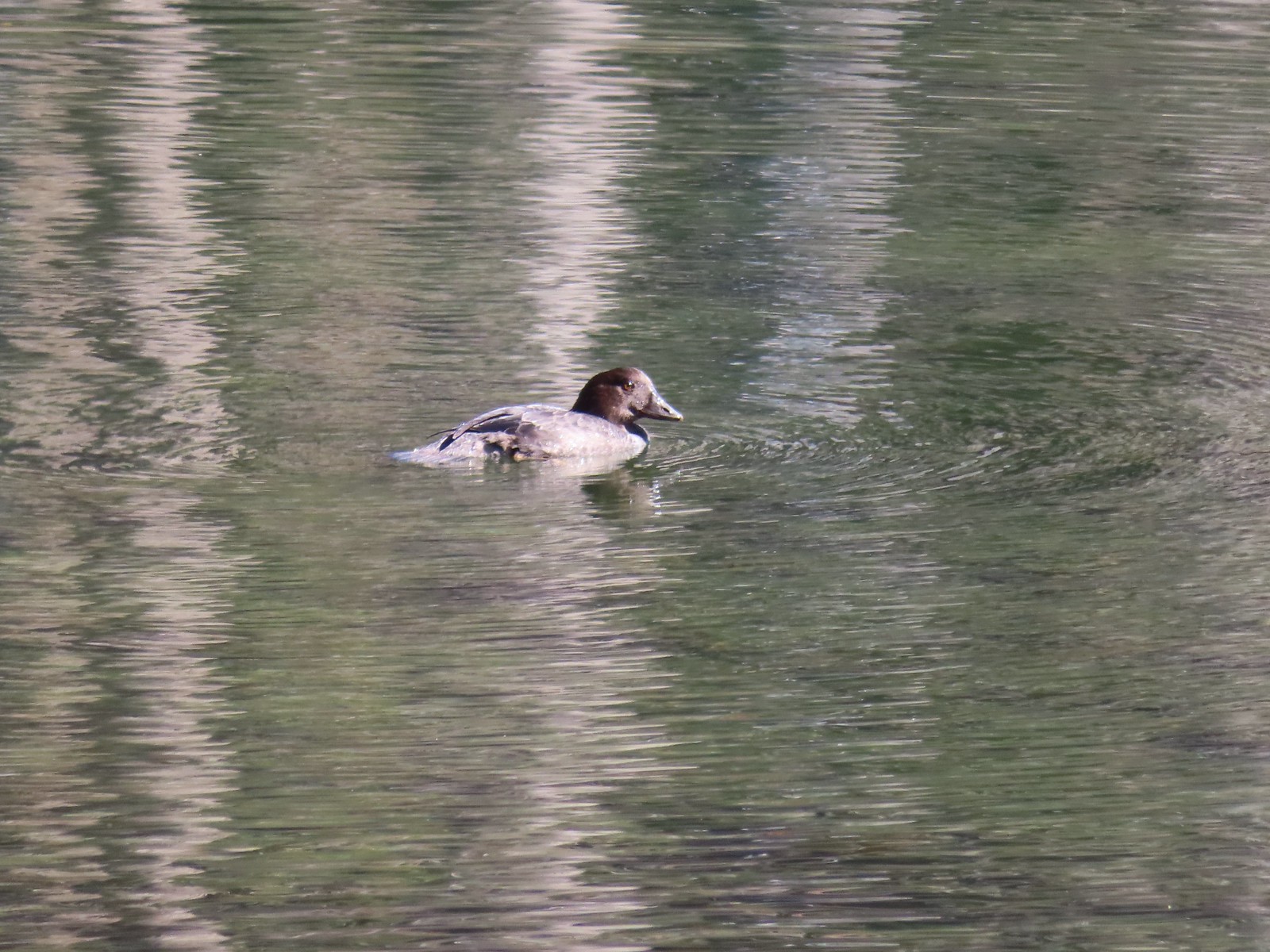 Golden eye – 9/16/23, Fish Lake, Mt. Hood National Forest
 White-breasted nuthatch – 9/16/23, Fish Lake Trail, Mt. Hood National Forest
 Stellar’s jay – 9/30/23, Big Creek Park, Newport
 Red-tailed hawk – 9/30/23, Strom Boulder Ridge, Burnt Woods
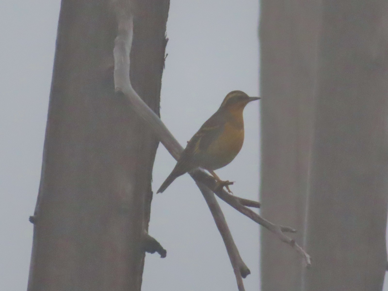 Varied thrush – 10/9/23, Babyfoot Lake Trail, Kalmiopsis Wilderness
 Seagull – 10/28/23, Oceanside Beach, Oceanside
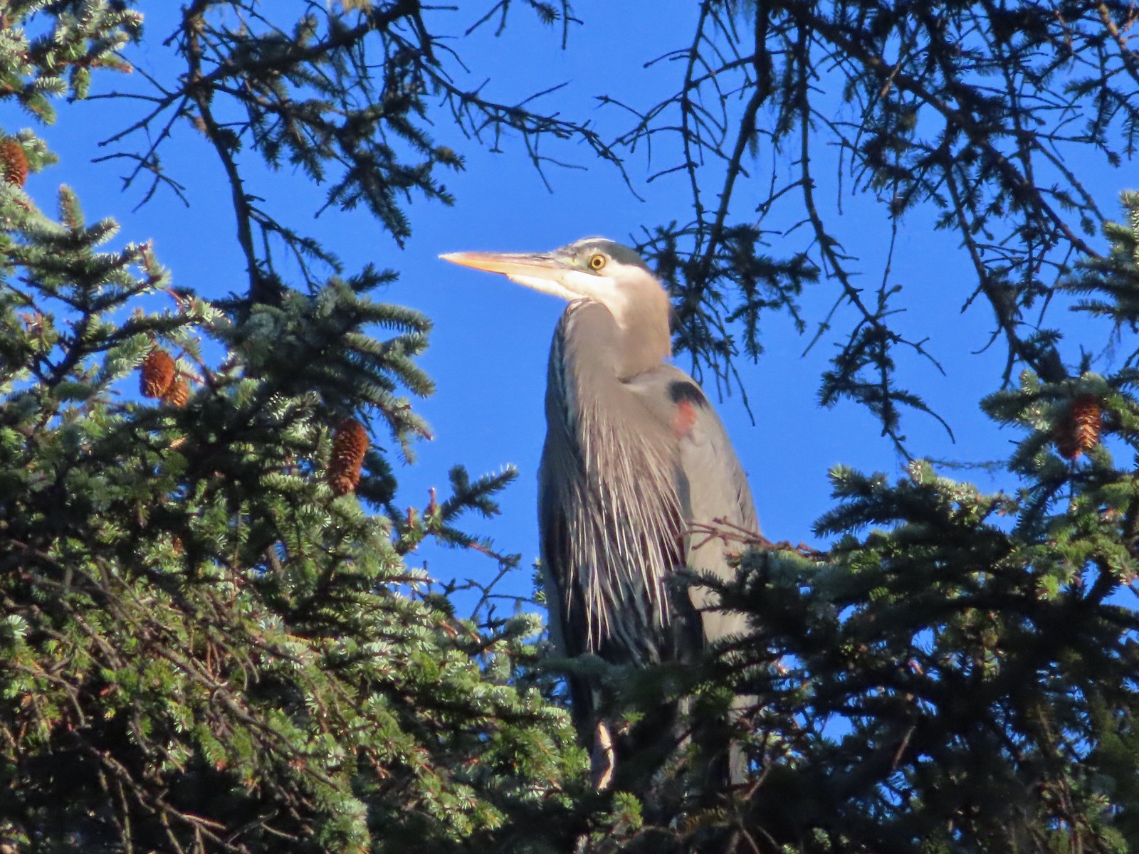 Great blue heron – 10/28/23, Oceanside Beach, Oceanside
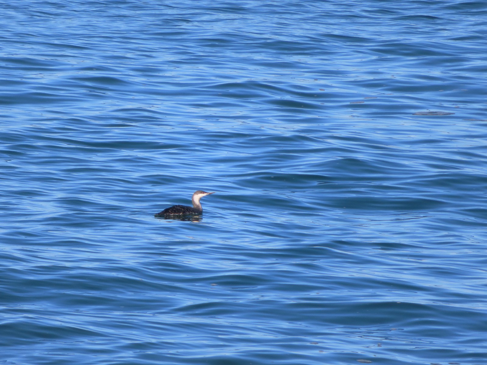 Red-throated loon – 10/28/23, Pacific Ocean, Oceanside
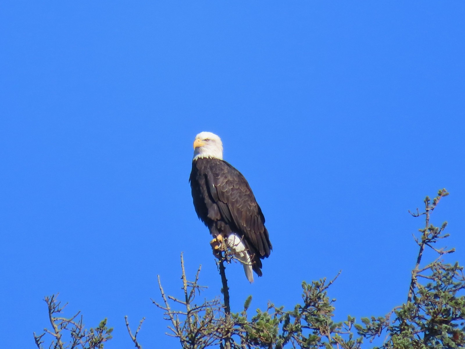 Bald eagle – 10/28/23, Tillamook Wetlands, Tillamook
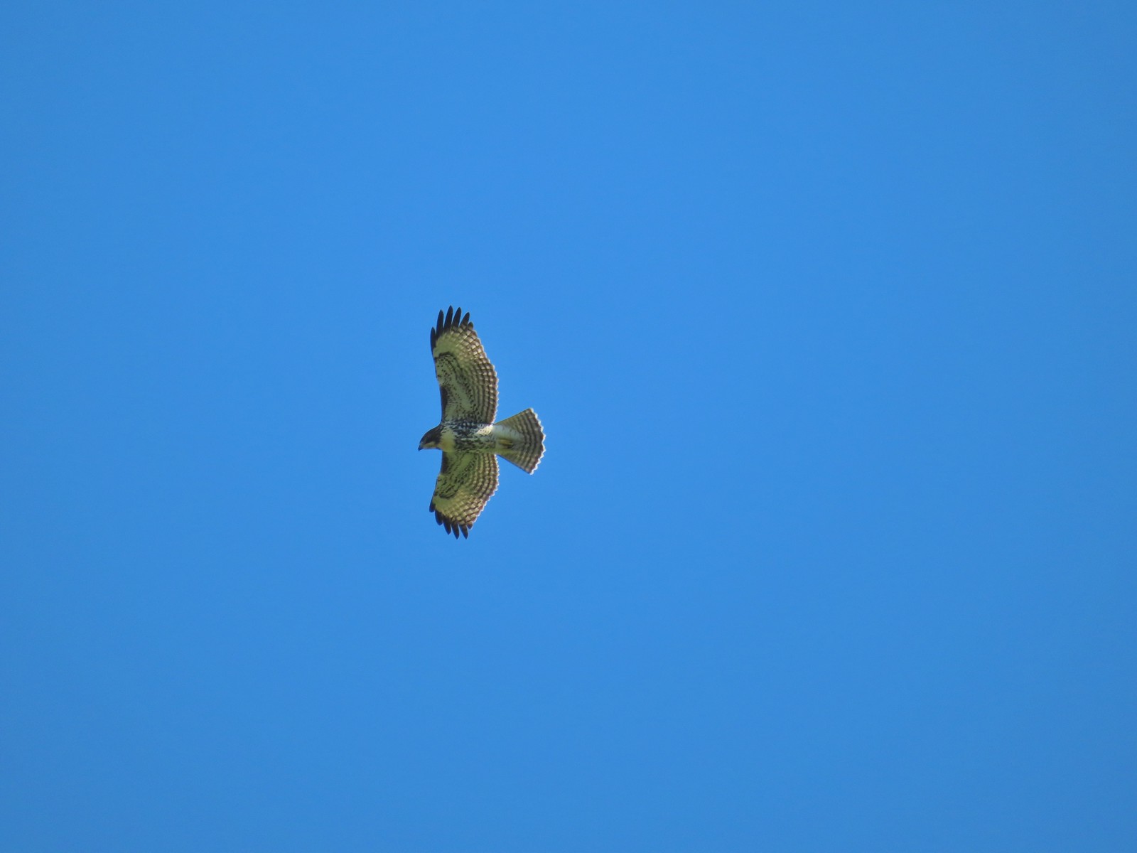 Hawk – 10/28/23, Tillamook Wetlands, Tillamook
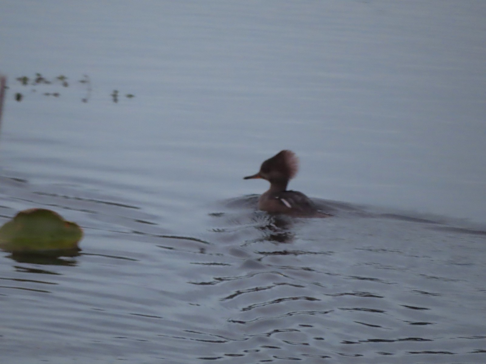 Hooded merganser – 11/18/23, D River, Lincoln City
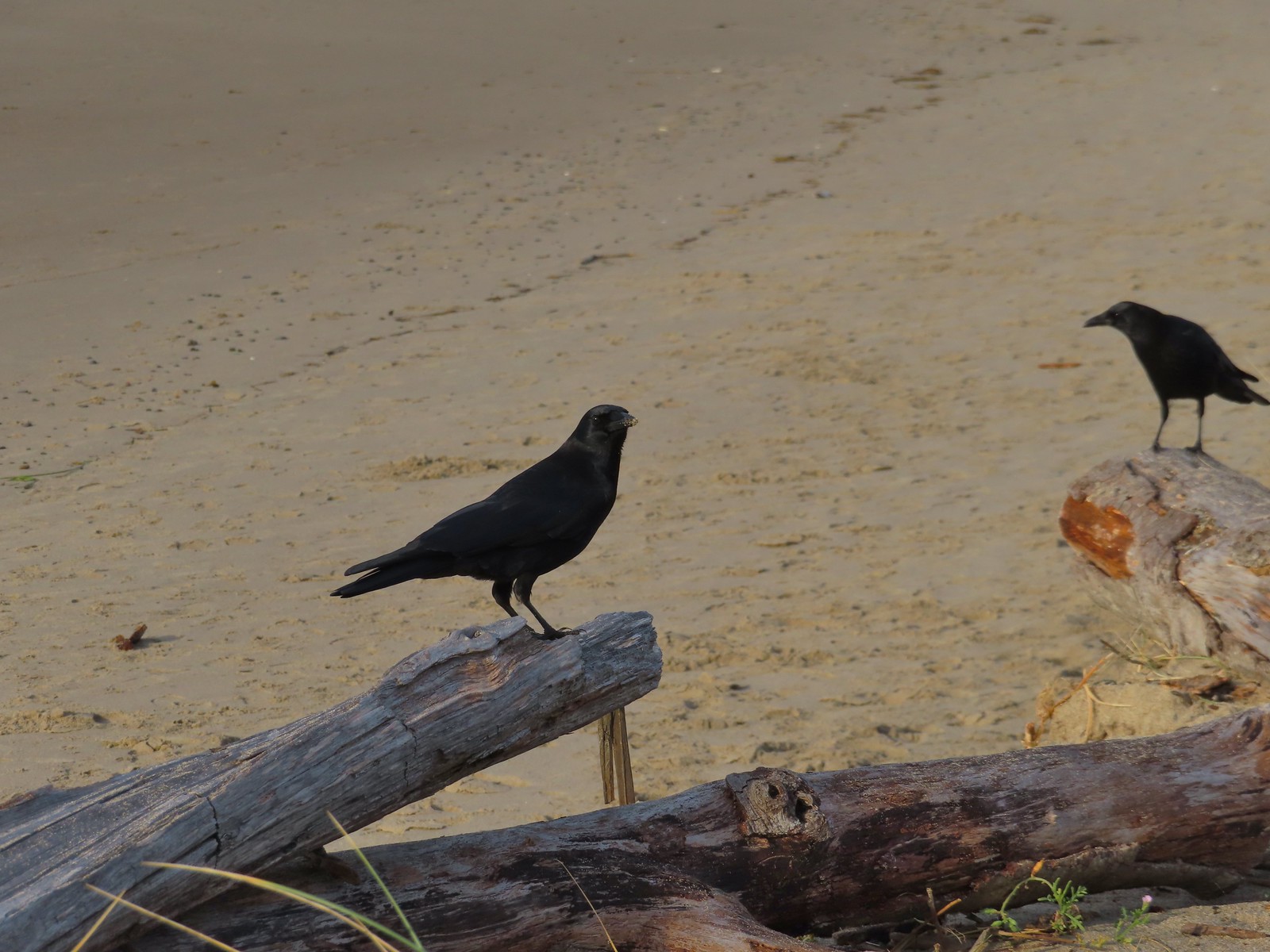 Crows – 11/18/23, Siletz Bay, Lincoln City
 Brown pelicans – 11/18/23, Siletz Bay, Lincoln City
 The Mountain View Trail is named so because of the view of Mt. Hood, which on this morning was hiding behind the clouds on the left side of the photo.
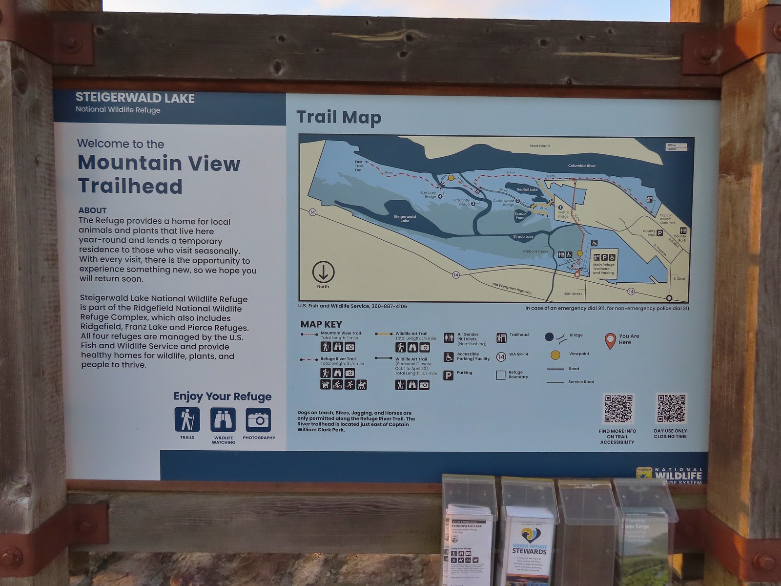 Map and information at the trailhead.
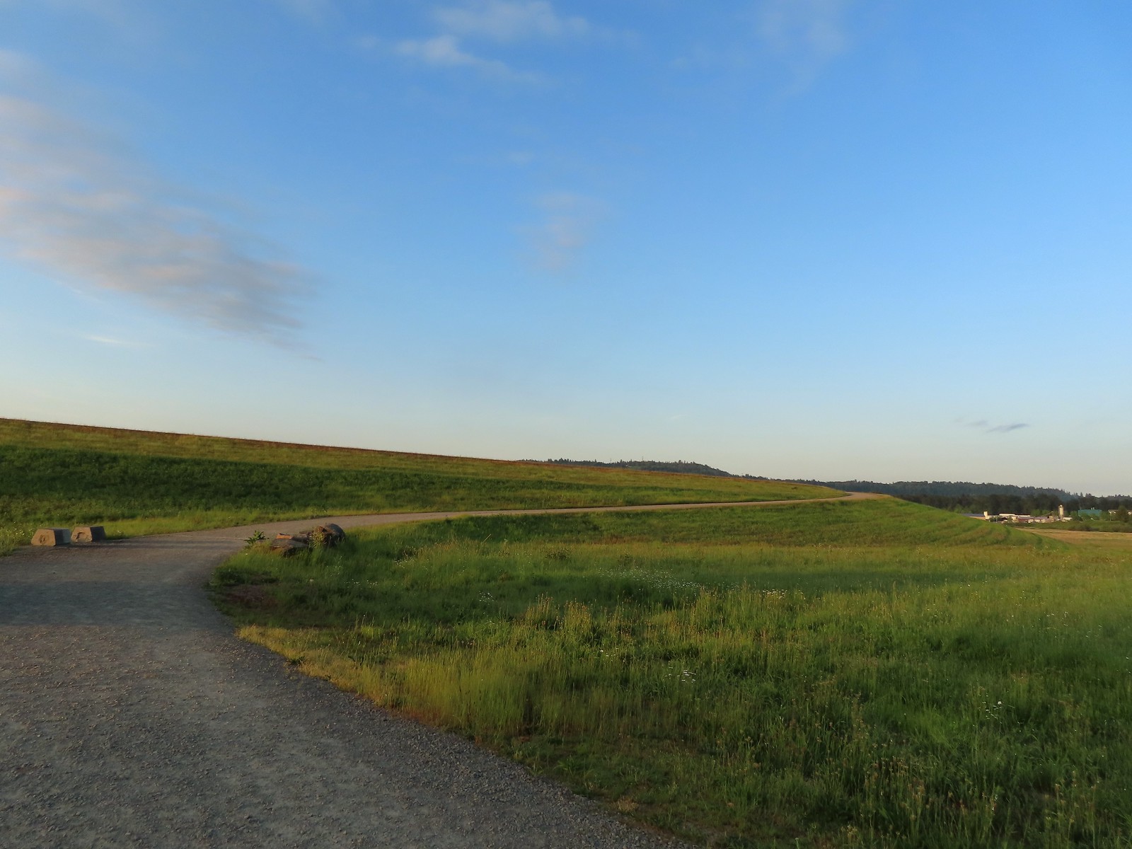
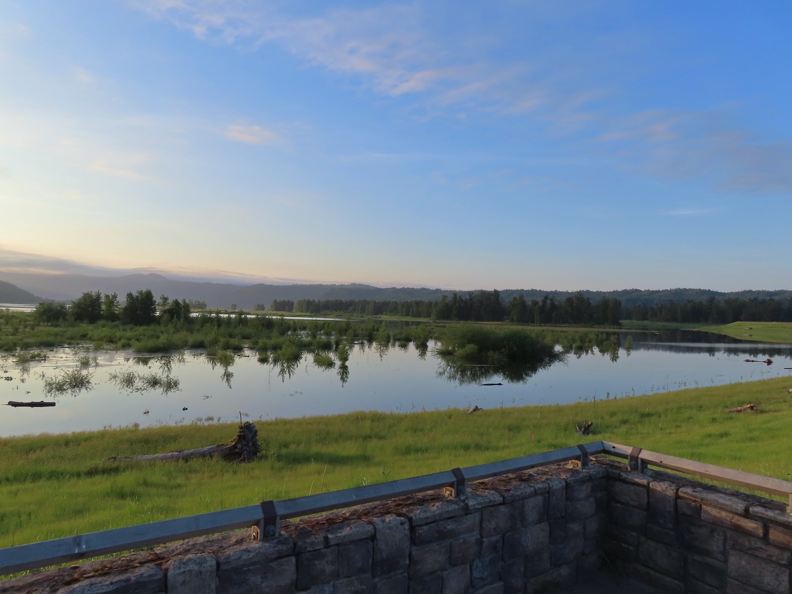 View to the East.
 Looking West toward Washougal.
 Mallards
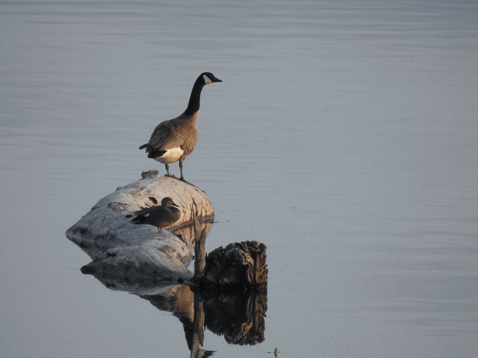 A duck and a goose sharing a log.
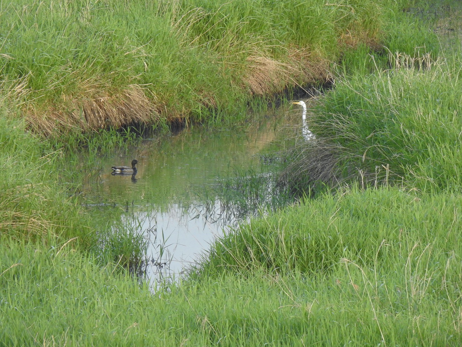 A mallard and an egret in a channel to the West.
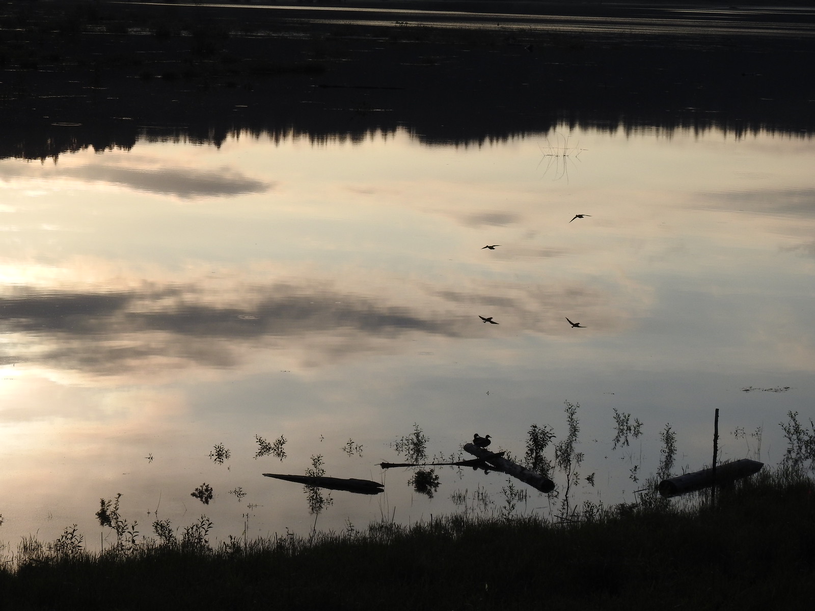 Ducks flying over the wetlands casting clear reflections.
 Water dripping from a mallards bill.
 One of several rabbits we spotted to the West.
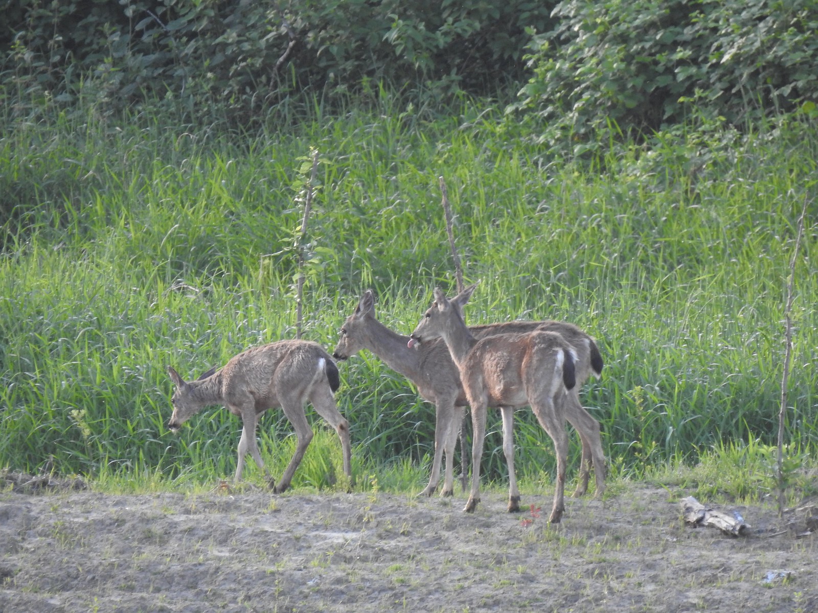 Deer across the wetlands. (The young buck may have been sticking his tongue out at us.)
 Families of geese.
 Trail sign at the junction with the Refuge River Trail.
 Sparrow
 Coming in for a landing.
 Red Tail Lake to the right of the Wildlife Art Trail.
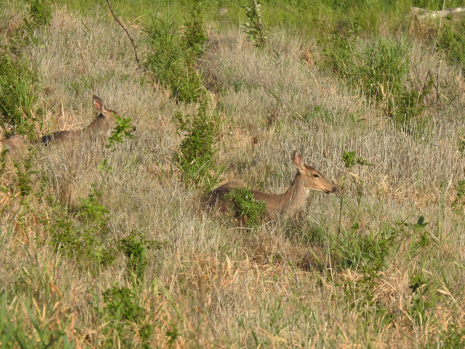 Pretty sure these are the same three we saw from the Mountain View Trail.
 This deer laying along the shore of Red Tail Lake was new though.
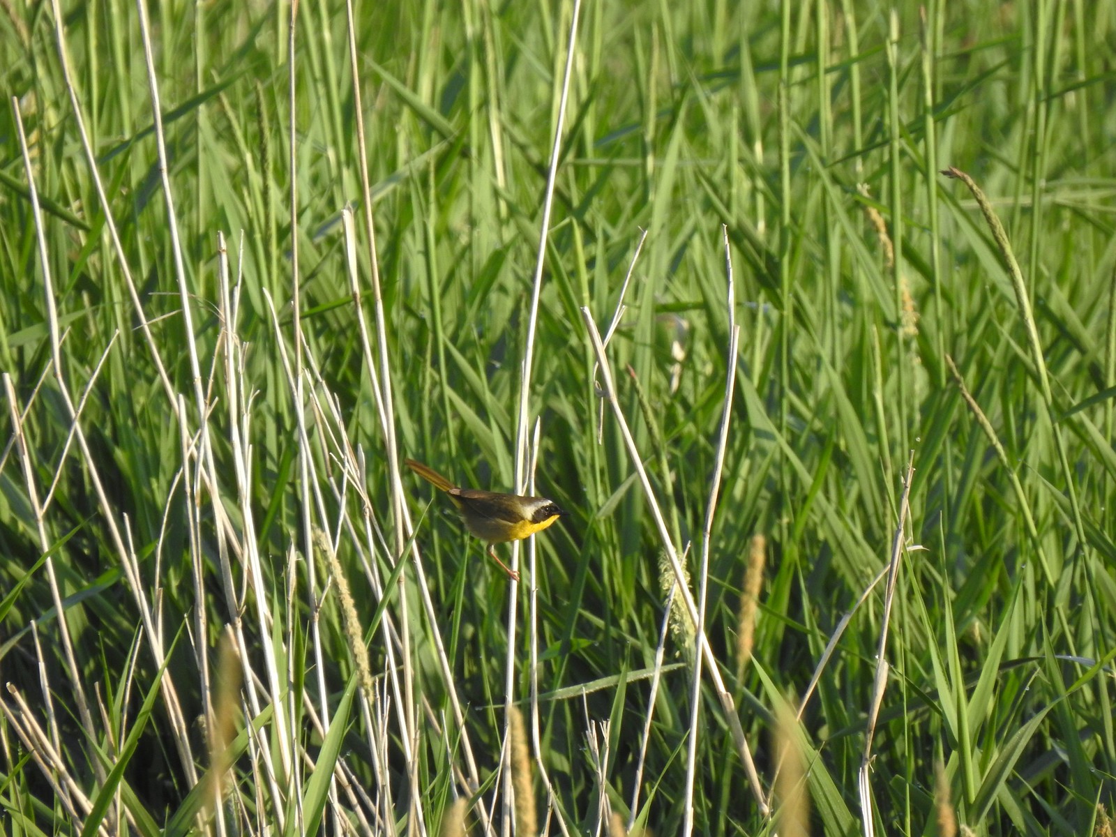 Common yellow throat
 One of many great blue herons that we watched fly overhead throughout the day.
 The Wildlife Art Trail passing around Redtail Lake.
 Gibbons Creek is in that grass somewhere with at least one deer.
 Killdeer along Redtail Lake.
 Turns out the deer laying on the lake shore wasn’t alone.
 Roses
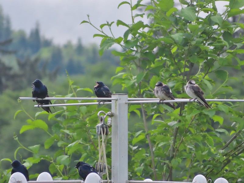
Roses Purple martins
 Just beyond the Cottonwood Bridge the trail forks. To the right is the seasonal section of the loop open May 1st through September 30th. The left-hand fork dead-ends in a tenth of a mile overlooking the wetlands.
 We headed left to the overlook before continuing on the loop.
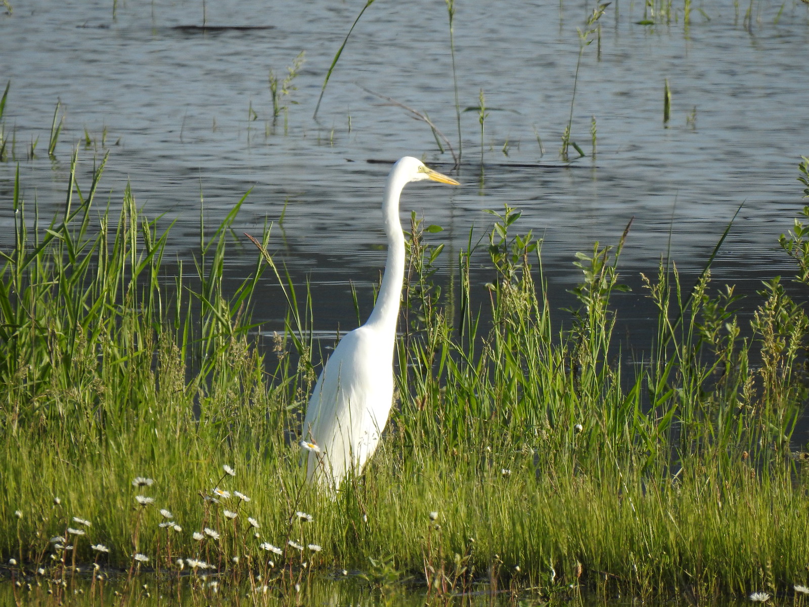 Egret at Scaup Pond.
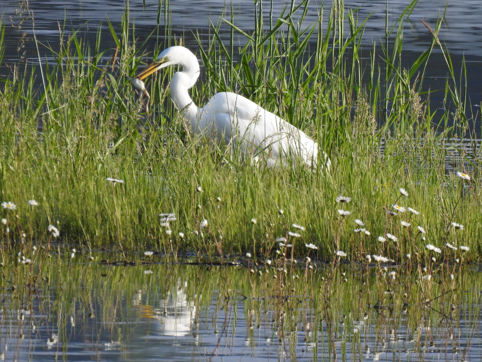 Egret with a frog meal.
 Mushrooms
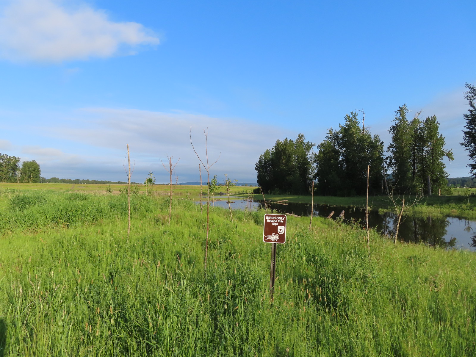 We got a kick out of the “Birds Only Beyond This Sign”.
 We’ve only seen two bitterns on our hikes and both times we only spotted them as they flew off from the grassy cover that they’d been hiding in so I was pretty disappointed when I realized I’d been duped, but kudos to the artist because it looked real at first glance to me.

 You have something in your teeth.
 Spotted towhee
 At least two deer in the grass.


 Spotted sandpiper
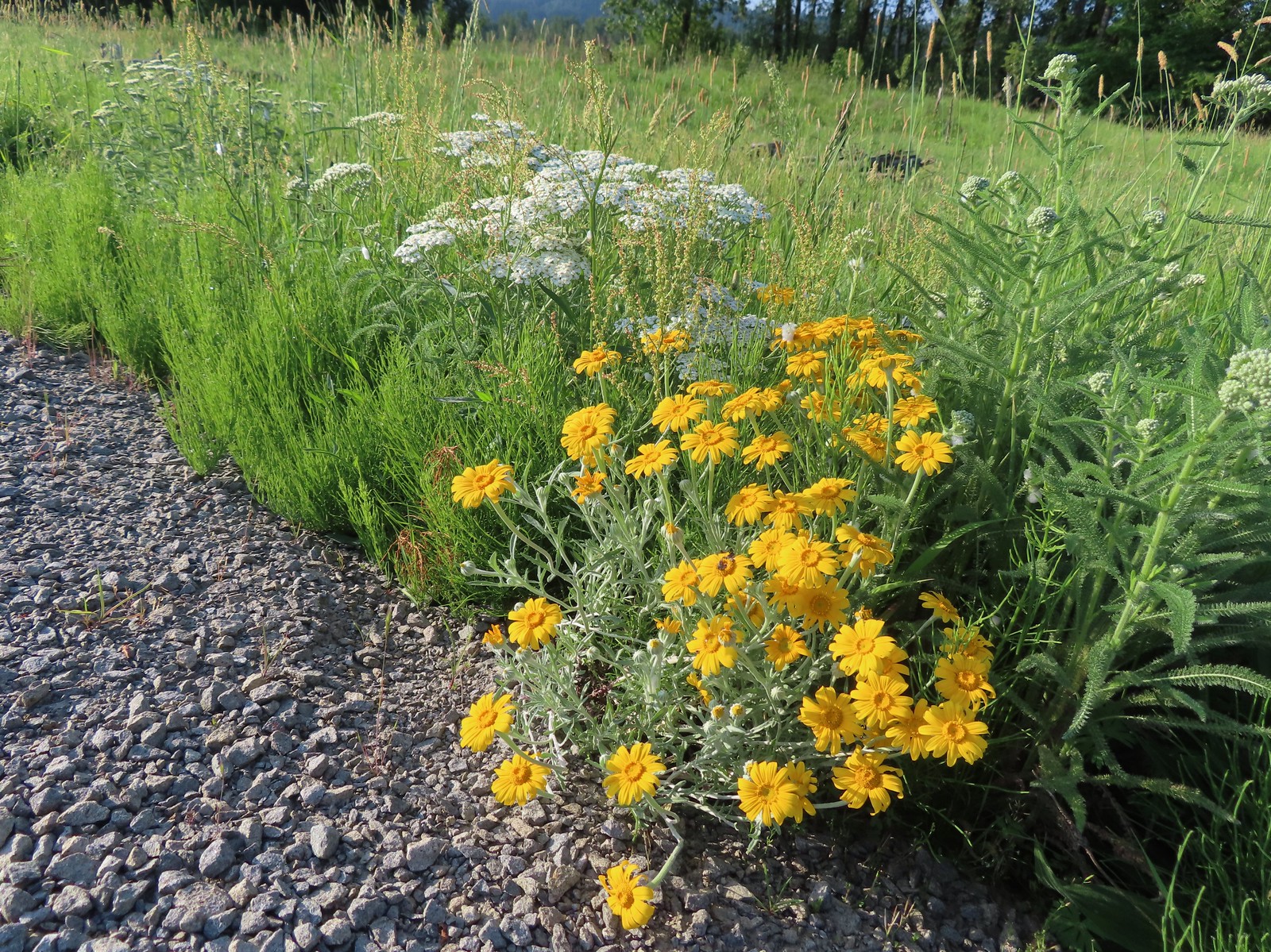 Oregon sunshine and yarrow
 The Columbia River ahead.
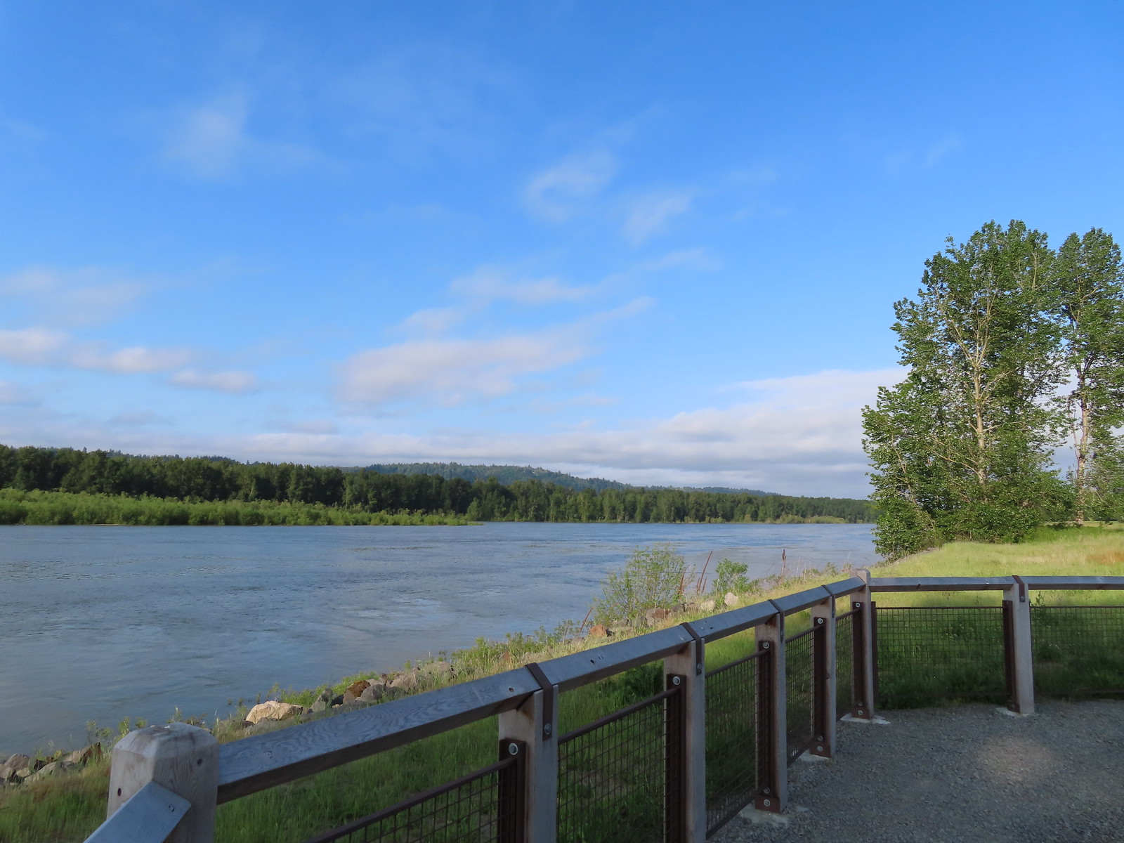 Viewpoint along the Columbia River.
 Approaching the Lampray Brdige.
 Looking back from across the bridge there was a bald eagle in the dead snag along the river.
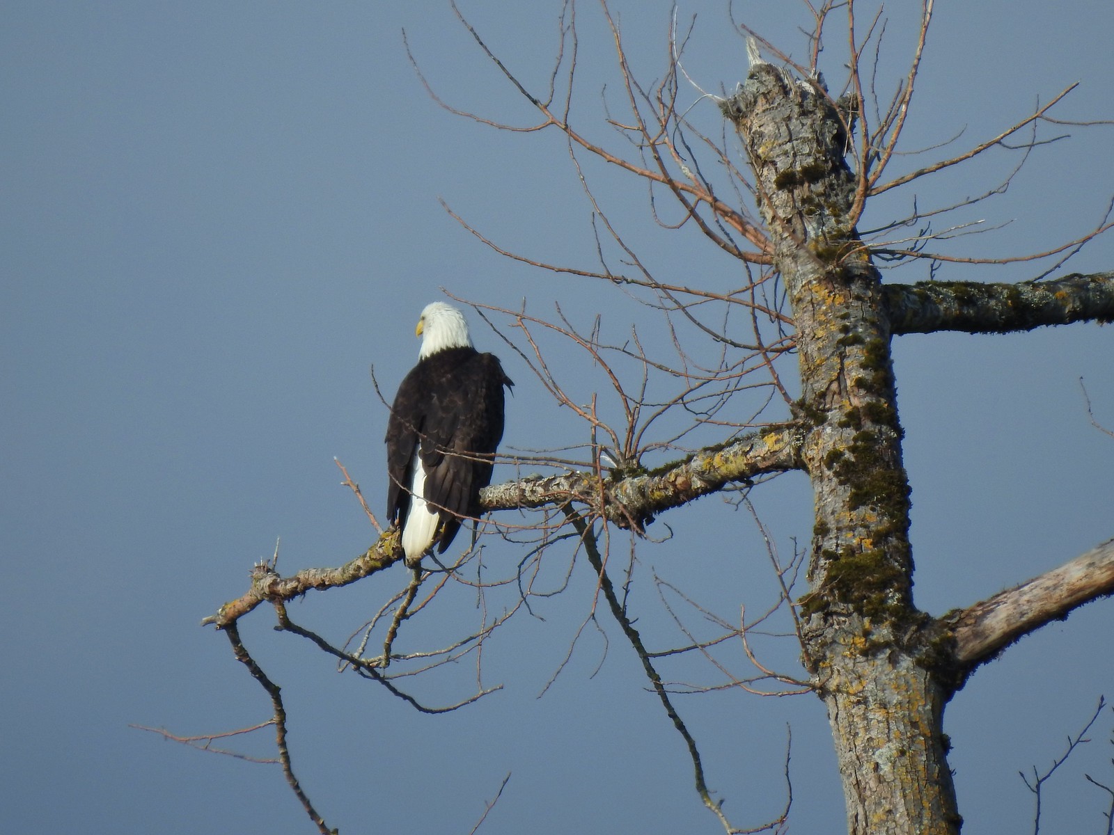
 There were lots of geese along this section of trail.
 Red clover in some Oregon sunshine
 Steigerwald Lake in the distance with a family of geese and crow on a log in the near channel.
 End of the trail.
 It was about 8:15am when we turned around and it was already feeling fairly warm, but there was relief on the way in the form of some clouds coming in from the Pacific.
 Savannah sparrow
 Here come the clouds.
 Double the eagles.
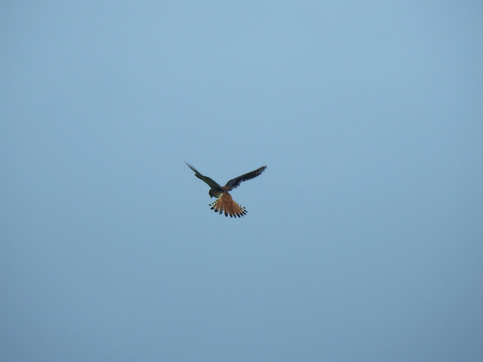 For the second week in a row we got to watch an American Kestral on the hunt.
 Arriving back at the Dragon Fly Bridge and the junction with the Wildlife Art Trail.

 Red tailed hawk
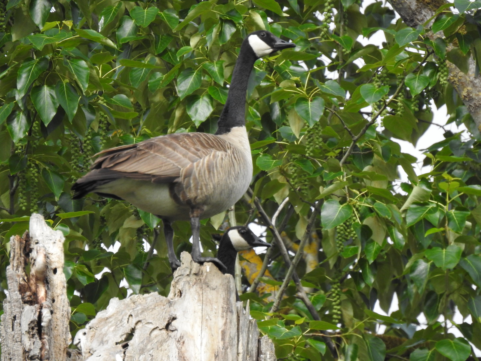 Geese nesting atop a snag.
 More deer in the grass along Gibbons Creek.
 Egret at Redtail Lake.
 Great blue heron at Redtail Lake.
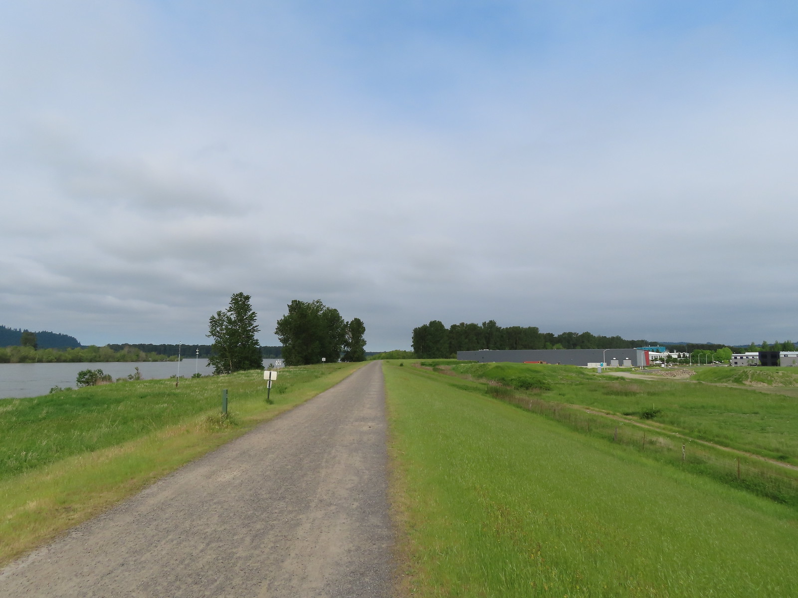
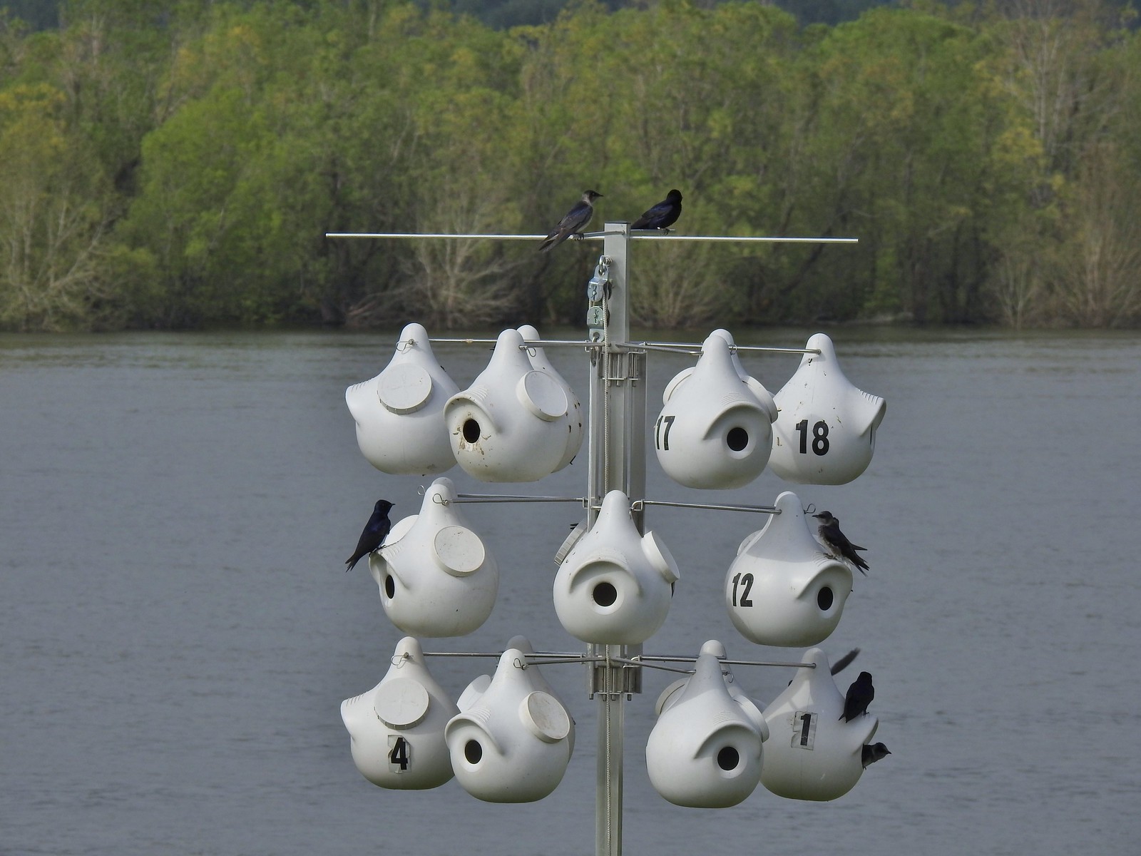 Purple martins
 House finch
 A mile from the Mountain View Trail we arrived at the refuge boundary with Captain William Clark Park.
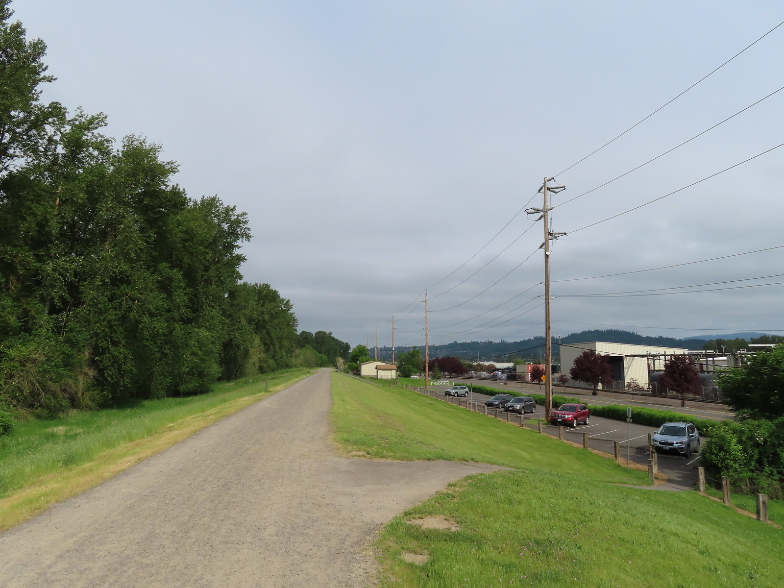 The trail follows a dike to Steamboat Landing.
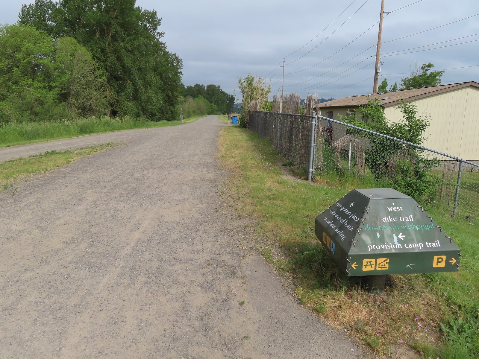
 The Provision Camp Trail


 Northern flicker
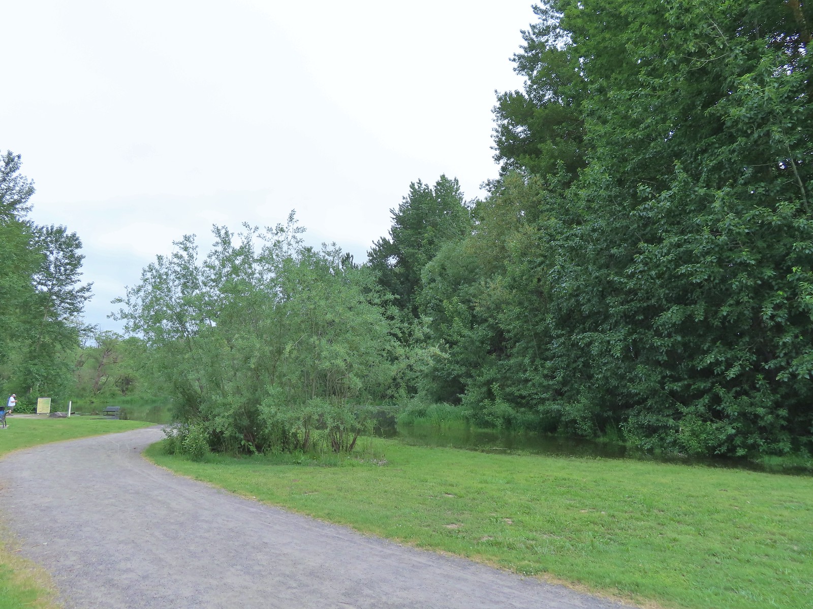 Flooded trail ahead.
 Black headed grosbeak
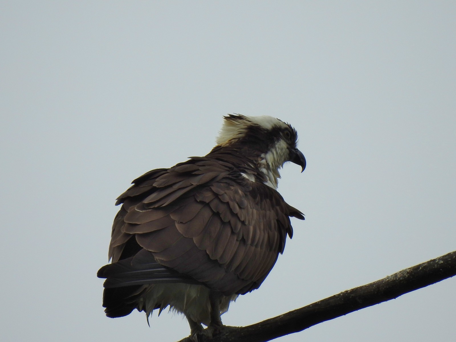 Osprey
 Back on the dike.
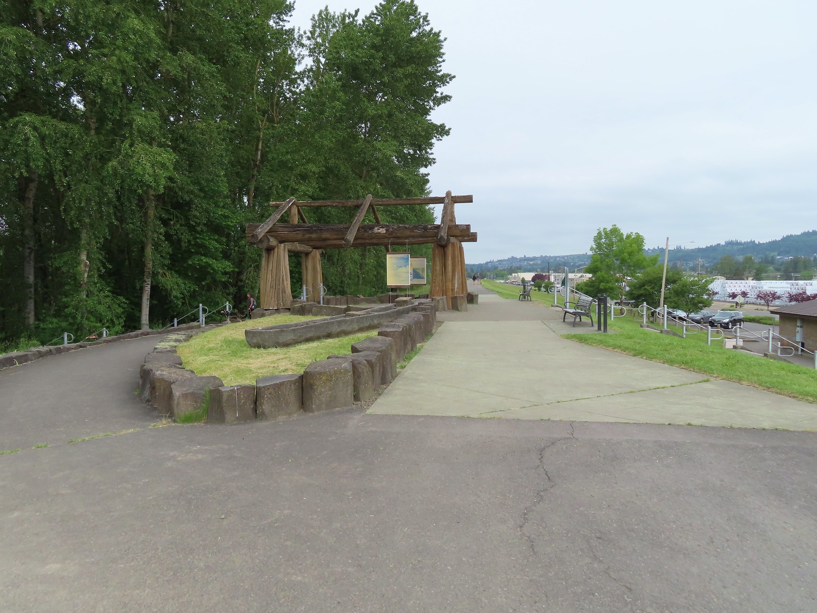

 The flooded section of trail from above.
 Turtles!
 Another turtle
 Common merganser
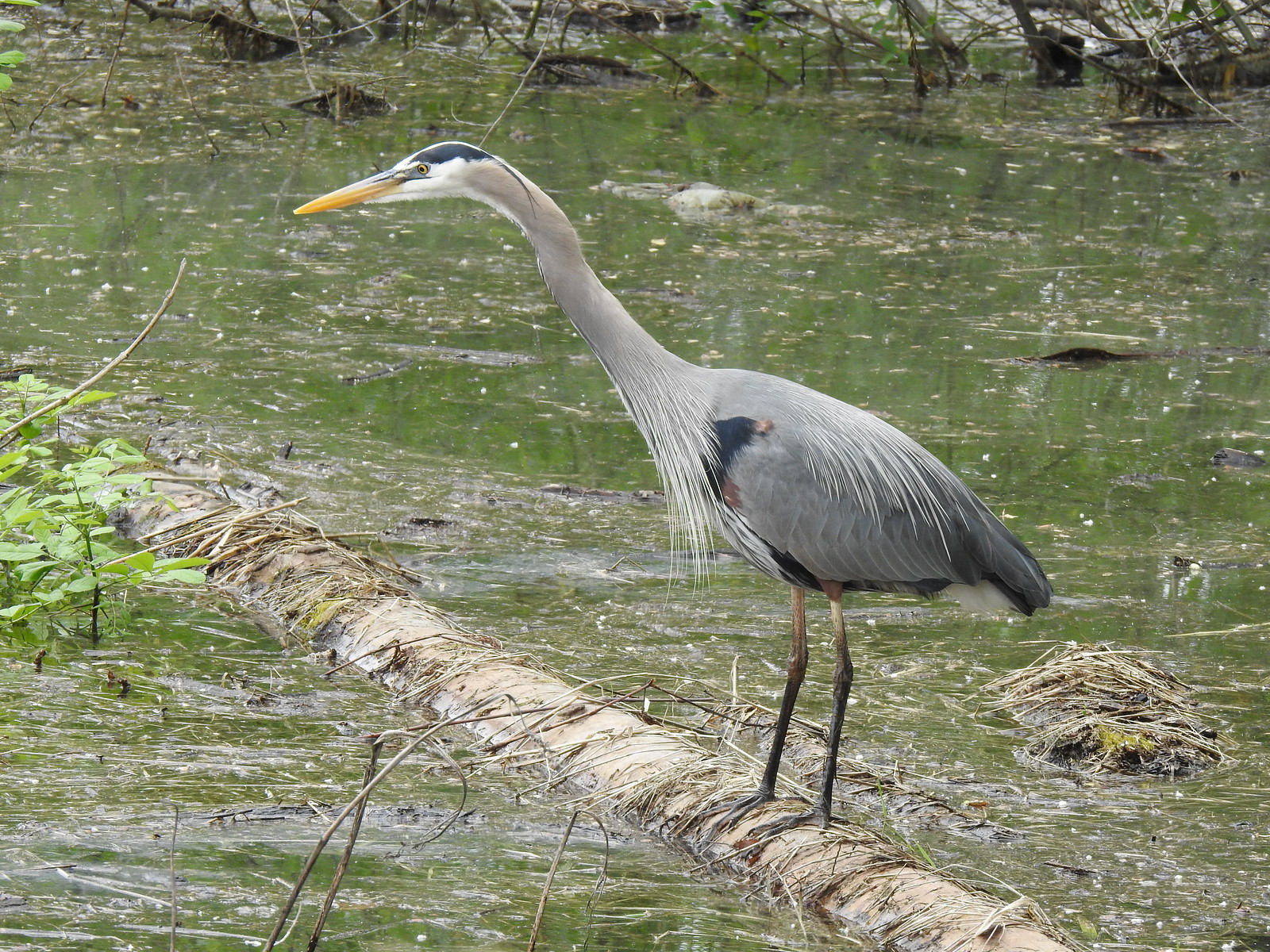 Great blue heron
 Steamboat Landing
 A family of geese out for a float.
 The large “hump” ahead is Larch Mountain (
 Grainy proof of Mt. Hood’s existence.
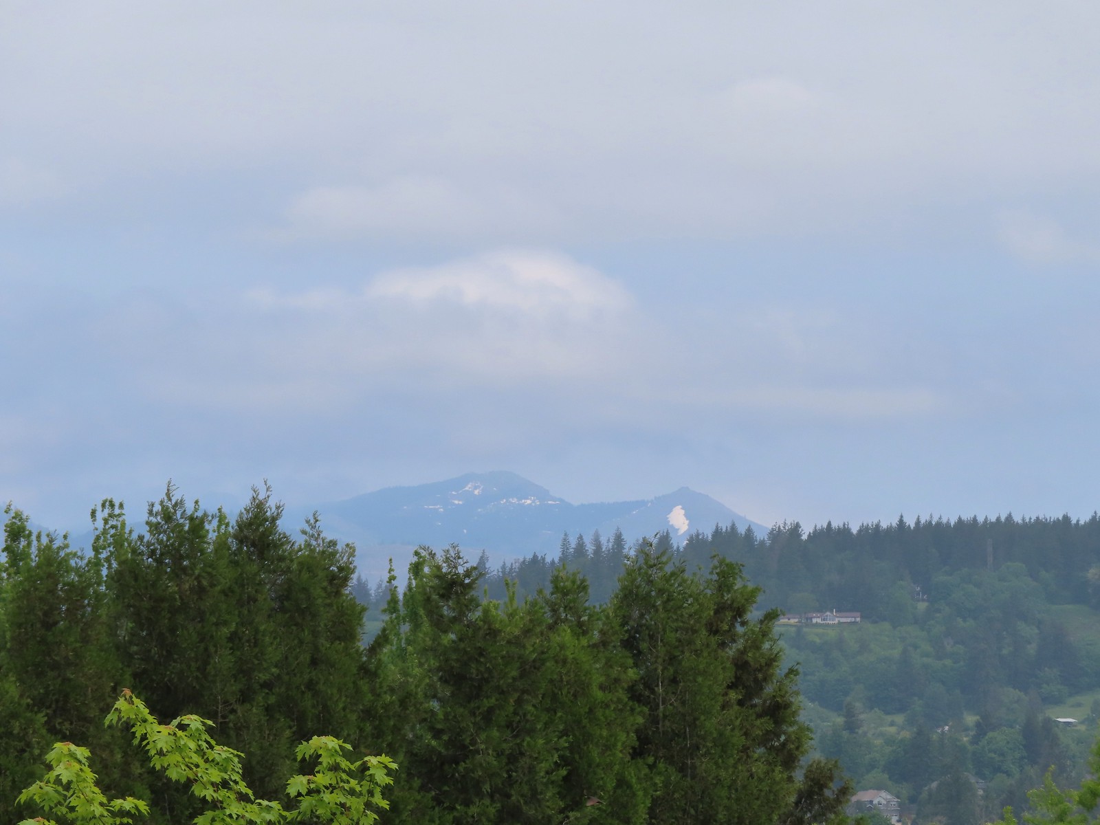 Silver Star Mountain (
 The American bittern in the grass.
 We’d been the first car in the lot that morning.


 Hummingbird at Memaloose Hills in May.
 Hummingbird at Upper Table Rock in May.
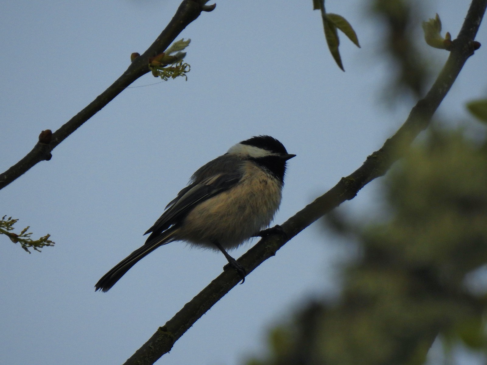 Black capped chickadee at Ankeny Wildlife Refuge in April.
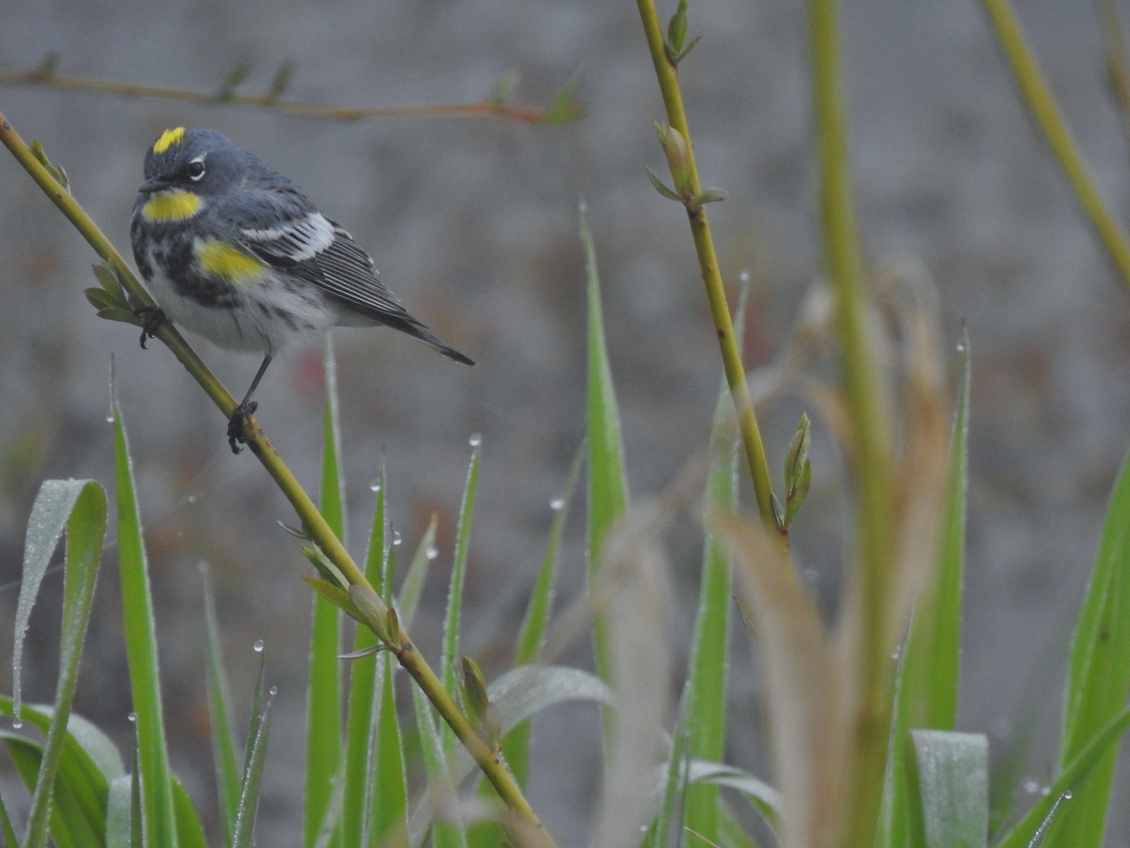 Yellow-rumped warbler (Audubon’s) at Ankeny Wildlife Refuge in April.
 Wren (marsh?) at Ankeny Wildlife Refuge in April.
 White-crowned sparrow at Ankeny Wildlife Refuge in April.
 Sparrow? at Ankeny Wildlife Refuge in April.
 Common yellow throat at Ankeny Wildlife Refuge in April.
 Yellow-rumped warbler (Myrtle) at Ankeny Wildlife Refuge in April.
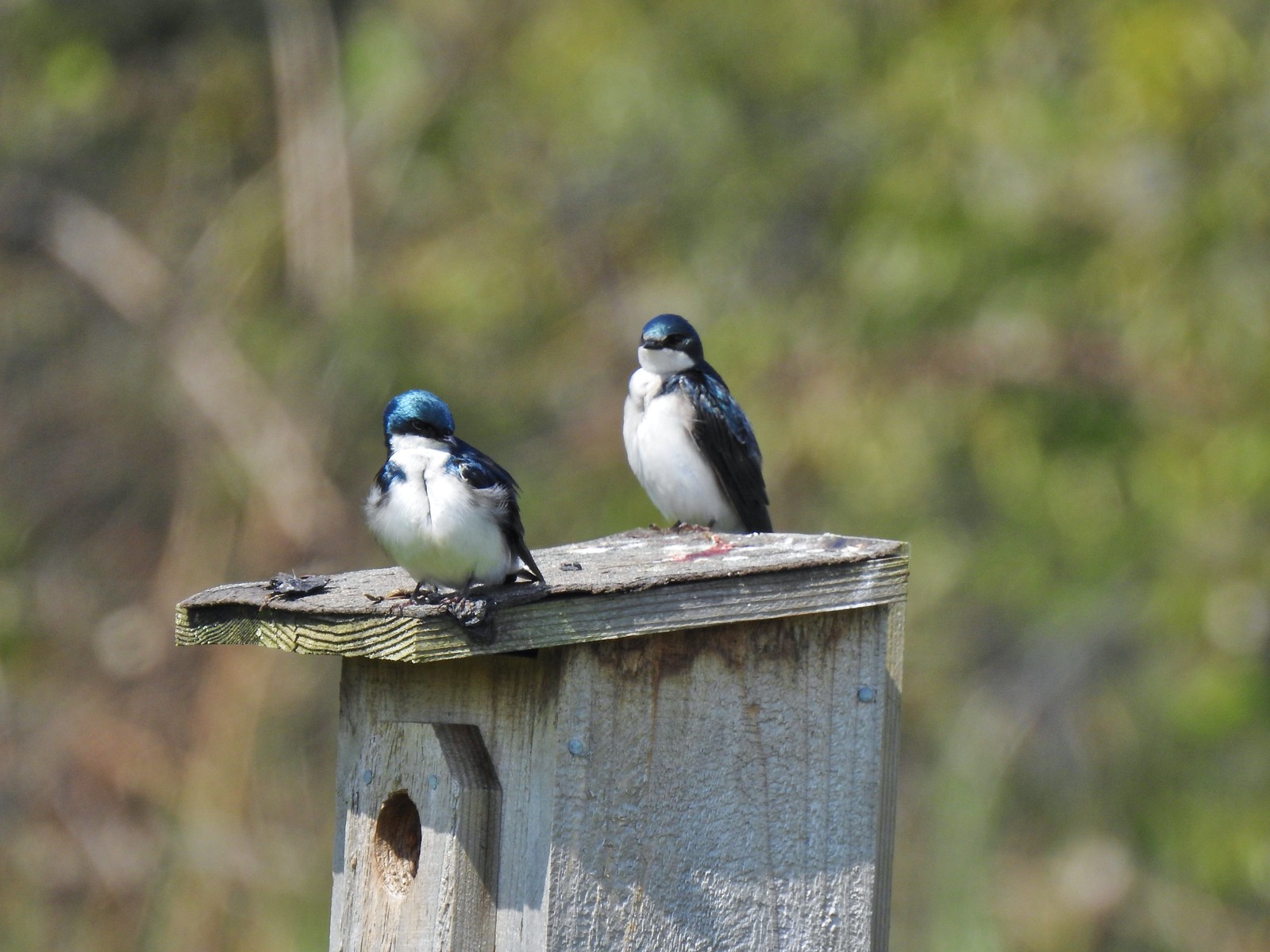 Tree swallows at Ankeny Wildlife Refuge in April.
 White-crowned sparrow and a wren at Miller Woods in May.
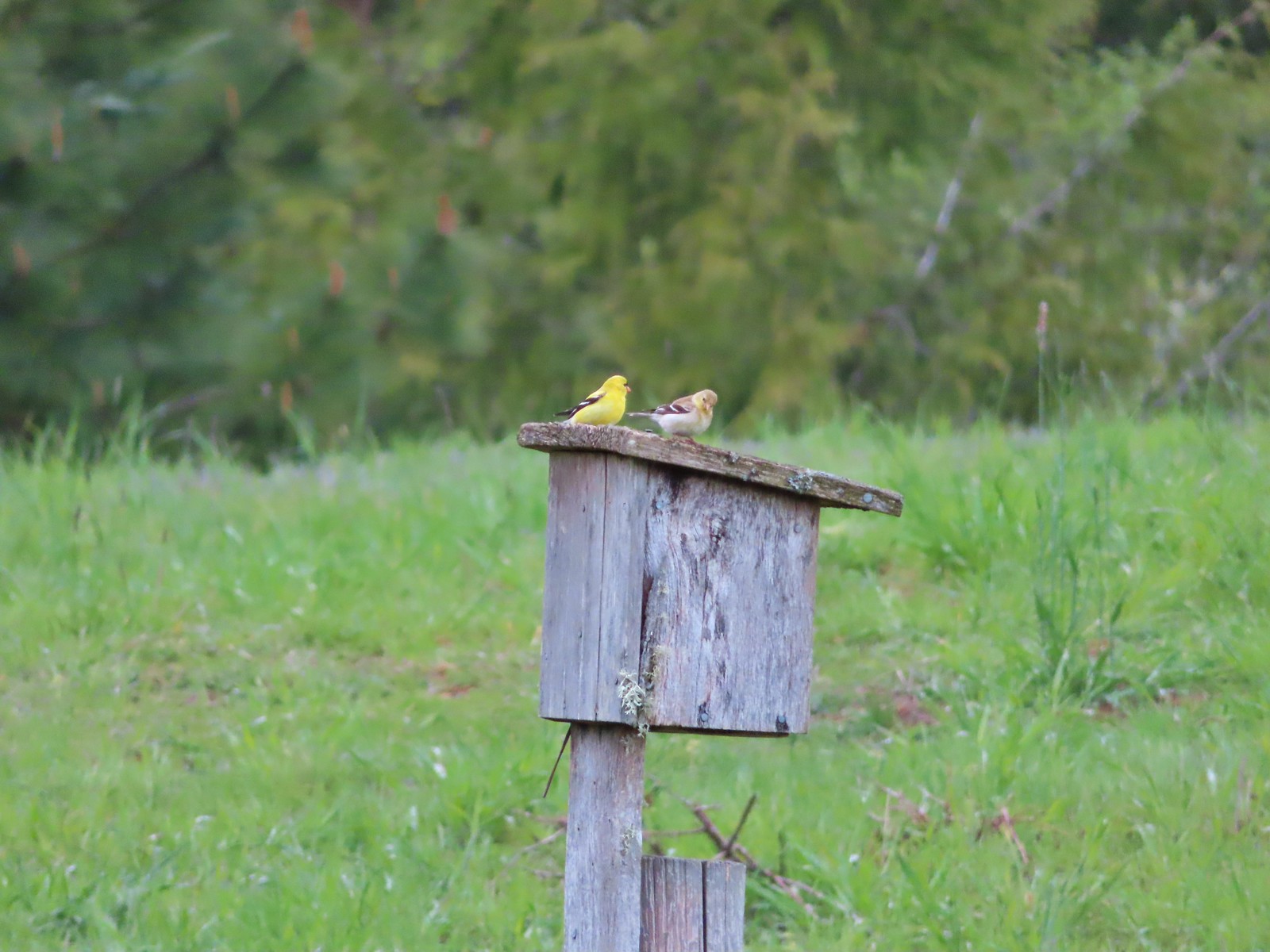 American goldfinch pair at Miller Woods in May.
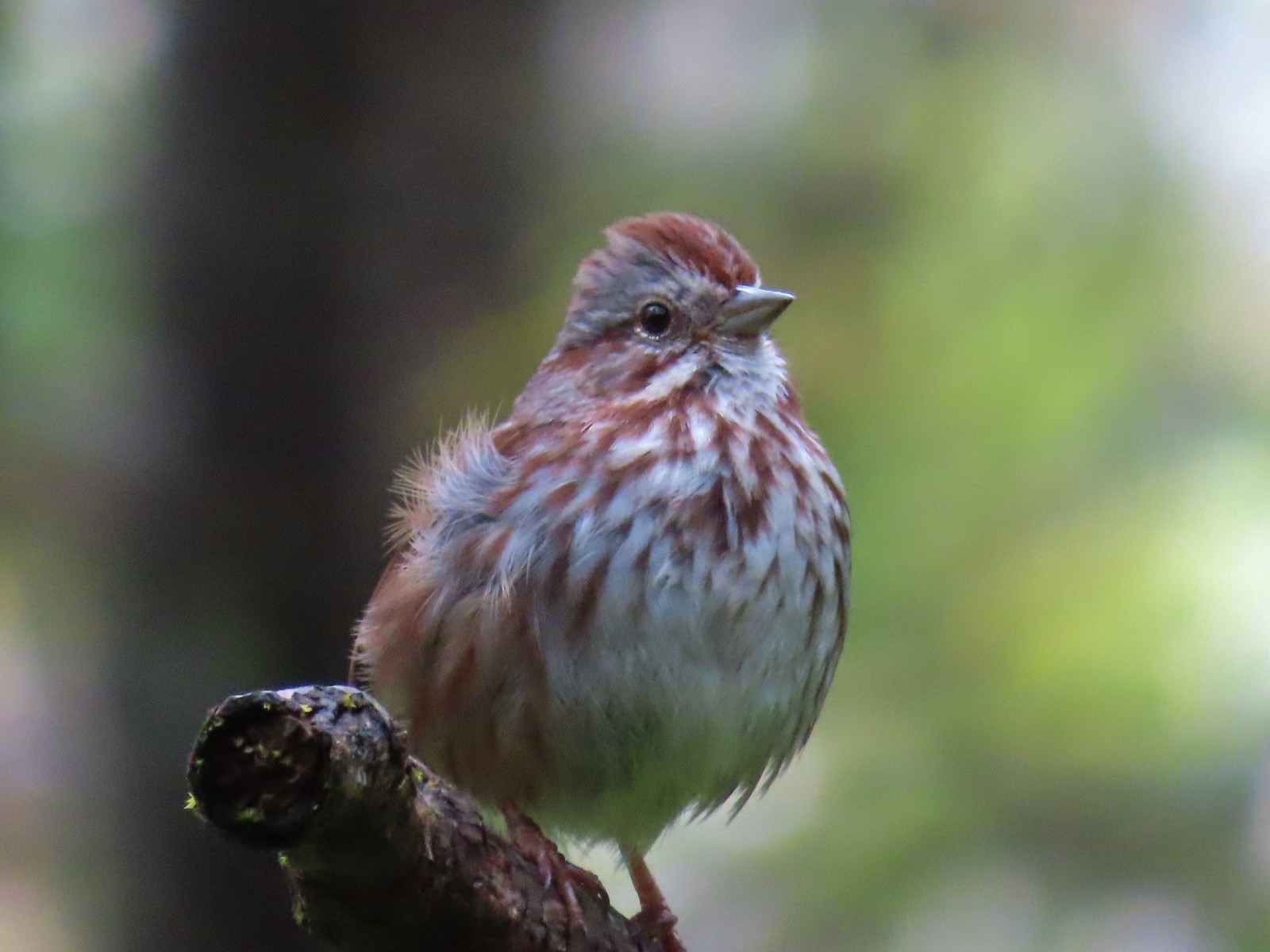 Another sparrow at Miller Woods in May.
 Hermit warbler? near Kings Mountain in May.
 House finch? at Upper Table Rock in May.
 Rock wren? at Upper Table Rock in May.
 Ash-throated flycatcher at Denman Wildlife Area in May.
 Unknown at Denman Wildlife Area in May.
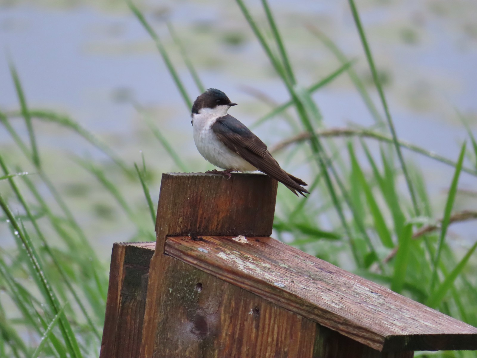 Swallow at Julia Hansen Butler Wildlife Refuge in June.
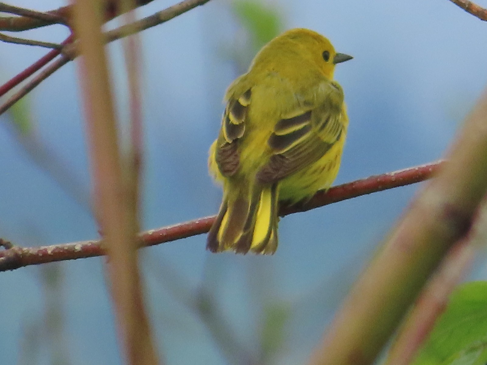 Some sort of warbler? at Julia Hansen Butler Wildlife Refuge in June.
 Purple martins at Julia Hansen Butler Wildlife Refuge in June.
 Another wren at Julia Hansen Butler Wildlife Refuge in June.
 Unknown at Julia Hansen Butler Wildlife Refuge in June.
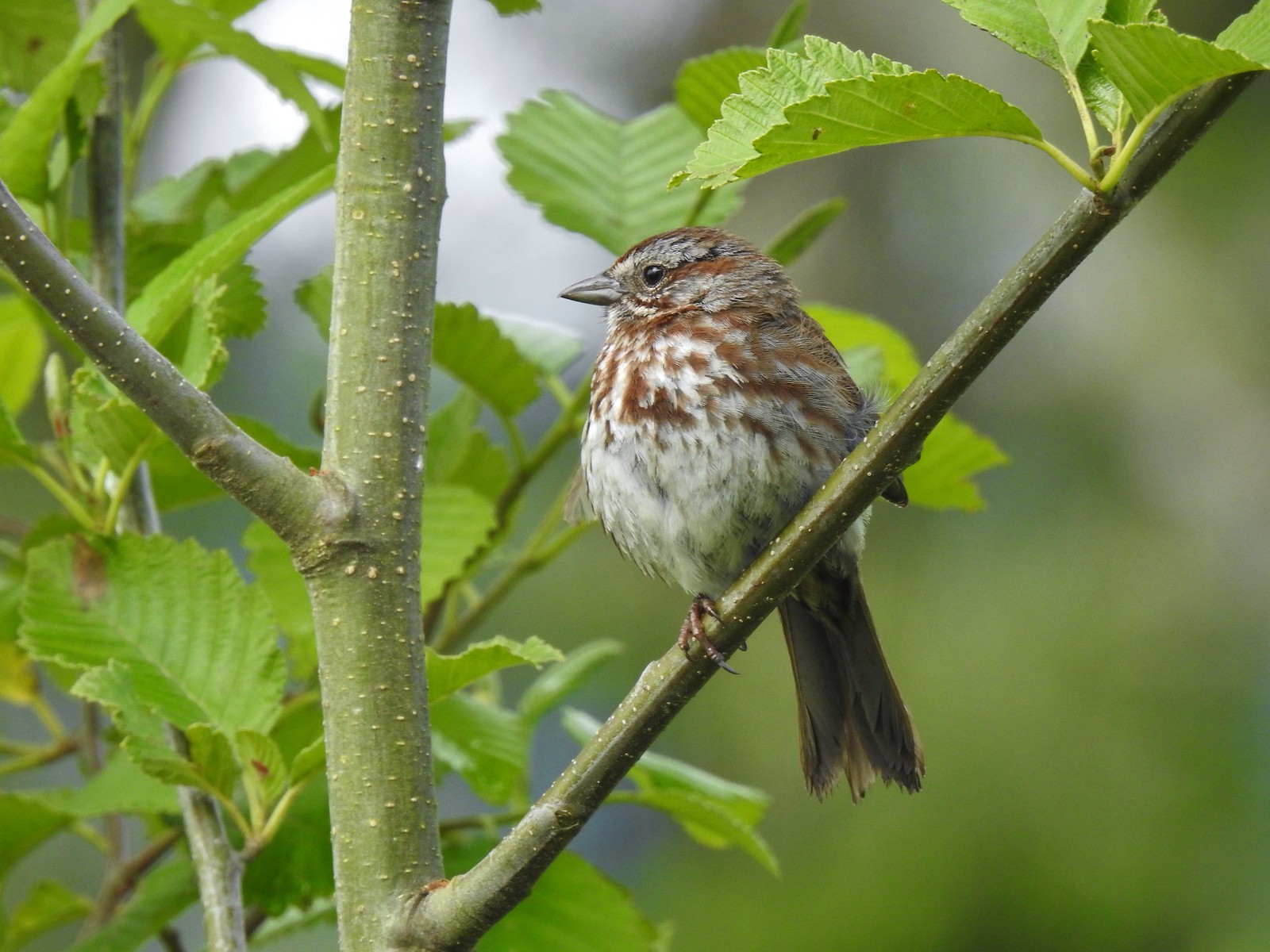 Sparrow? at Julia Hansen Butler Wildlife Refuge in June.
 Warbler? at Julia Hansen Butler Wildlife Refuge in June.
 Black phoebe? at Julia Hansen Butler Wildlife Refuge in June.
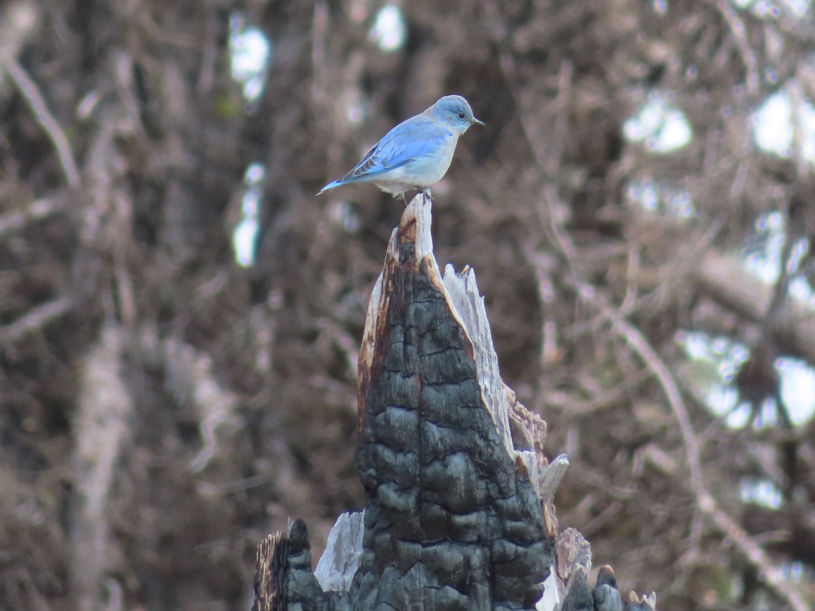 Mountain bluebird near Union Peak in September.
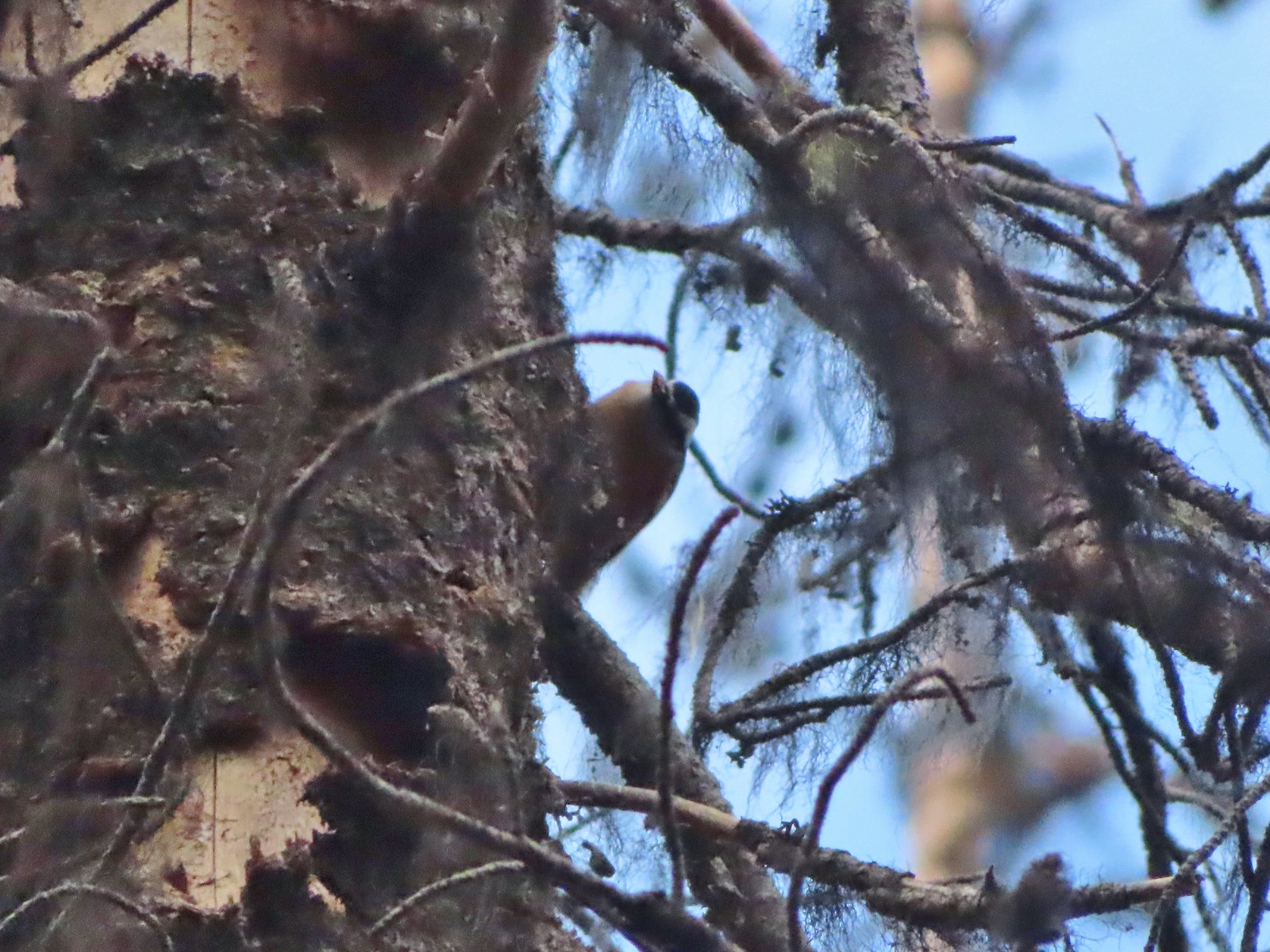 Red-breasted nuthatch (best I could get) at Crater Lake in September.
 Red crossbilss at Crater Lake in September.
 Wren on the Eagle Creek Trail in November.
 Dark eyed junco at Waverly Lake in December.
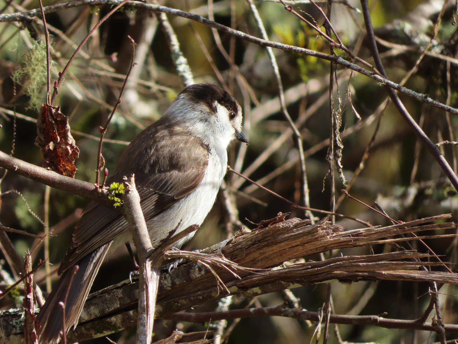 Canada jay (grey jay) along the Crown Zellerbach Trail in March.
 California scrub jay along the Balfour-Klickitat Trail in April.
 Stellar’s jay along the Hood River Pipeline Trail in May.
 Female red-winged blackbird at Ankeny Wildlife Refuge in April.
 Red-winged blackbird at Ankeny Wildlife Refuge in April.
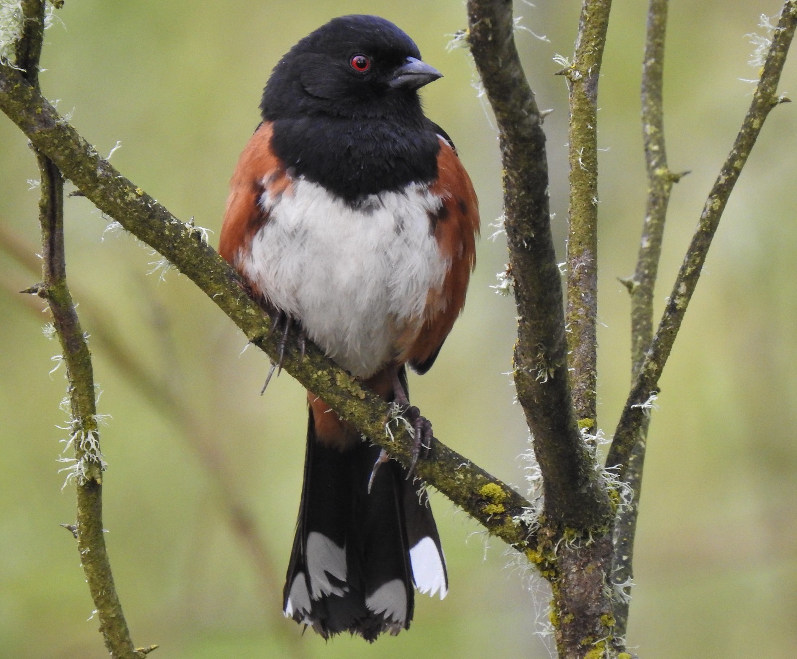 Spotted towhee at Ankeny Wildlife Refuge in April.
 Starlings along the Hood River Pipeline Trail in May.
 Brownheaded cowbird at Upper Table Rock in May.
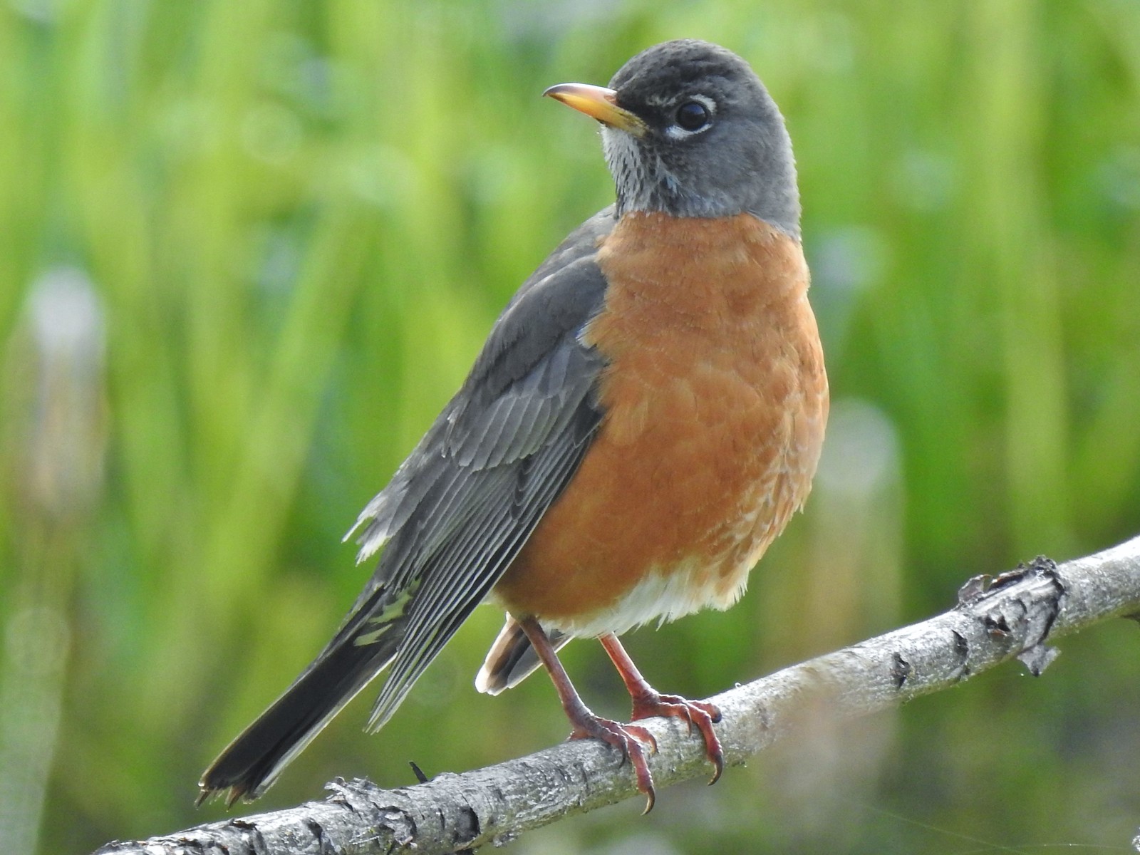 American robin at Ankeny Wildlife Refuge in April.
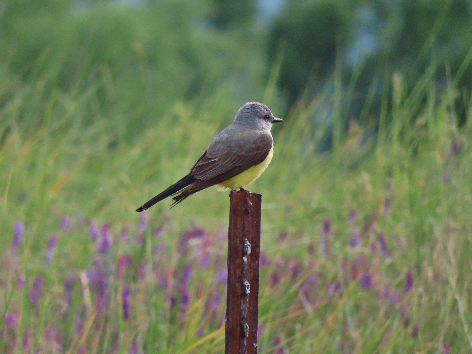 Tropical kingbird? at Denman Wildlife Area in May.
 Black-headed grosbeak (also all I could get) at Applegate Lake in May.
 Lazuli bunting at Roxy Ann Peak in May.
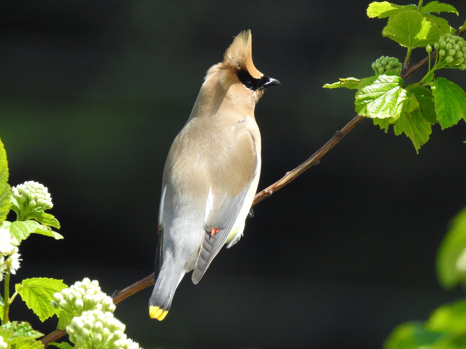 Cedar waxwing at Julia Hansen Butler Wildlife Refuge in June.
 Western tanagers, Siskiyou Wilderness in July.
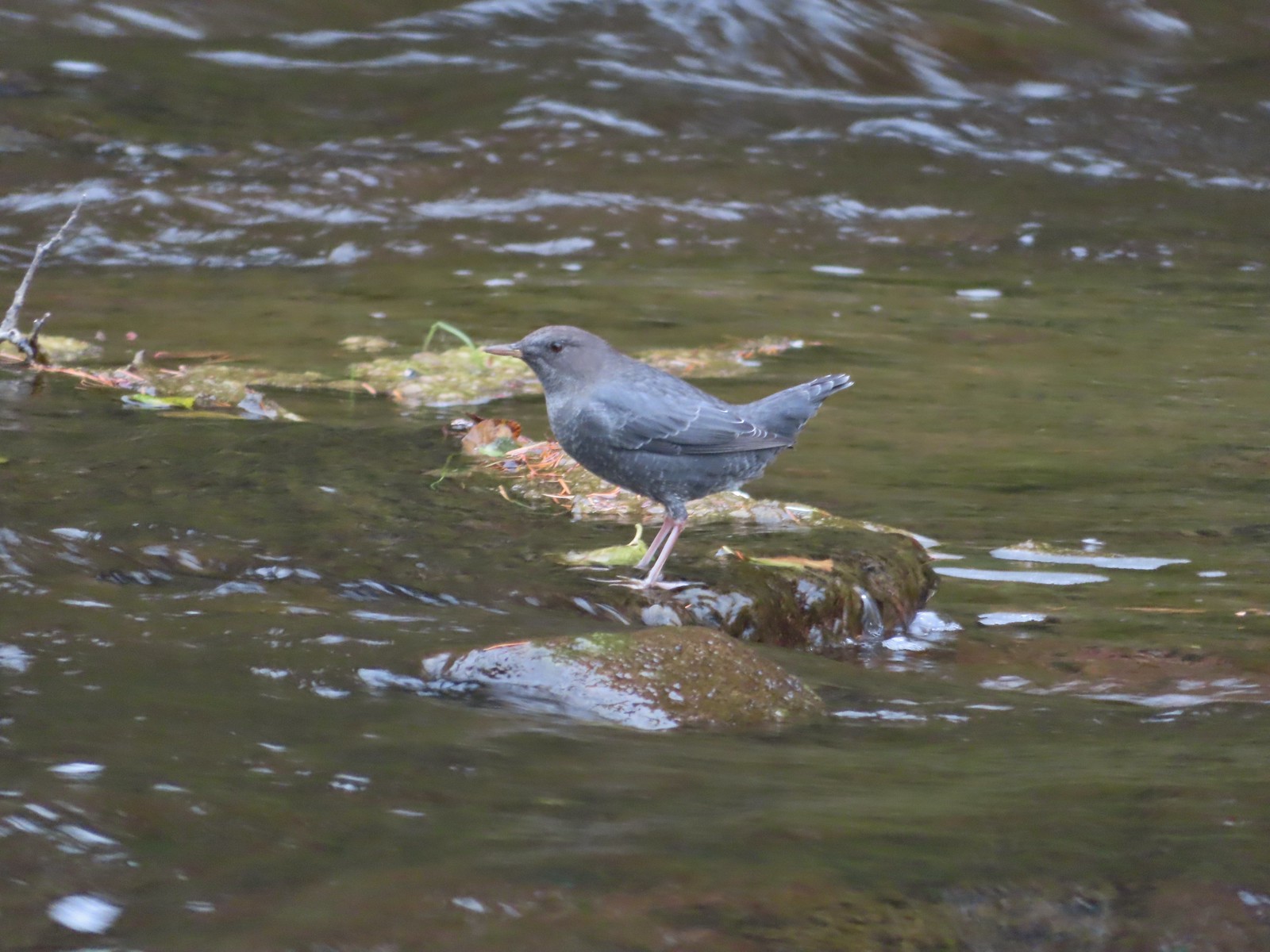 American dipper (Ouzel) near South Umpqua Falls in September.
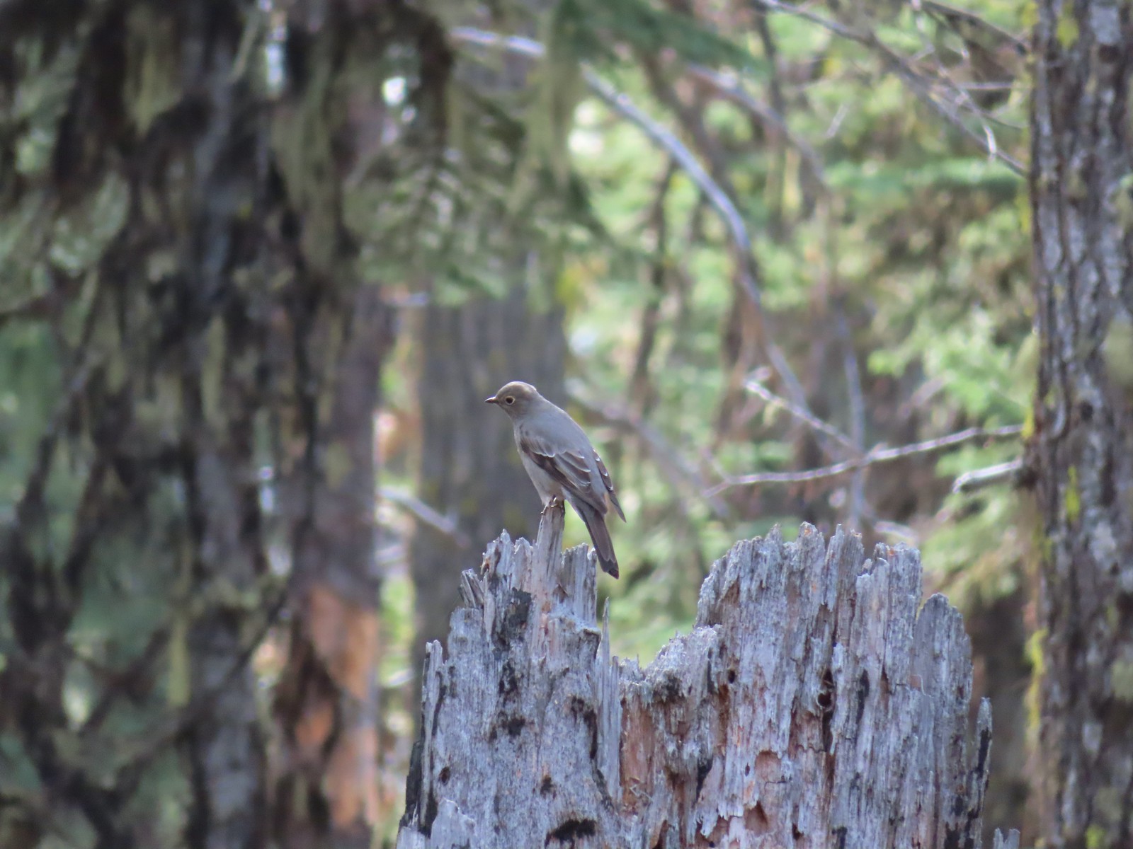 Townsends solitaire at Crater Lake National Park in September.
 Clark’s nutcracker at Crater Lake National Park in September.
 Varied thrush along the Eagle Creek Trail in November.
 Unknown at Cascade Head in October.
 Forest Park in January.
 Northern flicker at Ankeny Wildlife Refuge in April. We seem to see flickers on nearly every hike, but they don’t often sit still long enough for us to get a decent picture.
 Pileated woodpecker at Chehalem Ridge Nature Park in May. We rarely see these but like the flickers, when we do they are very difficult to get a photo of.
 Acorn woodpecker at Denman Wildlife Area in May.
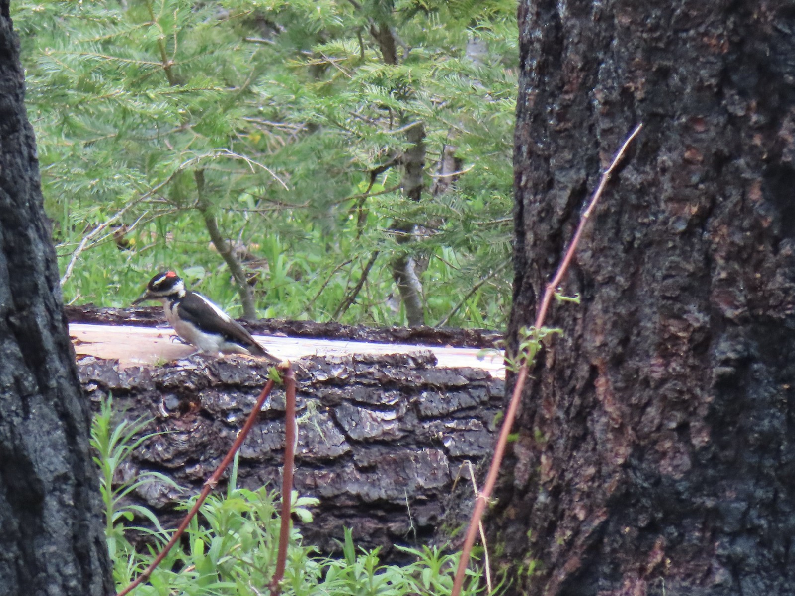 Hairy? woodpecker near Twin Lakes in the Umpqua National Forst in June.
 Red breasted sapsucker at E.E. Wilson Wildlife Area in July.
 Either a hairy or downy woodpecker along the Eagle Creek Trail in November.
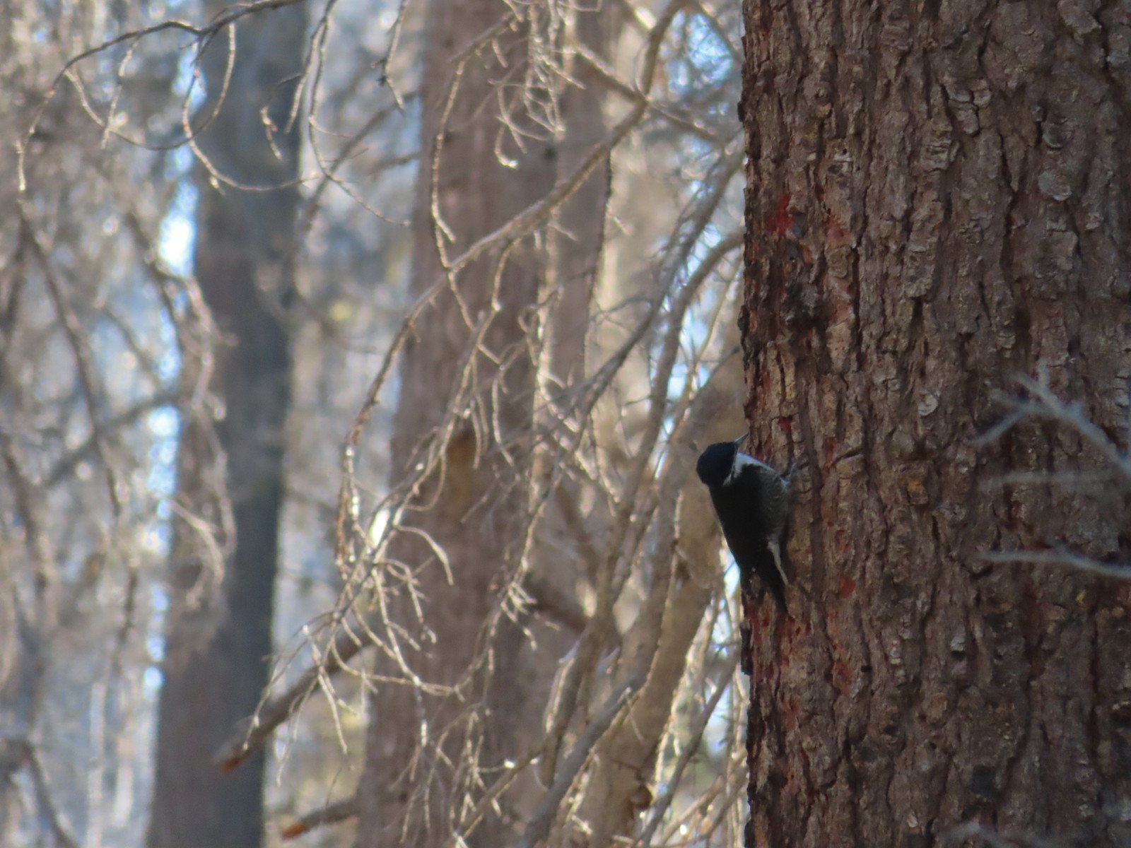 Unknown, Sky Lakes Wilderness in late September.
 Crow along the Crown Zellerbach Trail in March.
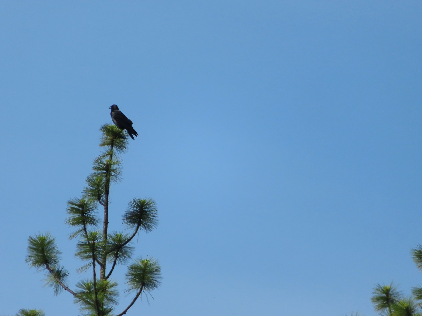 Raven at Upper Table Rock in May.
 Turkey Vulture at Julia Hansen Butler Wildlife Refuge in June.
 American kestral along the Crown Zellerbach Trail in March.
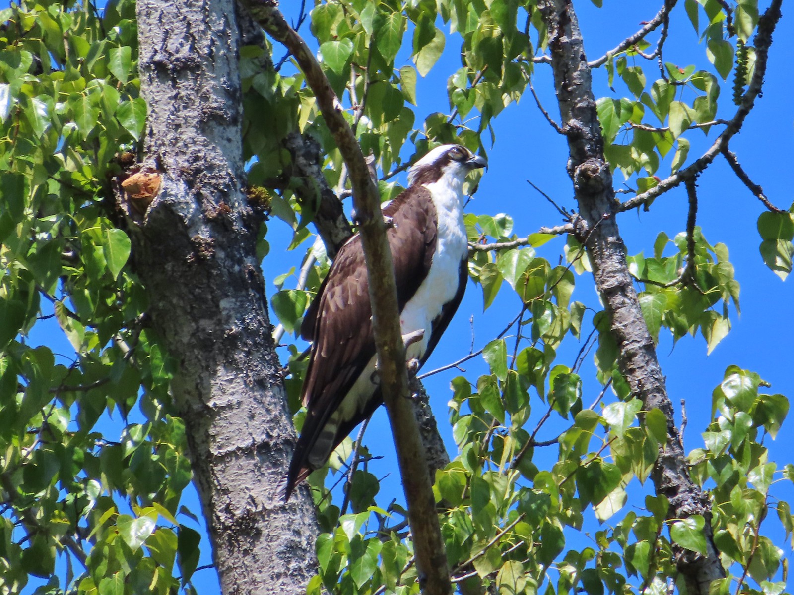 Osprey along the Hood River Pipeline Trail in May.
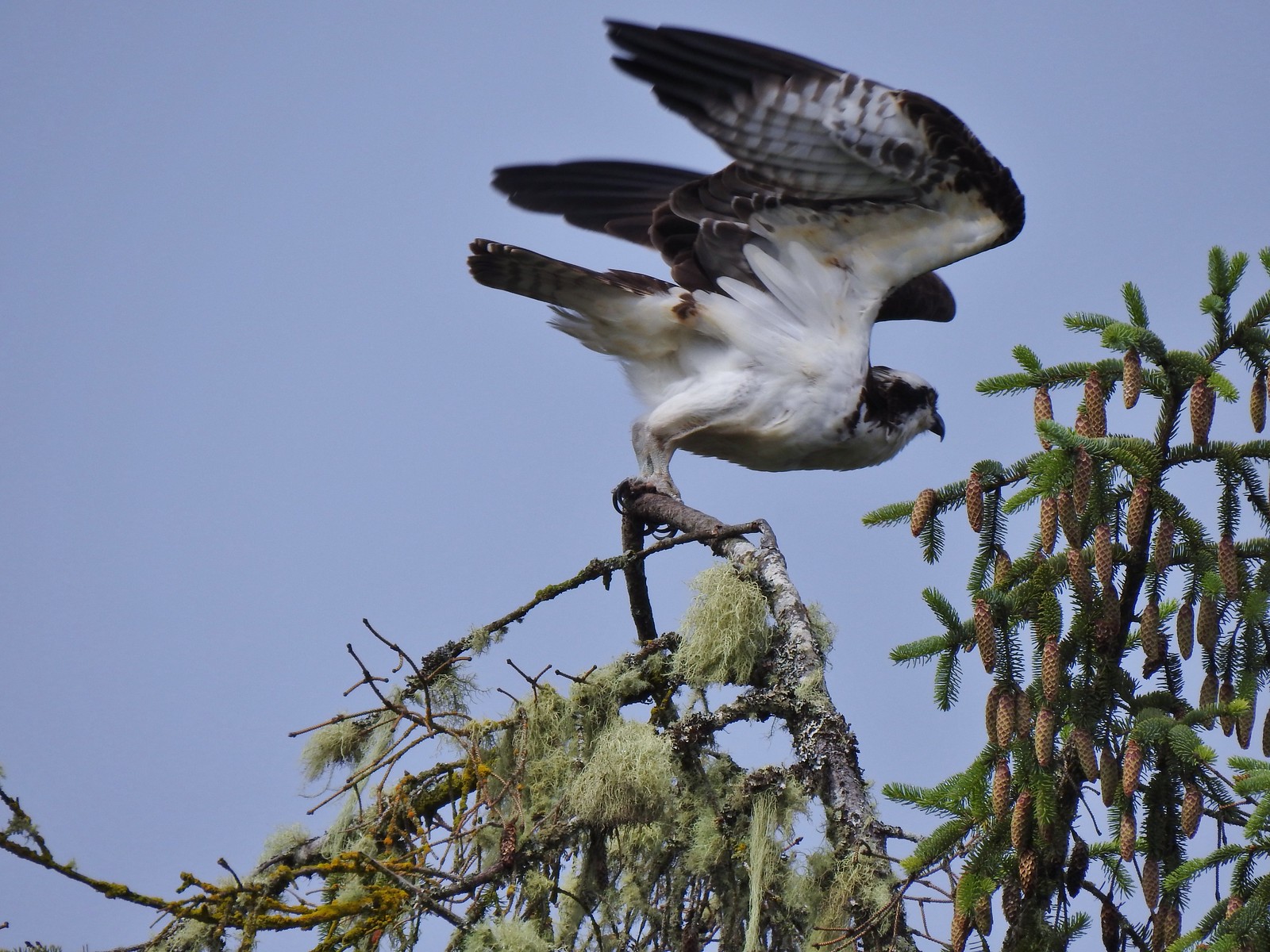 Another osprey at Julia Hansen Butler Wildlife Refuge in June.
 Bald eagle at Julia Hansen Butler Wildlife Refuge in June.
 Eagle in the Sky Lakes Wilderness in September. Not sure if it is a bald or golden.
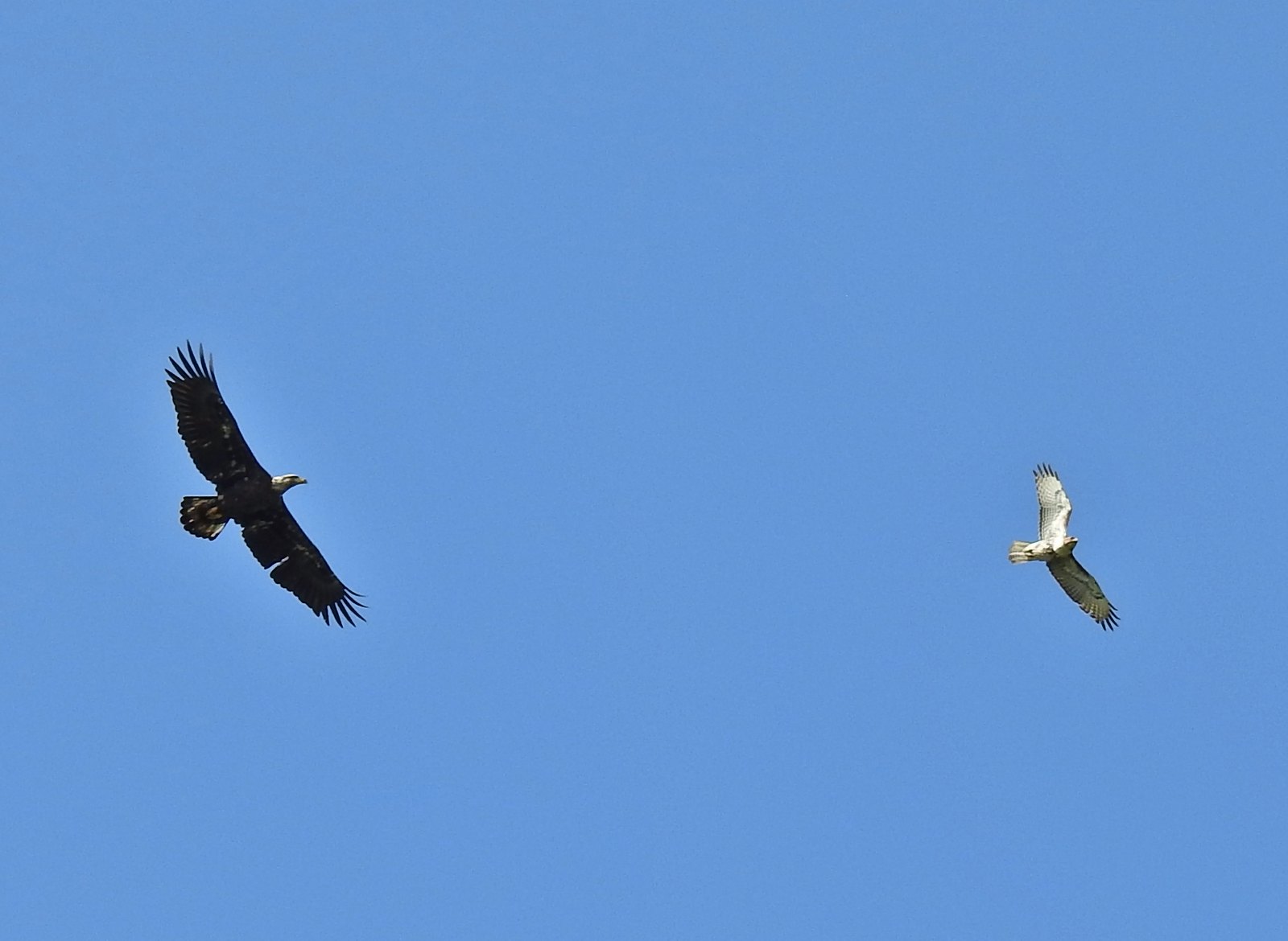 A bald eagle and hawk at Ankeny Wildlife Refuge in April.
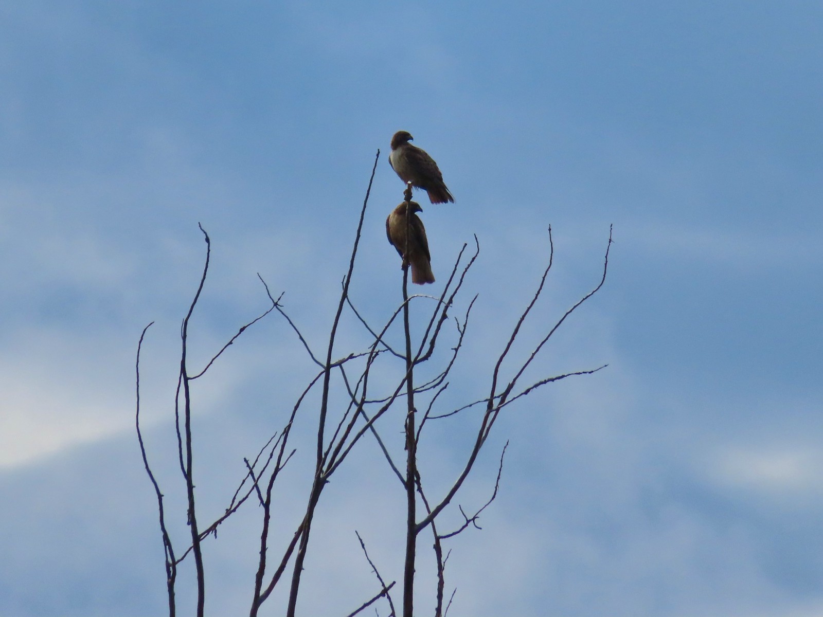 Pair of hawks at Denman Wildlife Area in May.
 Hawk at Denman Wildlife Area in May.
 Hawk at Julia Hansen Butler Wildlife Refuge in June.
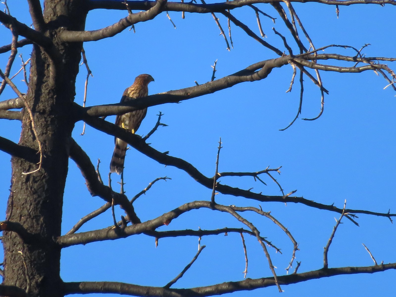 Hawk along the Pacific Crest Trail near Carter Meadows Summit in August.
 Hawk at Crater Lake National Park in September.
 Barred owl at Noble Woods in May.
 Great horned owl at Denman Wildlife Area in May.
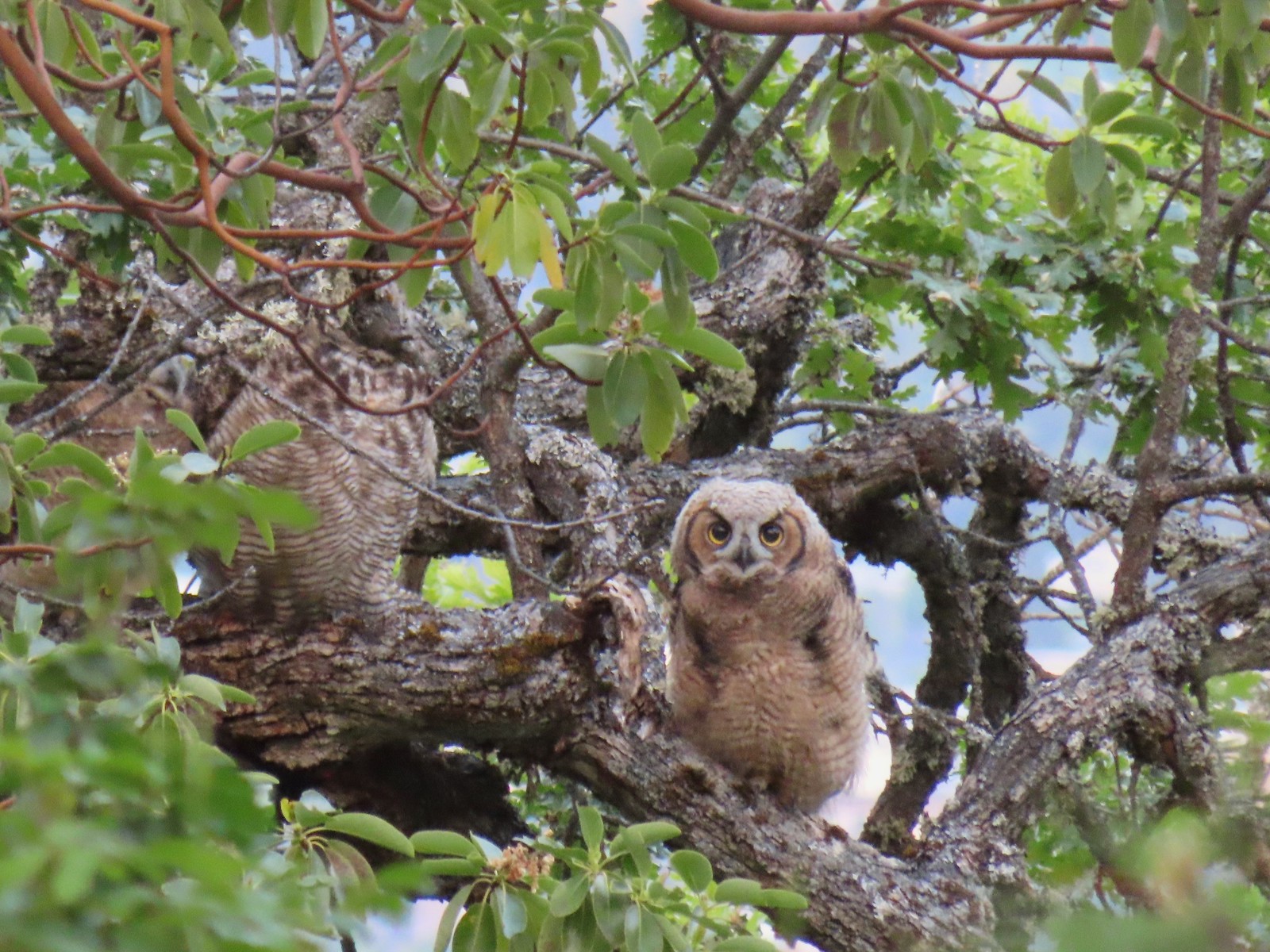 Young great horned owl at Roxy Ann Peak in May.
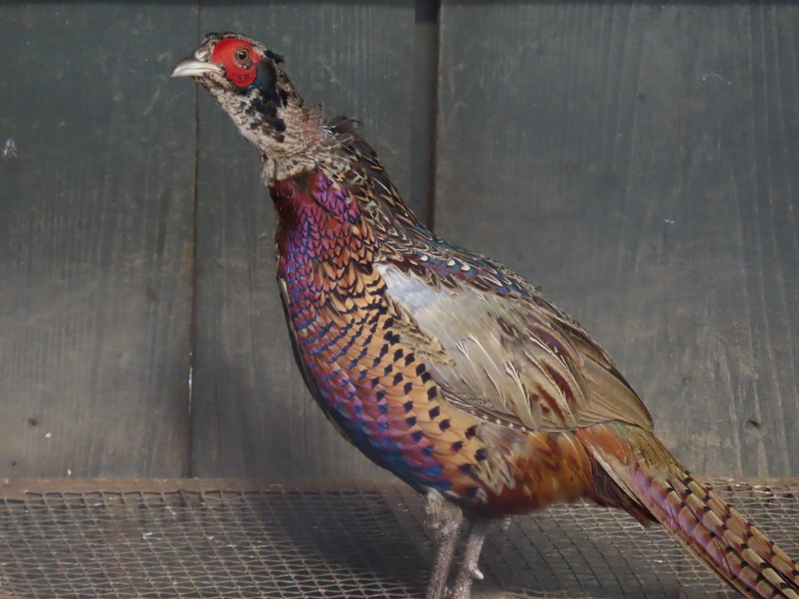 Ring-necked pheasant
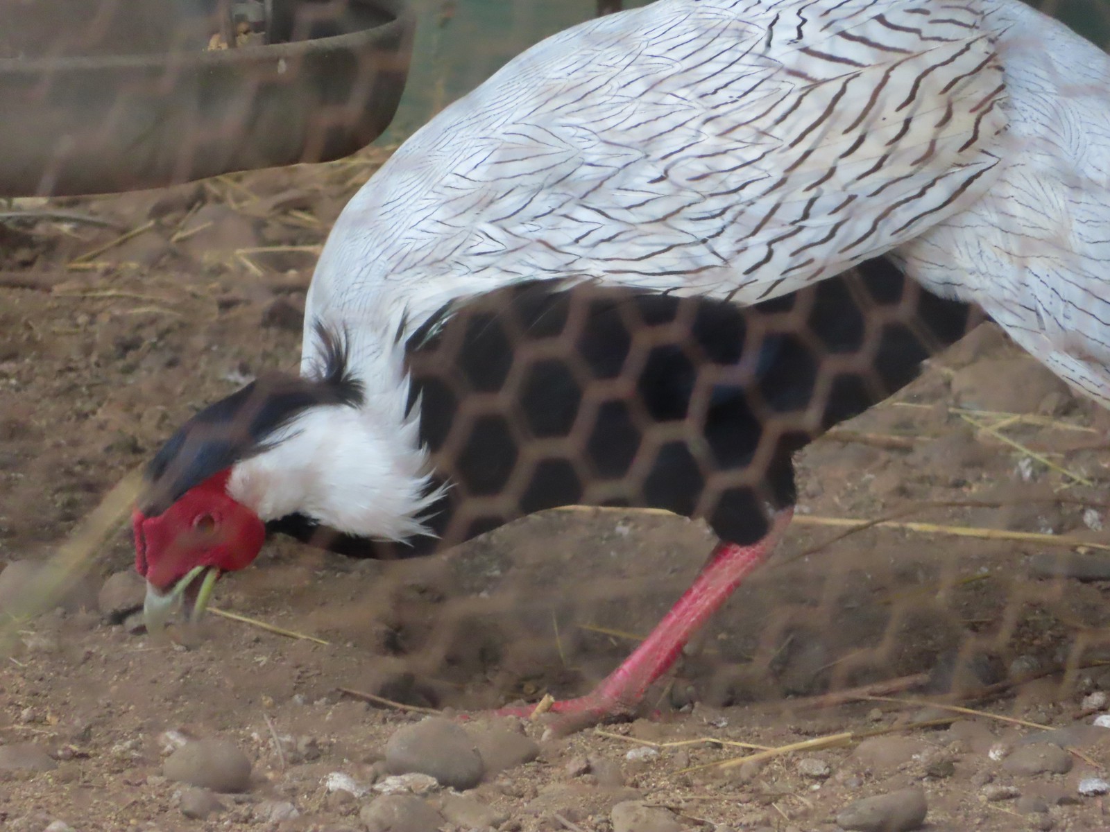 Silver pheasant
 Near the breeding facility at E.E. Wilson Wildlife Area.
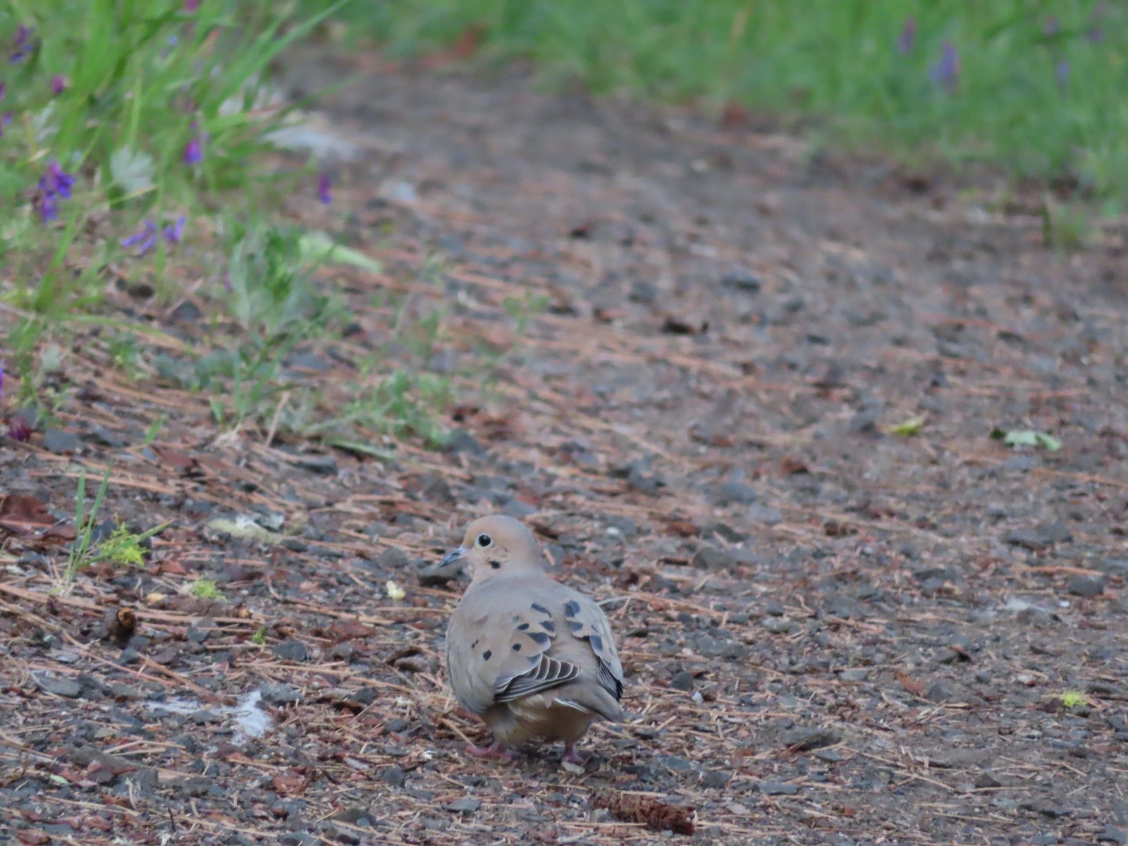 Mourning dove at Roxy Ann Peak a in May.
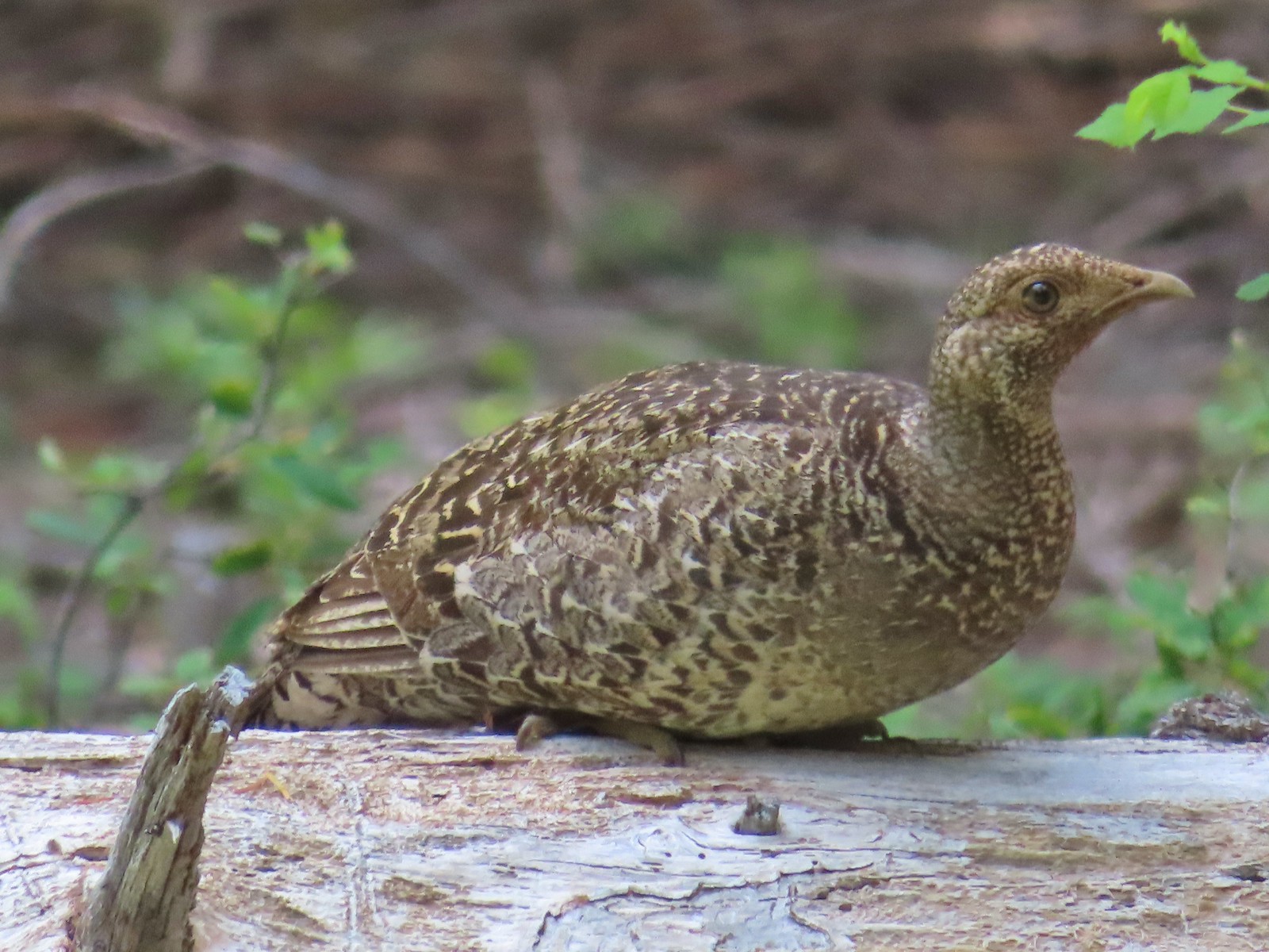 Grouse? in the Siskiyou Wilderness in July.
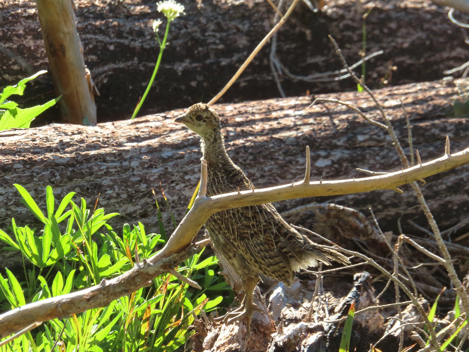 Grouse in the Mt. Adams Wilderness in August.
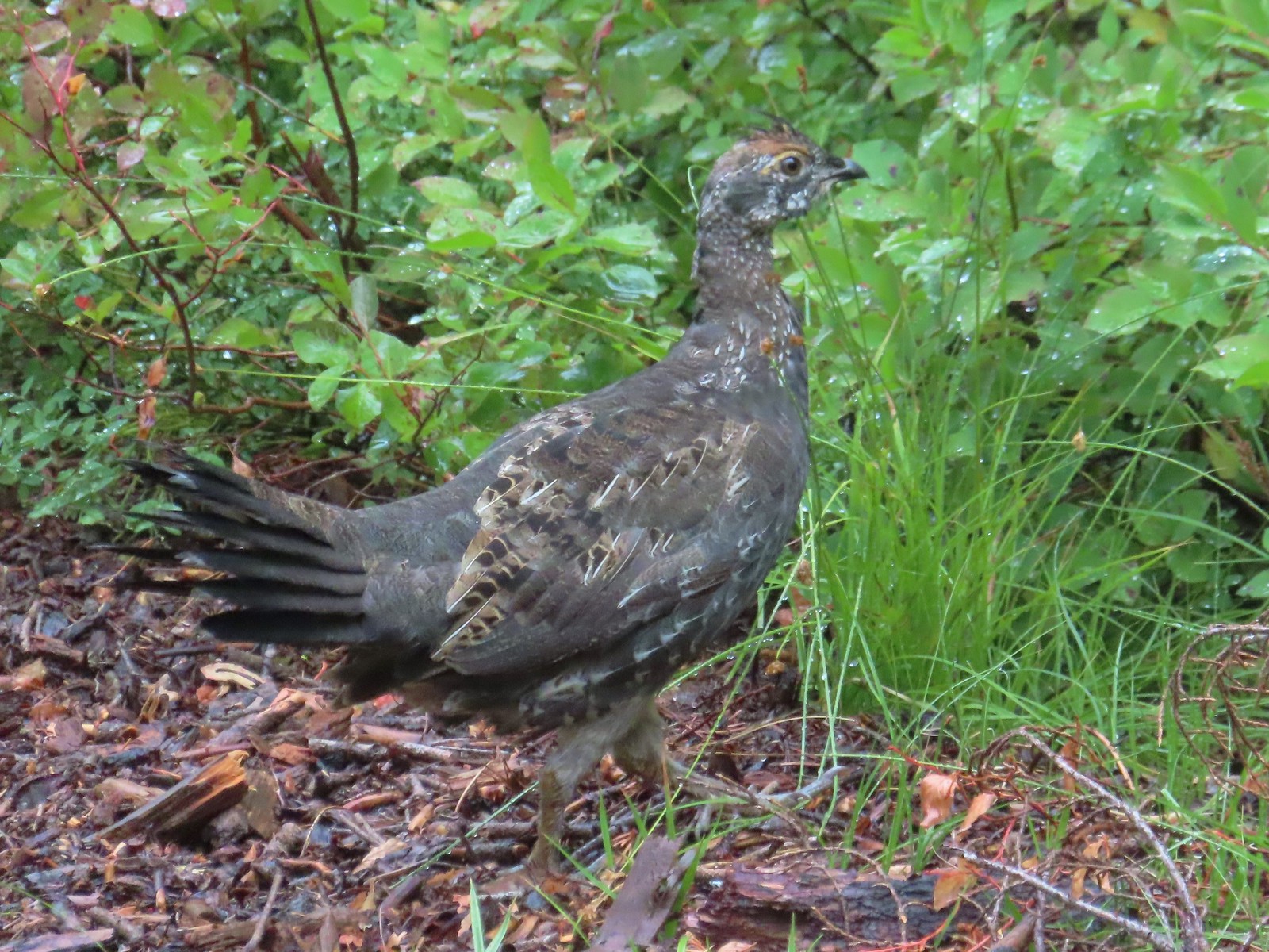 Grouse in the Sky Lakes Wilderness in September.
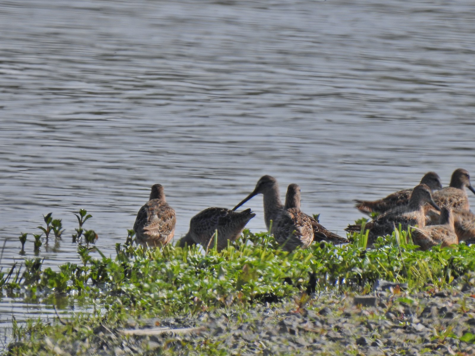 Long billed dowitchers? at Ankeny Wildlife Refuge in April.
 Killdeer at Ankeny Wildlife Refuge in April.
 Sandpiper? at Ankeny Wildlife Refuge in April.
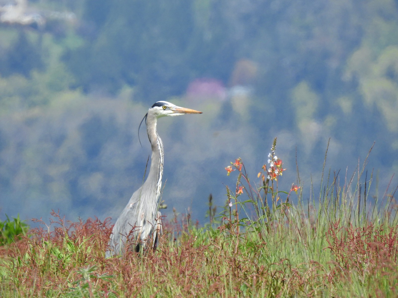 Great blue heron at Ankeny Wildlife Refuge in April.
 Kingfisher at Julia Butler Hansen Wildlife Refuge in June.
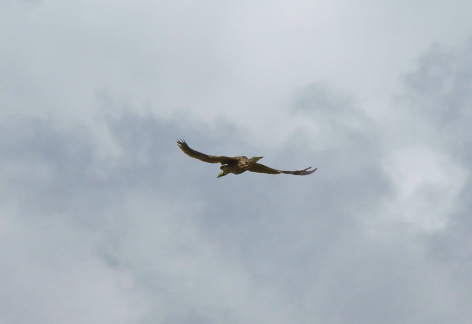 American bittern at Julia Butler Hansen Wildlife Refuge in June.
 White pelicans at Julia Butler Hansen Wildlife Refuge in June.
 Hooded mergansers at Yakona Nature Preserve in February.
 Common mergansers along the Klickitat Trail in April.
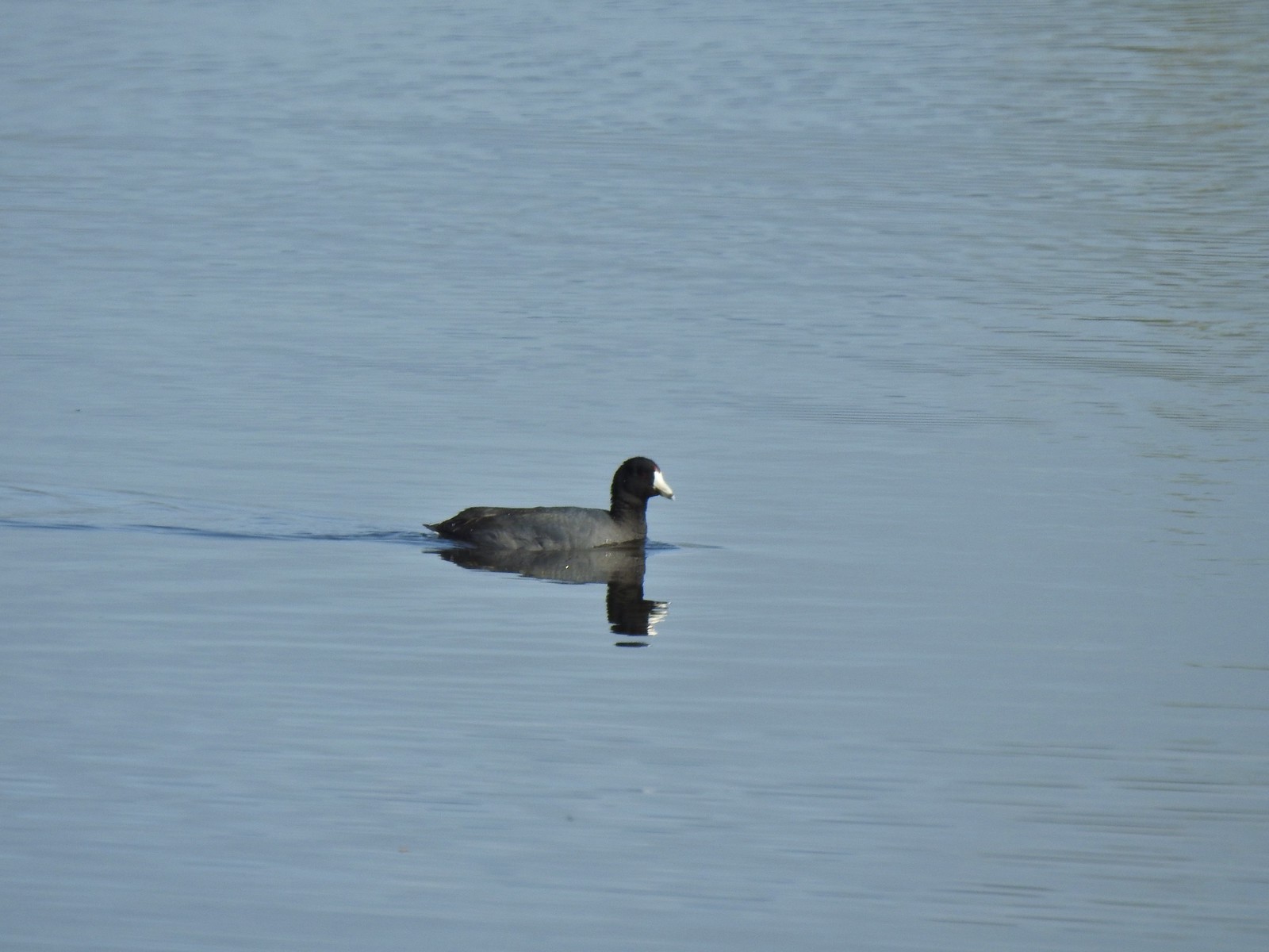 American coot at Ankeny Wildlife Refuge in April.
 Cinnamon teal at Ankeny Wildlife Refuge in April.
 Ring-necked ducks (and an American coot) at Ankeny Wildlife Refuge in April.
 Northern shoveler at Ankeny Wildlife Refuge in April.
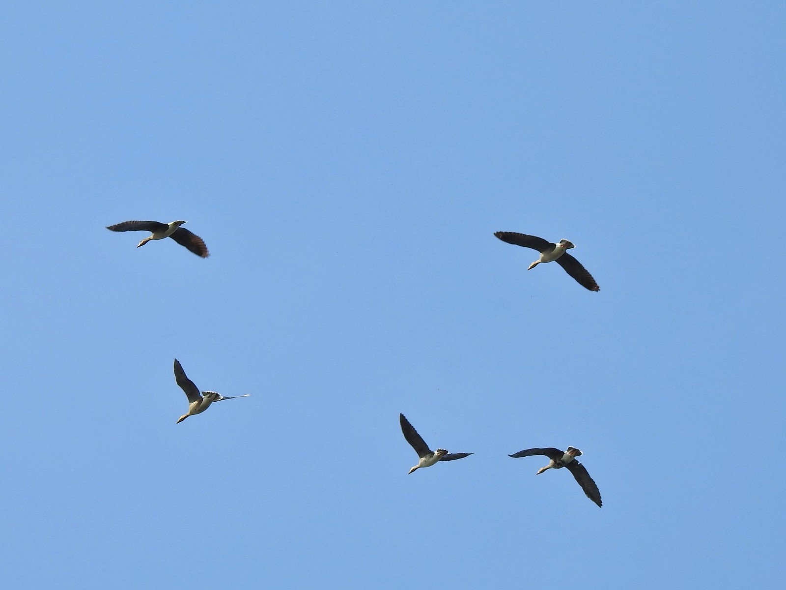 White-fronted geese at Ankeny Wildlife Refuge in April.
 Mallard along the Hood River Pipeline Trail in May.
 Wood duck at Denman Wildlife Area in May.
 Not sure if this is a ruddy duck at Waverly Lake in December.
 Mostly American widgeons with a green winged teal and a female bufflehead or two mixed in at Talking Water Gardens in December.
 Bufflehead at Talking Water Gardens in December.
 Canada geese at Applegate Lake in May.
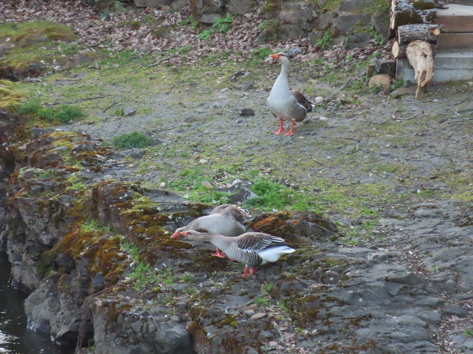 Domestic geese near the Klickitat Trail in April.
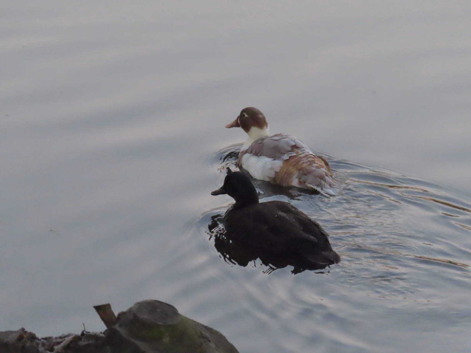 Domestic or hybrid? ducks at Waverly Lake in December.


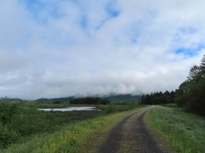
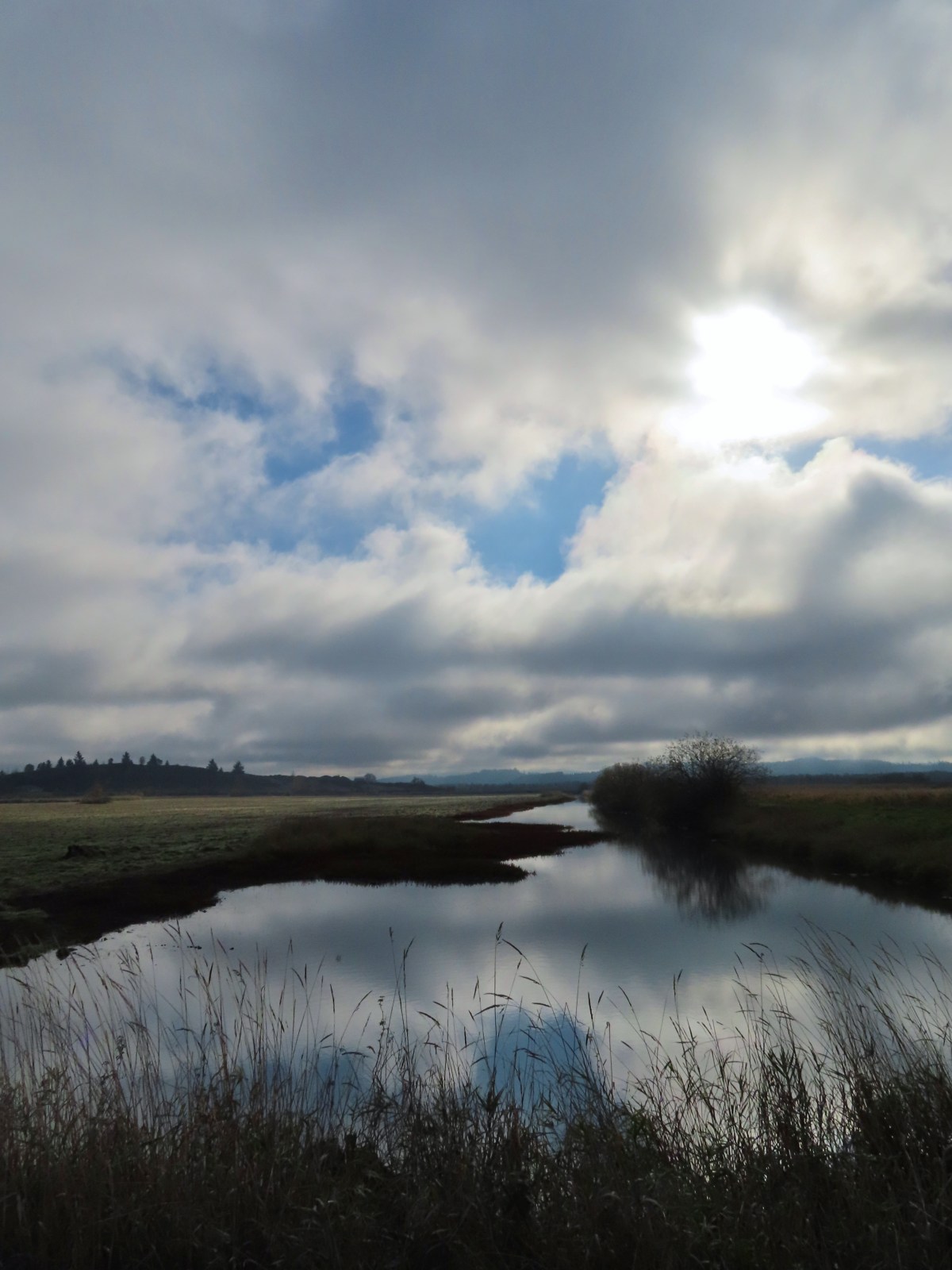
 A damp and cloudy morning.
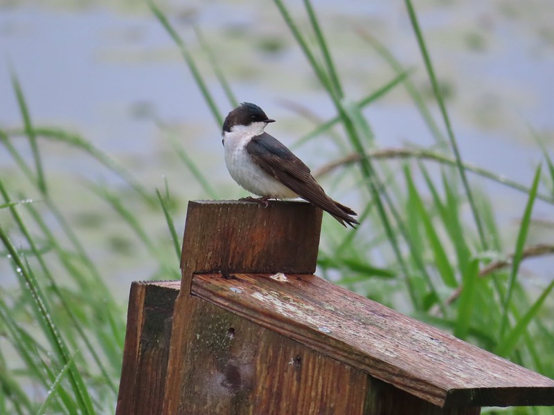 Swallow
 Indian Jack Slough and the garage from Refuge HQ.
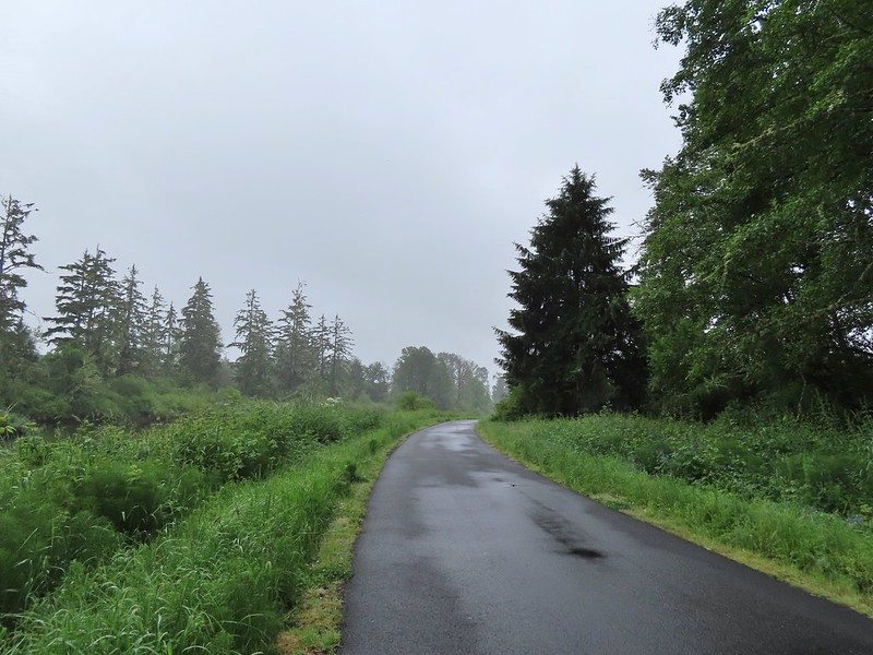
 Elochoman Slough
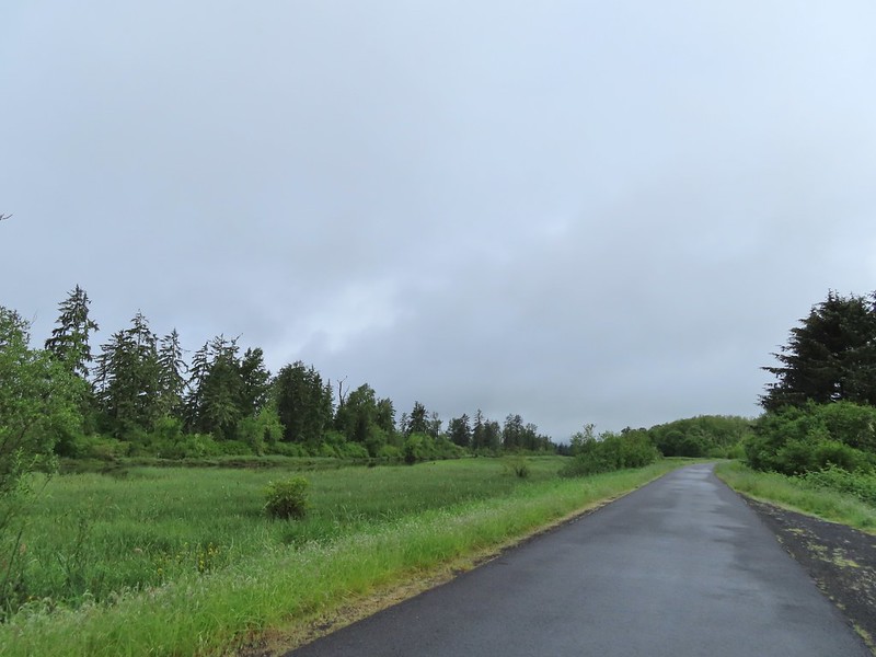 The first of many bald eagles we spotted (atop the dead tree across the slough).
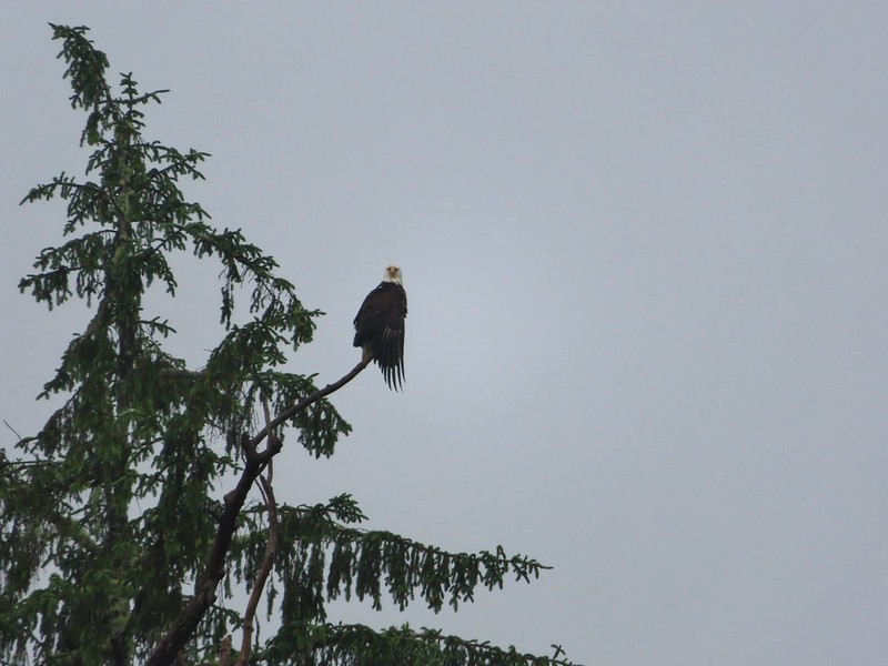 Working on drying out.
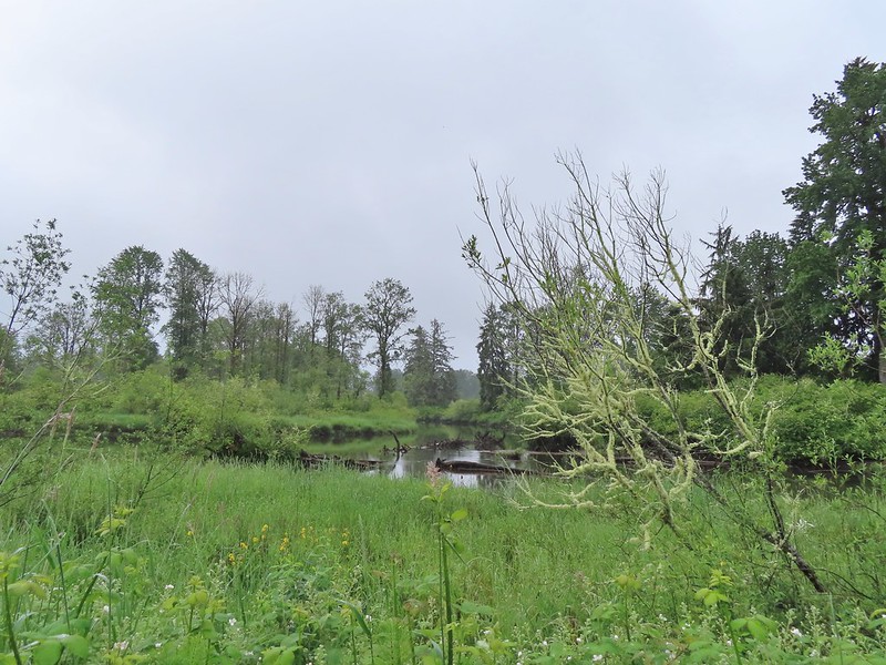
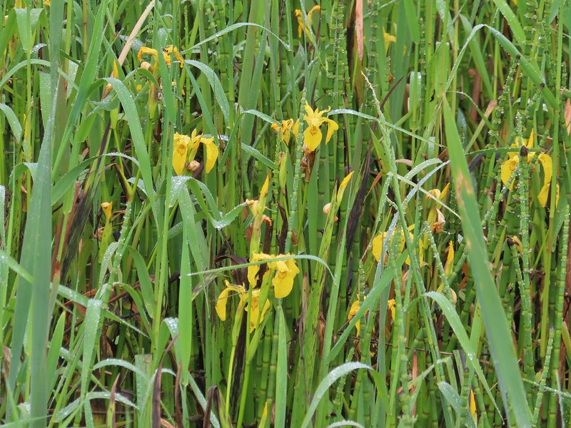 Lots of non-native yellow flag iris in the area.
 Little birds such as this sparrow were everywhere but rarely sat still.
 A different eagle waiting to dry.
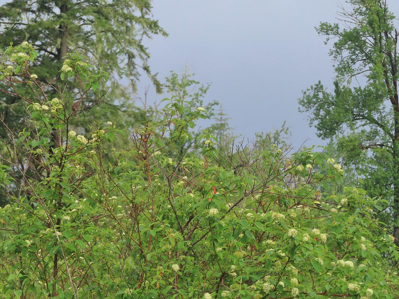 There are at least 5 birds in the tree including four goldfinches.
 A male goldfinch takes off.
 The morning clouds were starting to break up as forecasted.
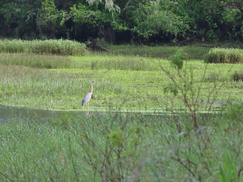 One of many great blue herons.

 A male wood duck.
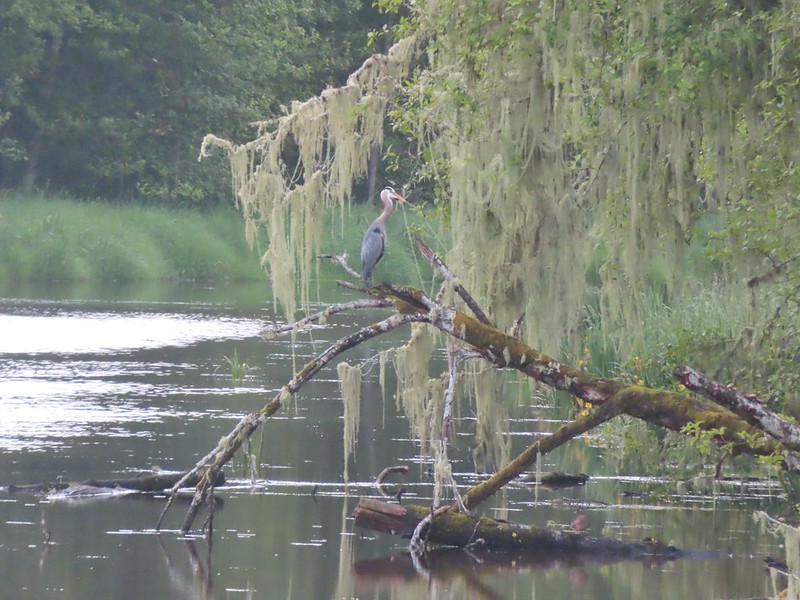 Another great blue heron with the female wood duck on the log below.
 The first of several osprey.
 Cattle in a field along the road.
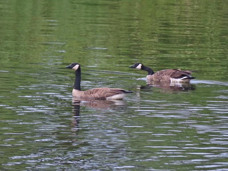 Geese
Geese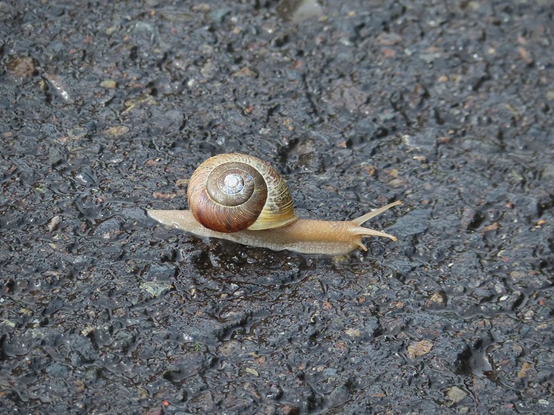 Snail crossing the road.
 Maybe a yellow warbler. I had to use the digital zoom to get between the branches so it’s not the clearest photo.
 There was a pole with a bunch of bird nests hung from it near the start of the trail. We’d never seen one like it before.
 Bald eagle in the same area.
 Slug on lupine
 A different type of lupine.
 Lupine, daisies and yellow gland-weed.
 Bumble bee needing to dry out.


 A look at the white tail. He gave us a better look but in that one he was also doing his business so we stuck with this uncentered, slightly blurry version.
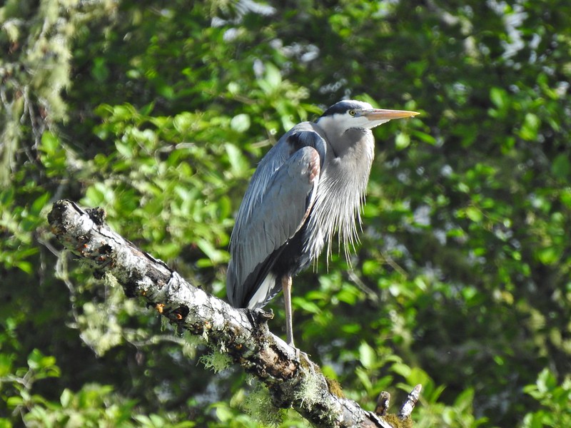

 Guessing marsh wren.
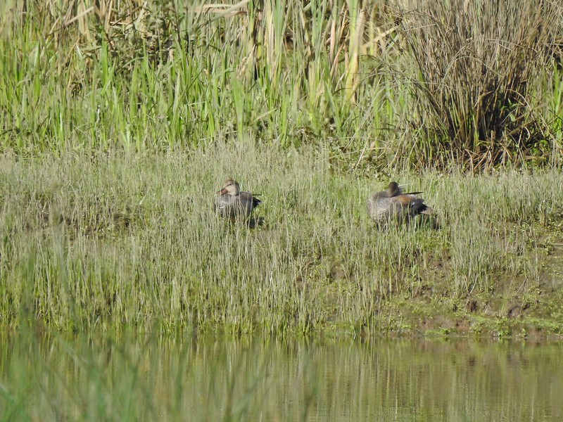 Ducks
Ducks Goose with goslings.
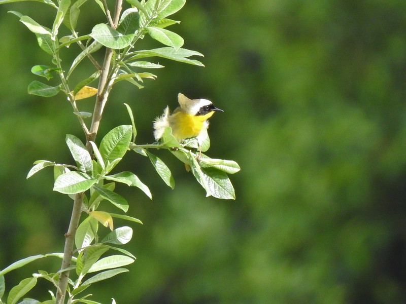 Common yellow throat.
 Male gadwall?
 There was pretty much non-stop bird song throughout the day.
 Traffic on the Columbia River.
 The Santa Maria on the Columbia.
 Female brown-headed cowbird?
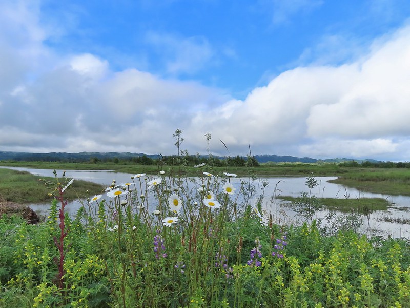
 Flowers along the levee.
 American robin
 Red-winged blackbird chasing a heron.

 Note the sign does not indicate that you cannot reach the HQ from the road, it simply says it is 5 miles round trip. Online it adds that hikers must exit the trail the way they entered.
 Roses along the road.
 Muskrat
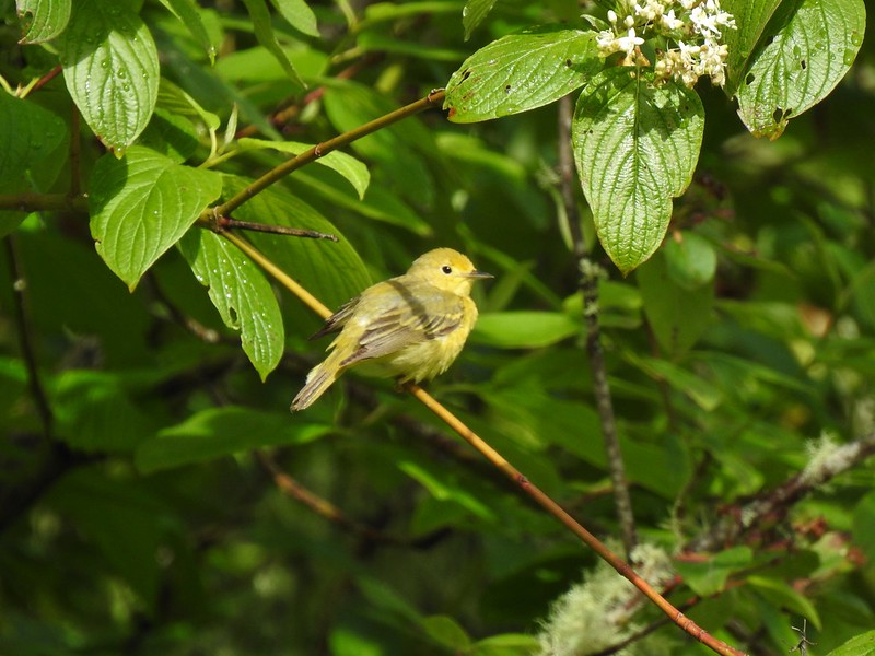 Warbler
 Osprey
 Brooks Slough Road junction.
 Another eagle sitting near the top of the first tall tree on the far side of the slough.
 Interesting shrub along the road.
 The partly sunny skies had indeed materialized.
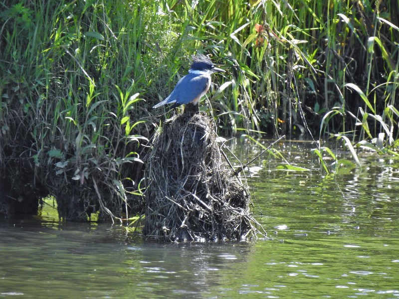 Kingfisher
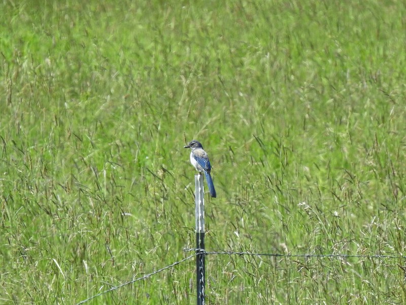 California scrub jay
 White pelicans
 Some sort of ornamental shrub/tree but it had cool flowers.
 Turkey vulture
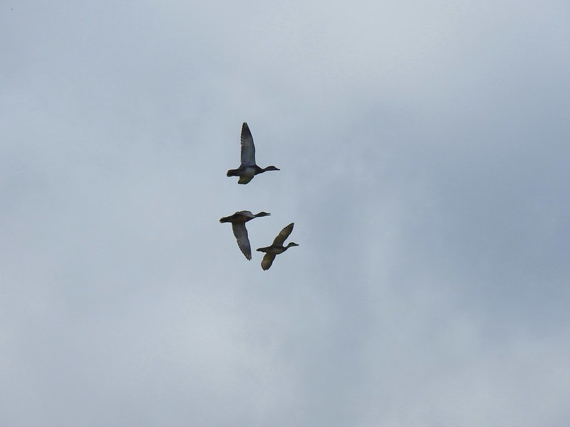 Couldn’t tell what type of ducks they were.
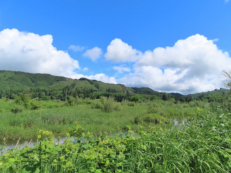 Alger Creek somewhere in the grass flowing into Brooks Slough.
 Pond on the other side of the road.
 Black pheobe?
 Red-tailed hawk
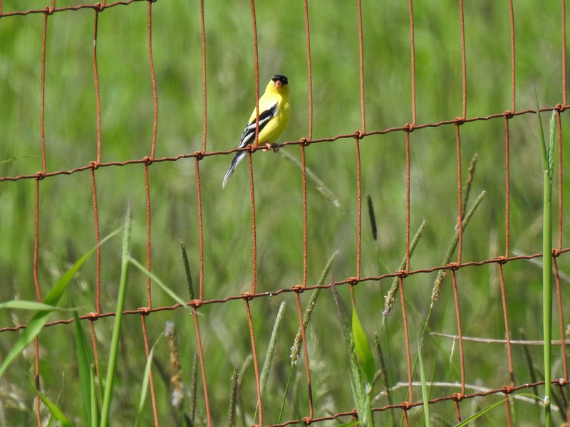 American goldfinch
 Swallowtail
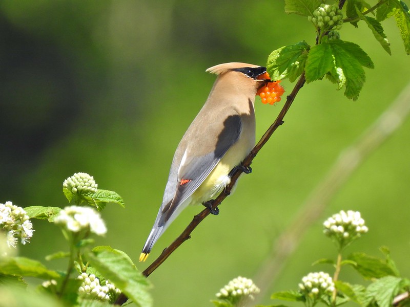 Cedar waxwing with a salmonberry.
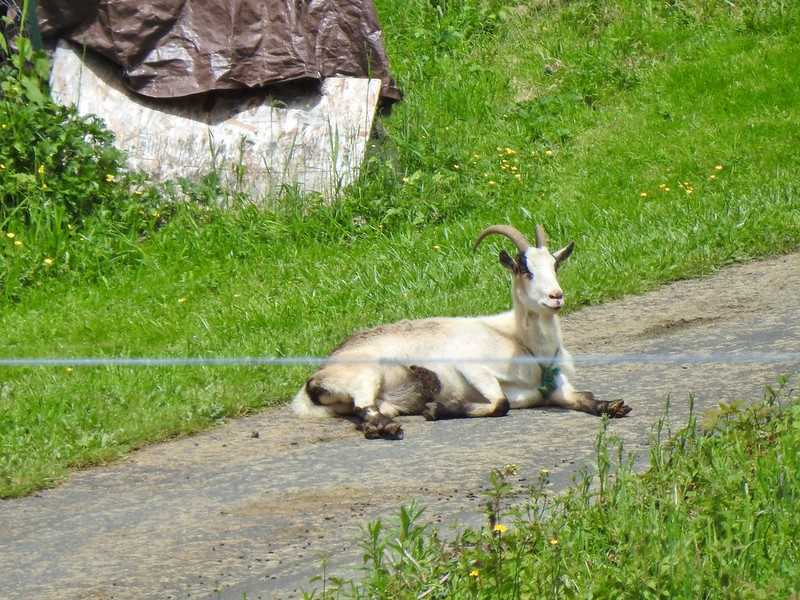 Goat lounging in a driveway across the highway. There had actually been a black goat in nearly the same spot on our first pass.
 Caterpillar
 The elk is in the center of the photo near the tree line.
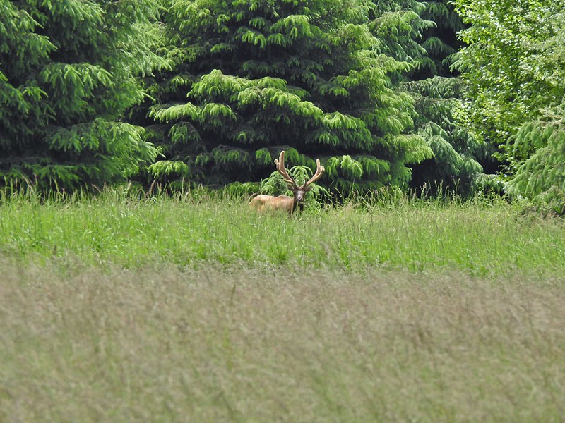


 Here is a not so decent picture of the egrets.
 One of the bitterns in flight.
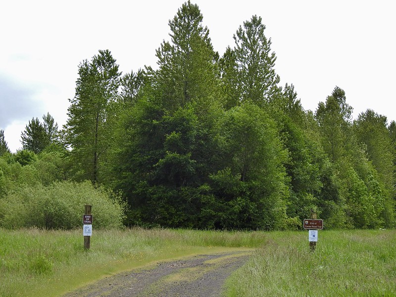


 Heather spotted this garter snake along Center Road. Another animal to add to the days list.
 Back at the White-tail Trail.
 It had cooled down again which provided some relief as we trudged back.
 A second turtle
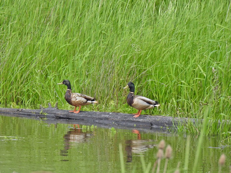 Mallards
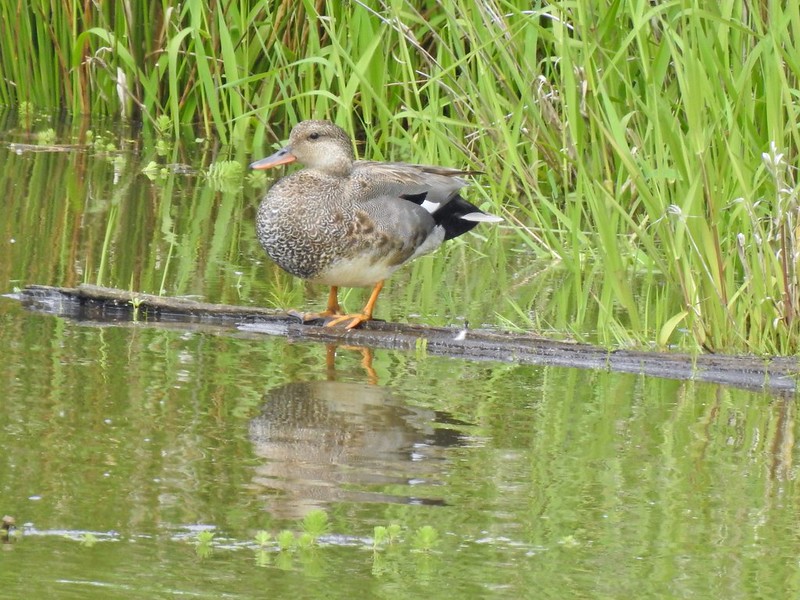
 Way more water in the afternoon.
 Another kingfisher. It was in the same tree as the heron had been earlier that morning when we were watching the bucks.
 Family swim
 By Steamboat Slough Road we had all kinds of blisters/hotspots on our feet.
 Arriving back at the refuge HQ.
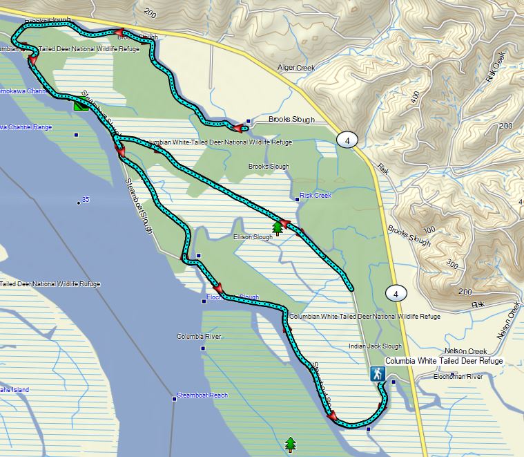
 The trailhead sign for the Clay Creek Trail is ahead on the opposite side of the road.
 Siuslaw River
 Clay Creek on the left emptying into the Siuslaw.
 Stairs at the Clay Creek Recreation Area across the river.

 The Clay Creek Trail climbing above Clay Creek.
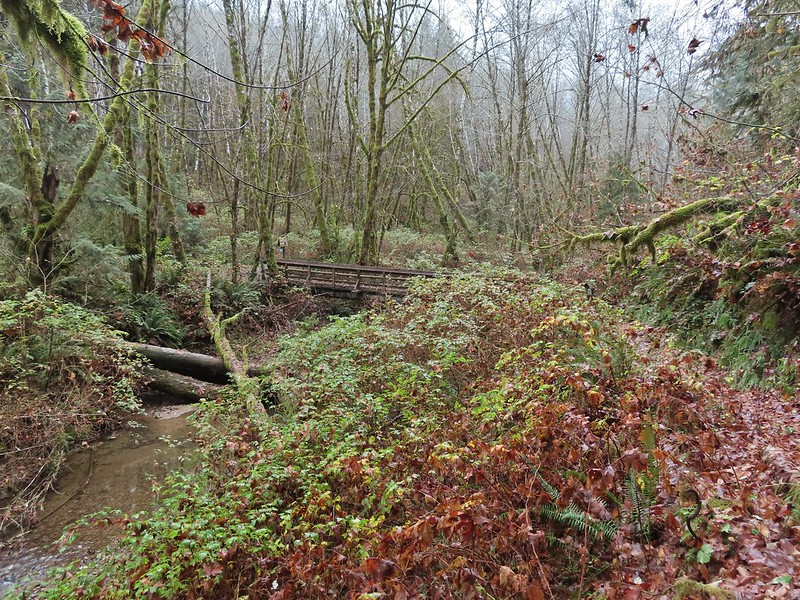
 It’s hard to tell size here but the diameter of this tree was well over 5′.
 The junction for the loop.
 One of several reroutes we encountered.
 On the ridge top.
 Madrone trunk and bark, always fascinating.
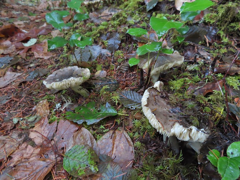 Lots of mushrooms pushing up through the forest floor.
 Good sized trees near the high point.
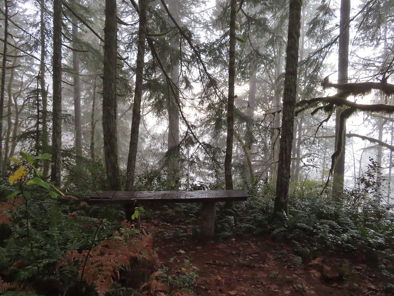 No idea what you might see on a clear day.

 The viewpoint.

 Nearing the footbridge.
 The fog had lifted off the river at least.
 Note that Royal Ave and the trail to the viewing platform are open year around with the other restrictions listed below.
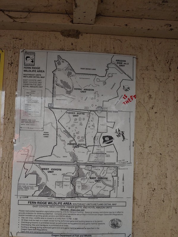 We took a picture of this map to assist us with our route.

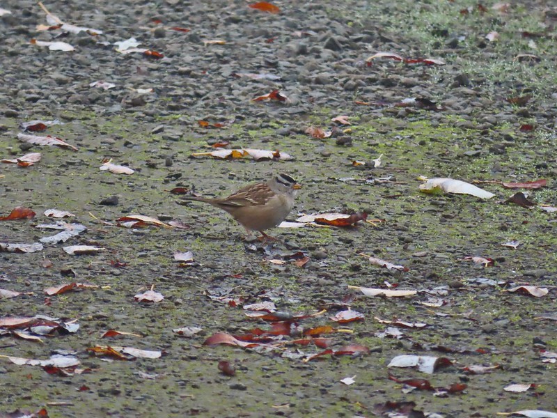 White crowned sparrow
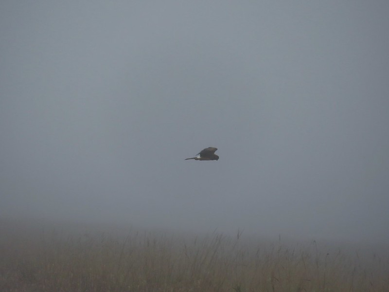 Northern harrier on the hunt.
 Wetlands in the Royal Amazon unit.
 The bittern taking off.
 Not the greatest photo but enough to identify it.
 A hawk on a stump.
 American coots
 Gibson Island (with the eagles in the snag to the far left)
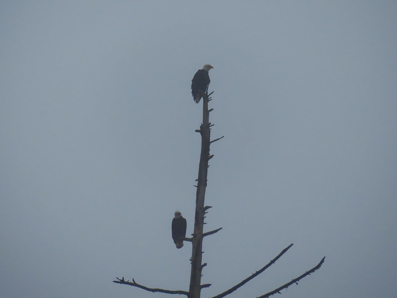


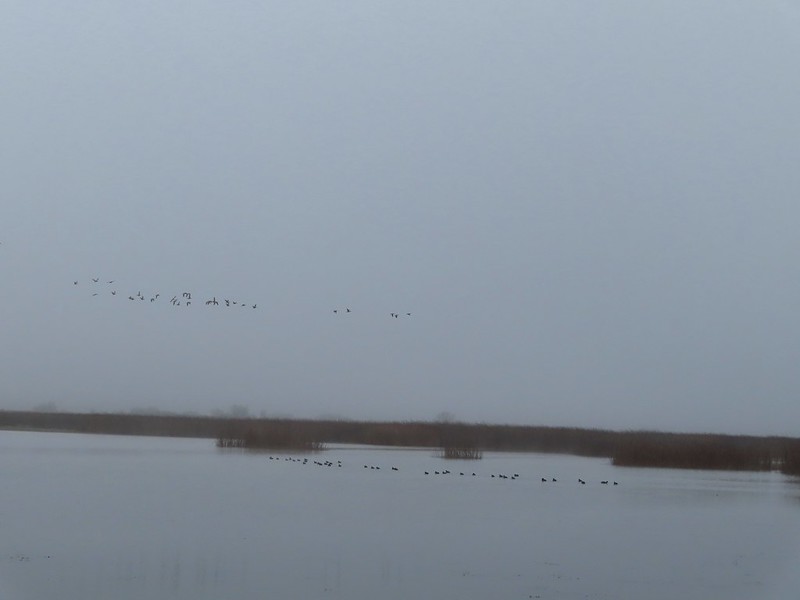 A flock of geese above the coots.
 There were a number of these small birds pecking around in the mud which, with some help from Molly in the comments, are American pipits.
 Continuing west.
 We used the stones to the right to cross the water here.
 Great blue heron (with Highway 126 in the background).
 Sandpiper in the roadway.
 End of the line.

 Seagull
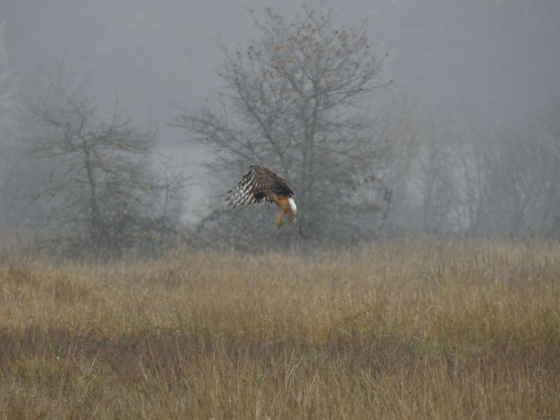 Perhaps the same northern harrier.
 The harrier taking a break.
 The path to the platform.
 Dunlins (thanks again to Molly)
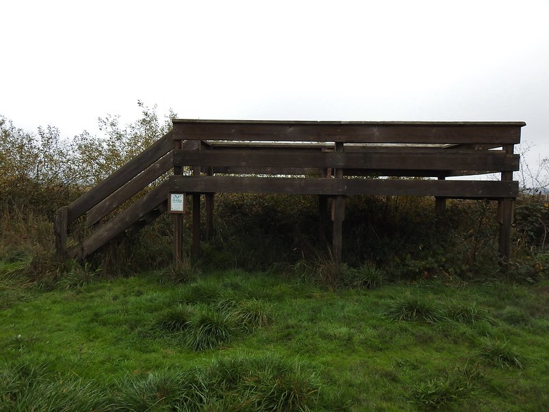 The platform.
 The first signs that the fog/clouds might be breaking up.
 Looking back at a little blue sky and a visible Gibson Island


 Fisher Butte is the low hill ahead to the right.
 Gibson Island was now lit by direct sunlight.
 The dike running between Fields 3 & 4.
 Looking back over the ditch.
 California scrub jay
 Northern shovelers and a bufflehead.
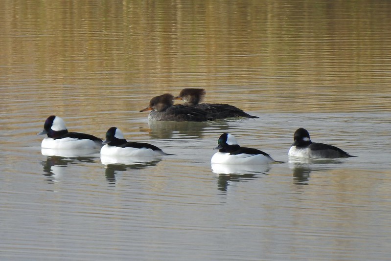 Buffleheads and two hooded merganser females.
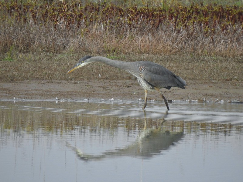
 Kingfisher
 American robin
 The gravel road and another small portion of the wildlife area on the other side.
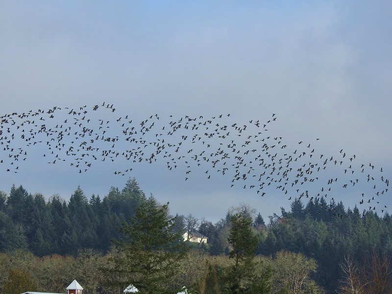 Noisy geese.
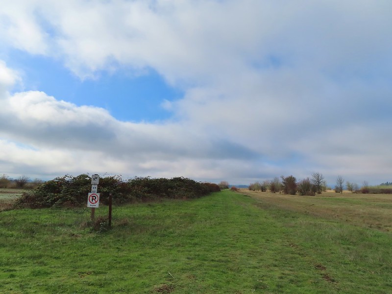 Back on the mowed track.
 A sparrow
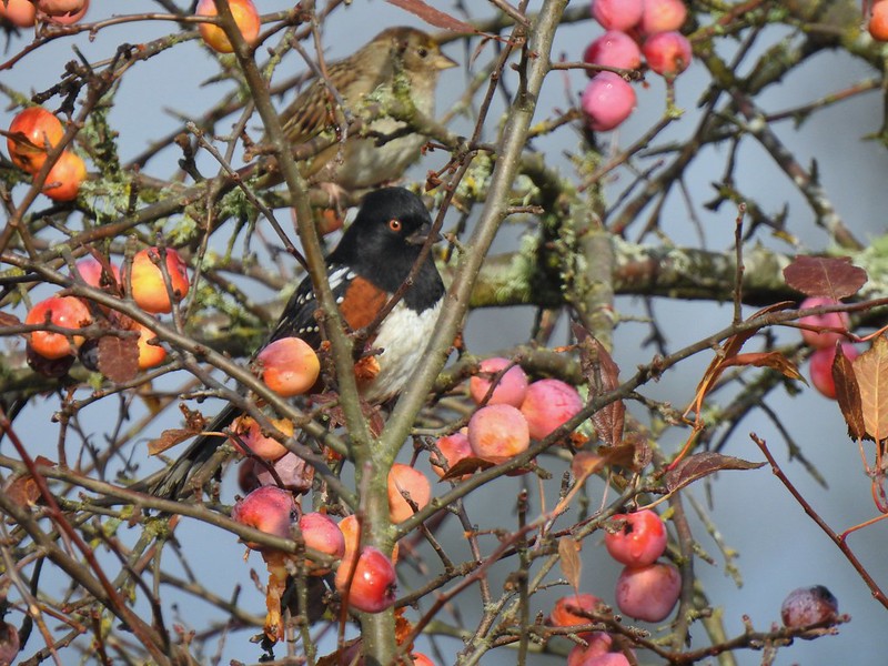 Spotted towhee and friend.
 Finch
Finch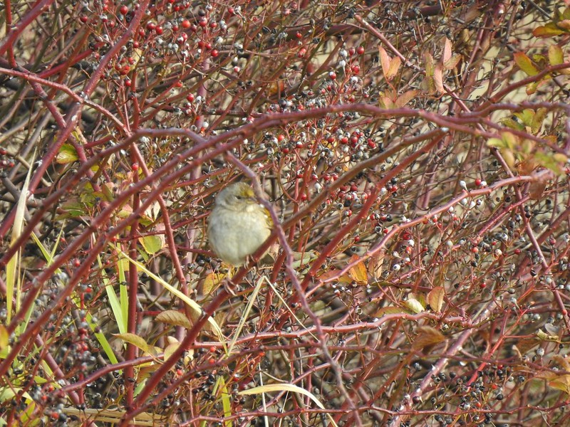 As of yet unidentified little bird.
 This path headed north from the trailhead, something to explore on our next visit.

