
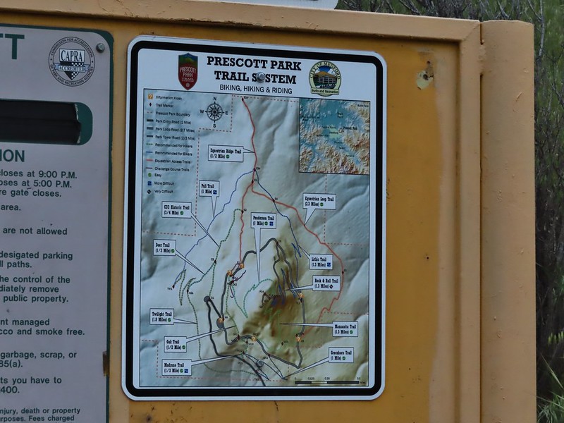
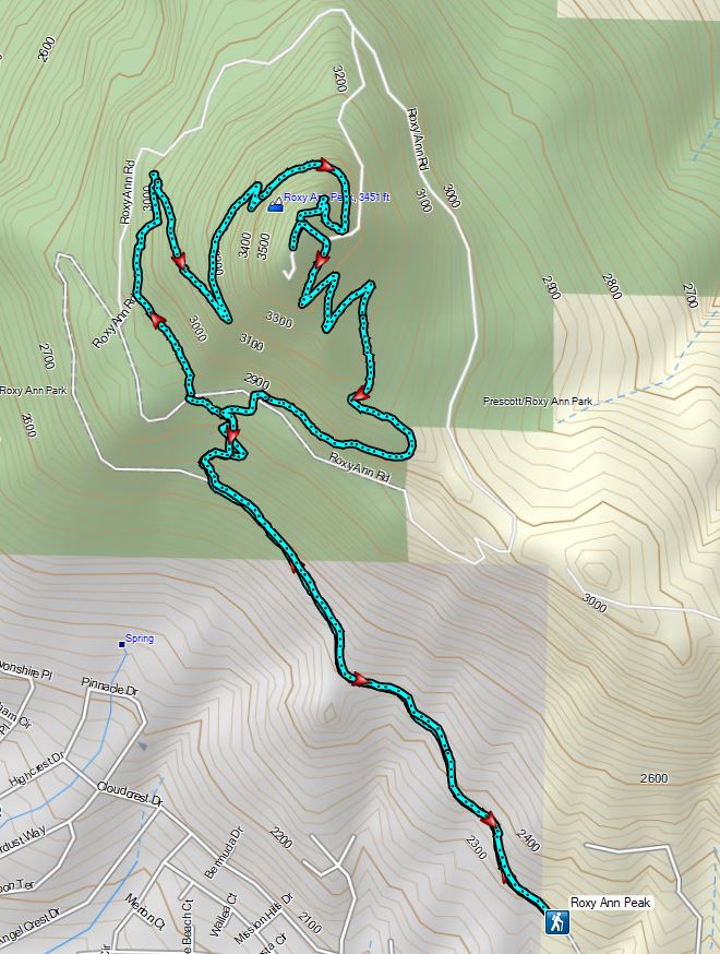
Memorial Day marked the end of our trip to the Medford area but before we headed home we had one final hike planned at Roxy Ann Peak. Located within Prescott Park the 3670′ Roxy Ann Peak offers multiple trails and great views (on clear days) of the surrounding area. The park has two gates that according to the park brochure are “typically” open from 8 to 8 in Spring and Summer (closed at 5pm in Fall/Winter). We wanted to get an early start to our drive back to Salem so we opted to park at the 1st gate and road walk to the start of the trail that Sullivan features in his guidebook.
 Setting off at 5:20am from the 1st gate.
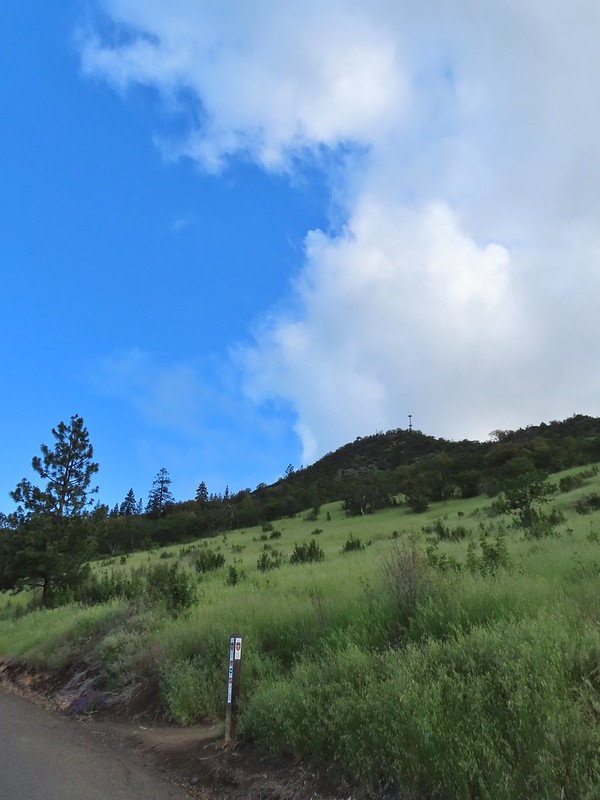
This was another hike that became a featured hike in his 4.2 edition “100 Hikes/Travel Guide Southern Oregon & Northern California” due to fire damage to several of the previously featured hikes. He suggests a 3.4 mile loop started by parking at the second gate. Like most of our other hikes this trip we’d originally planned on a longer hike utilizing more of the Park’s trails but had pulled back after the first day of our trip (post) but parking at the first, lower trailhead did add a little over 2 miles round trip. While the forecast was for a mostly sunny day the clouds from the weekend hadn’t moved on as we hiked up the road.
 Roxy Ann Peak from the road.
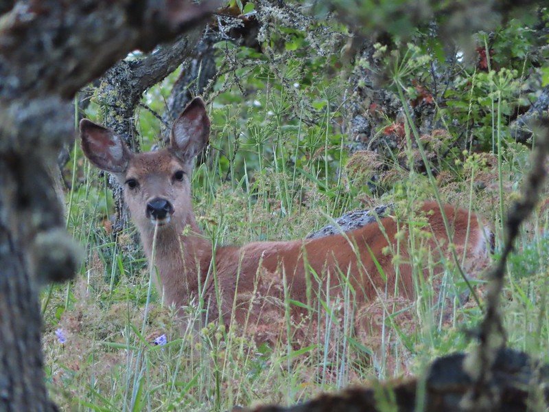
We spotted three deer and a jack rabbit during the road walk but the low light conditions made for poor picture taking opportunities. Fortunately deer were the theme for the first half of the hike and we had several more photo ops with them.
 Jack rabbit
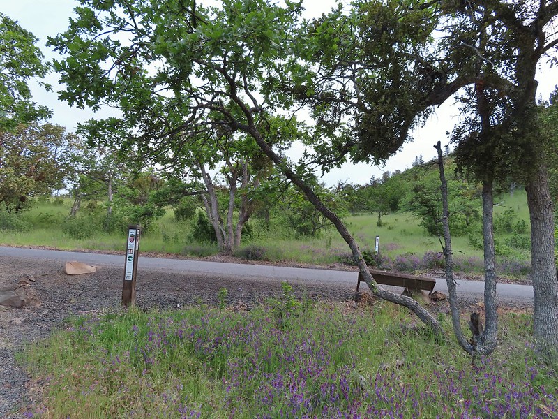
 Coming up on the 2nd gate.
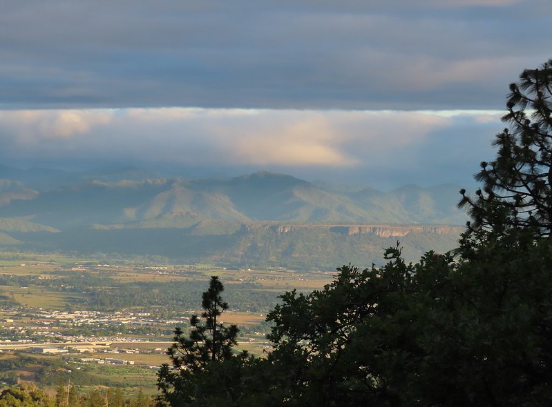
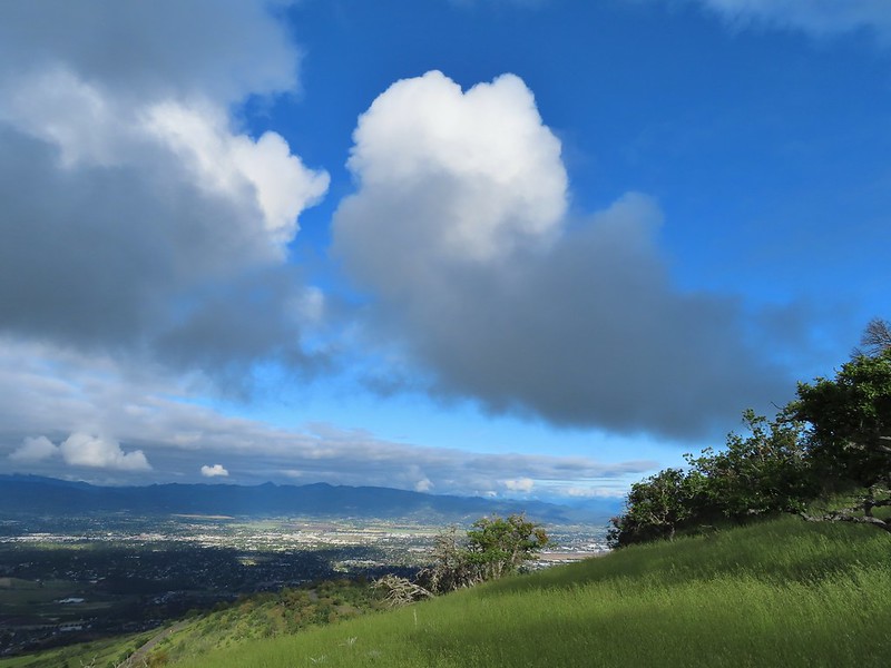
 Sunlight hitting the hillsides on the far side of Medford.
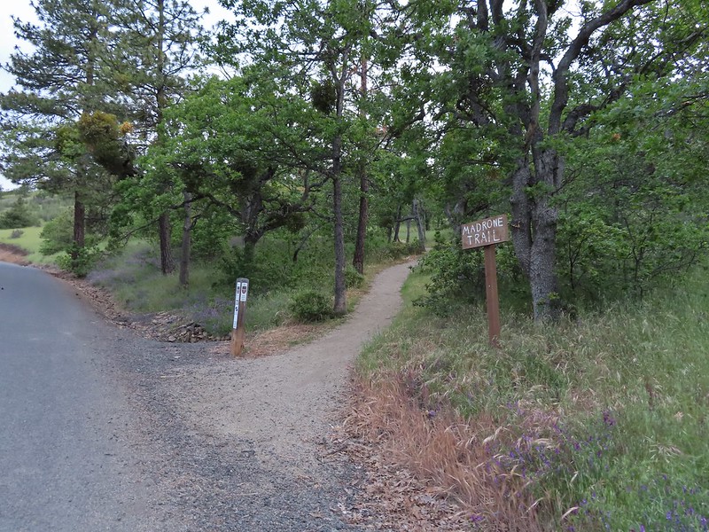
Our planned lollipop loop was to take the Madrone Trail to the Oak Trail then onto the Ponderosa Trail which would take us up to the Park Tower Road where we could visit the summit. Then we would descend via the Manzanita Trail back to the Madrone Trail to return to Roxy Ann Road and eventually our car.
It was 0.2 miles along the road from the 2nd gate to the start of the Madrone Trail where we turned right and began climbing in earnest.
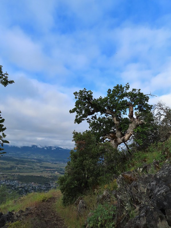
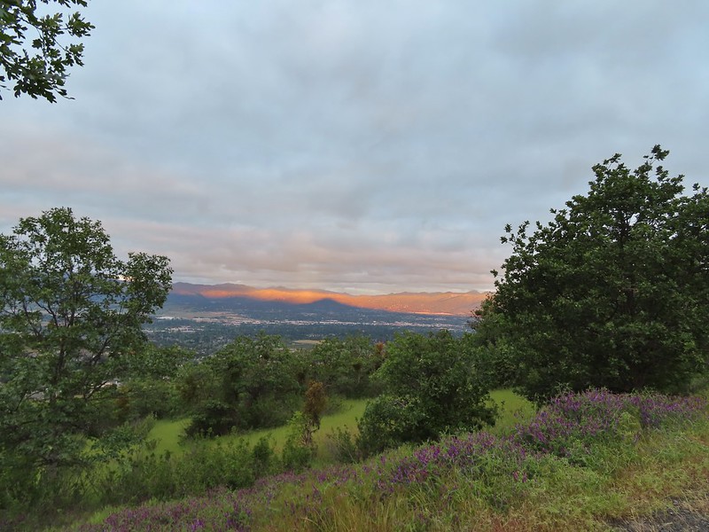 Roxy Ann’s shadow being cast over Medford.
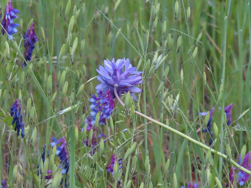
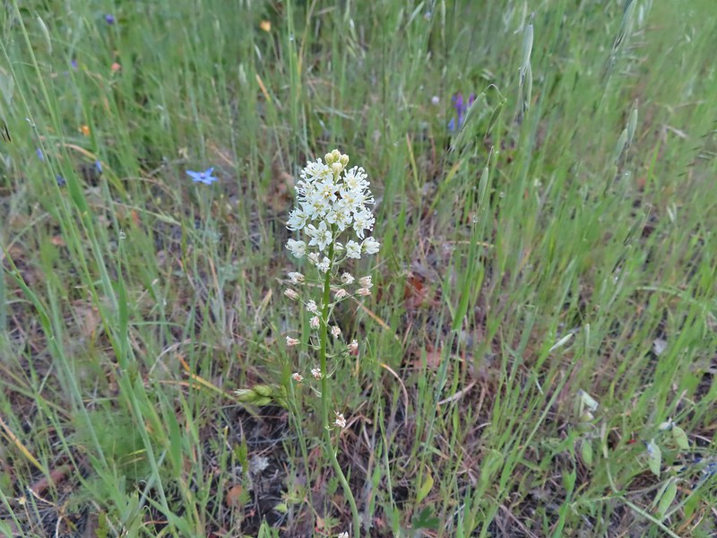
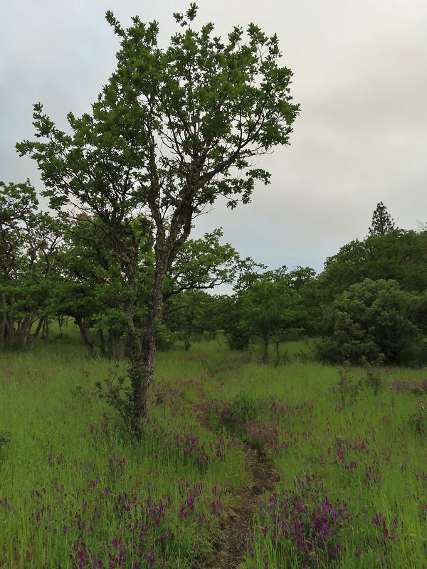
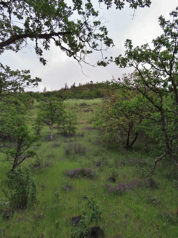
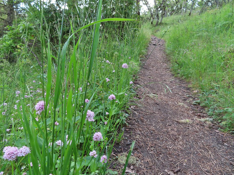
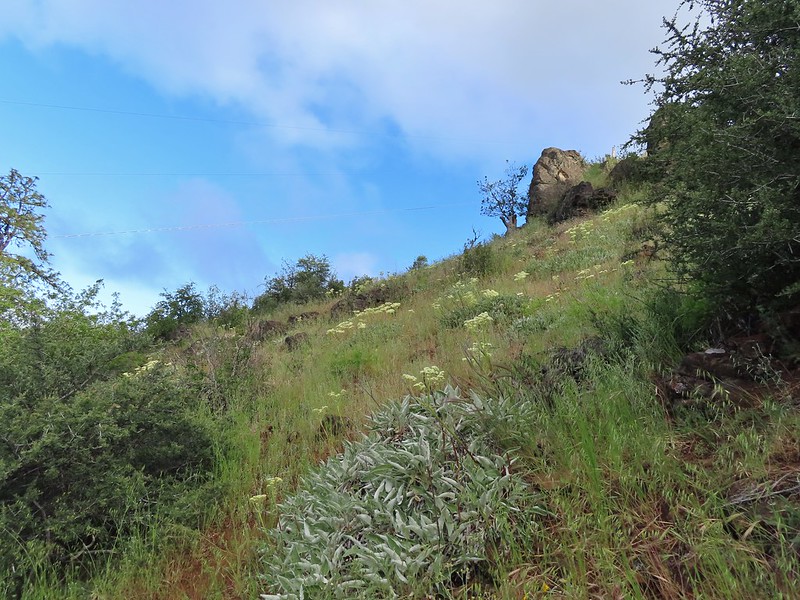
For the most part the trails in the park were nice and wide giving us the feeling of plenty of space from the abundant poison oak in the area. (We’re not sure how long it takes to get used to hiking in its presence but we haven’t gotten there yet.) There was a nice variety of wildflowers along the way and, as I already mentioned, a good deal of wildlife. We also appreciated the fact that most junctions were well marked with posts identifying the various trails.
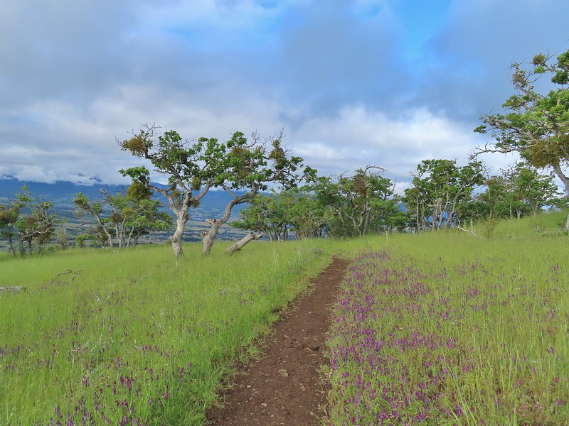
 Lots of purple vetch along the trails.
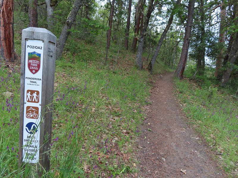
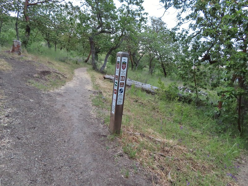 One of the posts used to identify trails.
 Madrones along the Madrone Trail.
 We turned left following the pointer for the Oak Trail.
 Juvenile great horned owl along the Oak Trail. We didn’t get a good look at the second owl to the left but it looked to be an adult.
 This segment of the Madrone Trail (MD3) ended at Roxy Ann Road with the Oak Trail picking up on the far side.
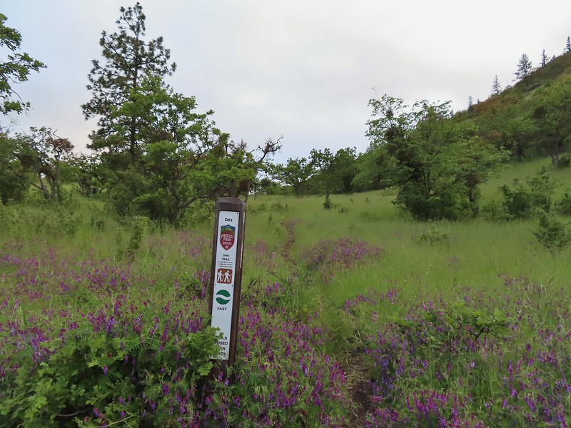 The Oak Trail
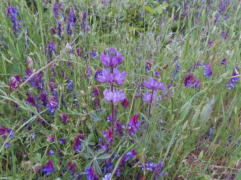 Lupine amid the vetch
 Camas in front of poison oak.
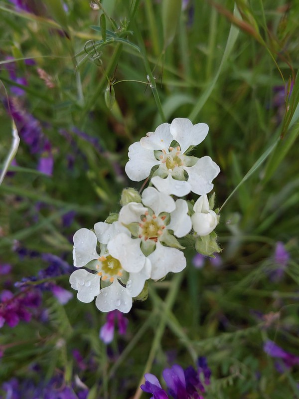 Carrotleaf horkelia
 ookow
ookow
 Death camas
 Blue-eyed grass
 Oak along the Oak Trail.
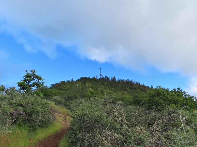
 Roxy Ann Peak

 Blow wives
 The Oak Trail appeared to be the least used of all the trails we would hike on this day.
 Lower Table Rock (post)

 The only post we saw that wasn’t helpful.
 Challenge Course just off the Oak Trail.
 Parts of the Challenge Course
 Trail junction near the Challenge Course with the Oak and Ponderosa Trails.
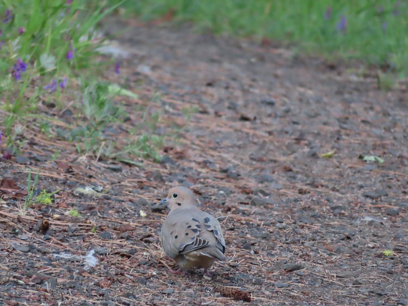 Dove
Dove
 Hopping onto the Ponderosa Trail.
 Mariposa lily

 Lazuli bunting. We saw quite a few of these during our trip but they proved to be very difficult to photograph.
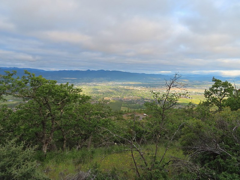 Medford from the Ponderosa Trail.
 Paintbrush
 Madia
Madia
 Lower Table Rock again.
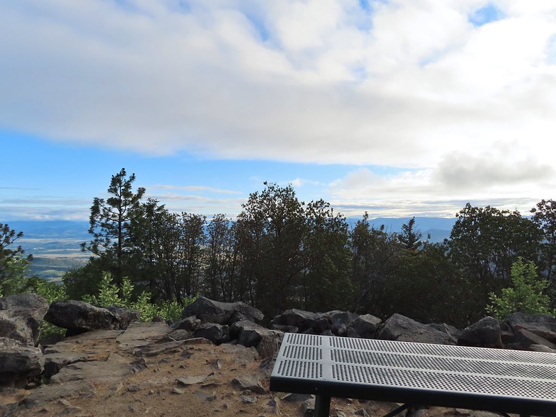
 A bench and Ponderosa pines along the Ponderosa Trail.
 Plectritis
 Two more deer above the trail.
 Deer and balsamroot.
 Young deer
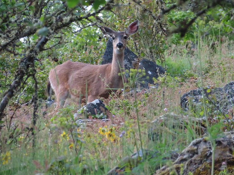 Momma deer
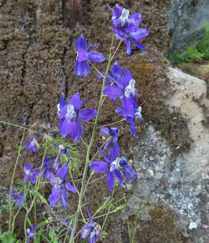 Larkspur
 Nearing Park Tower Road.
When we hit the road we headed uphill then took a short rocky trail to a picnic table on the summit. Unfortunately the low clouds hadn’t burned off nearly enough yet for us to get the big views of either the Cascade Mountains or the Sisikyous but it was a nice view none the less.


 Serenading lazuli bunting.
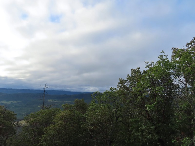 A lot darker clouds toward the Cascades.
With no real views today we took a brief break then headed over to the tower on the other side of the peak just for the heck of it before heading down the road to pick up the Manzanita Trail.

 Sign for the Manzanita Trail
We followed this trail back down to Roxy Ann Road and the Madrone Trail.
 The lower flank of Grizzly Peak (post) to the left. Mt. Ashland (post) is hiding behind the clouds almost straight ahead.
 Looking NE from the trail, still a lot of clouds.
 Another bunting, we were on a roll.
 The clouds were really starting to break up as we descended.
 Arrow-leaf buckwheat on the hillside.
 Roxy Ann Road
 Back on the Madrone Trail.
 Back on the road walk. The trail post here is for the Greenhorn Trail.
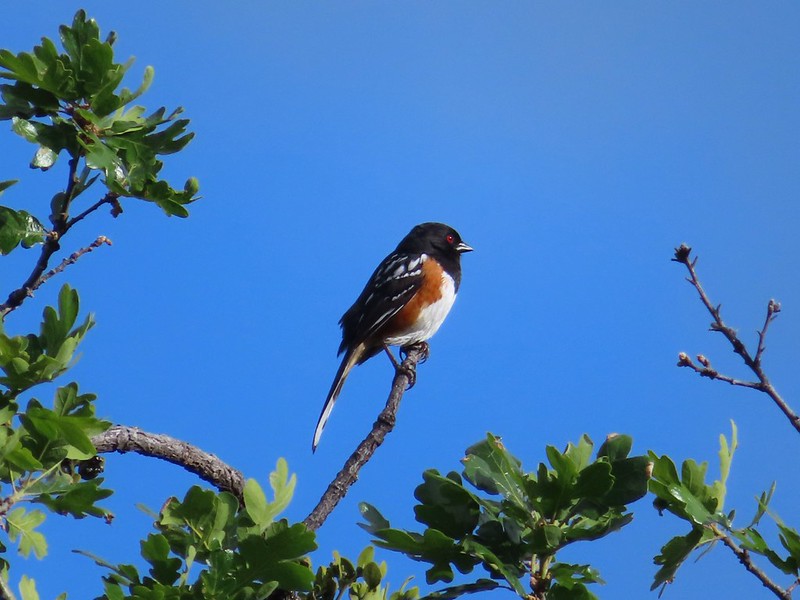 Spotted towhee.
The lower gate was still closed when we got back to our car around 8:20am but we’d passed a steady stream of hikers and trail runners heading up the road regardless. In the end our hike came to 5.4 miles with approximately 1475′ of elevation gain.
It had been a nice short hike to end the trip on. It was only about 15 minutes from our room so we had left our things there instead of having to leave it in the car and now had time to go back to the room, shower and then drive home. We stopped in Eugene to have lunch with our son Dominique and his friend Russell and then continued home to unpack and start getting ready for our next adventure. Happy Trails!
Flickr: Roxy Ann Peak

2 replies on “Roxy Ann Peak – 05/30/2022”
[…] the effects of wildfires. We spent a week in Medford earlier in June checking off Roxy Ann Peak (post) and the Jack-Ash Trail (post) and we headed back south a couple of weeks later to hopefully check […]
[…] #54 White Rabbit Trail-Hiked 6/17/2022 #55 Grizzly Peak-Hiked 6/5/2015 #56 Roxy Ann Peak-Hiked 5/30/2022 #57 Wagner Butte-Hiked 6/4/2015 #58 Siskiyou Gap-Hiked 6/16/2022 #59 Jack-Ash Trail-Hiked […]