
Our original plan for this vacation was to do a pair of hikes on the way down to Roseburg on Monday, Illahee Rock and Twin Lakes but the weather hadn’t cooperated with that plan. Monday was cloudy so doing two viewpoint hikes didn’t make sense. Instead, we had spent Monday visiting various waterfalls along Highway 138 (post). The plan for Tuesday had been a hike along Cow Creek on the way south to Ashland but during one of the many drives between trailheads on Monday we had decided instead to do the Illahee Rock and Twin Lakes hikes on Tuesday, weather permitting, and to save Cow Creek for another year. There were two reasons for this change. First Twin Lakes is one of Sullivan’s featured hikes while Cow Creek is not. The second reason was that we were both still dealing with blisters from our 17.5-mile outing at the Columbian White-Tailed Deer Refuge three days earlier (post) and with at least four creek crossings on the Cow Creek Trail the probability of us having to ford the creek and soaking our feet didn’t sound like the best idea. Before going to sleep Monday, we checked the forecast which was “Becoming Sunny”. I don’t think we’d ever come across that particular forecast, but it sounded hopeful so Tuesday morning we packed up the car and headed east once again on Highway 138.
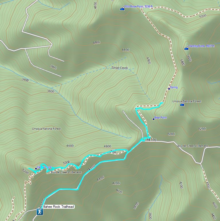
Our first stop was at Illahee Rock, a former featured hike that was hit with fires in both 2017 and 2021. Two lookout towers sit atop Illahee Rock and the Umpqua National Forest website listed the Illahee Lookout Trail as open but gave no update on conditions. We wound up cutting the drive short by three quarters of a mile due to a decent amount of debris in the road due to damage caused by the fires.
 We parked in a pullout just before this section.
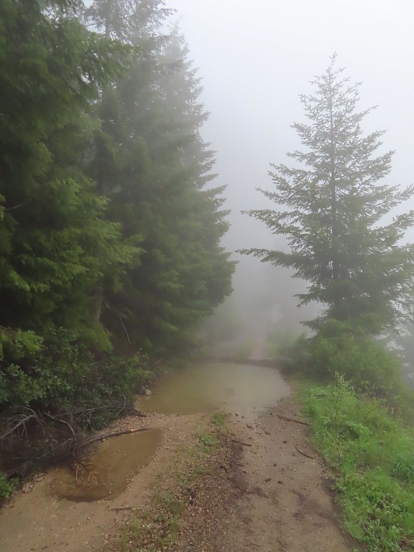
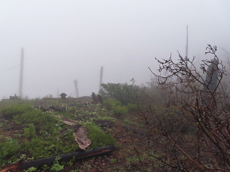
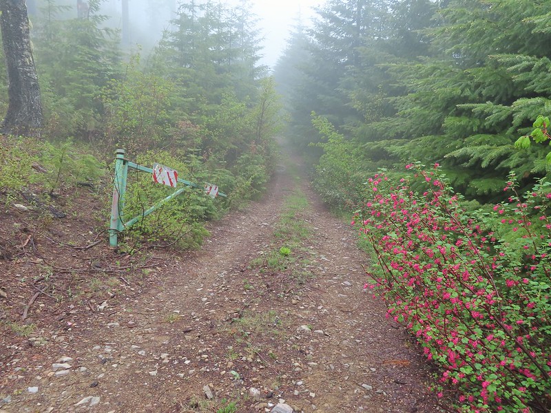
The “becoming sunny” forecast was obviously not for the morning as we found ourselves in heavy fog as we hiked along FR 100.
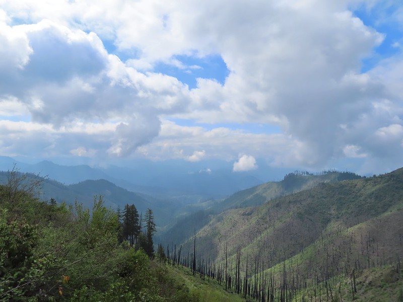
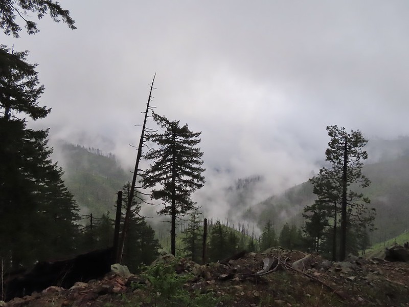 The Boulder Creek Wilderness (post) under the slowly rising clouds.
After 0.75 miles on FR 100 we came to FR 104 on the left which led to the Illahee Rock Trailhead. Before heading up to the lookouts though we wanted to make an attempt to reach nearby Wild Rose Point which Sullivan described in his book.
 FR 104
We passed FR 104 and continued on FR 100 for another 0.2 miles to a fork.
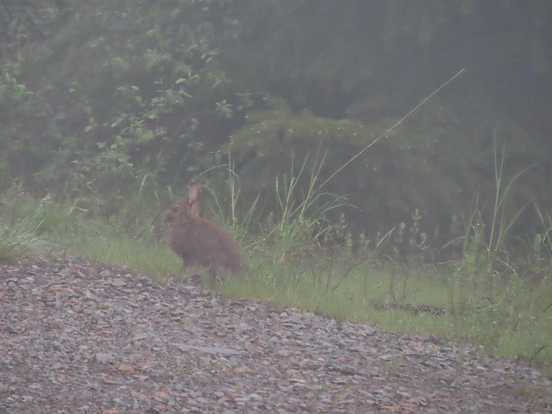 Rabbit on FR 100
 Lots of fawn lilies along the road and trails.
 Red flowering currant
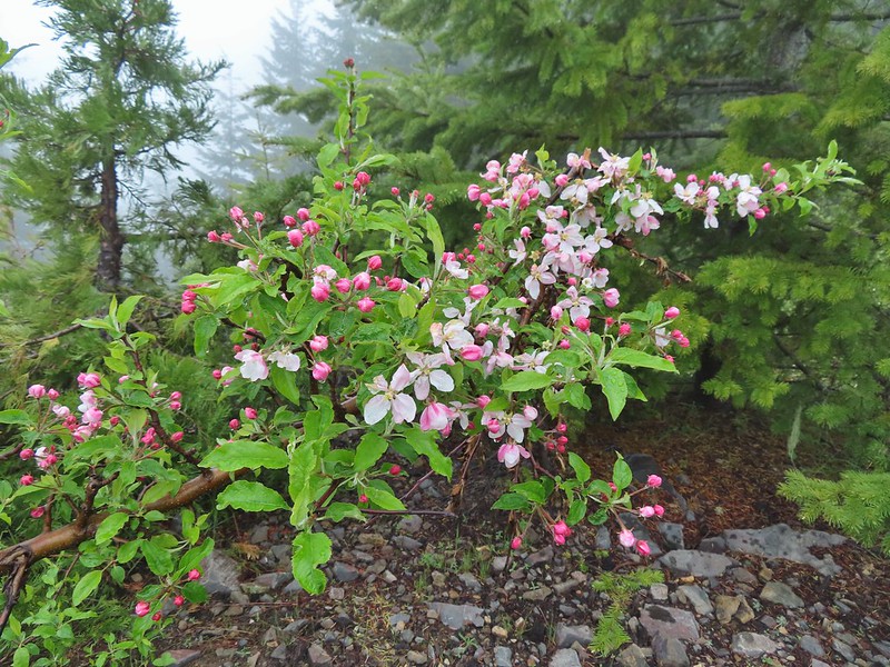 Is this an apple tree? Whatever it is it seemed very out of place.
 FR 105 on the left and FR 100 on the right.
We could see a post for the trail on the hillside in brush but had a bit of trouble figuring out where the trail began at the fork. We first looked for it right at the fork then a bit down FR 100 but it was actually just up FR 105 next to the post for the road.

This little path brought us to the post in the brush where it was already obvious this was going to be an adventure.

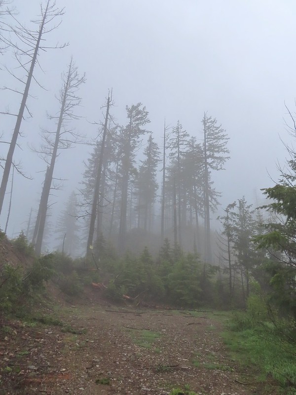
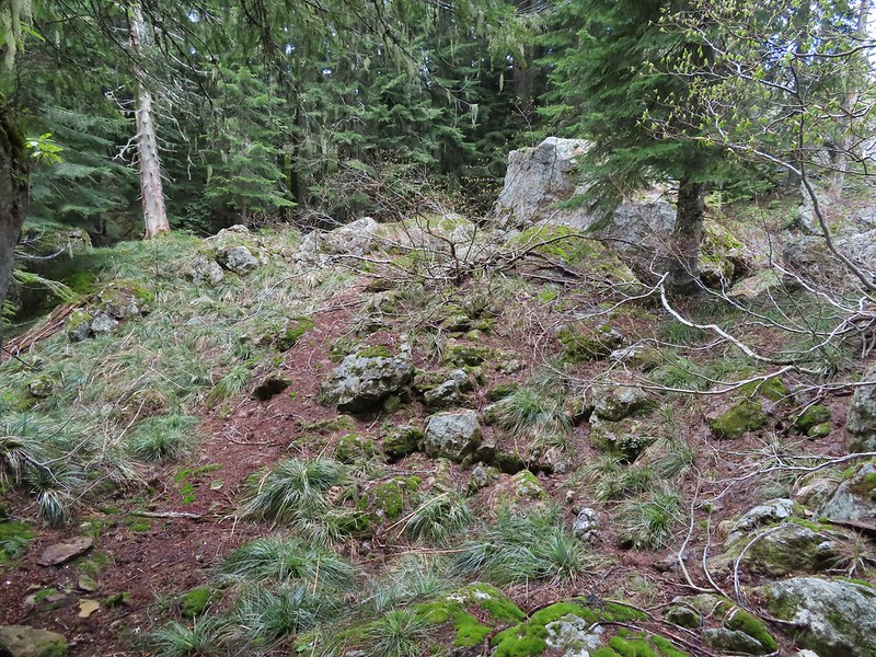
The 2021 fire had burned over this area as well and it didn’t appear that any maintenance had been done aside from some occasional flagging and cairns. We decided to give it a go though since it was under 1.5 miles to Wild Rose Point. We picked our way uphill and found some decent tread in some trees that had been spared by the fire.
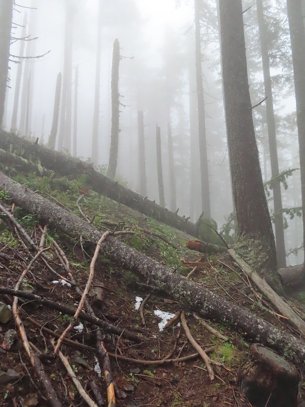

Another uphill through a burned area brought us to another short section of better trail before fallen trees began to be a problem. A little over half a mile in near Illahee Spring we decided to turn back. Several larger trees blocked the trail head and looked like more trouble than it was worth to try and navigate around and even if we did manage there wasn’t going to be a view due to the fog.
 A cairn on the left.
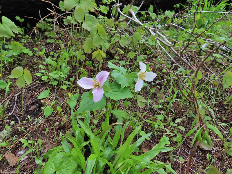
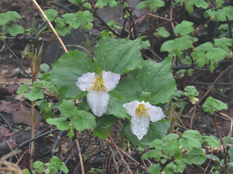 Damp trillium
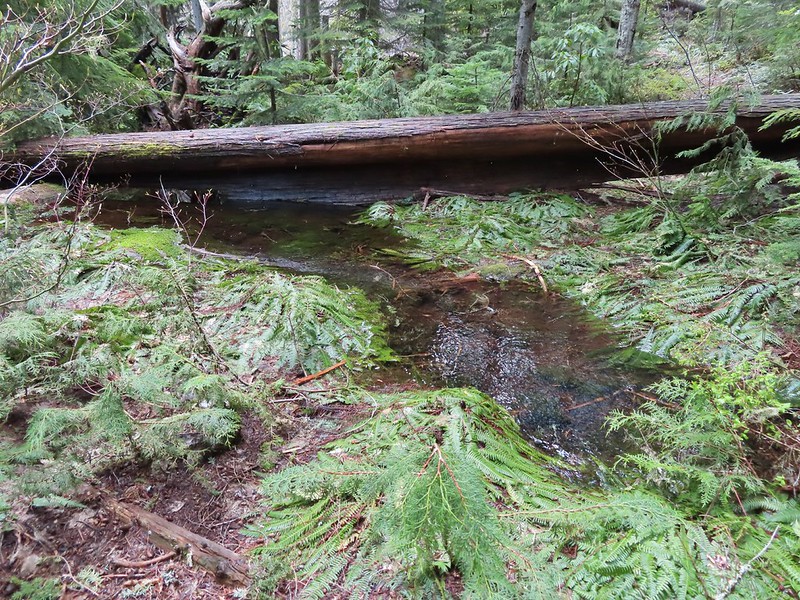
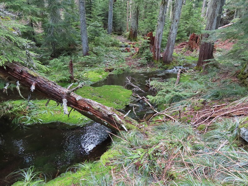
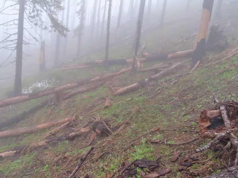 Downed trees across the trail near Illahee Spring.
We returned to FR 100 and walked back to FR 104 which we now turned up.
 Gooseberry
Two tenths of a mile up FR 104 we came to the Illahee Rock Trailhead.
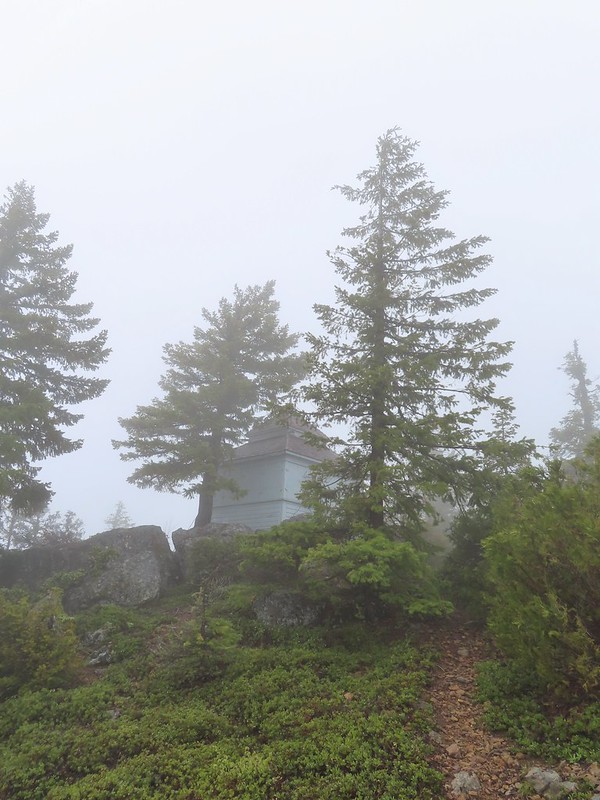
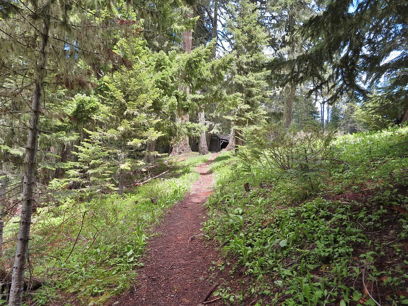
This trail was in much better shape and we had no problem following it the three quarters of a mile up to the lookouts.

 The tread was a little faint but otherwise in good shape.
 Lots of cool rock outcrops along the trail.
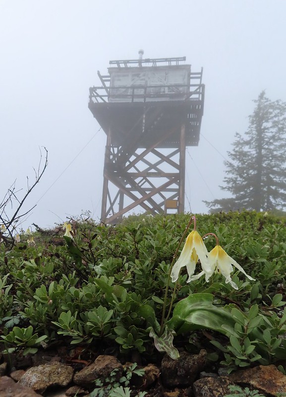
 Fawn lilies
 Typical trail condition.
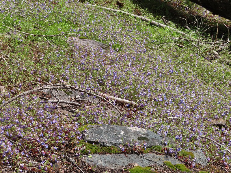
 Ragwort and blue-eyed Mary covered hillside.
 Blue-eyed Mary
 Ragwort
 Rocky hillside below the lookouts.
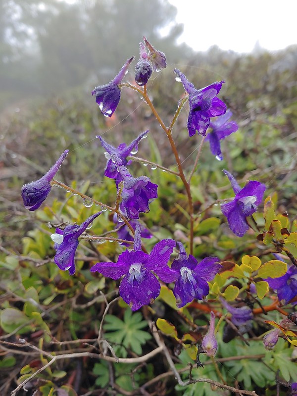 Larkspur
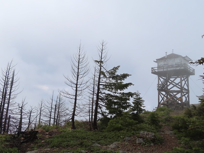
 1925 Cupola style lookout.
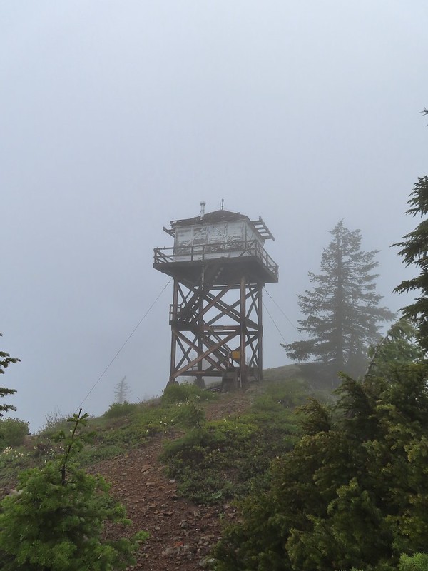 1956 L-4 tower lookout

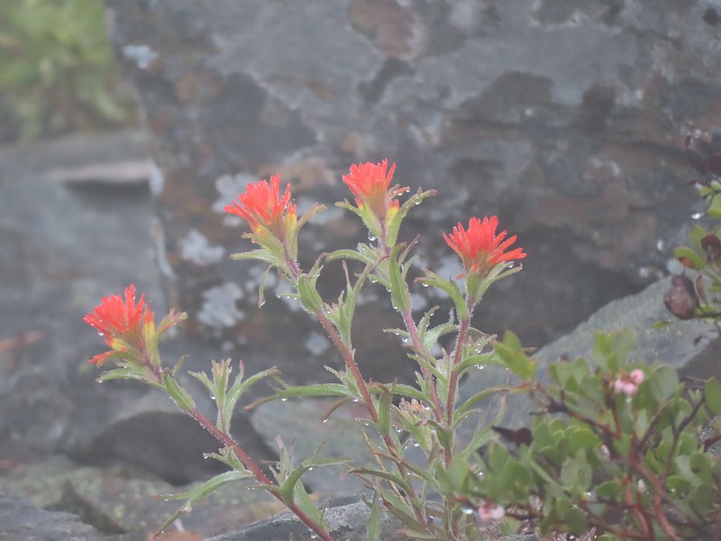 Paintbrush
We spent some time exploring the summit and checking out the lookouts while we waited for it to become sunny. We eventually gave up on that and headed back down.

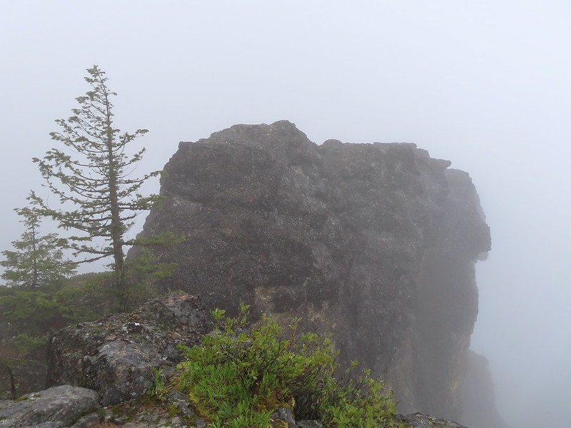 Illahee Rock
 A sliver of hope for blue sky at some point.
It wasn’t more than 10 minutes after we started down before the blue sky started appearing.


 Back at the trailhead.
 On FR 100
 Wallflower
 The Boulder Creek Wilderness
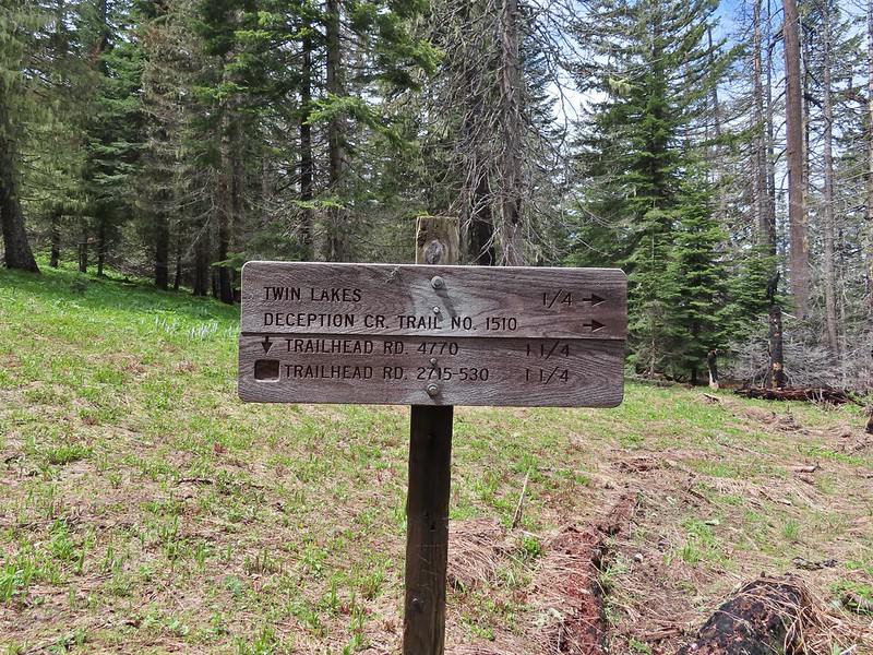
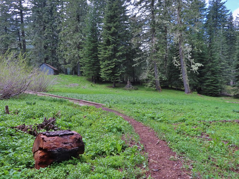
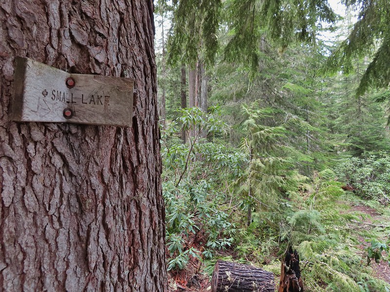
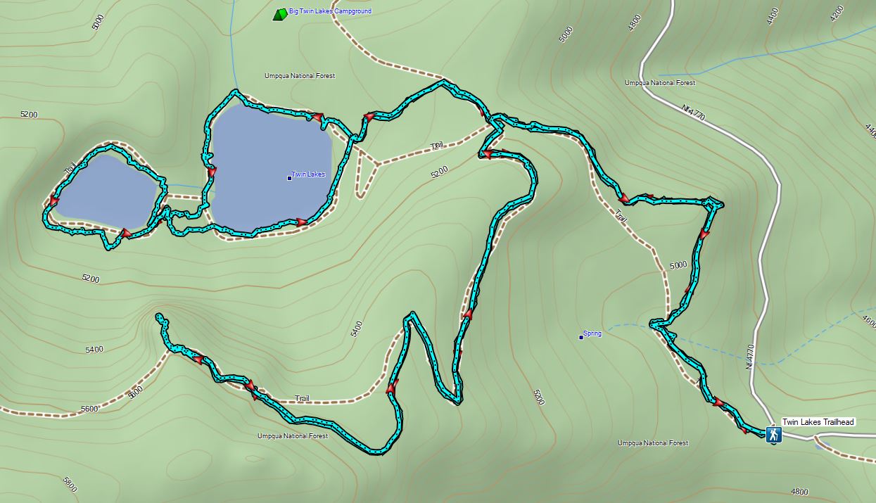
We’d missed out on a view from Illahee Rock but we had another opportunity coming up on our hike to Twin Lakes. We drove back down FR 100 to Highway 138 and turned left (east) for 2.25 miles to FR 4770 where we turned right at a sign for the Twin Lakes and North Umpqua Trail. We followed FR 4770 to the Twin Lakes Trailhead . (The east trailhead not the west.)

The same 2017 fire that burned Illahee Rock affected the Forest here as well although many large trees did survive. We followed the Twin Lakes Trail for 0.6 miles to a junction.

 Meadow along the trail.
 Trillum

 Becoming sunny in action. From this viewpoint Diamond Peak, Mt. Thielsen, and Mt. Bailey are visible sans clouds.
 A carpet of blue-eyed Mary at the viewpoint.
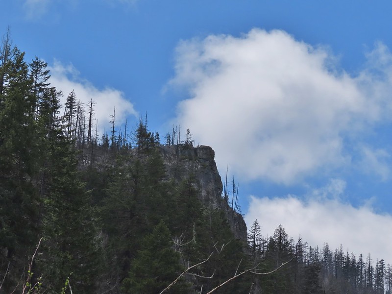
 Illahee Rock was visible from the viewpoint despite the clouds.
 The lookout tower on Illahee Rock.

 Indian plum
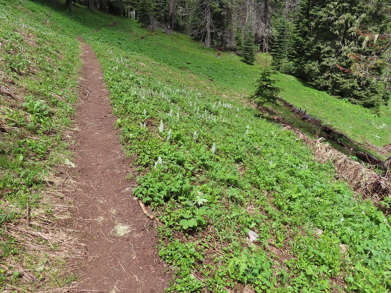 Hellbore starting to sprout in a meadow.
 Waterleaf
 Nearing the junction.
At the first junction we stayed right then veered left at the next, avoiding the Deception Creek Trail, and descended through a meadow to the Twin Lakes Shelter.
 Woodpecker
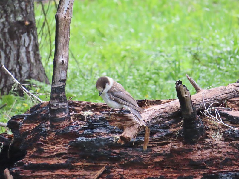 Gray jay
 The second junction where we turned left.


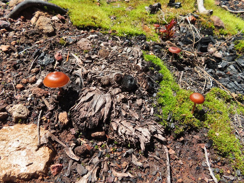
 Mushroom near the shelter.
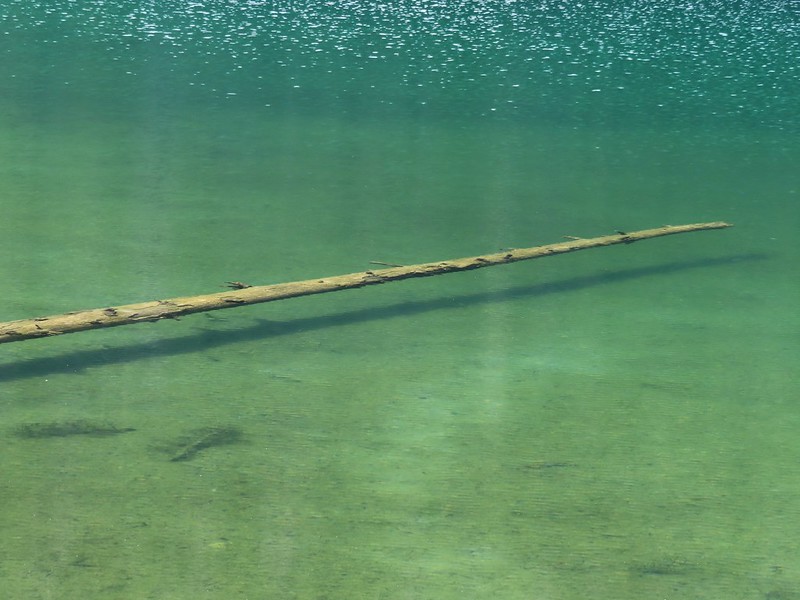
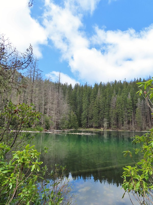
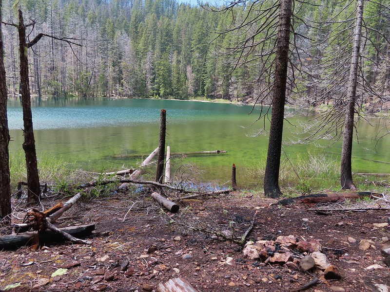
After a short break at the shelter we started around the bigger of the two lakes going counter-clockwise. We passed a walk in campground and continued along the lake shore.


The lake was very colorful and it was easy to see into the water which allowed us to watch fish as they swam around.

 No fish but it was easy to see them when they were present.
 This big rock added to the scenery.
 We couldn’t decide if that was an old bridge or dock in the water.
 Passing behind the big rock.

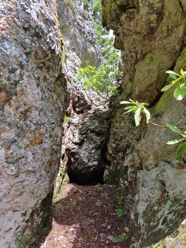 The rock turned out to be split.
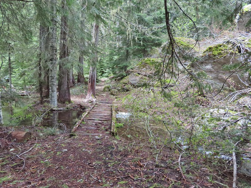
 There was a lot of water in the section between the two lakes. Fortunately there didn’t seem to be any mosquitos which was really surprising but in a good way.

We weren’t entirely sure where the trail between the two lakes was and we started thinking that we’d missed it so when we saw an opportunity we headed cross country toward the smaller lake.
 This looked like it could be a trail.
 How were there not any mosquitos in here.
 A local wondering what we were up to.
We spotted more large rocks with a bit of a shelter underneath and were headed for it when we spotted an actual trail running by the rocks.

We followed this trail to the second lake and made our way around it counter-clockwise as well.
 The outlet creek.
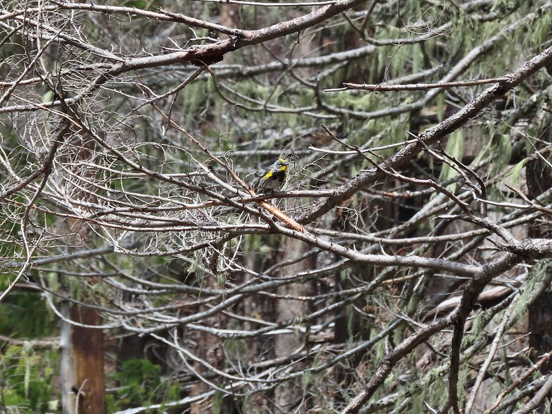 Yellow-rumped warbler

 Red-breasted sapsucker
 Stellar’s jay
There was still snow in the basin on the south side of the lake making this side very wet.


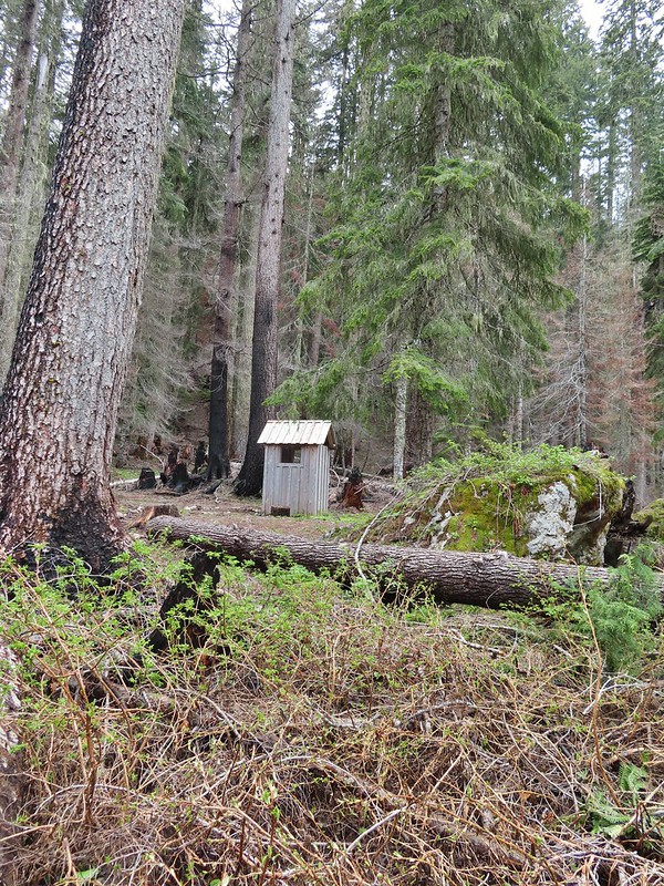
A 1995 log shelter used to be located on this side of the lake but was lost to the 2017 fire. A small outhouse and a whole lot of garbage (people are awful sometimes) is all that was left.
After completing the loop we followed the trail back toward the larger lake passing the boulder shelter and a balancing rock.

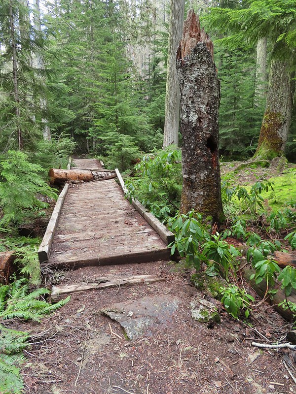
 This cracked us up, someone just nailed the planks into the tree that broke the bridge.
This trail led back to the trail around the larger lake.
 A small sign at the junction.
We finished the loop around the larger lake and stopped again at the shelter.


A 1.1 mile climb from the first junction that we’d come to earlier would take us to a viewpoint above the lakes.
We had been waiting to see if it really did become sunny before deciding on this optional side trip but now that there was quite a bit of blue sky overhead we decided to head up.
 Another meadow along the 1.1 mile section.
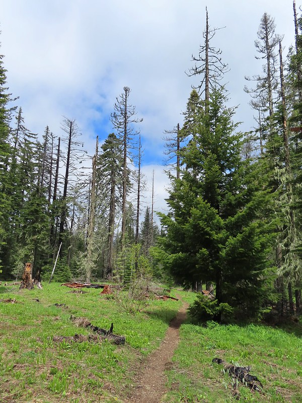
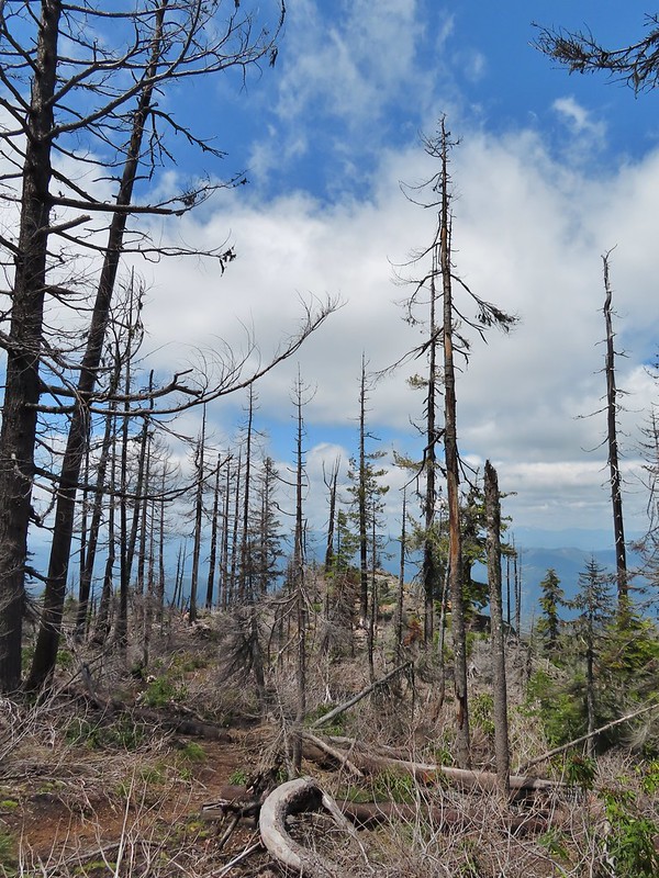
 The 2017 fire hit this section pretty hard.
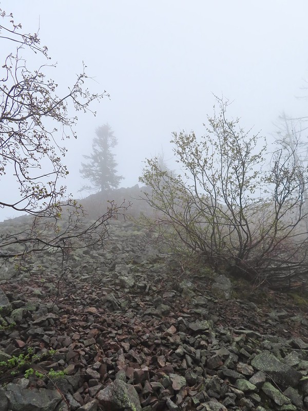
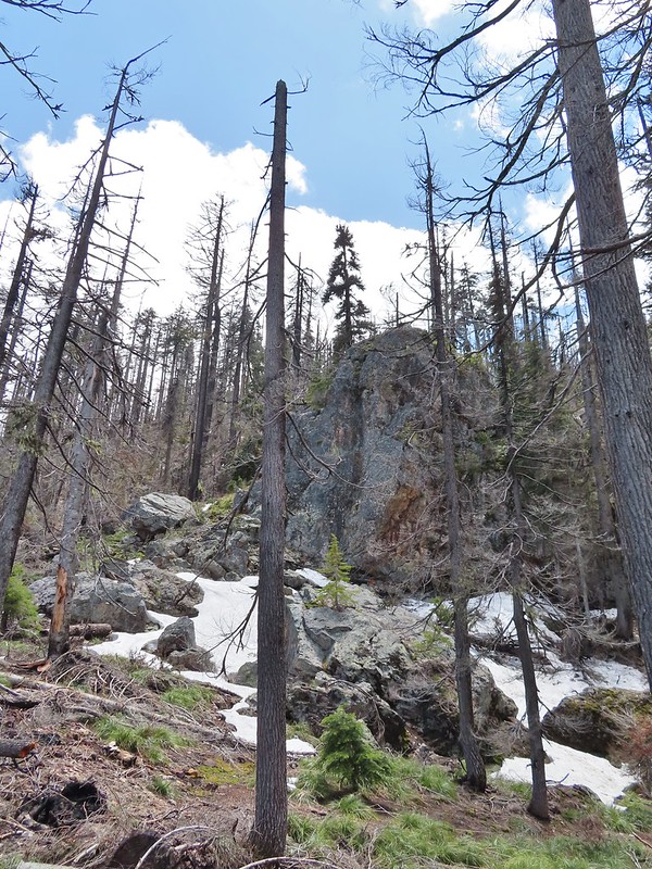
There was a bit more snow over 5400′ but not enough to cause any problems.

A well established use trail led out to the viewpoint where we met another pair of hikers enjoying the view.
 The larger lake.
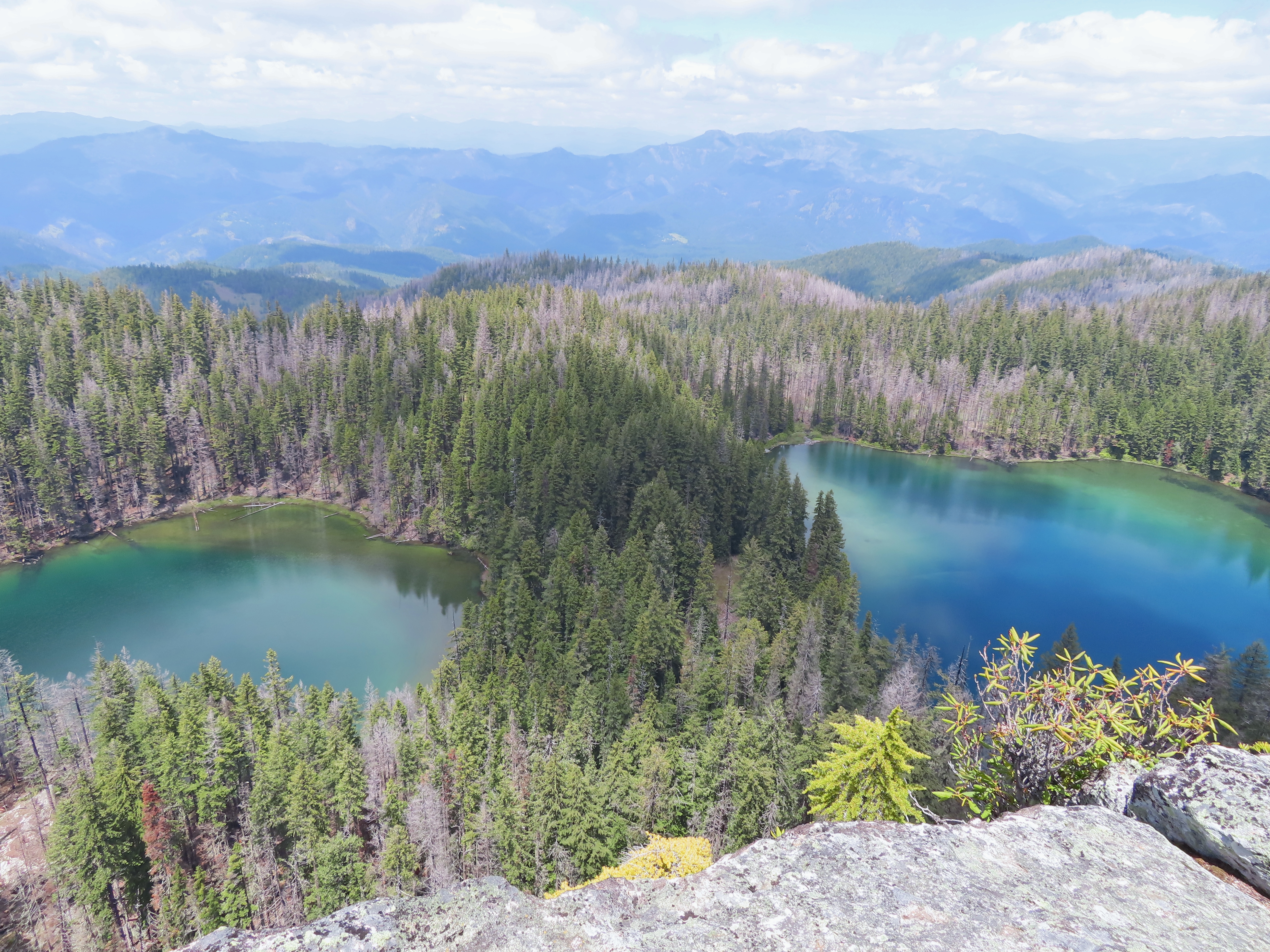
 The smaller lake.
 Illahee Rock from the viewpoint.
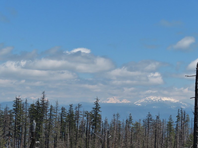 The lower flanks of Howlock Mountain, Mt. Thielsen (post), and Mt. Bailey (post).
We chatted with the other hikers long enough that we could almost see all of Mt. Thielsen and Mt. Bailey by the time we were headed back.

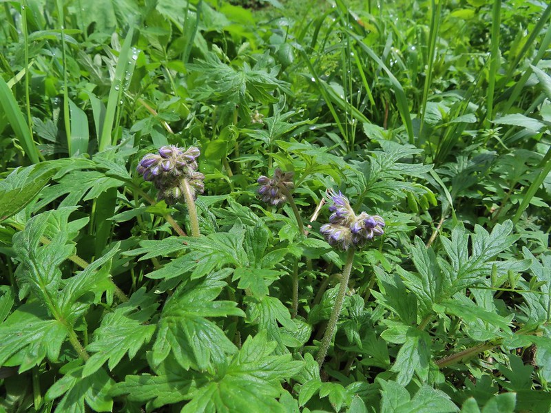
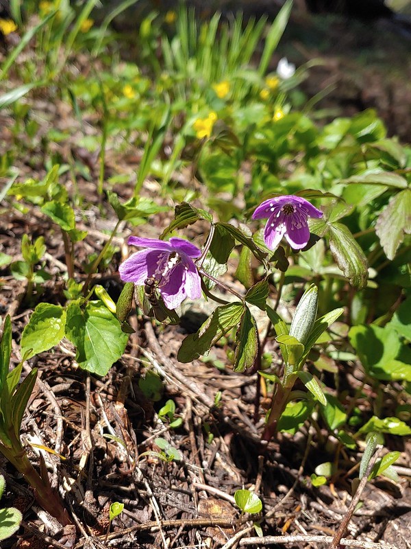 Bee on an anemone.
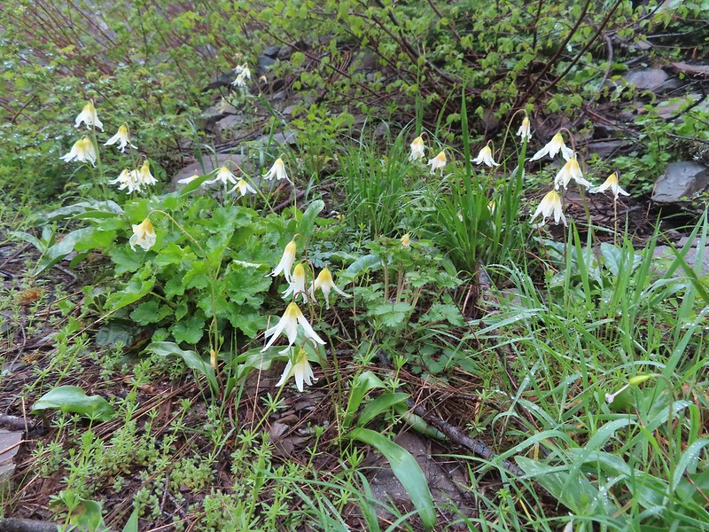
 Glacier lily
 Moth and a violet.
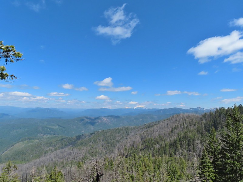
When we passed by the lower viewpoint the views had improved even more.
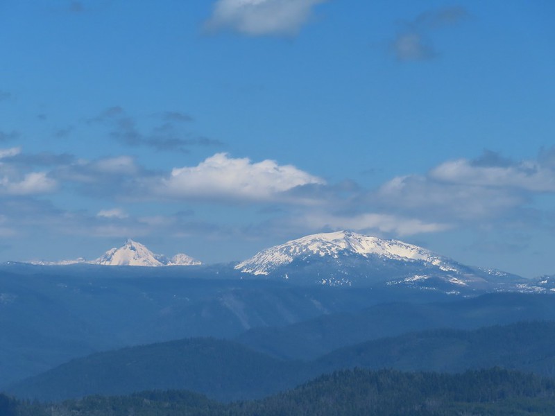 Mt. Thielsen and Mt. Bailey
 Black Rock on the right.
 Highrock Mountain
 Howlock Mountain
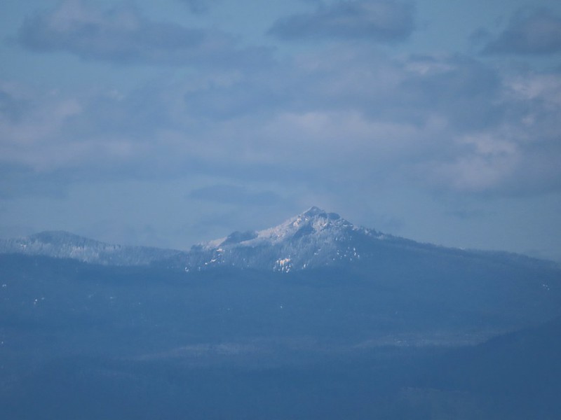 Cowhorn Mountain (post)
It truly had become sunny and was supposed to stay that way at least for the next couple of days. After driving back to Highway 138 we followed it east to Diamond Lake then took Highway 230 south to Highway 62 and followed it into Medford to I-5 and took the freeway south to Ashland where we would be staying for the next four nights. We’d hoped to stop by Becky’s Cafe in Union Creek but when we drove by it was closed so instead we wound up with Wendy’s after another long day (sigh) of driving.
The hikes were 5.2 miles and 6.2 miles with 650′ and 850′ of elevation gain respectively giving us an 11.4 mile 1500′ day.

9 replies on “Illahee Rock & Twin Lakes – 06/14/2022”
Glad to see this area is still doing ok after the fires! The one time I’ve hiked up to Illahee Rock the trail was completely covered in snow drifts. My partner and I were hoping to re-visit this one soon, so it’s nice to know it is currently snow free.
It your feet were hurting, it was probably a good idea to put off Cow Creek to another day. There are 5 crossings of the creek if you want to go all the way to Railroad Pass. With all the rain you’ve been having lately, each crossing would likely have involved a lot of wading. Not to mention all the wet brush along the trail.
That’s what we were thinking. It’s on the schedule for next year now.
[…] road trip if conditions were favorable and we had extra time while in the area. Thanks to a recent post by the Wandering Yuncks we knew it’d be snow free this time […]
[…] nice it wasn’t as nice as the view above nearby Twin Lakes had been when we visited in June (post). Heading out to the […]
[…] Buckeye (left) and Cliff Lakes below Grasshopper Mountain. The broad hump beyond to the left is Twin Lakes Mountain. We had visited a viewpoint on the north side of that mountain back in June of this year (post). […]
[…] grey. This year that really didn’t happen. We did arrive at the lookouts atop Illahee Rock (post) in the clouds, but the lookouts were the goal not necessarily the […]
[…] River Waterfalls-Hiked 8/7/2022 Yasko Falls #4 Boulder Creek-Hiked 9/7/2020 #5 Twin Lakes-Hiked 6/14/2022 #6 Fish Lake-Hiked 9/3/2022 #7 Buckey and Cliff Lakes-Hiked 9/3/2022 #8 Umpqua Hot Springs-Hiked […]
[…] our way to Ashland, but we wound up doing other hikes instead and saved Cow Creek for another year (post). This was the year that we put Cow Creek back on our schedule. The plan was to hike the Cow Creek […]