
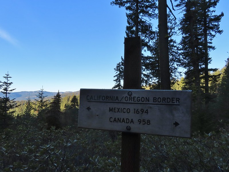
The forecast for our stay in Ashland was for a sunny Wednesday and Thursday followed by a partially sunny Friday before rain showers moved in Friday evening and into Saturday. That worked well for our planned set of hikes which were to spend the first three days at higher elevations in the Siskiyou Mountains and then on Saturday hiking in the foothills before heading home. Up first was a hike to Observation Peak just off the Pacific Crest Trail not far from where that trail crosses the Oregon/California border. In fact the start of Sullivan’s featured hike (Hike #63 in “100 Hikes/Travel Guide Southern Oregon & Northern California” edition 4.2) is at the Stateline Trailhead for the PCT. Sullivan lists this hike as open beginning late June so we were a couple of weeks early but we had been watching the snow level using the NOHRSC Snow Analysis Data layer on the Pacific Crest Trail Associations interactive map to check the snow depth and all seemed clear. Some late season snows hadn’t been enough to make up for the drought conditions that have plagued the area.
From the trailhead the hike to Observation Peak and back is just under 5.5 miles so we were open to other options to lengthen the hike a bit. While Observation Peak was north along the PCT Donomore Meadows, just across the California border, to the south offered a chance to see a cabin and the meadows. After parking in a pullout near the PCT crossing of Forest Road 2025 we set off south on the trail to visit the meadows before heading north to Observation Peak.
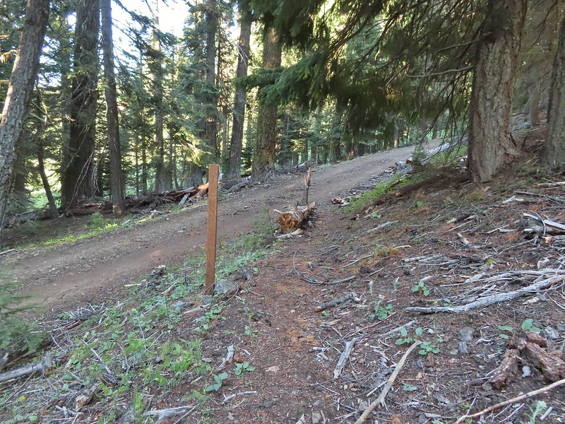
 The PCT heading south from the Stateline Trialhead
From the trailhead the PCT descends a little over 550′ in approximately 1.5 miles to a footbridge across a creek in the lower portion of Donomore Meadows which we thought would be a good turnaround point for this part of our hike.

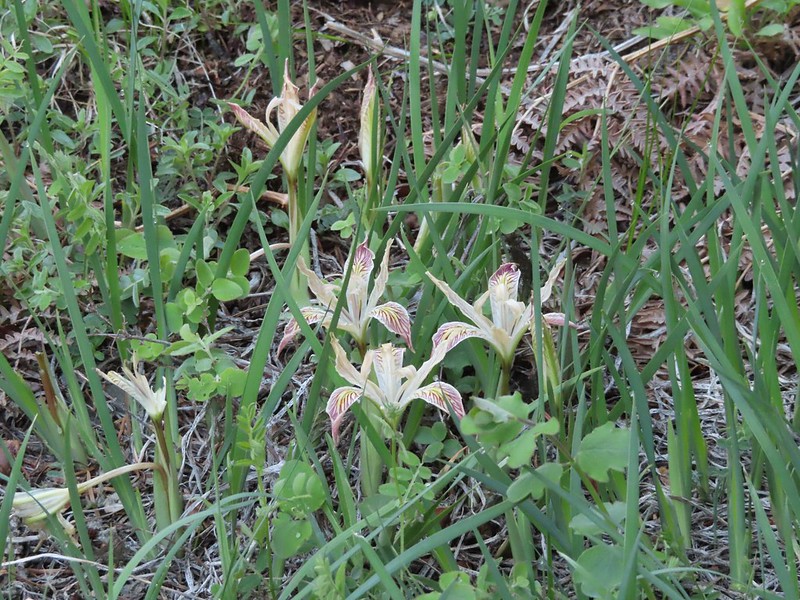 Iris
Iris

 A register is located 0.4 miles from the trailhead at the Oregon/California border.
 We were long overdue for a visit to California, our last hike in the state was way back in 2018 at the Lava Beds National Monument (post).
 A good reminder of how much of the PCT is located in CA.
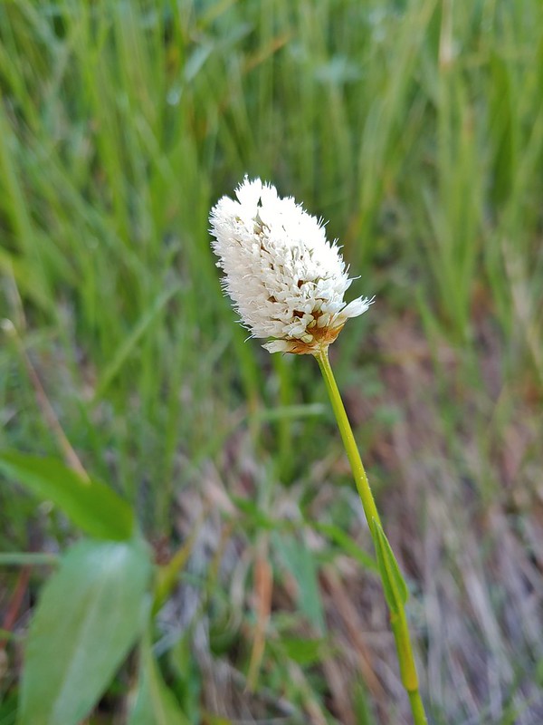
 Pussytoes
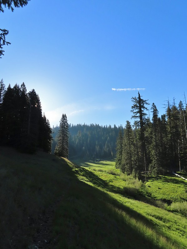
 First look at Donomore Meadows.
 This road crossing is just over a mile from the trailhead. The Donomore Cabin is just up the road to the right.

 The cabin was built in 1935.
 The meadow below the cabin.


 Death camas in the meadow.
We’d seen one doe in the meadow and as we began to descend to the creek crossing we spotted another one below us.


We watched each other for a bit before she started to head off. When she moved we both noticed what appeared to be another set of ears in the grass. It turned out to be the smallest fawn either of us had seen in the wild. We watched from afar as mom led the youngster to the safety of the trees then we continued down to the footbridge.


 Mariposa lily
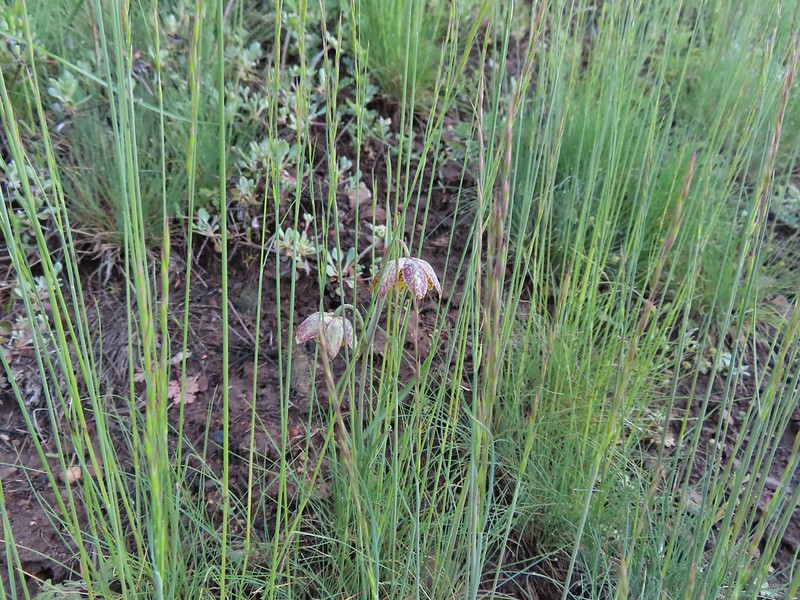 Chocolate lily
 Cinquefoil?
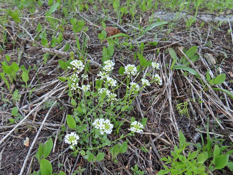
 Violets
 Bistort
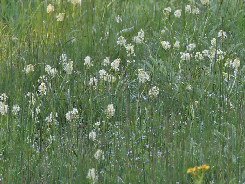
 Heather passing through the meadow.
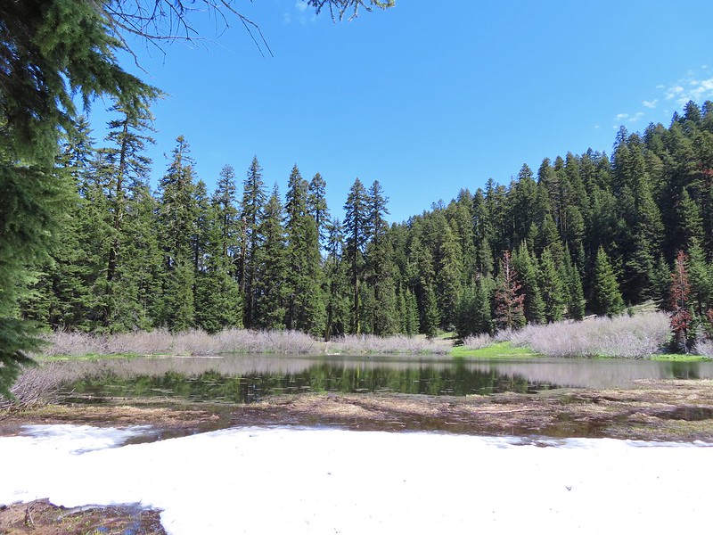
 There wasn’t much to the brushy creek but it made for a definitive turnaround point.
After pausing at the footbridge we climbed back up to Oregon and the Stateline Trailhead and set off in the other direction for Observation Peak.
 California ground cone
 PCT heading north from the Stateline Trailhead.
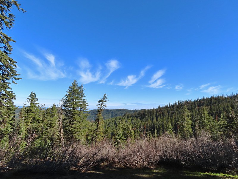
This section the PCT passed through a manzanita covered hillside with views of Ductchman Peak.
 Pasque flower
 Grayback Mountain in the distance with a small patch of snow.
 One of three springs the trail passes on the way to Observation Peak.
 Marsh marigolds
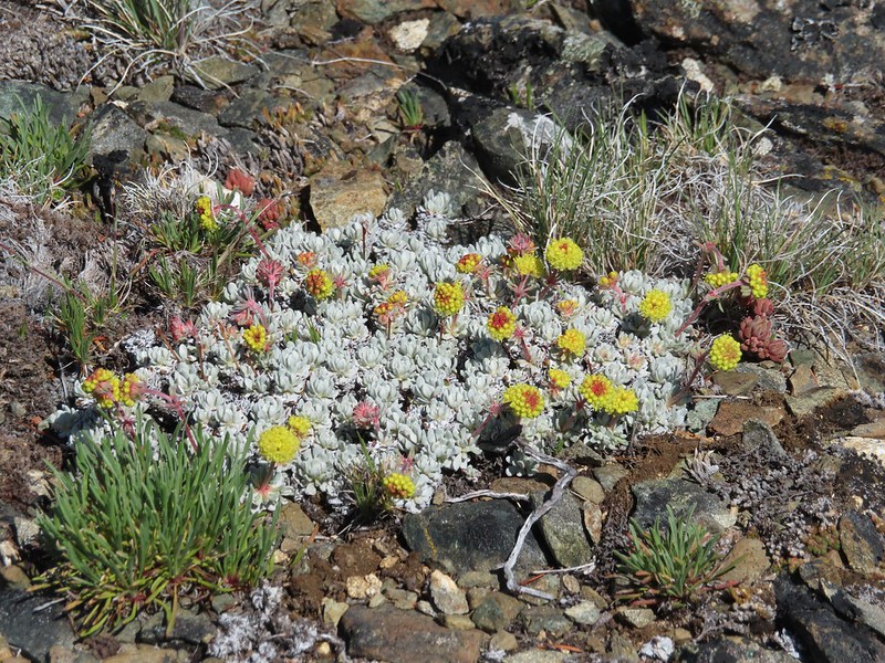
 Alpine pennycress

 Another spring with marsh marigolds and glacier lilies.
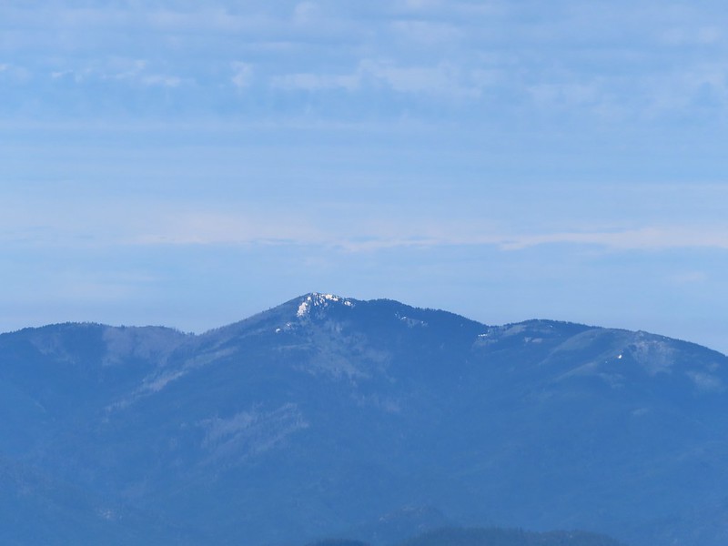
 Scraggy Mountain
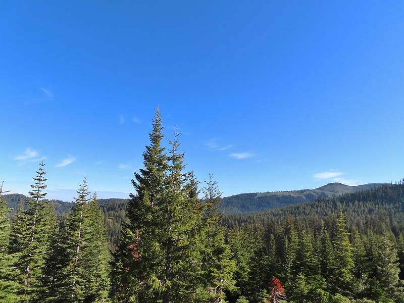
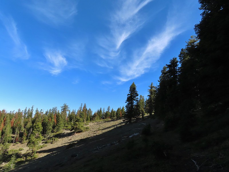
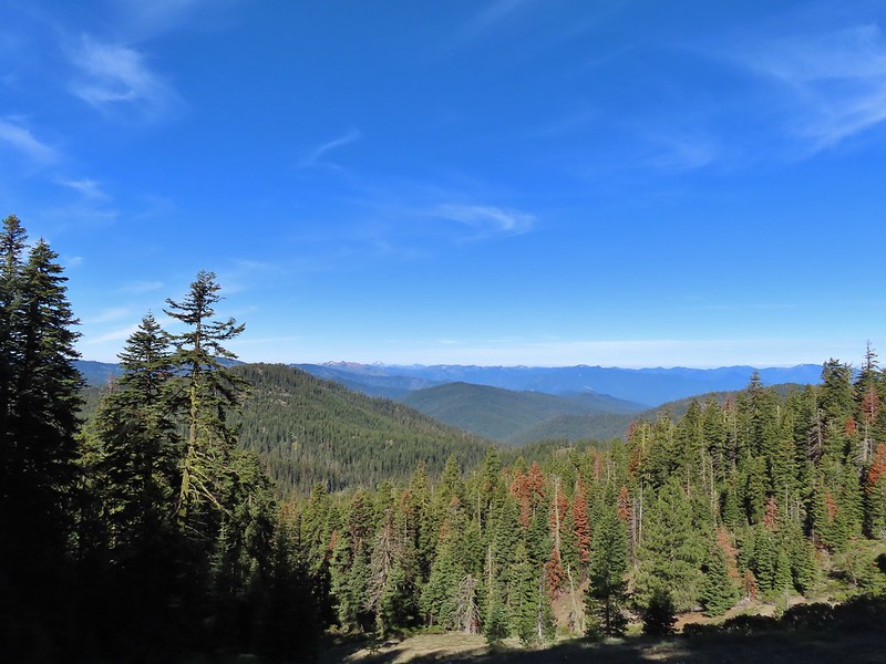
The views along the PCT were very good as it passed through several open hillsides.
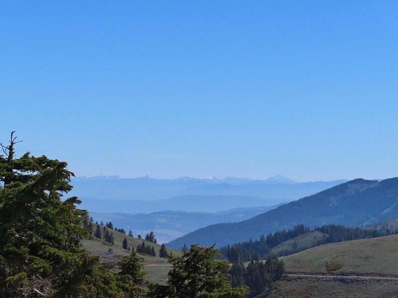
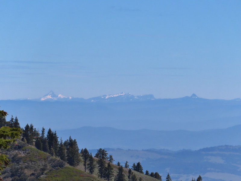
 Looking SE to the Red Buttes (post), Preston Peak, and Grayback Mountain.
 Kangaroo Mountain and Red Butte with Preston Peak, Twin Peak and El Capitan behind in the Siskiyou Wilderness.
 View south.
 Part of the Marble Mountains (post)
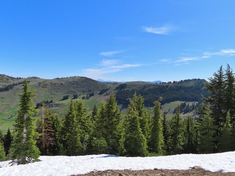
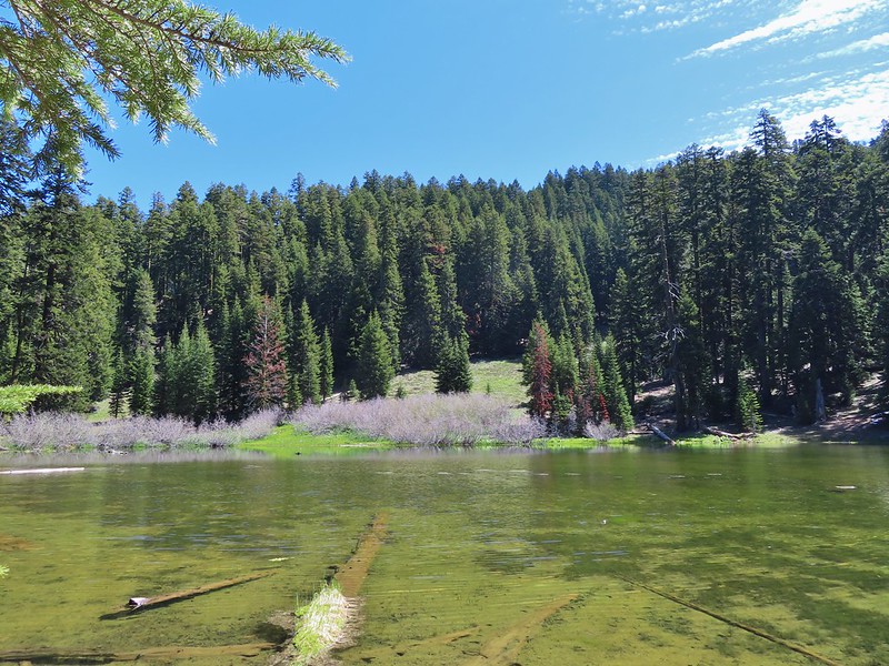
One and a half miles from the trailhead we rounded a ridge end above Kettle Lake. The lake basin still had a fair amount of snow and there were a few small lingering patches on the PCT.
 Kettle Lake through the trees.

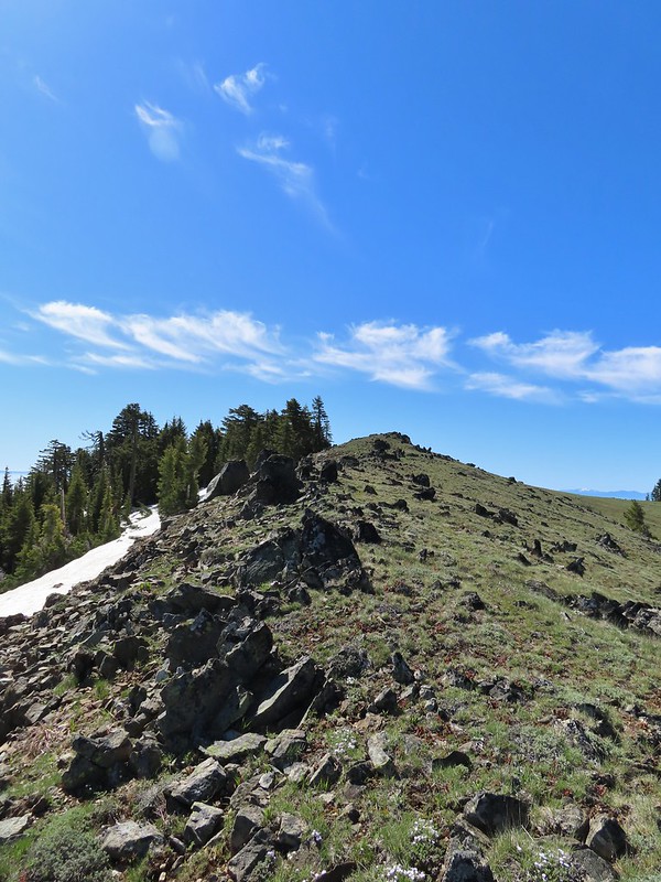
From the ridge end above Kettle Lake it was just over half a mile to another ridge on the NW flank of Observation Peak. We left the PCT here and first checked out the rocky ridge to the north where wildflowers were just getting going. Then we headed cross country a half mile to the summit. The open hillside made for an easy off trail climb and was easier than if we had been trying to continue on the PCT because that trail disappeared under a large snow drift on the other side of the ridge.
 Heading up to the ridge.
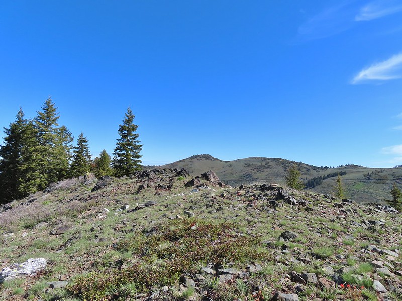 Dutchman Peak from the ridge.
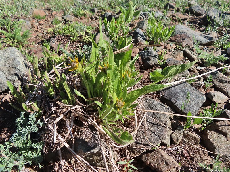 Not sure if these are mule’s ears or a balsamroot.
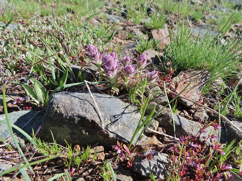 Splithair Indian Paintbrush (Castilleja schizotricha)
 Swallowtail on phlox.
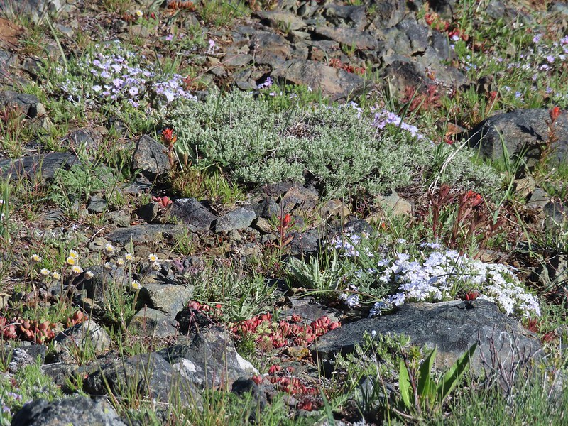 Wildflowers on the ridge.
 Cutleaf daisy?
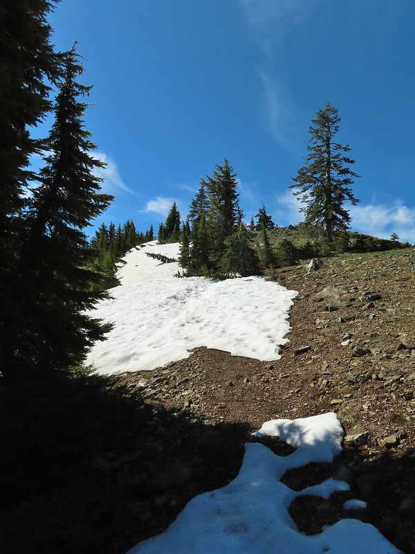 Snow drifts covering the PCT.
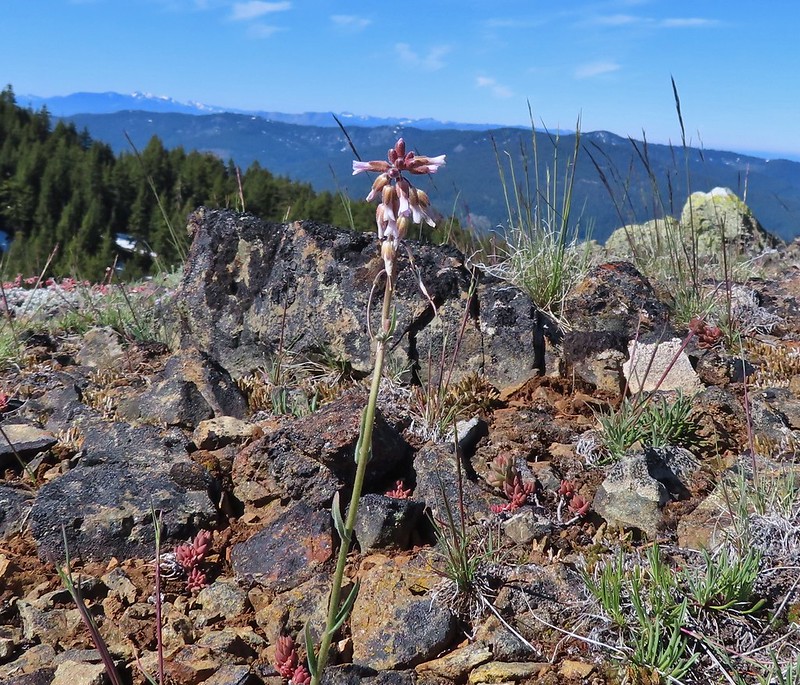
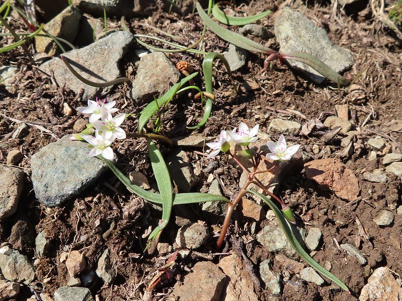 Lance-leaf Spring Beauty
Claytonia lanceolata
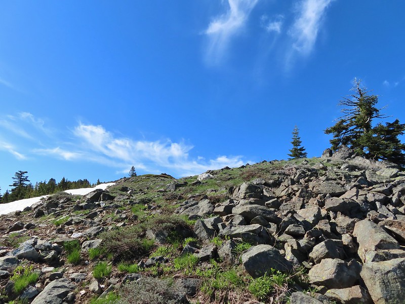 Heading for the summit.
Mt. McLoughlin (post) came into view to the NE as we climbed.

 Pilot Rock (post) to the east was slightly smokey.
 A rockcress
Once we reached the summit Mt. Shasta came into view to the SW.

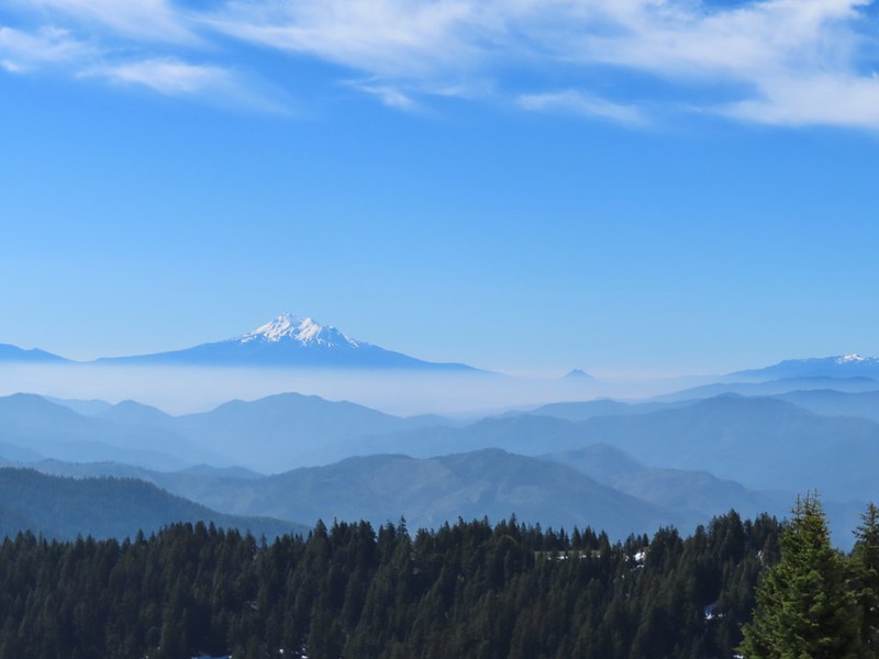 Mt. Shasta above a layer of smoke that mostly hid Black Butte (post). Mt. Eddy (post) is the snowy peak to the right.
 I think these peaks are a mix of the Russian Wilderness in the forefront and Trinity Alps behind. Bruce correct me if I am wrong on that :).
A red can houses a summit register tucked in a rock pile at the summit. As I was flipping through looking for a page to sign on I came across what we considered a huge find, a bootsonthetrail.blog business card.
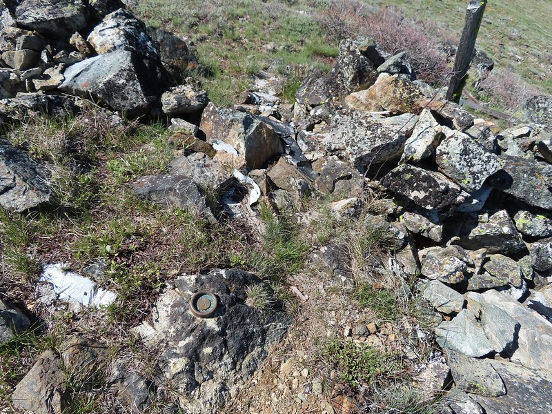 Rock pile at the summit.
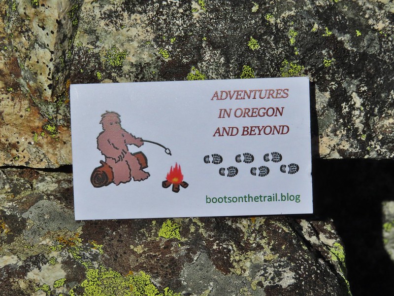 Our big find. I took a couple of pictures and put the card back for someone else to find (and added one of ours).
It was a great temperature at the summit so we took an extended rest (and way too many photos) before heading back.
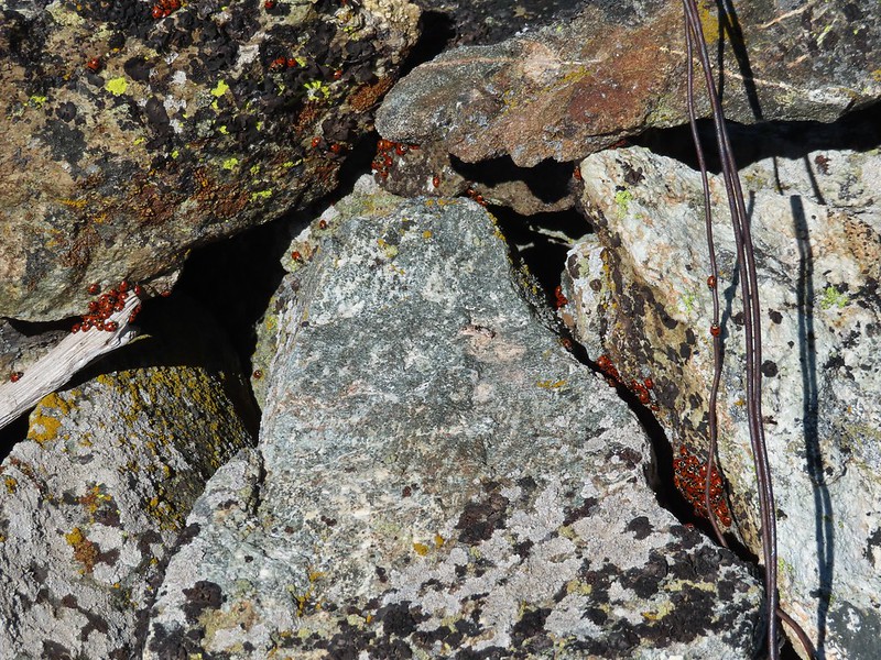 There were dozens of ladybugs in the rock pile.
 One of many photos of Mt. Shasta. We don’t get too many chances to see this Cascade Mountain.
 We could see Mt. Thielsen (post), the rim of Crater Lake (post) and Mt. McLoughlin beyond Wagner Butte (post) and Mt. Ashland (post).
 The peaks around the rim of Crater Lake.
 Mt. Thielsen to the left of Crater Lake.
 Mt. Bailey (post)
 The Red Buttes in front of Preston Peak.
 Grayback Mountain
On the way back down we were concentrating on any flowers that we’d missed on the way up.
 Buckwheat
 Alpine pennycress
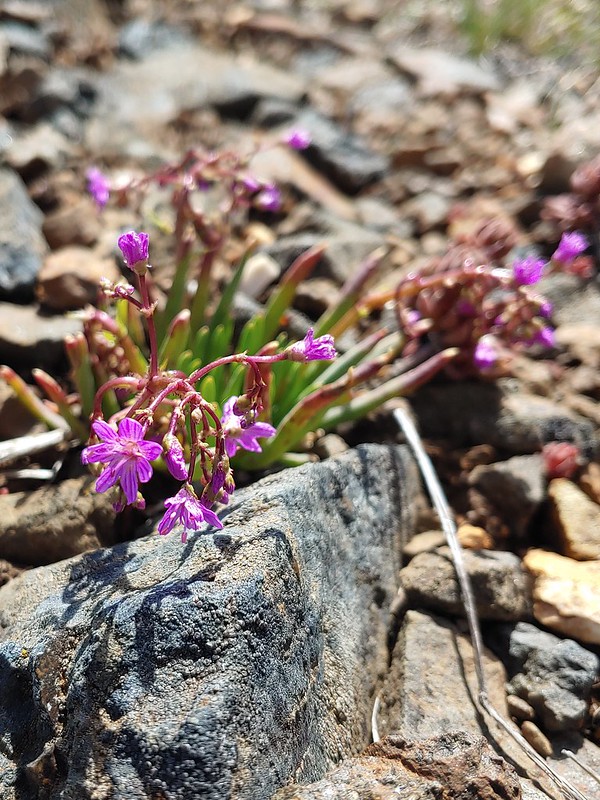 Quill-leaf Lewisia
Lewisia leeana
 Larkspur
 Chipmunk having a snack.
 One of two hairstreaks we encountered on the PCT.
 The 2nd hairstreak.
I decided to detour at Kettle Lake and headed cross country downhill a tenth of a mile to check it out while Heather continued toward the car.
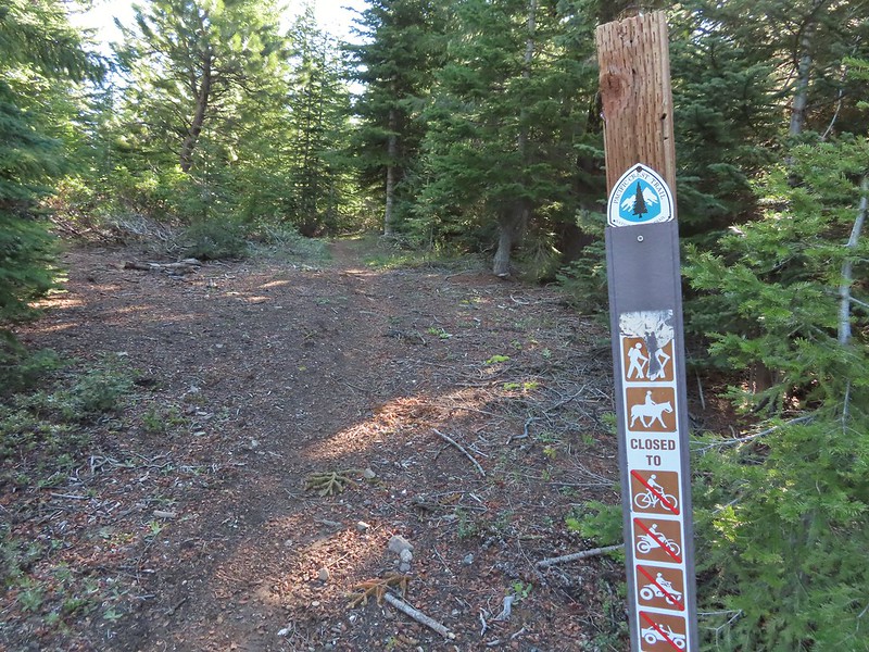
 Where I left the PCT.
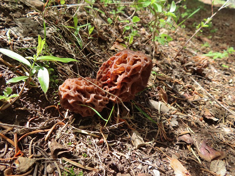
 Lots of this orange fungus in the forest.


While I was scoping out the lake Heather was getting wildflower photos.
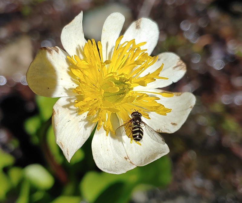 Bee on a marsh marigold.
 Glacier lily
 Trillium
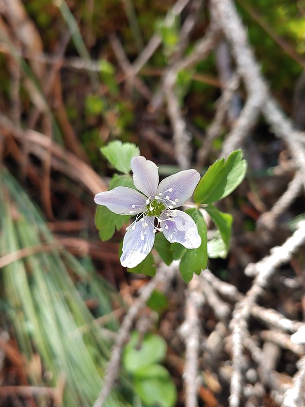 Anemone
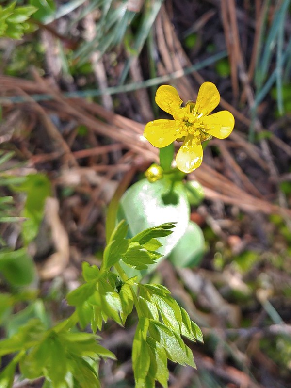 Buttercup?
 Passing through the manzanita section.
The hike came in at a reasonable 8.8 miles with a little over 1800′ of elevation gain. A reasonable day with lots of great scenery.

After showering and changing at the motel we walked to Caldera Brewing which was only about 0.2 miles from our room. Neither the food or beer disappointed and the view from the restaurant was good too. It was the perfect end to our first day in Ashland. Happy Trails!
Flickr: Observation Peak

2 replies on “Observation Peak – 06/15/2022”
I’m pretty sure the peak on the right, with the big snowfield, is Thompson – high point in the Trinity Alps. That b-card you found is now one of the increasingly rare “Oregon” ones. 😉
[…] #61 Jacksonville-Hiked 6/8/2017 #62 Enchanted Forest-Hiked 6/11/2017 #63 Observation Peak-Hiked 6/15/2022 #64 Collings Mountain-Hiked 6/8/2017 #65 Applegate Lake-Hiked 6/8/2017 5/29/2022 #66 Red […]