
For Labor Day Weekend we continued our focus on featured hikes from the Southern Oregon area and headed for the Rogue-Umpqua Divide Wilderness to visit several lakes. Our goal was to finish hikes #6 & 7, Fish Lake and Buckeye & Cliff Lakes respectively. To do this we planned hiking into Fish Lake from the Beaver Swamp Trailhead, setting up camp there, and then taking the Lakes Trail from there to the Buckeye and Cliff Lakes for a loop described by Sullivan visiting Grasshopper Mountain. We planned on hiking out the next day one of two ways, either by Rocky Ridge which Sullivan described as a rough route requiring route finding skills or back the way we’d come via the Beaver Swamp Trail.
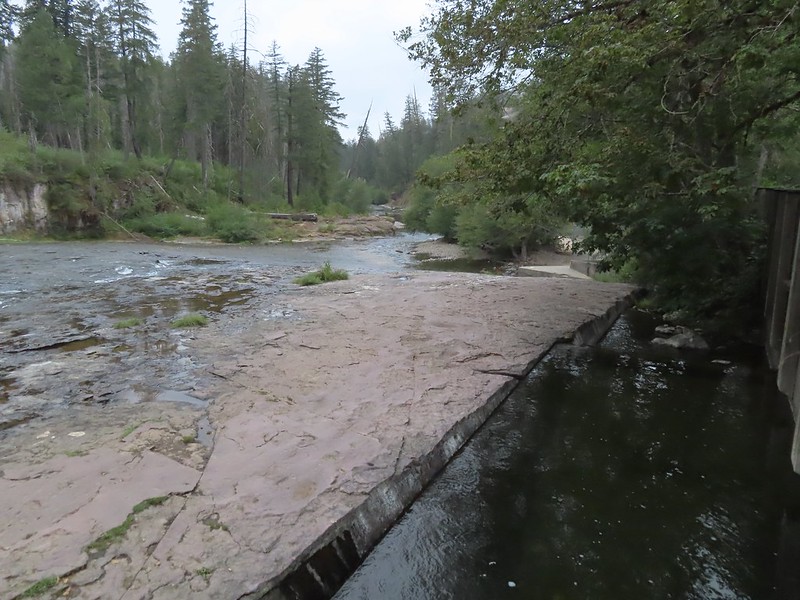
We made an unscheduled stop on the drive to the trailhead at South Umpqua Falls (We used our NW Forest Pass to cover the $5 day use fee). My Mom had mentioned a water fall along the South Umpqua River that they had not made it to during their explorations and when I saw the sign for the South Umpqua Falls picnic area I thought this might be the falls she was talking about so we pulled in for a quick peek.

We had the popular swimming area that often draws large crowds all to ourselves. We began by visiting the base of the falls then hiked up above the falls.


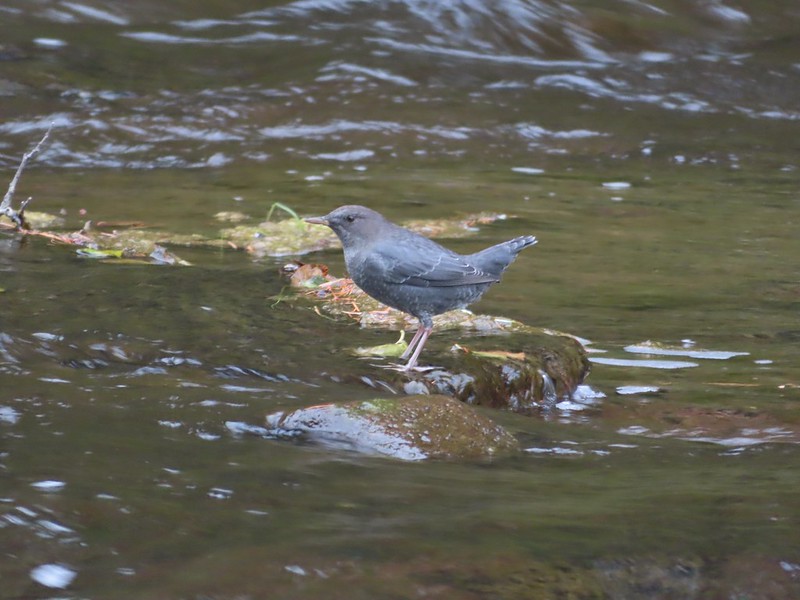 Ouzel
Ouzel
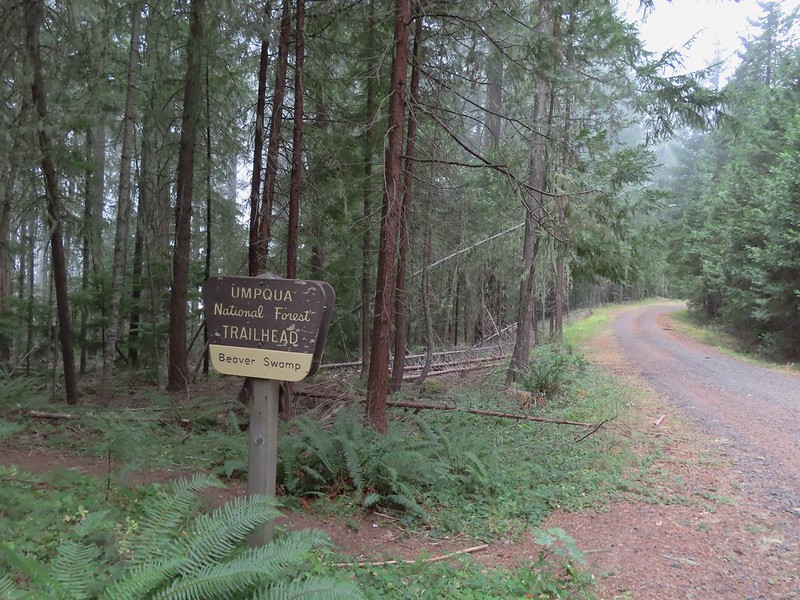
In all our wanderings here came to 0.4 miles, a good leg stretcher after having driven for a little over 3 hours. We then continued on our drive to the Beaver Swamp Trailhead which we arrived at shortly after 9am.
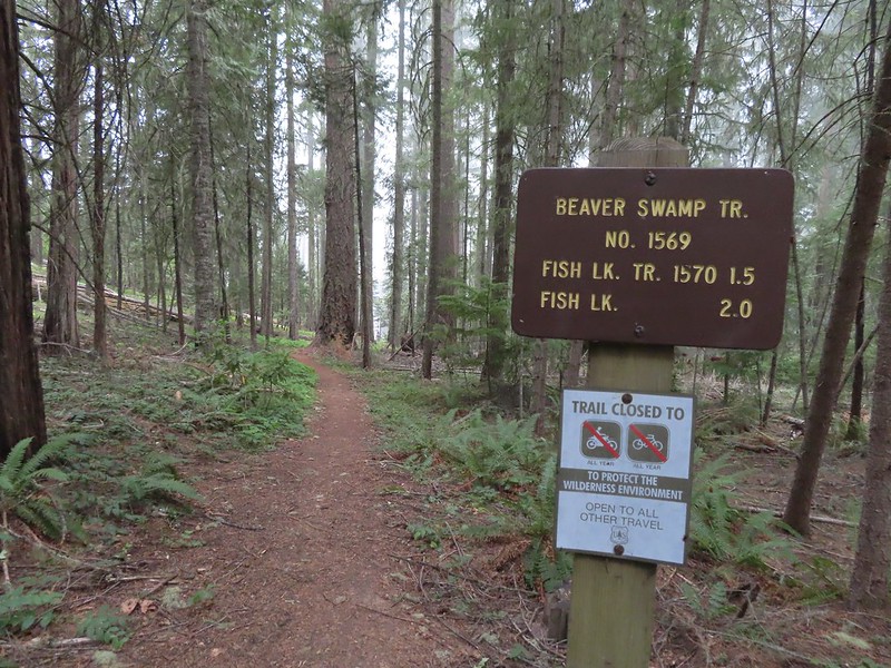
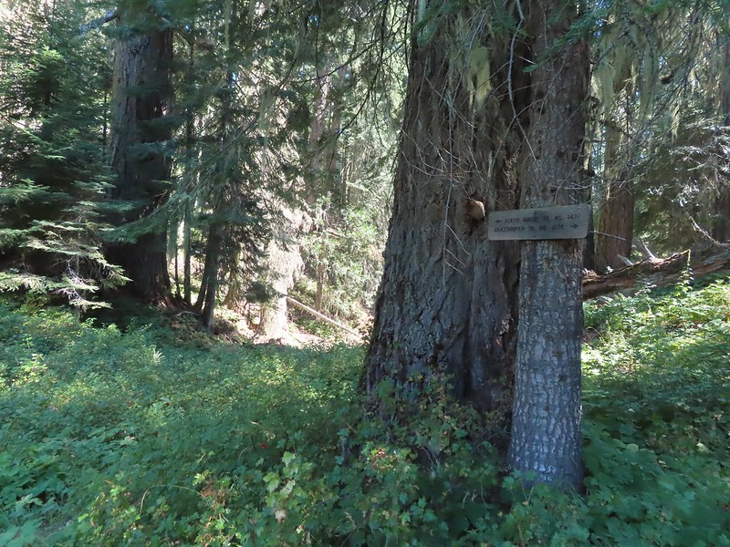
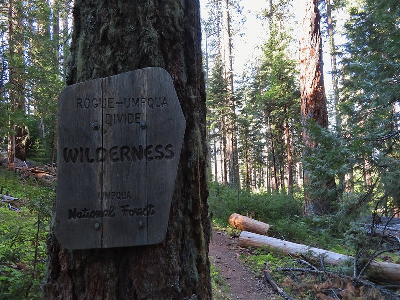
We set off downhill on the Beaver Swamp Trail which promptly entered the Rogue-Umpqua Divide Wilderness.

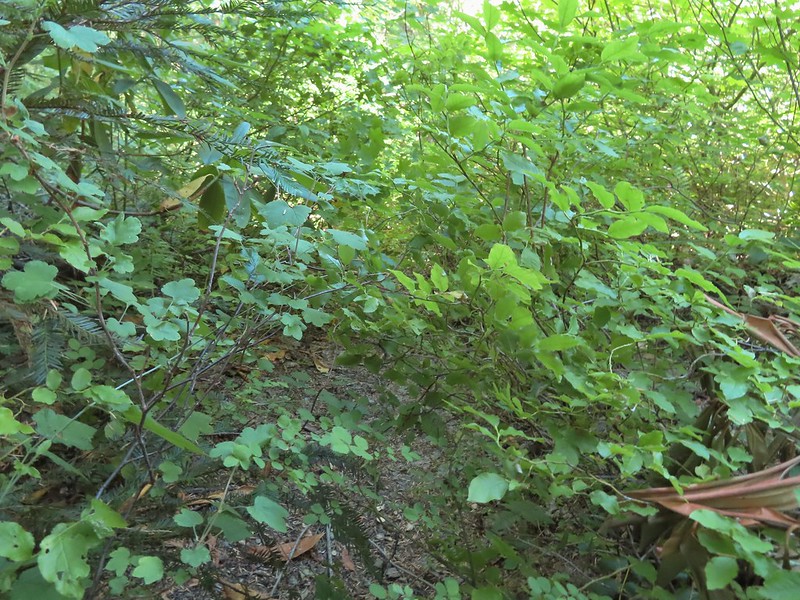
It was surprisingly overcast and a light drizzle was falling as we hiked through a mixed forest with madrone trees and sporadic poison oak. When I’d checked the forecast the night before it simply called for “widespread haze” with Sunday showing as sunny.


After 1.4 miles on the Beaver Swamp Trail we arrived at the Fish Lake Trail where we turned left.
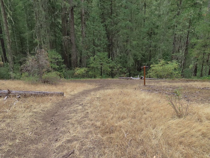
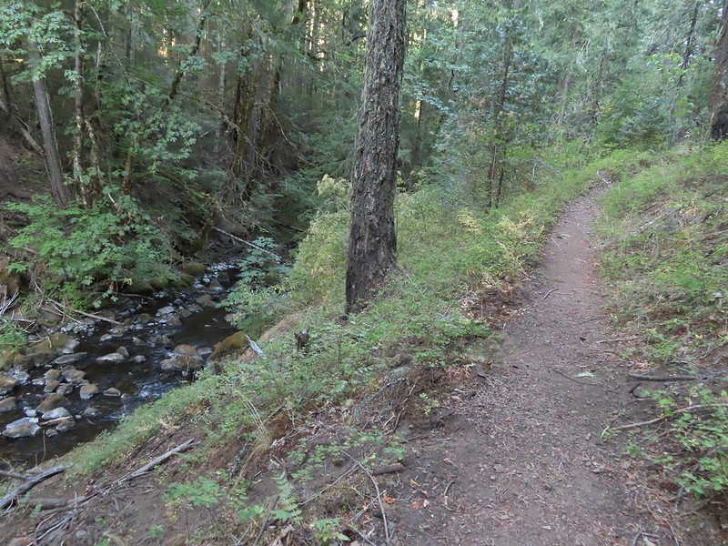
This trail followed Fish Lake Creek for 0.3 miles to Fish Lake.

 Small cascade on Fish Lake Creek.
 Logs at the outlet of Fish Lake. The Indian Trail can be seen on the far side. This junction was unmarked and you would have to cross the logs to reach it. In theory one could take this trail to the Lakes Trail near Buckeye Lake, but as we understand it the trail does not receive regular maintenance so we did not include it in our plans.
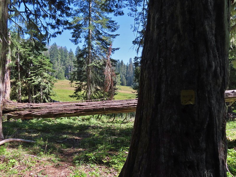
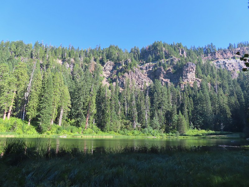
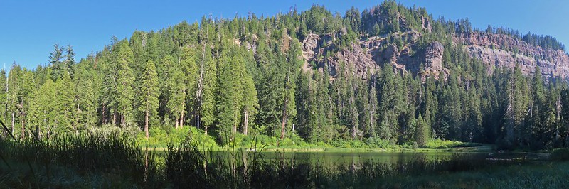
 Arriving at Fish Lake
We continued around the northern shore of the lake for three quarters of a mile passing the one other family camped at the lake along the way (more on them later). Before reaching Highrock Creek we followed a use trail uphill to locate a suitable campsite. When we passed by the campers we caught the distinct smell of campfire smoke which, as of 7/22/2022 had been prohibited in Wilderness areas within the Umpqua National Forest. (Not a good start with this group.)


 The clouds began burning off before we’d found our campsite.
 We set up camp on a little knoll near an old stone foundation. We’re interested to know what used to be there but so far haven’t found any information on it.
After setting up camp we returned to the Fish Lake Trail which appears to have been rerouted through a large and elaborate campsite.
 A little too developed for Wilderness standards.
From the large campsite the trail followed Highrock Creek for 0.6 miles to a fork. The Fish Lake Trail actually veered uphill to the left and the Lakes Trail picked up to the right.
 A dry channel along Highrock Creek.
 Crossing an unnamed creek.
 The trail junction.

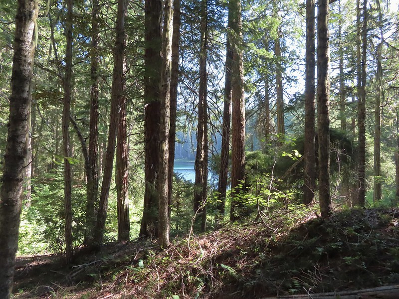
Just beyond the junction the Lakes Trail crossed Highrock Creek and began a steady climb along a hillside above Fish Lake.
 Highrock Creek. There were several nice pools here which we utilized to replenish our water on our way back to camp.

 Foam flower and a few ripe thimbleberries, Heather’s favorite.
This trail was well maintained and after approximately 2 miles we arrived at a junction with the Grasshopper Trail. A couple of things to note about this segment of the Lakes Trail. Sullivan showed it as 1.7 miles so this was a little longer than we’d expected, but more importantly the trail alignment shown our GPS unit’s topographic map had the trail quite a bit higher on the hillside. (CalTopo agrees with our actual track so it appears to be accurate.)
 The junction with the Grasshopper Trail
We decided to make the climb to Grasshopper Mountain before visiting the two lakes so we turned right onto the Grasshopper Trail and trudged uphill gaining 860′ in the next 1.25 miles before arriving at a junction near Grasshopper Spring.
 Pine white
 Sign for the Gasshopper Mountain Trail.
 Grasshopper Spring is out there somewhere.
We turned right onto the Grasshopper Mountain trail. This three quarters of a mile trail climbed another 350′ to the site of a former lookout. The climb was surprisingly gradual and passed through a variety of scenery along the way.
 We had to go around this big tree.

 A few aster
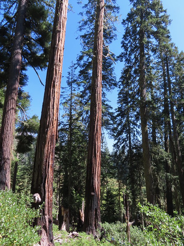
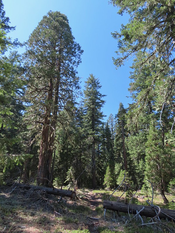 There were some good sized cedars up here.
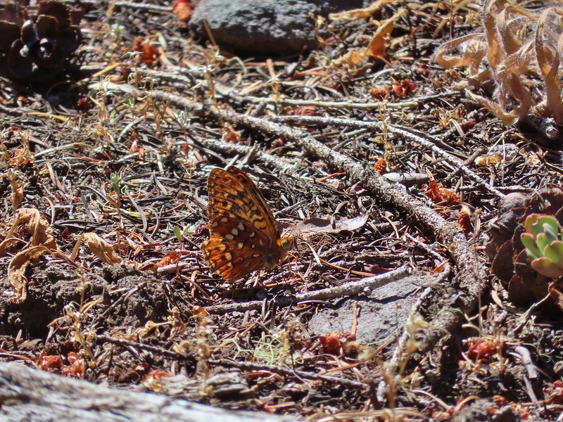 A fritillary
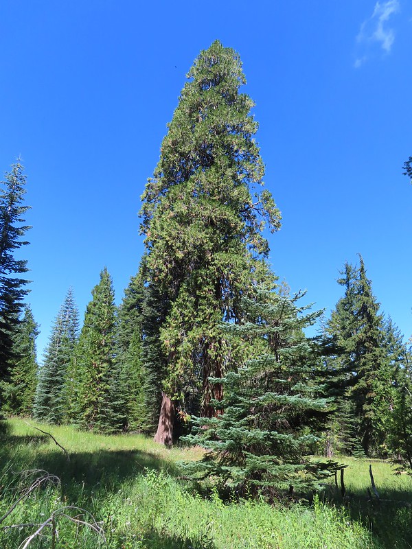 Another big cedar.
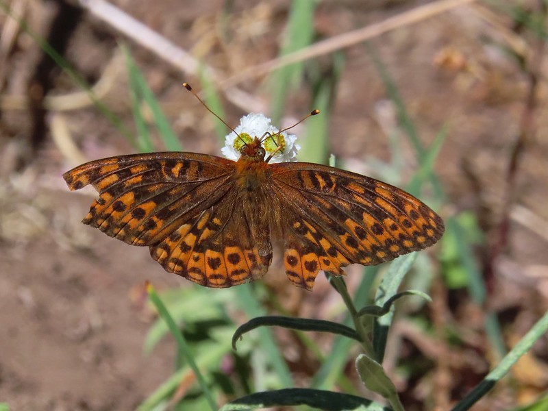 Fritillary on pearly everlasting.
 The final stretch to the summit passed through a fire scar.
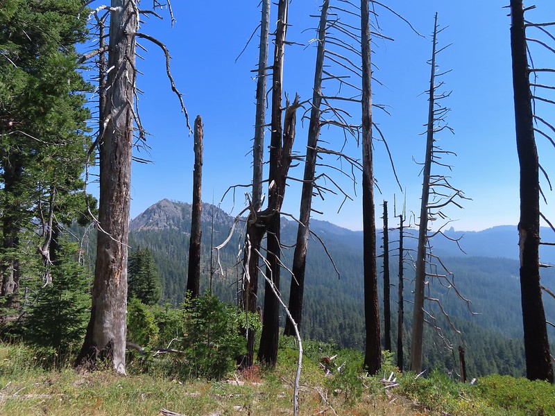 Highrock Mountain to the left, Hershberger Mountain in the middle, and the Rabbit Ears to the right (post).
 Rabbit Ears closeup.
 Fish Mountain (back left), Weaver Mountain, Highrock Mountain, and Hershberger Mountain with Grasshopper Meadow below.
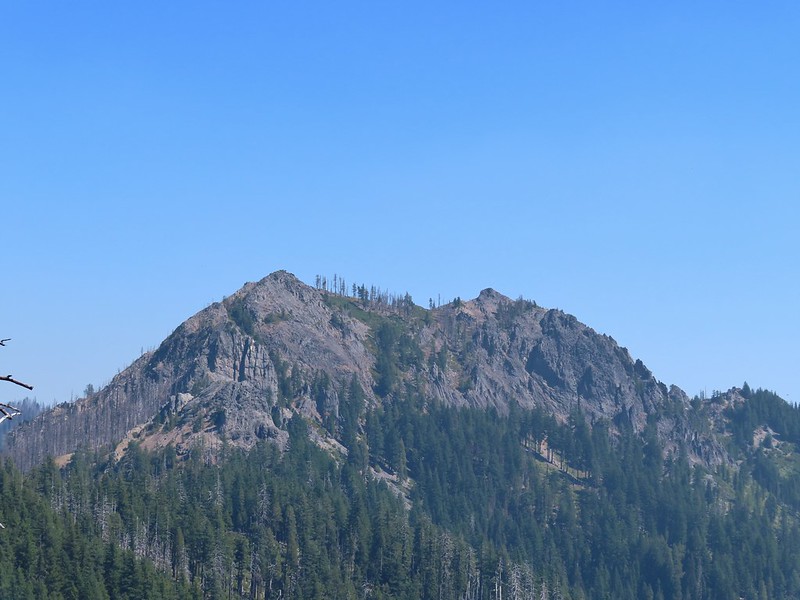 Highrock Mountain
 Owl’s clover.
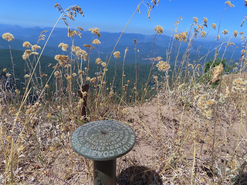
 Arriving at the old lookout site.
We spent some time enjoying the view but a lack of shade (and places to comfortably sit) kept us from taking a longer break at the summit.
 Buckeye (left) and Cliff Lakes below Grasshopper Mountain. The broad hump beyond to the left is Twin Lakes Mountain. We had visited a viewpoint on the north side of that mountain back in June of this year (post).
 Buckeye and Cliff Lakes
 Smoke on the horizon to the NW. The Cedar Creek fire to the NE, Rum Creek Fire to the SW or several fires in Northern California could be the culprit(s). The peak with the white spot to the center right is Quartz Mountain which we recognized from our Hemlock Lake hike in August (post).
 To the NE we got a glimpse of Rattlesnake Mountain (far left) which we’d climbed during Labor Day weekend in 2020 (post).
 Rattlesnake Mountain behind Standoff Point.
We headed back down toward the Grasshopper Trail but instead of simply retracing our steps we veered right after 0.6 miles on a spur of the Grasshopper Mountain Trail that brought us to the Grasshopper Trail on the opposite side of a saddle from where we’d left it.

 A skipper
 We veered right here which kept us from dropping below the saddle that we otherwise would have had to climb over on the Grasshopper Trail.
 Descending to the Grasshopper Trail.
 Trail sign at the other junction.
We turned right again and continued on our loop following the Grasshopper Trail downhill to Grasshopper Meadow.
 Grasshopper Meadow through the trees.
 Sign for a (faint) spur trail to a spring above the meadow.
The Grasshopper Trail skirted the meadow and a half mile from the saddle arrived at a signed junction with the Acker Divide Trail.
 Highrock Mountain from Grasshopper Meadow.
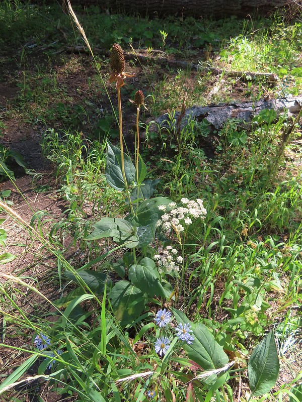 A few flowers hanging on to the last days of Summer.
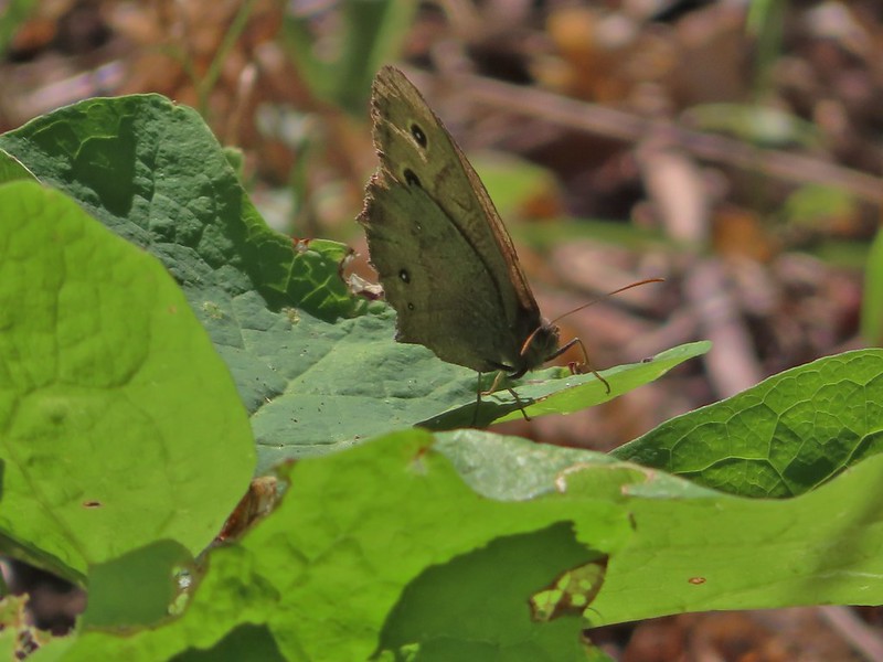 Common wood nymph
 The trail got pretty faint just before the junction but we could see the trail sign so we just headed for it.
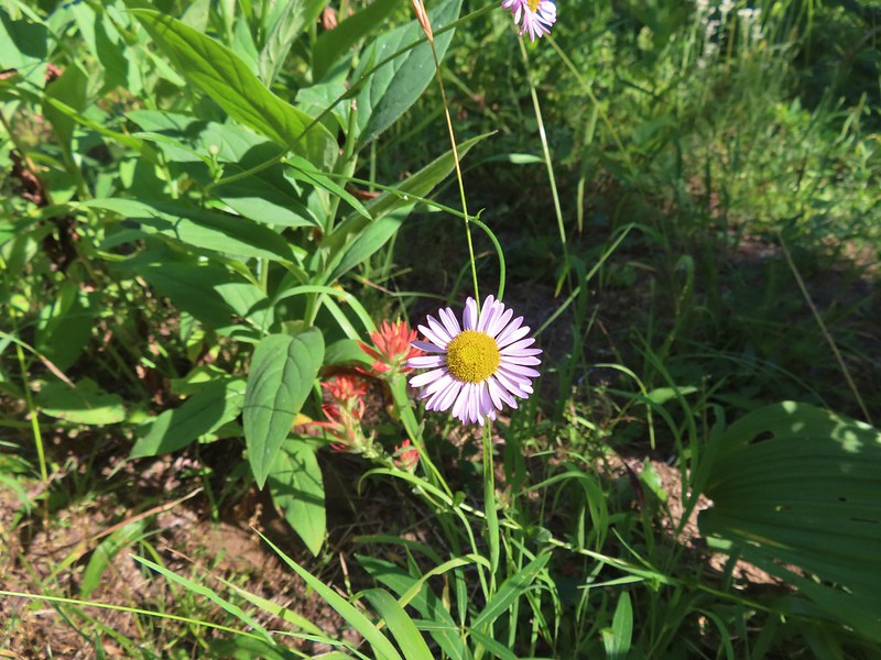 Fleabane? and paintbrush.
 Acker Divide Trail pointer.
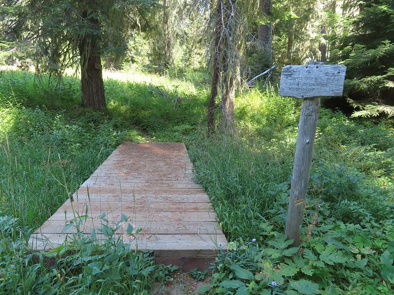 Pointer for Cripple Camp (we visited the shelter there on our Hershberger Mountain hike) and the Rogue-Umpqua Divide Trail.
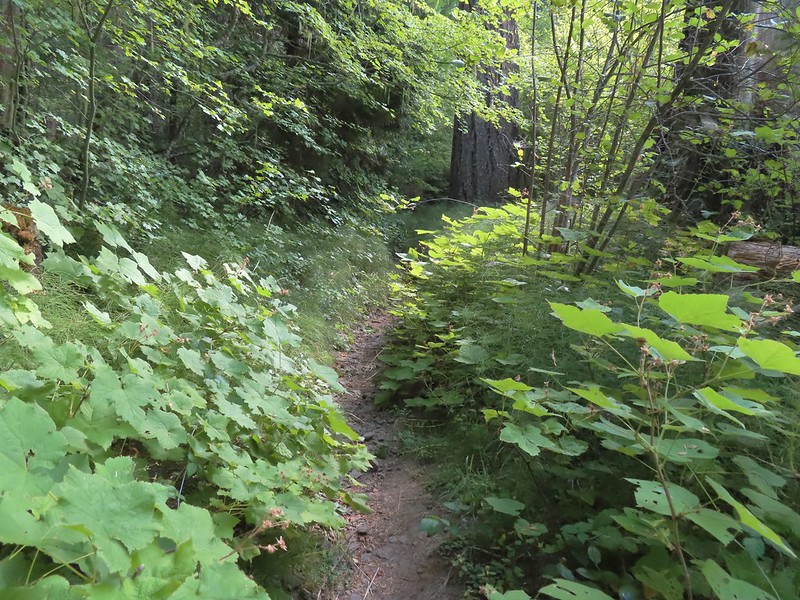
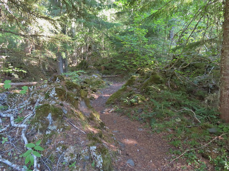
We turned right onto the Acker Divide Trail following this trail for a total of 3.2 miles (per our GPS, Sullivan had it as 3) passing a spur to the Acker Divide Trailhead at the 1 mile mark, Mosquito Camp at the 1.4 mark, and a pond labeled Little Fish Lake in the guidebook after 2.8 miles. This appeared to be the least utilized trail that we’d been on. It was fairly well maintained but there was a lot of debris on it and vegetation crowding the trail. It also left and reentered the wilderness area a couple of times.

 This fuzzy caterpillar was in a hurry.
 The trail along an old log.
 Passing through a small meadow near the spur to the Acker Divide Trailhead.
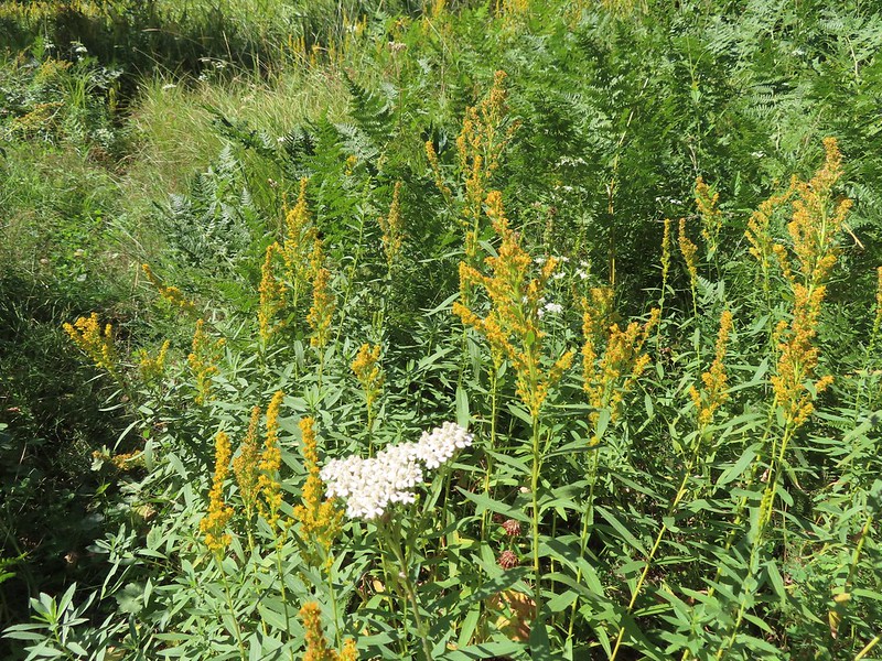 Yarrow and goldenrod
 The area was really well signed.

 Sign for Mosquito Camp on the tree to the right. There was zero sign of any established campsites here.
 Meadow at Mosquito Camp, it came complete with mosquitos (not too many though).
 First of two times reentering the Rogue-Umpqua Divide Wilderness.
 Scat on the trail, at least we knew something used it.
 One of several very small bodies of water along Skimmerhorn Creek which may or may not be Little Fish Lake.
 Overgrown trail near Skimmerhorn Creek.
 Looking down at the pond? lake?
 As we neared the Lakes Trail we began seeing more signs of what appeared to be an ancient lava flow.
 Last of the lupine blooms.
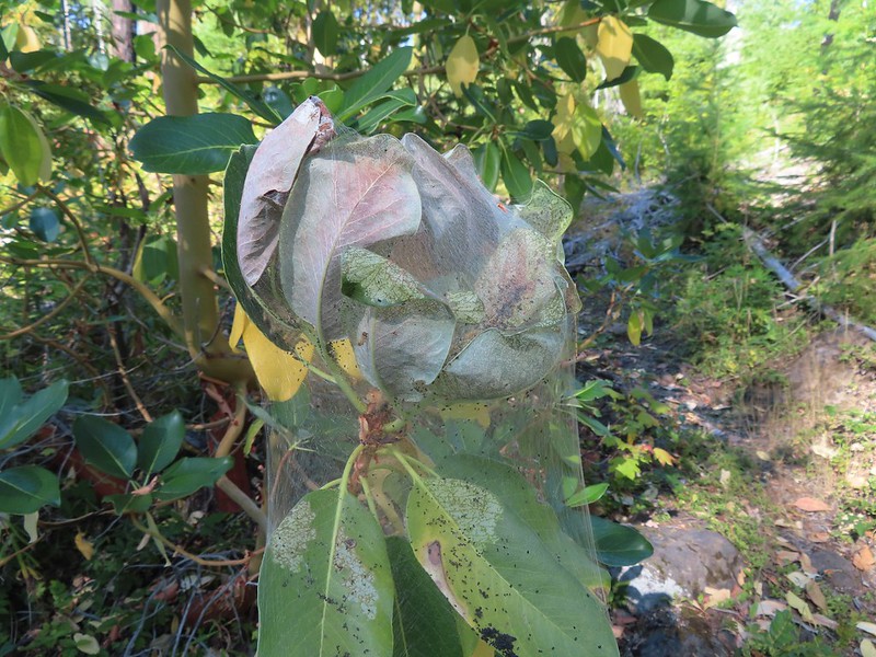 Lots of these insect tents on the madrones in the area.
 Arriving at the Lakes Trail.
At the Lakes Trail we again turned right following it briefly through a fire scar before reentering unburnt forest and arriving at Buckeye Lake after 0.4 miles.

 First glimpse of Buckeye Lake
 At this fork we detoured right to visit the lake shore.
 A good reminder that far too many people tend to forget.
 Grasshopper Mountain from Buckeye Lake.
We were surprised to find that there was no one at the lake given that it’s just a mile from the Skimmerhorn Trailhead. While there were no people to be seen we were not alone.
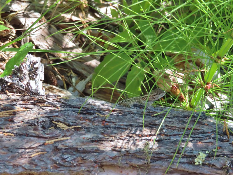 Lizard
 We had to really watch our step because these little guys were everywhere.
 There is an smaller, unnamed lake just West of Buckeye Lake that we did not take the time to check out closer.
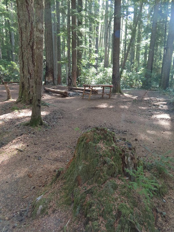
From the far end of Buckeye Lake we followed the Lakes Trail 0.2 mile through the old lava flow to a spur trail on the right that led to a large campsite along Cliff Lake. Someone had left (placed) a small BBQ and tarp here but we never saw anyone.
 The spur trail to the campsite.

 Attempted panorama.
The campsite provided a nice shaded place for a break free of mosquitos. After a nice long break we returned to the Lakes Trail and continued another 0.3 miles to the junction where we had earlier turned onto the Grasshopper Trail. We turned left at the junction and headed back toward Fish Lake.
 Footbridge over the outlet creek which flows into another small unnamed lake that we did not attempt to find.
 Unfortunately the lighting made this tree very hard to photograph but it was the coolest tree/rock combination that we’ve encountered.
 Fritillary on thistle.
 Short climb back up to the junction.
We had considered having our dinner at Cliff Lake since it was close to 5pm but we had decided against it due to being low on water and preferring to refill from one of the creeks over the lakes. We followed the Lakes Trail back to Highrock Creek where I worked on dinner while Heather refilled our water. After enjoying some Mountain House creamy macaroni and cheese we hiked the final 0.6 miles back to our campsite.
 This slug was heading our way while we finished dinner.
 The Sun was getting pretty low as we ended our hike.
 A big nest atop a tree and the Moon above Fish Lake.
 Zoomed in on the nest and Moon.
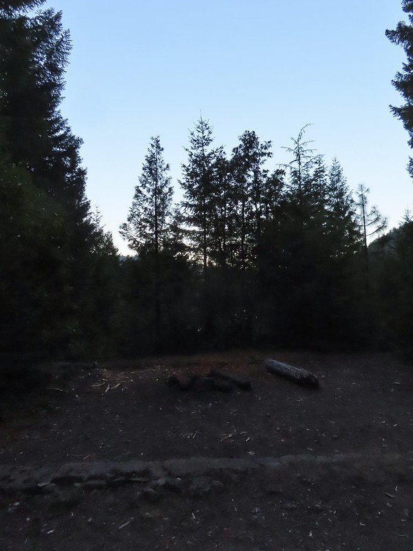
 Fish Lake just before 7:30pm.
We were again surprised by the lack of people, it appeared that it was still just us and the campfire family. We turned in a little after 8pm to the welcome sound of crickets. Just before 9pm someone with the campfire family decided it was the perfect time to repeatedly fire a small caliber gun. It was both jarringly startling and disconcerting. We were not sure which direction they were firing in and we had no idea if the even knew we were camped there. As the shooting continued we began to consider our options. We couldn’t hike out because we’d need to pass them and that didn’t seem safe in the dark plus we guessed that whoever it was had been drinking. (Based on the four Coors cans we passed the next morning cooling in a stream we think that was probably the case.) The other option was to move camp further back, there was a site near Highrock Creek that was closer to the water than we would normally choose but given the choice of being struck by a stray bullet of camping closer than 200′ to water we were going to pick the water. During a break in the gunfire I quickly retrieved our bear bag and moved it downhill where we could easily access it if we needed move to the creek. We settled on moving camp if the shooting started again but fortunately it did not and we were able spend the rest of the night in relative peace.
The next morning we discussed our plan for the day. Neither of us were too keen on passing by what we were now referring to as the “mouth breathers” but we also both had the sneaking suspicion that the previous days hike was longer than the 13 miles we had come up with adding the distances in Sullivan’s book together. In the end though we both felt like we’d regret not trying the longer (and more elevation gain) return via Rocky Ridge. We decided that we would go ahead and give it a try knowing that we always had the option of turning around and hiking out the way we’d come in on the Beaver Swamp Trail given it was less than 2.5 miles to the trailhead from our campsite that way. We packed up camp and headed for Highrock Creek to top off our water.
 Campsite after packing up in the morning.
 Passing our planned route for the day on the left. Highrock Creek was just a 20 yard detour to the right.
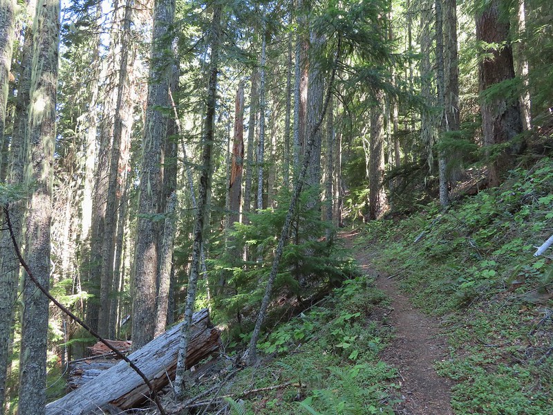
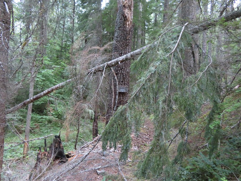
After replenishing our water supply we started up the Fish Lake Trail which climbed nearly 2200′ in three miles to its end at the Rogue-Umpqua Divide Trail near Highrock Meadows. This section of the trail had many signs of the 2017 Pup Fire scar which is the main reason we were uncertain whether or not we would be able to make it back to the trailhead this way. There were some signs of post fire trail maintenance, but we weren’t able to even make it a half mile before encountering a very large downed snag blocking the trail. It was too tall and at too steep of an angle to safely climb over and there wasn’t enough clearance to go under (we’d already done both options on other downed trees). The steep hillside was covered in downed trees and the fire had left the ground unstable making scrambling around too risky for our taste so we called it there and made our retreat.
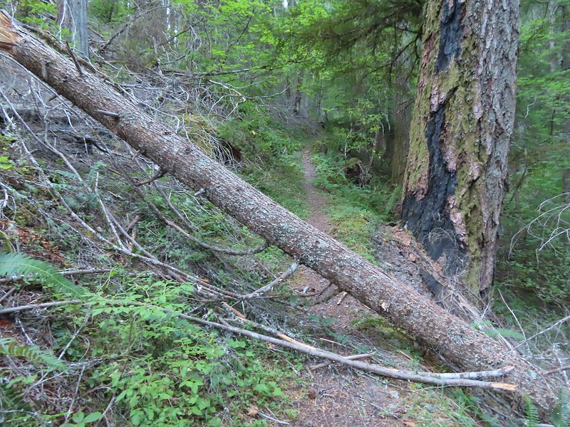 I think this was the third obstacle, one of several that was easy enough to get over.
 Prior maintenance, the second log may have been cut post fire?
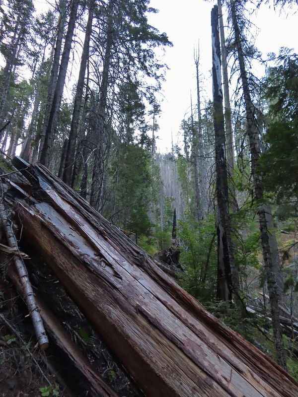 End of the line for us. Even if we somehow got around this one there was still 9.5 miles of burned trail from the trailhead and who knew how many obstacles like this one we might encounter or how long it would take us if we somehow were successful.
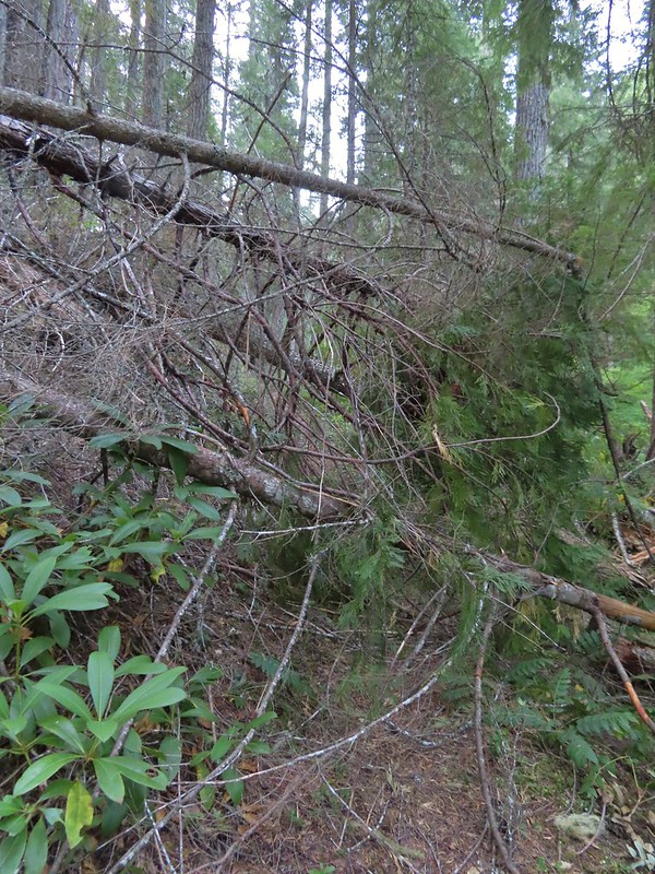 We had the privilege of navigating this one twice. Heather is on the other side coming through.
 Back at the junction.
From the junction it was just under three miles back to the car. We hustled past the mouth breathers who seemed to still be asleep and said goodbye to Fish Lake.
 No clouds this morning.
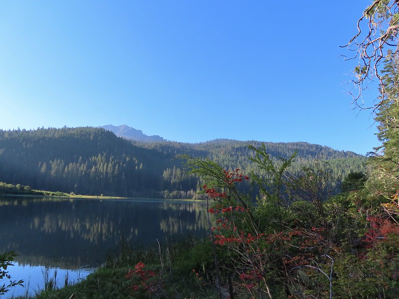 Highrock Mountain behind Fish Lake. Seeing the vine maples turning colors reminded us that despite the heat Autumn was just around the corner.
 Hiking along Fish Lake Creek.

 Highrock Mountain from the Beaver Swamp Trail.
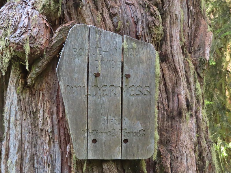
 Leaving the Rogue-Umpqua Wilderness for the last time this trip.
Our suspicions about the length of our hike on Saturday were confirmed by our GPS showing a distance of 16.4 miles with approximately 3200′ of cumulative elevation gain.

Given the previous days hike and how warm it was by 9am it was probably for the best that we were turned back from the longer return as quickly as we had been. It had been a bit of a mixed bag with some good weather, nice scenery mixed in with the gunfire and not being able to hike out via Rocky Ridge but overall it had been enjoyable. (Click here for a look at the Rocky Ridge route pre-fire courtesy of Boots-on-the-Trail.)
At the trailhead we encountered a Forest Service employee who had just arrived for a two night stay at the trailhead. They were there to perform a survey of recreation users so we spent about 10 minutes answering the questions before heading home.
Unfortunately for us our adventure wasn’t over. If you’ve been following our blog this year you’ll know that we’ve had the low tire pressure light come on three different times, each one a long way from home (Siskiyou Gap, Black Butte Trail, and Russian Lake) due to a nail, a screw, and a rock. The latter leaving us with a flat tire near Callahan, CA and requiring a purchase of four new tires. This time just outside of Roseburg instead of the low tire pressure light half our dashboard lit up. All at once the check engine light came on, the X-mode indicator began blinking, and the Eye Sight unavailable lights all came on. After further review it appears that when the check engine light comes on those other systems are disabled prompting those indicators to come on. Regardless it was a Sunday and we were over a hundred miles from home. We kept a close eye on all the gauges for the rest of the drive and will have to wait until the Tuesday after Labor Day to make an appointment to have the car checked out. What I wouldn’t give for a Star Trek transporter. Happy Trails!

7 replies on “Fish, Buckeye, and Cliff Lakes – 09/03-04/2022”
That tree/rock combo is amazing. Thanks for posting this. This area is one I have become fascinated with, but probably wasn’t ever going to get down to, so it was really cool to see it. Great photos of a great area.
Too bad about the fire damage on the trail to Rocky Ridge. It’s a pretty neat route below some spires and along an exposed ridge.
We were saying that if we lived closer it would be interesting to see how far you could get starting at Beaver Swamp TH and going the other way. It was nice to see your photos from 2015 so we could at least imagine it.
Looks like you guys lucked out on the weather! That’s unsettling about the gunfire though…I’m not sure what I would’ve done in that situation. We were planning on being in this area for Labor Day as well but were dissuaded by the air quality/potential smoke.
Yeah we did luck out. I was a little worried about smoke. Saturday’s forecast had been widespread haze but i think the morning cloud cover helped. I think the only smoke we smelled was from that campfire.
[…] South Umpqua Falls (post) […]
[…] Yasko Falls #4 Boulder Creek-Hiked 9/7/2020 #5 Twin Lakes-Hiked 6/14/2022 #6 Fish Lake-Hiked 9/3/2022 #7 Buckey and Cliff Lakes-Hiked 9/3/2022 #8 Umpqua Hot Springs-Hiked […]