
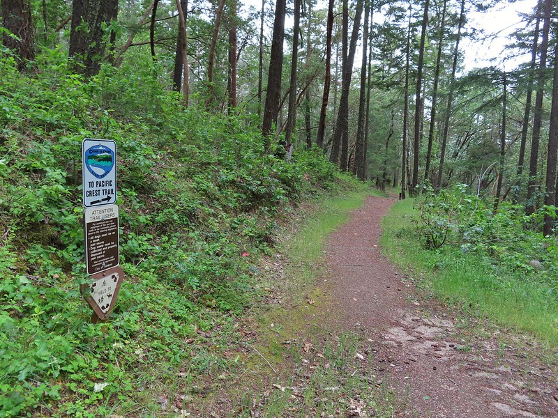
A change in the forecast led us to swap the final two hikes of our Ashland vacation when Friday called for rain and the possibility of thunderstorms. Heading into the Red Buttes Wilderness under those conditions didn’t sound like the best idea so instead we looked to a closer pair of Sullivan’s featured hikes in the Ashland Trails System. The two featured hikes are a 3.5 mile lollipop loop using the Bandersnatch Trail (hike #53 edition 4.2) and a 4 mile lollipop on the Mike Uhtoff and White Rabbit Trails (hike #54 edition 4.2). Our plan was to combine the two hikes utilizing several of the other trails within the trail system. Our plan was to start at the Witzend Trailhead and take the Waterline Trail from there to the Bandersnatch Trail where we would turn left
following it to the Red Queen Trail. We would then take a right on the Red Queen Trail following it to the Caterpillar Trail where we would turn left to a junction where we thought we would turn right onto the Mike Uhtoff Trail. (Spoiler – you have to first take the Queen of Hearts Loop to reach the Mike Uhtoff Trail.) We then planned to follow the Mike Uhtoff Trail to a junction with a trail from the Oredson-Todd Woods where we would hook up with the White Rabbit Trail. We could then turn left onto it and follow it to an upper trailhead where we could pick up the Alice in Wonderland Trail which would bring us back to the Bandersnatch Trail. A right on the Bandersnatch Trail would then bring us to the Jubjub Trail where a left turn would lead us back again to the Bandersnatch Trail section that we’d first been on which we would follow back to the Waterline Trail and our car. If that sounds confusing you’re not alone, we spent much of the hike confused but for the most part successfully managed to follow our plan.
We got a little later start than usual due to taking advantage of the full breakfast offered at the motel but there was still only one or two other cars at the trailhead when arrived.
 Sign for the Witzend Trail at the trailhead. Not one of the trails we wanted today.
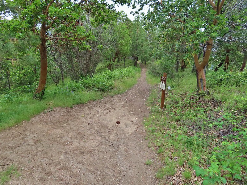
 The Waterline Trail is the smaller gravel roadbed to the left of the fire hydrant.
 Despite the sign saying Snark online maps show that trail starting further up the Waterline Trail.
 The Snark Trail splitting off to the right.
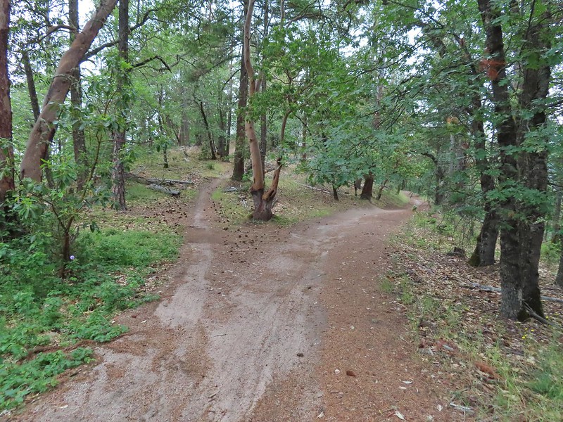
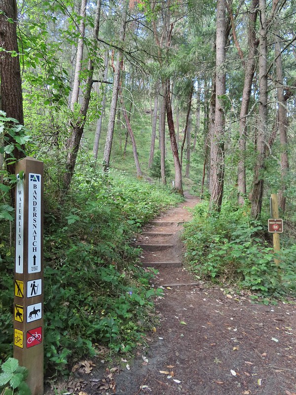 Turning left onto the Bandersnatch Trail.
There were a few pieces of art along the lower section of trail.
 Marty the Pacific Fisher


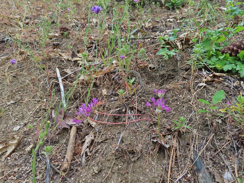
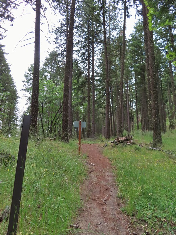
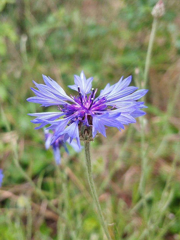
The Bandersnatch Trail climbed uphill passed a number of wildflowers and a whole lot of poison oak.
 Henderson’s stars
 Paintbrush and blue sky.
 Mariposa lily
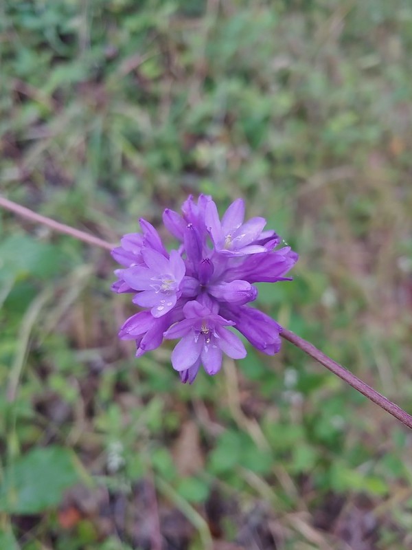 Ookow
Ookow
 Diamond clarkia
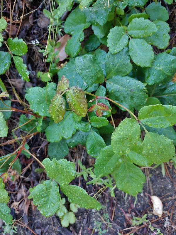 Some of that poison oak.
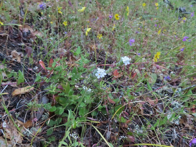 A cryptantha
 Honeysuckle
 Madia and winecup clarkia
 Bell catchfly
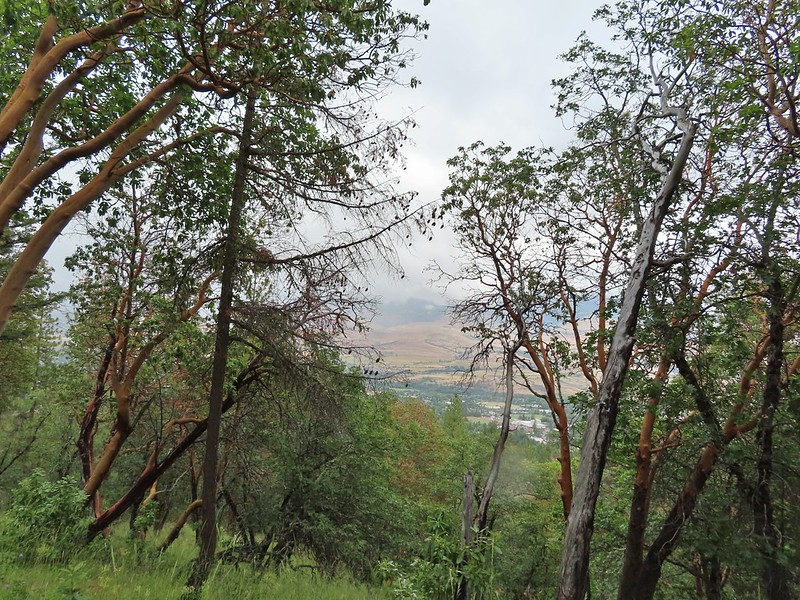
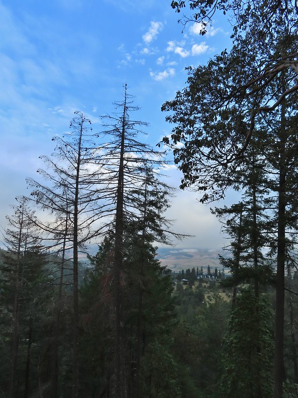 View down toward Ashland.
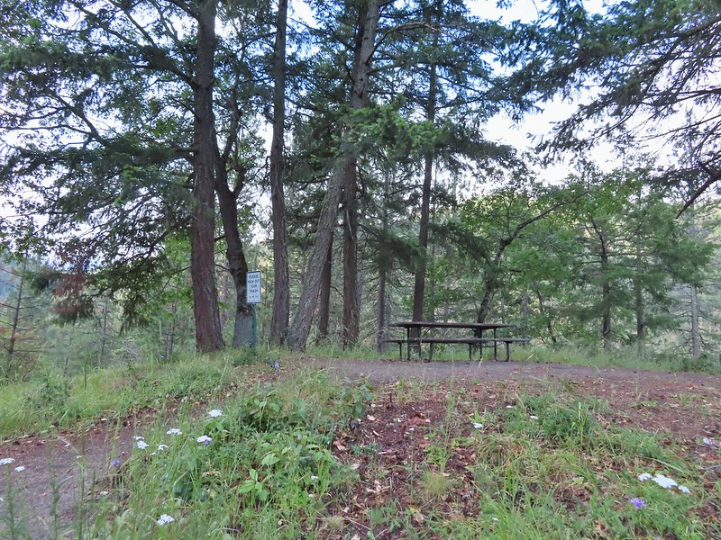 Picnic table at the top of the hill.
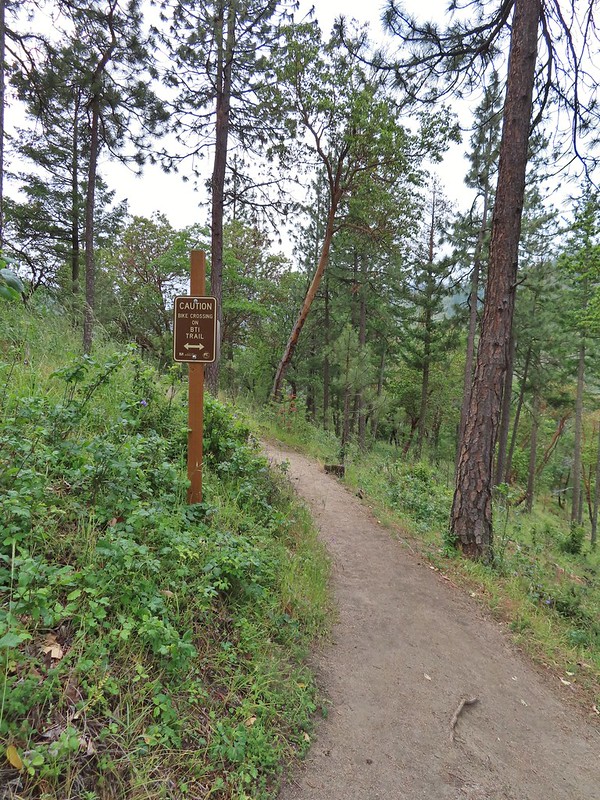
From the picnic table the Bandersnatch Trail descended to a crossing of the bike only BTI Trail before arriving at the junction with the Red Queen Trail.
 Crossing the BTI Trail
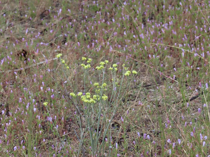 Baresteam wild buckwheat
 Wallflower
 heart-leaf milkweed
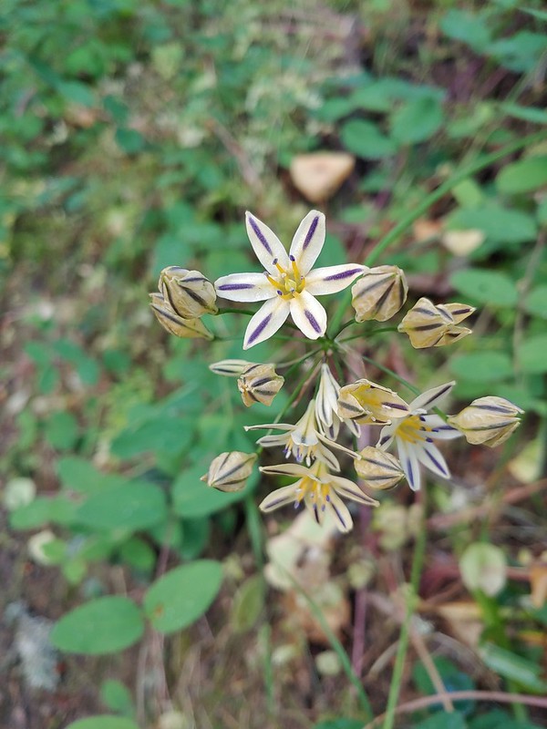
 Wild onion
 Another Snark Trail encounter.
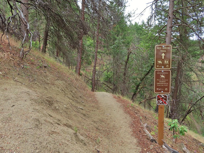
 The Red Queen Trail junction ahead.
 Bluehead gilia
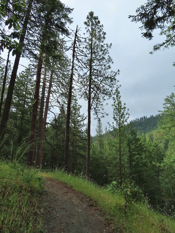
We followed the Red Queen Trail for 1.6 miles to the Caterpillar Trail.
 Madrones along the Red Queen Trail.
 National Forest boundary.
 Lupine
 Clouding up.

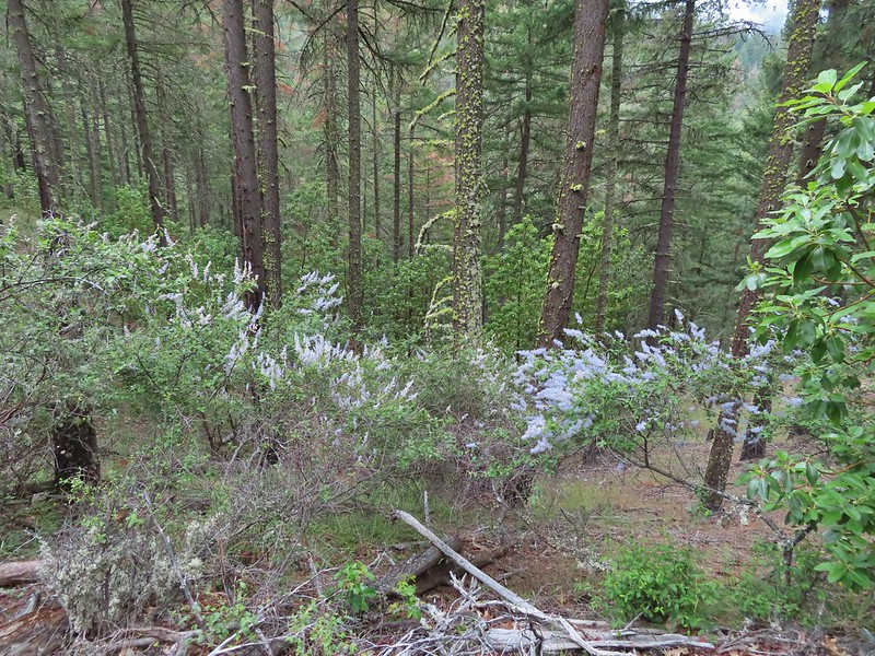 Deer brush
 A madrone and a ponderosa
 Nearing the junction with Road 2060 and the Caterpillar Trail.
 Sign for the Caterpillar Trail across the road.
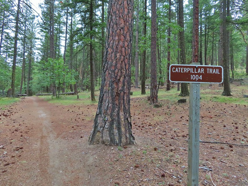
After 0.4 miles on the Caterpillar Trail we came to a series of signs and junctions.

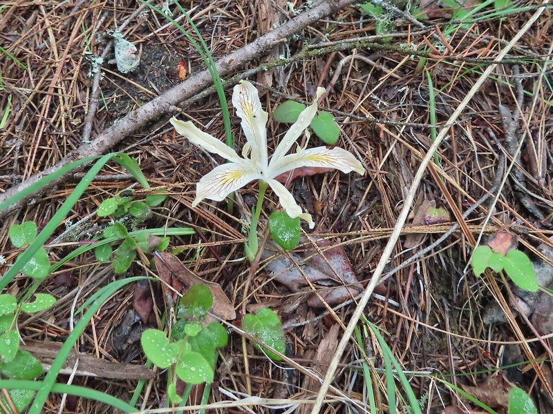 Iris
Iris

 The first signed junction with more signs in the distance.


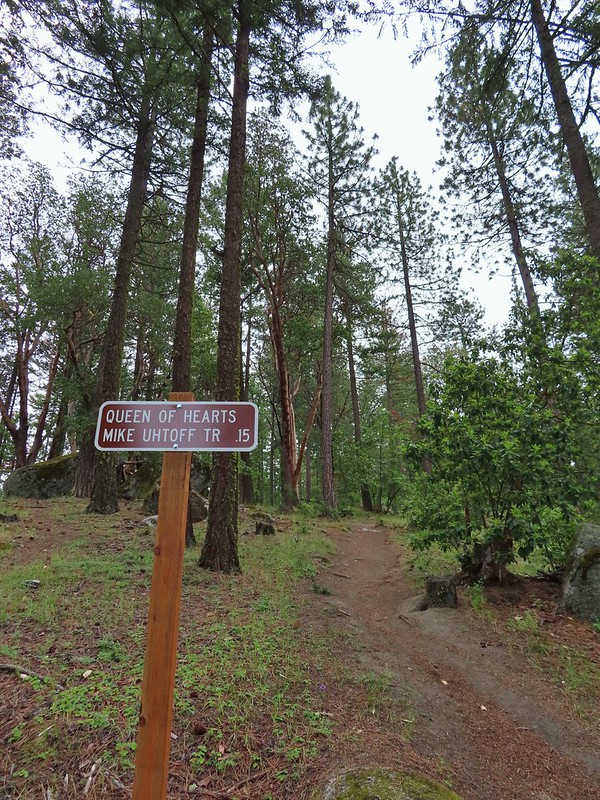
After consulting the maps we had and reading all the signs we headed uphill past a sign for the Queen of Hearts Trail which listed the Mike Uhtoff Trail as being 0.15 away.
The one mistake we made on our route came at the next signed junction which was just a short distance uphill. At this junction with a small bench the sign only listed the Queen of Hearts and pointed left and in the direction that we had come from. A third trail continued uphill which we mistook for the Mike Uhtoff Trail thinking that we had gone the 0.15 miles and it just wasn’t signed.

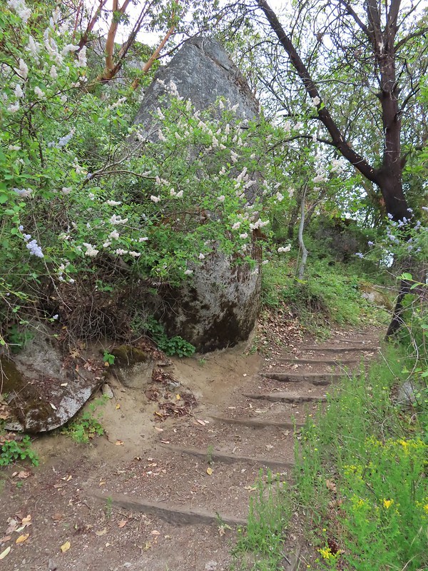
This path led uphill past some boulders and nice madrone trees before reaching a fence at some private land where it made a hard left and followed the fence line.
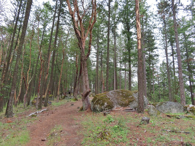
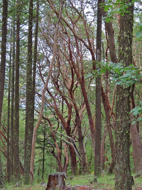

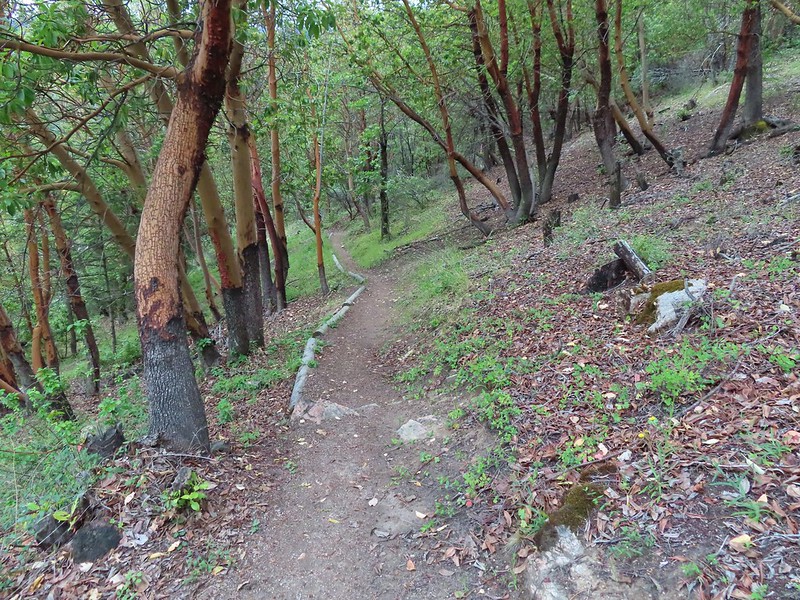
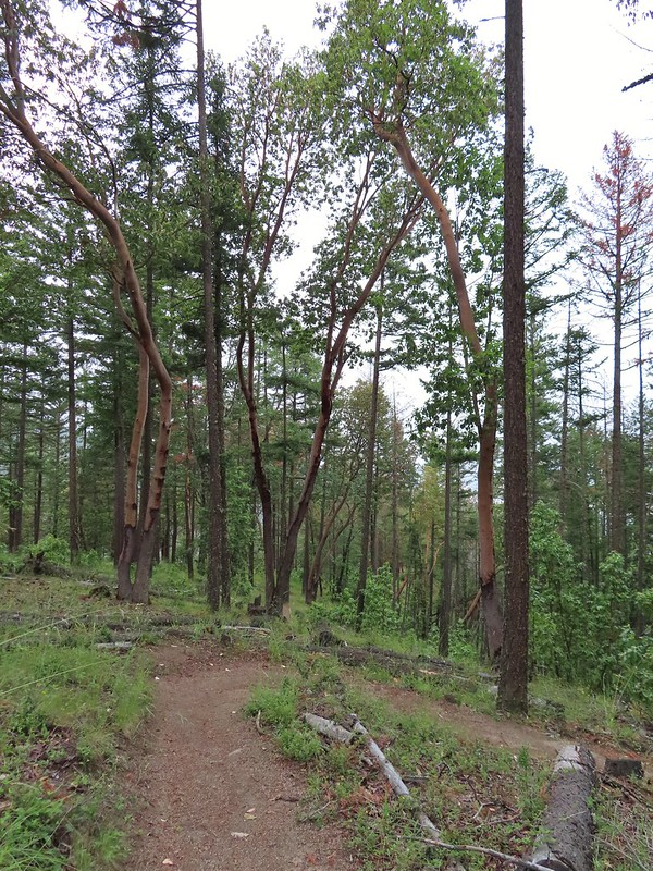
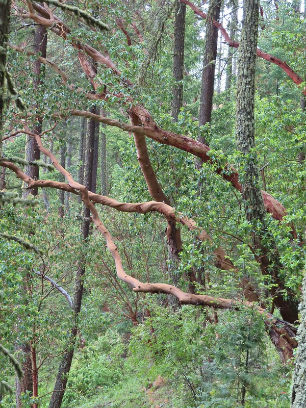 There were a lot of cool madrones along the trails.
The trail followed the fence line to a ridge with what looked like it would have been a decent viewpoint on a clearer day.


 Madrone bark
The trail followed the ridge to the left away from the fence and after a gradual initial descent dove almost straight down the ridge end.

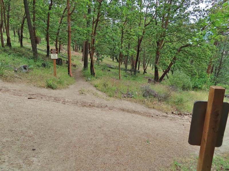
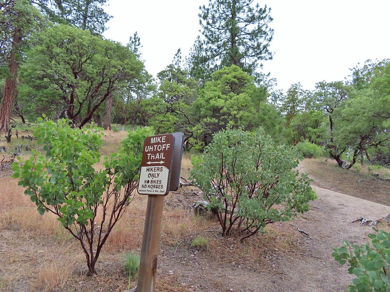
This design didn’t seem to fit with the other trails we’d seen and been on and we wondered why the Uhtoff Trail was different, then we came to a large junction near a bench where a sign on our left for the Mike Uhtoff Trail pointed to a different path.
 Arriving at the junction with the Mike Uhtoff sign to the left.
 That isn’t the trail we were on so where were we?
As I mentioned above we learned later that we should have stuck to the Queen of Hearts Loop a little longer instead of heading uphill on the unsigned trail that we’d taken. As far as we can tell the trail that we were on has no name but I was able to find at least one map showing it as a red dotted line. While we were thoroughly confused about how we’d missed the Mike Uhtoff Trail and had no idea what trail we’d just been on we quickly recognized where we were on the map at a junction with the White Rabbit Trail which we would be coming back up.
For now we stayed right on the Mike Uhtoff Trail (now it really was) and descended through more madrones.
 Still no real rain but it was clouding up even more.
 Grand collomia


 Silverleaf phacelia
There were a number of connector trails running between the Uhtoff and White Rabbit Trails but they were fairly well signed allowing us to stick to the Uhtoff.

We did turn off the Uhtoff when it crossed the White Rabbit Trail above a junction with the Oredson-Todd Woods Trail.
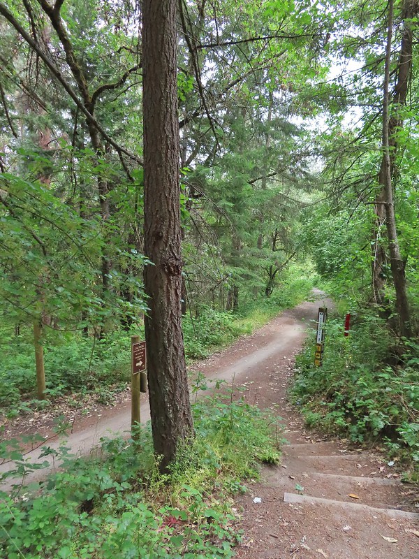
 We turned right onto this road bed which is the White Rabbit Trail.
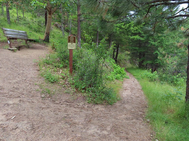
 We hiked downhill on the White Rabbit to a bench (just visible through the vegetation on the left) at the trail junction.
 Trail to the Oredson-Todd Woods.
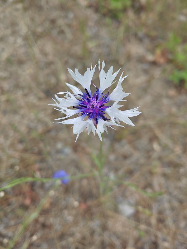
Sullivan showed a map as being located a little further down the White Rabbit Trail and we were hoping it was a full sized map so we continued downhill to see if maybe it could tell us where we’d gone wrong earlier. There were a lot of bachelor buttons, a non-native but pretty flower, along this stretch of the White Rabbit Trail.


We were losing a fair amount of elevation (and we’d already lost a lot) so when we saw what appeared to be just another small map on a sign post in the distance we decided to turn back onto the Uhtoff Trail and head back uphill.
 We turned left here. There is a sign downhill on the left with what looked to be a small white map which we’d seen on other trail signs. These gave very limited information for bike routes.
We followed the Uhtoff Trail back up to the crossing of the White Rabbit Trail where we again turned onto it, now heading uphill.


 One of the white maps at the White Rabbit/Cheshire Cat junction.
We followed the White Rabbit for 1.8 miles ignoring side trails. The trail gained over 500′ via a series of switchbacks before leveling out a bit and then descending to a trailhead on Ashland Loop Road.
 A connector for the Uhtoff Trail at a switchback.
 Large boulders near the Looking Glass Trail jct.
 Passing the bench at the junction where we’d discovered that we had not in fact been on the Mike Uhtoff Trail.
 This section was a little confusing. The trail dropped to a junction in a small basin. We ignored this sign which pointed to another road bed with a gate.
We also ignored the March Hare Trail which was a very short trail heading steeply uphill only to rejoin the White Rabbit Trail a short distance up.

 Looking down the March Hare Trail (it took less than 2 minutes to get from the bottom to the top via the White Rabbit Trail).
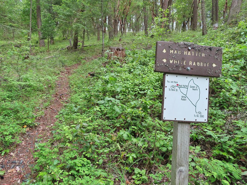 Yet another side trail = Mad Hatter.
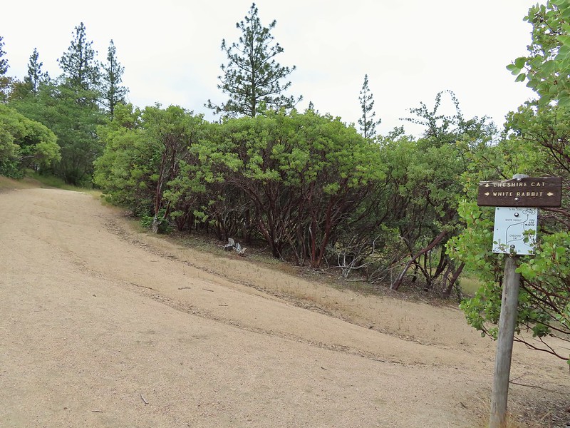
 The Queen of Hearts Loop junction with the White Rabbit Trail.
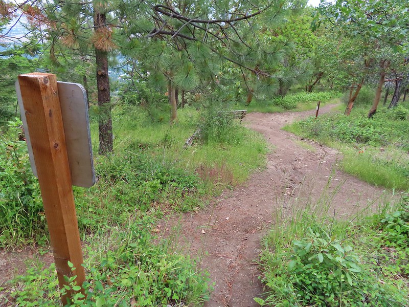
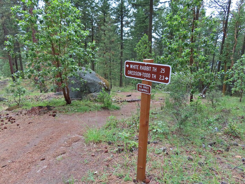 Sign as we neared the trailhead.
 Lots of cars here.
 This was the map that we needed earlier.
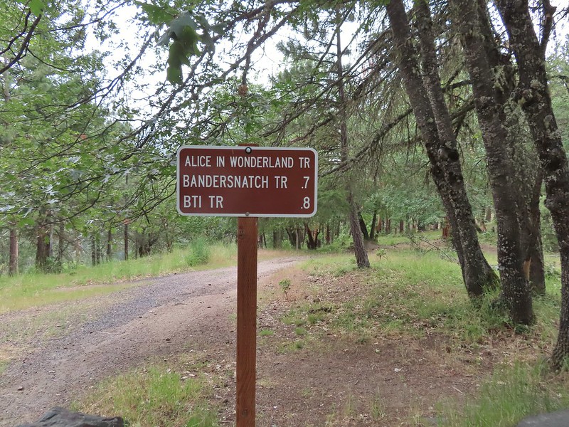
From the trailhead we followed a sign for the Alice and Wonderland Trail.
Sullivan mentioned that the trail might not be open due to it crossing some private land which the map at the trailhead also showed but there was nothing stating that the trail was not open and I’d read some recent trip reports from people who had hiked/biked it so we decided to give it a try. We ran into several other trail users and no signs to indicate the trail was not open for use.

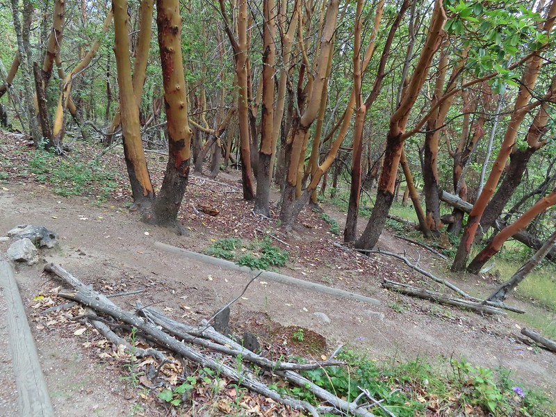
 Madrone circle.
 A couple of short spurs went up and over small hills, we stuck to the more level road bed.
When we reached the Bandersnatch Trail we turned right. While the Alice in Wonderland Trail continues it is only open to bikes beyond the Bandersnatch.

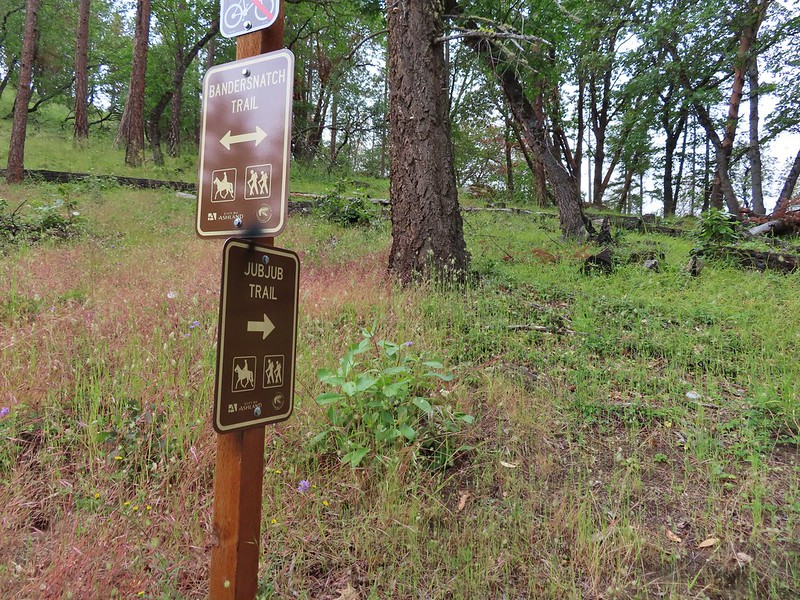
We left the Bandersnatch Trail when we reached a sign for the Jubjub Trail where we turned left.
The Jubjub Trail crossed the Alice in Wonderland, BTI, and Red Queen Trails before ending at the Bandersnatch.

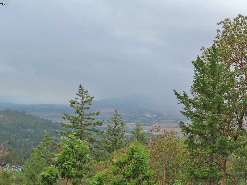 Rain to the north over Grizzly Peak (post).
 Approaching the BTI crossing.
 Red Queen crossing.
 Descending to the Bandersnatch junction.
We turned right on the Bandersnatch Trail and climbed back up to the picnic table we had passed earlier and retraced our steps to the Witzend Trailhead.


 Marty the Pacific Fisher from the other side.
 The Waterline Trail 0.1 mile from the Witzend Trailhead.
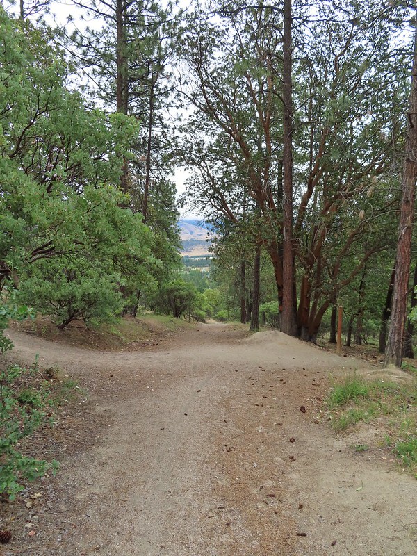
We wound up with a 9.5 mile hike with over 2000′ of elevation gain which was a surprising amount for a hike so close to town but there were a lot of ups and downs. Despite the abundance of poison oak it’s a fun area to hike in. The Lewis Carroll themed trail names add to the fun and the madrone trees with their twists and bends seem to belong in Alice in Wonderland. The trails are wide enough that the poison oak was never a concern and for the most part are well signed. There are just so many that criss-cross and intersect that even with decent signage it’s easy to get confused.

We managed to stay pretty dry as it only sprinkled a couple of times while we were hiking. That changed in the afternoon as it was pouring when we ventured out for a meal at Xeres Mediterranean Grill. The food was great there and they had a nice little market as well. We packed up as much as we could that night so that we could get a nice early start in the morning for our final hike of the trip before heading home. Happy Trails!

One reply on “Bandersnatch & White Rabbit Trails”
[…] Mount Ashland Meadows-Hiked 6/3/2015 #52 Lithia Park-Hiked 6/2/2015 #53 Bandersnatch Trail-Hiked 6/17/2022 #54 White Rabbit Trail-Hiked 6/17/2022 #55 Grizzly Peak-Hiked 6/5/2015 […]