
Our first morning at Youngs Valley turned out to be rather exciting. Per usual I was up early (before 5am) and we were eating breakfast by 6am. We were sitting at the edge of the meadow away from camp enjoying our Mountain House biscuits and gravy when I spotted a black bear passing between some trees in the meadow. Heather had commented during our hike in the day before that we were due for a bear sighting and there it was. I think I said “that’s a bear” and then we watched as it entered a stand of trees around a large boulder in the meadow a little less than 100 yards from where we were.
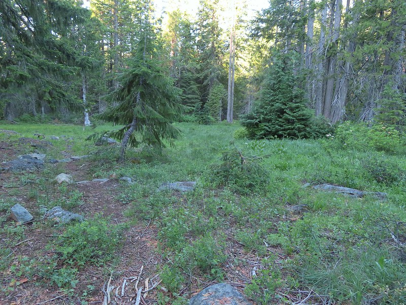
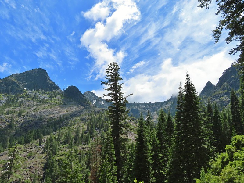
 There still wasn’t a lot of light in the valley but the bear was in with the tall tree in the middle of this picture.
We lost sight of it for a time and thought maybe it had continued on away from us behind the trees but then it reappeared as it scrounged for things to eat.

We were downwind so I don’t think the bear realized we were there until it poked it’s head out of the trees and stared at us.

We had stood up but hadn’t been making noise but now that we were spotted I let out a “HEY BEAR!” which in our past experience (12 bears on trail and 2 driving to trailheads) would have been enough to send the bear running, if it hadn’t already sped off when it first spotted us. This bear did head off but it was about as non-nonchalant as it could have been.

 Heather watching the bear leave through the gap in the trees.
We made sure that we really did have every bit of food that we weren’t taking with us for our day hike in our Ursack bear bags and secured them. Then we re-familiarized ourselves with our bear spray. I had been seeing alerts from the Forest Service about a rise in bear encounters due to a delay in the berry crop this year so we had at least come “Bear Aware“.
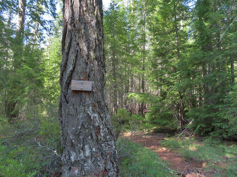
After the exciting breakfast we threw our packs for the day on and headed to the Clear Creek National Recreation Trail where we turned right off the old road bed at a small sign.
 The sign for the Clear Creek Trail on a tree to the right.
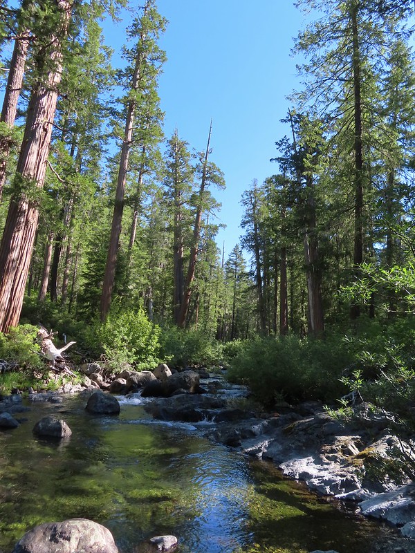
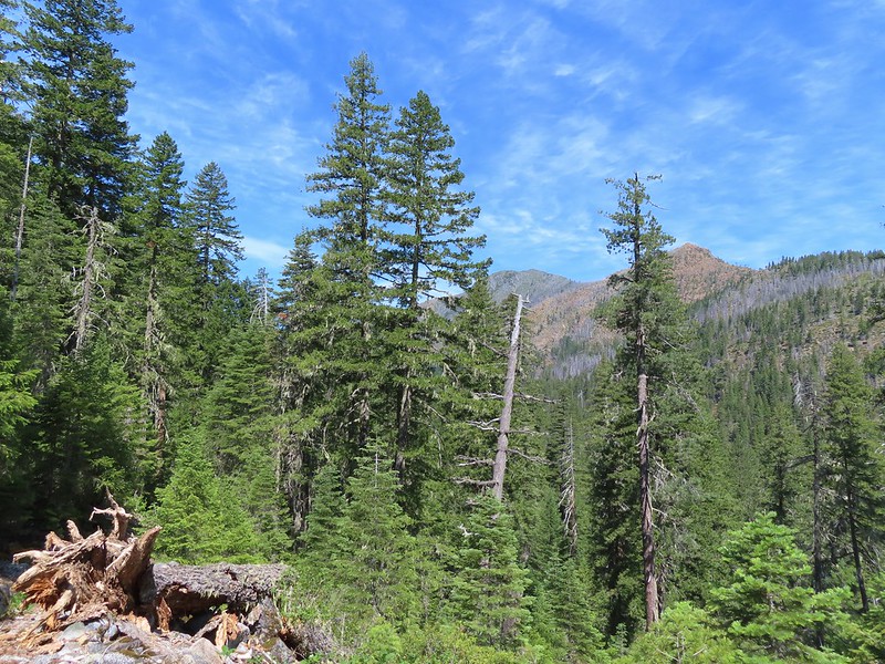
From Youngs Valley it was 5.1 miles to the Doe Flat Trail then another 2.8 to our goal for the day, Devil’s Punchbowl, a lake in a granite bowl carved by glaciers. The Clear Creek Trail passed by a series of small meadows before entering a forest that had been spared by the recent fires.

 Clear Creek below the trail.
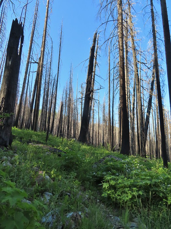
A little under a mile and half from Youngs Valley we found ourselves back inside the scar of the 2018 Natchez Fire though.

While there wasn’t much blowdown on the trail to navigate it was faint in places and overgrown with thimbleberry, trailing berries, currant and roses (those last three all have thorns) in places which made for some slow going.
 Anemone and star flowers

 Honeysuckle
 Rocky Knob
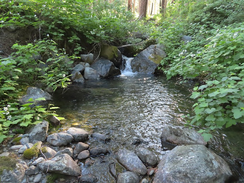
 One of several creek crossings. This one was a bit tricky to stay dry on but we both managed to do so on the first pass. Heather wasn’t so lucky on the way back though.
 Rayless arnica
 Pacific ninebark
 Streambank bird’s-foot trefoil
 Sign for the Rattlesnake Meadows Trail which looked to be in much worse shape than the Clear Creek Trail.
 White-vein wintergreen
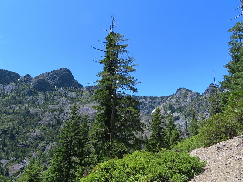
There were occasional pockets of green trees, typically near creeks.

 Queens cup

 There was a small stream in the middle of the trees here.
About a mile and a half after entering the fire scar the trail left it again for a bit.

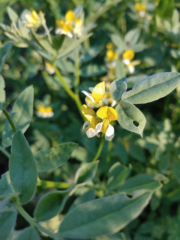
 A colorful pea.
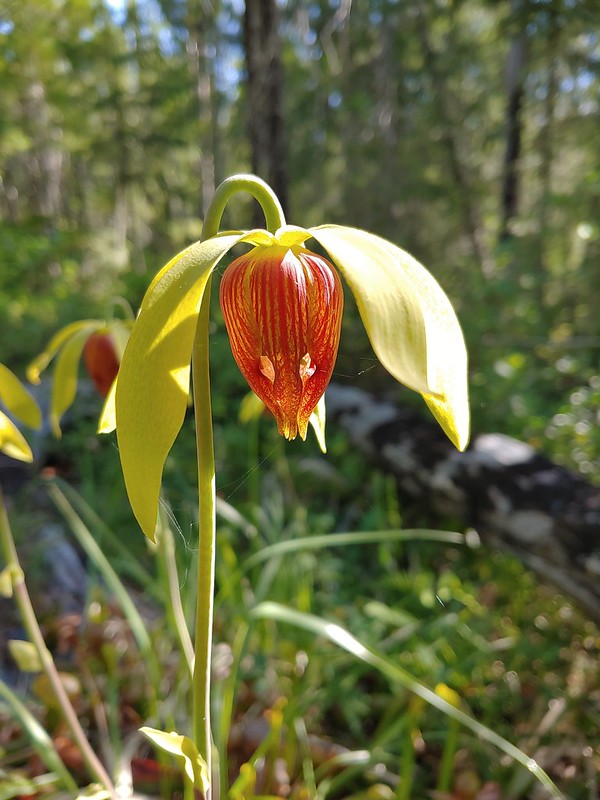
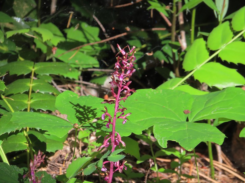
The mornings second round of excitement came when we spotted the first of what turned out to be many California lady slippers.

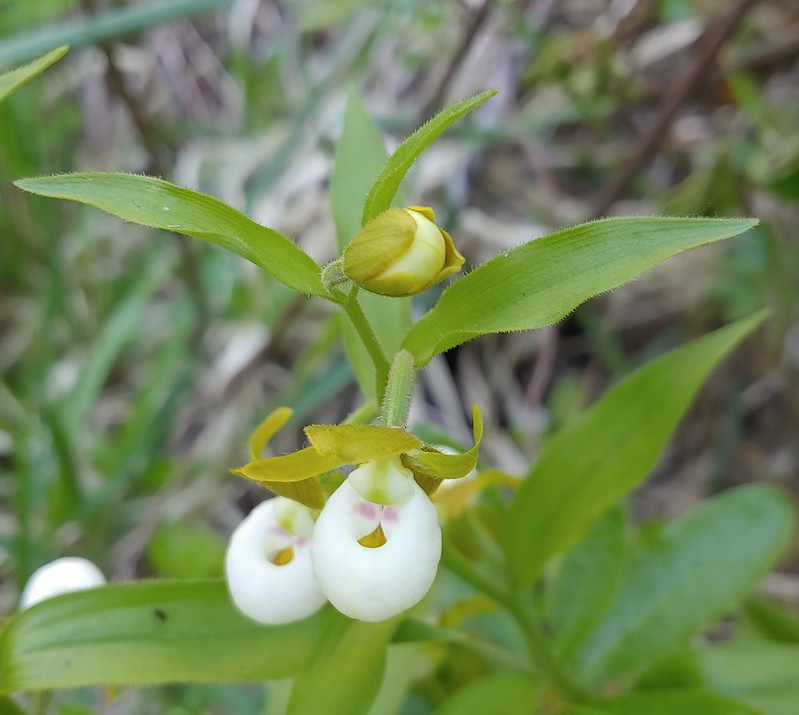
These beautiful orchids found only in the Siskiyou Mountains of SW Oregon and northern California are endangered in part due to thoughtless people who pick or attempt to transplant the fragile plants. We took many, many photos.
Just under three and a half miles from Youngs Valley the trail came to a beautiful pool along Clear Creek. The pool was so nice that we failed to notice that the trail continued on the far side.

We took a break on the bank of the creek before continuing on and realizing that we needed to cross the creek. There was no way we were staying dry on this one so we forded the barely calf deep water. More excitement ensued when we came to the first of several patches of California pitcher plant – Darlingtonia californica.

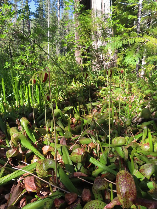

This carnivorous plant native to northern California, SW Oregon and the Oregon Coast is considered uncommon and one we don’t often see. Many more pictures followed. We continued south along the trail hoping for more exciting sightings.
 The western azaleas smelled wonderful.
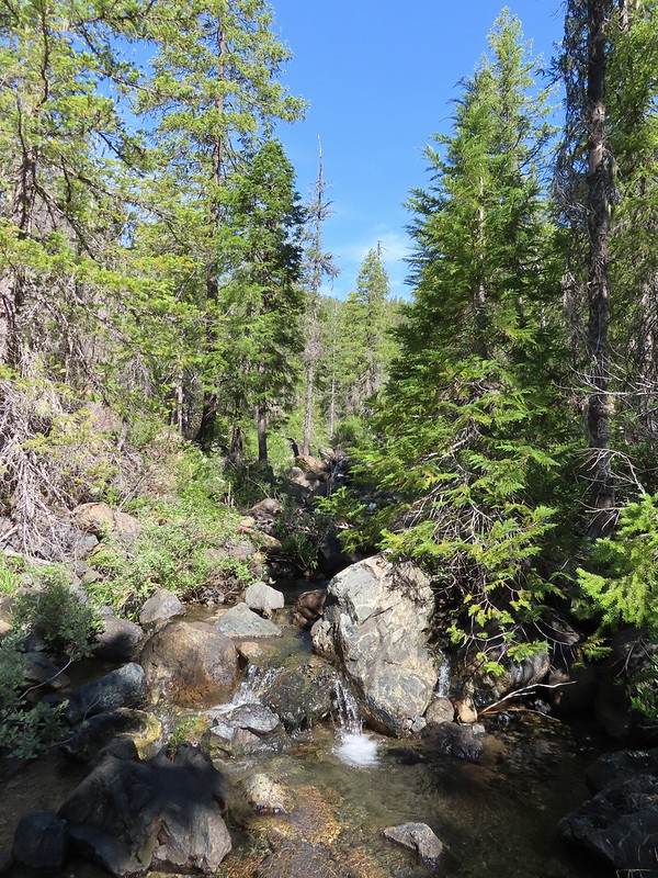 Another side creek.
 Another fire scar, this time from the 2017 Young fire.
 Silver-spotted skipper


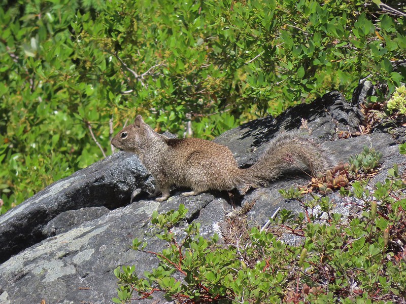
 Chipmunk
 White-stemmed frasera

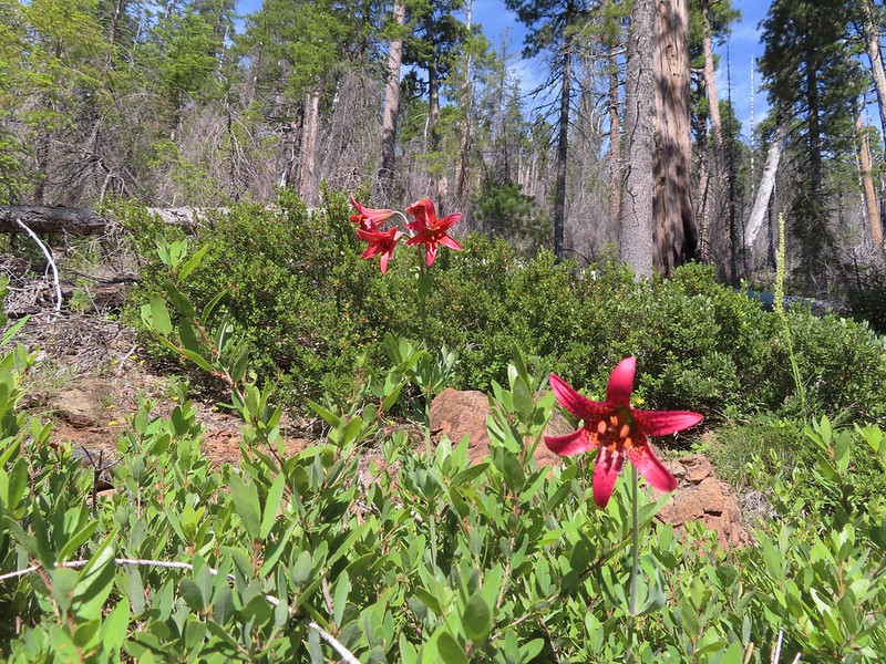 Bolander’s lily, another exciting find for us and the first time we’ve seen them.
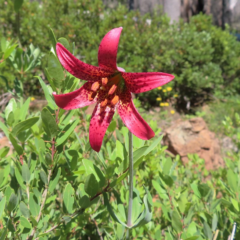
 Washington lily with a crab spider.
One and three quarters beyond the crossing we came to Trout Camp near the Doe Flat Trail junction where we saw the first signs of other humans since the people with the goats near the Black Butte Trailhead the day before. There was a hammock and a tent set up at a campsite there but we didn’t see any people.
 Trail sign near Trout Camp.
Our original plan had been to move our tent here, hike up to Devil’s Punchbowl then take the Doe Flat Trail to Buck Lake before returning to the tent. Then in the morning we would pack up and move the tent back to Youngs Valley before hiking up to Raspberry Lake. After comparing Trout Camp to Youngs Valley we were happy that we’d changed our plan. It would have been fine but the scenery was a lot nicer at the meadow.
We left the Clear Creek Trail at Trout Camp and followed the Doe Flat Trail downhill to a crossing of Doe Creek where we once again got our feet wet.
 Sign for the Doe Flat Trail at Trout Camp.
 Doe Creek, we probably could have made it dry footed (I was able to on the way back.) but since we were already wet why bother.
We finally ran into people on the far side of Doe Creek. They were trying to get their bearings and we were able to point them in the direction of the Clear Creek Trail and Raspberry Lake where they were hoping to spend the night.
From Doe Creek the trail launched steeply uphill climbing via a series of switchbacks.


 Twin Peaks in the distance.
 Pacific coralroot
 Phantom orchid
After a mile and over 700′ of elevation gain the trail appeared to be leveling out but it was also the junction with the Devil’s Punchbowl Trail.
 The Doe Flat Trail continuing on from the junction.
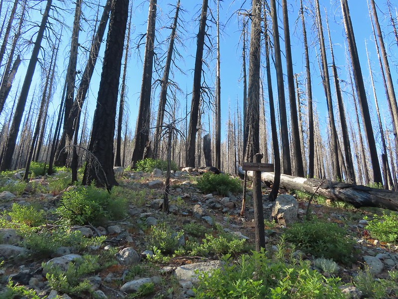
The only sign at this junction was a small pointer for the trailhead and clear creek.

Opposite the little sign the Devil’s Punchbowl Trail climbed steeply uphill behind a log that someone had scratched the trail name into.
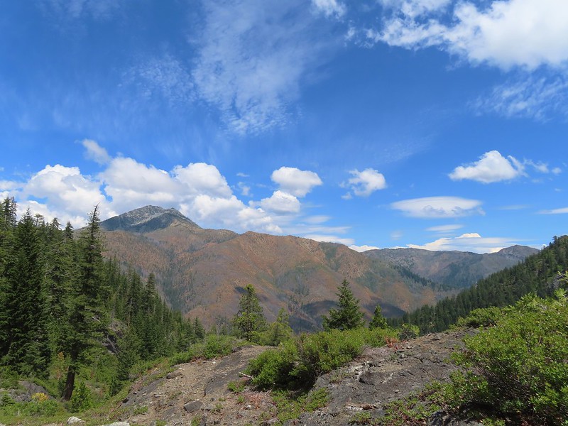
Another half mile and 600′ plus of elevation brought us to a viewpoint at a ridge end where we got our first good look into the granite basin where we would find Devil’s Punchbowl.
 The flat top of Black Butte in the distance.
 Bear Mountain
At the ridge end we were just under 200′ below the elevation of Devil’s Punchbowl but after rounding the ridge the trail descended almost 150′ to a crossing of the lakes outlet creek.
 Blue-head gilia
 Oregon sunshine

There was a nice pool below the crossing where we planned to refill our water on our way back by.

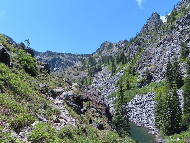
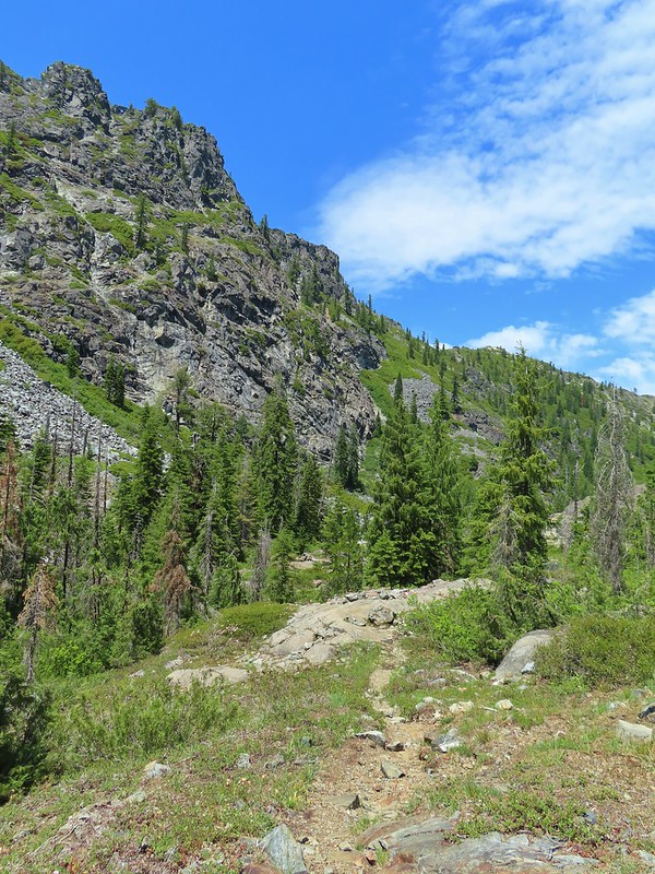
Beyond the creek the trail became more of a scramble over the granite following occasional cairns over the rocky landscape.

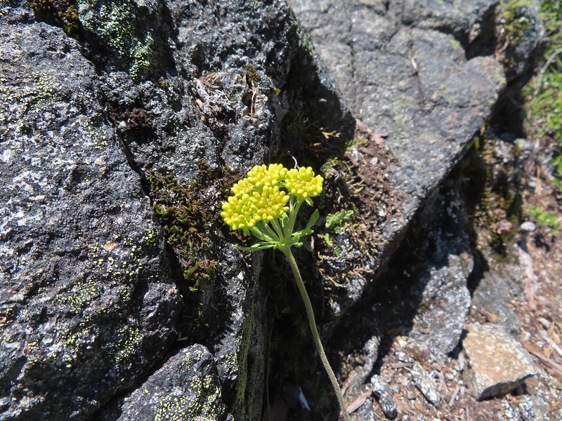 Buckwheat
 Siskiyou lewisia
 Preston Peak

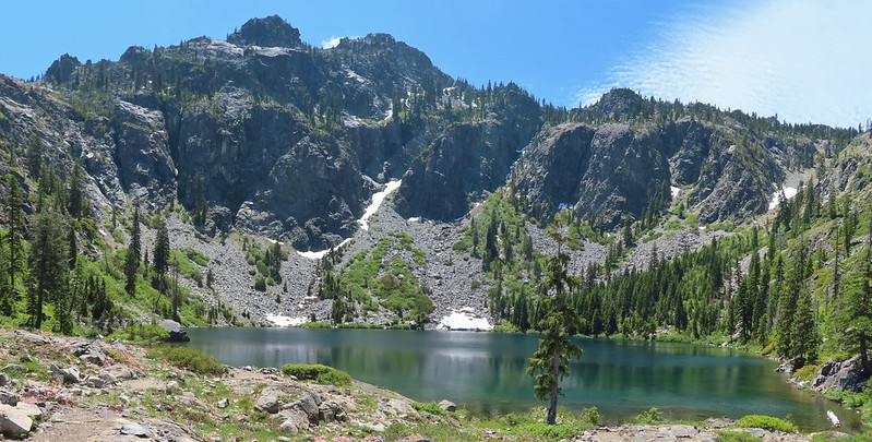
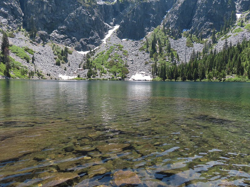
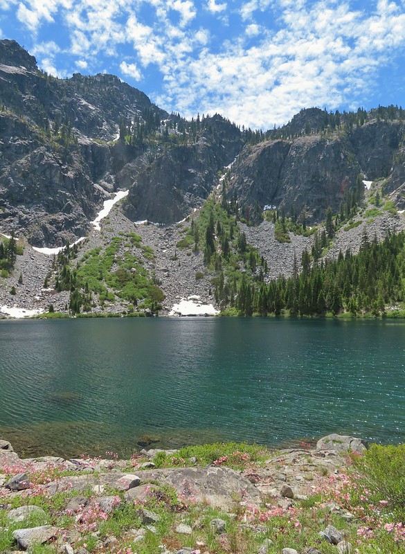
Before reaching Devil’s Punchbowl the trail passed a smaller but scenic lake.

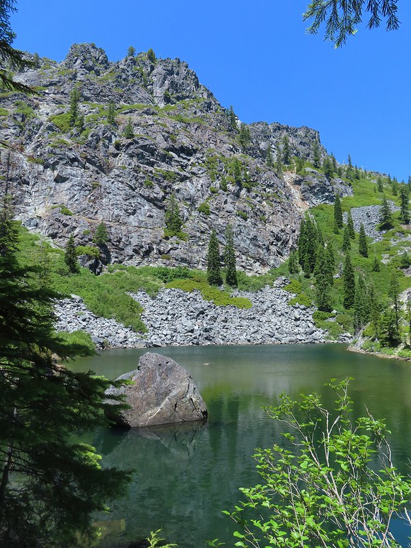

It was pretty obvious why this is the most popular spot in the wilderness and draws crowds. We however were fortunate enough to be the only people here when we arrived.
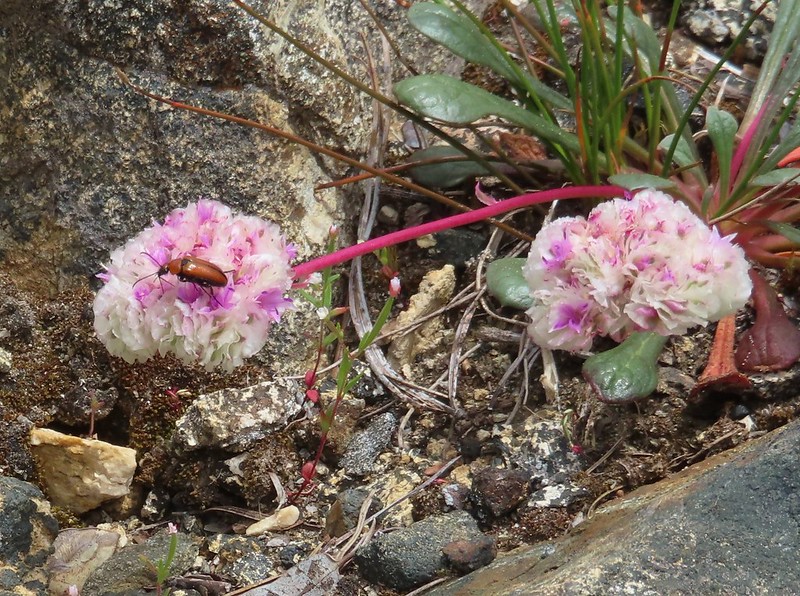
 Pussypaws
It wasn’t long before another couple arrived followed by a pair of backpackers but we appreciated the solitude nonetheless.
 Beetle on a pussypaw
 Swallowtail on azalea
 Silver-spotted skipper on Siskiyou lewisia
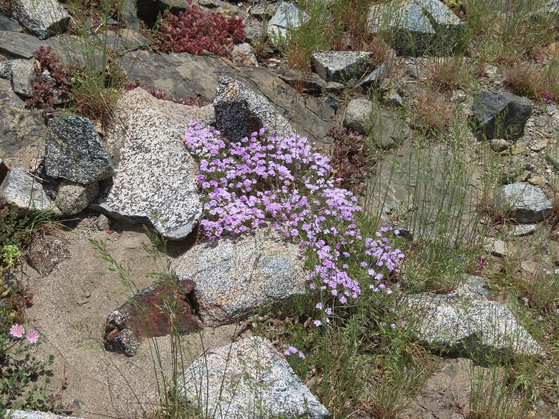 Phlox
Phlox
After a nice long rest we headed back down stopping at the outlet creek for water.
 There is a rock arch atop the ridge near the left hand side.

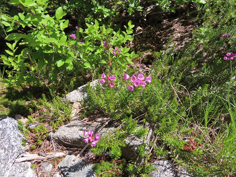 Mountain heather
 Green beetle
 Ground squirrel
 Clouds gathering around Preston Peak.
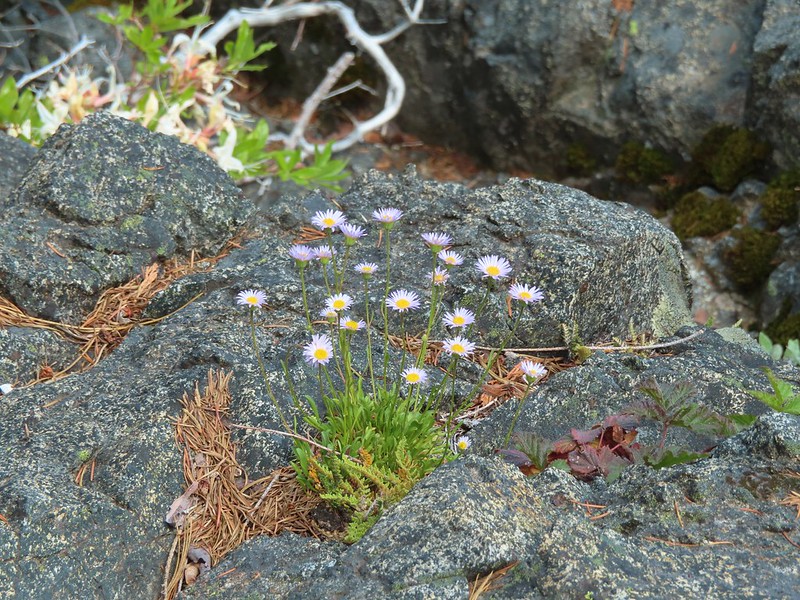 Fleabane near the pool.
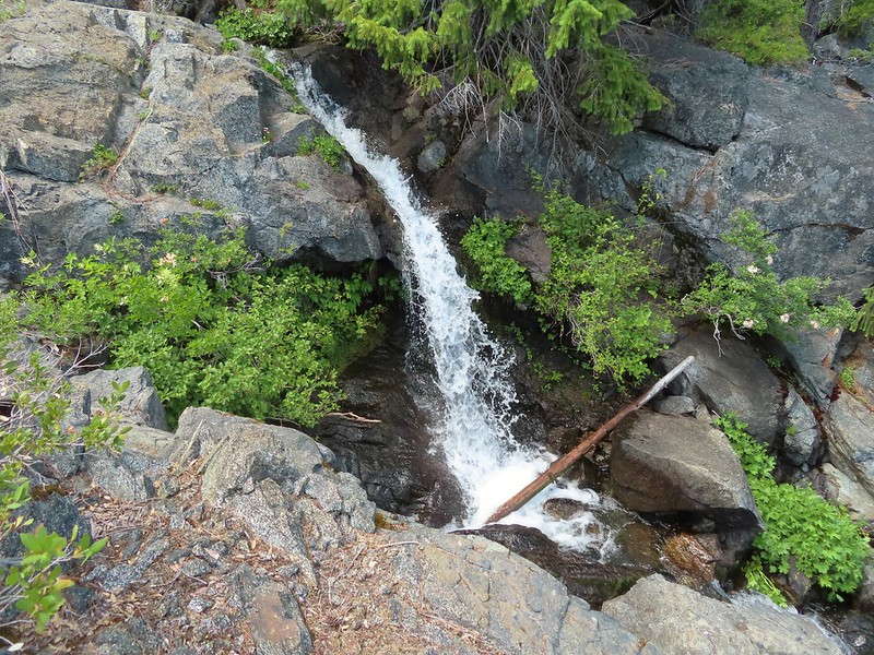 Waterfall along the outlet creek.

 Clouds over Devil’s Punchbowl.
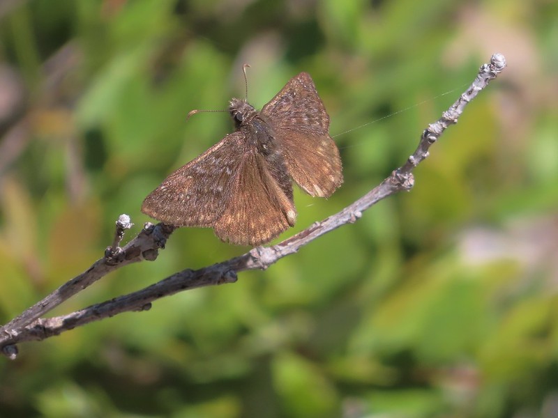 A duskywing
 More clouds to the north.
We returned the way we’d come passing a number of groups heading up to Devil’s Punchbowl. We felt even more fortunate about having had the lake to ourselves for a bit. After recrossing Clear Creek we cooked our dinner at a small camp site before continuing on.
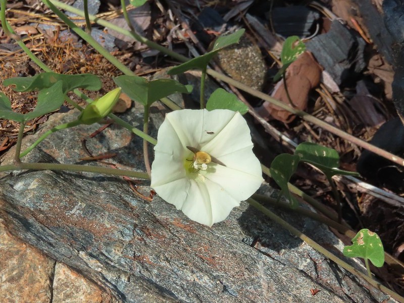 Bee in bindweed with a little ant observing.
 Back at the ford.
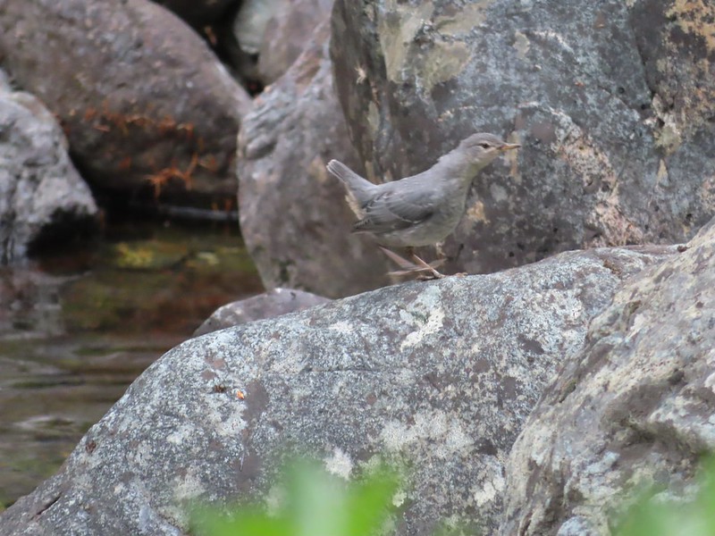 Ouzel at the Clear Creek ford.
 Doe in the forest.
 This little guy had a pretty song.
 Arriving back at Youngs Valley.
It was after 7:30pm and there was another couple setting up camp near ours and I stopped briefly to chat with them. When I started to continue down the road bed to our site I spotted what was probably the same bear from the morning standing on its hind legs watching us from the brush.
 The bear in the middle of the photo behind a small leaning tree.
I gave another “HEY BEAR!” yell and he again moved on but a short while later when I was heading to re-secure the bear bags I ran into it again. This encounter was quite a bit closer but this time the bear hustled back into the brush. After securing the bags we put the rain fly up due to the increased presence of clouds. A little while later we heard our neighbor yell at the bear to run it off yet again. The bear hadn’t bothered our camp and there was no evidence that it had tried to get to our food and it was too late and we were too tired to move camp. We kept the bear spray and a whistle close at hand and turned in for the night.
With some side trips and wandering the GPS registered a 16.5 mile day with just over 4000′ of cumulative elevation gain.

It was an exciting day for sure but also another tough one. We were looking forward to a shorter day on Sunday followed by a 5.5 mile hike back to the trailhead on the 4th. Happy Trails!
Flickr: Devil’s Punchbowl

3 replies on “Siskiyou Wilderness Day 2 – Devil’s Punchbowl 07/02/2022”
I’d always planned to visit the Punchbowl. But the easy road washing out and then the fires insured that I never made it. 😥 So nice to see you did – I enjoyed the pictures you took. Fortunately, there are some equally nice looking lakes in the Russian Wilderness and we made it to some of those. 😁
[…] the long hike to Devil’s Punchbowl the day before (post) we were looking forward to a shorter hike on Sunday and having time in the afternoon to relax […]
[…] #76 Polar Bear Gap-Hiked 7/1/2022 #77 Raspberry Lake-Hiked 7/3/2022 #78 Devils Punchbowl-Hiked 7/2/2022 #79 Rough and Ready Creeks-Hiked 5/12/2017 #80 Babyfoot Lake-Hiked 10/9/2023 #81 Eight Dollar […]