Categories
California Hiking Klamath Mountains Siskiyou mountains Trip report

Siskiyou Wilderness Days 3 & 4 – Raspberry Lake and Black Butte Trail 07/03-04/2022

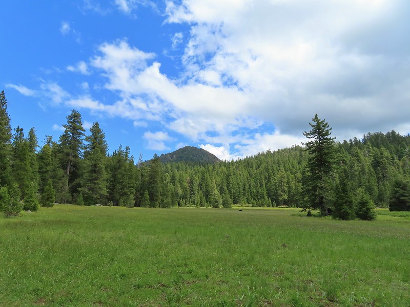
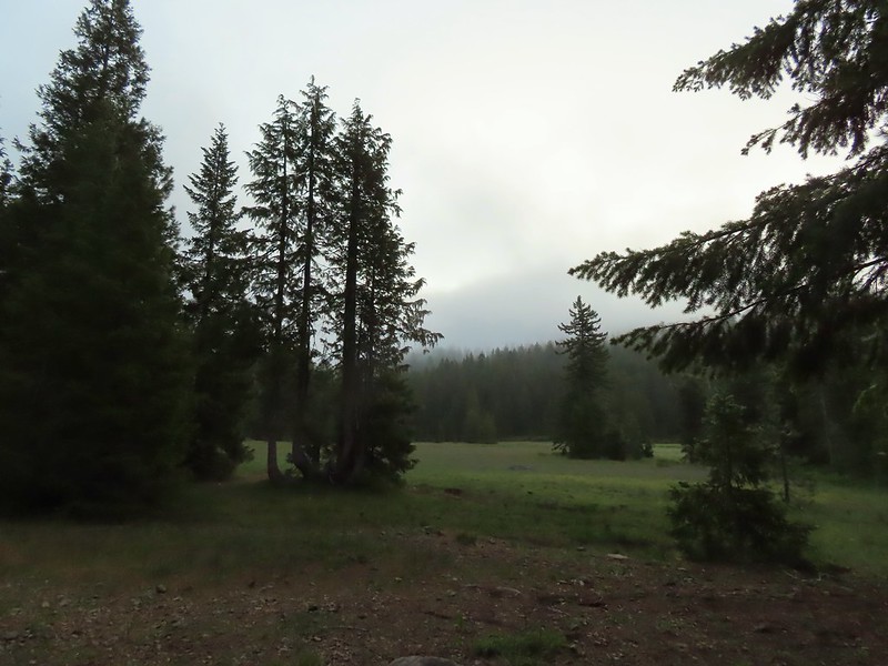
After the long hike to Devil’s Punchbowl the day before (post) we were looking forward to a shorter hike on Sunday and having time in the afternoon to relax around camp before hiking out on the 4th. Our goal on this day was Raspberry Lake which sits below Preston Peak, the highest peak in the Siskiyou Wilderness. It had started to cloud up the day before but it hadn’t rained. A layer of fog however had settled over the meadow in Youngs Valley by early morning.
IMG_6035Fog at 5:30am

We hadn’t heard the bear overnight but we were still on high alert keeping an eye out for it. In fact I was so focused on looking for black fur that I didn’t notice a buck near where our food was hung and when he jumped it startled me half to death because I was less than 10 yards away from it.
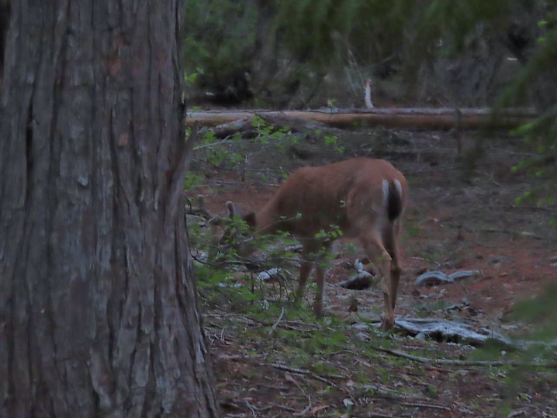
IMG_6039After he jumped he started to run off but quickly stopped to eat just a few yards later.

The fog was burning off quickly as we ate breakfast and we did not see the bear again that morning.
IMG_6041

IMG_6042Deer in the meadow.

IMG_6043Snail near our breakfast spot. It’s amazing how quickly these guys can get from one place to the next.

After breakfast we secured our food and garbage and headed for the lake. We walked up the old road bed to the junction with the Raspberry Lake Trail and turned right.
IMG_6048

IMG_6049

We followed the trail/old roadbed past the junction with the Poker Flat Trail which we had come down on our first day (post) and continued on the road for 2.5 miles to a fork near the former Cyclone Gap chrome mine.
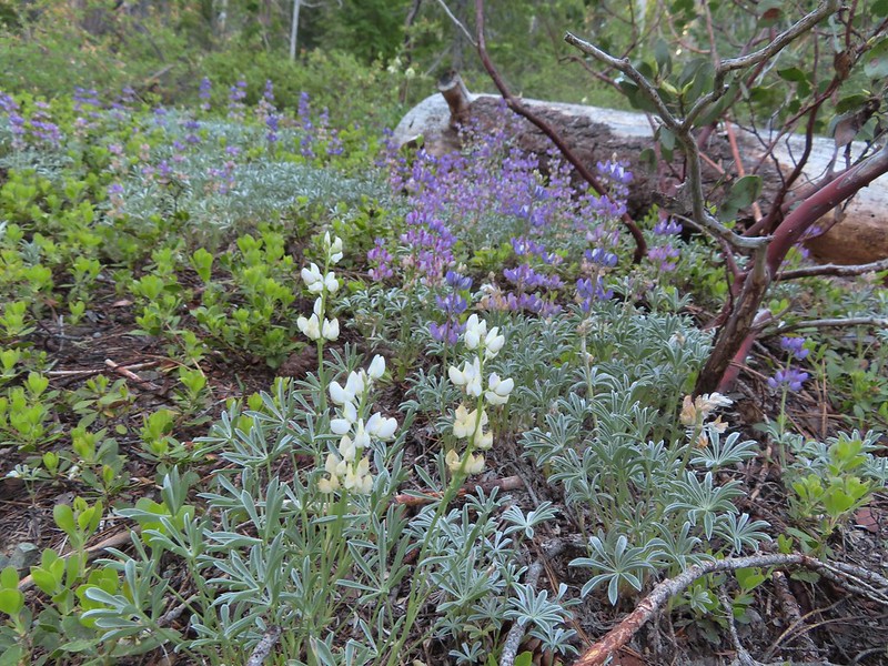
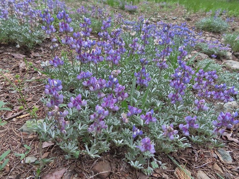
IMG_6056Lupine and beargrass along the road.

IMG_6059Lupine

IMG_6060Beargrass

IMG_6069

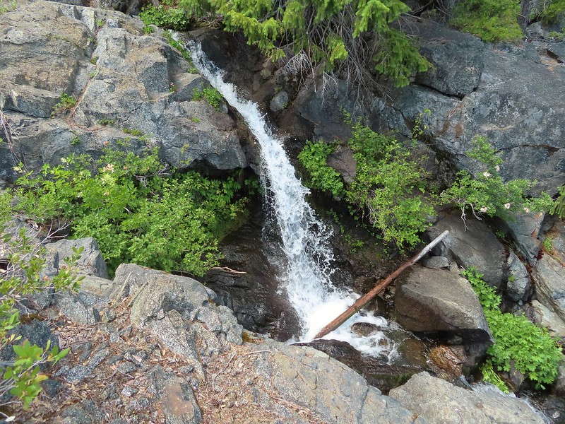
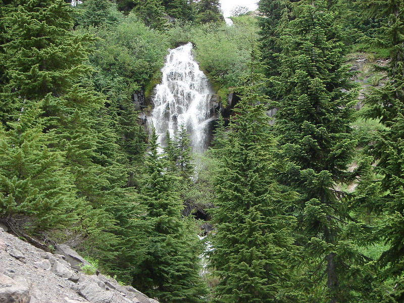
IMG_6073Waterfall on cliffs below El Capitan.

IMG_6075Waterleaf

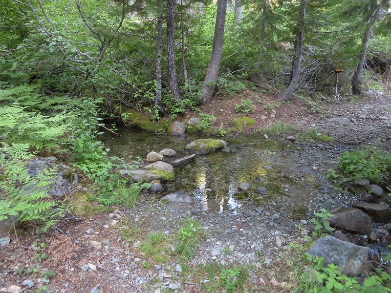
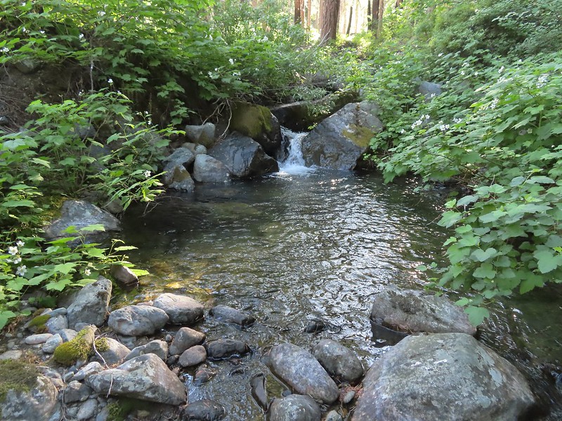
IMG_6078Stream crossing.

IMG_6080At times the old roadbed looked like you could drive on it but other times it looked like this.

IMG_6082Small meadow along the trail.

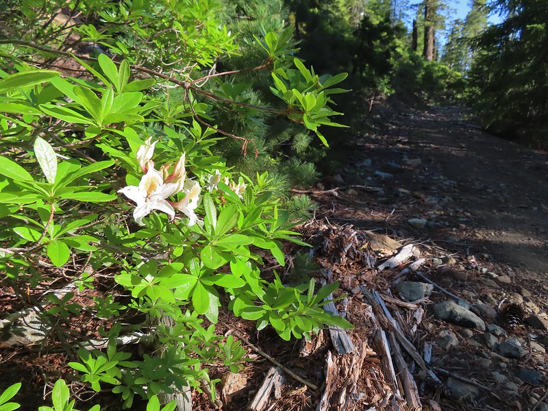
IMG_6089Western azalea

IMG_6091The clouds burned off quickly.

IMG_6100Penstemon

At the 1.5 mile mark we detoured slightly to a view point overlooking Youngs Valley near a ridge end.
IMG_6102Youngs Peak with the meadow barely visible to the right below.
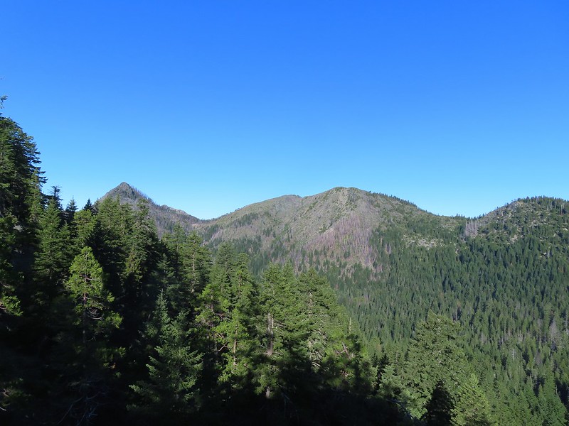
IMG_6104Rocky Knob to the left.

As we rounded the ridge we got a good view up Clear Creek to Bear Mountain where we had been the day before visiting Devil’s Punchbowl.
IMG_6112

IMG_6113

We ignored a side trail for Cyclone Gap shortly after rounding the ridge but when we reached the fork at the 2.5 mile mark we did detour to the right along a level roadbed to visit some of the mine ruins.
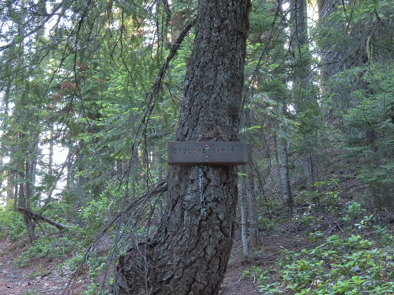
IMG_6117

IMG_6118Sign at the Cyclone Gap junction.

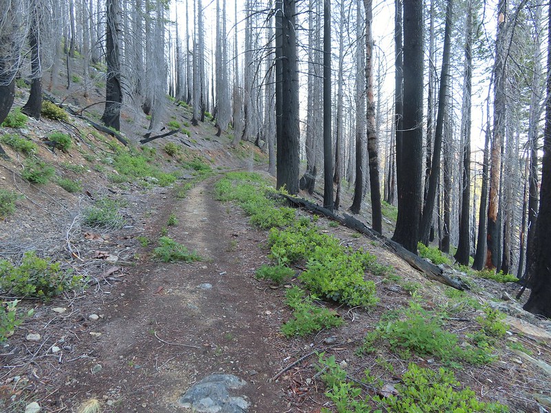
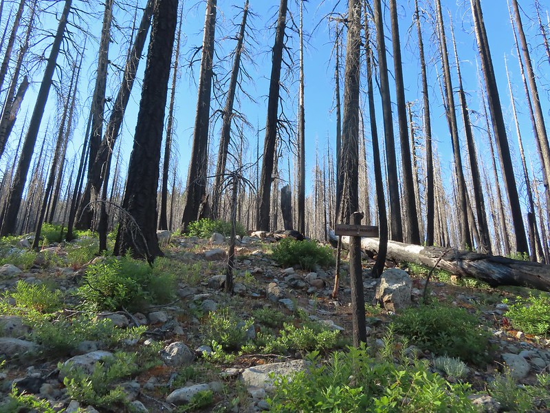
IMG_6124Back into the 2018 Natchez fire scar.

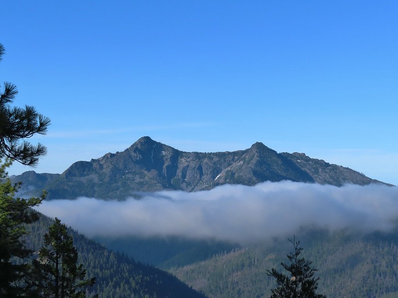
IMG_6127Preston Peak

IMG_6129Paintbrush along the trail.

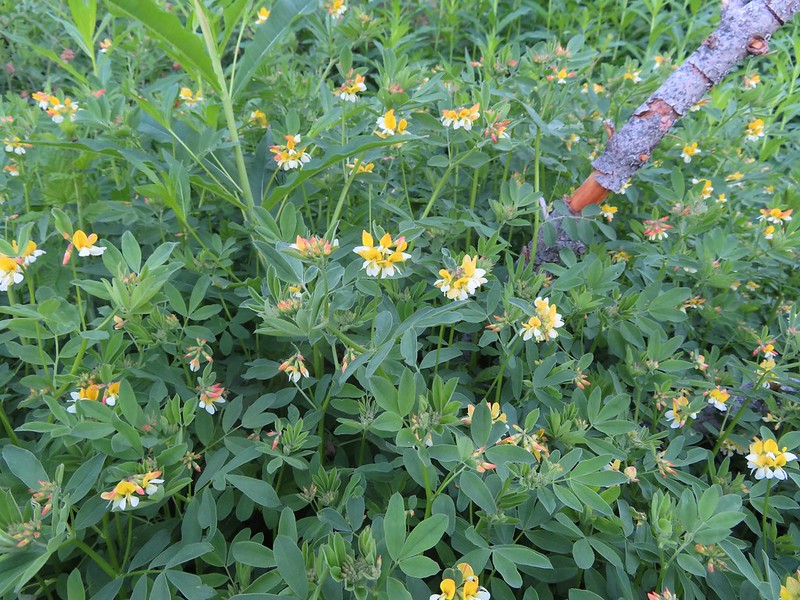
IMG_6135Streambank bird’s-foot trefoil

IMG_6142Musk monkeyflower

IMG_6145Raspberry Lake Trail to the left.

IMG_6146Ruins from the chrome mine.

IMG_6147More mine ruins on the hillside below.

We returned to the trail and followed it uphill above the old mine where the roadbed ended. The trail became narrow and rocky as it rounded another ridge end. Here we ran into the couple that we had spoken with at Doe Creek the day before. They had hiked up the Rattlesnake Meadow Trail which they reported was quite overgrown and then followed a ridge cross-country up to Raspberry Lake which they did not recommend.
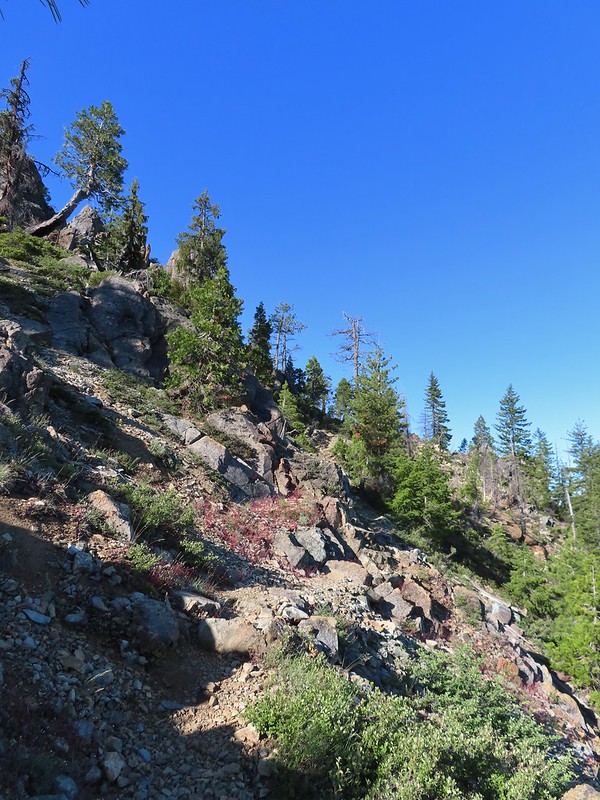
IMG_6151

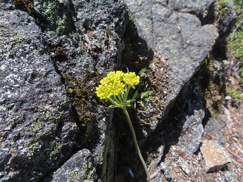
IMG_6155Nuttall’s sandwort

IMG_6156Bear Mountain and Rocky Knob.

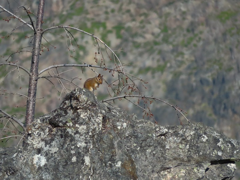
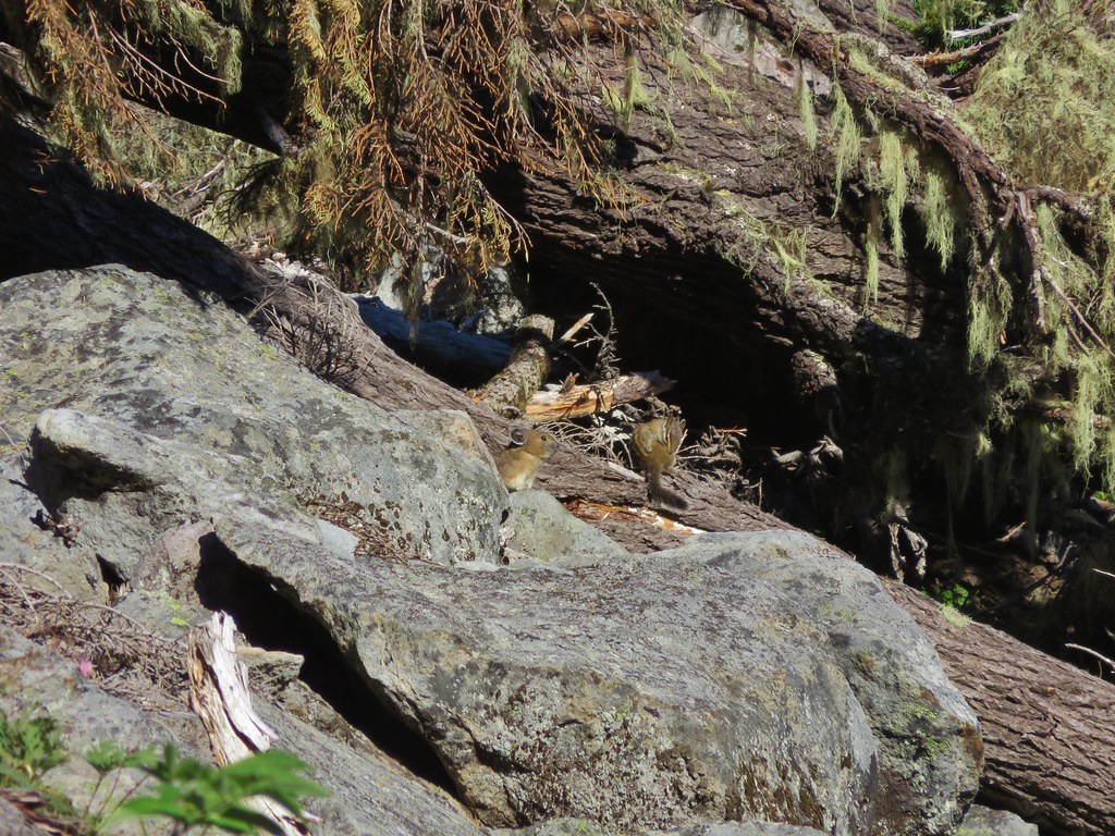
IMG_6157Chipmunk

IMG_6160Getting closer to Preston Peak.

IMG_6162Ragwort

IMG_6167Small stream crossing.

IMG_6169A short steep rocky section where cairns were helpful.

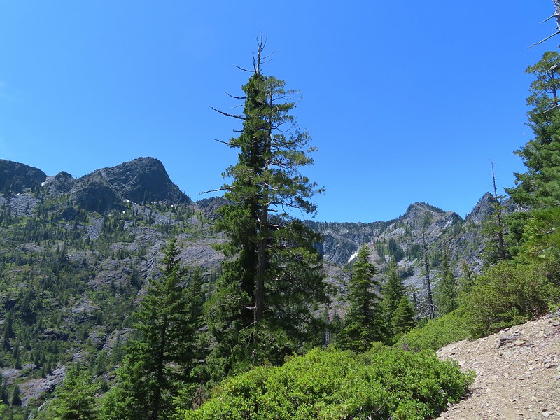
IMG_6170Rounding another ridge with Preston Peak on the left and Bear Mountain to the right.

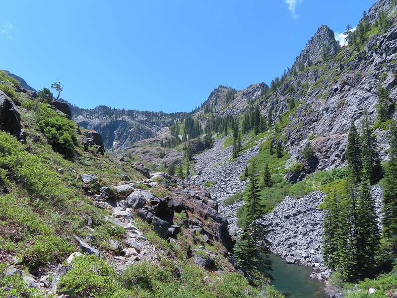
IMG_6172First view of Raspberry Lake in the trees below to the right.

A series of steep switchbacks led down to the lake.
IMG_6176

IMG_6190

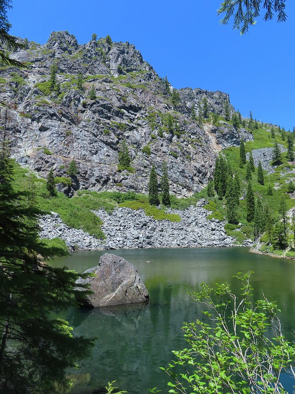
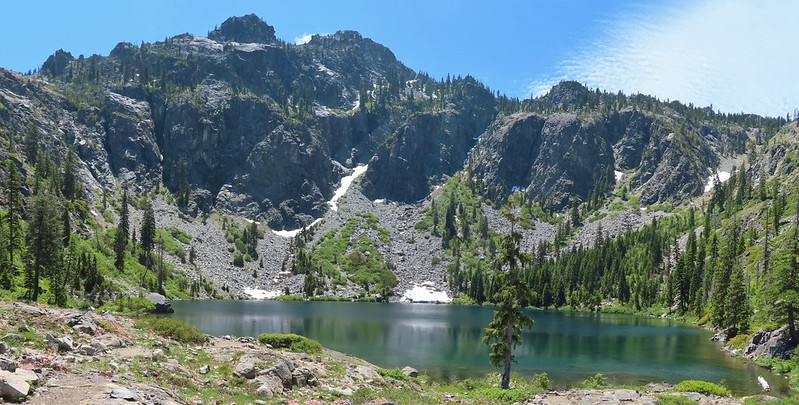
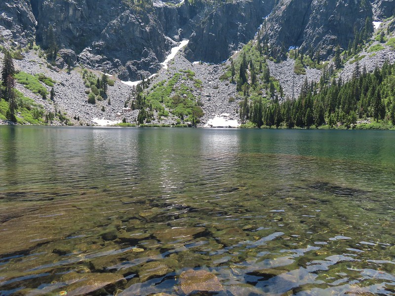
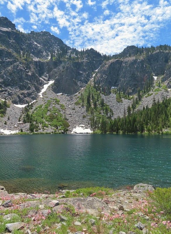
There were a few tents set up around the lake so we didn’t do a lot of exploring. Our timing wasn’t great as the Sun was positioned slightly to the left behind the lake which still lay in the mountains shadow which made it very difficult to photograph.
IMG_6194Big rock along the shore.

It was a nice lake but not nearly as dramatic as Devil’s Punchbowl had been. After a short break here we headed back looking forward to some extra rest and relaxation at the less crowded meadow in Youngs Valley.
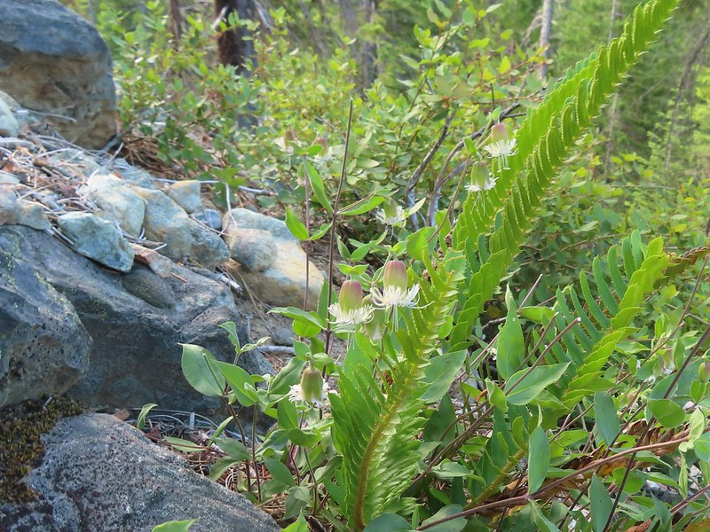
IMG_6200Bell catchfly

IMG_6205Douglas’ Dustymaidens

IMG_6225El Capitan on the right. To the left I think that is Bear Cub with Polar Bear Mountain behind.

IMG_6232Western azalea

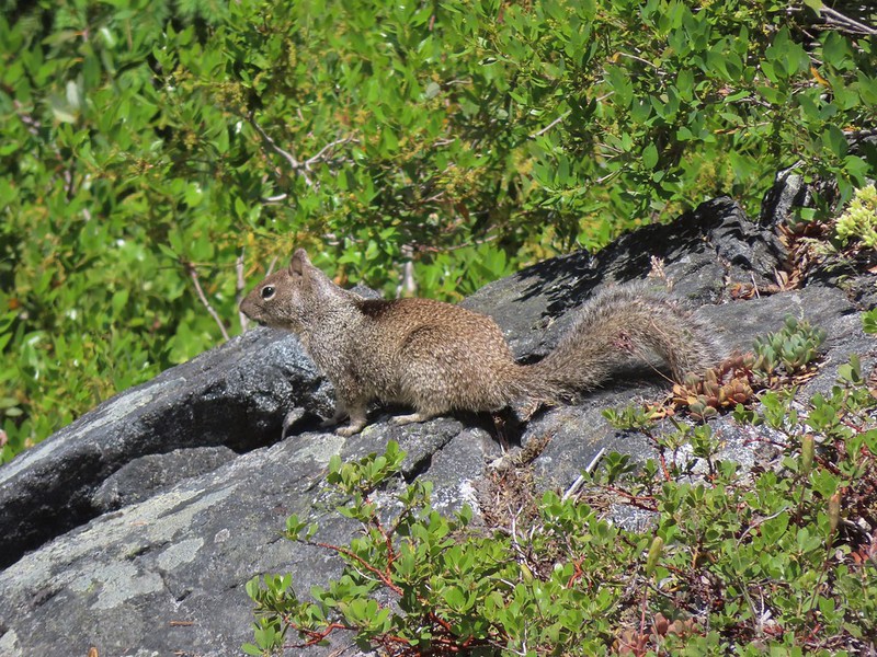
IMG_6242This squirrel gave us a stern talking to.
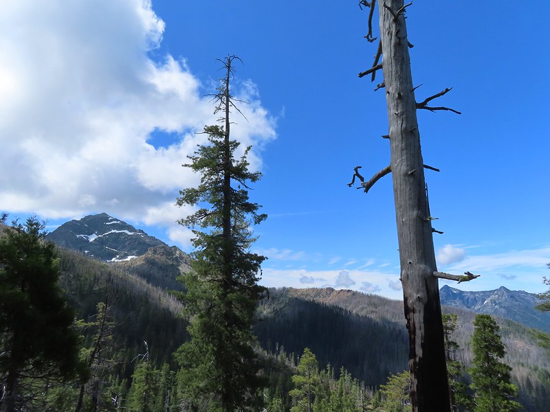
IMG_6248

IMG_6214Western tanager pair

IMG_6216

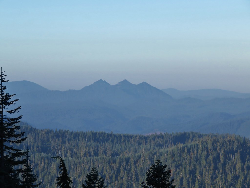
IMG_6247Twin Peaks

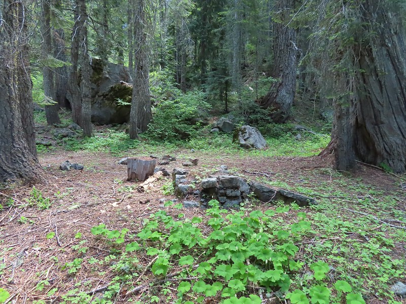
IMG_6264We believe this is what Sullivan shows as Slow Echo Camp on his map. We wondered what the stones in the foreground had been a part of?

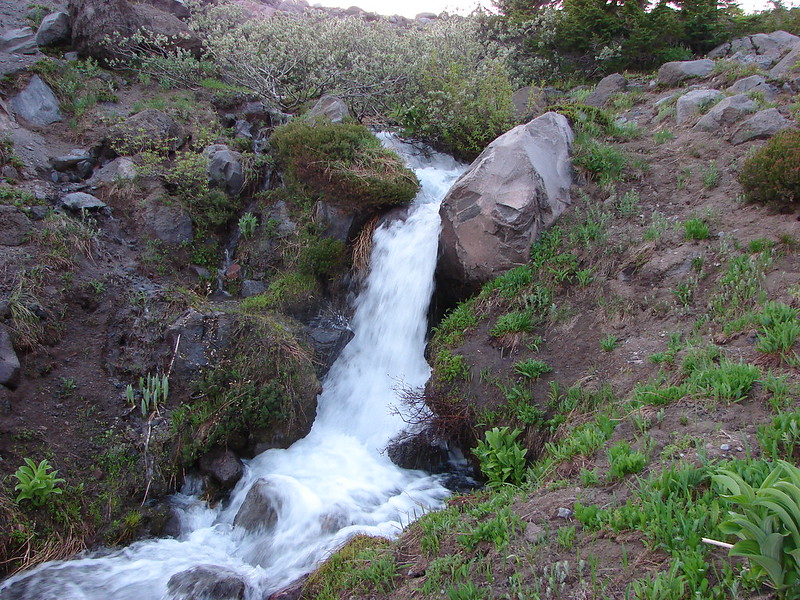
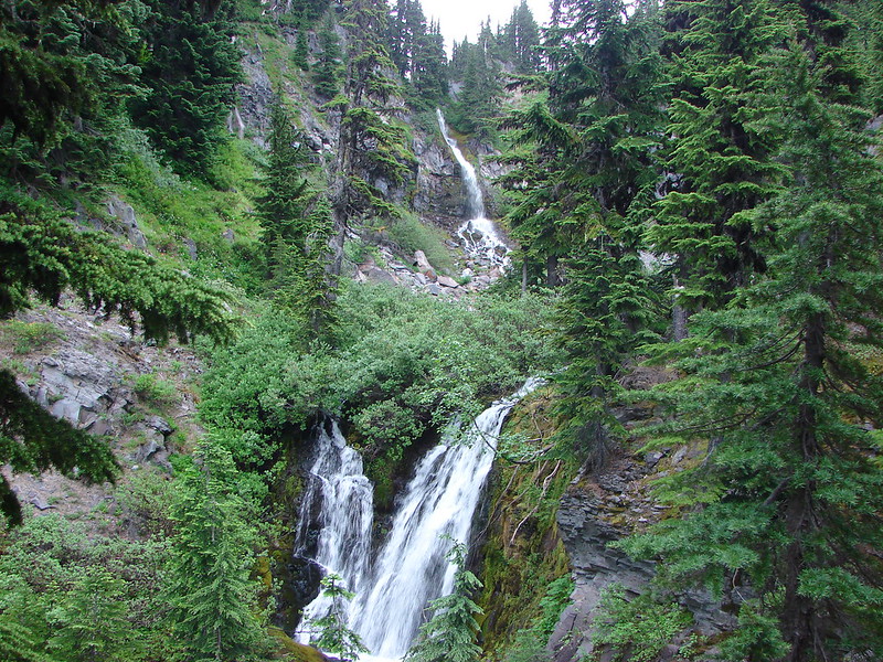
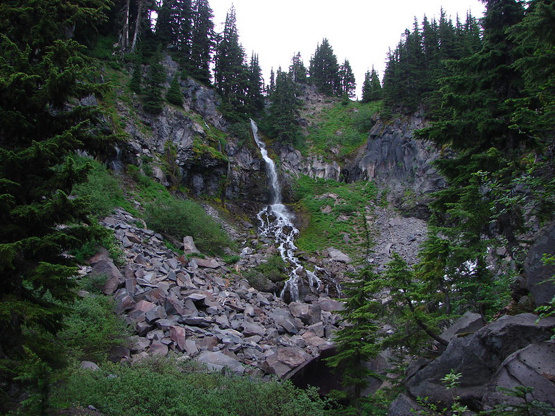
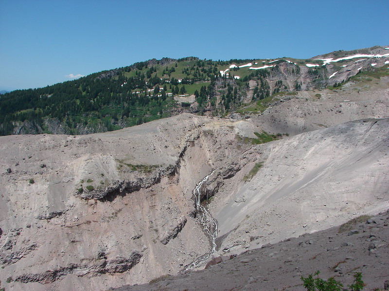
The waterfall we had seen was near the camp and I set off into the brush to see if I could get a better view. It partially worked.
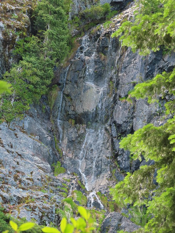
IMG_6267

Near the other small campsite we encountered a buck which may have been the same one that startled me back near our camp earlier based on how comfortable he was with us being there.
IMG_6285

When we arrived back at the meadow our neighbors had moved on but we did run into a grouse.
IMG_6287

The hike to the lake and back came in at 8 miles even with approximately 1750′ of elevation gain.

Day 3 Track in Green

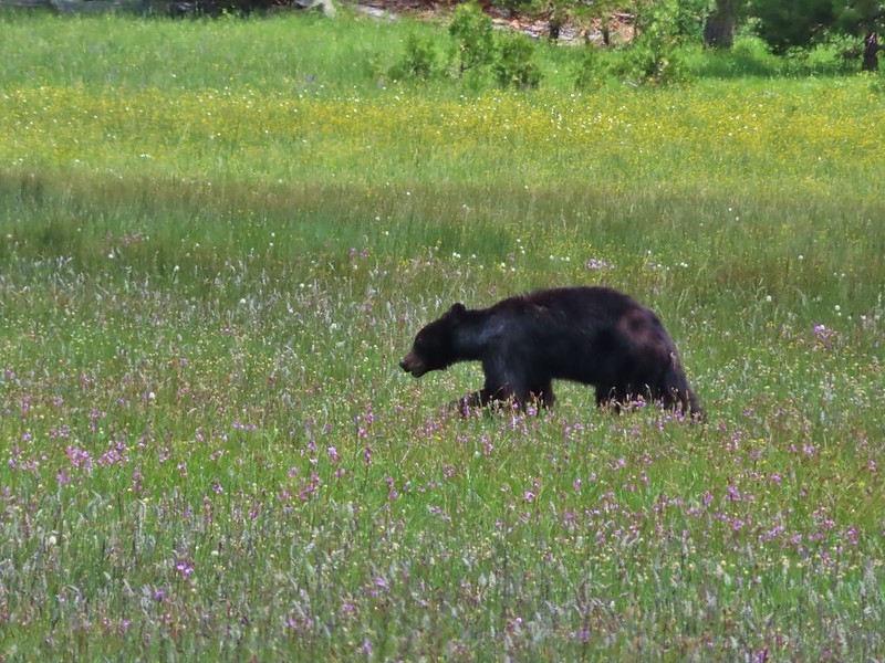
After putting things away we set up our lightweight chairs near the meadow and watched the ever changing clouds. It wasn’t long before we noticed other hikers/backpackers across the meadow following the road down from the Youngs Valley Trailhead. We also spotted Buster (the name we’d given the bear) lumbering through the meadow again.
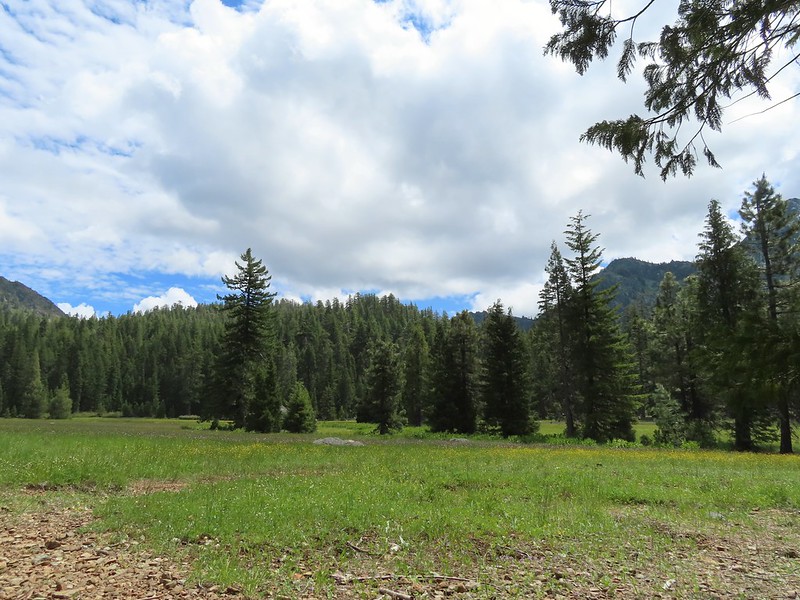
IMG_6291

IMG_6299

IMG_6297

IMG_6302

In fact Buster passed through the meadow twice going in the same direction which led us to wonder if there was more than one Buster in the area (or a glitch in the Matrix). The bear didn’t seem to care that another group had set up a tent on the opposite side of the meadow and was similarly unimpressed when another couple arrived with their dog. We heard the dog bark and wondered if it was at Buster and when the couple passed by us on their way to finding a site they confirmed that the dog was barking at the bear and that it didn’t phase it one bit. They also mentioned that a friend of theirs had stayed there the week before and seen the bear around. Fortunately it appeared that everyone had proper bear proof systems in place, i.e. bear canisters, ursacks and/or bag hanging systems. Hopefully people continue to be responsible because it only takes one careless person leaving food out or in their tent for the bear to figure out that people have food. So far even though it wasn’t nearly as wary of people as most black bears are it didn’t show any signs of equating people with having food (not being food, those are grizzly bears lol). If that happens it typically means the bear will be put down.
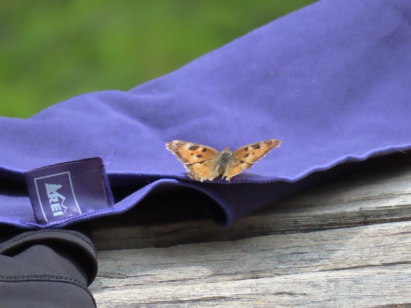
IMG_6306This butterfly did discover people=salt.

IMG_6311Maybe a flycatcher of some sort near camp.

IMG_6319Common buckeye

IMG_6321Turkey vulture checking out the meadow.

We did do a little exploring in the area and found a few flowers nearby that we’d missed the day before.
20220703_153845White rush lily

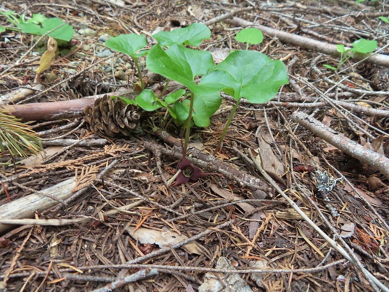
IMG_6326Ginger

20220703_181554Snow plant

Both of the new groups of backpackers had dogs but aside from the initial barking at Buster we didn’t hear either of them again which we took to mean the bear kept its distance overnight. In the morning we got an extra early start for our hike out managing to have coffee and breakfast, pack up and still be on the trail by 6:15am.
IMG_6332Another low cloud morning.

IMG_6333Heading out

We followed the old road bed past the Raspberry Lake Trail junction half a mile to another trail junction, this one with the Black Butte Trail.
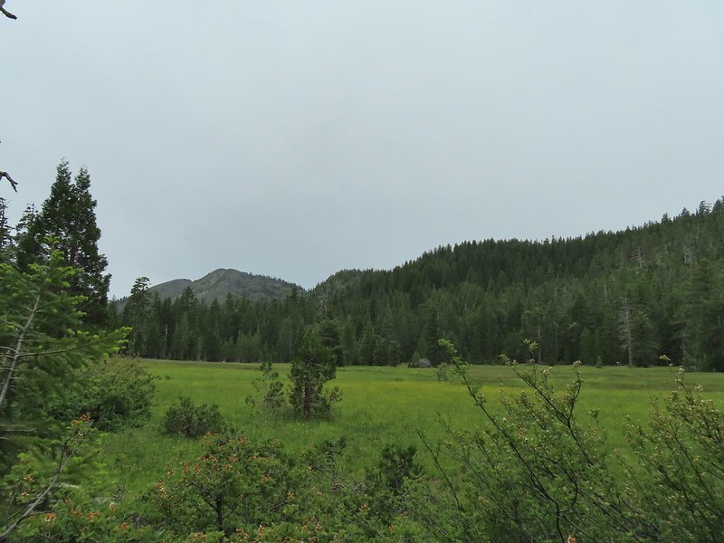
IMG_6337Passing around the meadow, we didn’t see Buster this morning.

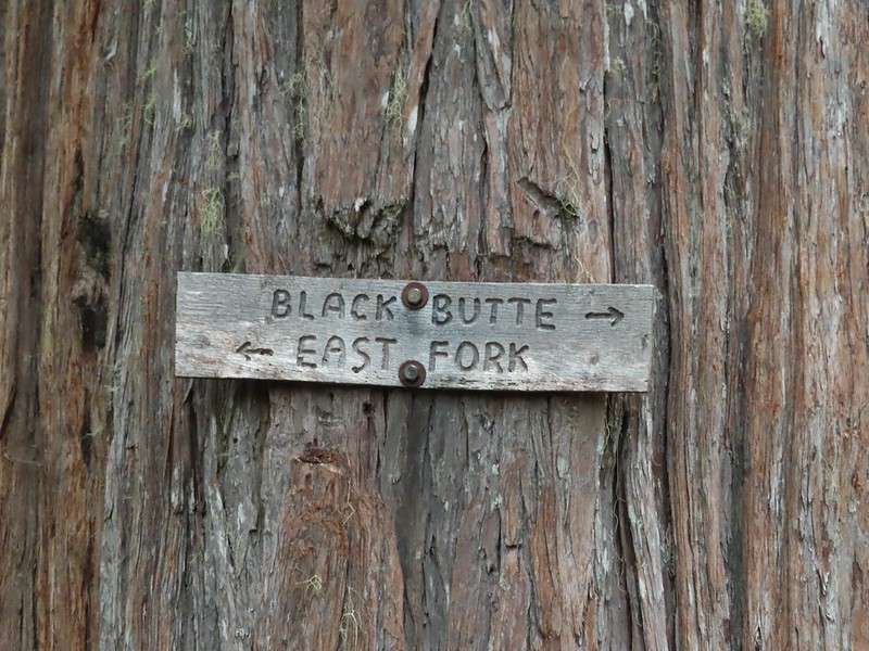
IMG_6341Black Butte Trail junction.

IMG_6343

We turned right onto this trail which was also an old road bed and followed it a little over half a mile to the East Fork Illinois River.
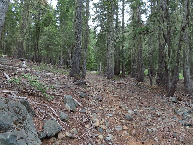
IMG_6344

IMG_6347

IMG_6350Bear Cub under the clouds.

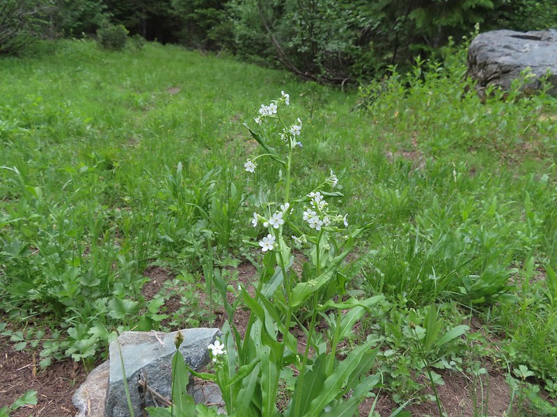
IMG_6353Vanilla leaf along the trail.

IMG_6357Jessica sticktight

IMG_6358The headwaters of the East Fork Illinois River are just up from the trail so the river isn’t much more than a trickle at the trail crossing.

On the other side of the river we ignored the East Fork Illinois Trail to the left and continued on the old road bed.
IMG_6360

IMG_6361

IMG_6364

IMG_6371The edge of the clouds to the NW.

IMG_6377Passing below Bear Cub.

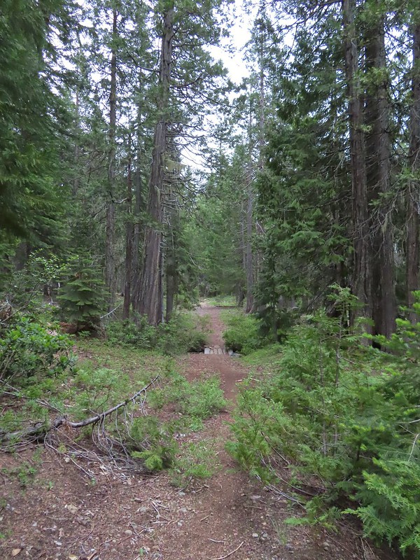
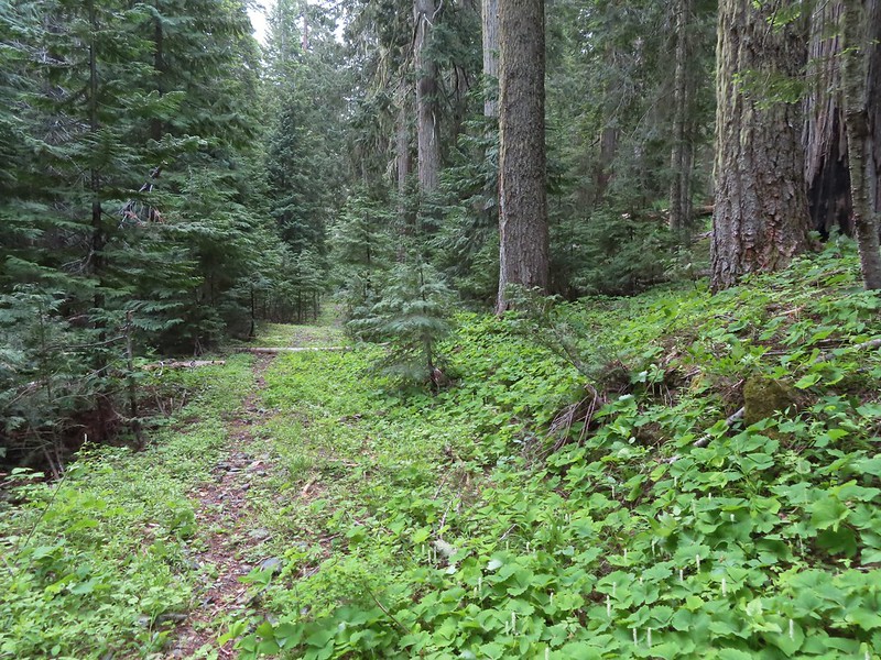
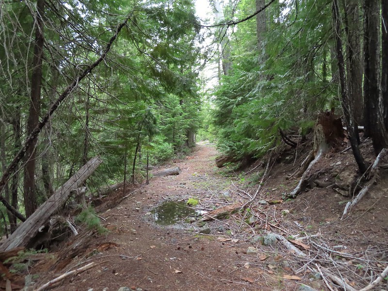
IMG_6382Being an old road bed in unburt forest made for easy hiking.

Going into the weekend there had been a chance of showers both Sunday and Monday. Sunday had remained dry but today a light mist was falling and there were a couple of brief showers which were enough to prompt us to put the rain covers on our packs but not enough to don our rain gear.
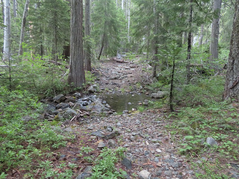
IMG_6384

When we had made it to the north side of Bear Cub (Sullivan refers to it as Polar Bear Cub) we were momentarily confused by the number of trails our GPS units were showing. Sullivan’s map only showed an unmaintained use trail heading right toward the mountain while our paper Forest Service map didn’t show any other trails, but the GPS topo showed Sullivan’s user trail and another trail heading slightly downhill to the left. What we were seeing was the old roadbed curing right toward Bear Cub and a trail with cairns on both sides heading straight.
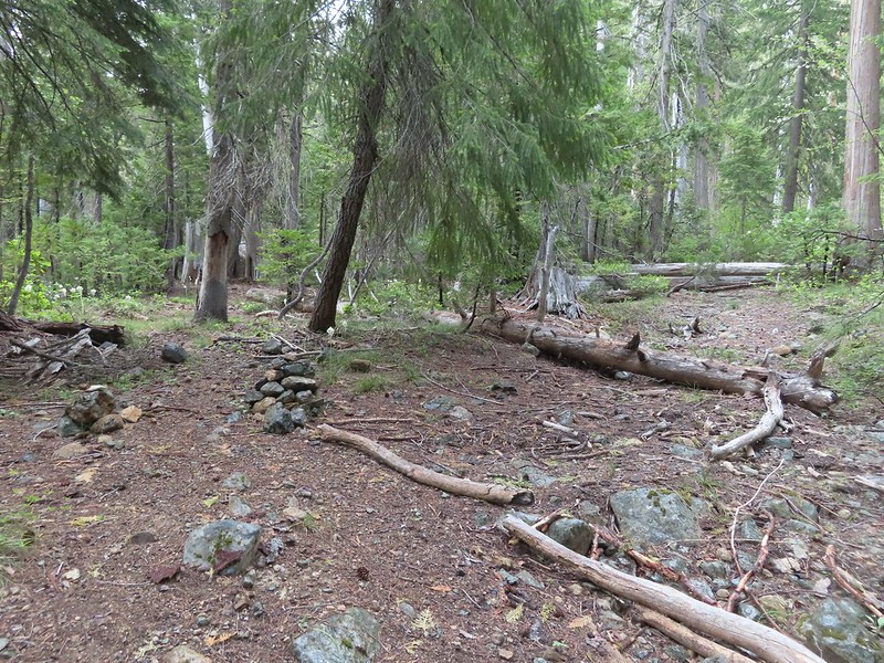
IMG_6386

The existence of the third trail on the GPS had us questioning whether the trail marked by cairns was the Black Butte Trail or the left most trail showing on the Garmin. After some debate we decided that it must be the Black Butte Trail and passed between the cairns. This turned out to be the right choice and we soon found ourselves climbing through the 2020 Slater fire scar.
IMG_6389

IMG_6391Swtichbacking toward Bear Cub.

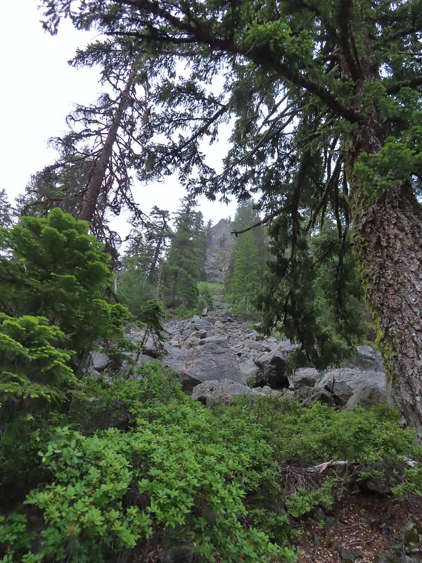
IMG_6396Black Butte

We were a bit disappointed when we realized that to reach the junction with the Black Butte Tie Trail below Black Butte we had to lose about 100′ of elevation first.
IMG_6399Heading downhill so we could go up.

IMG_6402Creek crossing in the basin below Black Butte.
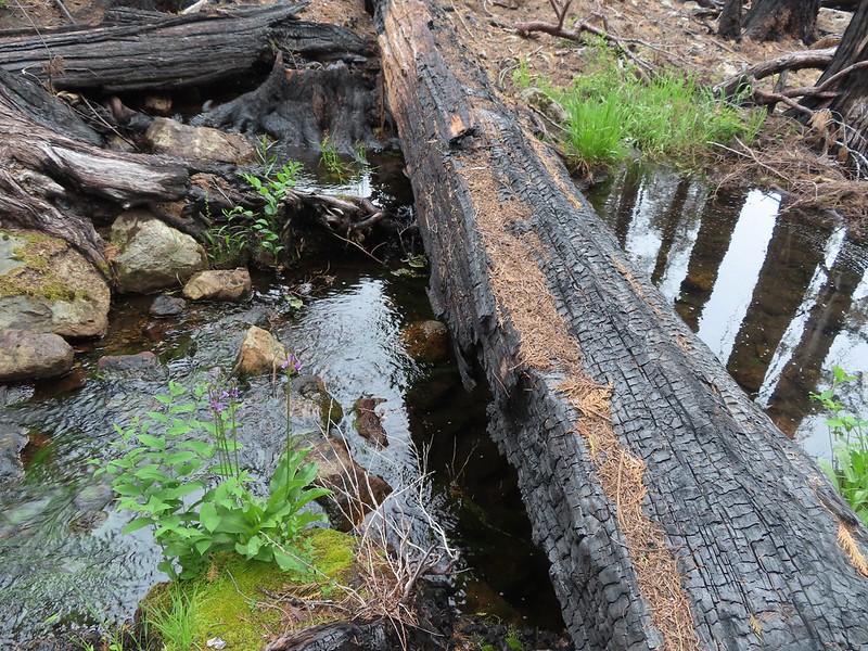
IMG_6406

IMG_6411Looking back into the clouds where we’d come from.
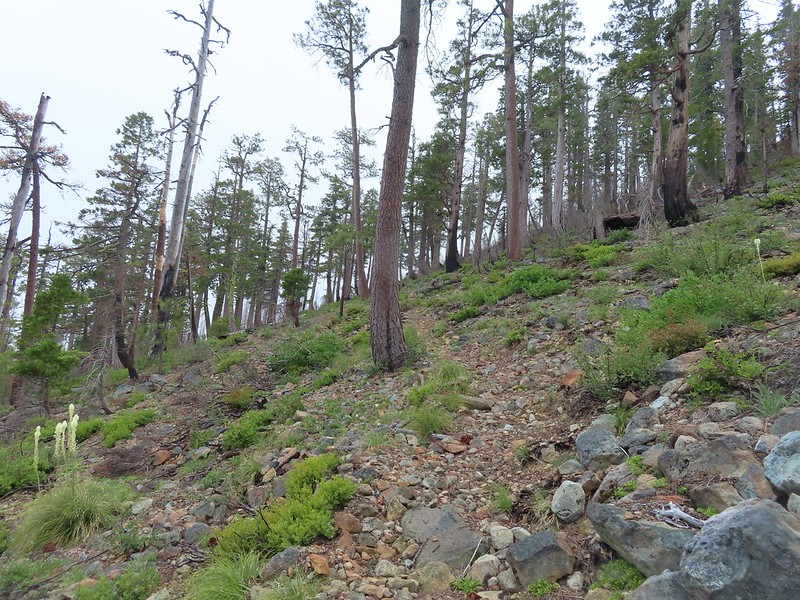
IMG_6412Steep climb up to the junction.

IMG_6413We made it back to the junction! Only 1.8 more miles to go.

We turned left at the junction, now following the route that we’d come in on from the Black Butte Trailhead on the first day. We had both convinced ourselves that this stretch would be mostly downhill, but we had been deceived.
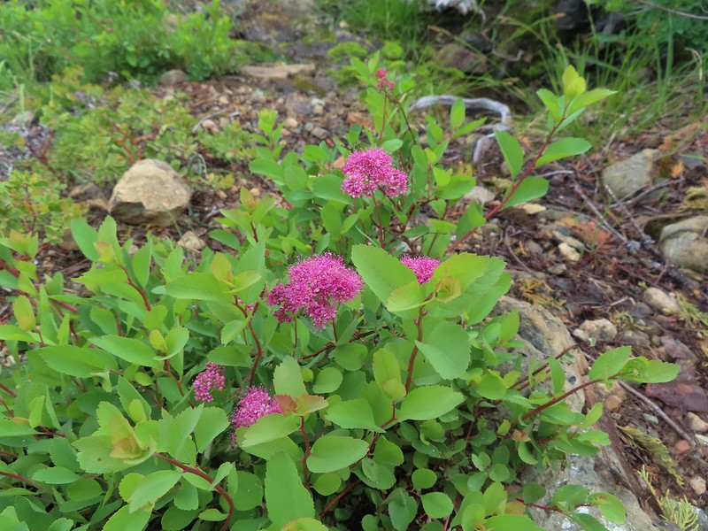
IMG_6418Spirea

IMG_6419Pair of woodpeckers

IMG_6428Why is there more uphill?

IMG_6440Black Butte from the trailhead with Heather coming down the trail.

It was 5.6 miles from our camp to the trailhead but after some challenging hikes it felt harder than that. The nearly 1400′ of elevation gain didn’t help that, but it had been a great trip none the less.

Day 4 Track in blue

The most significant rain shower started as we were changing at the trailhead so the timing there was pretty good. The trip had been challenging but it was worth it to have the chance to experience a new area with such diverse plants and great scenery. The wildlife was a bonus although a little less bear would have been okay.

What wasn’t good was the low tire pressure light that came on almost immediately after starting our drive. We had the same light come on in June driving up to the Siskiyou Gap Trailhead (post) and taken the car to Les Schwab in Ashland for an air check. The two left side tires were just a little low then so they added some air and we were off. Today was the 4th though and the Les Schwab stores in Grants Pass (the closest to where we were) were closed for the holiday so we pulled into a gas station and checked the air at their self-serve station. The same two tires were again a little low so I topped them off and we drove home. The light was back Tuesday morning when I started my drive to work prompting a trip to Les Schwab in West Salem where they removed the tires and discovered a screw in the rear tire and a nail in the front. Luckily both were small leaks and repairable. Hopefully we’re done with that light for a long while now. Happy Trails!

Flickr: Raspberry Lake / Youngs Valley To Black Butte Trailhead

Categories
California Hiking Klamath Mountains Siskiyou mountains Trip report

Siskiyou Wilderness Day 2 – Devil’s Punchbowl 07/02/2022

Our first morning at Youngs Valley turned out to be rather exciting. Per usual I was up early (before 5am) and we were eating breakfast by 6am. We were sitting at the edge of the meadow away from camp enjoying our Mountain House biscuits and gravy when I spotted a black bear passing between some trees in the meadow. Heather had commented during our hike in the day before that we were due for a bear sighting and there it was. I think I said “that’s a bear” and then we watched as it entered a stand of trees around a large boulder in the meadow a little less than 100 yards from where we were.
IMG_5589There still wasn’t a lot of light in the valley but the bear was in with the tall tree in the middle of this picture.

We lost sight of it for a time and thought maybe it had continued on away from us behind the trees but then it reappeared as it scrounged for things to eat.
IMG_5591

We were downwind so I don’t think the bear realized we were there until it poked it’s head out of the trees and stared at us.
IMG_5594

We had stood up but hadn’t been making noise but now that we were spotted I let out a “HEY BEAR!” which in our past experience (12 bears on trail and 2 driving to trailheads) would have been enough to send the bear running, if it hadn’t already sped off when it first spotted us. This bear did head off but it was about as non-nonchalant as it could have been.
IMG_5595

IMG_5597Heather watching the bear leave through the gap in the trees.

We made sure that we really did have every bit of food that we weren’t taking with us for our day hike in our Ursack bear bags and secured them. Then we re-familiarized ourselves with our bear spray. I had been seeing alerts from the Forest Service about a rise in bear encounters due to a delay in the berry crop this year so we had at least come “Bear Aware“.

After the exciting breakfast we threw our packs for the day on and headed to the Clear Creek National Recreation Trail where we turned right off the old road bed at a small sign.
IMG_5600The sign for the Clear Creek Trail on a tree to the right.
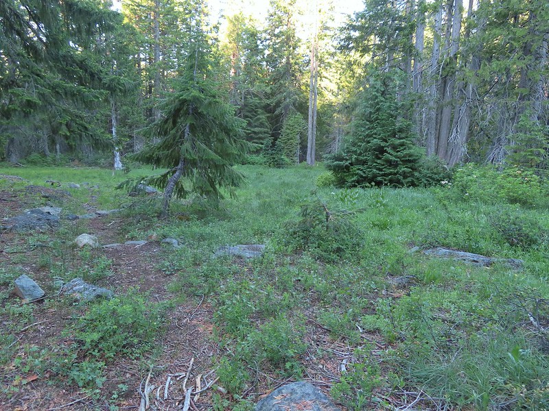
From Youngs Valley it was 5.1 miles to the Doe Flat Trail then another 2.8 to our goal for the day, Devil’s Punchbowl, a lake in a granite bowl carved by glaciers. The Clear Creek Trail passed by a series of small meadows before entering a forest that had been spared by the recent fires.
IMG_5603

IMG_5607

IMG_5613Clear Creek below the trail.

A little under a mile and half from Youngs Valley we found ourselves back inside the scar of the 2018 Natchez Fire though.
IMG_5617

While there wasn’t much blowdown on the trail to navigate it was faint in places and overgrown with thimbleberry, trailing berries, currant and roses (those last three all have thorns) in places which made for some slow going.
IMG_5620Anemone and star flowers

IMG_5621

IMG_5625

IMG_5627Honeysuckle

IMG_5629Rocky Knob

IMG_5630One of several creek crossings. This one was a bit tricky to stay dry on but we both managed to do so on the first pass. Heather wasn’t so lucky on the way back though.

IMG_5631Rayless arnica

Pacific ninebarkPacific ninebark

20220702_075859Streambank bird’s-foot trefoil

IMG_5637Sign for the Rattlesnake Meadows Trail which looked to be in much worse shape than the Clear Creek Trail.

IMG_5649White-vein wintergreen

There were occasional pockets of green trees, typically near creeks.
IMG_5650

IMG_5652

IMG_5662Queens cup

IMG_5664

IMG_5665There was a small stream in the middle of the trees here.

About a mile and a half after entering the fire scar the trail left it again for a bit.
IMG_5668

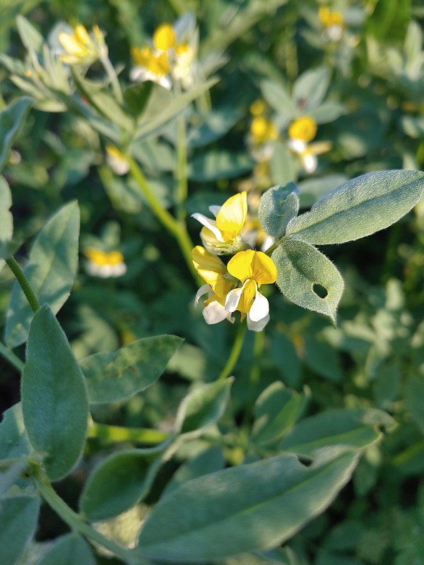
20220702_090007A colorful pea.

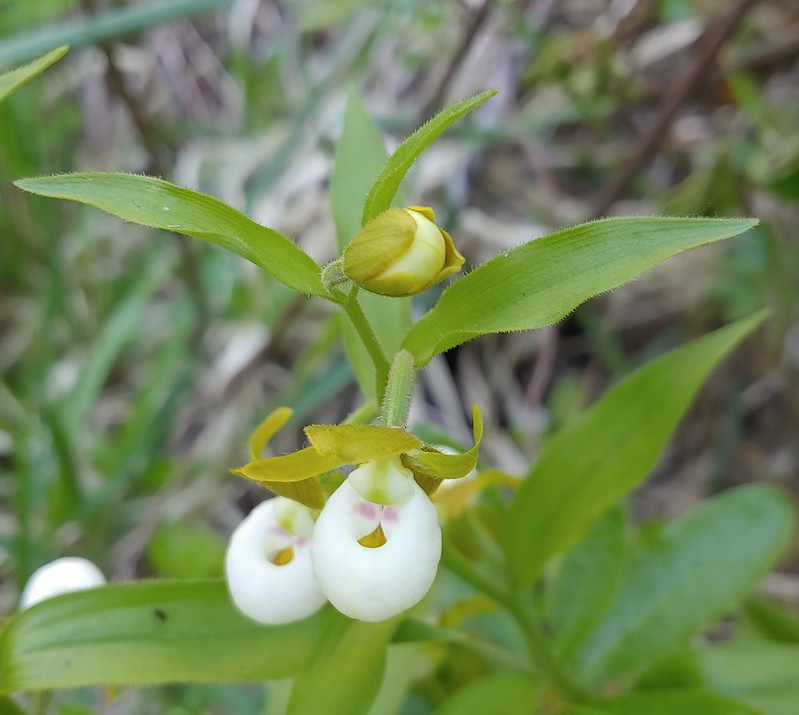
The mornings second round of excitement came when we spotted the first of what turned out to be many California lady slippers.
IMG_5679

20220702_090645

These beautiful orchids found only in the Siskiyou Mountains of SW Oregon and northern California are endangered in part due to thoughtless people who pick or attempt to transplant the fragile plants. We took many, many photos.

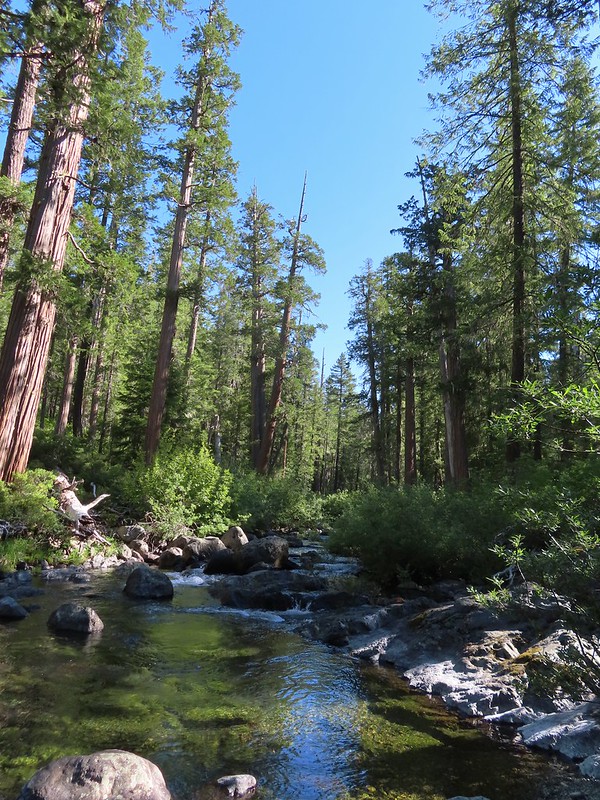
Just under three and a half miles from Youngs Valley the trail came to a beautiful pool along Clear Creek. The pool was so nice that we failed to notice that the trail continued on the far side.
IMG_5683

IMG_5688

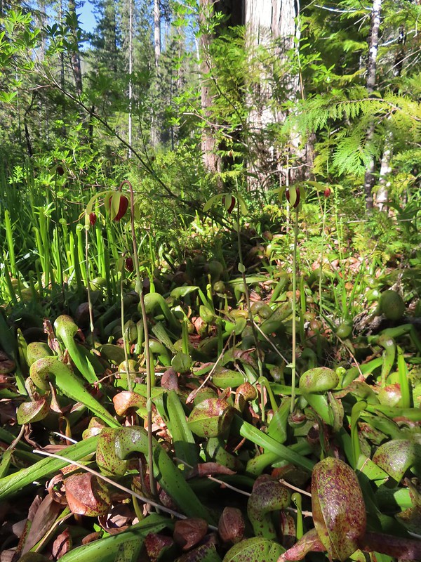
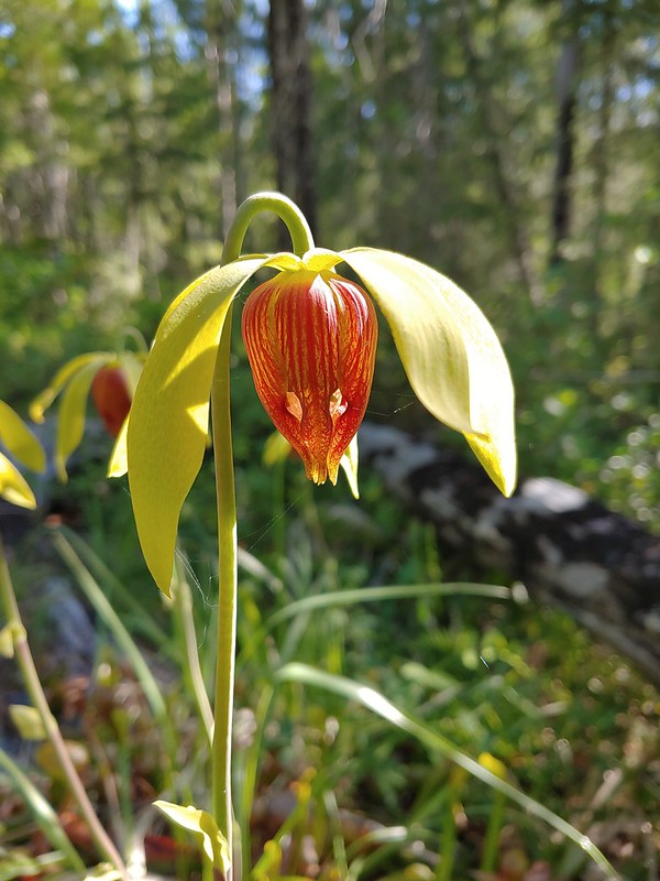
We took a break on the bank of the creek before continuing on and realizing that we needed to cross the creek. There was no way we were staying dry on this one so we forded the barely calf deep water. More excitement ensued when we came to the first of several patches of California pitcher plant – Darlingtonia californica.
IMG_5691

IMG_5695

IMG_5698

20220702_091852

This carnivorous plant native to northern California, SW Oregon and the Oregon Coast is considered uncommon and one we don’t often see. Many more pictures followed. We continued south along the trail hoping for more exciting sightings.
20220702_092025The western azaleas smelled wonderful.

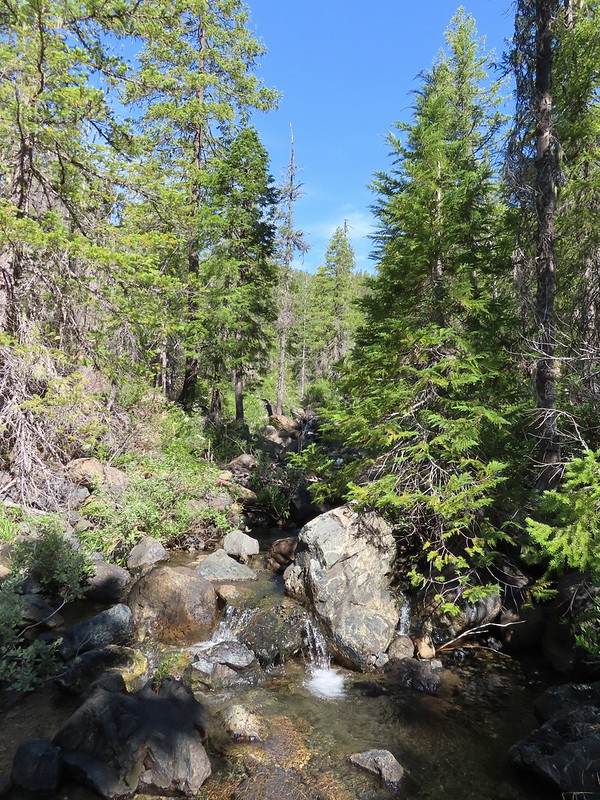
IMG_5710Another side creek.

IMG_5714Another fire scar, this time from the 2017 Young fire.

Silver-spotted skipperSilver-spotted skipper

20220702_094208

20220702_094403

IMG_5741

20220702_094633

IMG_5752Chipmunk

IMG_5761White-stemmed frasera

20220702_100311

Bolander's lilyBolander’s lily, another exciting find for us and the first time we’ve seen them.
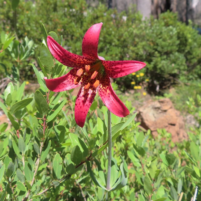
IMG_5770

IMG_5776Washington lily with a crab spider.

One and three quarters beyond the crossing we came to Trout Camp near the Doe Flat Trail junction where we saw the first signs of other humans since the people with the goats near the Black Butte Trailhead the day before. There was a hammock and a tent set up at a campsite there but we didn’t see any people.
IMG_5782Trail sign near Trout Camp.

Our original plan had been to move our tent here, hike up to Devil’s Punchbowl then take the Doe Flat Trail to Buck Lake before returning to the tent. Then in the morning we would pack up and move the tent back to Youngs Valley before hiking up to Raspberry Lake. After comparing Trout Camp to Youngs Valley we were happy that we’d changed our plan. It would have been fine but the scenery was a lot nicer at the meadow.

We left the Clear Creek Trail at Trout Camp and followed the Doe Flat Trail downhill to a crossing of Doe Creek where we once again got our feet wet.
IMG_5784Sign for the Doe Flat Trail at Trout Camp.

IMG_5793Doe Creek, we probably could have made it dry footed (I was able to on the way back.) but since we were already wet why bother.

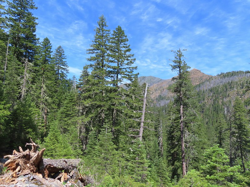
We finally ran into people on the far side of Doe Creek. They were trying to get their bearings and we were able to point them in the direction of the Clear Creek Trail and Raspberry Lake where they were hoping to spend the night.

From Doe Creek the trail launched steeply uphill climbing via a series of switchbacks.
IMG_5794

IMG_5797

IMG_5799Twin Peaks in the distance.

IMG_5800Pacific coralroot

IMG_5809Phantom orchid

After a mile and over 700′ of elevation gain the trail appeared to be leveling out but it was also the junction with the Devil’s Punchbowl Trail.
IMG_5813The Doe Flat Trail continuing on from the junction.
The only sign at this junction was a small pointer for the trailhead and clear creek.
IMG_5814

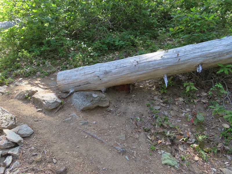
Opposite the little sign the Devil’s Punchbowl Trail climbed steeply uphill behind a log that someone had scratched the trail name into.
IMG_5815

Another half mile and 600′ plus of elevation brought us to a viewpoint at a ridge end where we got our first good look into the granite basin where we would find Devil’s Punchbowl.
IMG_5817The flat top of Black Butte in the distance.

IMG_5821Bear Mountain

IMG_5827

At the ridge end we were just under 200′ below the elevation of Devil’s Punchbowl but after rounding the ridge the trail descended almost 150′ to a crossing of the lakes outlet creek.
IMG_5832Blue-head gilia

IMG_5830Oregon sunshine

IMG_5837

There was a nice pool below the crossing where we planned to refill our water on our way back by.
IMG_5839

Beyond the creek the trail became more of a scramble over the granite following occasional cairns over the rocky landscape.
IMG_5842

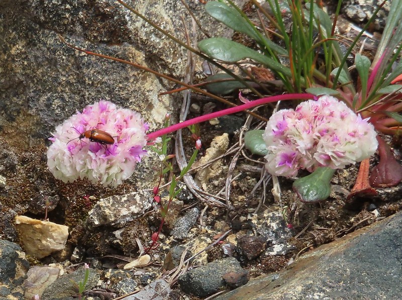
IMG_5844Buckwheat

IMG_5845Siskiyou lewisia

IMG_5850Preston Peak

IMG_5852

Before reaching Devil’s Punchbowl the trail passed a smaller but scenic lake.
IMG_5869

IMG_5871

IMG_5879

IMG_5881

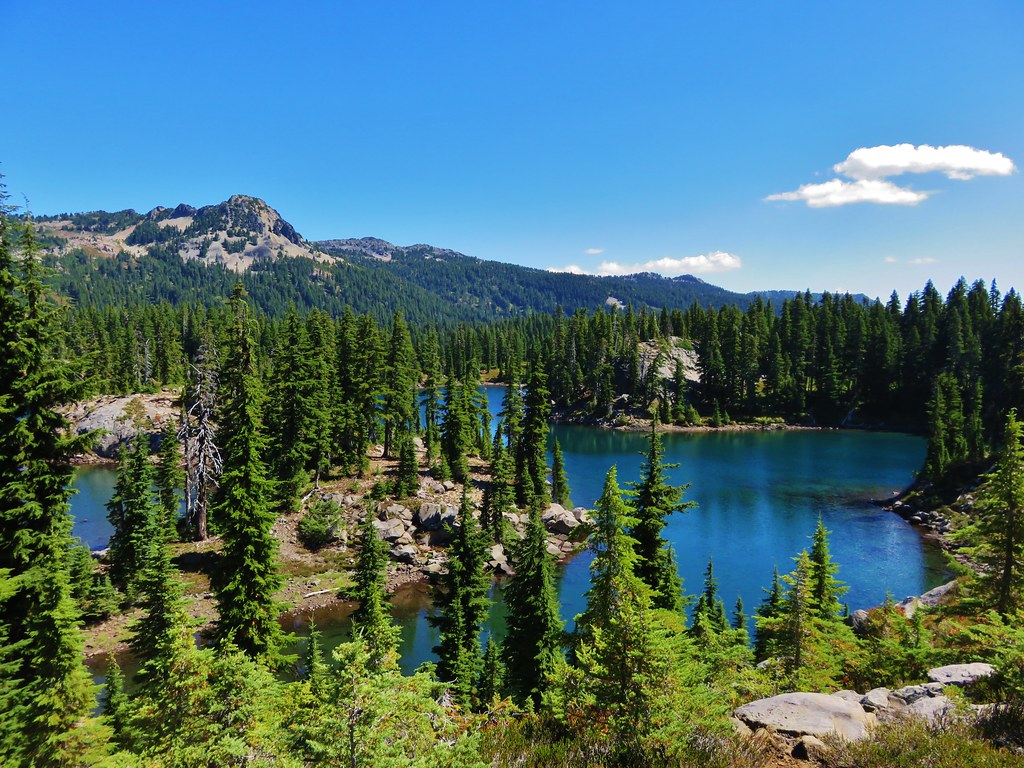
It was pretty obvious why this is the most popular spot in the wilderness and draws crowds. We however were fortunate enough to be the only people here when we arrived.
IMG_5885_stitch

IMG_5894

IMG_5888Pussypaws

It wasn’t long before another couple arrived followed by a pair of backpackers but we appreciated the solitude nonetheless.
IMG_5905Beetle on a pussypaw

IMG_5911Swallowtail on azalea

IMG_5917Silver-spotted skipper on Siskiyou lewisia
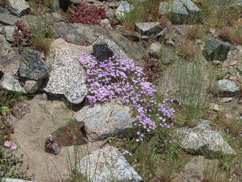
IMG_5924Phlox

IMG_5925

After a nice long rest we headed back down stopping at the outlet creek for water.
IMG_5934There is a rock arch atop the ridge near the left hand side.
IMG_5936

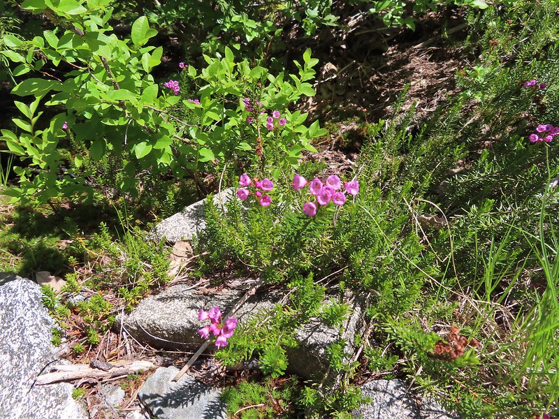
IMG_5938Mountain heather

IMG_5941Green beetle

IMG_5953Ground squirrel

IMG_5960Clouds gathering around Preston Peak.

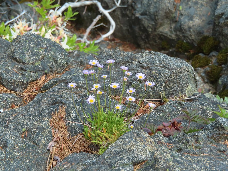
IMG_5963Fleabane near the pool.

IMG_5964Waterfall along the outlet creek.

IMG_5972

IMG_5973Clouds over Devil’s Punchbowl.

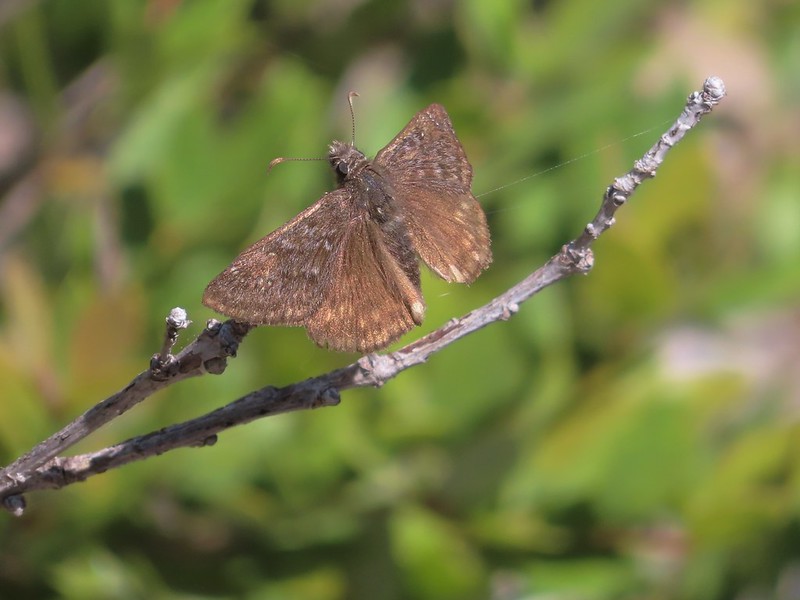
IMG_5978A duskywing

IMG_5979More clouds to the north.

We returned the way we’d come passing a number of groups heading up to Devil’s Punchbowl. We felt even more fortunate about having had the lake to ourselves for a bit. After recrossing Clear Creek we cooked our dinner at a small camp site before continuing on.
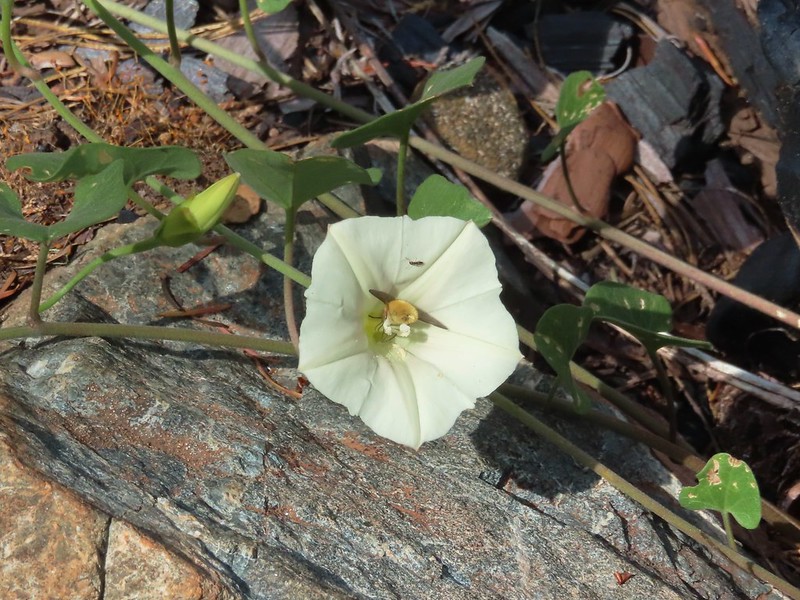
IMG_5992Bee in bindweed with a little ant observing.

IMG_6003Back at the ford.

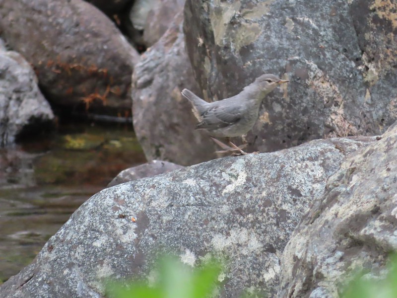
IMG_6010Ouzel at the Clear Creek ford.

IMG_6022Doe in the forest.

IMG_6024This little guy had a pretty song.

IMG_6029Arriving back at Youngs Valley.

It was after 7:30pm and there was another couple setting up camp near ours and I stopped briefly to chat with them. When I started to continue down the road bed to our site I spotted what was probably the same bear from the morning standing on its hind legs watching us from the brush.
IMG_6030The bear in the middle of the photo behind a small leaning tree.
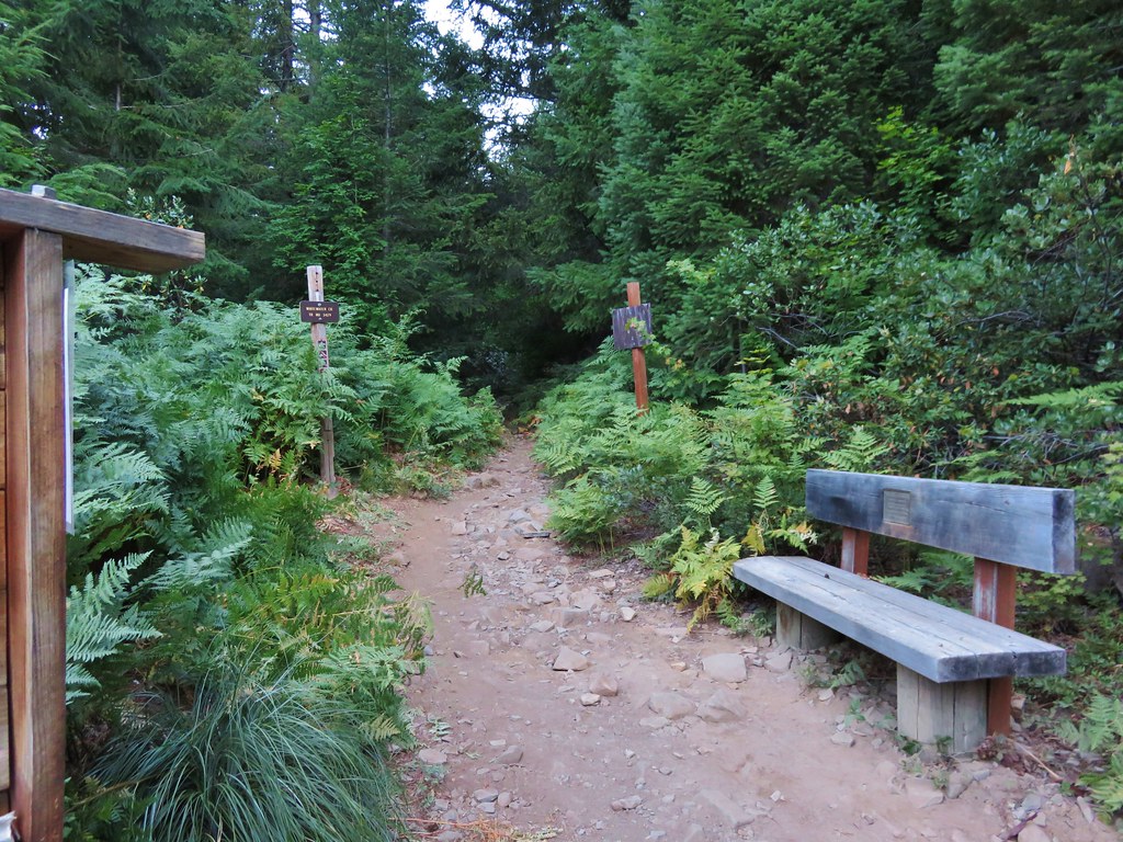
I gave another “HEY BEAR!” yell and he again moved on but a short while later when I was heading to re-secure the bear bags I ran into it again. This encounter was quite a bit closer but this time the bear hustled back into the brush. After securing the bags we put the rain fly up due to the increased presence of clouds. A little while later we heard our neighbor yell at the bear to run it off yet again. The bear hadn’t bothered our camp and there was no evidence that it had tried to get to our food and it was too late and we were too tired to move camp. We kept the bear spray and a whistle close at hand and turned in for the night.

With some side trips and wandering the GPS registered a 16.5 mile day with just over 4000′ of cumulative elevation gain.

Day 2 track in Magenta

It was an exciting day for sure but also another tough one. We were looking forward to a shorter day on Sunday followed by a 5.5 mile hike back to the trailhead on the 4th. Happy Trails!
Flickr: Devil’s Punchbowl

Categories
High Cascades Hiking Mt. Jefferson Area Oregon Trip report

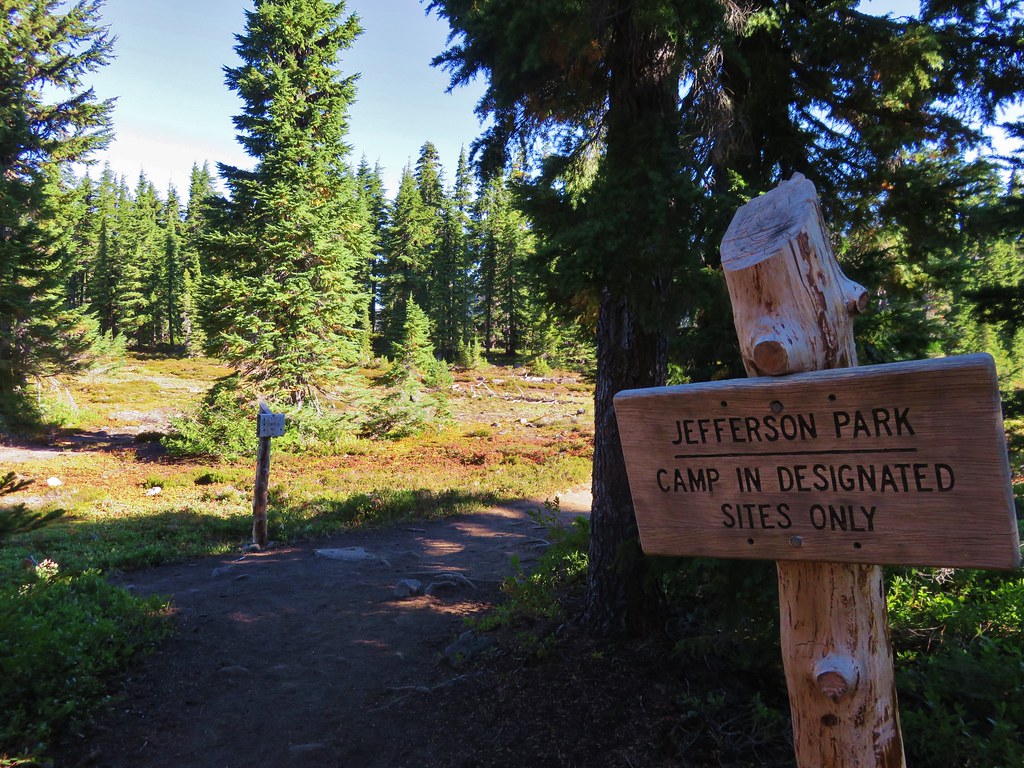
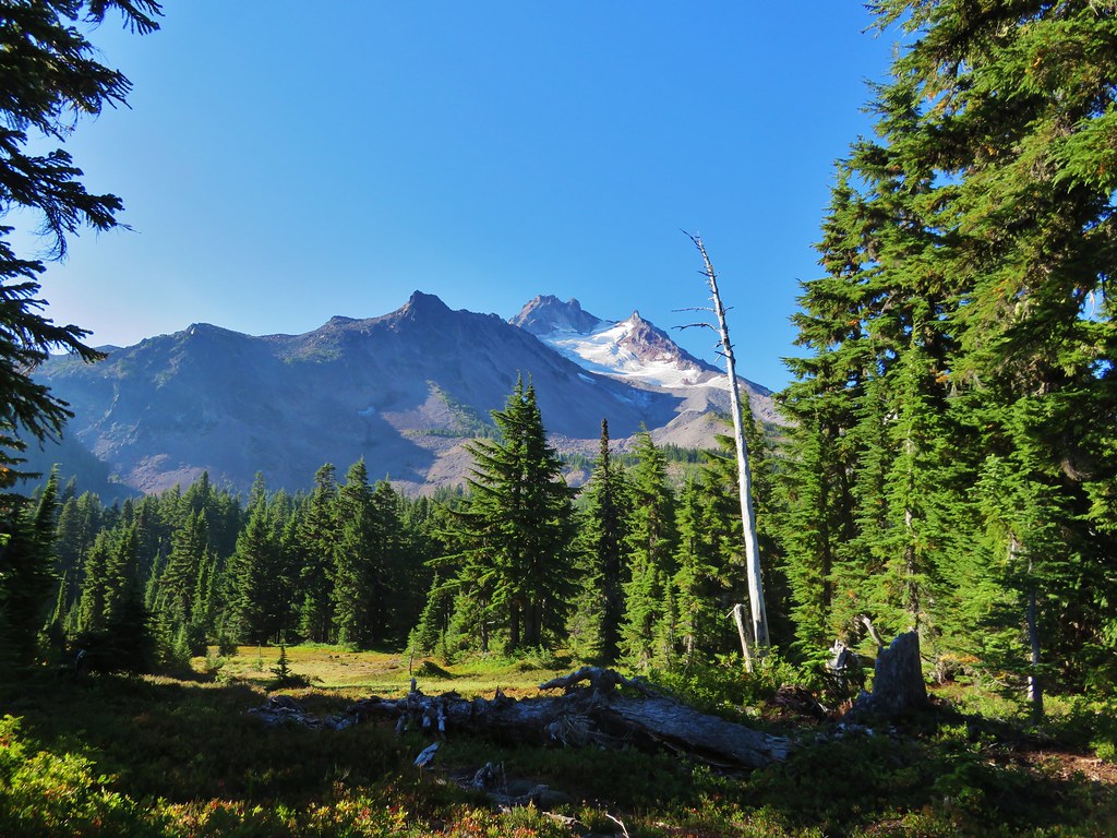
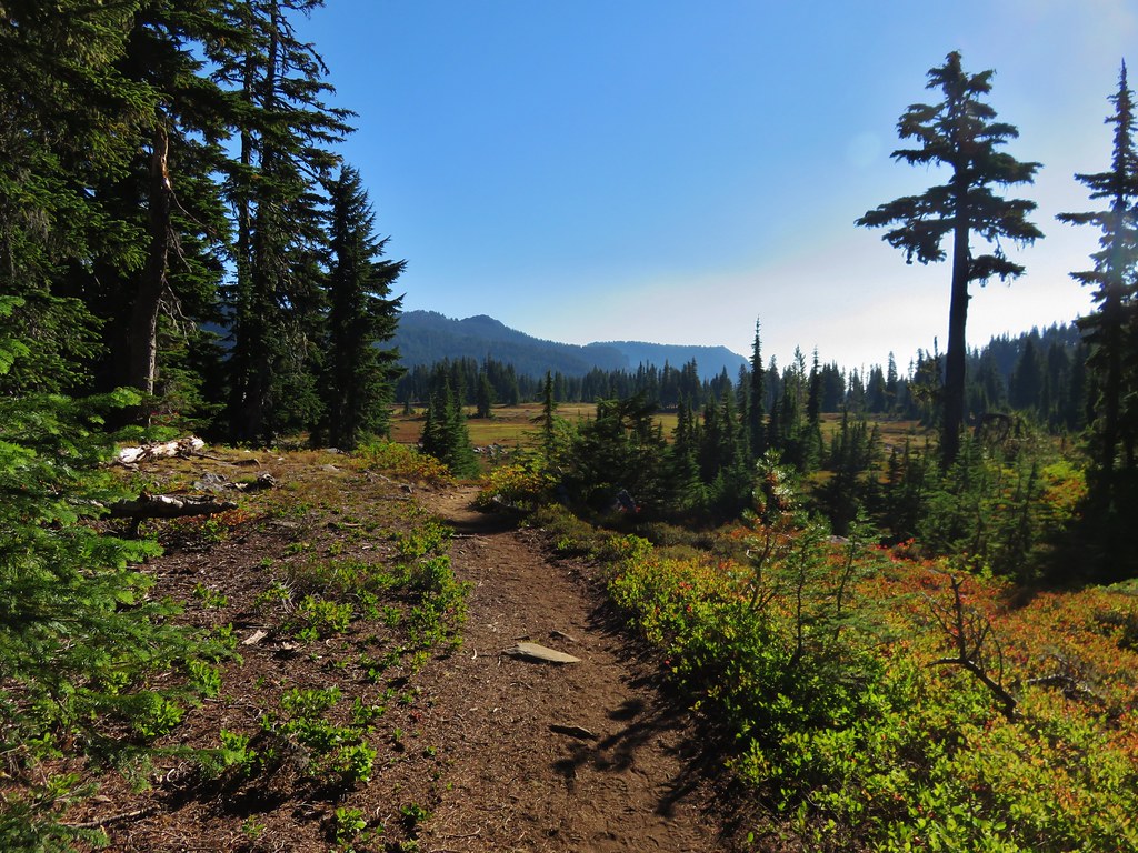
Jefferson Park – 2015

Since 2011 Jefferson Park has been the one destination that has been on our schedule every year. This year we planned a joint outing with my parents who had not been to Jefferson Park yet. We picked them up bright and early from the Whispering Falls Campground and drove to the Whitewater Trailhead arriving shortly after 6am. We had agreed that we would hike at our own paces and would look for each other in Jefferson Park and if we didn’t meet up there we would do so back at the car. What we failed to do was set a time that we would start back to the car at in case we didn’t run into them. After giving my parents a brief description of what to expect from the trail on the way up we set off.
Whitewater Trailhead

The forest showed the same signs of the warm and dry year we’ve had. Everything seemed to be at least a month ahead of schedule. Few flowers remained and some of the leaves were already starting to turn color.
IMG_7249

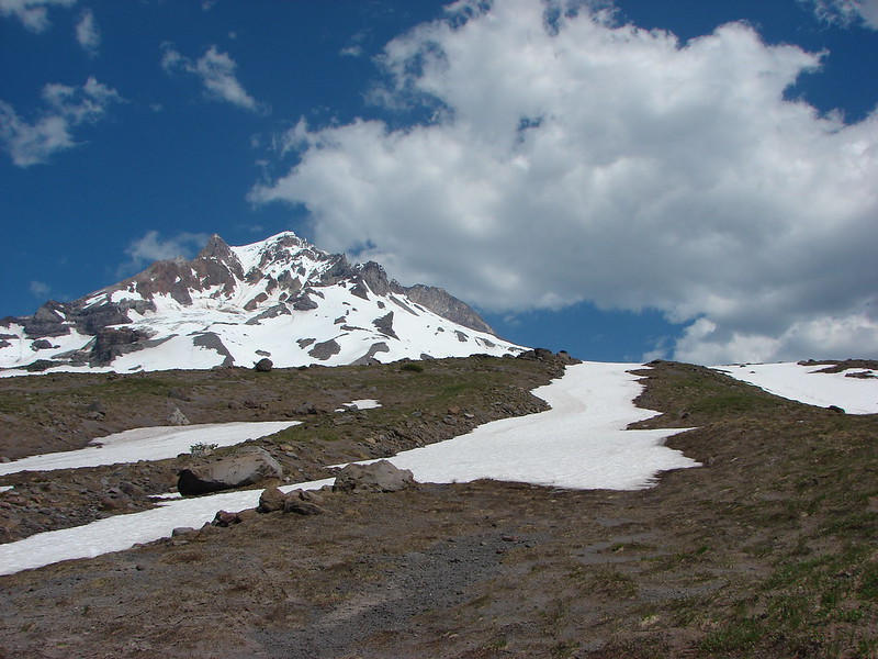
The sky to the south was a bit hazy with smoke from fires in Southern Oregon, but Mt. Jefferson was enjoying relatively blue skies.

The Three Pyramids
IMG_7253

IMG_7259

At the 1.5 mile mark the Triangulation Trail joined from the left at a saddle. This marked the end of the steepest portion of the hike which is never really all that steep to begin with. Approximately a mile from that junction the trail enters a small rock field with a view of the top of Mt. Jefferson.
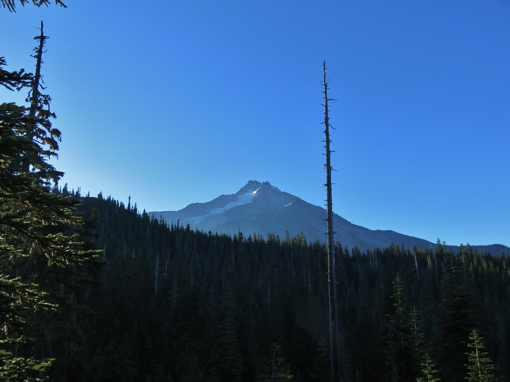
Mt. Jefferson from the Whitewater Trail

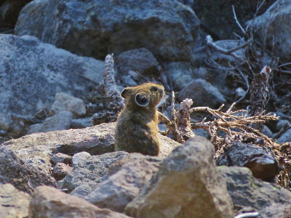
As I was taking a picture of the mountain I noticed movement in the rocks to my left. I looked over to see a pika dart out onto the rocks.
Pika

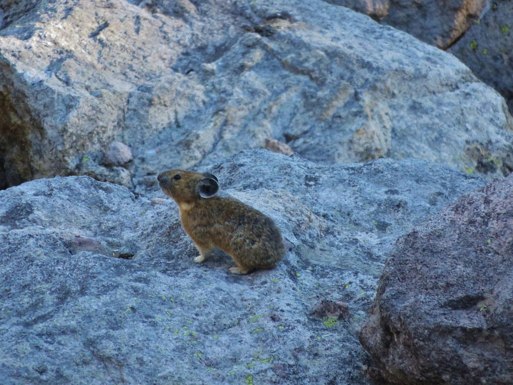
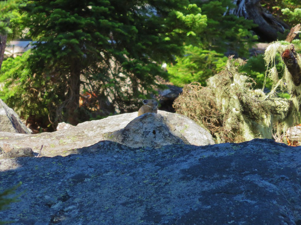
We love pikas and were excited to be getting such a good look at this one since we typically only hear their “meep” warning of our presence. As we were watching the first pika we began to notice others. In the end we’d spotted 5 different pikas and a chipmunk in the area.
Pika

IMG_7277

Pika and a chipmunk

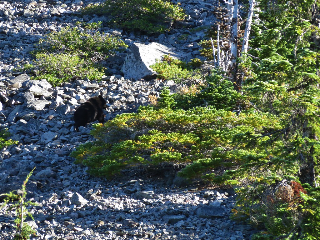
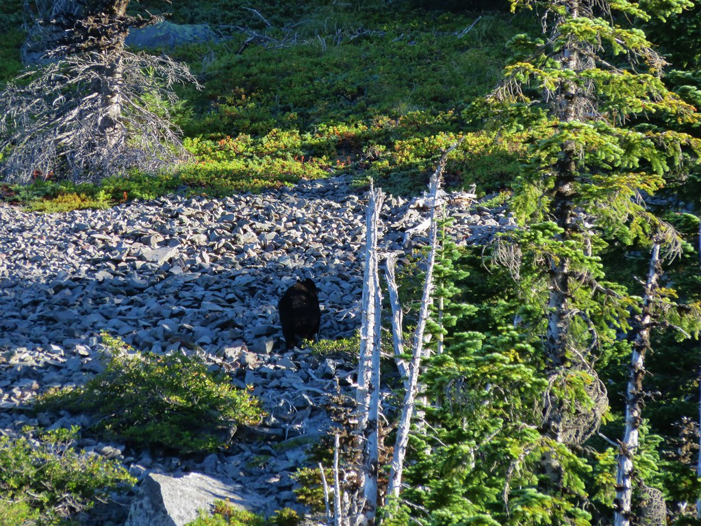
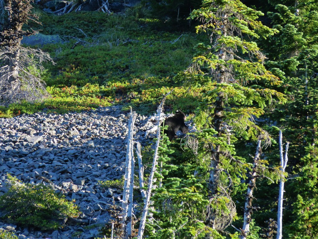
We wound up seeing a sixth pika a little further along the trail making this the highest number of pikas we’d seen on a single hike. Normally seeing a pika, let alone 6, would be the wildlife highlight of a hike, but shortly before reaching the first crossing of the Whitewater Creek around the 4 mile mark the pikas were topped. As we passed a small meadow at the base of a butte we heard some rocks sliding. My first thought was mountain lion because of a recent discussion on how many of the cougar sightings I heard about were the result of hikers hearing rocks moving. When we looked over toward the source of the noise the animal we saw was black so we knew it wasn’t a cougar. It was a bear. This was only the second bear we’d seen while hiking and the first one had run away so quickly that I wasn’t able to get a picture. This time I had my camera ready and the bear was running up an exposed rock slide so I was able to get a few pictures before it disappeared.
Black Bear

IMG_7289

IMG_7290

IMG_7291

We continued on to the Pacific Crest Trail energized from the excitement of seeing the bear. At the PCT we turned left, re-crossed Whitewater Creek, and entered Jefferson Park.
IMG_7301

Shortly after entering the park we came to a signed junction and needed to decide where we wanted to go this time.
IMG_7324

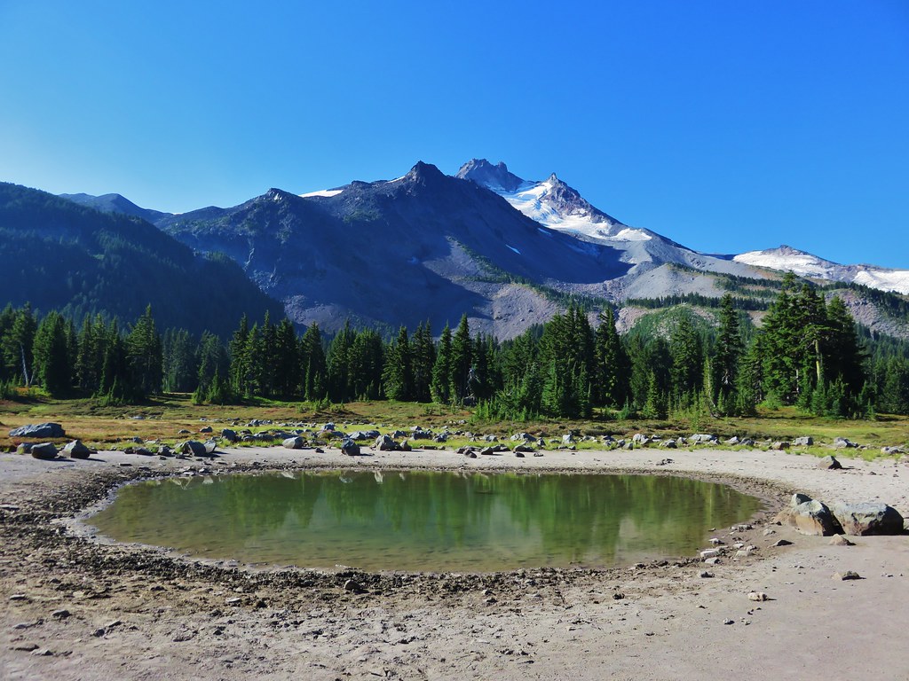
We settled on heading north on the PCT and trying to find a climbers trail that was shown on one of our maps leading up to the Whitewater Glacier. As we made our way through the park we were struck by just how dry it was and how far past all the flowers already were. The scenery was still amazing though.
IMG_7326

IMG_7331

IMG_7333

Pond in Jefferson Park

IMG_7336

We found what appeared to be a decently used trail in what seemed to be the correct area and set off toward the mountain. The trail we were following started bending back to the south though so we were forced to abandon it and take a more direct route toward the ridge where we hoped to pick up the climbers trail. We found another clear path and began following it but then it petered out on a tree covered ridge.
IMG_7345

We seemed to be in the correct area according to the map and GPS, but we were unable to spot anything that looked like a trail so we decided to go to plan b and head to Russell Lake where we could pick up the PCT again and decide what to do from there.

We found a few flowers around Russell Lake but again the dry year was evident. The lake was at the lowest level we’d seen and there was no water flowing out of the lake to the South Breitenbush River.
Mt. Jefferson from Russell Lake

IMG_7367

IMG_7369

There was still a little water coming down another branch of the river from Park Ridge allowing some monkeyflowers to still be blooming.
IMG_7387

IMG_7388

IMG_7386

We had considered following the PCT part way up Park Ridge and visiting Sprauge Lake which we had not done before, but after looking up at the climb we’d need to do we decided to save that for another trip and instead we headed for the South Breintenbush Trail.
IMG_7399

As we reached the South Breitenbush Trail we ran into another couple who recognized my Portlandhikers button. They had stayed overnight near Bays Lake and were on their way up to Park Ridge. After talking for a bit we continued on watching for the side trail to Park Lake which we’d find in a hillside meadow above the river.
IMG_7407

The water level at Park Lake was also lower than we’d ever seen, but we realized it was a deeper lake than we’d thought as we looked down into the green water.
IMG_7409

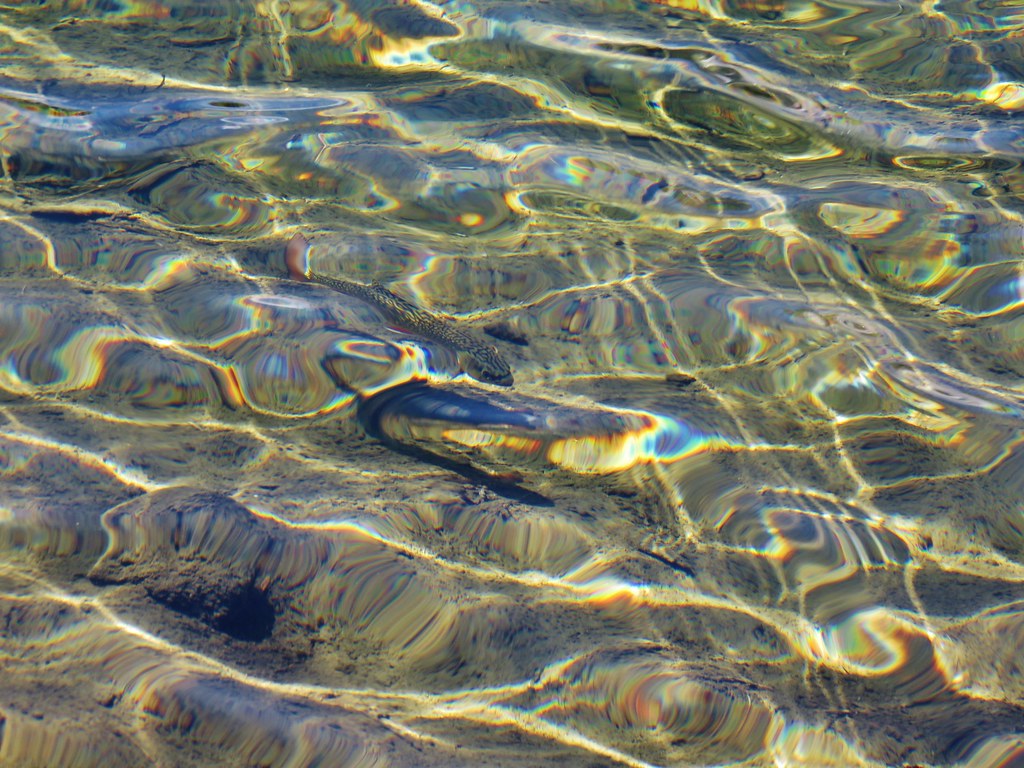
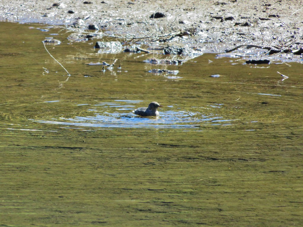
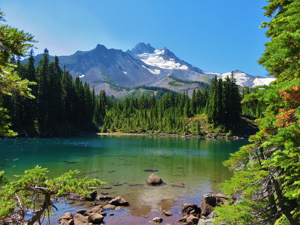
Next up along the trail was Rock Lake. Like all the lakes in Jefferson Park this one has colorful water and great views of the mountain. We spotted some trout in the lake as we passed by and got a kick out of watching a happy bird bathing along the shore.
IMG_7414

IMG_7422

IMG_7425

IMG_7437

From Rock Lake we made our way to Scout Lake where we thought we might find my parents. It was around 11am and we thought they might have stopped at the lake for a break. We didn’t see them, just more wonderful Jefferson Park scenery.
IMG_7440

IMG_7447

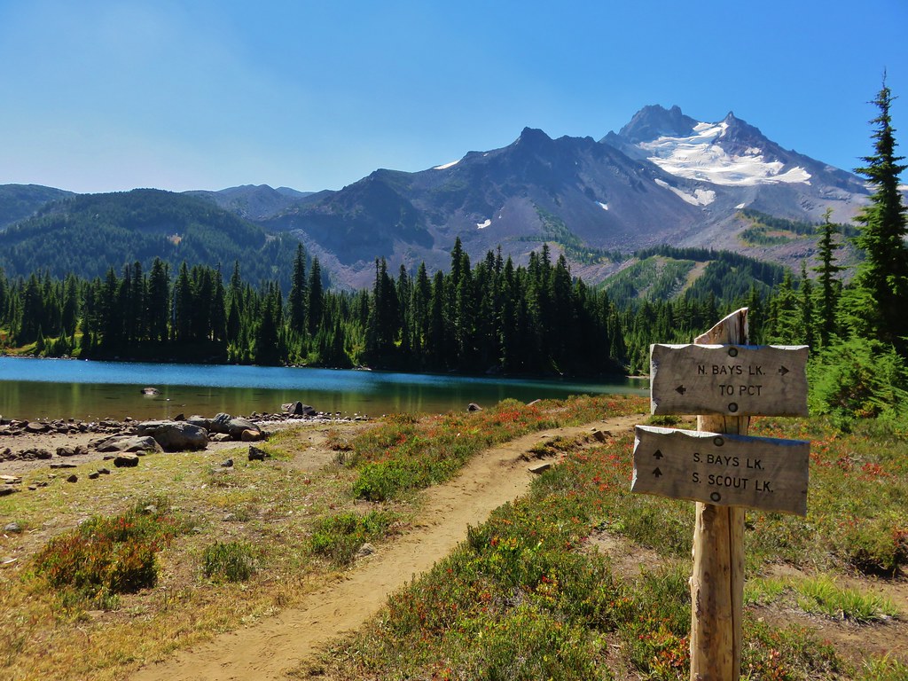
Our next thought was that they might be at Bays Lake so we headed over to the south end of that lake to take a look. We hadn’t spent much time on that side of Bays Lake so we decided to do some exploring.
IMG_7463

Park Butte from Bays Lake

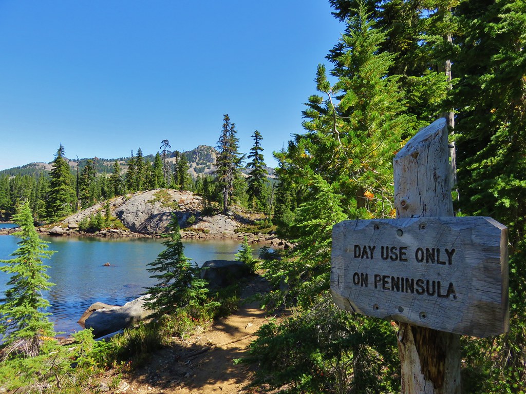
We headed down to the day use peninsula and removed our packs to take a break and check out the area.
IMG_7468

IMG_7472

Mt. Jefferson from Bays Lake

IMG_7496

When we resumed our hike we decided to just loop around the rest of the lake and then head back to Scout Lake.
IMG_7506

IMG_7514

IMG_7526

IMG_7534

We still hadn’t seen any signs of my parents by the time we had made it back to the PCT from Scout Lake and we debated on whether to head back to the car or go up the PCT again toward Russell Lake in search of them. It was at this point that we realized that it would have been a good idea to establish a time at which we would head back to the car. We made it all the way back to Russell Lake without running into them which had us a little concerned that they may not have made it all the way to the park. Heather had come up with a theory though, she suggested that they might have gone directly to Russell Lake since that was the ultimate goal for my Mom. If they had done that we easily could have missed them while we were touring the other lakes and then missed them again while we were on the PCT if they had taken one of the other signed trials to Scout Lake. Either way we were fairly certain they were either on their way back to the car or were already there waiting so we headed back down ourselves.

Heather asked a group of young hikers that were on their way up if they’d seen anyone matching my parents description and they had, which made us feel better. We didn’t think to ask how far ahead of us they were though. We picked up our pace but kept getting distracted along the way. It was interesting to see how much the water level had risen in Whitewater Creek as the heat caused an increase in the glacial runoff.
IMG_7297

IMG_7564

We also kept looking back at the views of Mt. Jefferson.
IMG_7574

IMG_7575

IMG_7576

We were still making pretty good time trying to catch them when we rounded a little bend in the trail and saw a gentleman trying to dust himself off. He was covered in dirt with some scratches on his head and there was a camera mounted on a tripod behind him on the trail. He explained that he had set the timer on the camera and was running up the trail to get in position for the picture when he had tripped. He said he was fine but hadn’t realized he was bleeding until Heather pointed it out. Luckily none of the cuts were deep and there was no real damage. He told us that it wasn’t going to affect his enjoyment of his hike. Just more proof that there is no such thing as a bad hike.

We never did catch up to my parents and I half expected to see them sitting on the bench along the trail at the trailhead, but instead we found them at a picnic table just a few feet away. We found out that they had indeed gone straight to Russell Lake and relaxed there awhile before heading to Scout and Bays Lakes. Heather had been right again. We didn’t know how far we’d wound up hiking with all the wandering we’d done, but we found out when I plugged the Garmin into the computer. According to the GPS we’d covered 18.1 miles, a little bit more than we’d planned on but that’s what can happen with a place as scenic as Jefferson Park. Happy Trails!

flickr: https://www.flickr.com/photos/9319235@N02/sets/72157656592737940

Categories
High Cascades Hiking Mt. Hood Area Oregon Trip report

Burnt Lake to Paradise Park Overnight

Our latest overnight trip brought us to the Mt. Hood Wilderness where we planned to continue honing our backpacking skills. We plotted out a trip that would bring us to some new places as well as some previous favorites. The plan was to start at the northern trail head of the Burnt Lake Trail, pass Burnt Lake and climb up to East Zig Zag Mountain where we would take the Zig Zag Mountain Trail up to the Paradise Park Trail. From there we would head up to Paradise Park and camp somewhere along the Paradise Park Loop Trail near Split Rock. We’d been to East Zig Zag Mountain and Paradise Park in 2012 on separate hikes, but we had come in on different trails for those trips.

We set off from the Burnt Lake trail head shortly before 7am and quickly entered the Mt. Hood Wilderness.
DSC01348

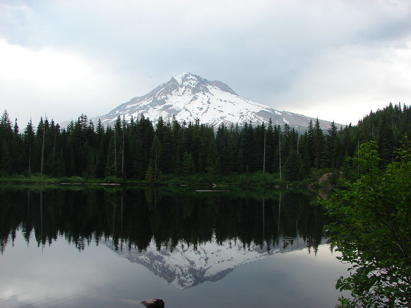
The trail climbed between Burnt Lake Creek and Lost Creek for 1.9 miles before crossing and then recrossing Burnt Lake Creek. Near the 2.5 mile mark an unmarked side trail to the left led downhill to Lost Creek Falls. (Waterfalls on Lost Creek became a theme for this trip.)
DSC00785

The trail then veered away from Lost Creek and climbed for a mile up to Burnt Lake. Along the way we got our first glimpses of Mt. Hood.
DSC00792

We stopped briefly to check out Burnt Lake but decided to wait until the return trip to locate the best viewpoint of Mt. Hood from the lake shore.
DSC00797
DSC00800

From Burnt Lake the trail climbed up to the Zig Zag Mountain Trail where we took a brief detour to visit the summit of East Zig Zag Mountain. Heather decided to remain amid the wildflowers at the junction with the southern portion of the Burnt Lake Trail while I climbed up to the former lookout site.
Mt. Hood and Burnt Lake from the south trail junction:
DSC00818

Trail heading up East Zig Zag Mountain:
DSC00830

Wildflowers:
DSC00835
DSC00836
DSC00838
DSC00843
DSC00854

Mt. Jefferson:
DSC00856

Mt. Hood:
DSC00859

Butterfly:
DSC00867

Heather waiting at the junction:
DSC00866

After getting my wildflower fix we headed East on the Zig Zag Mountain Trail and began climbing towards Paradise Park. The trail began with a nice gradual ascent through open meadows of beargrass, huckleberry, and other bushes. It was fairly overgrown but easy enough to follow.
DSC00876

We then came to a forested ridge where the trail suddenly steepened – downhill! We had been at 4600′ when we joined the Zig Zag Mountain Trail and needed to get up to 5800′ in 3.7 miles to reach Paradise Park. Going down meant more climbing on the way up as well as having to climb up on the way back down the following day. There were at least 4 fairly brief but steep descents before we began climbing again. At least were some nice views of the mountain ahead of us and a view of our goal.
Paradise Park is the light green areas just above the tree line:
DSC00890
The Paradise Park Loop Trail passed just below the pile of boulders:
DSC00894

As we neared the Paradise Park Trail Junction we began to see lots of avalanche lilies, a telling sign of recent snow melt, and a few patches of snow still hanging on.
DSC00897
DSC00911
DSC00907

After joining the Paradise Park Trail we passed through several meadows and a nice viewpoint of the Zig Zag River before arriving at the Pacific Crest Trail in a mere .2 miles.
DSC00922
DSC00923
Zig Zag River Canyon and Mississippi Head (the rock outcropping at the center of Mt. Hood):
DSC00916
Oh the choices!
DSC00925

We crossed over the the PCT and climbed up to the Paradise Park Loop Trail which was a fairly steep .5 miles and 400′ above us. It was late August when we visited in 2012 and to this day the wildflowers in the meadow at the junction of these two trails remains the best display we’ve seen. There was little indication of the scene to come this trip as the snow was still melting off and only a few early flowers could be found. The view of Mt. Hood was still top notch though.
Late August 2012
173
Mid July 2014
DSC00935
Western Pasque Flower
DSC00932
Avalanche lilies and paint
DSC00939

We headed left at the junction and started looking for our tent site. We passed several good locations but had something specific in mind. We were looking for a site close to a water source, with a good view, but also with some shade as it was quite warm. We made our way North passing the remains of the Paradise Park Shelter, crossing both branches of Lost Creek, and passing Split Rock before we found what we had been looking for.
South Branch Lost Creek crossing
DSC00945
Mt. Hood from the crossing
DSC00950

North Branch Lost Creek crossing – The snow shelf made this one tricky as the creek was flowing under the edge of the snow.
DSC00960
DSC00963

Split Rock
DSC01002

Camp
DSC01000

After setting up camp we spent the rest of the afternoon and evening alternating between exploring the area and relaxing as we waited for sunset.
Mountain heather beginning to bloom
DSC00970

Cinquefoil
DSC00982

Shooting Star
DSC00989

Marsh marigolds
DSC01040

Western pasque flowers
DSC00991
DSC01066

Mt. Jefferson
DSC00972

Mt. St. Helens
DSC00990

East Zig Zag Mountain and some of our route from earlier in the day
DSC01012

DSC01009
DSC01023

Yocum Ridge on the other side of the Sandy River. The waterfall is on what appears to be an unnamed fork of the Sandy River but I’ve seen it referred to as Paradise Park Creek.
DSC01024

The Sandy River
DSC01031

Waterfall flowing down into Lost Creek
DSC01052
DSC01055

Marmot in the grass near the falls
DSC01061

Our shadows as the Sun was getting lower
DSC01064

Small waterfall on Lost Creek
DSC01073

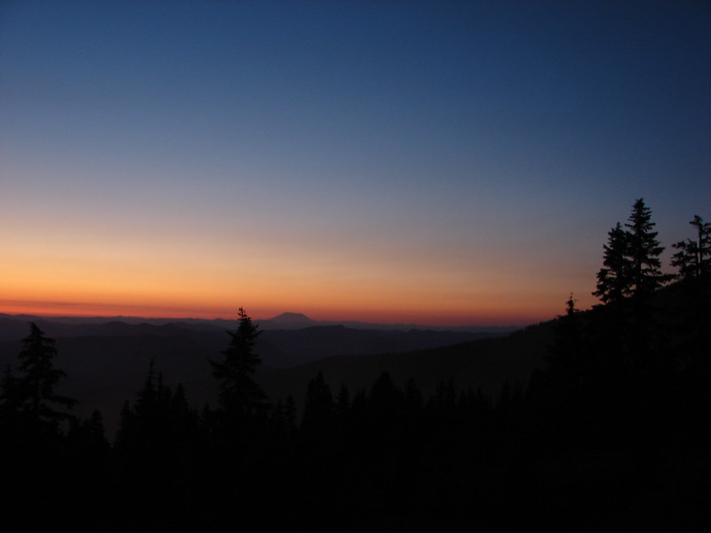
Sunset
DSC01082
DSC01090
DSC01104
DSC01124

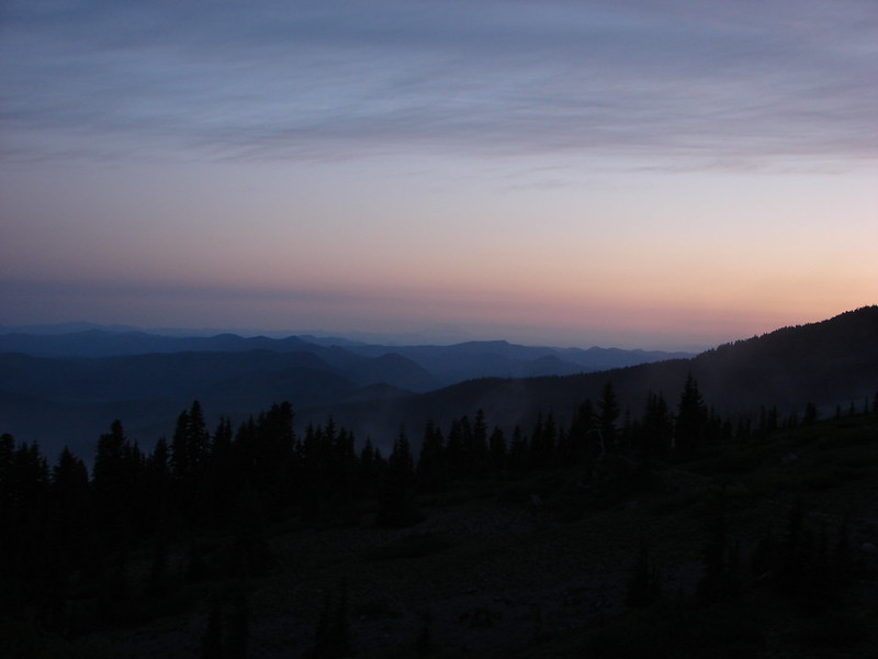
After watching the Sun go down we turned in. For some reason I wound up awake shortly after 4am so I grabbed the camera again and waited for the sunrise.
The Moon was super bright all night and a few clouds had moved in to the South by the morning
DSC01151

Starting to get some sunlight
DSC01180
DSC01184

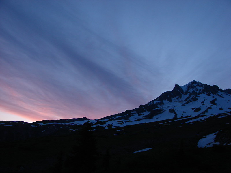
Then came the colors
DSC01195
DSC01205
DSC01213
DSC01210DSC01224
DSC01227

After a breakfast of Mountain House freeze dried scrambled eggs and bacon (yes we managed to use our stove this trip 🙂 ) we packed up camp and began our return trip. We decided to continue on the loop which would bring us back to the PCT which we could then take South back to the Paradise Park Trail junction. This would allow us to visit a few waterfalls on the way back. The first of the falls is on Rushing Water Creek as it comes down from Paradise Park. There was a nice display of wildflowers just before the falls here.
DSC01272
DSC01278
DSC01294
DSC01297

There was a trail crew from the Pacific Crest Trail Association gathered at the base of the falls that was out doing some trail maintenance.
DSC01300

It had clouded up and as we were passing the falls rain began to fall lightly. We decided to stop at the next set of falls to waterproof our sleeping bags just in case it started to rain harder. The next set of falls were on Lost Creek. Both branches come down within a short distance of each other and both in scenic waterfalls.
North Branch Lost Creek
DSC01303
DSC01305

South Branch Lost Creek
DSC01313
DSC01317

It was raining off and on but not very hard but then we began to hear thunder. We picked up our pace as best we could as the thunder became steadier and we started to see the flashes of lighting. We had made it to the Paradise Park Trail and were back on the Zig Zag Mountain Trail when the hike got really interesting. We came around a bend in the trail and less than 20 yards ahead of us was a black bear. We all instantly froze, even the bear for a split second before it turned in bolted back into the forest. All I’d had time to do was say “bear” before it had vanished. I had just put the lens cap back on the camera and tucked it under my shirt to keep the rain off of it so I had no chance at getting a picture. Heather went for the bear spray just to be safe but it was long gone.

We made it back to the steep sections that we were dreading without further incidents. The climb was pretty much as ugly as we’d expected but the rain had let up without ever getting too heavy so we were dry at least. Dry until we reached the overgrown section of trail that is. By the time we emerged from that section we looked and felt like we’d forded a thigh-high creek. 🙂

When we got back to Burnt Lake we headed down past campsite C where there is a great view of Mt. Hood from the lake shore.
DSC01337

We ticked off the remaining 3.5 miles at a brisk pace pausing occasionally to sample the salmon and blueberries that were ripening nicely along the trail.
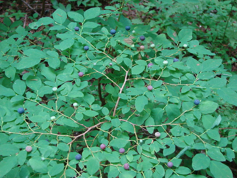
Oval-leaf blueberries
DSC01346

Mt. Hood had delivered another amazing adventure. Happy Trails!

flickr: https://www.flickr.com/photos/9319235@N02/sets/72157645261769389/
Facebook: https://www.facebook.com/media/set/?set=a.10204454188061928.1073741893.1448521051&type=1