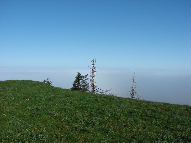
Mt. Hebo was another hike on our list of do-overs. Our previous visit had been on May 30, 2011 which normally would be a good time for a visit to the meadows that dot the top of the mountain. 2011 was not a normal year though and our visit that day turned out to be a cold and foggy trek past patches of lingering snow to a view-less summit. We decided this was the year for the re-hike and we were even able to do it on the same day as before May 30, 2015. This time we threw in a second short stop at Munson Falls State Park to check out 266′ Munson Falls. Both of these hikes are located near Tillamook, OR.
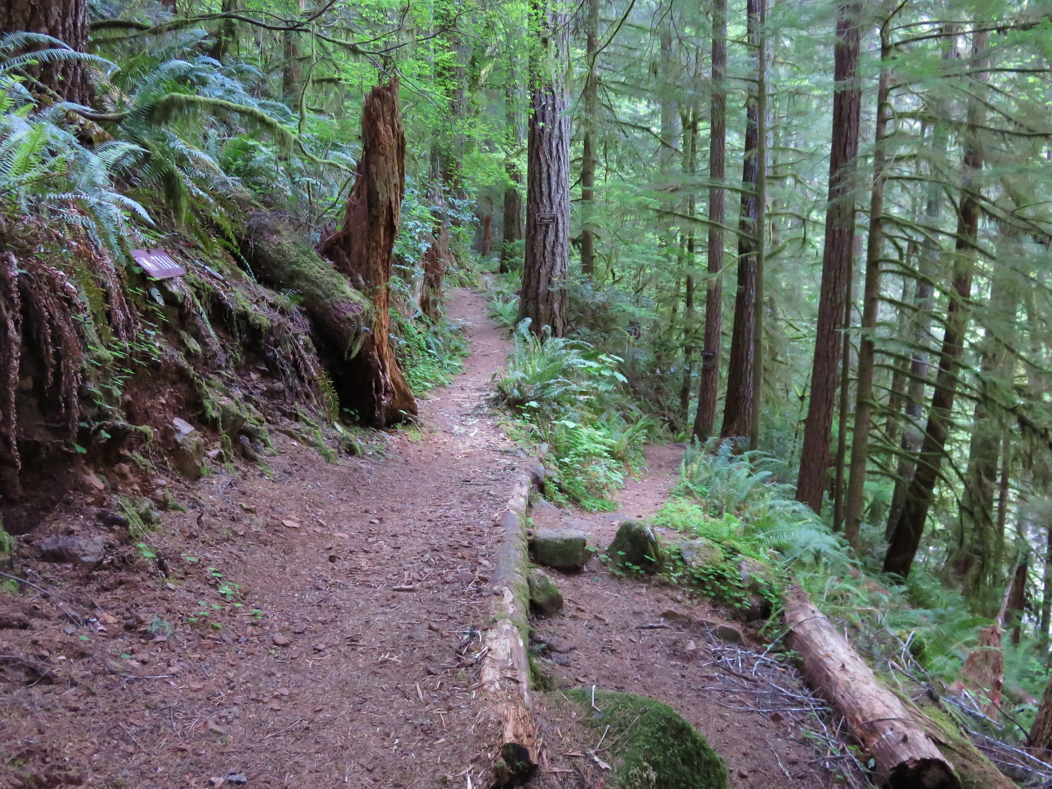
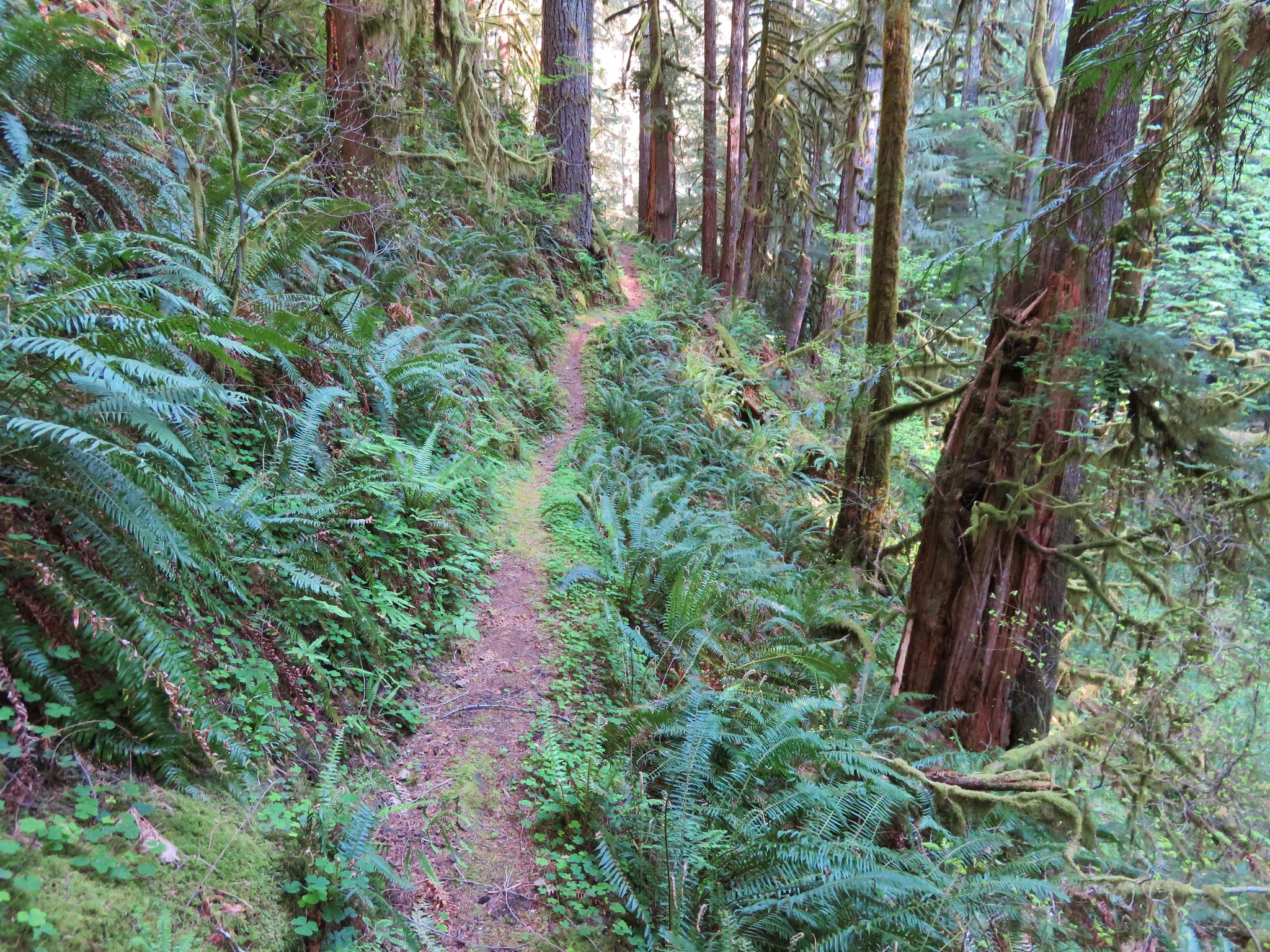
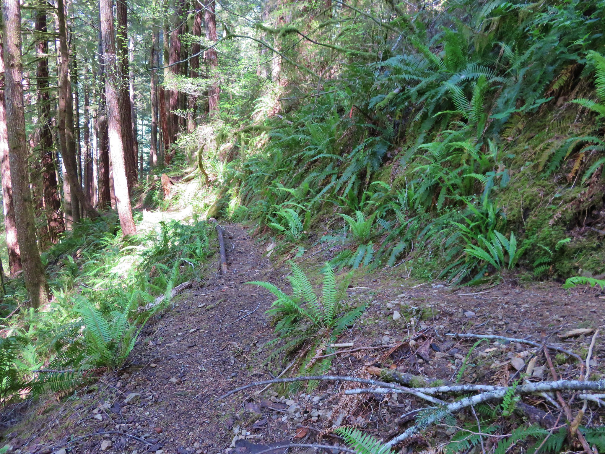
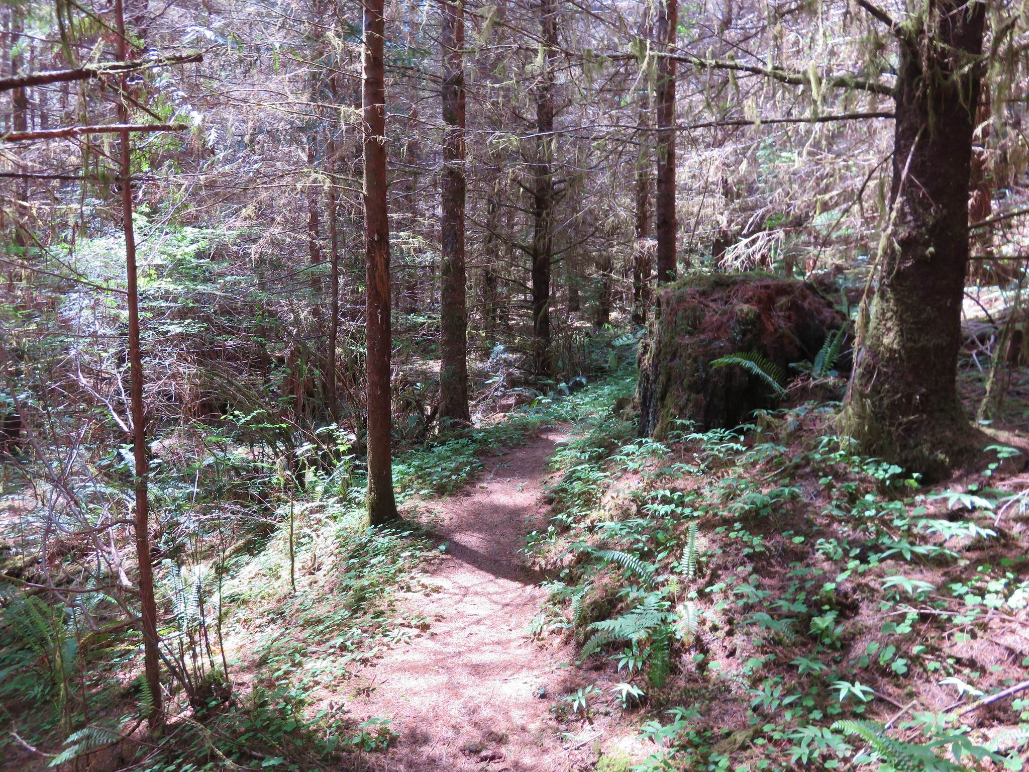
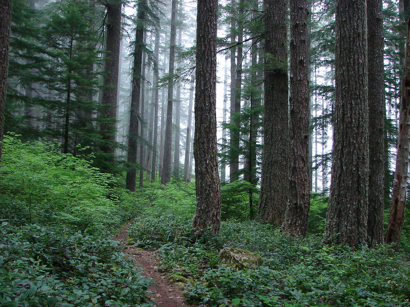
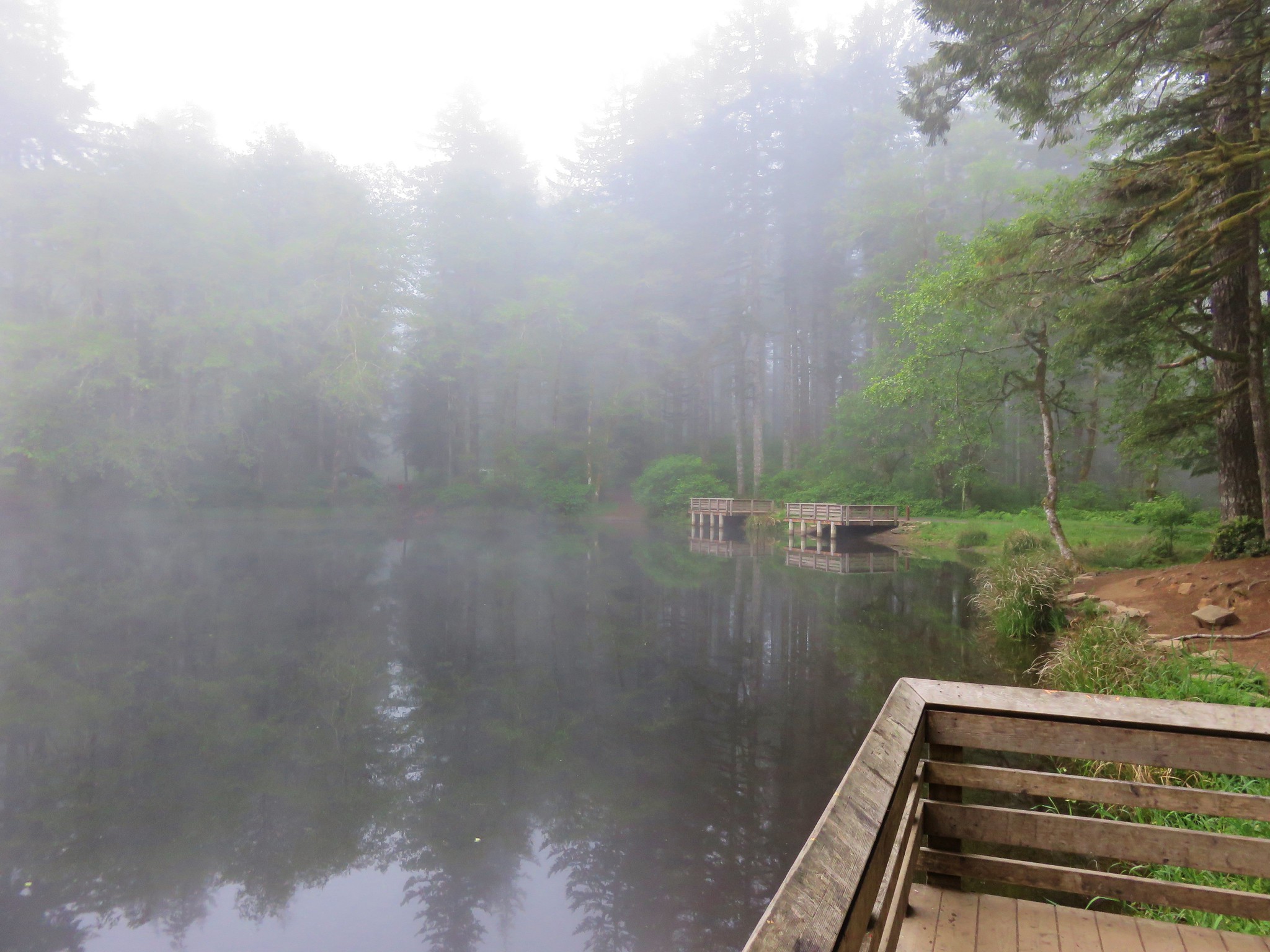
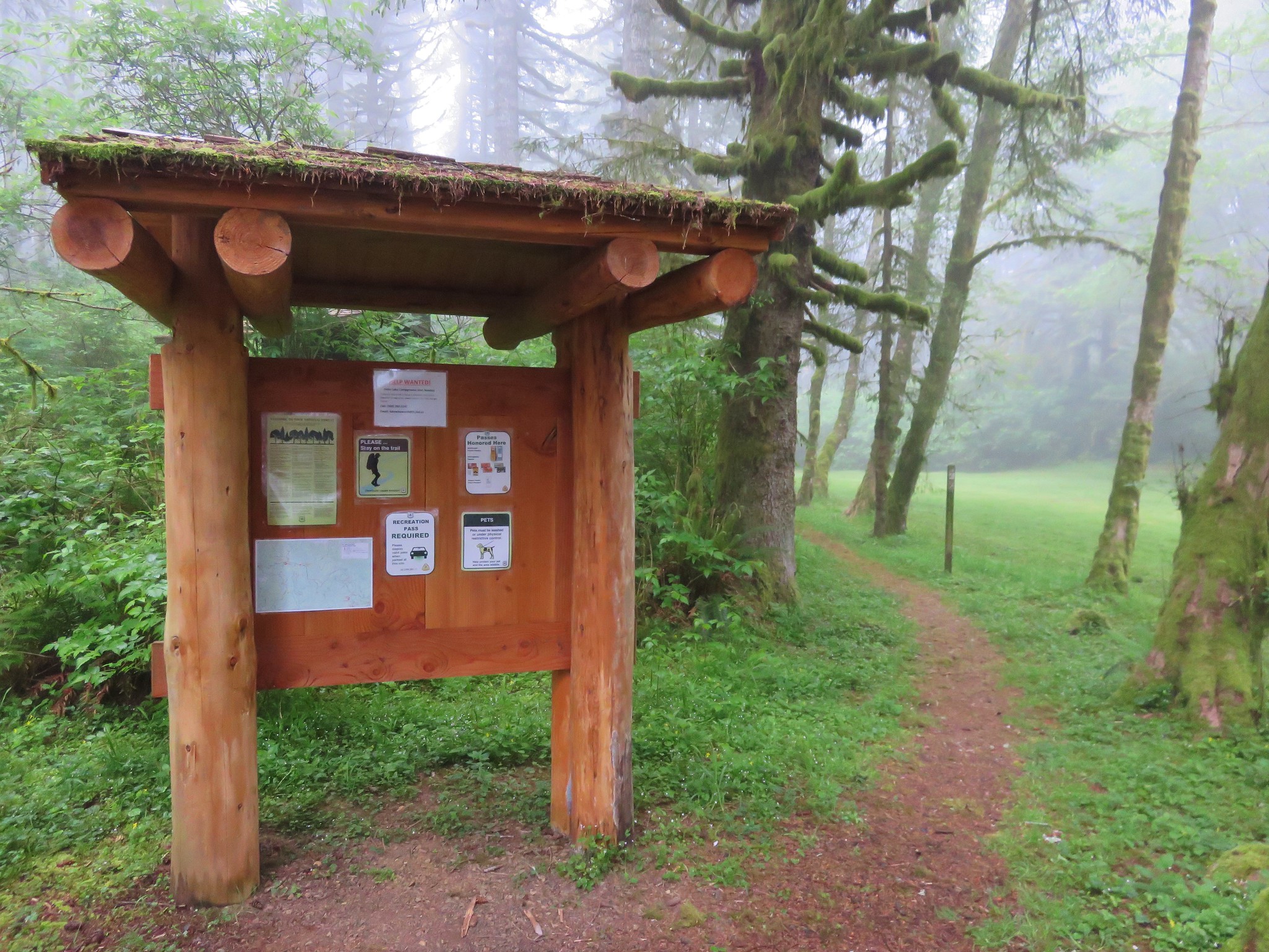
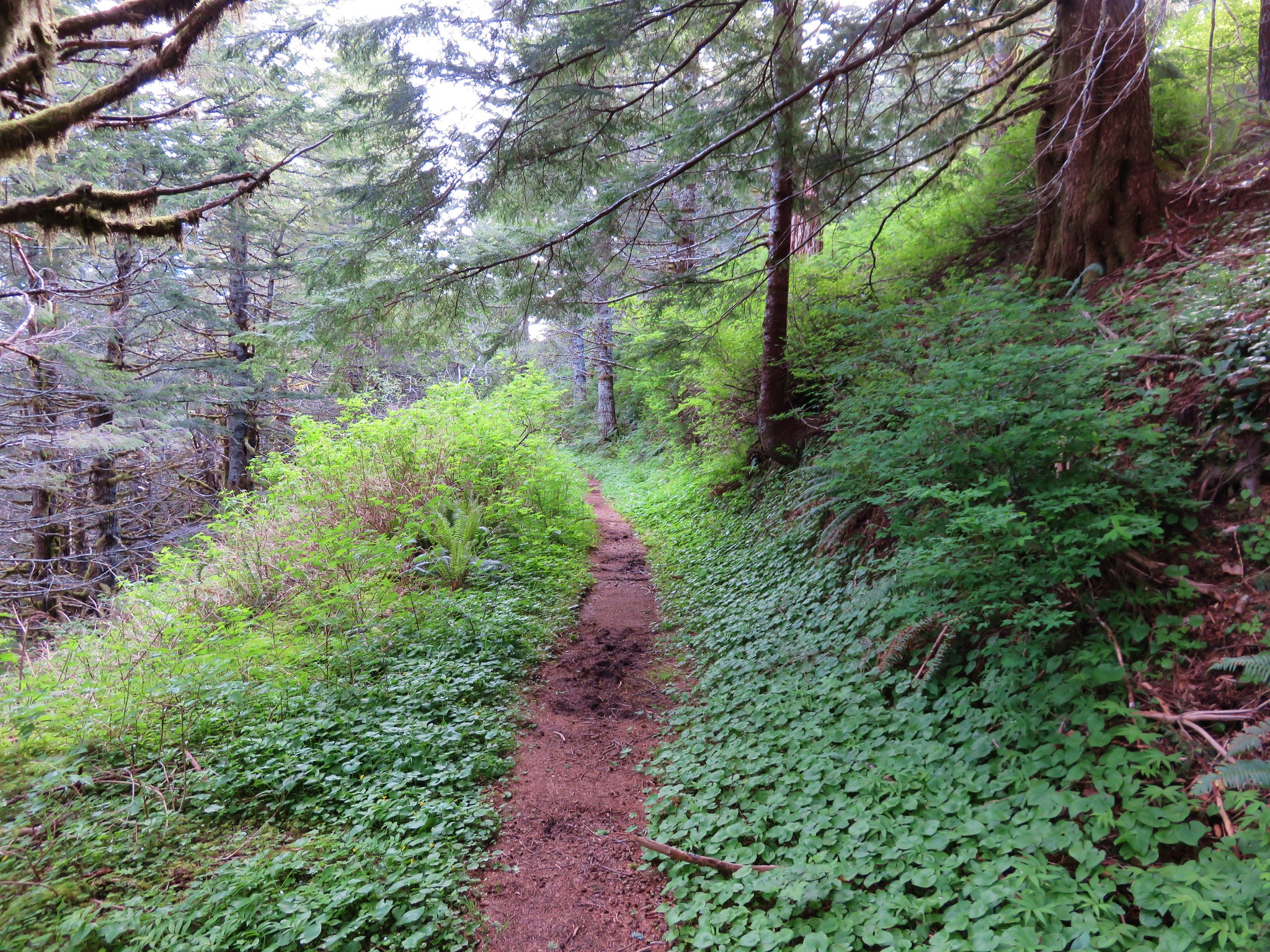
We started the morning at Hebo Lake Camp Ground at the Pioneer Indian Trail trailhead. When we arrived we were having a bit of deja-vu as fog filled the forest much like our first visit. We knew there would be no snow this year, but would we get any views. The trail starts near the far end of the lake and heads into the forest.
Not too far along the trail we came to an unsigned junction that neither of us recalled from our first visit. It wasn’t marked on the map in our field guide either and we at first turned left which is incorrect. Luckily Heather spotted a “Trail ->” sign pointing back the way we’d come which caused me to double check with our GPS (which I should have done at the junction anyway) and we realized we needed to go back and take the right had fork.
Unsigned jct.

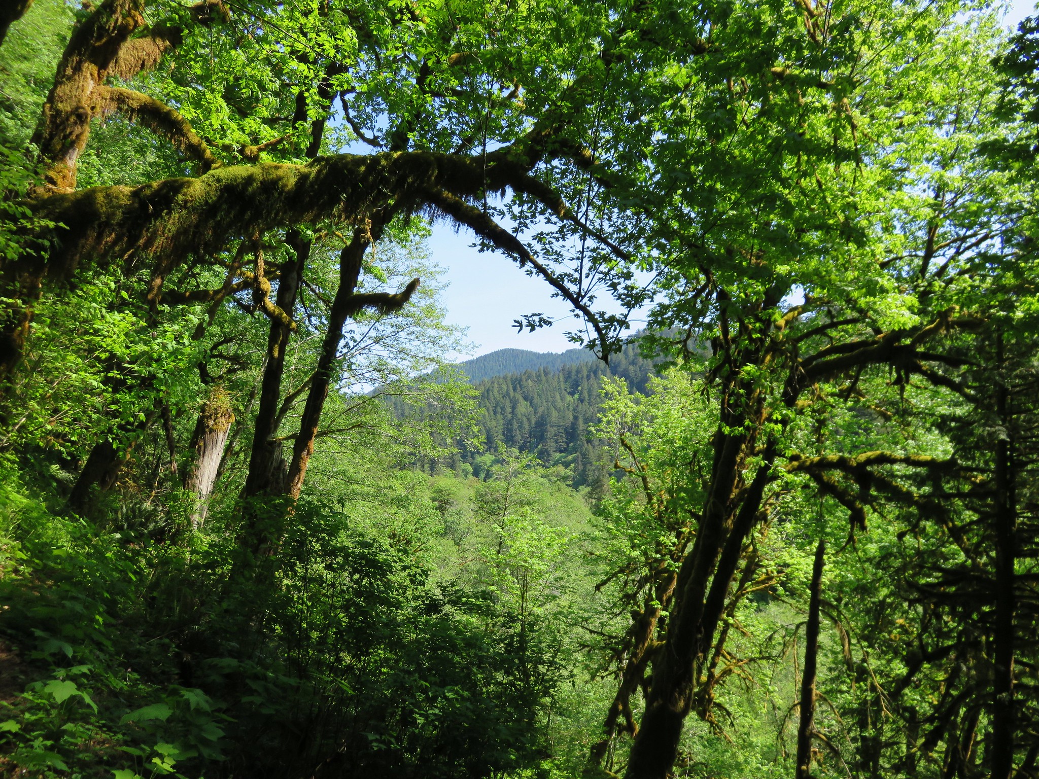
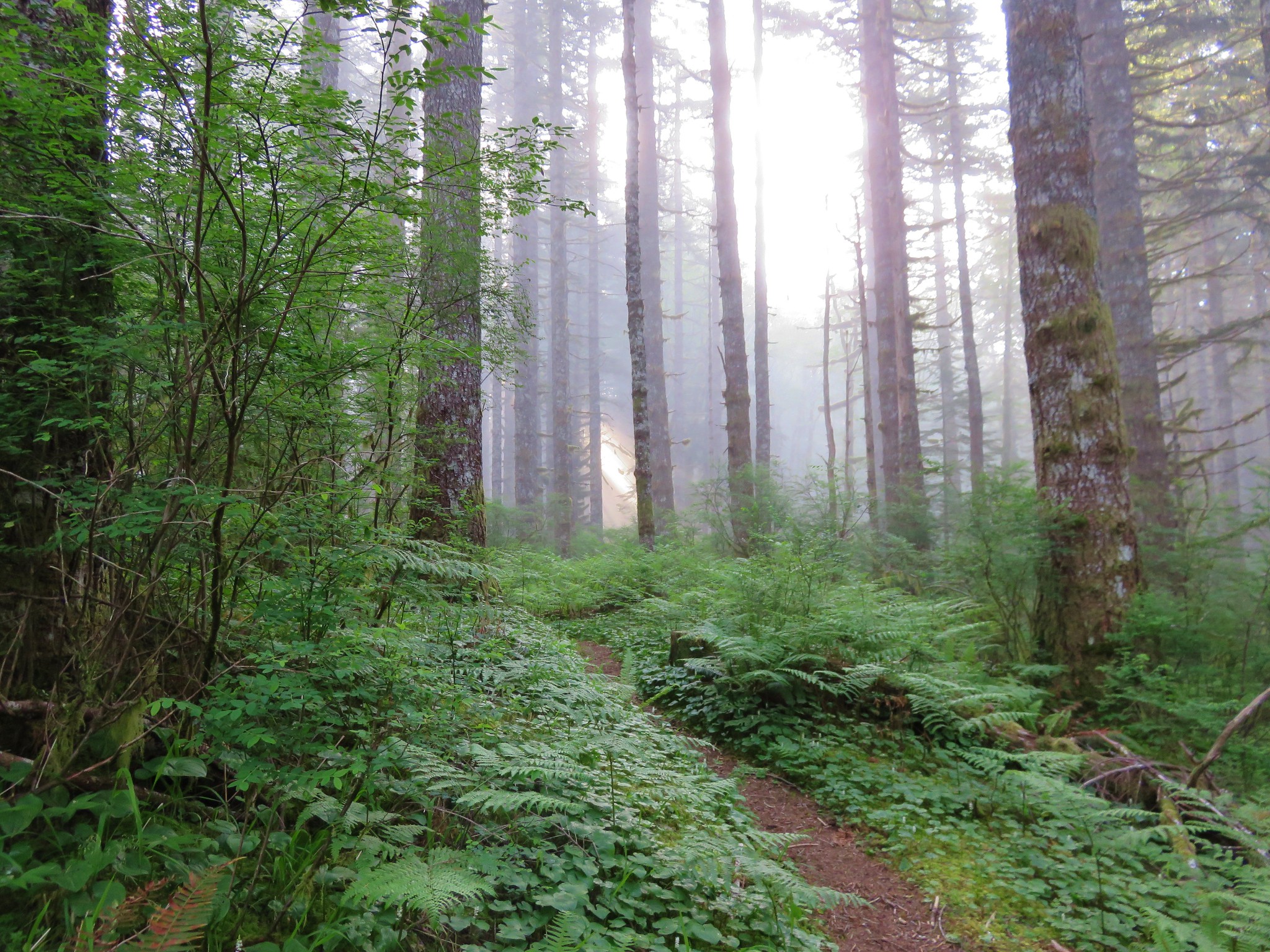
As we continued along the sun began to burn through the clouds which was a welcome sight.

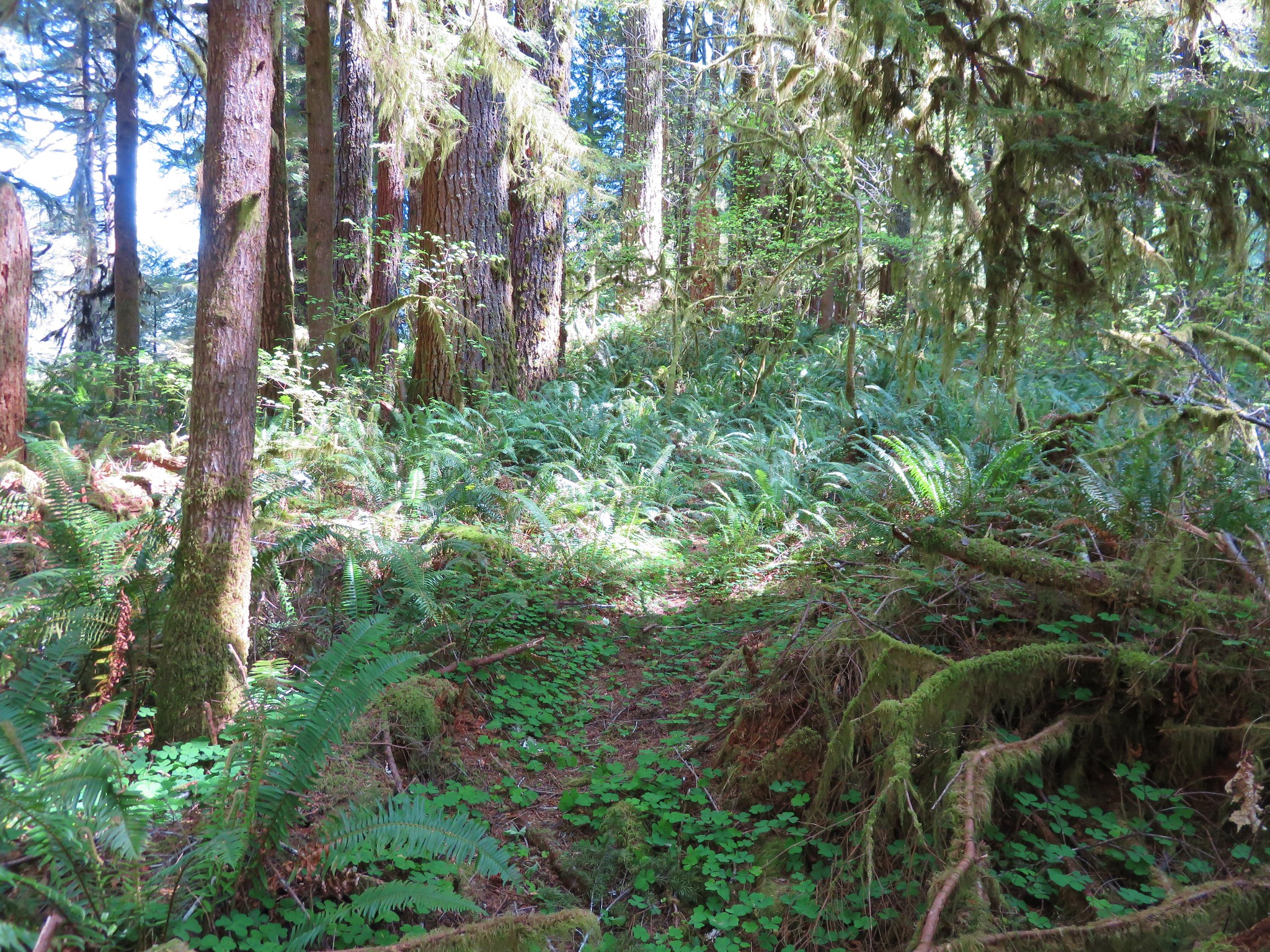
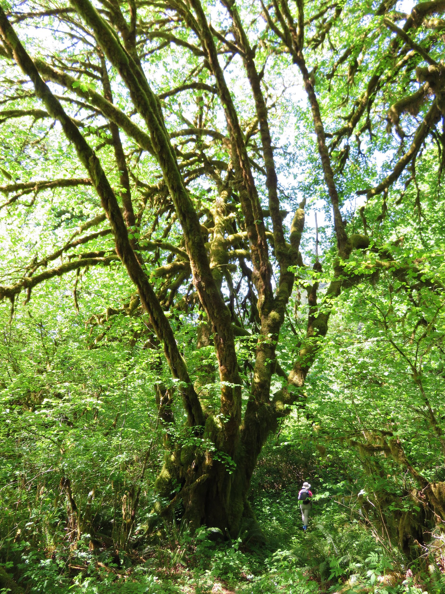
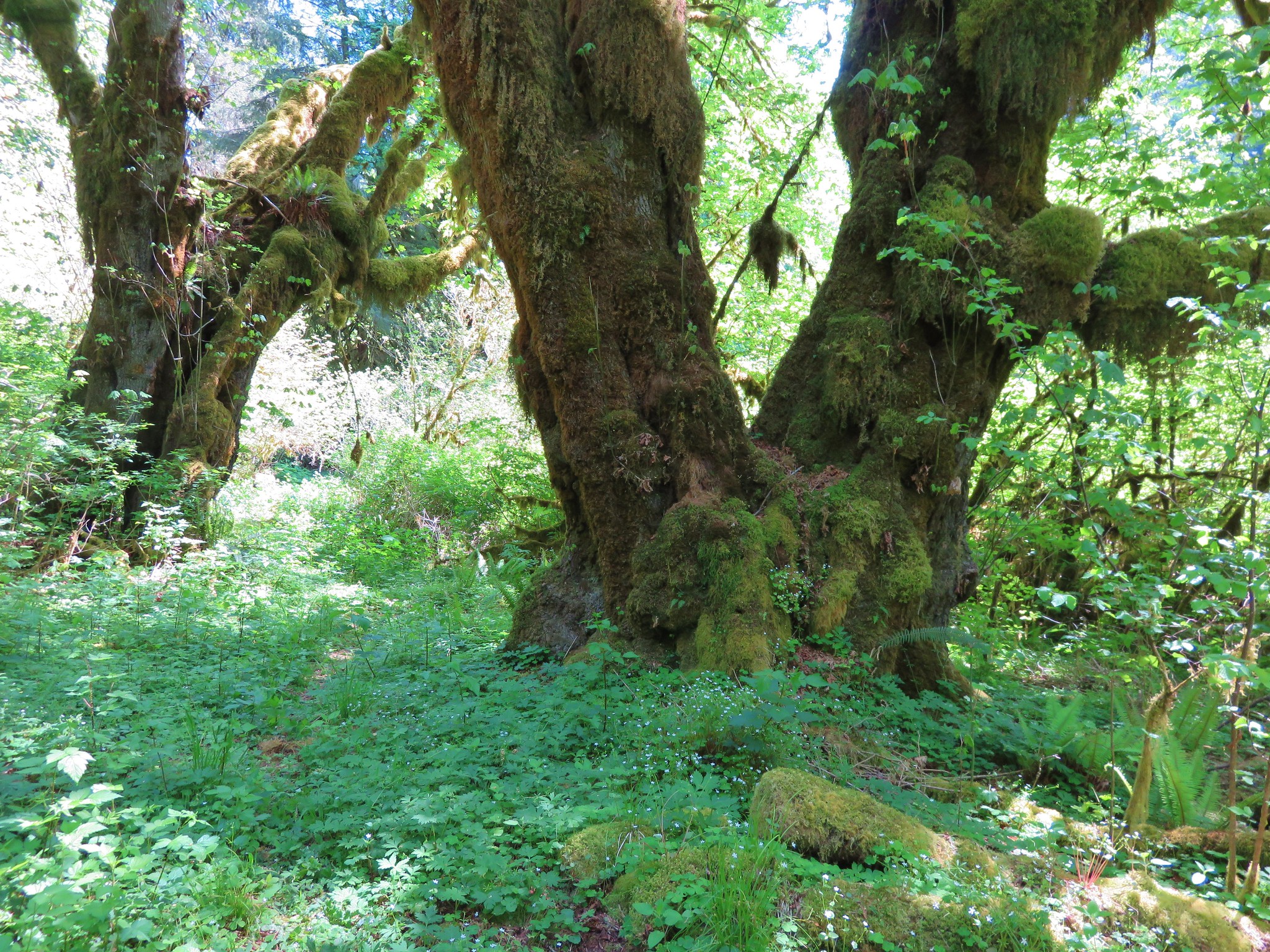
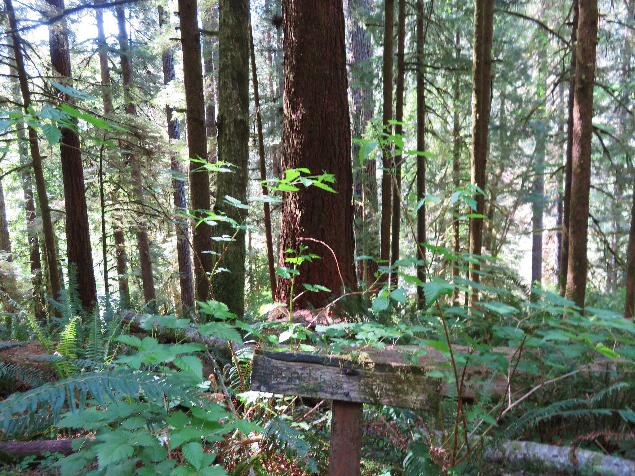
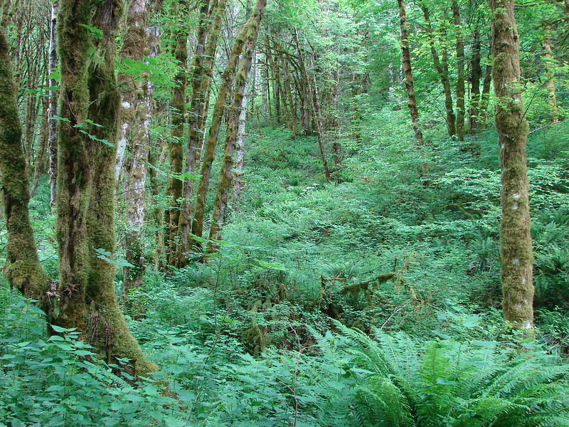
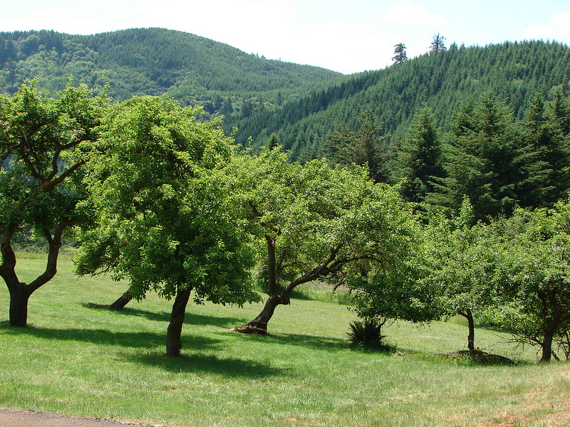
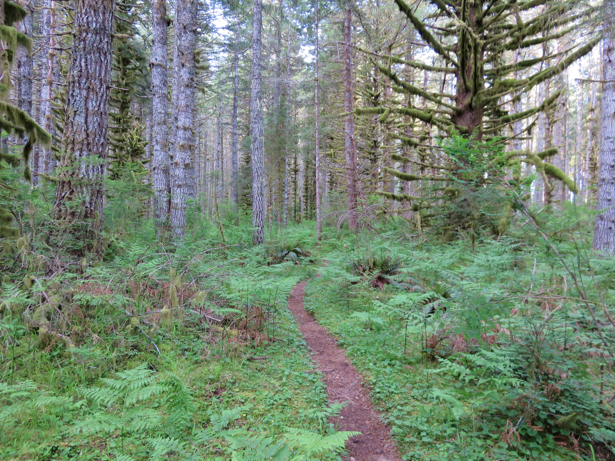
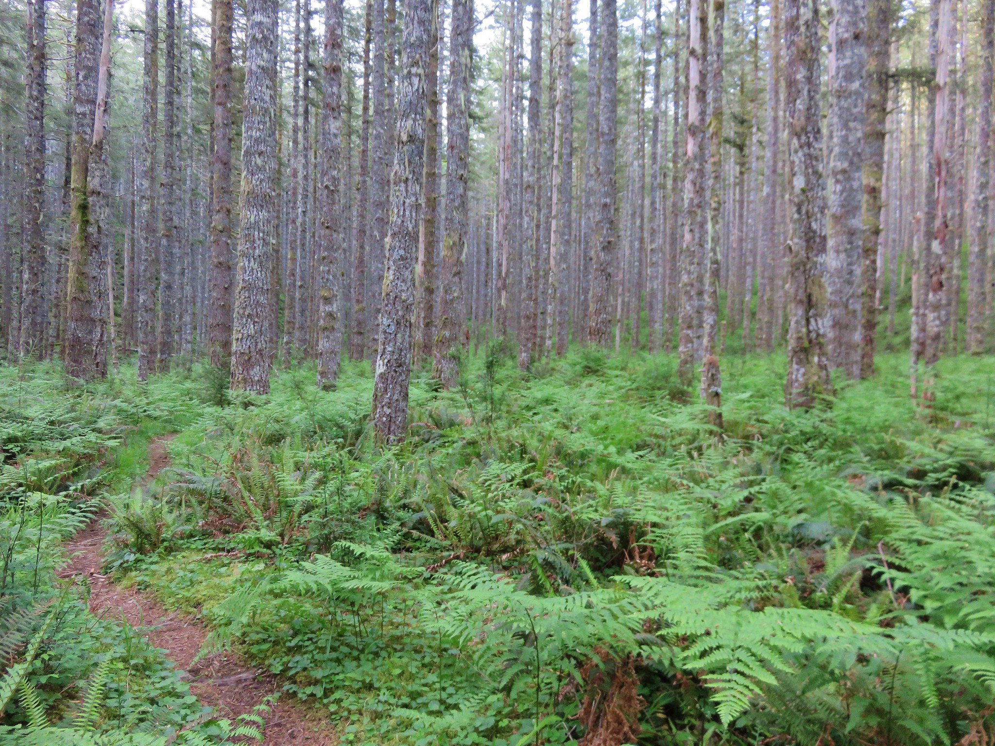
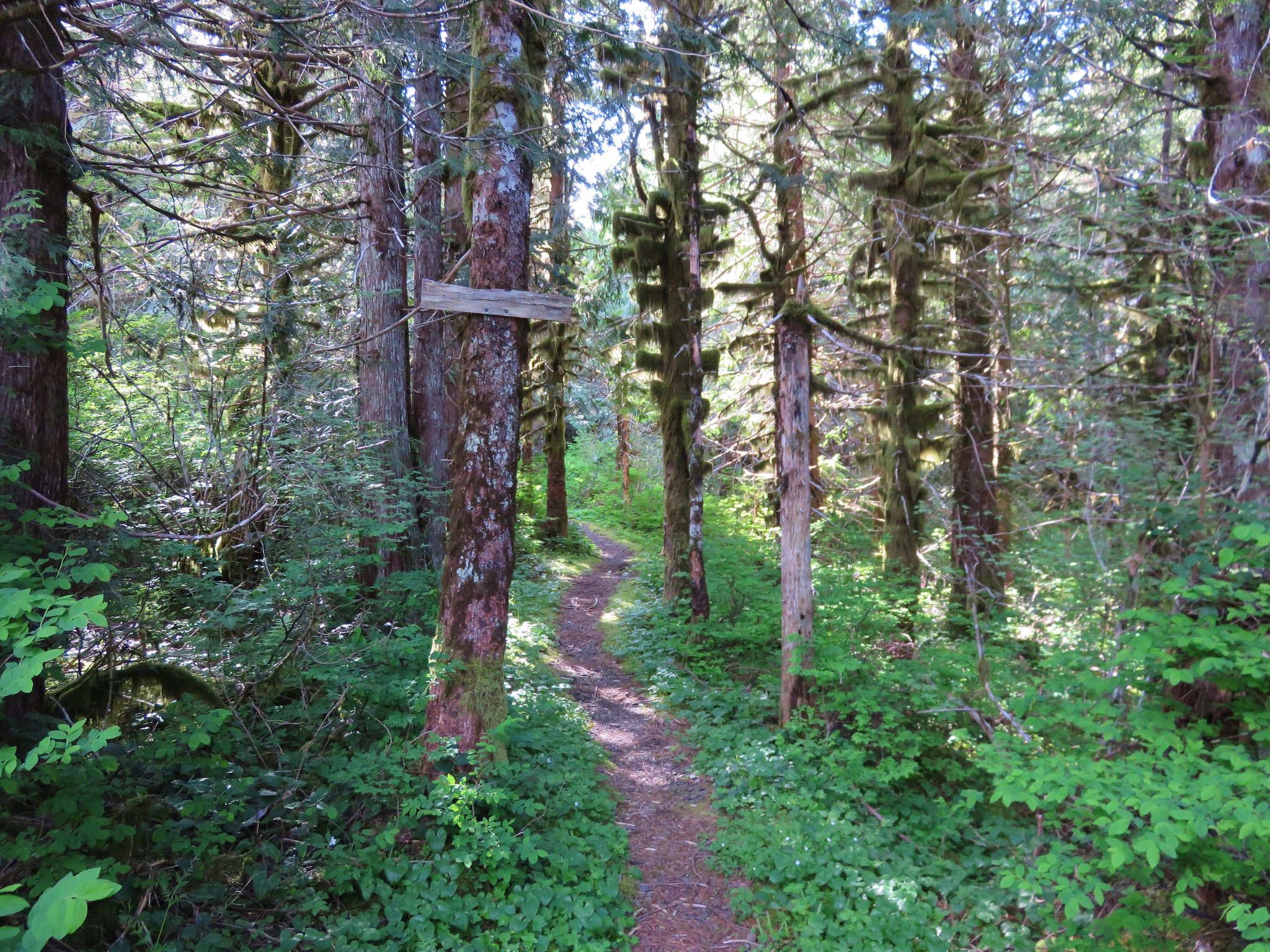
The trail passes several interpretive signs before reaching a plantation of trees which had been planted by the forest service in the early 1900s. The contrast between the two sections of forest is really interesting.
Forest before the plantation.
Some of the plantation trees.
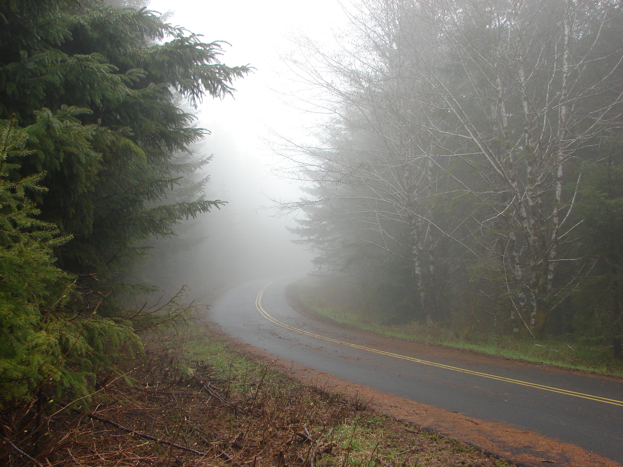
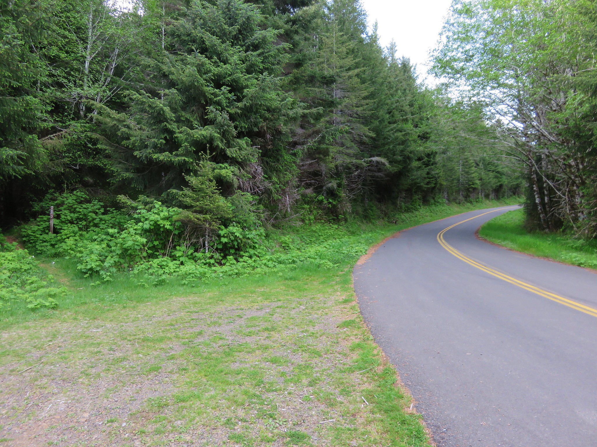
The trail crosses a gravel road then at the 2.9 mile mark after a good climb crosses paved road 14. I had taken a photo at this crossing on our first visit allowing for a good comparison of just how different things were this time around.
2011
2015
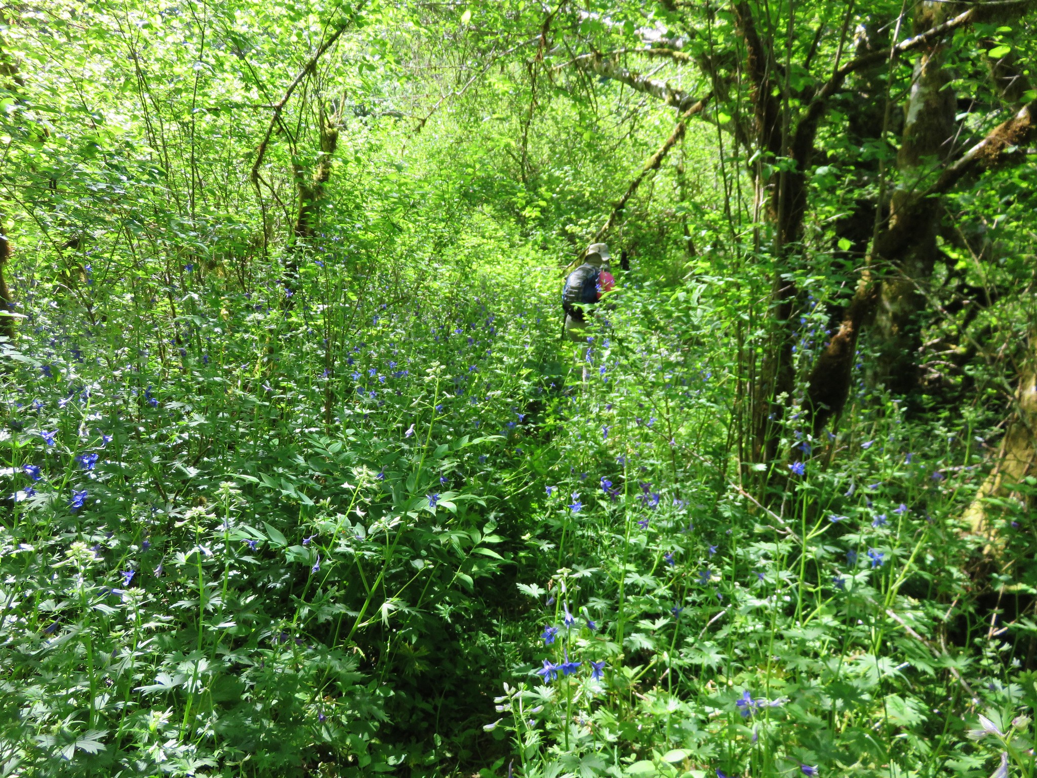
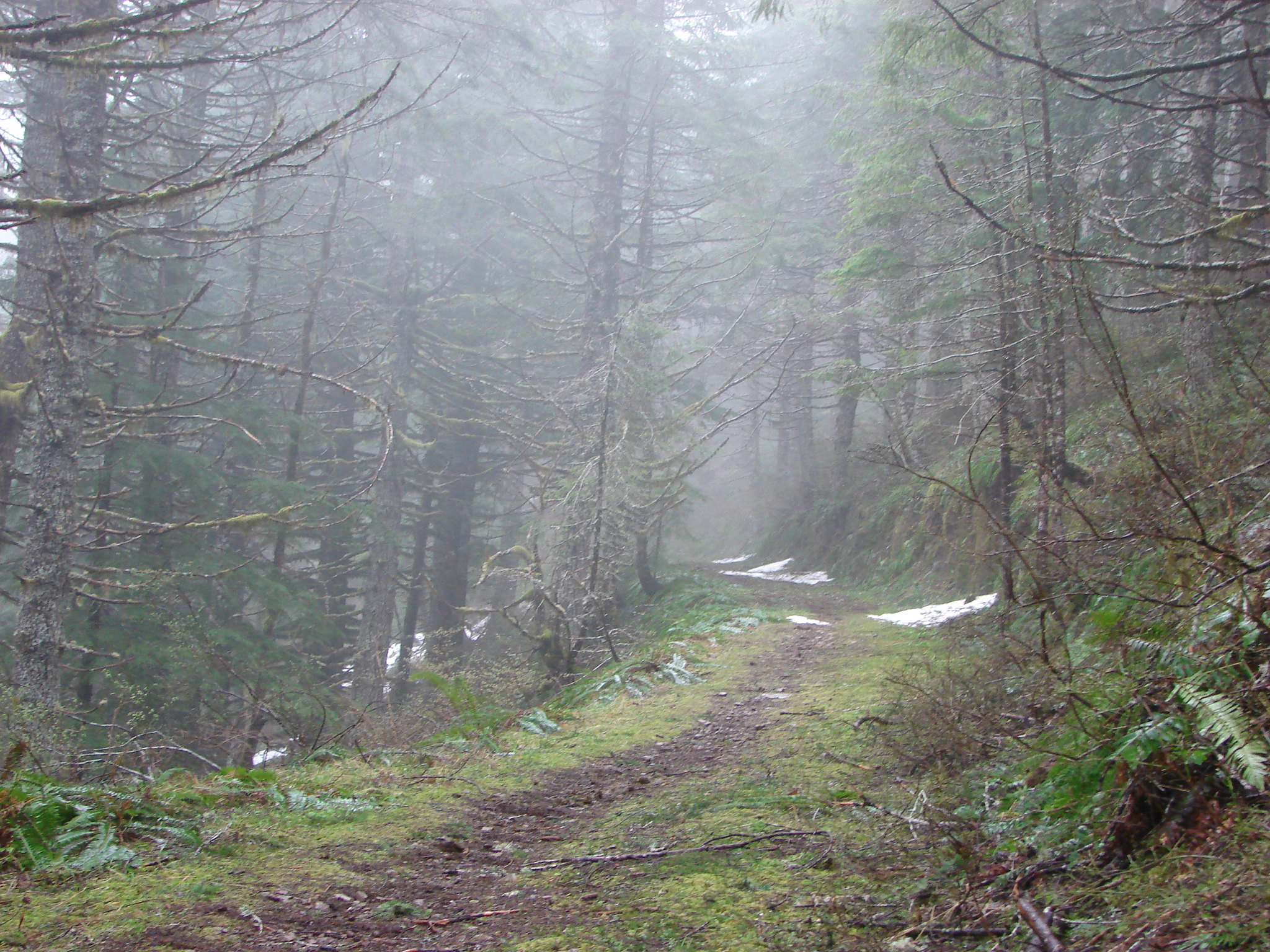
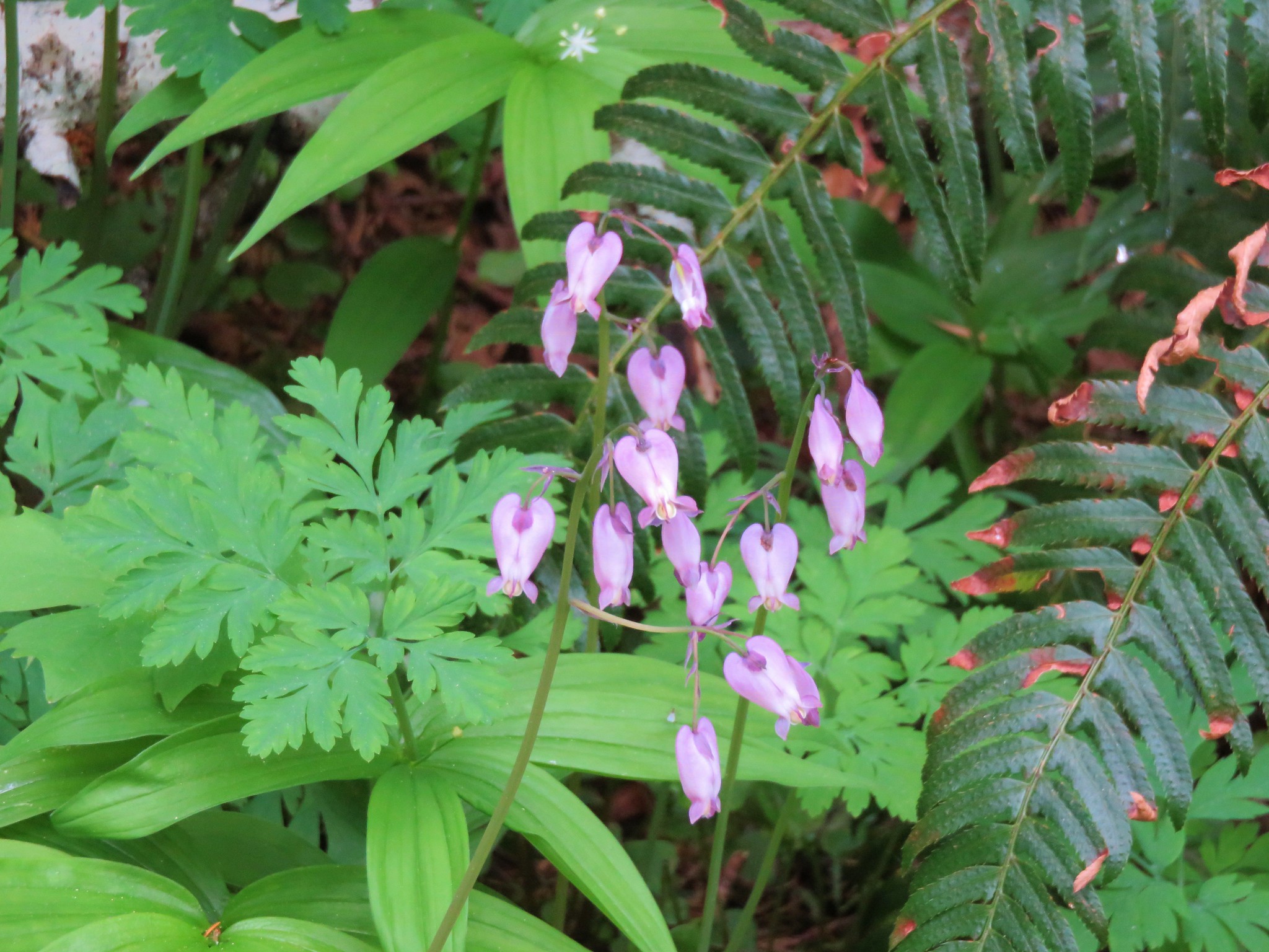
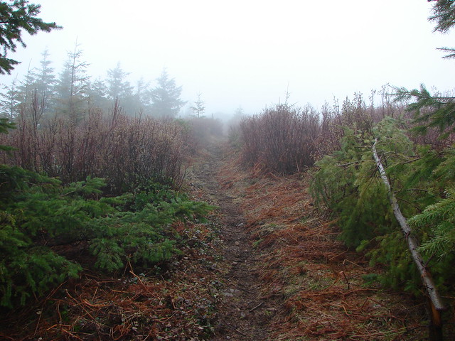
After crossing the road the trail follows an old road bed which is where we had encountered the first of the snow in 2011. This time around we encountered flowers instead.
2011
2015
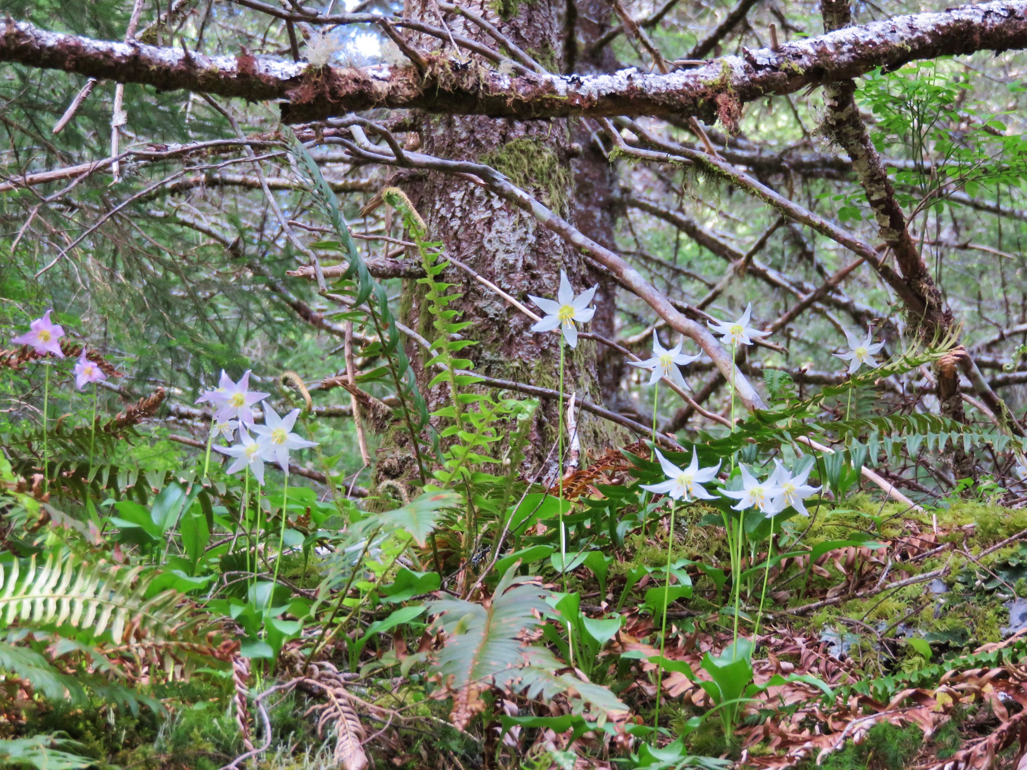

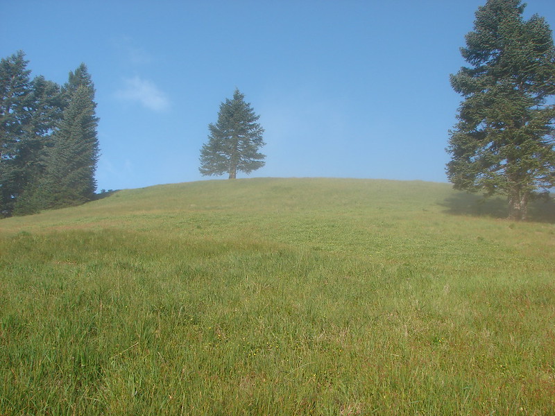
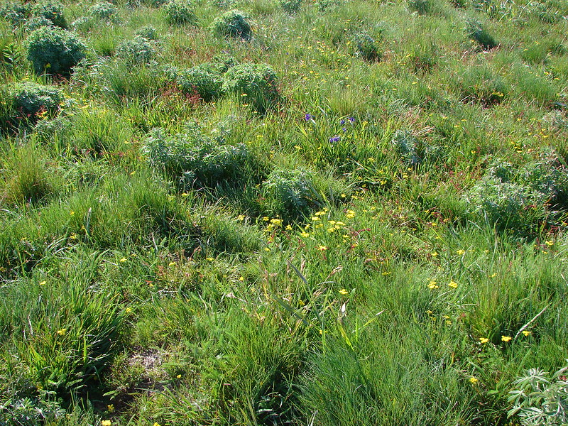
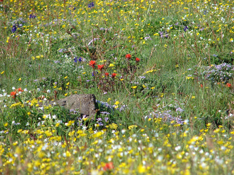
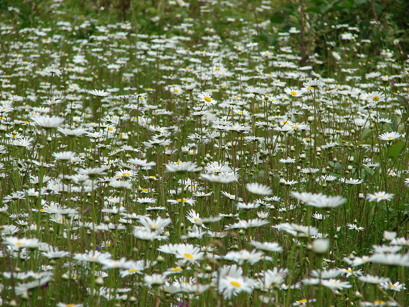
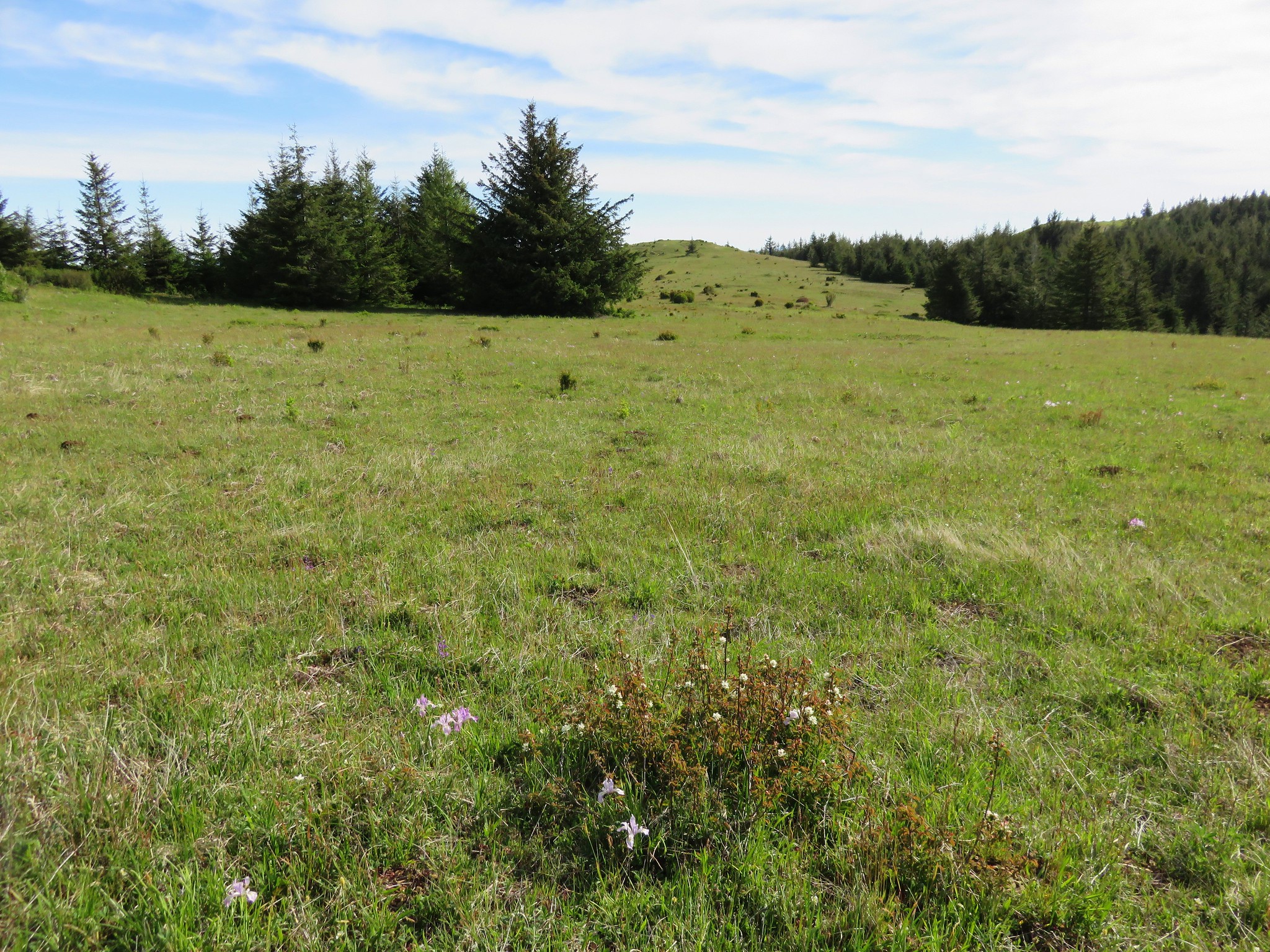
Just over a mile from the road 14 crossing the trail enters the first meadow. Here again we found a vastly different scene than on our previous visit.
2011
2015
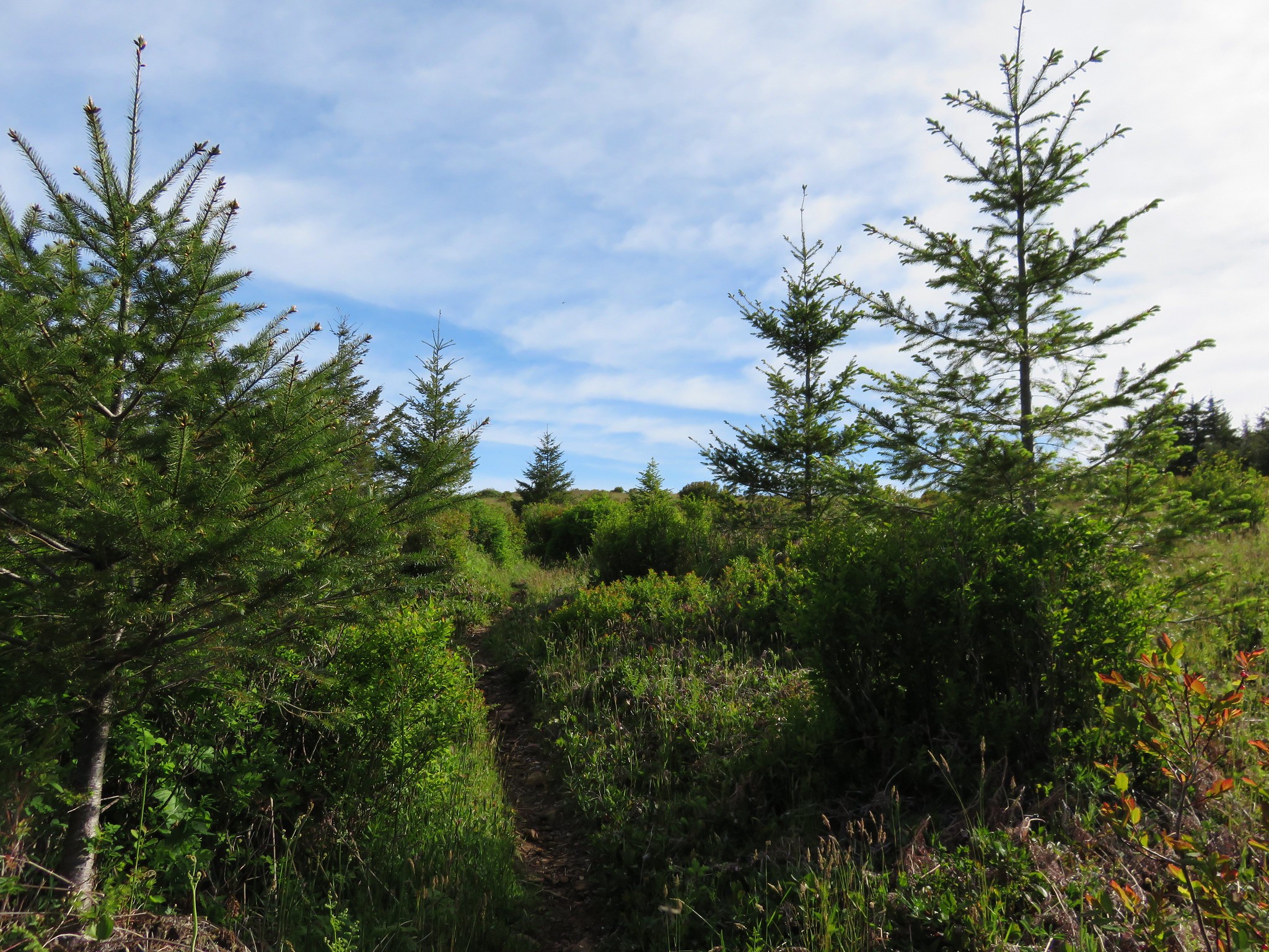
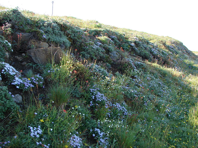
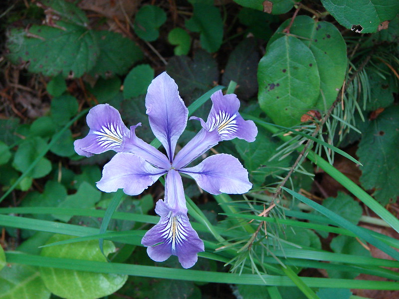
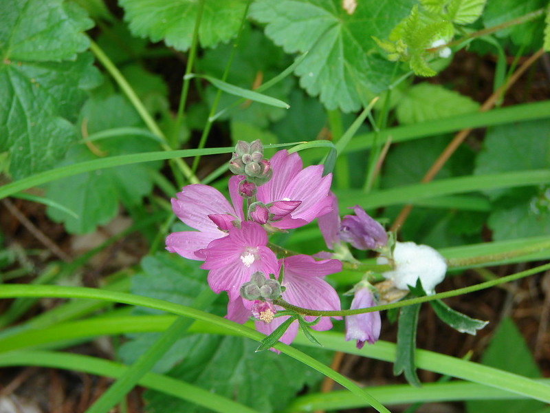
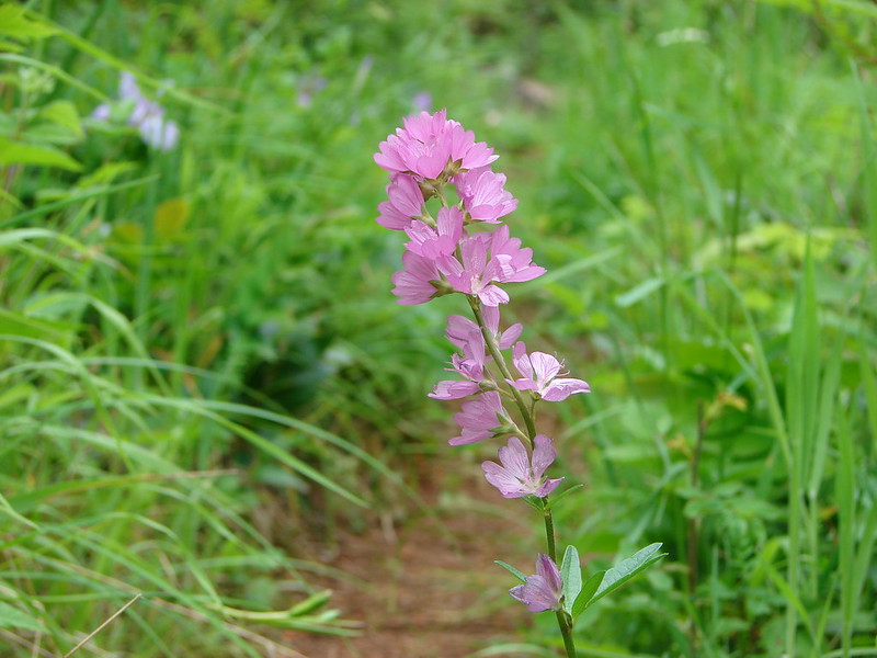
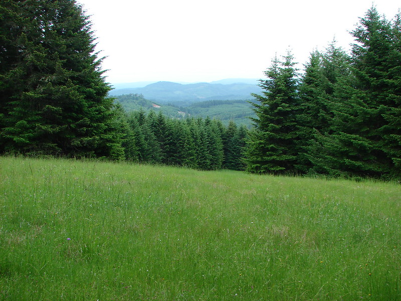
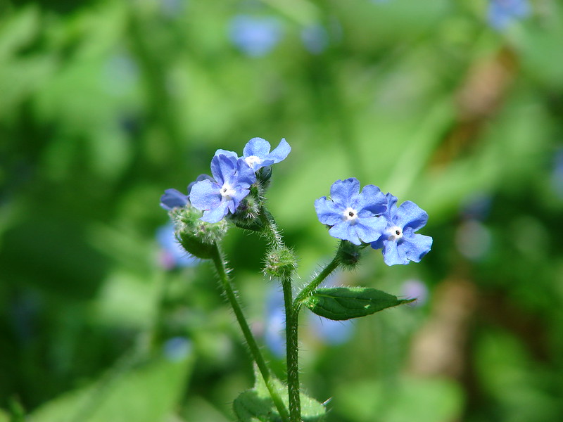
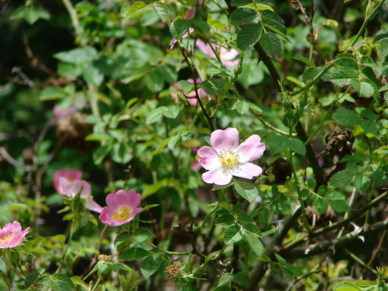
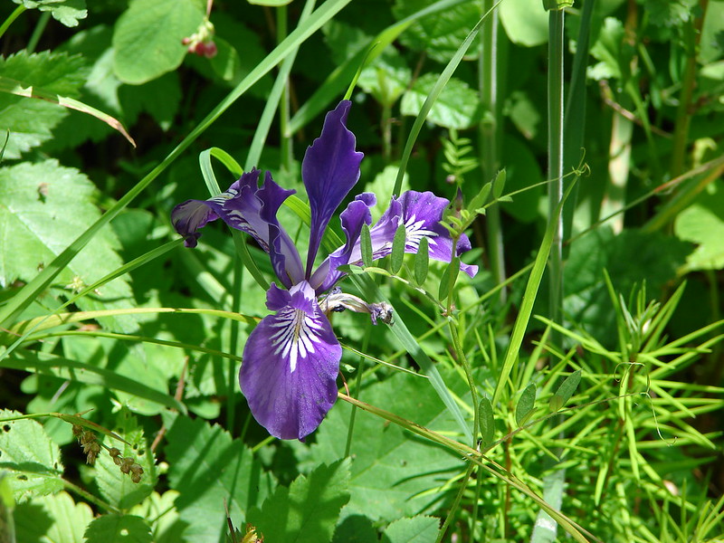
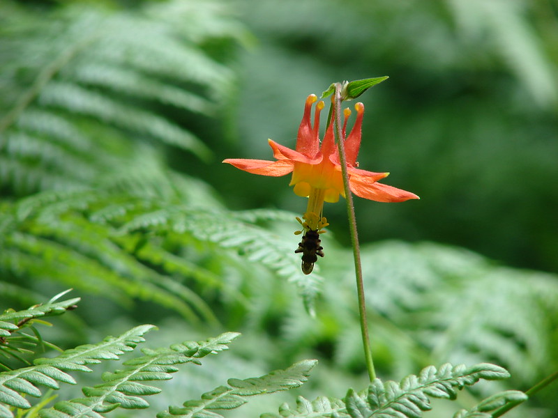
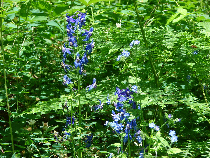
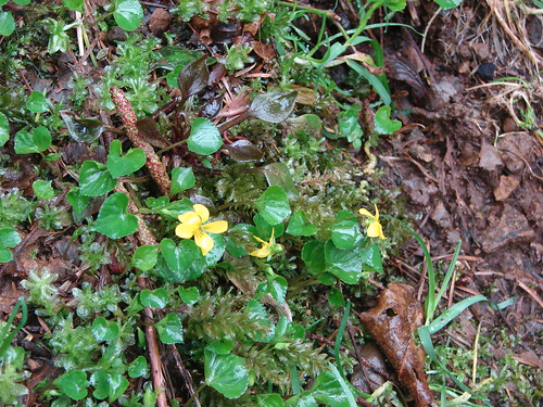
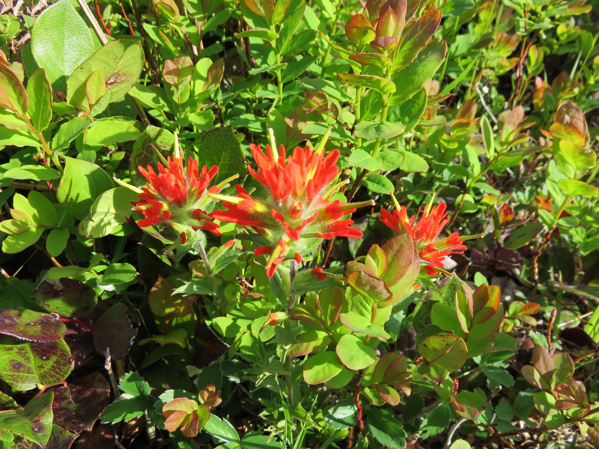
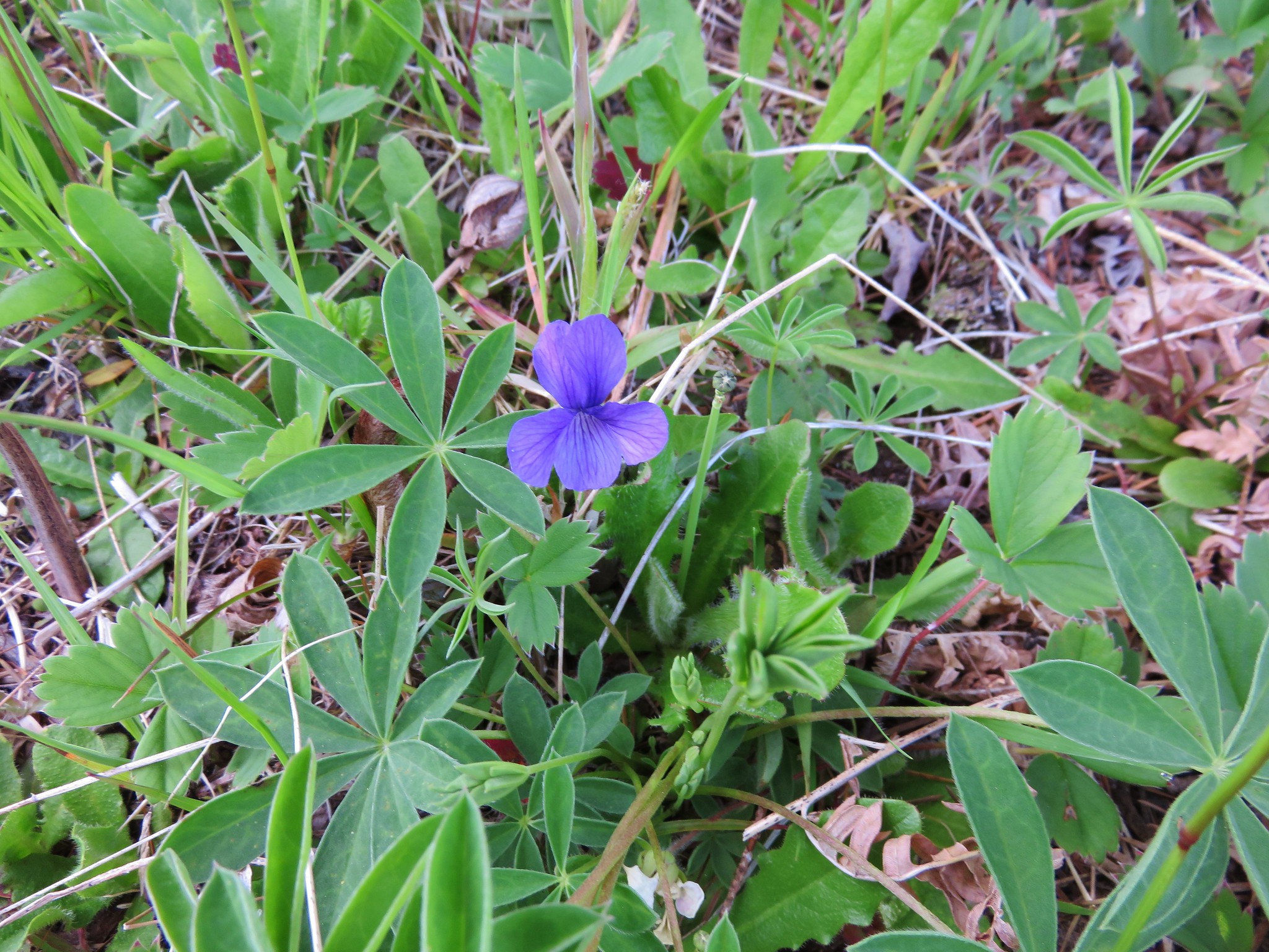
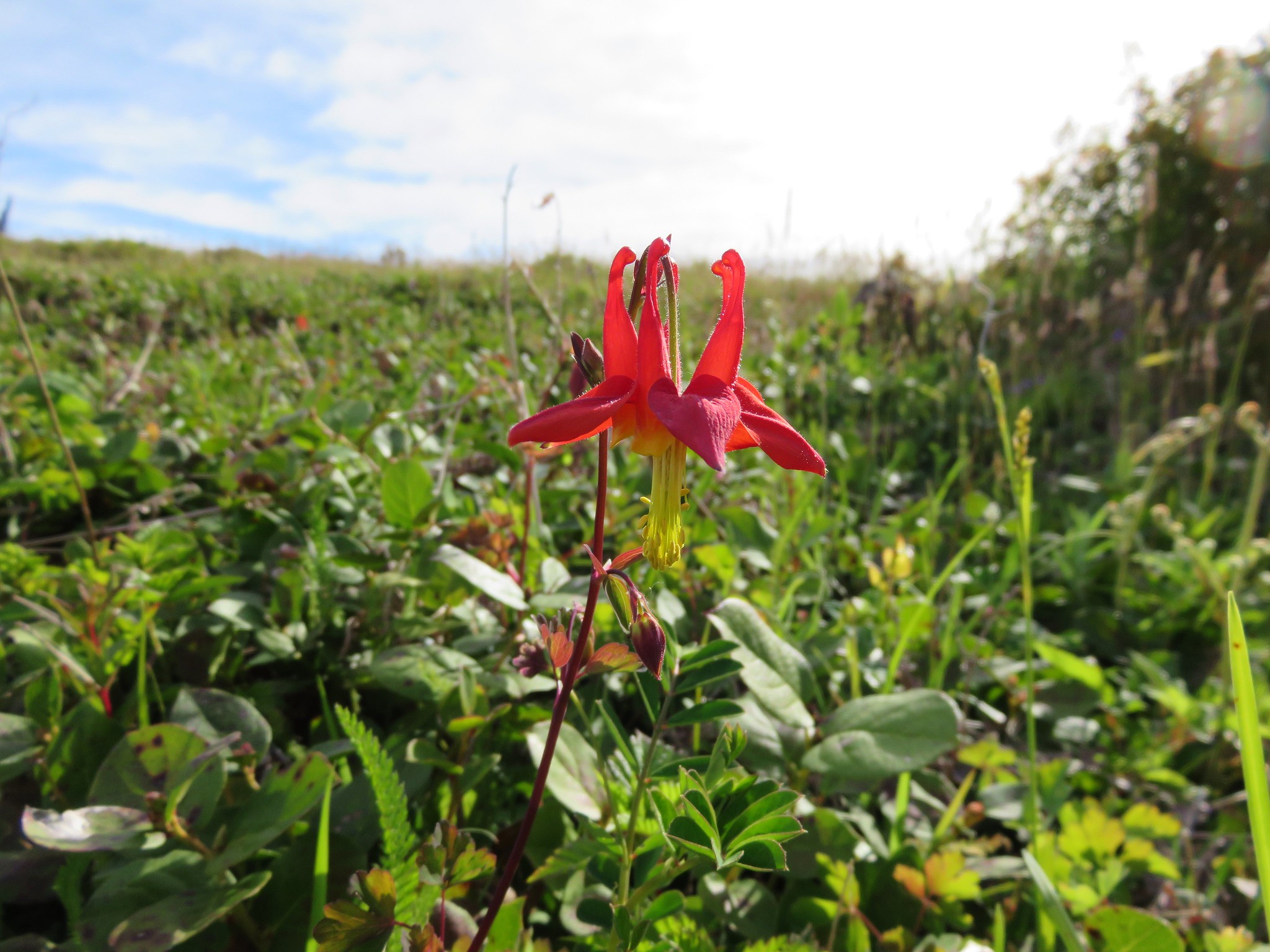
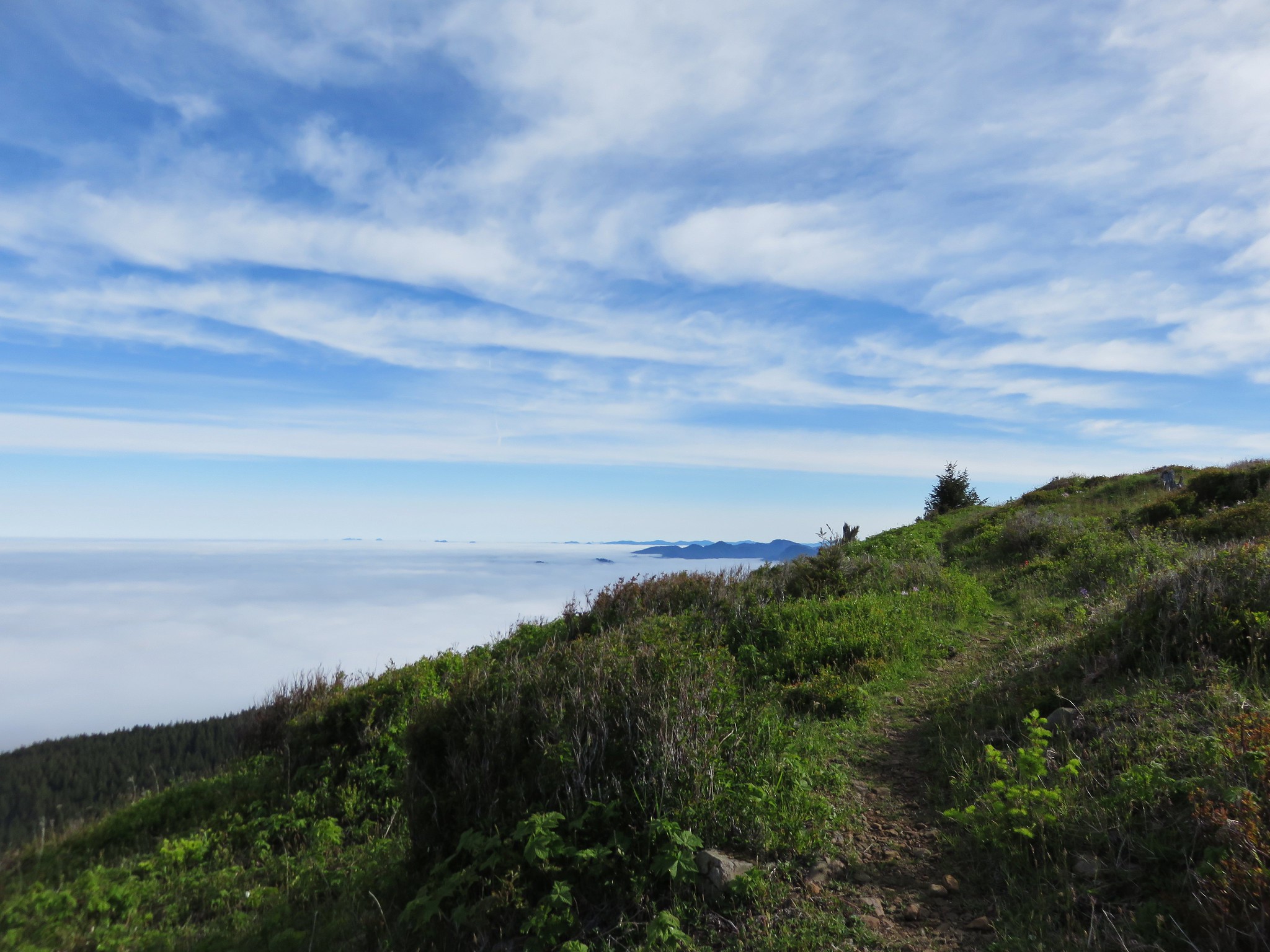
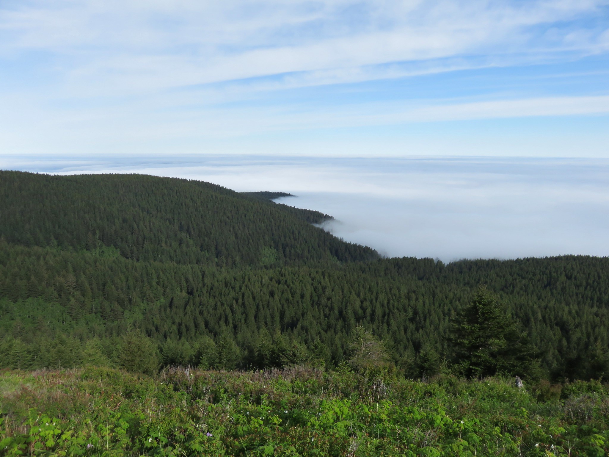
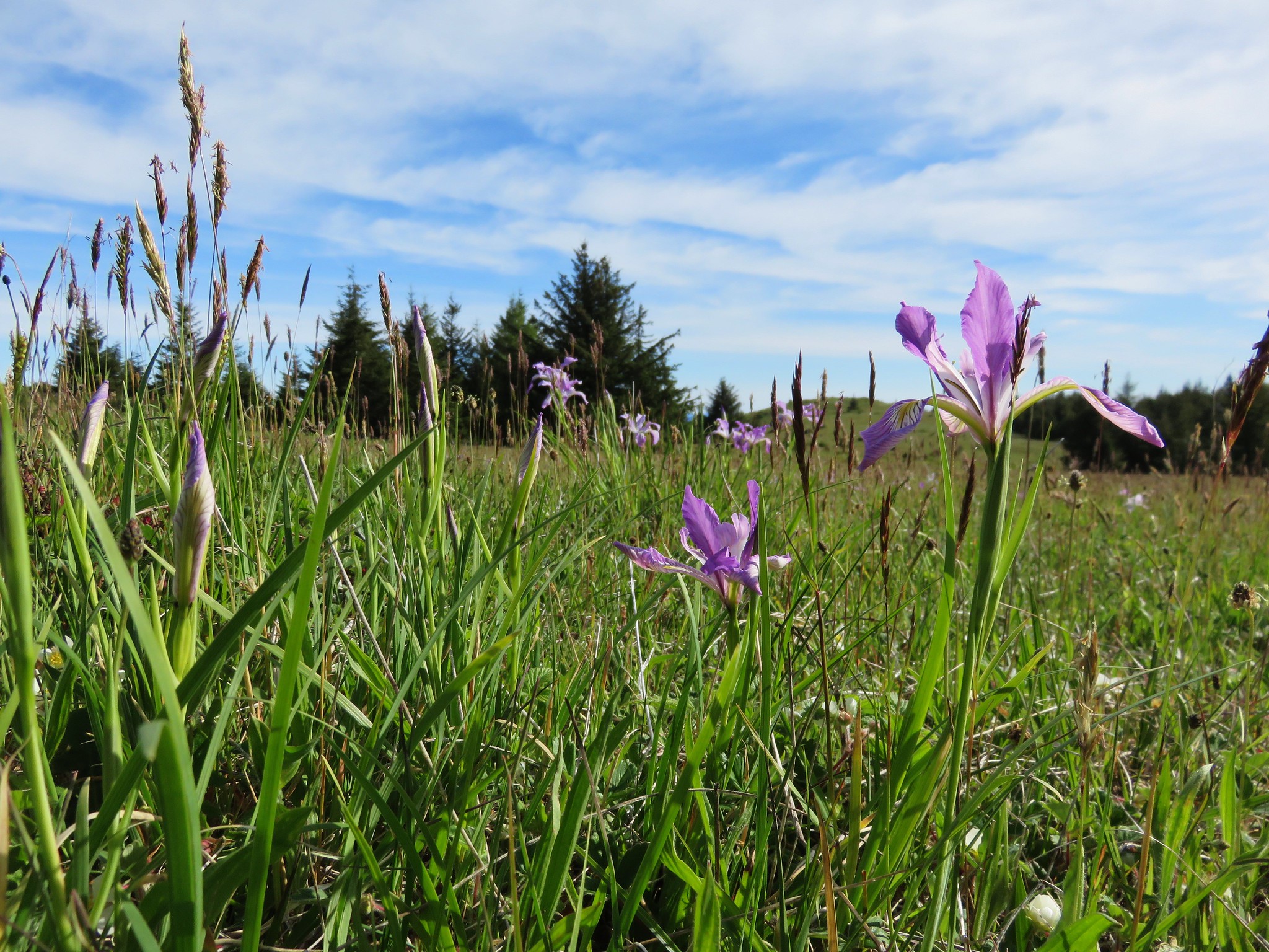
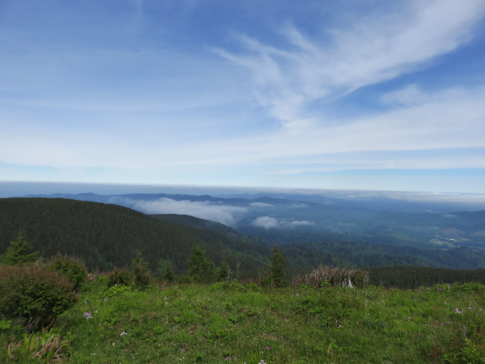
There was a wide variety of flowers dotting the meadow and the view was much improved. We still could not see the ocean or any of the cascade peaks but much of the coast range was visible above the clouds.
Paintbrush
Violet
Columbine
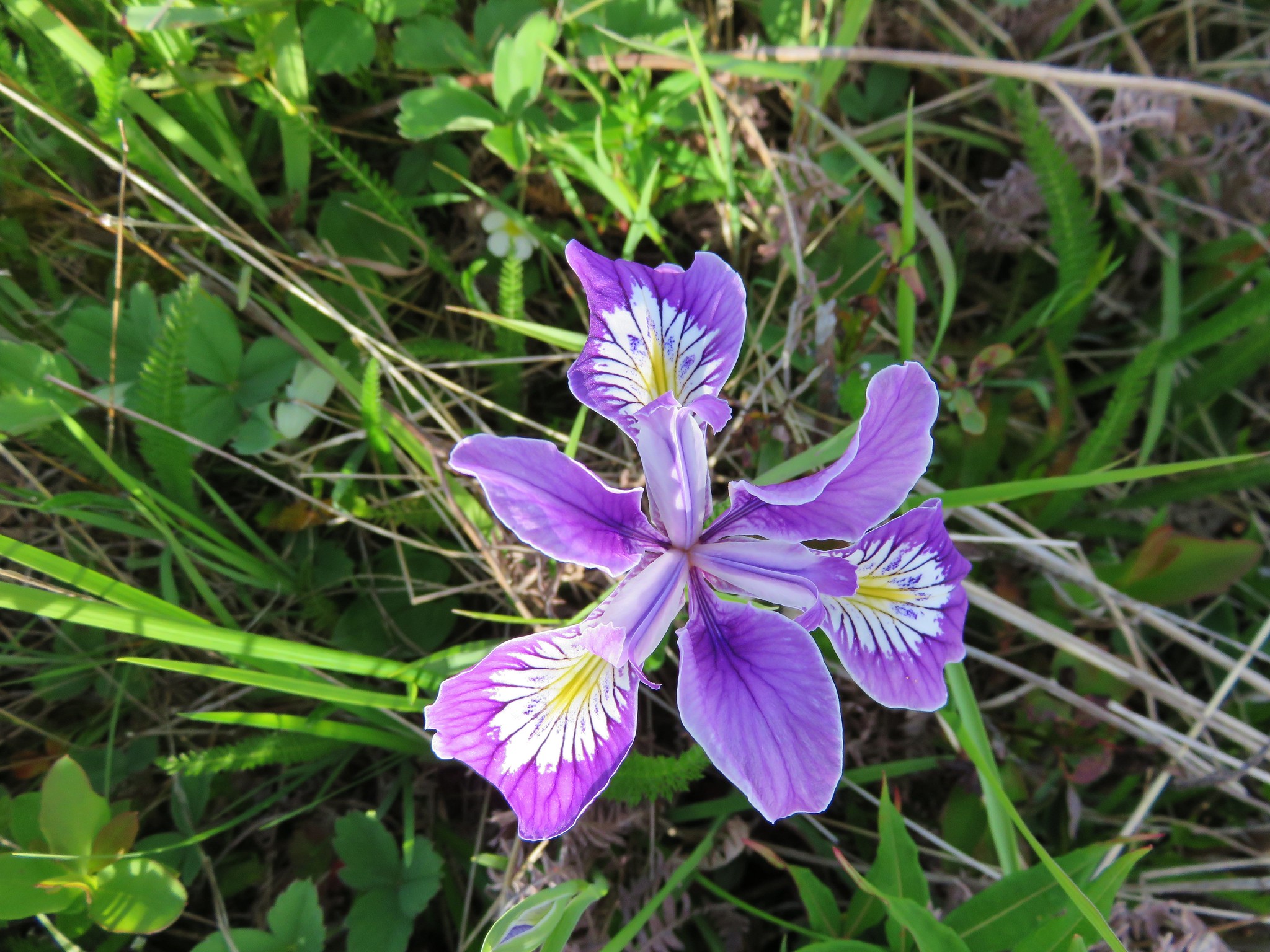
Wild Iris
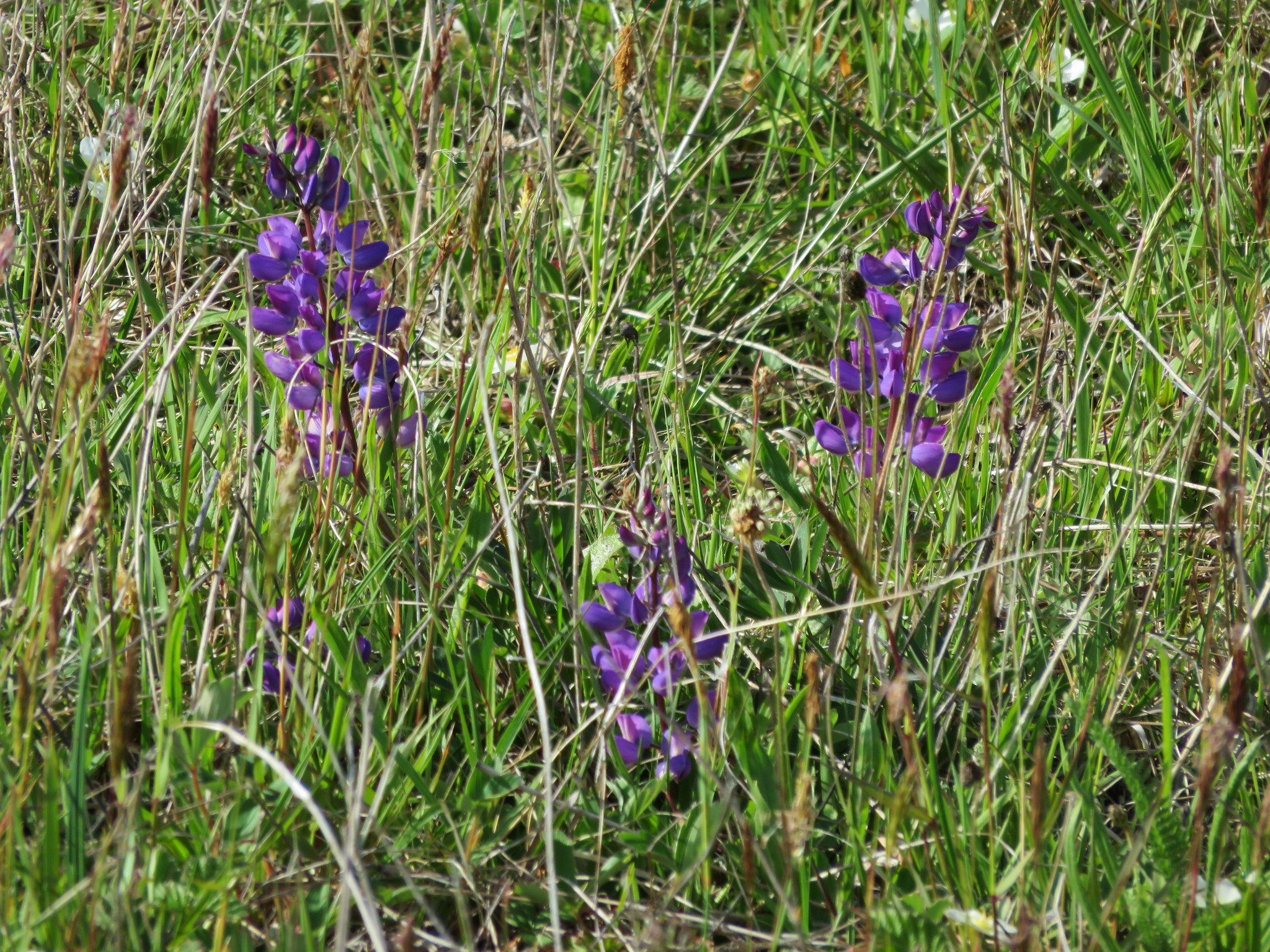
Lupine

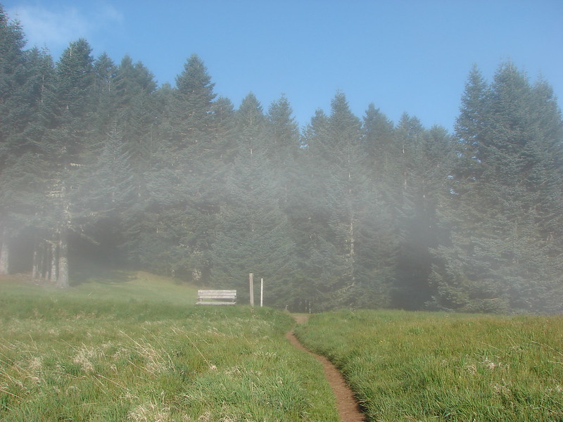
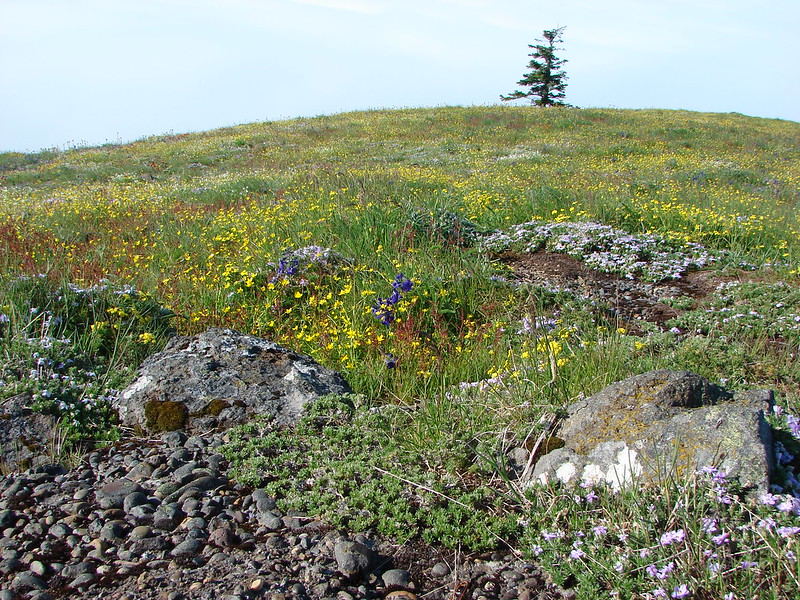
The trail passes through the first meadow then a short section with some trees before emerging in a much larger meadow.

We had turned around in this meadow after being blasted by a cold wet wind in 2011 but on this beautiful day we continued on recrossing road 14 and reentering the forest.
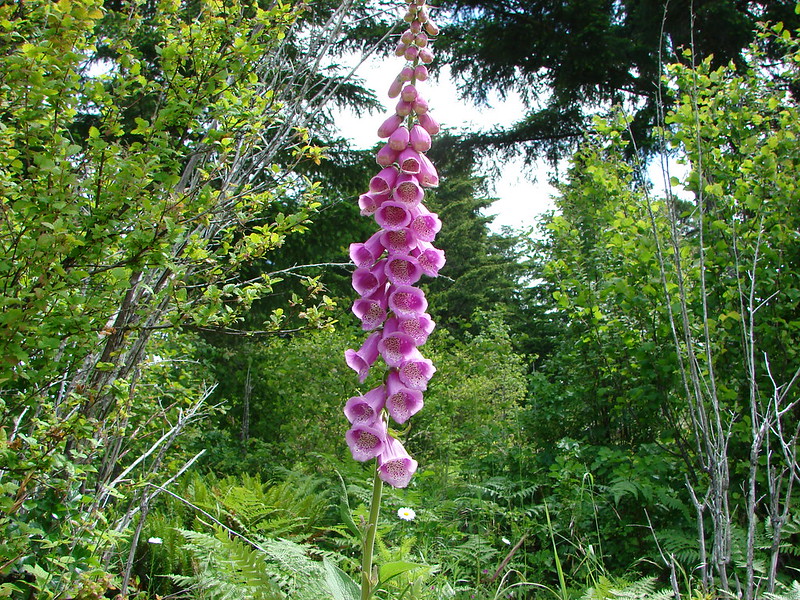
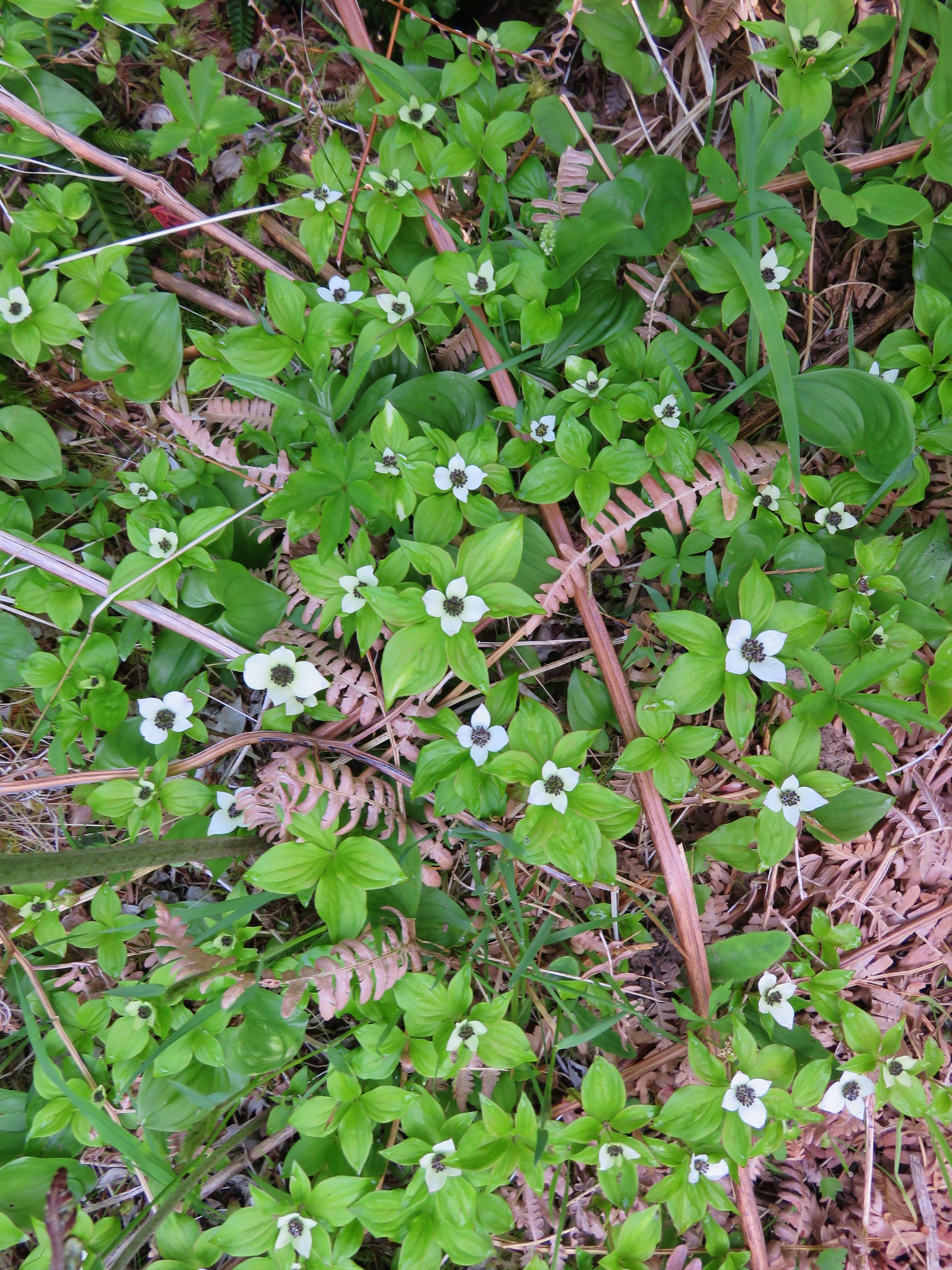
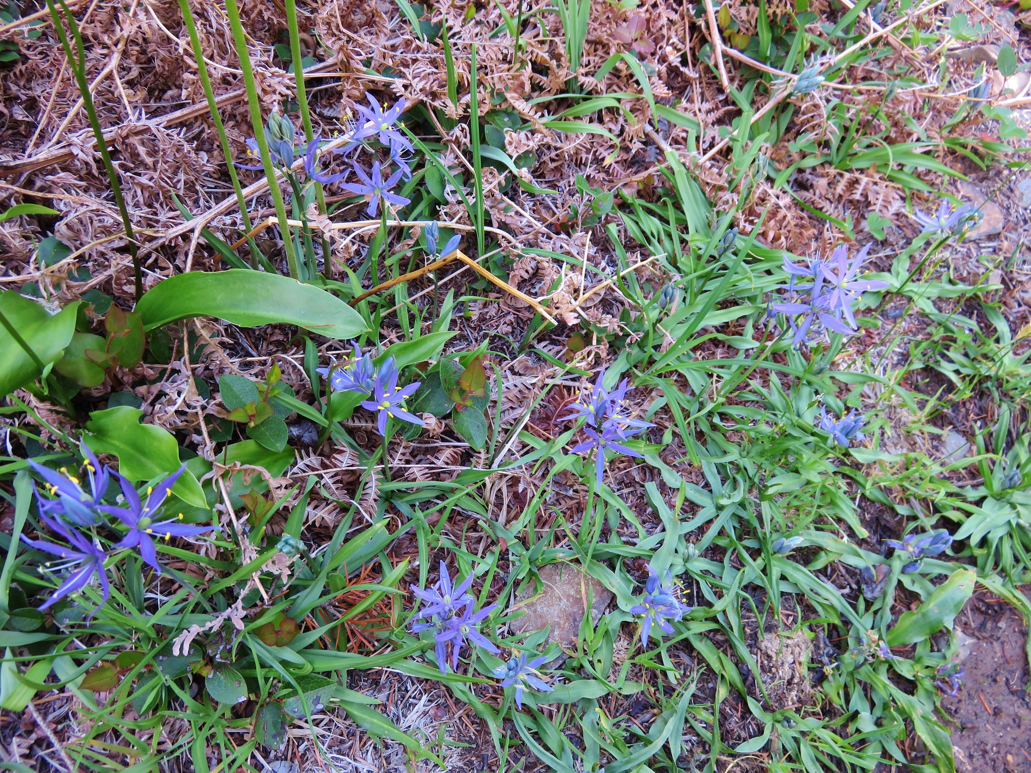
There were new flowers to discover on this section of the trail including bunchberry, anenome, and camas which we were really surprised to see.

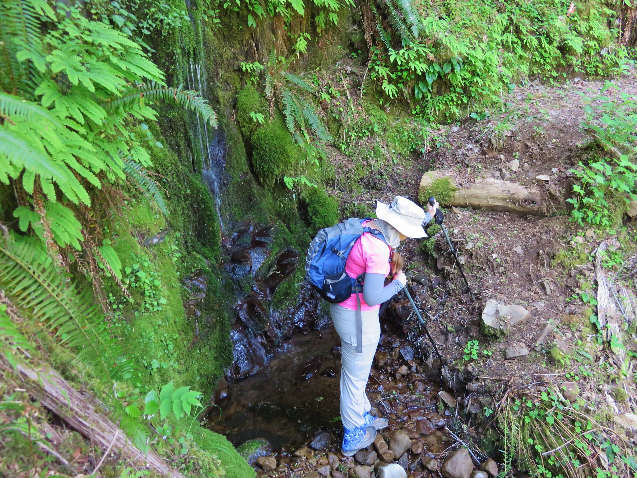
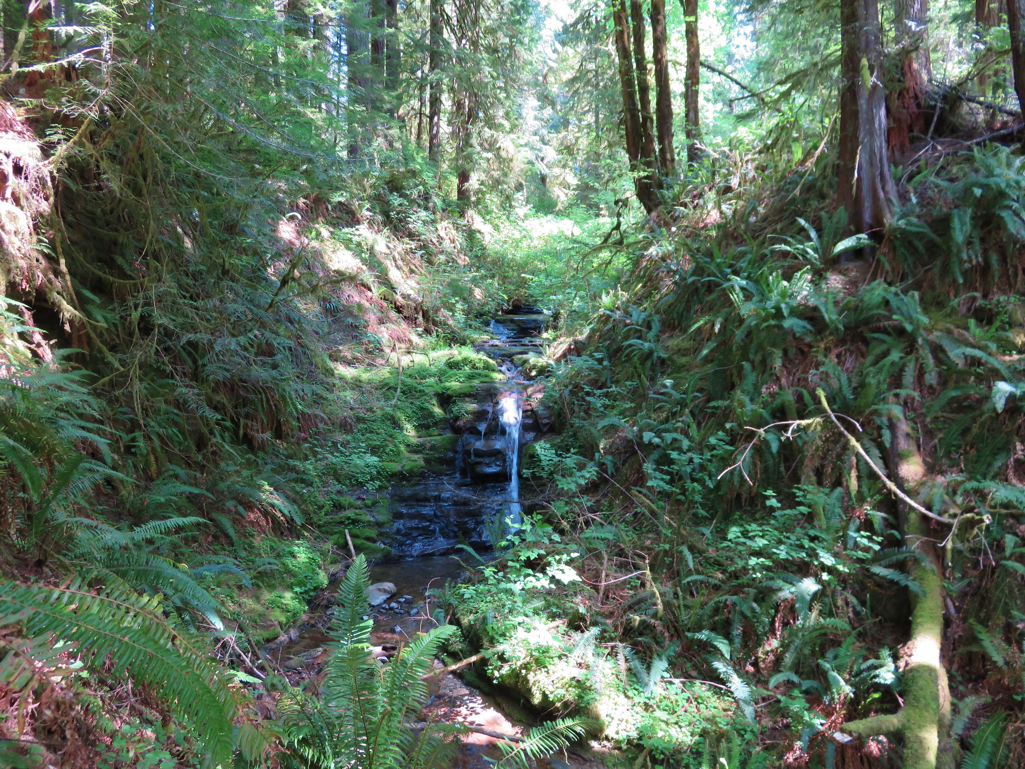
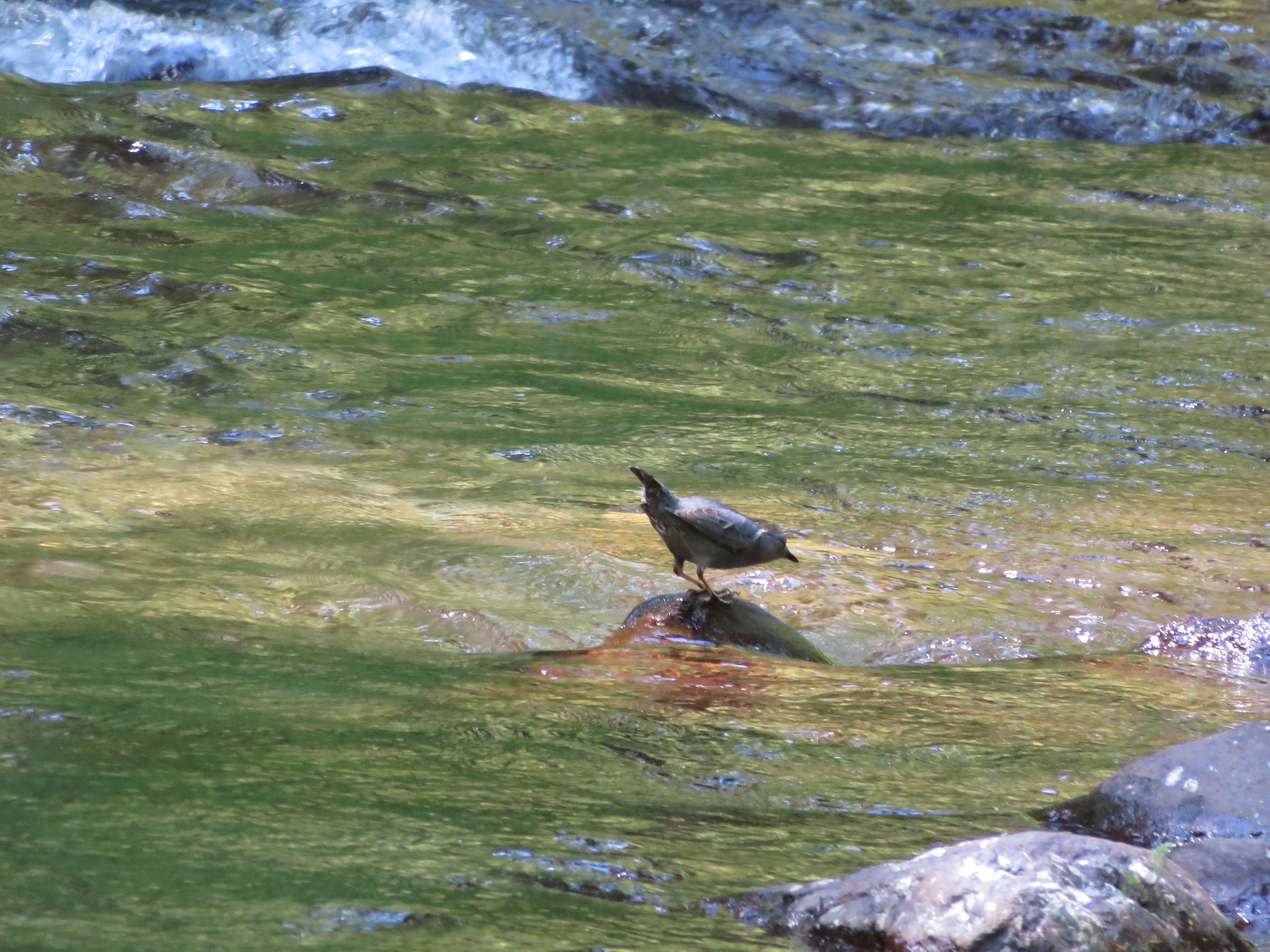
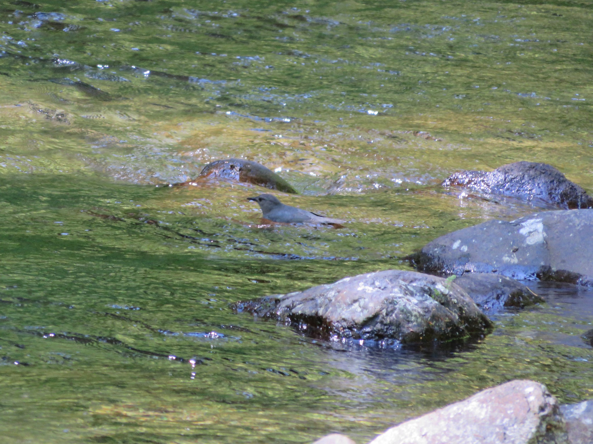
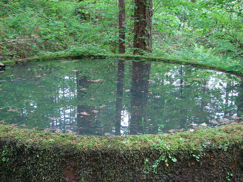
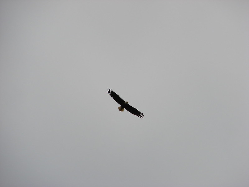
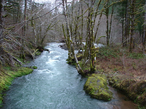
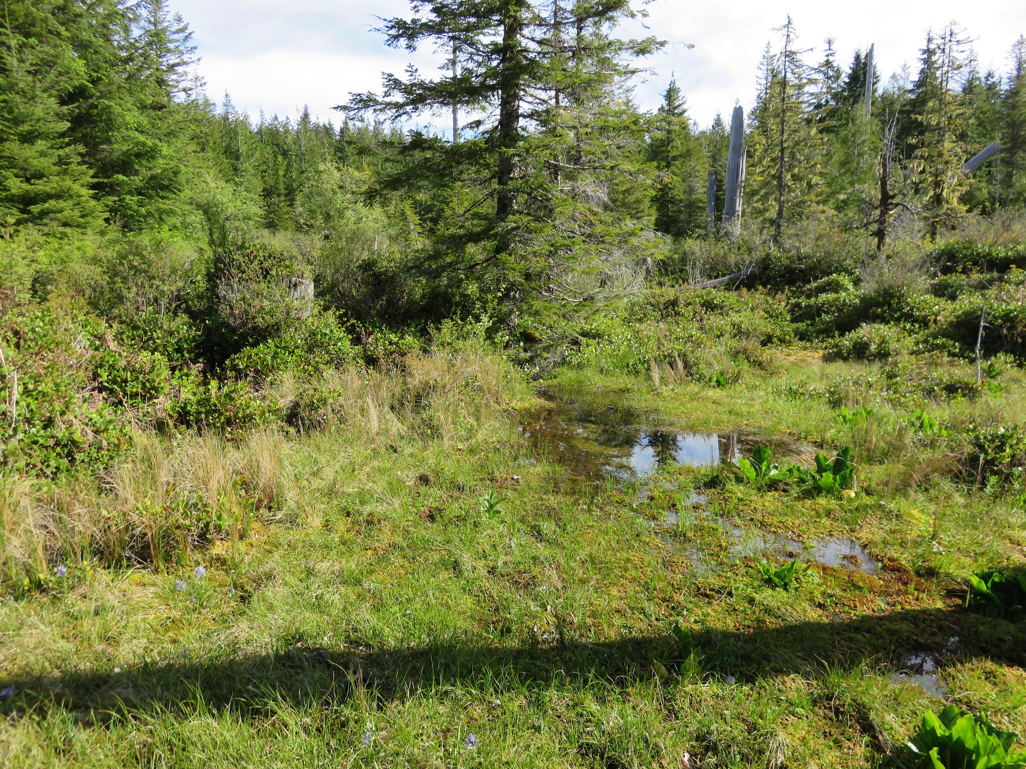
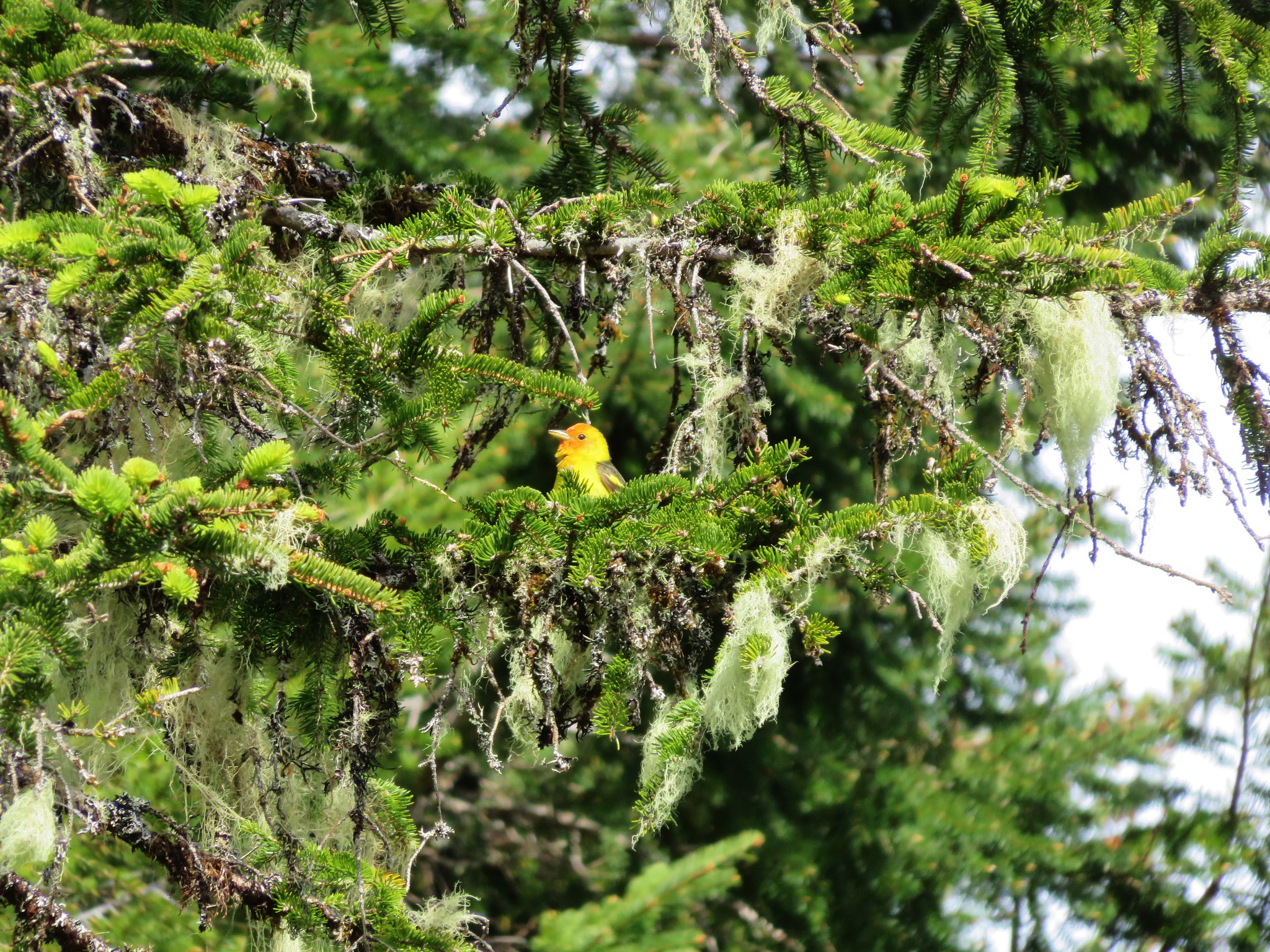
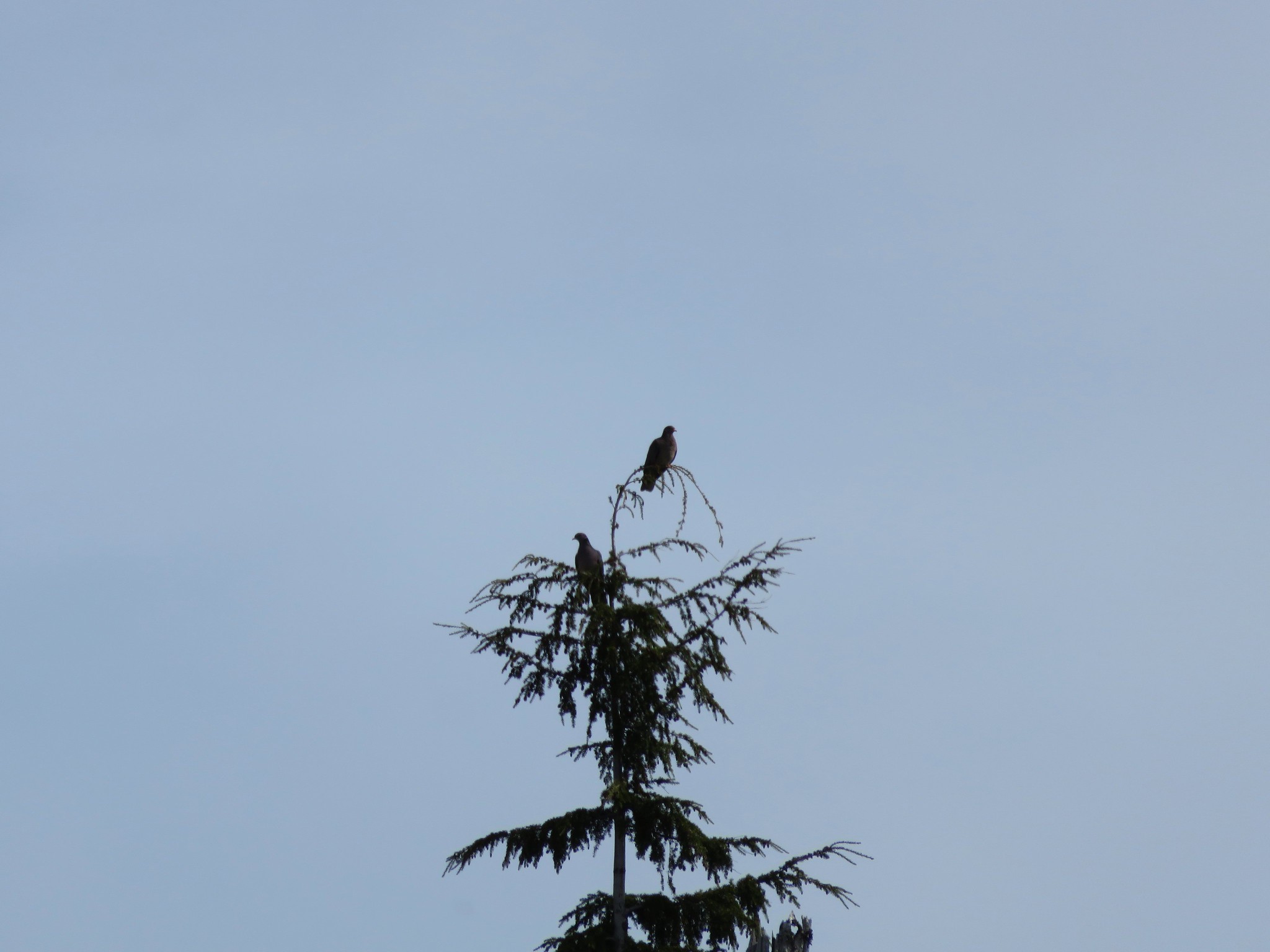
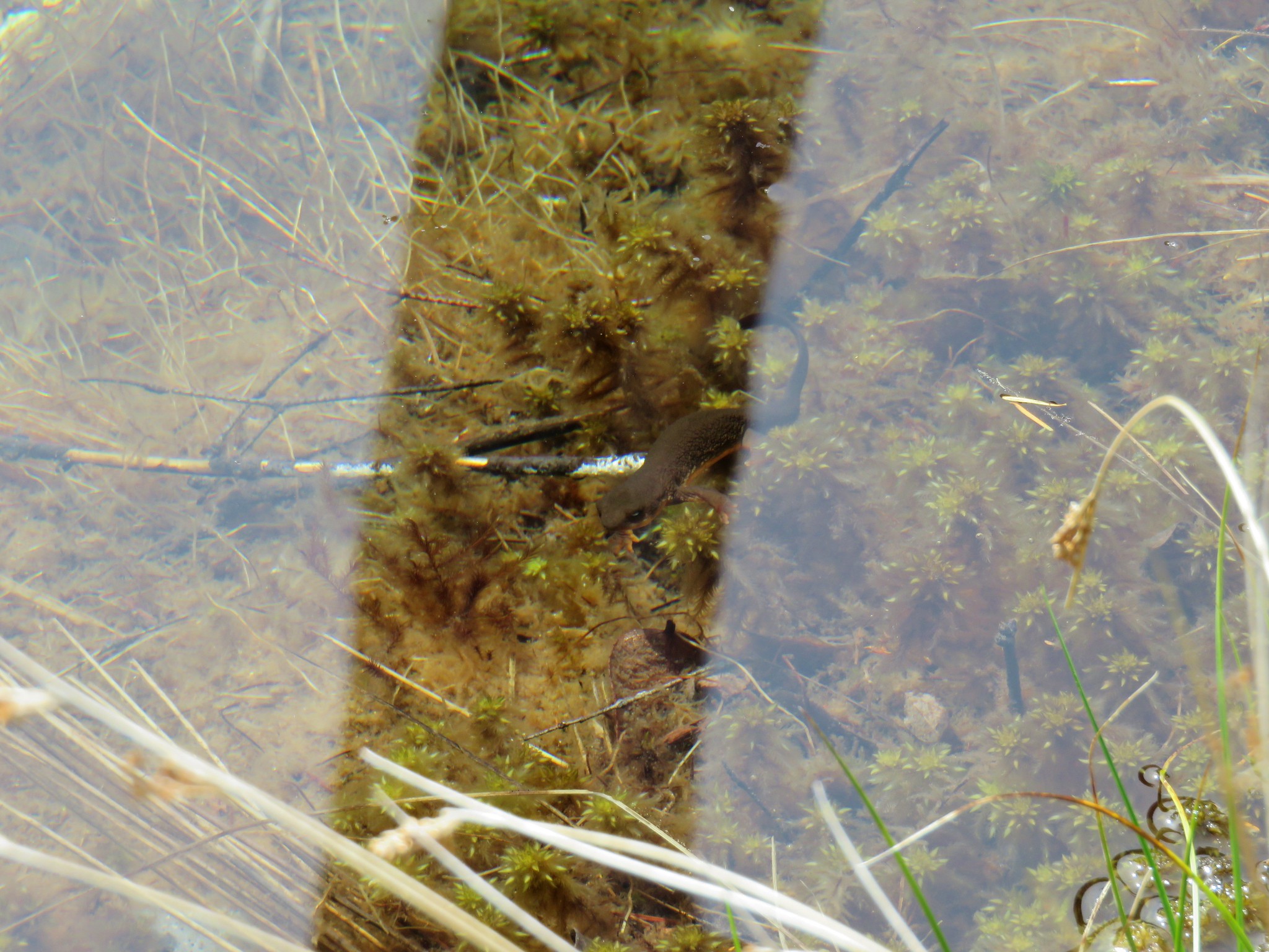
We also crossed a little stream coming from a marshy wetland area. As we took a quick look we noticed some frogs hopping into several pools and a number of birds in the area. We didn’t get any pictures of wildlife on the first pass but on our way back by we were luckier.
Western Tanager
Band-tailed Pigeon
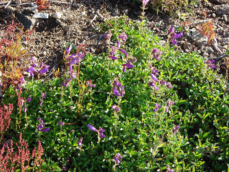
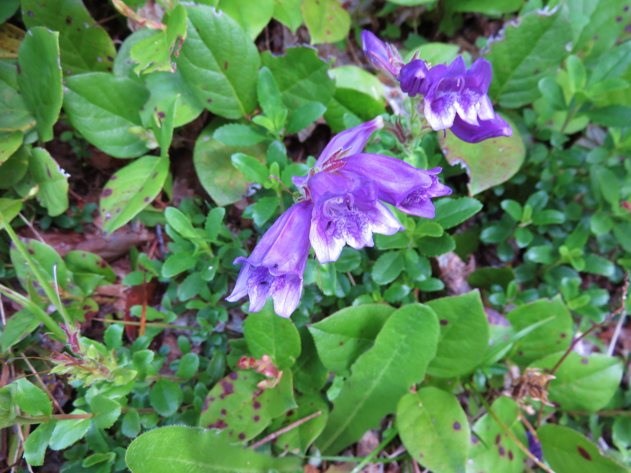
This little area would have made a good turnaround point but we continued on a bit further looking for a viewpoint that was shown in our guide book. We passed a couple of smaller meadows filled with camas and found some nice penstemon in bloom but not a particularly nice viewpoint before the trail began to descend toward North Lake.
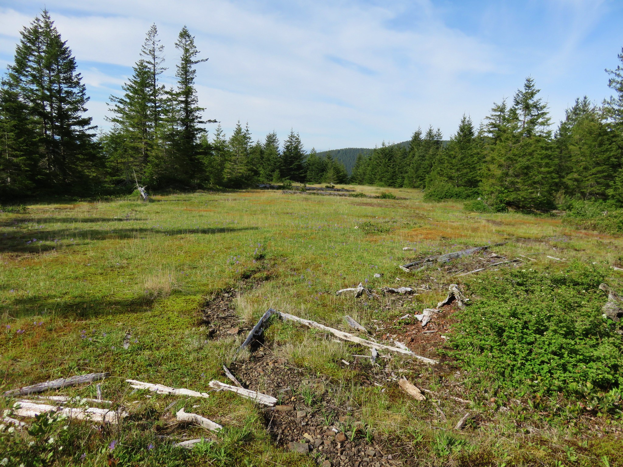

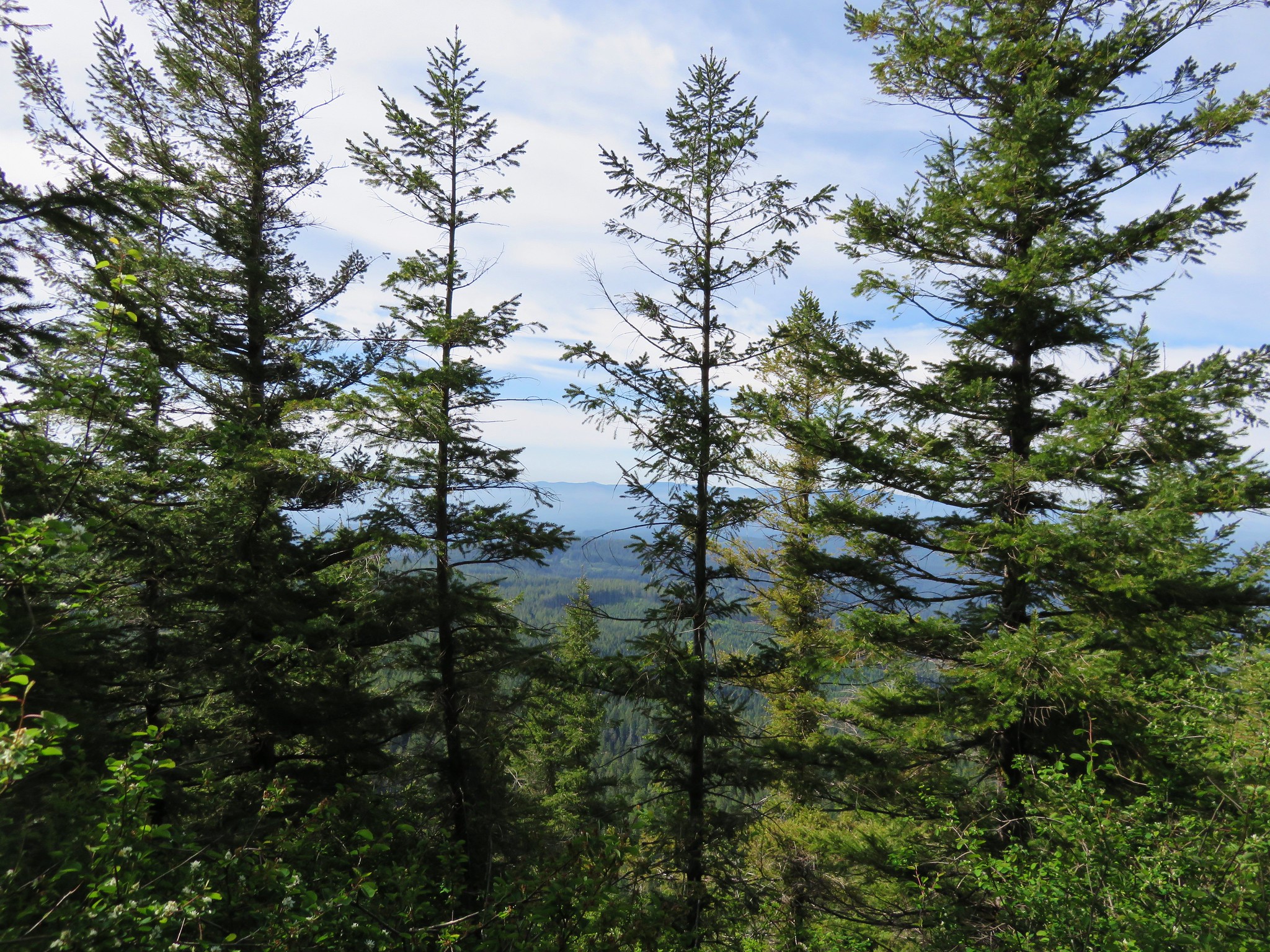
We weren’t interested in having to climb back up from the little lake so we turned around and headed back to the meadows. The clouds to the west had really retreated when we arrived back at the meadows revealing more of the coastal foothills.

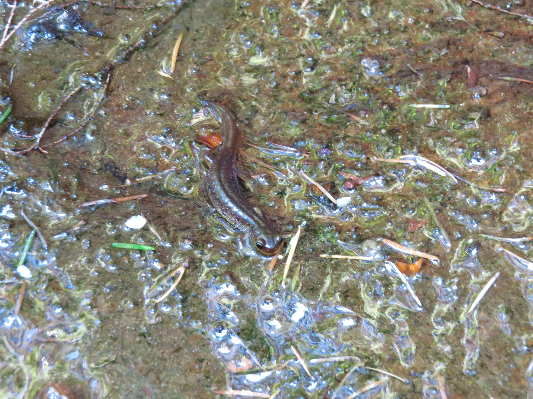
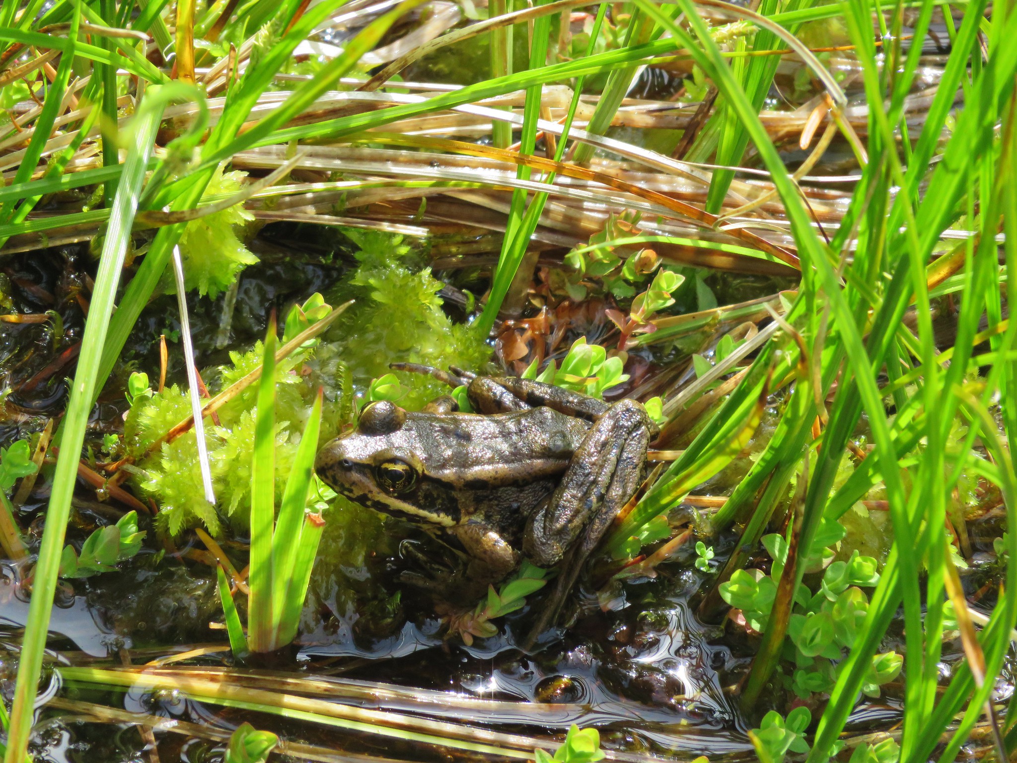
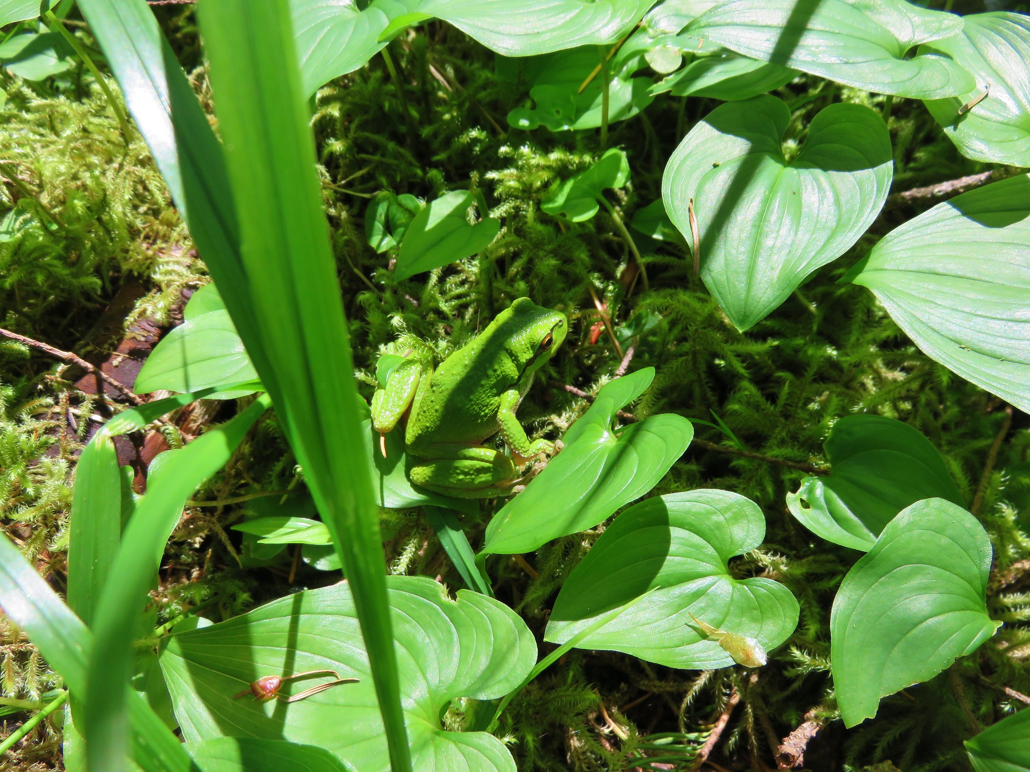
As we were passing back through the forest along the lower portion of the trail Heather spotted a really good sized Pacific-Tree Frog.

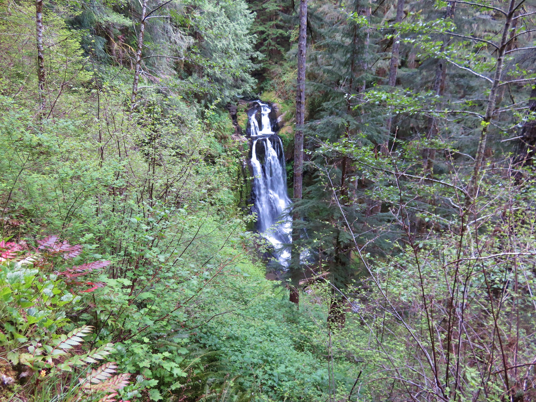
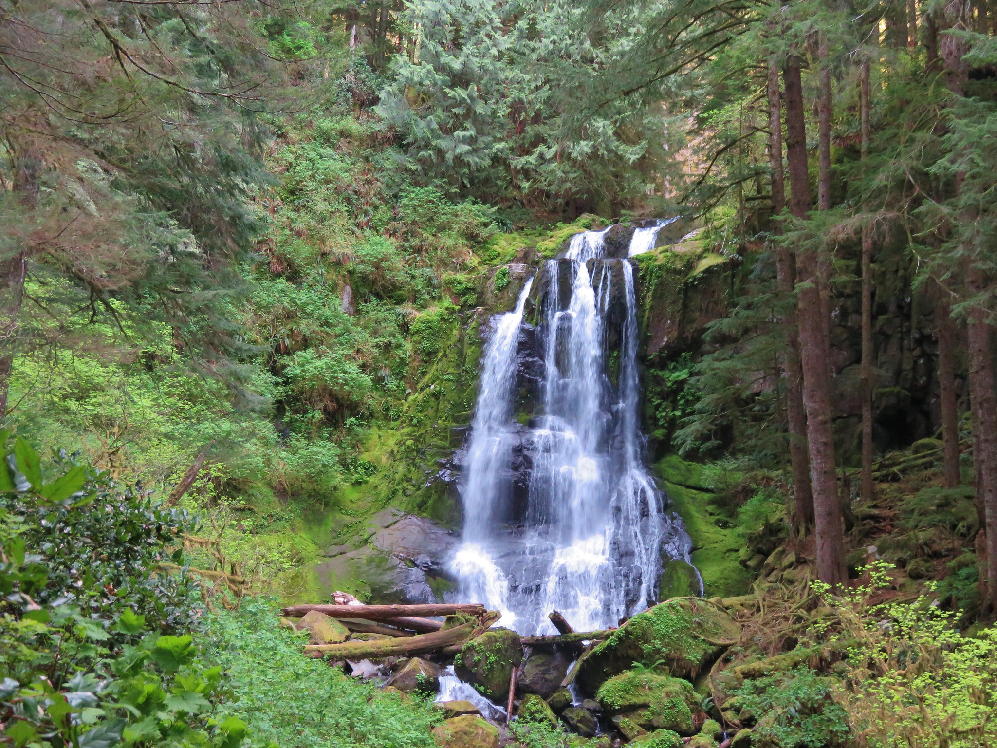
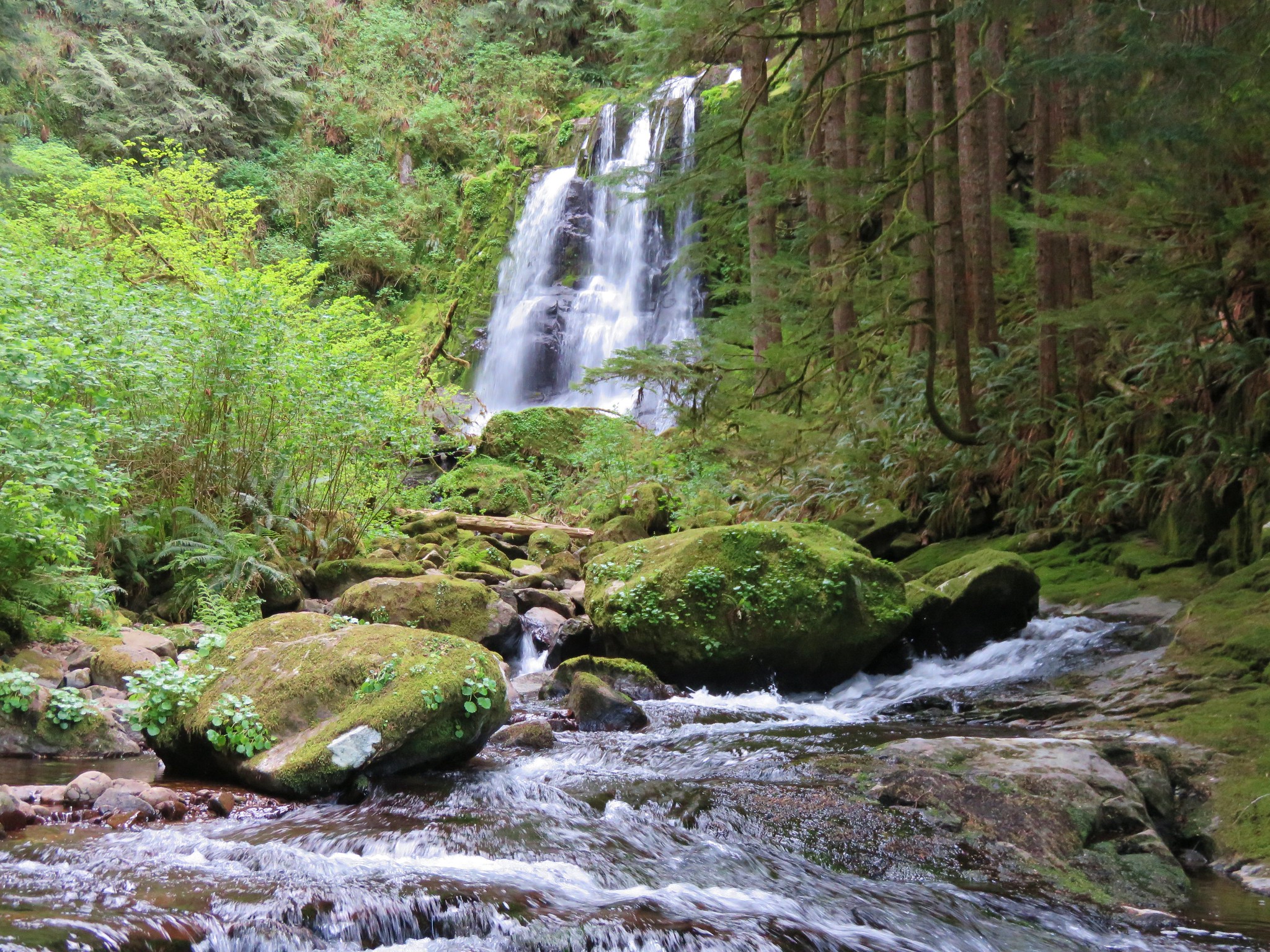
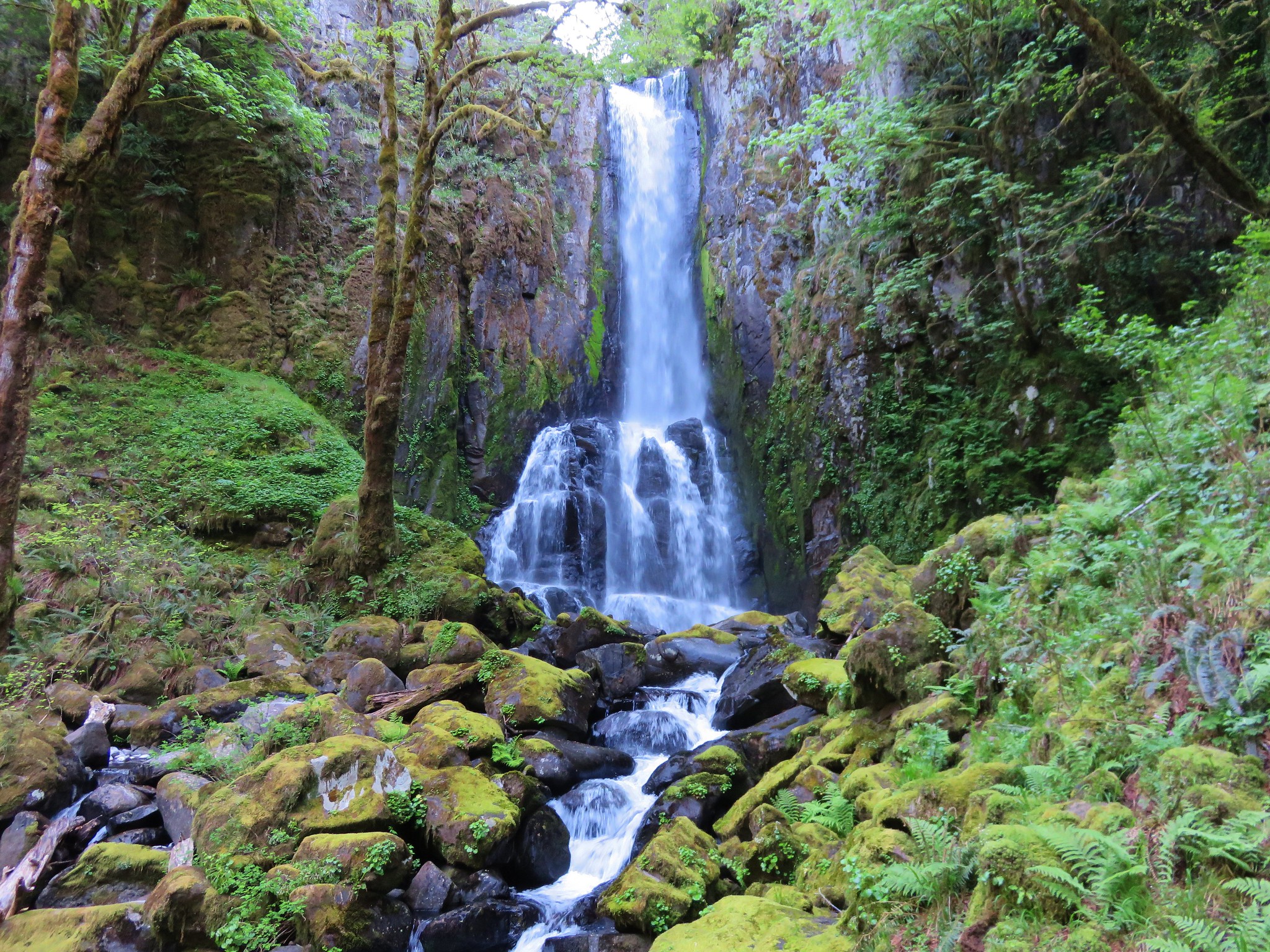
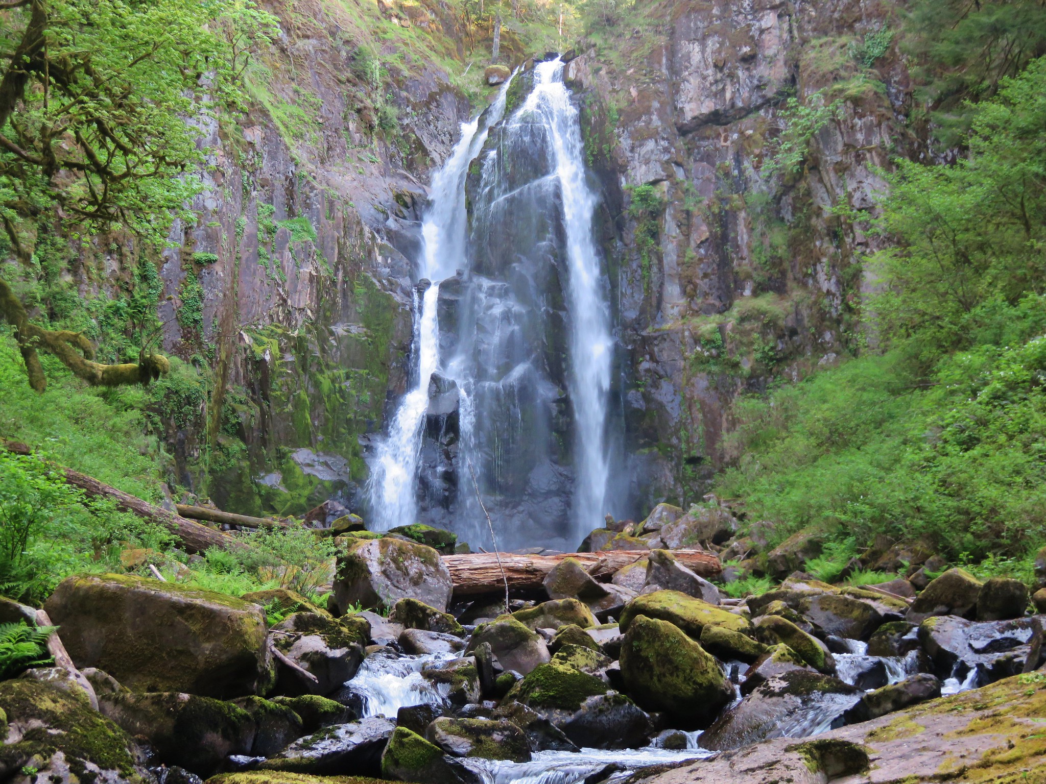
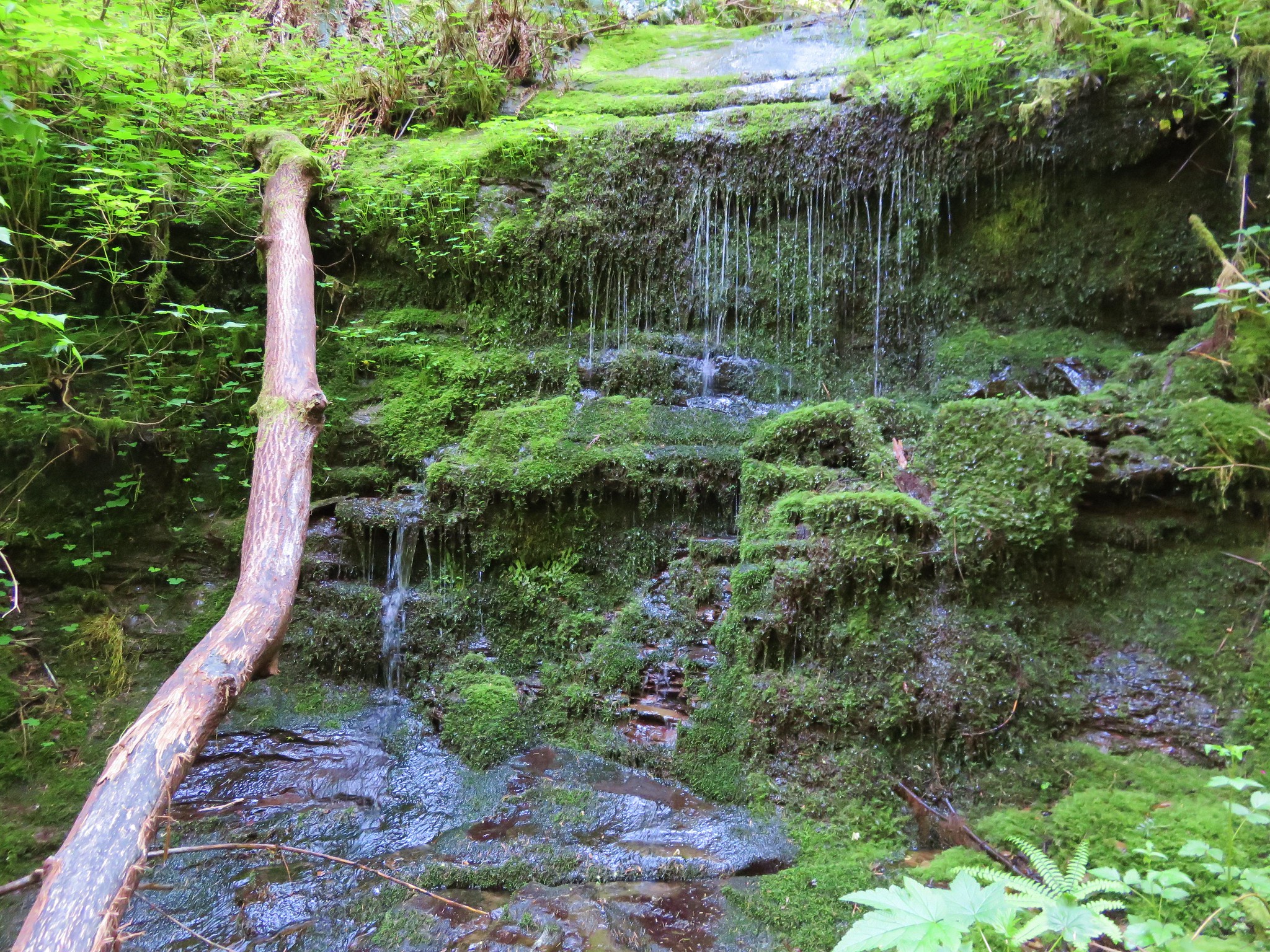
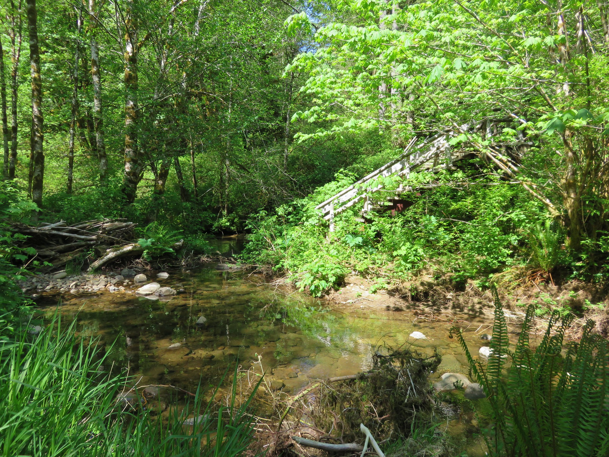
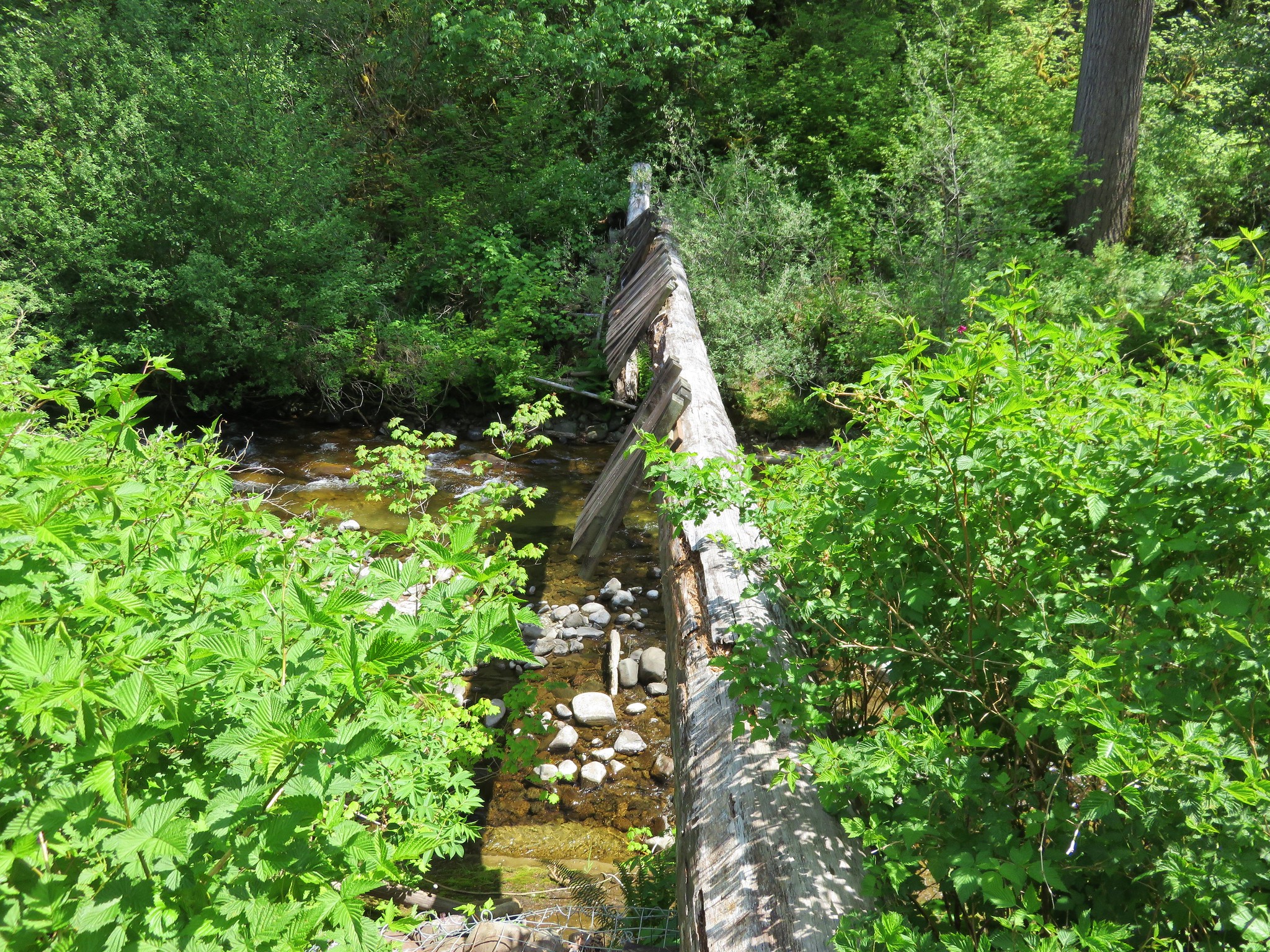
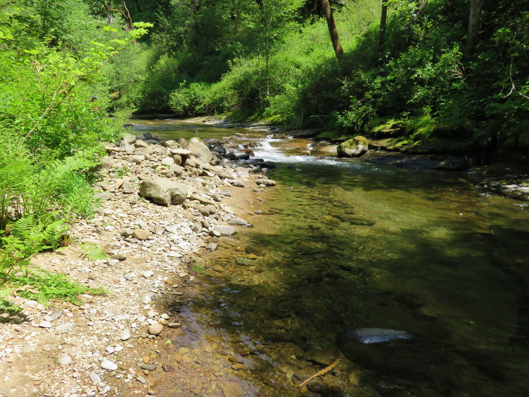
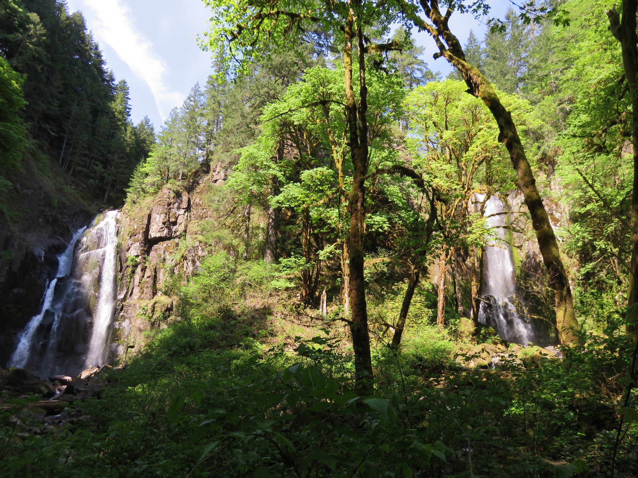
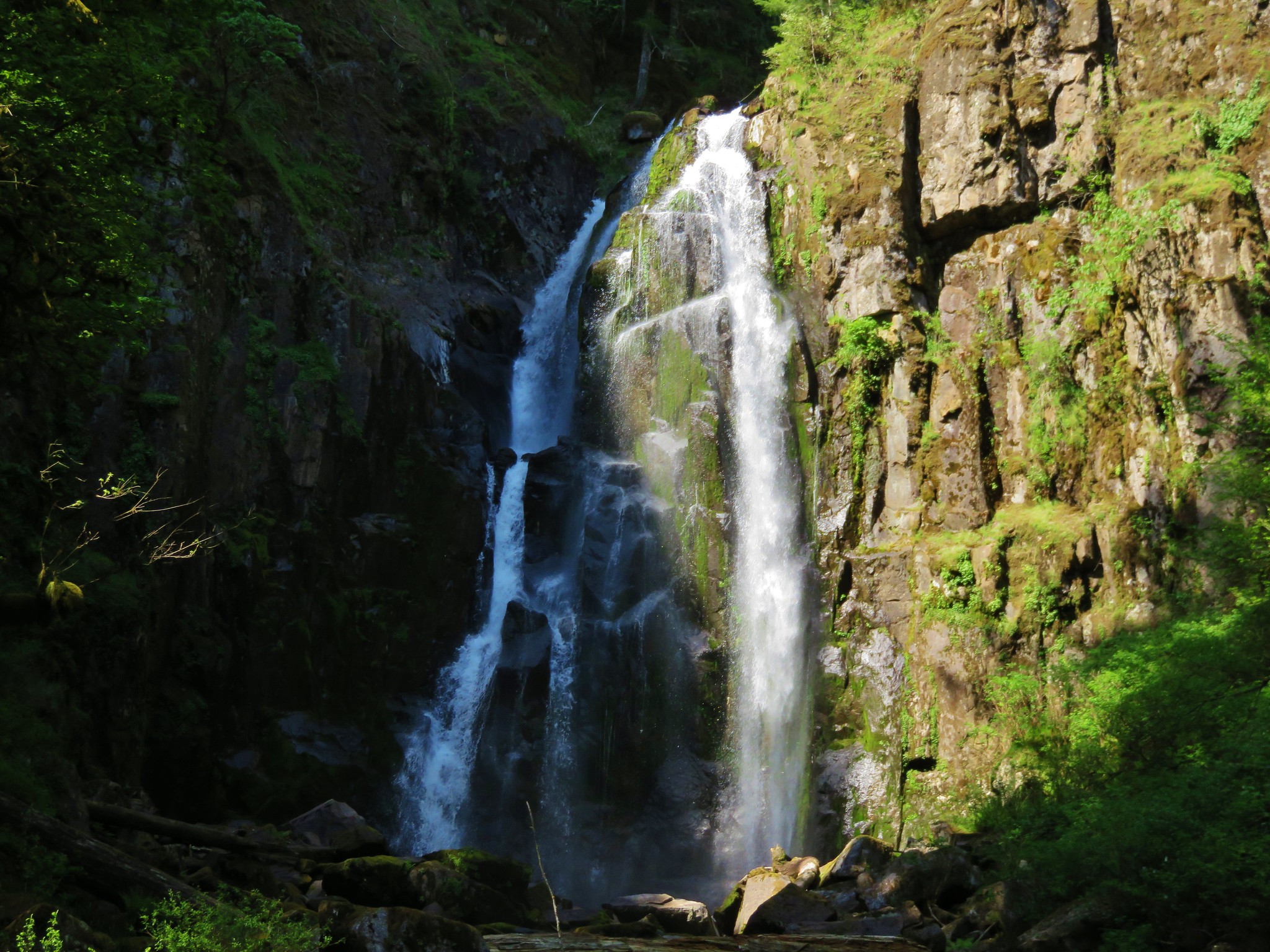
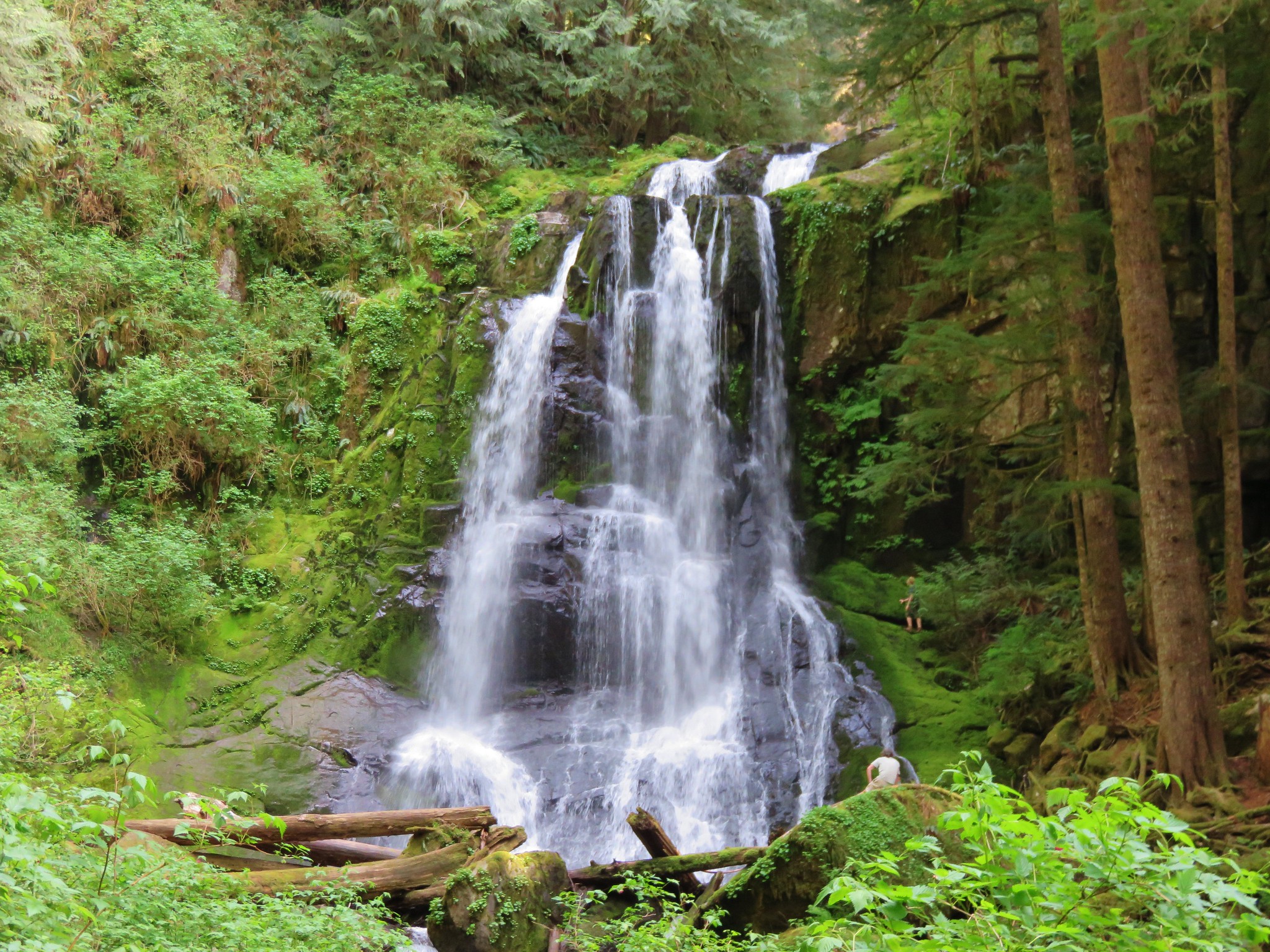
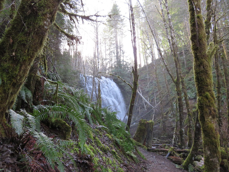
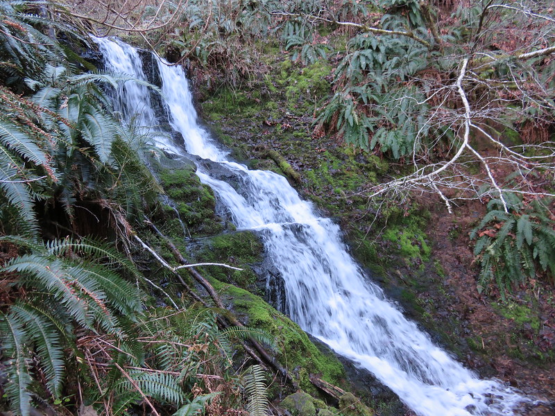
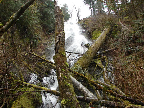
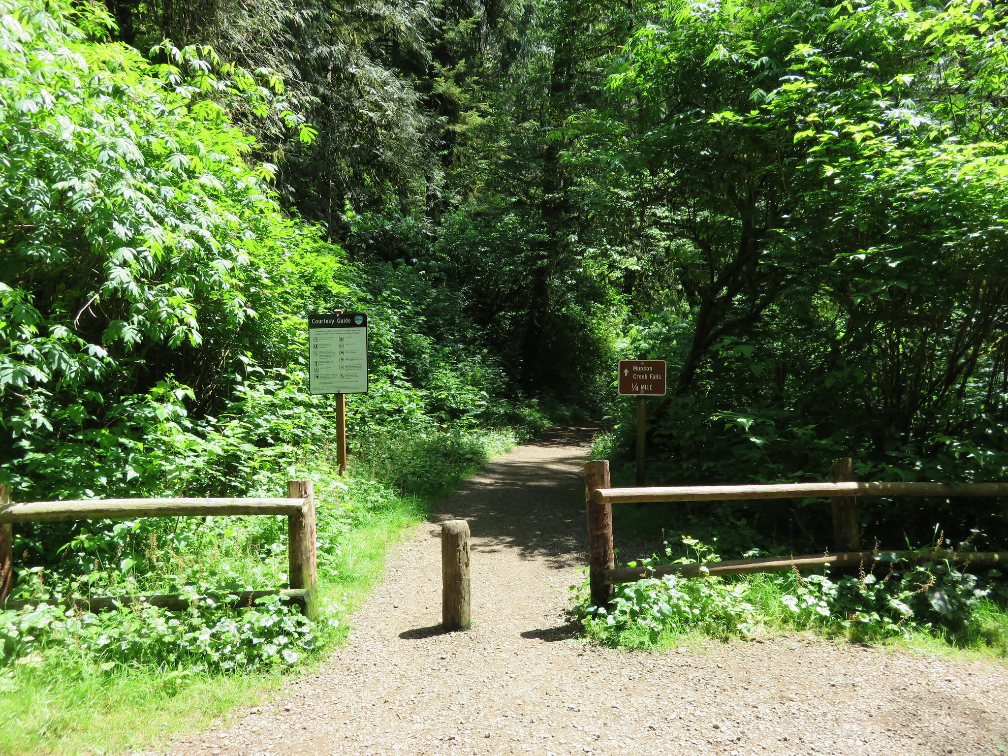
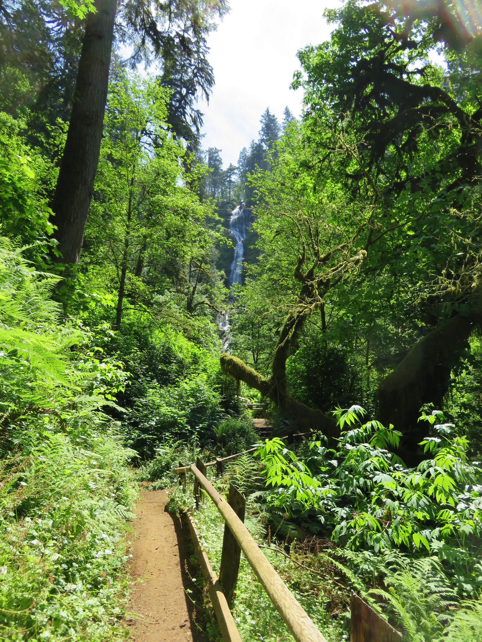
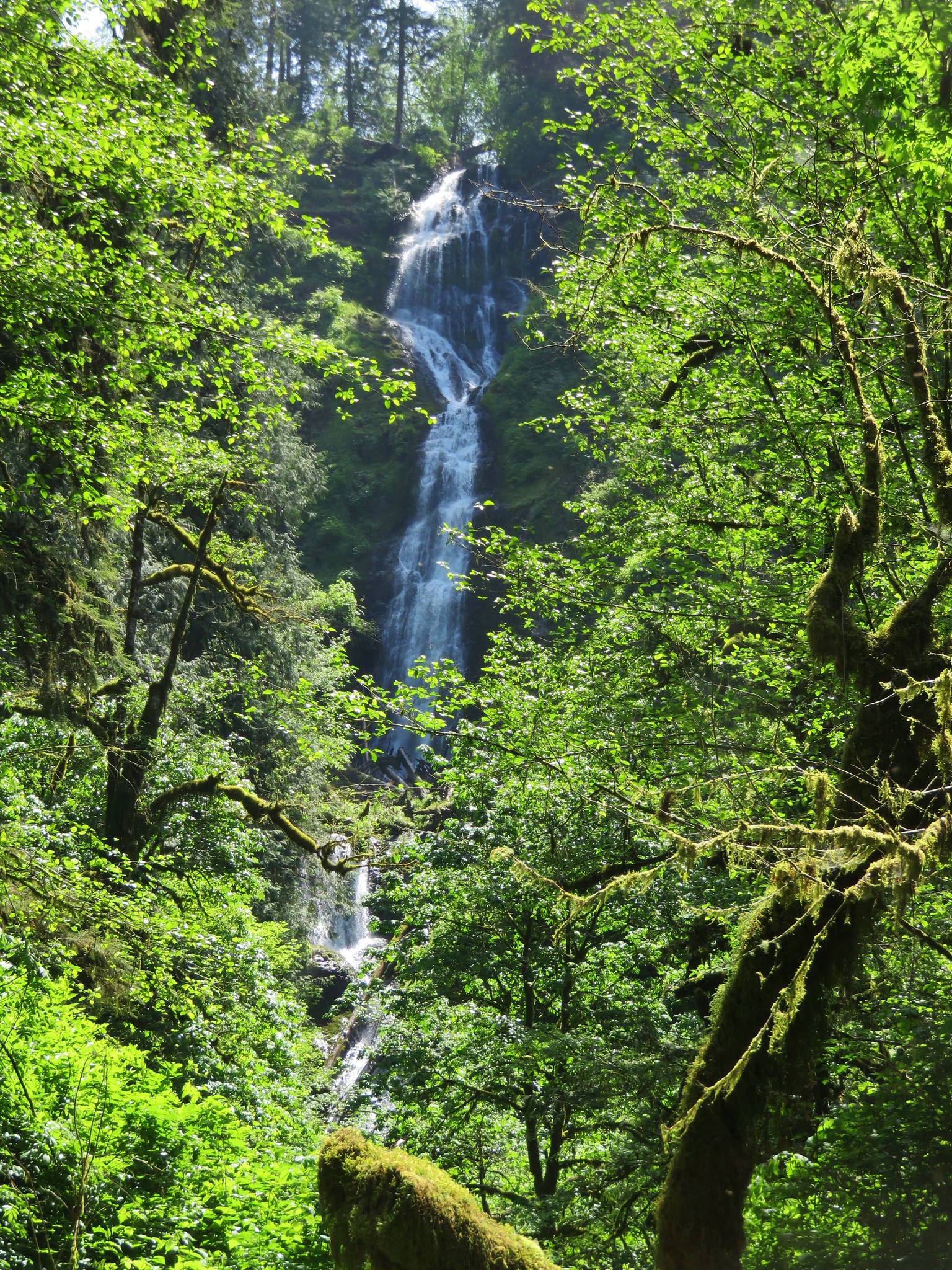
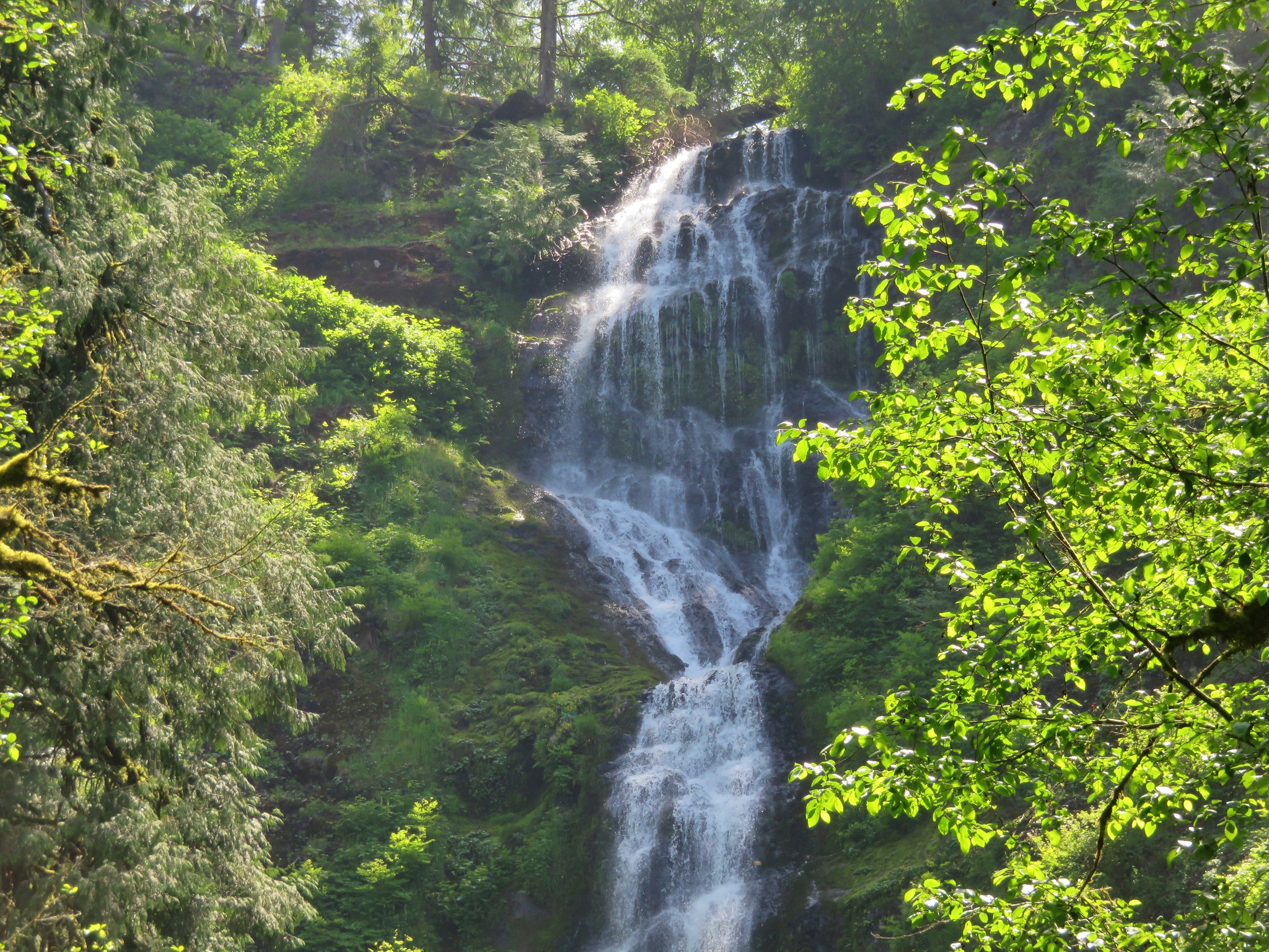
After finishing the Mt. Hebo hike we headed north on Highway 101 toward Tillamook to Munson Falls State Park. Here a quarter-mile path leads to a view of the tallest water fall in the Coast Range. Unfortunately it is virtually impossible to get a clear view of the entire 266′ cascade due to a narrow canyon full of downed logs and thick brush. Still the waterfall was one of the more impressive we’ve seen and well worth the visit.
After our brief visit to the falls we took a little detour on the way home through Pacific City in order to stop at the Pelican Pub & Brewery which has become on of our favorite post hike places to grab a meal. Happy Trails!
flickr: https://www.flickr.com/photos/9319235@N02/sets/72157653321256339
flickr 2011 visit: https://www.flickr.com/photos/9319235@N02/sets/72157632953522057