
Due to the number of wildfires and corresponding smoke this summer we have been waiting until the day or two before a hike to decide where we will be going. A favorable forecast for the Cascade Crest led us back to the mountains. Our destination for the day was Bobby Lake, located two and a quarter miles east of the Waldo Lake Road (Forest Road 5897).
A 4.5-mile hike isn’t quite long enough to warrant a 2:30 drive to the trailhead so I had come up with a loop incorporating several trails in the area including the Pacific Crest Trail (PCT) which passes within a quarter mile of Bobby Lake.
We’d visited Bobby Lake in 2019 after hiking up The Twins (post). We’d started that hike from the Twin Peak Trailhead. For today’s hike we had planned to start at the Bobby Lake Trailhead however there didn’t appear to be any open spaces so we parked across the road at the Betty Lake Trailhead (Betty Lake 2024).

The Bobby Lake Trailhead across Waldo Lake Road from the Betty Lake Trailhead.

Trailhead ambassador (Canada jay).
We crossed the road and picked up the Bobby Lake Trail.


We followed this trail for 0.4-miles to a 4-way junction with the Gold Lake Trail.

Coming up on the junction.

From the 4-way junction loops are possible in either direction. On our previous visit to the lake we’d headed north on the Gold Lake Trail to return to the Twin Peak Trailhead. Today’s loop would be incorporating the southern portion of the Gold Lake Trail. We had decided to save the visit to Bobby Lake for later in the day, so we turned right onto the Gold Lake Trail and followed it downhill 1.7 forested miles to a junction with the Mount Ray Trail.


Aster

Sickletop lousewort

Trail sign ahead on the right for the Mount Ray Trail.
Up to this point the hike had been on new trail for us with the exception of the Bobby Lake/Gold Lake Trail junction. In 2025 I had been to this junction during my Mount Ray/Island Lakes loop (post) so the next 1.7-miles were new only to Heather. This section of the Gold Lake Trail crosses Ray Creek then passes along Gold Lake Bog and Gold Lake before reaching a junction with the Fuji Mountain Trail.

Entering the Gold Lake Bog Natural Research Area.

Ray Creek


Aster

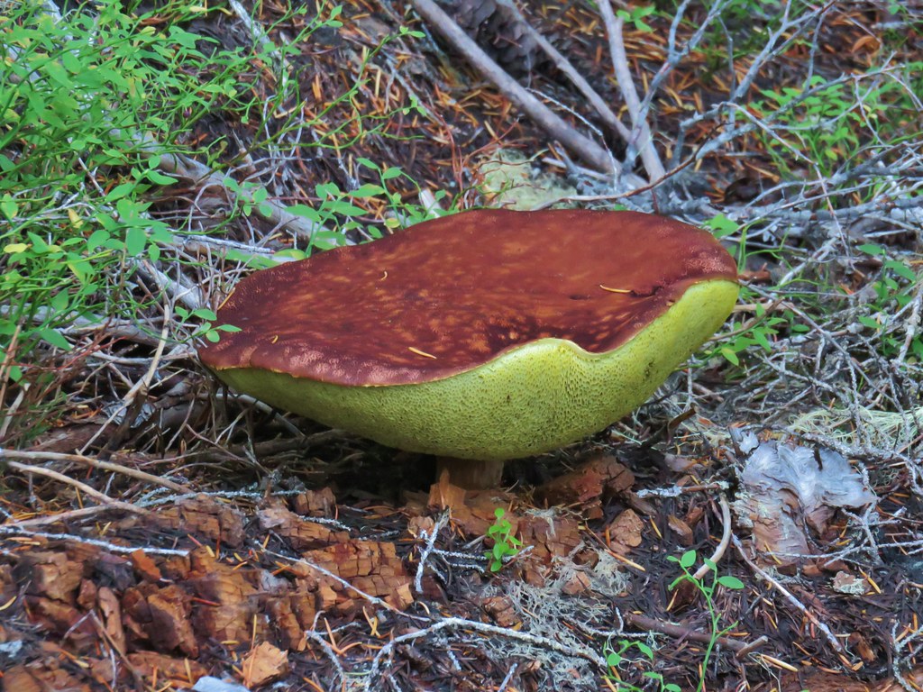
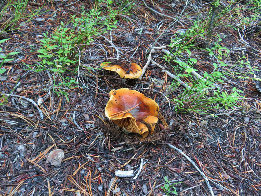
Mushroom

Fireweed


Monkshood

Skunk cabbage

Gold Lake Bog from the trail.

The northern end of Gold Lake through the trees.

The only blooming lupine we spotted.

Bunchberry

The Fuji Mountain Trail junction.
It was 0.2-miles from the Fuji Mountain Trail junction to the end of the Gold Lake Trail at Gold Lake Campground.


We’d been here in 2024 when we visited the Gold Lake Shelter and Marilyn Lakes (post).
We walked up Gold Lake Road (FR 500) for 0.6-miles to the Maiden Peak Trailhead.

Crossing Salt Creek, the outlet of Gold Lake.

Looking toward Gold Lake from the bridge.

Salt Creek

Gold Lake Shelter

Leaving the campground.

The Maiden Peak Trailhead. There was room for a small number of cars on the opposite side of the road.
We turned up the Maiden Peak Trail and followed it uphill a total of 2.4-miles to the Pacific Crest Trail. The trail gained a total of 650′ and was mostly well graded. It did steepen over the last quarter of a mile where it gained 200 of the 650′.

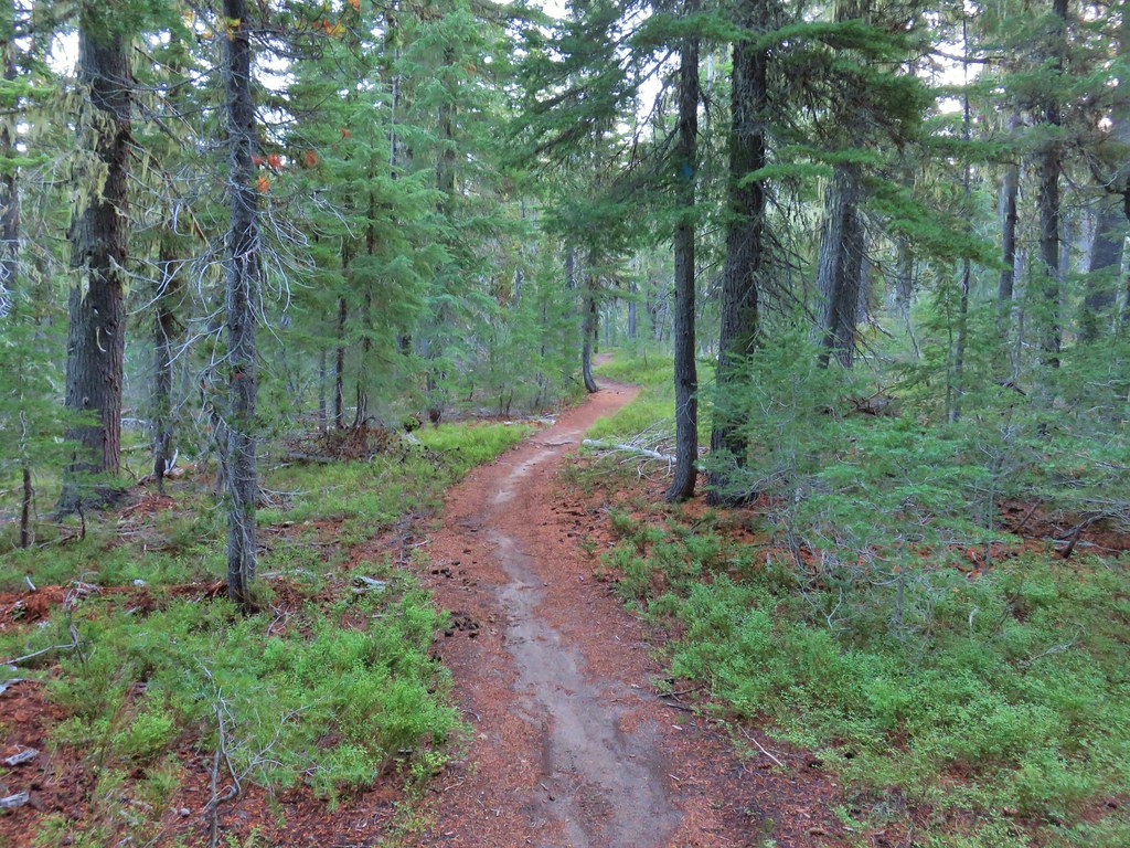
Like most of the trails in this area it passed through a mature forest which limited views.


Fuji Mountain to the left and Mount Ray to the right through the trees.

The Merlin app says Hammond’s flycatcher.

Skyline Creek

Skyline Creek
Just beyond Skyline Creek we passed a junction with the Skyline Trail.
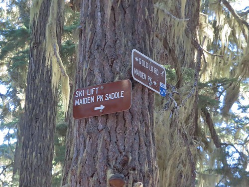
Signs at the Skyline Trail junction. The area is a popular area for cross-country skiing.

Chipmunk

Canada jay


The Pacific Crest Trail junction.
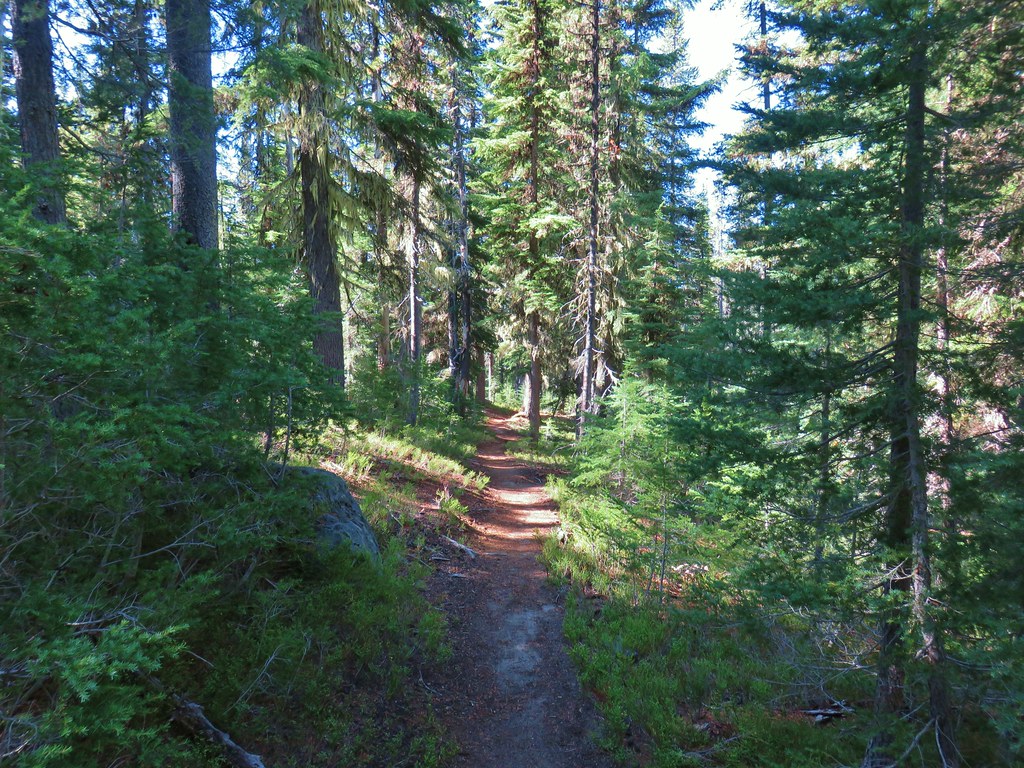
The PCT junction was another junction that we’d been to before. In 2016 we had come down the Maiden Peak Trail to the junction after summiting Maiden Peak and turned south onto the PCT (post). Today, after a short break to recover from the final steep climb, we turned north. It was 2.3 gradual downhill miles to the Bobby Lake Trail. Again, the trail passed through a lovely forest which provided a peaceful hike but no views to speak of.


This snake was the only other trail user we passed on the PCT.

This may have been the chillest snake we’ve come across. It never moved as we passed around it.

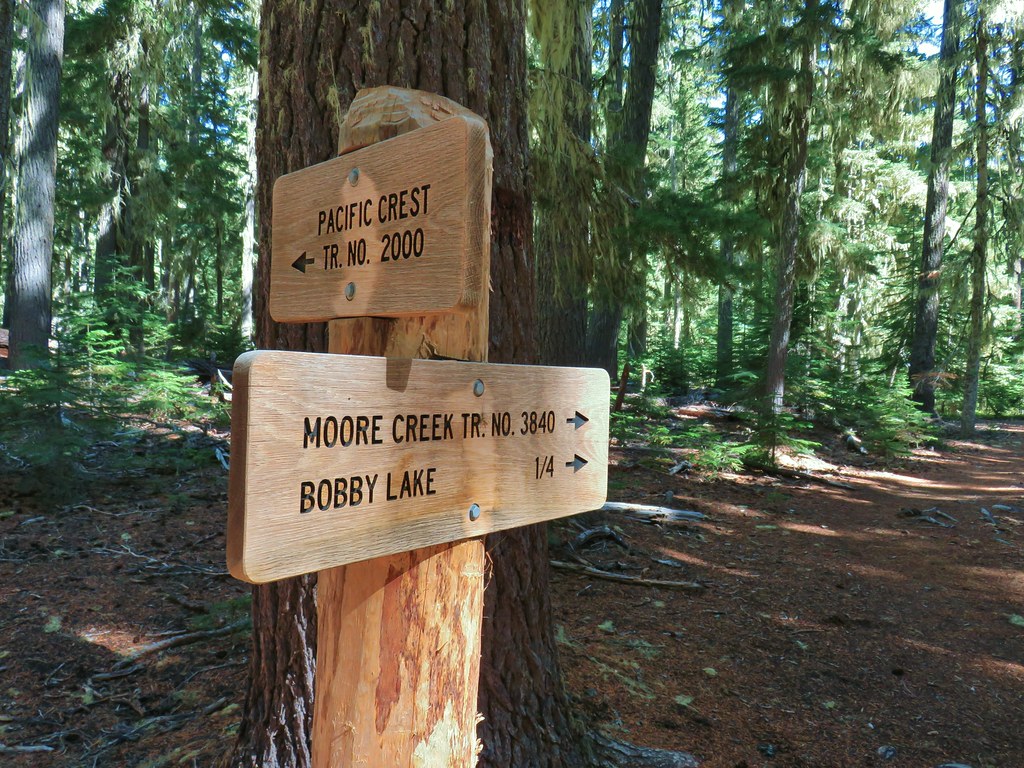
The Bobby Lake Trail junction.
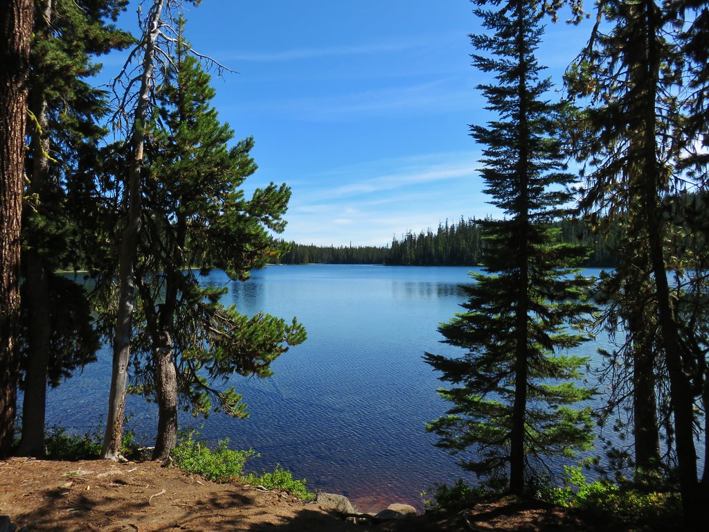
We turned right onto the Bobby Lake Trail and followed it a quarter of a mile to the lake.


There is a large rock outcropping on the lake shore approximately 0.2-miles to the south of where the trail arrives at the lake while the Moore Creek Trail continues east along the northern end of the lake. Our previous visit had been in September, and we’d had the rock outcrop to ourselves. Today there were already several people on the outcrop, so we took the Moore Creek Trail and found a different spot for a break.


Maiden Peak and the rock outcrop from our break spot.

Maiden Peak. The rock outcrops on this peak make it one of the more identifiable peaks in the Cascades.

Damsel fly
After a good break we headed back to the Bobby Lake Trail and followed it 2.25-miles back to the Betty and Bobby Lakes trailheads. The 1.6-mile section between the PCT junction and the Gold Lake Trail junction seemed to be a continuous up and down.


This loop came in at 12.5-miles with approximately 1300′ of elevation gain.

This was an enjoyable loop despite the lack of any big views. It provided quite a bit of solitude and a lot of nice, unburned forest. Bobby Lake was obviously the highlight and is said to be one of the best swimming lakes in the Cascades.
There are no restrooms at either the Betty or Bobby Lake Trailheads, so we made a quick stop at Salt Creek Falls (post) on the way back to Eugene to use the facilities there and to give Heather a chance to see the falls since she wasn’t with me earlier this year when I’d visited.


Happy Trails!
Flickr: Bobby Lake




 PCT junction.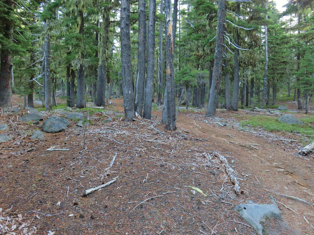
 More cool mushrooms.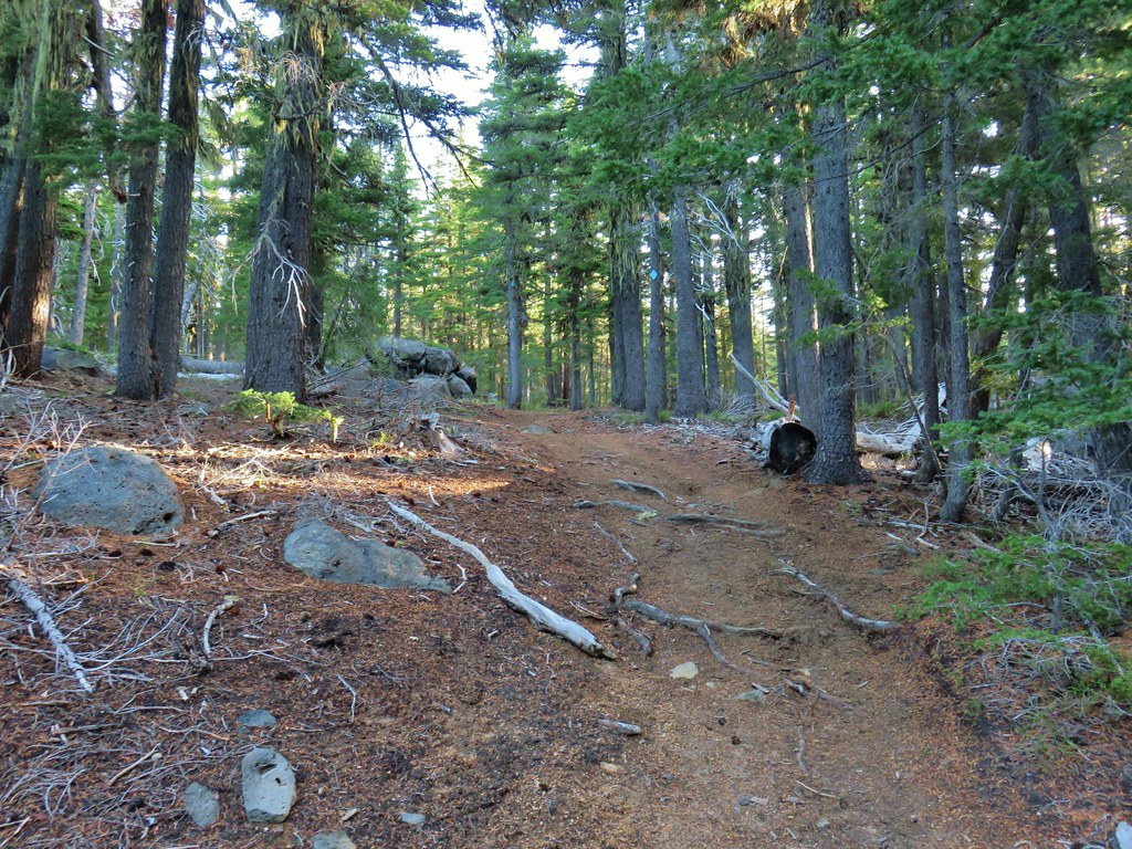
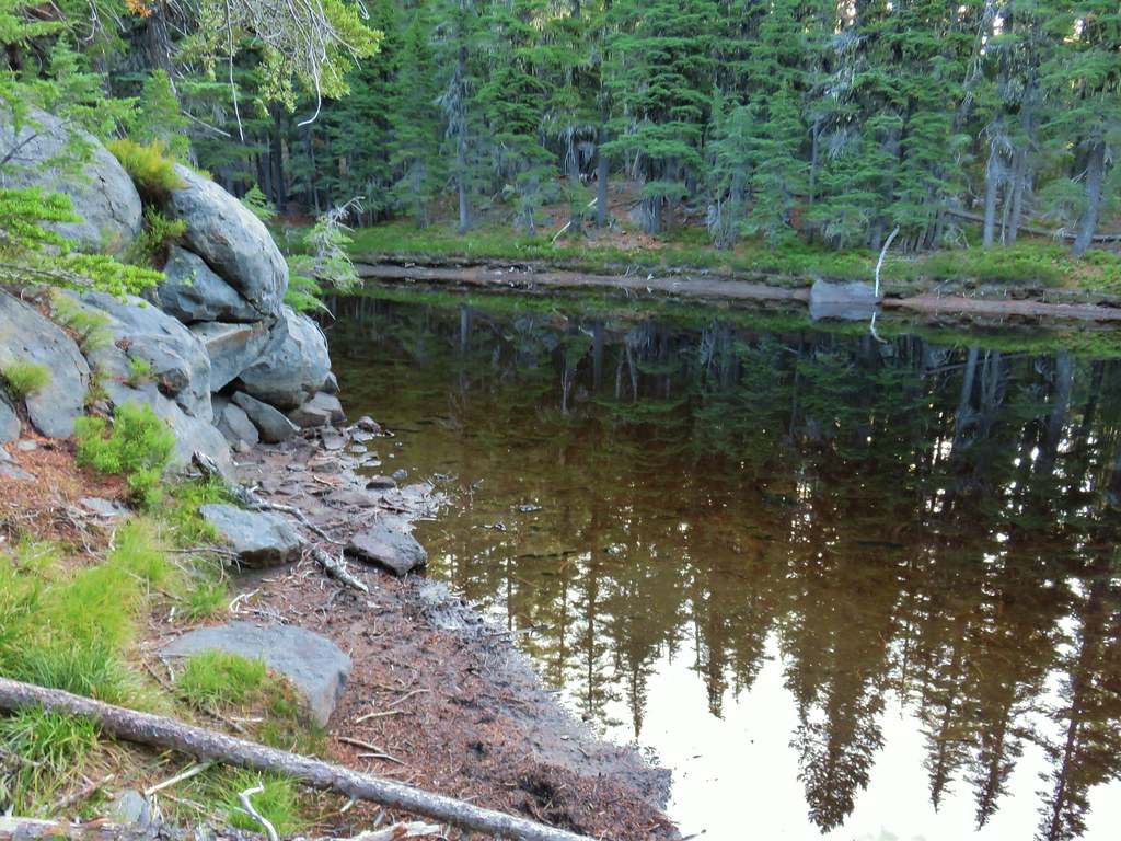 First pond
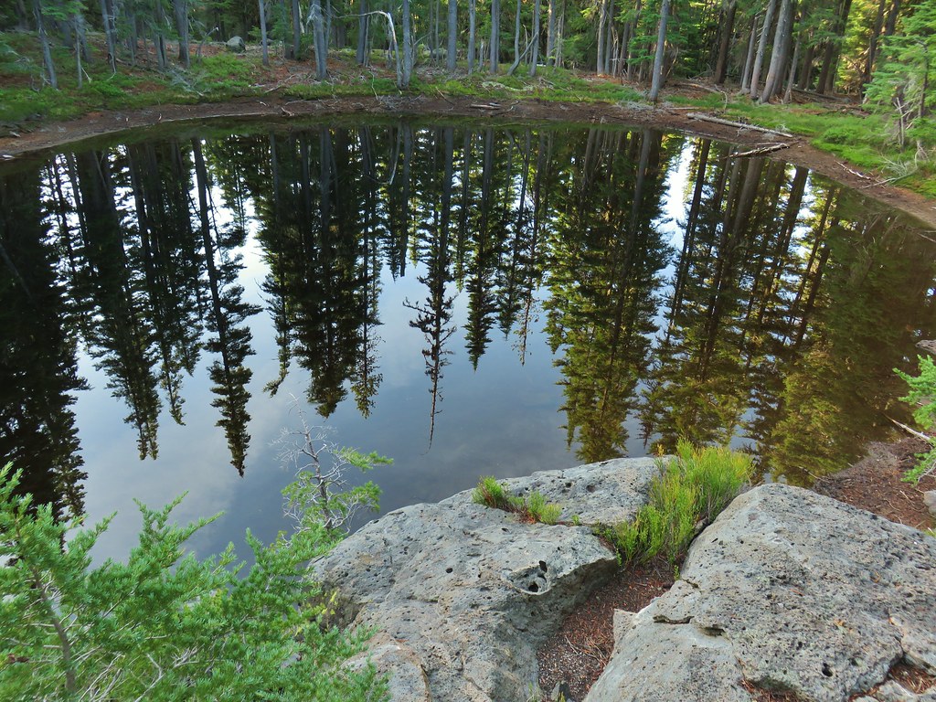 Looking down on the first pond.
 Liked the pattern on this shroom.
 A smaller pond.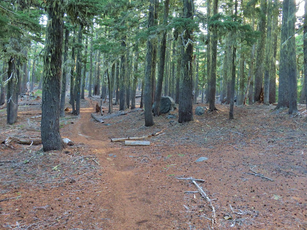

 Found a few blooming bleeding heart.

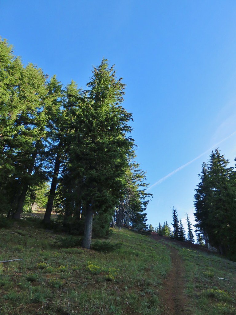

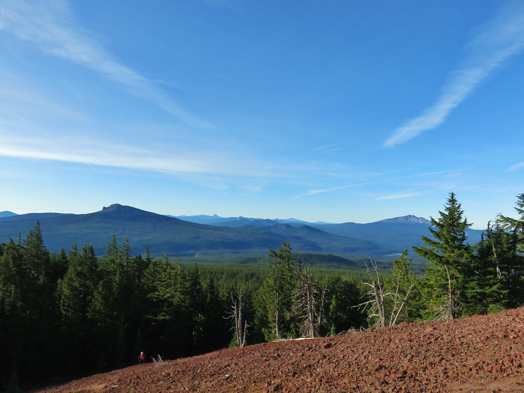
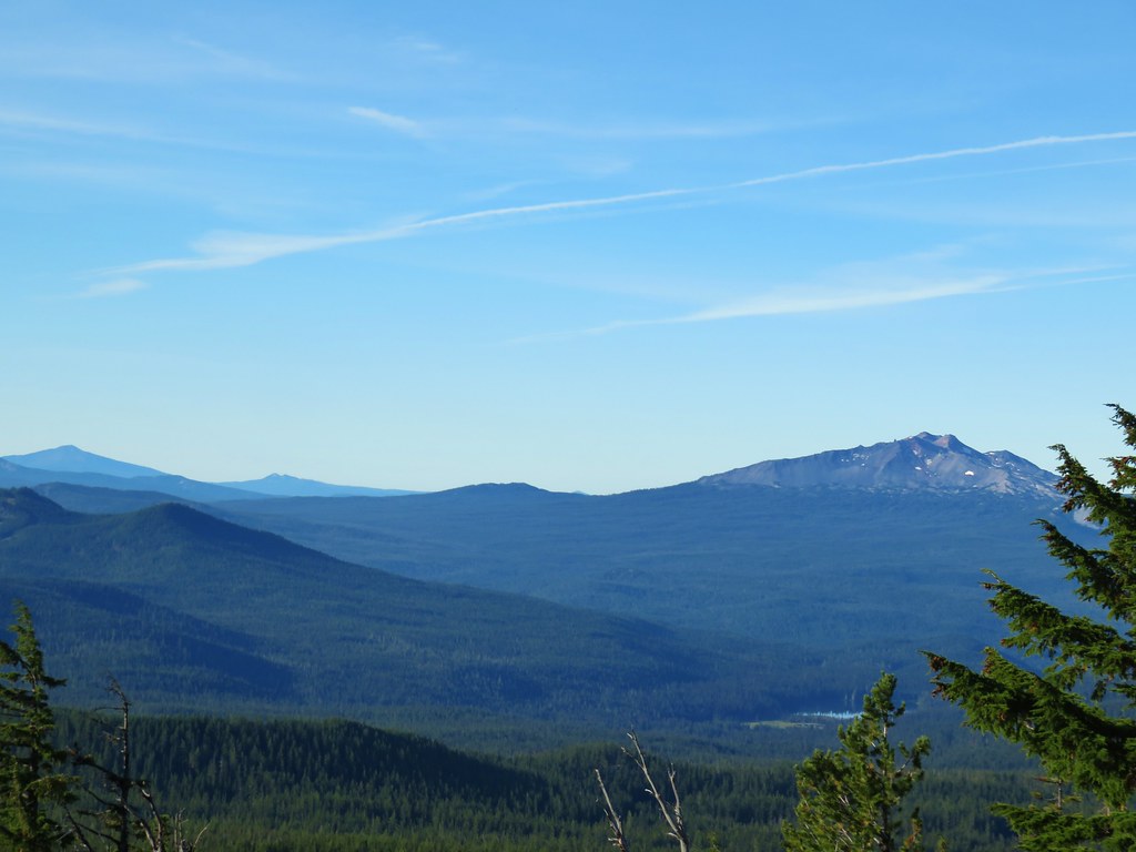 Diamond Peak on the right and Mt. Bailey (
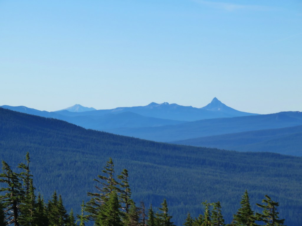 Mt. Scott (
 Maiden Peak (
 Close up of Diamond Peak
 Waldo Mountain Lookout (
 Rigdon Butte (
 Mt. Jefferson (with Three Fingered Jack in front), Mt. Washington, and The Husband
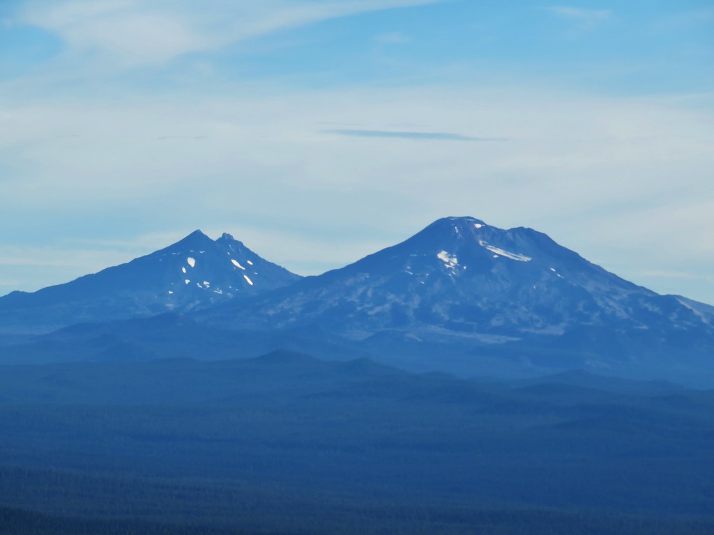 The Three Sisters
 Broken Top
 Mt. Bachelor


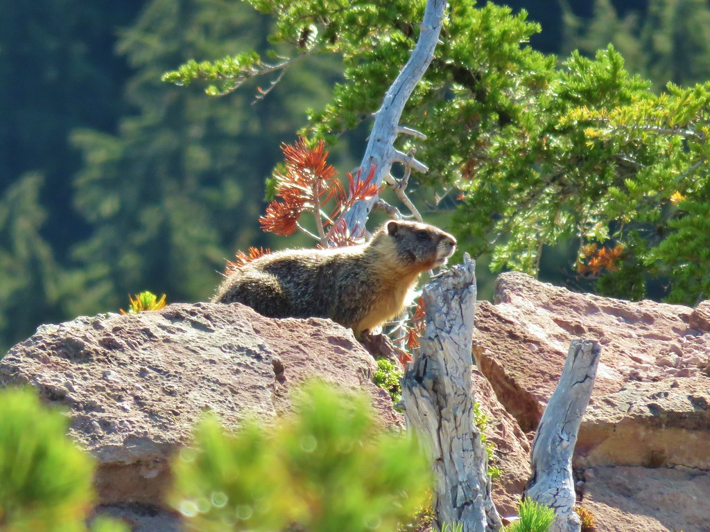
 The marmot on a rock ledge with Crane Prairie Reservoir in the background.


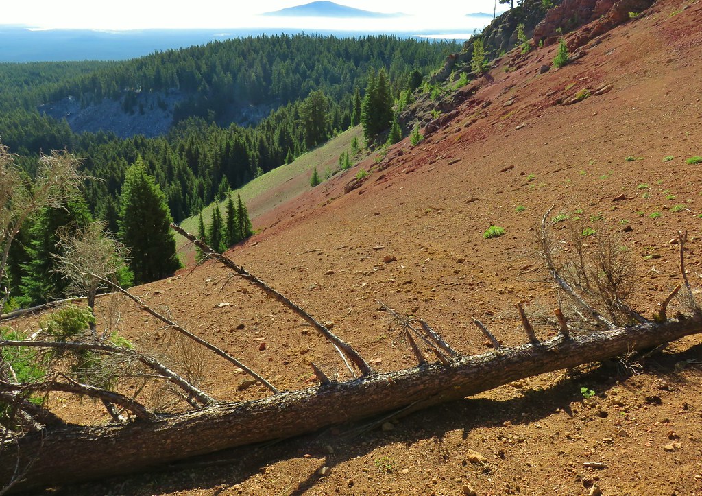


 That’s Bobby Lake below Maiden Peak.
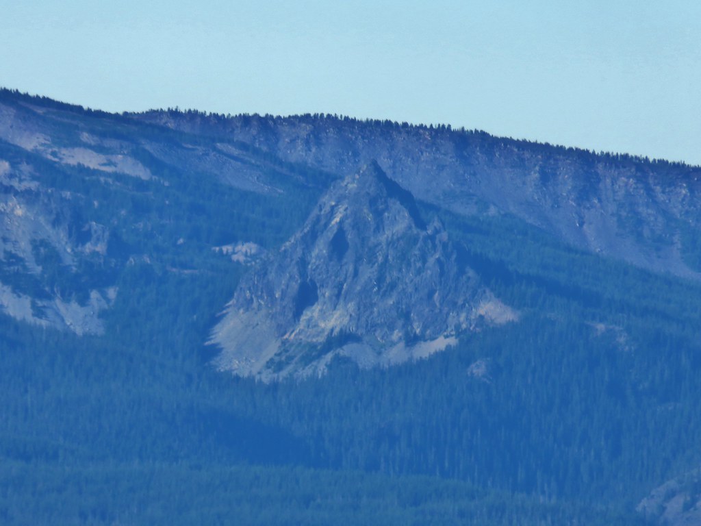 Mt. Yoran near Diamond Peak
 Gold Lake
 Fuji Mountain (
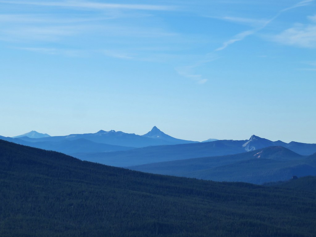 The closest rocky peak to the right of the photo is Cowhorn Mountain (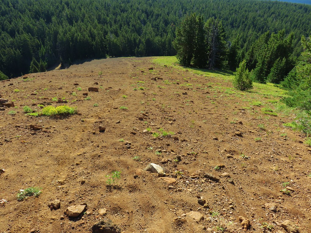

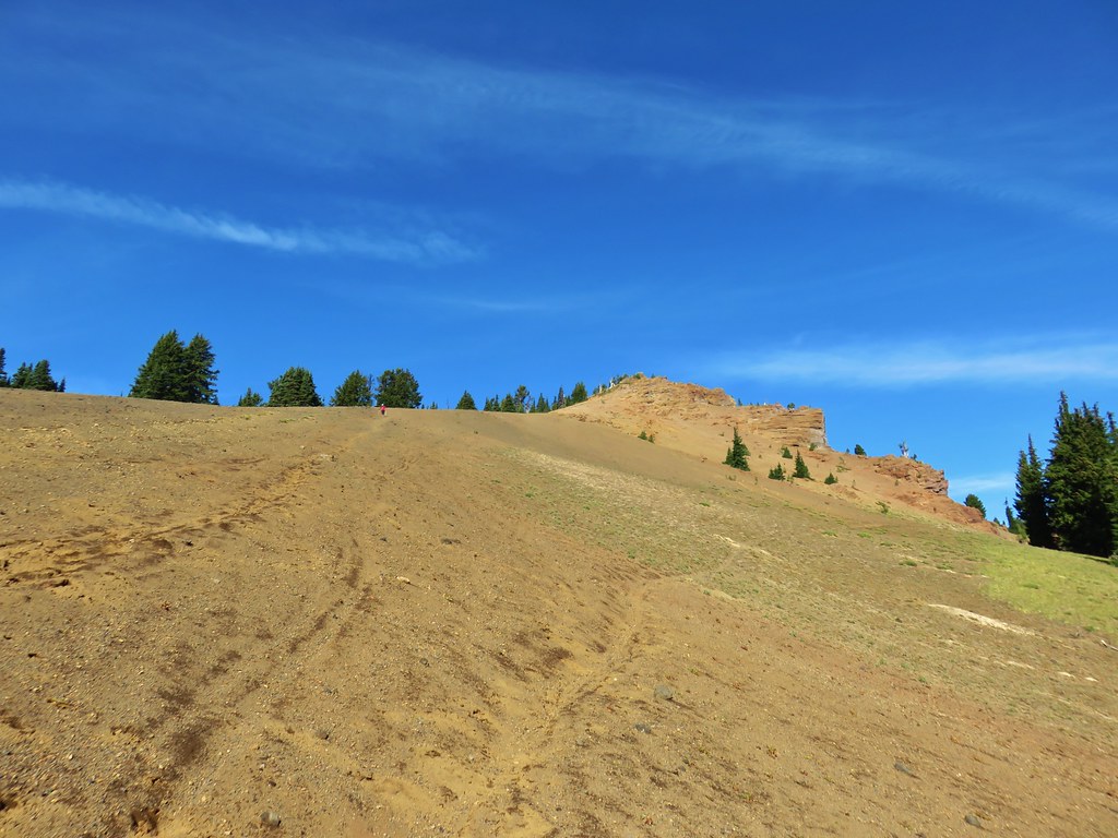



 Tiny PCT frog.
 One of the unnamed lakes.
 Trail sign at the 4-way junction.
 Maiden Peak above the lake.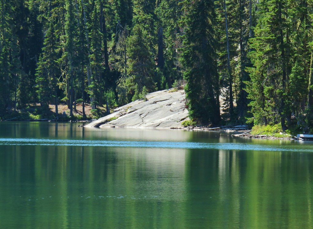

 The Twins
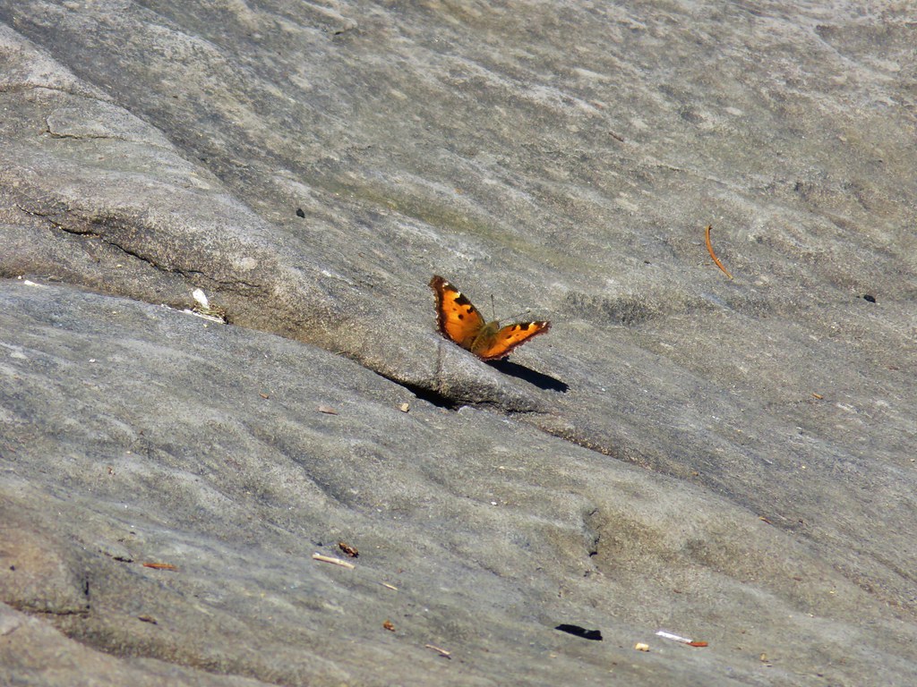 One of several butterflies.


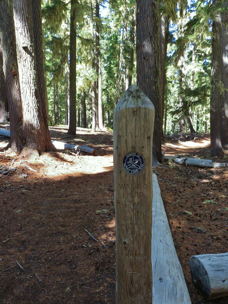


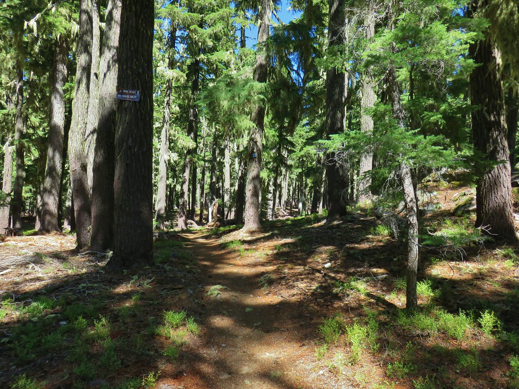 Nordic trail sign high on the tree.


