The weather was once again looking promising for the last hike of our mini-vacation so we headed up to Waldo Lake to visit a viewpoint atop The Twins with a side trip to Bobby Lake thrown in. This wasn’t the first time that we had planned on doing the hike The Twins, but the elements hadn’t played nice and we’d changed plans every time before.
We took Highway 58 from Eugene to the Waldo Lake (Forest Road 5897) and followed it for just over 6 miles to the Twin Peaks Trailhead

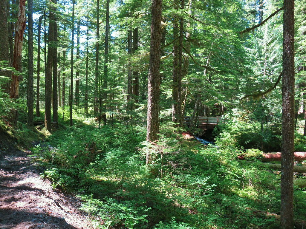
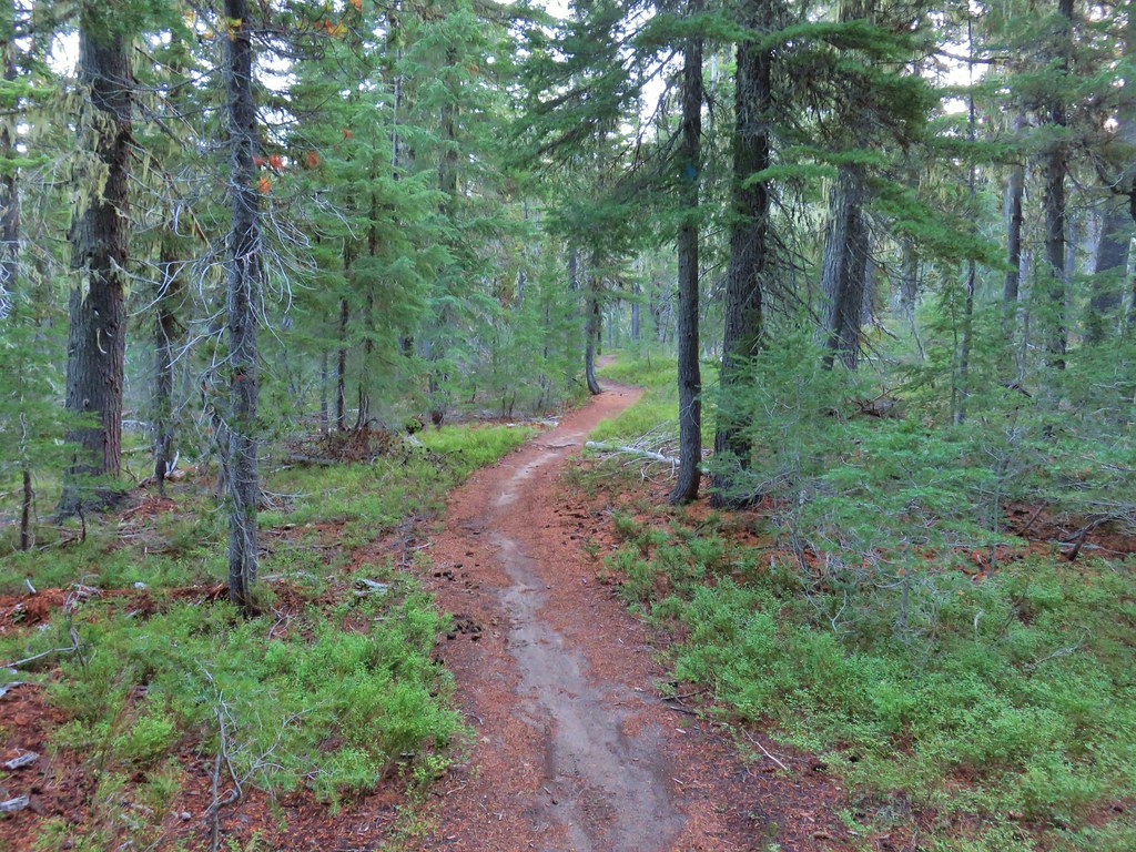
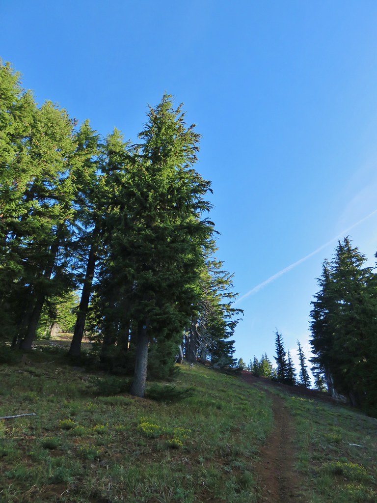
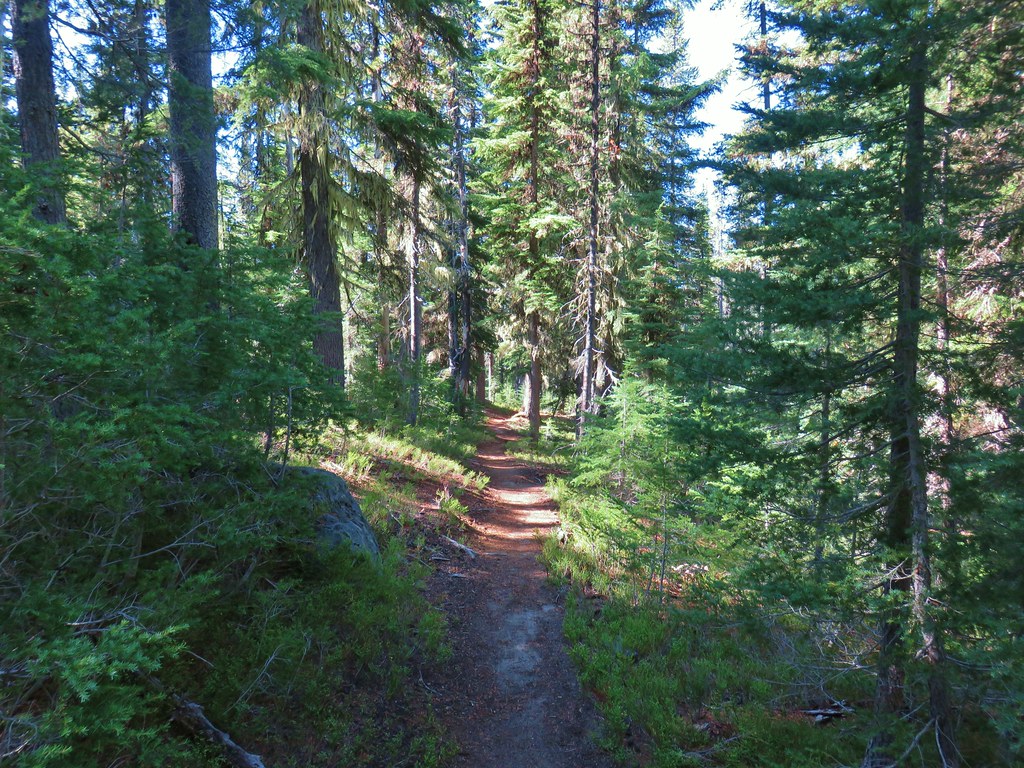
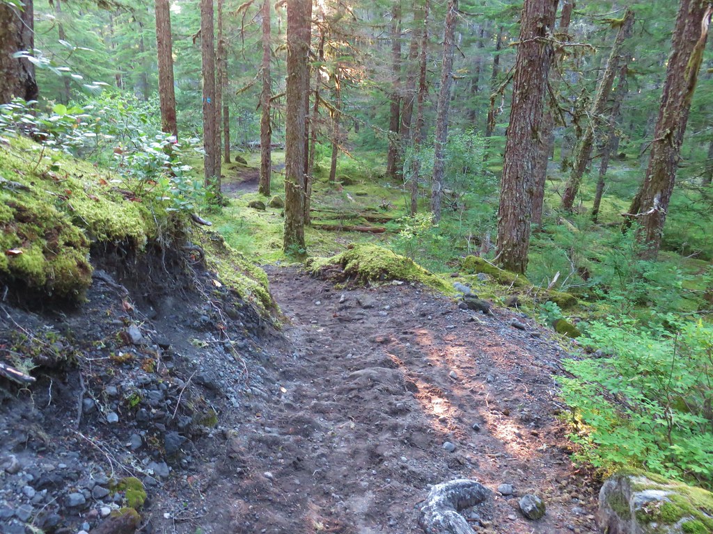
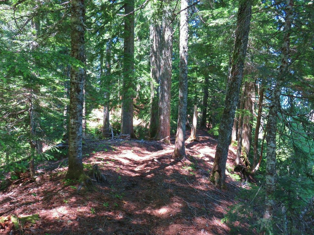
We set off on the trail which gradually climbed through a fairly open forest of lodgepole pine and mountain hemlock.

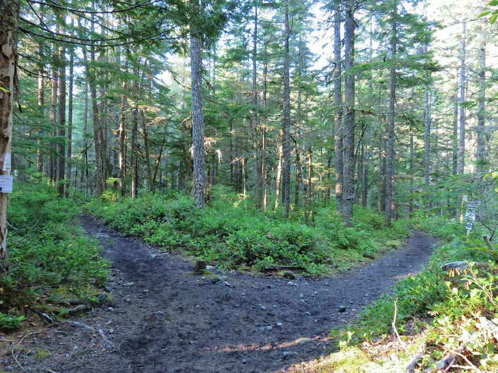
We quickly (less than a tenth of a mile from the trailhead) passed our return route, a connector trail with a pointer for Gold Lake.

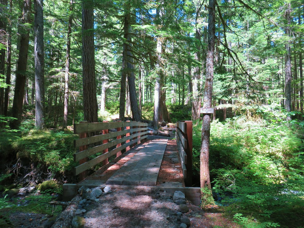
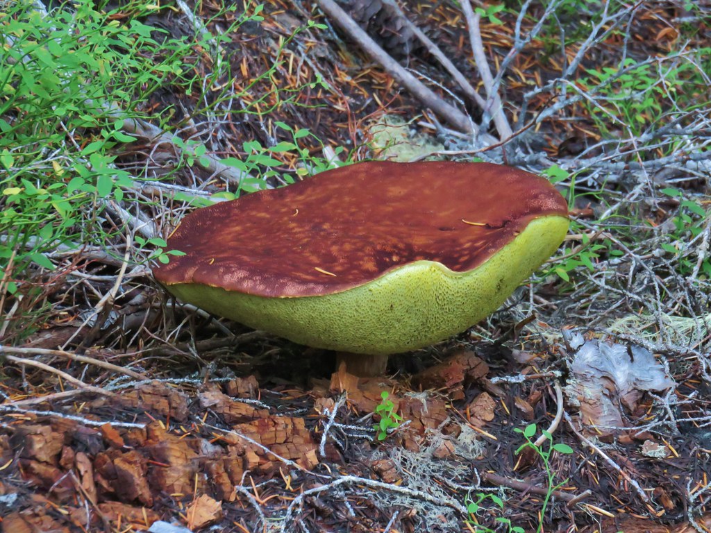
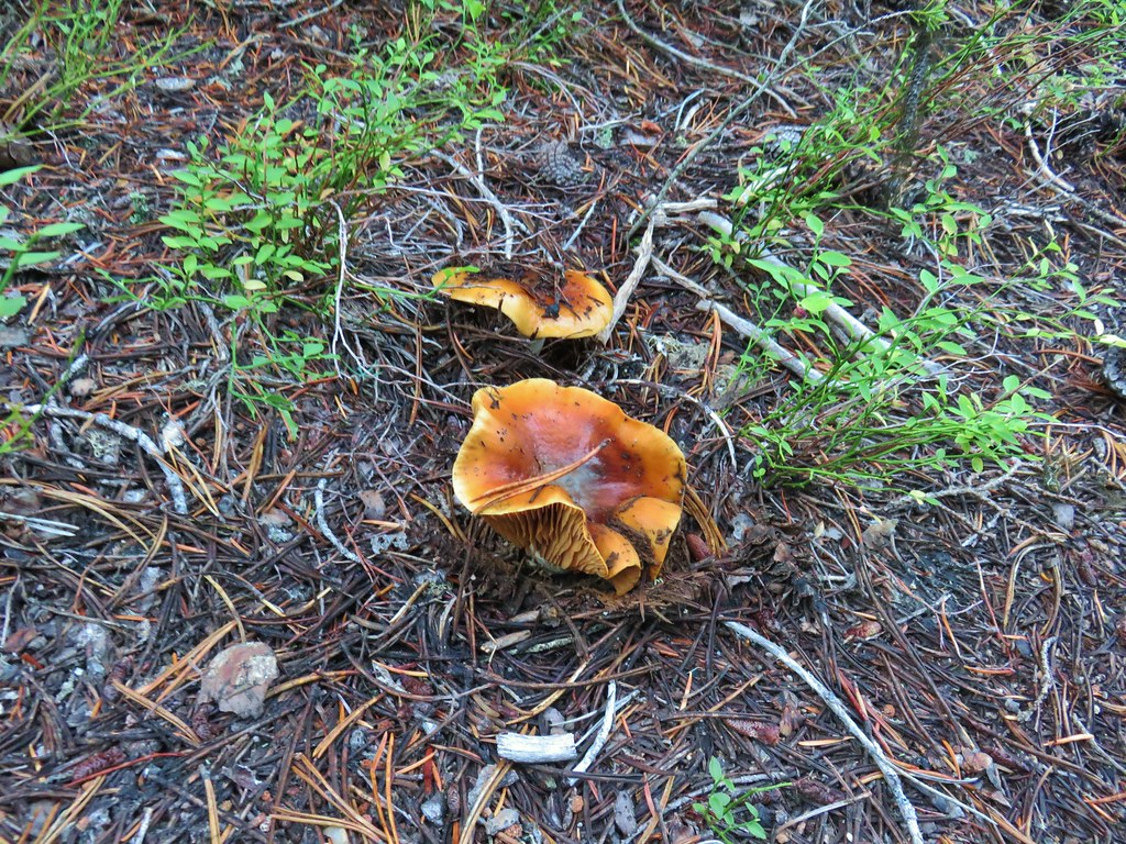
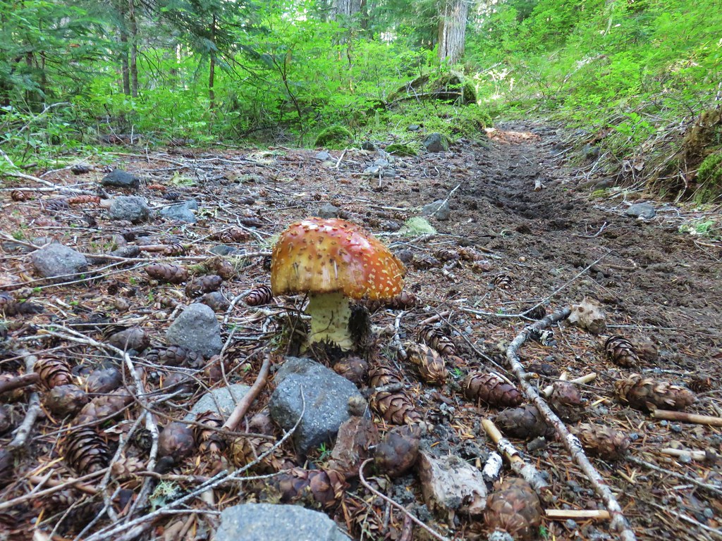
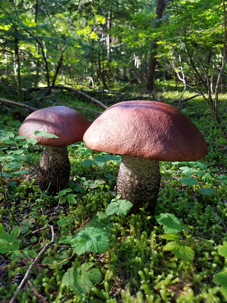
We stuck to The Twins Trail and in another mile and a half reached a four way junction with the Pacific Crest Trail. A variety of mushrooms could be seen along the trail.


 PCT junction.
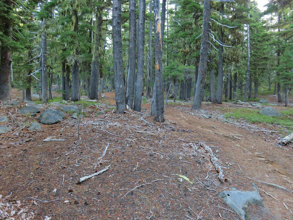
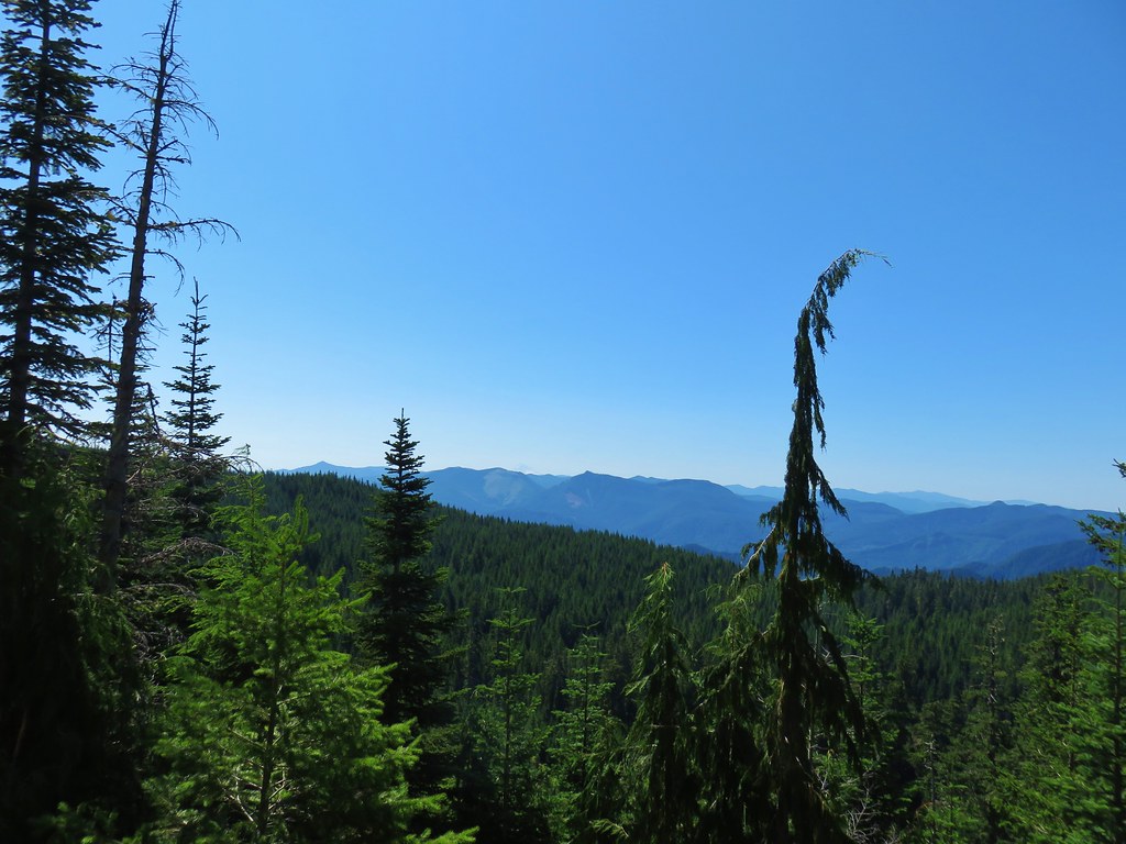
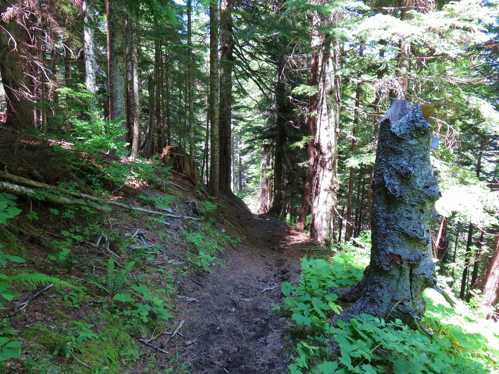
We continued straight across the PCT climbing steeply at first before becoming more gradual. Here the trail passed through an open forest of mountain hemlock with a couple of ponds and many rock outcrops. It was the type of forest that called for exploration and we both felt like we could have set up camp in the area and stayed relaxed for days.
 More cool mushrooms.
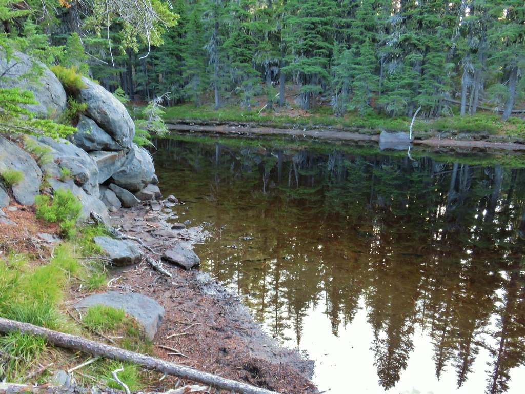 First pond
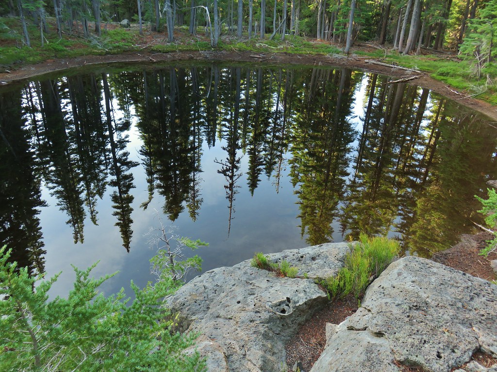 Looking down on the first pond.
 Liked the pattern on this shroom.
 A smaller pond.


 Found a few blooming bleeding heart.
We reached another junction 1.2 miles from the PCT at a sign for Charlton Lake.


This would also be a return trail for us as part of a short loop including the summits of The Twins.
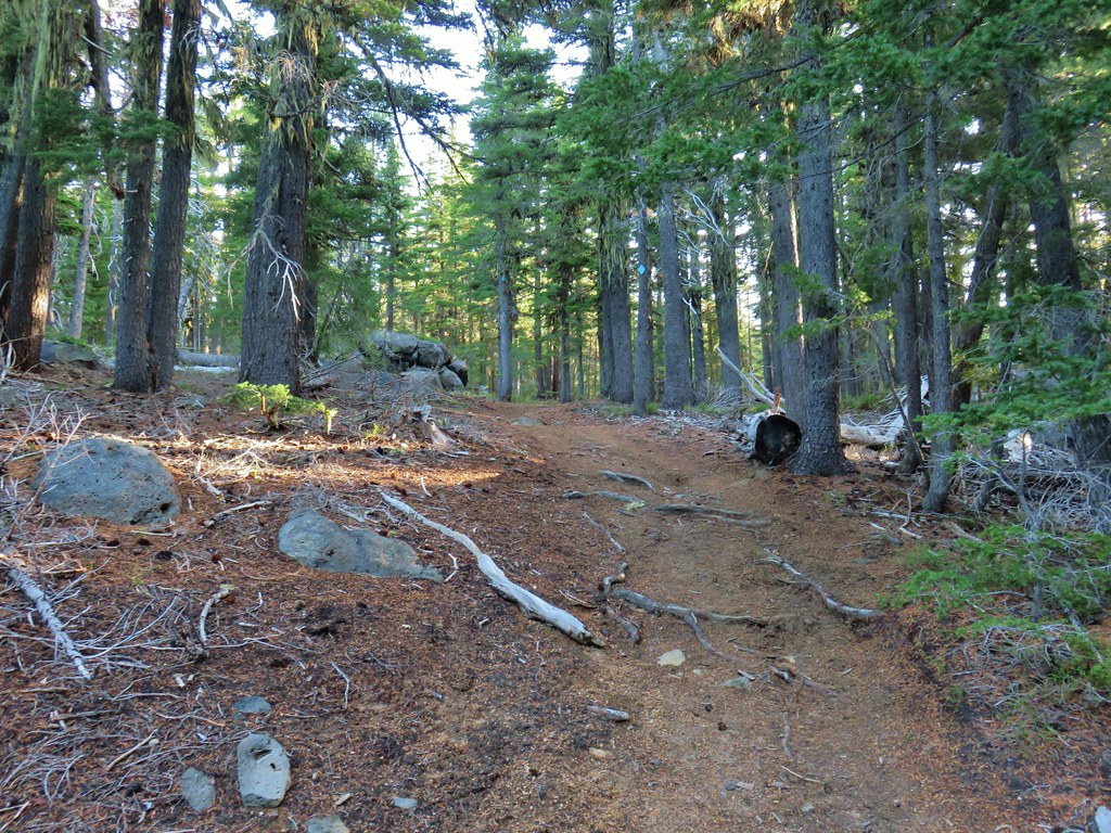
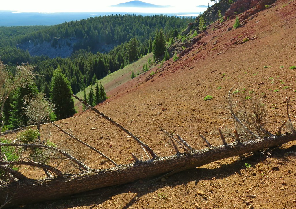
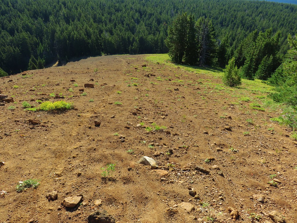
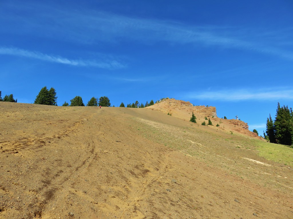
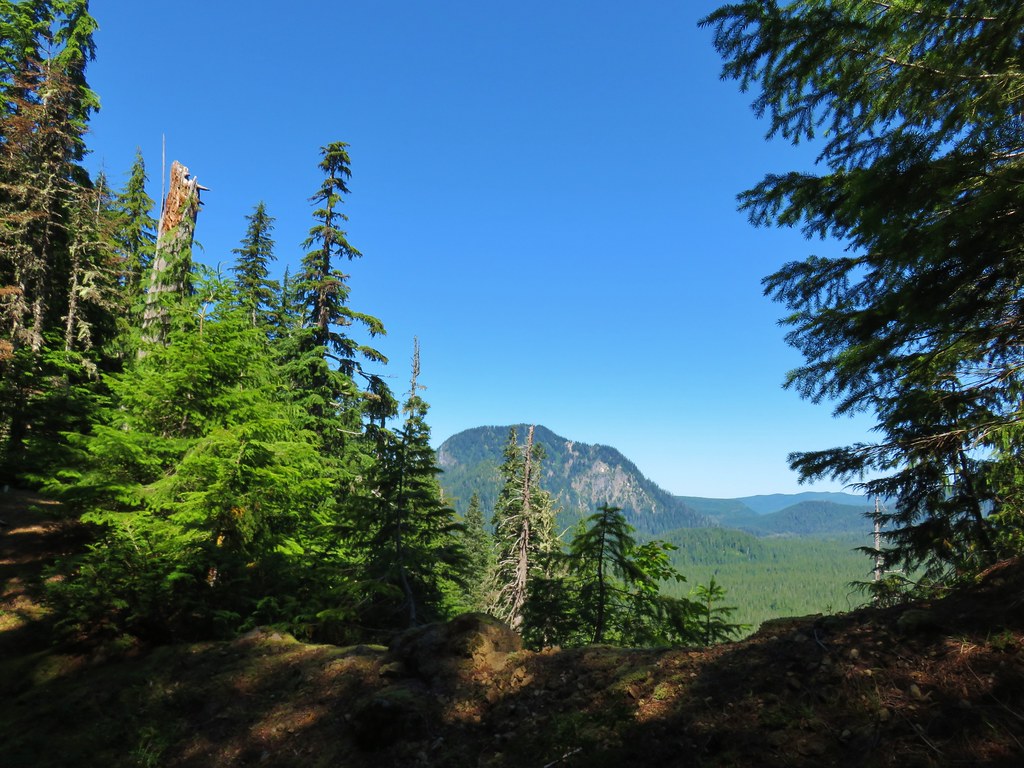
The trail steepened beyond the junction and eventually headed straight up the cinder covered rim around The Twins crater.

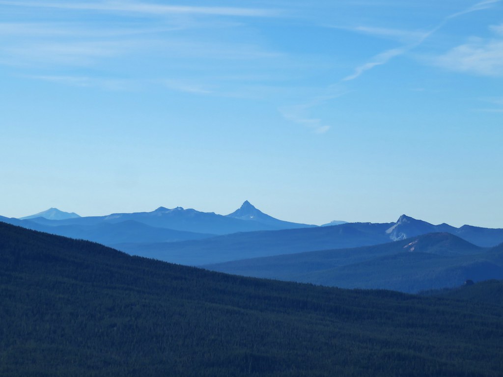
Over our shoulder a nice view to the south was unfolding including Maiden and Diamond Peaks, Mt. Thielsen and Mt. Bailey and even Mt. Scott in Crater Lake National Park.

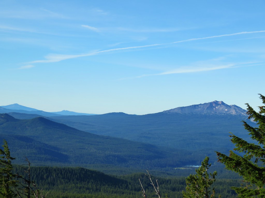 Diamond Peak on the right and Mt. Bailey (post) on the left.
 Mt. Scott (post) on the left and Mt. Thielsen (post) behind Howlock Mountain.
 Maiden Peak (post) in the center.
 Close up of Diamond Peak
As we followed the rim north Waldo Lake could be seen below to the west.

 Waldo Mountain Lookout (post) on the far side of Waldo Lake.
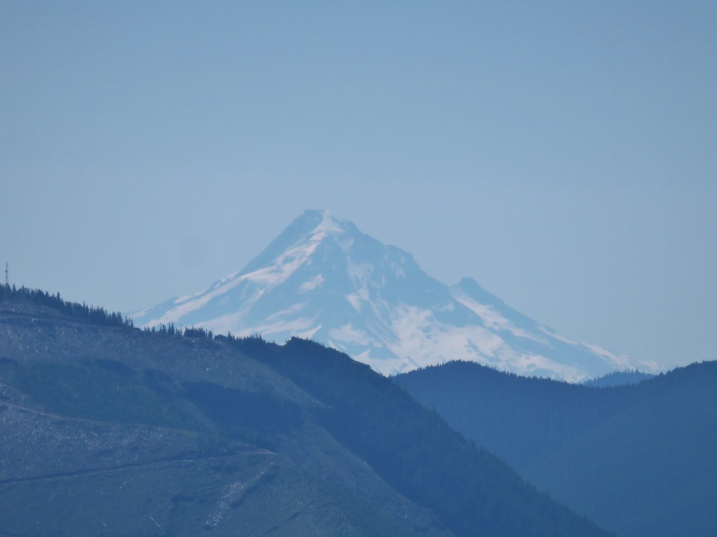
At the north summit the view north was spectacular stretching all the way to Mt. Jefferson.

 Rigdon Butte (post) along Waldo Lake
 Mt. Jefferson (with Three Fingered Jack in front), Mt. Washington, and The Husband
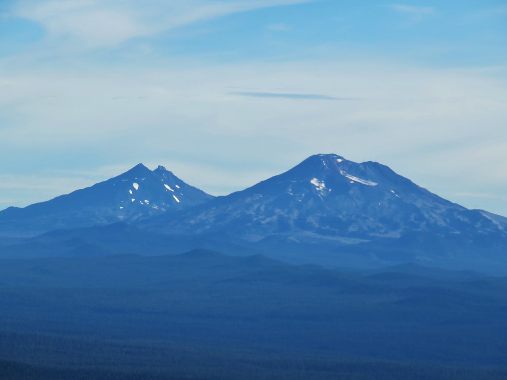 The Three Sisters
 Broken Top
 Mt. Bachelor
The Sun was still to the east making that view a little bright and there seemed to be some smoke over the LaPine area but Newberry Crater and Paulina Peak were visible above the smoke with a low water Wickiup Reservoir in the foreground.

To the SE Davis Lake was visible in front of Davis Mountain and Hammer Butte
To the south the taller southern summit blocked some of the view.

As we started down the trail a saddle between the two summits we spotted a marmot.
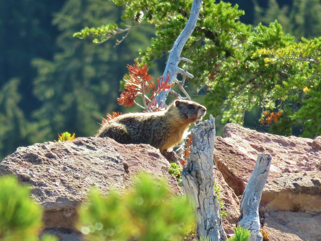
 The marmot on a rock ledge with Crane Prairie Reservoir in the background.

The saddle was forested complete with green grass.


The trail forked on the far side of the saddle where a faint path traversed the hillside below the south summit.
The other fork headed 200′ up to second summit.

The view north was still great from this summit and Waldo Lake was still visible by looking west across the cinder cones crater.


Here though the view to the south was back.
 That’s Bobby Lake below Maiden Peak.
 Mt. Yoran near Diamond Peak
 Gold Lake
 Fuji Mountain (post)
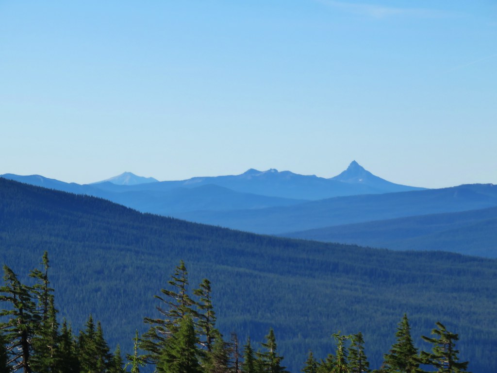
Llao Rock was visible over the right shoulder of Mt. Thielsen from this angle.
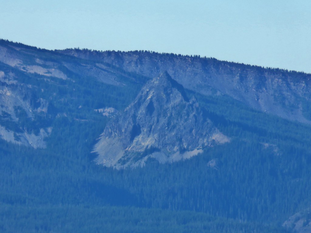
 The closest rocky peak to the right of the photo is Cowhorn Mountain (post)
We had planned on going back down the way we’d come up and taking the trail around the summit, but from the summit we noticed another user path heading down the back side and meeting up with the loop trail at another saddle.
It didn’t look too steep so we decided to try it out. As we started down we quickly realized that it was quite a bitter steeper than it had seemed but we were able to get down without too much trouble. Lower on the hillside we came across a number of elk tracks.


We turned right onto the trail when we reached the saddle where there was a bit of a view of the Three Sisters and Broken Top.

We completed the 2 mile loop and arrived back at The Twins Trail at the Charlton Lake sign and turned left to head back down to the PCT where we turned left again following the point for Bobby Lake.

We followed the PCT south for 2.5 miles, losing a little elevation along the way and passing a pair of small lakes/ponds just before arriving at a 4-way junction.
 Tiny PCT frog.

 One of the unnamed lakes.
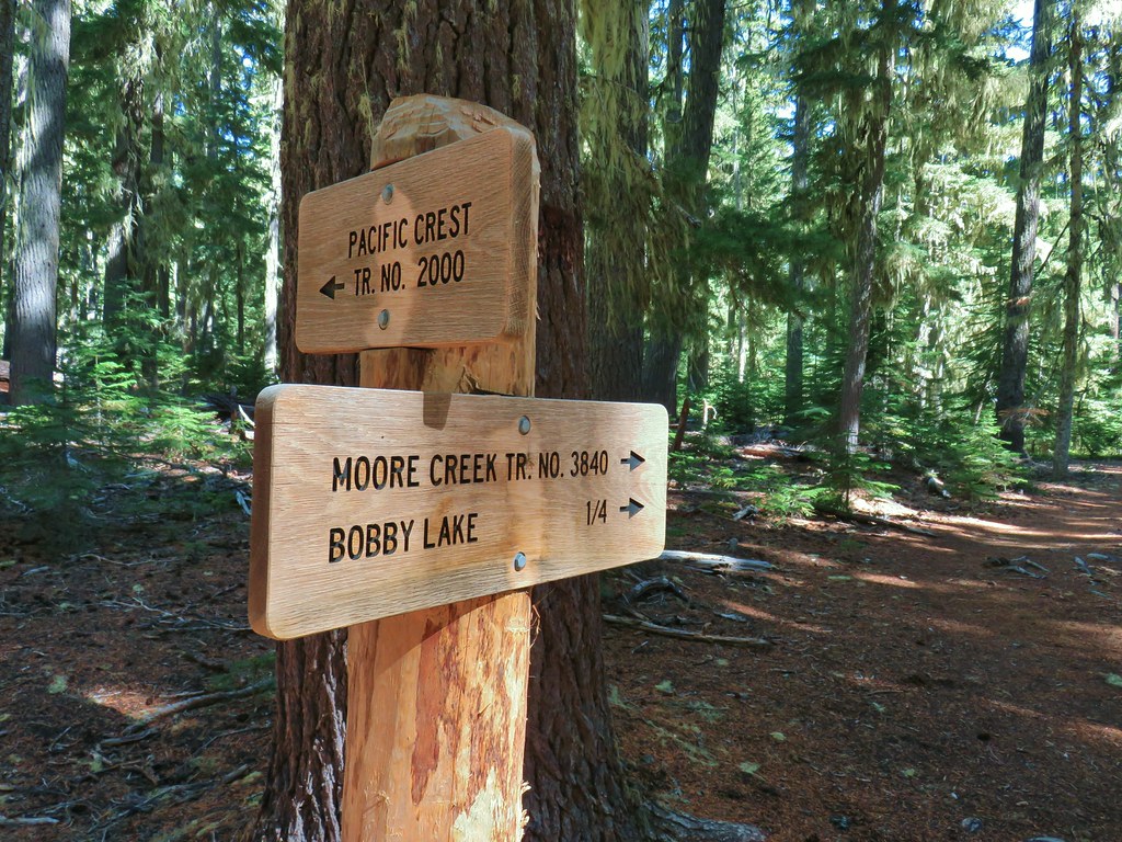 Trail sign at the 4-way junction.
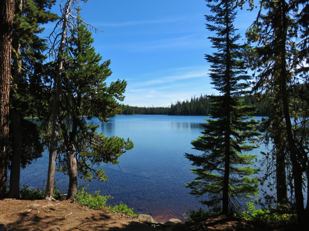
We turned left and dropped down to Bobby Lake which we reached in just over a quarter mile, but not before being looked over by some grey jays.

A short distance along the lake shore to the right was a large rock feature.
 Maiden Peak above the lake.
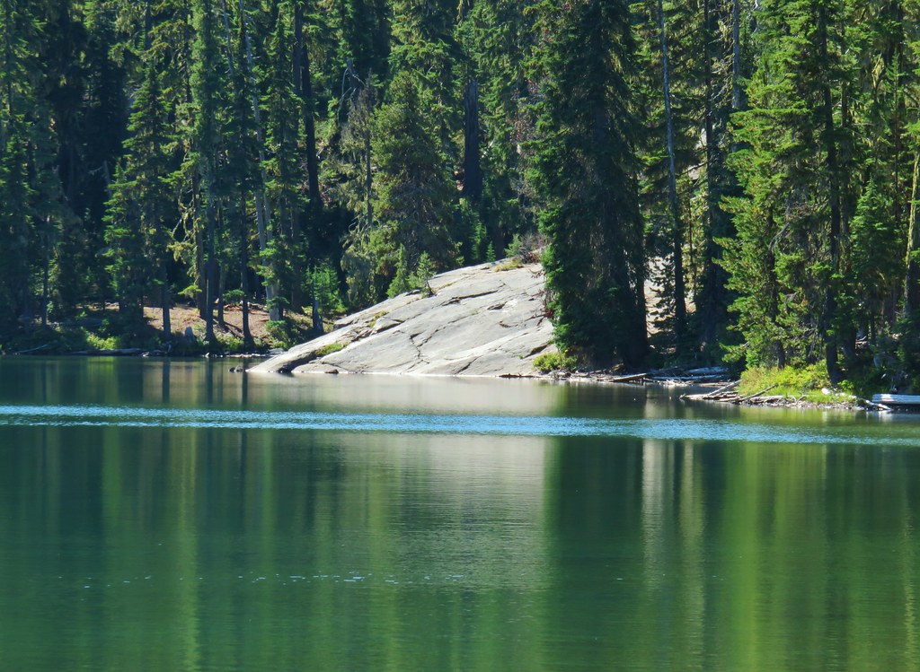
We made our way over to the rocks and took a nice break where we had some company.

 The Twins
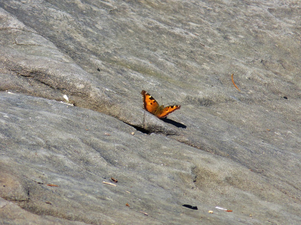 One of several butterflies.


After the break we returned to the PCT junction and continued straight on the Bobby Lake Trail toward Waldo Lake Road.

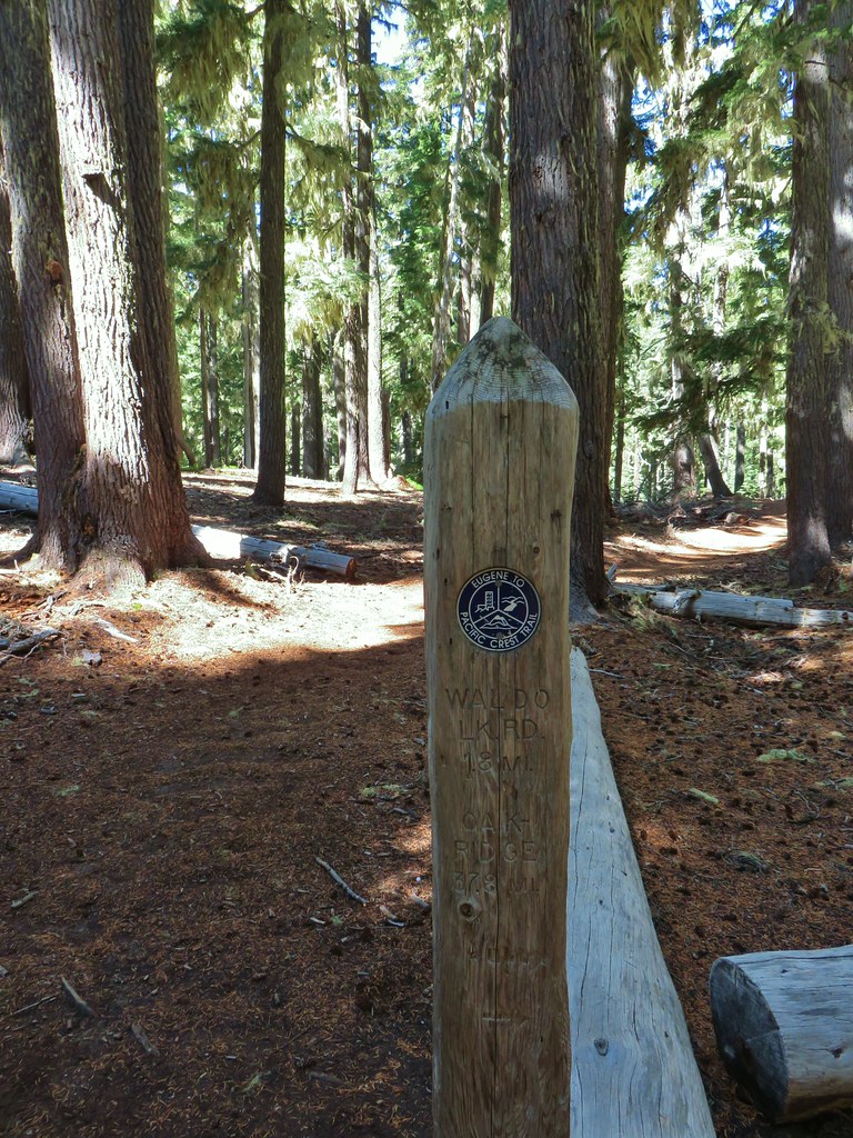
Of particular interest to us was a post located about 100 feet from the junction marking the end of the Eugene to Crest Trail. We had done some of that route earlier in the year during our Bunchgrass Ridge hike (post)

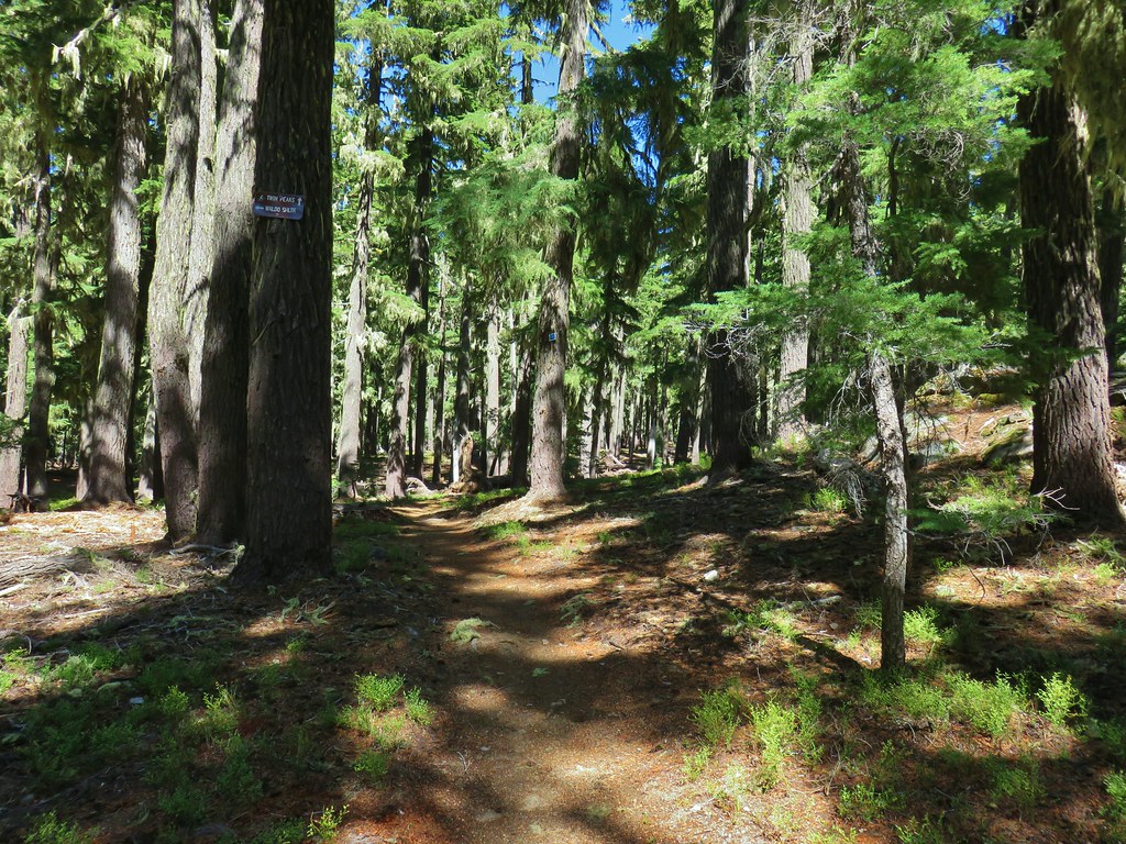
We followed the Bobby Lake Trail for a little over one and three quarters of a mile before turning right at a point for The Twins Trail.

 Nordic trail sign high on the tree.
A fairly level but not at all straight mile walk back to The Twins Trail followed as did a chance encounter with a toad.


We didn’t see too many people during the hike but we found the trailhead parking area full, counting at least 10 cars plus ours (we had been the only car when we started). The hike came in at 12.1 miles and gained upwards of 2100′ of elevation gain making it a good workout but well worth the effort. Happy Trails!
Flickr: The Twins and Bobby Lake


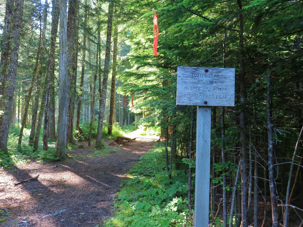
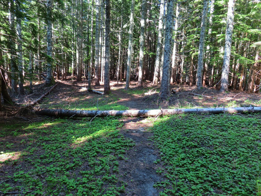
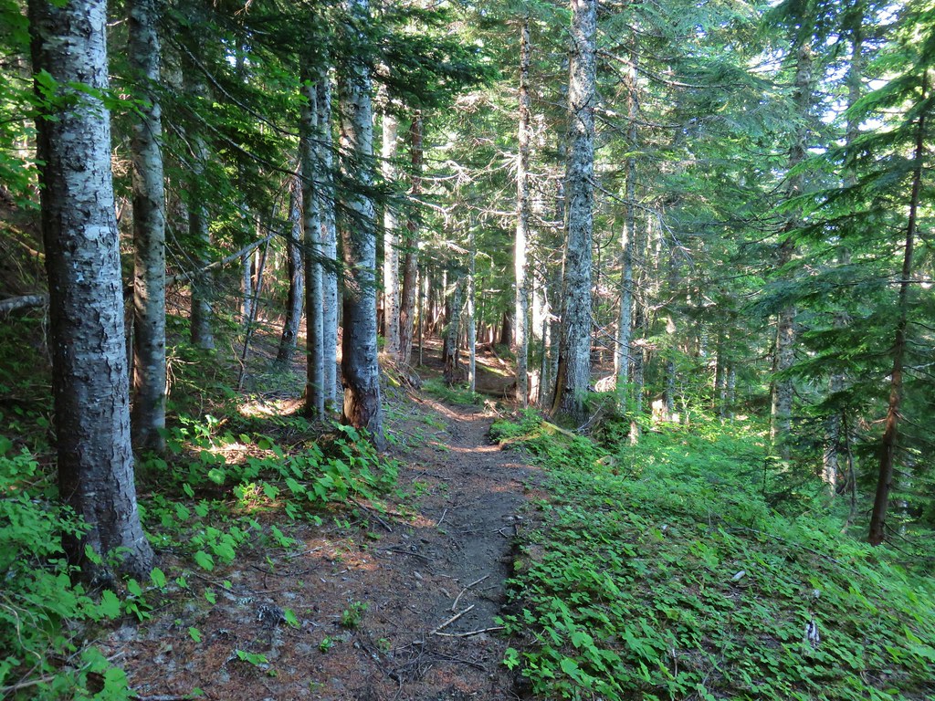
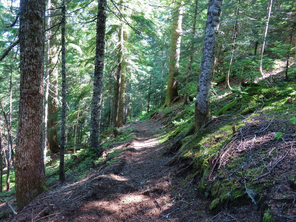
 Toutle Trail
 Candy sticks


 Pinesap
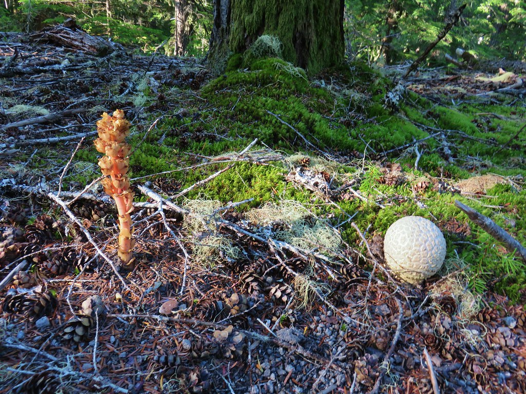 Pinesap and a puffball
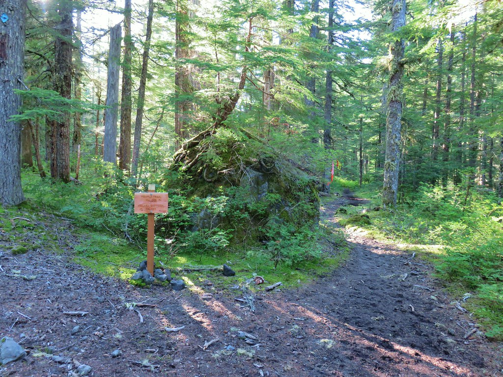
 Lousewort
 Twin Flower


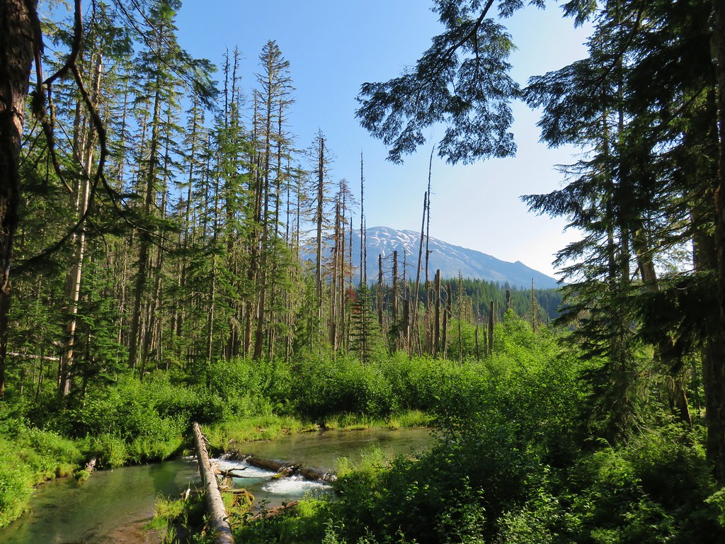

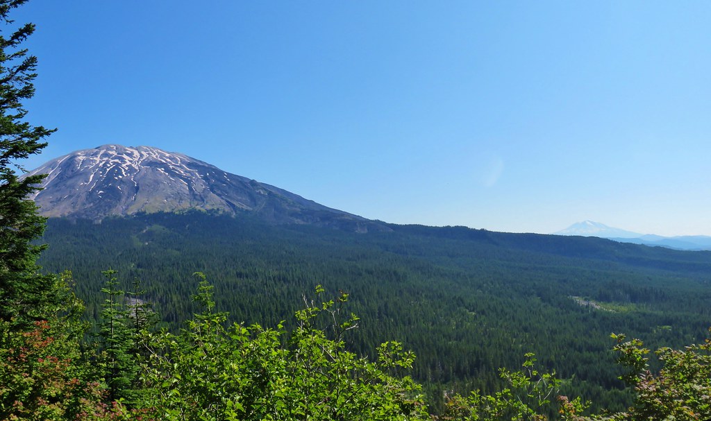
 Mt. St. Helens beyond the remnants of McBride Lake.
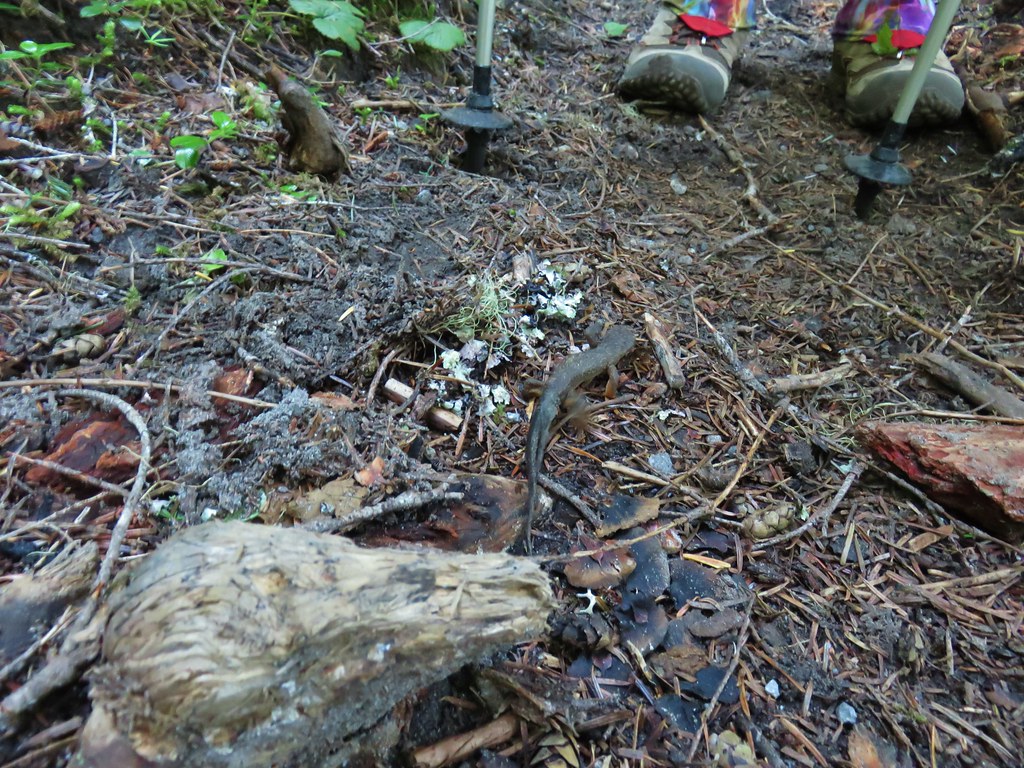

 Cars parked at Red Rock Pass
 Cinnamon Trail on the left and Toutle Trail on the right from the unsigned junction.


 Fungus on a stump.

 The butte ahead (we didn’t want to have to climb that.)
 Trail wrapping around the south side of the butte.
 Toad near the saddle.
 Mt. St. Helens from the saddle.
 Goat Mountain
 Mt. St. Helens and Mt. Adams
 Another frog.
 Crossing #1
 Crossing #2
 Crossing #3


 old road crossing.
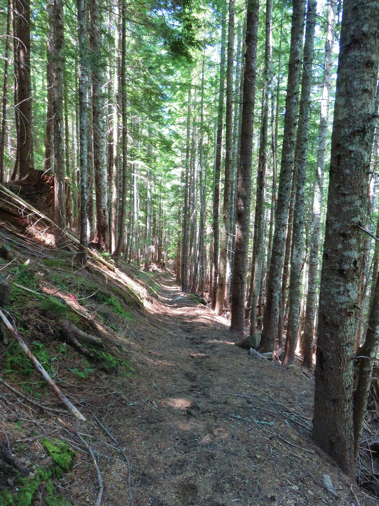
 Dropping to FR 8022(8122).
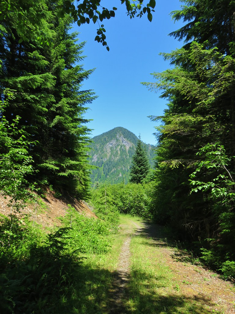 Goat Mountain from the roadbed.
 Goat Mountain and Mt. St. Helens
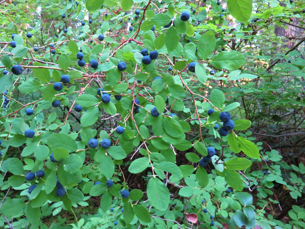
 Ripening berries
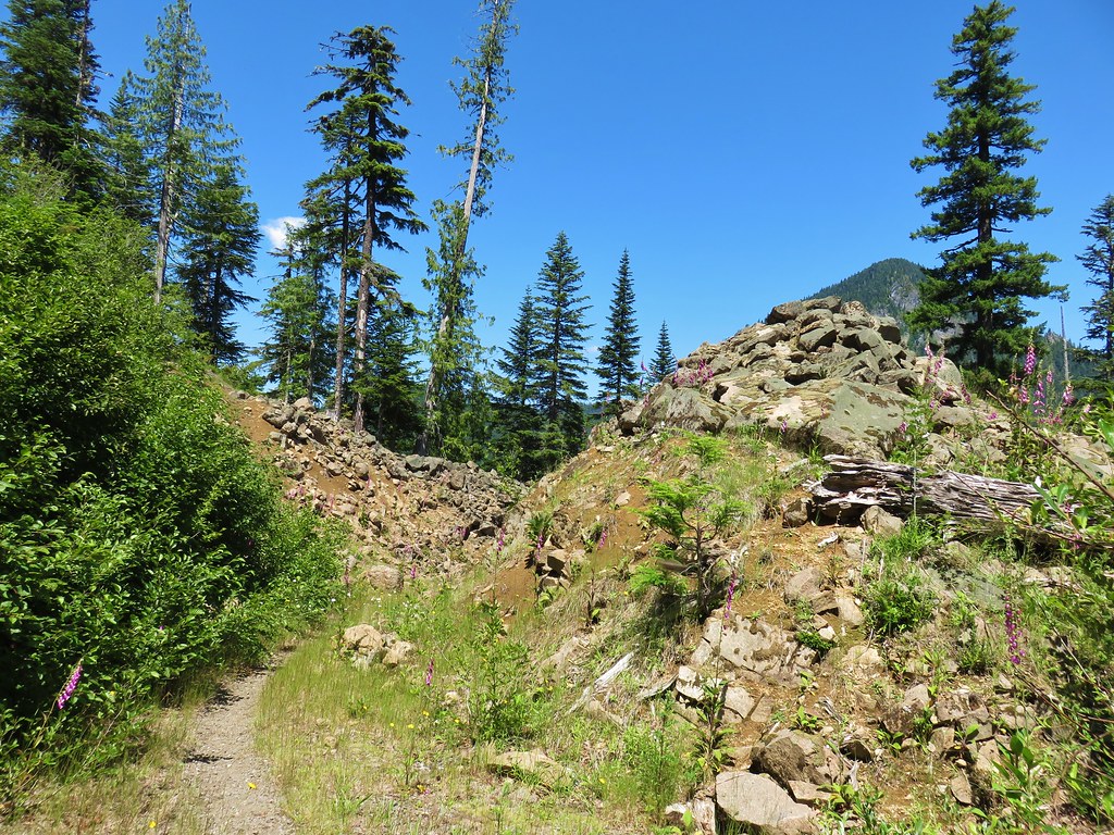 Rock slide along the roadbed.
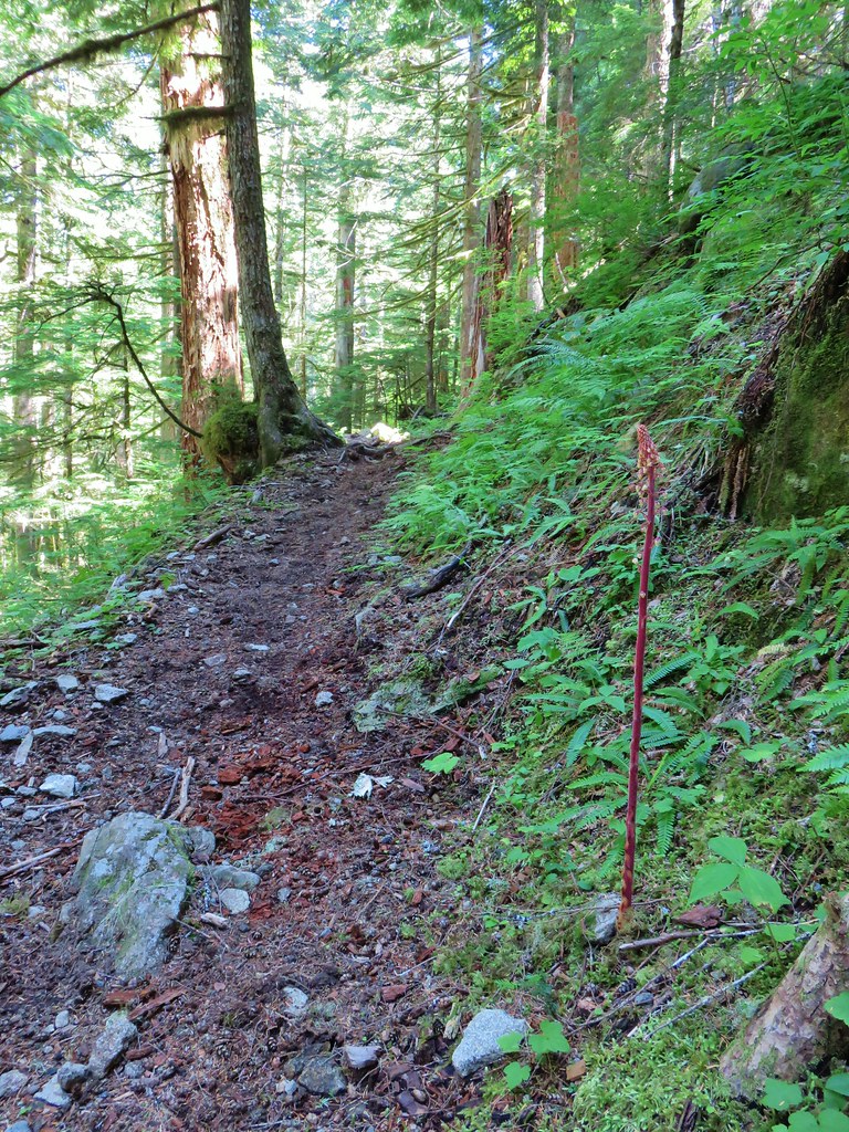
 Pinedrop