Categories
Hiking Year-end wrap up

The Hikes of 2025 – A Look Back

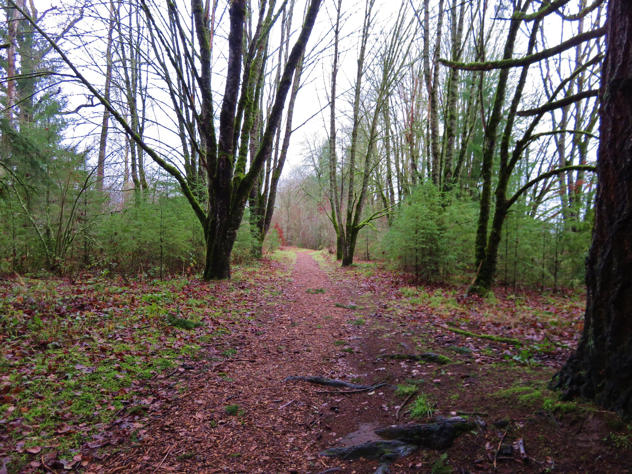
2025 was the first time in several years where we weren’t focused on achieving a specific hiking goal. It also marked the first year in which I had significantly more vacation time than Heather. We also adjusted our off-season modus operandi from “one hike a month” to “at least one hike a month and more if the weather cooperates”. These factors along with some medical restrictions resulted in a very different set of hikes in 2025 than previous years. For the first time since 2014 we didn’t spend any time backpacking, spent minimal time hiking in either Eastern or Southern Oregon, and for only the second time since 2012 failed to hike at an elevation above 8000′. In fact, it was the first year in which the average highest elevation of our outings came in under 3000′ at 2947′.

One thing that did not change was our focus on visiting new trails or, in the case of areas we’d visited before, new sections of trail. Together, Heather and I spent 46 days exploring trails, and I headed out on an additional 20 days. The 66 days for me marked the most days hiking in a calendar year topping the previous high of 64 in 2017. With multiple stops on several of the days the number of trailheads I started off from was 98 (75 for Heather). Fifty-eight of those ninety-eight stops, and twenty-eight of the days were entirely new. The only hike that was 100% on trails previously hiked was to celebrate our friend’s birthday with a hike to Dimple Hill in the McDonald-Dunn Forest. The hikes on our 46 days together came to 402.8 miles with another 245 miles on my 20 solo hikes resulting 647.8 miles for me in 2025. Of those miles 440.6 were new. Our shortest hike was just 0.9-miles when we stopped to check out McCredie Hot Springs on the way home from Bend in October, and my longest was the 17.8-mile Obsidian Loop in the Three Sisters Wilderness in July.

As far as where we spent our time the Central Cascades were at the top followed by the Oregon Coast & Coast Range, NW Oregon, and Washington. The hikes in Washington were one of the reasons for the low number of hikes in Eastern and Southern Oregon. Our two vacations were spent at National Parks in that state, Olympic and Mt. Rainier.
Screenshot 2025-12-20 050649
Locations of the trailheads we started from in 2025. (There are 96 THs since we hiked multiple trails on a number of days.)

Our northernmost hike this year, Ozette Triangle in Olympic National Park, was also the furthest north we’d ever hiked. This was also the furthest west we would be all year.
View from the beach
Looking north from the most northerly location we’ve been.

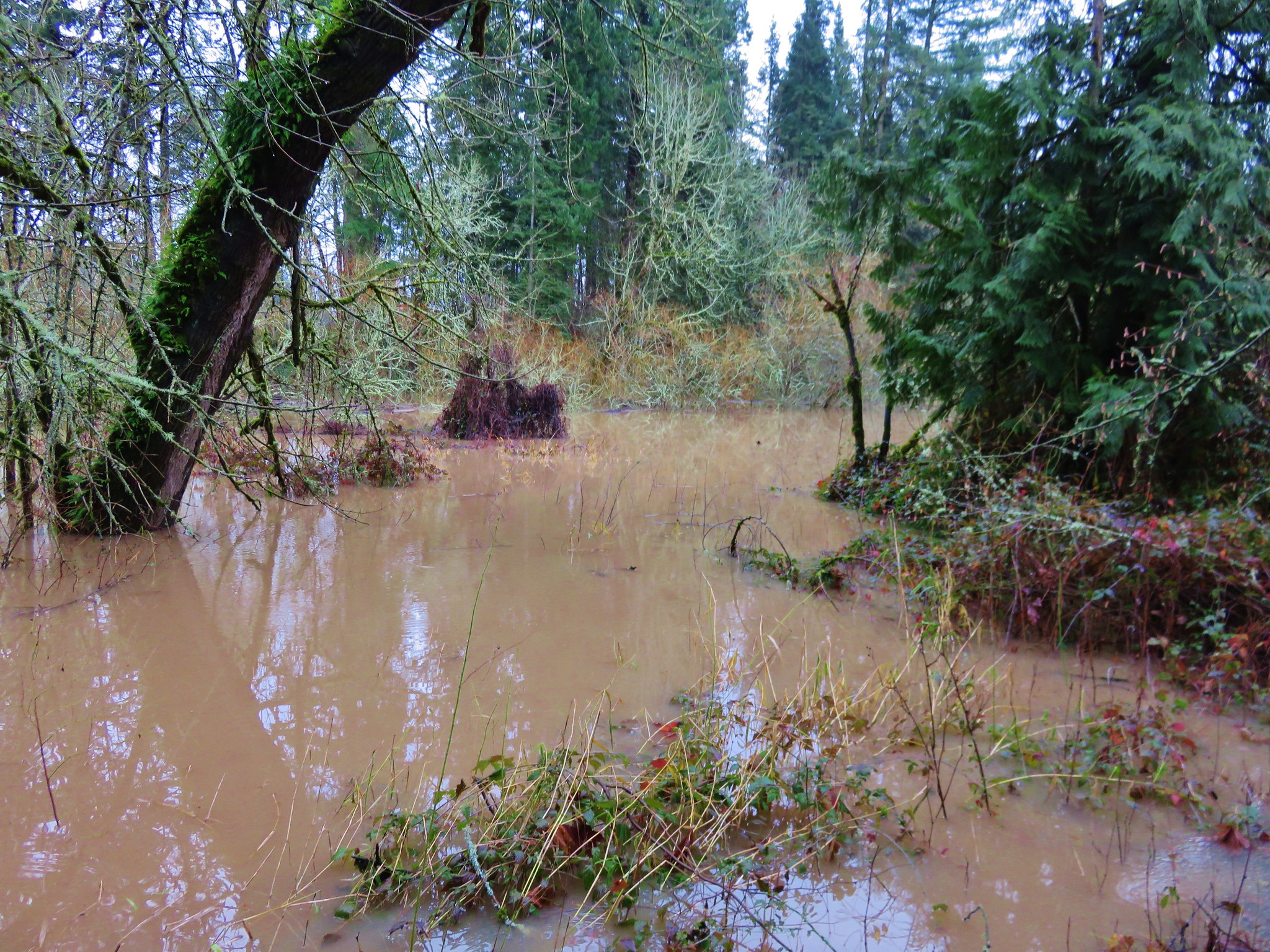
Our southernmost hike was on the Cow Creek Trail SE of Roseburg, OR in the Umpqua National Forest.
Blowdown and a slide along the Cow Creek Trail
Downed trees that marked my turn around point, and southernmost point, on the Cow Creek Trail.

Not surprisingly our easternmost hike was our sole hike in Eastern Oregon in the BLM’s Criterion Tract.
Off-Trail in the Criterion Tract
Roughly the furthest point east we reached this year.

The 2025 wildfire season was comparatively tame to the last few years however there were still more than 1,100 fires from early June to mid-October. According to the Office of the State Fire Marshal over 700 of those fires were human caused which is disappointing as these are by and large avoidable.
While none of the fires directly impacted our plans this year, sadly 200 homes and structures were lost this past year and several trails we’d previously hiked were burned.

On a more positive note, we once again were blessed to be able to see and experience so many beautiful places. So many in fact that in addition to our usual wildlife and wildflower galleries we’re adding one for the waterfalls we saw in 2025.

Driftwood Beach
January – Driftwood Beach, OR

Clackamas River from the McIver Memorial Viewpoint
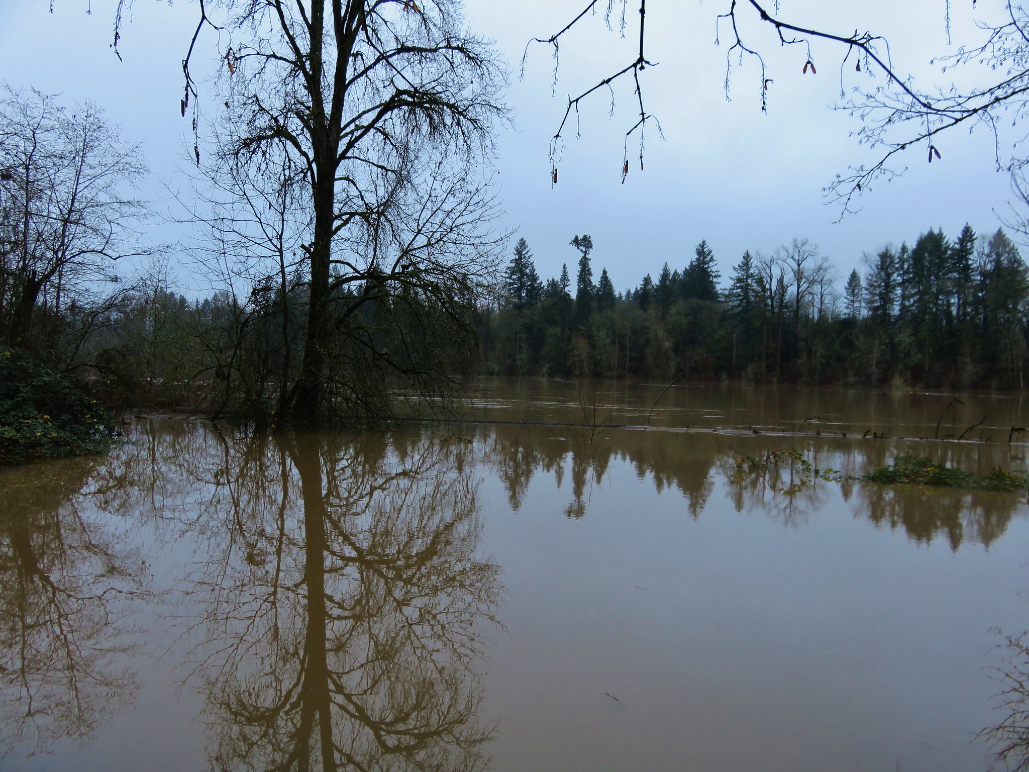
February – Clackamas River from Milo McIver State Park, OR

Labyrinth Trail
March – Catherine Creek/Coyote Wall, WA (This area burned in July 2025 in the Burdoin Fire.)

Nels Rogers Trail
April – Devil’s Lake Fork, Tillamook State Forest, OR

Rich Guadagno Memorial Loop Trail
April – Basket Slough Wildlife Refuge, OR

Mt. Hood
May – Tualatin River National Wildlife Refuge, OR

Taft Creek
May – Hoh Rainforest, Olympic National Park, WA

Devil's Punch Bowl
May – Devil’s Punchbowl, Olympic National Park, WA

Rialto Beach
May – Rialto Beach, Olympic National Park, WA

Little Badger Trail
May – Little Badger Trail, Mt. Hood National Forest, OR

Deschutes River Canyon
May – Deschutes River, BLM Criterion Tract, OR

Blue Lake
June – Blue Lake, Hampton Family Forests (Private Timberland), OR

Fivemile Butte Lookout
June – Fivemile Butte Lookout, Mt. Hood National Forest, OR

Champoeg State Heritage Area
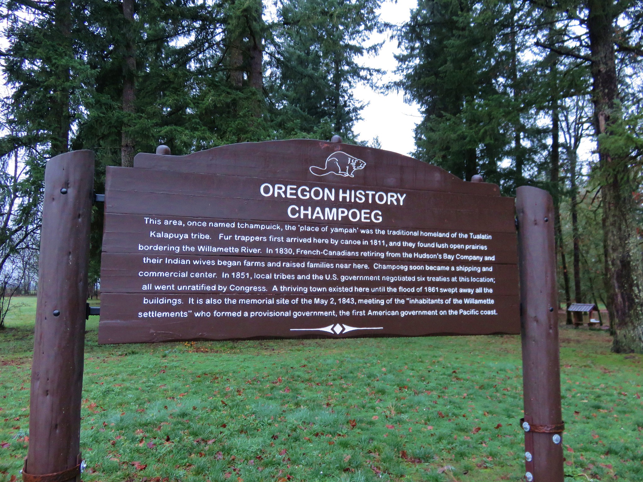
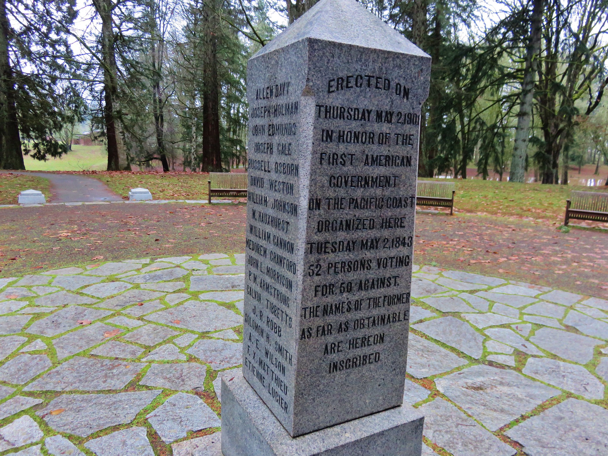
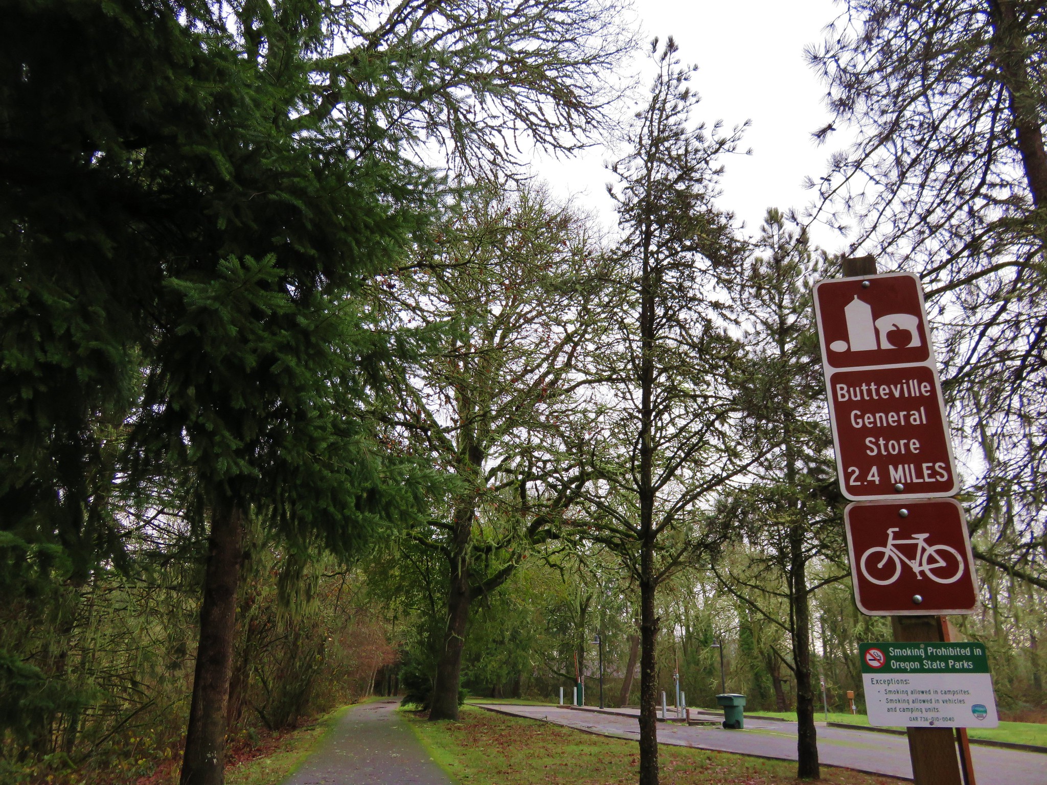
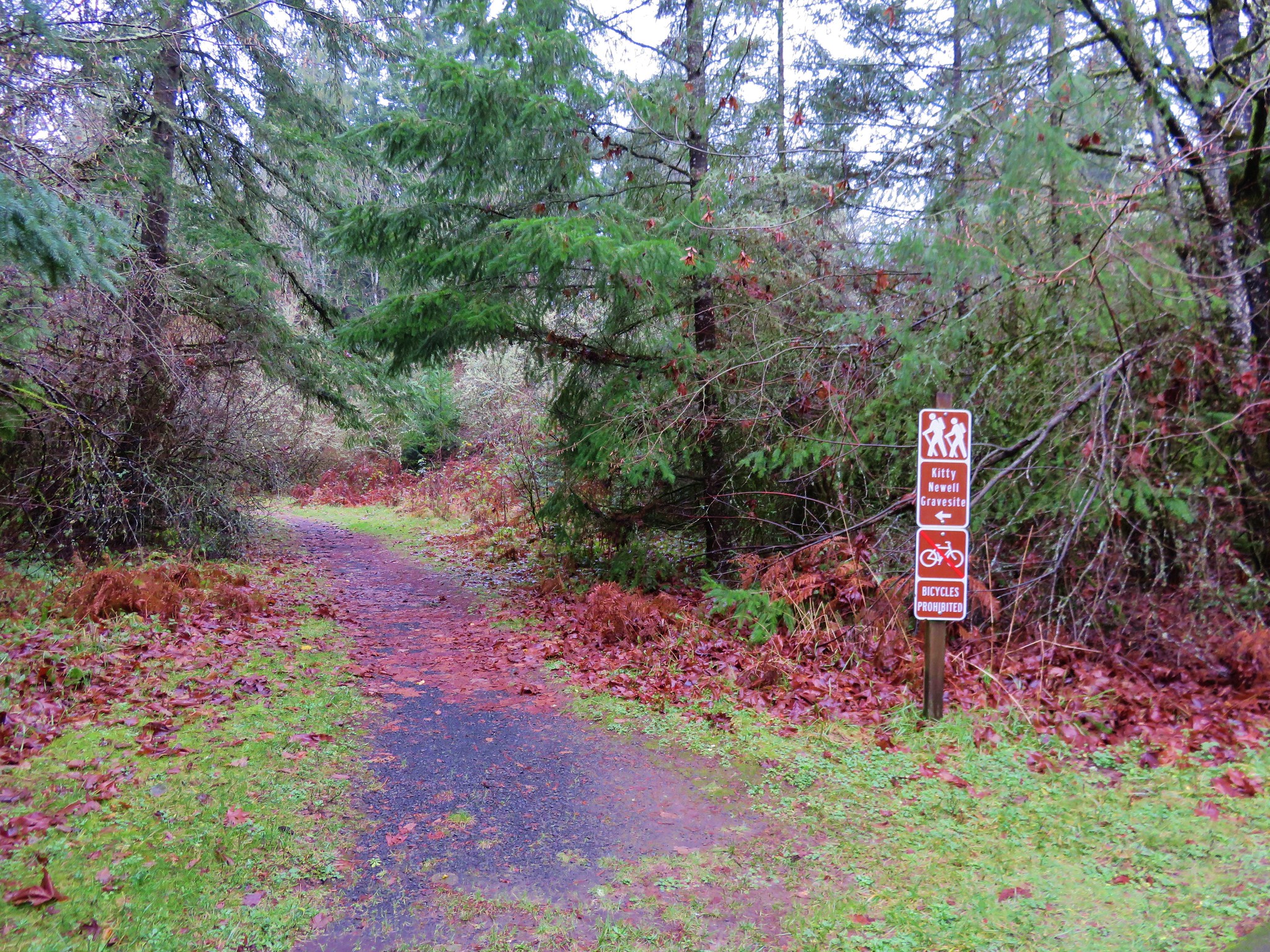
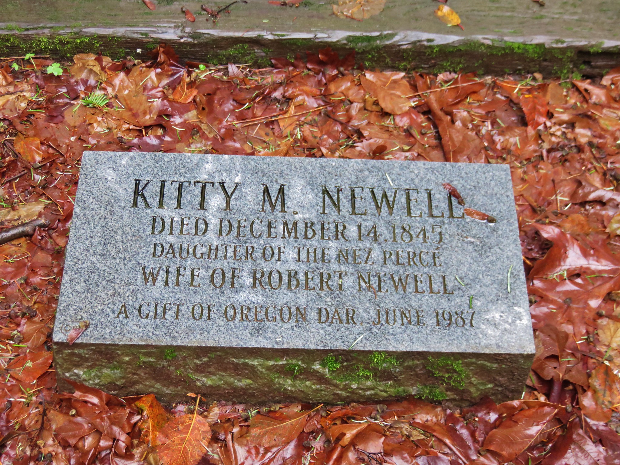
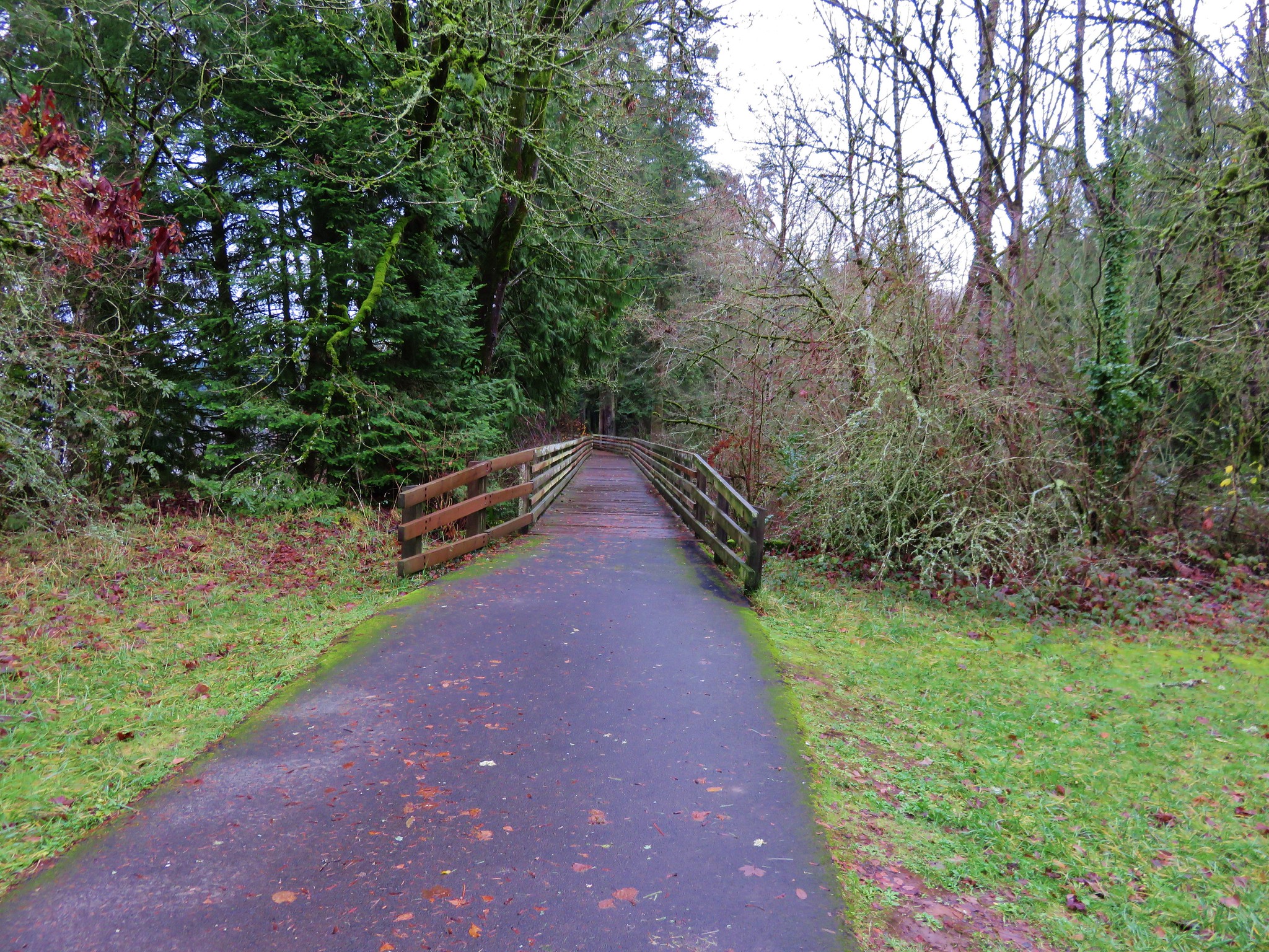
June – Champoeg State Park, OR

Clearwater River
June – Clearwater River, Umpqua National Forest, OR

Elk Camp Shelter
Elk Camp Shelter, Willamette National Forest, OR

Middle Wizard Way Trail
July – Mt. Hood, OR

Mt. Jefferson form Bays Lake
July – Bays Lake, Mt. Jefferson Wilderness, OR

North Sister, Middle Sister and the Collier Glacier from Collier Cone
July – Three Sisters Wilderness, OR

Three Fingered Jack from Craig Lake
July – Craig Lake, Mt. Jefferson Wilderness, OR

Hoodoo and Hayrick Buttes from Big Lake
July – Big Lake, Willamette National Forest, OR

Walupt Lake
August – Walupt Lake, Goat Rocks Wilderness, OR

Mt. Rainier
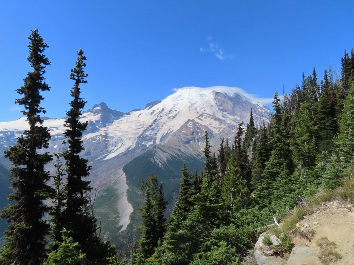
August – Mt. Rainier National Park, WA

Mount Fremont Trail
August – Mt. Freemont Trail, Mt. Rainier National Park, WA

Snow Lake
August – Snow Lake, Mt. Rainier National Park, WA

Mt. Rainier and Naches Peak
August – Naches Peak Loop, Mt. Rainier National Park, WA

Ladder along the Lava Canyon Trail
August – Lava Canyon Trail, Mt. St. Helens National Volcanic Monument, WA

Zigzag Canyon
September – Zigzag Canyon, Mt. Hood Wilderness, OR

Twin Rocks
September – Twin Rocks, Rockaway Beach, OR

Tarn below Broken Top
September – Three Sisters Wilderness, OR

Duffy Butte from Duffy Lake
September – Duffy Lake, Mt. Jefferson Wilderness, OR

View from Fuji Mountain
September – Fuji Mountain, Willamette National Forest, OR

Mt. St. Helens from the Loowit Trail
September – Mt. St. Helens National Volcanic Monument, WA

Charlton Butte from Charlton Lake
September – Charlton Lake, Deschutes National Forest, OR

Head of Jack Creek
October – Head of Jack Creek, Deschutes National Forest, OR

Nehalem River
October – Nehalem River, Nehalem, OR

Smith Creek Trail
October – Silver Falls State Park, OR

Mt. Jefferson and Three Fingered Jack
October – Maxwell Butte, Mt. Jefferson Wilderness, OR

Mushrooms along the Equestrian Trail
October – Willamette Mission State Park, OR

IMG_2896
November – Silver Falls State Park, OR

IMG_3376
November – Clear Lake, Willamette National Forest, OR

IMG_3623
December – Little Rock Creek, Santiam State Forest, OR

Looking ahead to 2026 there are still trails we’ve yet to explore and many that we’d be more than happy to revisit. We’re looking forward to continuing the journey for as long as we are able. Happy Trails and have a wonderful New Year!

Categories
Hiking Oregon Salem/Albany Trip report Willamette Valley

Champoeg Heritage Area

Since 2010 we have been closing out the year by taking our final hike along the coast or in the coastal mountain range, but this year that streak came to an end. Recent storms and heavy rains that damaged roads and left creeks and rivers swollen caused us to rethink our original plan to visit Fort Clatsop near Astoria Oregon. Instead we decided to put our fallback hike into play and visit Champoeg State Park.

Champoeg State Park is located along the Willamette River less than a ten minute drive from Interstate 5 at the Donald exit between Portland and Salem. The 622 acre park is at the site where Oregon’s first provisional government was formed by vote in 1843. On May 2nd of that year 100 men arrived at the Hudson’s Bay store to decide if they would form an American style government or stay aligned with Britain. The group consisted of Americans, Britons, and French-Canadians. The vote was initially tied 50/50, but two undecided French-Canadians eventually chose to vote with the Americans breaking the tie.

By 1860 Champoeg consisted of 200 buildings but in December of 1861 the river flooded when it rose by 55 feet and effectively wiped out the townsite. No lives were lost in the flood but it marked the end of the bustling town.

We parked in the Riverside Parking area located at the northeast end of the park planning on starting our hike on the .5 mile riverside loop.
Champoeg Heritage Area Trailhead The recent rains had left the park a bit waterlogged and we found portions of the trail underwater. IMG_2733

IMG_2734 We made our way around this first obstacle and climbed a small hill to the Pioneer Memorial Building. Champoeg Pioneer Memorial Building

A 1901 memorial commemorating the 1843 vote sits in front of the building.
IMG_2738 We set off on the Riverside Loop next to a muddy and swollen Willamette River. IMG_2745

IMG_2743 The loop wasn’t possible on this day due to several flood portions, but we walked the portions that were accessible. Flooded trail in Champoeg State Park

We returned to the memorial and headed west on the Townsite Trail, a 1.5 mile barkdust path that led to the Park’s campground.
IMG_2754 IMG_2756

Townsite Trail We followed the path to a backed up Champoeg Creek and crossed on the road bridge leading to the campground. IMG_2763

IMG_2765 From the campground a paved bike path leads 2.4 miles to the Historic Butteville Store. Established in 1863 it the oldest operating store in the State although it closes in the winter. IMG_2766

Two short hiker only side trails split from the bike path near the far end of the campground.
IMG_2769 The first led to the grave site of Kitty Newell while the other was the short .4 mile Nature Trail Loop. IMG_2771

The bike path was clear of water and we followed it along the Willamette. Houses lined the far side of the river, but on our side was a mossy forest.
IMG_2778 IMG_2781

The final .6 miles to the store require some road walking, first along narrow Schuler Rd then downhill on what was a busy Butteville Rd.
IMG_2782 On our way back we remained on the paved bike path after recrossing Champoeg Creek. This route would bring us back on a loop around open farmland and the park’s Frisbee golf course. IMG_2797

We spotted a number of birds along this portion including an Acorn Woodpecker.
IMG_2788 Acorn Woodpecker

IMG_2803 Near the end of the loop we spotted a tree with markers showing the water levels during the 1861 flood and the more recent 1996 flood. IMG_2804

Highwater makers for the 1861 & 1996 floods. We lived in Monmouth, OR in 1996 so we remembered the 1996 event. It was hard to fathom how much more water there would have needed to be to reach that 1861 mark. We finished up our hike and began to drive back out of the park, but as we were sitting at a stop sign I looked out the passenger window to see an American Kestrel sitting in a tree only 10 feet away. I reached back for the camera only to realize I had put it in the back of the car. As a rule I keep it in the back seat because of the amount of wildlife we seem to wind up seeing from the car instead of on the hikes, but I hadn’t this time. The kestrel flew off and landed in another tree a little further away, so I hopped out and got the camera out of the back in hopes of getting a picture. It changed trees one more time before I was able to jog over to the bike path (which just happened to pass near the road here) and get a semi decent photo. Americn Kestrel

This wasn’t one of our typical hikes, but knowing the history of the area made it an interesting hike. If you’re interested in more information on this area or for other historical Oregon hikes check out Hiking Oregon’s History by William L. Sullivan.

Happy Trails and Merry Christmas!
Little Christmas Tree in Champoeg State Park

Flickr: https://www.flickr.com/photos/9319235@N02/albums/72157660242747654