When we changed our plans from a backpacking trip in the Diamond Peak Wilderness to a long weekend in Bandon one of the more exciting prospects was being able to check off a visit to our 38th Oregon Wilderness Area – the Copper-Salmon Wilderness. We had attempted to visit that particular wilderness in 2017 but a washed out road denied us access to the Barklow Mountain Northeast Trailhead (post)
For this trip we would be using the Barklow Mountain West Trailhead. We used the Oregonhikers.com field guide entry here to reach the trailhead. The guide mentions that the road is prone to rockfall and slides and that it is best to wait for the dry months of Summer to attempt to reach the trailhead. Based on the conditions we encountered along the roads that is not an understatement.
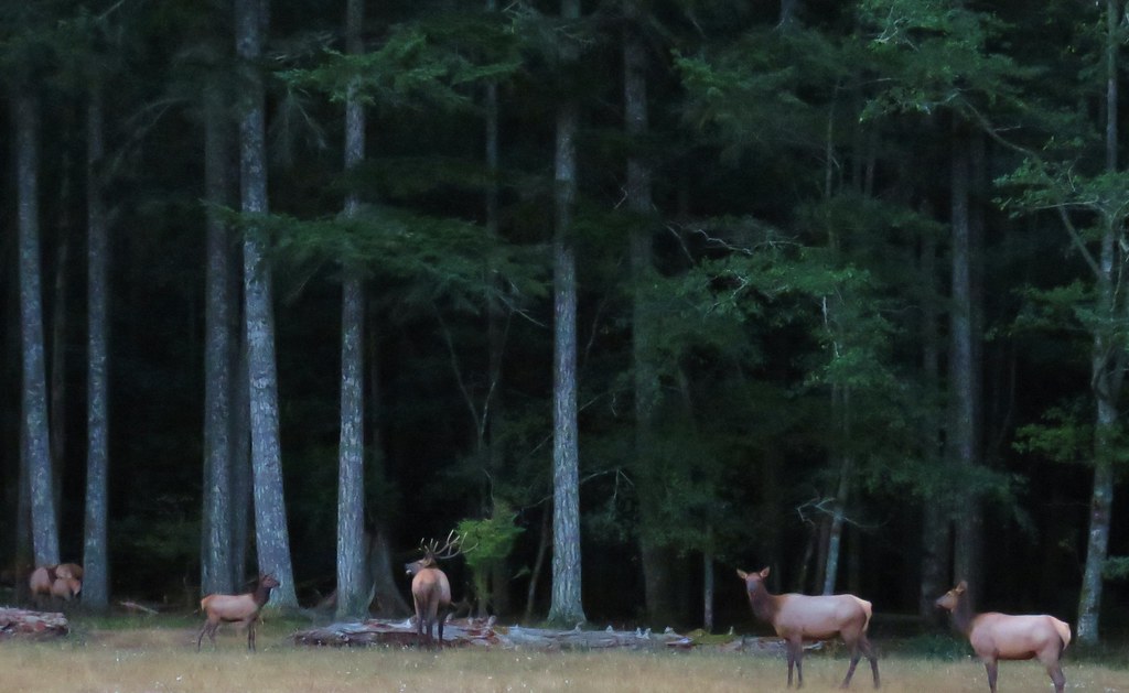
Prior to reaching the vehicular obstacle course that was the Forest Service Roads we spotted a small elk herd and a number of deer along Elk River Road. It was still a bit dark for pictures but we did our best from the idling car.

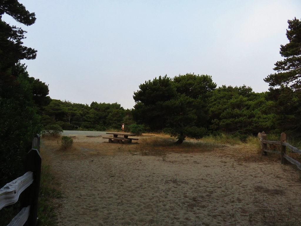
We parked at the small pullout that is the trailhead after a long drive (time wise) that included stopping a couple of times to remove small trees from the road and also at the junction with FR 390 because the 390 post was in the center of a fork and we didn’t want to be on that road but we couldn’t tell which one the post was referring to. (Hint – The left fork was FR 390 so we went right.)
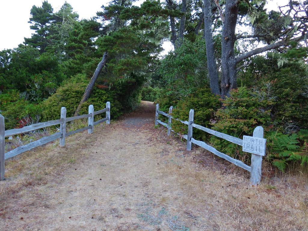
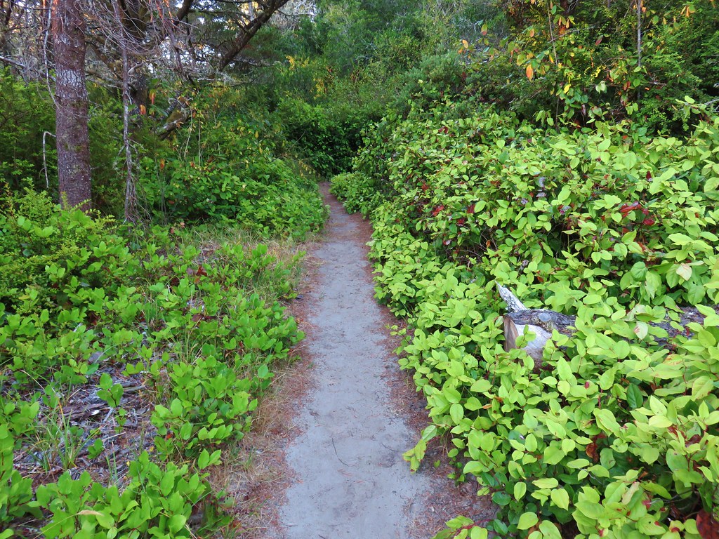
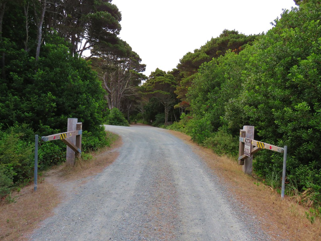
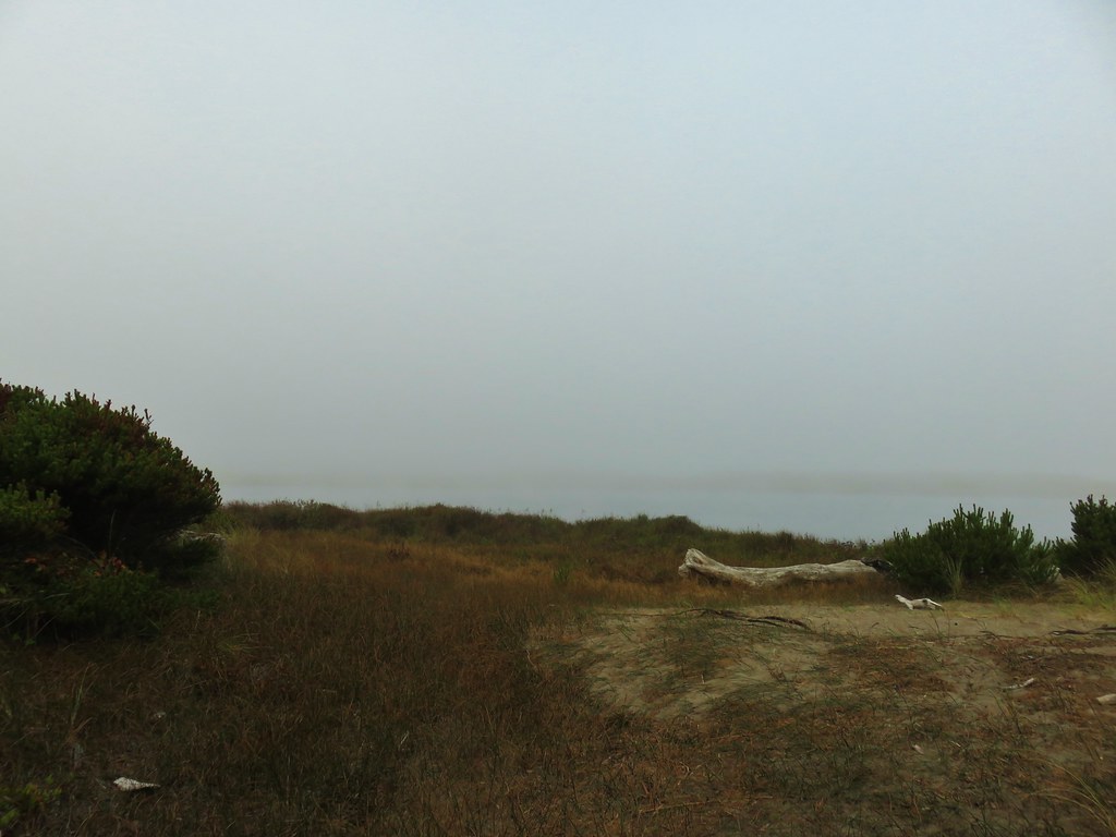
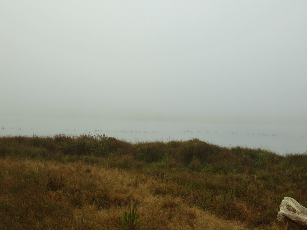
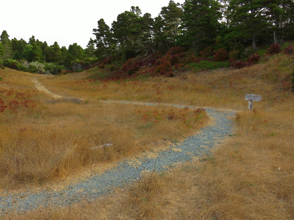
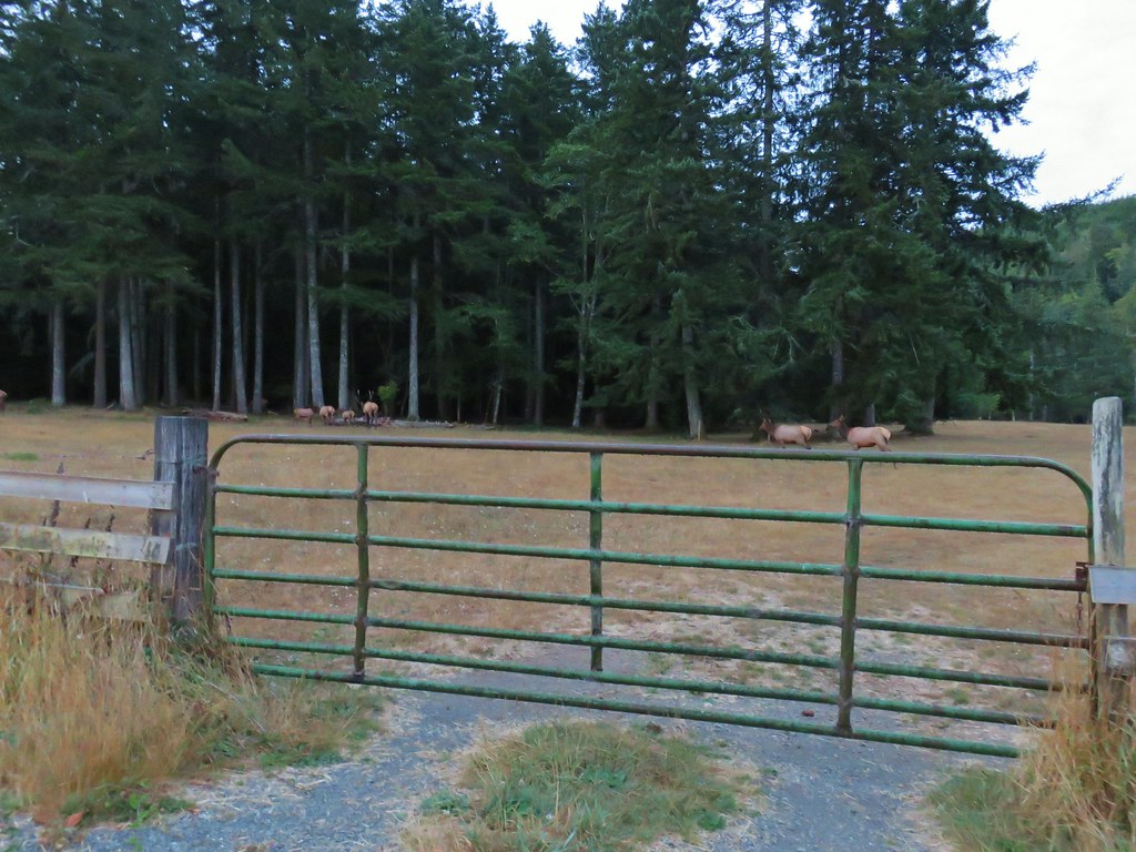
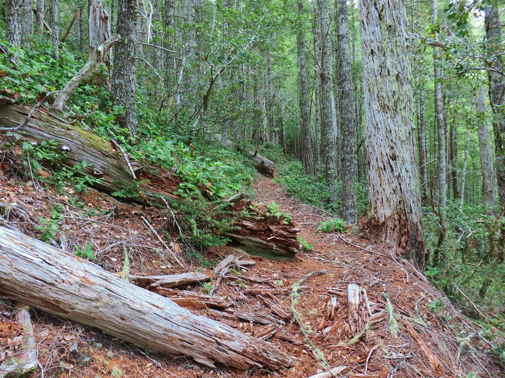
 Barklow Mountain West Trailhead
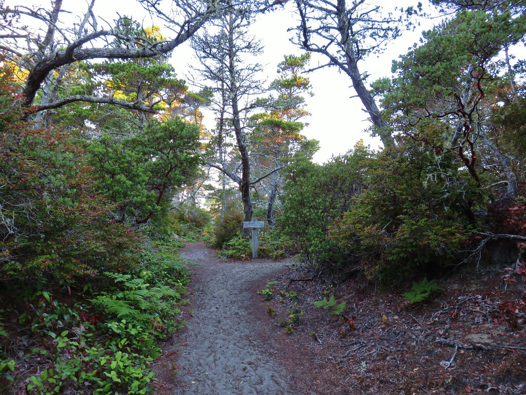
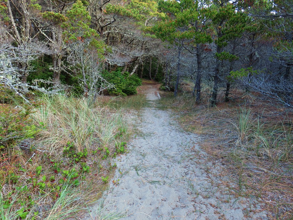
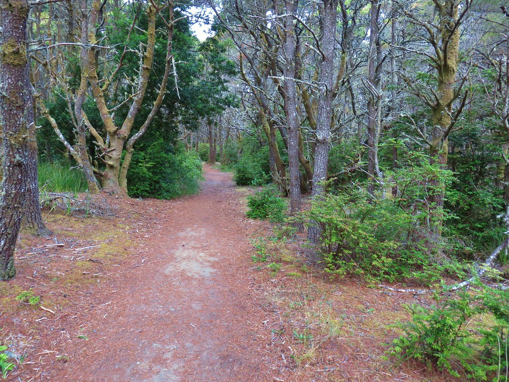
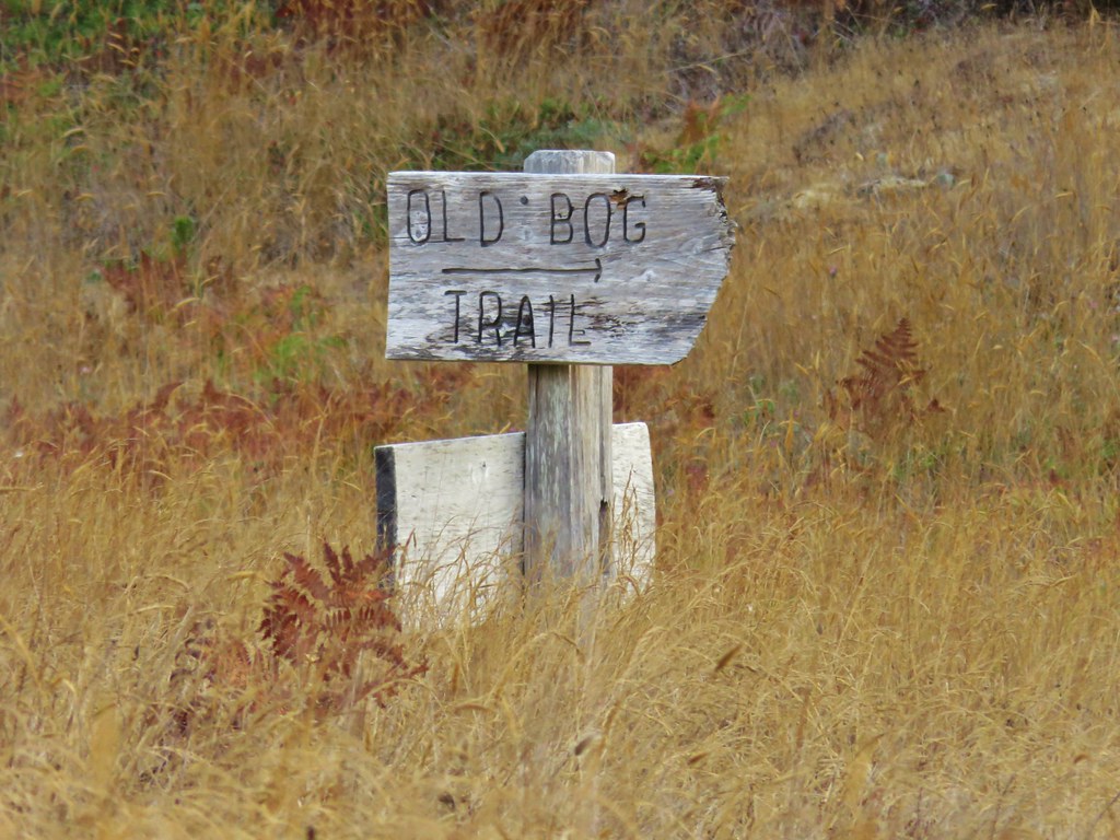
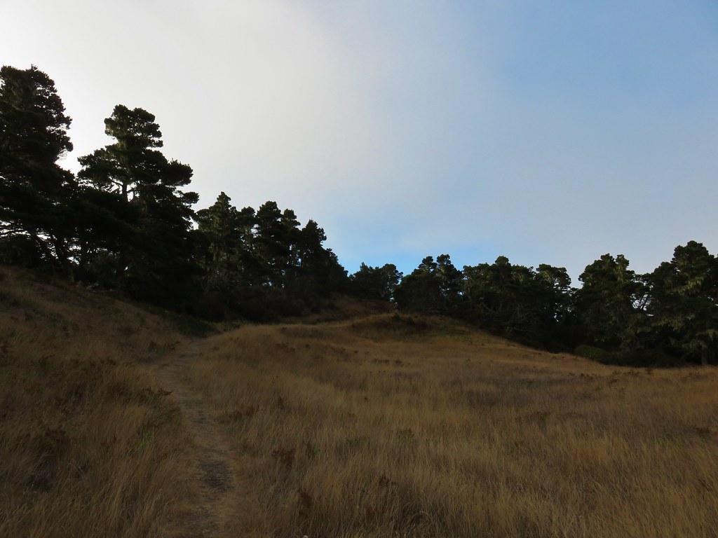
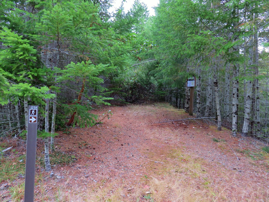
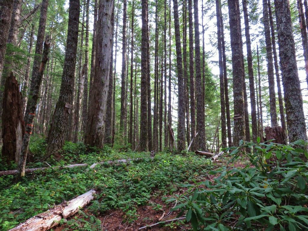
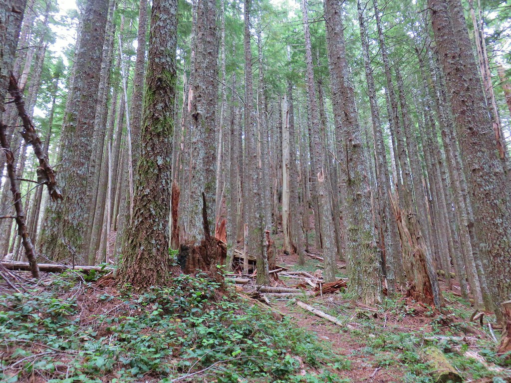
The Barklow Mountain Trail dropped slightly from a closed road bed and quickly entered the Copper-Salmon Wilderness.
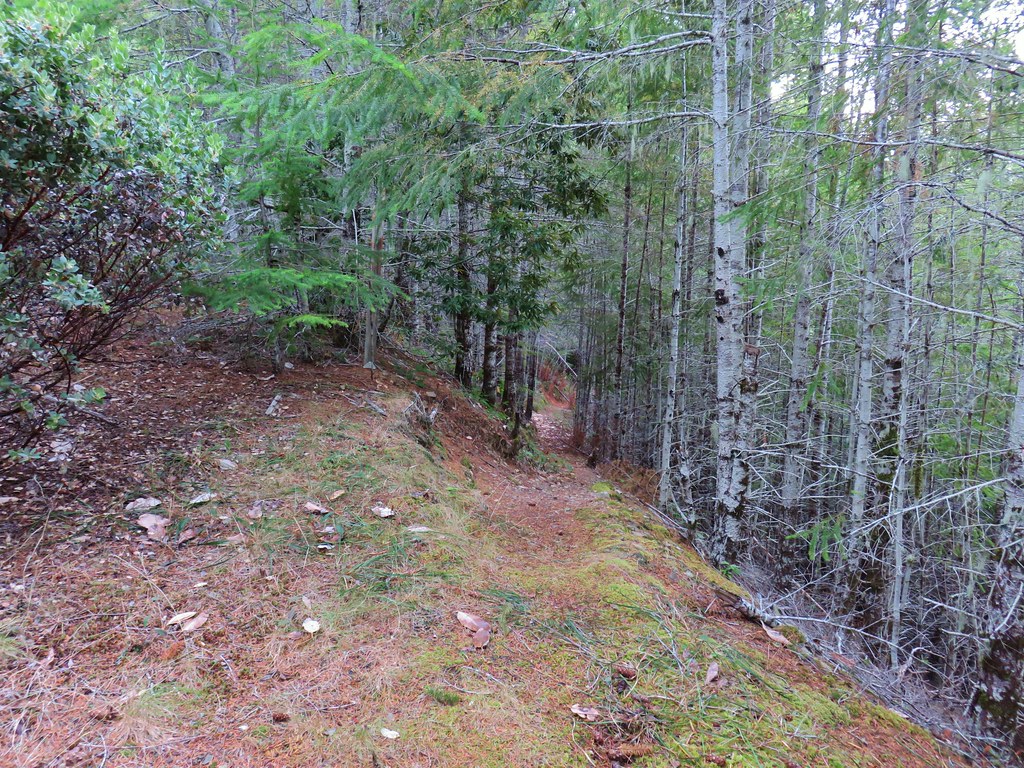

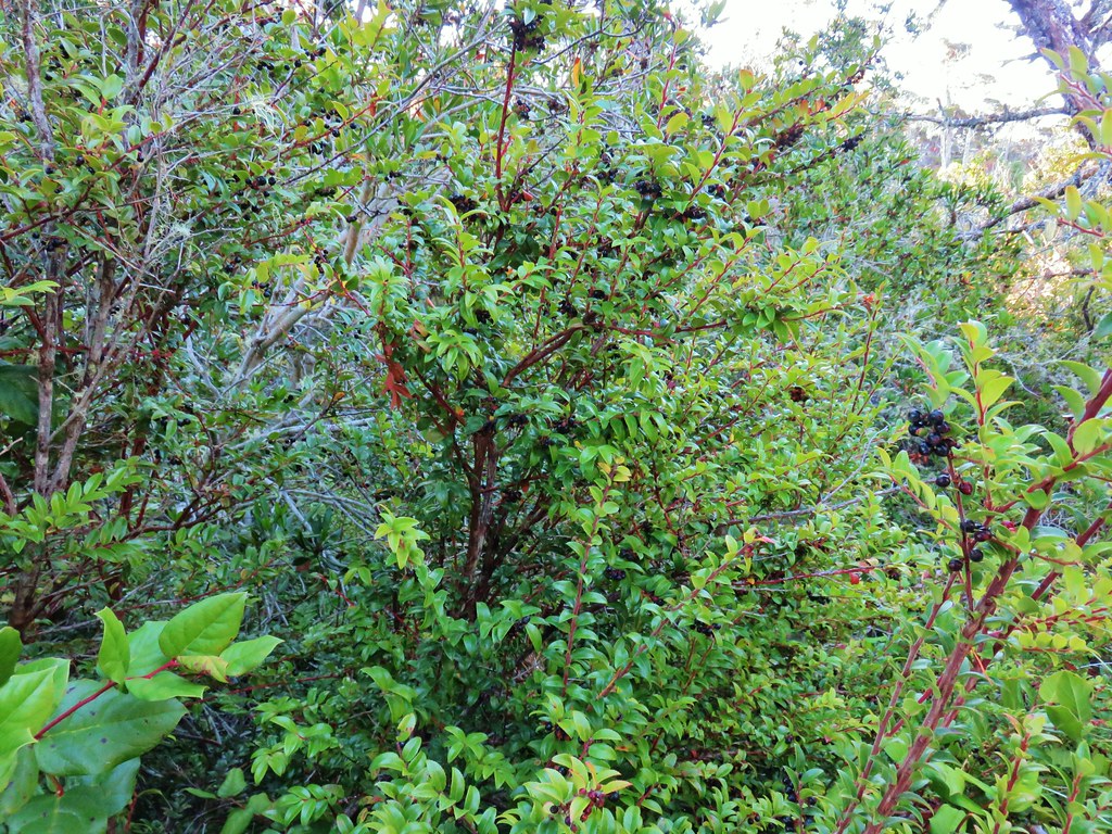
The forest along the trail was a mix of tanoak and madrone and some sections with fir and pine.
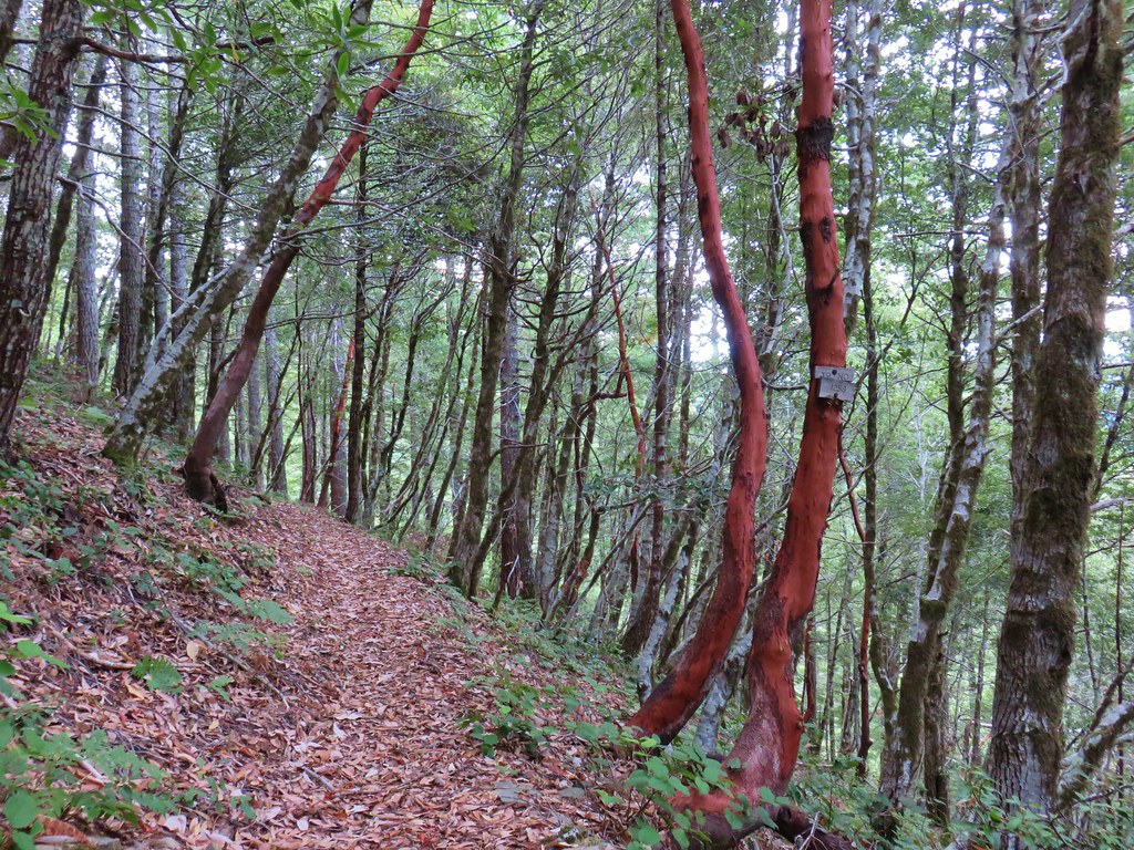

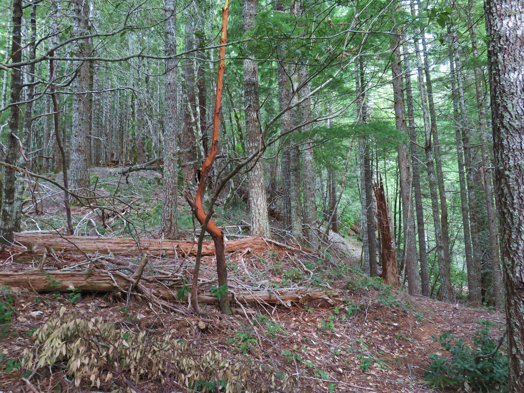
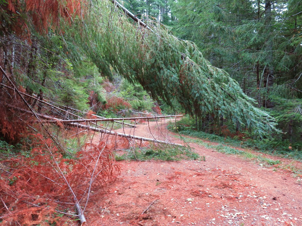
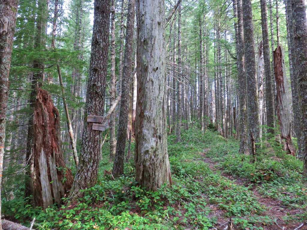
Not unlike the roads to the trailhead there were a few obstacles to maneuver around.

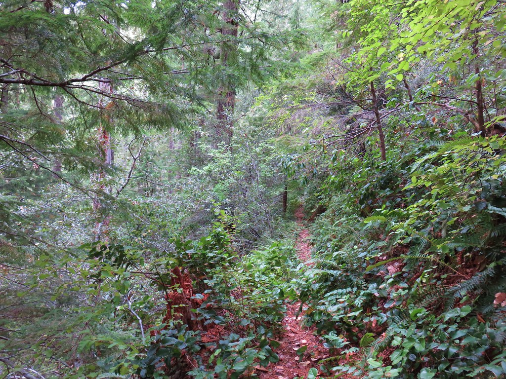
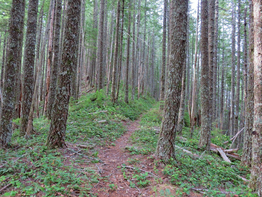
After a mile and a half of climbing, the trail arrived at a saddle junction.
The trail to the left led to Johnson Creek Road.
The trail to the right was the one we wanted. This trail would lead up up to the old lookout site atop Barklow Mountain.
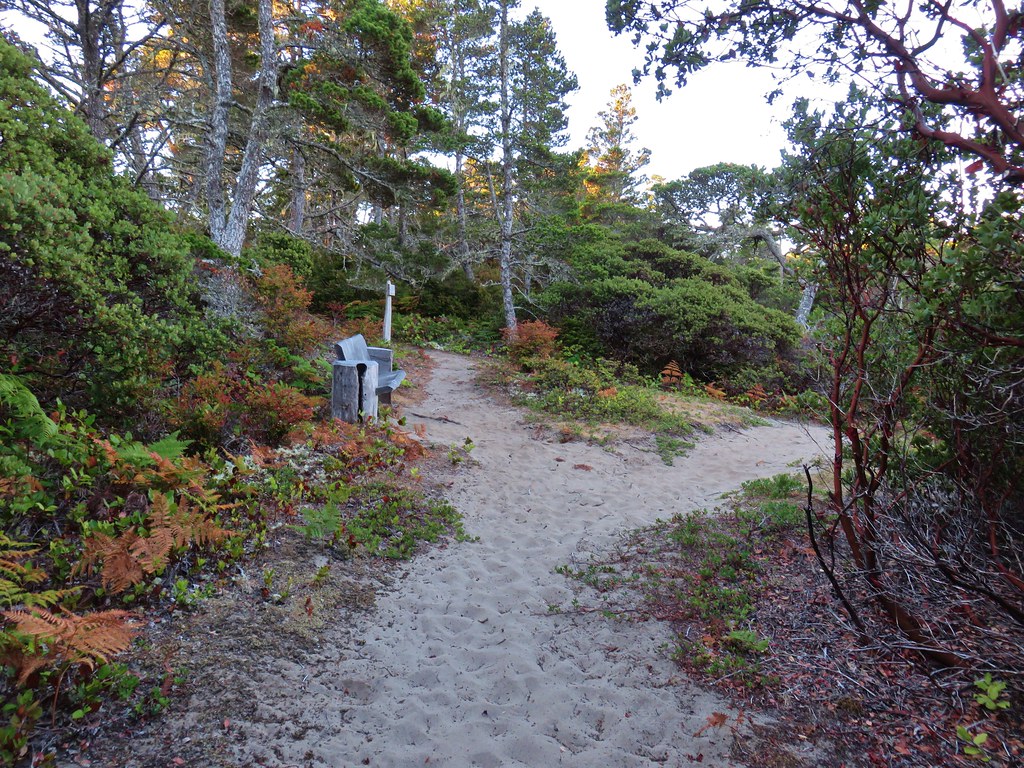
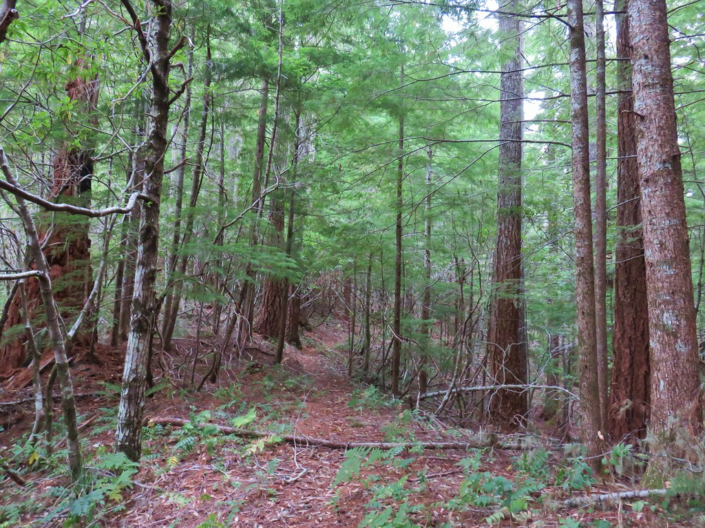
Approximately .3 miles beyond the junction we came to an unmarked side trail heading downhill to the right.

This short spur trail led down to the site of a now collapsed shelter.
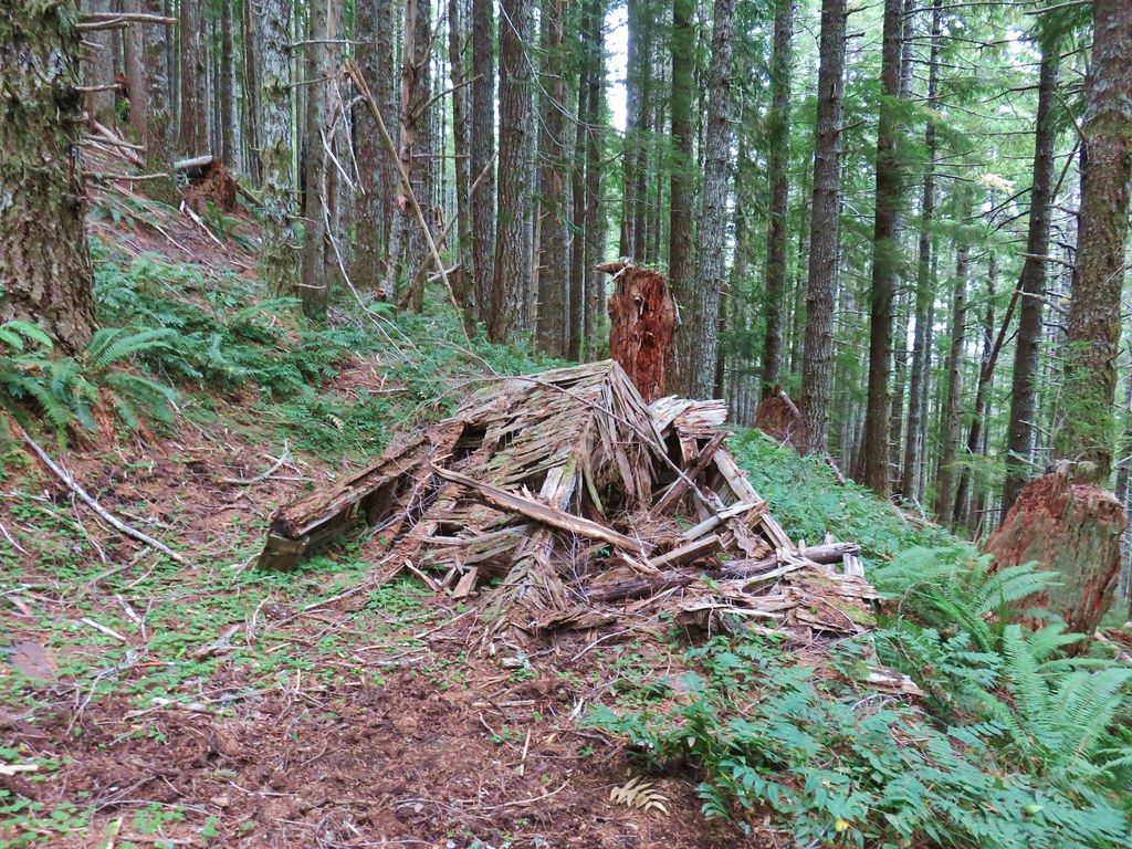
Beyond the shelter the trail steepened a bit as it wound beneath Barklow Mountain.
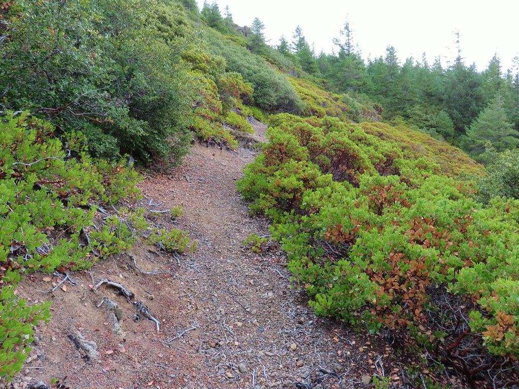
We passed through a patch of manzanita where we had a nice view south of nearby Copper Mountain.
A total of .4 miles from the old shelter we arrived at an unsigned junction on a ridge. Here we turned left to visit the lookout site.

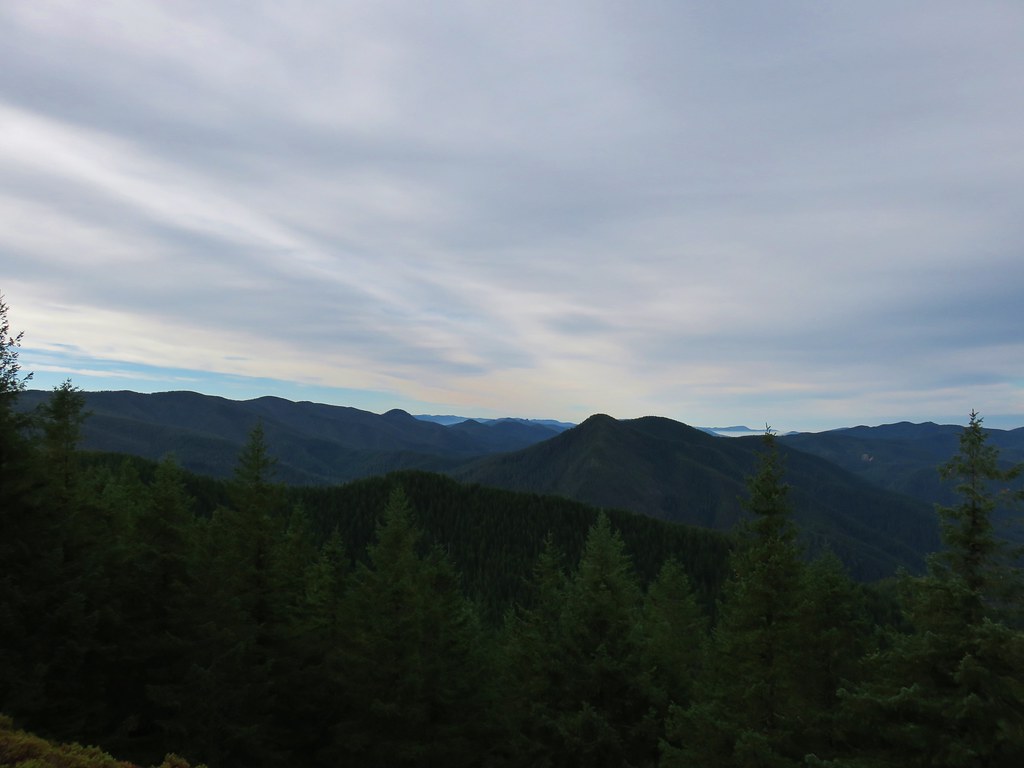
From the lookout site we could barely make out the Pacific to the SW along with Grassy Knob (post).
 Grassy Knob is on the horizon just to the left of the near trees.
 Copper Mountain from the lookout site.
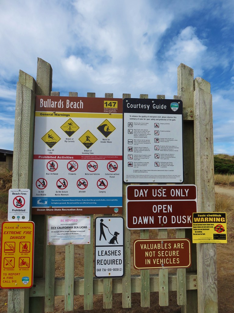
After a break we headed back to the car and navigated the obstacle course again. Fortunately we did not encounter any other cars until we were clear of the mess. We then drove back to Bandon, passed through town, and continued north on Highway 101 for three miles to the signed turn for Bullards Beach State Park.
We parked at the beach access parking lot which is located 1.3 miles from the highway.
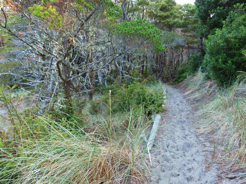
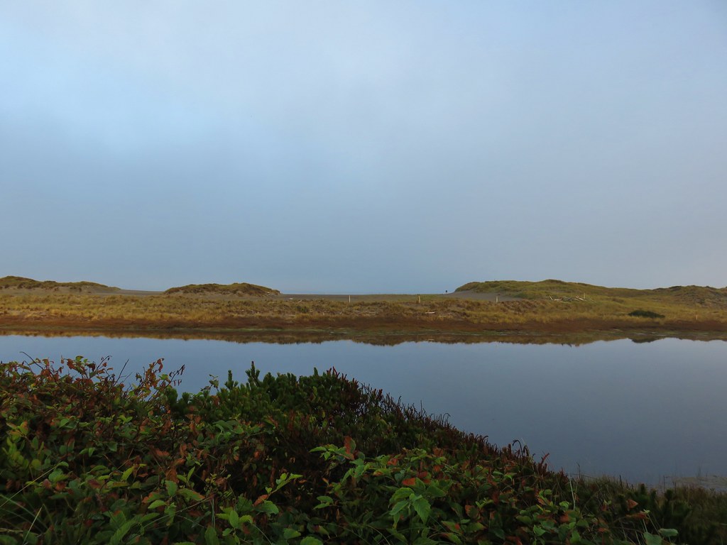
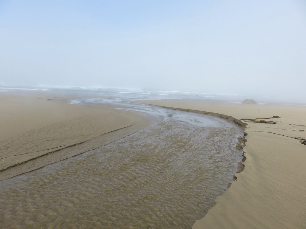
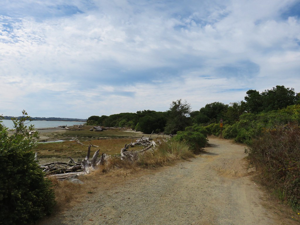
Our plan was to hike a clockwise loop along the Coquille River, the north jetty, and the beach. From the parking lot we headed inland on a paved path signed for the campground.
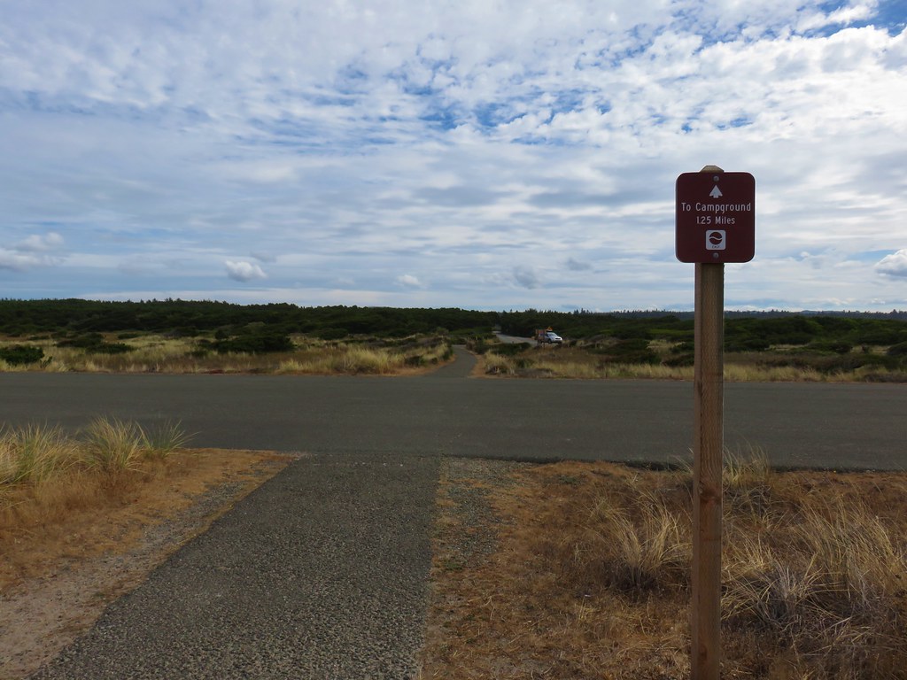
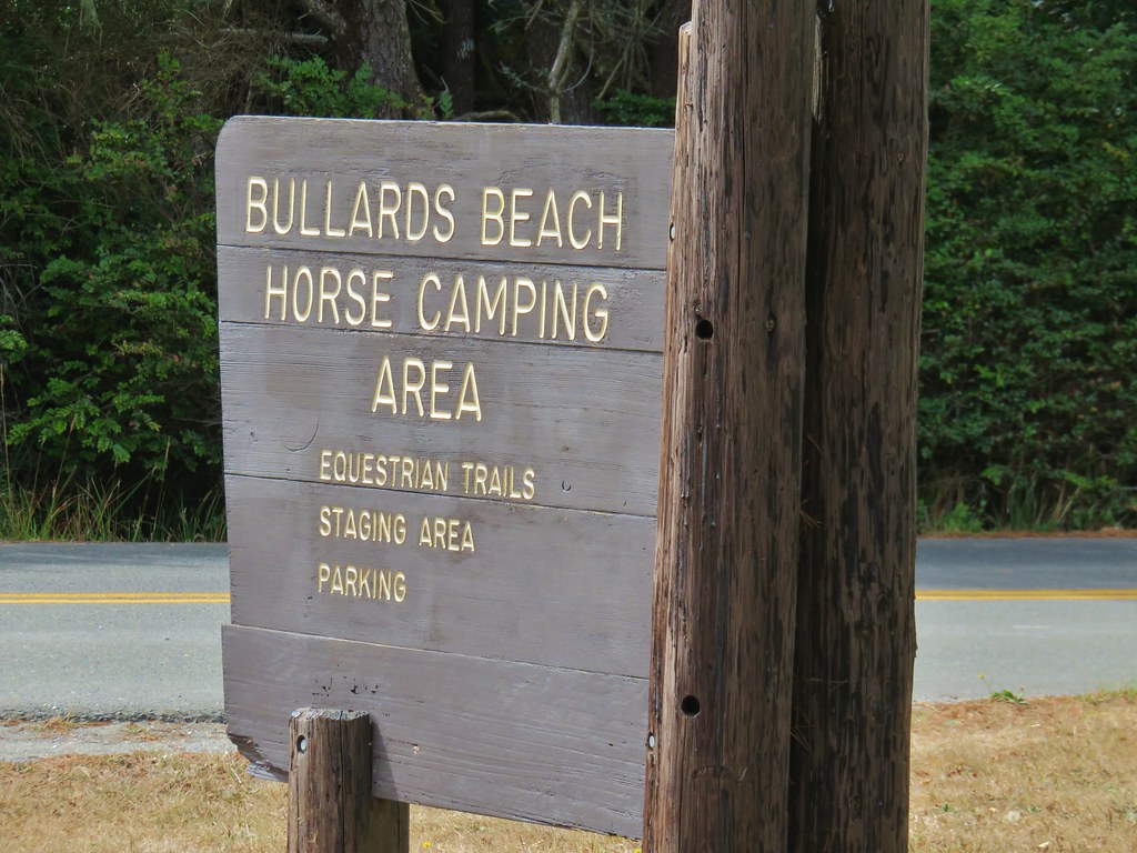
We followed this path until we had crossed the entrance to the Bullards Beach Horse Camping Area.

Just beyond that entrance (.4 miles from the beach parking area) we turned right off the paved path and crossed the paved park entrance road onto a dirt road which led us down to the Coquille River.
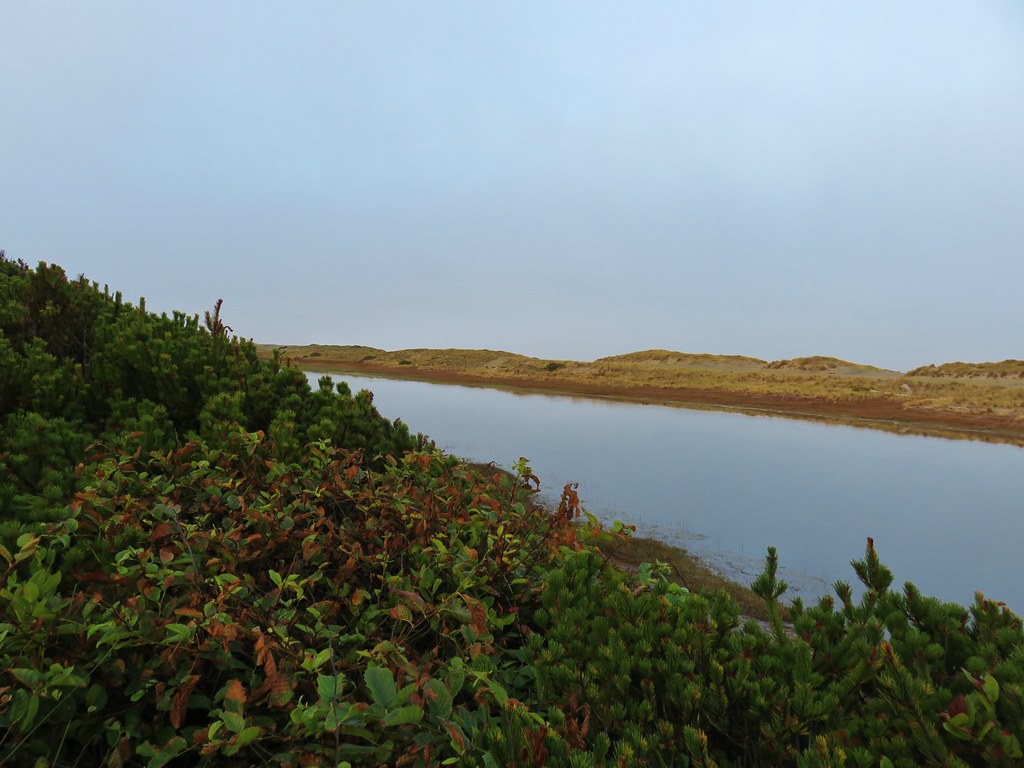
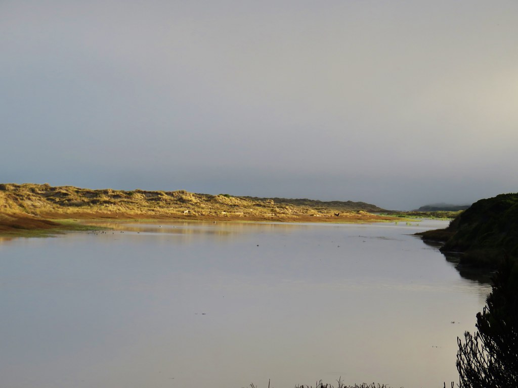
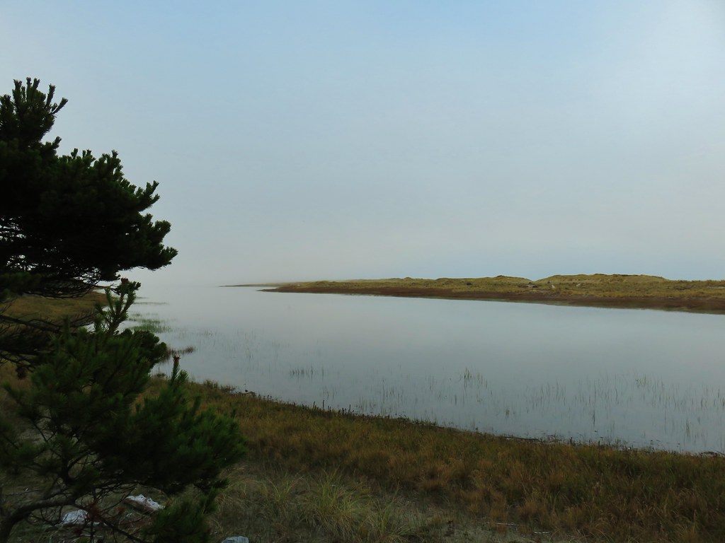
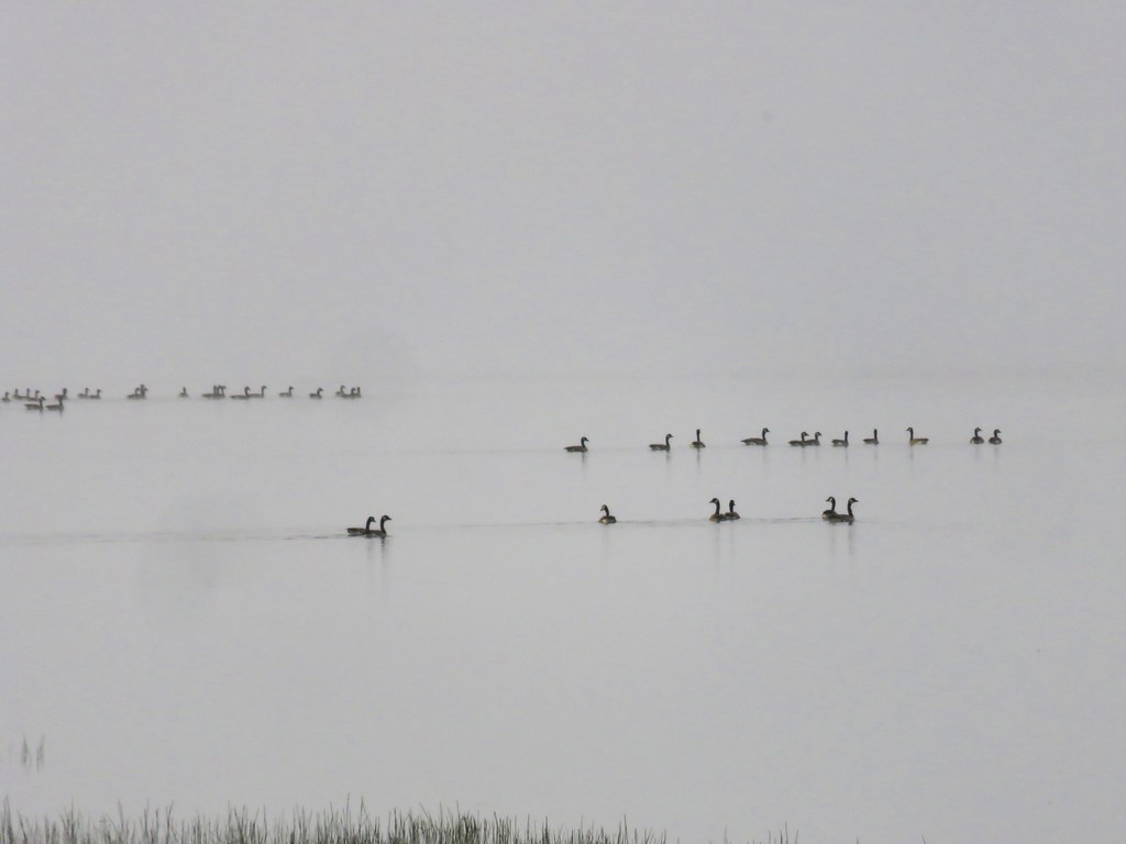
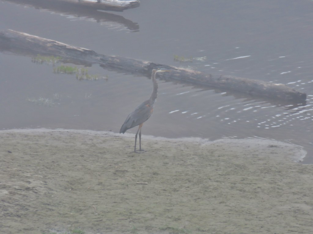
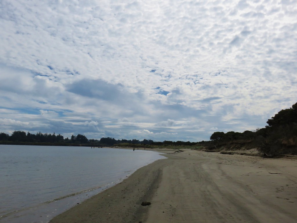
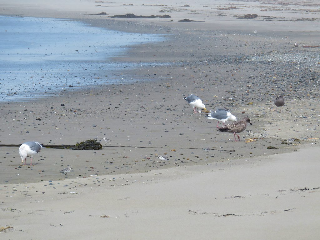
There was no actual trail along the river so we spent most of the next 2 miles walking along the sandy river bank. We were forced inland a couple of times in order to cross water on logs.
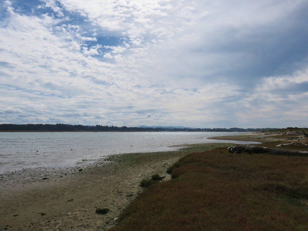
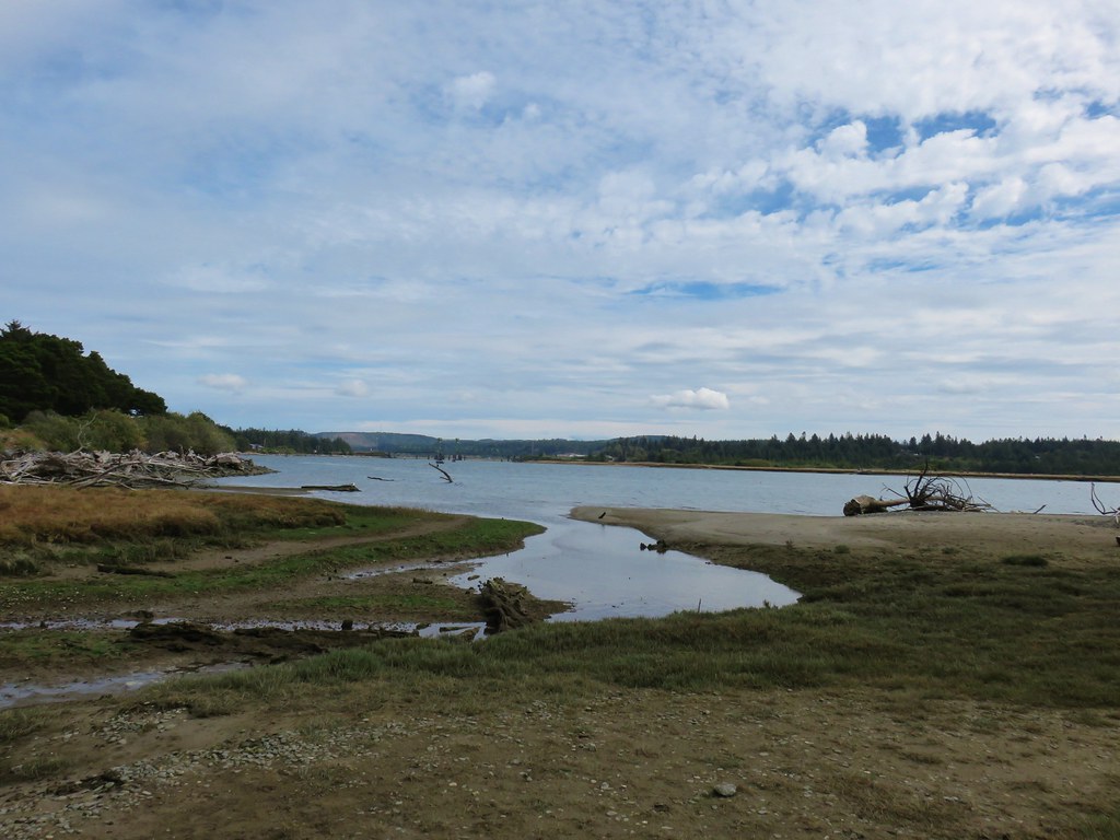
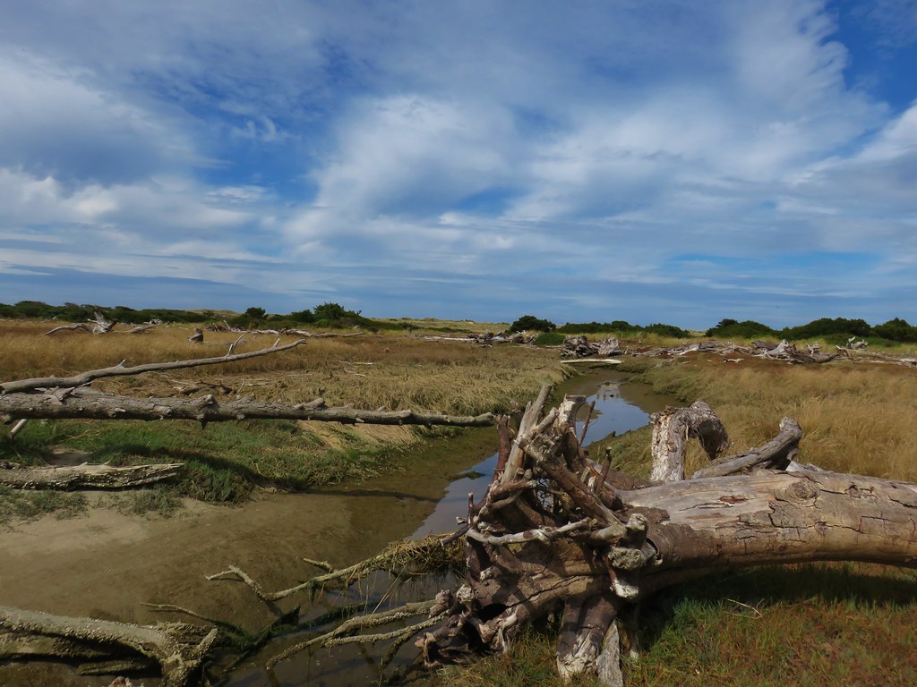
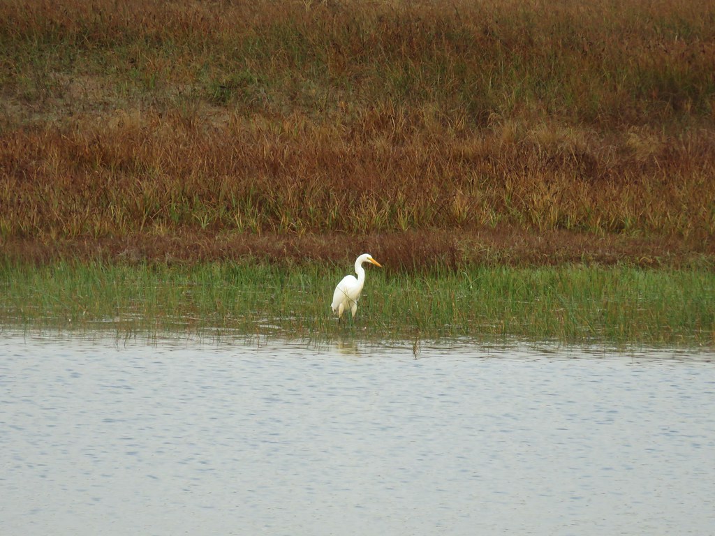
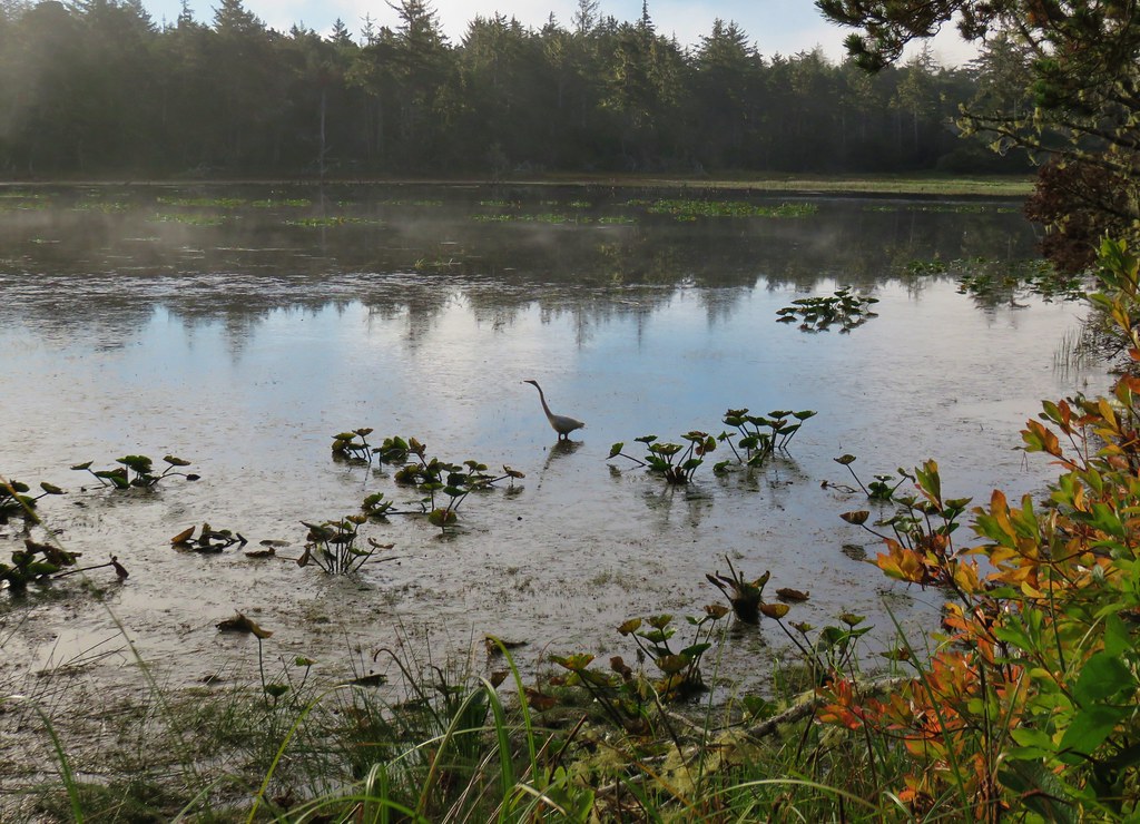
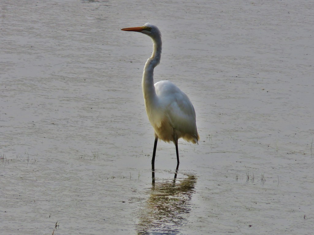
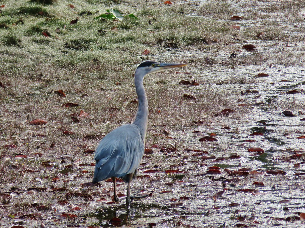
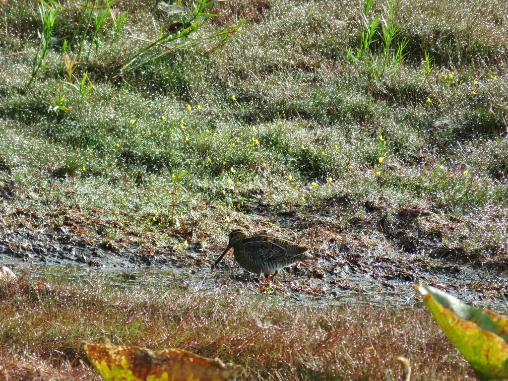
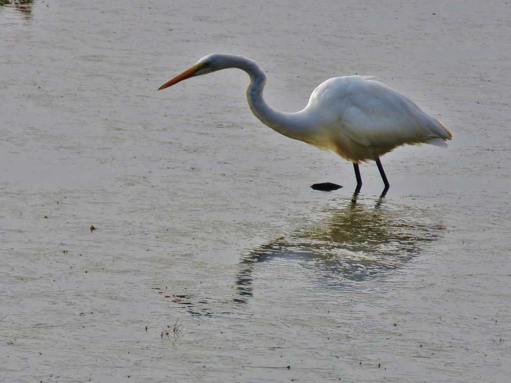
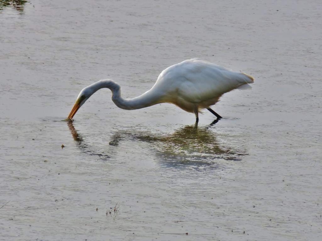
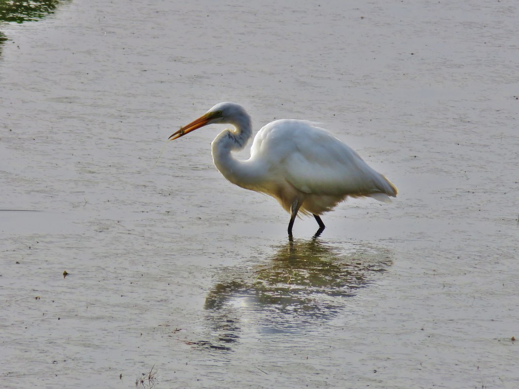
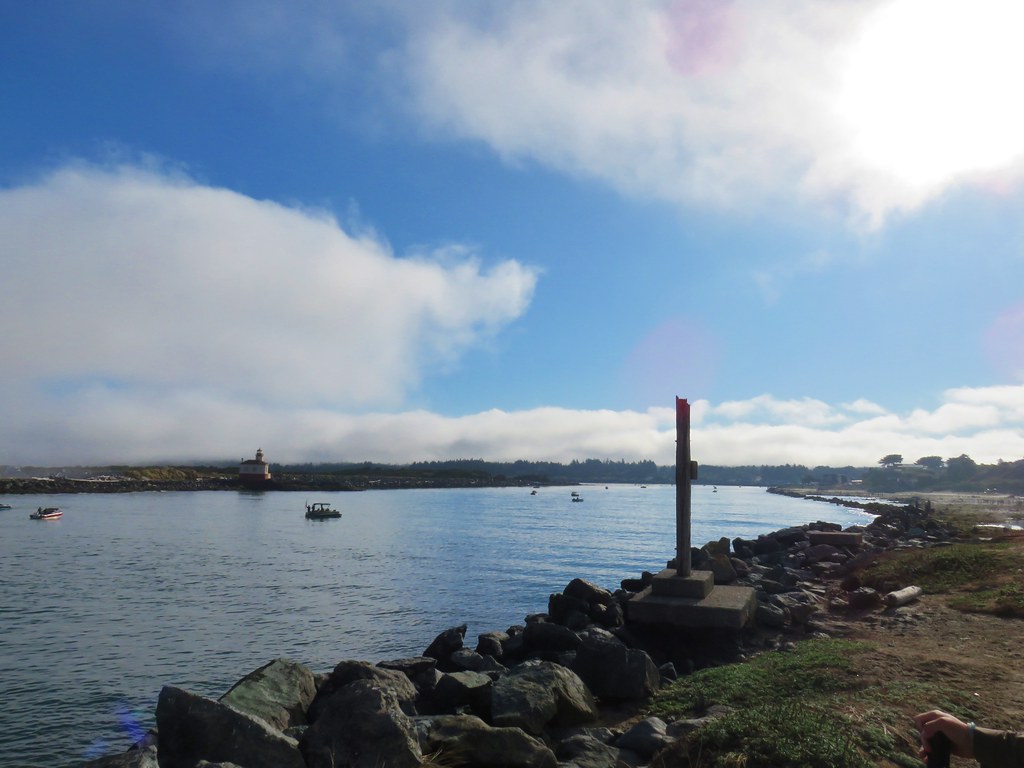
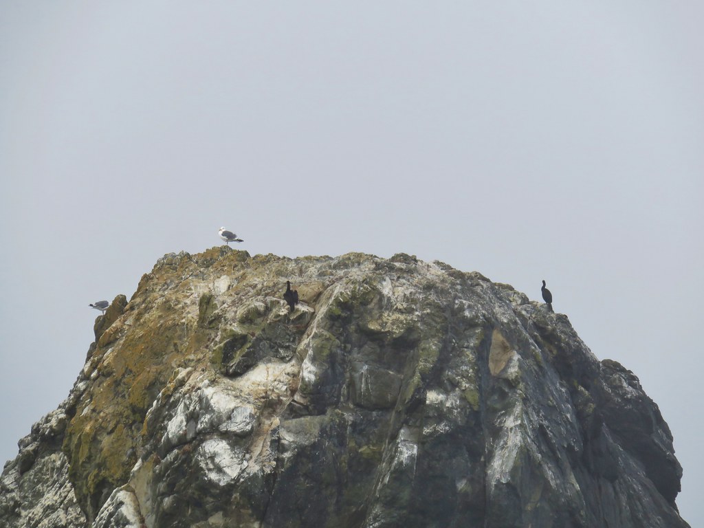
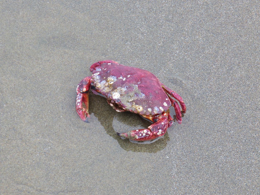
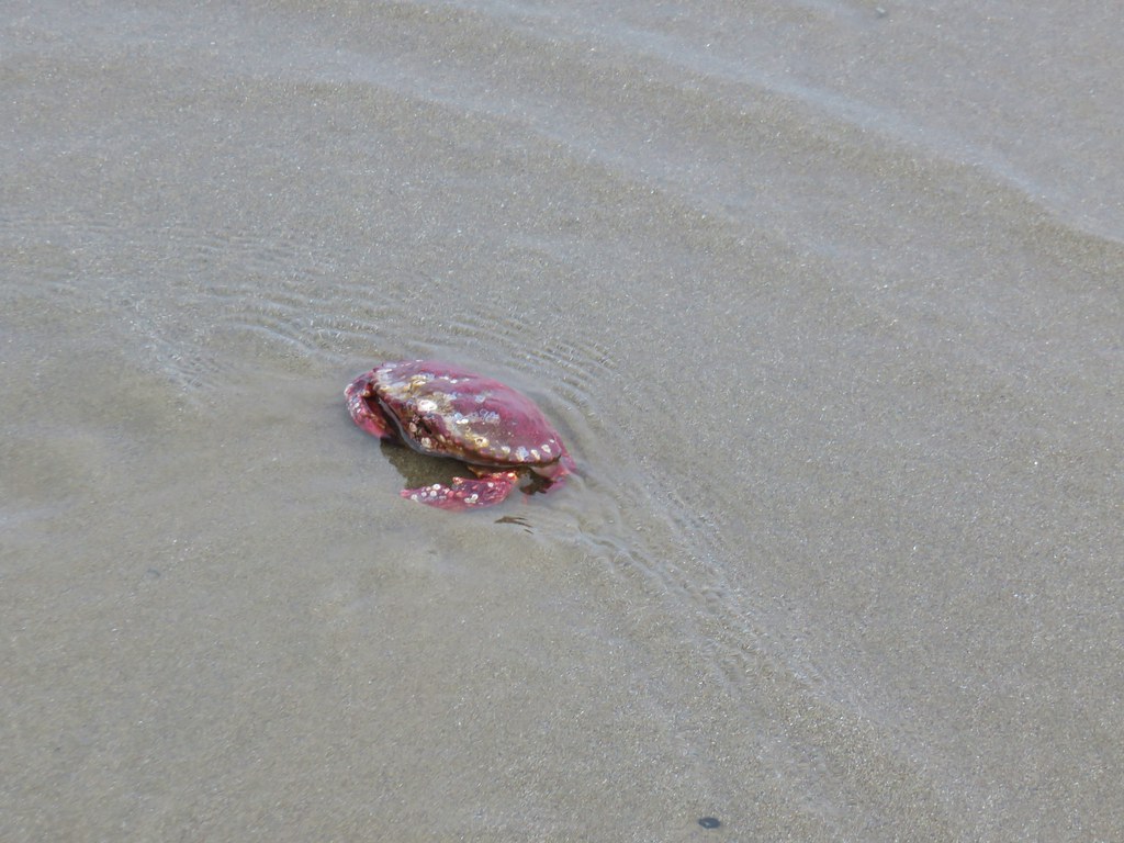
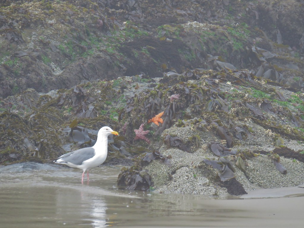
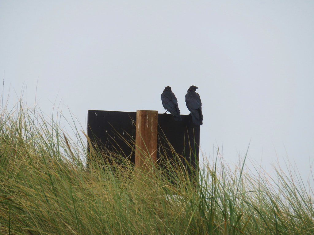
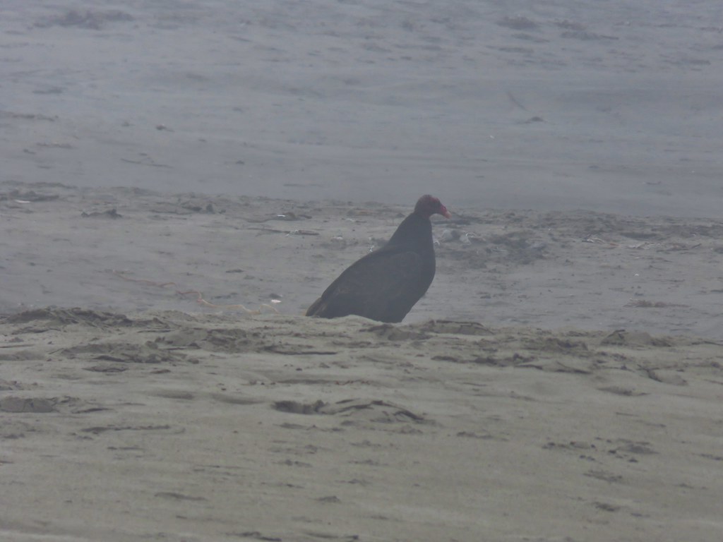
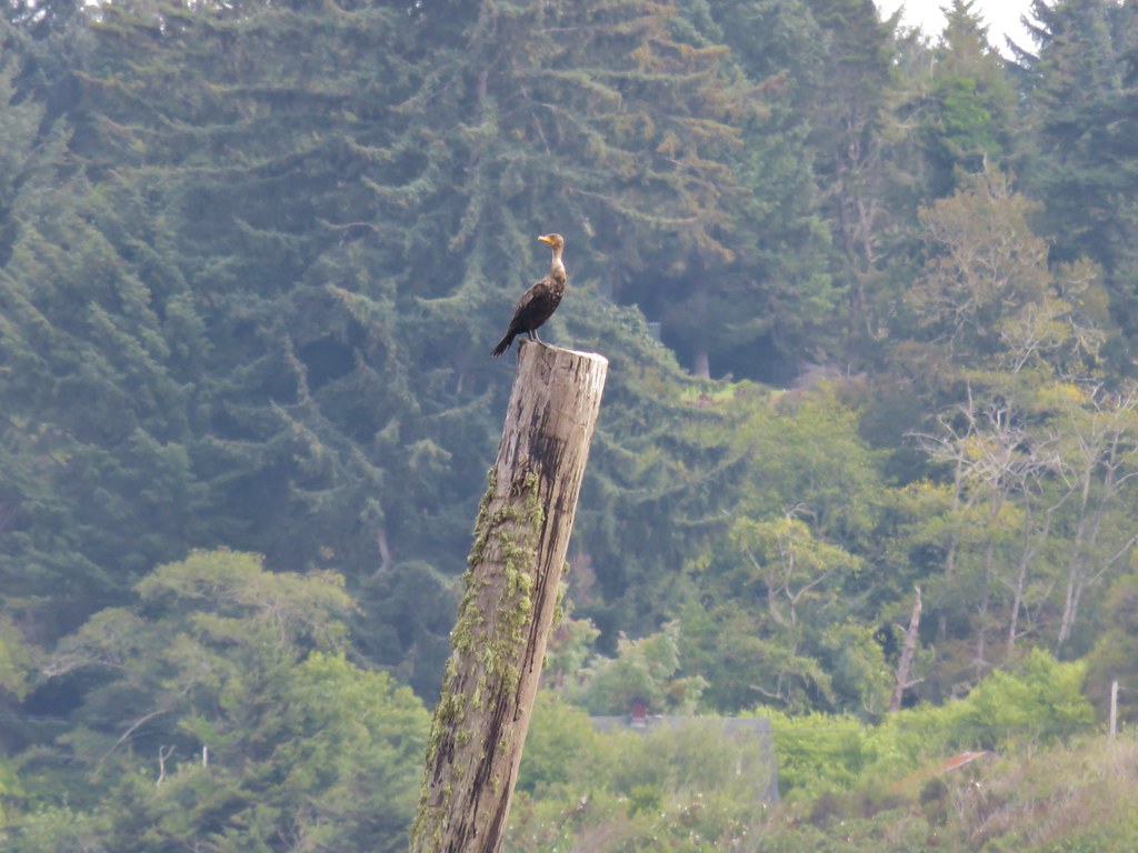
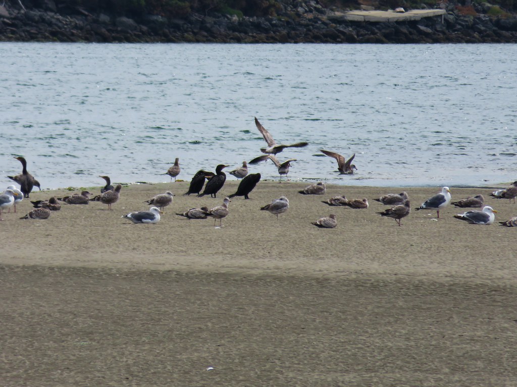
There was a lot of activity on the river between boats and birds.

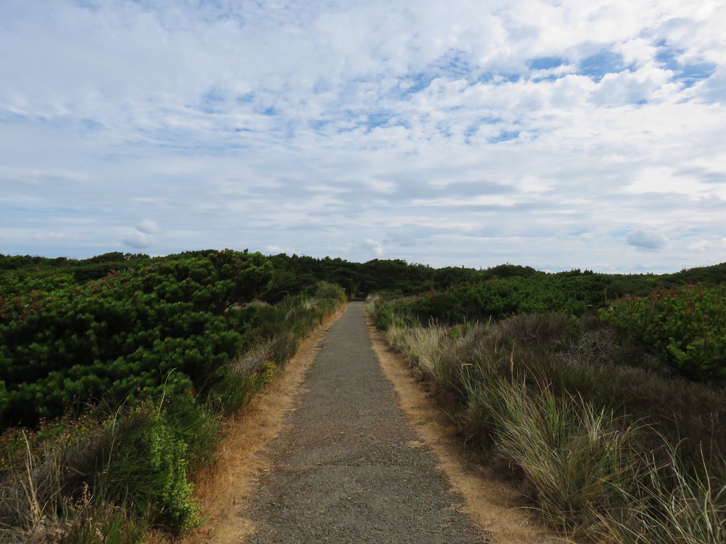
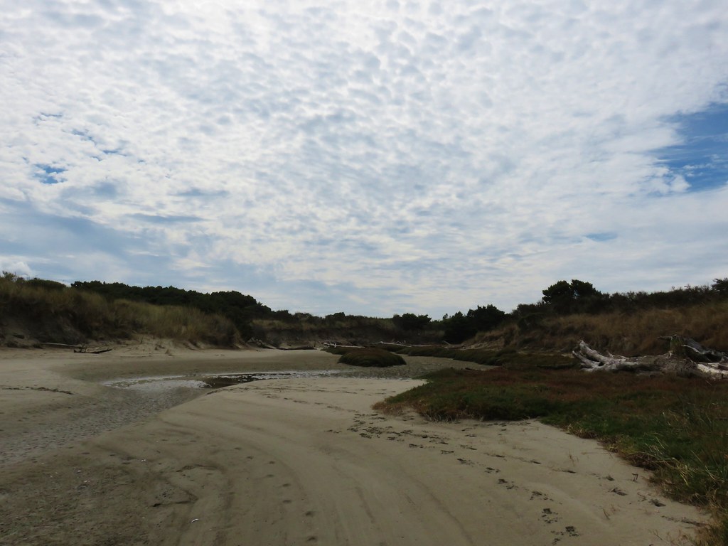
As we neared the north jetty across from Bandon’s Old Downtown we turned inland at a sandy gap which led to a gravel road.
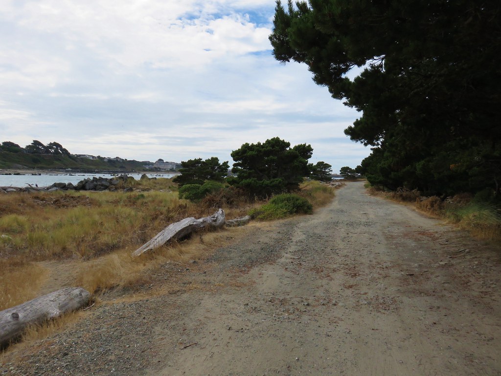
We followed this road for .4 miles staying left at a fork on a grassy track.
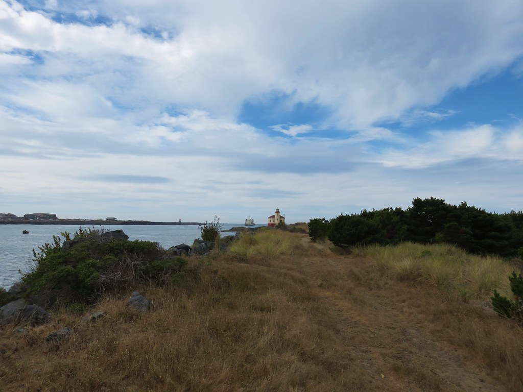
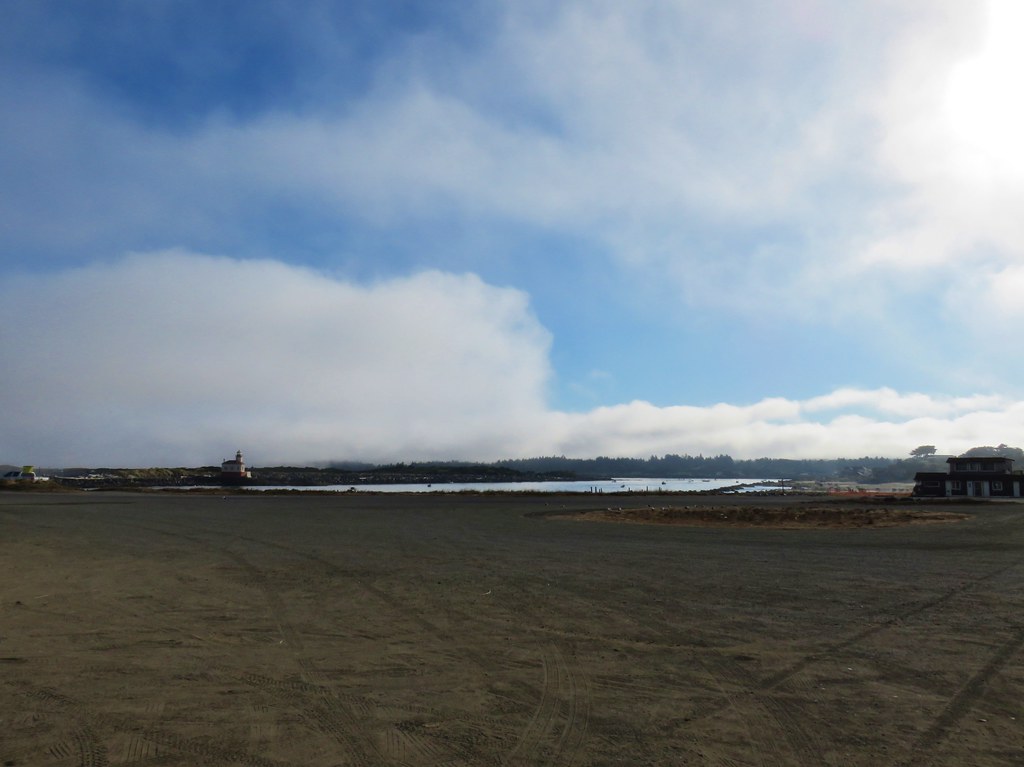
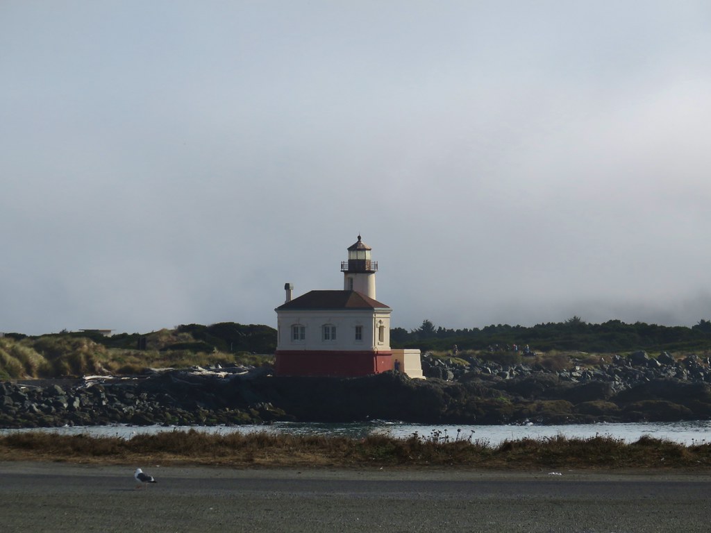
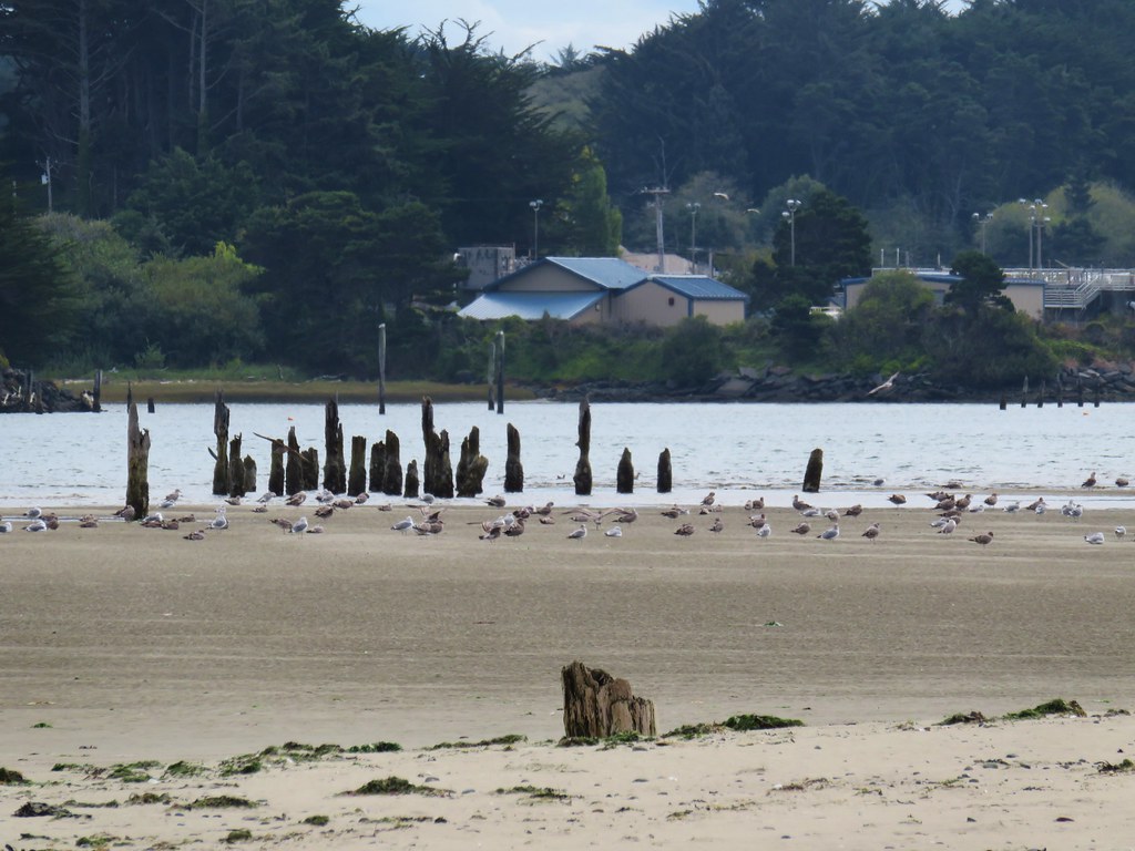
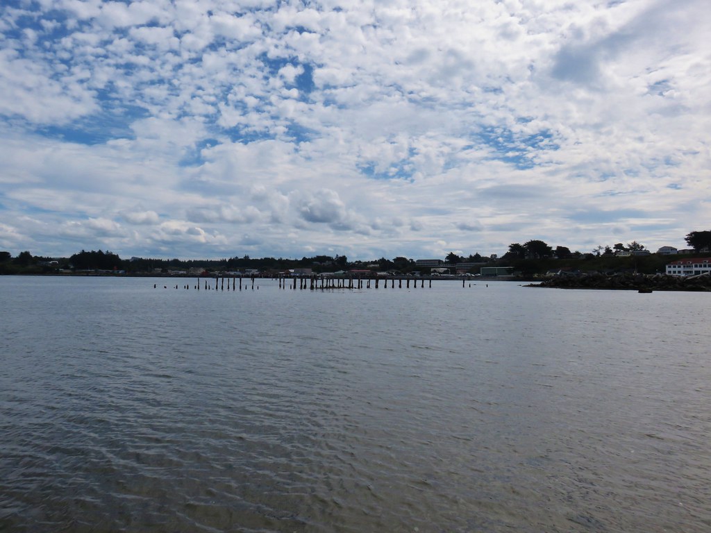
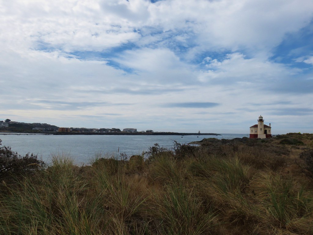
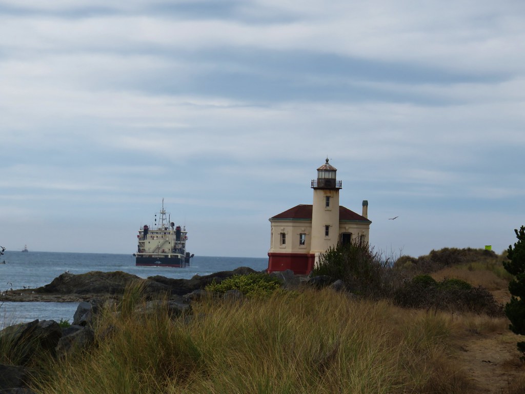
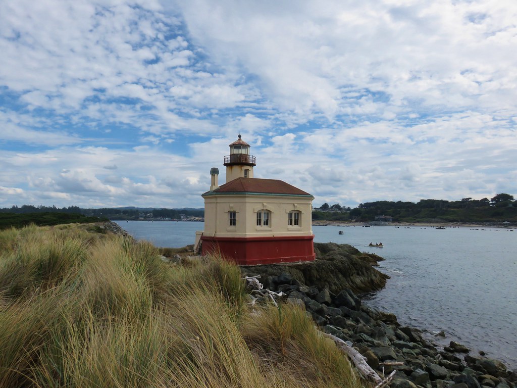
The road bed ended at the Coquille River Lighthouse. An Army Corps of Engineers ship was busily going back and forth near the mouth of the river.
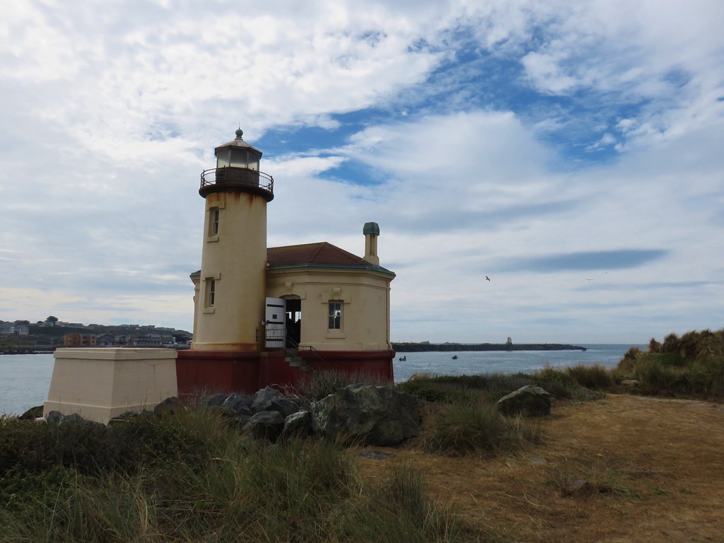
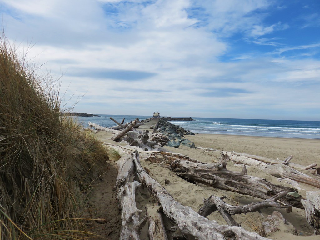
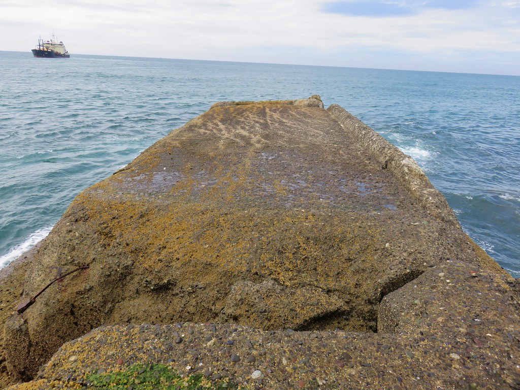
Once past the lighthouse we continued out along the north jetty for .2 miles.

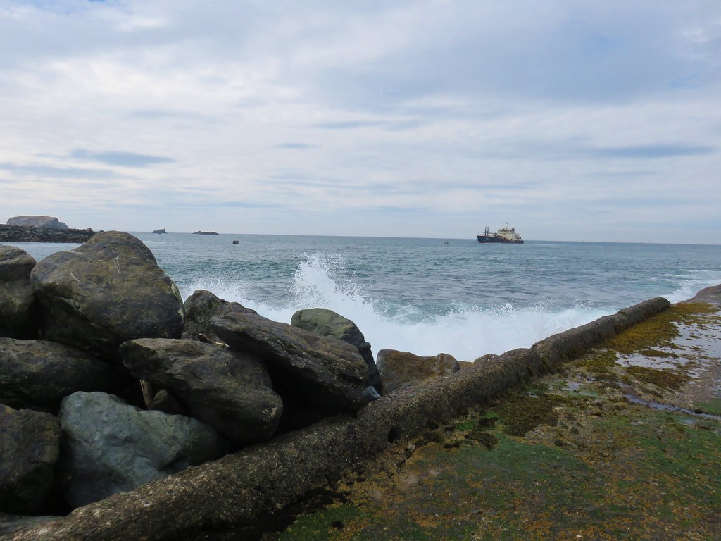
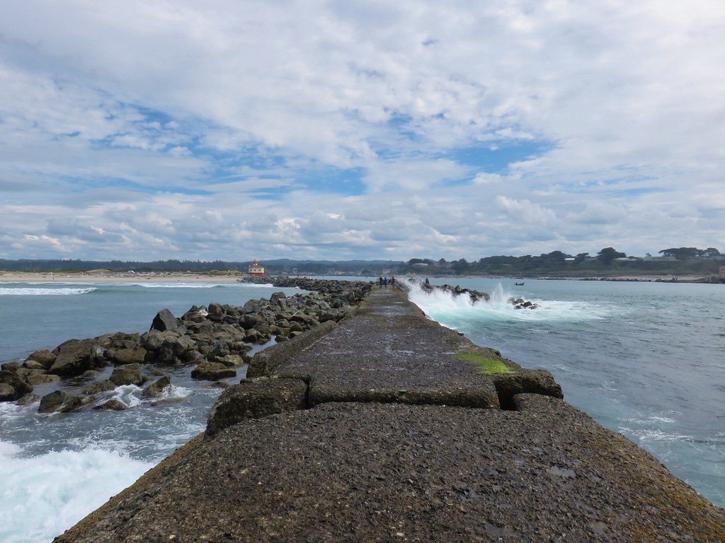
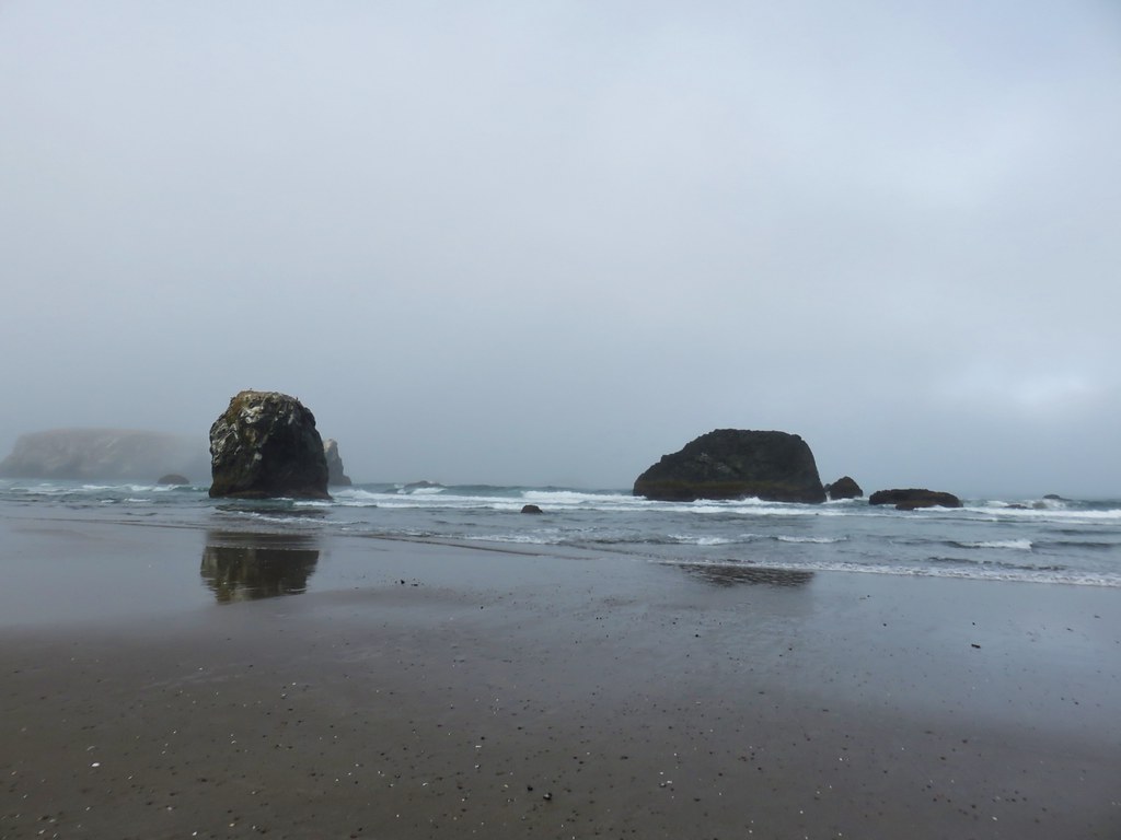
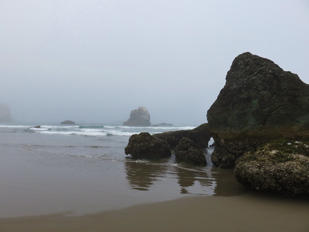
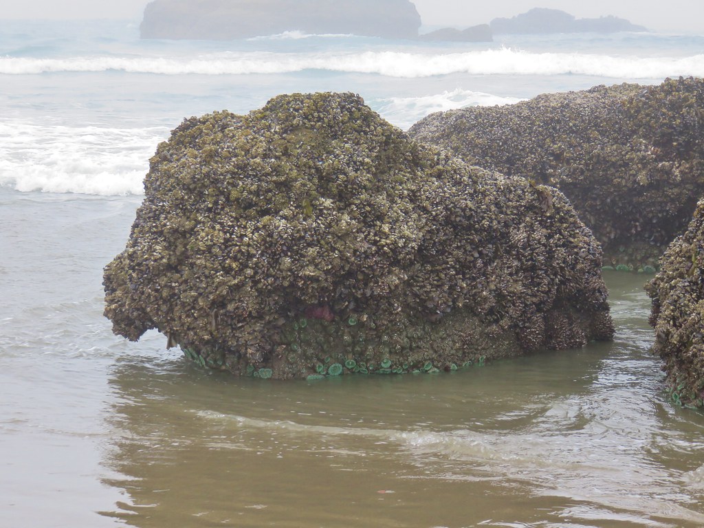
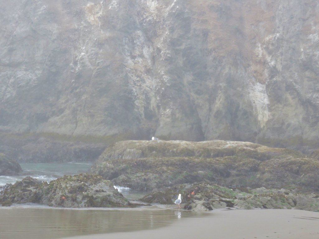
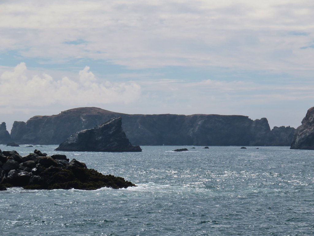
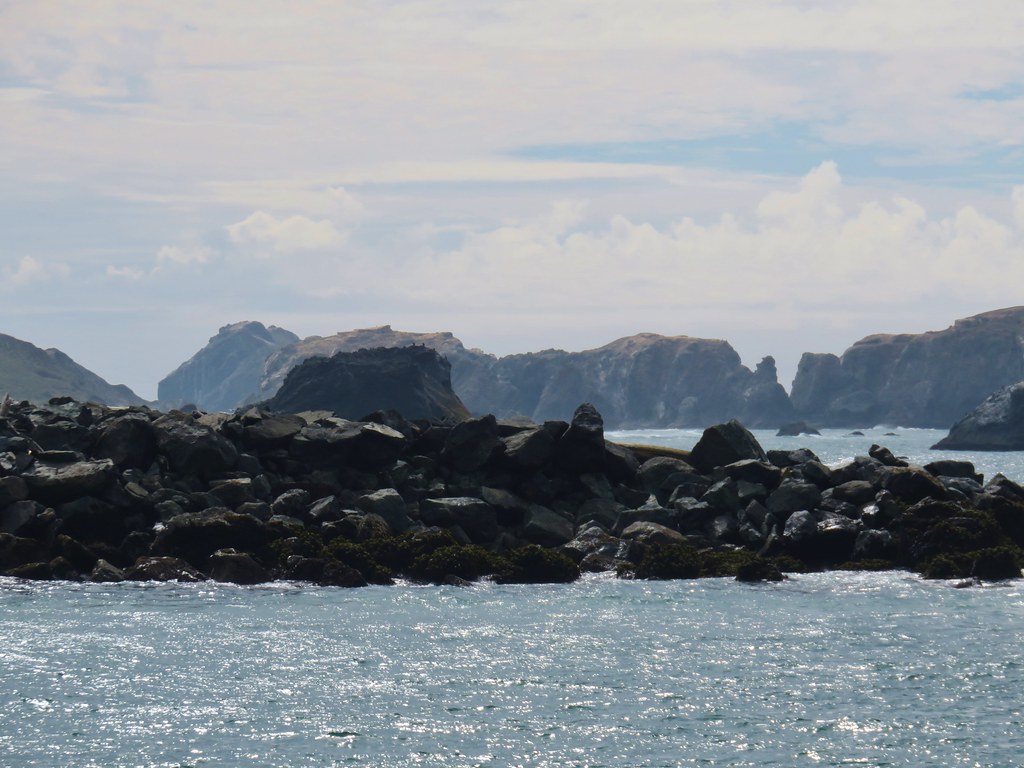
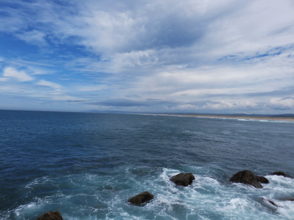
It was a much better day visibility wise than the previous one had been and from the jetty we got a decent look at some of the Bandon Islands on the other side of the river.
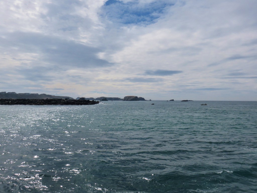

The view north was much less rocky.
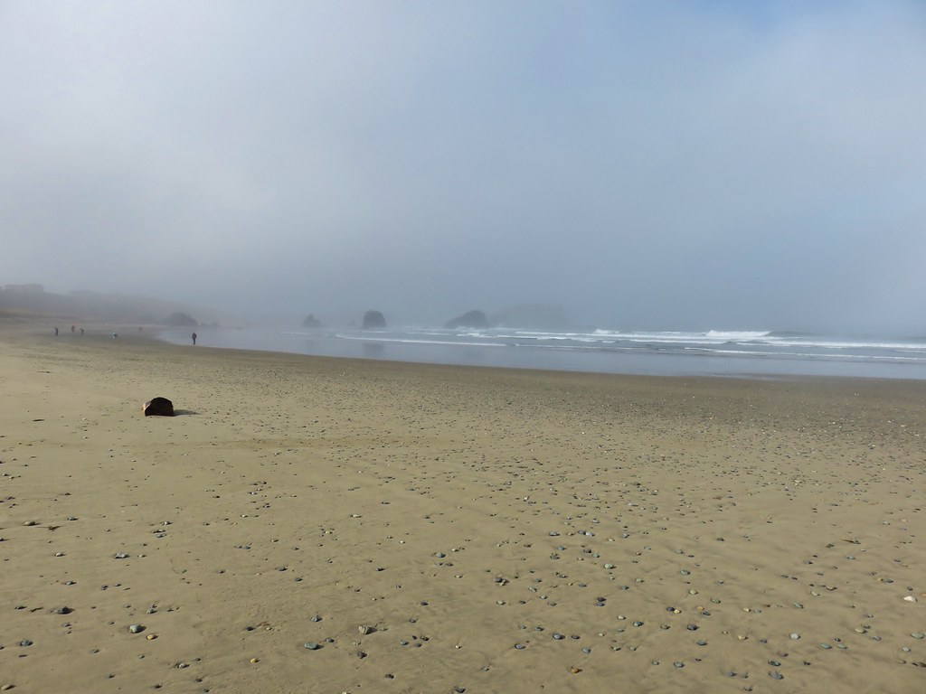
After partaking of the view we headed back, hopping off the jetty and onto Bullards Beach.
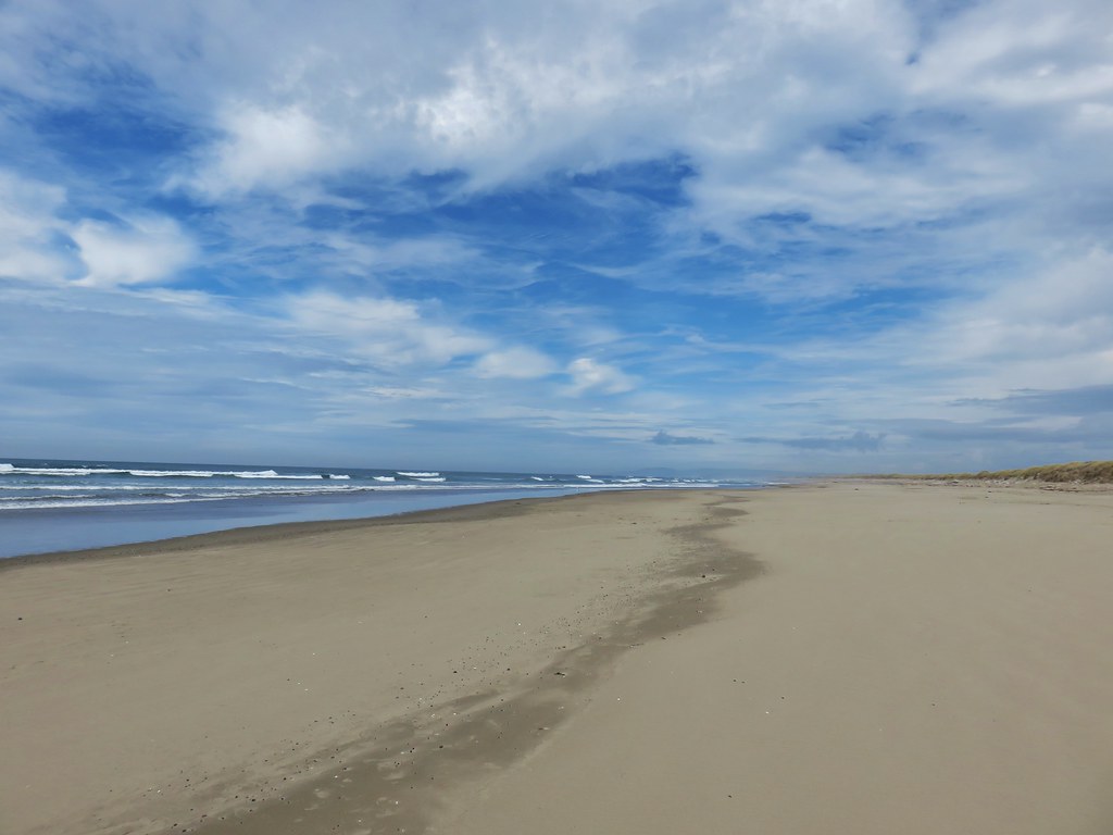
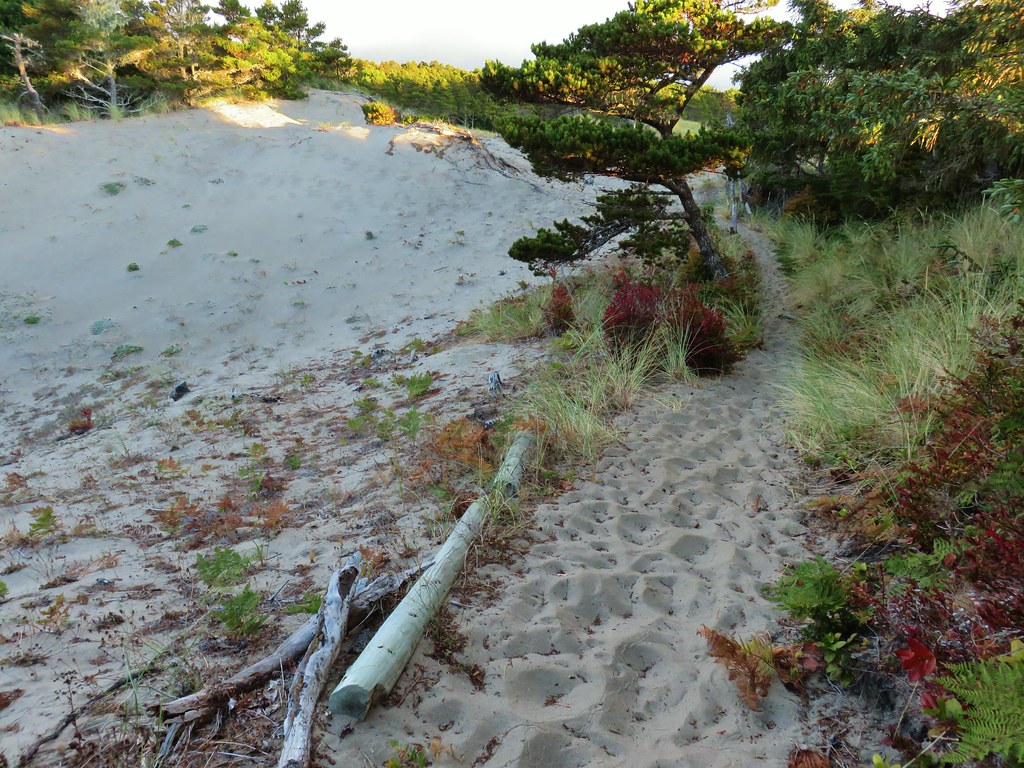
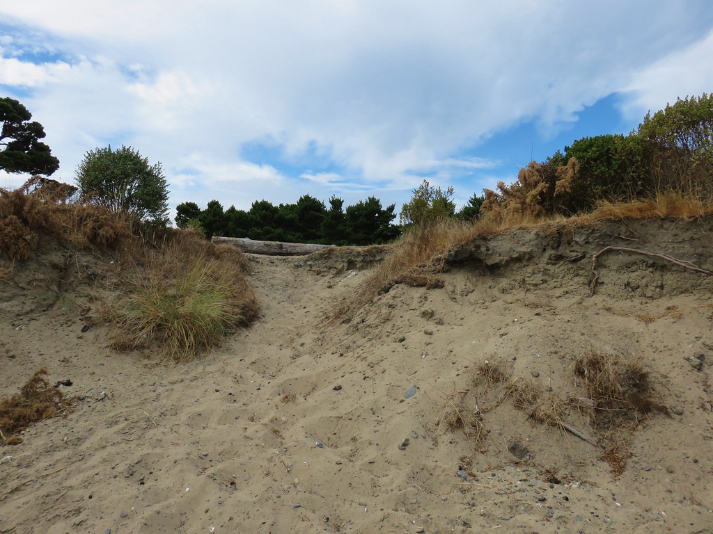
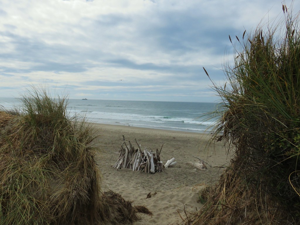
After 1.5 miles along the beach we turned inland and climbed over the foredune to the beach access parking area.


After a shower and change of clothes we found ourselves wandering through the old downtown again. When it was time for dinner we decided to go back to Foley’s Irish Pub. After another good meal there and desert from Pastries and Pizzas we turned in for the night. We had agreed that Bandon had quickly become one of our favorite coastal towns and were already looking forward to our next visit. Happy Trails!