One of the most enjoyable experiences while hiking is encountering wildlife. Oddly enough it’s also one of the worst (see ticks, mosquitos, and yellow jackets). From creatures great to small we were blessed to see a wide variety of God’s creations this past year. While there remain a number of critters on our “bucket list” of animals we haven’t encountered yet in 2021 we were able to put a check mark by river otters, American bitterns, and raccoons.
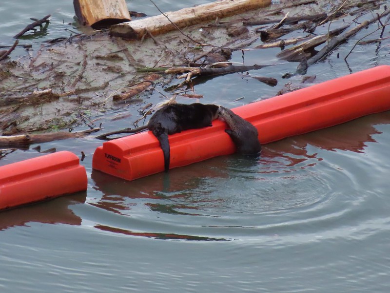 River Otters on a boom at Dorena Lake
 American bittern flying over Fern Ridge Wildlife Area
 Raccoons at South Slough Estuary
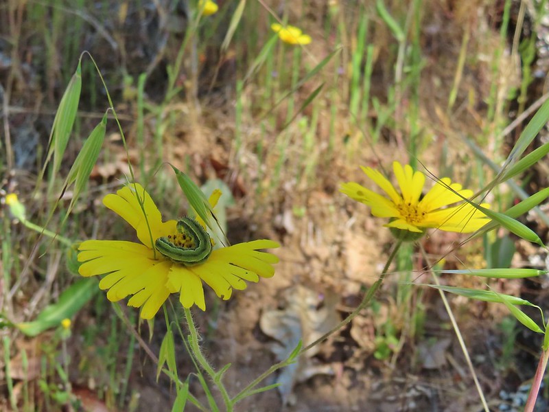
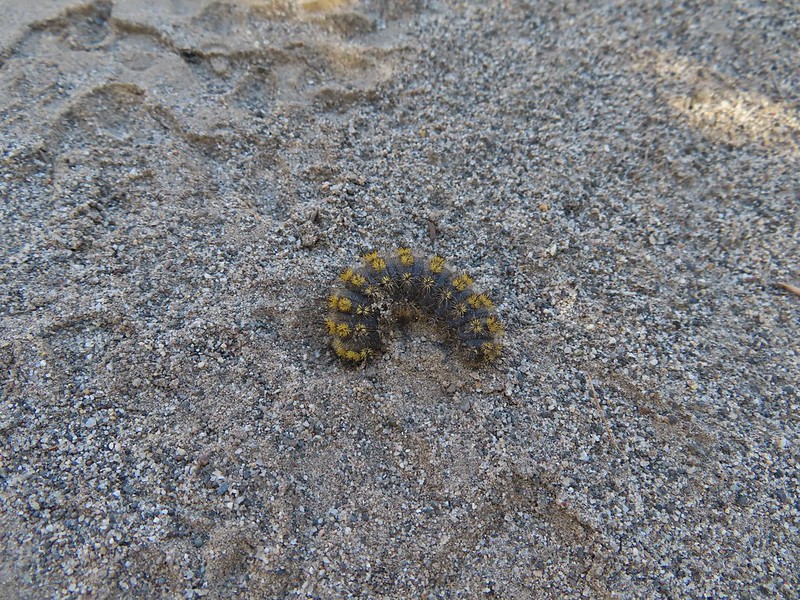
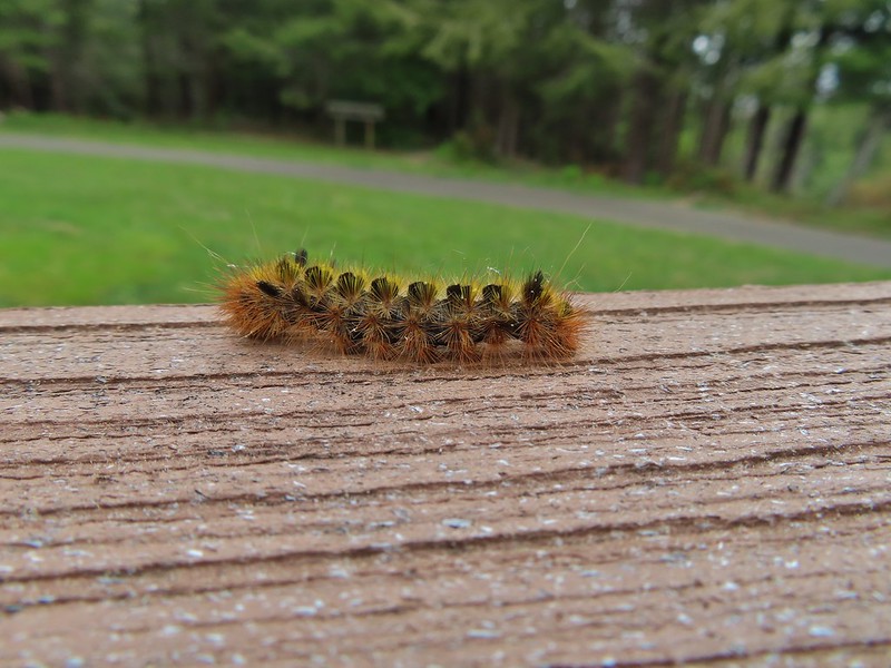
We are working on learning to identify the various birds and butterflies we see and have made our best efforts (guesses), but as with our attempted identification of wildflowers (post) any help and or corrections is appreciated. With that here is a collection of the rest of the wildlife we encountered in 2021 starting with caterpillars, butterflies and moths.

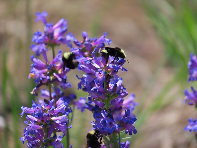
 Several species


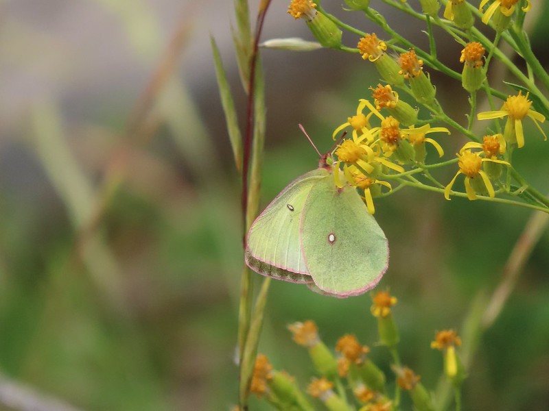 One of the sulphurs
 Another sulphur
 Becker’s white
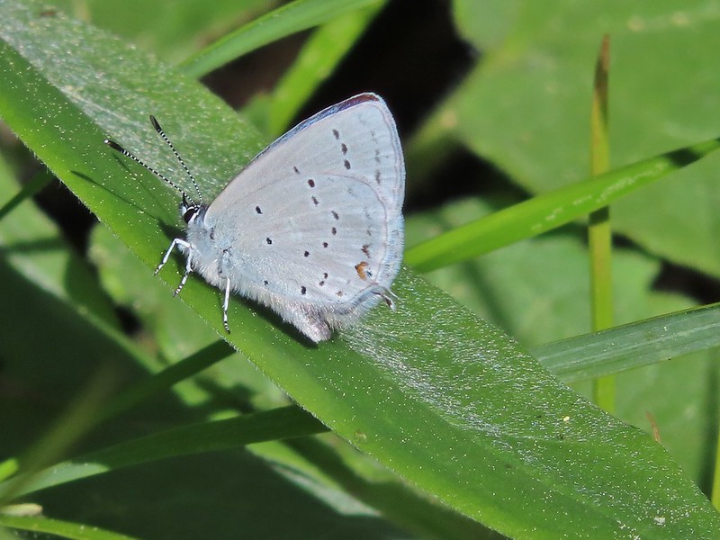
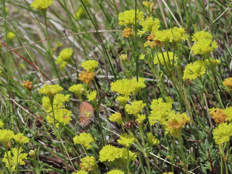
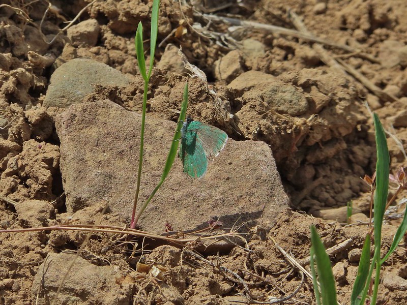 A hairstreak
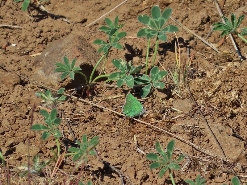 Also a hairstreak


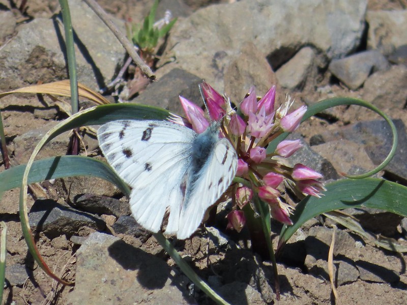
 Cabbage white
 California tortoiseshell
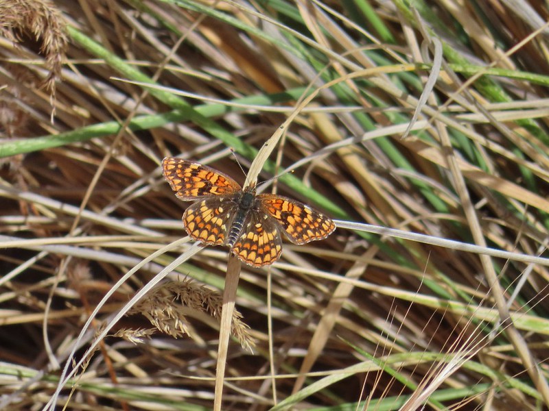
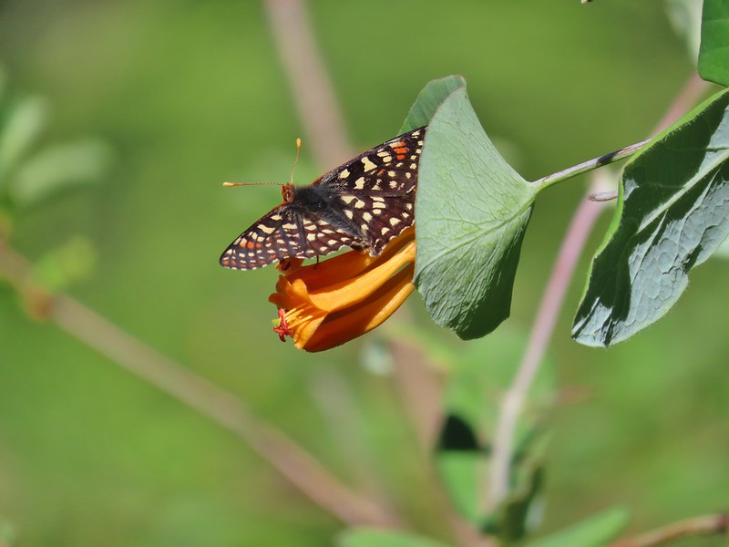 A checkerspot
 Chlosyne acastus – sagebrush checkerspot, female
 Chlosyne acastus – sagebrush checkerspot, male?
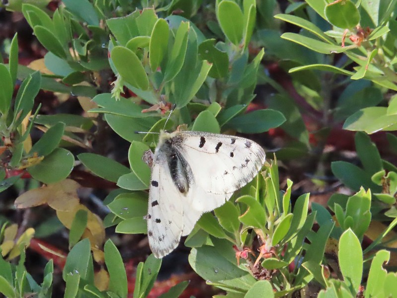
 Cloudis parnassian
 Cedar hairstreak
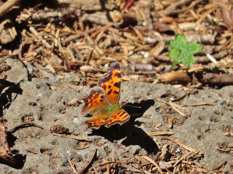 Green comma?
 Hoary comma
 Juba skipper – Hesperia juba
 Langton’s Forester Moth
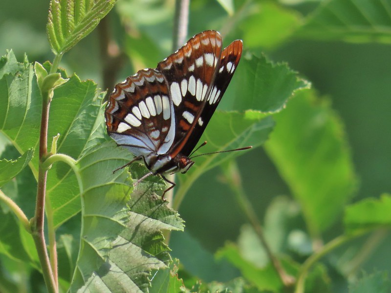 Lorquin’s admiral
 Milbert’s tortoiseshell
 Moth
Moth
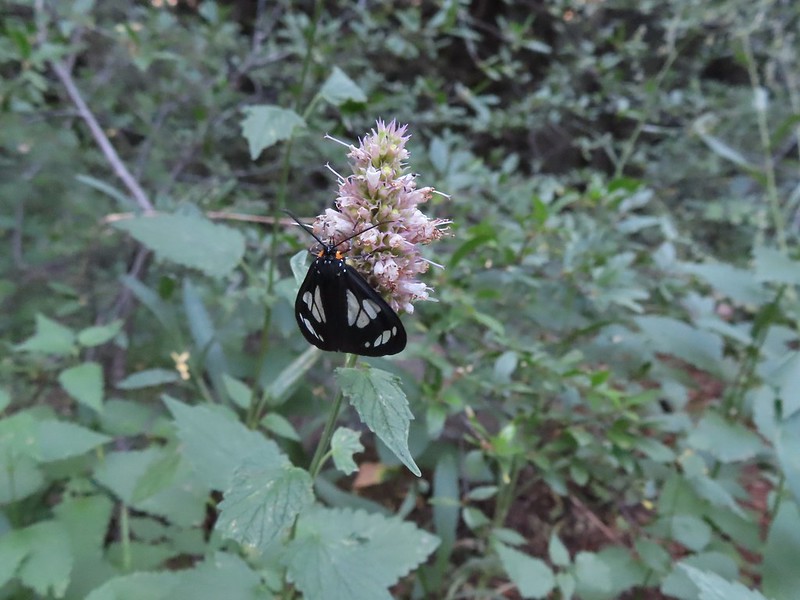 A moth, possibly Gnophaela latipennis
 Moth
Moth
 Mylitta crescents
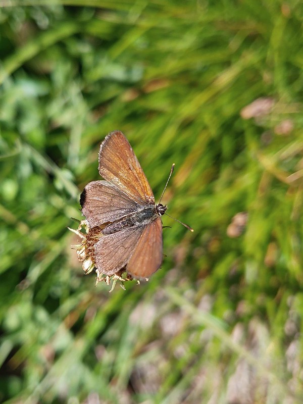
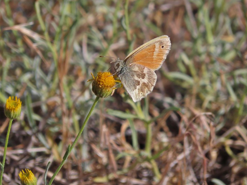 Ochre ringlet
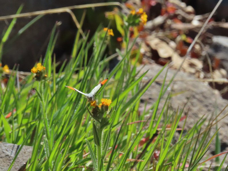 Orange tip
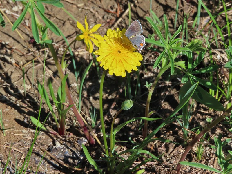
 Possibly a Boisduval’s blue – Icaricia icarioides
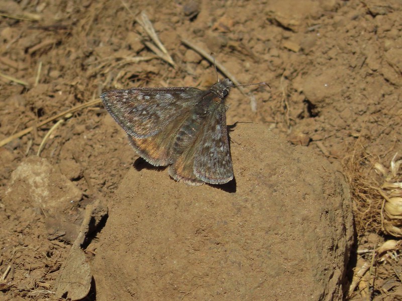 Propertius duskywing – Erynnis propertius
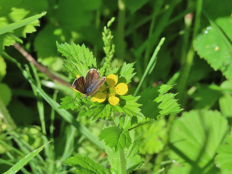
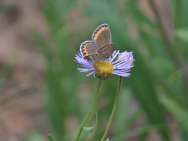
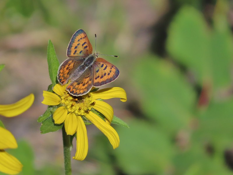 Purplish copper
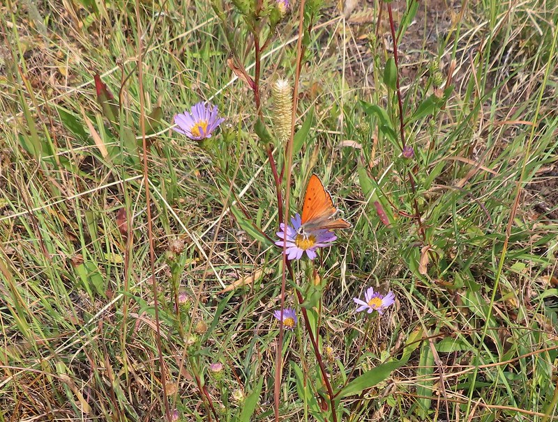 Possibly another purplish copper, Steens Mountain Wilderness 8/17.
 Sheep moth
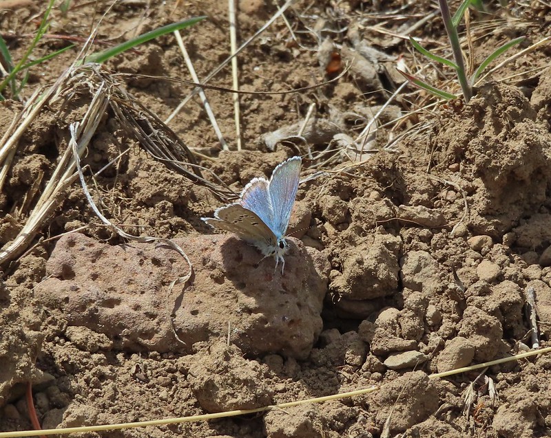
 Silvery blue?
 A skipper

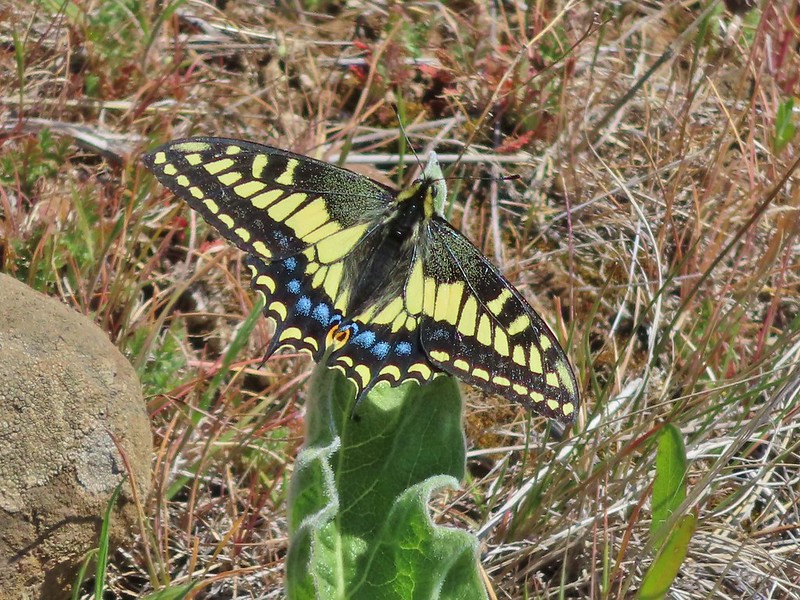 Anise swallowtail
 Indra swallowtail
 Possibly a pale swallowtail -Ninemile Ridge
 Possibly a western swallowtail -Devil’s Staircase Wilderness
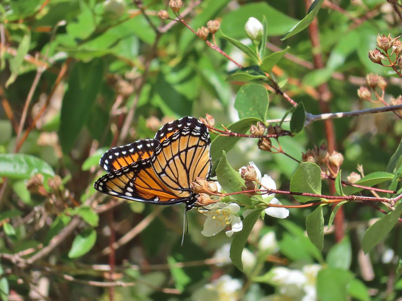 Viceroy
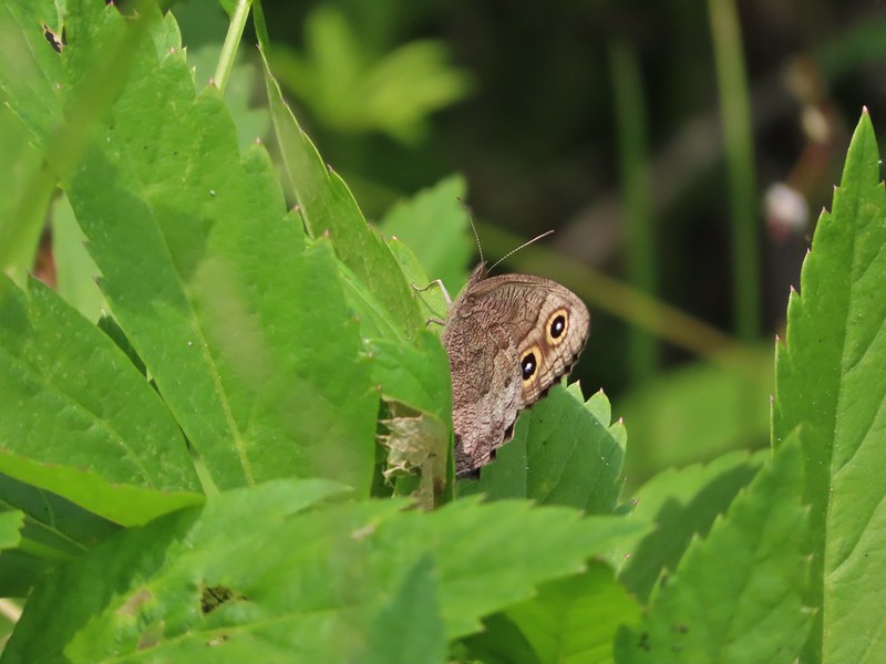
Wood nymphs
 July 19th, Ochoco Mountains
 August 17th Steens Mountain Wilderness
 August 19th Steens Mountain Wilderness
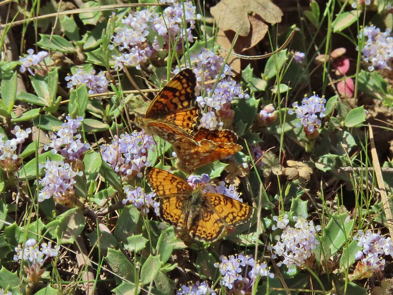
 One of the fritillary butterflies I think.


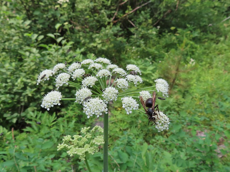
 Flying ants at the summit of Mt. Bachelor


 Cicada
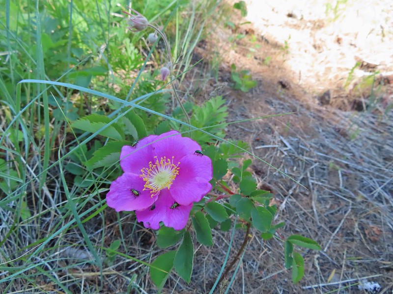
 Ladybug

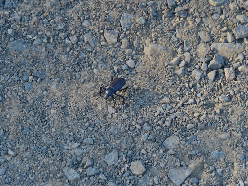

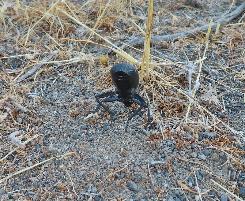
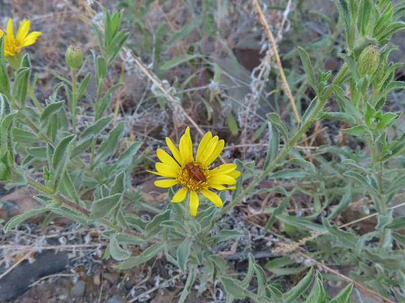
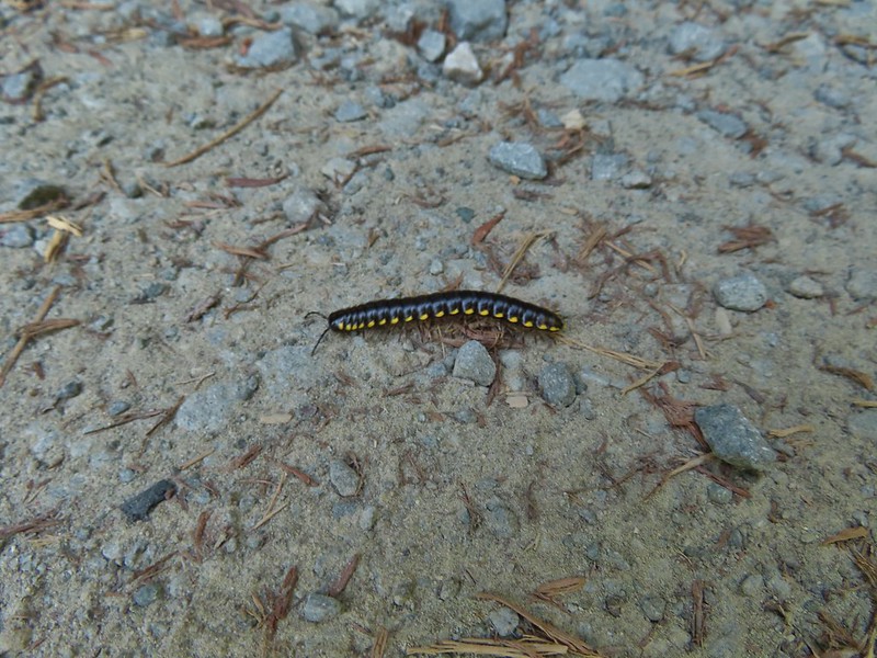
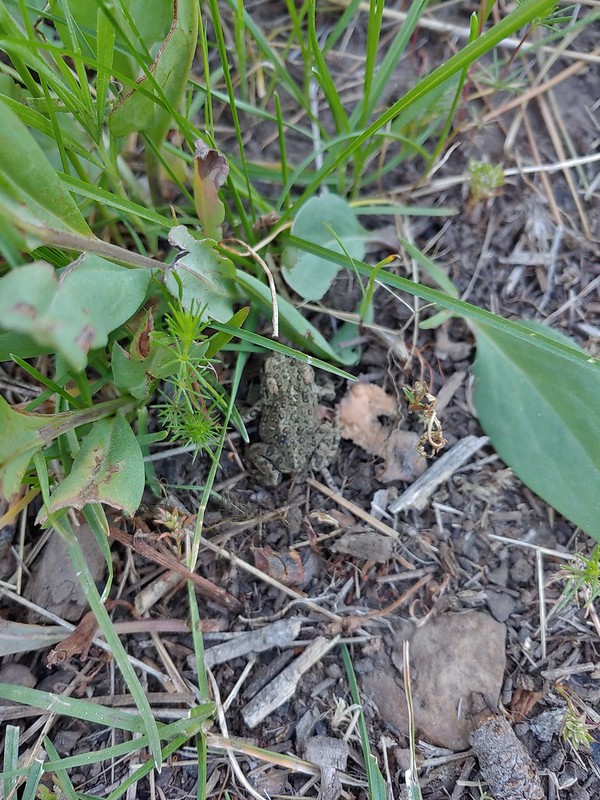
 Find the beetle
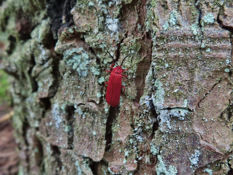 Dictyoptera aurora?
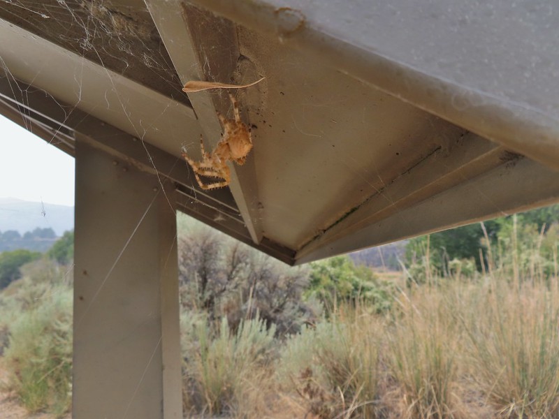
 Crab spider

 Spot the spider
 Praying mantis
 June bug
 Damsel fly
 Dragon fly
 Dragon fly
 Dragon fly
 Dragon fly


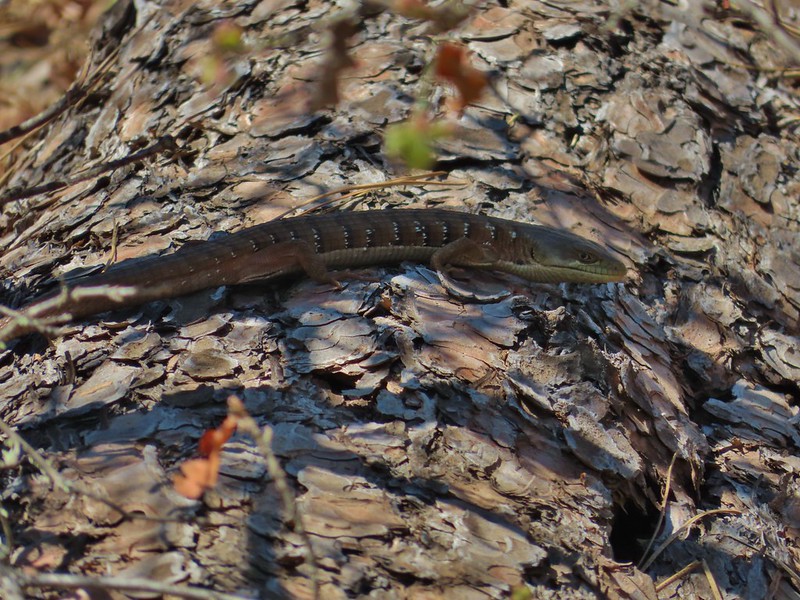 Alligator lizard

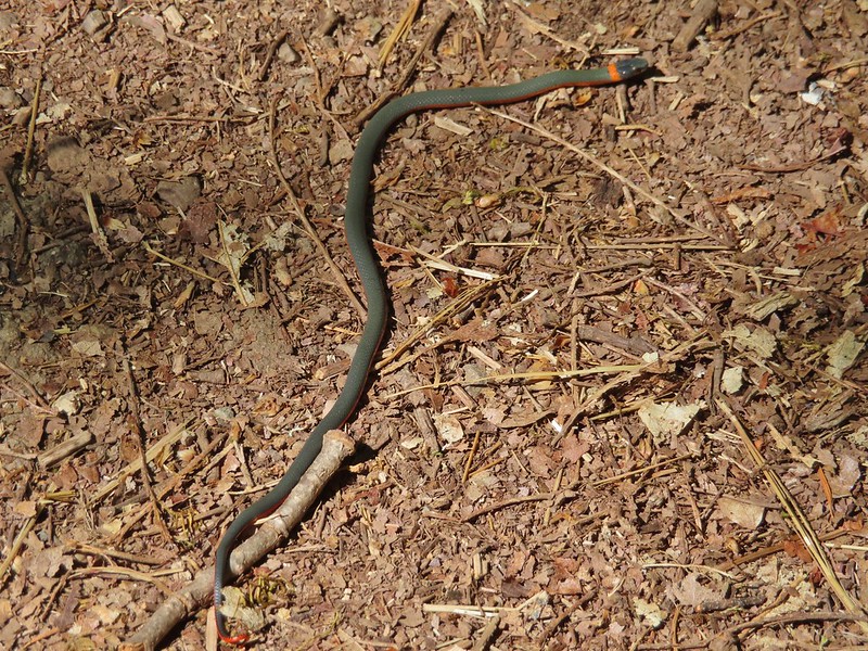 Ring necked snake

 Turtle
 Western fence lizards

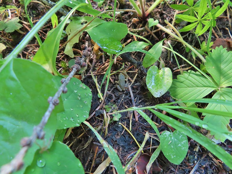
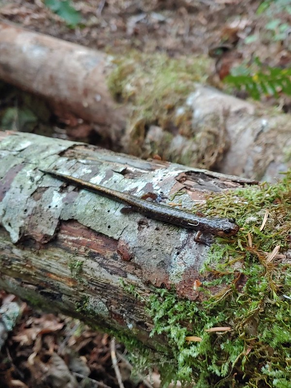 Dunn’s salamander?
 Rough skinned newt
 Crawdad surrounded by rough skinned newts
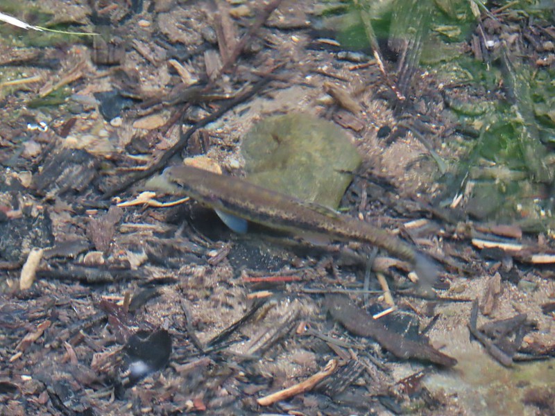 Fish in Black Canyon Creek
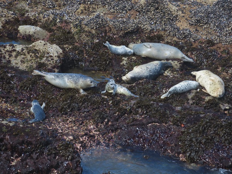 Seals
Seals
 Sea lions
 Nutria
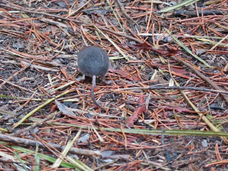 Hindquarters of what we believe to have been a mole.
There are several species of chipmunks in the area and I think these are two different species but I’m not sure which ones.
 Indian Heaven Wilderness
 Badger Creek Wilderness
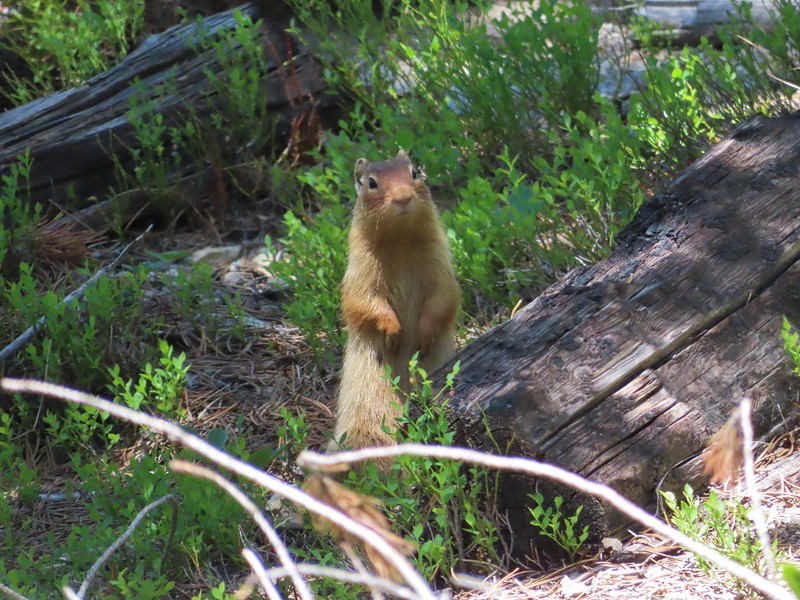
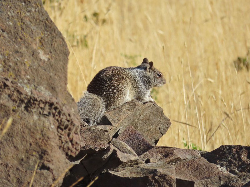
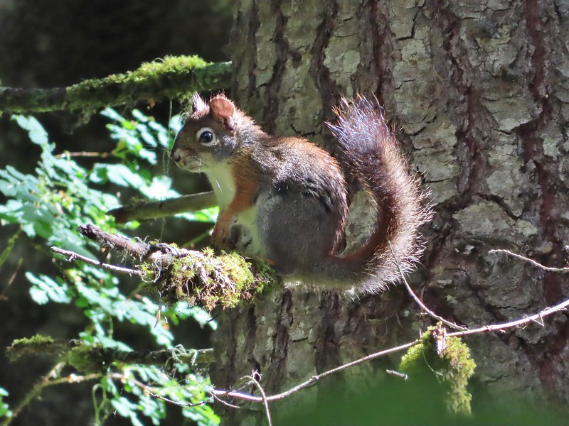
Likewise there are several different squirrels and ground squirrels.
 Golden mantled-ground squirrel


Pikas at first glance might seem to be related to ground squirrels but they are actually closely related to rabbits.
 Pika
Pika
 Mountain cottontail
 Eastern cottontail
 Snowshoe hare
 Jack rabbit
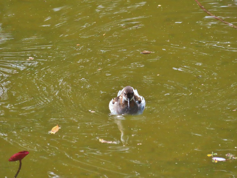
 Ring-necked duck and a lesser scaup
 American coot, spotted sandpiper and mallards on a log
 American wigeons
 Green-winged teals
 Cinnamon teal
 Mallards, a cinnamon teal and a pied billed grebe
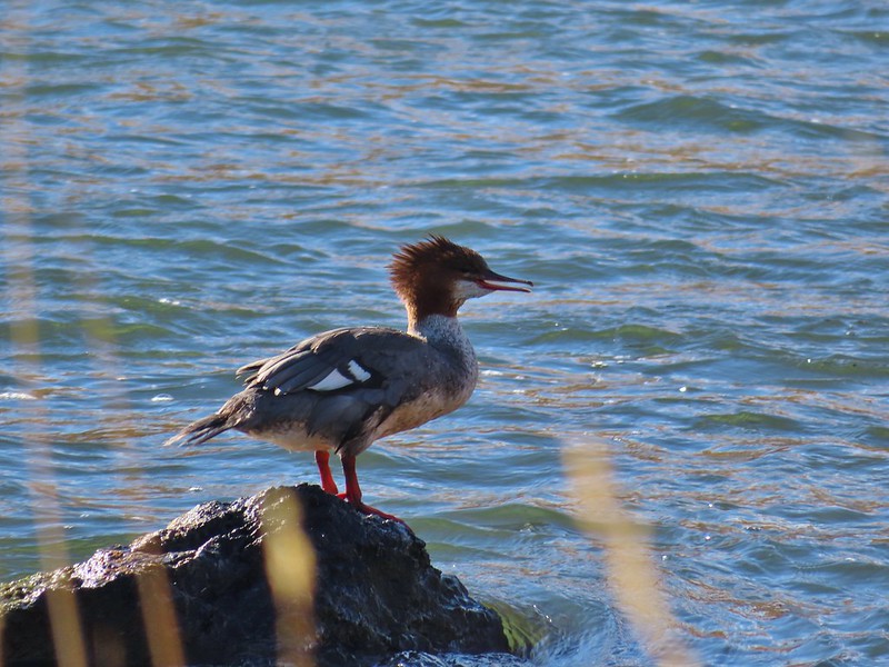 Common merganser
 A female hooded merganser? and buffleheads
 Northern pintails
 Northern shovelers
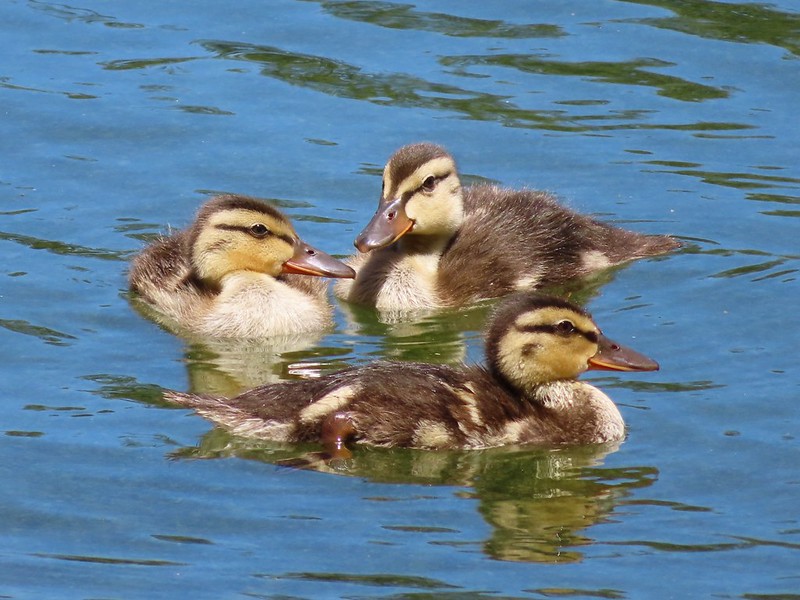 Ducklings
 Canada geese
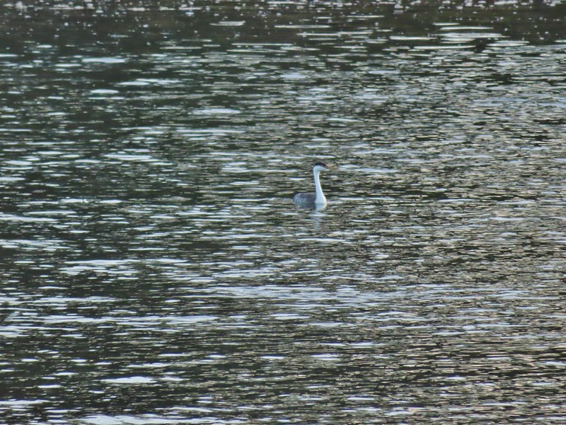 Western grebe
 Bird at the Formal Gardens at Shore Acres State Park
 At least two types of egrets and a bunch of ducks at Malhuer Wildlife Refuge
 Egret
Egret
 Great blue heron
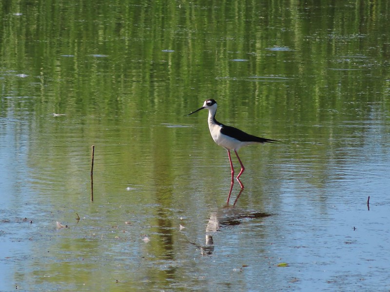 Black-necked stilt
 Dunlins
 Yellowlegs?
 White faced ibis
 Whimbrels
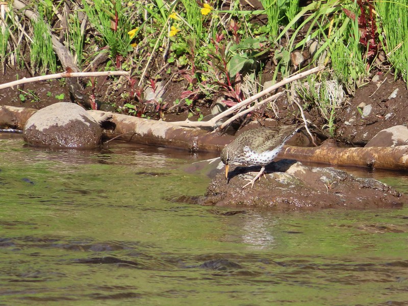 Spotted sandpiper
 Another sandpiper
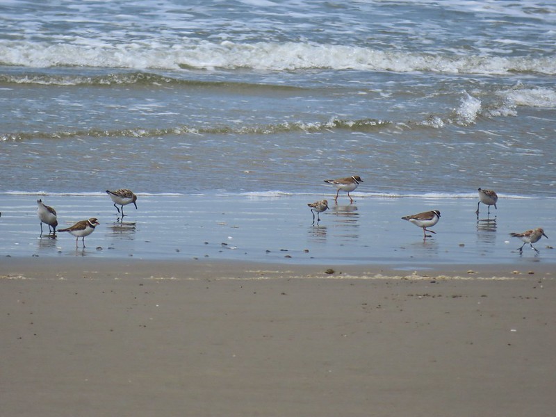 A couple of types of shorebirds
 White pelican
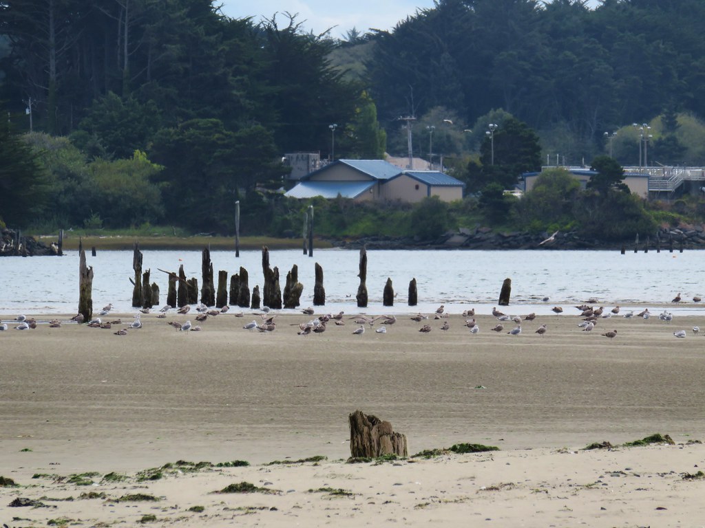
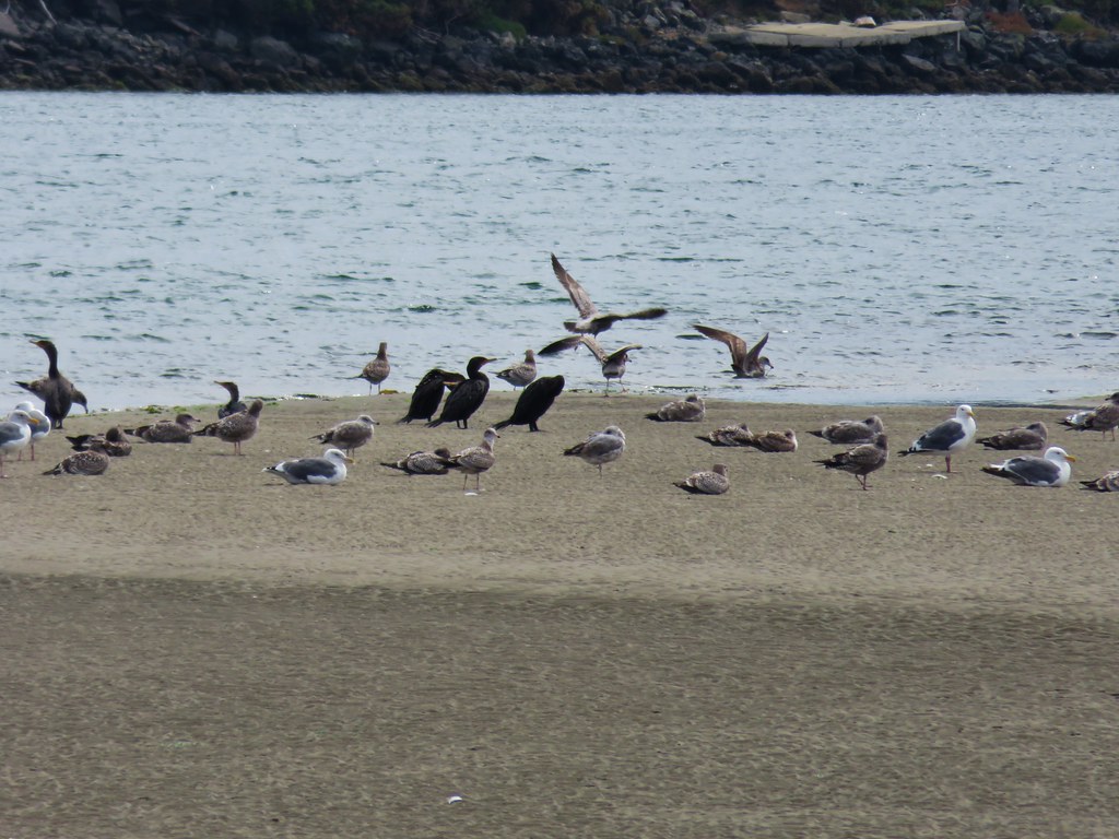
 Seagull
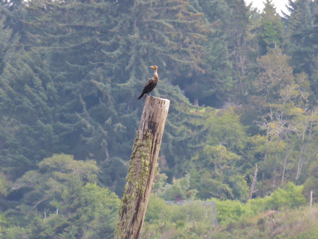
 Cormorants
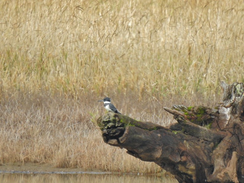 Kingfisher
 American dipper aka ouzel
 A couple of American bushtits
 Bewick’s wren?
 Canyon wren?
 Wren? at Horsethief Butte near The Dalles.
 No idea, seen along the Alder Springs Trail in Central Oregon.
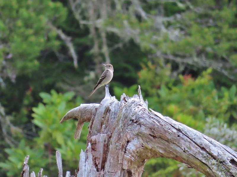 Possibly a flycatcher?
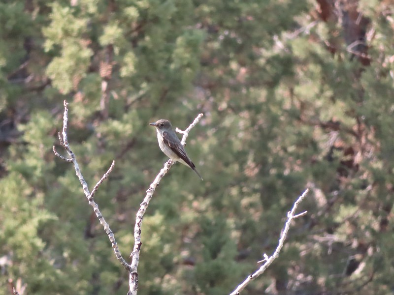 A flycatcher
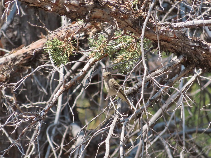 Flycatcher?
 Another no clue, seen near a creek in the Ochoco Mountains.
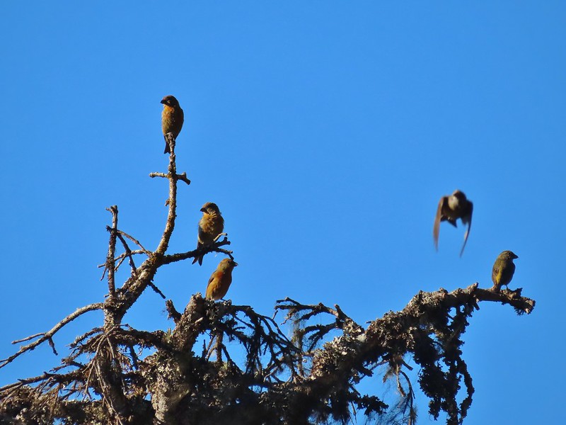 Crossbills? (based on the crossed beaks)
 Black headed grosebeak
 Black phoebe
 California scrub jays
 Gray jay
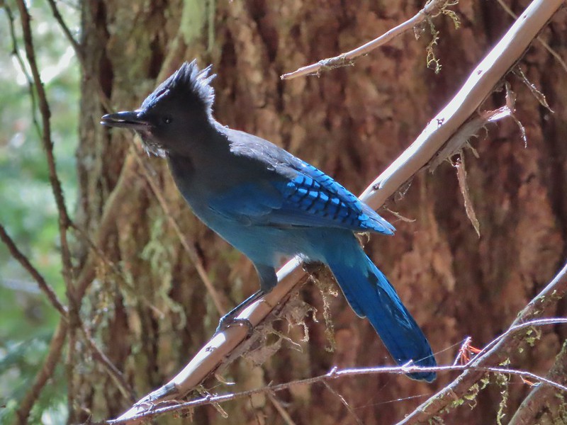 Stellar’s jay
 Pinyon jay
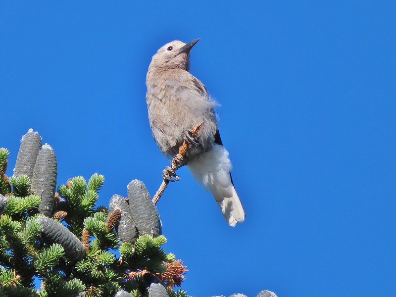 Clark’s nutcracker
 Brewer’s blackbird
 Yellow headed blackbird
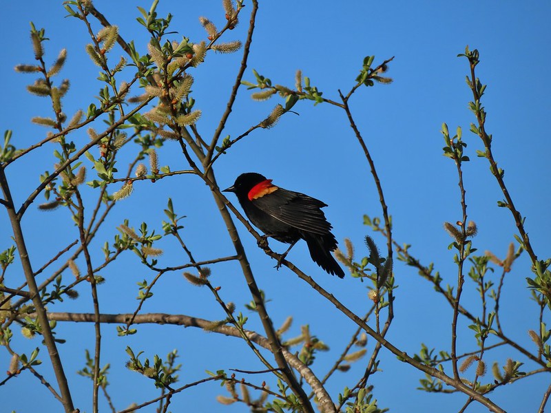 Red winged blackbird
 Starling
 Cedar waxwings
 Common yellowthroat
 Dark eyed junco
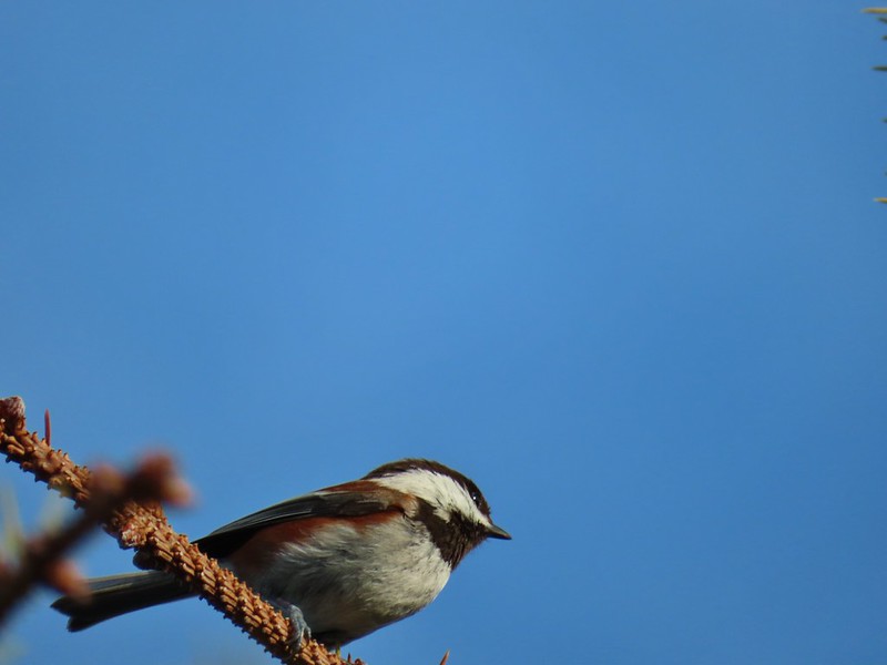 Chestnut-backed chickadee
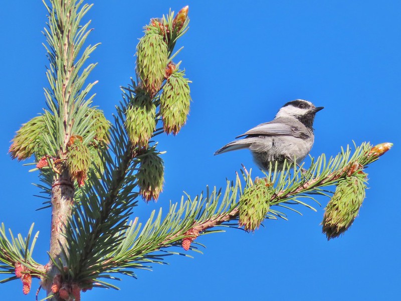 Mountain chickadee
 Possibly an orange crowned warbler
 Ruby crowned kinglet
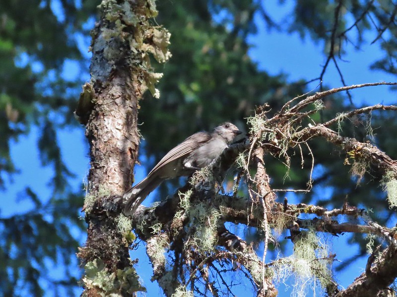
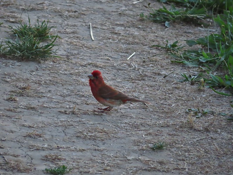 A finch
 A finch
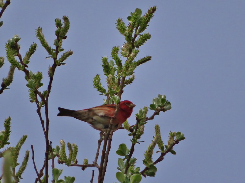 A finch
 Green-tailed towhee
 Spotted towhee
 Pipit
Pipit
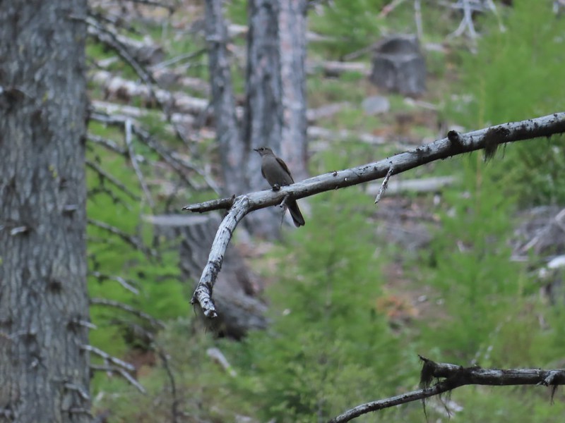 Townsend’s solitaire
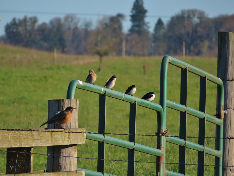 Robin, western bluebird and swallows
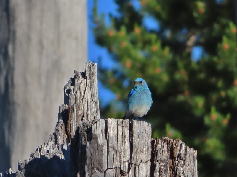 Mountain bluebird
 Lazuli bunting
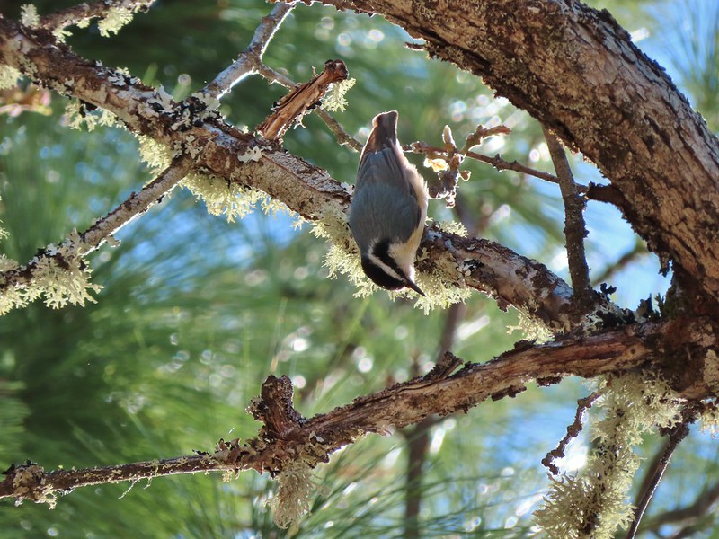 Red breasted nuthatch
 Yellow-rumped warbler
 Western meadowlark
 Western tanager – male
 Western tanager – female
 Western wood-pewee
 Rufous sided hummingbird
 Chipping sparrow?
 White crowned sparrows
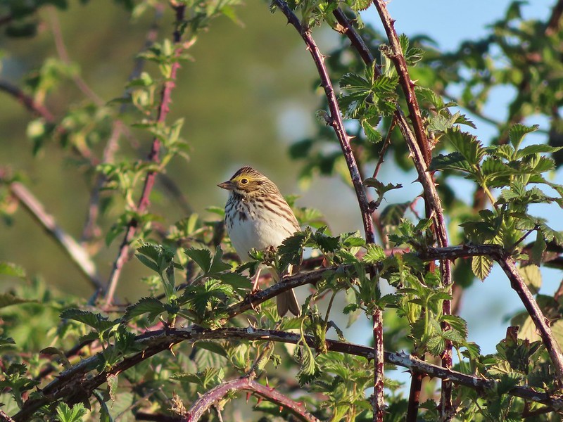 Savannah sparrow
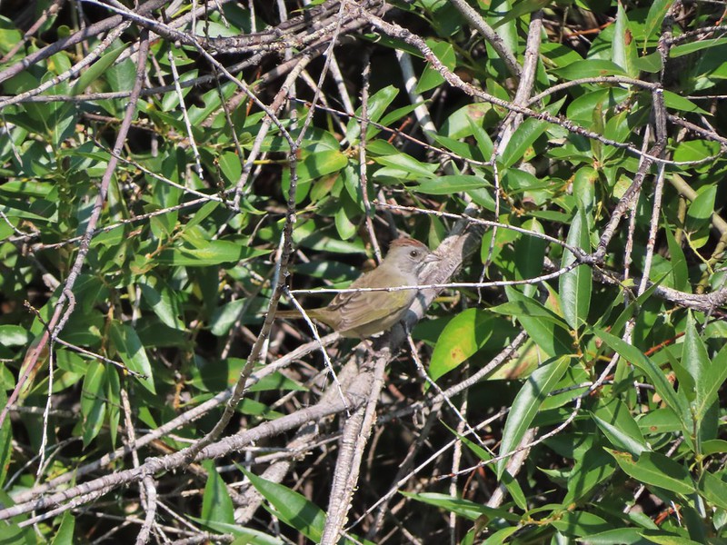
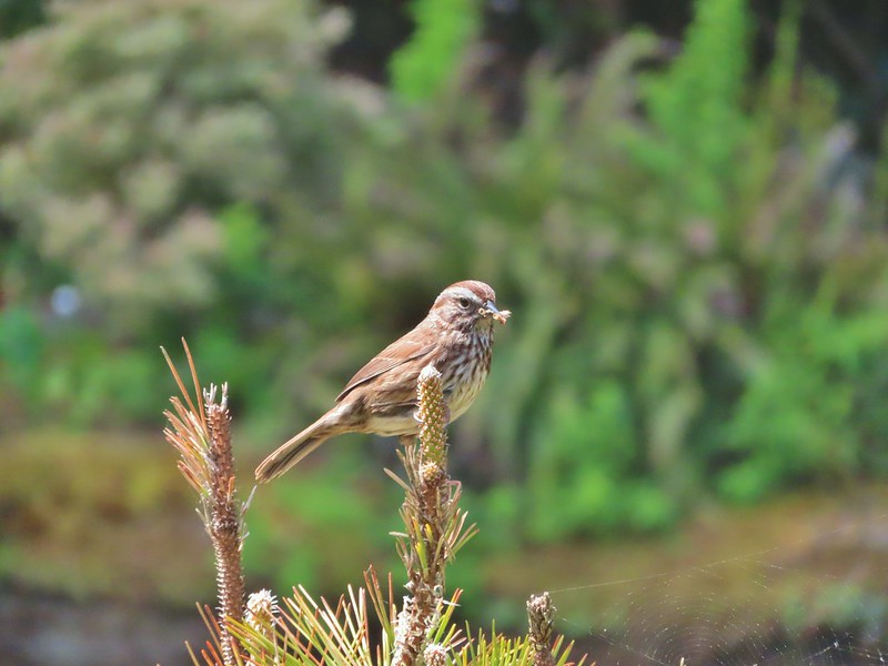 Sparrow
 Sparrow?
 Lark sparrow
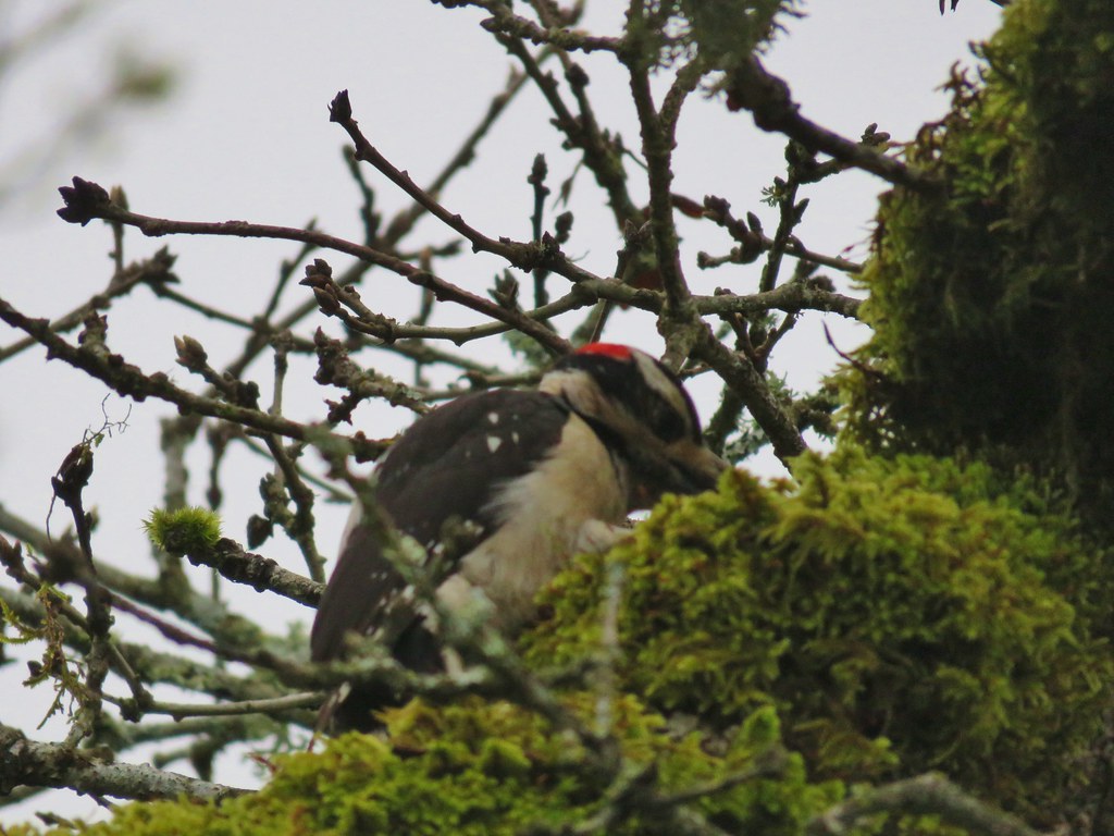
 Downy woodpecker?
 Lewis’s woodpecker
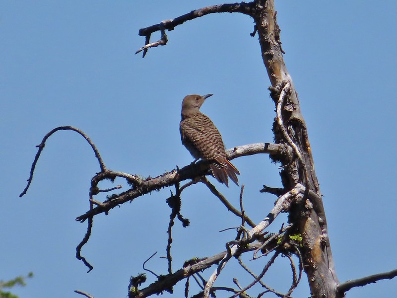 Northern flicker
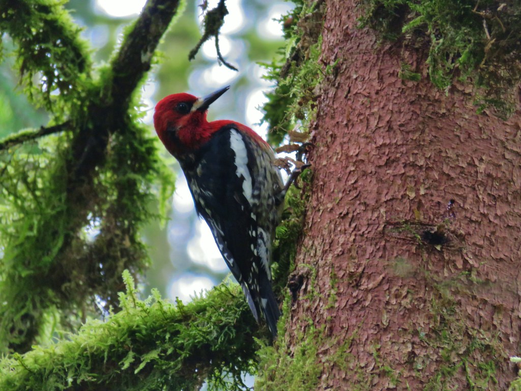
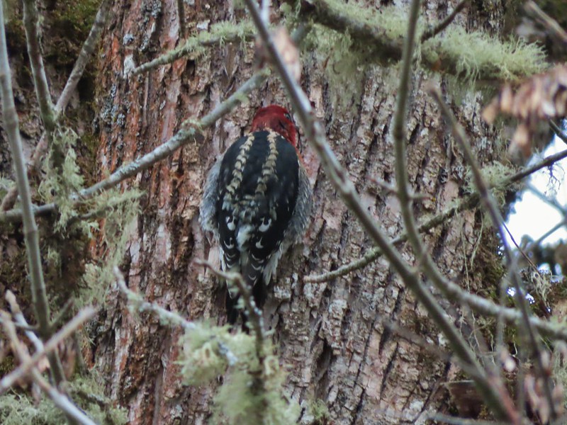 Red breasted sapsucker
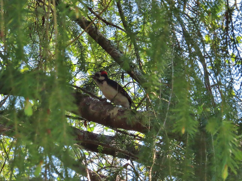 A woodpecker
 A woodpecker
 Killdeer
 Mourning dove
 Grouse, leaning toward sooty
 Not sure which type of grouse this is.
 Ruffed grouse?
 Sage grouse
 California quail
 Turkeys
 Rooster at Cape Arago State Park
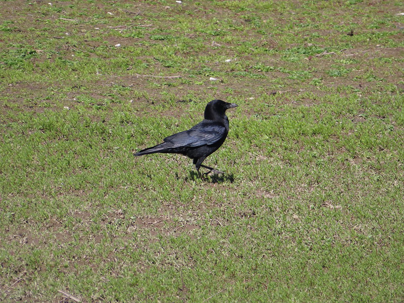 Crow
Crow
 Turkey vulture
 A magpie and some sort of hawk
 A hawk
 Hawk in flight
 Cooper’s hawk?
 Hawk in the Pueblo Mountains
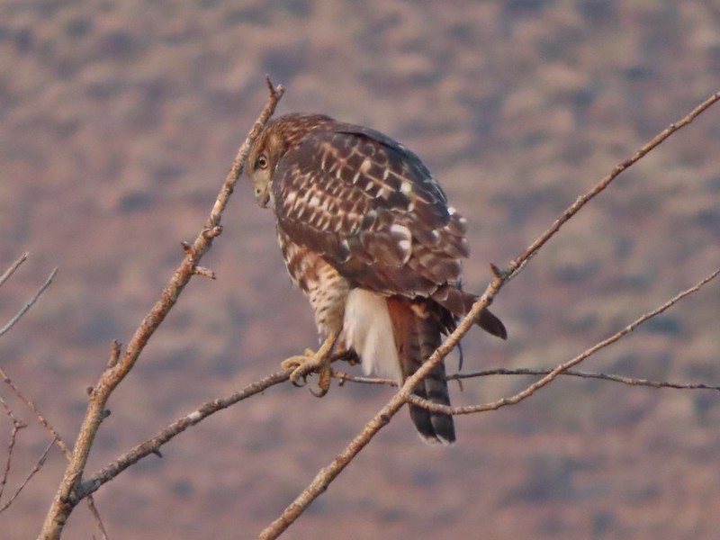
 Red-tailed hawk
 Hawk or?
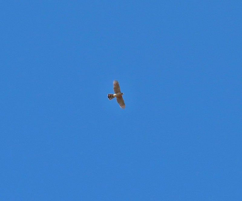
 Northern harrier
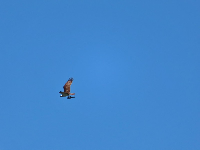 Osprey (with meal)
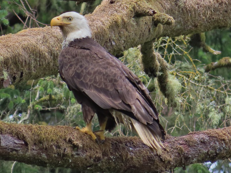 Bald eagle
 Great horned owl
 American kestral
 Common nightwawk
 Northern shrike
 Coyote
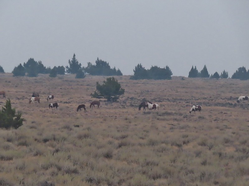 Wild horses at Steens Mountain
 Not wild cows along the Little Malhuer Trail
 Columbian black-tailed deer
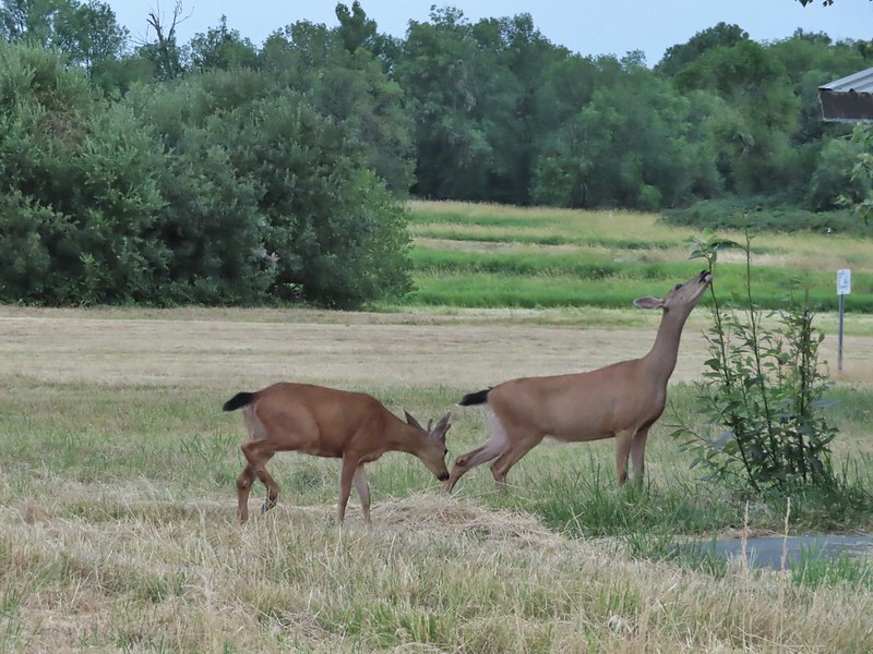
 Columbian white-tailed deer
 Mule deer fawn
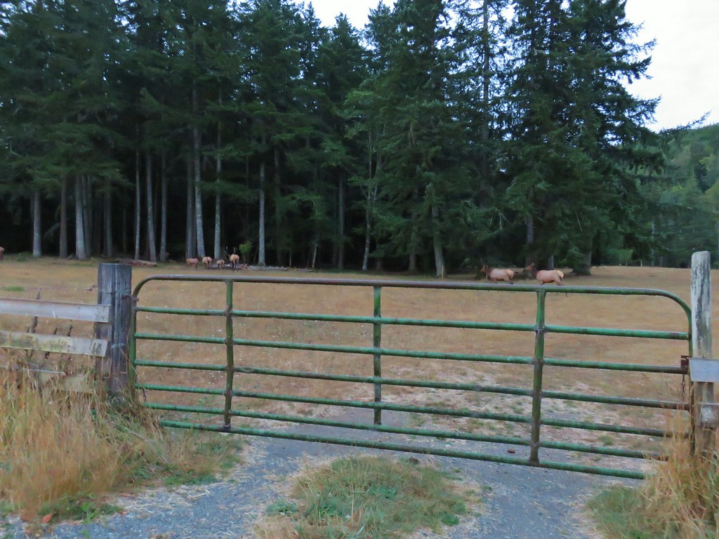
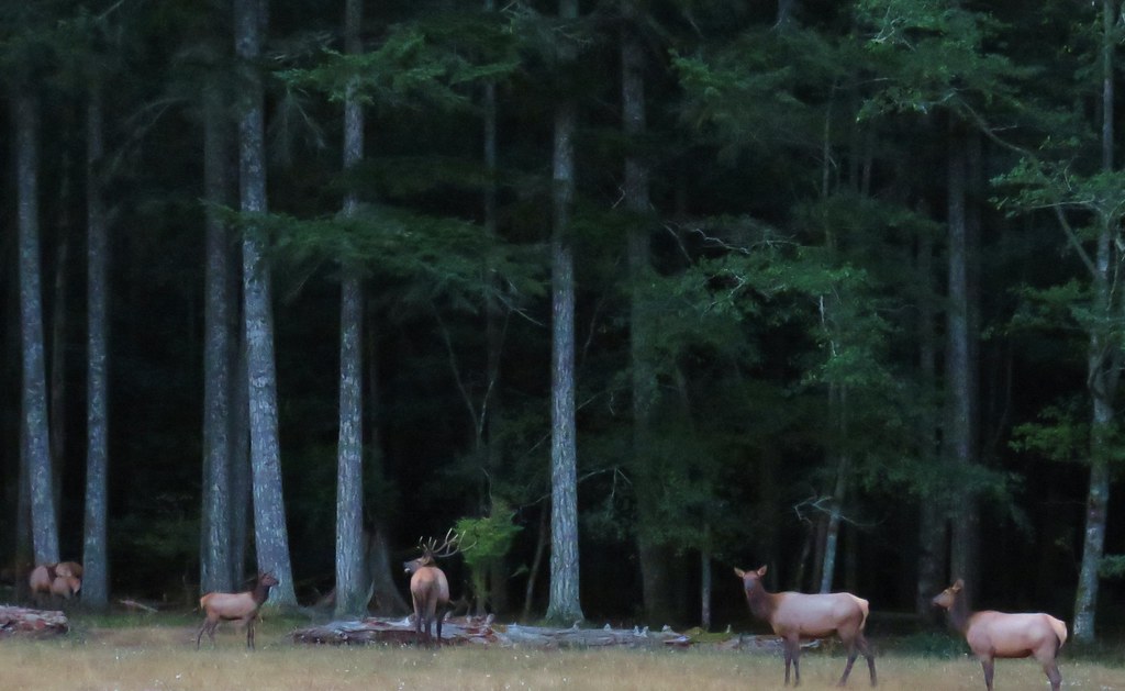
 Elk in the Aldrich Mountains
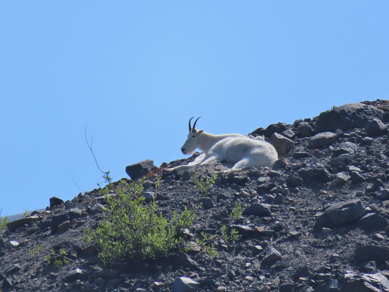 Mountain goat
At the top of our list of animals we haven’t seen is a cougar (at a distance please), beaver, and porcupine along with a number of others. Good luck out there in 2022 and Happy Trails!


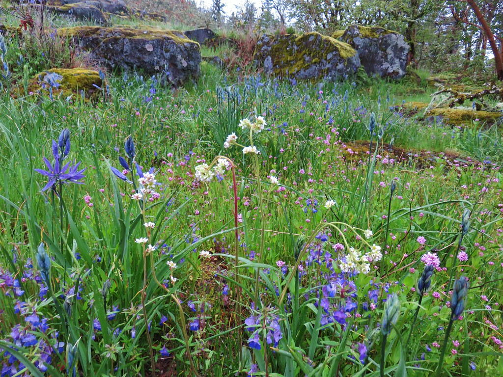
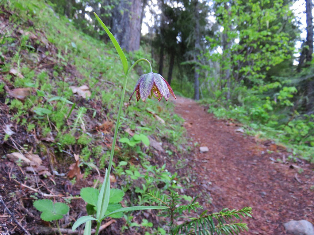 Chocolate lily
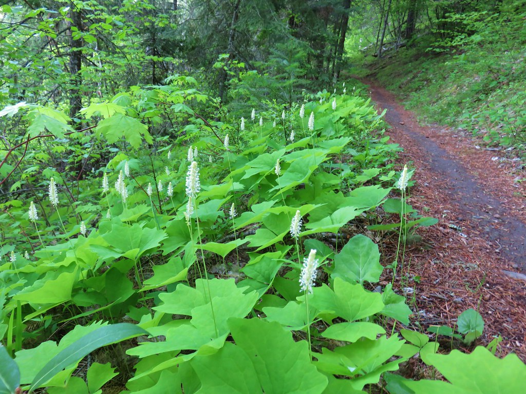 Vanilla leaf
 Columbia windflower (anemone)
 Red flowering currant
 Ball-head waterleaf
 Dogwood (and a crab spider)
 Arnica
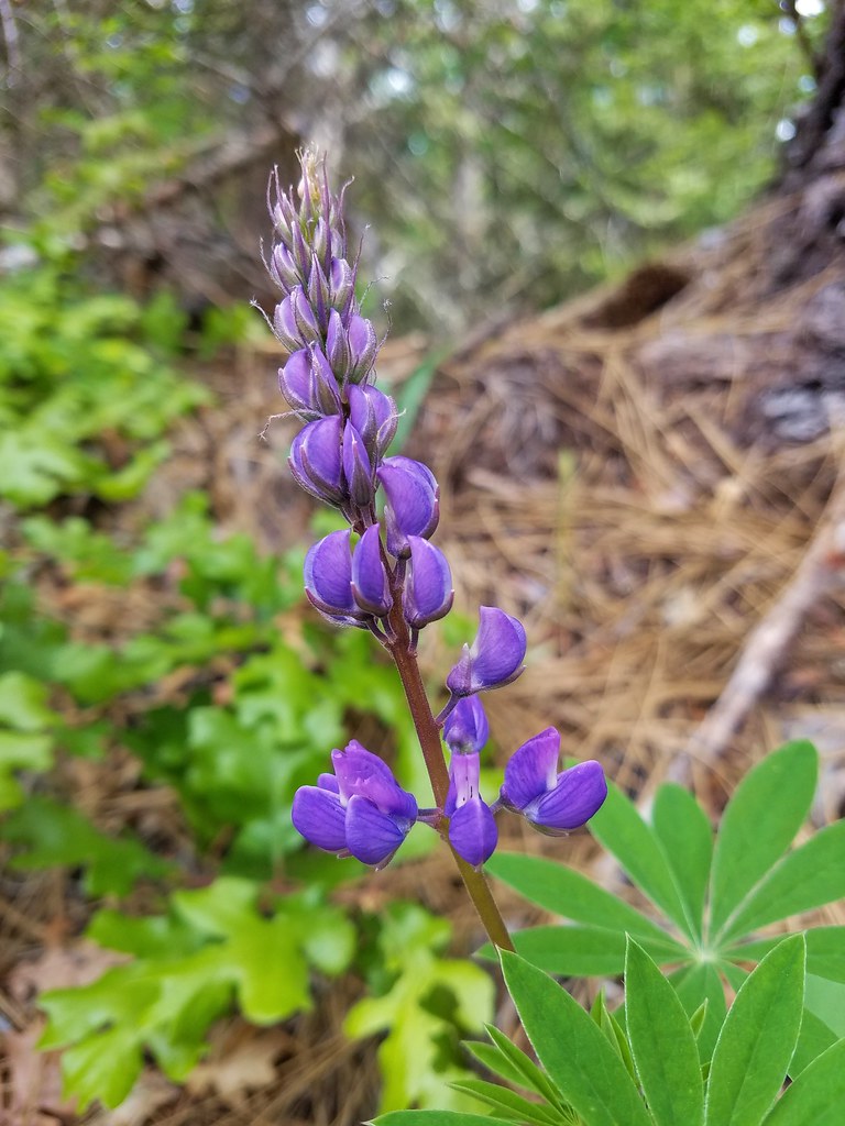 Lupine
 Lupine yet to bloom
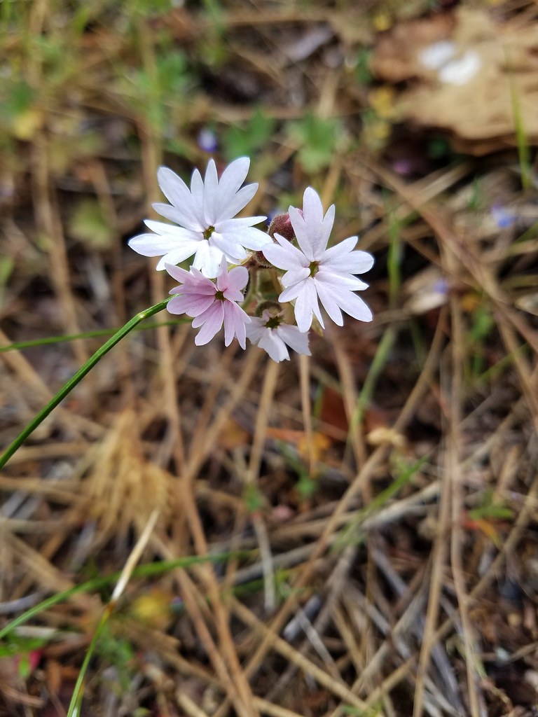 Woodland stars
 Larkspur with biscuitroot in the background
 Fairy slippers
 Indian paintbrush
 Popcorn flower
 Sandwort
 Sticky blue-eyed mary
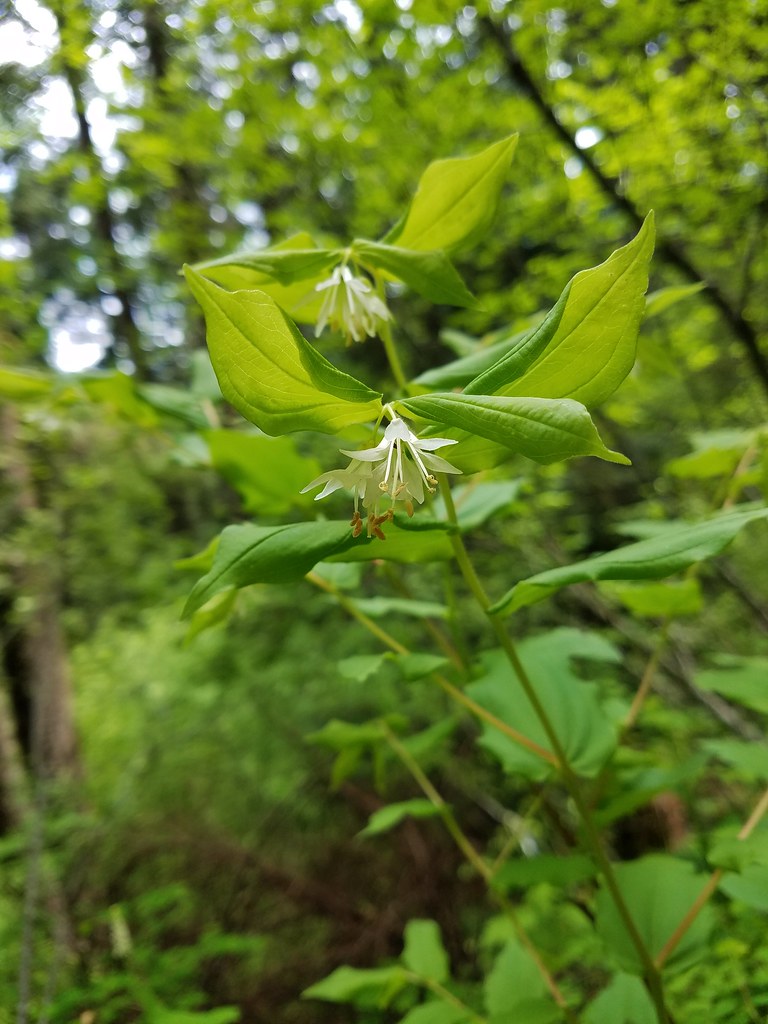 Hooker’s fairy bells
 Solomon’s seal
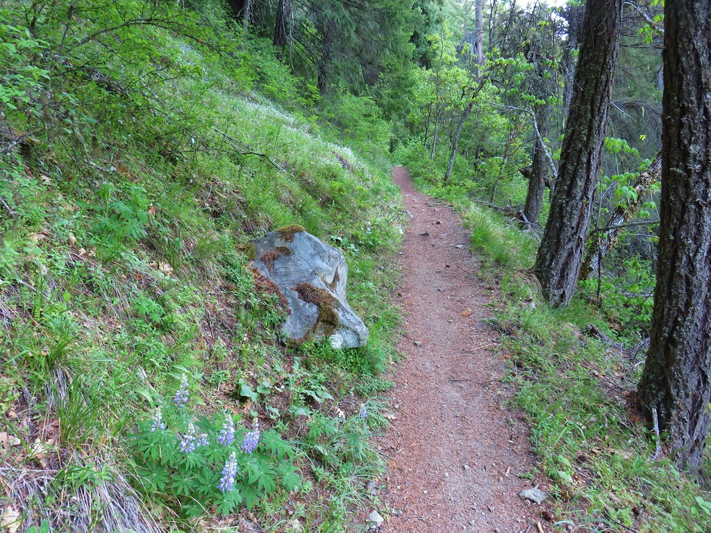


 Penstemon
 Phlox
Phlox


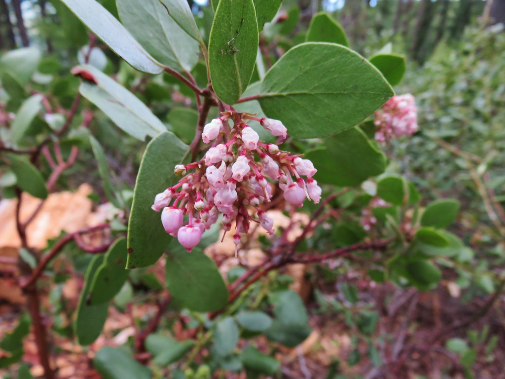 Manzanita
 A currant
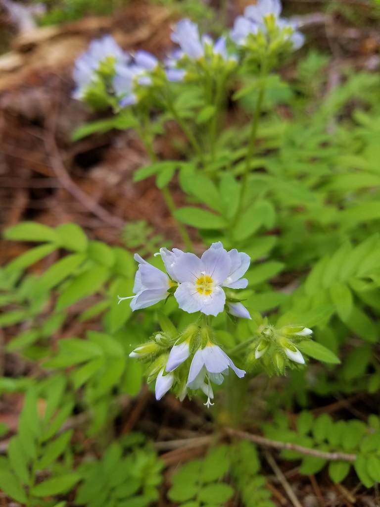 Jacob’s ladder
 Popular tree


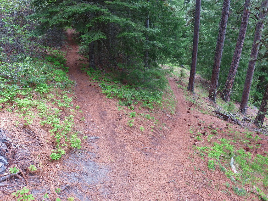
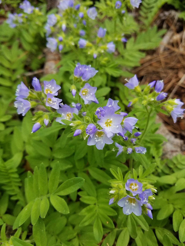 There was quite a bit of Jacob’s ladder along this stretch of trail.
 Oregon anemone
 Forest Road 620.


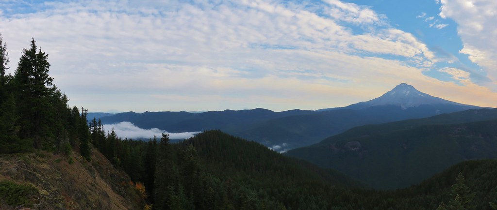
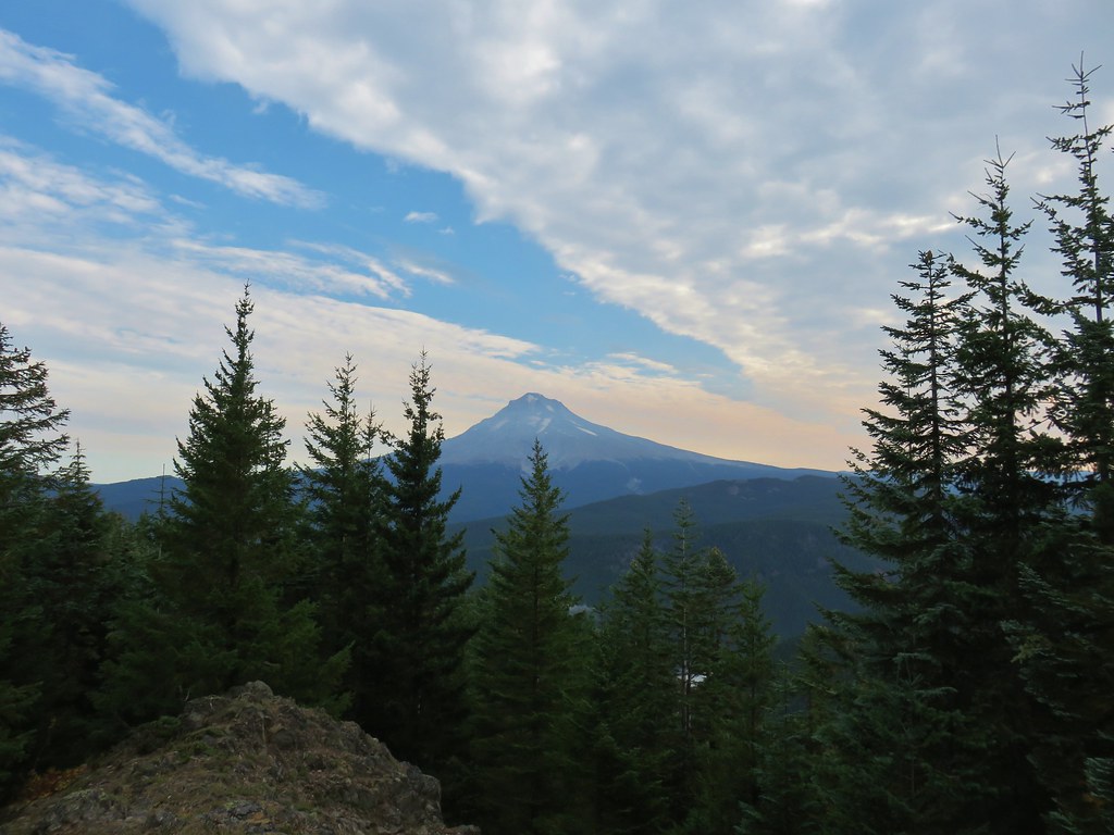
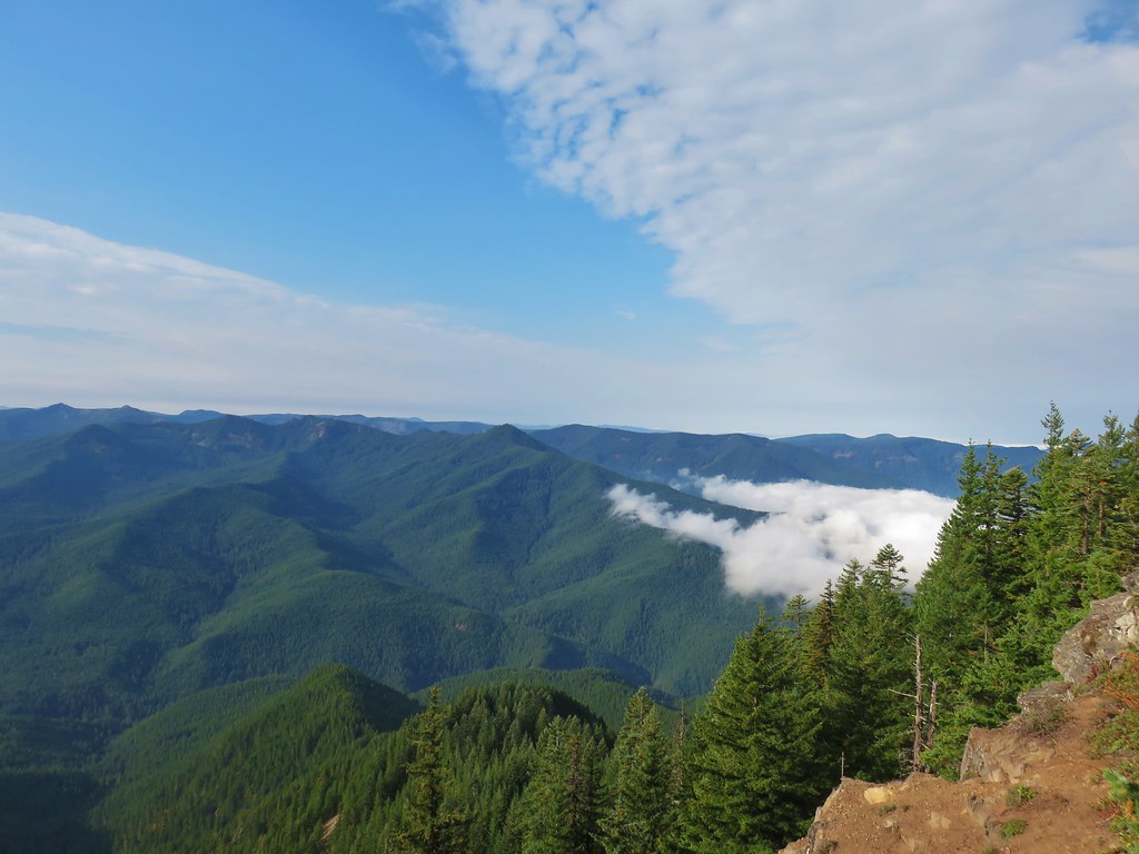
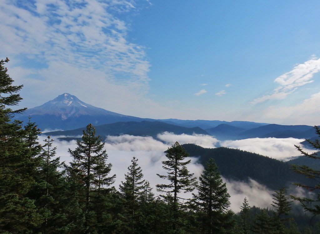
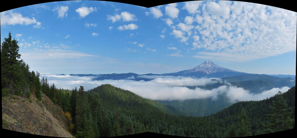
 A still cloudy Mt. Hood
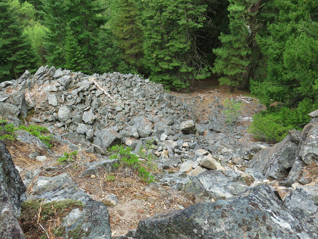 Looking down the talus slope with the Dog River Trail visible between the trees to the right.
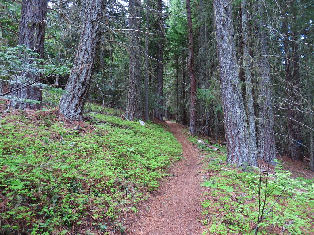


 <
<

 The rocky ridge
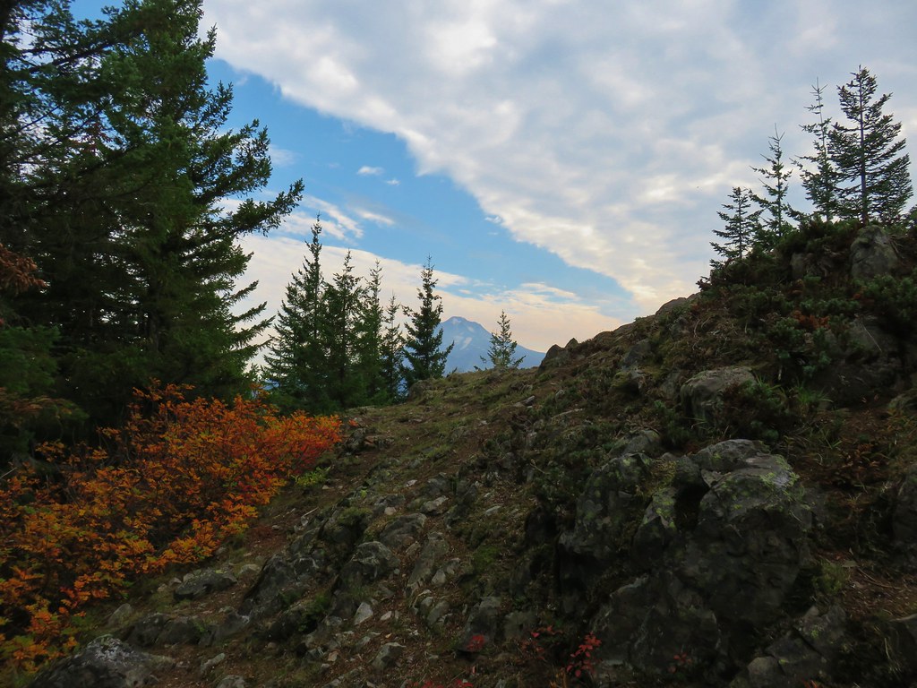
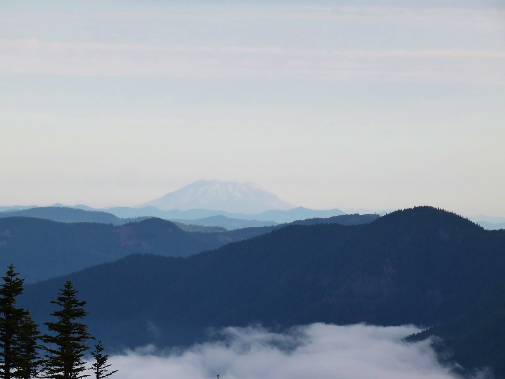 Mt. St. Helens
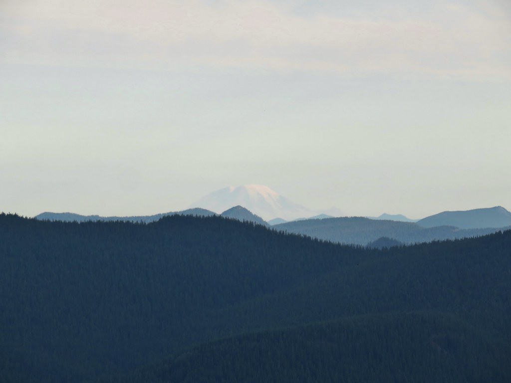 Mt. Rainier
 Mt. Adams

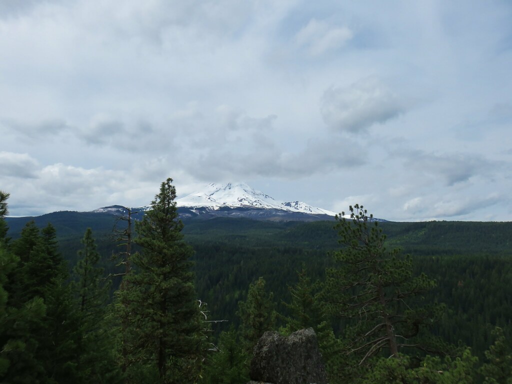
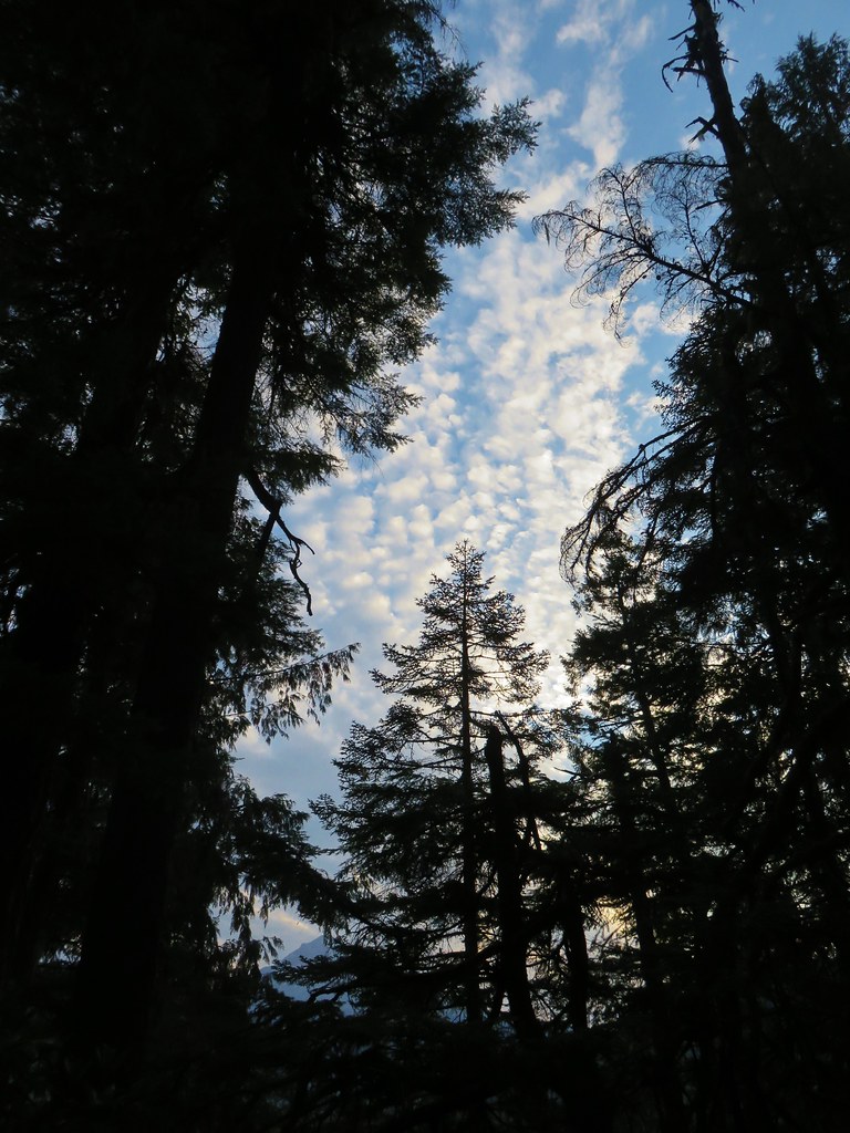
 Mt. Jefferson in some haze to the south.
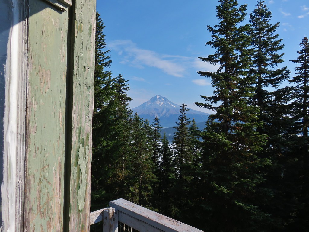
 Mt. Hood
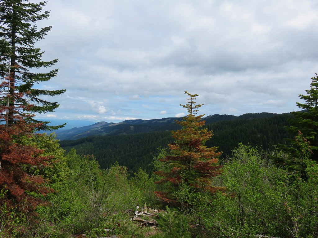
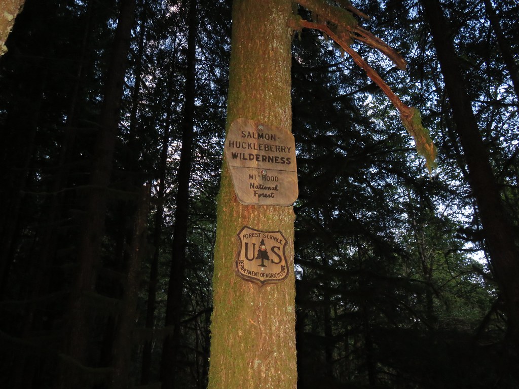
 Salmon-Huckleberry Wilderness
 Clouds coming up the Salmon River Valley
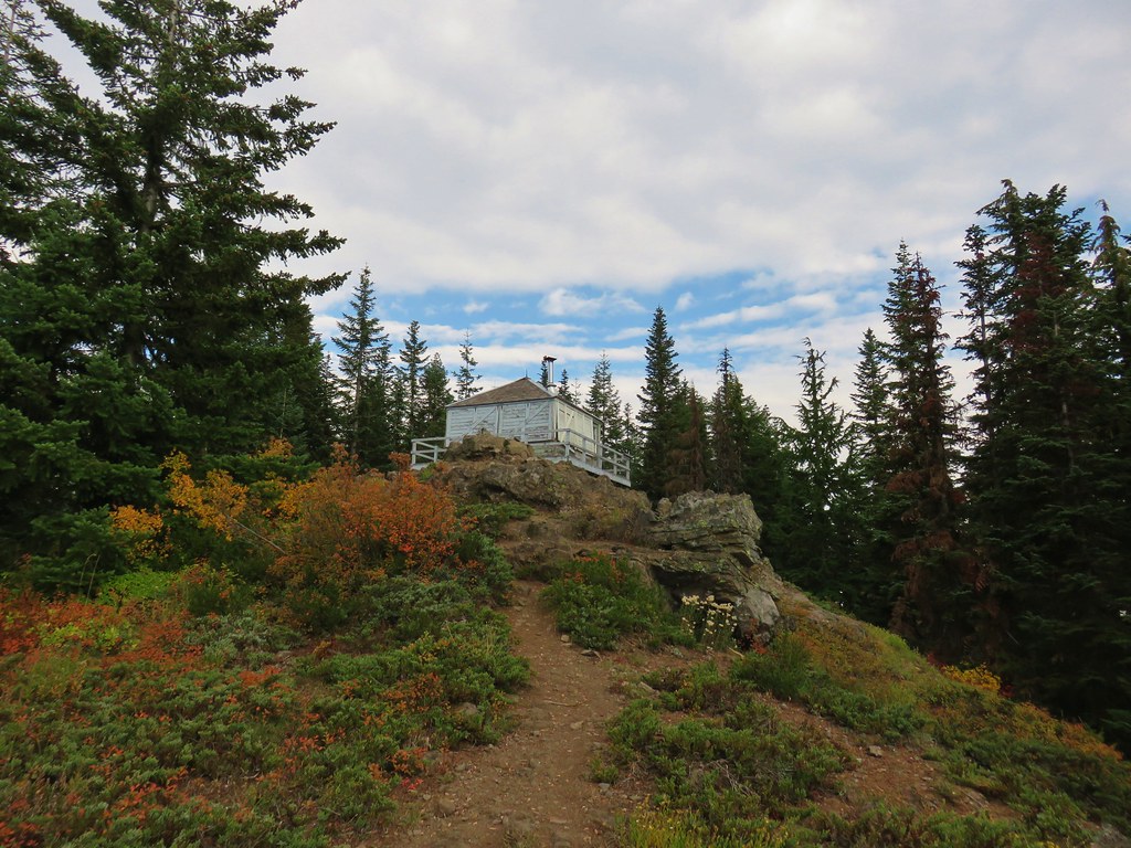
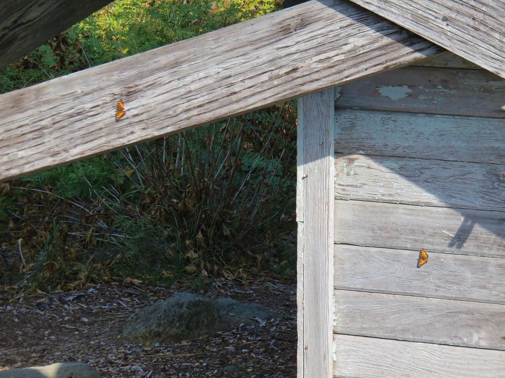 Butterflies on the lookout.
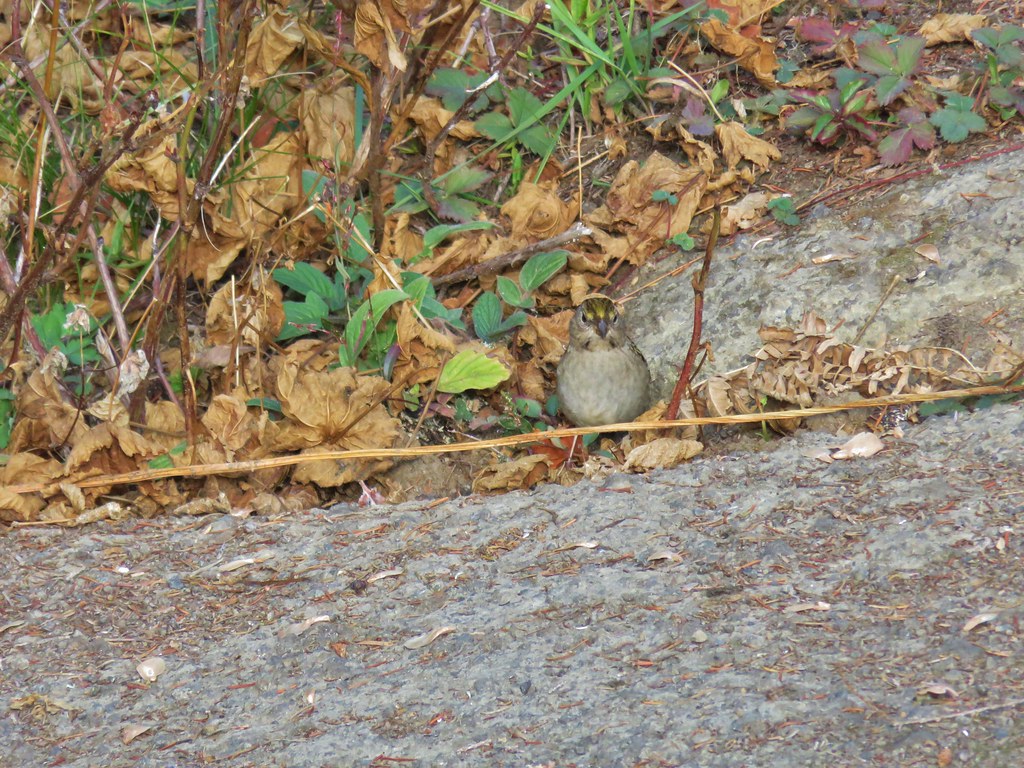 One of several birds foraging in the bushes near the lookout.
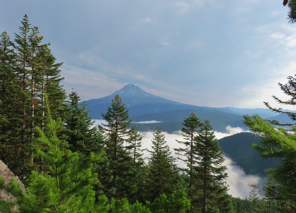


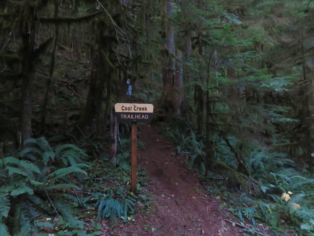
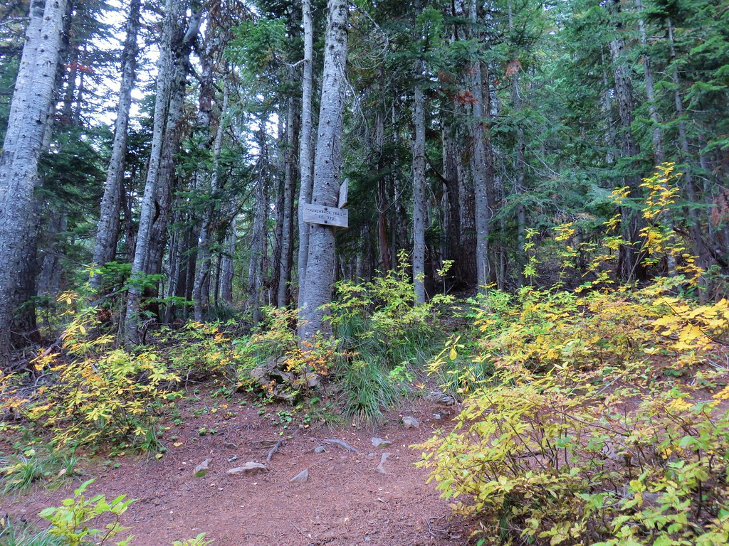
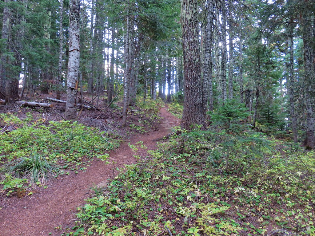
 Barklow Mountain West Trailhead


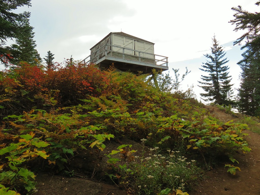
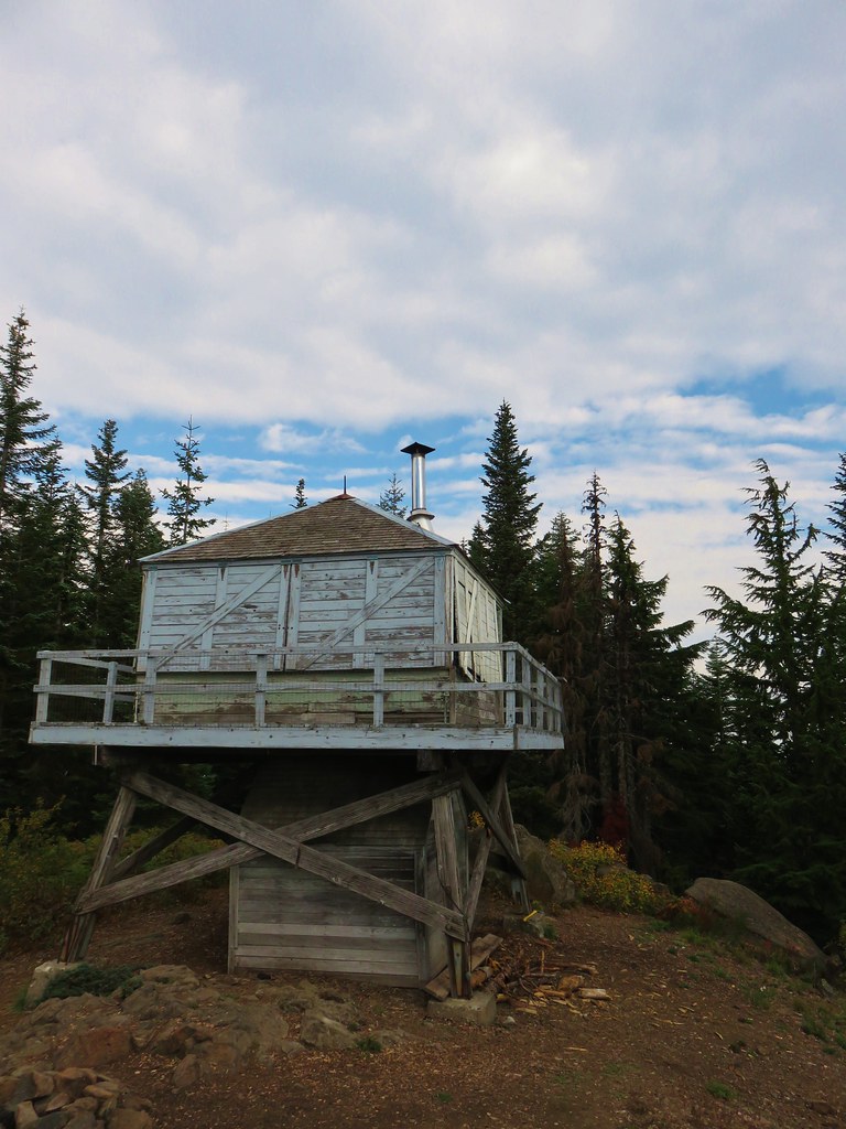
 Grassy Knob is on the horizon just to the left of the near trees.
 Copper Mountain from the lookout site.