A favorable forecast prompted us to head out for our February hike on Super Bowl weekend. We chose Marquam Nature Park in Portland as our destination due to it being less than an hour from Salem and allowing for a reasonable distance with some good elevation gain for an off-season hike on trails that we had not explored yet.
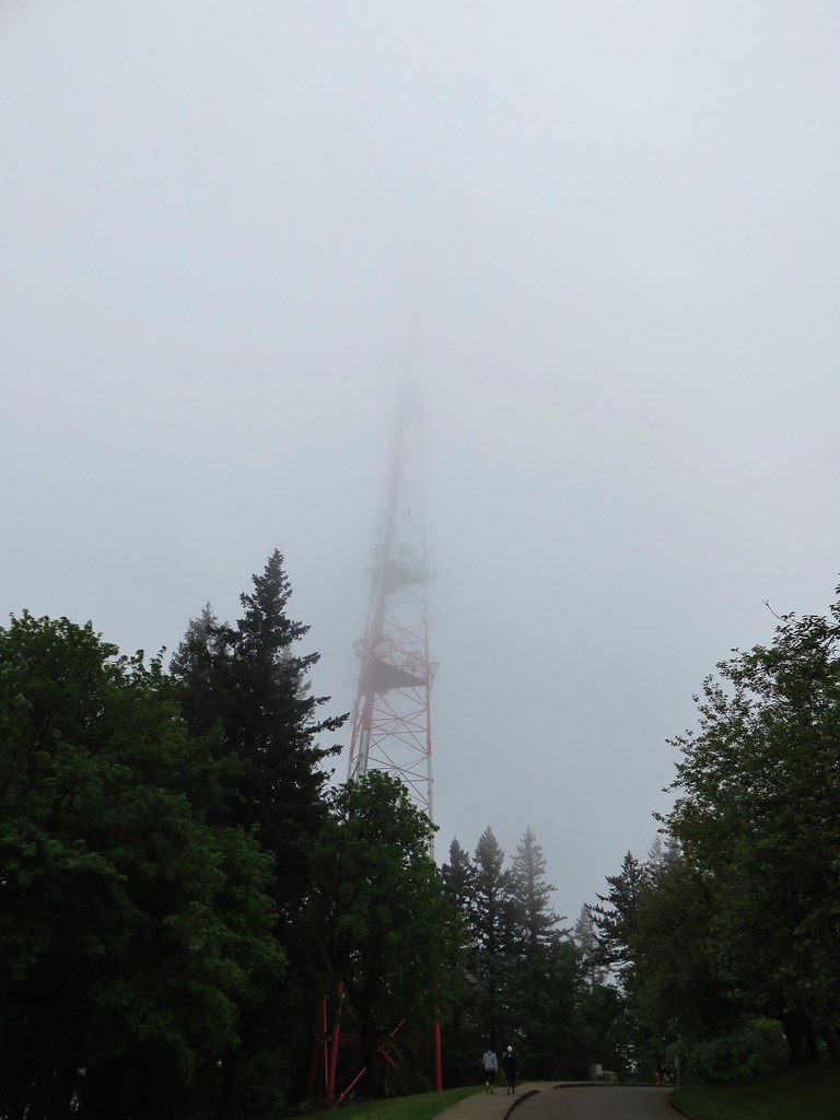
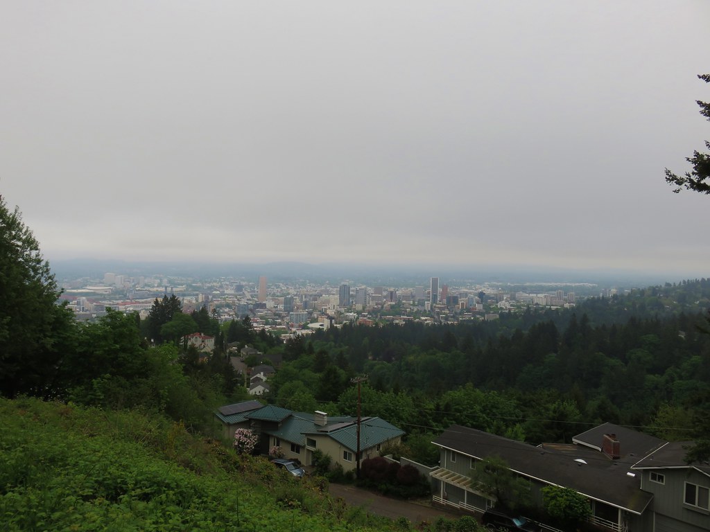
While there are several trailheads located around the park most have a 2-hour parking limit so we opted to begin our hike at Council Crest Park. (Note that the gate opens daily at 8:00am.) We were hoping that the forecasted “mostly sunny skies” would translate into mountain views from Council Crest after having been greeted by fog in 2018, but despite some blue sky on our drive north we were again greeted by clouds.
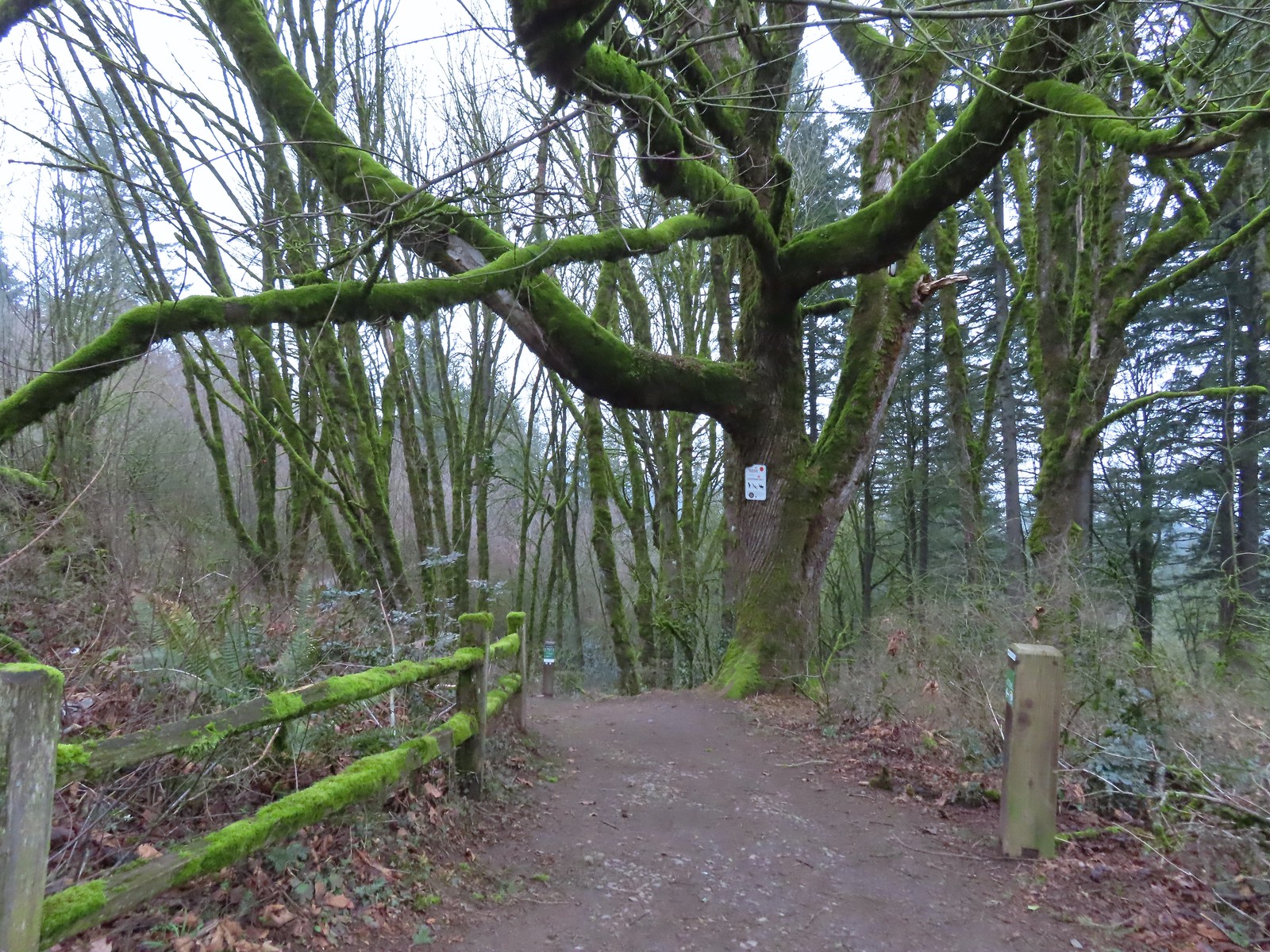
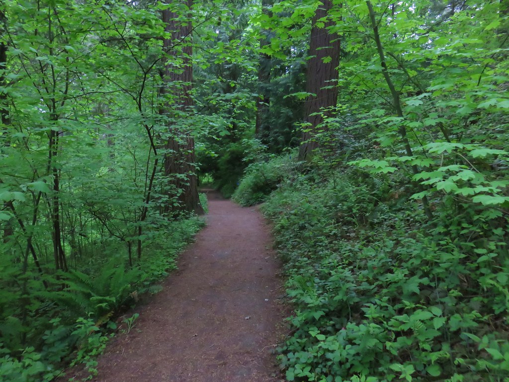
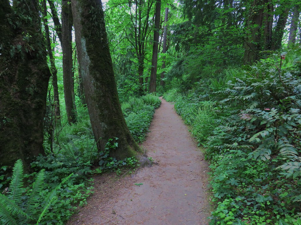
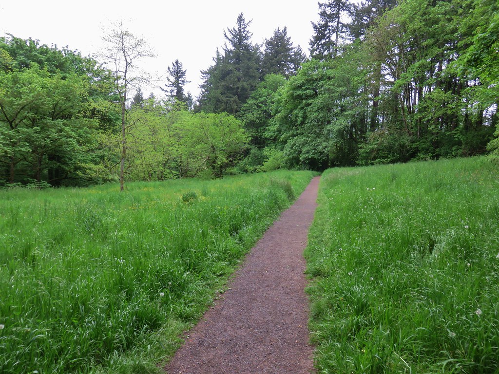
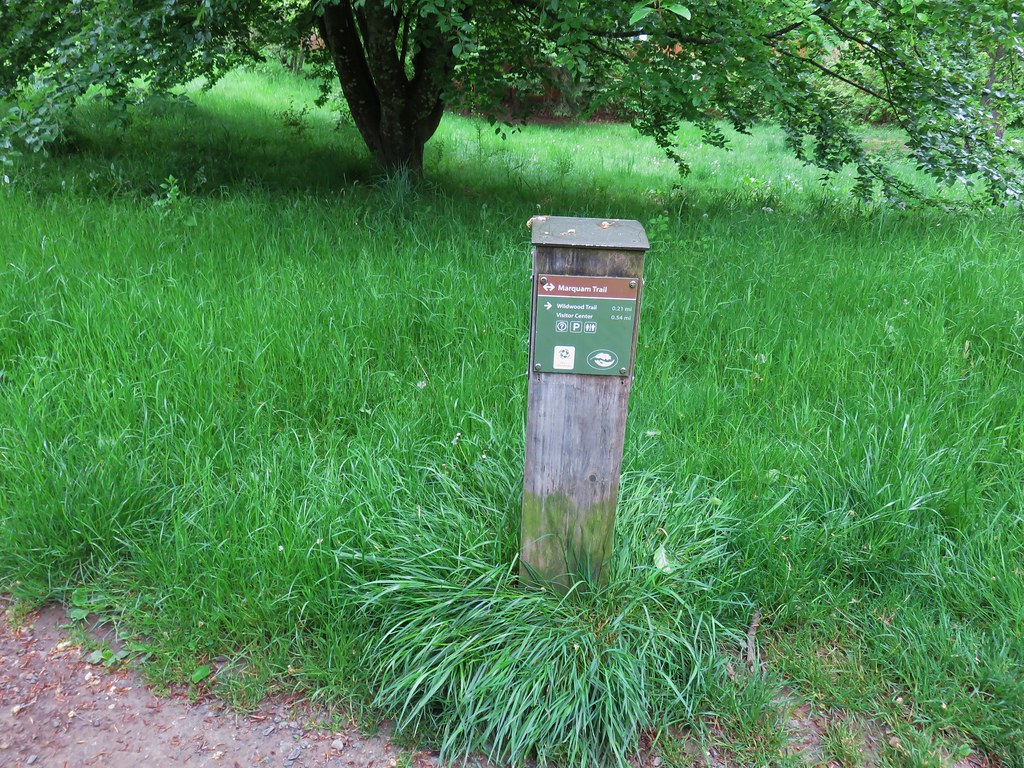
We held out hope that skies might clear up by the time we returned and set off on the Marquam Trail on the eastern side of the park following a pointer for the Marquam Shelter

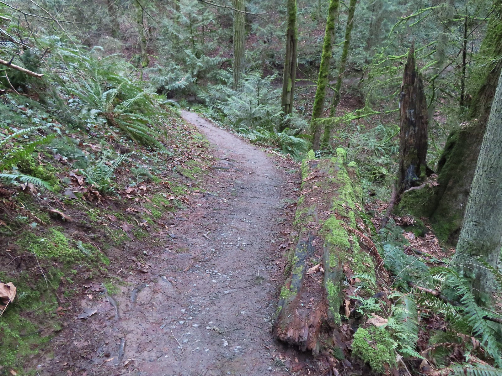
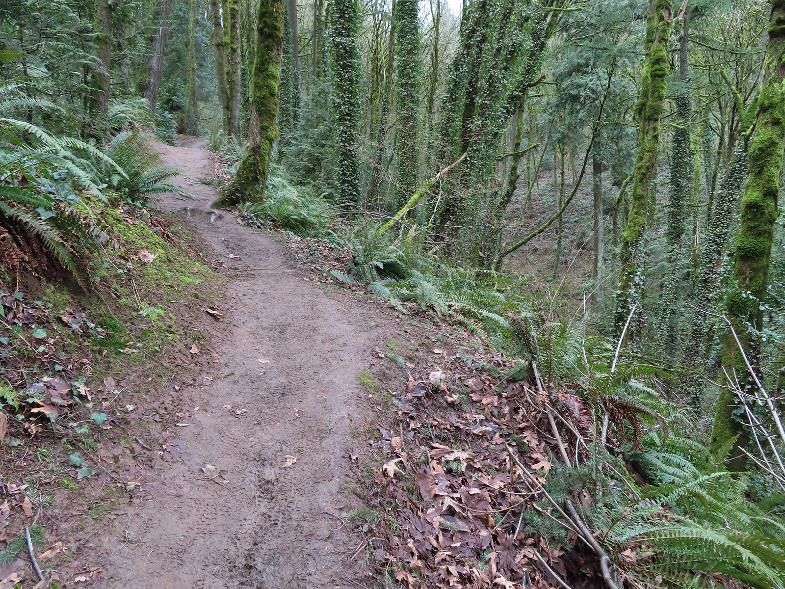
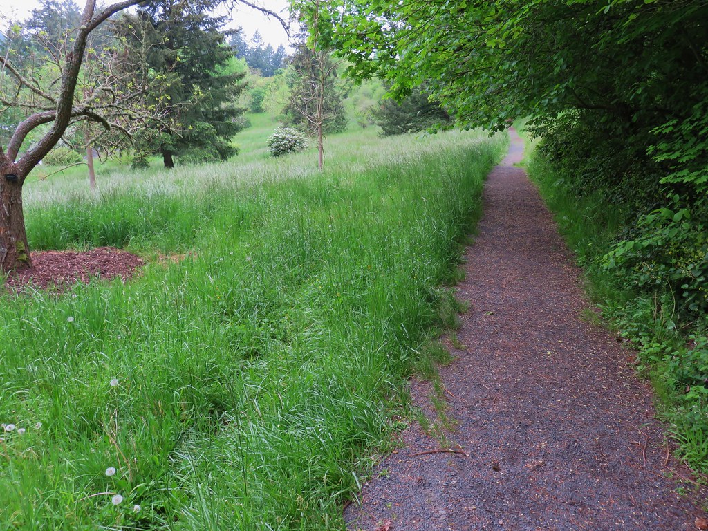
The trail led downhill for just over a mile to a junction with the Sunnyside Trail. There were several road crossings along this stretch.
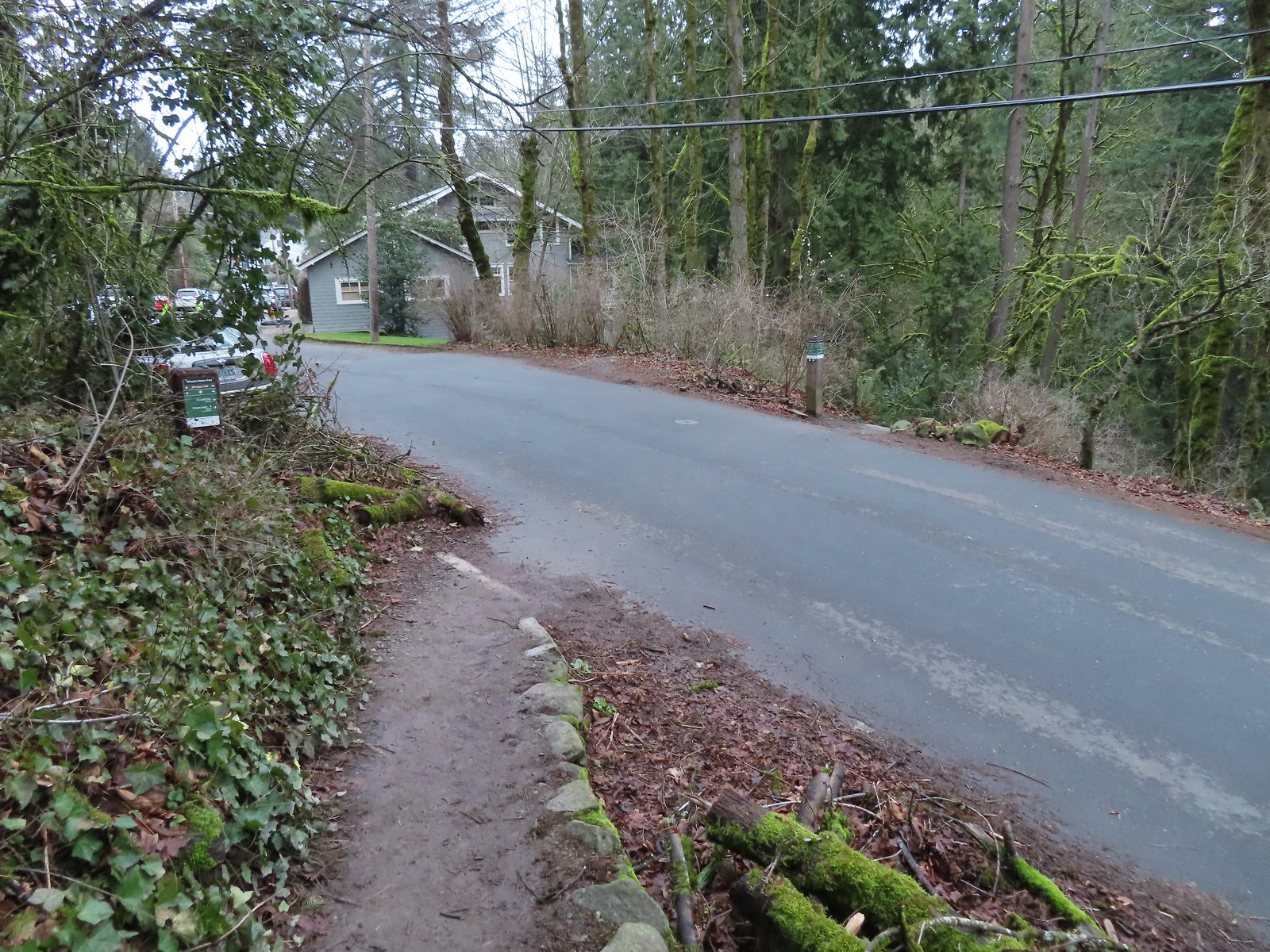
 Coming up to the SW Greenway Ave crossing at the 0.3-mile mark.
 Mossy bench
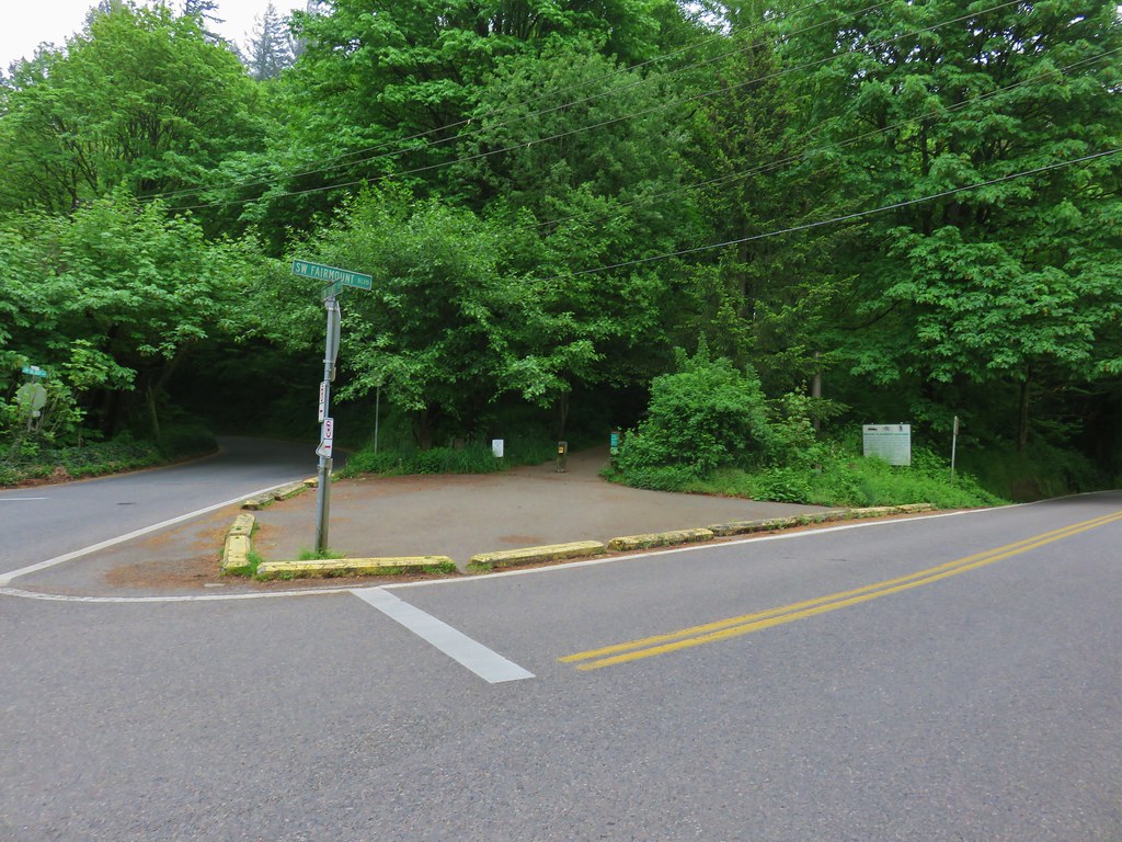
 Small trailhead at SW Fairmount Blvd at the 0.5 mile mark.
 At the 1-mile mark the trail crosses NW Sherwood Dr.
 Maybe the steepest section of the hike was the tenth of a mile between NW Sherwood and the Sunnyside Trail.
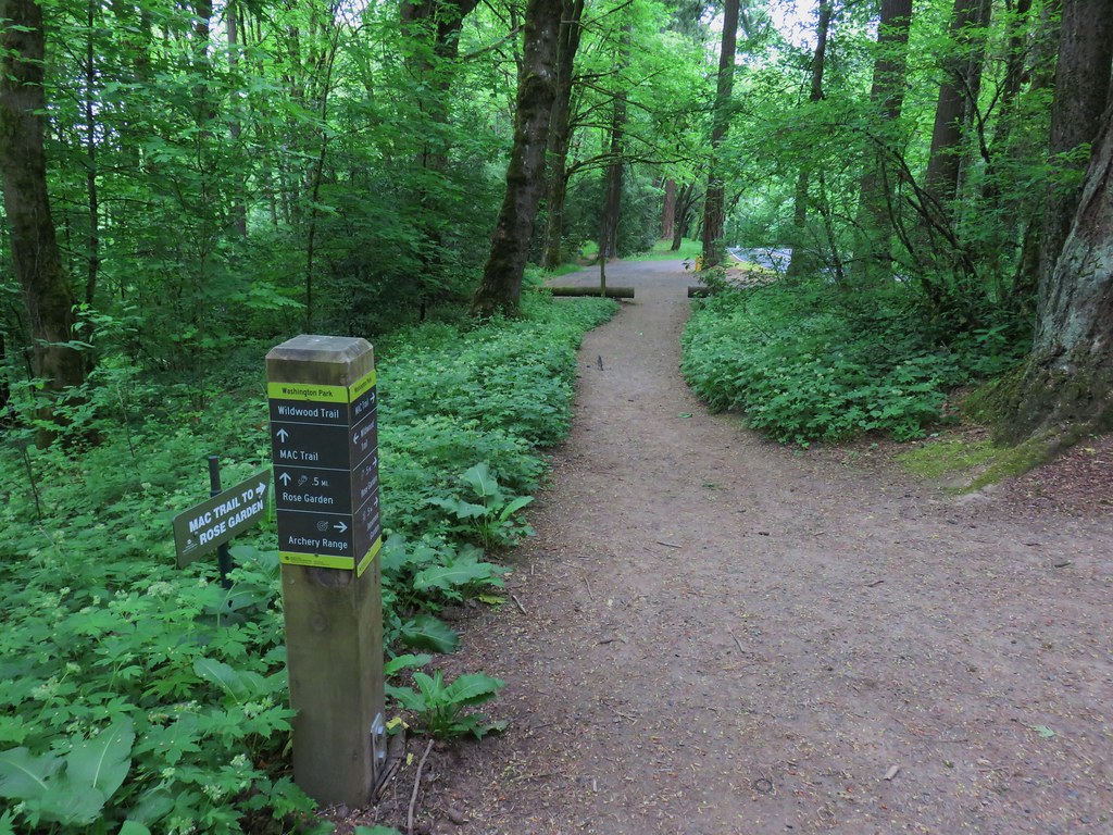
 The Sunnyside Trail junction.
At the junction we forked left onto the Sunnyside Trail and followed it another 0.7-miles downhill to the Marquam Shelter.

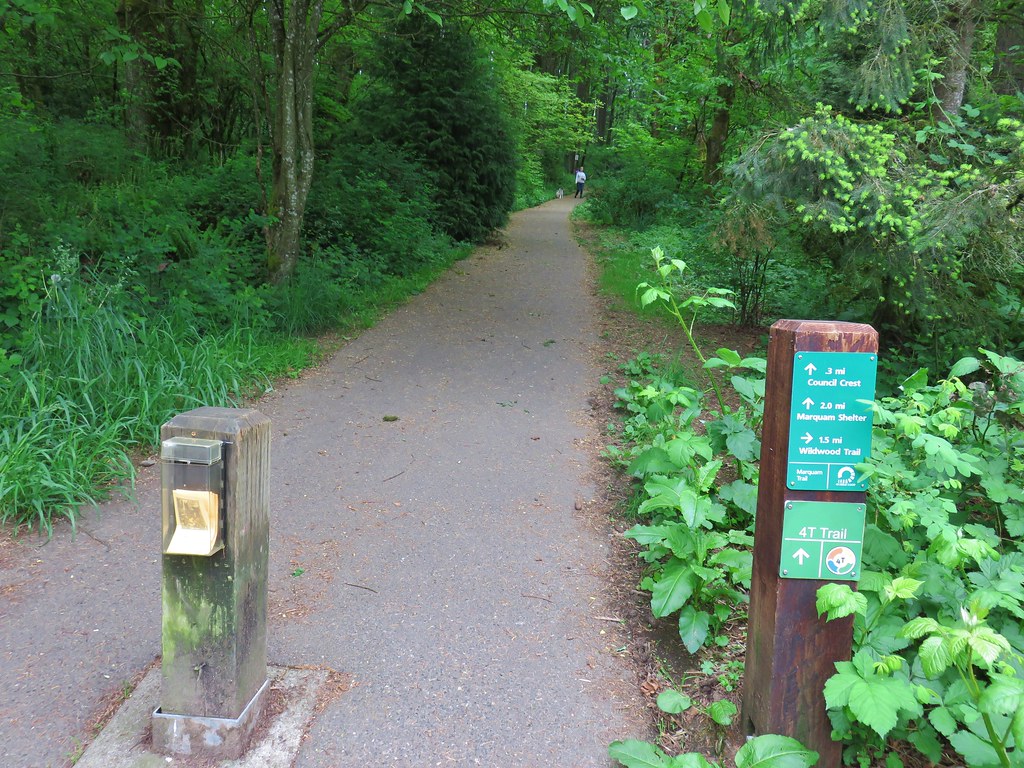
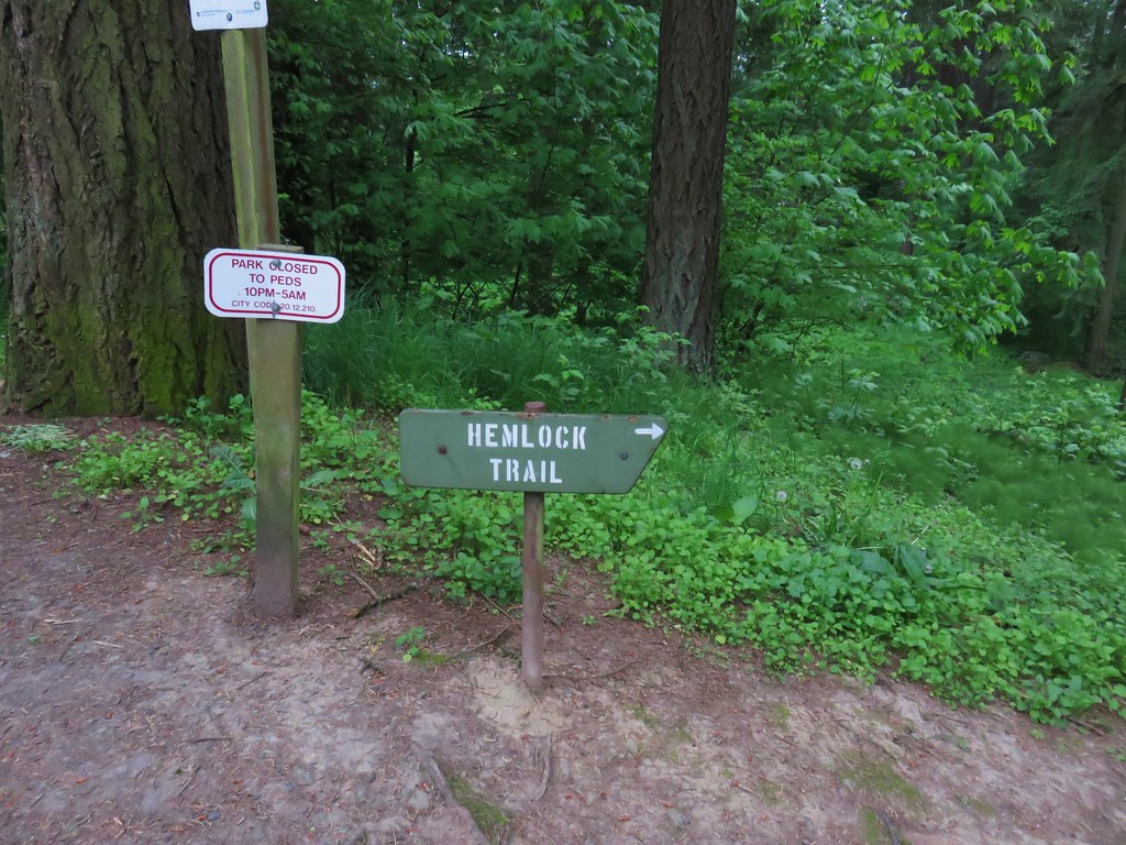
 Every (official) trail junction was well marked by pointers which helped us stay on course.
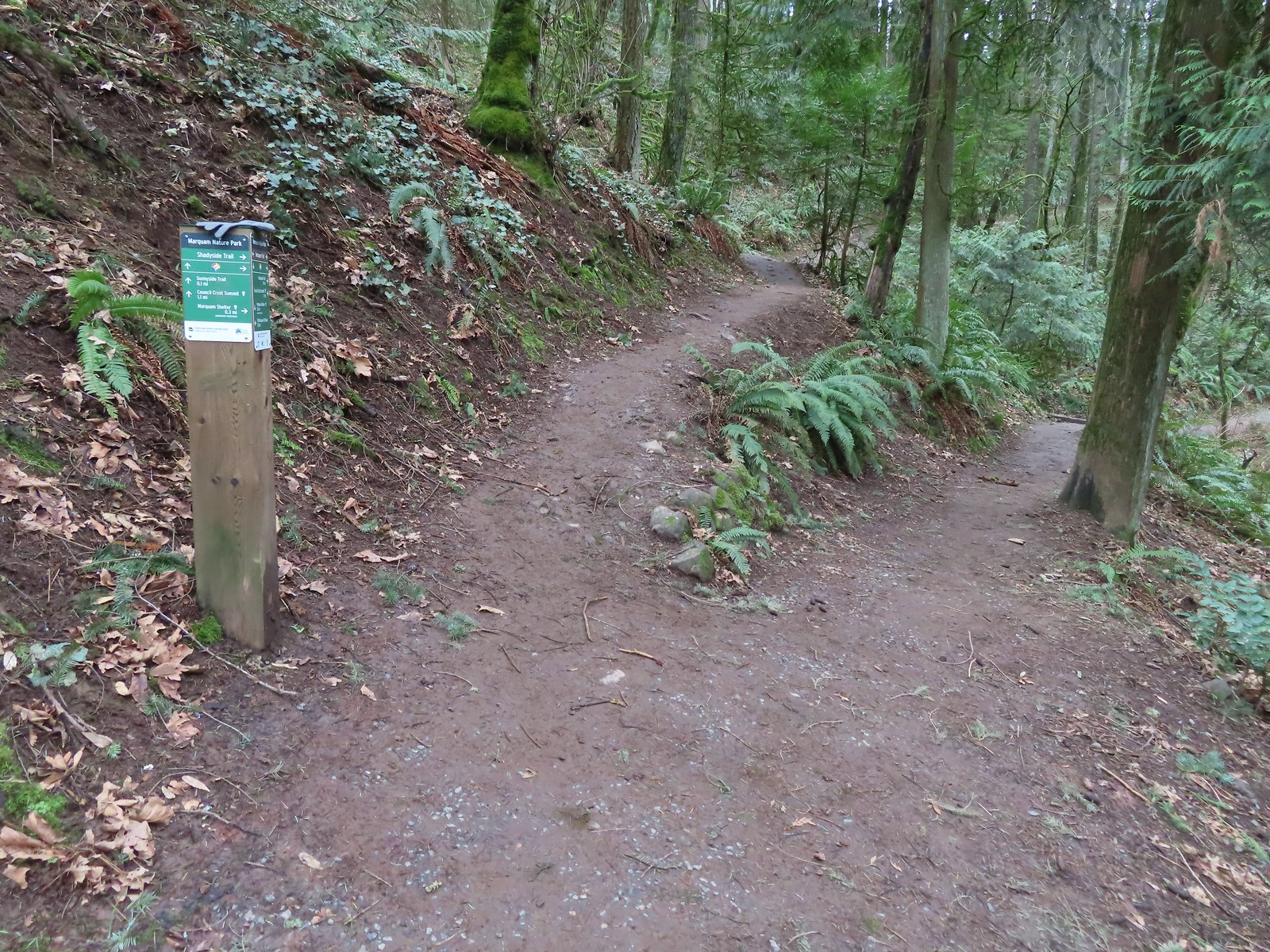
 The Shadyside Trail on the far hillside.
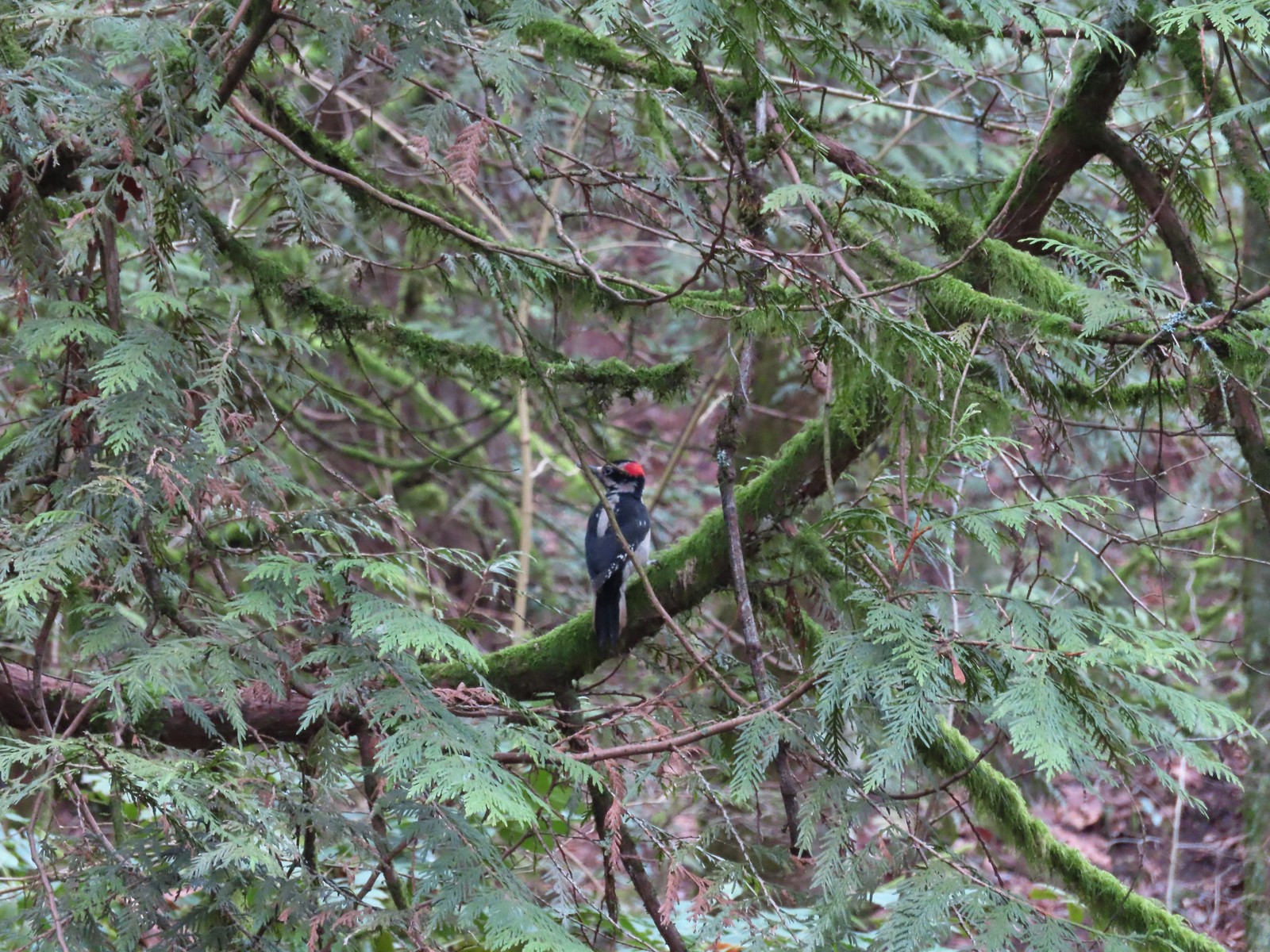 One of two hairy woodpeckers that were busy foraging for breakfast.
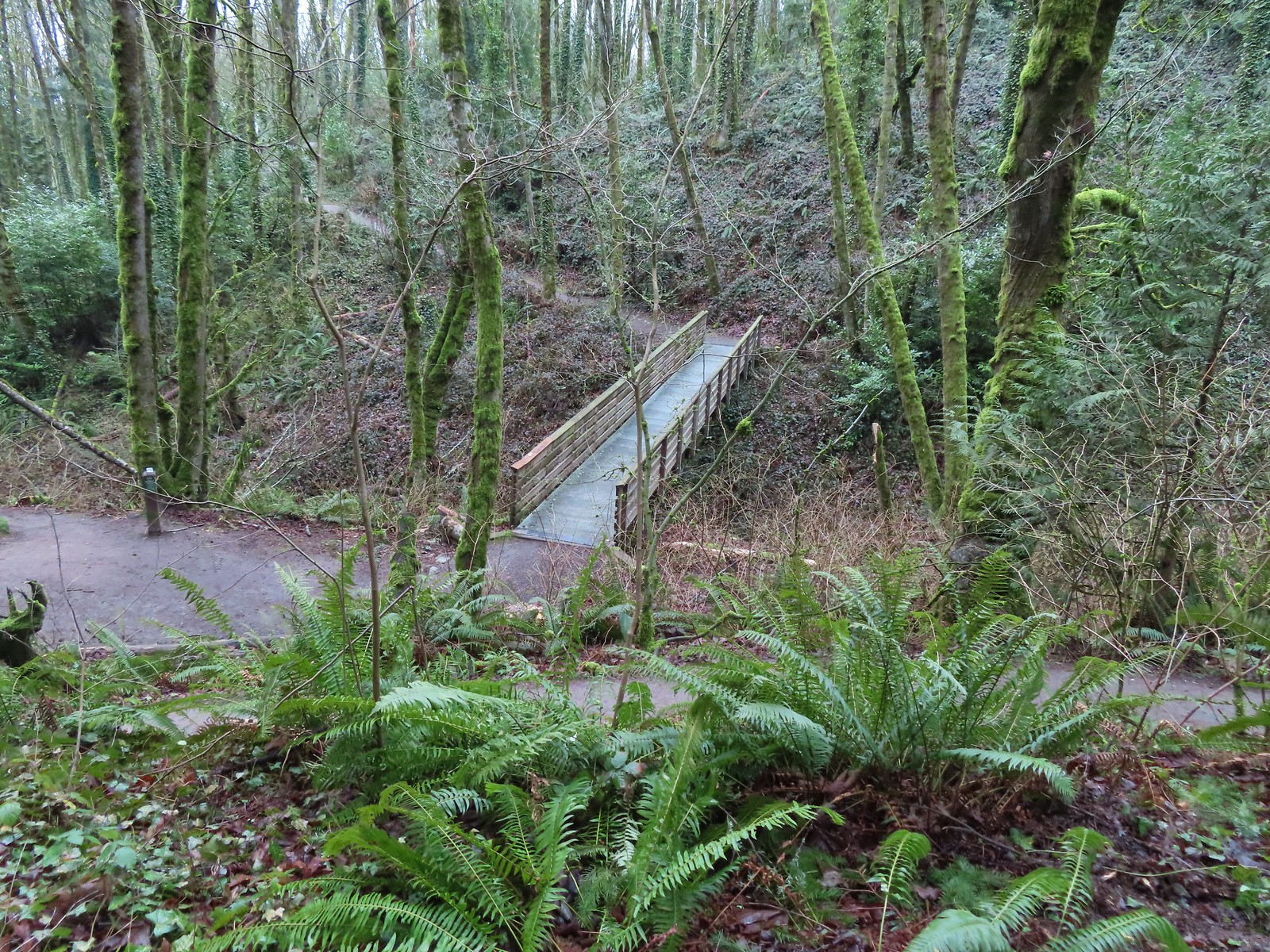
 Coming up on the Marquam Shelter.
 We saw little fungi, but these turkey tails added some color to the forest.
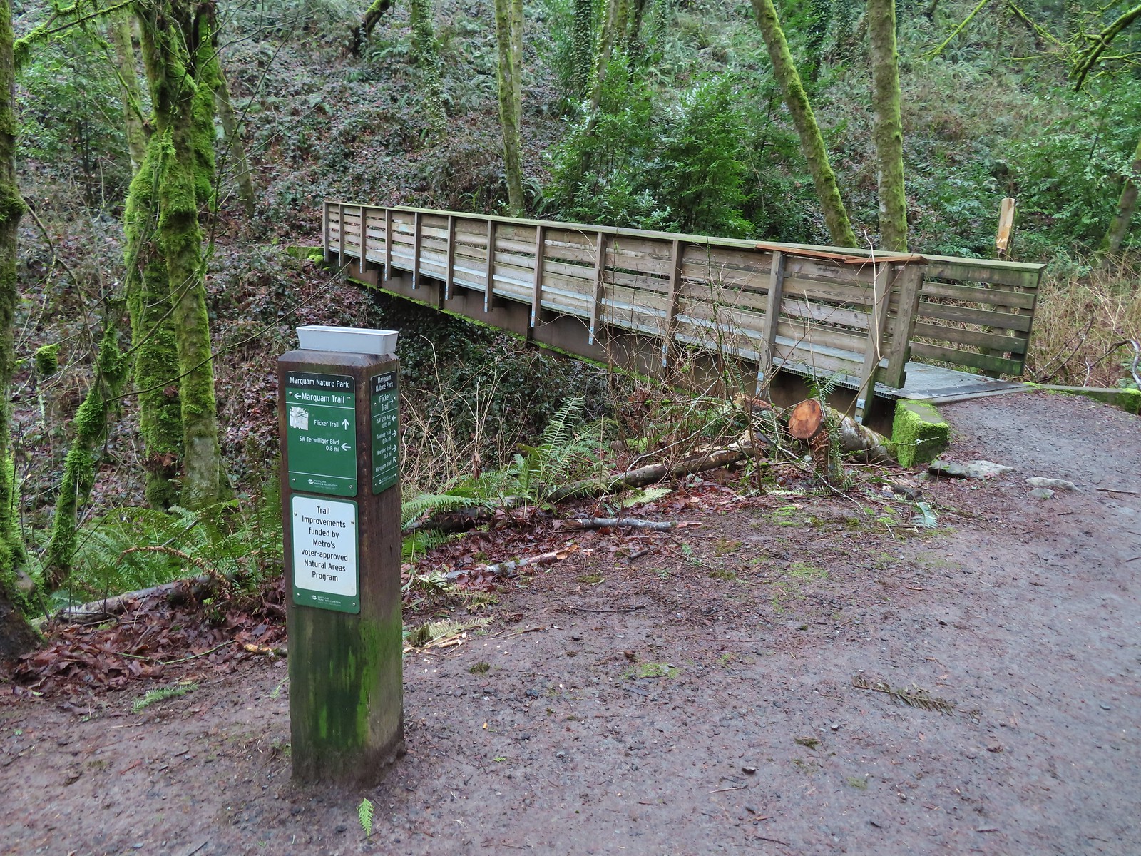
 The Marquam Shelter.
The Marquam Shelter is one of two separate destinations that Sullivan gives options for in his “Aerial Tram & Council Crest” featured hike entry in “100 Hikers/Travel Guide Northwest Oregon & Southwest Washington”. We used our visit to Council Crest in 2018 to check this featured hike off our list but now we could officially cross off the other. We didn’t detour into the shelter to check out the historical photos due to a homeless person who seemed to be just waking up. That being said the park and trails were all well maintained and we saw almost no garbage. There did seem to be a lot of clothing items (glove, hats, and even a night splint) placed on or near a number of the trail markers.
We ignored the Shadyside Trail which headed uphill away from the shelter and continued another 20′ and turned uphill onto the Basalt Trail which was an old roadbed.

 A tenth of a mile from the shelter we passed the Connor Trail on the left. This trail would have taken us to OHSU and the Portland Areal Tram. Sullivan’s described routes have you taking the Tram both ways for the Marquam Shelter option or downhill for the Washington Park to Council Crest option. (The latter route also includes a Portland Streetcar and Max Light Rail rides.) We were committed to hiking only though, so we continued up the Basalt Trail another 0.2 miles to the Marquam Trail.


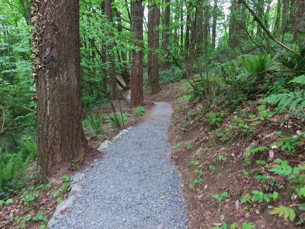
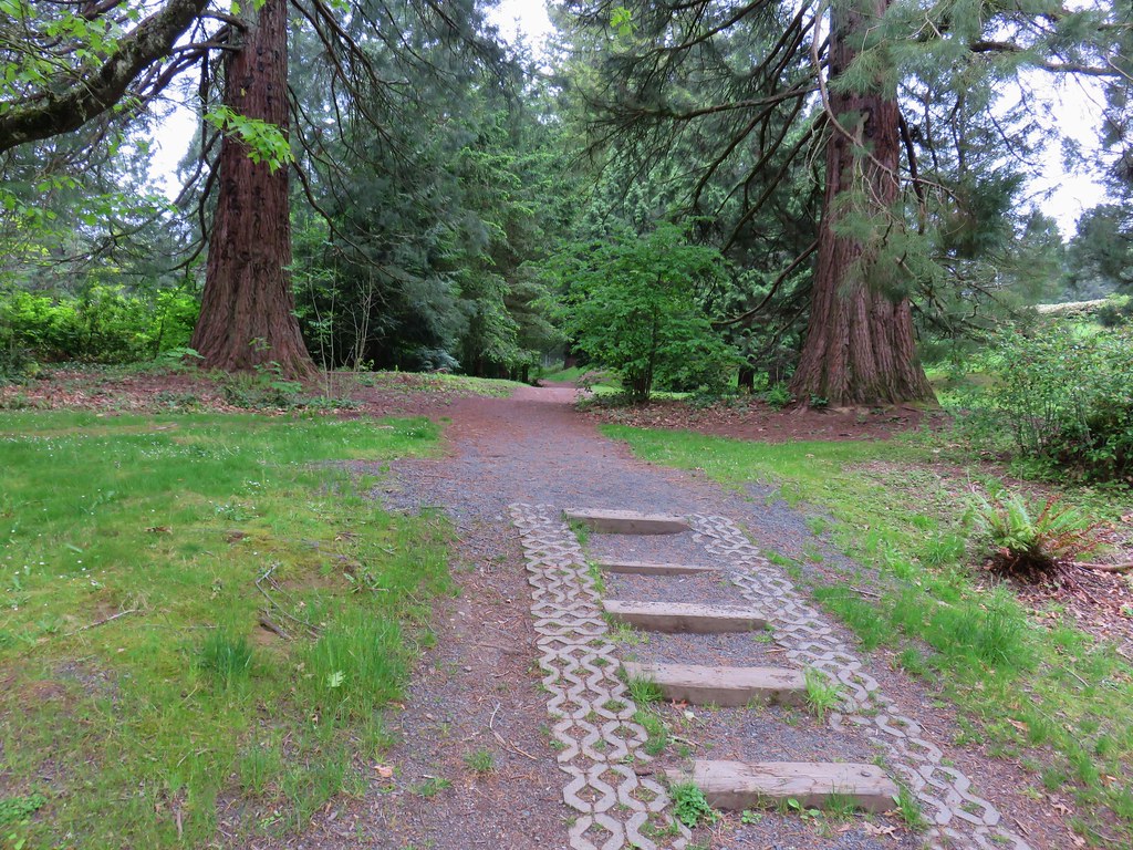
We forked left onto the Marquam Trail (right would have allowed for a much shorter loop) and climbed a series of switchbacks 0.3-miles to SW Gibbs Street.
 The Marquam Trail to the left and right with the Basalt Trail in the center from the first switchback.
 Trail marker near SW Gibbs.
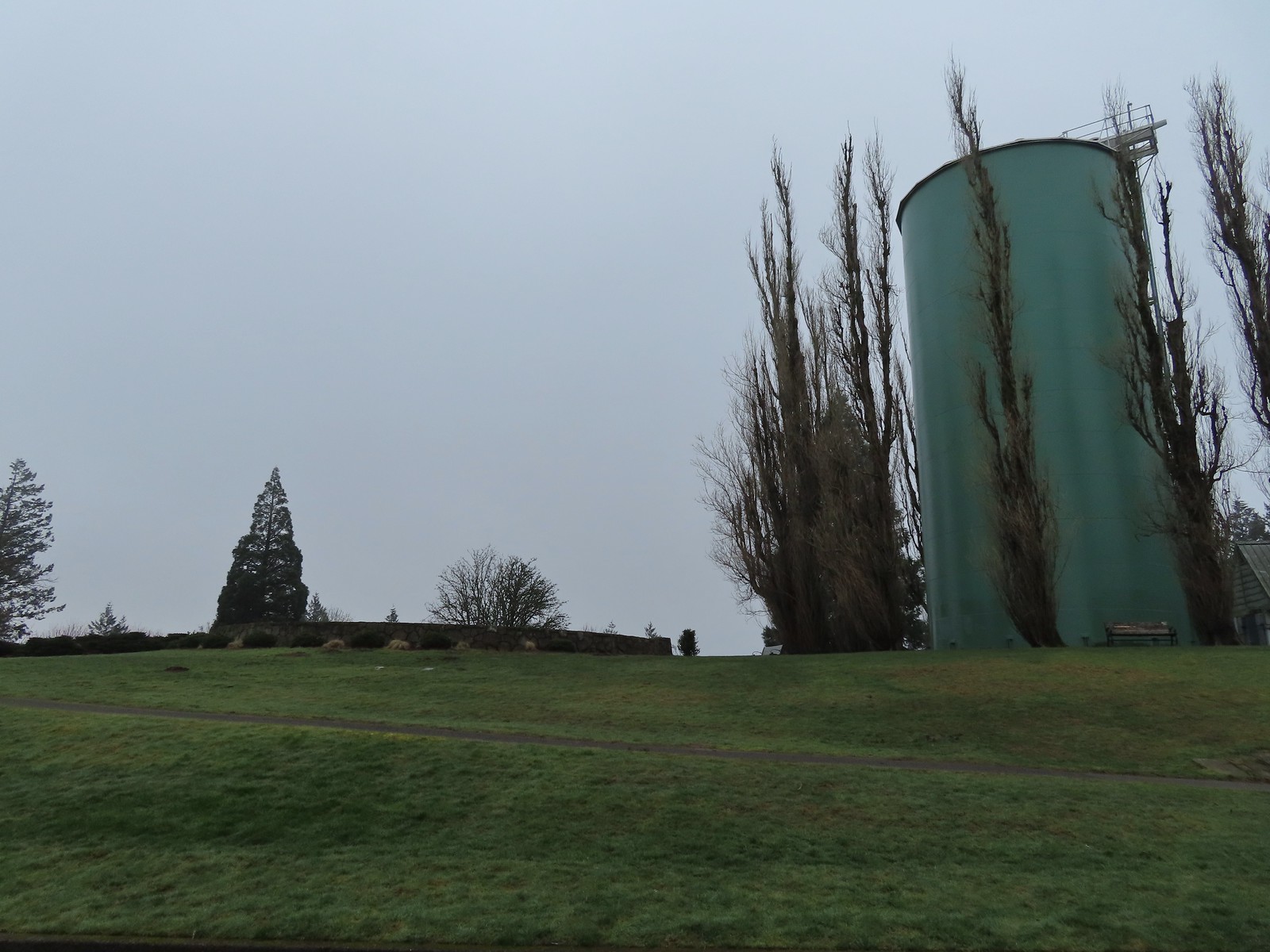
The trail briefly followed the road past a large water tower then crossed over and dropped 0.2-miles to a junction with the Flicker Trail.

 The Flicker Trail from the Marquam Trail.
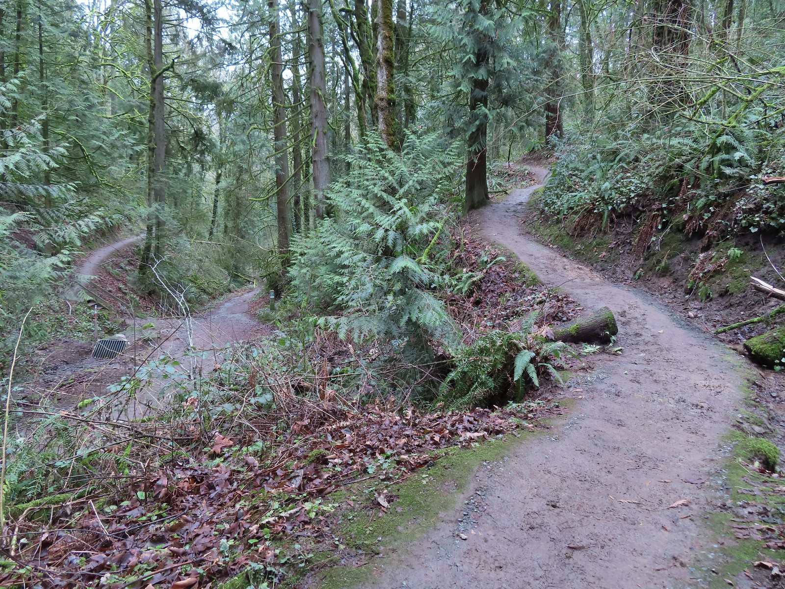
We stayed on the Marquam Trail at the junction for another 0.7-miles where we met the other end of the Flicker Trail.


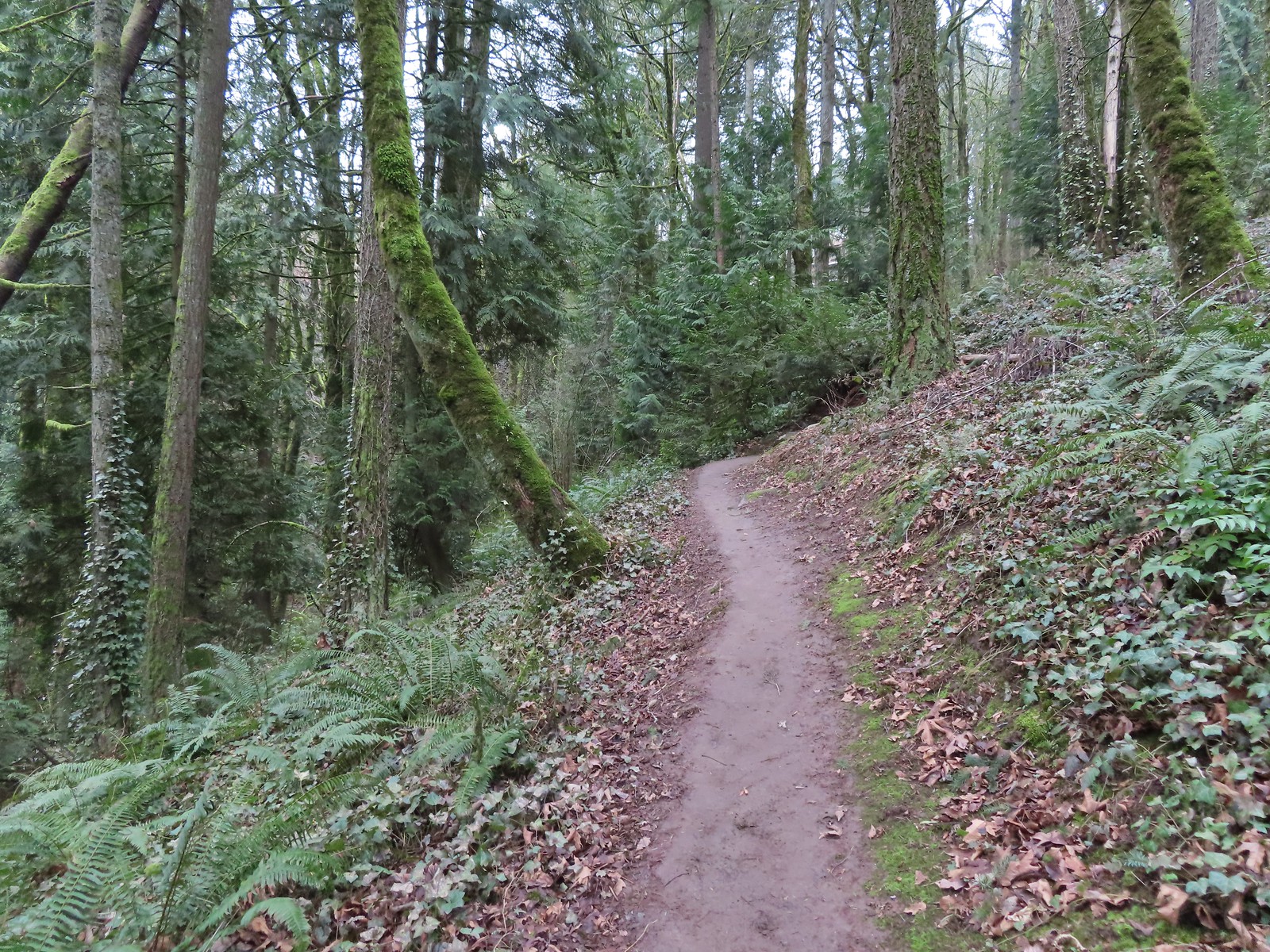
This time we turned onto the Flicker Trail following it uphill for 0.3-miles to the Warbler Trail.

 Note it is still not “mostly sunny” even though it was now almost 10am.
We decided to detour up the Warbler Trail which climbed 0.4-miles to another small pullout along SW Fairmount Blvd.
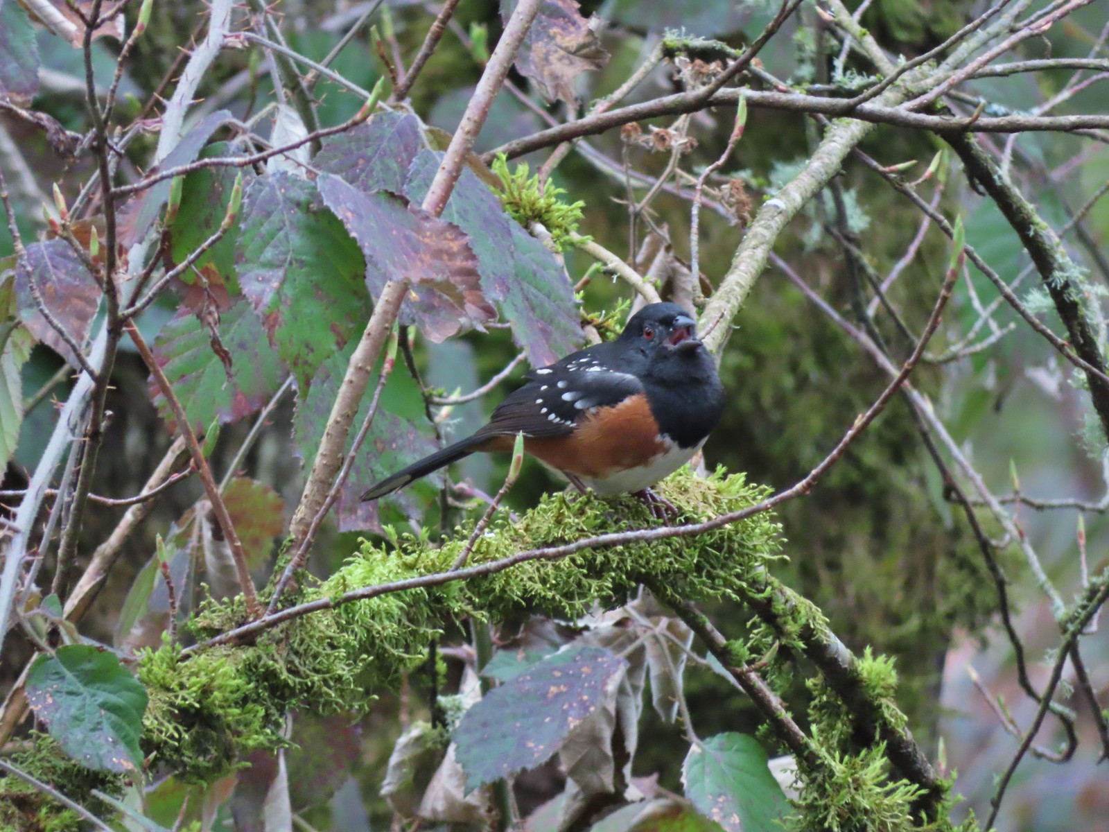 While not a warbler this spotted towhee graced us with a song.
 Checking out a budding leaf.
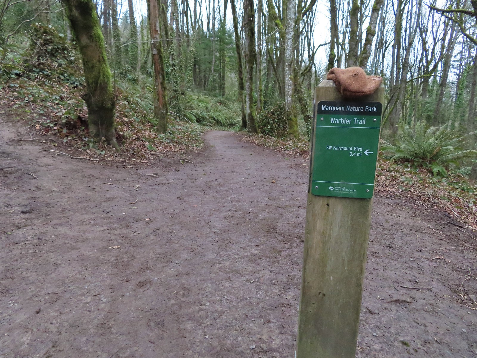
 The end of the Warbler Trail.
We dropped back down to the Flicker Trail and turned left continuing North 0.3-miles to the Towhee Trail (where we did not see any towhees).


We turned left on the Towhee Trail which climbed a half mile to yet another small trailhead, this time on SW Marquam Hill Road.
We crossed the road and continued on the Towhee Trail another 0.6-miles to its end at the Marquam Trail.
 Pointer for the Marquam Shelter at the trailhead.
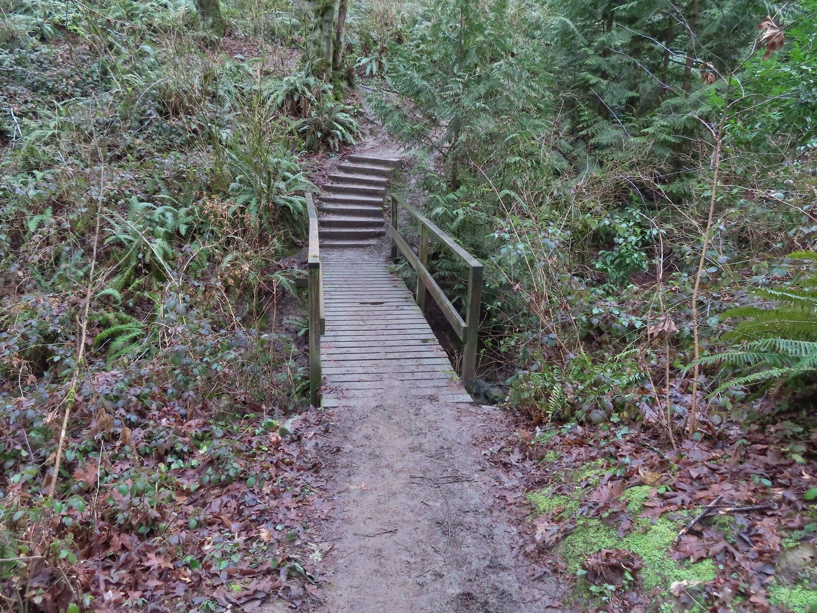
 Bench along the switchbacks down to the Marquam Trail.
 The Towhee Trail junction with Marquam Trail was nearly all the way back down to the Basalt Trail (the lower trail in the photo).
We turned left onto the Marquam Trail and followed it another 0.6-miles to the junction with the Sunnyside Trail.
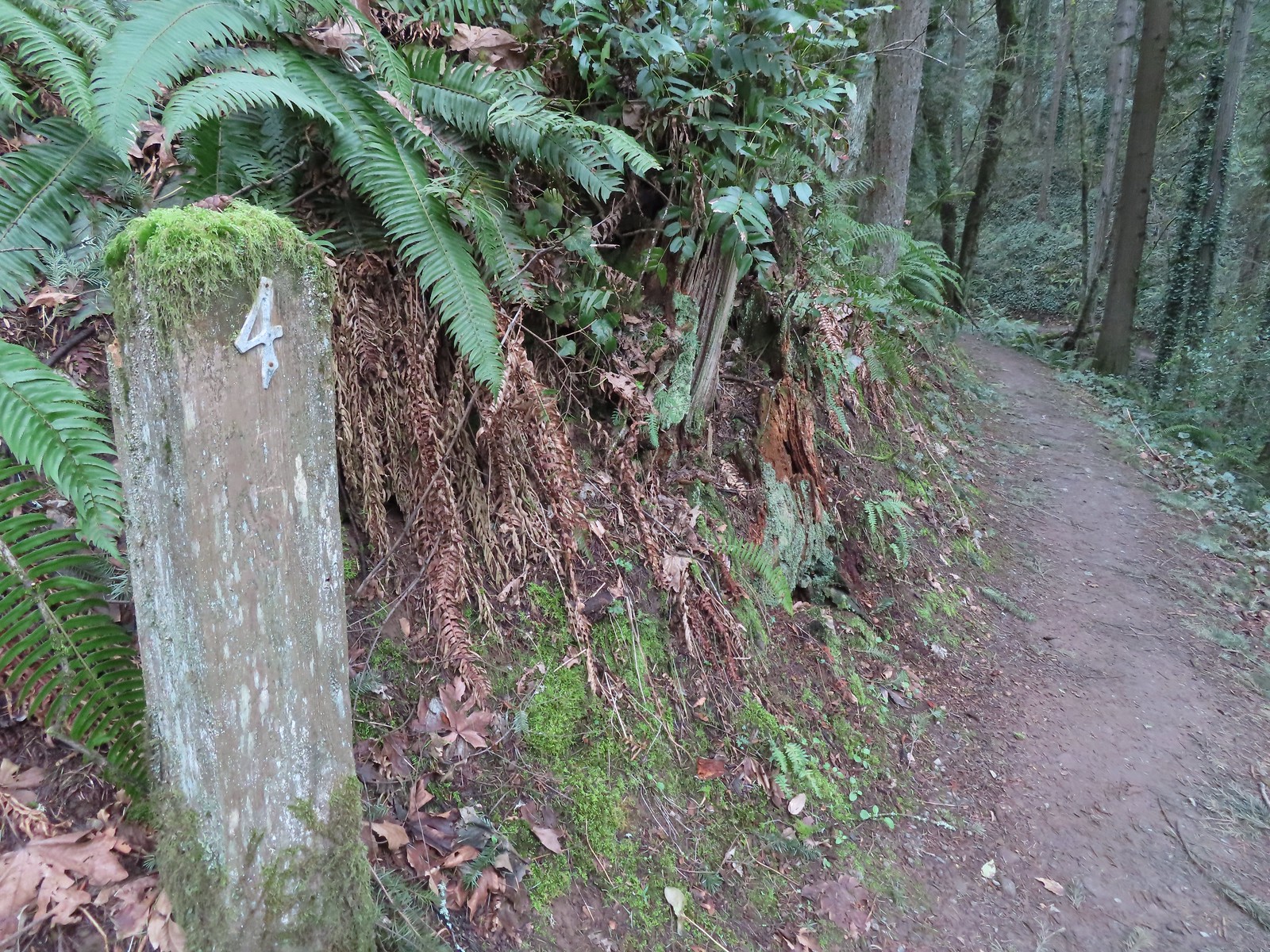 Not sure what the story is behind this post but it was the only one we spotted with this type of number.
 We passed the Shdayside Trail after half a mile.

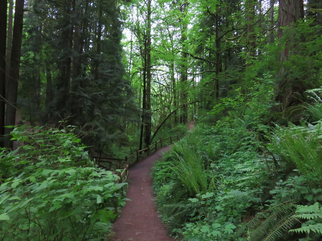
 There was a short section with some railing before dropping down to the Sunnyside Trail.
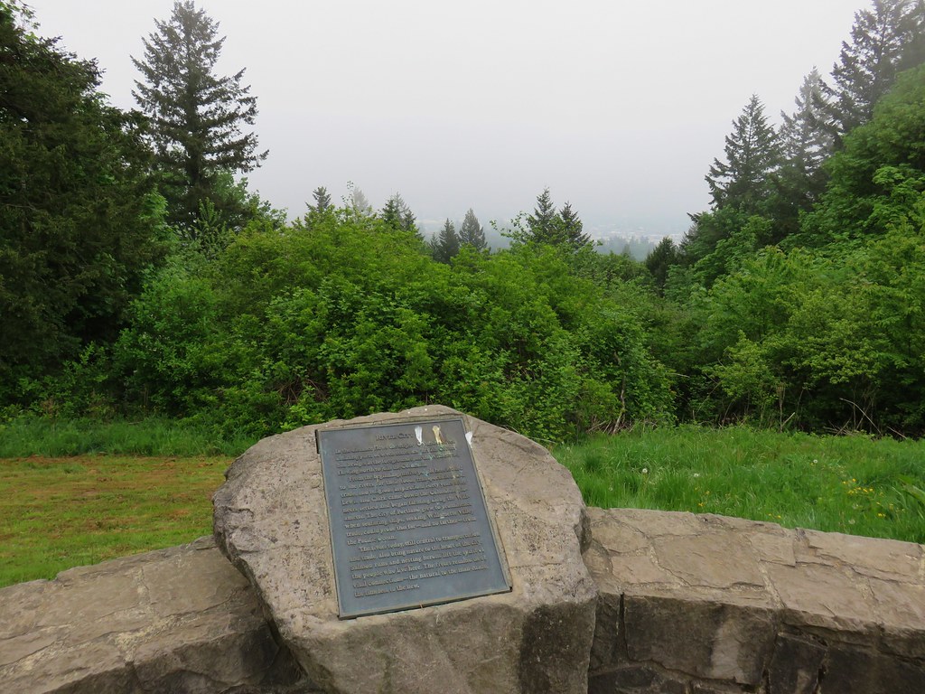
After completing our loop we turned left had hiked the 1.1-miles back uphill to Council Crest where the clouds were finally starting to break up.


Unfortunately it wasn’t enough to provide a view of any Cascade volcanoes but it was at something at least.
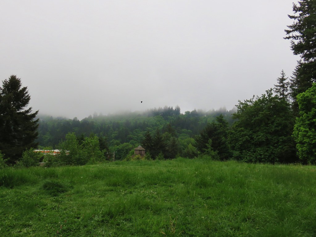
 Mt. St. Helens, Mt. Rainier, and Mt. Adams are out there beyond the clouds.
 Freemont Bridge spanning the Willamette River with the Columbia River in the distance.
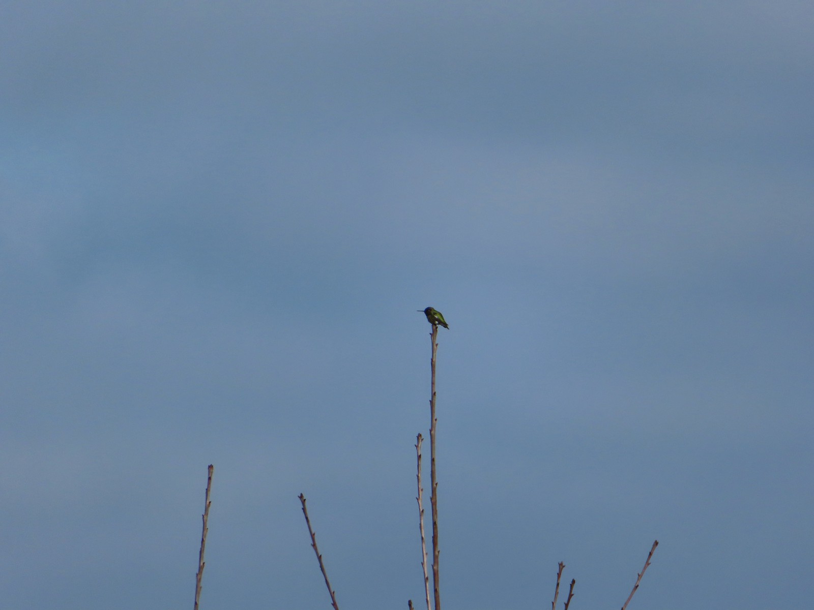 Hummingbird
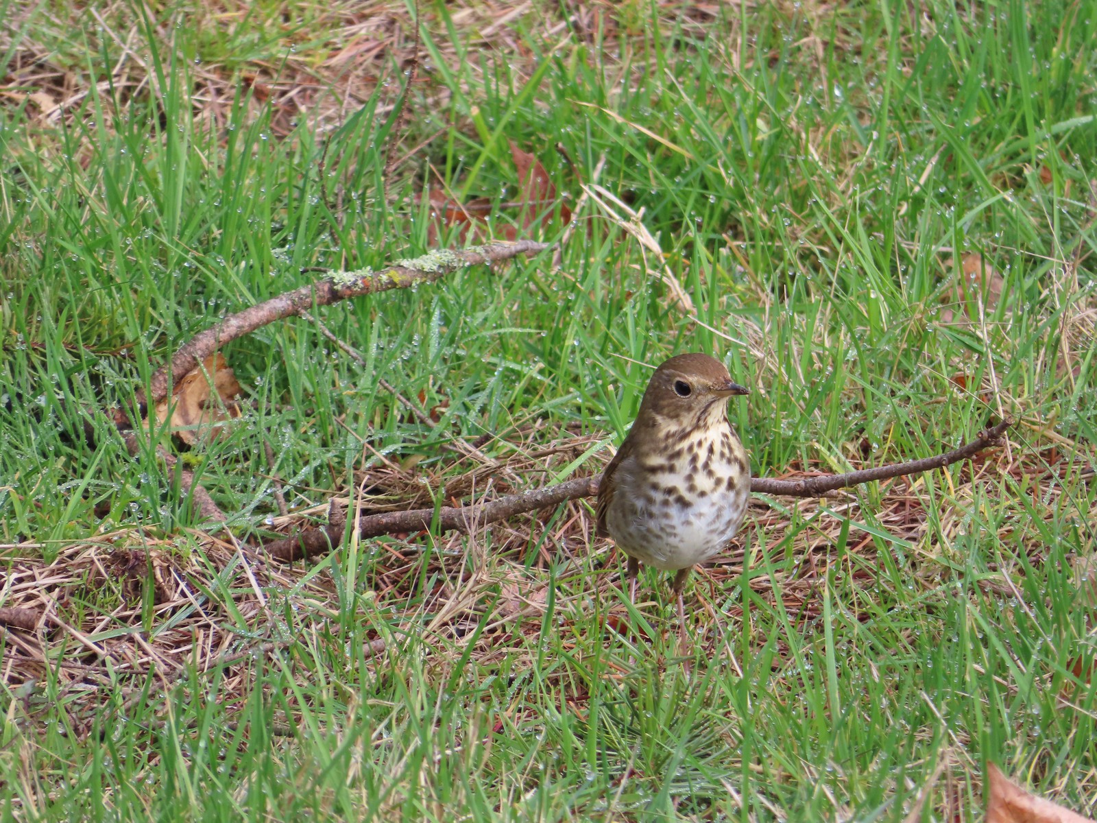 Hermit thrush looking for snacks at Council Crest Park.
Our hike came to 7.8-miles with at least 1700′ of elevation gain.

This was a nice hike and a good one for this time of year since it doesn’t really have any big sights along the way. A mountain view would have been great and of course by the time we on the freeway driving home Hood, St. Helens, and Adams were all clearly visible. Oh well, there will be plenty more opportunities over the next months.
After our hike we were able to meet up with some of Heather’s family for a great lunch at Salvador Molly’s. It was a great way to cap of the day. Happy Trails!
Flickr: Marquam Park


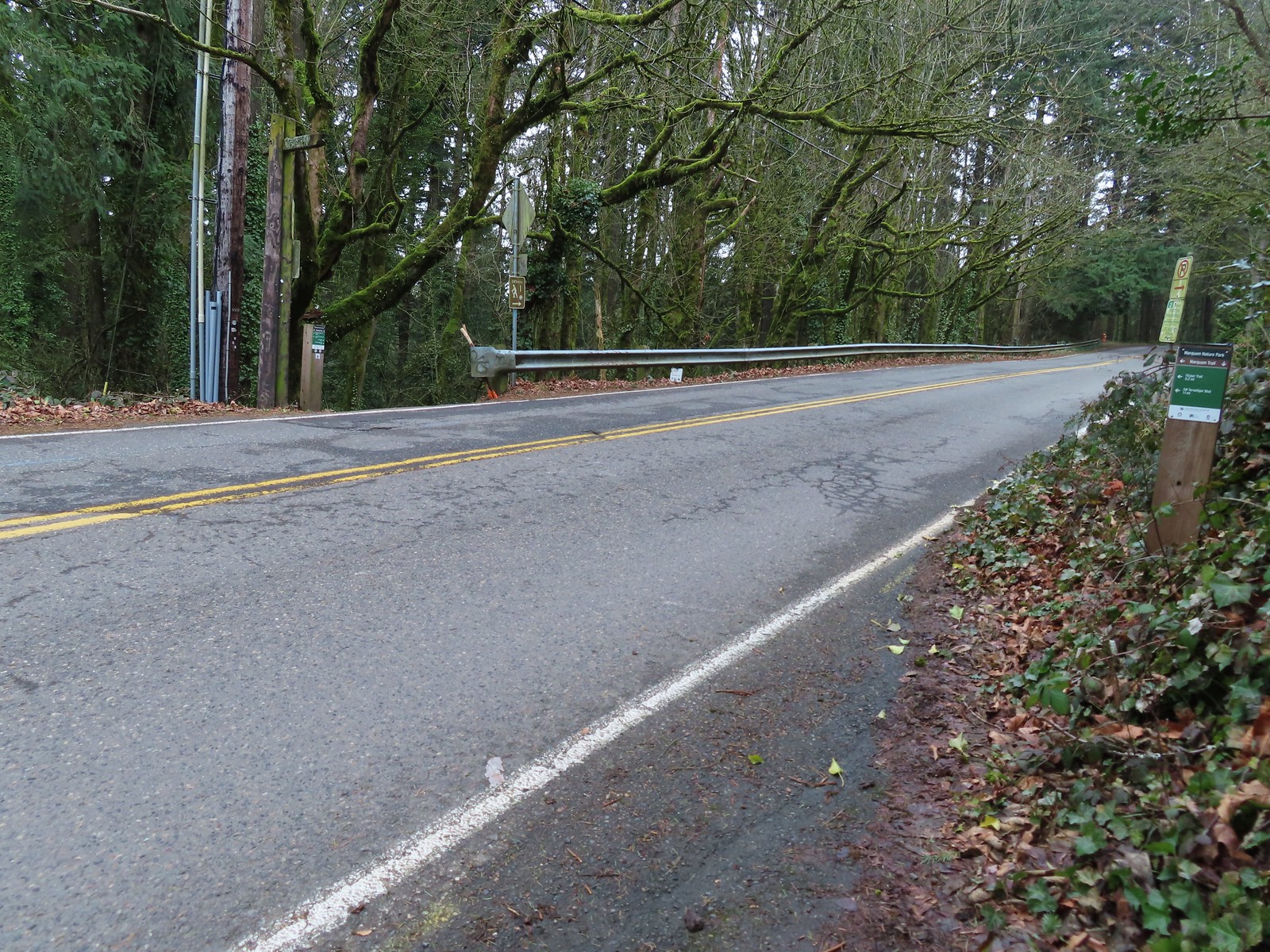
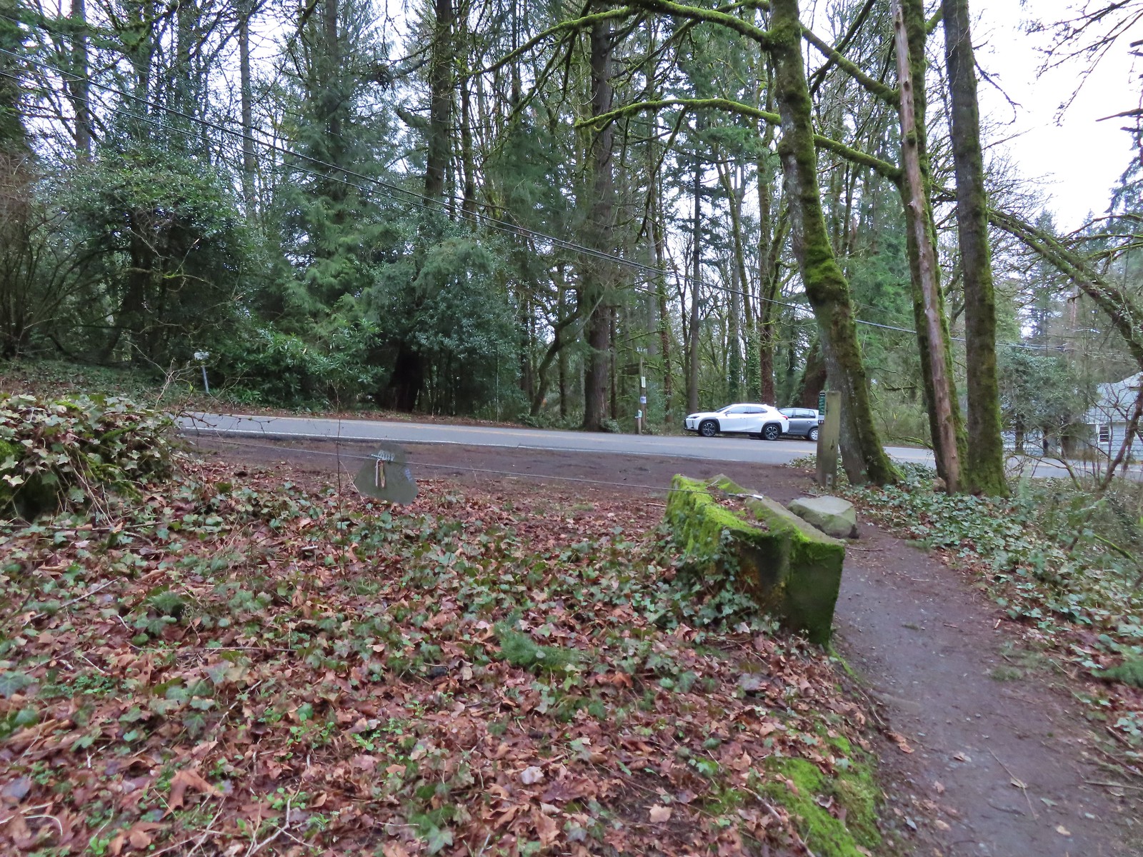
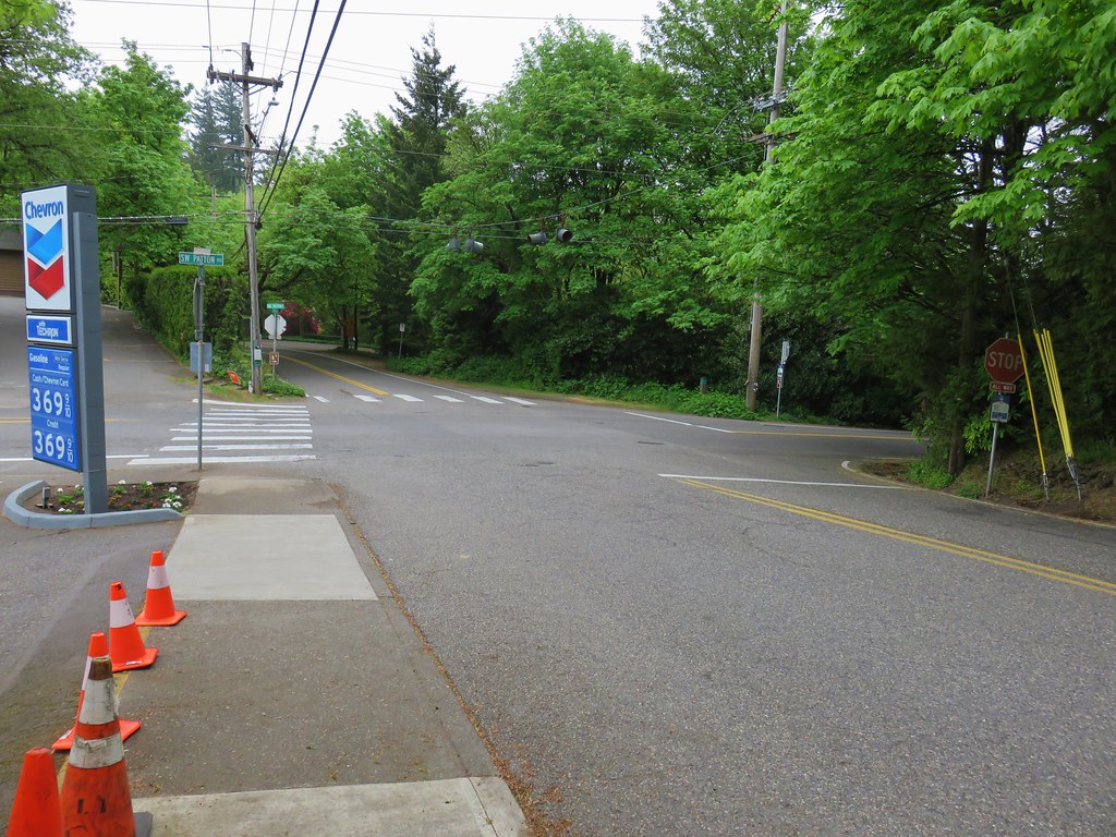 View back to the intersection from SW Talbot Rd