**Note the 2024 Falls Fire burned over the Myrtle Creek Trail.**
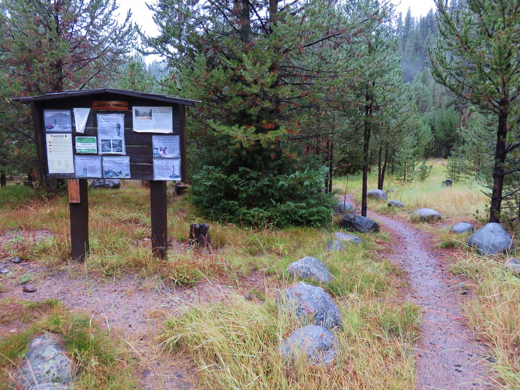
With our SE Oregon vacation winding down we started our 7th day in Burns, OR. As I mentioned in a previous post our guidebooks didn’t show a lot of hiking options in the immediate area but Sullivan’s 3rd edition Easter Oregon hiking guide did have the Myrtle Creek Trail listed in the additional hikes. The trailhead was a 32 mile drive north of Burns in the Malheur National Forest near the edge of the high desert. The paved roads allowed for a roughly 35 minute drive along Highway 395 to Forest Road 31 1.1 miles north of the Idlewild Campground. The short road to the trailhead was approximately 13.1 miles up FR 31 on the left.
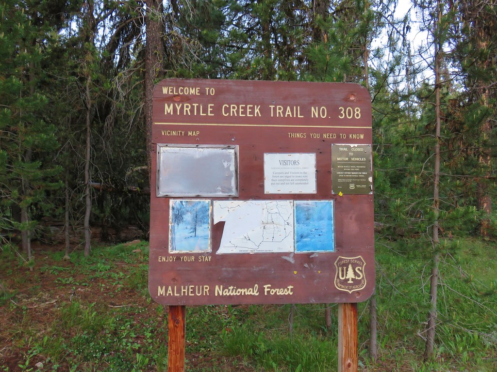
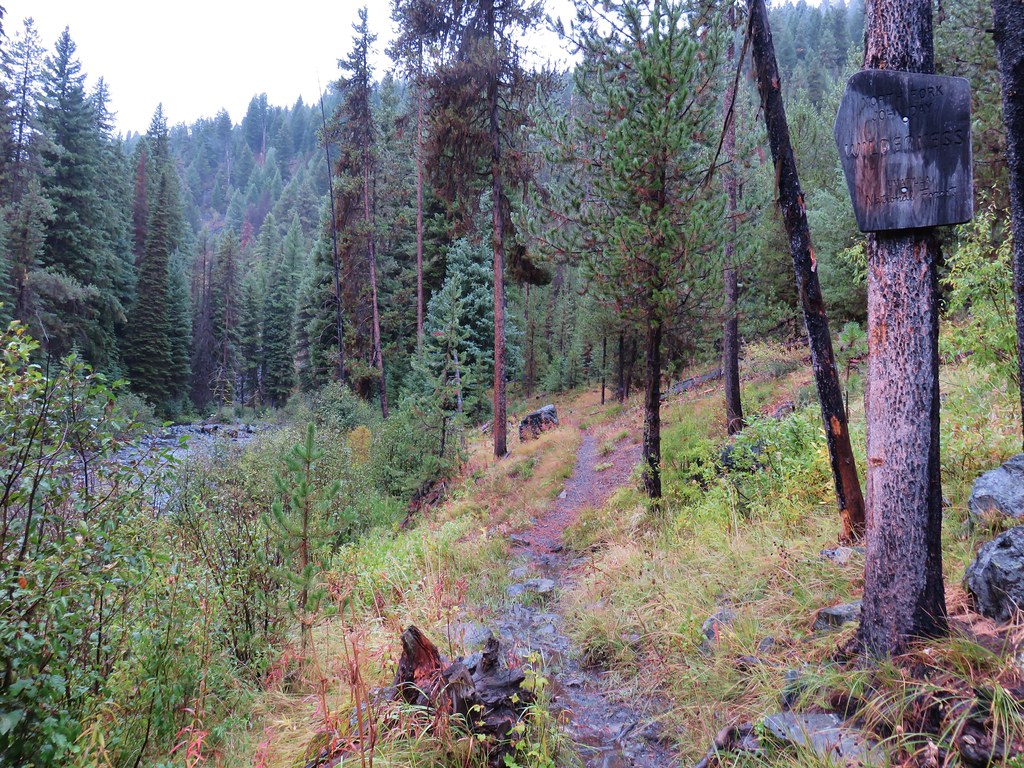
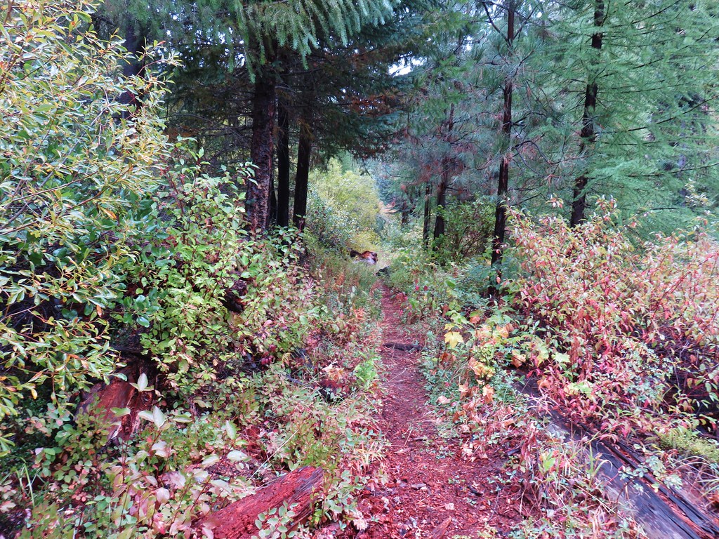
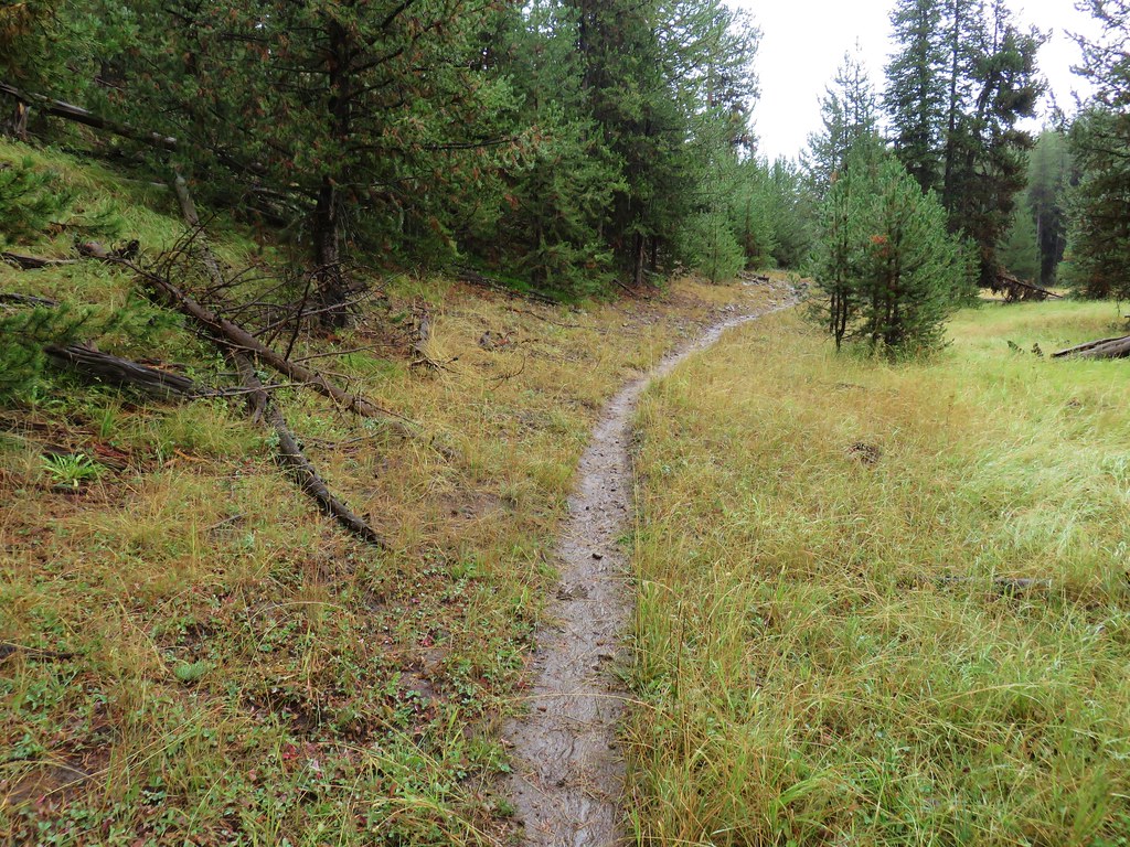
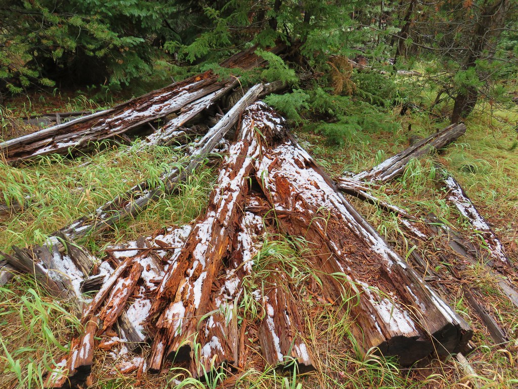
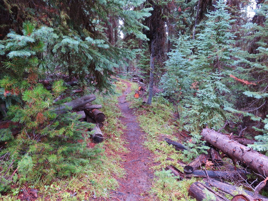
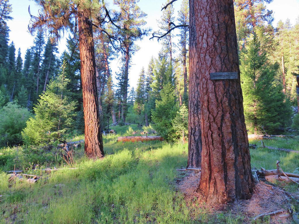
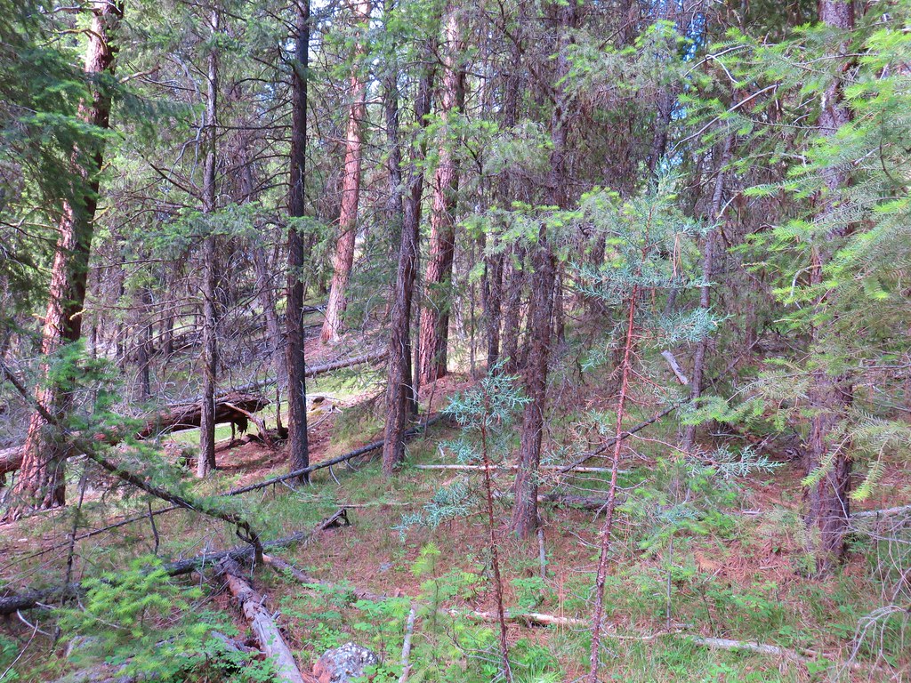
A quick check on the trail status on the Forest Service website showed that the trail was open but receives light use and had not been maintained. It didn’t say how long it had been since the last trail maintenance but being that it passed through a ponderosa forest we weren’t too concerned because those types of forests typically don’t have much underbrush and suffer less blowdown than forests with other types of conifers.
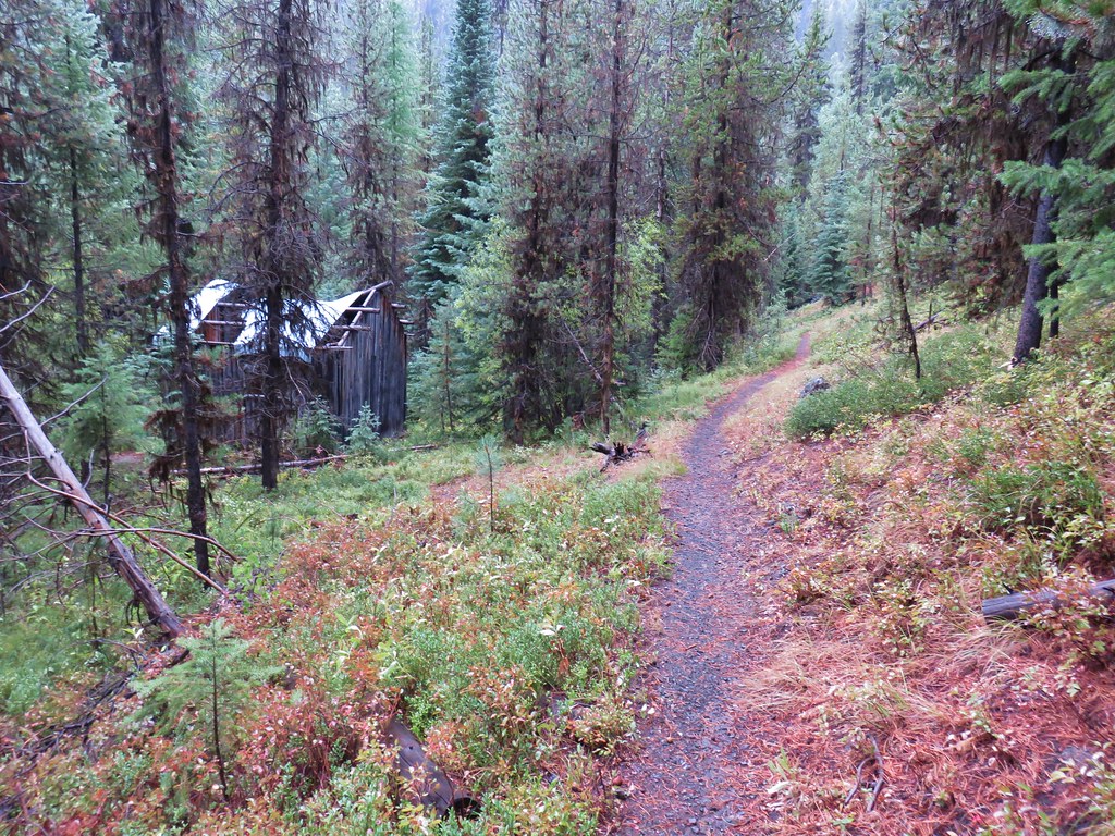
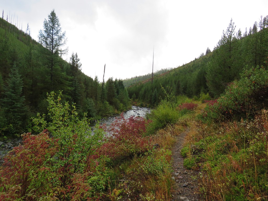
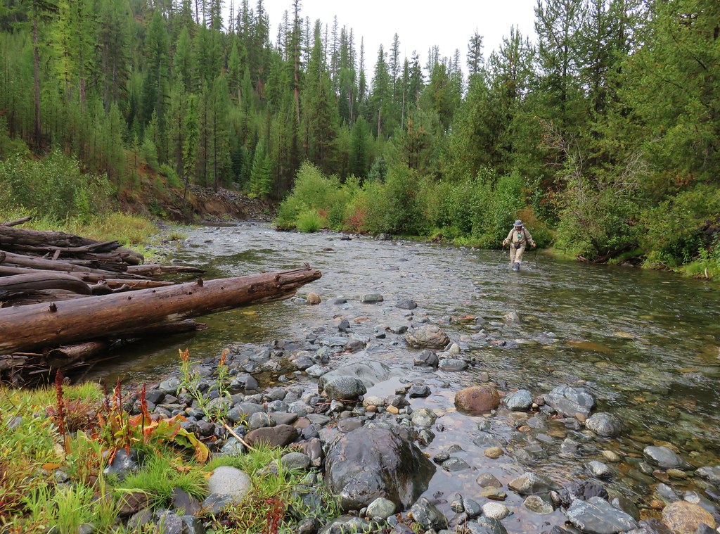
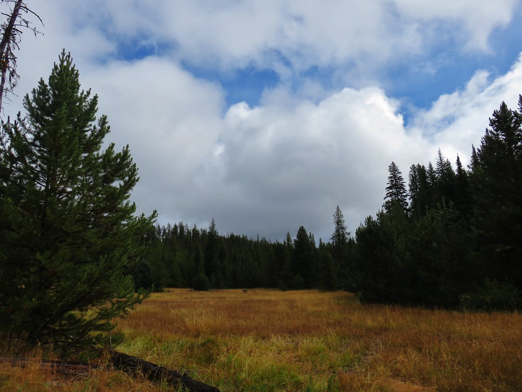
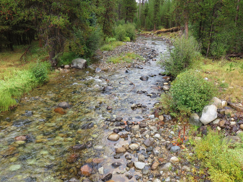
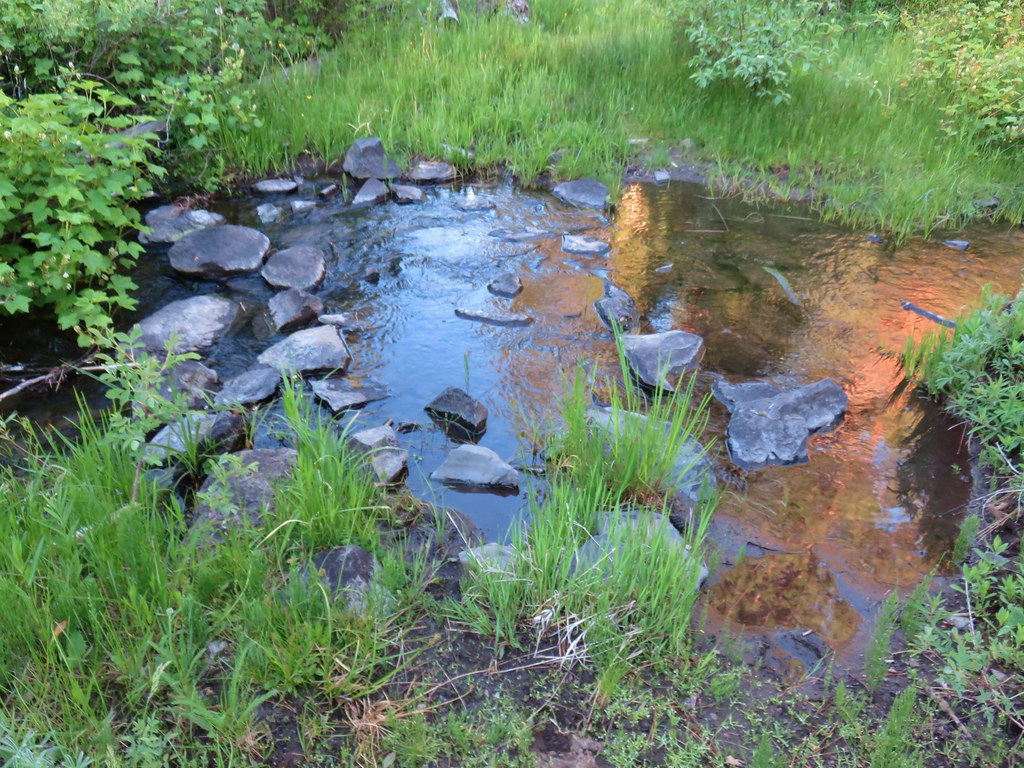
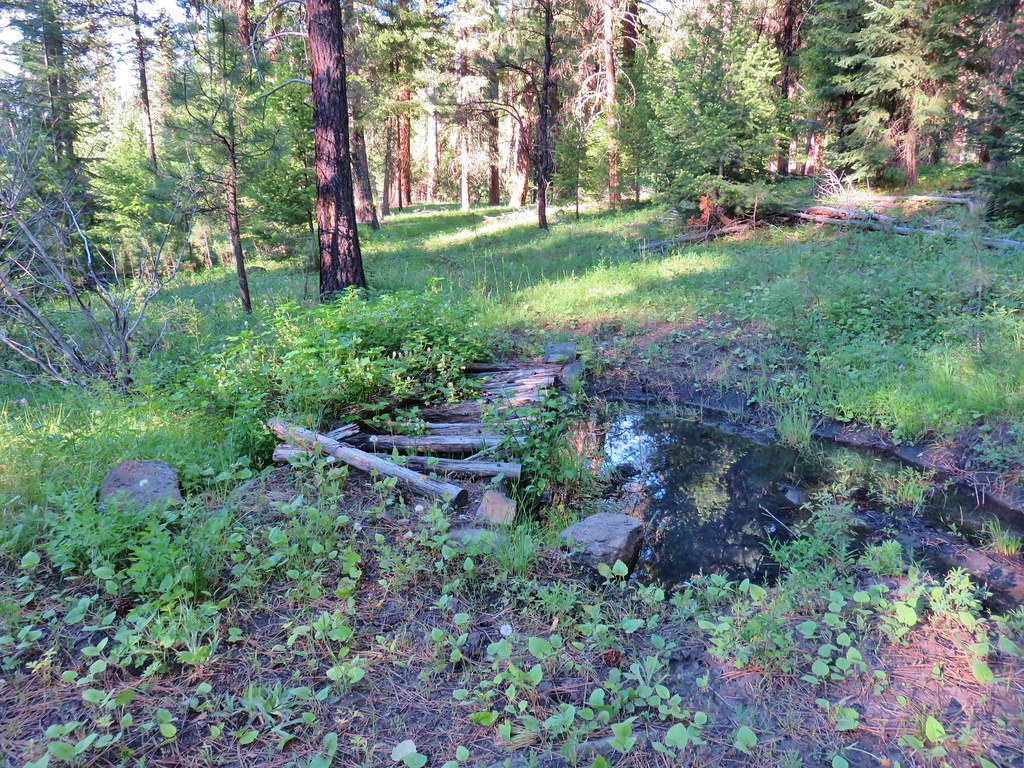
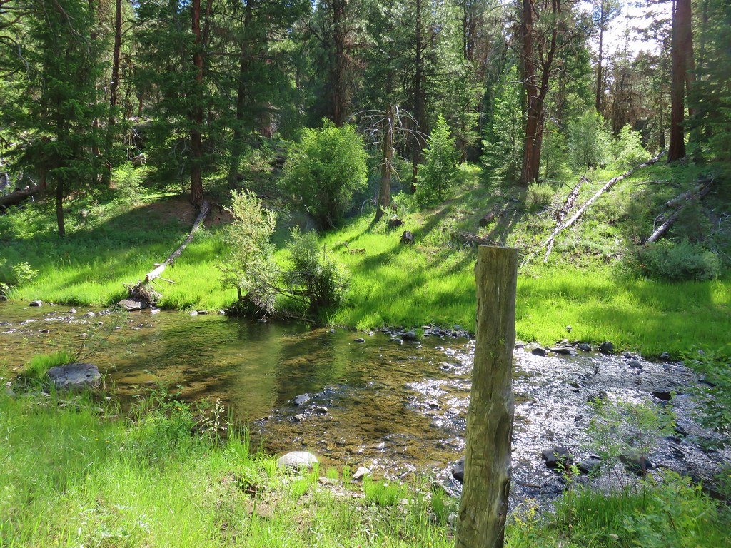
At the trailhead Myrtle Creek lazily meandered through a meadow.
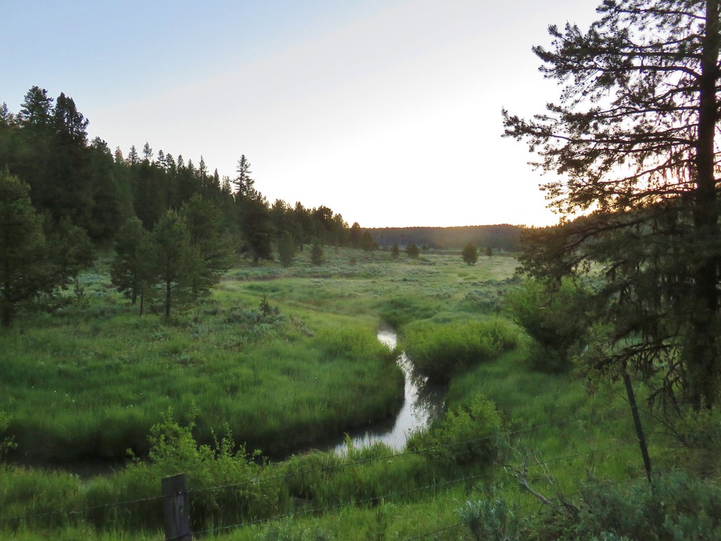
A barbed wire fence separated the creek and the trail as we set off but near the end of the meadow the fence also ended.
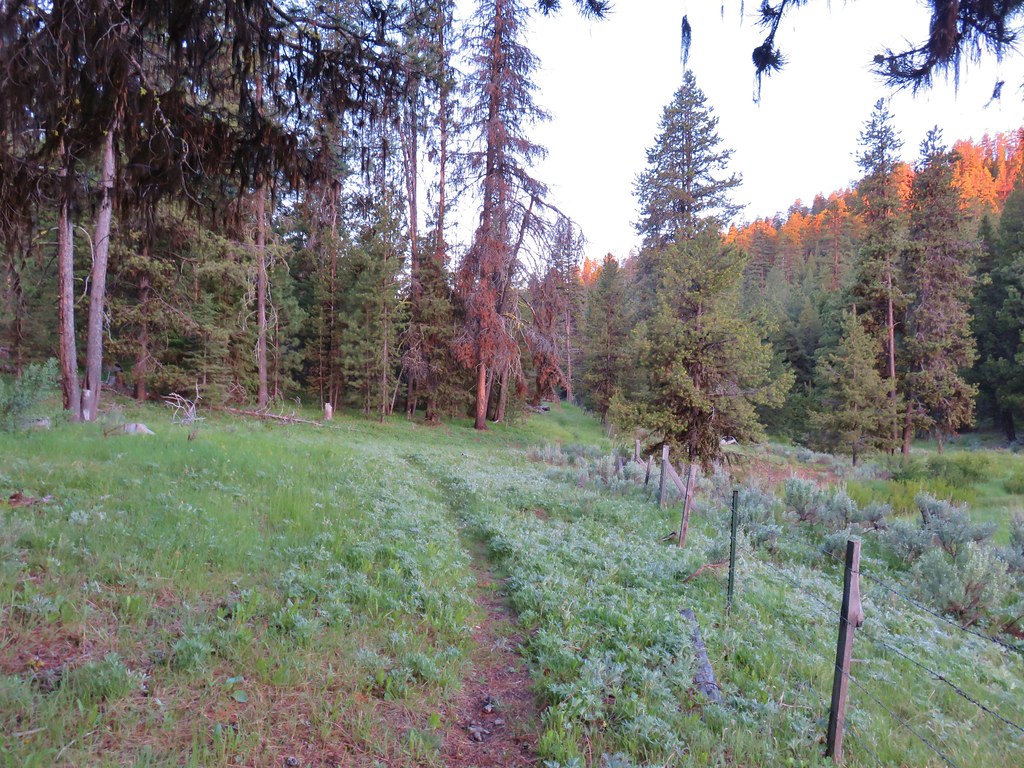
Here the trail made the first of several climbs away from the creek as it passed above some exposed rocks.
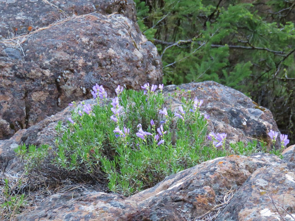
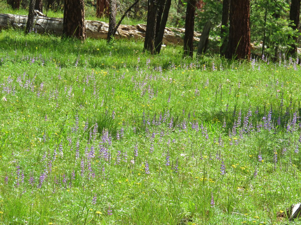
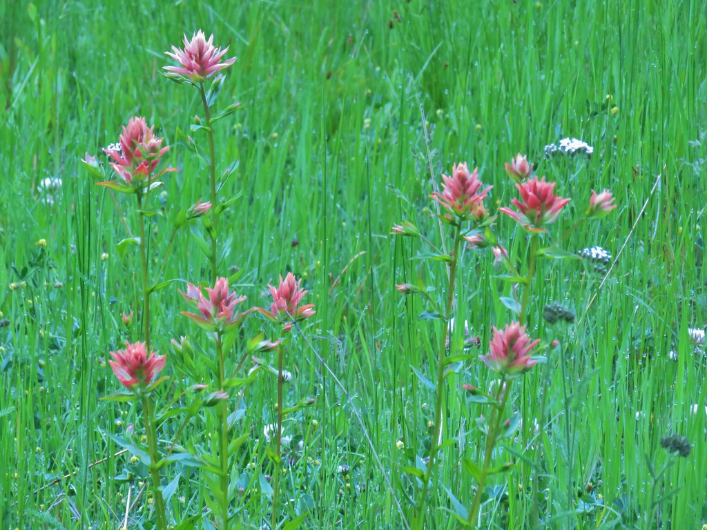
There were quite a few flowers along this first stretch of trail which was just a sample of what was to follow.
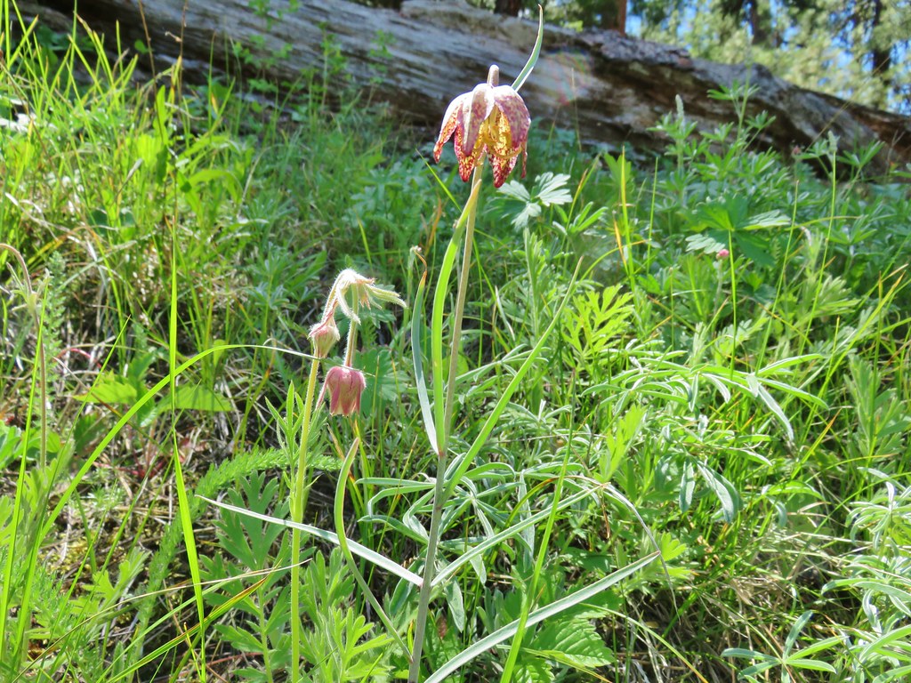 Old man’s whiskers and a chocolate lily
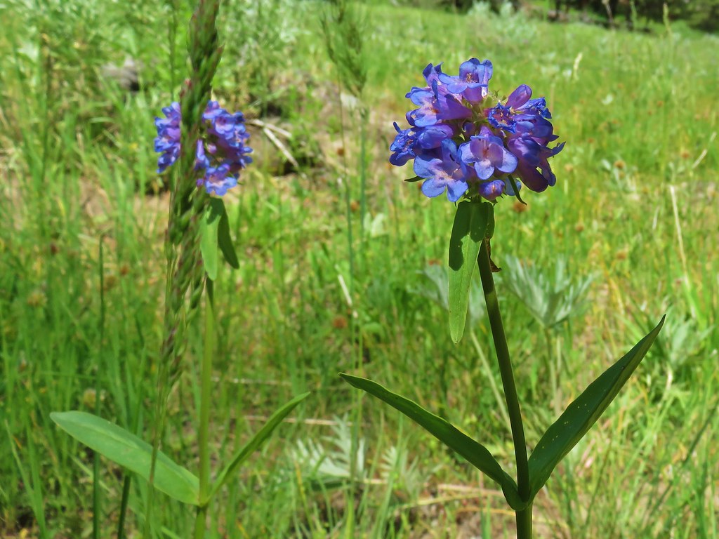 Penstemon
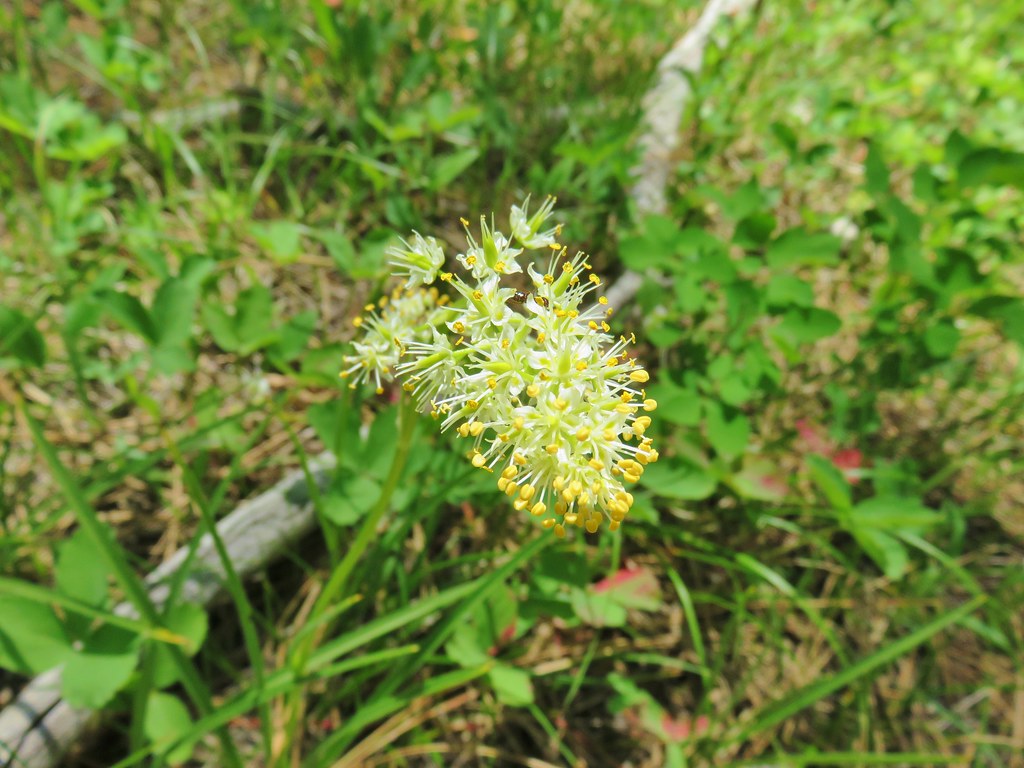 Death camas
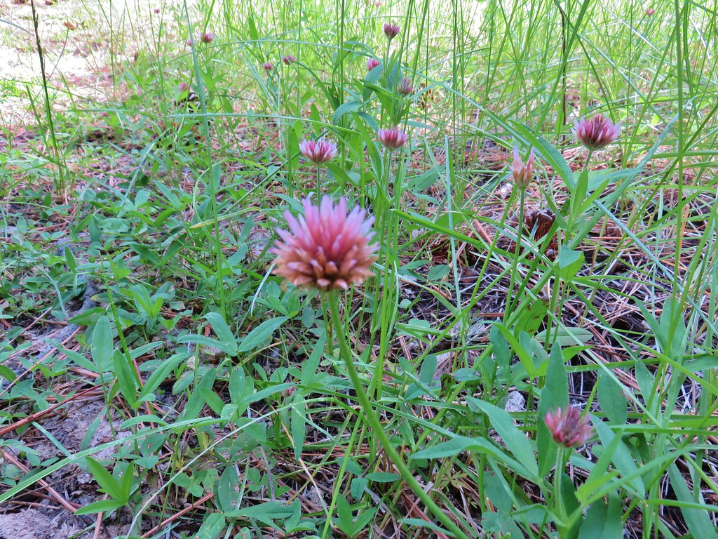 A clover
 Lupine
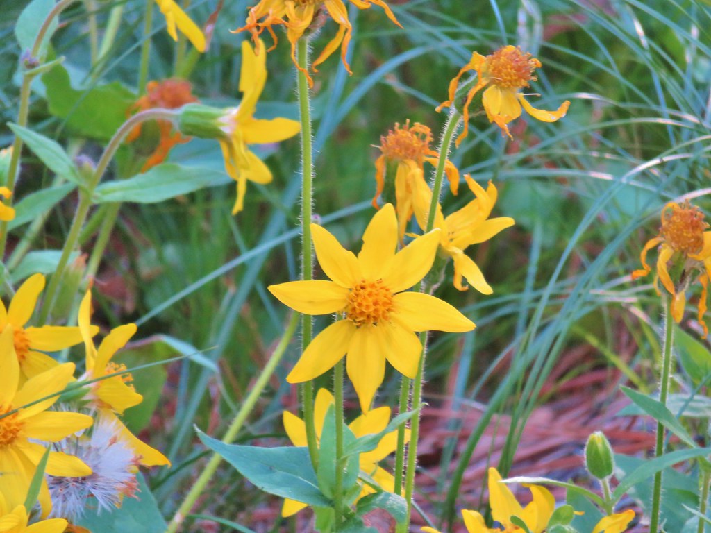
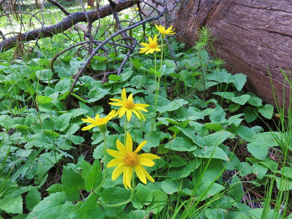 Arnica
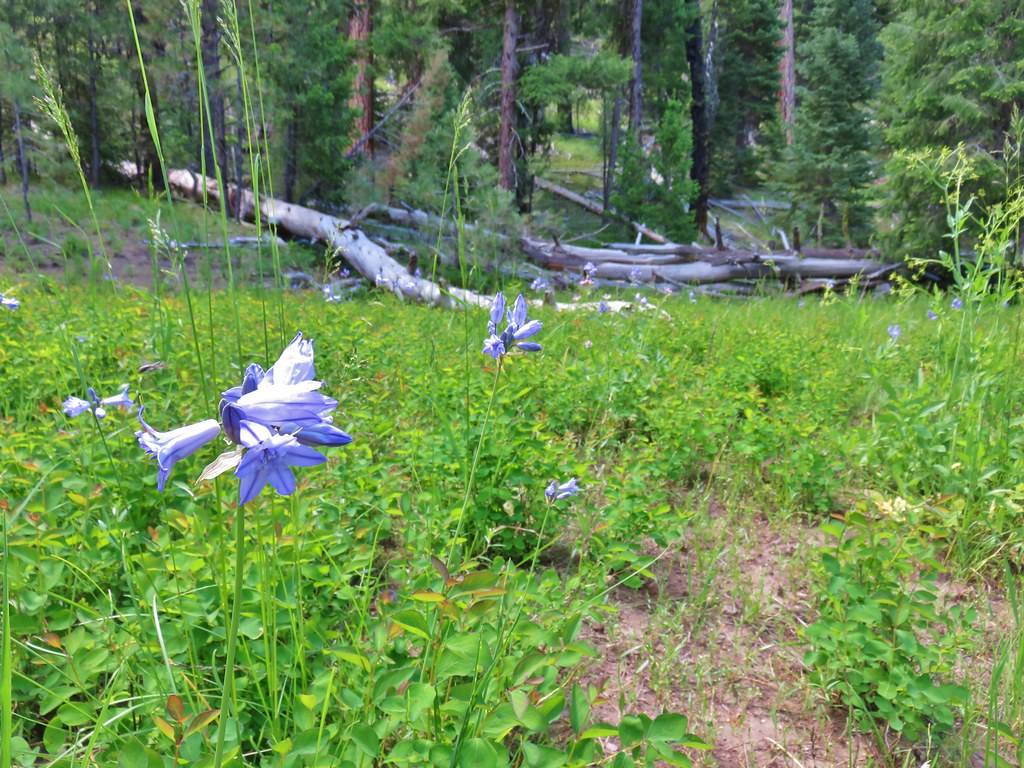 Large-flower triteleia
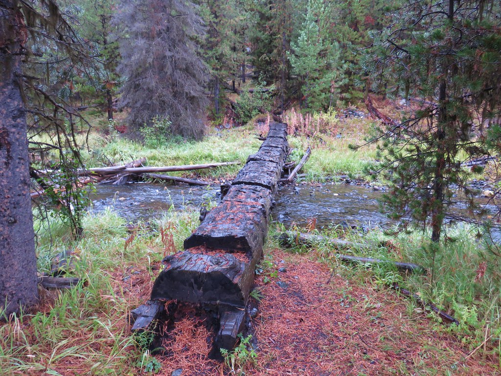
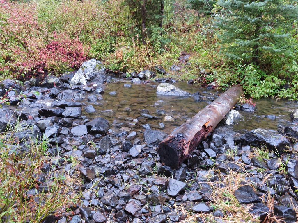
As we neared the mile and a half mark the trail descended back down to the creek to a crossing. There was a footbridge there but it looked as though it came out of a Dr. Seuss book.
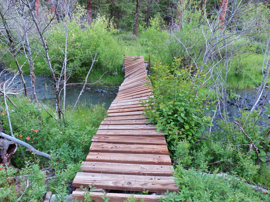
It would have been easy enough to splash across the creek but sometimes you just want to keep your feet dry so we accepted the challenge of the twisted bridge and made our way across it. More flowers awaited on the far side.
 Oregon sunshine
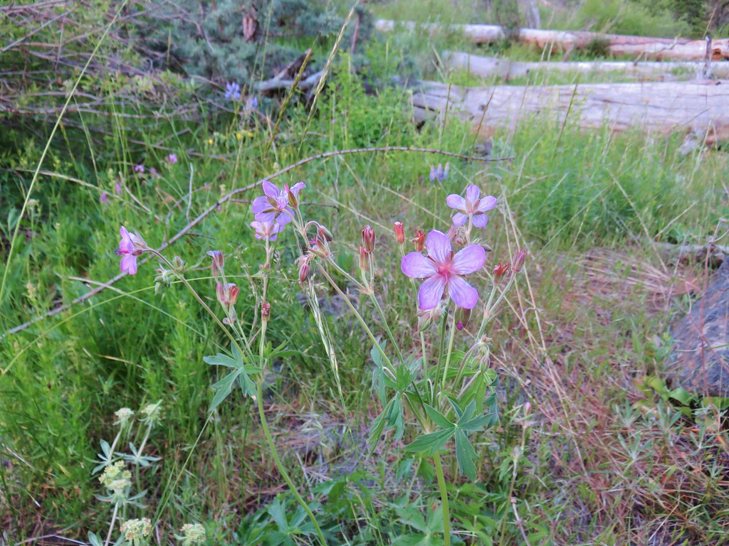 Sticky geranium
 Woodland star
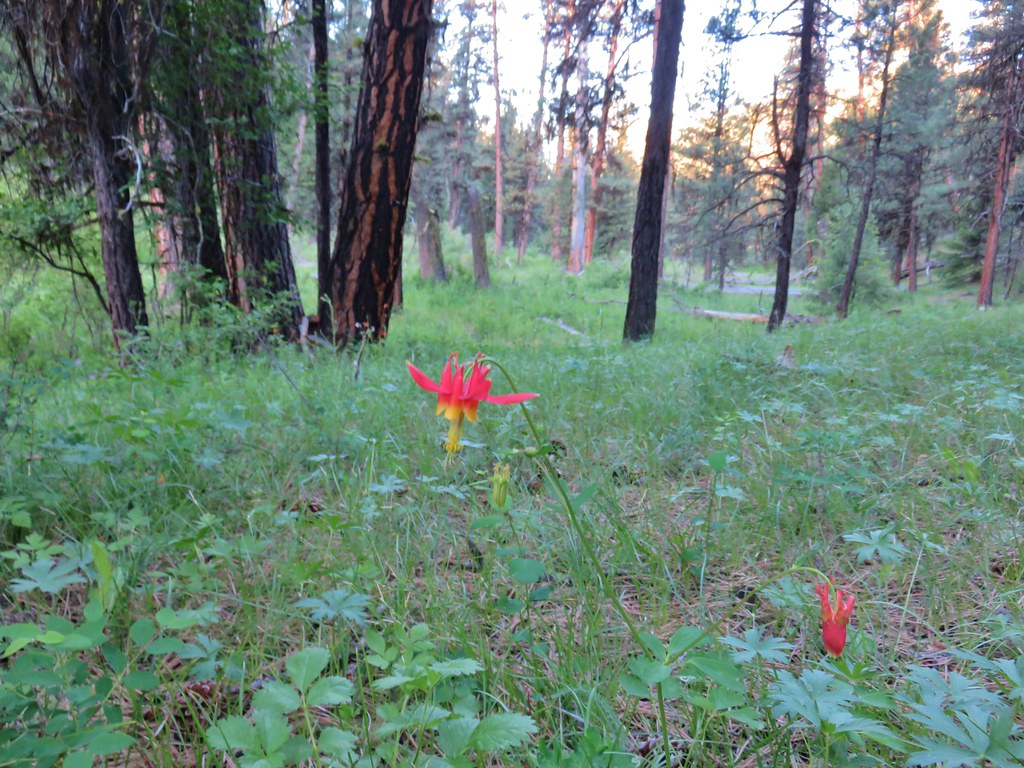 Columbine
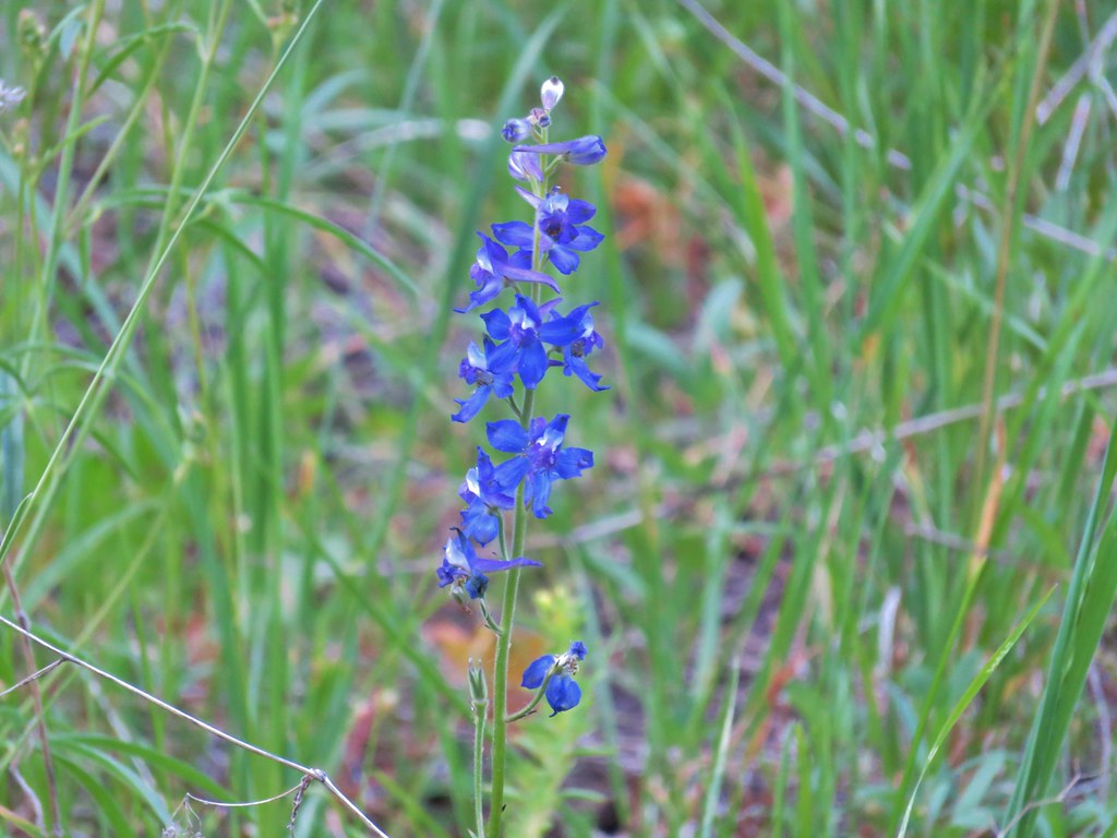 Larkspur
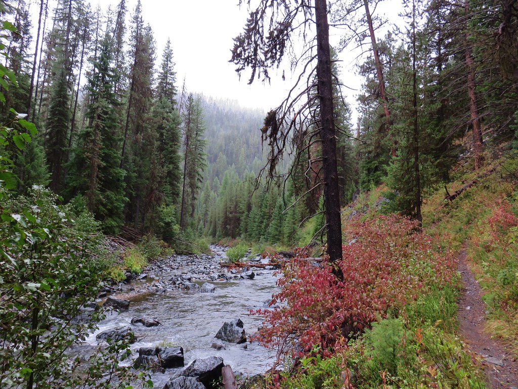
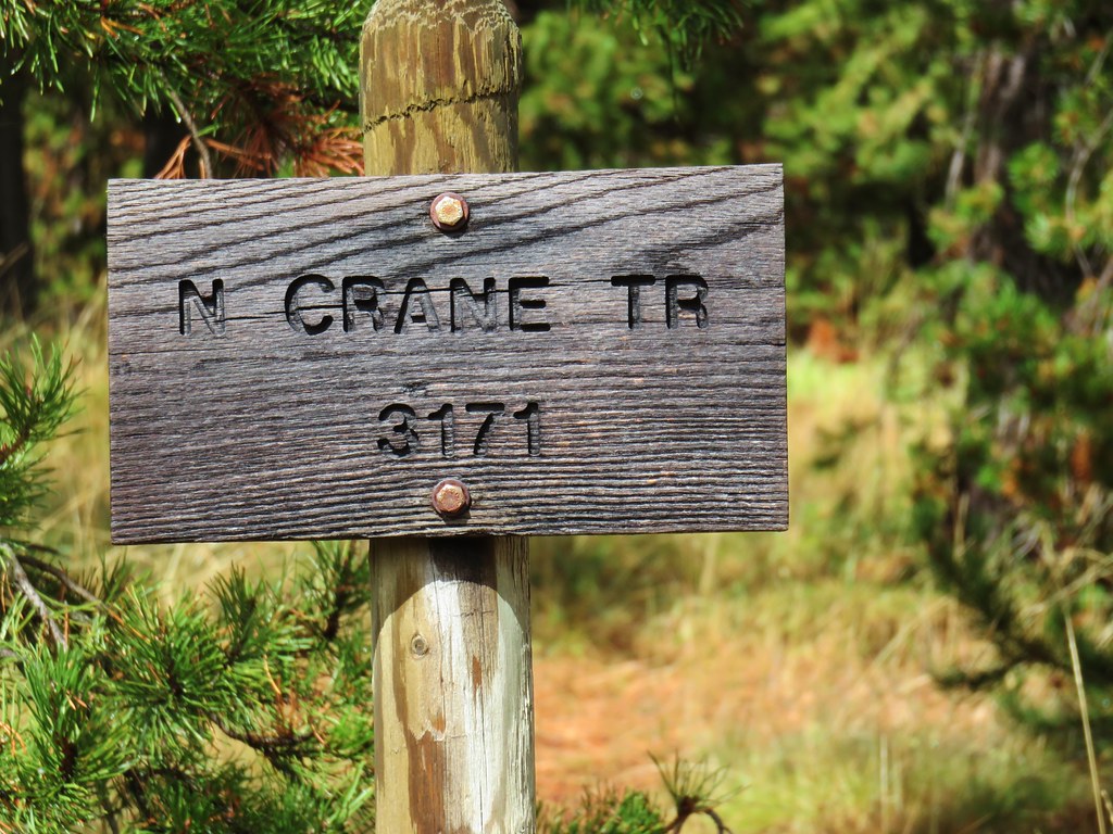
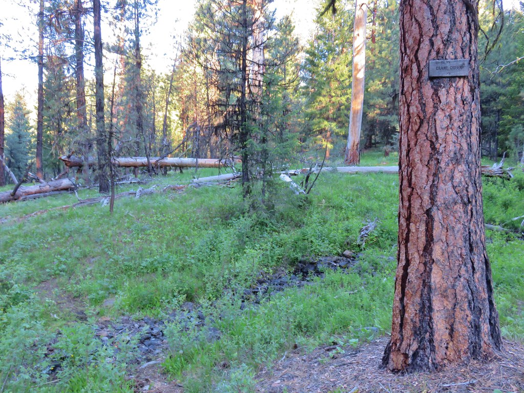
A quarter mile after crossing Myrtle Creek we came to a sign for Crane Creek which was nearly dry (it was dry when we returned later in the day).
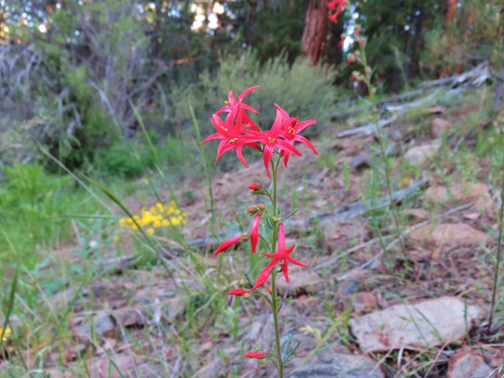
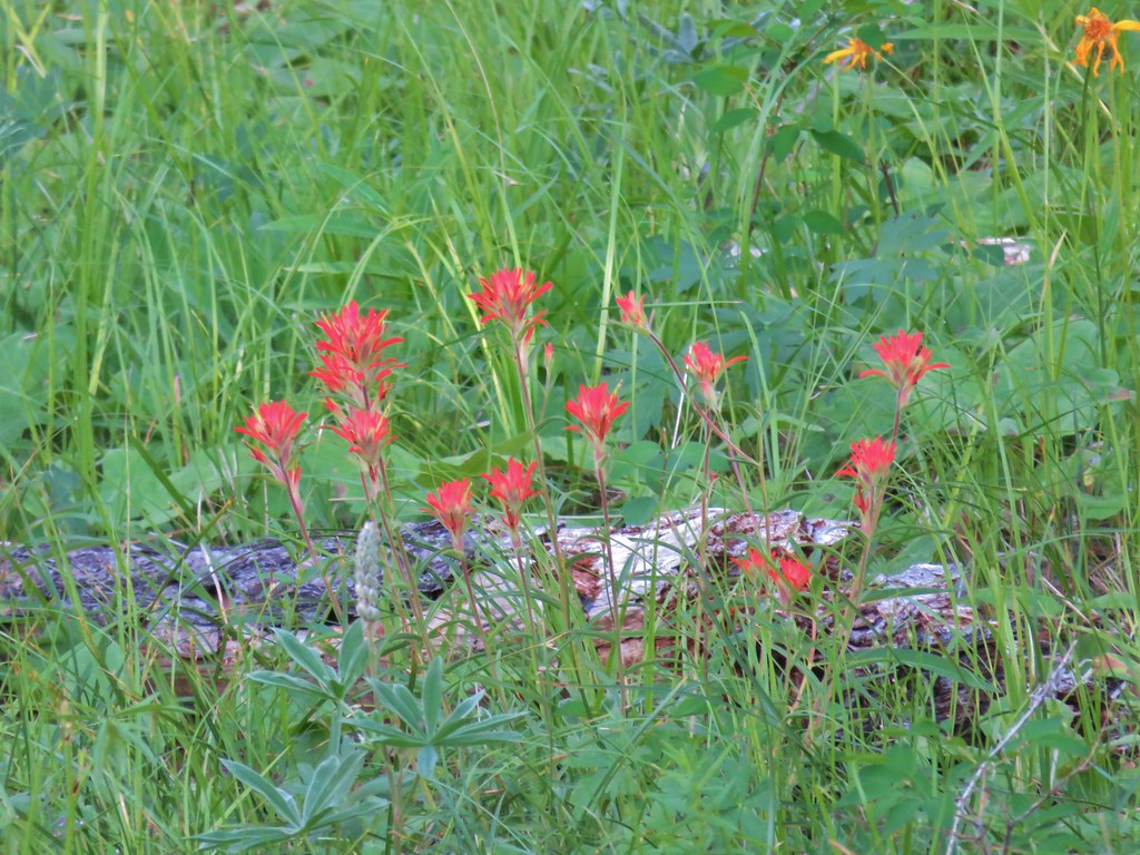
There were some nice scarlet gilia flowers in this area.
After another quarter mile we passed a sign for the West Myrtle Creek Trail which must be invisible because we couldn’t see any trace of it.
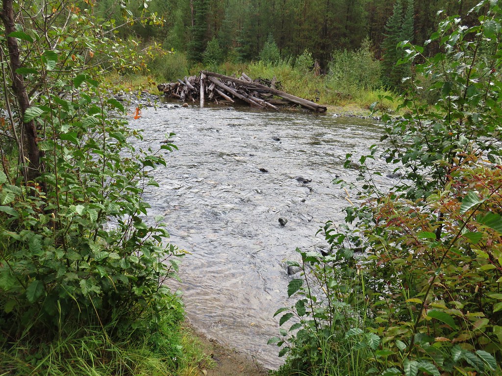
A short distance later we crossed West Myrtle Creek.
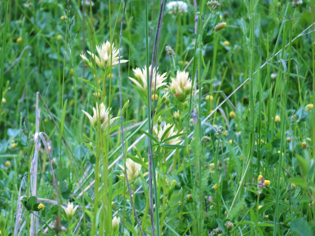
More flowers appeared along the creek including some yellow paint.
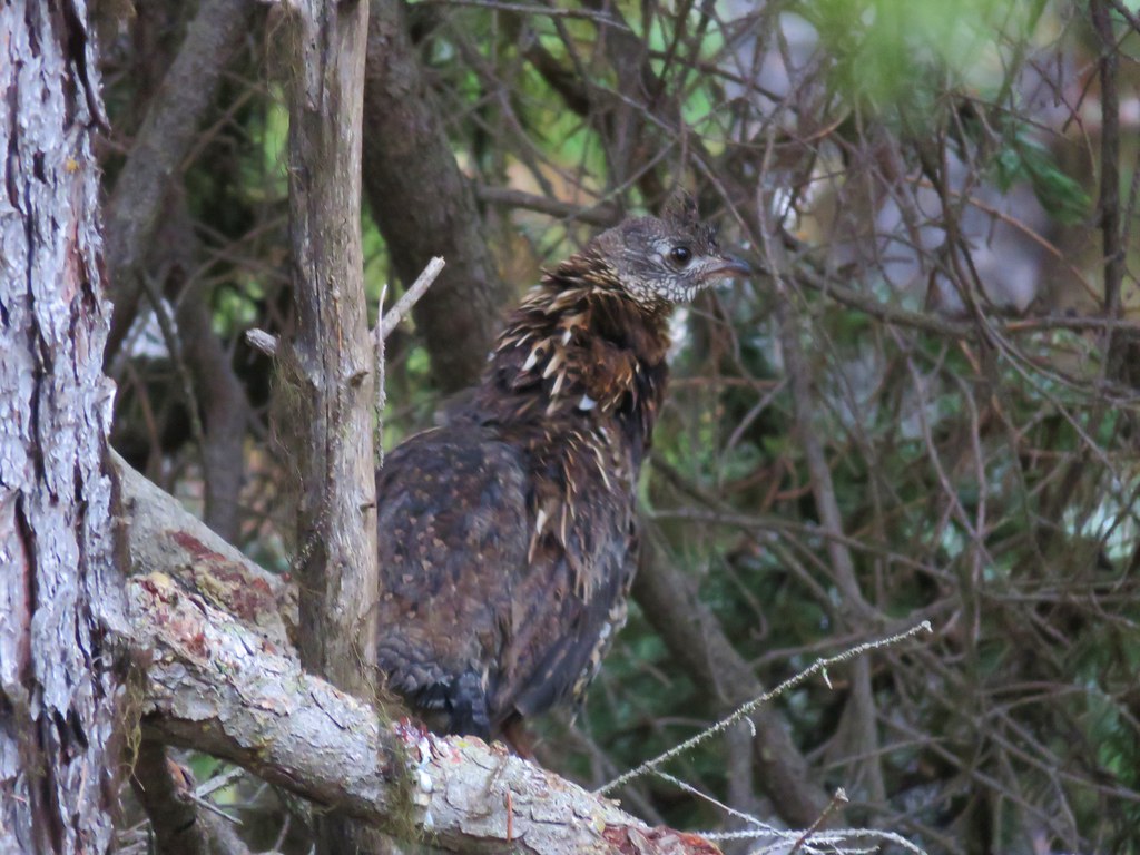
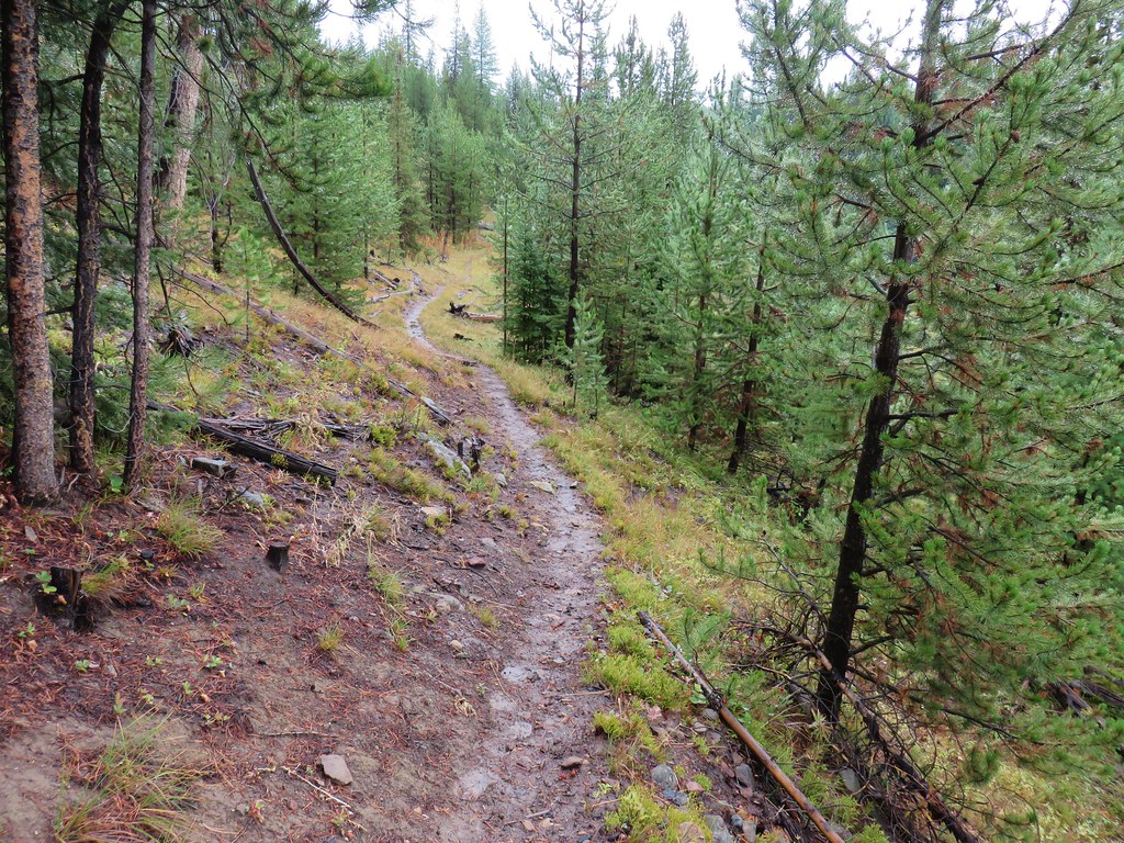
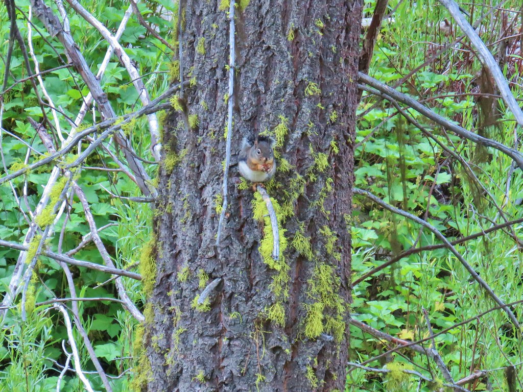
A little over a mile from West Myrtle Creek the trail climbed uphill via a couple of switchbacks not shown on the map. A doe and small fawn ran off into the forest as we approached a green grassy area amid the ponderosa. Around the same area we saw a squirrel and a noisy woodpecker.

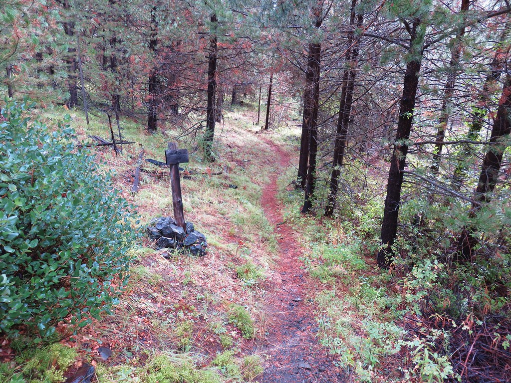
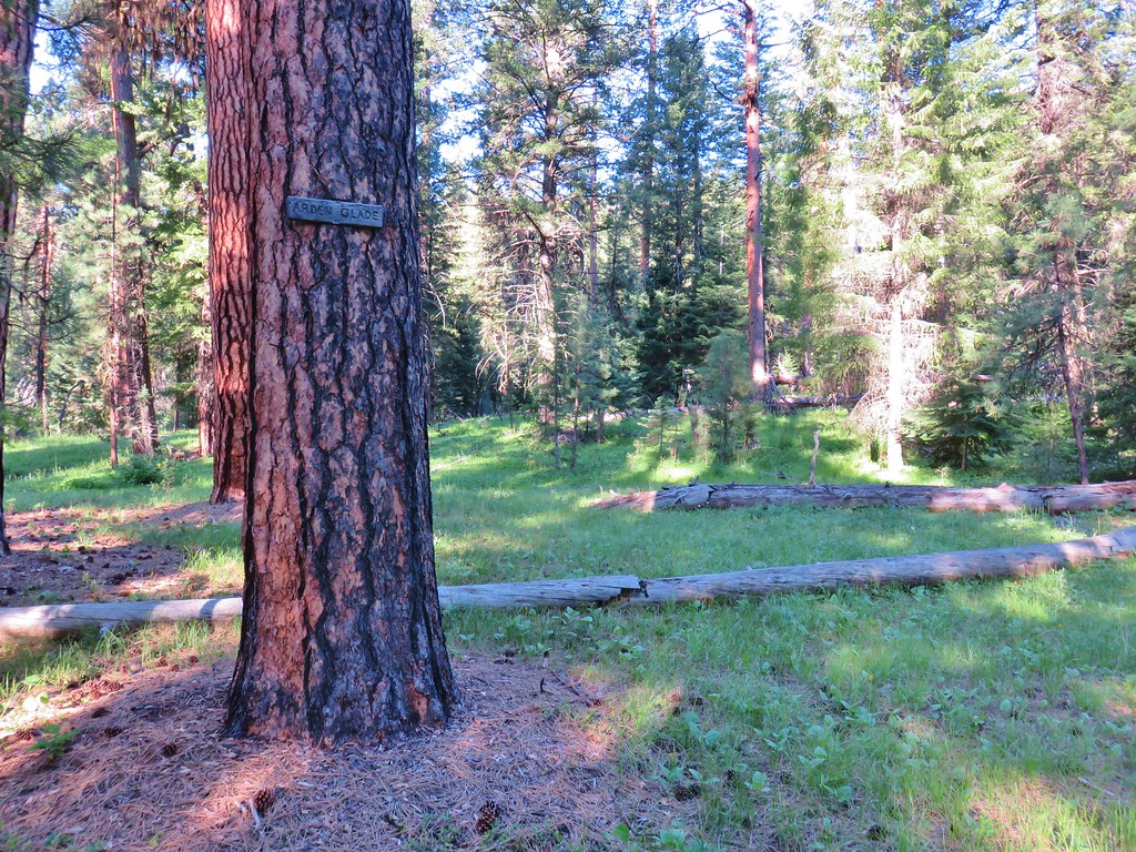
A short while later we noticed a sign on a tree in the middle of grassy area. Upon closer inspection it was a sign for Arden Glade.

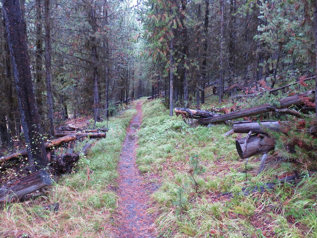
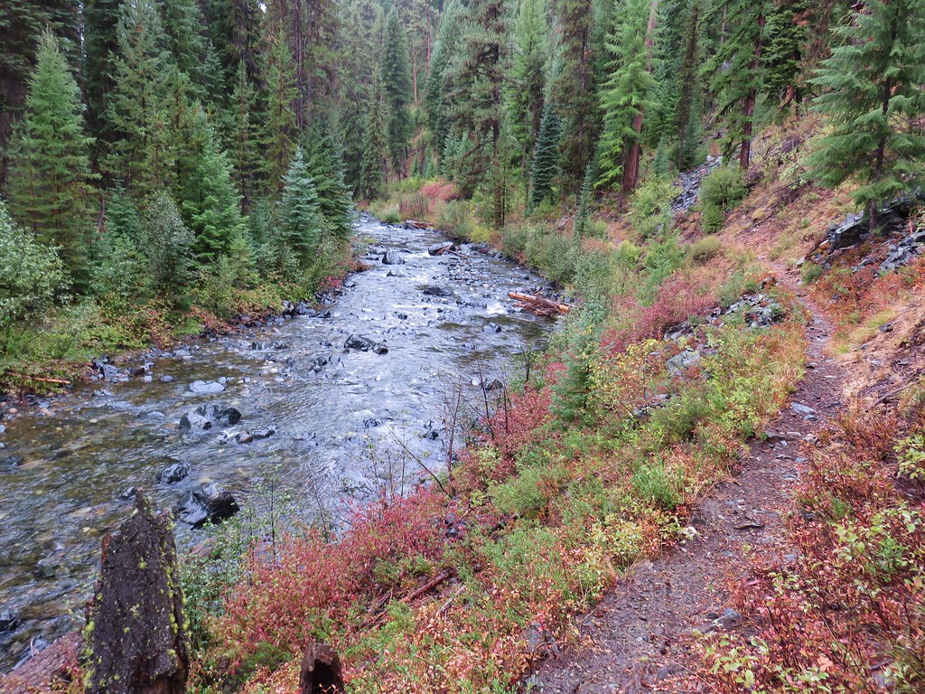
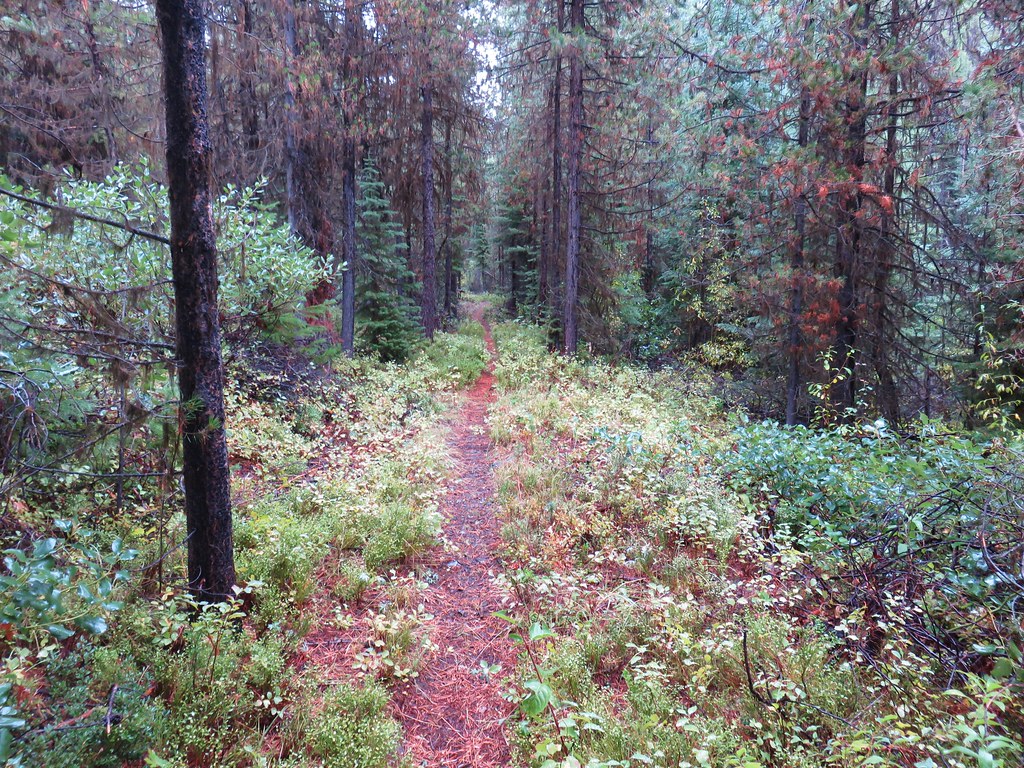
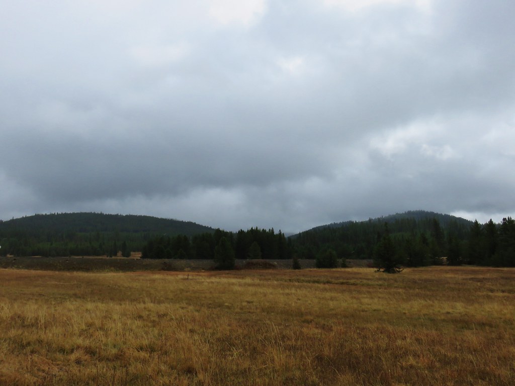
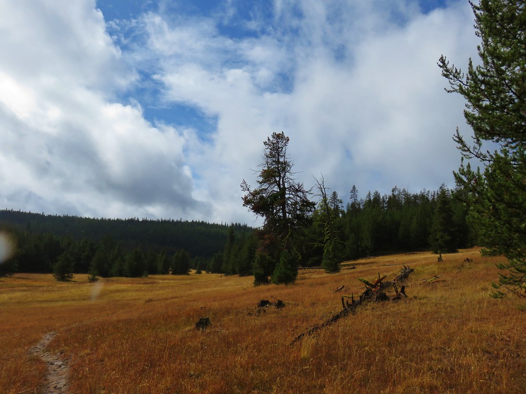
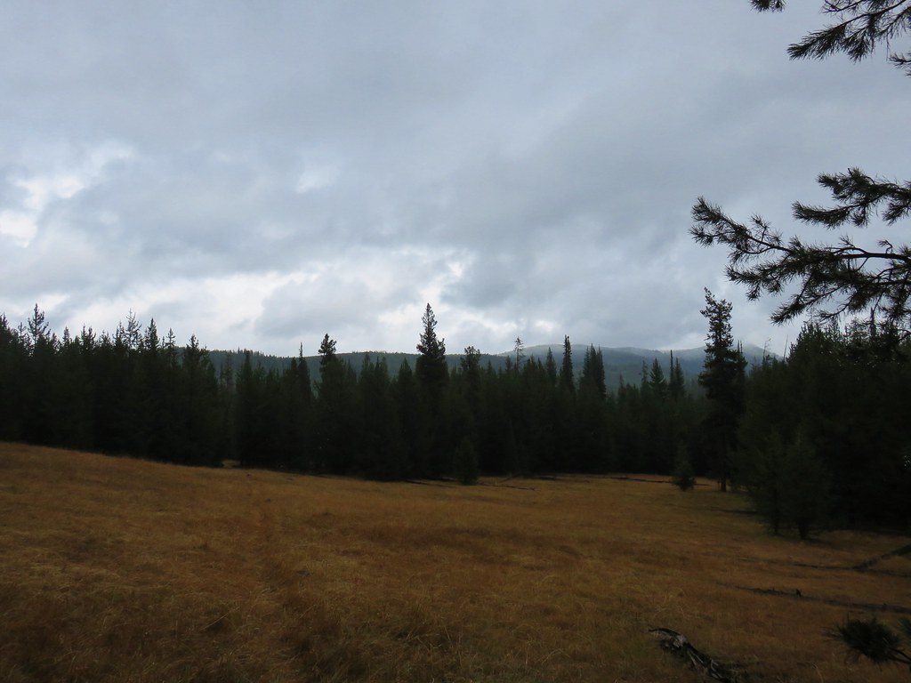
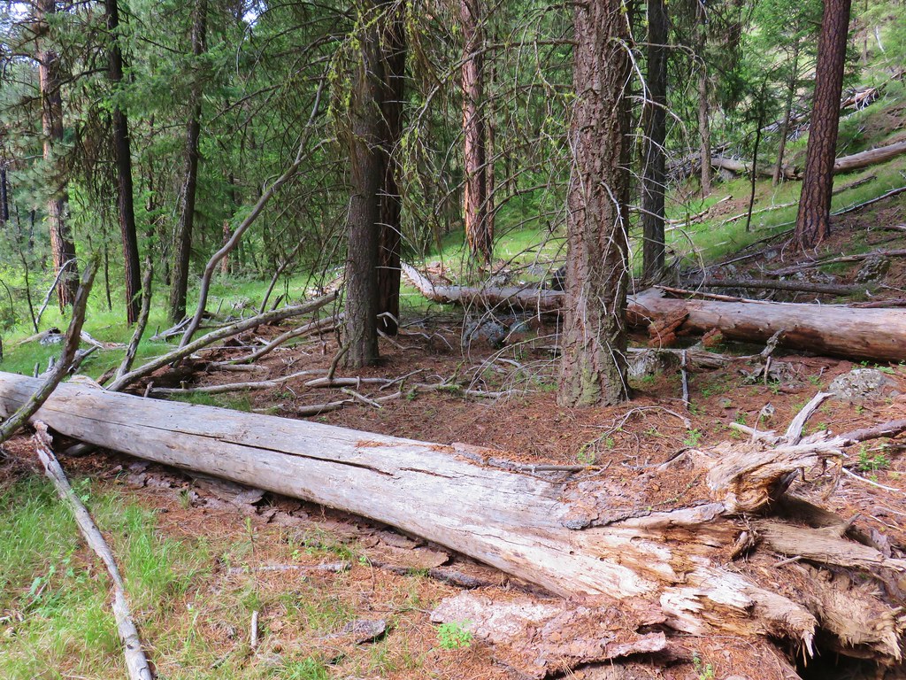
Beyond Arden Glade the trail returned to the meadows along the creek and continued to alternate between the meadows and the trees. Climbing up and down at least a bit each time. The further we went the fainter the trail got especially in the meadows where we often lost it completely only to rediscover it when it reentered the trees.

Just beyond the six mile mark we passed a post and what appeared to be a trail descending on the far side of the creek. We believe that was the FL Spring Trail.
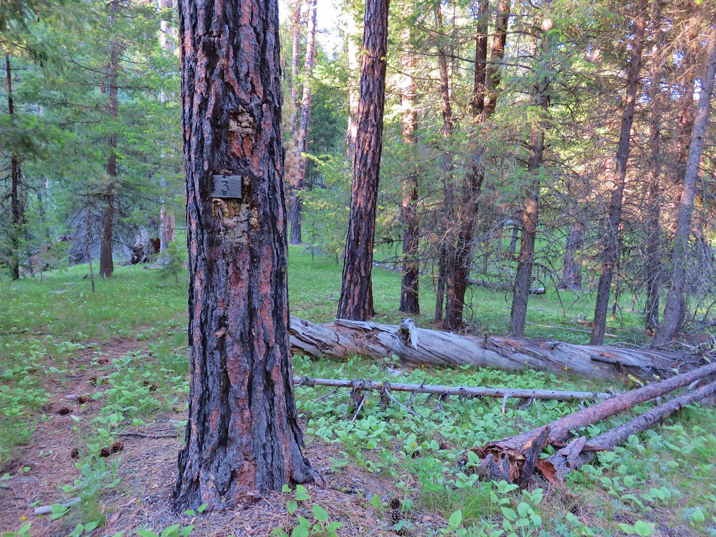
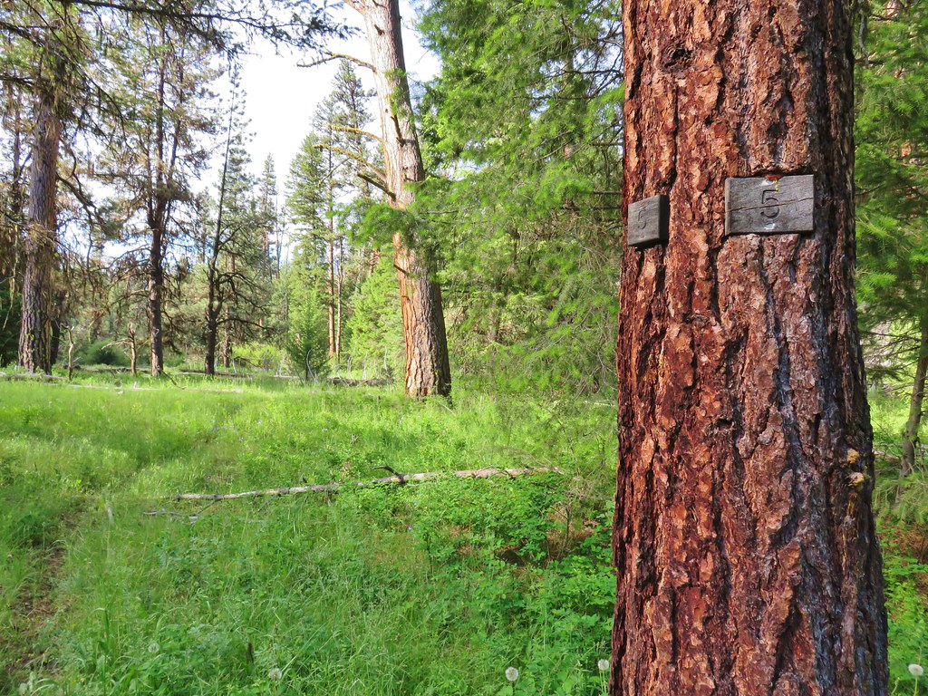
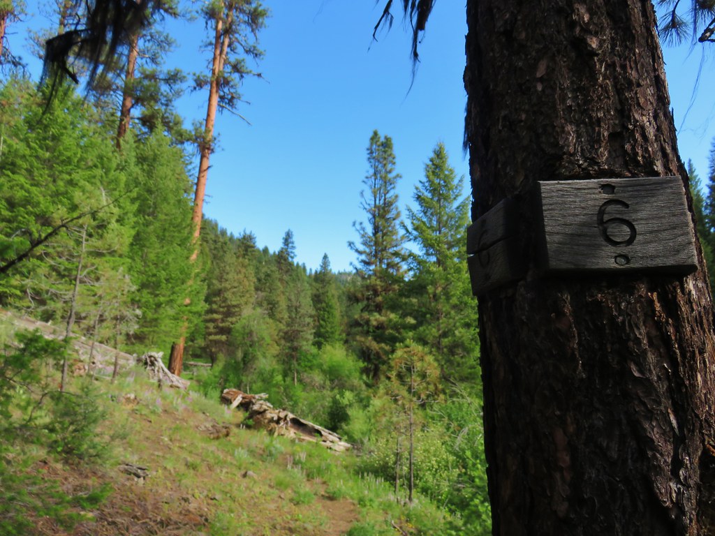
The miles had been marked by small plaques on trees through mile six.
We had set a turn around time of no later than 9am for the hike. The trail was 8 miles one way and ended at private land. We had been averaging about 25 minutes a mile when we passed mile 6 and it was just after 8:15 at that point so we decided to try and reach the marker for mile 7 (assuming there was one). Just under a mile from the FL Spring Trail junction we lost the trail once again in a meadow only this time we coudn’t find a continuation of the trail amid the downed logs.
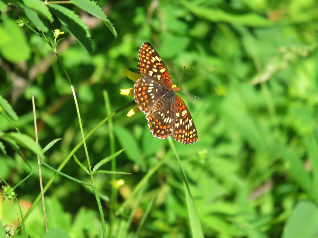
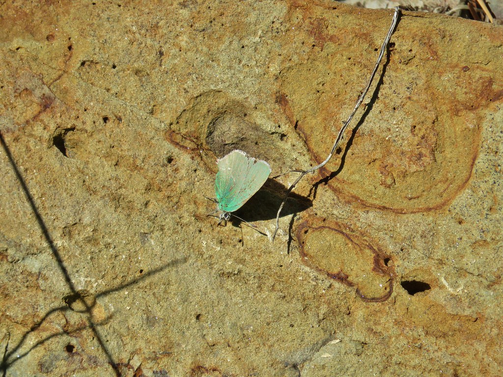
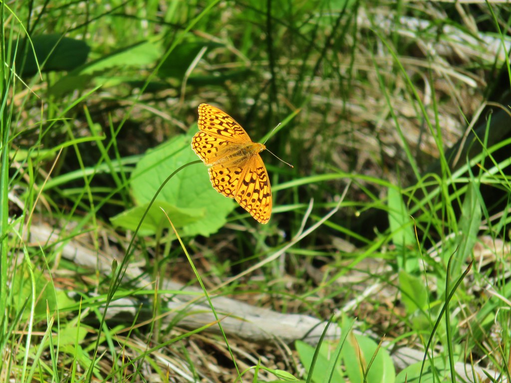
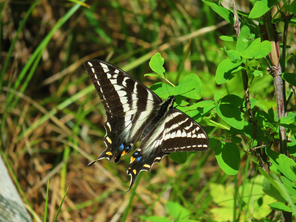
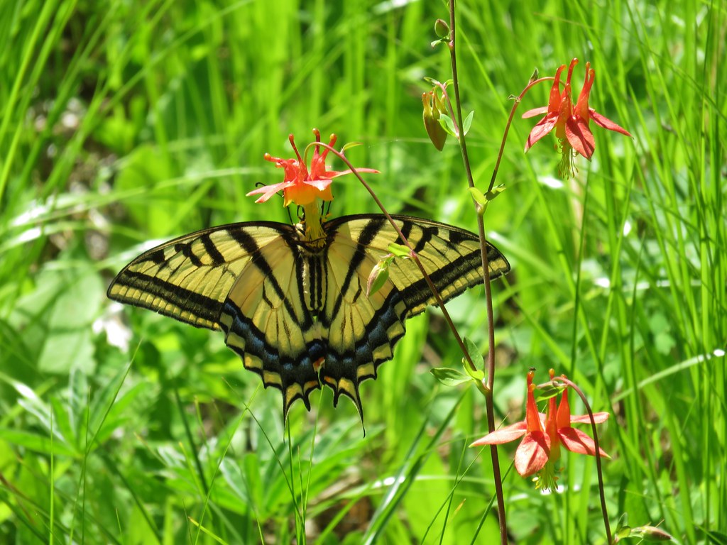
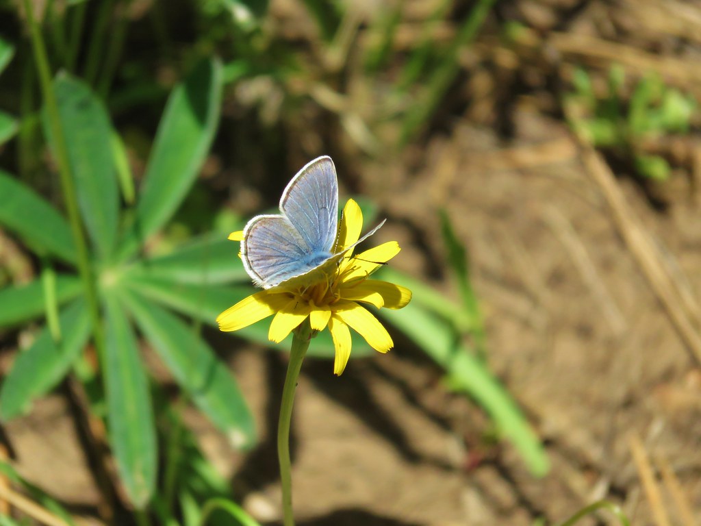
A glance at the time showed that it had been about half an hour since we’d passed mile 6 so we figured that we most likely had passed the 7 mile mark and either missed the markers or perhaps there weren’t any. After a short break and quick snack, we decided to head back. It was about ten till 9 anyway. It had been a chilly morning but it was warming up quickly on our way back and the rising temperatures brought out the butterflies.


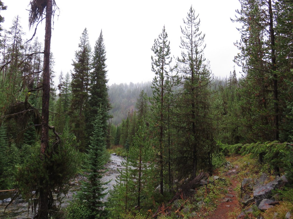
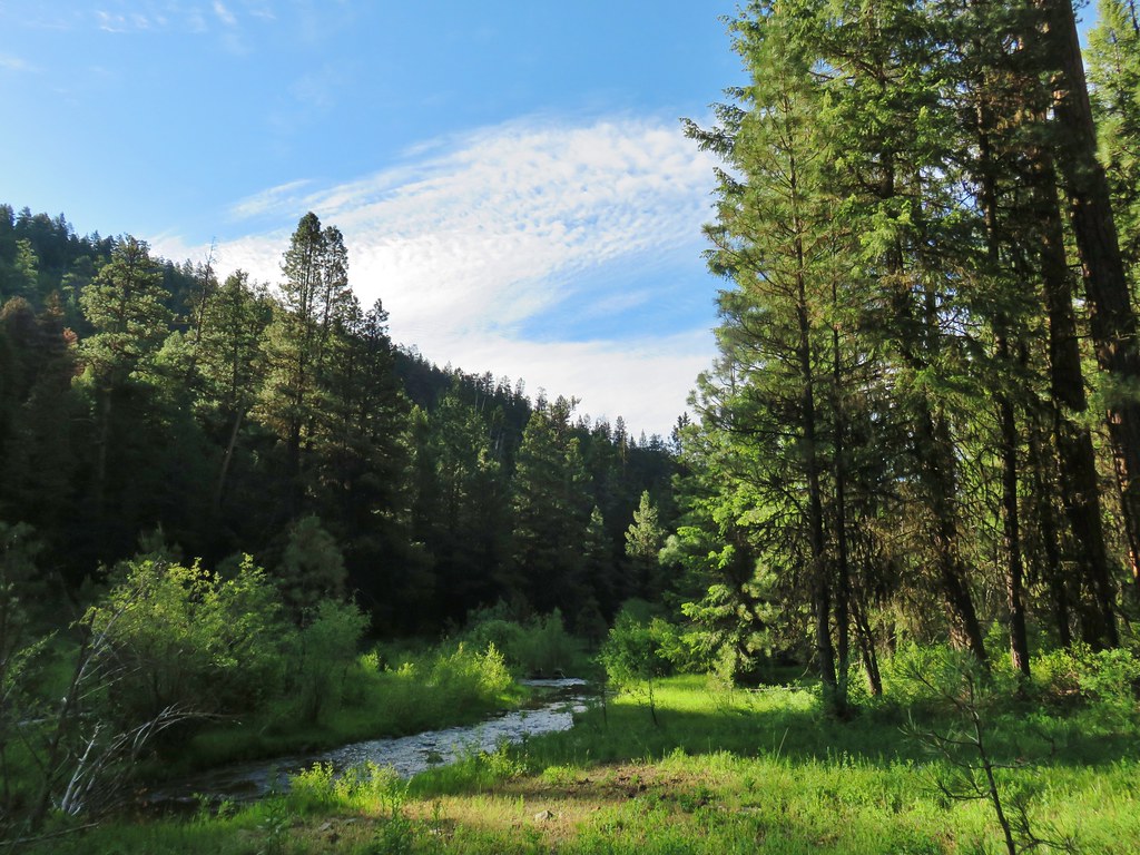
When we were finished our GPS had us at 14.2 miles so we may well have made the 7 mile mark after all. Although the trail was faint in places it was a nice hike with a lot of solitude. It was a little strange to be hiking in a true forest again after a week in the sagebrush and junipers though.
We drove back to Burns then returned to Bend for another visit with Heather’s parents where we had some excellent pizza at Olde Town Pizza. Happy Trails!
Flickr: Myrtle Creek