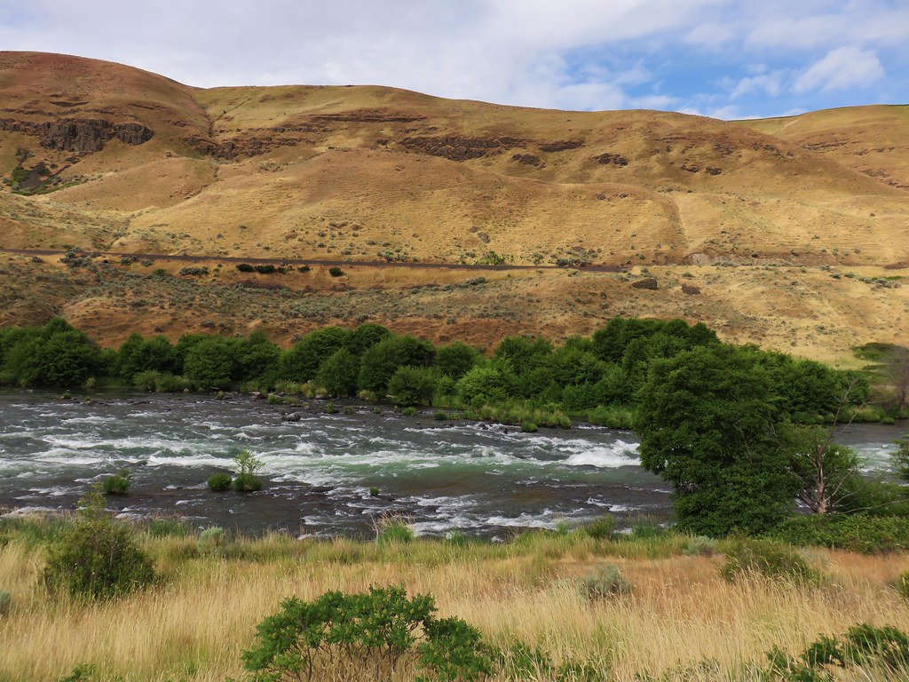
Our unusually warm and alarming dry winter continued through the end of January which has resulted an extremely low snowpack. While that doesn’t bode well for summer it provided plenty of dry hiking opportunities during the month, another of which I took advantage of before flipping the calendar to February. It was another solo outing so picked an area Heather had been to previously, the Lower Deschutes River, and planned a slightly different route than we’d done on our visit in 2018 (post).
I made the two-and-a-half-hour drive from Salem to the Deschutes River State Recreation Area and parked in the overnight parking lot currently shown on Google Maps as the Old RailBed Trail Parking. There is a slightly closer trailhead which we parked at on our previous visit, but that section of the park was not yet open for the season. I had arrived just before sunrise and had expected mostly cloudy conditions. The forecast showed the sky cover gradually decreasing to 60% around 10:30am then starting to increase again. I had not anticipated how low that cloud cover would be. It wasn’t quite fog but it was about as close as you can come.

The overnight parking lot.

Old stagecoach at the parking lot.
My plan was to follow the Deschutes River for close to three hours then turn around and possibly hike the Ferry Springs Loop on my way back as we’d done in 2018. That detour would depend on the clouds though. I wasn’t willing to climb 500′ just to wind up in fog with no views. Plan B would be to return along the river unless I was seeing any ticks in which case I’d stick to the railroad grade as much as possible.

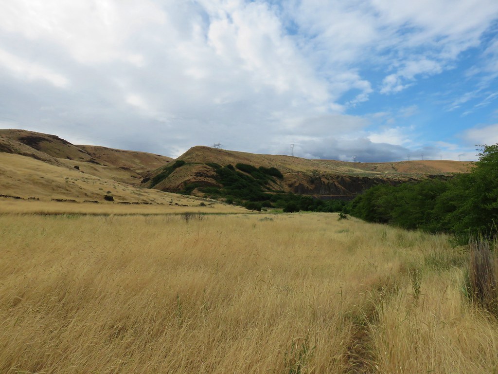
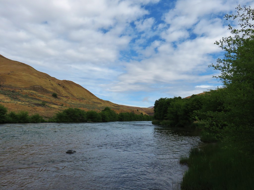
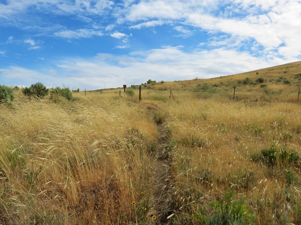
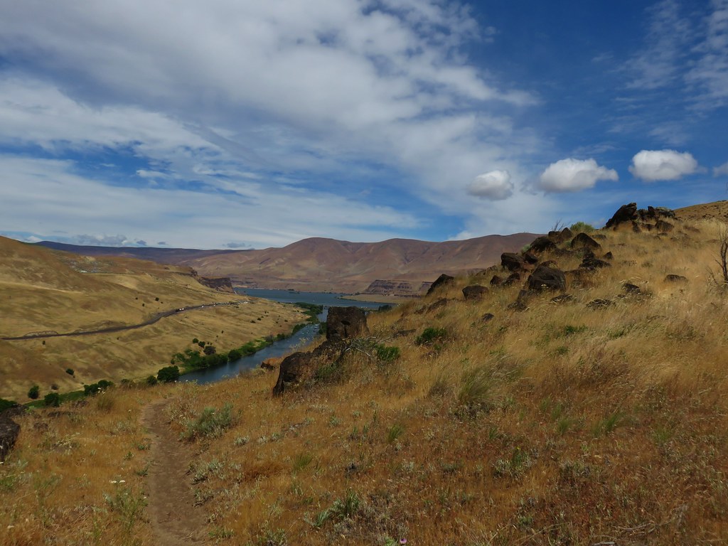
I set off on the Deschutes River Trail which is an old railroad grade.


The first mile from where I’d parked was new trail for me. Due to the low clouds the views were limited but the river was visible at least.


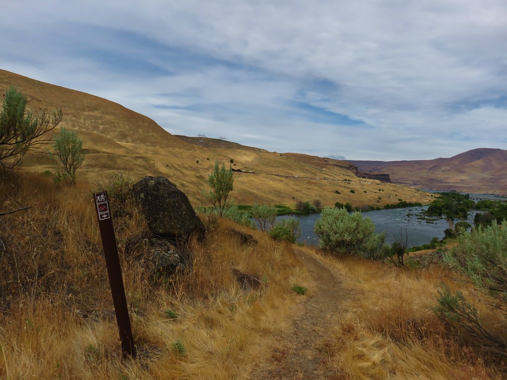
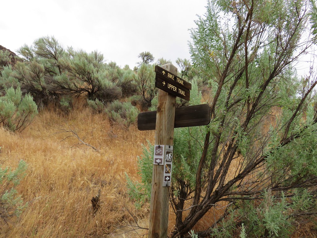
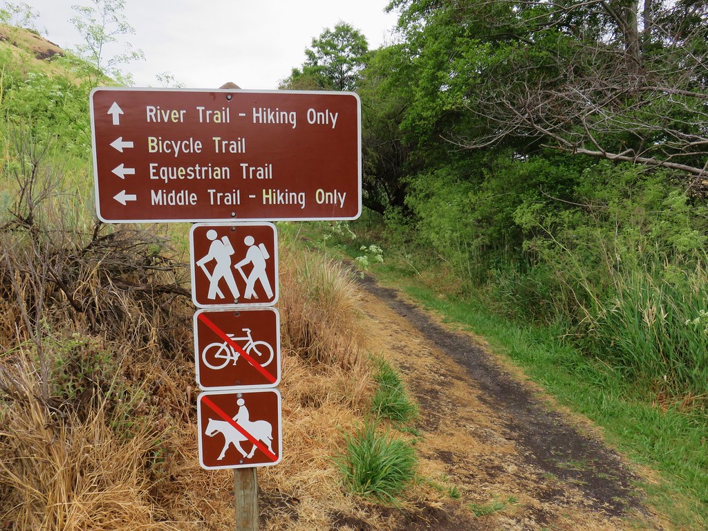
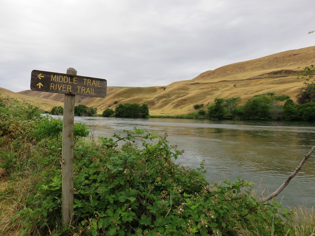
After a mile I came to a signed trail junction with pointers for the Blackberry and Riverview Trails.

These were new signs since my last visit, and they had also renamed the trails. The Blackberry Trail was named the River Trail in 2018 and the Riverview Trail was the Middle Trail. That’s neither here nor there though since I was sticking to the Deschutes River Trail (which was simply the “Bicycle Trail” in 2018). A tenth of a mile from this junction I passed a junction with the Ferry Springs Trail on the left.

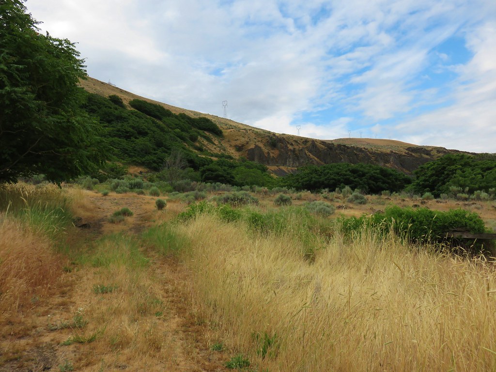
The dirt Riverview Trail on the hillside below.


The northern end of the Ferry Springs Trail.
I continued on the Deschutes River Trail for another for another 1.1-miles to the junction with the southern end of the Riverview Trail. This was another new section for me.


A junco peeking out through some branches.


Caterpillars

Is that a break in the clouds?

Western meadowlark

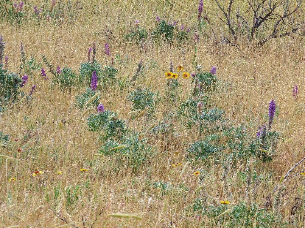
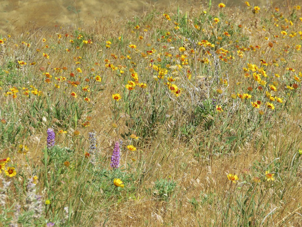
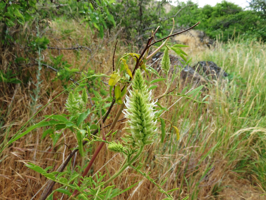
Still a little early for flowers but I did spot these phlox about to bloom.

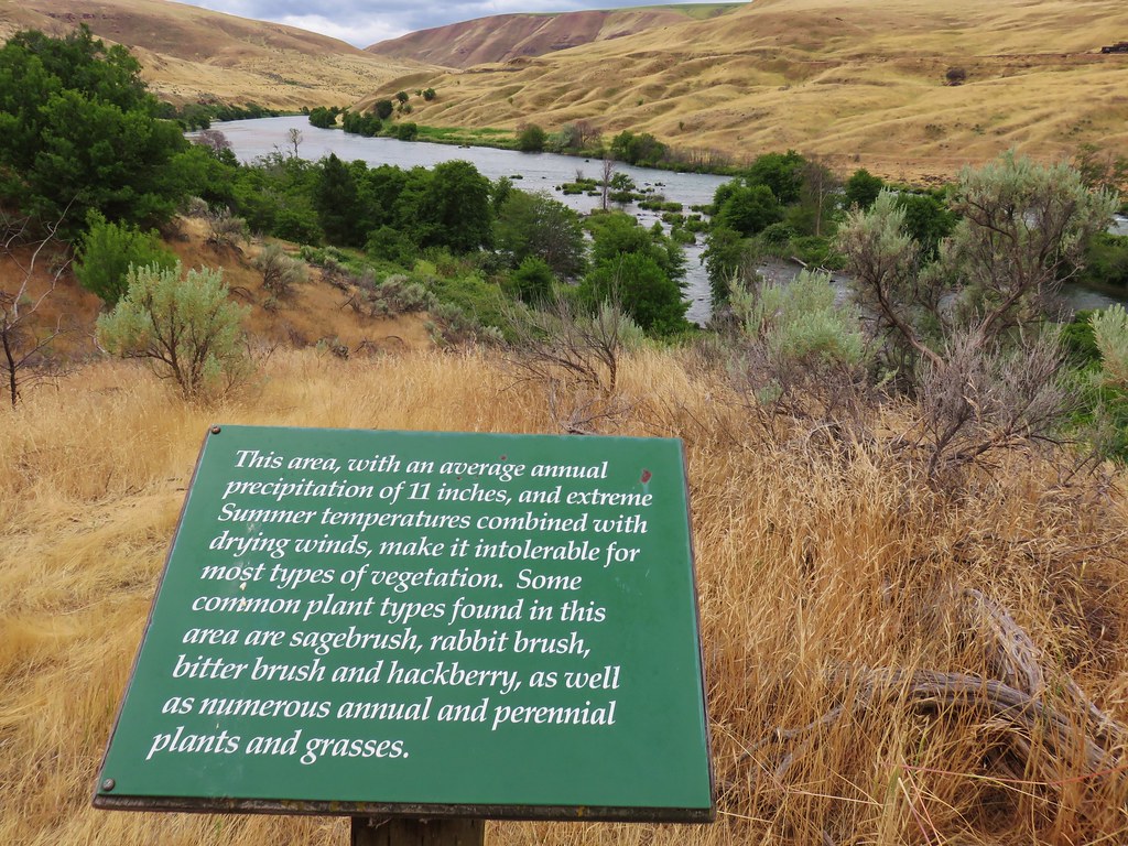
The Riverview Trail is just beyond the large signboard announcing the Lower Deschutes River Wildlife Area.

Just beyond the Riverview Trail junction I came to the southern Ferry Springs Trail junction.

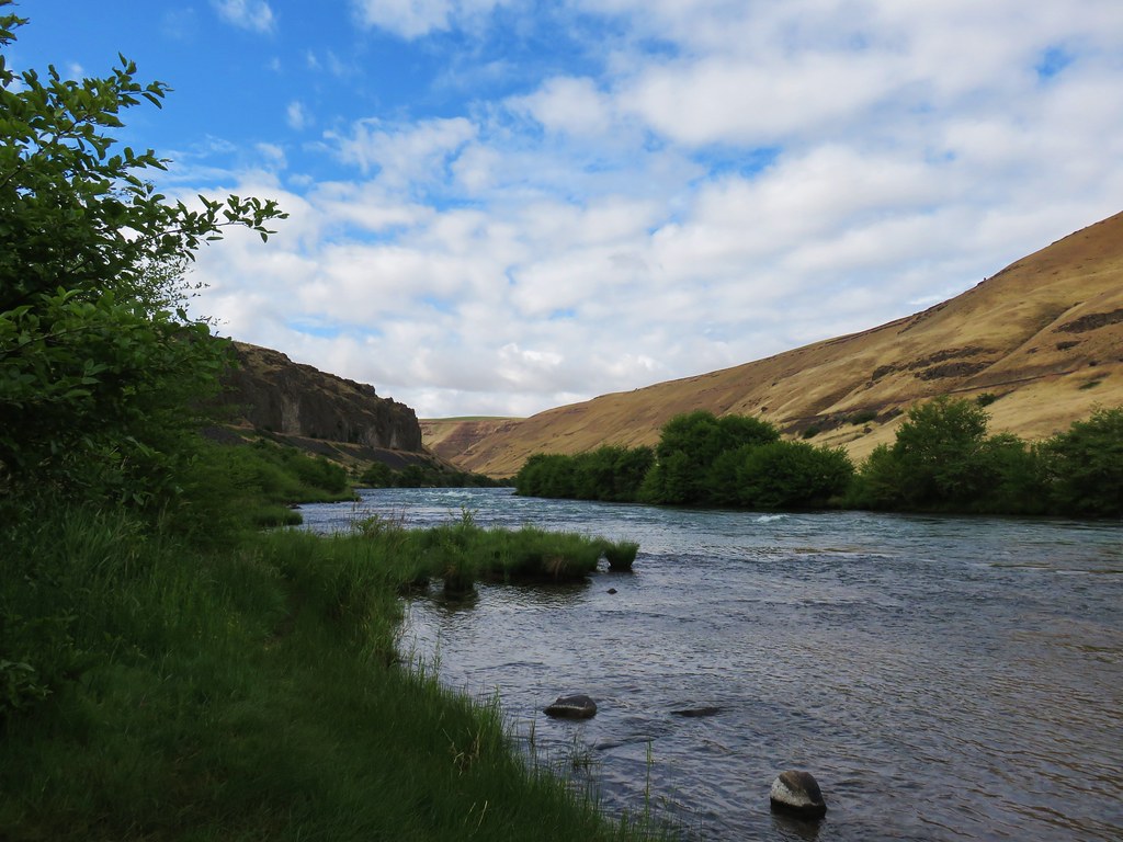
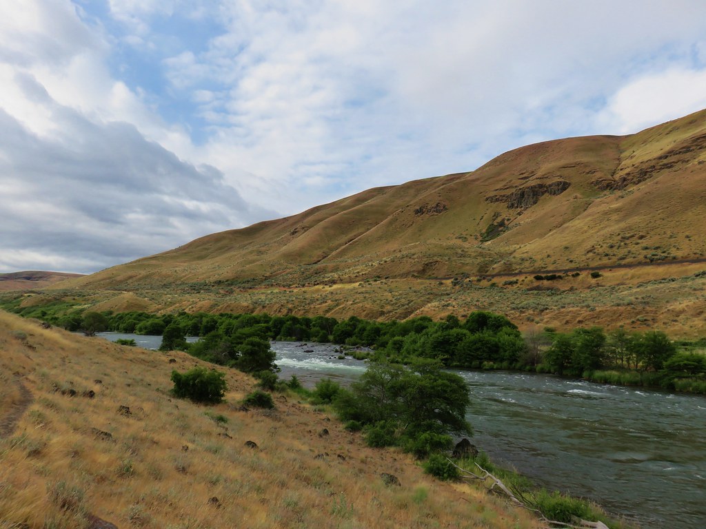
The next 1.4-miles on the Deschutes River Trail to Gordon Canyon was a repeat of 2018.

This probably qualifies as fog.

American kestral


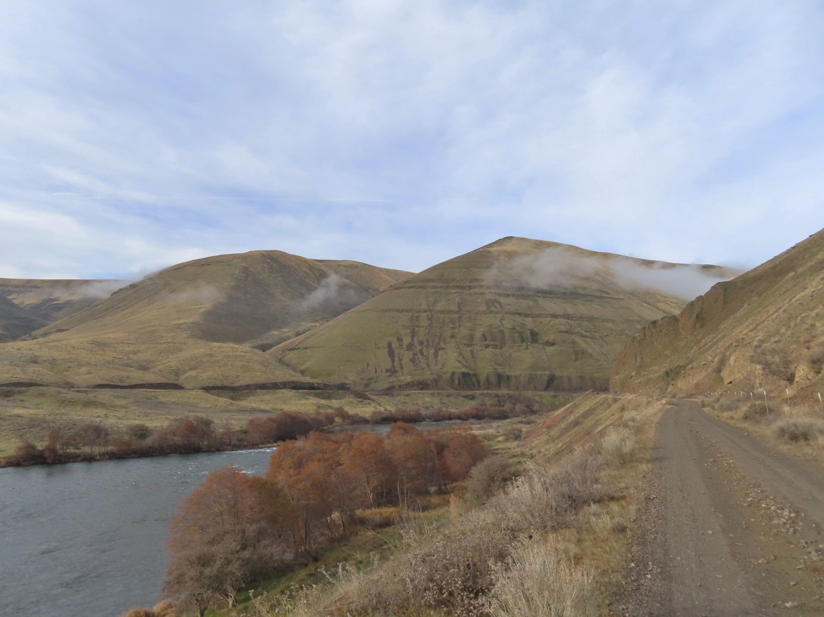
Some blue in the sky above the canyon.


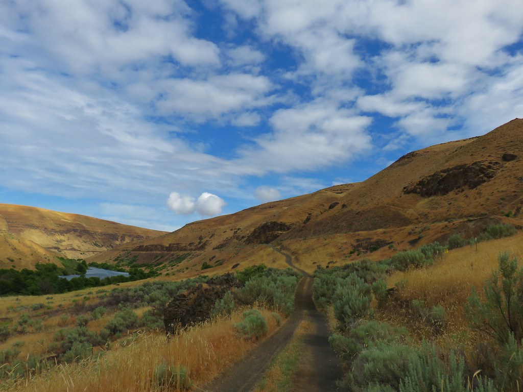
Starting to descend into Gordon Canyon.

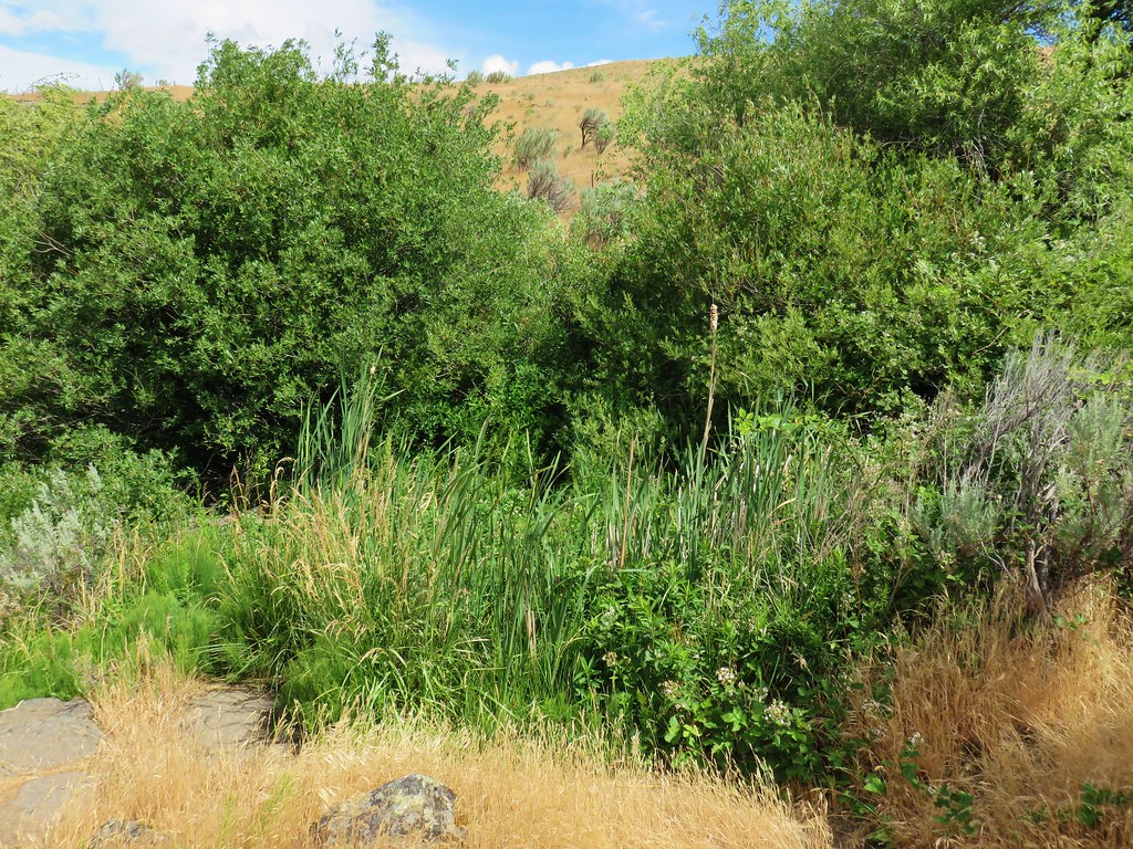
Gordon Creek
In 2018 we’d turned off the Deschutes River Trail here and visited Colorado Camp 0.2-miles downriver before heading back on the River Trail (aka the Blackberry Trail). This time I continued on going heading deeper in the canyon.

Colorado Camp is down the road on the right.

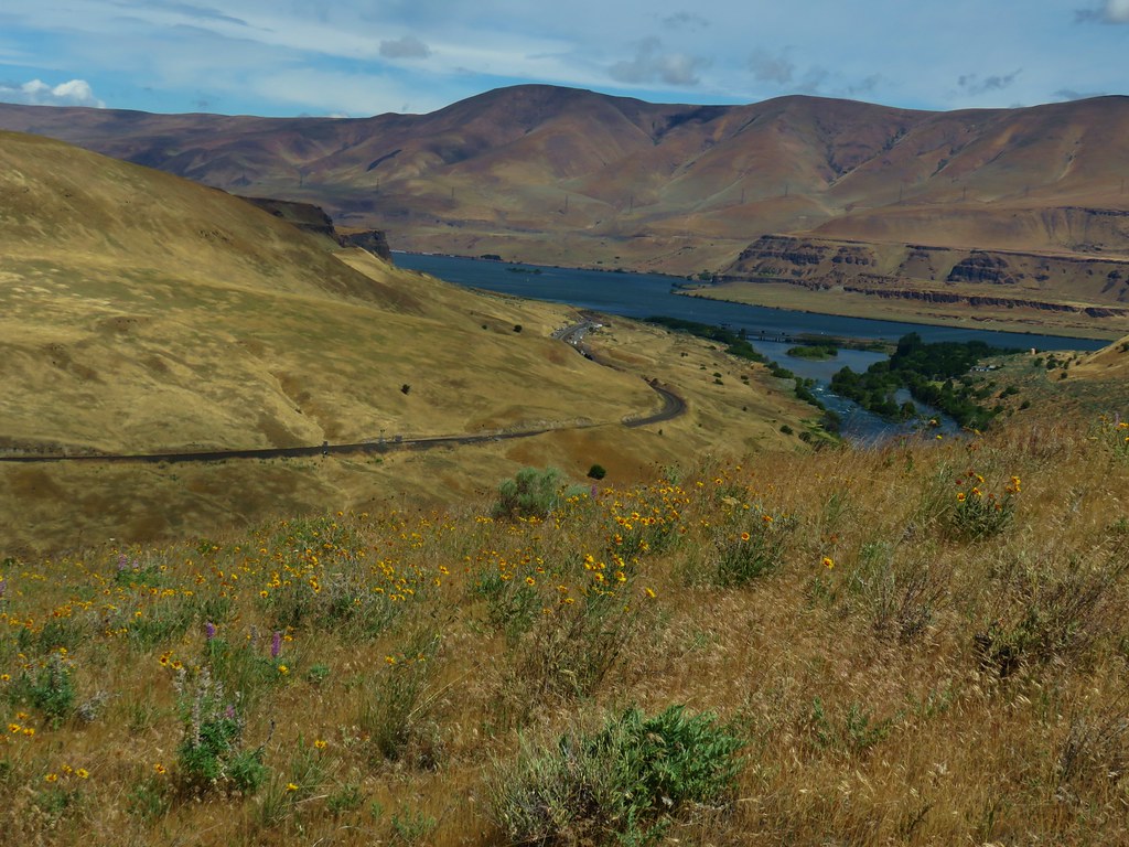
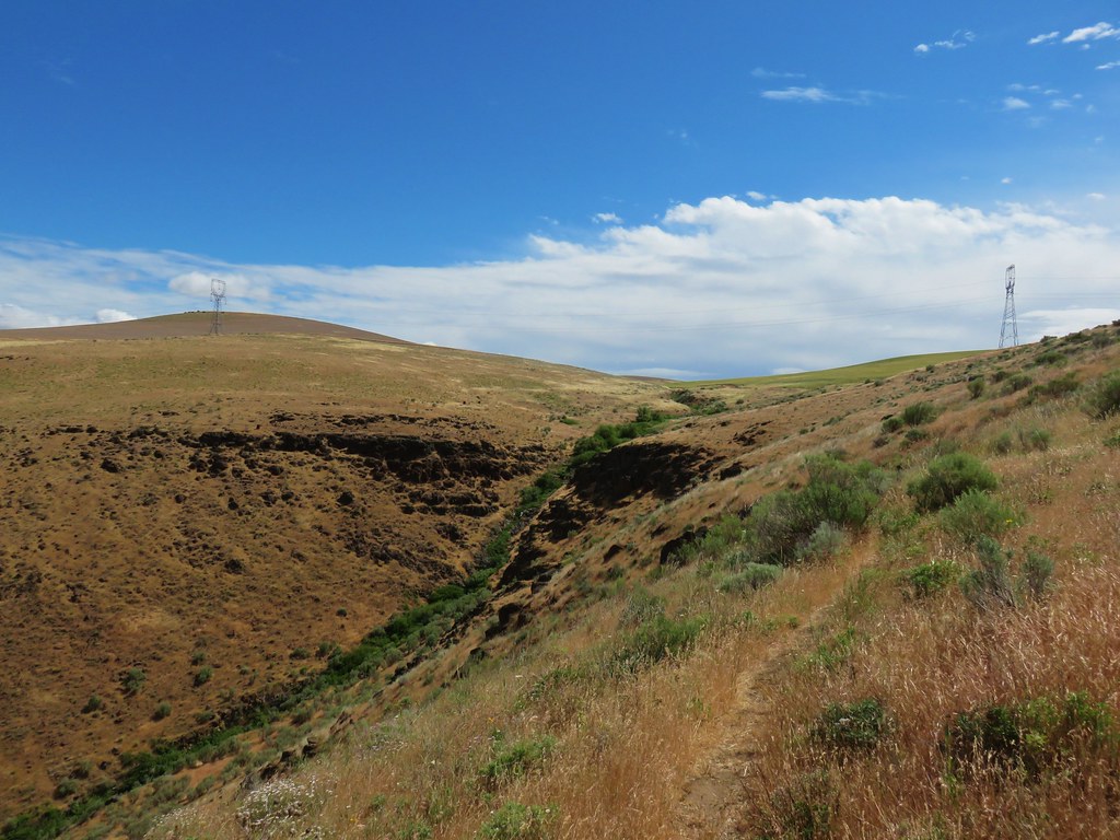
Looking back toward Gordon Canyon and some blue sky.
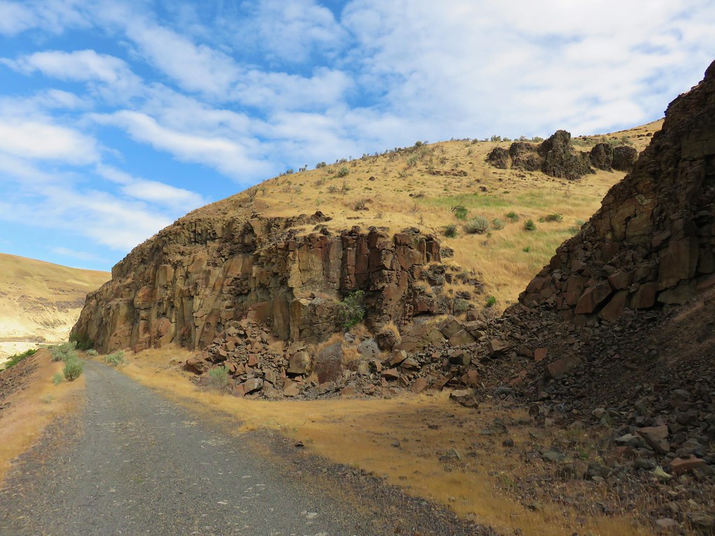
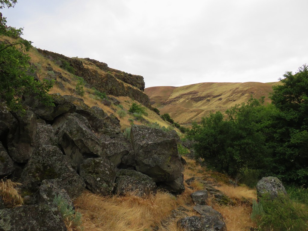
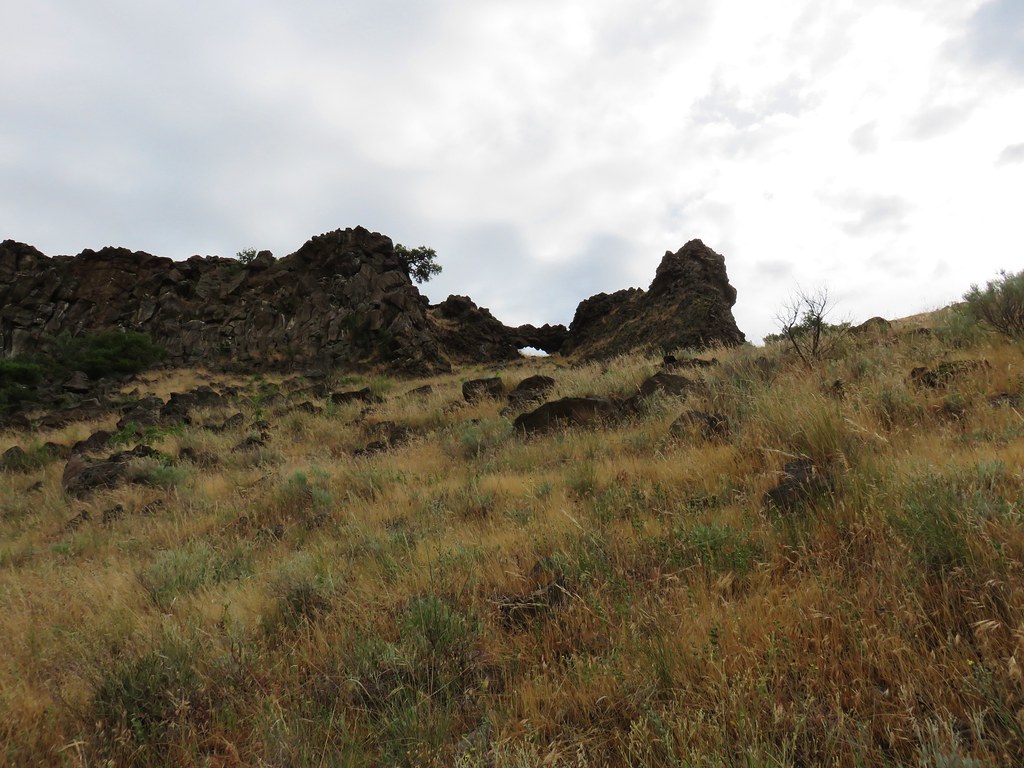
Shortly after climbing out of the canyon the trail passes the Gordon Cliffs below Gordon Butte.

Coming up on the Gordon Cliffs.
The cliffs have some interesting basalt formations.


Folds

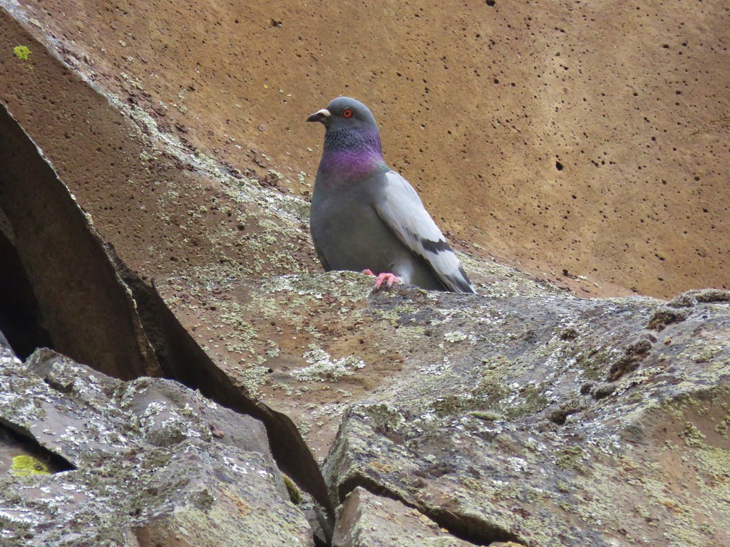
Rock pigeon

Townsend’s solitaire

The “Eye”.

Mile four.

Magpie showing off its tail.

Cormorant


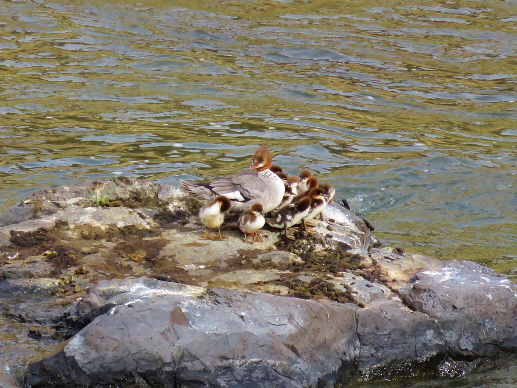
Common goldeneyes and a common merganser.
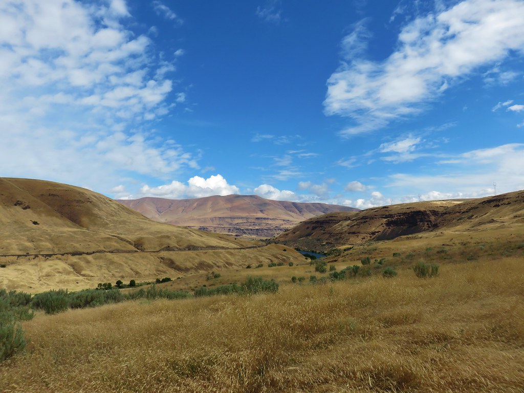
By mile five there was quite a bit more blue sky.


A sandy beach along the Deschutes River.


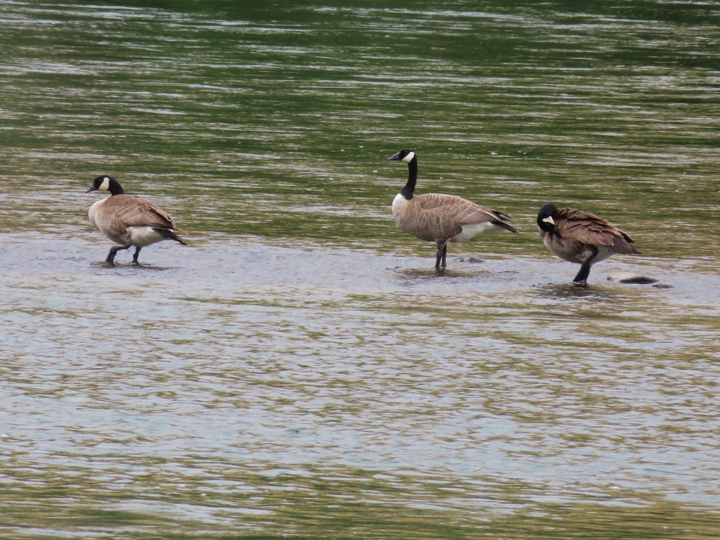
Mallards

Looking up toward Gordon Butte.

At mile six a train passed by on the far side of the river, one of several on the day.
It was a quarter to ten when I passed Mile 6 and given that I was likely moving at a little over 2.5mph I decided to make Mile 7 my turn around point. I did not account for there not being a post at Mile 7 so after another 30 minutes of hiking I turned around.


Mallards and common goldeneyes

I was spending a lot of time scanning the hillsides for bighorn sheep.

Seagull with a fish.

More common goldeneyes.

Passing the former site of Free Bridge. An 1887 bridge built by Wasco County allowing for a free crossing of the river. The bridge was upgraded in 1905 and apparently blown up in 1914 by someone opposed to it, possibly someone(s) who operated a competing toll bridge.

The remains of Free Bridge.


Four cormorants standing on rocks and two common mergansers.

My turn around spot. This was about 10.5-miles from where Heather and I had turned around on our Macks Canyon hike along the river in 2018 (post).
I had gone four tenths of a mile beyond the 7-mile mark. I was happy to be heading away from the sun as I headed back which made the views better.


Passing the Free Bridge site again.
I had started to think it wasn’t going to be my day for spotting bighorn sheep but then I spotted something a little off top of a cliff up the hillside.

Can you spot it?


She had spotted me.
We watched each other for quite a while before she decided I was no threat and went back to grazing.

That was the only sheep I saw but given how seldom we are even hiking in bighorn sheep habitat, it was more than enough. After she went back to eating, I continued my hike.


Another access road down to an outhouse and camps.


Great blue heron
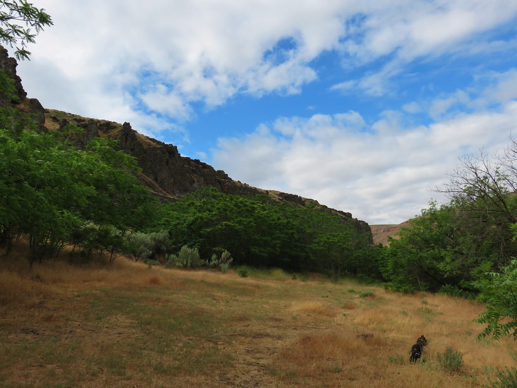
When I got back to the Gordon Cliffs, I found the clouds/fog again.


Gordon Canyon
At Gordon Canyon I turned off the Deschutes River Trail and onto the unsigned Blackberry Trail.

As I made my way along the grassy track I occasionally checked to make sure, I wasn’t picking up any ticks which can be an issue here in both winter and spring. I saw a lot of birds but no ticks.


Yellow-rumped warbler


Geese and common goldeneyes.
I took a spur trail back up to the Deschutes River Trail before reaching the southern end of the Ferry Springs Trail to give myself that option if the cloud cover wasn’t too much.


Rock wren

Ferry Springs Trail on the right with the Riverview Trail ahead on the left.
Looking up the Ferry Springs Trail gave me no confidence that I would get any views along that trail, so I went with Plan B and turned onto the Riverview Trail.

Nope
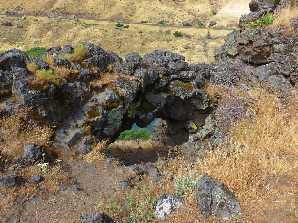
The Riverview starts at a rock arch and heads uphill to the right of it nearly parallel to the Deschutes River Trail.


Looking down at the junction from the Riverview Trail.


After 0.4-miles on the Riverview Trail I came to a junction with a pointer for the Blackberry Trail. I had the choice of sticking to the Riverview Trail or dropping down to the Blackberry Trail. Both would lead me to the Lower Deschutes Trailhead. I decided I’d rather be closer to the river, so I dropped down.


I turned right on the Blackberry Trail and followed it 1.4-miles to Lower Deschutes Trailhead.


Song sparrow

Blackberry bushes along the Blackberry Trail.


The empty Lower Deschutes Trailhead at the end of the dog area.
From the Lower Deschutes Trailhead I walked up the park entrance road 0.4-miles to the Old Railbed Trailhead.


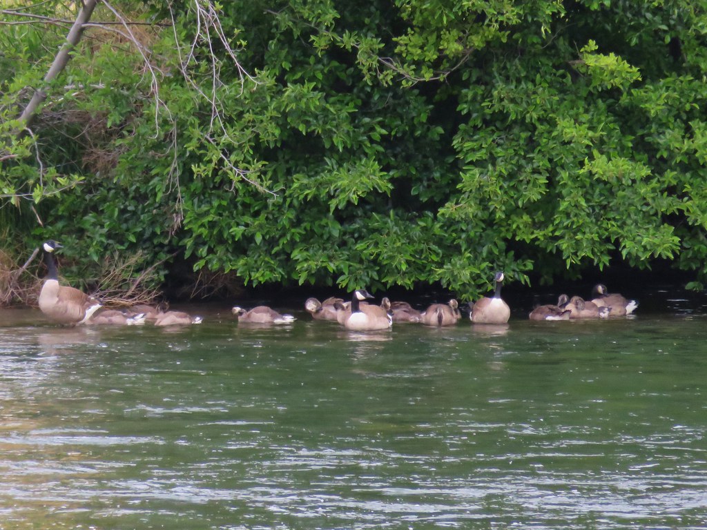
Geese

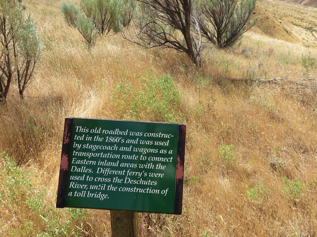
Oregon Trail information.

My hike came in at 14.8-miles with approximately 400′ of cumulative elevation gain.

Despite the cloudy conditions this was a nice hike. The trails were not busy and there was a good amount of wildlife. The highlight was seeing a bighorn sheep on a hike for the first time since 2019. Happy Trails!
Flickr: Lower Deschutes River


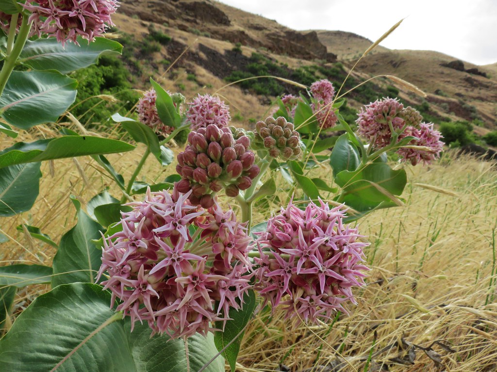 Showy milkweed
 Chicory
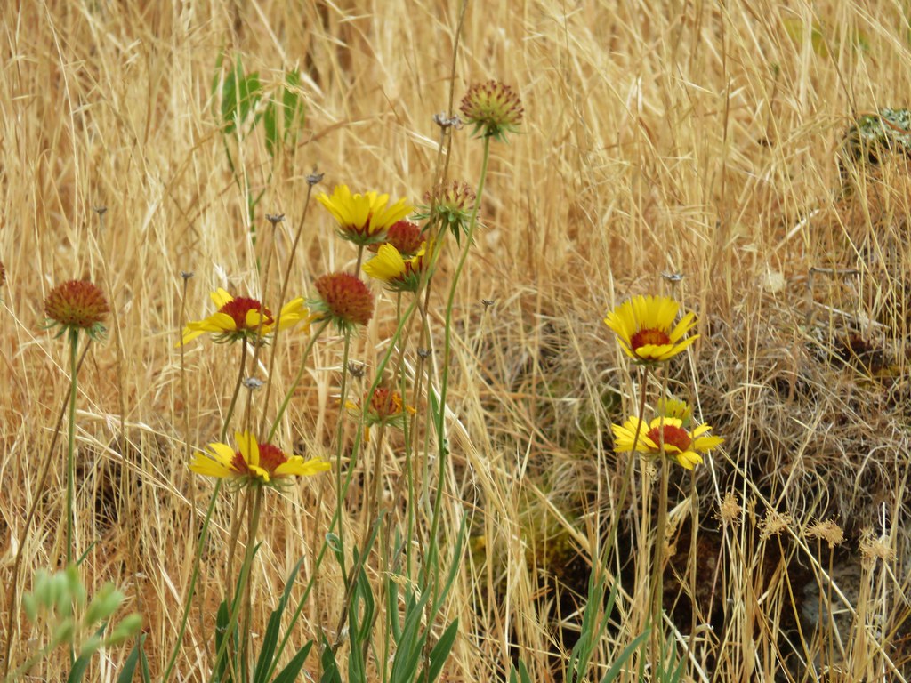 Blanket flower