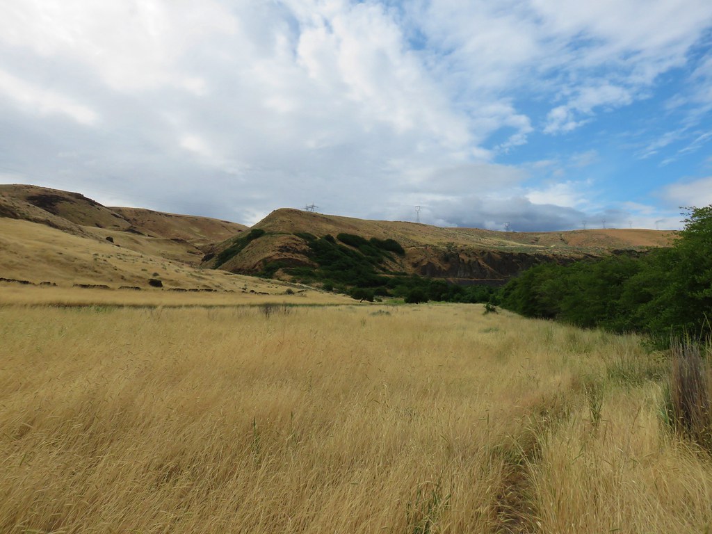
We continued to rearrange our vacation plans based on a seemingly ever changing forecast. On Sunday night the Monday forecast for Silver Star Mountain was mostly sunny so we decided to make our third visit to the area. Our first hike at Silver Star Mountain began at the Silver Star Mountain Trailhead in 2013 (post). The road to that trailhead has become extremely rough and is now only recommended for high clearance vehicles. Then in 2015 we used the Bluff Mountain Trail to visit Silver Star (post). A better road but still a bit rough and further away.
For this visit we would start at the Grouse Vista Trailhead. We took the Battleground approach described in the trailhead link which was a mostly paved road approach with just a final 5.5 miles of decent gravel driving.
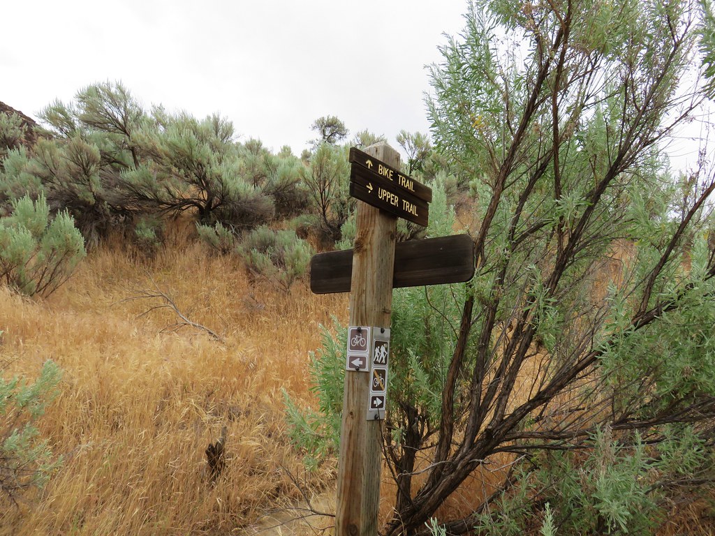
The Tarbell Trail crosses the road at the trailhead. The route to Silver Star begins on the far side of the road, opposite the restrooms and signboard. (A Washington Discover Pass is required to park here.)


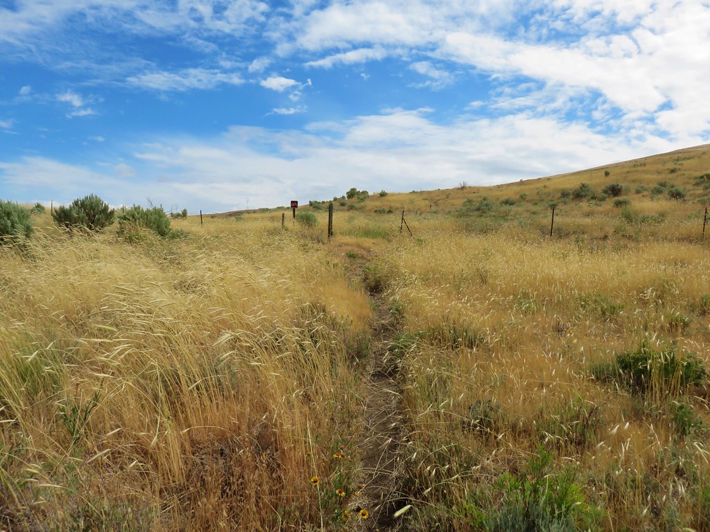
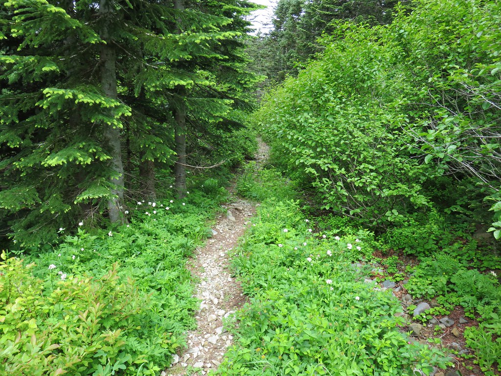
The trail climbs from the start as it follows an old roadbed uphill.

The Tarbell Trail splits off just before the .2 mile mark allowing for a loop. We stayed right at the fork on the Grouse Vista Trail.
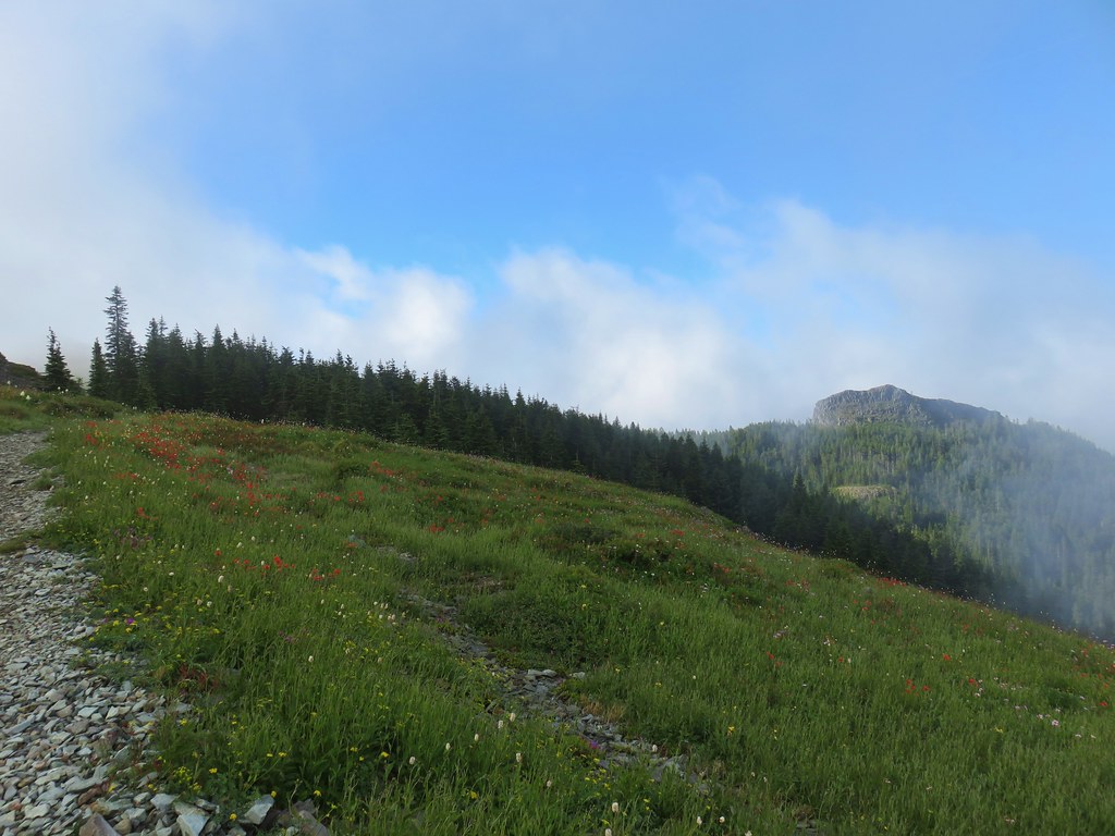
The trail gains 500′ over the next half mile as it climbs up a ridge end. The rocky surface provides an added challenge.

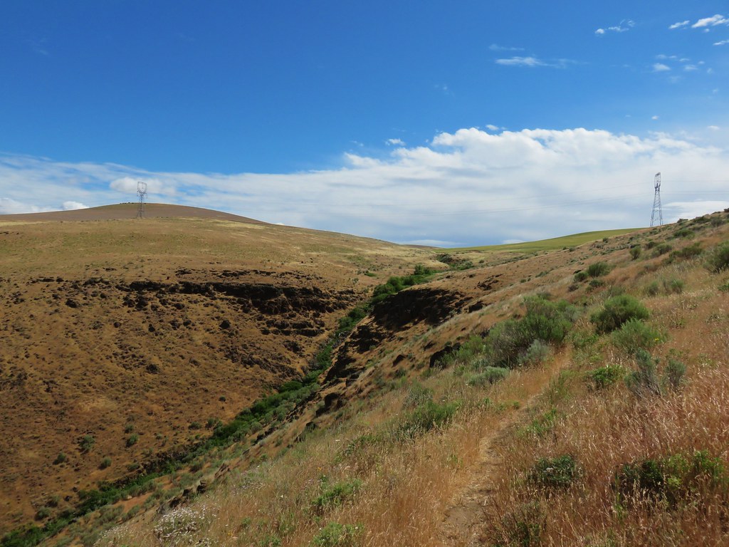
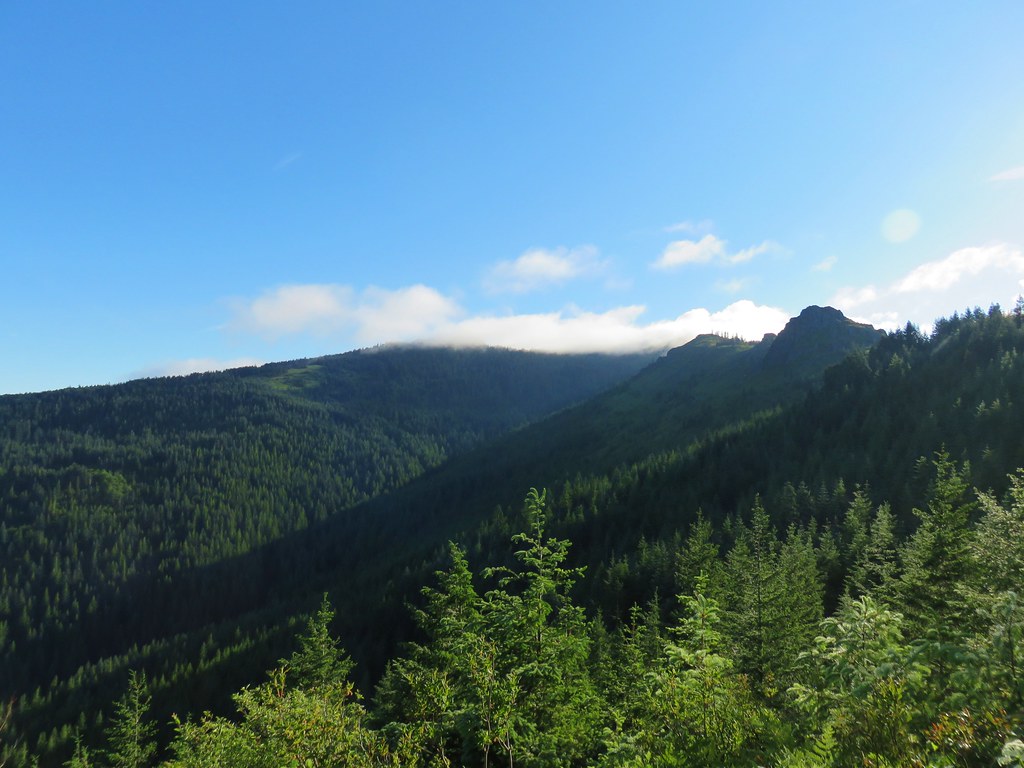
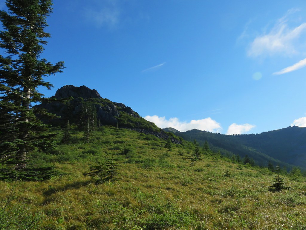
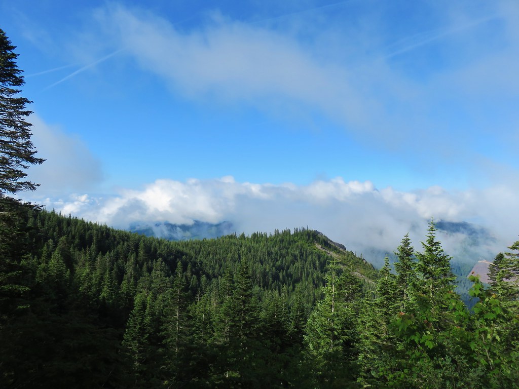
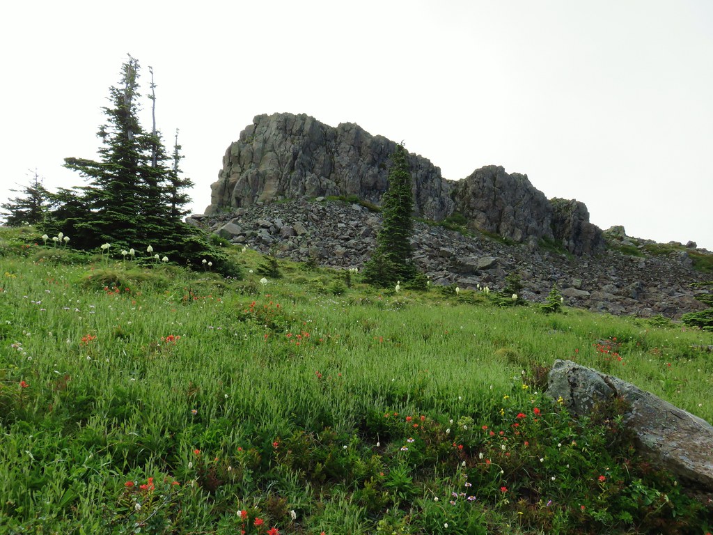
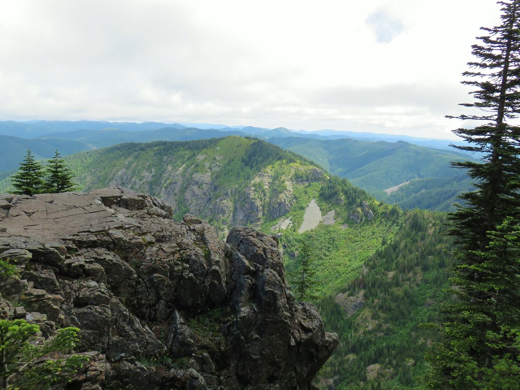
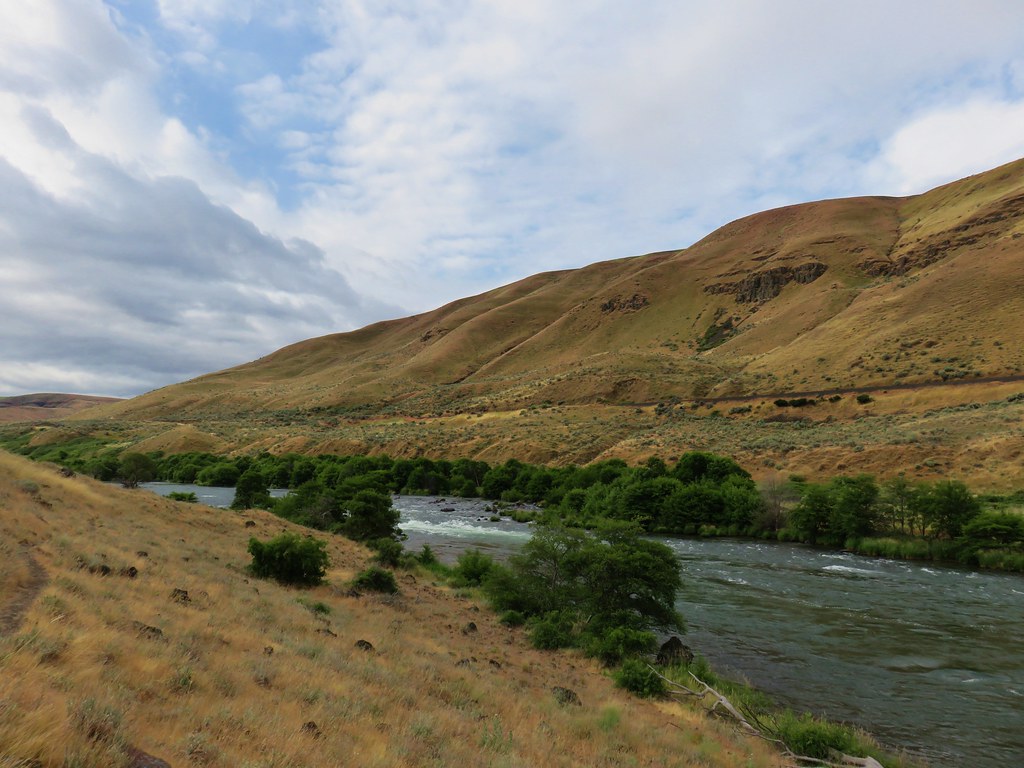
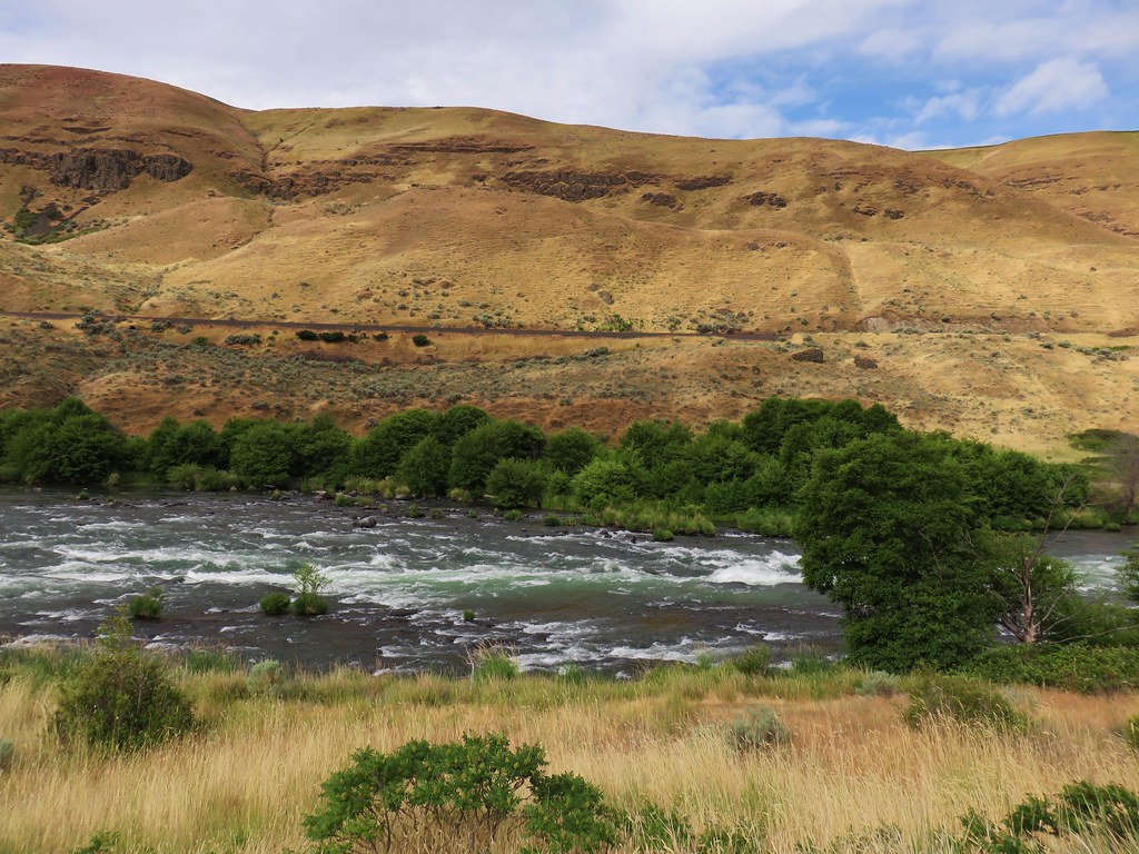
As the trail begins to emerge from the trees Sturgeon Rock is visible across the Rock Creek Valley (when clouds aren’t hovering over it). The loop route that we were considering would have us descending beneath Sturgeon Rock.

The trail continued to climb around the ridge and we soon found ourselves with a view of Pyramid Rock (and the Sun).

 Sturgeon Rock (still with cloud) and Pyramid Rock
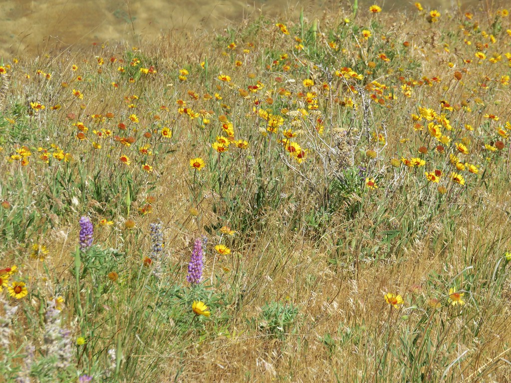
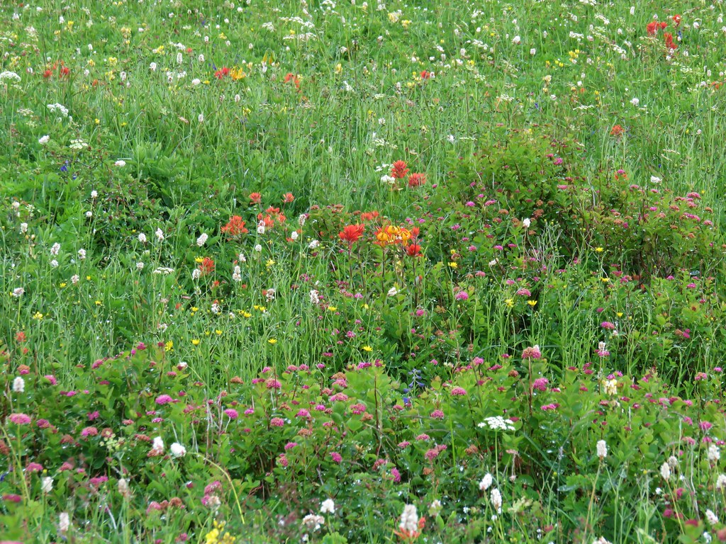
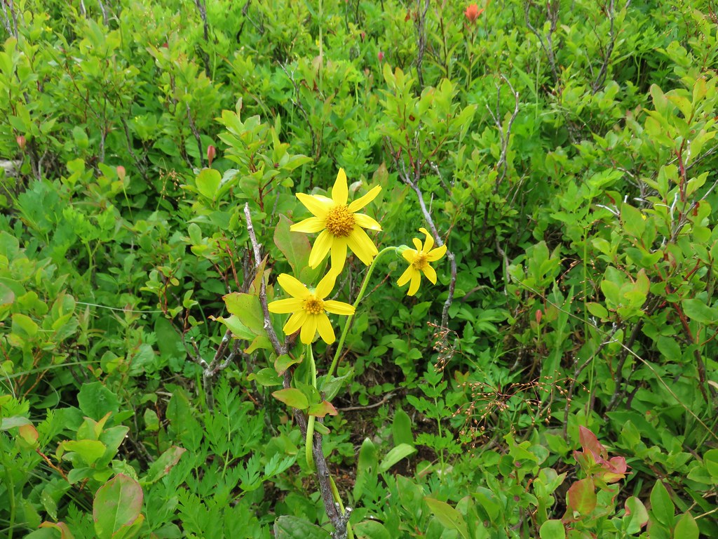
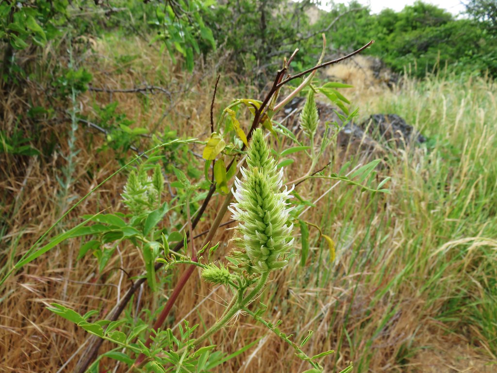
A smattering of flowers were popping up along the trail as we approached Pyramid Rock.
 Wild iris
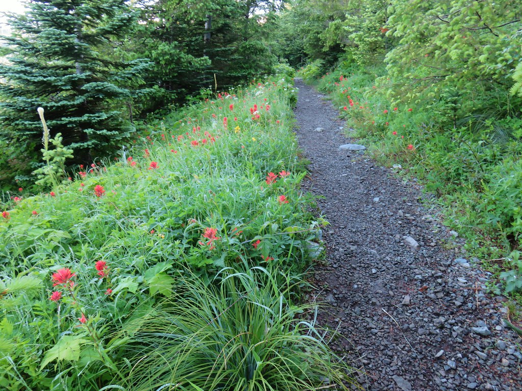
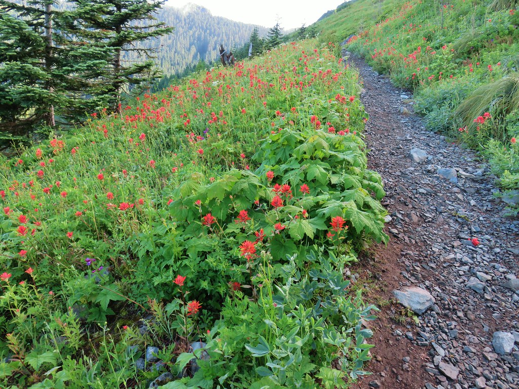
 Paintbrush and lupine
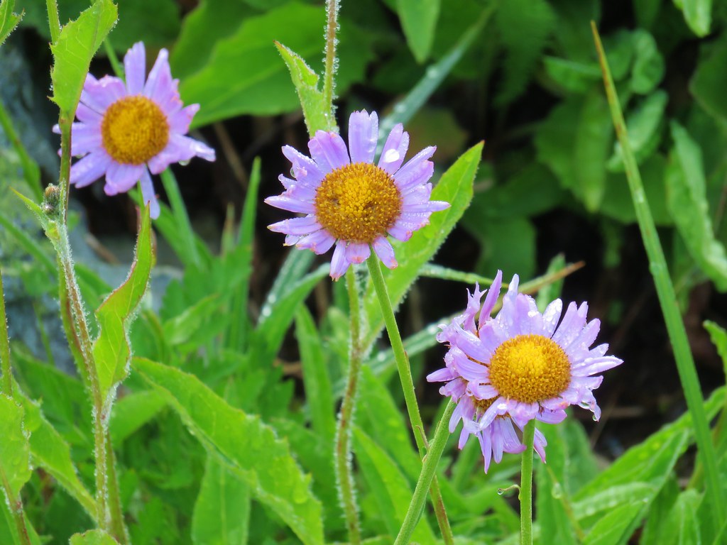
 Daisies
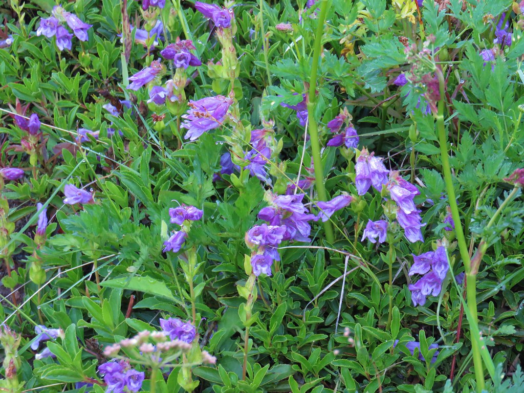
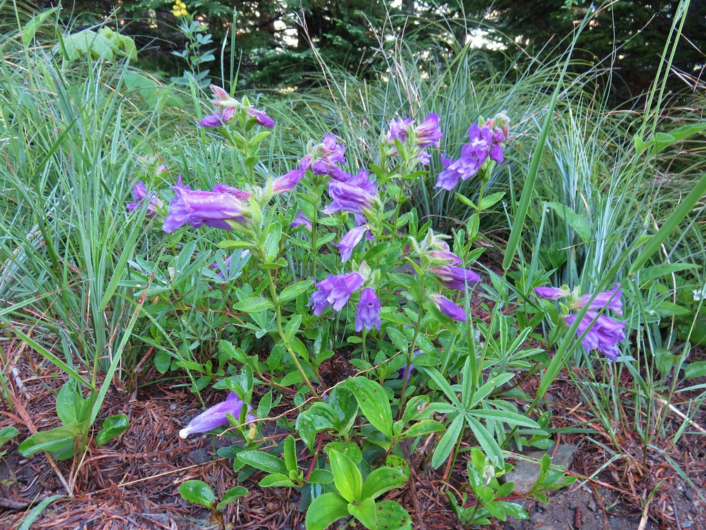 Penstemon
Shortly before reaching Pyramid Rock we detoured on a spur to the right that lead up to a meadow in a saddle.


Here we had what would turn out to be our only view of a Cascade volcano on the day as Mt. Hood rose above a mass of clouds over the Columbia River Gorge.


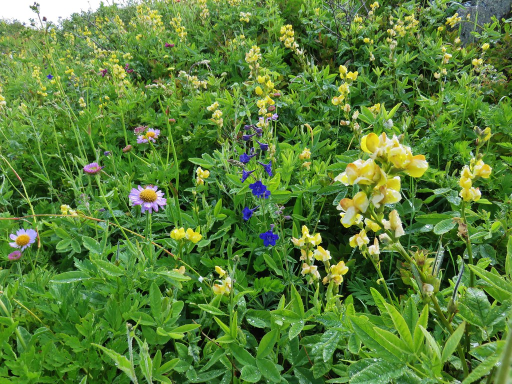
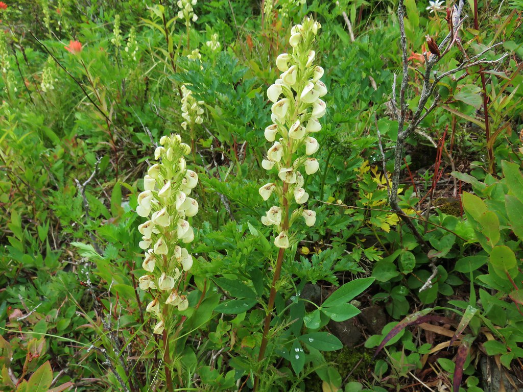
We returned to the trail and continued heading toward Sturgeon Rock past ever improving flower displays.
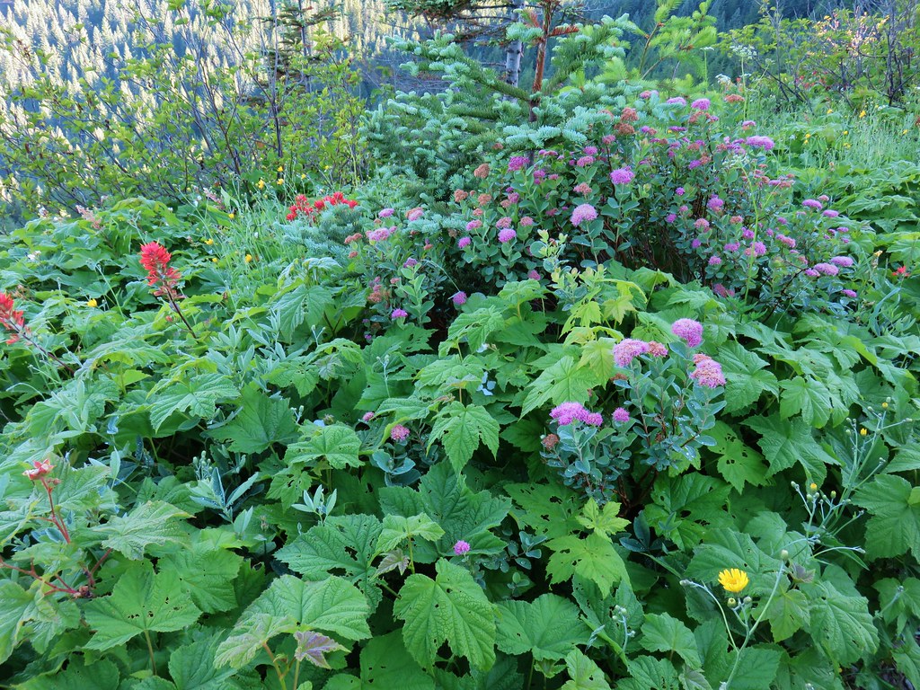 paintbrush and mountain spirea
 Beargrass


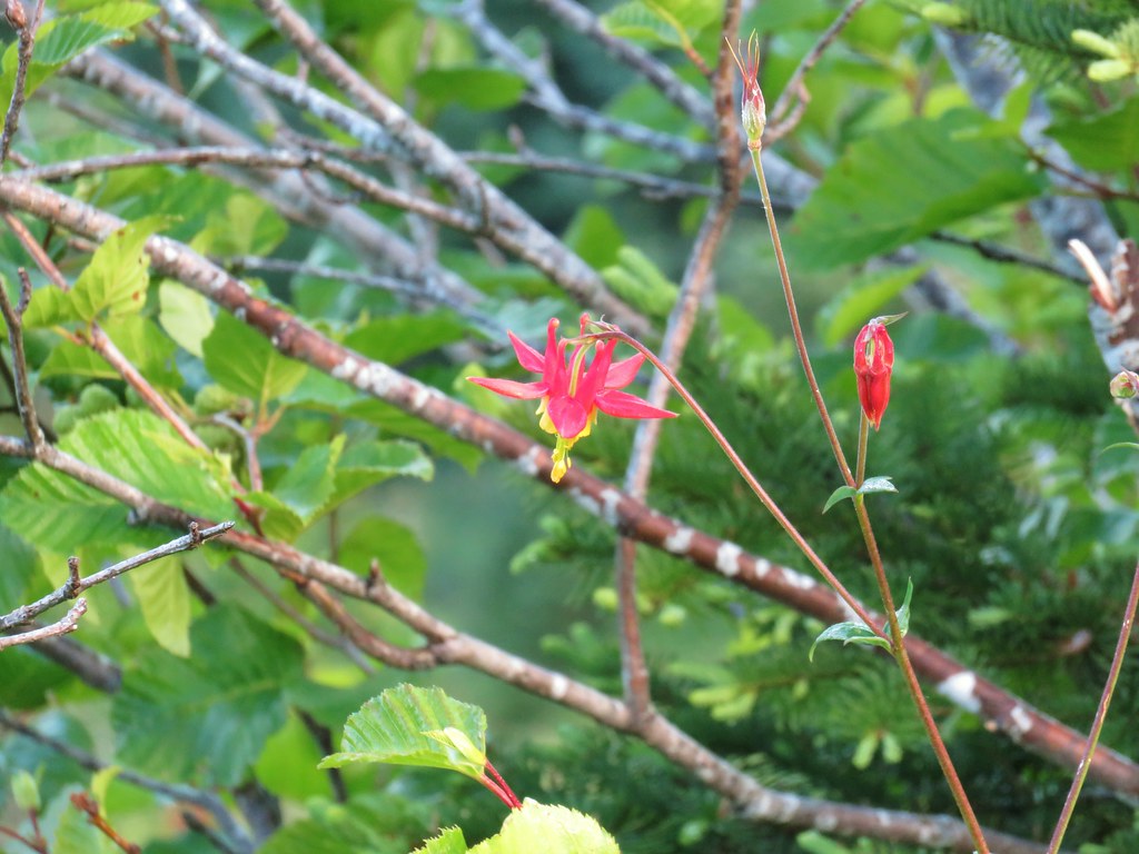 Columbine
 A penstemon
 More penstemon
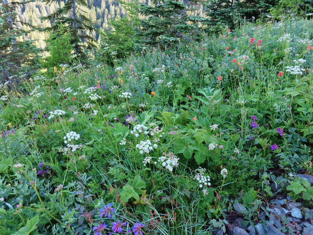 Variety pack
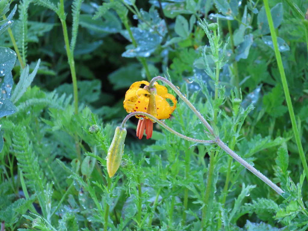 Tiger lily
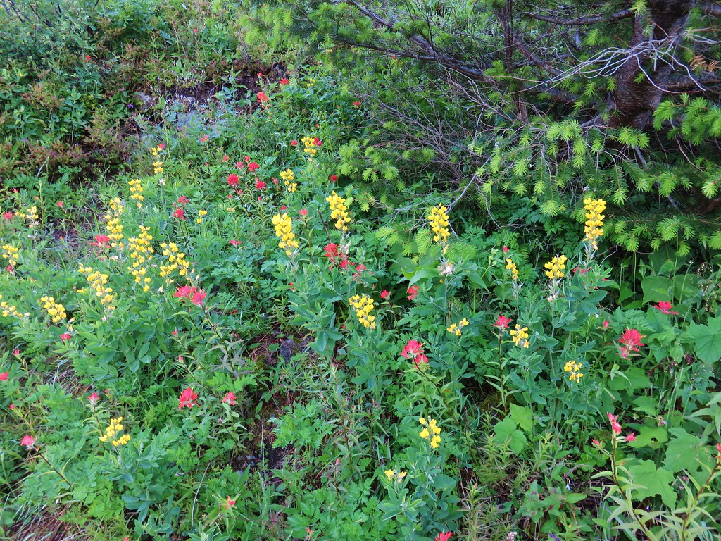 Golden pea and paintbrush
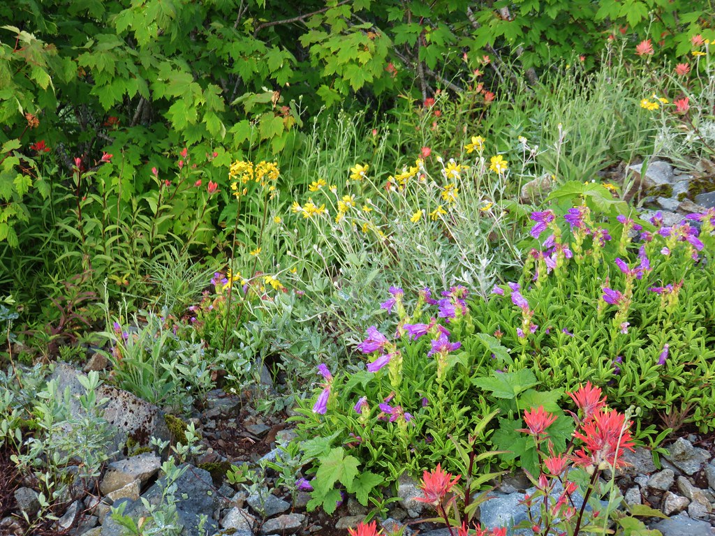 Another variety pack
 Wallflower
As we neared the junction with the summit trail we could see that clouds had now overtaken Pyramid Rock.
They were moving up the Rock Creek drainage heading for the summit of Silver Star so when we arrived at the large rock cairn marking the junction we decided that we would skip the summit for now and head north on the Silver Star Trail.

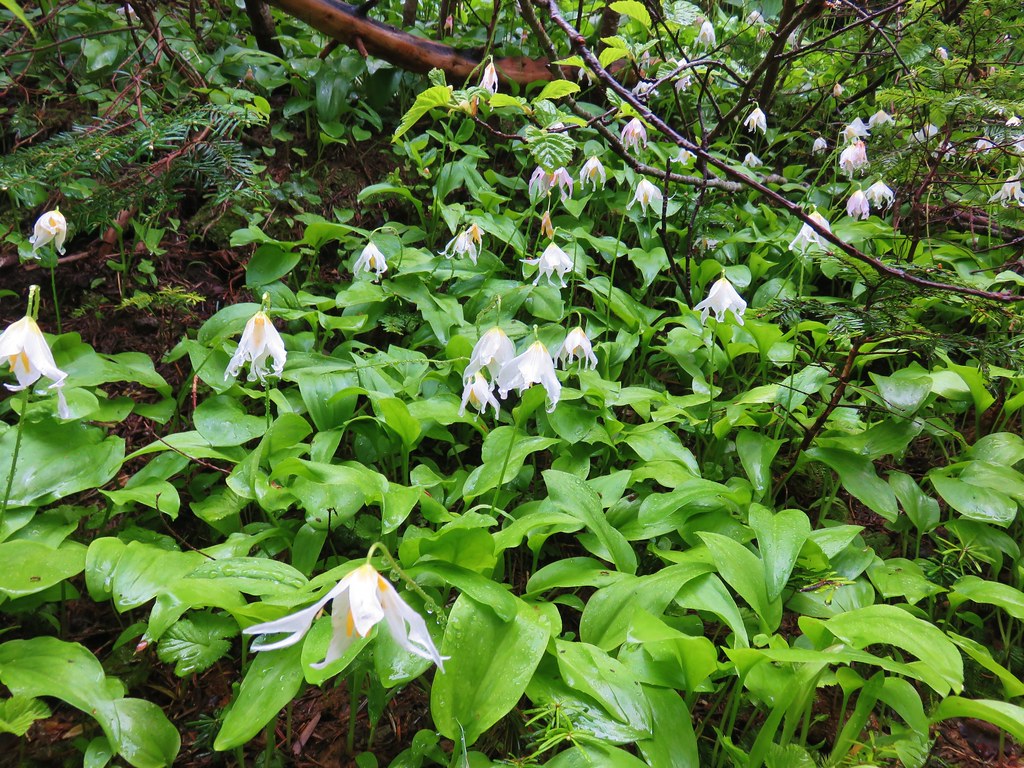 Avalanche lilies near the junction.
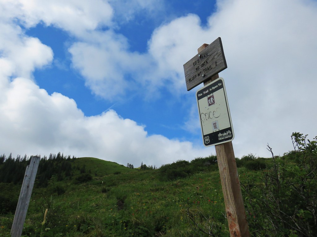
 Sign for the Silver Star Trail.
 Silver Star Trail
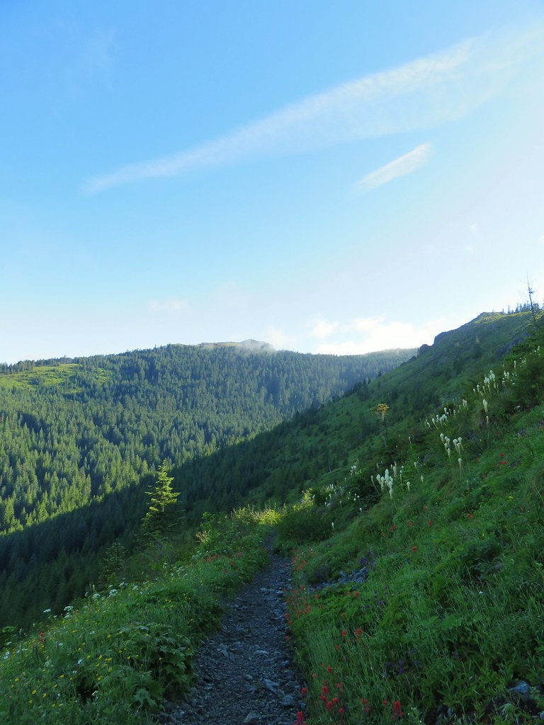
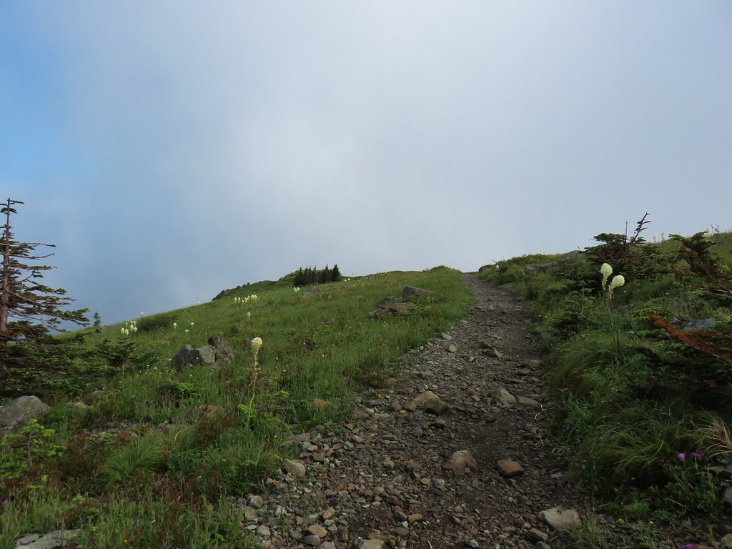
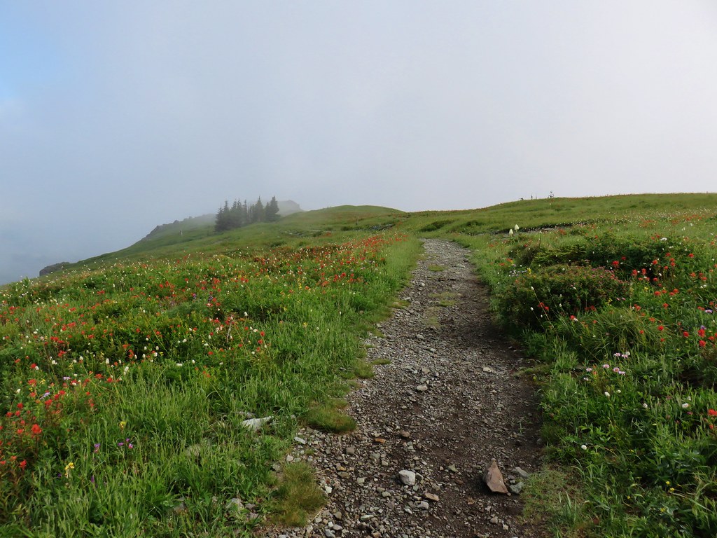
We headed out along the Silver Star trail which began on top of the ridge. This was a new section of trail for us as we had done a big loop around the ridge on our first visit. There wasn’t much visible at the first viewpoint we arrived at but we were able to see Little Baldy which the Bluff Mountain Trail passes along.
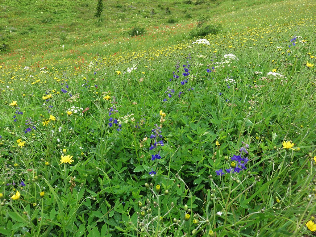
We followed this trail along the ridge for just over a mile and a half passing in and out of the clouds as they in turn passed over the area. The lack of views was mildly disappointing but the flowers more than made up for it.


 Sturgeon Rock momentarily out of the clouds.


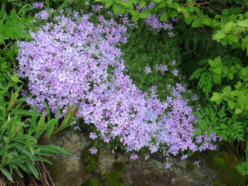 Phlox
Phlox
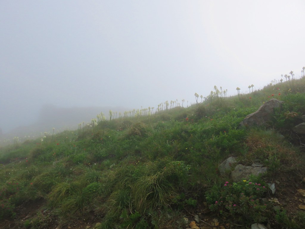 Beargrass


 White crowned sparrow
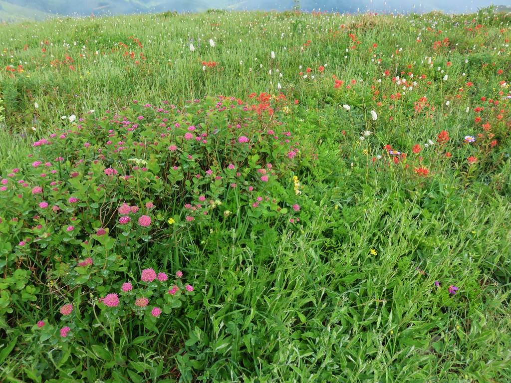
We arrived at Ed’s Trail having already seen a wide variety of flowers.
We turned up Ed’s Trail wondering if we could possibly see any more types.

For the most part it was the same cast but in continuously different combinations.


There were a few new sightings though.
 Cat’s ear lily
 Rose
Rose
 Violets
 Rock penstemon
And some we’d seen but not a lot of yet.
 Bleeding heart
 Candy flower

 Lousewort
 An aster or fleabane
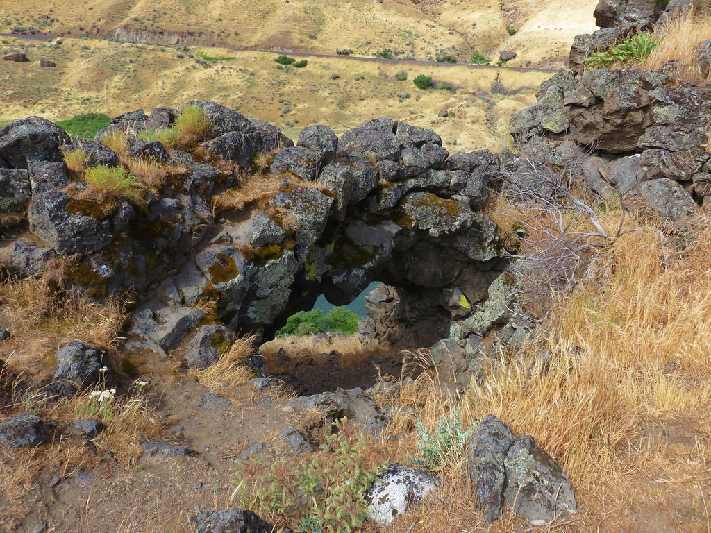
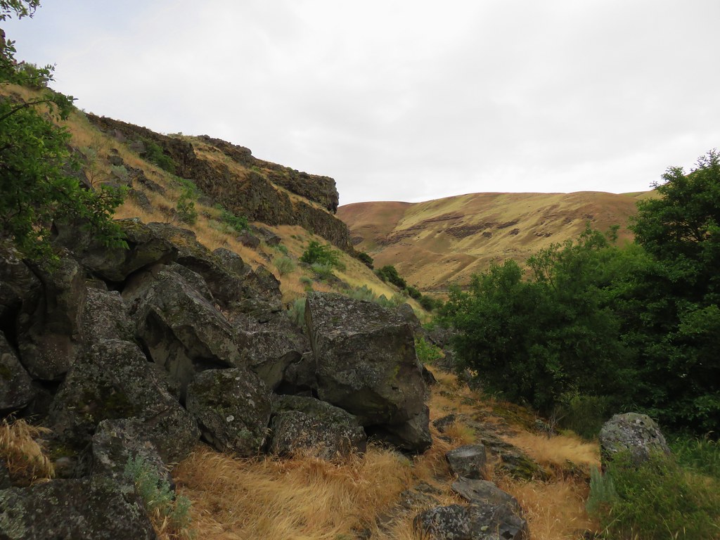
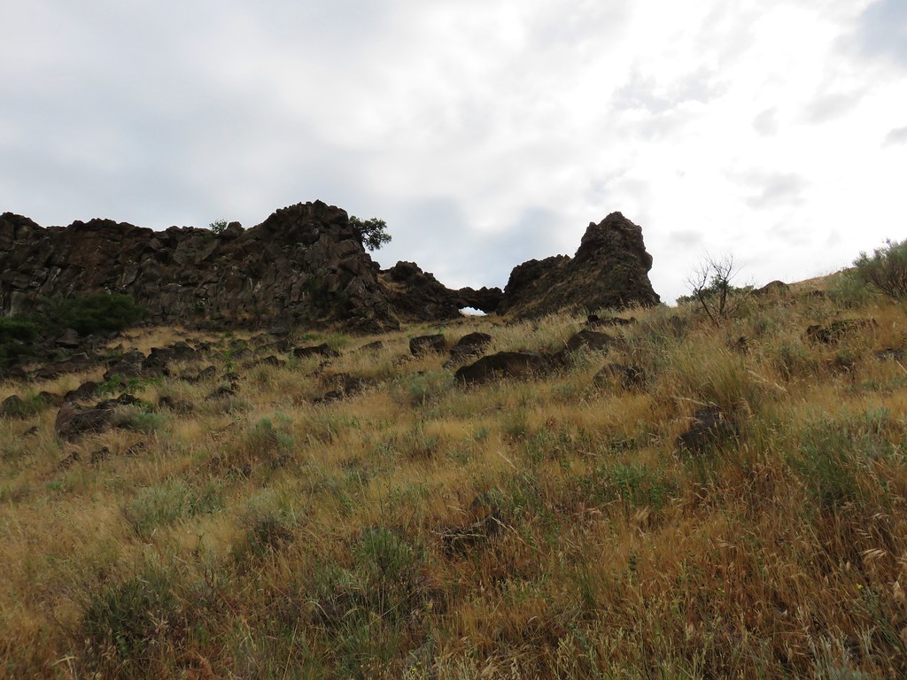
A unique feature of Ed’s Trail is a rock arch just past the one mile mark.

 Backside of the arch.
Beyond the arch the next quarter of a mile gets a little tricky. There are two short but steep scramble sections. The first was a bit muddy making it a little slick. The second is a rocky section with pretty good holds.
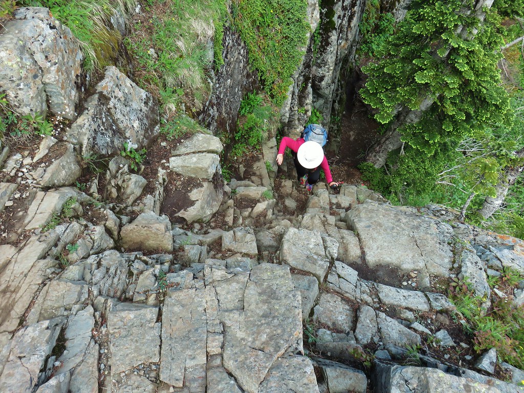

We had forgotten just how steep these places were and had considered doing the loop in the opposite direction. We were glad we had not.
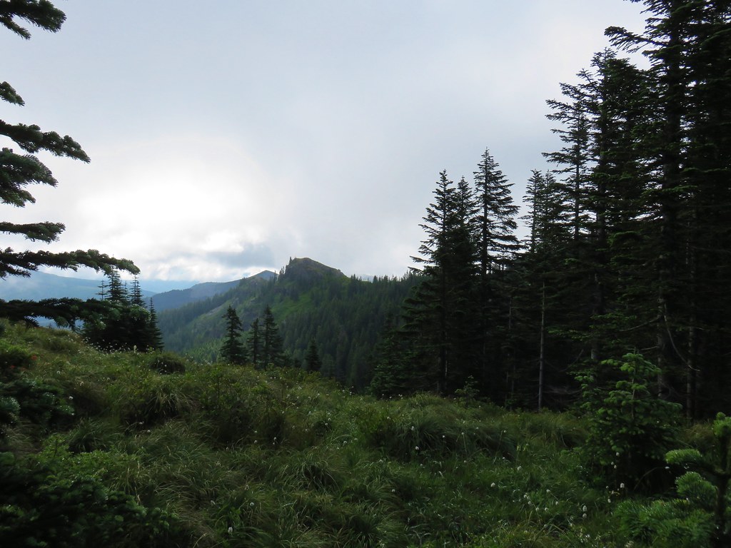
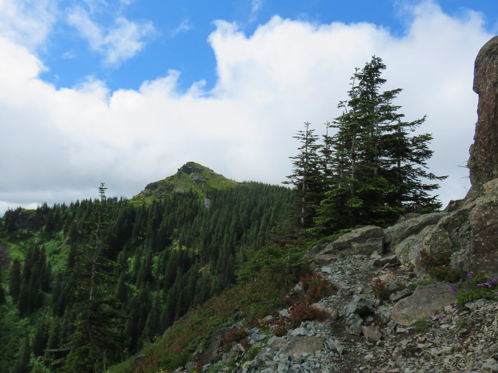
Silver Star’s summit soon came into view and although it was cloud free there didn’t appear to be much hope for views of the surrounding mountains anytime soon.
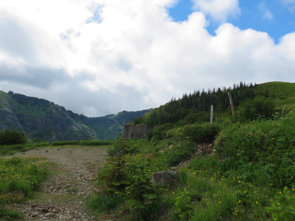
When we arrived back at the junction we eschewed the .3 mile climb to the summit opting to skip the 250′ climb since we’d been up there twice before and there weren’t going to be any views. Instead we continued past the rock cairn two tenths of a mile and turned down hill on a rocky unmarked roadbed.

This return route would add about 1.6 miles to the hike, but it would cut down on the amount of time spent descending on a rocky roadbed. We find that toward the end of hikes our feet and lower legs are much more sensitive to uneven terrain, especially loose rocks. We had been down this 1.4 mile section of road before passing the basalt columns of Sturgeon Rock.

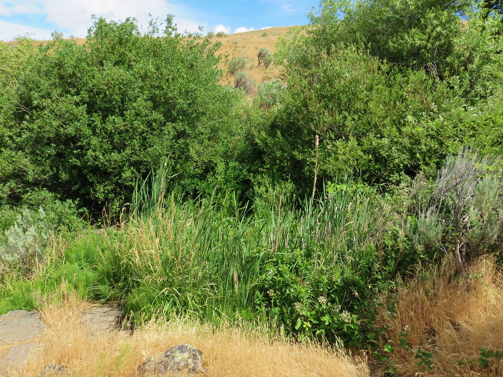
Silver Star was not done with the flower show even though we were now in denser forest as we spotted some marsh marigolds and marsh corydalis near a wet area.
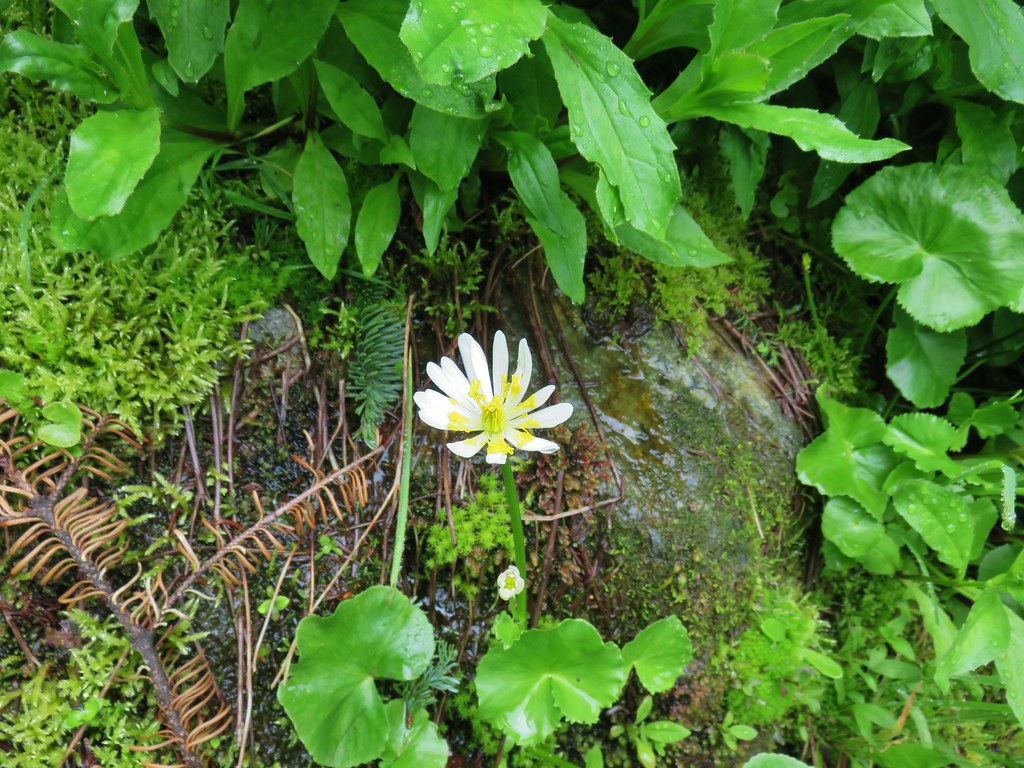 Marsh marigold
 Marsh corydalis
The section of the Tarbell Trail that runs from the Grouse Vista Trailhead to Hidden Falls had been closed on weekdays during much of 2018 due to an active logging operation. There were plenty of signs of it when we arrived at the junction with that trail.

We turned left onto the Tarbell Trail which followed the new logging road for a bit before crossing it into the clear cut.


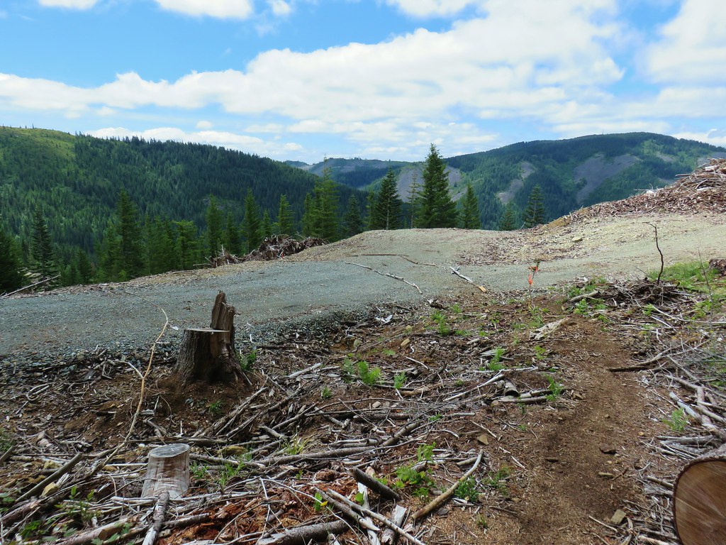

 Pyramid Rock from the Tarbell Trail
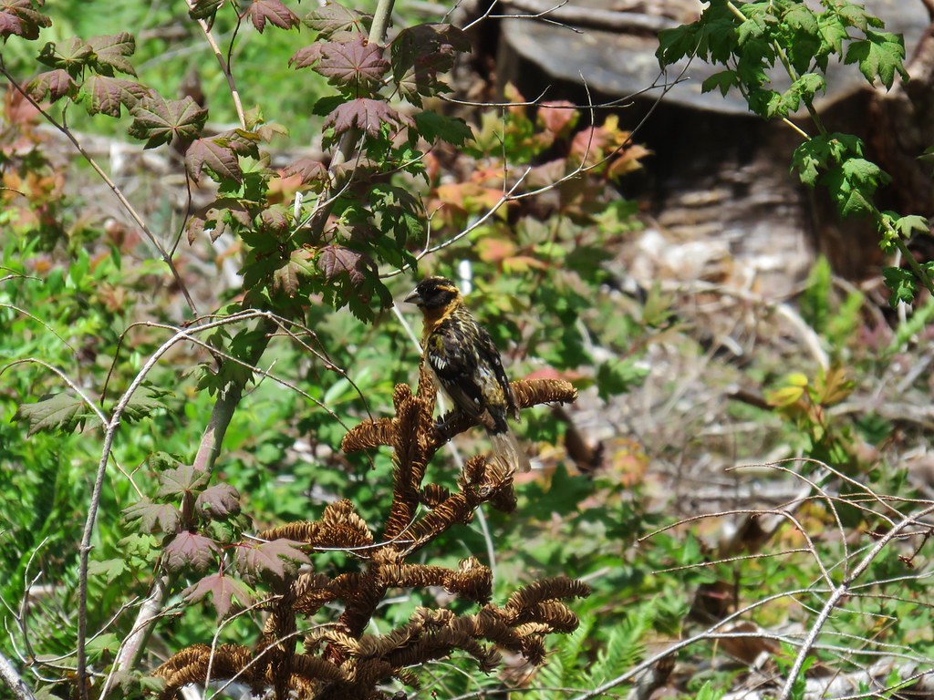 Black headed grosbeak
 Mountain parnassian
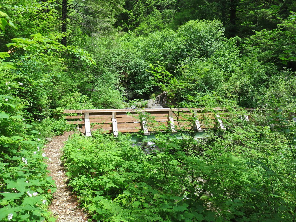
After descedning a series of switchbacks the trail left the clear cut and reentred the forest before reaching a footbridge over Rock Creek.

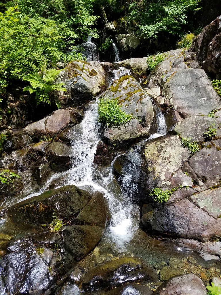
Beyond Rock Creek the trail traversed the hillside beneath Pyramid Rock wrapping around the ridge end to meet the Grouse Vista Trail. Along this final stretch we noticed some green orchids near a seep that was also popular with butterflies.


The trailhead parking lot had filled up while we’d been hiking but we only ran into a half dozen people on the trails, far fewer than the number of different flowers we had seen over our 11.1 miles. Happy Trails!


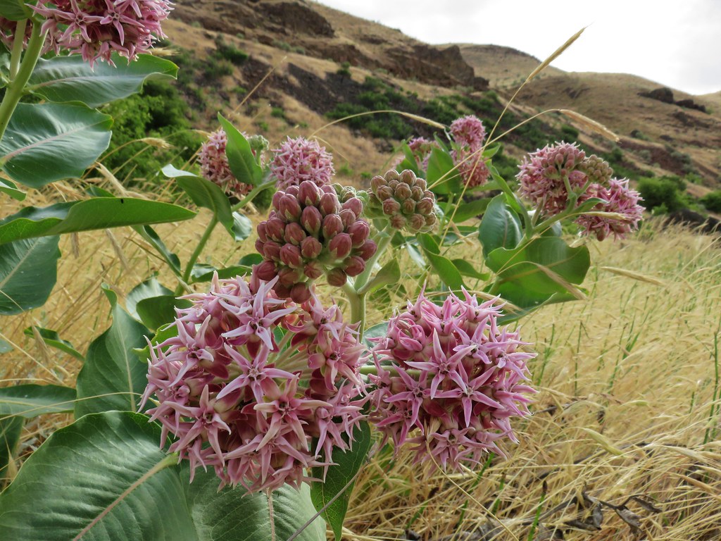 Showy milkweed
 Chicory
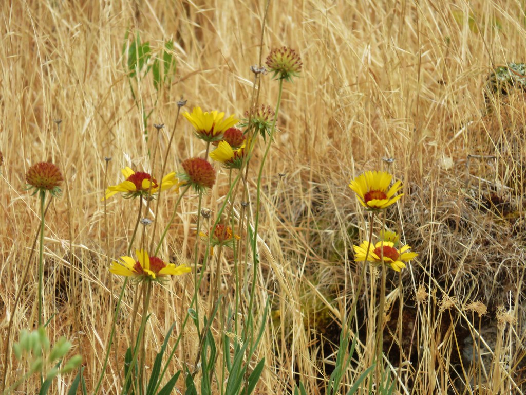 Blanket flower