For the third time this year we made the long drive to NE Oregon to visit the Eagle Cap Wilderness on our quest to finish the 100 featured hikes in William L. Sullivan’s “100 Hikes Easter Oregon” (2022 1st edition). We were down to one final hike, Hidden Lake. At over 16-miles and 2650′ of elevation gain we had decided to make the hike a backpack which we had intended to start on Sunday, but a “Fire Weather Warning” due to possible dry lightning storms prompted us to delay heading out for a day. We booked a second night in our motel room in Baker City and decided to spend Sunday at the National Historic Oregon Trail Interpretive Center.
We hiked a small portion of the trails located below the Center in 2023, but the Center itself had been closed for renovation. Our primary goal was to visit the exhibits inside the facilities and hoped to get in a little hiking as well if the weather cooperated. We arrived shortly after the Center opened at 10am.

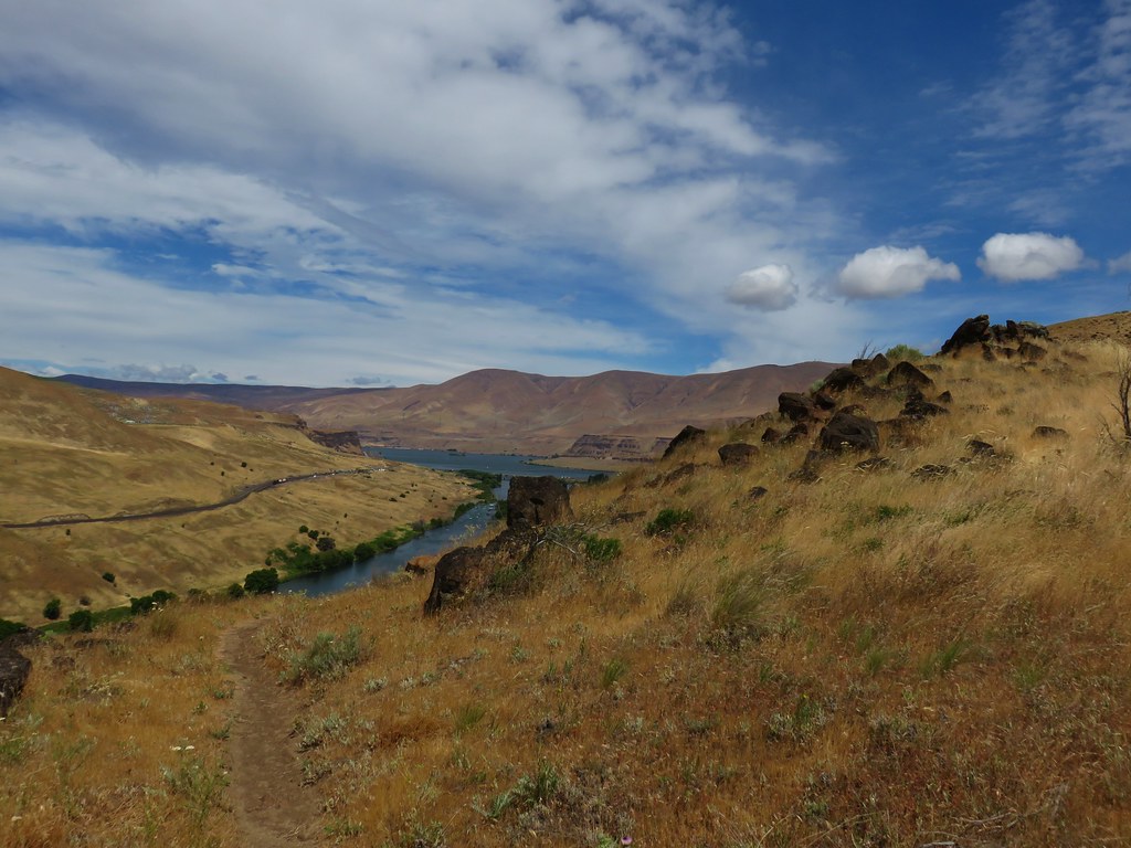
It was already over 80 degrees Fahrenheit, but there were no signs of immanent thunderstorms so we decided to hike first then go inside. We began at the “Wagon Camp” near the upper parking lot.

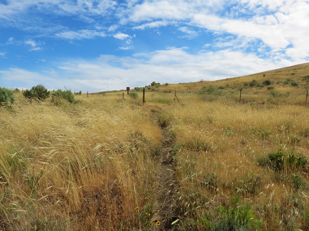
From the camp we followed the paved Flagstaff Hill loop downhill until we reached a pointer for the Ascent Trail.

 Aster
Aster

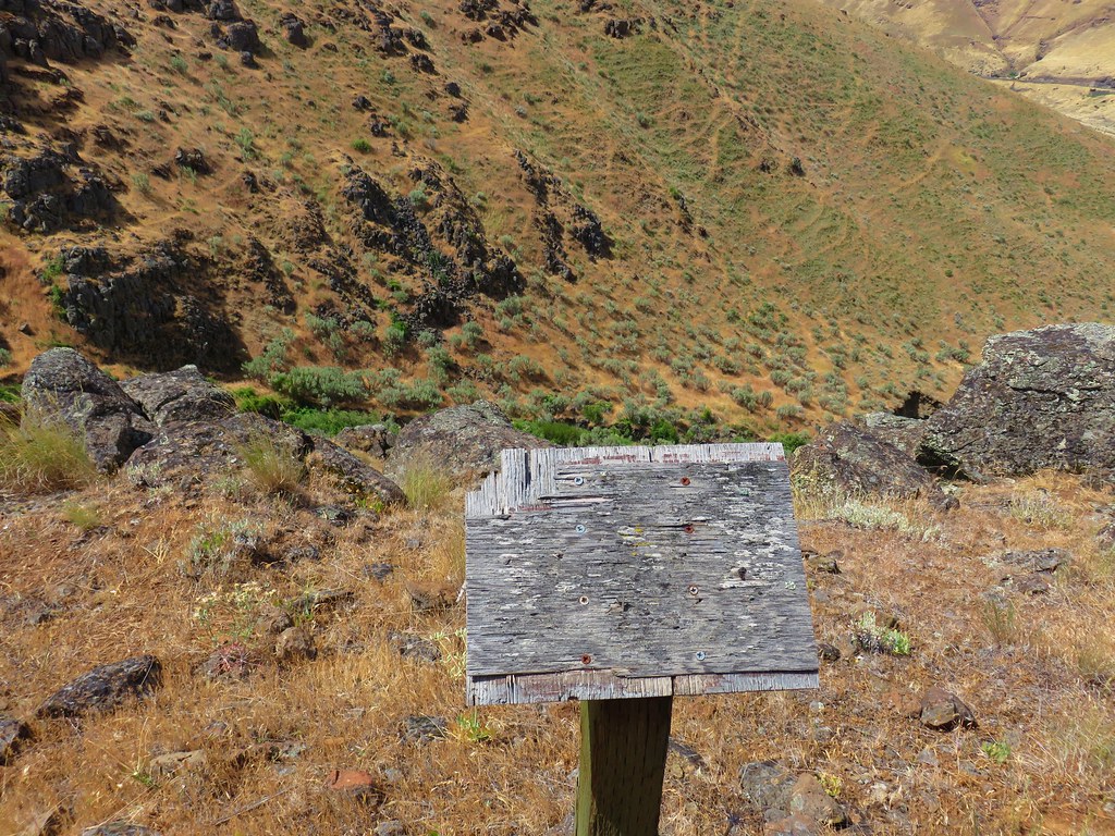
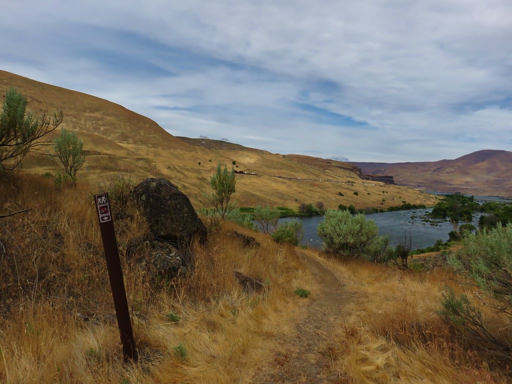
We turned left on the gravel Ascent Trail and descended for a little over three-quarters of a mile to a kiosk.
 The kiosk is straight ahead in the small gully.
 Cottontail
 In 2023 we had reached the kiosk from the Oregon Trail Ruts Trailhead along Highway 86.
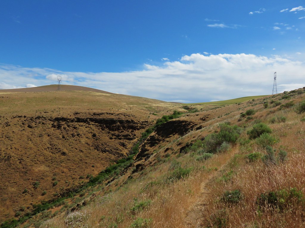
Since it was already uncomfortably warm out and we’d seen the ruts during our previous visit we made a hard right at a junction near the kiosk on a paved trail heading uphill.

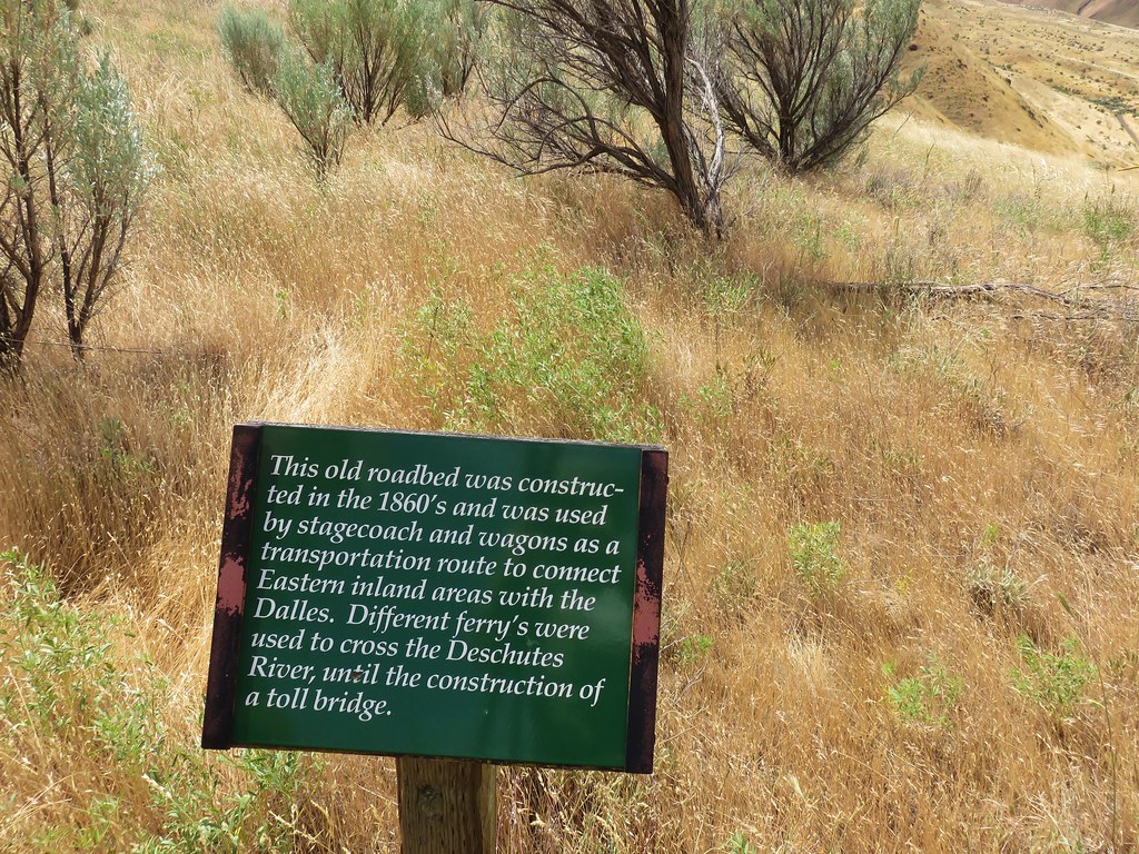
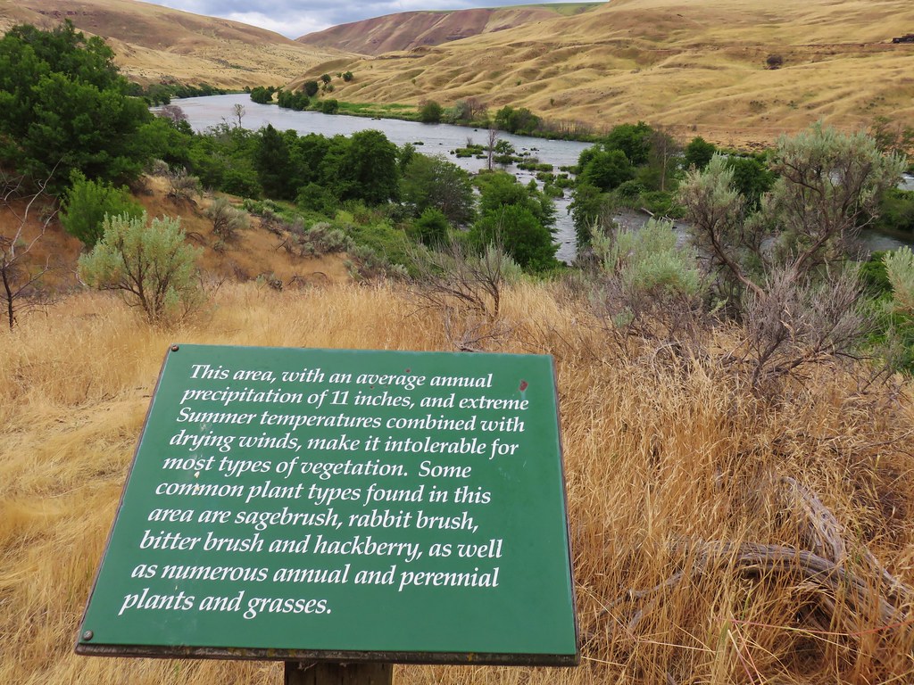
We followed this path, stopping to read the various interpretive signs along the way, to the spur path to Panorama Point.


We followed the short (0.1 mile) path to a covered viewing platform at Panorama Point where we took advantage of the shade and took a short break.


After cooling off a little we continued uphill toward the Center.

 Looking back toward Panorama Point.
At a point for the Blacksmith Shop I veered off the paved trail to visit that building as well as the Stamp Mill. Heather continued on the paved trail on a quest for the water that we’d left in our car.


A set of stairs led uphill from the Stamp Mill back to the paved path near the Load Mine.


After checking out the mine I continued on the Flagstaff Hill Loop passing behind the center and climbing to a set of covered picnic tables where Heather, and the water, was waiting.

After another short break we headed into the Center and spent a couple hours taking in the exhibits.

The exhibits were informative and very much worth a visit. Our minds were blown multiple times as we took in the information and tried to process what it would have been like to have taken the Oregon Trail.
The hike was nice too, but it took a back seat in this case. It was just under 3-miles with a little over 350′ of elevation gain.
 Dotted is this trip, solid is 2023.
While we didn’t see or hear any thunderstorms there were a couple of rain drops on our way to dinner at The Cabyn, a new restaurant that had recently opened in downtown Baker City. Trying new restaurants can be a bit of a roll of the dice, but The Cabyn did not disappoint. We tried the venison and beef birra tacos, chorizo stuffed mushrooms, and Philly eggrolls which came with a fondue dip. The food was wonderful and we both agreed that the stuffed mushrooms were one of the best things we’d ever tried. Hopefully they will have a long and successful run. I know the next time we’re that way we’d make it a point to eat there again. Happy Trails!
Flickr: Panorama Point


 Memorial to pioneers dedicated by President Harding in 1923.


 The Cabin Loop sign pointed up this hill.
 Thistle
 Foam flower
 Coneflower
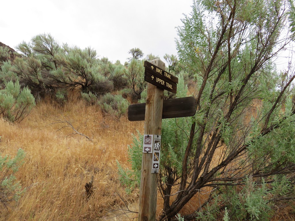
 There were virtually no signs to indicate what any of the trails were or where they led.
 We had to duck under this tree.
 Mountain lady slippers that had bloomed many weeks ago.
 Pearly everlasting
 Paintbrush
 Thimbleberries
 Aster
Aster It was hot (pushing 90 Fahrenheit) which made the climbing less enjoyable.
 This was most likely the Nature Trail rejoining from the left.
 Not sure if this is native or invasive.
 Wedding set up behind the Community Building.
 Bee on fireweed.
 Horse Camp


 Hoary aster
 The interpretive center on Flagstaff Hill.


 Map near the wagon.


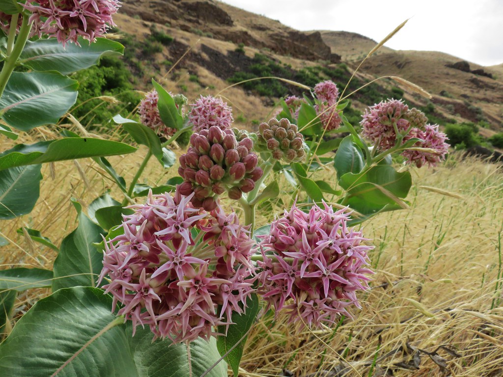 Showy milkweed
 Chicory
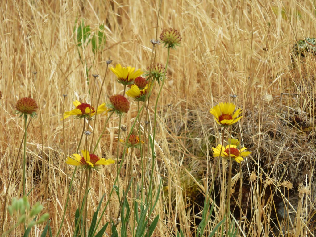 Blanket flower
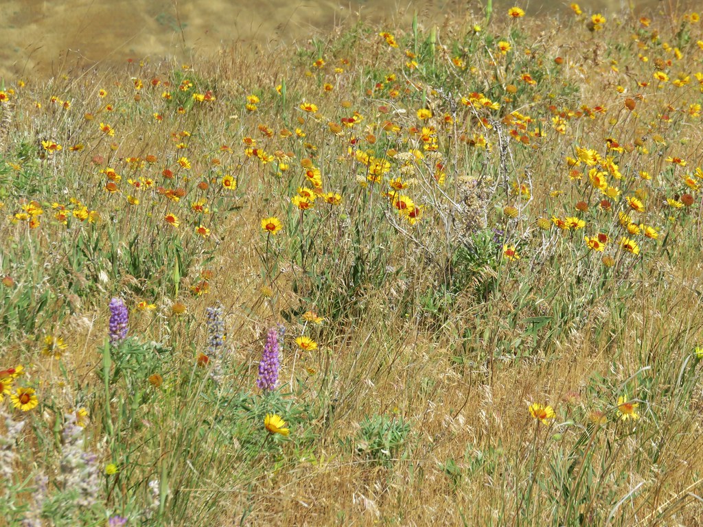