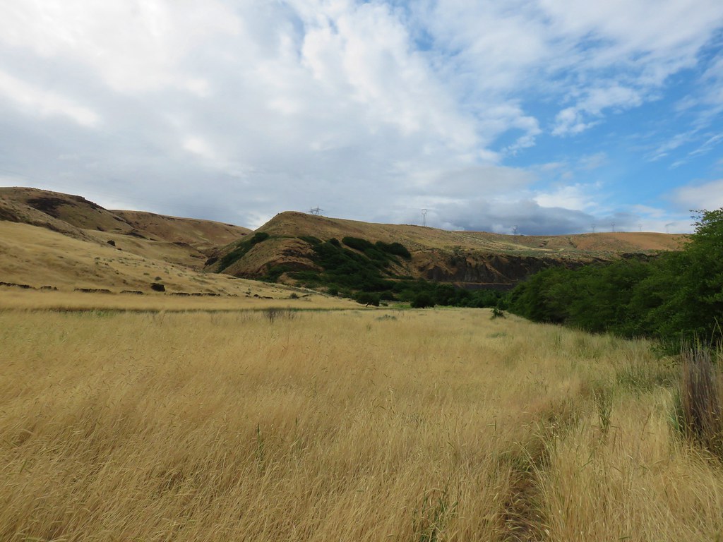
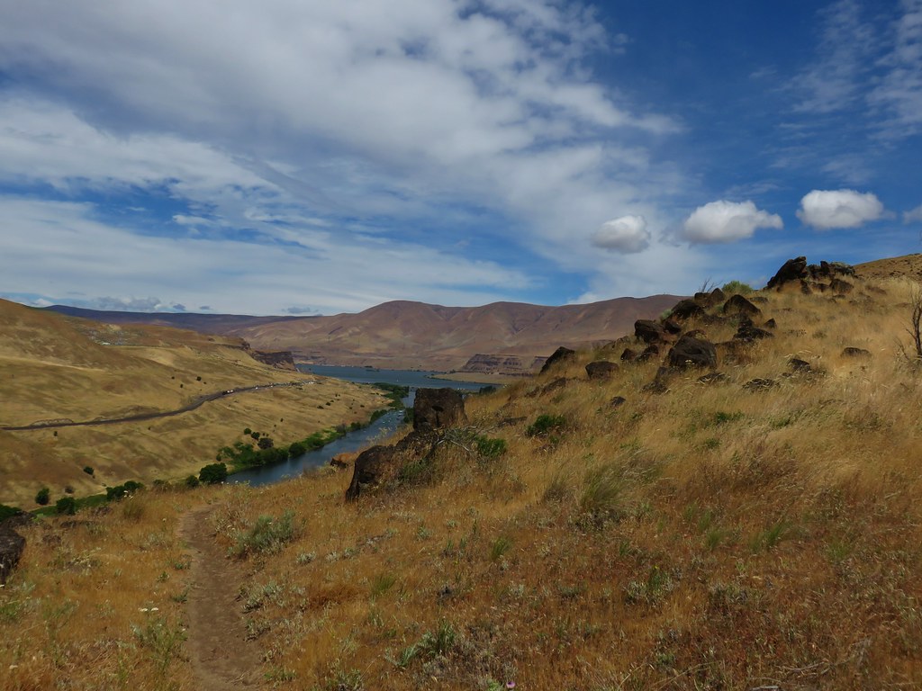
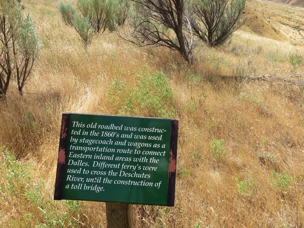
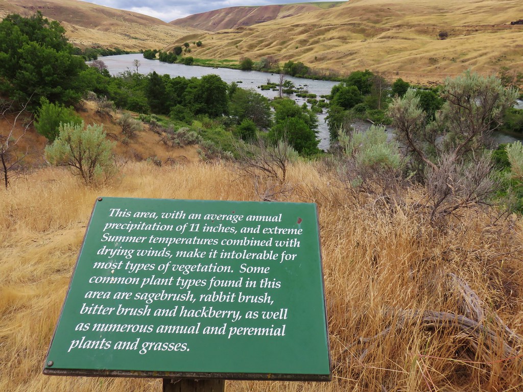
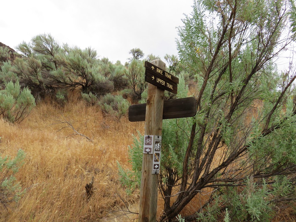
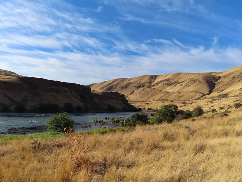
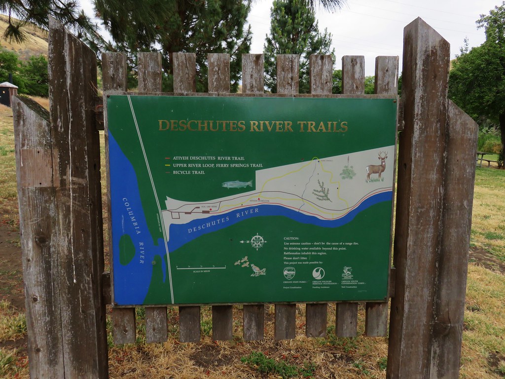
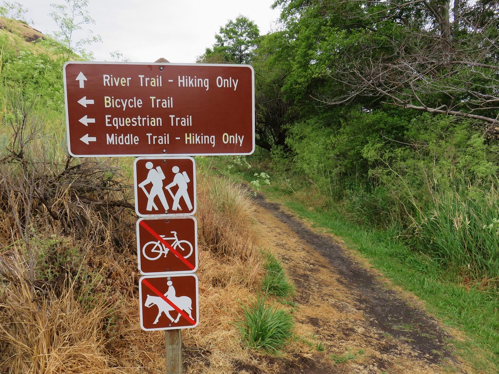
After spending two days hiking in the Blue Mountains NE of Pendleton it was time to head home. We typically look for a short hike that can act as a leg stretcher when we are facing long drives to or from a vacation spot. Driving from Pendleton to Salem meant looking for something along I-84 preferably closer to Pendleton than Salem. Looking through our hiking books gave us the perfect answer, Heritage Landing. The hike along the Deschutes River from Heritage Landing is included in Matt Reeder’s “PDX Hiking 365” guidebook (Hike #9). There is also an entry for the hike on Oregonhikers.com as well. Heritage Landing is primarily used by rafters and fishermen but the fishermen and other users have created a series of trails up river at least as far as Rattlesnake Bend.
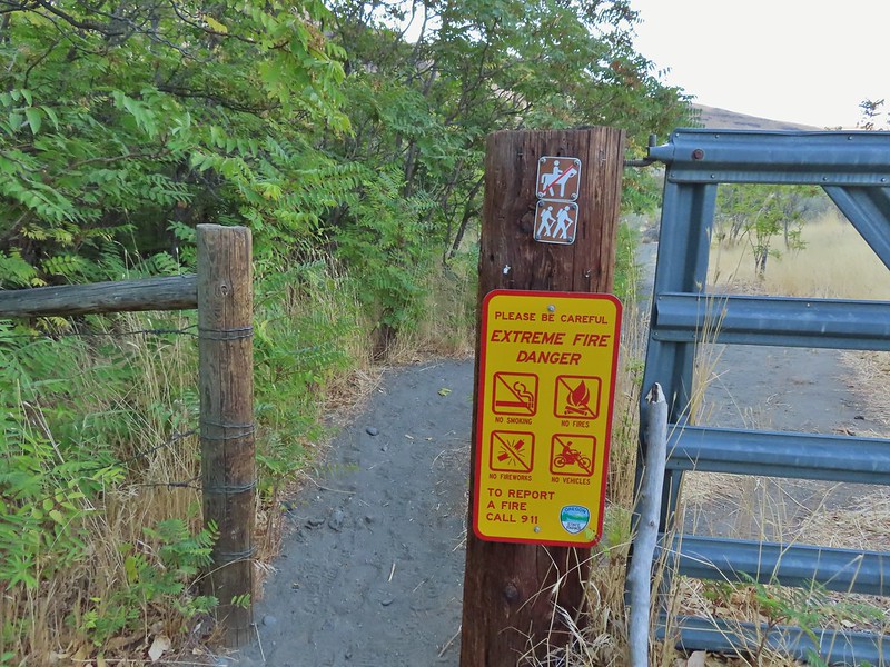
We parked in a gravel lot on the left side of the road just uphill from the boat ramp and hiked down past a gate.

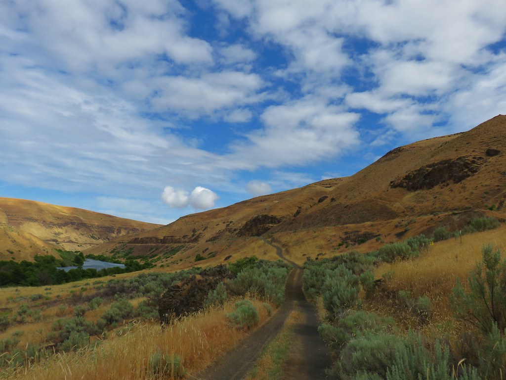
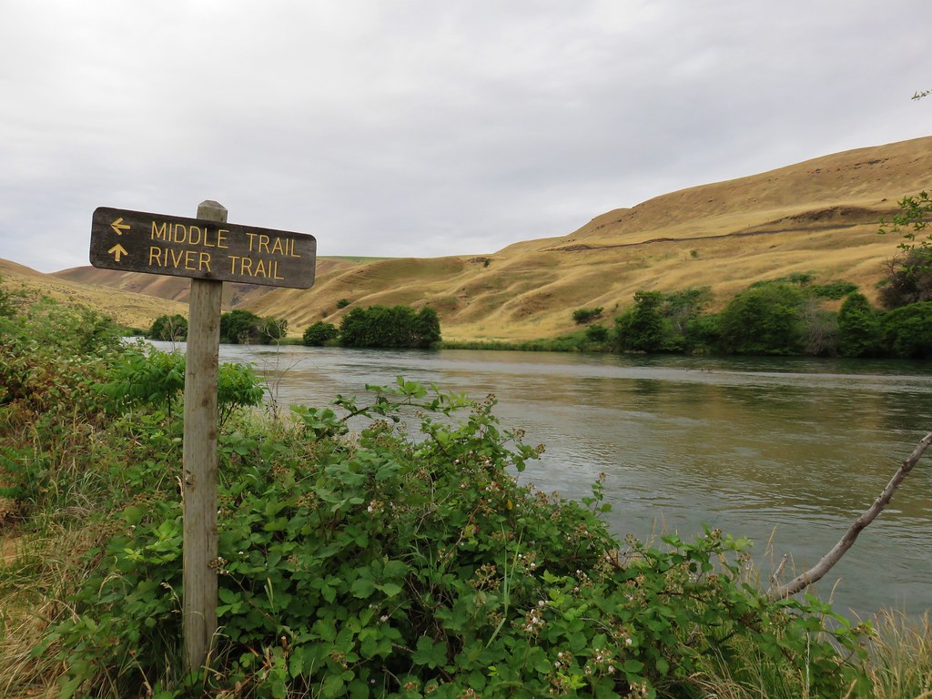
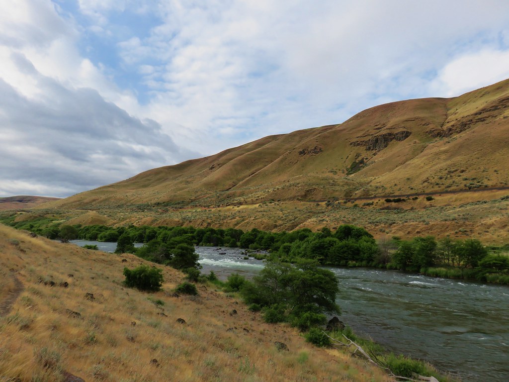
We followed an old road bed upstream past Moody Rapids. We had hiked the Deschutes River Trail on the other side of the river in 2018 (post)

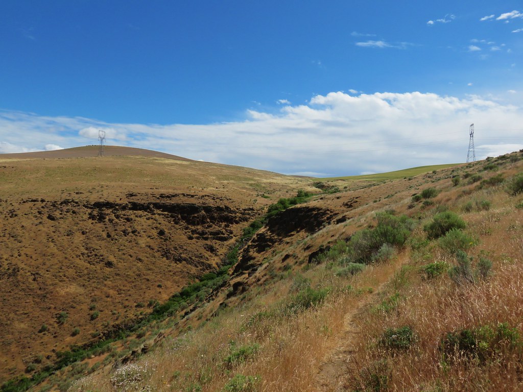
 Sunlight on Haystack Butte in Washington.
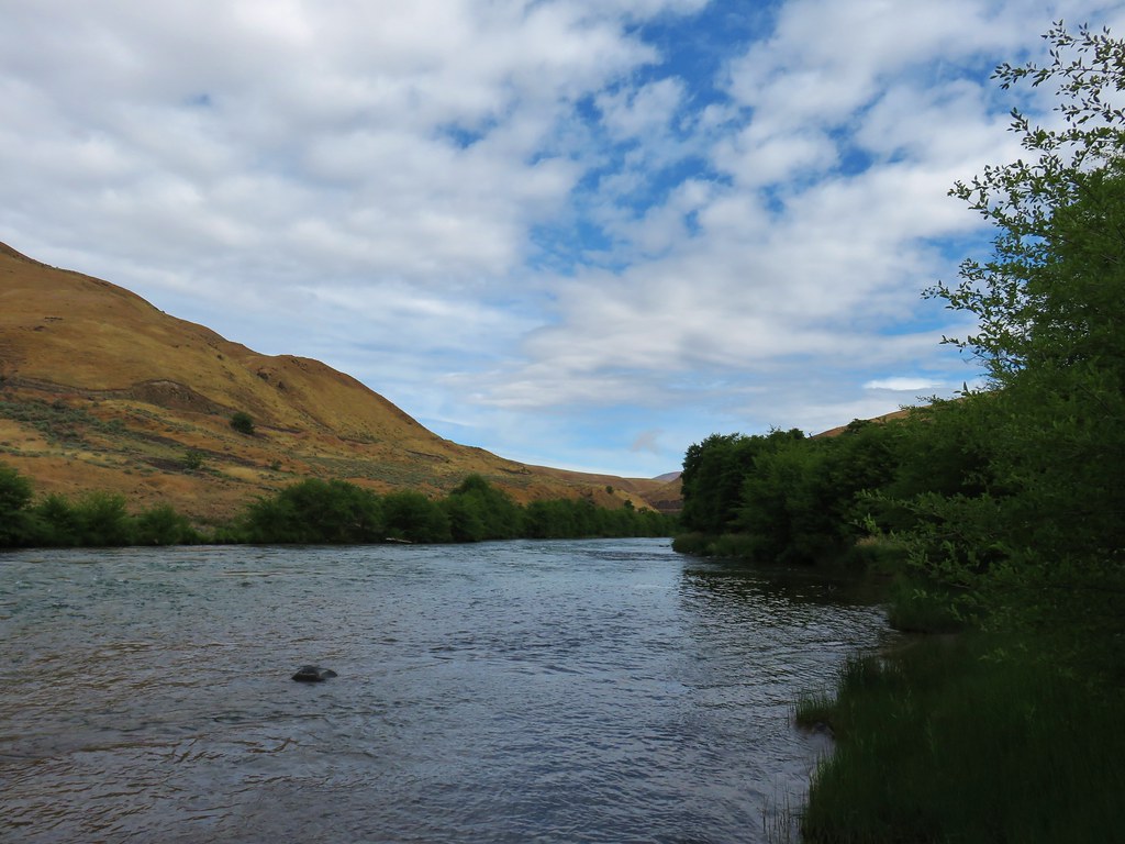
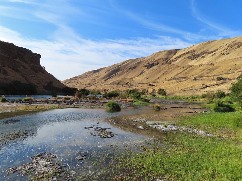
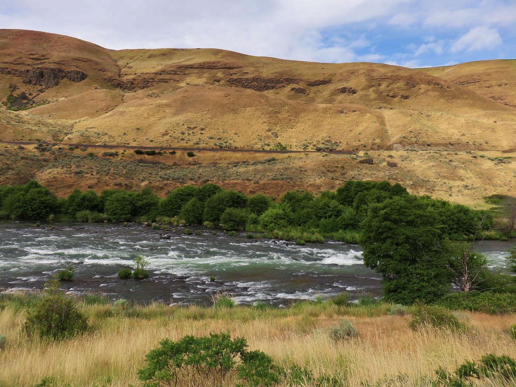
 Part of Moody Rapids.
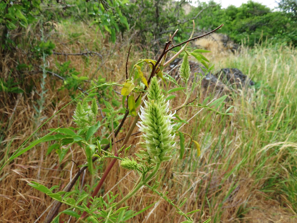
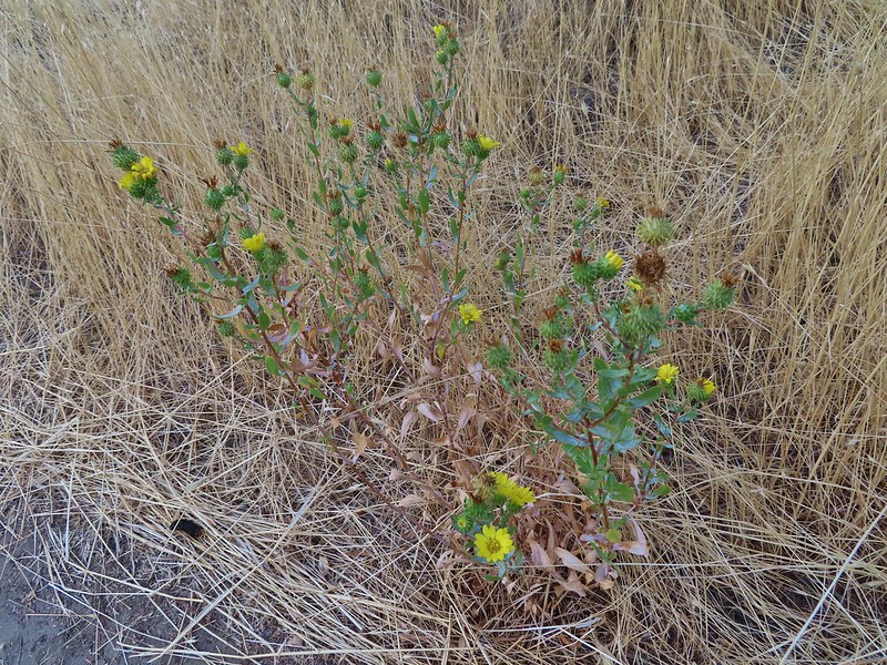 Gum weed
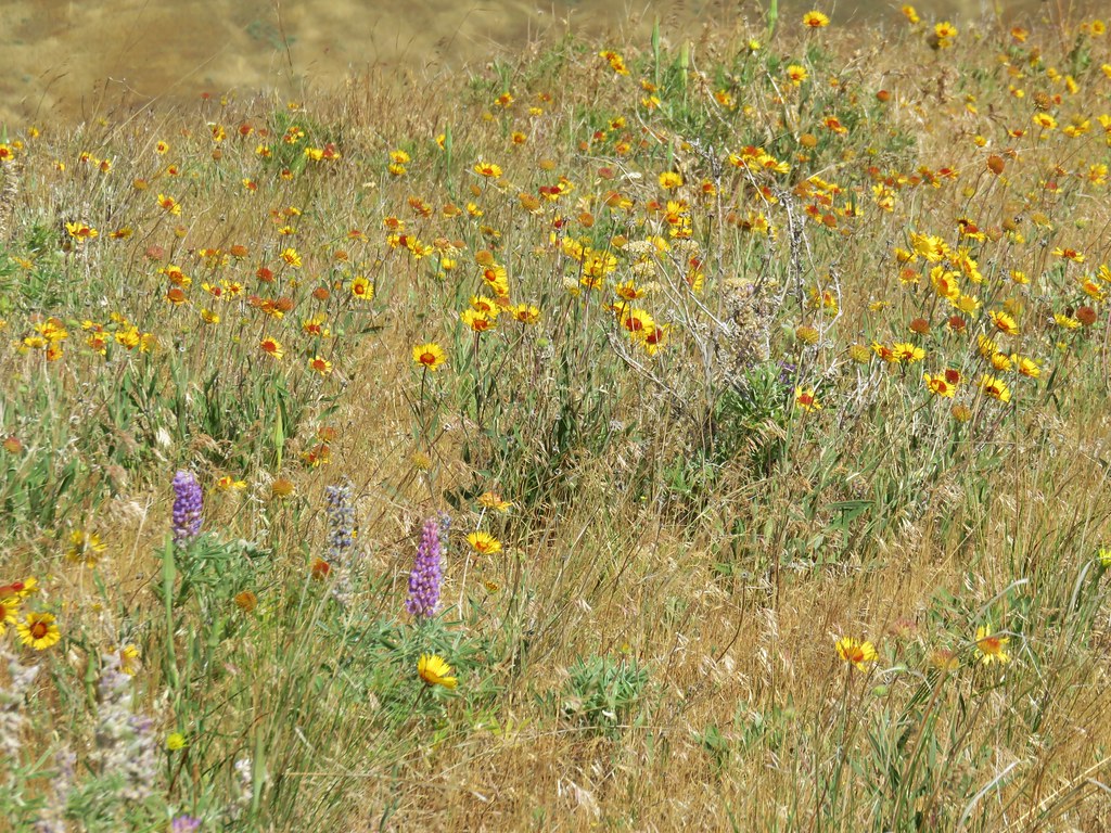
 The last petals on a blanket flower.
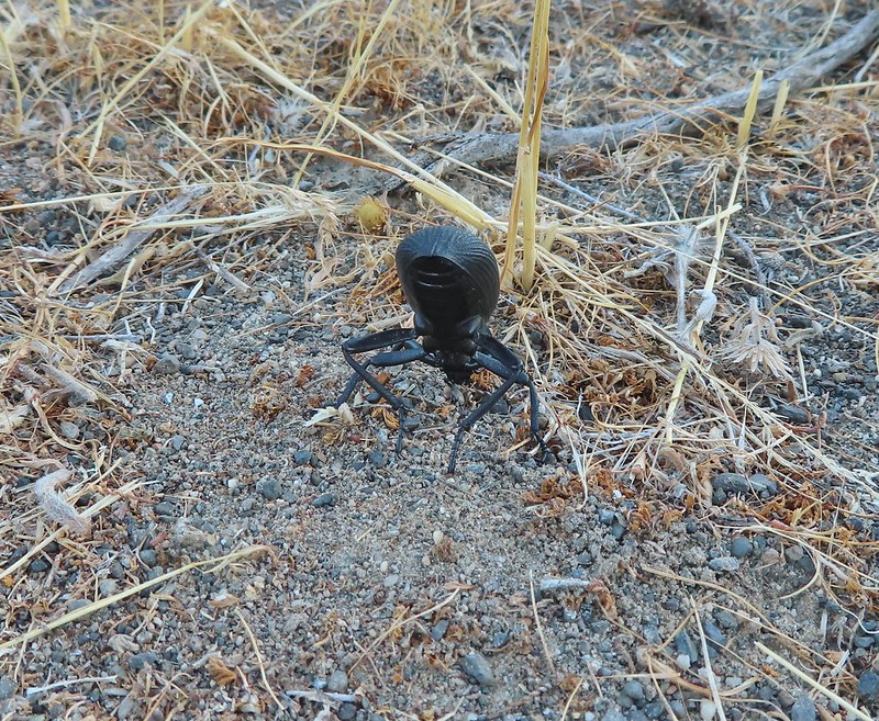 We saw several of these large beetles, all prepared to defend themselves.

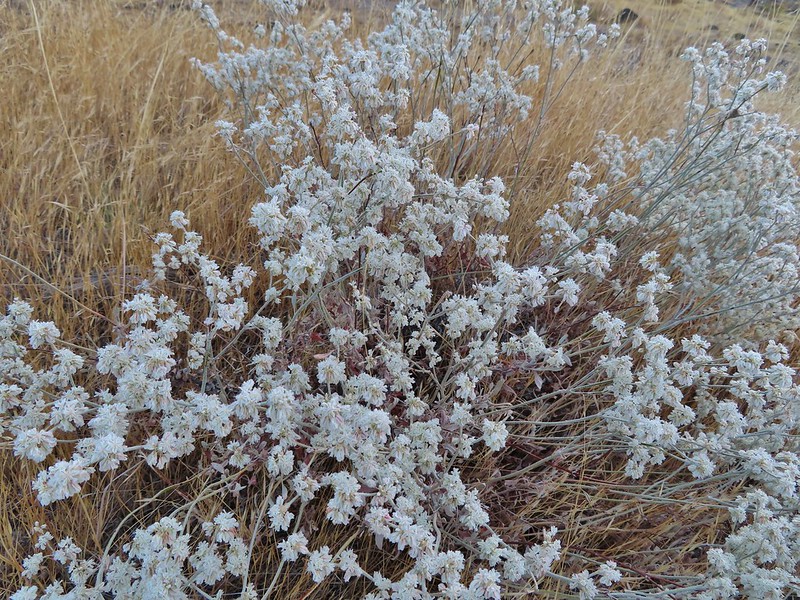 Snow buckwheat
 Chicory
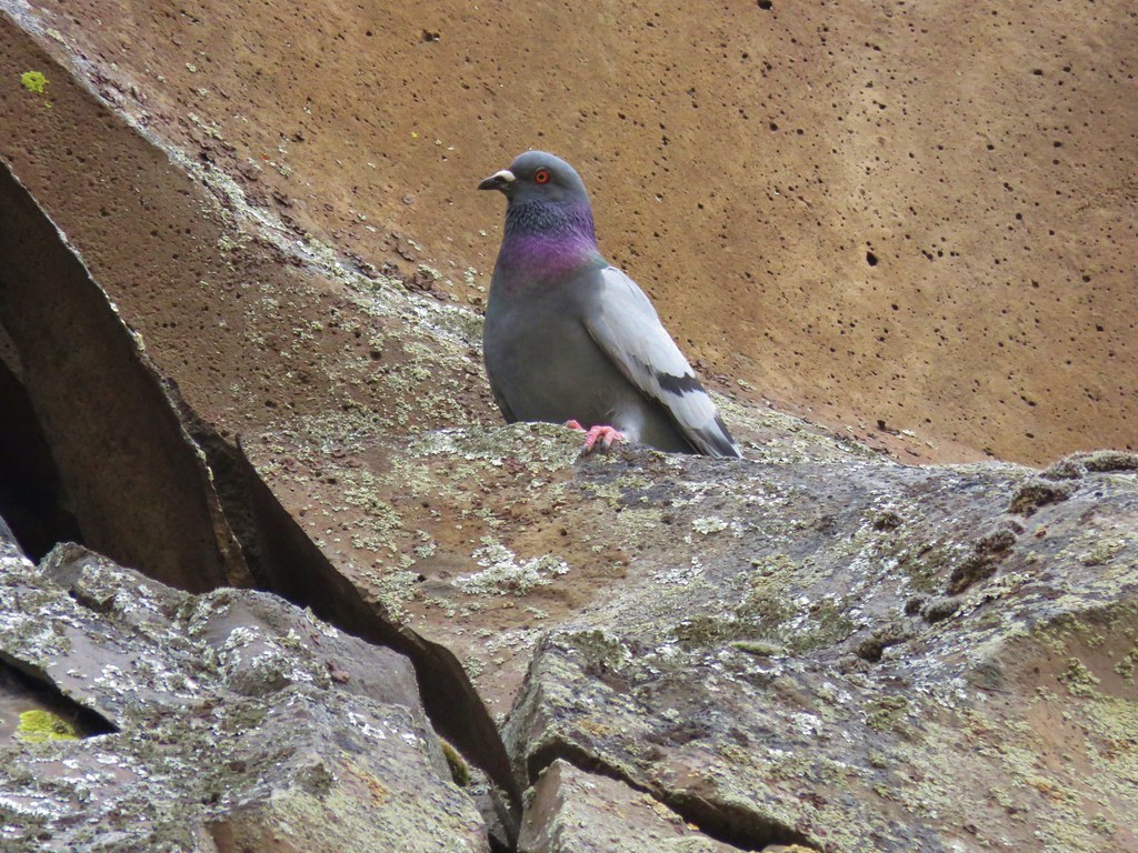
 Seagull
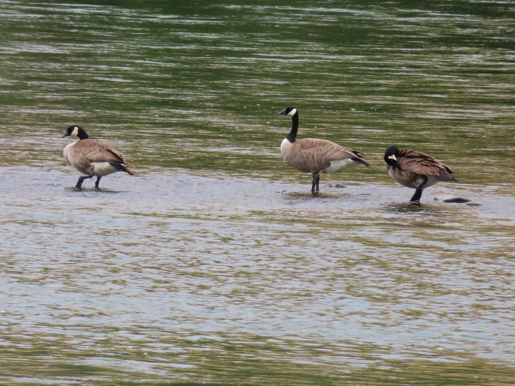
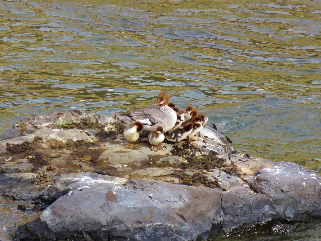
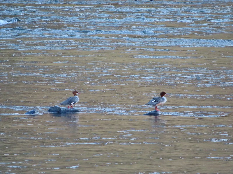 Mergansers
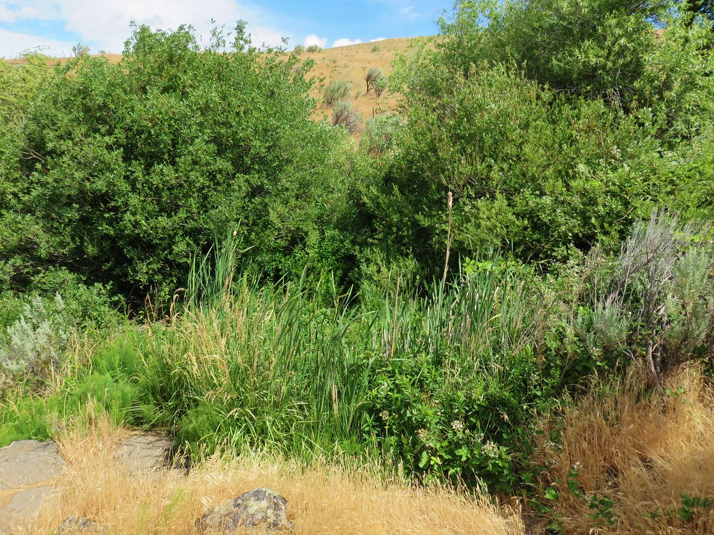
The trail passed by a spring where thick blackberry bushes and other green vegetation hosted a number of small birds (and a few fishermen).
 Sparrow
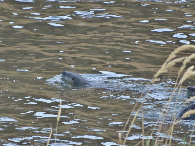
Shortly after passing the spring both Heather and I noticed something that looked out of place down by the water but we both decided it was another fisherman. After a few more steps we realized it was a river otter grooming itself on a small rock or patch of grass. I tried to grab my camera but it somehow knew I wanted a photo and disappeared into the water. The next thing we knew there were three otters swimming with the current and heading downstream but they were close enough to the bank that my camera kept focusing on the grass or limbs between them and us so I still don’t have a decent picutre of an otter. 😦
 One blurry otter head and another partial otter on the right.
 A bunch of tree branches, oh and an otter in the water.
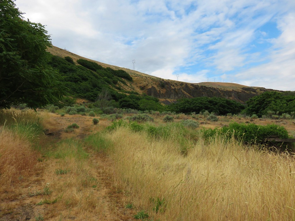
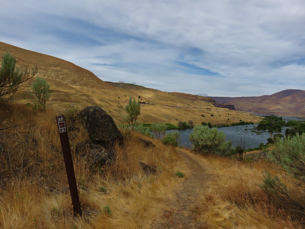
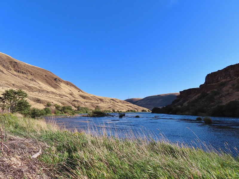
After the exciting and yet disappointing otter encounter we continued up river. We planned on hiking until either the tread petered out or we reached Rattlesnake Rapids. The tread petered out a little before the rapids but we had a nice view of them from Rattlesnake Bend.


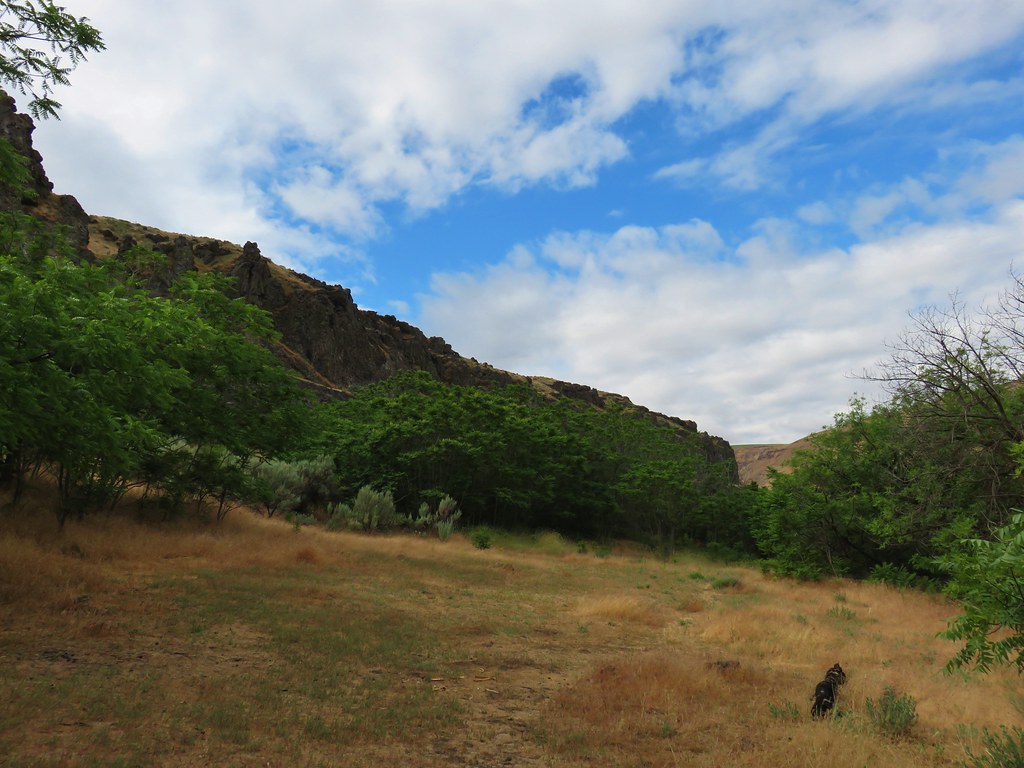
 At times there were multiple trails to choose from.

 Rattlesnake Bend is up ahead but we stopped here for a bit to watch a heron getting breakfast.


 A sparrow, possibly a Savannah sparrow.
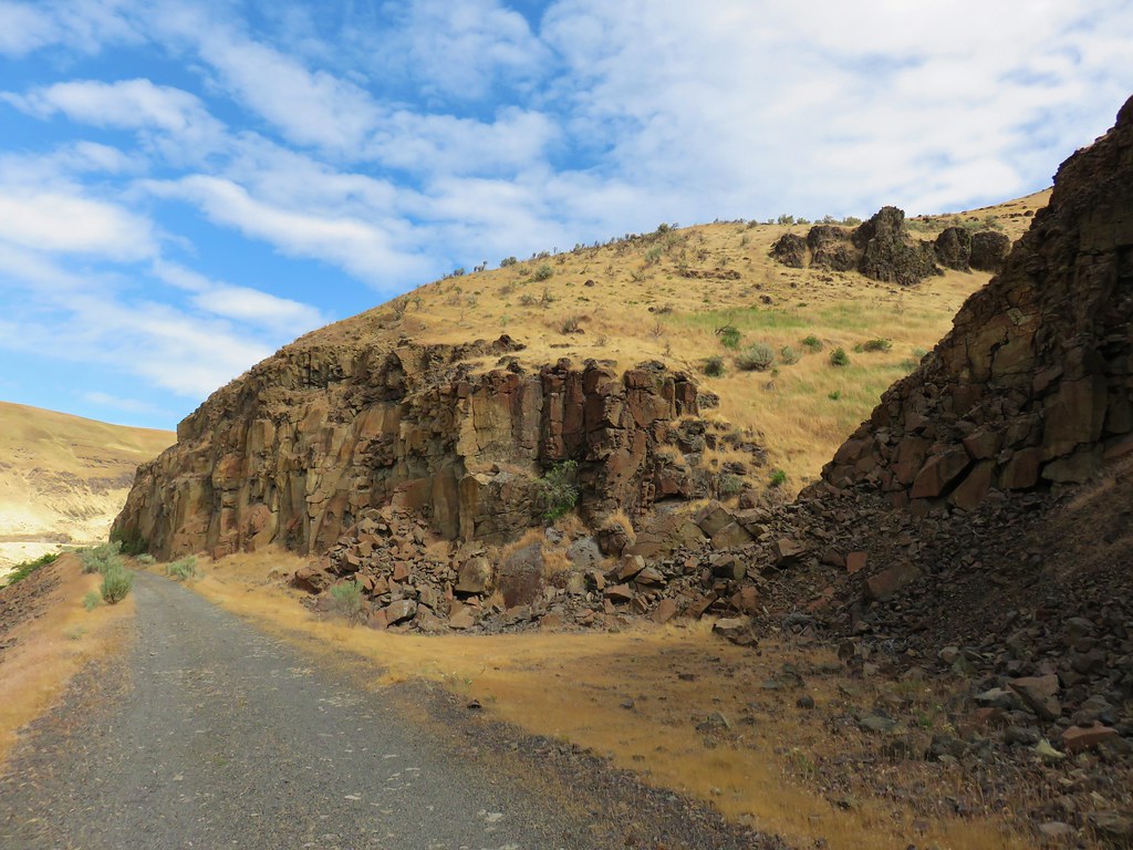
 The trail climbed higher on the hillside for a bit to avoid some thick vegetation below.
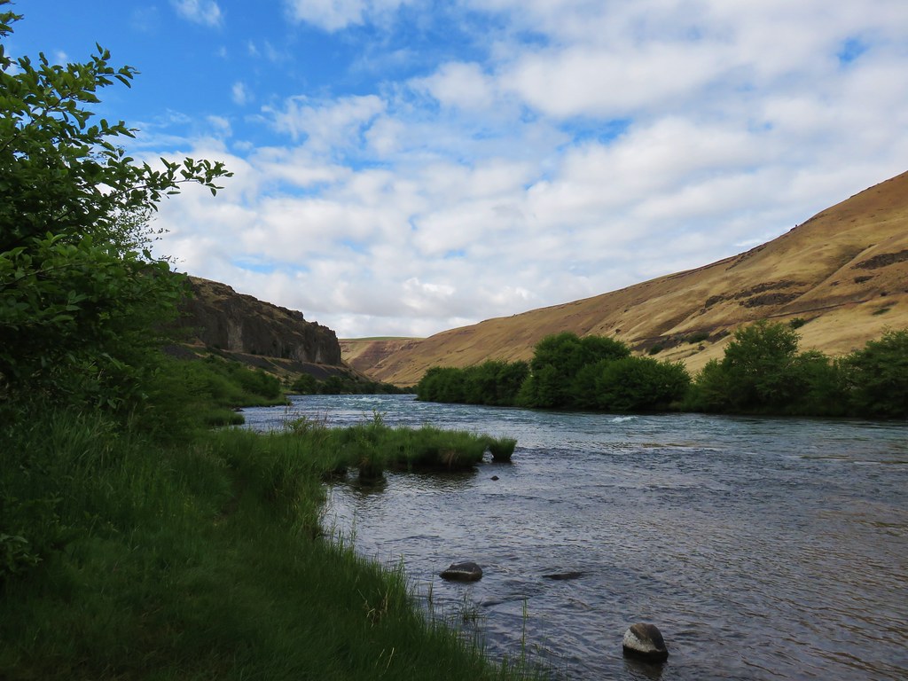
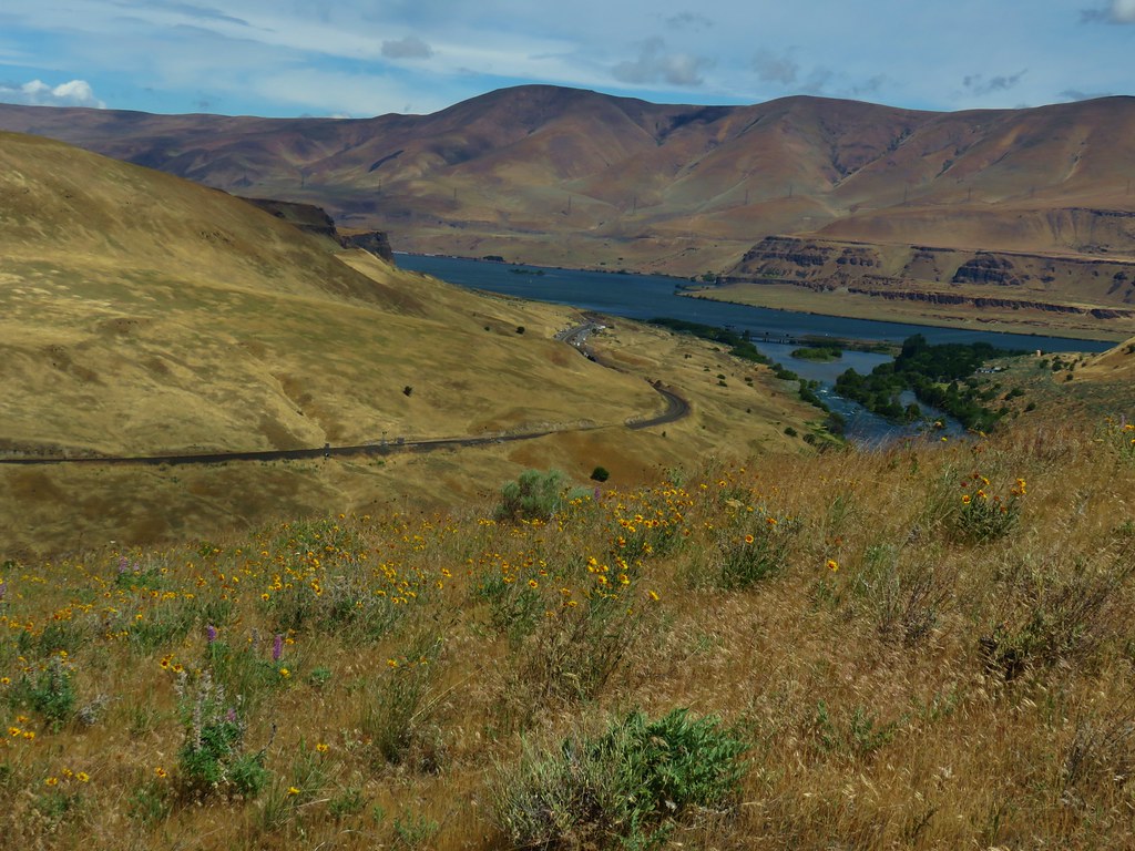
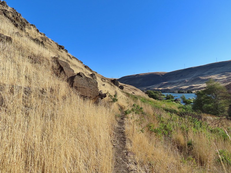
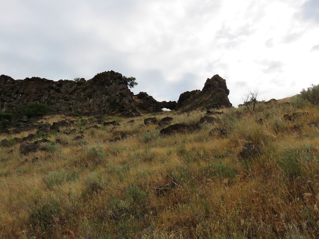
 Rattlesnake Bend
 Railroad tracks above the trail.
 Looking back from Rattlesnake Bend near where we turned around.
 Rattlesnake Rapids
On our way back we tried to choose the fishing trails closer to the river.
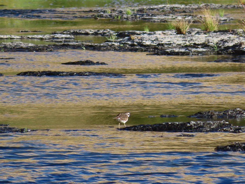 Killdeer
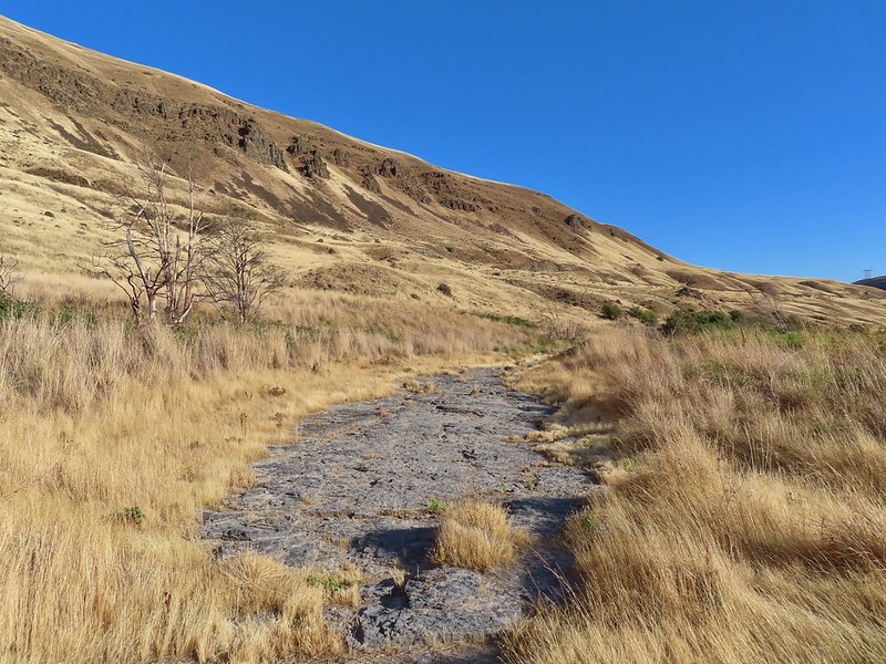 An older channel?

 Had to go back up to avoid the vegetation here.
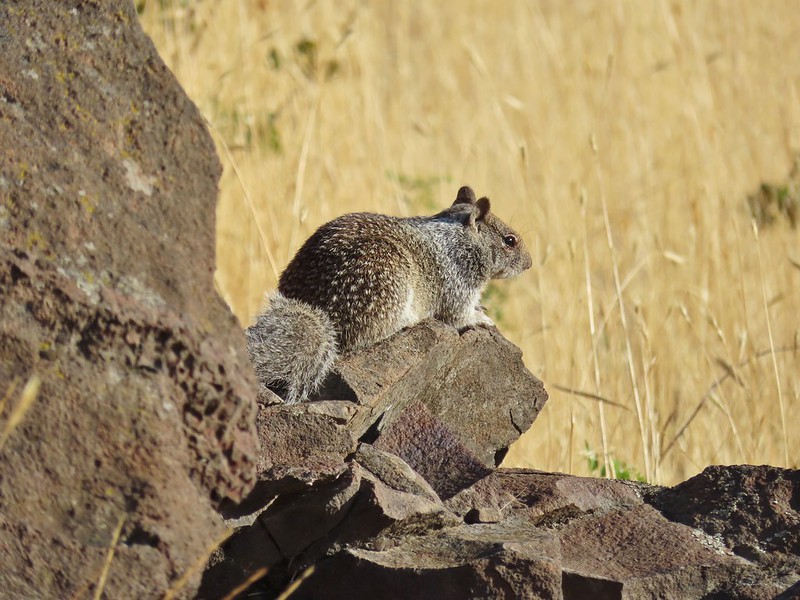 Ground squirrel
 Heron flying up river.
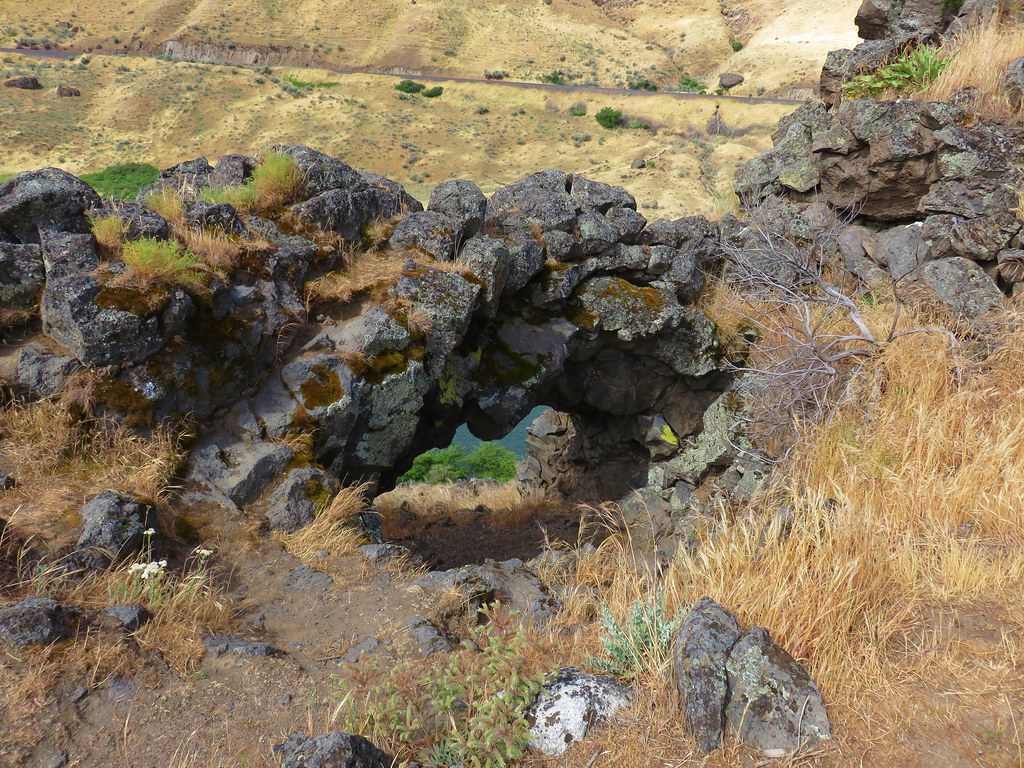
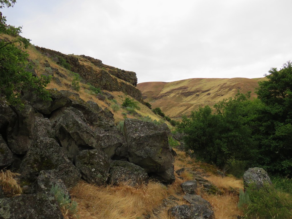
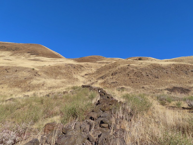 Old rock wall along the way.
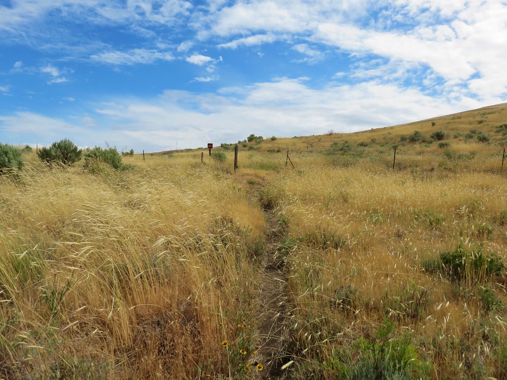
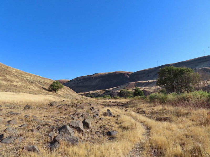 Typical use trail.
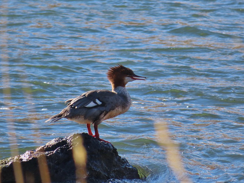 Merganser
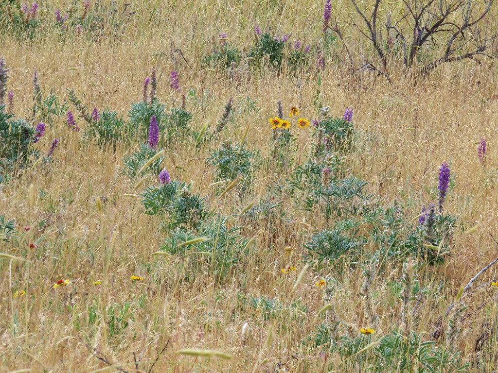
 Aster
Aster
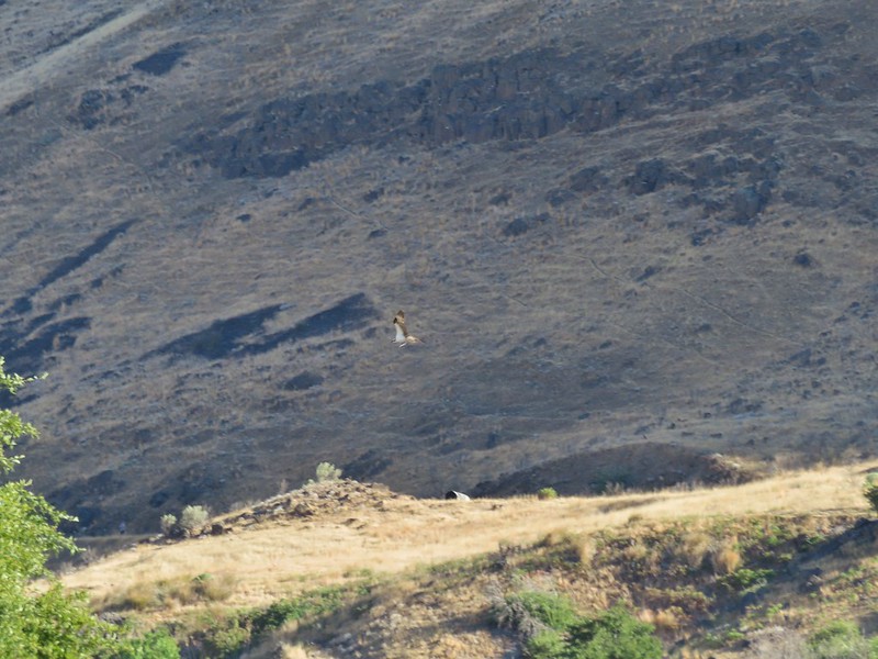 Osprey showing up the fishermen.
 Finch
Finch
 More birds near the spring.
 Little yellow birds, maybe warblers?
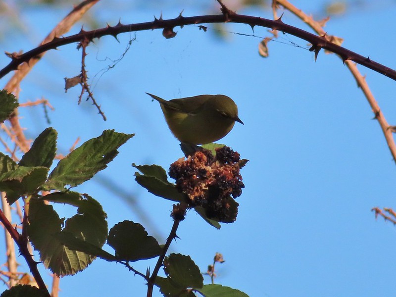 One of the yellow birds on a blackberry plant.

 Moody Rapids
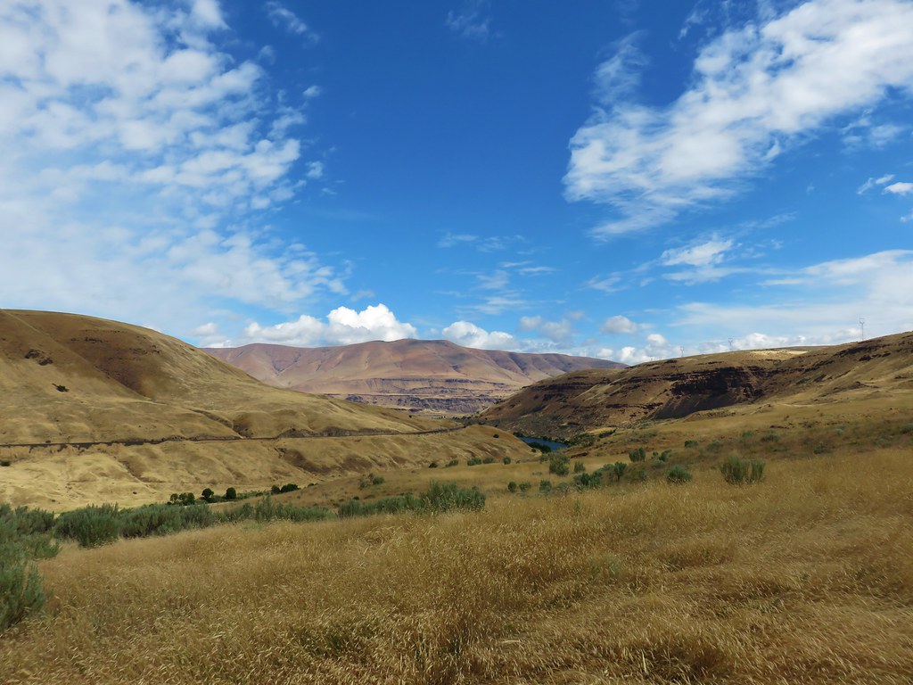
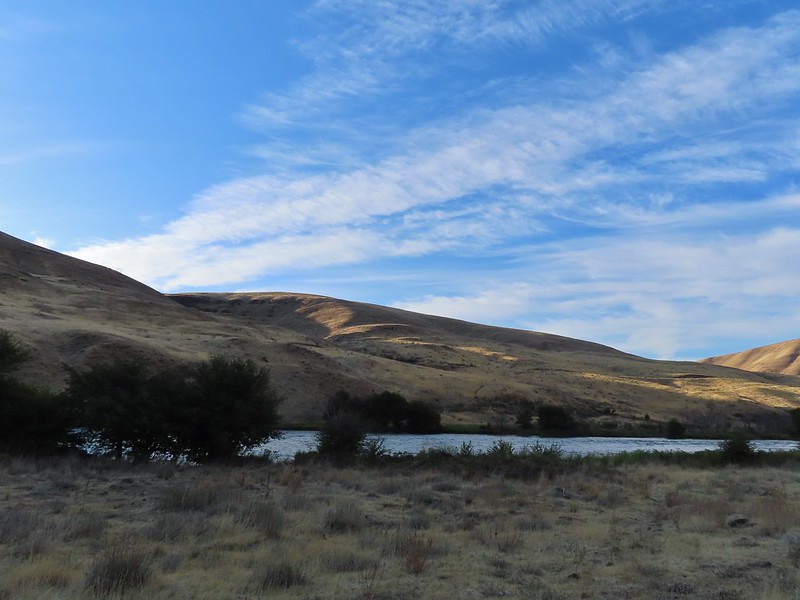
 Haystack Butte
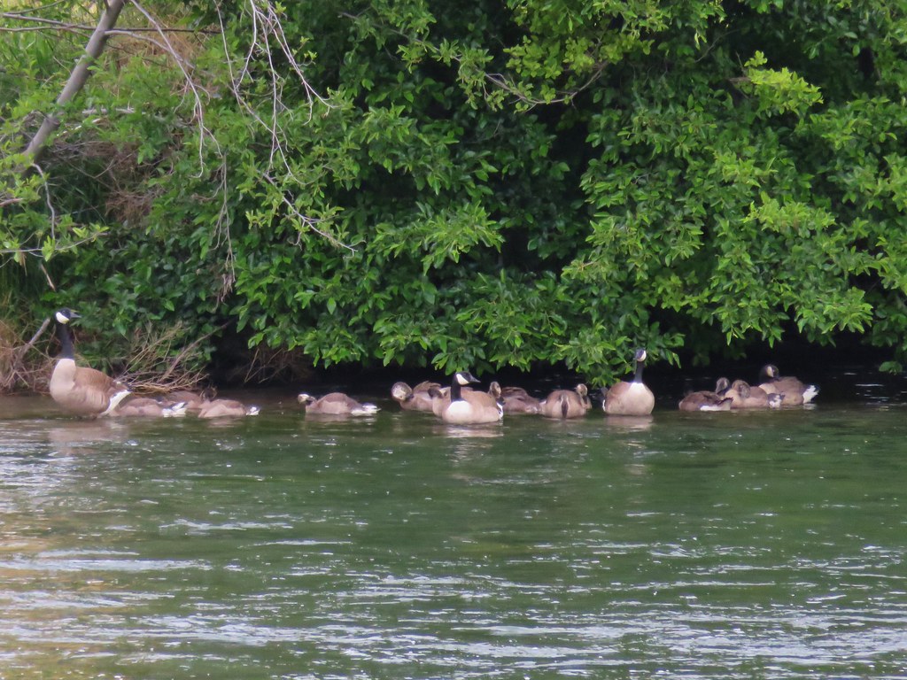
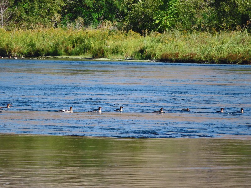 A line of mergansers.
This turned out to be an excellent hike with great scenery and plenty of wildlife (and no rattlesnakes). We got in a little over 4 miles round trip. Reeder listed it as a 3.2 mile out and back while Oregonhikers has it at 3.8 miles but a lot depends on where you turn around and how much back and forth you do down to the river.

It hadn’t been the vacation that we’d originally planned but our three days of hiking were beautiful and we were thankful to have been able to enjoy them so much. Happy Trails!
Flickr: Heritage Landing


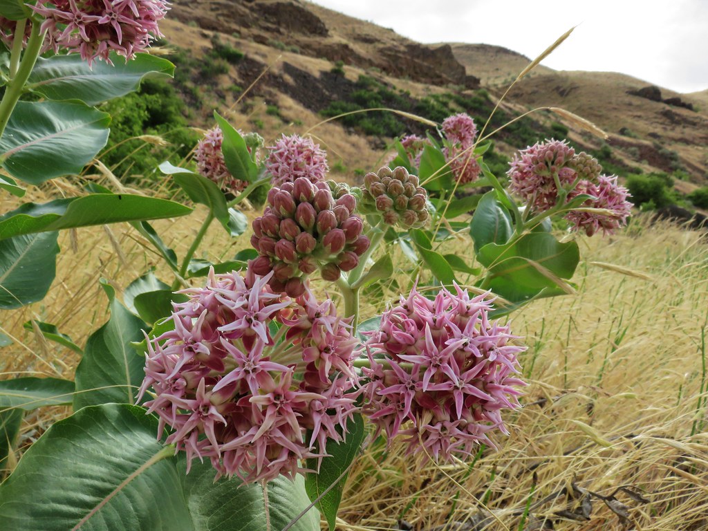 Showy milkweed
 Chicory
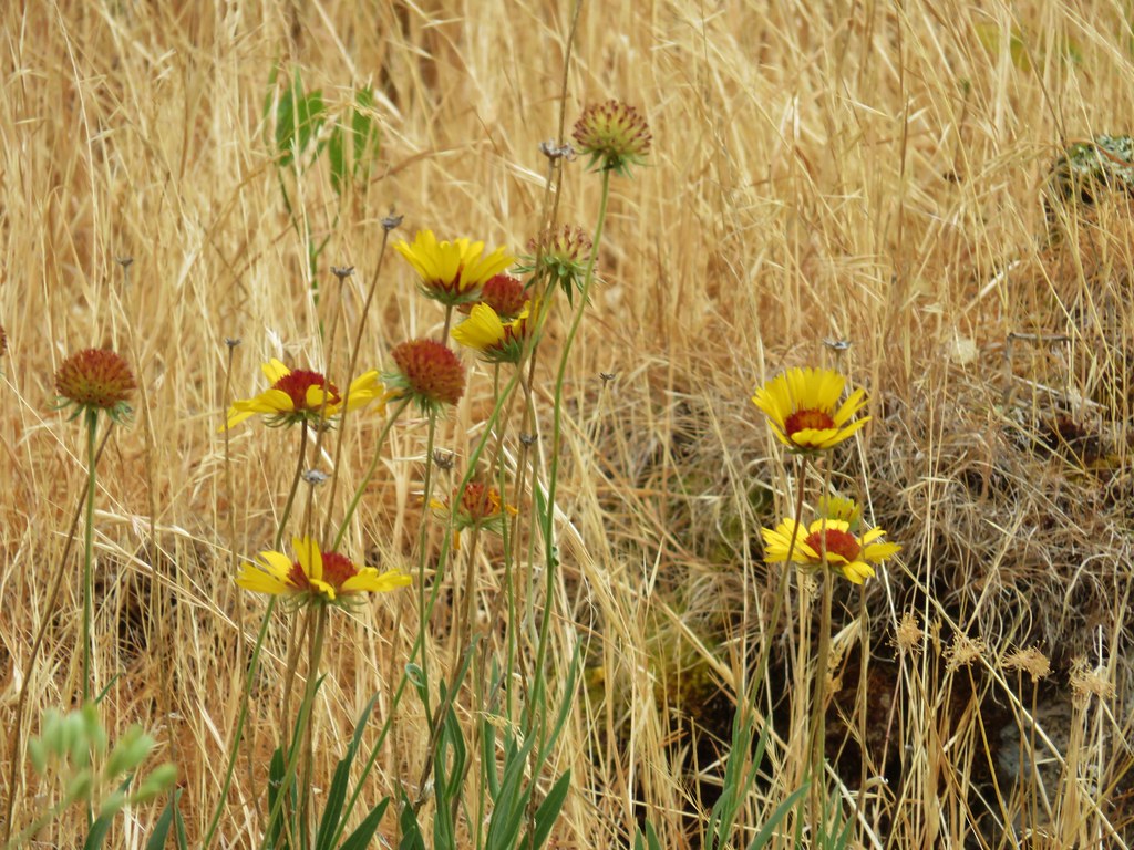 Blanket flower