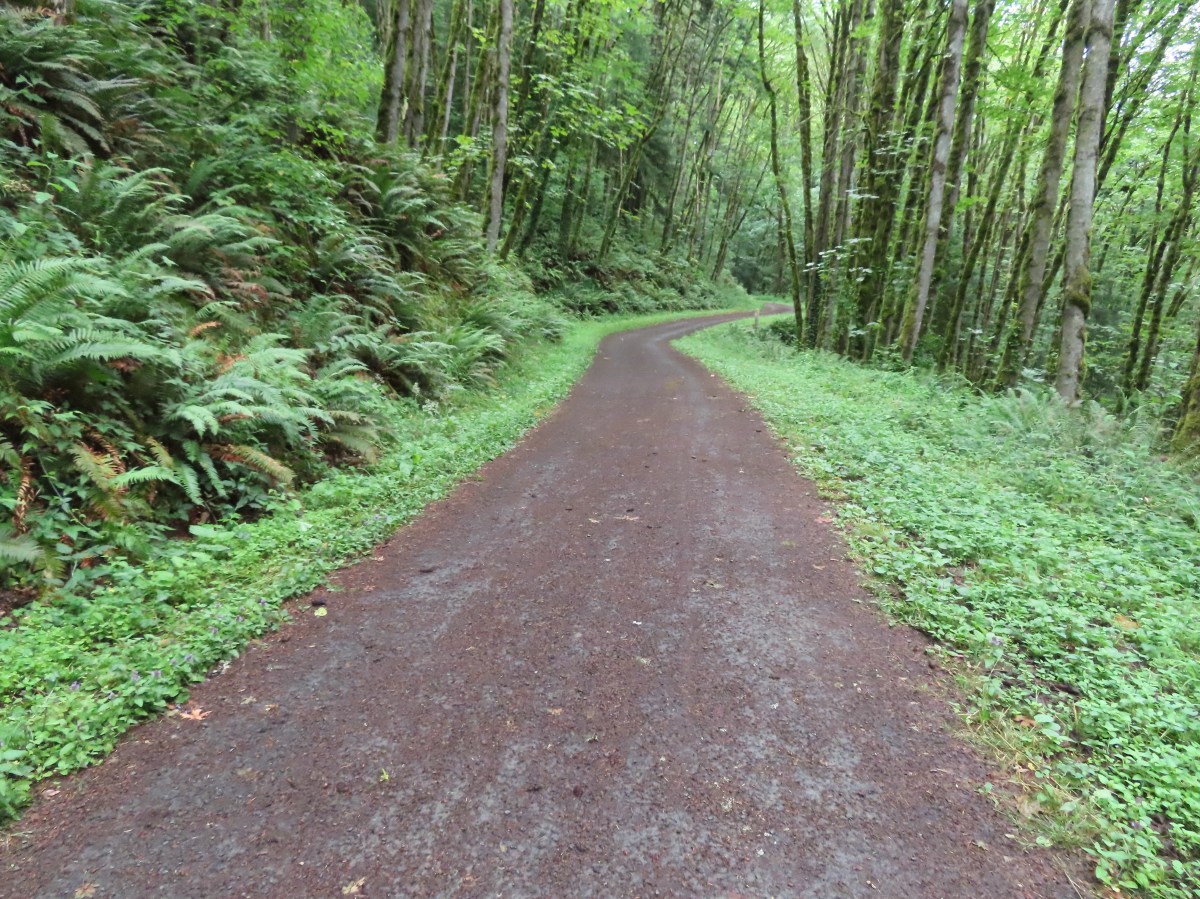
A much-needed damp weather system arrived just in time for the weekend which had us looking for a good overcast day hike. We landed on a visit to Portland’s Forest Park. We had visited the 5,200 acre park five previous times (2018, 2019, 2020, 2022, 2024).
Over those five visits we had hiked 46.4 of the more than 80-miles of trails, fire lanes and roads within the park, but our tracks weren’t all connected. Our 2018 and 2024 hikes both began at the Germantown Road Trailhead and the routes shared 0.6 miles of trail. Our 2020 and 2022 routes began at different trailheads but shared a 0.6-mile stretch of the 30.2-mile Wildwood National Recreation Trail. That left our 2019 Maple Trail hike on an island. Today’s planned hike would connect that track to the 2018 track while also including over 6.5-miles of trails we’d yet to hike.
I’d mapped out the route starting from the Springville Road Trailhead.

We were the second car in the lot upon our arrival just before 6am.
The hike started at a gate on Springville Road/Firelane 7 just past an outhouse.

When Springville Road split from Firelane 7 we stayed right on the fire lane.

Approximately 0.3-miles from the trailhead we turned right off of Firelane 7 onto the Trillium Trail.

We passed the Hardesty Trail on our left.

Signs at the junction with the Trillium Trail.
We followed the Trillium Trail downhill 0.2-miles to the Wildwood Trail where we turned right.


Tiger lilies

Selfheal


The Wildwood Trail at the junction.
We stayed on the Wildwood Trail for 2.6 fairly level miles to a junction with Saltzman Road.


Thimbleberry, we found a few ripe ones to taste test.

Red huckleberries

Yarrow and selfheal

Creeping buttercup

Coastal hedgenettle

As always, the junctions were well signed with large maps at several of them.


Saltzman Road
We turned left onto Saltzman Road and followed it downhill for half a mile to Leif Erickson Drive where we again turned left.


We stayed on Leif Erickson Drive for 1.8-miles before turning steeply uphill on Firelane 7A.


Snail

Columbine

Mourning dove giving us the “side eye”.


More tiger lilies.

Firelane 7A.
After a stiff 0.2-mile climb we turned left back onto the Wildwood Trail.


A tall aster or fleabane along the firelane.

The junction with the Wildwood Trail.
We followed the Wildwood Trail half a mile to a junction with Firelane 7.


Mushrooms


Both CalTopo and Gaia GPS label this Northwest Oil-Line Road.
We climbed up the firelane for just under a mile to the Hardesty Trail which we had passed earlier.


Red clover

Passing the Trillium Trail on the left where we turned off Firelane 7 that morning.

The Hardesty Trail. We were just a tenth of a mile from the trailhead at this point, but since we hadn’t been on this trail before we turned right.
The Hardesty Trail dropped steeply downhill to the Wildwood Trail.


The Wildwood Trail below to the left.

The junction with the Wildwood Trail.
We turned left and hiked another 0.8-miles on the Wildwood Trail to reach a junction with Springville Road.


Salal

Blackberries

Red elderberry

The junction with Springville Road.
We turned left on Springville Road and followed it uphill 0.4-miles back to Firelane 7A and the Springville Road Trailhead.


Oregon grape

Invasive Species kiosk at the Springville Road/Fireland 7 junction.
Today’s hike came in at 8.6-miles with approximately 1100′ of elevation gain.

It was a great choice for an overcast morning. The early mornings in Forest Park are generally quiet and today was no different. It started getting busier around 10am but with so many miles of trail they never feel crowded.
This now leaves one final gap in our tracks to not only connect our Forest Park hikes but also our visit to Washington Park (post) and Marquam Park (post).

I have a feeling that as long as my back and leg, which have been feeling quite a bit better, cooperate that gap will be filled before the end of the year. Happy Trails!
Flickr: Forest Park vis Springville Road

 This trail would eventually end at the LoneWolf/Patterson Mountain Trail (
 The small trailhead along Highway 58.
 Wrong way dummy.
 The South Willamette Trail to the right.

 It was clear that mountain bikers use this trail regularly.


 I actually waited until I was on my way down to step off trail and look at the arch.
 Eula Ridge Trail sign at the Hardesty Trail junction.
 The lefthand fork leads to the viewless summit while the right is the Hardesty Cutoff Trail which bypasses the summit.
 Forest below the Hardesty Cutoff Trail.
 The Sawtooth Trail dropping to the right.
 I was not looking forward to climbing back up some of these sections later.
 Another saddle.
 A view through the trees.
 I passed the Hardesty Way Trail 1.5-miles from the Hardesty Cutoff Trail.
 Mount June from the hillside.
 Wallflower
 Junction with the Lost Creek Trail.
 The pointer for Eagles Rest (
 I called this section “rhododendron ridge”.
 The Mt. June Trail coming up from the right.


 If you look closely, you can see the tops of the Three Sisters poking up over the smoke in the distance. The open hillside in the foreground is the meadow below Sawtooth Rock and the hump just behind is Hardesty Mountain.
 Heading down from the summit.
 Climbing the hillside below Sawtooth Rock.
 Sawtooth Rock
 There was just a little smoke now and then in the forest.
 The Eula Ridge Trail coming into view.
 There wasn’t much in the way of Fall colors along the trail, but these leaves really stood out.
 Lookout Point Lake (Middle Fork Willamette River) from the trail.
 There was one more small uphill on the far side of South Creek before dropping to the trailhead.
 South Creek


