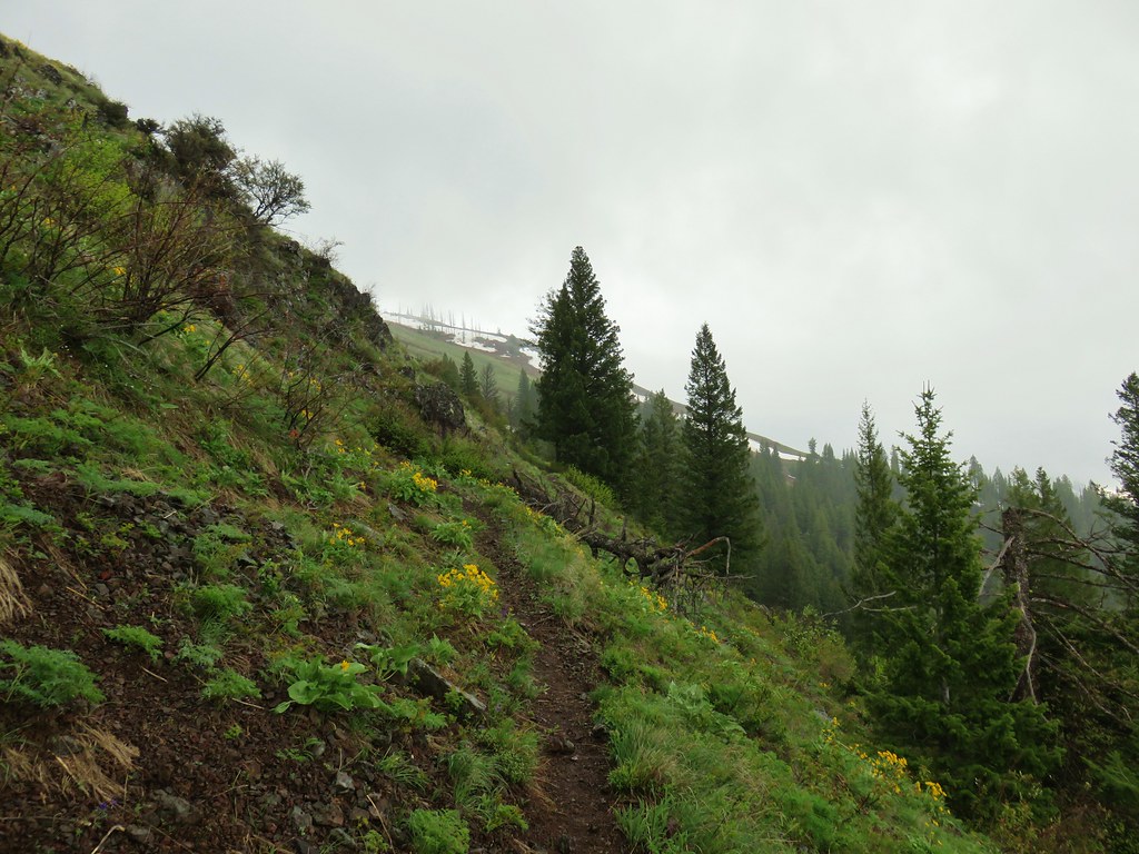
With just twelve hikes remaining for us to complete our long-term goal of hiking, or at least attempting to hike, 500 featured hikes from William L. Sullivan’s “100 Hikes” guidebook series we spent a week of vacation based in Enterprise, OR to try and cut that number in half. All twelve remaining hikes were from Sullivan’s “100 Hikes Eastern Oregon” guidebook with eleven located in the Wallow Mountains, and the other being at Hat Point above Hells Canyon.
There were some question marks heading into the week. First a massive thunderstorm passed over much of Oregon on July 17th resulting in over 1000 lightning strikes, many of which were dry meaning that little to no rain was falling to the ground. While the storm had missed the Wallowas and Hat Point, dozens of fires were ignited across the state adding to several large human (idiot) caused fires that were already burning. The second issue was that I had been dealing with a tight left calf that developed after a bad step on our July 4th hike to Horsepasture Mountain (post). The calf itself wasn’t hurting, but it seemed to be aggravating my peroneal tendon. On top of that issue a few days before vacation I turned awkwardly while standing and irritated something in my left knee. I wasn’t sure how much hiking I would actually be able to do.
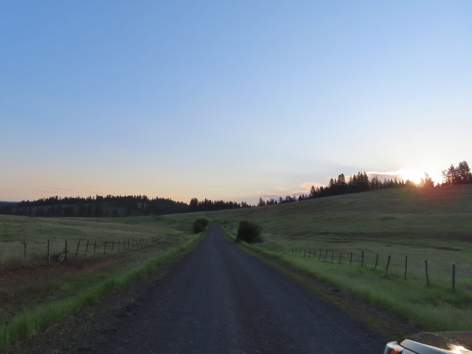
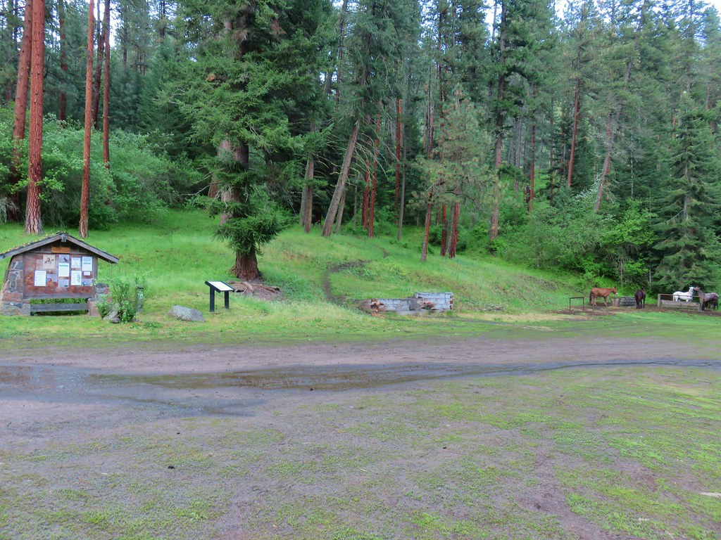
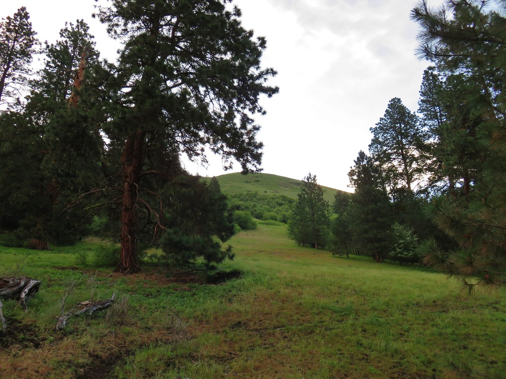
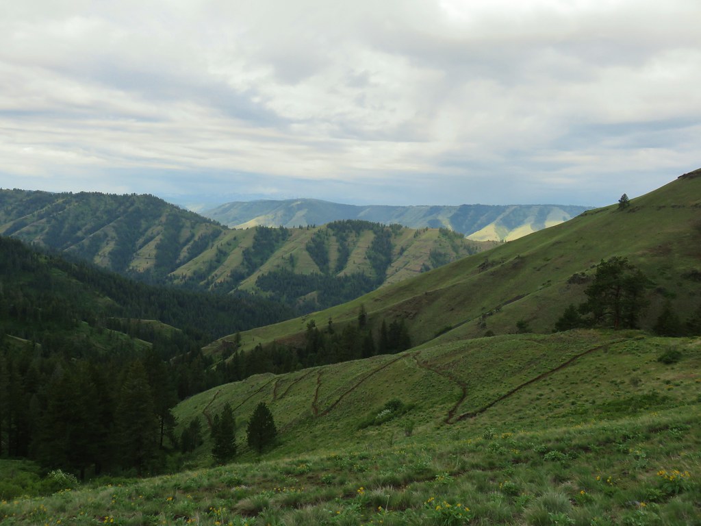
Fortunately the first hike that we had planned for the week was Hat Point which Sullivan lists three options for. The easiest option is two short loops gaining just 100′ of elevation. The other options are a 10.2-mile hike from Hat Point to a viewpoint 2600′ below the trailhead and a 15.4-mile hike to the Snake River that loses 5600′. Originally the plan was to try the 10.2-mile option, but with my leg issues and an excessive heat warning in effect we agreed the two short loops were the way to go. We started by parking at the Granny View Overlook where, despite it being before 6:30am the temperature was already close to 70 degrees Fahrenheit.
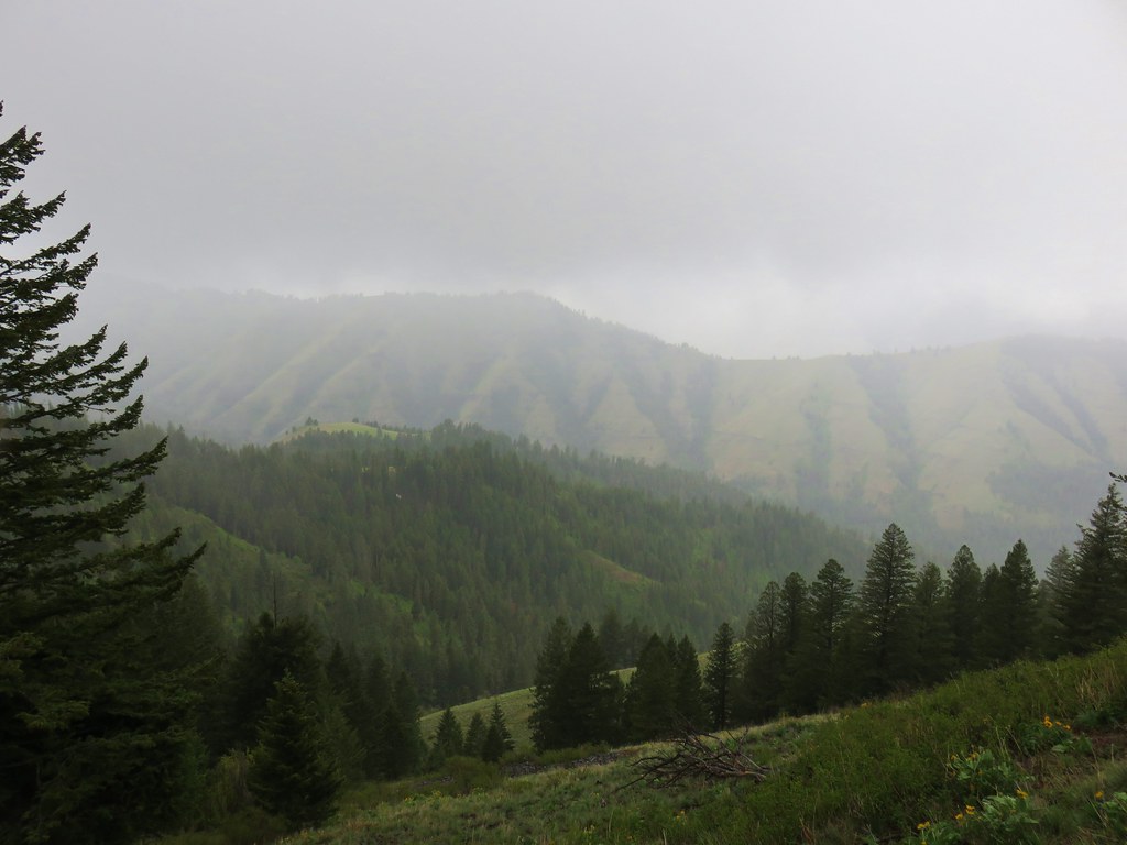
 It was warm and smokey at the viewpoint.
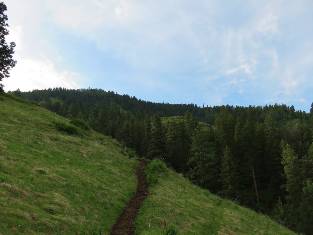
We set off on the mostly paved loop in a counterclockwise direction.

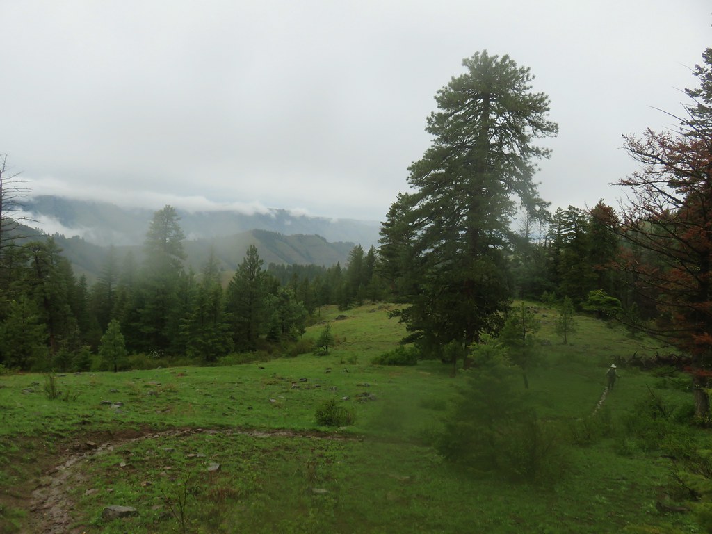
Most of the flowers were past bloom which we expected knowing that late June/early July would be better here, but too early for most of the other hikes we had planned for this vacation. There was still enough blooming though to make it interesting and there was still a little view despite the smoke.

 Yarrow
 White mariposa lily
 Aster
Aster
 Sulphur buckwheat
 Scarlet gilia
 Bee visiting some penstemon
 Imnaha River canyon
 A small section of the loop was lost in a 2022 wildfire.
 The other end of the missing trail.
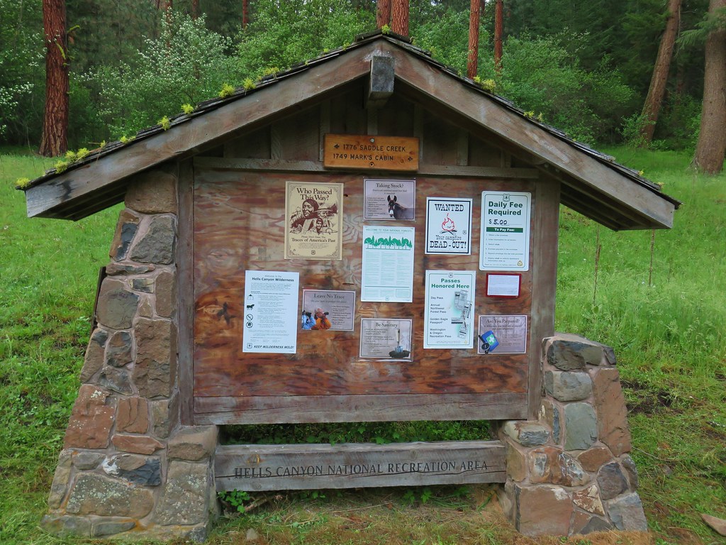
 One of several interpretive signs along the loop.
 Nettle-leaf giant hyssop
 This appeared to be the last of the elkhorn clarkia in bloom.
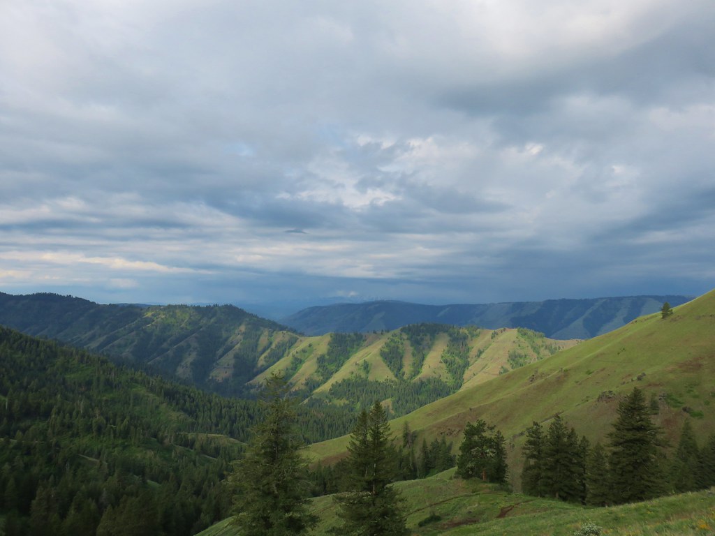
 Looking down wasn’t bad, but we couldn’t really make out any of the mountain peaks in the distance.
 Taper-tip onions
 A smokey Sun was heating things up fast.
After the short loop here we continued on Hat Point Road to the Hat Point Lookout, stopping along the way to take some photos of a couple of birds.
 Grouse
 One of a pair of hawks.
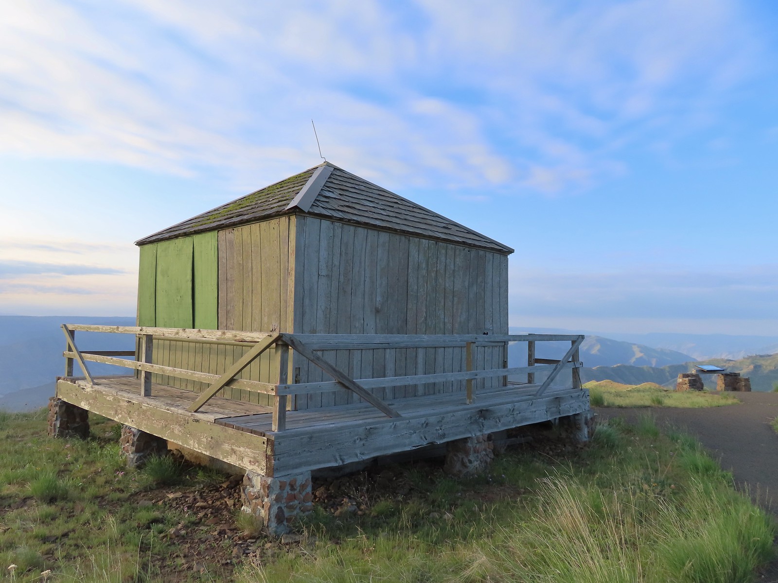
 The Hat Point Lookout from the parking area.
We followed a paved trail uphill to the start of a loop and turned left (counterclockwise).

 Paintbrush
 The start of the loop.

 Fireweed
The loop took us around the lookout to a ramp where we detoured to the base of the tower.

 The lookout staffer?
 Sunlight reflecting off of the Snake River in Hells Canyon.

 Hidden in the haze are the Seven Devils mountains in Idaho.
 Penstemon

 The tower was closed to the public due to safety concerns.


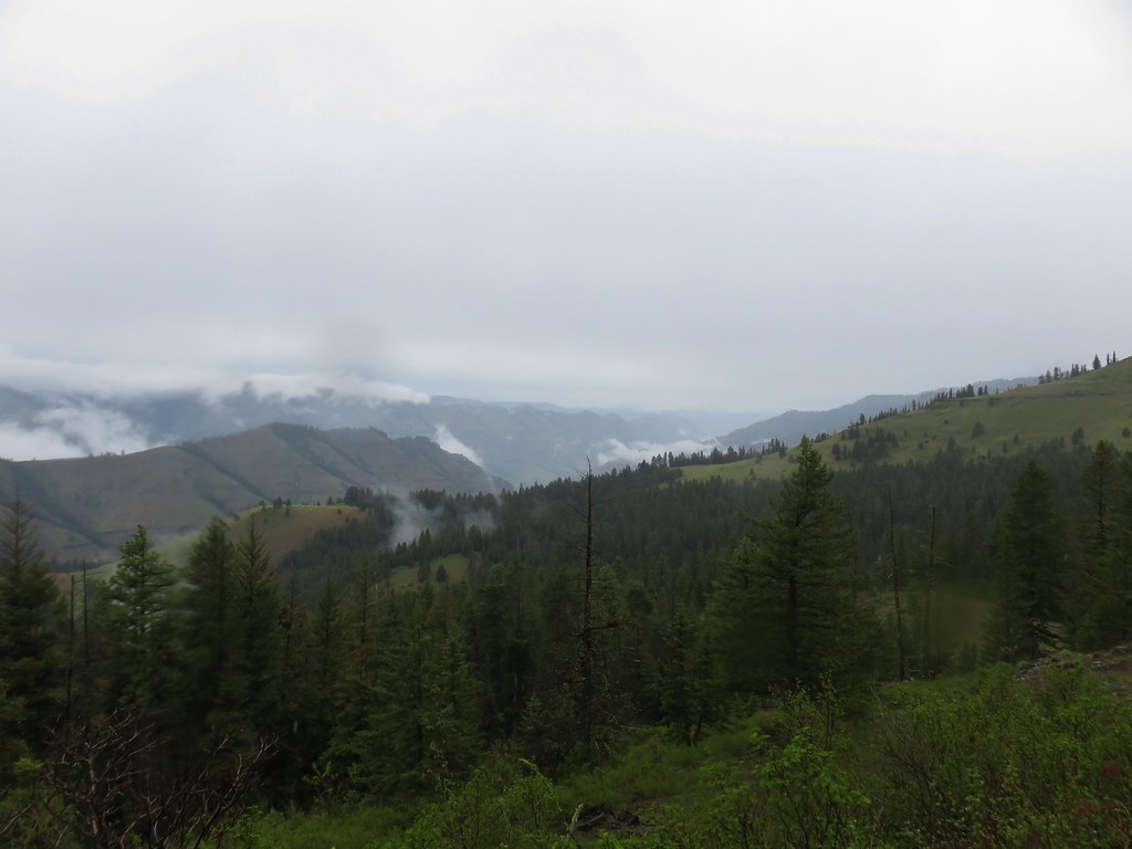
 Hells Canyon is deeper than the Grand Canyon from its highest point, 9,393′ He Devil in Idaho at 8,043′ from the river. The depth from Hat Point to the river is 5,632′.
After visiting the lookout we continued on the loop which passed an outhouse where there was an option for a shorter return loop.

 Mountain coyote mint
 Lewis flax
We opted for the slightly longer loop and stayed left to a viewing platform.


Continuing on the loop brought us to another interpretive sign near a bench.

Near this sign we located the trail that led down to the Snake River. There was a level ridge end a short distance below, so we decided to hike down to it.

 The tread was faint in spots amid the patches of wildflowers.
 There was a small rock outcrop at the ridge end.
 This is where we turned around not wanting to lose anymore elevation and have to climb back up on what was already an uncomfortably warm day. As it turns out we were just about at the boundary of the Hells Canyon Wilderness.
 The lookout from our turn around point.
We started back up toward the loop but veered left on a dirt trail that led past the unoccupied lookout staff quarters.


 Hat Point Trail sign near the quarters.
 This trailhead sign was in a large parking area near the quarters, but there were “No Parking” signs along the road here.
We then followed a path uphill past a gate near the quarters to the paved loop where we turned left to return to our car.

 Lupine
The two hikes came to just under 1.5-miles. While it was an unusually short day for us it was the right call, and we felt good about the decision to keep it short and sweet.

On the drive down we did stop at a small pullout with an interpretive sign called the Five Mile Overlook.

 Imnaha River canyon

 Imnaha from the Five Mile Overlook.
These were nice hikes despite the conditions, but we would definitely like to come back either earlier in the Summer at peak bloom or in Autumn when it might not be so hot and smokey. For now we had one more featured hike we could cross off our list and officially be done with every area in the State save for the Wallowas. We drove back to Enterprise and after getting cleaned up headed to Jospeh for an early dinner at the Flying Pig Bar. Happy Trails!


 At least one bull in the herd.
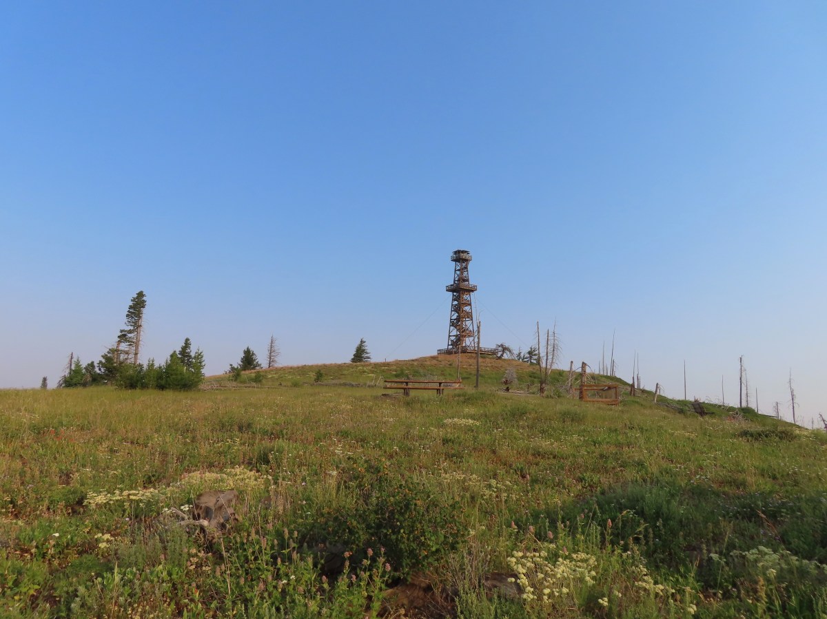
 Buckhorn Lookout

 Hells Canyon
 Tolmie’s onion
 Pale paintbrush
 Larkspur, lupine, and northern mules ears.
 Prairie smoke a.k.a. old man’s whiskers
 Purple sticky geranium
 Paintbrush
 Parsley, larkspur, large flower triteleia, and Tolmie’s onion
 Phlox
Phlox We could have driven the 1.2-miles on FR 780 to the gate but the road was not in good shape and after driving to Eureka Bar the day before we weren’t interested in another rough road.
 Mallow ninebark
 Arnica
 Large flower triteleia

 Gate at the end of the road.
 Marker for the Nez Perce – Nee-Mee-Poo National Historic Trail.

 Columbian lewisia
 Seven Devils in Idaho
 Lupine, yarrow, buckwheat, and scarlet gilia
 Scarlet gilia

 Elkhorn clarkia a.k.a. ragged robin
 Another impressive scarlet gilia.
 Paintbrush, lupine, phacelia, thistle, and scarlet gilia
 Penstemon
 A phlox
 Scabland penstemon
 Threadleaf phacelia
 Penstemon
 Paintbrush
 Lark sparrow
 Cedar waxwing
 Elkhorn clarkia
 Wallflower
 Skullcap
 Nettle-leaf giant hyssop
 Monkeyflower and some tiny white flowers near a seep.
 Buckwheat

 Mylitta crescent
 Rough eyelashweed
 Looking back up the trail.
 At Spain Saddle the road switched to the opposite side of the ridge.
 Bush penstemon
 Another type of penstemon
 White spiraea
 Manyflower tonella
 Owl’s clover
 The viewpoint on the far side of the fence.
 Boat on the Snake River.
 Salsify
 Bindweed
 Thistle with bugs.
 Clouds moving in behind us.
 Prickly pear cactus
 The only poison ivy we saw all hike.
 Eureka Viewpoint ahead to the left.
 Hairy goldenaster
 Fleabane
 Eureka Viewpoint
 Looking back
 Looking down
 Clustered broomrape


 A very small part of the river is visible to the left and more to right.


 Here come the clouds.
 We spotted a rock arch on the way up that we’d missed earlier.
 A closer look at the arch.
 Common wood nymph
 Spotted towhee
 Northern flicker
 The only time we noticed the Imnaha River from the trail.
 Butterfly near the seep.
 Mountain parnassian on yarrow.
 A painted lady butterfly.
 Chipping sparrow
 We could actually smell a little smoke at times on the way back.
 Tiny trumpet
 Hound’s tongue and roses
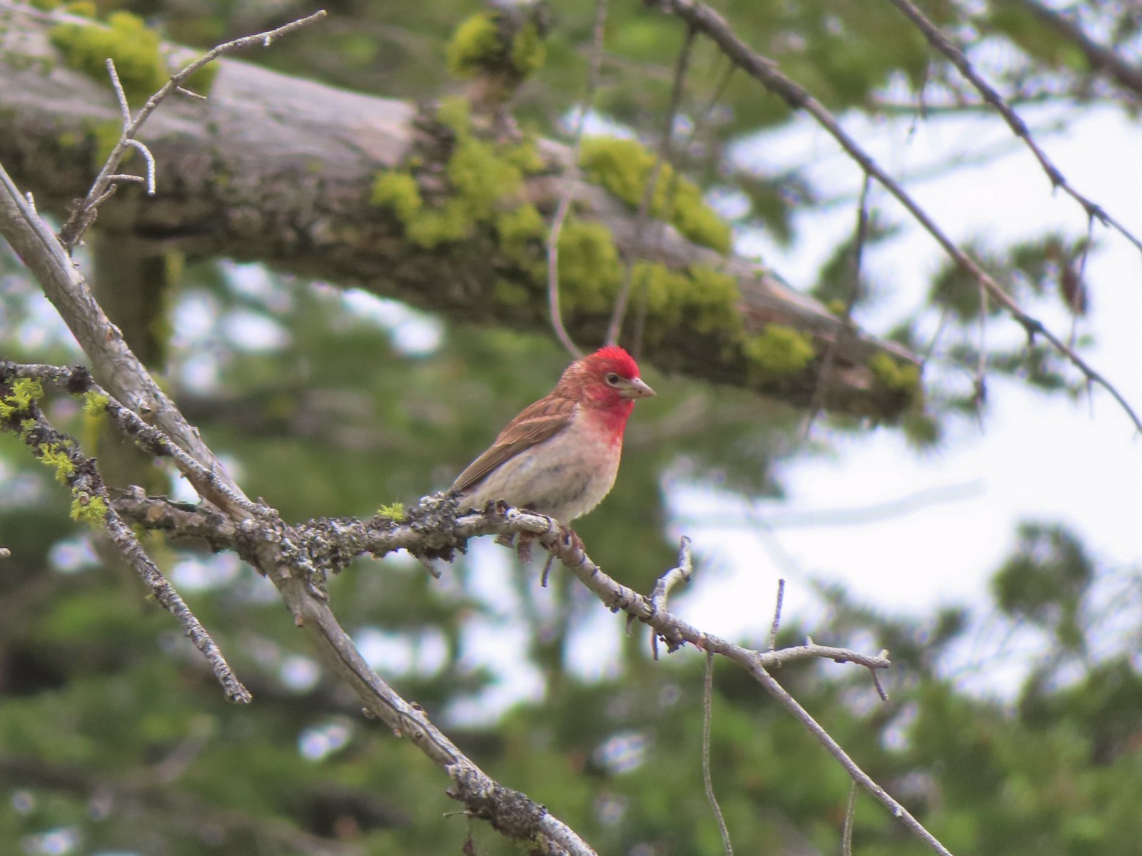 Cassin’s finch
 Western bluebird
 Western tanager
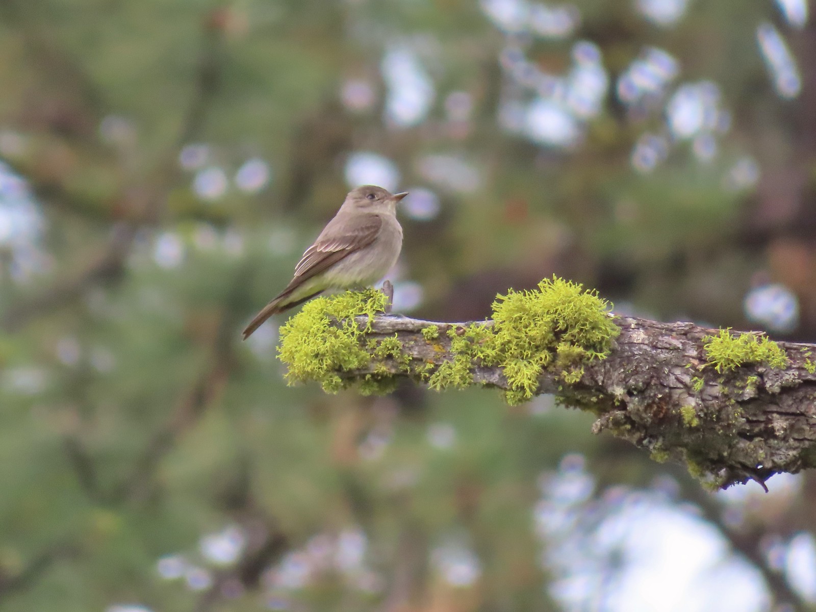 Western wood peewee
 Hairy Indian paintbrush
 Hoary balsamroot
 Mountain bluebird
 The view in the afternoon from the lookout.

 Cow Creek Bridge at the Cow Creek Trailhead.
 Garbage can at the trailhead.

 Penstemon along the trail.
 Geese on the river.
 Cliff swallows
 Moth mullein
 Hawk
Hawk Showy milkweed
 Prickly pear cactus
 Heading into a brushy area.
 Rose
Rose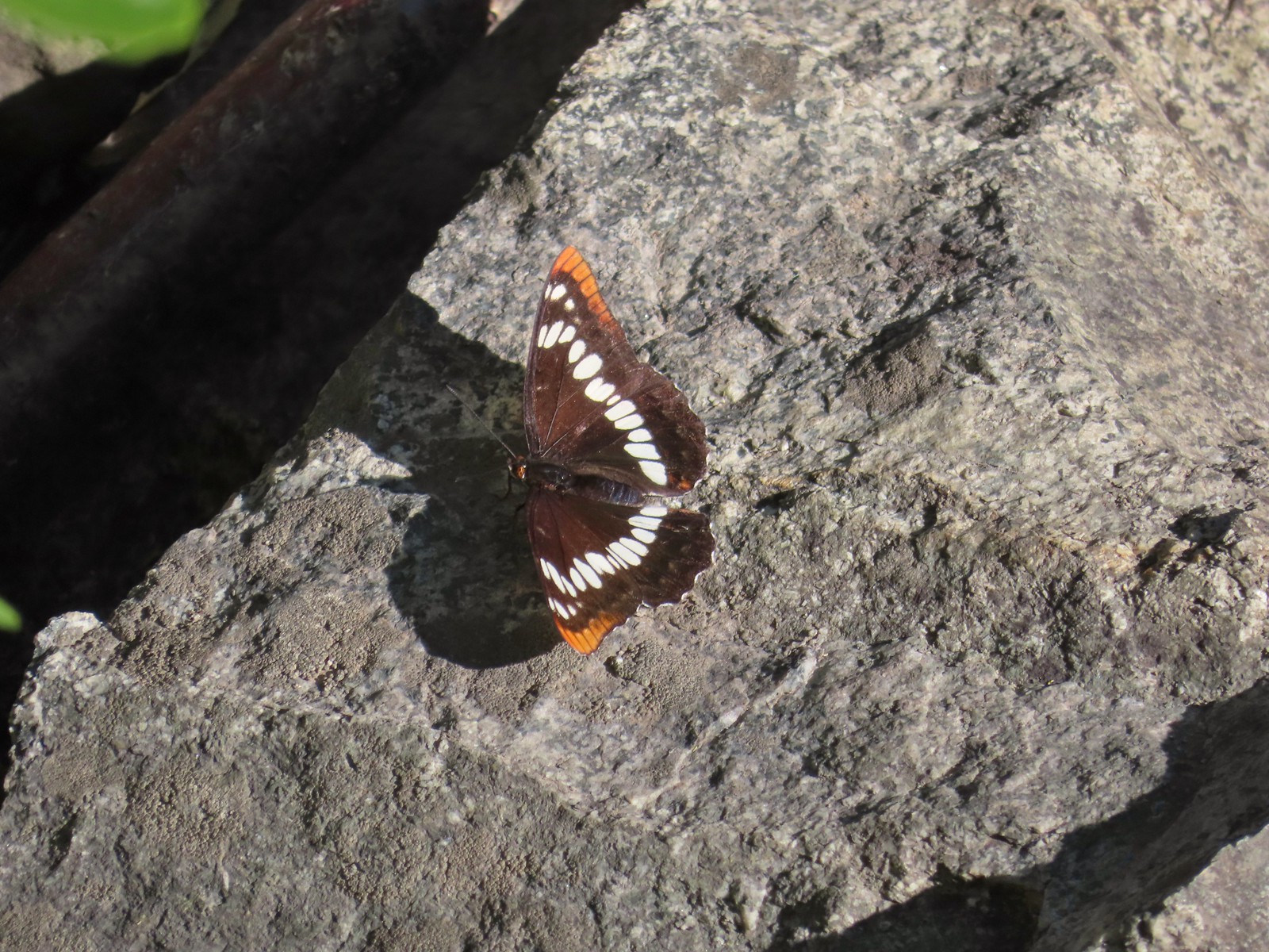 Lorquin’s admiral
 Can you spot the snake?
 The snake heading off the rocks into the brush.
 I cleared this section of trail.
 Sumac along the trail.
 The only marker that Sullivan mentioned along the trail was this pillar on the right at the 2.8-mile mark.
 Painted lady
 St. John’s wort and poison ivy.
 Skullcap
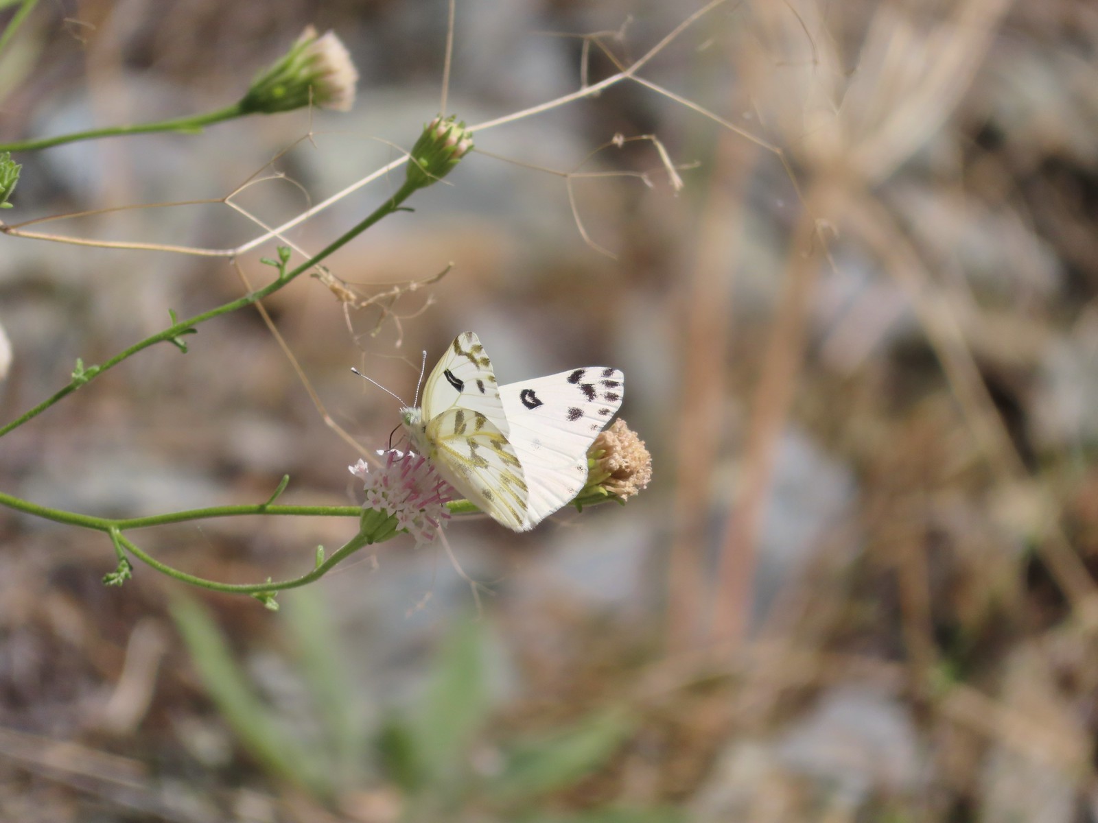 Becker’s white
 Our first view of the Snake River.
 One of several reminders of the mining town at Eureka Bar in the early 1900’s.
 The Mountain Chief Mine across the Imnaha River.
 The Snake River
 Chuckar in the brush across the Imnaha River.
 Eureka Bar
 Skipper on common bugloss.
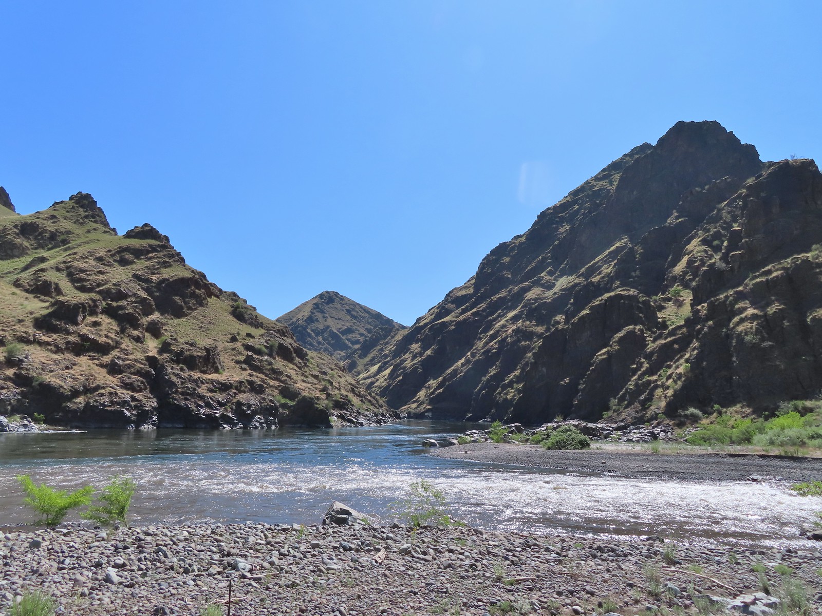 Imnaha River emptying into the Snake.
 Blanketflower
 Bindweed
 Sagebrush mariposa lily
 Another sagebrush mariposa lily
 Fleabane
 Stones where the gold processing mill was going to be.
 Long-leaved ground-cherry (Physalis longifolia)
 Orange globe-mallow
 Orange globe-mallow
 Our turnaround point.
 Another mariposa lily
 Ruins at Eureka Bar.
 Common merganser
 A prickly pear cactus near Eureka Bar.
 Green cricket on poison ivy.
 Lazuli bunting
 Mourning cloak

 We missed all of these prickly pear cacti on the first pass.
 Arriving back at Dug Bar Road.

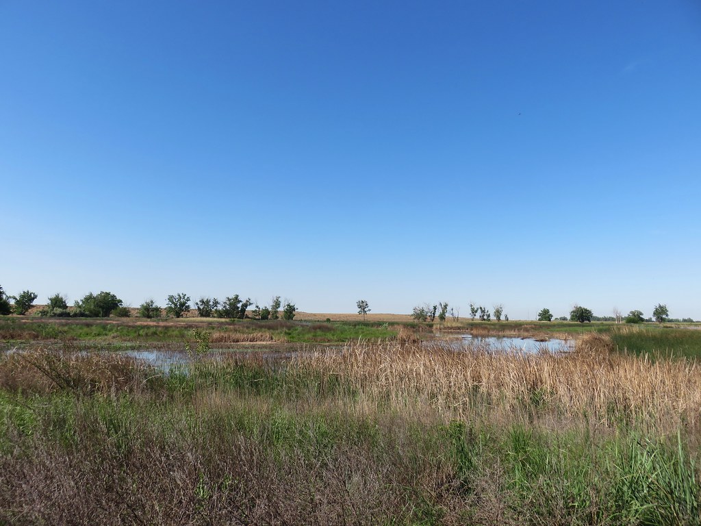 MCormack Slough in the Umatilla Wildlife Refuge.
 Looking towards Hells Canyon from Freezout Saddle.
 Wenaha River Canyon


 Road walk at Henry Haag Lake
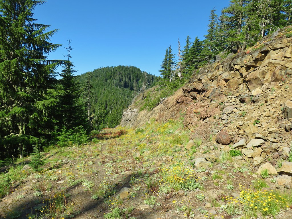 Decommissioned road to Baty Butte.
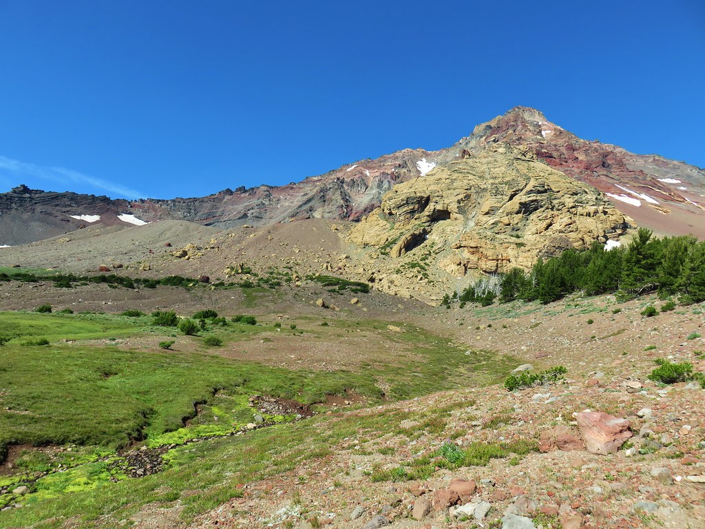 Cross country to Thayer Glacial Lake.
 Snow falling on our Freezout Saddle hike.
 Rain shower approaching at Cascade Head.
 Taking cover under a tree in the Mollala River Recreation Area as a rain shower passes overhead.
 Rainbow framing the Wallowa Mountains from the Feezout Saddle Trail.
 View from Cascade Head after the shower.
 View from the morning across the Mollala River Canyon.
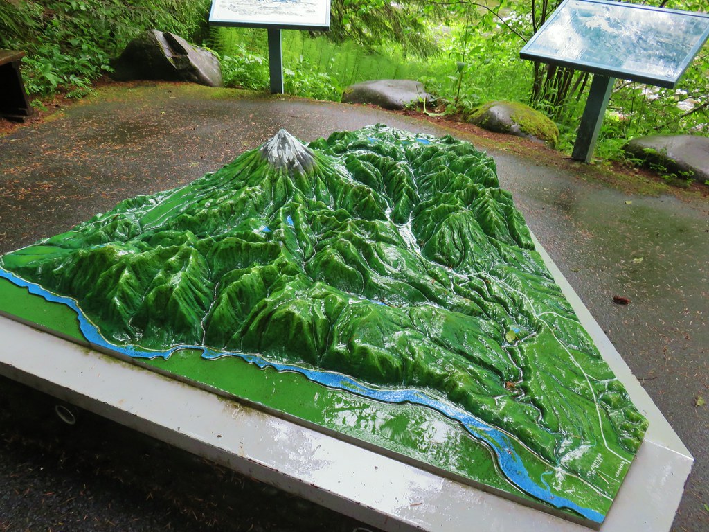 Neat 3D display at Wildwood Recreation Area.
 View atop Huckleberry Mountain.

 Gales Creek – Coast Range
 Dry Creek Falls – Columbia River Gorge, OR
 Camassia Natural Area – West Linn
 Two Chiefs and Table Mountain – Columbia River Gorge, WA
 Oak Island – Columbia River
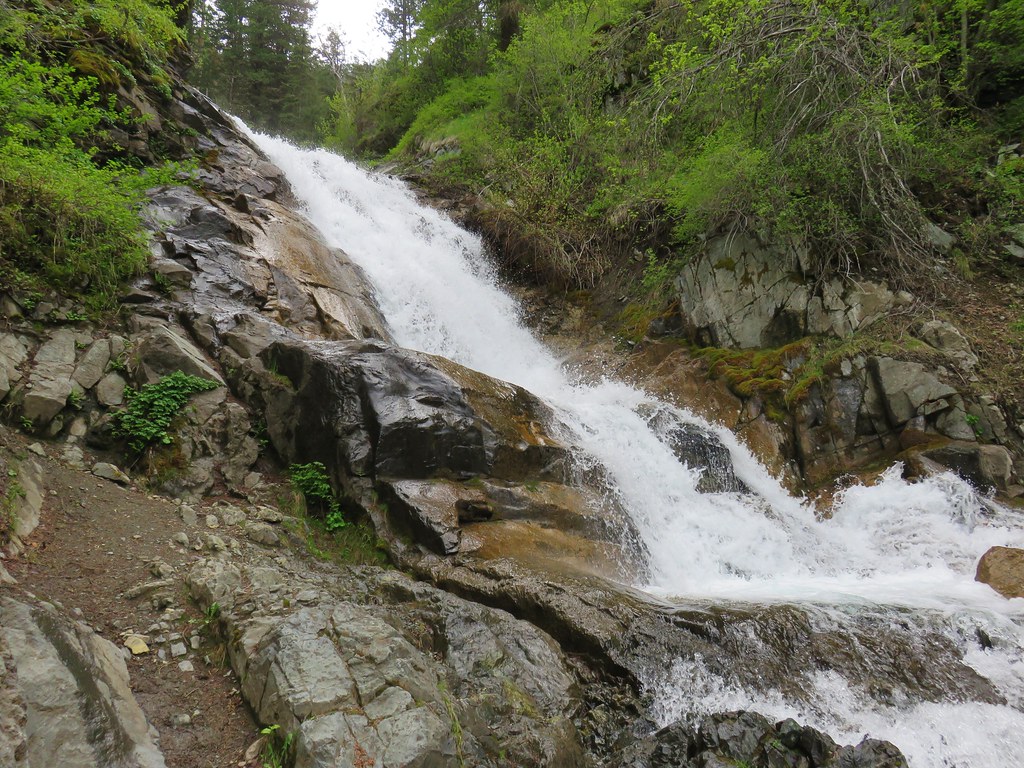 B.C. Creek Falls – Wallowa Mountains
 Wallowa Mountains
 Harsin Butte – Zumwalt Prairie
 Sardine Mountain – Willamette National Forest
 Gorton Creek Falls – Columbia River Gorge, OR
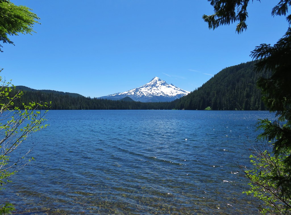 Mt. Hood from Lost Lake
 Mt. Hood from Vista Ridge
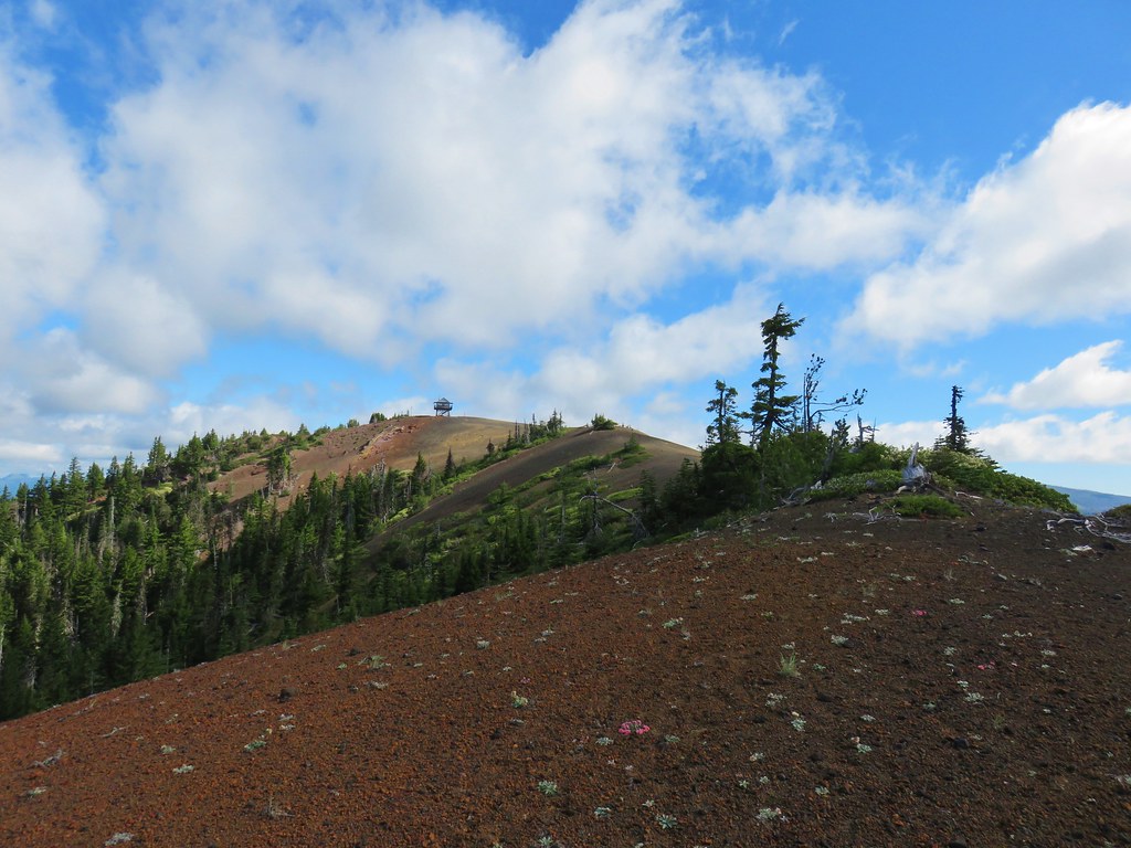 Sand Mountain Lookout – Willamette National Forest
 Cape Kiwanda and Haystack Rock from Sitka Sedge Beach
 High Lake – Mt. Hood National Forest
 Tidbits Mountain – Willamette National Forest
 Bunchgrass Meadow – Willamette National Forest
 Breitenbush Cascades – Willamette National Forest
 Mt. St. Helens from Cinnamon Ridge – Mt. St. Helens National Volcanic Monument
 Mt. Jefferson from Bear Point – Mt. Jefferson Wilderness
 Sawmill Falls – Little North Fork Santiam River
 Three Fingered Jack, The Three Sisters, and Mt. Washington
 Scramble route to Baty Butte – Mt. Hood National Forest
 Boulder Lake – Mt. Hood National Forest
 Drift Creek – Drift Creek Wilderness
 North Sister and Thayer Glacial Lake – Three Sisters Wilderness
 North Sister, Middle Sister, and The Husband from Four-In-One Cone – Three Sisters Wilderness
 Mt. Hood from Tumala Mountain – Mt. Hood National Forest
 Bull of the Woods Lookout – Bull of the Woods Wilderness
 Mt. Hood from Elk Cove – Mt. Hood Wilderness
 Mt. Jefferson and Hunts Cove – Mt. Jefferson Wilderness
 View from Olallie Butte – Warm Springs Indian Reservation
 Lillian Falls – Waldo Lake Wilderness
 Olallie Mountain Lookout – Three Sisters Wilderness
 King Tut – Crabtree Valley
 Mt. Jefferson from Ruddy Hill – Mt. Hood National Forest
 Henry Haag Lake – Scoggins Valley
 Waldo Lake and the Cascade Mountains from The Twins – Deschutes National Forest
 Bobby Lake – Deschutes National Forest
 Indian Henry’s Hunting Ground – Mt. Rainier National Park
 Fog over the valley from Mt. Pisgah – Eugene, OR
 Twin Peaks and Gifford Lake – Olallie Lake Scenic Area
 Mt. Adams from Lookout Mountain – Badger Creek Wilderness Area
 Mollala River Recreation Area
 View toward Washington from the Pacific Crest Trail near Indian Mountain – Mt. Hood National Forest
 Clackamas River – Mt. Hood National Forest
 Forest Park – Portland, OR
 Tilikum Crossing – Portland, OR
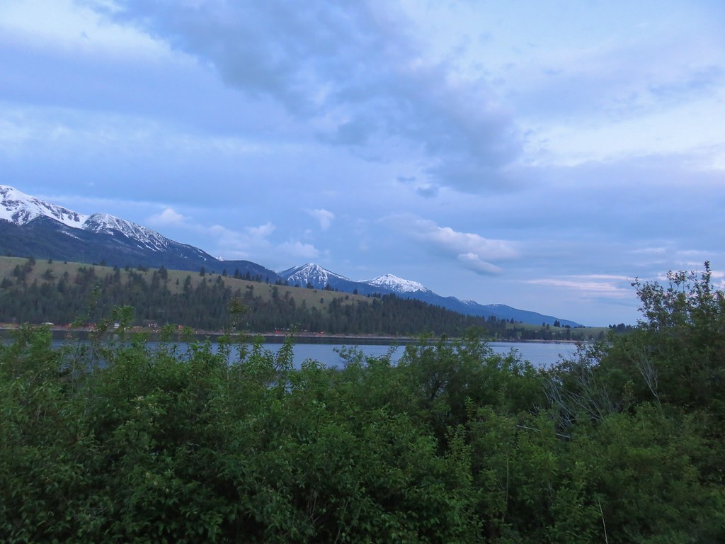


 (The black dot in the center of the hill is one such cow.)
 Western stoneseed
 Prairie stars
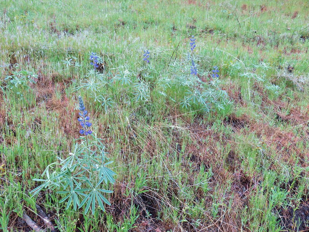 Lupine
 Heather emerging from the brushy section.


 Blue Dicks
 Balsamroot
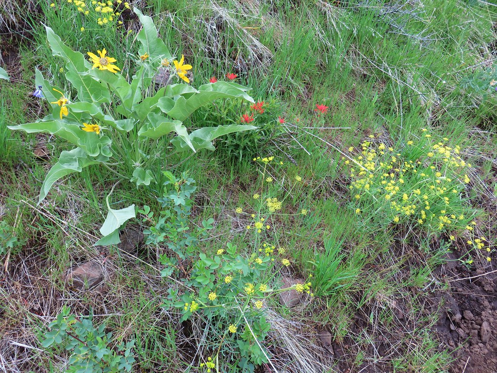 Balsamroot, paintbrush and biscuitroot


 Larkspur and monkeyflower
 Paintbrush
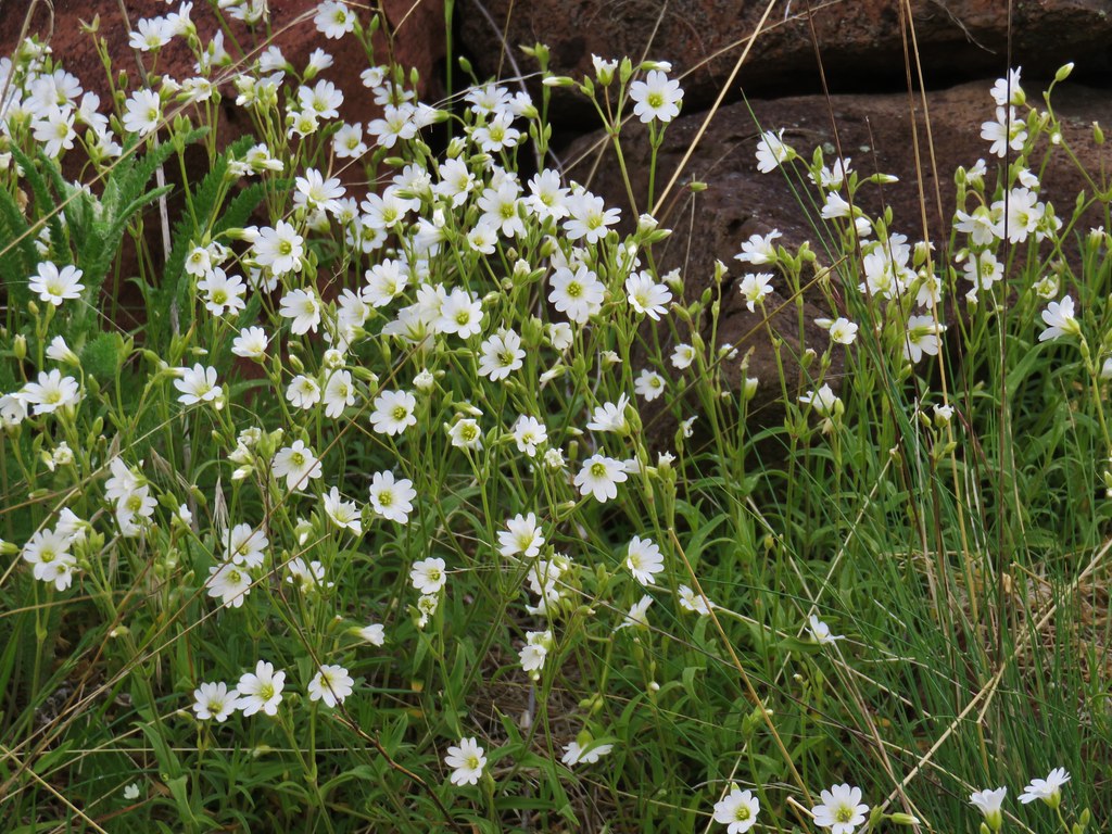 Chickweed
 Possibly going to be a penstemon
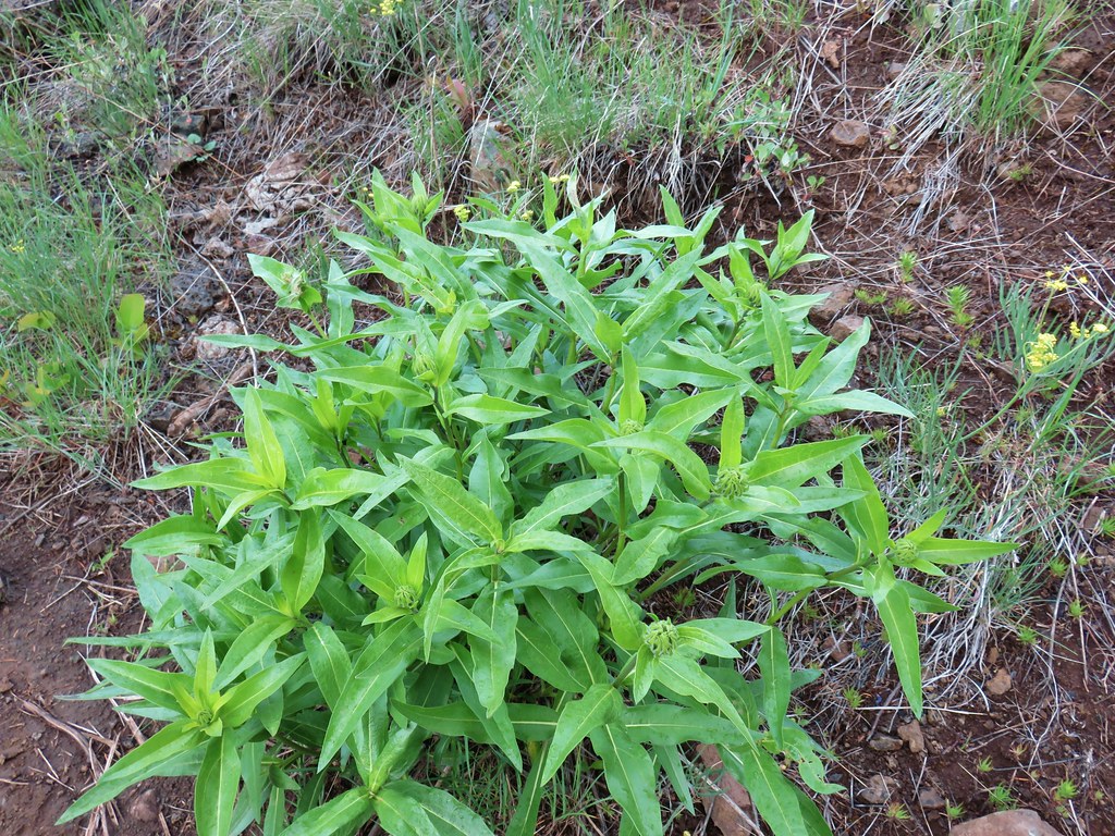 Unkown
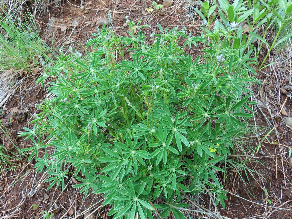 Lupine
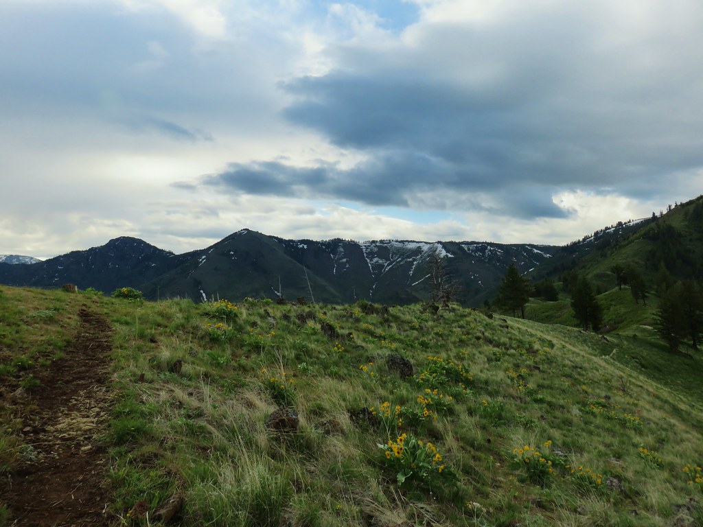

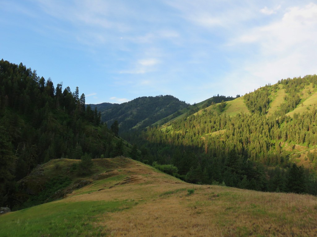
 West to the quickly vanishing Wallowa Mountains.
 North
North South
South East into Hells Canyon
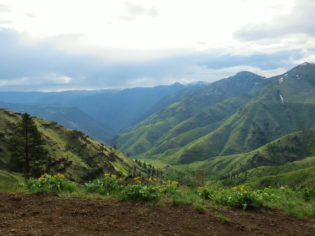
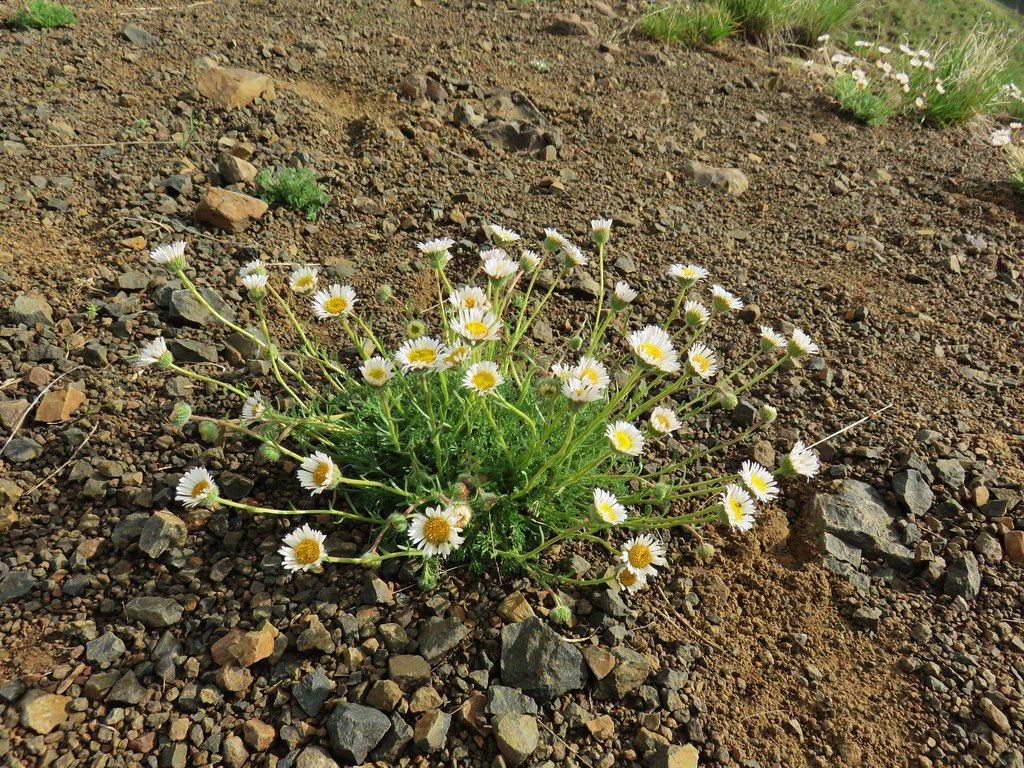 Cutleaf daisy
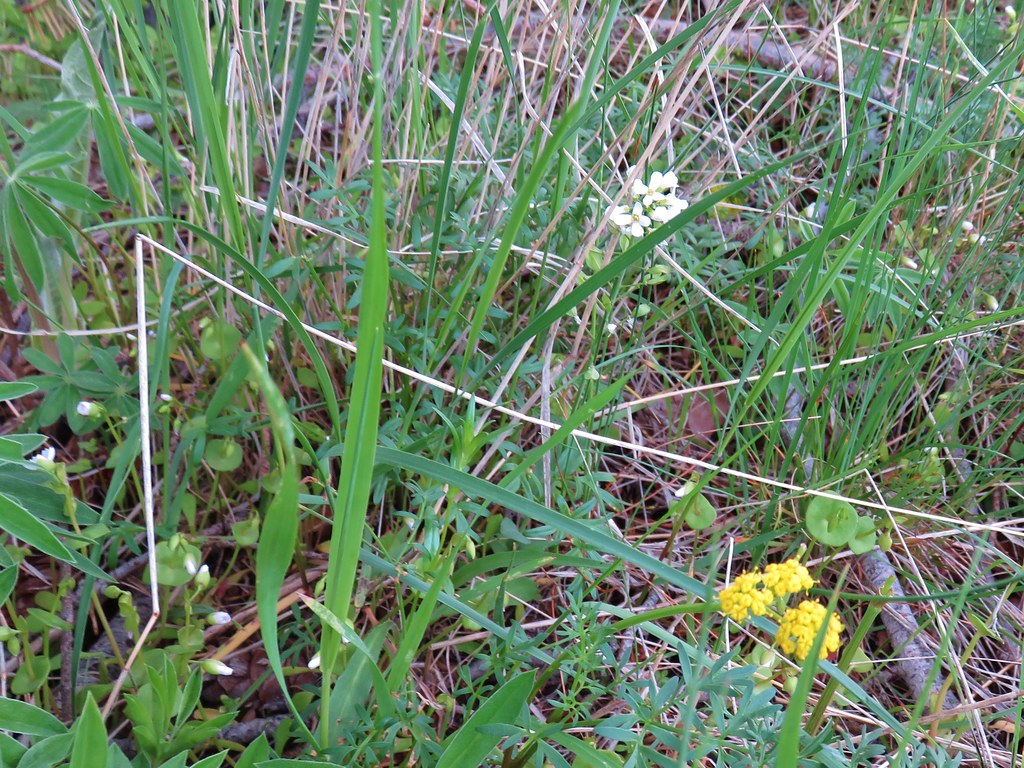
 Largehead clover


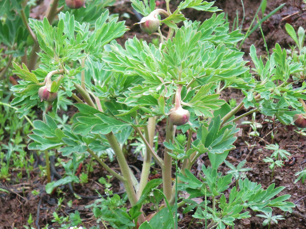 Brown’s peony getting ready to bloom.
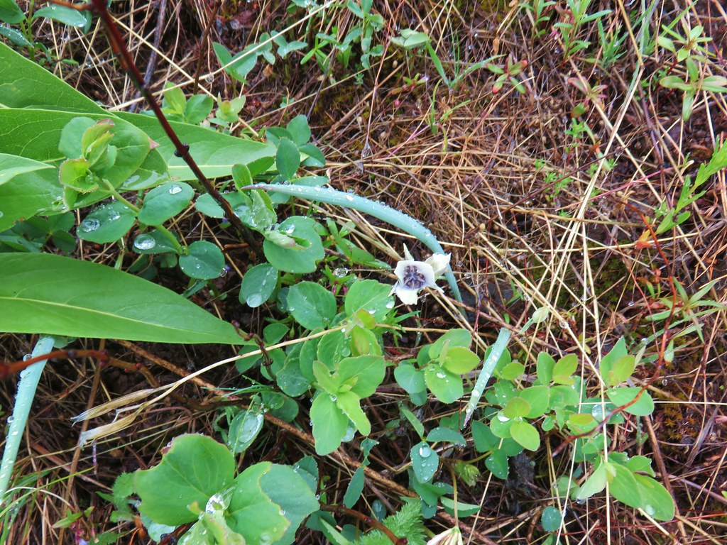 Mariposa lily starting to open.


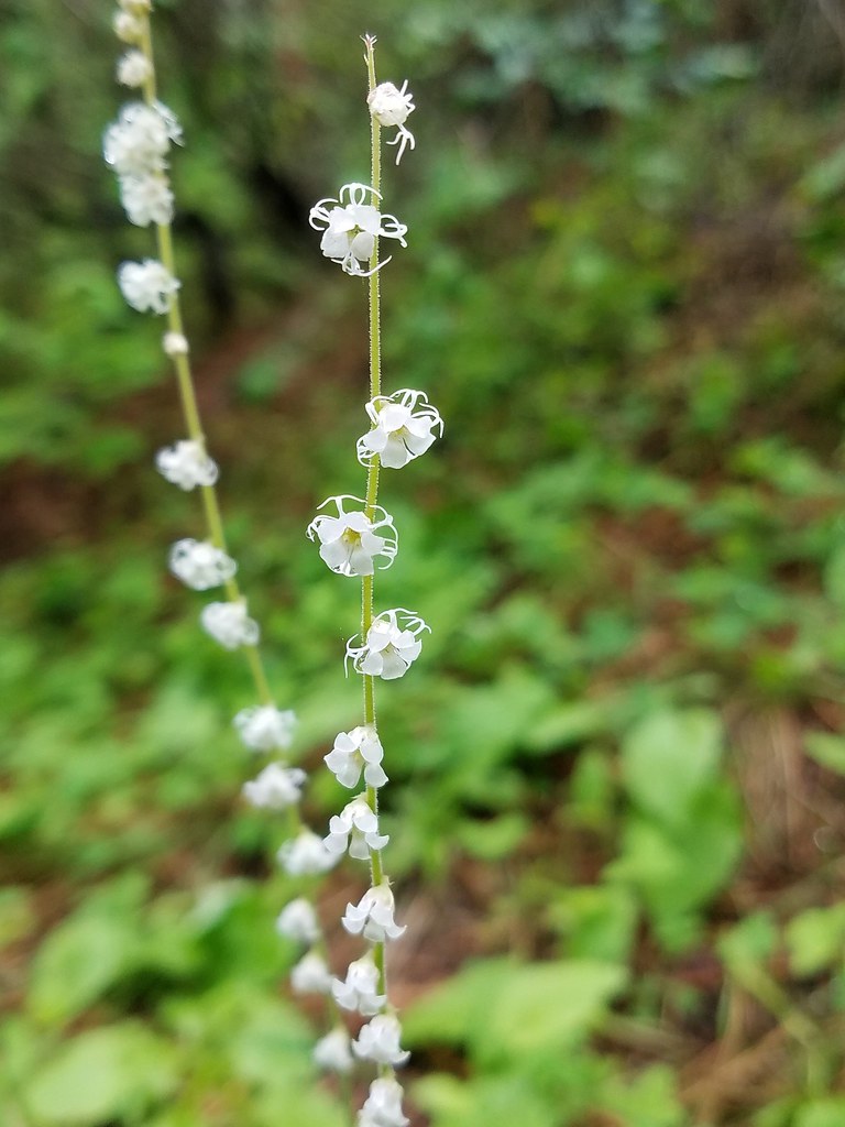
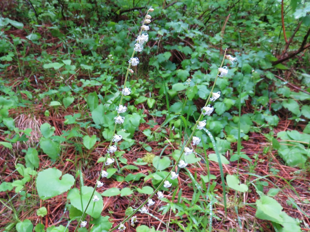 Small flower miterwort