
I began my final solo vacation of the year with a visit to the Columbia River Gorge National Recreation Area and the Mark O. Hatfield Wilderness. My plan was based on an entry in Matt Reeder’s “PDX Hiking 365” (1st edition) guidebook.
He describes a 14-mile out and back hike to the Plateau starting at the Herman Creek Trailhead with a cumulative elevation gain of 3800′. Most of the hike passes through the 2017 Eagle Creek Fire scar using the Herman Creek, Herman Creek Bridge, and Pacific Crest Trails.
I arrived at the trailhead before sunrise due to wanting to get through Portland traffic before 6am.

There were a few important pieces of information at the trailhead signboard.

Important information included the need of a NW Forest Pass to park at the trailhead, that there is currently a campfire ban, and no fireworks are allowed (illegal use of fireworks started the Eagle Creek Fire).
I set off on the Herman Creek Trail and followed it uphill passing under a powerline corridor to a junction with the Herman Creek Bridge Trail at the 0.6-mile mark.


I forked right onto the 1.1-mile-long Herman Creek Bridge Trail which descended to the Herman Creek Bridge then climbed to a junction with the Pacific Crest Trail (PCT).


Herman Creek

Climbing toward the PCT. Note the red leaves on the left which is poison oak. There was a fair amount of poison oak along the lower portion of this hike. There were a couple of spots where I had to get small to squeeze between some of it, but I was able to avoid it by staying alert.

Beardtongue

More poison oak. With it turning red for the Fall most of it was easy to spot.

First pika sighting of the day. (Can you spot it?)

The Columbia River Gorge is the lowest elevation at which pikas live. These members of the rabbit family require temperatures below 78 degrees and primarily live at higher elevations with longer snowy seasons during which they live underground surviving on greens collected during summer months.

The Moon above cliffs.

The junction with the PCT. The hike up to this point had retraced part of our 2015 to Pacific Crest Falls (post).
In 2015 we had gone right to visit the waterfall, but this time I turned left on the PCT which quickly entered the Mark O. Hatfield Wilderness.

From the junction it was a nearly constant 5-mile climb to Benson Plateau. There were a couple of small saddles that provided a little up and down near the plateau but otherwise it was a steady but never steep climb.

First good viewpoint across the Columbia River.

Another pika. I heard several but only spotted three or four.

The summit of Mt. Adams peaking over the ridge across the river.

Table Mountain (post) on the left and Greenleaf Peak (post) on the right.

The amount of poison oak lessened as the trail climbed giving way to friendlier greenery.

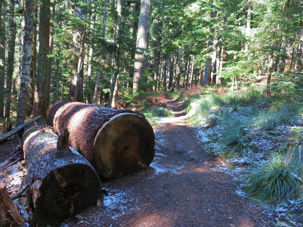
One of two large trees over the trail. This one required the removal of my pack so that I could crawl under. The other one was just enough smaller that it could be climbed over.

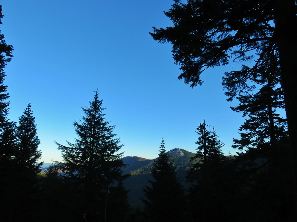
View along the trail.


A little more of Mt. Adams showing.

Heading into the sunlight.

Grouse on the PCT. There wound up being at least 5 or 6 grouse nearby.

Grouse in a tree.

The tree I climbed over.

There were a few overgrown sections, but fortunately they were high enough up that the poison oak was no longer an issue.

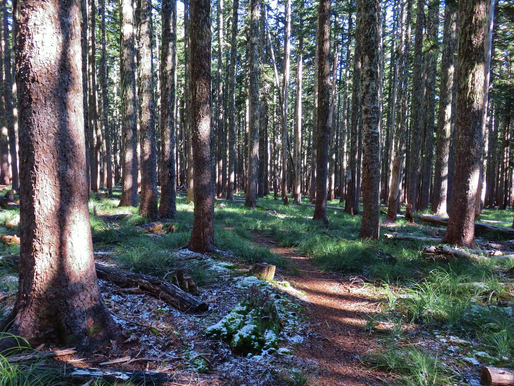
Up, up, up through the forest.

Strategic use of switchbacks helped keep the trail from being too steep.
Near the switchback above I caught a strong whiff of fire. Not smoke in the air, but the unmistakable smell of fire. It made me a little uneasy because there weren’t any nearby fires showing on the online maps I’d checked before leaving. After climbing another switchback the trail gained a ridgetop, and I discovered the source of the smell. A pair of bow hunters had set up a fire ring and built a fire right next to the trail and a tree. They had their tent, sleeping bags and gear strewn about and when they spotted me they explained they were trying to “dry out” their gear. It was obvious from their need to quickly explain why they had a fire that they knew it wasn’t okay. I didn’t feel comfortable calling them out on it so I made my way around their gear and continued on.

The ridgetop. The bow hunters were about 100 yards behind me at this point.
I continued on getting a view of Mt. St. Helens through the snags.


Another grouse. This was one of 8 to 10 that were in this area.

The cliffy Hamilton Mountain (post) on the Washington side of the gorge.

Explorer’s gentian
After another switchback the trail arrived at an open viewpoint.

The PCT continuing uphill.

Mt. Adams

Closer look at Mt. Adams

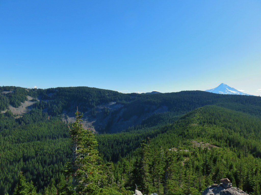
Mt. Hood partially hidden by trees.

Mt. Hood


Approximately a half mile from the illegal campfire I arrived at Teakettle Spring.


It was good to know that there was water available here as the only other source I’d passed was Herman Creek. I was carrying an extra Hydroflask full of water just in case, and after seeing the campfire I came up with another use for it. I decided that I would add that water to my pack bladder when I reached the plateau and then refill the Hydroflask from the spring on the way down to use on the fire pit if necessary.
The trail continued to climb beyond the spring before crossing two saddles along a ridge. In the second saddle the Benson Way Trail arrived on the right.

Beargrass along the trail is much better than poison oak.

Sections of the ridge burned intensely in 2017.

Near the second saddle the trail left the 2017 fire scar, although a very small section did burn in the 2024 Whiskey Creek Fire.

The Benson Way Trail on the right.

The final climb to the Benson Plateau.
The trail eventually leveled out on the plateau.


Approximately three quarters of a mile from the Benson Way junction I passed the Benson-Ruckle Trail, again on the right.
 Trail signs for the Benson-Ruckle Trail.
Reeder mentioned a campsite near the junction, but I didn’t see an obvious one. I continued on looking for the campsite but after a tenth of a mile I instead spotted a short use trail to a rocky viewpoint. I decided that would make for a good spot for a break.

It wasn’t a huge view, but it was nice and the rocks made for a great spot to sit down, have a snack, add the remaining Hydroflask water to my pack, and then change into dry socks.
After the break I headed back the way I’d come. It would have been possible to use the network of trail on the plateau to make a loop around it, but 14-miles was enough for me today.
I made my way back down to Teakettle Spring and refilled the Hydroflask as planned.


The hump with radio towers behind the ridge is Mt. Defiance (post).
Not long after leaving the springs I encountered the bow hunters who were standing in the trail looking at their phone. They asked me if I knew where the spring was because they were “plumb out of water”. I informed them it was about 100 yards further up the trail and continued on now wondering if they were out of water due to dousing the campfire or if they had had enough water to do that in the first place.

Approaching the best viewpoint.

Not only was Mt. Adams a little clearer but I realized the top of Mt. Rainier was visible from the viewpoint as well.

Mt. Rainier behind Red Mountain (post).

Huckleberry leaves.

Vine maple
When I arrived at the site of the fire pit I could tell that they had at least attempt to extinguish the fire.

The fire pit. In no way is this acceptable, even if fires weren’t currently banned. If it is legal to have a fire and you feel you must please follow Leave No Trace Principles.
Even though there was no visible smoke I knew that fires can easily burn underground, sometimes for days until they reach a tree or stump at which point they can reemerge above ground causing a full-on wildfire. I felt the dirt over the fire and sure enough it was still putting off heat so I exposed some of the coals and poured the Hydroflask out over them. This produced a lot of hissing so I did a little stirring and added more water from my bladder attempting to make “campfire soup”. After doing what I could with what I was carrying I marked the location with the GPS so I could report it to the Forest Service when I had the chance which I did later.
I continued down the trail and when I neared the tree that required crawling under met a pair of backpackers heading up to the plateau. I described the fire pit to them, and they indicated that they were carrying extra water and would add some if necessary.
Other than that it was an uneventful downhill until I reached the rocky hillsides where I once again had some luck spotting pikas.

This one was more than happy to pose for me for a bit.

At the end of the day my GPS read 14.2-miles with the 3800′ of elevation gain as advertised.

Despite the issue with the illegal fire this was a nice, challenging hike. There really isn’t anything that will blow you away scenery wise, but there is enough of a mix to keep it interesting. While the upper portion of the trails can get pretty snowy from November through late April/early May this would be a great training hike while waiting for the higher elevations to become snow free. Happy Trails!
Flickr: Benson Plateau


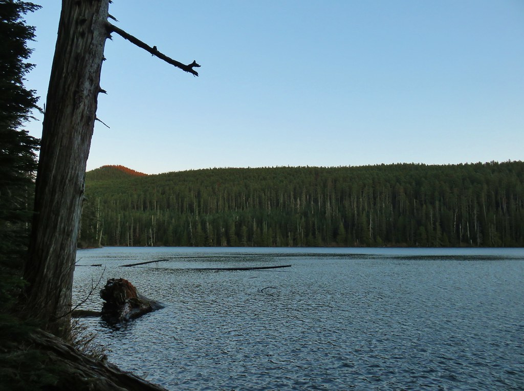 Chindrie Mountain from across Wahtum Lake.


 Chindrie Mountain
 Tanner Butte
 Table Mountain
 Chindrie Mountain again.
 Indian Mountain
 Mt. Hood
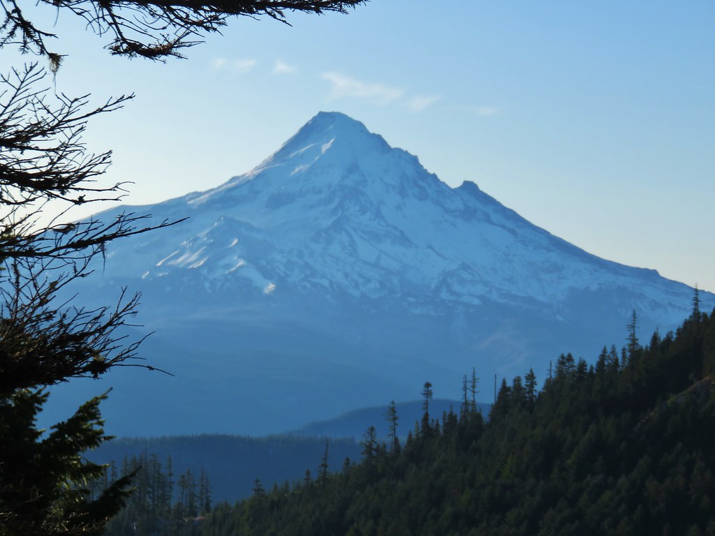


 Crossing FR 660 near Indian Springs
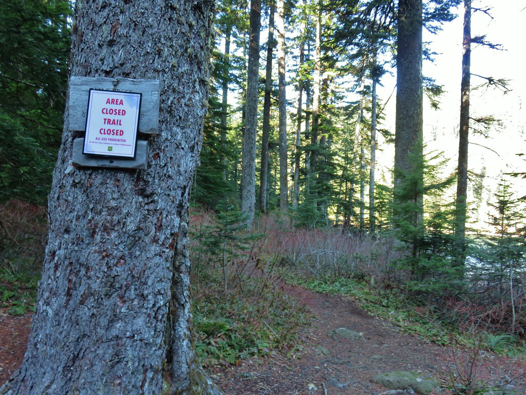
 Trail sign at the junction with the currently closed Indian Springs Trail.


 Table Mountain and Greenleaf Peak with Mt. St. Helens in the background.
 Mt. St. Helens
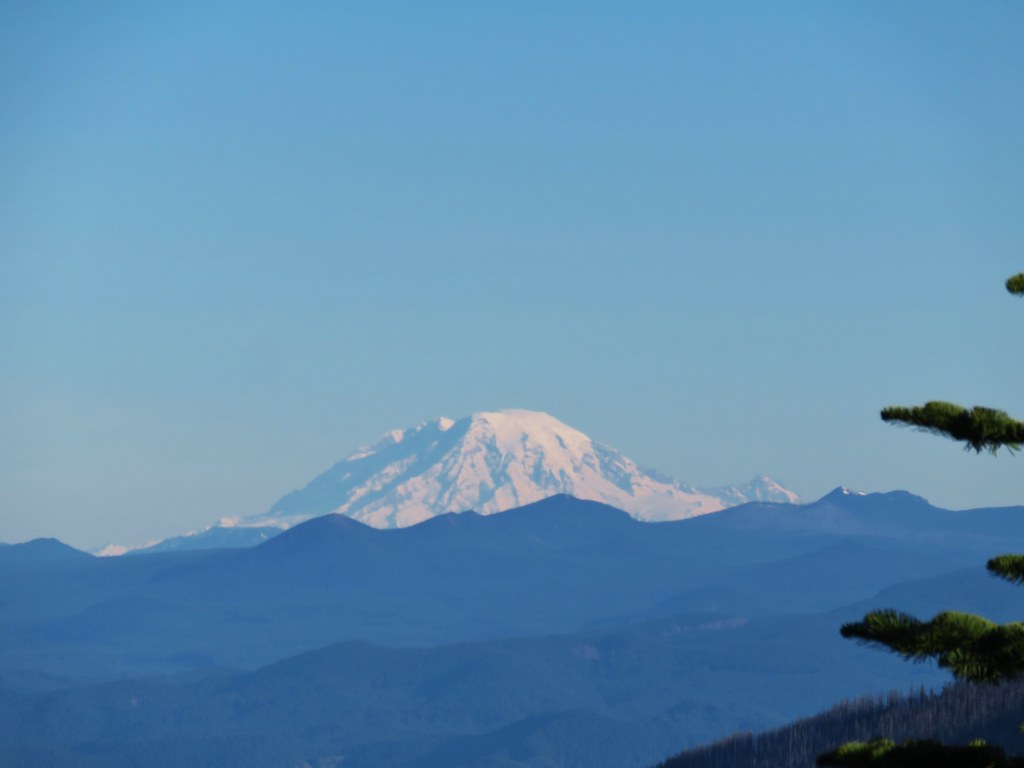 Mt. Rainier
 Goat Rocks
 Mt. Adams and Chindrie Mountain


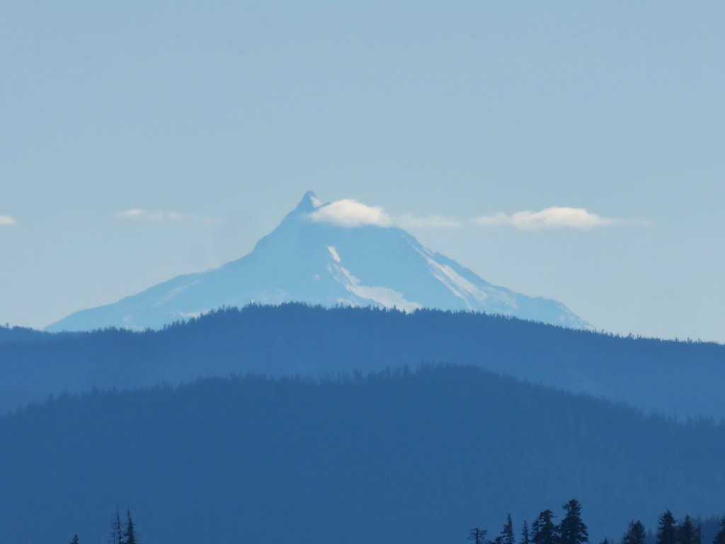
 Mt. Hood and Mt. Jefferson
 Mt. Jefferson
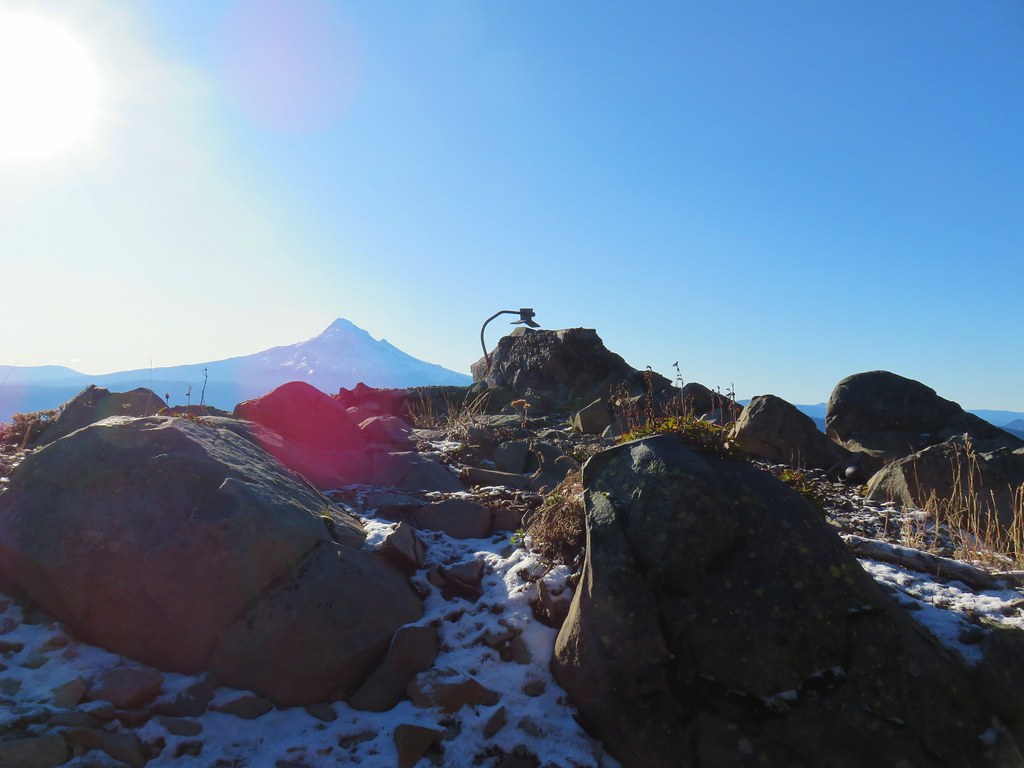 Mt. Hood from the former lookout site.
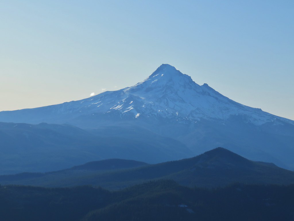 Mt. Hood with Lost Lake Butte (
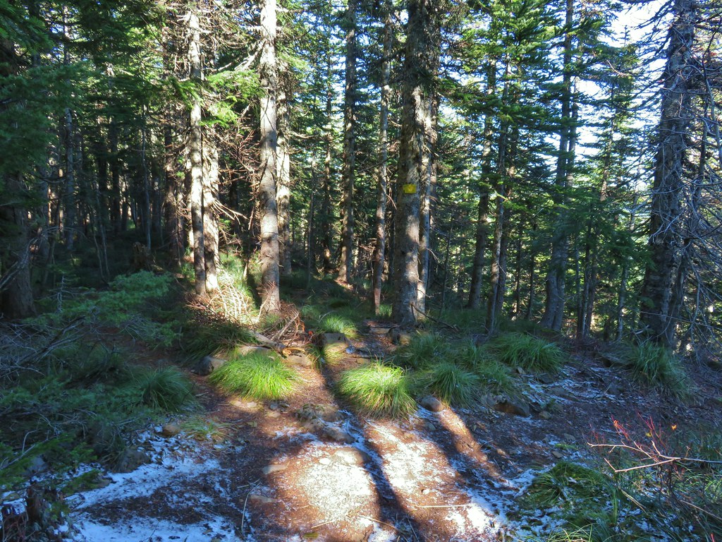
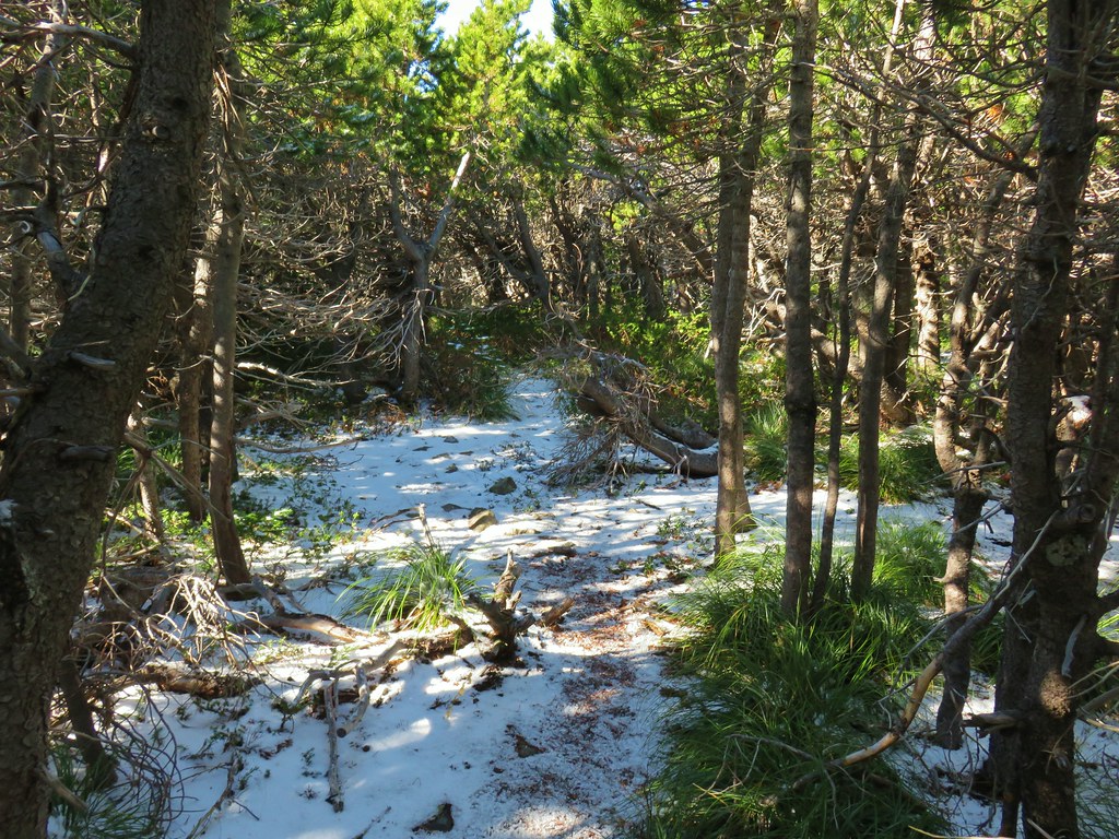
 Snow on the north side, green on the south.
 Mt. St. Helens with some snow on the trees in the foreground.
 Crystals on a bush.

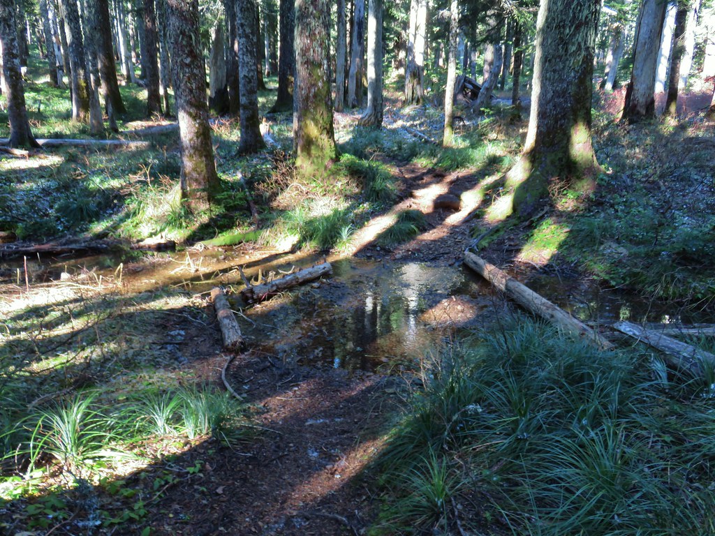 Stream crossing
 Herman Creek Trail junction.


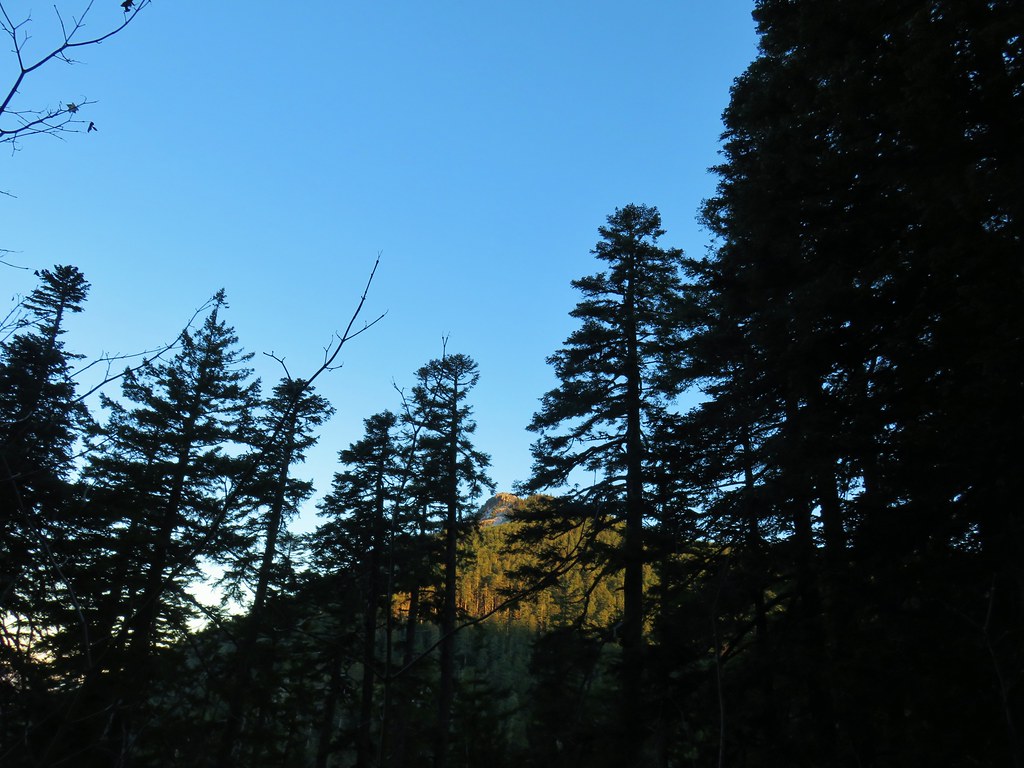
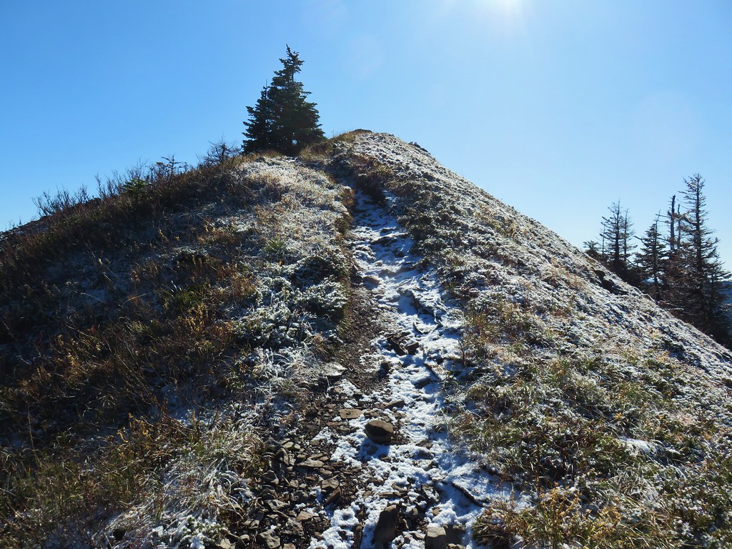
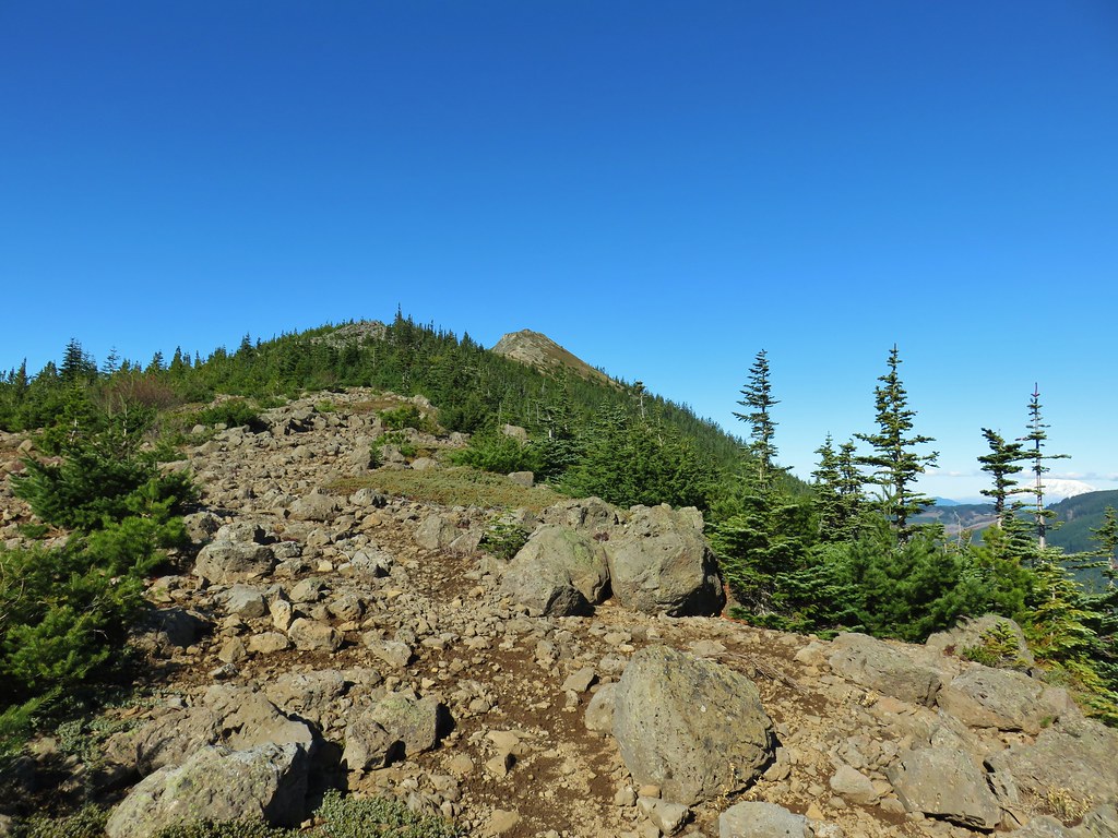
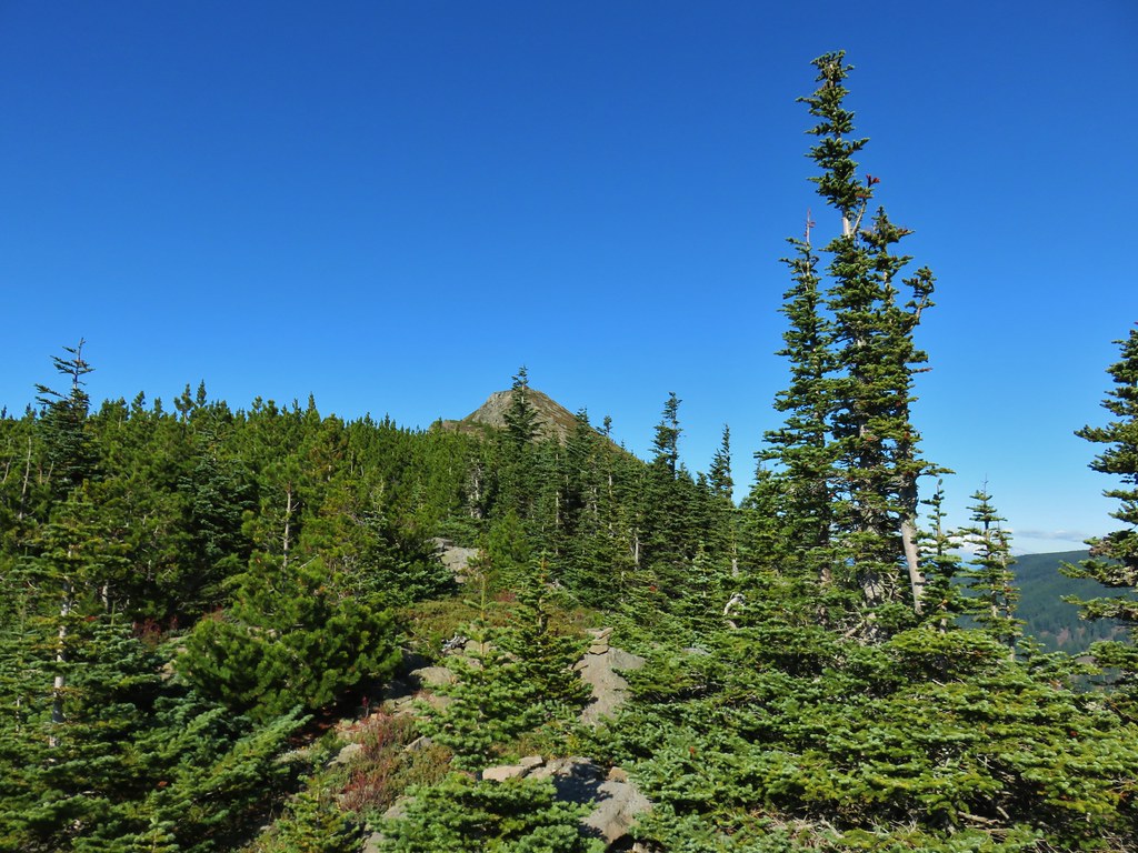
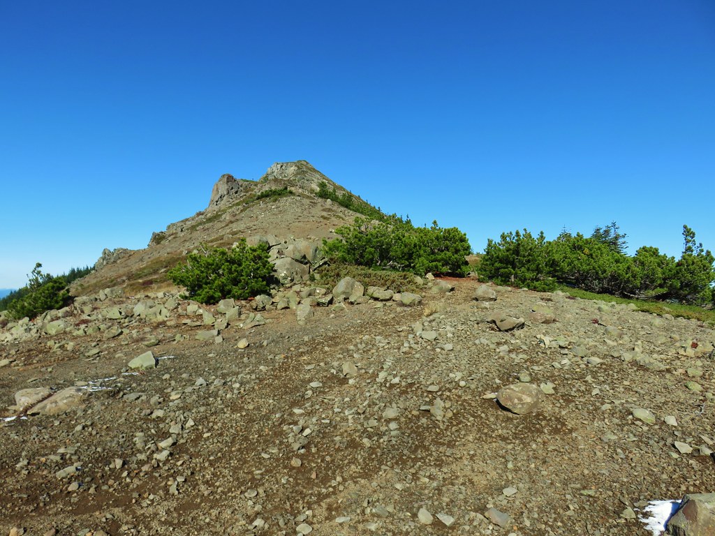
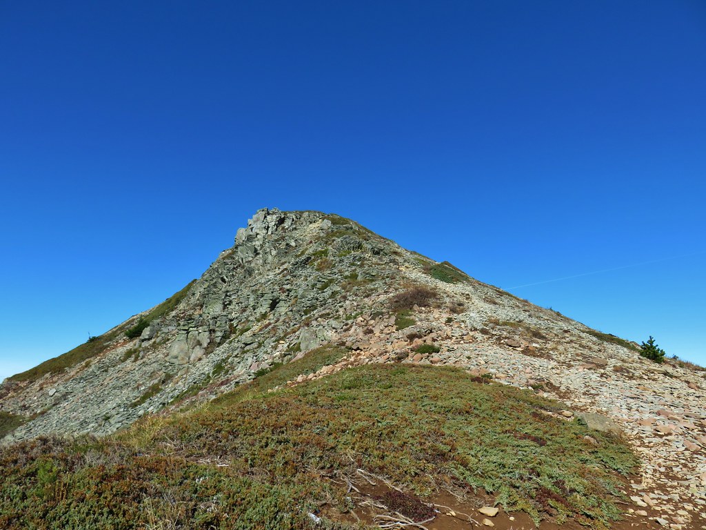
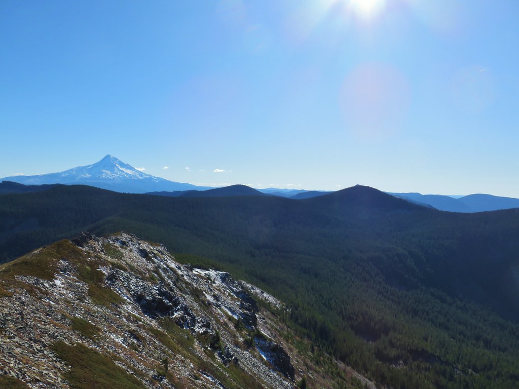
 Looking at the summit from the trail.
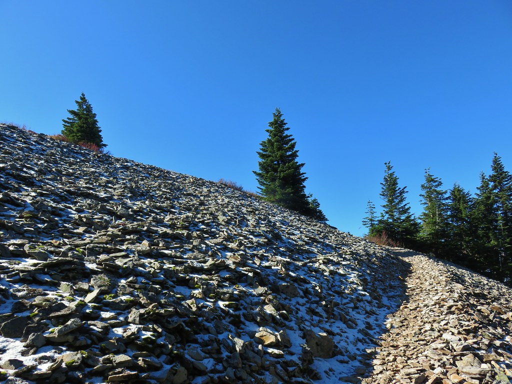
 Mt. Hood
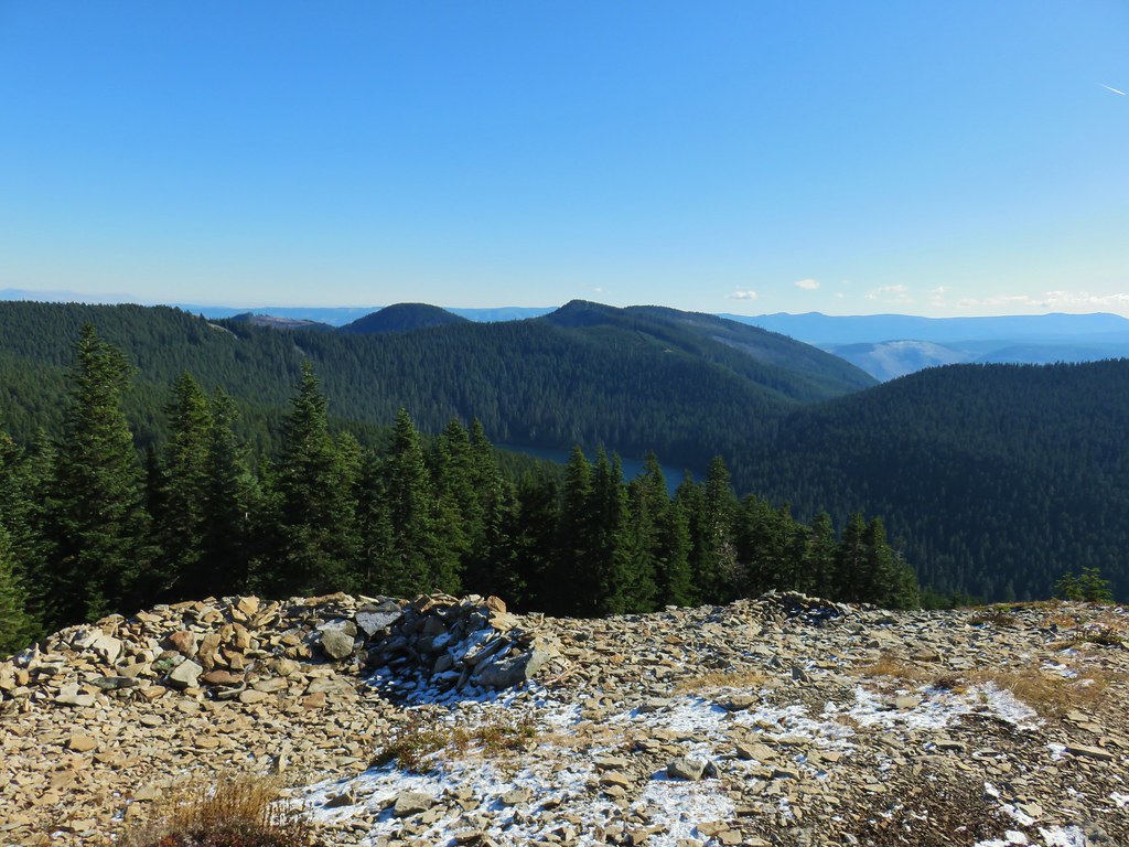


 Lots of beargrass clumps.
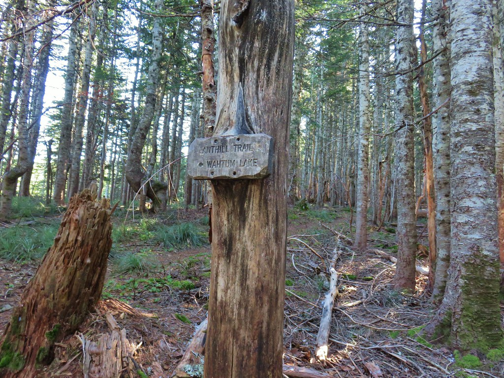
 Trail to Tomlike on the left.


 There’s at least one cairn here.

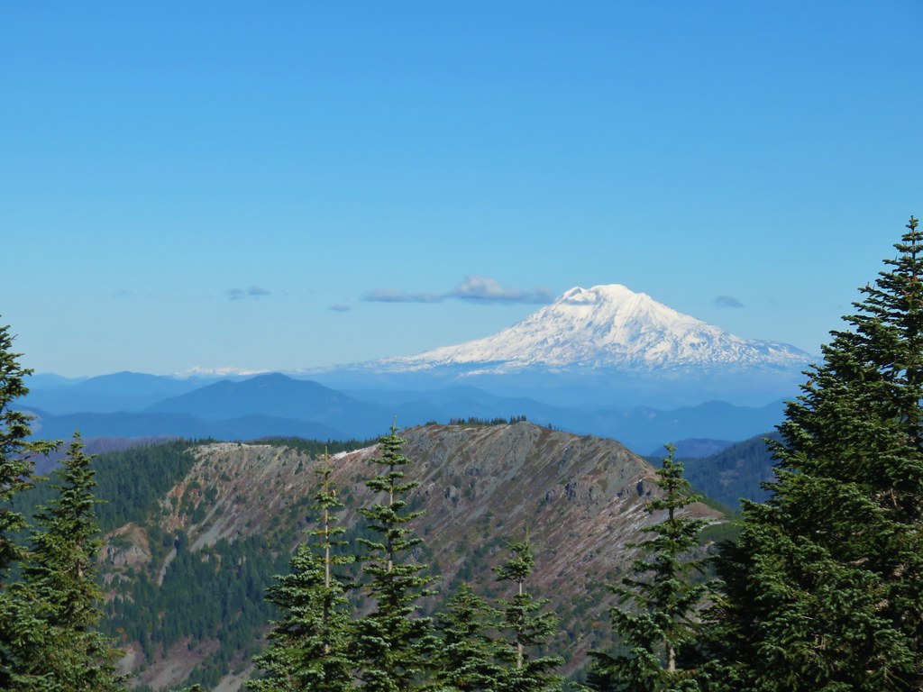
 Mt. Adams to the right.
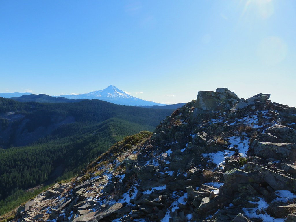
 Mt. Hood with Indian Mountain rising up behind Chindrie Mountain to the right.
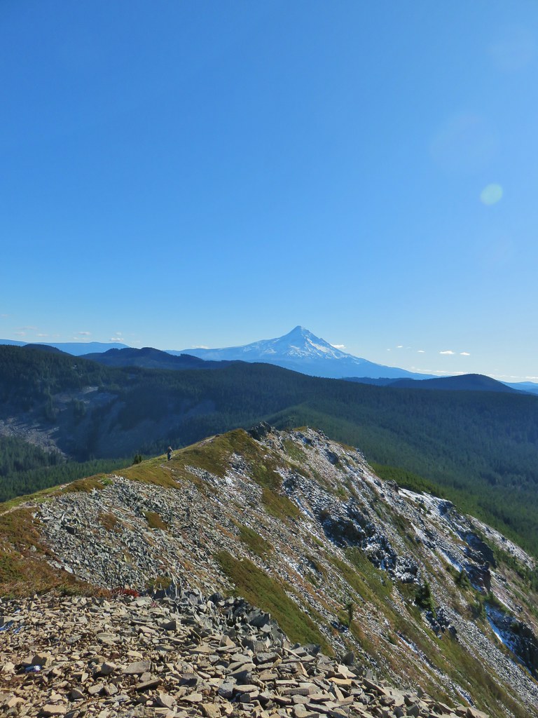 Heather crossing the ridge below the summit.

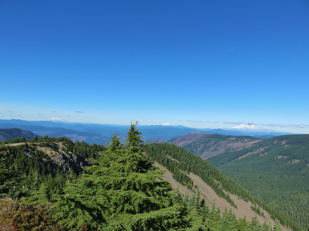 Mt. St. Helens, Mt. Rainier, Goat Rocks and Mt. Adams from left to right.
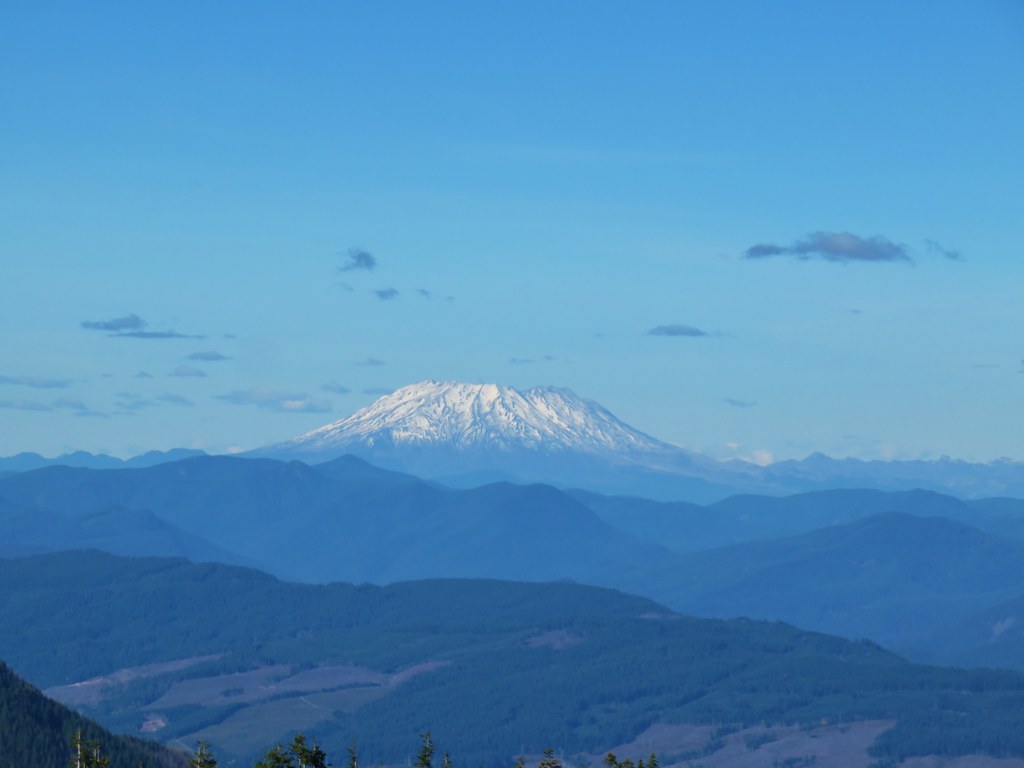 Mt. St. Helens
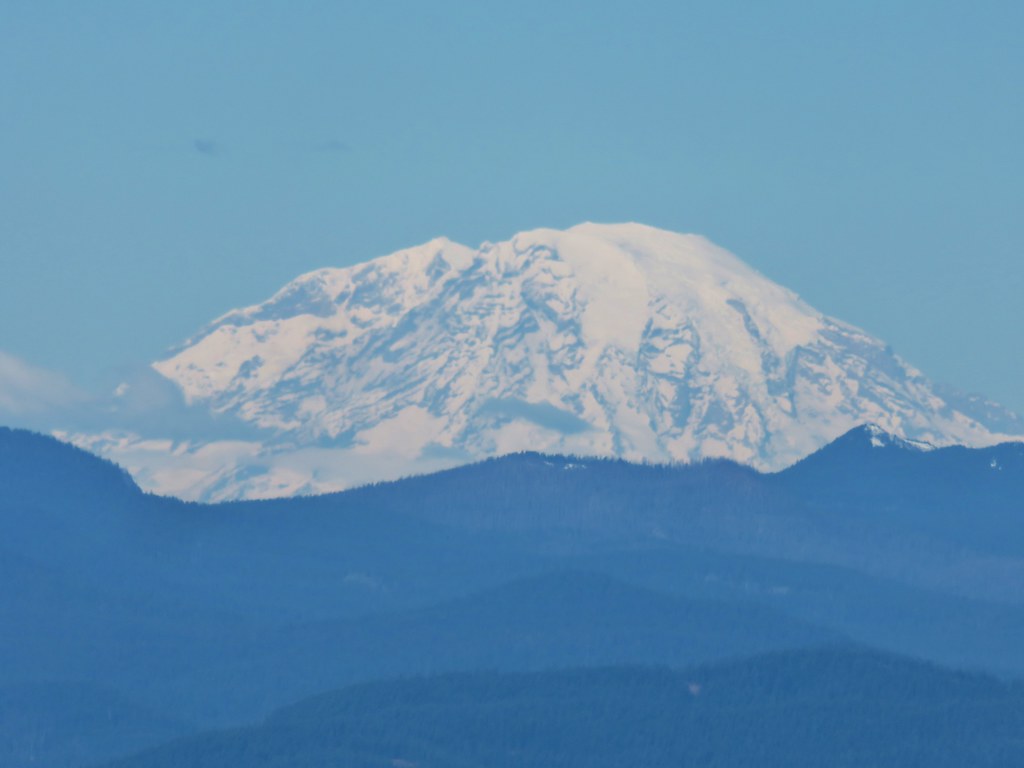 Mt. Rainier
 Goat Rocks
 Mt. Adams
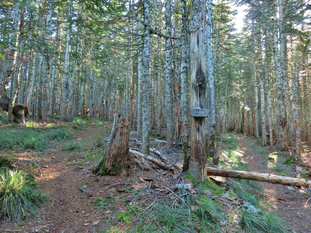 Anthill Trail on the left.
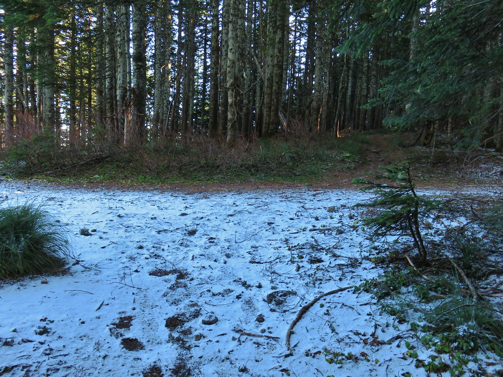


 Mt. Jefferson
 Wahtum Lake and Chindrie Mountain

